Trails in Norway
7,452 hiking trails, each with its route, climb, walking time and grade.
All trails, page 73 of 156
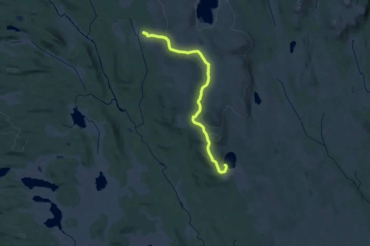
Medium · Trail
Øyungshytta - Lyngbua
15.9 km · ↑ 295 m · 4 h 37 min
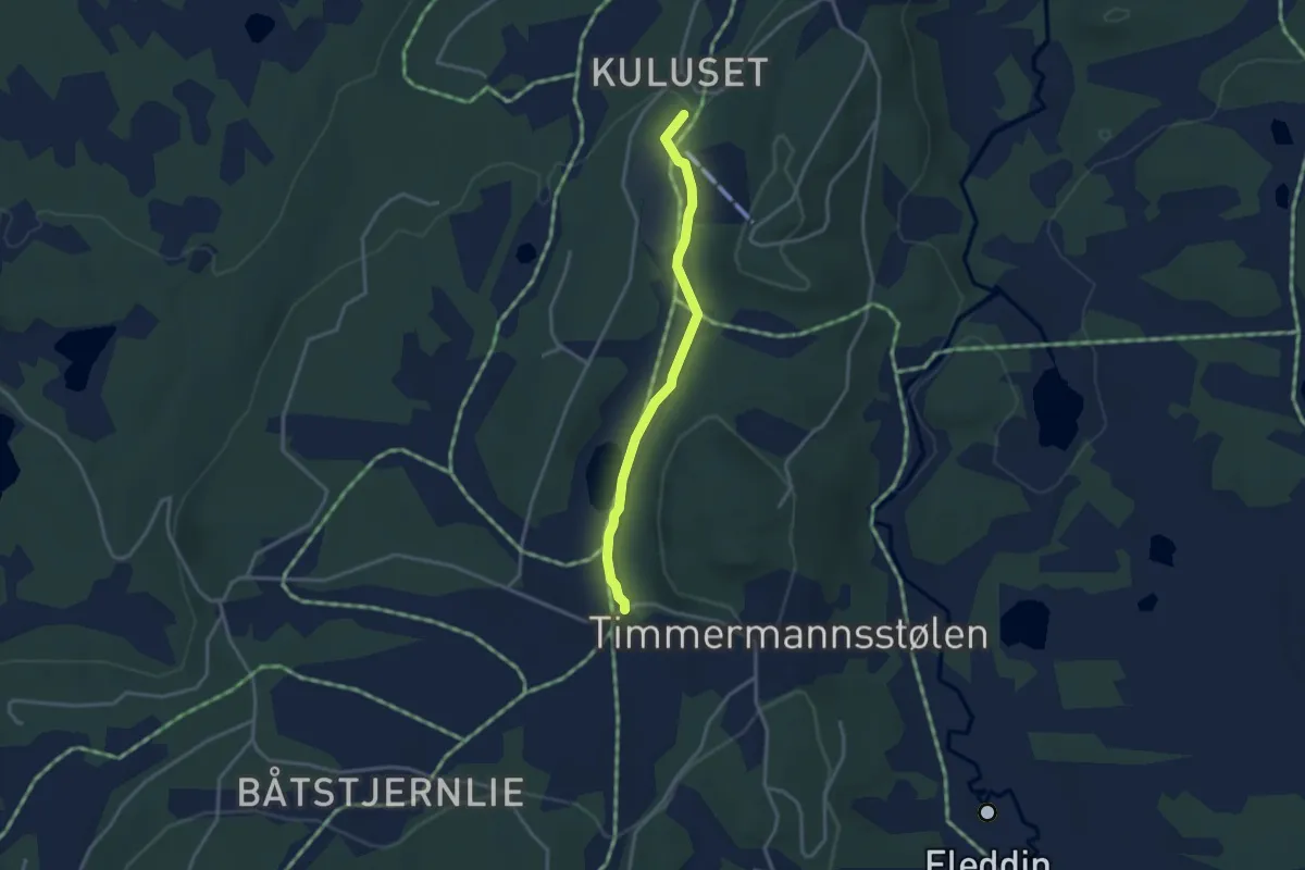
Medium · Trail
Øyvatn
2.1 km · ↑ 25 m · 33 min
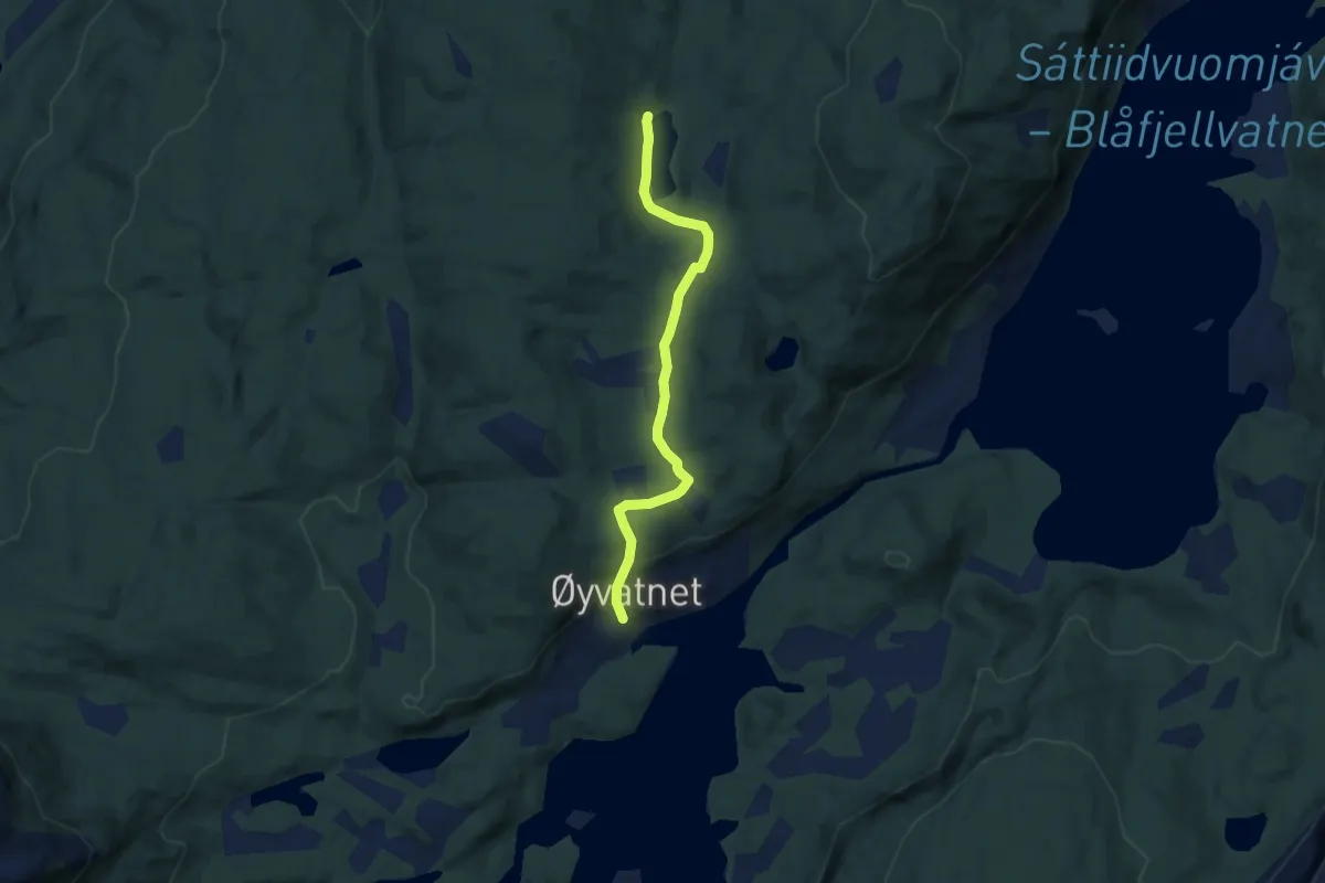
Medium · Trail
Øyvatn - Lysvatnet - Sandvatnet
3.6 km · ↑ 85 m · 1 h 2 min
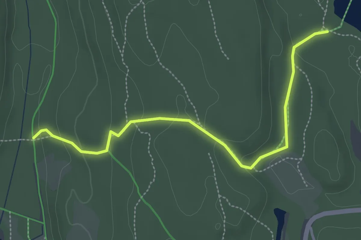
Easy · Trail
Paddetjern-forbindelsen
2.3 km · ↑ 70 m · 42 min
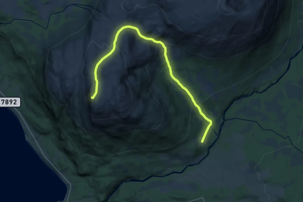
Medium · Trail
Pålfinnmoen - Kjelbotn - Mortenhalsskolten
11.4 km · ↑ 644 m · 4 h 5 min
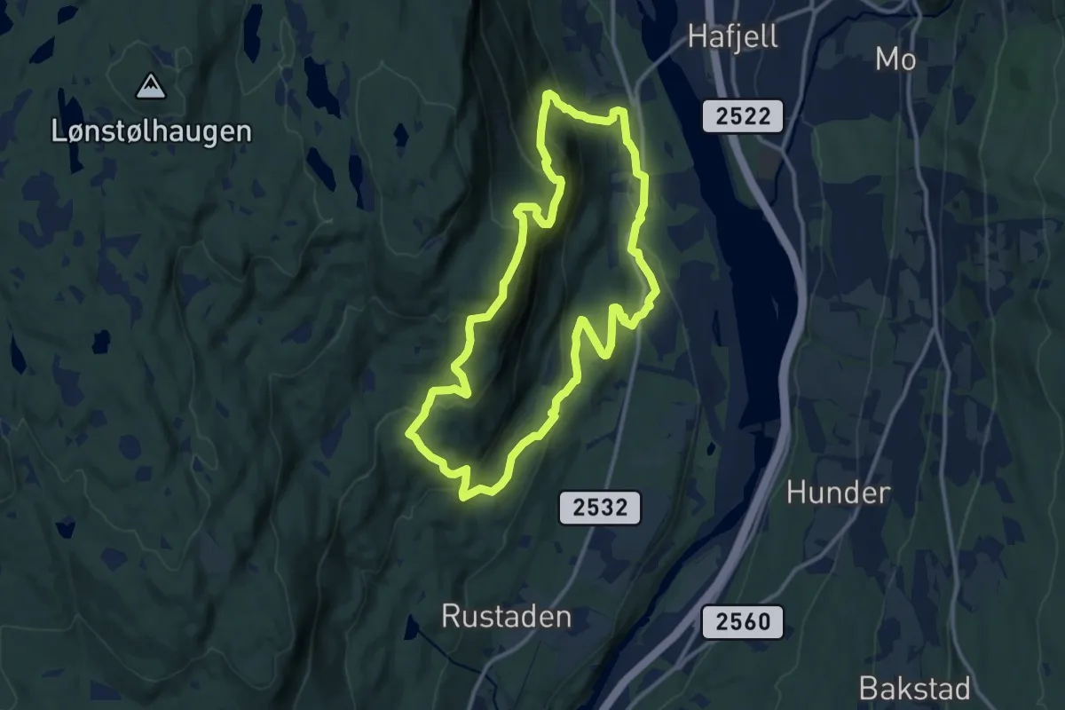
Medium · Summit
Panoramastien
8.2 km · ↑ 464 m · 3 h 3 min
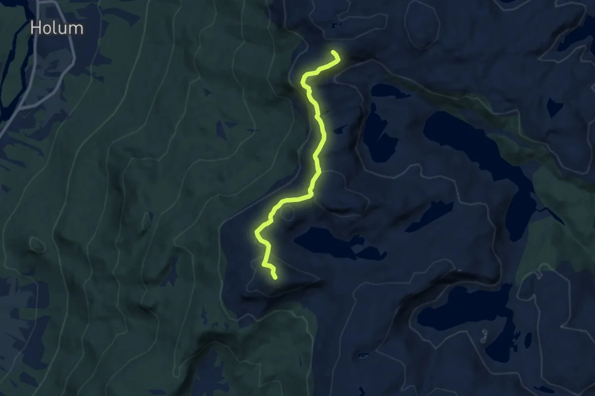
Easy · Trail
Panoramastien
5.6 km · ↑ 232 m · 1 h 50 min
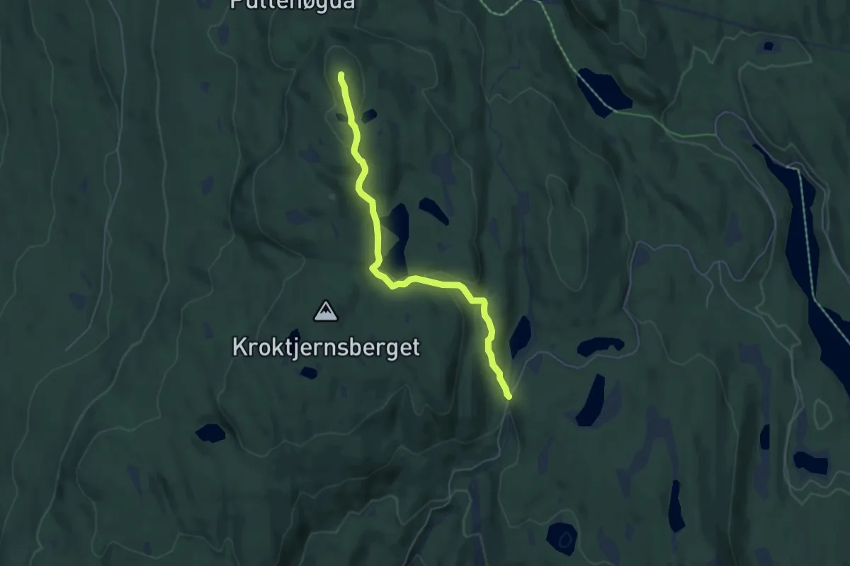
Easy · Trail
Paradiskollen - Rundkollen
3.8 km · ↑ 107 m · 1 h 7 min
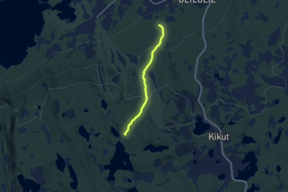
Medium · Trail
Pariserløypa -sommertrasé
4.2 km · ↑ 209 m · 1 h 27 min
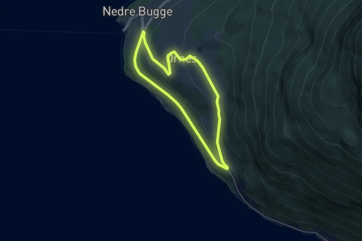
Easy · Trail
Parkering - båtbyggeriet - kyrkja
5.6 km · ↑ 172 m · 1 h 42 min
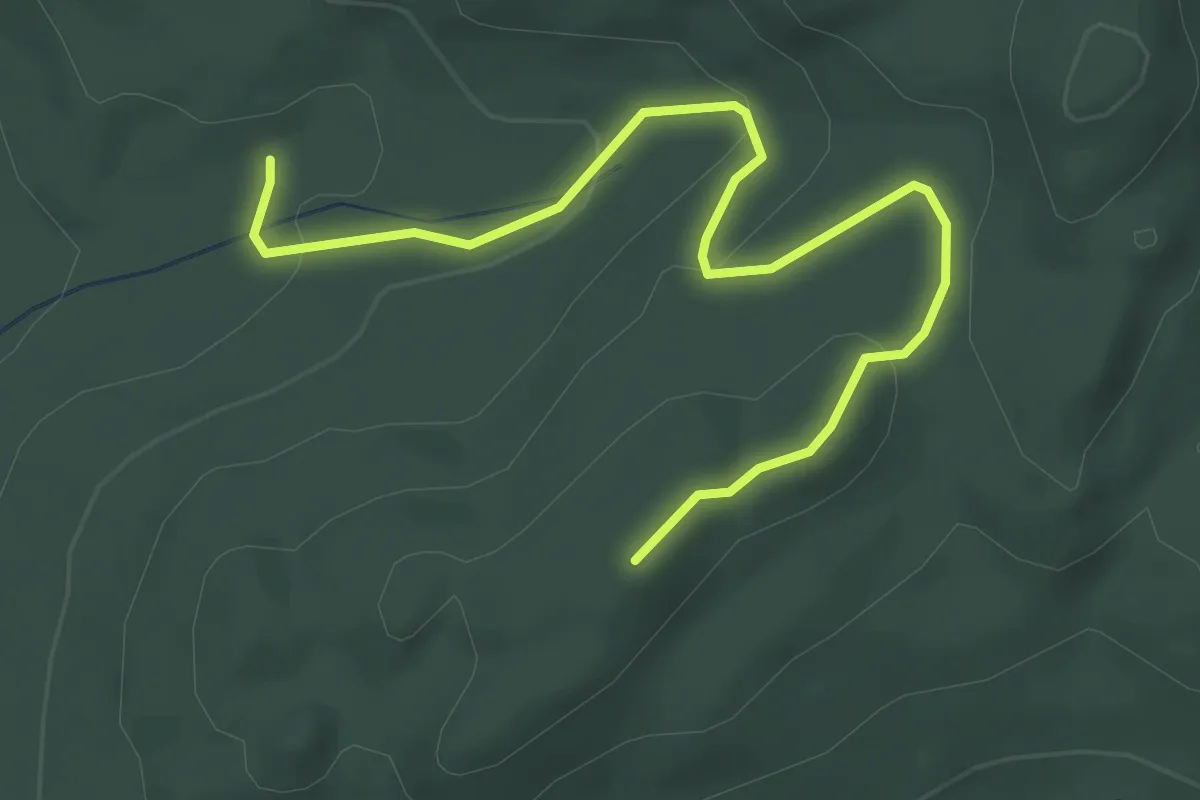
Medium · Trail
Parkering Kjusdalen til Bergsknappen via Jenshøgda
2.6 km · ↑ 97 m · 49 min
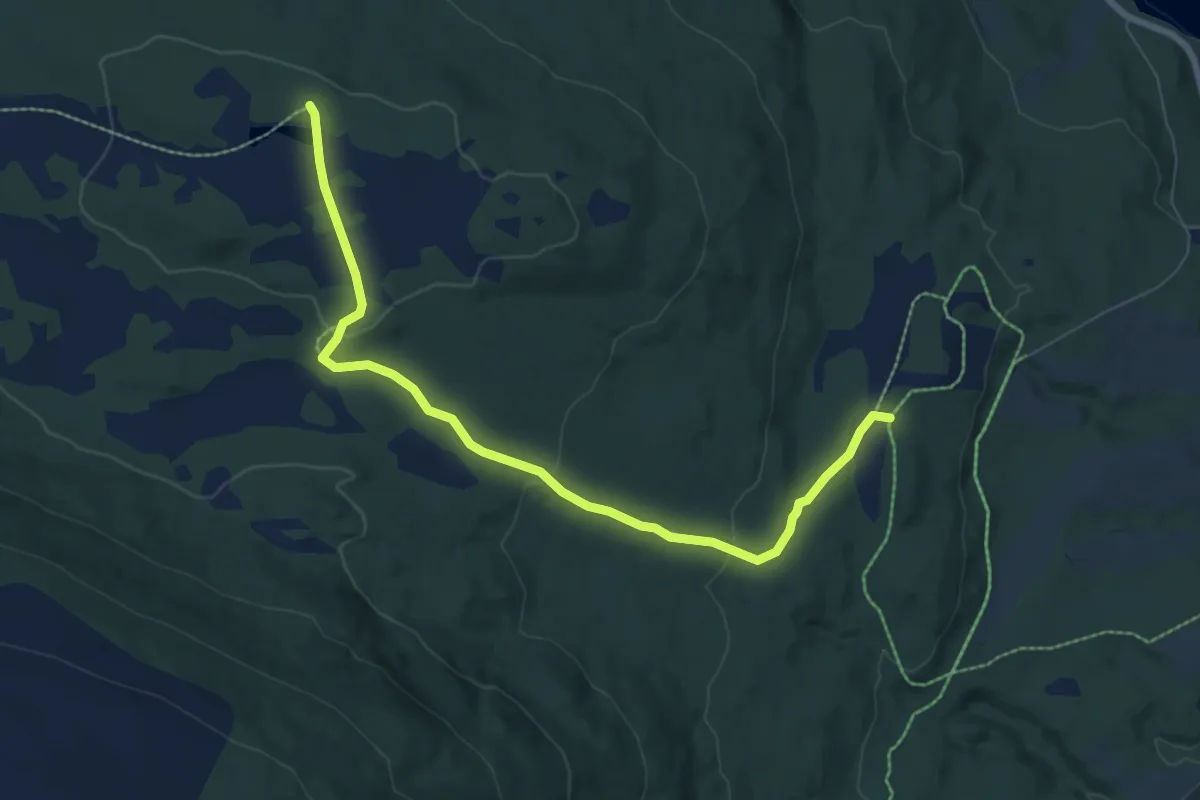
Medium · Trail
Påskehågen
4.3 km · ↑ 142 m · 1 h 20 min
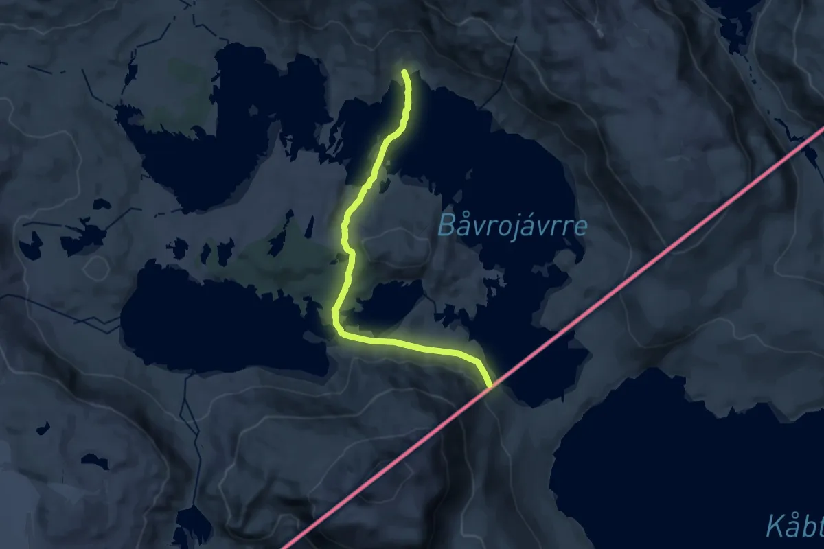
Demanding · Trail
Paurohytta - Bovrojavri
12.3 km · ↑ 486 m · 3 h 58 min
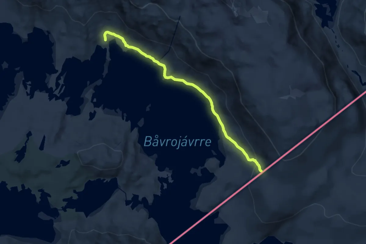
Demanding · Trail
Paurohytta - Svenske grensen
9.5 km · ↑ 272 m · 2 h 49 min
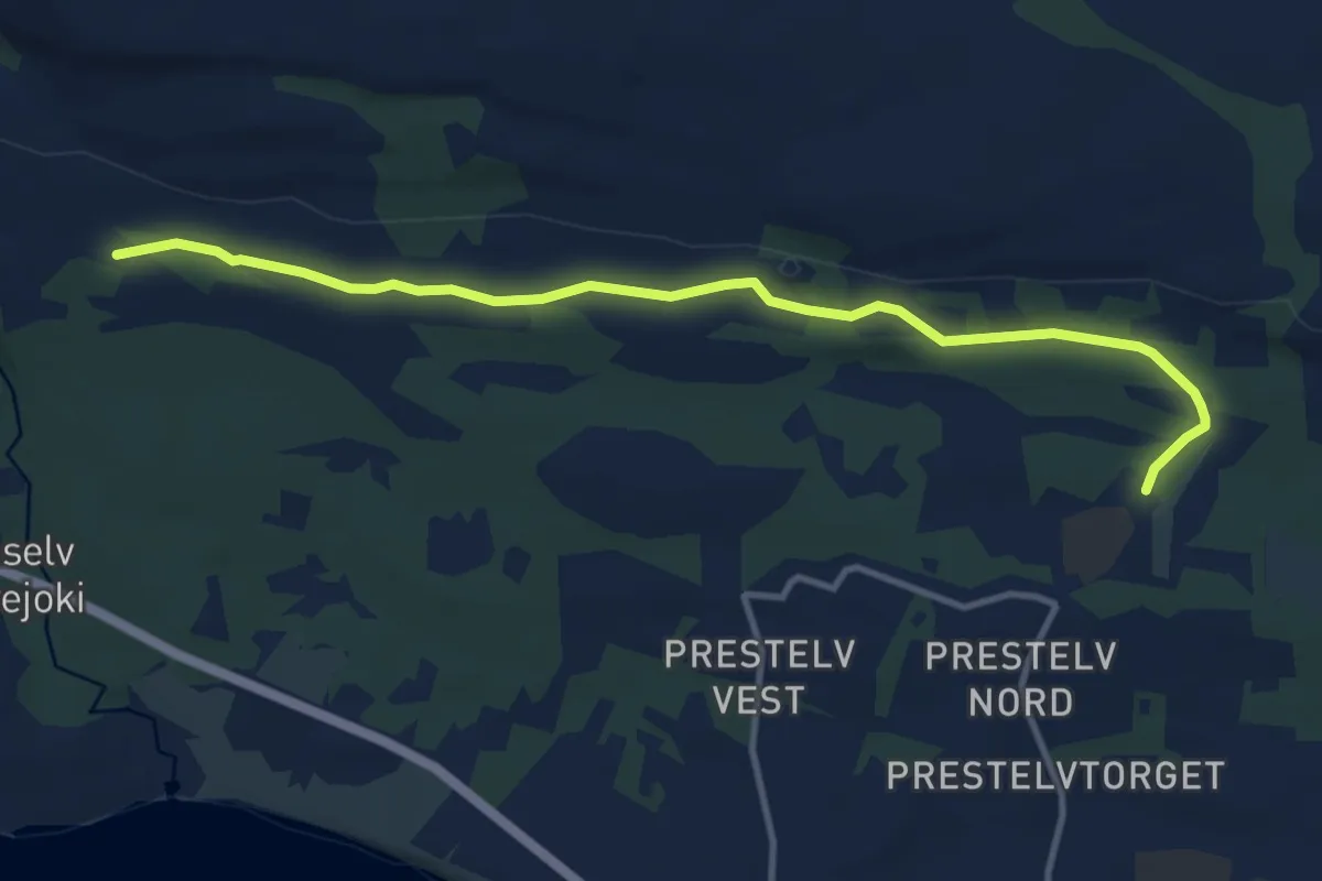
Easy · Trail
Pavelstien
5.8 km · ↑ 32 m · 1 h 27 min
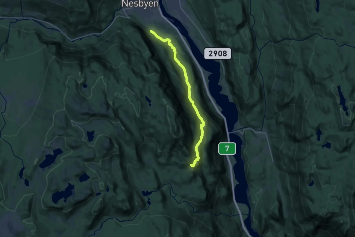
Medium · Trail
Påverud - Nesbyen
12.2 km · ↑ 591 m · 4 h 10 min
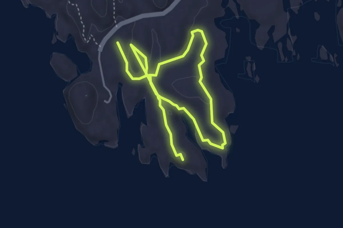
Easy · Trail
Pax-Stien
4.7 km · ↑ 66 m · 1 h 15 min
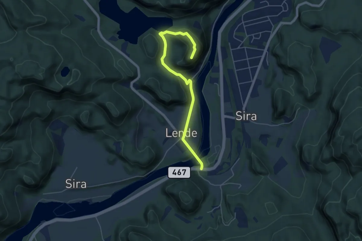
Easy · Trail
Pederåsen
3.8 km · ↑ 154 m · 1 h 15 min
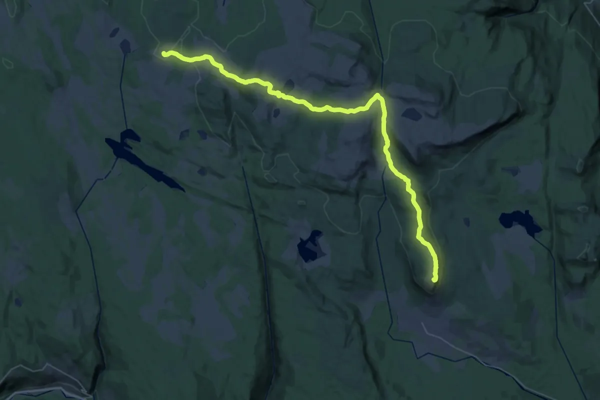
Demanding · Summit
Peer Gynt stien
30.4 km · ↑ 633 m · 8 h 32 min
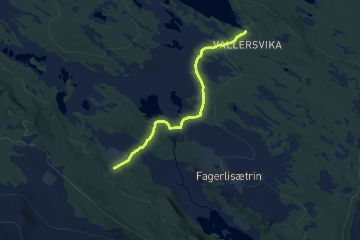
Medium · Trail
Peer Gynt stien
8.1 km · ↑ 90 m · 2 h 6 min
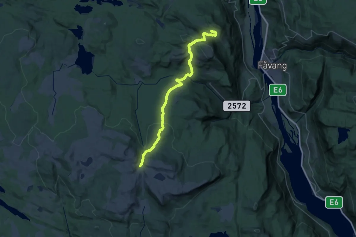
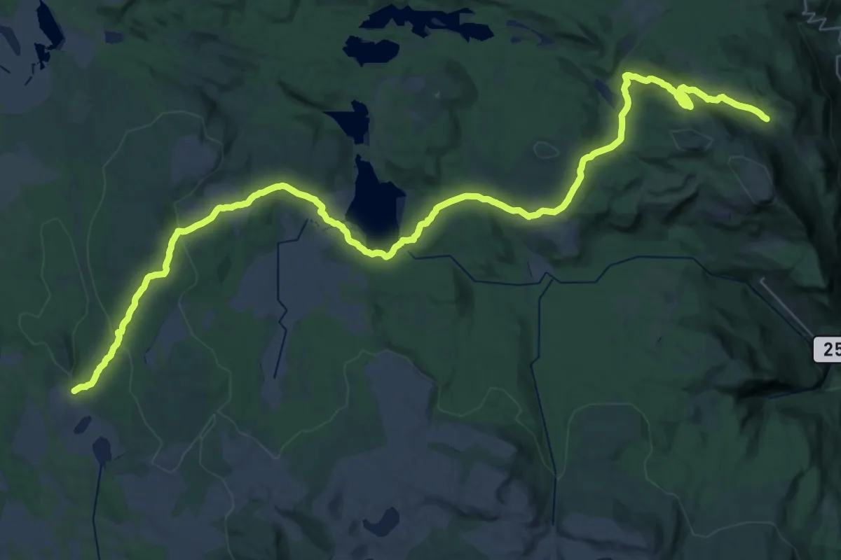
Demanding · Trail
Peer Gynt stien
23.0 km · ↑ 972 m · 7 h 32 min
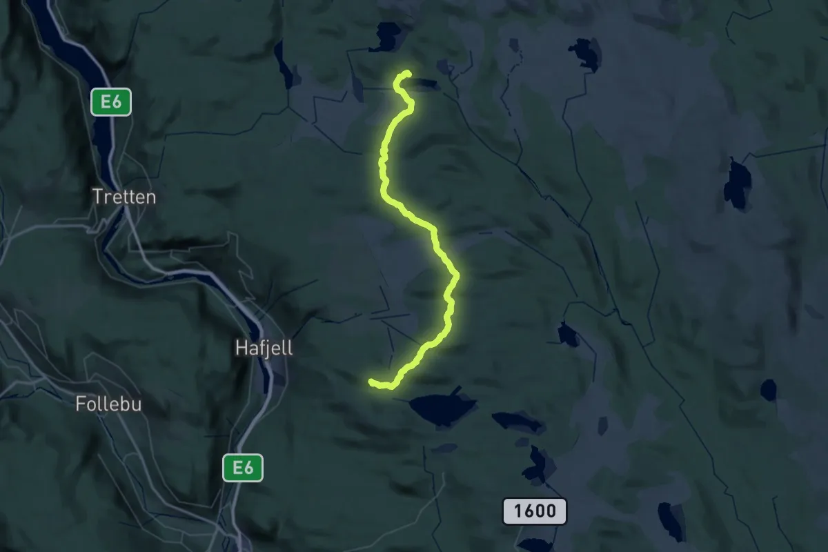
Easy · Trail
Peer Gynt Stien
19.1 km · ↑ 356 m · 5 h 39 min
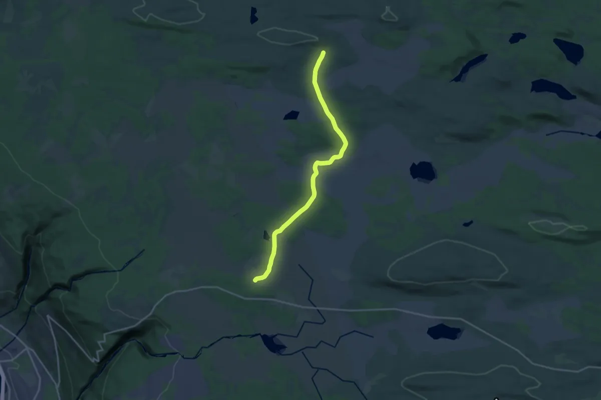
Demanding · Cabin
Pellestova - Djupslia
23.7 km · ↑ 475 m · 6 h 58 min
Medium · Trail
Pellestova-Djupslia
12.1 km · ↑ 96 m · 3 h 4 min
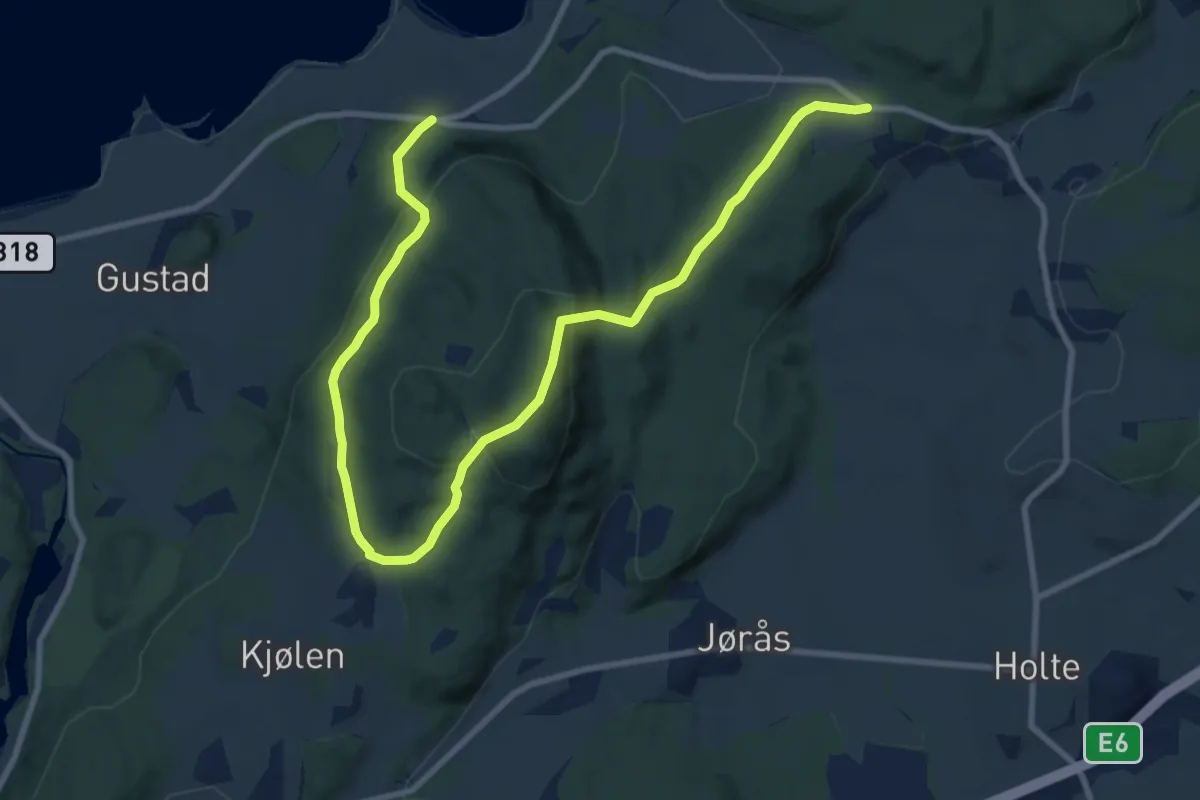
Medium · Trail
Perhaugen - Strandkorsen
8.0 km · ↑ 363 m · 2 h 41 min
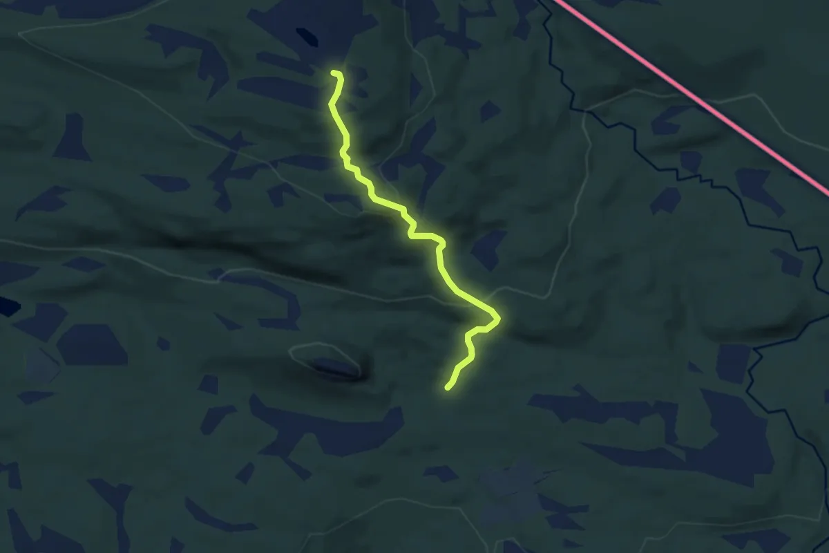
Easy · Trail
Perklumpen og Litjfjellet
3.9 km · ↑ 220 m · 1 h 24 min
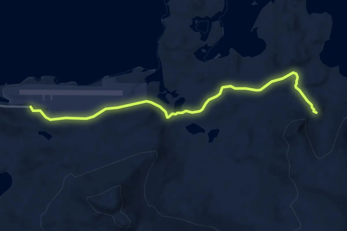
Medium · Trail
Perletur Falkbergbukta
5.4 km · ↑ 128 m · 1 h 33 min
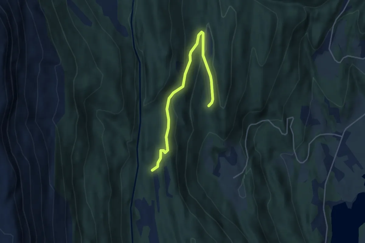
Easy · Trail
Perslemarki - Nystølen
3.0 km · ↑ 110 m · 57 min
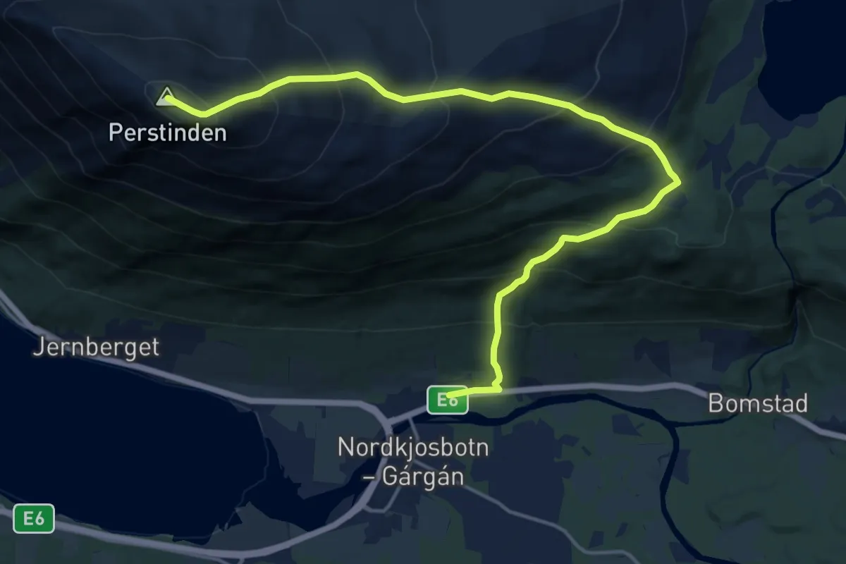
Demanding · Trail
Perstinden - Vollan
9.7 km · ↑ 904 m · 4 h 14 min
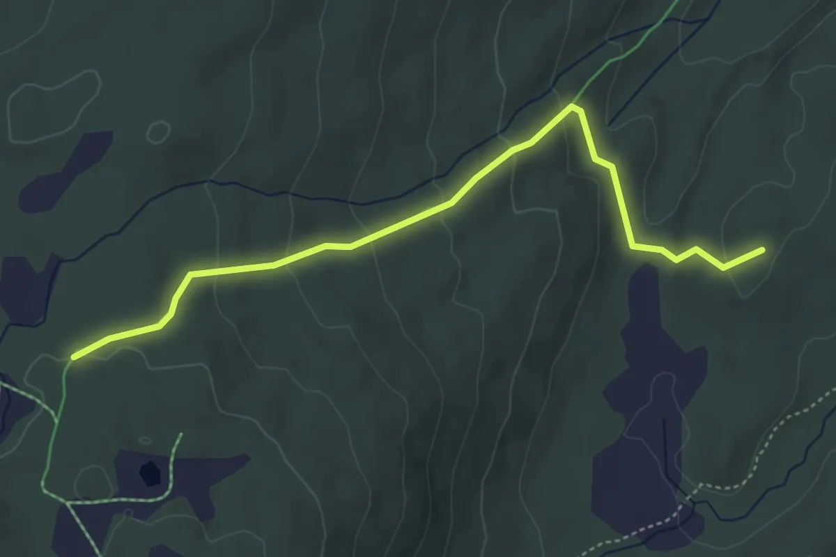
Medium · Trail
Pevatnet
2.6 km · ↑ 150 m · 56 min
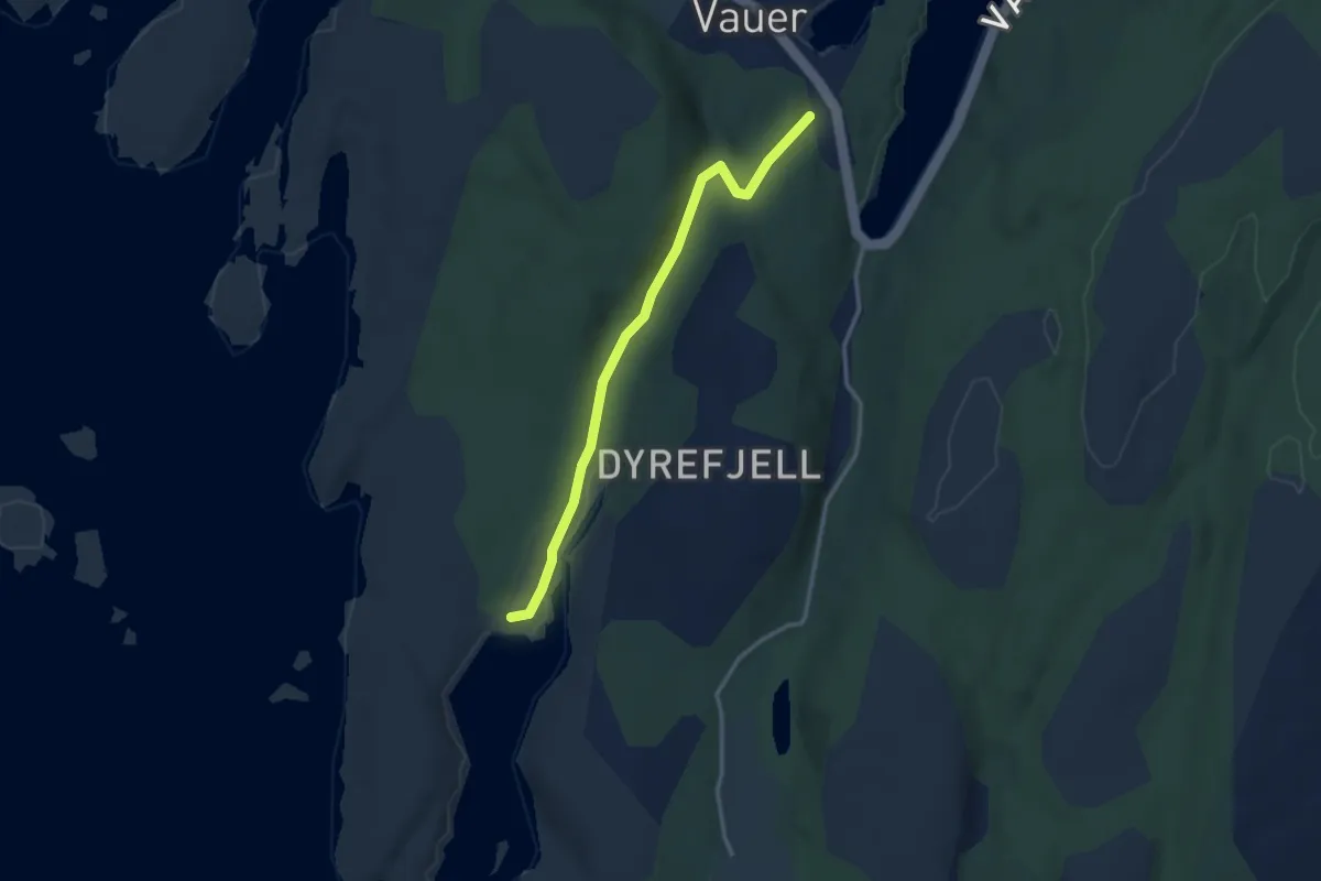
Easy · Trail
P-Guttormsvaugen
2.2 km · ↑ 28 m · 35 min
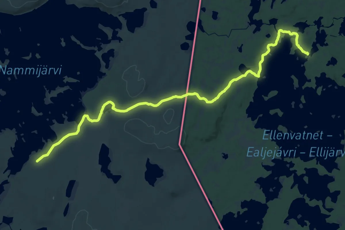
Demanding · Trail
Piilolan polku
24.3 km · ↑ 95 m · 5 h 57 min
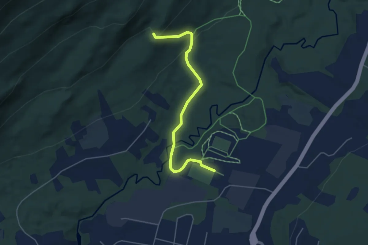
Easy · Trail
Piknikkbordet fra Bjerkvikhallen
2.3 km · ↑ 84 m · 43 min
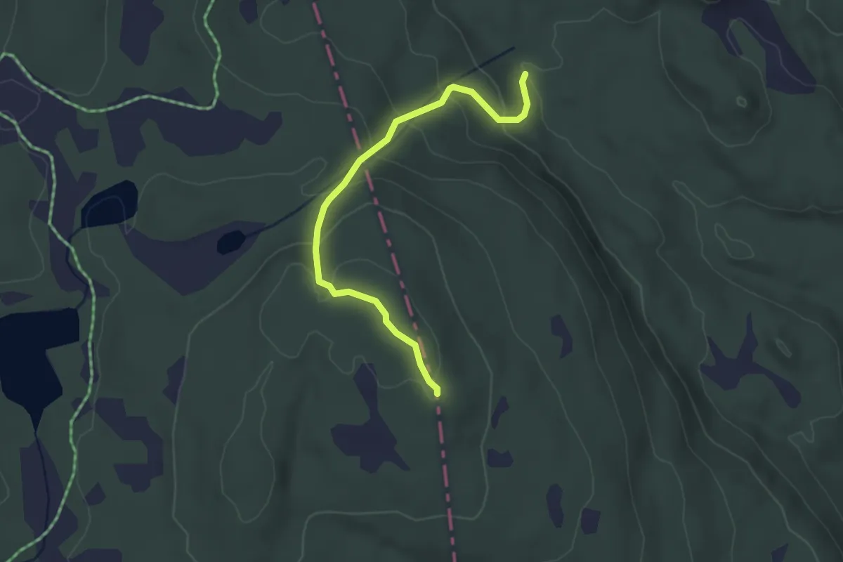
Medium · Trail
Pikstein
2.3 km · ↑ 146 m · 51 min
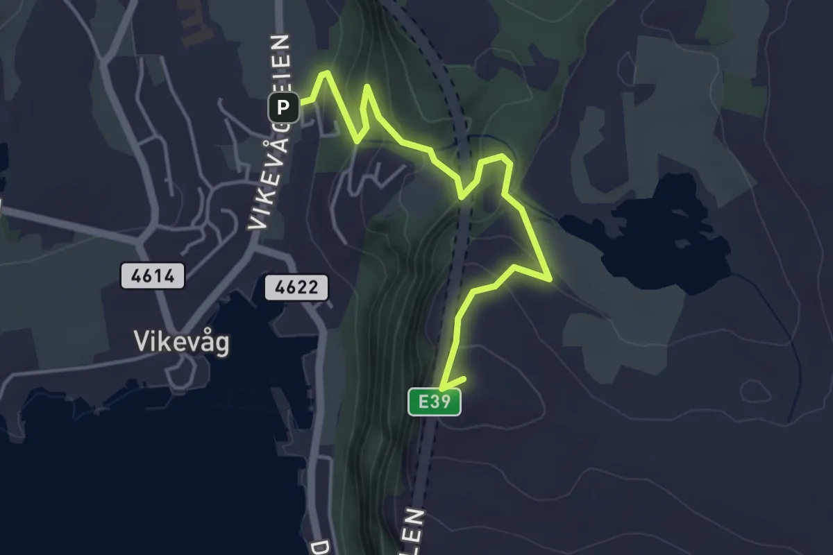
Easy · Summit
Pilå
3.1 km · ↑ 200 m · 1 h 10 min
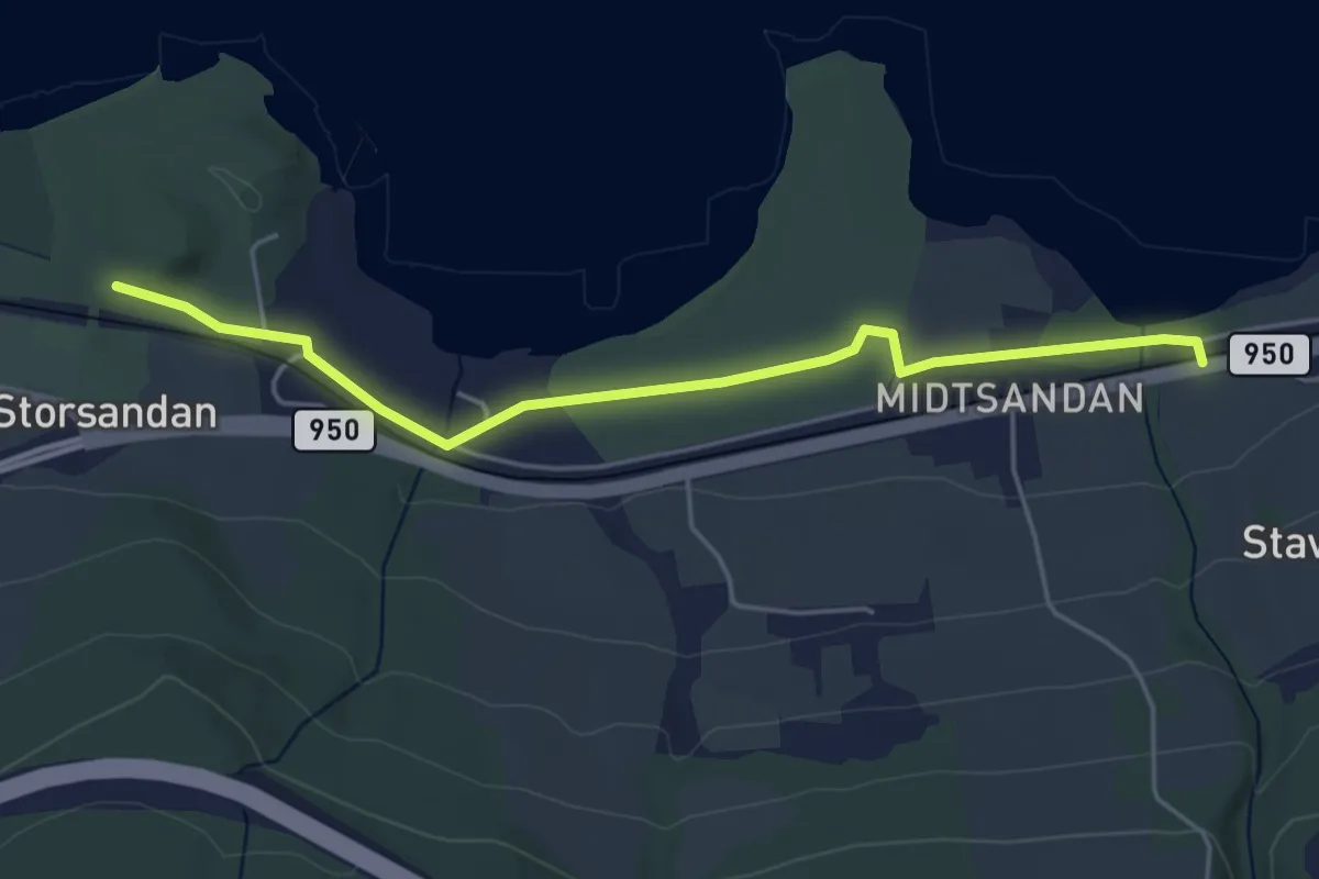
Easy · Pilgrim path
Pilegrimsleden
1.6 km · ↑ 0 m · 24 min
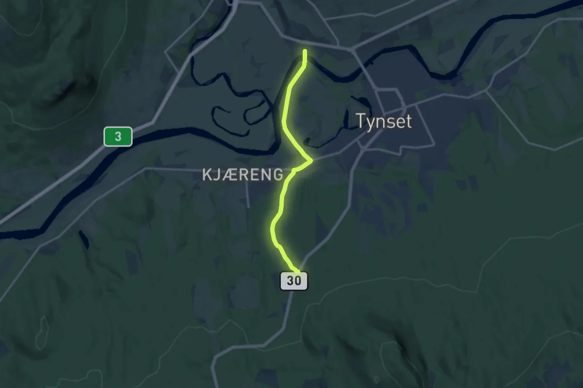
Easy · Trail
Pilegrimsleden
7.1 km · ↑ 84 m · 1 h 51 min
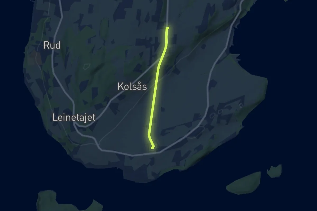
Easy · Trail
Pilegrimsleden-Gudbrandsdalsleden-Bønsnes kirke
3.2 km · ↑ 85 m · 57 min
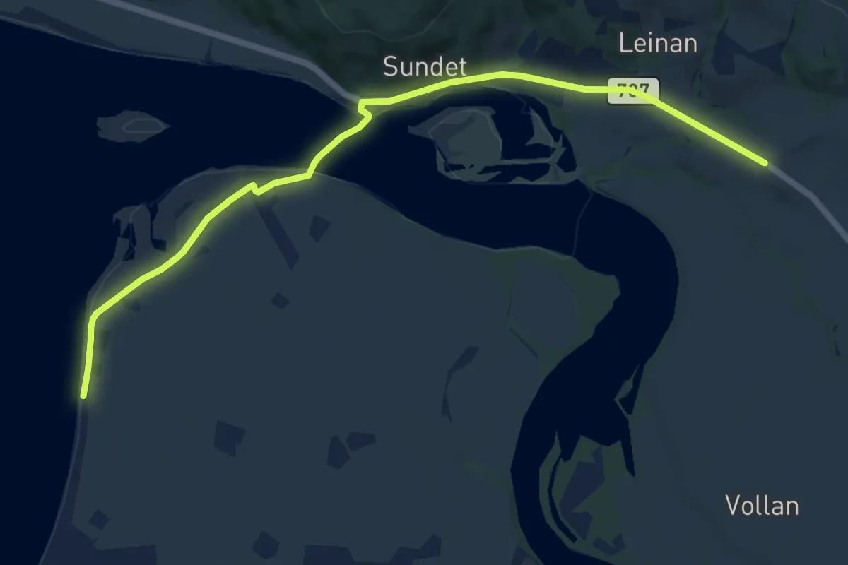
Easy · Trail
Pilegrimsleden-Gudbrandsdalsleden-Øysand/Sundet
7.3 km · ↑ 50 m · 1 h 50 min
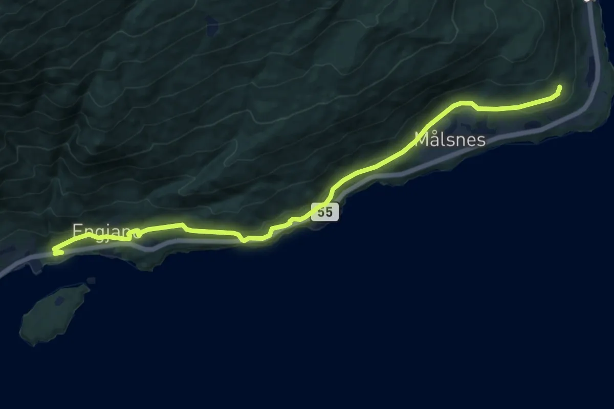
Easy · Trail
Pilegrimsleia Kvamsøy
7.0 km · ↑ 231 m · 2 h 10 min
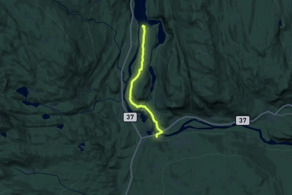
Medium · Trail
Pilegrimsvandring mellom dei kvite kyrkjene rundt Tinnsjøen
10.1 km · ↑ 165 m · 2 h 44 min
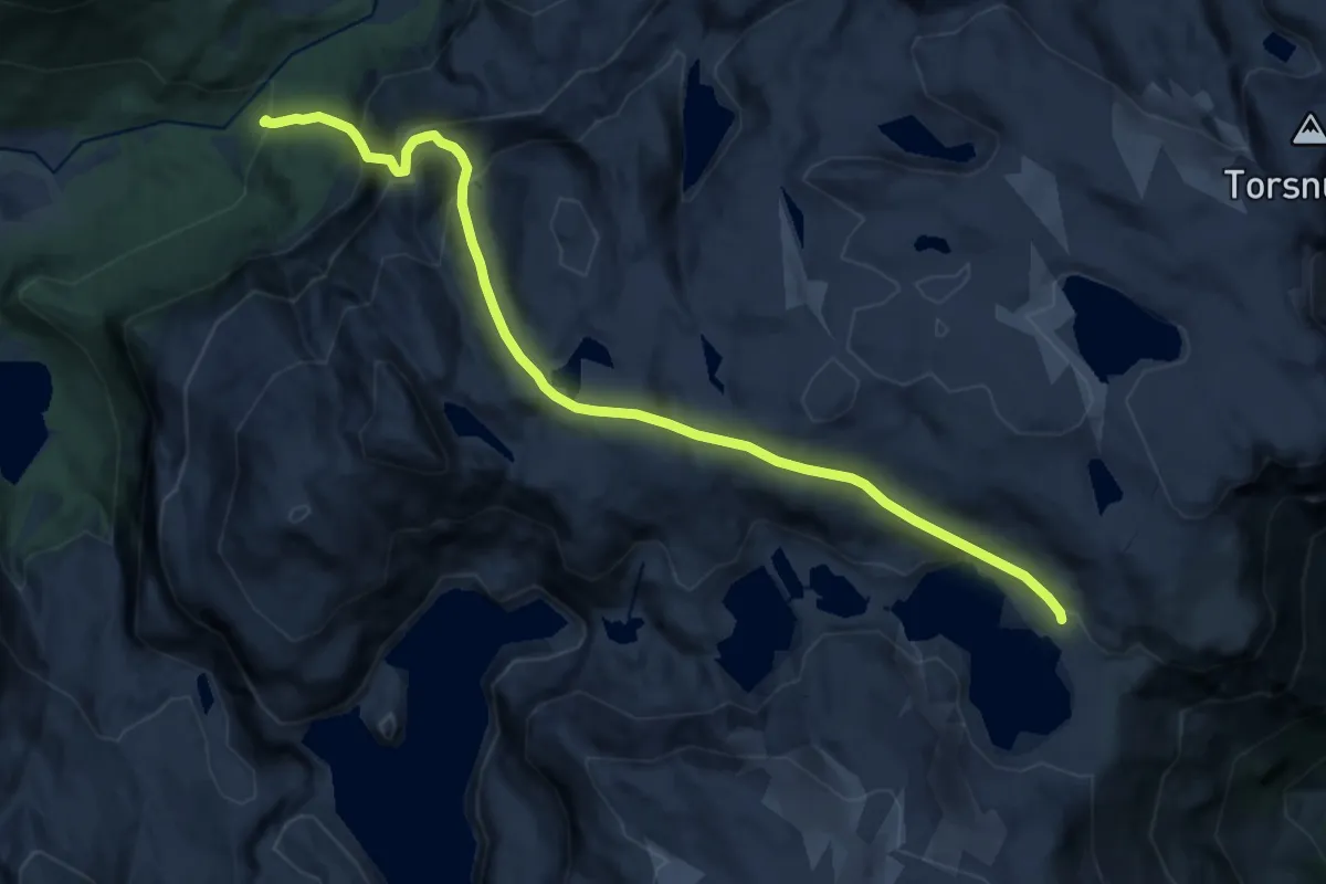
Demanding · Trail
Pilegrimsvegen
12.7 km · ↑ 1063 m · 5 h 19 min
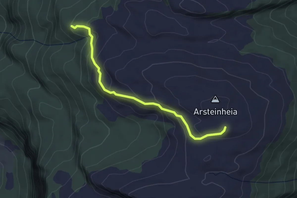
Medium · Trail
Plommeveien
2.5 km · ↑ 131 m · 53 min
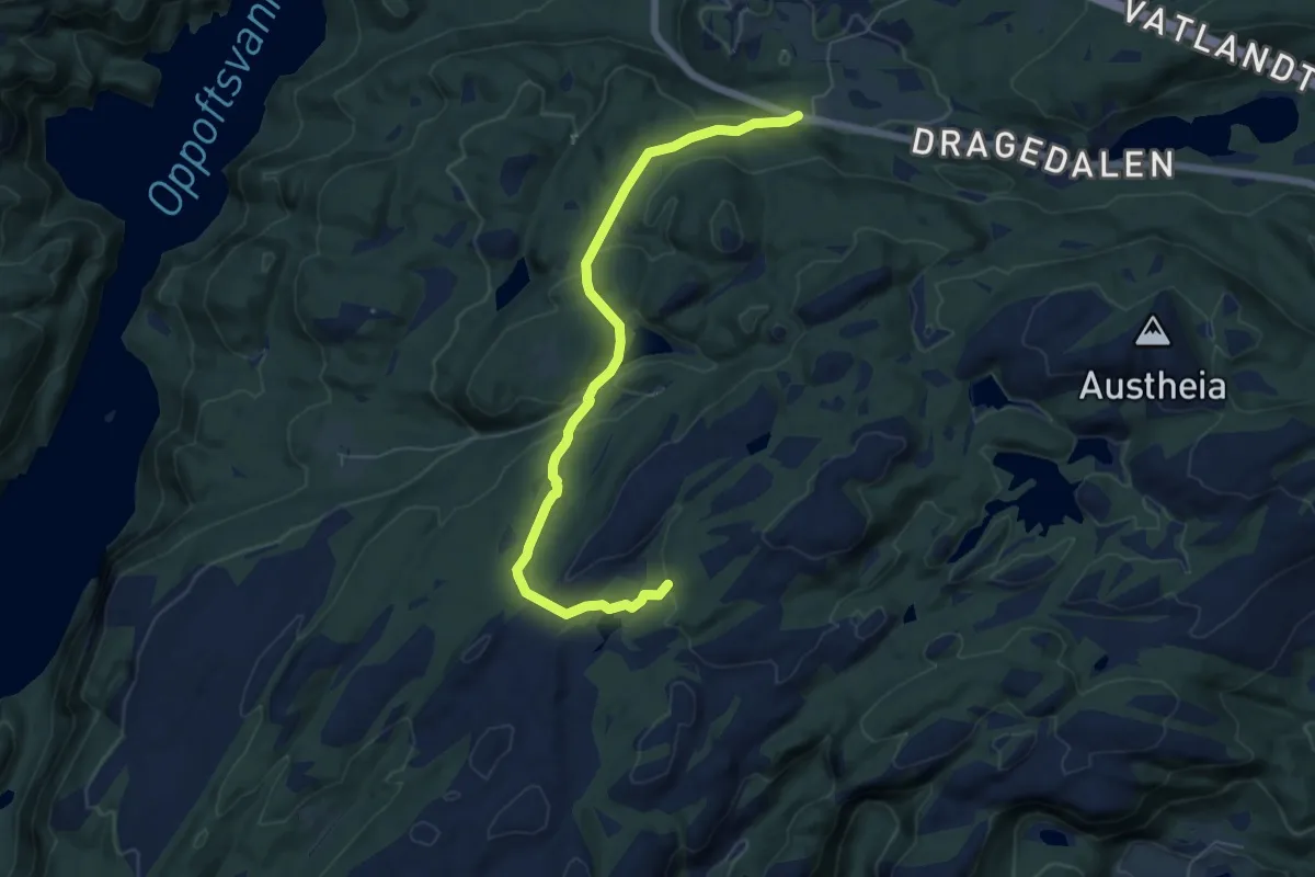
Easy · Trail
Poddeloptet
5.0 km · ↑ 131 m · 1 h 27 min
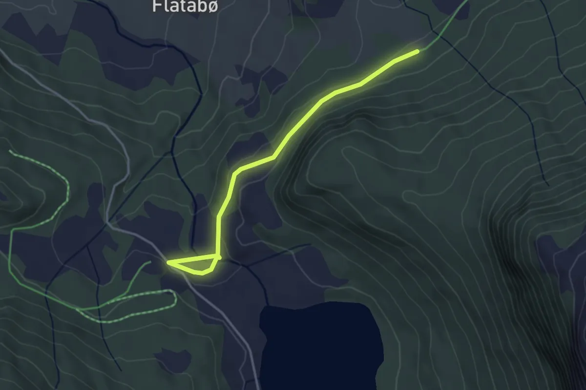
Easy · Trail
Poestien
2.5 km · ↑ 43 m · 42 min
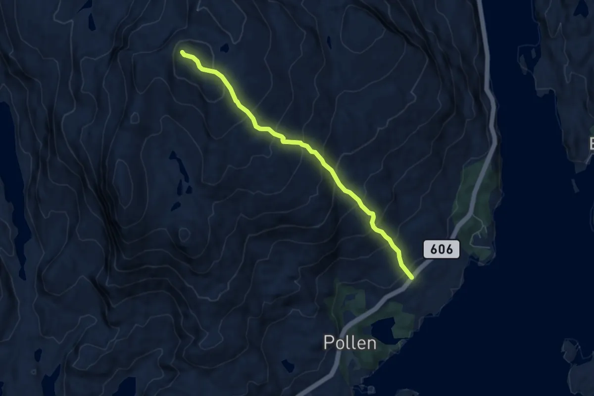
Demanding · Trail
Pollatinden
4.1 km · ↑ 493 m · 2 h 2 min
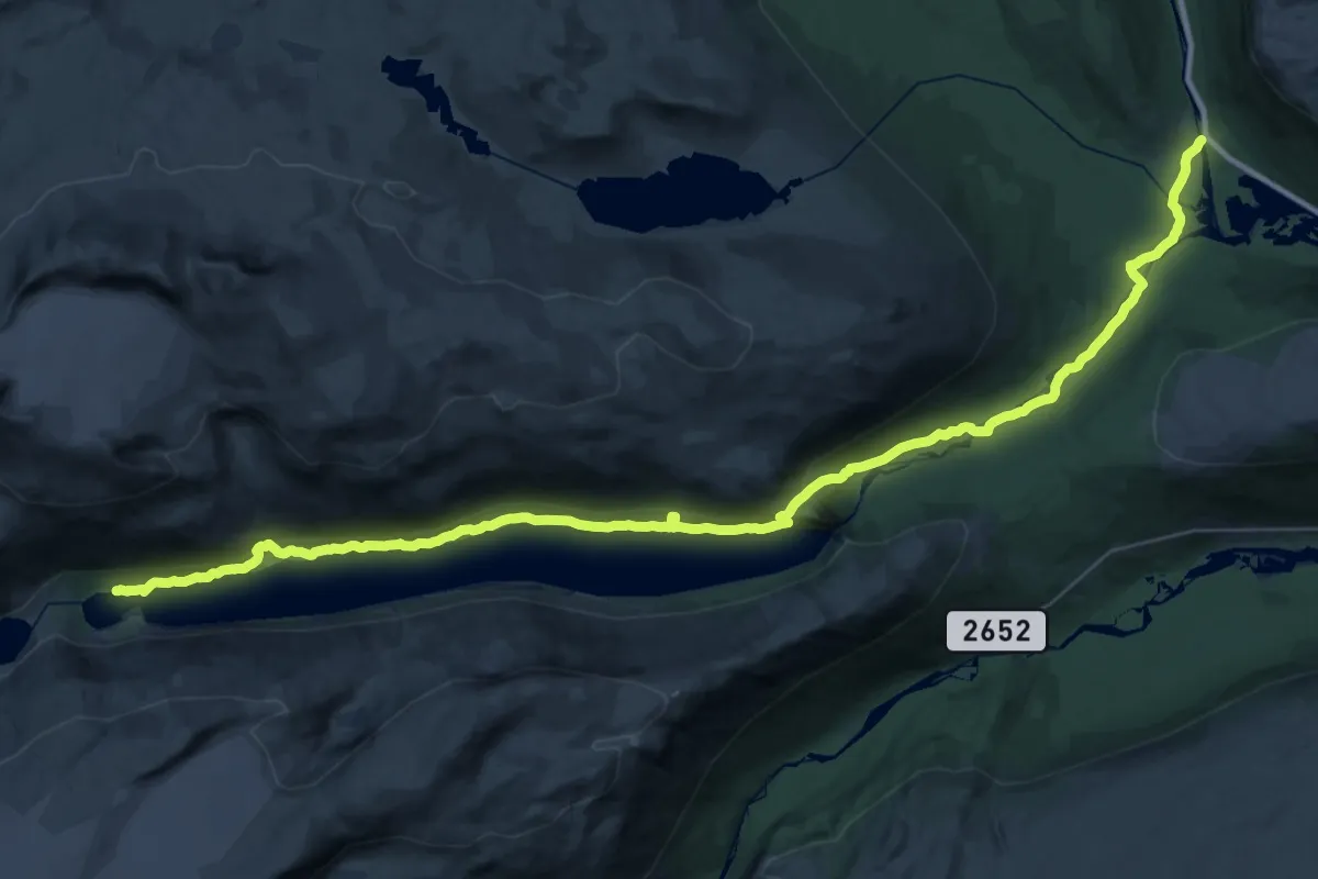
Demanding · Cabin
Pollfoss - Skridulaupbu
19.7 km · ↑ 609 m · 6 h 6 min
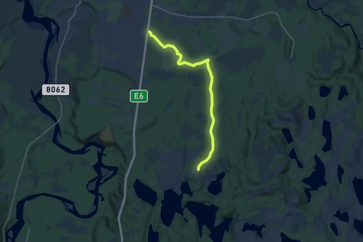
Easy · Trail
Porsvannstoppen
7.0 km · ↑ 76 m · 1 h 49 min