Trails in Norway
7,452 hiking trails, each with its route, climb, walking time and grade.
All trails, page 74 of 156
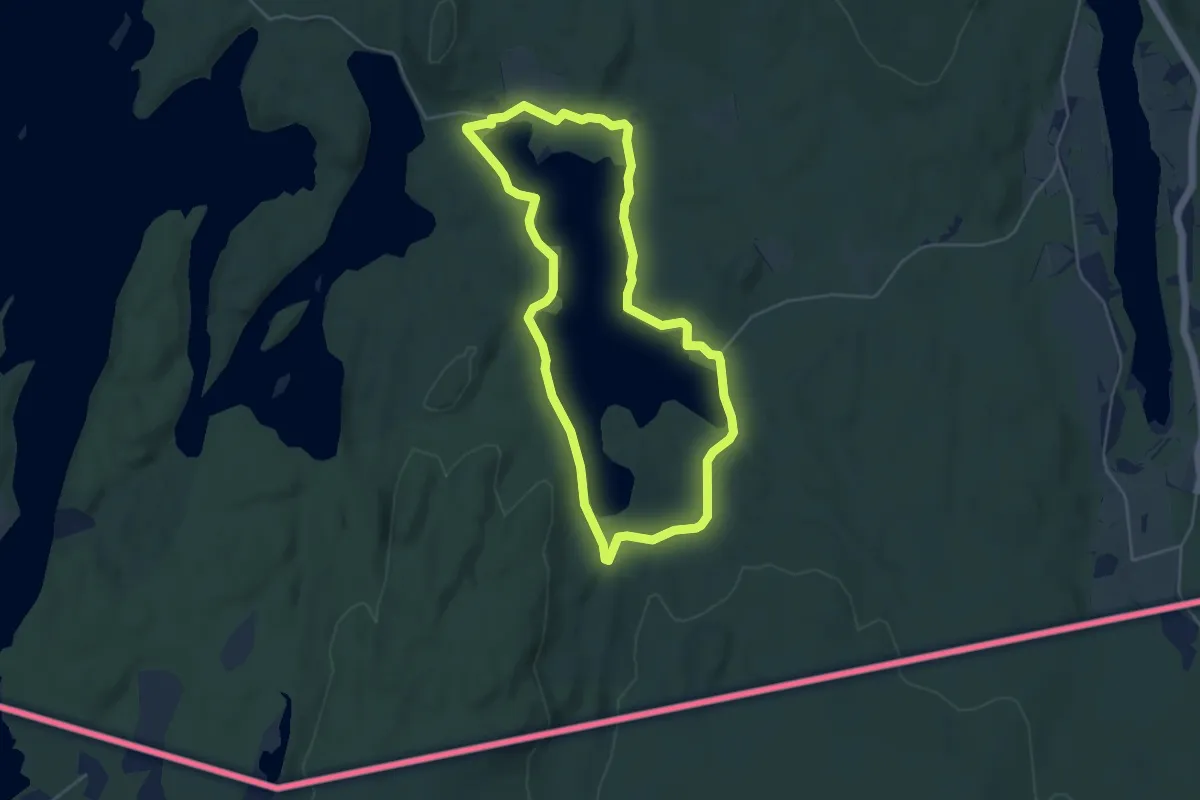
Medium · Trail
Possevatnet rundt
6.7 km · ↑ 40 m · 1 h 41 min
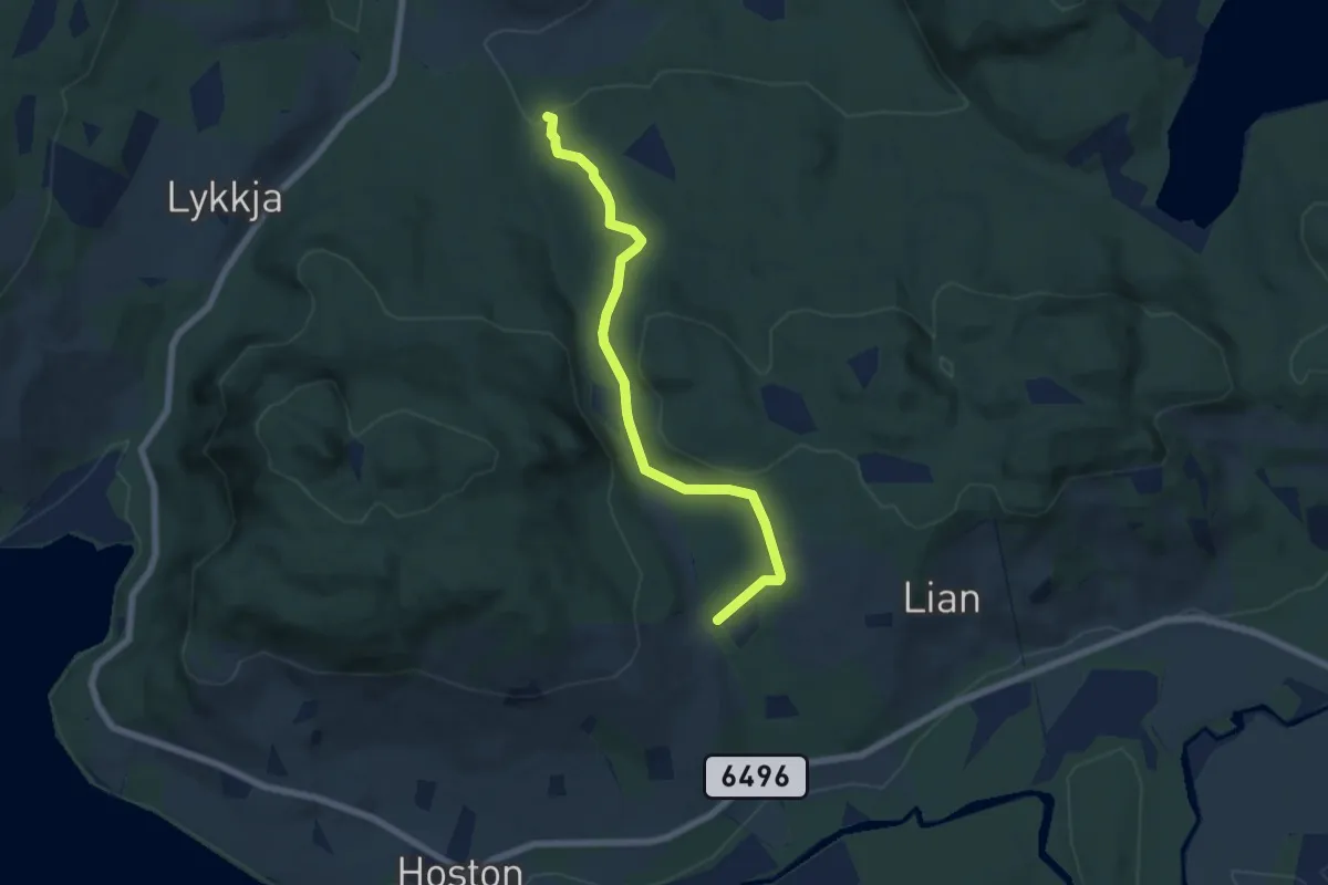
Easy · Trail
Postmyra
4.2 km · ↑ 121 m · 1 h 15 min
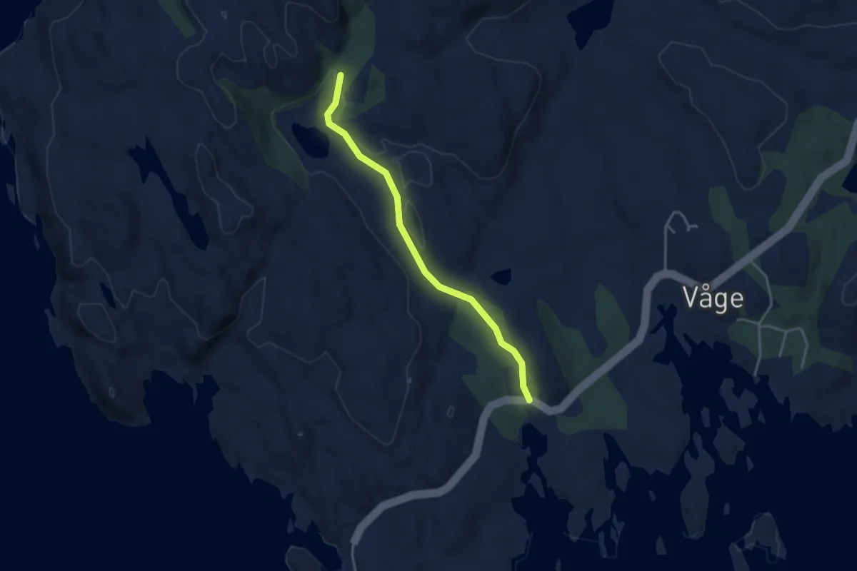
Easy · Trail
Postveien
2.5 km · ↑ 38 m · 41 min
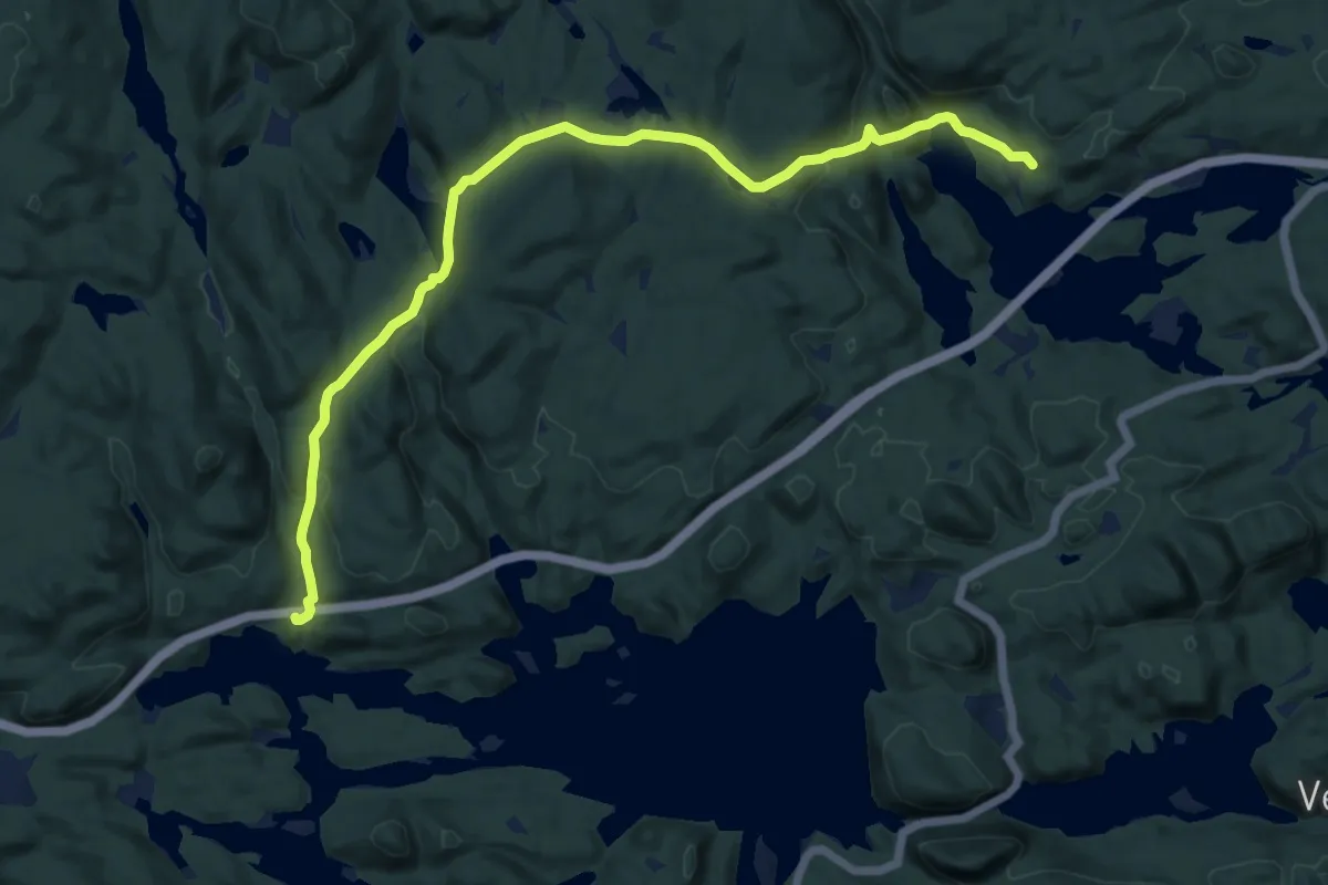
Easy · Trail
Postveien Bakke - Auråa
10.1 km · ↑ 267 m · 2 h 58 min
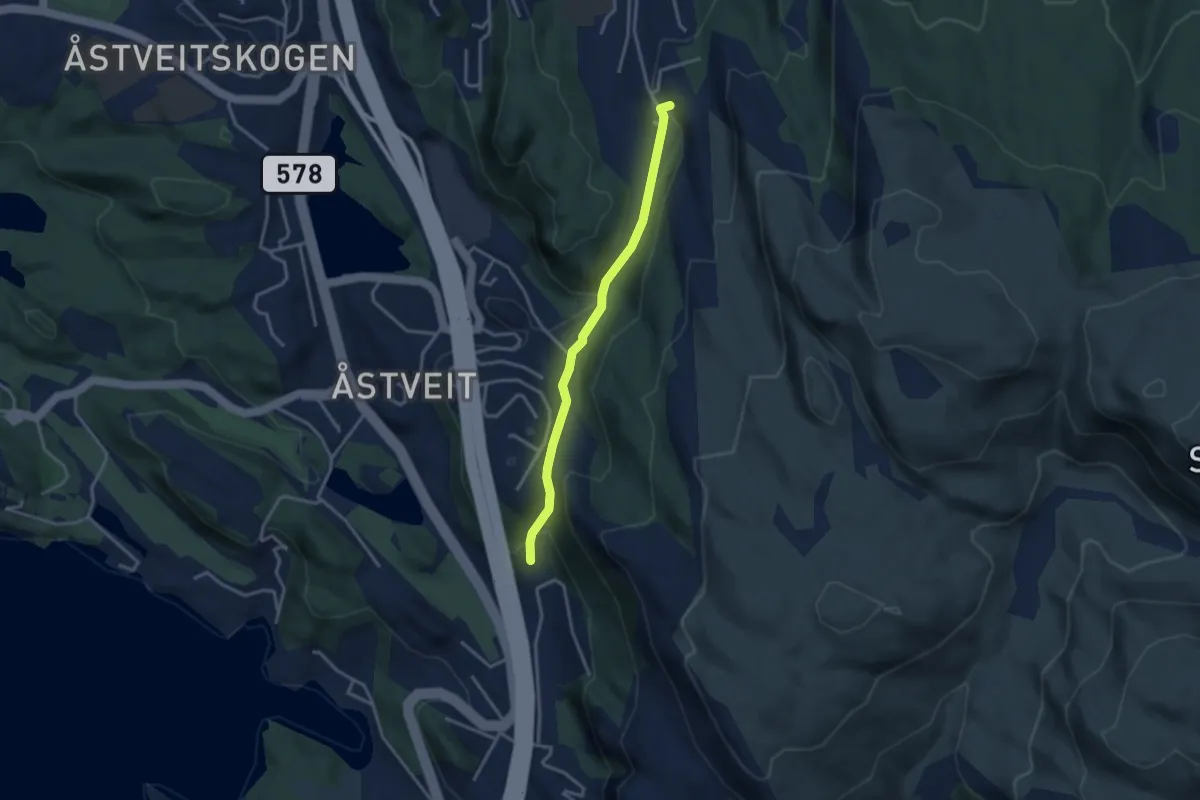
Easy · Trail
postveien fra Glaskaret til Kolåsen
2.2 km · ↑ 133 m · 48 min
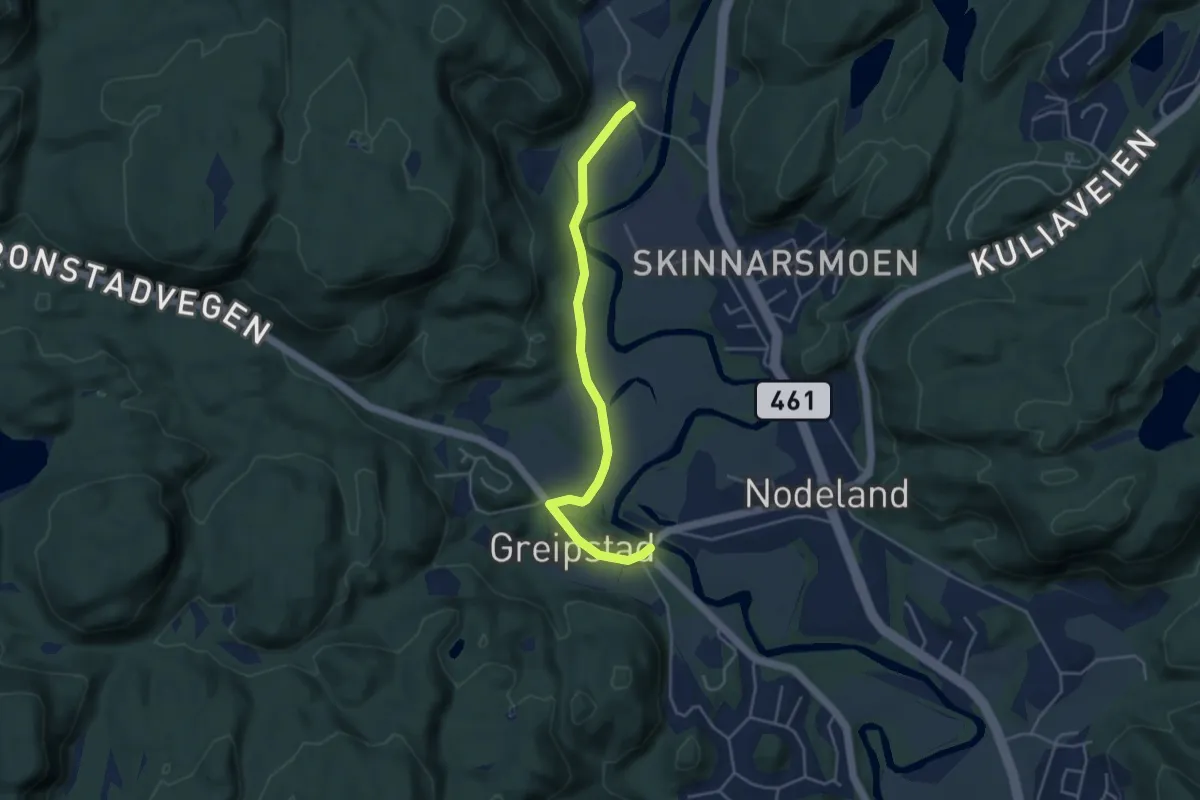
Easy · Trail
Potetveien
3.2 km · ↑ 9 m · 46 min
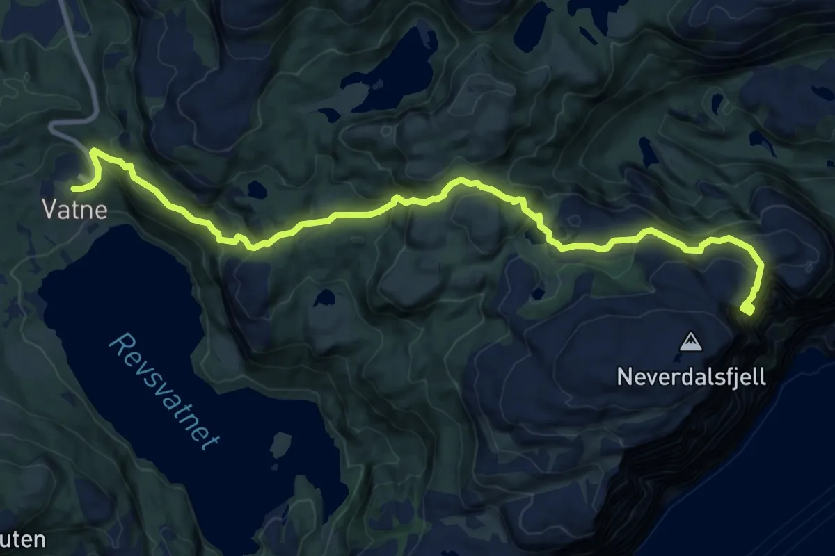
Demanding · Cabin
Preikestolen
8.2 km · ↑ 782 m · 3 h 38 min
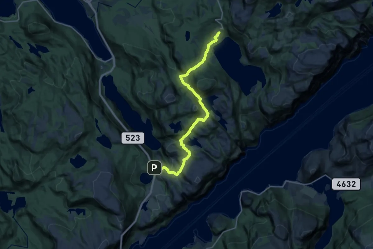
Medium · Cabin
Preikestolen Basecamp
11.6 km · ↑ 715 m · 4 h 17 min
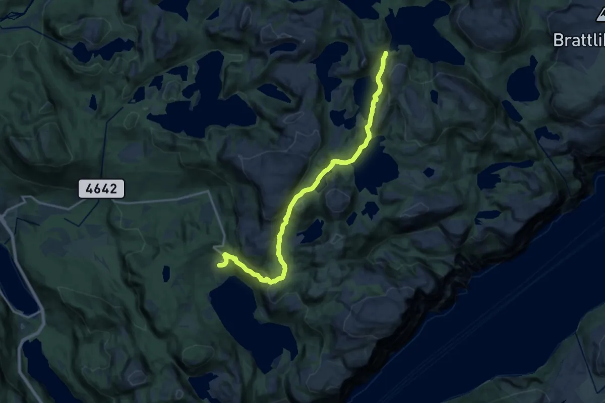
Demanding · Cabin
Preikestolen BaseCamp – Hengjandevatnet ved Ørnabu
11.1 km · ↑ 576 m · 3 h 53 min
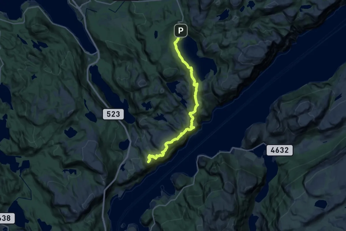
Expert · Summit
Preikestolen BaseCamp – Høllesliheia
13.0 km · ↑ 776 m · 4 h 45 min
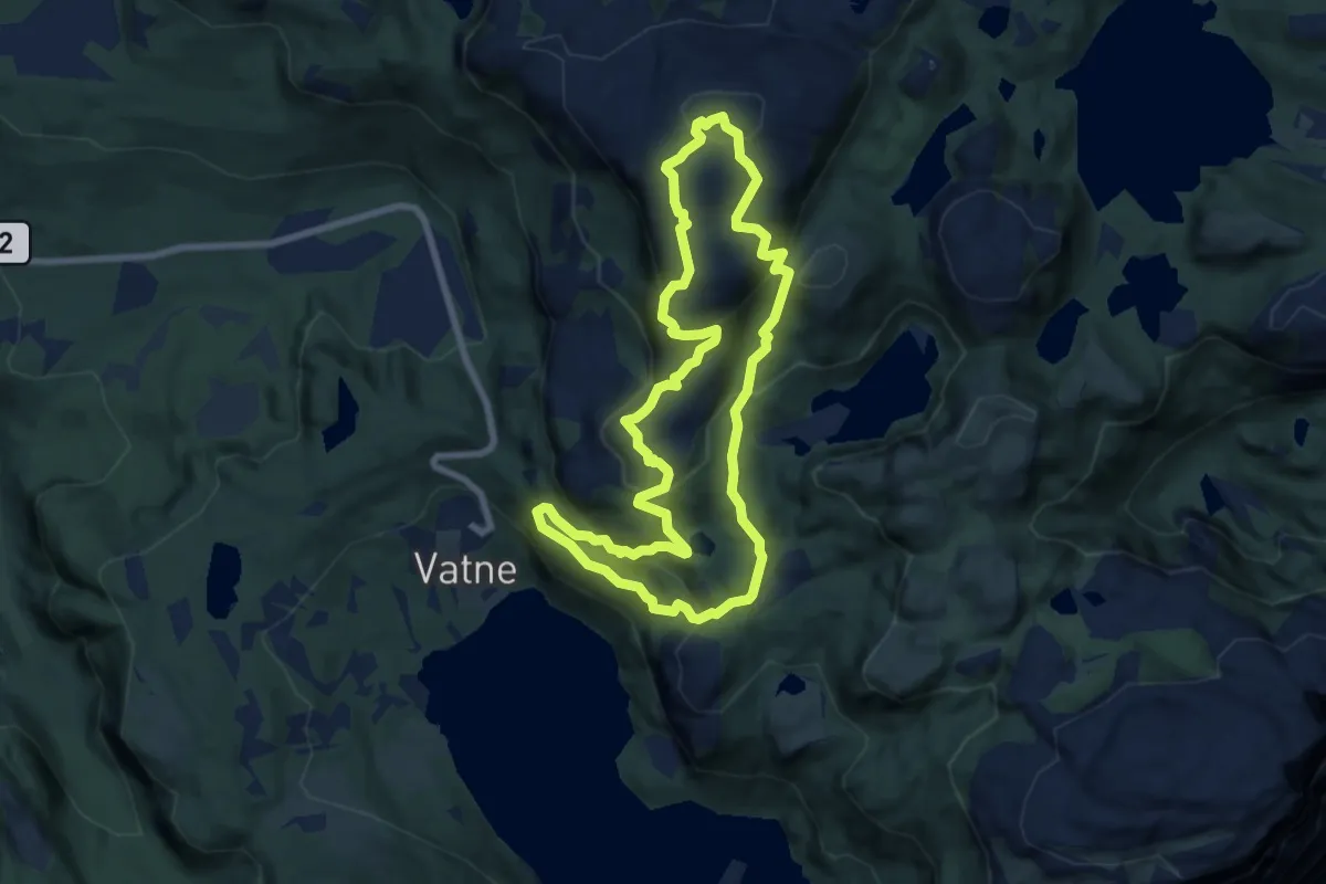
Demanding · Summit
Preikestolen BaseCamp – Moslifjellet
5.7 km · ↑ 371 m · 2 h 14 min
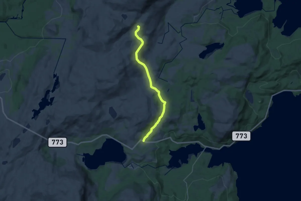
Medium · Trail
Prekstolsteinen
14.0 km · ↑ 354 m · 4 h 4 min
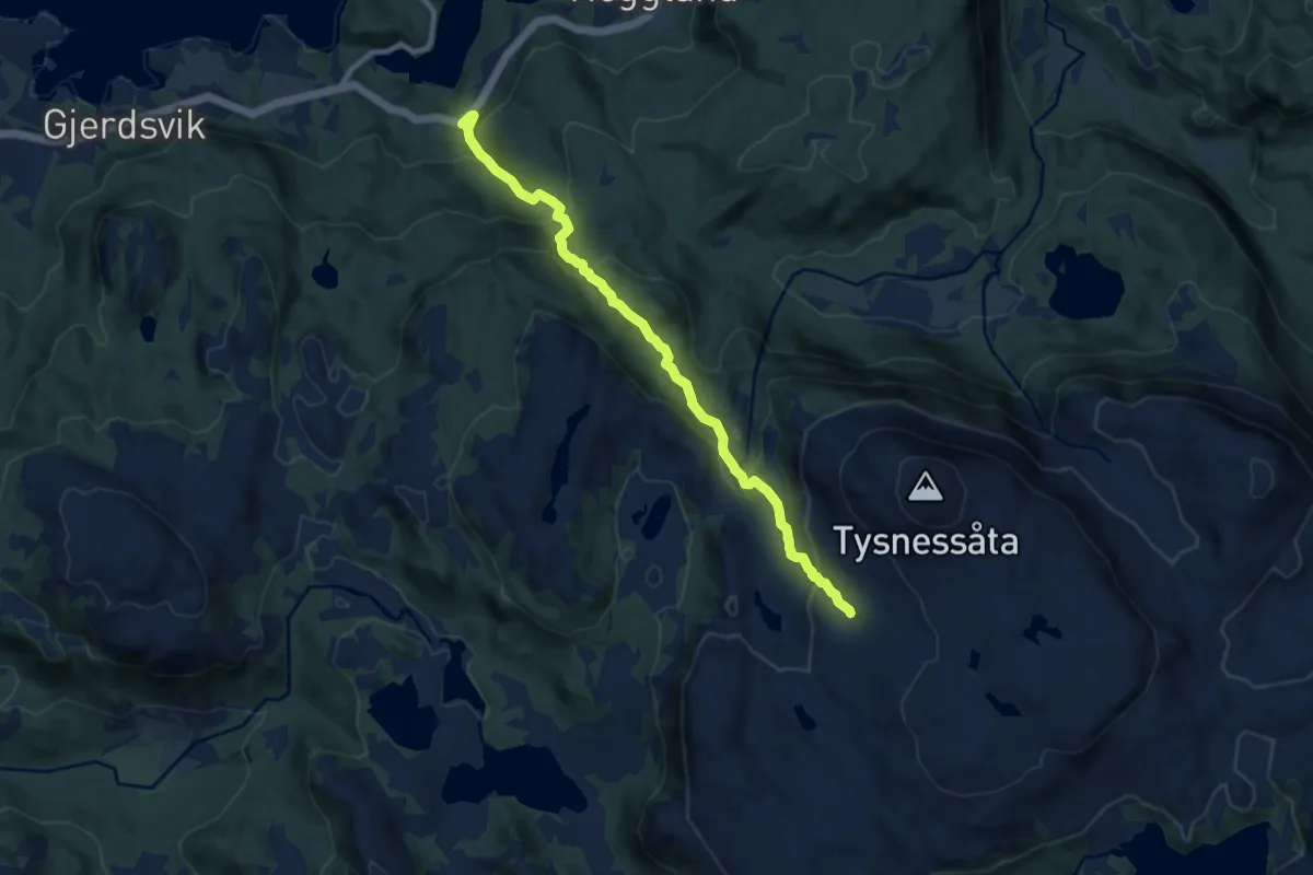
Demanding · Trail
Prestasætre - Tysnessåto
6.7 km · ↑ 503 m · 2 h 41 min
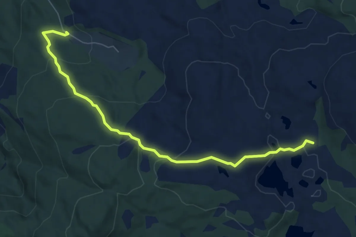
Easy · Trail
Prestastien
4.6 km · ↑ 180 m · 1 h 29 min
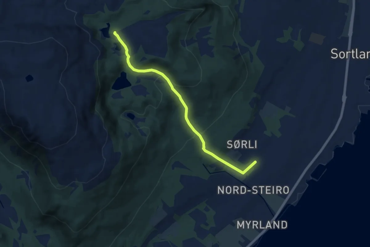
Easy · Trail
Prestdalen-Turlagsstua
4.8 km · ↑ 228 m · 1 h 37 min
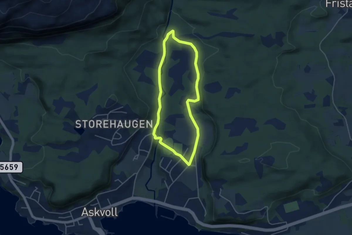
Easy · Trail
Prestegarden rundt
4.8 km · ↑ 37 m · 1 h 13 min
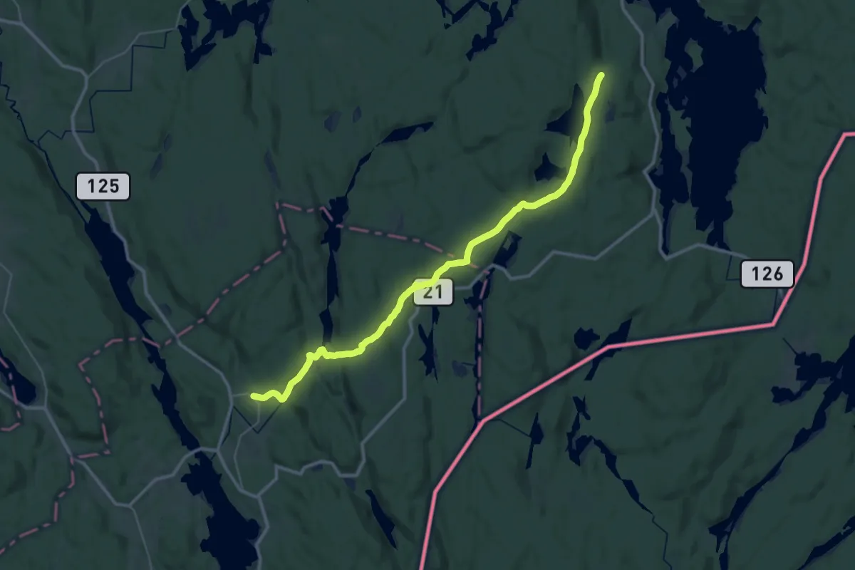
Medium · Trail
Presteveien
14.5 km · ↑ 310 m · 4 h 16 min
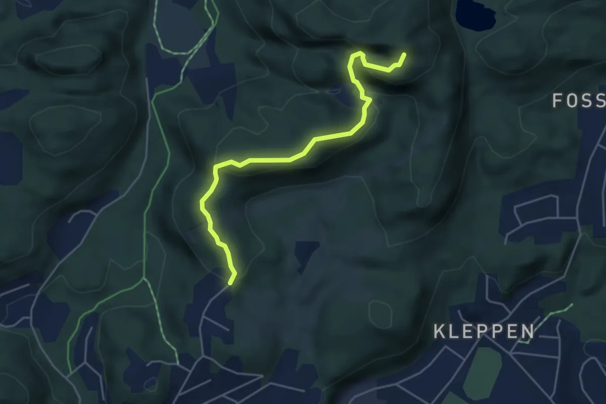
Easy · Trail
Prestgårdsmyra-Durmålsfjellet
2.7 km · ↑ 191 m · 1 h 4 min
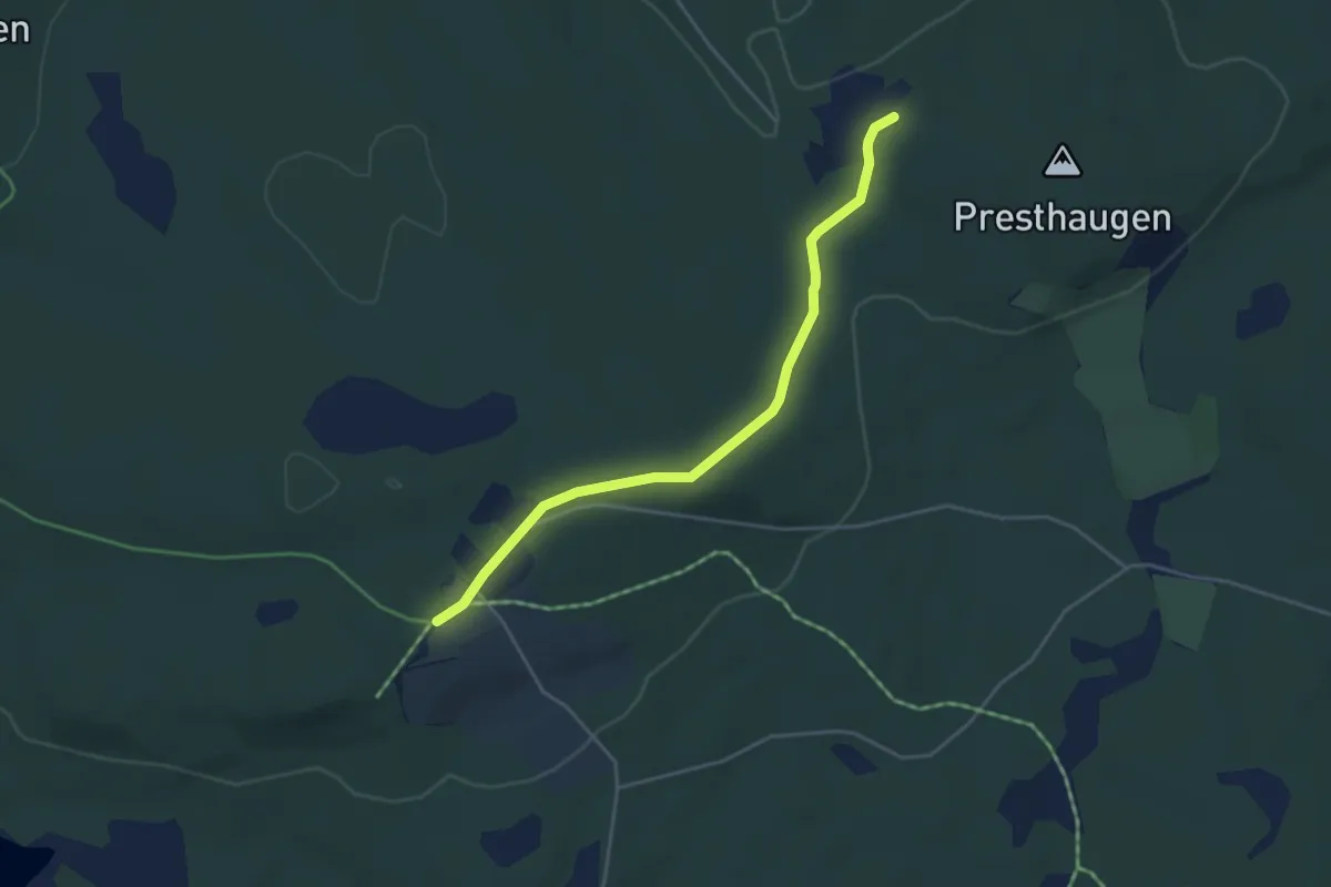
Easy · Trail
Presthaugen - Vesterås
3.0 km · ↑ 49 m · 48 min
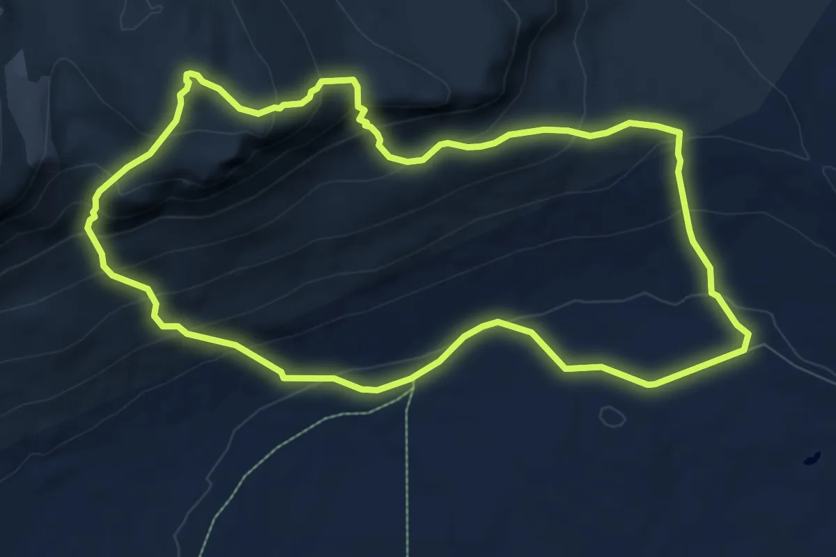
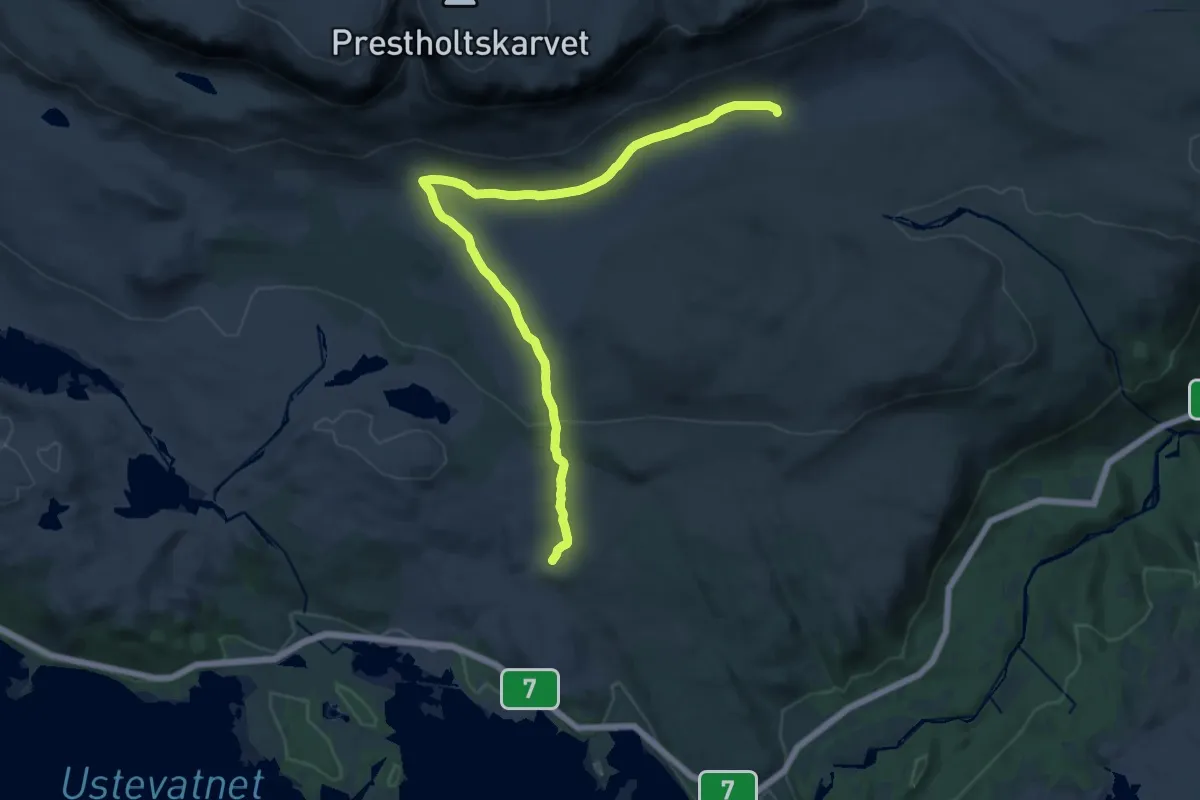
Demanding · Trail
Prestholt Round Trip
6.3 km · ↑ 453 m · 2 h 34 min
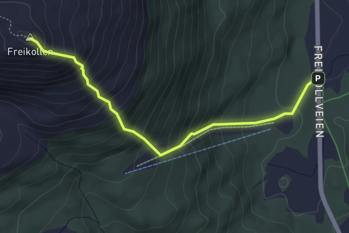
Medium · Trail
Prestholt via Hesteberget
15.0 km · ↑ 318 m · 4 h 13 min
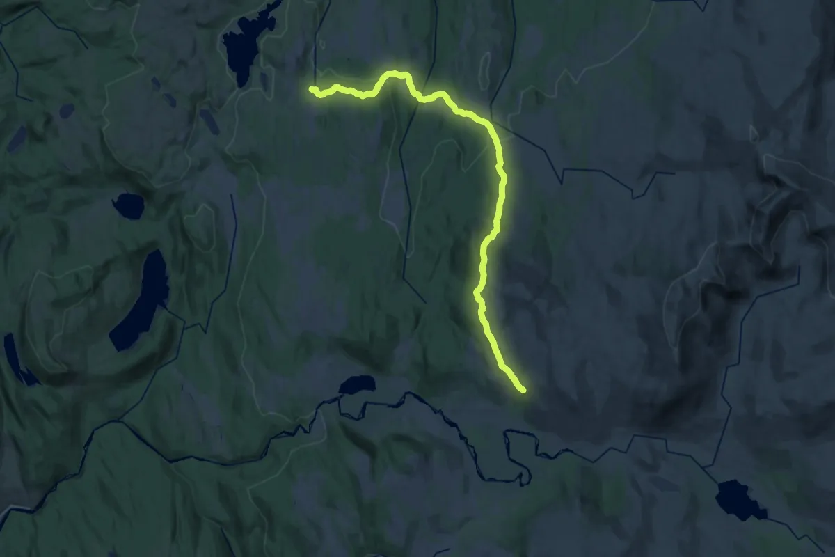
Demanding · Trail
Prestmyra-Freikollen
3.2 km · ↑ 533 m · 1 h 54 min
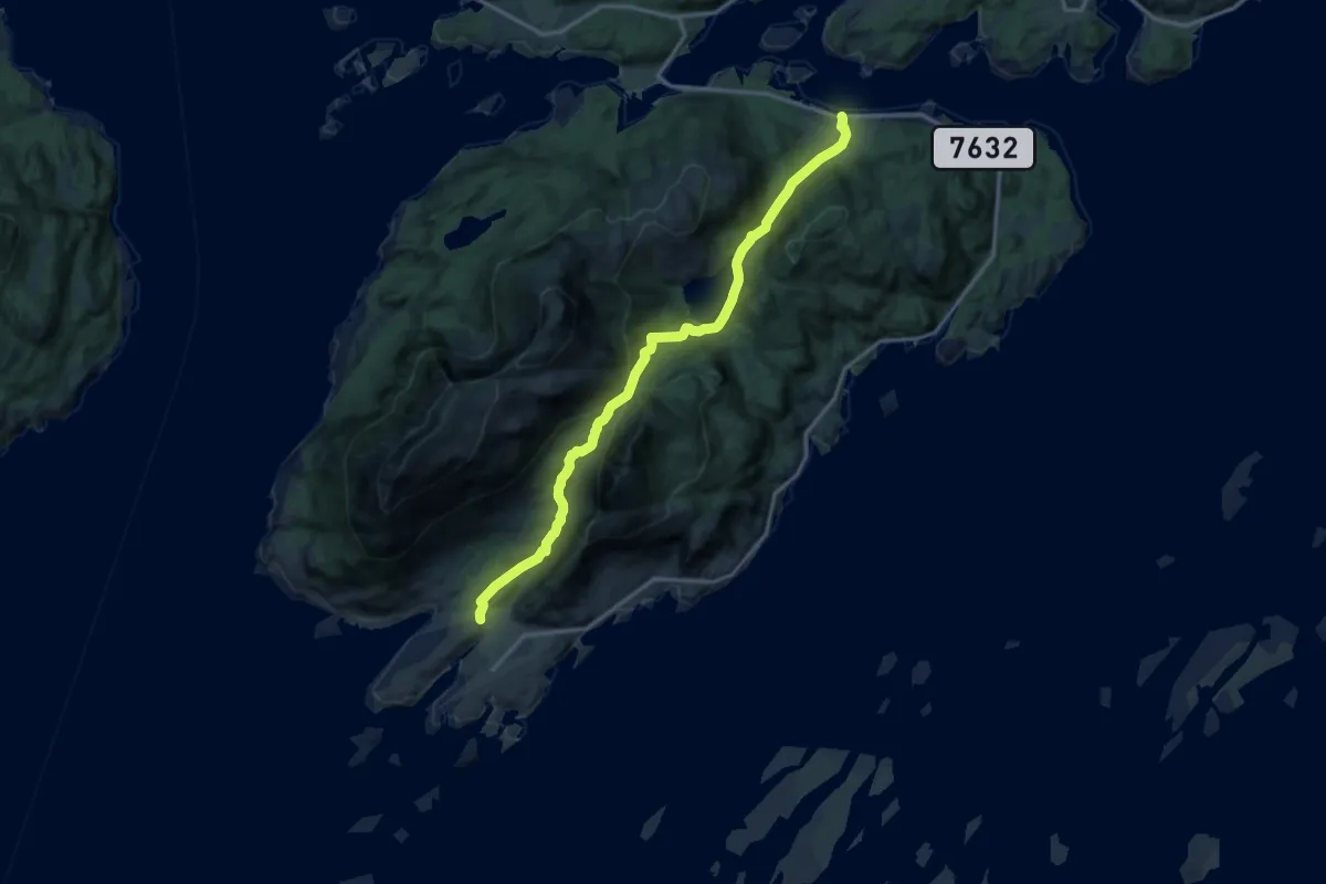
Demanding · Cabin
Prestøyhytta – Kvitfjellhytta
21.9 km · ↑ 619 m · 6 h 31 min
Medium · Trail
Pundslett - Årsteinen via Årsteinskaret
8.2 km · ↑ 401 m · 2 h 48 min
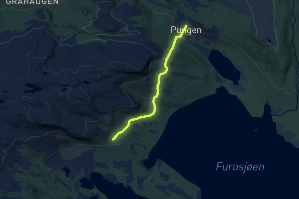
Easy · Trail
Pungen-Vålåsjøsæter
5.6 km · ↑ 207 m · 1 h 46 min
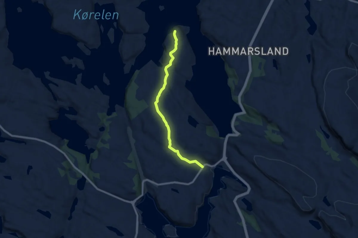
Easy · Trail
Purkeneset
4.2 km · ↑ 87 m · 1 h 11 min
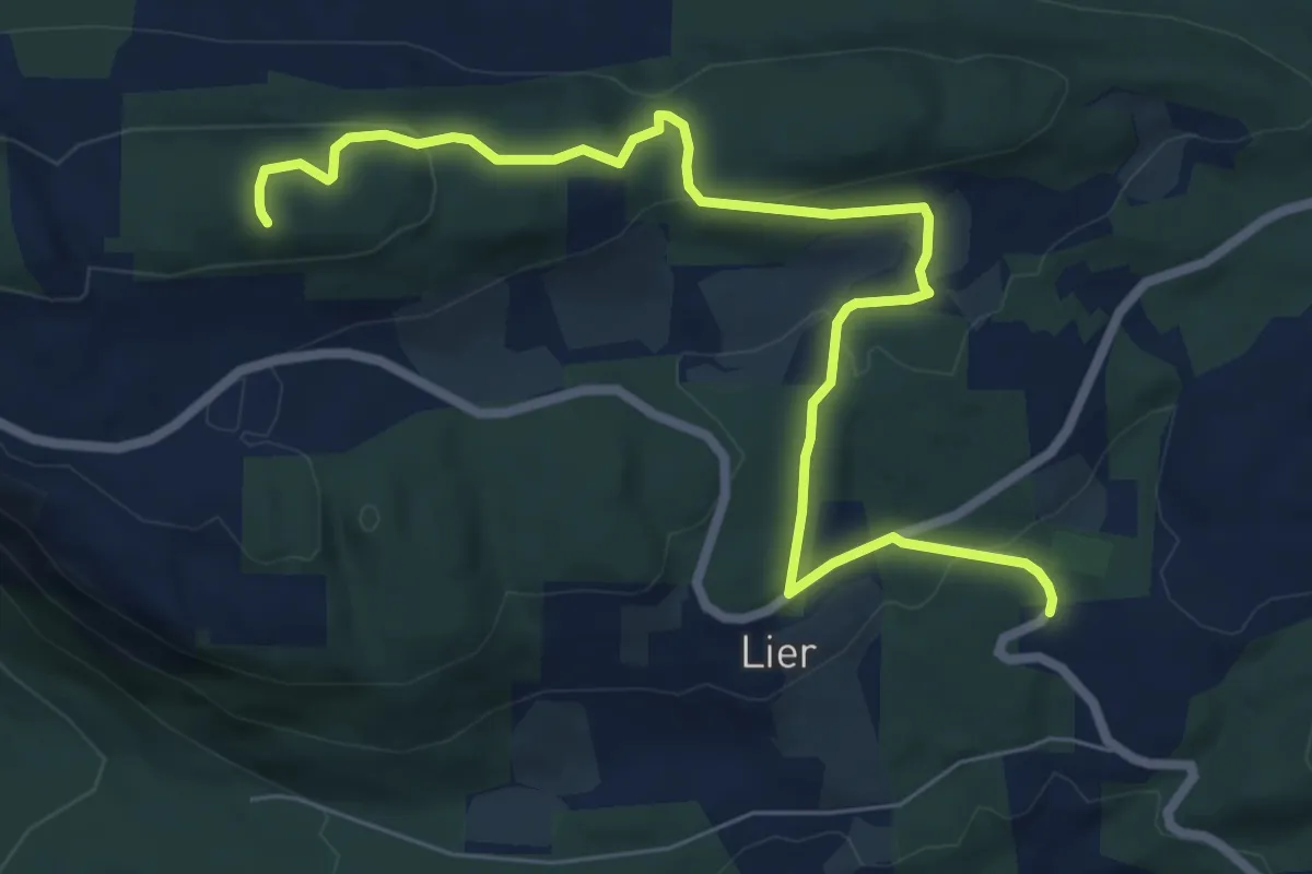
Easy · Trail
Purkesvea-Biskopåsen
5.7 km · ↑ 185 m · 1 h 45 min
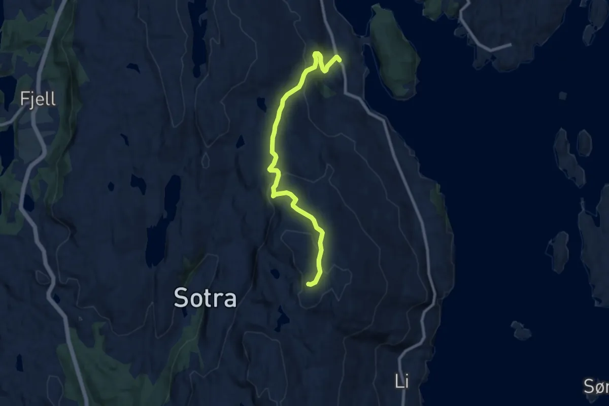
Easy · Trail
Pyttane
5.8 km · ↑ 285 m · 1 h 59 min
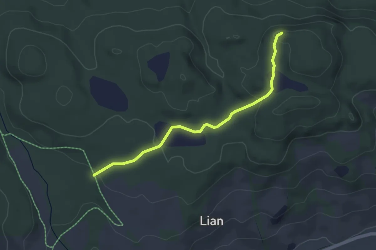
Easy · Trail
Rabburda
2.4 km · ↑ 57 m · 42 min
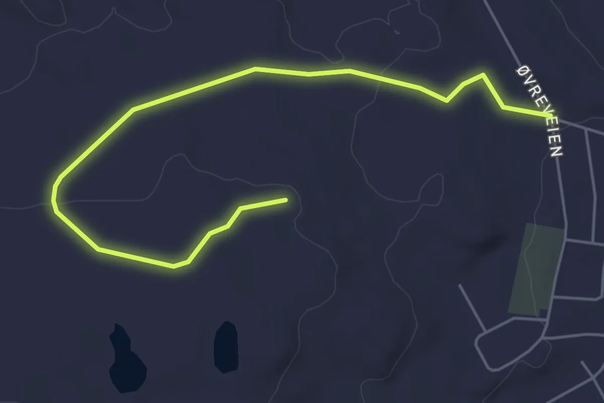
Easy · Trail
Radolinken
2.9 km · ↑ 53 m · 48 min
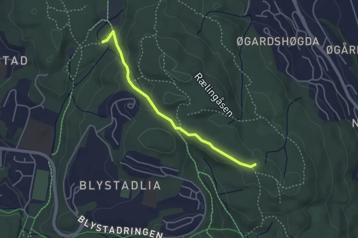
Easy · Trail
Rælingsåsrunden
2.3 km · ↑ 62 m · 40 min
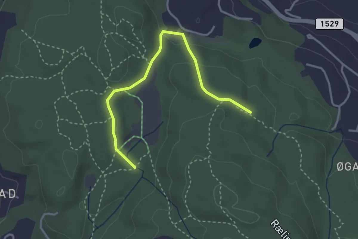
Easy · Trail
Rælingsåsrunden
2.2 km · ↑ 68 m · 40 min
Easy · Trail
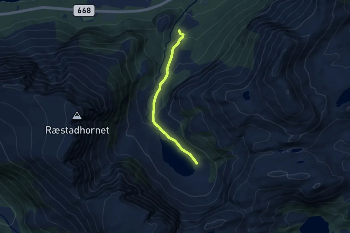
Ræstaddalen
3.1 km · ↑ 139 m · 1 h 2 min
Medium · Trail
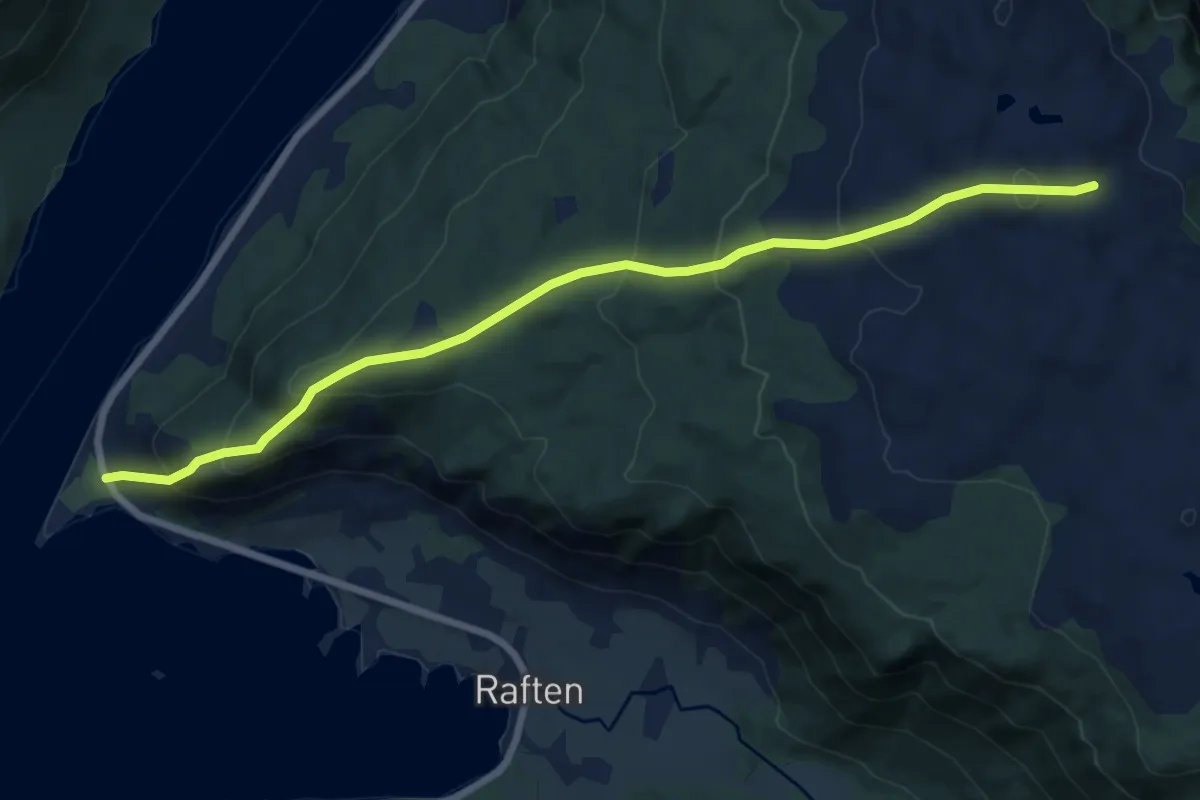
Raftøra-Raftheia
4.3 km · ↑ 362 m · 1 h 48 min
Medium · Trail
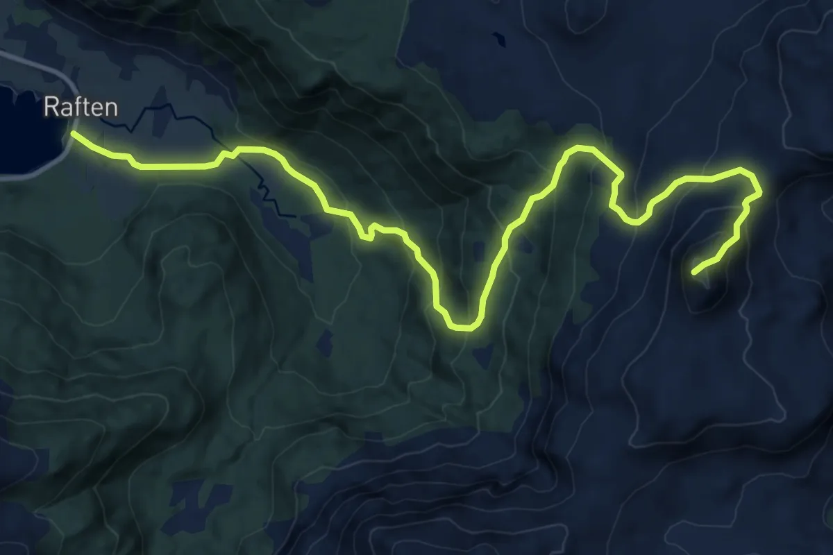
Raftvågen-Blåtinden
7.3 km · ↑ 597 m · 3 h 2 min
Medium · Trail
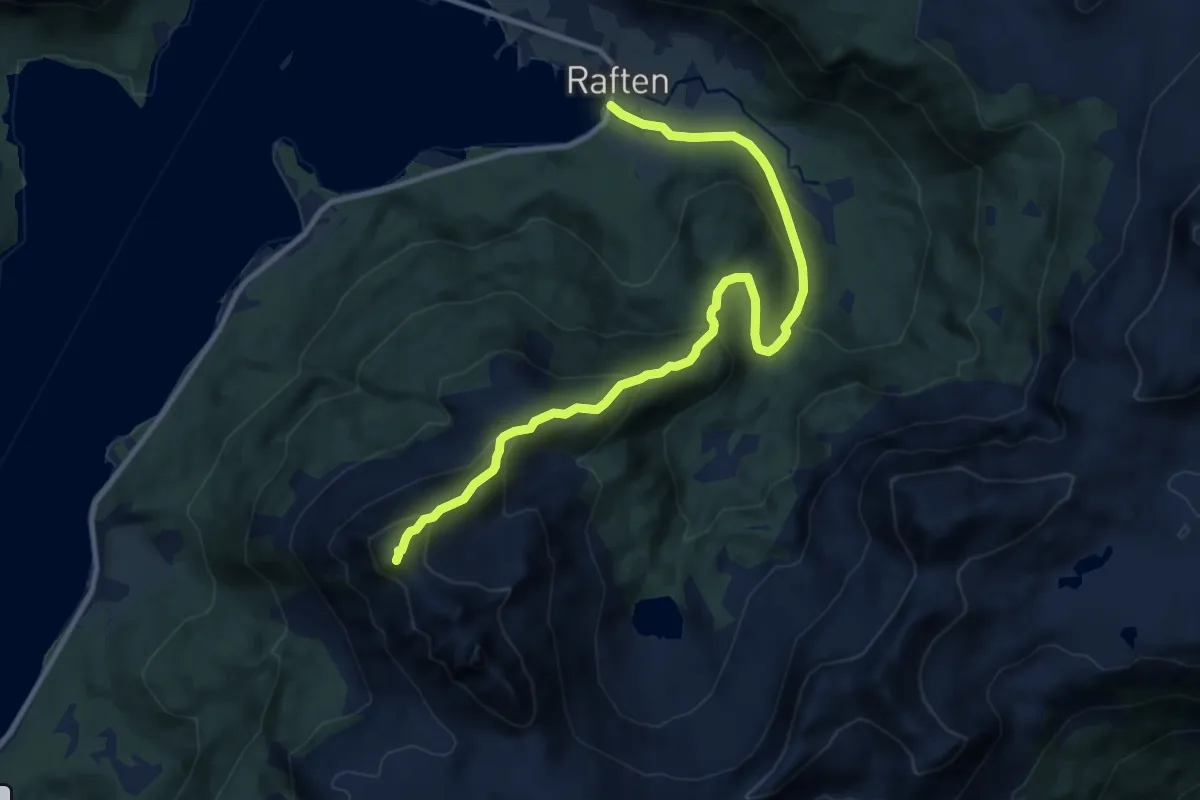
Raftvågen-Brubrekktinden
6.7 km · ↑ 543 m · 2 h 45 min
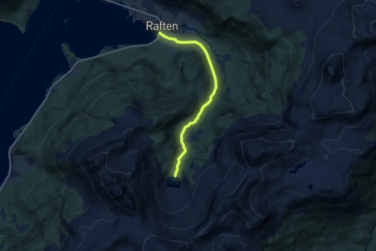
Easy · Trail
Raftvågen-Raftvatnet
4.7 km · ↑ 231 m · 1 h 36 min
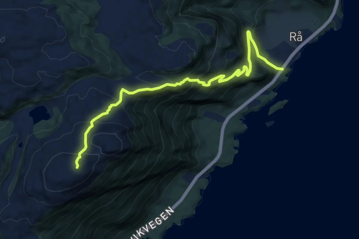
Medium · Trail
Rå-Fuglefjellet
6.6 km · ↑ 528 m · 2 h 42 min
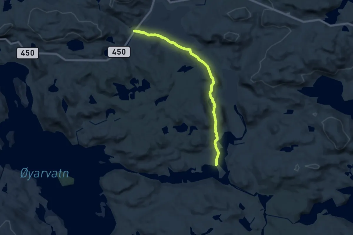
Medium · Trail
Rågeloni
9.3 km · ↑ 172 m · 2 h 34 min
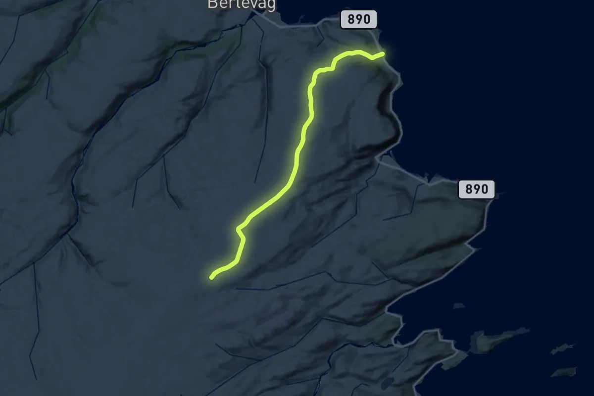
Medium · Trail
Raggovidda vindpark
28.0 km · ↑ 475 m · 7 h 38 min
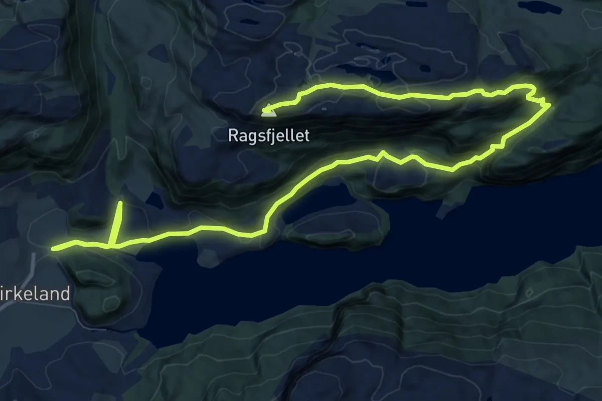
Medium · Summit
Ragsfjellet Birkeland Bjerkreim
11.7 km · ↑ 452 m · 3 h 44 min
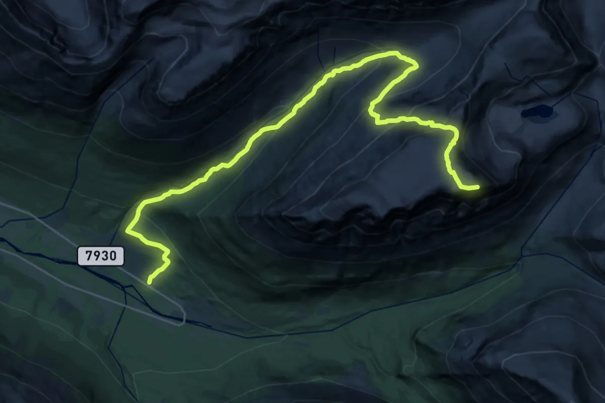
Expert · Trail
Raigegaisa
16.6 km · ↑ 1261 m · 6 h 39 min
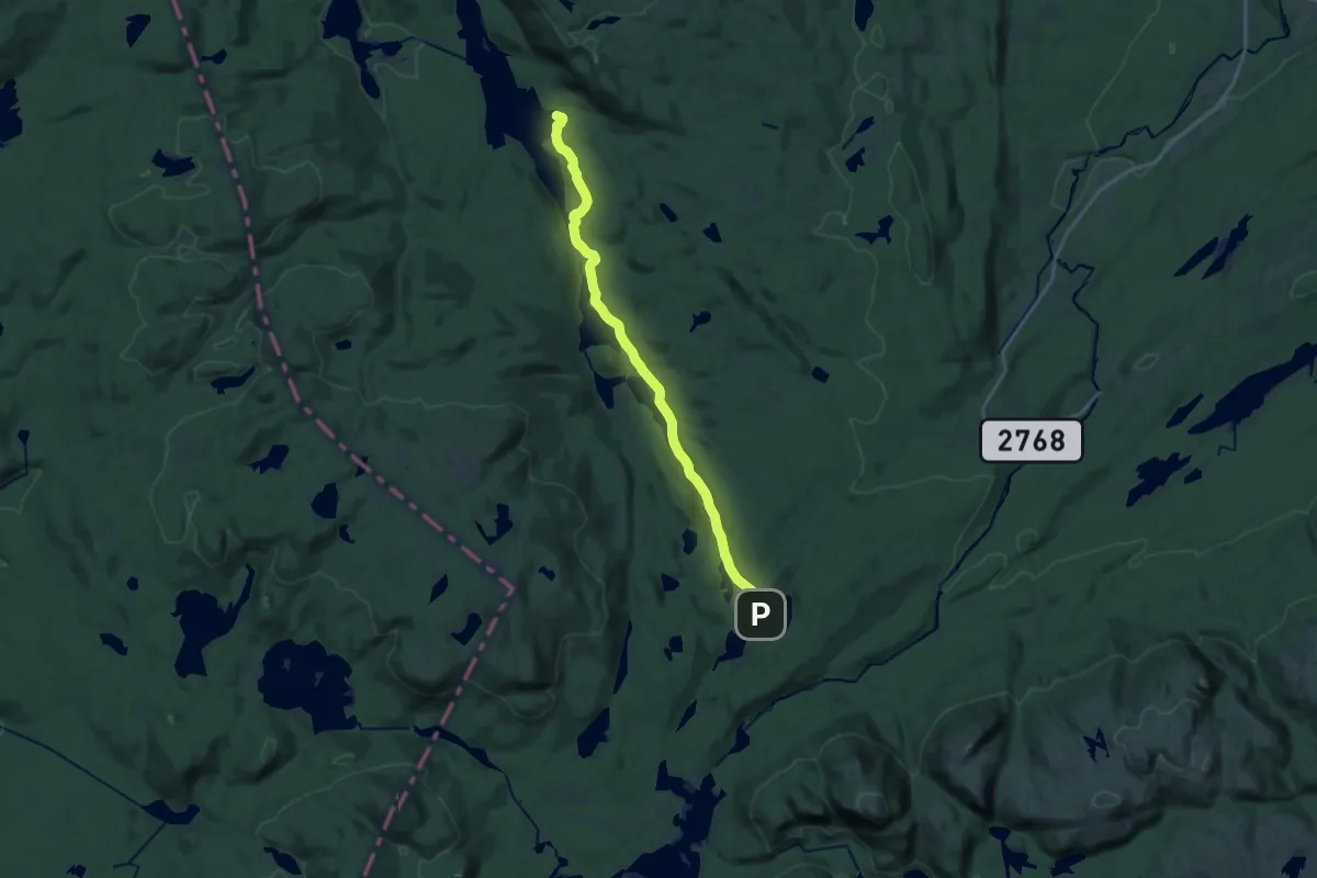
Medium · Cabin
Rajesetra-Pråmvika
13.5 km · ↑ 221 m · 3 h 39 min
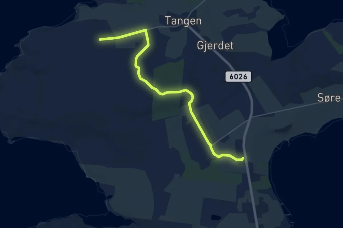
Easy · Trail
Raknes skole-Tangen
3.6 km · ↑ 37 m · 56 min
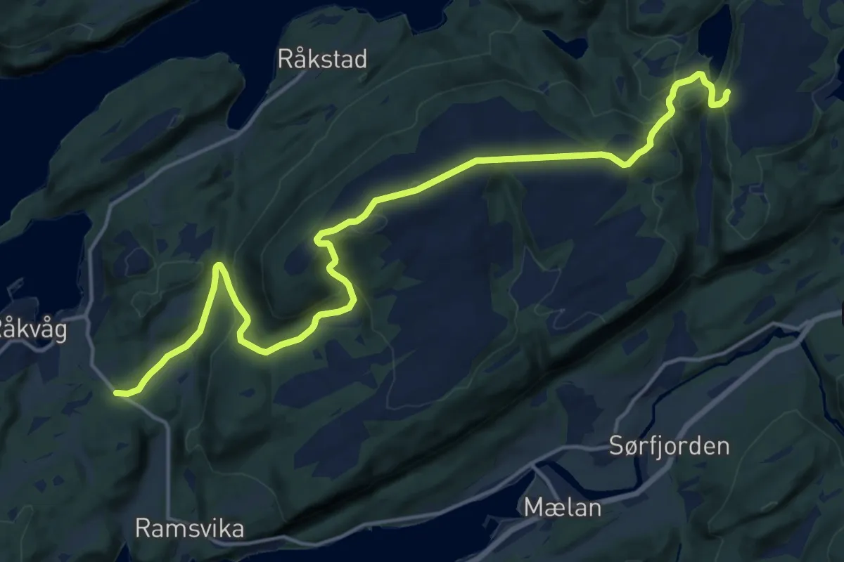
Medium · Trail
Råkvåg til Storurdsheia
11.8 km · ↑ 447 m · 3 h 45 min
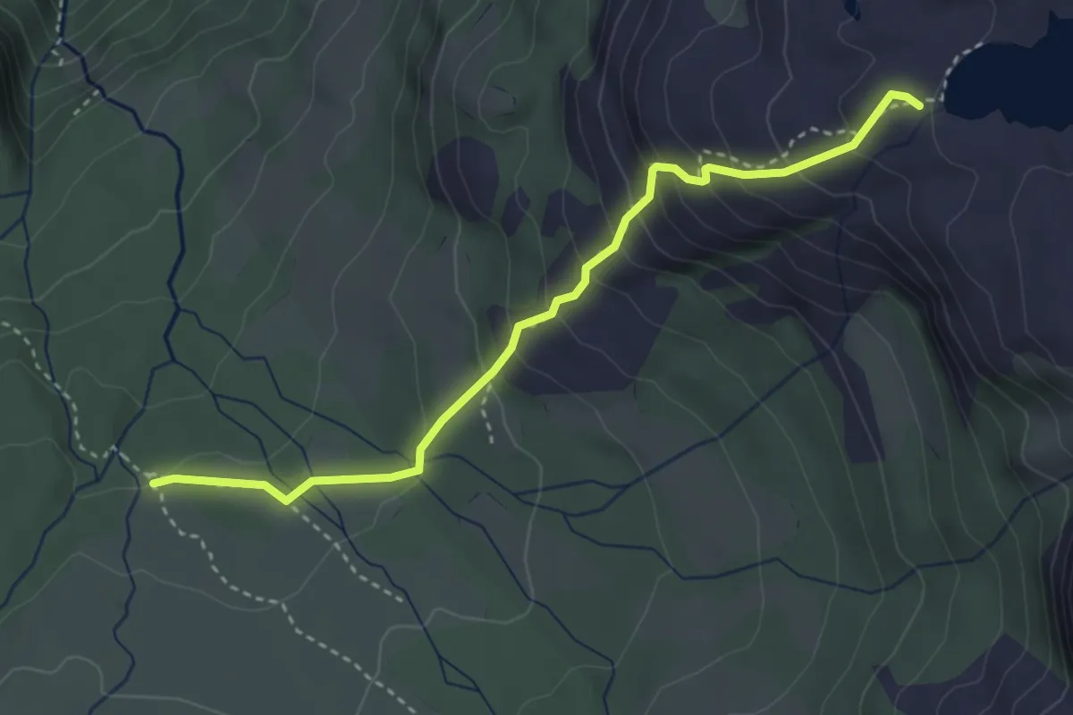
Easy · Trail
Rallarstien
2.7 km · ↑ 276 m · 1 h 14 min
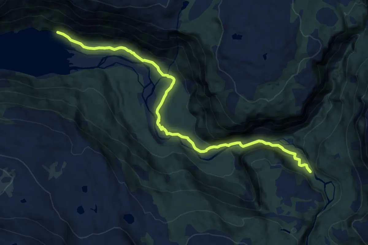
Medium · Trail
Rallarveien (Vokterboligen - Rombaksbotn)
9.8 km · ↑ 295 m · 2 h 57 min
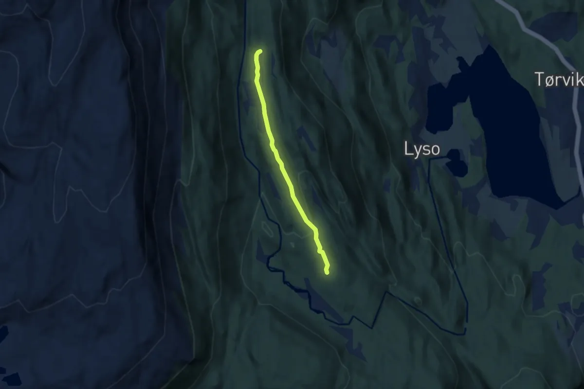
Easy · Trail
Rambasete - Nystølen
3.2 km · ↑ 49 m · 52 min