Trails in Norway
7,452 hiking trails, each with its route, climb, walking time and grade.
All trails, page 78 of 156
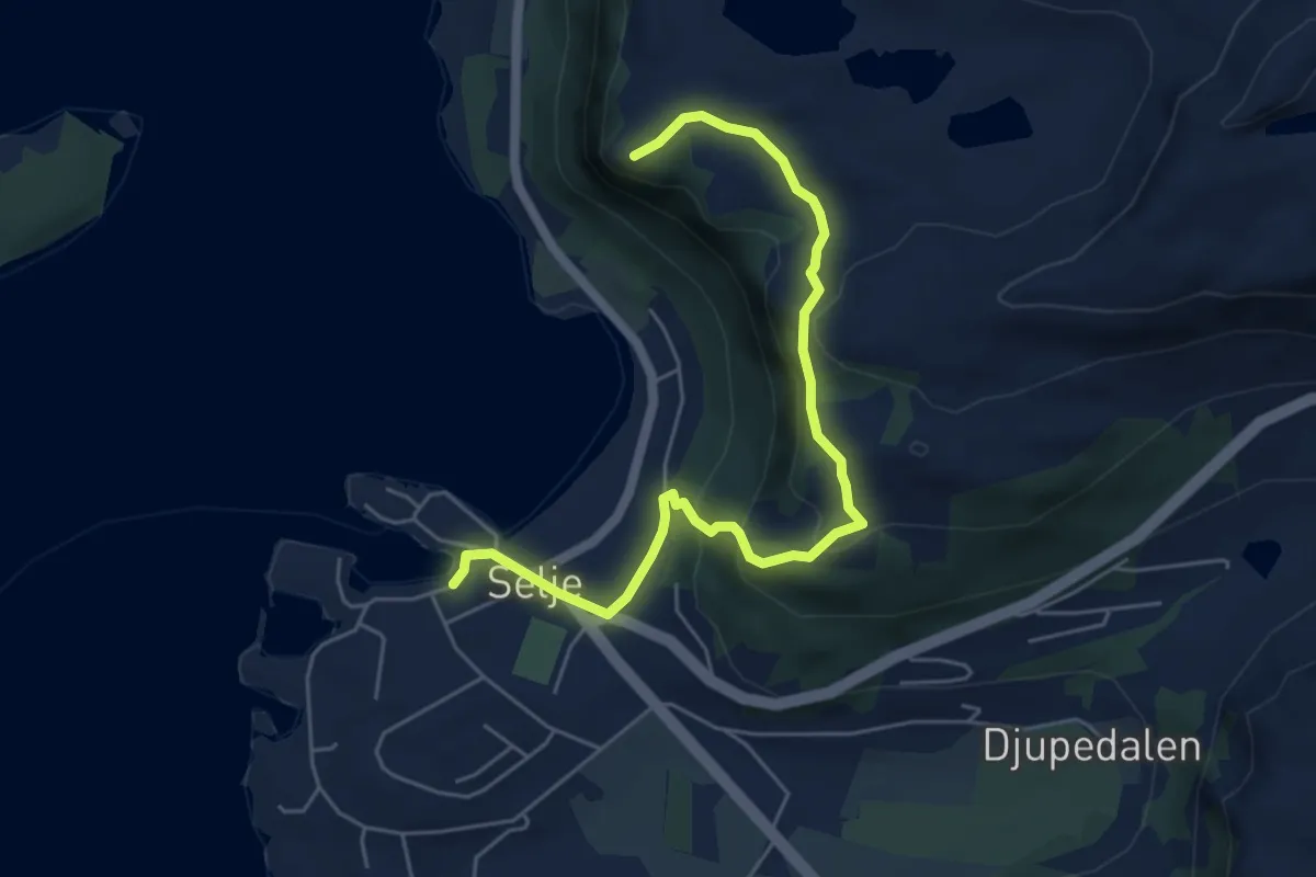
Demanding · Trail
Risnakken, Klipet og Kyrkjehornet
4.1 km · ↑ 244 m · 1 h 30 min
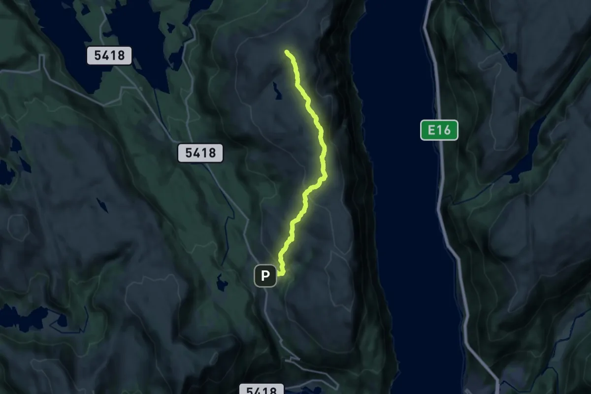
Medium · Trail
Rispingen
10.5 km · ↑ 438 m · 3 h 26 min
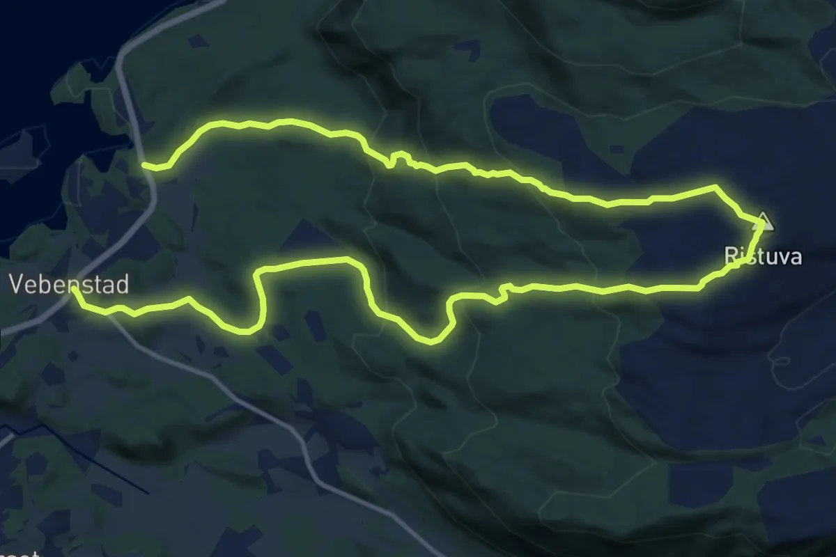
Medium · Trail
Ristuva fra Bådalen
13.9 km · ↑ 768 m · 4 h 57 min
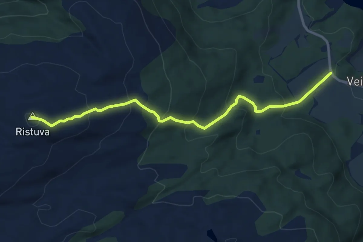
Medium · Trail
Ristuva fra Veiset
4.7 km · ↑ 347 m · 1 h 51 min
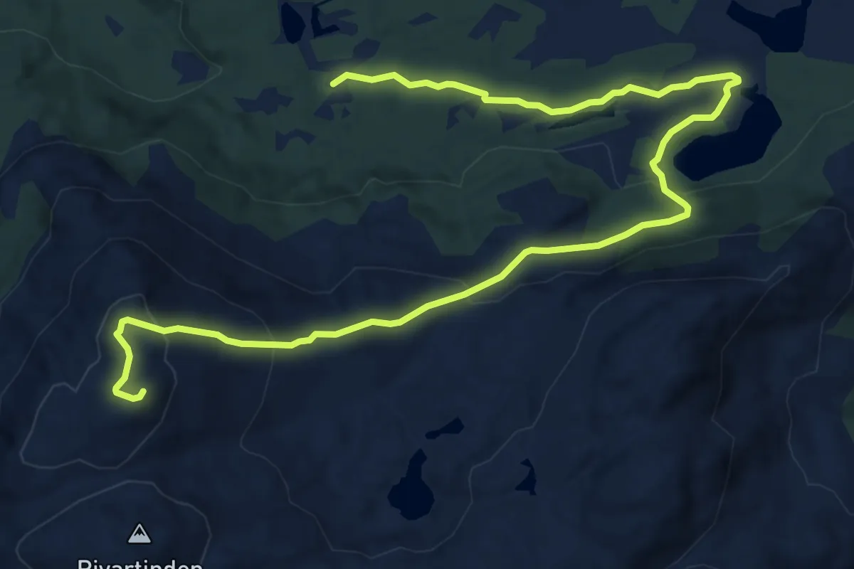
Demanding · Trail
Rivartinden
9.4 km · ↑ 442 m · 3 h 10 min
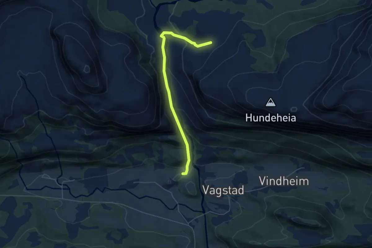
Medium · Trail
Rivedal - Nipebu
3.5 km · ↑ 237 m · 1 h 20 min
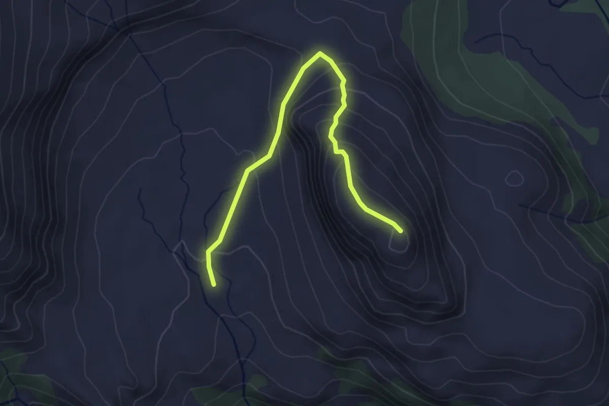
Medium · Trail
Rivedalskletten via Rivedalsstølen
2.6 km · ↑ 197 m · 1 h 3 min
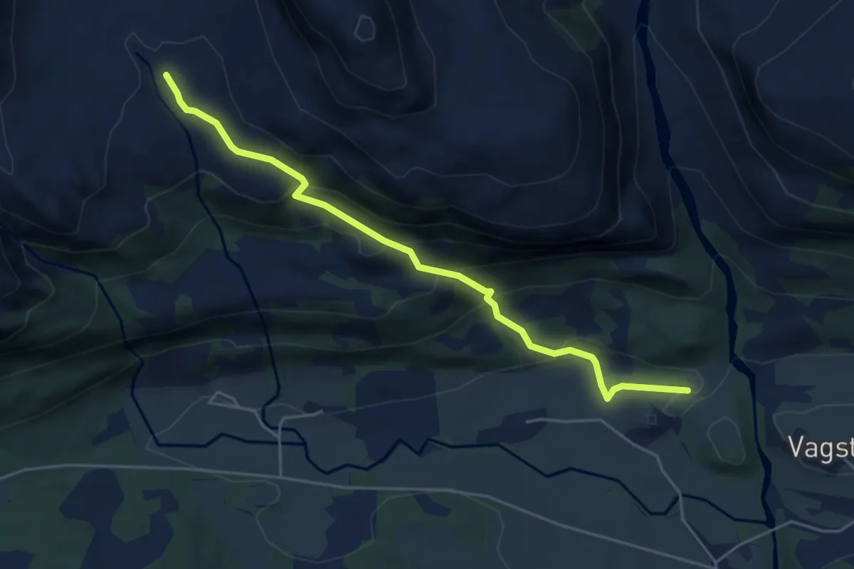
Medium · Trail
Rivedalsstølen
3.4 km · ↑ 265 m · 1 h 23 min
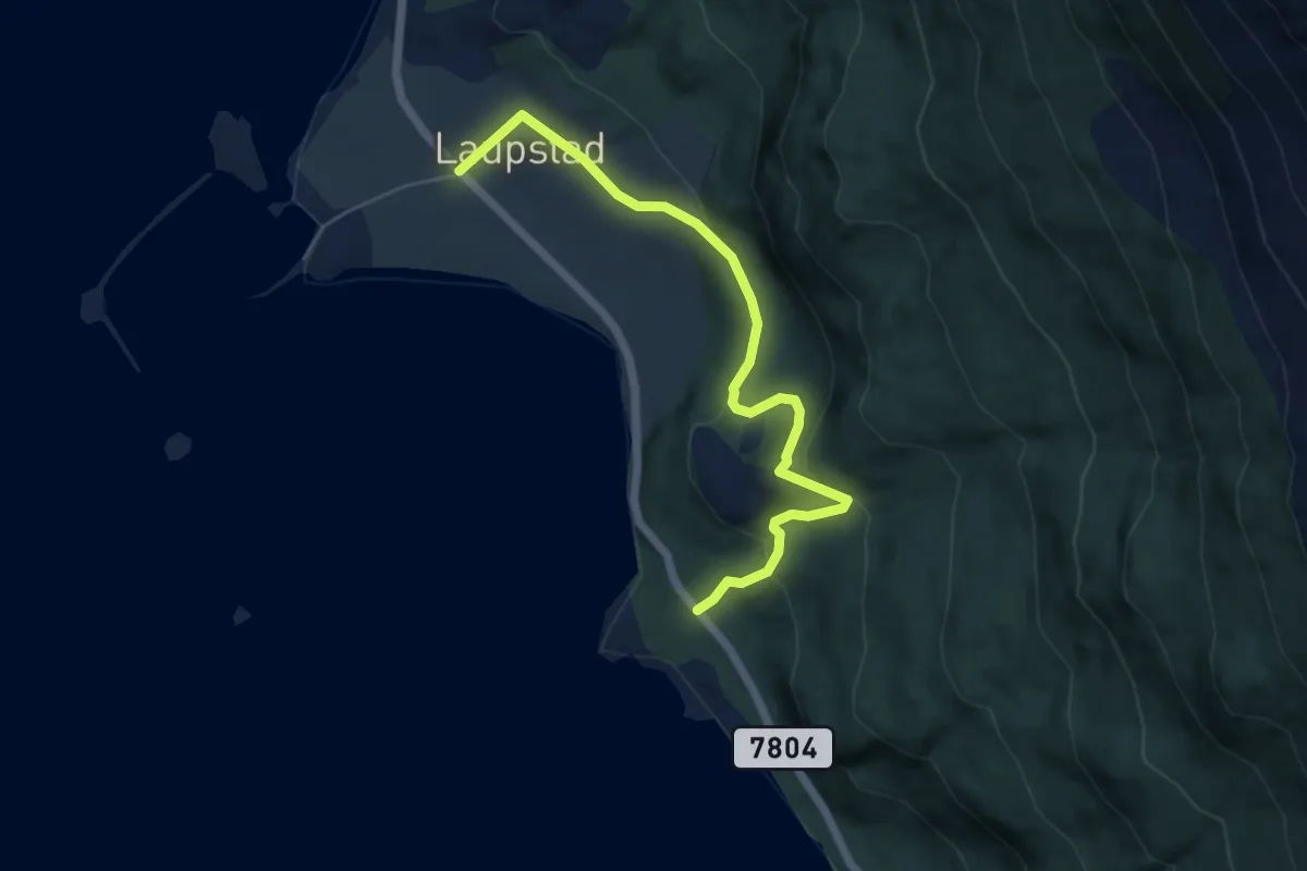
Easy · Trail
Riven - Pessebekken - Laupstad
3.1 km · ↑ 171 m · 1 h 6 min
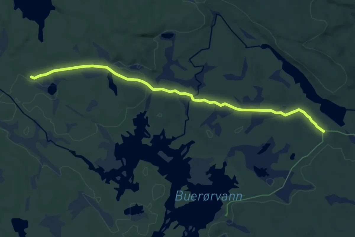
Easy · Trail
Rivestien
5.0 km · ↑ 23 m · 1 h 14 min
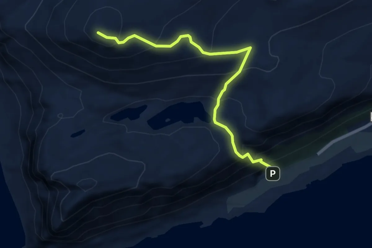
Medium · Trail
Rjåhornet fra Kopparstadbrotet
3.7 km · ↑ 395 m · 1 h 43 min
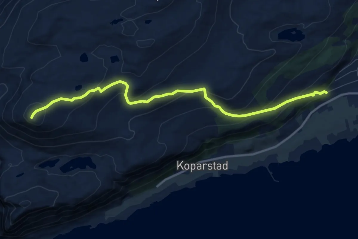
Medium · Trail
Rjåhornet fra Mjelthaugvegen
6.4 km · ↑ 377 m · 2 h 20 min
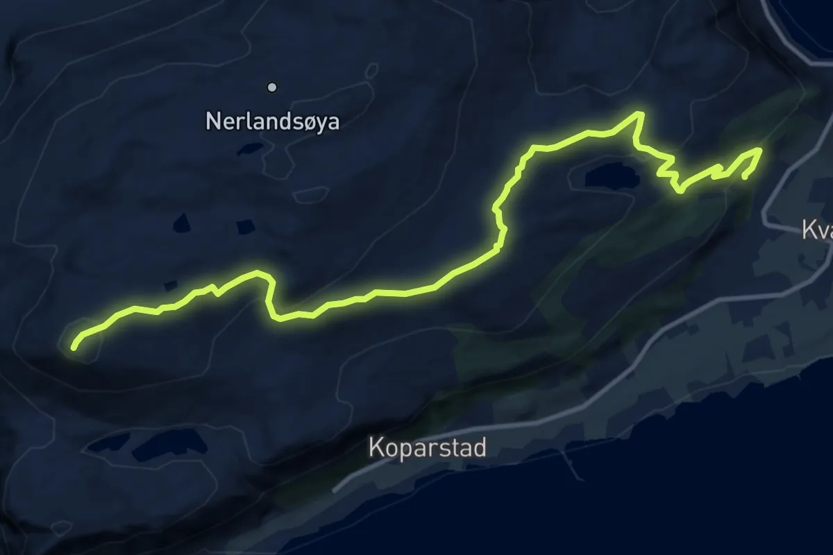
Medium · Trail
Rjåhornet fra Teigane
9.0 km · ↑ 390 m · 2 h 58 min
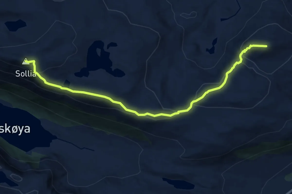
Medium · Trail
RJÅHORNET - SOLLIA
8.3 km · ↑ 417 m · 2 h 51 min
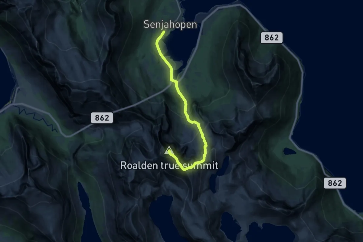
Demanding · Trail
Roalden fra Senjahopen
8.3 km · ↑ 917 m · 3 h 57 min
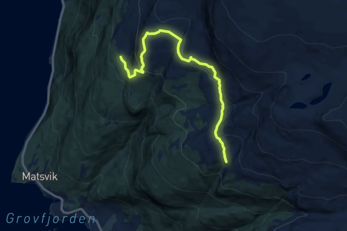
Demanding · Trail
Roar-løypa
6.2 km · ↑ 311 m · 2 h 8 min
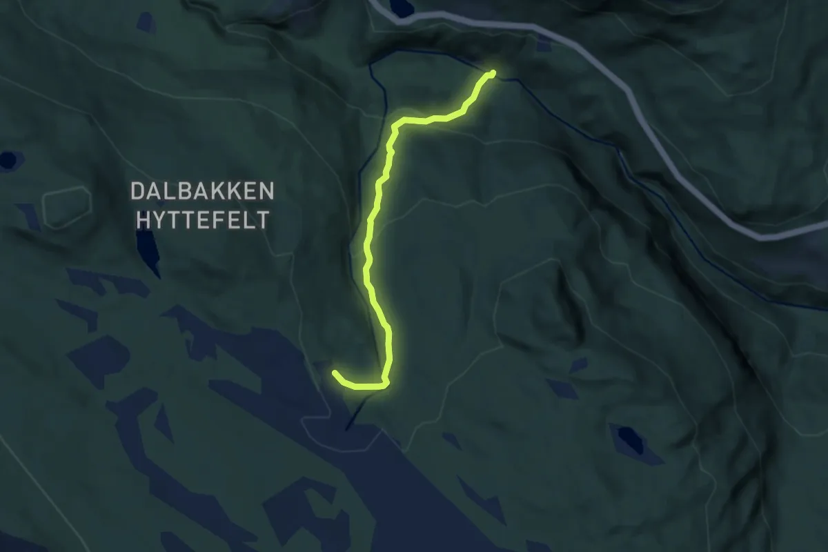
Easy · Trail
Roasetra -Helleren
4.1 km · ↑ 263 m · 1 h 32 min
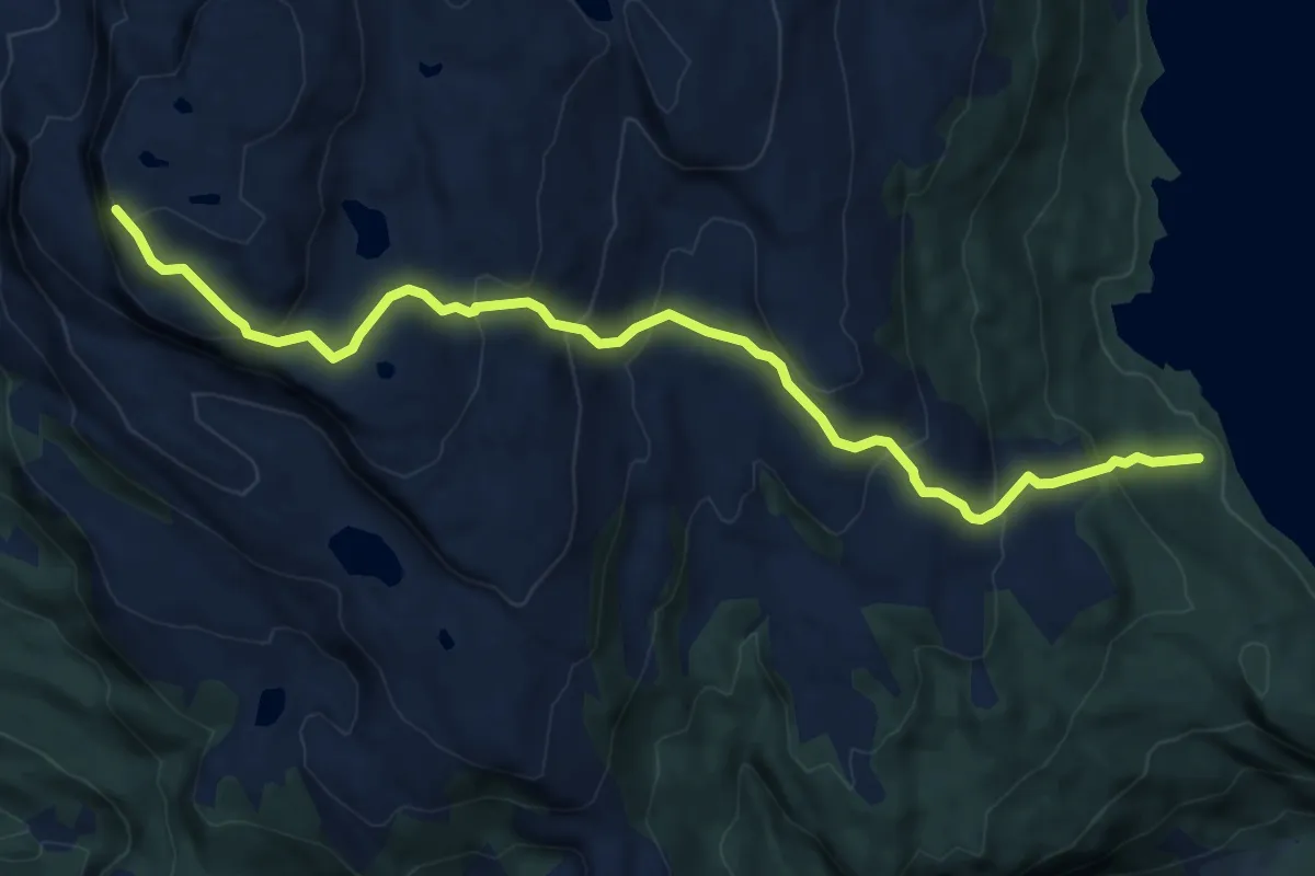
Demanding · Trail
Robba
5.8 km · ↑ 412 m · 2 h 15 min
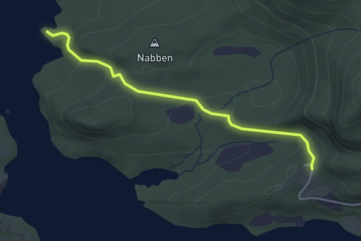
Easy · Trail
Røbua
2.4 km · ↑ 83 m · 45 min
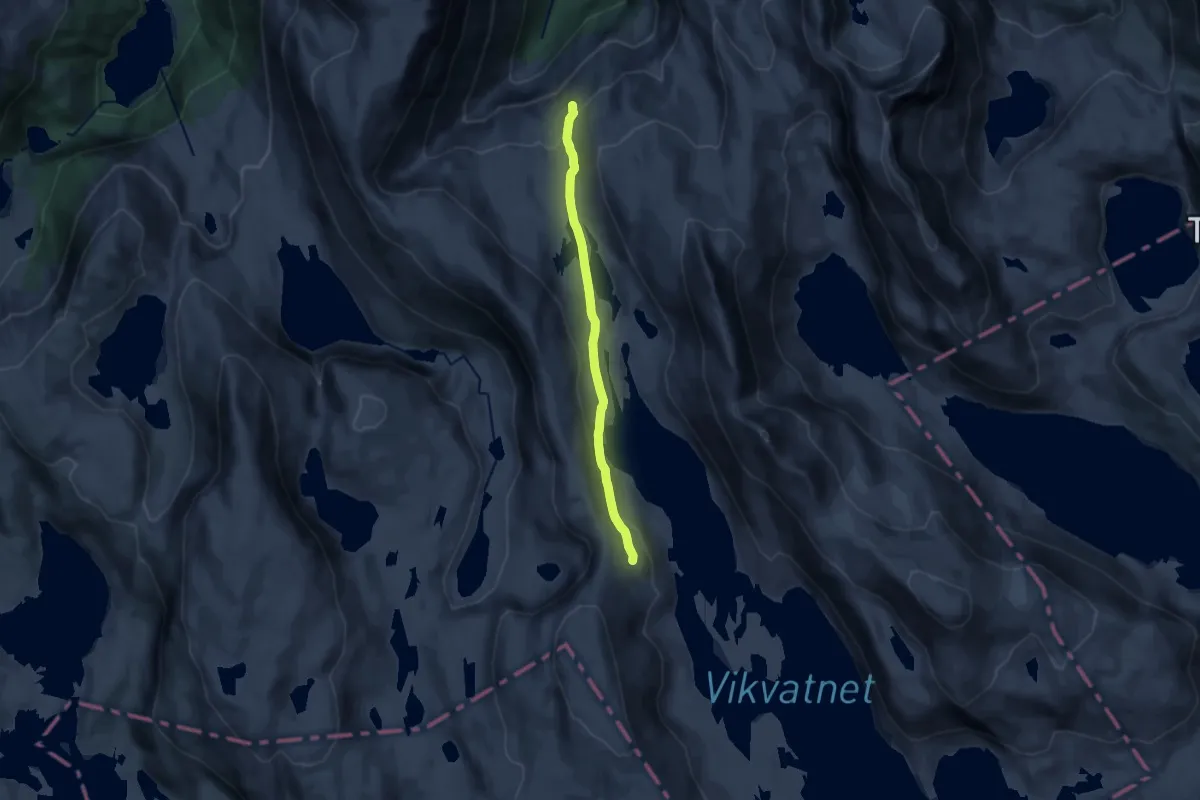
Medium · Trail
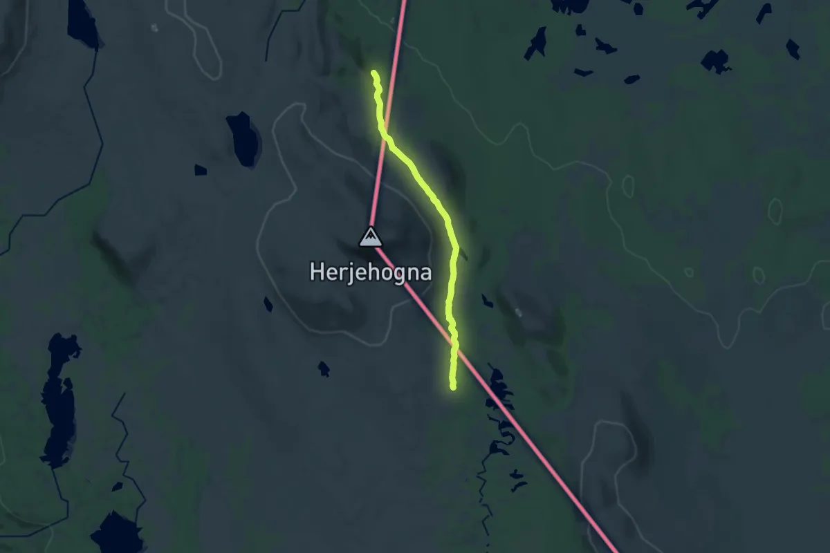
Rødalen - Danskehytta
9.9 km · ↑ 348 m · 3 h 5 min
Medium · Trail
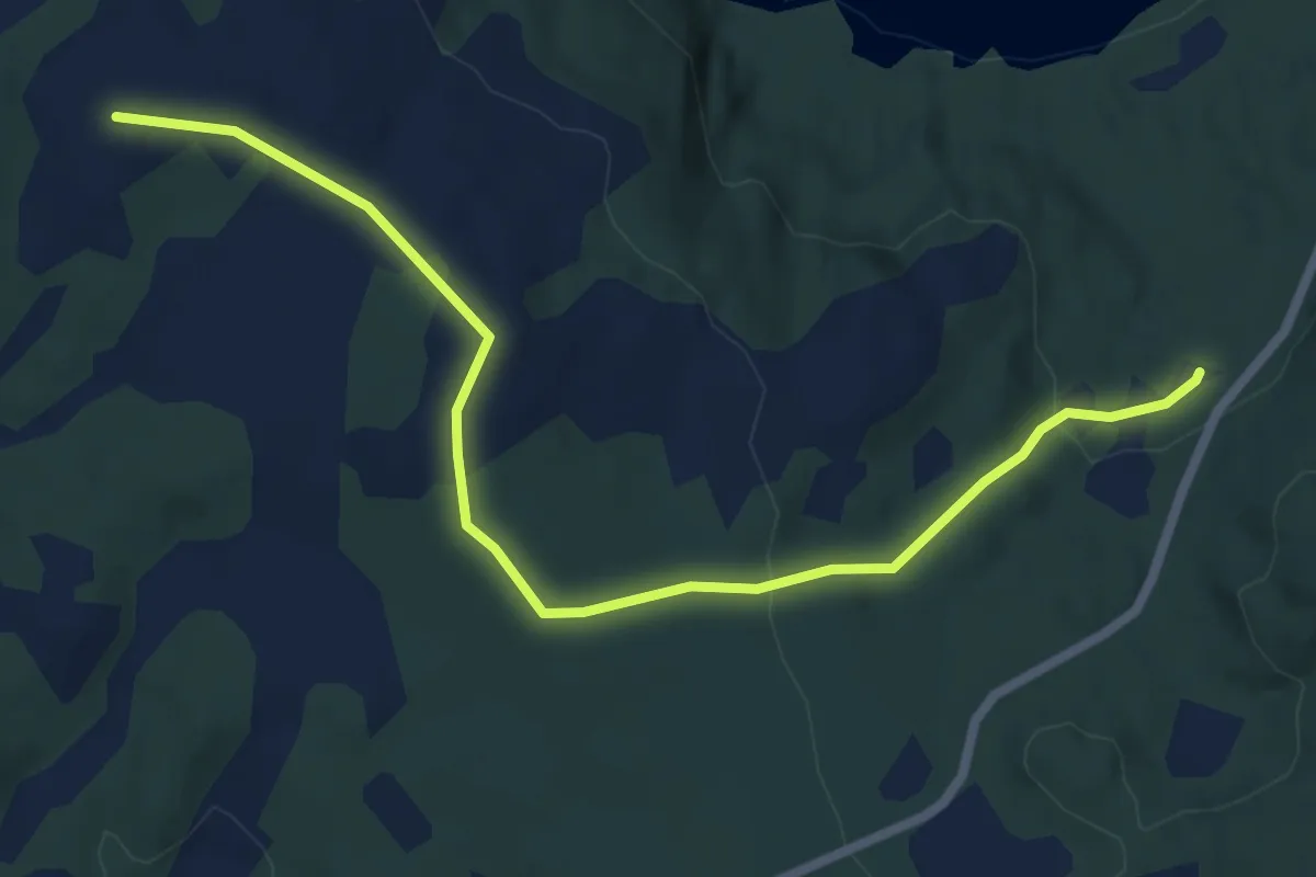
Rødalen-Nysetra
11.4 km · ↑ 171 m · 3 h 3 min
Easy · Trail
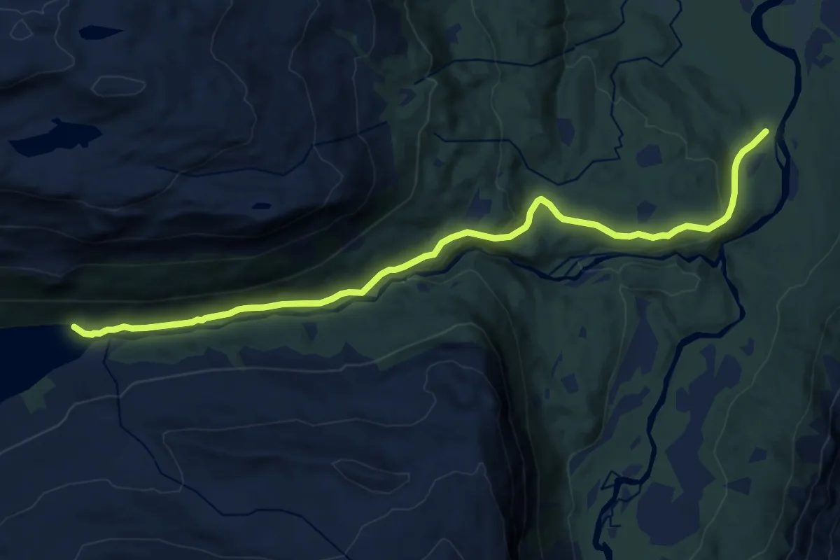
Rødbergan
3.7 km · ↑ 132 m · 1 h 10 min
Medium · Trail
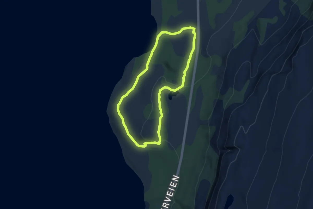
Røddalshytta
8.4 km · ↑ 228 m · 2 h 29 min
Easy · Trail
Roddenes natursti
5.5 km · ↑ 121 m · 1 h 33 min
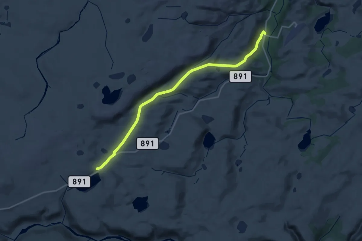
Expert · Trail
Røde Kors/Speiderhytta
20.8 km · ↑ 431 m · 5 h 51 min
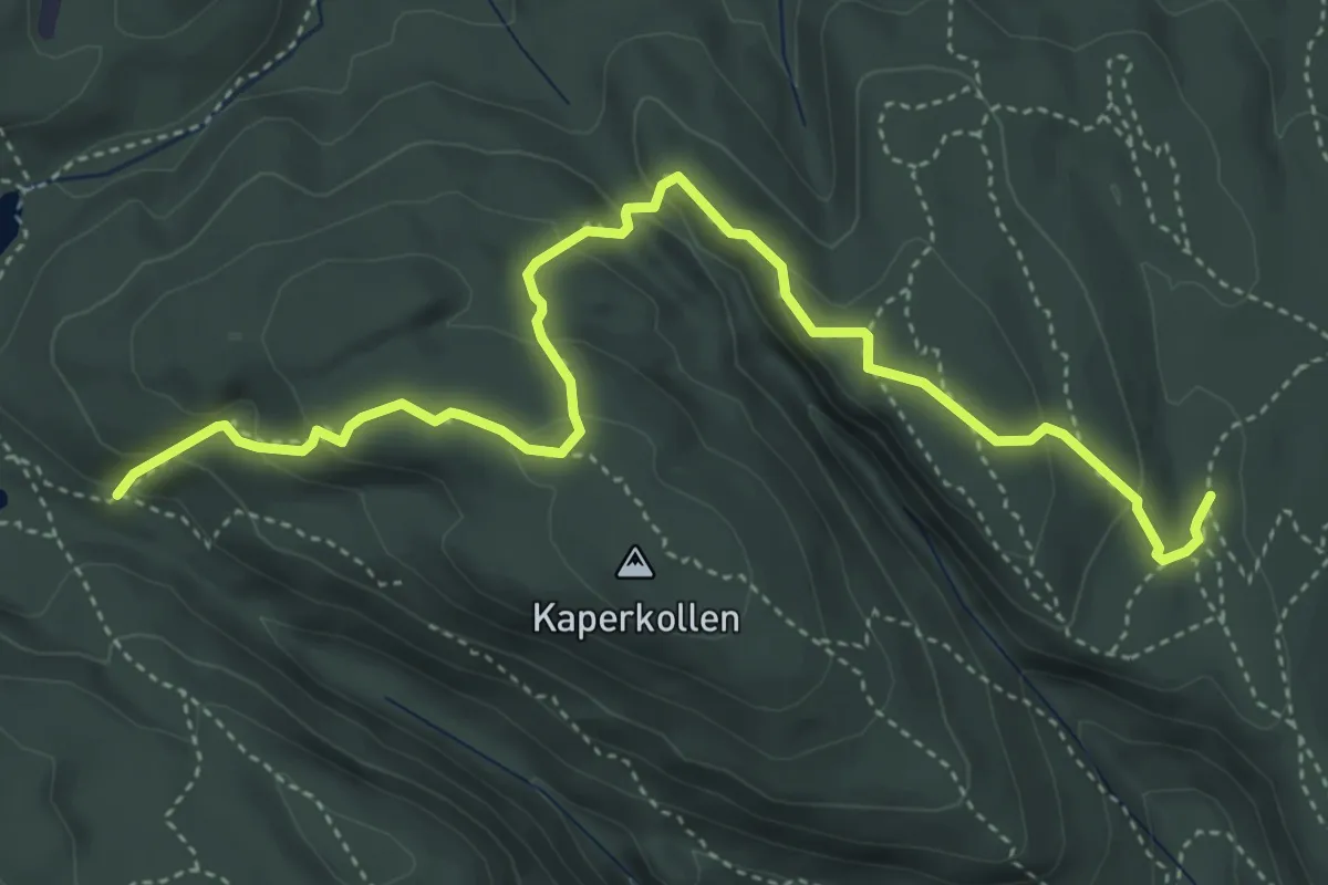
Medium · Trail
Rødgangskollen - Kaperkollen nord
3.9 km · ↑ 229 m · 1 h 24 min
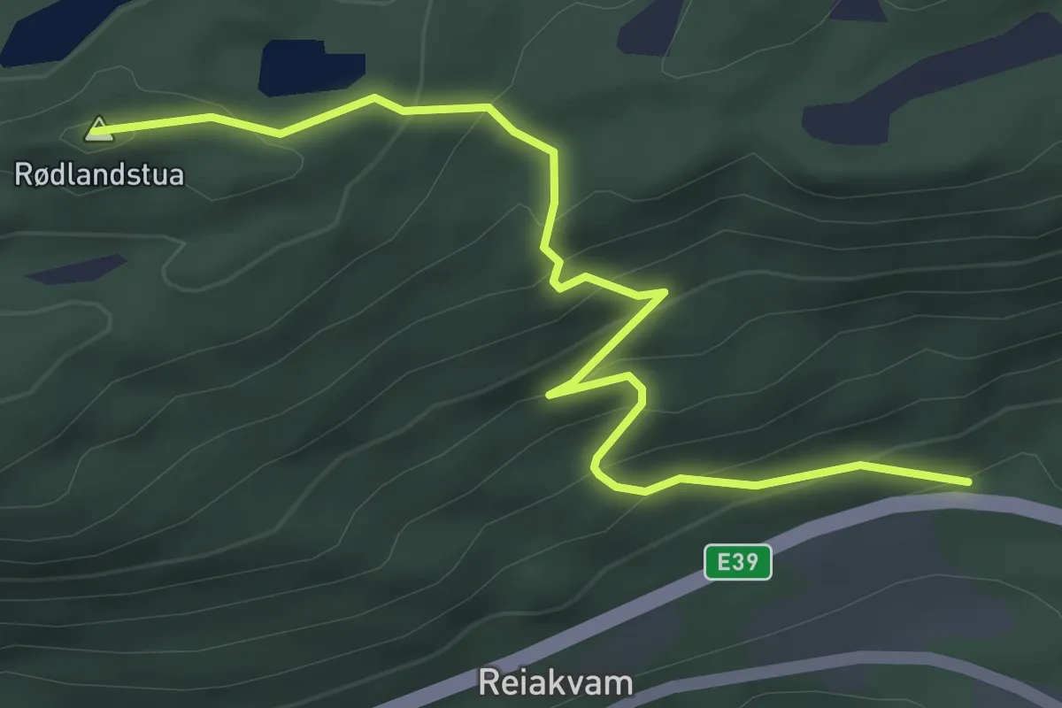
Easy · Trail
Rødlandstua
2.7 km · ↑ 247 m · 1 h 11 min
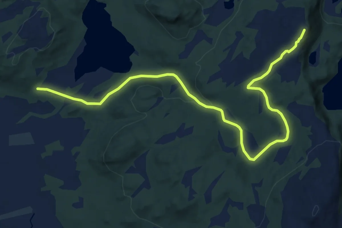
Easy · Trail
Rødliheia
7.8 km · ↑ 177 m · 2 h 13 min
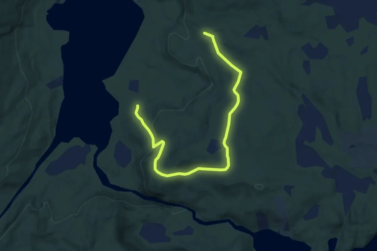
Easy · Trail
Rødlihøgda
5.1 km · ↑ 204 m · 1 h 38 min
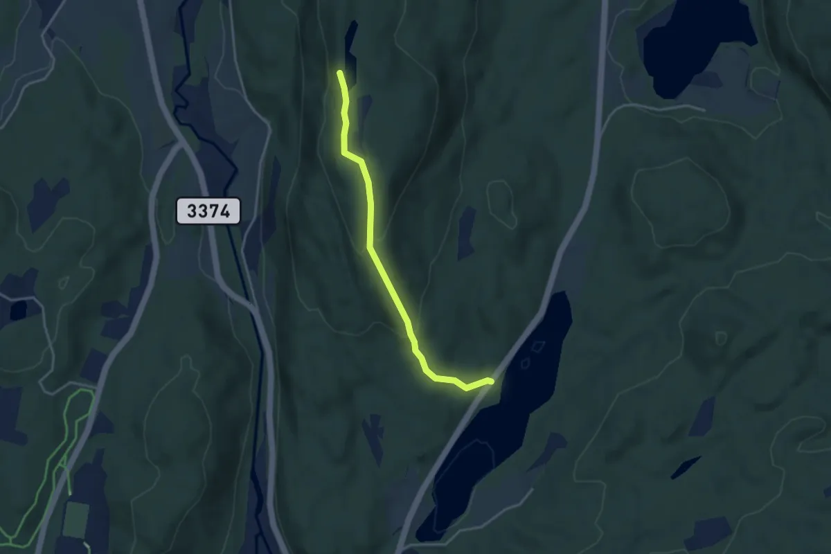
Easy · Trail
Rødsfjell
2.4 km · ↑ 127 m · 51 min
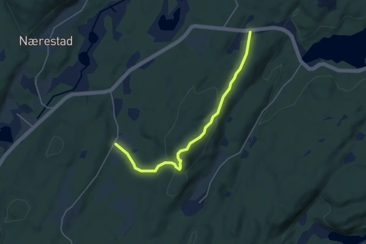
Easy · Trail
Rødsknuten (del av Åsanerunden)
2.8 km · ↑ 125 m · 56 min
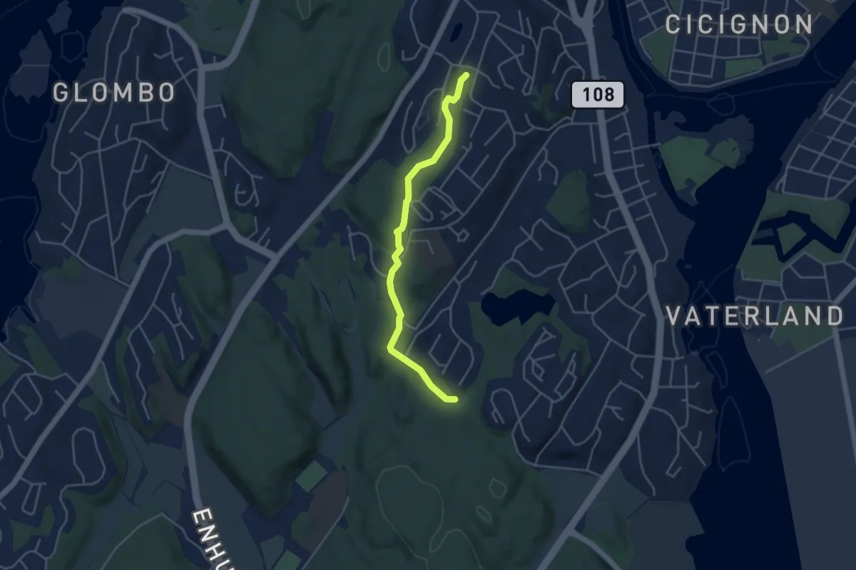
Easy · Trail
Rødsveien - Ulvedalen - Smertudammen
3.0 km · ↑ 58 m · 50 min
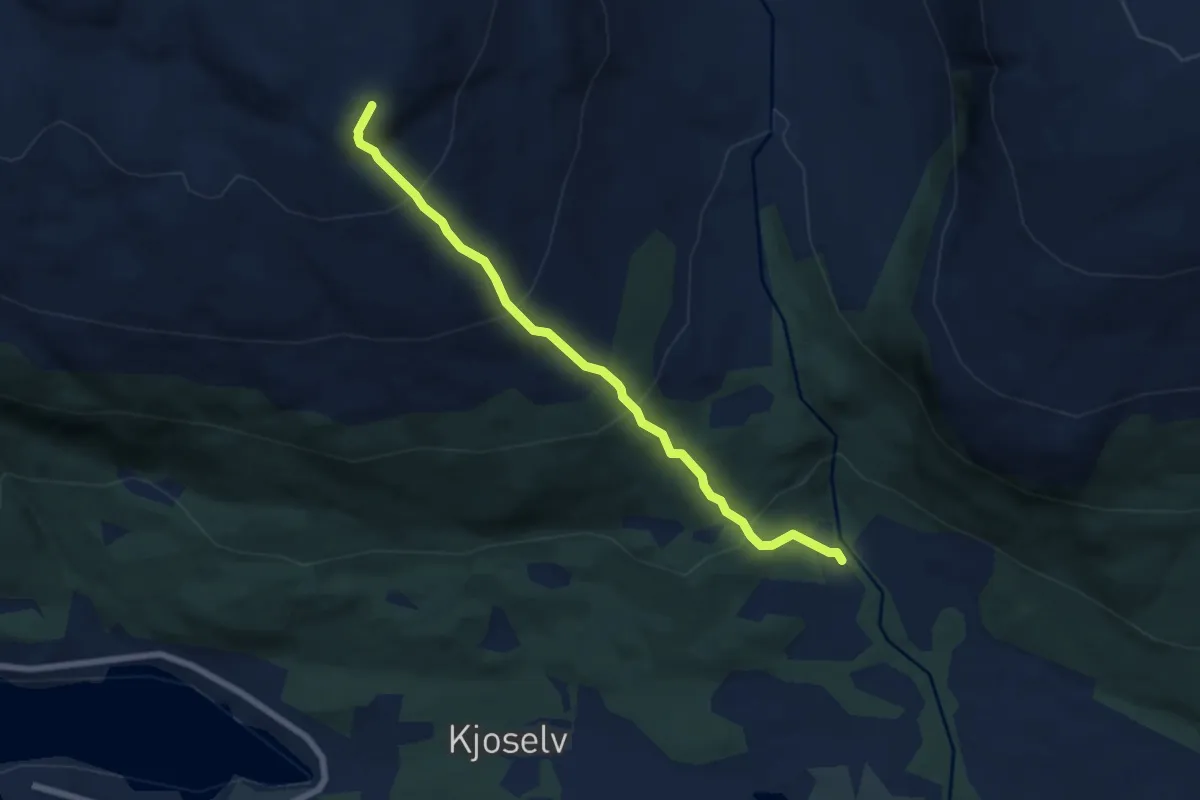
Medium · Trail
Rødtinden/Ruksesvárri
3.5 km · ↑ 405 m · 1 h 42 min
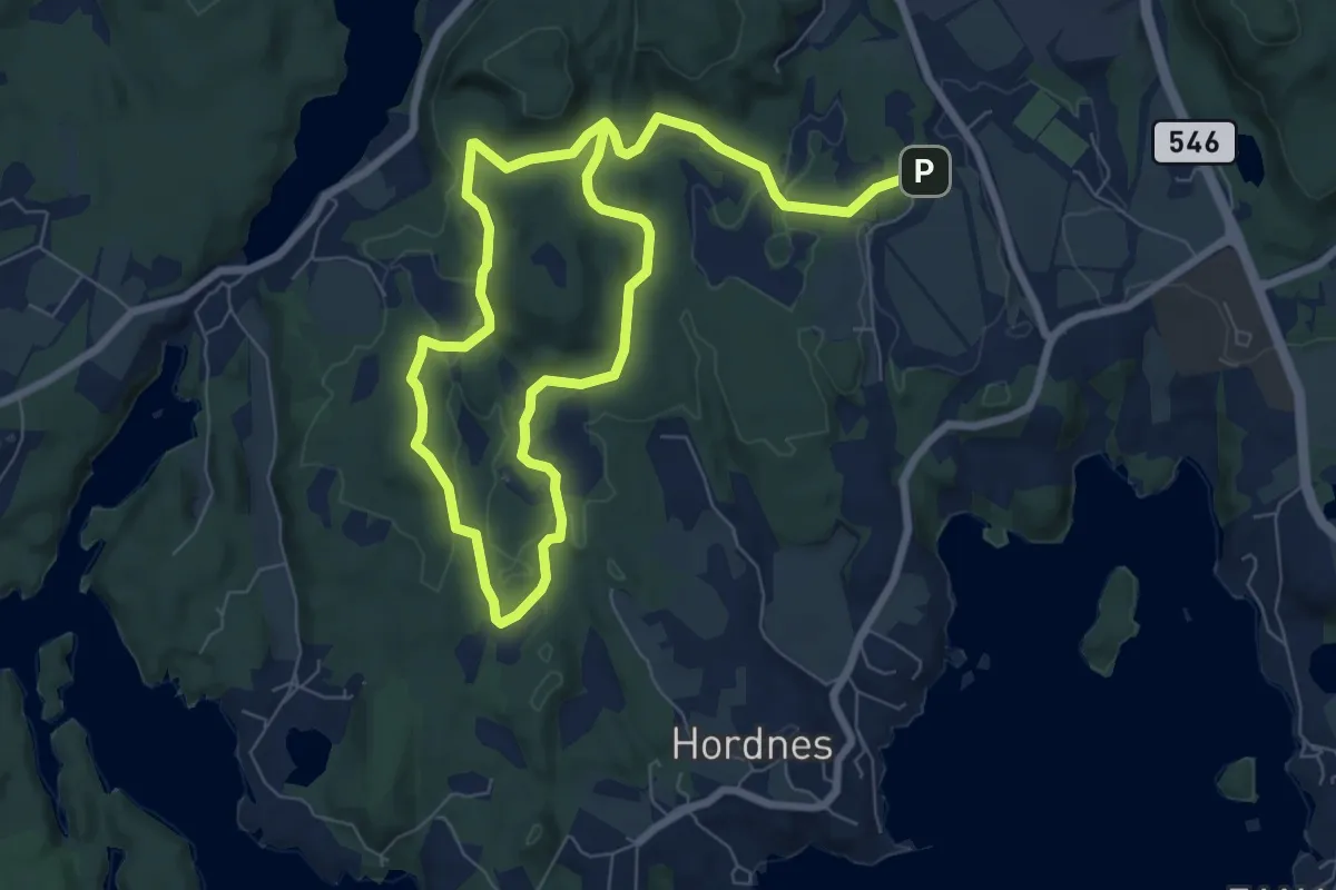
Easy · Trail
Rød tursløyfe
4.5 km · ↑ 69 m · 1 h 16 min
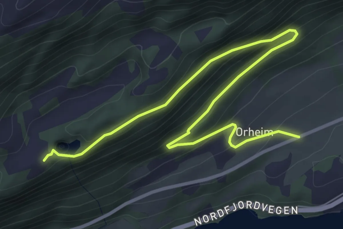
Easy · Trail
Røedsdammen
5.3 km · ↑ 241 m · 1 h 47 min
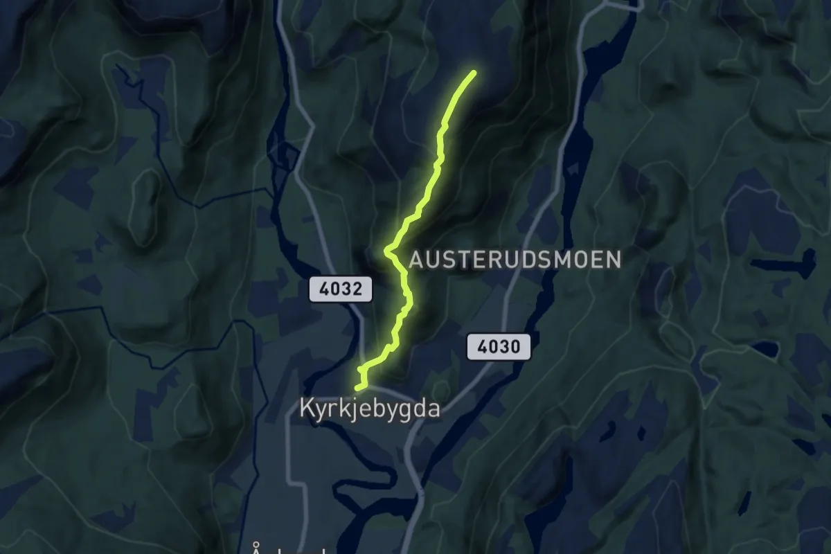
Medium · Trail
Rofjellet
4.3 km · ↑ 455 m · 2 h
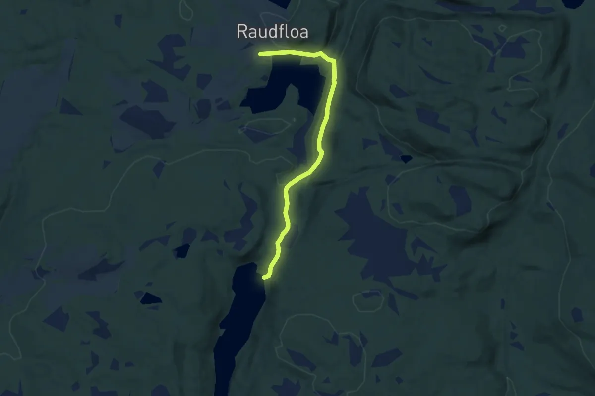
Easy · Trail
Røflo-Finnheimen
4.6 km · ↑ 142 m · 1 h 23 min
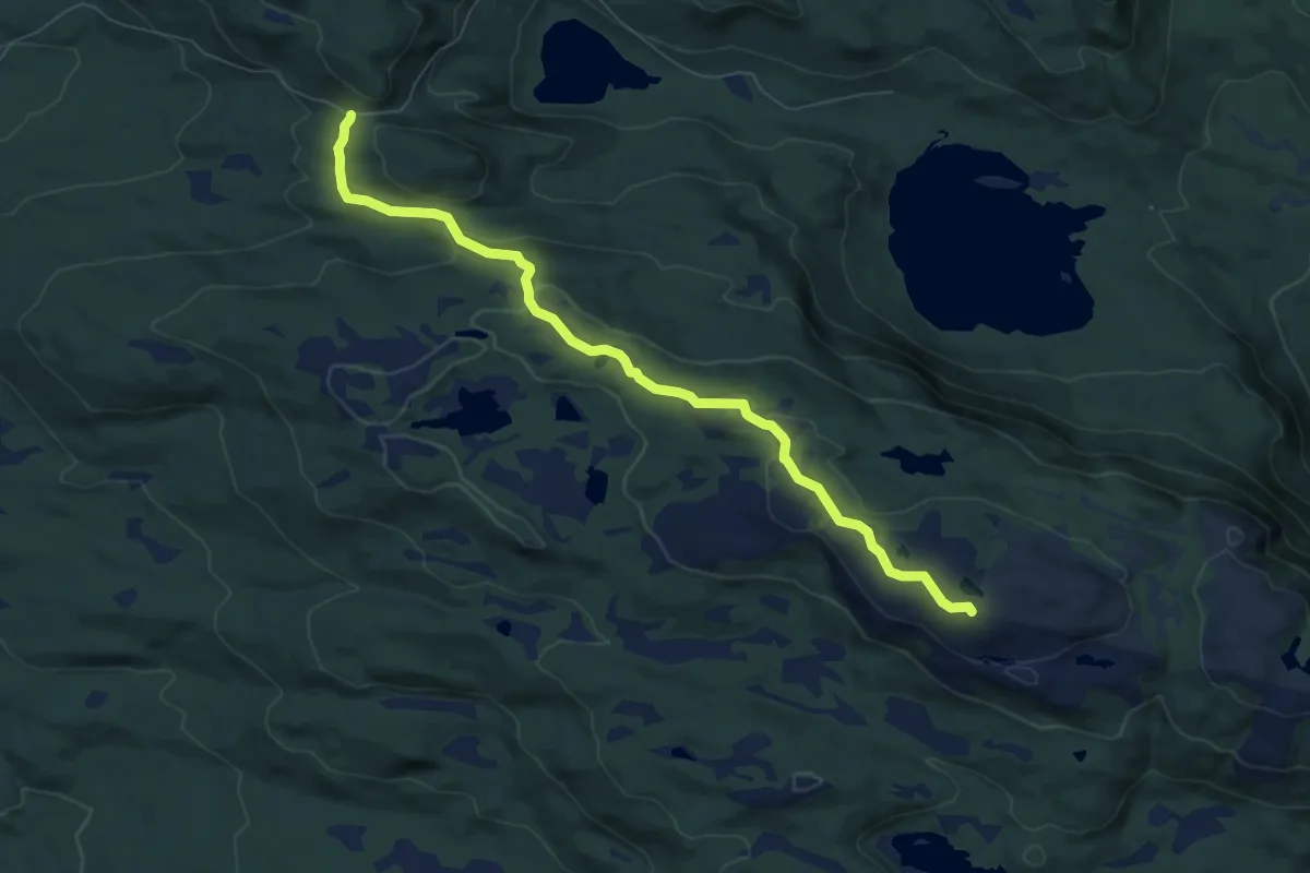
Medium · Trail
Røglefjell
5.5 km · ↑ 192 m · 1 h 43 min
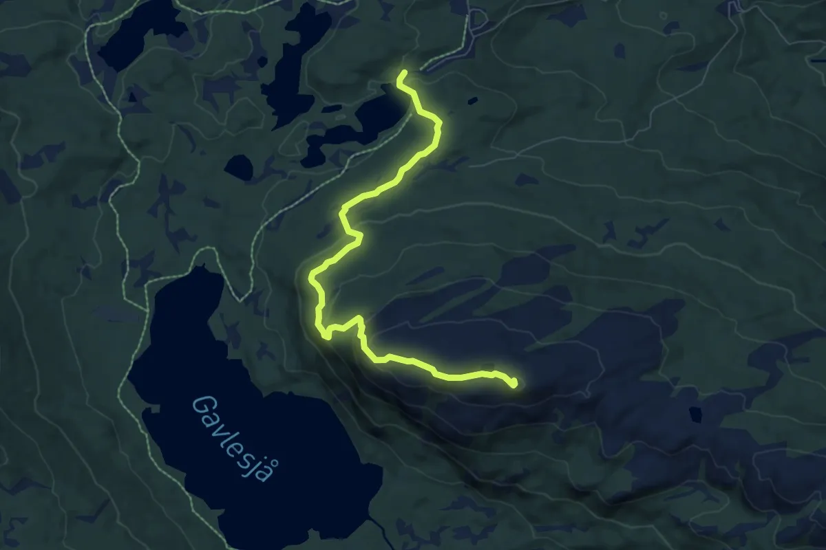
Easy · Trail
Rognlifjellet
5.7 km · ↑ 252 m · 1 h 53 min
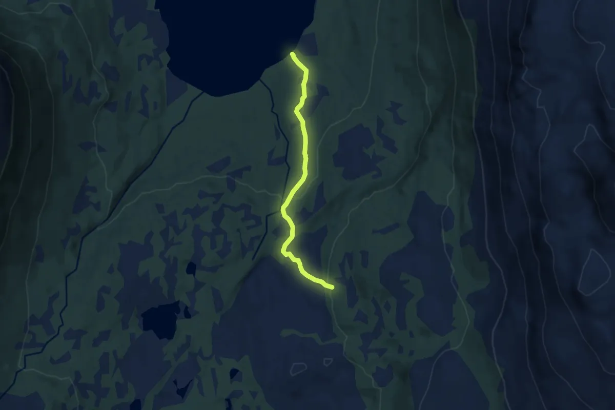
Medium · Trail
Rognli-Gammen
4.0 km · ↑ 191 m · 1 h 22 min
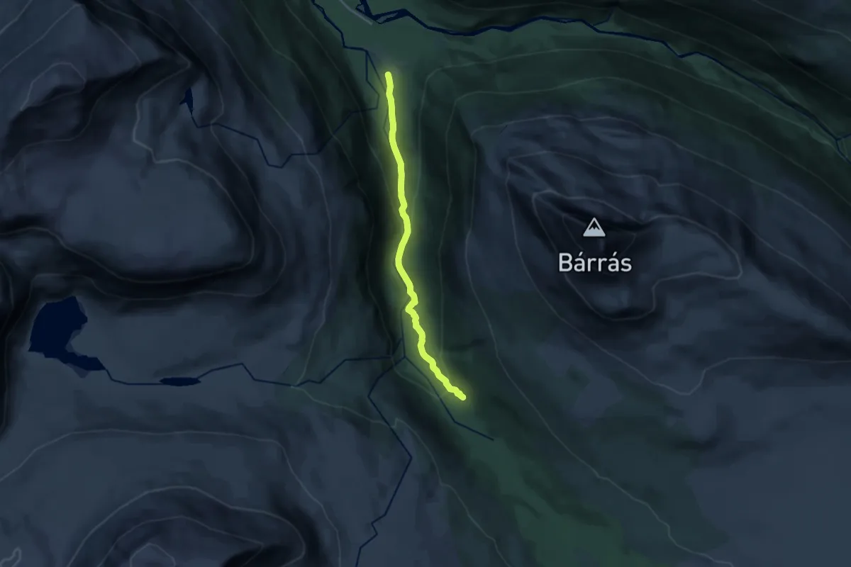
Medium · Trail
Rognli Gård - Gappohytta
7.8 km · ↑ 311 m · 2 h 31 min
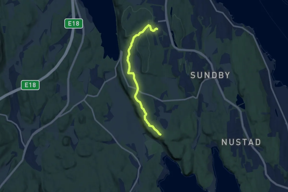
Easy · Trail
Rognsåsen - Grasmyr
5.2 km · ↑ 58 m · 1 h 22 min
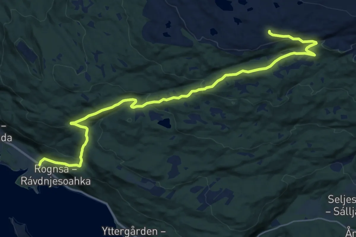
Medium · Trail
Rognsa-Strammen
12.7 km · ↑ 563 m · 4 h 13 min
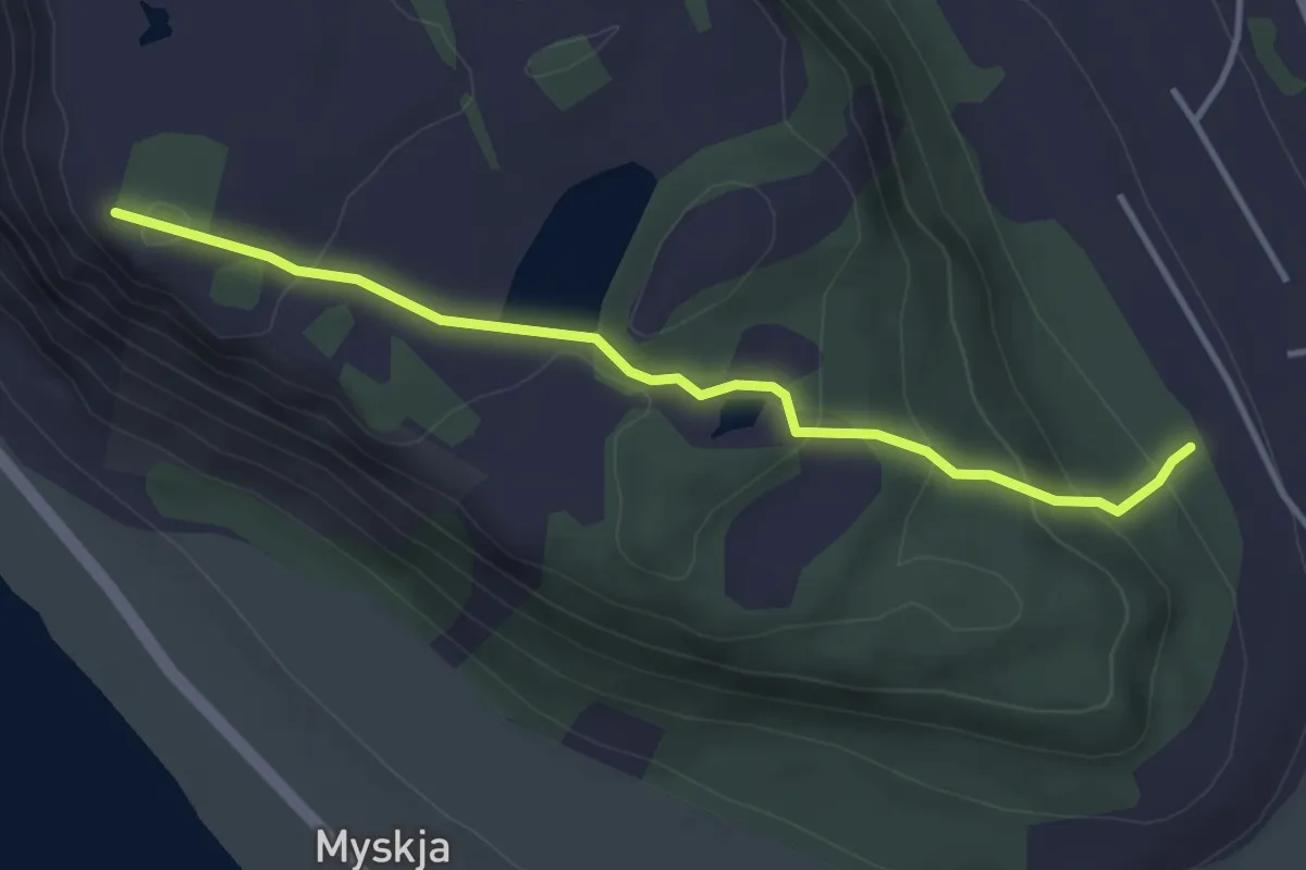
Easy · Trail
Røhammeren - Stormyrhytta - Austnes byggefelt
2.5 km · ↑ 139 m · 53 min
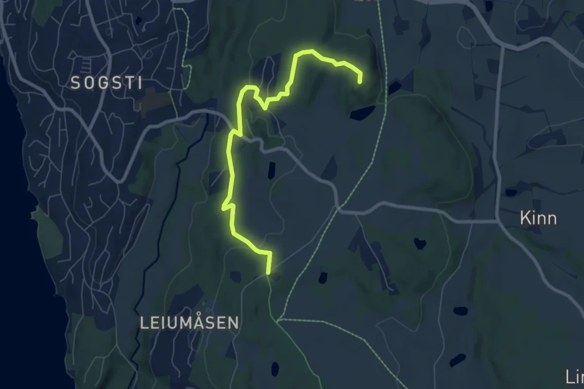
Easy · Trail
Røis - Skanseåsen bygdeborg
5.1 km · ↑ 123 m · 1 h 28 min
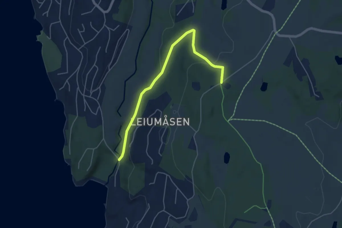
Easy · Trail
Røis - Skiphelle
3.5 km · ↑ 99 m · 1 h 2 min
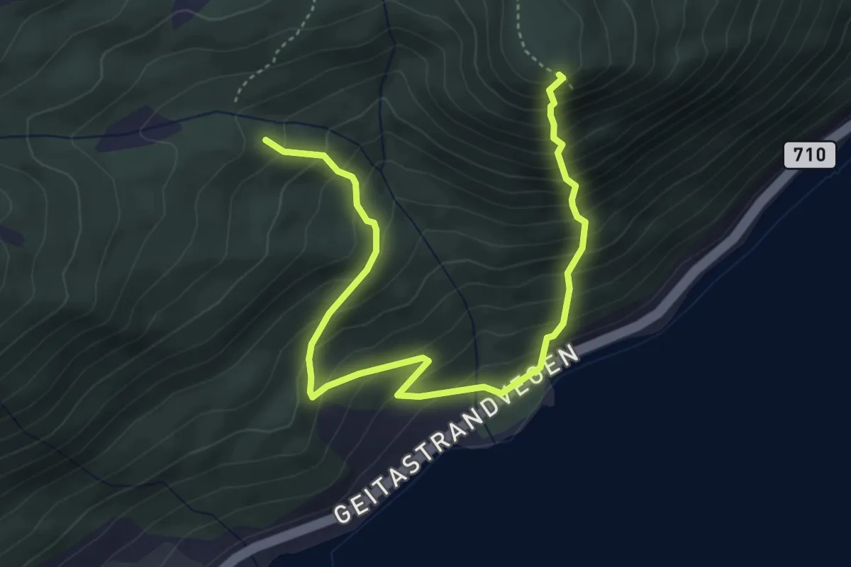
Demanding · Trail
Rokollen rett opp
3.5 km · ↑ 545 m · 2 h
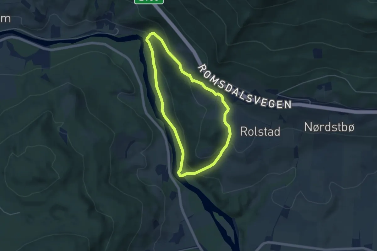
Demanding · Trail
Rolstadberget rundt
5.2 km · ↑ 229 m · 1 h 43 min