Trails in Norway
7,452 hiking trails, each with its route, climb, walking time and grade.
All trails, page 79 of 156
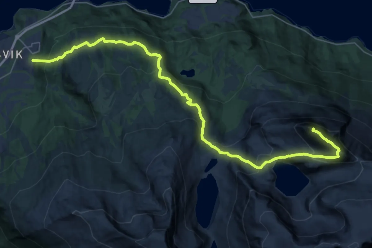
Demanding · Summit
Rombakstøtta
15.4 km · ↑ 1179 m · 6 h 12 min
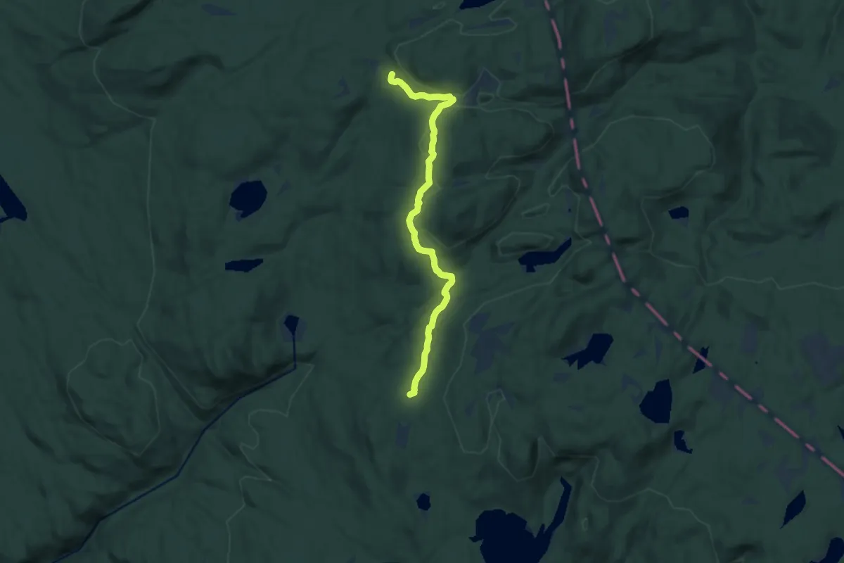
Medium · Trail
Romestul-Diplemyr
8.2 km · ↑ 179 m · 2 h 20 min
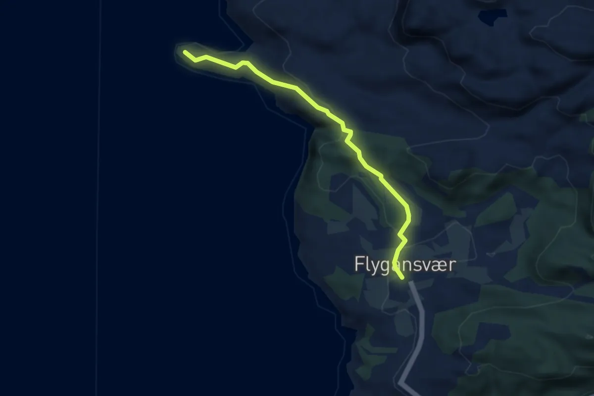
Medium · Trail
Rommelines
2.5 km · ↑ 85 m · 46 min
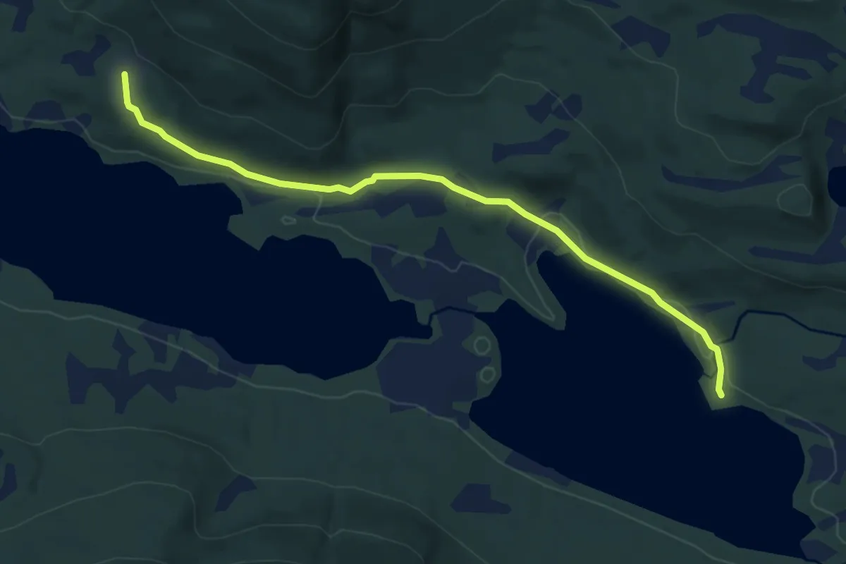
Easy · Trail
Rømmervasseteren
4.3 km · ↑ 67 m · 1 h 10 min
Demanding · Summit
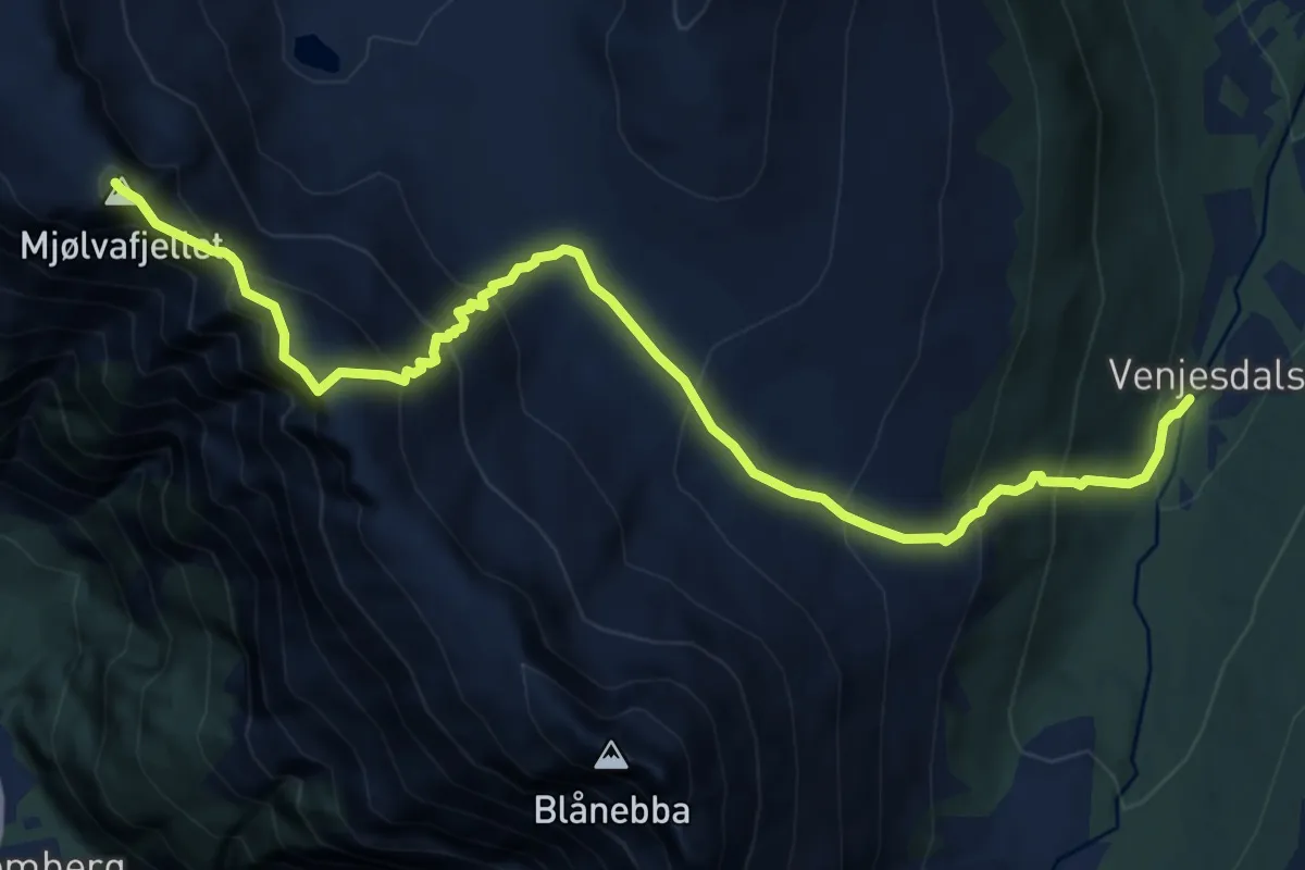
Romsdalseggen
8.9 km · ↑ 994 m · 4 h 15 min
Demanding · Summit
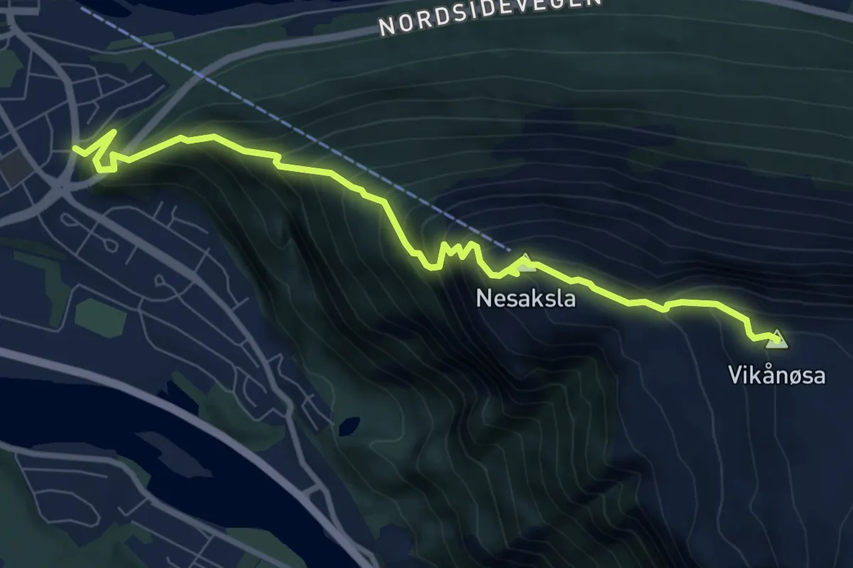
Romsdalseggen familieversjon
5.9 km · ↑ 828 m · 3 h 11 min
Medium · Trail
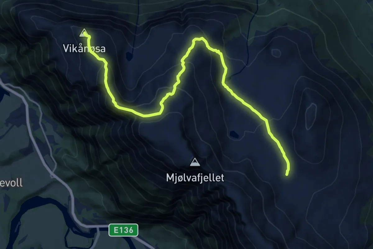
Romsdalseggen via Høgnosa
12.0 km · ↑ 777 m · 4 h 31 min
Demanding · Trail
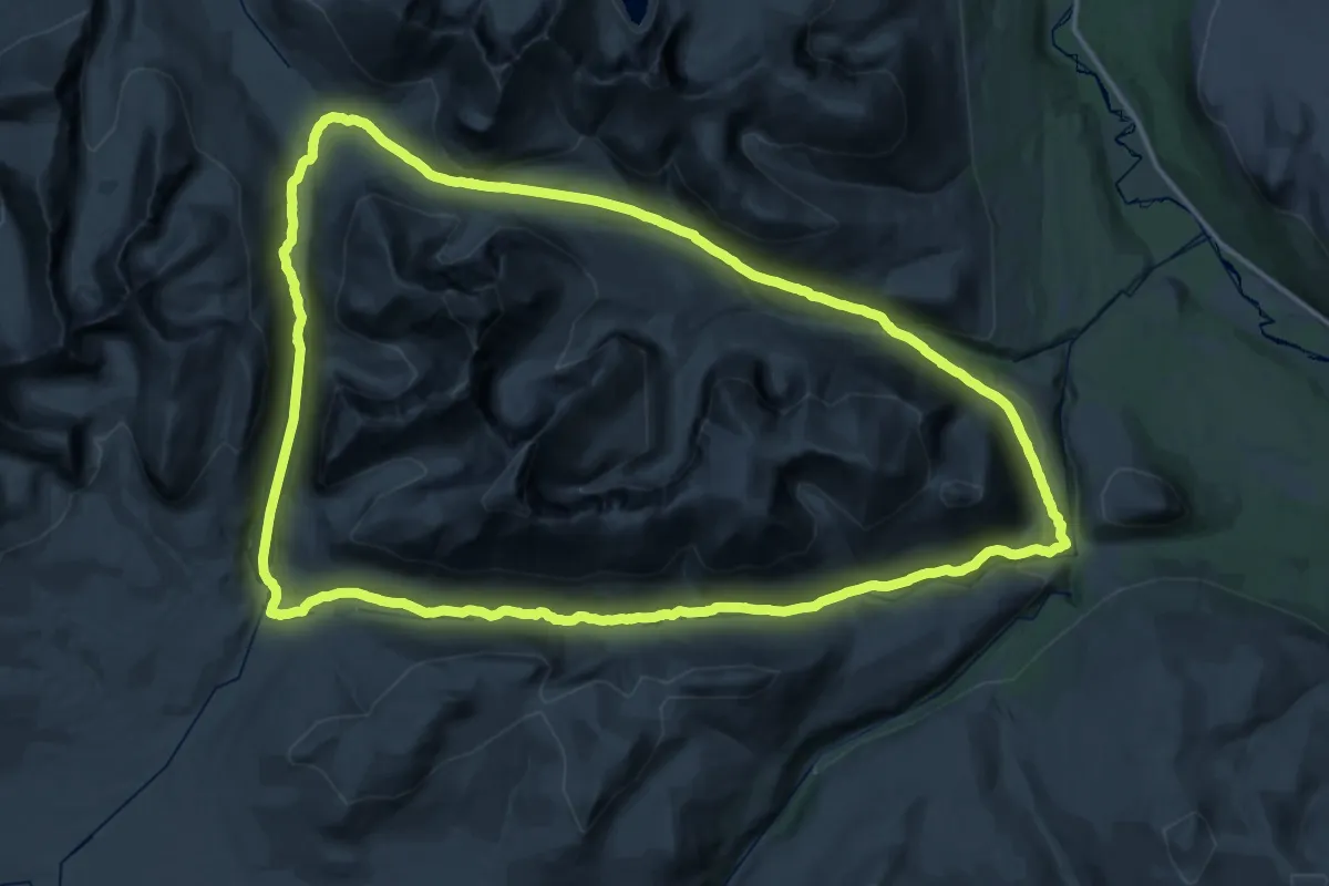
Rondane på en helg!
32.5 km · ↑ 741 m · 9 h 43 min
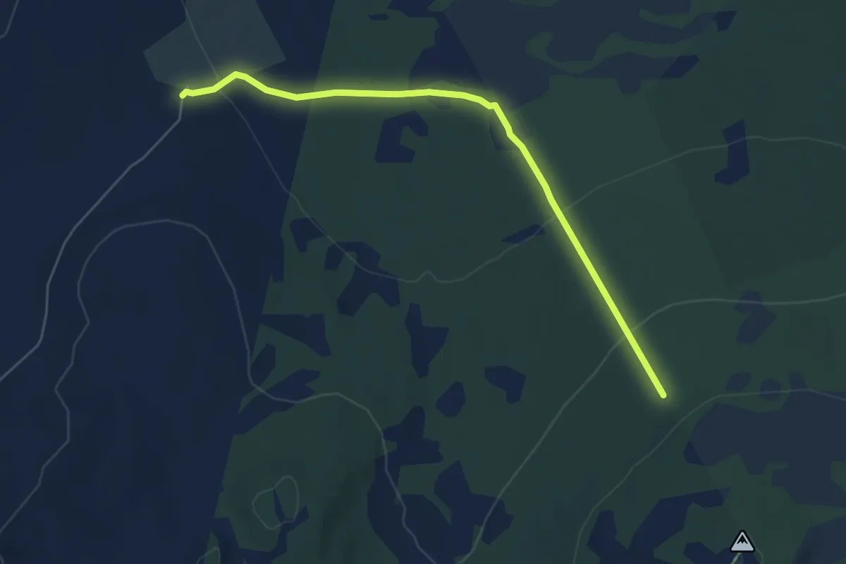
Easy · Trail
Rondanestien
4.1 km · ↑ 149 m · 1 h 18 min
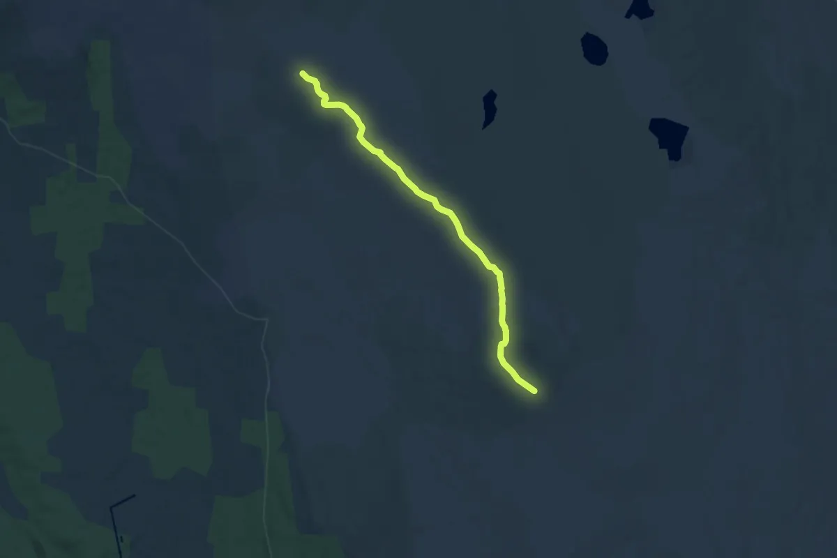
Medium · Trail
Rondanestien- Raudfjellet - Djupdalen
8.5 km · ↑ 43 m · 2 h 6 min
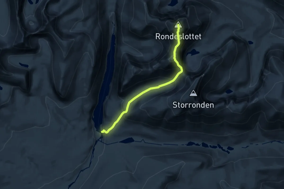
Demanding · Summit
Rondvassbu - Rondeslottet
12.0 km · ↑ 1208 m · 5 h 26 min
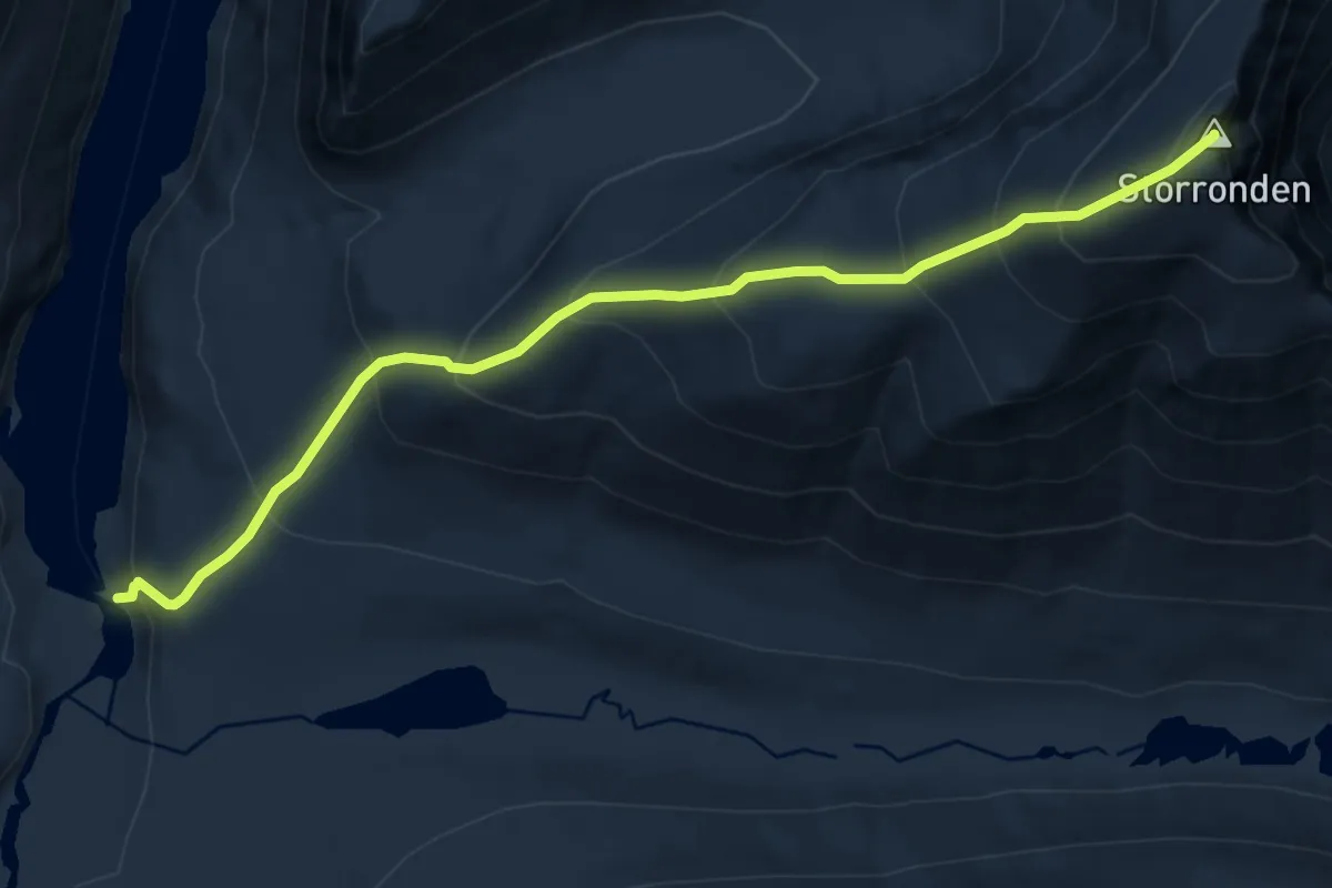
Demanding · Summit
Rondvassbu - Storronden
8.1 km · ↑ 960 m · 4 h
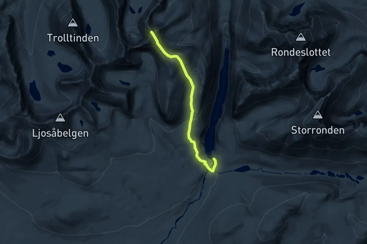
Expert · Summit
Rondvassbu - Veslesmeden
12.2 km · ↑ 858 m · 4 h 45 min
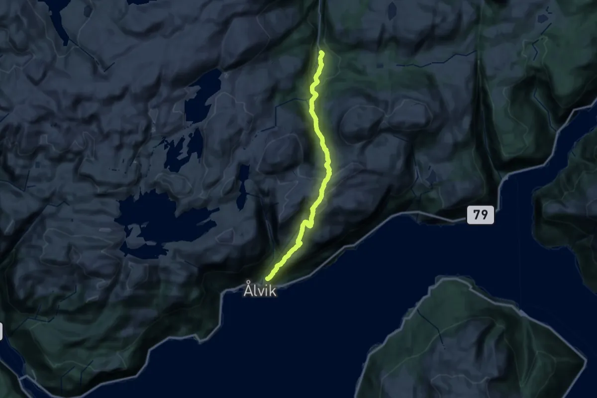
Demanding · Trail
Rong - Ålvik
11.5 km · ↑ 666 m · 4 h 30 min
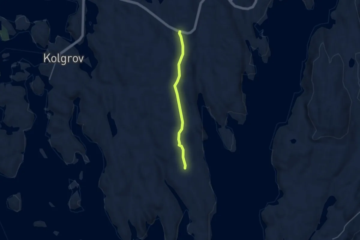
Medium · Trail
Rongsneset
2.1 km · ↑ 9 m · 31 min
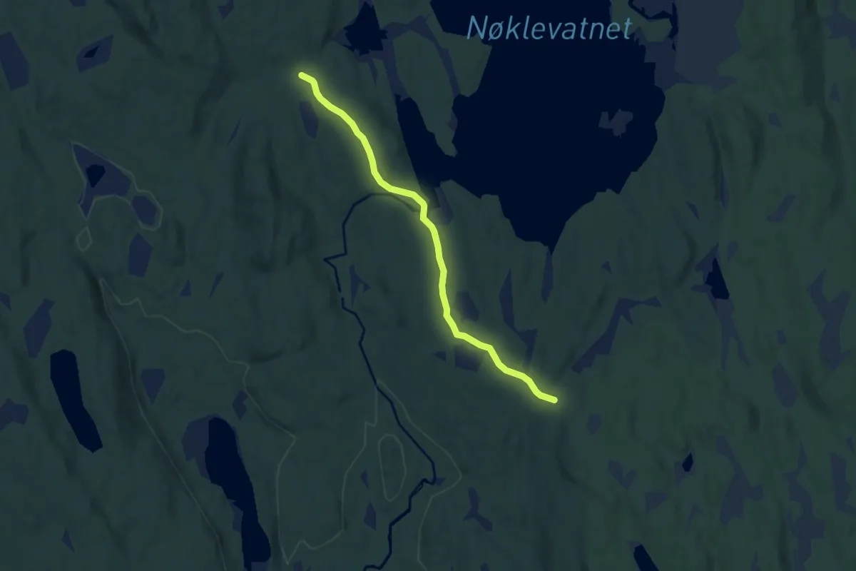
Easy · Trail
Rønnåssætra-Sætersætra
4.3 km · ↑ 70 m · 1 h 10 min
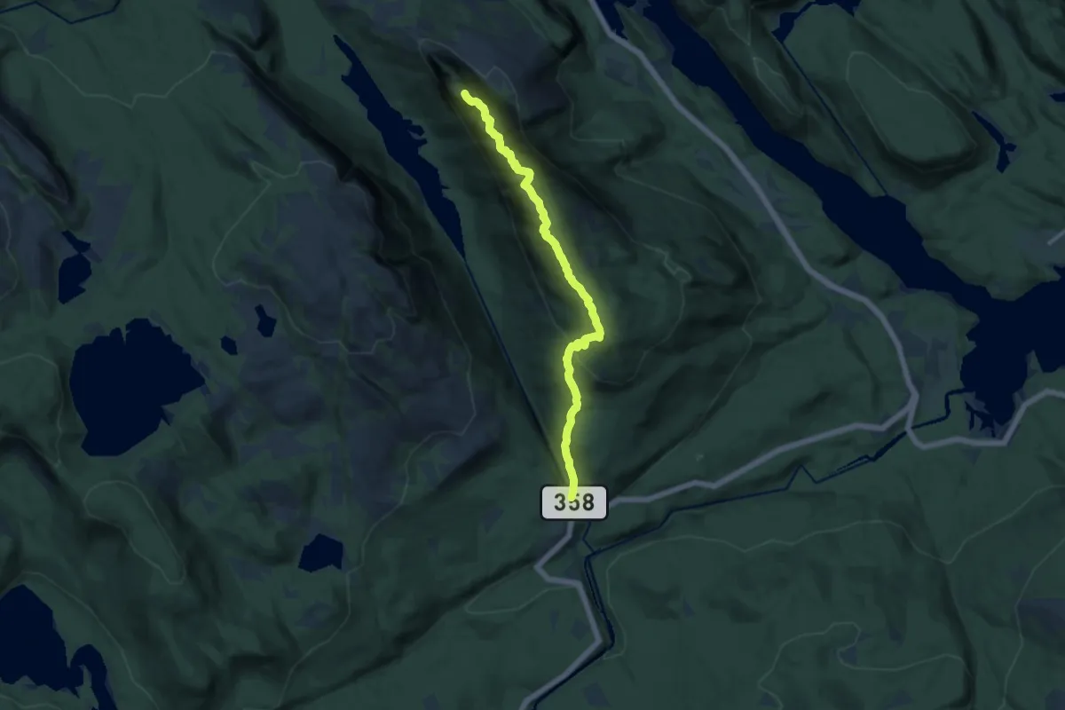
Medium · Trail
Rønnomnibben
8.6 km · ↑ 571 m · 3 h 16 min
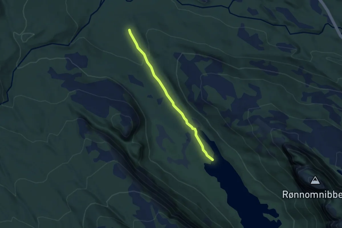
Easy · Trail
Rønnomsdalen
2.9 km · ↑ 68 m · 50 min
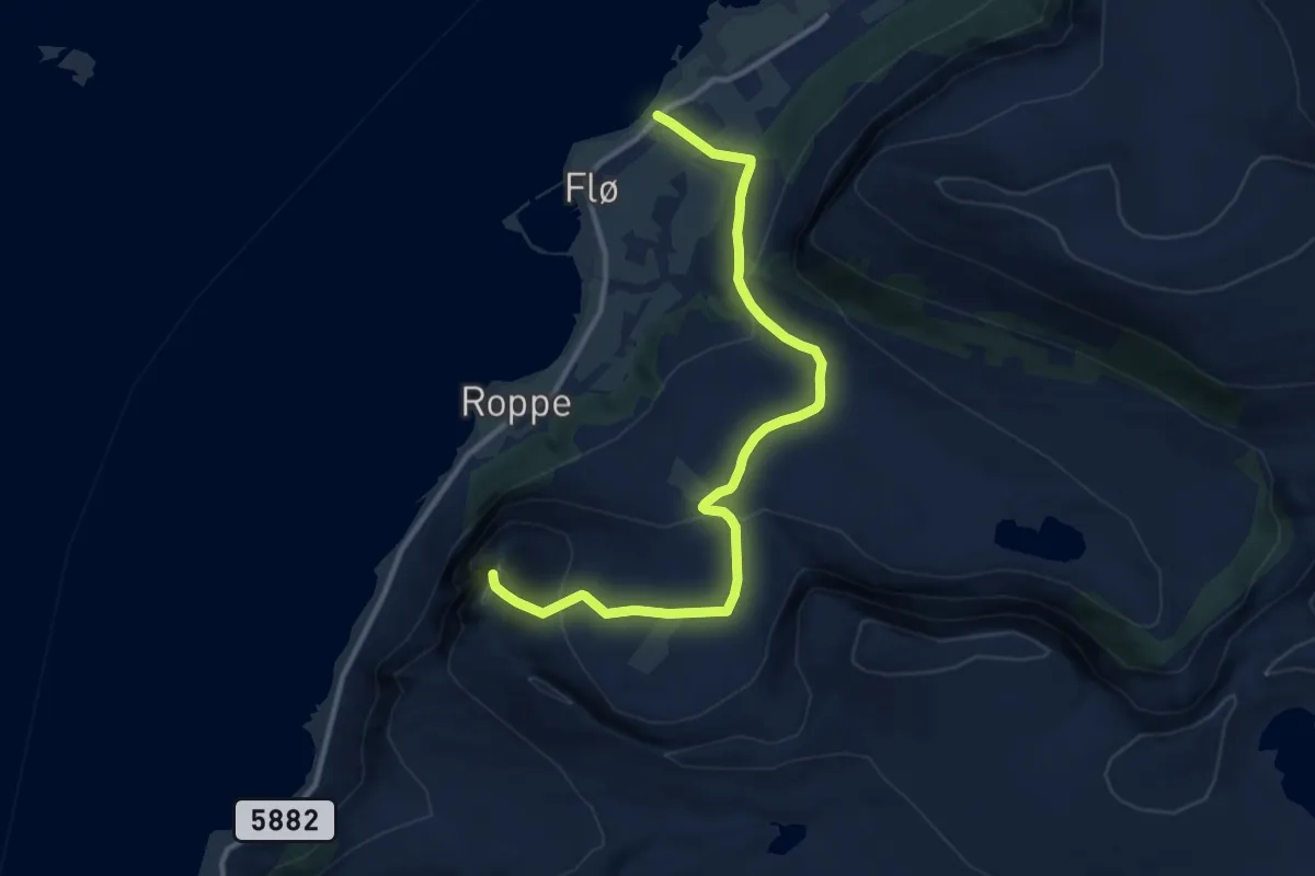
Medium · Trail
Roppehornet frå Flø
8.4 km · ↑ 398 m · 2 h 50 min
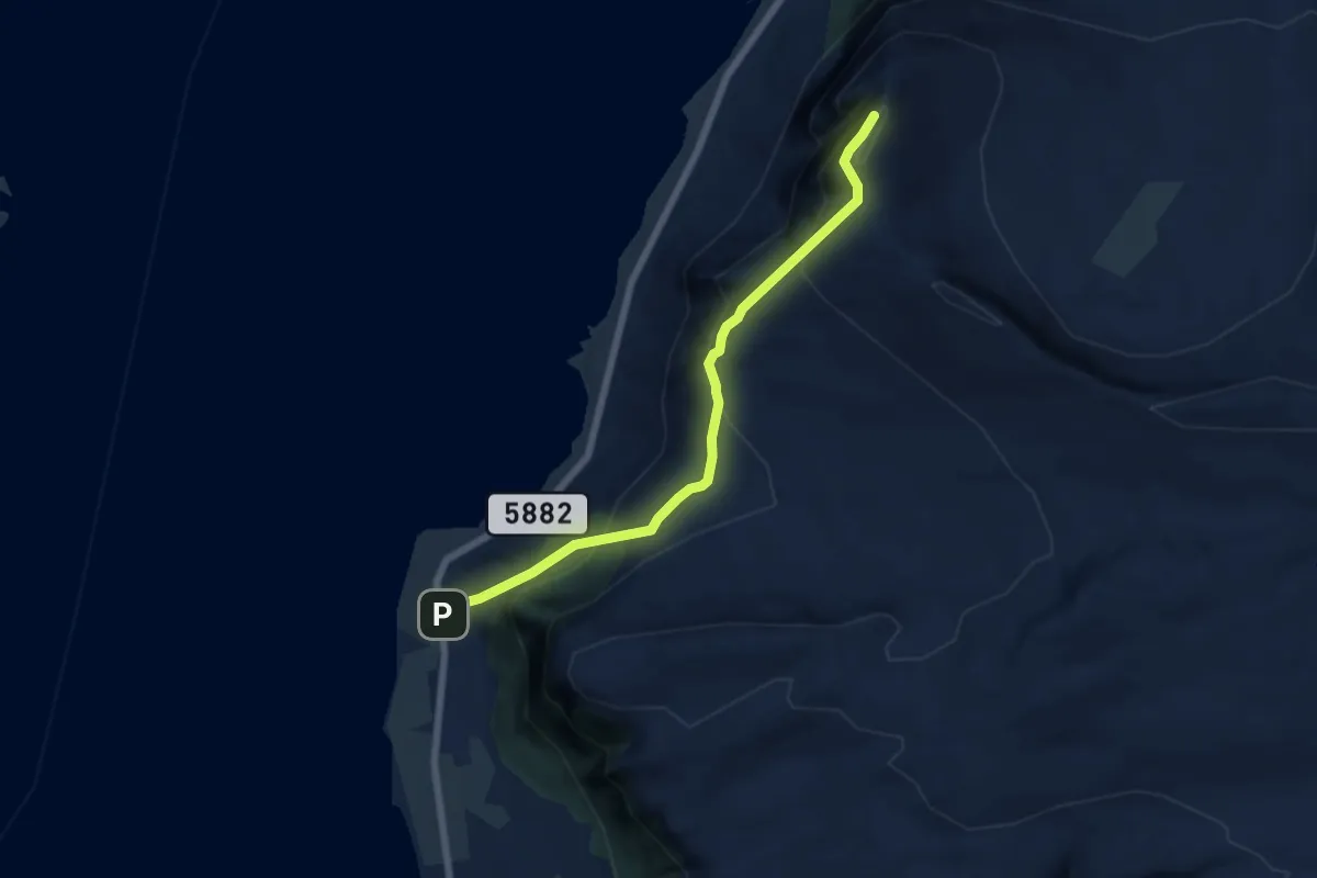
Medium · Trail
Roppehornet frå Gåsneset
4.1 km · ↑ 418 m · 1 h 52 min
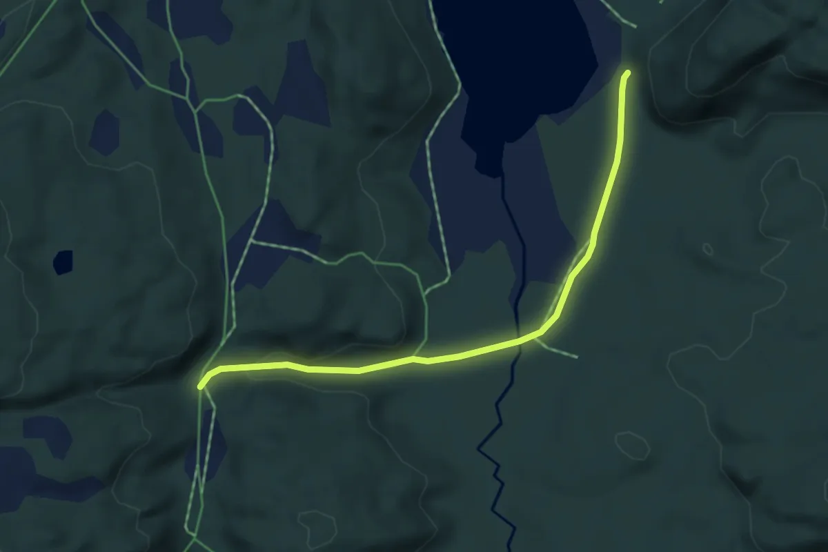
Easy · Trail
Rørdalen_Høyknesvatnet
2.8 km · ↑ 29 m · 43 min
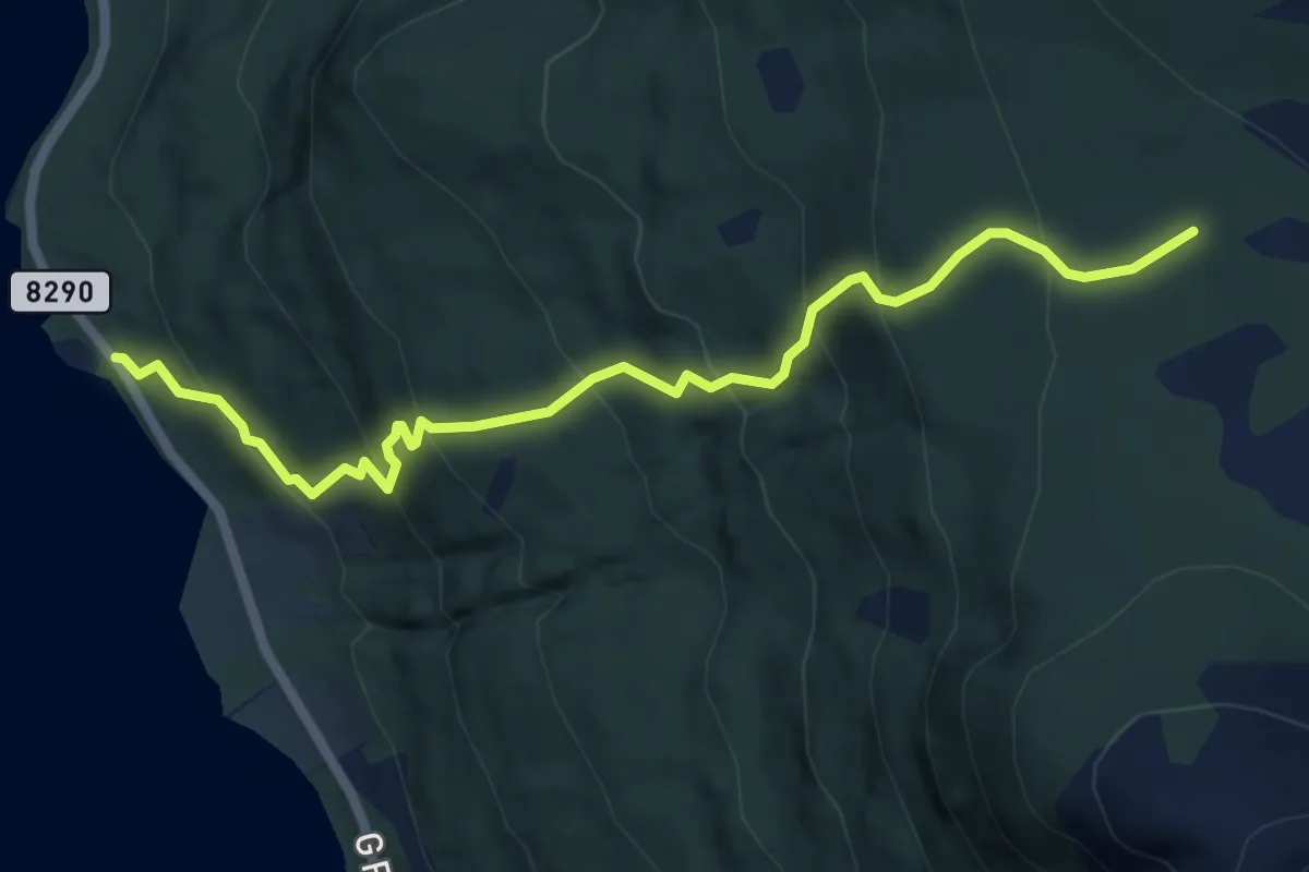
Expert · Trail
Rørelv-stien
3.5 km · ↑ 396 m · 1 h 41 min
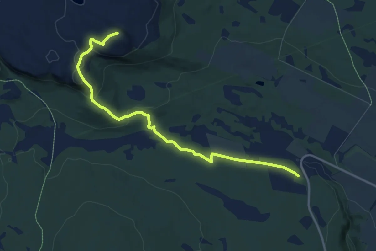
Medium · Trail
Rørosvadet - Kollberget
6.4 km · ↑ 192 m · 1 h 55 min
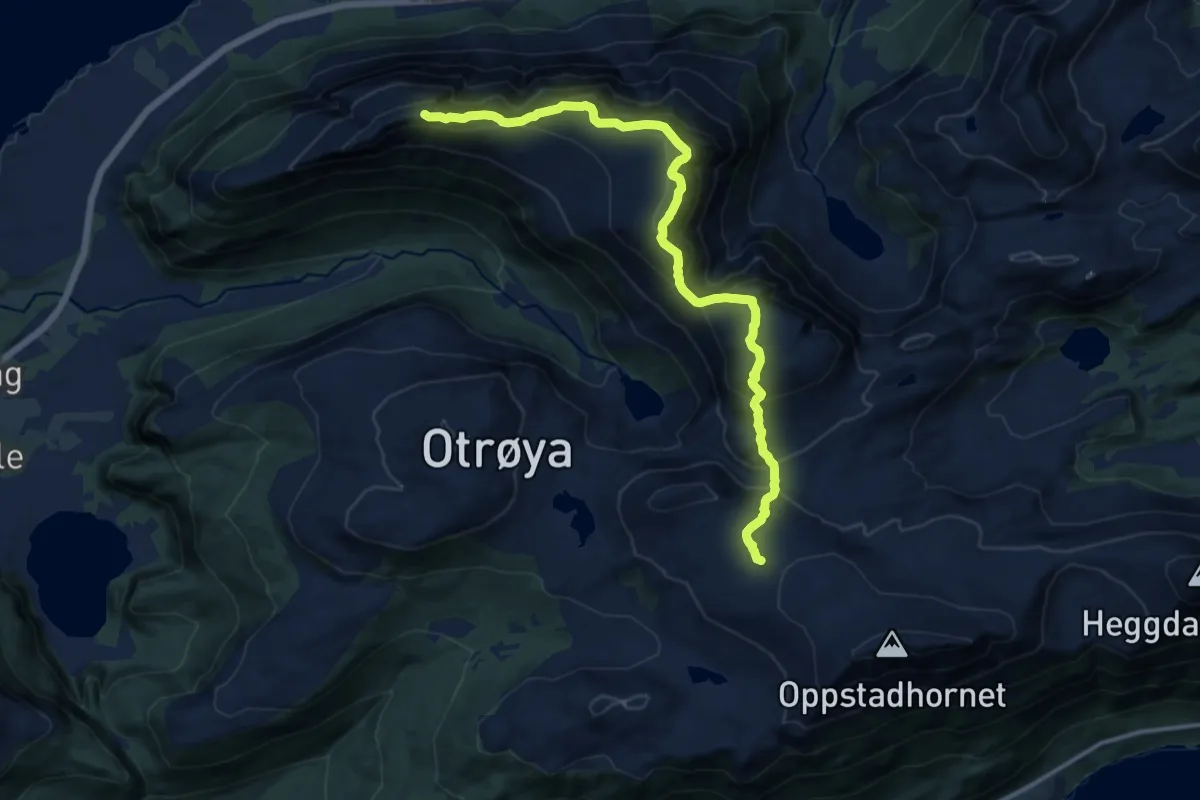
Medium · Trail
Rørsethornet-Ræstadhornet-Grøtet-Slettheia
9.5 km · ↑ 747 m · 3 h 51 min
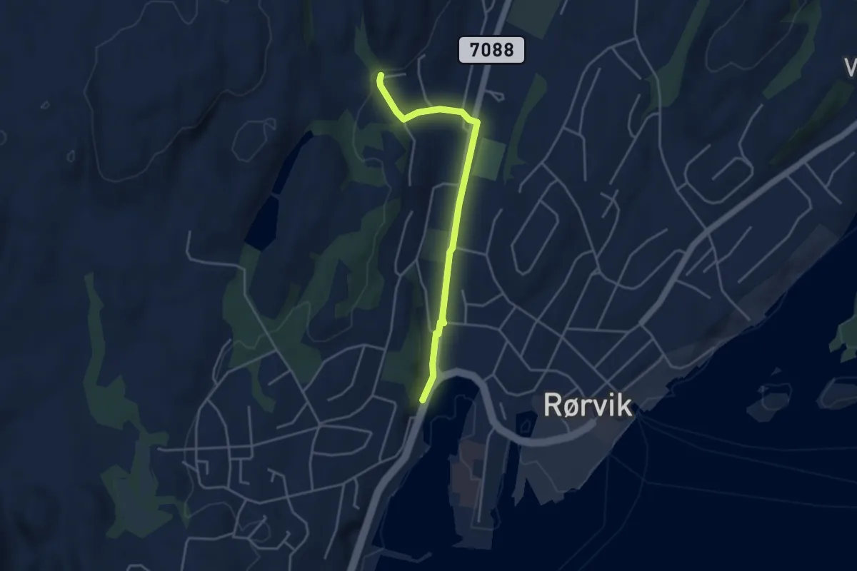
Easy · Trail
Rørvik sentrum - Øvergården
2.3 km · ↑ 38 m · 37 min
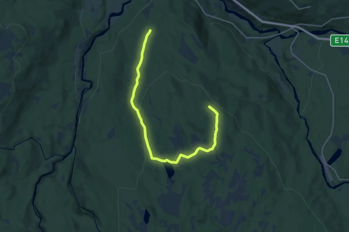
Medium · Trail
Røsåsen
10.3 km · ↑ 323 m · 3 h 8 min
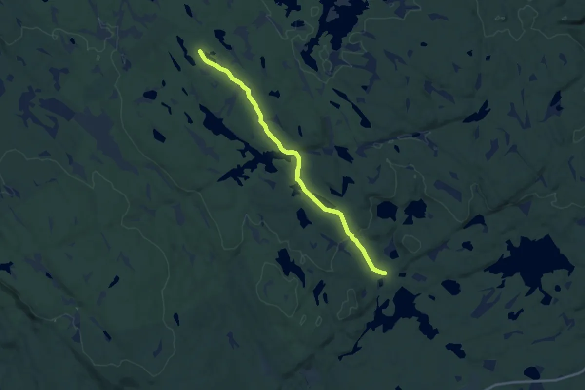
Easy · Trail
Røsengråstien
7.2 km · ↑ 74 m · 1 h 52 min
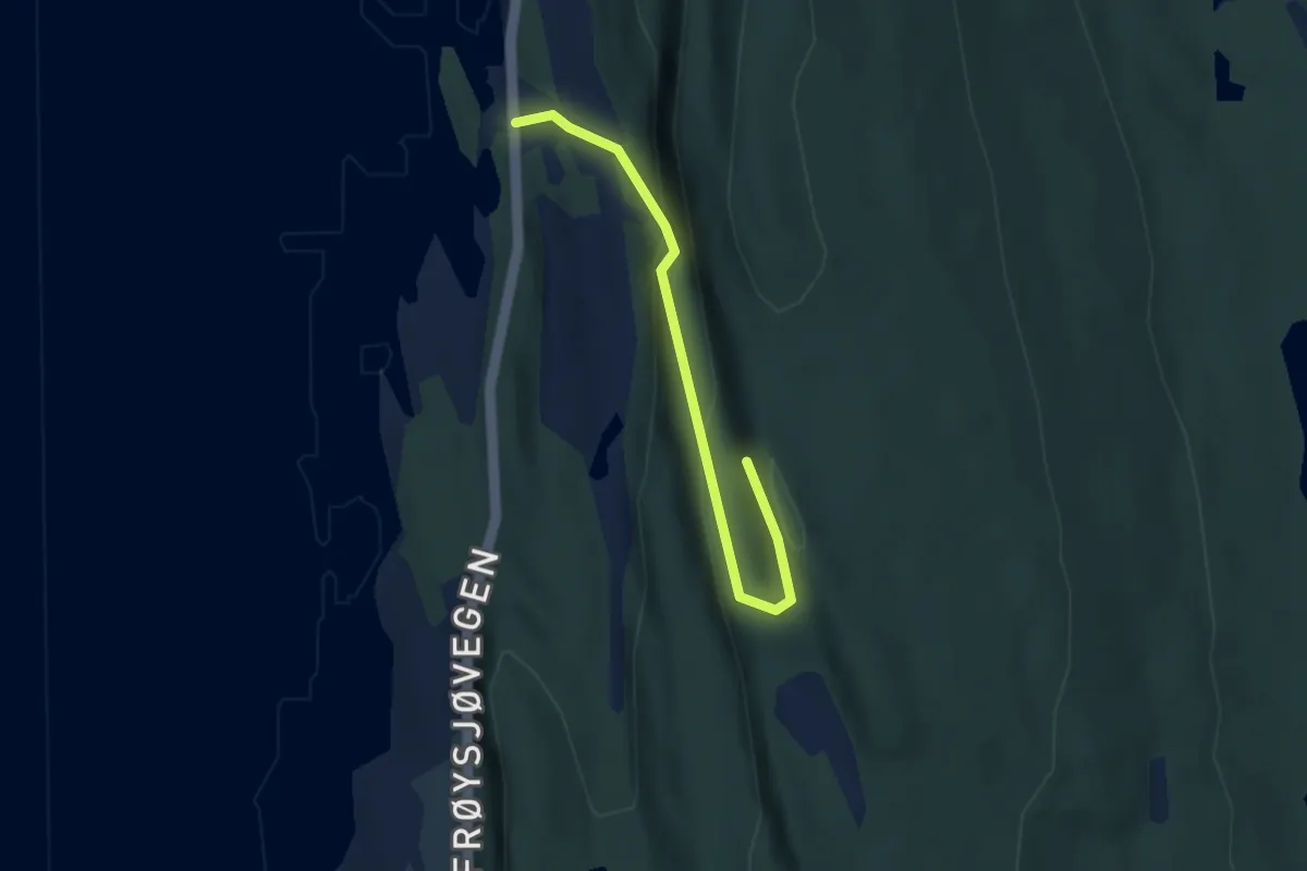
Medium · Trail
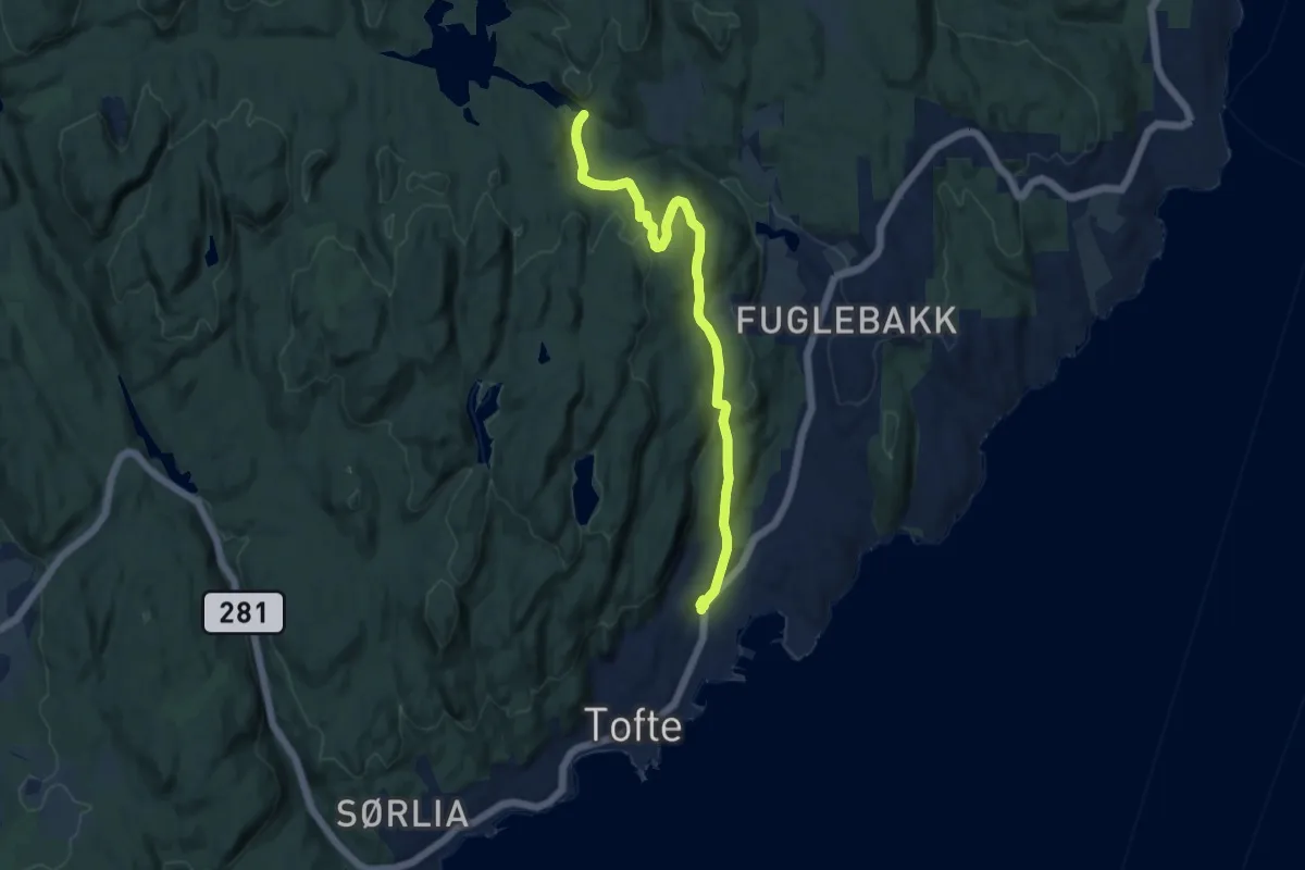
ROSKA
2.2 km · ↑ 169 m · 54 min
Medium · Trail
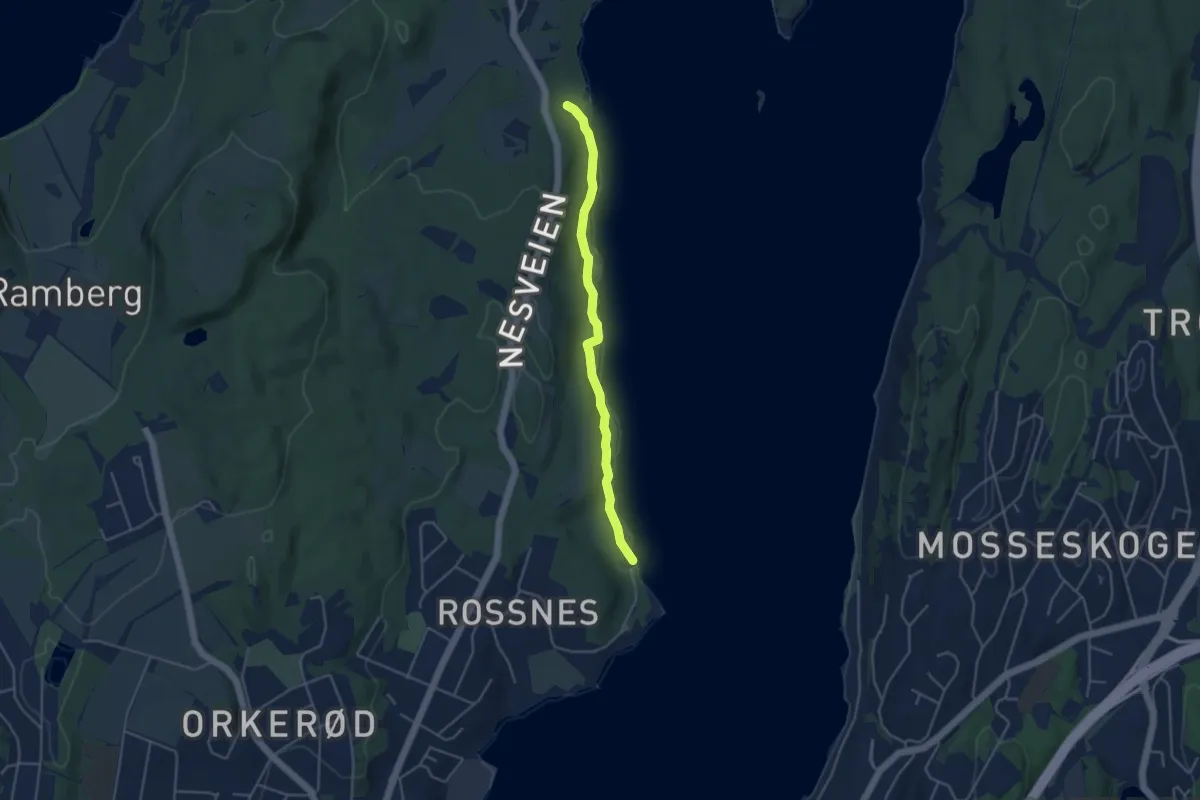
Røskestadvannet - Tofte ungdomsskole
8.0 km · ↑ 212 m · 2 h 21 min
Easy · Trail
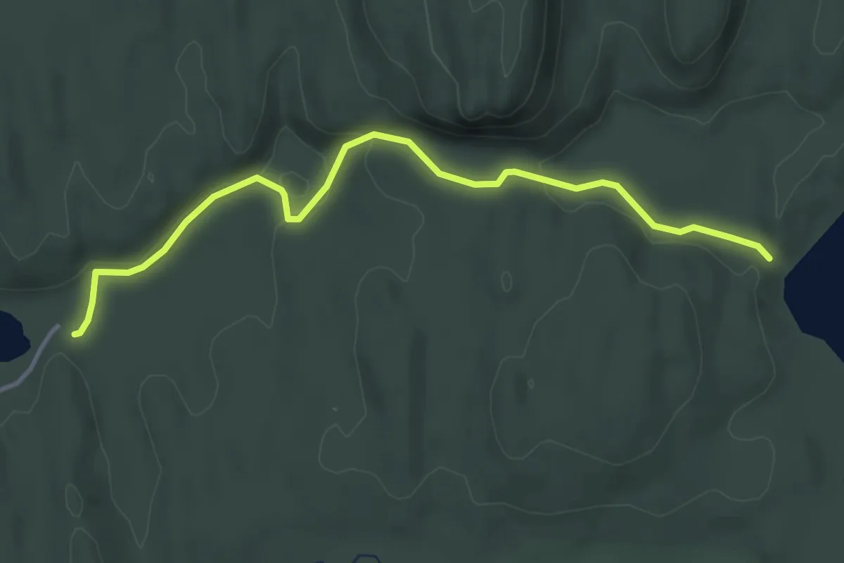
Rosnesområdet
2.9 km · ↑ 30 m · 46 min
Easy · Trail
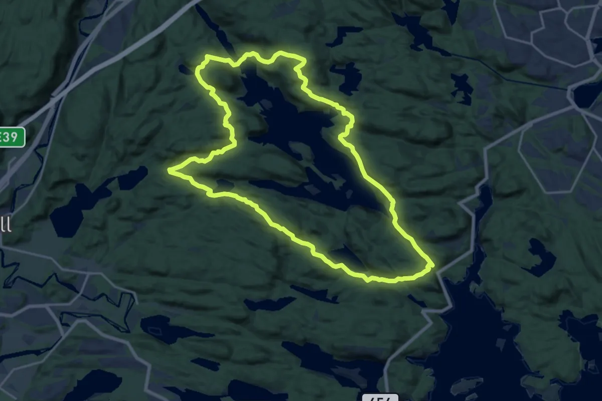
Rososetra
3.0 km · ↑ 45 m · 48 min
Medium · Trail
Rossevannet Rundt
12.7 km · ↑ 478 m · 4 h 12 min
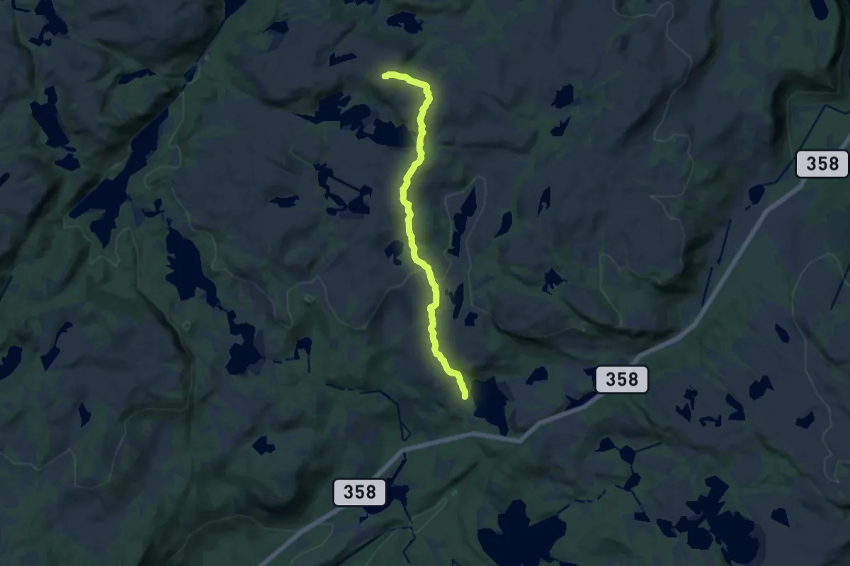
Medium · Trail
Rosstjenn - Grønnlifjell
9.1 km · ↑ 322 m · 2 h 50 min
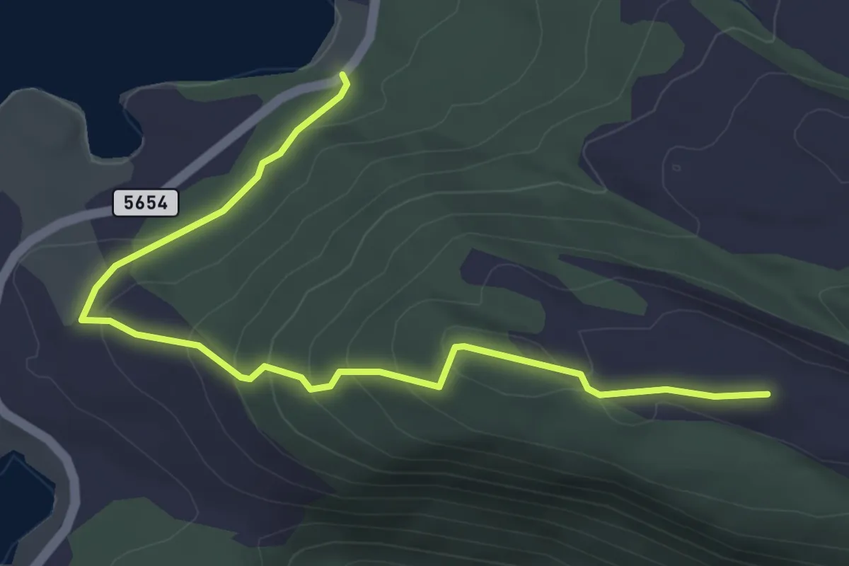
Easy · Trail
Rossvikheia
3.2 km · ↑ 195 m · 1 h 11 min
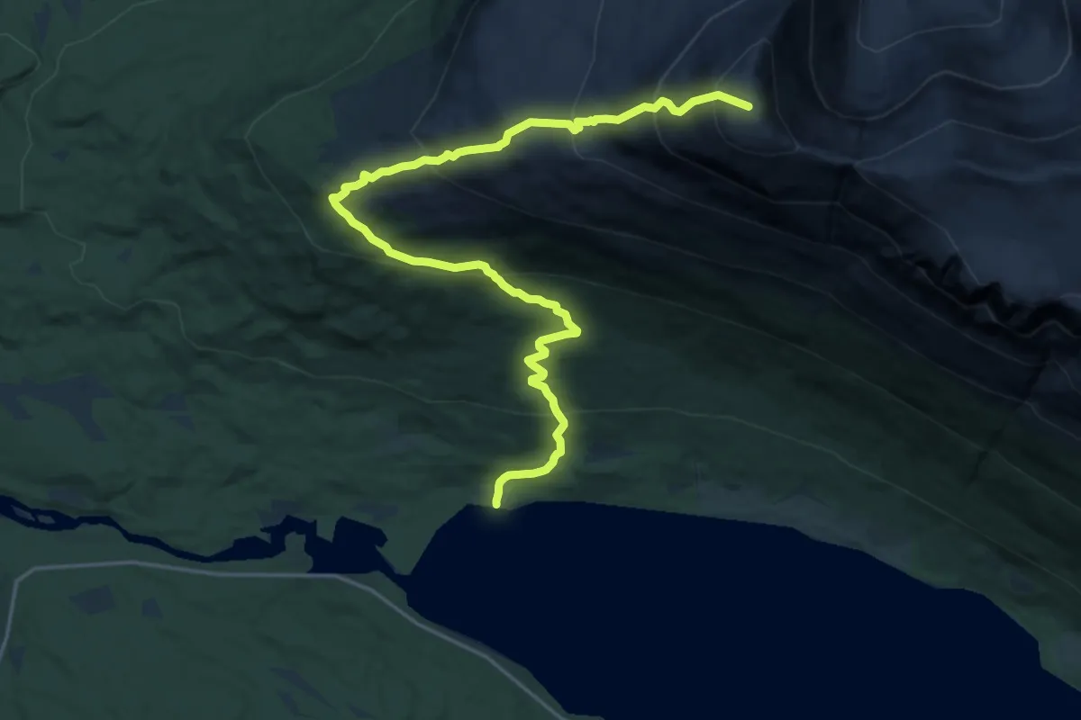
Demanding · Trail
Rostakulen
12.0 km · ↑ 1163 m · 5 h 21 min
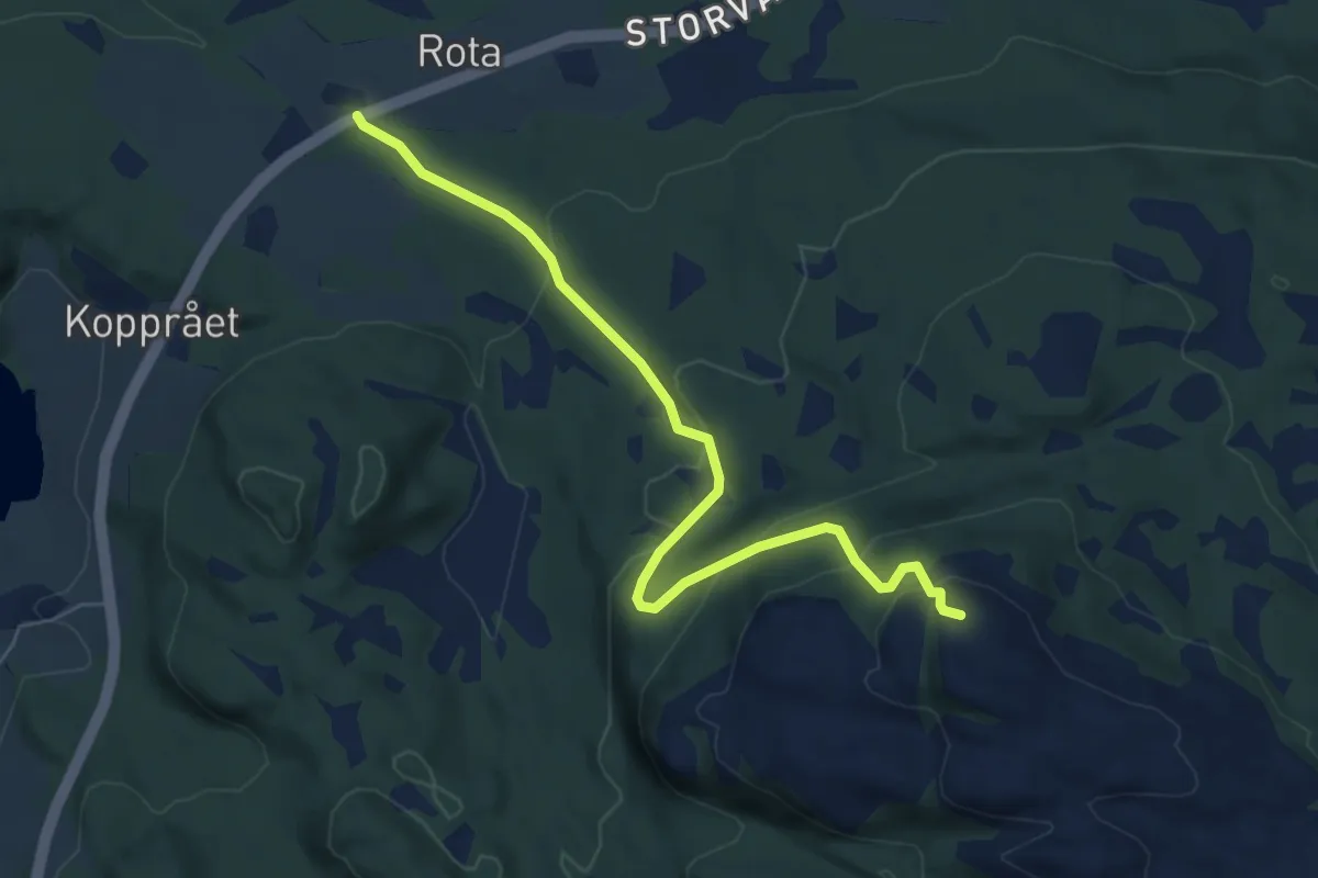
Easy · Trail
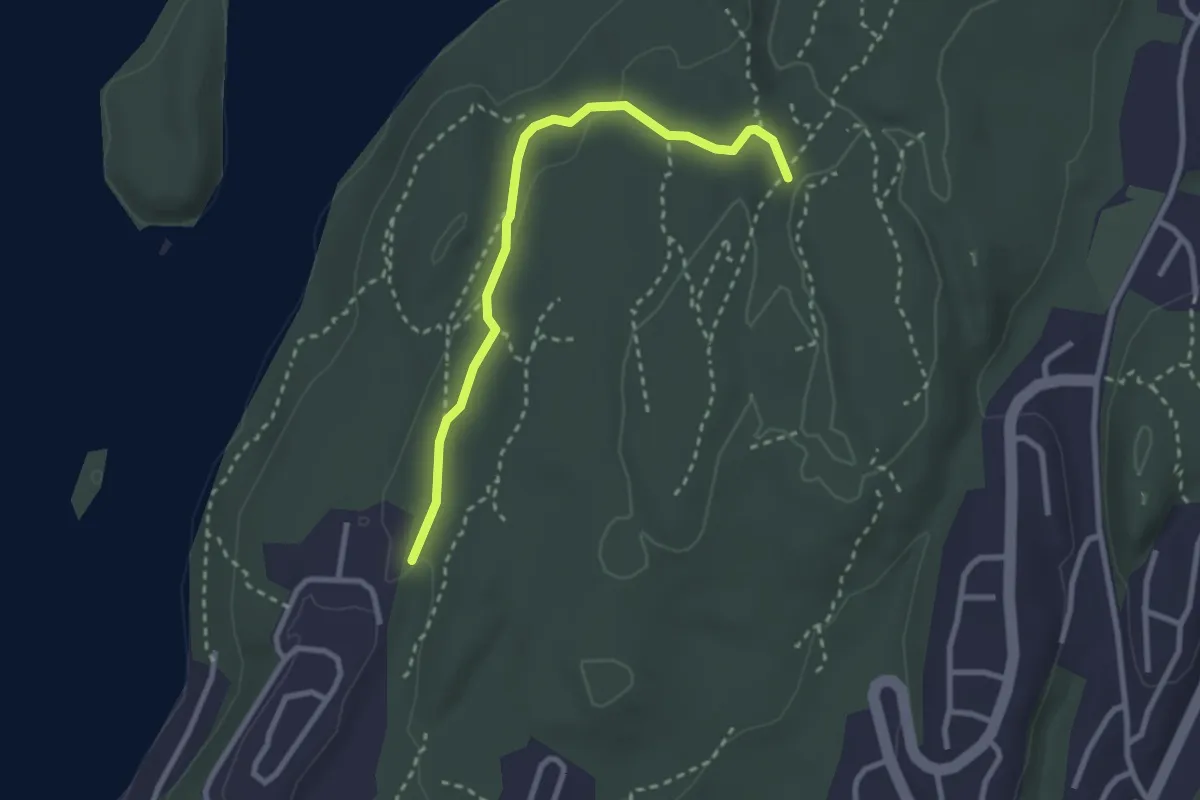
Rotaheia
4.1 km · ↑ 267 m · 1 h 33 min
Easy · Trail
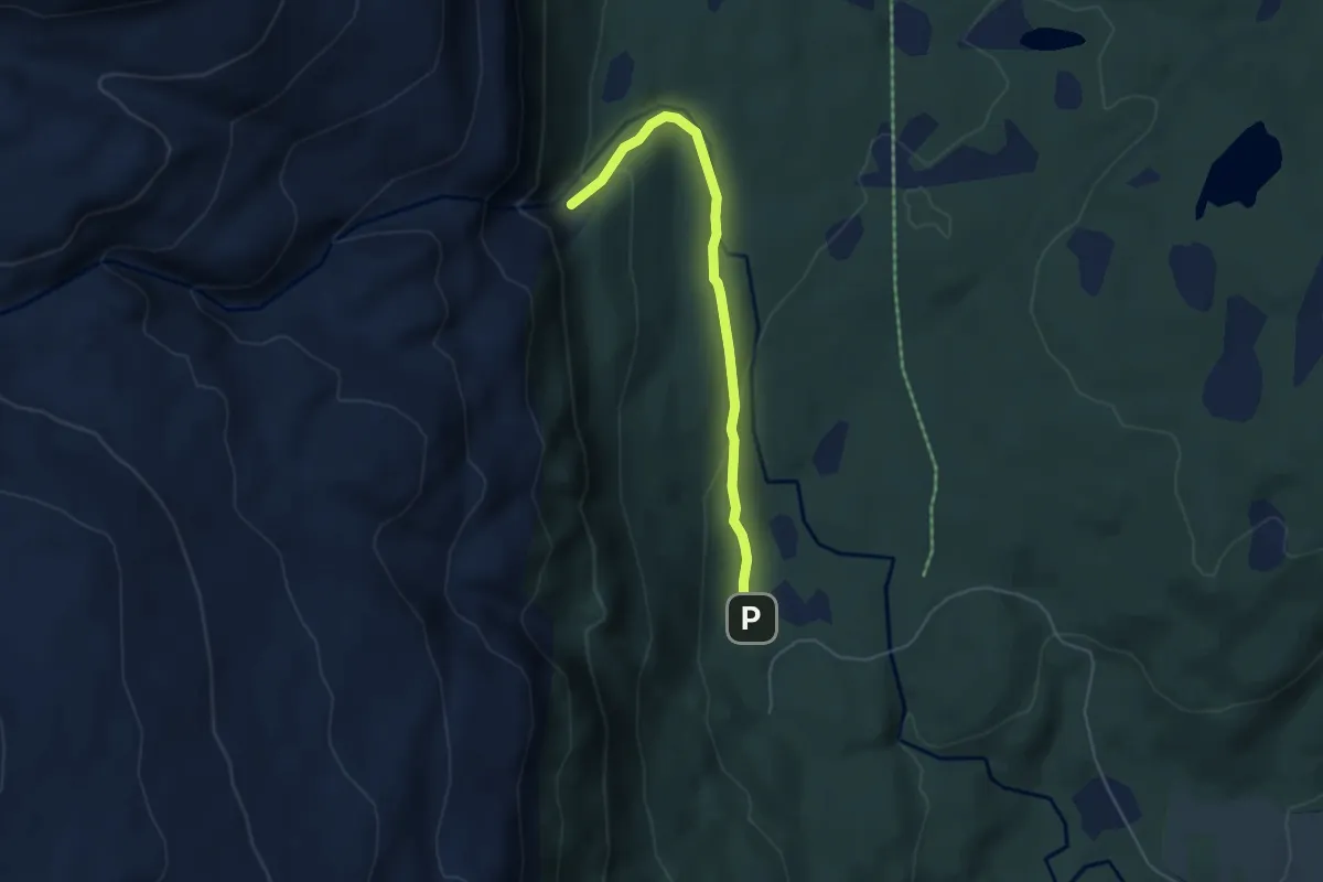
Rotarysporet
2.0 km · ↑ 45 m · 35 min
Easy · Trail
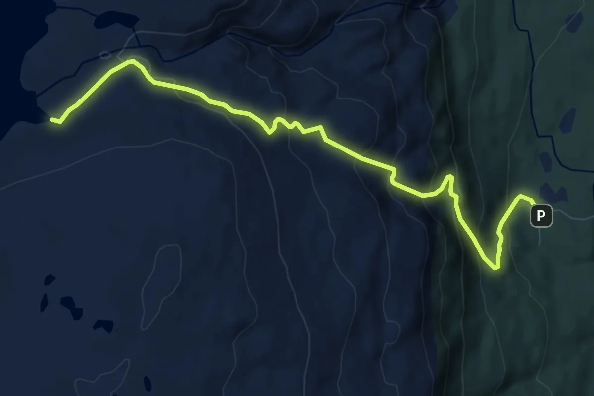
Rottenvikfossen
2.4 km · ↑ 81 m · 44 min
Medium · Trail
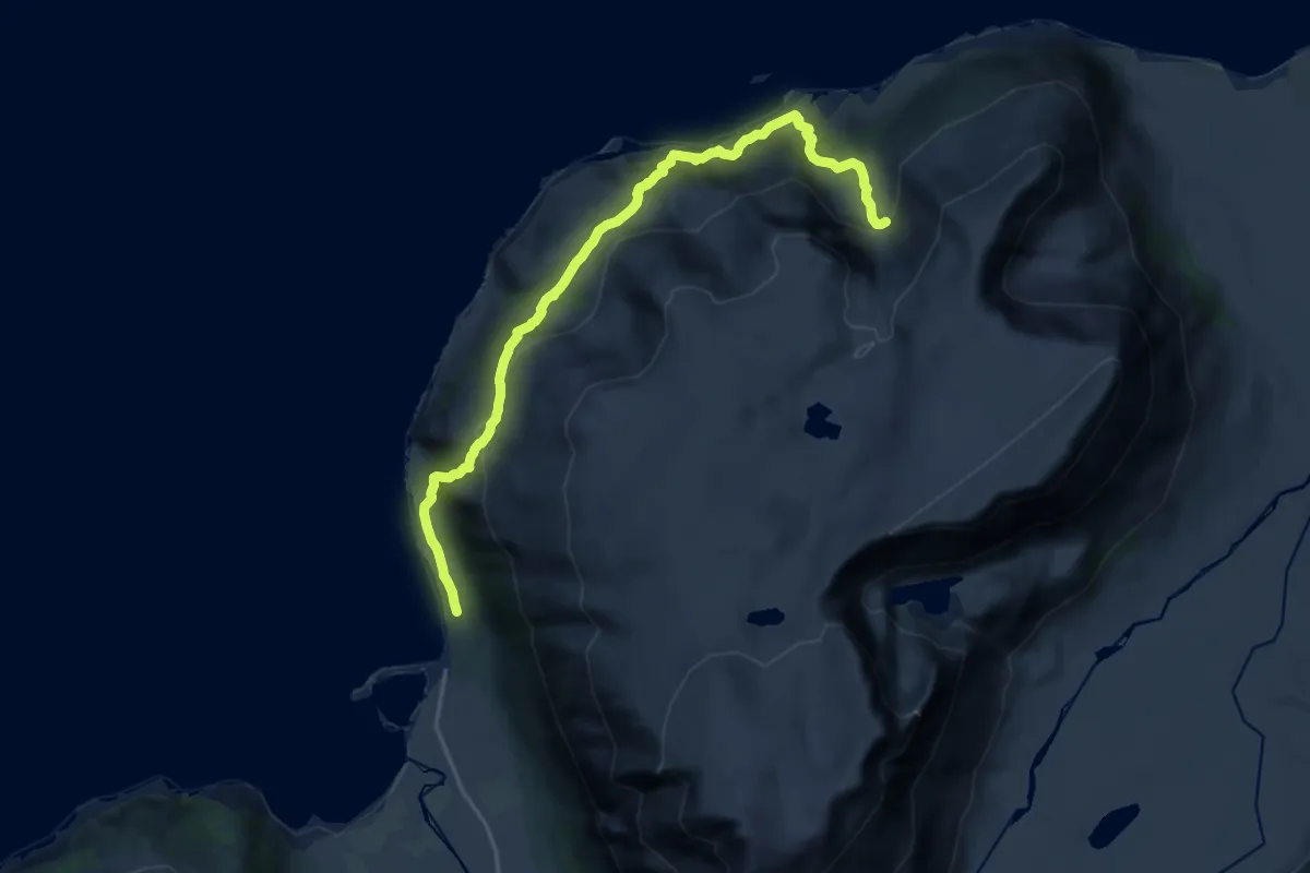
Rottenvikvatnet
5.5 km · ↑ 384 m · 2 h 7 min
Demanding · Trail
Rotvåghula
10.4 km · ↑ 774 m · 4 h 7 min
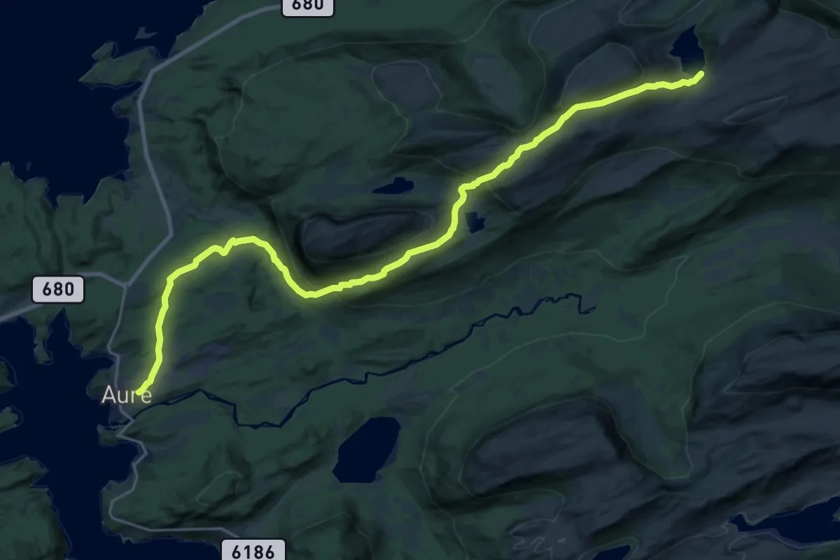
Medium · Cabin
Rovangen - Kjelklia
17.8 km · ↑ 836 m · 6 h 1 min
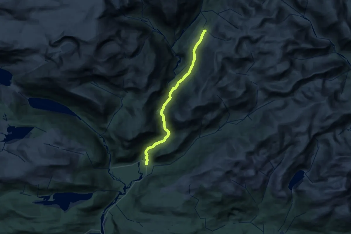
Demanding · Cabin
Røvassdalen til Blakkådalshytta
23.7 km · ↑ 1017 m · 7 h 49 min
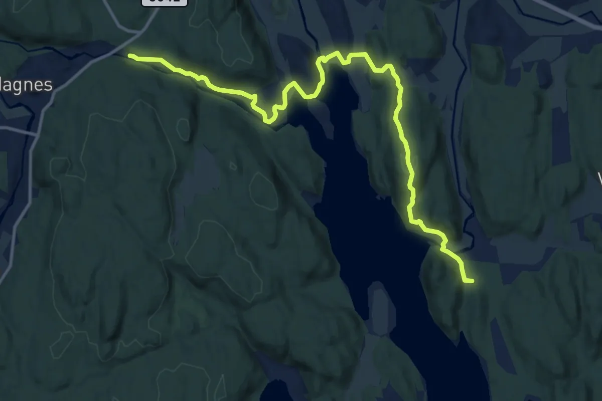
Medium · Trail
Røverstien Vaggestad-Hagnes bru
9.5 km · ↑ 201 m · 2 h 41 min
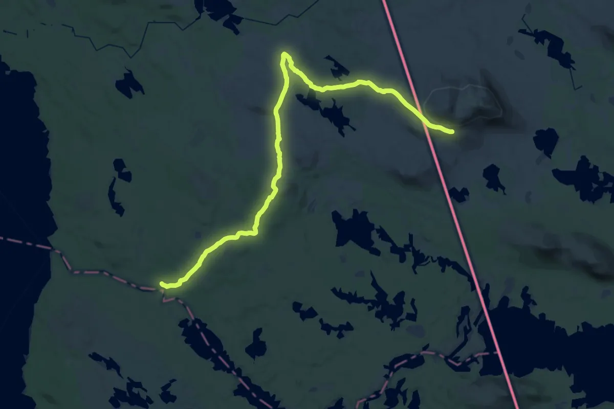
Medium · Cabin
Røvollen-Skedbrostugan
16.4 km · ↑ 114 m · 4 h 28 min
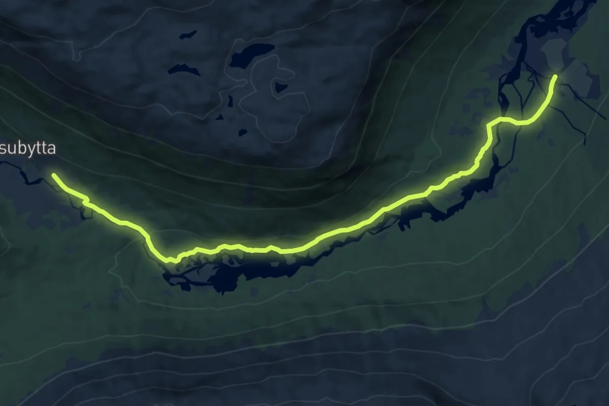
Medium · Trail
Røykeskålen
11.7 km · ↑ 146 m · 3 h 5 min
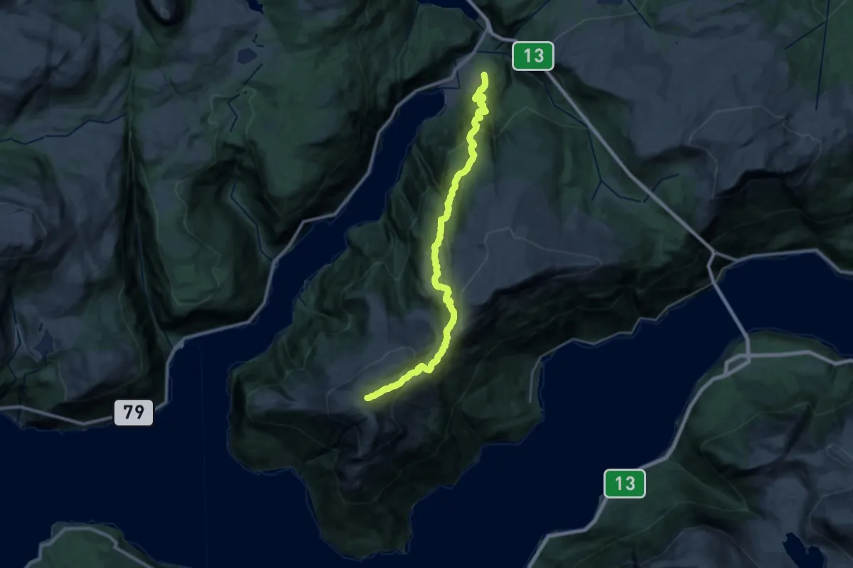
Demanding · Trail
Røynstrand - Bjørndalen - Oksen
20.0 km · ↑ 1392 m · 7 h 44 min
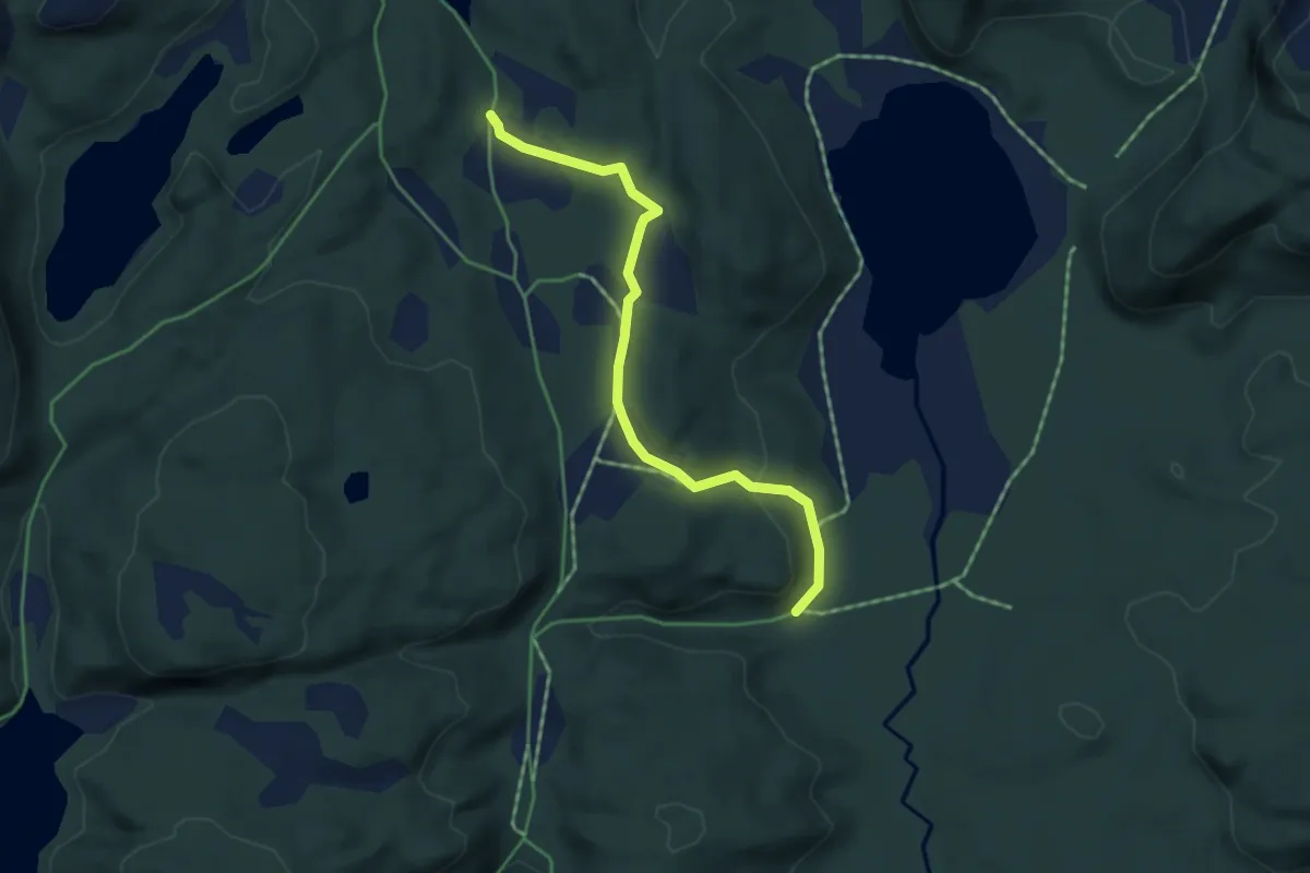
Medium · Trail
Røyrdalen til Alhusvatnet
2.7 km · ↑ 60 m · 45 min
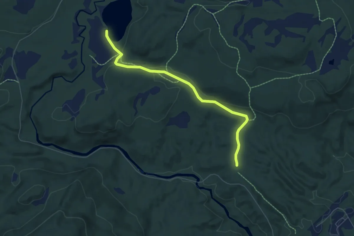
Medium · Trail
Røyrtjønna via Fiskumelva
3.8 km · ↑ 54 m · 1 h 1 min