Trails in Norway
7,452 hiking trails, each with its route, climb, walking time and grade.
All trails, page 81 of 156
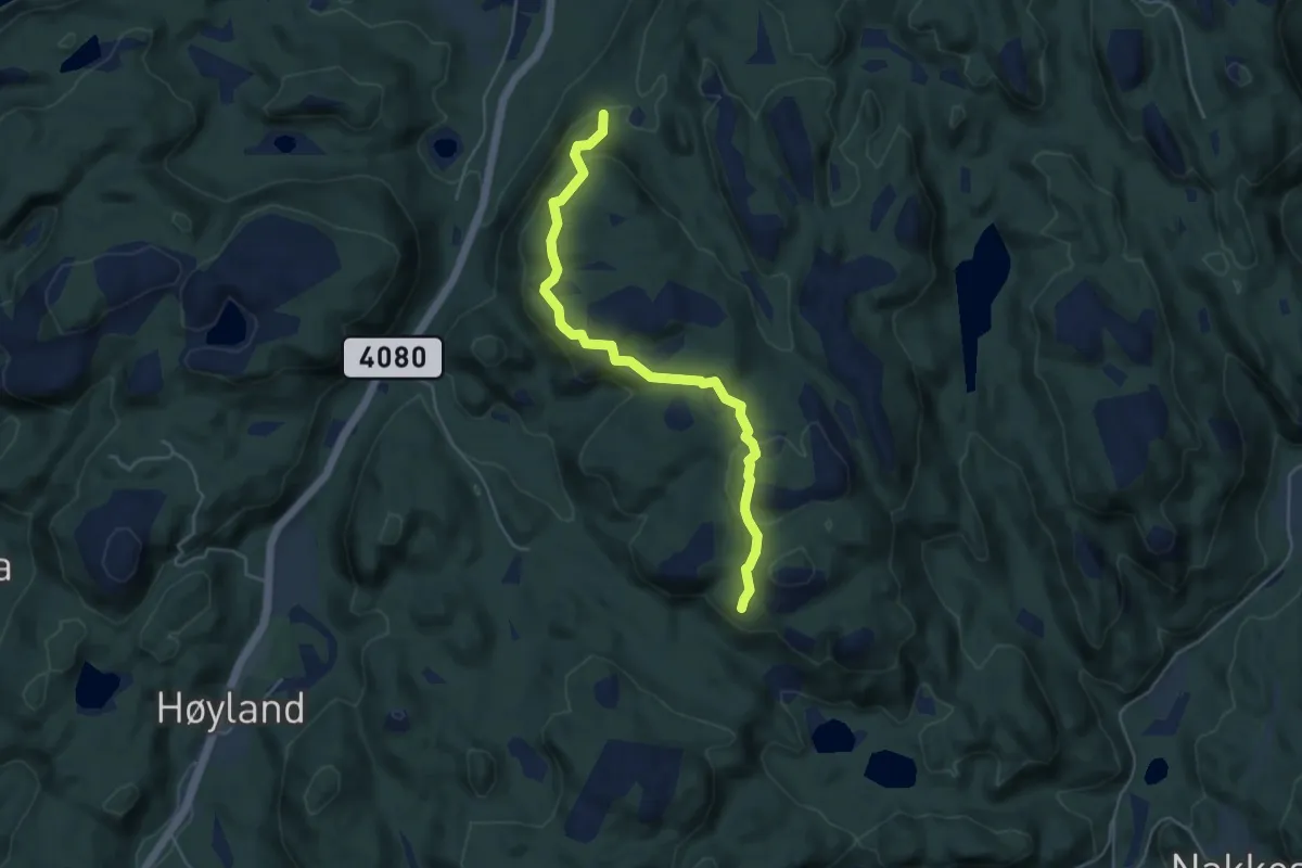
Easy · Trail
Rundtur til Varden på Skogefjellet - Austad turløype
3.6 km · ↑ 186 m · 1 h 15 min
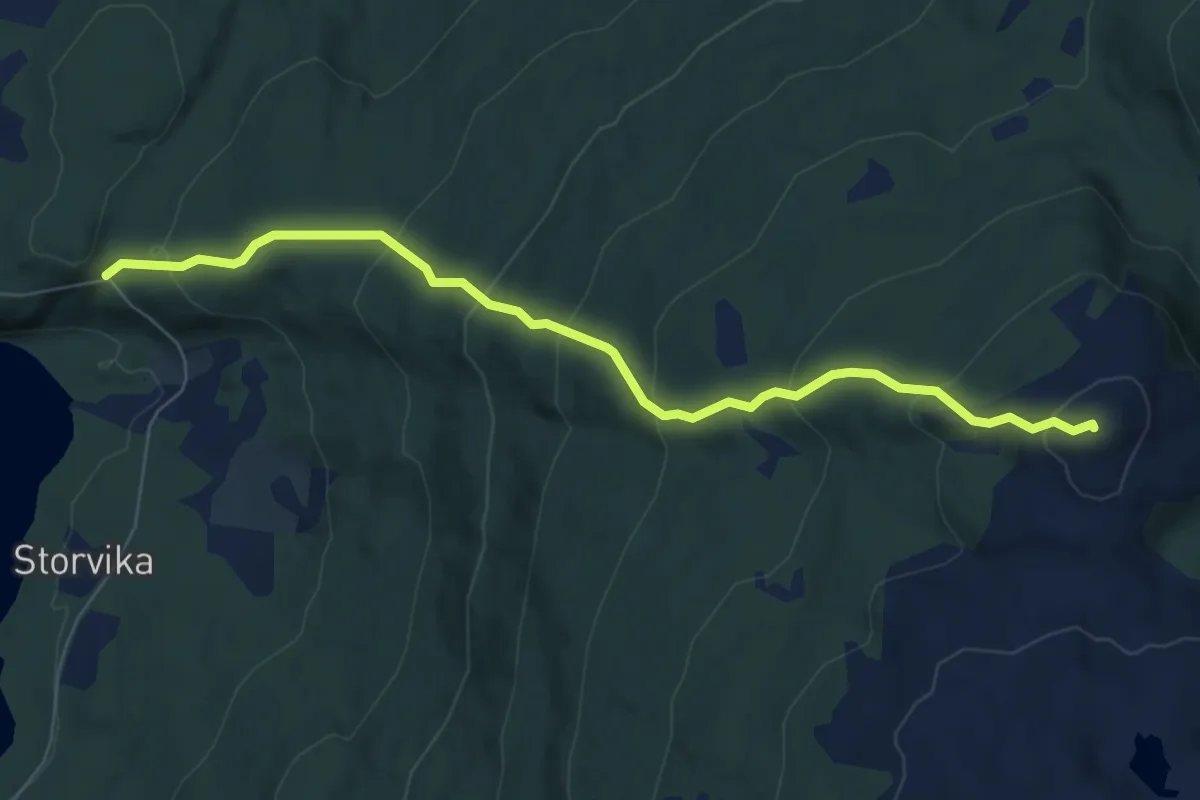
Easy · Trail
Rundtuva
3.9 km · ↑ 380 m · 1 h 45 min
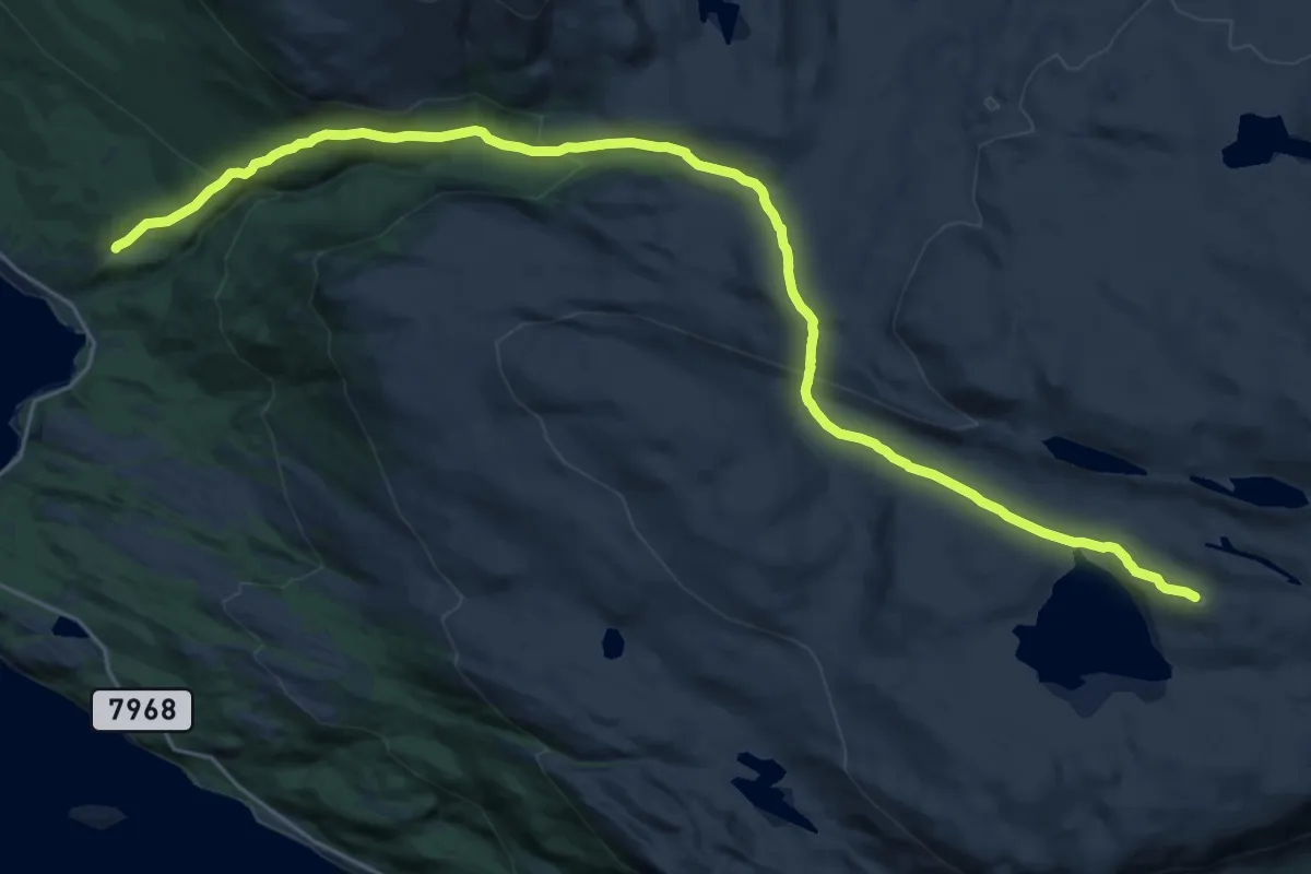
Demanding · Trail
Ruossavárri - Kjækan
15.2 km · ↑ 751 m · 5 h 13 min
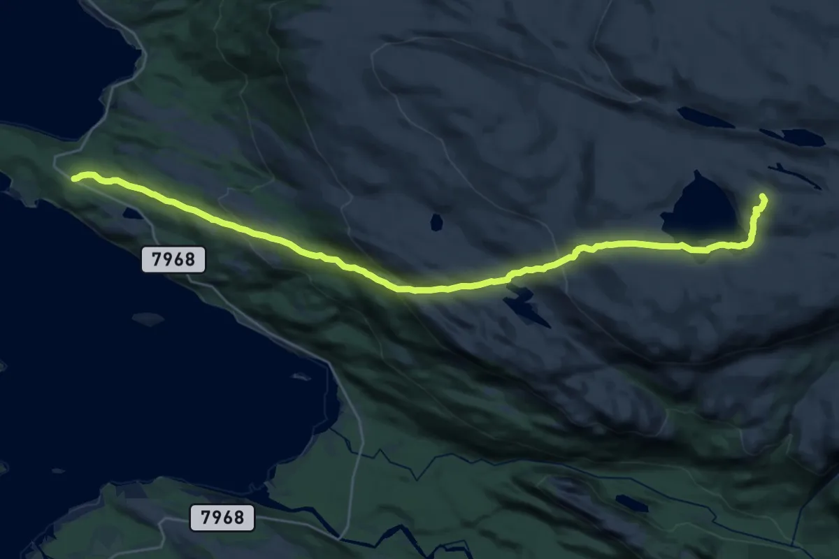
Demanding · Trail
Ruossavárri - Løkvika
15.4 km · ↑ 799 m · 5 h 22 min
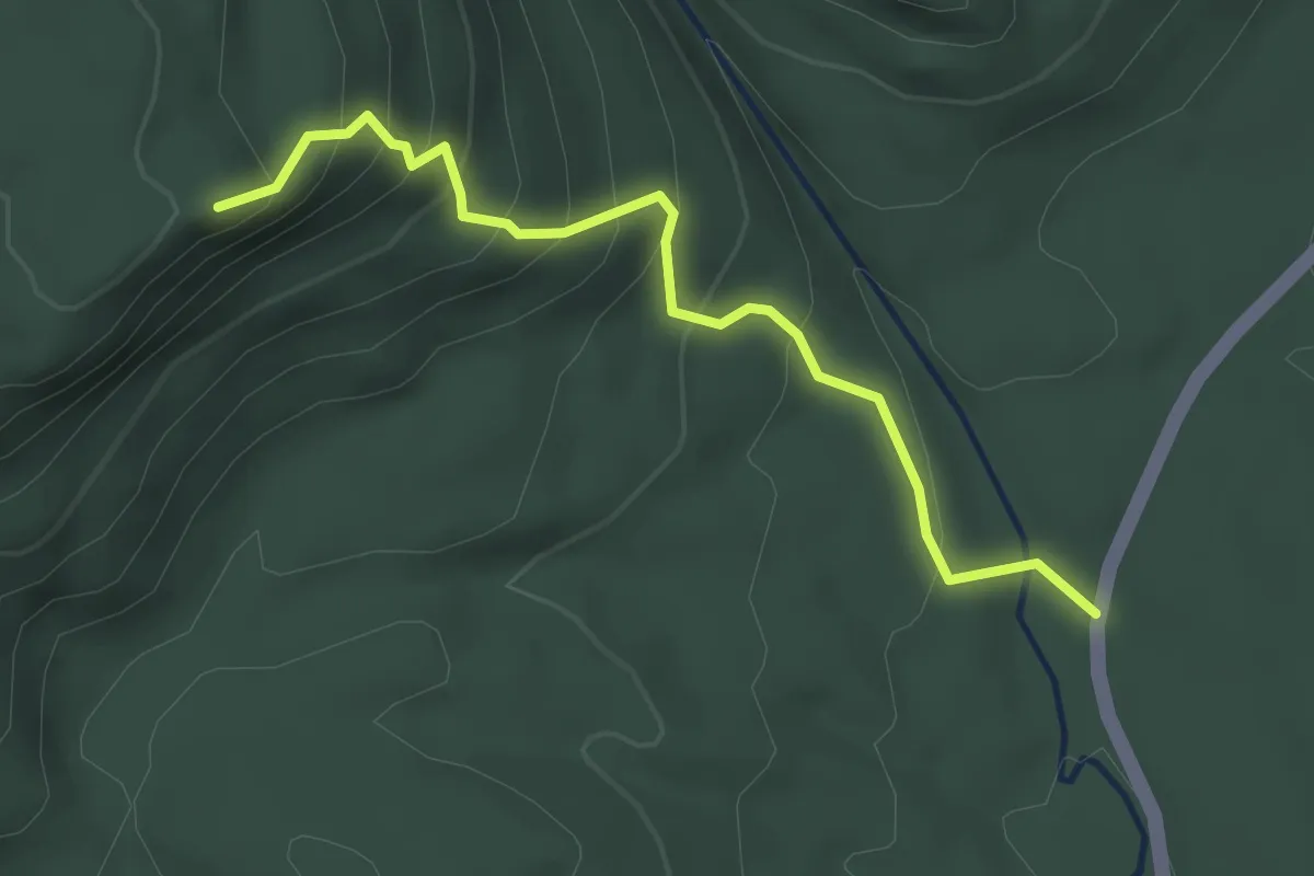
Medium · Trail
Rupåsen
2.3 km · ↑ 236 m · 1 h 3 min
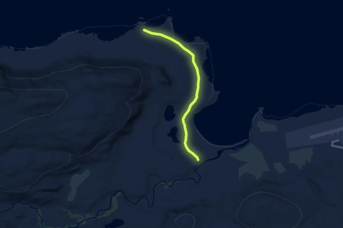
Easy · Trail
Russehamna
4.8 km · ↑ 13 m · 1 h 9 min
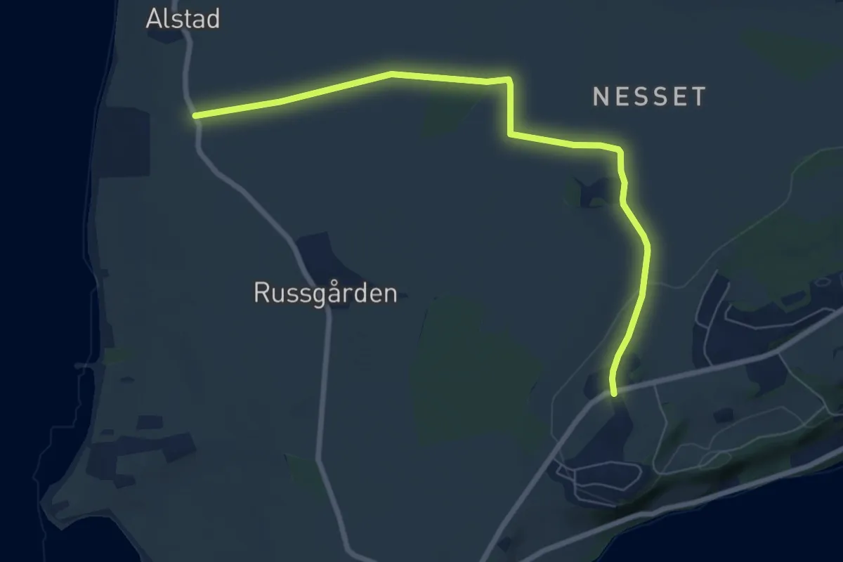
Easy · Trail
Russgården-Kråkstad
4.9 km · ↑ 37 m · 1 h 15 min
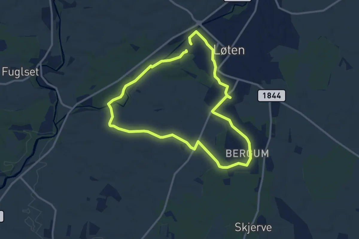
Easy · Trail
Rustadrunden
5.5 km · ↑ 22 m · 1 h 26 min
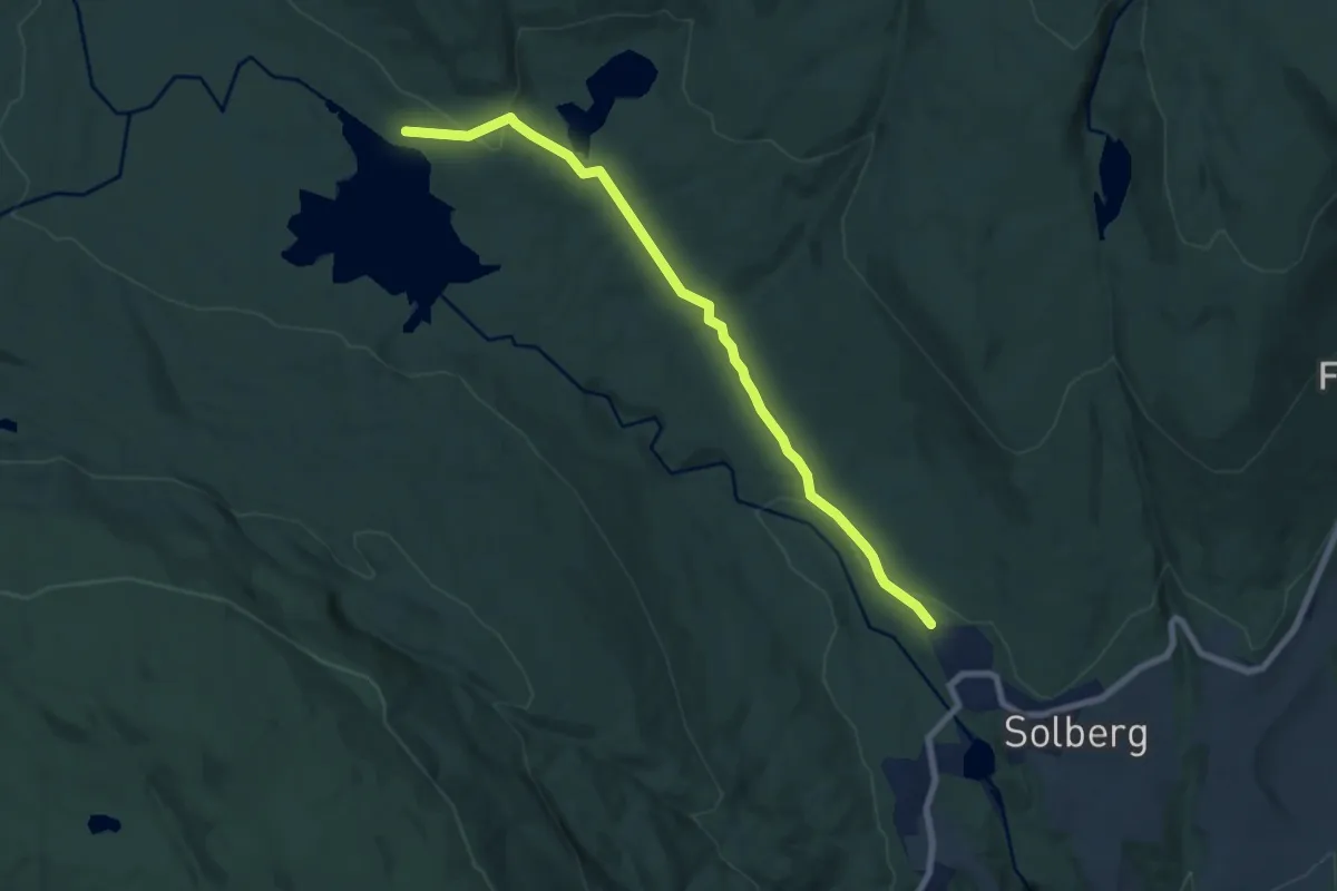
Easy · Trail
Rustandveien - Kårevann - Dammyrdammen
5.5 km · ↑ 127 m · 1 h 35 min
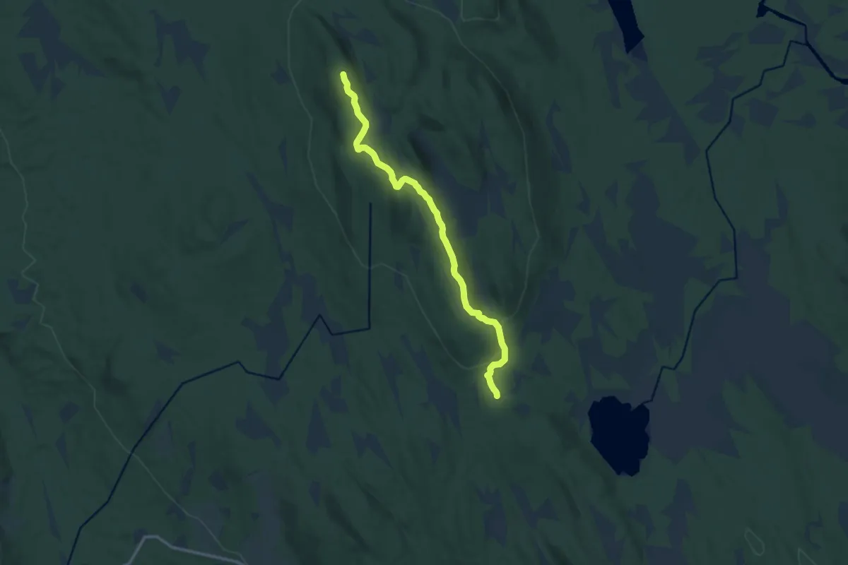
Medium · Trail
Rusta - Skaftet
8.1 km · ↑ 172 m · 2 h 18 min
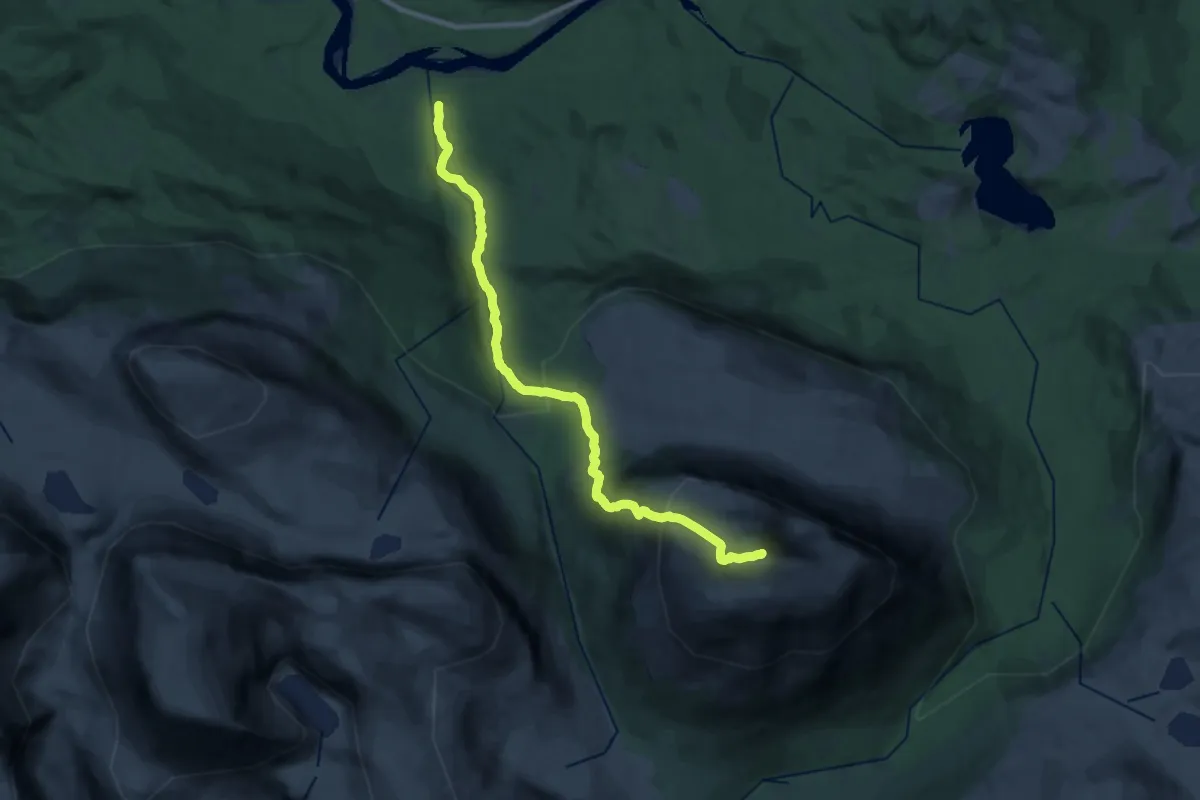
Demanding · Trail
Ruten
13.4 km · ↑ 1273 m · 5 h 56 min
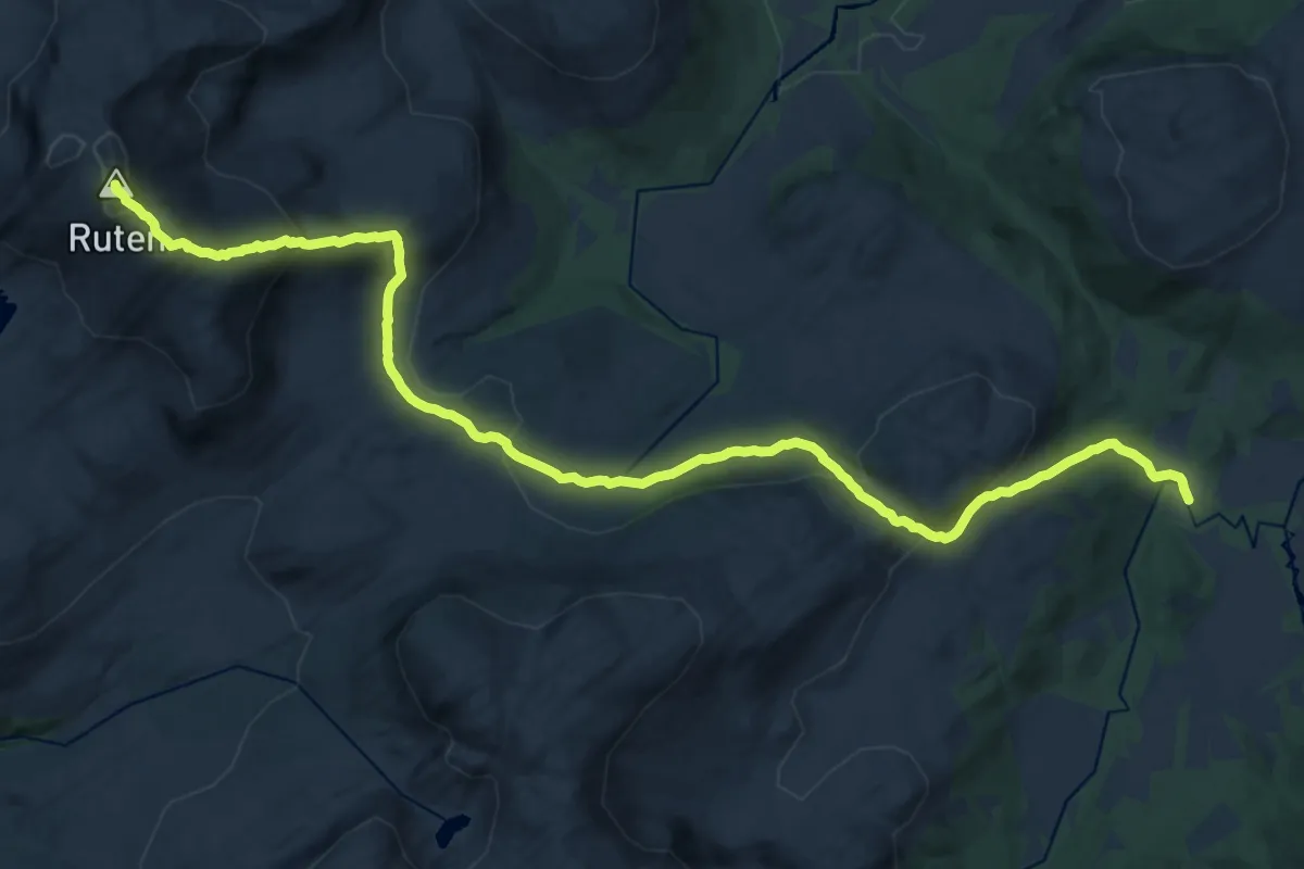
Demanding · Trail
Ruten
16.4 km · ↑ 874 m · 5 h 45 min
Easy · Cabin
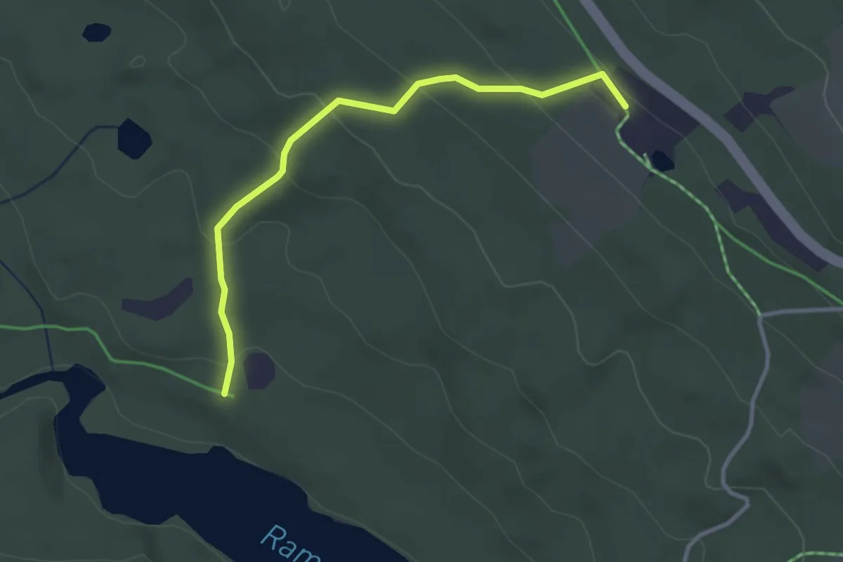
Ruten fjellstue
2.2 km · ↑ 121 m · 46 min
Medium · Trail
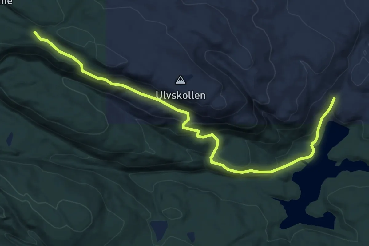
Ruter Skien Vestmark nord (Ulvskollen)
6.4 km · ↑ 361 m · 2 h 18 min
Medium · Trail
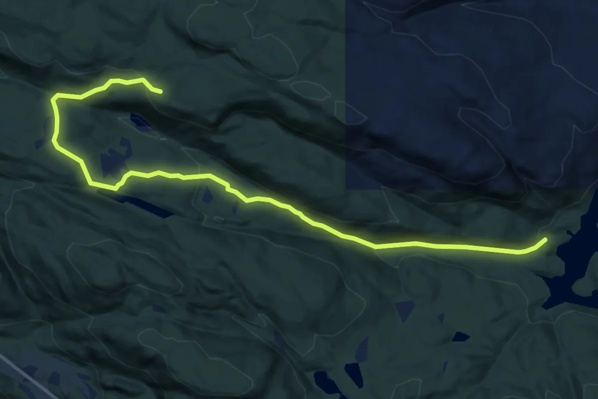
Ruter Skien Vestmark nord (Ulvskollen)
9.3 km · ↑ 302 m · 2 h 51 min
Easy · Trail
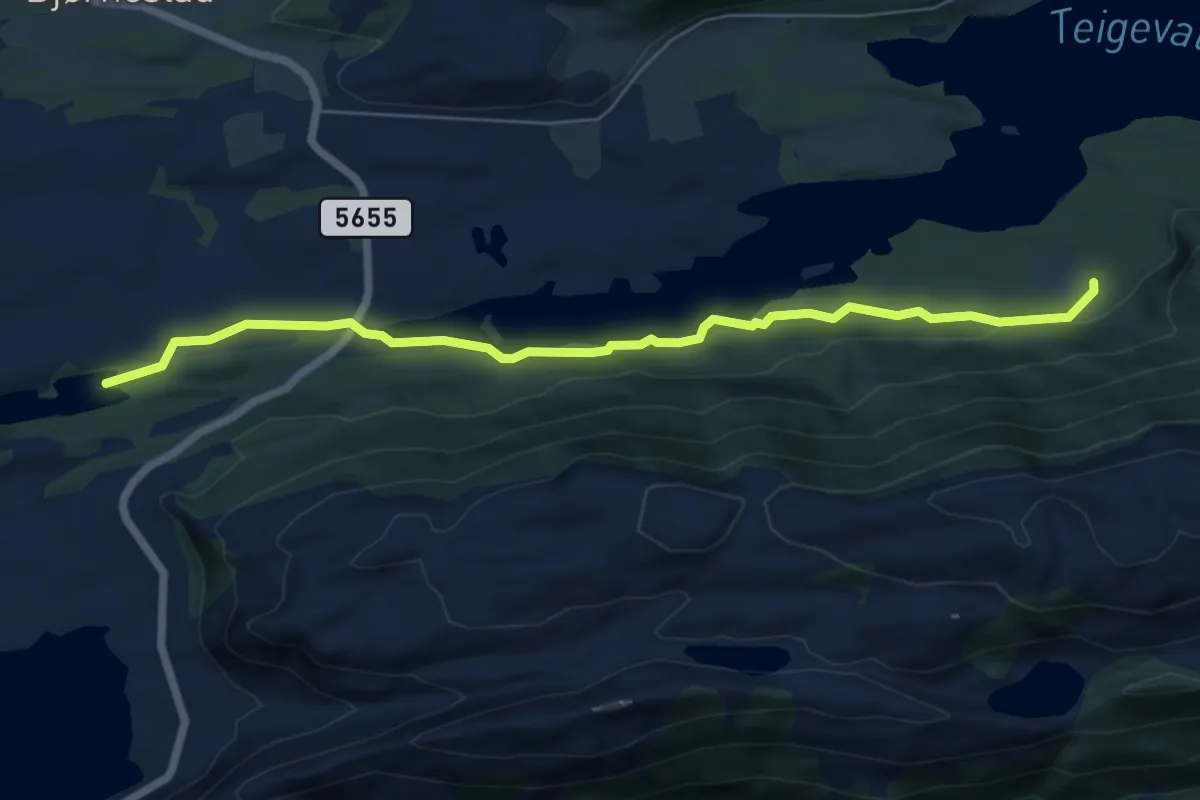
Rutlekvia-Vågane
4.8 km · ↑ 60 m · 1 h 16 min
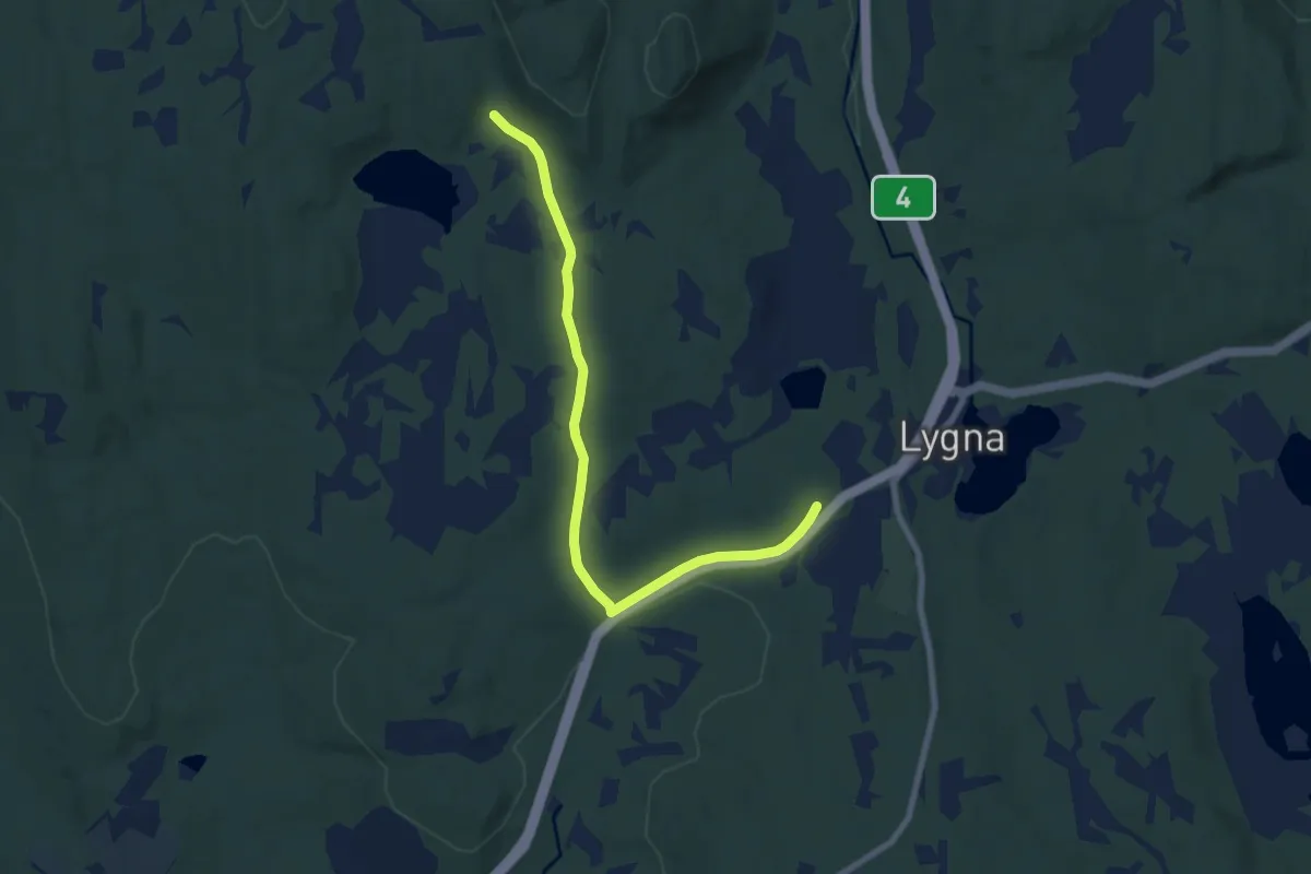
Easy · Trail
Rv 4 - Hengedy
5.7 km · ↑ 72 m · 1 h 30 min
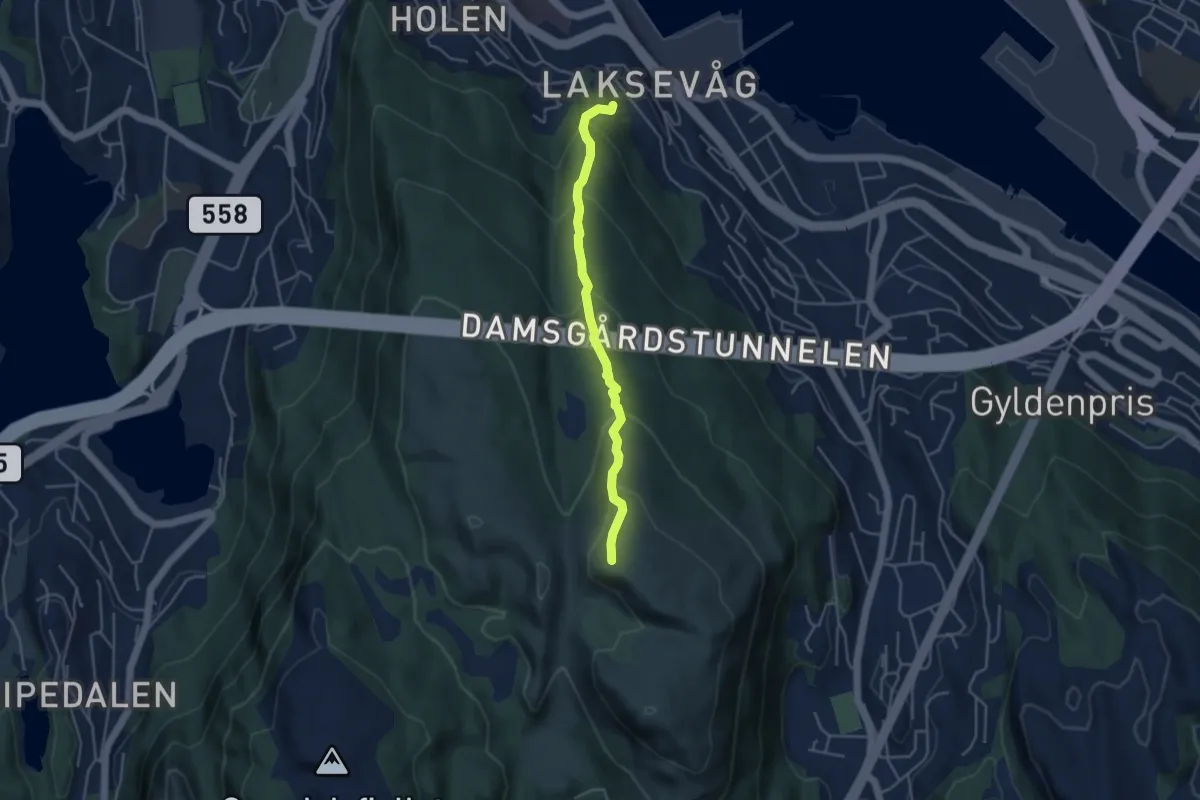
Easy · Trail
Ryggen av Damsgårdsfjellet
2.8 km · ↑ 258 m · 1 h 13 min
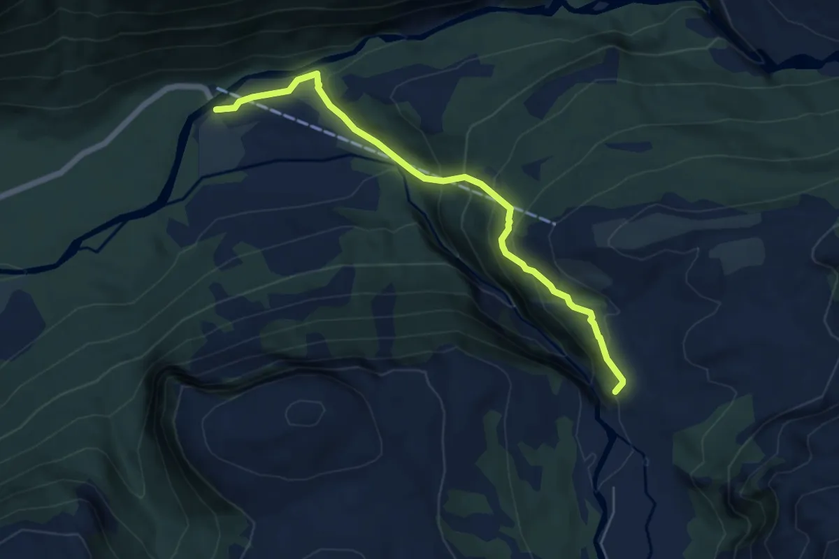
Medium · Trail
Rykkanfossen
4.1 km · ↑ 311 m · 1 h 39 min
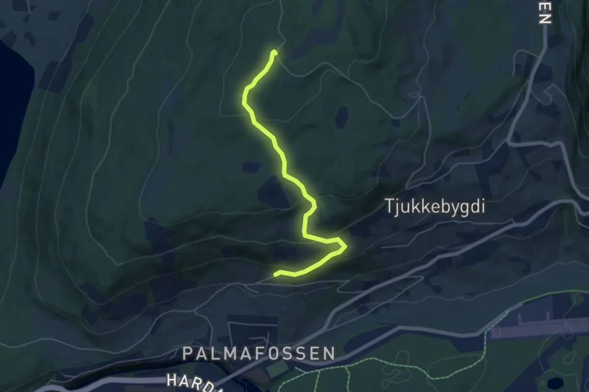
Easy · Trail
Rykke Storåsen
3.7 km · ↑ 197 m · 1 h 18 min
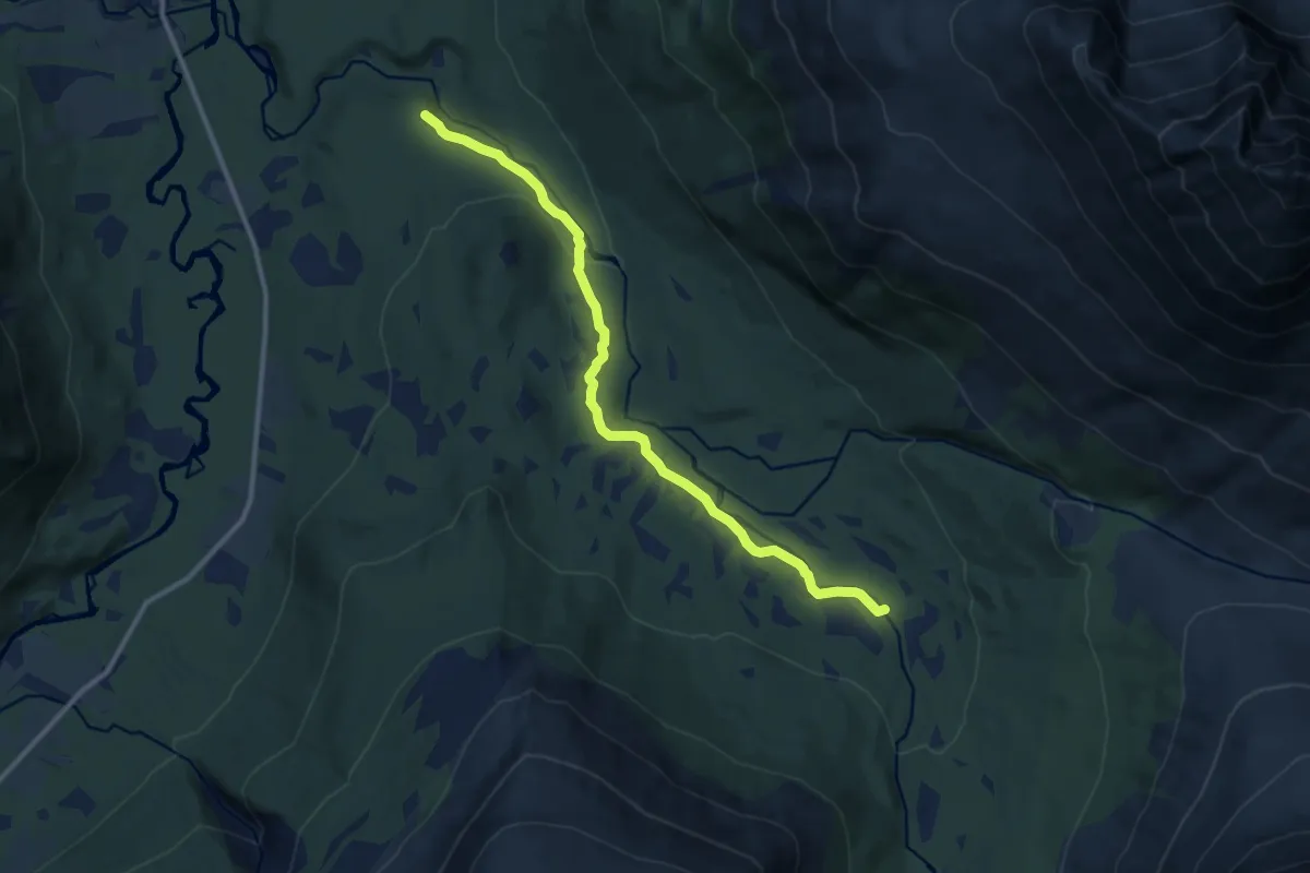
Easy · Trail
Rypdalsstien
5.7 km · ↑ 88 m · 1 h 32 min
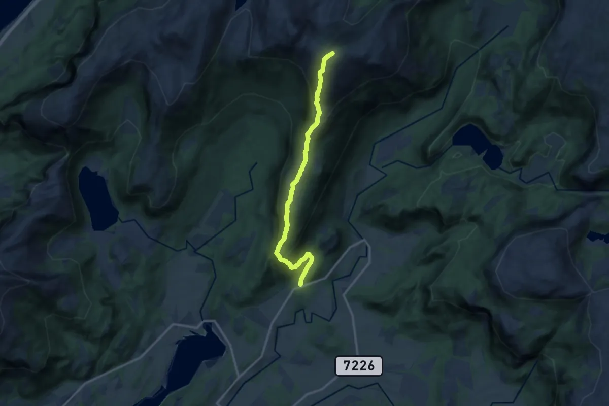
Medium · Trail
Ryptinden
6.7 km · ↑ 545 m · 2 h 46 min
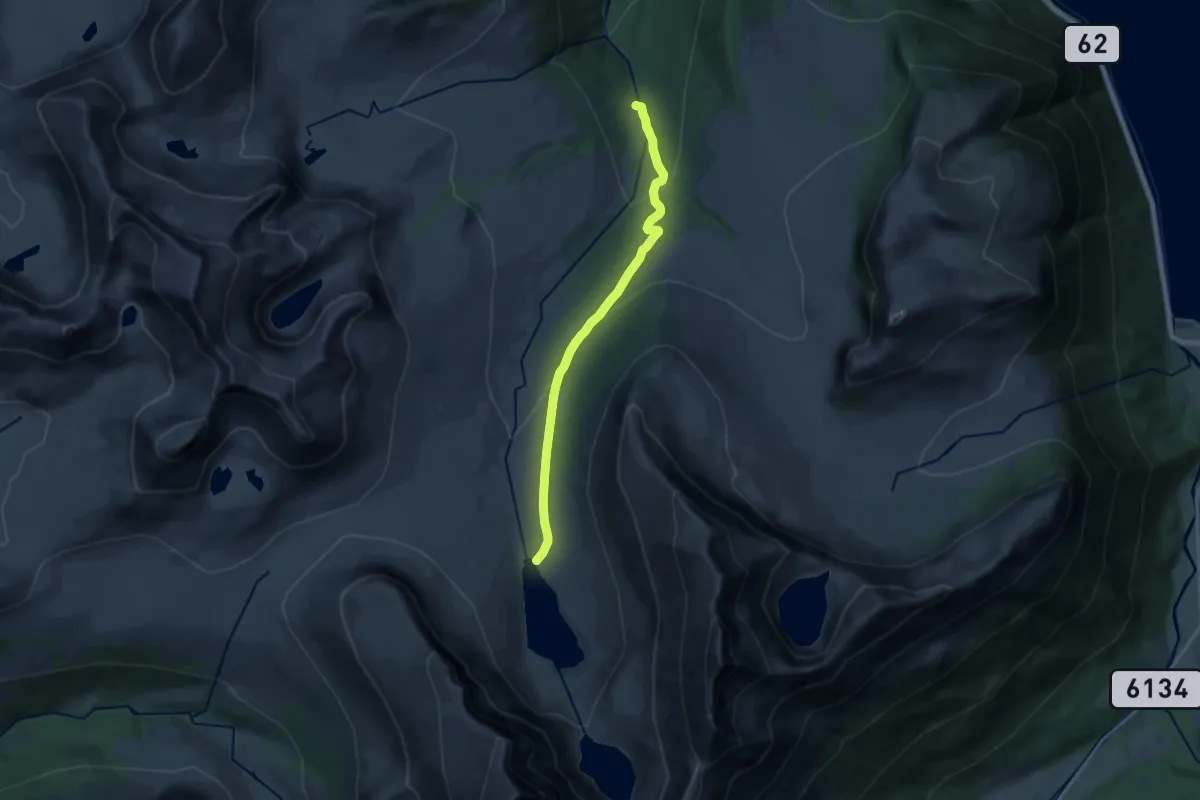
Medium · Trail
Ryssdalsvatnet
10.5 km · ↑ 408 m · 3 h 22 min
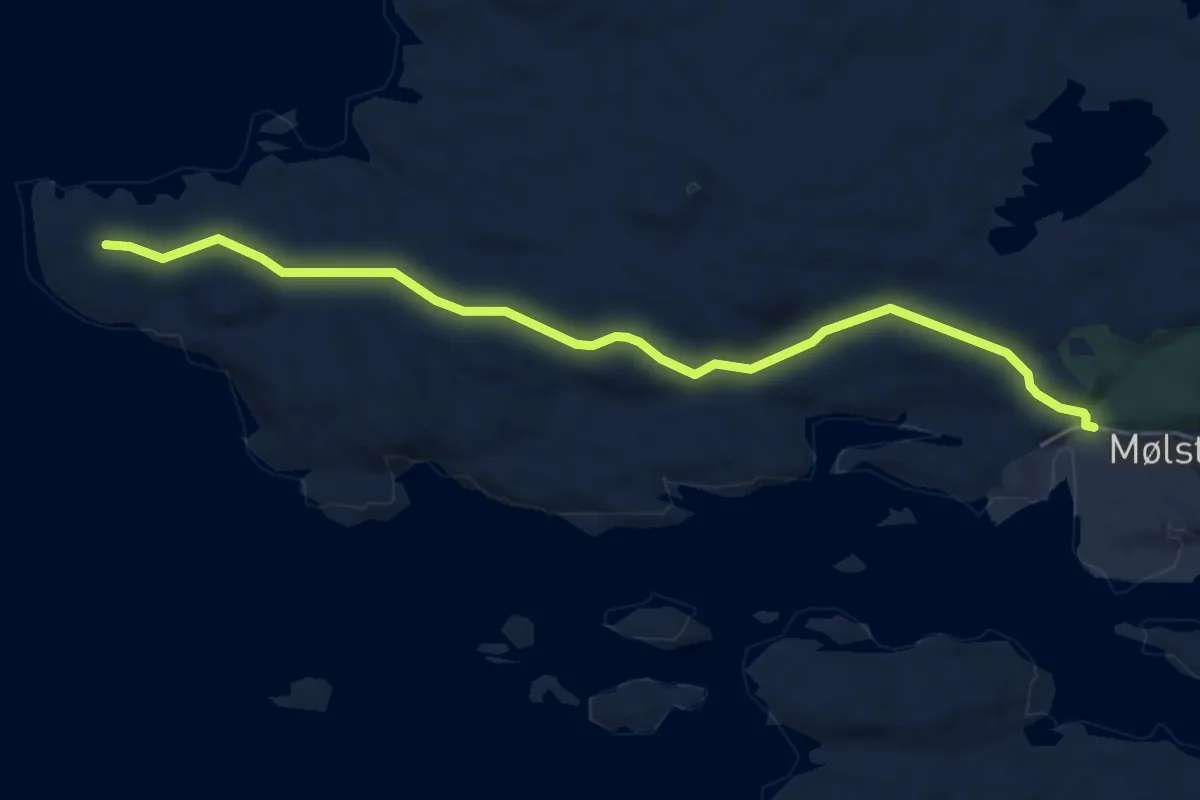
Easy · Trail
Ryvarden kulturfyr
4.0 km · ↑ 59 m · 1 h 5 min
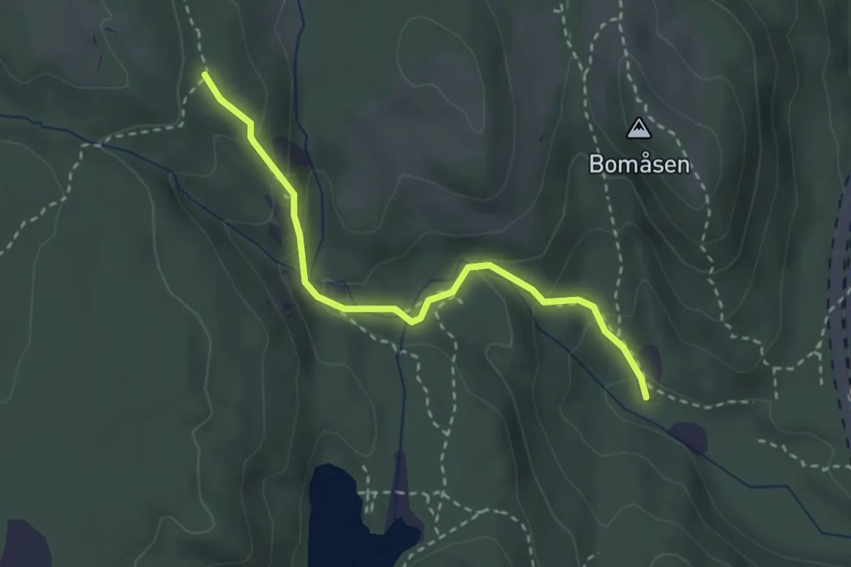
Easy · Trail
S25-S16
2.0 km · ↑ 153 m · 48 min
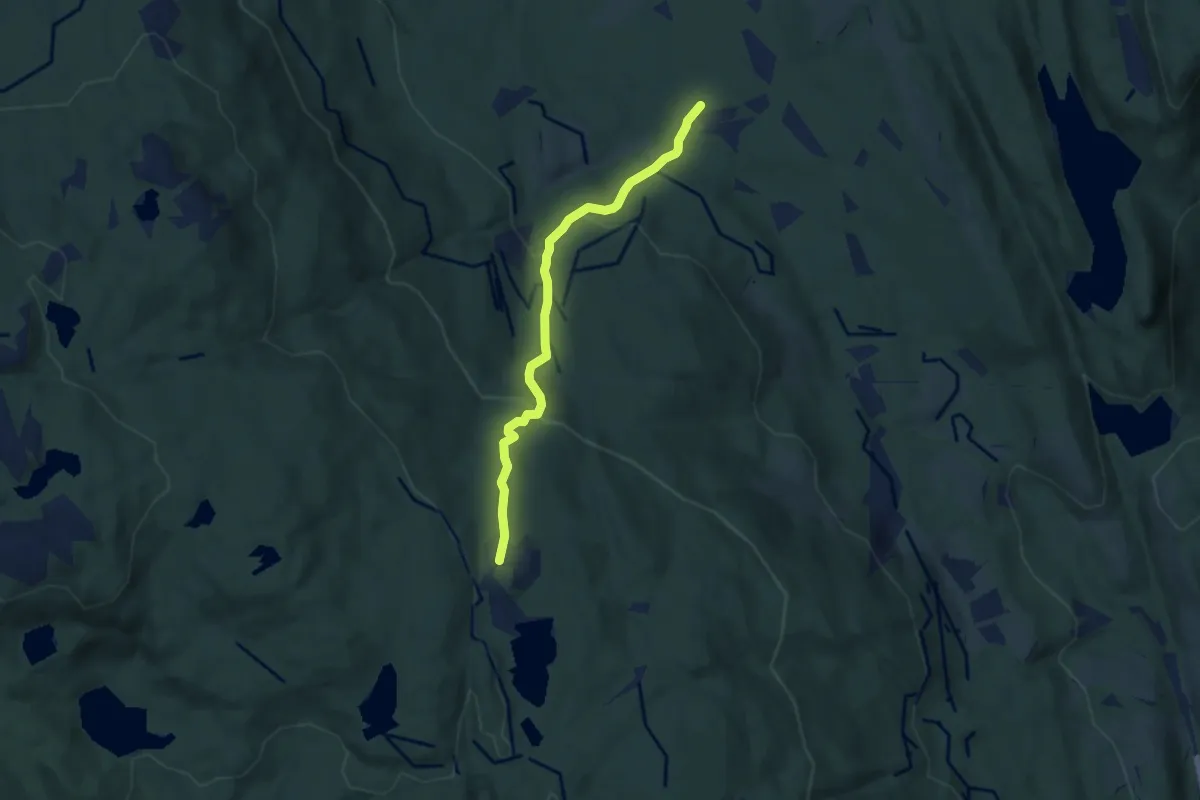
Medium · Trail
Sachsen - Lysløypa
3.9 km · ↑ 244 m · 1 h 27 min
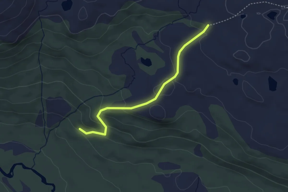
Medium · Trail
Sæbrekkstaulsvegen
2.6 km · ↑ 117 m · 52 min
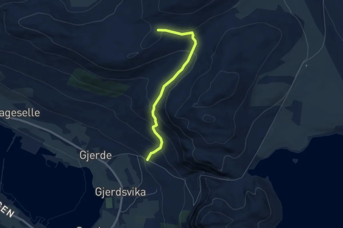
Easy · Trail
Sædalsvegen - Gapahuken
3.6 km · ↑ 243 m · 1 h 22 min
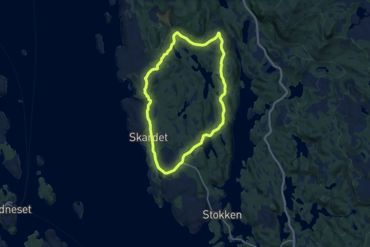
Medium · Trail
Sælevik-Svartasmoget-Skaravågen-Sælevik
14.5 km · ↑ 316 m · 4 h 7 min
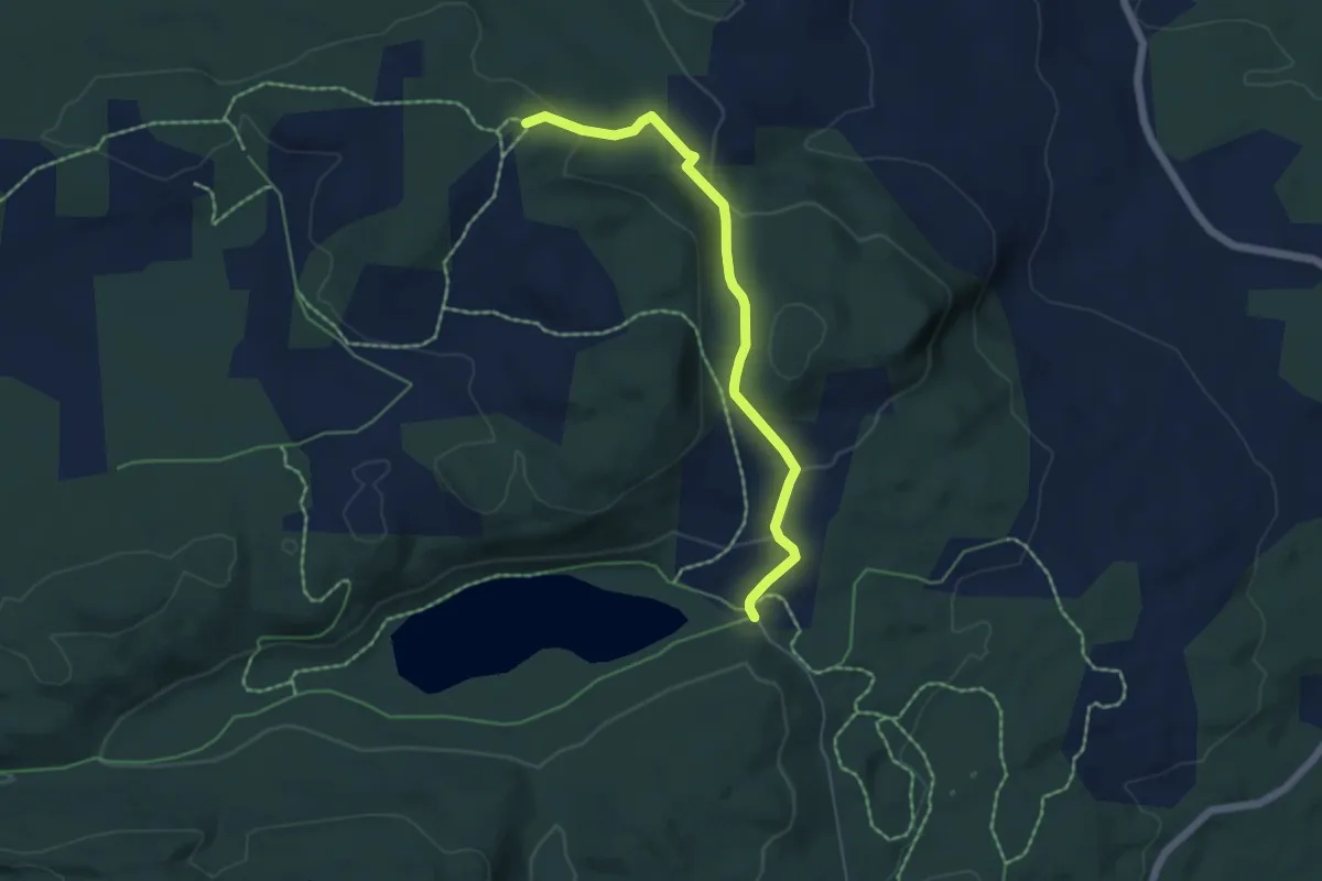
Easy · Trail
Sæli-Vardåsbua
3.7 km · ↑ 148 m · 1 h 12 min
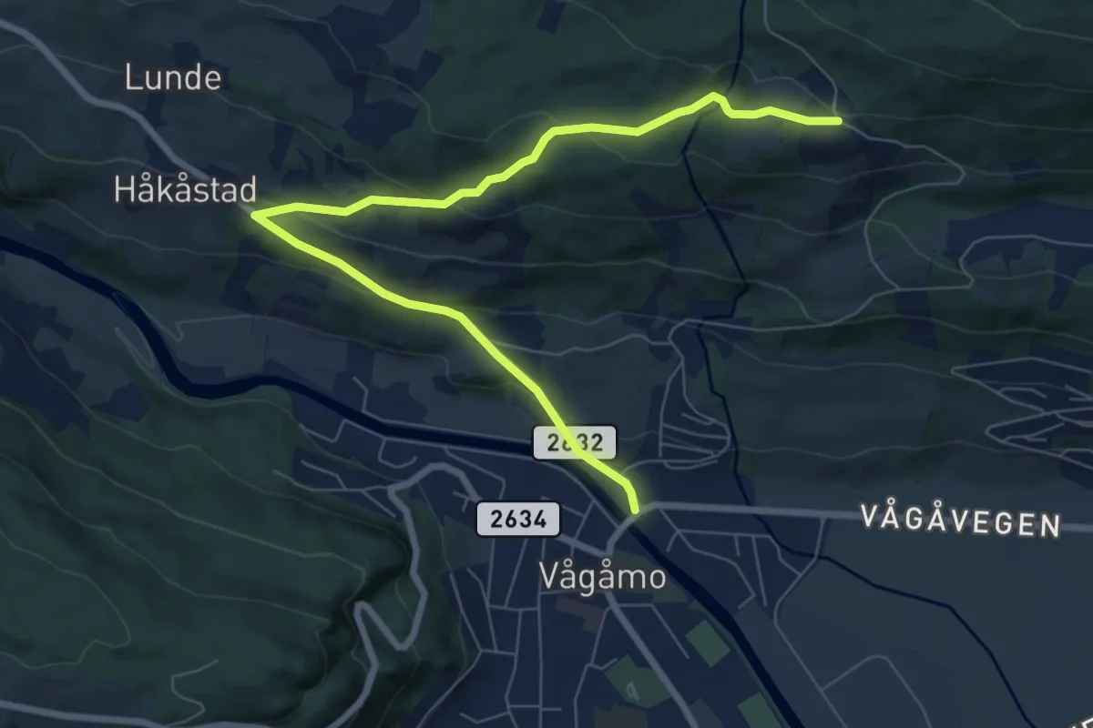
Easy · Trail
Sæta rundt, Skogbygdsvegen/Sætavege
6.0 km · ↑ 270 m · 1 h 59 min
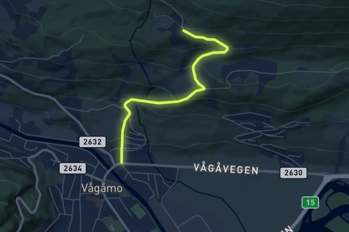
Easy · Trail
Sæta/Skjellom/Sveaholen rundt, Øygardsvegen
4.0 km · ↑ 269 m · 1 h 32 min
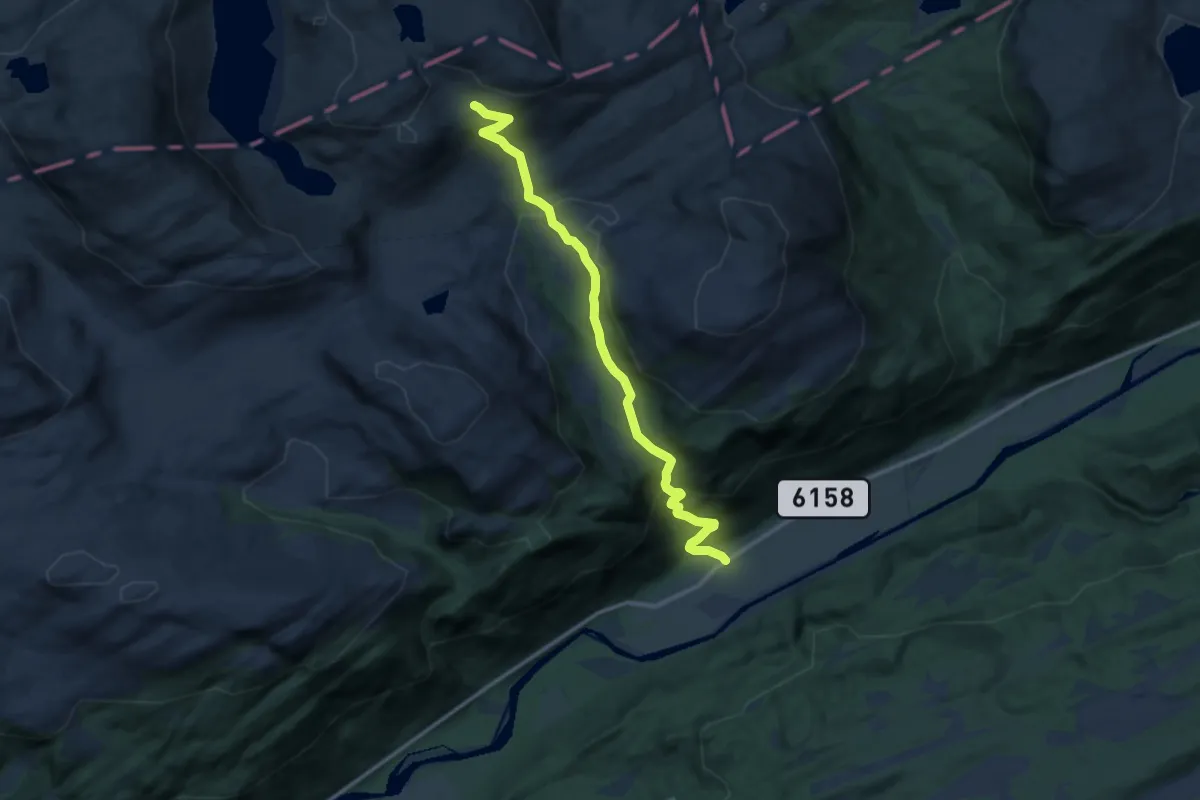
Medium · Cabin
Sæterbøen-Tverrlihytta
8.4 km · ↑ 556 m · 3 h 11 min
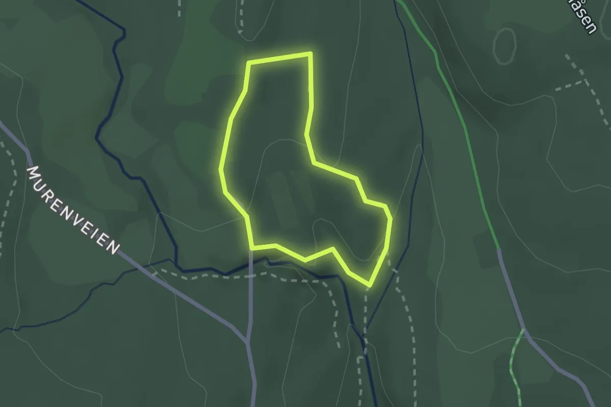
Easy · Trail
Sæteren gård natursti
1.2 km · ↑ 38 m · 22 min
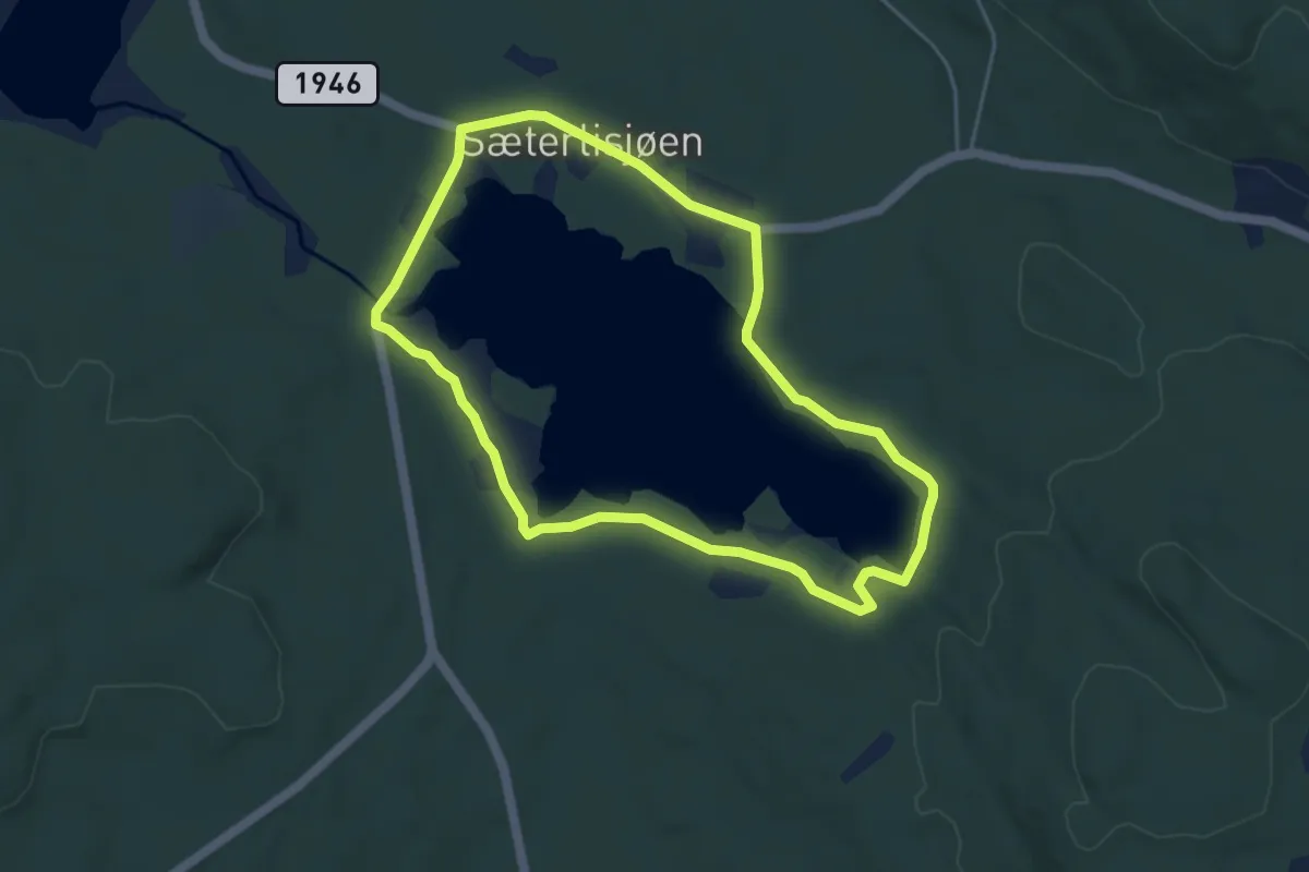
Easy · Trail
Sæterlisjøen rundt
6.5 km · ↑ 9 m · 1 h 34 min
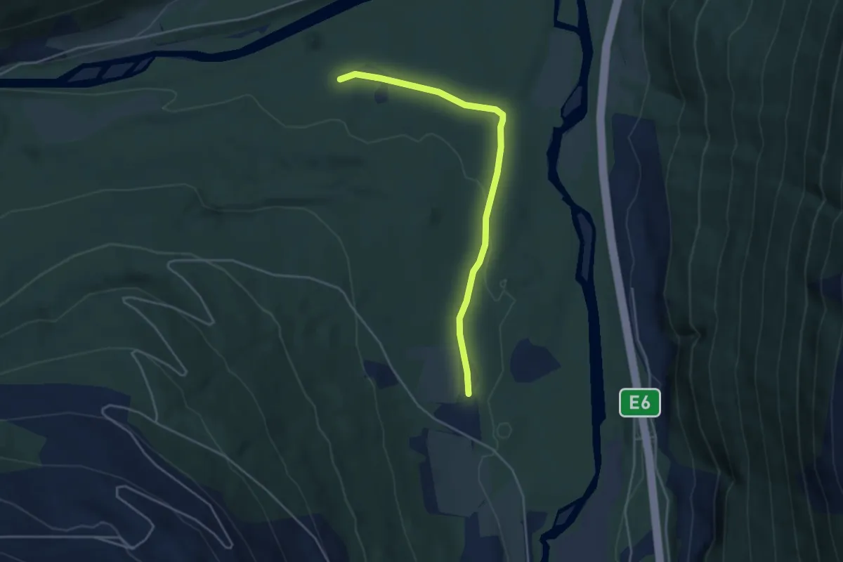
Easy · Trail
Sætermorka
2.7 km · ↑ 22 m · 42 min
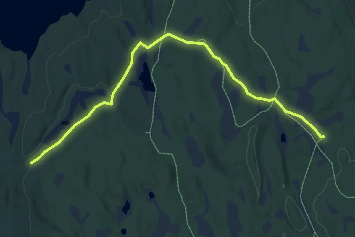
Easy · Trail
Sætersætra-Skihytta
5.4 km · ↑ 65 m · 1 h 26 min
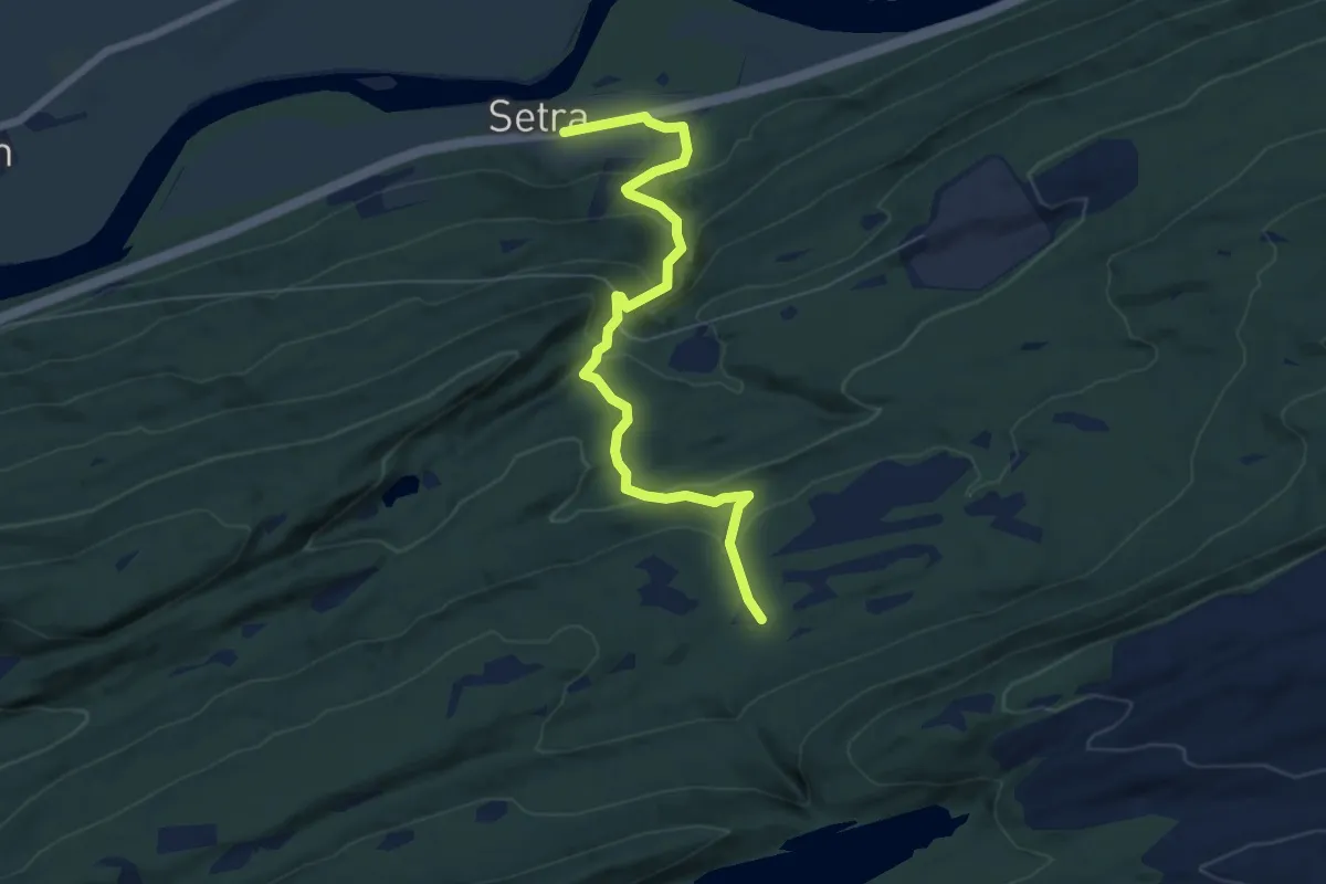
Medium · Cabin
Sætersetra - Gammelgjerdet
4.5 km · ↑ 289 m · 1 h 41 min
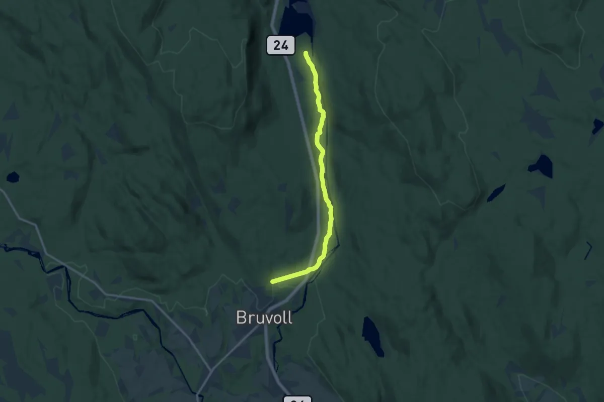
Easy · Trail
Sætersjøen
7.8 km · ↑ 47 m · 1 h 57 min
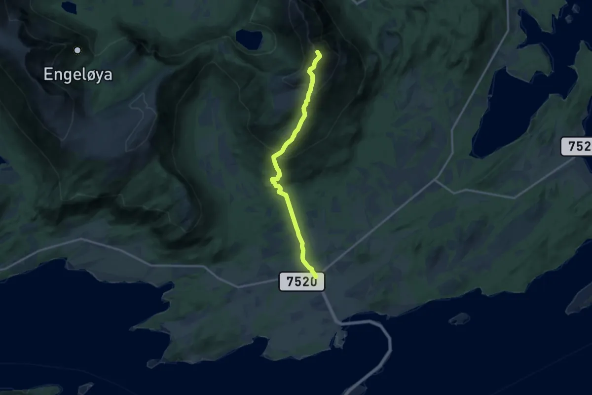
Medium · Trail
Sætertinden
6.4 km · ↑ 536 m · 2 h 40 min
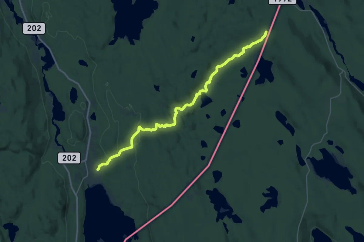
Demanding · Trail
Sætertjernstien
19.0 km · ↑ 400 m · 5 h 21 min
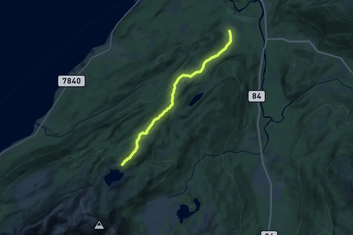
Medium · Trail
Sætervannet
9.3 km · ↑ 468 m · 3 h 12 min
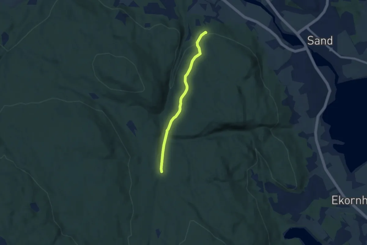
Easy · Trail
Sætervegen fra Solaust til Sandbekkvegen
3.6 km · ↑ 79 m · 1 h 1 min
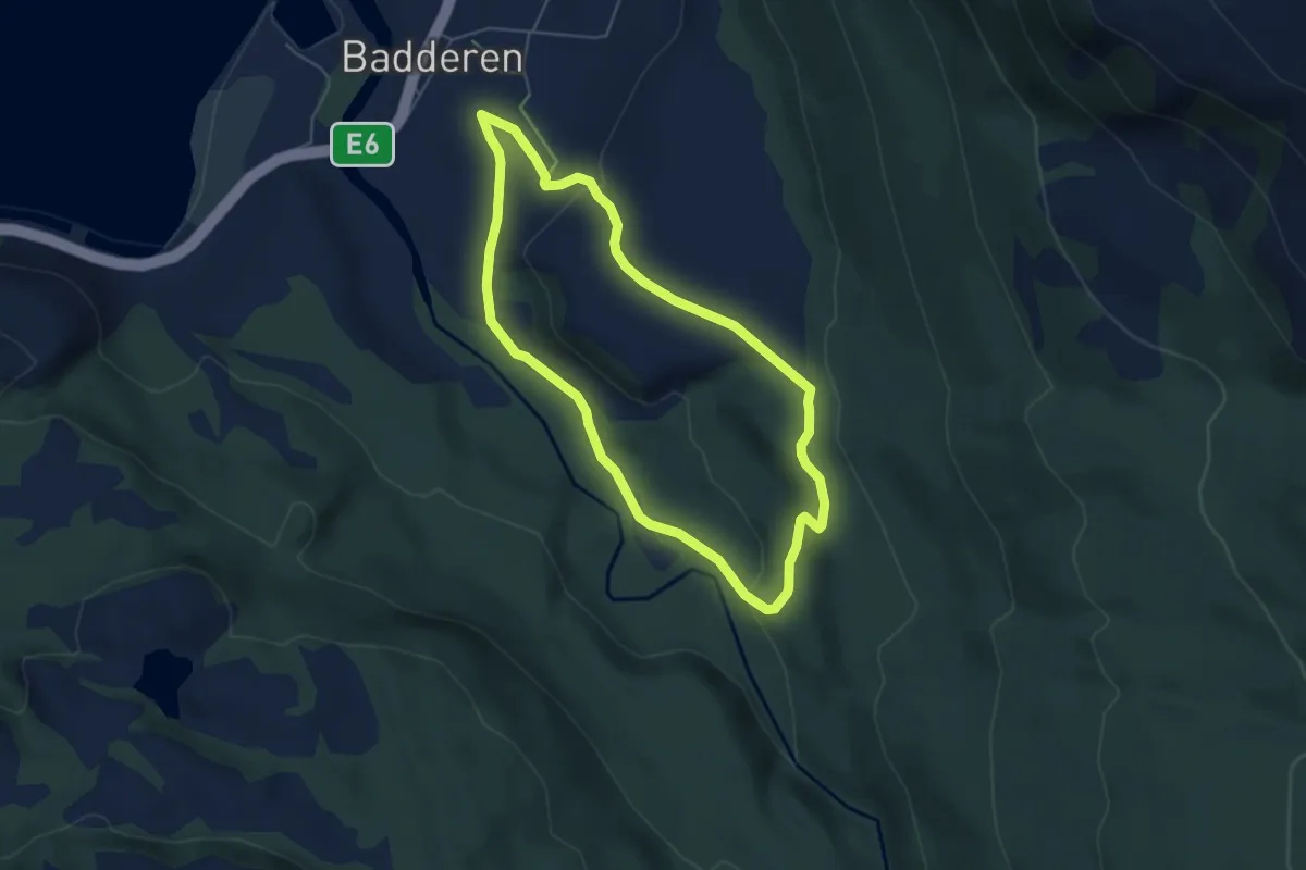
Easy · Trail
Sætra - lysløypa
4.9 km · ↑ 149 m · 1 h 29 min
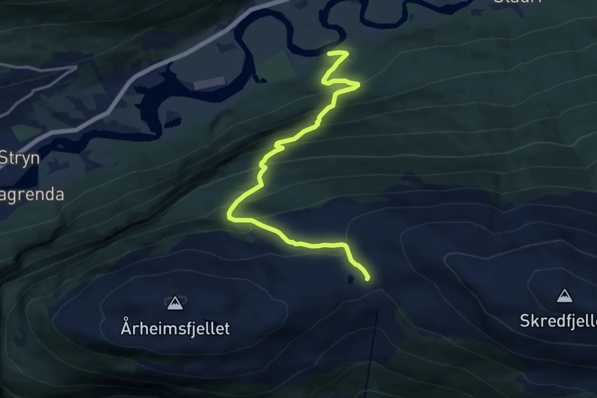
Demanding · Trail
Sætre- Nøkketjønna- Årheimsfjellet
8.4 km · ↑ 818 m · 3 h 45 min
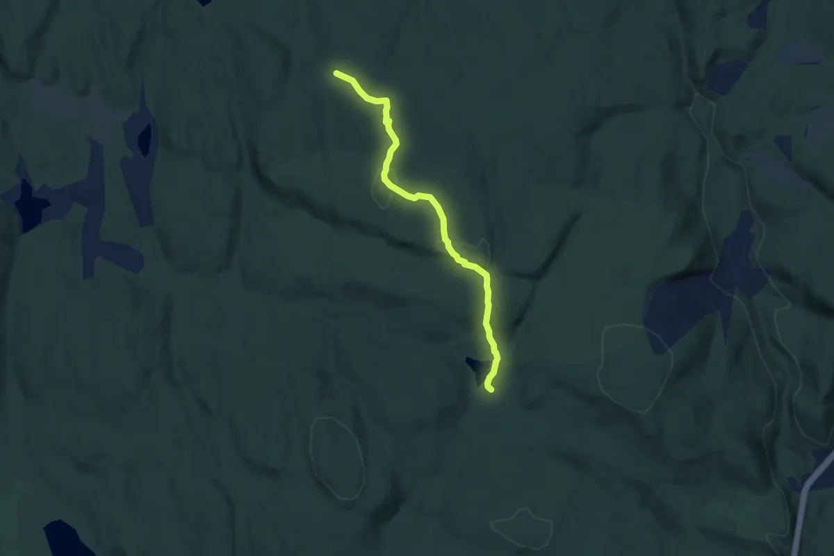
Easy · Trail
Sætretjern - Grasmyra
4.3 km · ↑ 92 m · 1 h 12 min
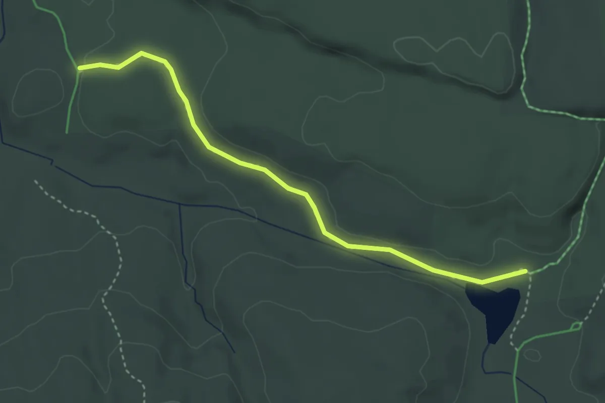
Easy · Trail
Sætretjern - Tjuhyttmyra nord
2.6 km · ↑ 18 m · 40 min
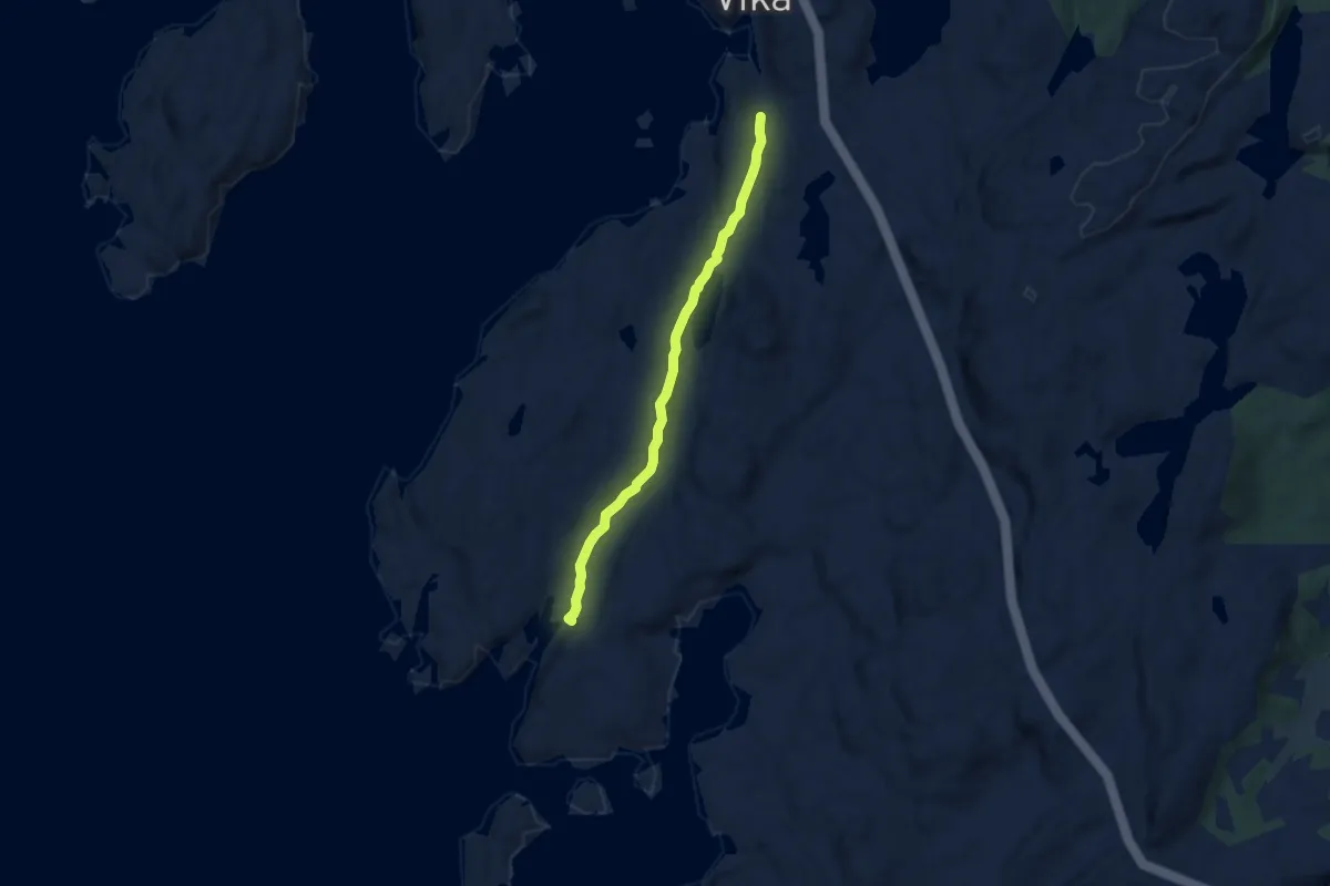
Easy · Trail
Sætre-Vikafjorden
3.6 km · ↑ 57 m · 59 min