Trails in Norway
7,452 hiking trails, each with its route, climb, walking time and grade.
All trails, page 82 of 156
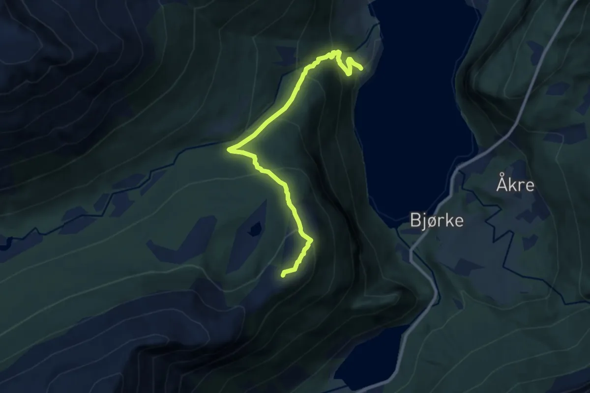
Medium · Trail
Sætre - Vikefjellet
5.6 km · ↑ 520 m · 2 h 27 min
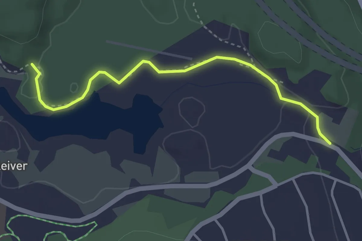
Easy · Trail
Saga - Gapahuken
2.3 km · ↑ 10 m · 34 min
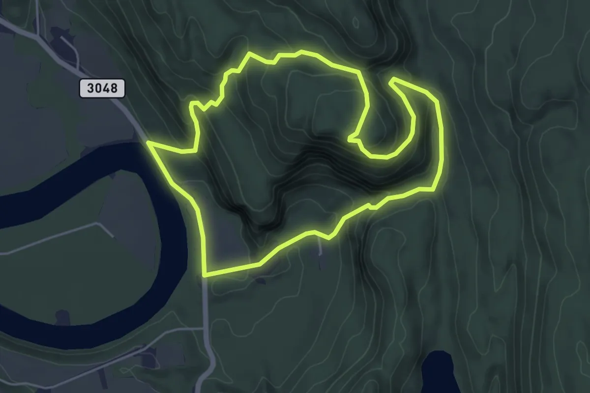
Medium · Trail
Sagkollen
6.8 km · ↑ 435 m · 2 h 32 min
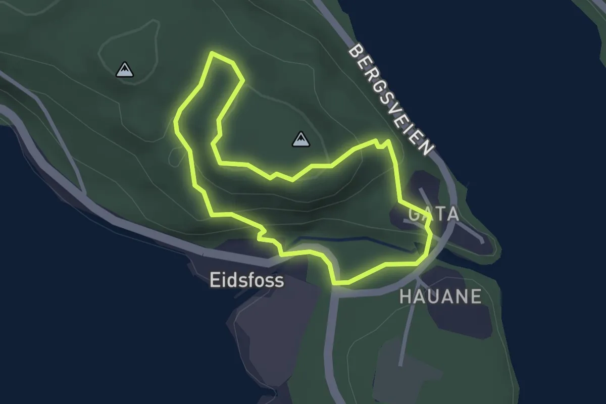
Medium · Trail
Sagkollen rundt
3.4 km · ↑ 170 m · 1 h 10 min
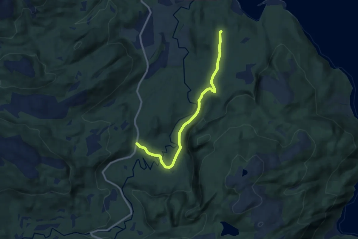
Easy · Trail
Sagvikmyra
4.4 km · ↑ 57 m · 1 h 10 min
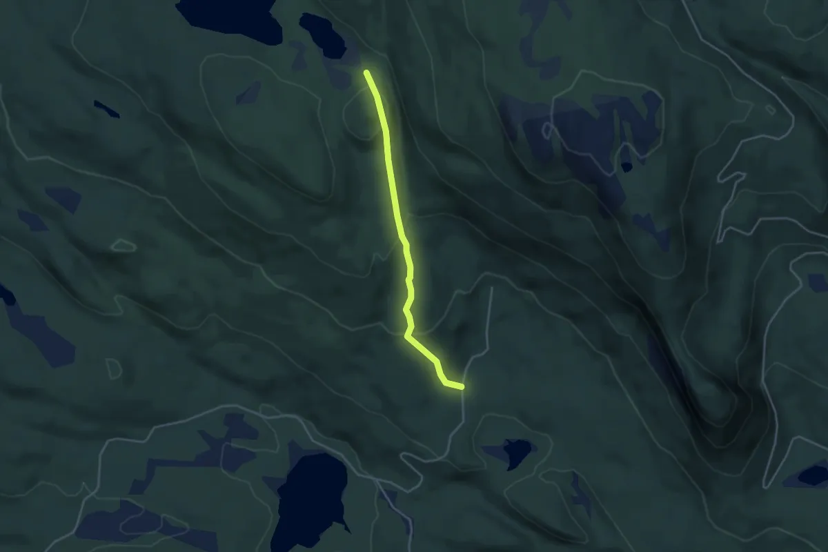
Medium · Trail
Saksentjern - Vesle Leintjern
2.4 km · ↑ 166 m · 55 min
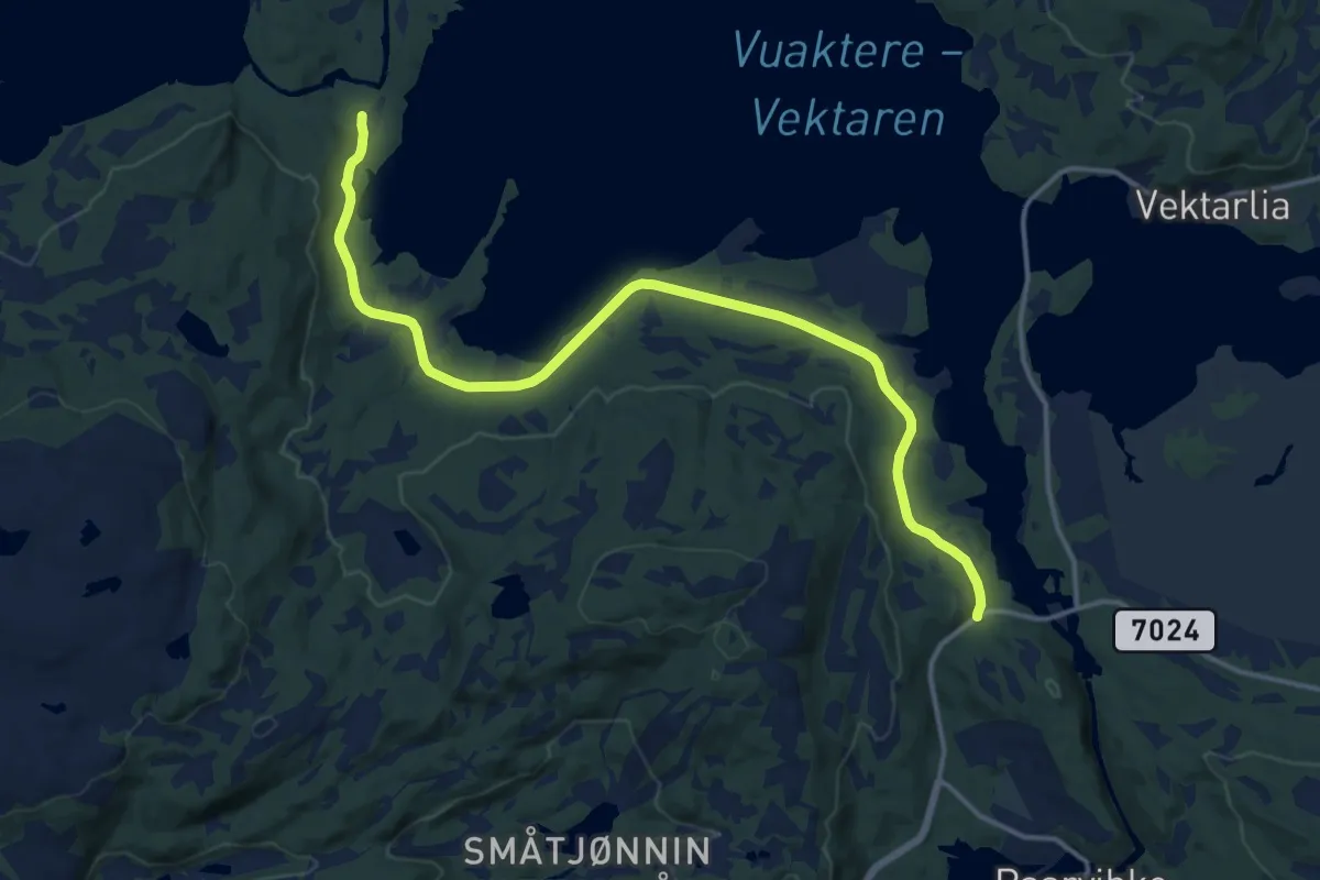
Medium · Trail
Saksvassveien
10.2 km · ↑ 58 m · 2 h 32 min
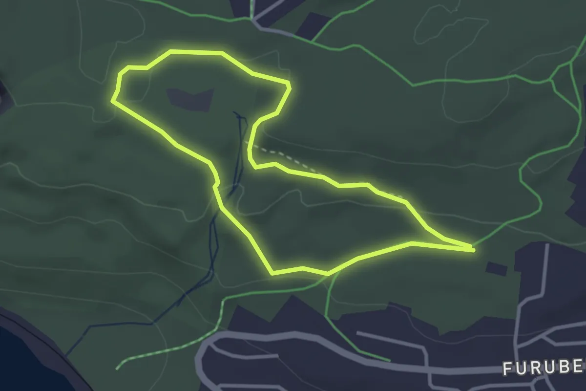
Medium · Trail
Salamanderrunden
4.0 km · ↑ 59 m · 1 h 4 min
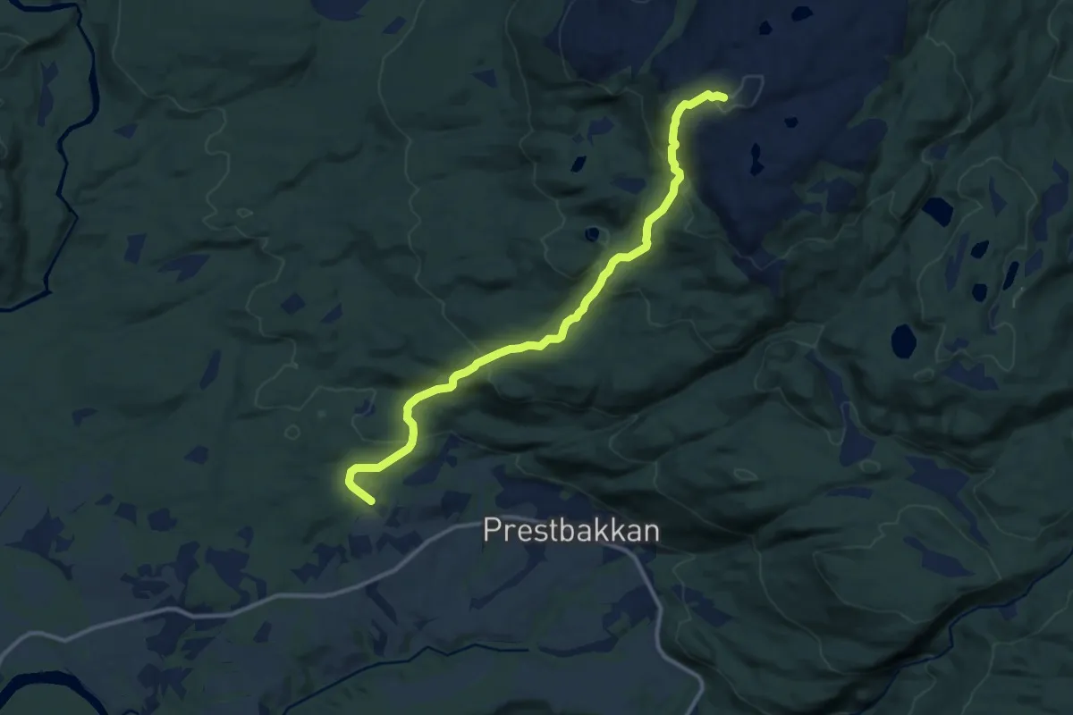
Demanding · Trail
Salangen Bygdetun-Orrefjellet
6.3 km · ↑ 439 m · 2 h 26 min
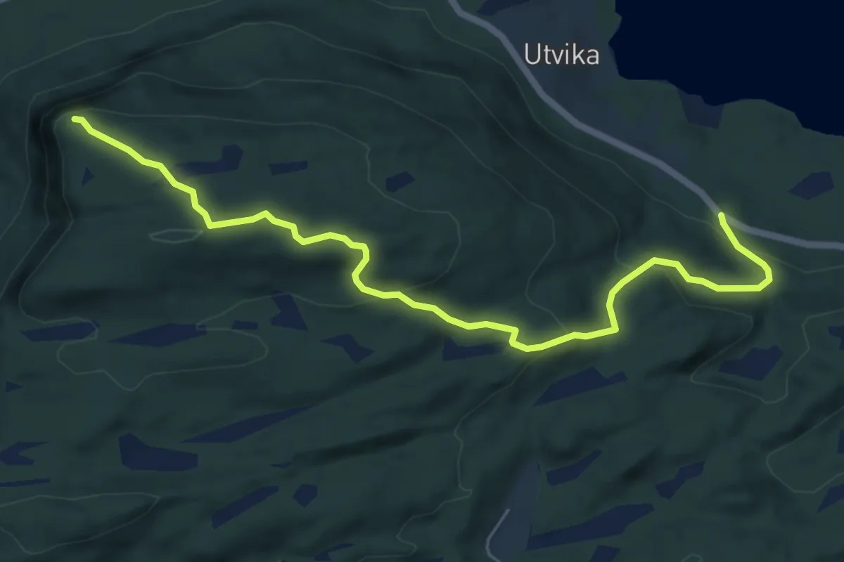
Easy · Trail
Salbunakken
4.5 km · ↑ 243 m · 1 h 35 min
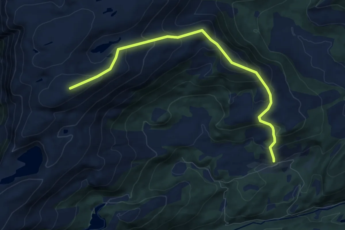
Demanding · Trail
Salen
6.5 km · ↑ 526 m · 2 h 41 min
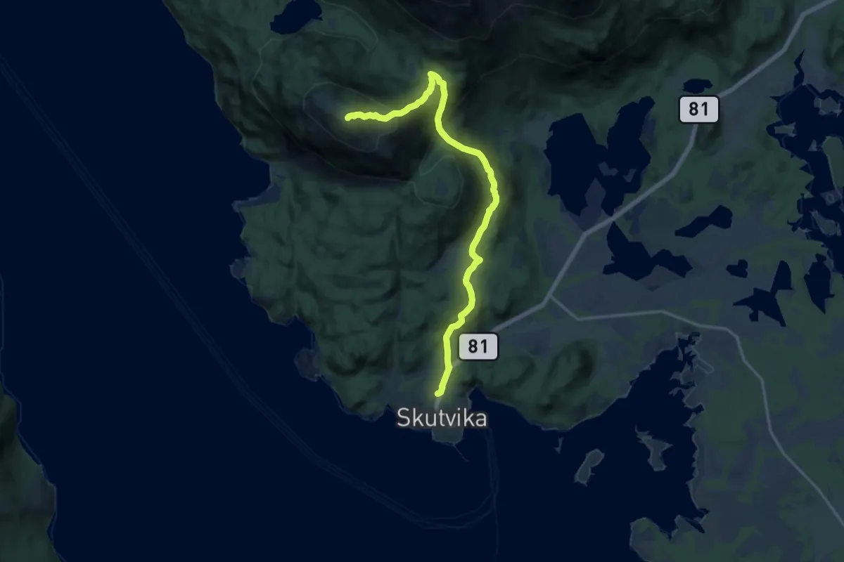
Medium · Trail
Salen
8.2 km · ↑ 498 m · 3 h
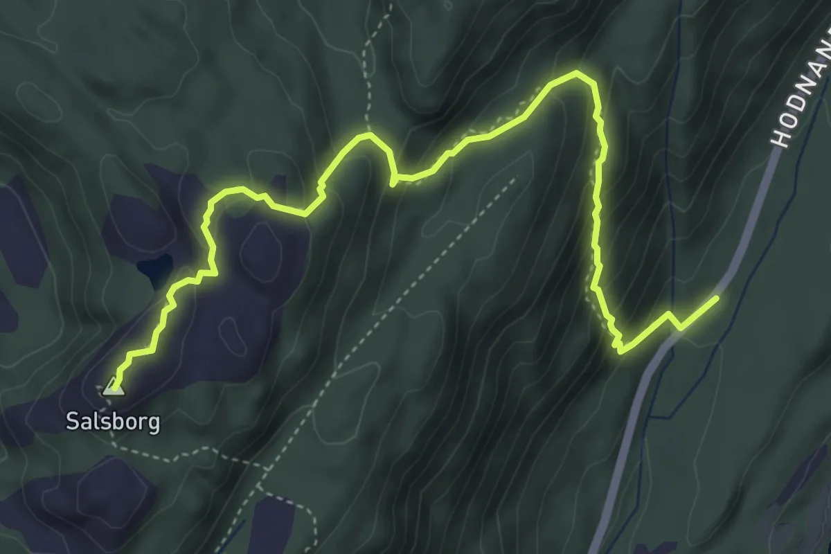
Medium · Trail
Salsborg
4.0 km · ↑ 381 m · 1 h 46 min
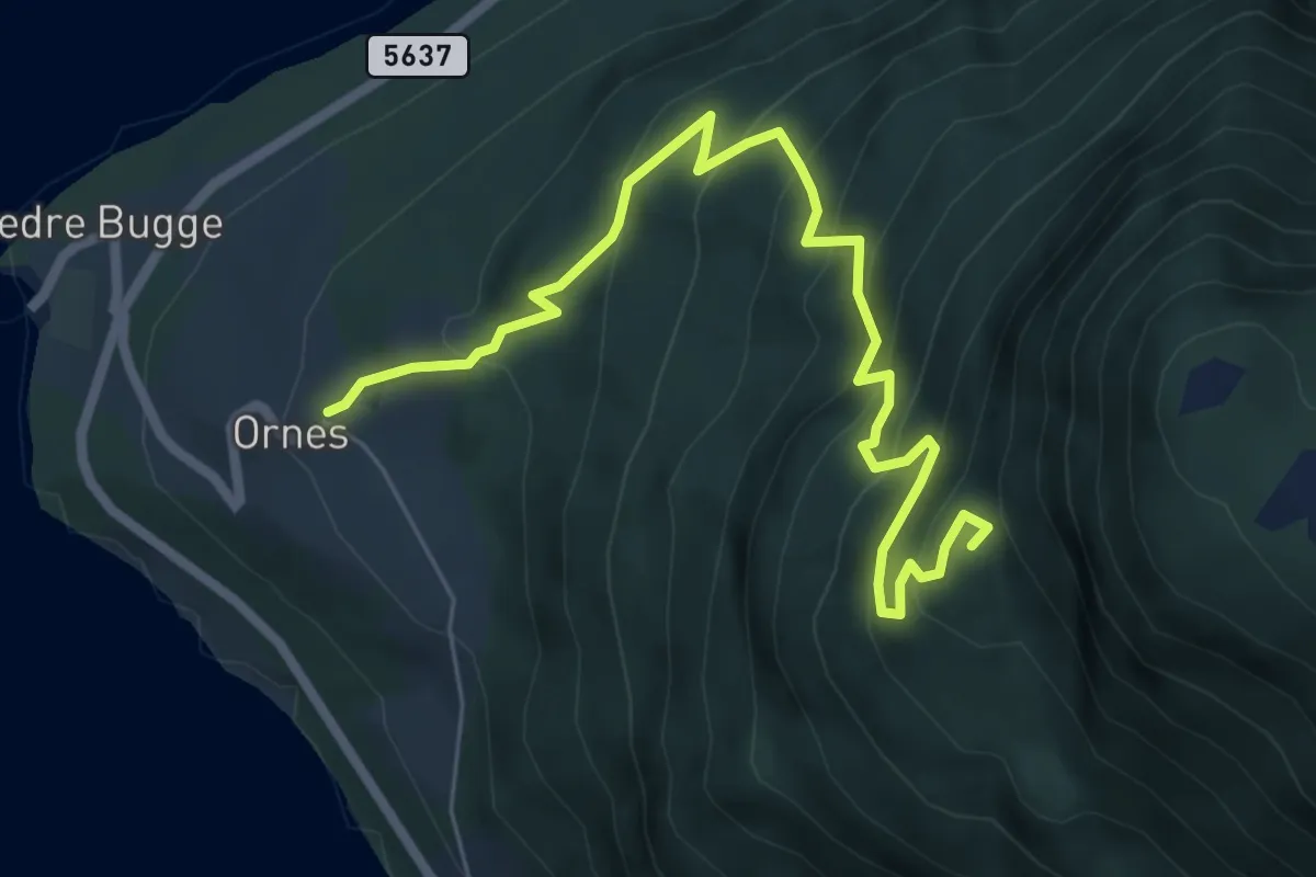
Medium · Trail
Salshaug/Signsysal
5.2 km · ↑ 549 m · 2 h 25 min
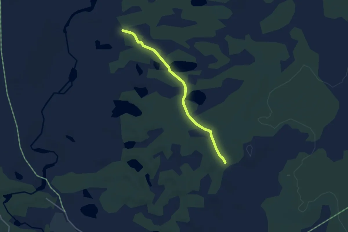
Easy · Trail
Salsvorttjønnen, Lillerøåsen, Engerdal
2.0 km · ↑ 9 m · 30 min
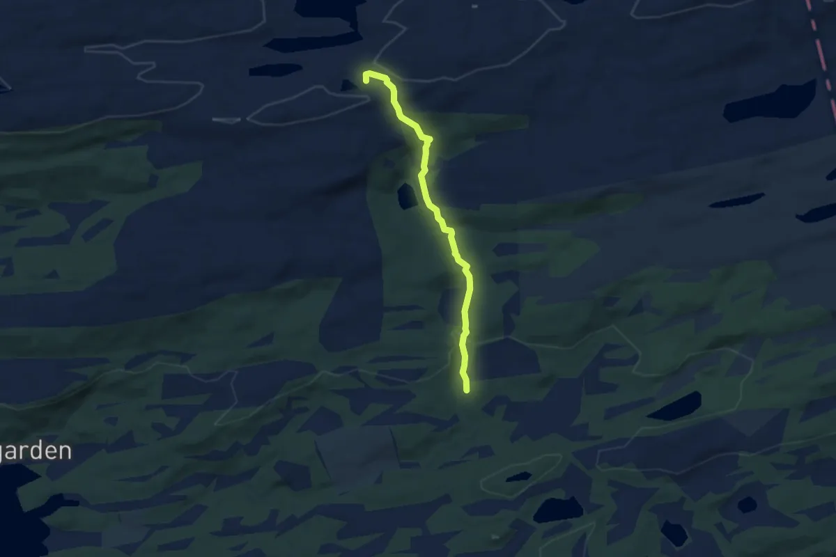
Easy · Trail
Salvatna
3.6 km · ↑ 105 m · 1 h 4 min
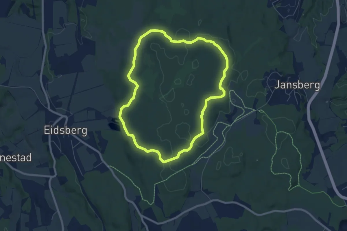
Easy · Trail
Sameia rundløype
4.4 km · ↑ 52 m · 1 h 12 min
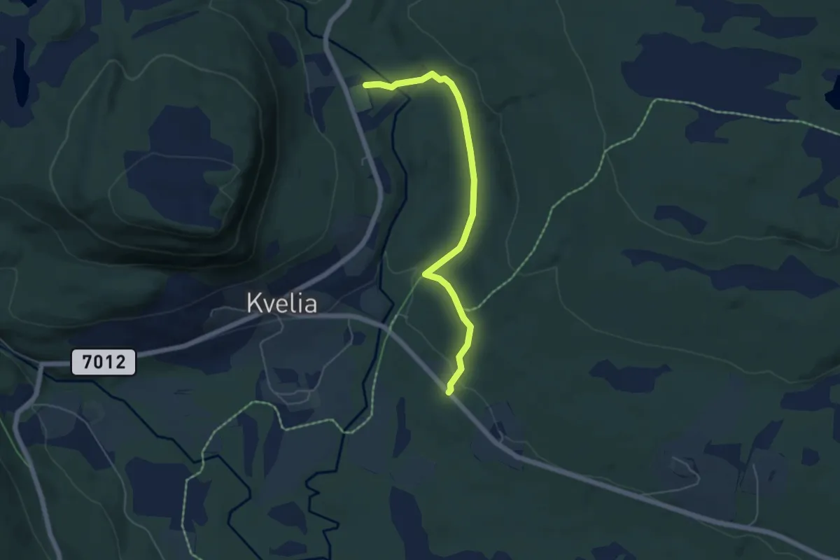
Easy · Trail
Samfunnshuset til Bakklund
3.2 km · ↑ 90 m · 57 min
Medium · Trail
Samlingshaugen
3.4 km · ↑ 175 m · 1 h 12 min
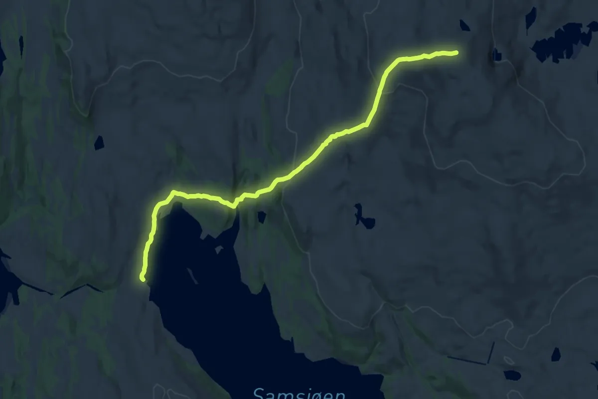
Medium · Trail
Samsjøen-Rensfjellet
14.3 km · ↑ 555 m · 4 h 35 min
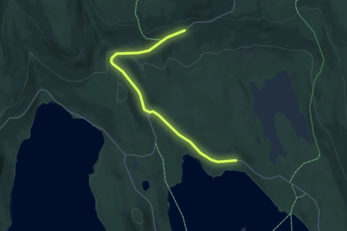
Easy · Trail
Sanbekkhytta
3.2 km · ↑ 74 m · 55 min
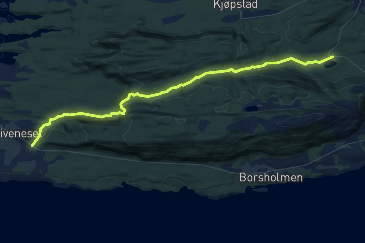
Easy · Trail
Sandalen-Skivenes
6.6 km · ↑ 271 m · 2 h 8 min
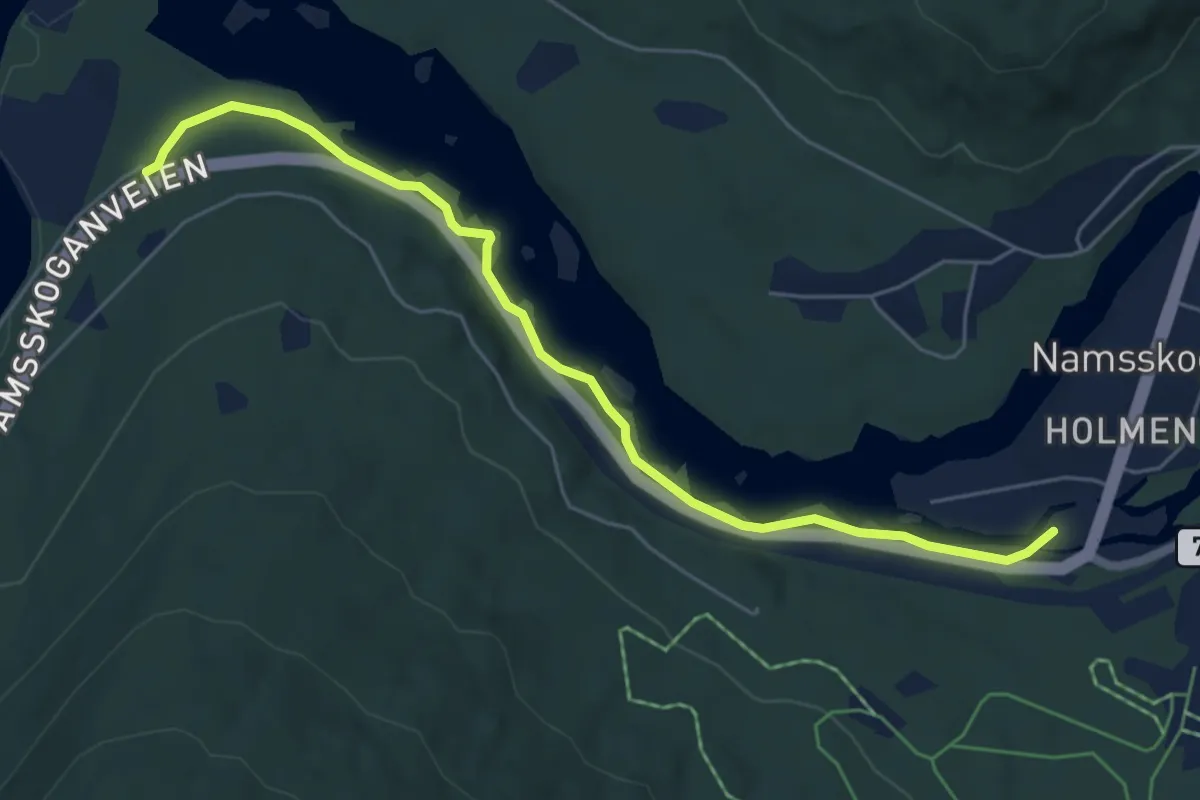
Easy · Trail
Sandåmofossan tur- og fiskesti
3.7 km · ↑ 4 m · 53 min
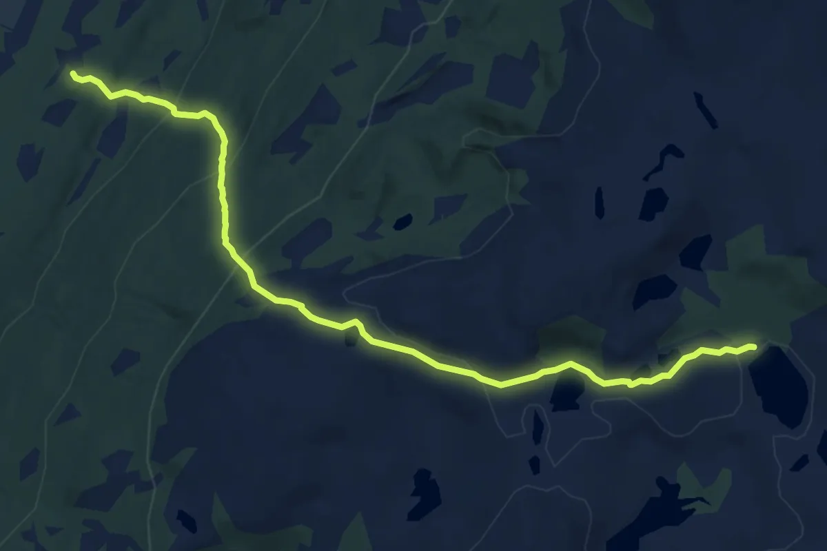
Medium · Trail
Sandåmolia - Finntjønna
7.3 km · ↑ 424 m · 2 h 39 min
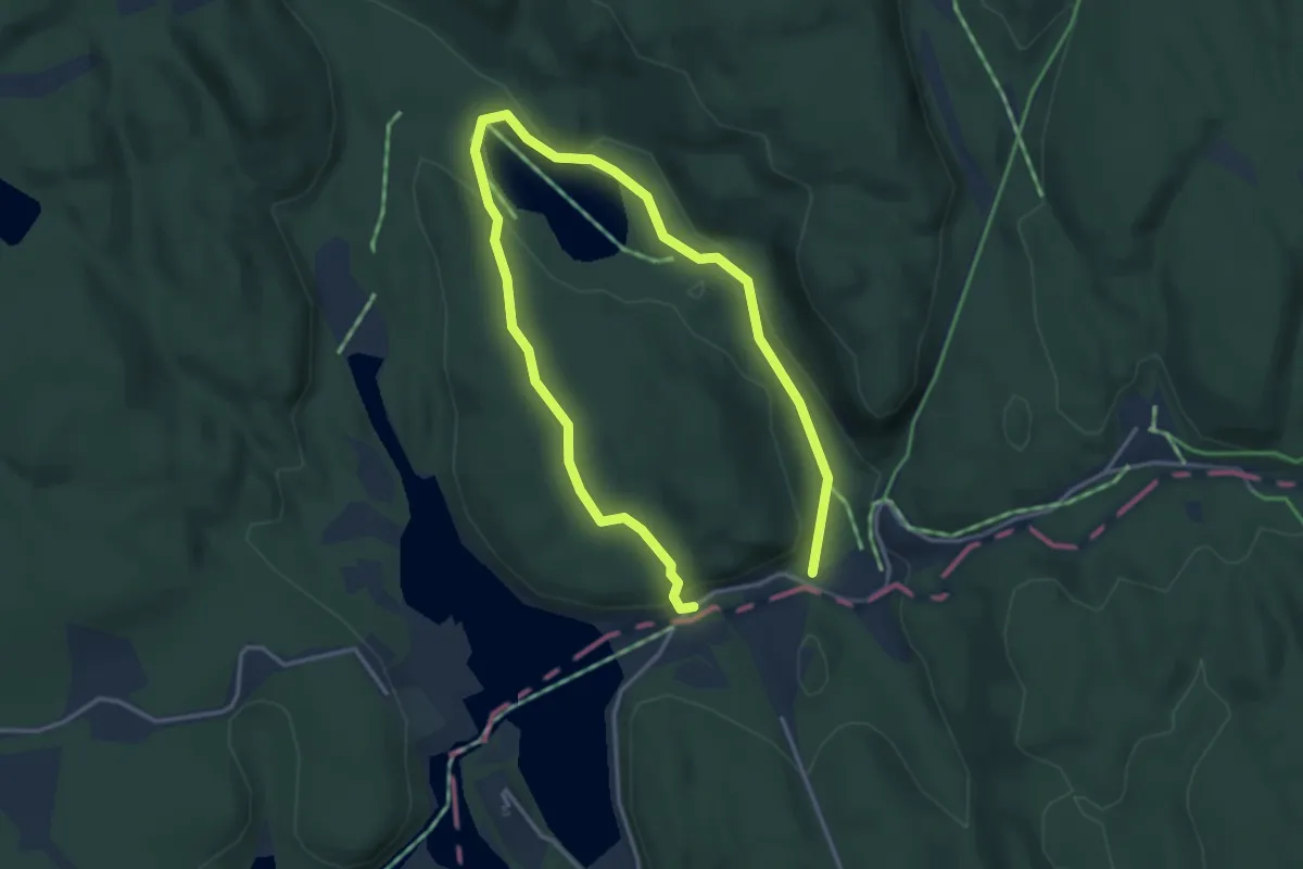
Easy · Trail
Sandbakken natursti
2.0 km · ↑ 34 m · 35 min
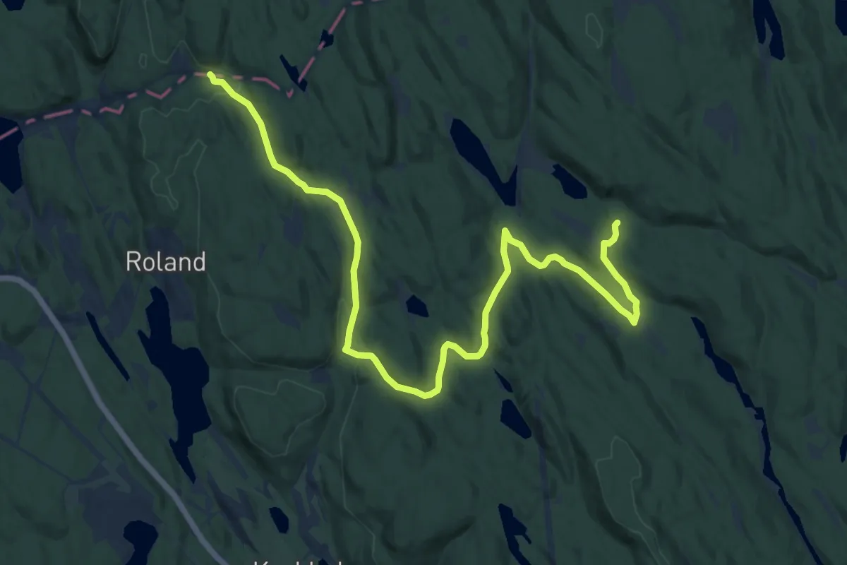
Medium · Trail
Sandbakken-Skjelbreia
10.6 km · ↑ 182 m · 2 h 53 min
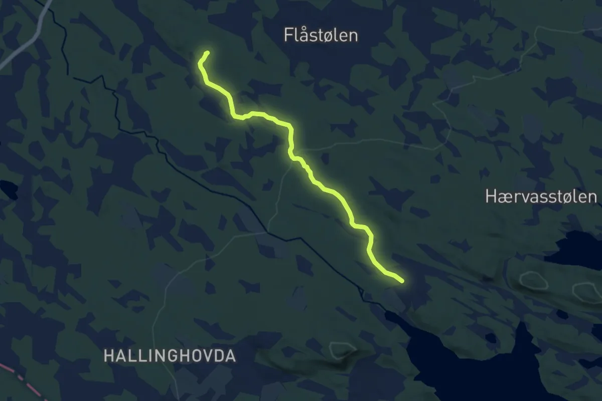
Easy · Trail
Sandbakkli - Stuguvollen
6.1 km · ↑ 111 m · 1 h 41 min
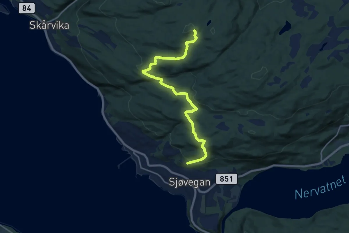
Easy · Trail
Sandbergan-Skårvikfjellet
6.9 km · ↑ 218 m · 2 h 6 min
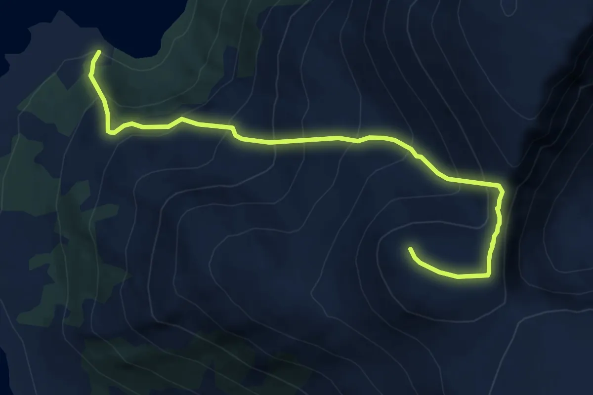
Medium · Trail
Sandberget
4.4 km · ↑ 526 m · 2 h 10 min
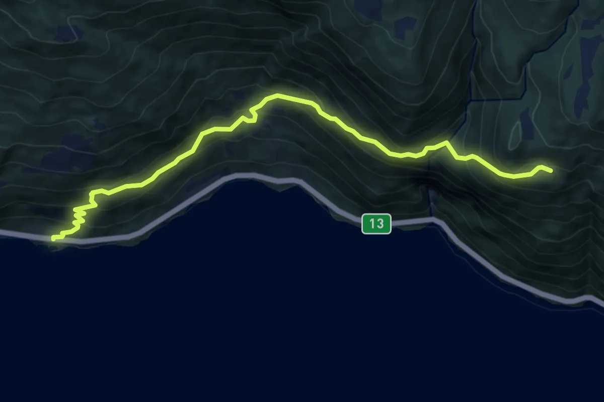
Medium · Trail
Sanden - Skopasete
6.9 km · ↑ 526 m · 2 h 46 min
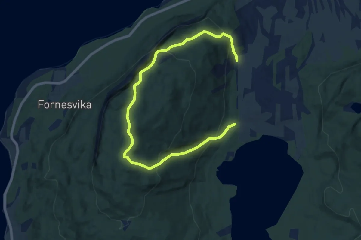
Medium · Trail
Sandfjellet
6.3 km · ↑ 449 m · 2 h 28 min
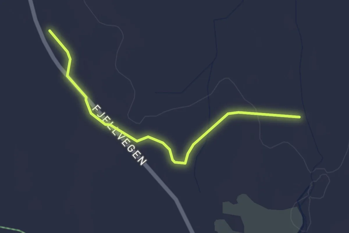
Medium · Trail
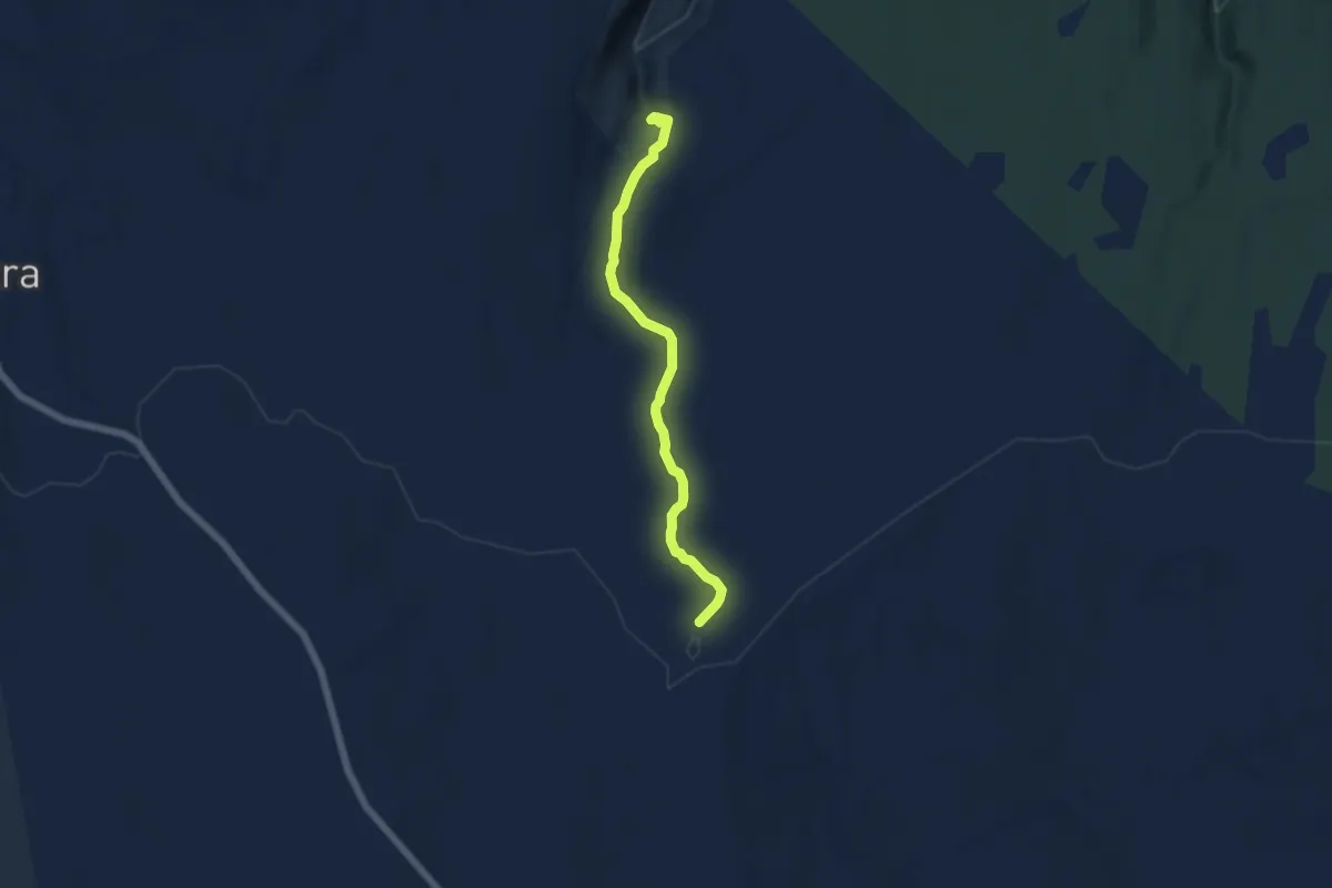
Sandfløten mot Åstholmen
2.3 km · ↑ 18 m · 36 min
Medium · Cabin
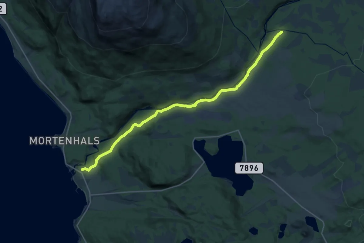
Sandfløten til Lavåfalla
3.7 km · ↑ 78 m · 1 h 2 min
Medium · Trail
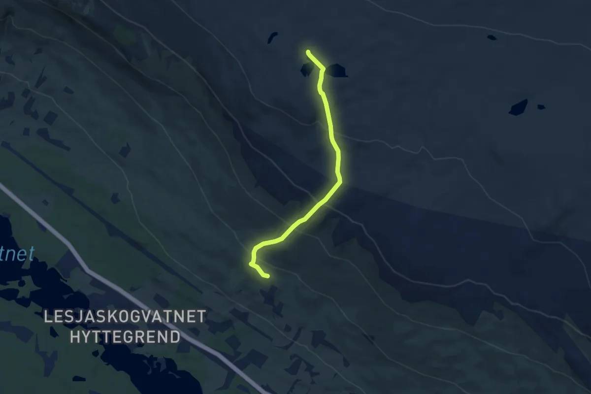
Sand - Fossåsen - Fjellbrua
9.7 km · ↑ 218 m · 2 h 45 min
Medium · Trail
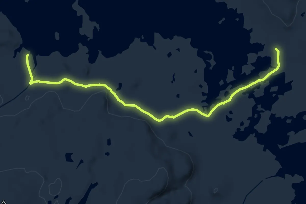
Sandgrodrogjet
5.2 km · ↑ 370 m · 2 h 1 min
Medium · Cabin
Sandhaug-Besso
11.9 km · ↑ 108 m · 3 h 3 min
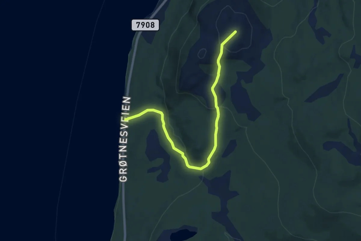
Easy · Trail
Sandneshaugen
3.2 km · ↑ 157 m · 1 h 6 min
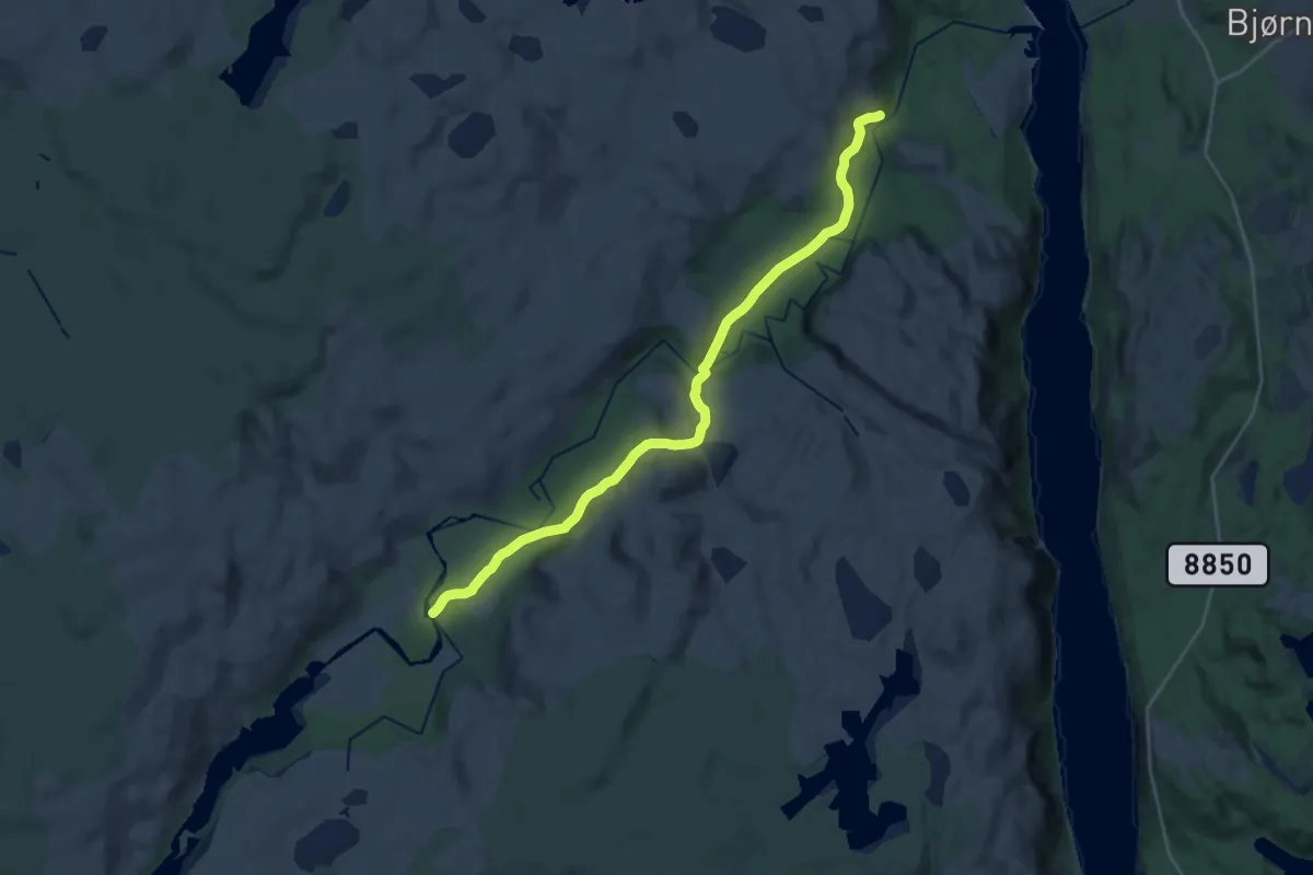
Medium · Trail
Sandnes - Munkefjord
13.4 km · ↑ 200 m · 3 h 35 min
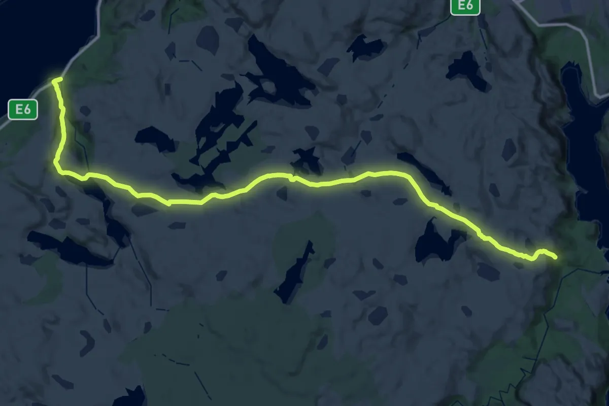
Demanding · Trail
Sandnes ? Munkvassbekken
14.1 km · ↑ 299 m · 4 h 12 min
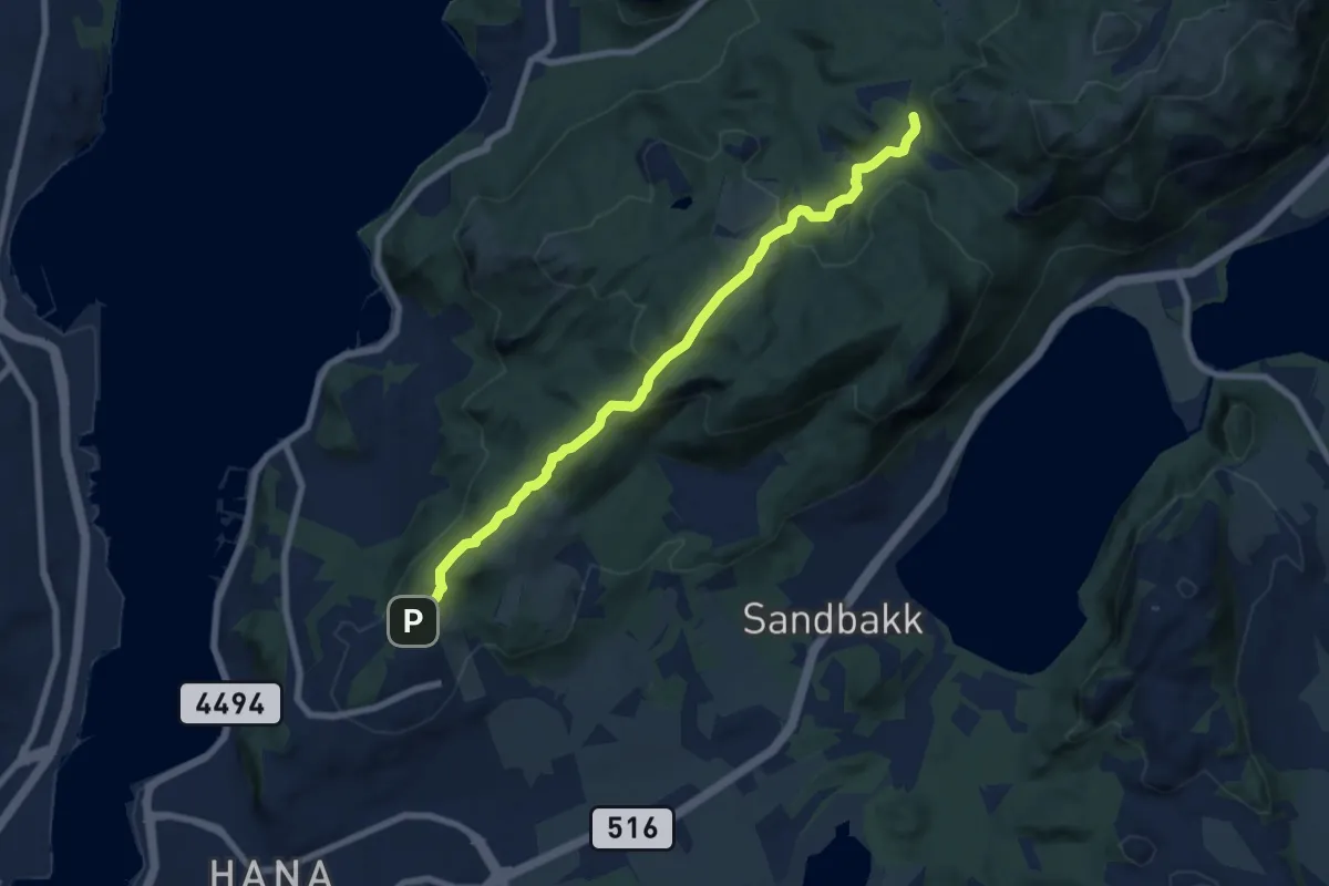
Medium · Trail
Sandnes sentrum - Gramstad
5.8 km · ↑ 209 m · 1 h 49 min
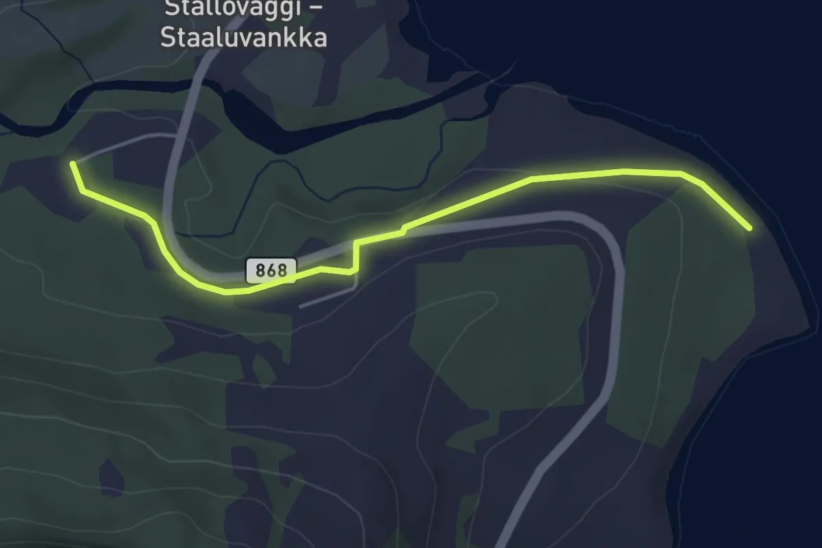
Easy · Trail
Sandørneset - Vestersidasenteret
2.3 km · ↑ 97 m · 45 min
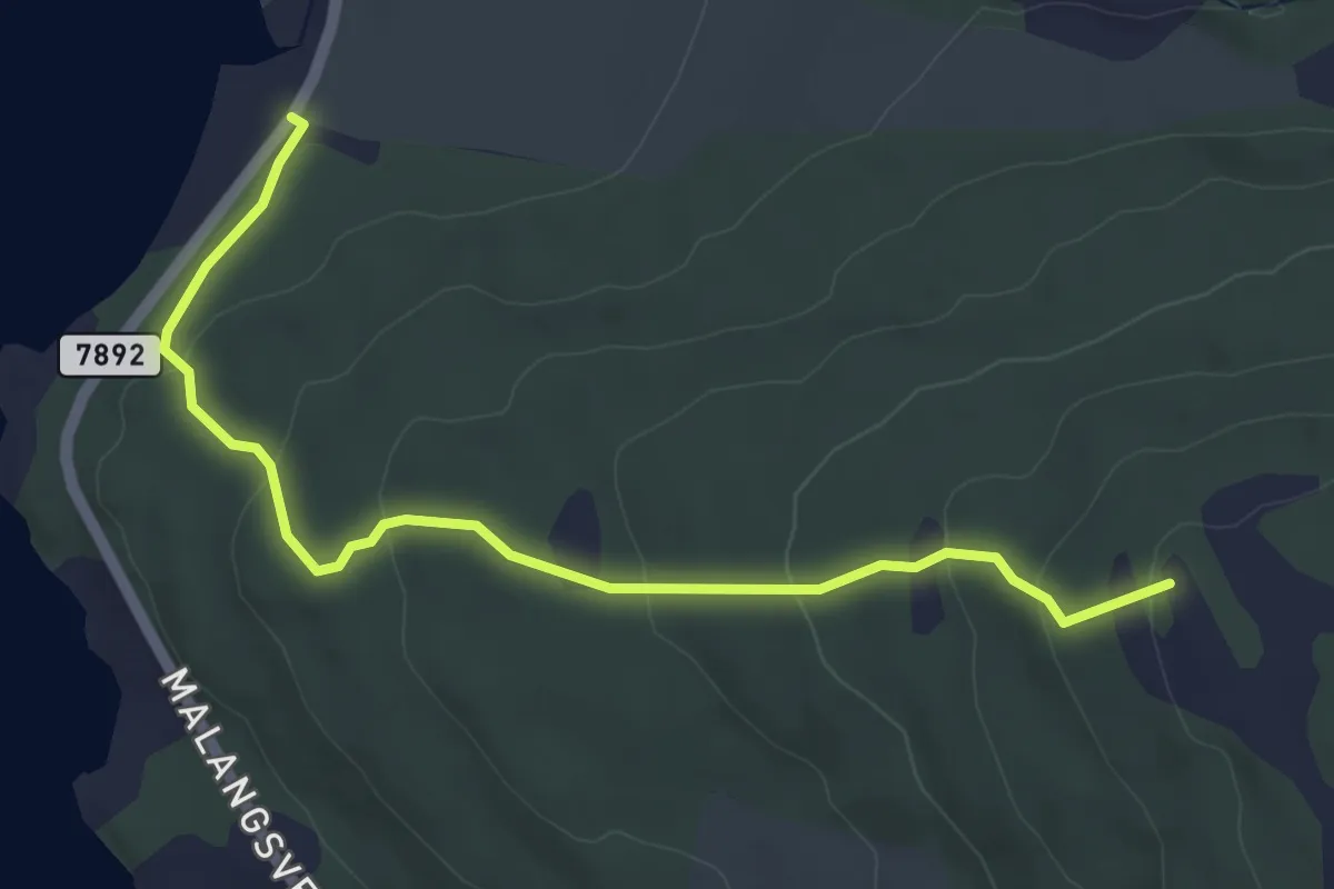
Easy · Trail
Sandsviksåsen
2.7 km · ↑ 156 m · 59 min
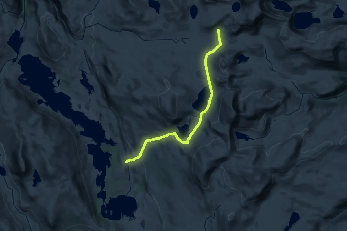
Medium · Cabin
Sandvasshaugan-Raubergshytta
25.2 km · ↑ 641 m · 7 h 20 min
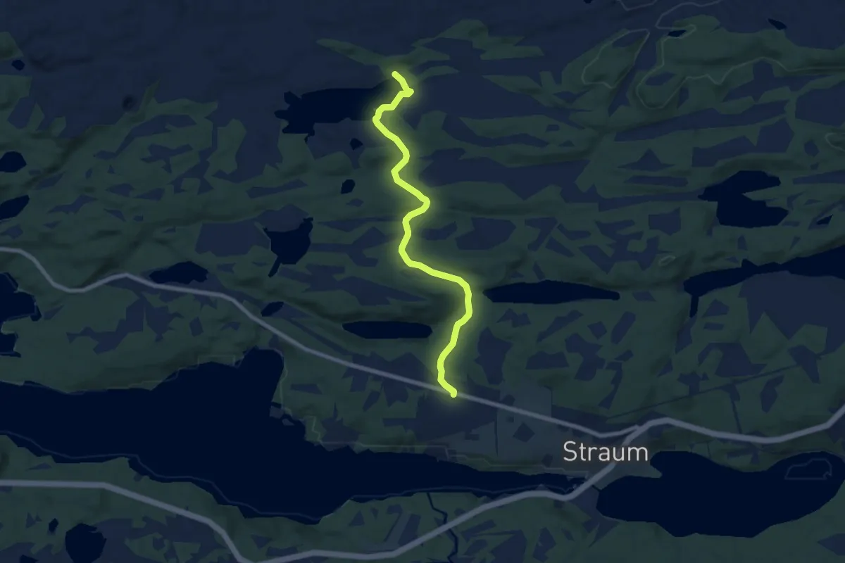
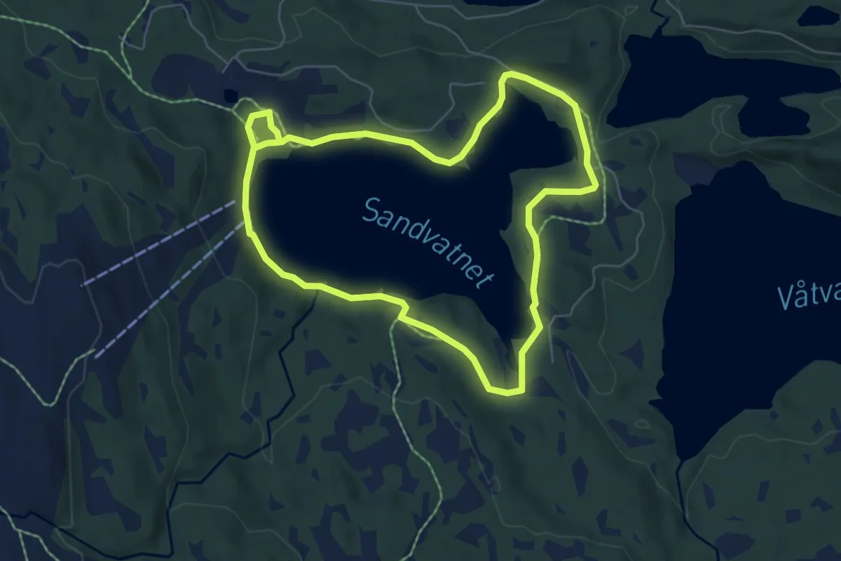
Easy · Trail
Sandvatnet
4.8 km · ↑ 108 m · 1 h 22 min
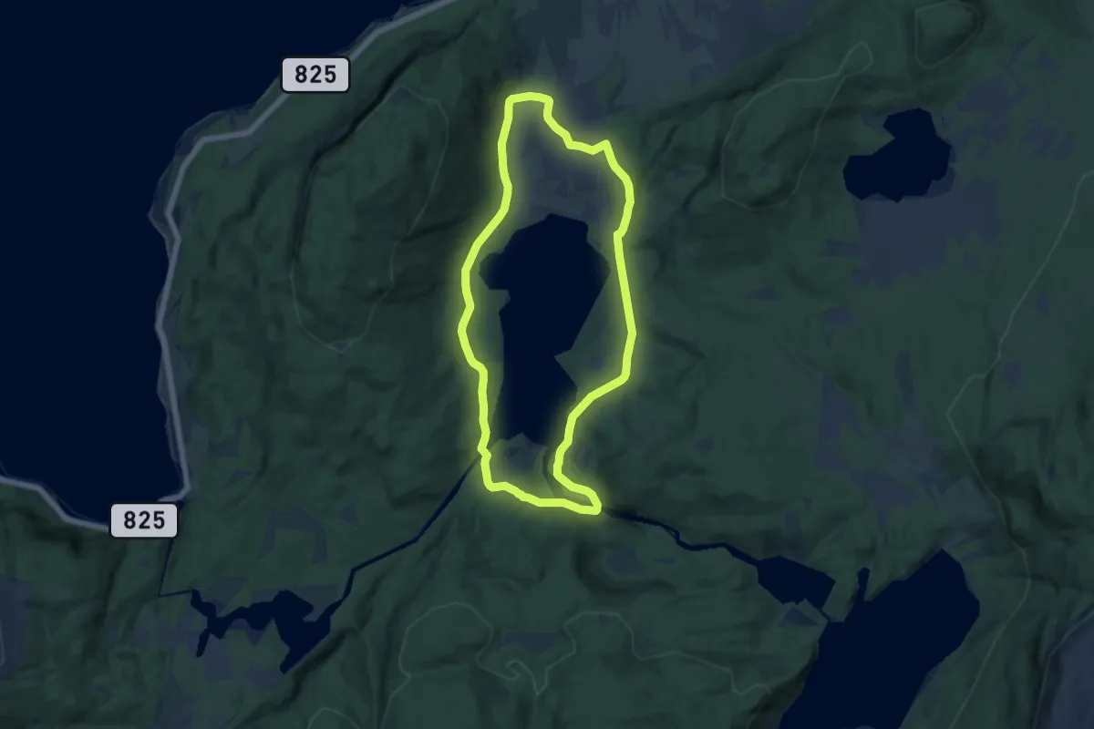
Easy · Trail
Sandvatnet rundt
4.2 km · ↑ 51 m · 1 h 9 min
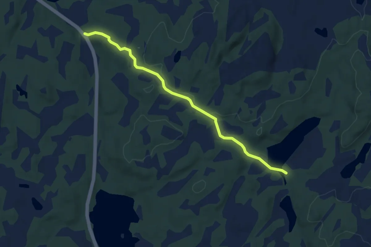
Easy · Trail
Sandvatnet Rundt
12.7 km · ↑ 91 m · 3 h 12 min
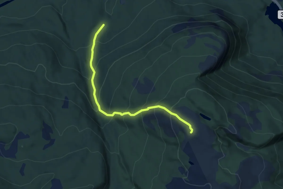
Easy · Trail
Sandvatnet, Utset
3.2 km · ↑ 55 m · 52 min
Medium · Trail
Sandvikheia
4.3 km · ↑ 416 m · 1 h 54 min