Trails in Norway
7,452 hiking trails, each with its route, climb, walking time and grade.
All trails, page 85 of 156
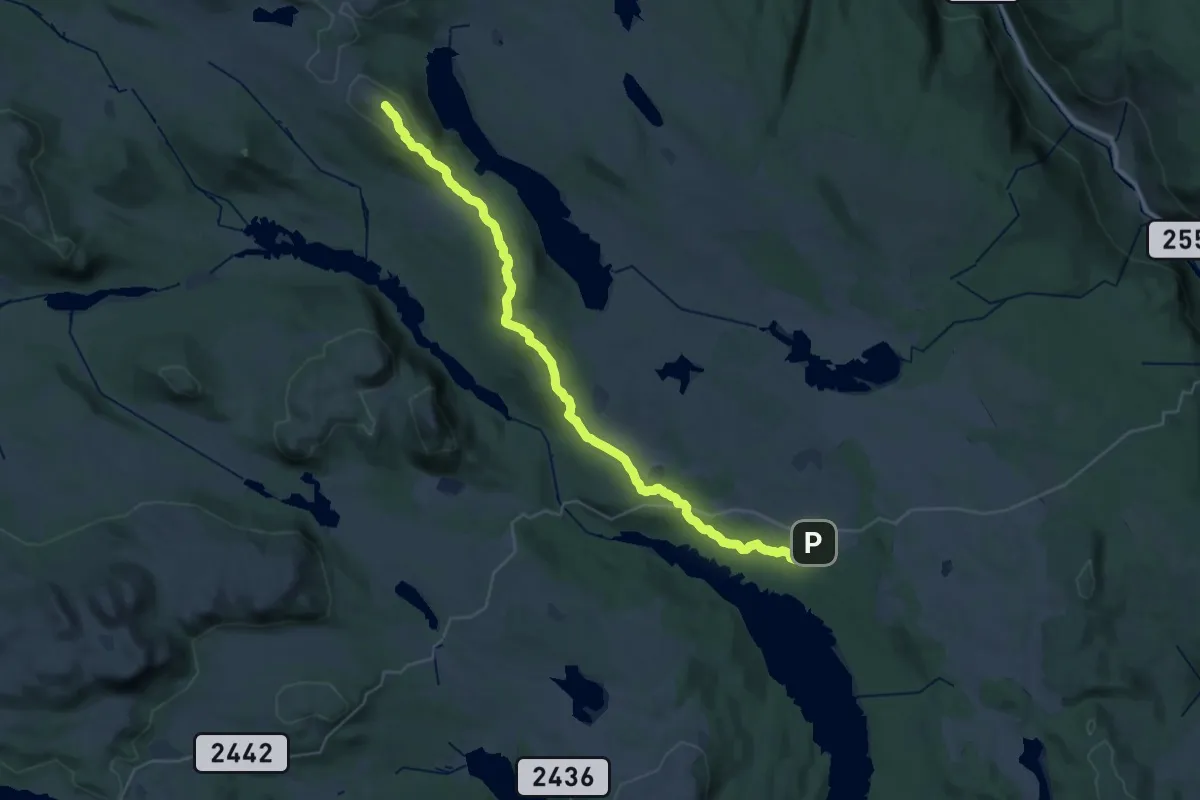
Demanding · Summit
Signatur Omveien (Dag 3)
28.3 km · ↑ 702 m · 8 h 12 min
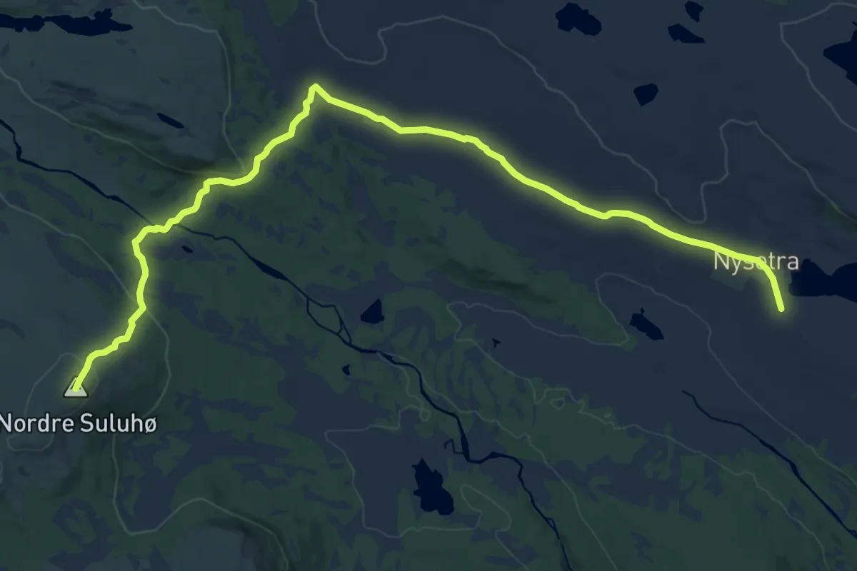
Medium · Summit
Signatur Omveien (Dag 4)
15.9 km · ↑ 368 m · 4 h 33 min
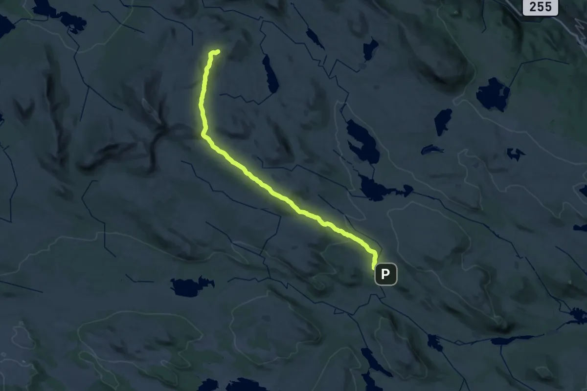
Medium · Cabin
Signatur Omveien (Dag 5)
16.2 km · ↑ 473 m · 4 h 56 min
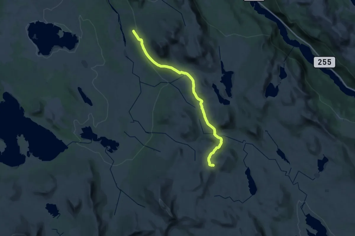
Demanding · Cabin
Signatur Omveien (Dag 6)
25.4 km · ↑ 667 m · 7 h 27 min
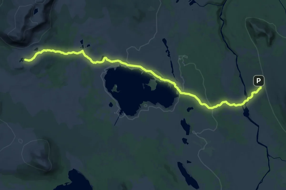
Demanding · Cabin
Signatur Omveien (Dag 7)
26.6 km · ↑ 354 m · 7 h 3 min
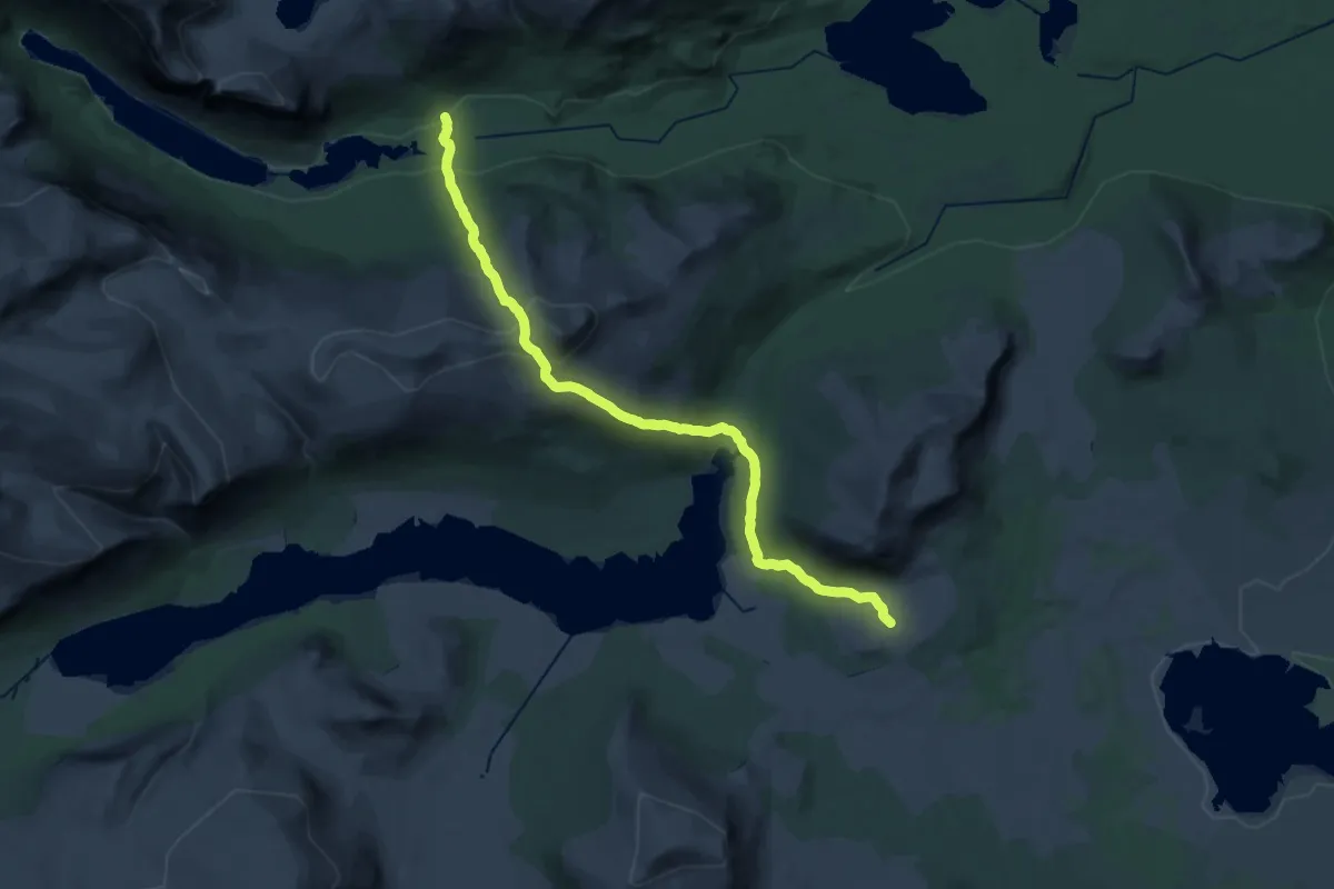
Demanding · Cabin
Signatur Omveien (Dag 8)
21.5 km · ↑ 1221 m · 7 h 44 min
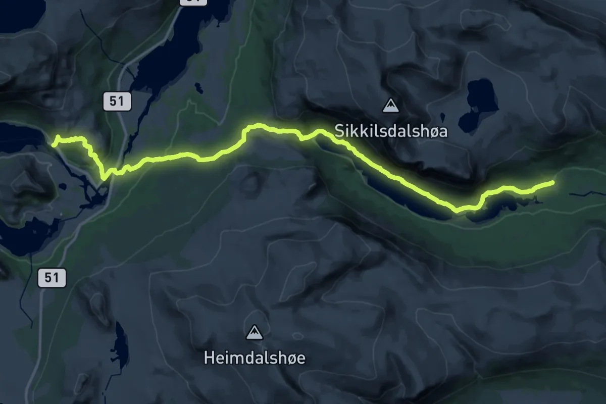
Medium · Cabin
Signatur Omveien (Dag 9)
14.9 km · ↑ 298 m · 4 h 22 min
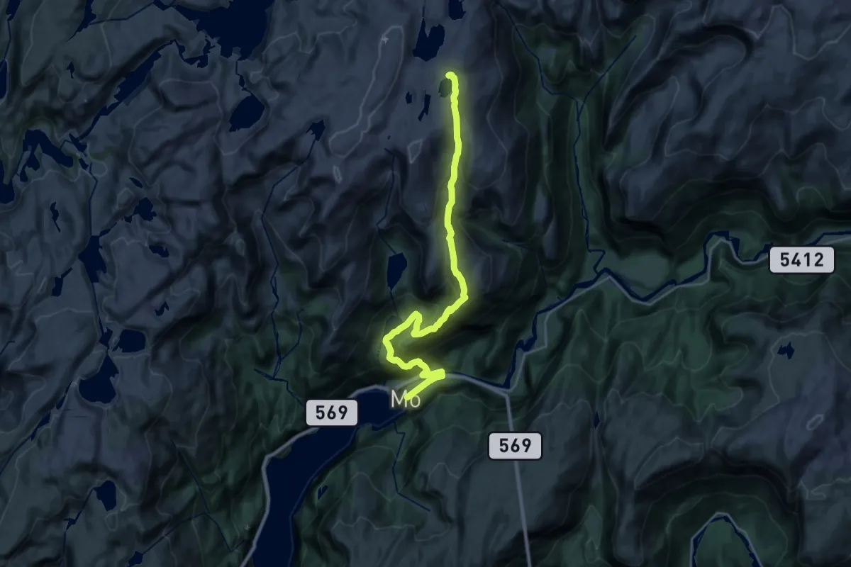
Demanding · Cabin
Signatur Stølsheimen (Dag 1)
16.4 km · ↑ 1095 m · 6 h 15 min
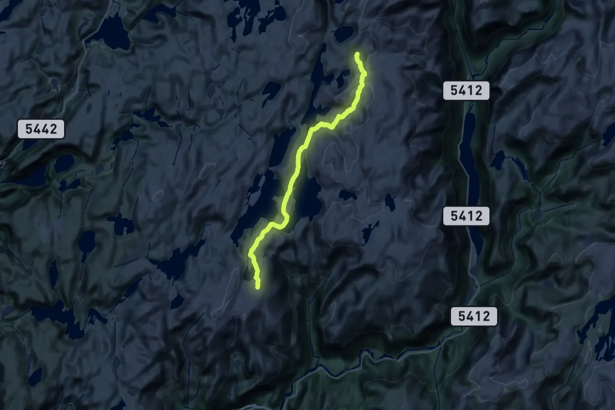
Medium · Cabin
Signatur Stølsheimen (Dag 2)
12.7 km · ↑ 437 m · 4 h 10 min
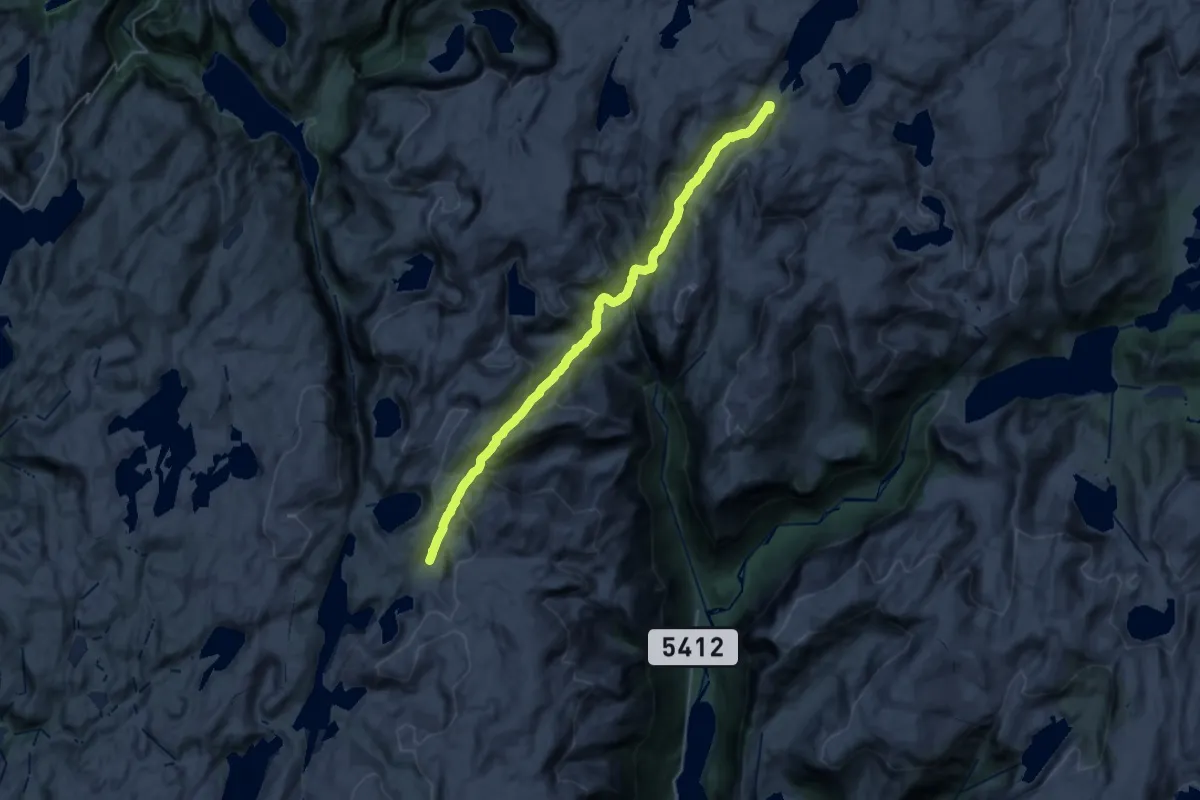
Demanding · Cabin
Signatur Stølsheimen (Dag 3)
20.8 km · ↑ 897 m · 6 h 52 min
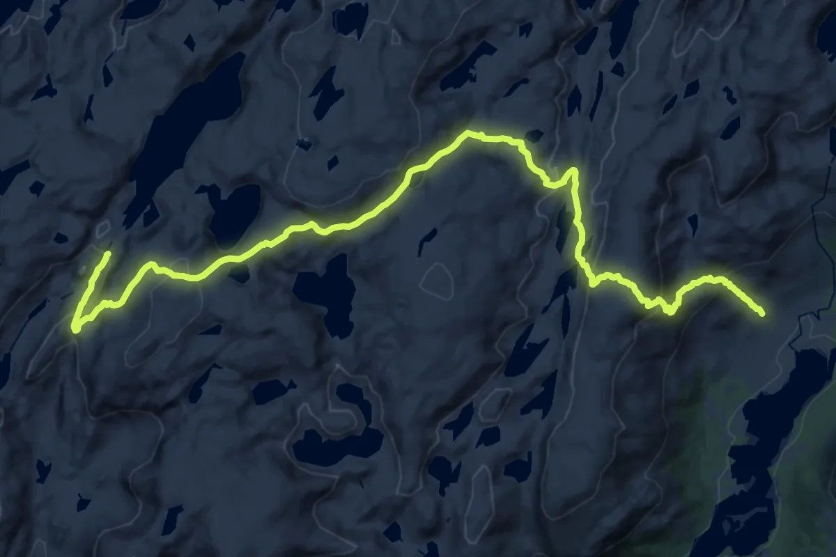
Medium · Cabin
Signatur Stølsheimen (Dag 4)
12.2 km · ↑ 458 m · 4 h 14 min
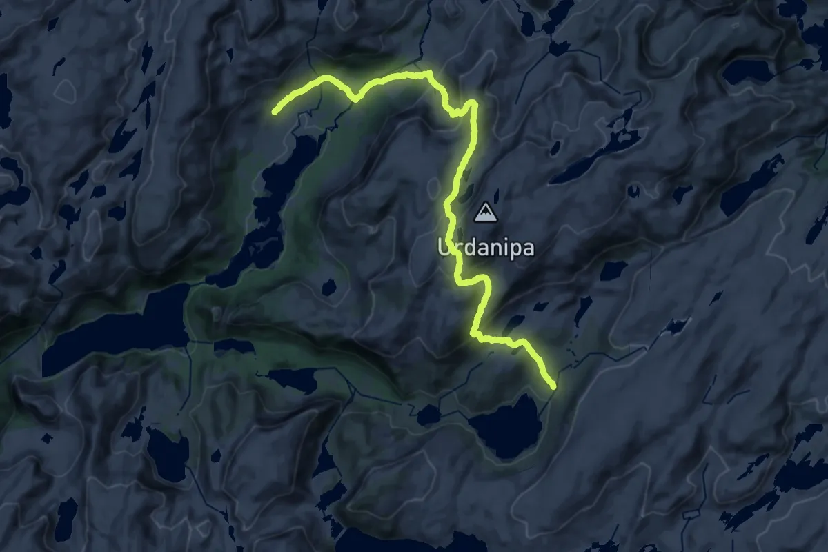
Medium · Cabin
Signatur Stølsheimen (Dag 5)
11.7 km · ↑ 668 m · 4 h 17 min
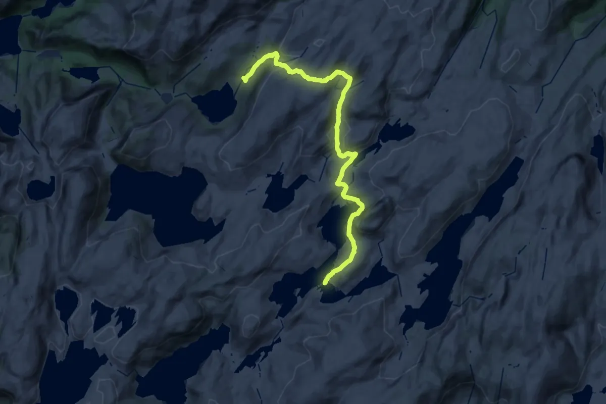
Demanding · Cabin
Signatur Stølsheimen (Dag 6)
24.1 km · ↑ 928 m · 7 h 42 min
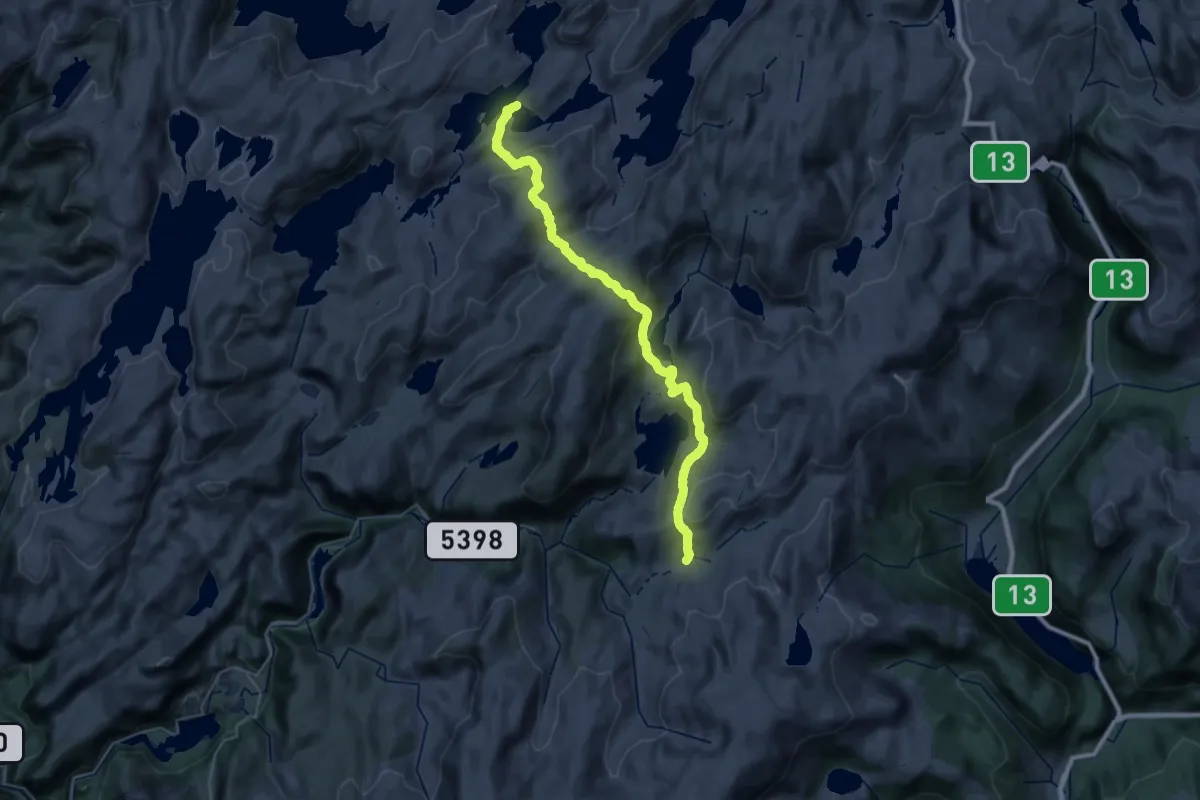
Medium · Cabin
Signatur Stølsheimen (Dag 7)
14.3 km · ↑ 674 m · 5 h 4 min
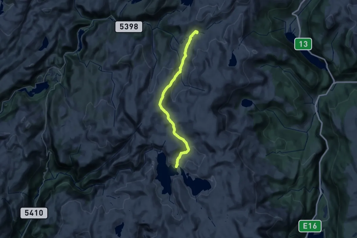
Demanding · Cabin
Signatur Stølsheimen (Dag 8)
24.1 km · ↑ 924 m · 7 h 42 min
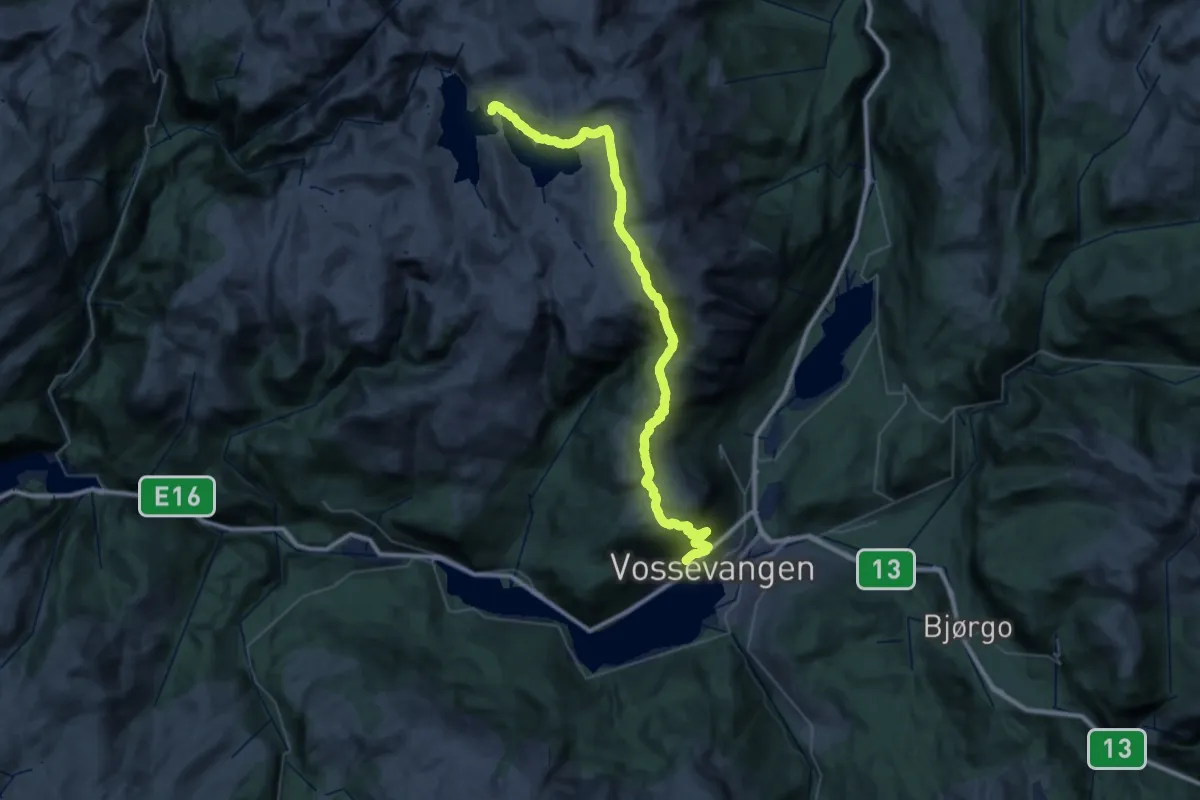
Demanding · Cabin
Signatur Stølsheimen (Dag 9)
19.2 km · ↑ 1213 m · 7 h 2 min
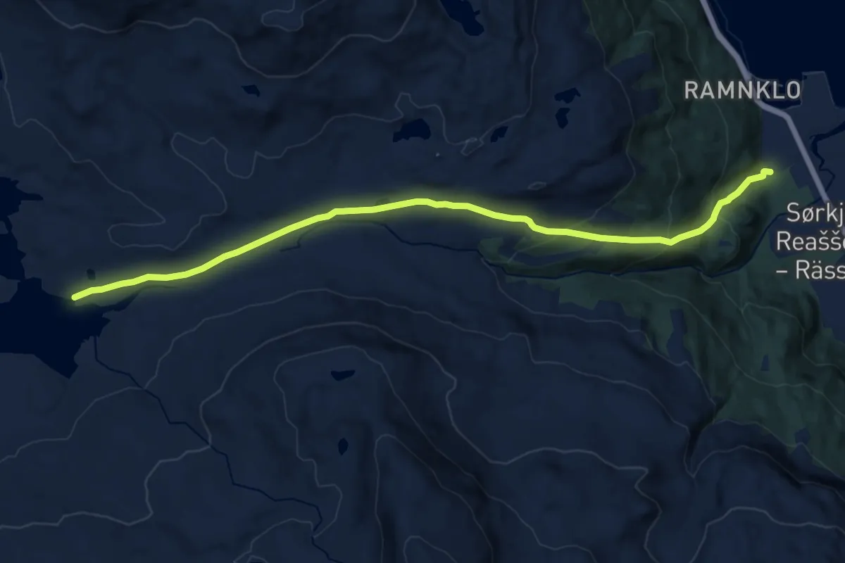
Medium · Trail
Sikkájávri
8.9 km · ↑ 376 m · 2 h 55 min
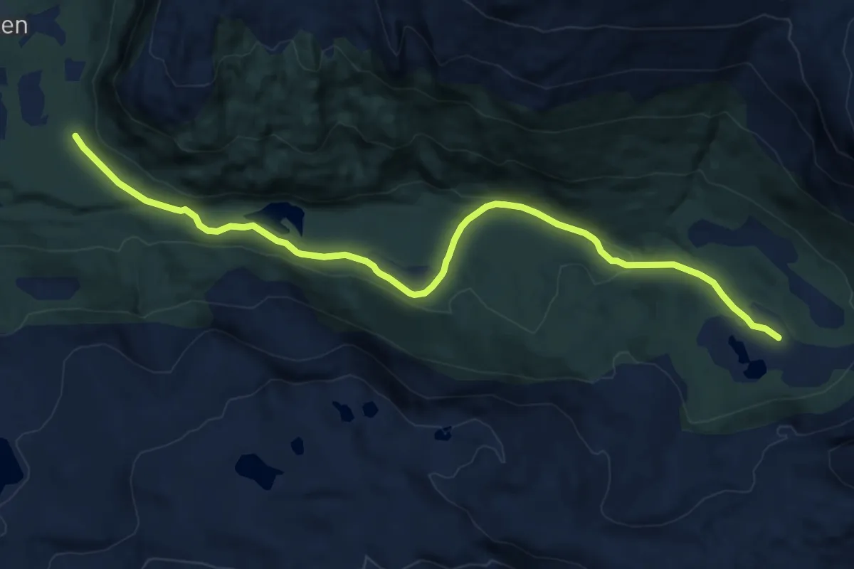
Medium · Trail
Sikkájávrigammen
8.3 km · ↑ 113 m · 2 h 12 min
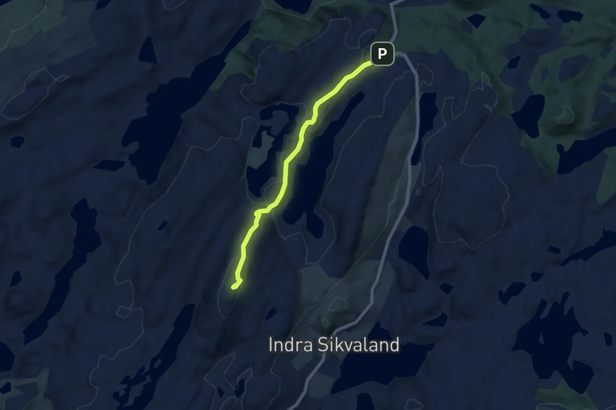
Easy · Summit
Sikvalandskula
4.6 km · ↑ 195 m · 1 h 30 min
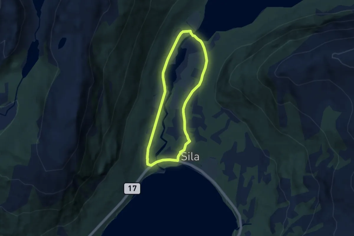
Easy · Trail
Silarunden
6.6 km · ↑ 89 m · 1 h 45 min
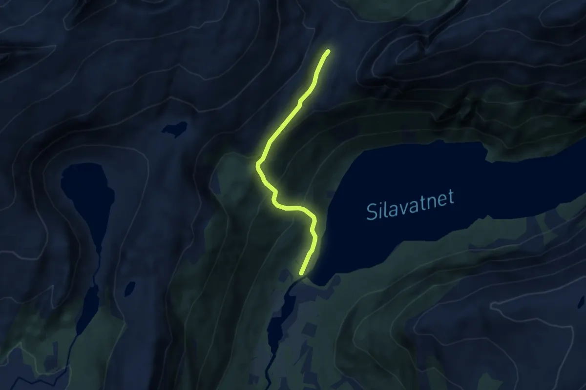
Medium · Trail
Silaskardet
4.3 km · ↑ 326 m · 1 h 43 min
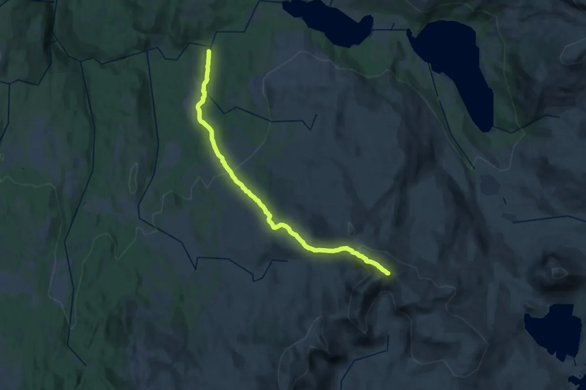
Demanding · Trail
Sildra-Storskarven
17.6 km · ↑ 818 m · 5 h 56 min
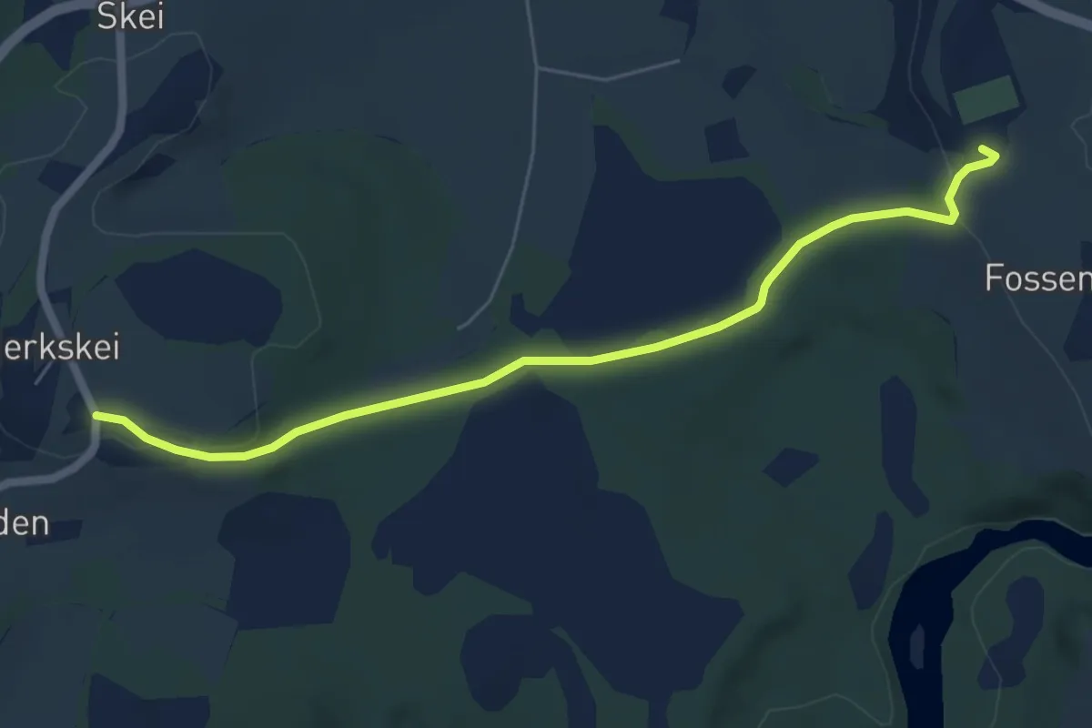
Easy · Trail
Sildtynnbakken
3.9 km · ↑ 71 m · 1 h 5 min
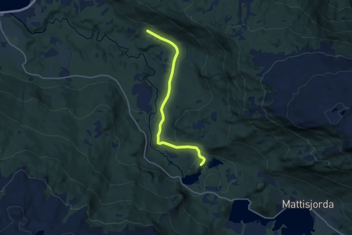
Easy · Trail
Sildvikvannet
5.8 km · ↑ 130 m · 1 h 39 min
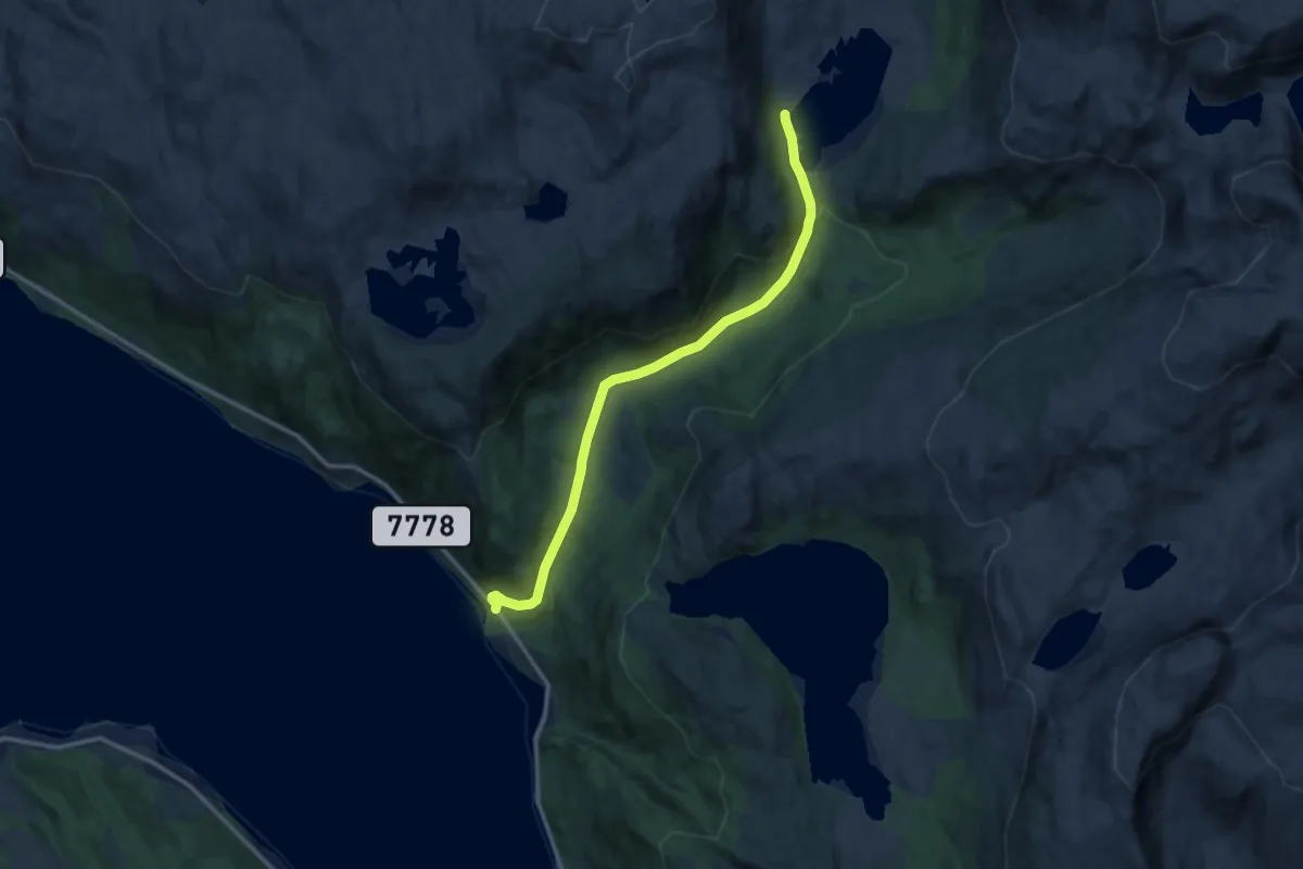
Easy · Trail
Simavika-Langvatnet
6.6 km · ↑ 193 m · 1 h 59 min
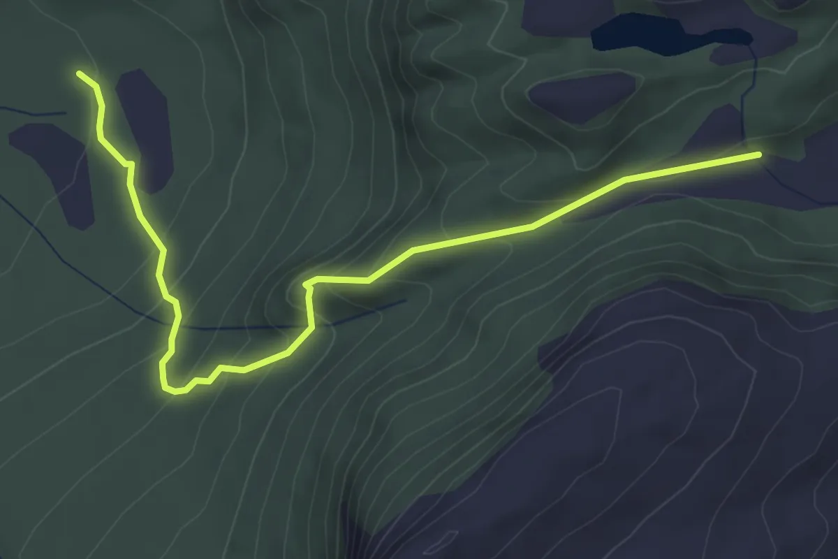
Easy · Trail
Simonskaret-Søviksætra
3.0 km · ↑ 233 m · 1 h 12 min
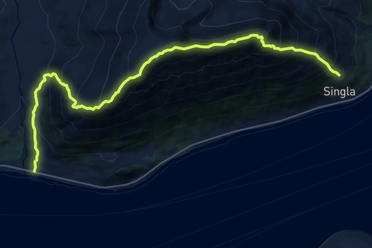
Demanding · Trail
Singeltinden
10.2 km · ↑ 1338 m · 5 h 19 min
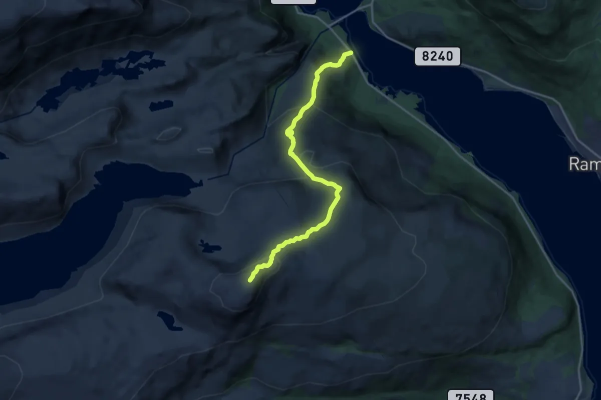
Demanding · Trail
Siriskolten turmål 7 i 8 flotte mål.
7.8 km · ↑ 650 m · 3 h 16 min
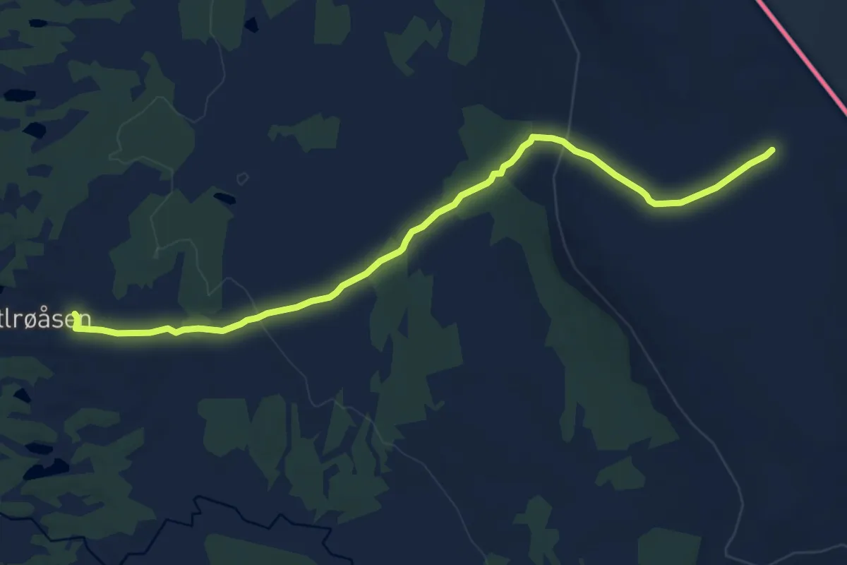
Medium · Trail
Sirivollen-Bjønnsten-Revflå
8.2 km · ↑ 170 m · 2 h 18 min
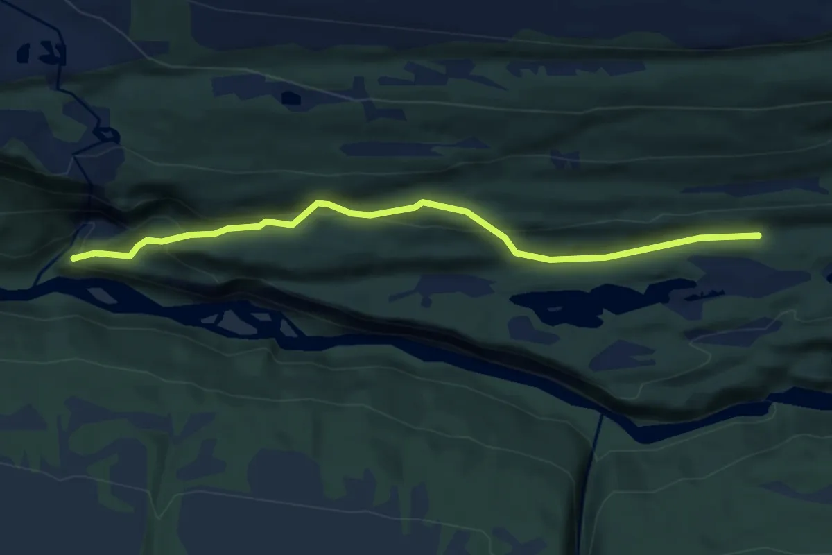
Easy · Trail
Sisselfossen
3.6 km · ↑ 202 m · 1 h 18 min
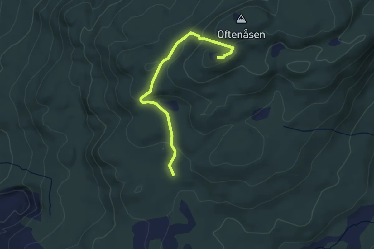
Easy · Trail
Siste utvei
2.2 km · ↑ 101 m · 45 min
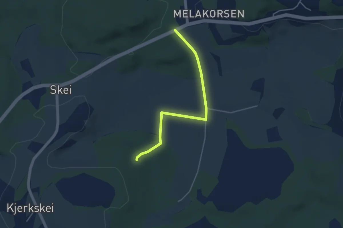
Easy · Trail
Siverthaugen
2.1 km · ↑ 48 m · 36 min
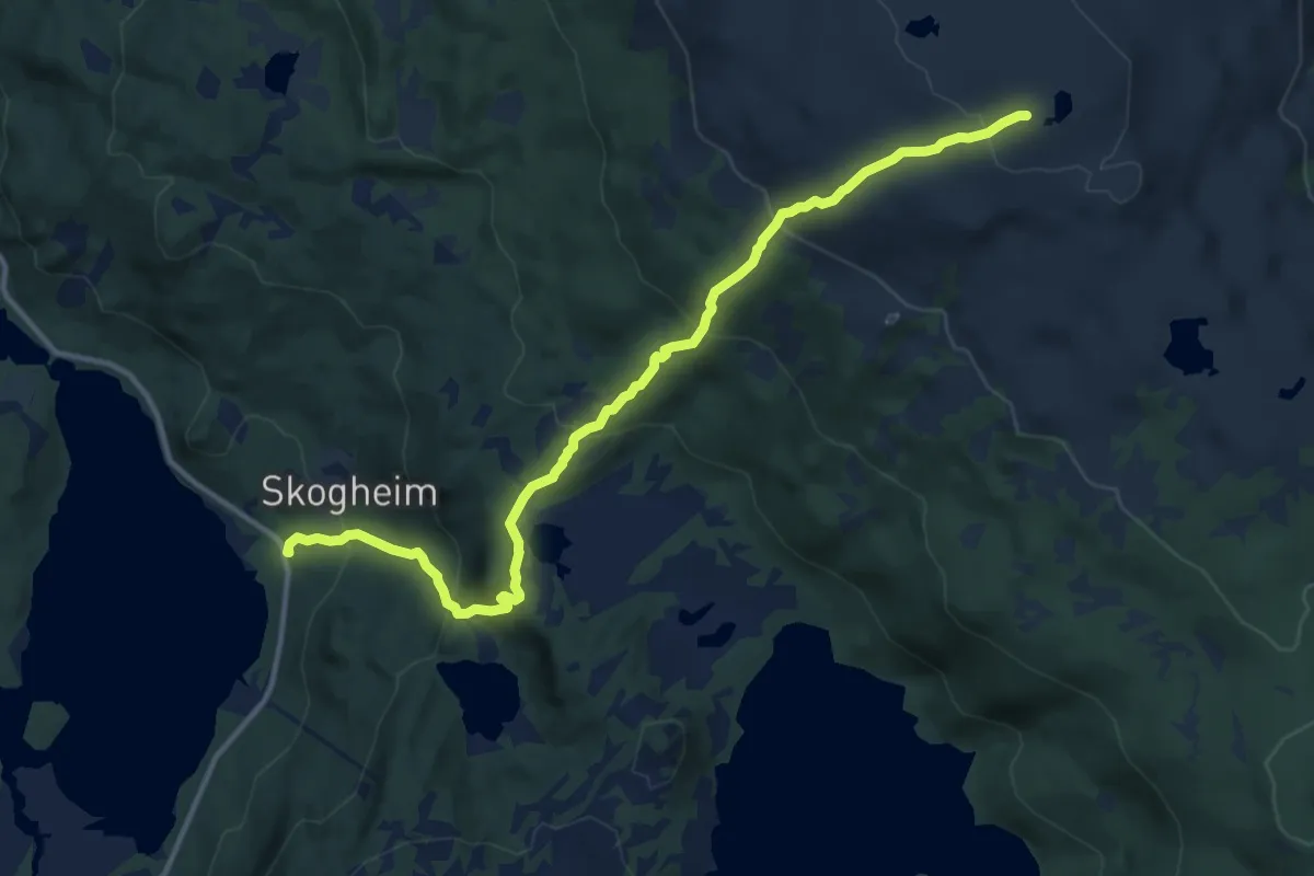
Medium · Trail
Sjåfjellet
7.3 km · ↑ 577 m · 2 h 59 min
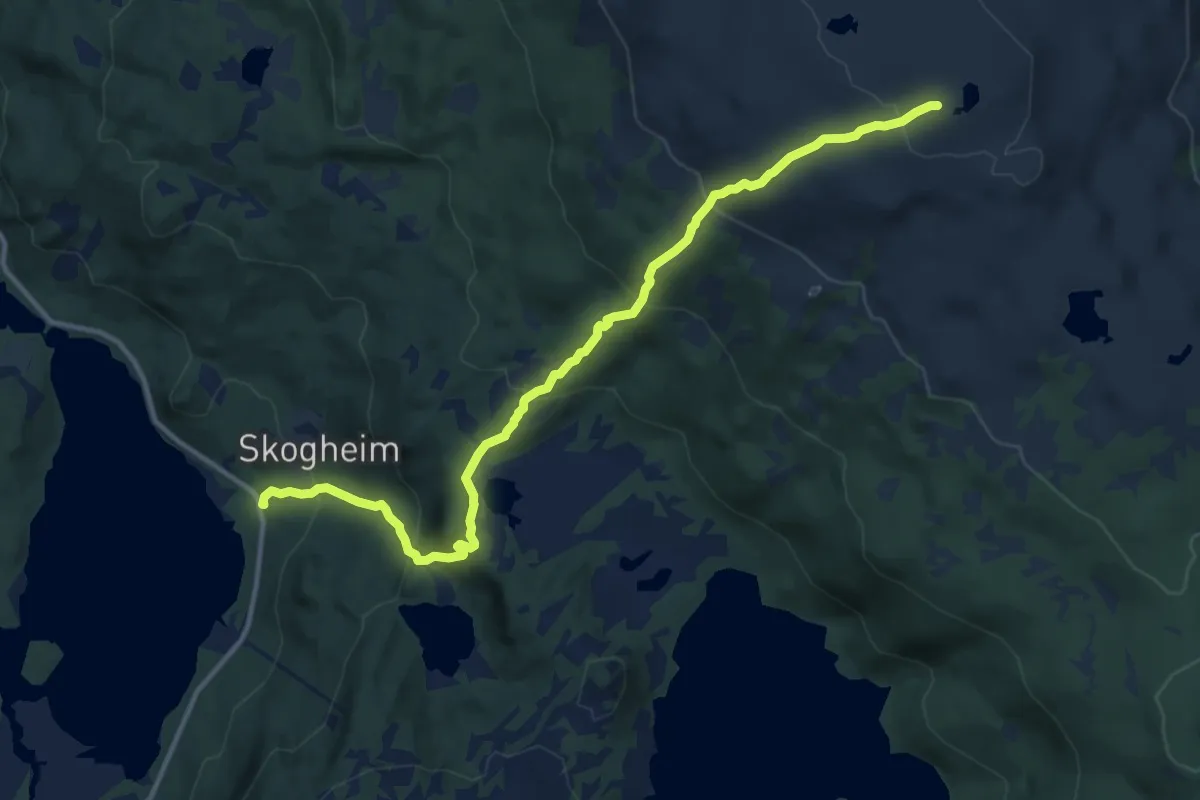
Medium · Trail
Sjåfjellet
7.3 km · ↑ 577 m · 2 h 59 min
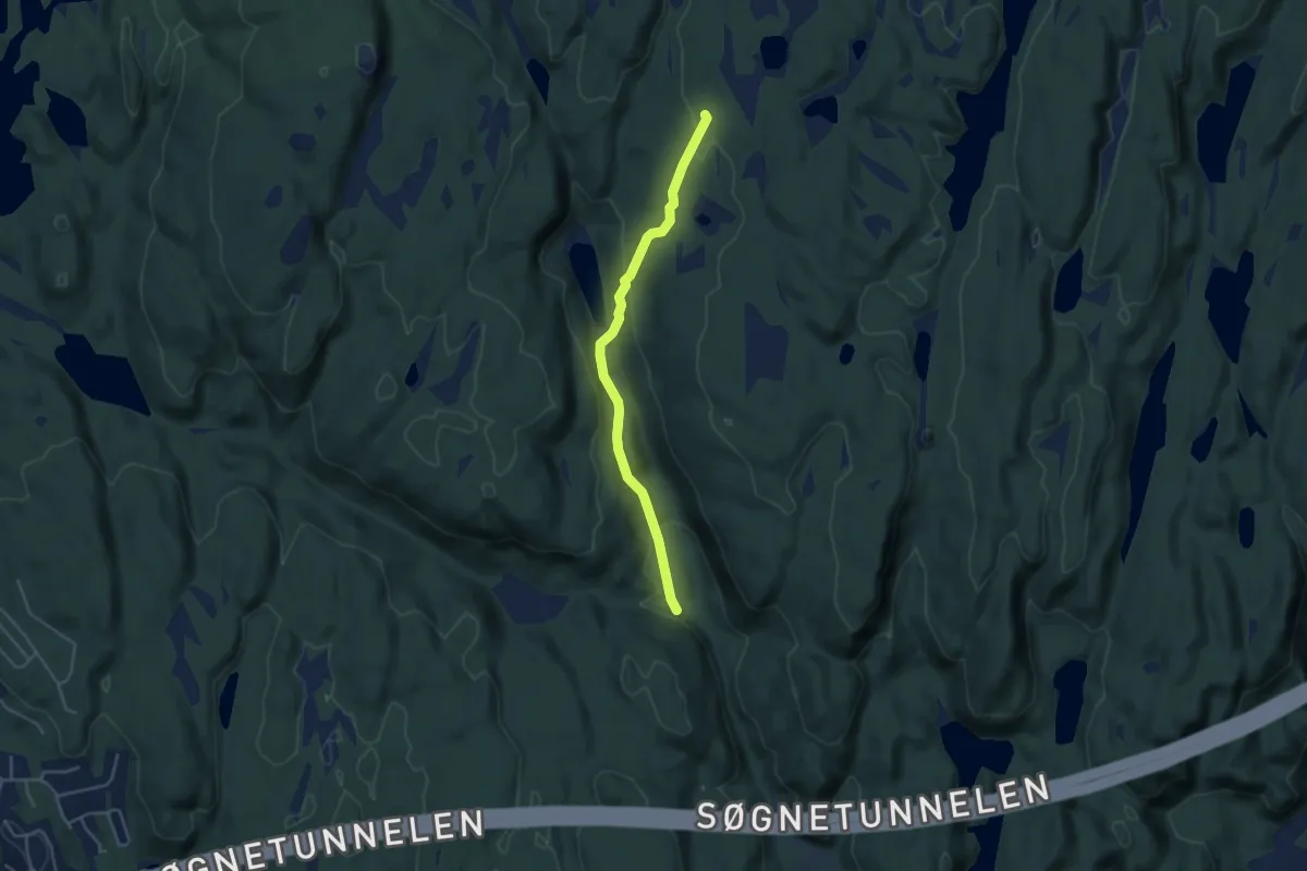
Easy · Trail
Sjåsæheia-Rotetjønna
3.0 km · ↑ 120 m · 58 min
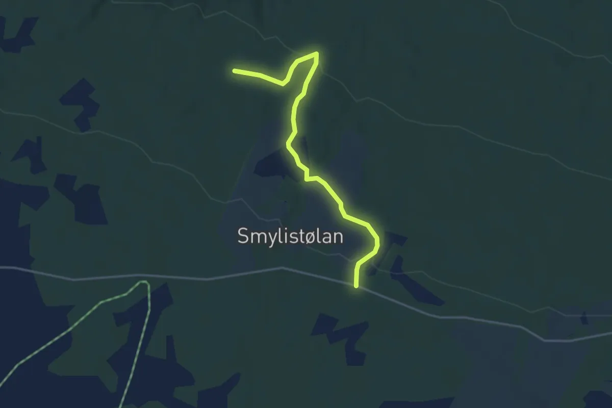
Easy · Trail
Sjauset
2.6 km · ↑ 72 m · 46 min
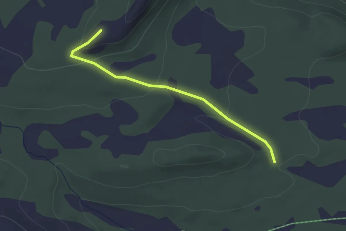
Easy · Trail
Sjauset
2.1 km · ↑ 84 m · 40 min
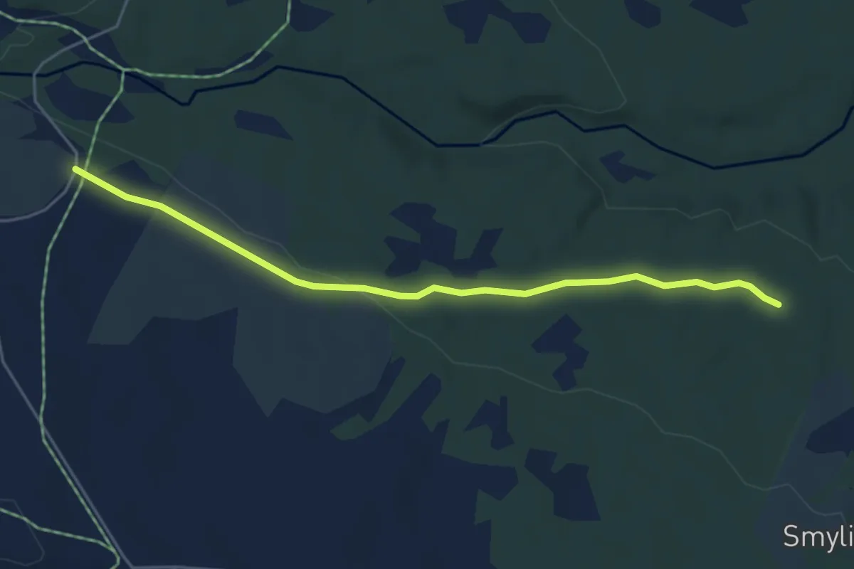
Easy · Trail
Sjauset
3.5 km · ↑ 40 m · 54 min
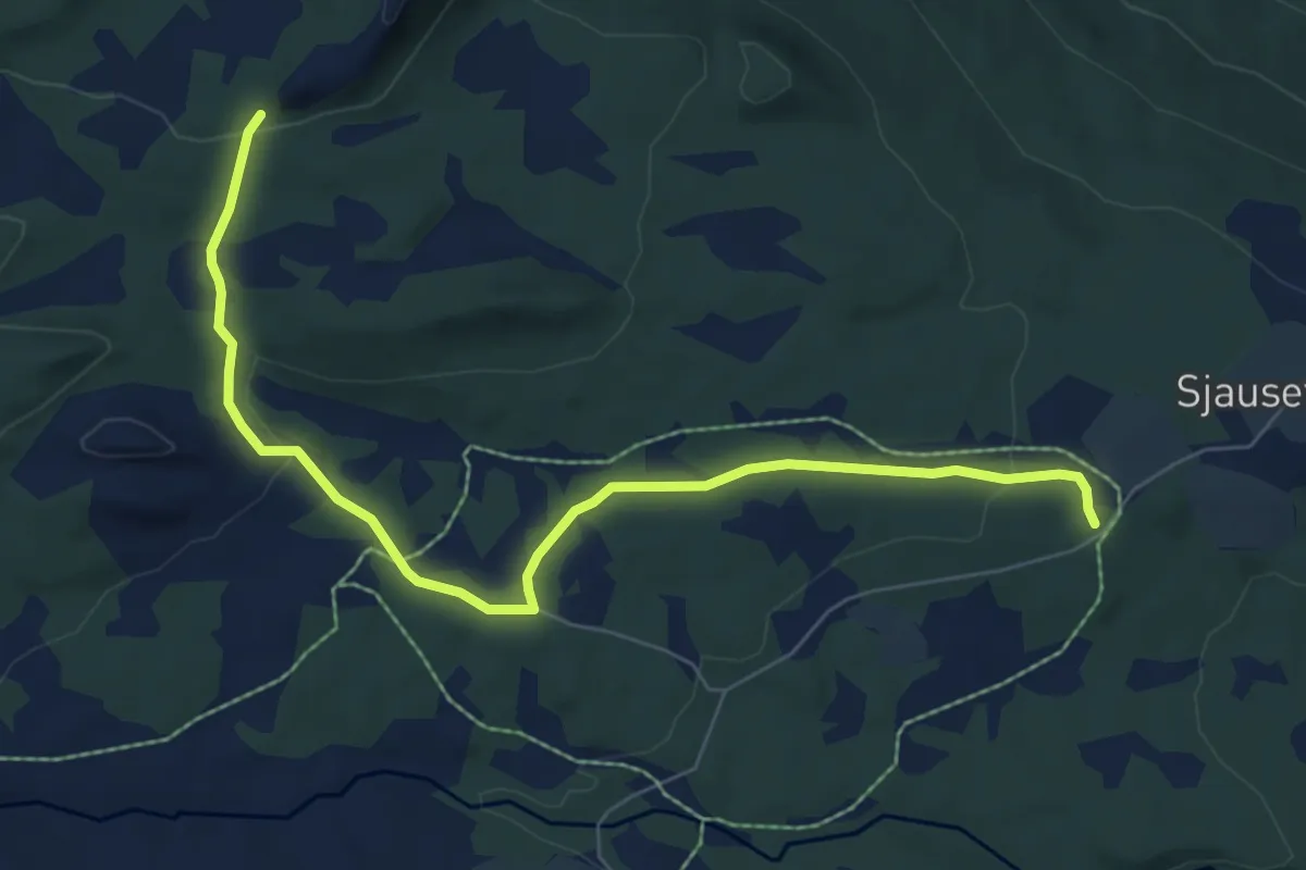
Easy · Trail
Sjauset
5.5 km · ↑ 124 m · 1 h 33 min
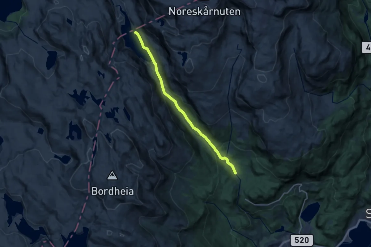
Medium · Cabin
Sjeivadn - Storavassbu
9.7 km · ↑ 364 m · 3 h 5 min
Medium · Trail
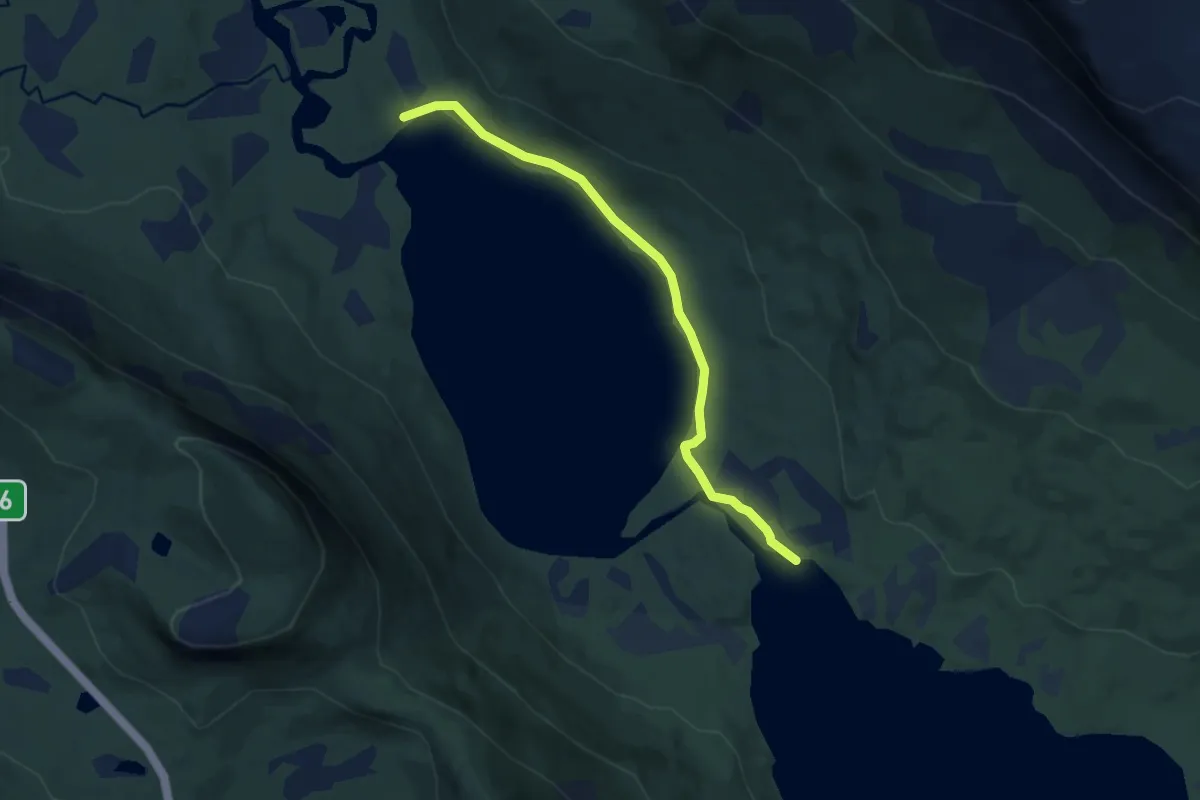
Sjettevatnet til Sjuendevatnet
4.5 km · ↑ 58 m · 1 h 12 min
Demanding · Trail
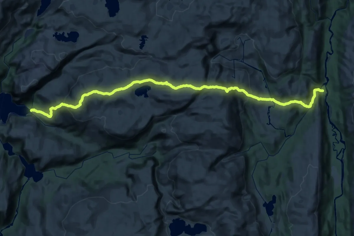
Sjøbergmarsjen
20.2 km · ↑ 1051 m · 7 h 14 min
Medium · Trail
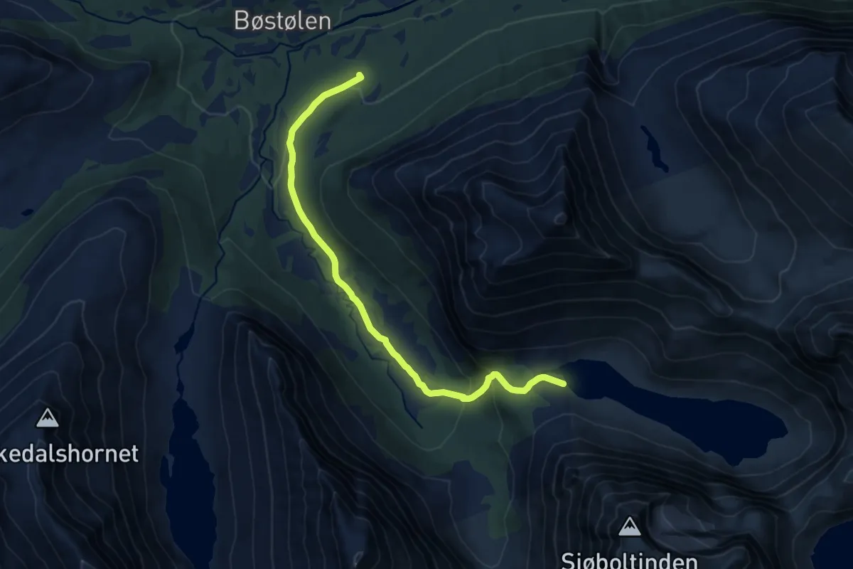
Sjøbolet
8.9 km · ↑ 333 m · 2 h 50 min
Demanding · Trail
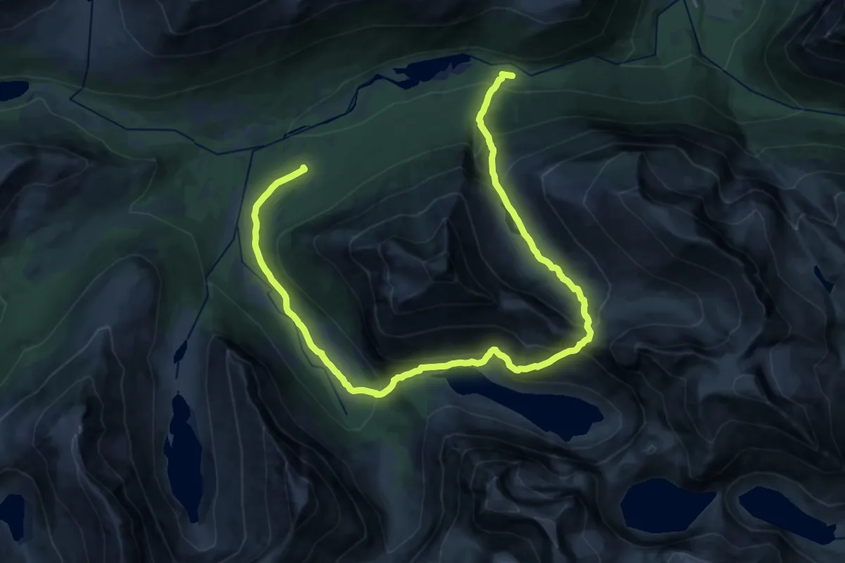
Sjøbolet - Berillstølen
20.0 km · ↑ 1353 m · 7 h 39 min
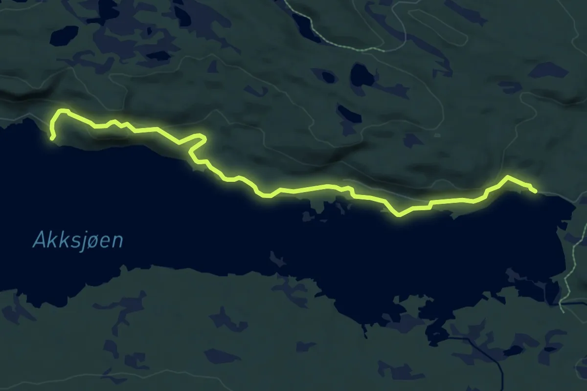
Easy · Trail
Sjøhytta - Nøsshytta
7.3 km · ↑ 219 m · 2 h 12 min
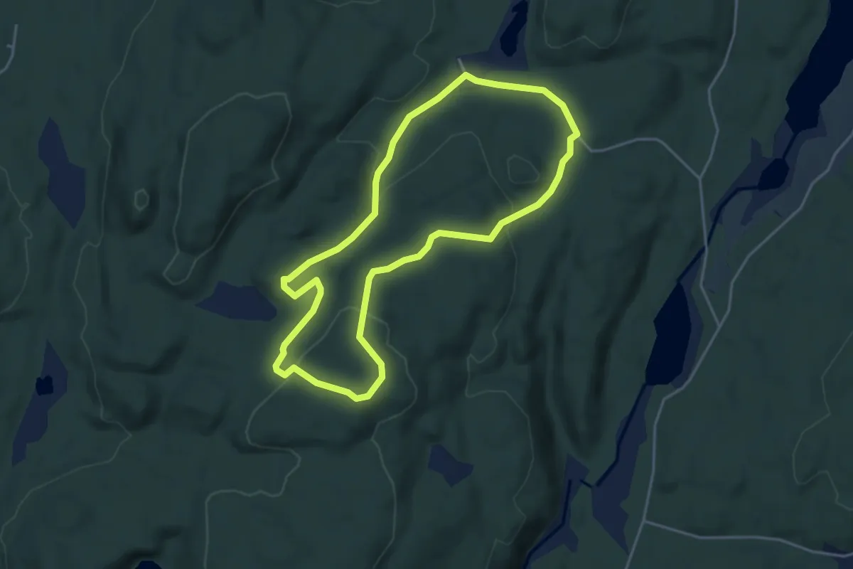
Easy · Trail
Sjømannsheia (del av Åsanerunden)
5.9 km · ↑ 194 m · 1 h 49 min
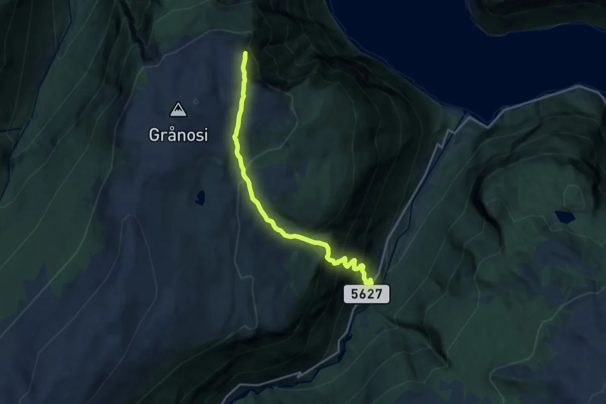
Demanding · Trail
Sjønosi
8.8 km · ↑ 921 m · 4 h 5 min
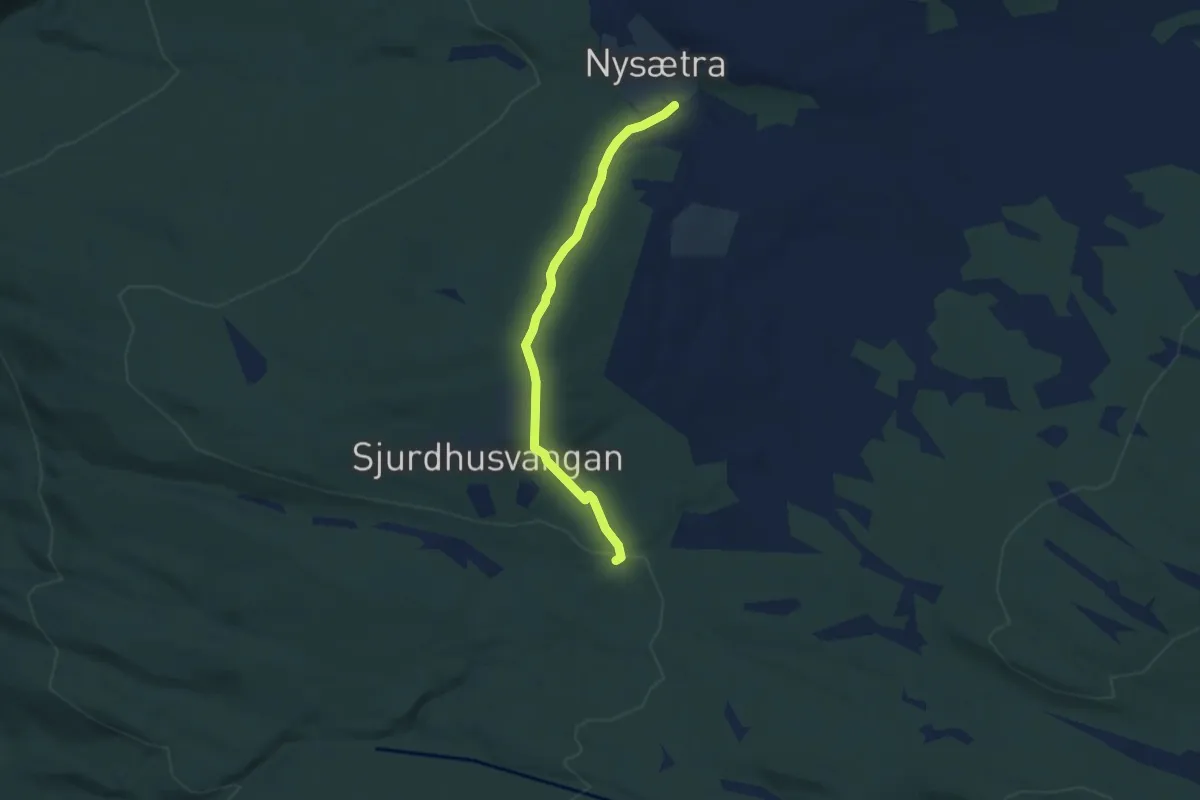
Easy · Trail
Sjulhusvangan - Nysætra
3.6 km · ↑ 133 m · 1 h 9 min