Trails in Norway
7,452 hiking trails, each with its route, climb, walking time and grade.
All trails, page 86 of 156
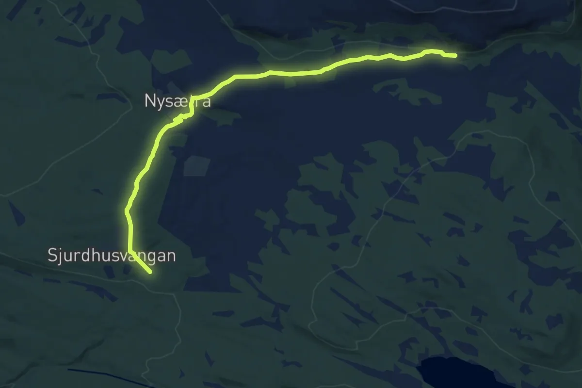
Medium · Trail
Sjulhusvangen - Rundvangen
8.3 km · ↑ 176 m · 2 h 20 min
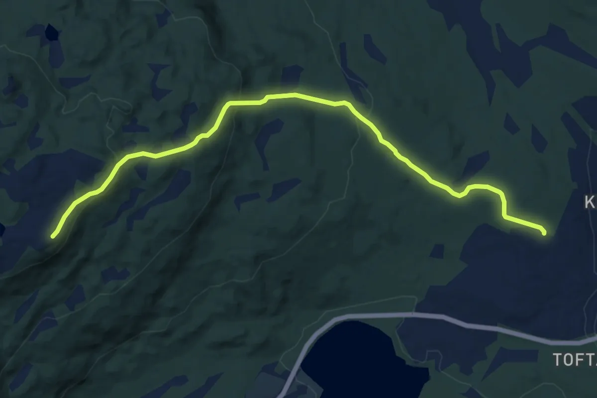
Easy · Trail
Sjupynten
6.9 km · ↑ 301 m · 2 h 17 min
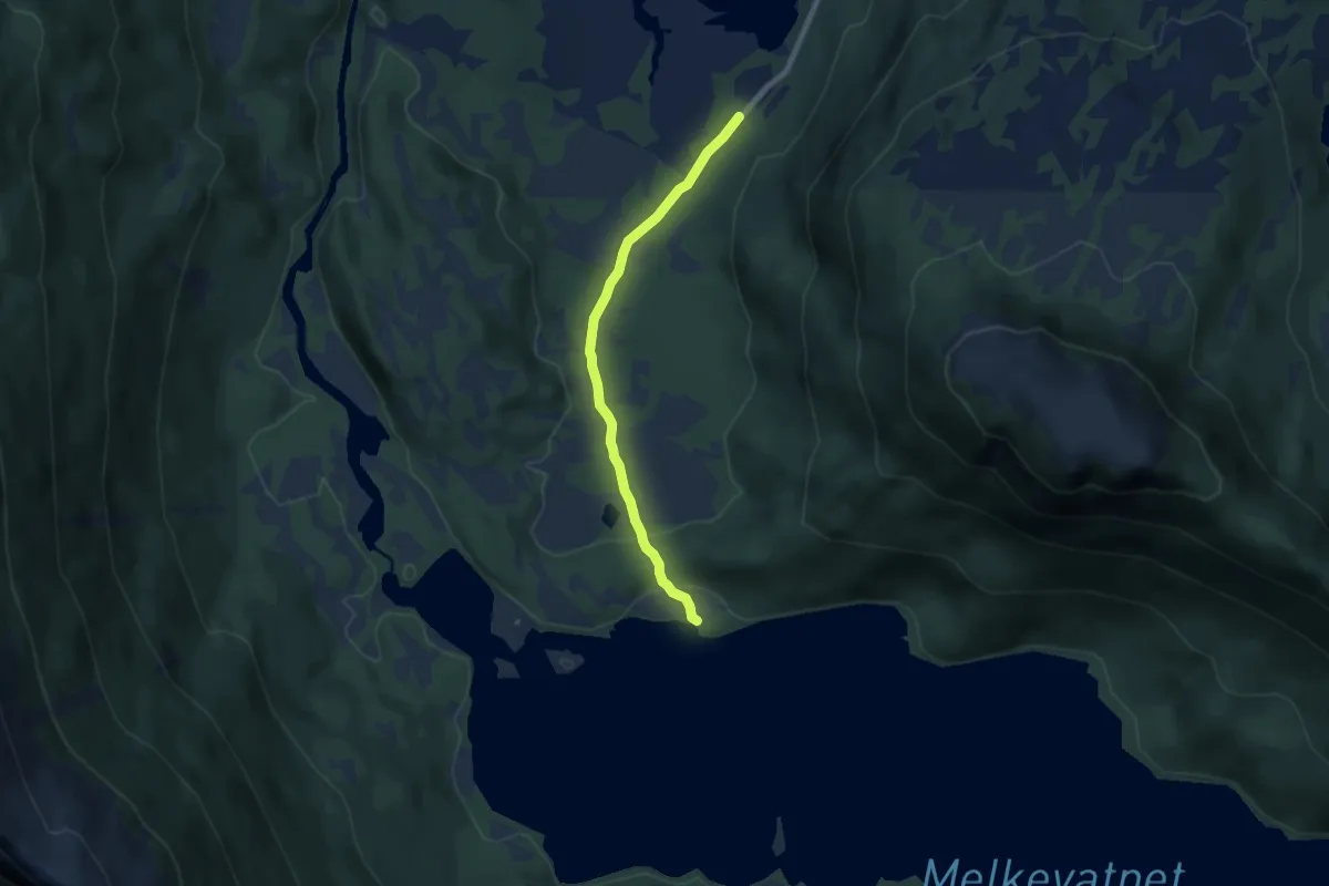
Easy · Trail
Sjurvassbotn - Melkevatnet
3.8 km · ↑ 65 m · 1 h 3 min
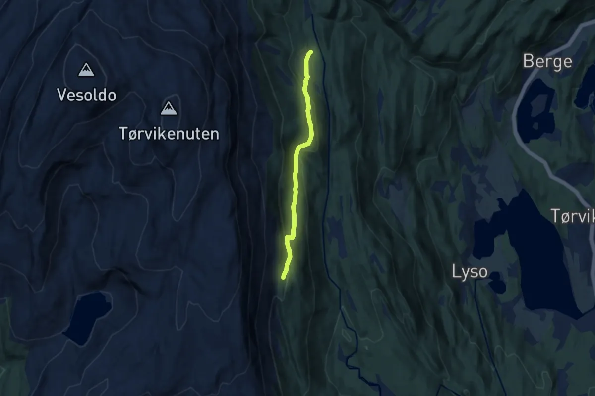
Easy · Trail
Sjusete - Gatå
4.1 km · ↑ 174 m · 1 h 21 min
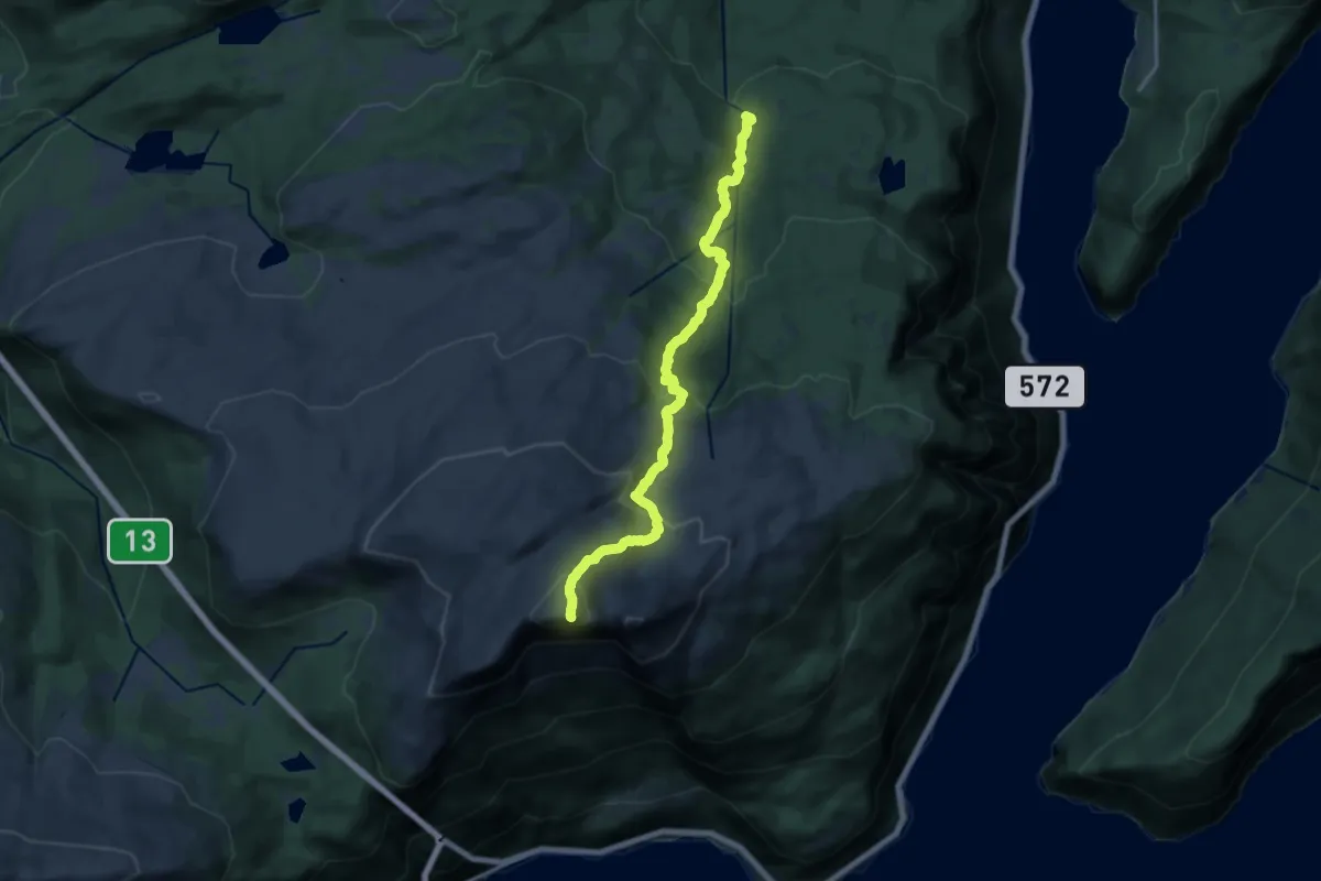
Demanding · Trail
Sjusete - Midtfjell
11.2 km · ↑ 830 m · 4 h 27 min
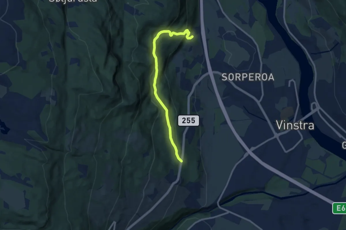
Easy · Trail
Skåbuvegen-Stormyrbakkin
5.3 km · ↑ 307 m · 1 h 55 min
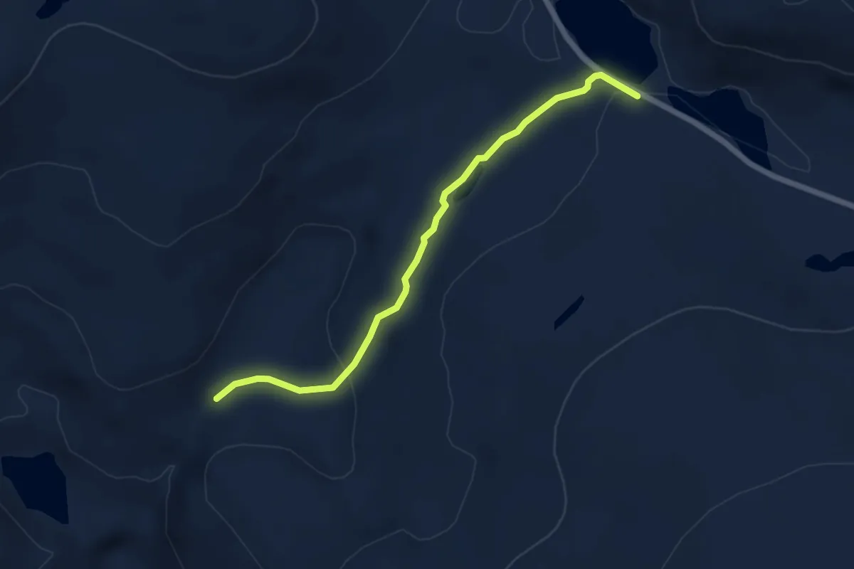
Easy · Trail
Skadjajohka
2.7 km · ↑ 72 m · 47 min
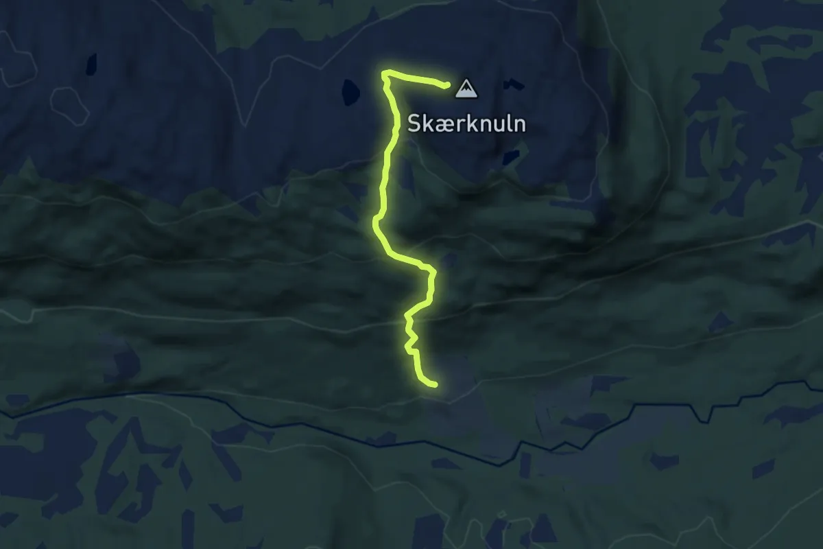
Medium · Trail
Skærknulen
4.2 km · ↑ 379 m · 1 h 48 min
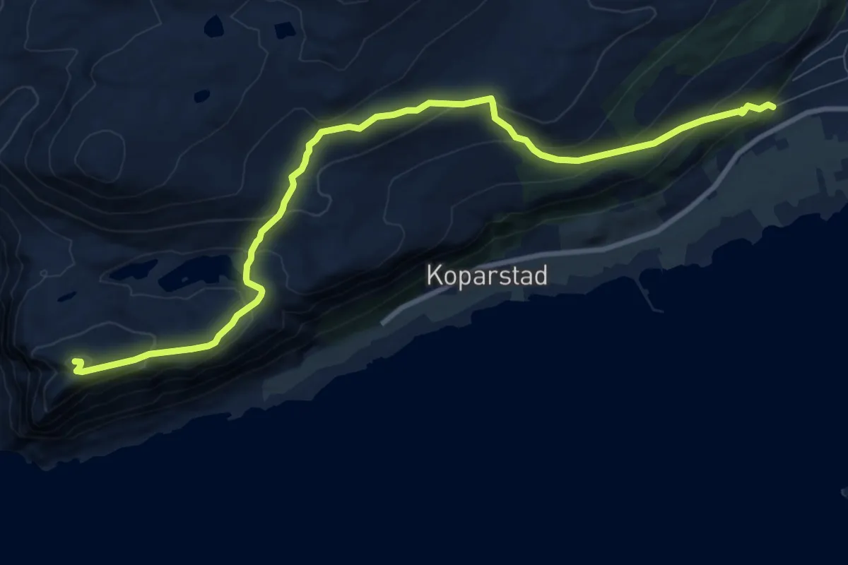
Medium · Trail
Skagetåa fra Mjelthaugvegen
7.4 km · ↑ 449 m · 2 h 43 min
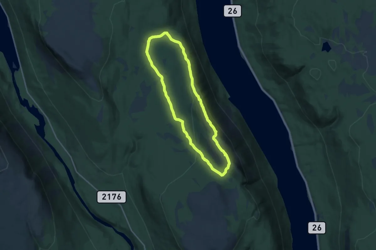
Medium · Trail
Skagsvola
16.4 km · ↑ 492 m · 4 h 57 min
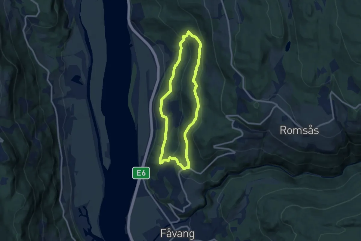
Medium · Trail
Skakkularunden
9.5 km · ↑ 379 m · 3 h 4 min
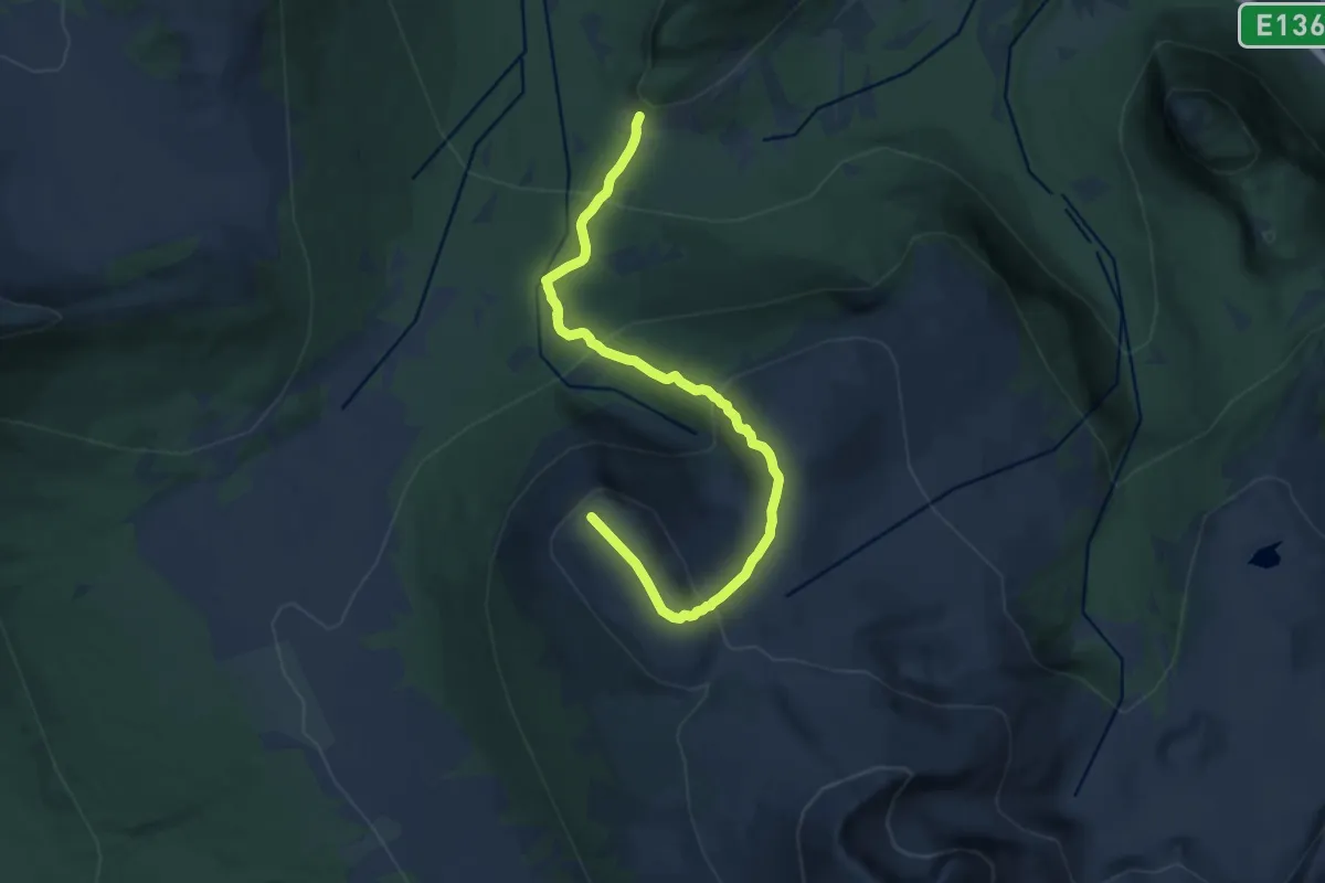
Medium · Trail
Skåla
10.2 km · ↑ 730 m · 4 h
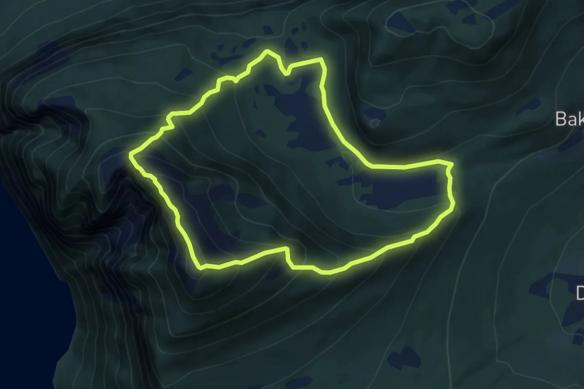
Medium · Trail
Skåla og Litleoksen
9.1 km · ↑ 741 m · 3 h 46 min
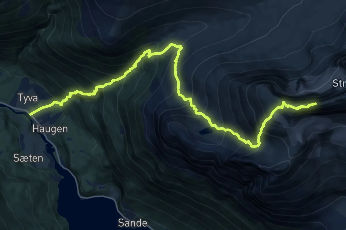
Expert · Summit
Skålastien
14.8 km · ↑ 1785 m · 7 h 21 min
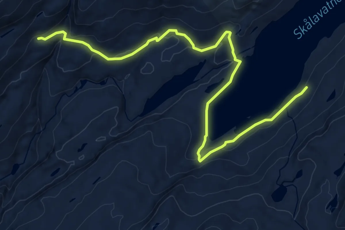
Medium · Cabin
Skålavatnet - Stølsdalen
9.9 km · ↑ 371 m · 3 h 9 min
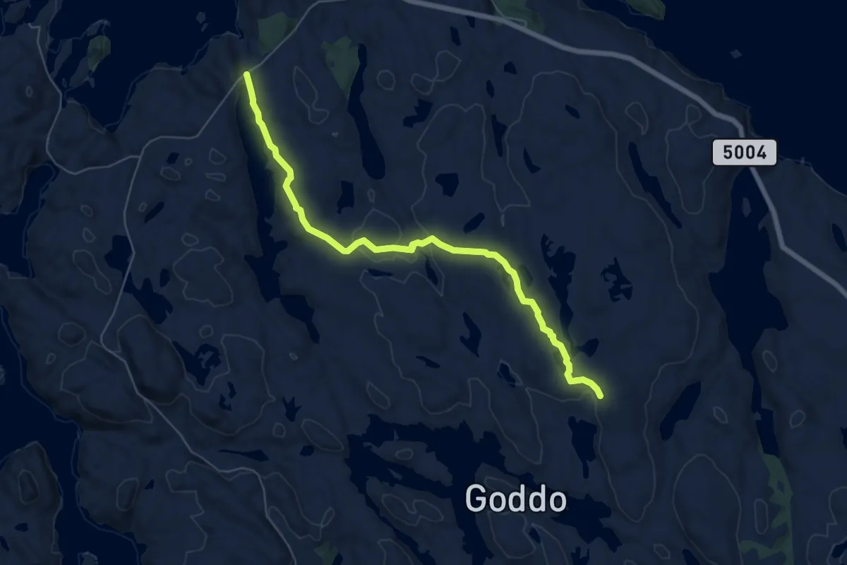
Easy · Trail
Skålavika - Krokavatnet
4.7 km · ↑ 67 m · 1 h 16 min
Medium · Trail
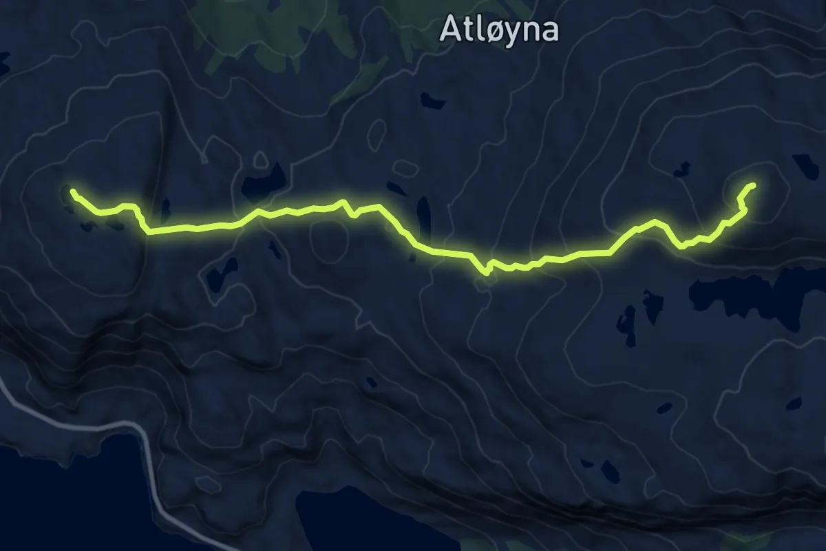
Skålefjell - Skredvarden
7.0 km · ↑ 498 m · 2 h 43 min
Easy · Summit
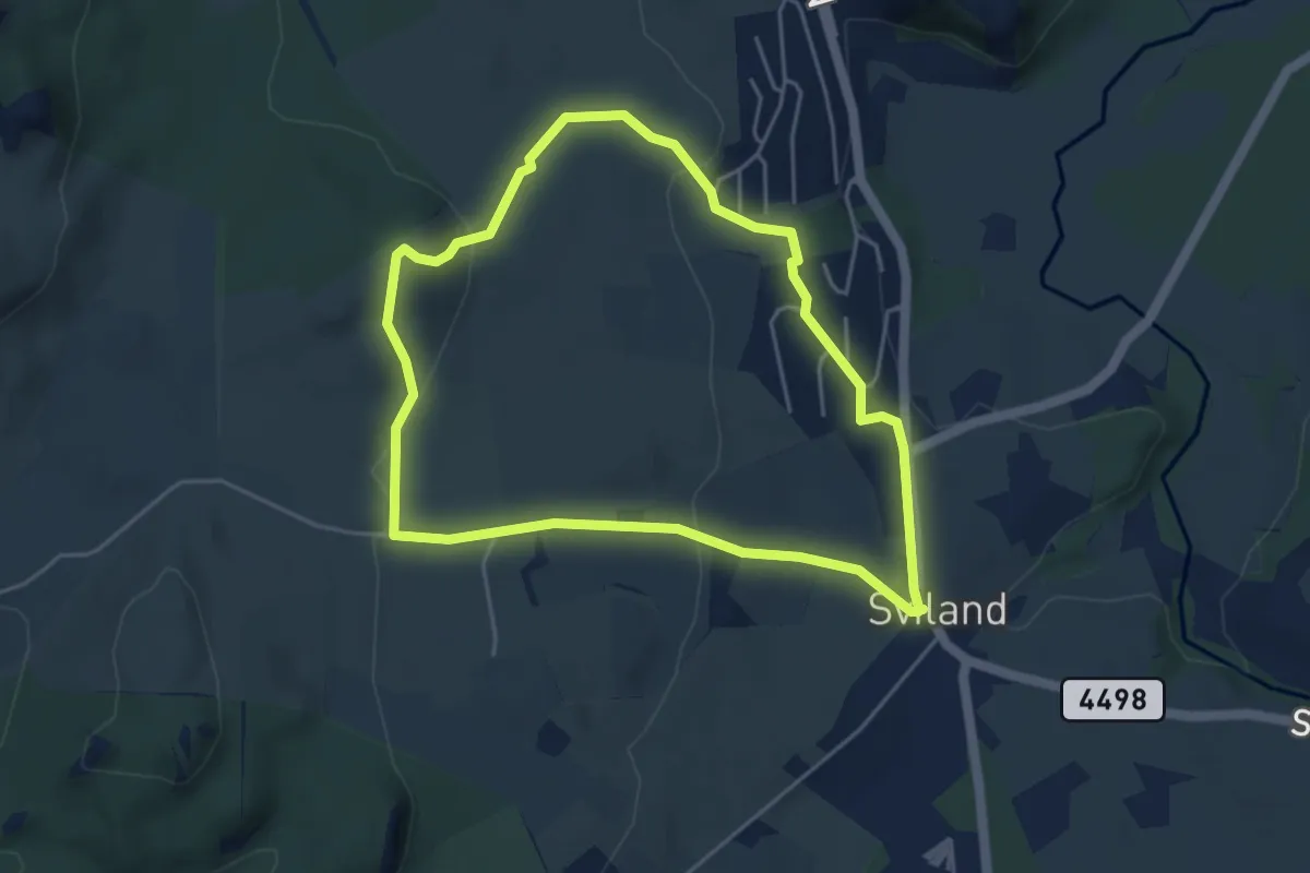
Skålshammeren
3.4 km · ↑ 122 m · 1 h 6 min
Easy · Cabin
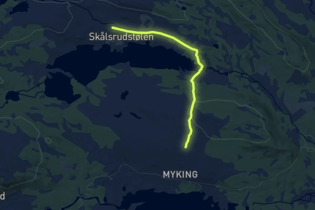
Skålsrudstølen-Myking/Fagerhøy
6.4 km · ↑ 112 m · 1 h 46 min
Medium · Trail
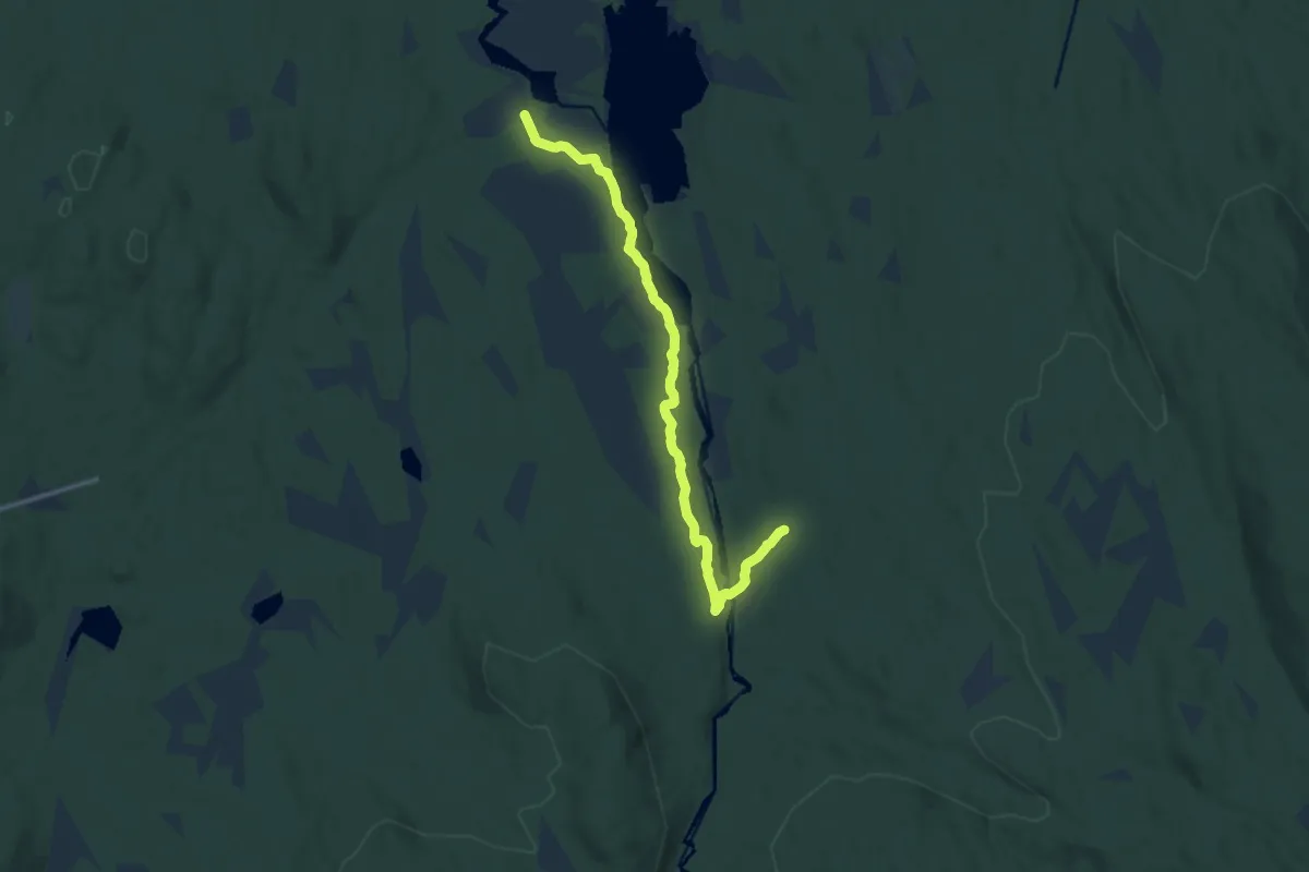
Skåltjennet-Barkilsætra
8.6 km · ↑ 59 m · 2 h 9 min
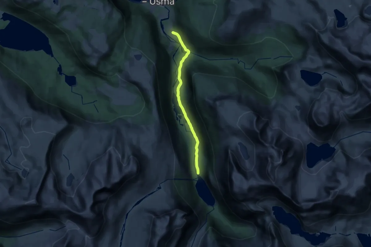
Medium · Trail
Skamdalen
14.0 km · ↑ 184 m · 3 h 42 min
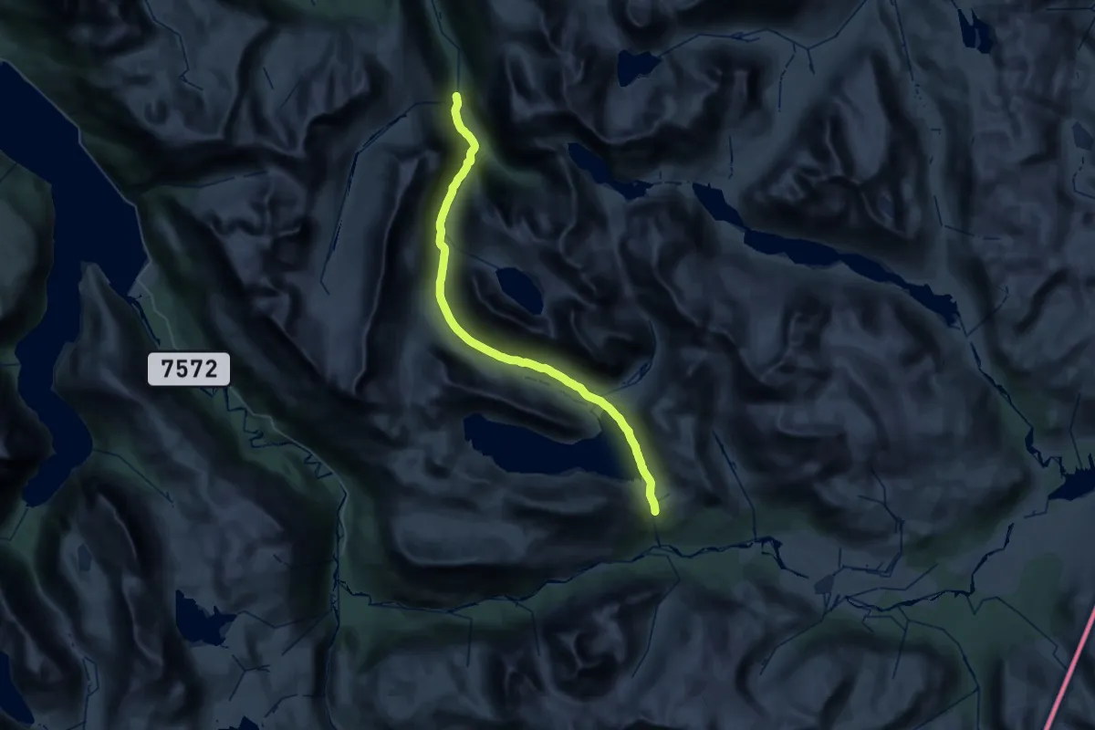
Expert · Cabin
Skamdalen - Losistua
16.9 km · ↑ 667 m · 5 h 24 min
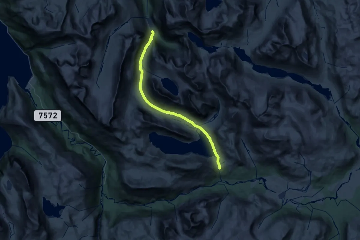
Medium · Cabin
Skamdalsvatnet - Losistua
15.3 km · ↑ 661 m · 4 h 59 min
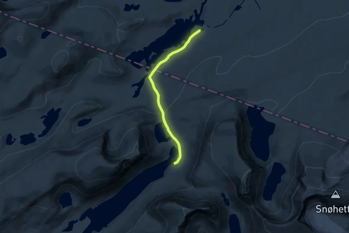
Demanding · Cabin
Skamsdalen-Langvatnet-Åmotdalshytta
8.8 km · ↑ 122 m · 2 h 21 min
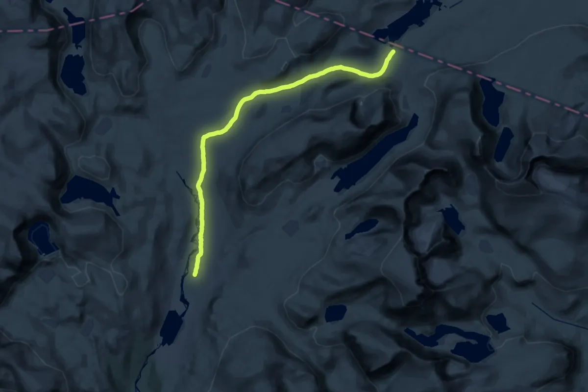
Demanding · Trail
Skamsdalsætrin-Åmotsdalshytta
22.4 km · ↑ 303 m · 5 h 57 min
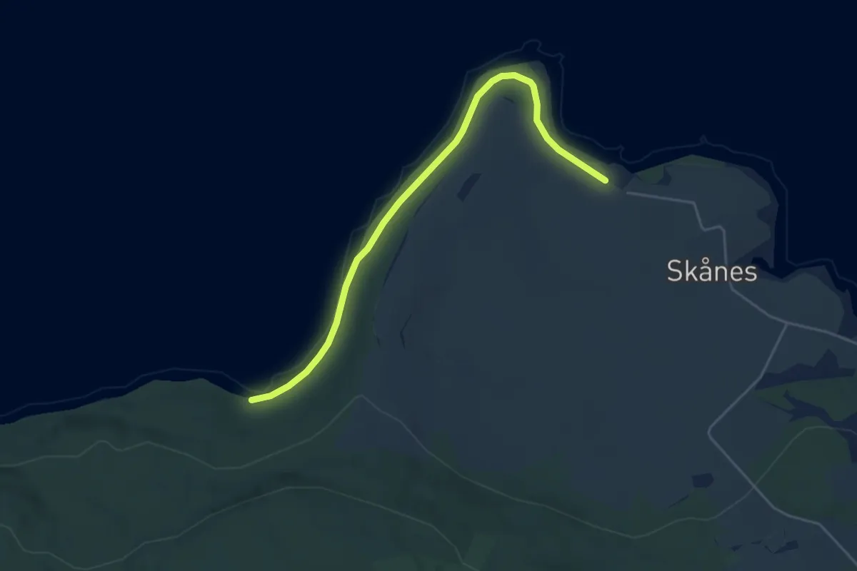
Easy · Trail
Skånes - Skånestangen - Djupvika
3.1 km · ↑ 8 m · 45 min
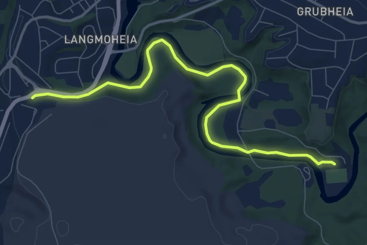
Easy · Trail
Skansen til Klokkerhagen
5.2 km · ↑ 57 m · 1 h 21 min
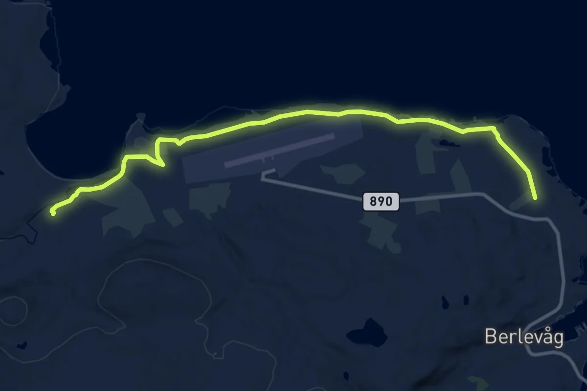
Easy · Trail
Skånsvika via Valen
9.7 km · ↑ 13 m · 2 h 19 min
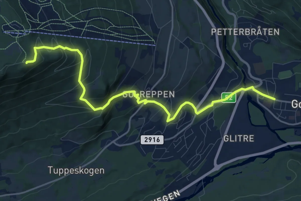
Medium · Trail
Skaraåsen
9.2 km · ↑ 614 m · 3 h 30 min
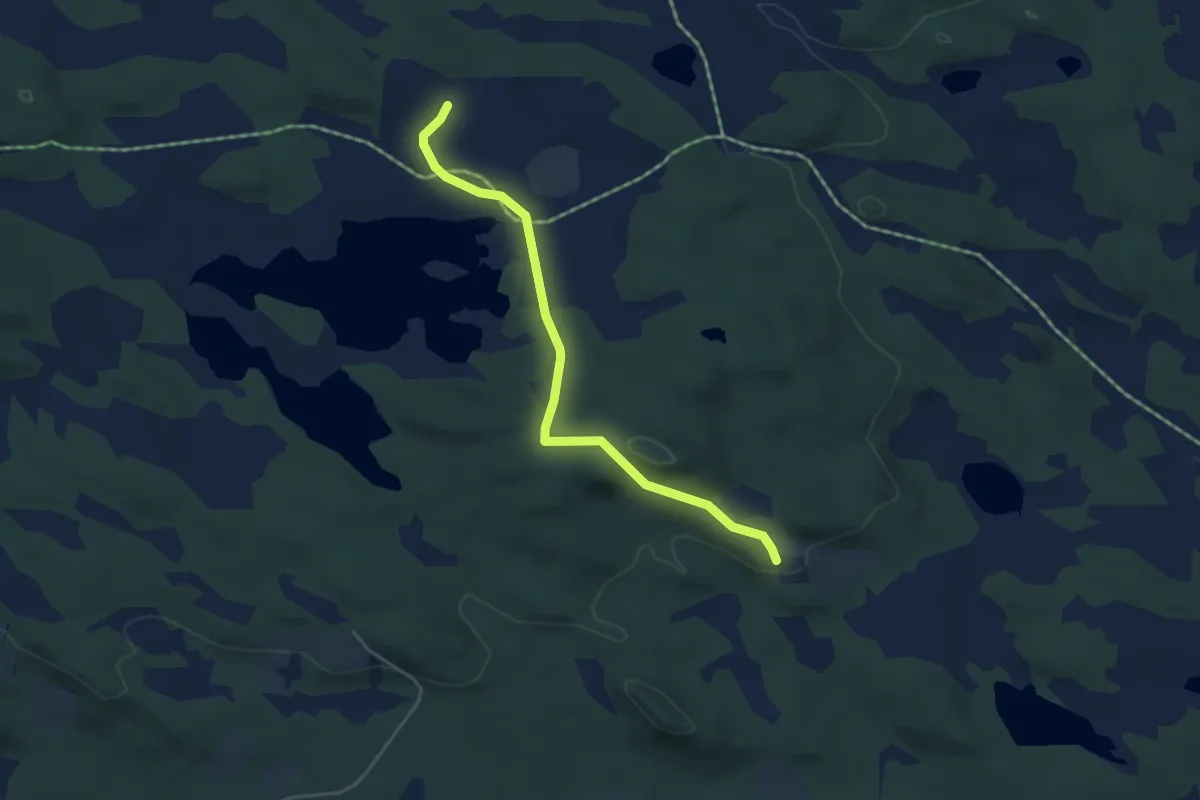
Easy · Trail
Skaraåsen
3.1 km · ↑ 64 m · 52 min
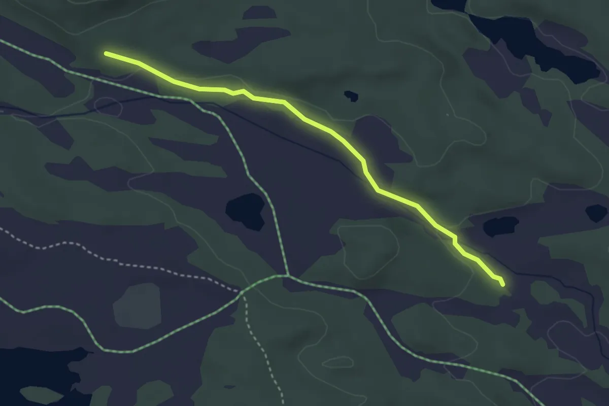
Easy · Trail
Skaraåsen
2.5 km · ↑ 35 m · 39 min
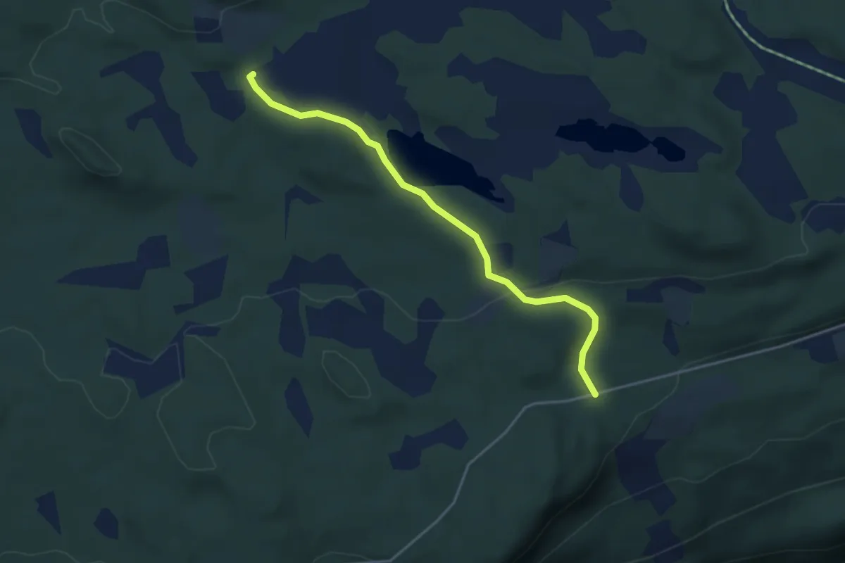
Easy · Trail
Skaraåsen
2.8 km · ↑ 61 m · 47 min
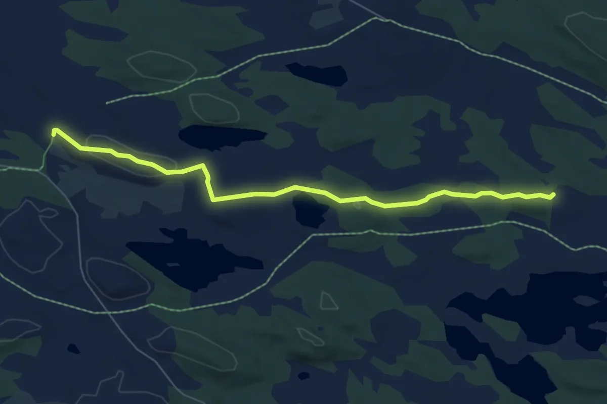
Easy · Trail
Skaraåsen
4.6 km · ↑ 67 m · 1 h 14 min
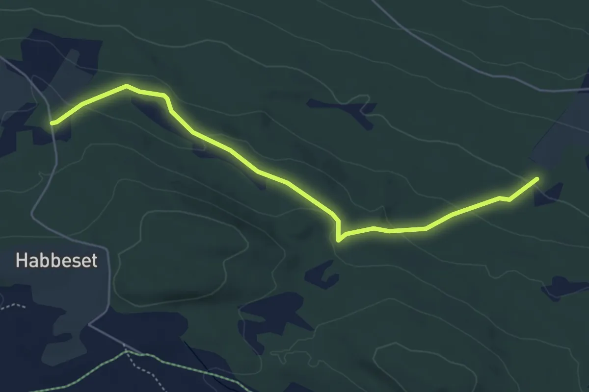
Easy · Trail
Skaraåsen
3.7 km · ↑ 98 m · 1 h 5 min
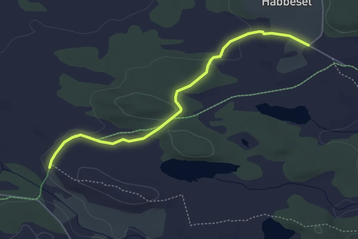
Easy · Trail
Skaraåsen
3.2 km · ↑ 40 m · 50 min
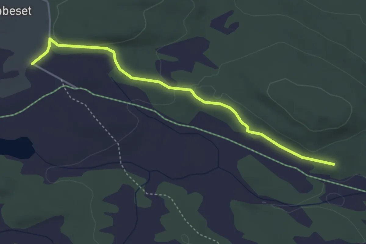
Easy · Trail
Skaraåsen
2.8 km · ↑ 42 m · 45 min
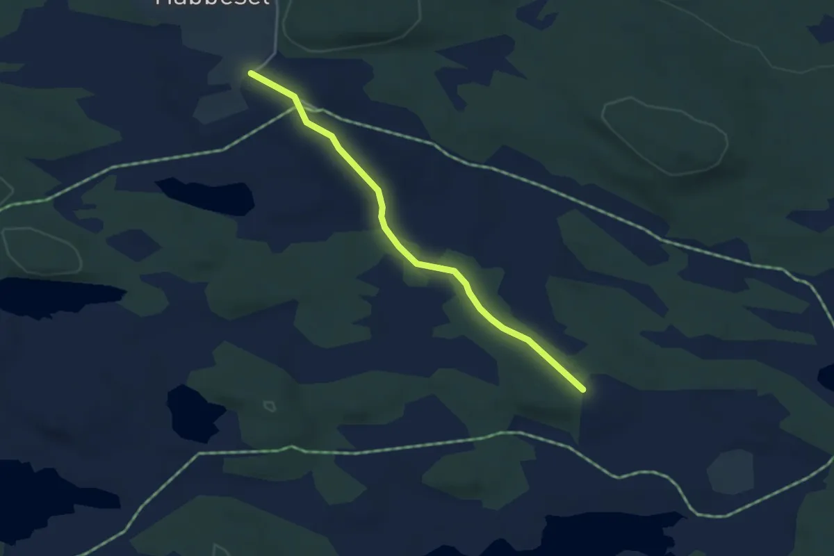
Easy · Trail
Skaraåsen
2.5 km · ↑ 21 m · 38 min
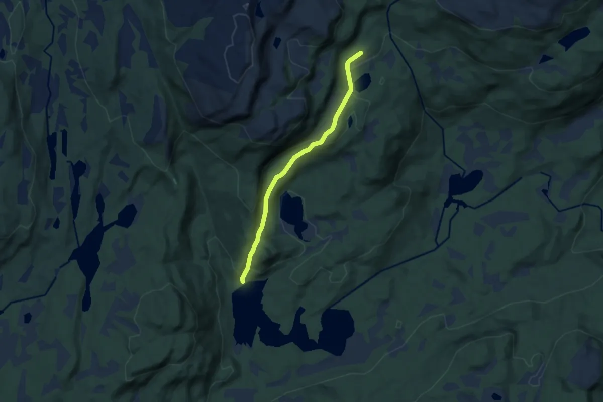
Easy · Trail
Skårasetra - Tangevollen
4.1 km · ↑ 181 m · 1 h 21 min
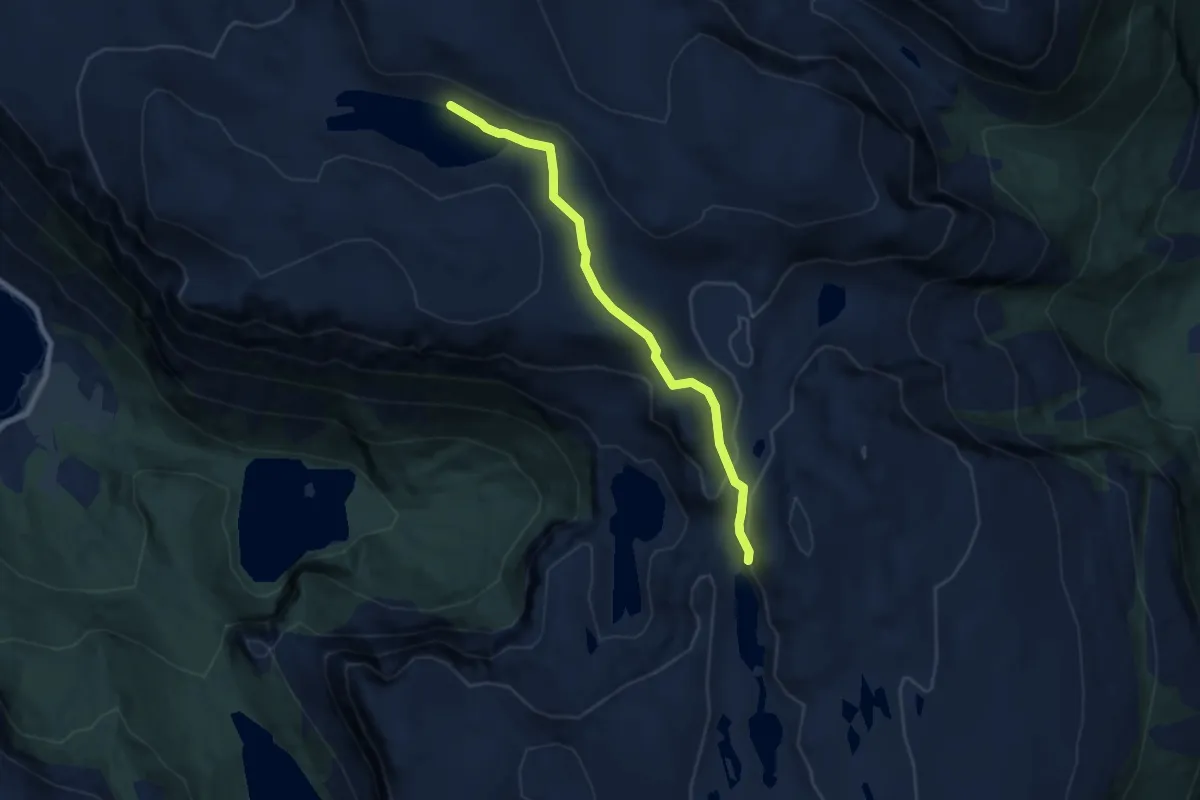
Medium · Trail
Skaravatnet-Langevatnet
5.1 km · ↑ 163 m · 1 h 33 min
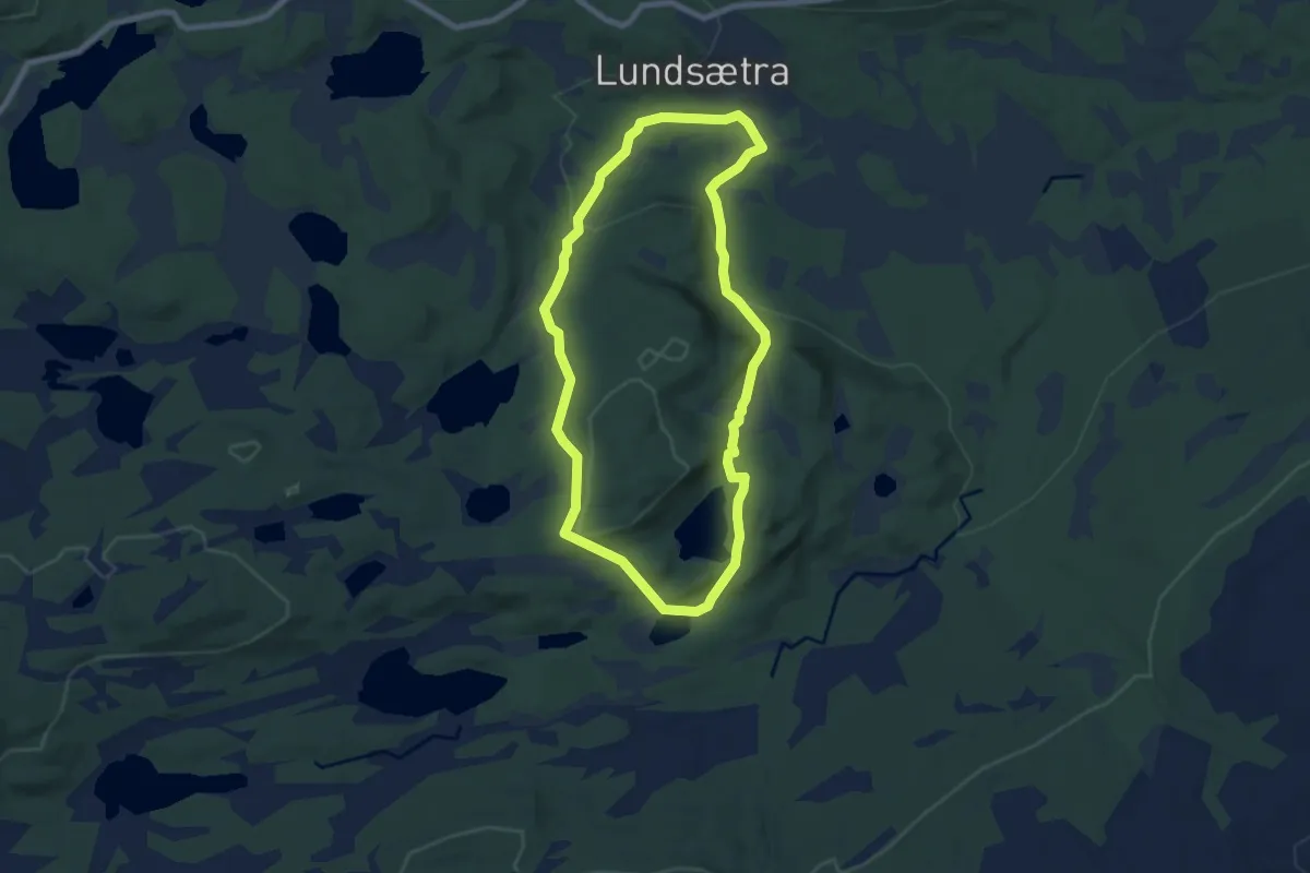
Medium · Trail
Skardberga natursti
10.0 km · ↑ 311 m · 3 h 2 min
Medium · Trail
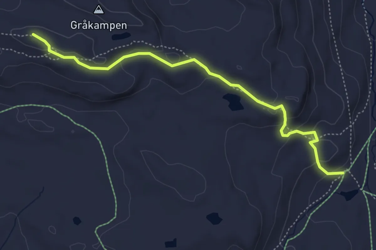
Skardbua - Gråkampen
3.5 km · ↑ 124 m · 1 h 6 min
Medium · Trail
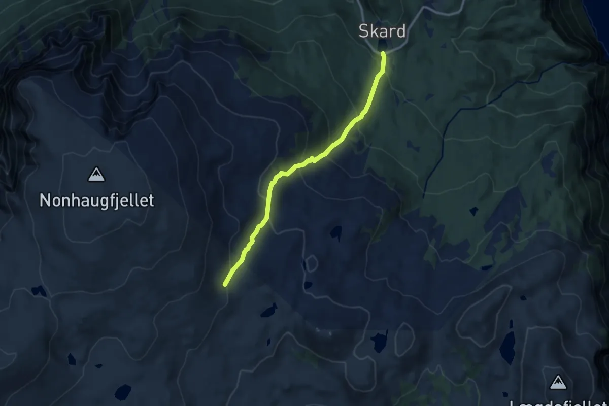
Skard-Jordalsskardet
6.6 km · ↑ 522 m · 2 h 42 min
Medium · Trail
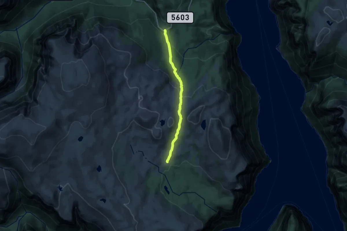
Skard-Legdene
9.7 km · ↑ 442 m · 3 h 15 min
Demanding · Trail
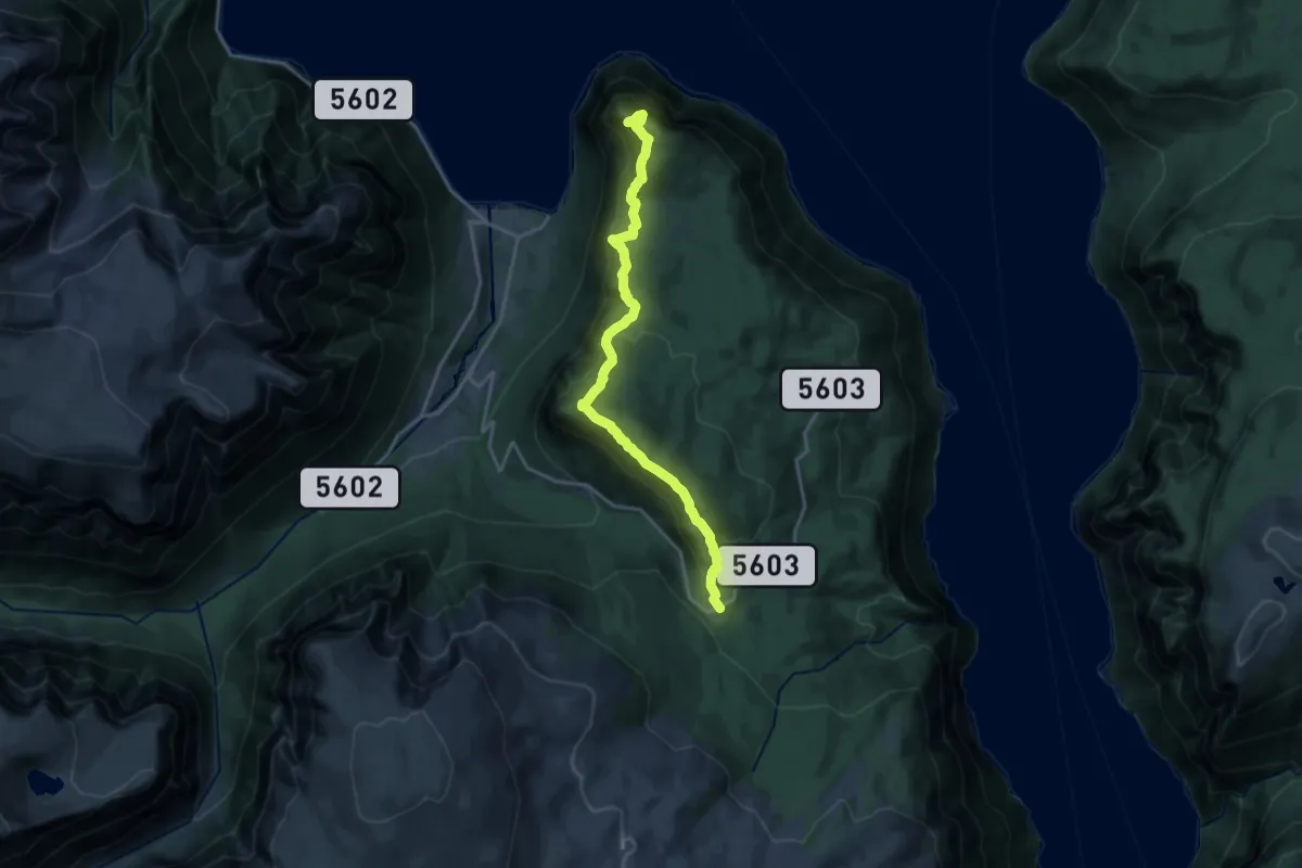
Skard-Mulakamben
13.1 km · ↑ 981 m · 5 h 13 min
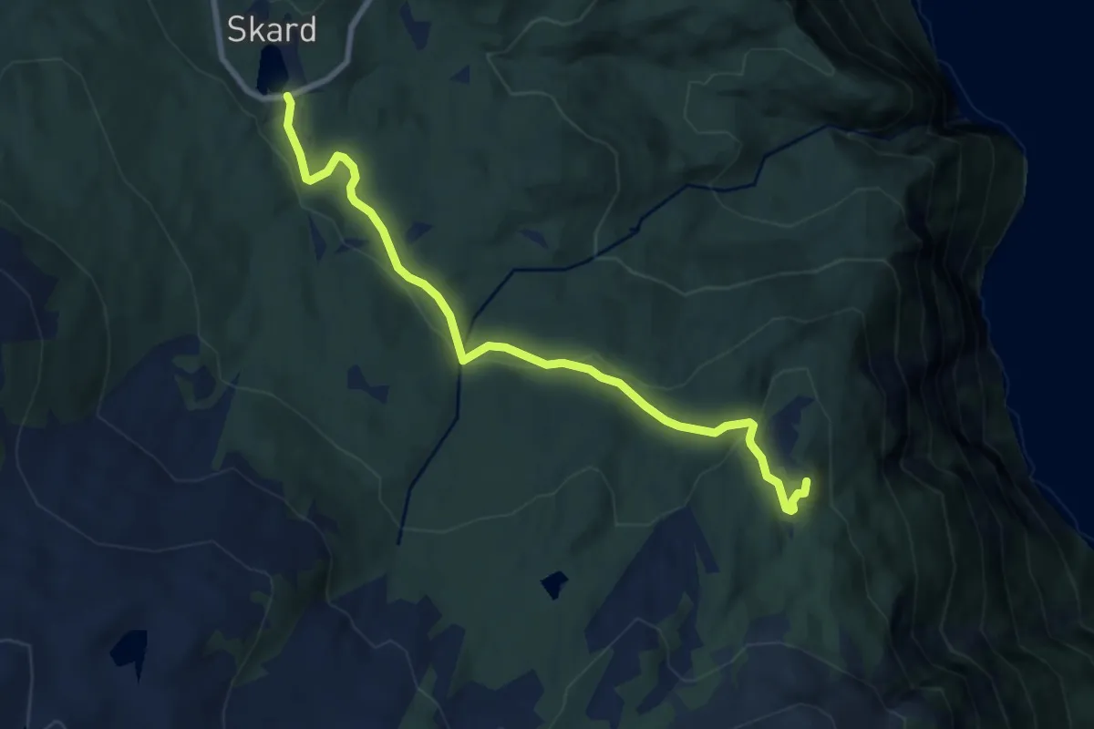
Easy · Trail
Skard-Trollsgjelholten
6.0 km · ↑ 221 m · 1 h 54 min
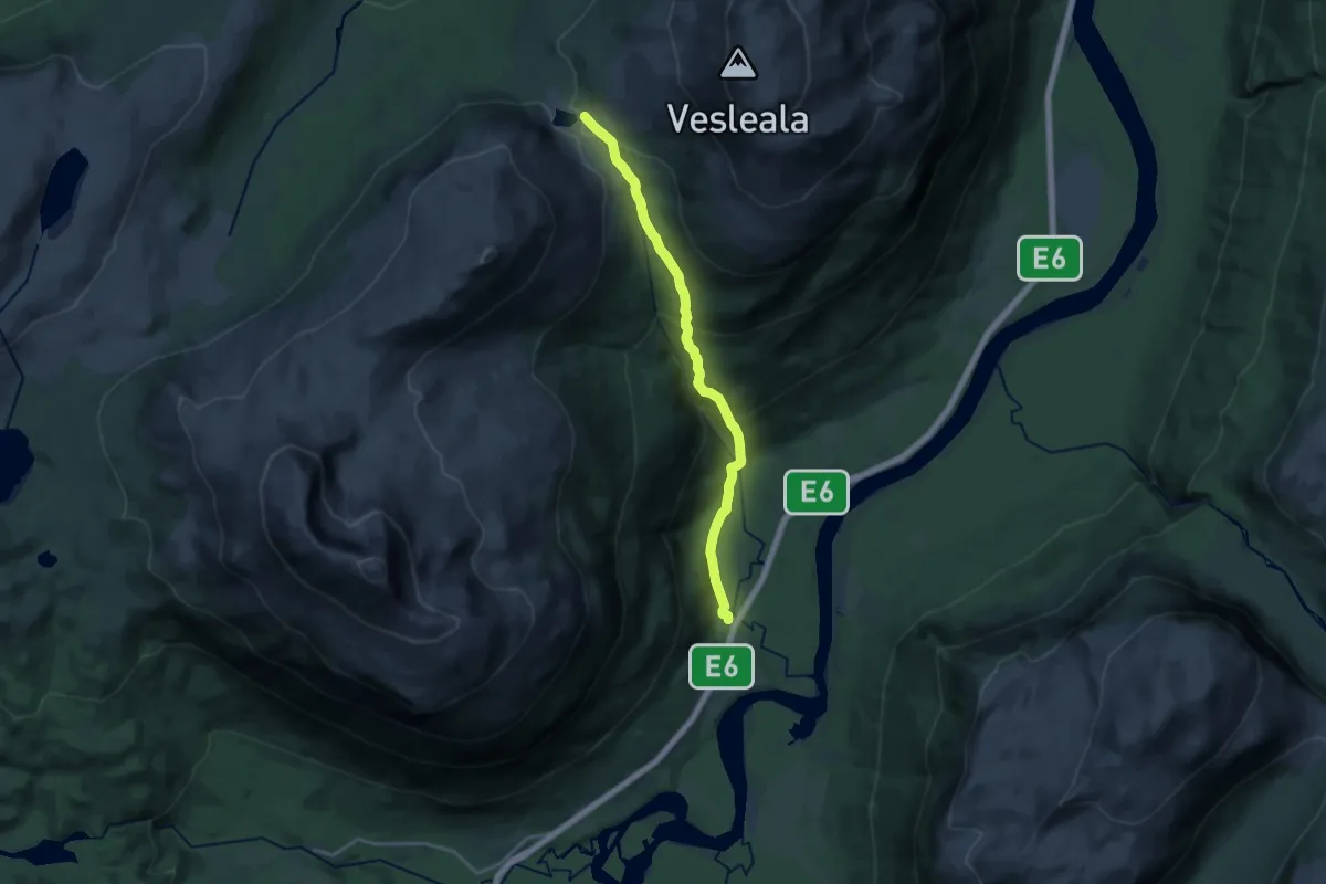
Medium · Trail
Skardvatnet
9.2 km · ↑ 534 m · 3 h 19 min
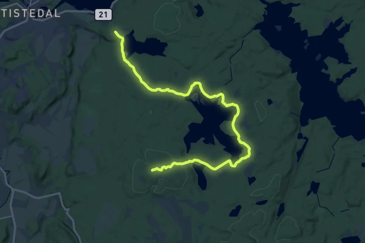
Easy · Trail
SKÅREFJELL VIA HOLVANN
18.4 km · ↑ 215 m · 4 h 49 min
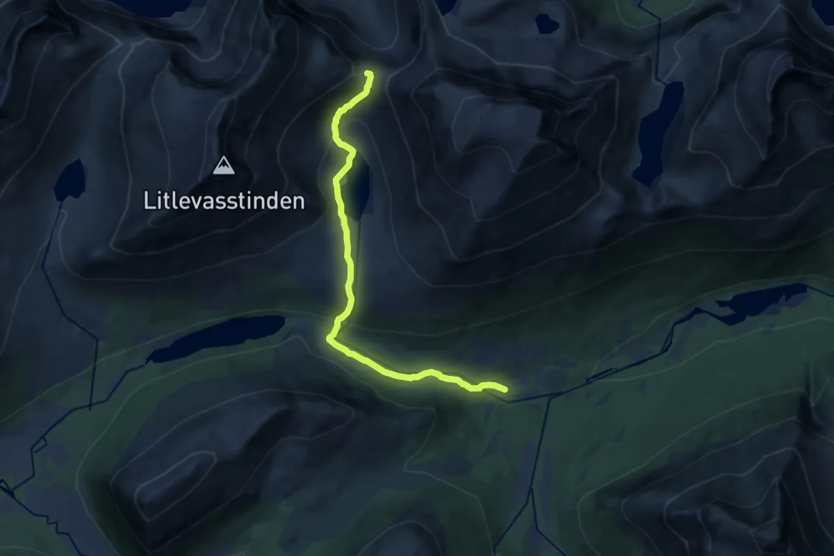
Medium · Trail
Skaret via Brynbotn
9.6 km · ↑ 532 m · 3 h 25 min