Trails in Norway
7,452 hiking trails, each with its route, climb, walking time and grade.
All trails, page 95 of 156
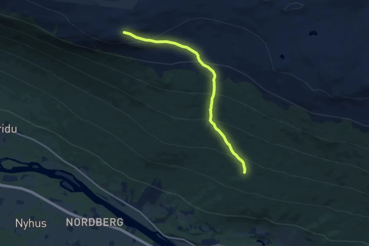
Medium · Trail
Stågåhøe
5.8 km · ↑ 487 m · 2 h 25 min
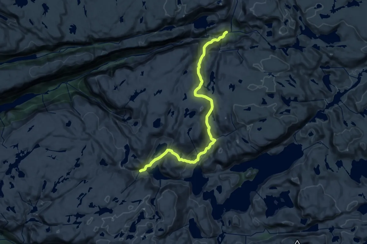
Demanding · Cabin
Stakken-Grasdalen
19.5 km · ↑ 799 m · 6 h 20 min
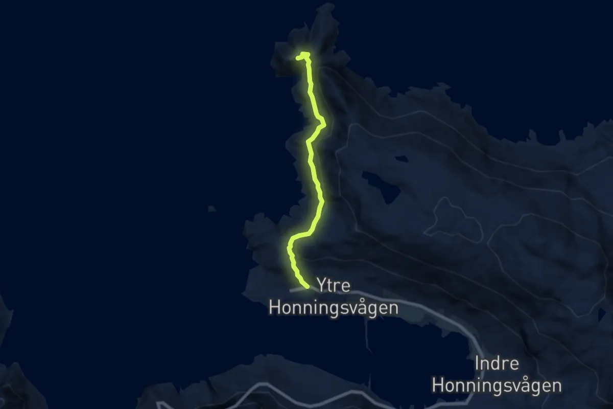
Easy · Trail
Stålet
3.7 km · ↑ 240 m · 1 h 24 min
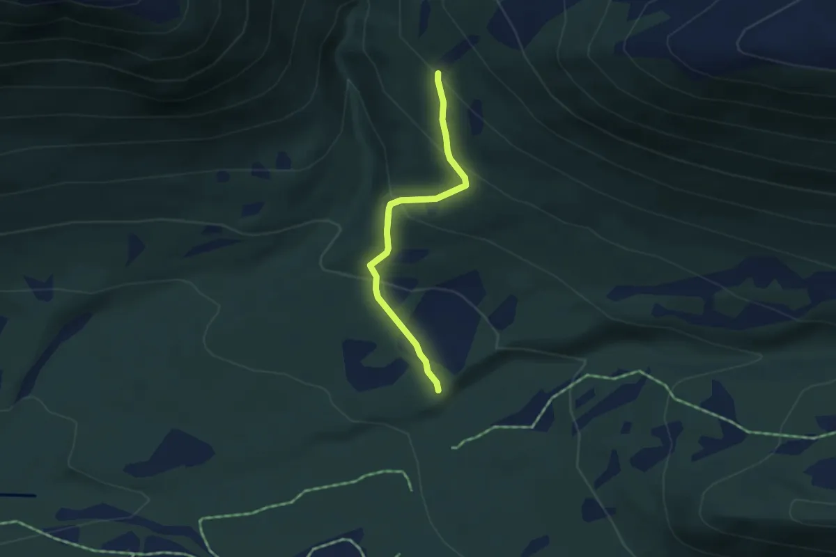
Easy · Trail
Stallen via Steinberget
2.2 km · ↑ 175 m · 54 min
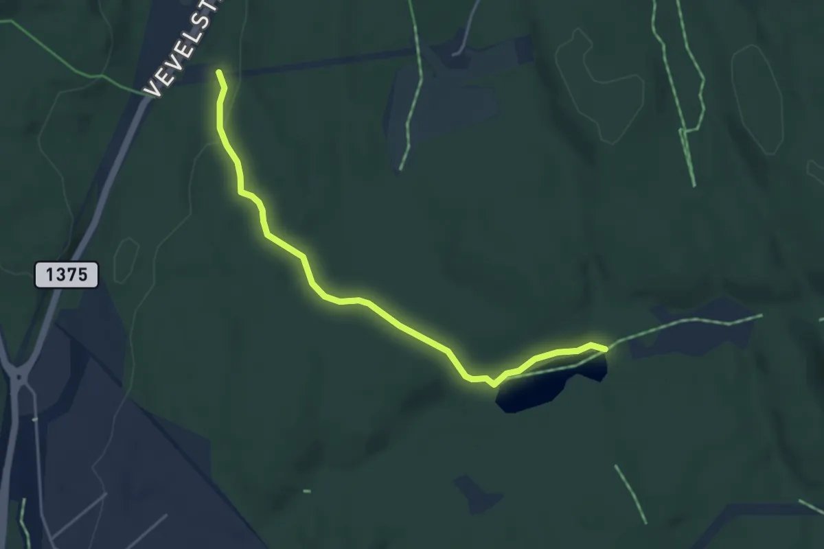
Easy · Trail
Stallerud - Bukkestitjen
3.0 km · ↑ 47 m · 48 min
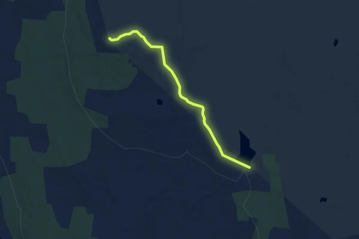
Easy · Trail
Stalsberghøgda- Gobakktjernet
4.9 km · ↑ 65 m · 1 h 18 min
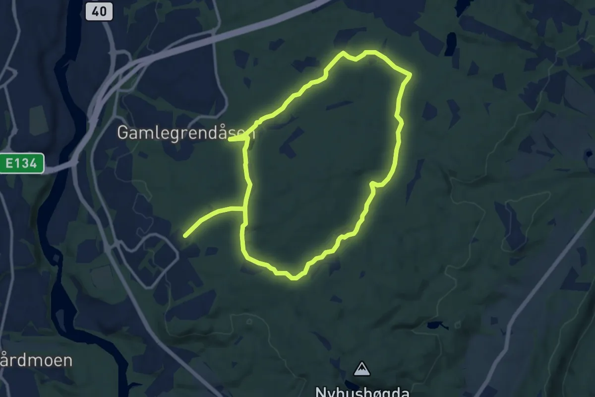
Medium · Trail
Stalsbergrunden
13.9 km · ↑ 74 m · 3 h 27 min
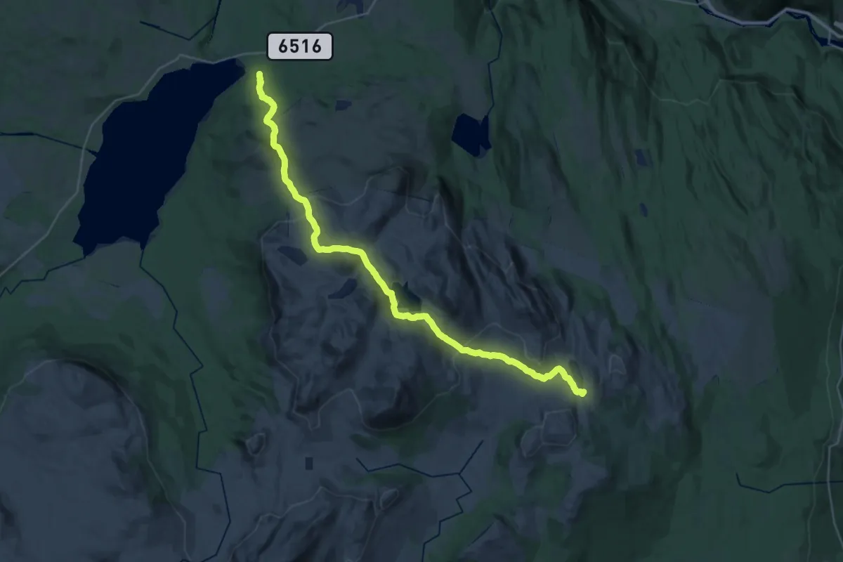
Demanding · Trail
Stamnessetra-Hevertjønna
23.3 km · ↑ 872 m · 7 h 24 min
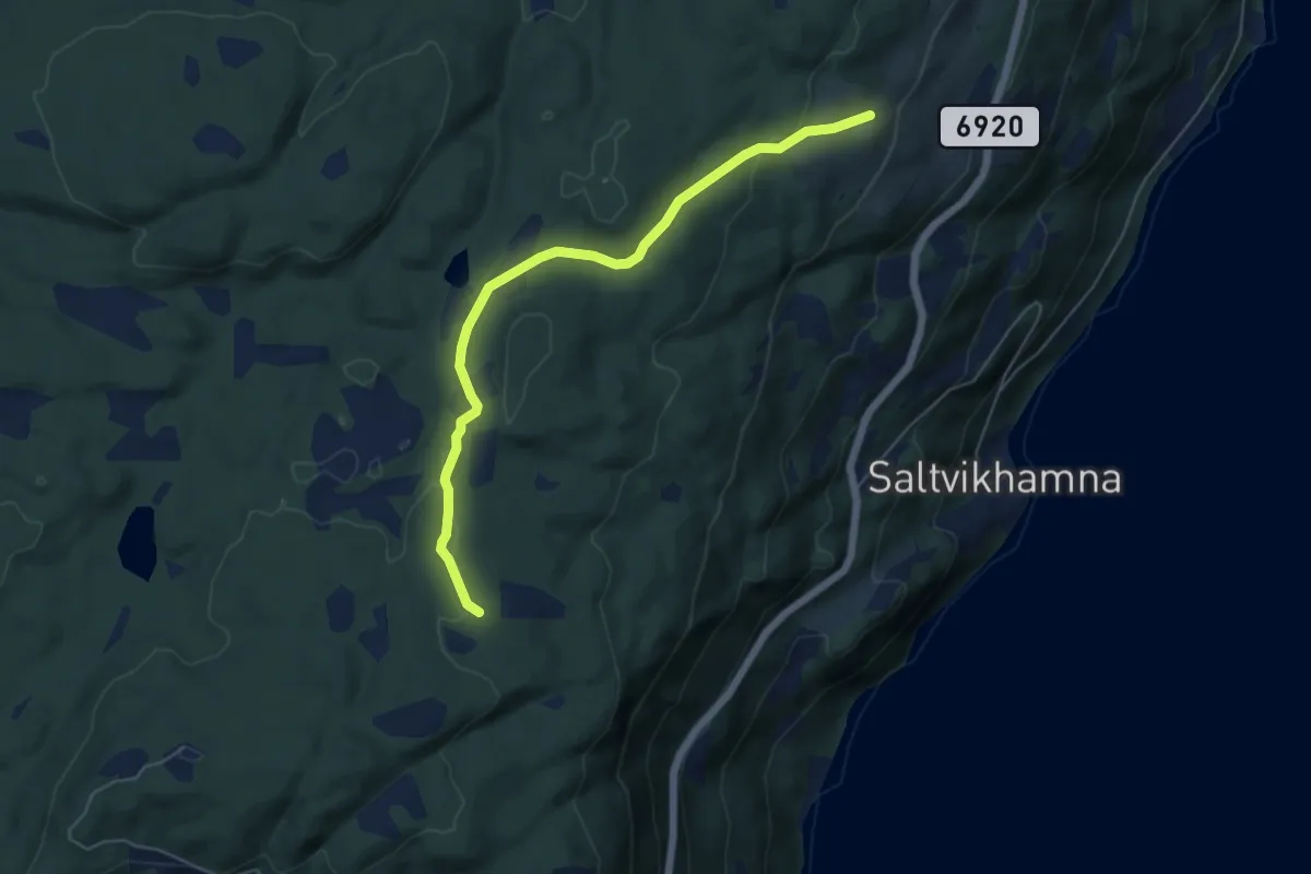
Easy · Trail
Stamtjønnstien
3.6 km · ↑ 84 m · 1 h 1 min
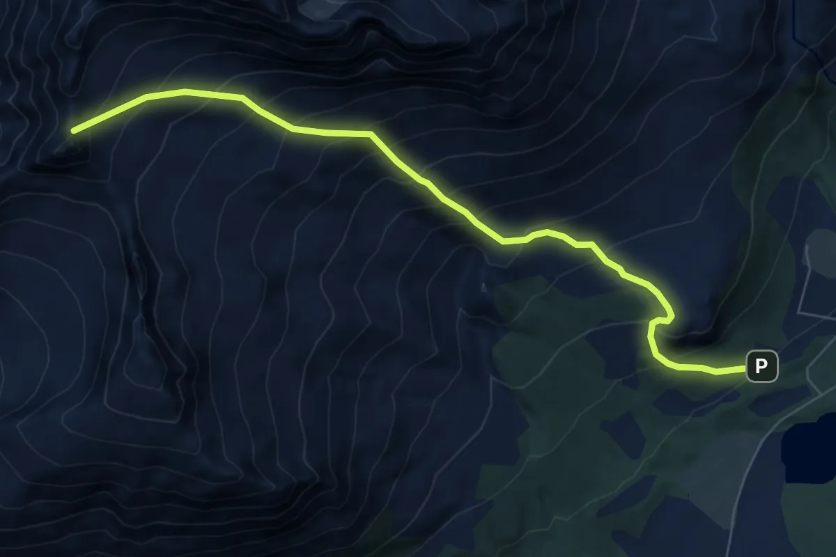
Medium · Trail
Standalhytta, Fingeren, Appelsinhaugen
5.3 km · ↑ 732 m · 2 h 50 min
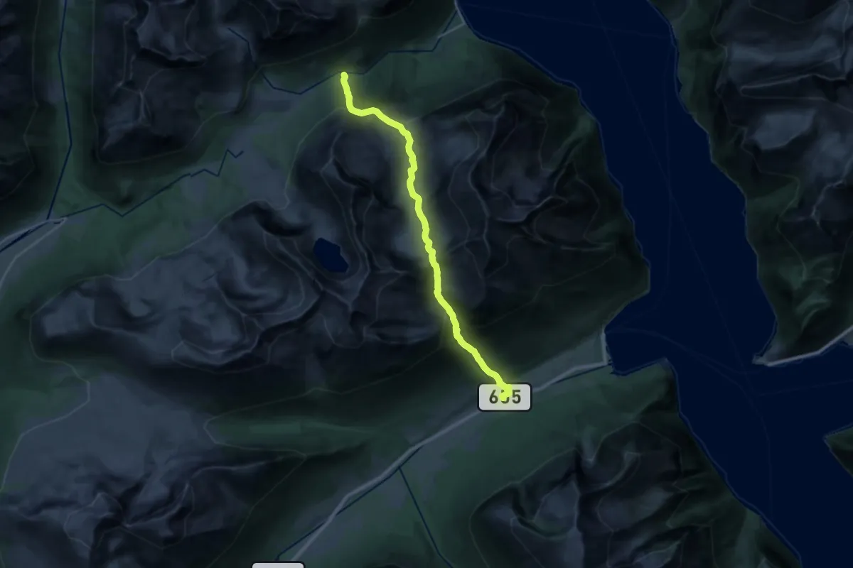
Demanding · Trail
Standal-Sæbø
15.7 km · ↑ 1259 m · 6 h 27 min
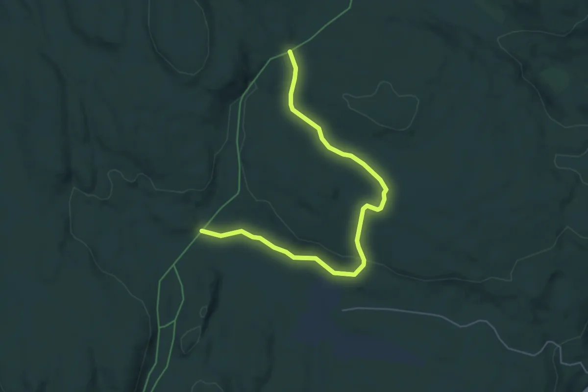
Easy · Trail
Stanghusrunden
4.2 km · ↑ 69 m · 1 h 8 min
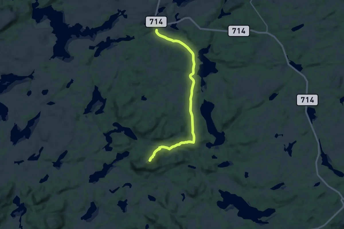
Easy · Trail
Staurfjellet
12.1 km · ↑ 252 m · 3 h 24 min
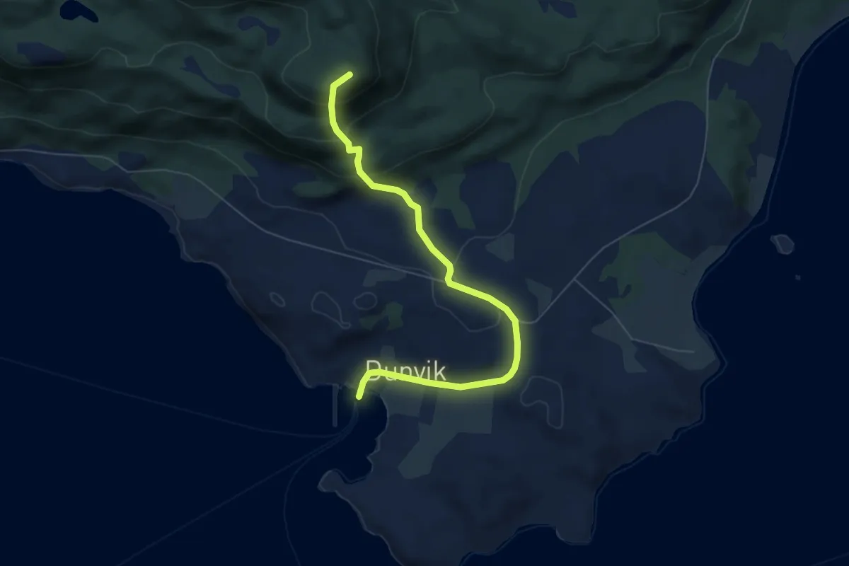
Easy · Trail
Staurhammaren
3.4 km · ↑ 231 m · 1 h 19 min
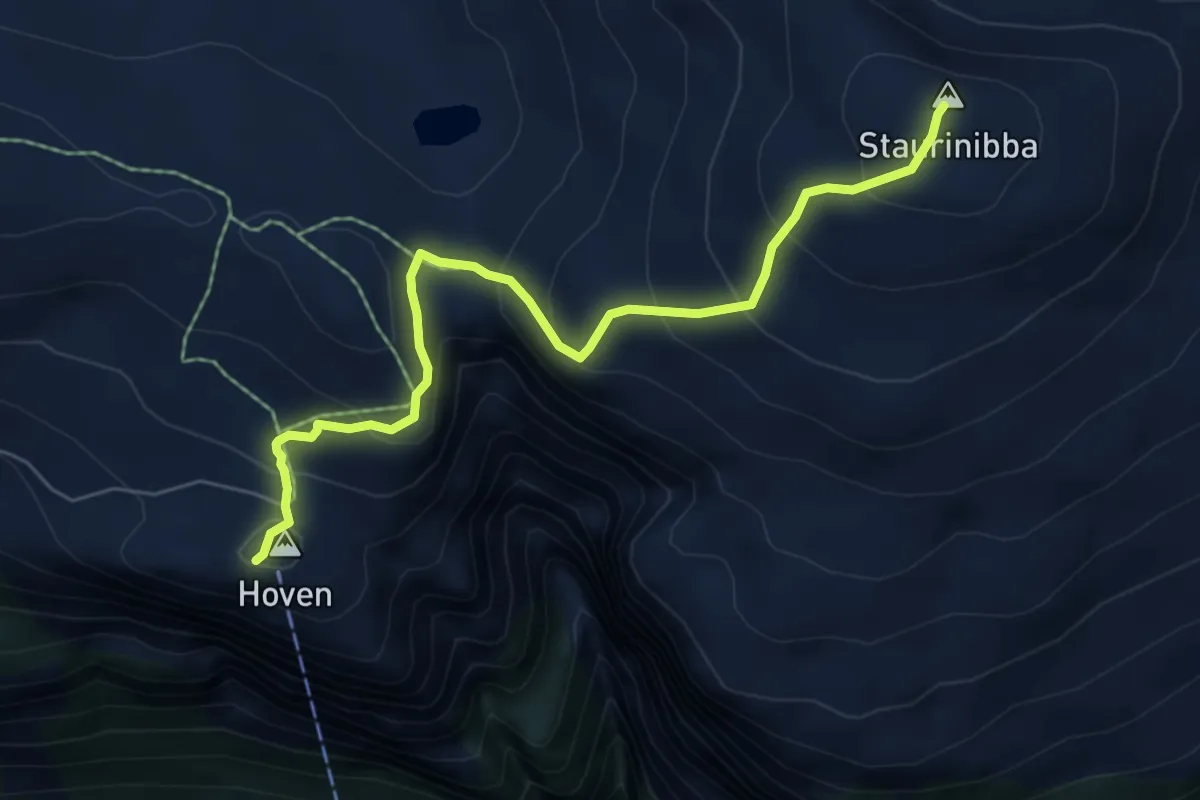
Medium · Trail
Staurinibba
4.5 km · ↑ 397 m · 1 h 56 min
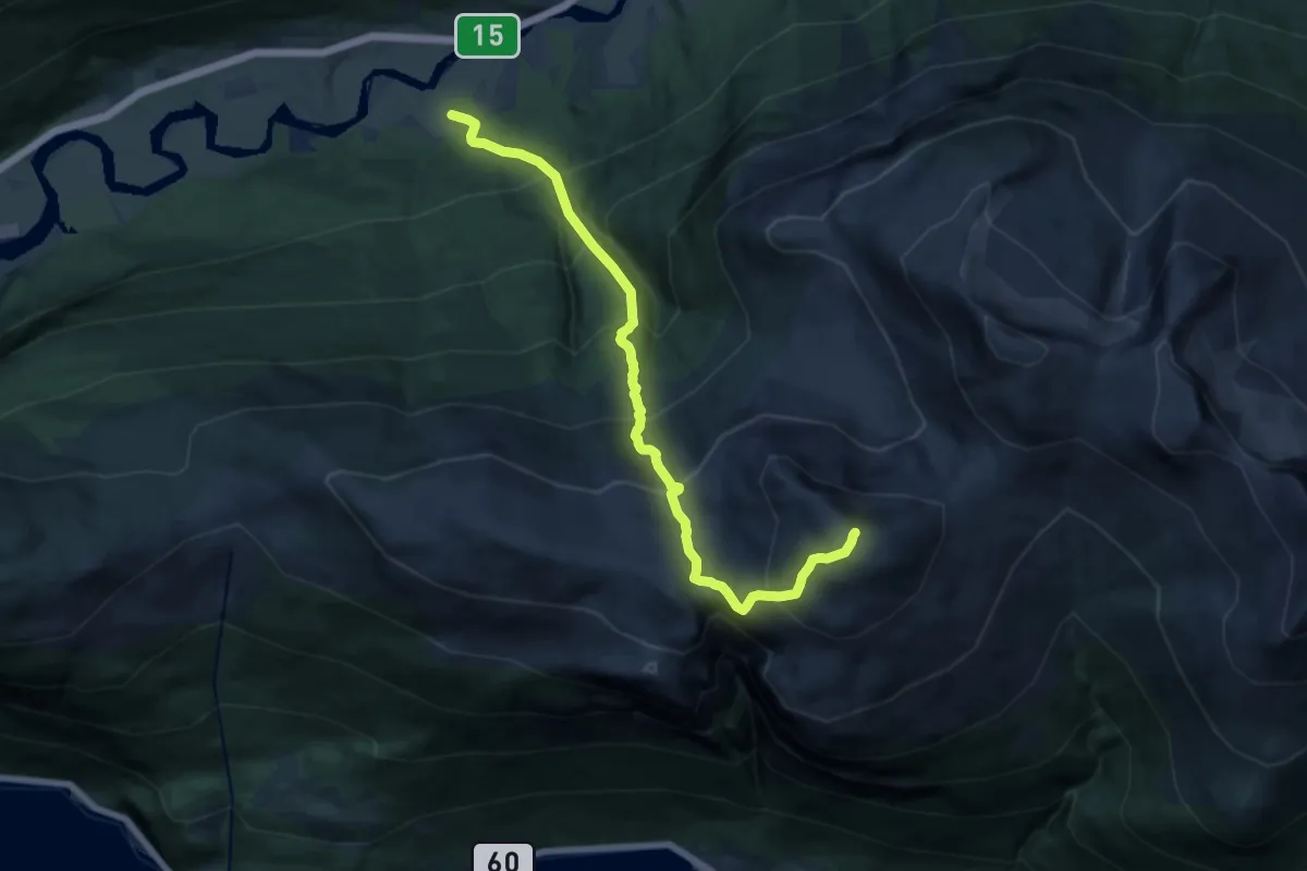
Demanding · Trail
Stauri- Staurinibba
10.5 km · ↑ 1353 m · 5 h 24 min
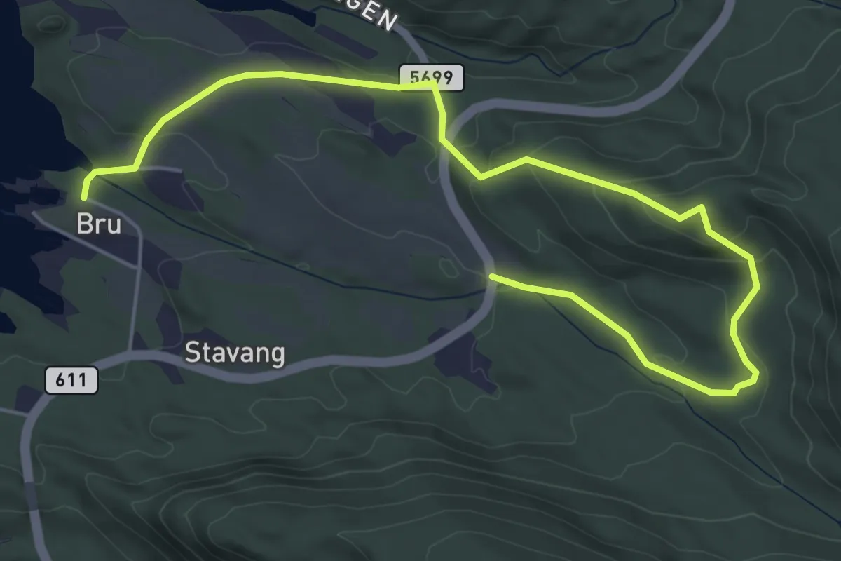
Easy · Trail
Stavang–Åsen
4.8 km · ↑ 216 m · 1 h 35 min
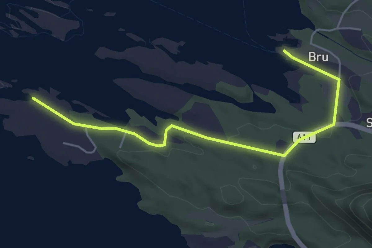
Easy · Trail
Stavang–Langeneset
3.3 km · ↑ 57 m · 54 min
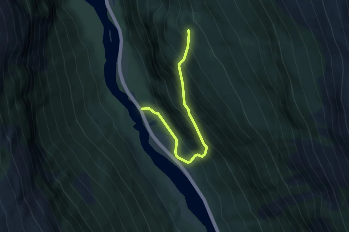
Medium · Trail
Stavemstølen
3.4 km · ↑ 375 m · 1 h 37 min
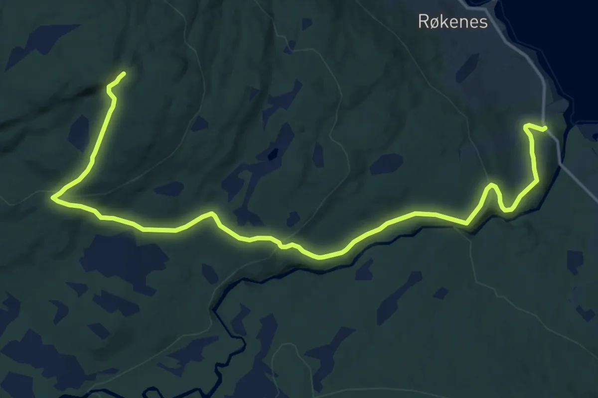
Medium · Trail
Stavhammaren
9.0 km · ↑ 347 m · 2 h 53 min
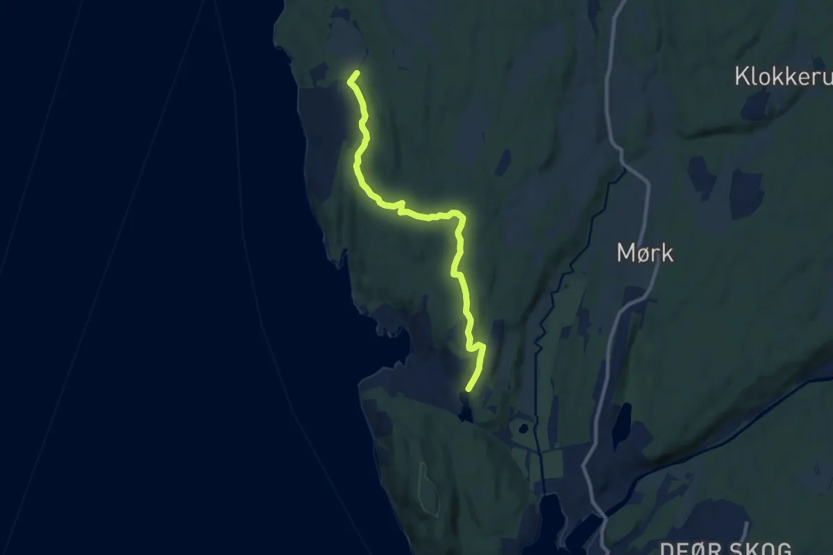
Easy · Trail
Stavnestjern-Lunde
6.5 km · ↑ 134 m · 1 h 50 min
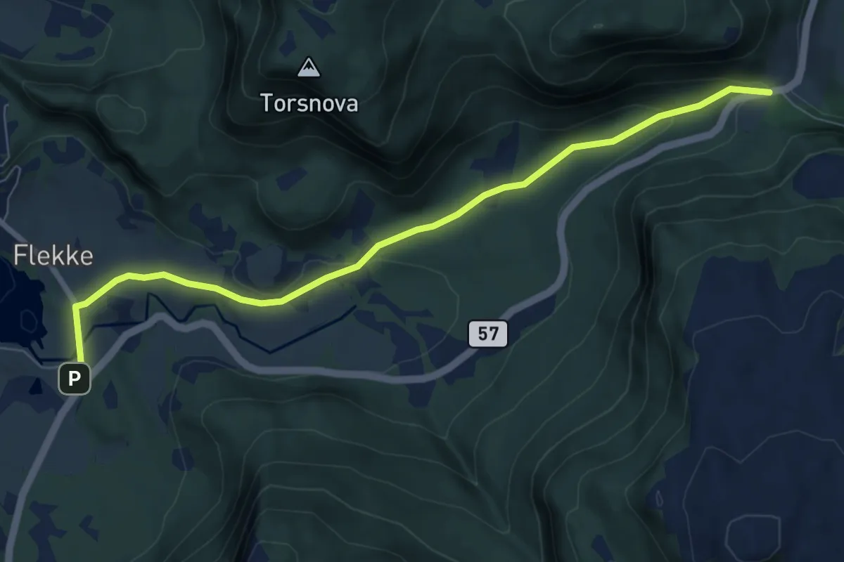
Easy · Trail
Stavsdalen Flekke–Stav
5.4 km · ↑ 146 m · 1 h 36 min
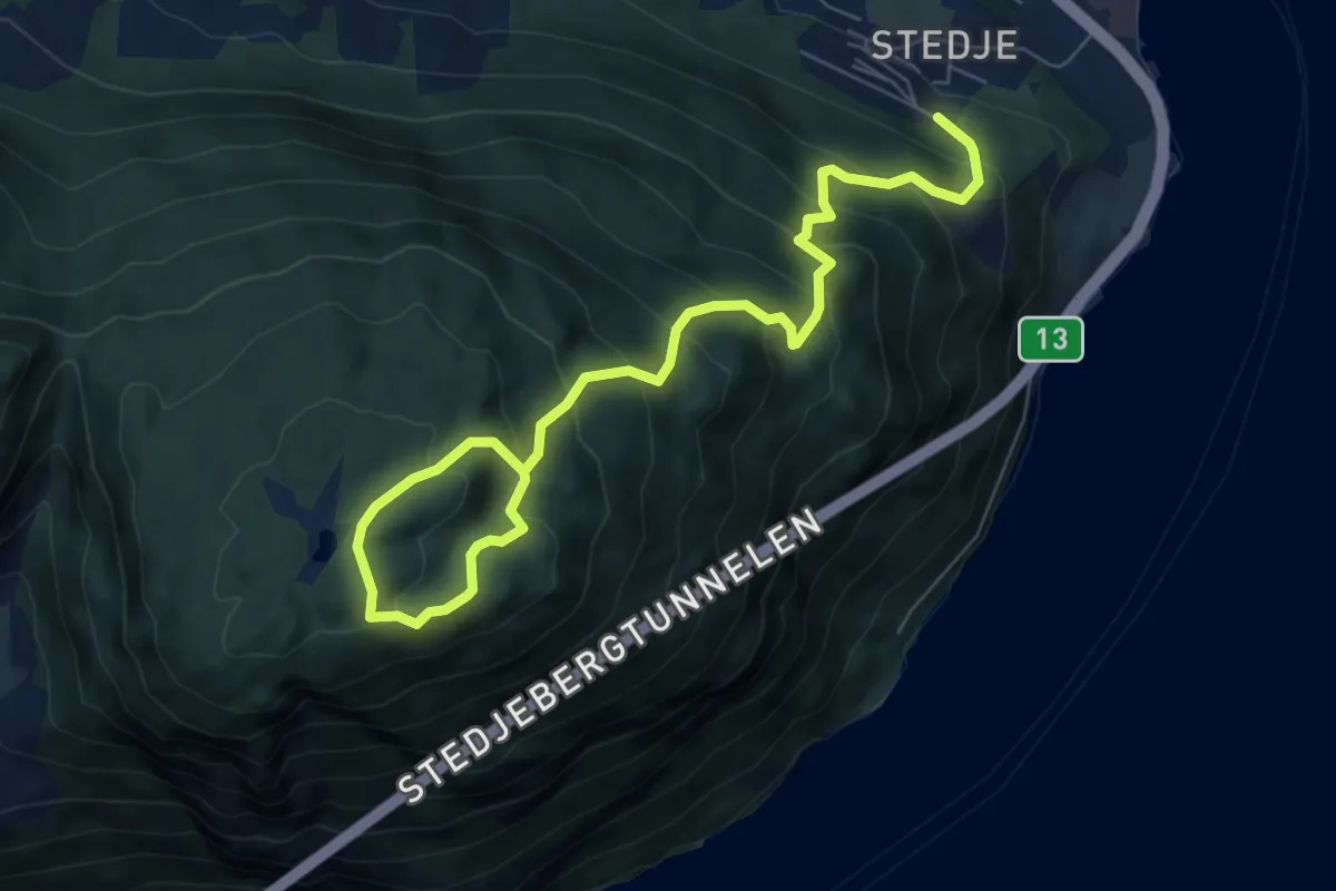
Medium · Trail
Stedjeåsen
6.1 km · ↑ 609 m · 2 h 46 min
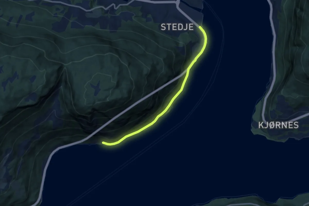
Easy · Trail
Stedjeberget
5.6 km · ↑ 37 m · 1 h 24 min
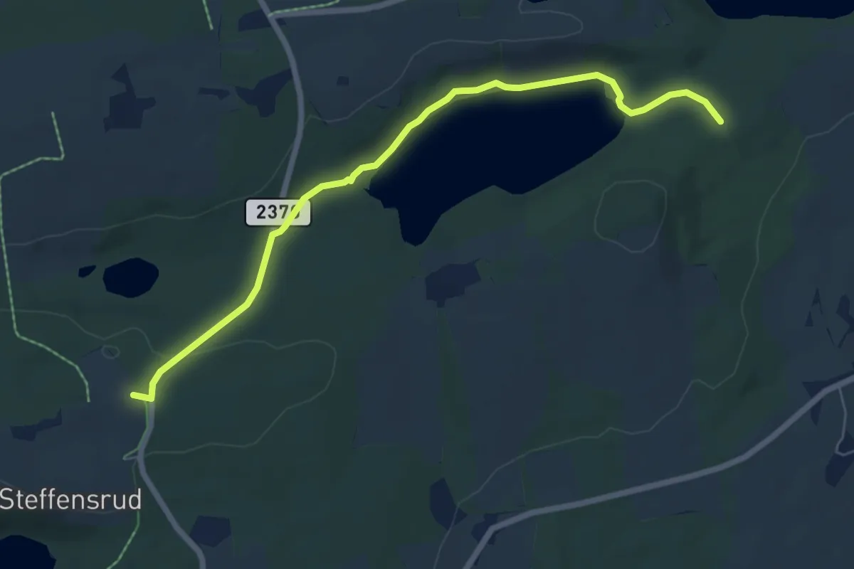
Easy · Trail
Steffensrud-Valheim
4.8 km · ↑ 57 m · 1 h 16 min
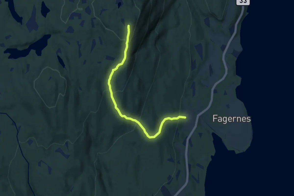
Medium · Trail
Stefferudkollen
5.5 km · ↑ 343 m · 2 h 3 min
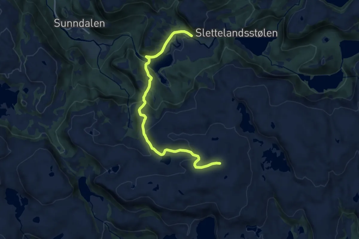
Medium · Trail
Steiestlen rundt (f15)
9.3 km · ↑ 407 m · 3 h 5 min
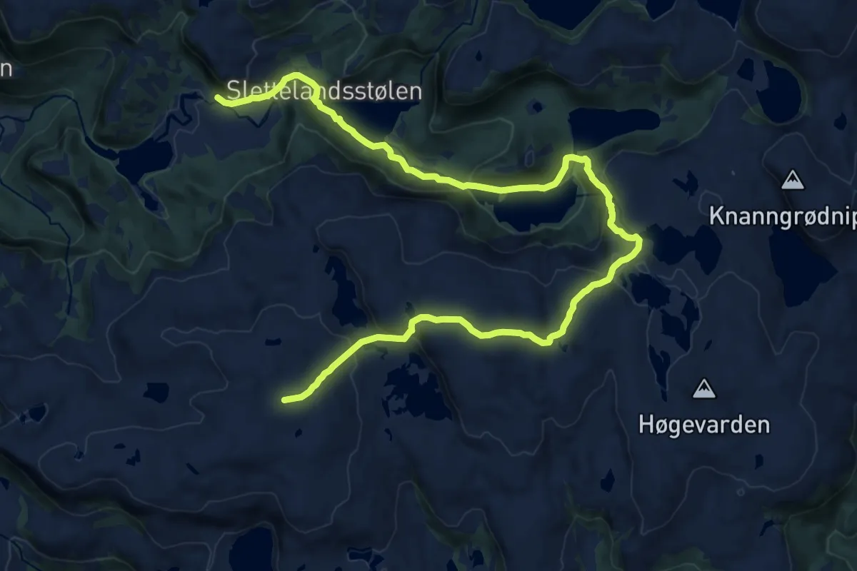
Medium · Trail
Steiestlen rundt (f15)
15.7 km · ↑ 686 m · 5 h 12 min
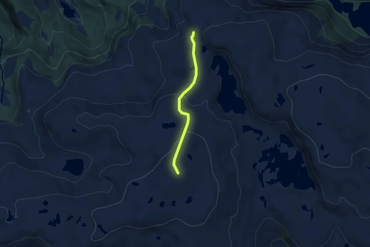
Easy · Trail
Steiestlen rundt (f15) alternativ
2.9 km · ↑ 109 m · 56 min
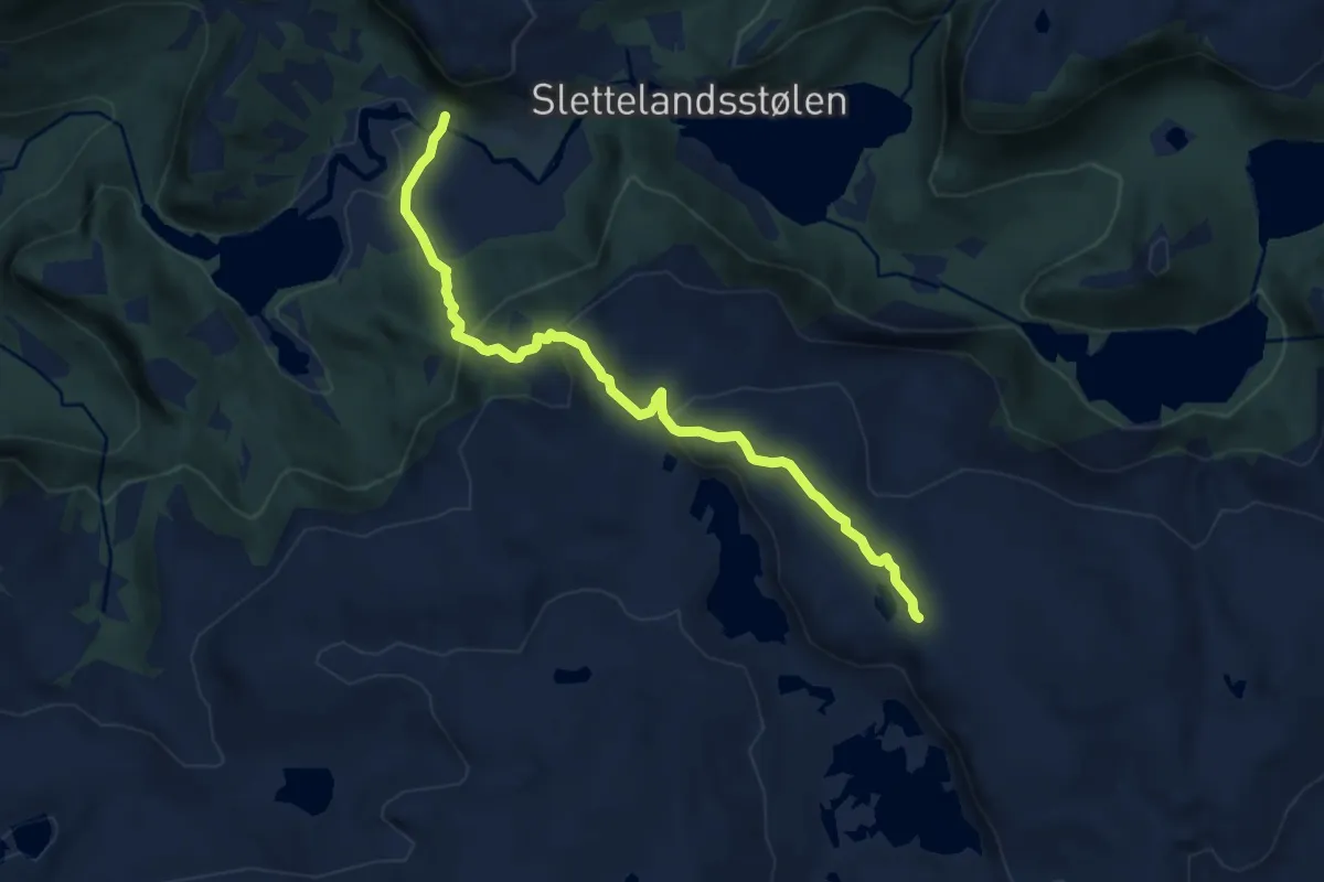
Medium · Trail
Steiestlen rundt (f15) alternativ
6.2 km · ↑ 350 m · 2 h 13 min
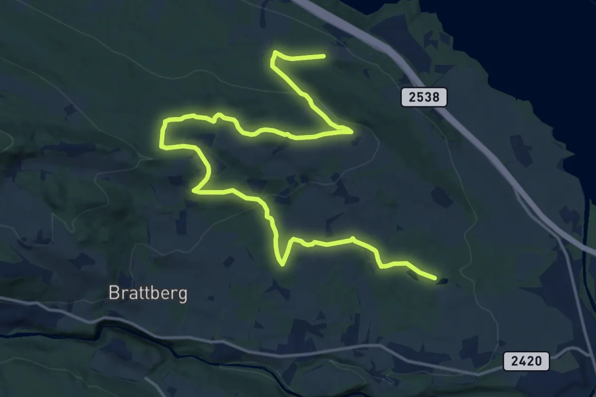
Medium · Trail
Steigrunden
12.4 km · ↑ 347 m · 3 h 40 min
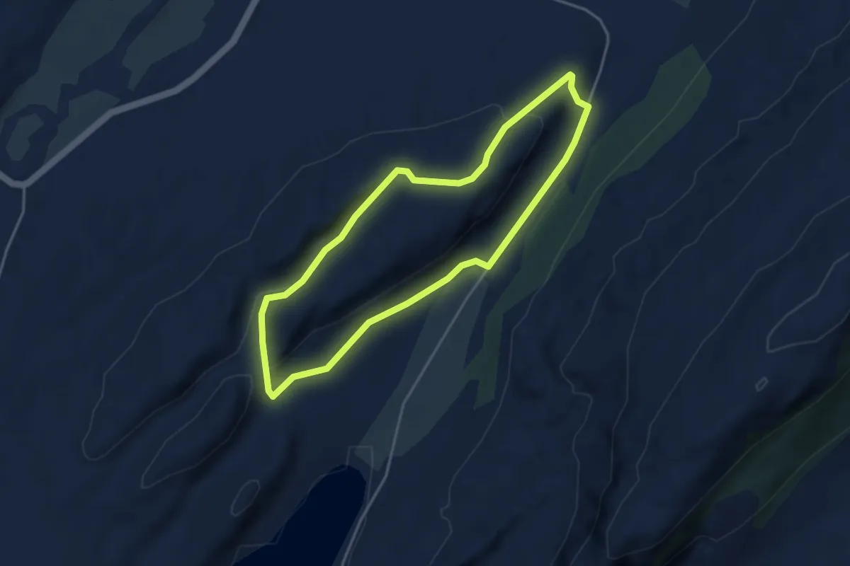
Easy · Trail
Steinalderstien
4.3 km · ↑ 124 m · 1 h 18 min
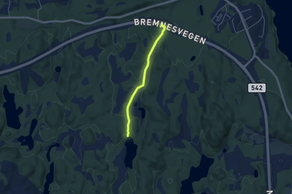
Easy · Trail
Steinåsen
2.4 km · ↑ 24 m · 37 min
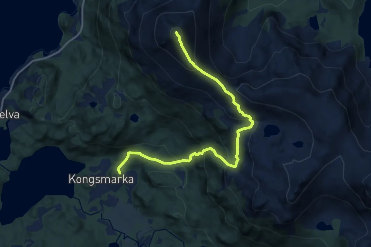
Medium · Trail
Steinbakktinden
6.0 km · ↑ 596 m · 2 h 42 min
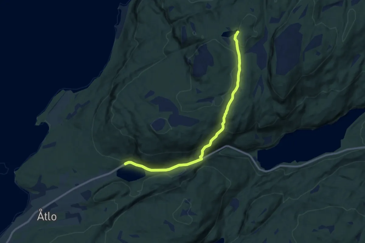
Easy · Cabin
Steinbruddet – Fjellhov
5.4 km · ↑ 239 m · 1 h 47 min
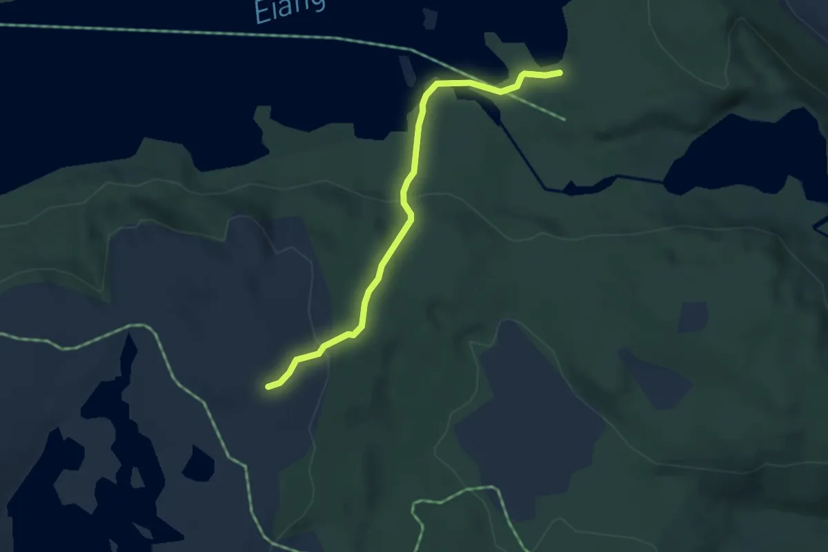
Medium · Trail
Steinbruvann - Eiangen (Sveinsbu)
2.6 km · ↑ 80 m · 48 min
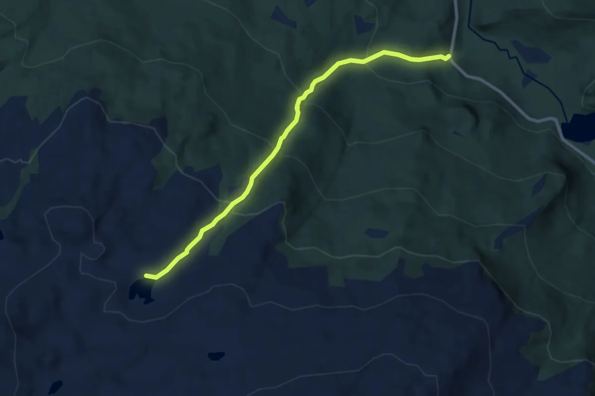
Medium · Trail
Steinbua ved Geitknausvatnet
4.3 km · ↑ 427 m · 1 h 56 min
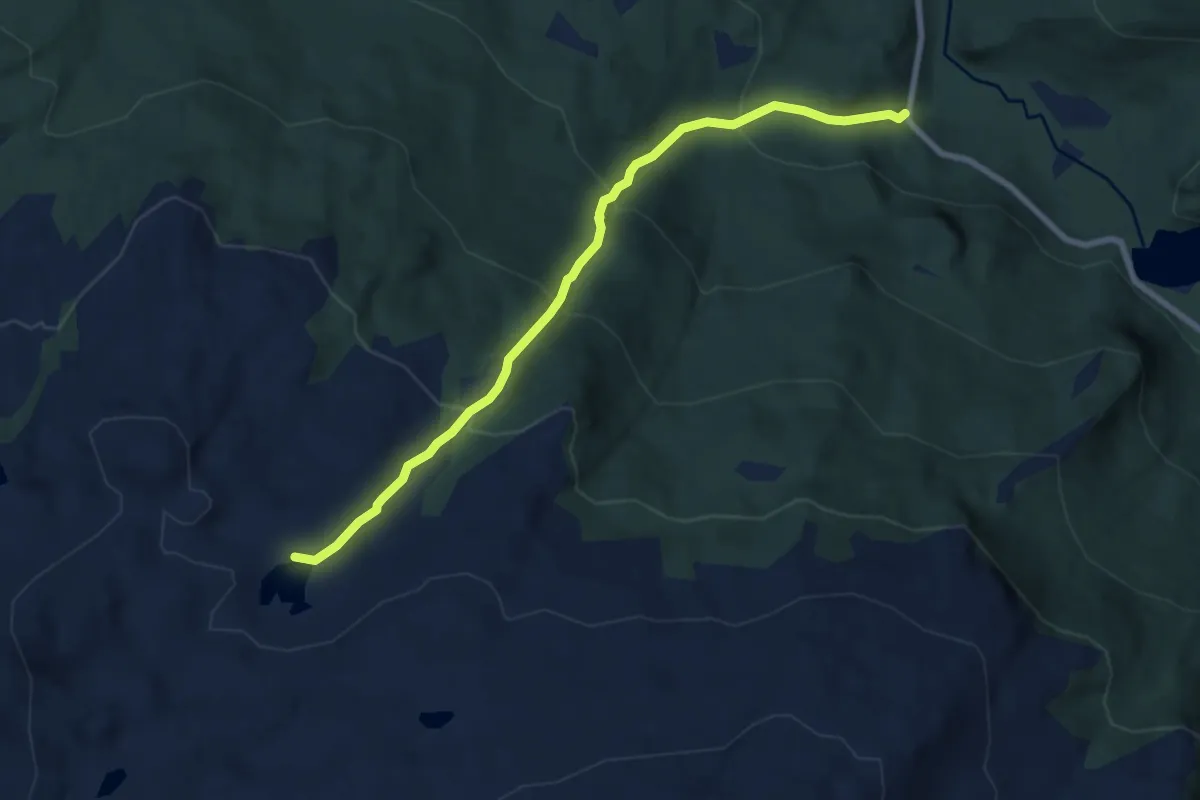
Medium · Trail
Steinbua ved Geitknausvatnet
4.3 km · ↑ 427 m · 1 h 56 min
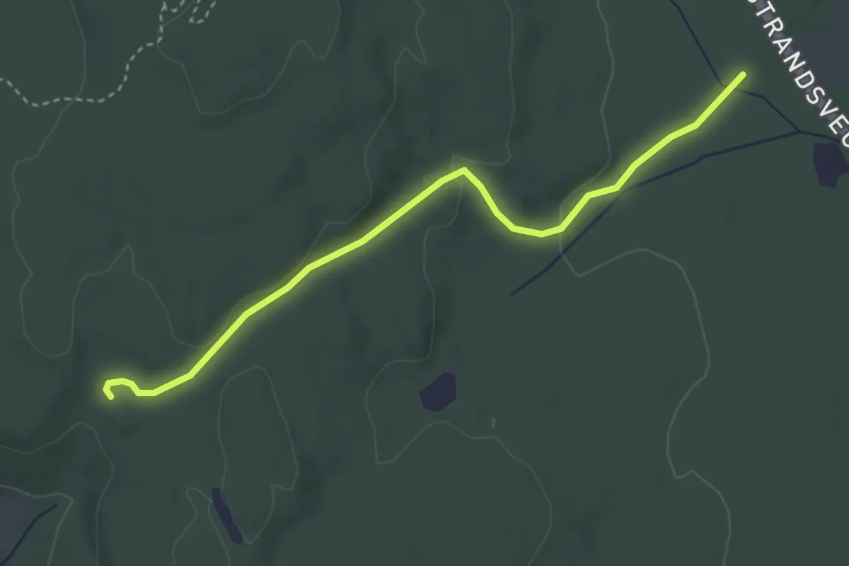
Easy · Trail
Steindansen-Kinn via tjæremile
2.6 km · ↑ 48 m · 43 min
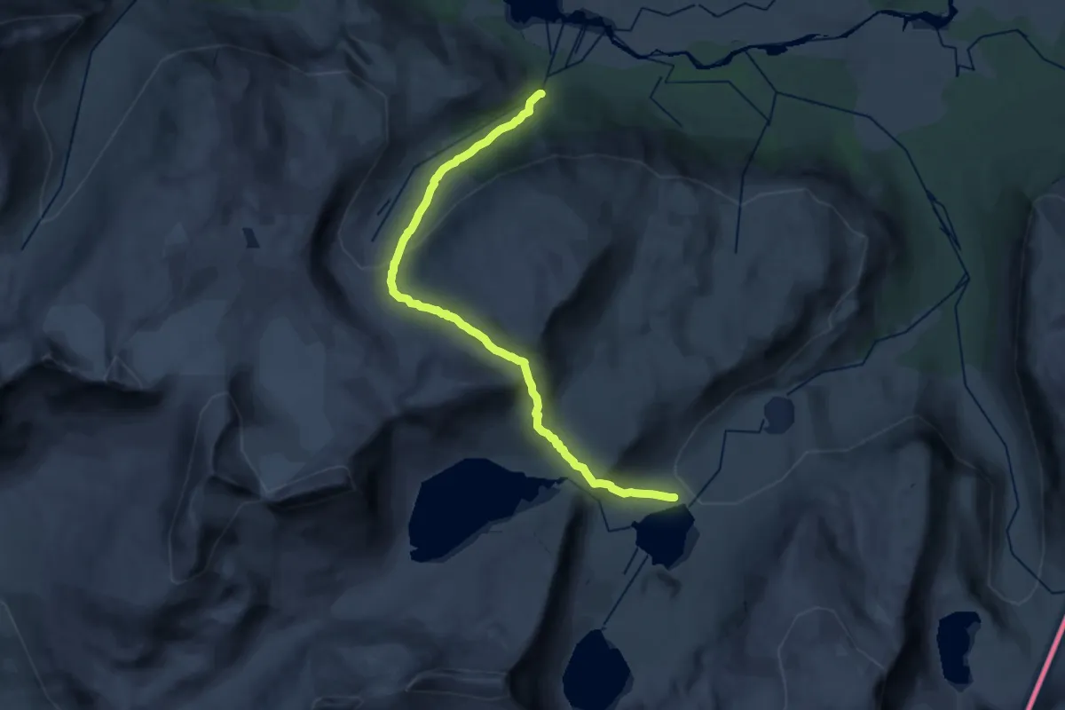
Demanding · Cabin
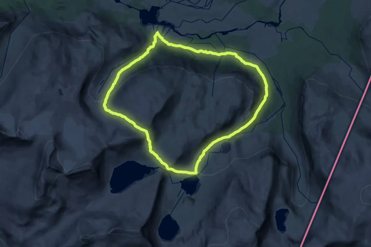
Steinelva - Caihnavággihytta
15.0 km · ↑ 838 m · 5 h 21 min
Medium · Trail
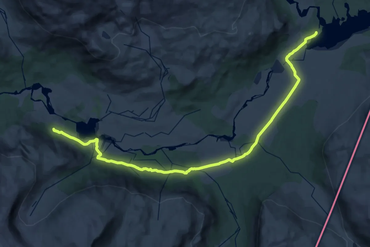
Steinelva - Caihnavággihytta
17.6 km · ↑ 659 m · 5 h 50 min
Demanding · Cabin
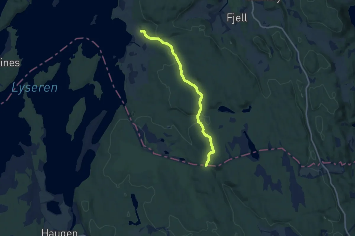
Steinelva - Cunojávrihytta
25.1 km · ↑ 190 m · 6 h 20 min
Easy · Trail
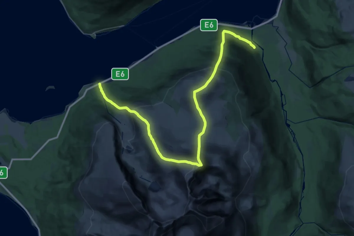
Steinenga Hauglandsfjell
6.2 km · ↑ 104 m · 1 h 41 min
Demanding · Trail
Steinfjellet
10.2 km · ↑ 1086 m · 4 h 54 min
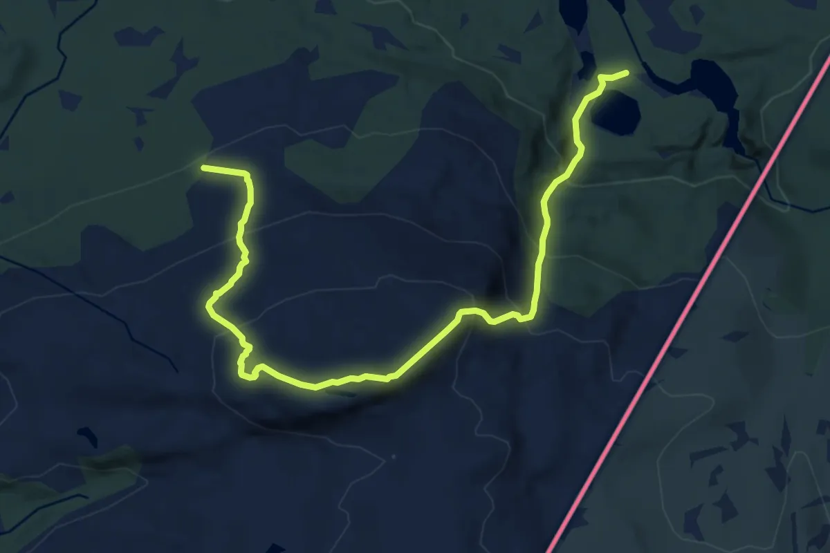
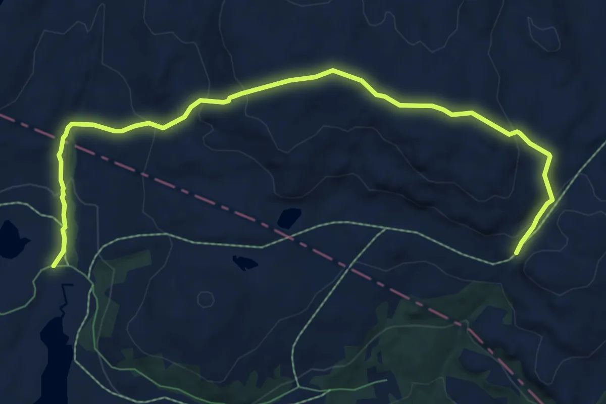
Medium · Trail
Steinfjellet
8.2 km · ↑ 745 m · 3 h 32 min
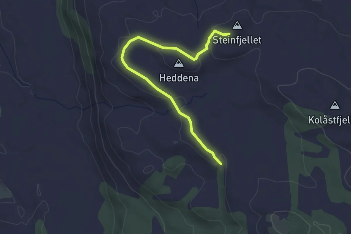
Medium · Trail
Steinfjellet fra Olalia Fjellstove
6.3 km · ↑ 322 m · 2 h 11 min
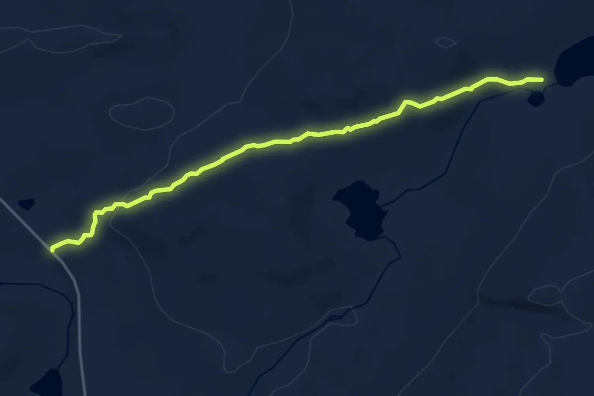
Easy · Trail
Steinfjellet om Heddena
2.3 km · ↑ 58 m · 41 min
Medium · Trail
Steinfjellvatnet
6.5 km · ↑ 157 m · 1 h 53 min