Trails in Norway
7,452 hiking trails, each with its route, climb, walking time and grade.
All trails, page 96 of 156
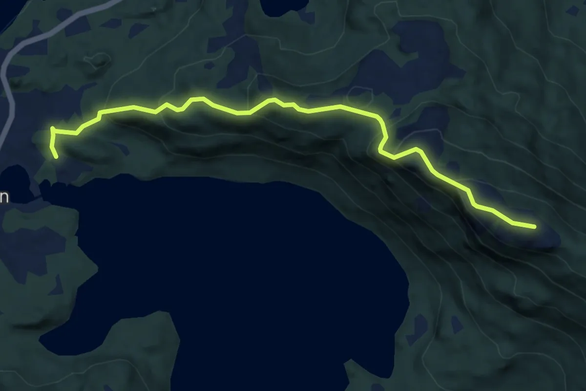
Easy · Trail
Steinheia fra Bygdehuset
4.0 km · ↑ 308 m · 1 h 37 min
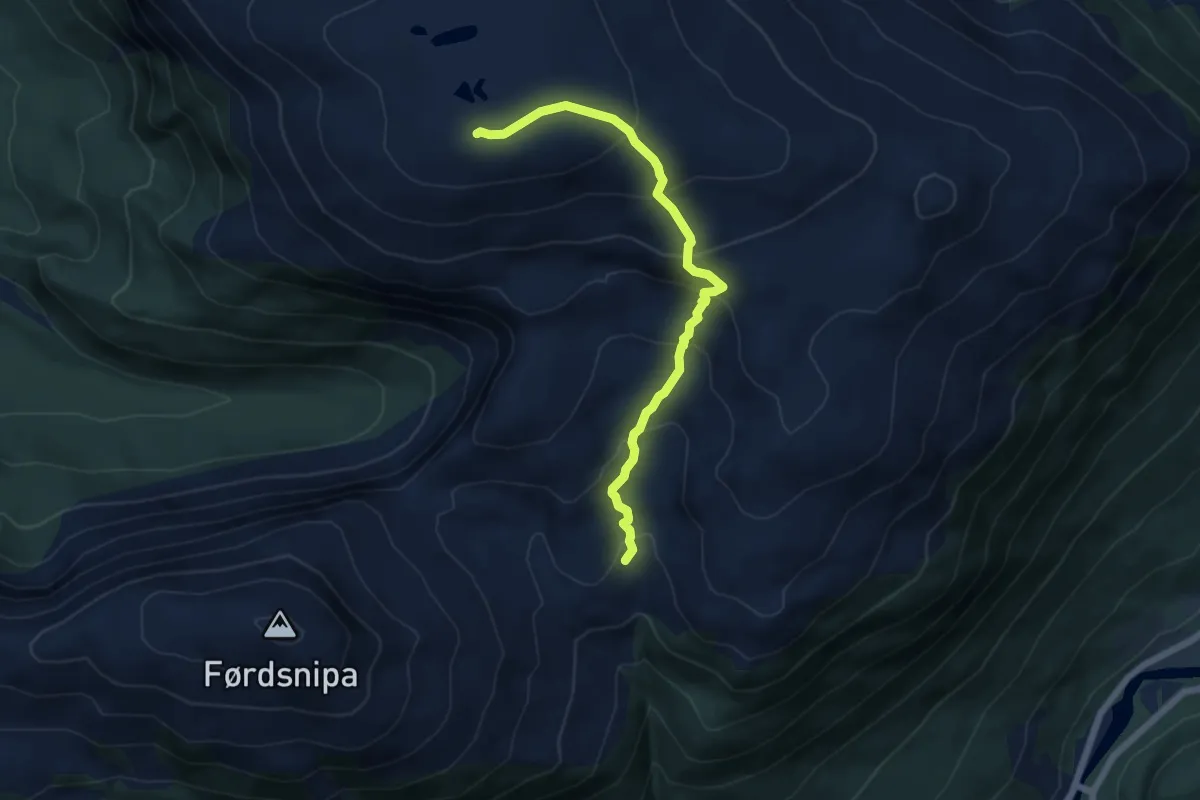
Medium · Trail
Steinheia fra Hjellestølen
4.1 km · ↑ 339 m · 1 h 42 min
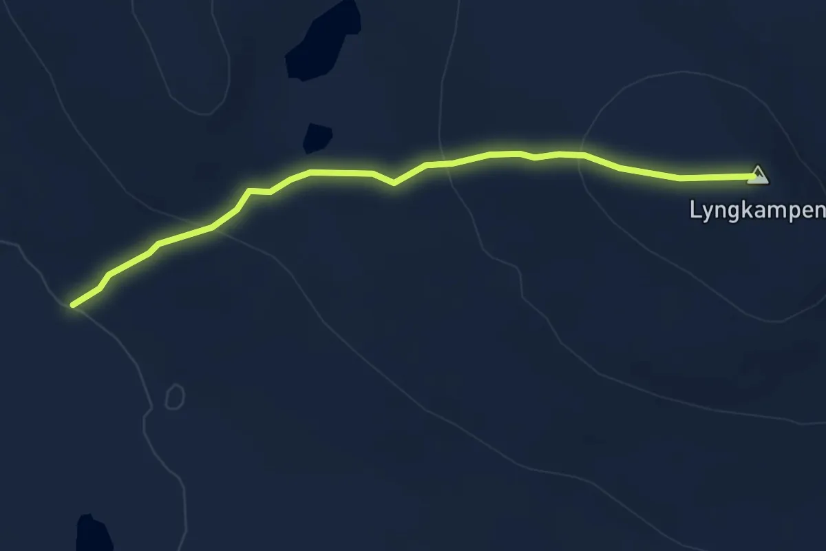
Medium · Trail
Steinhytta - Lyngkampen
3.9 km · ↑ 181 m · 1 h 18 min
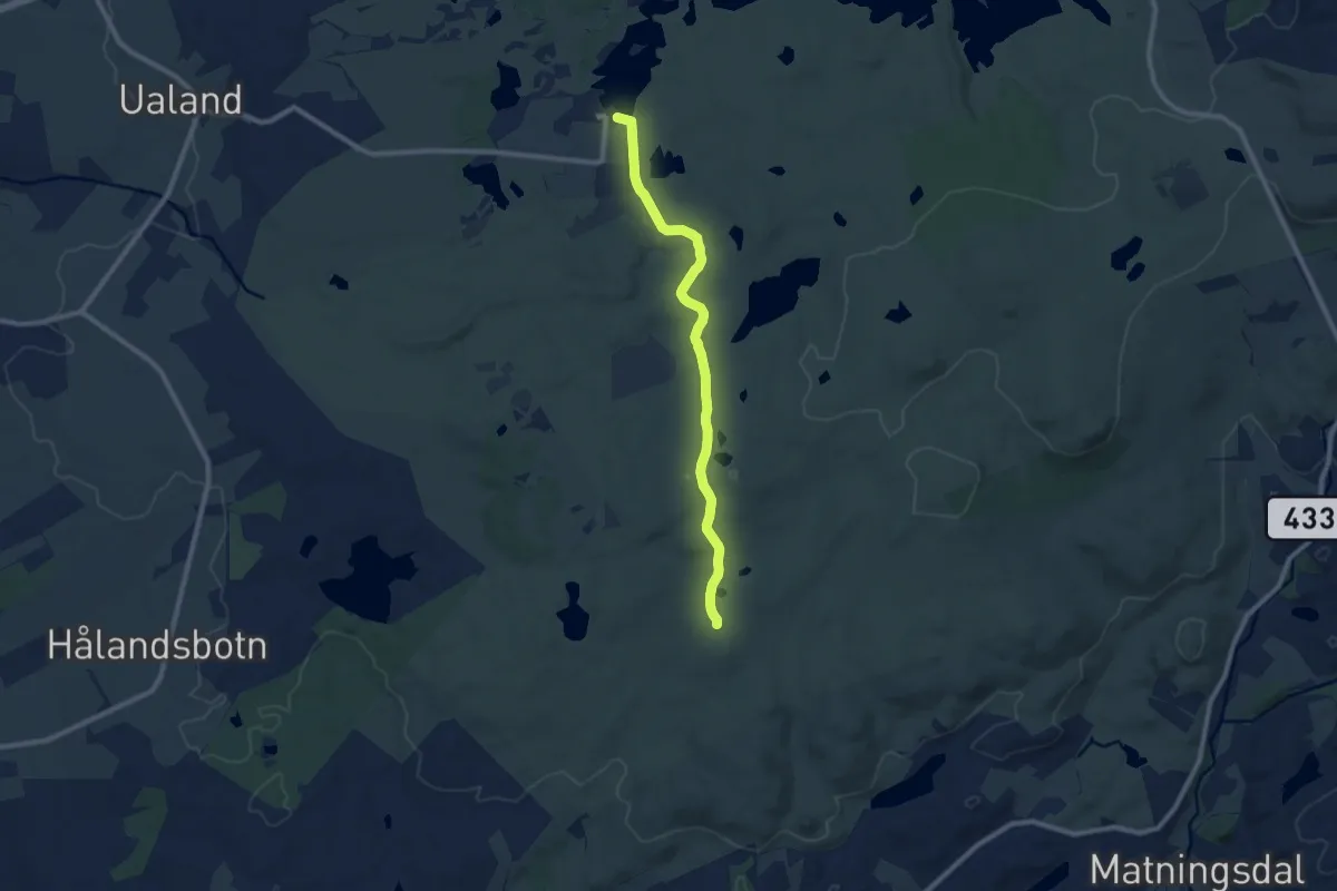
Easy · Trail
Steinkjerringa
6.6 km · ↑ 117 m · 1 h 48 min
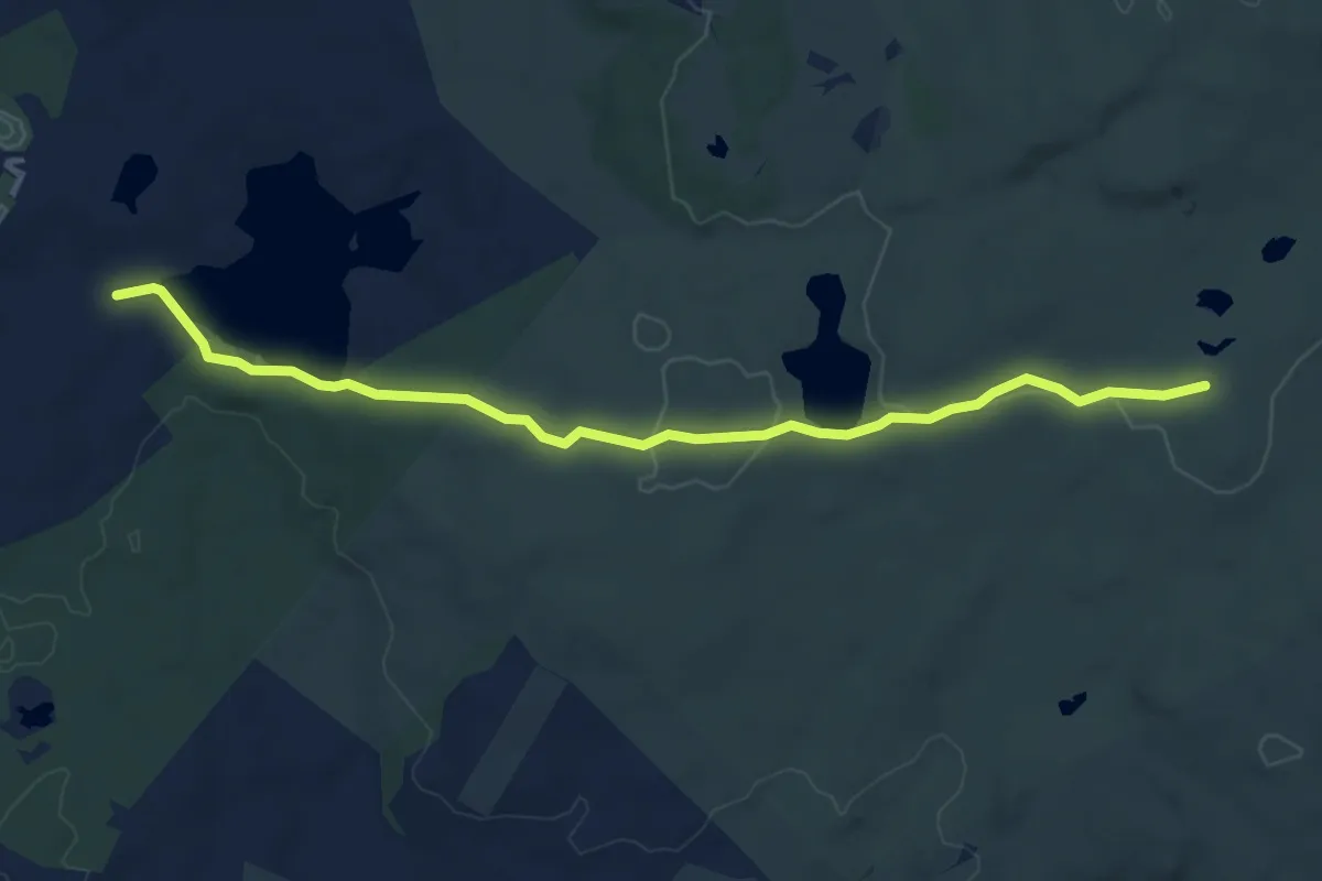
Medium · Trail
Steinkjerringa
5.0 km · ↑ 63 m · 1 h 20 min
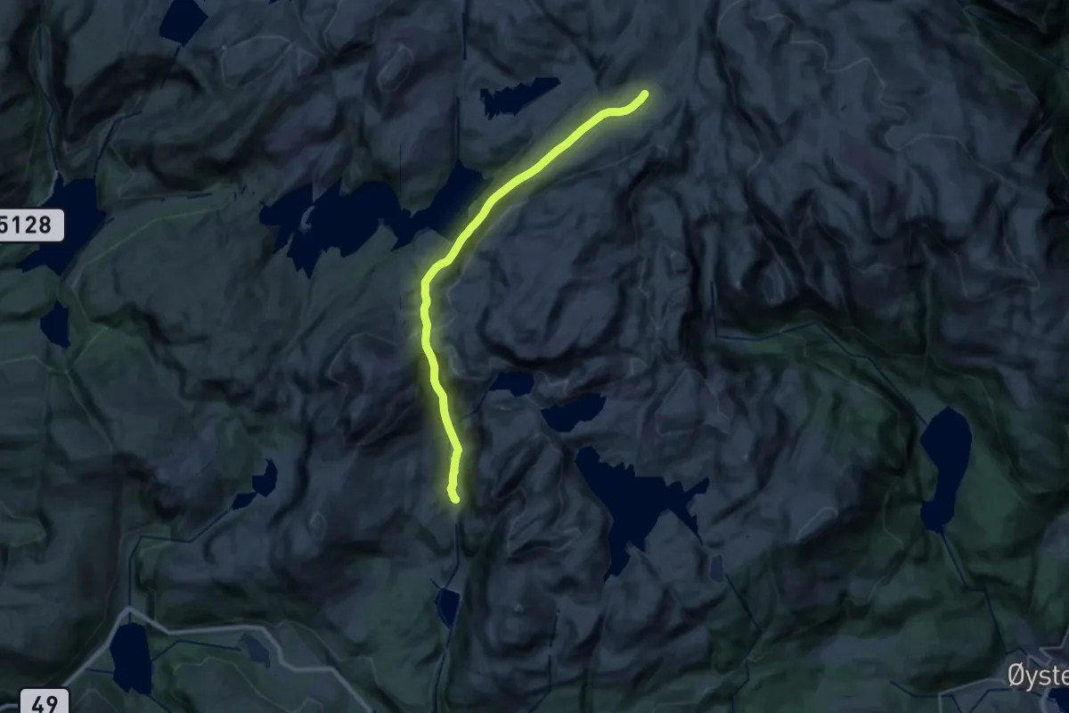
Demanding · Trail
Steinkvanndalen-Vending
17.7 km · ↑ 890 m · 6 h 6 min
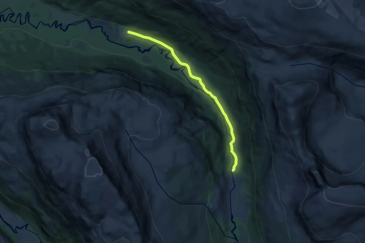
Easy · Trail
Steinora
7.3 km · ↑ 102 m · 1 h 56 min
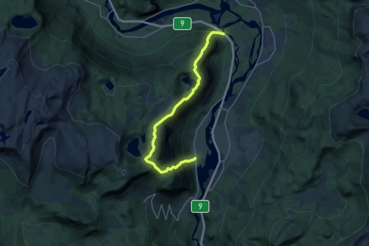
Demanding · Trail
Steinsås-Honnevje
11.5 km · ↑ 1283 m · 5 h 29 min
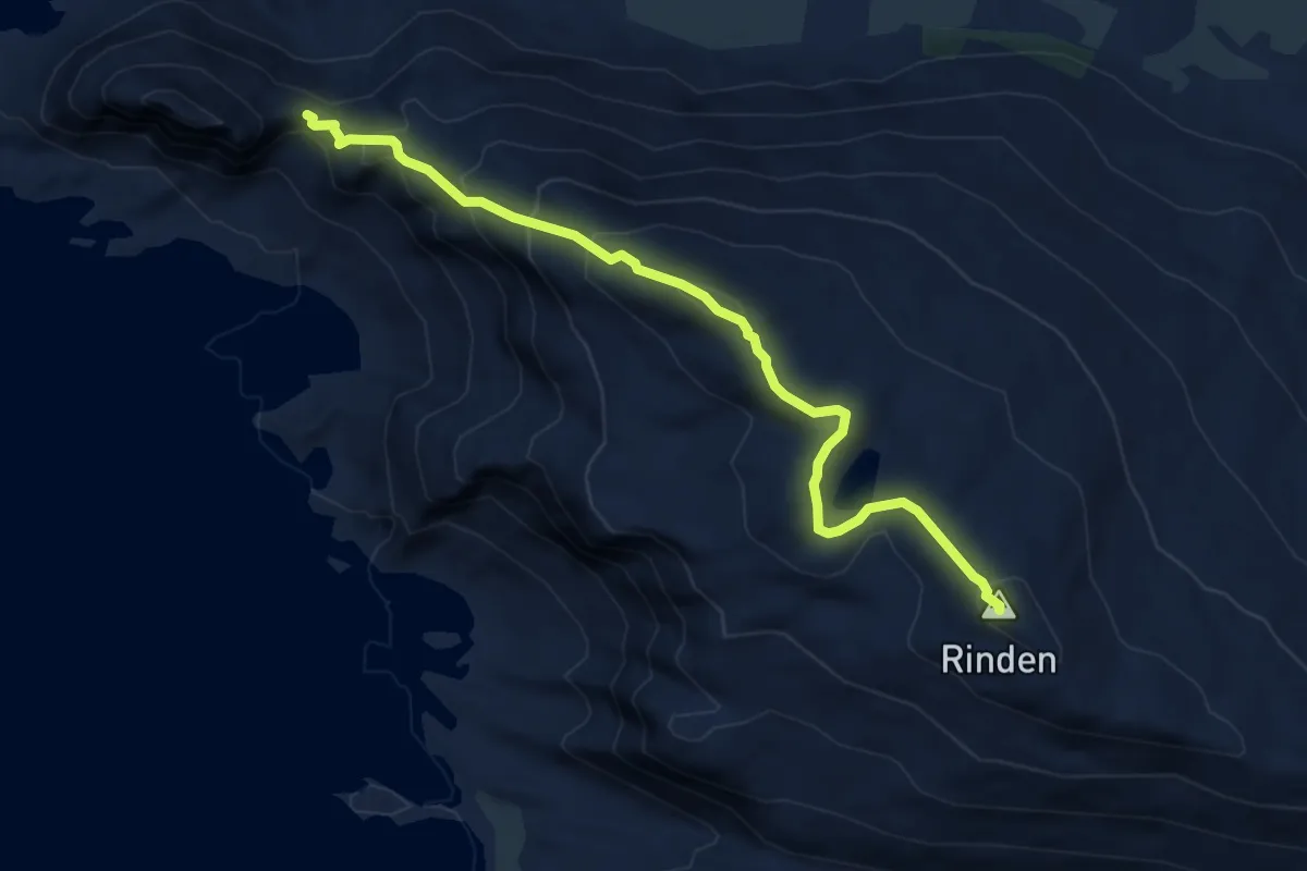
Medium · Trail
Steinskaret - Rinden
3.7 km · ↑ 324 m · 1 h 35 min
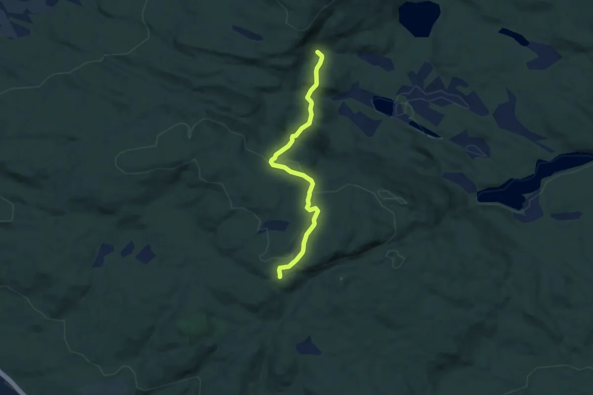
Easy · Trail
Steinsland-Kollan
3.4 km · ↑ 145 m · 1 h 7 min
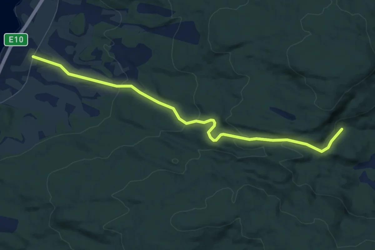
Easy · Trail
Steinsland-Svartvannet / Kollan
4.9 km · ↑ 165 m · 1 h 30 min
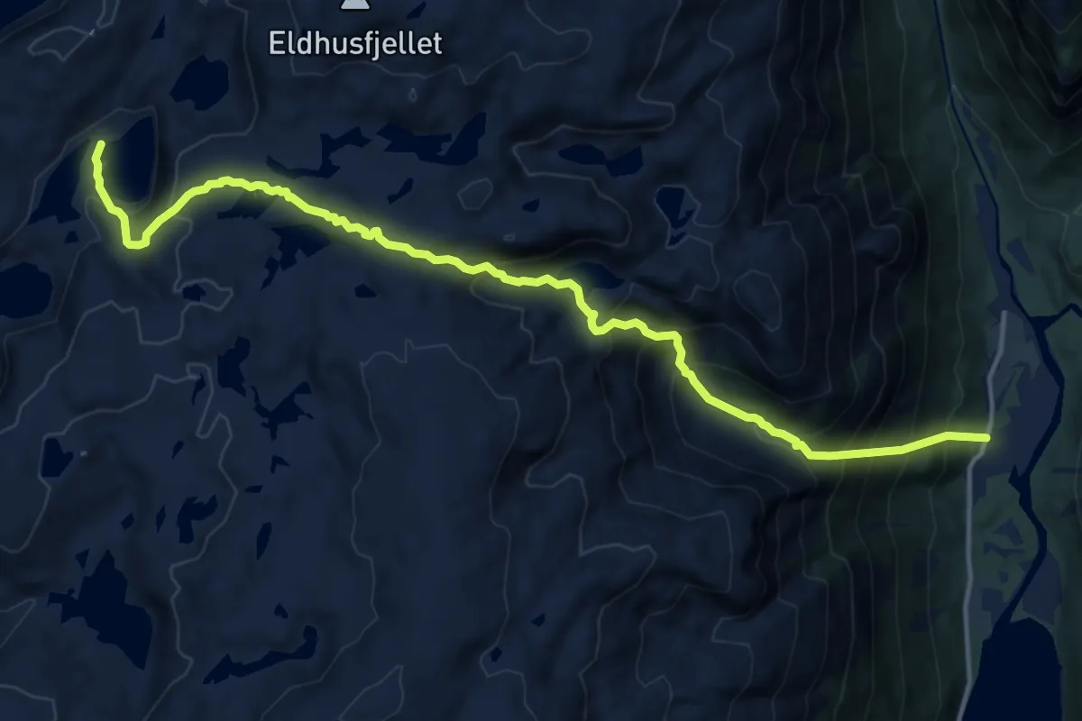
Demanding · Cabin
Steinsland-Vardadalsbu
11.6 km · ↑ 1153 m · 5 h 14 min
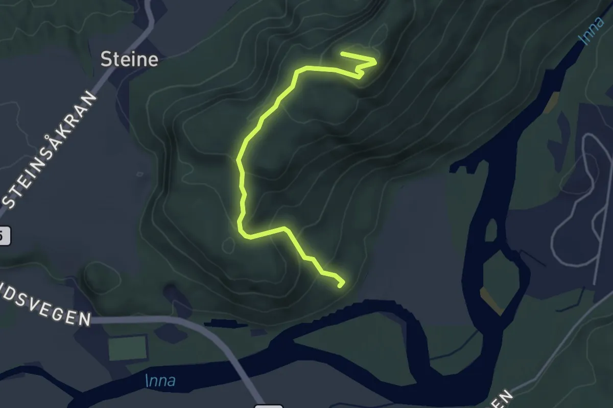
Easy · Trail
Steinsvåttån
2.4 km · ↑ 157 m · 54 min
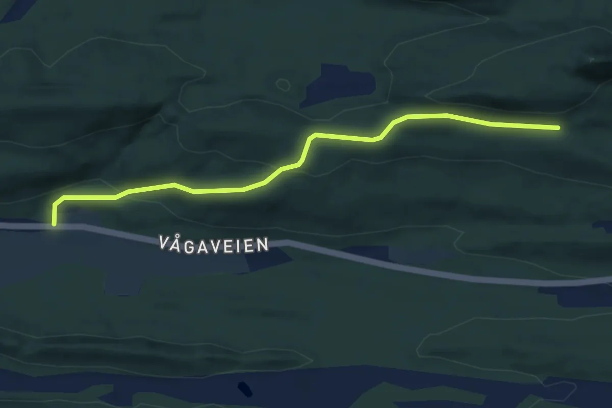
Easy · Trail
Steintuva
3.2 km · ↑ 109 m · 59 min
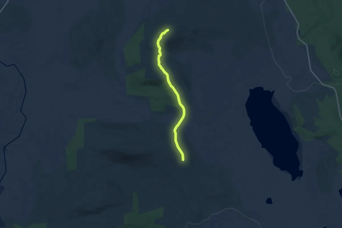
Easy · Trail
Steinvikfjellet - Kopnaglen
6.7 km · ↑ 200 m · 2 h 1 min
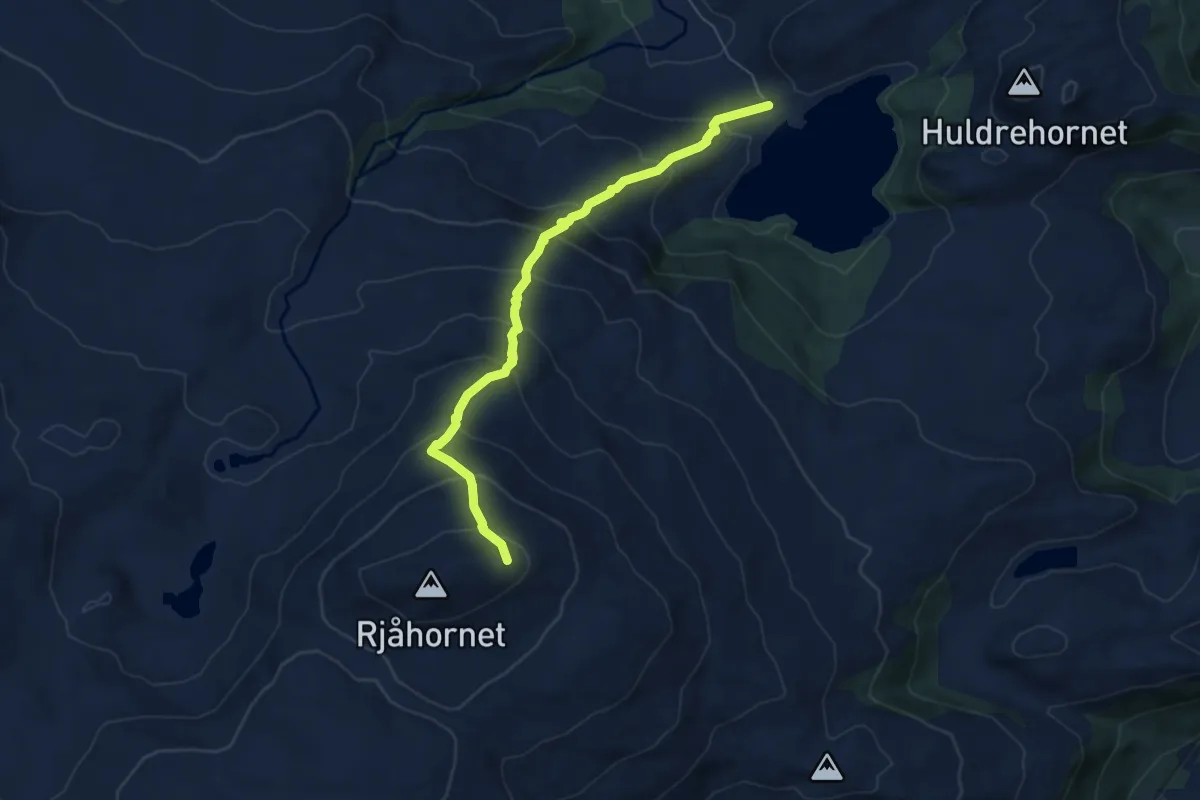
Medium · Trail
STEMMEDALSVATNET - RJÅHORNET
4.2 km · ↑ 478 m · 2 h 1 min
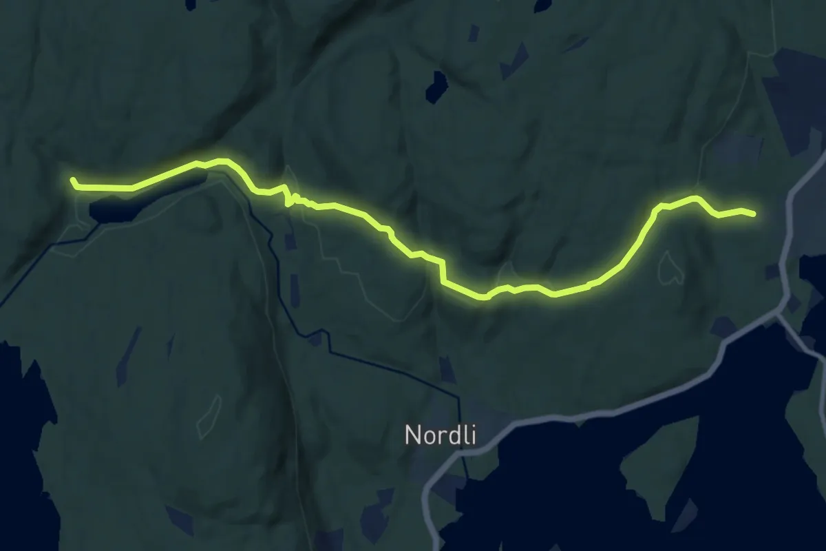
Easy · Trail
Stemningen
7.7 km · ↑ 118 m · 2 h 4 min
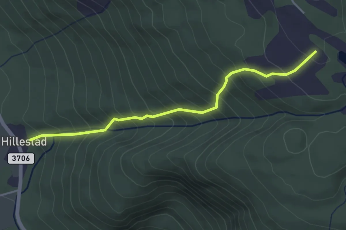
Medium · Trail
Stemtjønn
2.7 km · ↑ 387 m · 1 h 28 min
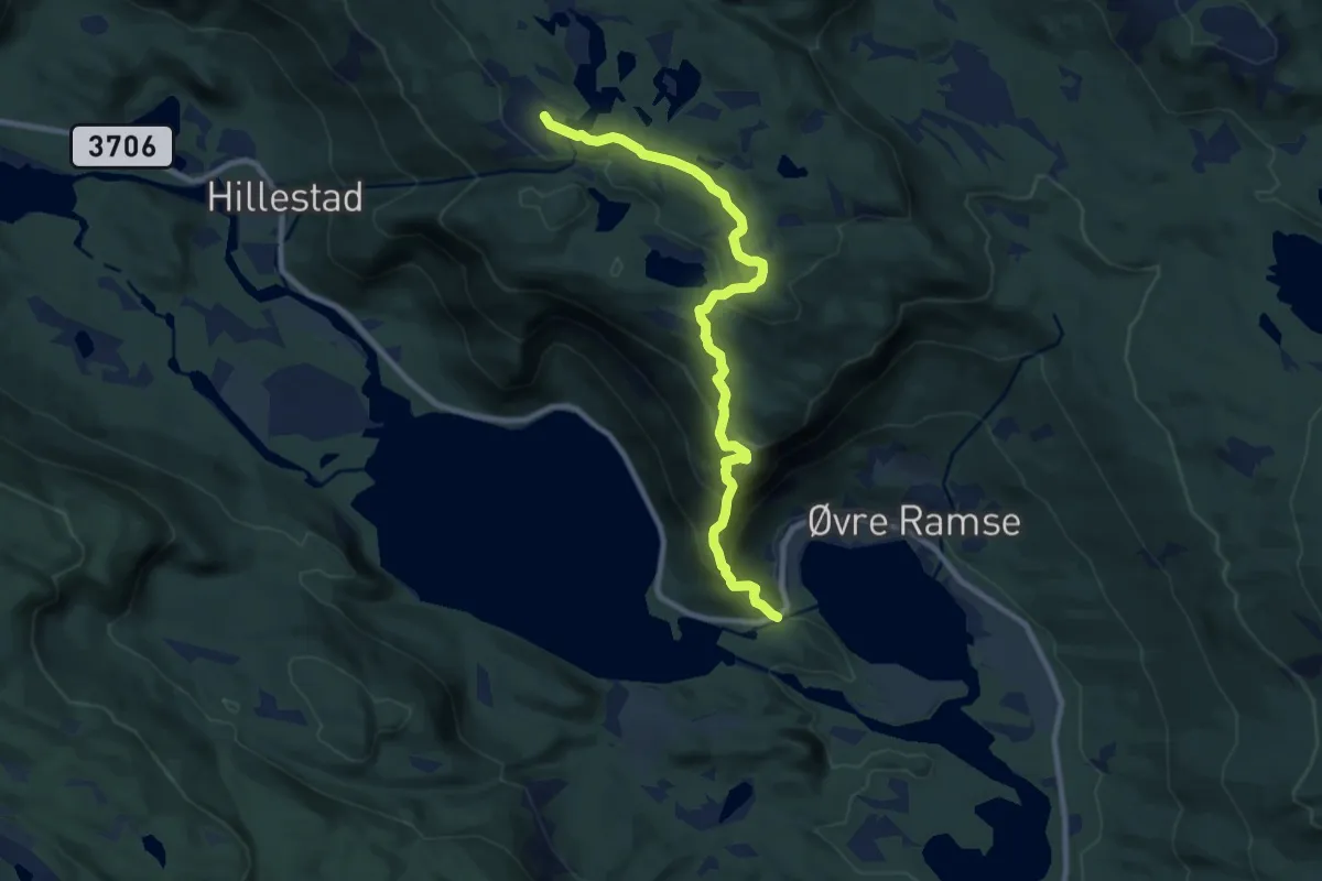
Medium · Trail
Stemtjønn-Napen
7.2 km · ↑ 478 m · 2 h 44 min
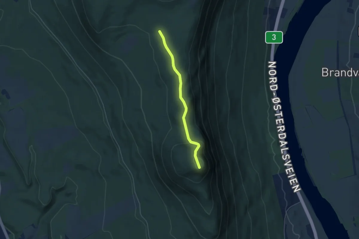
Easy · Trail
Sten - Bergevangen
2.7 km · ↑ 139 m · 57 min
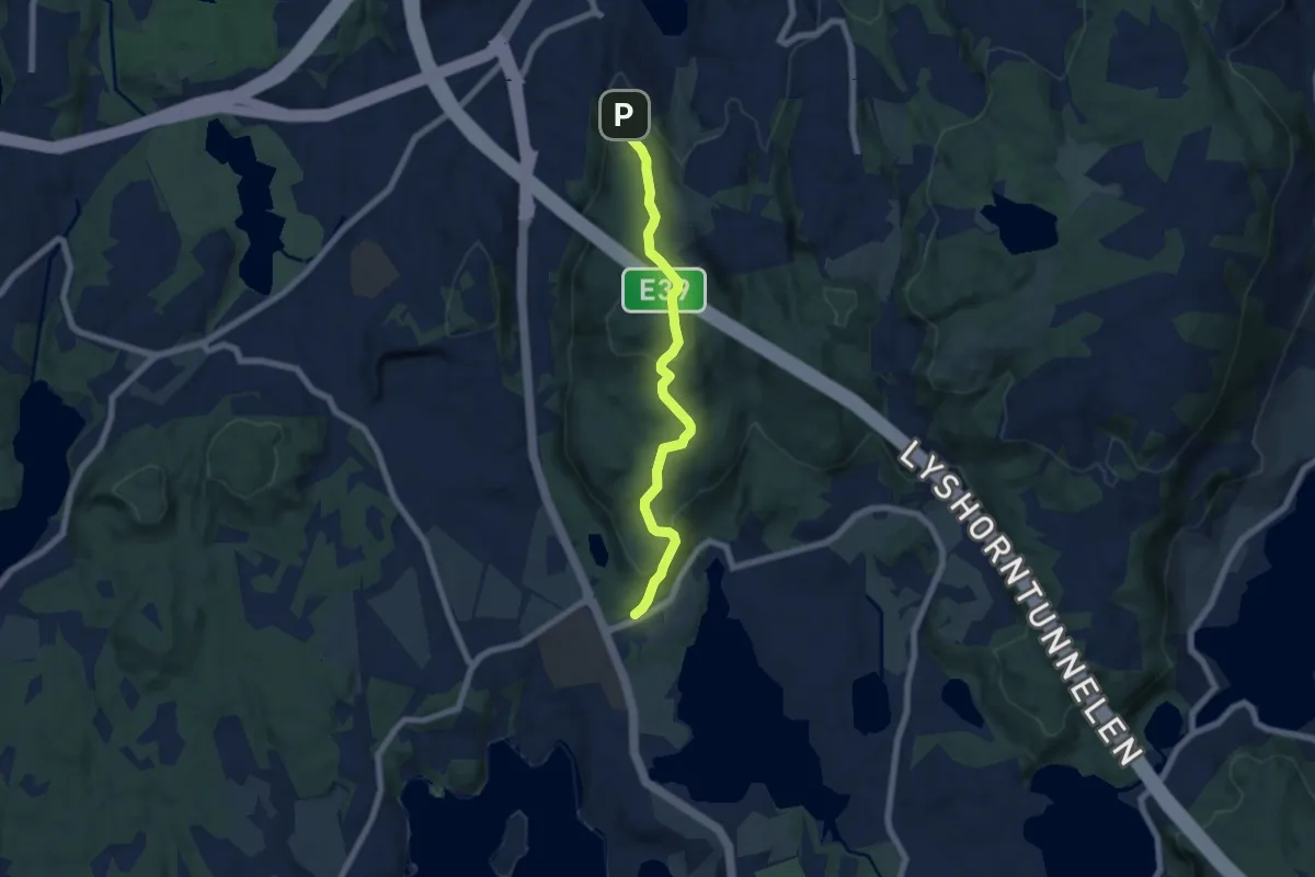
Easy · Trail
Stendafjellet
4.6 km · ↑ 244 m · 1 h 37 min
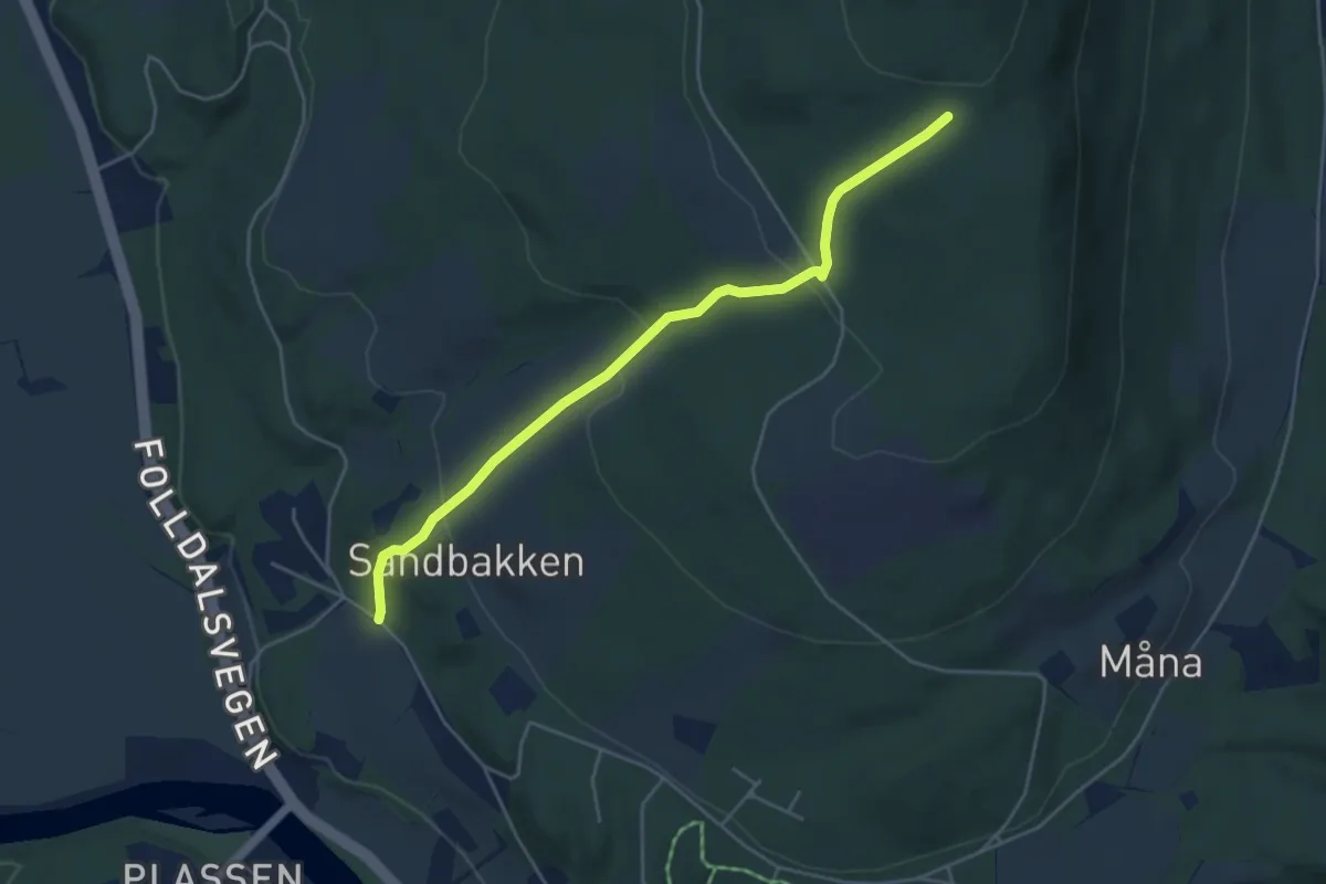
Easy · Trail
Sten fra Dæhlibakke
3.2 km · ↑ 174 m · 1 h 8 min
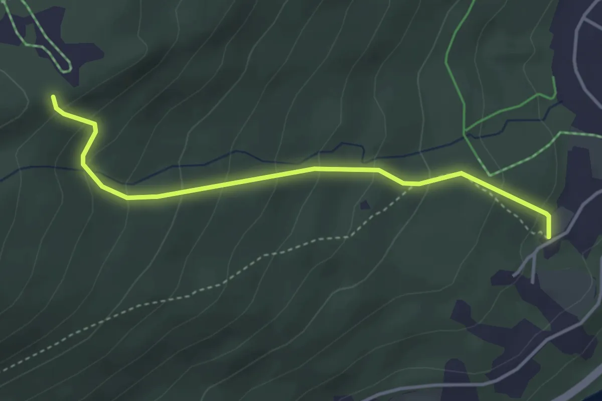
Easy · Trail
Stenneset til Rogerbua
2.2 km · ↑ 232 m · 1 h 1 min
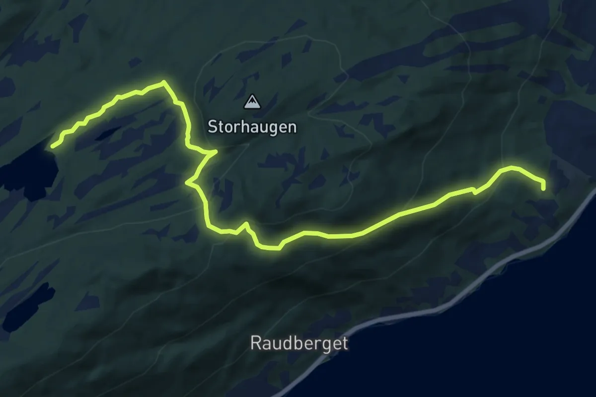
Medium · Trail
Stenneset til Stortjønna
7.7 km · ↑ 333 m · 2 h 33 min
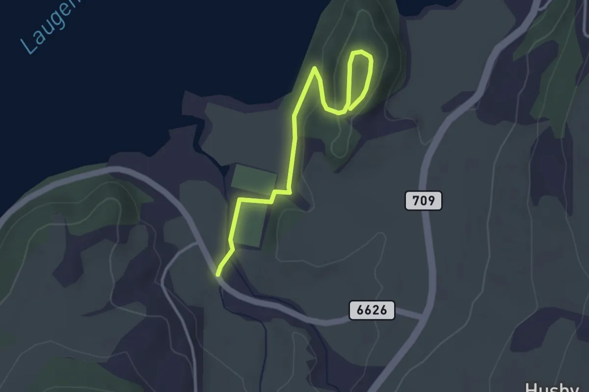
Easy · Trail
Stensåsen
2.1 km · ↑ 44 m · 36 min
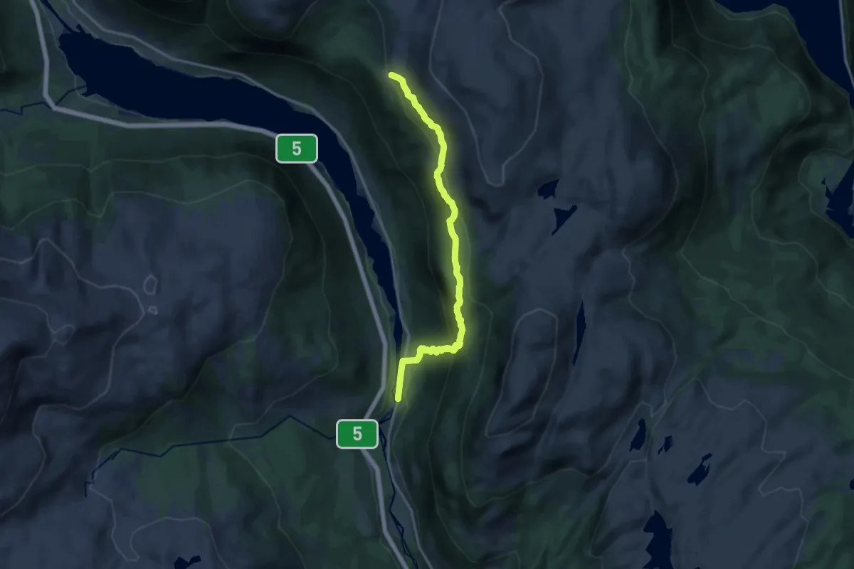
Medium · Trail
Stepin-Narvasete
10.4 km · ↑ 625 m · 3 h 49 min
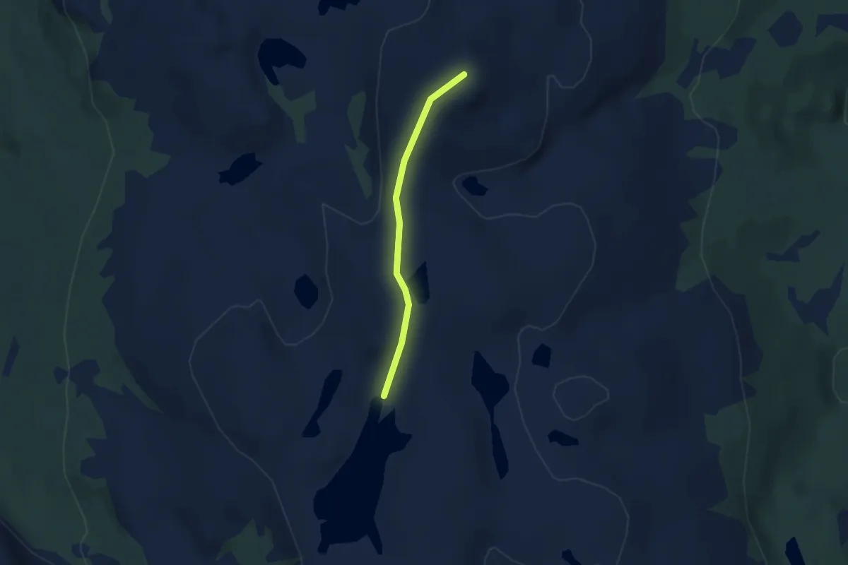
Medium · Trail
Stienen opp til Vardefjell
2.6 km · ↑ 90 m · 49 min
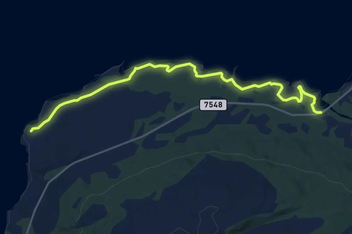
Easy · Trail
Stien langs leia
6.9 km · ↑ 18 m · 1 h 40 min
Medium · Trail
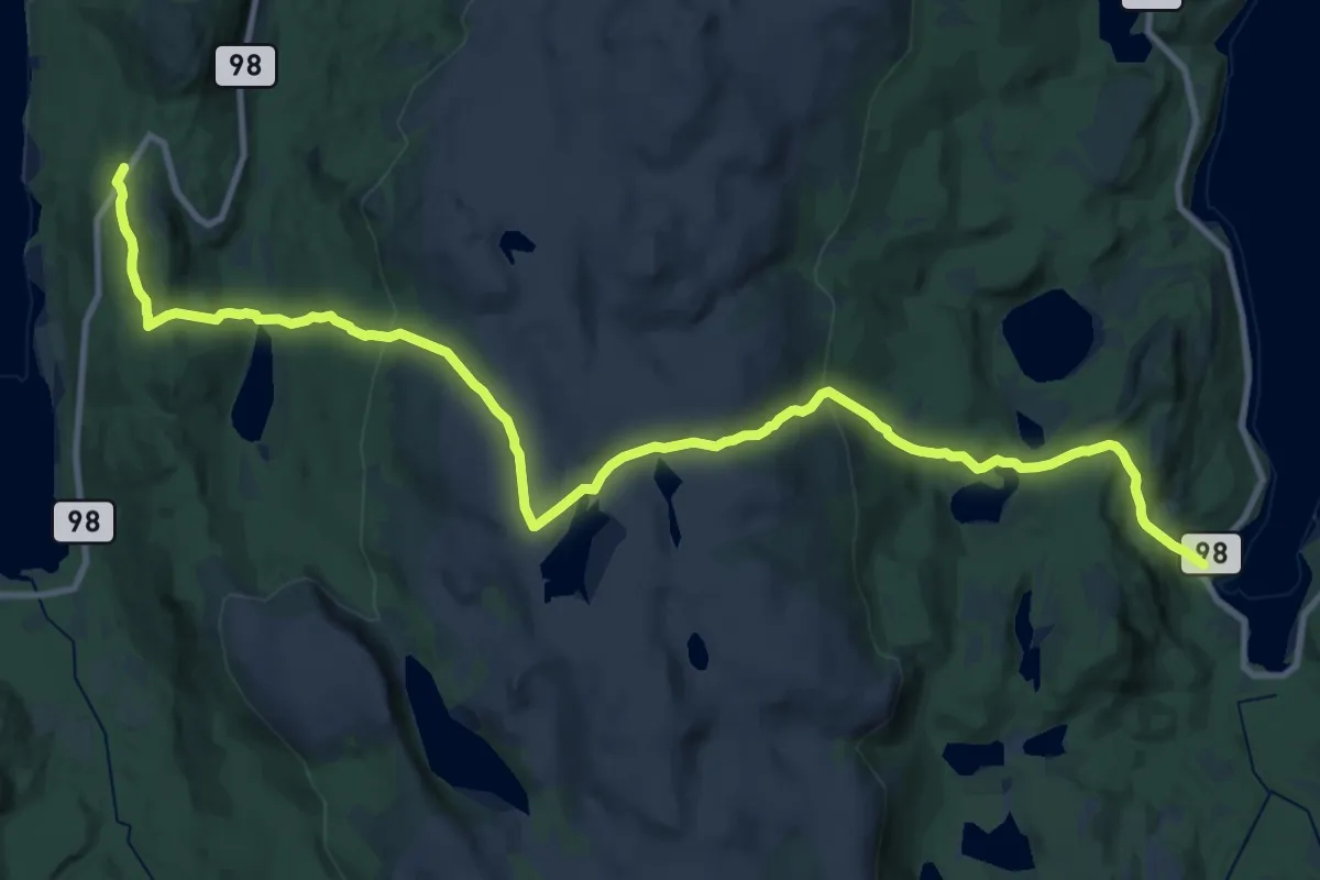
Stien over Cohkalas
15.6 km · ↑ 729 m · 5 h 16 min
Easy · Trail
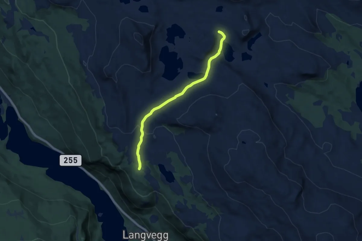
Stier og løyper - ESLL
6.5 km · ↑ 126 m · 1 h 49 min
Easy · Trail
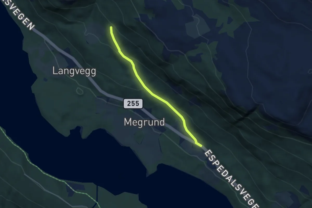
Stier og løyper - ESLL
2.3 km · ↑ 134 m · 51 min
Medium · Trail
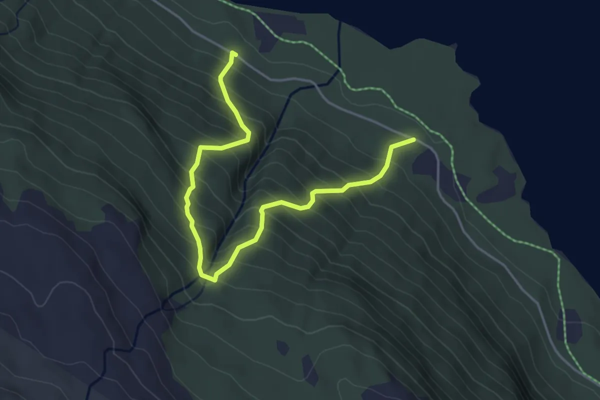
Stier og løyper - ESLL
3.2 km · ↑ 452 m · 1 h 44 min
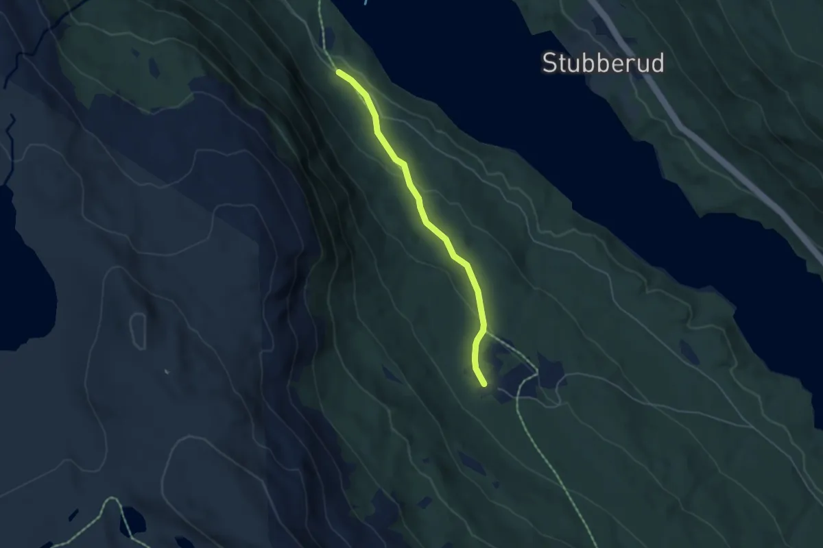
Easy · Trail
Stier og løyper - ESLL
3.0 km · ↑ 123 m · 59 min
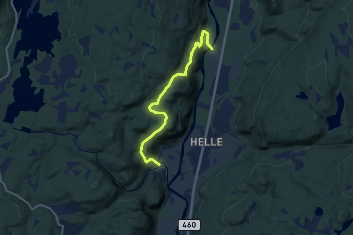
Medium · Trail
Stifjellet
5.5 km · ↑ 337 m · 2 h 2 min
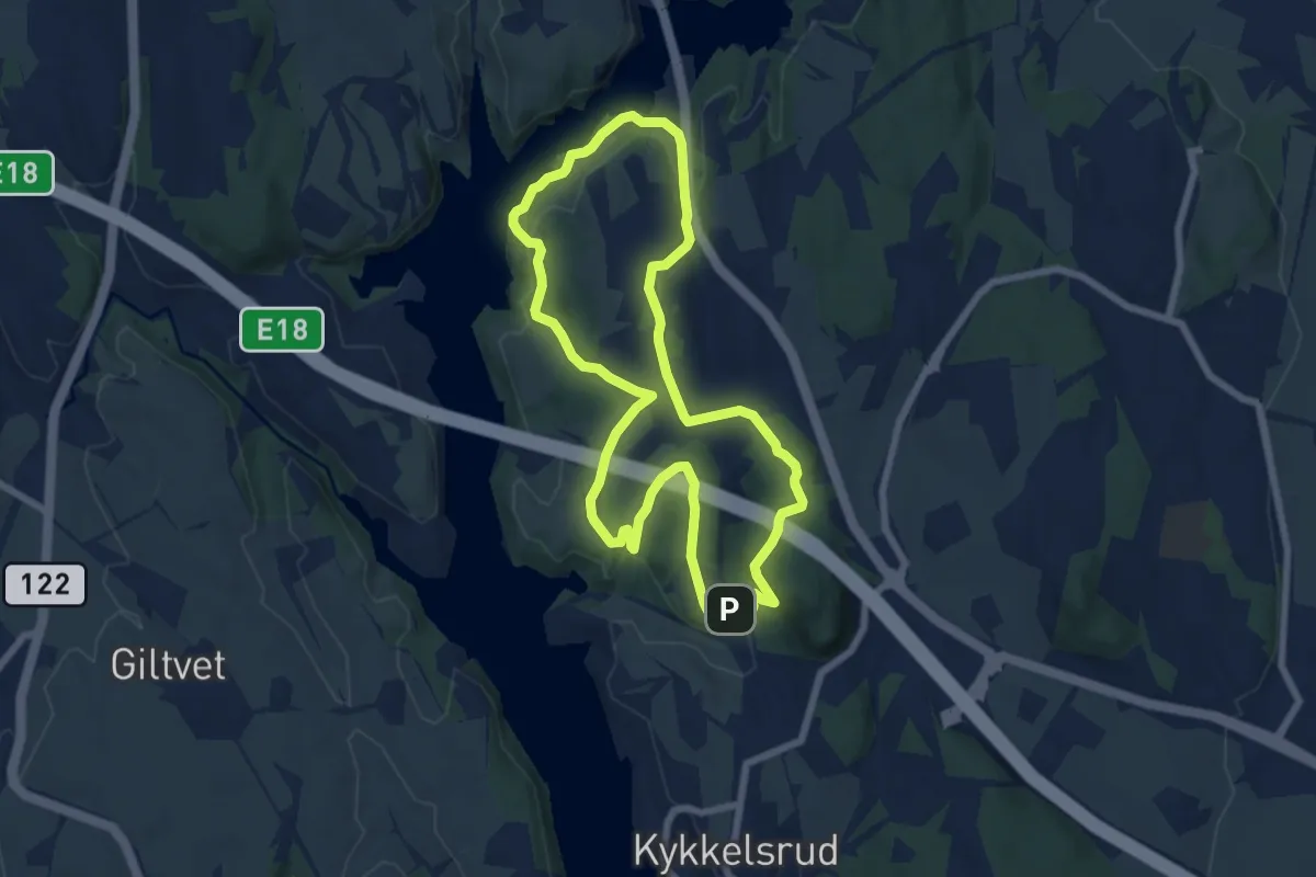
Medium · Trail
Sti Fossum - Romsåsen
9.8 km · ↑ 210 m · 2 h 46 min
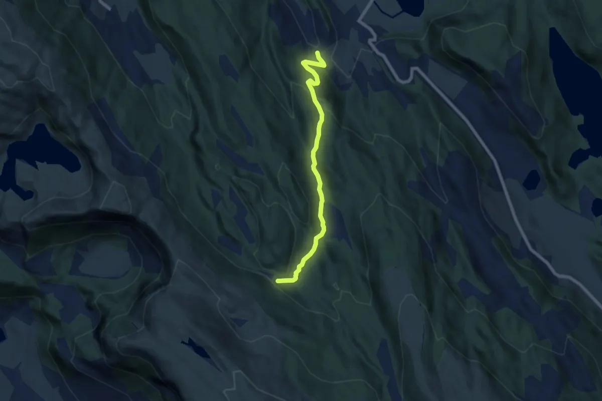
Easy · Trail
sti fra Haugland
4.1 km · ↑ 195 m · 1 h 24 min
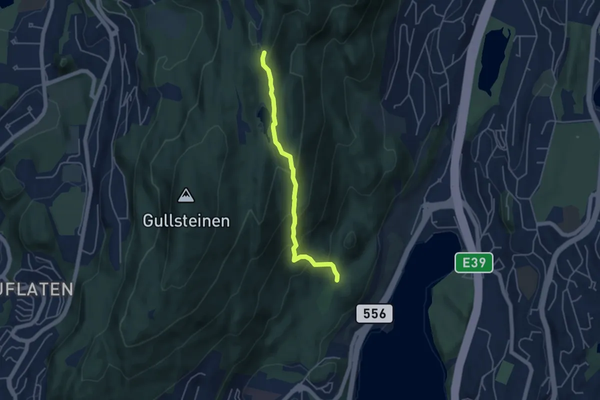
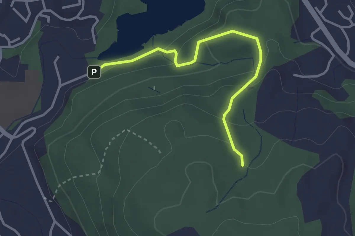
Easy · Trail
Sti fra Langeskogen
2.7 km · ↑ 227 m · 1 h 8 min
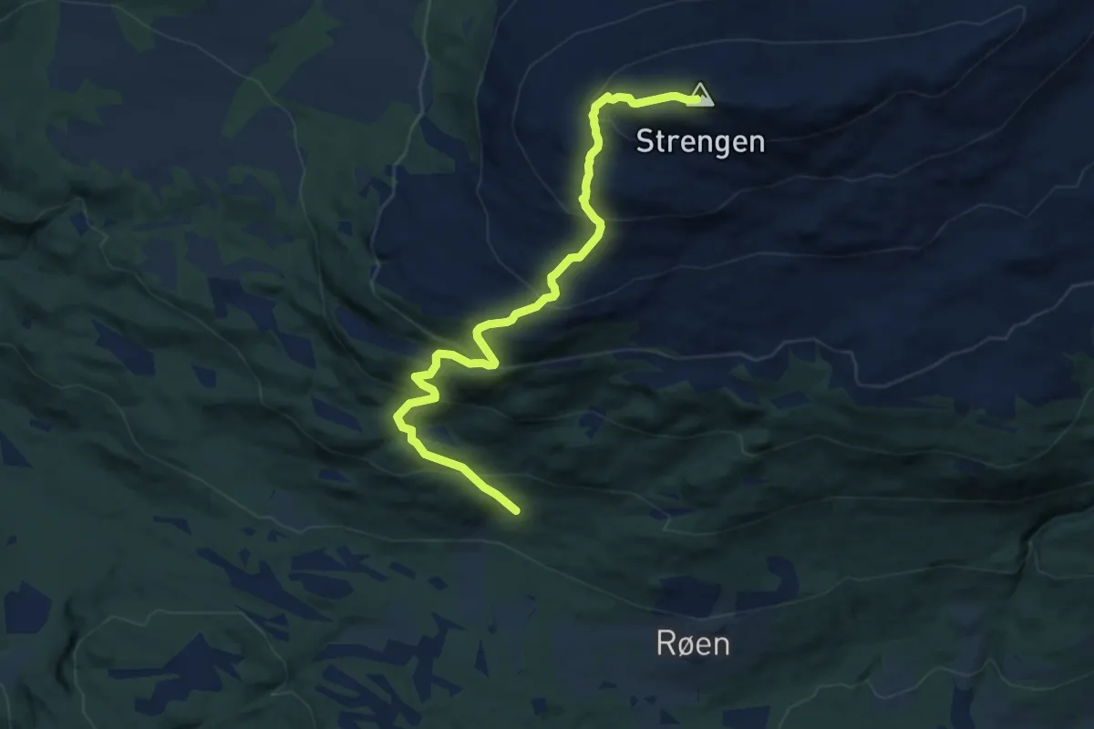
Easy · Trail
Sti fra Tranevatnet
2.0 km · ↑ 132 m · 45 min
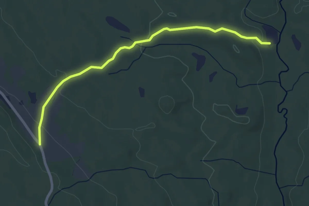
Medium · Trail
Sti fra Vang til Strengen
6.7 km · ↑ 631 m · 2 h 56 min
Easy · Trail
Sti fra Veltvollen til Sørum
3.6 km · ↑ 77 m · 1 h 1 min
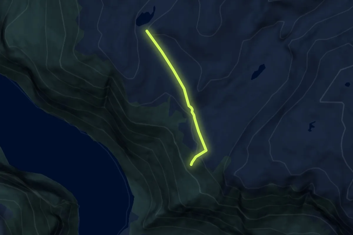
Easy · Trail
Stigane til Dyttingane
3.7 km · ↑ 179 m · 1 h 16 min
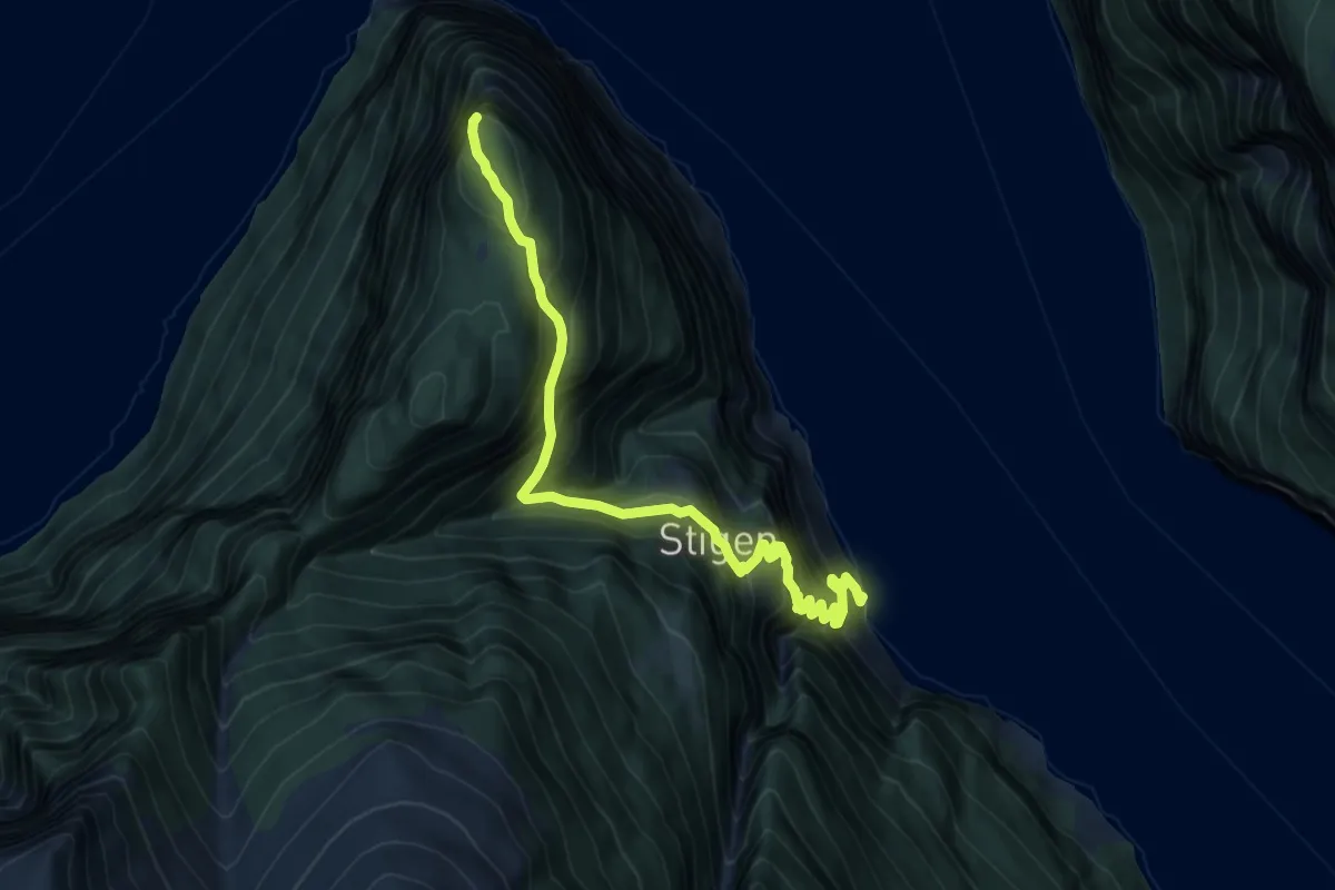
Medium · Trail
Stigen - Beitelen
5.6 km · ↑ 762 m · 2 h 58 min
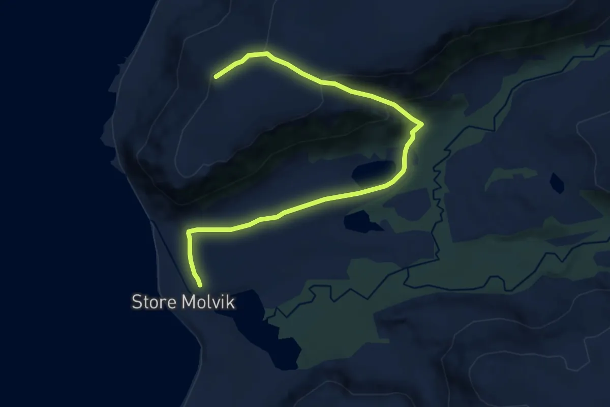
Medium · Trail
Stigen - Store Molvik
5.9 km · ↑ 244 m · 1 h 55 min
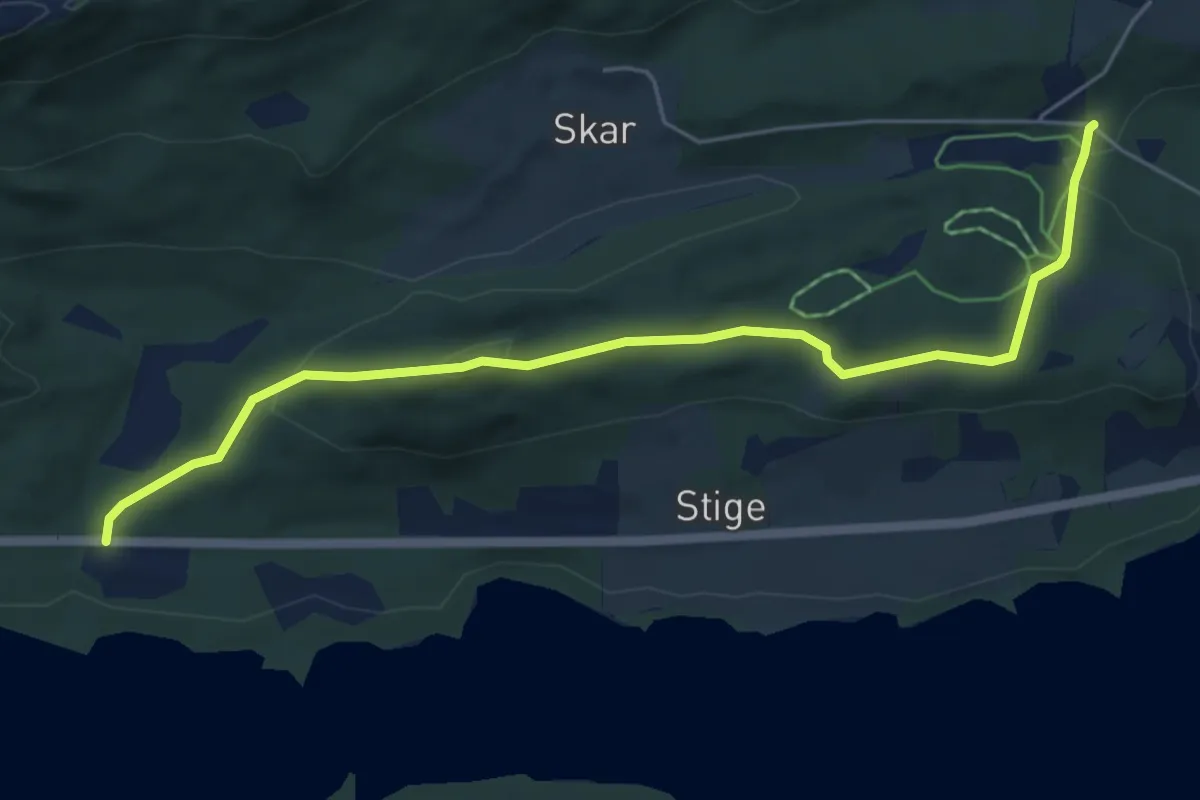
Easy · Trail
Stigen, tursti
4.1 km · ↑ 146 m · 1 h 17 min
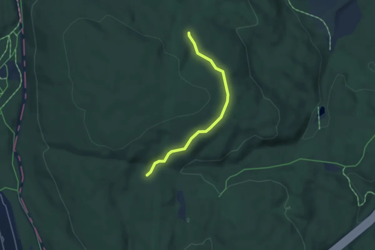
Easy · Trail
Sti Hellerudkoia
2.1 km · ↑ 28 m · 34 min
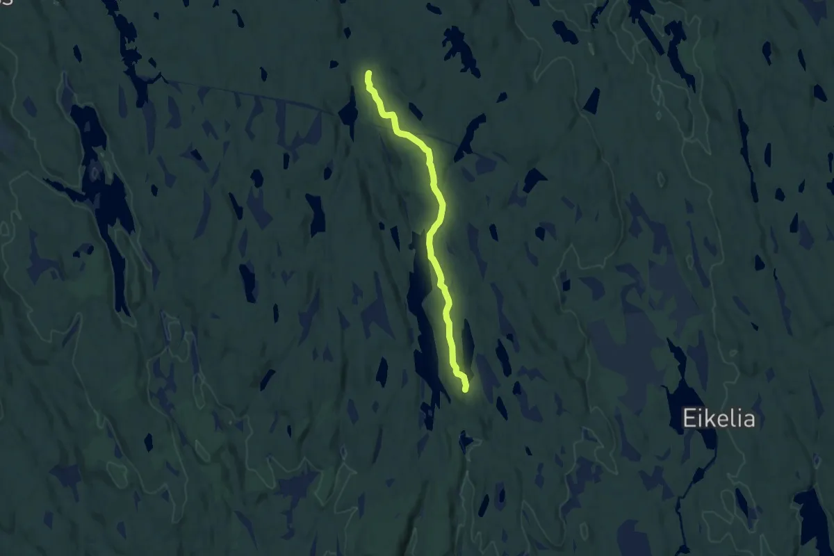
Easy · Trail
Stikktjern - Blankvann vest
6.6 km · ↑ 106 m · 1 h 47 min
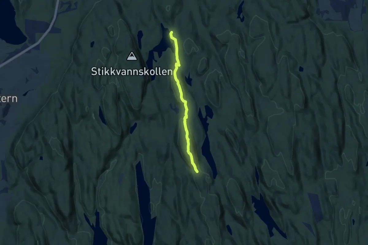
Medium · Trail
Stikkvann- Vennersborg
5.3 km · ↑ 149 m · 1 h 34 min
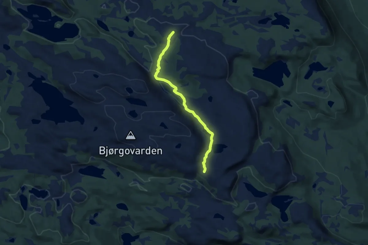
Easy · Trail
Stiklingen
5.4 km · ↑ 72 m · 1 h 26 min