Trails in Norway
7,452 hiking trails, each with its route, climb, walking time and grade.
All trails, page 97 of 156
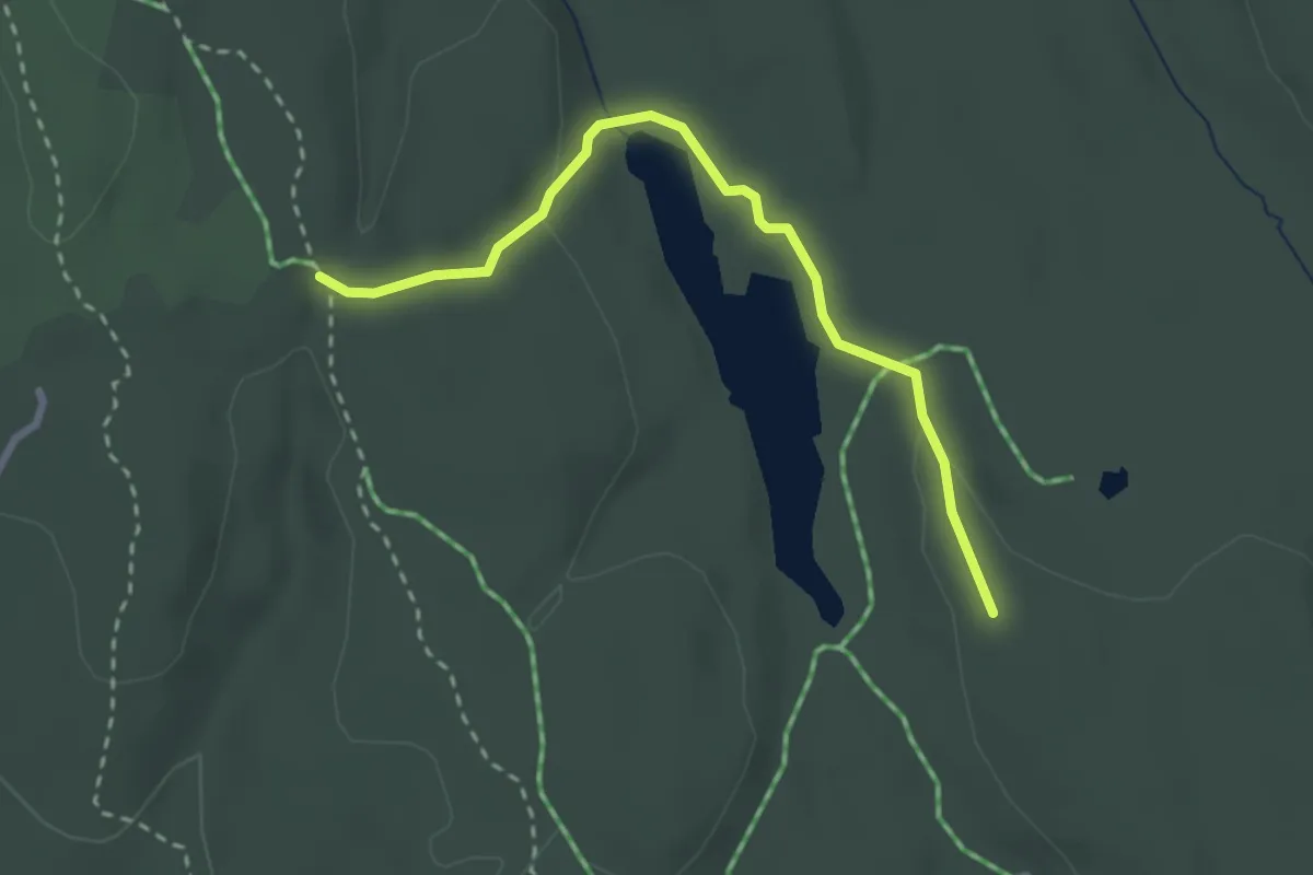
Easy · Trail
Stikryss Lintjern øst til stikryss vest for Lintjern
2.0 km · ↑ 47 m · 34 min
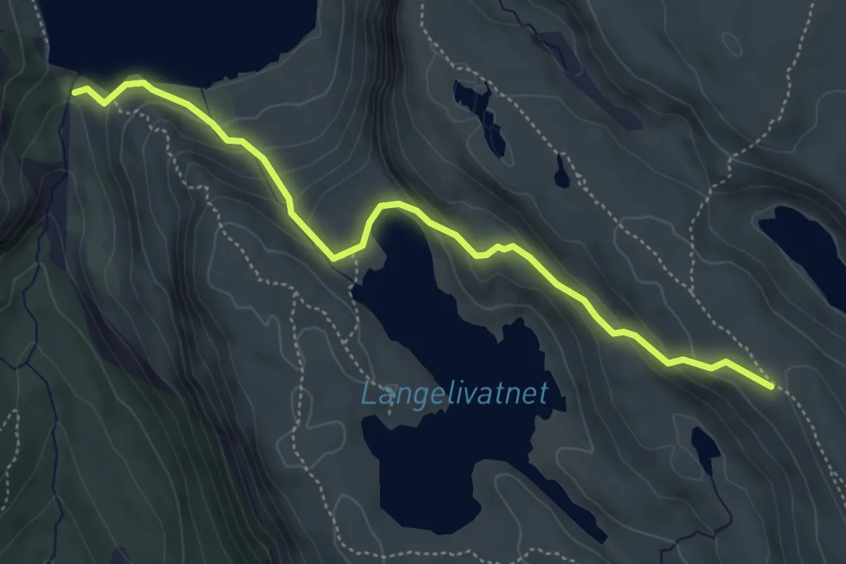
Easy · Trail
sti Langelivannet
3.7 km · ↑ 250 m · 1 h 24 min
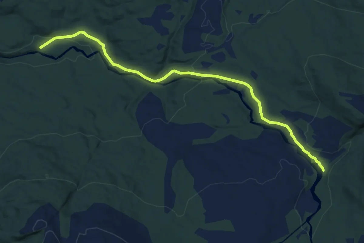
Medium · Trail
Stilla
6.3 km · ↑ 195 m · 1 h 54 min
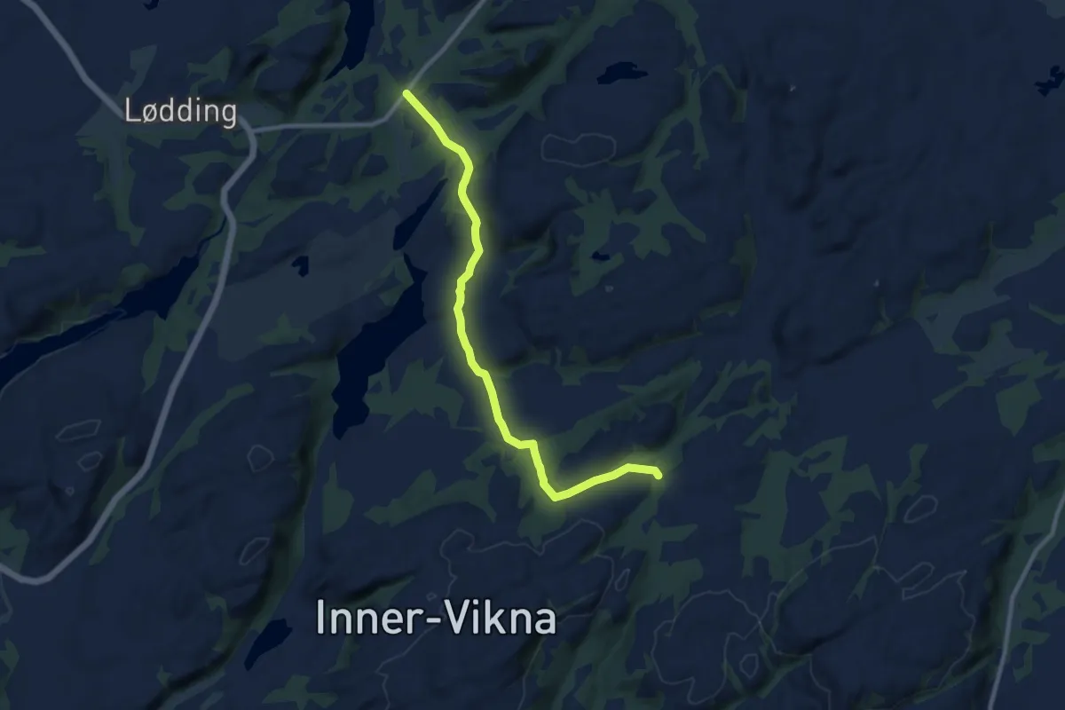
Easy · Trail
Stilla-Ryemslia
6.1 km · ↑ 98 m · 1 h 39 min
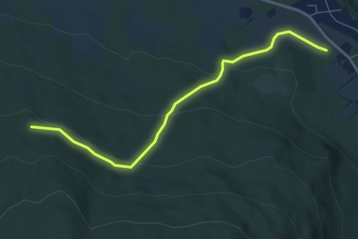
Easy · Trail
Stinettverk Baugsberget oppdatering
3.8 km · ↑ 154 m · 1 h 14 min
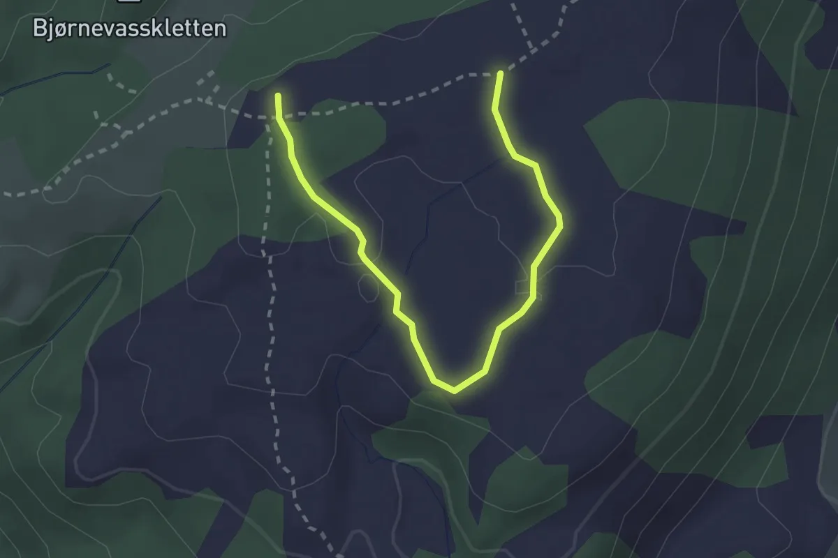
Easy · Trail
Sti om Klyftasteinane
2.0 km · ↑ 31 m · 32 min
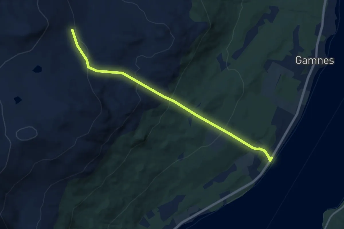
Medium · Trail
Sti til Gamnes gruver
5.0 km · ↑ 400 m · 2 h 3 min
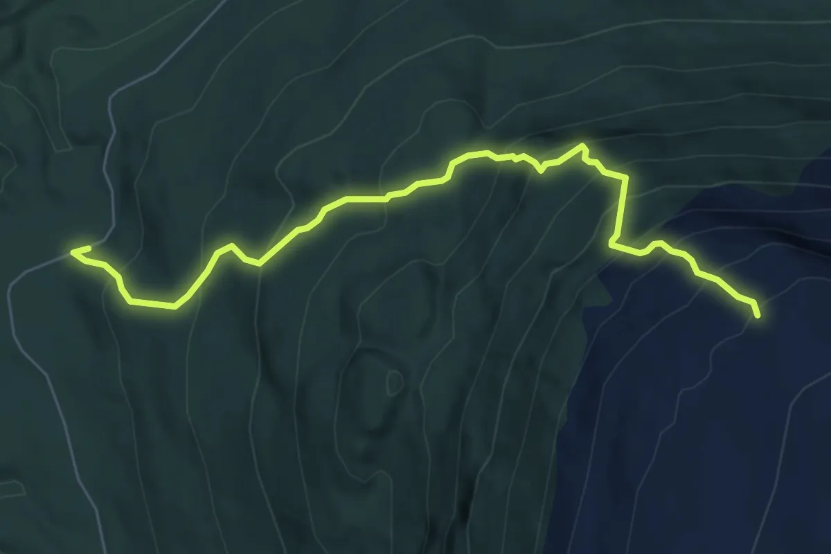
Medium · Trail
Sti til Klubben
4.1 km · ↑ 587 m · 2 h 15 min
Medium · Cabin
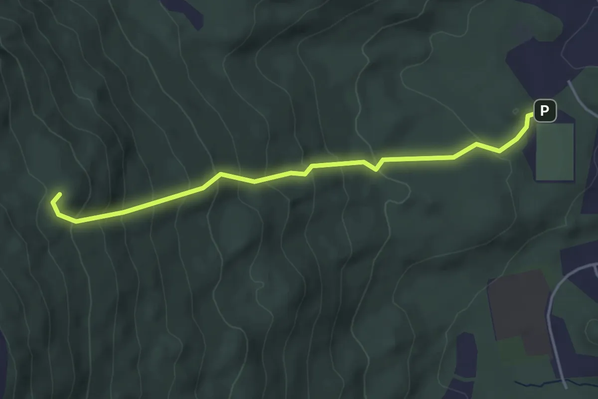
Sti til Maistua
2.2 km · ↑ 244 m · 1 h 2 min
Medium · Trail
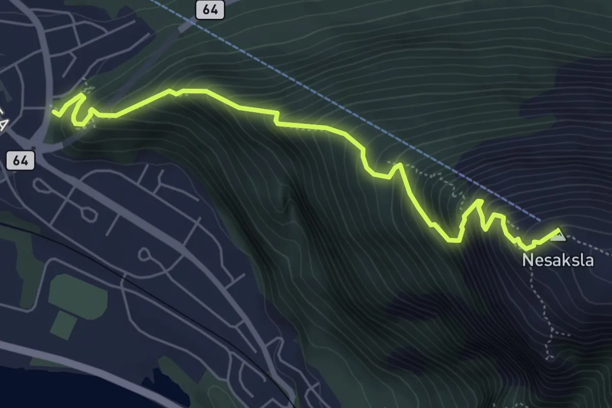
Sti til Nesaksla
4.1 km · ↑ 669 m · 2 h 25 min
Easy · Trail
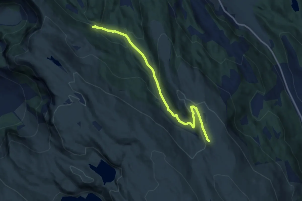
sti til Nordhytten
5.8 km · ↑ 267 m · 1 h 57 min
Medium · Trail
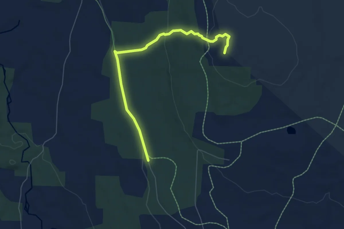
Sti til Nysæteråsen
4.4 km · ↑ 121 m · 1 h 19 min
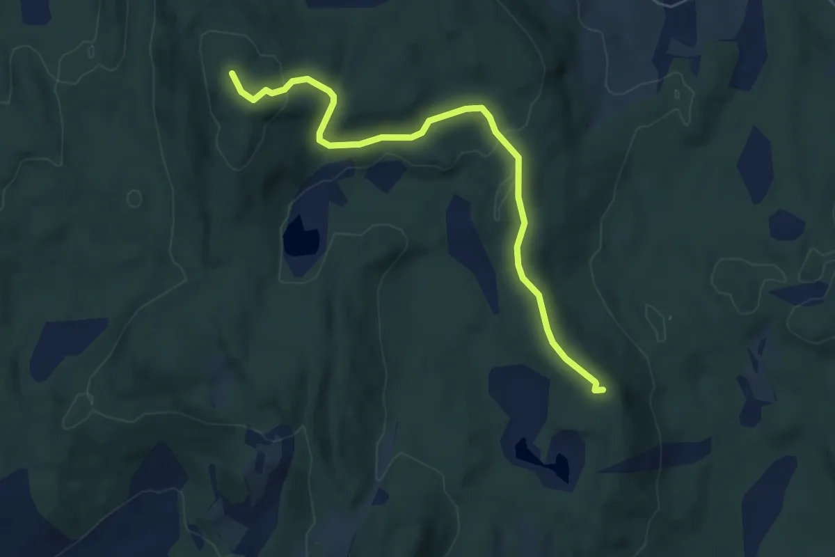
Easy · Trail
Sti til Utsikten
3.3 km · ↑ 92 m · 59 min
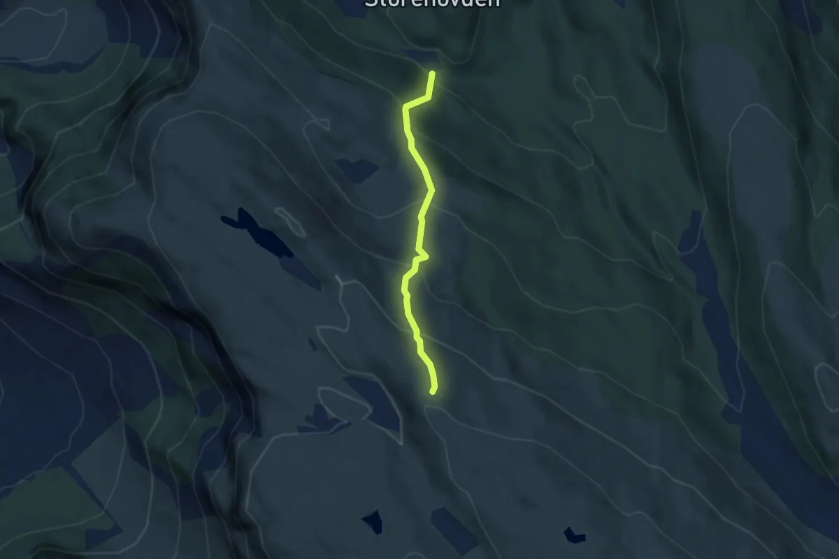
Easy · Trail
sti til Vikinghytten
2.1 km · ↑ 243 m · 1 h 1 min
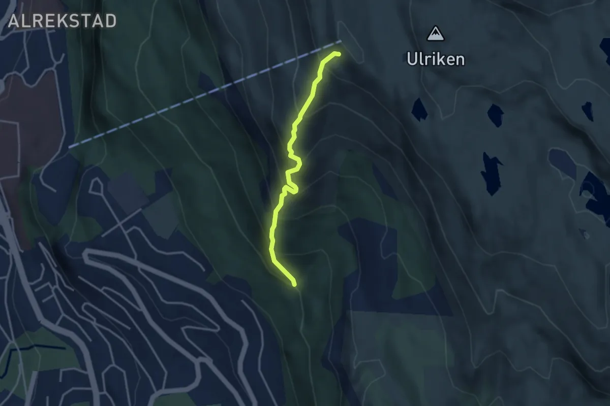
Medium · Trail
Sti Ulriken langs rygg
2.0 km · ↑ 325 m · 1 h 11 min
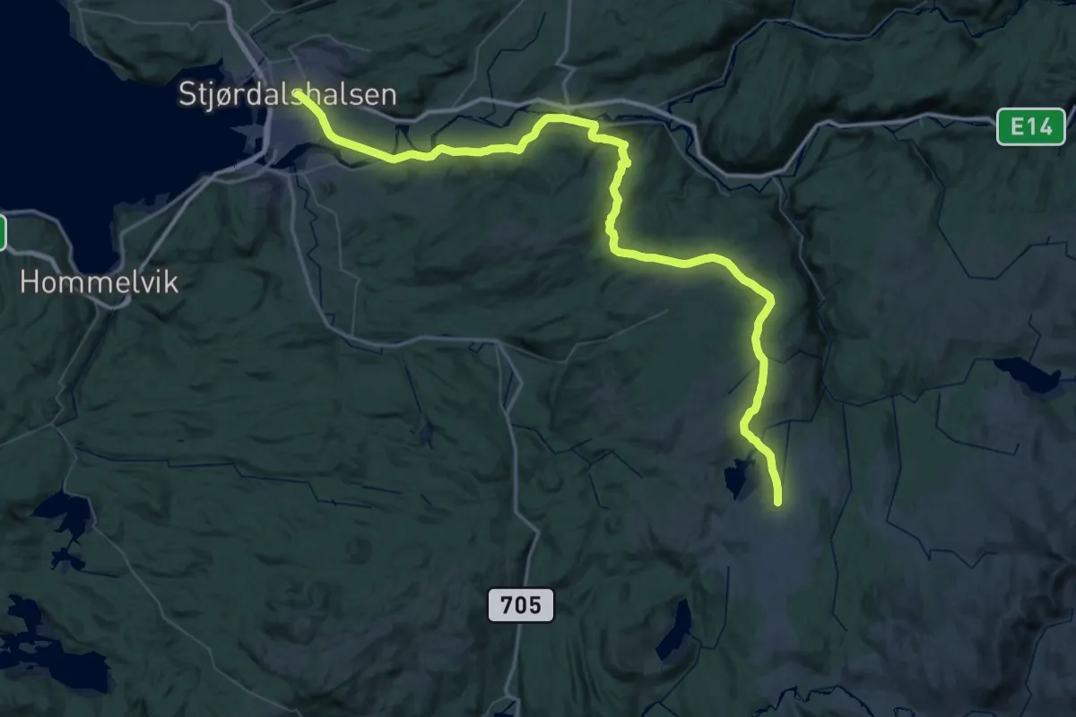
Demanding · Cabin
Stjørdal – Kvitfjellhytta
31.8 km · ↑ 857 m · 9 h 34 min
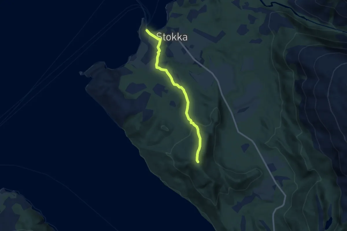
Easy · Trail
Stokkasjøen-Høgåsen
4.4 km · ↑ 185 m · 1 h 27 min
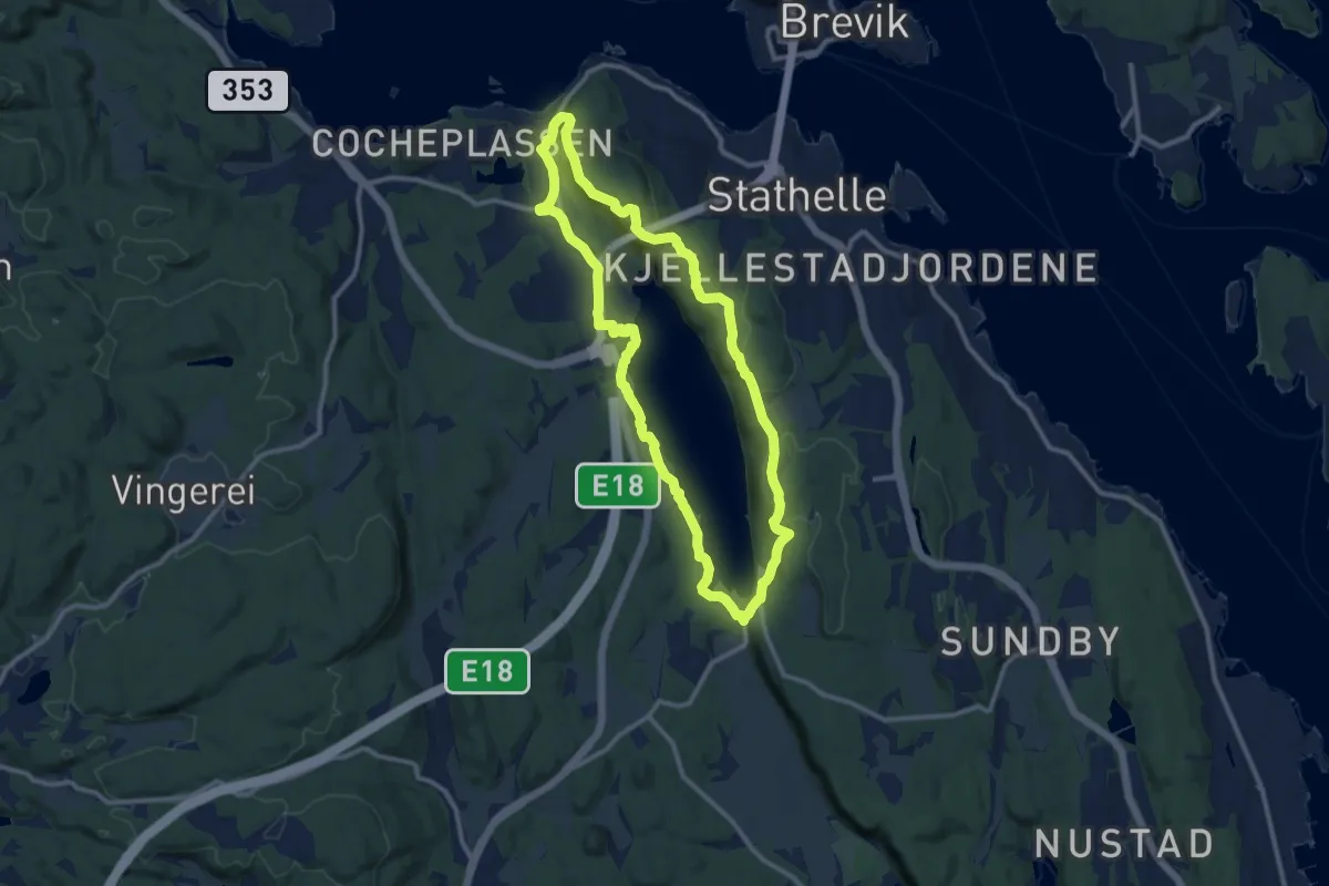
Medium · Trail
Stokkevannet rundt
15.3 km · ↑ 346 m · 4 h 22 min
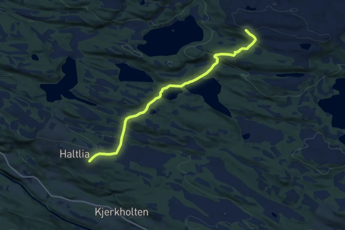
Easy · Trail
Stokkfjellet
7.8 km · ↑ 269 m · 2 h 26 min
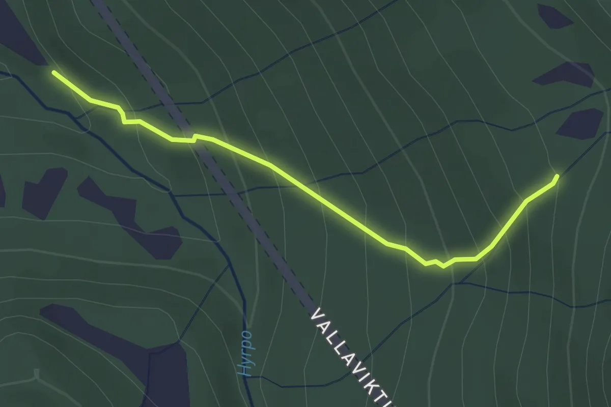
Easy · Trail
Stokksel - Hausskarstuftene
2.2 km · ↑ 237 m · 1 h 3 min
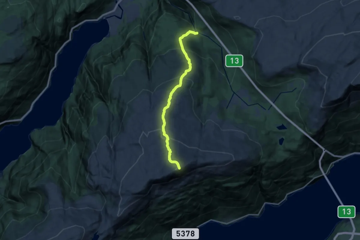
Demanding · Trail
Stokksel - Ingebjørgnuten
9.7 km · ↑ 796 m · 4 h
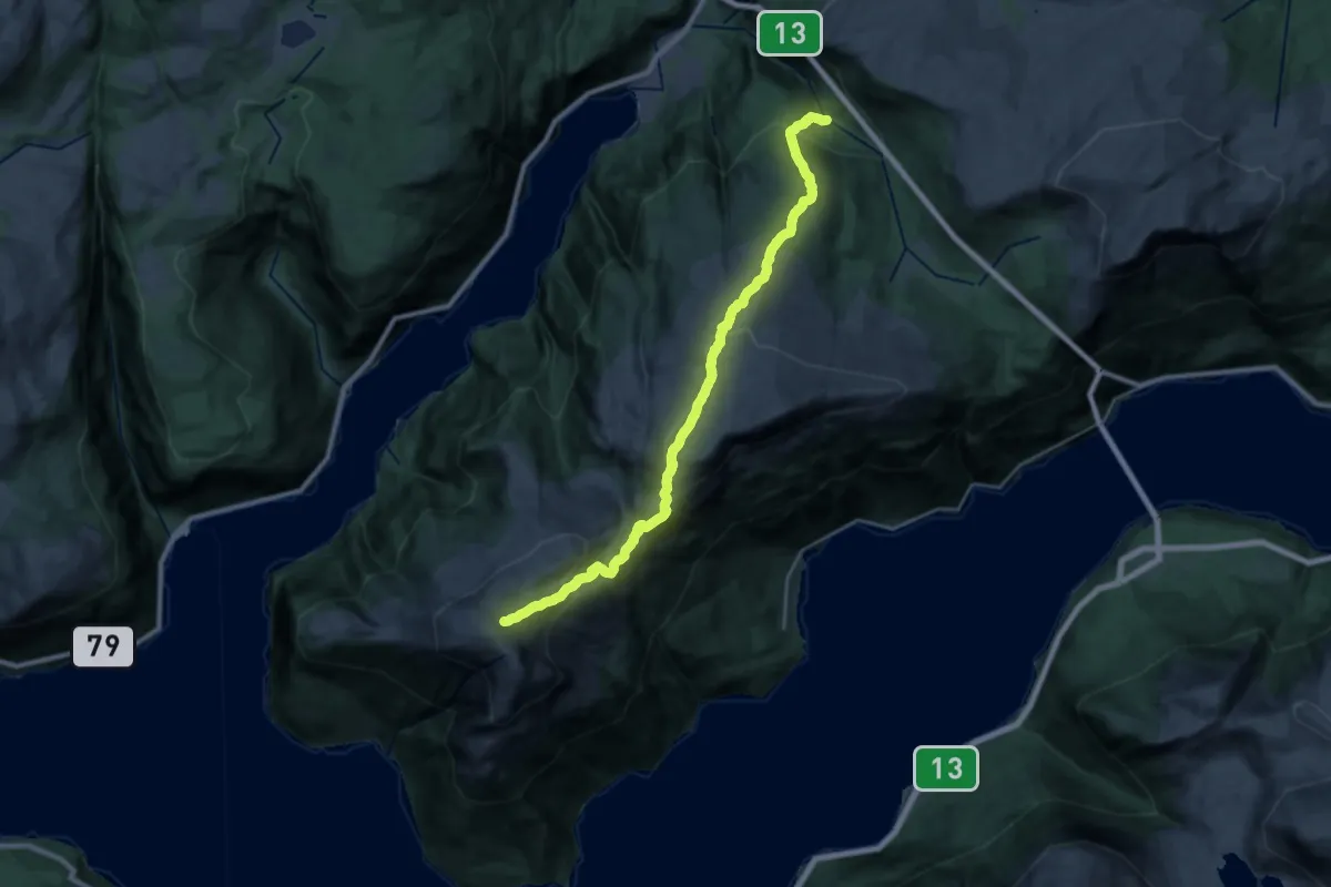
Demanding · Trail
Stokksel - Oksen
18.4 km · ↑ 1132 m · 6 h 48 min
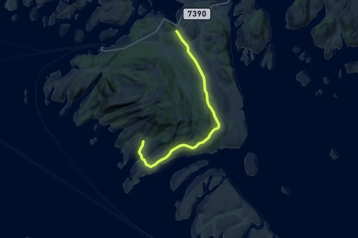
Medium · Trail
Stokksvika
8.5 km · ↑ 66 m · 2 h 9 min
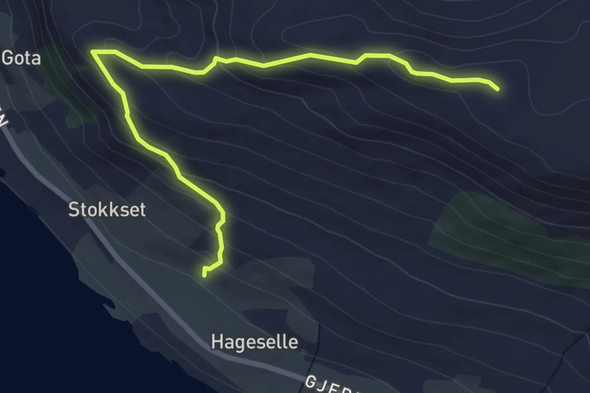
Easy · Trail
Stokset til Trolltua
4.0 km · ↑ 260 m · 1 h 31 min
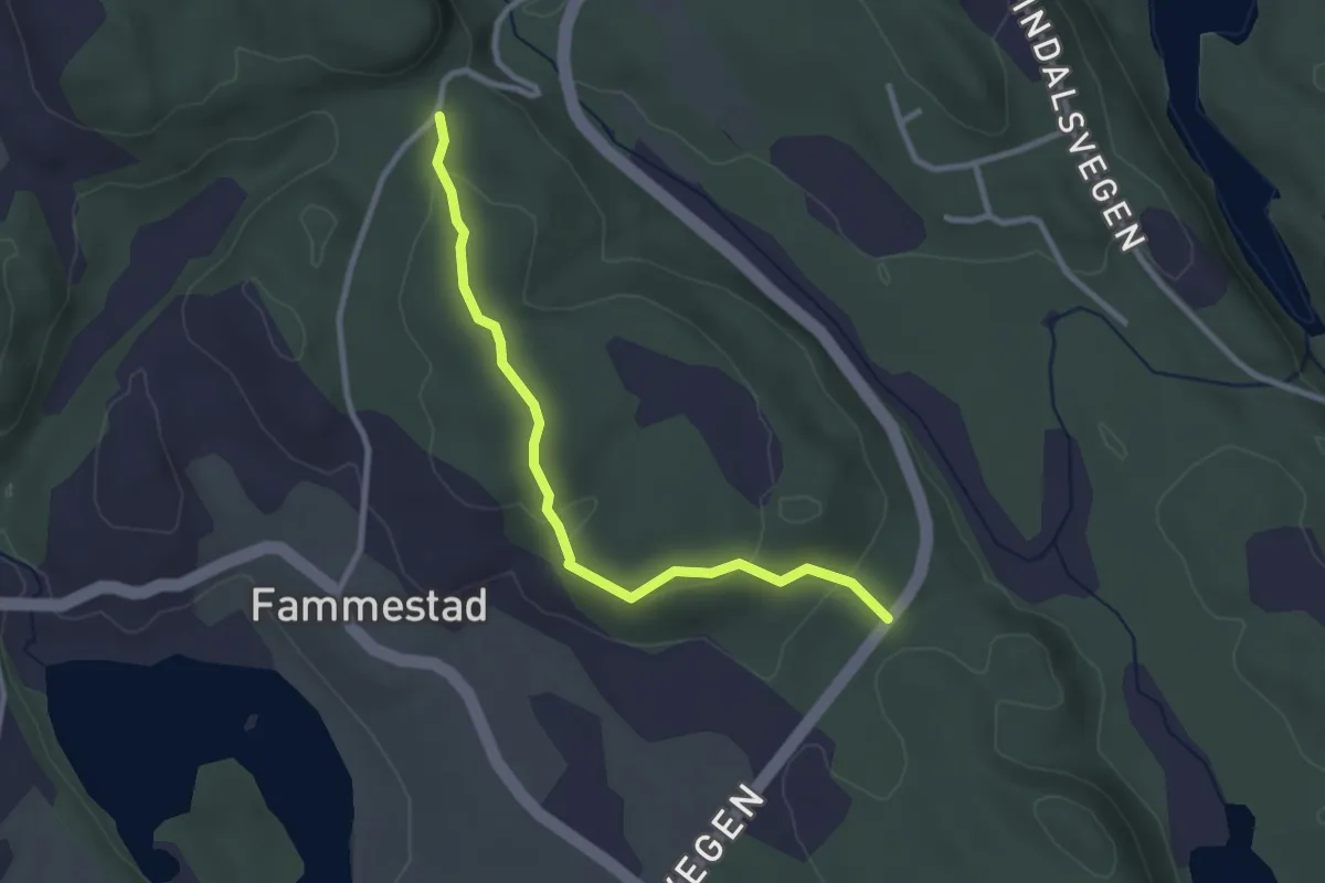
Easy · Trail
Stølaberget
2.0 km · ↑ 61 m · 36 min
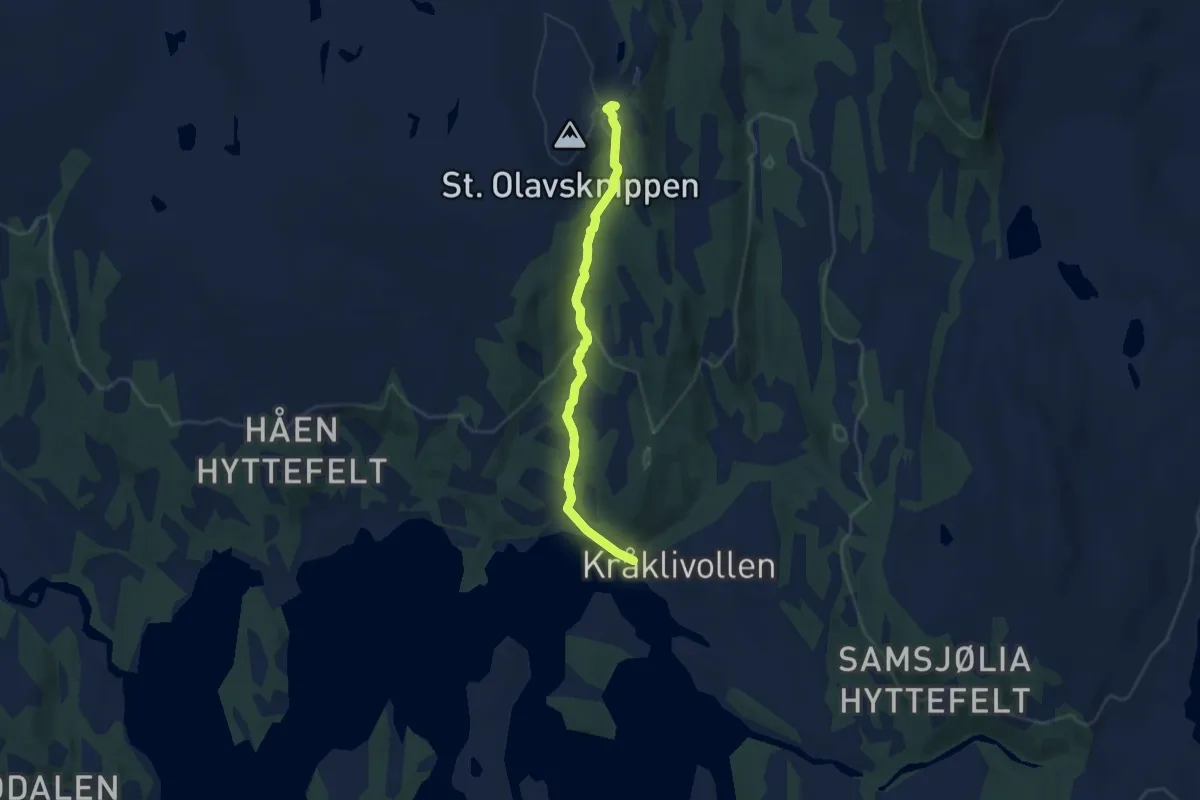
Easy · Trail
St.Olavsknippen
4.5 km · ↑ 163 m · 1 h 26 min
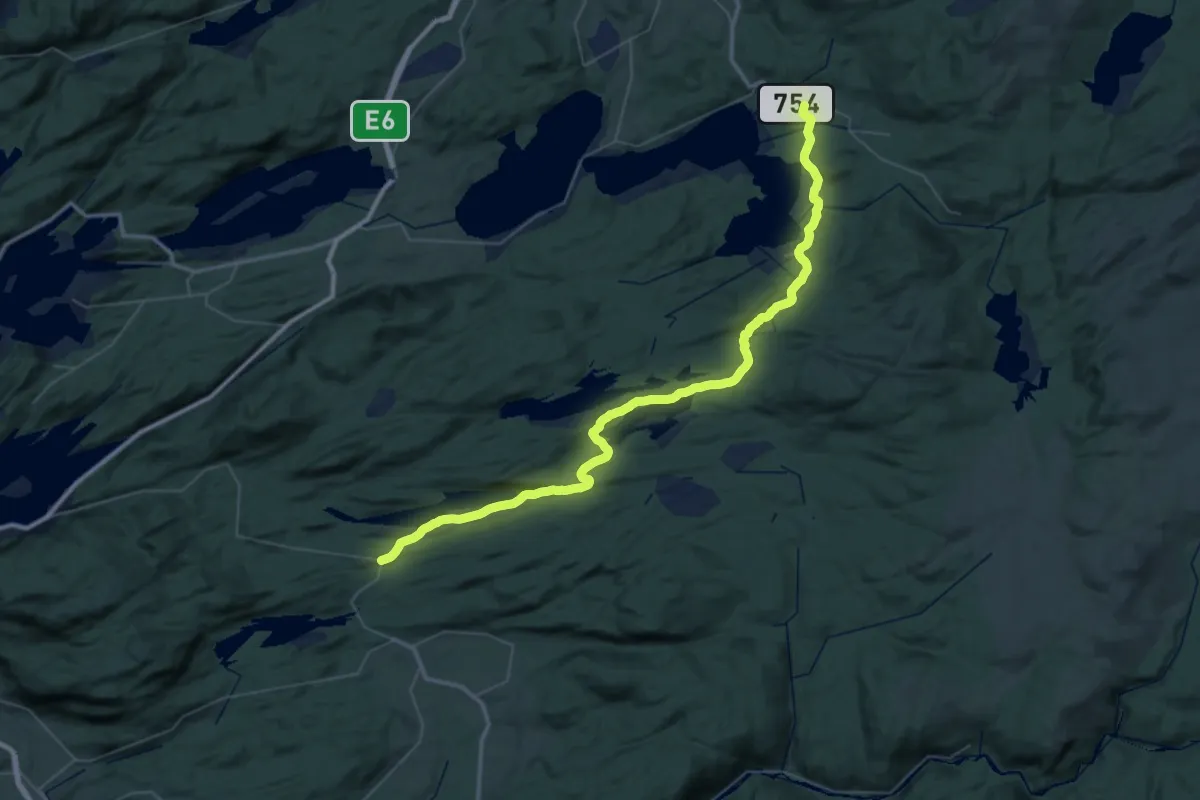
Demanding · Trail
St. Olavsleden dagsetapp Markabygda - Borrås
19.7 km · ↑ 389 m · 5 h 45 min
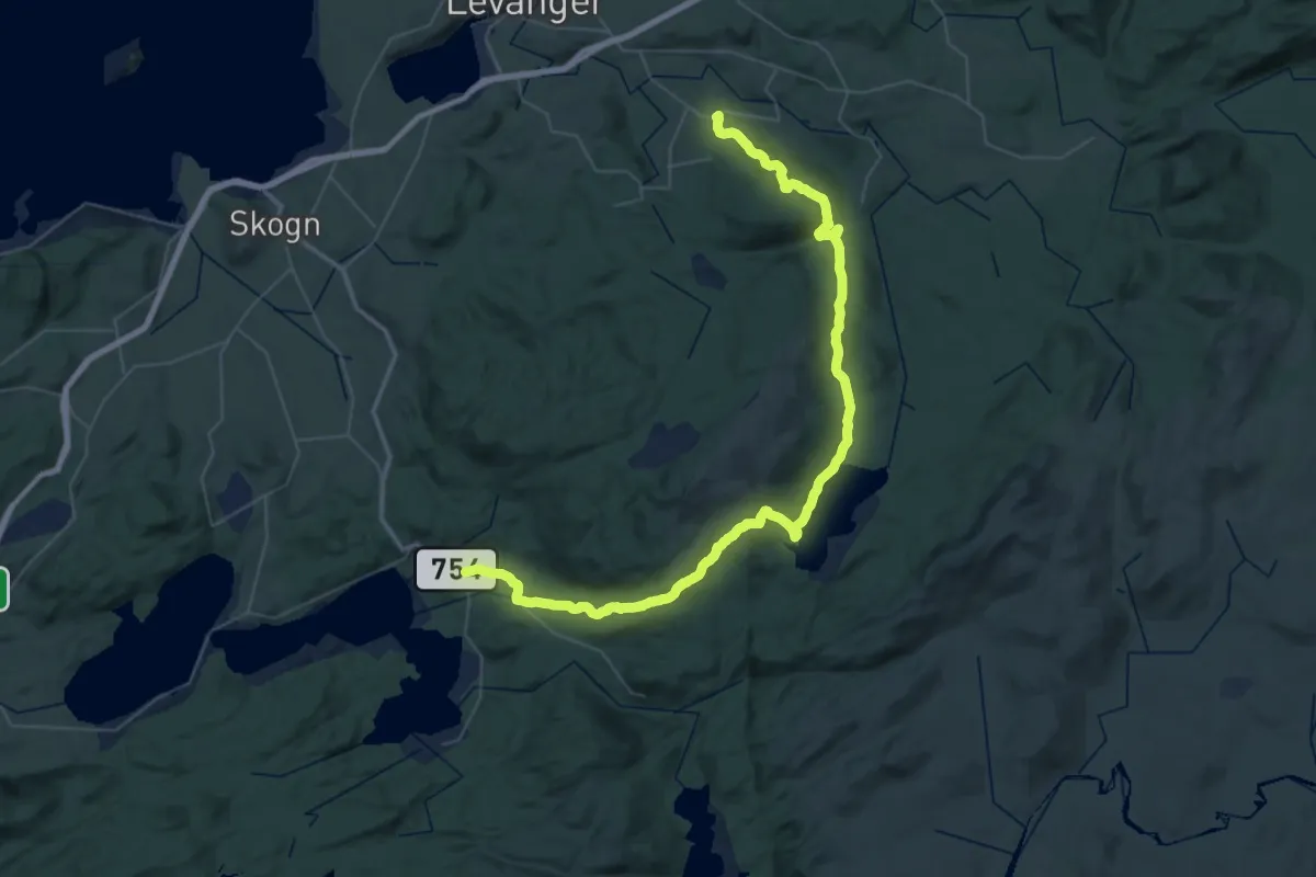
Demanding · Trail
St. Olavsleden dagsetapp Munkeby - Markabygda
20.9 km · ↑ 526 m · 6 h 23 min
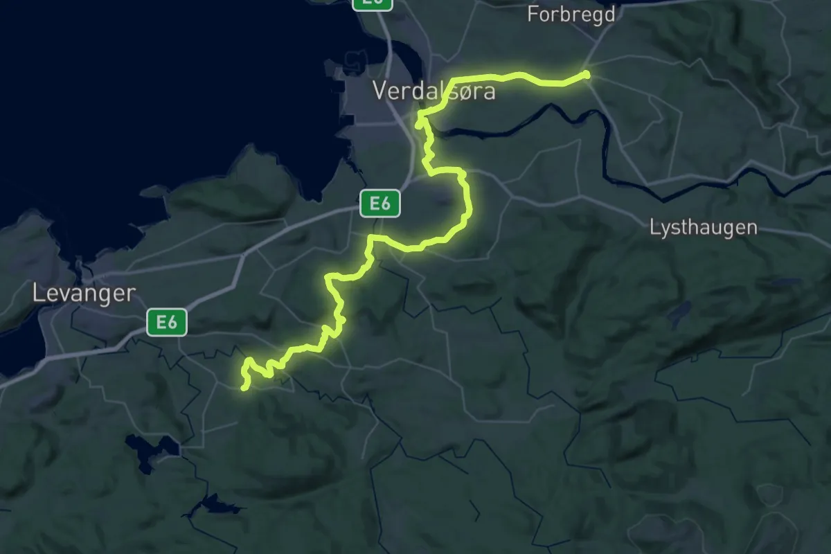
Demanding · Trail
St. Olavsleden dagsetapp Stiklestad - Munkeby
20.6 km · ↑ 300 m · 5 h 50 min
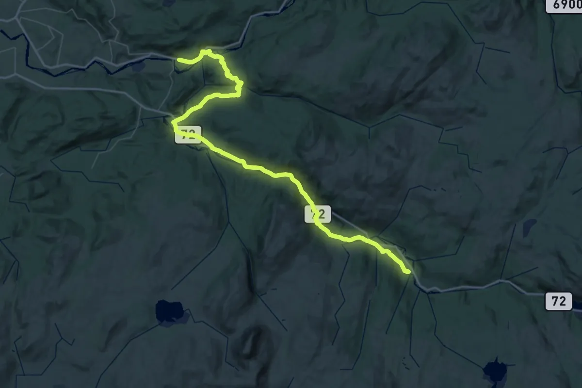
Demanding · Trail
St. Olavsleden dagsetapp Sul - Vuku
26.8 km · ↑ 500 m · 7 h 40 min
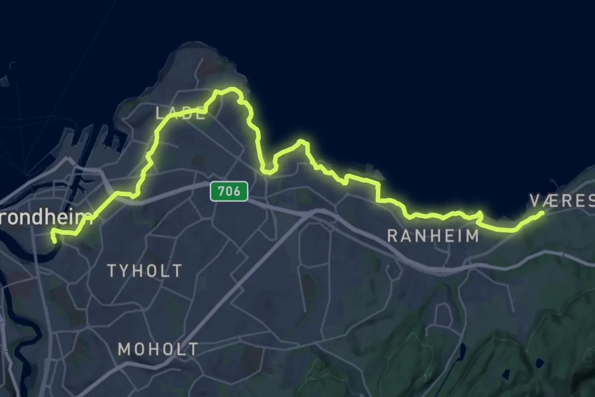
Demanding · Trail
St. Olavsleden dagsetapp Vikhammer - Nidarosdomen
26.7 km · ↑ 251 m · 6 h 50 min
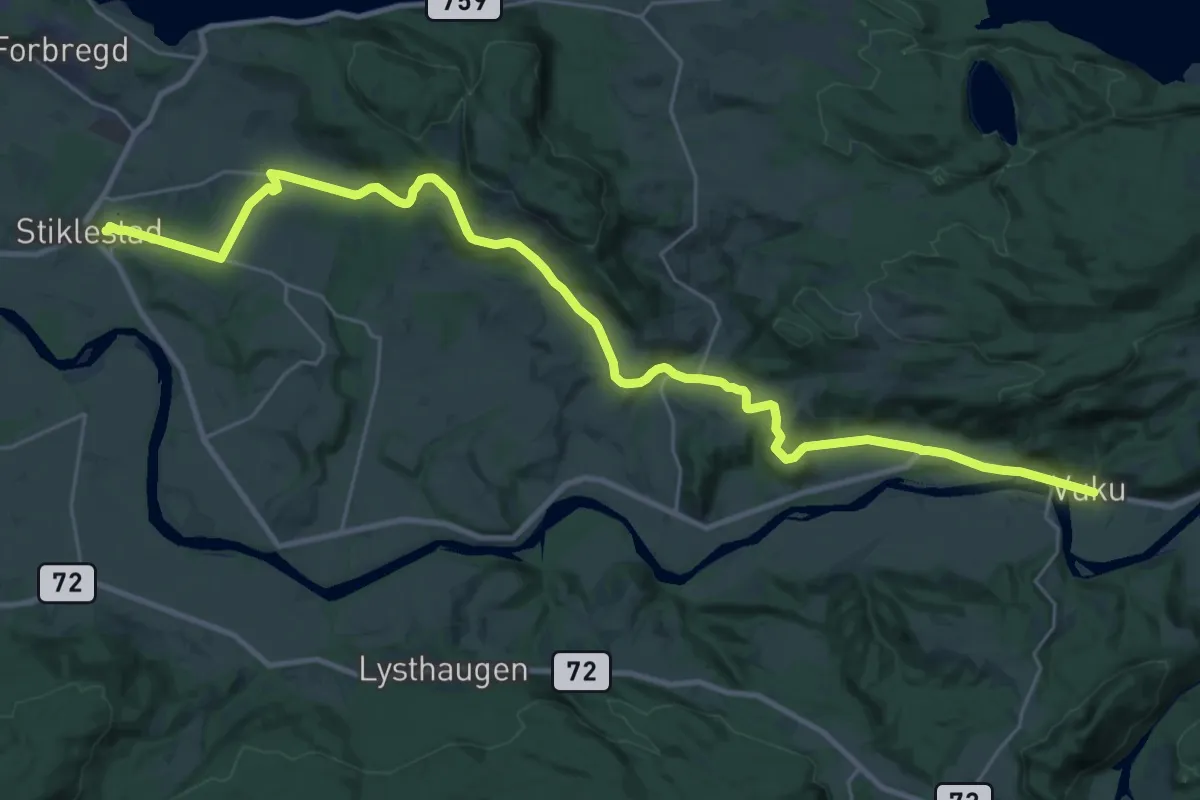
Demanding · Trail
St. Olavsleden dagsetapp Vuku - Stiklestad
22.5 km · ↑ 339 m · 6 h 3 min
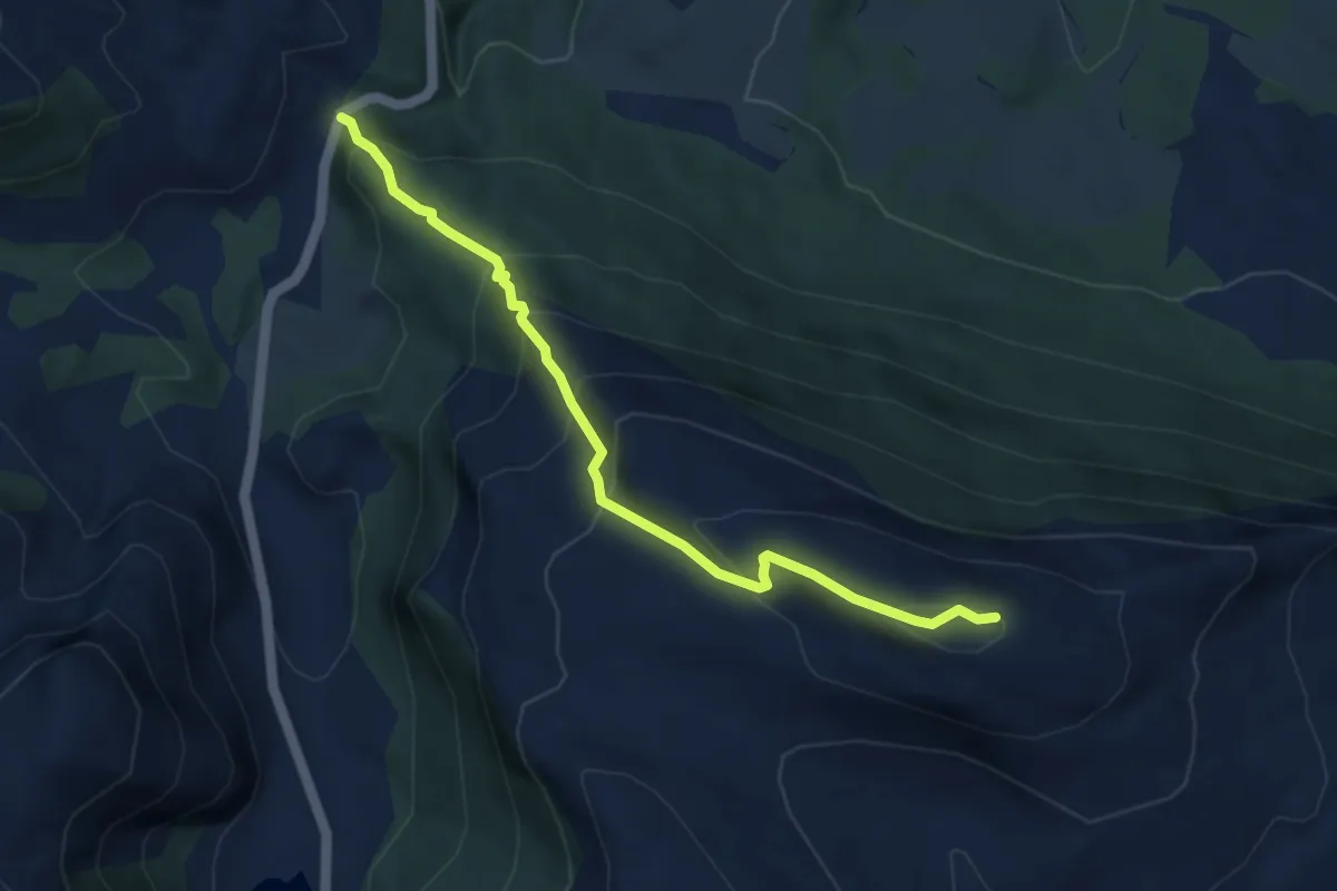
Demanding · Trail
Støldalen-Tjørnåsheia
3.2 km · ↑ 331 m · 1 h 28 min
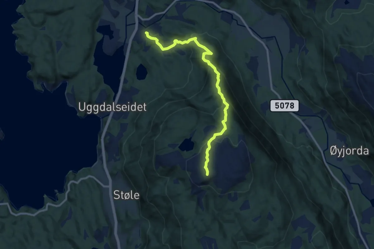
Medium · Trail
Stølefjellet - Thofjellet
6.0 km · ↑ 417 m · 2 h 18 min
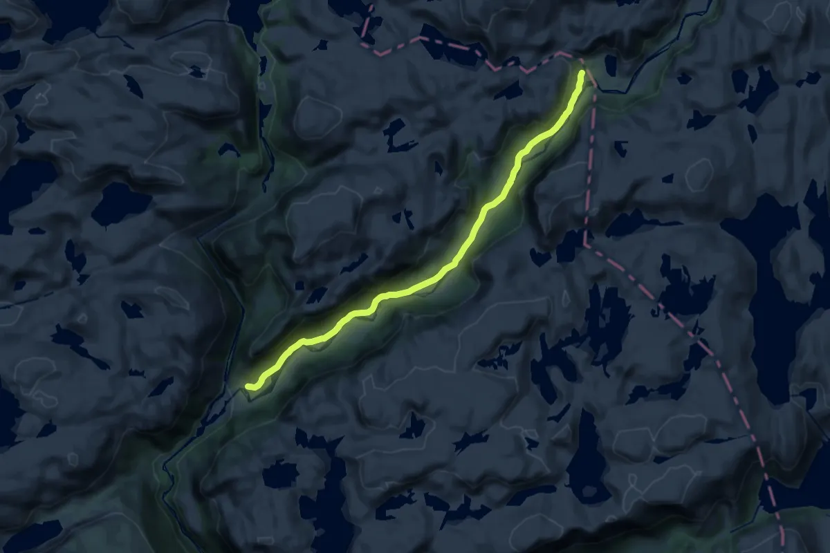
Medium · Trail
Støle-Kvitlen
14.2 km · ↑ 230 m · 3 h 50 min
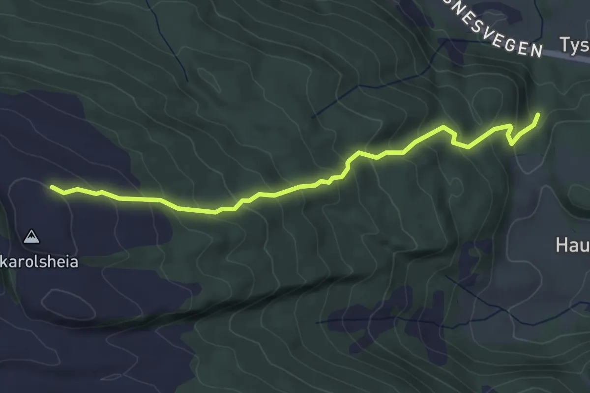
Medium · Trail
Stølen - Eikarolheia
3.1 km · ↑ 318 m · 1 h 25 min
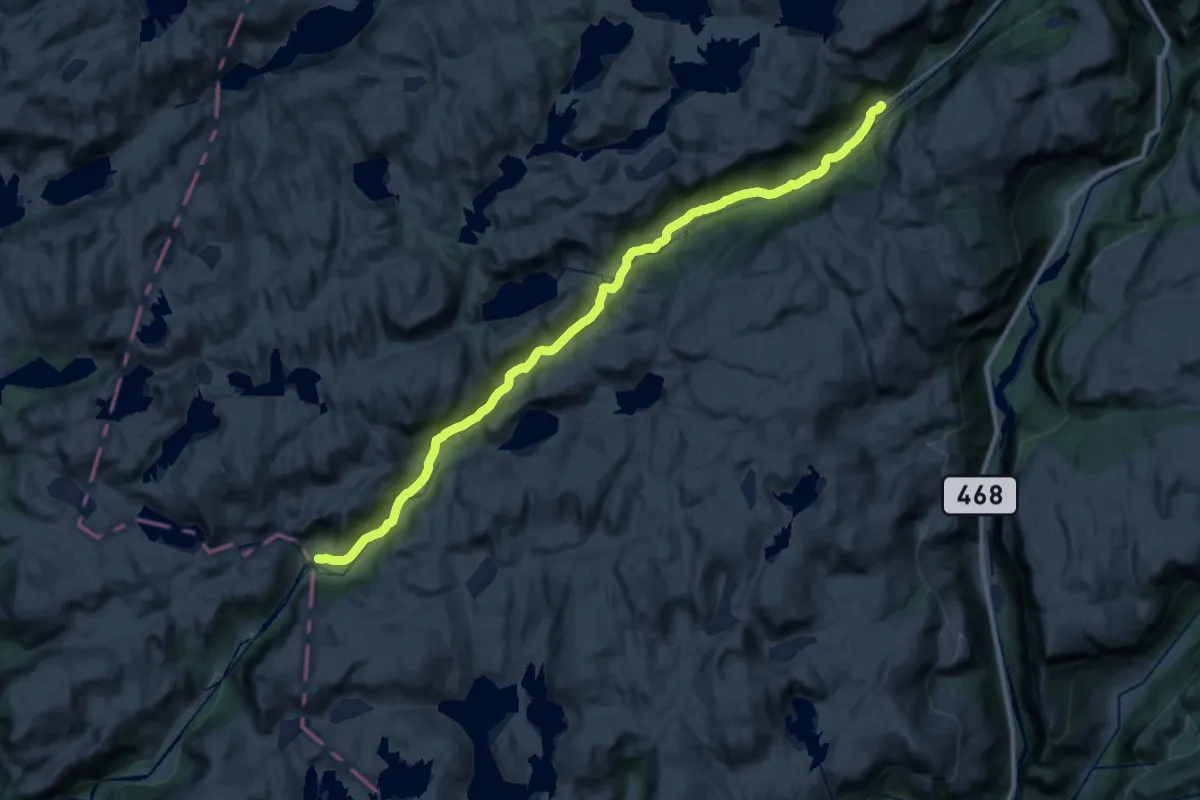
Demanding · Cabin
Støle-Skredå
22.8 km · ↑ 405 m · 6 h 15 min
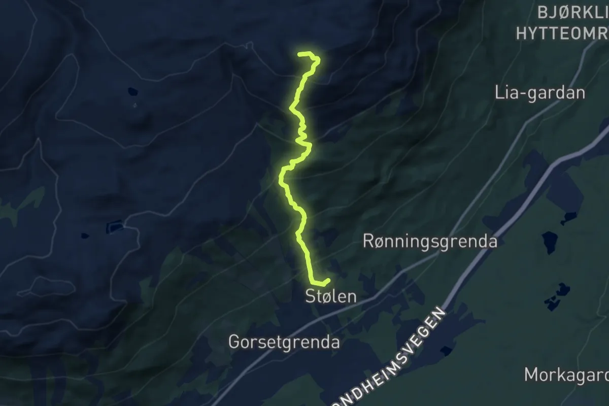
Medium · Trail
Stølhøa
5.9 km · ↑ 612 m · 2 h 43 min
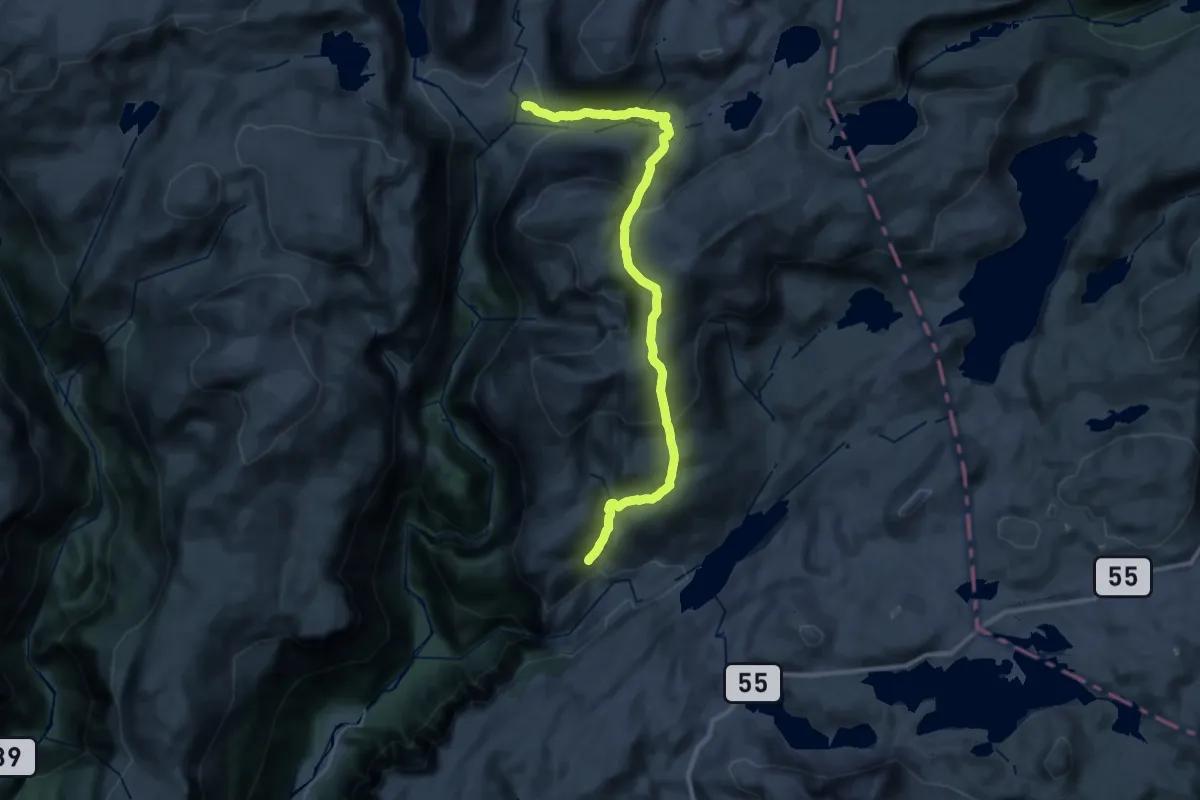
Demanding · Cabin
Stølsdalen - Nørdstedalseter
12.7 km · ↑ 903 m · 5 h 5 min
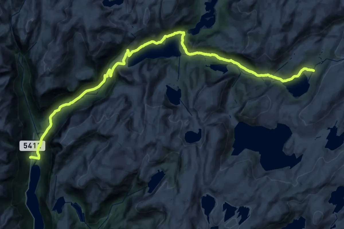
Demanding · Cabin
Stølsdalen-Steinslandstølen-Åsedalen
19.9 km · ↑ 845 m · 6 h 28 min
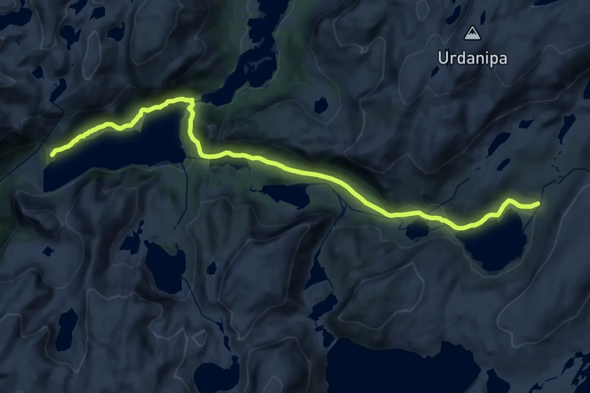
Demanding · Cabin
Stølsdalen-Steinslandstølen-Åsedalen
21.4 km · ↑ 478 m · 6 h 6 min
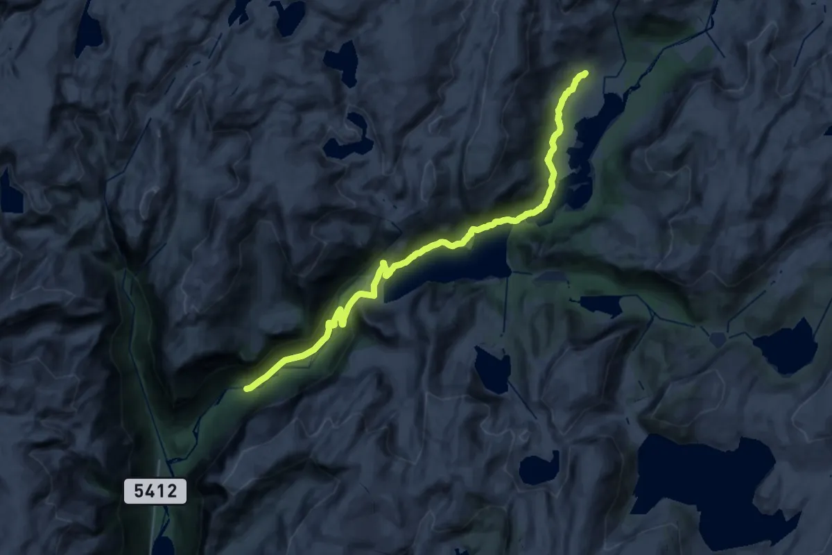
Demanding · Cabin
Stølsdalen-Steinslandstølen-Solrenningen
23.8 km · ↑ 649 m · 7 h 1 min
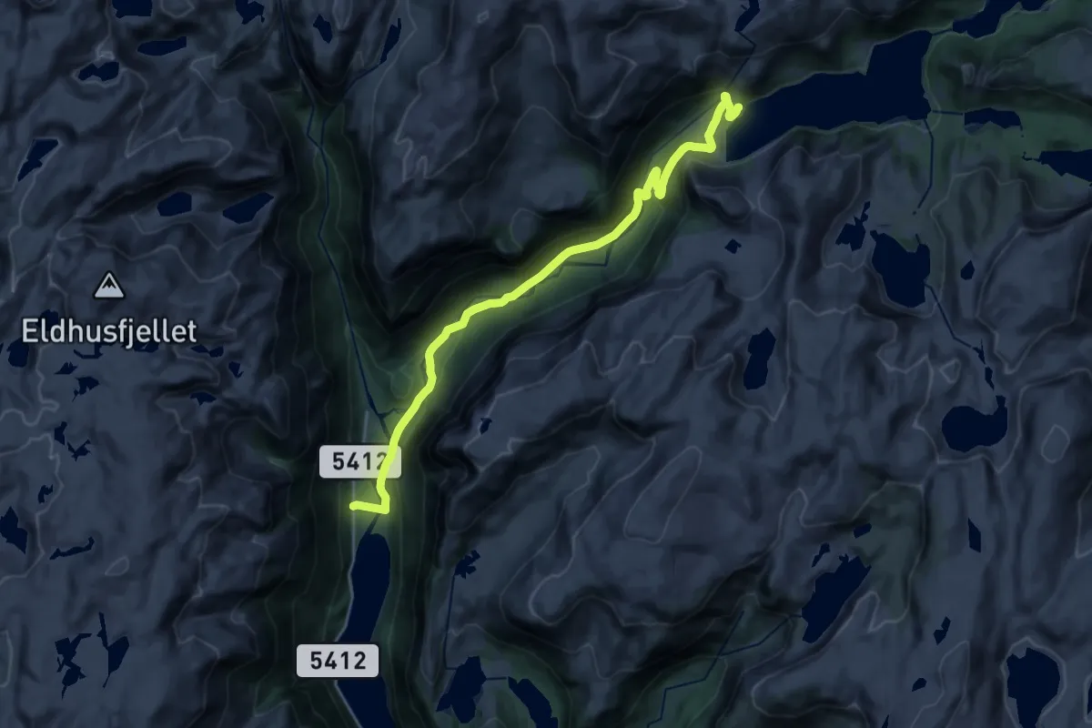
Demanding · Trail
Stølsdalen-Steinslandstølen-Solrenningen
18.2 km · ↑ 532 m · 5 h 27 min
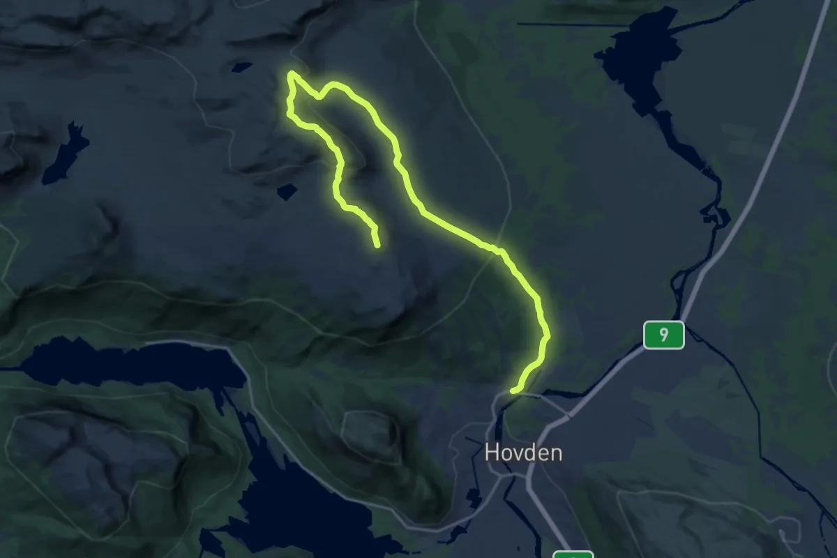
Medium · Trail
Stølskardnuten
15.7 km · ↑ 556 m · 4 h 55 min
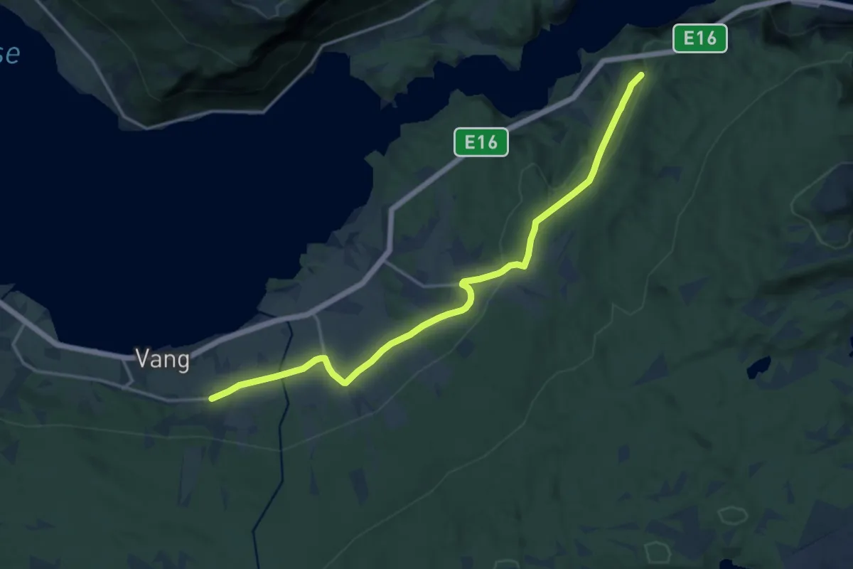
Medium · Trail
Stølsruta i Valdres
11.0 km · ↑ 250 m · 3 h 8 min
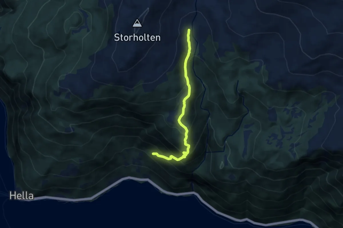
Demanding · Trail
Stølsvegen til Nyanstøl
5.7 km · ↑ 562 m · 2 h 33 min
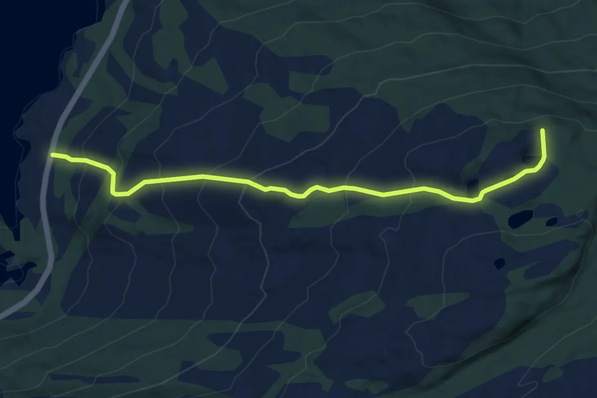
Medium · Trail
Stondi - Haugsvarden
4.6 km · ↑ 387 m · 1 h 55 min
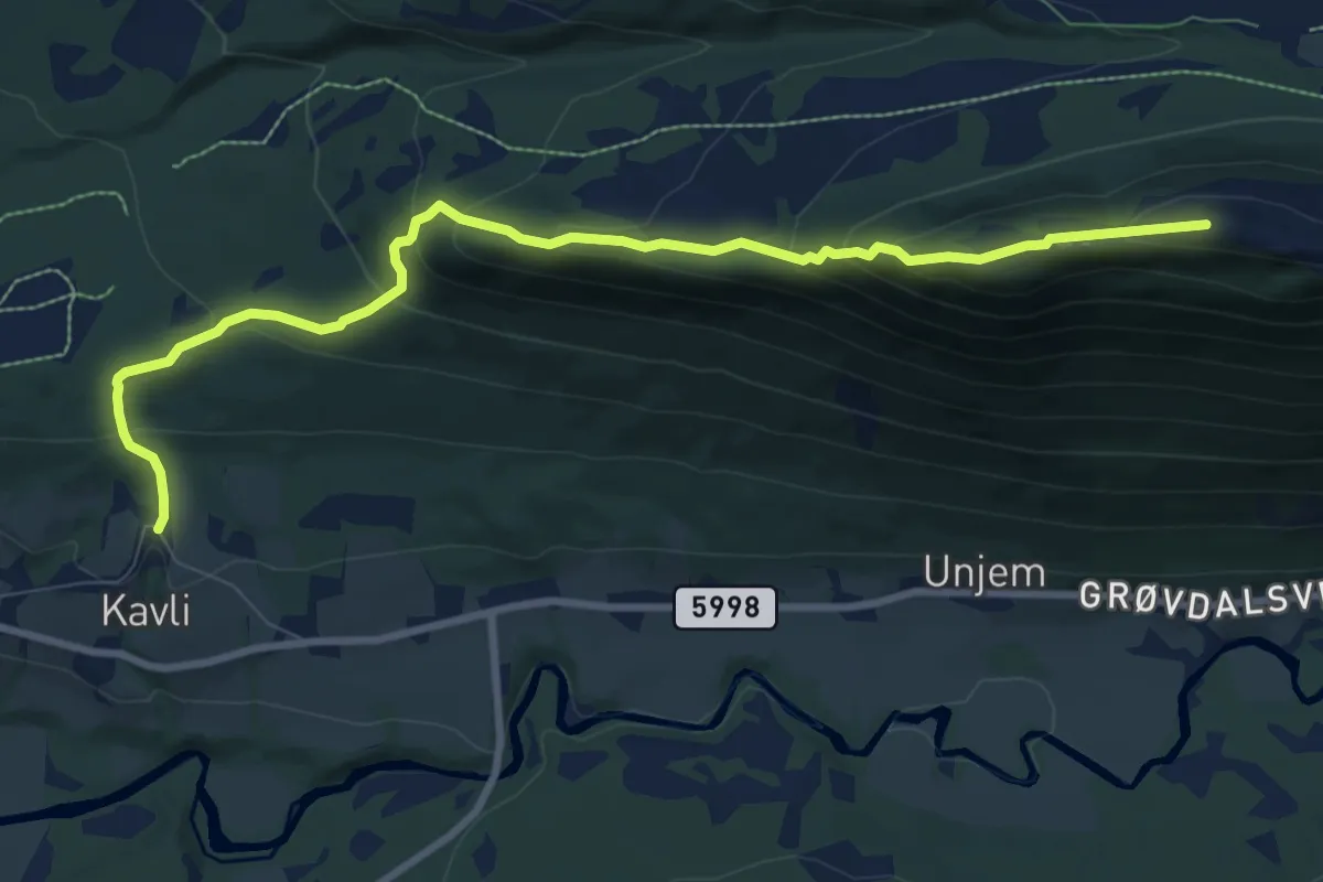
Medium · Trail
Storaksla
6.6 km · ↑ 506 m · 2 h 39 min