Trails in Poland
2,893 hiking trails, each with its route, climb, walking time and grade.
All trails, page 51 of 61
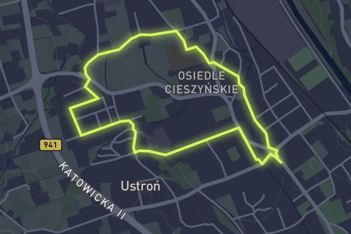
Easy · Trail
Szlak Zabytkowy
3.2 km · ↑ 23 m · 51 min
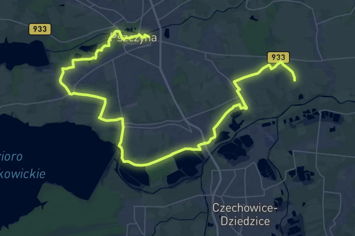
Demanding · Trail
Szlak Zabytków Ziemi Pszczyńskiej im. Witolda Jakubowskiego
23.1 km · ↑ 85 m · 5 h 57 min
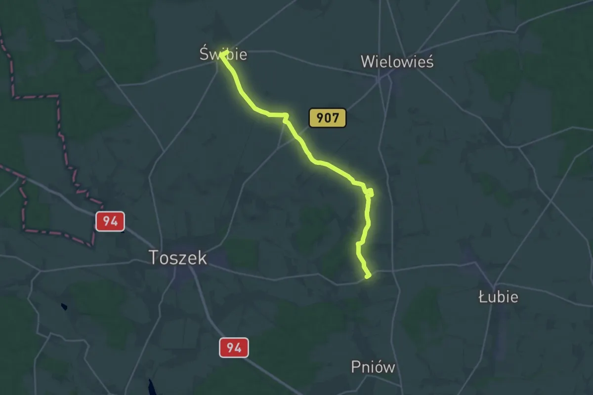
Demanding · Trail
Szlak Zacharzowicki
20.0 km · ↑ 112 m · 4 h 58 min
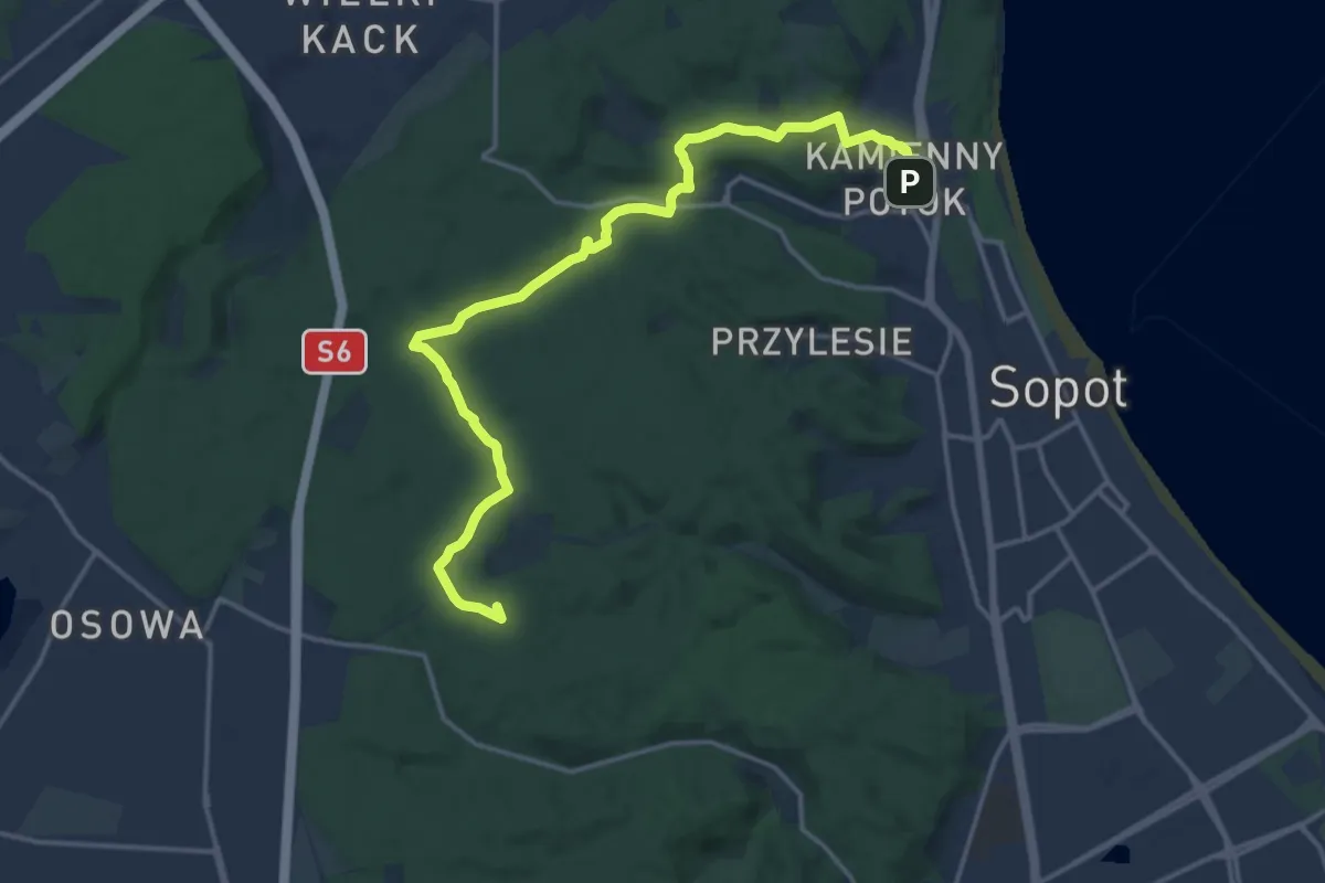
Medium · Summit
Szlak Zajęcy
15.2 km · ↑ 213 m · 4 h 3 min
Demanding · Trail
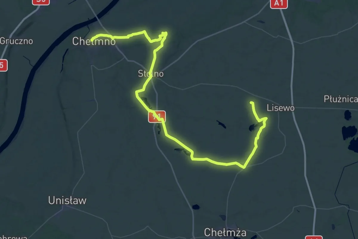
Szlak Zamków i Martyrologii
38.1 km · ↑ 179 m · 9 h 54 min
Demanding · Trail
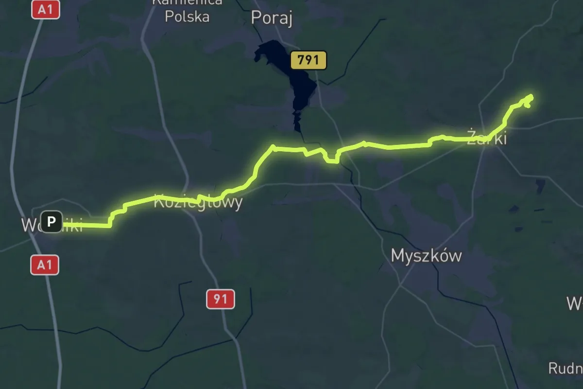
Szlak Żarecki
34.6 km · ↑ 217 m · 9 h 7 min
Medium · Trail
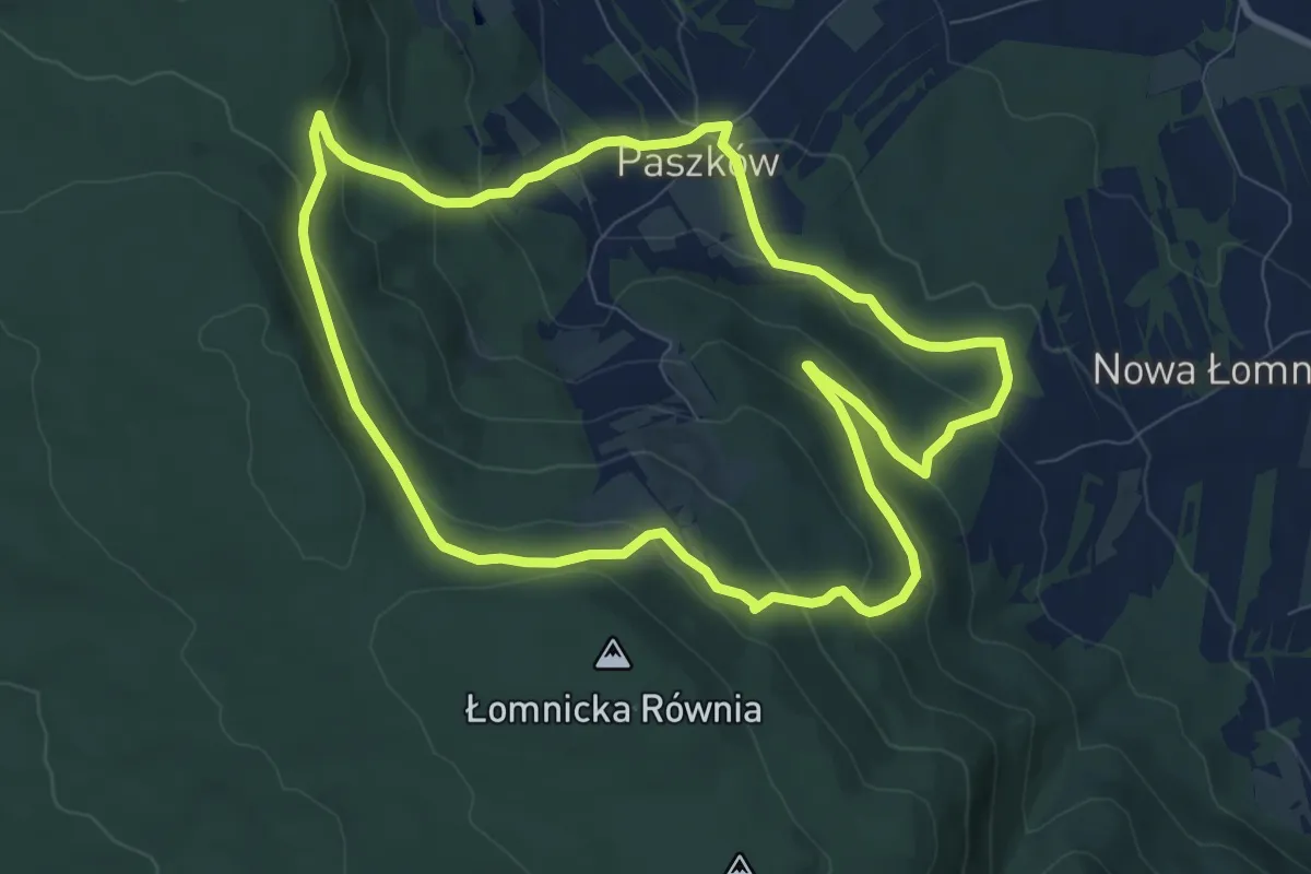
Szlak Zbieraczy
8.5 km · ↑ 387 m · 2 h 57 min
Demanding · Trail
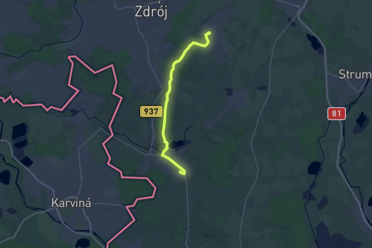
Szlak Zebrzydowicki
20.9 km · ↑ 130 m · 5 h 13 min
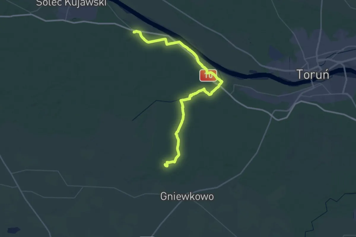
Demanding · Summit
Szlak Zielonej Strugi
54.1 km · ↑ 231 m · 13 h 17 min
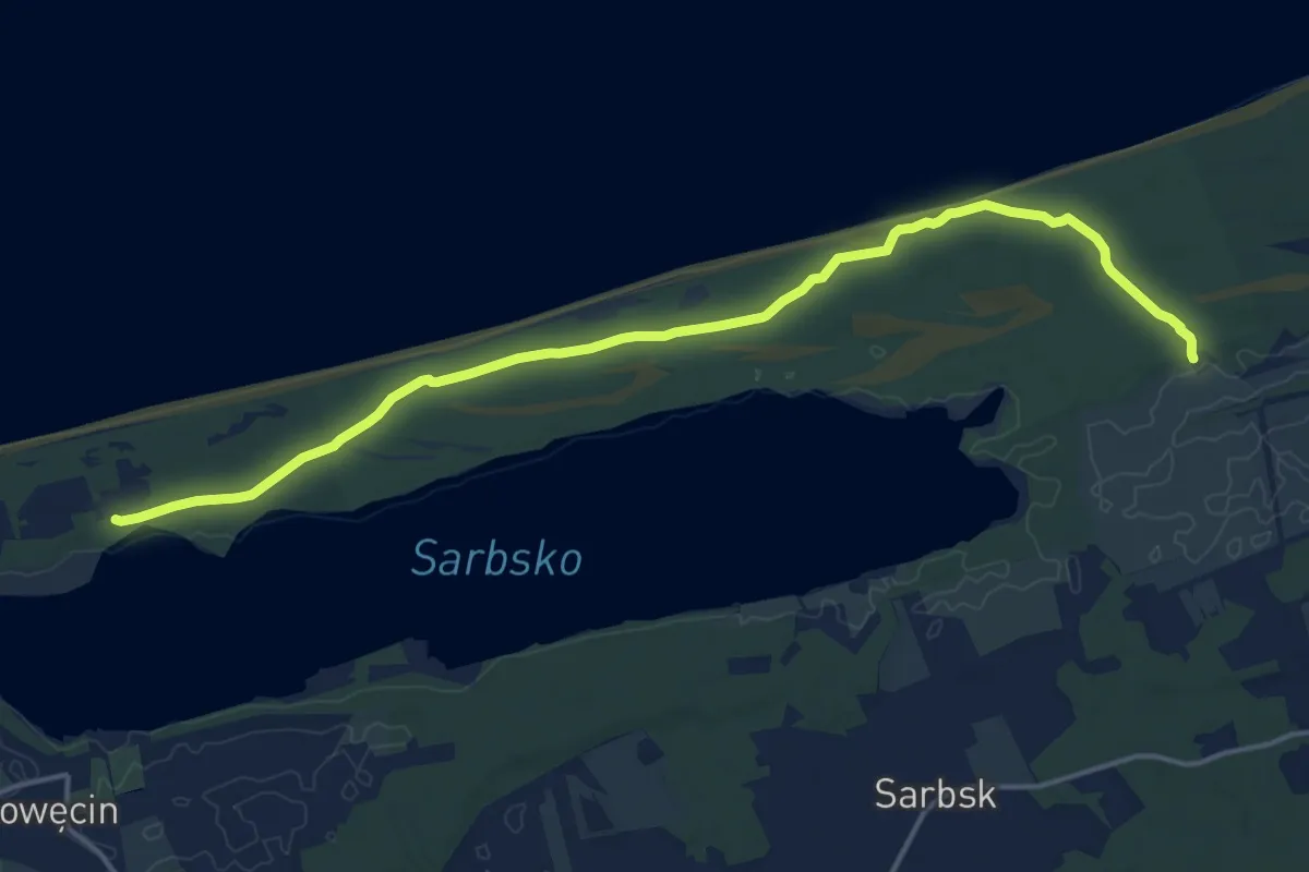
Medium · Trail
szlak zielony
14.6 km · ↑ 16 m · 3 h 30 min
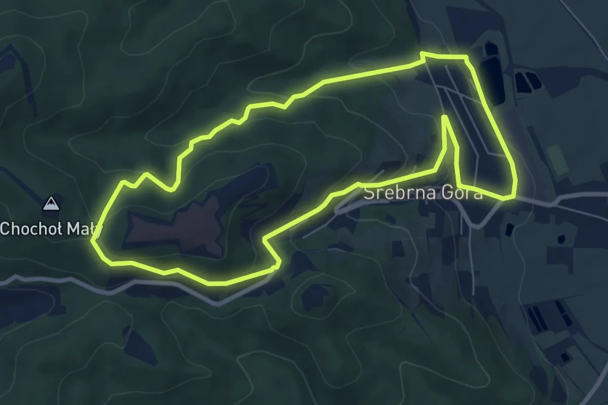
Easy · Trail
Szlak zielony
6.5 km · ↑ 299 m · 2 h 16 min
Easy · Summit
Szlak zielony
4.0 km · ↑ 0 m · 57 min
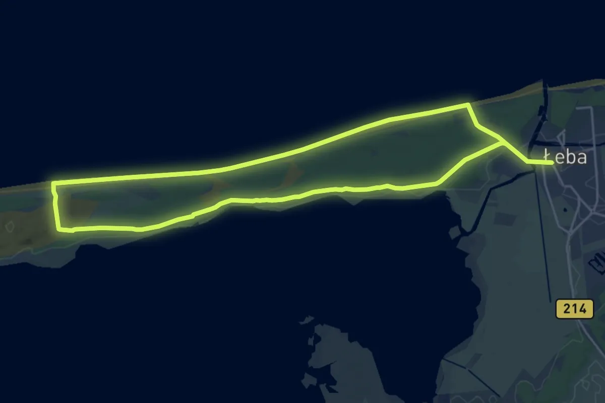
Demanding · Trail
Szlak zielony
31.9 km · ↑ 83 m · 7 h 43 min
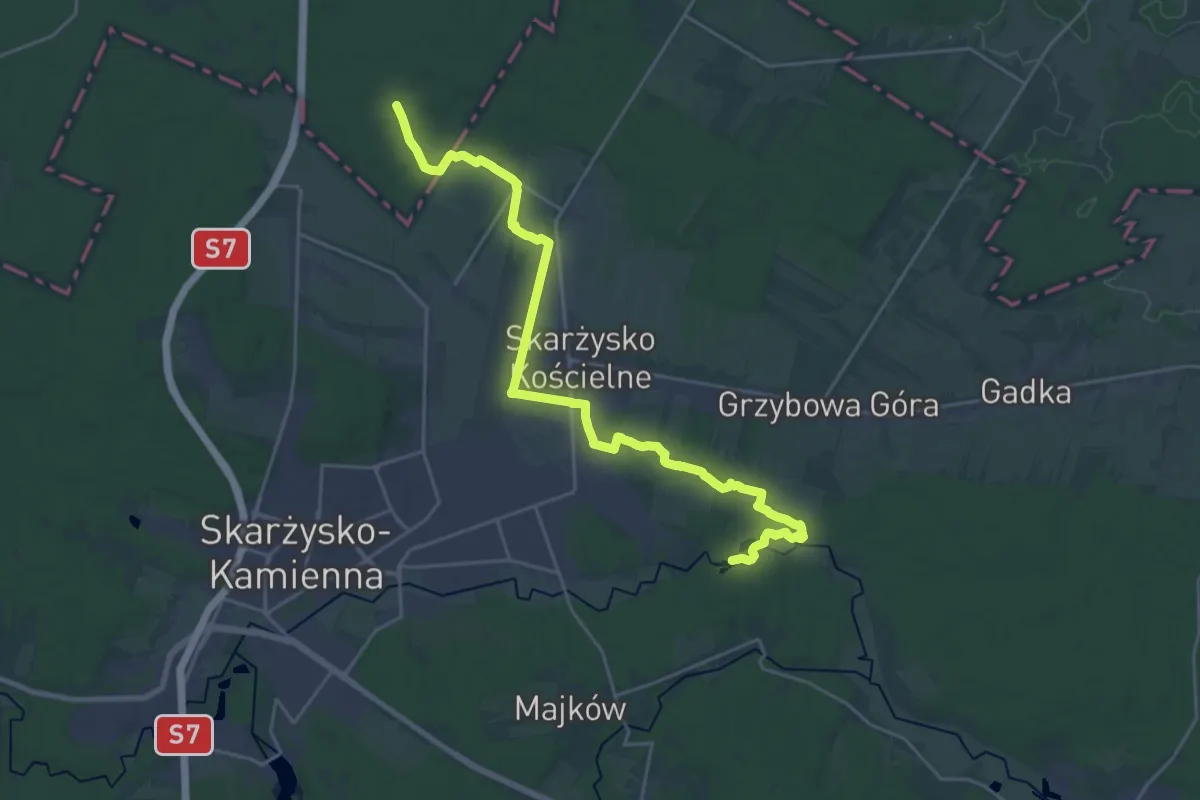
Demanding · Trail
Szlak zielony Barak - Nowy Młyn
25.2 km · ↑ 38 m · 6 h 2 min
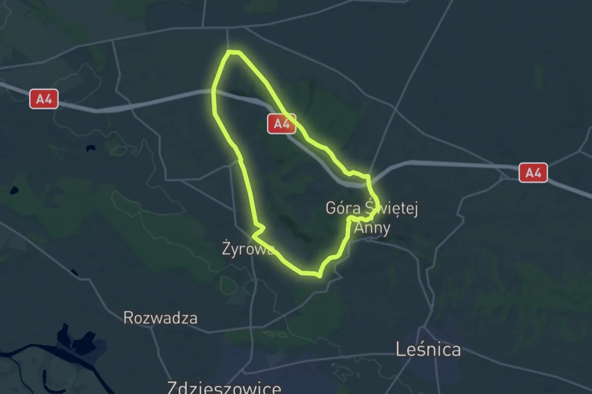
Medium · Summit
Szlak Zielony Flory i Fauny
14.3 km · ↑ 213 m · 4 h 2 min
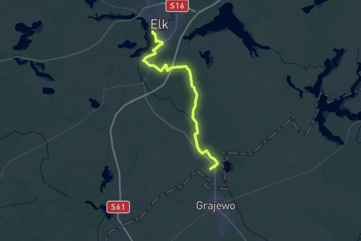
Demanding · Trail
Szlak zielony "Szlak Tatarski" Ełk-Bogusze
25.6 km · ↑ 131 m · 6 h 41 min
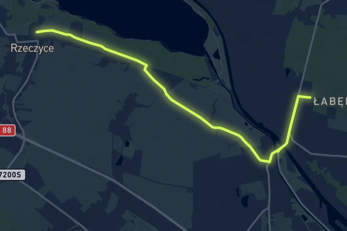
Medium · Trail
Szlak Ziemi Gliwickiej
12.8 km · ↑ 43 m · 3 h 7 min
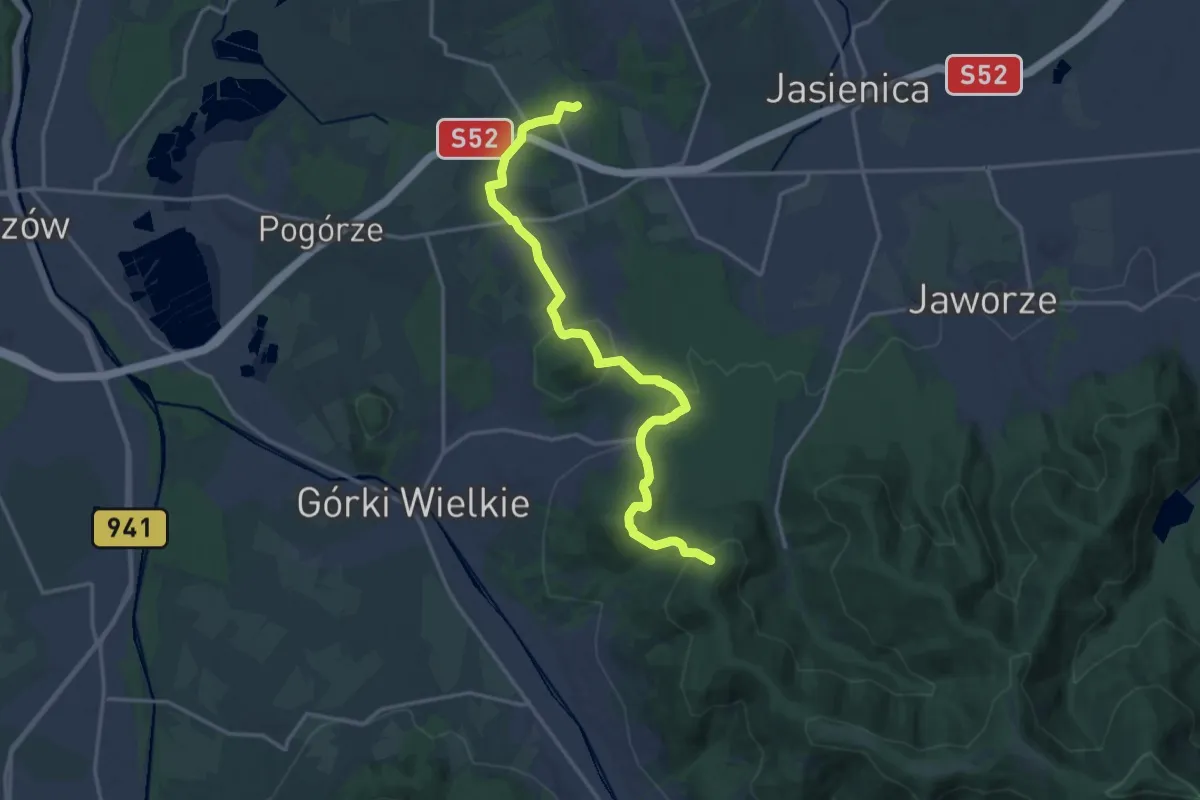
Medium · Trail
Szlak Zlikwidowany Grodziec Śląski PKP - Pod Łazkiem
16.7 km · ↑ 567 m · 5 h 10 min
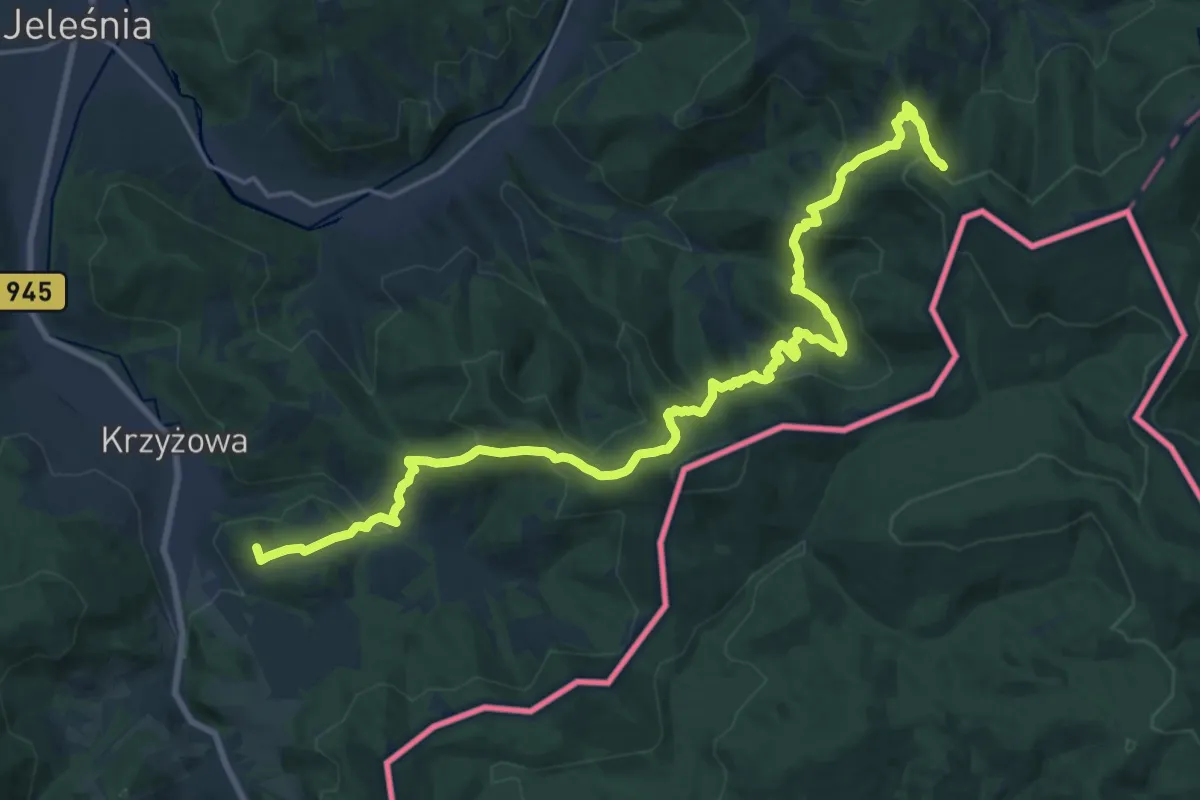
Demanding · Summit
Szlak zlikwidowany: Hala Kamińskiego - Przełęcz Glinne
24.1 km · ↑ 1269 m · 8 h 26 min
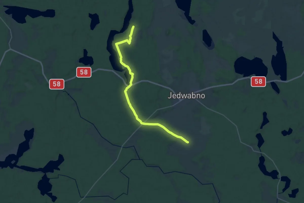
Demanding · Trail
szlak żółty
22.2 km · ↑ 162 m · 5 h 36 min
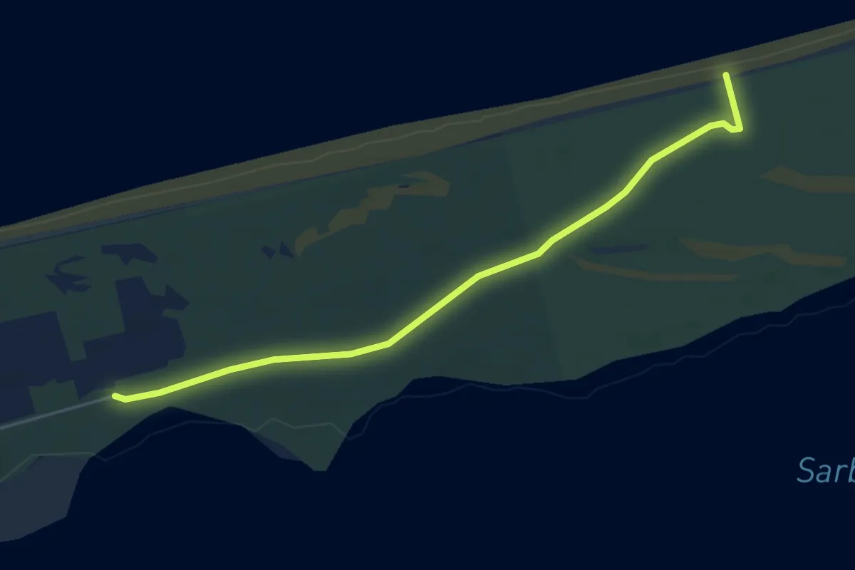
Easy · Trail
szlak żółty
4.6 km · ↑ 9 m · 1 h 6 min
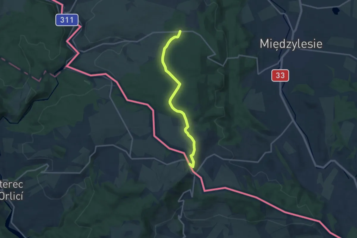
Medium · Summit
Szlak żółty
9.4 km · ↑ 105 m · 2 h 27 min
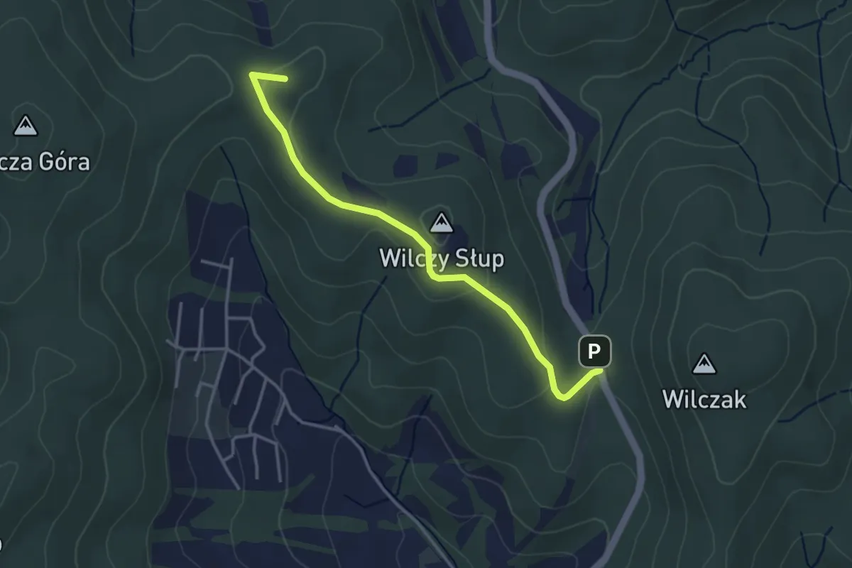
Easy · Summit
Szlak Żółty
3.3 km · ↑ 63 m · 55 min
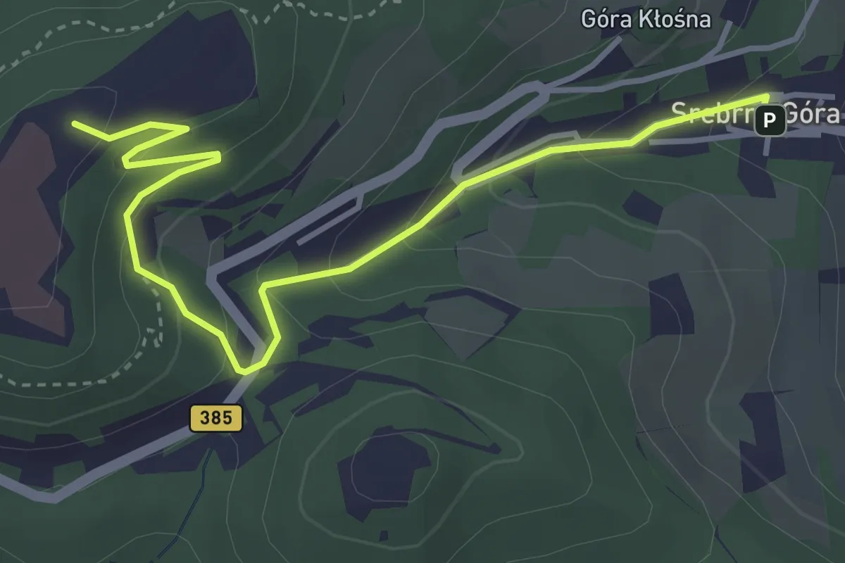
Easy · Summit
Szlak Żółty
3.9 km · ↑ 211 m · 1 h 23 min
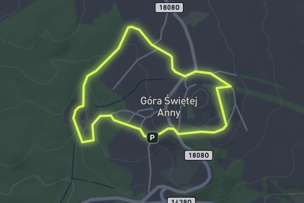
Easy · Summit
Szlak żółty im, Xawerego Dunikowskiego
2.8 km · ↑ 69 m · 51 min
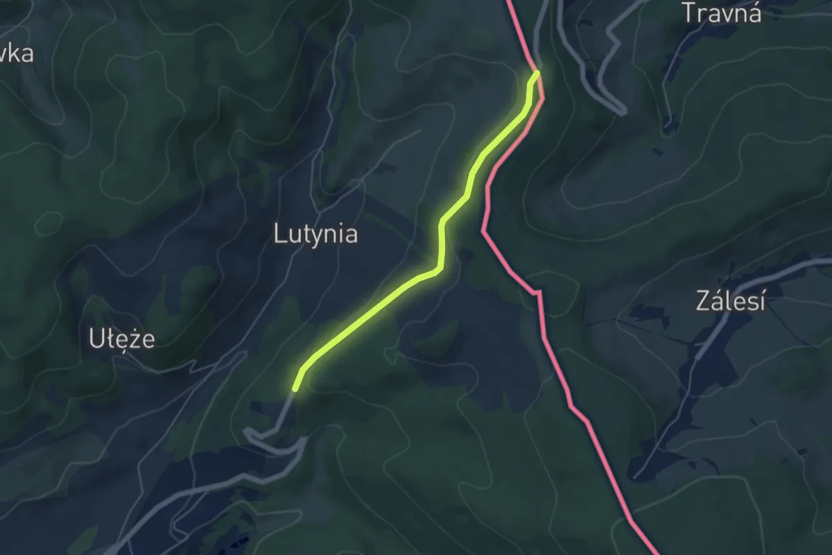
Easy · Trail
Szlak żółty: Lądek Zdrój - Przełęcz Lądecka
4.2 km · ↑ 94 m · 1 h 12 min
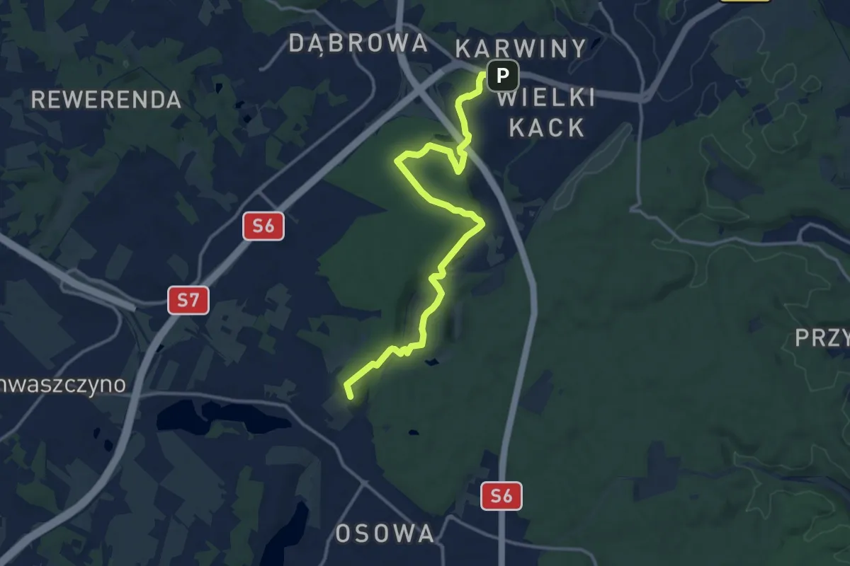
Medium · Summit
Szlak Źródła Marii
12.0 km · ↑ 166 m · 3 h 11 min
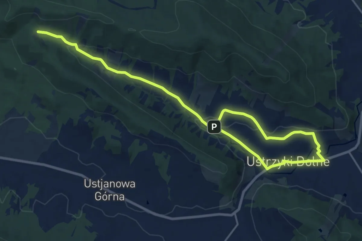
Medium · Trail
Szlak źródła Strwiąża
16.3 km · ↑ 315 m · 4 h 32 min
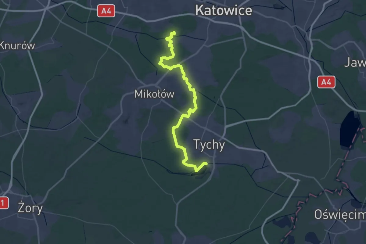
Demanding · Summit
Szlak Żwakowski
61.6 km · ↑ 268 m · 15 h 8 min
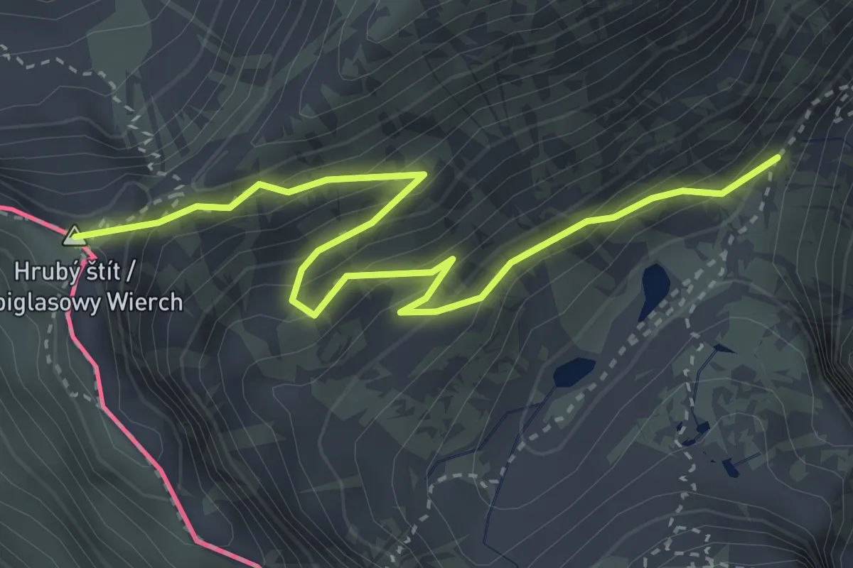
Medium · Summit
Szpiglasowa Przełęcz - Pod Mnichem
3.7 km · ↑ 349 m · 1 h 38 min
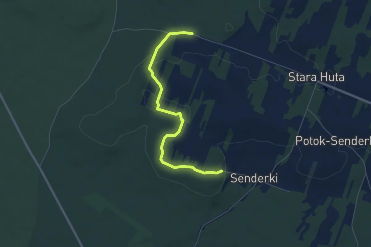
Easy · Trail
Sztolnie w Senderkach
5.4 km · ↑ 56 m · 1 h 23 min
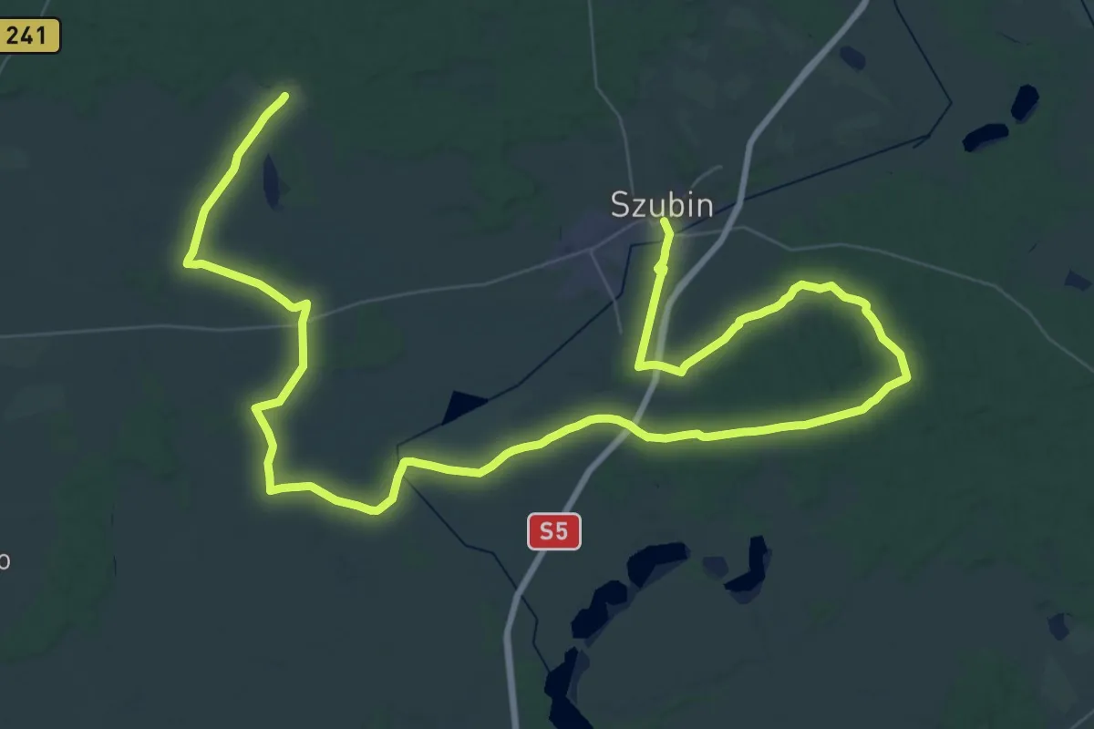
Demanding · Trail
Szubiński Szlak Rowerowy
36.1 km · ↑ 111 m · 9 h 16 min
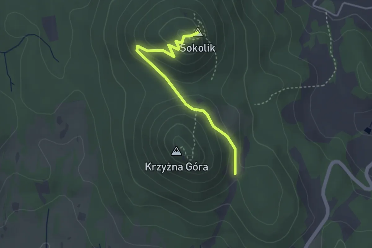
Easy · Summit
Szwajcarka - Sokolik Duży
2.9 km · ↑ 113 m · 55 min
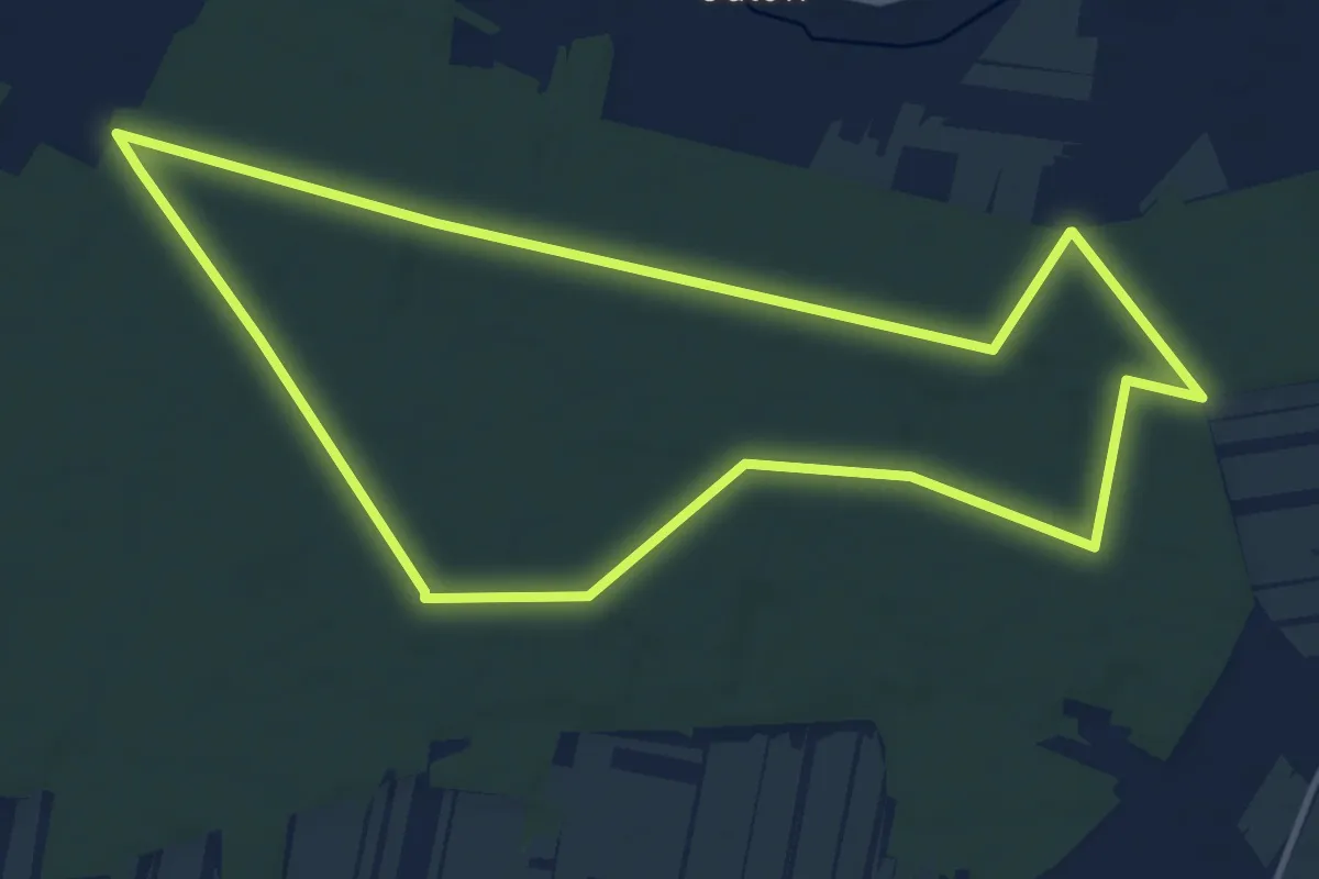
Medium · Trail
Szybka Dziesiątka
11.0 km · ↑ 36 m · 2 h 50 min
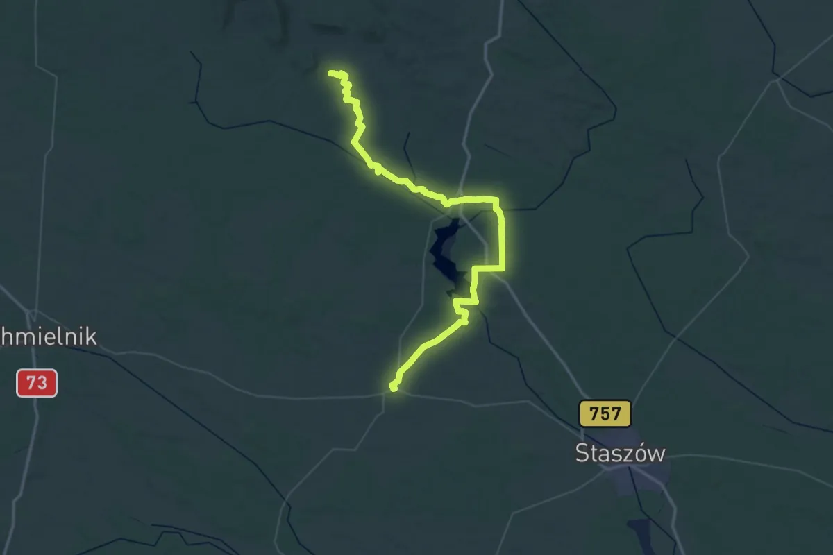
Demanding · Summit
Szydłów – Widełki
58.6 km · ↑ 550 m · 15 h 2 min
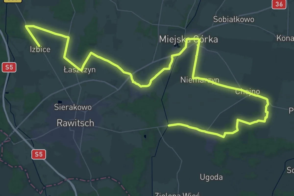
Demanding · Trail
Szymanowo - Izbice
32.1 km · ↑ 56 m · 8 h 9 min
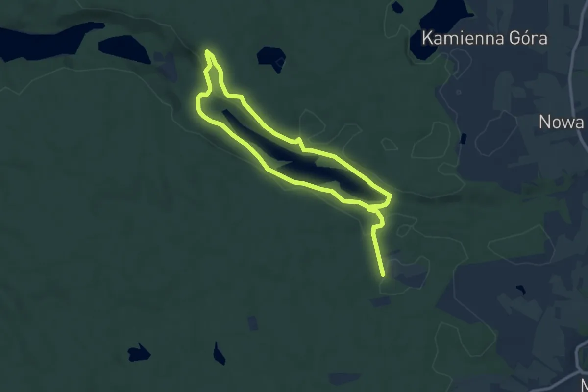
Medium · Trail
Tajemnice Lasów Mirachowskich
10.6 km · ↑ 122 m · 2 h 46 min
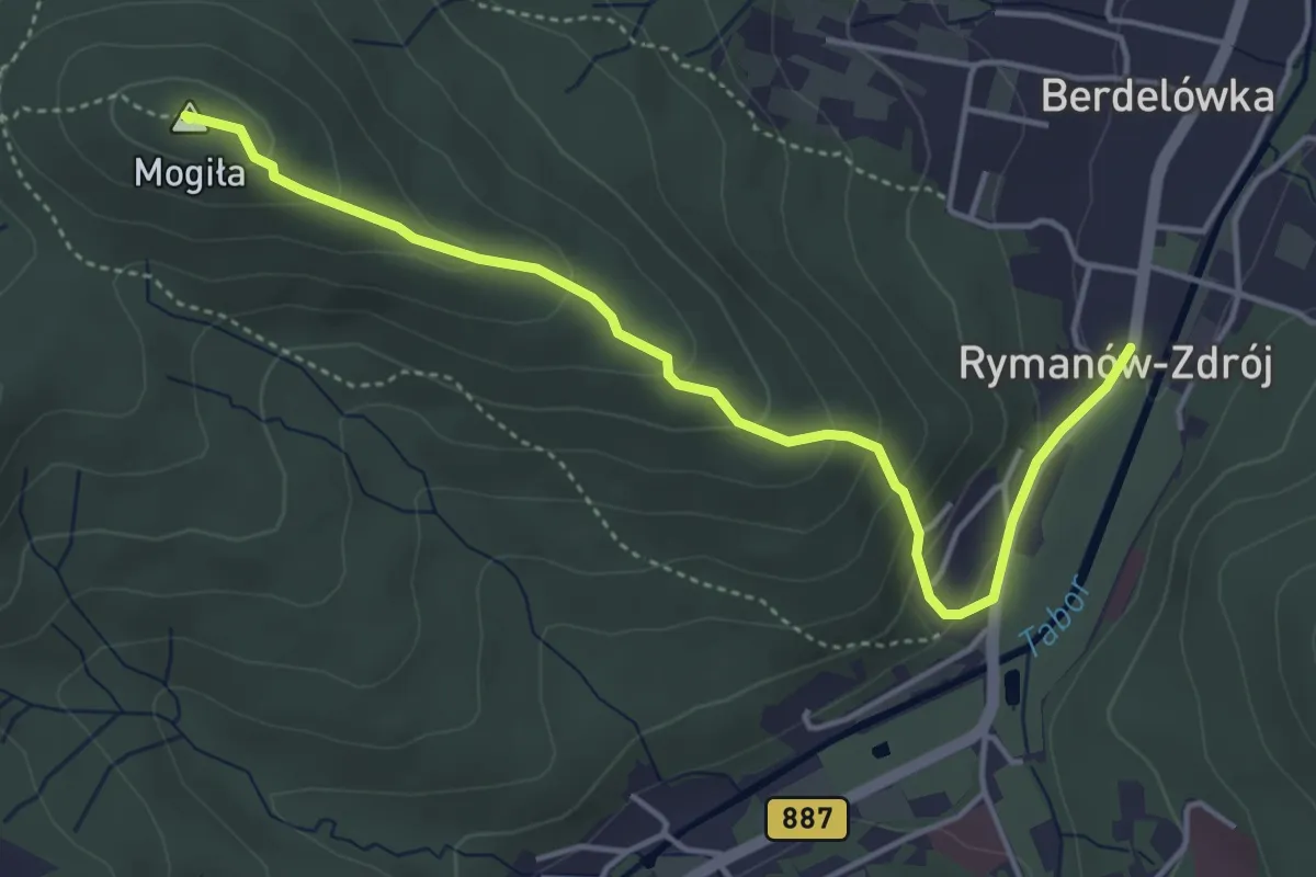
Easy · Summit
Tajemnice Mogiły
4.3 km · ↑ 256 m · 1 h 35 min
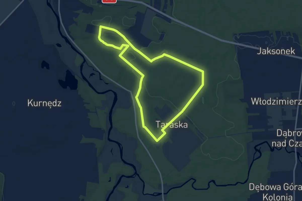
Medium · Trail
Taraska - Rezerwat Jaksonek
9.5 km · ↑ 54 m · 2 h 29 min
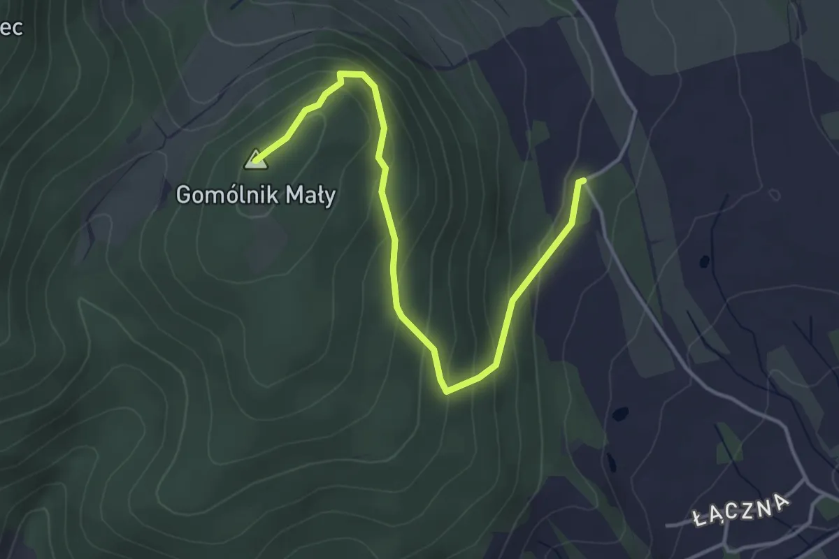
Easy · Summit
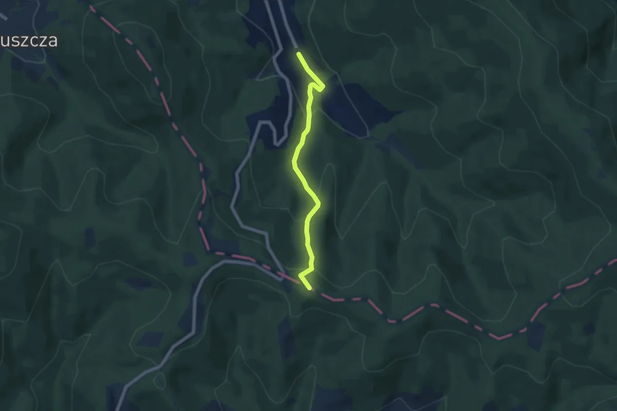
Taras widokowy Gomólnik Mały
3.8 km · ↑ 242 m · 1 h 25 min
Easy · Summit
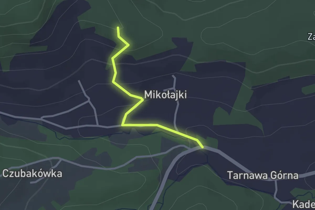
Targanice Nowa Wieś - Przełęcz Kocierska
4.7 km · ↑ 276 m · 1 h 42 min
Easy · Trail
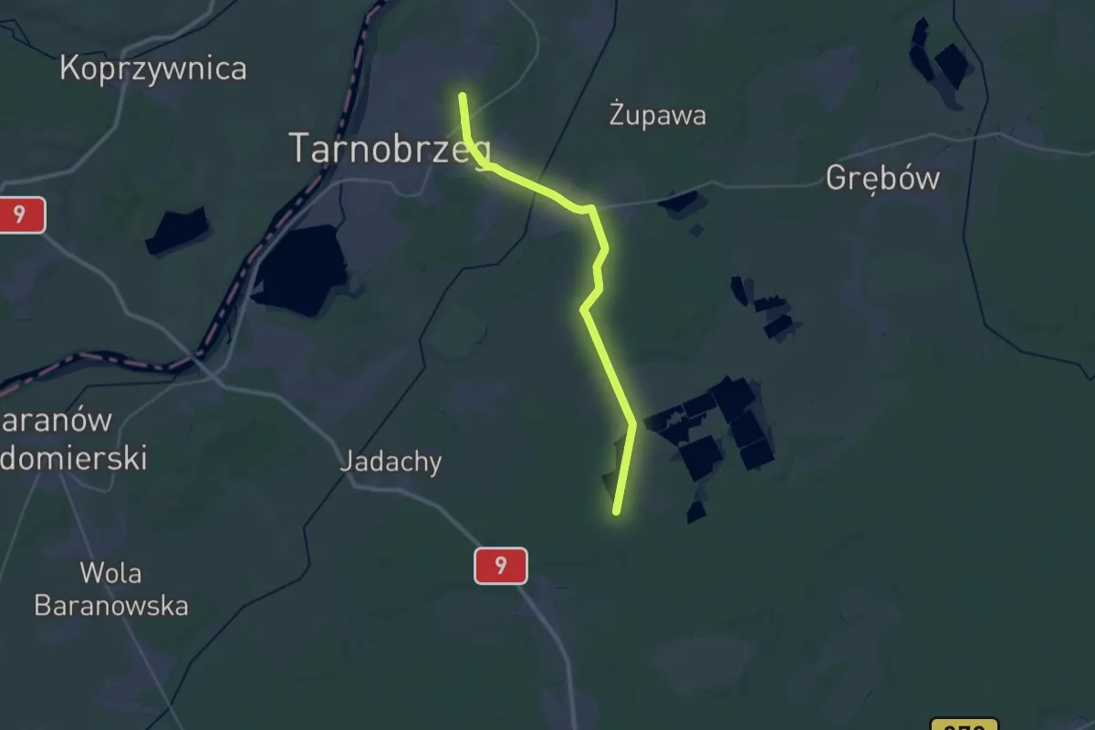
Tarnawa Górna - Tarnawa Górna (Kadelówka)
2.1 km · ↑ 93 m · 42 min
Demanding · Trail
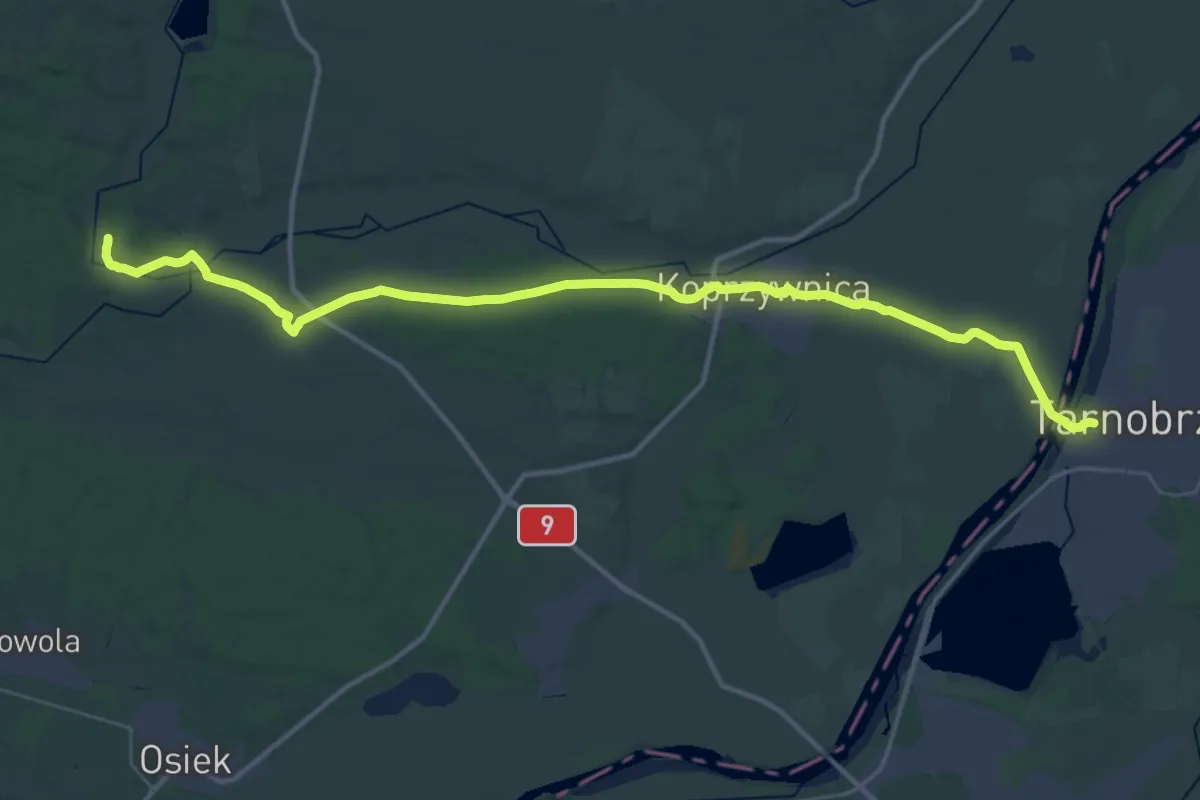
Tarnobrzeg Zwierzyniec - Alfredówka
29.1 km · ↑ 52 m · 6 h 59 min
Demanding · Trail
Tarnobrzeska Droga św. Jakuba
20.0 km · ↑ 73 m · 5 h 10 min
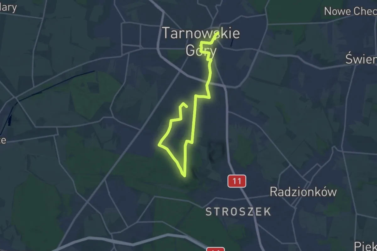
Demanding · Trail
Tarnogórski Szlak Historyczny "Srebrny Szlak"
19.1 km · ↑ 143 m · 4 h 49 min
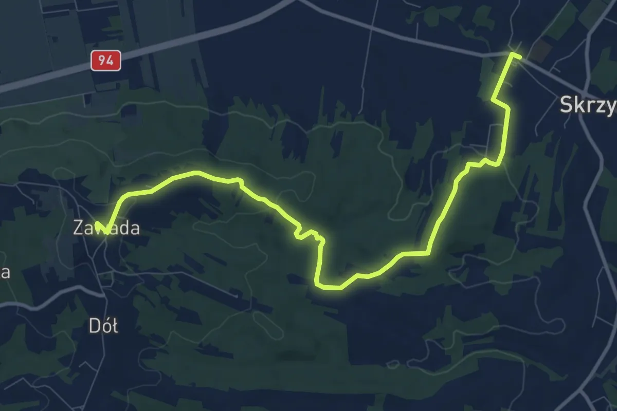
Medium · Summit
Tarnowiec Granica - Skrzyszów kościół
10.5 km · ↑ 194 m · 2 h 53 min
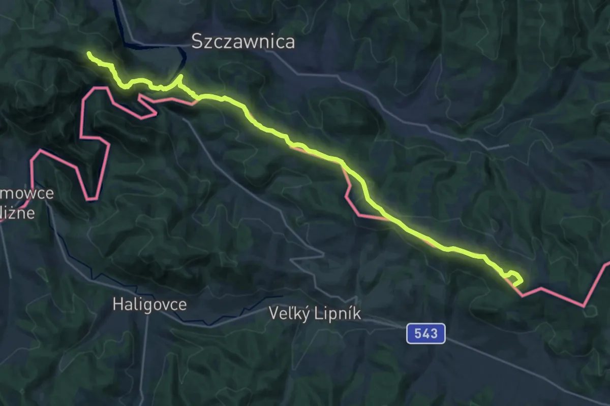
Demanding · Summit
Tarnów - Wielki Rogacz
24.2 km · ↑ 1333 m · 8 h 36 min
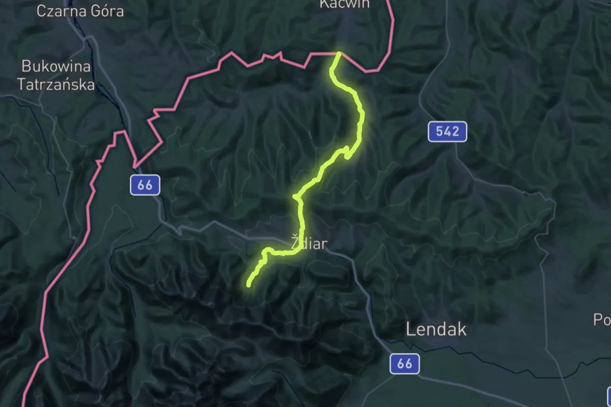
Demanding · Summit
Tatranská magistrála
33.3 km · ↑ 1314 m · 10 h 43 min