Trails in Poland
2,893 hiking trails, each with its route, climb, walking time and grade.
All trails, page 52 of 61
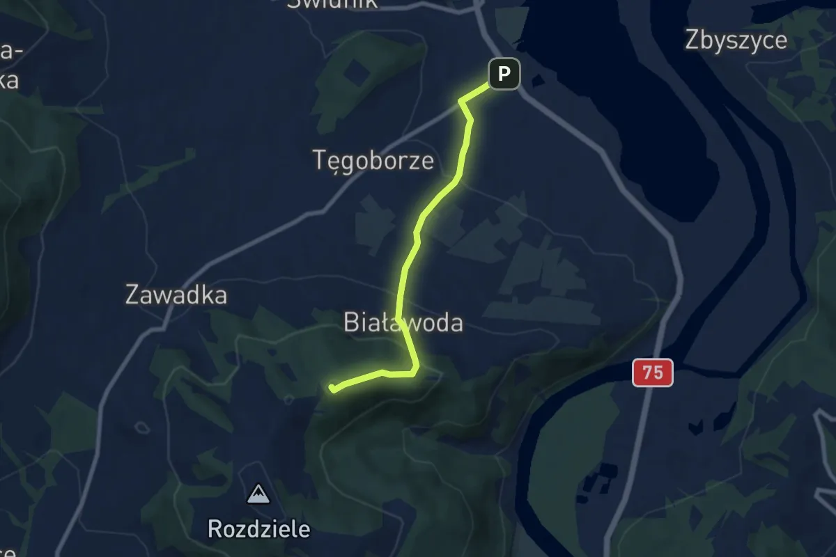
Medium · Summit
Tęgoborze - Białowodzka Góra (kaplica)
6.0 km · ↑ 336 m · 2 h 9 min
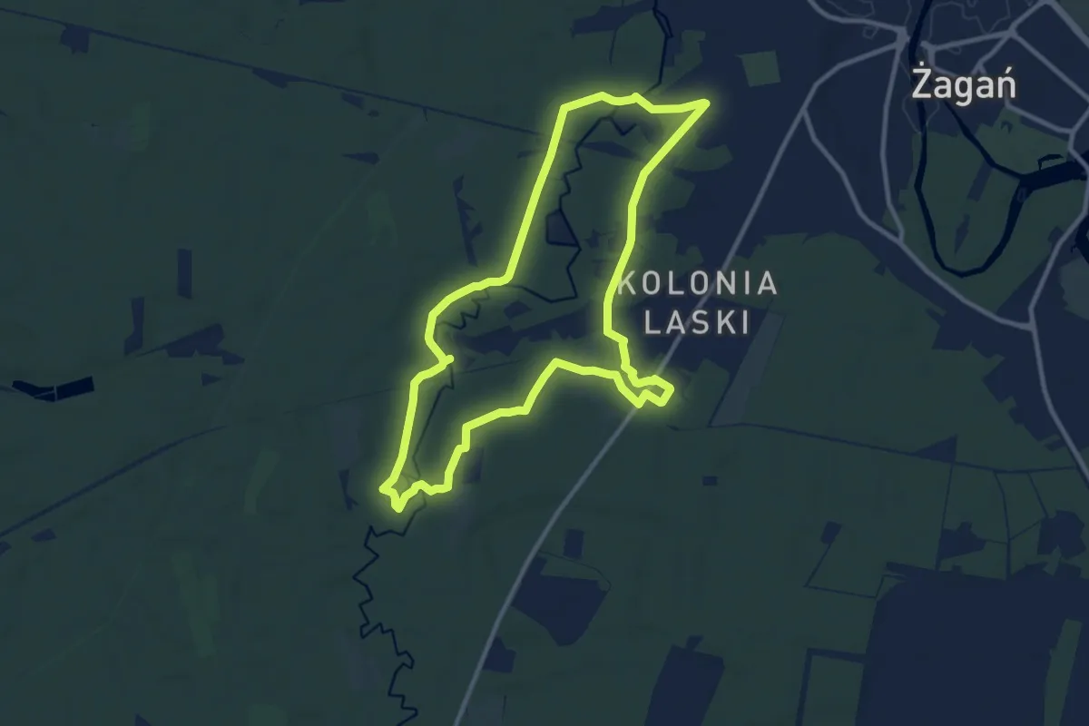
Medium · Trail
The Great Escape
9.2 km · ↑ 36 m · 2 h 23 min
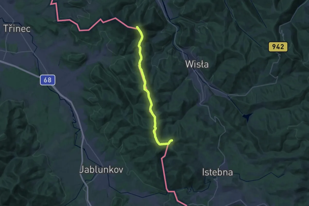
Demanding · Summit
The Loop
22.8 km · ↑ 954 m · 7 h 27 min
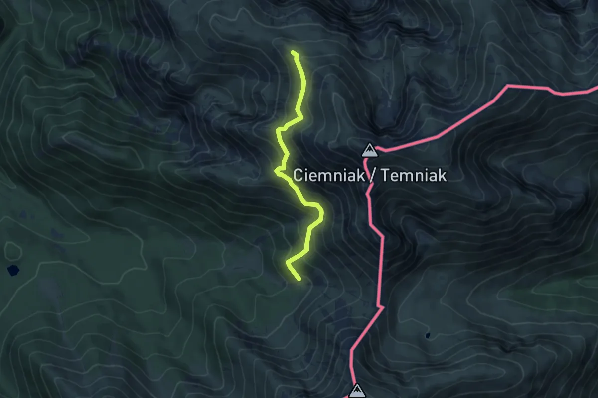
Medium · Summit
Tomanowy Potok - Chuda Przełączka
4.9 km · ↑ 440 m · 2 h 6 min
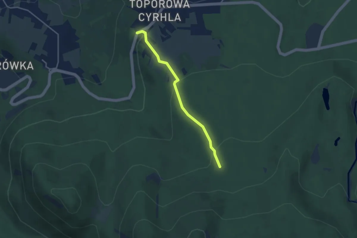
Easy · Trail
Toporowa Cyrhla - Hala Kopieniec
2.5 km · ↑ 121 m · 51 min
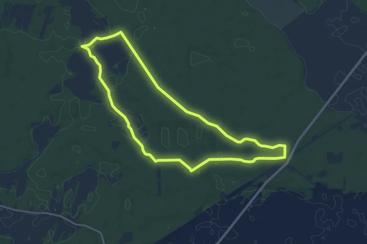
Medium · Trail
Topór, PKP - Topór, PKP
9.2 km · ↑ 18 m · 2 h 21 min
Medium · Trail
Torfowisko pod Zieleńcem, parking - Kamienna Góra
17.7 km · ↑ 310 m · 4 h 52 min
Medium · Summit
Torfowisko pod Zieleńcem, parking - Lasek Miejski
15.9 km · ↑ 483 m · 4 h 48 min
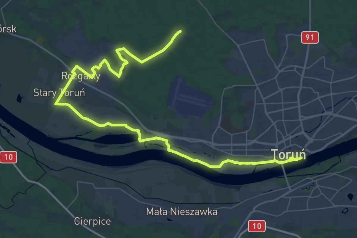
Demanding · Trail
Toruń - Barbarka
20.5 km · ↑ 60 m · 5 h 15 min
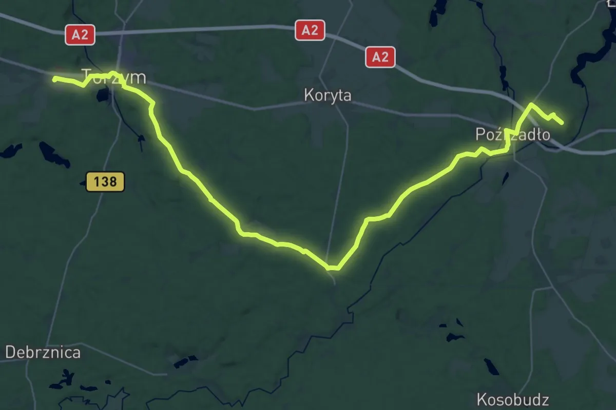
Demanding · Summit
Torzym PKP - Łagów
41.1 km · ↑ 264 m · 10 h 16 min
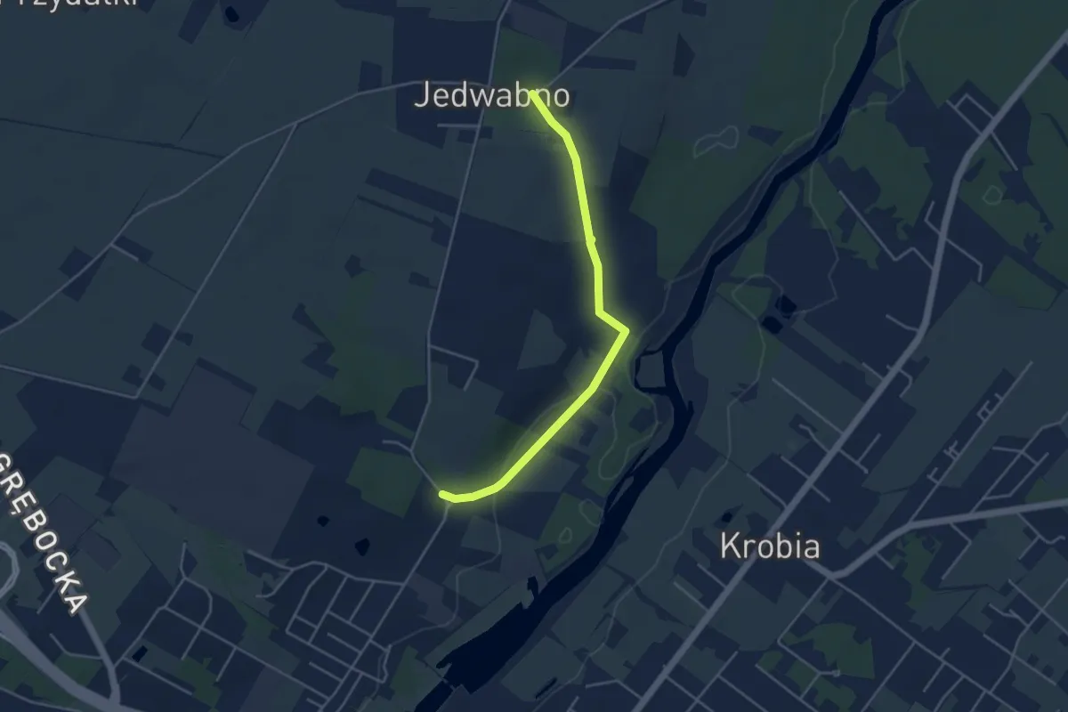
Easy · Trail
Trakt Jedwabno
3.6 km · ↑ 51 m · 58 min
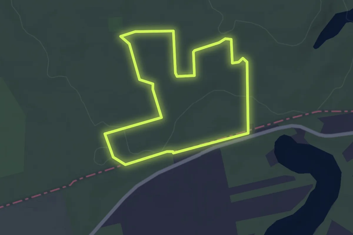
Easy · Trail
Trakt Jeniecki
3.2 km · ↑ 20 m · 51 min
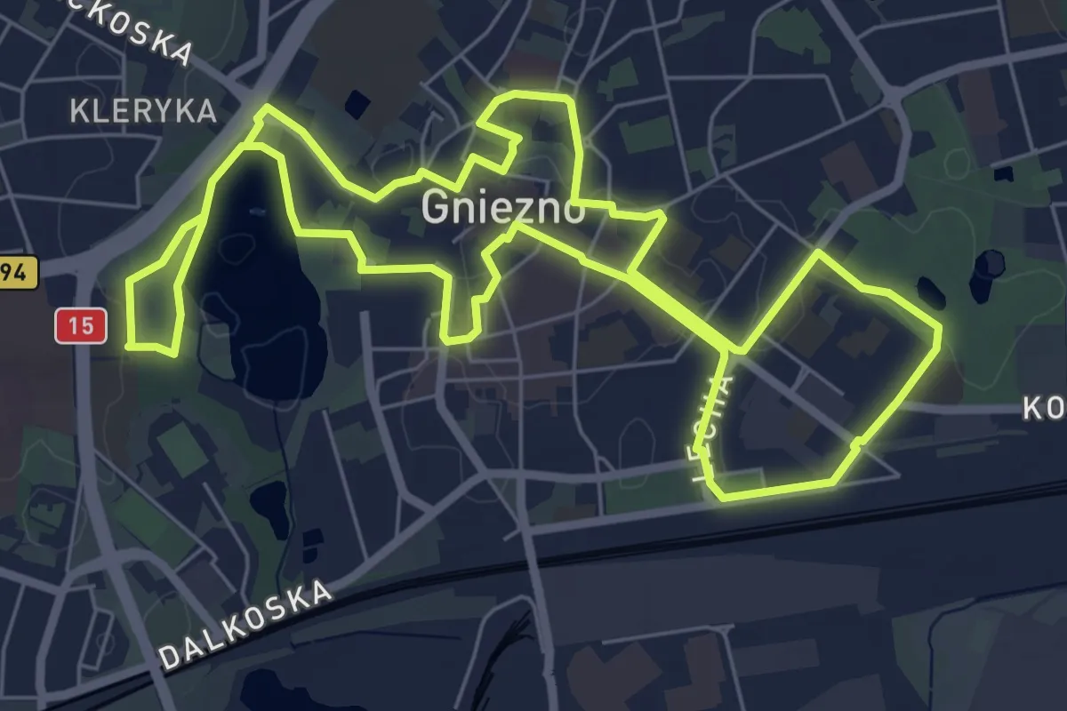
Easy · Summit
Trakt Królewski
6.2 km · ↑ 24 m · 1 h 36 min
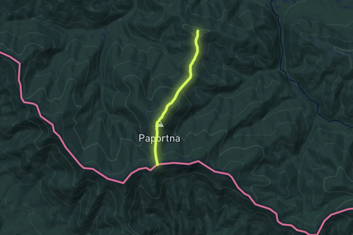
Medium · Summit
Transgraniczna ścieżka graniczna Wetlina - Rabia Skała - Runina "Nadobnica alpejska"
8.0 km · ↑ 403 m · 2 h 46 min
Medium · Summit
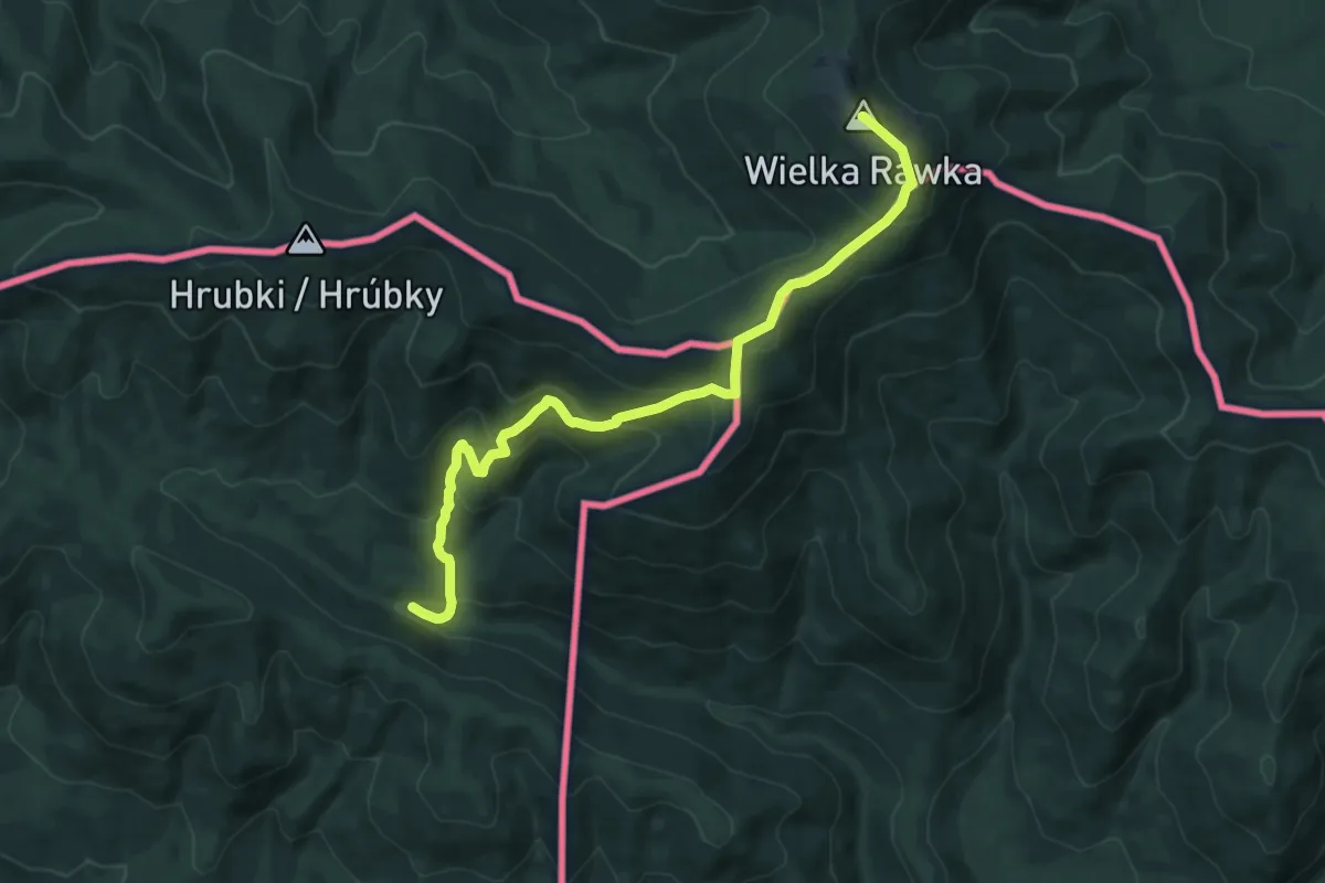
Transgraniczna ścieżka przyrodnicza Wielka Rawka - Nova Sedlica "Niedźwiedź brunatny"
11.4 km · ↑ 767 m · 4 h 22 min
Easy · Trail
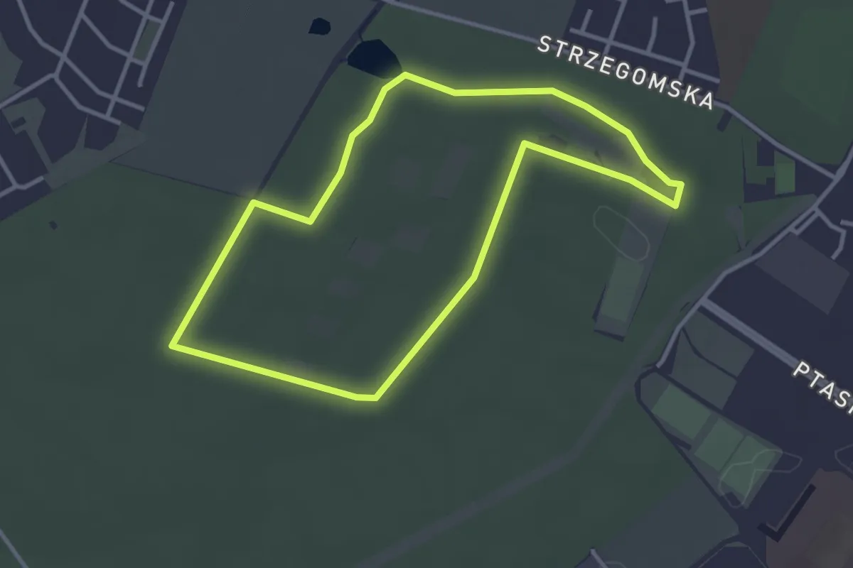
Trasa A
2.9 km · ↑ 12 m · 45 min
Easy · Trail
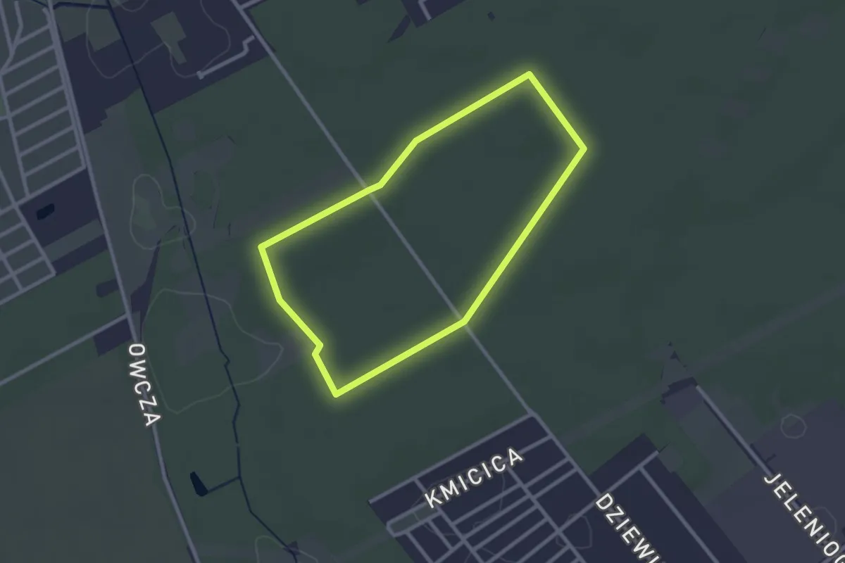
Trasa B
2.1 km · ↑ 4 m · 32 min
Easy · Trail
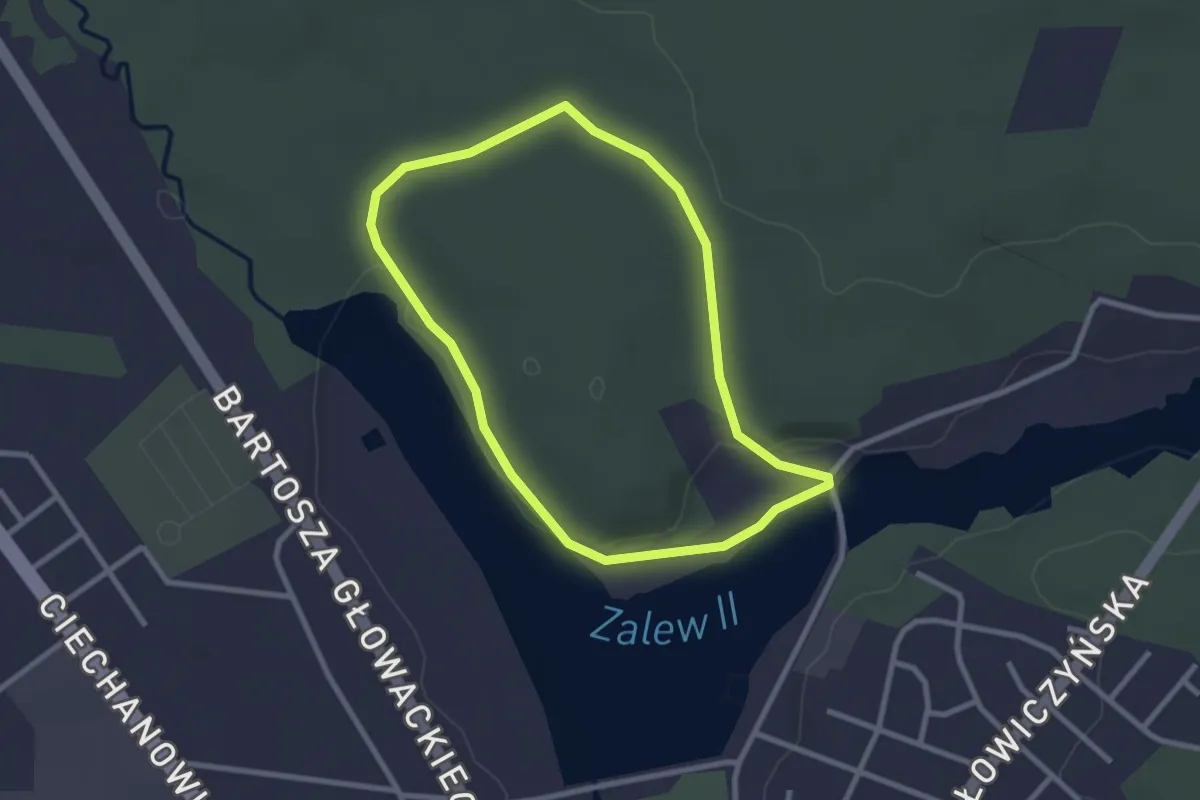
Trasa biegowa
2.2 km · ↑ 20 m · 36 min
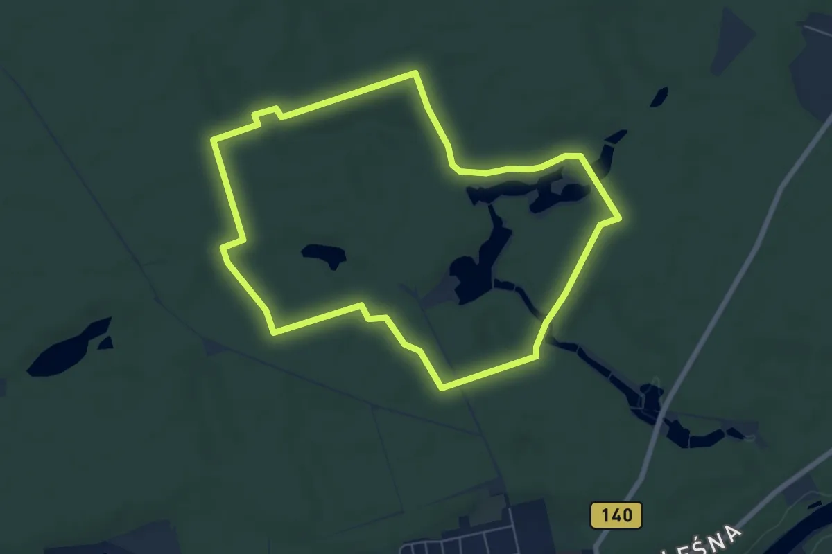
Easy · Trail
Trasa biegowa nr. 1
5.6 km · ↑ 22 m · 1 h 28 min
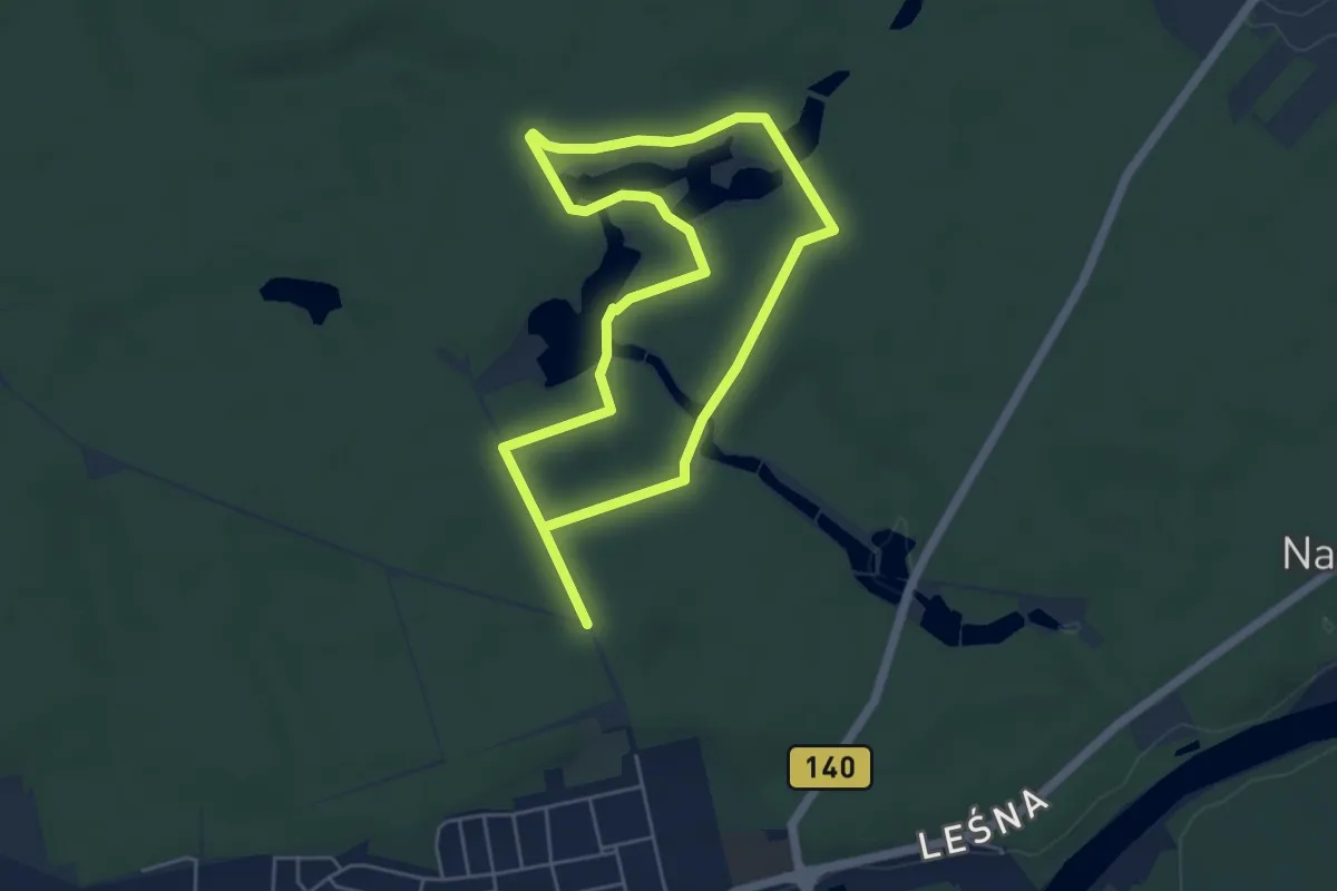
Medium · Trail
Trasa biegowa nr. 2
8.1 km · ↑ 44 m · 2 h
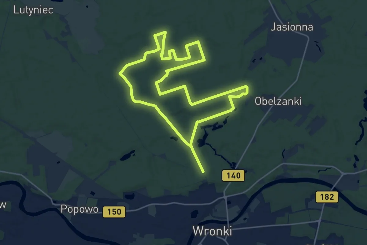
Demanding · Trail
Trasa biegowa nr. 3
29.6 km · ↑ 48 m · 7 h 6 min
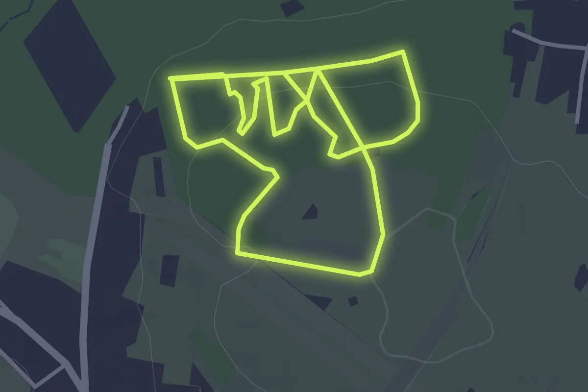
Easy · Summit
Trasa biegowo-spacerowa czerwona/niebieska
3.2 km · ↑ 94 m · 59 min
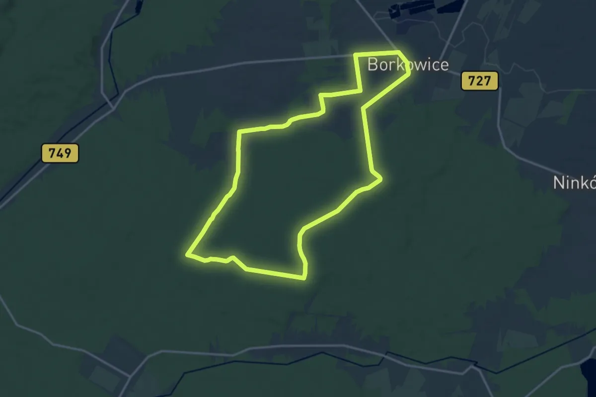
Medium · Trail
Trasa Borkowice (czarna)
12.7 km · ↑ 125 m · 3 h 26 min
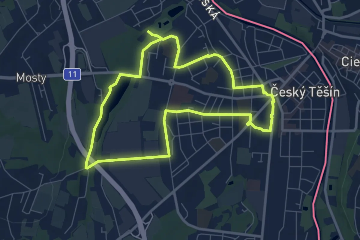
Easy · Trail
Trasa dlouhá zelená
5.9 km · ↑ 35 m · 1 h 33 min
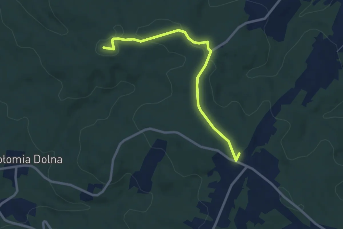
Easy · Summit
Trasa edukacyjna Południk
5.3 km · ↑ 83 m · 1 h 26 min
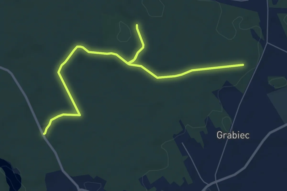
Easy · Trail
Trasa edukacyjna Torfy
7.4 km · ↑ 25 m · 1 h 48 min
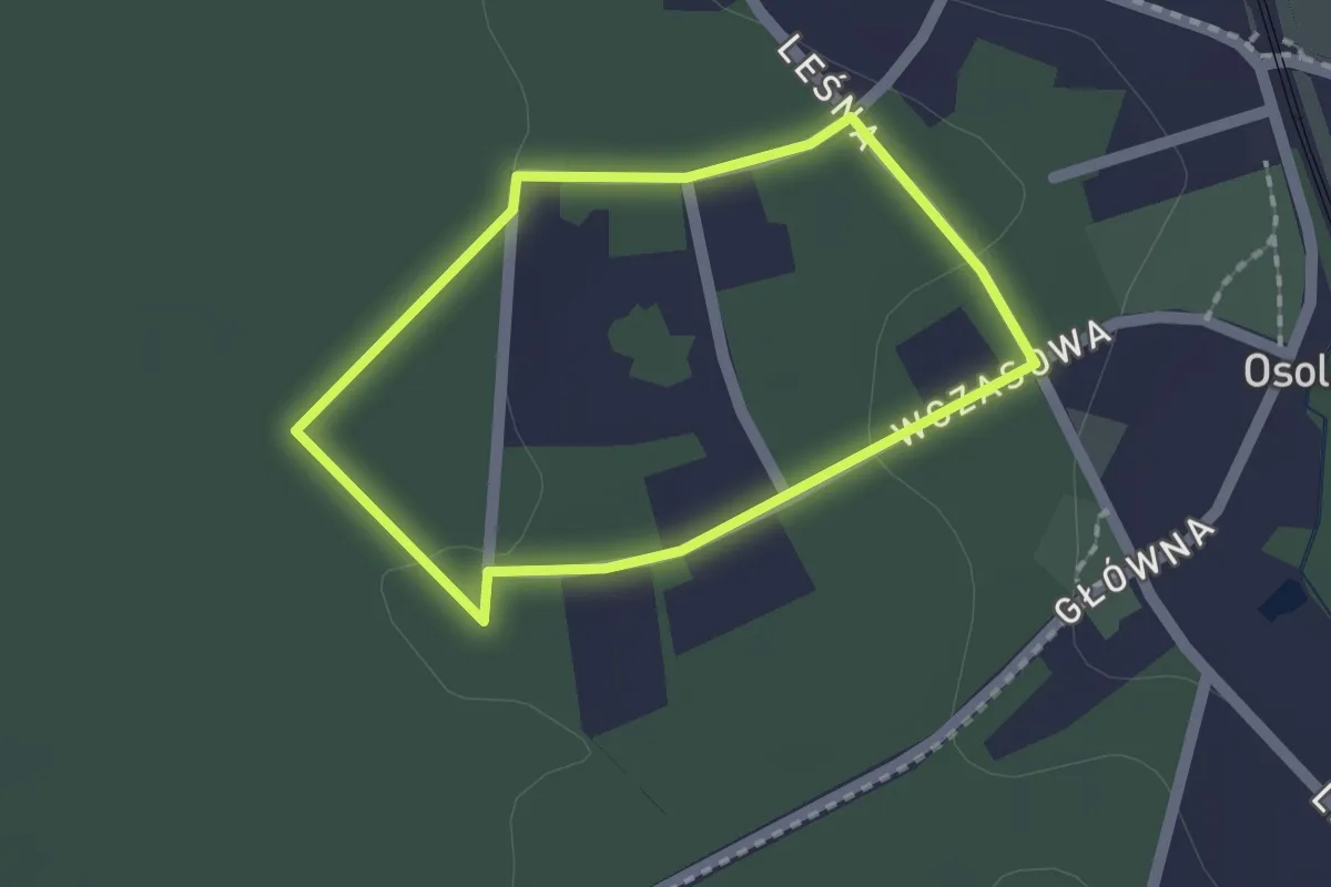
Easy · Trail
Trasa Familijna (niebieska)
1.3 km · ↑ 18 m · 22 min
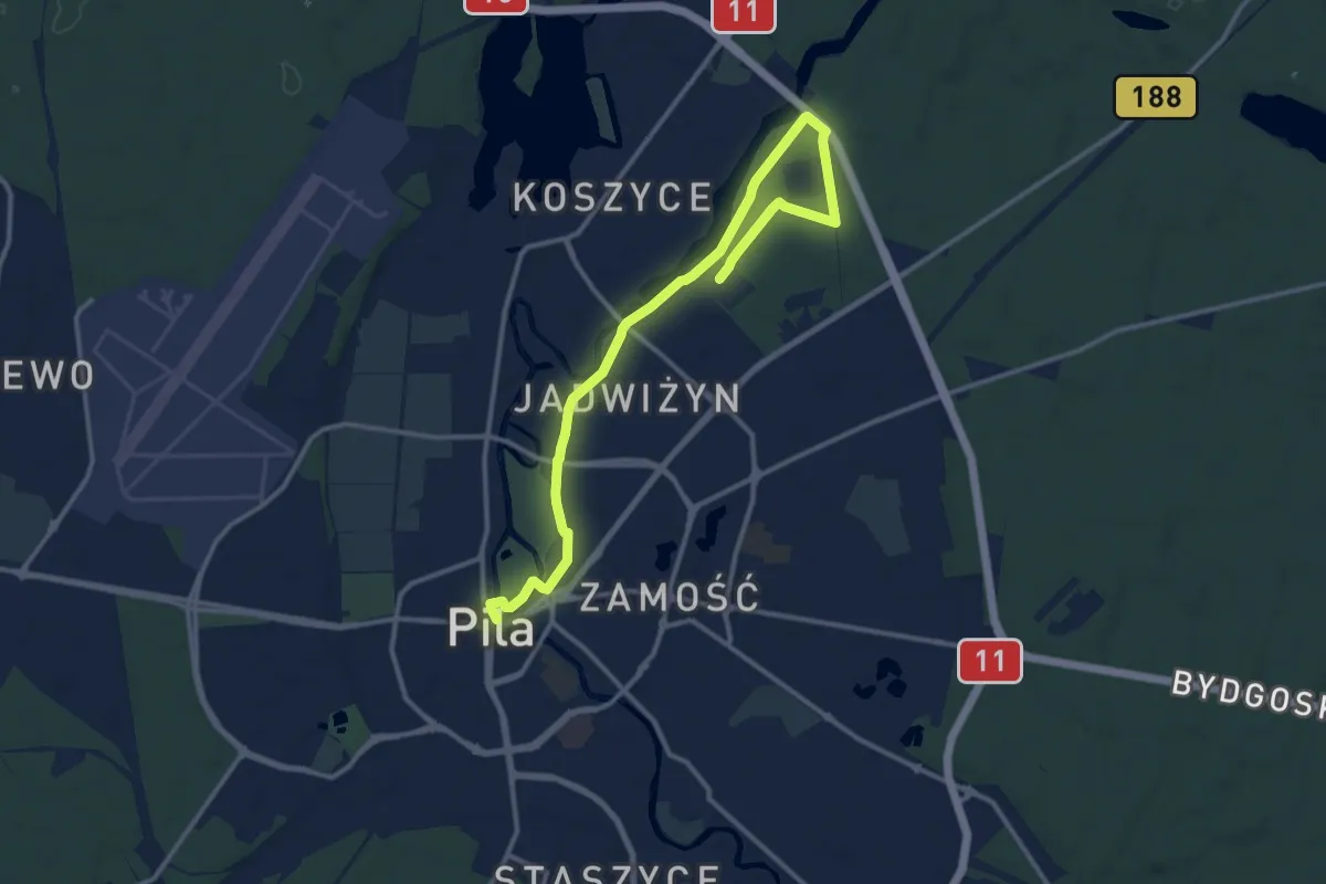
Medium · Trail
Trasa Jadwiżyńska
12.7 km · ↑ 58 m · 3 h 7 min
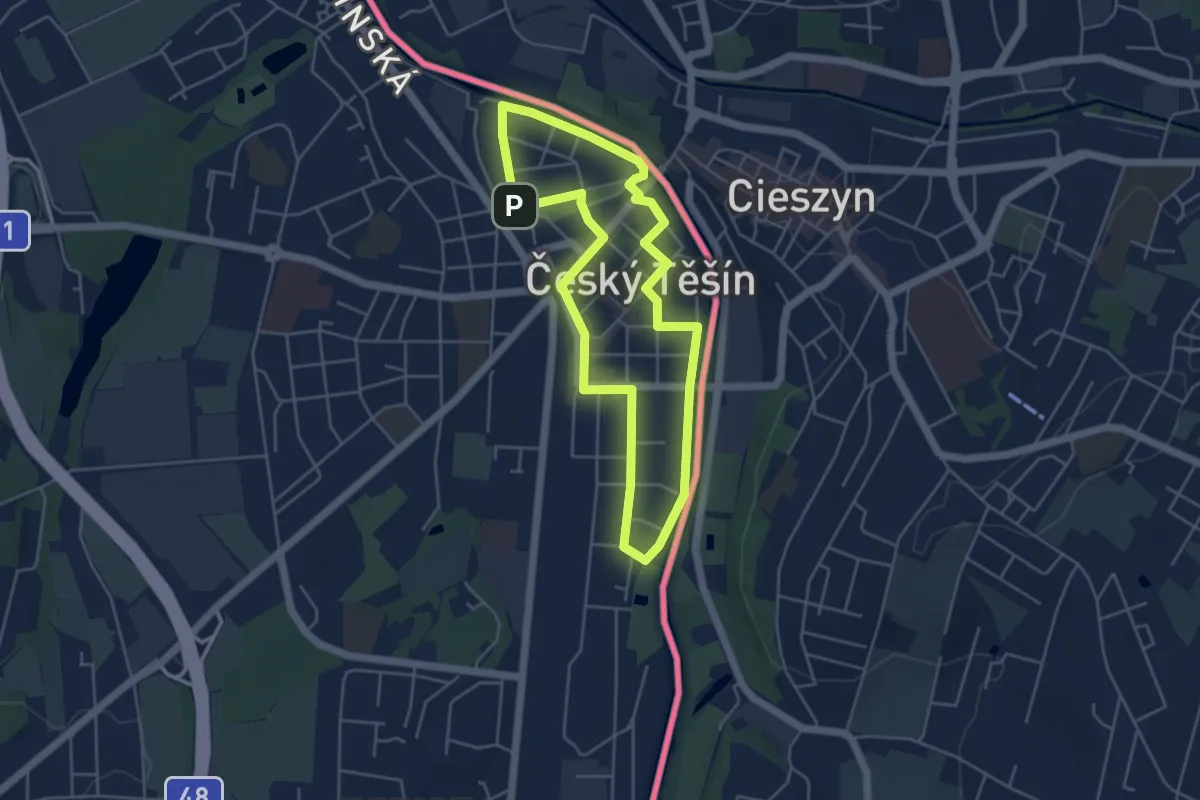
Easy · Trail
Trasa krátká modrá
4.2 km · ↑ 4 m · 1 h 4 min
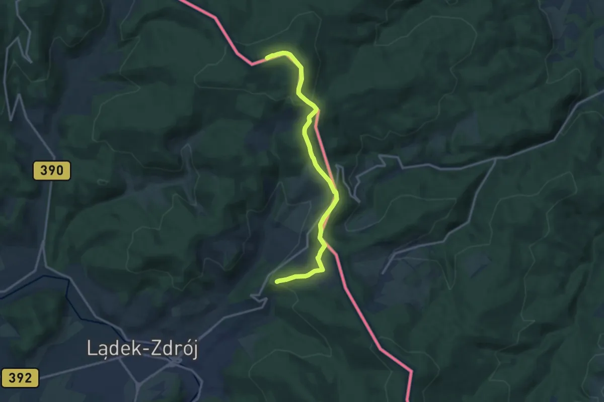
Medium · Summit
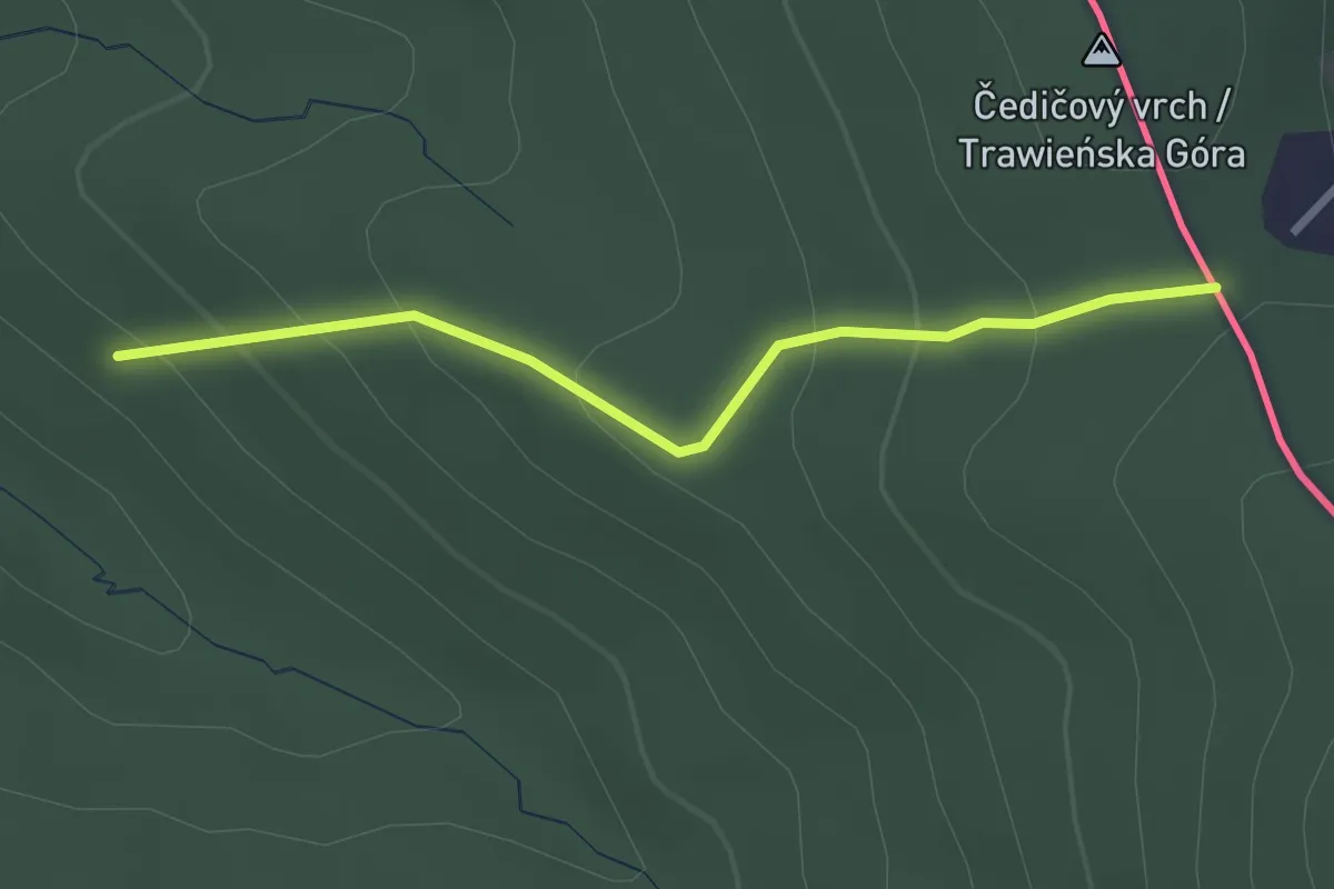
Trasa kuracyjna niebieska
11.1 km · ↑ 366 m · 3 h 25 min
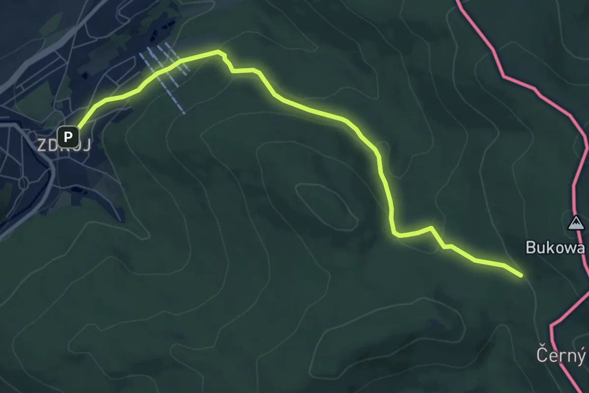
Easy · Trail
Trasa kuracyjna niebieska
2.5 km · ↑ 159 m · 56 min
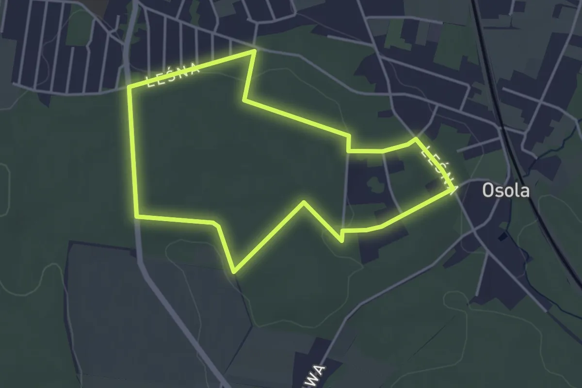
Medium · Trail
Trasa kuracyjna niebieska
8.1 km · ↑ 309 m · 2 h 35 min
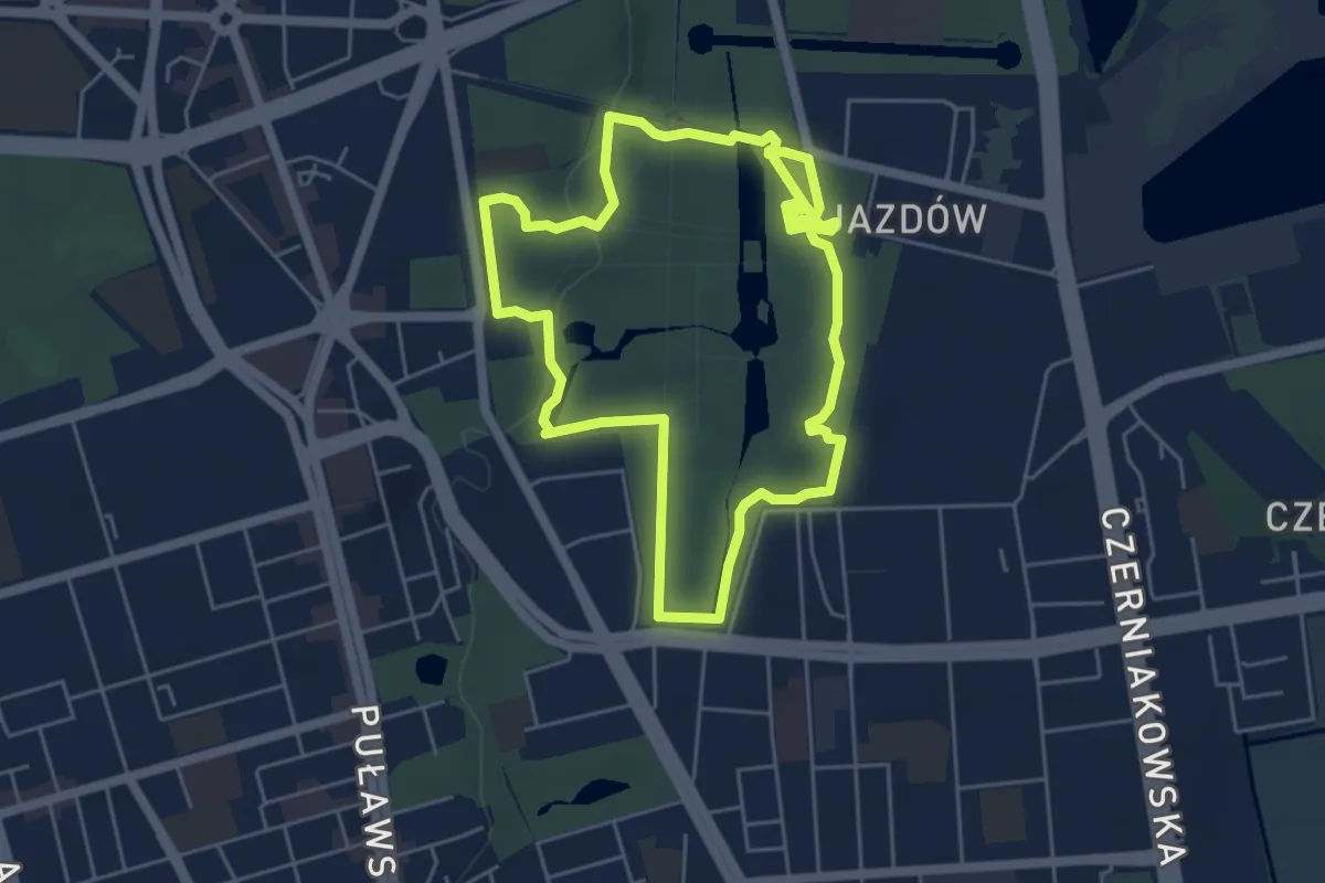
Easy · Trail
Trasa Ku Słońcu (czerwona)
3.4 km · ↑ 33 m · 55 min
Easy · Trail
Trasa Kusocińskiego
4.6 km · ↑ 29 m · 1 h 13 min
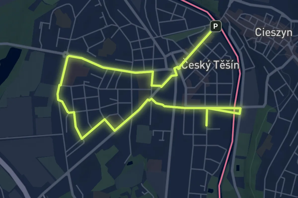
Medium · Trail
Trasa Městská
9.0 km · ↑ 35 m · 2 h 12 min
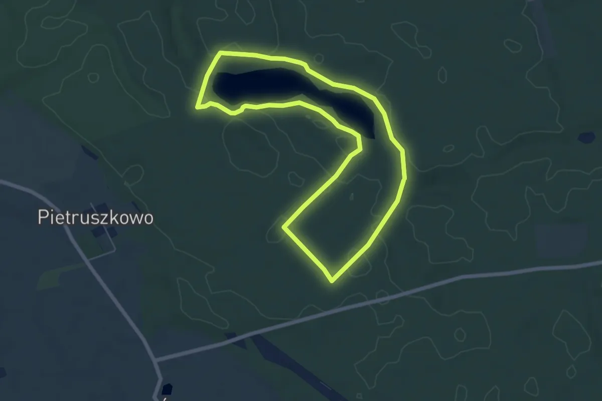
Easy · Trail
Trasa nordic walking wokół jeziora Sinowa
5.0 km · ↑ 27 m · 1 h 19 min
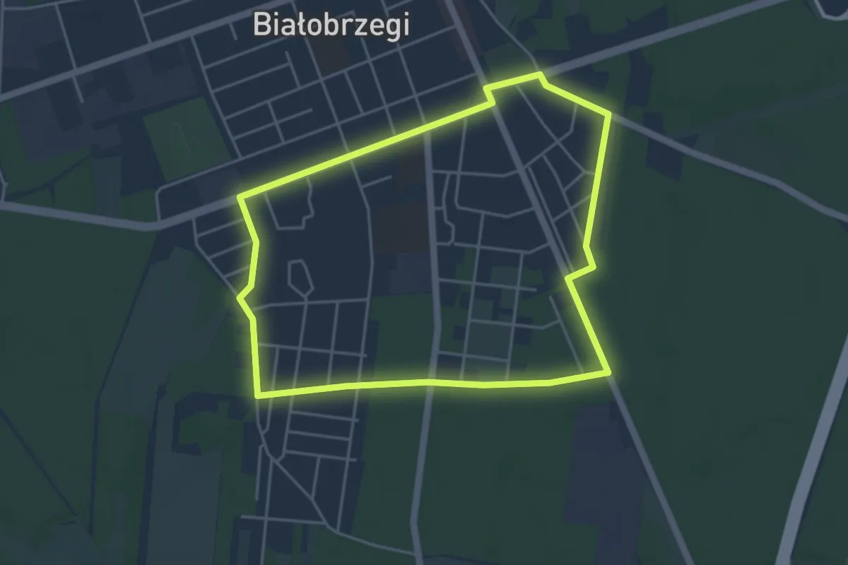
Easy · Trail
Trasa nr 1 Białobrzegi
3.8 km · ↑ 14 m · 59 min
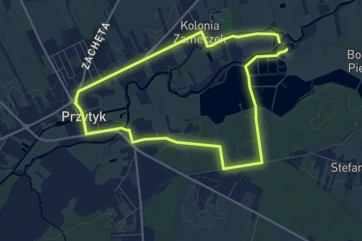
Easy · Trail
Trasa nr 1 Przytyk (zielona)
6.7 km · ↑ 17 m · 1 h 42 min
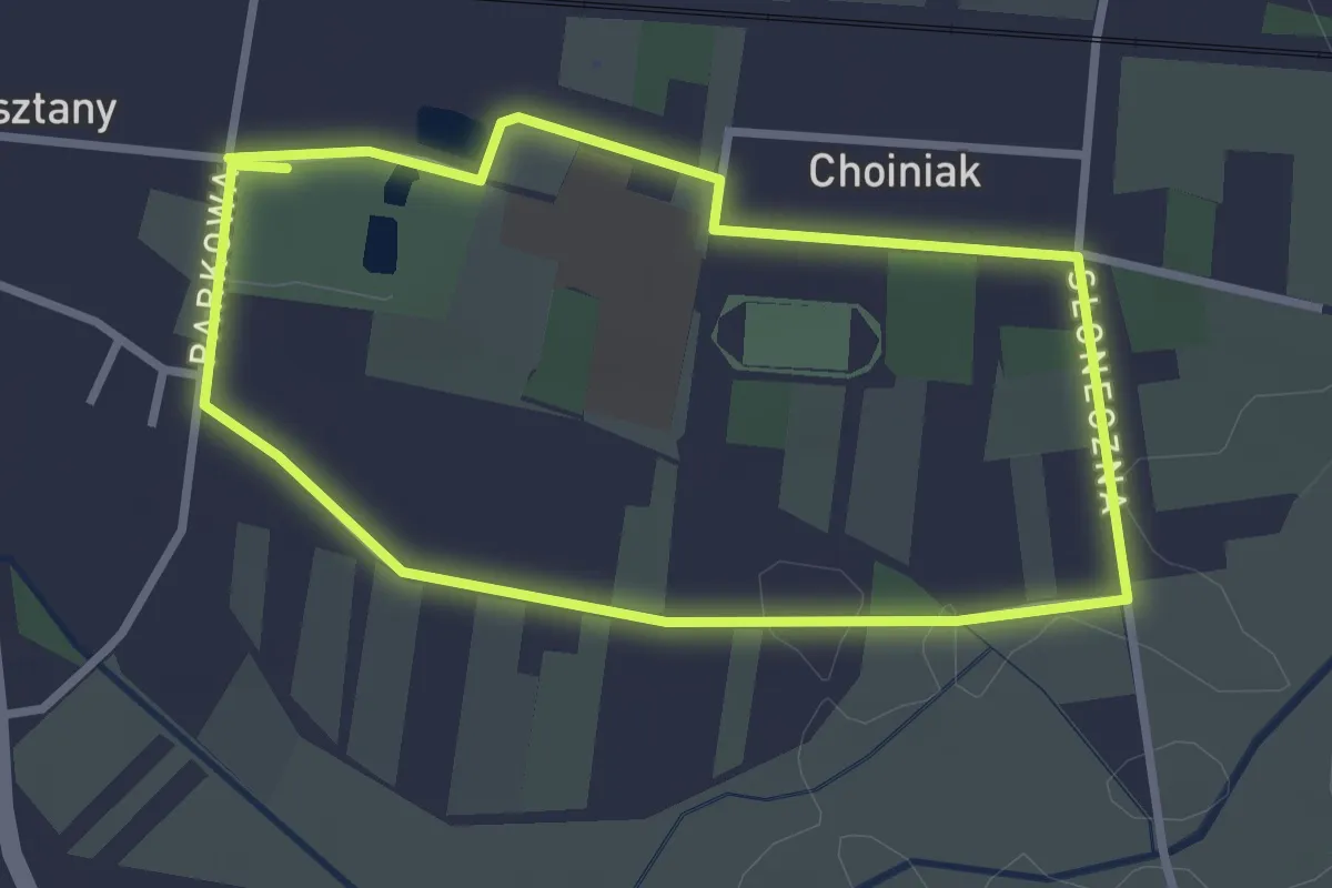
Easy · Trail
Trasa nr 1 Wieniawa (zielona)
2.5 km · ↑ 4 m · 39 min
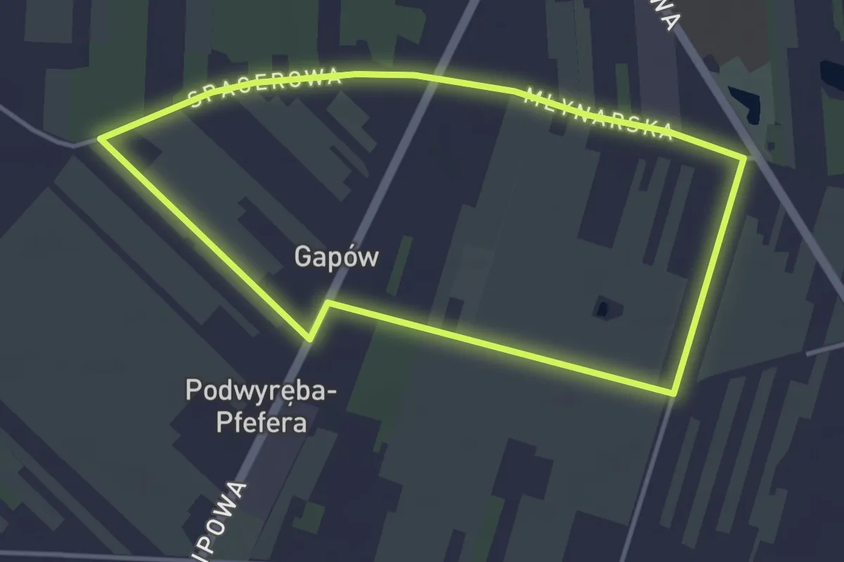
Easy · Trail
Trasa nr 1 Wolanów (zielona)
3.3 km · ↑ 0 m · 49 min
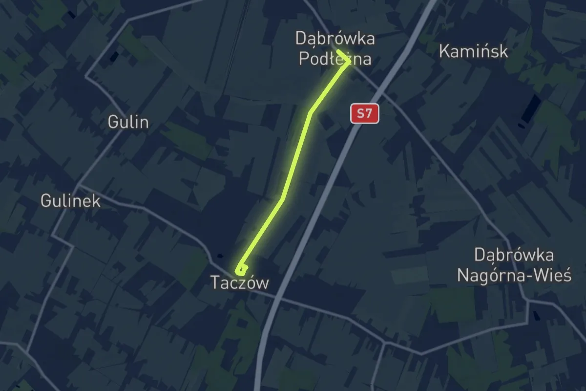
Easy · Trail
Trasa nr 1 Zakrzew (zielona)
6.5 km · ↑ 21 m · 1 h 35 min
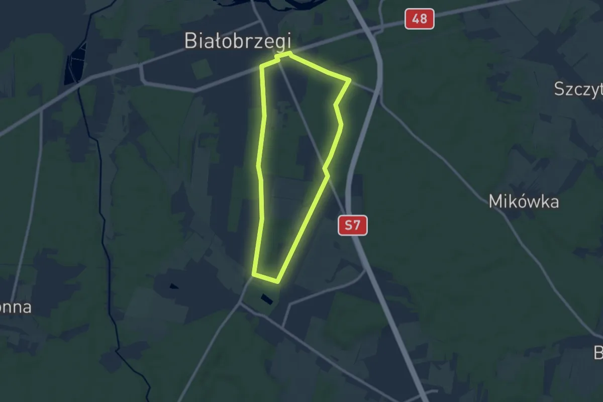
Easy · Trail
Trasa nr 2 Białobrzegi
6.7 km · ↑ 31 m · 1 h 44 min
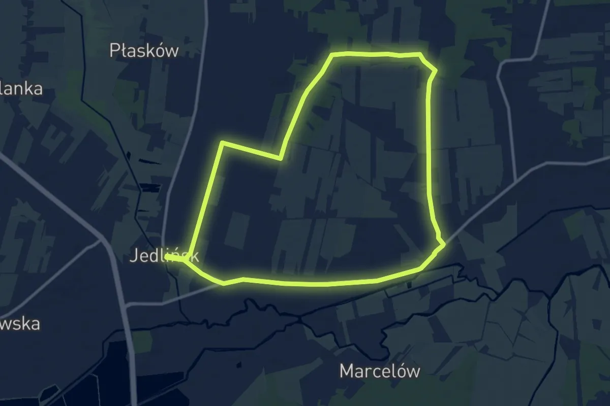
Medium · Trail
Trasa nr 2 Jedlińsk (czerwona)
9.6 km · ↑ 21 m · 2 h 26 min
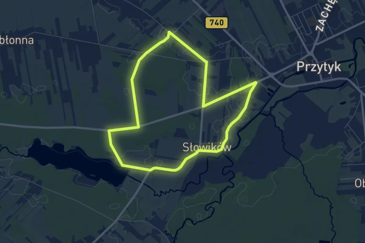
Easy · Trail
Trasa nr 2 Przytyk (czerwona)
6.6 km · ↑ 4 m · 1 h 39 min
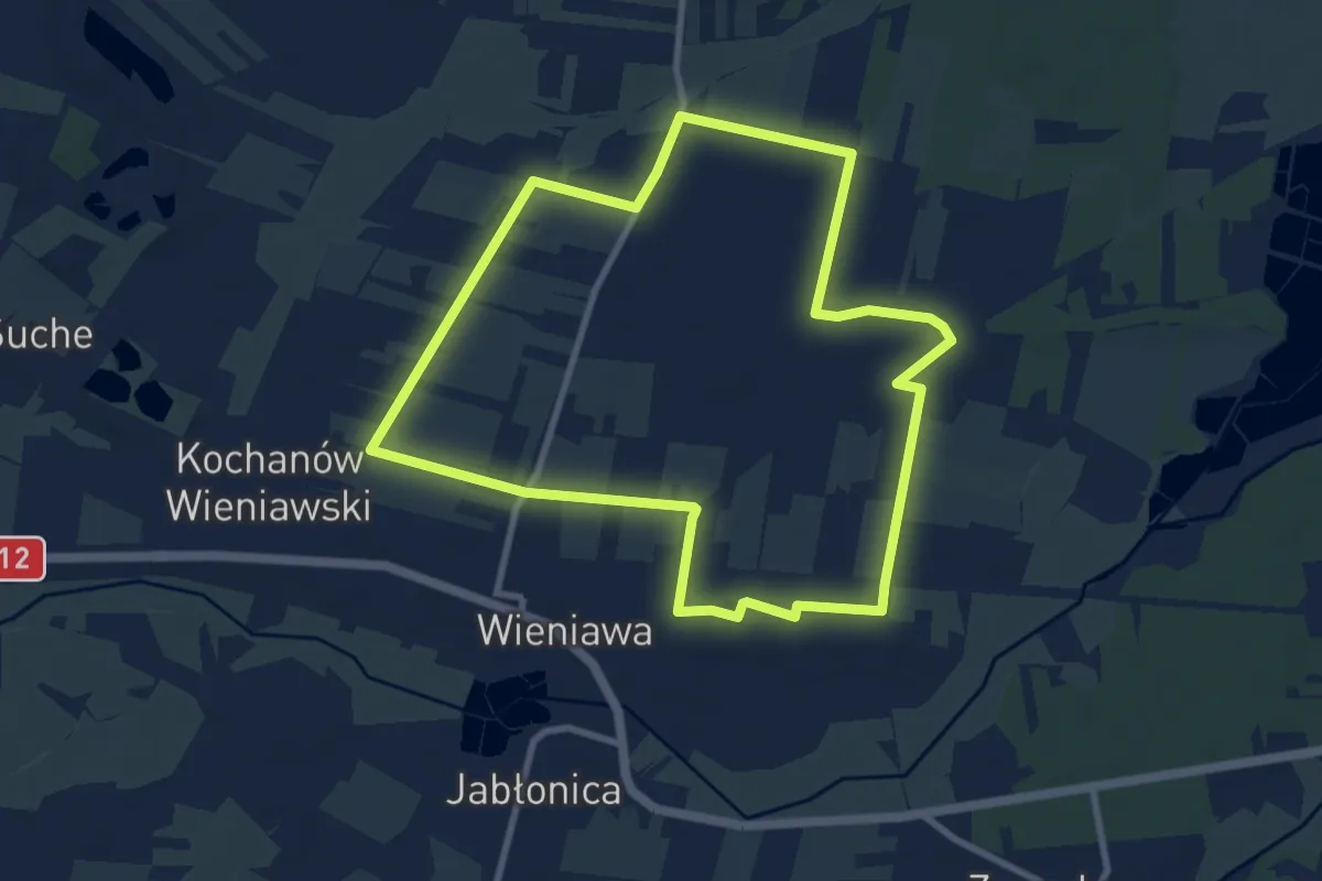
Medium · Trail
Trasa nr 2 Wieniawa (czerwona)
8.2 km · ↑ 13 m · 2 h 4 min
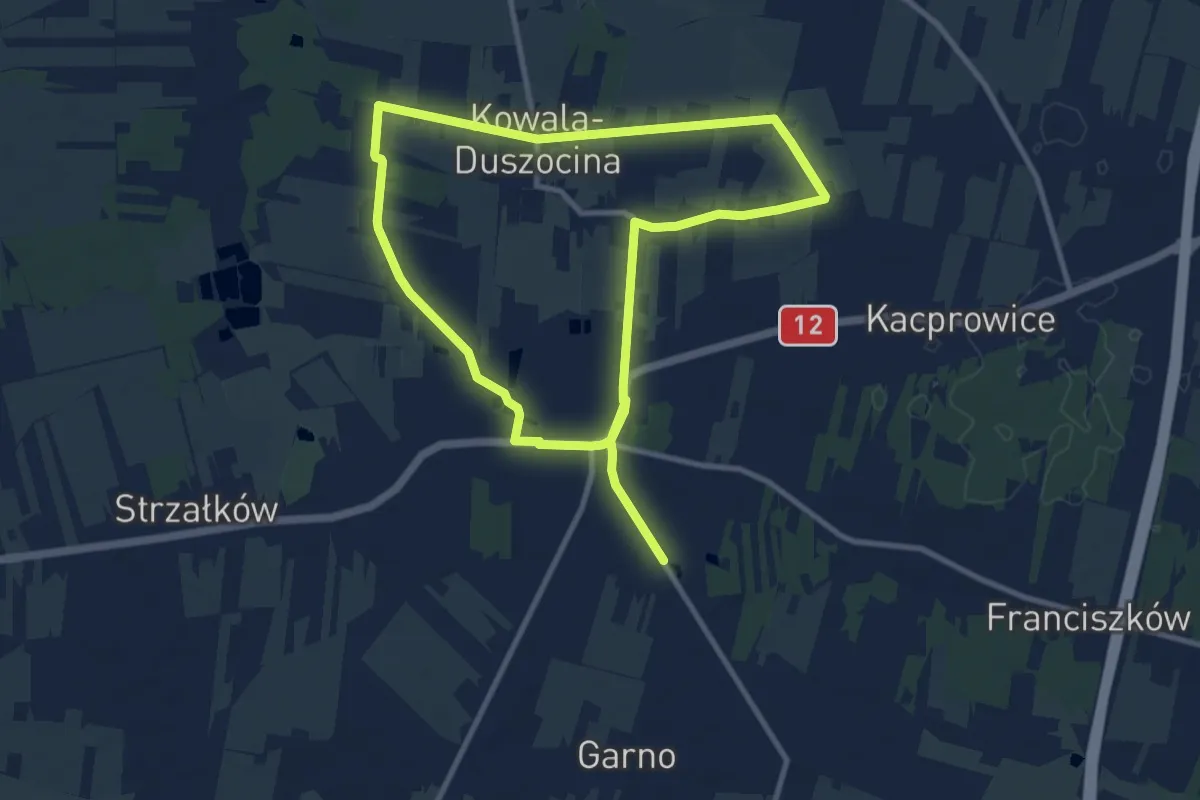
Medium · Trail
Trasa nr 2 Wolanów (czerwona)
16.9 km · ↑ 63 m · 4 h 8 min
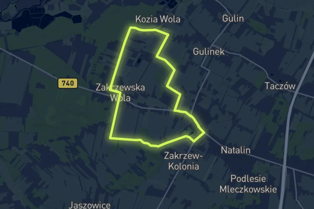
Medium · Trail
Trasa nr 2 Zakrzew (czerwona)
11.3 km · ↑ 53 m · 2 h 56 min
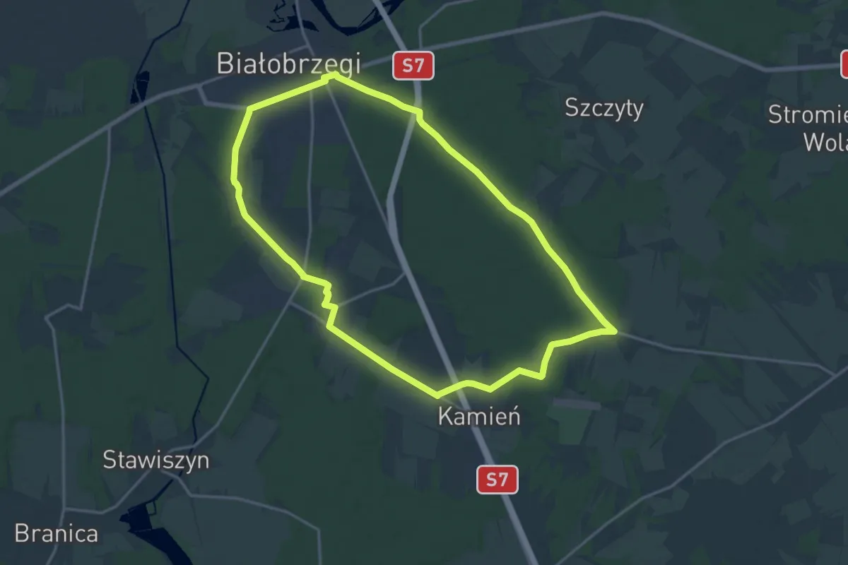
Medium · Trail
Trasa nr 3 Białobrzegi
14.6 km · ↑ 43 m · 3 h 44 min