Trails in Portugal
1,161 hiking trails, each with its route, climb, walking time and grade.
All trails, page 11 of 25
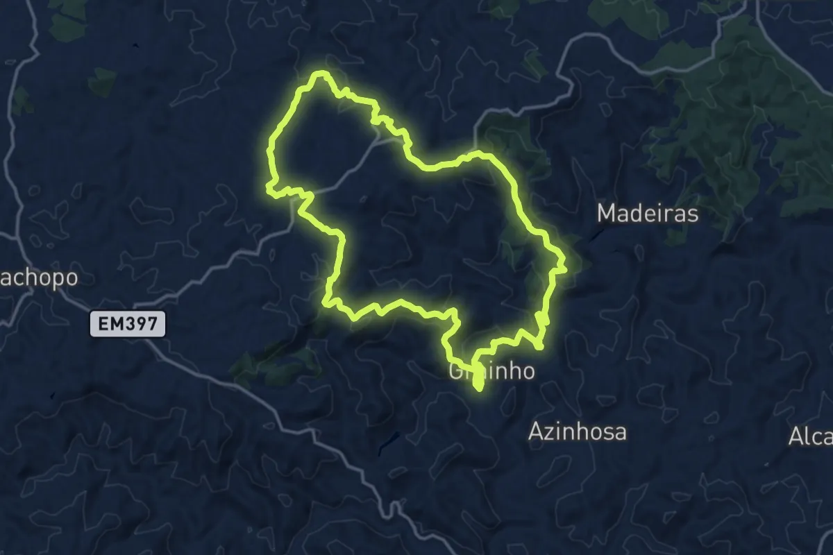
Medium · Trail
Percurso D.Quixote
16.5 km · ↑ 501 m · 5 h 12 min
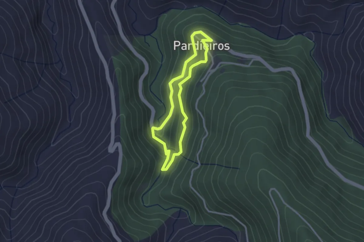
Easy · Trail
Percurso Mata da Margaraça
2.4 km · ↑ 134 m · 53 min
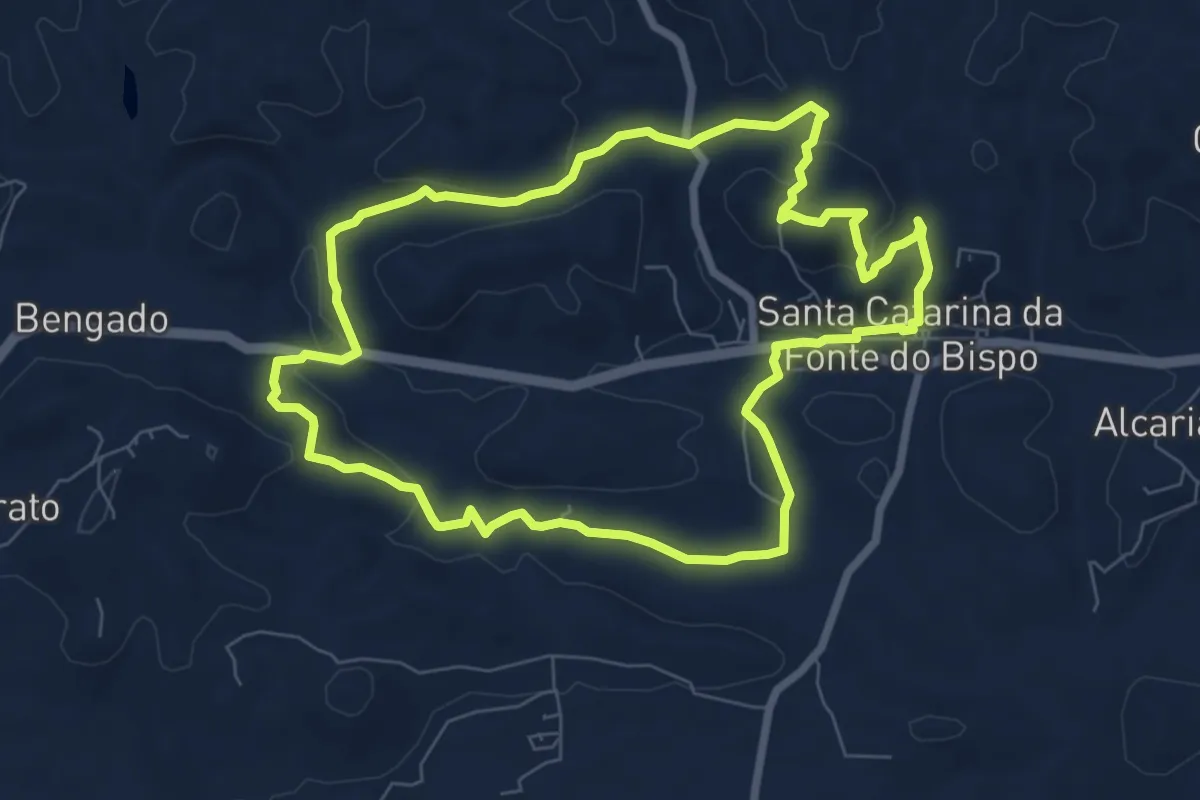
Medium · Summit
Percurso Moinhos e Hortas
8.6 km · ↑ 202 m · 2 h 35 min
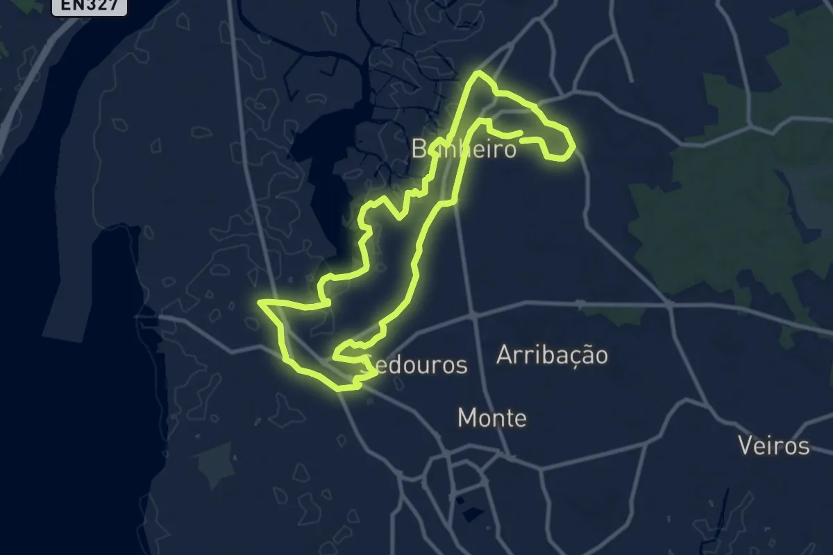
Medium · Trail
Percurso Natural e Cultural do Bunheiro
10.9 km · ↑ 4 m · 2 h 45 min
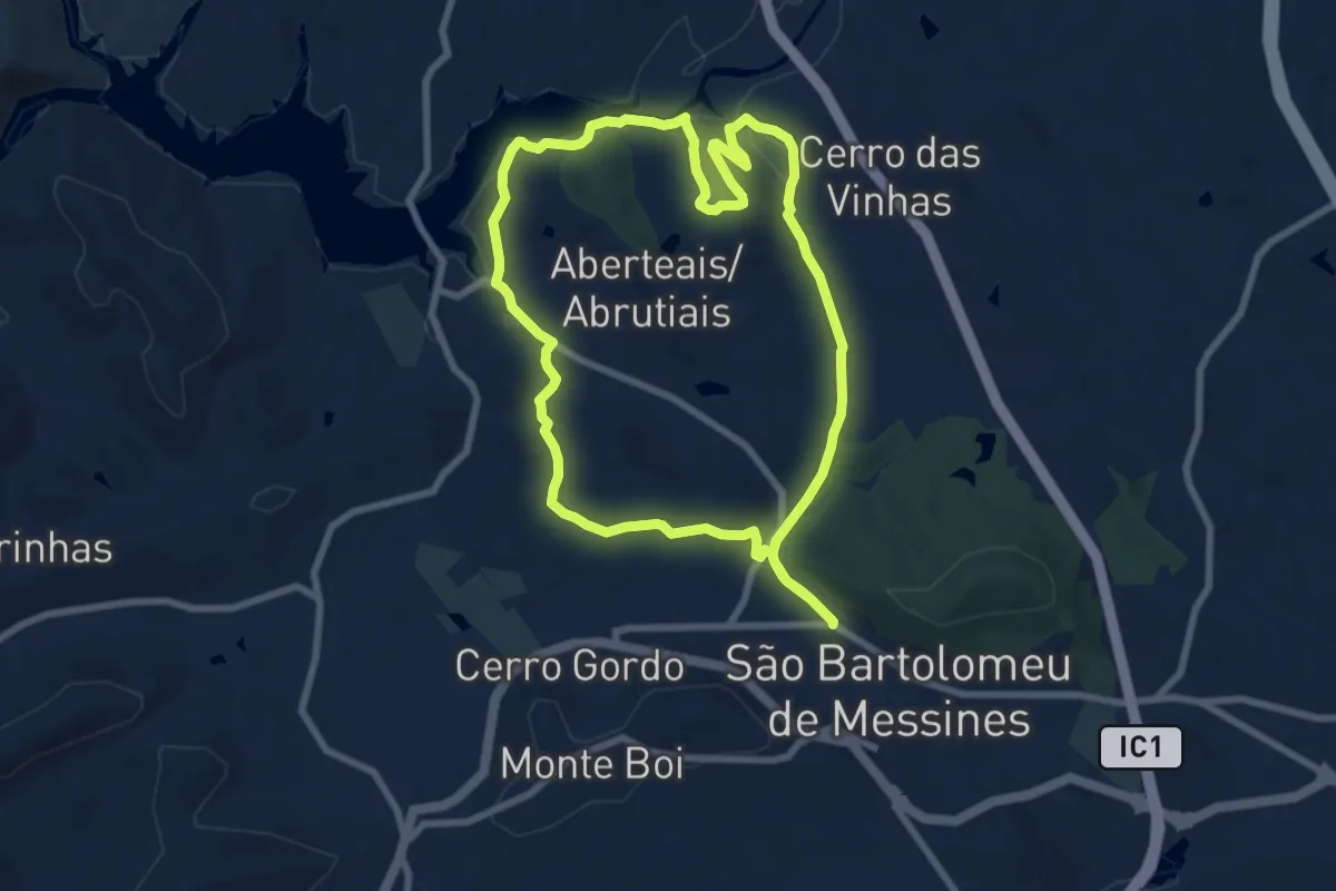
Medium · Summit
Percurso Pedestre Cultural de São Bartlomeu de Messinas
9.1 km · ↑ 152 m · 2 h 36 min
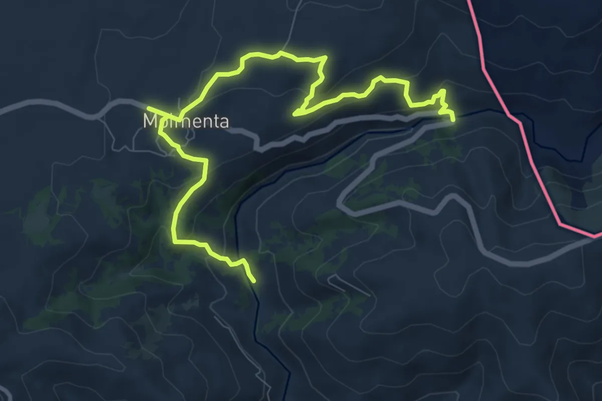
Medium · Trail
Percurso Pedestre da Calçada
10.9 km · ↑ 434 m · 3 h 31 min
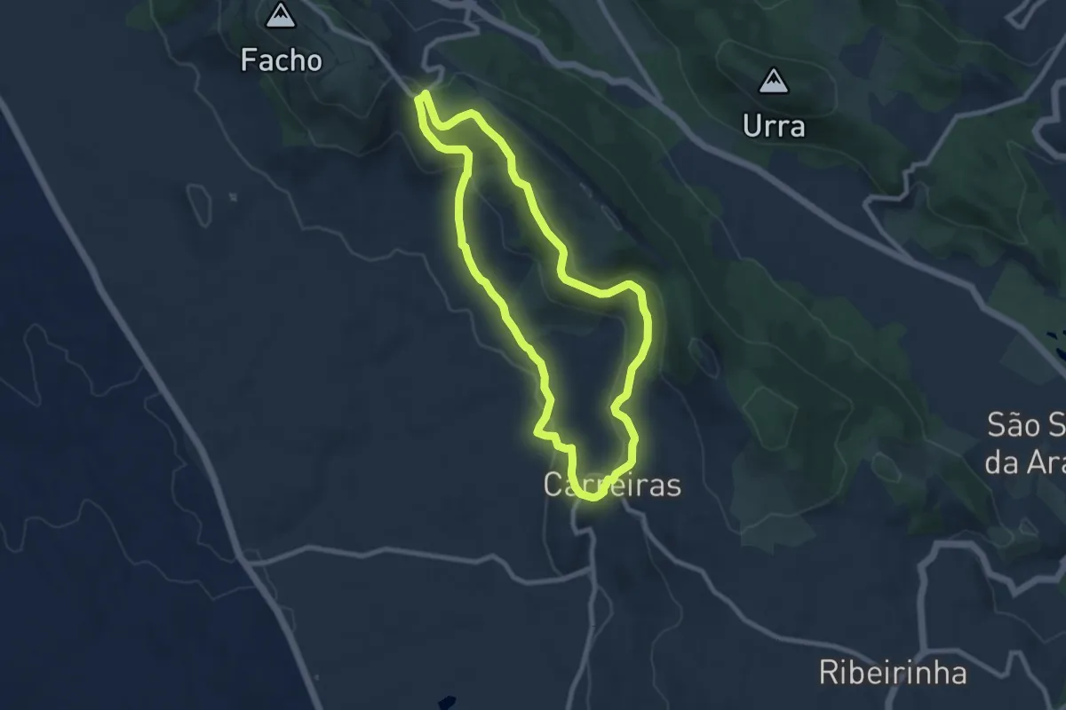
Medium · Trail
Percurso Pedestre das Carreiras
8.8 km · ↑ 244 m · 2 h 44 min
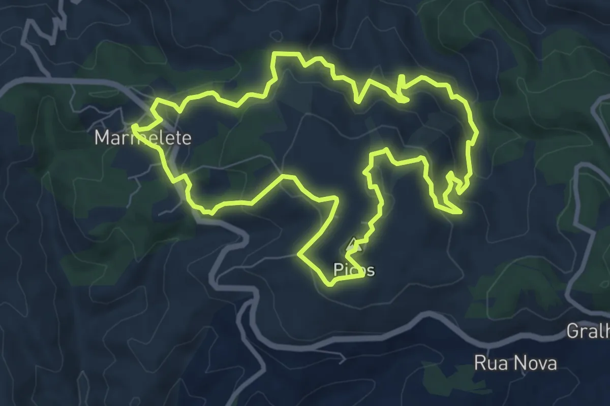
Medium · Summit
Percurso Pedestre de Marmelete
9.1 km · ↑ 424 m · 3 h 11 min
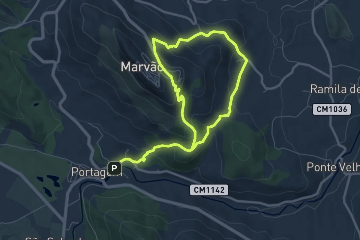
Medium · Trail
Percurso Pedestre de Marvão
5.8 km · ↑ 340 m · 2 h 7 min
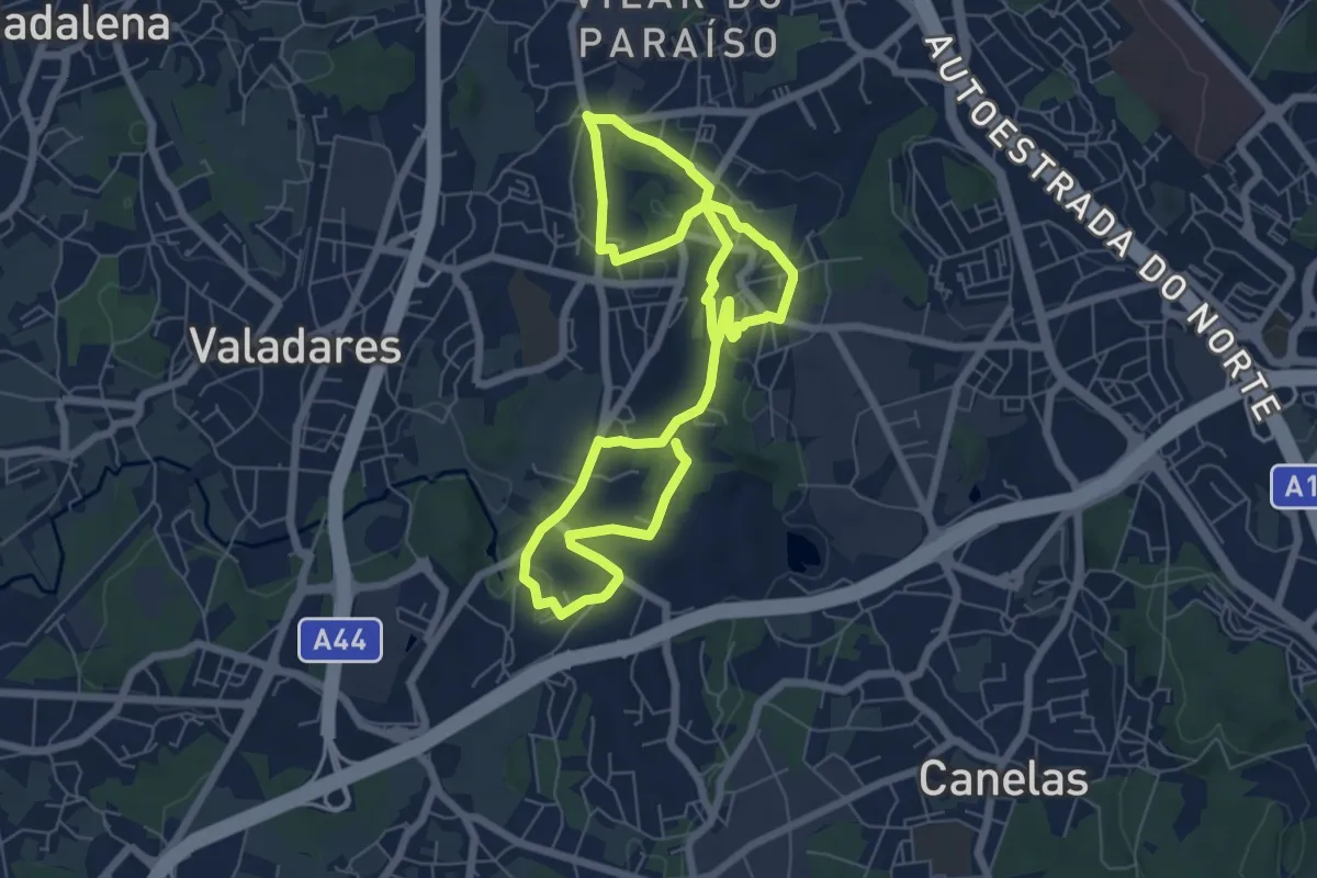
Easy · Trail
Percurso pedestre de Vilar do Paraíso
6.2 km · ↑ 102 m · 1 h 45 min
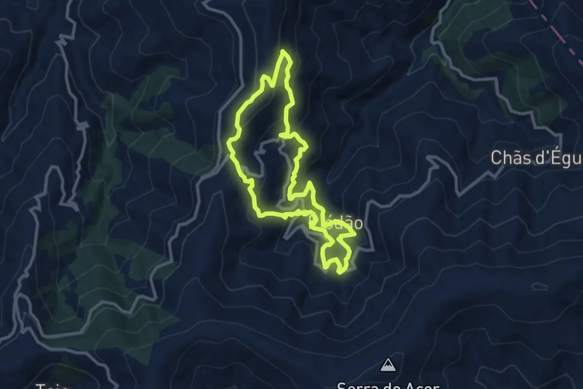
Medium · Trail
Percurso Pedestre do Açor
8.4 km · ↑ 576 m · 3 h 20 min
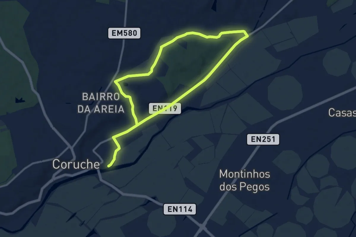
Medium · Trail
Percurso Pedestre do Cavalo e da Coruja
16.3 km · ↑ 110 m · 4 h 5 min
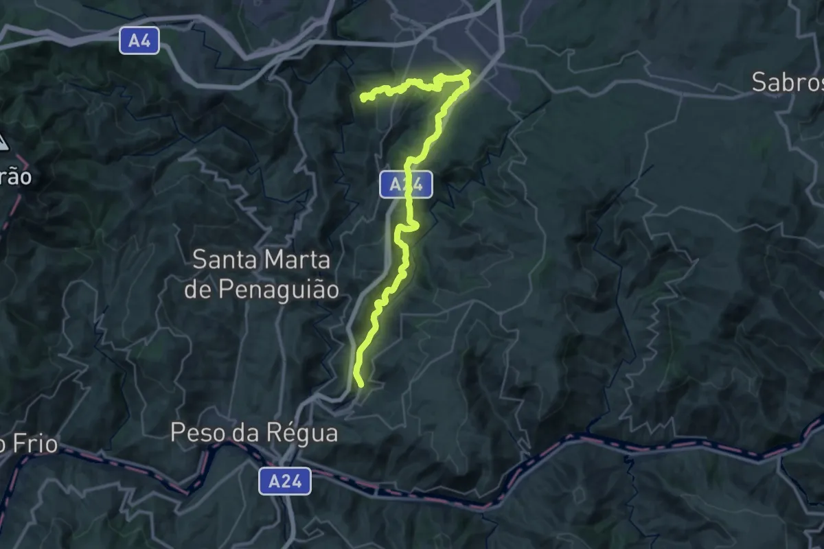
Demanding · Trail
Percurso pedestre do Douro Vinhateiro III
18.6 km · ↑ 676 m · 5 h 59 min
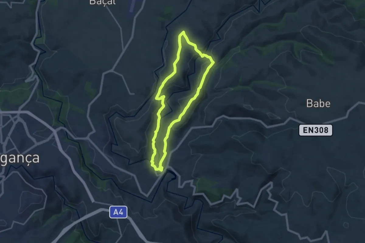
Medium · Trail
Percurso Pedestre do Malara
11.5 km · ↑ 265 m · 3 h 27 min
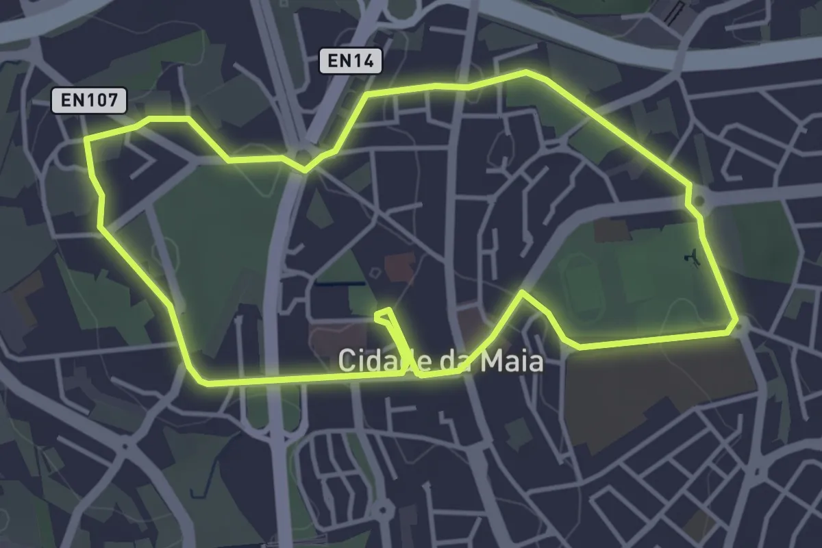
Easy · Trail
Percurso pedonal Urbano da Maia 1
4.4 km · ↑ 73 m · 1 h 15 min
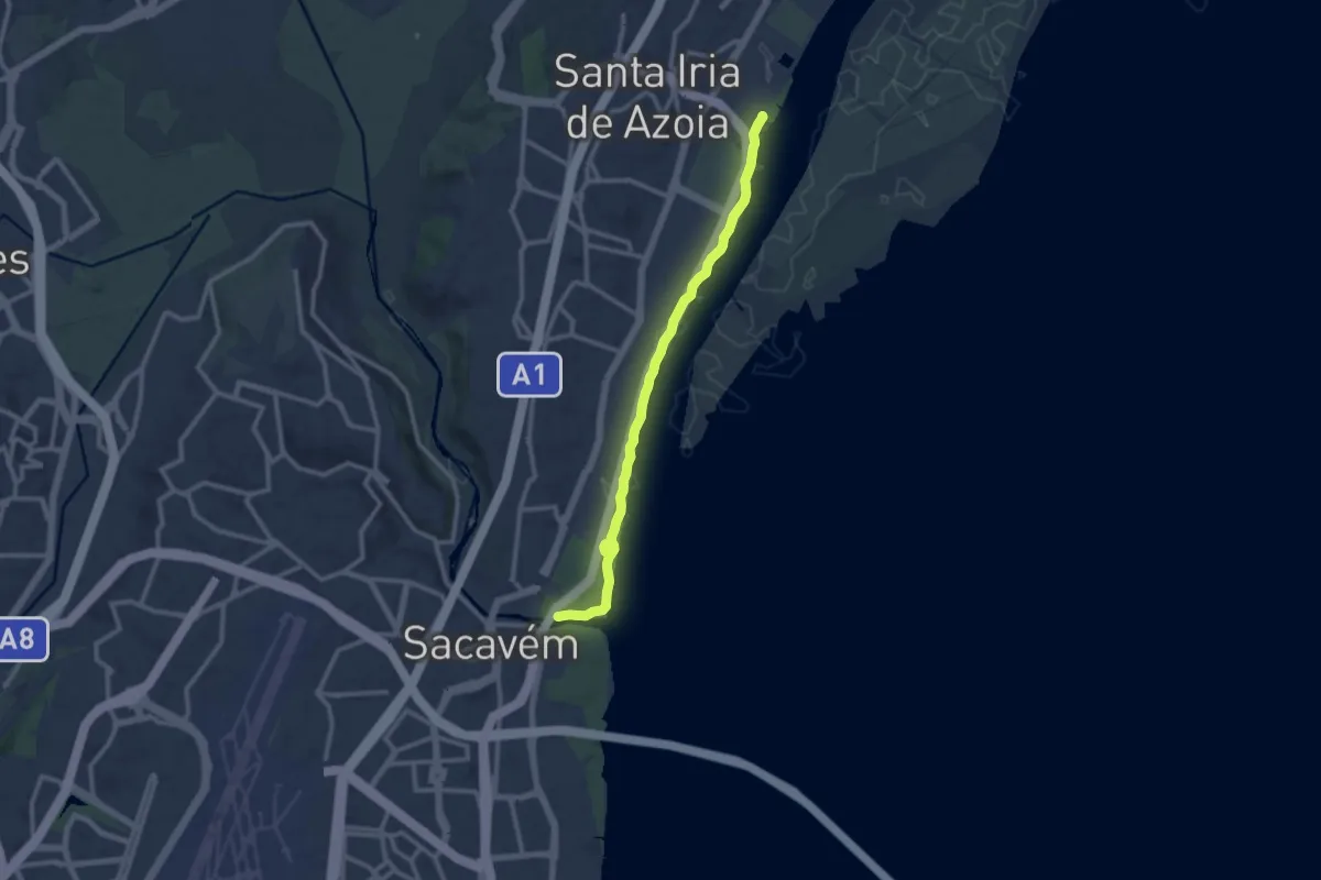
Medium · Trail
Percurso Ribeirinho de Loures
12.8 km · ↑ 8 m · 3 h 3 min
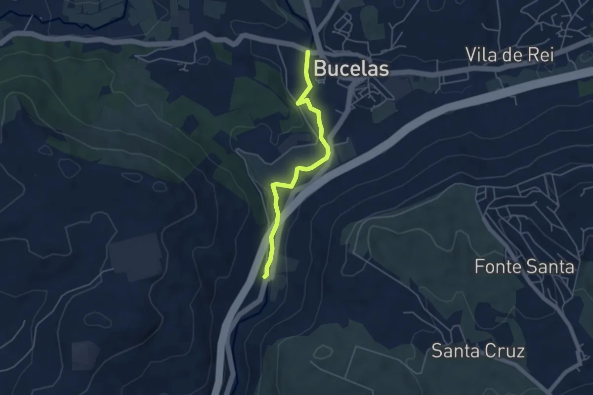
Easy · Trail
Percurso Ribeirinho do Rio Trancão
4.4 km · ↑ 41 m · 1 h 8 min
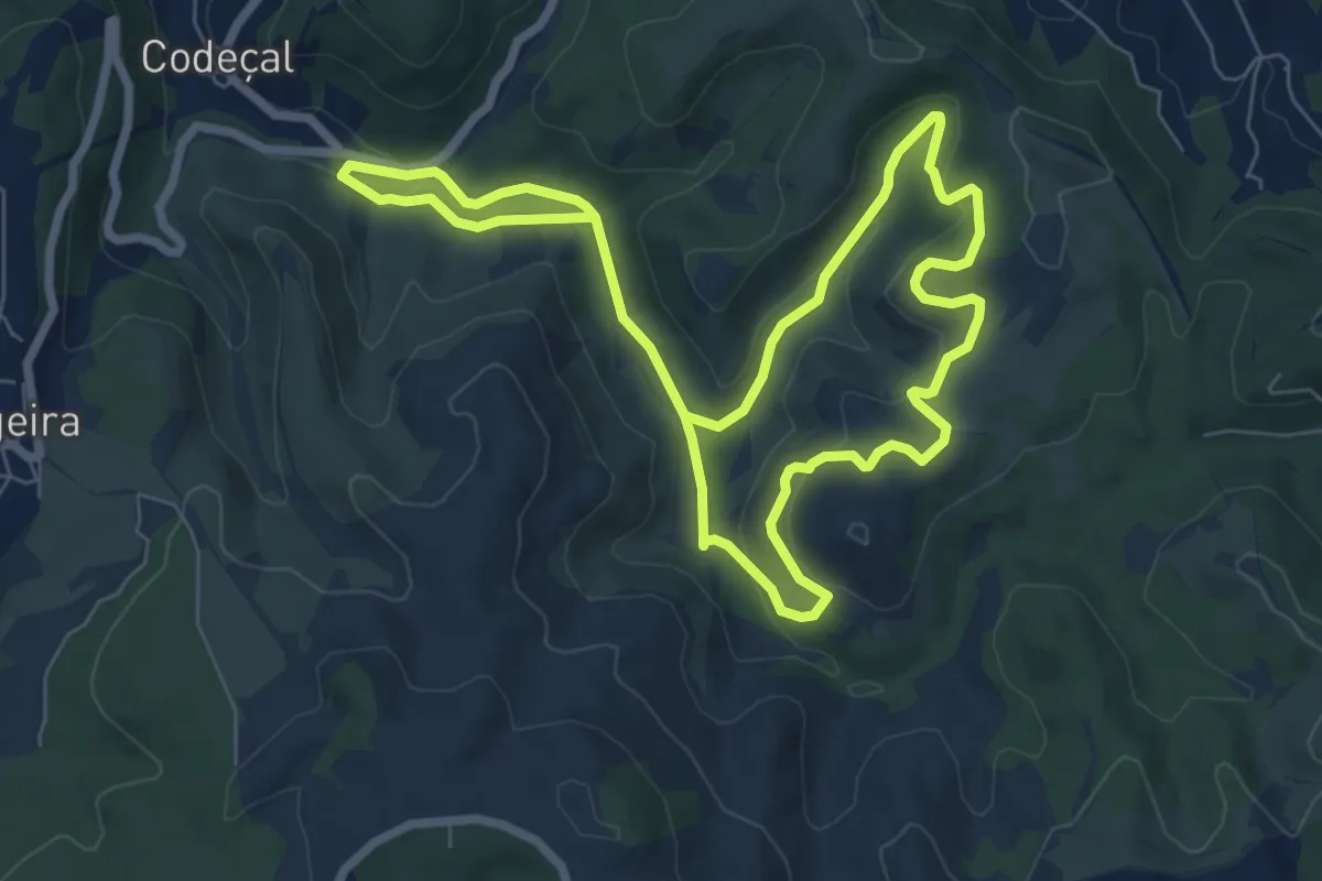
Easy · Trail
Percurso Taipas (vermelho)
7.4 km · ↑ 216 m · 2 h 19 min
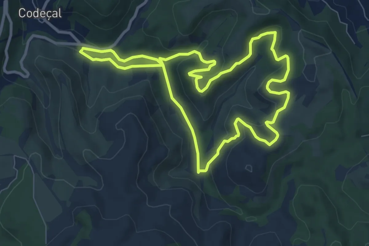
Easy · Trail
Percurso Tojeira (verde)
8.0 km · ↑ 216 m · 2 h 28 min
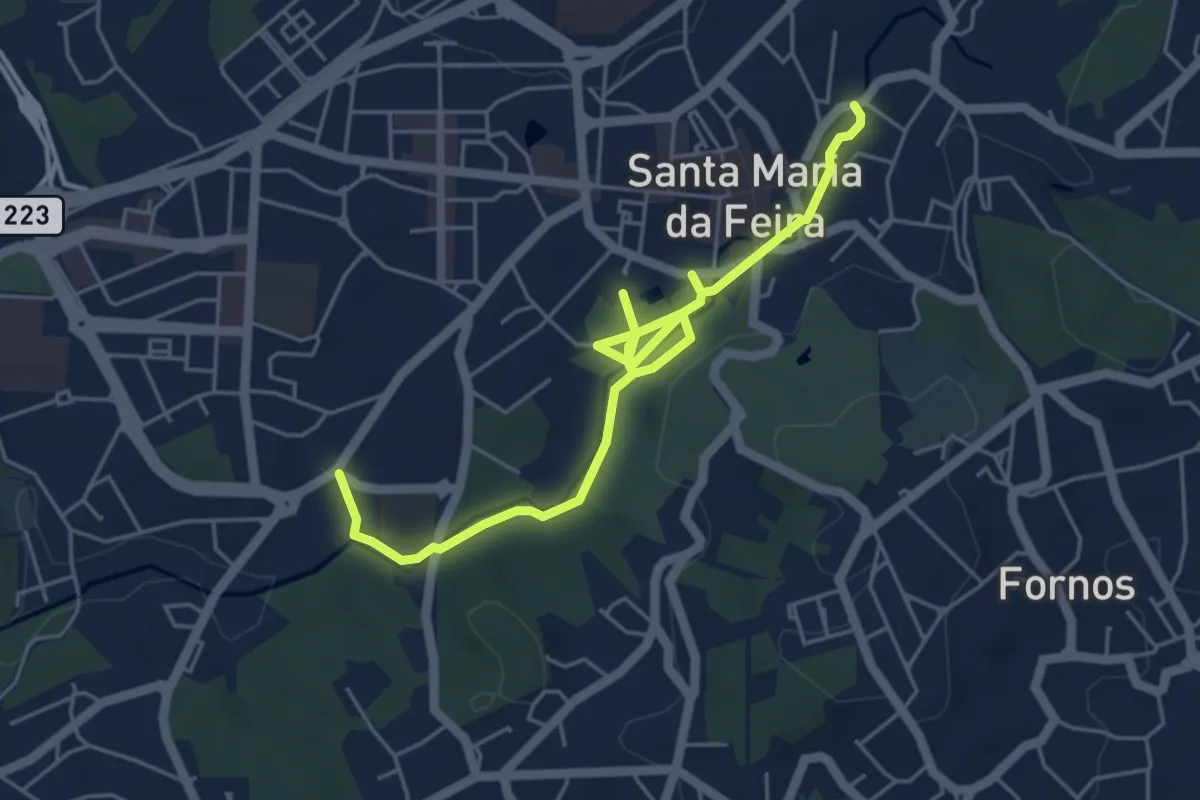
Easy · Trail
Percurso Urbano do Cáster
6.7 km · ↑ 63 m · 1 h 43 min
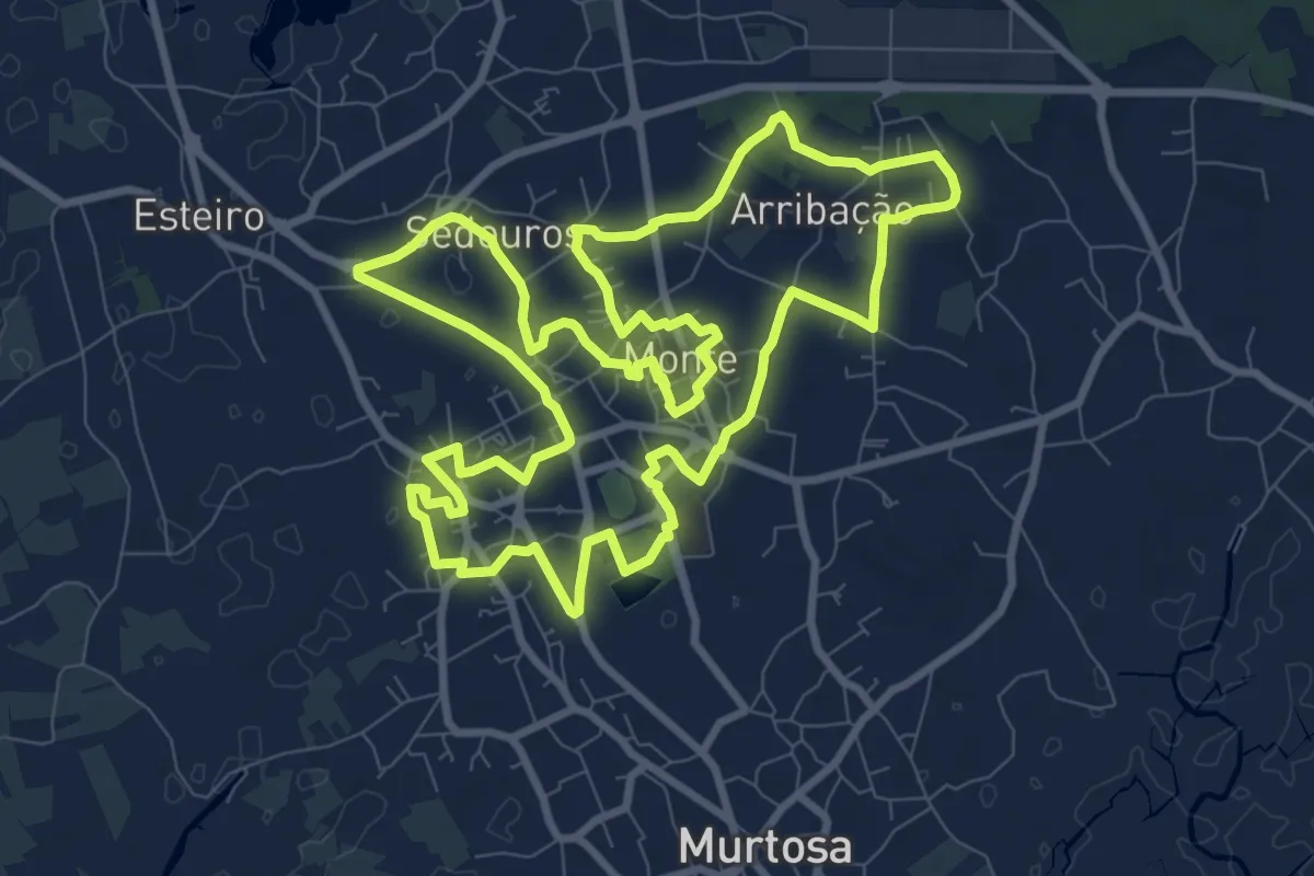
Medium · Trail
Percurso Urbano Pardelhas–Monte
12.2 km · ↑ 22 m · 3 h 5 min
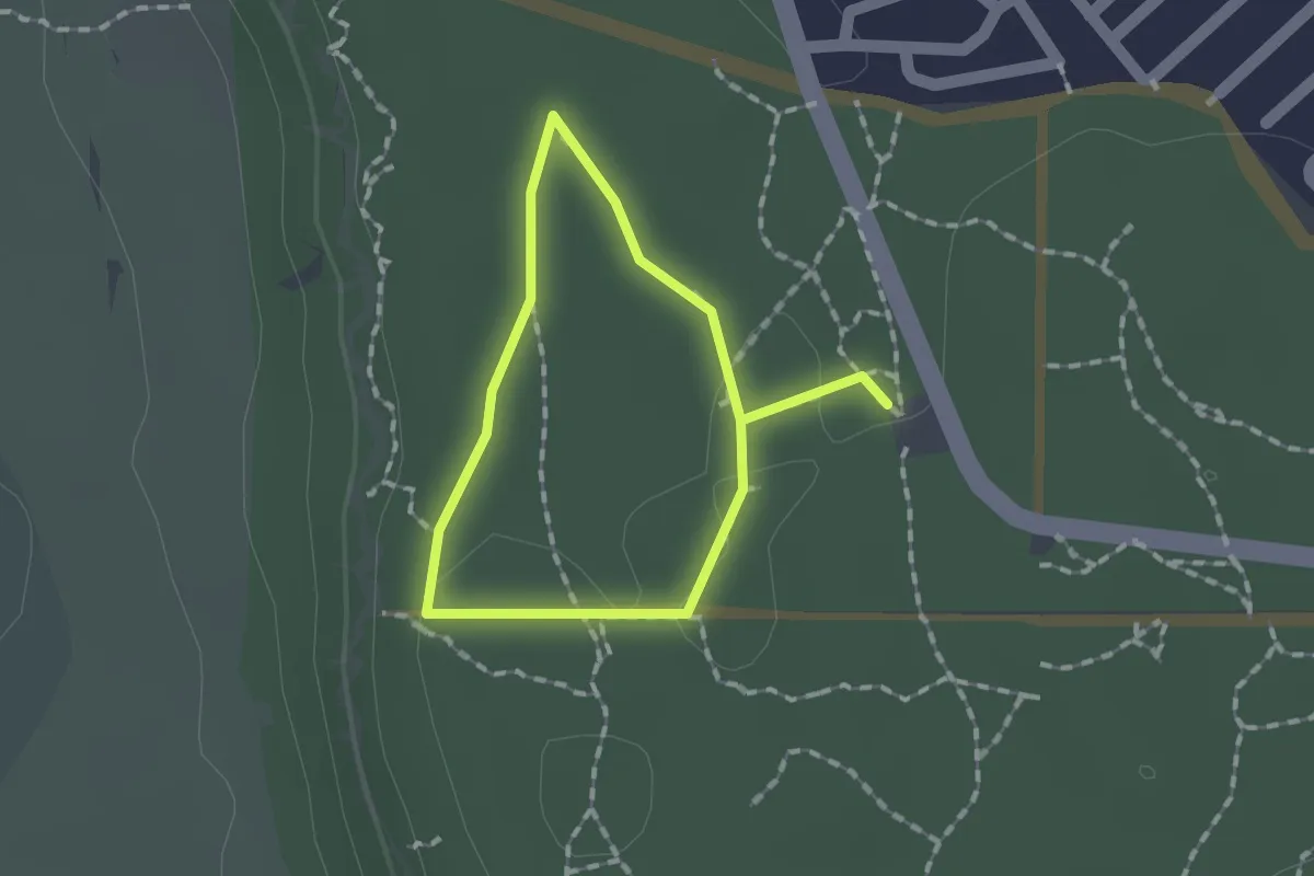
Easy · Trail
Percurso Verde da Mata dos Medos
1.3 km · ↑ 15 m · 21 min
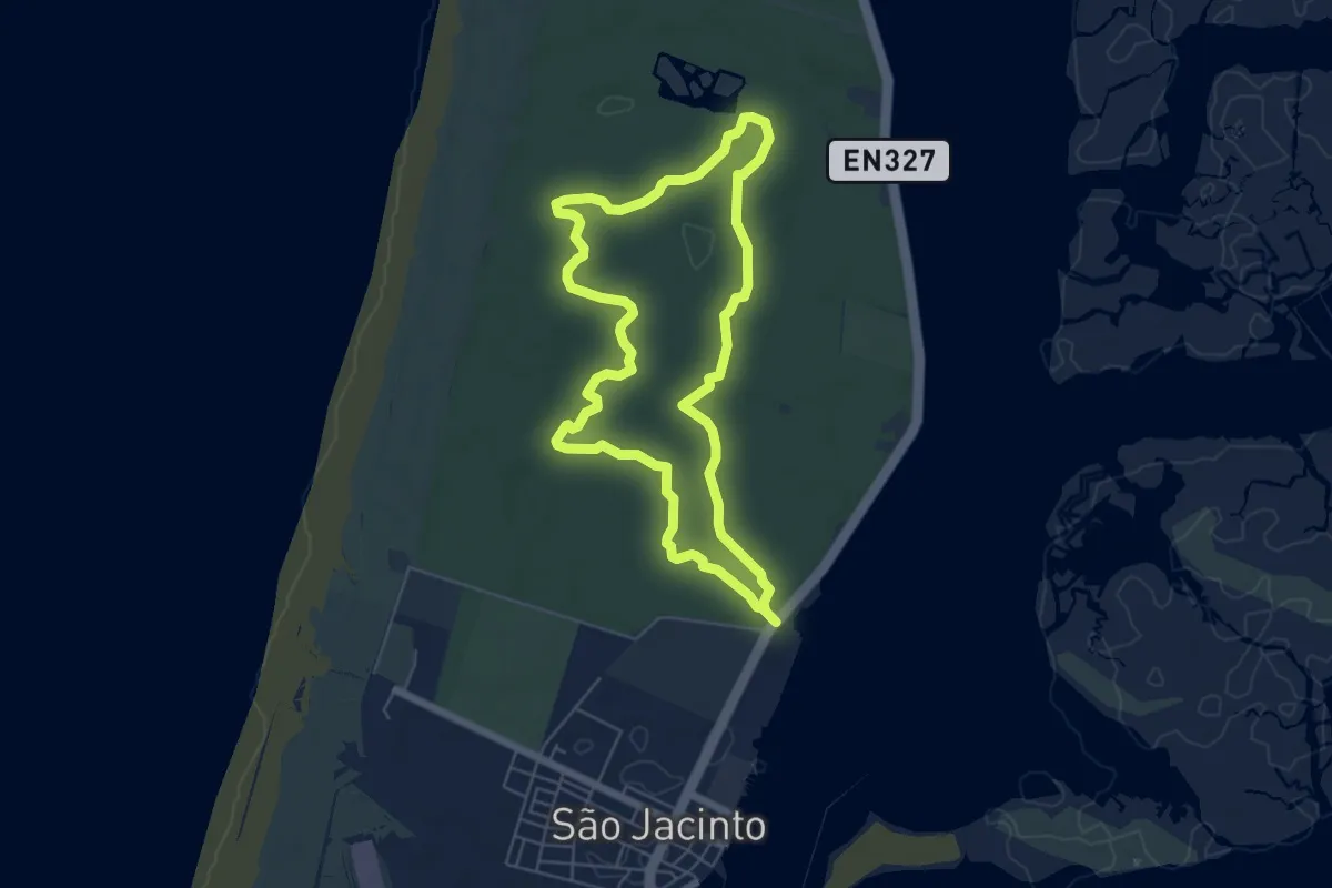
Easy · Trail
Percurso Vermelho da Reserva Natural das Dunas de São Jacinto
6.1 km · ↑ 8 m · 1 h 32 min
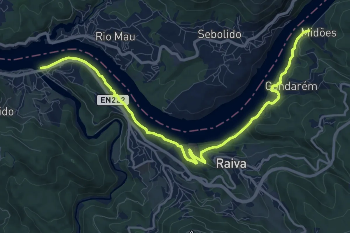
Medium · Trail
Percurso Viver o Douro
12.8 km · ↑ 345 m · 3 h 46 min
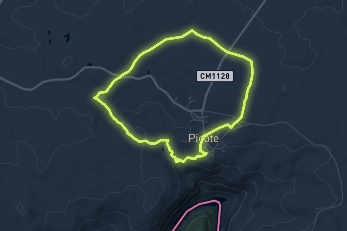
Easy · Trail
Picote - Eiras - Picote _ Camino de ls molinos - Auga
6.5 km · ↑ 96 m · 1 h 50 min
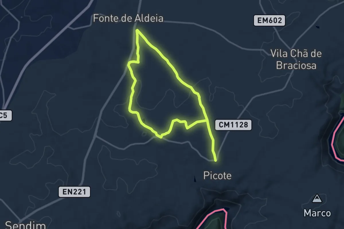
Demanding · Trail
Picote - Fonte de Aldeia - Picote
18.2 km · ↑ 147 m · 4 h 37 min
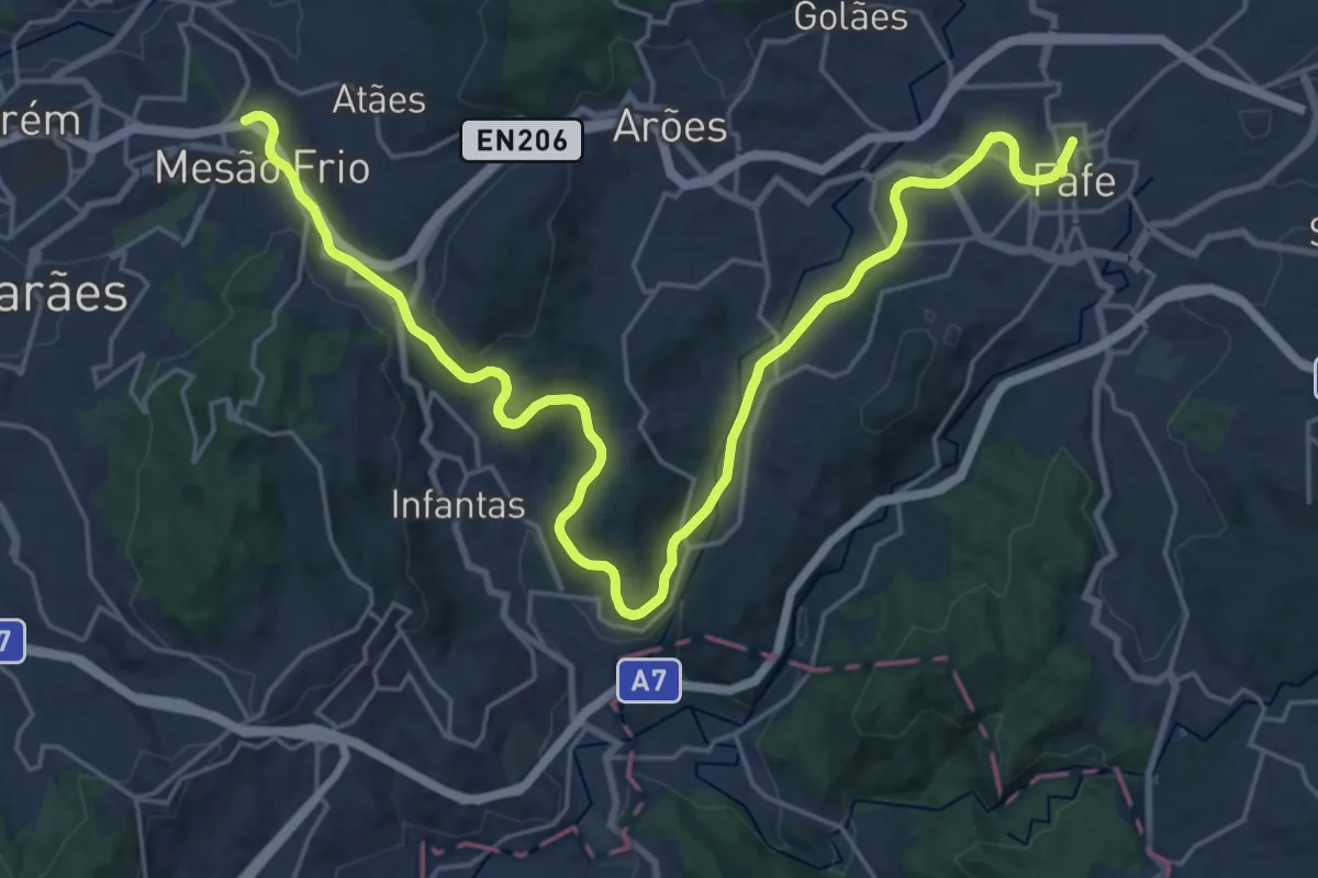
Medium · Trail
Pista de Cicloturismo Guimarães-Fafe
15.5 km · ↑ 207 m · 4 h 21 min
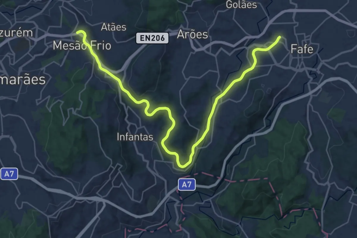
Demanding · Trail
Pista de Cicloturismo Guimarães-Fafe
28.4 km · ↑ 393 m · 7 h 33 min
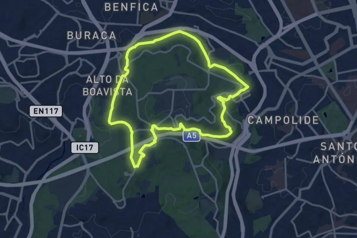
Medium · Trail
Pista de Corrida
10.5 km · ↑ 197 m · 3 h 3 min
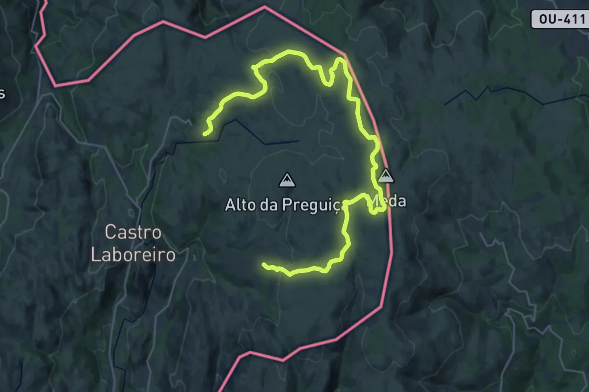
Medium · Trail
Planalto de Castro Laboreiro
15.4 km · ↑ 201 m · 4 h 20 min
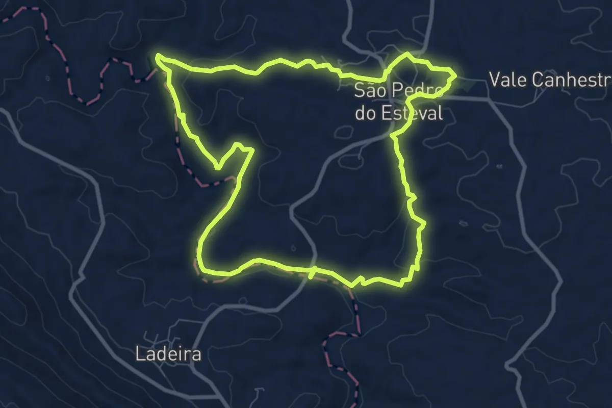
Medium · Trail
PN7 PRN - Rota dos Estevais
9.1 km · ↑ 169 m · 2 h 38 min
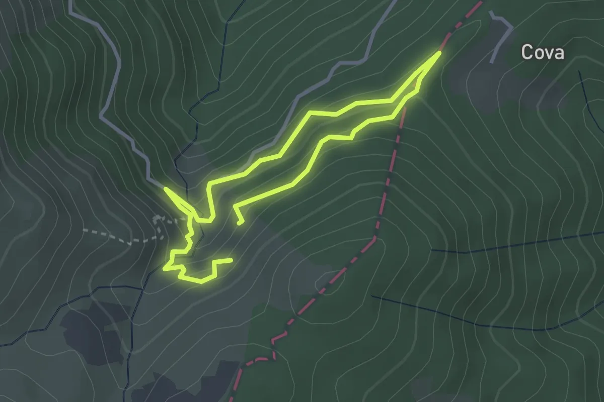
Demanding · Trail
Poço do Inferno
2.6 km · ↑ 195 m · 1 h 5 min
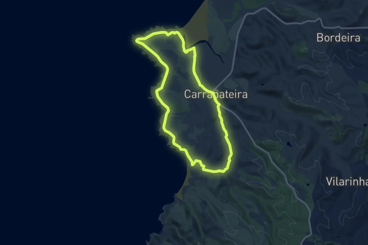
Medium · Trail
Pontal da Carrapateira
10.2 km · ↑ 123 m · 2 h 49 min
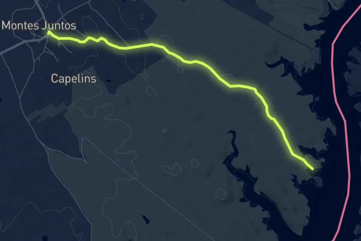
Medium · Trail
Por Caminhos do Contrabando - etapa I
8.7 km · ↑ 114 m · 2 h 18 min
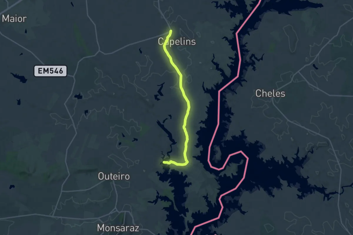
Demanding · Trail
Por Caminhos do Contrabando - etapa II
19.0 km · ↑ 130 m · 4 h 46 min
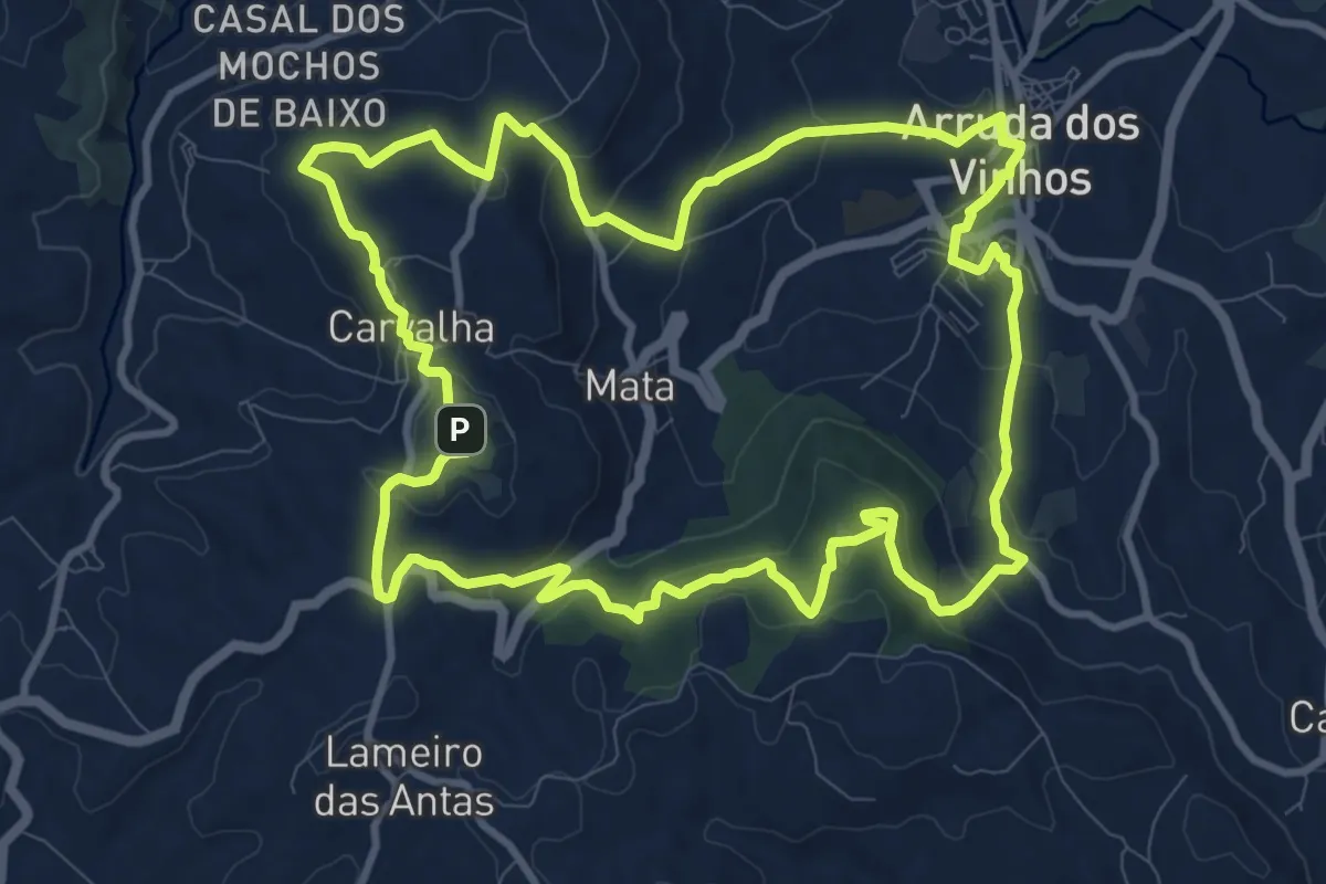
Medium · Summit
Por Serras de Al-Ruta
12.7 km · ↑ 443 m · 4 h 8 min
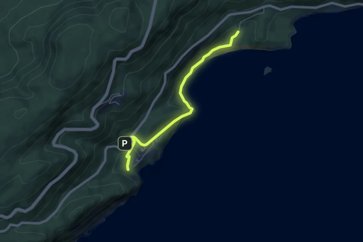
Easy · Trail
Portinho da Arrábida
6.8 km · ↑ 208 m · 2 h 4 min
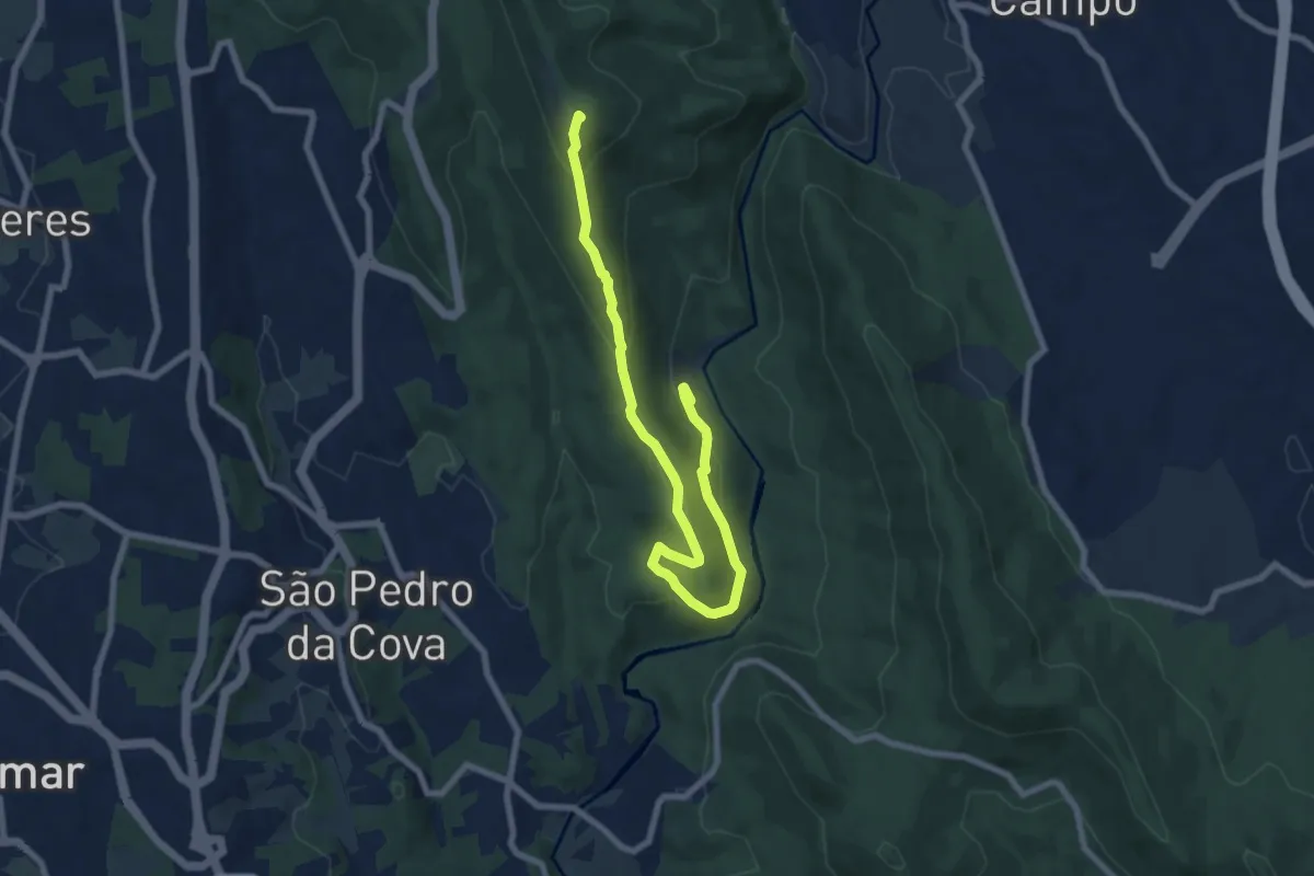
Medium · Summit
Porto à Vista
9.7 km · ↑ 483 m · 3 h 21 min
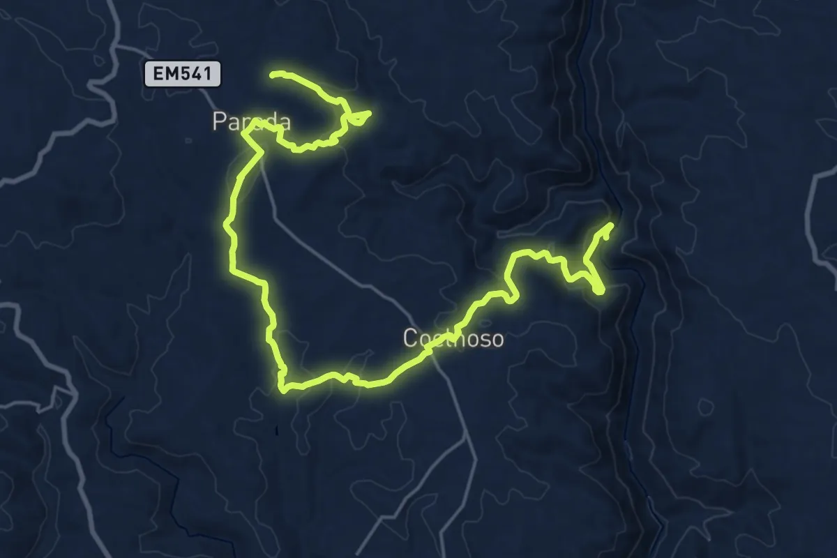
Medium · Summit
Por Trilhos das Minas da Ribeira
14.5 km · ↑ 262 m · 4 h 21 min
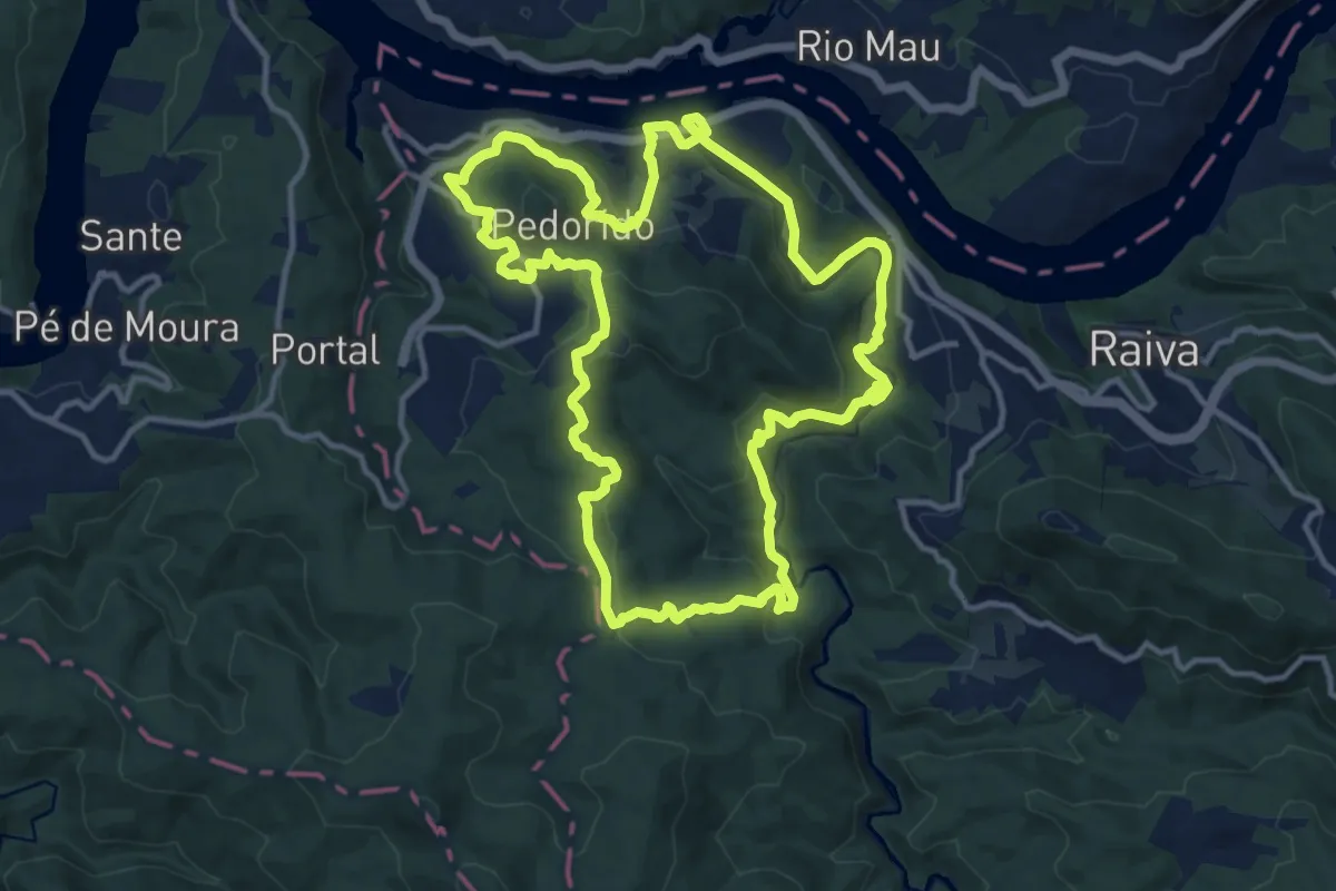
Medium · Trail
PP08 – Pedorido
14.1 km · ↑ 509 m · 4 h 38 min
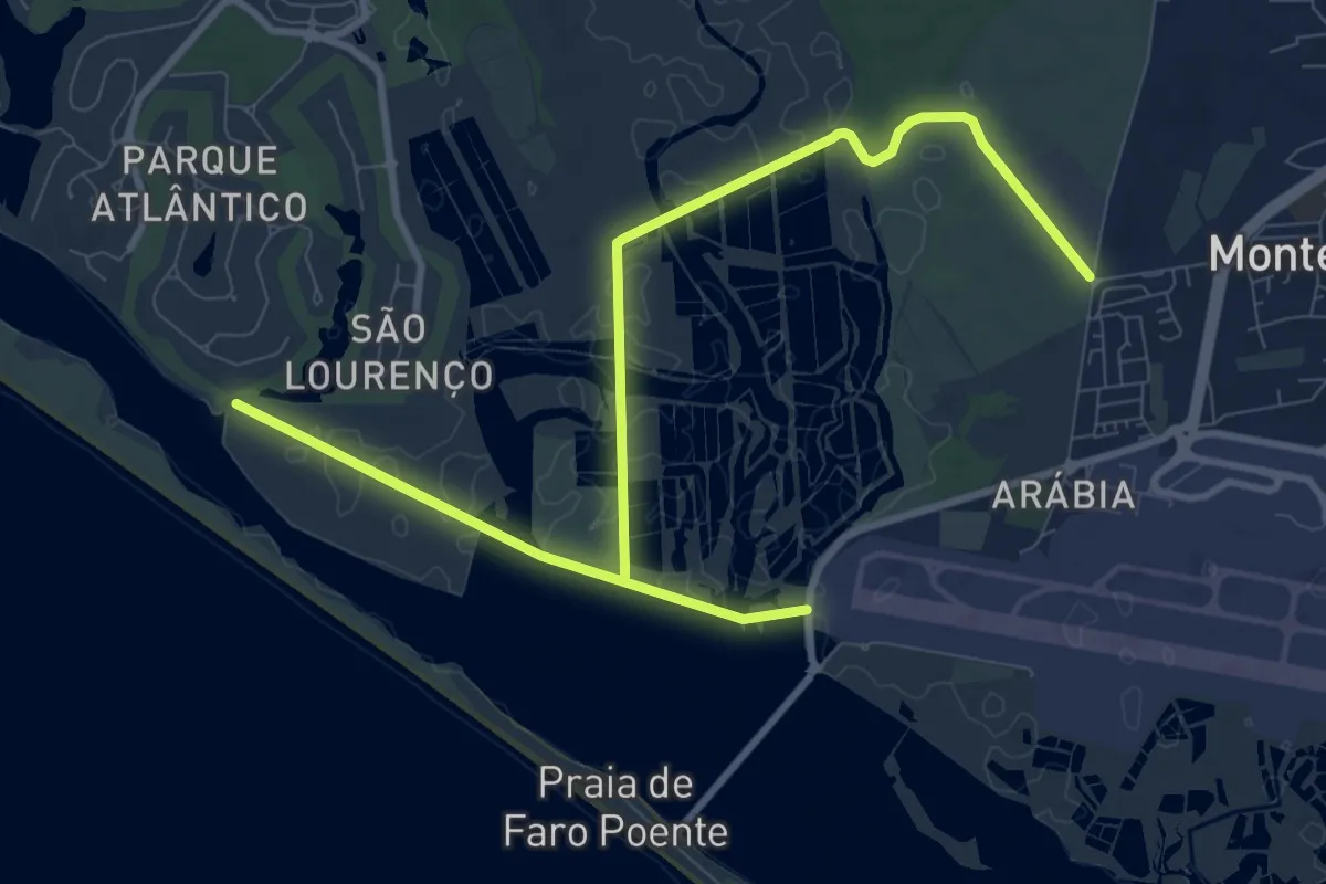
Medium · Trail
PP Ria Formosa
8.4 km · ↑ 34 m · 2 h 9 min
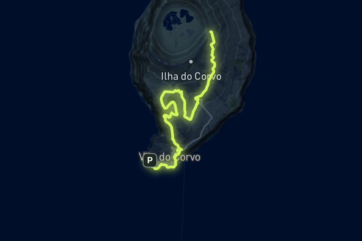
Demanding · Summit
PR01COR Cara do Índio
20.5 km · ↑ 1031 m · 7 h 4 min
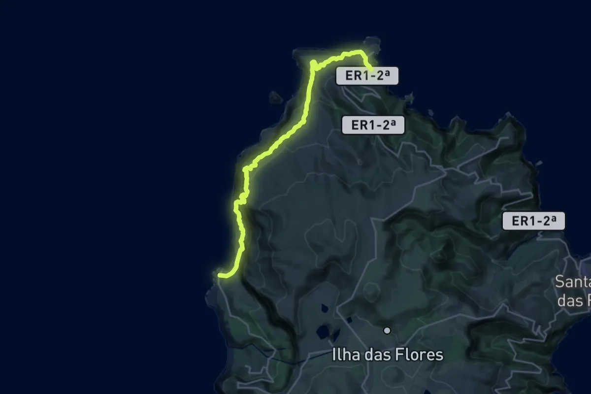
Expert · Trail
PR01FLO Ponta Delgada - Fajã Grande
11.7 km · ↑ 711 m · 4 h 30 min
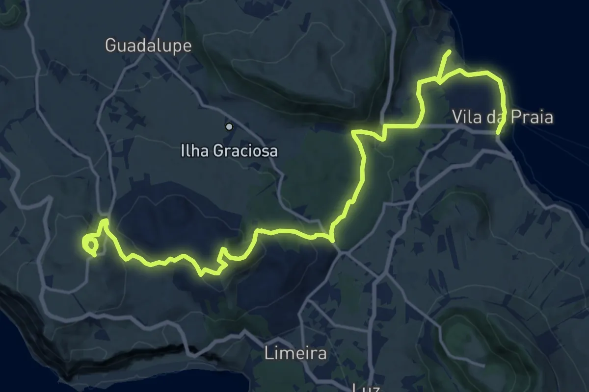
Demanding · Trail
PR01GRA Arquitetura da Água I
22.0 km · ↑ 692 m · 6 h 42 min
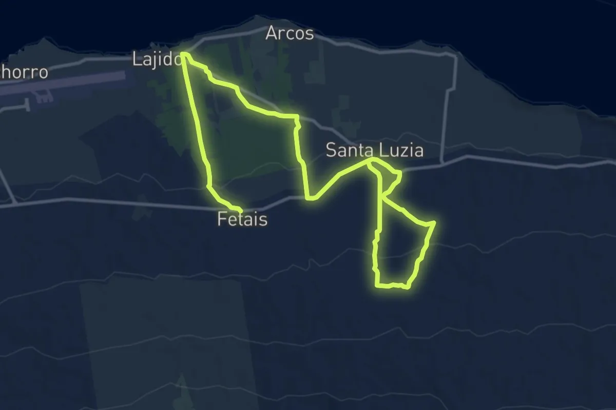
Demanding · Trail
PR01PIC Caminhos de Santa Luzia
18.9 km · ↑ 506 m · 5 h 34 min
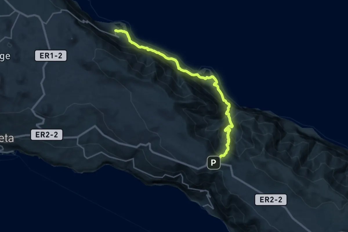
Demanding · Trail
PR01SJO Serra do Topo - Caldeira do Santo Cristo – Fajã dos Cubres
18.1 km · ↑ 1197 m · 6 h 52 min
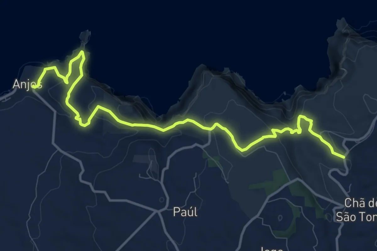
Medium · Trail
PR01SMA Costa Norte
14.0 km · ↑ 731 m · 4 h 53 min
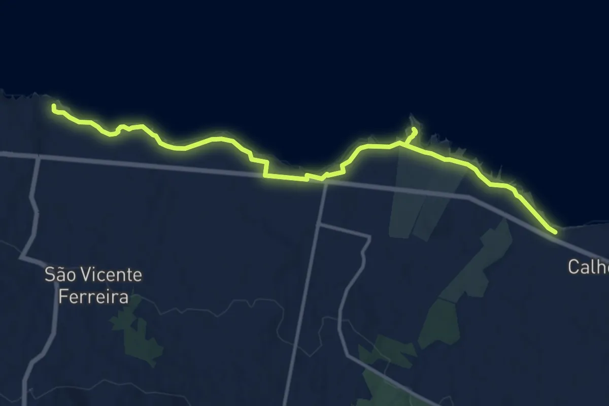
Medium · Trail
PR01SMI Vigia de São Pedro
13.2 km · ↑ 226 m · 3 h 36 min