Trails in Portugal
1,161 hiking trails, each with its route, climb, walking time and grade.
All trails, page 12 of 25
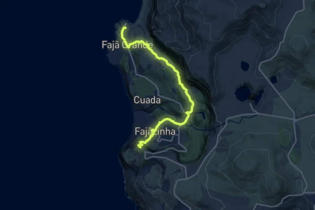
Demanding · Summit
PR02FLO Lajedo - Fajã Grande
12.2 km · ↑ 735 m · 4 h 29 min
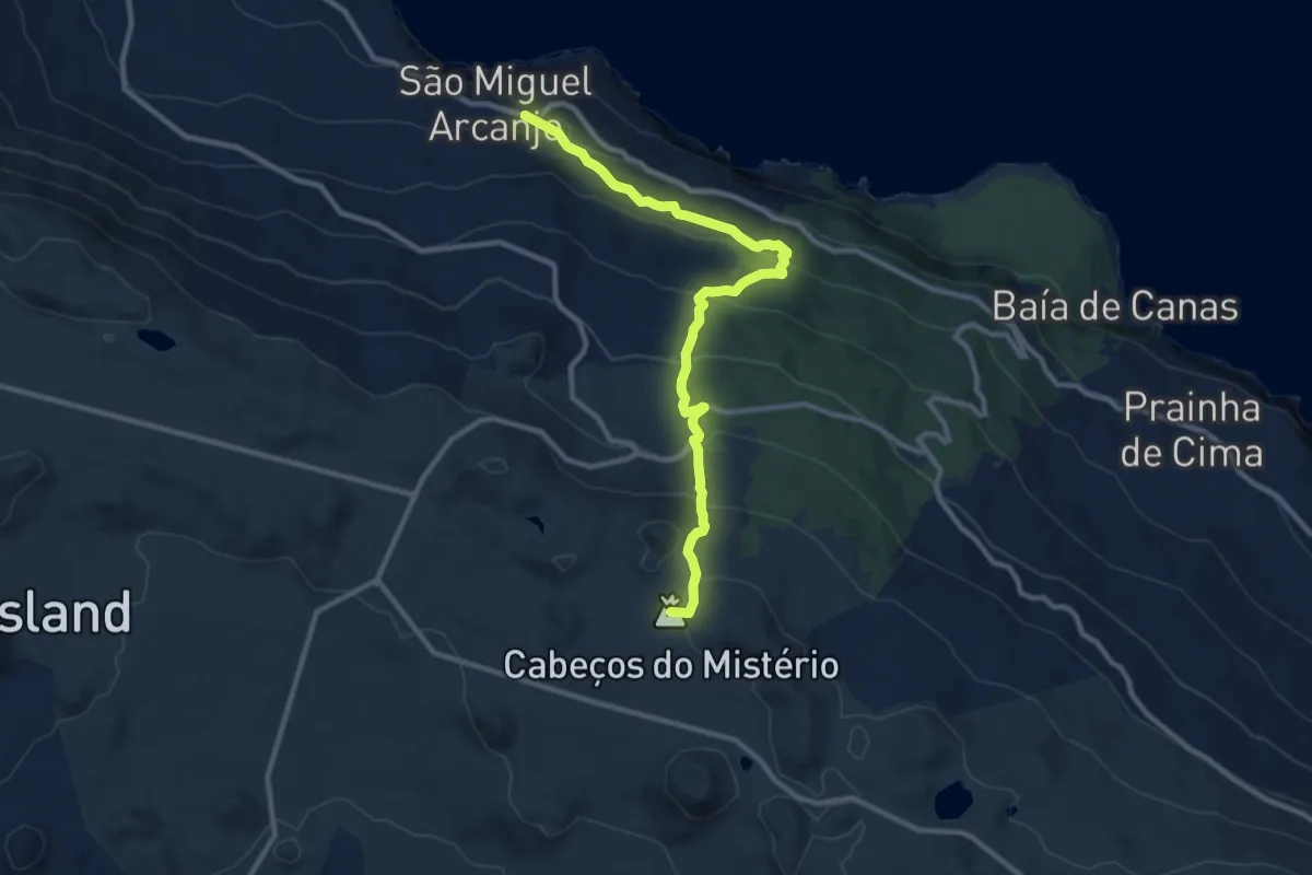
Medium · Summit
PR02PIC Caminho dos Burros - Vertente Norte (Termina em São Miguel Arcanjo)
12.2 km · ↑ 697 m · 4 h 24 min
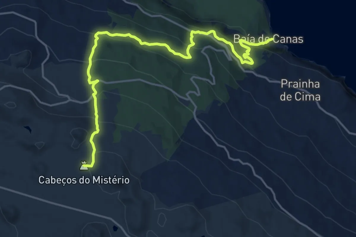
Demanding · Summit
PR02PIC Caminho dos Burros - Vertente Norte (Termina na Baía de Canas)
16.1 km · ↑ 917 m · 5 h 48 min
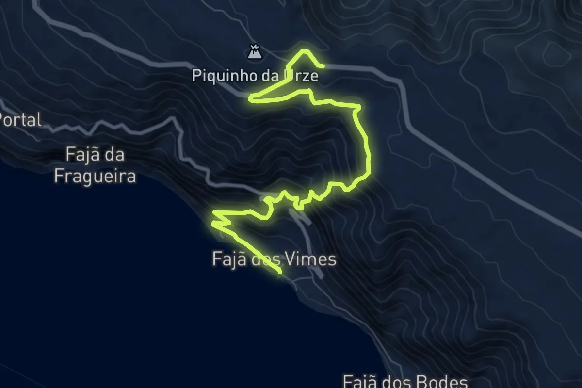
Demanding · Trail
PR02SJO Serra do Topo - Fajã dos Vimes
10.4 km · ↑ 834 m · 4 h 16 min
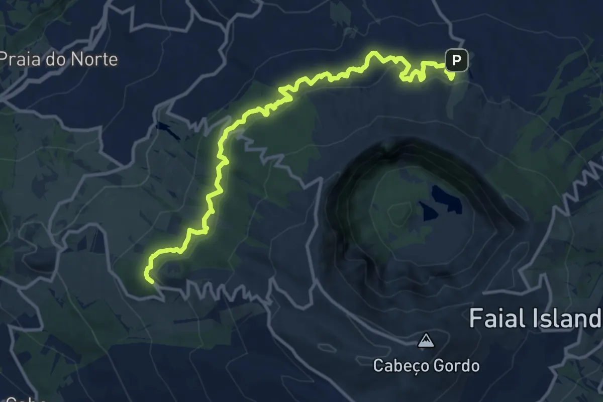
Medium · Trail
PR03FAI Levada
13.3 km · ↑ 638 m · 4 h 32 min
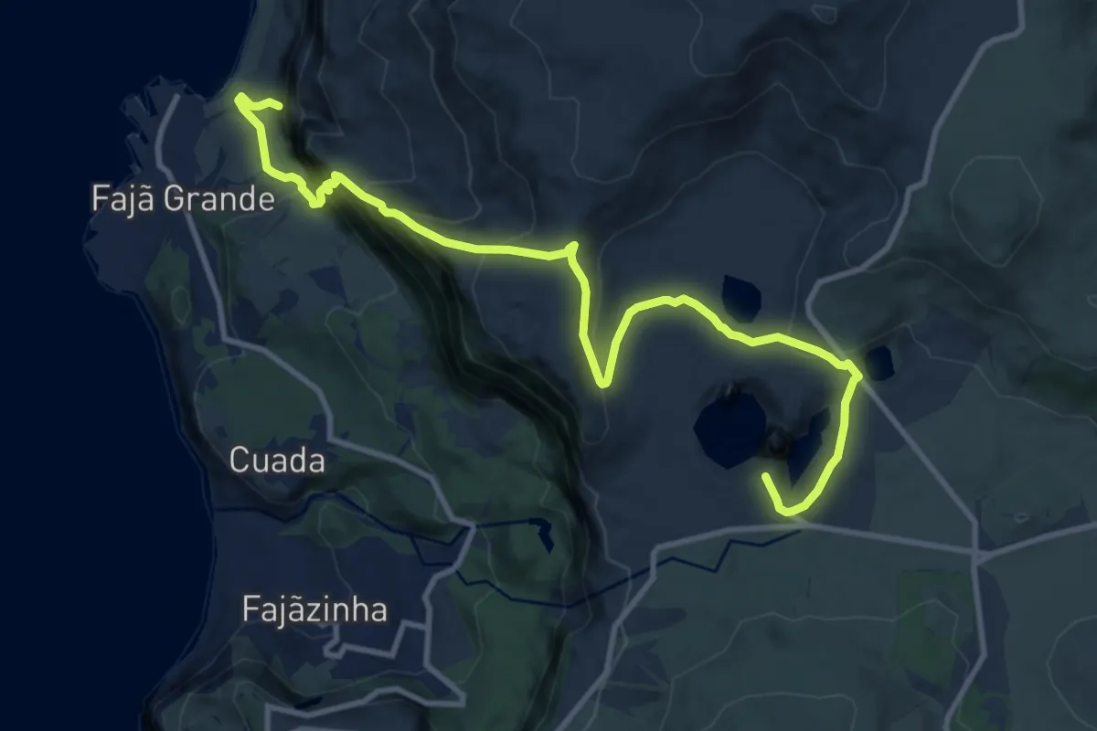
Expert · Trail
PR03FLO Miradouro das Lagoas - Poço do Bacalhau
13.6 km · ↑ 1043 m · 5 h 28 min
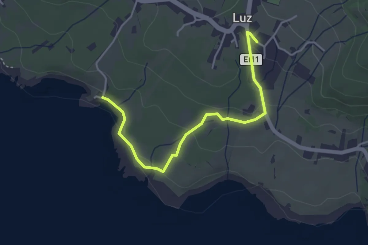
Easy · Trail
PR03GRA Baía da Folga
4.1 km · ↑ 101 m · 1 h 11 min
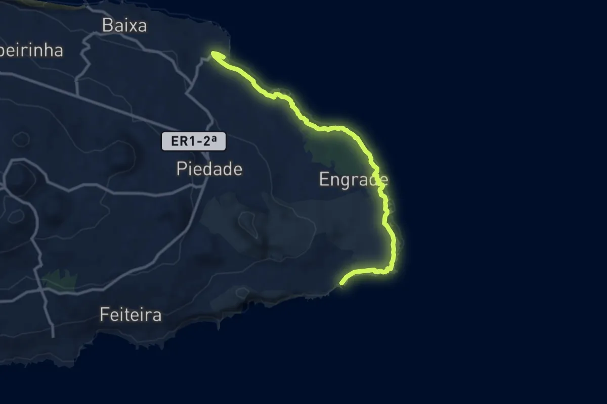
Medium · Trail
PR03PIC Ponta da Ilha
11.5 km · ↑ 100 m · 2 h 55 min
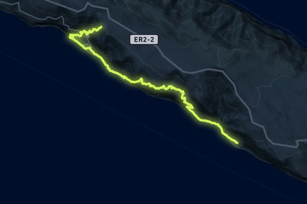
Demanding · Trail
PR03SJO Fajã de São João - Lourais - Fajã dos Vimes
12.3 km · ↑ 892 m · 5 h 16 min
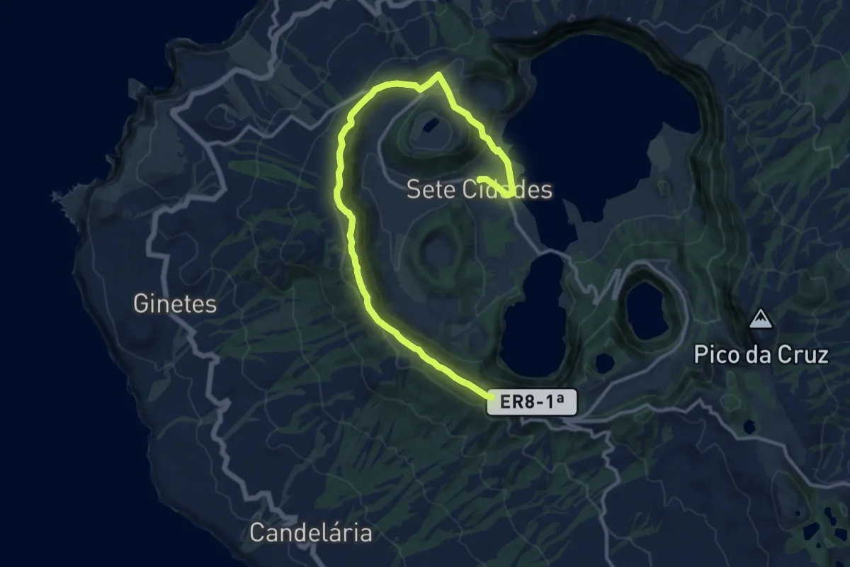
Medium · Trail
PR03SMI Vista do Rei - Sete Cidades
15.9 km · ↑ 518 m · 4 h 53 min
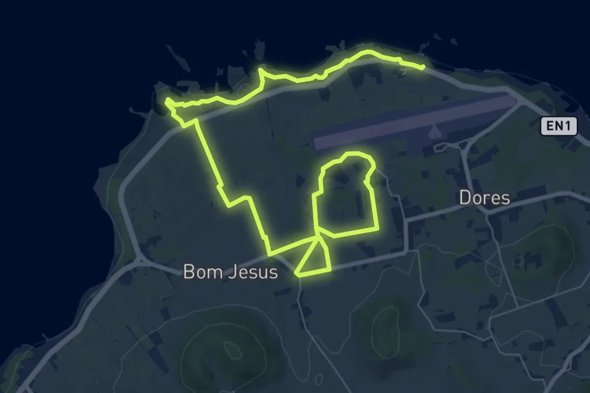
Medium · Trail
PR04GRA Das Vinhas ao Mar
13.1 km · ↑ 275 m · 3 h 41 min
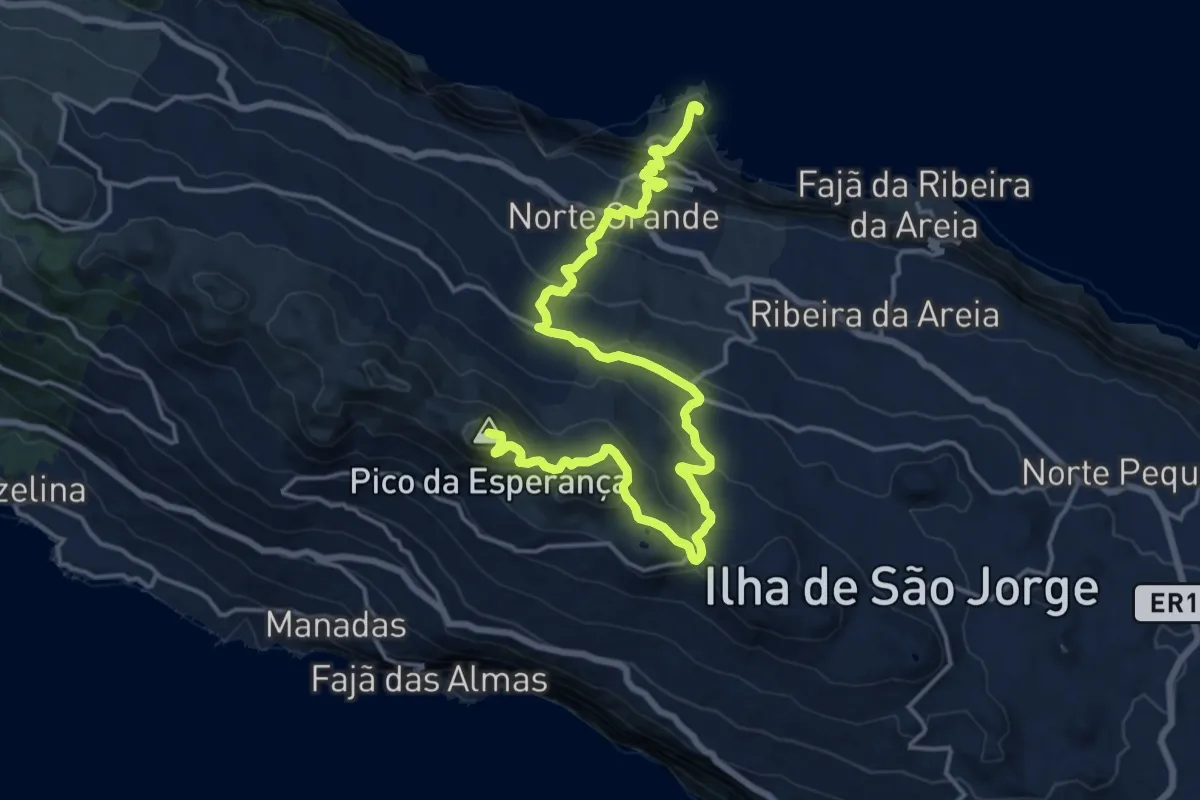
Demanding · Summit
PR04SJO Pico do Pedro – Pico da Esperança – Fajã do Ouvidor
22.5 km · ↑ 1131 m · 7 h 46 min
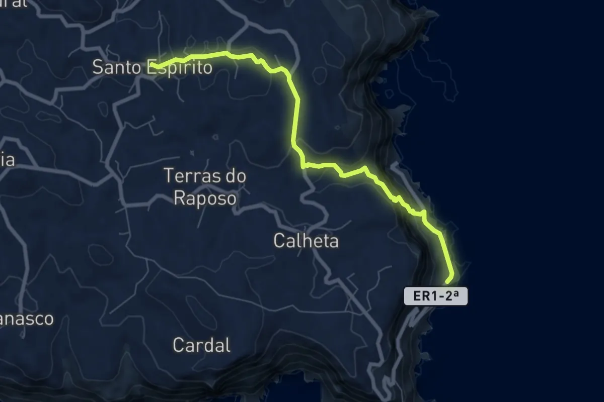
Medium · Trail
PR04SMA Santo Espírito - Maia
8.1 km · ↑ 357 m · 2 h 41 min
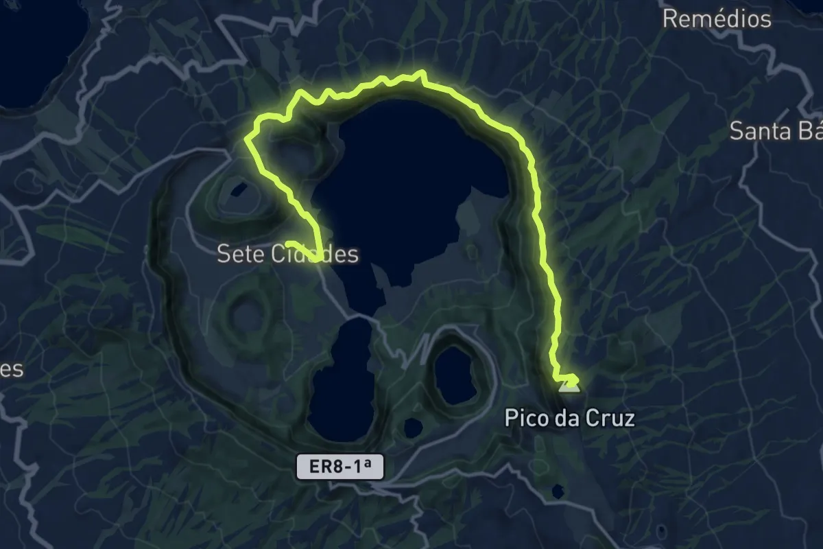
Demanding · Summit
PR04SMI Mata do Canário - Sete Cidades
20.2 km · ↑ 979 m · 6 h 53 min
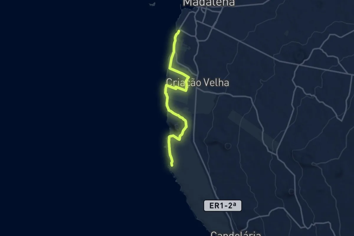
Medium · Trail
PR05PIC Vinhas da Criação Velha
13.8 km · ↑ 193 m · 3 h 41 min
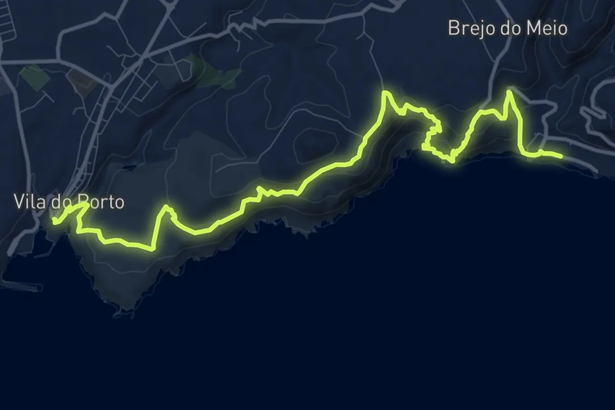
Medium · Trail
PR05SMA Costa Sul
15.8 km · ↑ 770 m · 5 h 24 min
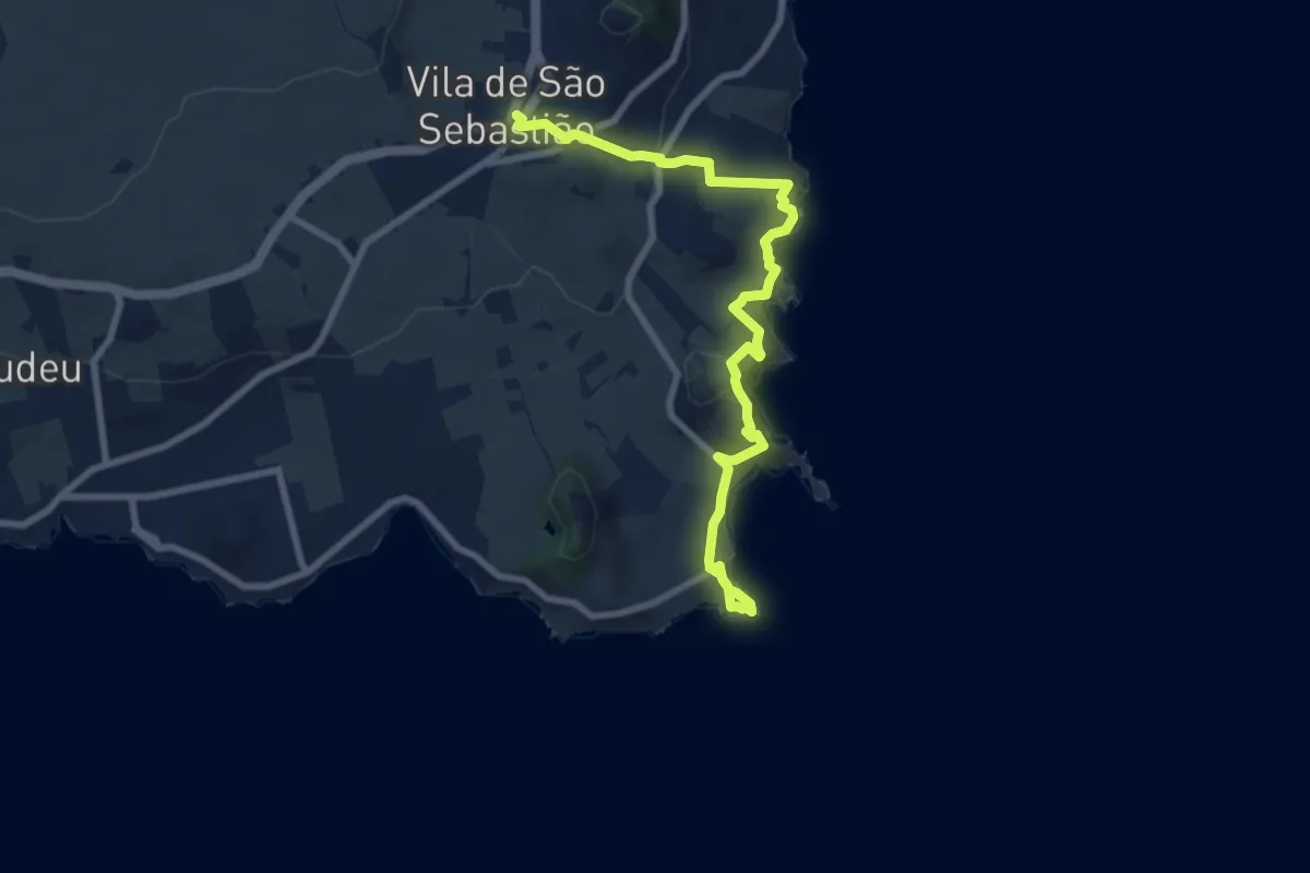
Medium · Trail
PR05TER Fortes de São Sebastião
10.1 km · ↑ 418 m · 3 h 17 min
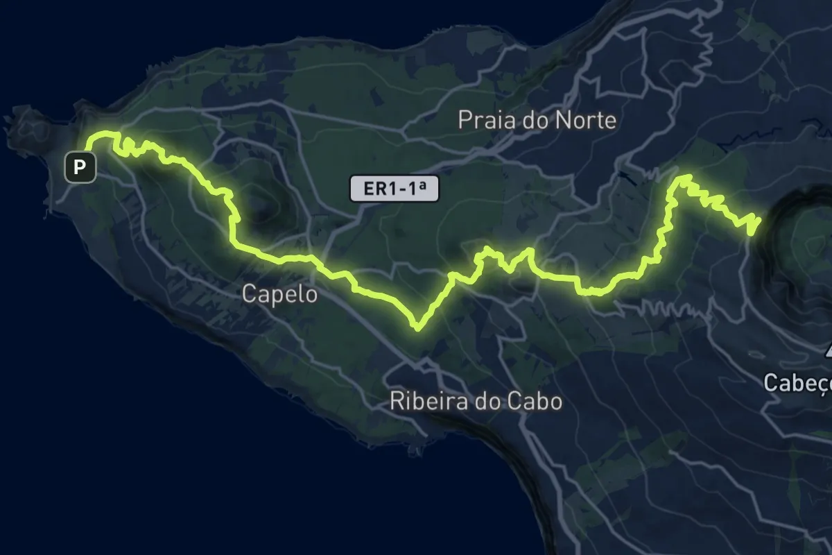
Demanding · Summit
PR06FAI Dez Vulcões
31.5 km · ↑ 1728 m · 11 h 11 min
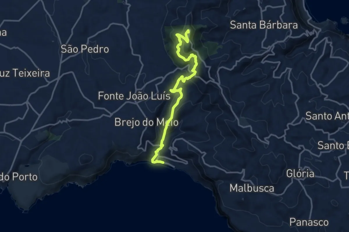
Medium · Summit
PR06SMA Areia Branca
13.2 km · ↑ 769 m · 4 h 48 min
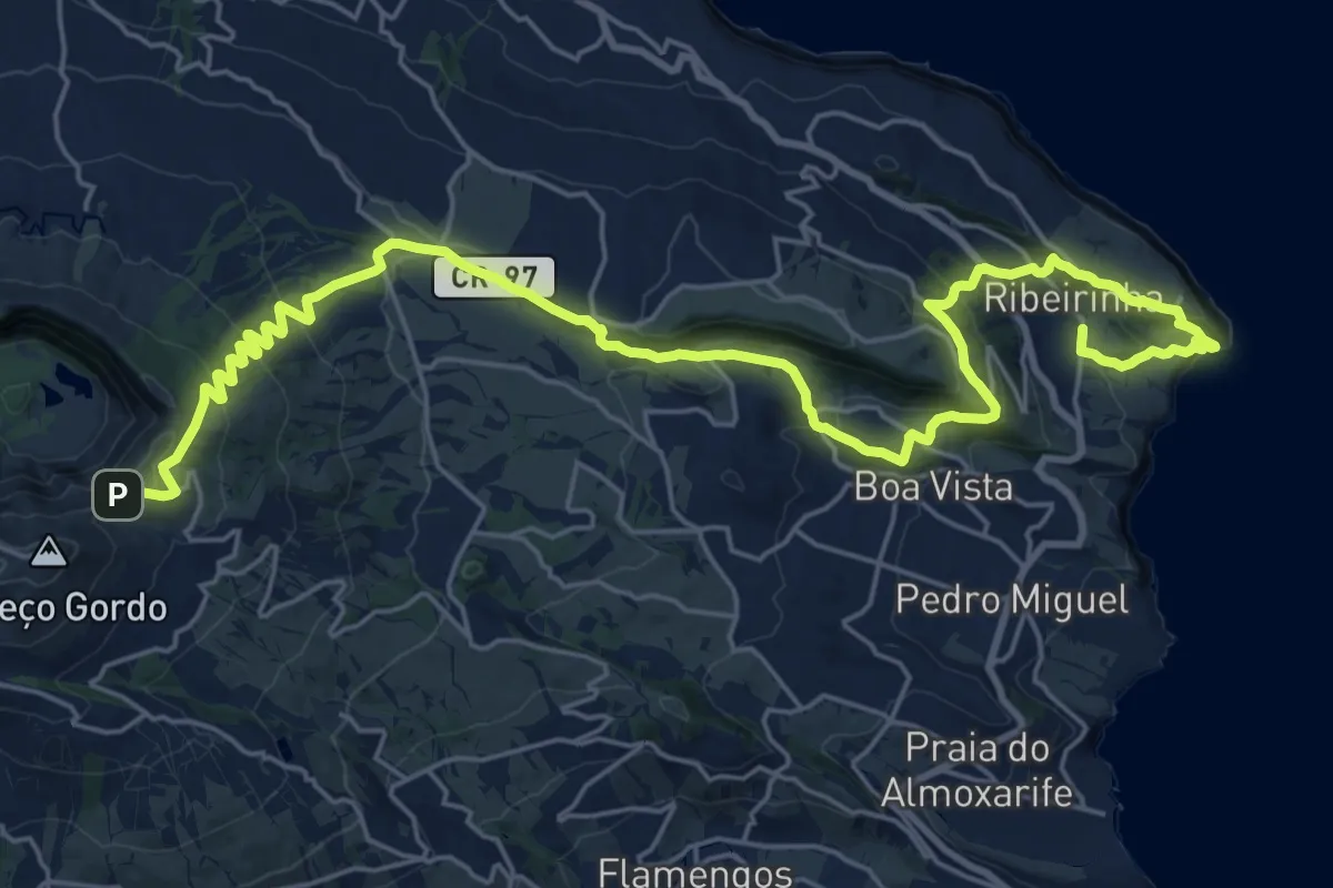
Medium · Trail
PR07FAI Caminhos Velhos
17.0 km · ↑ 342 m · 5 h 23 min
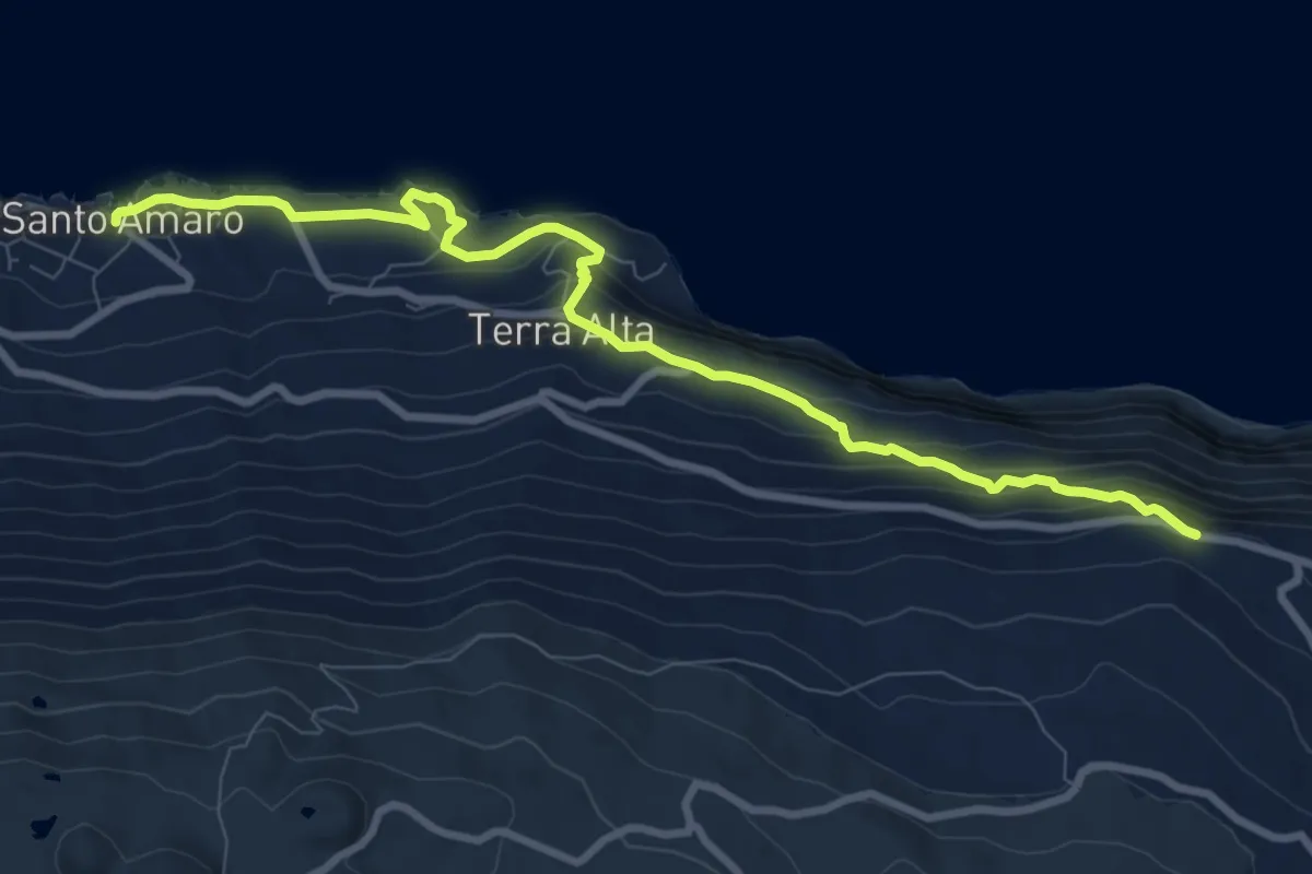
Medium · Trail
PR07PIC Caminho das Voltas
10.9 km · ↑ 546 m · 3 h 45 min
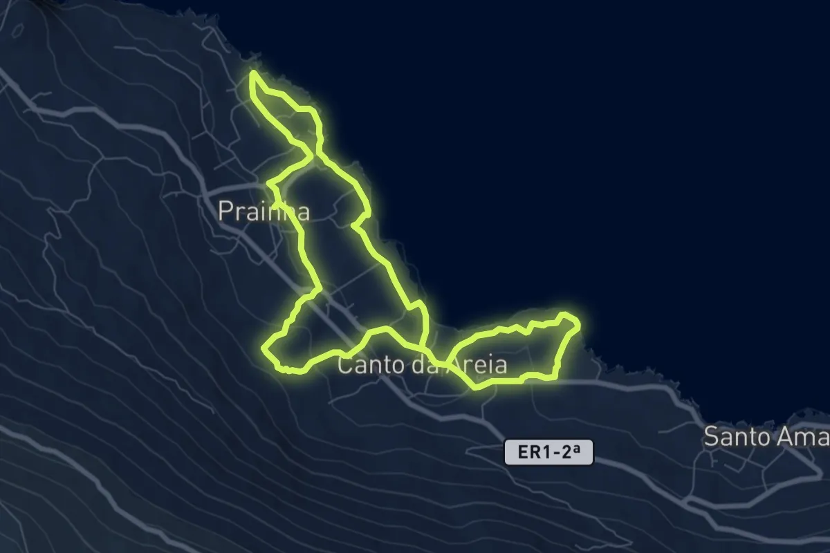
Medium · Trail
PR09PIC Prainha do Norte
8.6 km · ↑ 219 m · 2 h 38 min
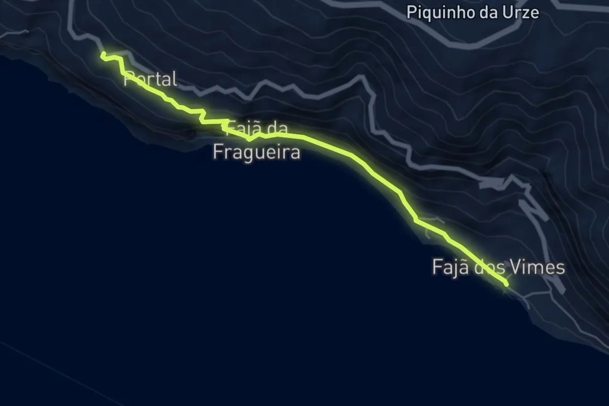
Medium · Trail
PR09SJO Fajã dos Vimes - Fragueira - Portal
6.2 km · ↑ 529 m · 2 h 36 min
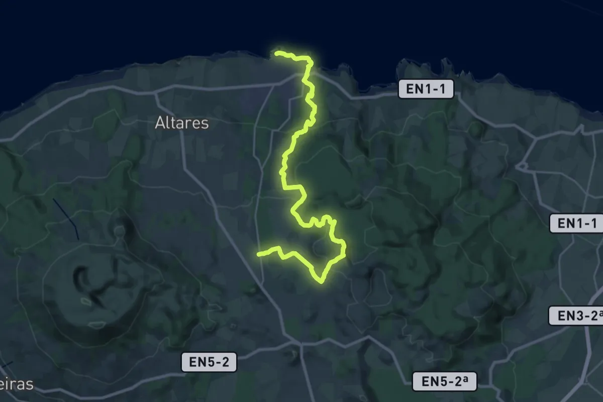
Medium · Trail
PR09TER Malha Grande - Biscoitos
14.3 km · ↑ 234 m · 4 h 19 min
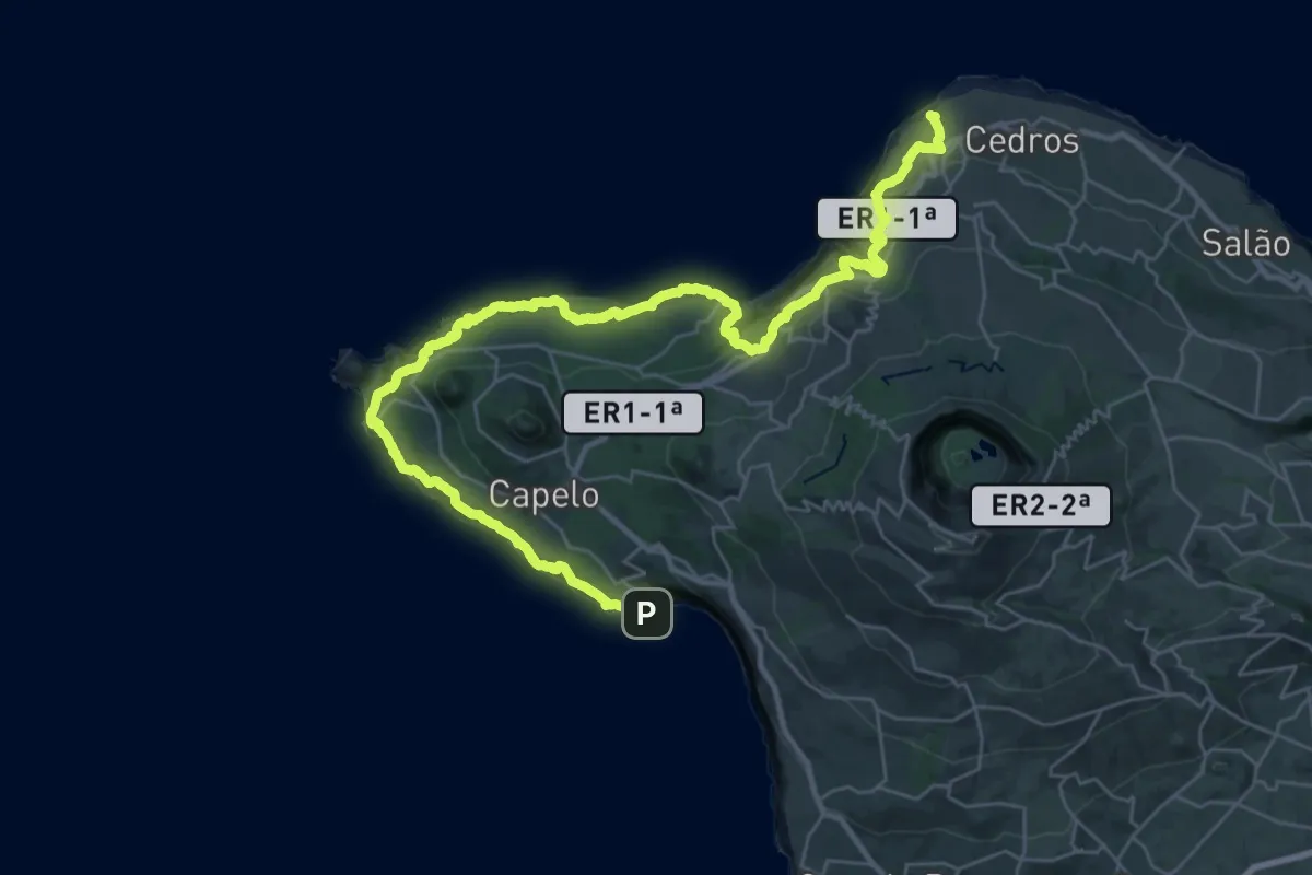
Demanding · Summit
PR10FAI Baleeiros
45.8 km · ↑ 2130 m · 15 h 25 min
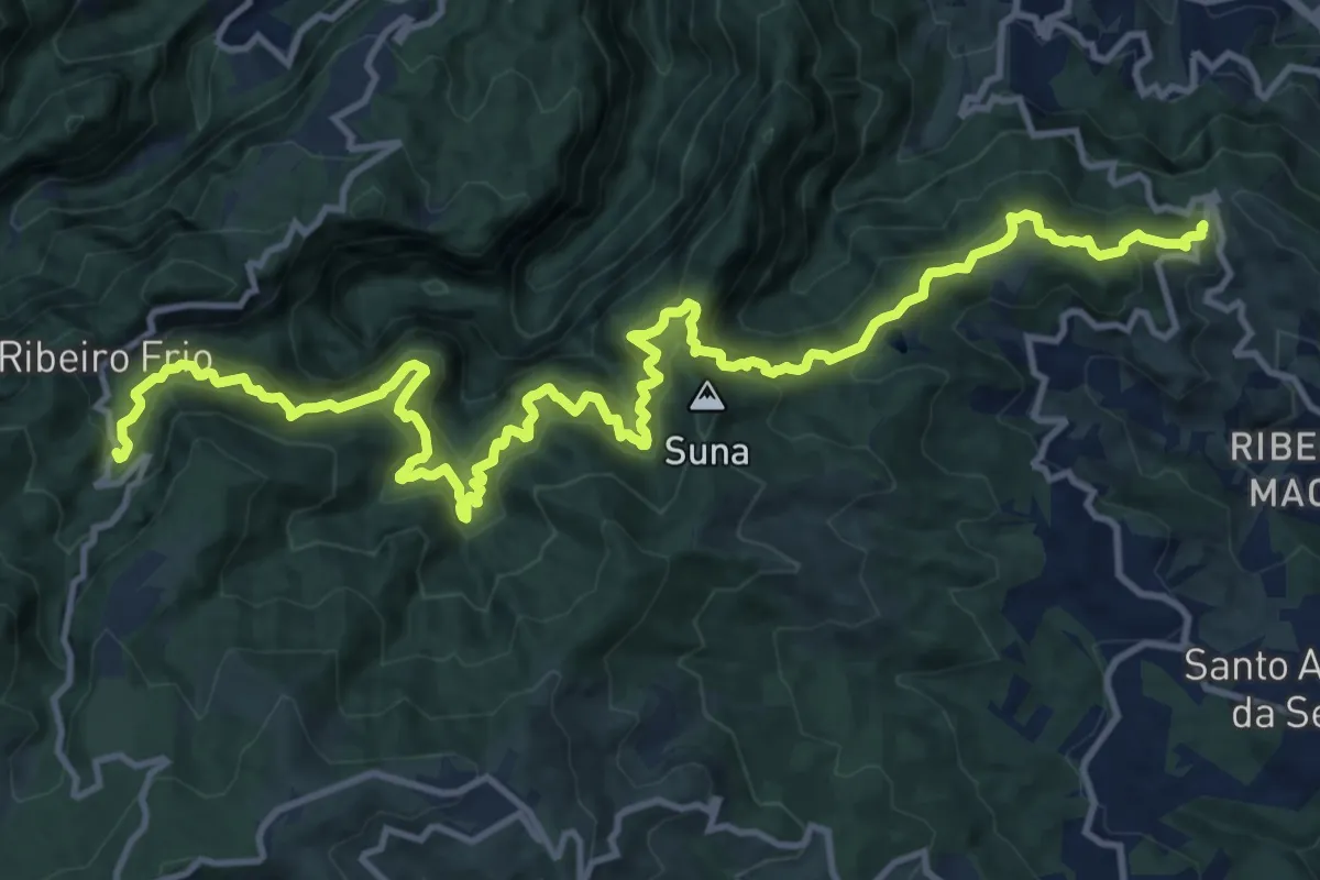
Demanding · Trail
PR 10 - Levada do Furado
10.5 km · ↑ 860 m · 4 h 38 min
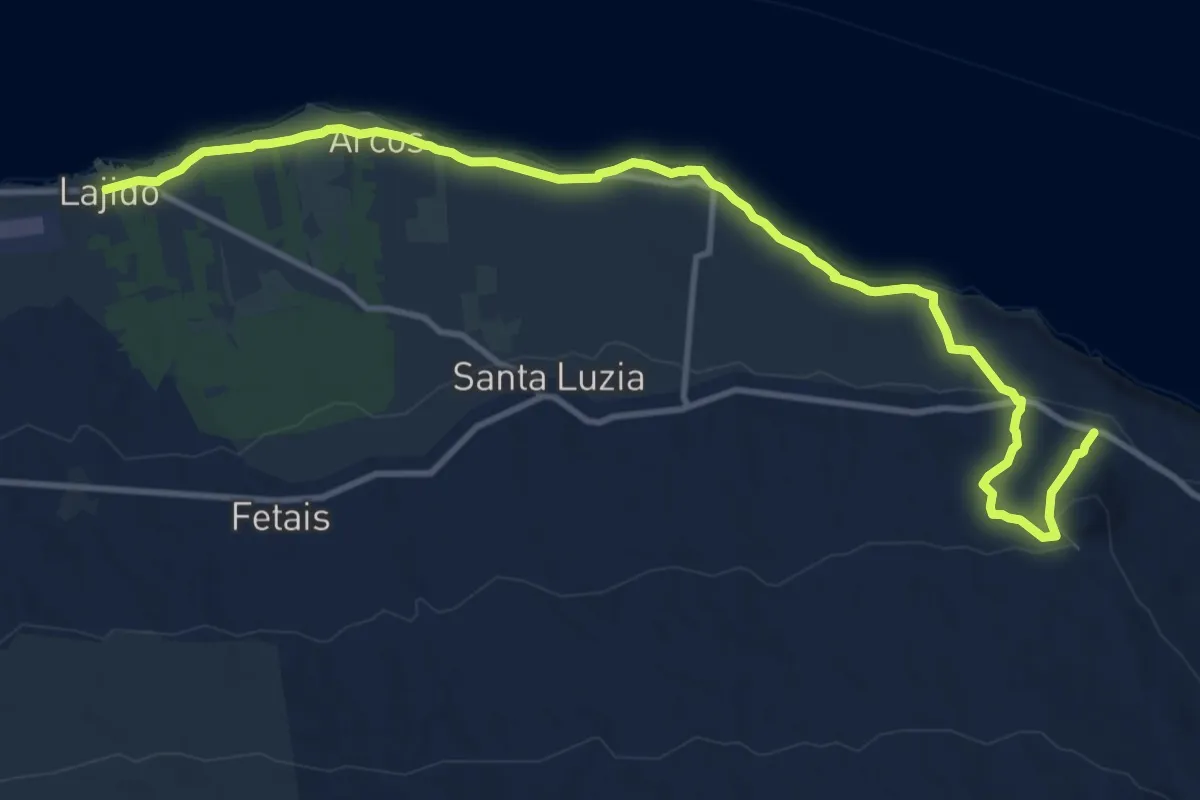
Medium · Trail
PR10PIC Santana – Lajido
15.3 km · ↑ 363 m · 4 h 24 min
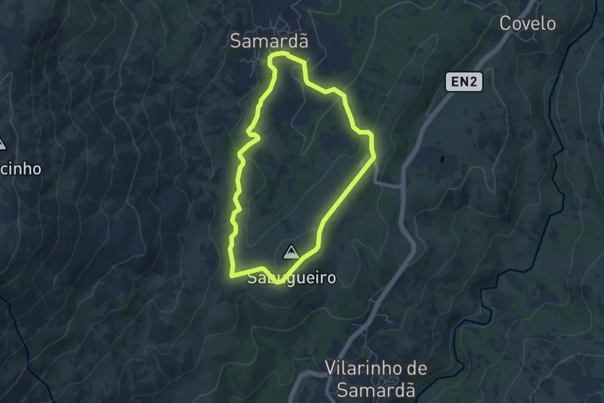
Easy · Summit
PR10VRL - Percurso Pedestre do Fojo do Lobo
5.6 km · ↑ 148 m · 1 h 43 min
Medium · Trail
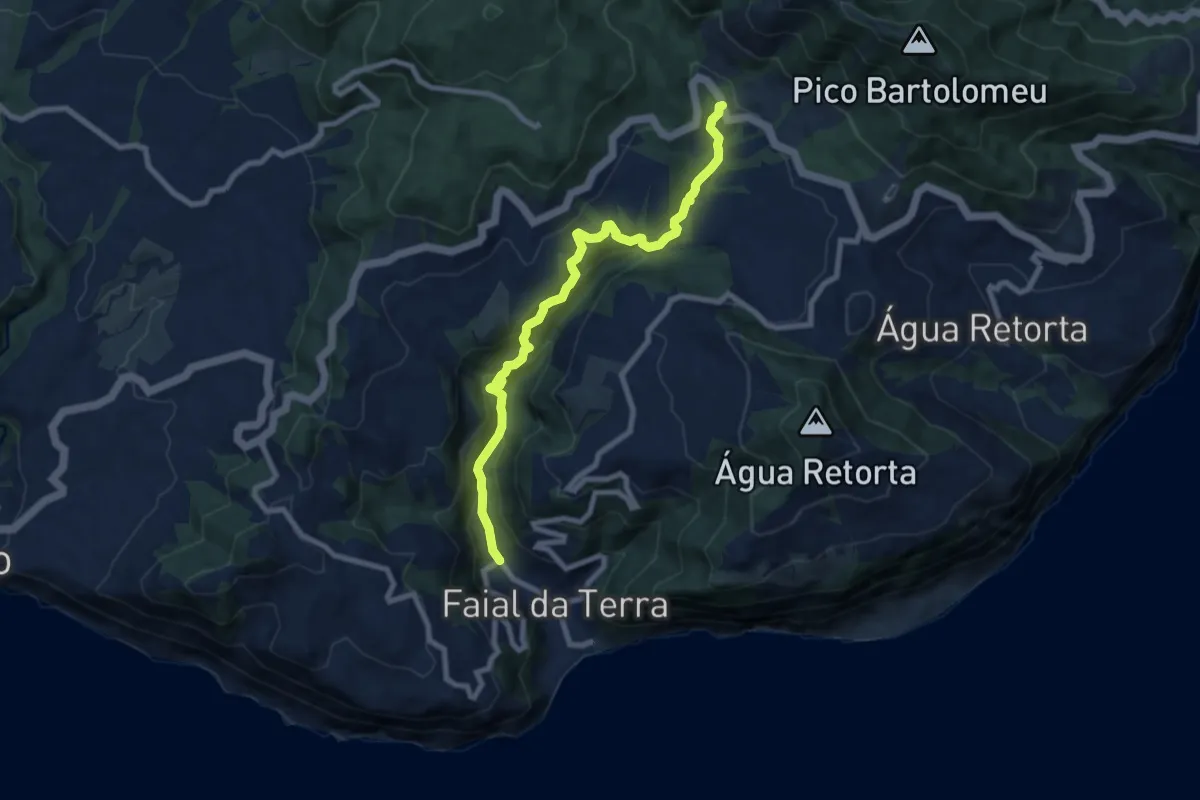
PR11SMI Ribeira do Faial da Terra
9.4 km · ↑ 589 m · 3 h 30 min
Demanding · Trail
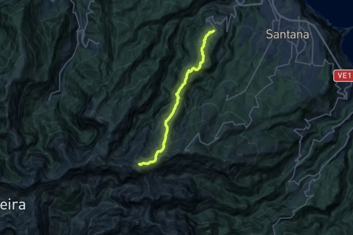
PR 1.1 - Vereda da Ilha
13.9 km · ↑ 1394 m · 6 h 19 min
Easy · Trail
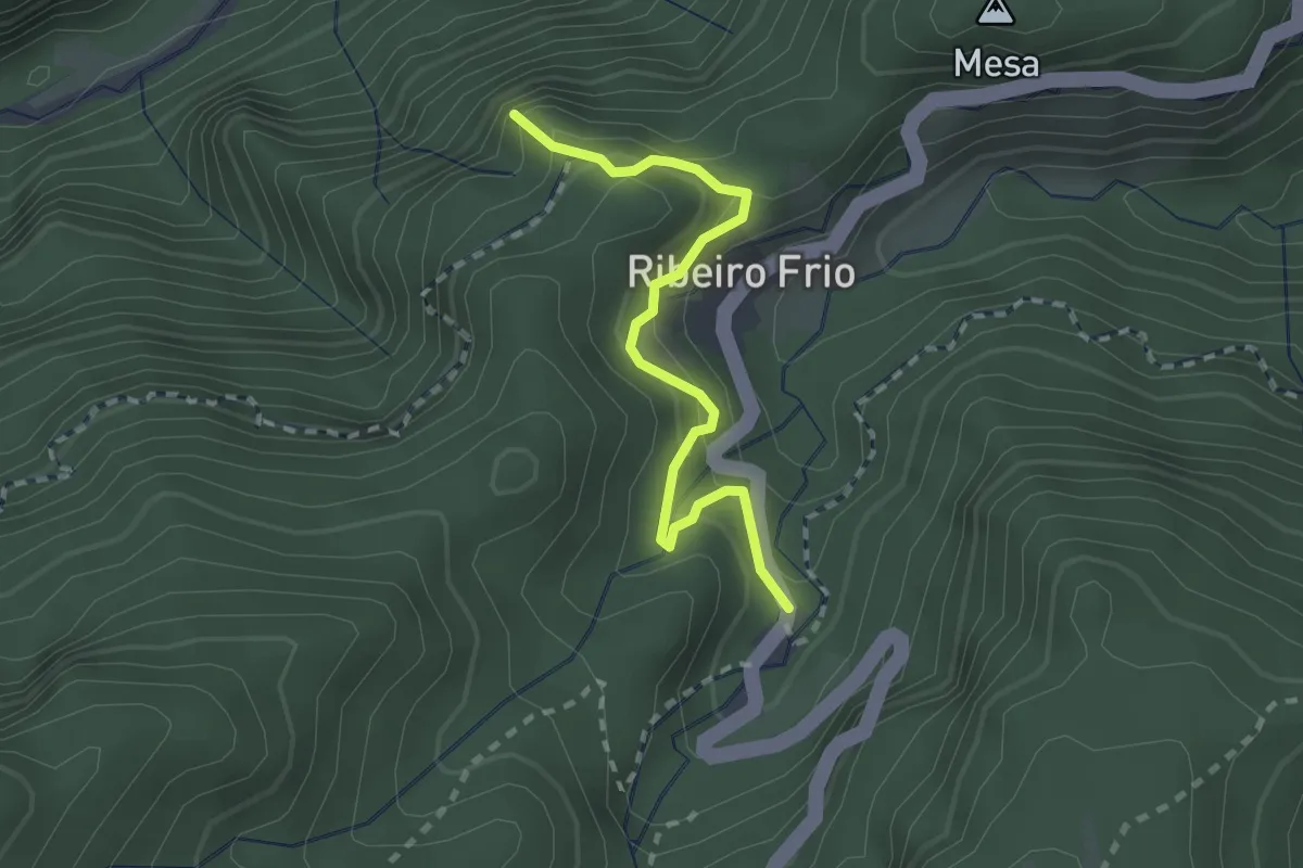
PR 11 - Vereda dos Balcões
2.7 km · ↑ 232 m · 1 h 9 min
Medium · Trail
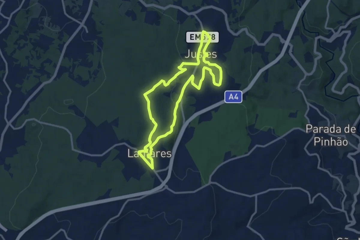
PR11VRL - Terras de Maria Boa: do Neolítico aos Dias de Hoje
8.8 km · ↑ 162 m · 2 h 34 min
Demanding · Trail
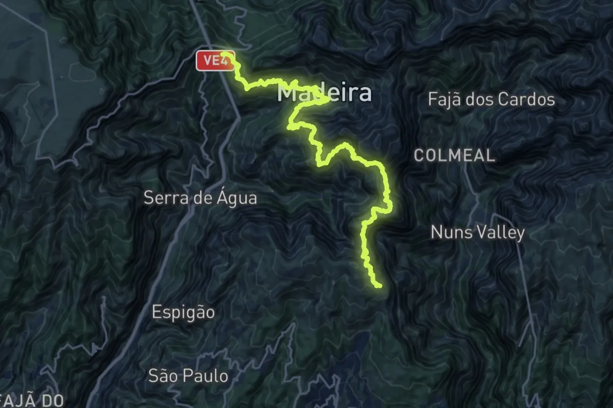
PR 12 - Caminho Real da Encumeada
11.9 km · ↑ 1436 m · 6 h 13 min
Demanding · Trail
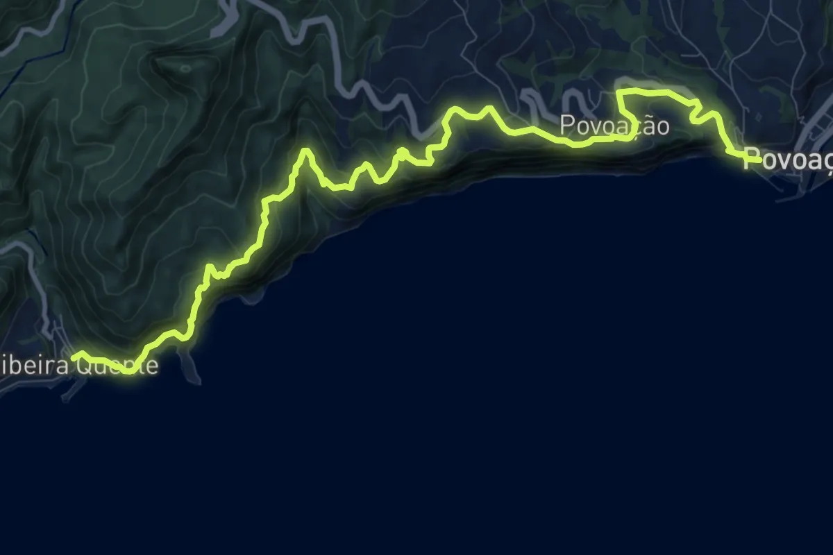
PR12SMI Agrião
14.8 km · ↑ 930 m · 5 h 30 min
Medium · Summit
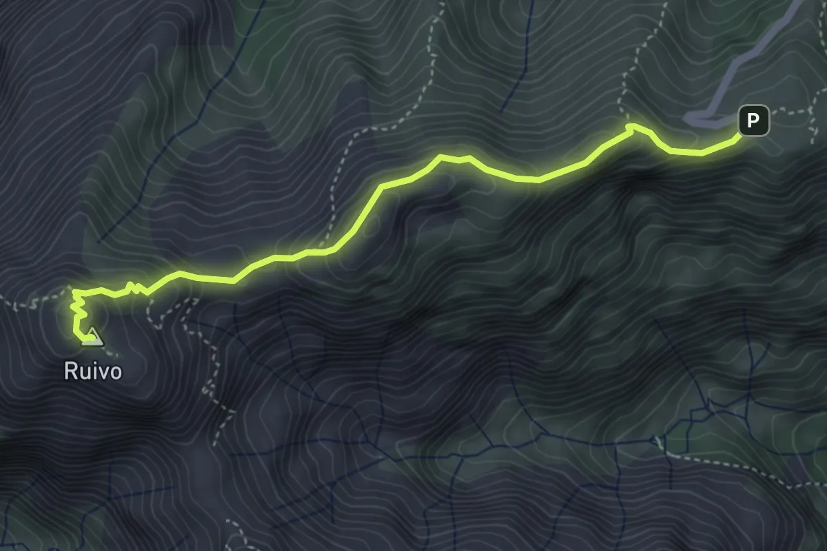
PR 1.2 - Vereda do Pico Ruivo
5.4 km · ↑ 344 m · 2 h 1 min
Demanding · Trail
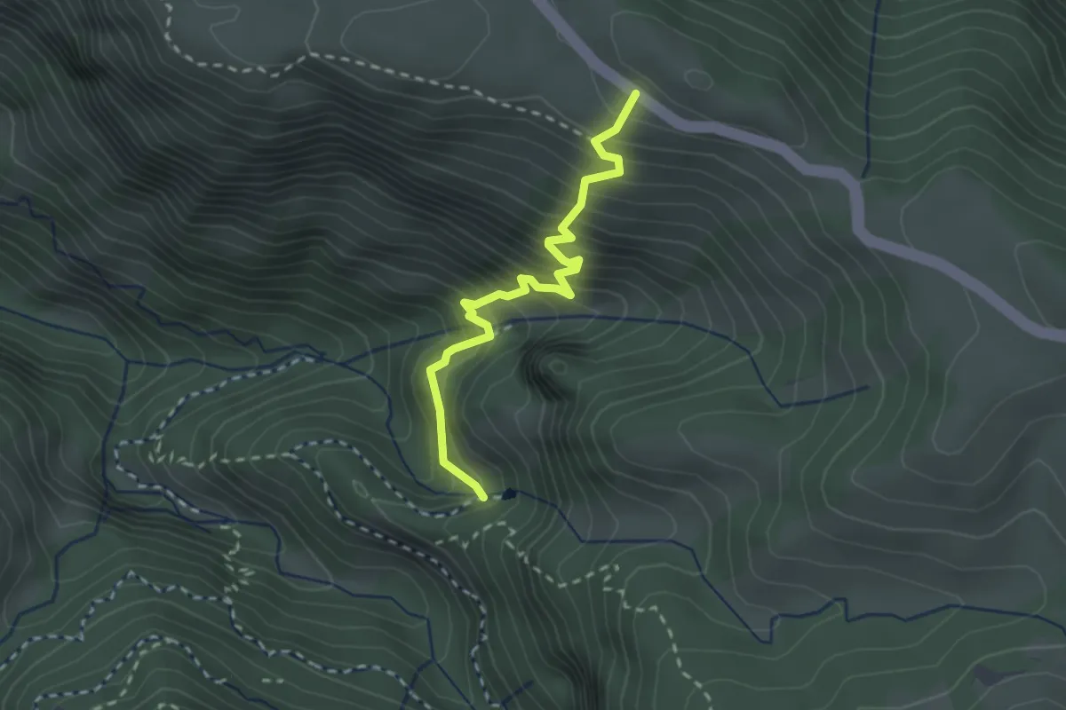
PR 13.1
2.9 km · ↑ 460 m · 1 h 41 min
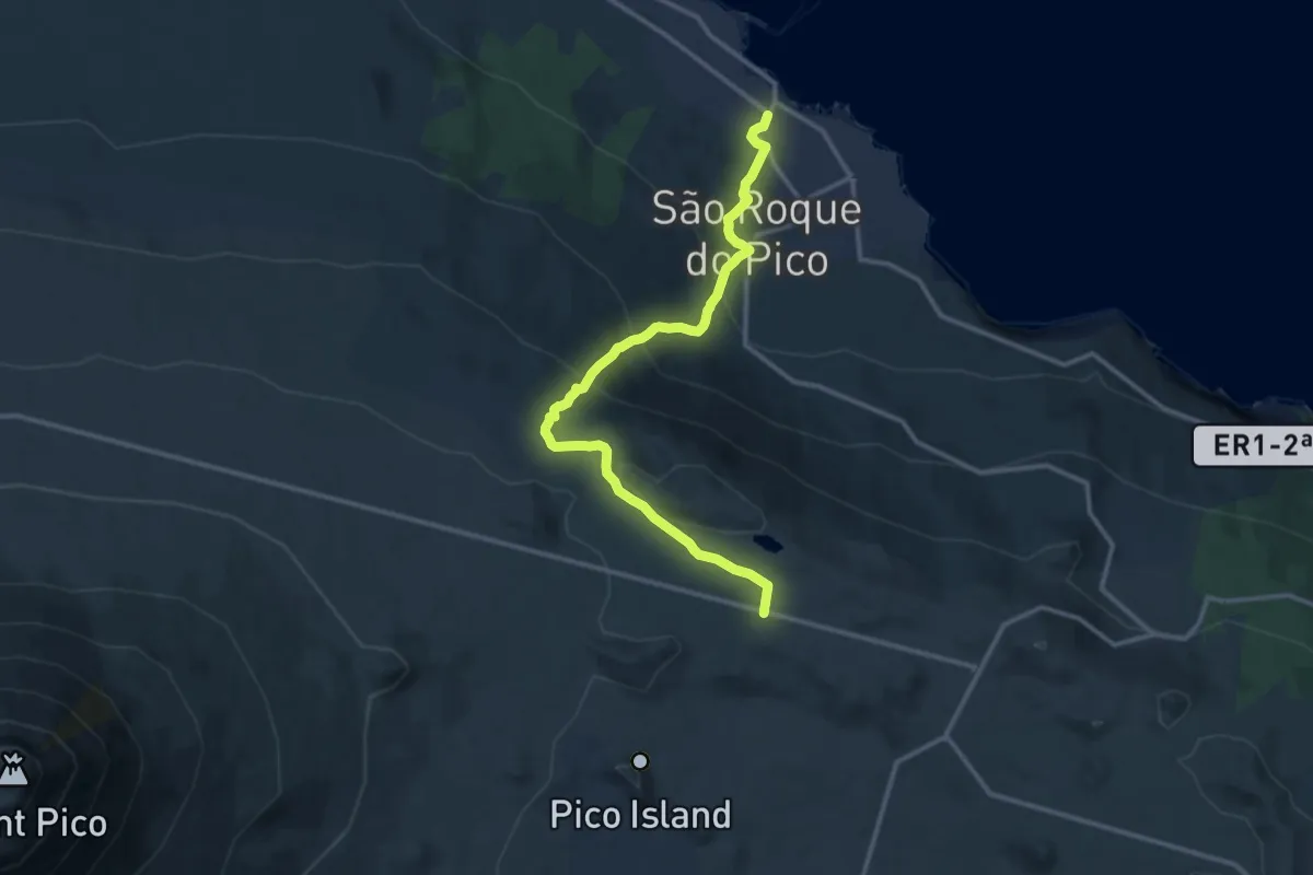
Demanding · Trail
PR13PIC Lagoa do Capitão
15.0 km · ↑ 803 m · 5 h 17 min
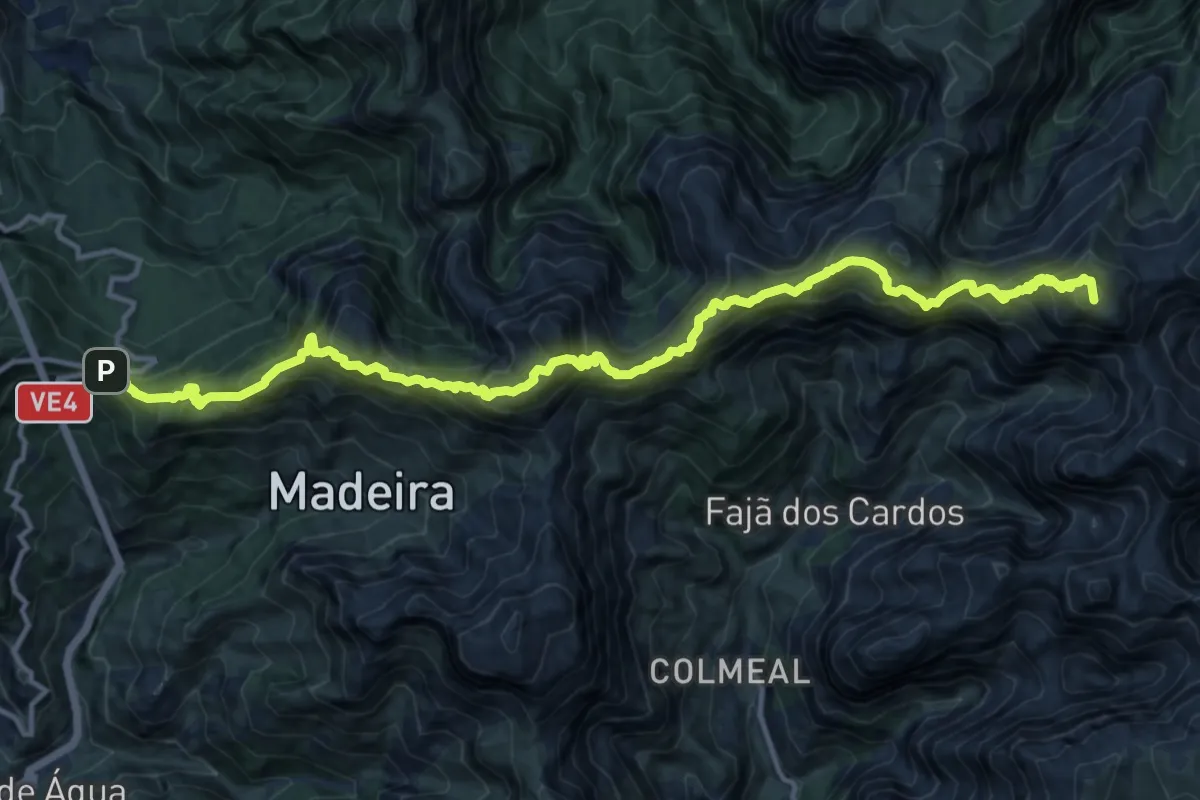
Demanding · Summit
PR 1.3 - Vereda da Encumeada
19.5 km · ↑ 2092 m · 9 h 8 min
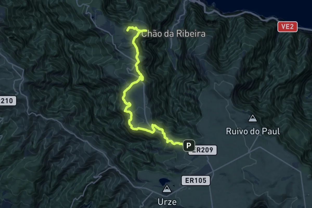
Demanding · Summit
PR 13 - Vereda do Fanal
19.9 km · ↑ 844 m · 6 h 32 min
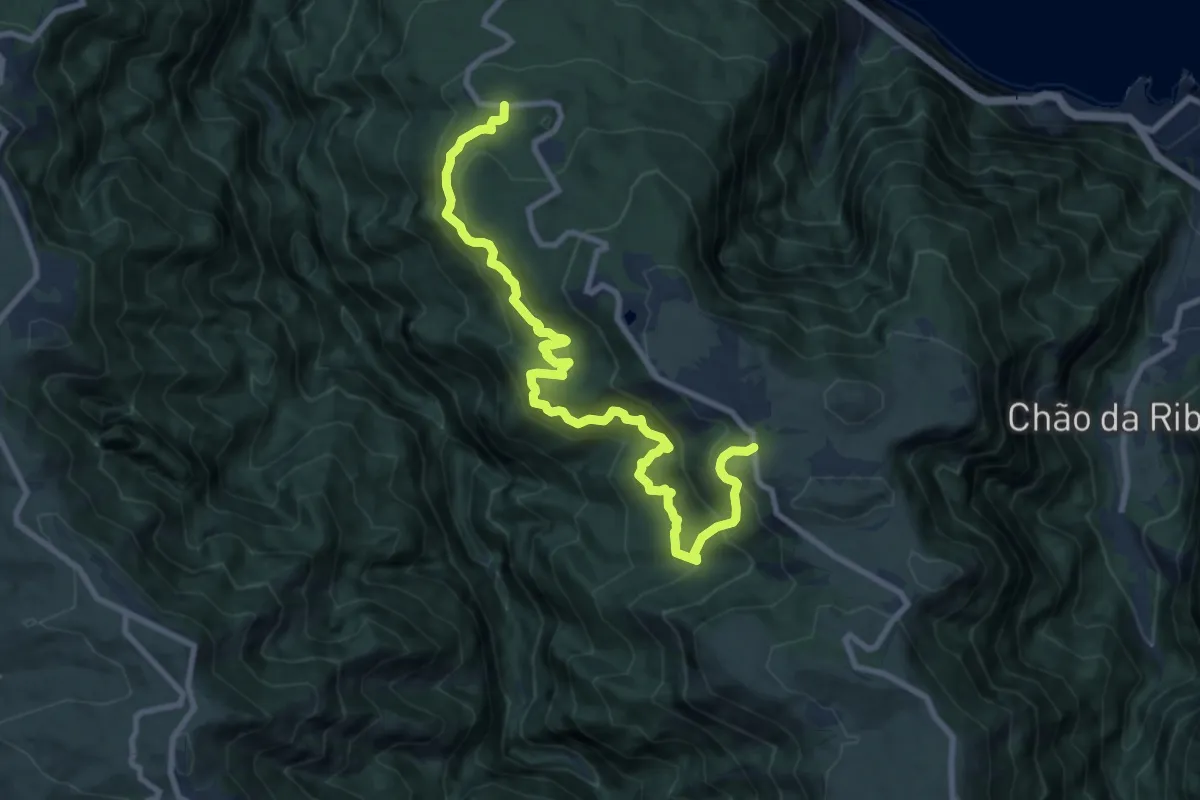
Demanding · Trail
PR 14 - Levada dos Cedros
12.9 km · ↑ 1090 m · 5 h 25 min
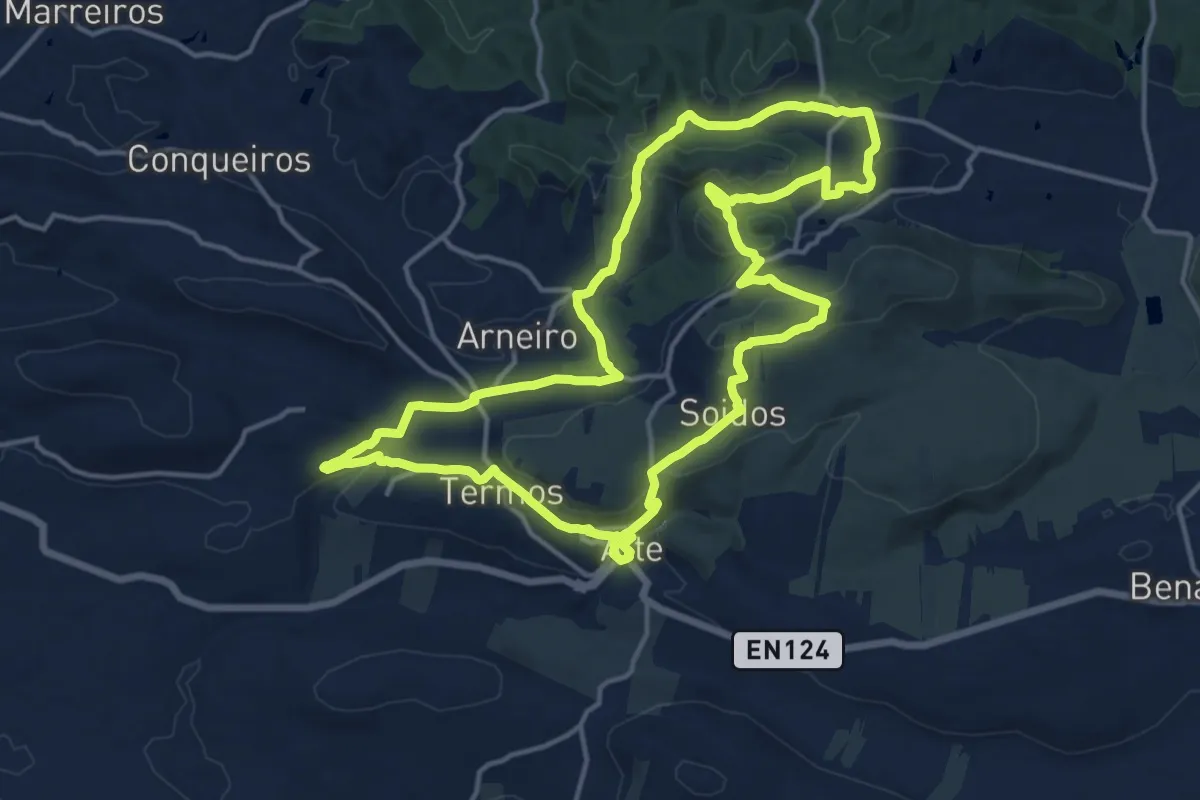
Medium · Trail
PR15 - Entre o Barrocal e a Serra
17.8 km · ↑ 506 m · 5 h 33 min
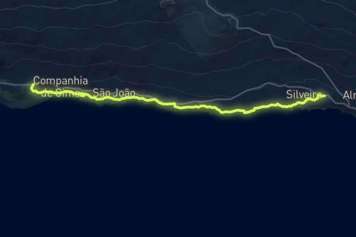
Medium · Trail
PR15PIC Mistérios do Sul do Pico
16.8 km · ↑ 341 m · 4 h 42 min
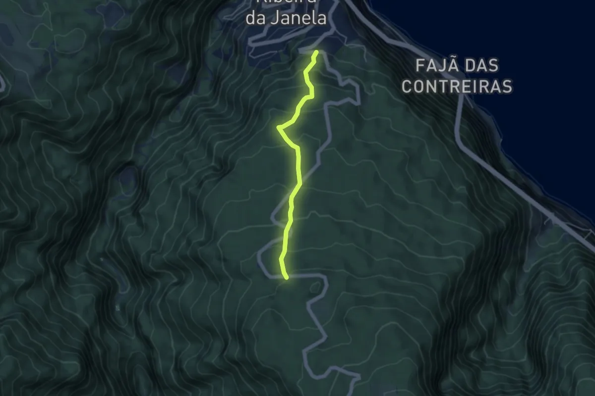
Medium · Trail
PR 15 - Vereda da Ribeira da Janela
4.7 km · ↑ 400 m · 1 h 59 min
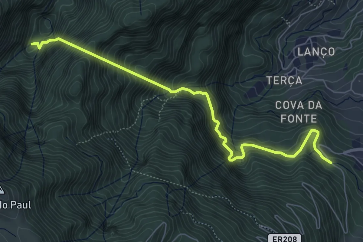
Demanding · Trail
PR 16 - Levada Fajã do Rodrigues
7.6 km · ↑ 1340 m · 4 h 42 min
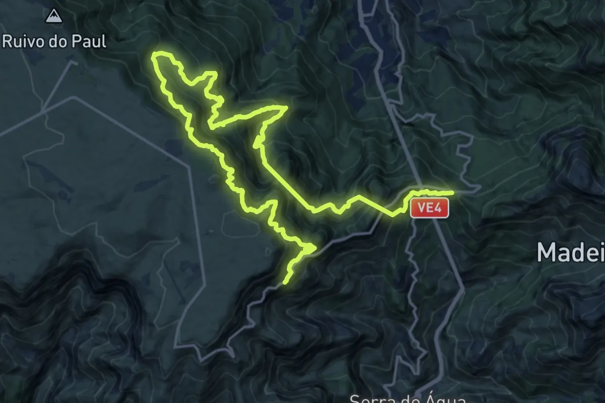
Demanding · Trail
PR 17 - Caminho do Pináculo e Folhadal
14.2 km · ↑ 1748 m · 7 h 29 min
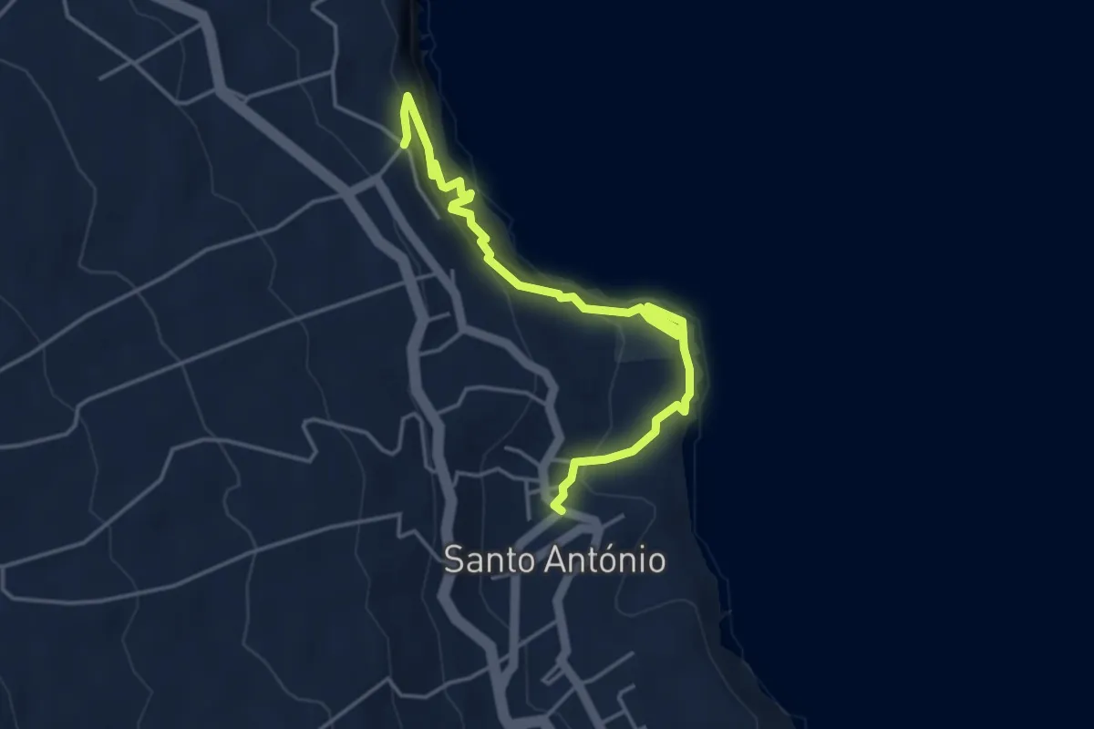
Medium · Trail
PR17SMI Nascentes de Santo António
5.1 km · ↑ 434 m · 2 h 9 min
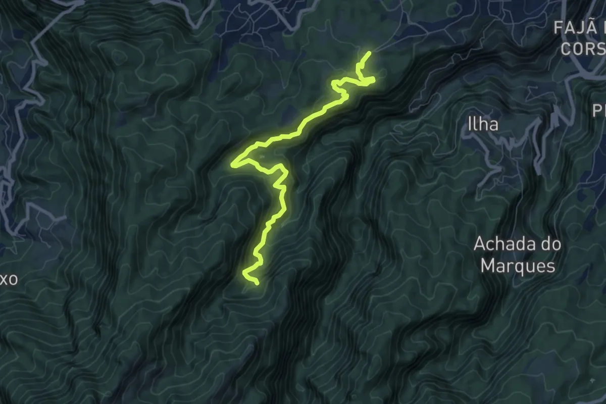
Demanding · Trail
PR 18 - Levada do Rei
9.9 km · ↑ 973 m · 4 h 27 min
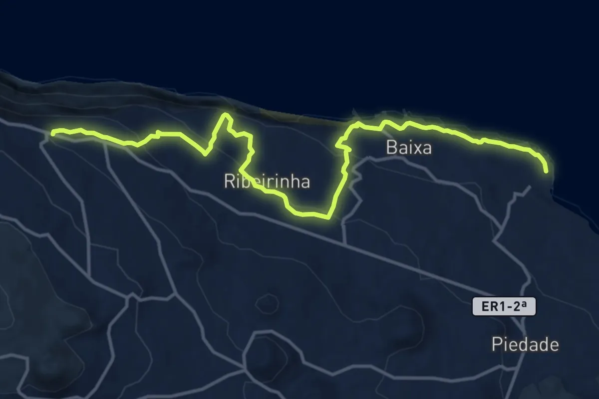
Medium · Trail
PR18PIC Canadas da Ribeirinha
15.3 km · ↑ 682 m · 5 h 6 min