Trails in Portugal
1,161 hiking trails, each with its route, climb, walking time and grade.
All trails, page 13 of 25
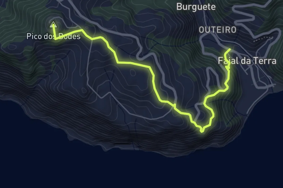
Medium · Summit
PR18SMI Vigia da Baleia
7.0 km · ↑ 526 m · 2 h 48 min
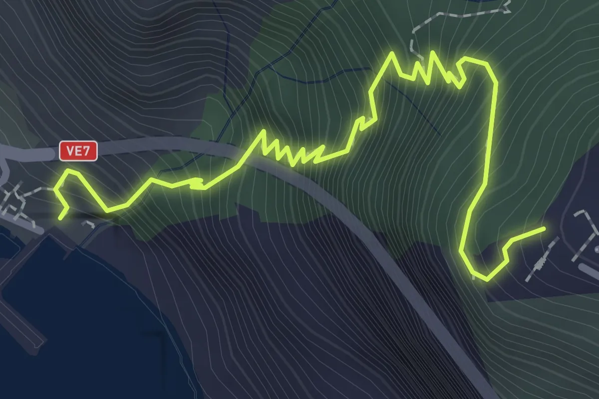
Medium · Trail
PR 19 - Caminho Real do Paúl do Mar
3.3 km · ↑ 515 m · 1 h 54 min
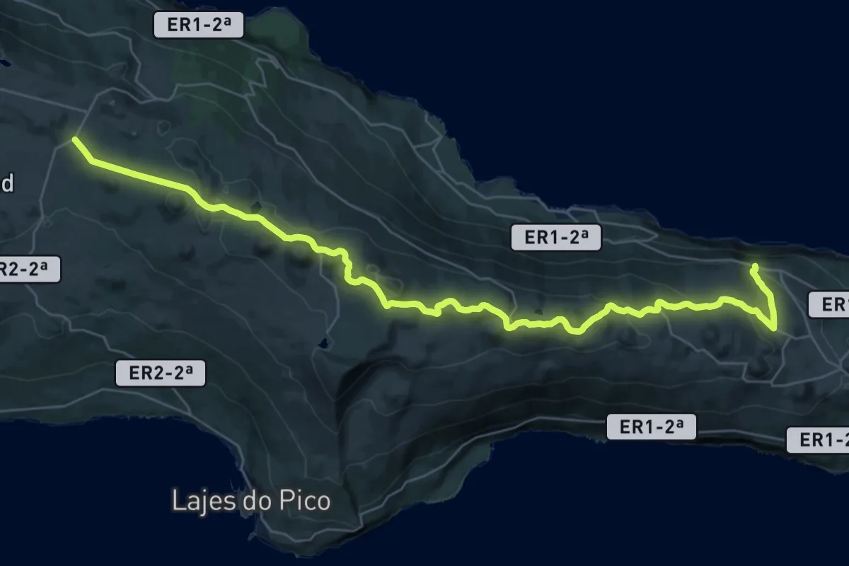
Demanding · Trail
PR19PIC Caminho das Lagoas
21.9 km · ↑ 366 m · 6 h 25 min
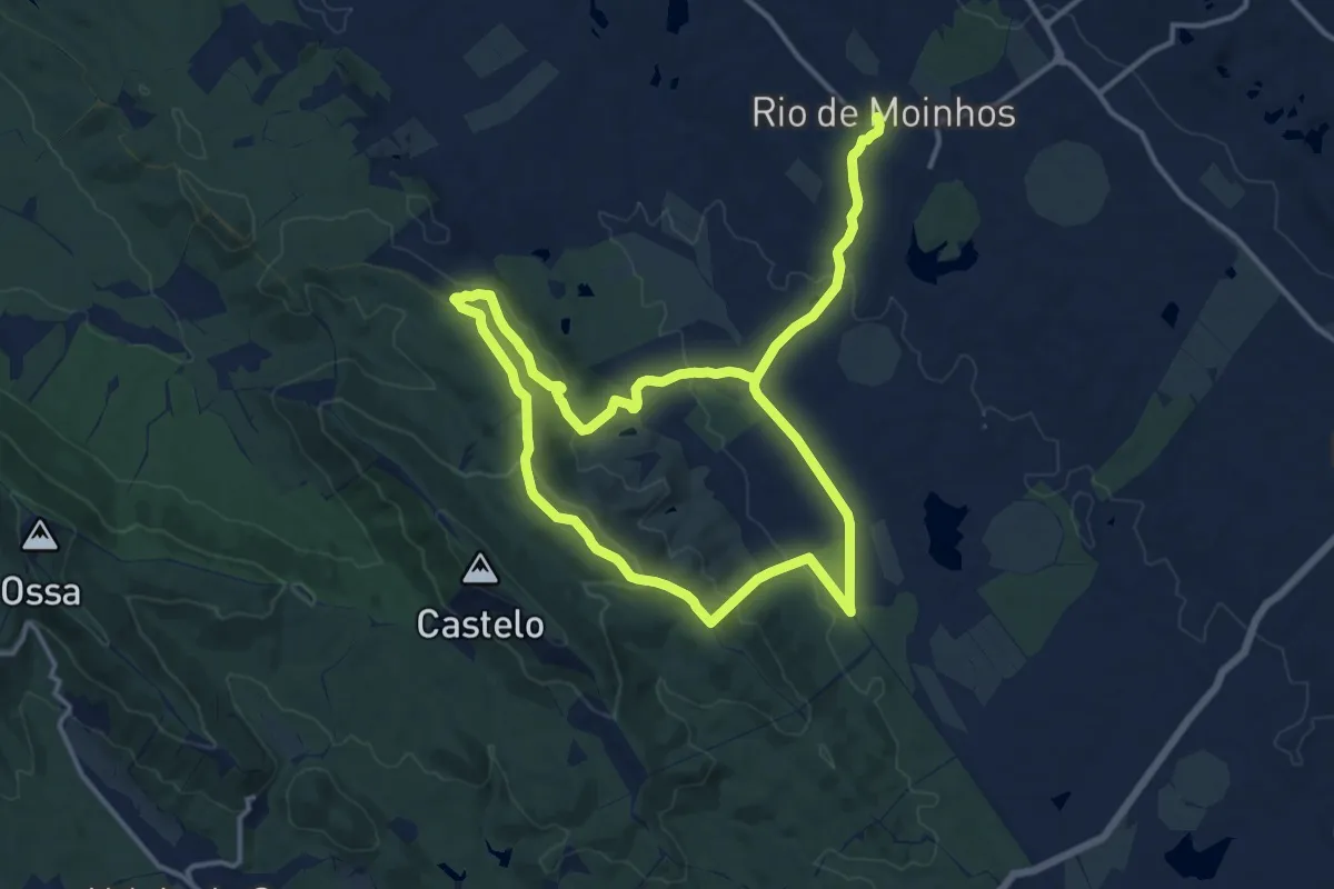
Medium · Trail
PR1 - Fantástica Serra d'Ossa
13.9 km · ↑ 309 m · 4 h 10 min
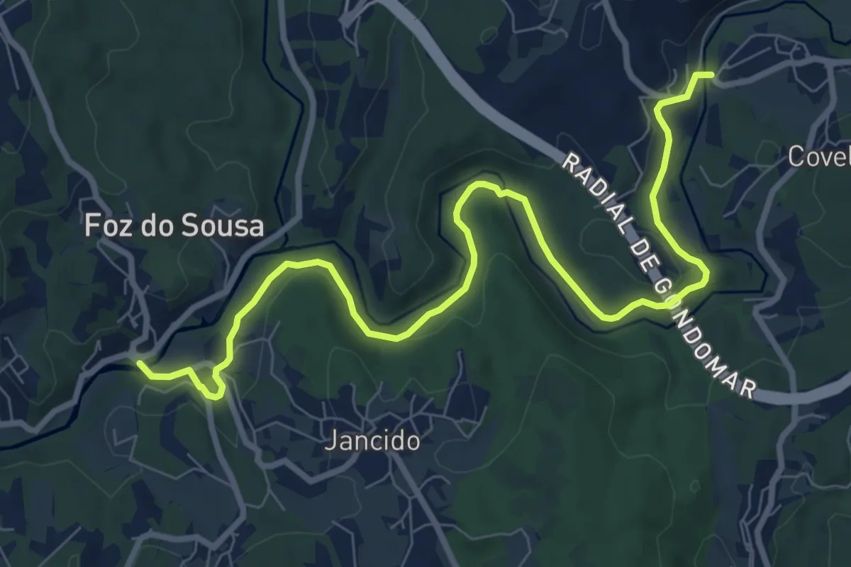
Medium · Trail
PR1 GDM – Linha de Midões e os Moinhos de Jancido
10.5 km · ↑ 156 m · 2 h 49 min
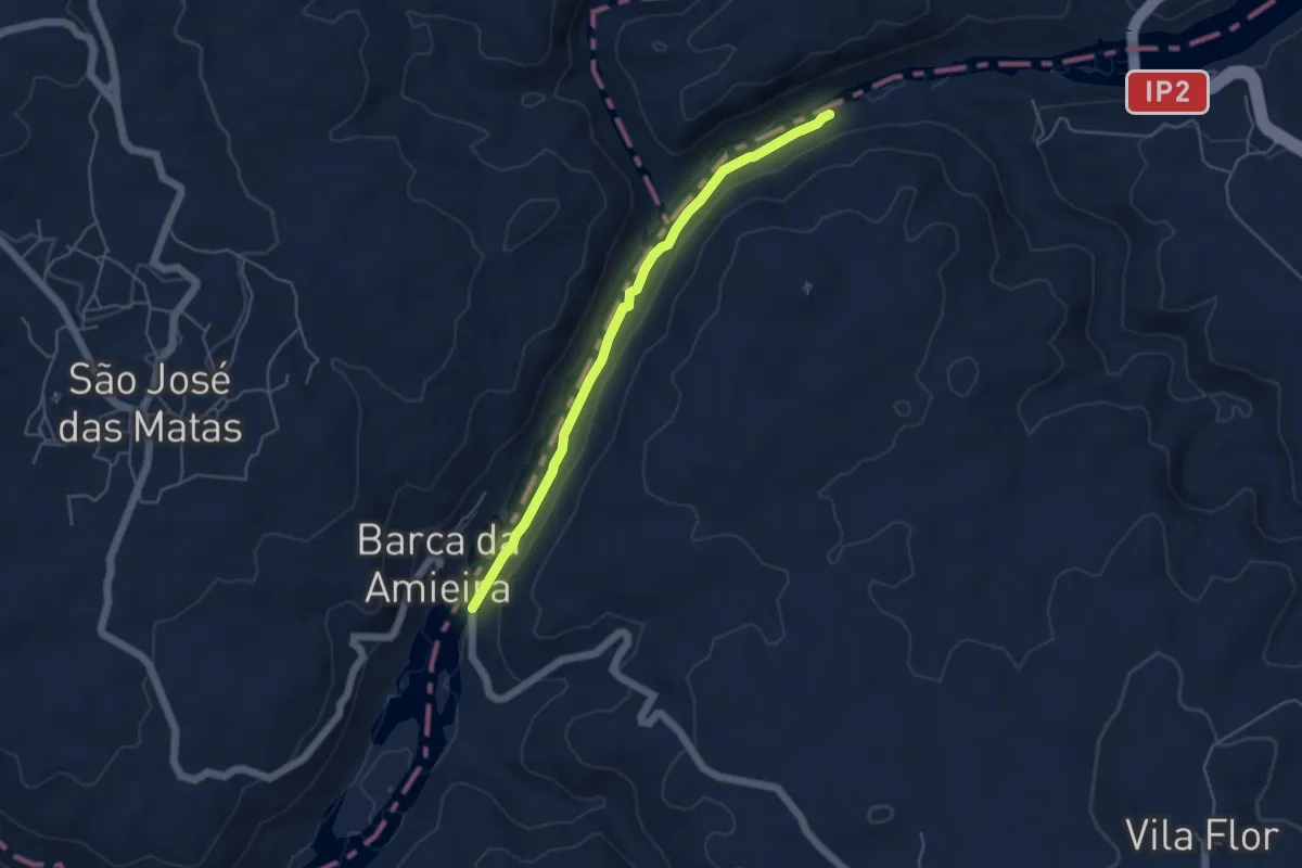
Easy · Trail
PR1 NIS Trilho das Jans
5.2 km · ↑ 51 m · 1 h 21 min
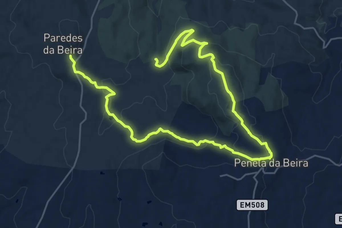
Medium · Trail
PR1 Rota dos Castanheiros
12.1 km · ↑ 306 m · 3 h 44 min
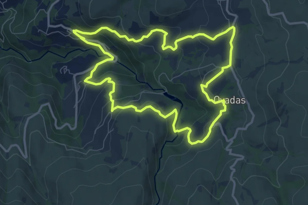
Medium · Trail
PR1 RSD – Vale do Cabrum Superior
8.8 km · ↑ 429 m · 3 h 8 min
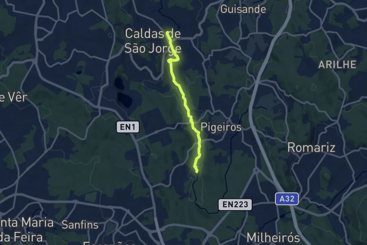
Medium · Trail
PR1 SMF - Rio Uíma
8.2 km · ↑ 68 m · 2 h 5 min
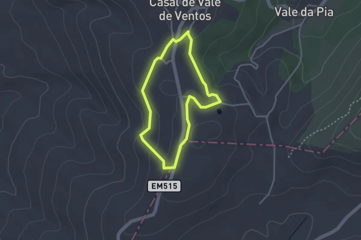
Easy · Trail
PR1 - Vale de Ventos
2.6 km · ↑ 76 m · 49 min
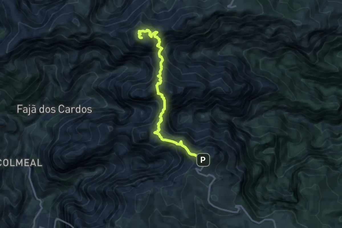
Demanding · Summit
PR 1 - Vereda do Areeiro
10.3 km · ↑ 1303 m · 5 h 16 min
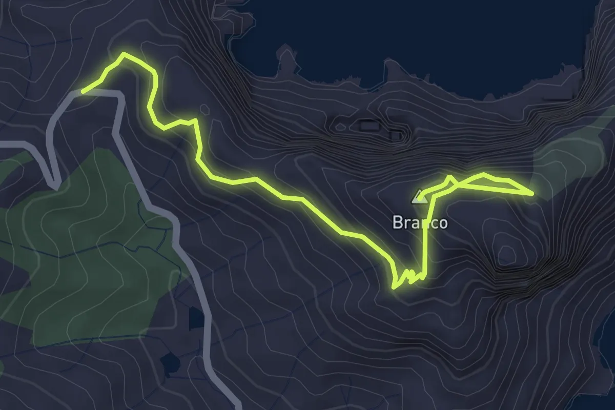
Medium · Summit
PR1 - Vereda do Pico Branco e Terra Chã
5.5 km · ↑ 446 m · 2 h 15 min
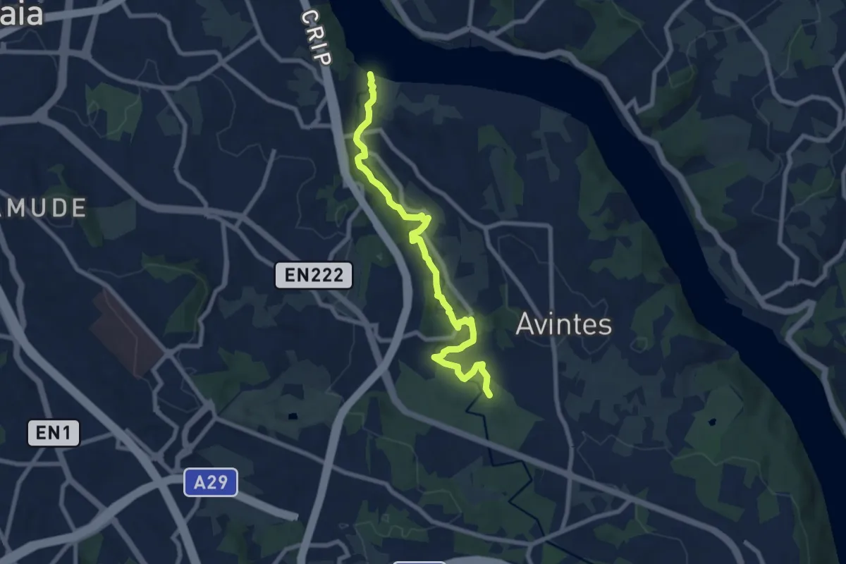
Medium · Trail
PR1 VNG Trilho do Rio Febros
8.5 km · ↑ 125 m · 2 h 17 min
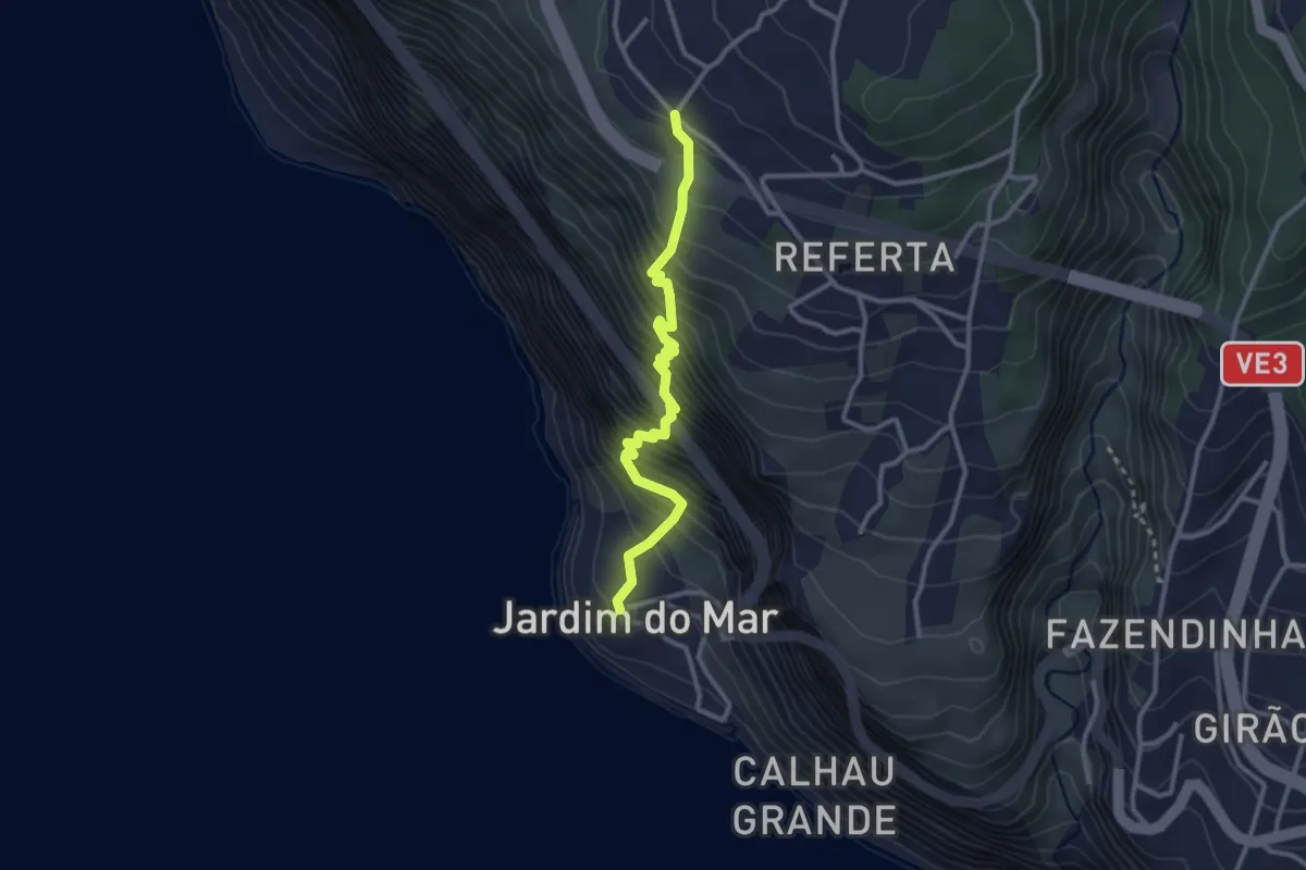
Medium · Trail
PR 20 - Vereda do Jardim do Mar
3.5 km · ↑ 565 m · 2 h 3 min
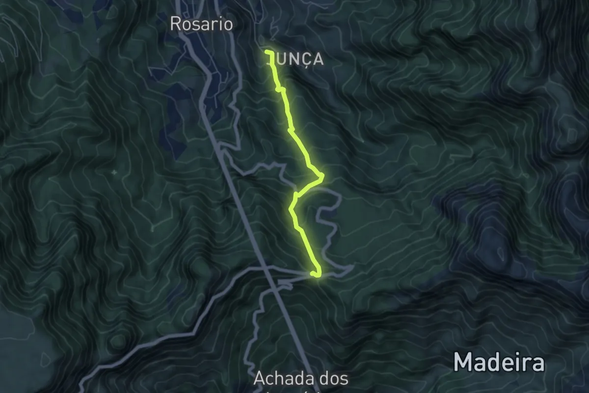
Medium · Trail
PR 21 - Caminho do Norte
5.7 km · ↑ 677 m · 2 h 49 min
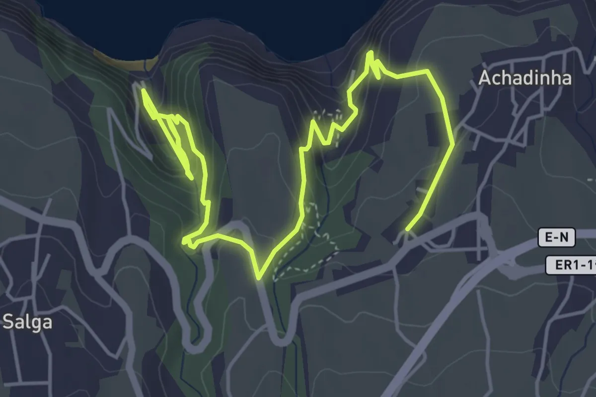
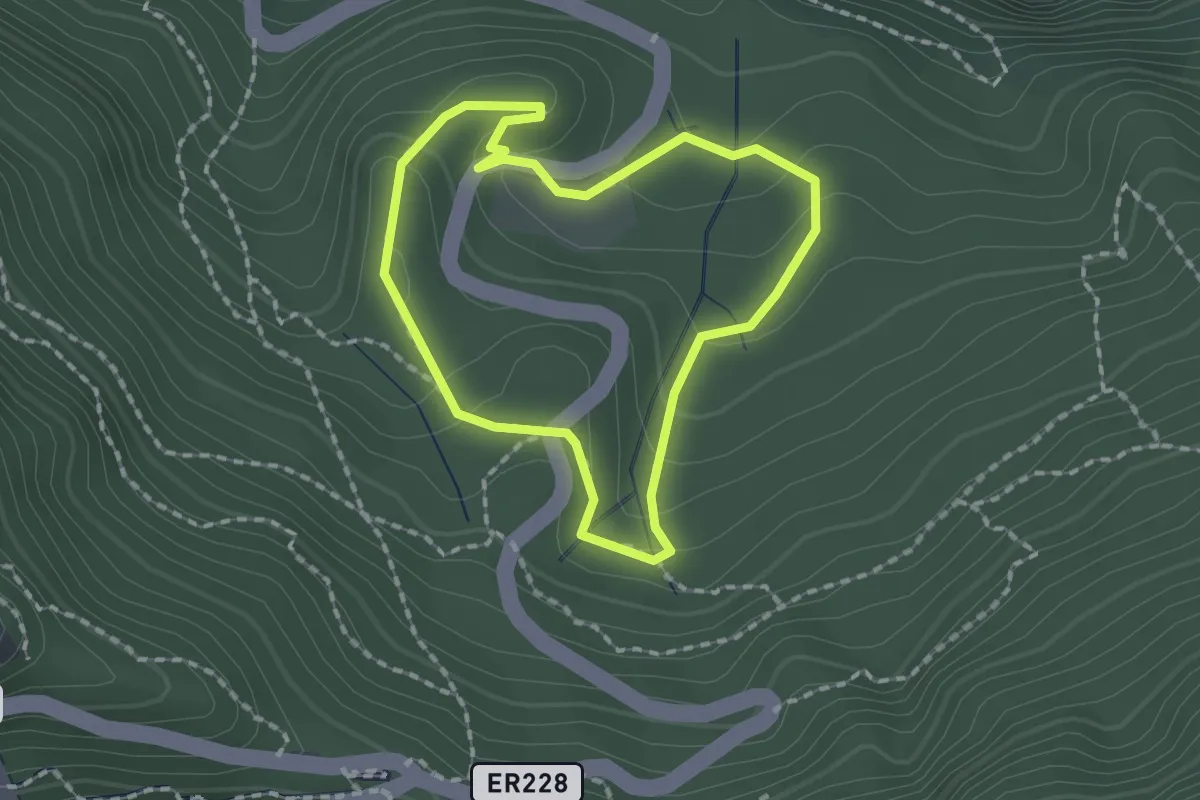
Demanding · Trail
PR21SMI Padrão das Alminhas - Salto da Farinha
7.5 km · ↑ 810 m · 3 h 32 min
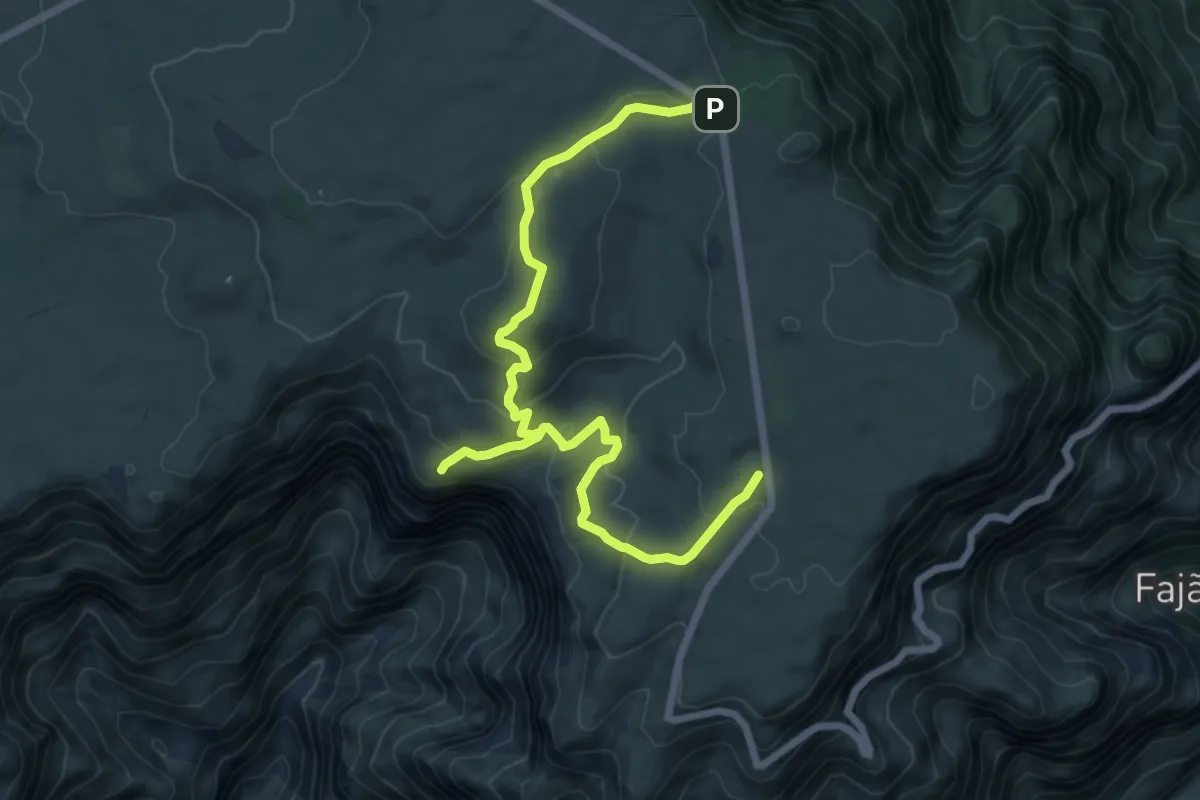
Easy · Trail
PR 22 - Vereda do Chão dos Louros
1.8 km · ↑ 77 m · 38 min
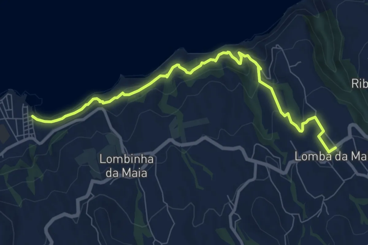
Medium · Trail
PR 27 - Glaciar de Planalto
10.4 km · ↑ 438 m · 3 h 25 min
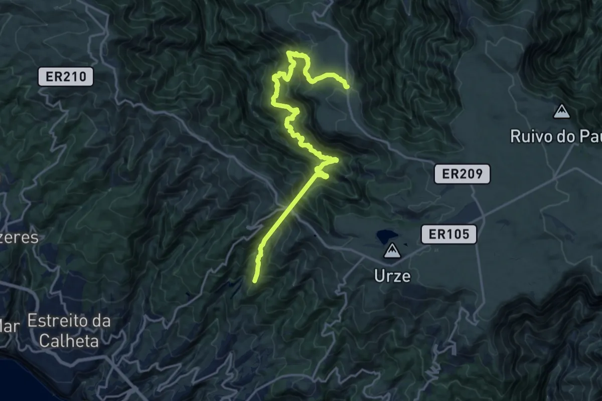
Medium · Trail
PR27SMI Praia da Viola
9.1 km · ↑ 692 m · 3 h 39 min
Demanding · Trail
PR 28 - Levada da Rocha Vermelha
9.9 km · ↑ 1346 m · 5 h 9 min
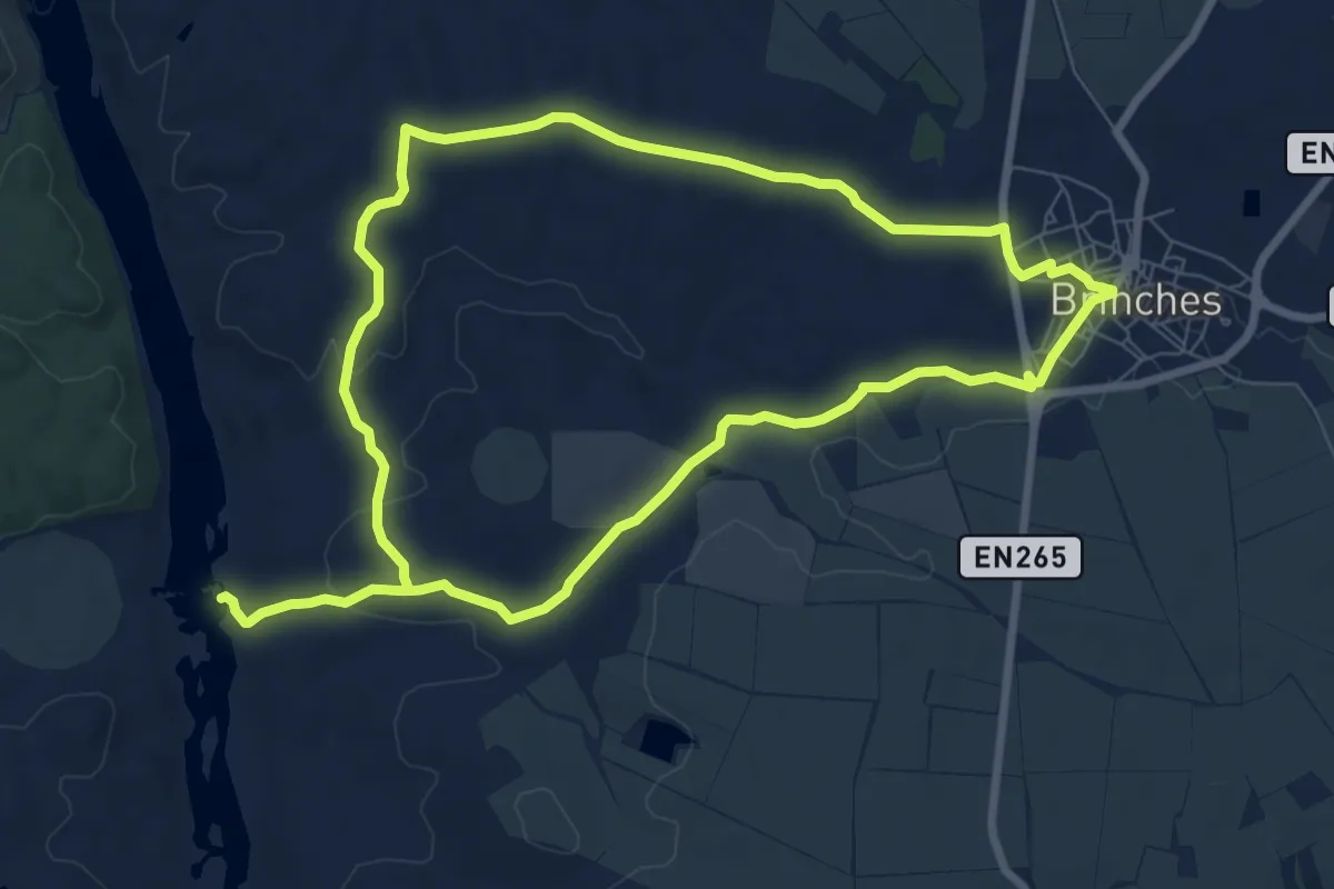
Medium · Trail
PR2 - Brinches, Moinhos Velhos do Guadiana
17.8 km · ↑ 233 m · 4 h 42 min
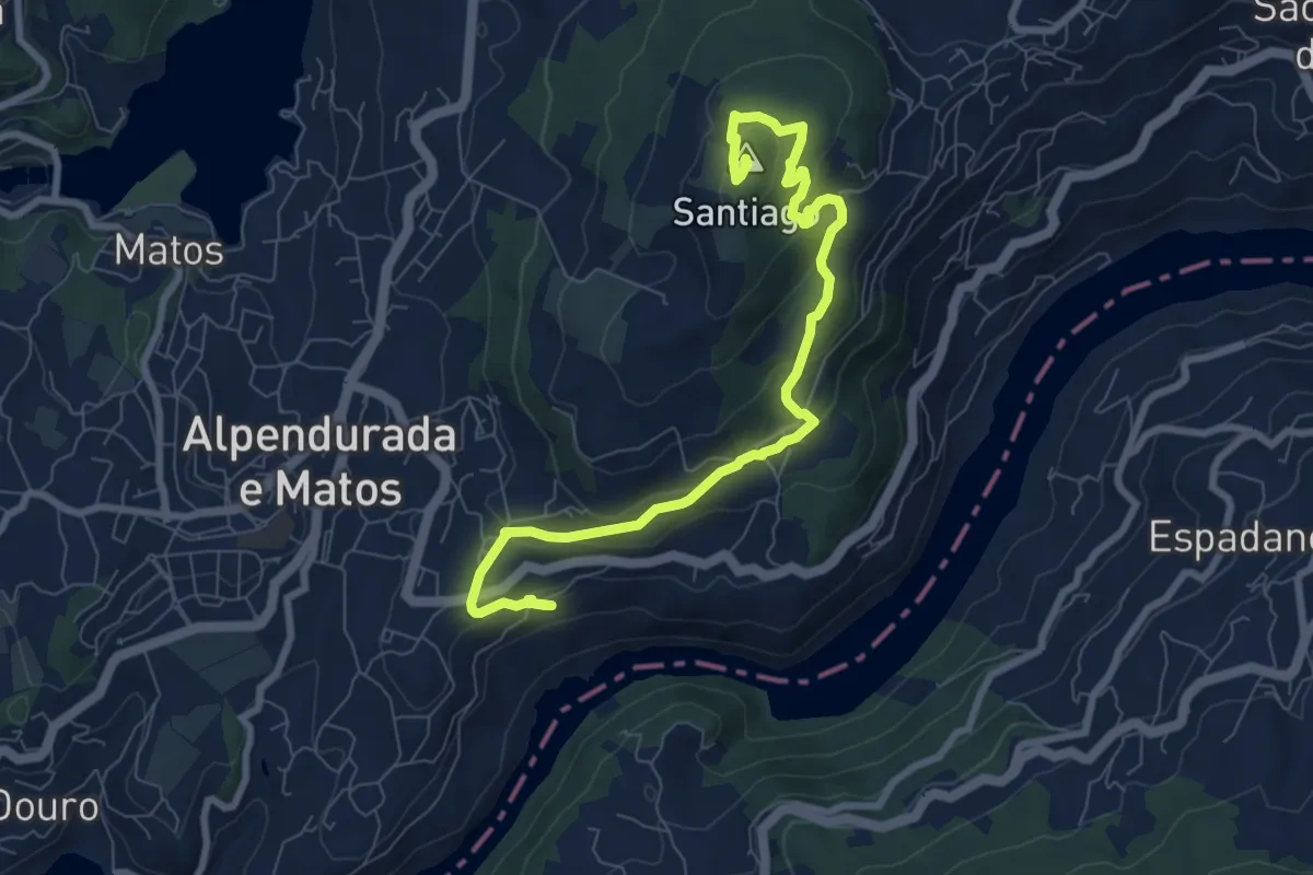
Medium · Summit
PR2 - Dois Rios, Dois Mosteiros
9.8 km · ↑ 399 m · 3 h 11 min
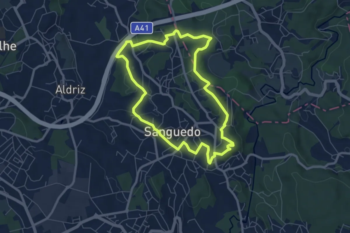
Easy · Trail
PR2 Sãobartuíma
6.6 km · ↑ 145 m · 1 h 58 min
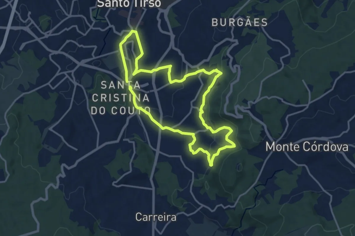
Medium · Trail
PR2 STS Padrão
11.0 km · ↑ 353 m · 3 h 30 min
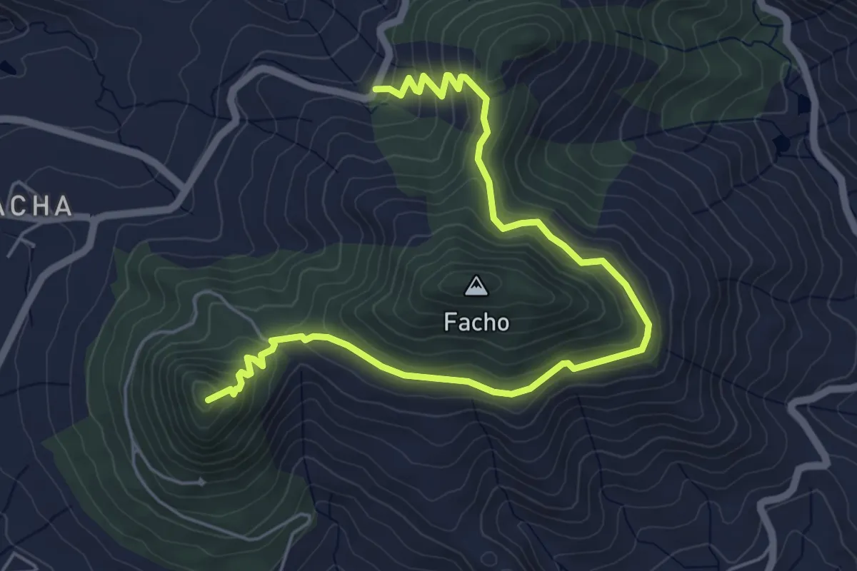
Medium · Summit
PR 2 - Vereda do Pico do Castelo (Este)
7.9 km · ↑ 350 m · 2 h 37 min
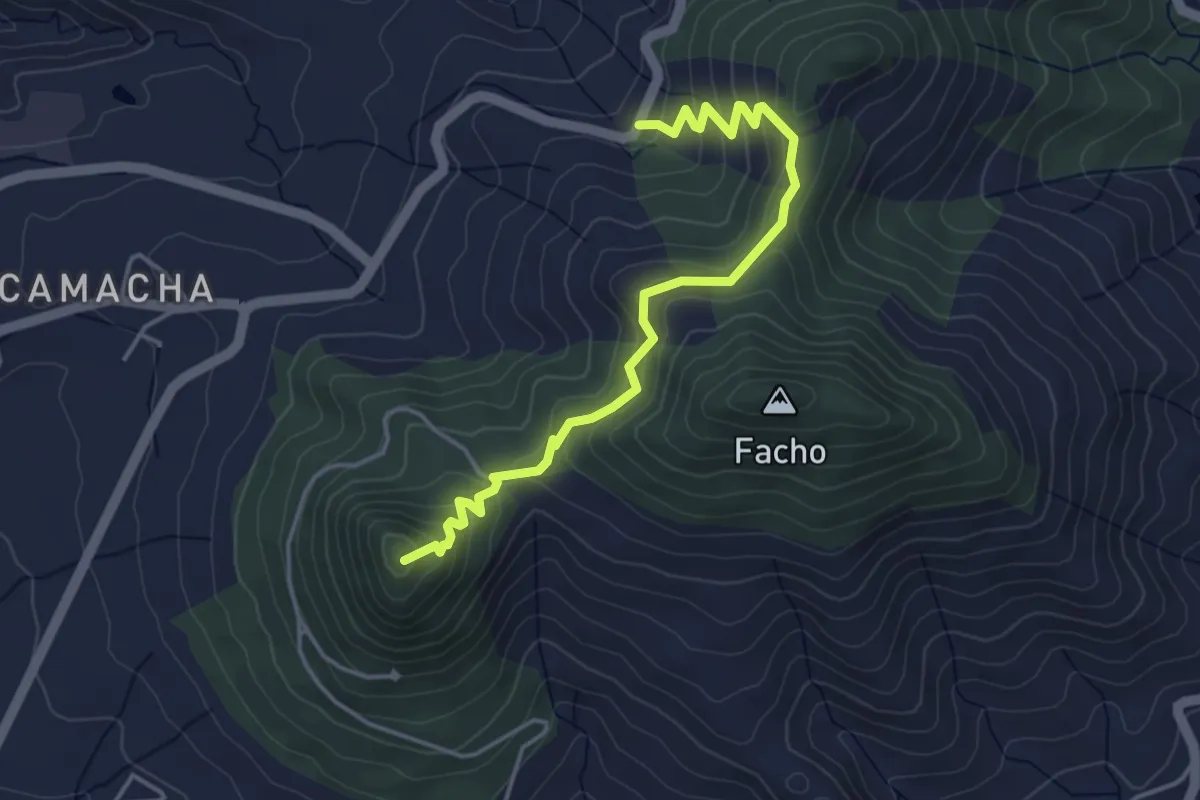
Easy · Summit
PR 2 - Vereda do Pico do Castelo (Oeste)
5.2 km · ↑ 294 m · 1 h 52 min
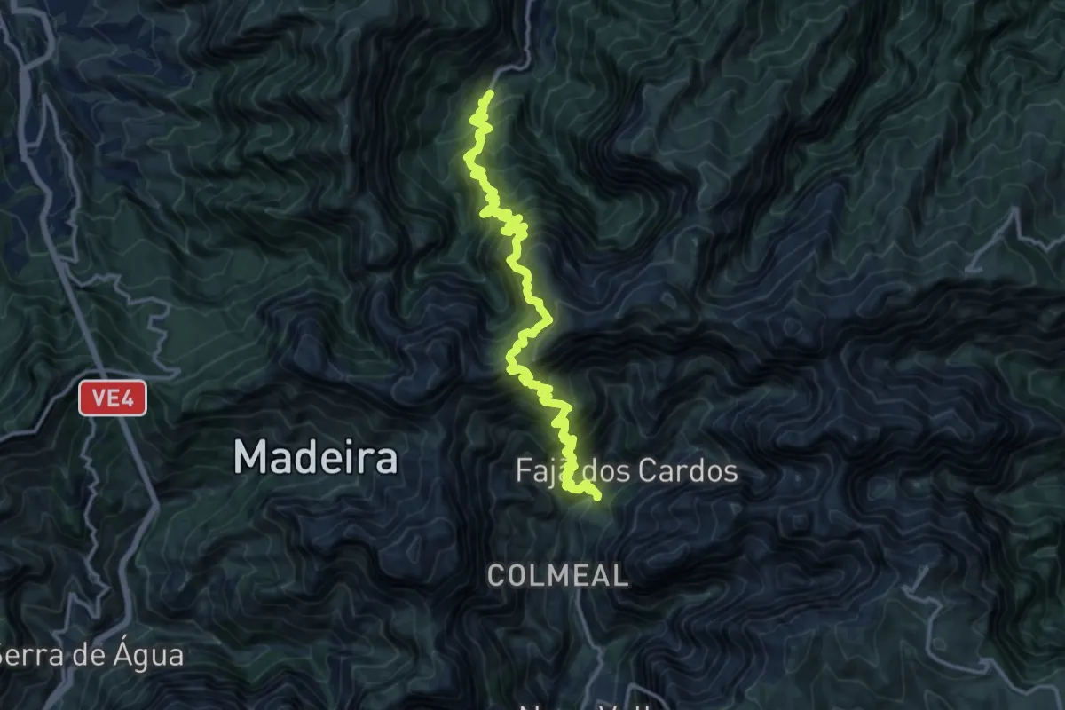
Demanding · Trail
PR 2 - Vereda do Urzal
9.2 km · ↑ 1186 m · 5 h
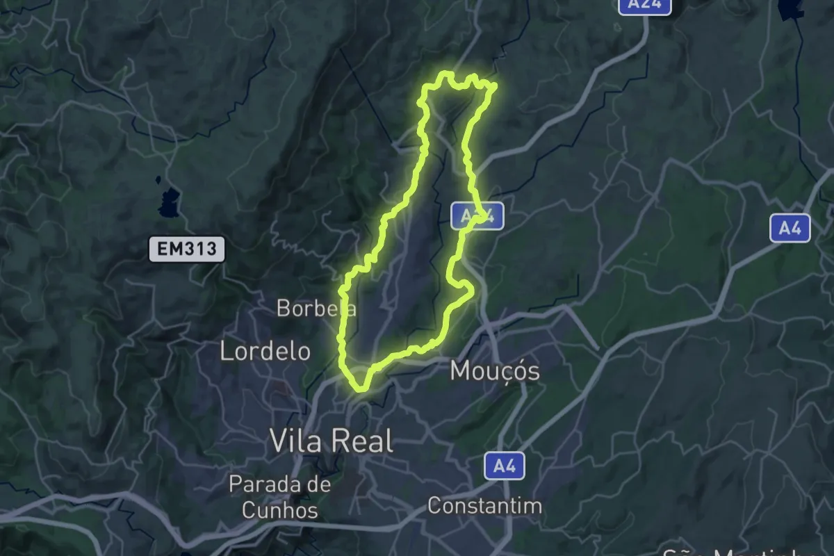
Demanding · Trail
PR2VRL - Percurso Pedestre do Corgo Norte
24.2 km · ↑ 581 m · 7 h 19 min
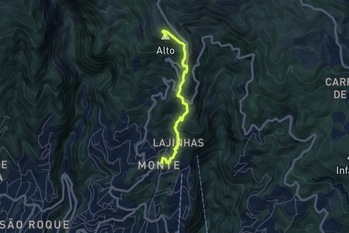
Demanding · Summit
PR 3.1 - Caminho Real do Monte
5.7 km · ↑ 547 m · 2 h 31 min
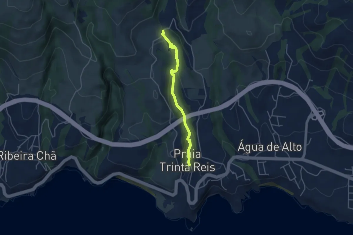
Easy · Trail
PR39SMI Quatro fábricas da Luz
3.7 km · ↑ 148 m · 1 h 12 min
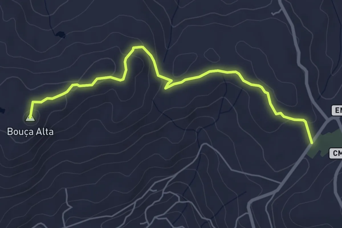
Easy · Summit
PR3 - Caminho do Rio
6.0 km · ↑ 142 m · 1 h 43 min
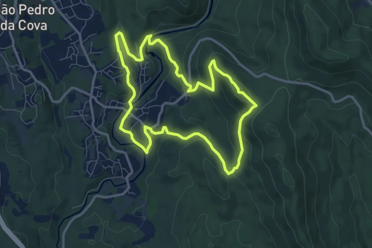
Easy · Trail
PR3 GDM - Trilho de Belói
7.4 km · ↑ 261 m · 2 h 25 min
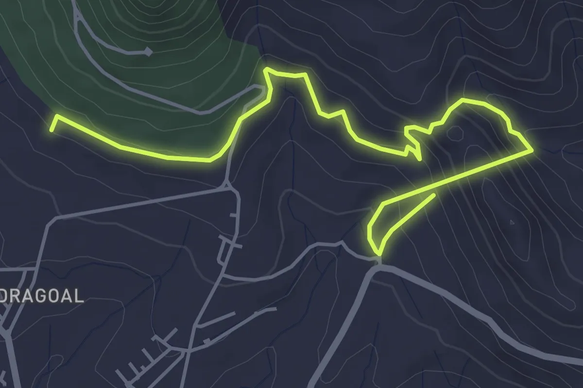
Medium · Summit
PR 3 - Levada do Pico do Castelo
6.8 km · ↑ 457 m · 2 h 35 min
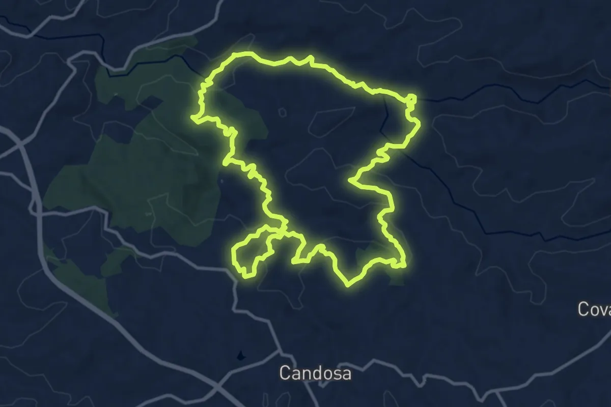
Medium · Trail
PR3 – Rotas das Pontes
13.6 km · ↑ 396 m · 4 h 15 min
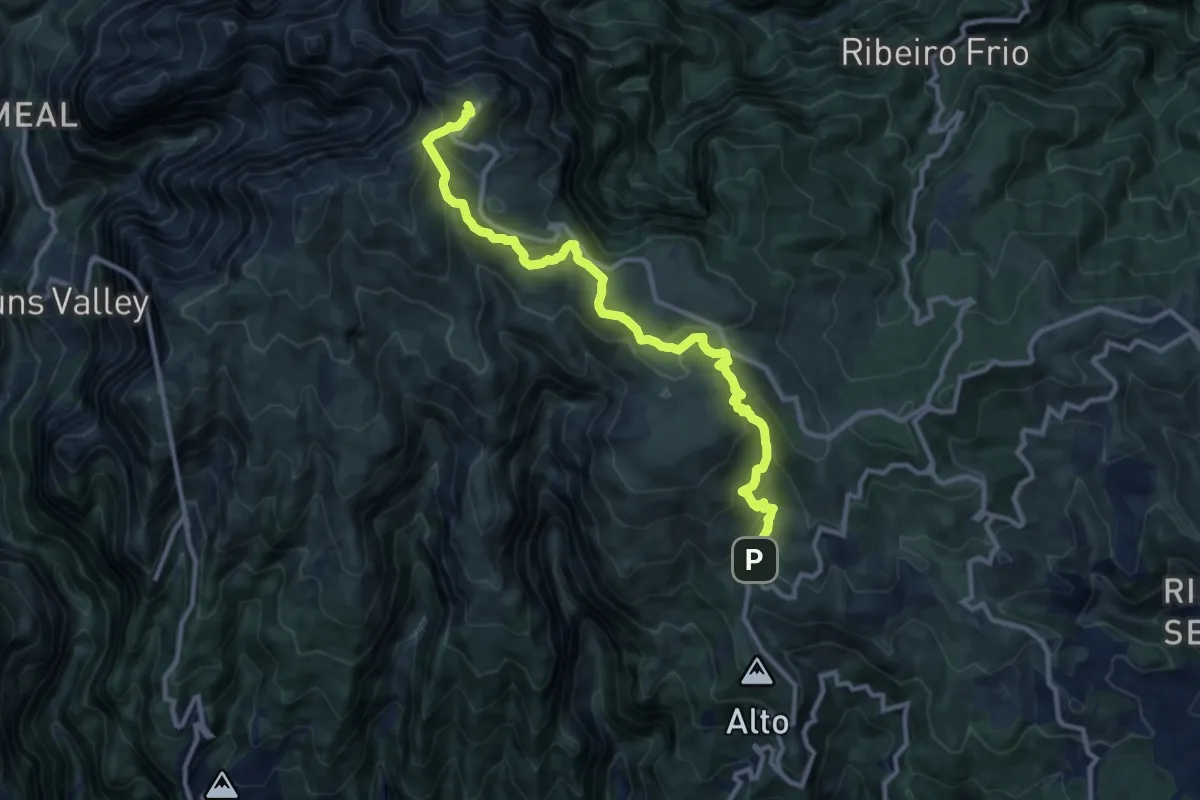
Demanding · Summit
PR 3 - Vereda do Burro
14.2 km · ↑ 813 m · 5 h 7 min
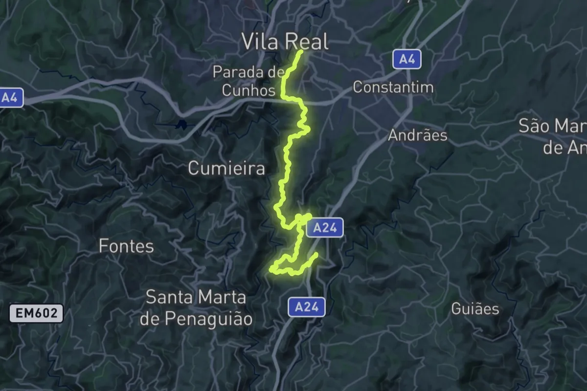
Medium · Trail
PR3VRL - Percurso Pedestre do Douro Vinhateiro I
16.0 km · ↑ 615 m · 5 h 22 min
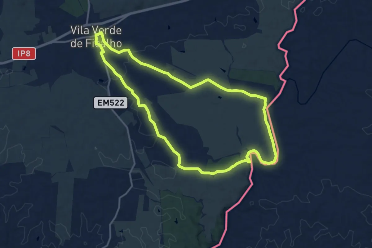
Medium · Trail
PR3 - V. V. Ficalho pelos caminhos do contrabanho
12.2 km · ↑ 157 m · 3 h 24 min
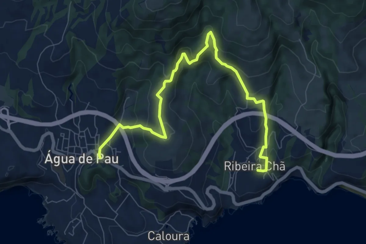
Medium · Trail
PR41SMI Rota da Água, Pedras Brancas
10.4 km · ↑ 562 m · 3 h 40 min
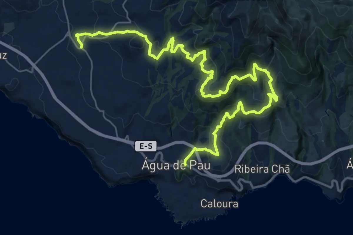
Medium · Trail
PR42SMI Rota da Água, entre Túneis e Condutas
14.7 km · ↑ 742 m · 5 h 21 min
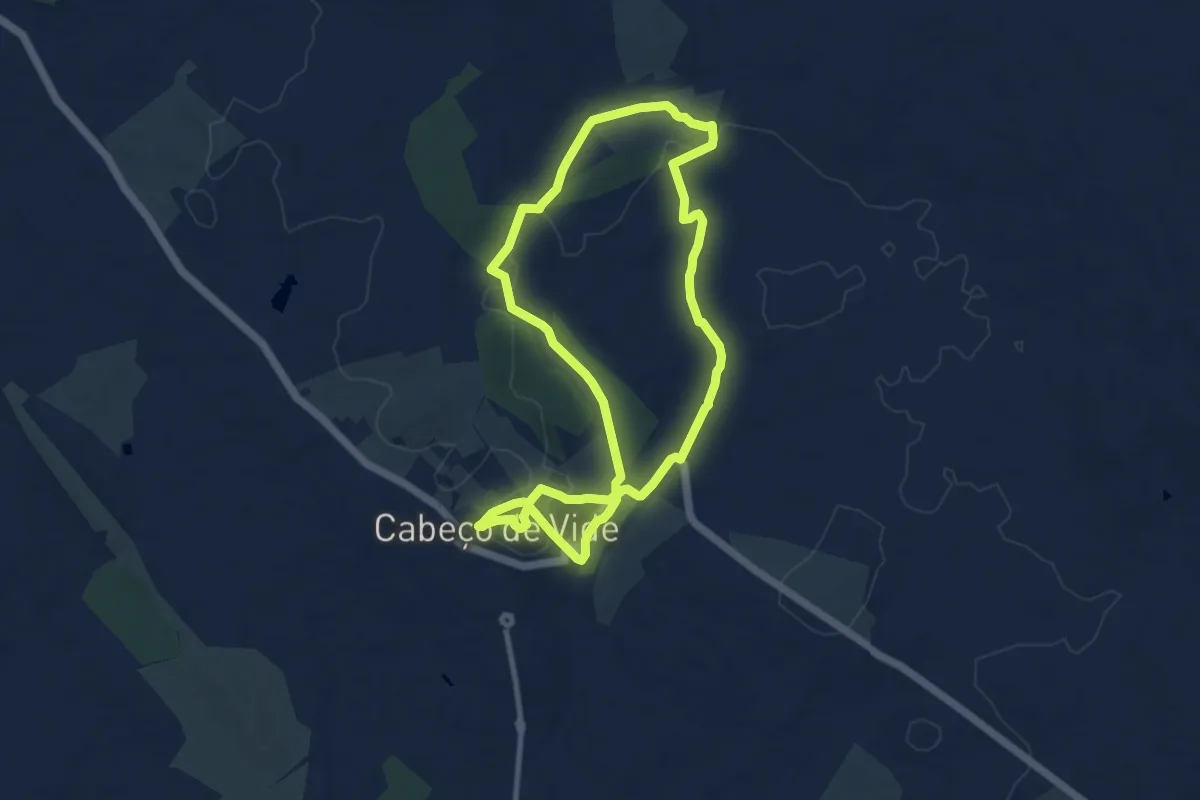
Medium · Trail
PR4 FTR - Rota Sulfúrea
10.2 km · ↑ 153 m · 2 h 53 min
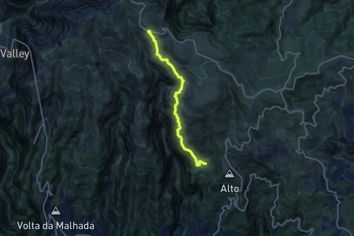
Demanding · Trail
PR 4 - Levada do Barreiro
9.7 km · ↑ 921 m · 4 h 17 min
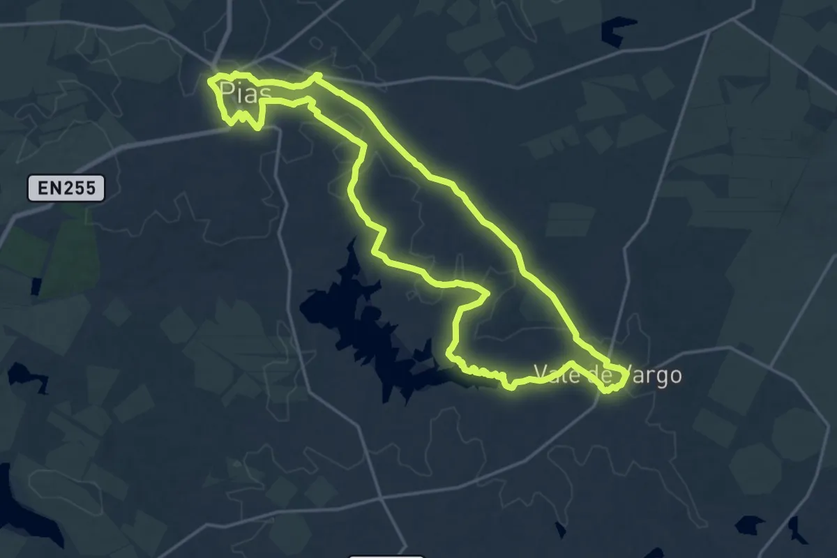
Demanding · Trail
PR4 - Rota do Montado de Azinho
20.6 km · ↑ 123 m · 5 h 26 min
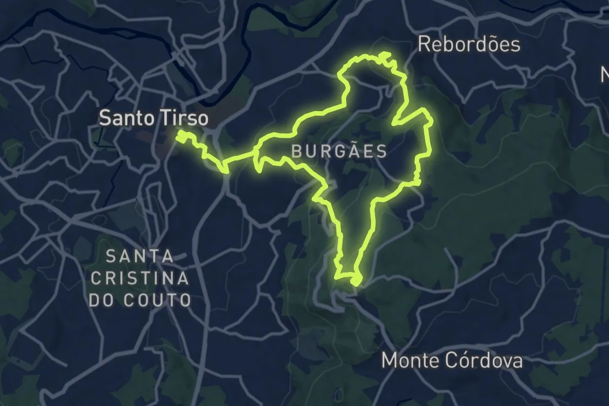
Demanding · Trail
PR 4 STS - Abraço
25.4 km · ↑ 916 m · 7 h 59 min
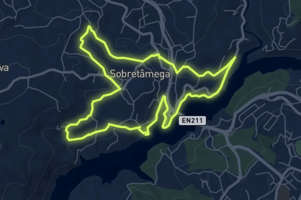
Easy · Trail
PR5 Caminhos de Canaveses
6.7 km · ↑ 182 m · 2 h 5 min
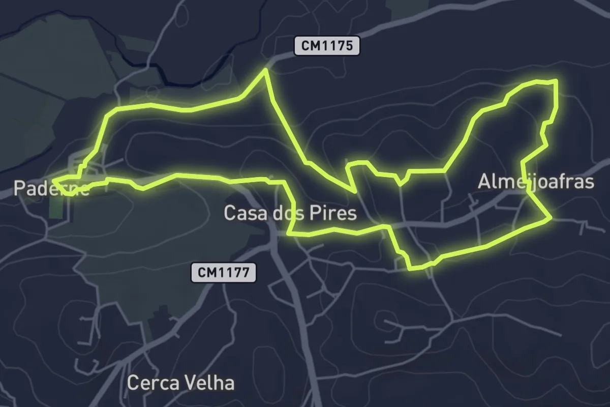
Easy · Trail
PR5 - Entre Aldeias
6.8 km · ↑ 154 m · 2 h 2 min
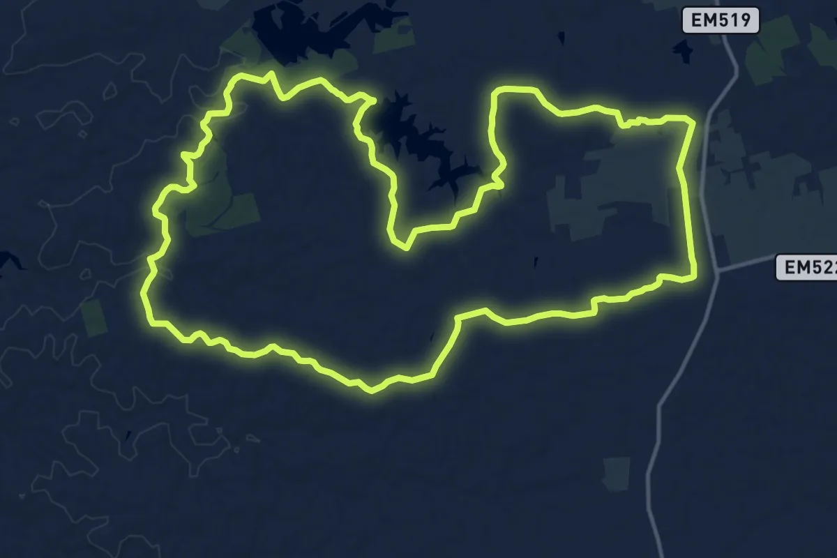
Demanding · Trail
PR5 - Rota do Lago
18.7 km · ↑ 138 m · 4 h 58 min
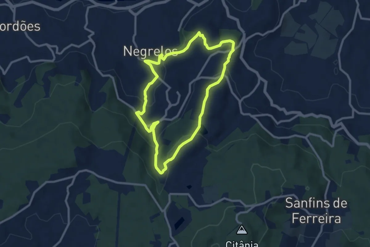
Easy · Summit
PR5 STS - Moinhos do Fojo
7.0 km · ↑ 288 m · 2 h 22 min
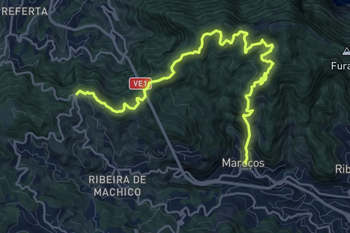
Demanding · Trail
PR 5 - Vereda das Funduras
16.1 km · ↑ 1160 m · 6 h 19 min