Trails in Portugal
1,161 hiking trails, each with its route, climb, walking time and grade.
All trails, page 14 of 25
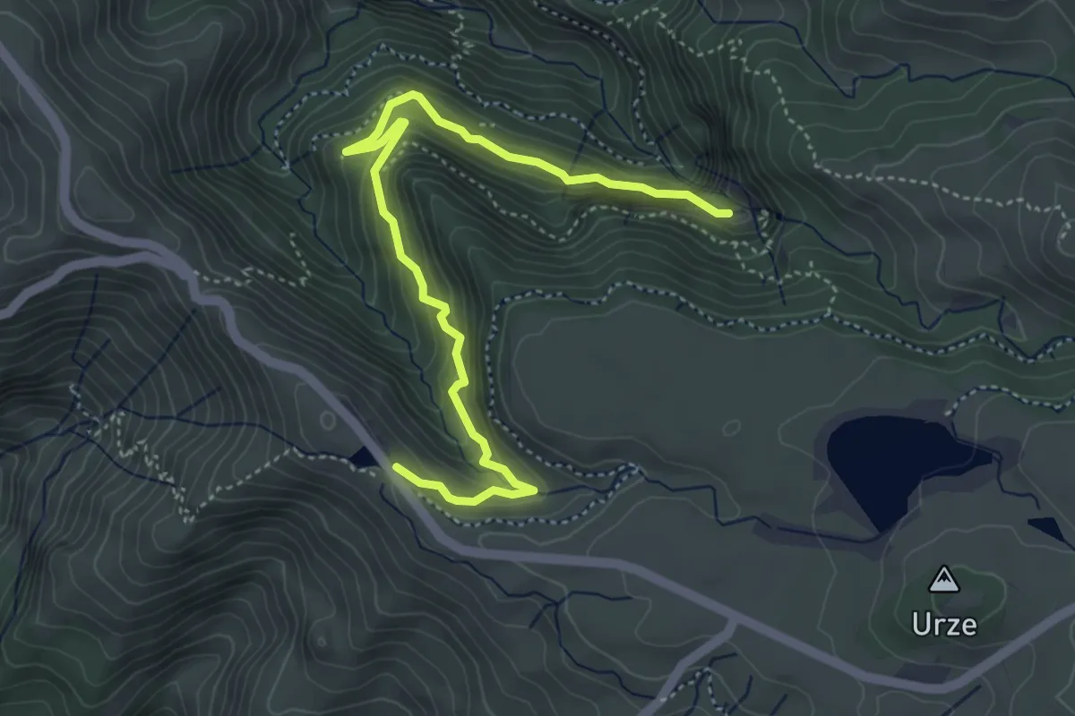
Medium · Trail
PR 6.1 - Levada do Risco
6.1 km · ↑ 465 m · 2 h 27 min
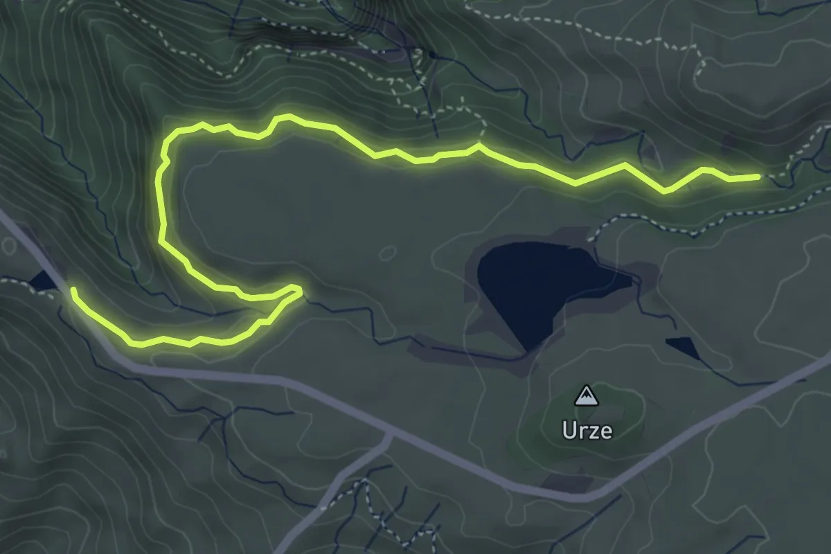
Easy · Trail
PR 6.2 - Levada do Alecrim
6.9 km · ↑ 267 m · 2 h 12 min
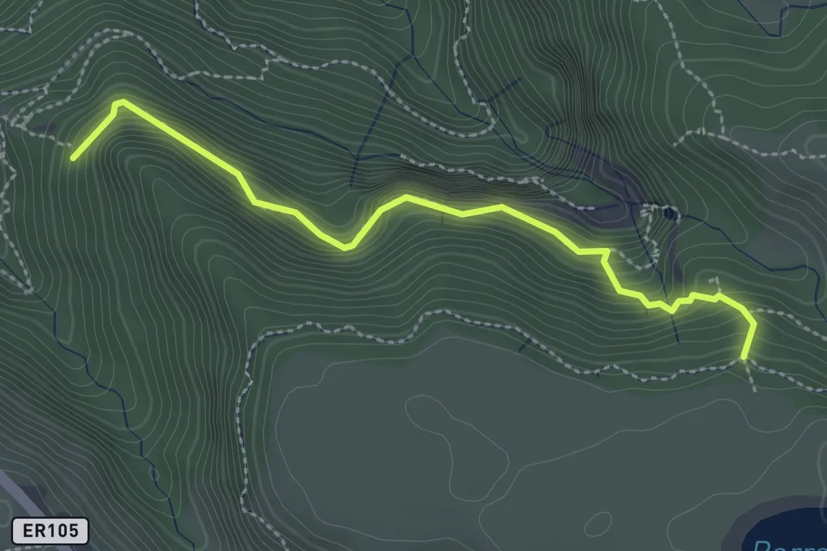
Medium · Trail
PR 6.3 - Vereda da Lagoa do Vento
3.2 km · ↑ 380 m · 1 h 35 min
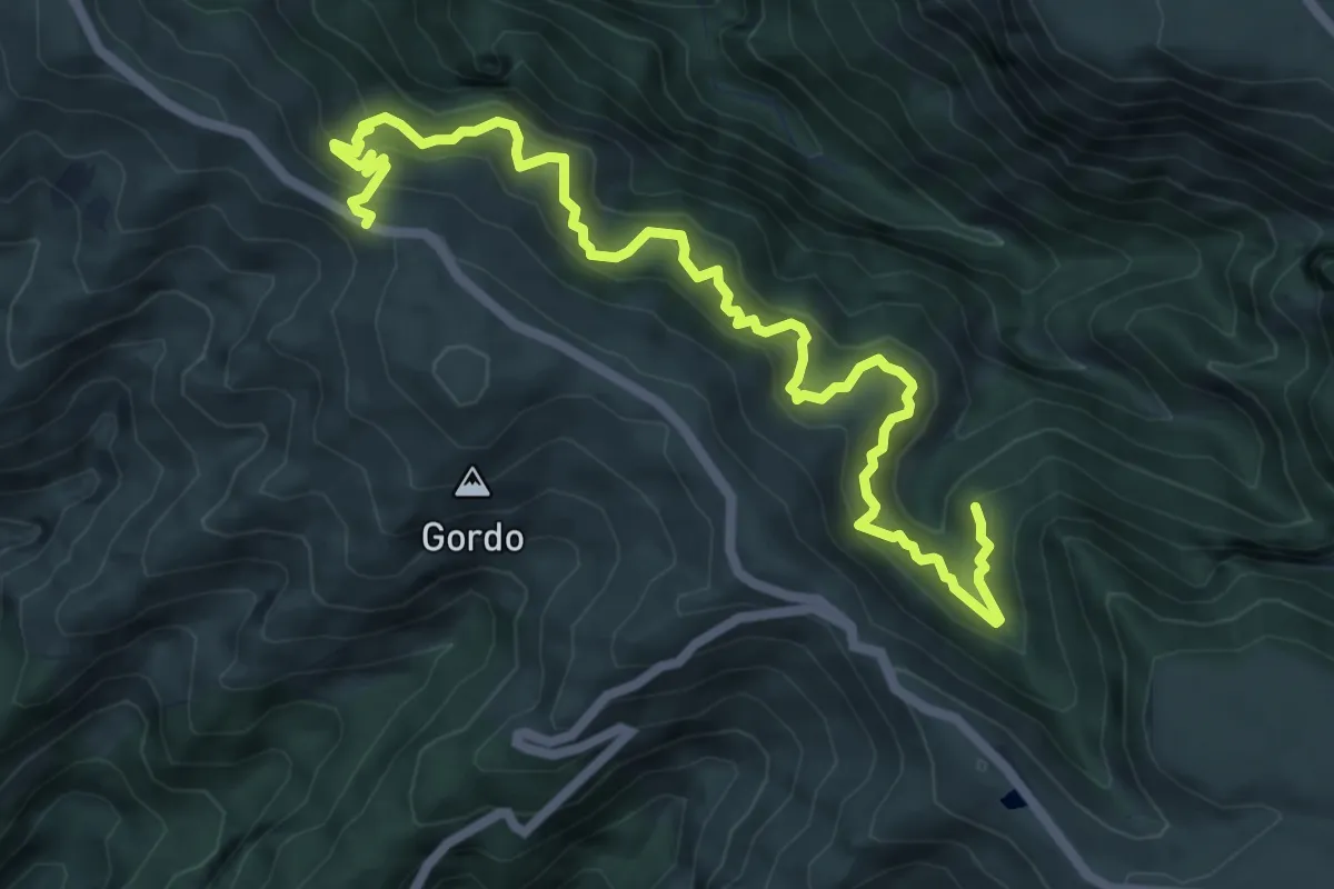
Demanding · Trail
PR 6.4 - Levada Velha do Rabaçal
9.4 km · ↑ 1011 m · 4 h 25 min
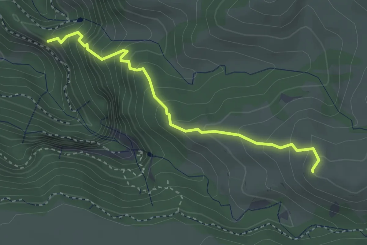
Medium · Summit
PR 6.5 - Vereda do Pico Fernandes
3.6 km · ↑ 396 m · 1 h 42 min
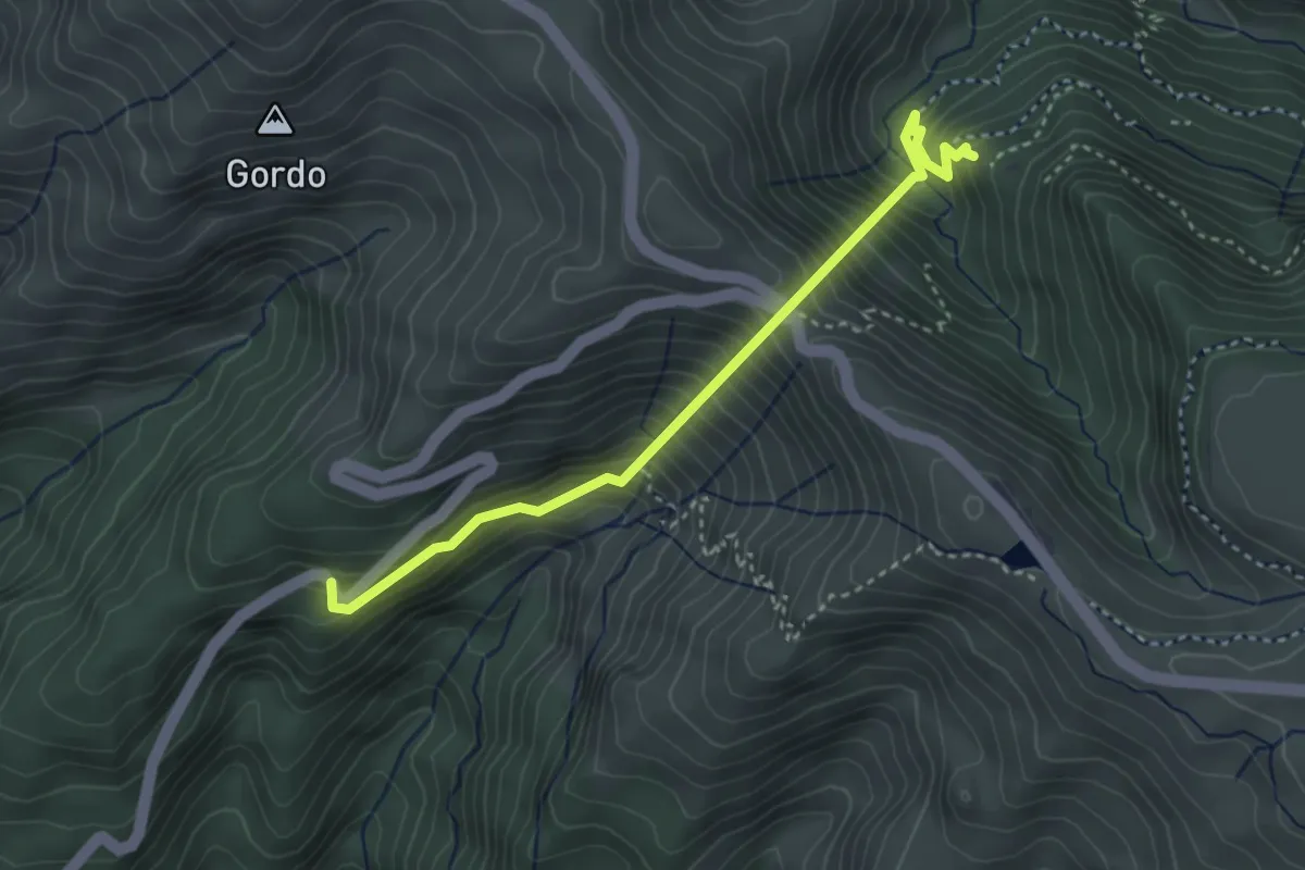
Medium · Trail
PR 6.6 - Vereda do Túnel do Cavalo
4.2 km · ↑ 668 m · 2 h 26 min
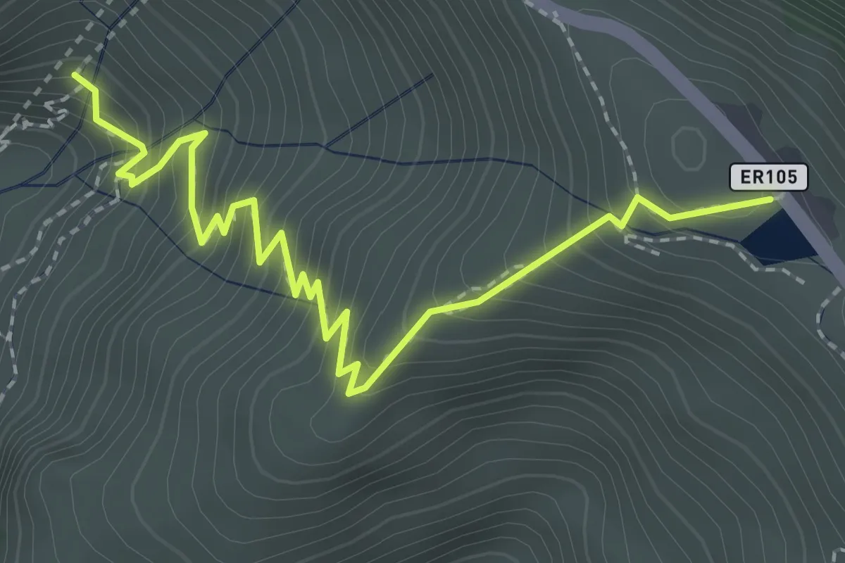
Medium · Trail
PR 6.7 - Vereda da Câmara Carga
3.2 km · ↑ 365 m · 1 h 33 min
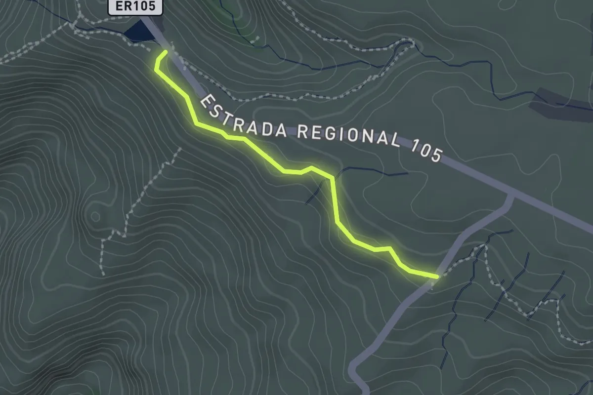
Easy · Trail
PR 6.8 - Levada do Paul II
2.2 km · ↑ 60 m · 39 min
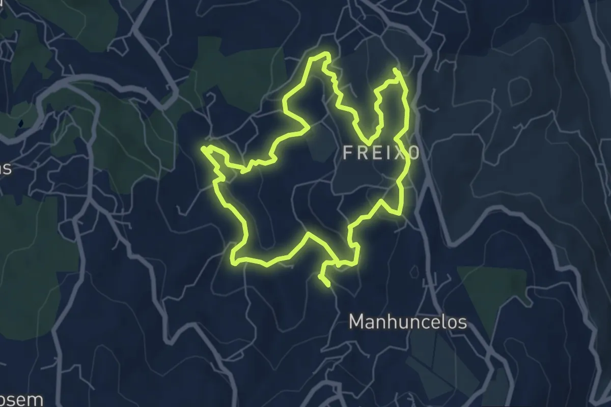
Easy · Trail
PR6 Caminhos de Tongobriga
6.9 km · ↑ 197 m · 2 h 9 min
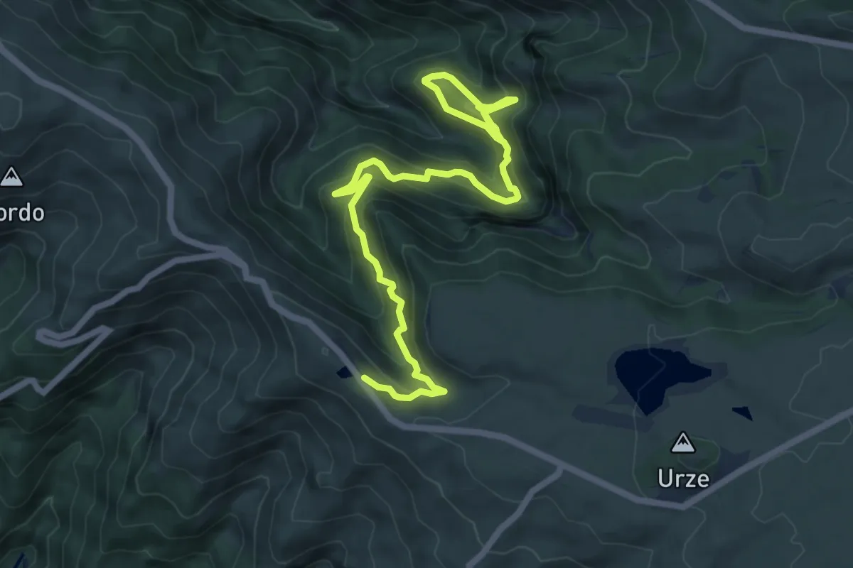
Medium · Trail
PR 6 - Levada das 25 Fontes
9.4 km · ↑ 660 m · 3 h 39 min
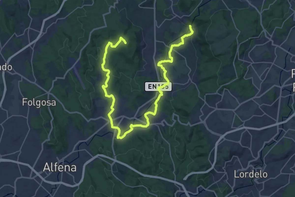
Demanding · Summit
PR 6 STS - Vale do Leça - Linear
34.7 km · ↑ 505 m · 9 h 17 min
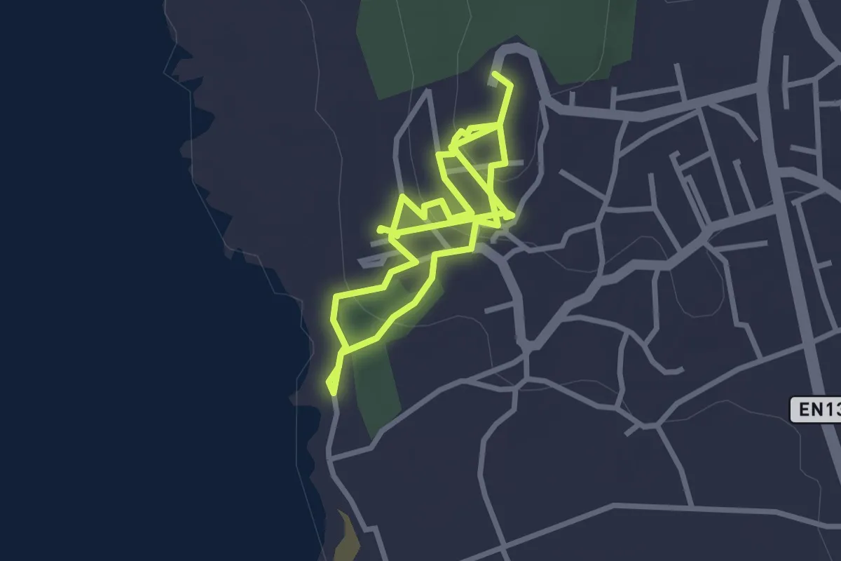
Easy · Trail
PR6 - Trilho dos Moinhos de Vento de Montedor
2.4 km · ↑ 63 m · 46 min
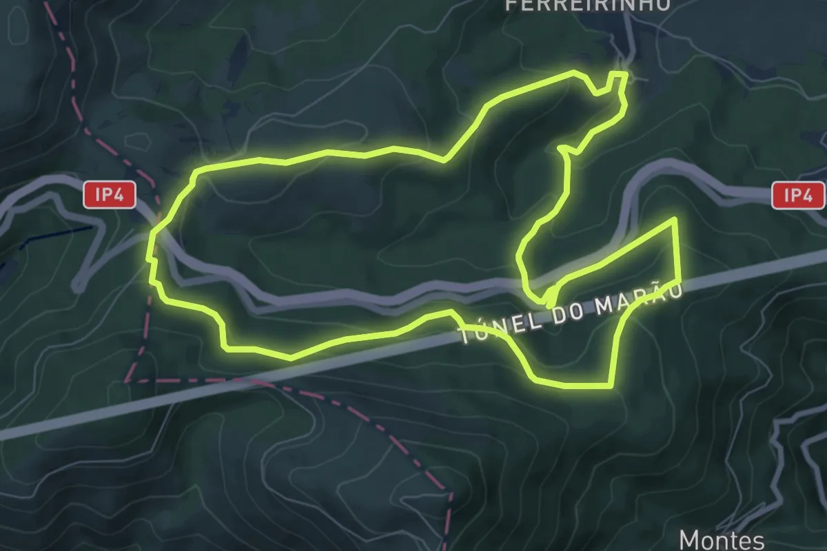
Medium · Trail
PR6VRL - Percurso Pedestre das Florestas do Marão
9.4 km · ↑ 406 m · 3 h 15 min
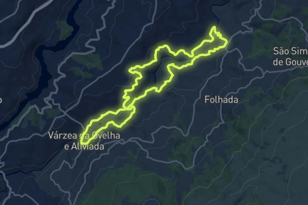
Medium · Trail
PR7 - Aldeias e Margens do rio Ovelha
12.7 km · ↑ 449 m · 4 h 9 min
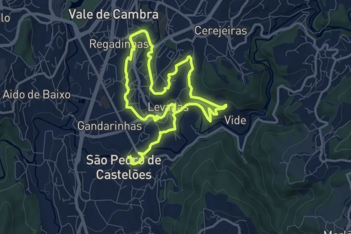
Medium · Trail
PR7 - Canais de Rega de Burgães
14.8 km · ↑ 346 m · 4 h 14 min
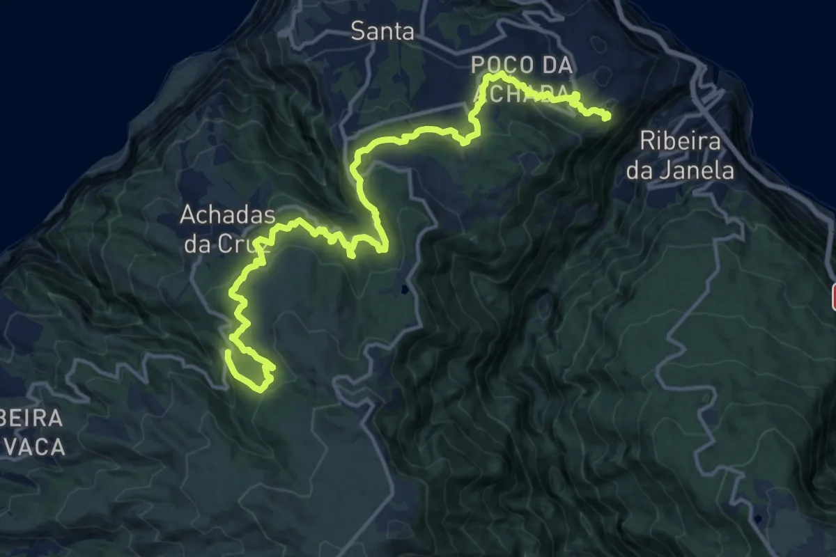
Demanding · Trail
PR 7 - Levada do Moinho
20.8 km · ↑ 1055 m · 7 h 12 min
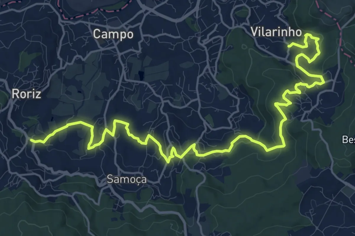
Demanding · Trail
PR 7 STS - Entre Mosteiros
21.2 km · ↑ 715 m · 6 h 34 min
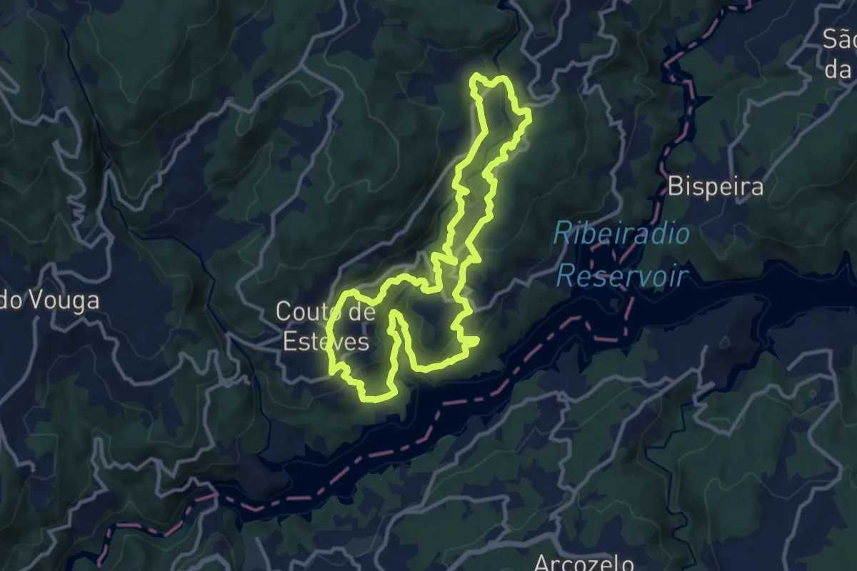
Medium · Trail
PR7 Trilho da Agualva
12.1 km · ↑ 455 m · 4 h 1 min
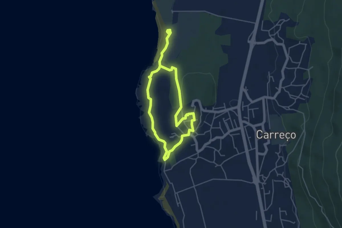
Easy · Trail
PR7 - Trilho do Forte do Paçô
7.2 km · ↑ 157 m · 2 h 3 min
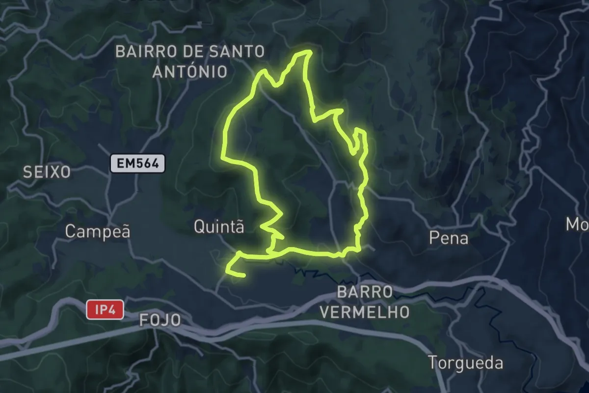
Medium · Trail
PR7VRL - Percurso Pedestre do Carvalhal de Gontães
12.3 km · ↑ 461 m · 4 h 4 min
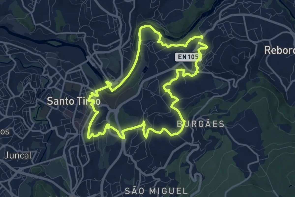
Medium · Trail
PR 8 STS - Quintas e Parques
10.7 km · ↑ 302 m · 3 h 19 min
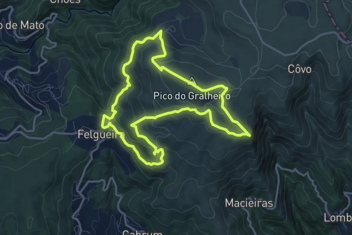
Medium · Summit
PR8 - Varandas da Freita
9.7 km · ↑ 459 m · 3 h 25 min
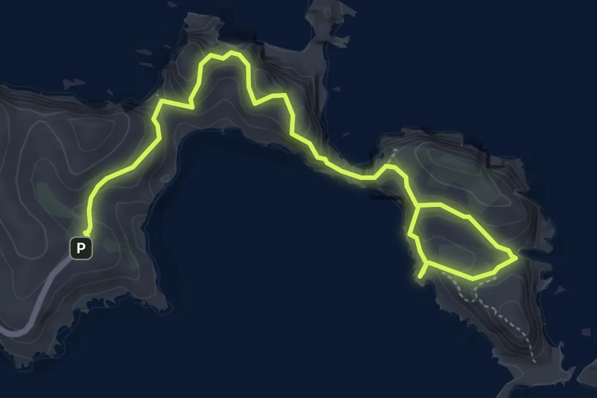
Medium · Trail
PR 8 - Vereda da Ponta de São Lourenço
7.6 km · ↑ 525 m · 2 h 56 min
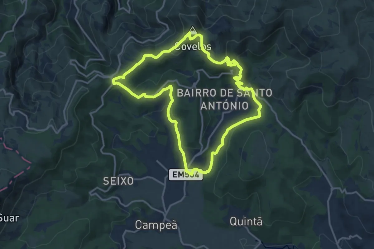
Medium · Summit
PR8VRL - Percurso Pedestre do Mineiro
11.2 km · ↑ 397 m · 3 h 39 min
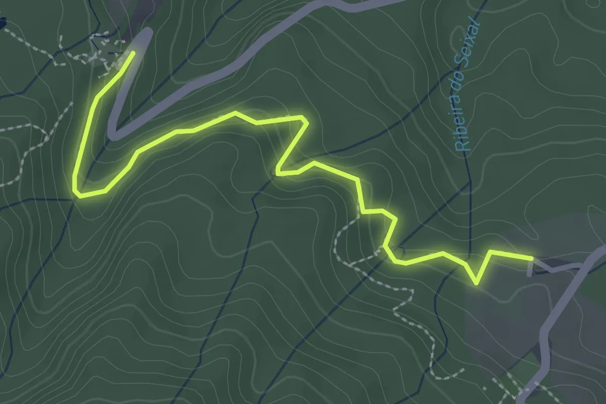
Easy · Trail
PR 9.1 Levada do Caldeirão Verde - Um Caminho para todos
3.6 km · ↑ 172 m · 1 h 14 min
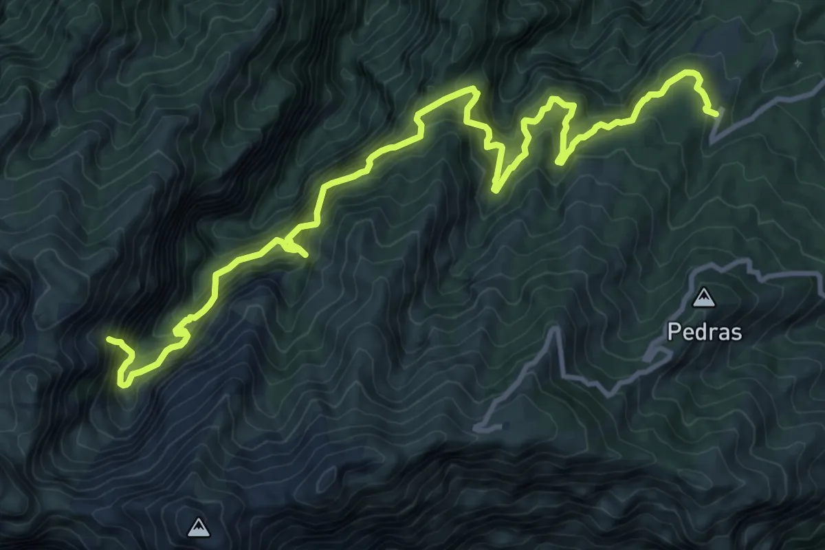
Demanding · Trail
PR 9 - Levada do Caldeirão Verde
8.3 km · ↑ 1305 m · 5 h 3 min
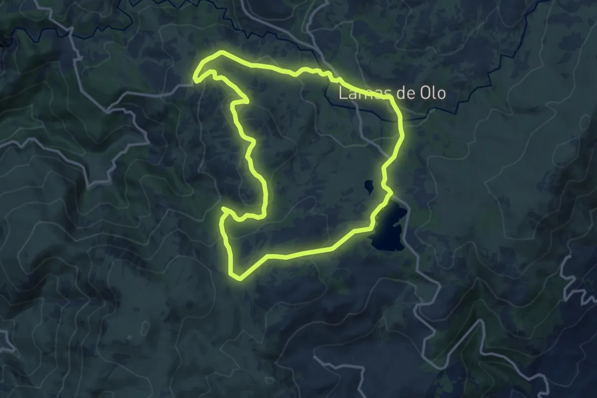
Medium · Trail
PR9VRLMDB - Percurso Pedestre do Alvão Barragens - Barreiro - Lamas de Olo
13.1 km · ↑ 358 m · 4 h 3 min
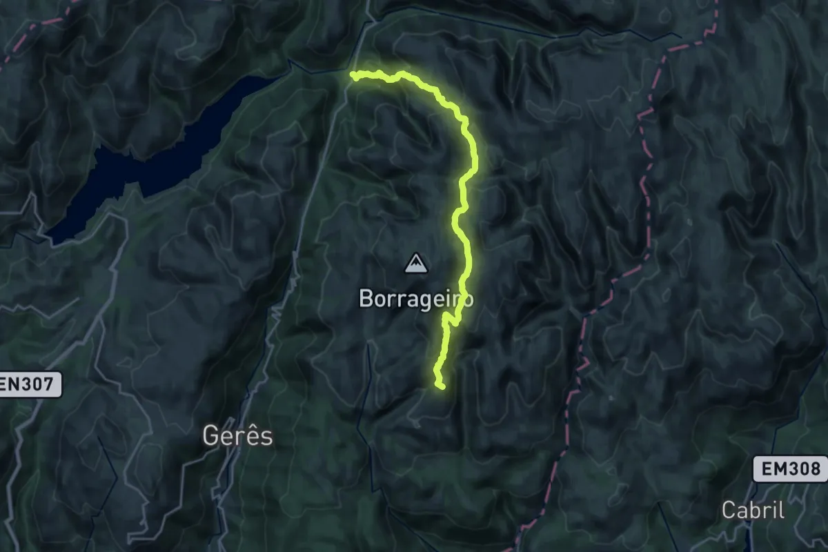
Demanding · Summit
Prados Caveiros - Ponte do Arado
19.8 km · ↑ 1133 m · 7 h 7 min
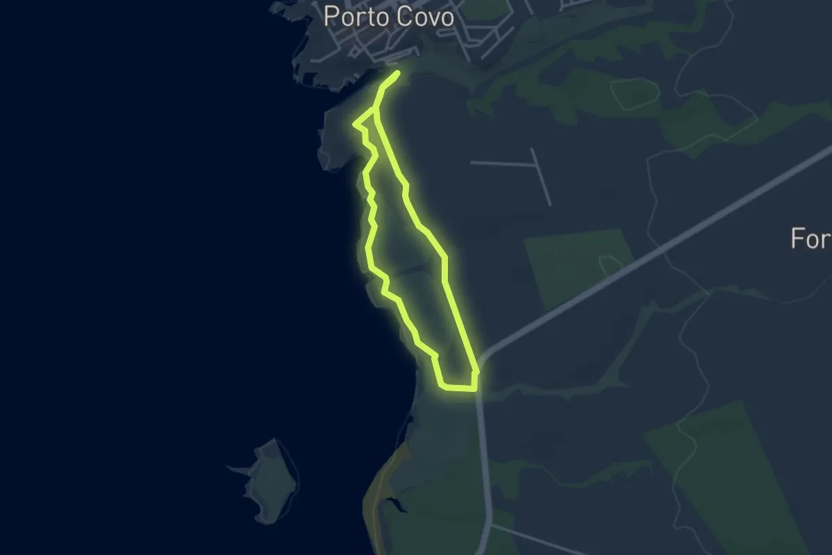
Demanding · Trail
Praia do Sissal
3.3 km · ↑ 28 m · 53 min
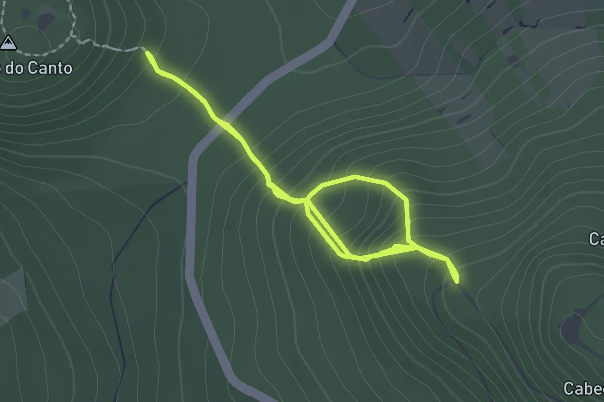
Medium · Trail
PRC01FAI Cabeço do Canto
2.1 km · ↑ 131 m · 52 min
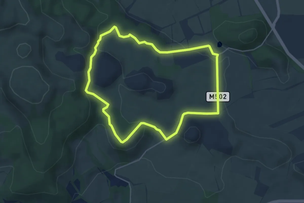
Demanding · Trail
PRC01TER Mistérios Negros
4.8 km · ↑ 138 m · 1 h 30 min
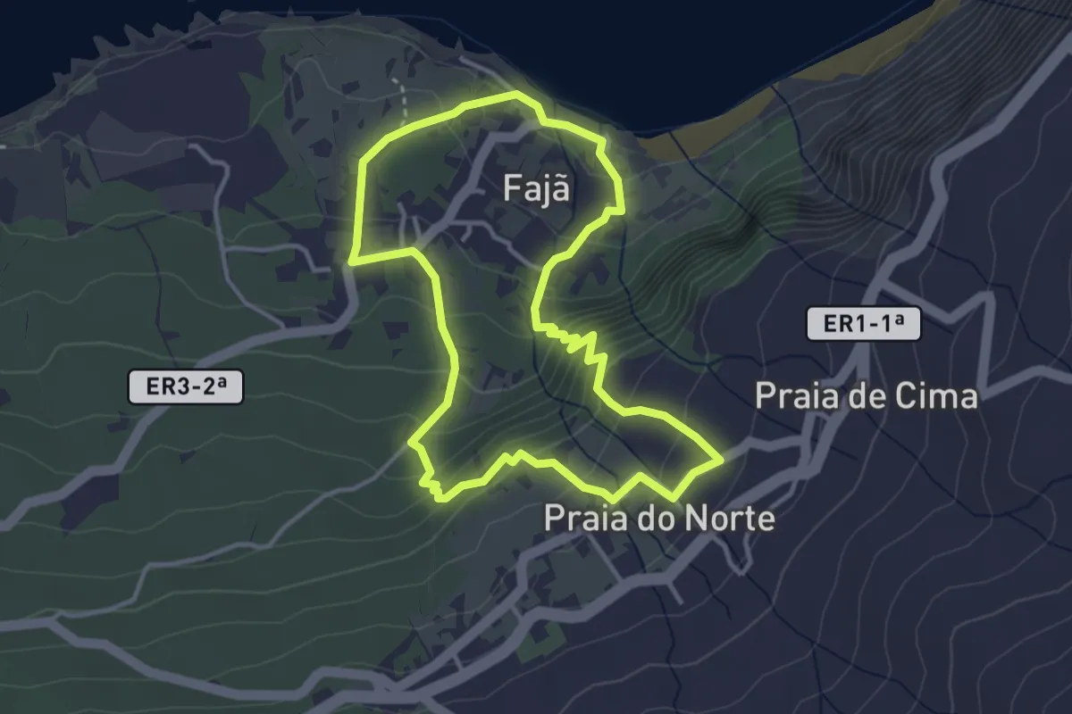
Medium · Trail
PRC02FAI Rocha da Fajã
3.9 km · ↑ 240 m · 1 h 30 min
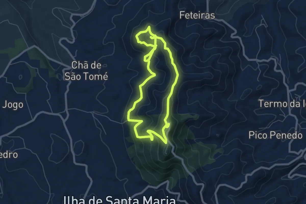
Medium · Summit
PRC02SMA Pico Alto
6.7 km · ↑ 441 m · 2 h 35 min
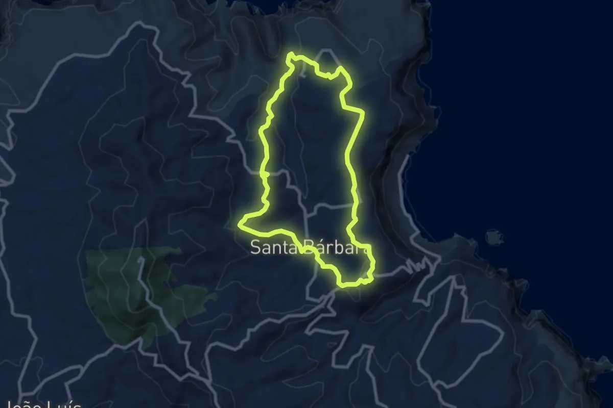
Medium · Summit
PRC03SMA Entre a Serra e o Mar
8.6 km · ↑ 287 m · 2 h 46 min
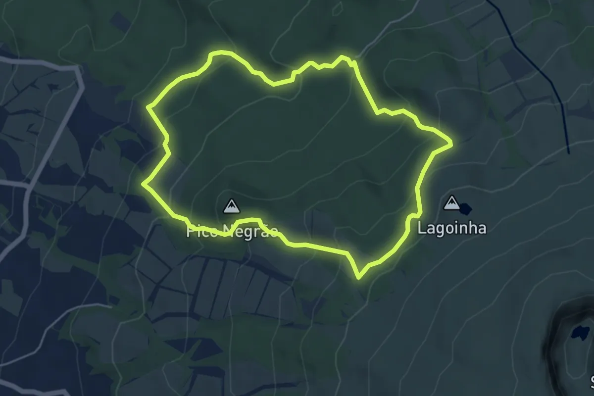
Medium · Summit
PRC03TER Serreta
5.2 km · ↑ 336 m · 2 h 1 min
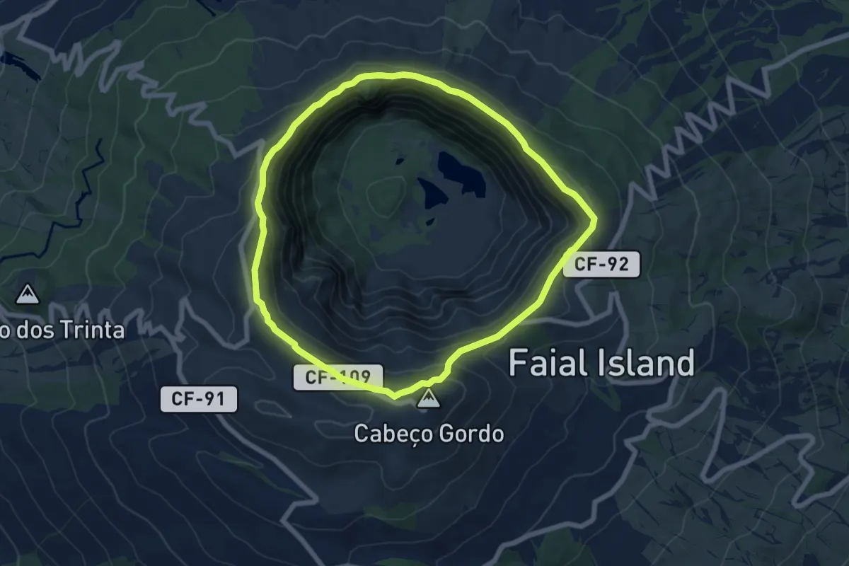
Easy · Summit
PRC04FAI Caldeira
6.6 km · ↑ 230 m · 2 h 9 min
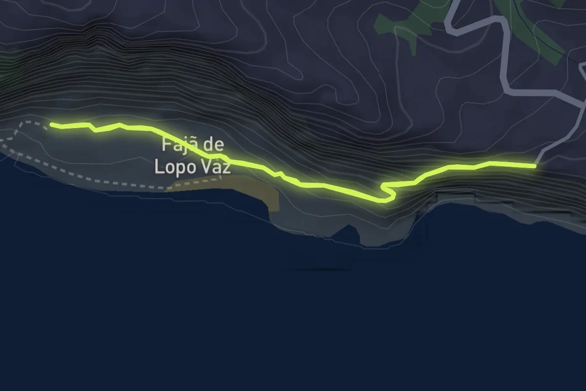
Easy · Trail
PRC04FLO Fajã de Lopo Vaz
3.3 km · ↑ 217 m · 1 h 18 min
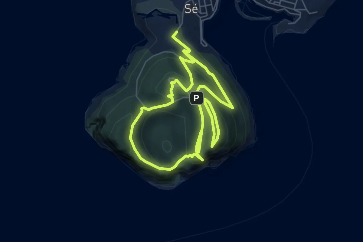
Medium · Trail
PRC04TER Monte Brasil
5.9 km · ↑ 351 m · 2 h 14 min
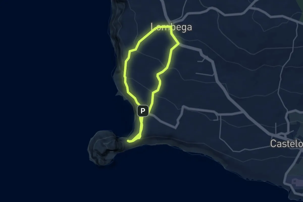
Easy · Trail
PRC05FAI Rumo ao Morro de Castelo Branco
4.2 km · ↑ 264 m · 1 h 38 min
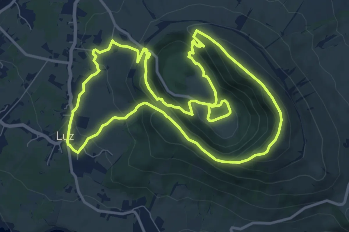
Medium · Trail
PRC05GRA Subida ao Cume
9.6 km · ↑ 487 m · 3 h 27 min
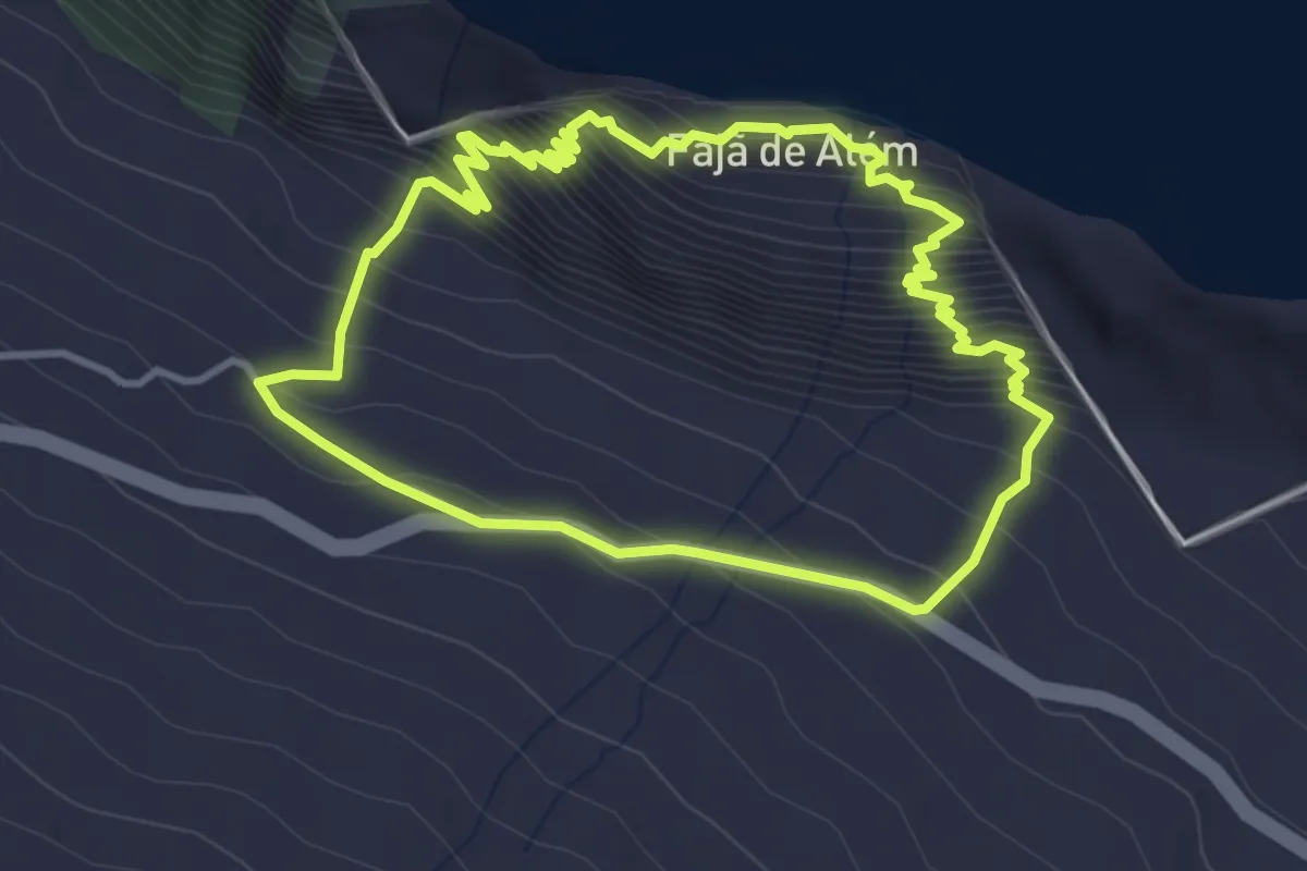
Demanding · Trail
PRC05SJO Fajã de Além
4.1 km · ↑ 459 m · 2 h 2 min
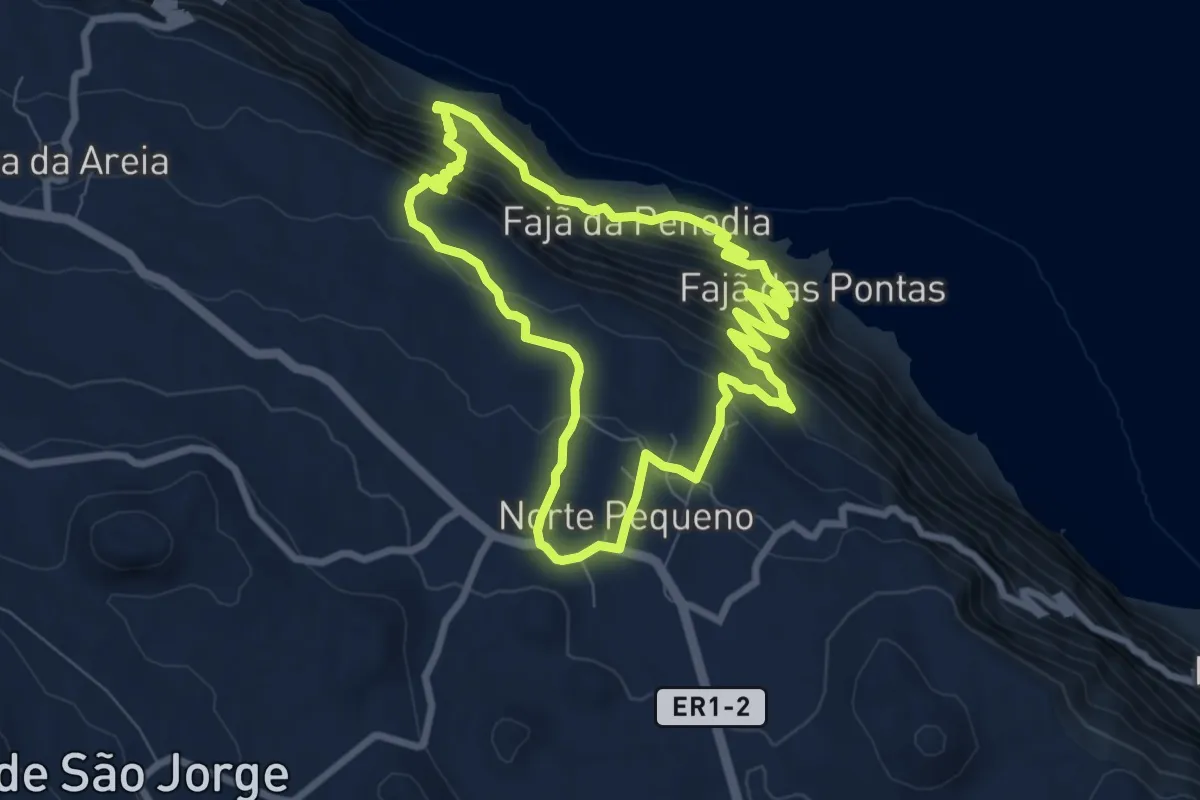
Medium · Trail
PRC06SJO Norte Pequeno
8.5 km · ↑ 611 m · 3 h 28 min
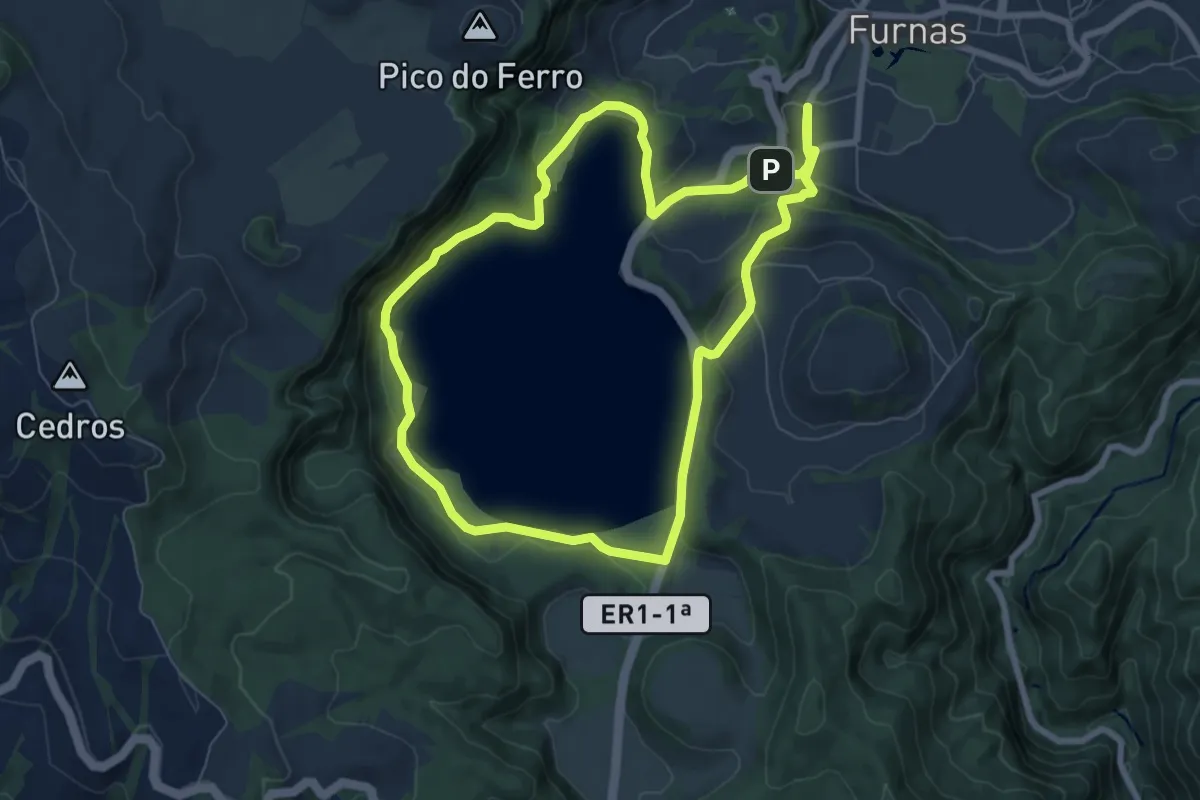
Medium · Trail
PRC06SMI Lagoa das Furnas
8.3 km · ↑ 253 m · 2 h 37 min
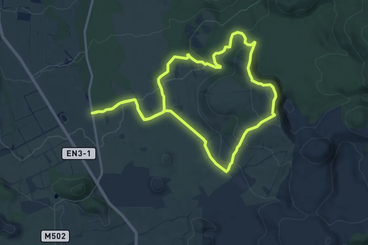
Medium · Trail
PRC06TER Rocha do Chambre
8.8 km · ↑ 307 m · 2 h 51 min
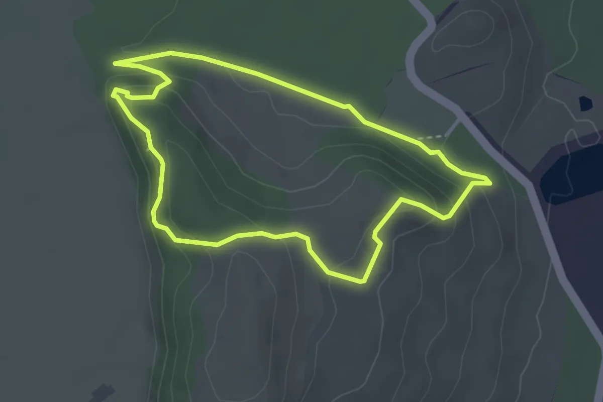
Easy · Trail
PRC07TER Passagem das Bestas
3.5 km · ↑ 145 m · 1 h 11 min
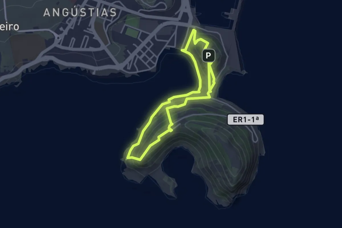
Medium · Summit
PRC08FAI Entre Montes
3.5 km · ↑ 131 m · 1 h 11 min
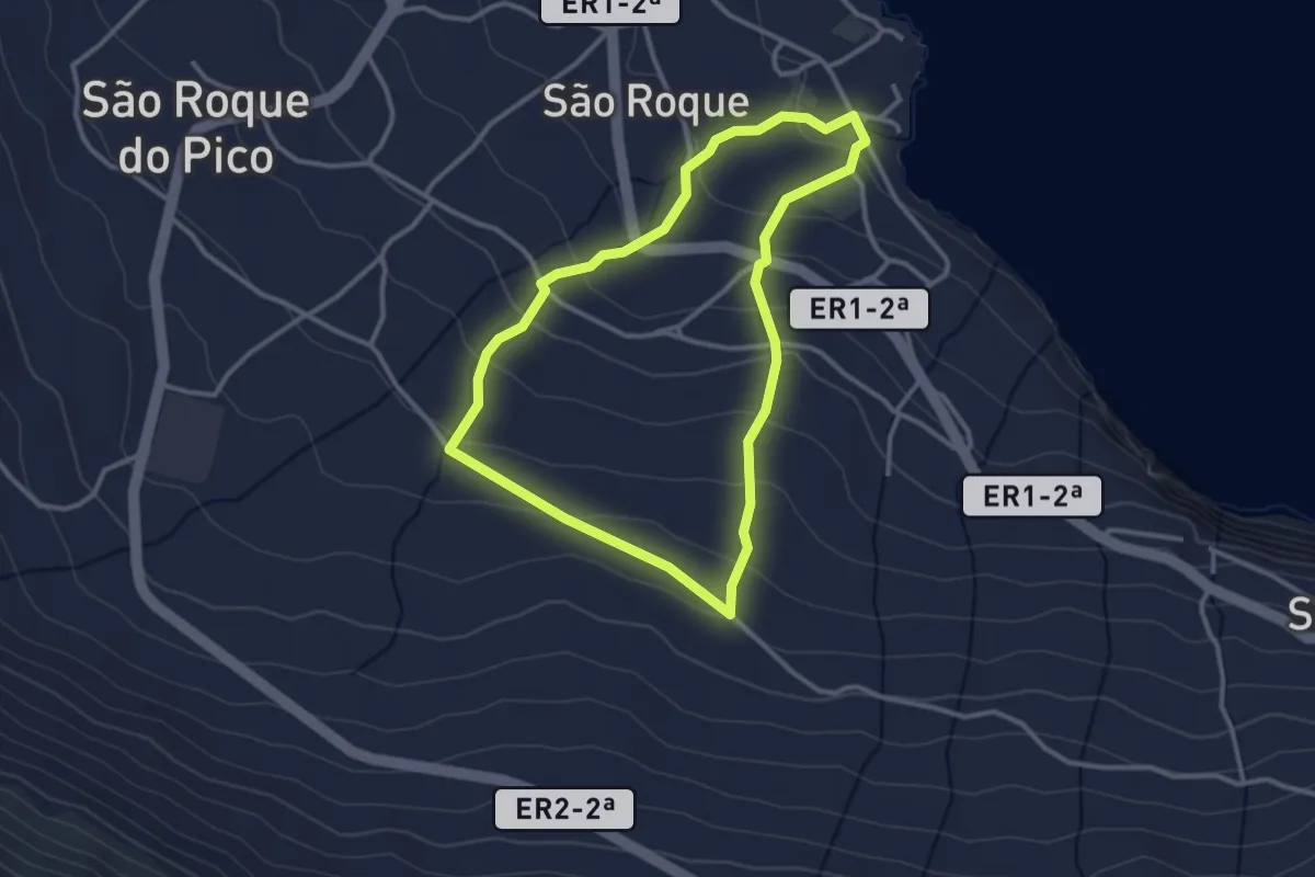
Easy · Trail
PRC08PIC Ladeira dos Moinhos
3.3 km · ↑ 157 m · 1 h 10 min
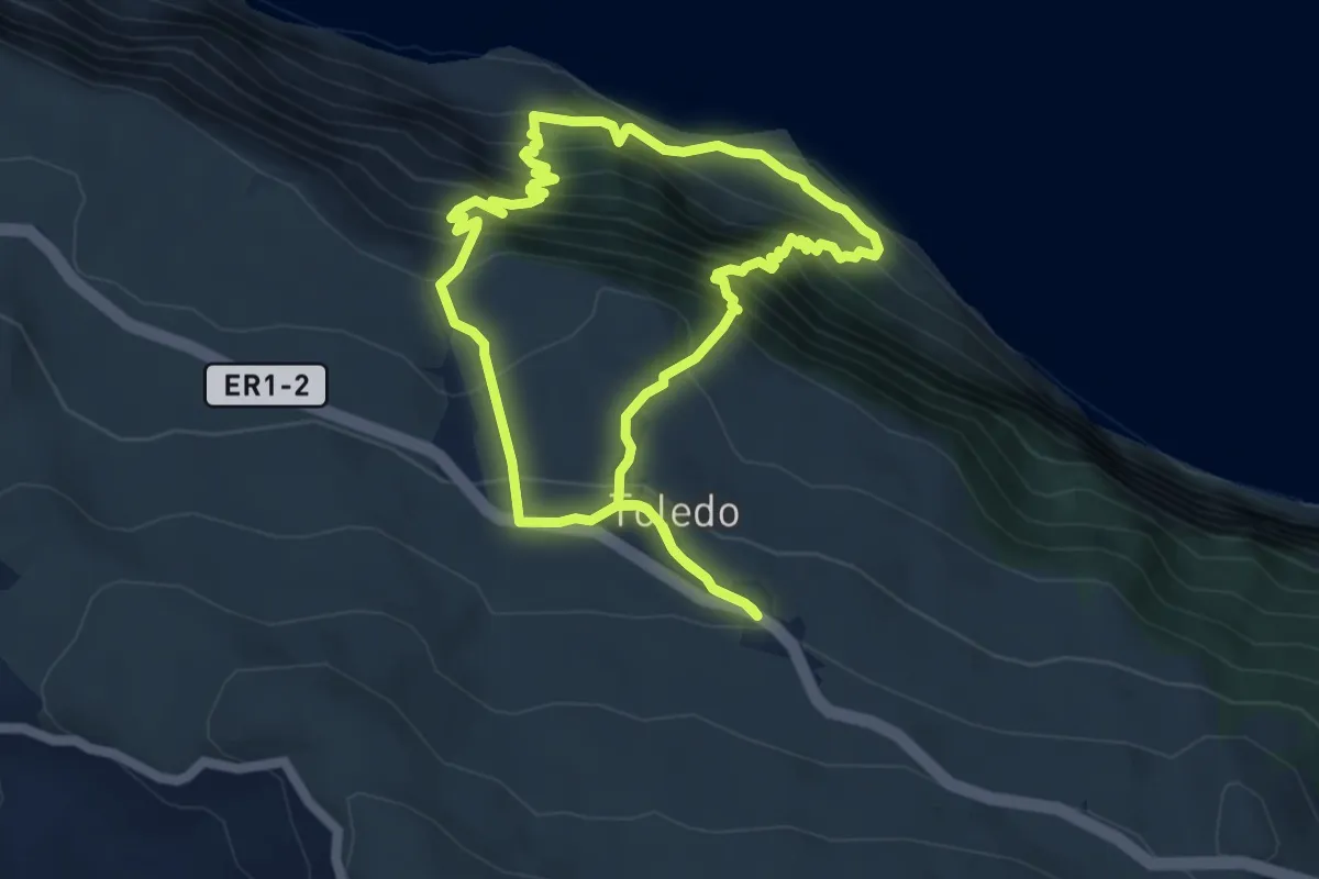
Medium · Trail
PRC08SJO Fajãs do Toledo
5.7 km · ↑ 600 m · 2 h 44 min