Trails in Portugal
1,161 hiking trails, each with its route, climb, walking time and grade.
All trails, page 15 of 25
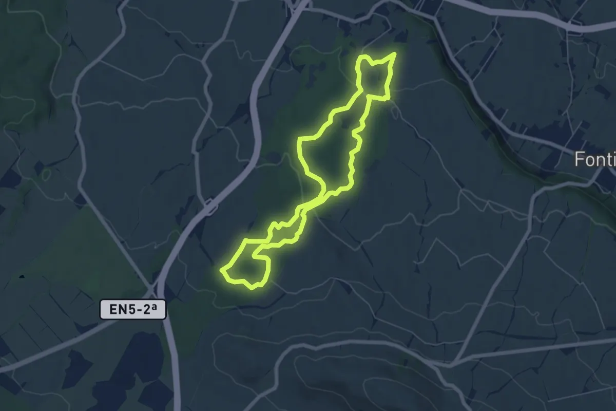
Easy · Trail
PRC08TER Relheiras de São Brás
6.7 km · ↑ 92 m · 1 h 52 min
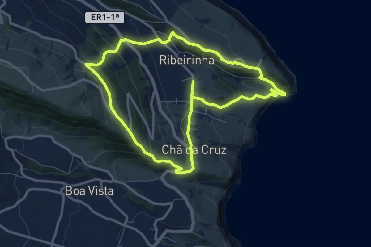
Medium · Trail
PRC09FAI Ribeirinha
7.9 km · ↑ 456 m · 2 h 58 min
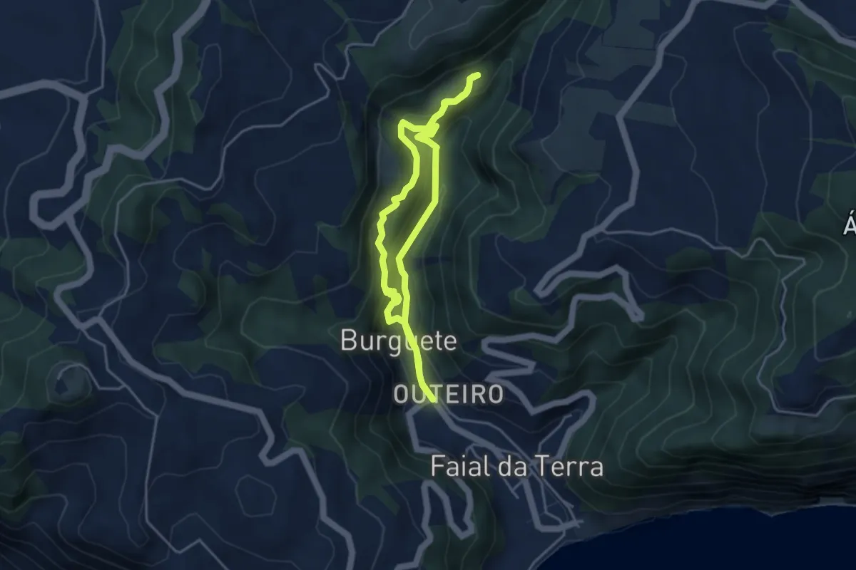
Medium · Trail
PRC09SMI Sanguinho
3.9 km · ↑ 298 m · 1 h 37 min
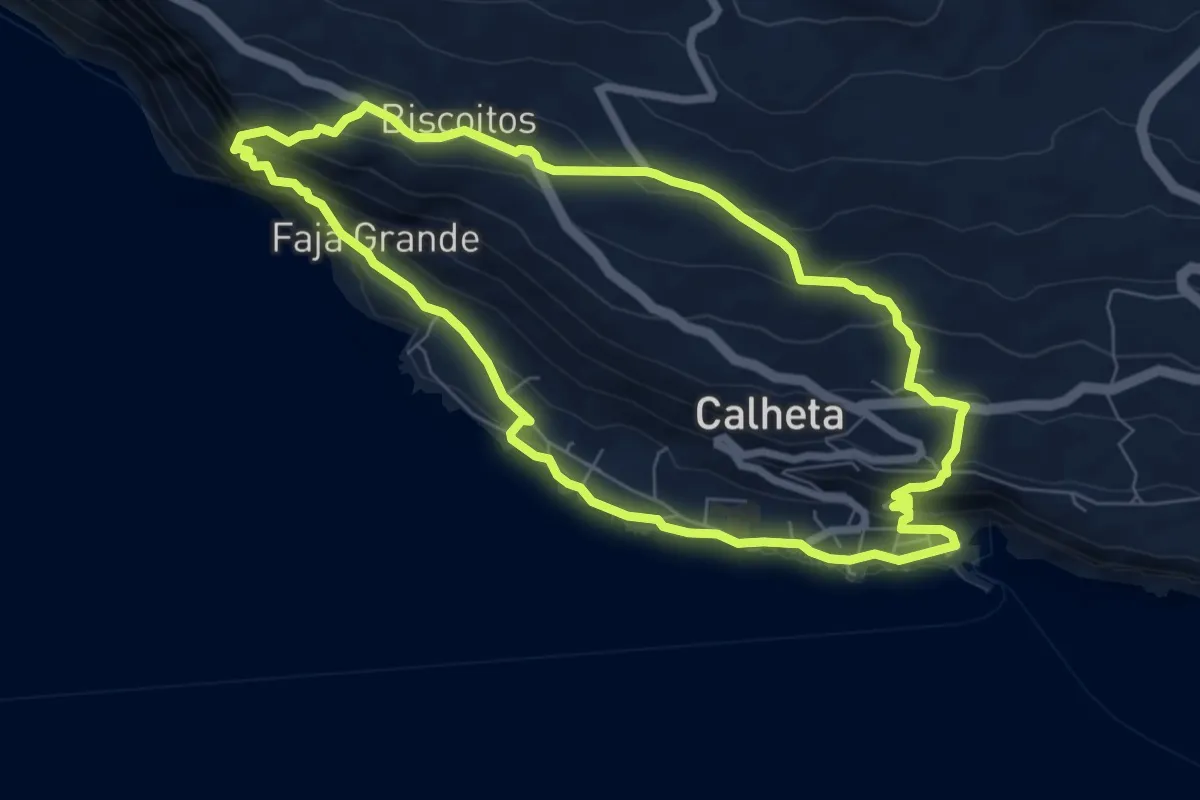
Medium · Trail
PRC10SJO Caminho das Fontes
7.9 km · ↑ 443 m · 2 h 56 min
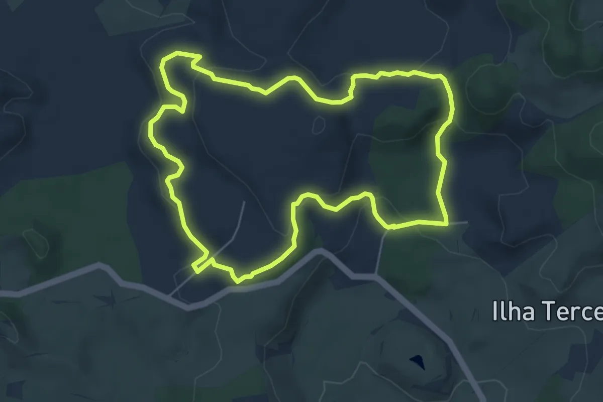
Easy · Trail
PRC10TER Algar do Carvão - Furnas do Enxofre
6.2 km · ↑ 197 m · 1 h 58 min
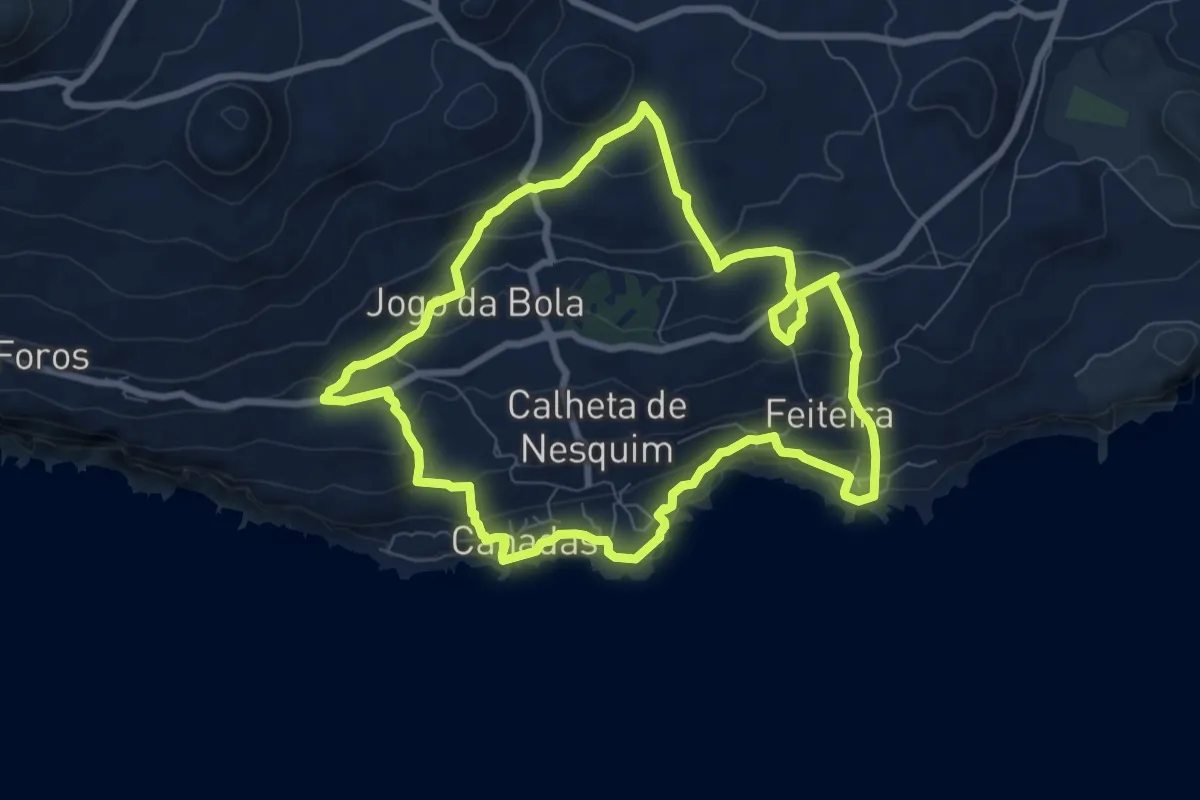
Medium · Trail
PRC11PIC Calheta do Nesquim
9.0 km · ↑ 424 m · 3 h 10 min
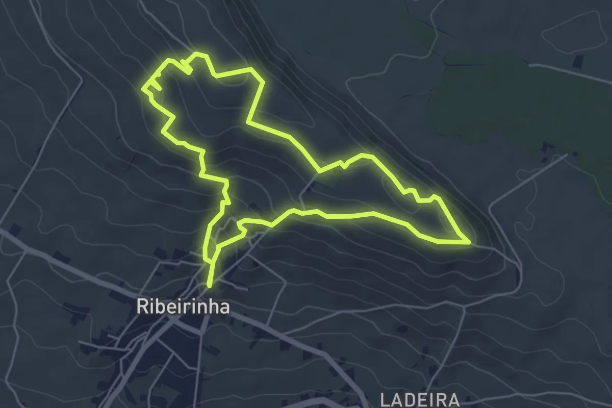
Easy · Trail
PRC11TER Pedra Furada da Serra da Ribeirinha
5.5 km · ↑ 268 m · 1 h 57 min
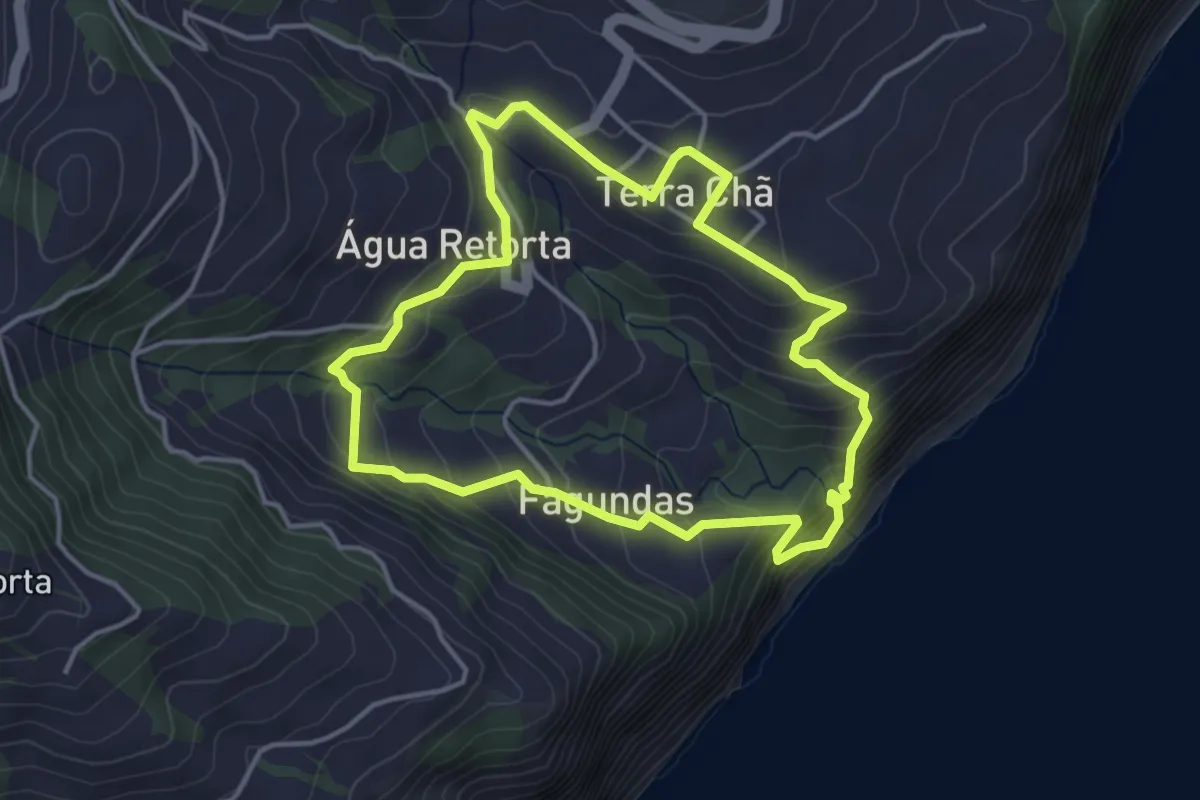
Easy · Trail
PRC13SMI Água Retorta
4.4 km · ↑ 294 m · 1 h 44 min
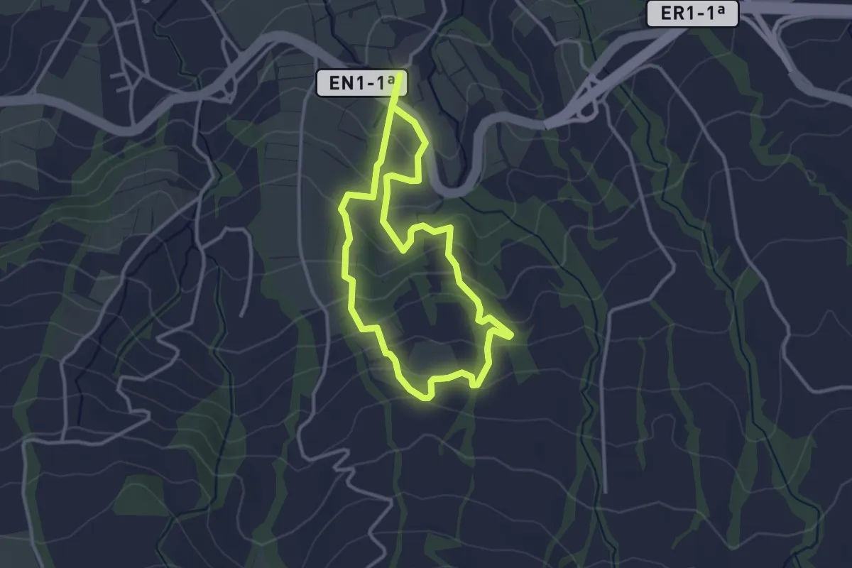
Easy · Trail
PRC28SMI Chá Gorreana
3.3 km · ↑ 184 m · 1 h 13 min
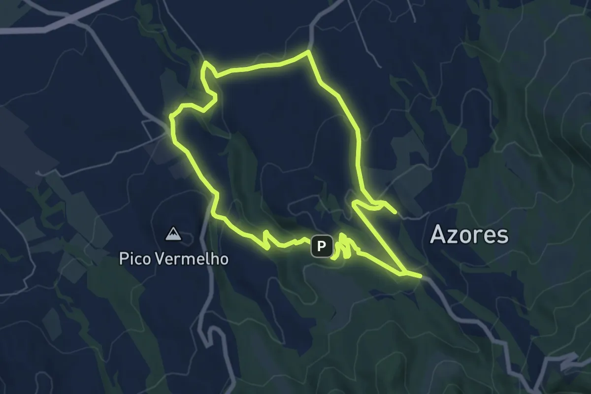
Easy · Trail
PRC29SMI Caldeiras da Ribeira Grande - Salto do Cabrito
6.8 km · ↑ 205 m · 2 h 9 min
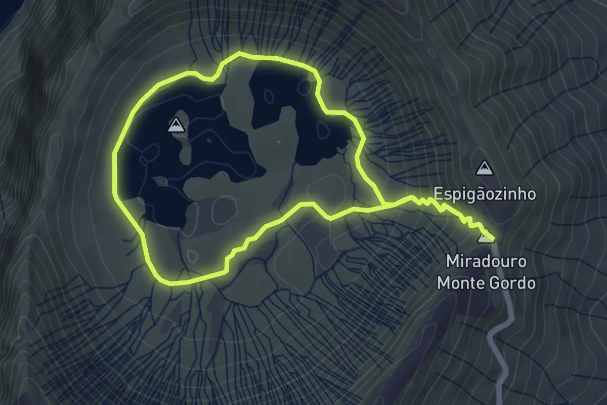
Easy · Summit
PRC2COR Caldeirão
4.5 km · ↑ 159 m · 1 h 29 min
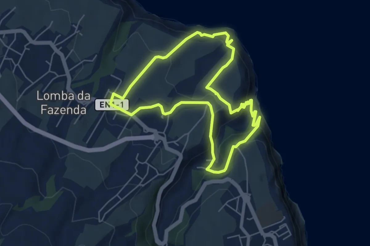
Medium · Trail
PRC31SMI Lomba da Fazenda
5.3 km · ↑ 287 m · 1 h 57 min
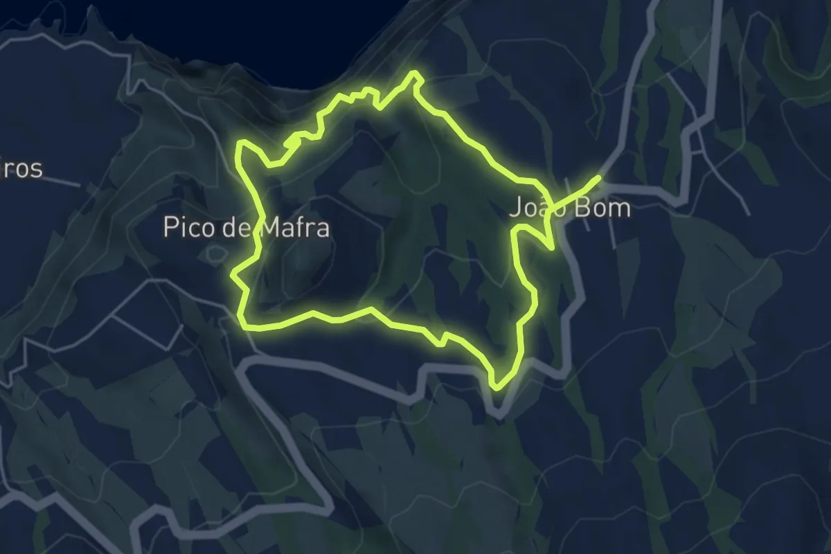
Medium · Trail
PRC33SMI Atalho dos Vermelhos
5.1 km · ↑ 513 m · 2 h 23 min
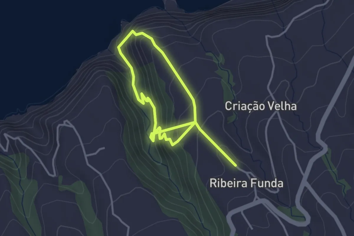
Medium · Trail
PRC35SMI Moinhos da Ribeira Funda
2.8 km · ↑ 301 m · 1 h 18 min
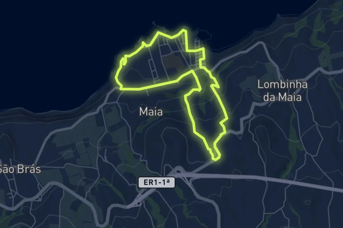
Medium · Trail
PRC36SMI Pedra Queimada - Lajinha - Degredo
5.9 km · ↑ 332 m · 2 h 12 min
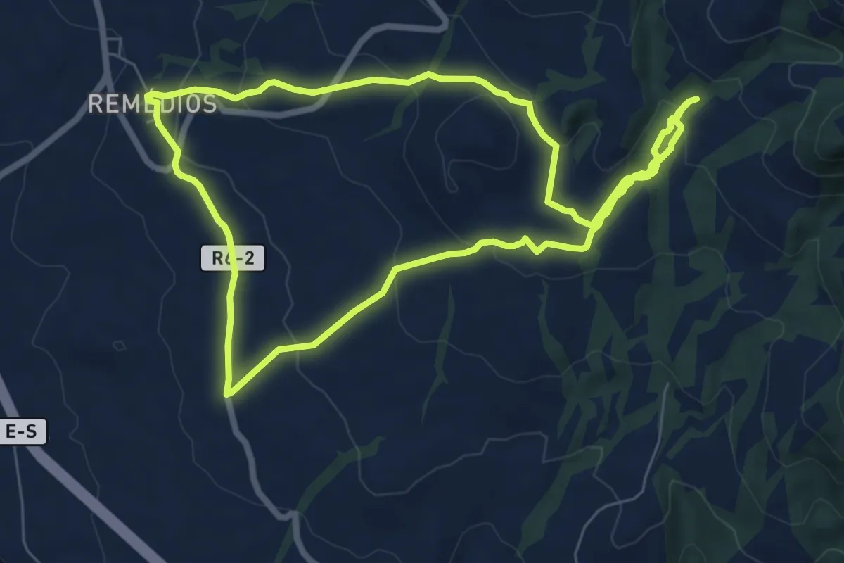
Medium · Trail
PRC37SMI Rota da Água - Janela do Inferno
7.6 km · ↑ 264 m · 2 h 28 min
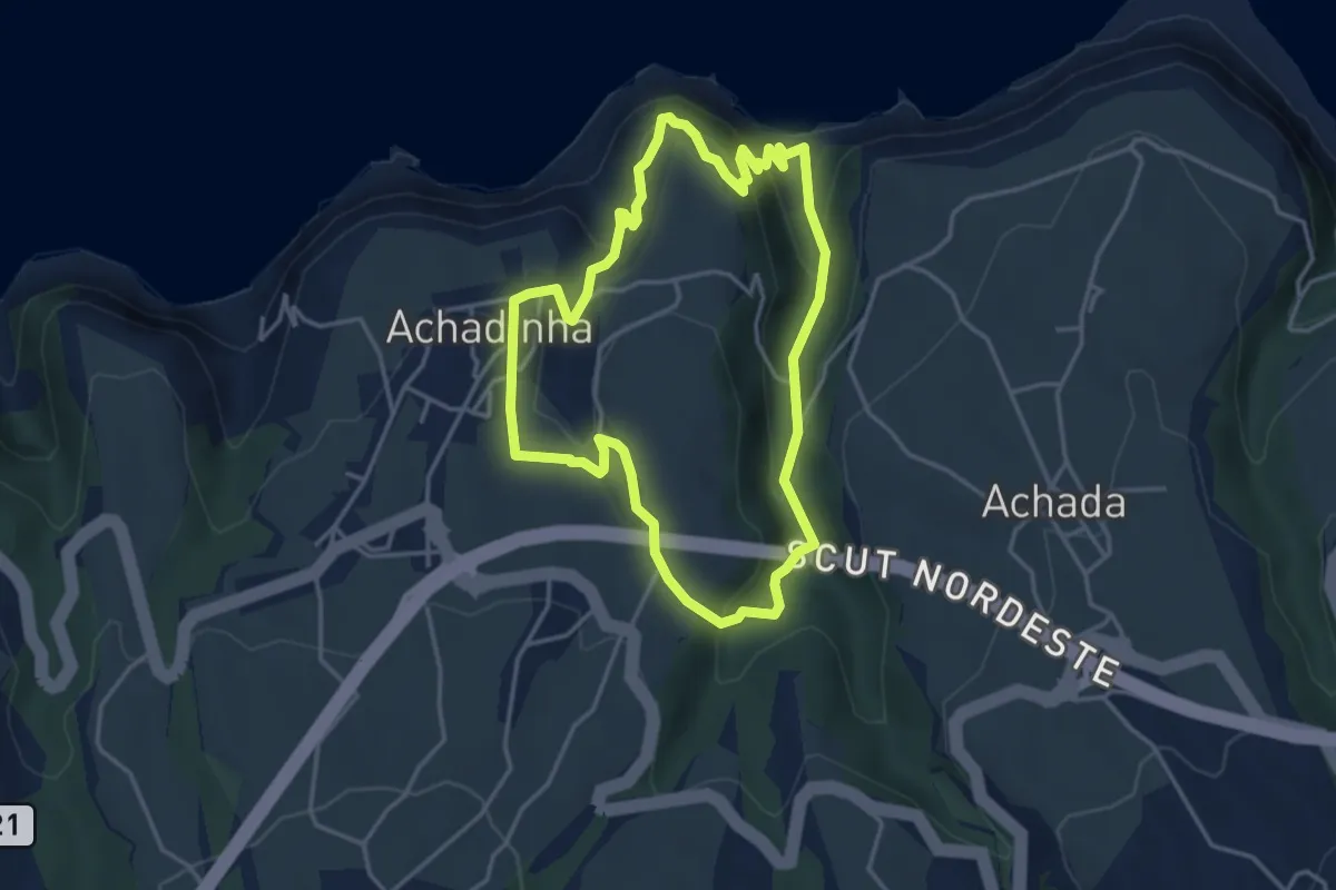
Easy · Trail
PRC38SMI Lomba d'El Rei
4.3 km · ↑ 288 m · 1 h 42 min
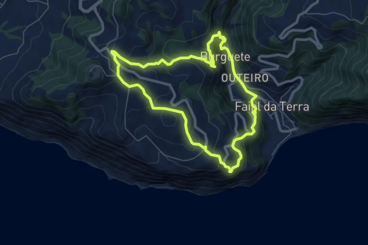
Medium · Trail
PRC40SMI Quatro Caminhos do Faial da Terra
6.3 km · ↑ 499 m · 2 h 39 min
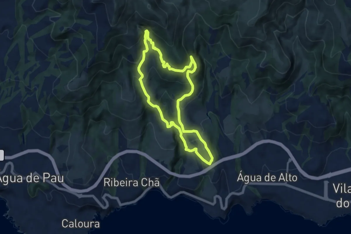
Medium · Trail
PRC44SMI Pico da Praia
8.6 km · ↑ 524 m · 3 h 17 min
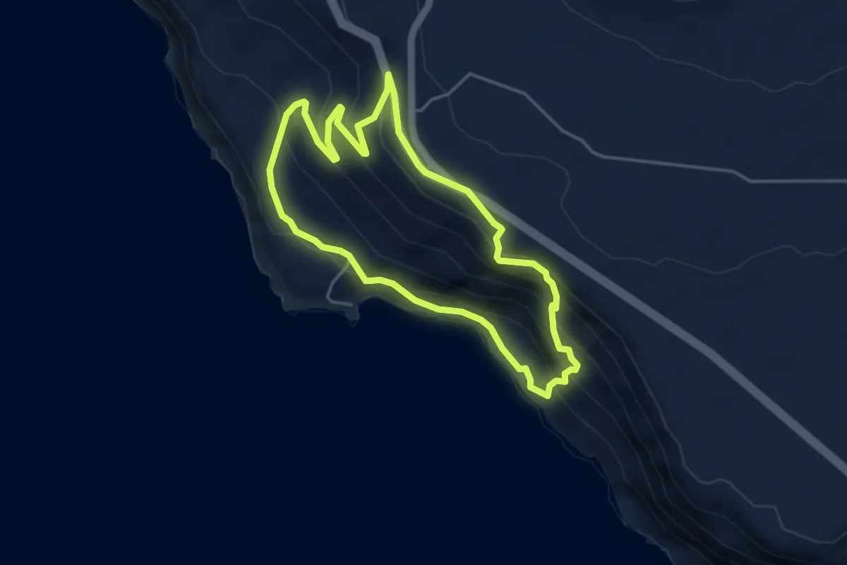
Medium · Trail
PRC46SMI Fajã do Mar
4.4 km · ↑ 331 m · 1 h 49 min
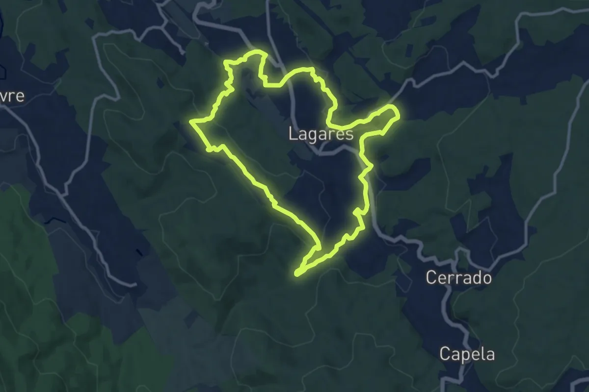
Medium · Trail
Quintandona Terra de Mil Cores, Festas e Sabores
10.8 km · ↑ 332 m · 3 h 25 min
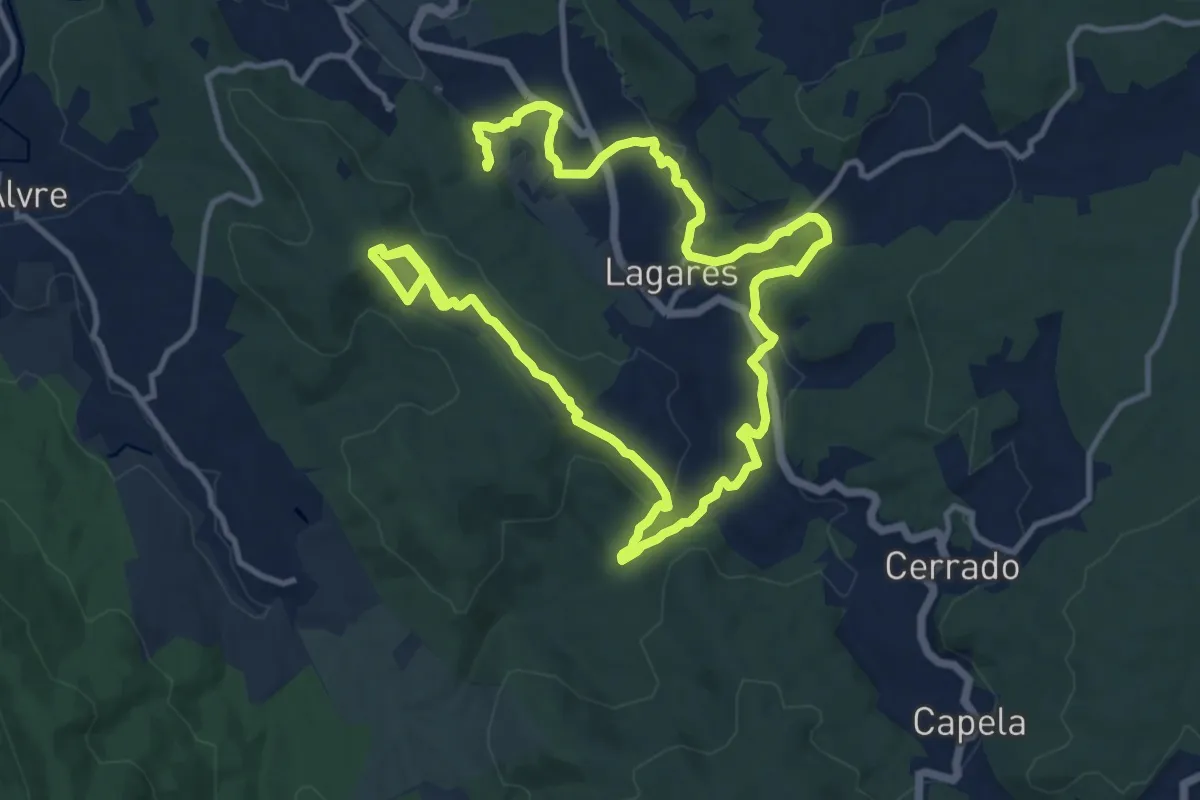
Medium · Trail
Quintandona Terra de Mil Cores, Festas e Sabores - Biodiversidade
11.4 km · ↑ 257 m · 3 h 28 min
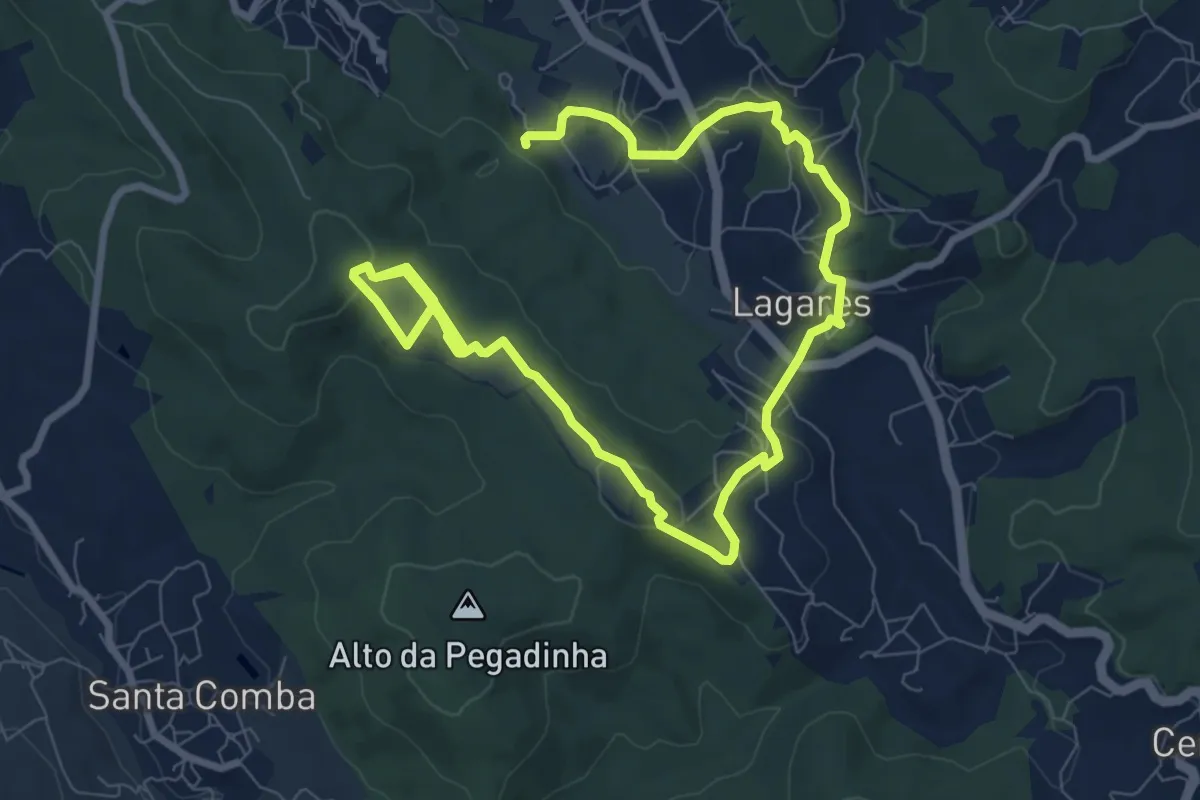
Easy · Trail
Quintandona Terra de Mil Cores, Festas e Sabores - Centro Histórico
7.2 km · ↑ 147 m · 2 h 11 min
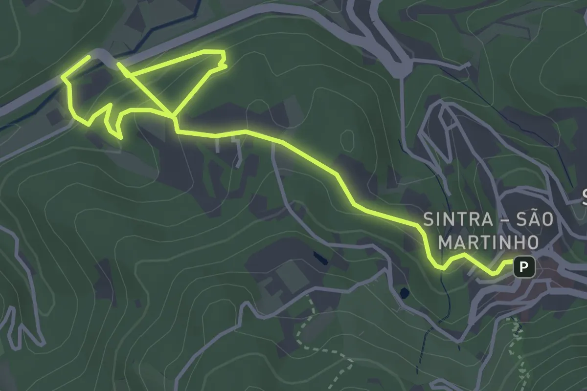
Easy · Trail
Quintas
2.9 km · ↑ 72 m · 57 min
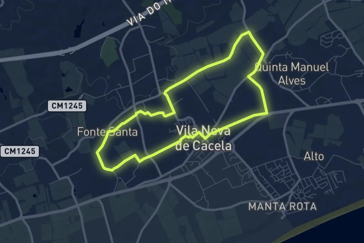
Easy · Trail
Quintas de Cacela
7.7 km · ↑ 31 m · 1 h 59 min
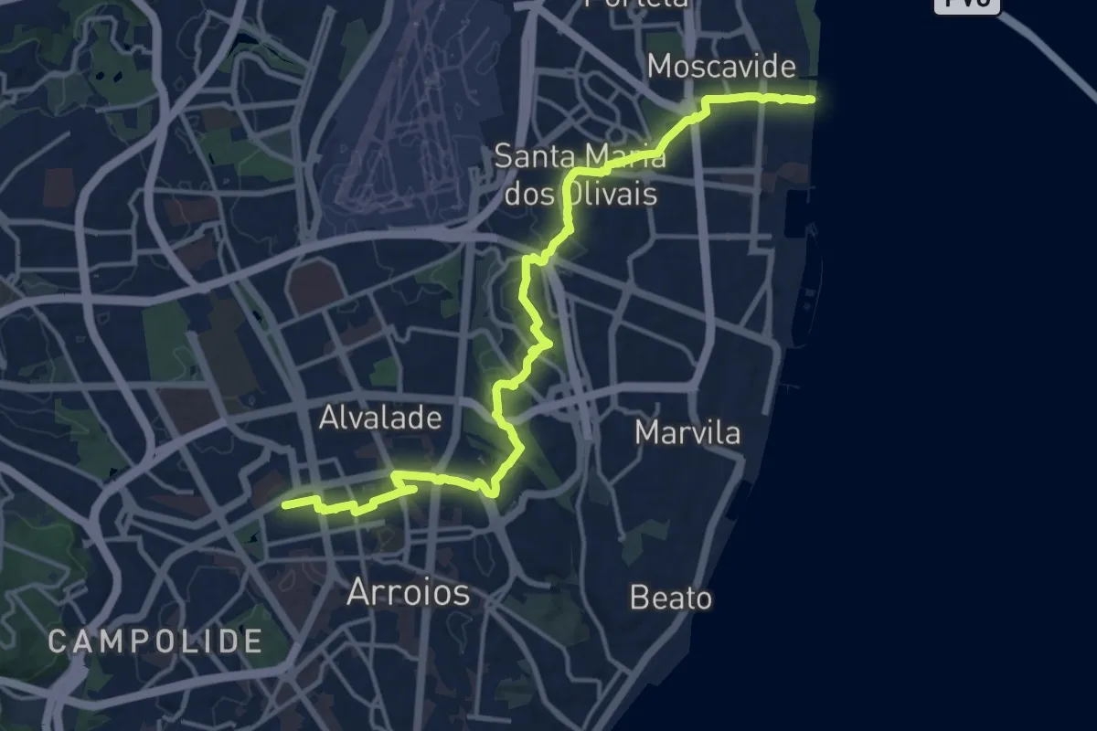
Demanding · Trail
Ramal Nossa Senhora de Fátima
19.6 km · ↑ 300 m · 5 h 17 min
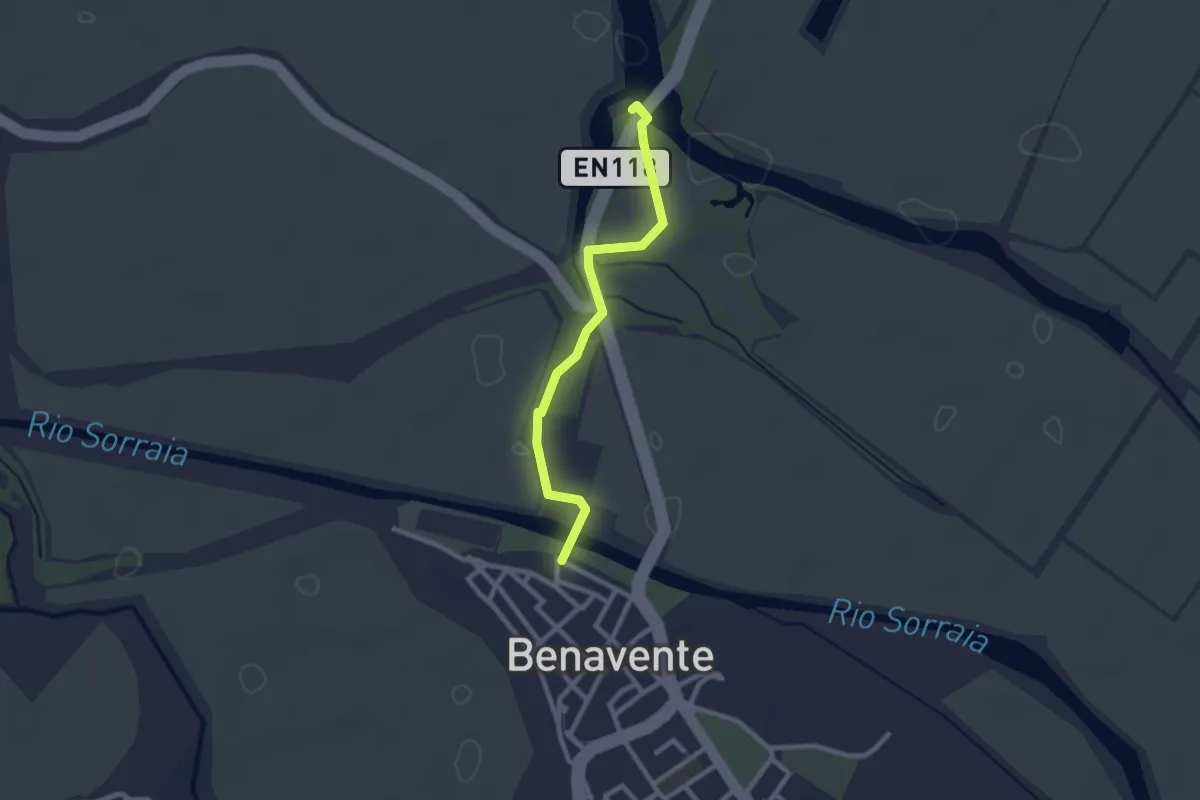
Easy · Trail
Ramal Vala Nova
1.3 km · ↑ 4 m · 20 min
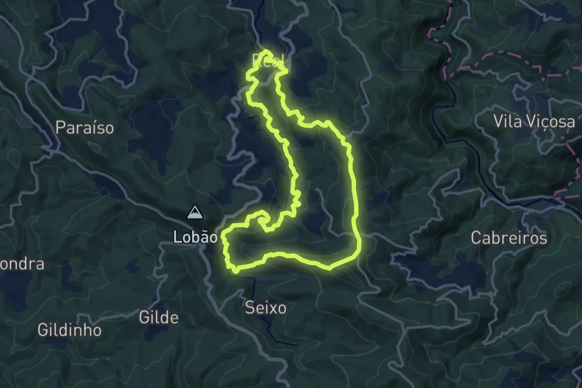
Medium · Summit
Real
14.0 km · ↑ 624 m · 4 h 51 min
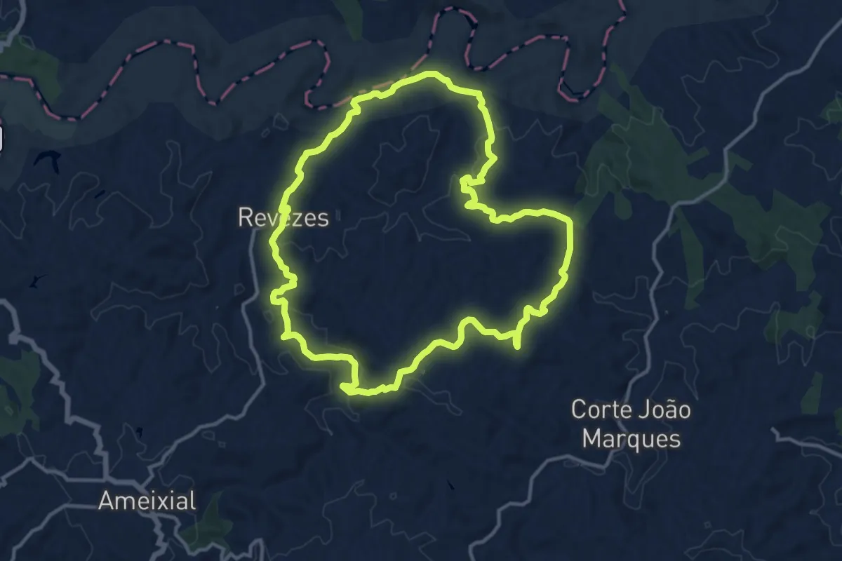
Medium · Summit
Revezes
14.5 km · ↑ 391 m · 4 h 29 min
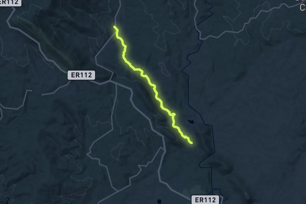
Medium · Trail
Ribeira da Magueija - Sarzedas
14.4 km · ↑ 215 m · 3 h 51 min
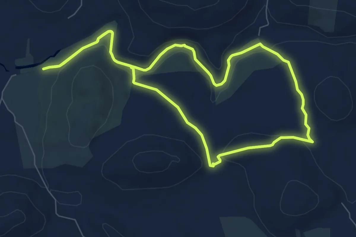
Medium · Trail
Ribeira de Algibre
8.2 km · ↑ 141 m · 2 h 21 min
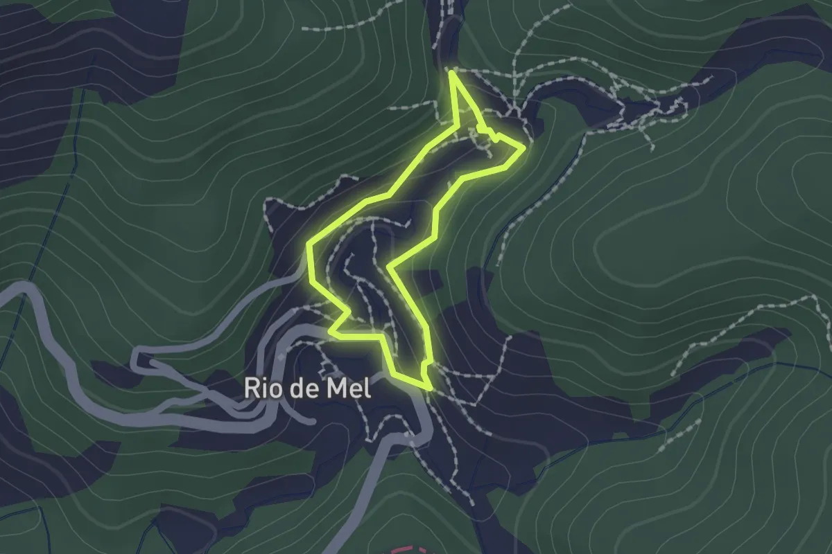
Easy · Trail
Rio de Mel lower Lavada trail
1.4 km · ↑ 64 m · 30 min
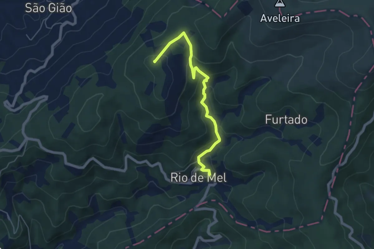
Easy · Summit
Rio de Mel to São Gião
5.2 km · ↑ 283 m · 1 h 51 min
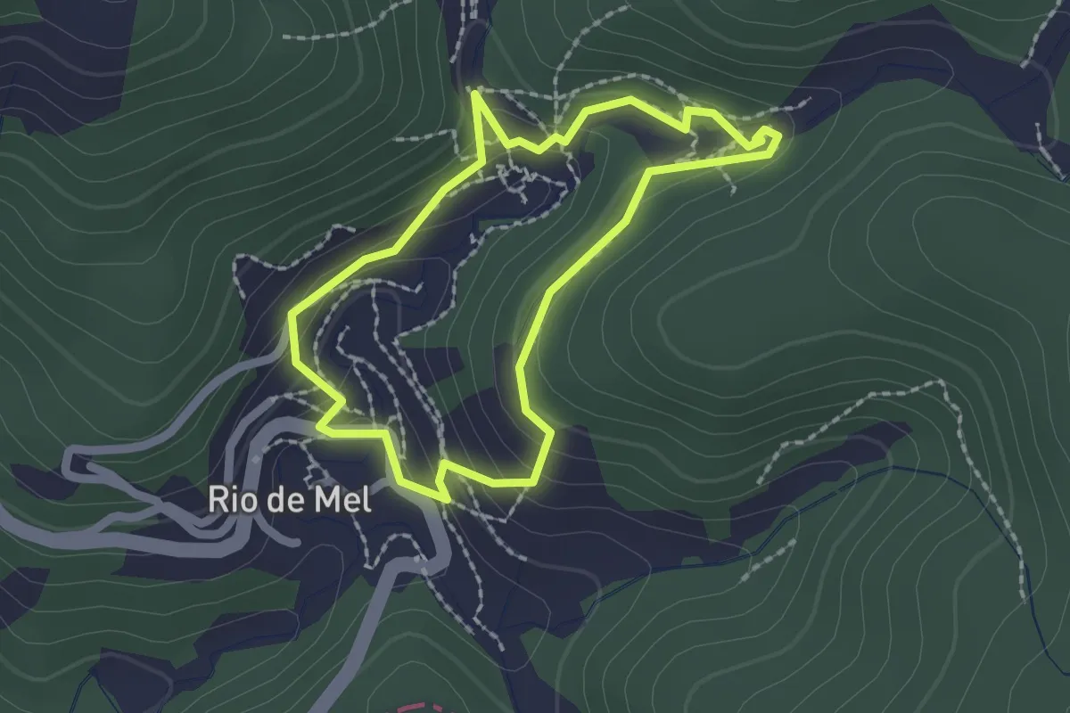
Easy · Trail
Rio de Mel upper Lavada trail
2.0 km · ↑ 101 m · 42 min
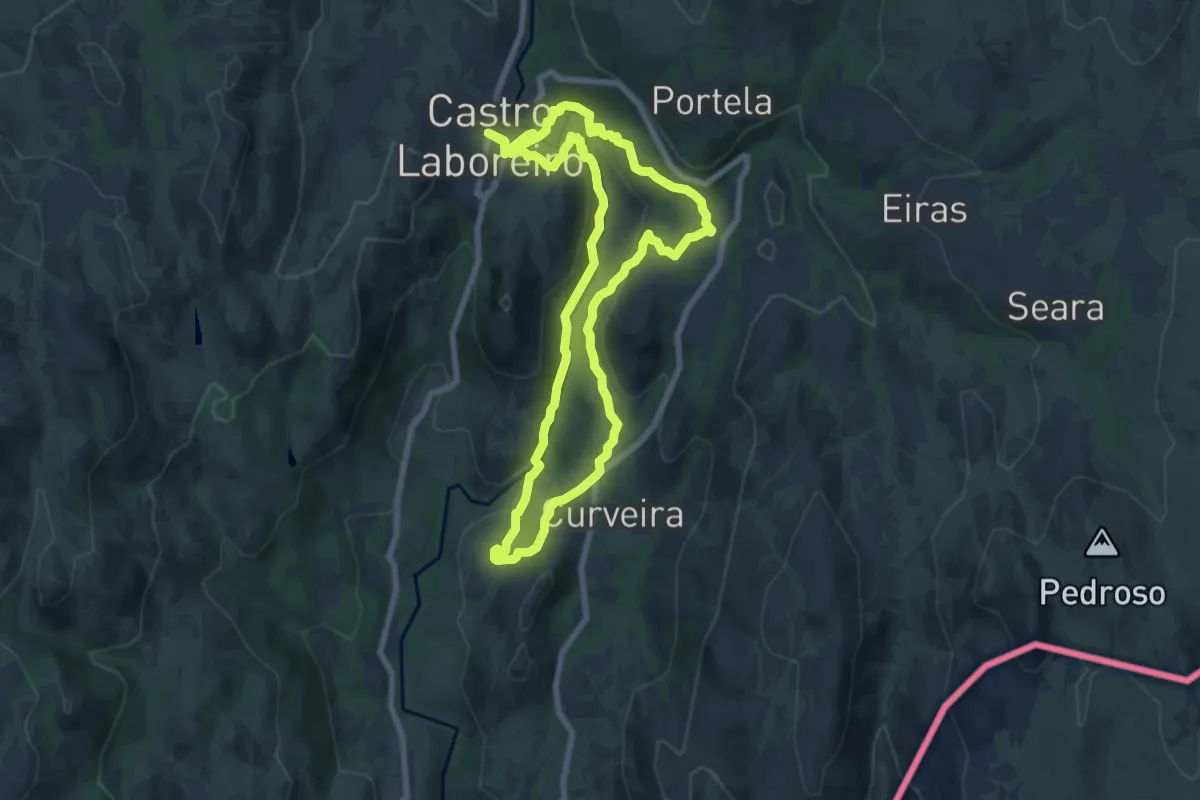
Medium · Trail
Rio Laboreiro
8.0 km · ↑ 260 m · 2 h 34 min
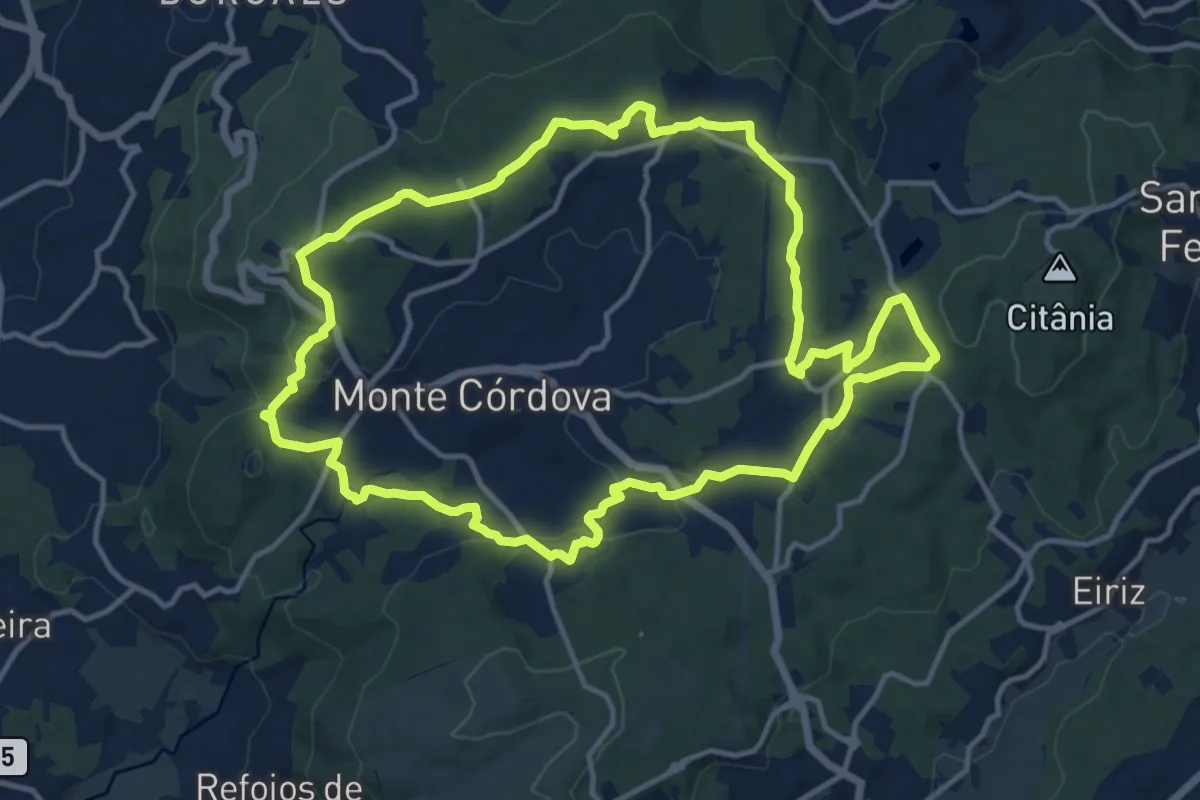
Medium · Summit
Rio Leça
14.8 km · ↑ 333 m · 4 h 25 min
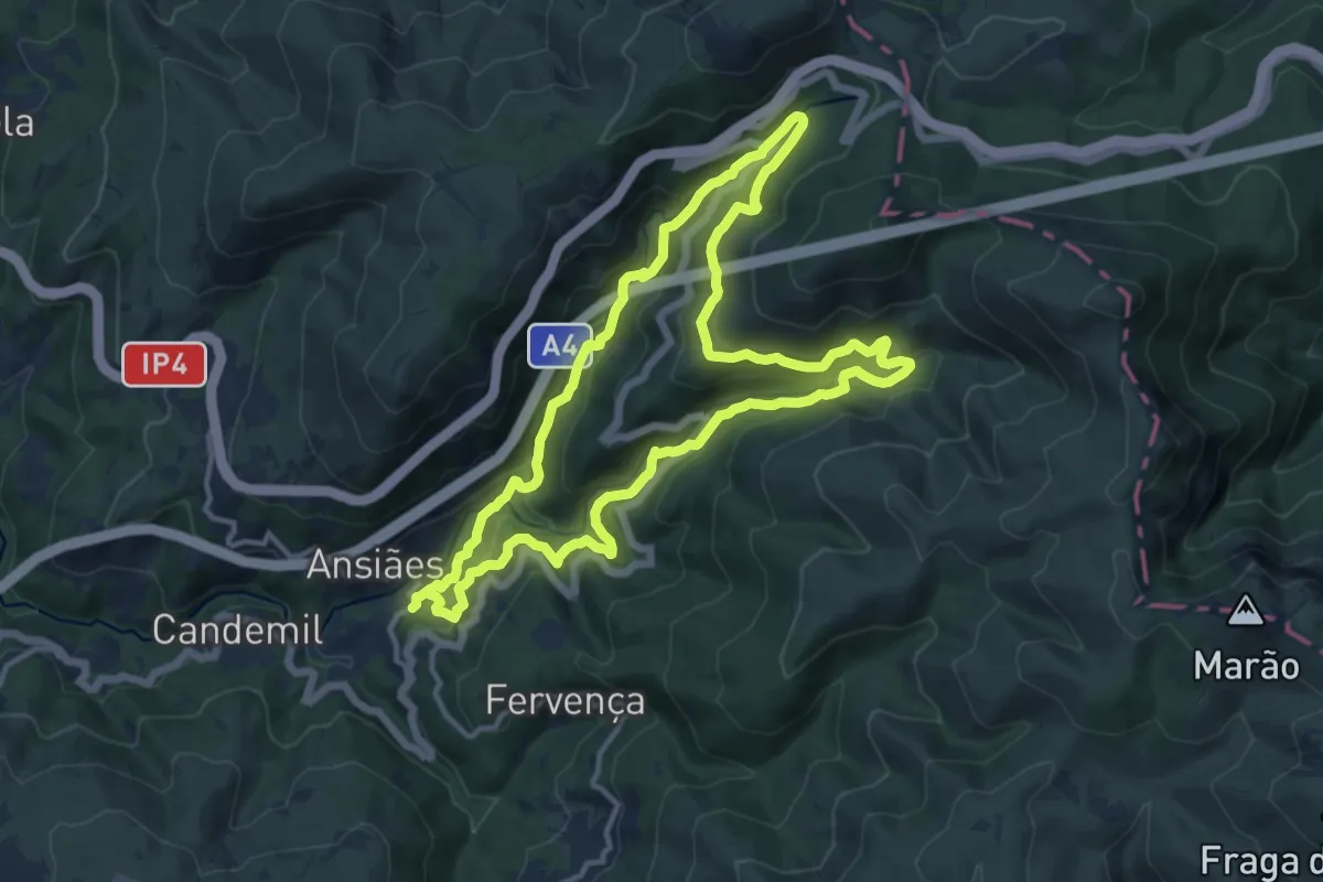
Medium · Trail
Rio Marão
13.5 km · ↑ 676 m · 4 h 50 min
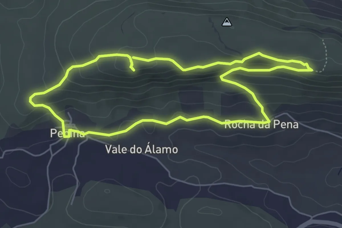
Easy · Trail
Rocha da Pena
5.8 km · ↑ 209 m · 1 h 53 min
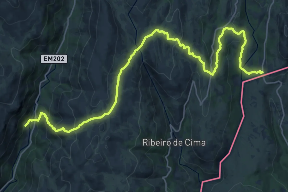
Demanding · Trail
Romeiros
20.5 km · ↑ 963 m · 6 h 55 min
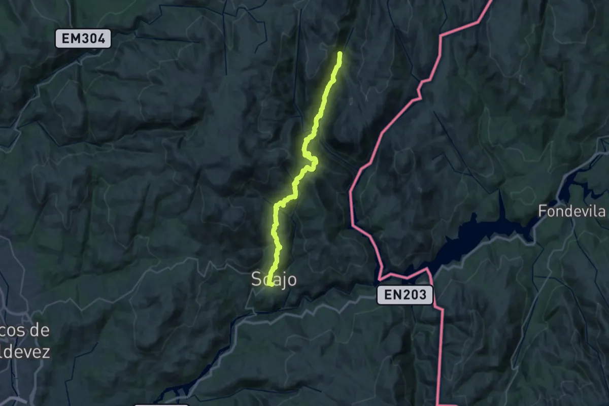
Medium · Trail
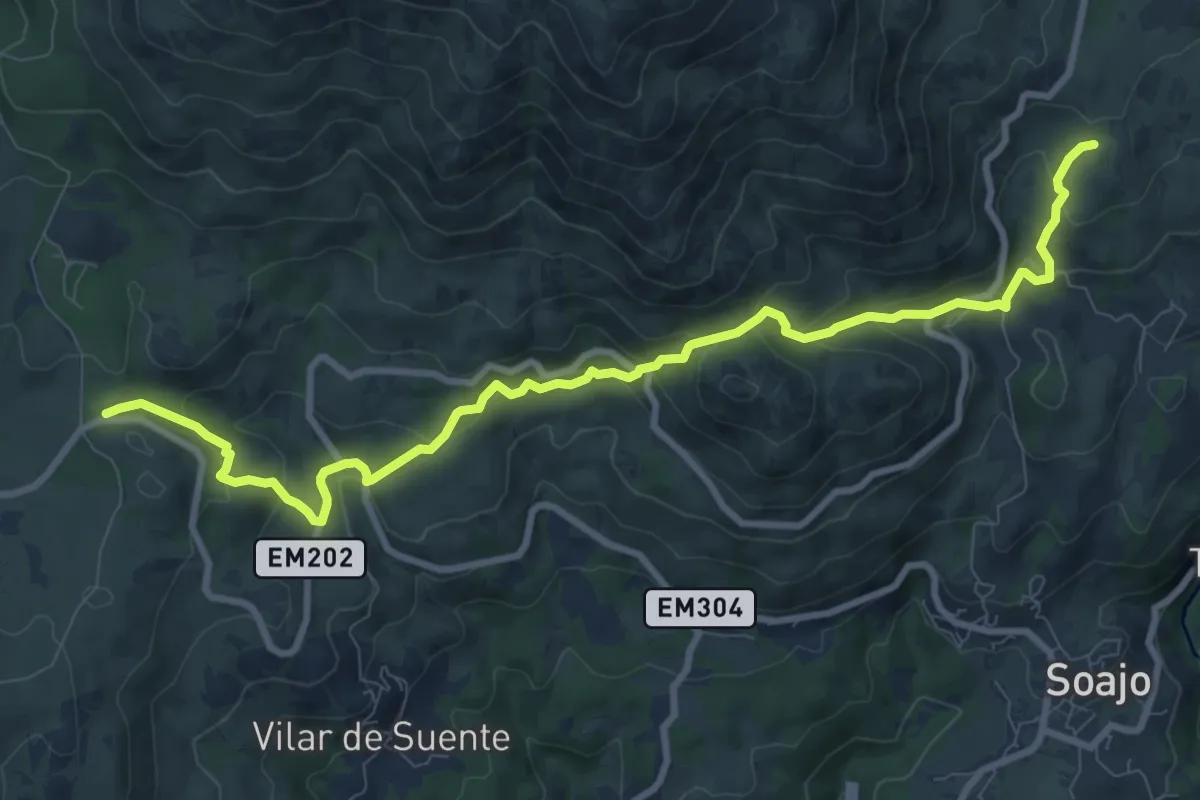
Romeiros da Peneda – Rota de Soajo
15.9 km · ↑ 566 m · 5 h 24 min
Medium · Trail
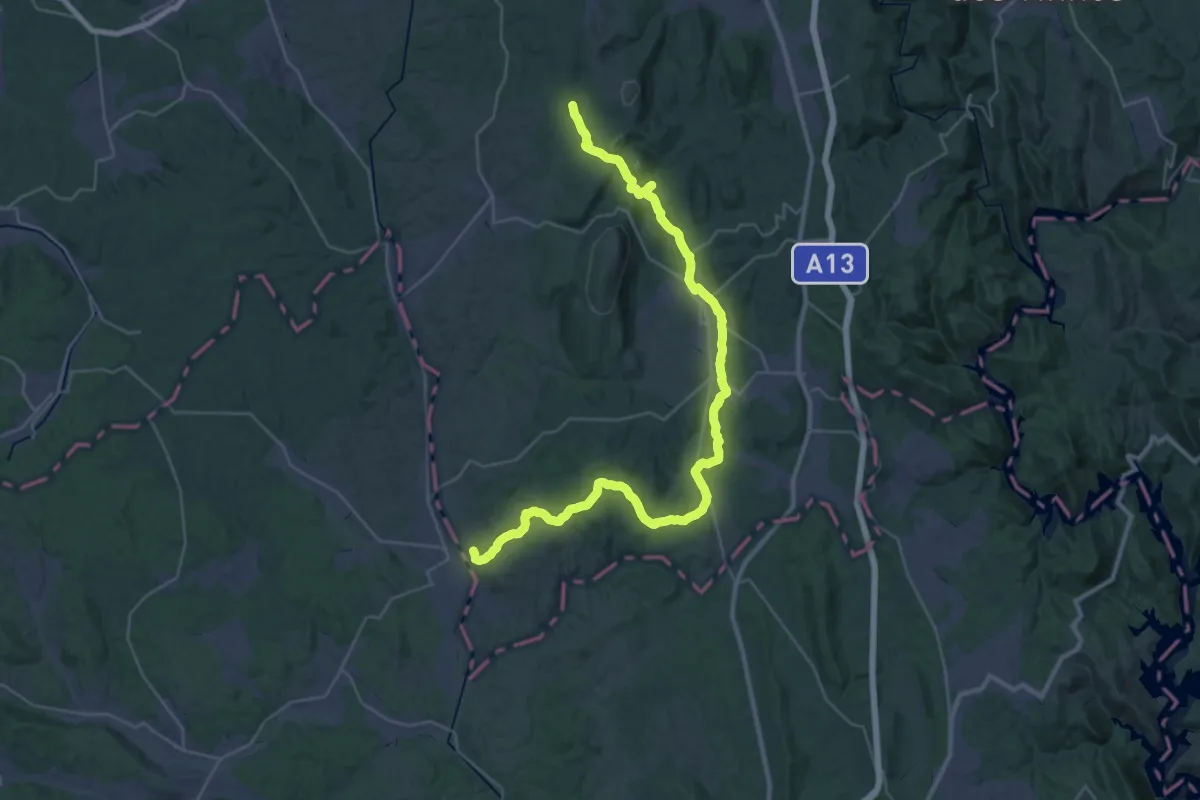
Romeiros da Peneda – Rota de Soajo (Ligação ao Mezio)
11.5 km · ↑ 675 m · 4 h 11 min
Demanding · Trail
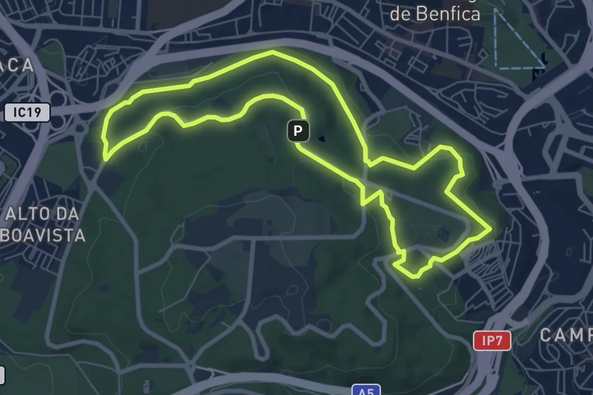
Rota Carmelita Ramal Alvaiázere
23.0 km · ↑ 564 m · 6 h 51 min
Expert · Trail
Rota da Água
7.4 km · ↑ 118 m · 2 h 7 min
Easy · Trail
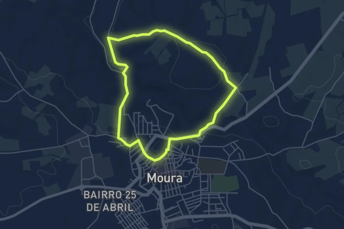
Rota da Água de Moura
4.7 km · ↑ 125 m · 1 h 27 min
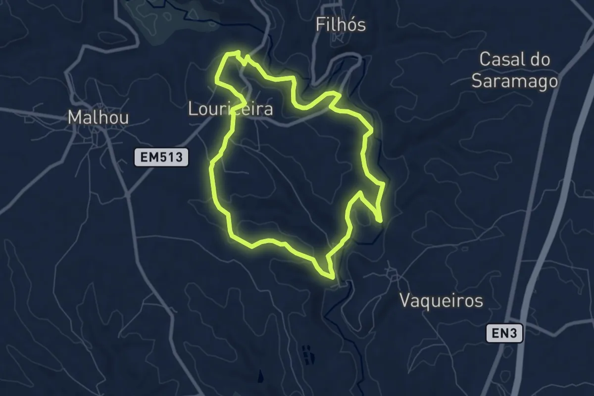
Easy · Trail
Rota da Arcada
7.9 km · ↑ 167 m · 2 h 20 min
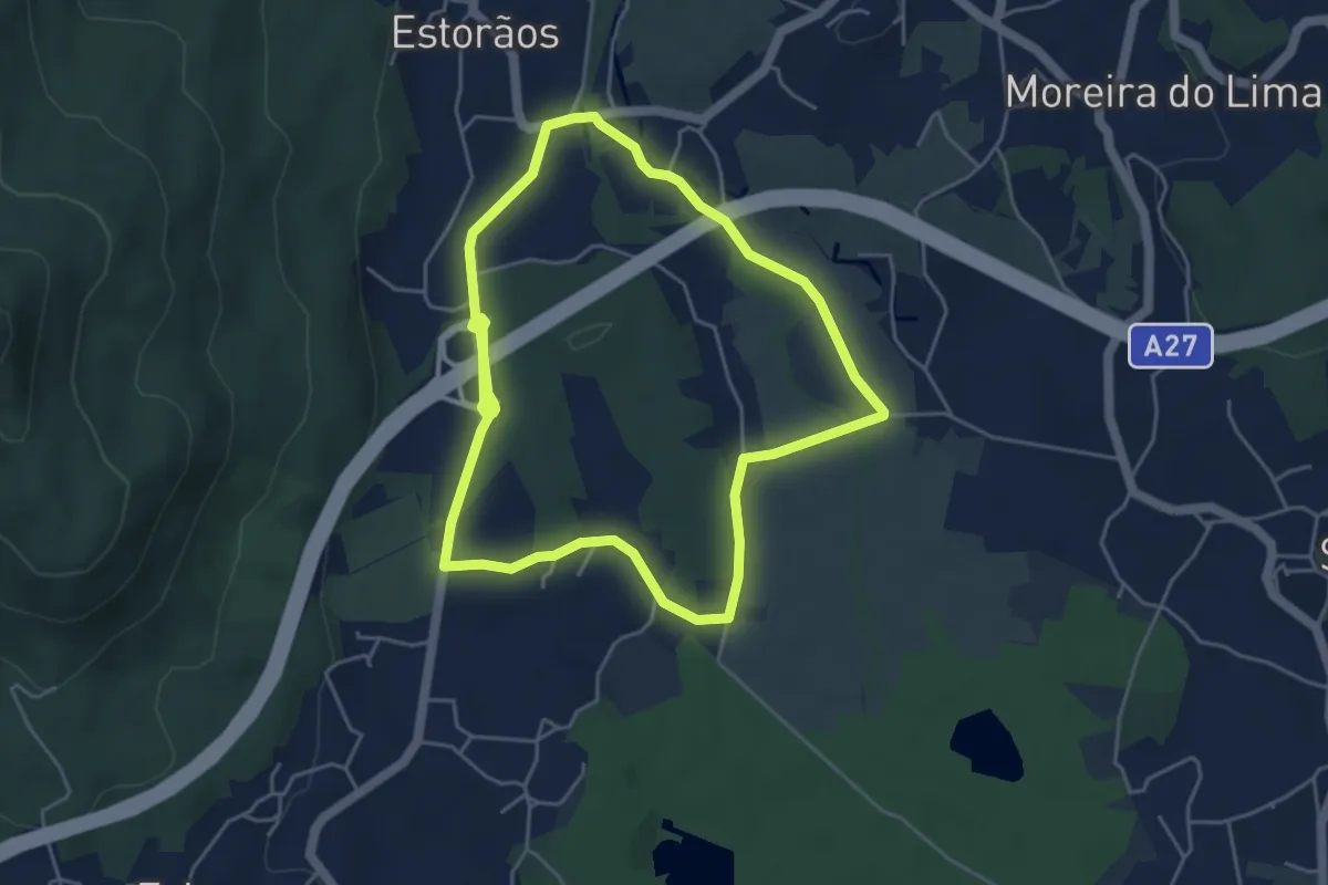
Medium · Trail
Rota da Azenha
9.9 km · ↑ 60 m · 2 h 28 min
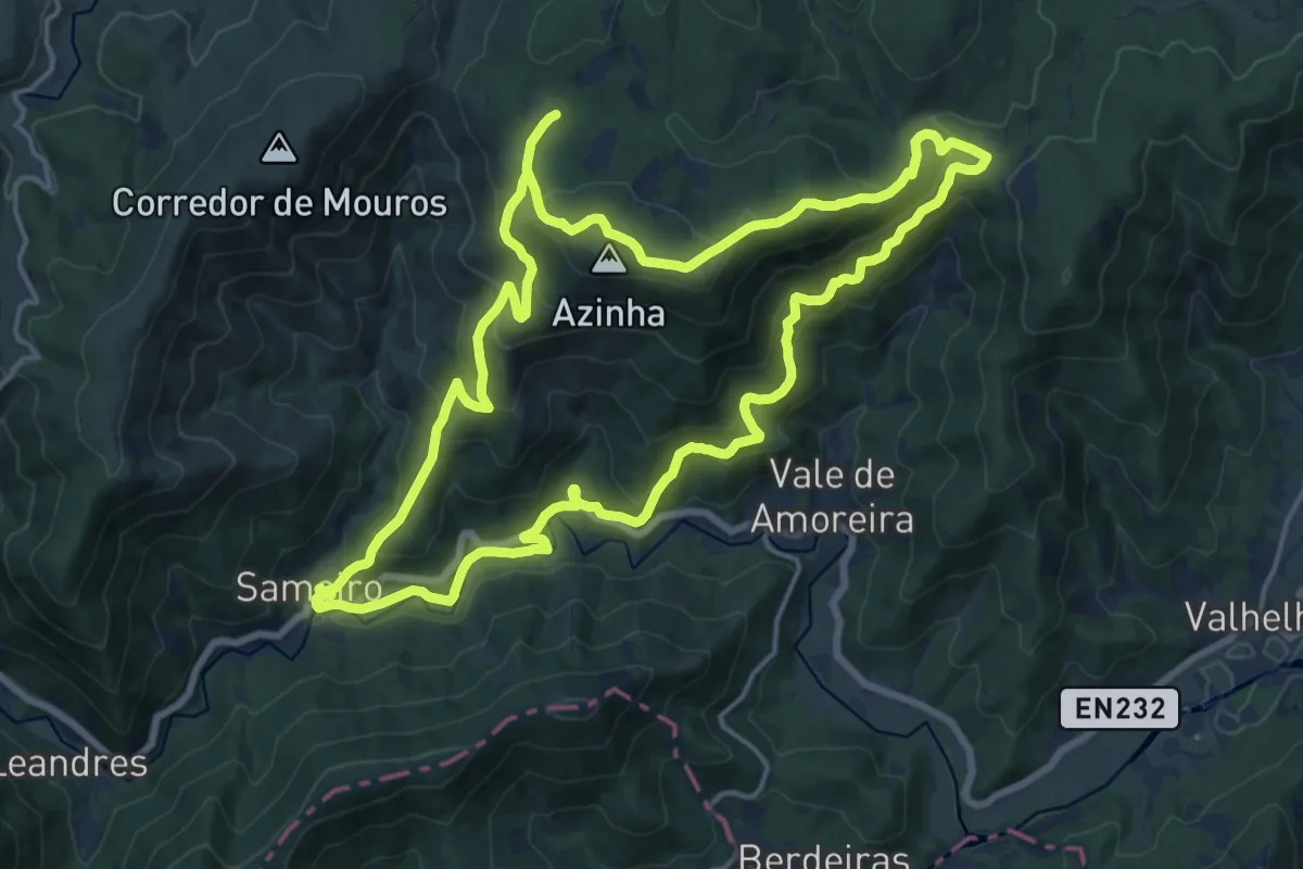
Demanding · Trail
Rota da Azinha
18.8 km · ↑ 836 m · 6 h 30 min
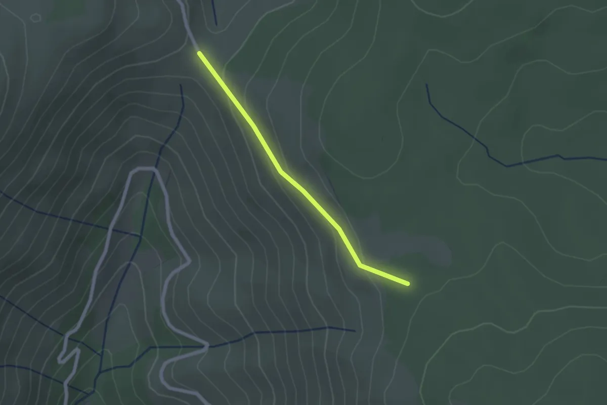
Easy · Trail
Rota da Azinha - Derivação
2.0 km · ↑ 76 m · 38 min