Trails in Portugal
1,161 hiking trails, each with its route, climb, walking time and grade.
All trails, page 2 of 25
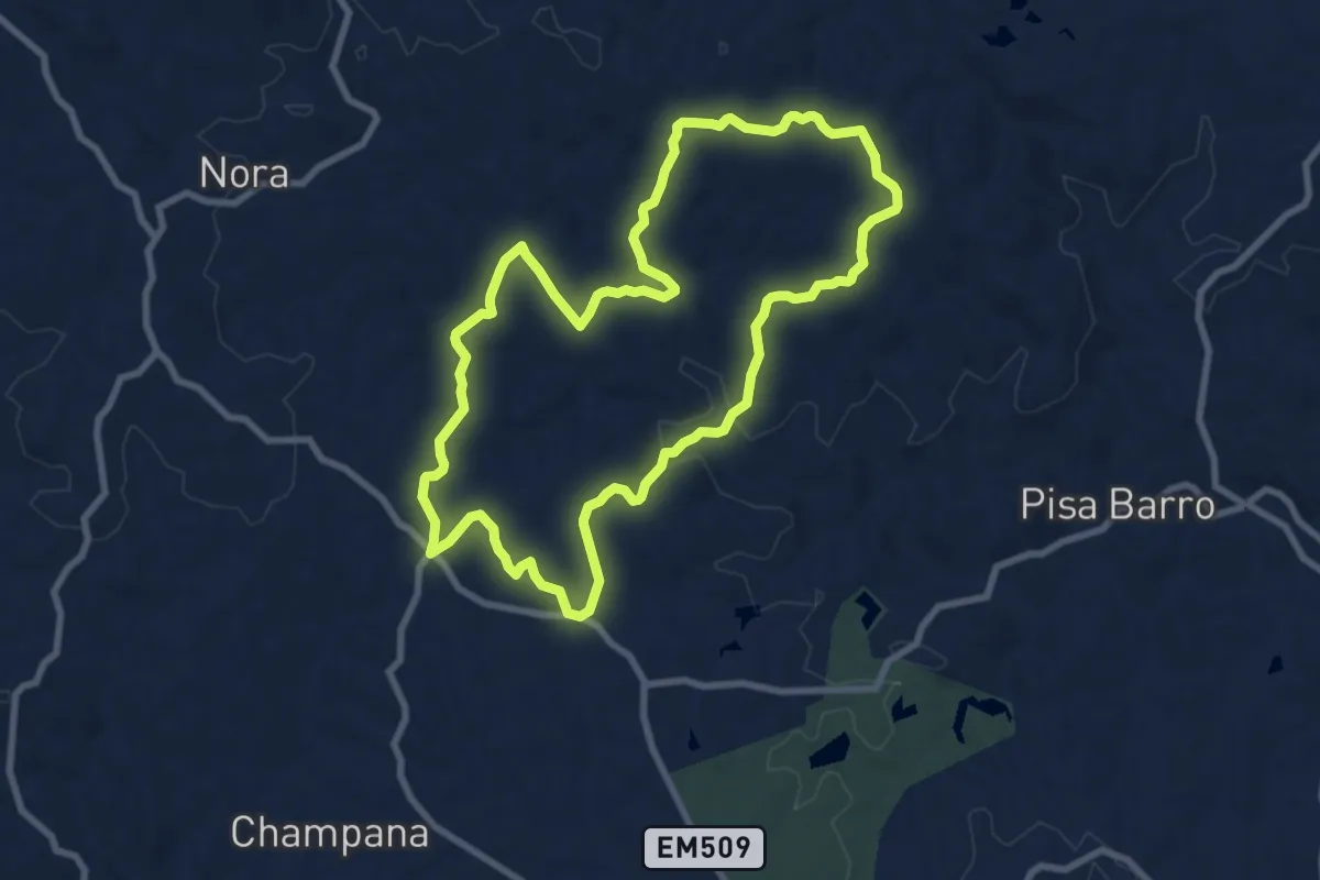
Medium · Trail
Boa Vista
9.9 km · ↑ 225 m · 2 h 58 min
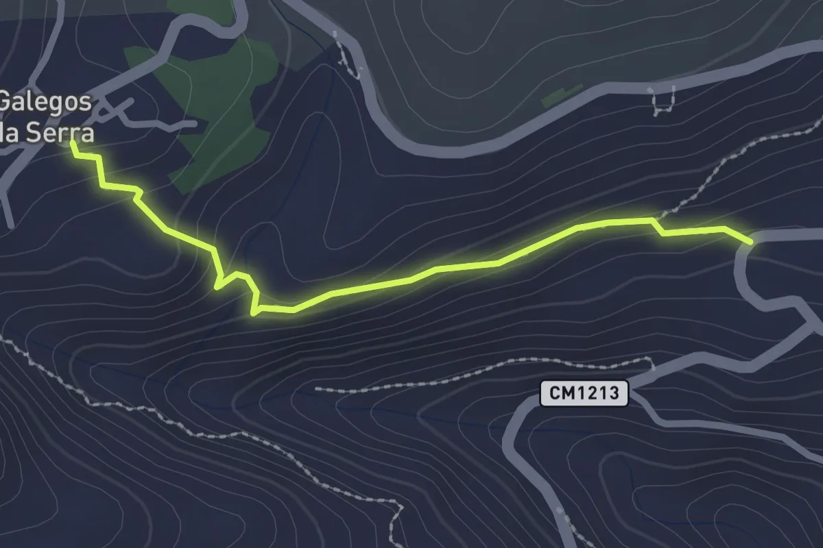
Easy · Trail
Calçada de Galegos da Serra
2.4 km · ↑ 136 m · 52 min
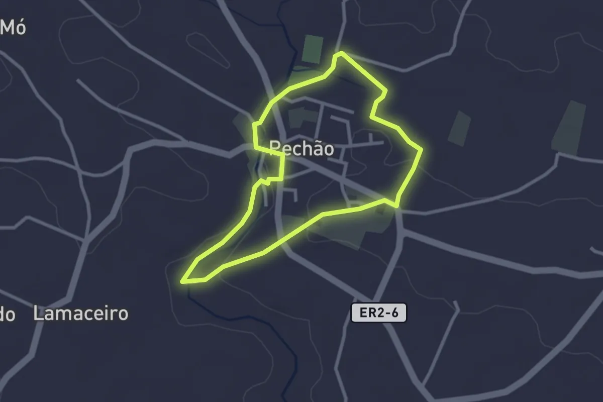
Easy · Trail
Caminho da Água
2.8 km · ↑ 29 m · 46 min
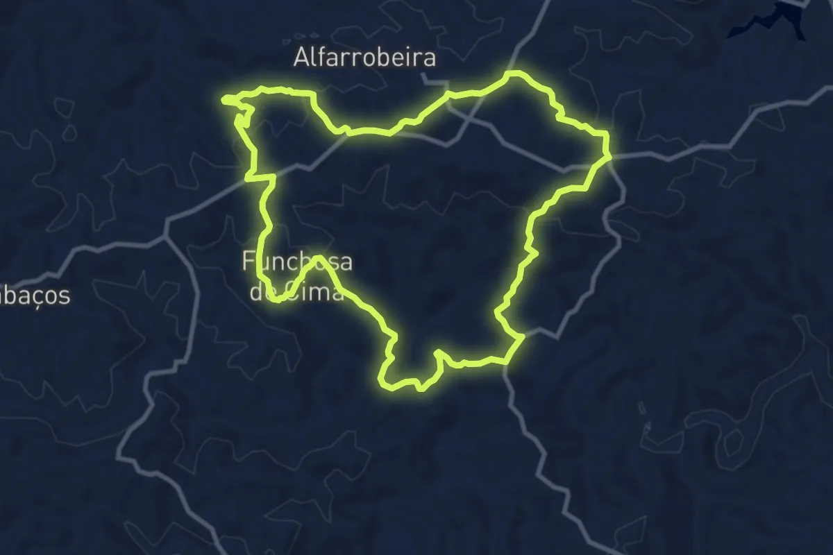
Medium · Summit
Caminho da Amendoeira
10.9 km · ↑ 326 m · 3 h 26 min
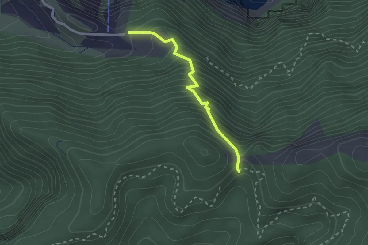
Medium · Trail
Caminho da Degolada
2.2 km · ↑ 320 m · 1 h 12 min
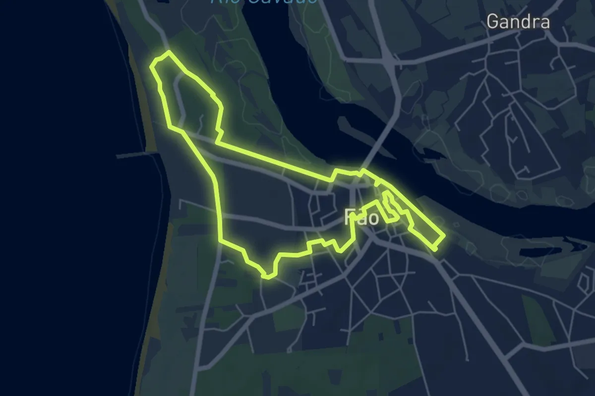
Easy · Trail
Caminho da Memória
5.9 km · ↑ 23 m · 1 h 31 min
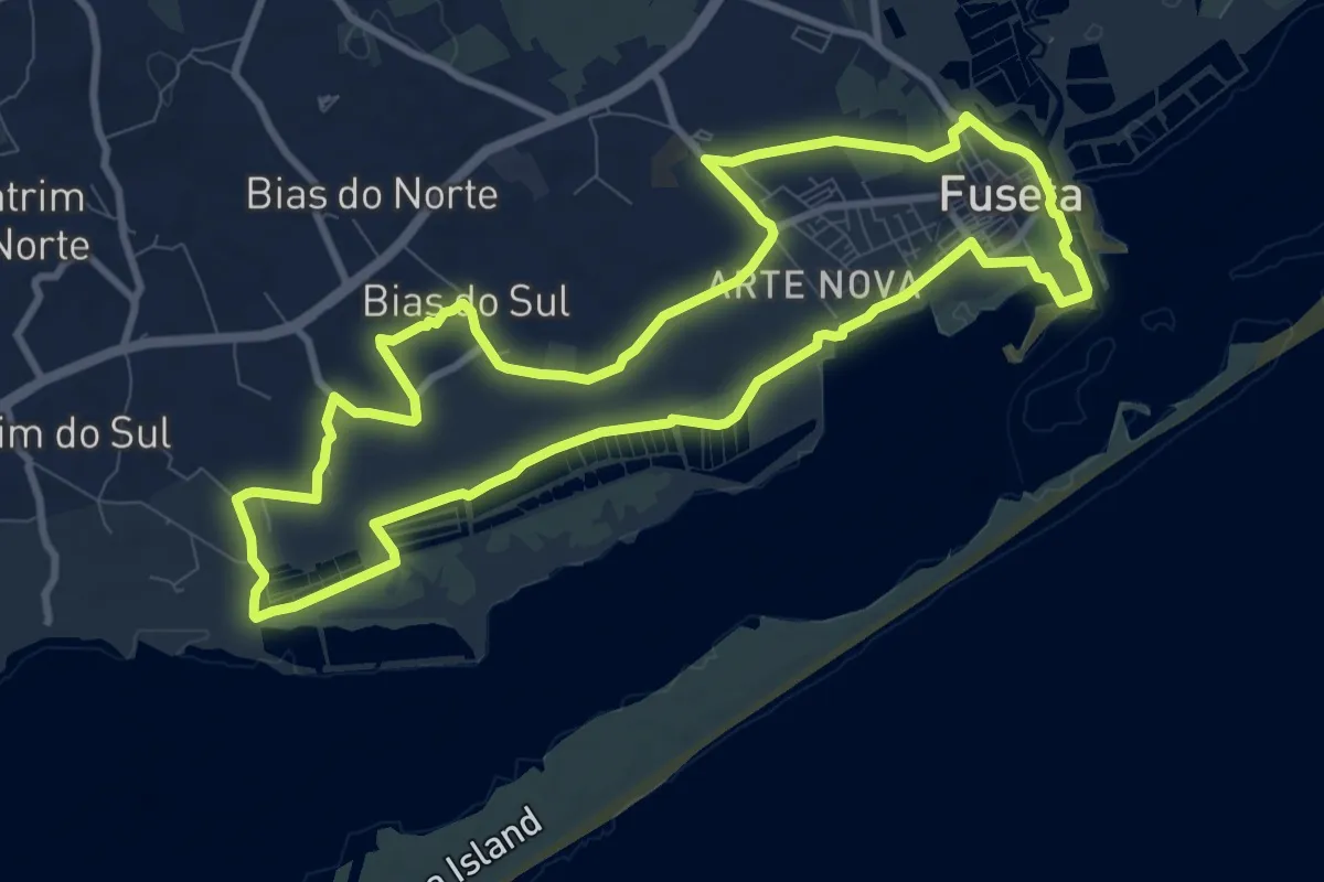
Medium · Trail
Caminho da Ria Formosa
11.5 km · ↑ 48 m · 2 h 58 min
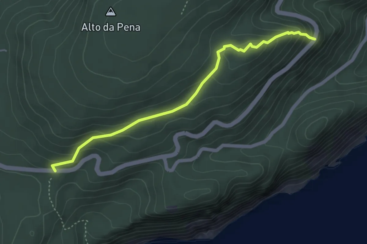
Demanding · Trail
Caminho das 3 Cruzes
4.7 km · ↑ 273 m · 1 h 41 min
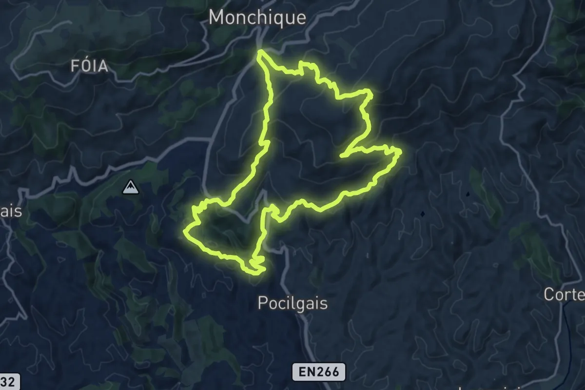
Demanding · Trail
Caminho das Caldas - Picota
18.5 km · ↑ 829 m · 6 h 25 min
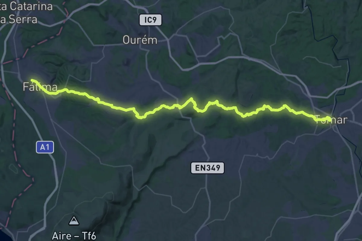
Demanding · Trail
Caminho de Fátima Nascente
29.0 km · ↑ 331 m · 8 h 6 min
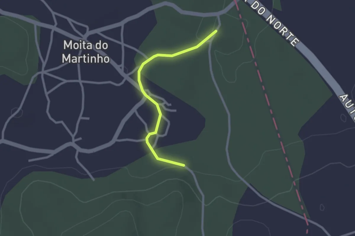
Easy · Trail
Caminho de Tejo (alternative)
2.3 km · ↑ 8 m · 34 min
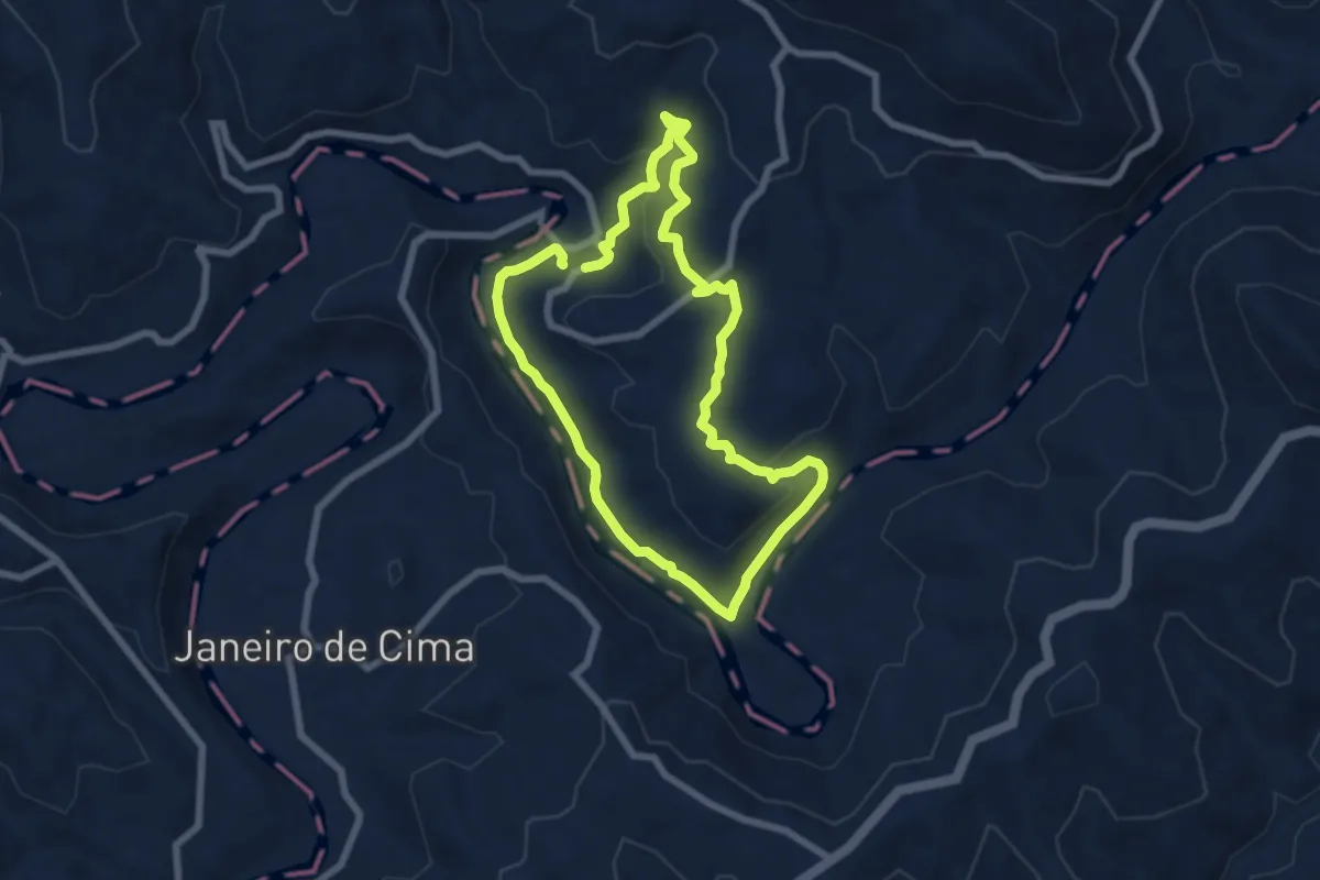
Easy · Trail
Caminho de Xisto de Porto das Vacas
7.0 km · ↑ 204 m · 2 h 11 min
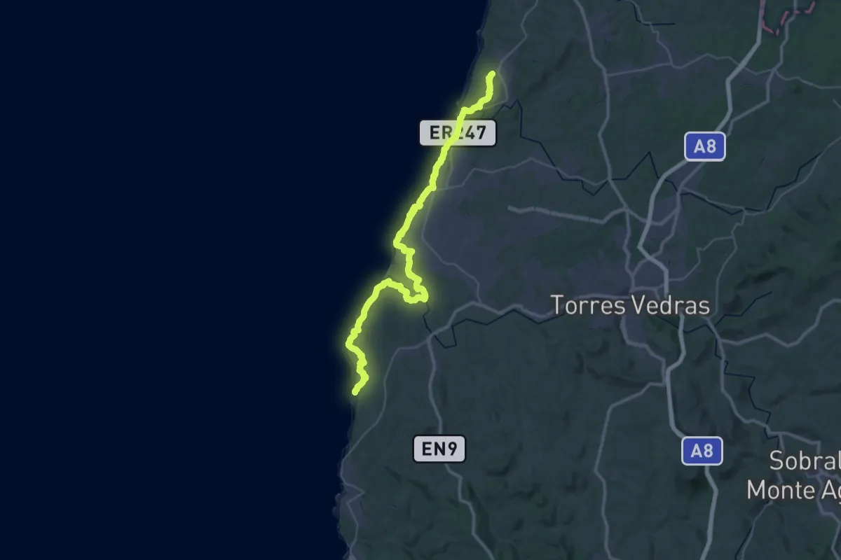
Demanding · Trail
Caminho do Atlântico - Rede Natura do Oeste
25.1 km · ↑ 326 m · 7 h 1 min
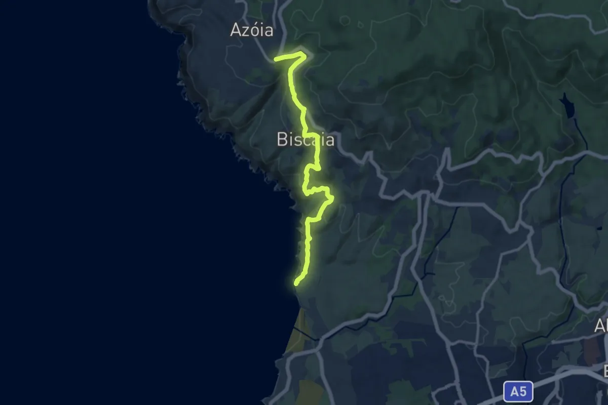
Medium · Trail
Caminho do Atlântico (Troço Abano-Azoia)
11.3 km · ↑ 391 m · 3 h 31 min
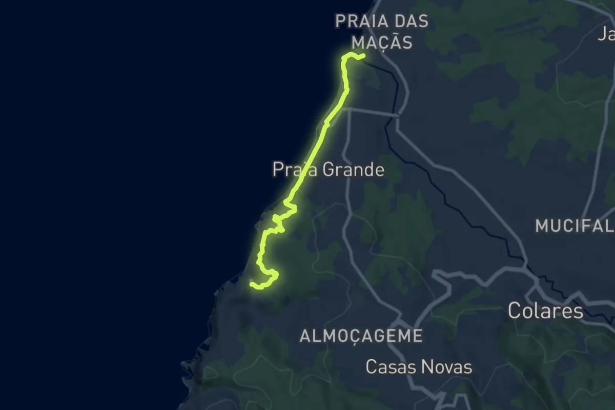
Easy · Trail
Caminho do Atlântico (Troço Adraga - Maçãs)
7.9 km · ↑ 301 m · 2 h 31 min
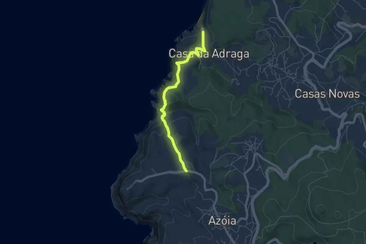
Medium · Trail
Caminho do Atlântico (Troço Azoia-Adraga)
5.8 km · ↑ 381 m · 2 h 12 min
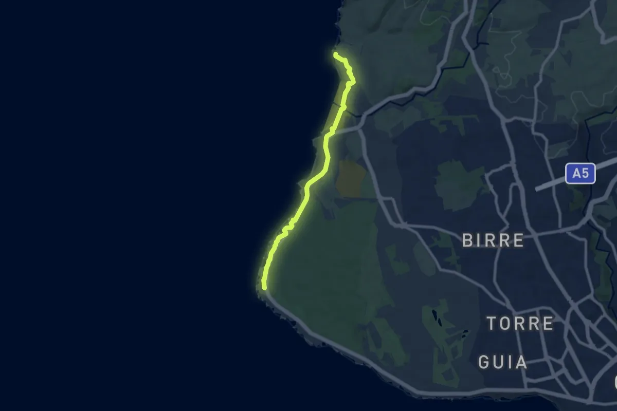
Medium · Trail
Caminho do Atlântico (Troço Cabo Raso - Abano)
8.4 km · ↑ 86 m · 2 h 10 min
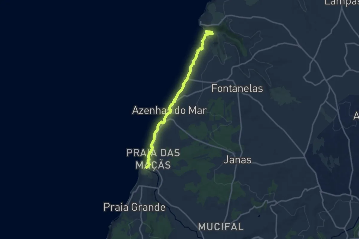
Medium · Trail
Caminho do Atlântico (Troço Maçãs - Magoito)
11.4 km · ↑ 348 m · 3 h 26 min
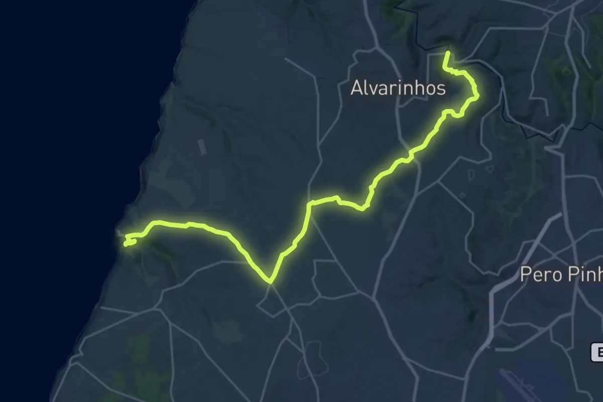
Demanding · Trail
Caminho do Atlântico (Troço Magoito-Carvalhal)
28.3 km · ↑ 493 m · 7 h 45 min
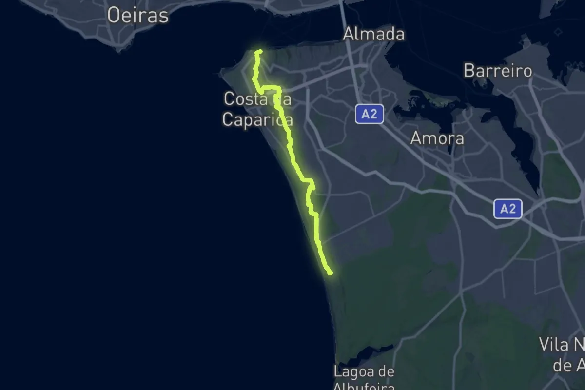
Medium · Trail
Caminho do Atlântico (Troço Trafaria-Adiça)
17.1 km · ↑ 331 m · 4 h 57 min
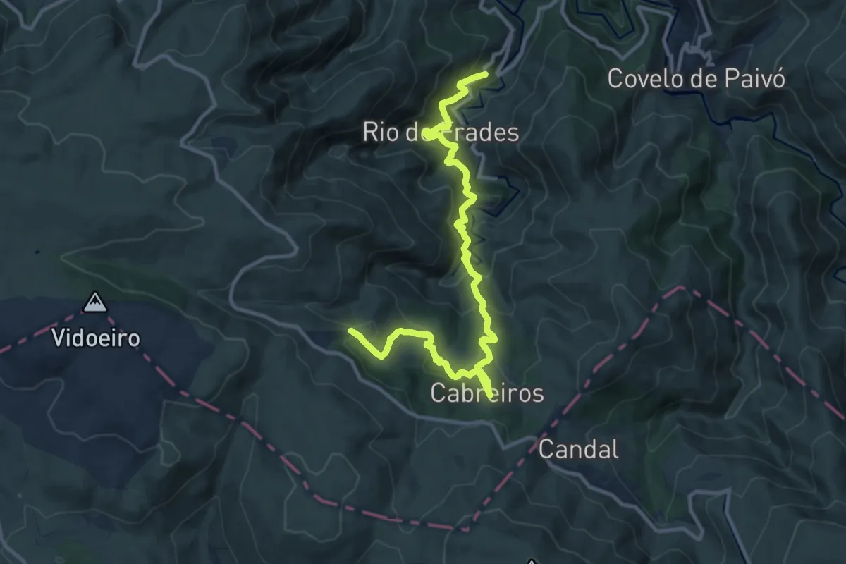
Demanding · Trail
Caminho do Carteiro
13.1 km · ↑ 1094 m · 5 h 27 min
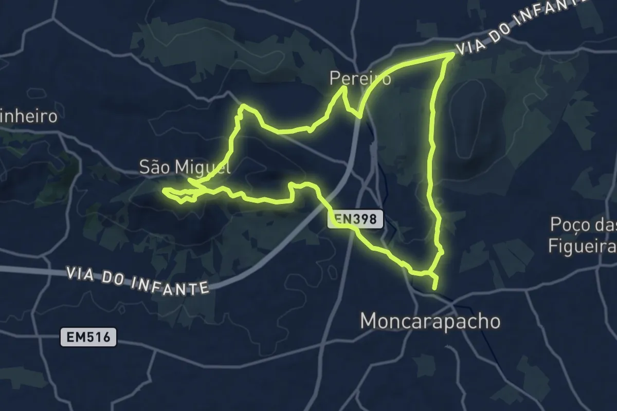
Medium · Summit
Caminho do Cerro de São Miguel
16.1 km · ↑ 416 m · 4 h 56 min
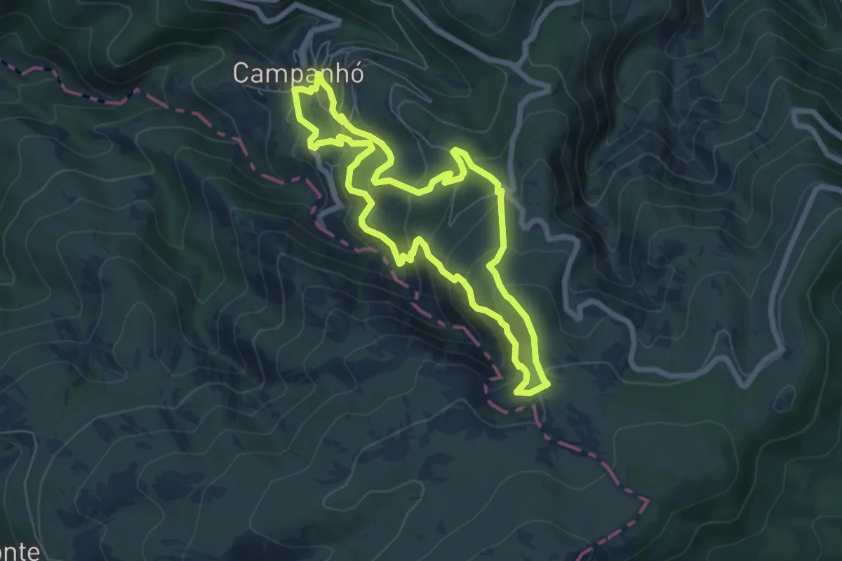
Medium · Trail
Caminho do Porto Velho
6.5 km · ↑ 462 m · 2 h 37 min
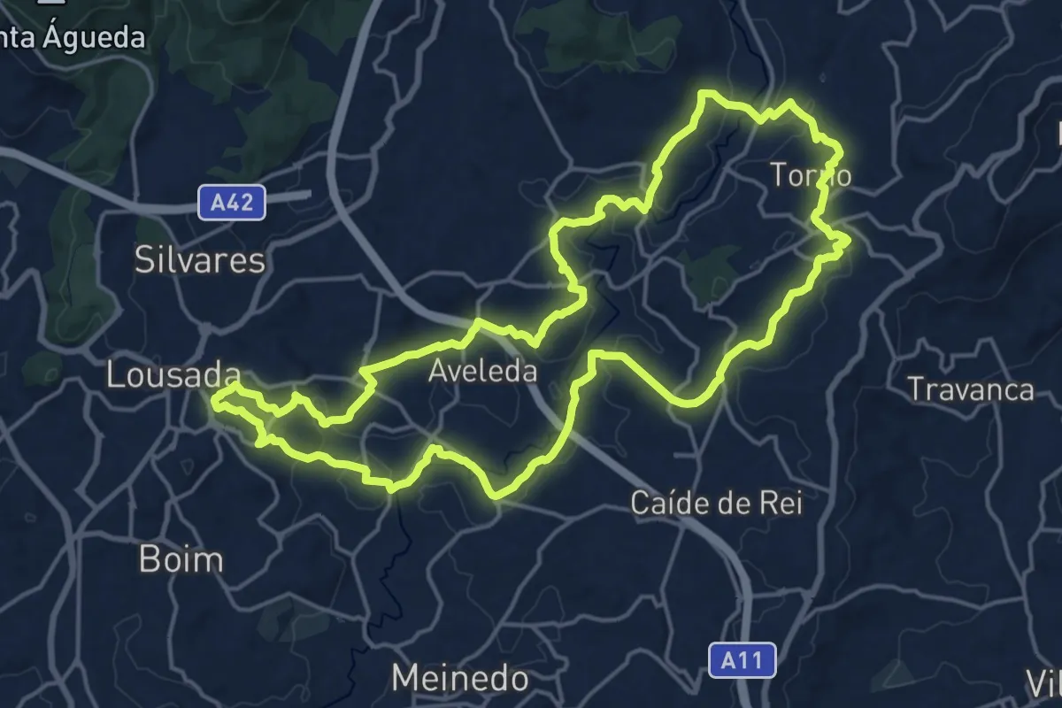
Demanding · Trail
Caminho do Românico 1
20.1 km · ↑ 398 m · 5 h 53 min
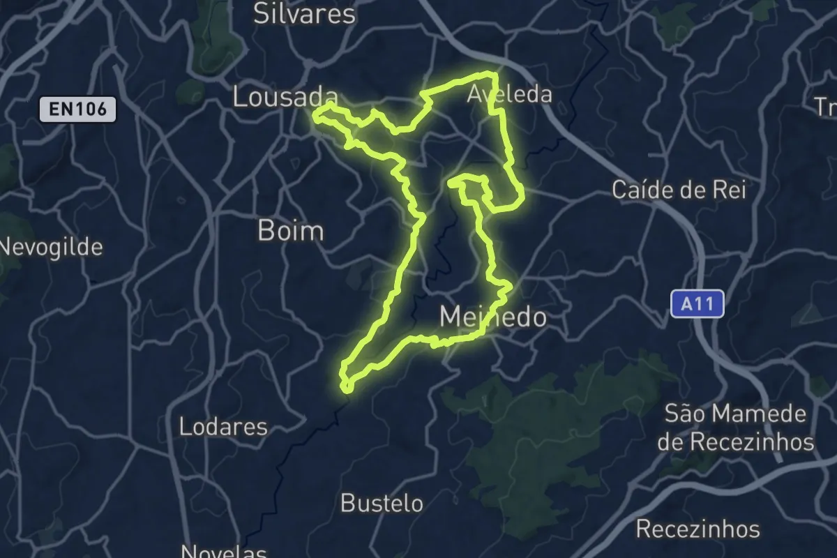
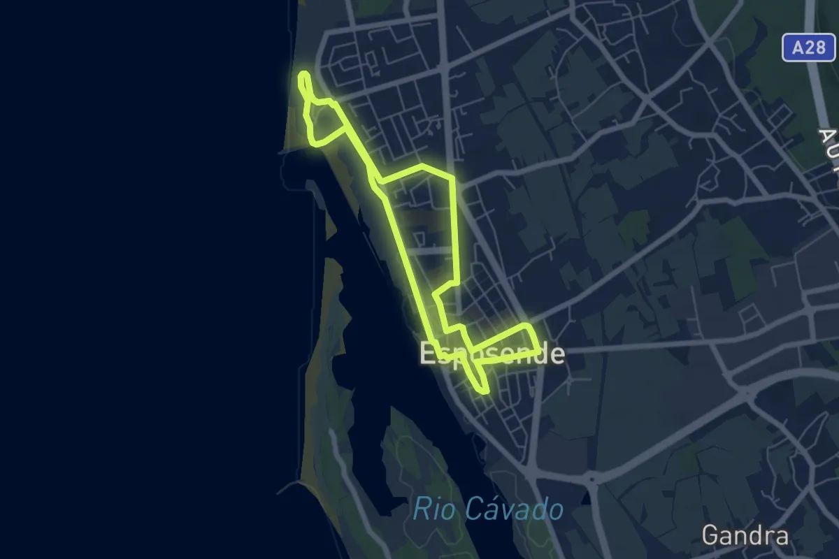
Medium · Trail
Caminho do Românico 2
17.4 km · ↑ 317 m · 5 h 2 min
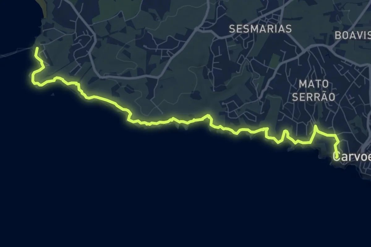
Easy · Trail
Caminho dos Mareantes
5.9 km · ↑ 8 m · 1 h 29 min
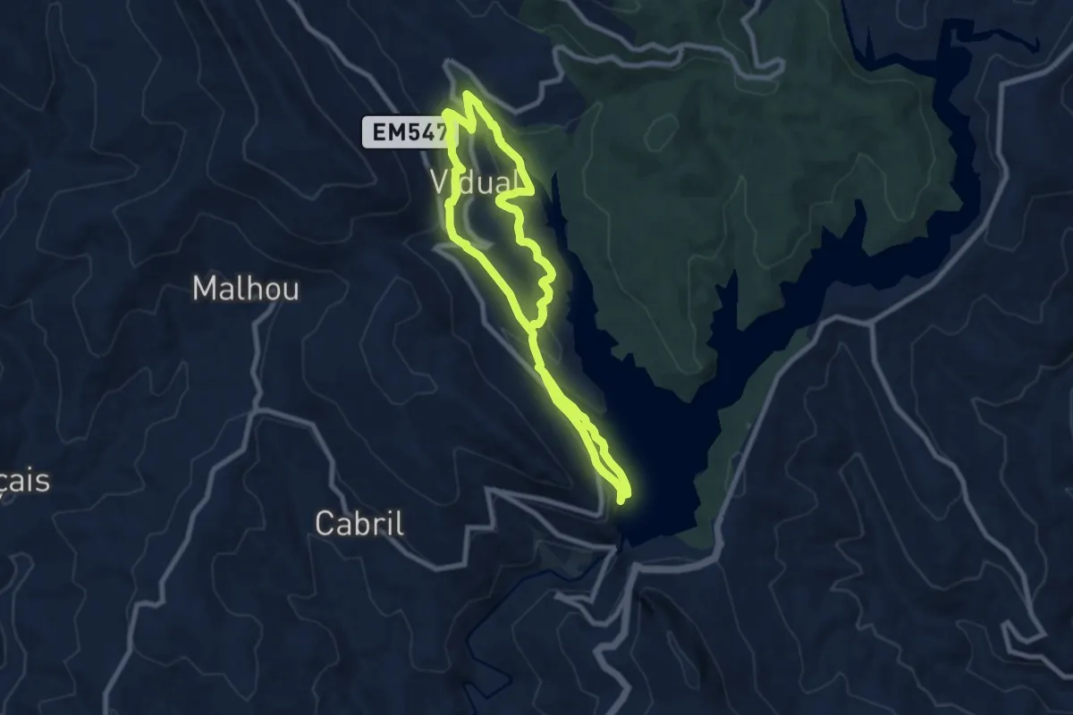
Medium · Trail
Caminho dos Promontórios
12.4 km · ↑ 271 m · 3 h 31 min
Medium · Trail
Caminho do Xisto da Barragem de Santa Luzia
9.2 km · ↑ 341 m · 3 h 2 min
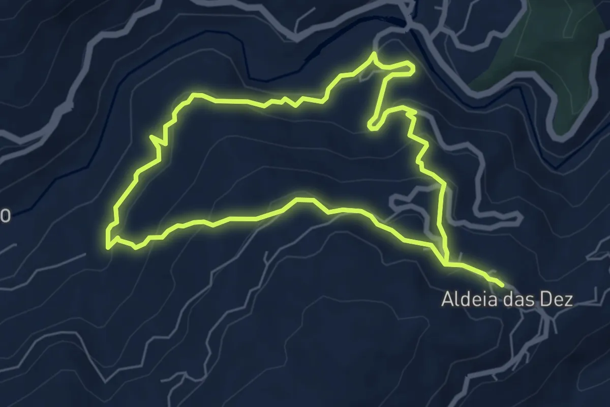
Easy · Trail
Caminho do Xisto de Aldeia das Dez III – Nos Passos do Ermitão
6.1 km · ↑ 313 m · 2 h 12 min
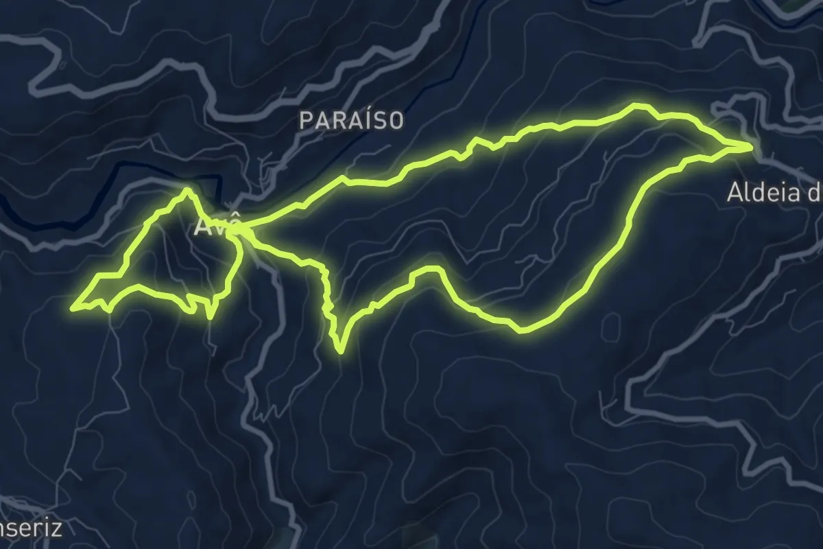
Medium · Trail
Caminho do Xisto de Aldeia das Dez II – Rota Imperial
11.0 km · ↑ 569 m · 3 h 58 min
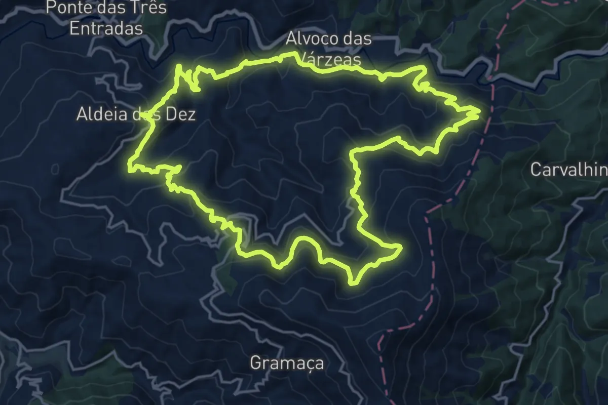
Demanding · Trail
Caminho do Xisto de Aldeia das Dez I – Pelas Várzeas do Alvôco
19.6 km · ↑ 982 m · 7 h 2 min
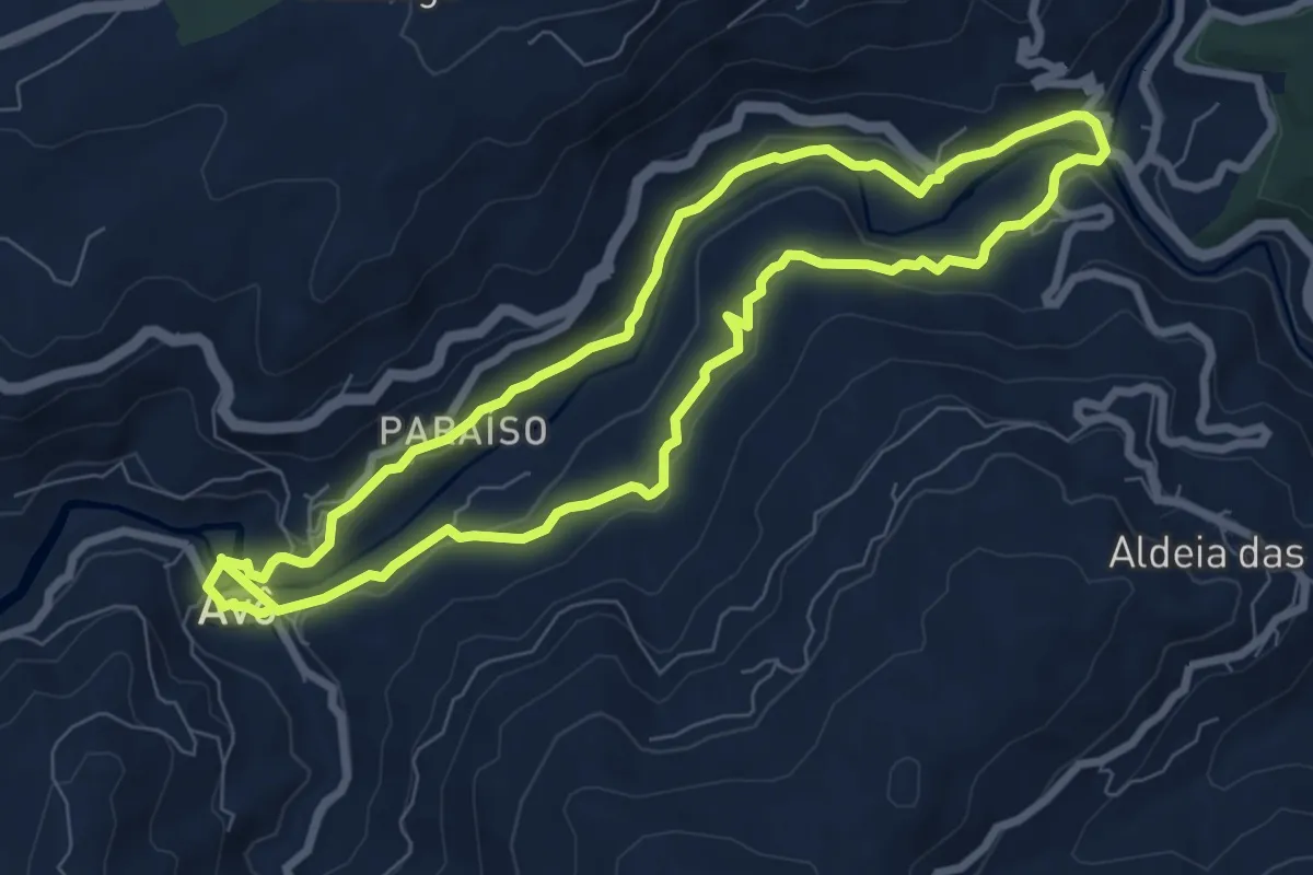
Medium · Trail
Caminho do Xisto de Avô – À volta do Alva
8.3 km · ↑ 211 m · 2 h 32 min
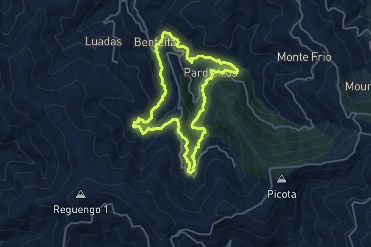
Medium · Trail
Caminho do Xisto de Benfeita
9.9 km · ↑ 539 m · 3 h 38 min
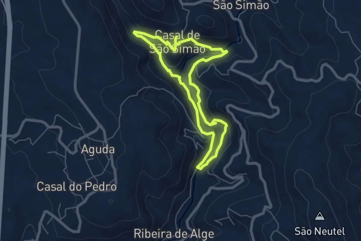
Easy · Trail
Caminho do Xisto de Casal de S. Simão - Descida às Fragas
4.9 km · ↑ 157 m · 1 h 33 min
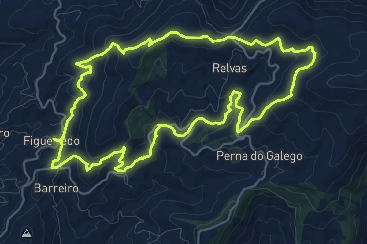
Medium · Trail
Caminho do Xisto de Ermida e Figueiredo
13.1 km · ↑ 477 m · 4 h 18 min
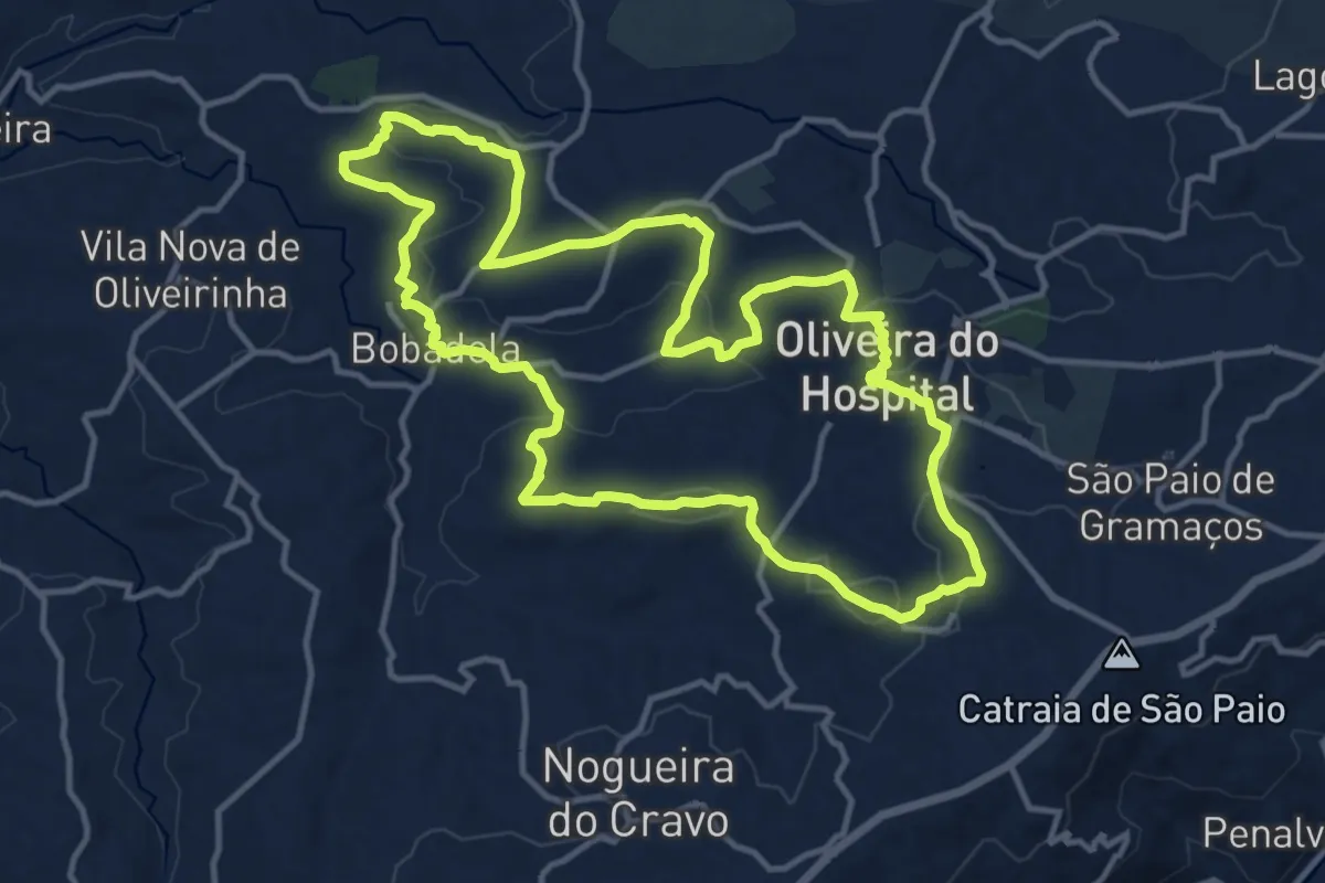
Medium · Trail
Caminho do Xisto de Oliveira do Hospital – A marcha dos Veteranos
14.8 km · ↑ 311 m · 4 h 22 min
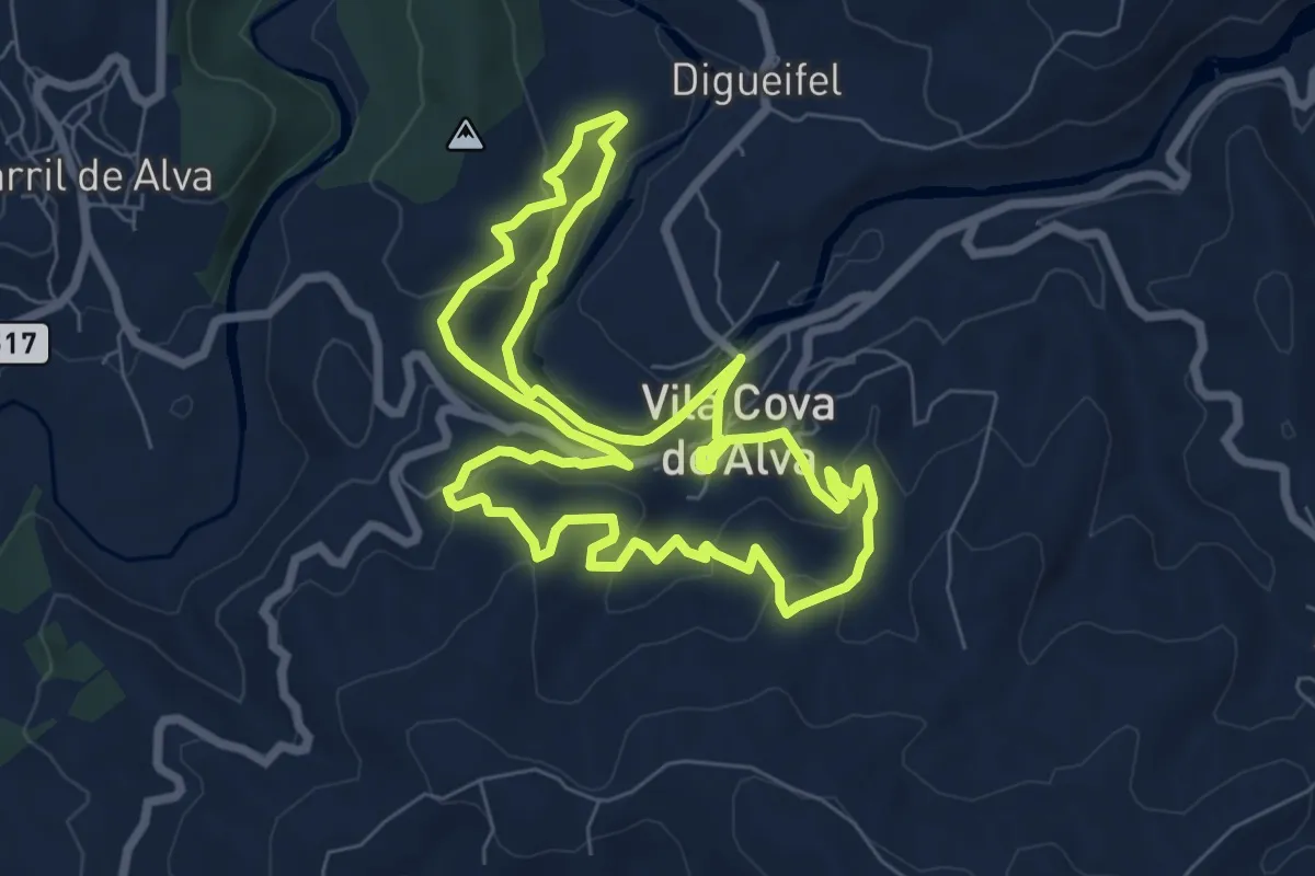
Medium · Trail
Caminho do Xisto de Vila Cova de Alva
8.0 km · ↑ 357 m · 2 h 47 min
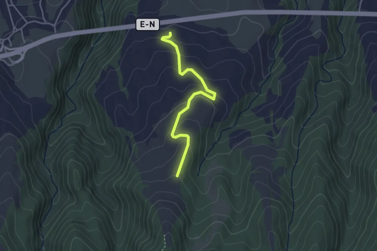
Easy · Trail
Caminho Florestal de Santo António
3.5 km · ↑ 149 m · 1 h 10 min
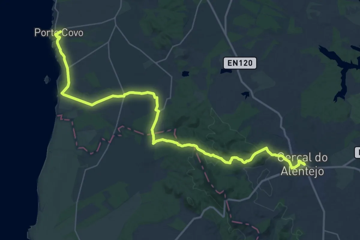
Demanding · Trail
Caminho Histórico - Cercal do Alentejo » Porto Covo
18.2 km · ↑ 214 m · 5 h 5 min
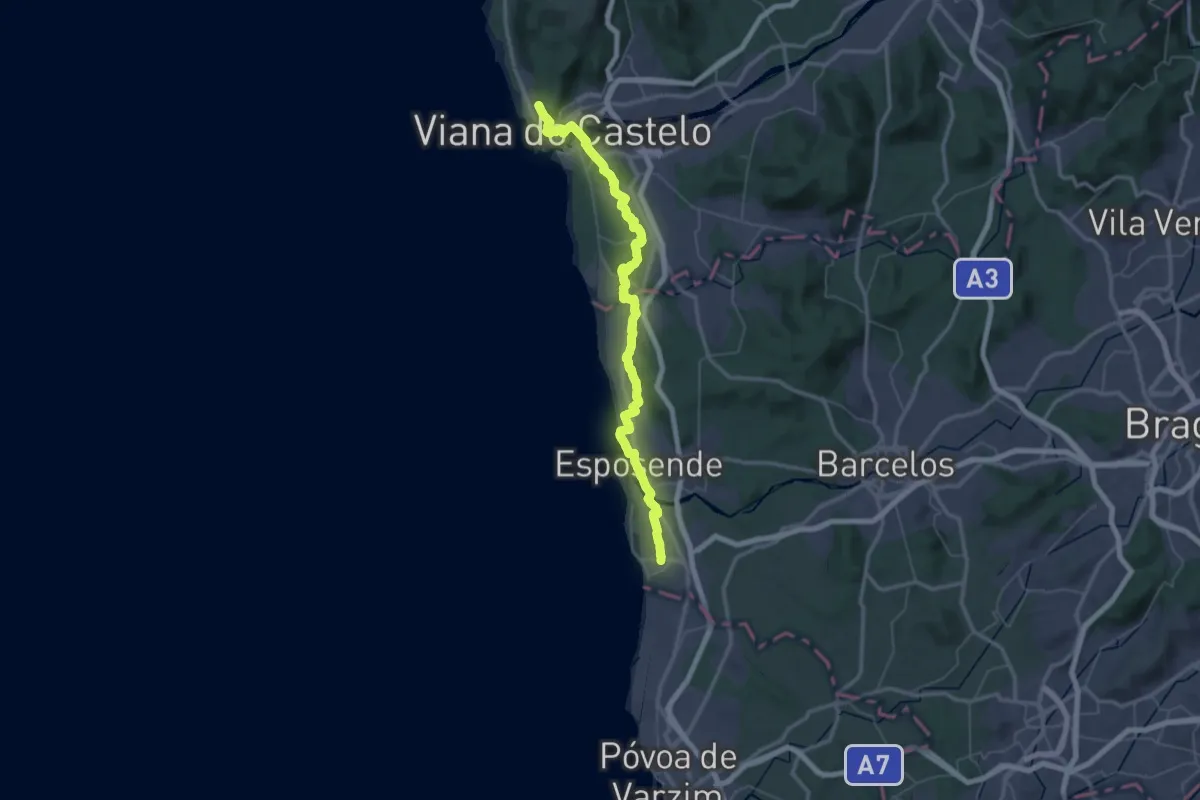
Demanding · Trail
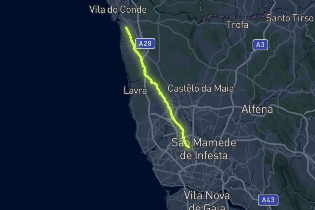
Caminho Português (Apúlia - Viana do Castelo)
34.6 km · ↑ 384 m · 9 h 27 min
Demanding · Pilgrim path
Caminho Português da Costa - Via Aeroporto
19.0 km · ↑ 214 m · 5 h 10 min
Demanding · Trail
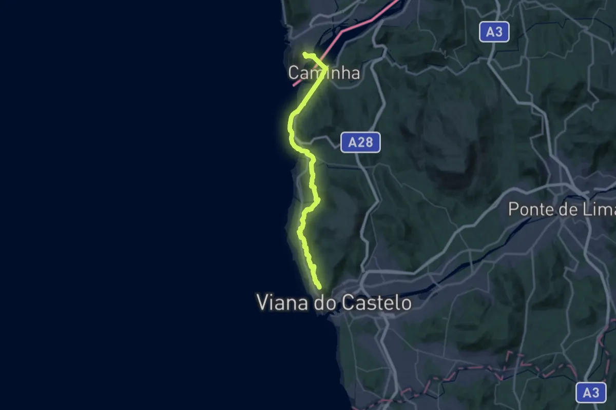
Caminho Português da Costa (Viana do Castelo - A Guarda)
27.9 km · ↑ 375 m · 7 h 48 min
Easy · Pilgrim path
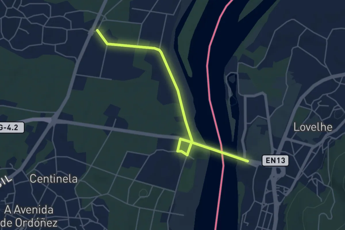
Caminho Português de Nossa Senhora do Norte
2.7 km · ↑ 19 m · 43 min
Medium · Trail
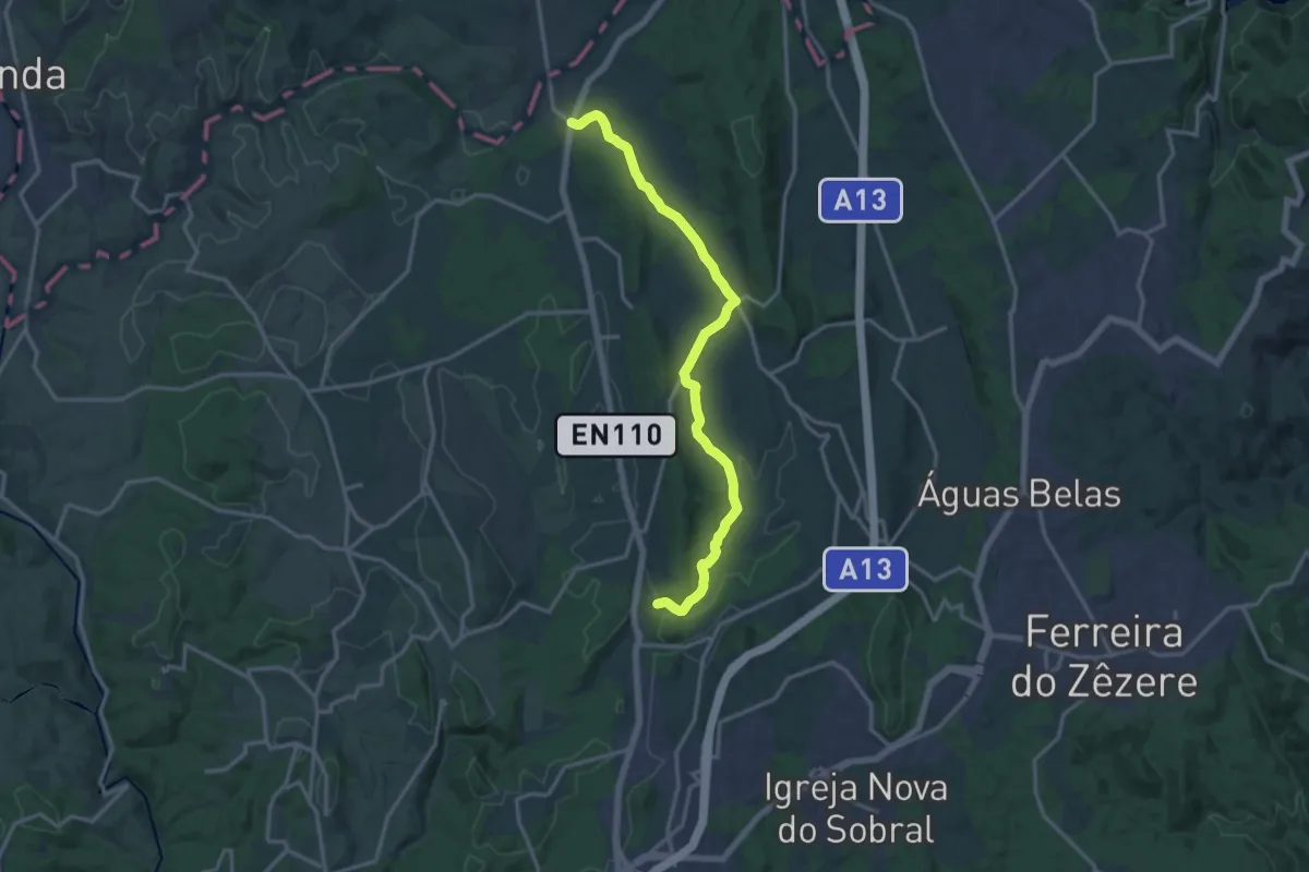
Caminho Português de Santiago por Areias
17.0 km · ↑ 216 m · 4 h 29 min
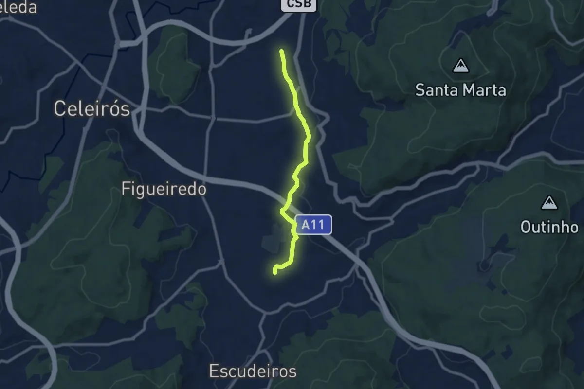
Easy · Trail
Caminho Português por Braga (alternativ)
6.8 km · ↑ 100 m · 1 h 50 min
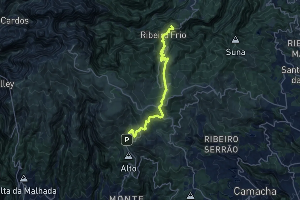
Demanding · Summit
Caminho Real 24
17.0 km · ↑ 1076 m · 6 h 20 min
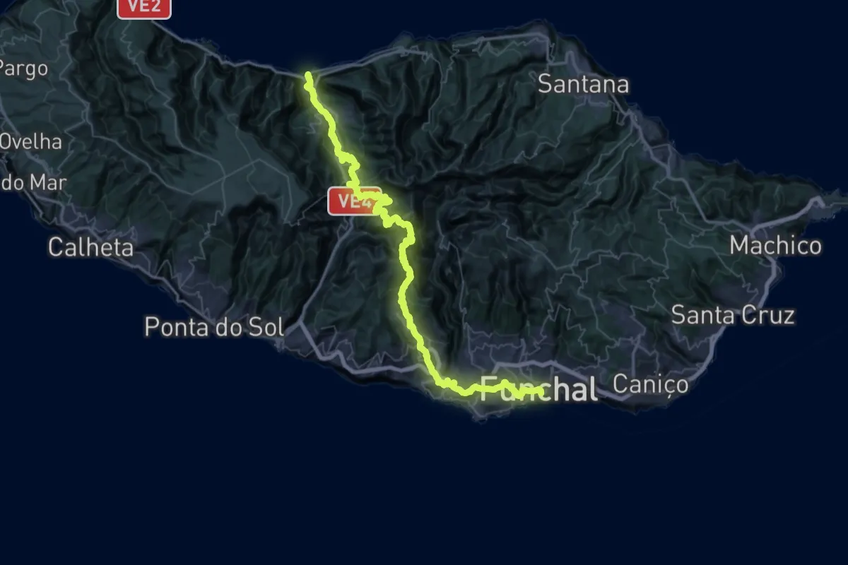
Demanding · Trail
Caminho Real 25
38.0 km · ↑ 3161 m · 16 h 21 min
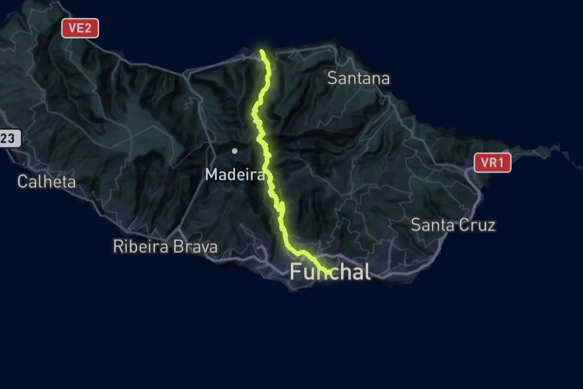
Demanding · Trail
Caminho Real 27
33.8 km · ↑ 3315 m · 15 h 36 min