Trails in Portugal
1,161 hiking trails, each with its route, climb, walking time and grade.
All trails, page 3 of 25
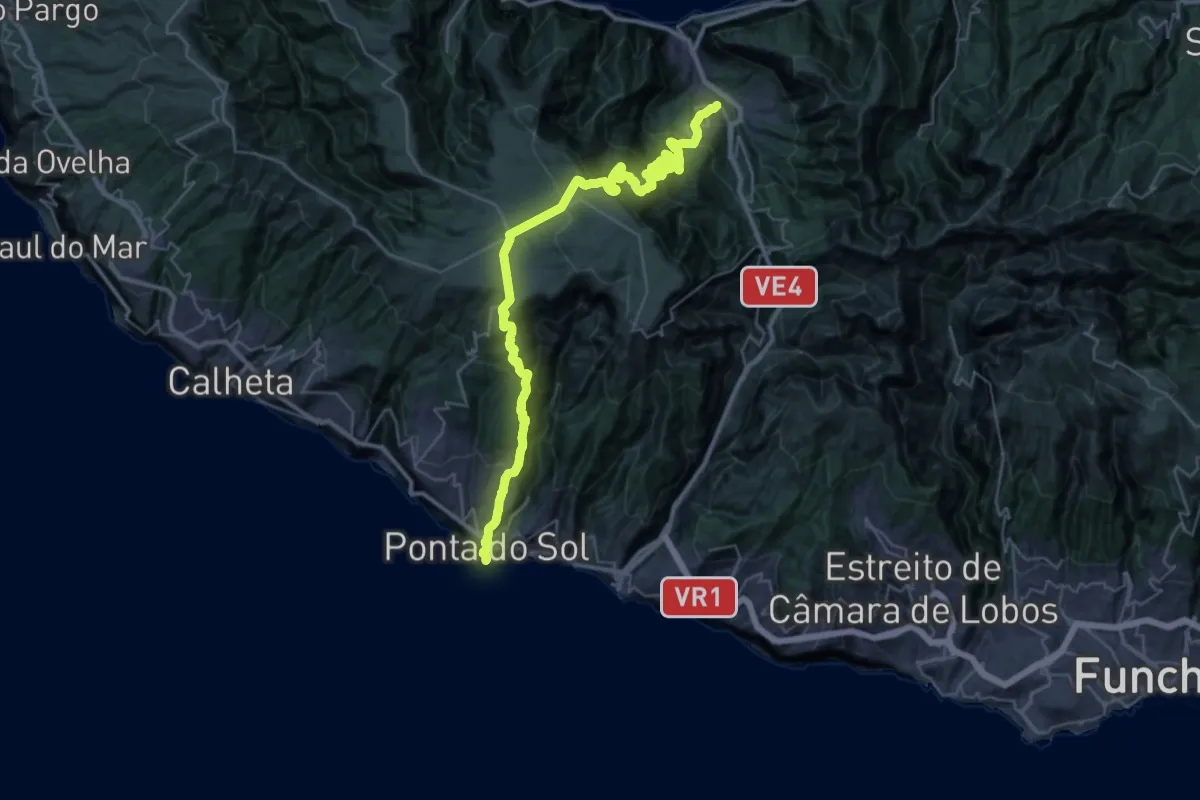
Demanding · Trail
Caminho Real 28
23.8 km · ↑ 1685 m · 9 h 29 min
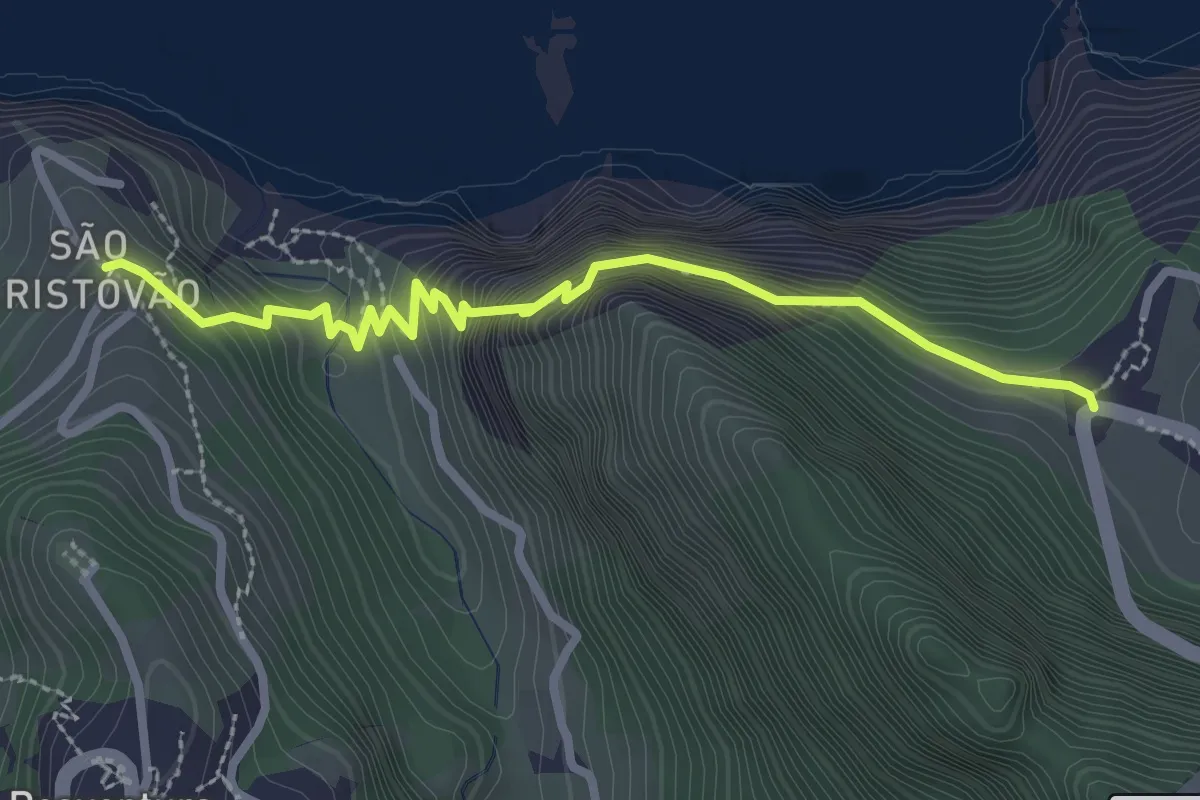
Medium · Trail
Caminho Real Boaventura
3.4 km · ↑ 483 m · 1 h 52 min
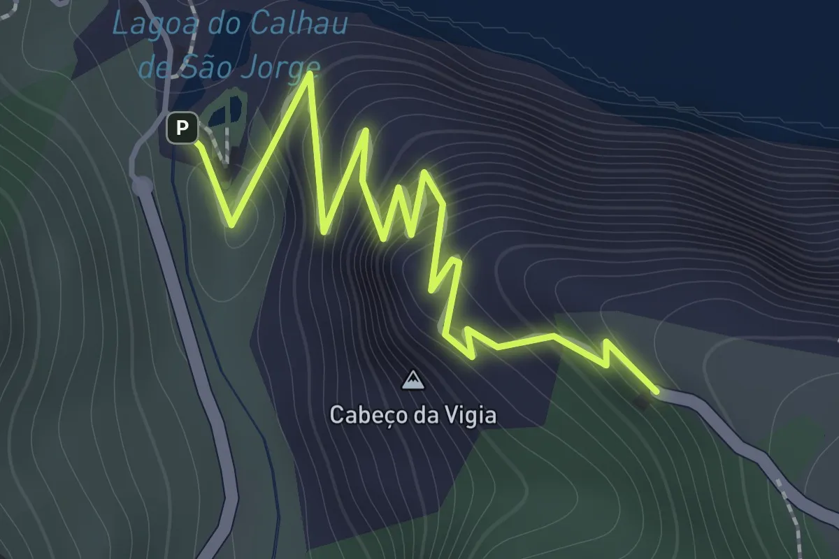
Easy · Trail
Caminho Real nº23 Achada do Gramacho
2.2 km · ↑ 221 m · 1 h
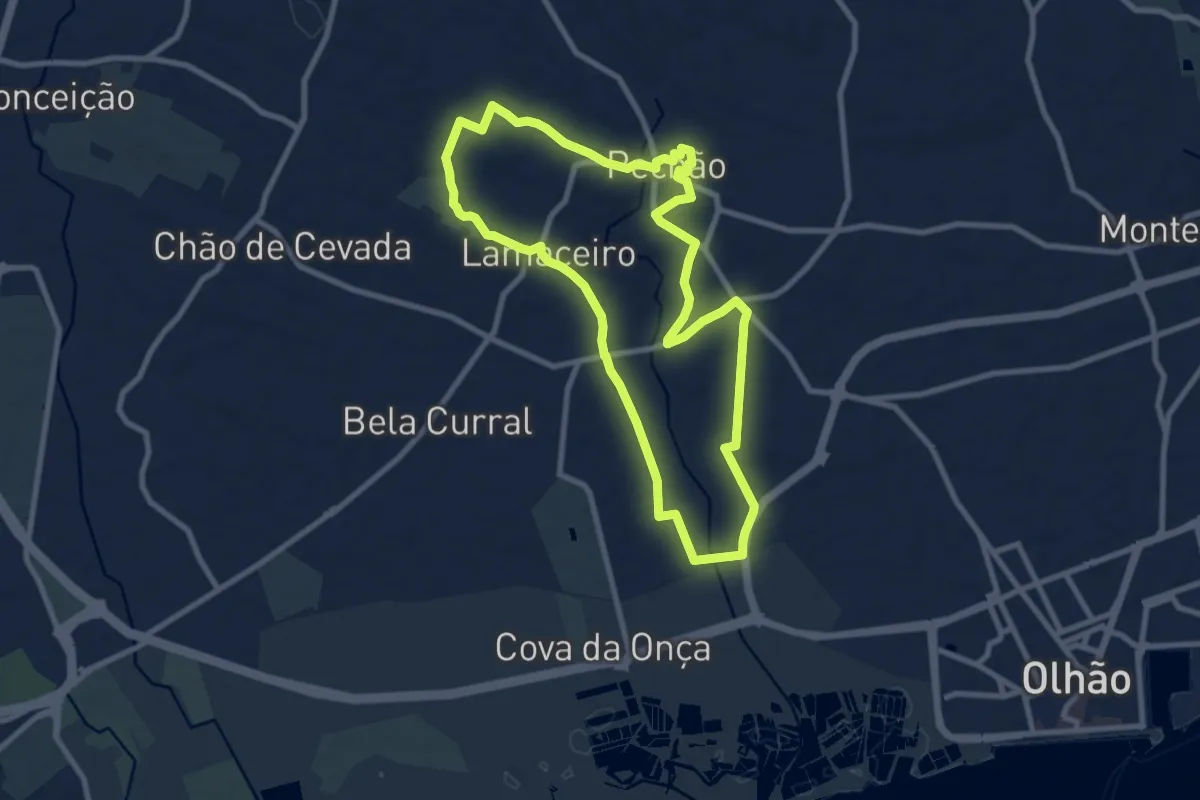
Medium · Trail
Caminho Rural
10.1 km · ↑ 111 m · 2 h 46 min
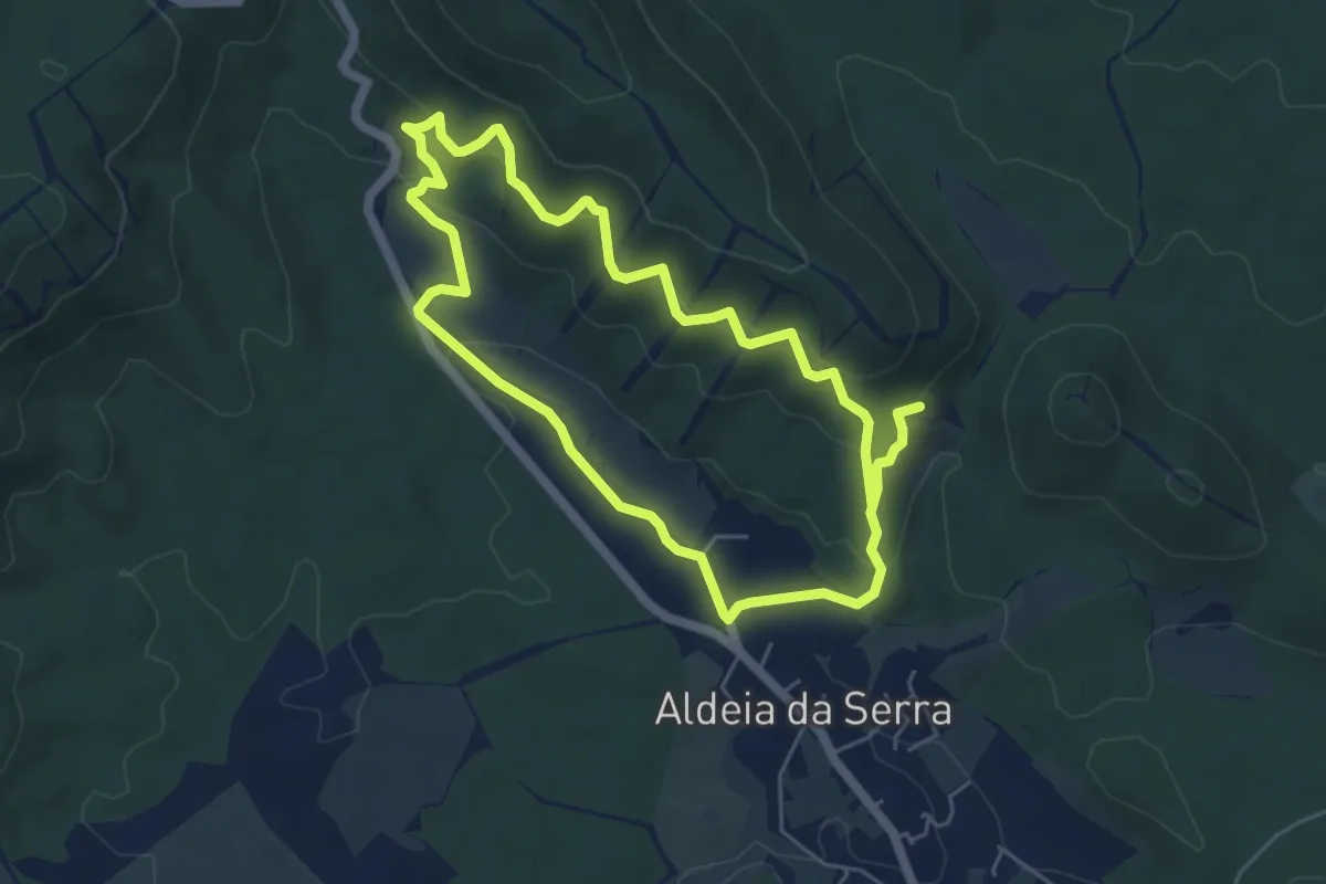
Easy · Trail
Caminhos da Aldeia
5.8 km · ↑ 244 m · 1 h 59 min
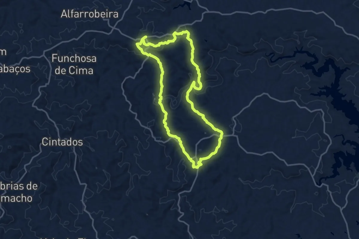
Medium · Trail
Caminhos da Cabra Algarvia
14.1 km · ↑ 360 m · 4 h 19 min
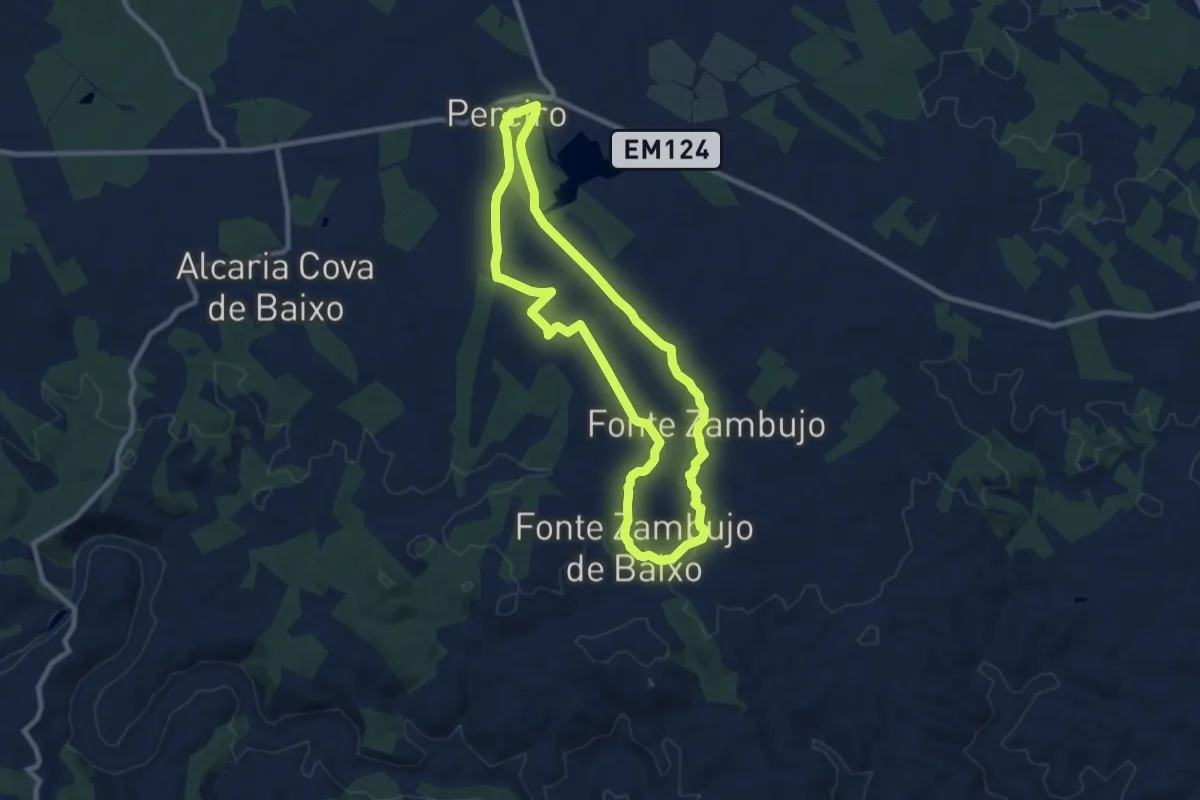
Medium · Trail
Caminhos da Fonte
9.9 km · ↑ 140 m · 2 h 46 min
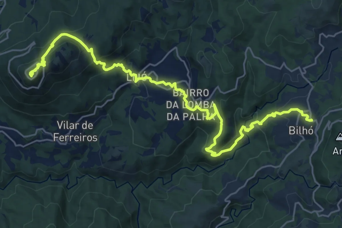
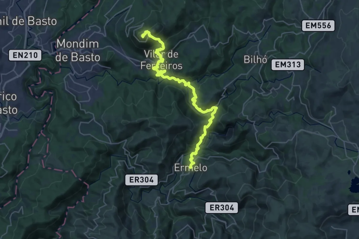
Demanding · Summit
Caminhos da Senhora da Graça - Bilhó - Senhora da Graça
22.0 km · ↑ 1192 m · 7 h 47 min
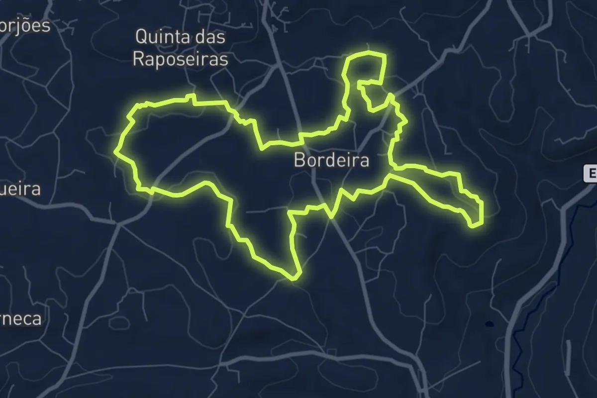
Demanding · Summit
Caminhos da Senhora da Graça: Ermelo - Senhora da Graça
27.9 km · ↑ 1540 m · 9 h 56 min
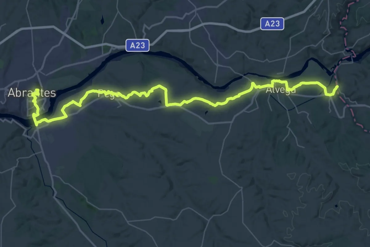
Medium · Trail
Caminhos de Bordeira
10.7 km · ↑ 200 m · 3 h 7 min
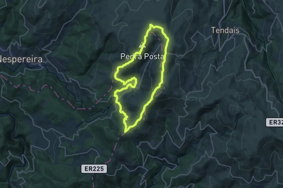
Demanding · Summit
Caminhos de Fátima
50.2 km · ↑ 559 m · 13 h 4 min
Medium · Summit
Caminhos de Montemuro
16.9 km · ↑ 699 m · 5 h 44 min
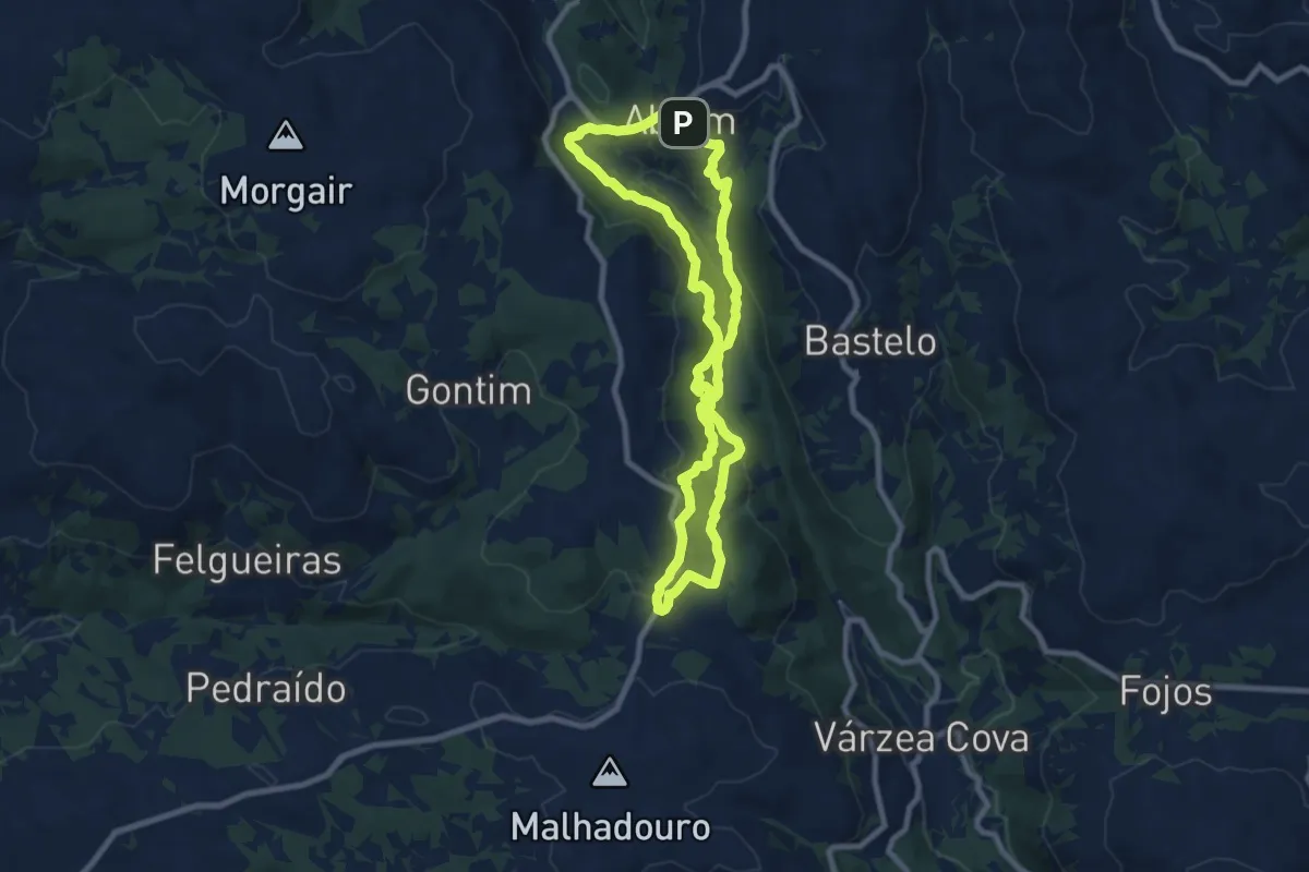
Medium · Trail
Caminhos de São João da Ramalheira
8.6 km · ↑ 372 m · 2 h 57 min
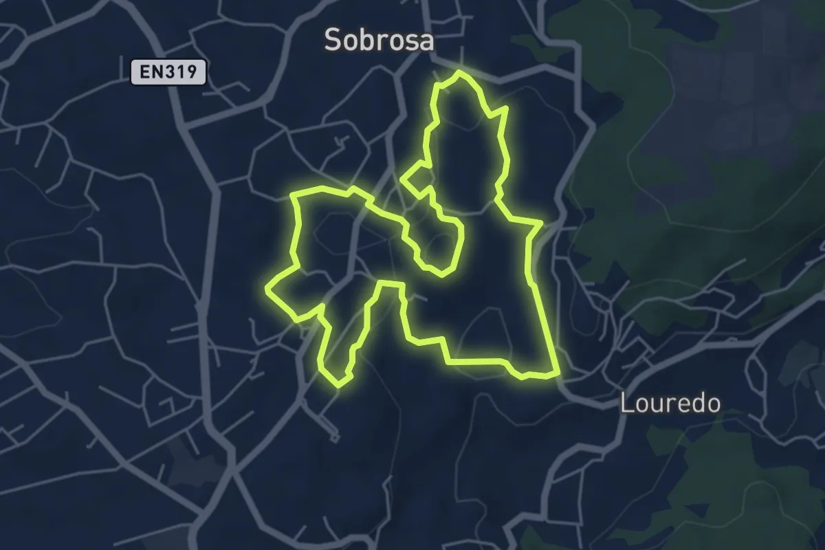
Easy · Trail
Caminhos de Sobrosa
5.7 km · ↑ 146 m · 1 h 44 min
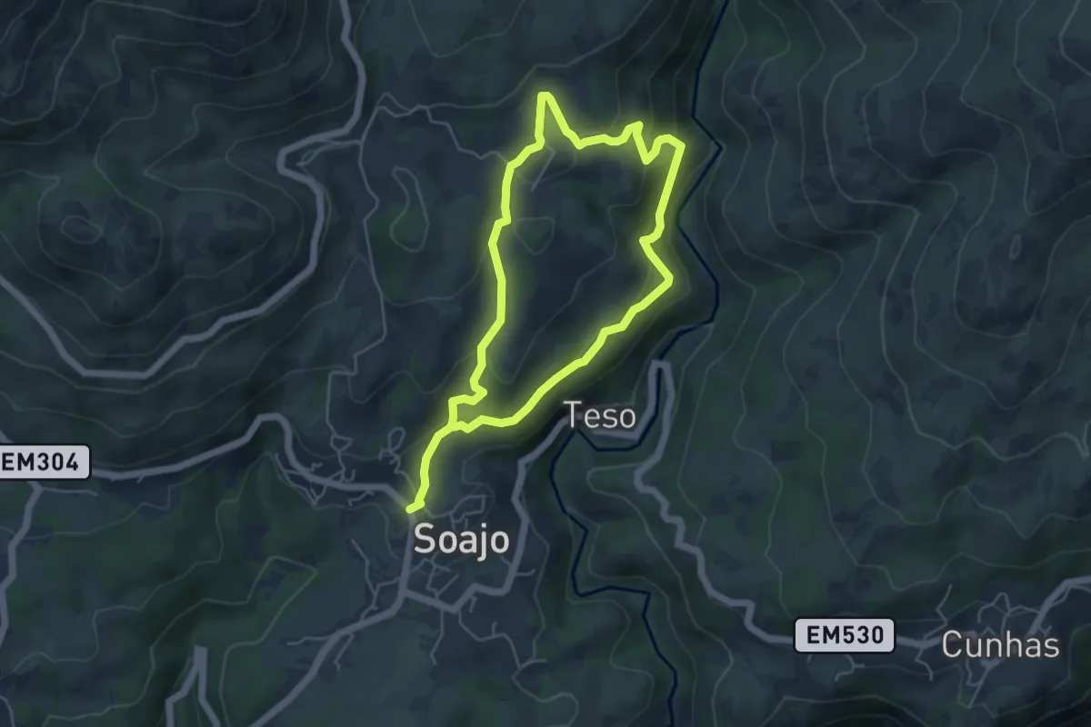
Medium · Trail
Caminhos do Pão e Caminhos da Fé (Percurso Curto)
9.1 km · ↑ 433 m · 3 h 6 min
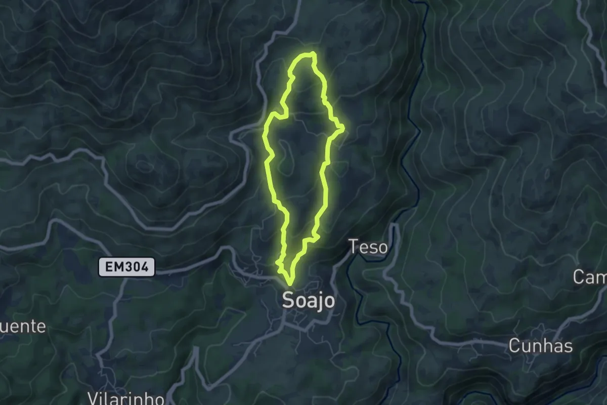
Easy · Trail
Caminhos do Pão e Caminhos da Fé (Percurso Longo)
5.2 km · ↑ 294 m · 1 h 57 min
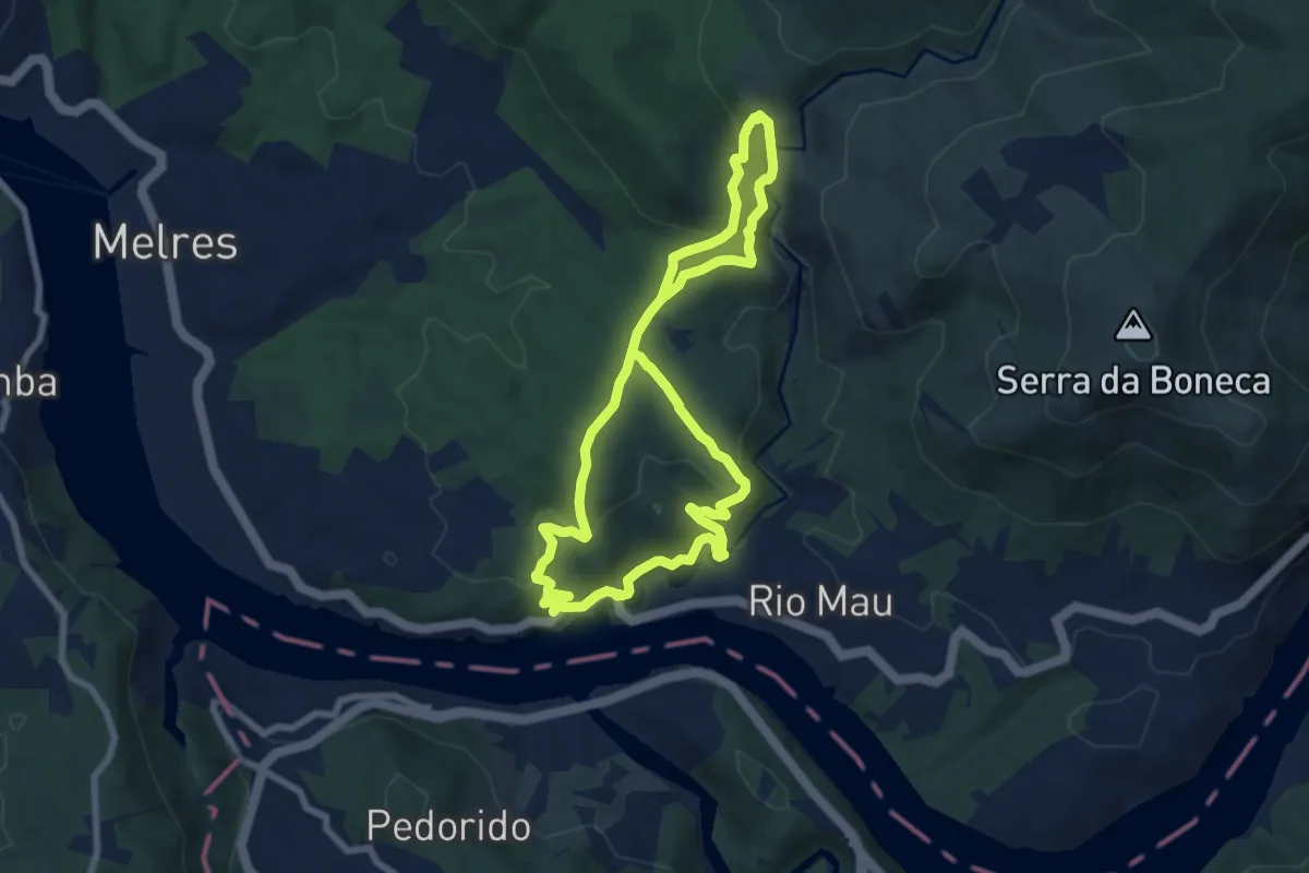
Medium · Trail
Caminhos do Rio Mau – Terra da Apicultura
14.6 km · ↑ 603 m · 4 h 46 min
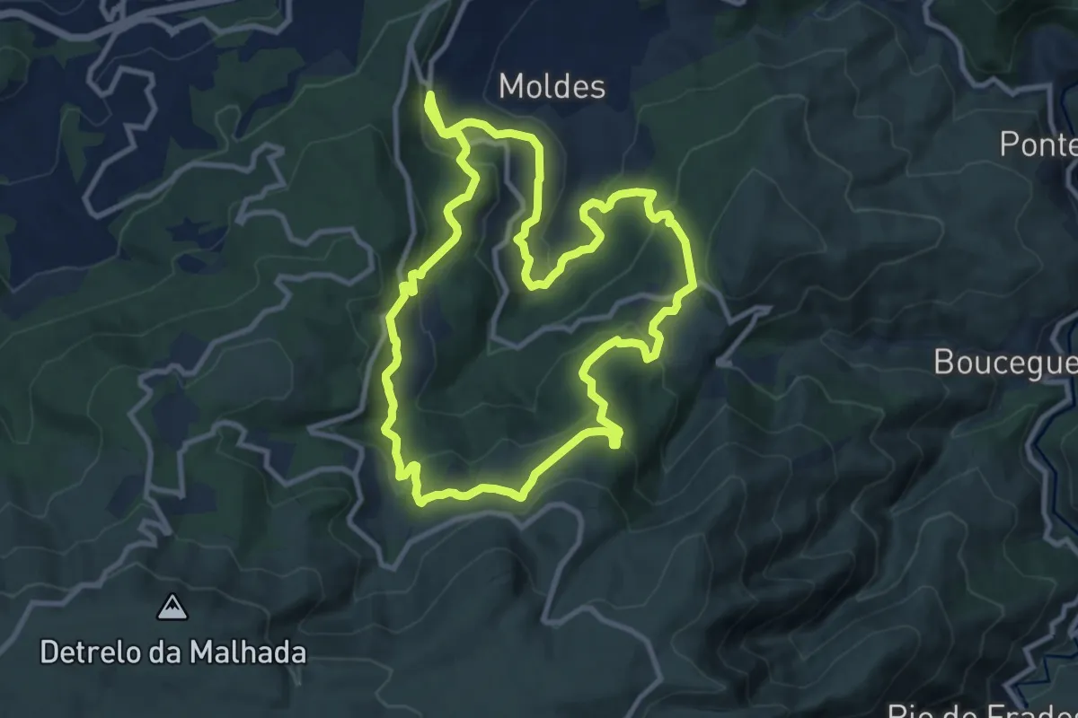
Medium · Trail
Caminhos do Sol Nascente
11.8 km · ↑ 558 m · 4 h 9 min
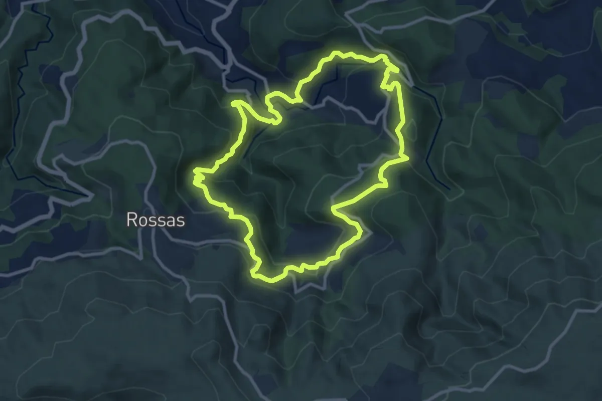
Medium · Trail
Caminhos do Vale do Urtigosa
10.3 km · ↑ 580 m · 3 h 48 min
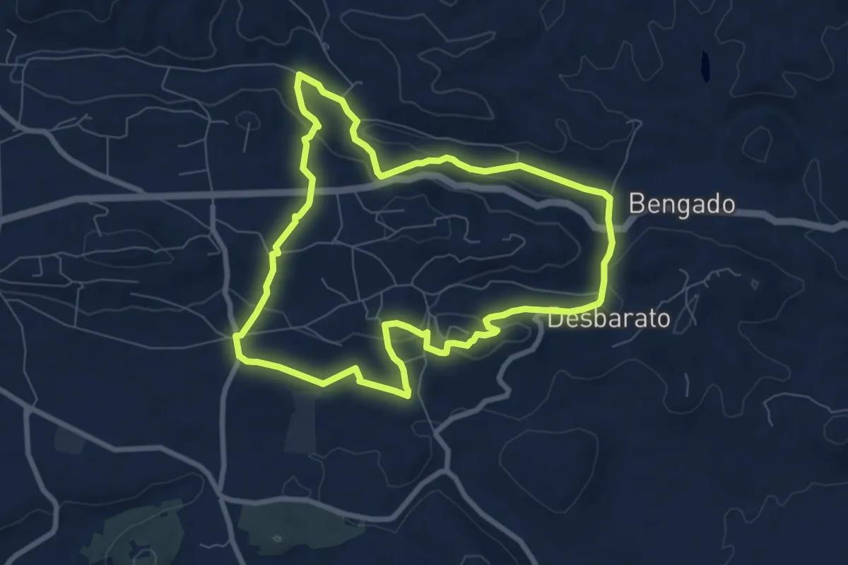
Medium · Trail
Caminhos e Encruzilhadas de Ir à Fonte
8.4 km · ↑ 229 m · 2 h 36 min
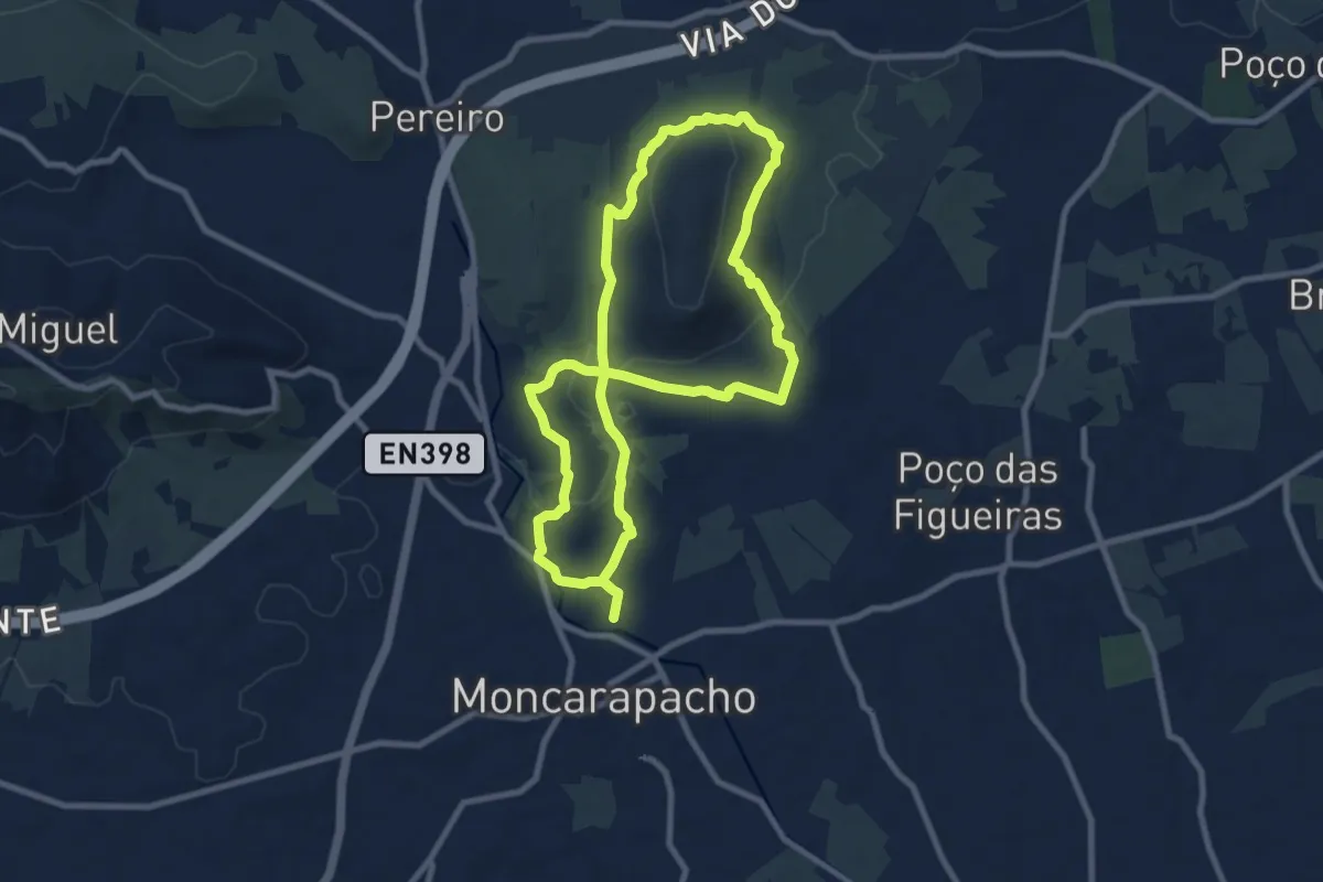
Medium · Trail
Caminhos Romanos e Cerro da Cabeça
9.9 km · ↑ 216 m · 2 h 57 min
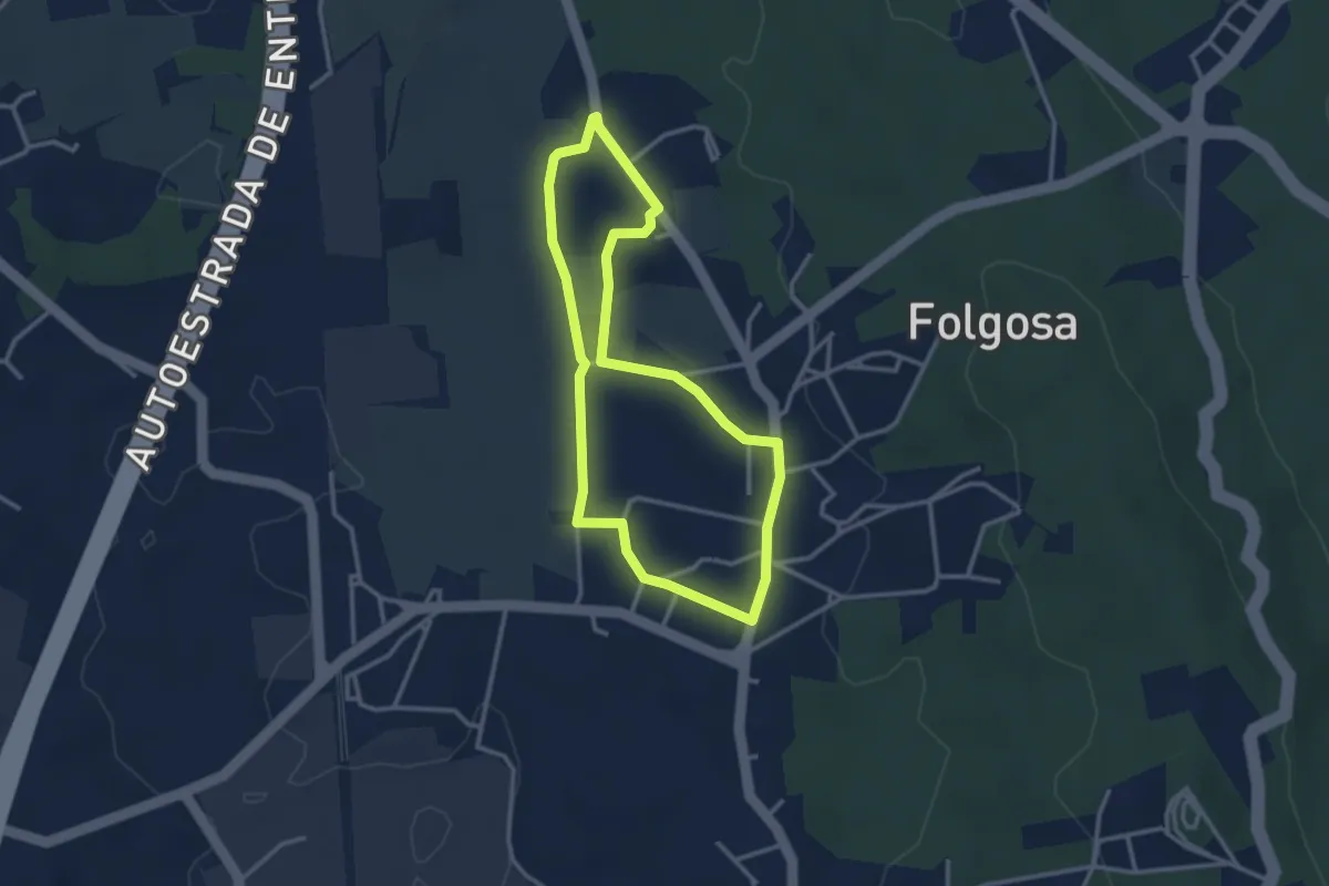
Easy · Trail
Caminhos rurais de Folgosa
3.1 km · ↑ 30 m · 51 min
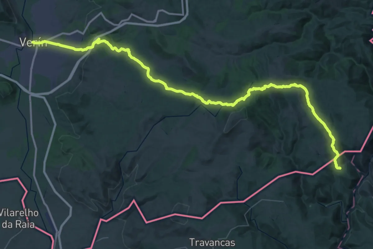
Demanding · Trail
Camino Portugués de la vía de la Plata
27.4 km · ↑ 571 m · 8 h 12 min
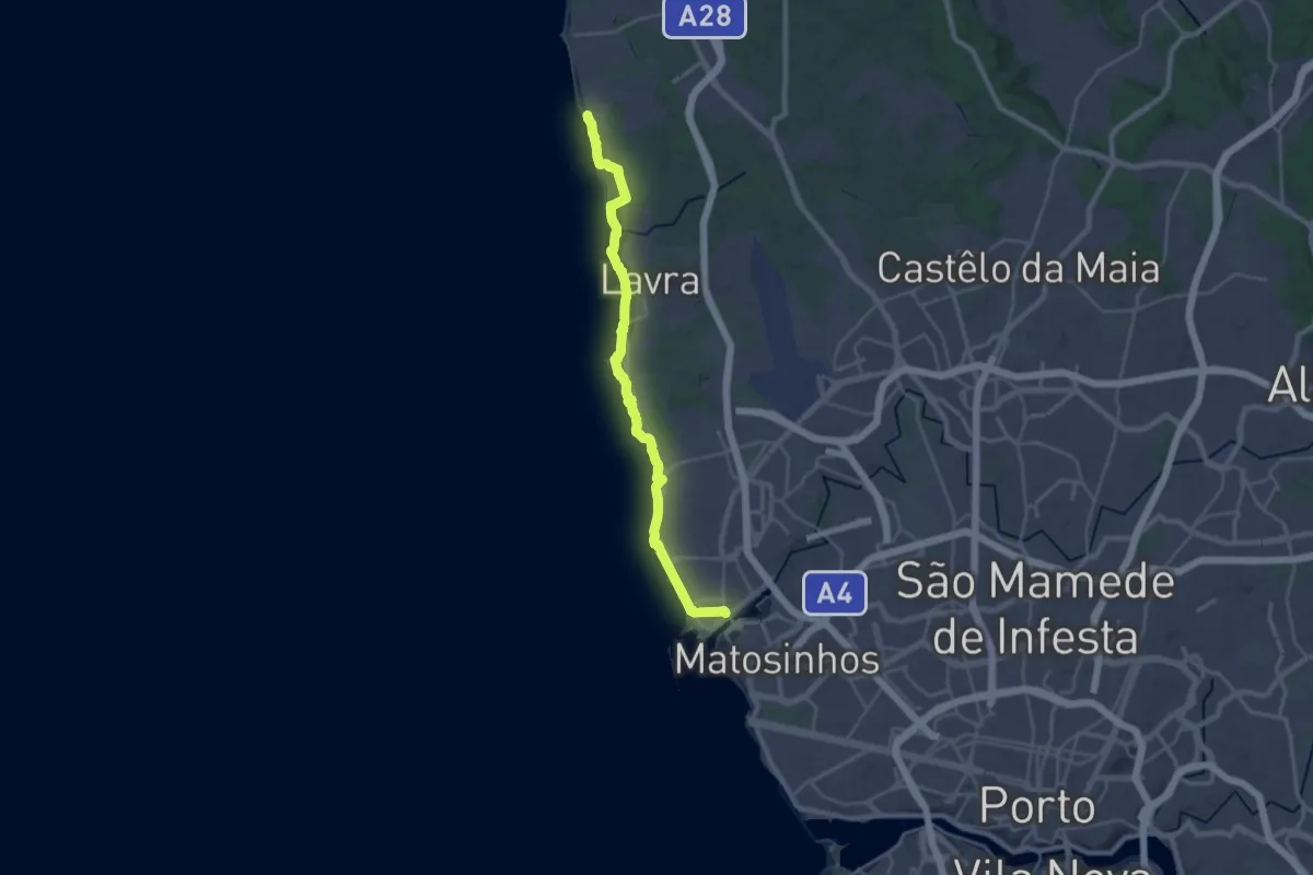
Demanding · Trail
Camino Portuguese (Matosinhos - Vila Chã)
29.0 km · ↑ 84 m · 7 h 2 min
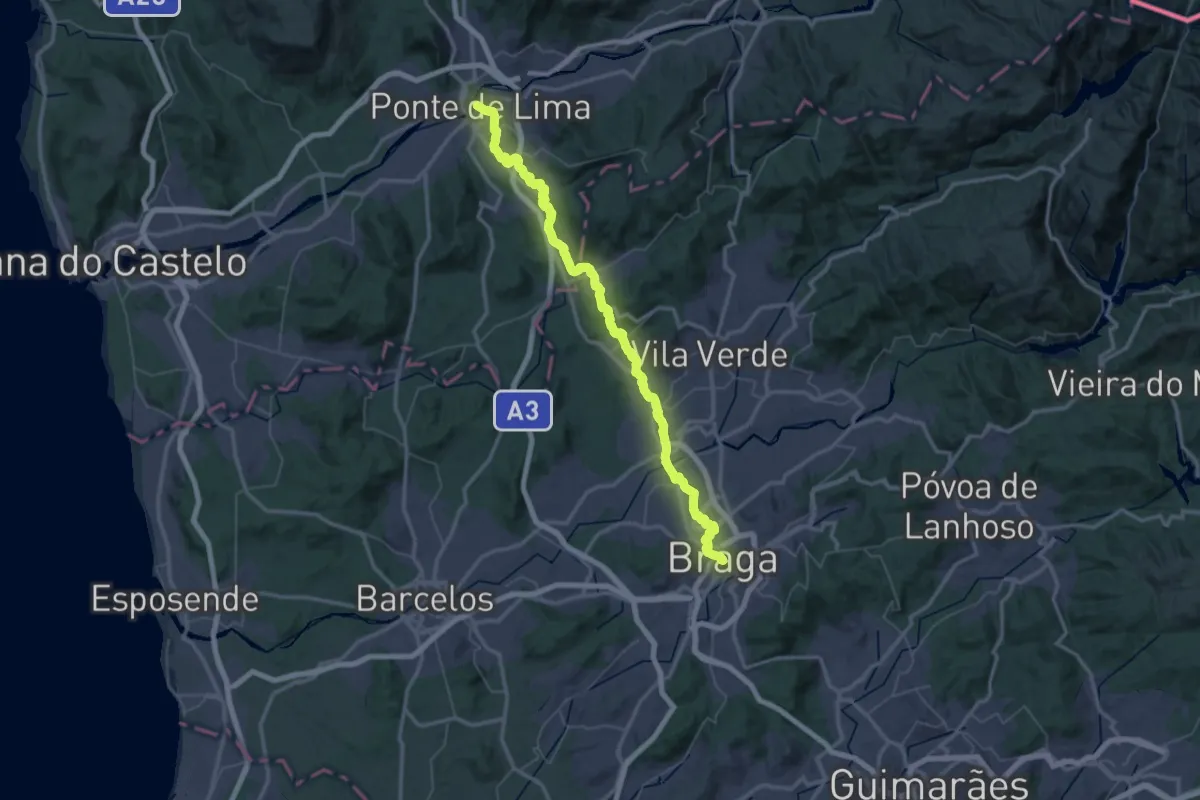
Demanding · Trail
Camino Torres - 03 Caminho de Santiago Braga
35.9 km · ↑ 591 m · 10 h 20 min
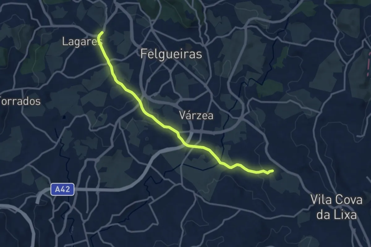
Medium · Trail
Camino Torres alt - 02 Caminho de Don Diego de Torres Villarroel
11.1 km · ↑ 210 m · 3 h 5 min
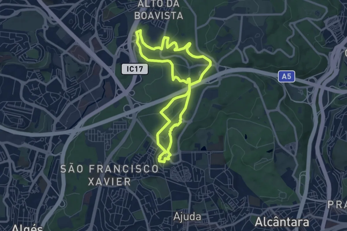
Medium · Trail
Campismo - Chaminés d'El Rei
7.6 km · ↑ 141 m · 2 h 12 min
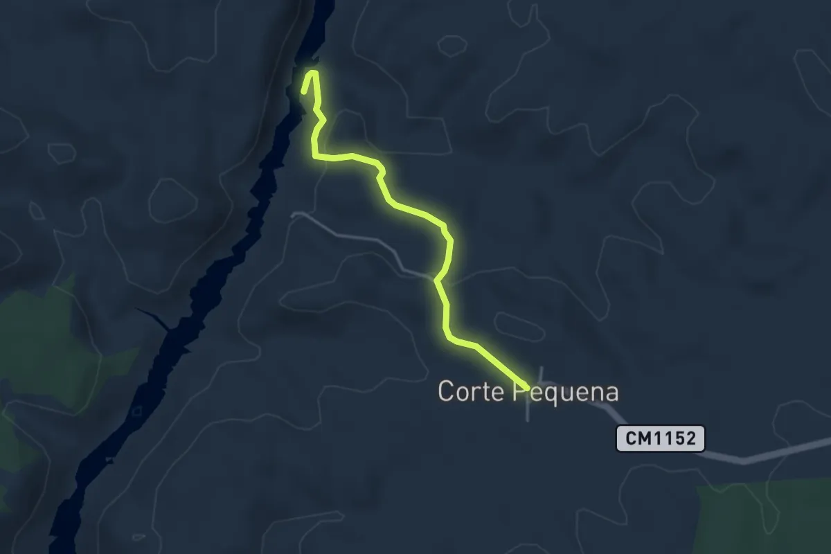
Easy · Trail
Canais do Guadiana
3.8 km · ↑ 122 m · 1 h 10 min
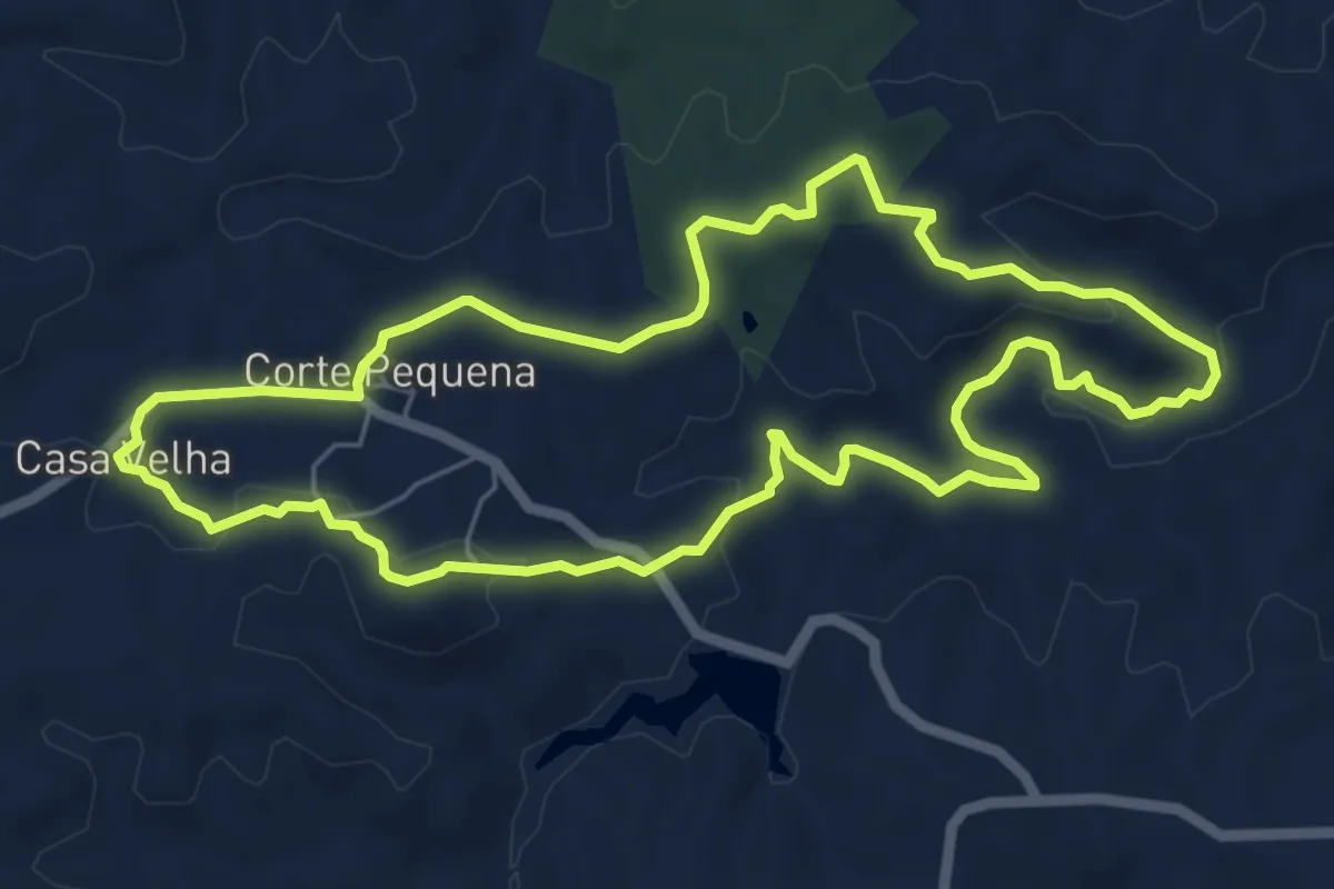
Easy · Summit
Canaviais do Barranco do Ribeirão
7.2 km · ↑ 183 m · 2 h 12 min
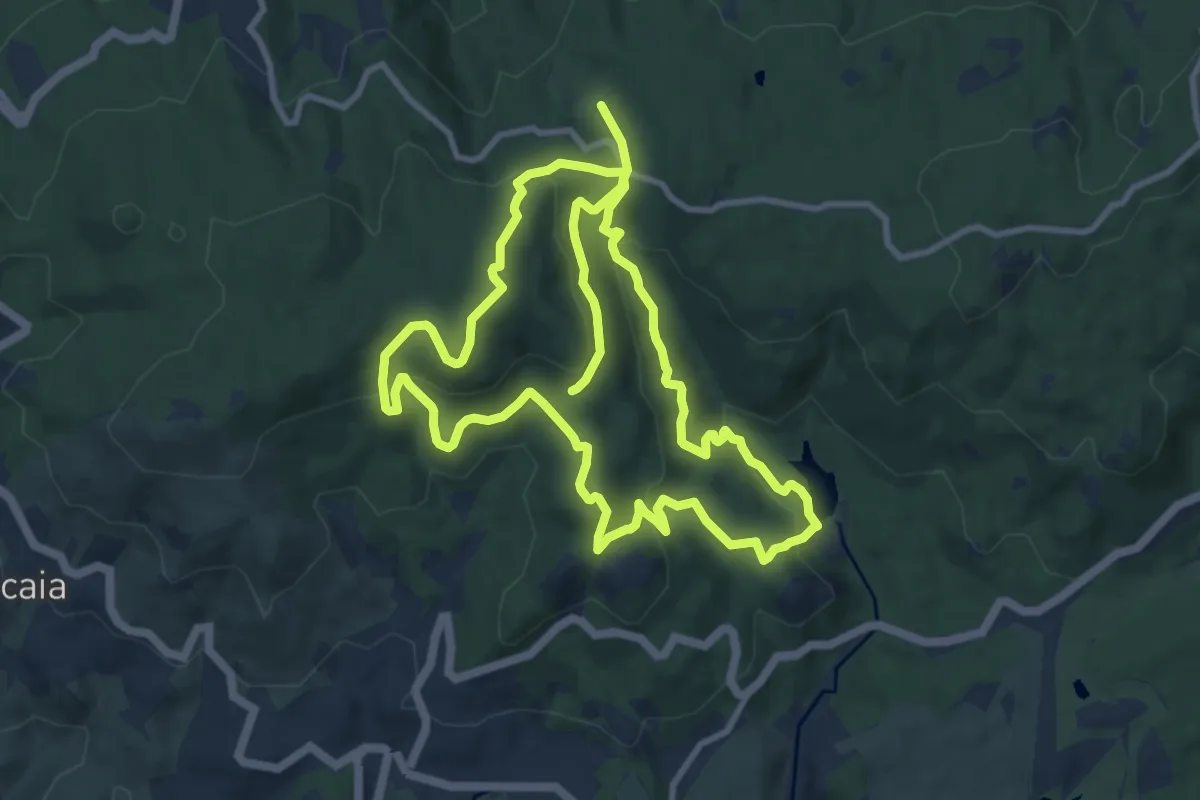
Medium · Summit
Capuchos
11.4 km · ↑ 489 m · 3 h 53 min
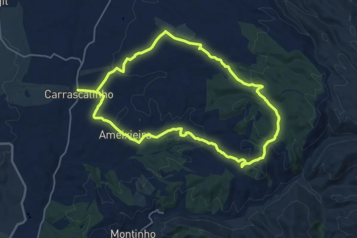
Medium · Trail
Carrascalinho
13.4 km · ↑ 299 m · 3 h 59 min
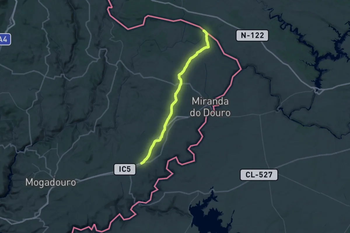
Demanding · Trail
Carril Mourisco
37.9 km · ↑ 271 m · 10 h
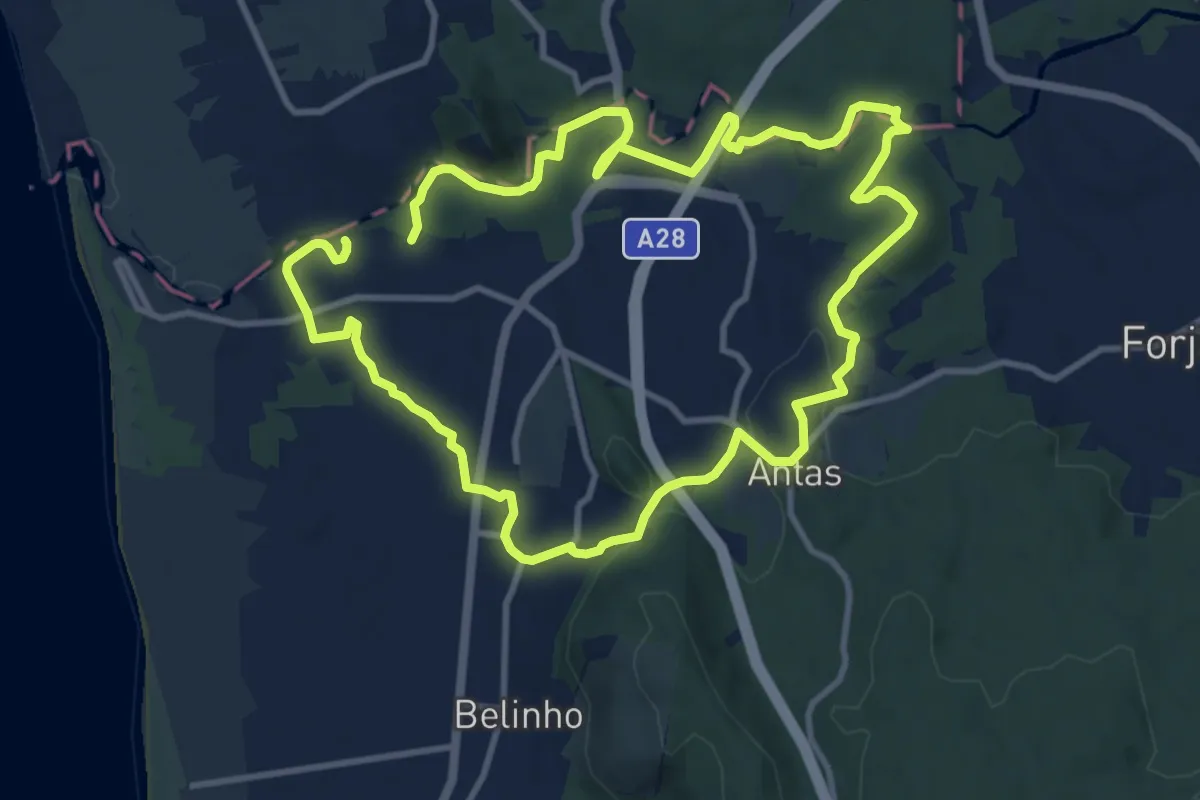
Demanding · Trail
Casa Azenha Branca Trilho das Azenhas das Antas
22.2 km · ↑ 338 m · 5 h 58 min
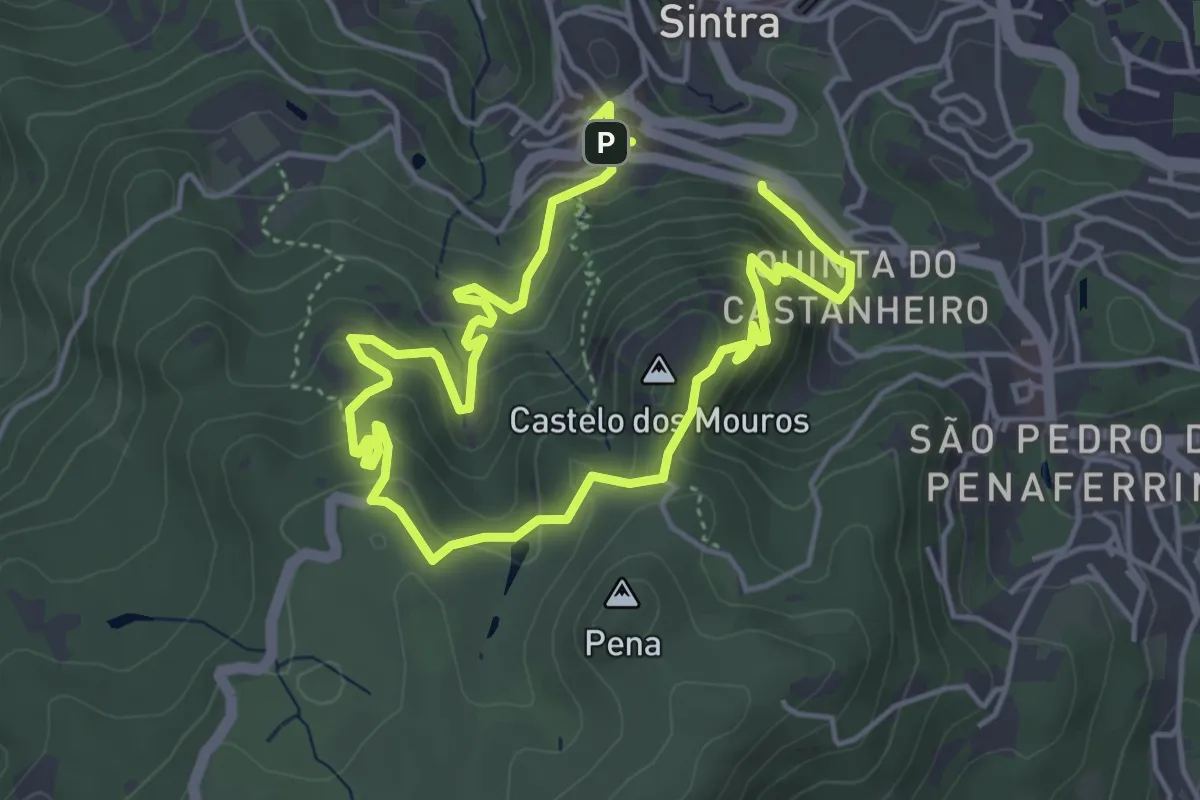
Easy · Summit
Castelo
4.3 km · ↑ 261 m · 1 h 37 min
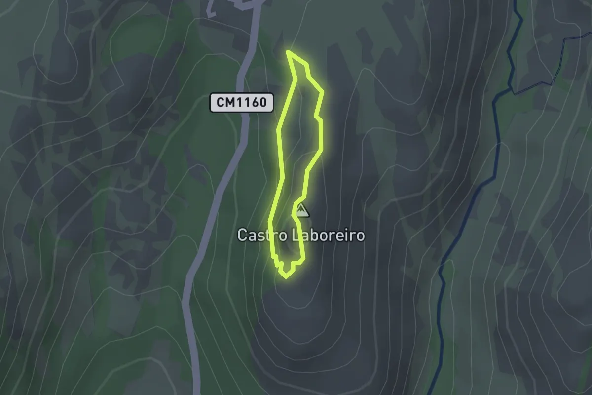
Easy · Summit
Castelo de Castro Laboreiro
1.2 km · ↑ 24 m · 22 min
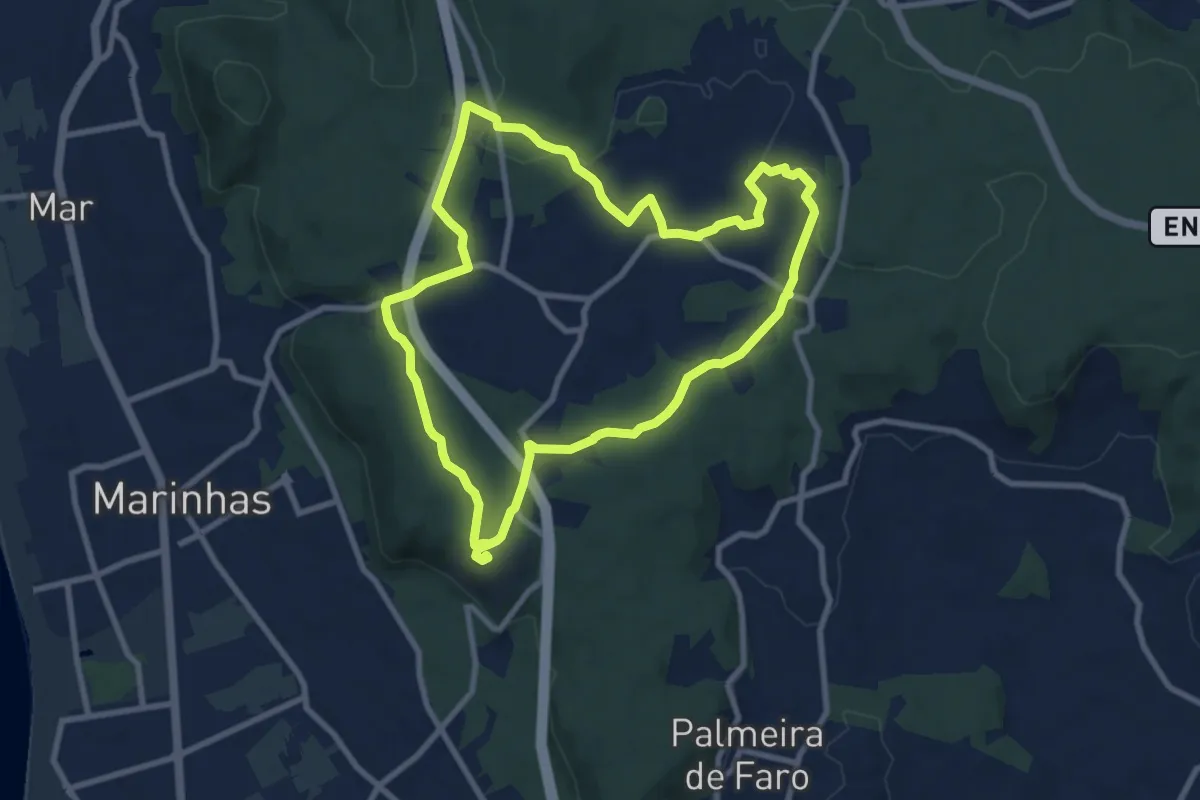
Medium · Trail
Castro de S. Lourenço
9.5 km · ↑ 130 m · 2 h 39 min
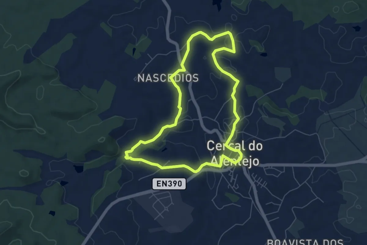
Easy · Trail
Cercal do Alentejo
7.2 km · ↑ 82 m · 1 h 59 min
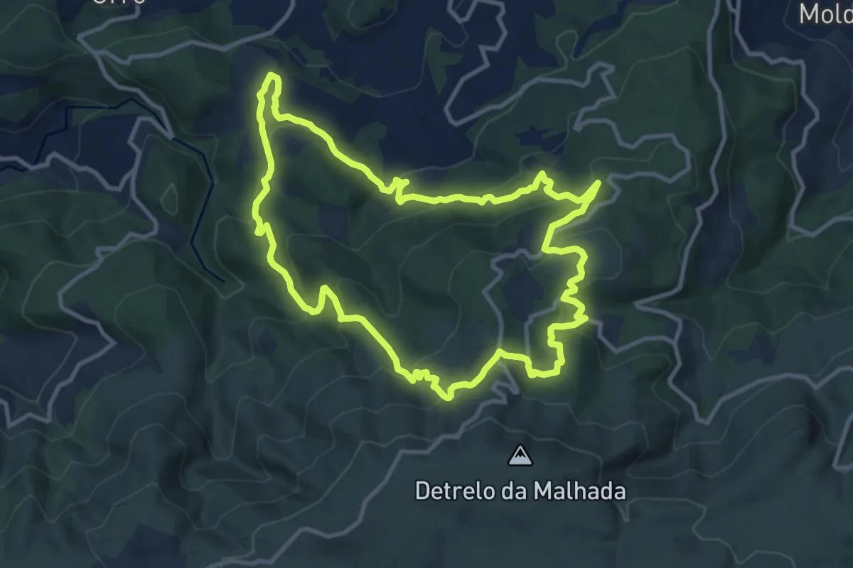
Medium · Trail
Cercanias da Freita
11.1 km · ↑ 570 m · 4 h 1 min
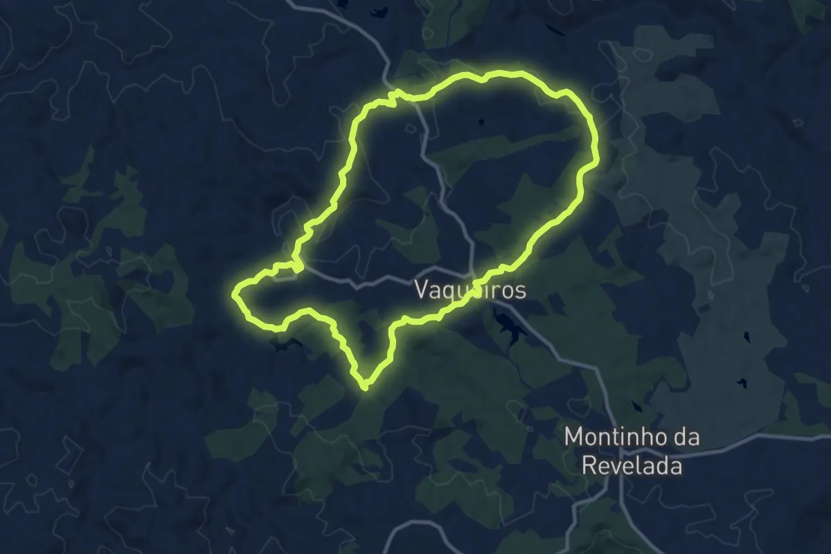
Medium · Trail
Cerro acima, Cerro abaixo
12.8 km · ↑ 312 m · 3 h 53 min
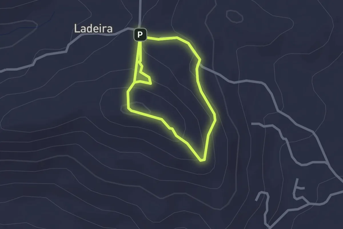
Easy · Summit
Cerro de Guilhm
2.0 km · ↑ 116 m · 44 min
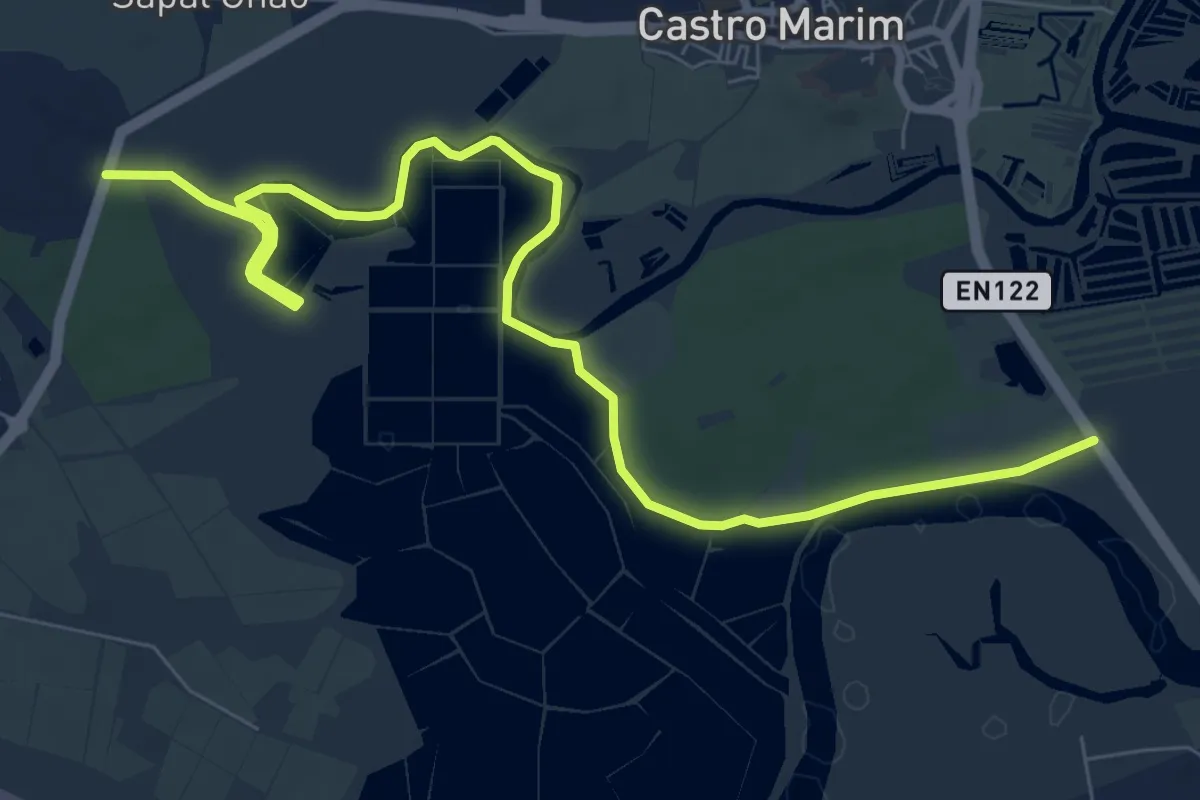
Medium · Trail
Cerro do Bufo
11.5 km · ↑ 4 m · 2 h 43 min
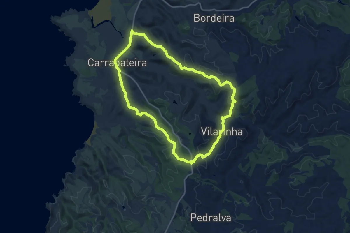
Medium · Trail
Cerros da Carrapateira
13.1 km · ↑ 277 m · 3 h 52 min
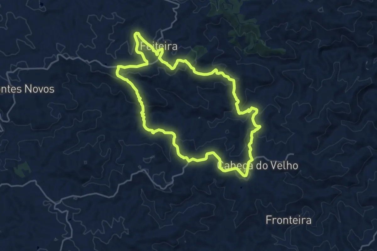
Medium · Summit
Cerros de Sobro
17.0 km · ↑ 548 m · 5 h 26 min
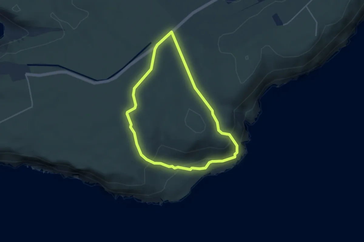
Easy · Trail
Chã dos Navegantes
3.6 km · ↑ 126 m · 1 h 11 min
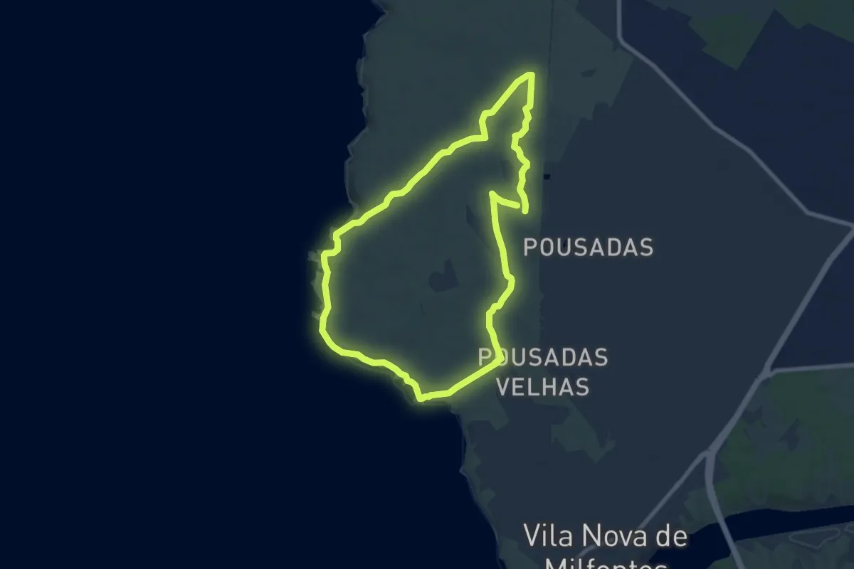
Medium · Trail
Charcos Mediterrânicos (longo)
8.7 km · ↑ 91 m · 2 h 22 min
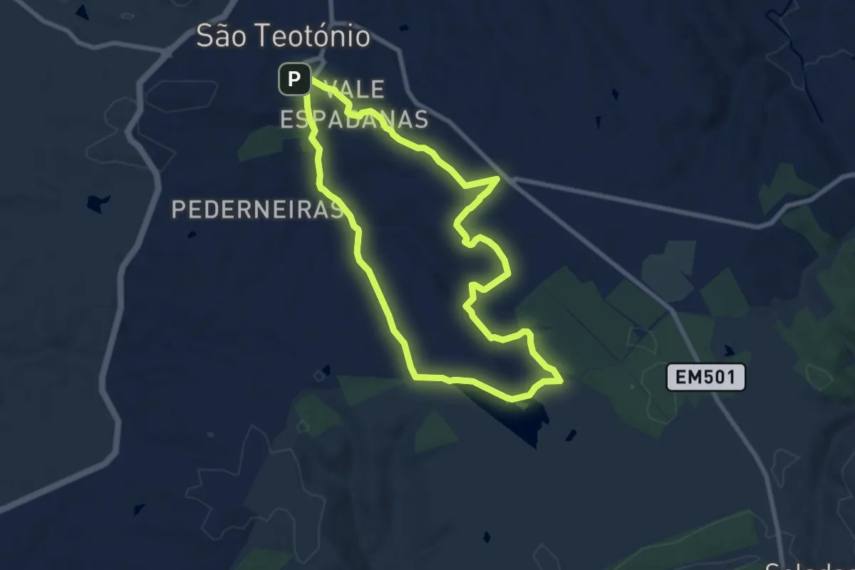
Medium · Trail
Charneca de S. Teotónio
8.6 km · ↑ 117 m · 2 h 24 min
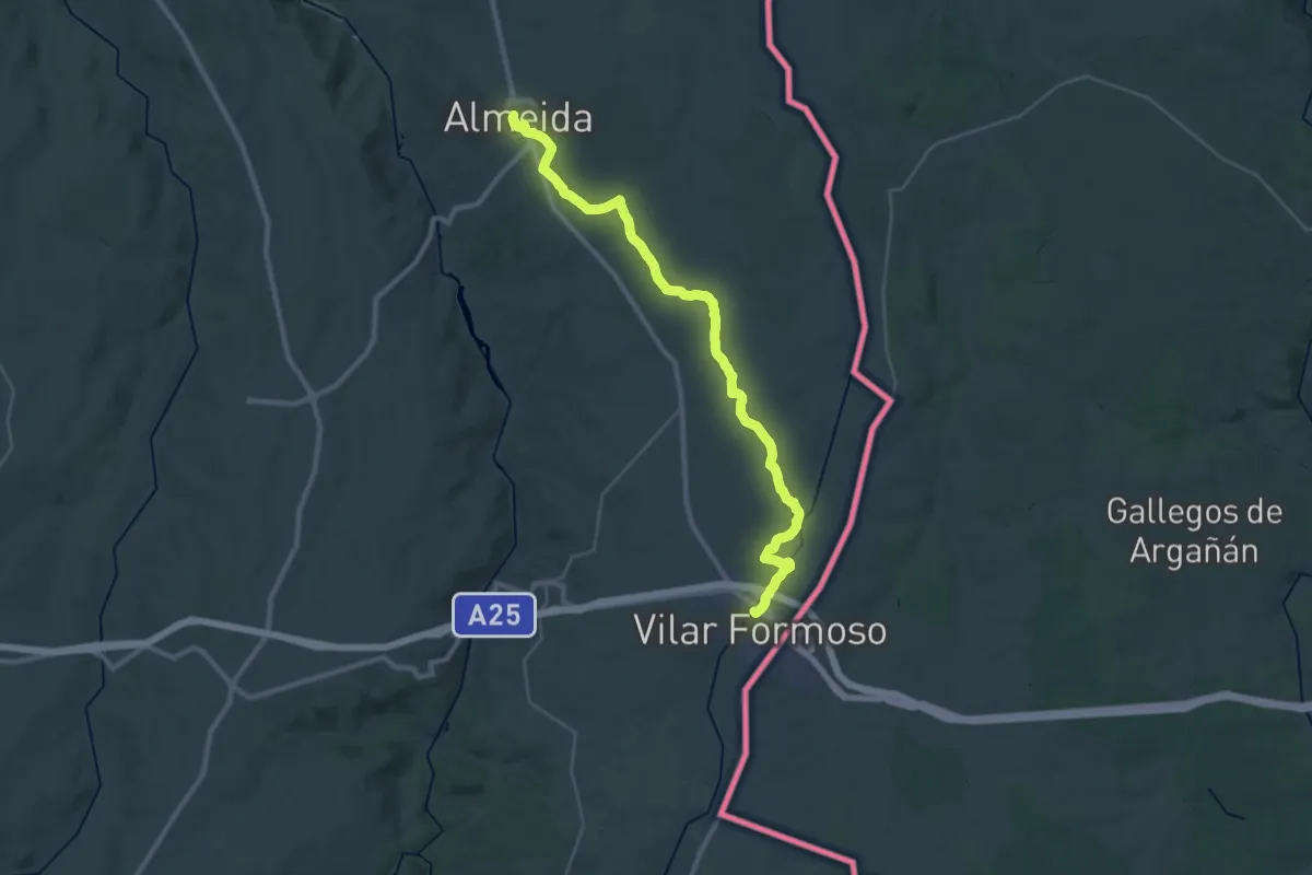
Demanding · Trail
Cidades Amuralhadas 6: Vilar Formoso-Almeida
18.9 km · ↑ 112 m · 4 h 59 min
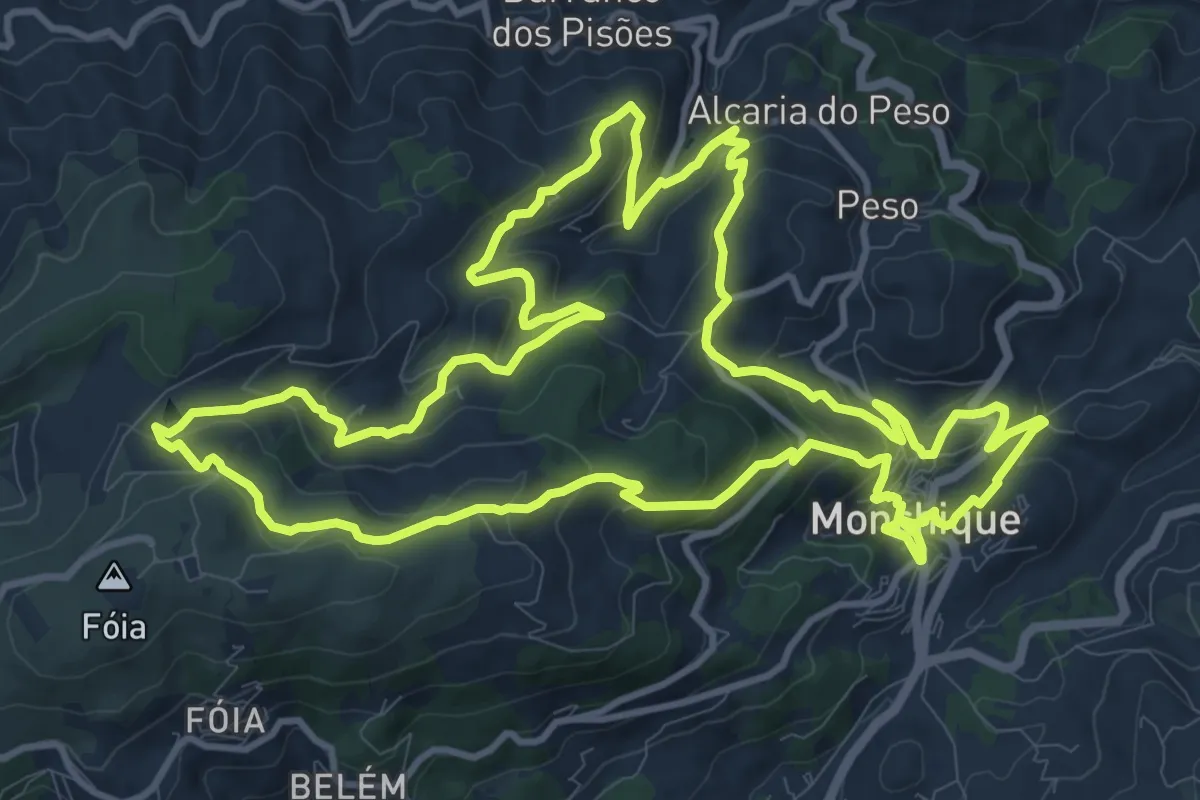
Medium · Trail
Circuito da Fóia (Rota das Árvores Monumentais)
15.5 km · ↑ 615 m · 5 h 13 min