Trails in Portugal
1,161 hiking trails, each with its route, climb, walking time and grade.
All trails, page 4 of 25
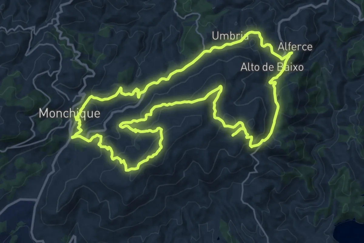
Demanding · Summit
Circuito da Picota (Rota das Árvores Monumentais)
23.7 km · ↑ 868 m · 7 h 49 min
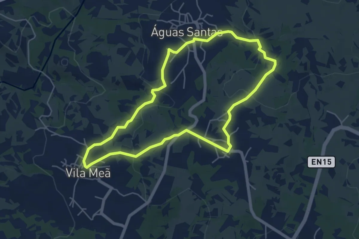
Easy · Trail
Circuito das Três Aldeias
4.7 km · ↑ 83 m · 1 h 22 min
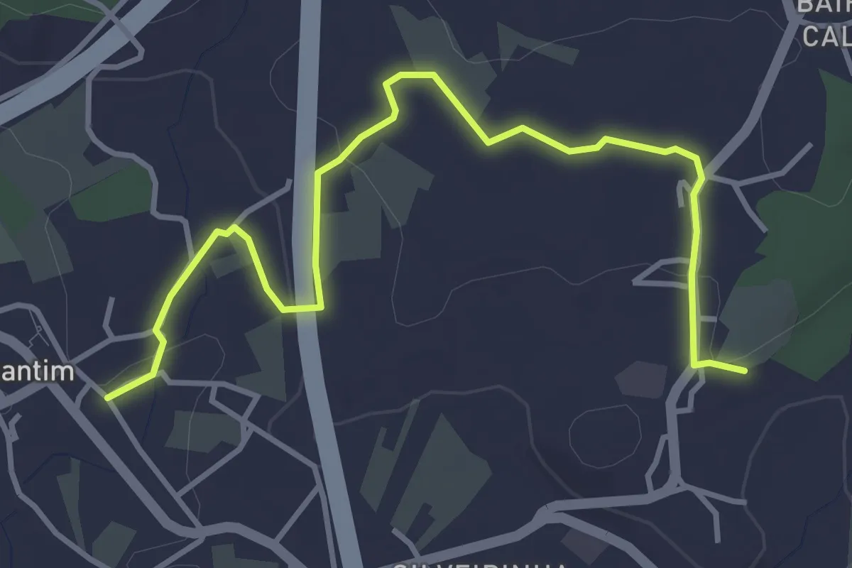
Easy · Trail
Circuito de Constantim
2.3 km · ↑ 54 m · 40 min
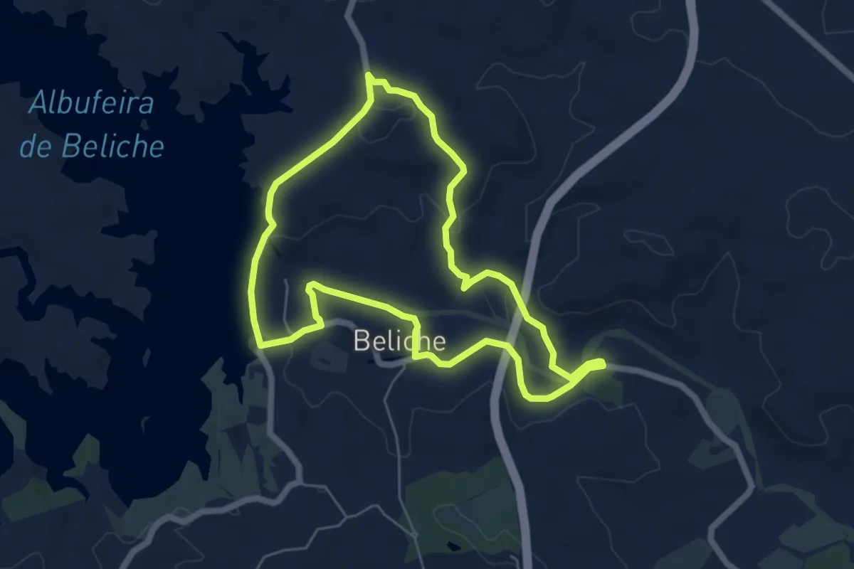
Easy · Trail
Circuito do Beliche
6.2 km · ↑ 135 m · 1 h 51 min
Easy · Trail
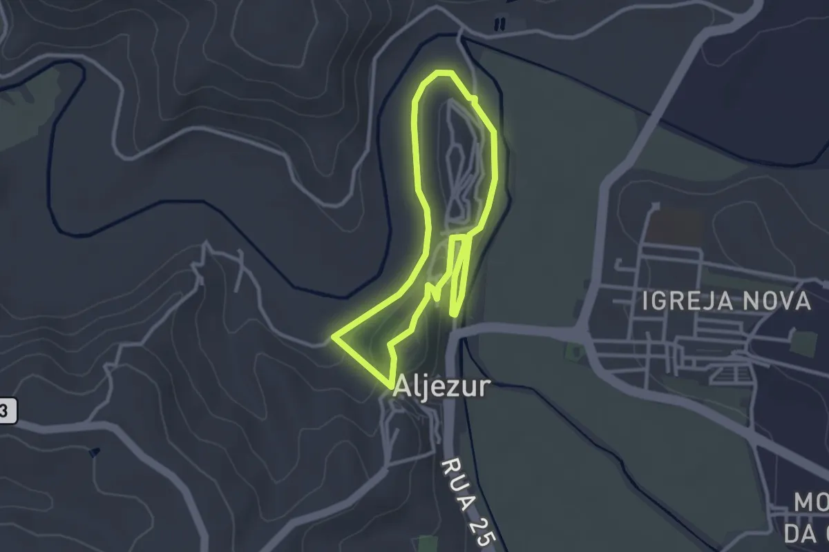
Circuito Histórico-Cultural e Ambiental
3.0 km · ↑ 68 m · 54 min
Easy · Trail
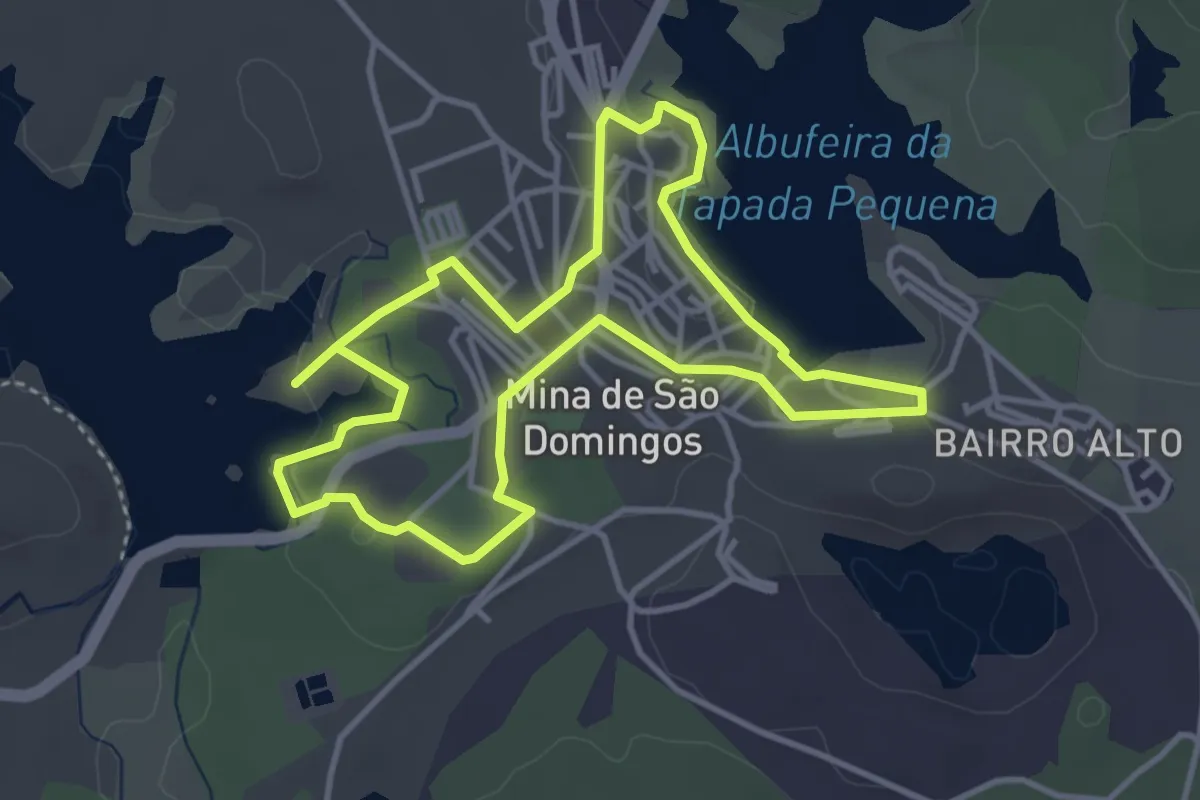
Circuito Urbano Mina de São Domingos
4.3 km · ↑ 31 m · 1 h 8 min
Demanding · Trail
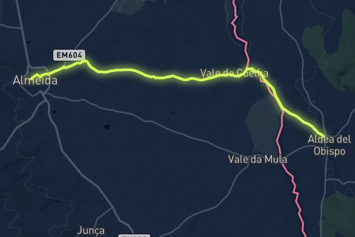
Ciudades Amuralladas 1: Almeida-Villar de Ciervos
22.4 km · ↑ 247 m · 5 h 49 min
Demanding · Trail
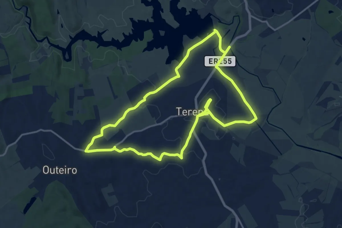
Conquista de Terena
27.1 km · ↑ 350 m · 7 h 10 min
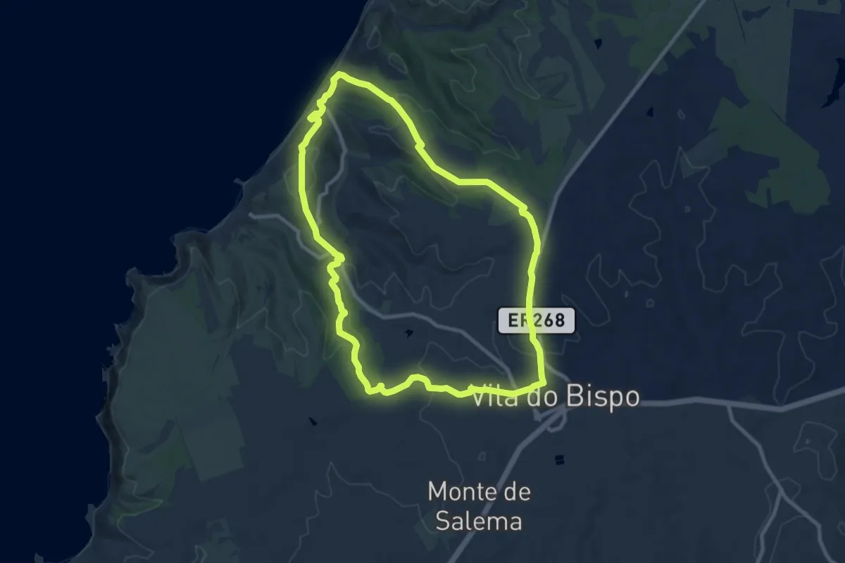
Medium · Trail
Cordoama (curto)
10.4 km · ↑ 203 m · 3 h 2 min
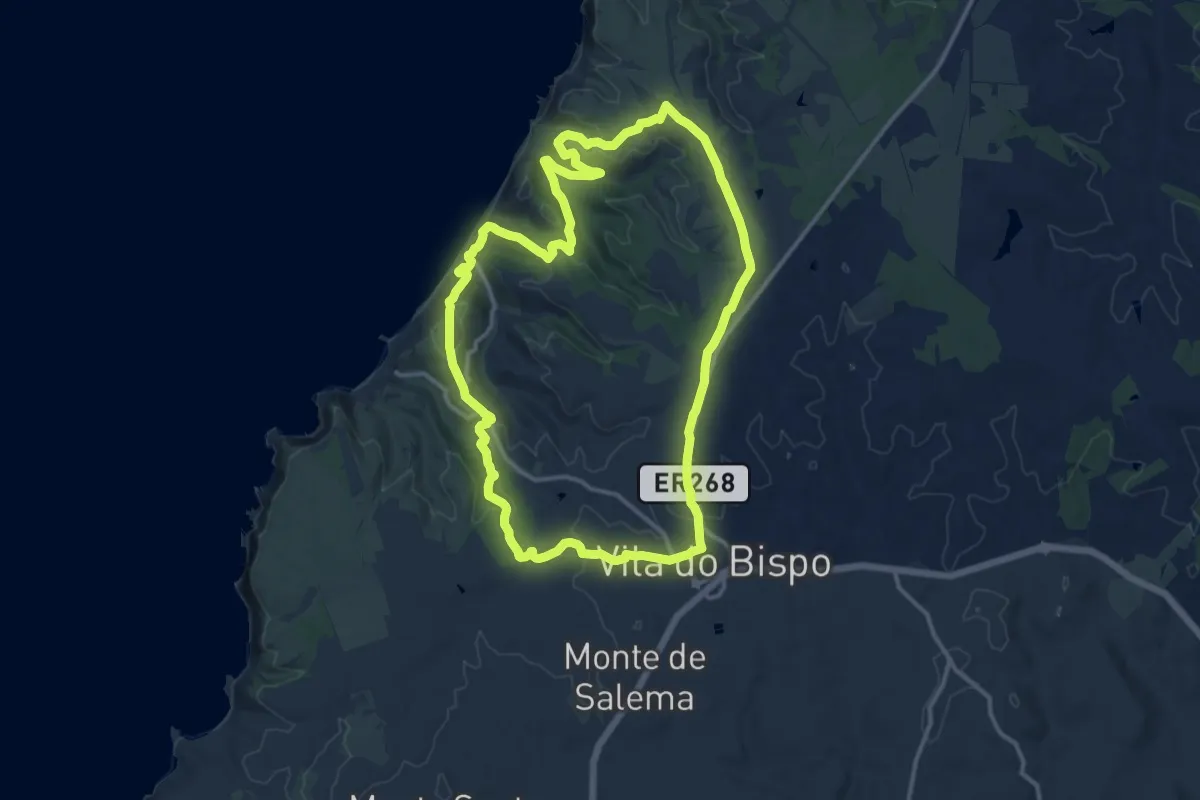
Medium · Trail
Cordoama (longo)
15.2 km · ↑ 325 m · 4 h 31 min
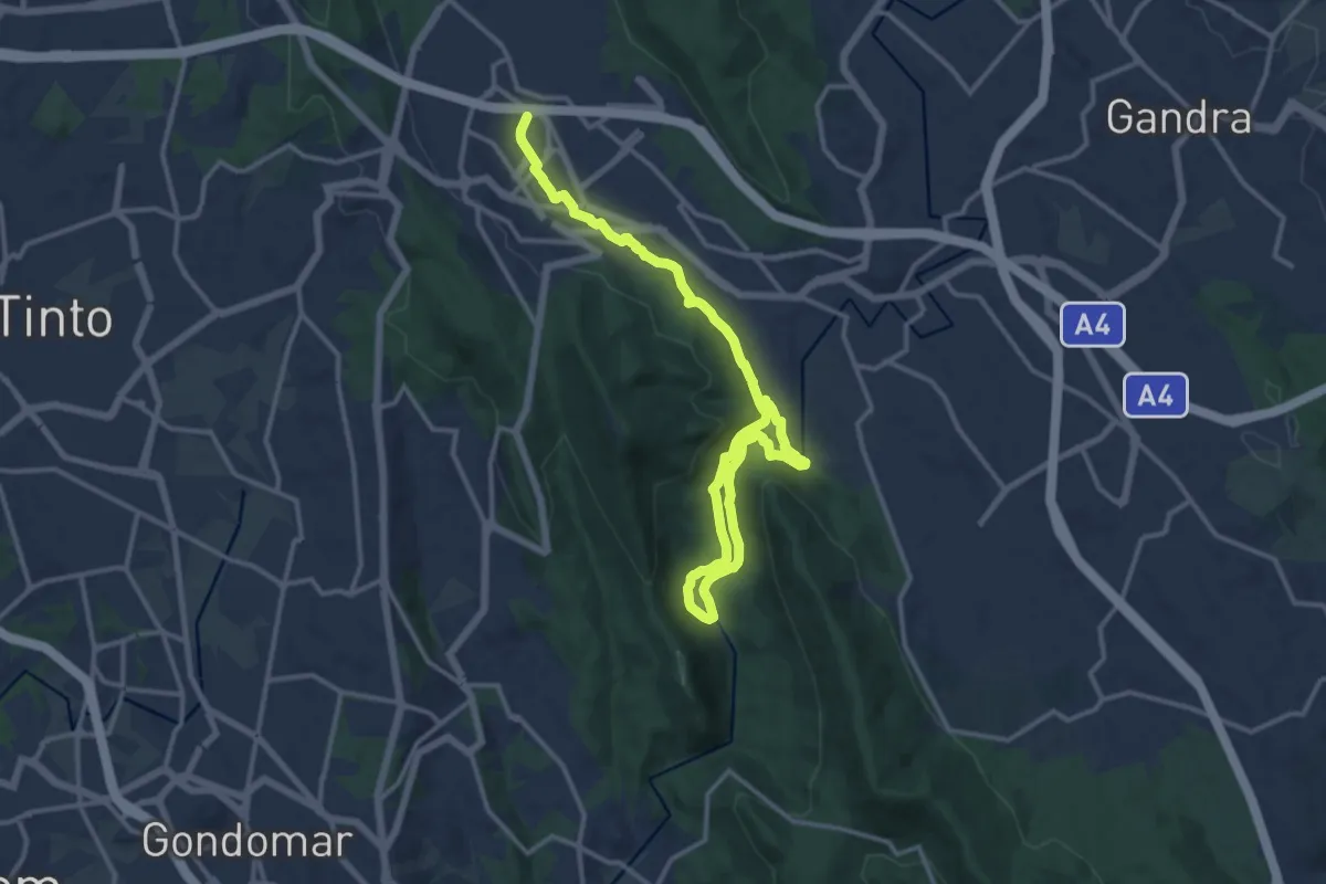
Demanding · Trail
Corredor Ecológico
19.1 km · ↑ 465 m · 5 h 31 min
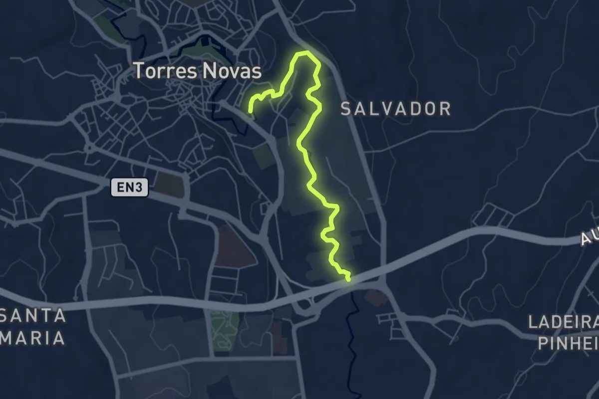
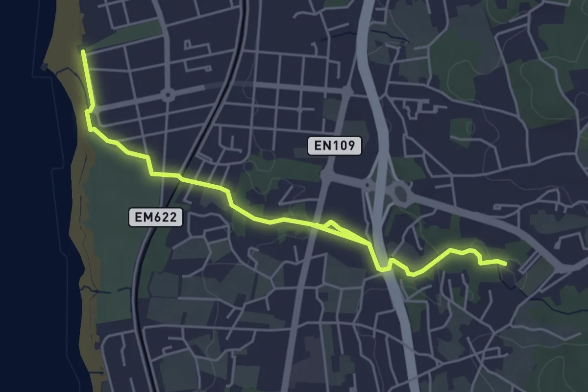
Easy · Trail
Corredor ecológico do Almonda
5.9 km · ↑ 9 m · 1 h 24 min
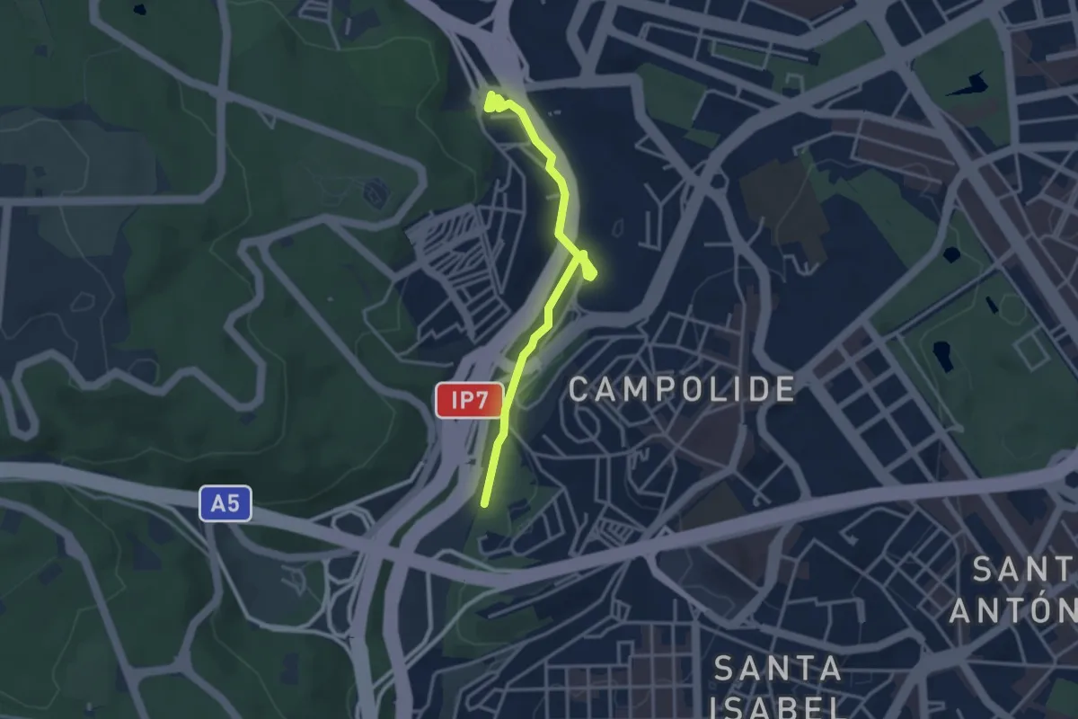
Easy · Trail
Corredor Verde da Ribeira do Espírito Santo
6.4 km · ↑ 41 m · 1 h 35 min
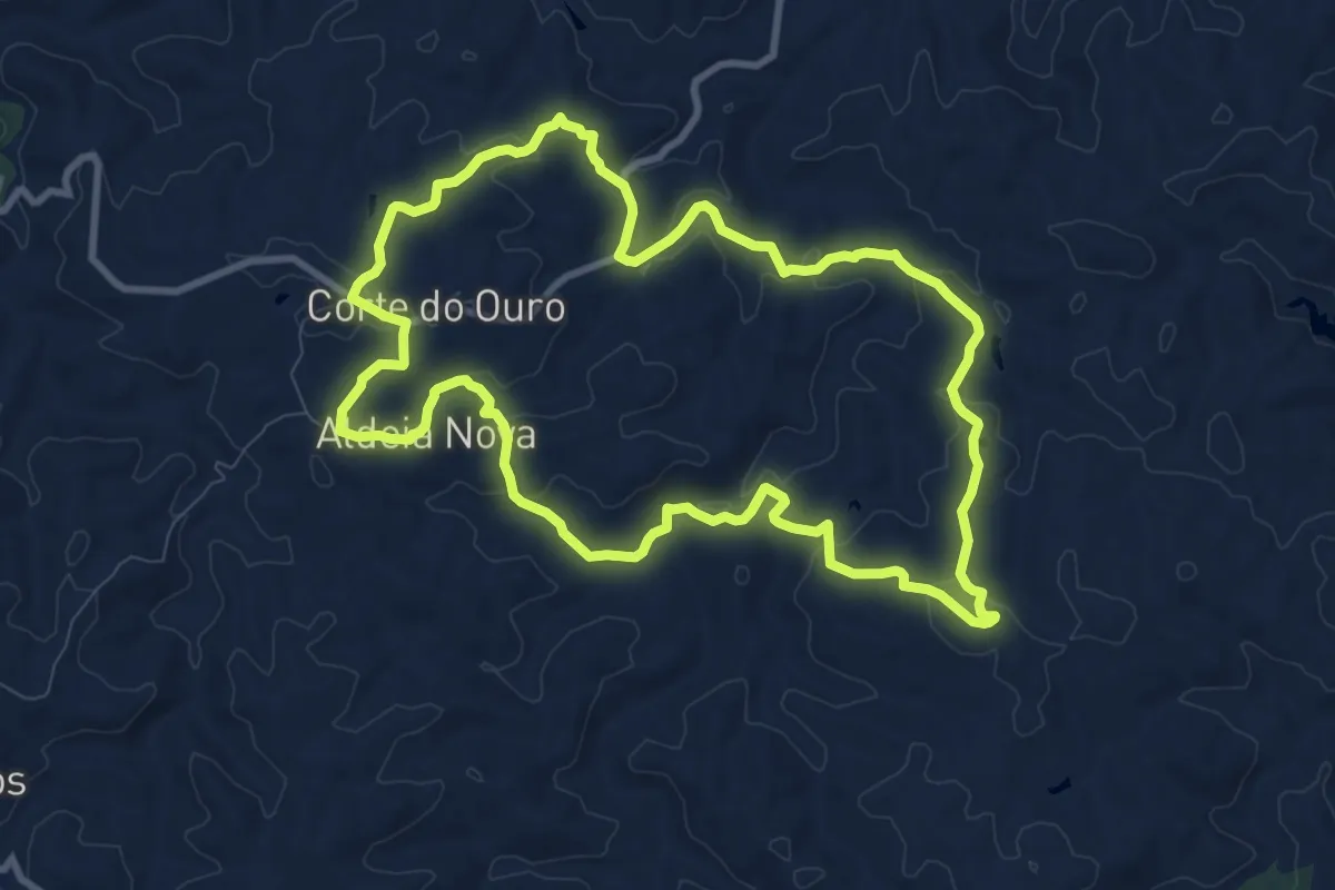
Easy · Trail
Corredor Verde do Vale de Alcântara
3.6 km · ↑ 75 m · 1 h 1 min
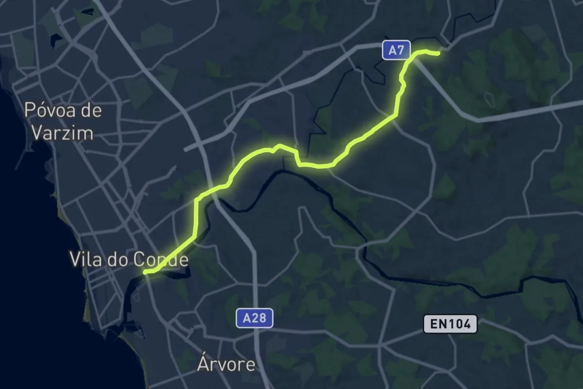
Medium · Trail
Corte de Ouro
11.1 km · ↑ 298 m · 3 h 25 min
Demanding · Trail
CP Costa - CP Central
18.3 km · ↑ 201 m · 4 h 45 min
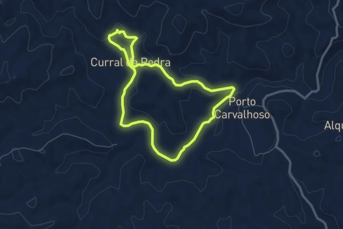
Easy · Trail
Curral da Pedra
5.8 km · ↑ 146 m · 1 h 45 min
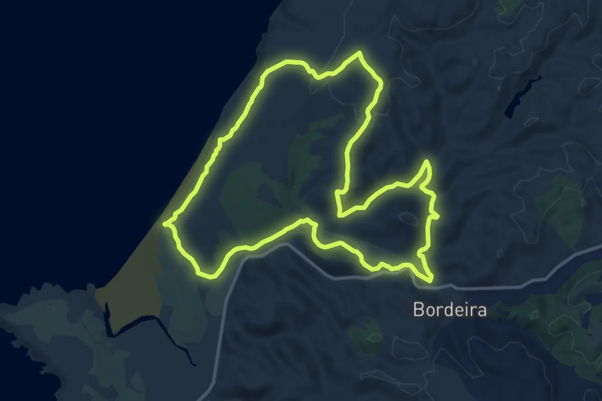
Medium · Trail
Da Bordeira até ao Mar
12.2 km · ↑ 224 m · 3 h 32 min
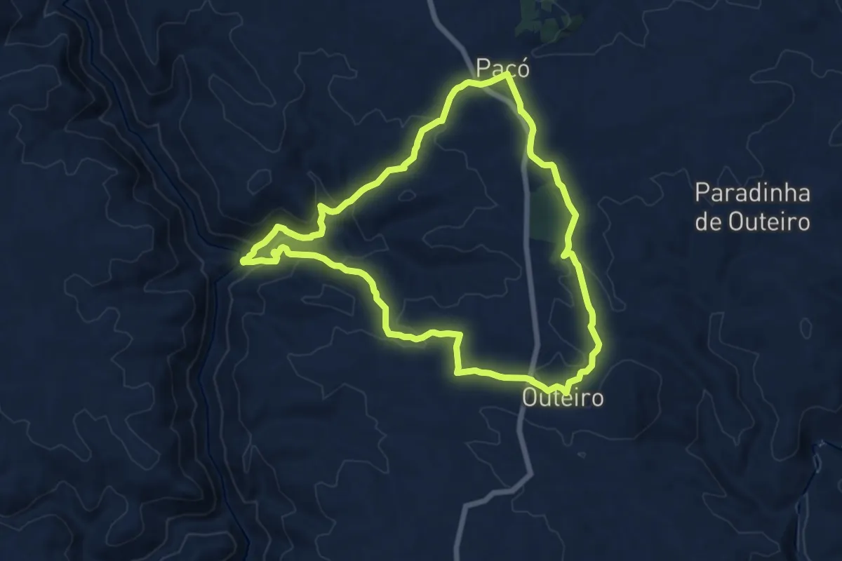
Medium · Trail
Da Monumental Basílica de Santo Cristo de Outeiro à imponência do Rio Sabor
13.2 km · ↑ 425 m · 4 h 13 min
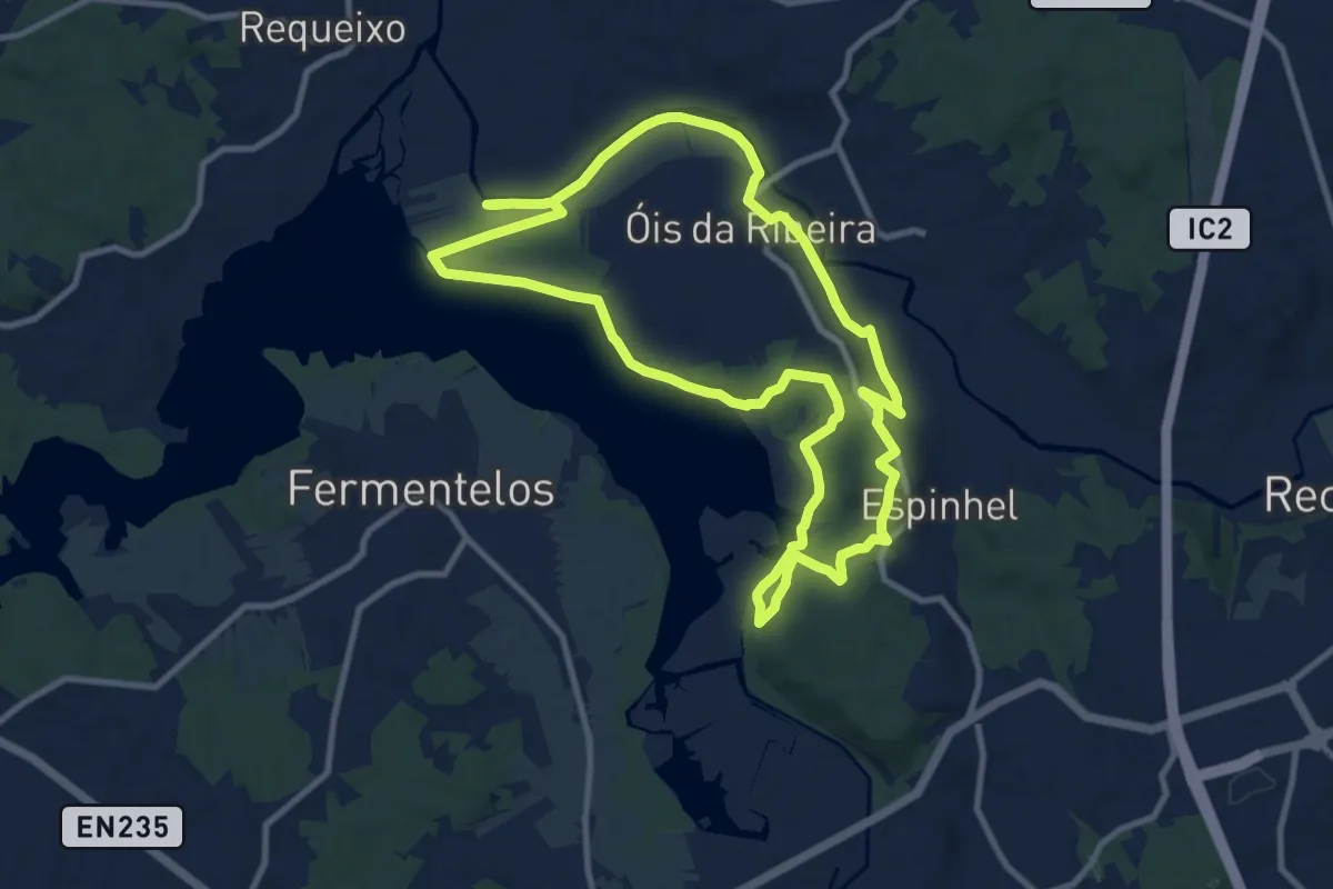
Medium · Trail
Da Pateira ao Águeda
11.7 km · ↑ 153 m · 3 h 15 min
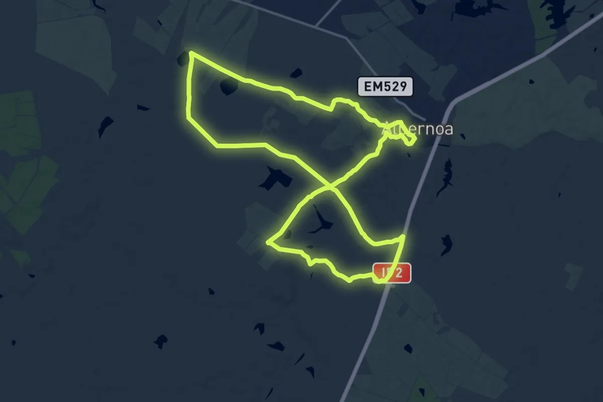
Demanding · Trail
Da planície à Ribeira de Terges
18.4 km · ↑ 114 m · 4 h 51 min
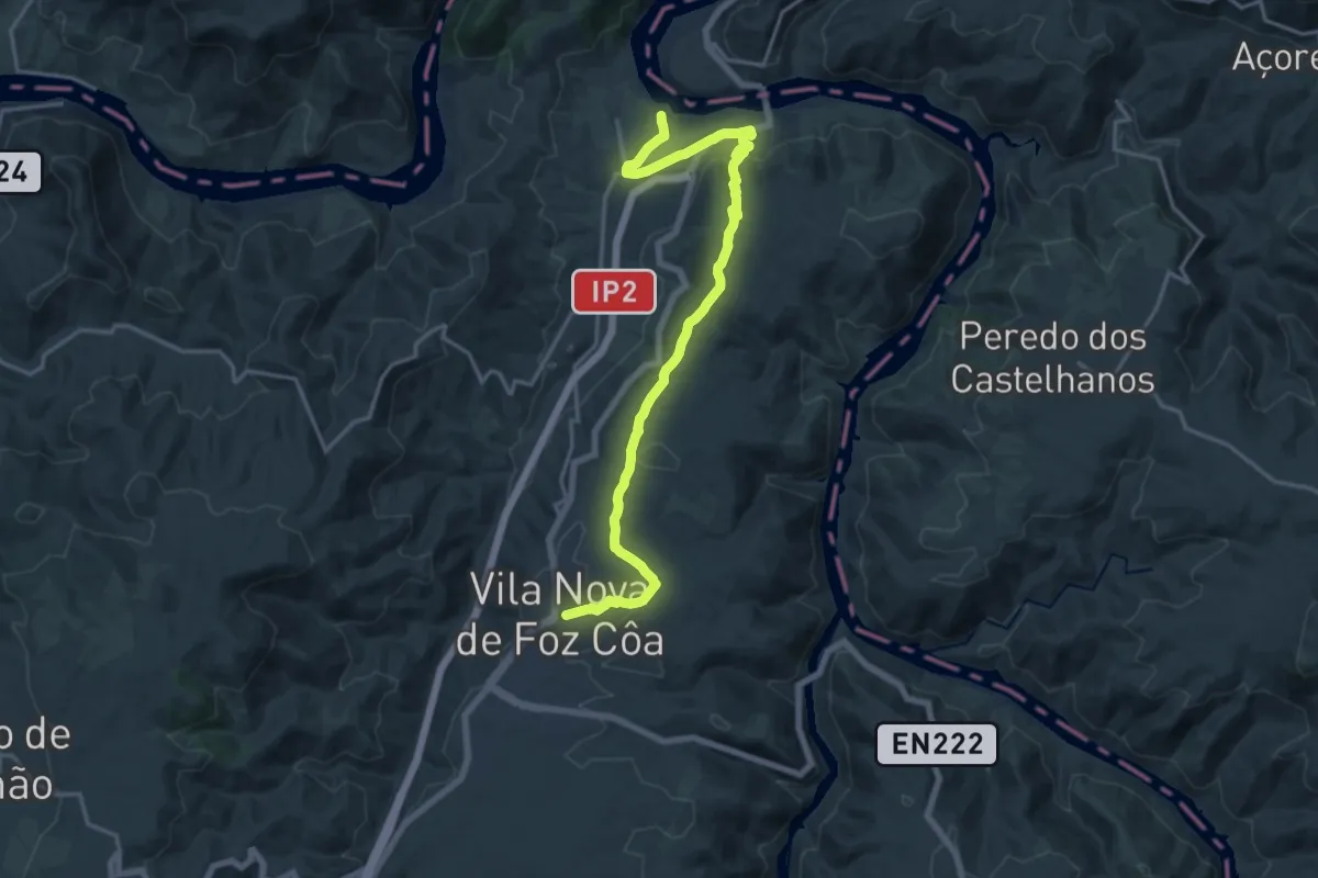
Demanding · Trail
Da Poboa às Barcas do Douro
20.3 km · ↑ 476 m · 5 h 50 min
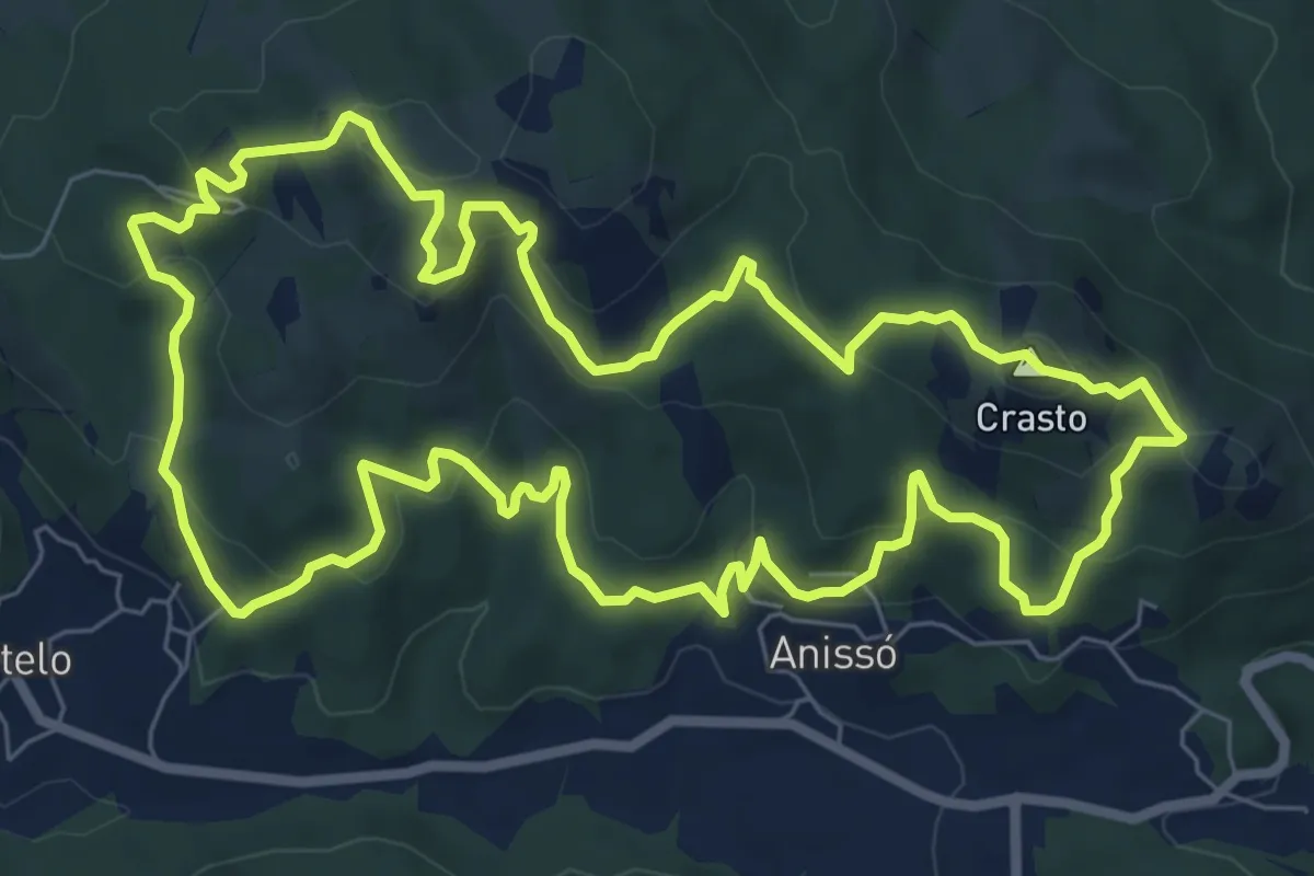
Medium · Summit
Da Sra. da Lapa ao Castro de Anissó
9.2 km · ↑ 401 m · 3 h 10 min
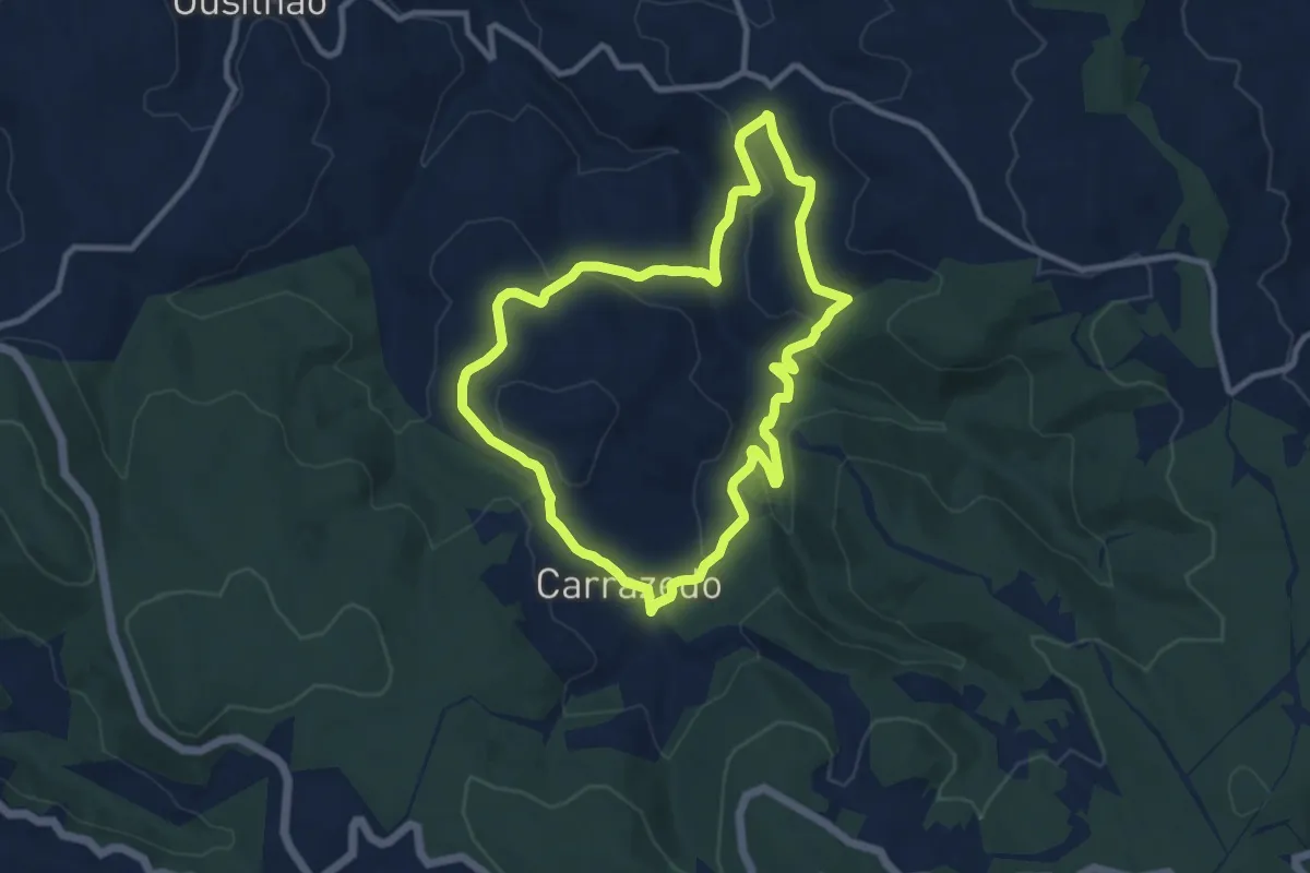
Medium · Trail
Da Via Romana aos Carvalhais e Lameiros
9.9 km · ↑ 275 m · 3 h 4 min
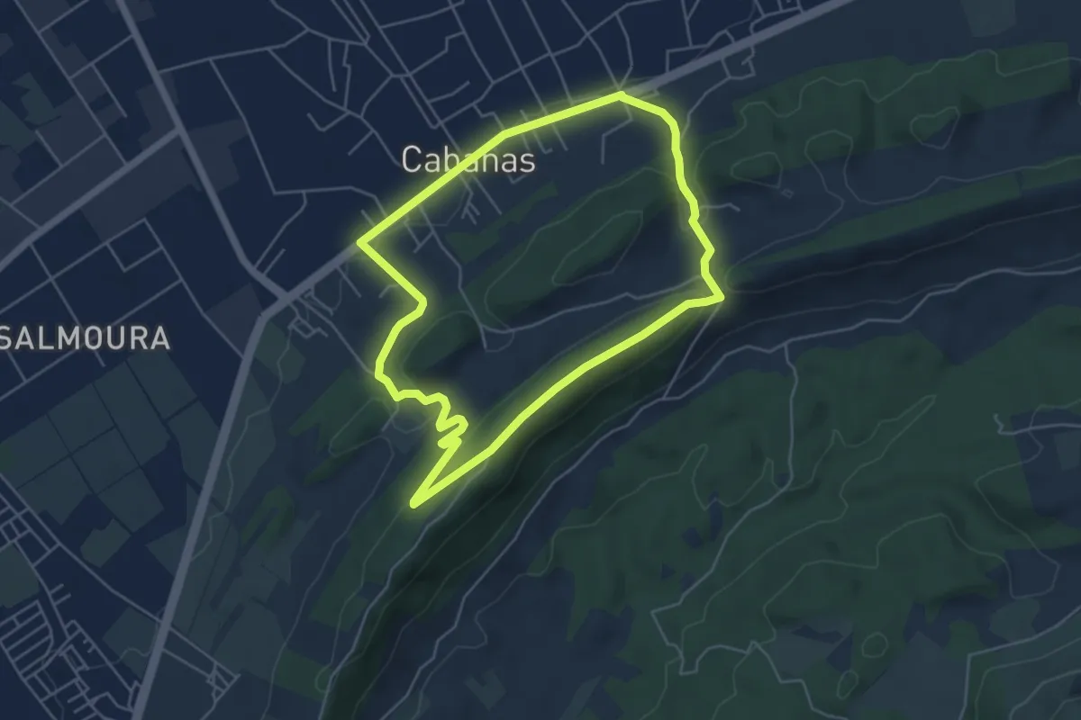
Easy · Summit
De Cabanas à Serra de São Francisco
5.5 km · ↑ 151 m · 1 h 43 min
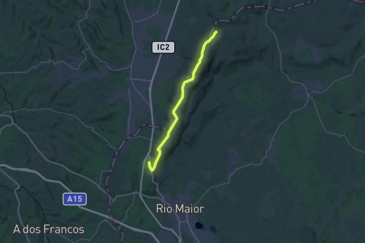
Demanding · Summit
De Chãos à Gruta
13.1 km · ↑ 381 m · 3 h 59 min
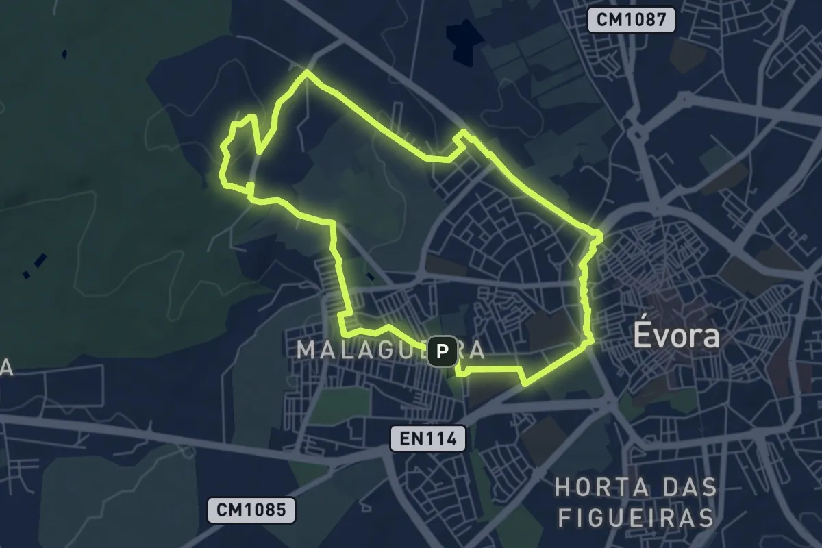
Easy · Summit
De Évora ao Alto de São Bento
7.2 km · ↑ 88 m · 2 h
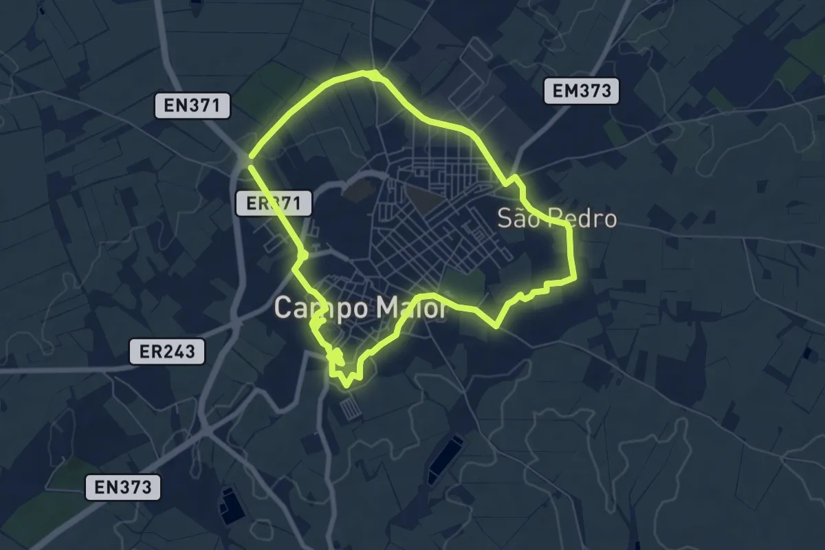
Easy · Trail
Defesas de Campo Maior
7.7 km · ↑ 76 m · 2 h 5 min
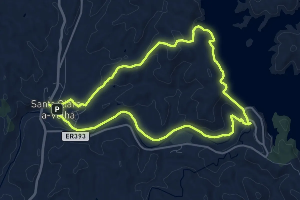
Medium · Summit
De Santa Clara à Barragem
9.9 km · ↑ 245 m · 3 h 1 min
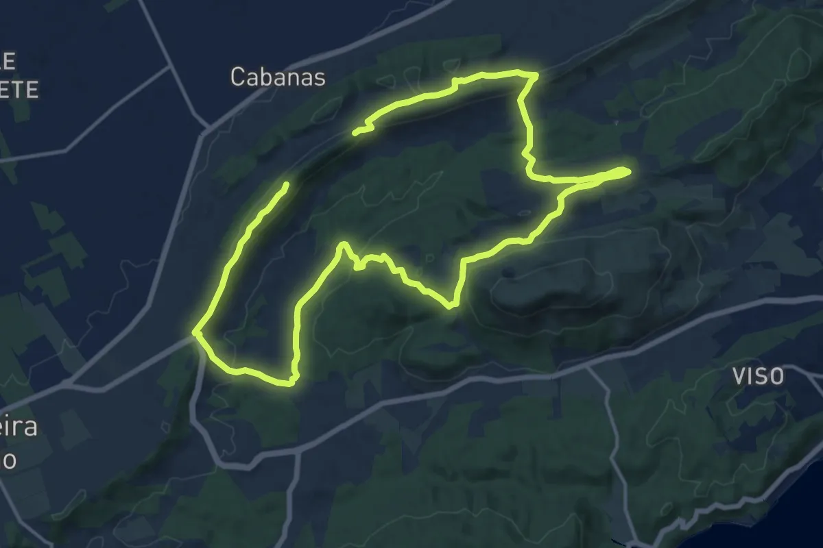
Medium · Summit
De São Luis ao Vale de Alcube
14.1 km · ↑ 307 m · 4 h 12 min
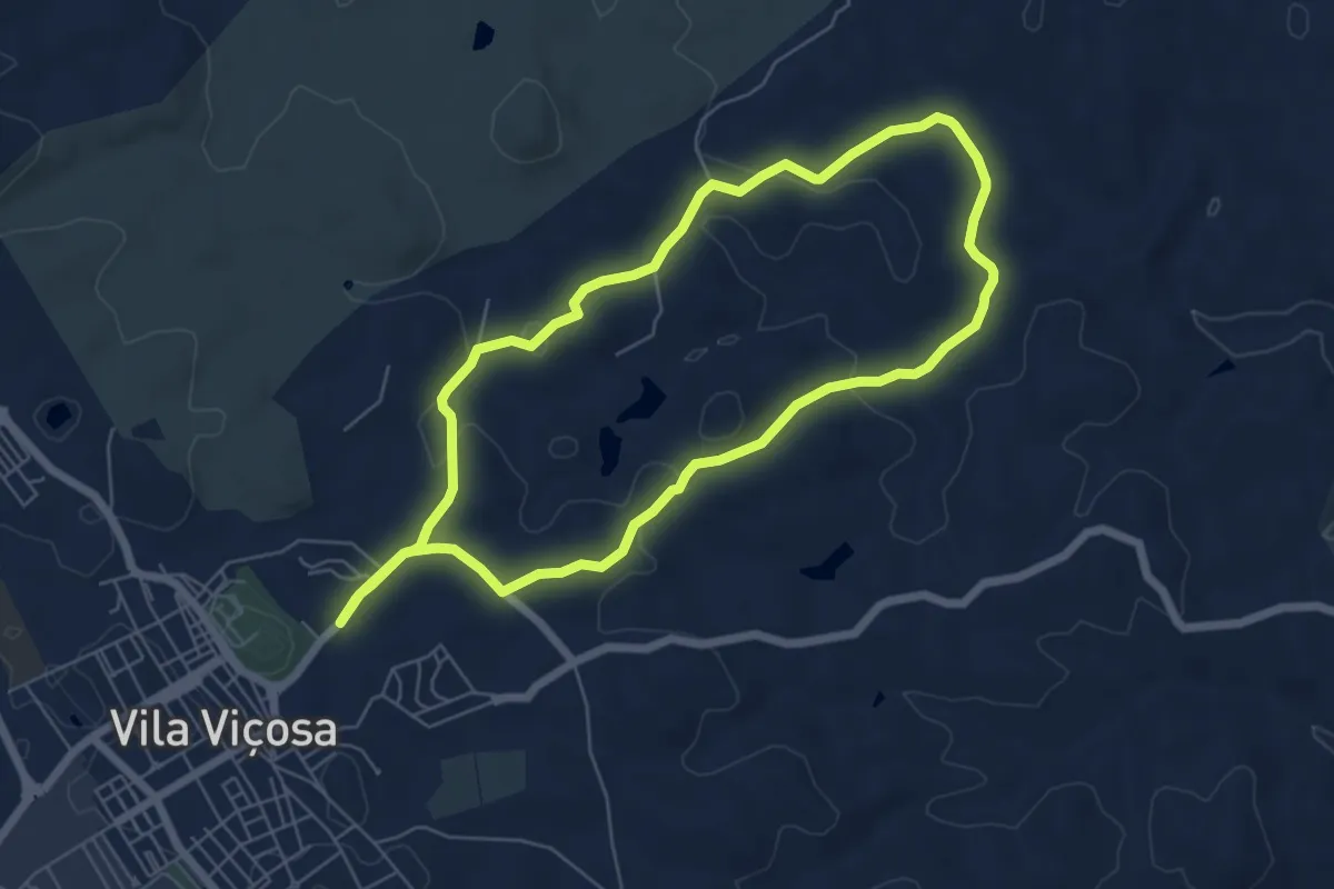
Easy · Trail
Descoberta da Estrada Real
6.7 km · ↑ 147 m · 2 h
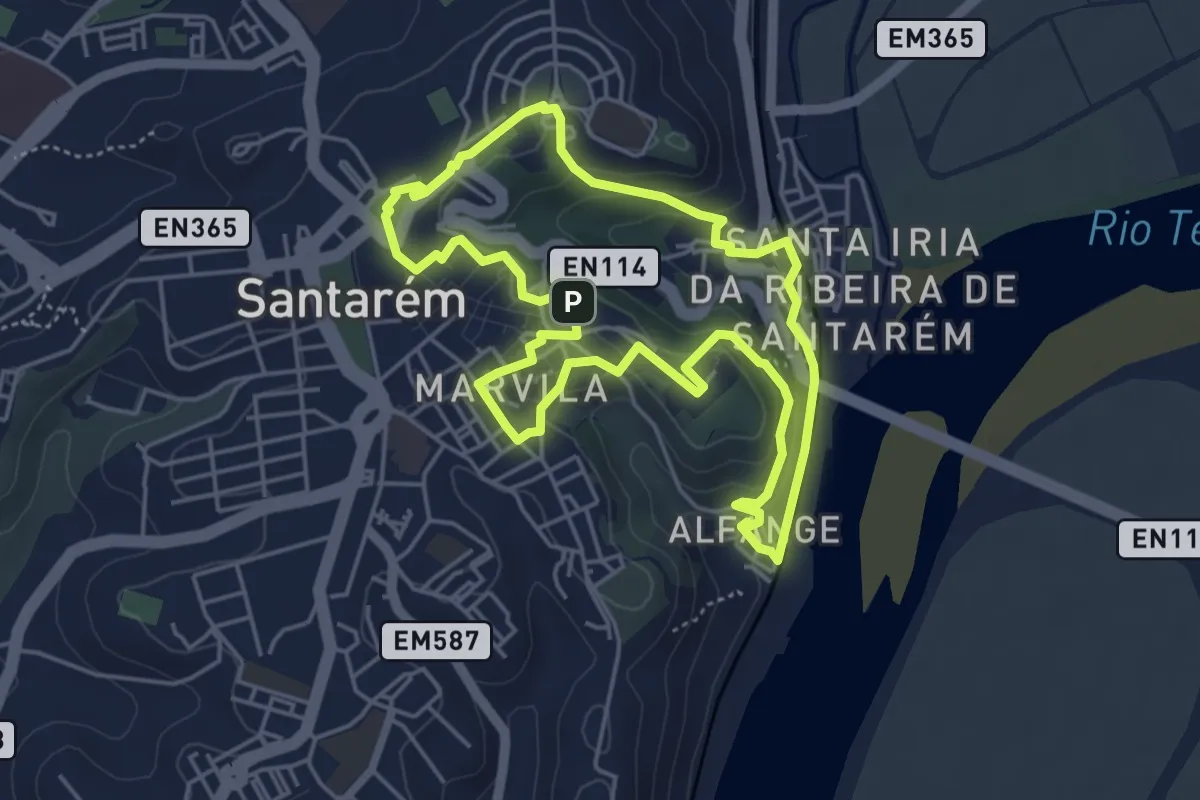
Easy · Summit
Do planalto de Santarém ao Rio Tejo
5.3 km · ↑ 148 m · 1 h 38 min
Medium · Trail
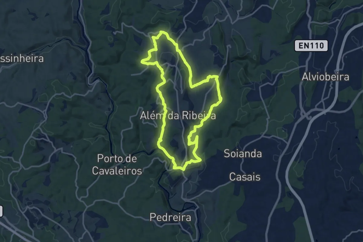
Dos gigantes verdes à ribeira da Póvoa
14.1 km · ↑ 307 m · 4 h 11 min
Medium · Summit
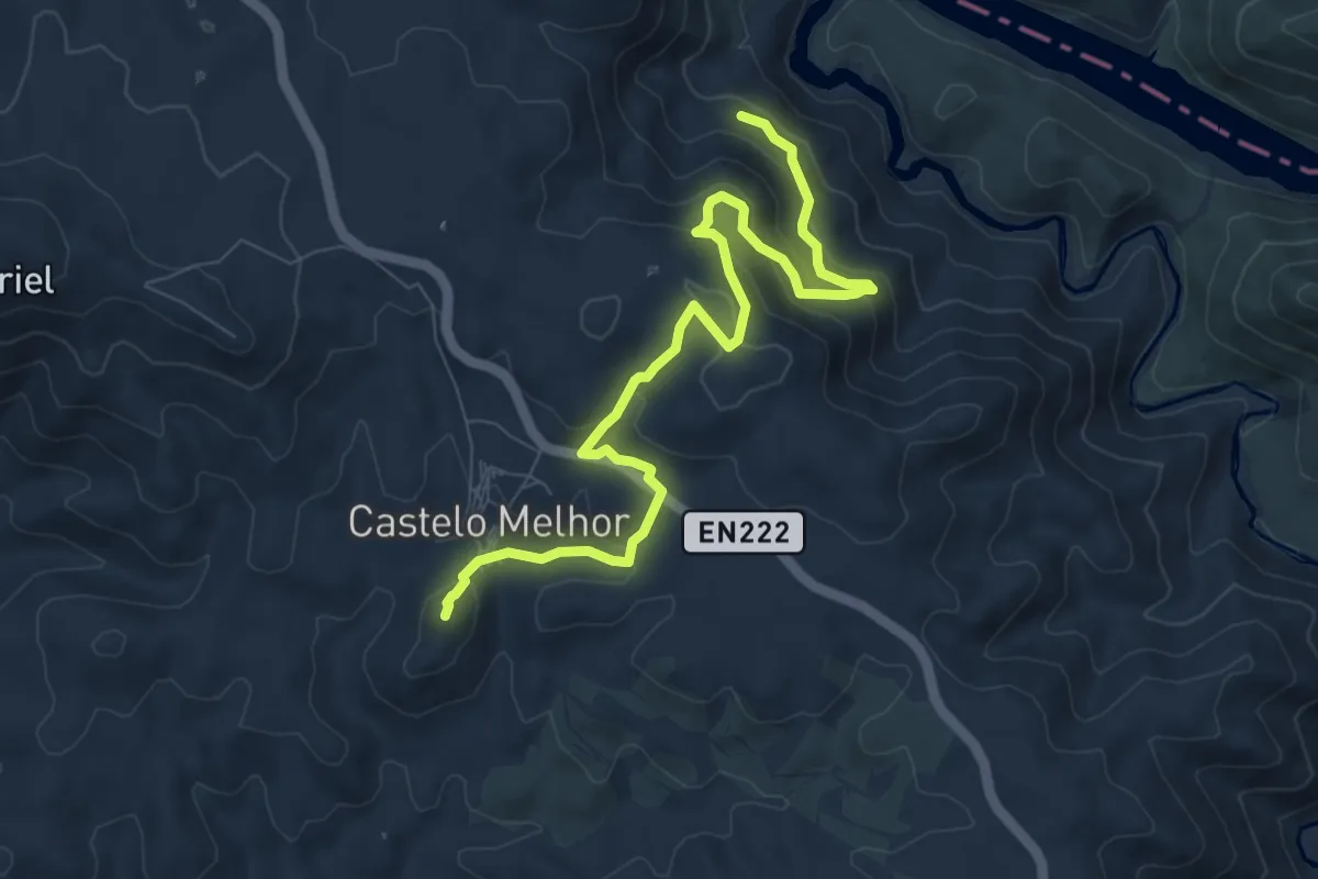
D'um Castel Melhor às Águas d'Ouro
10.2 km · ↑ 426 m · 3 h 19 min
Easy · Trail
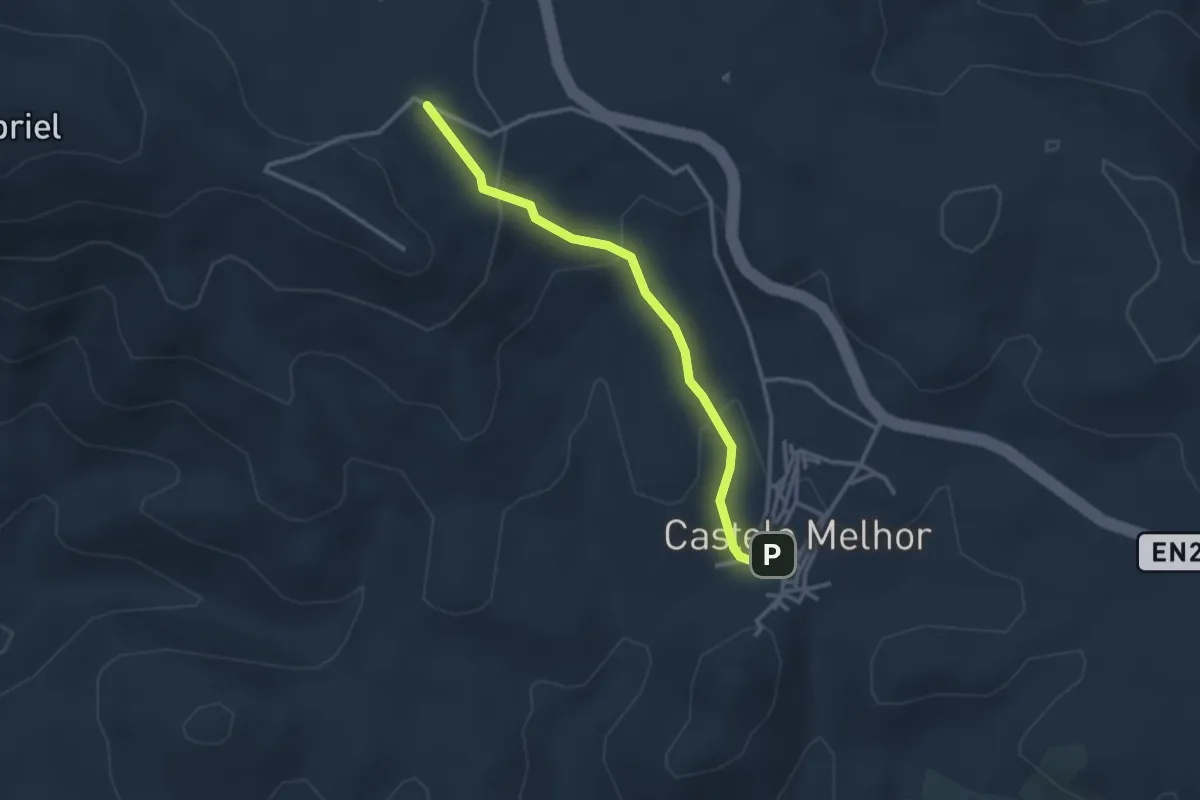
D'um Castel Melhor às Águas d'Ouro
3.2 km · ↑ 141 m · 1 h 3 min
Medium · Trail
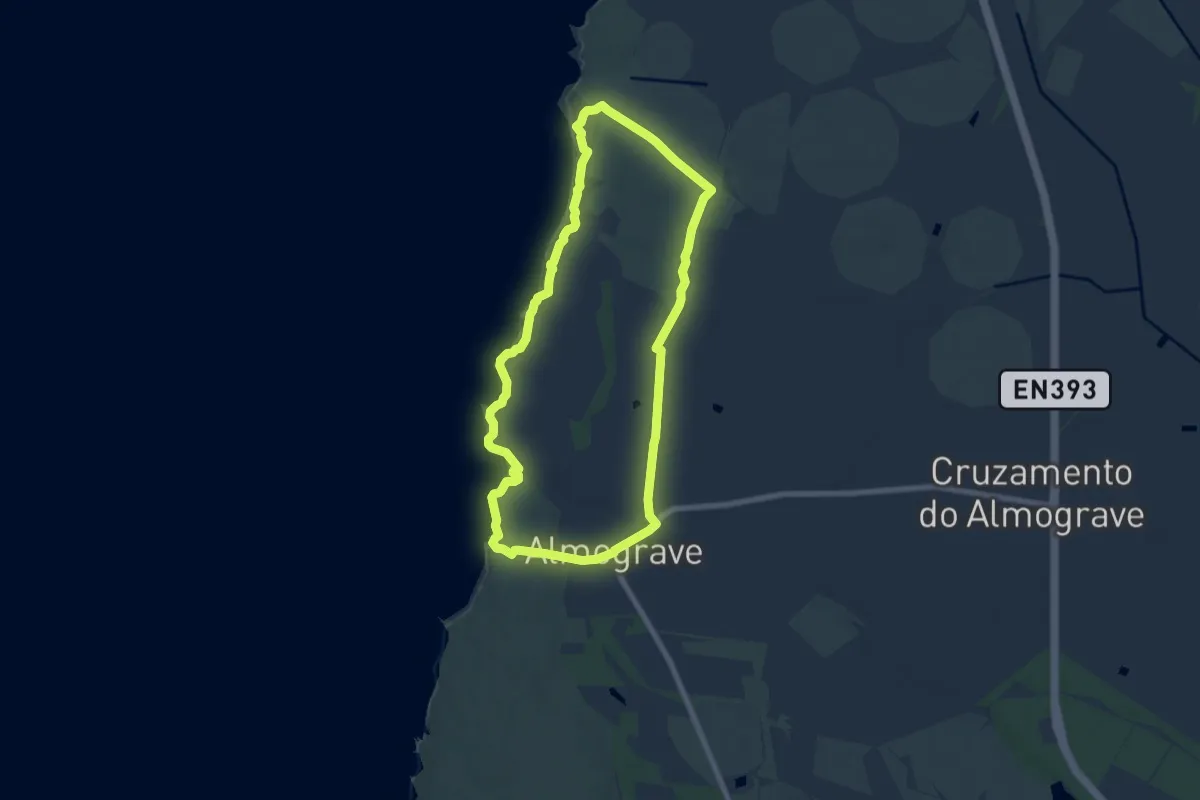
Dunas do Almograve
8.1 km · ↑ 63 m · 2 h 10 min
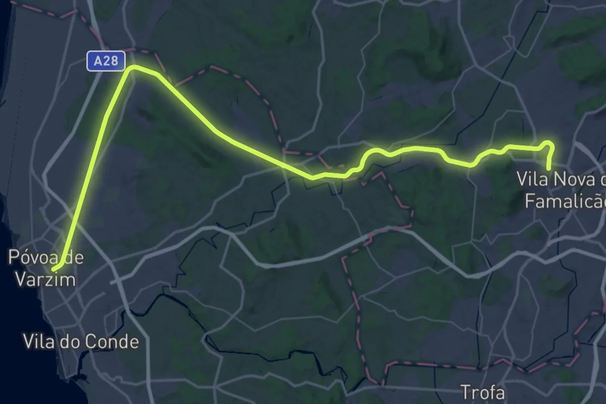
Demanding · Trail
Ecopista do Ramal de Famalicão
28.1 km · ↑ 387 m · 7 h 48 min
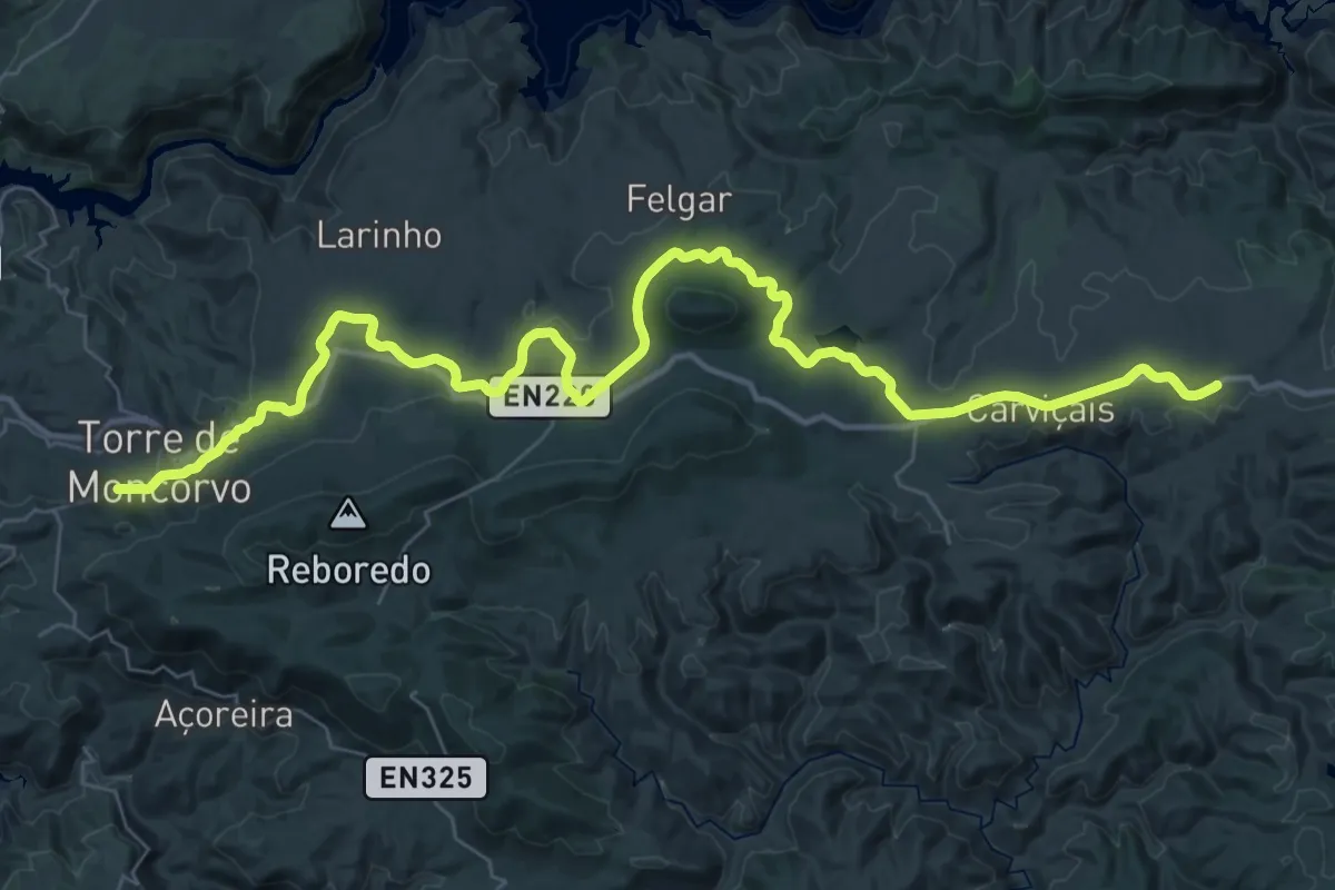
Demanding · Trail
Ecopista do Sabor
24.6 km · ↑ 134 m · 6 h 33 min
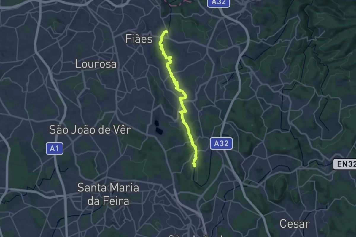
Demanding · Trail
Ecossistema Fluvial do Uíma
18.6 km · ↑ 105 m · 4 h 38 min
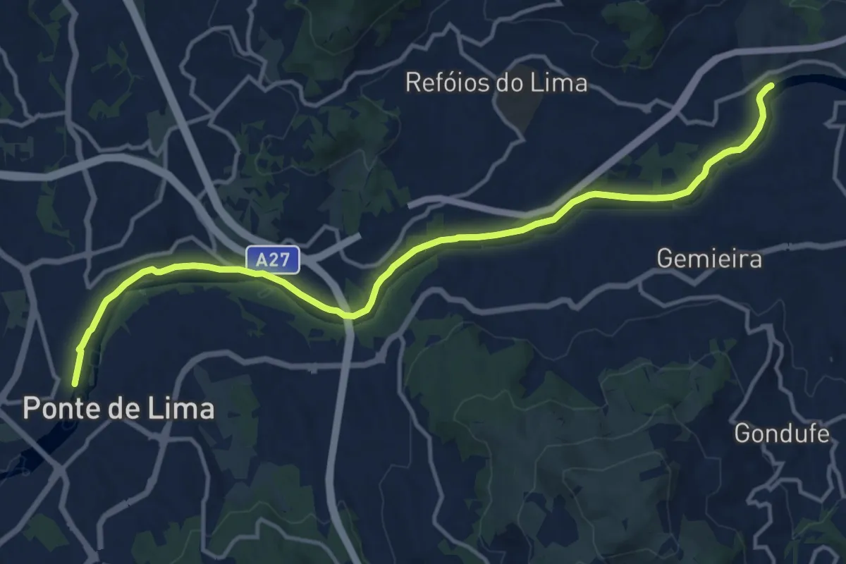
Medium · Trail
Ecovia da Laranja
15.7 km · ↑ 180 m · 4 h 6 min
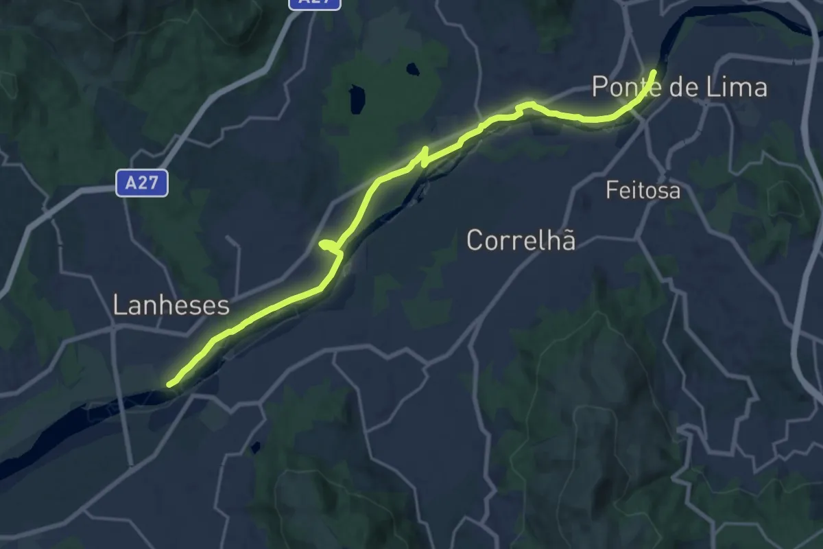
Demanding · Trail
Ecovia das Lagoas
20.8 km · ↑ 65 m · 5 h 3 min
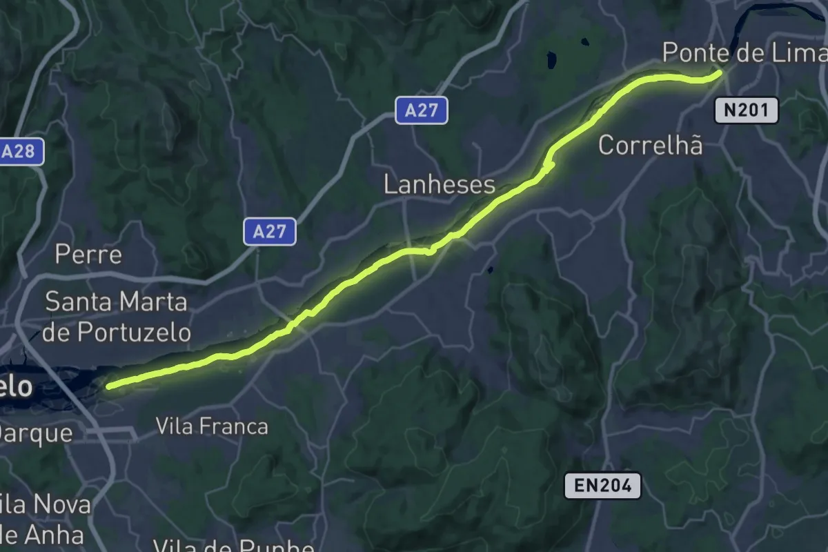
Demanding · Trail
Ecovia das Veigas
18.2 km · ↑ 22 m · 4 h 37 min
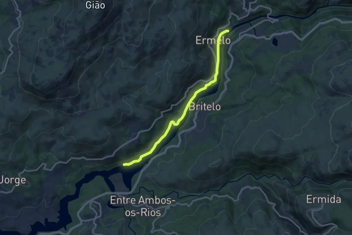
Medium · Trail
Ecovia do Ermelo
9.1 km · ↑ 200 m · 2 h 35 min
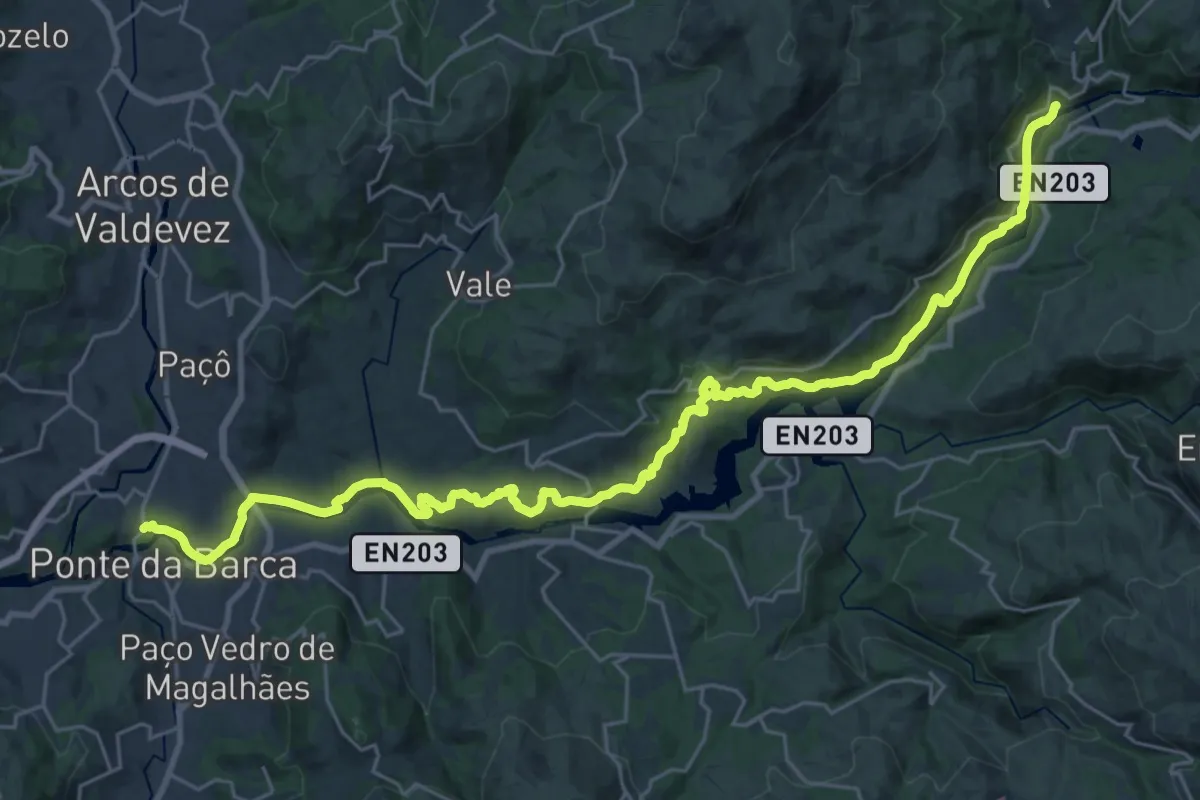
Medium · Trail
Ecovia do Lima
17.2 km · ↑ 351 m · 5 h 4 min
Medium · Trail
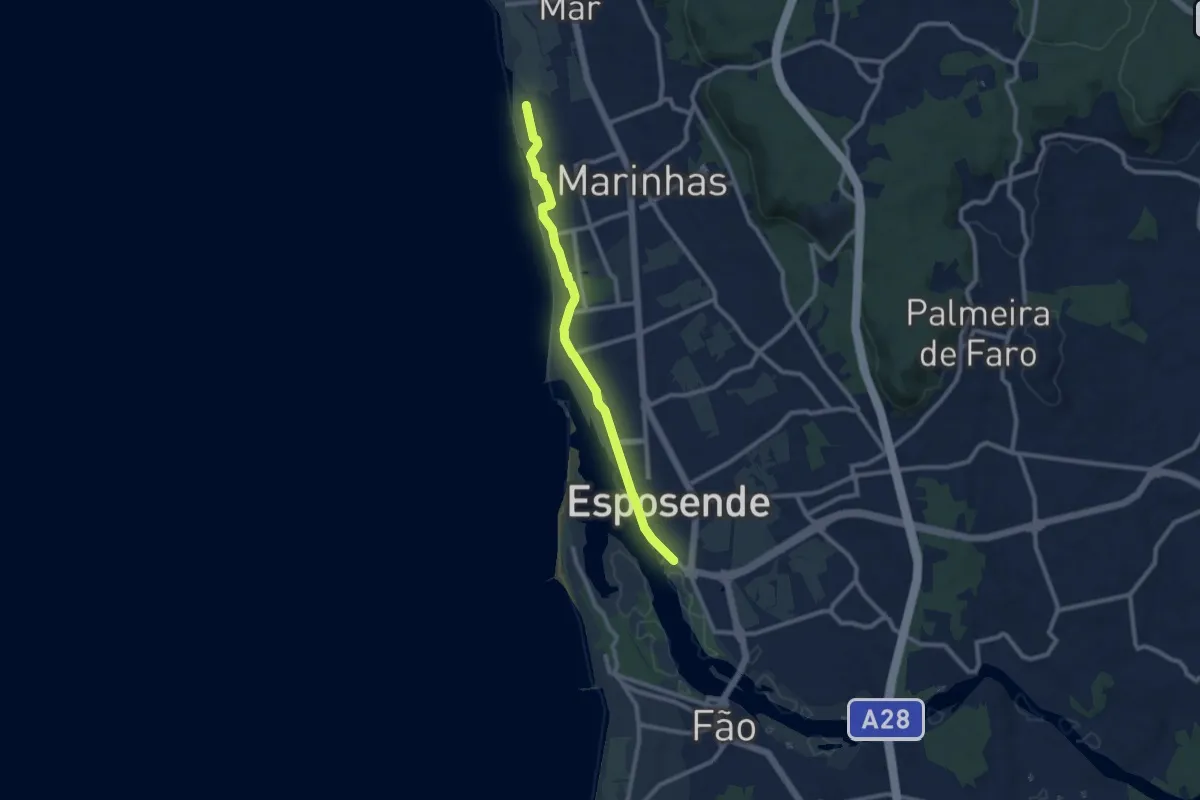
Ecovia do Litoral Norte
9.8 km · ↑ 9 m · 2 h 20 min
Demanding · Trail
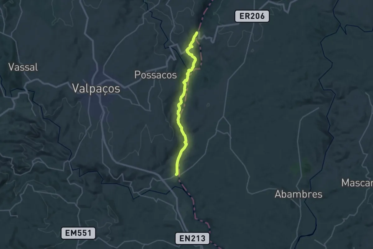
Ecovia do rabaçal (Da Praia Fluvial a Lilela)
18.2 km · ↑ 558 m · 5 h 31 min
Demanding · Trail
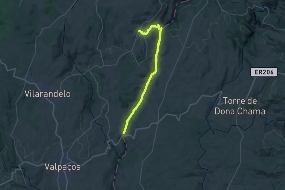
Ecovia do rabaçal (De Sonim à Praia fluvial)
25.9 km · ↑ 675 m · 7 h 35 min
Demanding · Trail
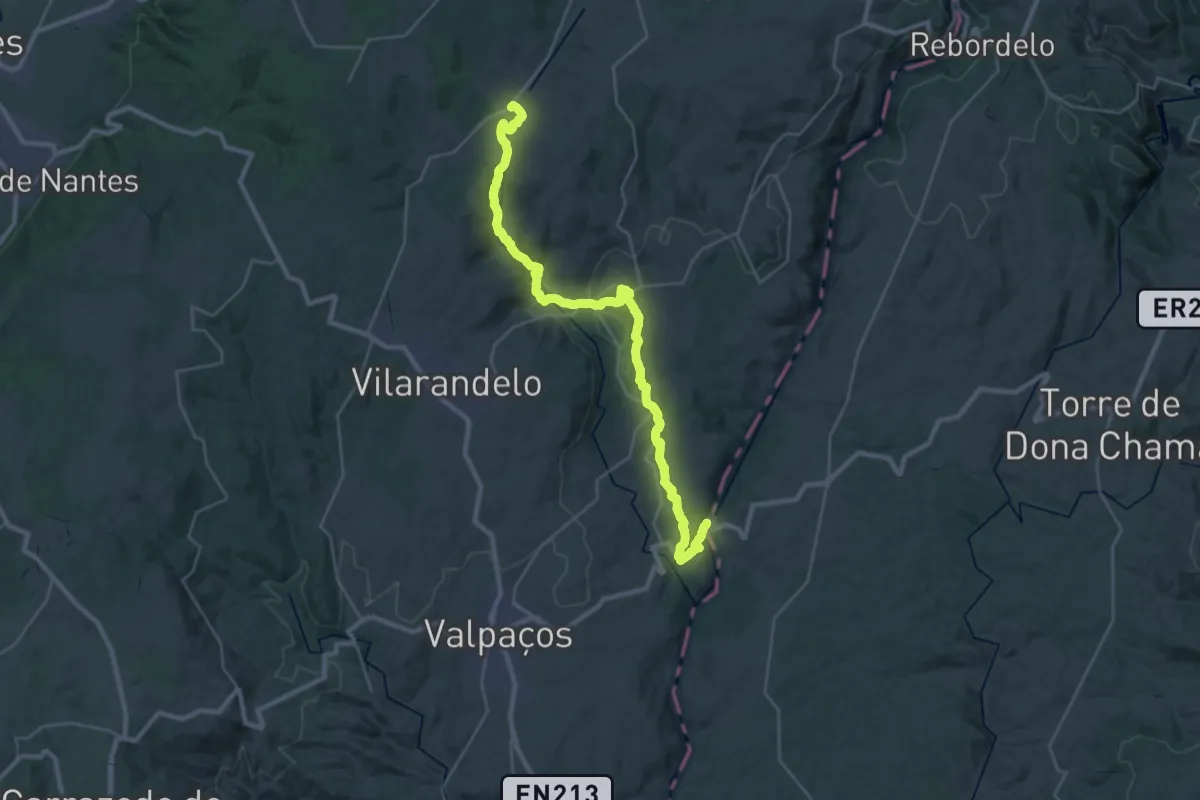
Ecovia do rabaçal (De Tinhela à praia fluvial)
18.4 km · ↑ 505 m · 5 h 32 min