Trails in Portugal
1,161 hiking trails, each with its route, climb, walking time and grade.
All trails, page 6 of 25
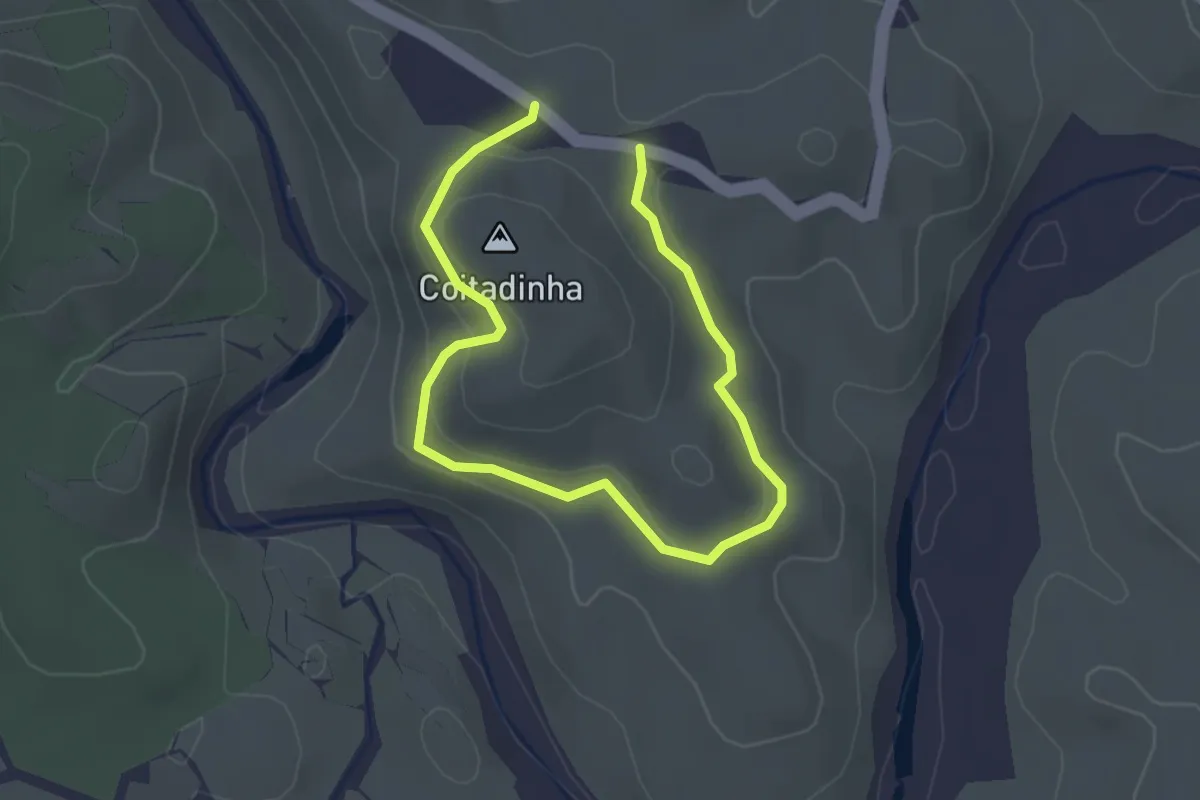
Easy · Summit
Estação da Biodiversidade do Parque de Natureza de Noudar
2.1 km · ↑ 89 m · 42 min
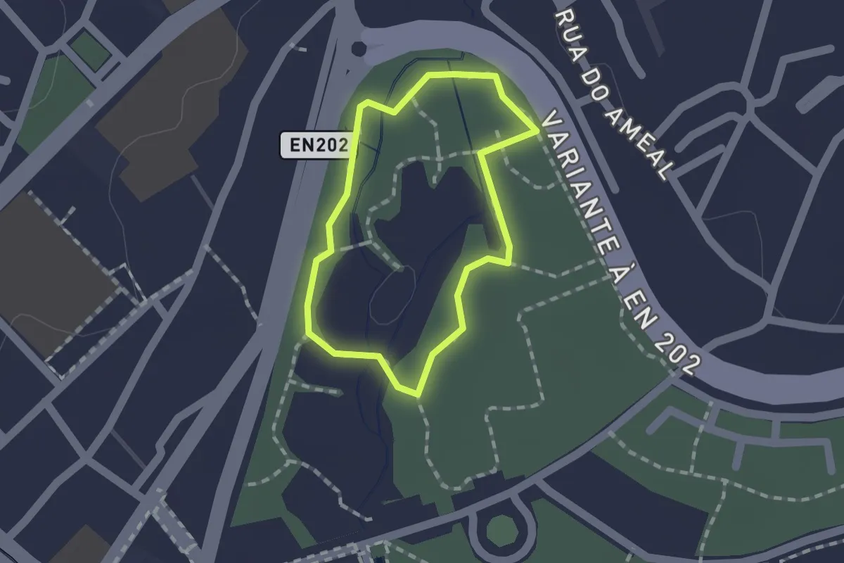
Easy · Trail
Estação da Biodiversidade do Parque Ecológico Urbano de Viana do Castelo
1.2 km · ↑ 0 m · 17 min
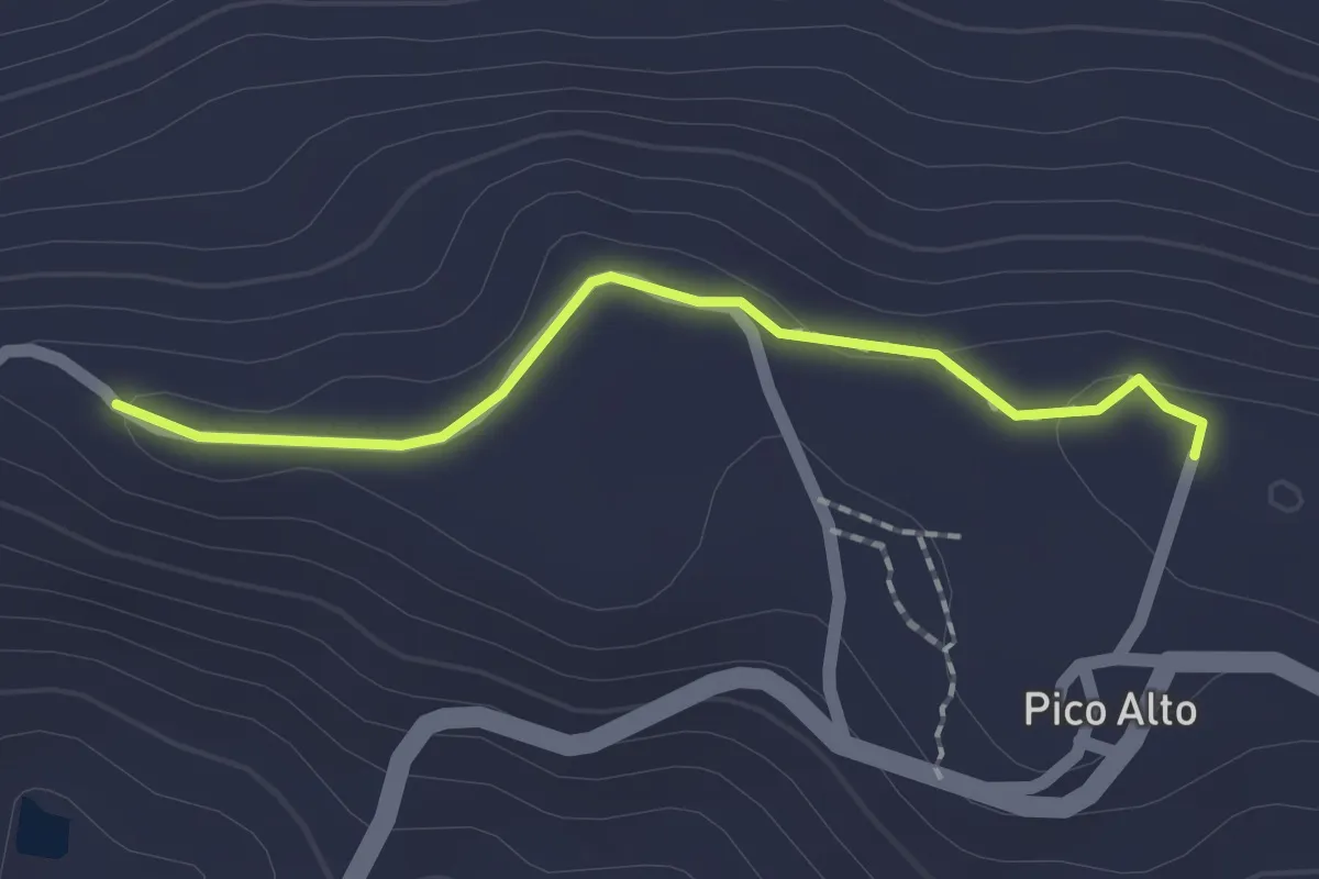
Easy · Trail
Estação da Biodiversidade do Pico Alto
2.0 km · ↑ 34 m · 32 min
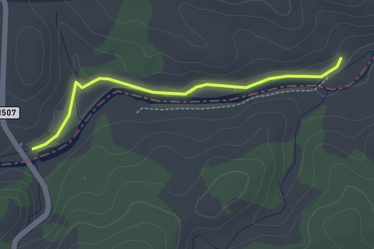
Easy · Trail
Estação da Biodiversidade do Rio Vascão
2.5 km · ↑ 9 m · 37 min
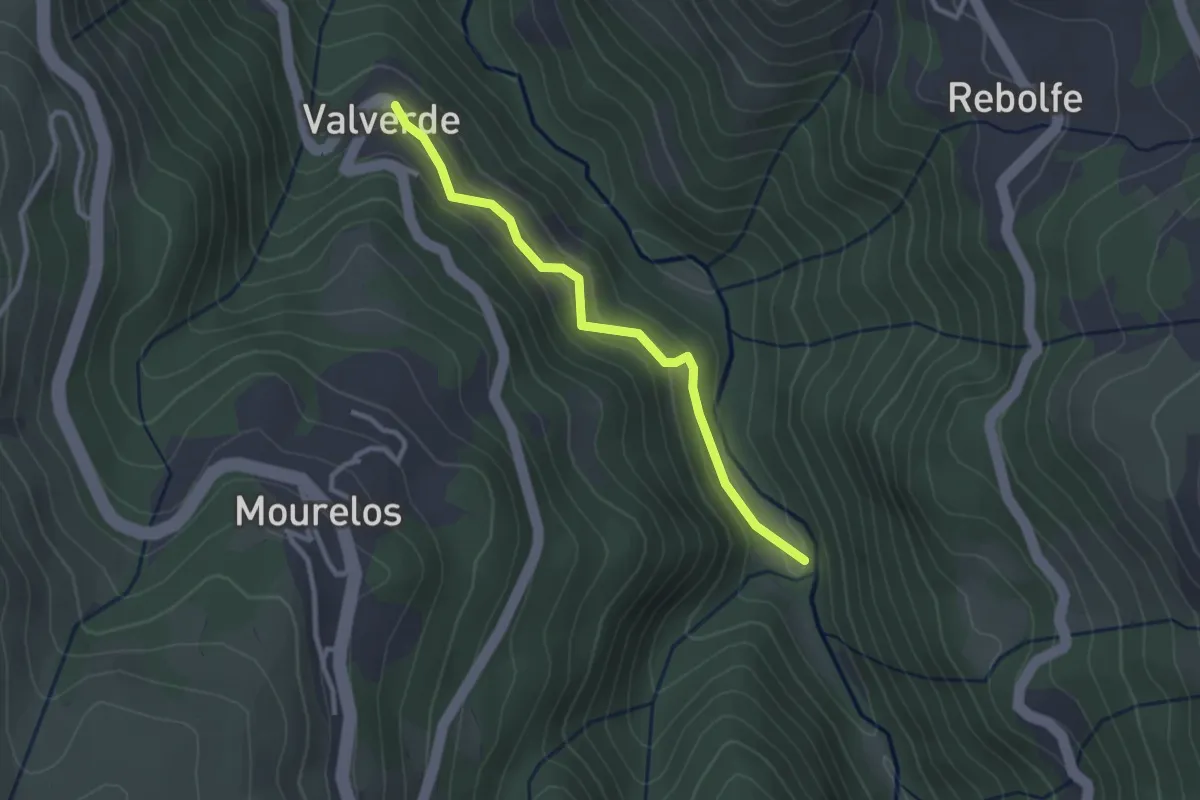
Easy · Trail
Estação da Biodiversidade do Vale do Bestança
2.9 km · ↑ 217 m · 1 h 9 min
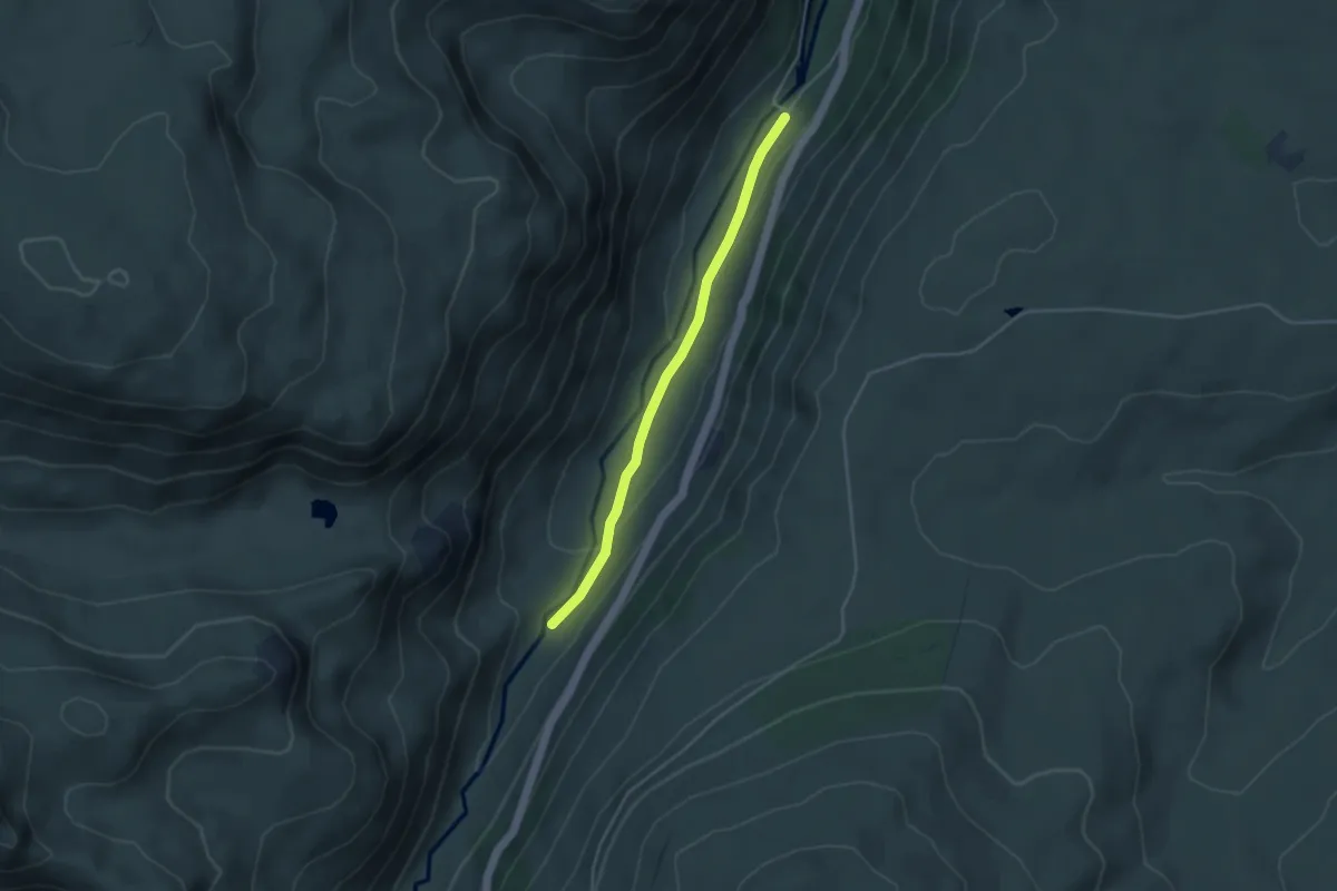
Easy · Trail
Estação da Biodiversidade do Vale do Zêzere
4.0 km · ↑ 94 m · 1 h 9 min
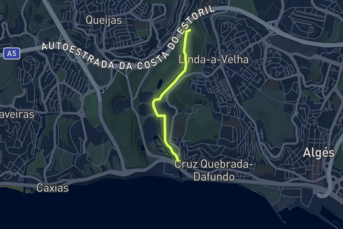
Easy · Trail
Estação de Biodiversidade do Jamor
4.5 km · ↑ 42 m · 1 h 9 min
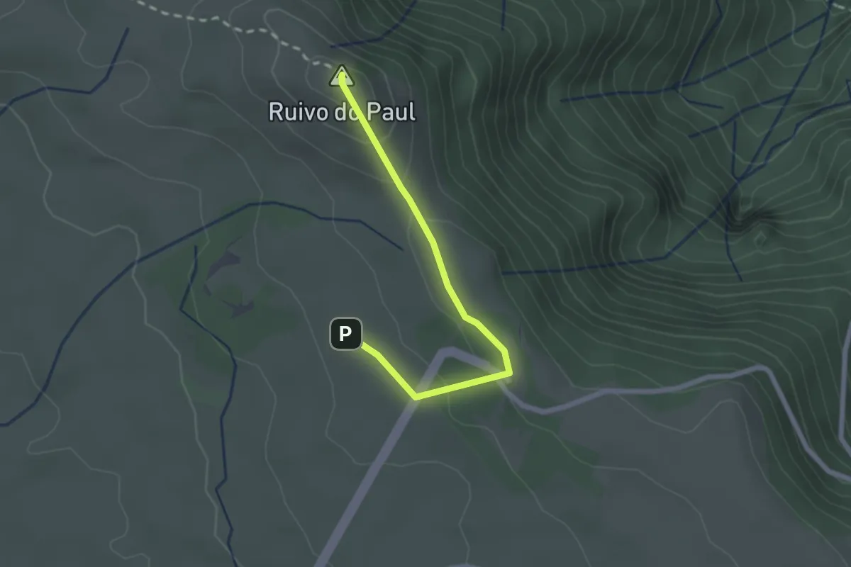
Easy · Summit
Estanquinhos - Pico Ruivo do Paul
2.5 km · ↑ 81 m · 47 min
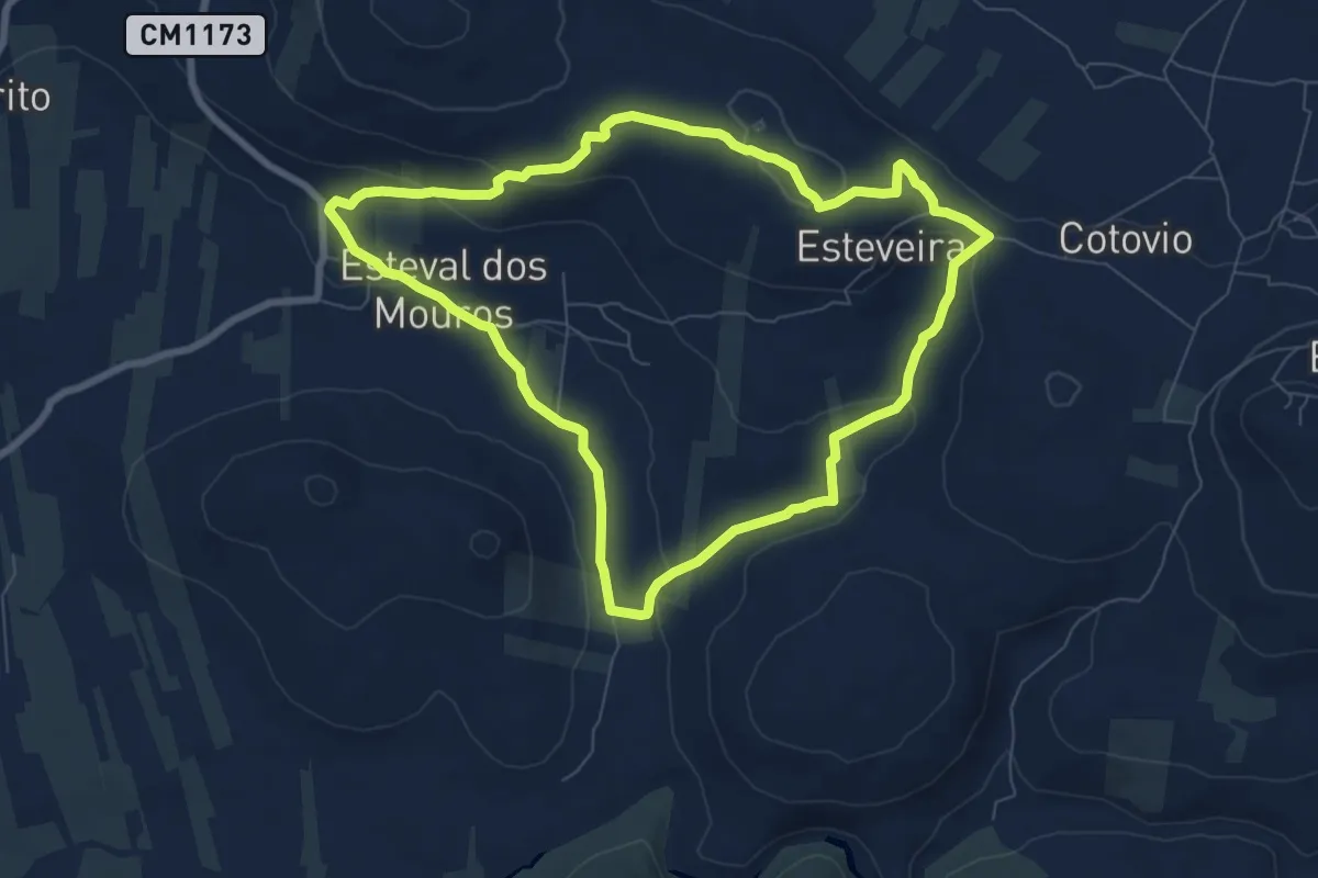
Medium · Trail
Esteval dos Mouros
8.6 km · ↑ 160 m · 2 h 30 min
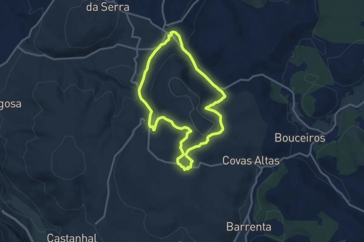
Medium · Trail
Estrada Romana de Alqueidão da Serra
8.1 km · ↑ 229 m · 2 h 31 min
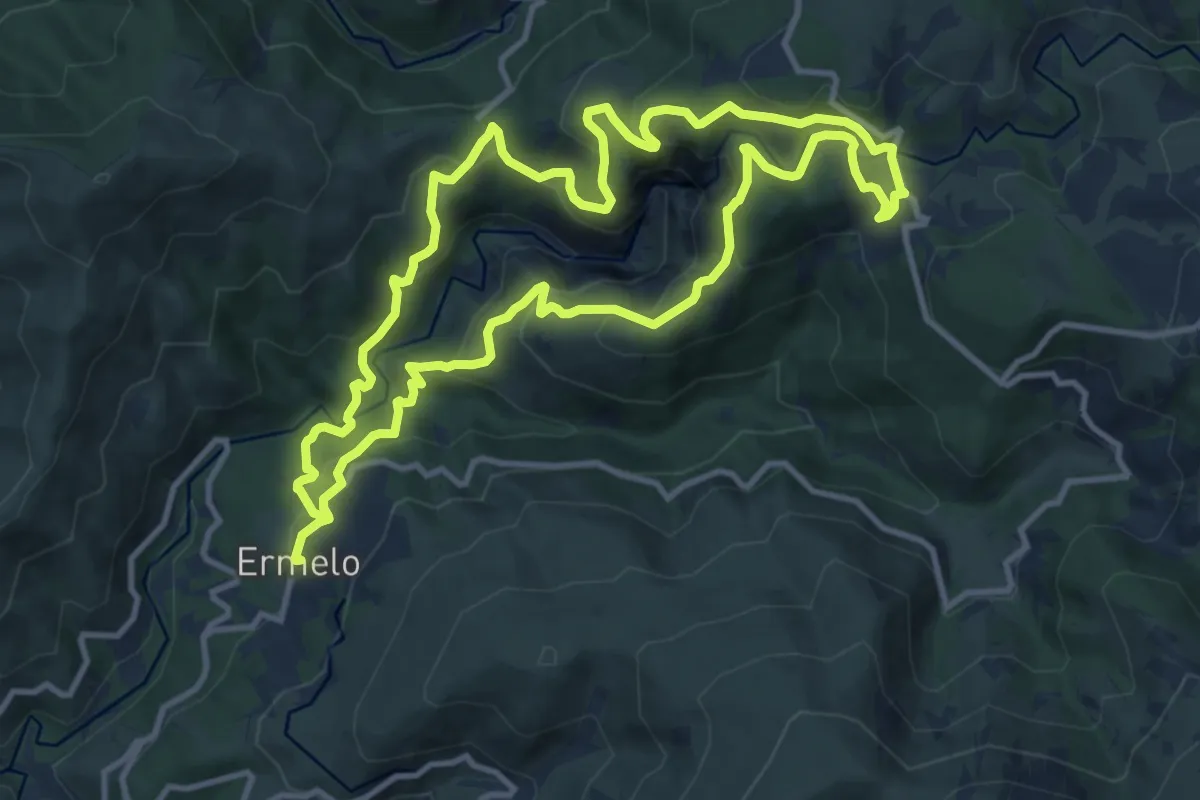
Medium · Trail
Fisgas de Ermelo
12.2 km · ↑ 647 m · 4 h 28 min
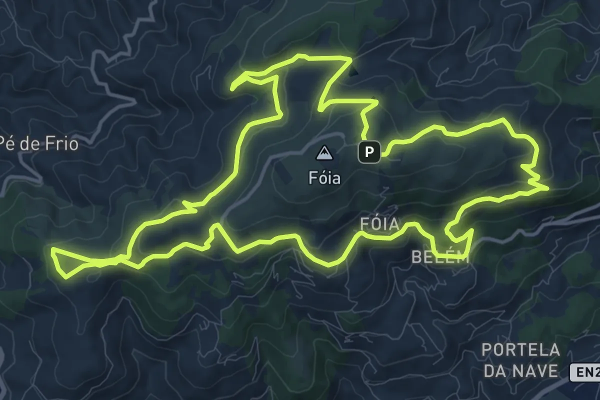
Medium · Trail
Fóia e área envolvente (Rota da Geologia)
15.6 km · ↑ 469 m · 4 h 55 min
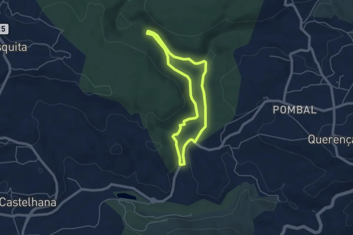
Easy · Trail
Fonte Benémola
4.1 km · ↑ 80 m · 1 h 12 min
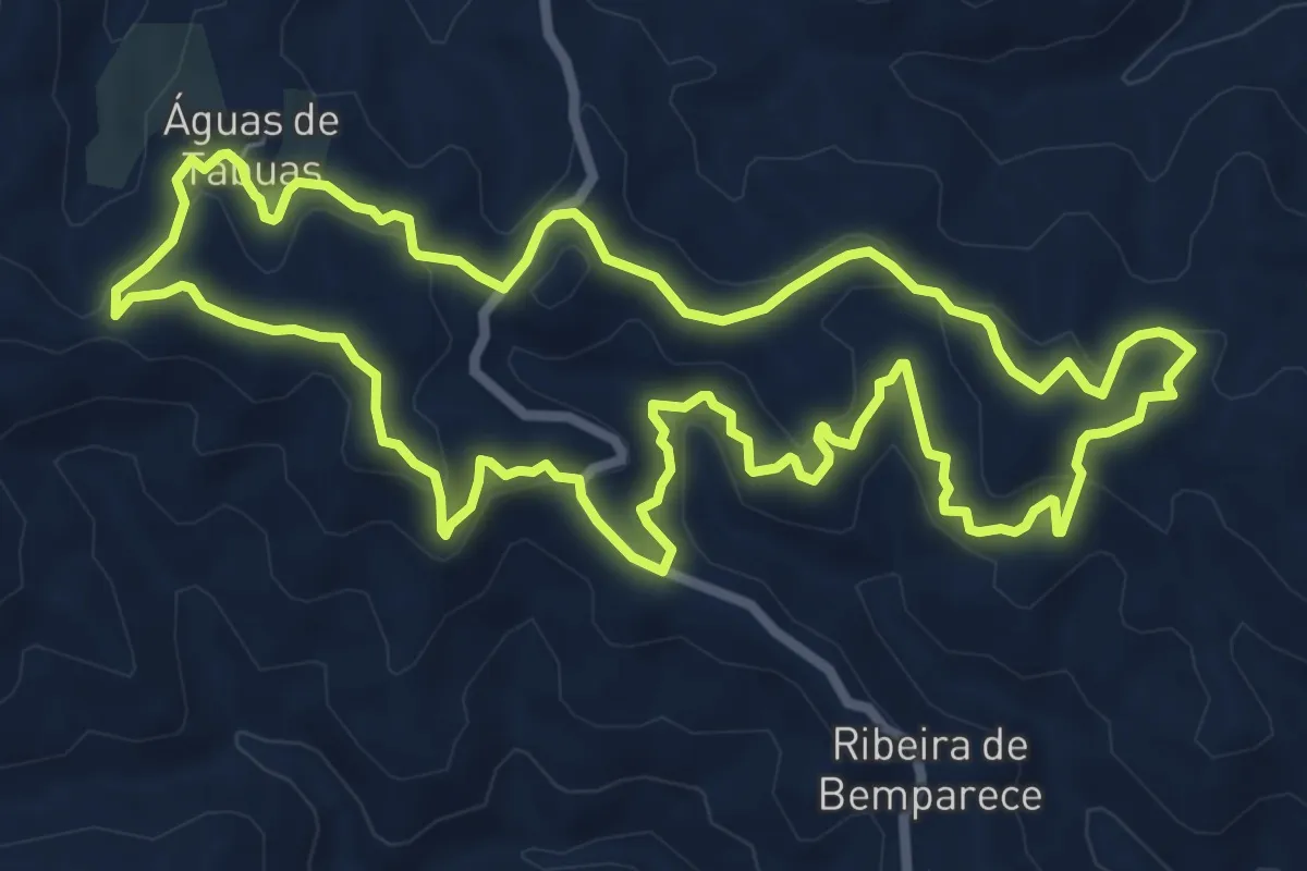
Medium · Summit
Fonte de Águas de Tábuas
9.3 km · ↑ 402 m · 3 h 12 min
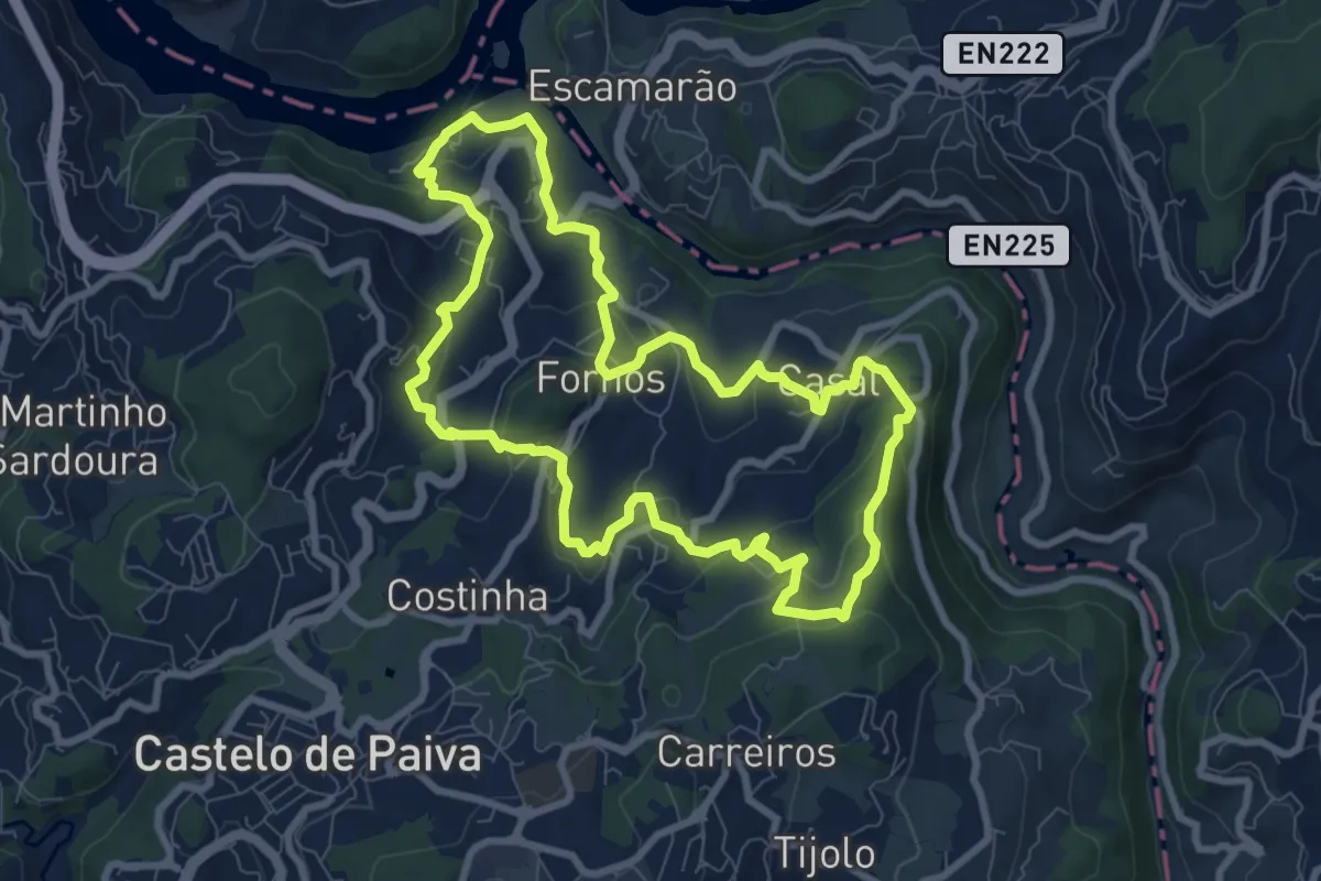
Medium · Trail
Fornos
9.1 km · ↑ 405 m · 3 h 9 min
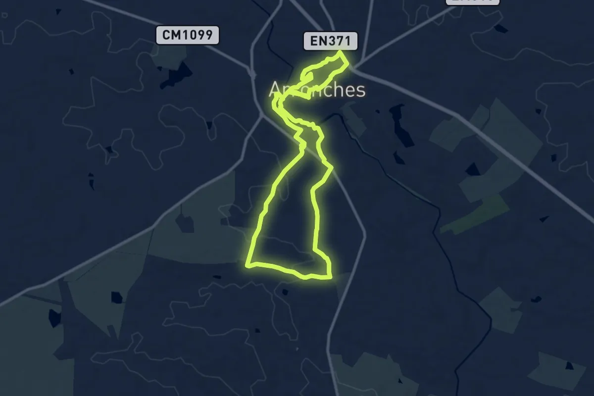
Demanding · Trail
Forte e Valorosa Vila de Arronches
20.9 km · ↑ 253 m · 5 h 29 min
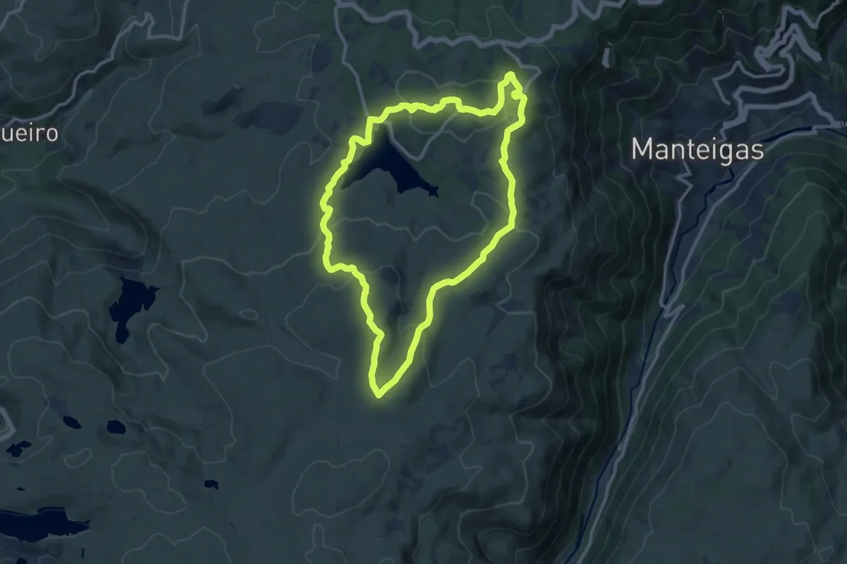
Medium · Summit
Fraga das Penhas
11.7 km · ↑ 319 m · 3 h 37 min
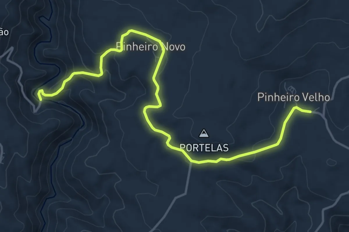
Medium · Trail
Fragas do Pinheiro
13.3 km · ↑ 358 m · 3 h 55 min
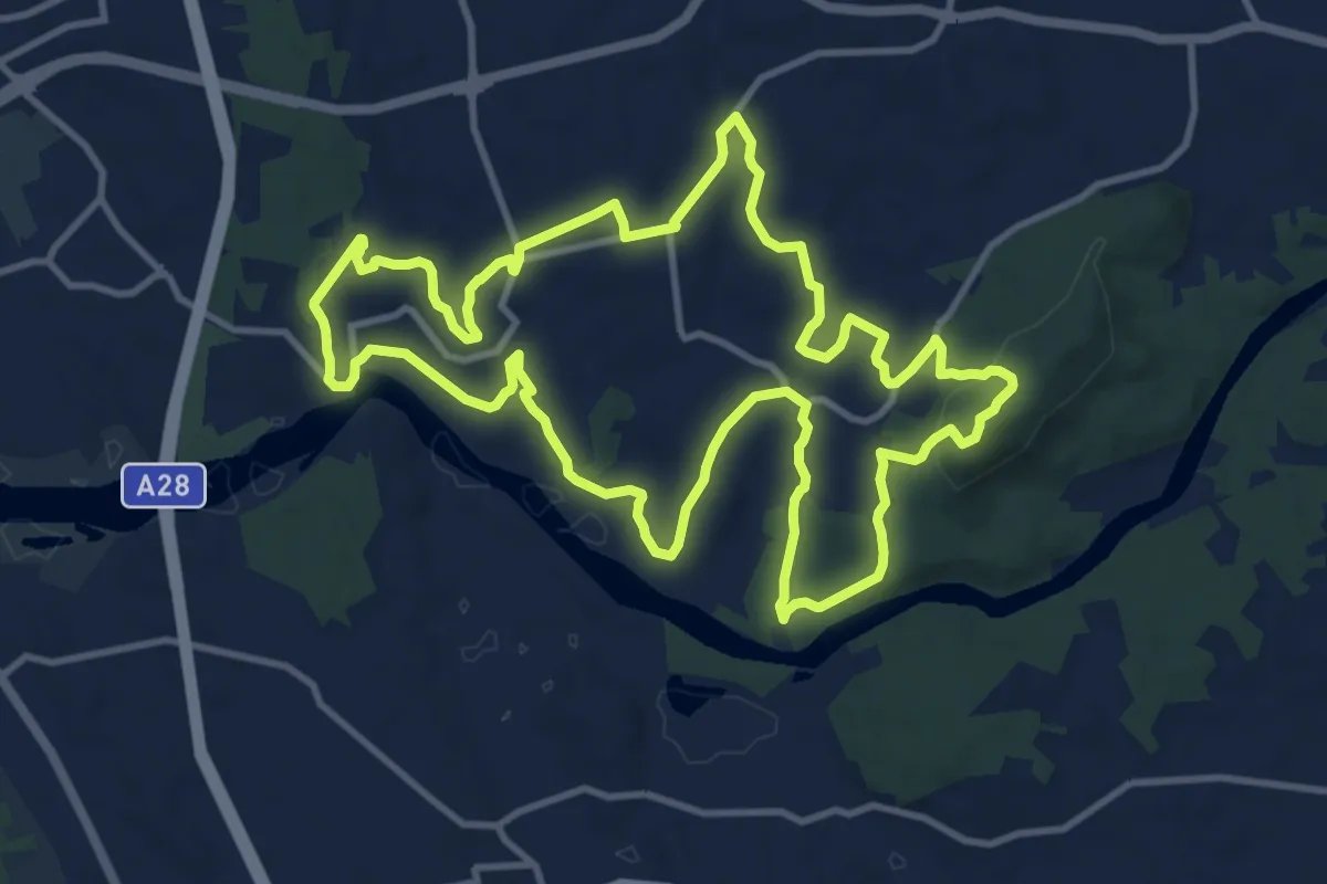
Medium · Summit
Gemeses: Terra de Passagem
13.6 km · ↑ 254 m · 3 h 56 min
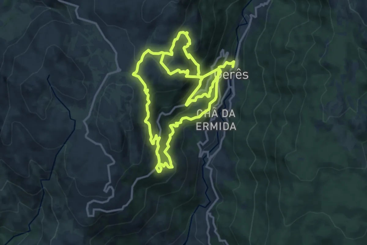
Demanding · Trail
Geres Panorama
10.4 km · ↑ 1059 m · 4 h 40 min
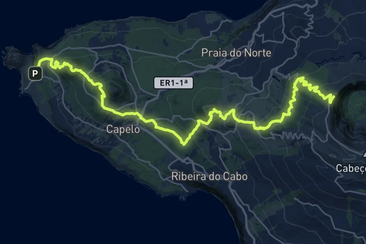
Demanding · Summit
GR01FAI Faial Costa a Costa
31.5 km · ↑ 1728 m · 11 h 11 min
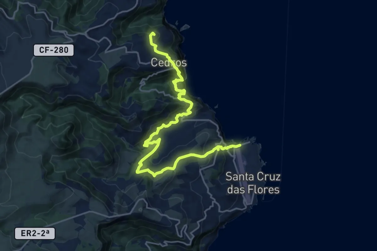
Expert · Summit
GR01FLO Grande Rota das Flores (Etapa 1)
20.2 km · ↑ 1583 m · 8 h 12 min
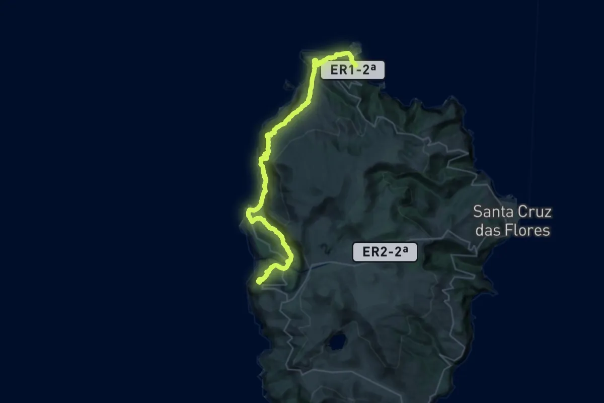
Expert · Summit
GR01FLO Grande Rota das Flores (Etapa 2)
35.6 km · ↑ 2228 m · 13 h 14 min
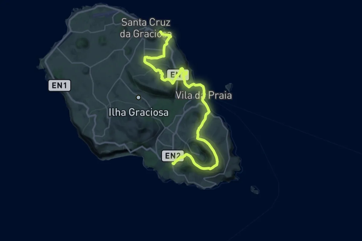
Medium · Trail
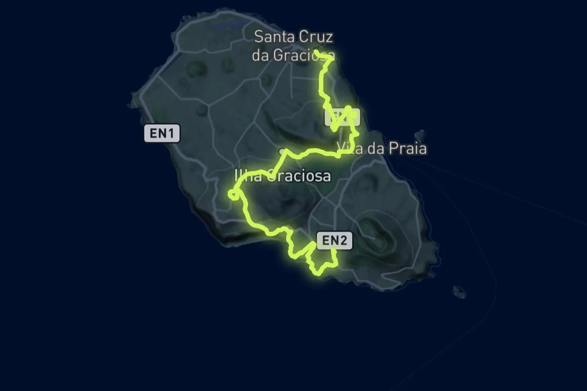
GR01GRA Grande Rota da Graciosa (Etapa 1)
16.6 km · ↑ 658 m · 5 h 37 min
Demanding · Trail
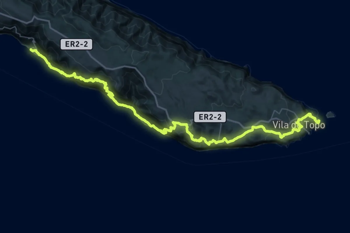
GR01GRA Grande Rota da Graciosa (Etapa 2)
20.6 km · ↑ 962 m · 7 h 11 min
Demanding · Trail
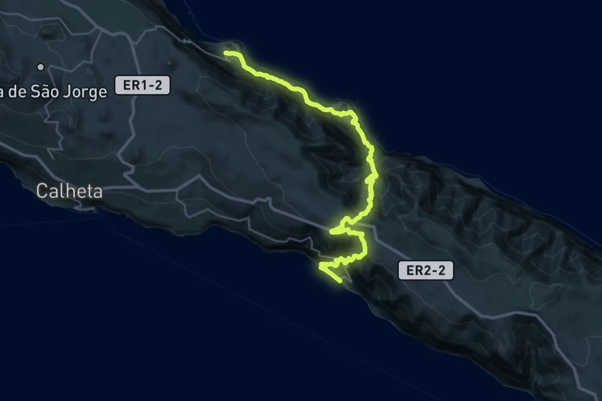
GR01SJO Grande Rota de São Jorge (Etapa 1)
24.1 km · ↑ 1560 m · 9 h 24 min
Demanding · Trail
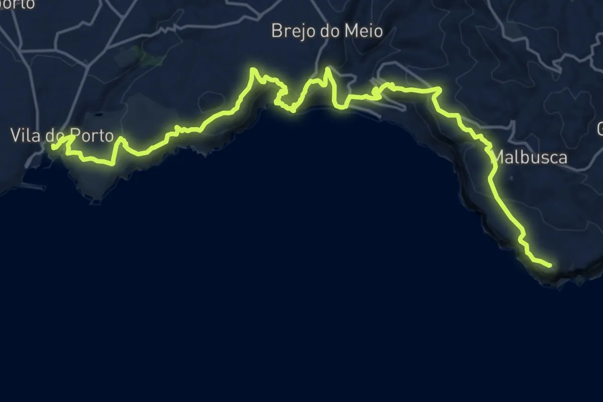
GR01SJO Grande Rota de São Jorge (Etapa 2)
14.3 km · ↑ 1017 m · 5 h 46 min
Demanding · Summit
GR01SMA Grande Rota de Santa Maria (Etapa 1)
26.1 km · ↑ 1339 m · 9 h 4 min
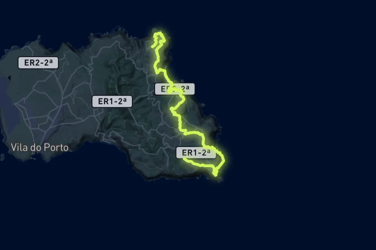
Demanding · Cabin
GR01SMA Grande Rota de Santa Maria (Etapa 2)
20.5 km · ↑ 1129 m · 7 h 36 min
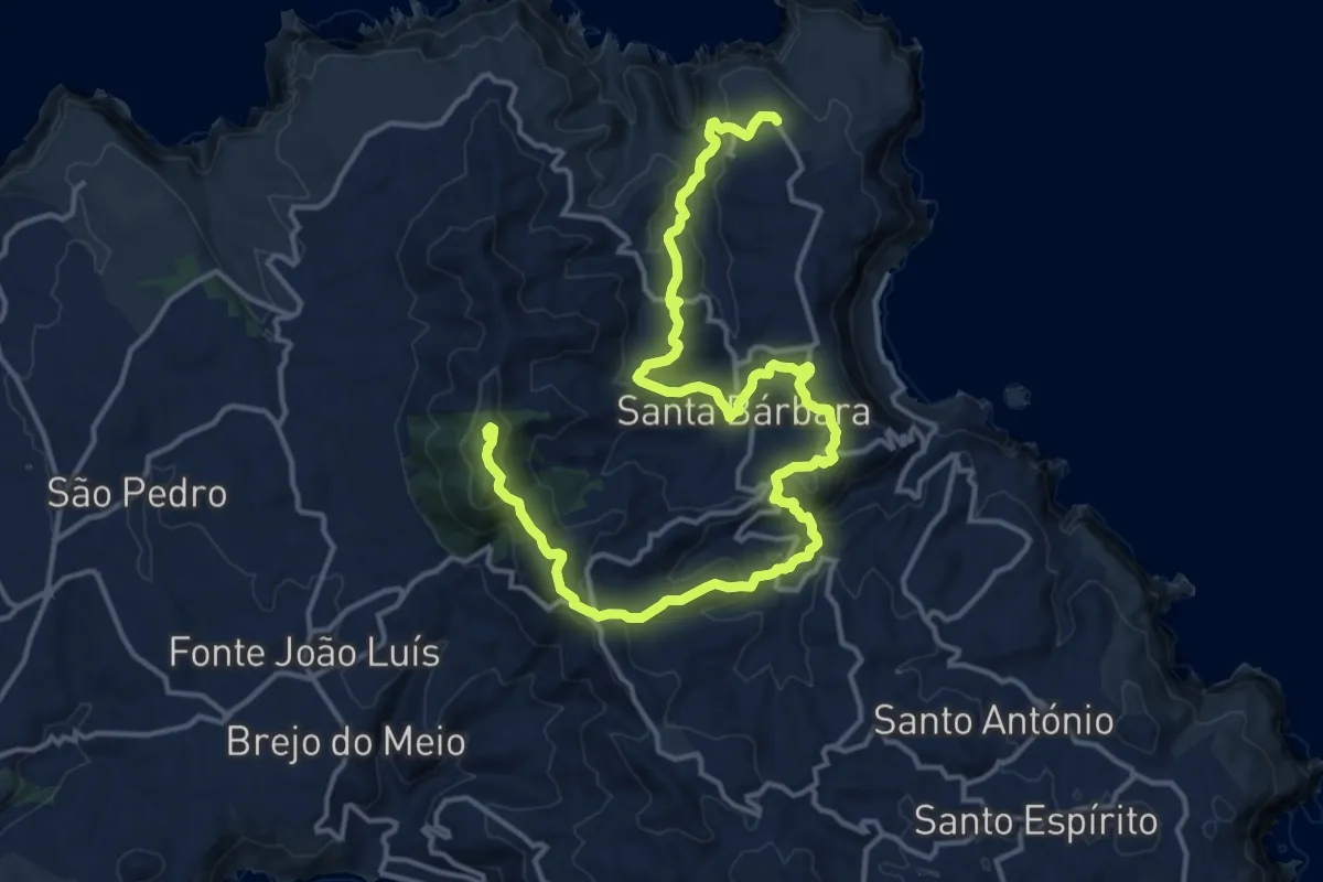
Demanding · Summit
GR01SMA Grande Rota de Santa Maria (Etapa 3)
22.9 km · ↑ 931 m · 7 h 26 min
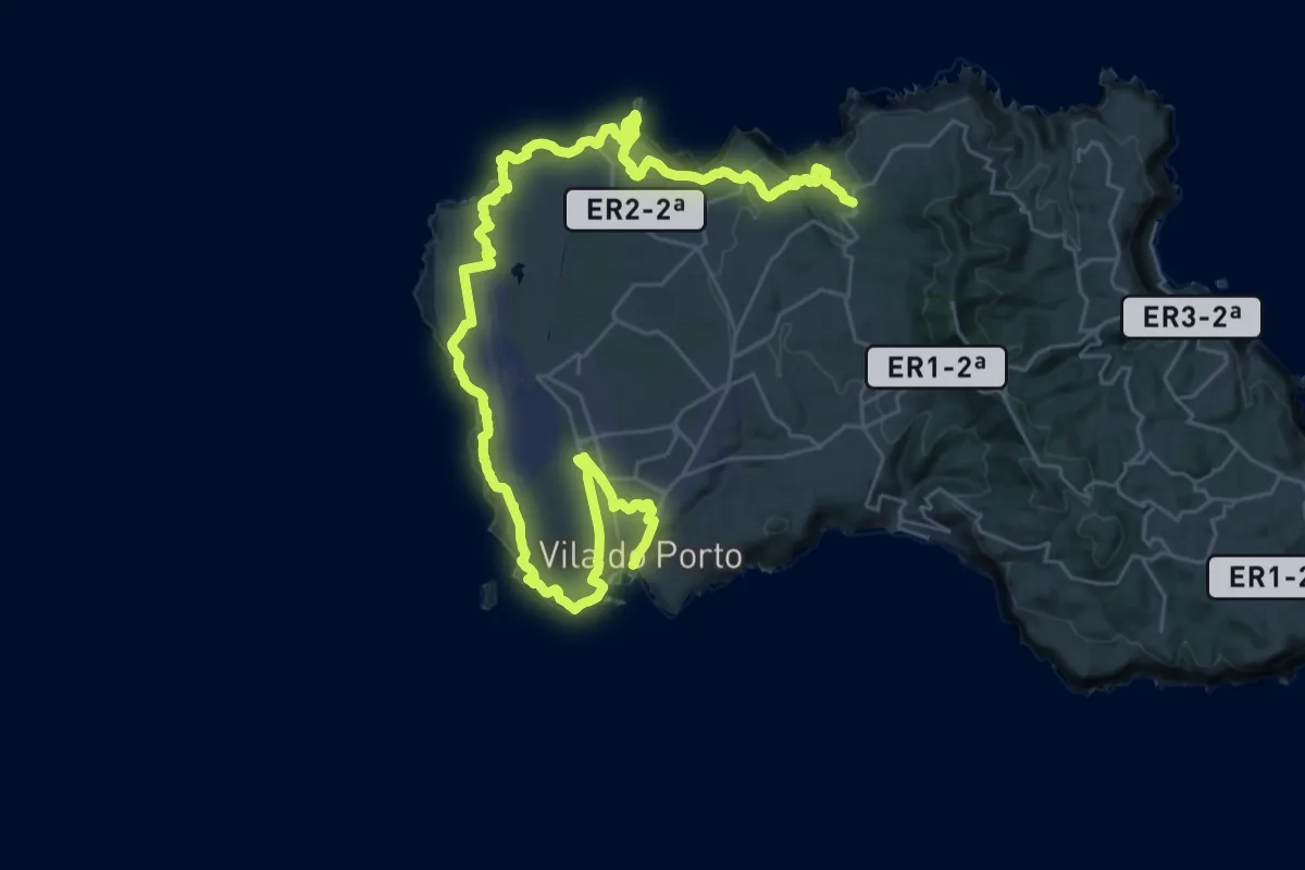
Demanding · Trail
GR01SMA Grande Rota de Santa Maria (Etapa 4)
23.9 km · ↑ 626 m · 7 h 25 min
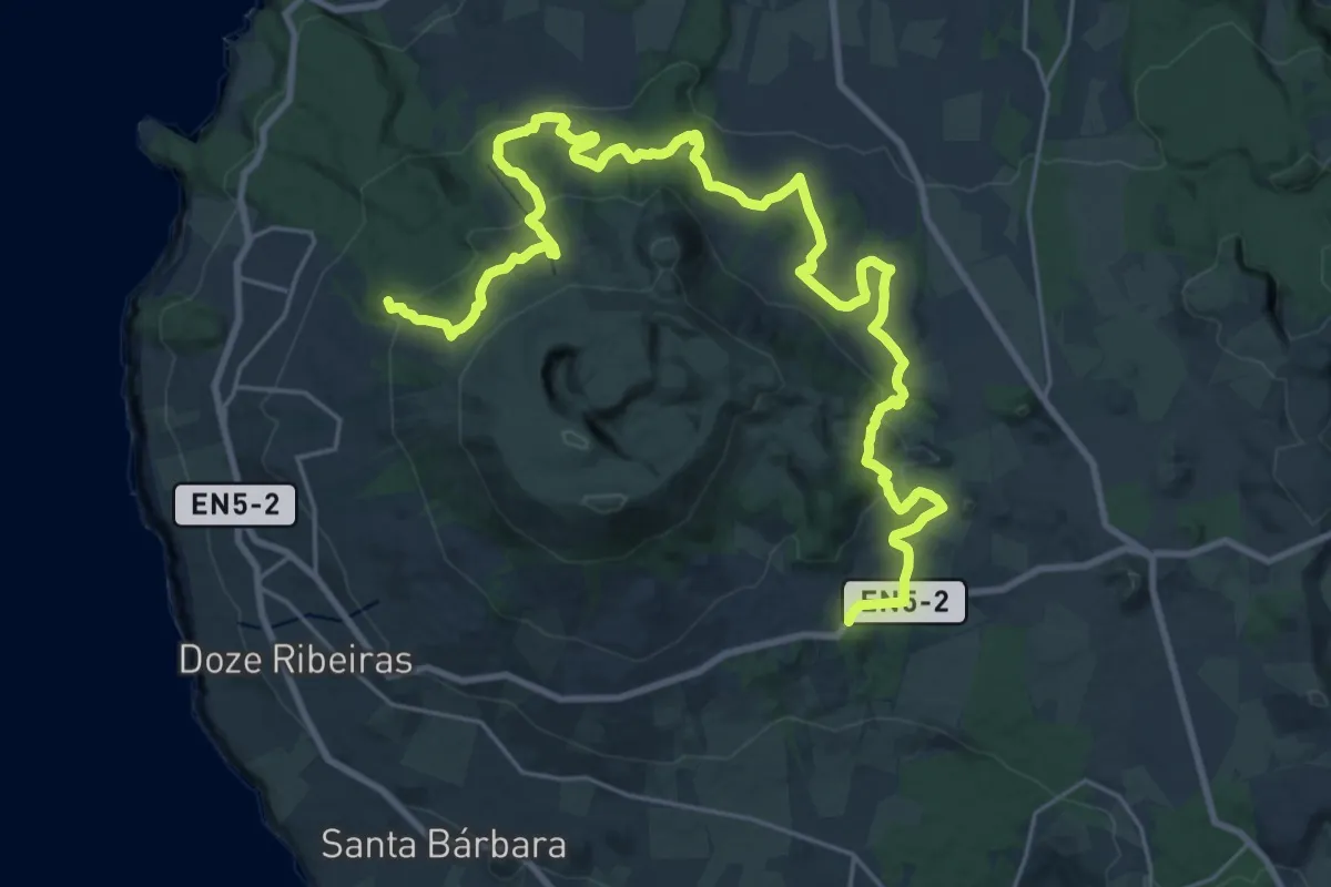
Demanding · Summit
GR01TER Grande Rota do Oeste (Etapa 1)
37.3 km · ↑ 1630 m · 12 h 20 min
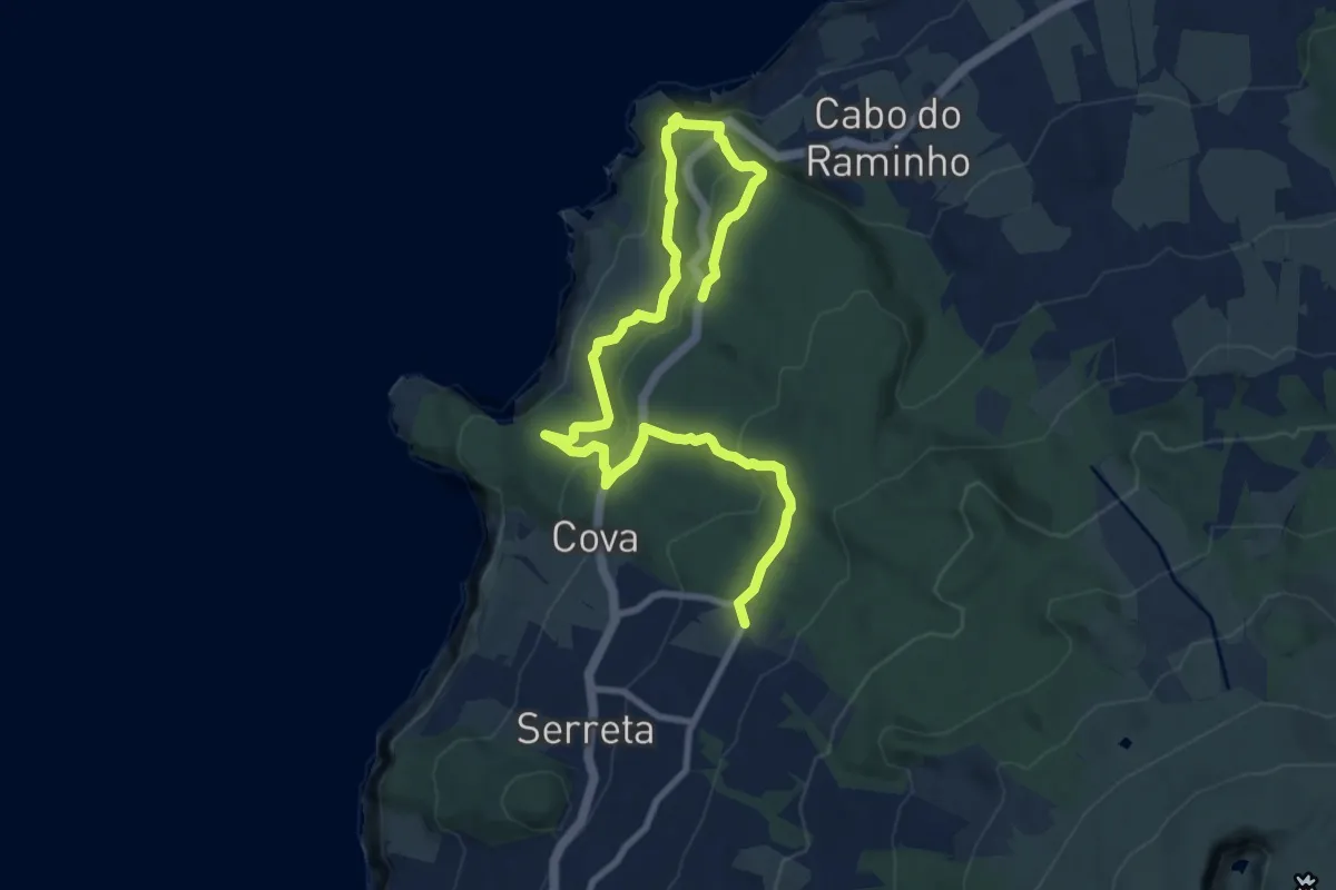
Medium · Trail
GR01TER Grande Rota do Oeste (Etapa 2)
13.3 km · ↑ 553 m · 4 h 21 min
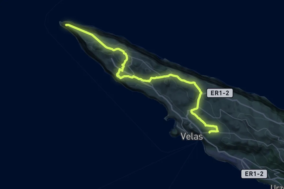
Demanding · Trail
GR02SJO Grande Rota de São Jorge (Etapa 1)
19.7 km · ↑ 561 m · 6 h 10 min
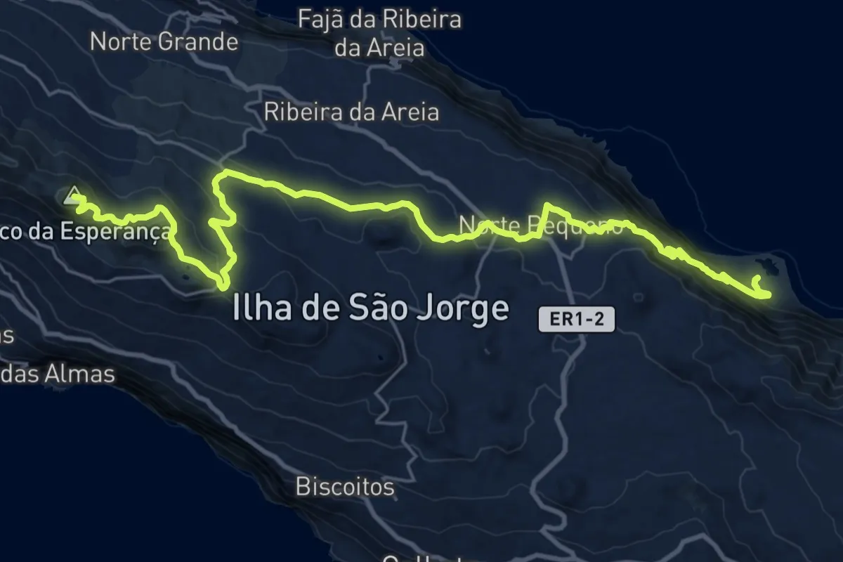
Demanding · Summit
GR02SJO Grande Rota de São Jorge (Etapa 2)
30.7 km · ↑ 1274 m · 10 h
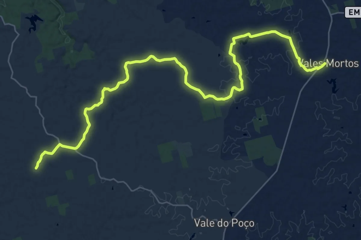
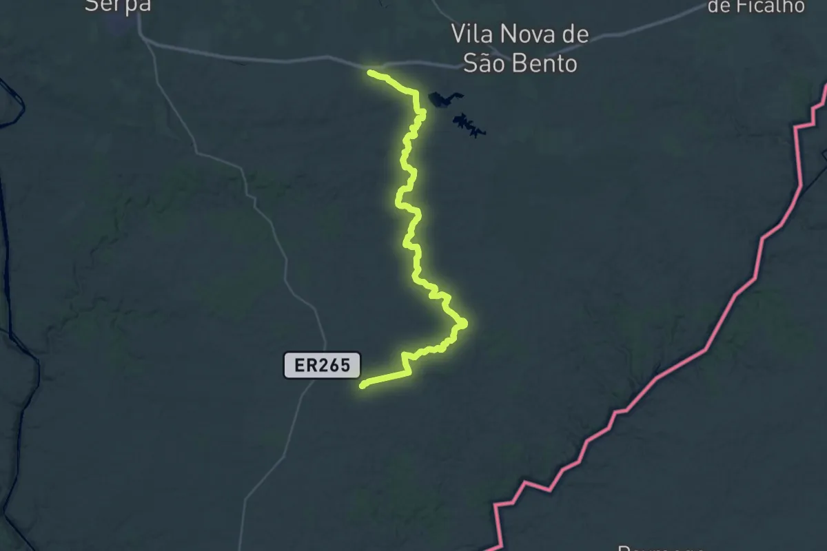
Medium · Trail
GR15.2 Sector 1
15.6 km · ↑ 184 m · 4 h 16 min
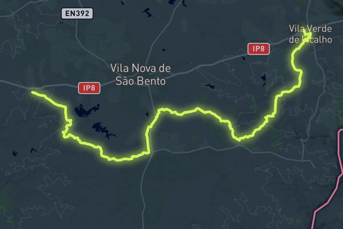
Demanding · Trail
GR15.2 Sector 2
22.7 km · ↑ 247 m · 6 h 12 min
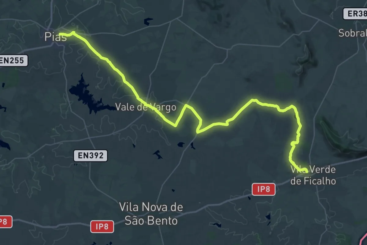
Demanding · Trail
GR15.2 Sector 3
29.4 km · ↑ 201 m · 7 h 49 min
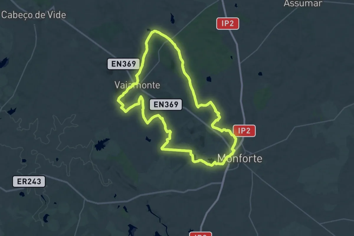
Demanding · Trail
GR15.2 Sector 4
24.8 km · ↑ 188 m · 6 h 35 min
Demanding · Trail
GR42-MFT Grande Rota dos Montes de Monforte
30.8 km · ↑ 302 m · 8 h 21 min
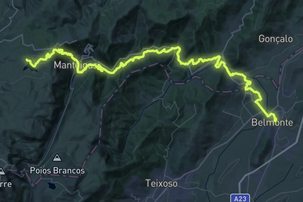
Demanding · Summit
Grande Rota das Aldeias Históricas - Variante
77.6 km · ↑ 2642 m · 24 h 3 min
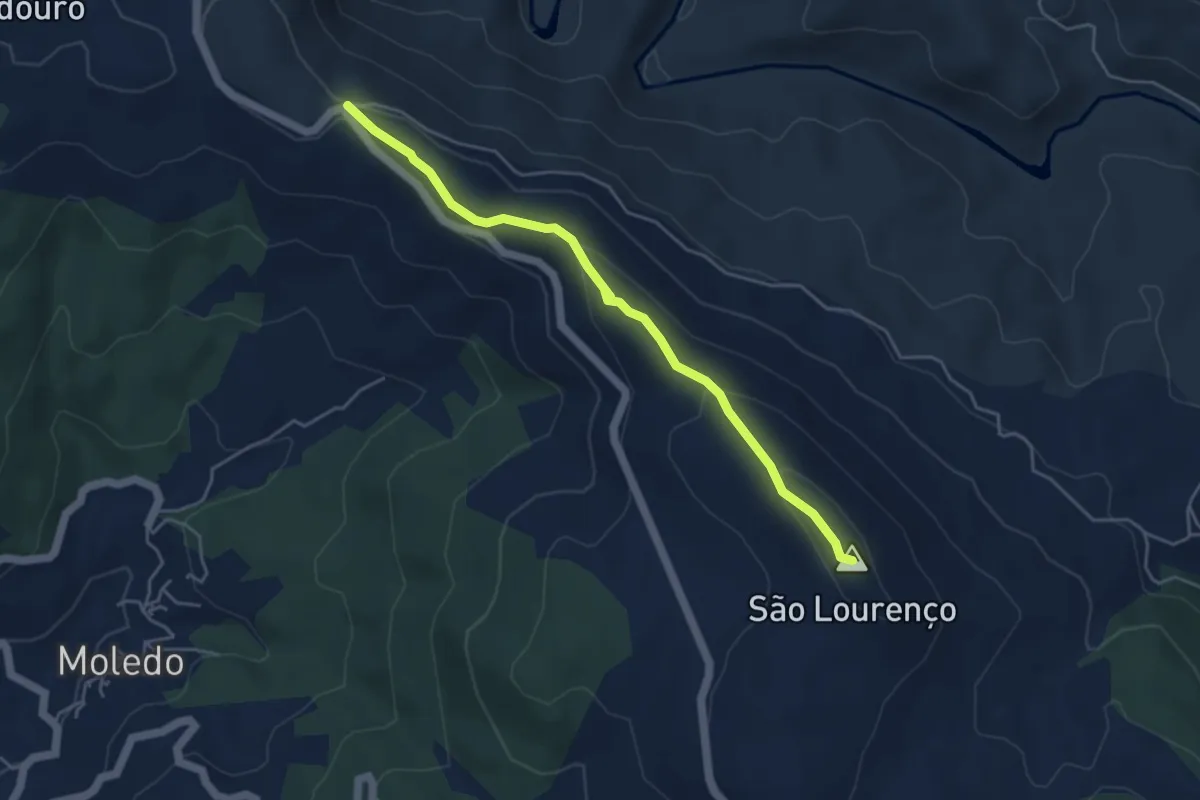
Easy · Summit
Grande Rota da Transumância
5.0 km · ↑ 161 m · 1 h 32 min
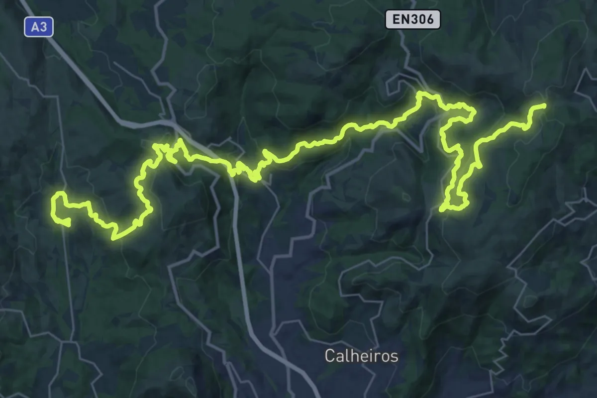
Demanding · Trail
Grande Rota de Montanha
26.7 km · ↑ 1409 m · 9 h 24 min
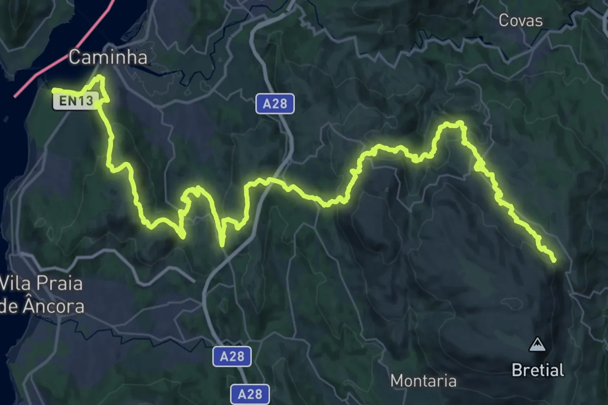
Demanding · Trail
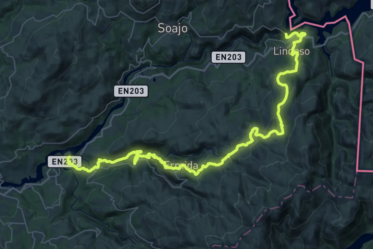
Grande Rota de Montanha do Alto Minho - Caminha
33.3 km · ↑ 1313 m · 10 h 53 min
Demanding · Trail
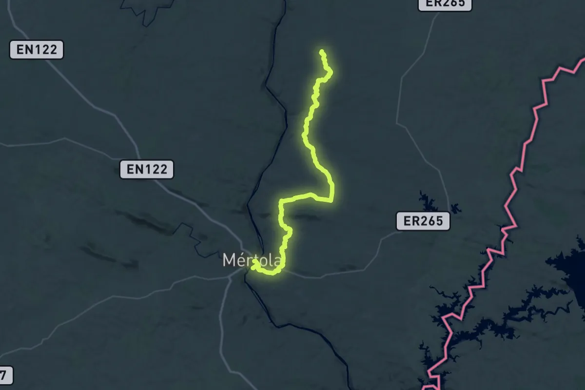
Grande Rota de Montanha do Alto Minho - Ponte da Barca
22.4 km · ↑ 1057 m · 7 h 46 min
Demanding · Trail
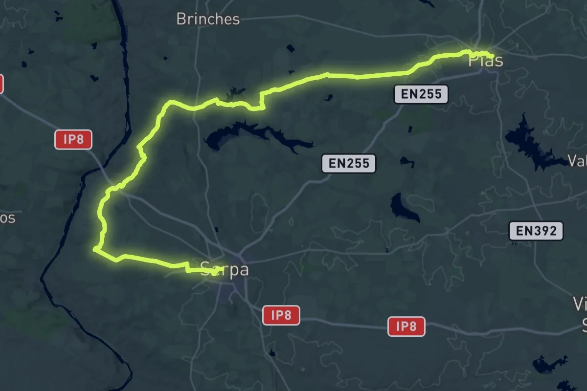
Grande Rota do Guadiana - Sector 7
27.6 km · ↑ 557 m · 8 h 3 min
Demanding · Trail
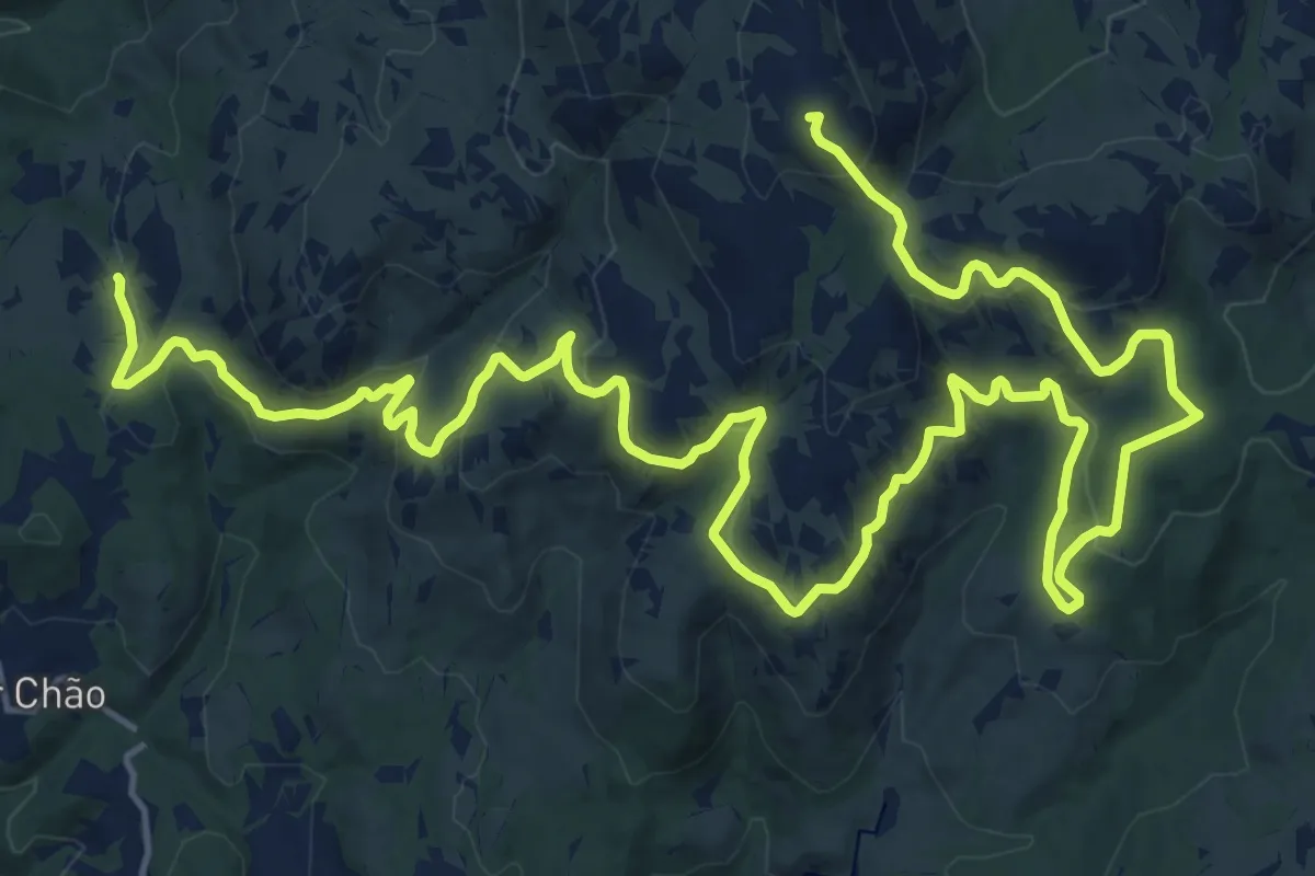
Grande Rota do Guadiana - Sector 9
29.0 km · ↑ 231 m · 7 h 44 min
Demanding · Summit
Grande Rota – Fojos
31.1 km · ↑ 1123 m · 9 h 47 min