Trails in Portugal
1,161 hiking trails, each with its route, climb, walking time and grade.
All trails, page 7 of 25
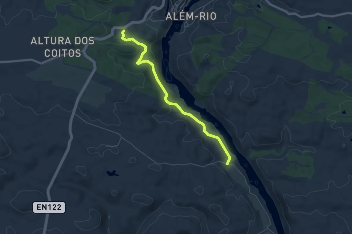
Easy · Trail
Guadiana, o grande rio do Sul
6.1 km · ↑ 142 m · 1 h 45 min
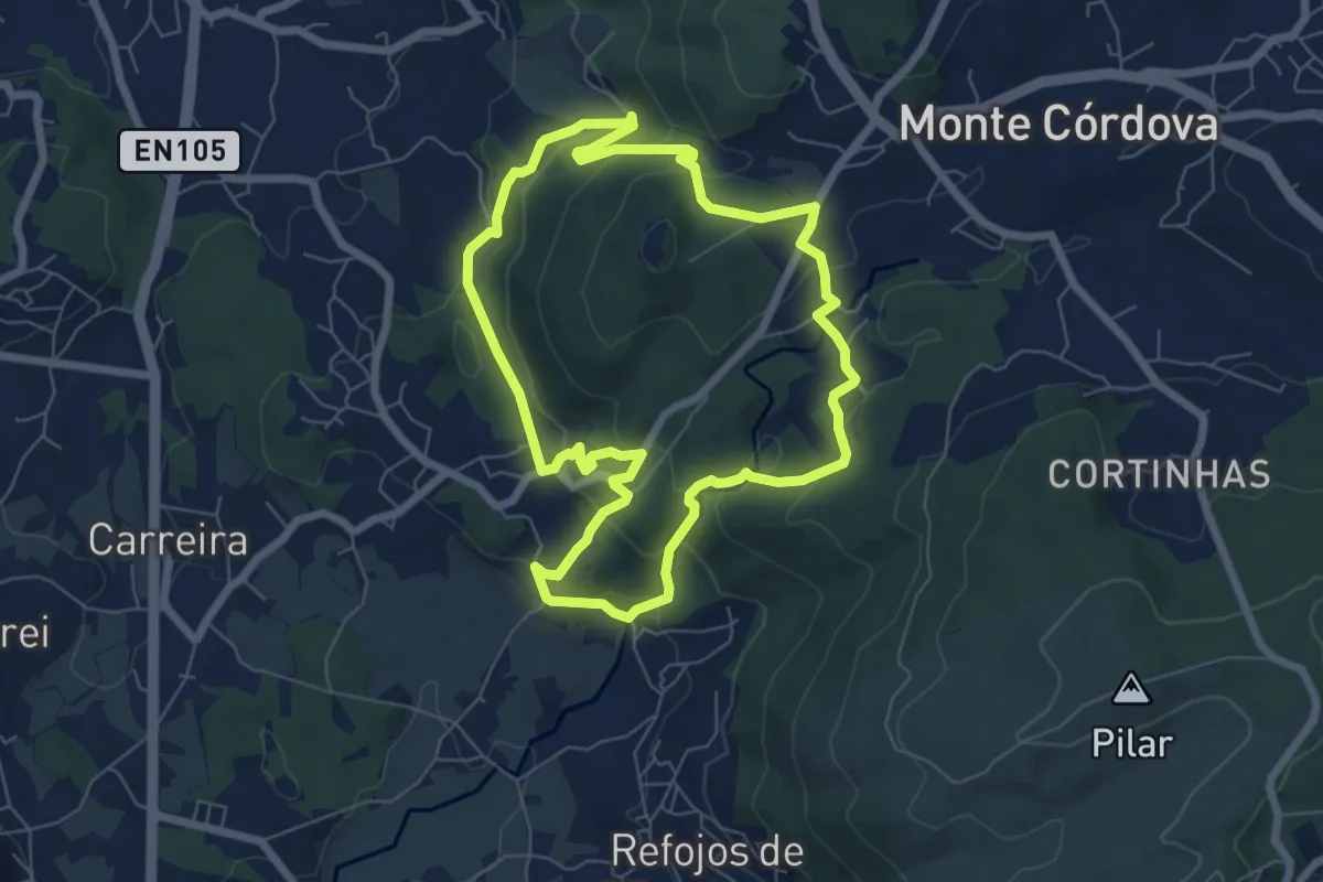
Easy · Trail
Histórico Pré-Industrial
7.1 km · ↑ 302 m · 2 h 25 min
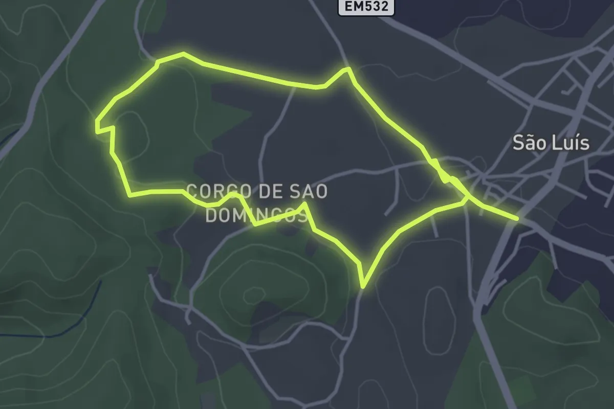
Medium · Trail
Hortas de S. Luís
8.1 km · ↑ 105 m · 2 h 8 min
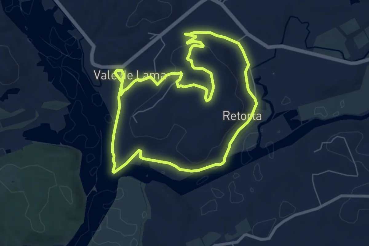
Easy · Trail
Ilha do Rosário
7.2 km · ↑ 105 m · 2 h 2 min
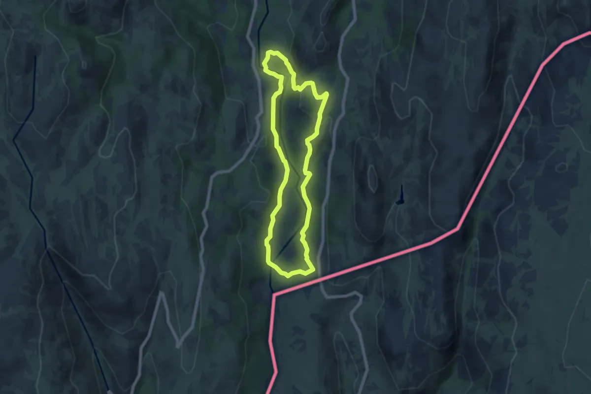
Easy · Trail
Inverneiras
5.9 km · ↑ 255 m · 2 h 1 min
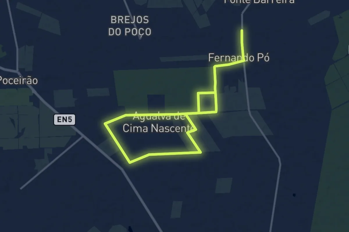
Medium · Trail
Jardim de Vinhas
8.7 km · ↑ 35 m · 2 h 15 min
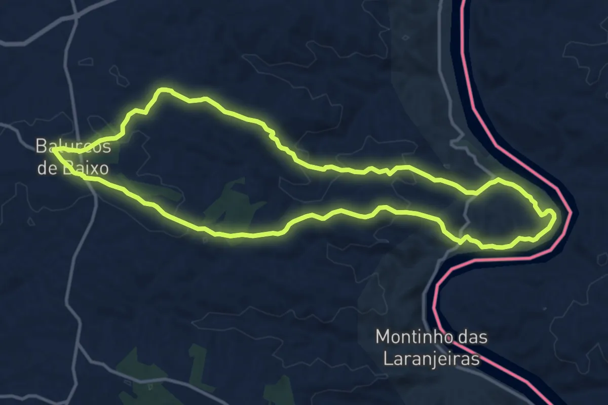
Medium · Trail
Ladeiras do Pontal
13.2 km · ↑ 303 m · 3 h 58 min
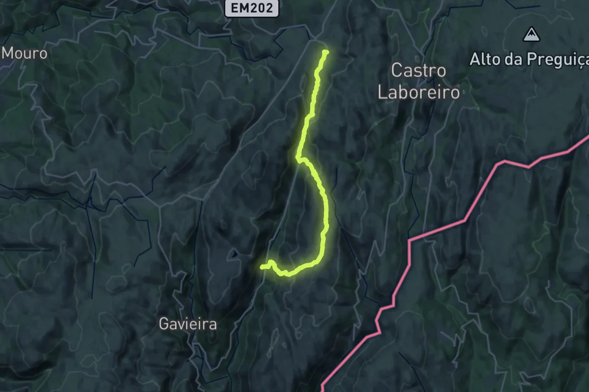
Demanding · Trail
Lamas Peneda
21.5 km · ↑ 1003 m · 7 h 16 min
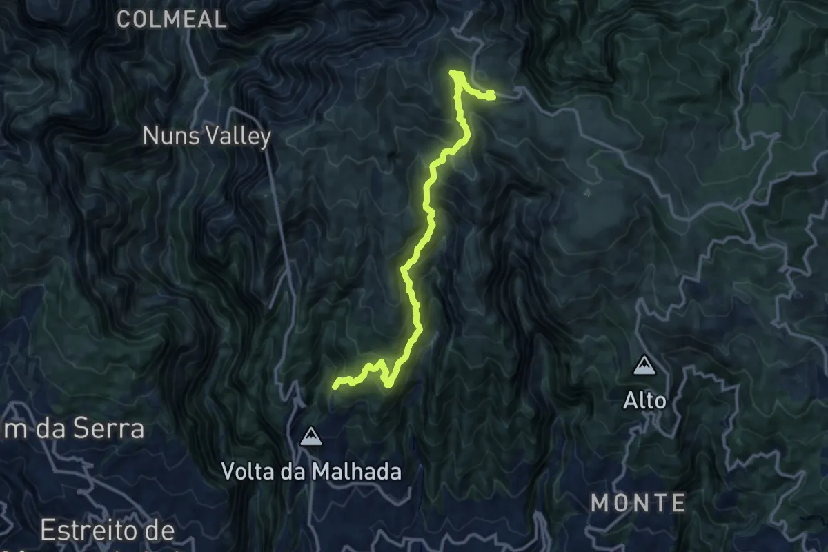
Demanding · Trail
Levada da Negra
14.4 km · ↑ 1337 m · 6 h 18 min
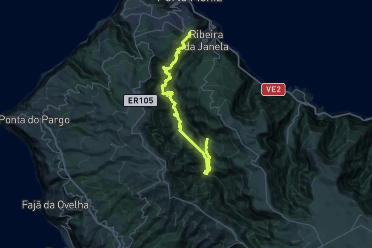
Demanding · Trail
Levada da Ribeira da Janela
13.0 km · ↑ 1817 m · 7 h 14 min
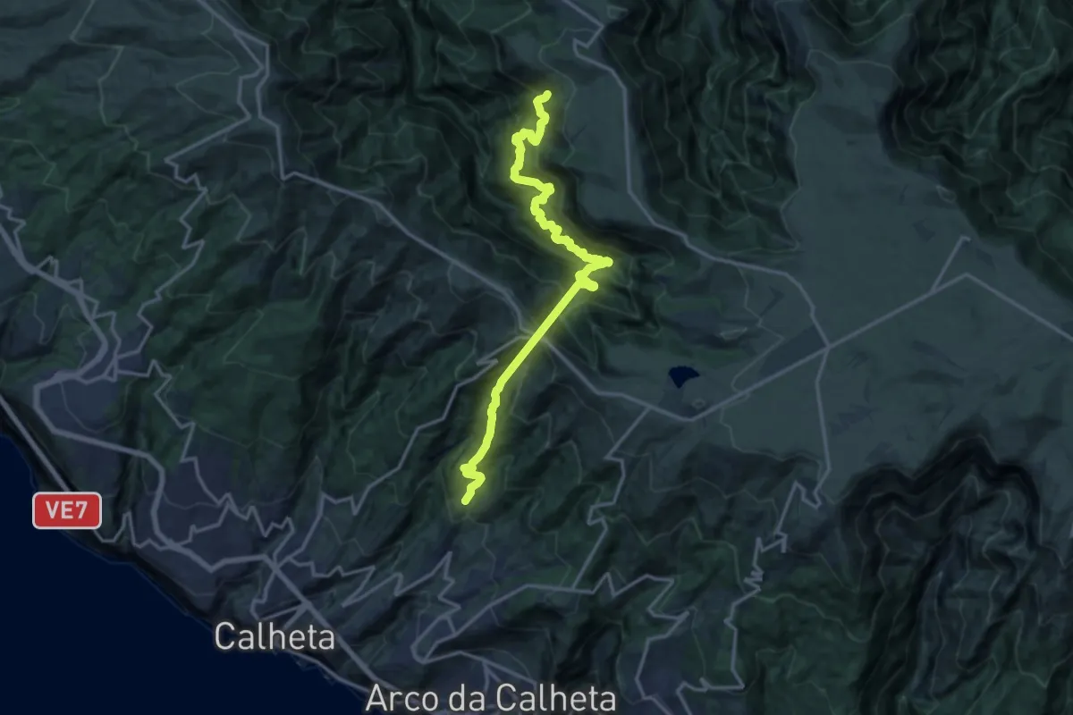
Demanding · Trail
Levada da Rocha Vermelha
9.3 km · ↑ 1306 m · 4 h 57 min
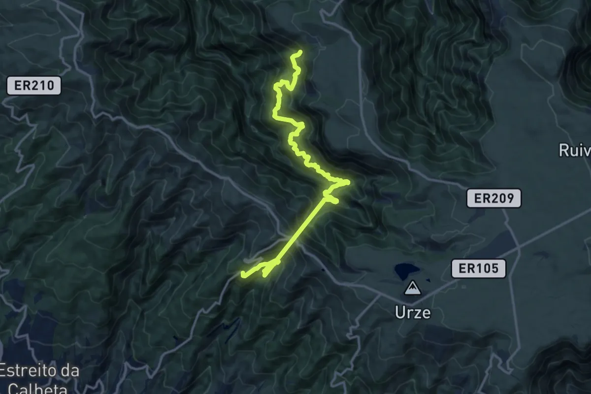
Demanding · Trail
Levada da Rocha Vermelha A
8.6 km · ↑ 1074 m · 4 h 26 min
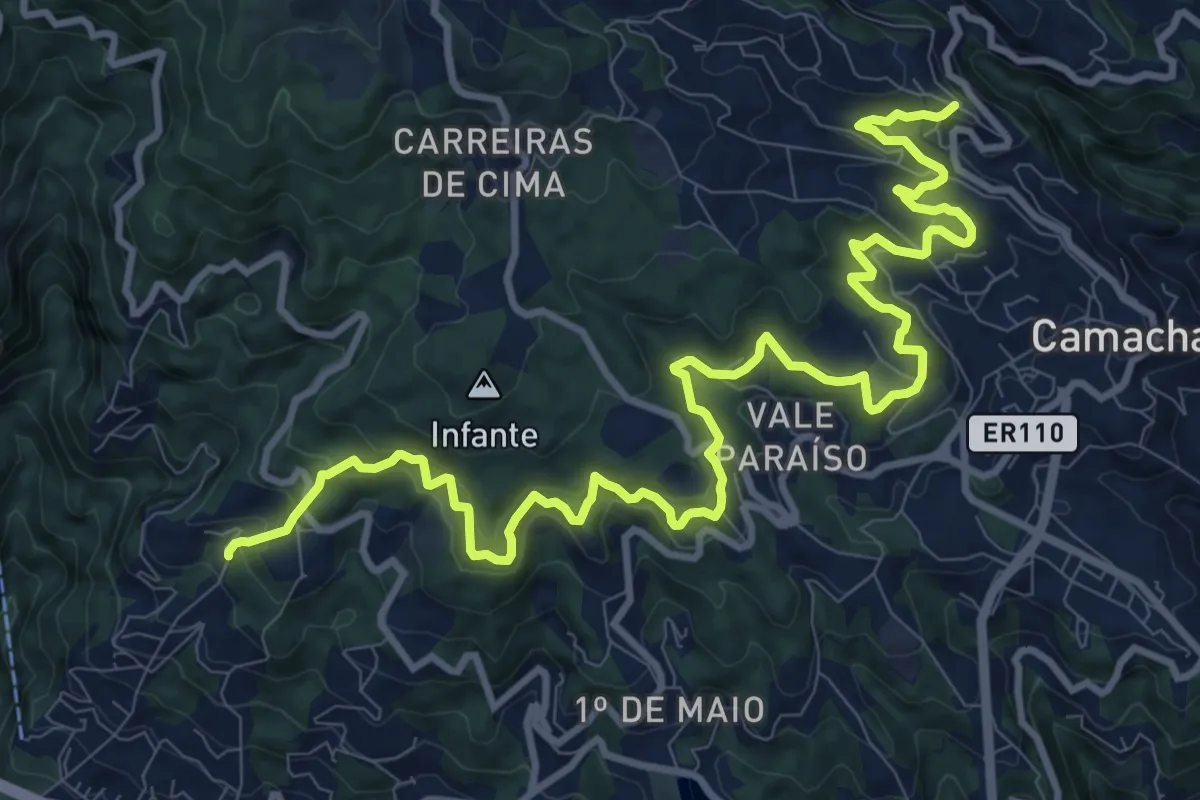
Demanding · Trail
Levada da Serra do Faial
17.4 km · ↑ 887 m · 6 h 2 min
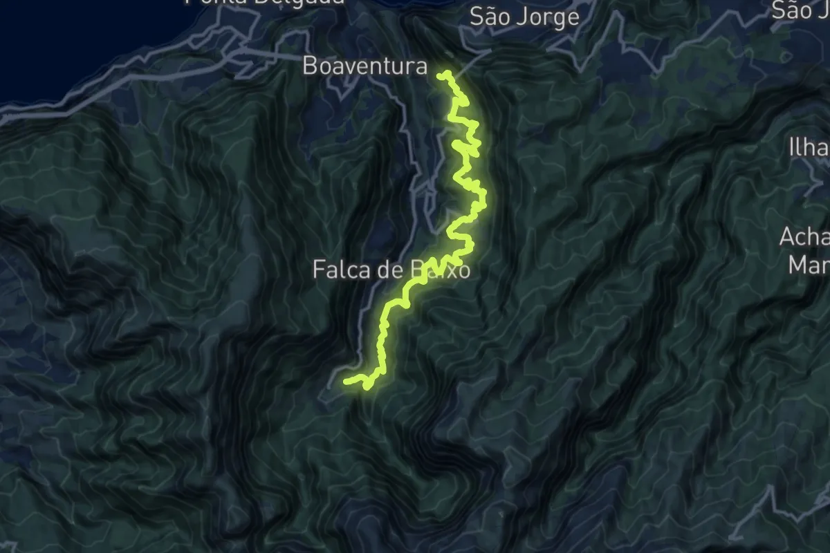
Demanding · Trail
Levada das Faias
18.0 km · ↑ 1571 m · 7 h 40 min
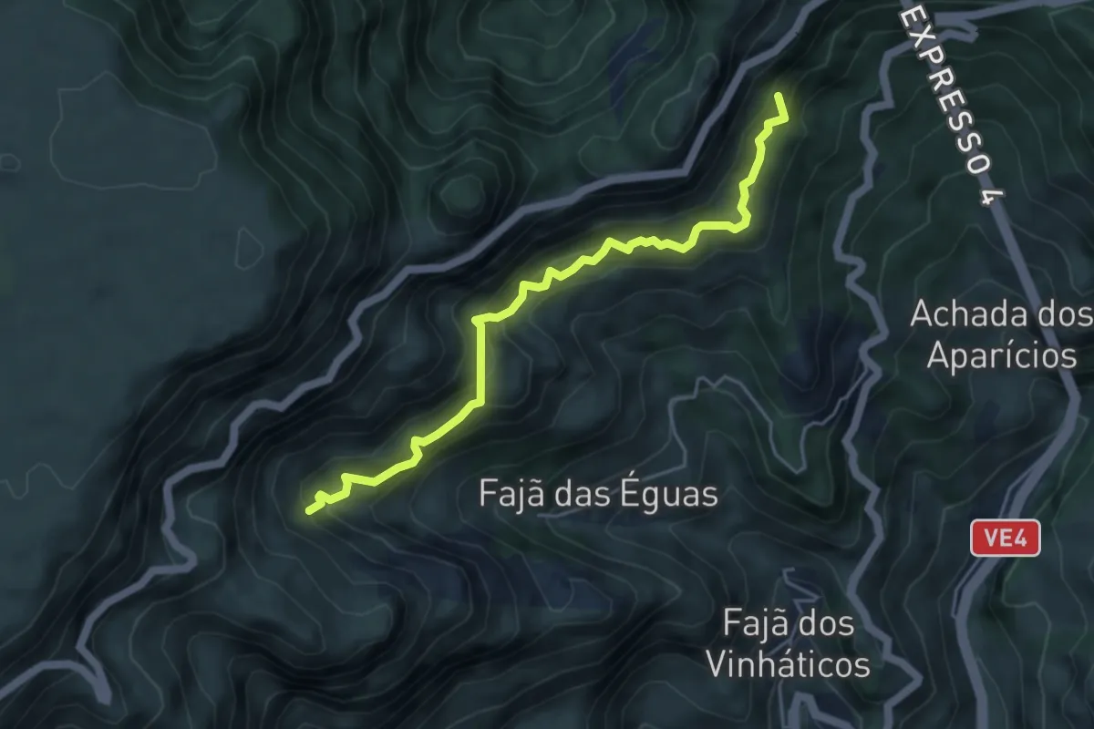
Medium · Trail
Levada das Rabaças
5.6 km · ↑ 782 m · 3 h 1 min
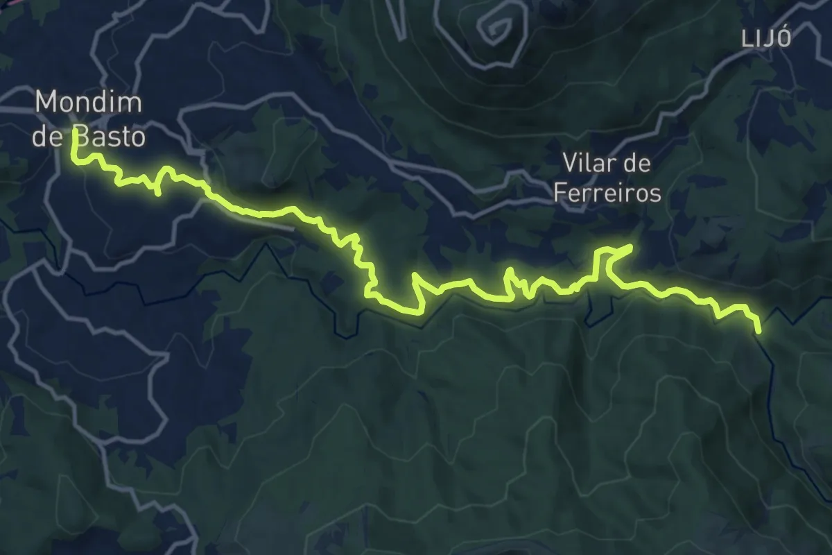
Medium · Trail
Levada de Piscaredo
17.7 km · ↑ 574 m · 5 h 25 min
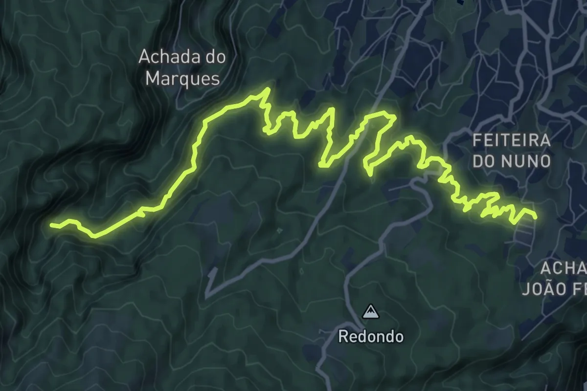
Demanding · Trail
Levada de Santana
17.8 km · ↑ 1373 m · 7 h 11 min
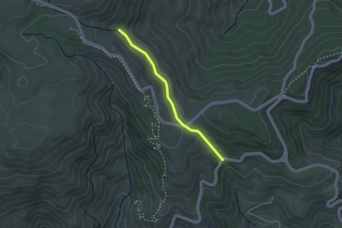
Easy · Trail
Levada do Blandy
3.0 km · ↑ 117 m · 57 min
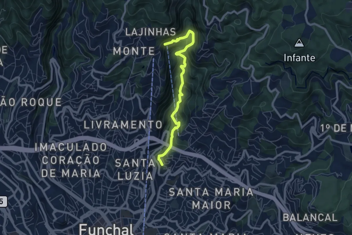
Demanding · Trail
Levada do Bom Sucesso
7.0 km · ↑ 810 m · 3 h 25 min
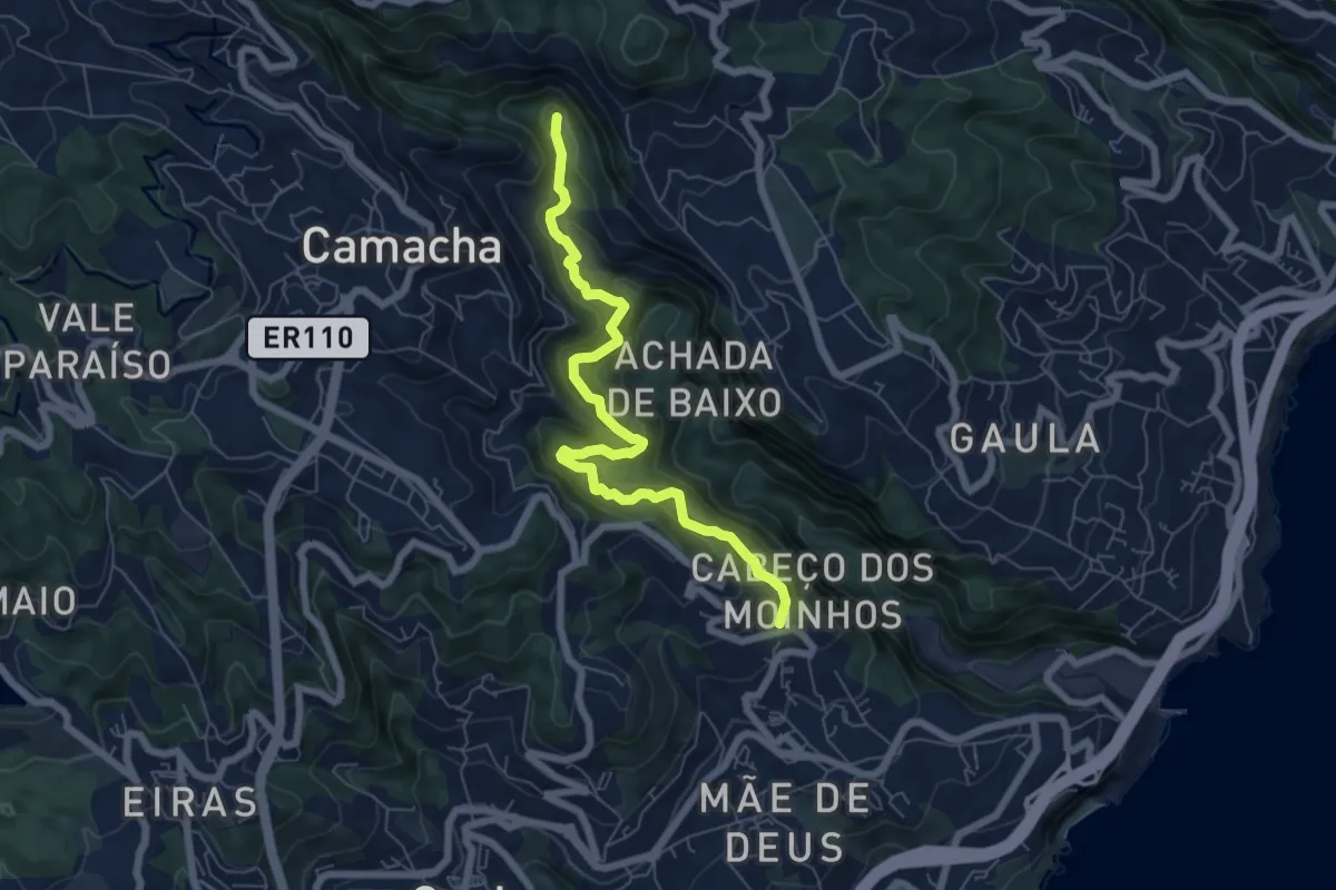
Medium · Trail
Levada do Caniço
8.2 km · ↑ 795 m · 3 h 39 min
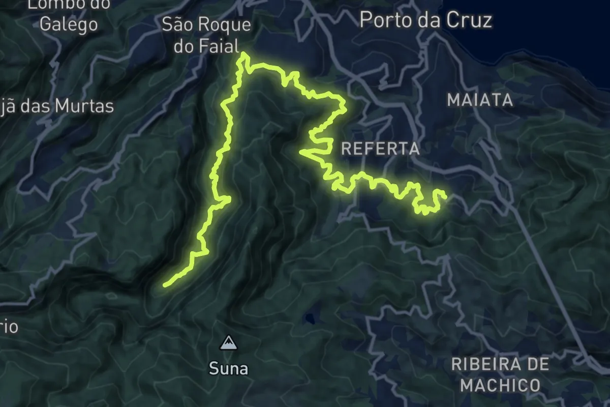
Demanding · Trail
Levada do Castelejo
11.4 km · ↑ 1092 m · 5 h 15 min
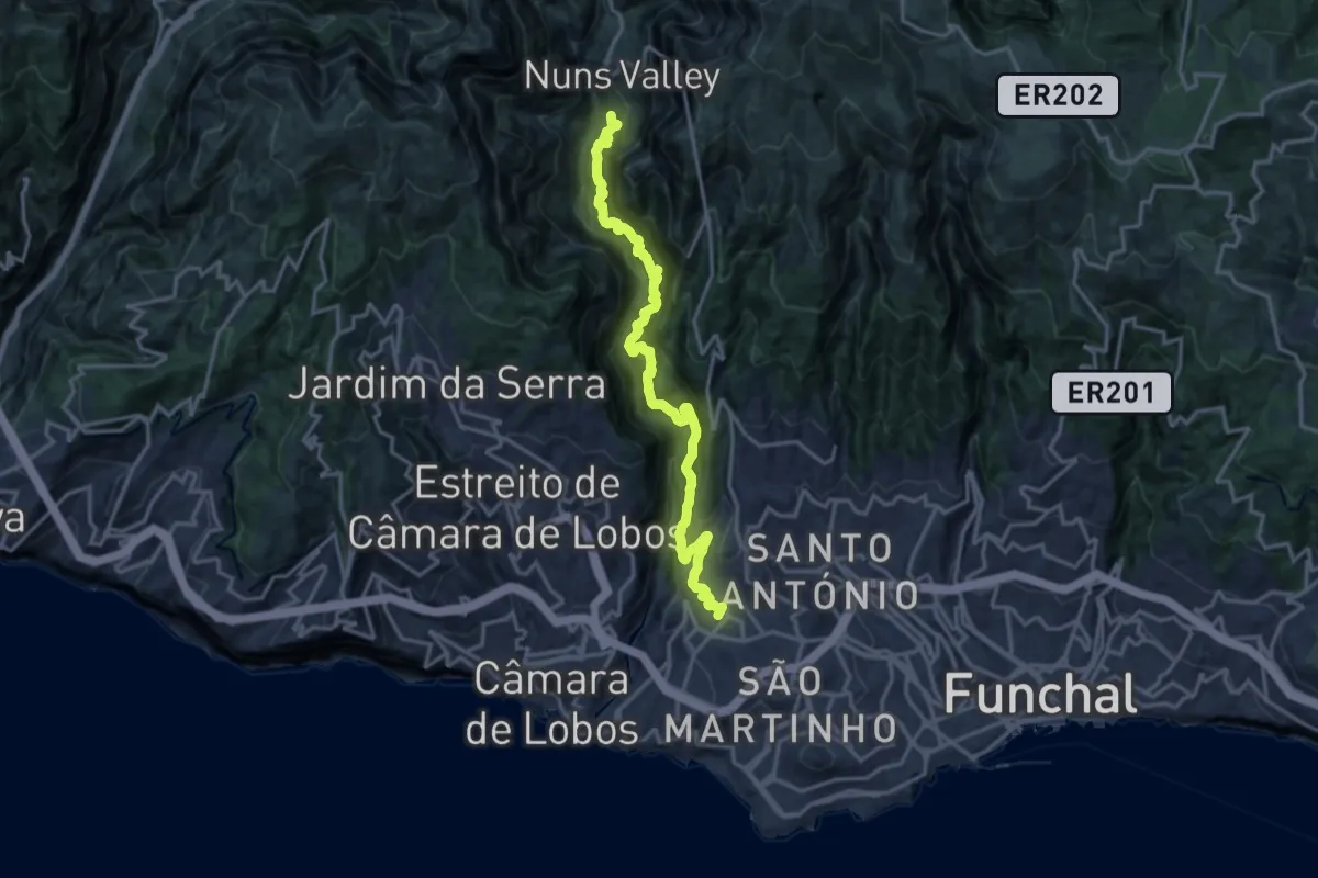
Expert · Trail
Levada do Curral
10.1 km · ↑ 1474 m · 5 h 50 min
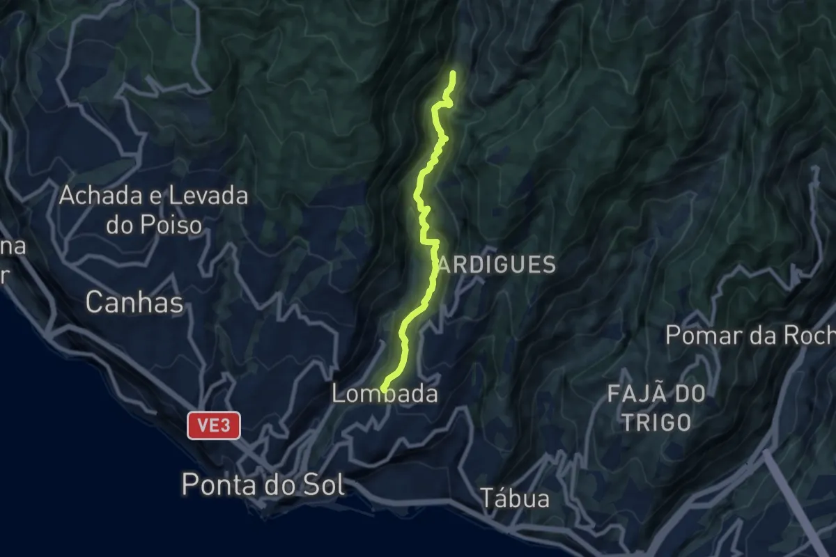
Demanding · Trail
Levada do Moinho
7.8 km · ↑ 894 m · 3 h 47 min
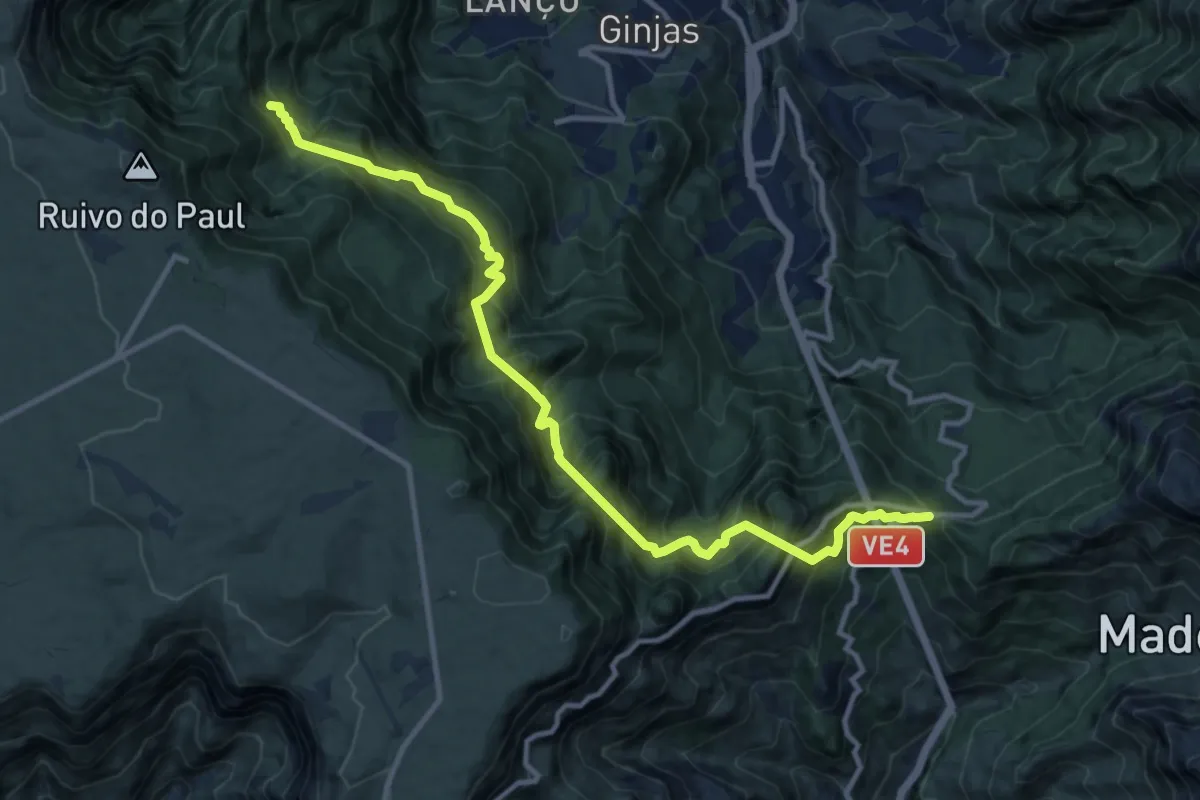
Demanding · Trail
Levada do Norte (Nord)
7.6 km · ↑ 1173 m · 4 h 28 min
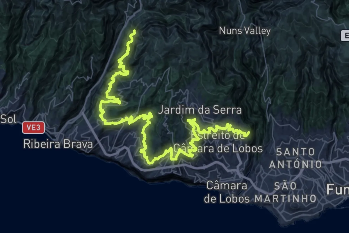
Expert · Trail
Levada do Norte (South)
28.9 km · ↑ 2543 m · 12 h 46 min
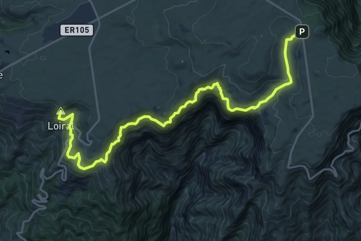
Demanding · Summit
Levada do Paul 2
16.3 km · ↑ 1148 m · 6 h 20 min
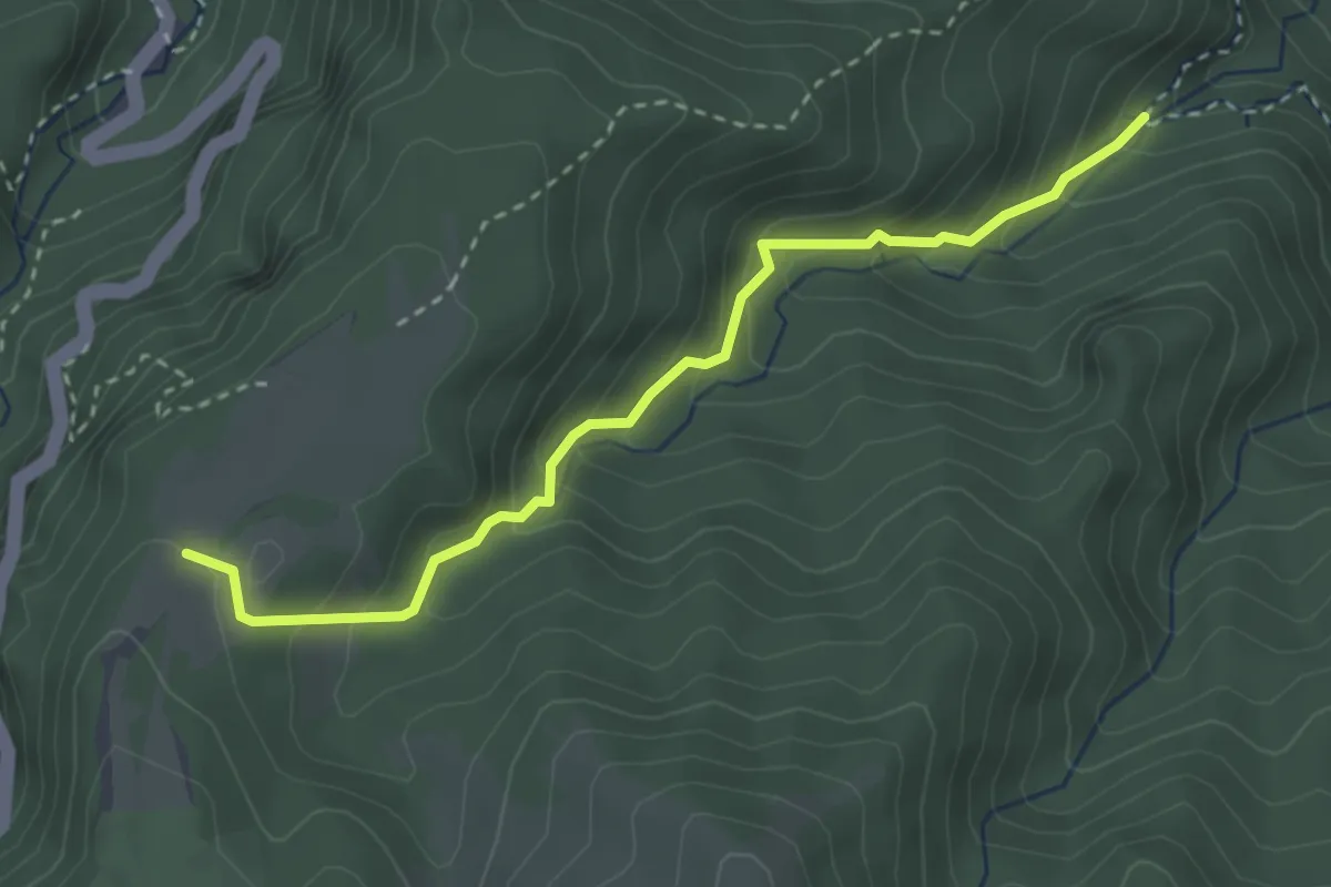
Easy · Trail
Levada do Poço do Bezerro
3.8 km · ↑ 314 m · 1 h 35 min
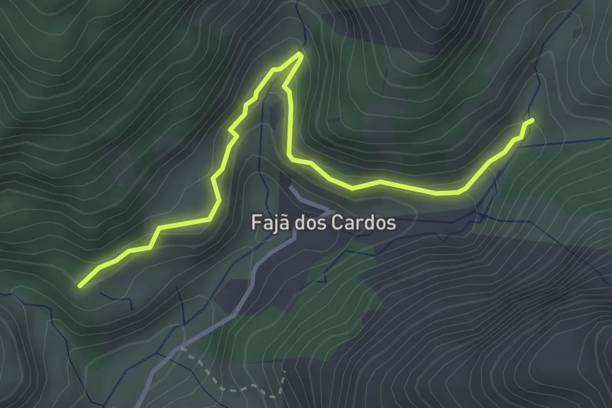
Easy · Trail
Levada do Poiso - Levada do Pico Furão
4.1 km · ↑ 290 m · 1 h 36 min
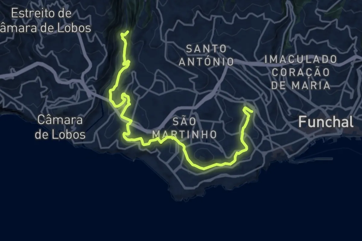
Demanding · Trail
Levada dos Piornais
18.8 km · ↑ 795 m · 6 h 10 min
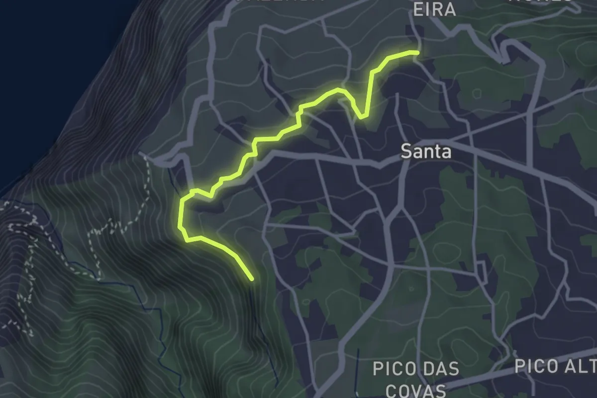
Easy · Trail
Levada dos Pombais
3.9 km · ↑ 173 m · 1 h 18 min
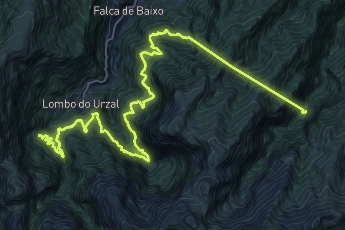
Demanding · Trail
Levada dos Tornos - Norte
11.6 km · ↑ 1864 m · 6 h 56 min
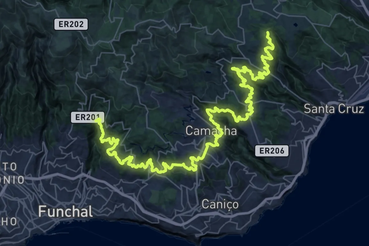
Demanding · Trail
Levada dos Tornos - Sul
27.1 km · ↑ 1781 m · 10 h 39 min
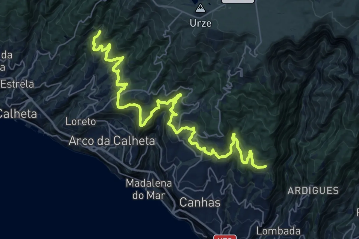
Demanding · Trail
Levada Nova do Arco da Calheta
16.0 km · ↑ 918 m · 5 h 59 min
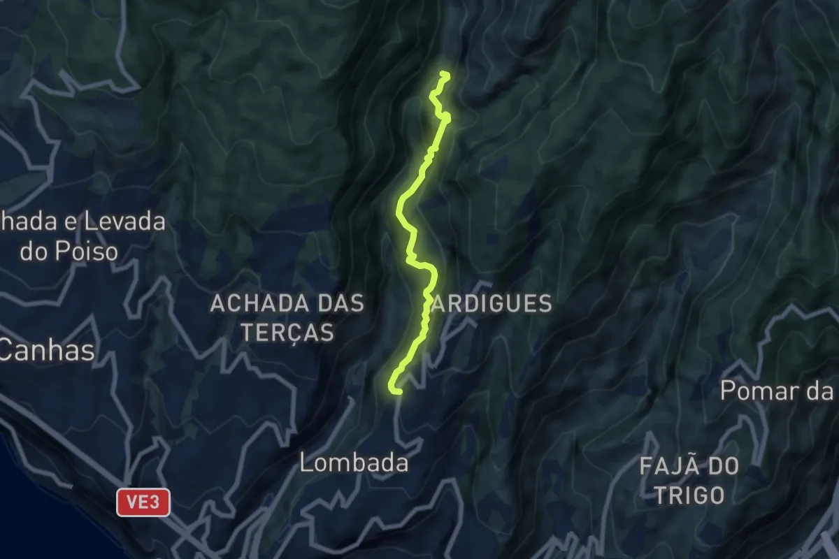
Demanding · Trail
Levada Nova dos Canhas
6.6 km · ↑ 940 m · 3 h 35 min
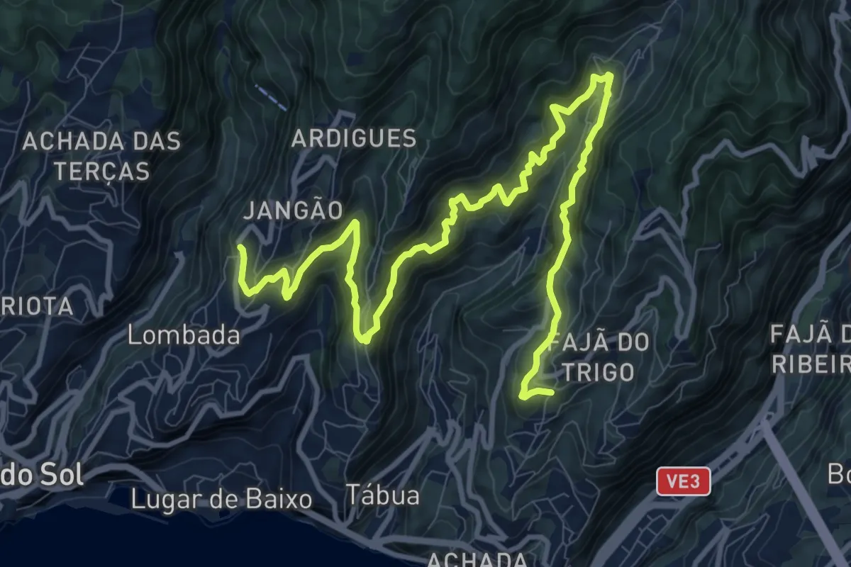
Demanding · Trail
Levada Nova Tabua
16.1 km · ↑ 1333 m · 6 h 41 min
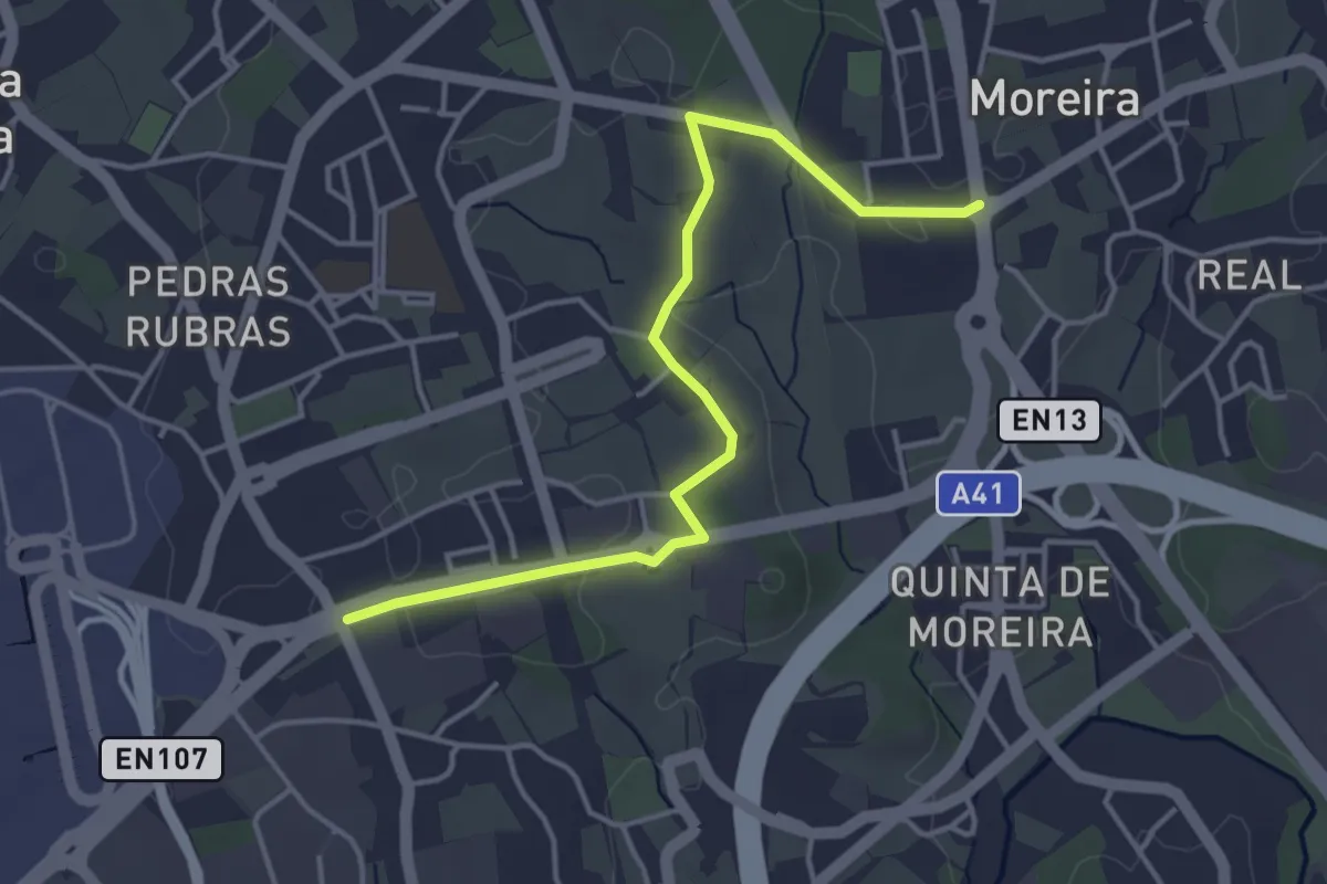
Easy · Trail
Ligaçao entre caminhos de santiago na Maia 1
4.7 km · ↑ 45 m · 1 h 12 min
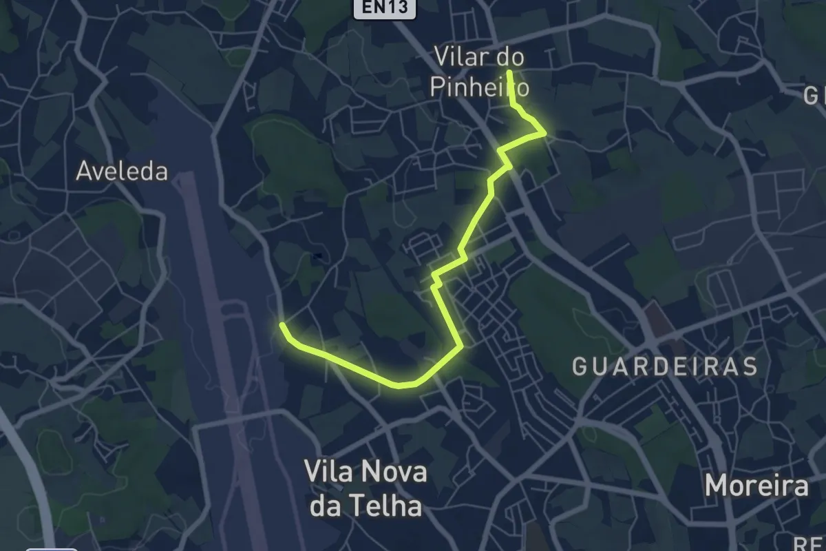
Easy · Trail
Ligação entre rotas de caminhos de Santiago da costa e central
6.5 km · ↑ 44 m · 1 h 38 min
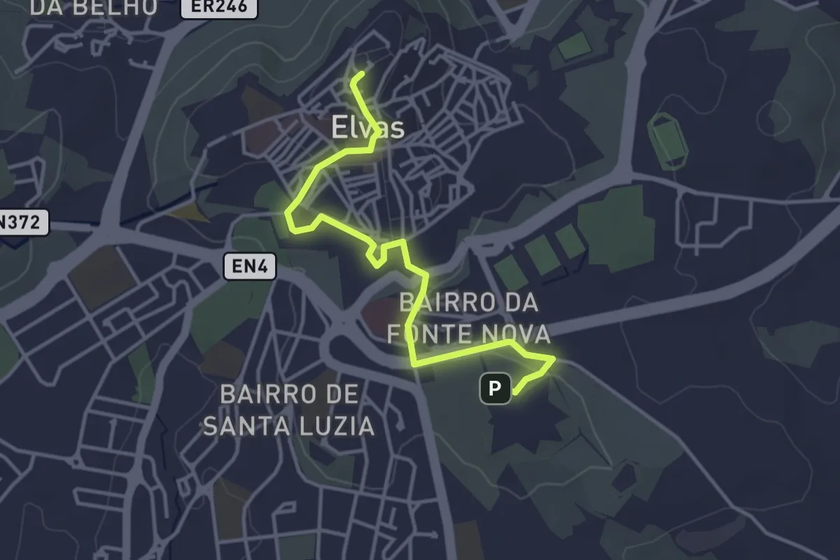
Easy · Summit
Linhas de Elvas
4.4 km · ↑ 64 m · 1 h 11 min
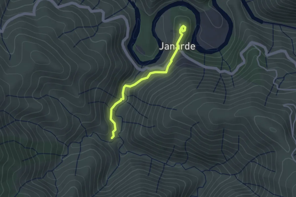
Easy · Trail
Livraria do Paiva
1.5 km · ↑ 86 m · 32 min
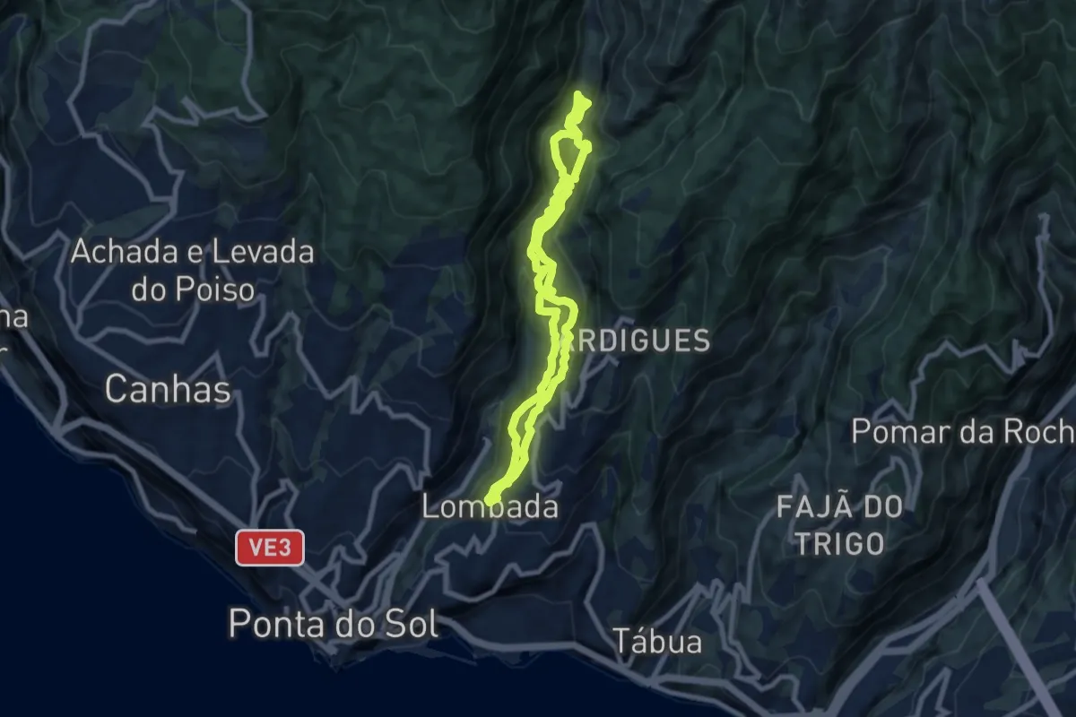
Demanding · Trail
Lombada da Ponta do Sol
7.8 km · ↑ 950 m · 4 h 1 min
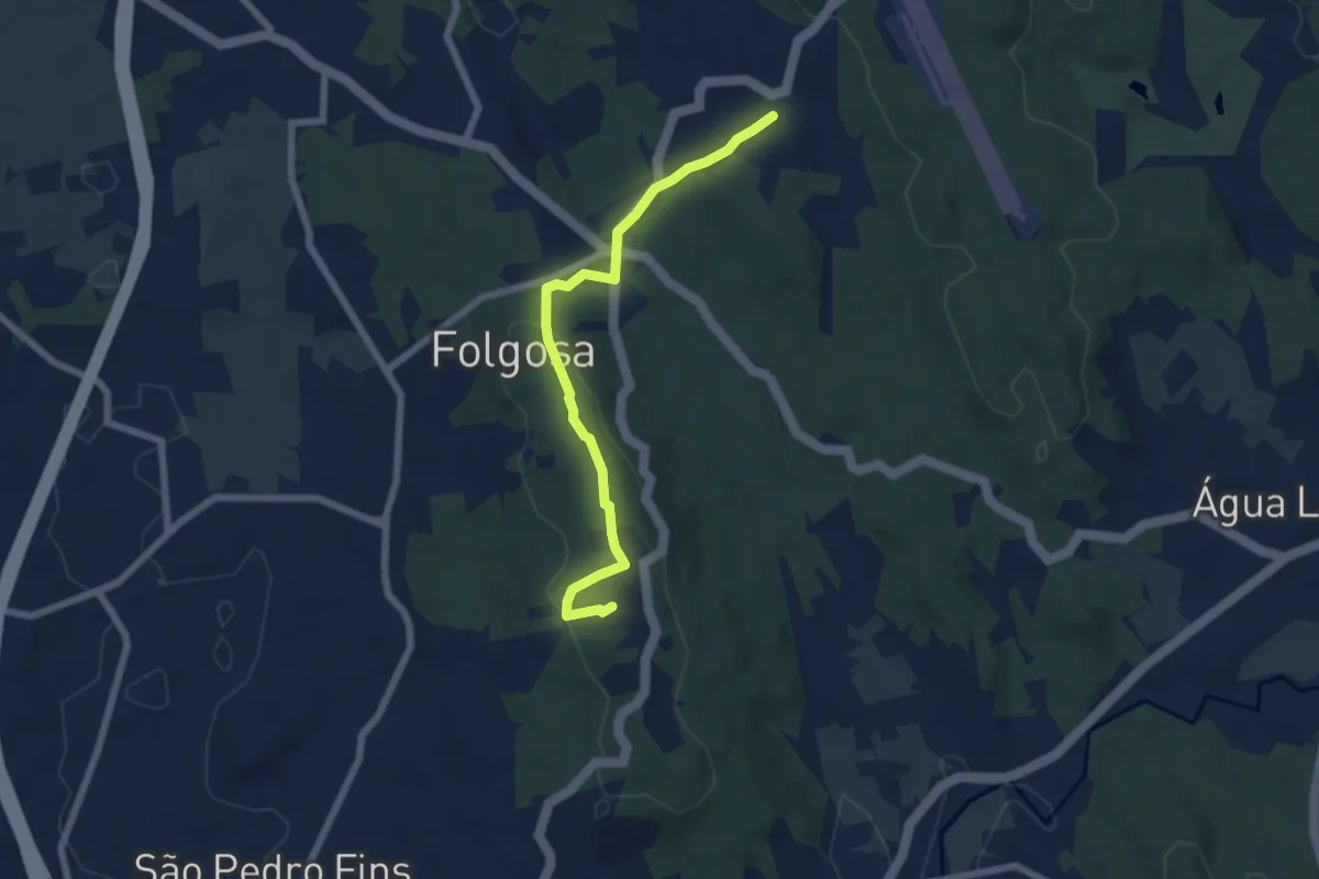
Easy · Summit
Lugares no Alto Folgosa e São Pedro Fins
6.8 km · ↑ 201 m · 2 h 3 min
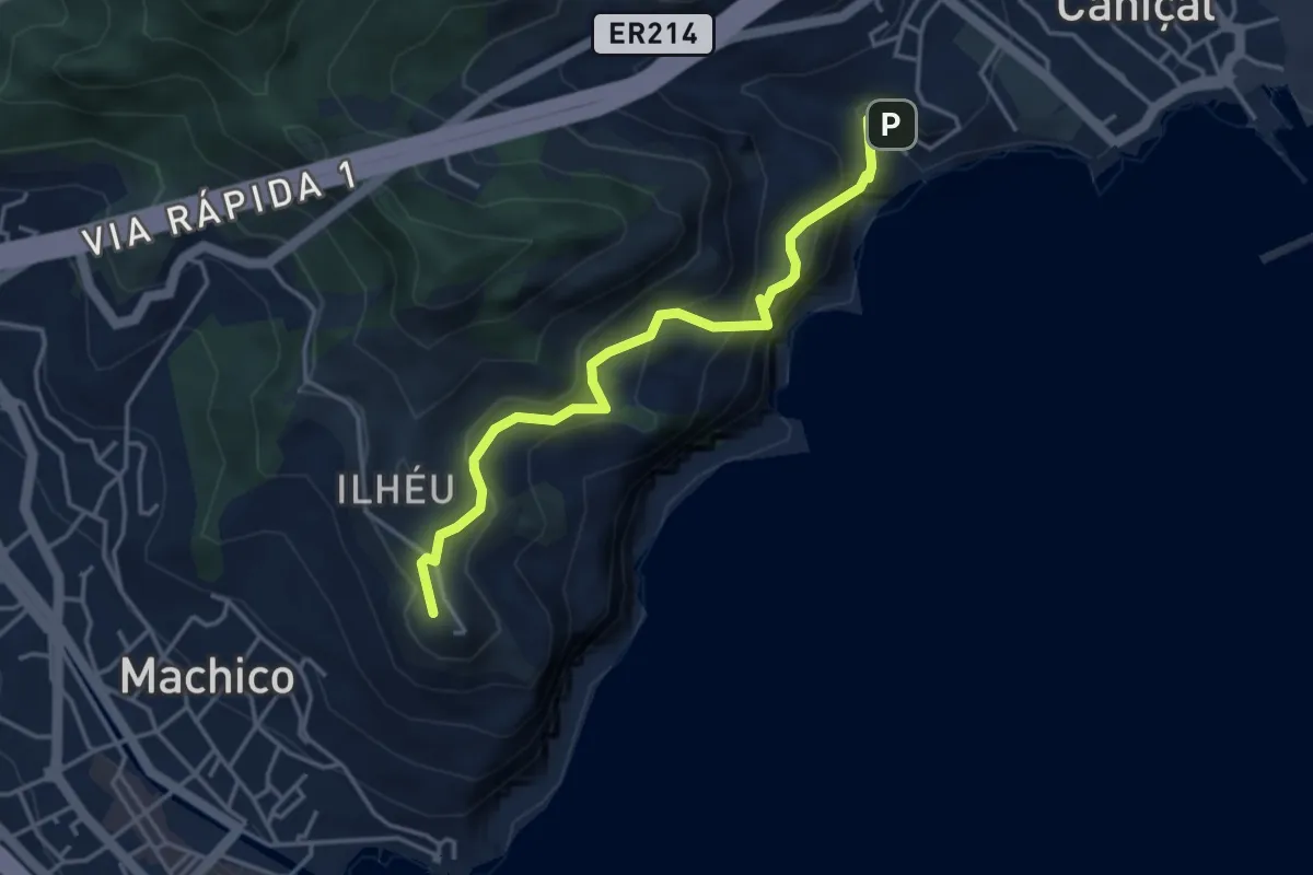
Medium · Summit
Machico - Ribeira do Natal
4.9 km · ↑ 414 m · 2 h 3 min
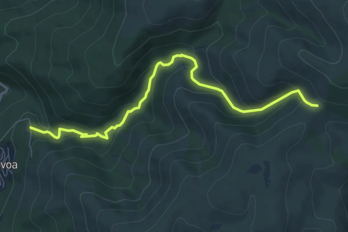
Medium · Trail
Marão tem sangue Azul
8.0 km · ↑ 442 m · 2 h 50 min
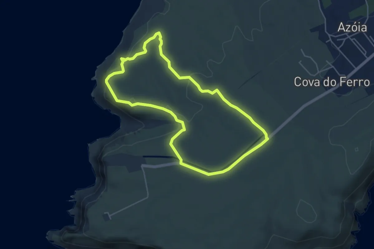
Easy · Trail
Maravilhas do Cabo
4.8 km · ↑ 122 m · 1 h 28 min
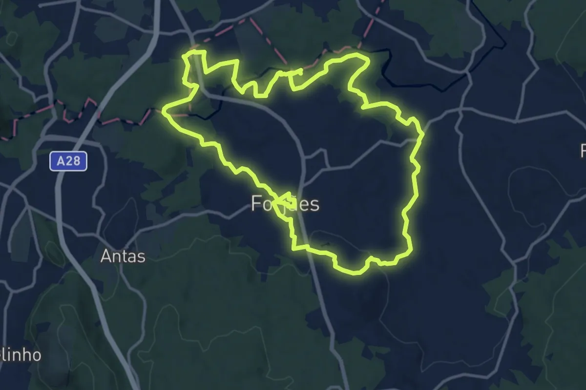
Medium · Trail
Margens do Neiva
13.5 km · ↑ 234 m · 3 h 53 min
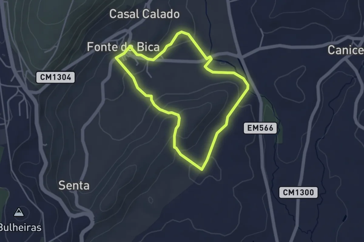
Easy · Trail
Marinhas de Sal
3.4 km · ↑ 114 m · 1 h 6 min
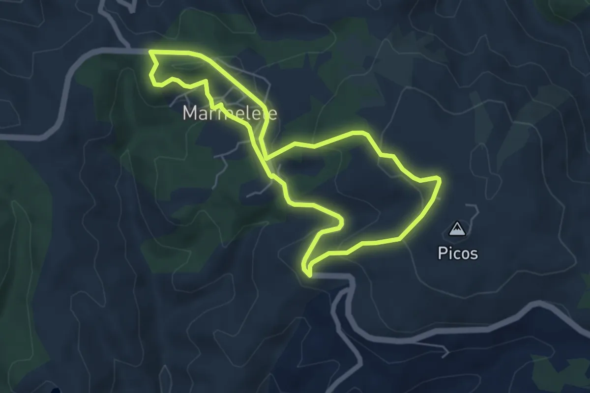
Easy · Trail
Marmelete (Rota da Geologia)
5.5 km · ↑ 177 m · 1 h 46 min
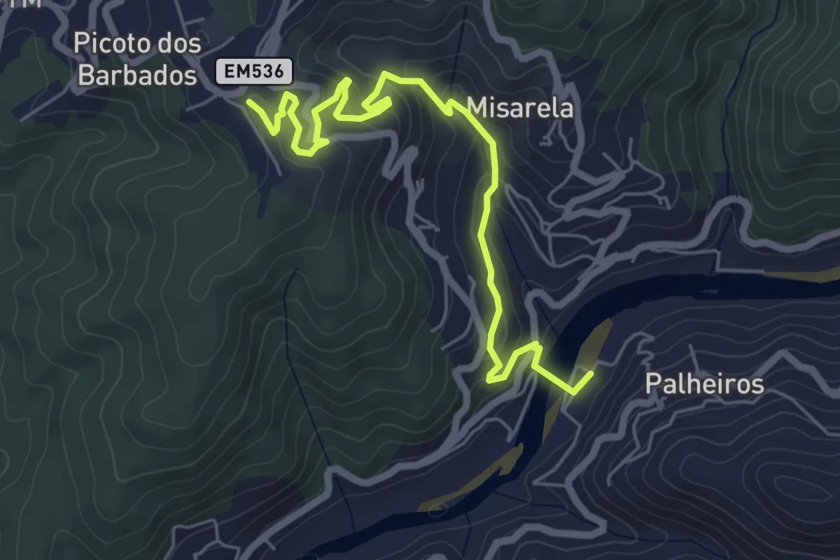
Medium · Trail
Mata Nacional de Vale de Canas — Praia fluvial de Palheiros-Zorro
6.6 km · ↑ 416 m · 2 h 28 min