Trails in Portugal
1,161 hiking trails, each with its route, climb, walking time and grade.
All trails, page 8 of 25
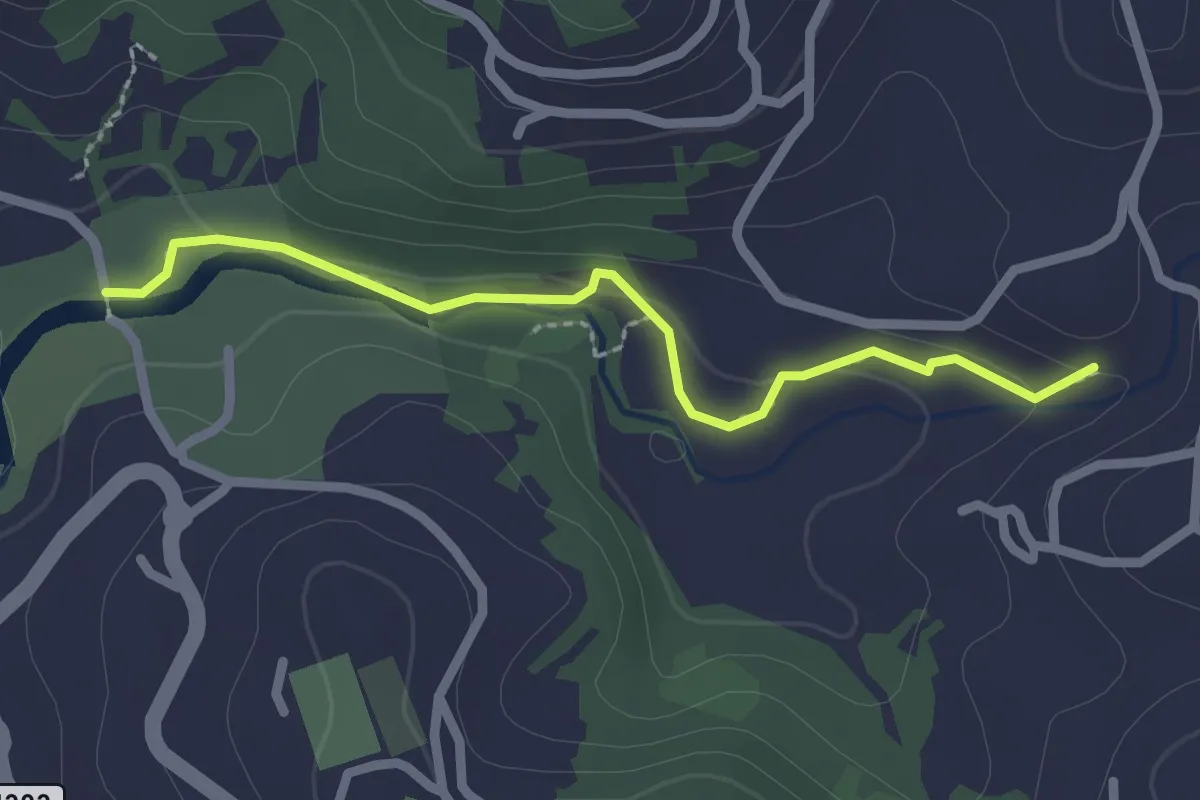
Easy · Trail
meandros de Coura
2.4 km · ↑ 65 m · 43 min
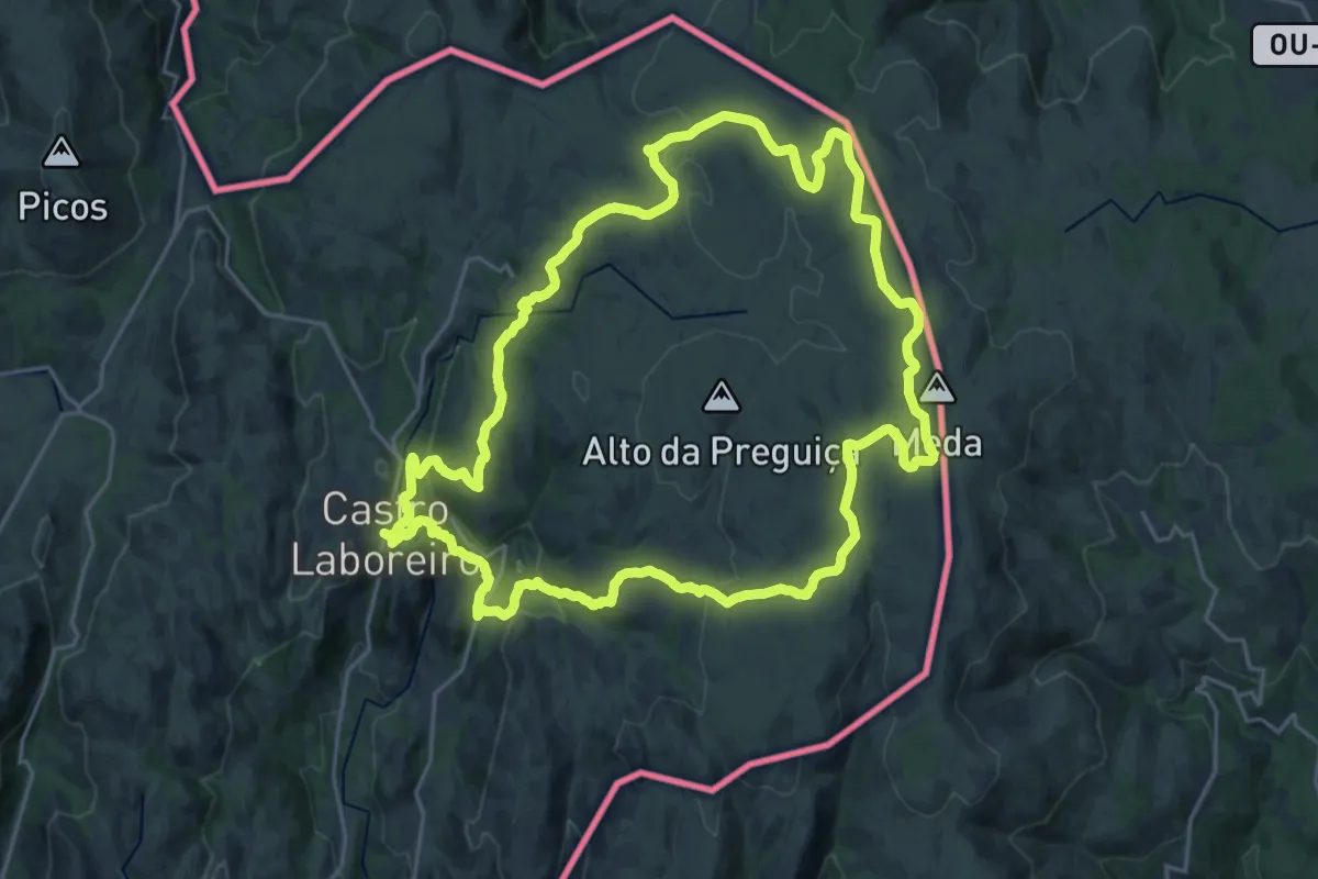
Demanding · Trail
Megalitismo
25.5 km · ↑ 573 m · 7 h 36 min
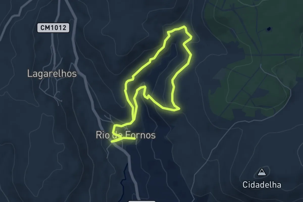
Medium · Trail
Meiral
10.5 km · ↑ 434 m · 3 h 25 min
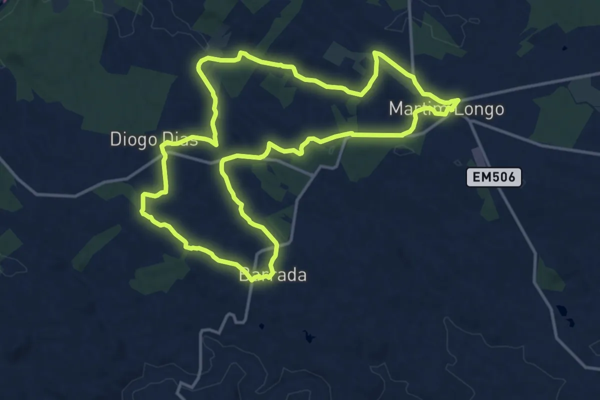
Medium · Trail
Memória Viva
14.1 km · ↑ 180 m · 3 h 56 min
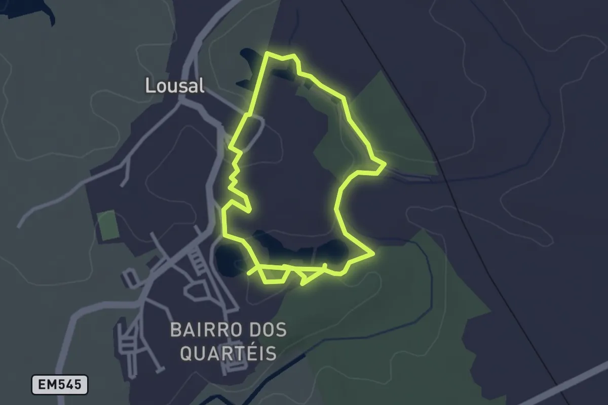
Easy · Trail
Mina do Lousal - Percurso pela corta
2.7 km · ↑ 44 m · 47 min
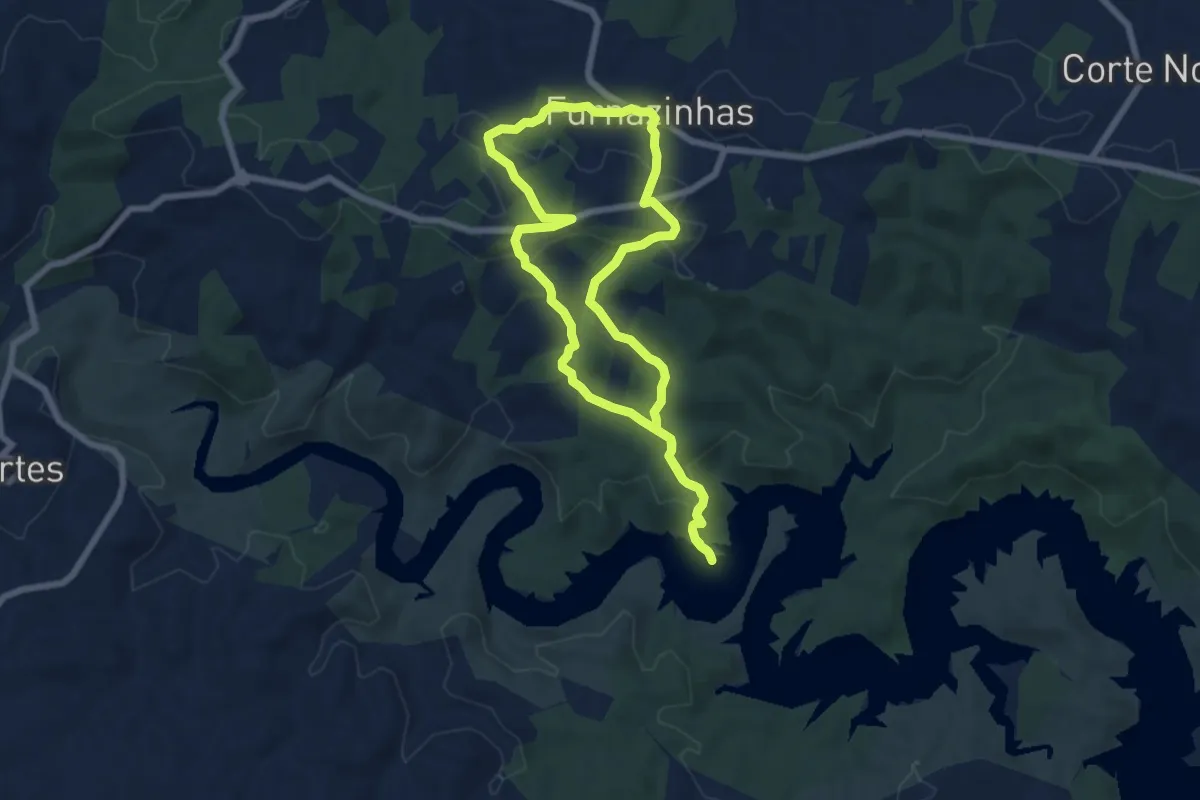
Easy · Trail
Mina e Albufeira
7.5 km · ↑ 200 m · 2 h 19 min
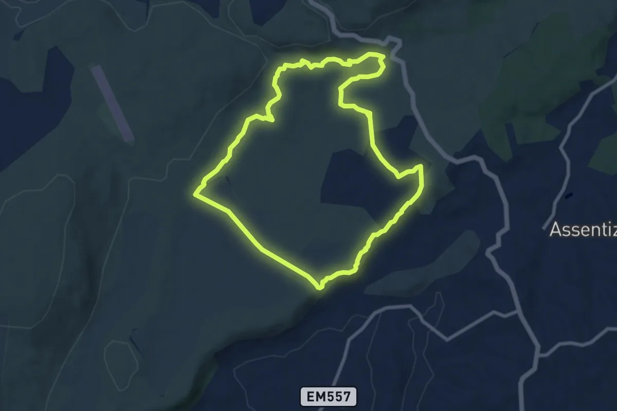
Medium · Trail
Moinhos da Pena
8.3 km · ↑ 100 m · 2 h 17 min
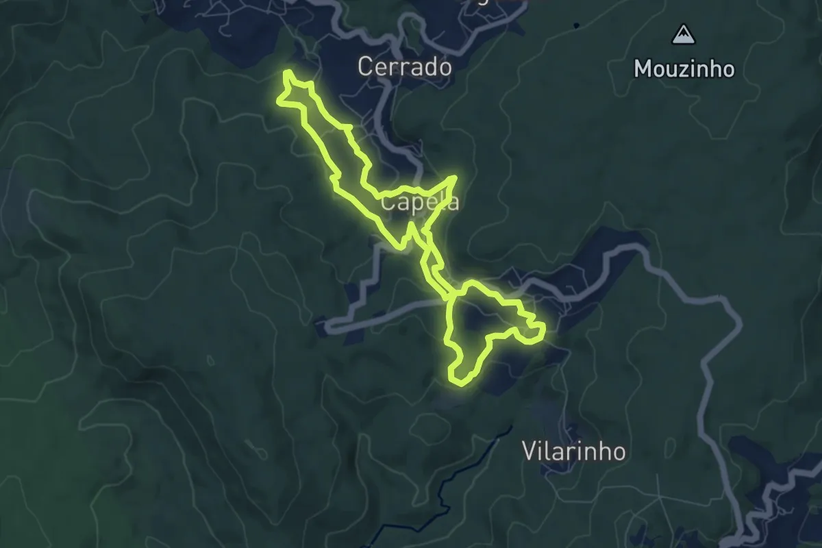
Easy · Trail
Moinhos de Capela a Moinhos de Cabroelo
8.0 km · ↑ 265 m · 2 h 34 min
Easy · Trail
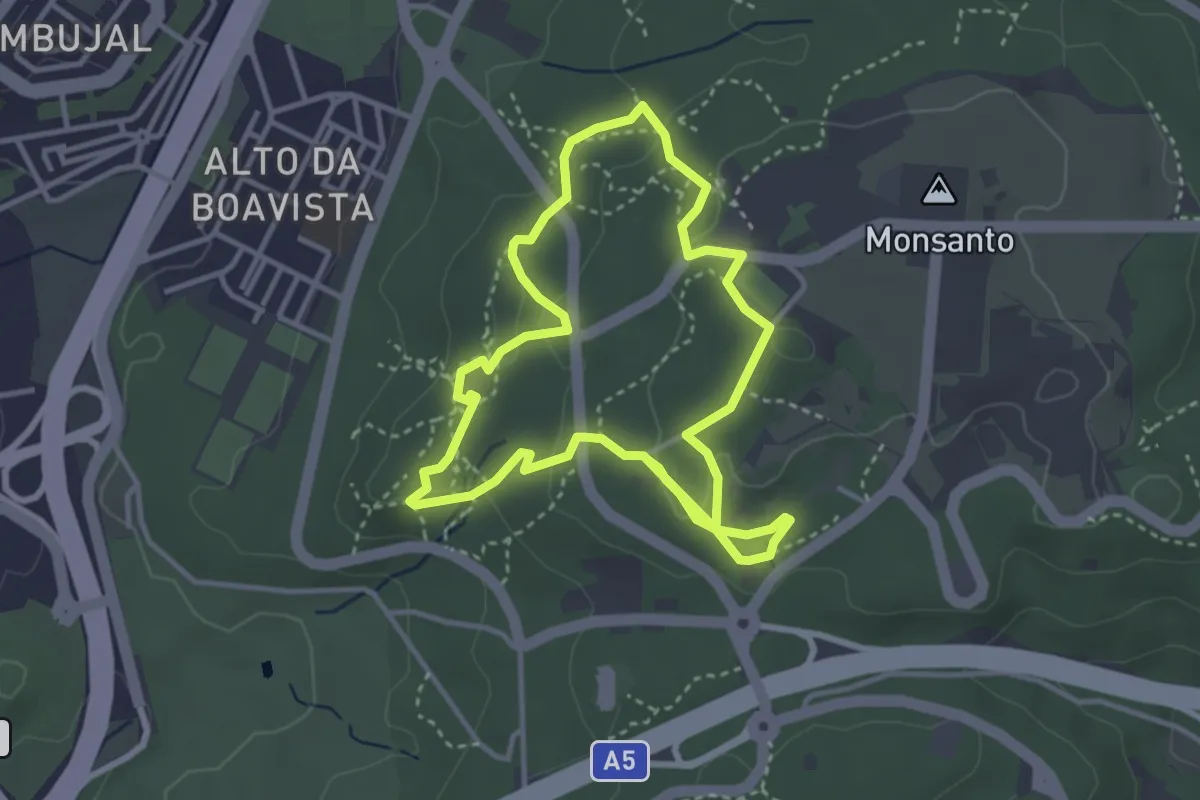
Moinhos do Mocho
3.8 km · ↑ 79 m · 1 h 8 min
Easy · Trail
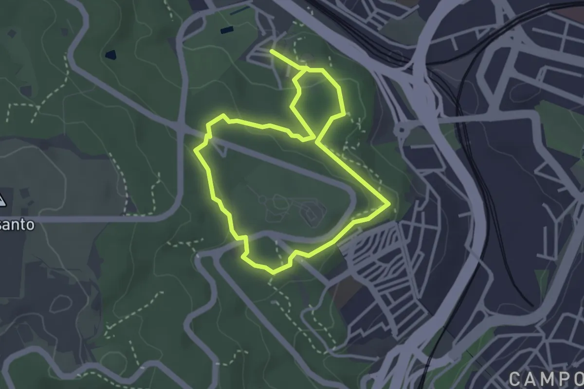
Montado de Monsanto
3.0 km · ↑ 63 m · 53 min
Expert · Cabin
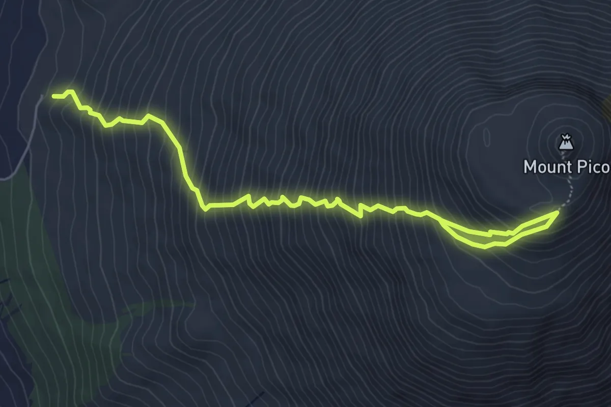
Montanha do Pico
7.4 km · ↑ 1146 m · 4 h 14 min
Medium · Trail
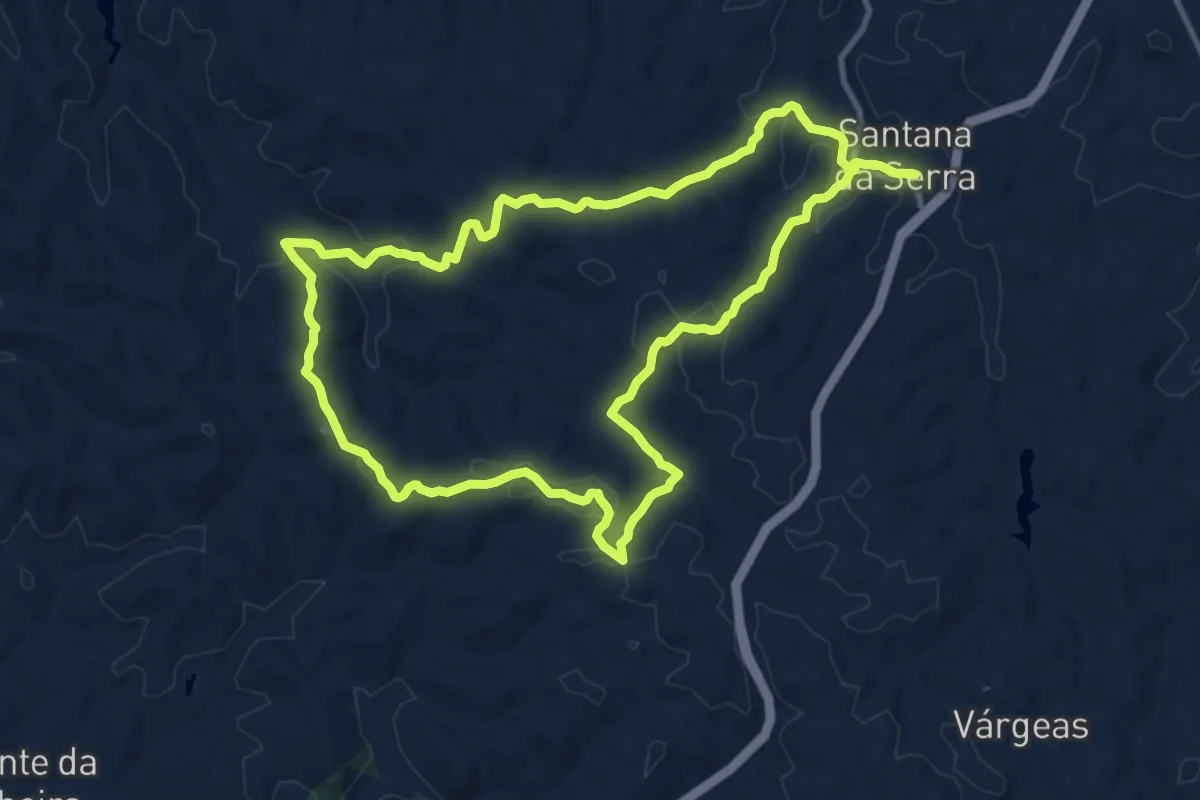
Montes e Vales de Santana da Serra
12.5 km · ↑ 322 m · 3 h 50 min
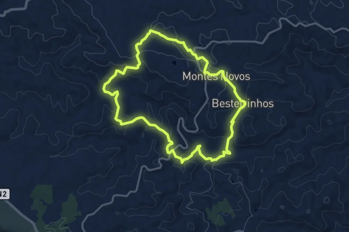
Medium · Trail
Montes Novos
9.2 km · ↑ 265 m · 2 h 52 min
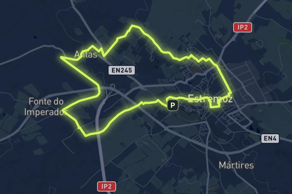
Medium · Trail
Monumental Estremoz
11.5 km · ↑ 125 m · 3 h 8 min
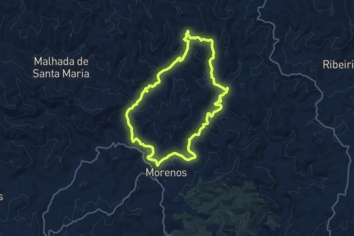
Medium · Trail
Morenos
12.8 km · ↑ 411 m · 4 h 5 min
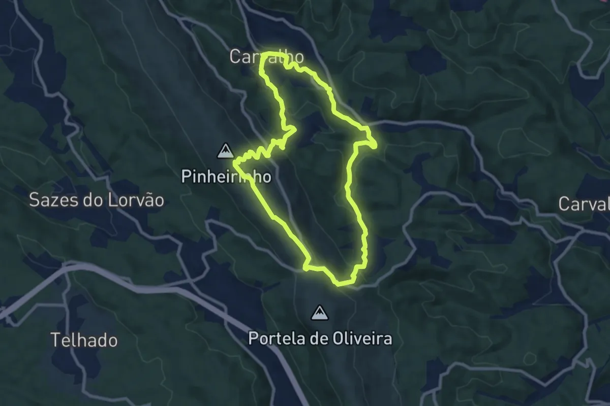
Medium · Trail
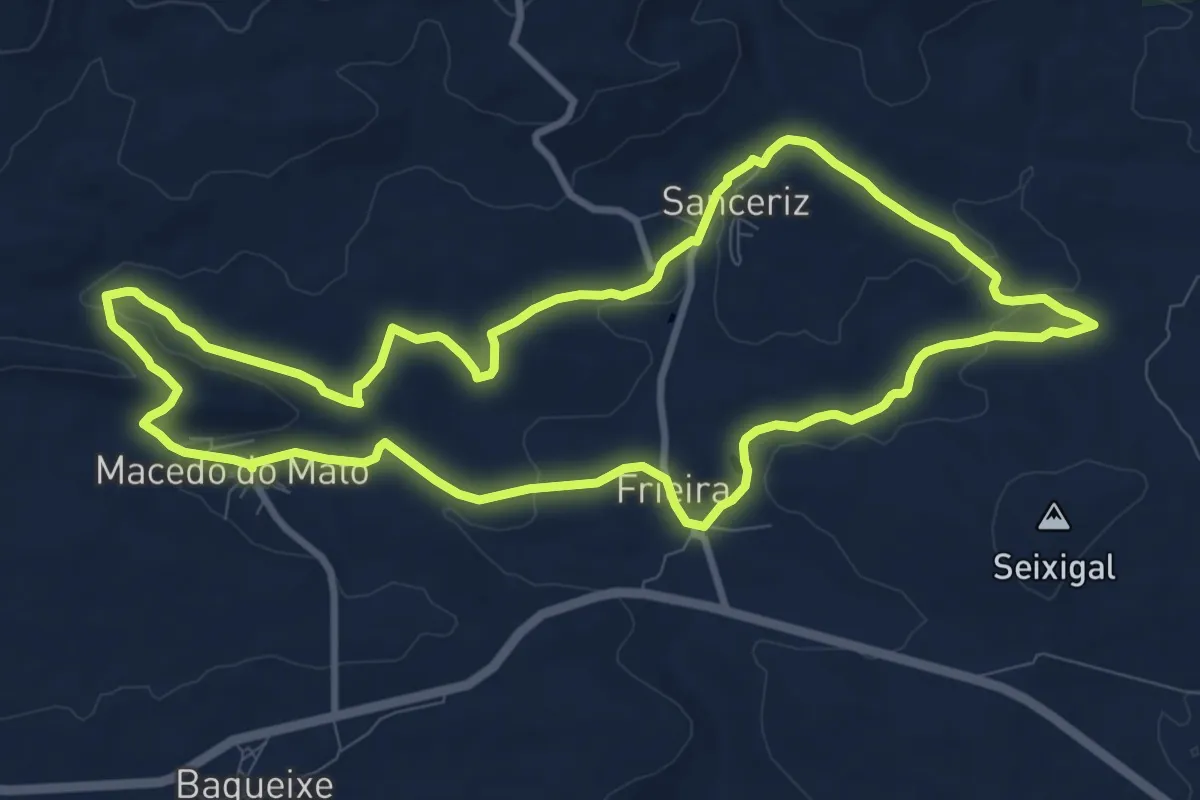
Na Rota dos Moinhos do Buçaco
8.6 km · ↑ 422 m · 3 h 4 min
Medium · Trail
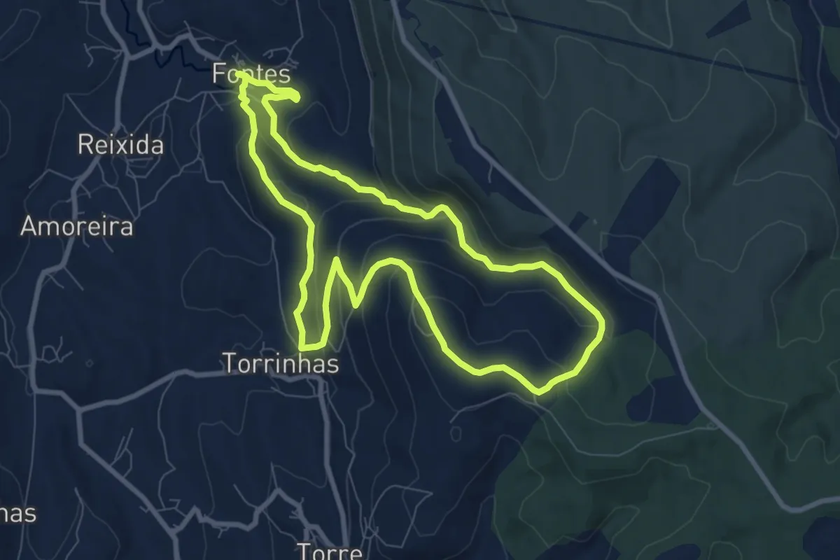
Na Rota dos Pombais
10.9 km · ↑ 166 m · 3 h 5 min
Medium · Summit
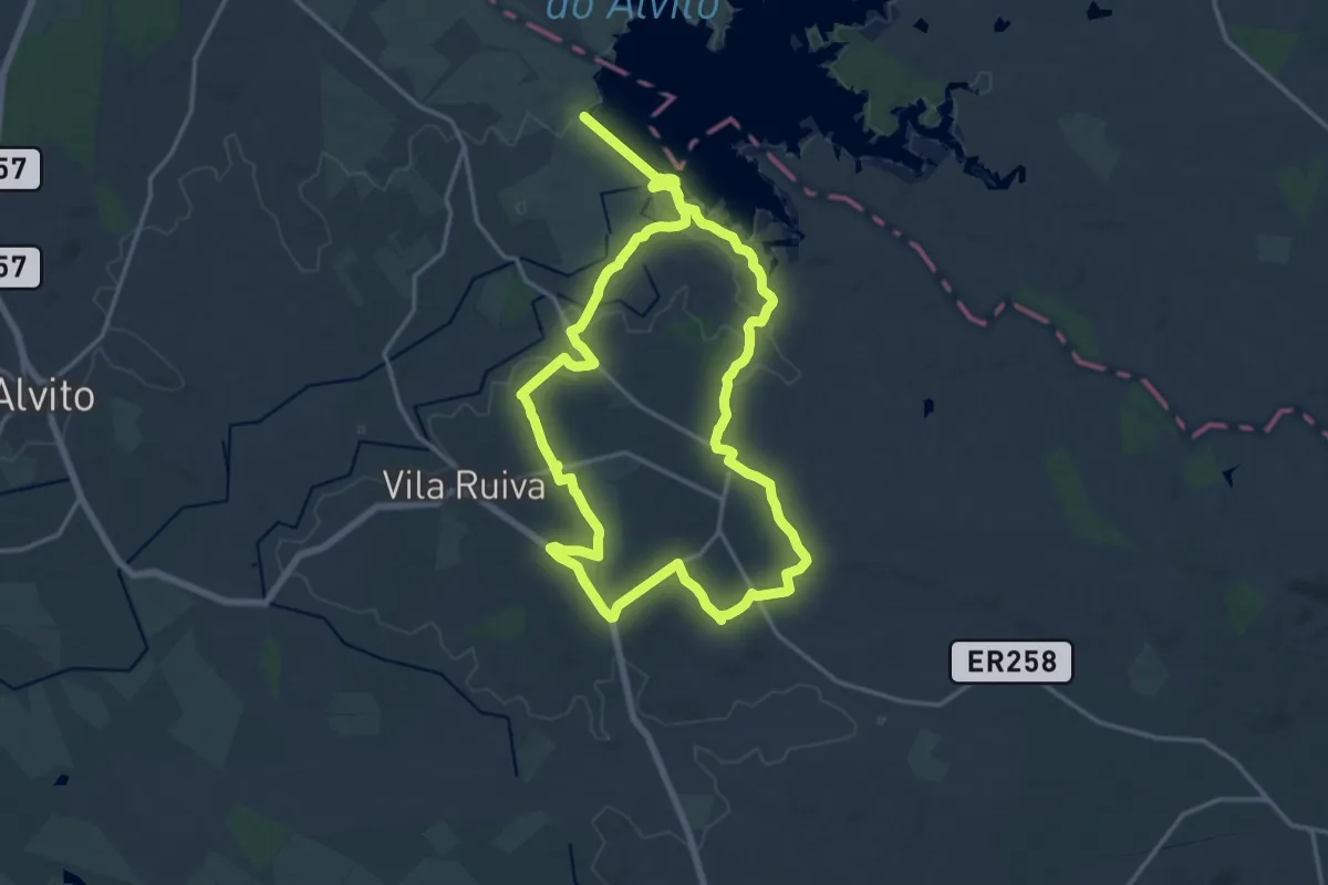
Nascente do Rio Lis
8.7 km · ↑ 394 m · 3 h 2 min
Demanding · Trail
Nas Centenárias Vinhas de Vila Alva
18.8 km · ↑ 245 m · 5 h 14 min
Medium · Summit
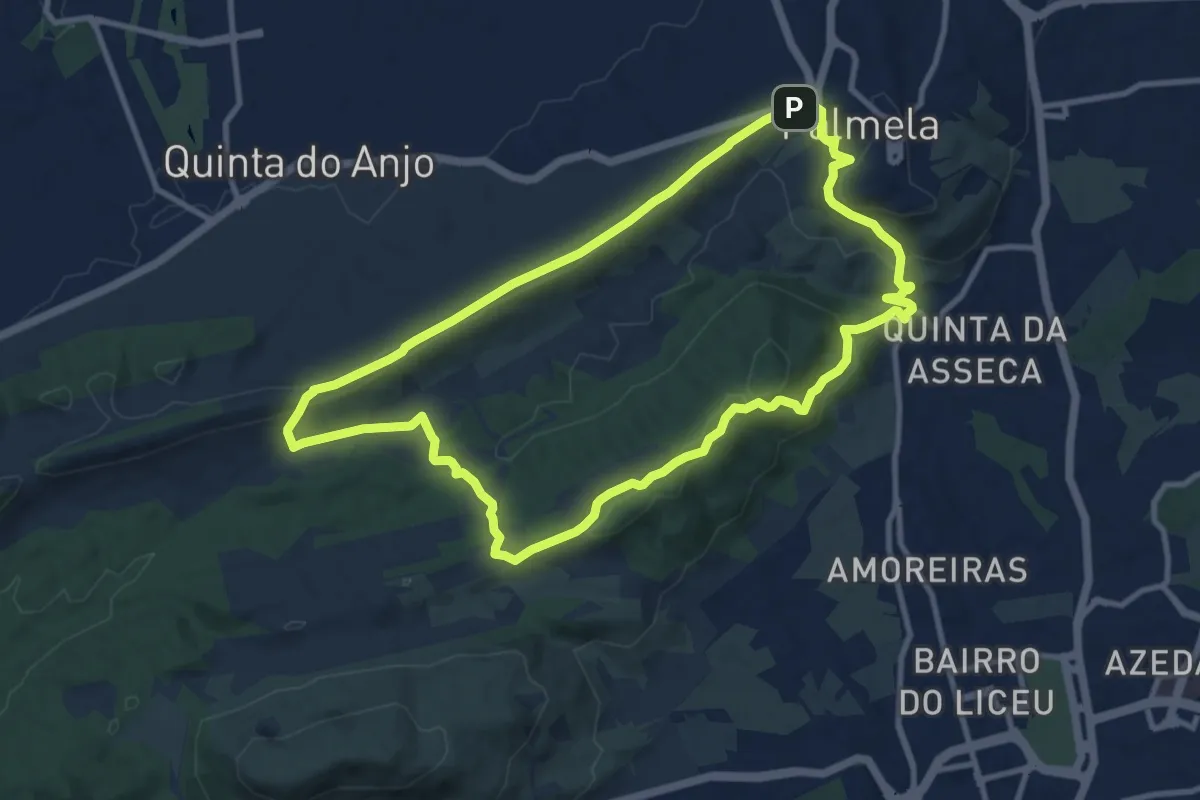
Nas Encostas de Palmela
11.8 km · ↑ 329 m · 3 h 39 min
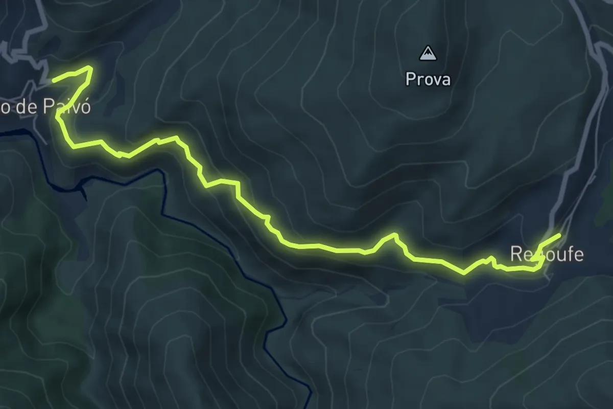
Medium · Trail
Na Senda do Paivó
7.9 km · ↑ 489 m · 2 h 55 min
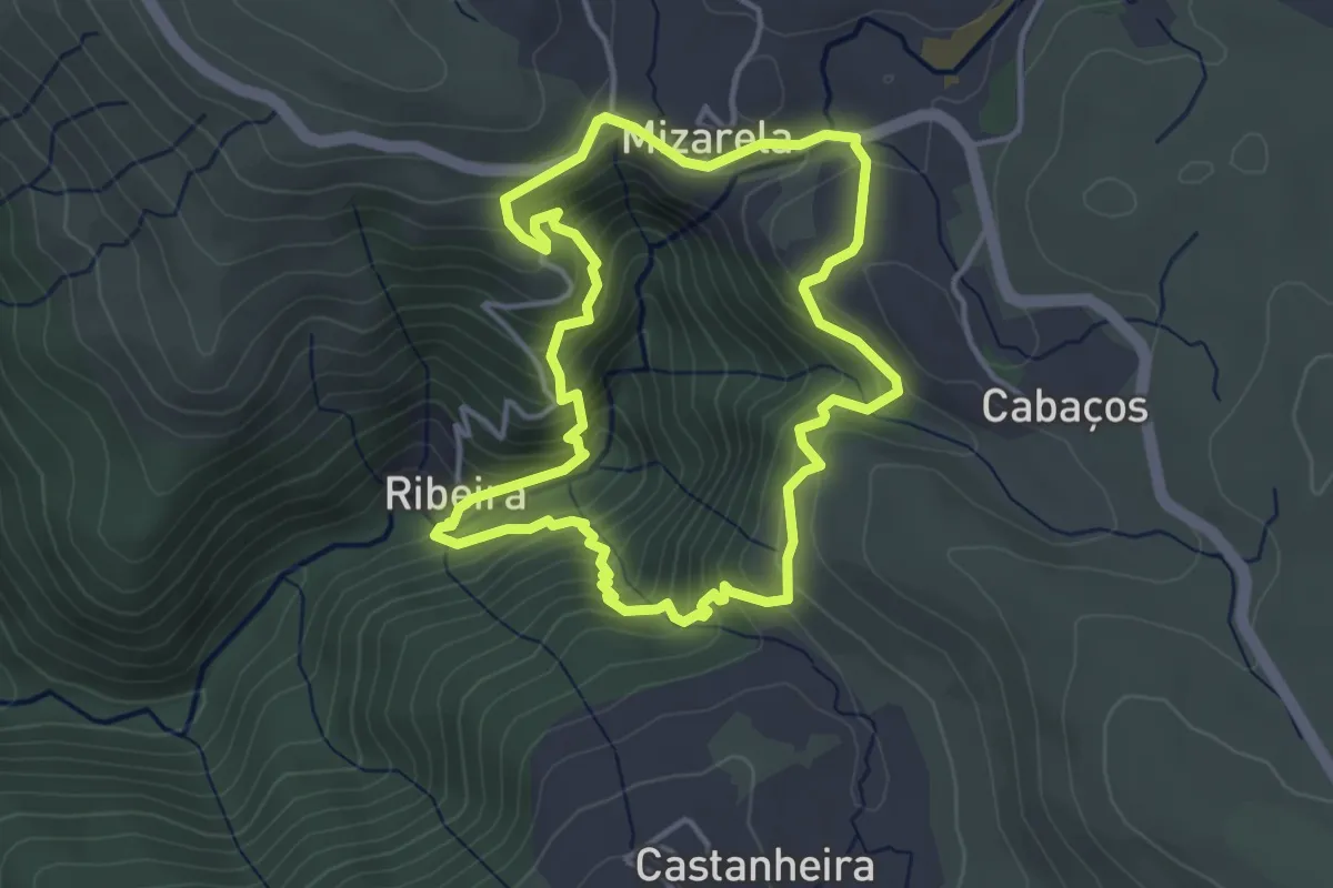
Medium · Trail
Nas Escarpas da Mizarela
4.2 km · ↑ 385 m · 1 h 53 min
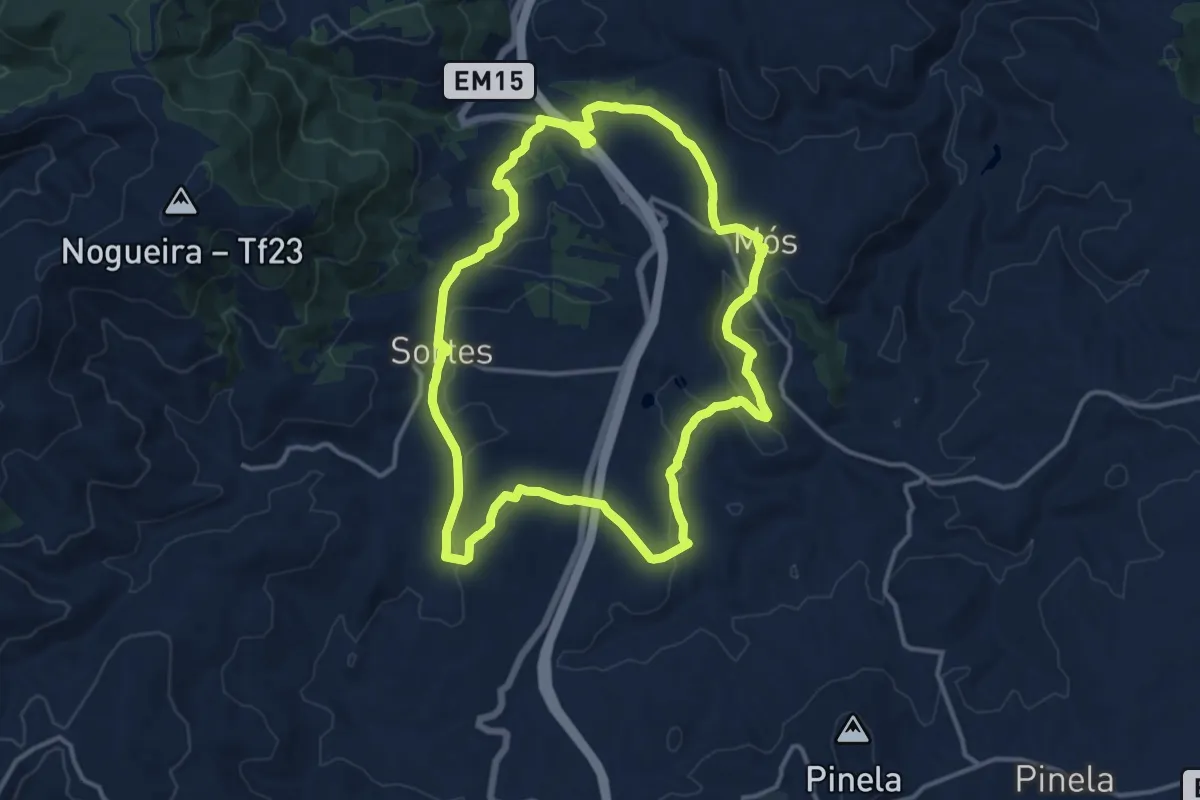
Medium · Trail
Nas Faldas da Serra da Nogueira
14.5 km · ↑ 279 m · 4 h 14 min
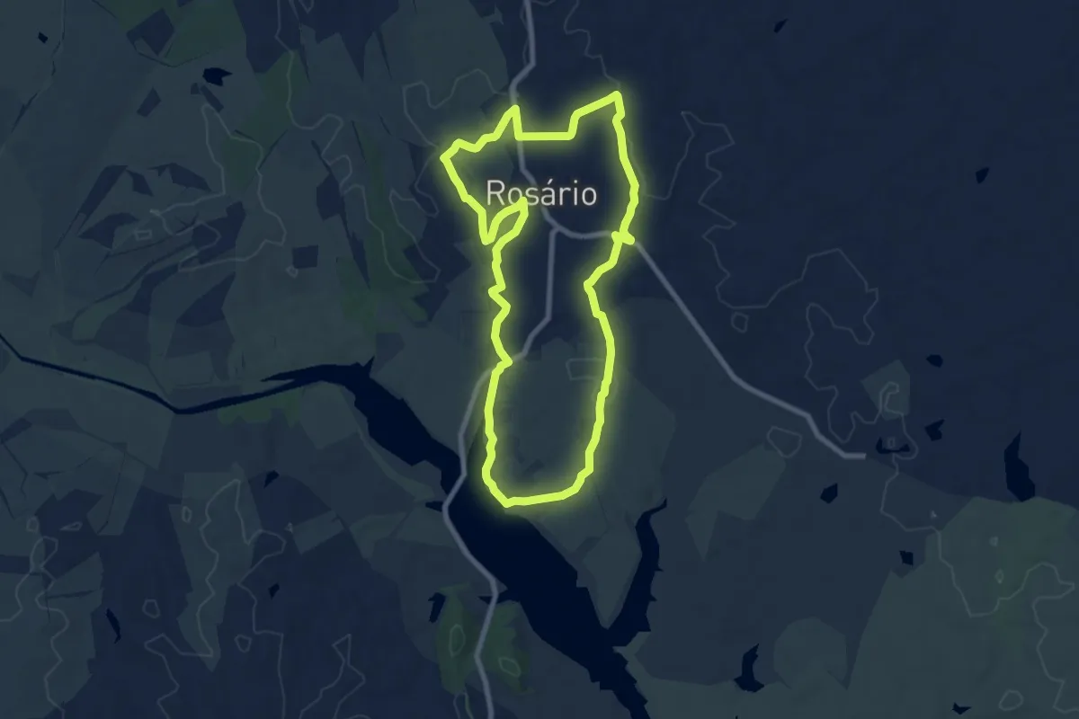
Medium · Trail
Nas Margens de Alqueva
9.0 km · ↑ 110 m · 2 h 29 min
Easy · Trail
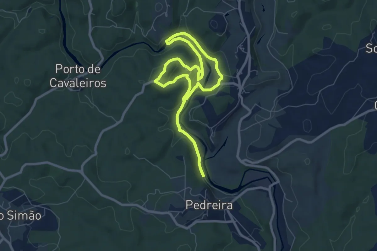
Nas margens do rio Nabão
6.5 km · ↑ 144 m · 1 h 56 min
Medium · Trail
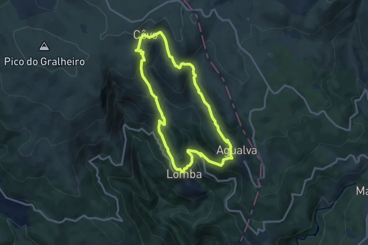
Na Vereda do Pastor
7.5 km · ↑ 503 m · 2 h 57 min
Demanding · Trail
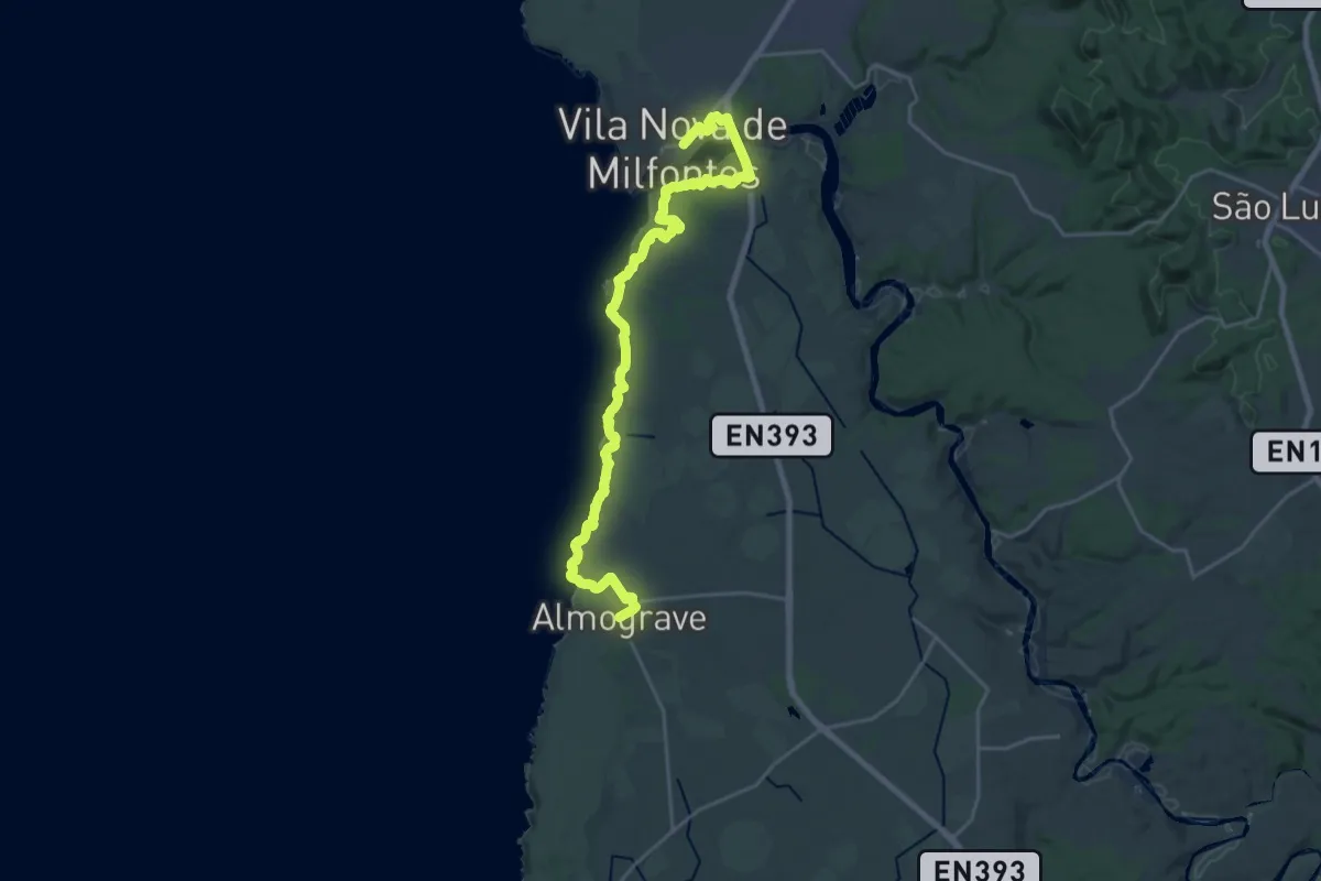
NEWRota Vicentina - Trilho dos Pescadores - 3
29.7 km · ↑ 376 m · 7 h 49 min
Demanding · Trail
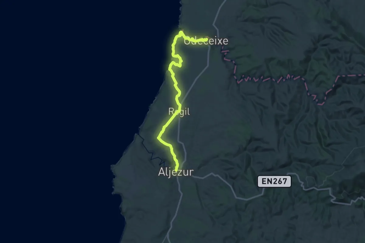
NEWRota Vicentina - Trilho dos Pescadores - 6
22.5 km · ↑ 344 m · 6 h 22 min
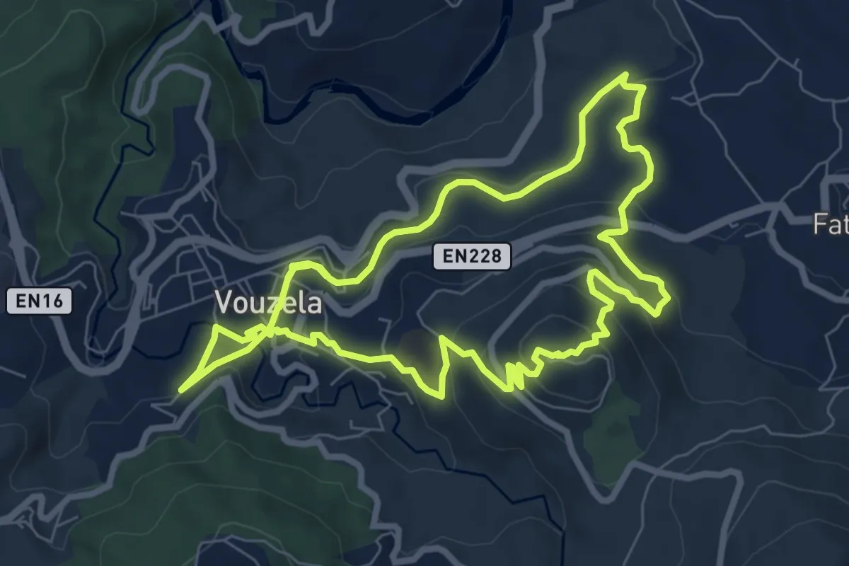
Medium · Summit
Nossa Senhora do Castelo
7.9 km · ↑ 351 m · 2 h 44 min
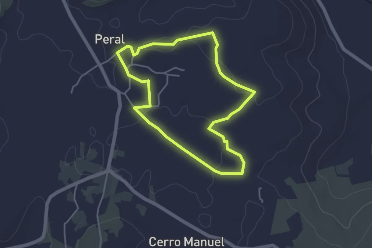
Easy · Trail
O Caminho da Escola
3.8 km · ↑ 37 m · 1 h 1 min
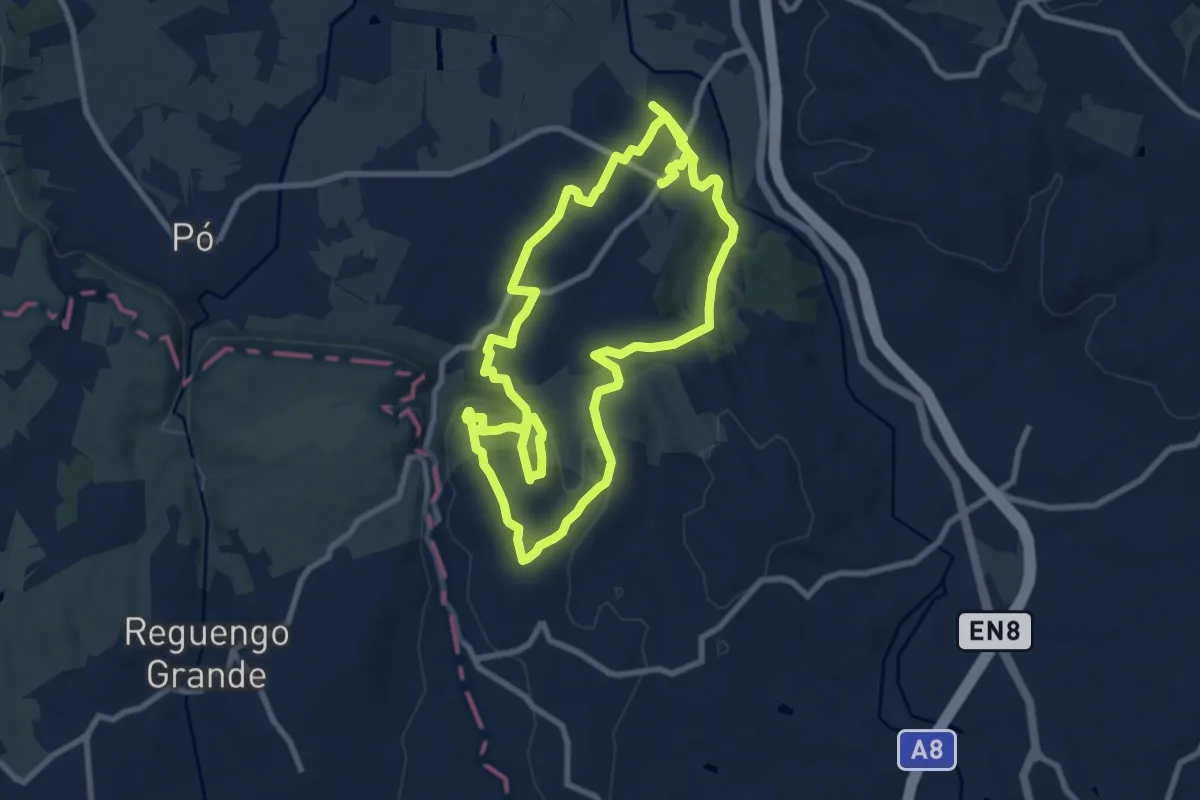
Medium · Summit
O Caminho da Roliça
10.2 km · ↑ 237 m · 3 h 4 min
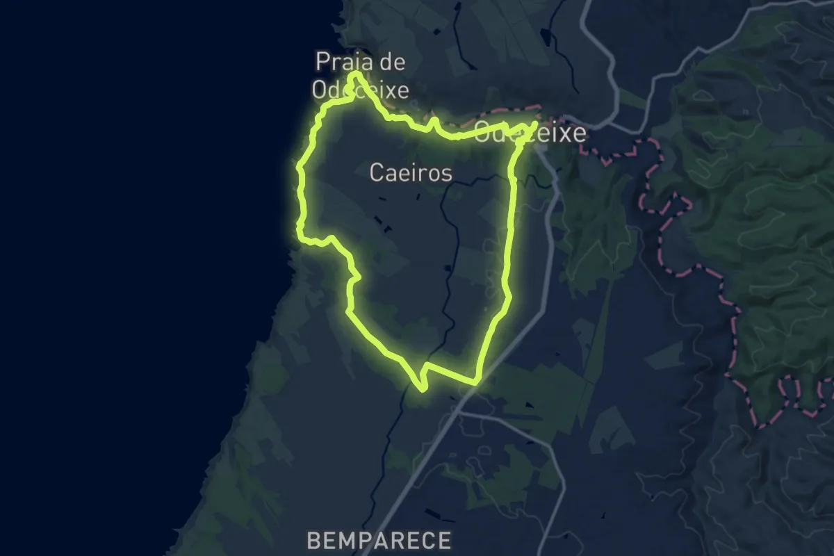
Medium · Trail
Odeceixe-ao-Mar
15.0 km · ↑ 247 m · 4 h 18 min
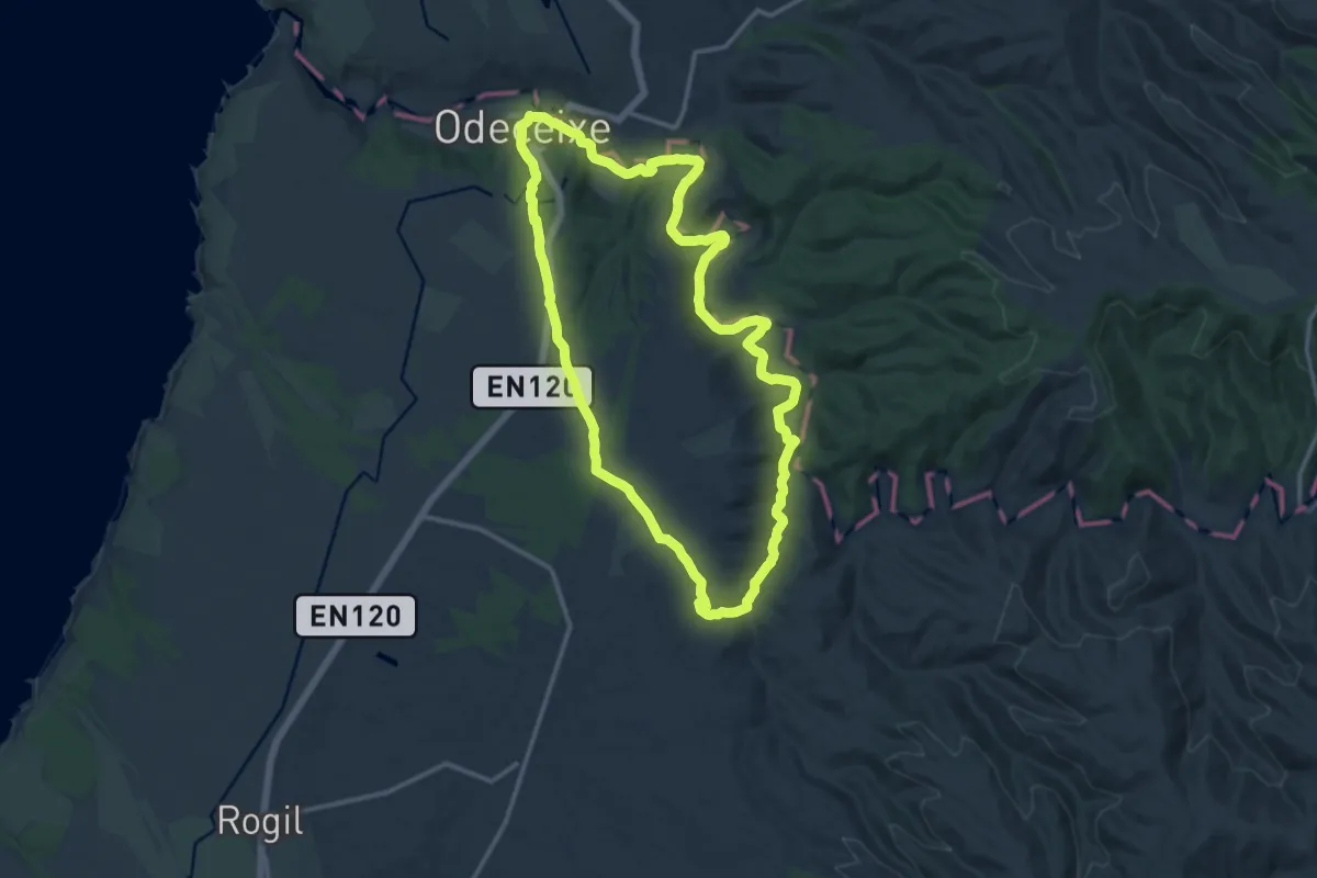
Medium · Trail
Odeceixe-ao-Rio
15.4 km · ↑ 234 m · 4 h 22 min
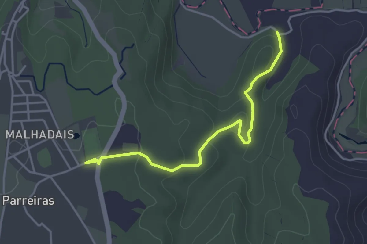
Easy · Trail
Odeceixe-ao-Rio - Atalho
4.1 km · ↑ 100 m · 1 h 11 min
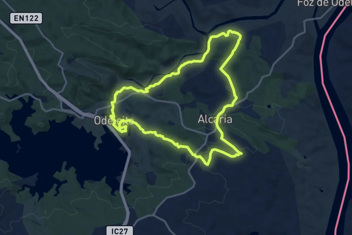
Medium · Trail
Odeleite de perto e de longe
10.3 km · ↑ 229 m · 3 h 5 min
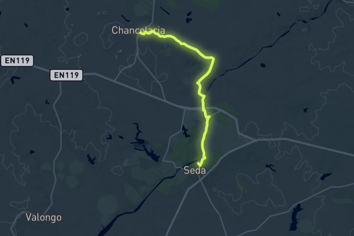
Demanding · Summit
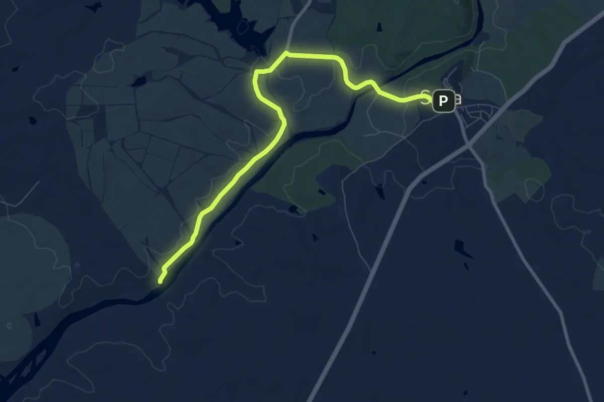
Olhar Sobre a Ribeira de Seda
20.0 km · ↑ 184 m · 5 h 7 min
Medium · Trail
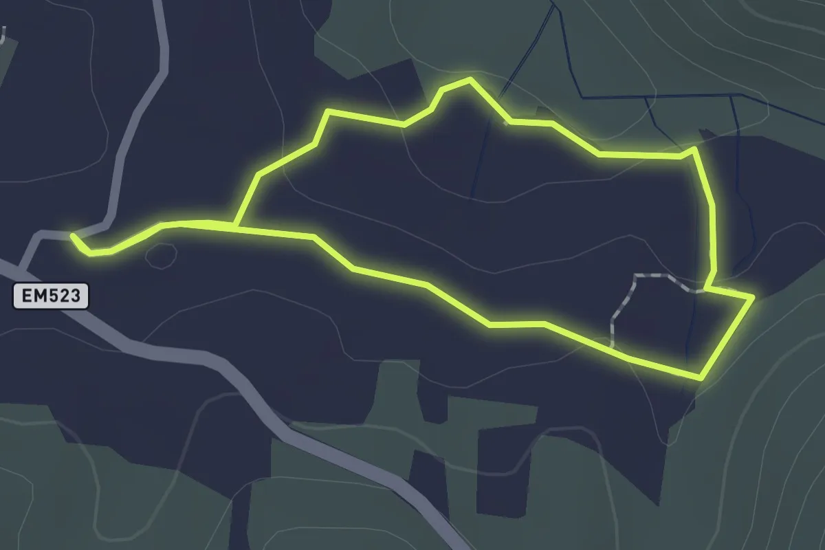
Olhar Sobre a Ribeira de Seda - Variante
9.7 km · ↑ 137 m · 2 h 35 min
Easy · Trail
Olho Pariz (Rota da Água)
1.9 km · ↑ 17 m · 30 min
Demanding · Trail
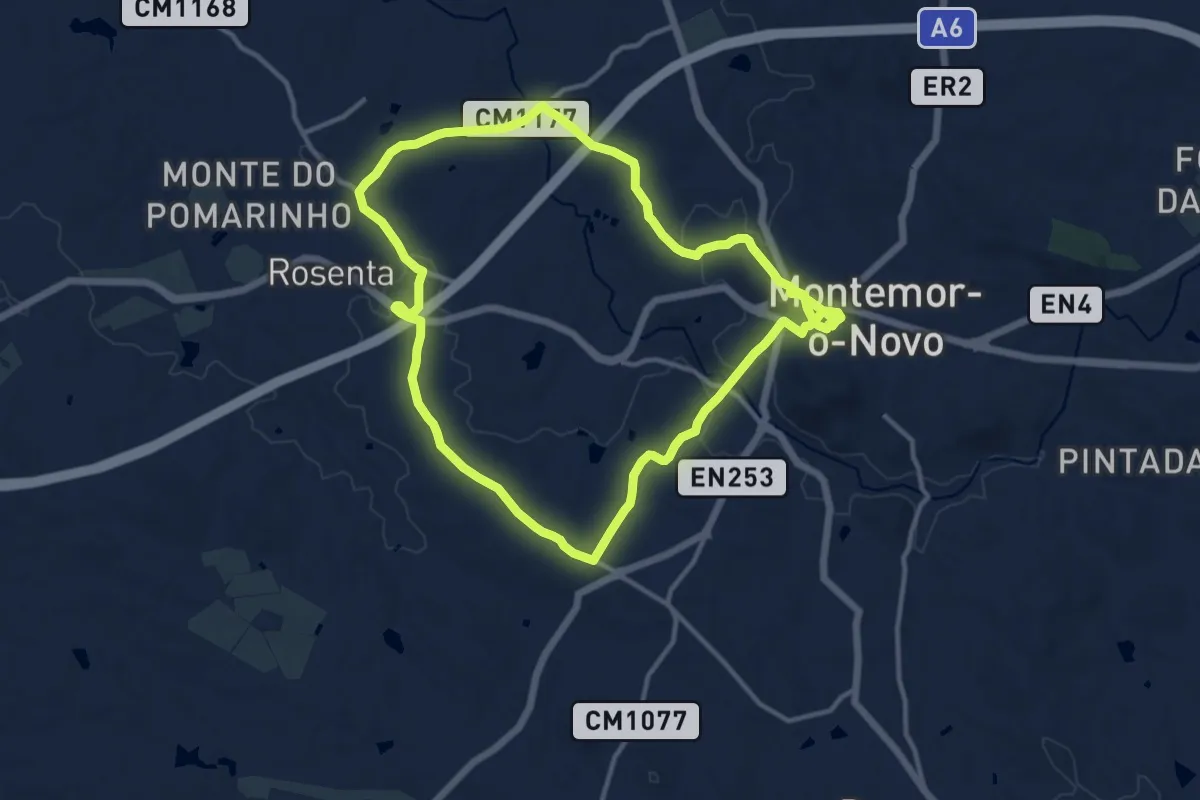
Olivais e Montados de Montemor
28.4 km · ↑ 369 m · 7 h 30 min
Easy · Trail
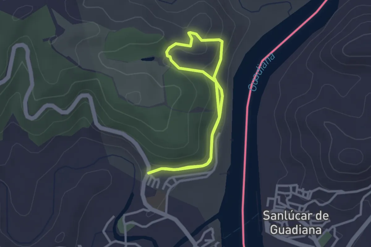
Os Encantos de Alcoutim
2.7 km · ↑ 87 m · 52 min
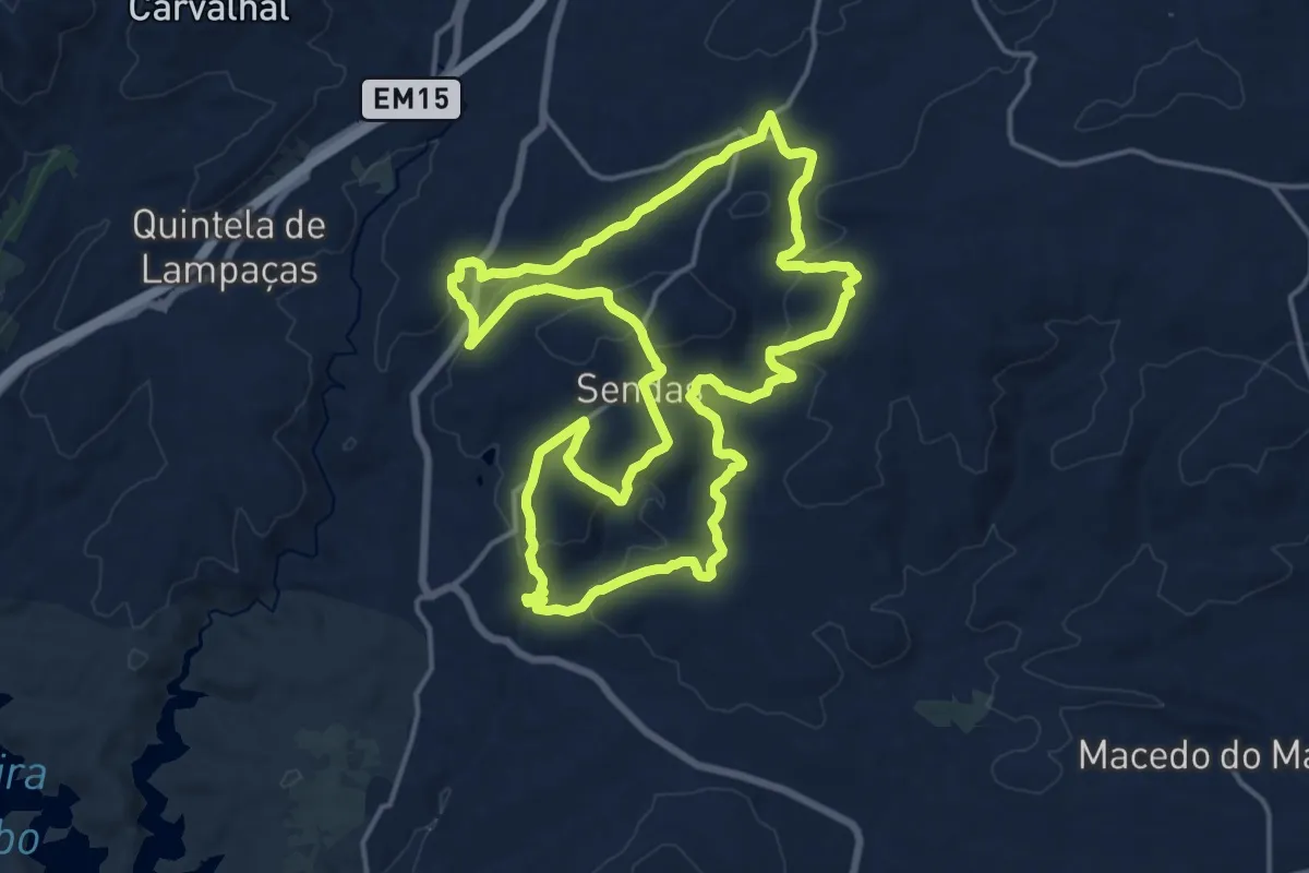
Demanding · Trail
Os encantos dos “Quercus”: Percurso entre carvalhos, sobreiros e azinheiras
18.3 km · ↑ 545 m · 5 h 46 min
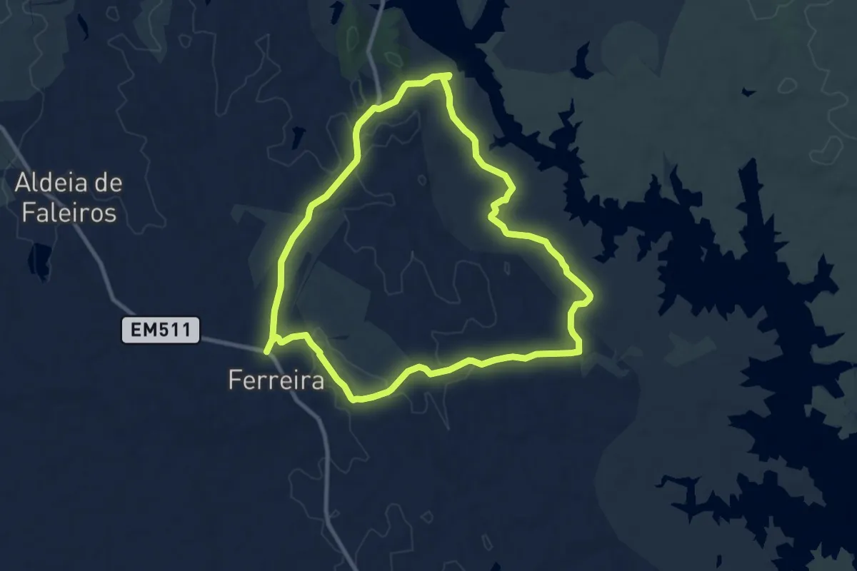
Medium · Trail
Os Segredos de Ferreira
10.1 km · ↑ 124 m · 2 h 47 min
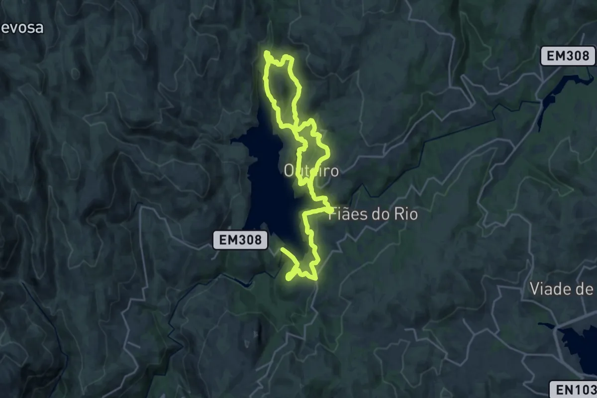
Medium · Trail
Outeiro
15.8 km · ↑ 680 m · 5 h 23 min
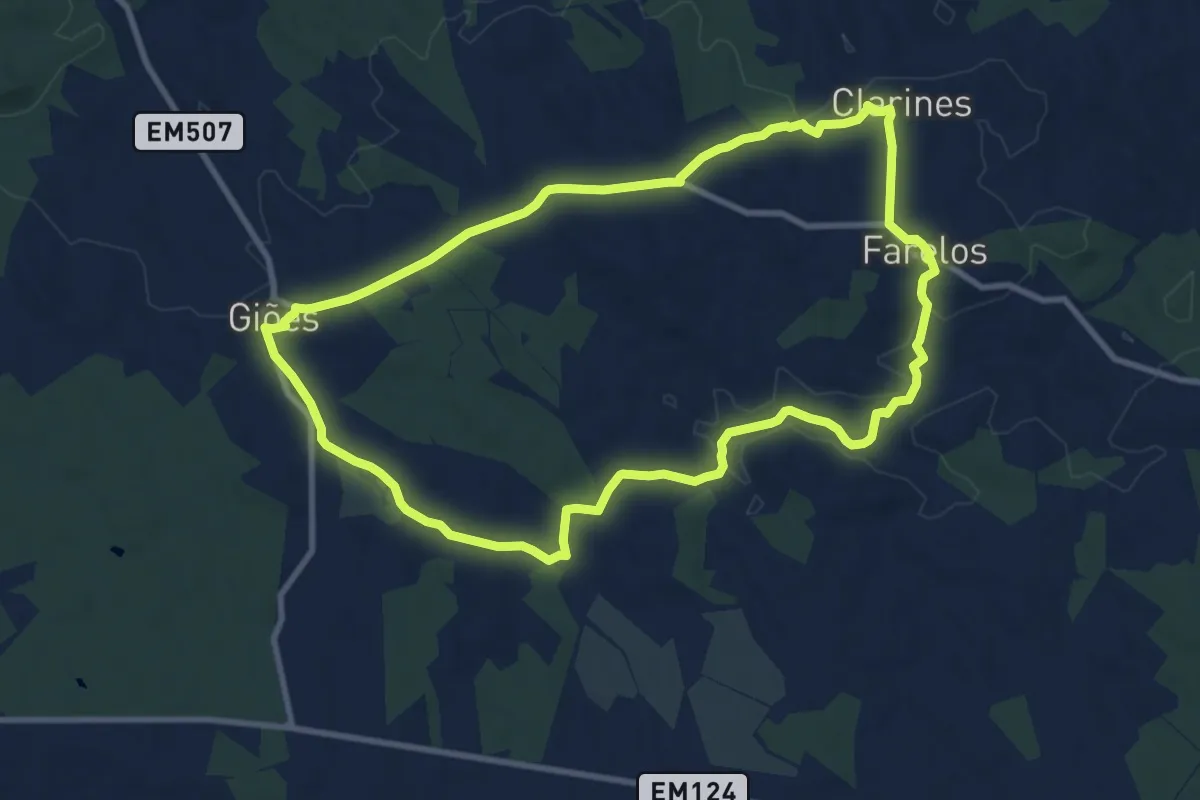
Medium · Trail
O Viçoso
11.0 km · ↑ 115 m · 3 h
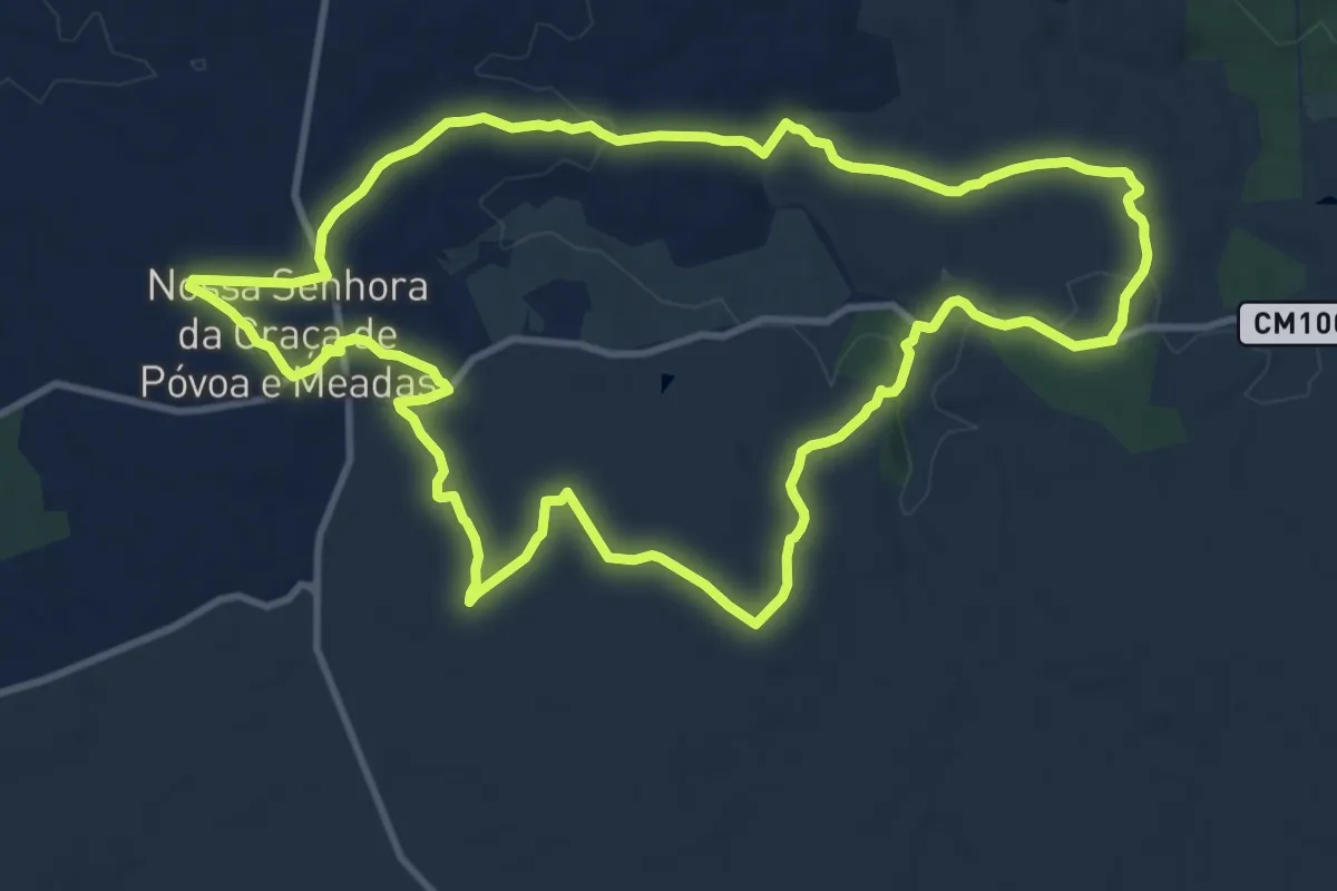
Medium · Trail
Paisagens Fantásticas de Póvoa e Meadas
13.3 km · ↑ 169 m · 3 h 41 min
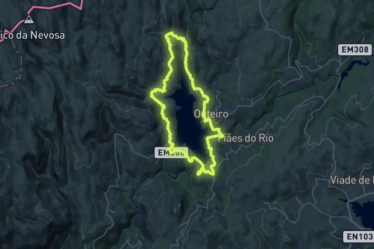
Demanding · Summit
Paradela
20.3 km · ↑ 825 m · 6 h 52 min
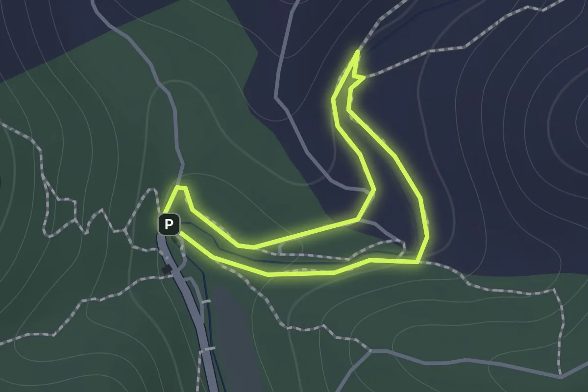
Easy · Trail
Parque da Fonte Férrea - Percurso 1 Familiar
1.1 km · ↑ 21 m · 19 min
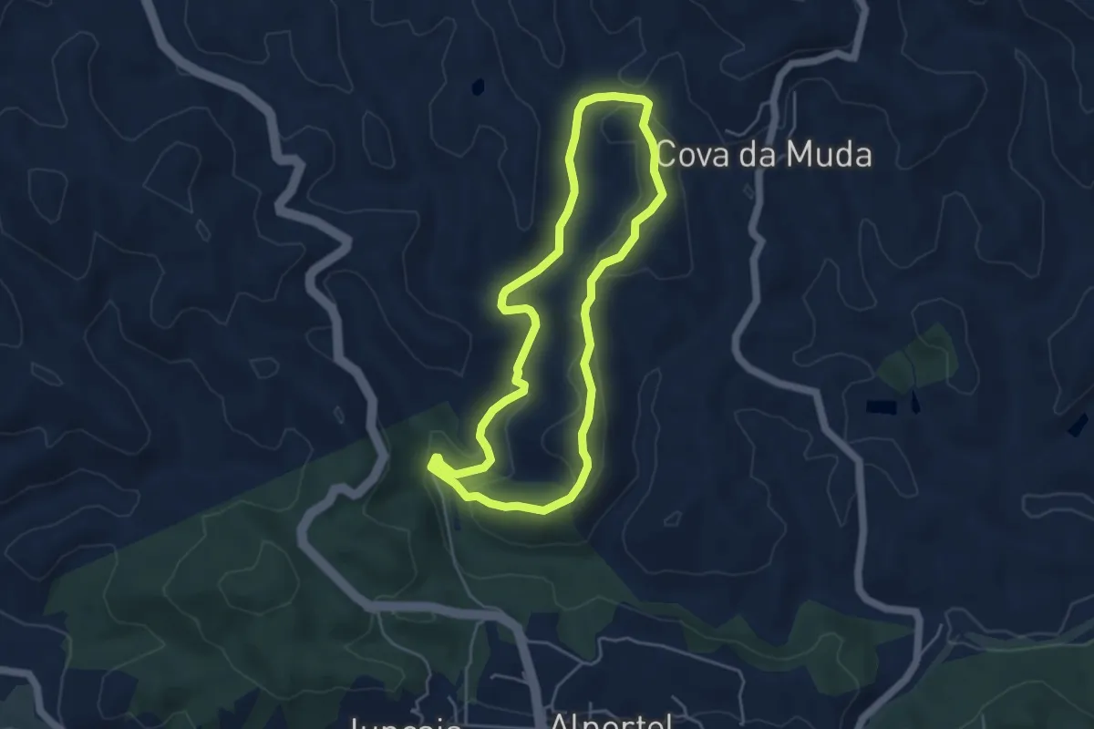
Easy · Trail
Parque da Fonte Férrea - Percurso 2 Pequeno
4.9 km · ↑ 115 m · 1 h 28 min