Trails in Romania
1,356 hiking trails, each with its route, climb, walking time and grade.
All trails, page 11 of 29
Medium · Trail
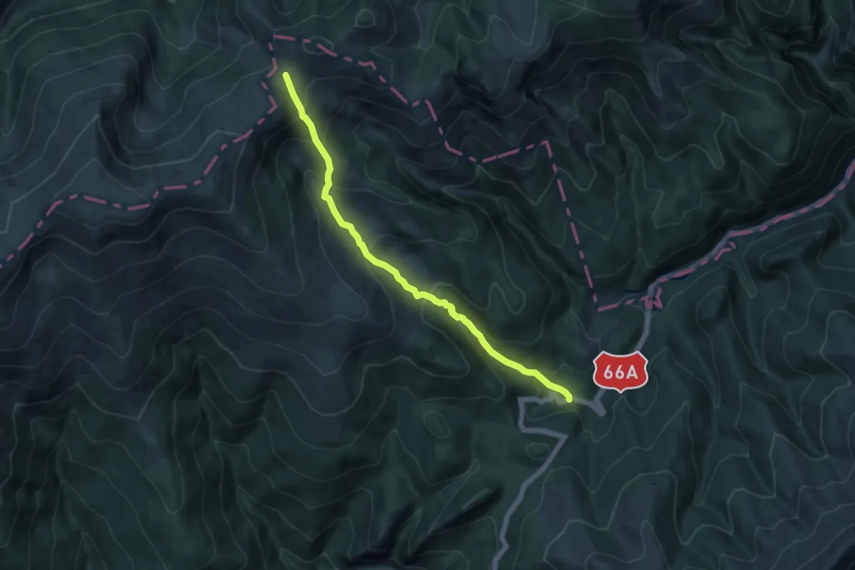
DN66A - Valea Soarbele - Tău Fără Fund - Șaua Paltina
9.3 km · ↑ 682 m · 3 h 41 min
Medium · Trail
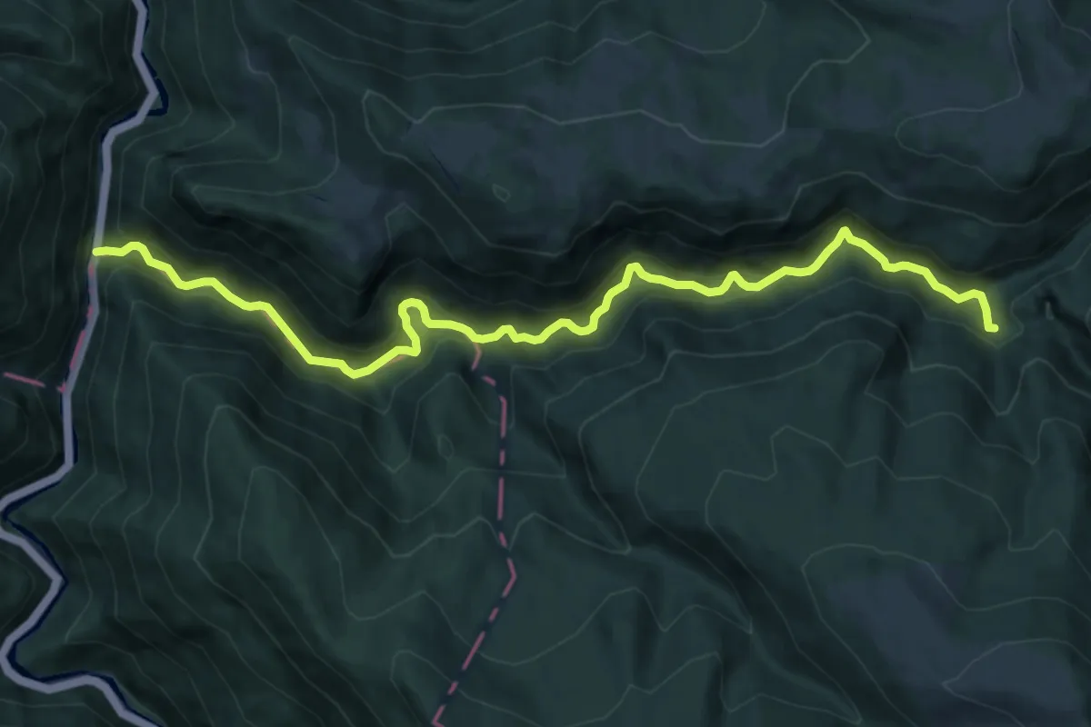
DN 66 - Cantonul silvic Cutreasa - Valea Căpriorul
12.8 km · ↑ 730 m · 4 h 37 min
Demanding · Summit
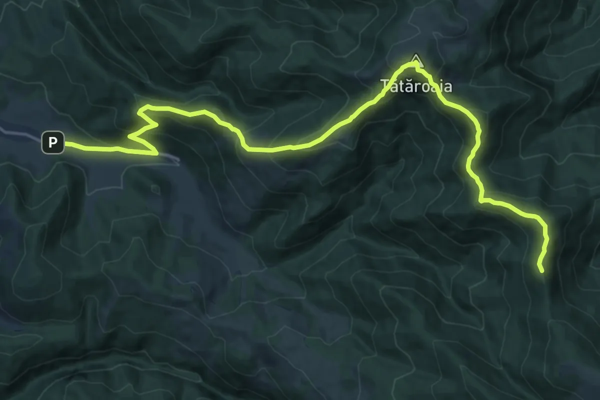
DN75 ("Calea Fusului") - Vf. Tătăroaia - sat Chișcău
17.1 km · ↑ 1227 m · 6 h 41 min
Easy · Trail
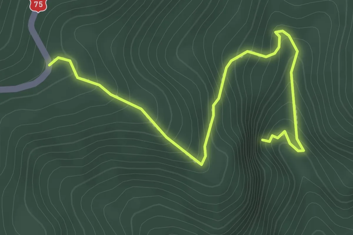
DN 75 - Peștera Porțile Bihorului
3.2 km · ↑ 308 m · 1 h 26 min
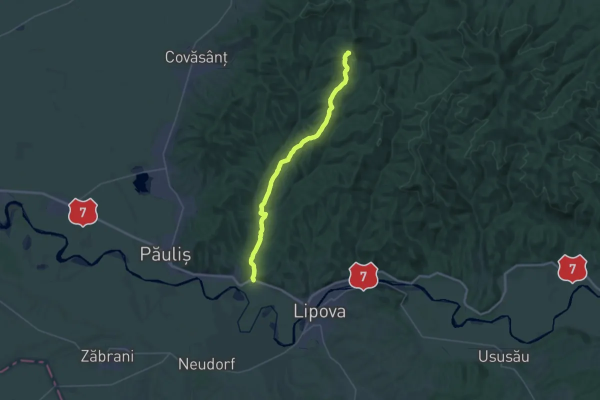
Demanding · Summit
DN7/E68 – Cladova – Creasta Cladovei – Creasta Principală
28.2 km · ↑ 665 m · 8 h 5 min
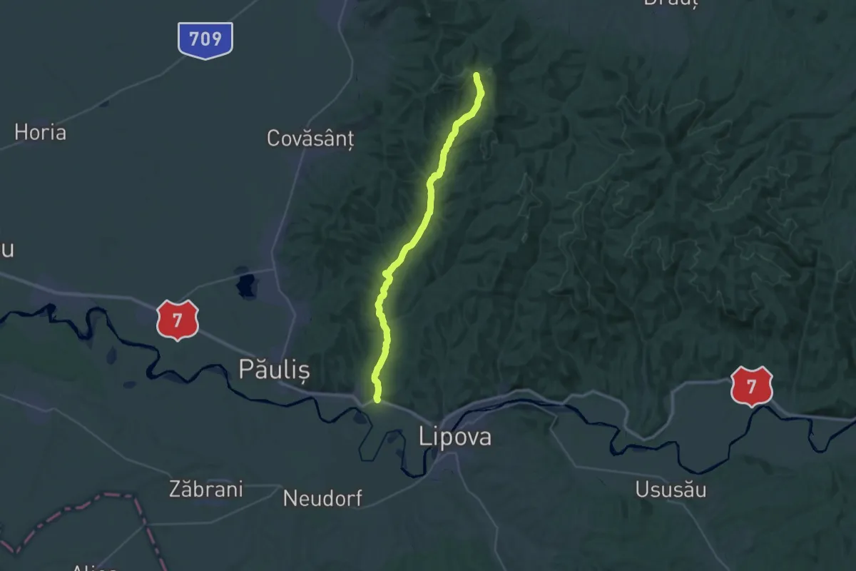
Medium · Trail
DN7/E68 – Cladova – Valea Cladovei – Creasta Principală
16.4 km · ↑ 95 m · 4 h 29 min
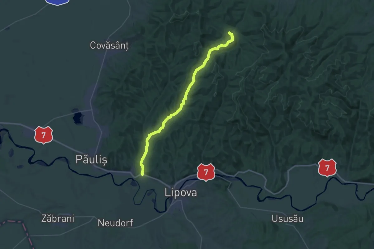
Medium · Trail
DN7/E68 – Cladova – Valea Cladoviţei – Creasta Principală – Căsoaia
16.7 km · ↑ 263 m · 4 h 48 min
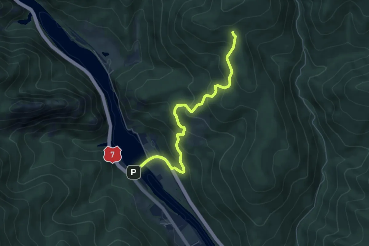
Medium · Trail
DN7 - Poiana La Nucețel - Șaua La Troiță
6.0 km · ↑ 378 m · 2 h 14 min
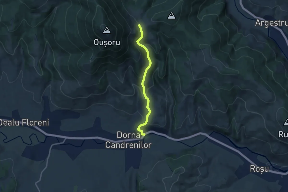
Medium · Trail
Dorna Candrenilor - Valea Hajului
7.3 km · ↑ 441 m · 2 h 40 min
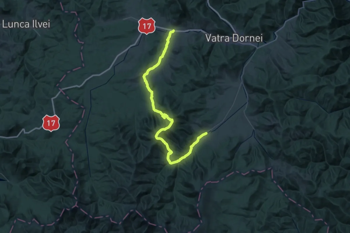
Demanding · Trail
Dorna Candrenilor-Vf.Călimanul Cerbului
34.2 km · ↑ 1001 m · 10 h 38 min
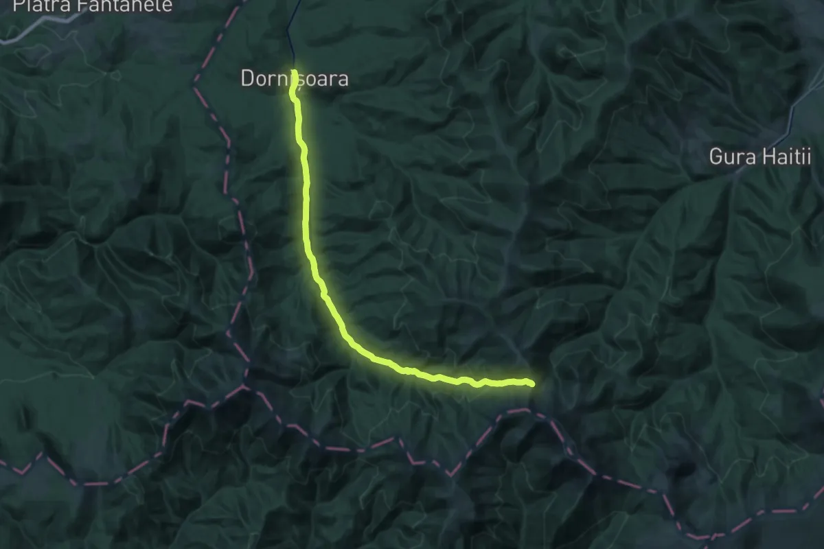
Medium · Trail
Dornișoara-Poiana Izvoarele
14.2 km · ↑ 30 m · 3 h 58 min
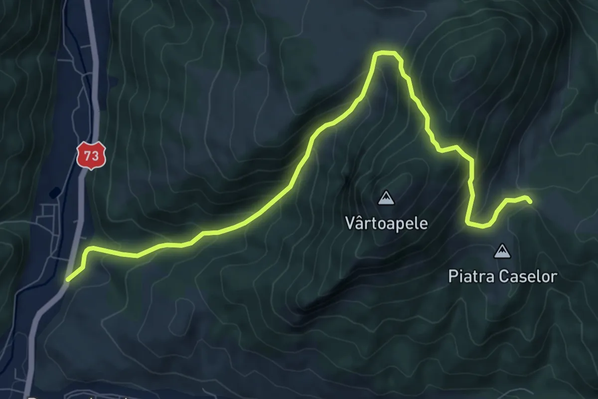
Demanding · Trail
Dragoslavele - Fundul lui Neag - Șaua Prislop
10.1 km · ↑ 886 m · 4 h 19 min
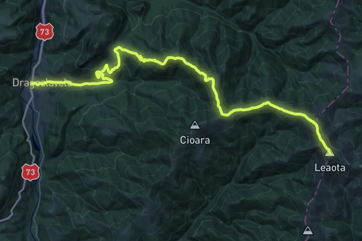
Demanding · Summit
Dragoslavele (Joseni) - Lacul Domniței - Vârful Leaota
37.4 km · ↑ 2153 m · 13 h 30 min
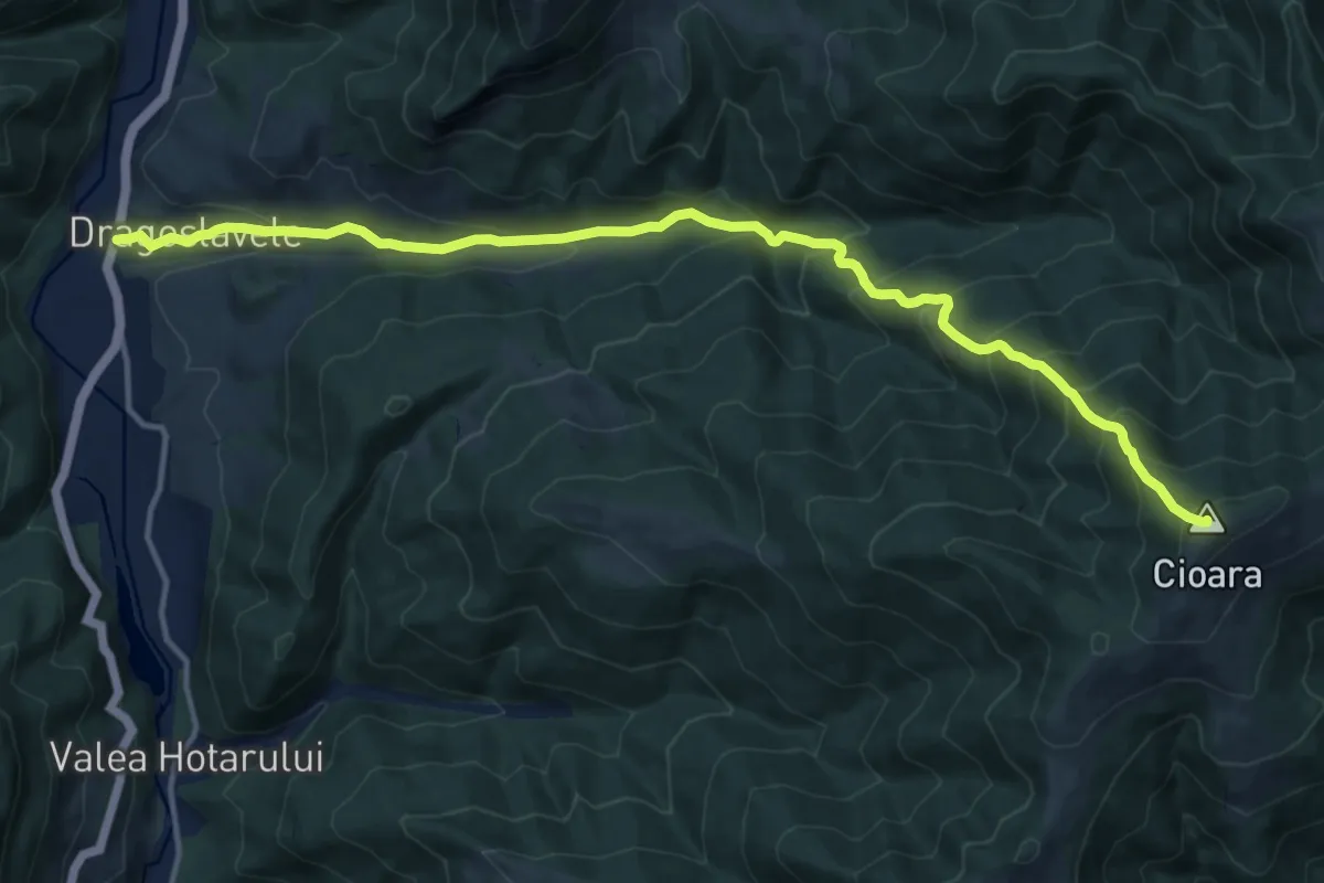
Demanding · Summit
Dragoslavele (Joseni) - Muntele Iuda - Muntele Cioara
15.4 km · ↑ 1197 m · 6 h 13 min
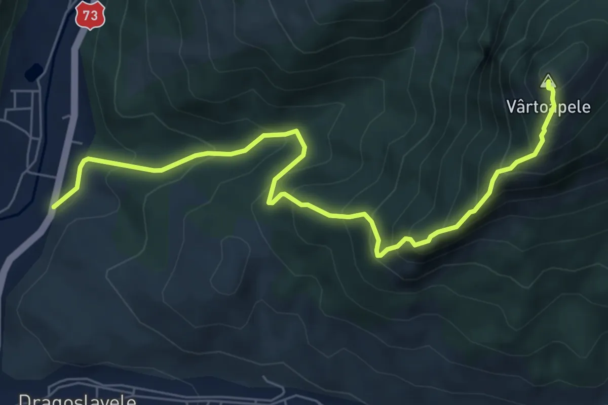
Medium · Summit
Dragoslavele - Șaua Vârtoapele
7.2 km · ↑ 727 m · 3 h 16 min
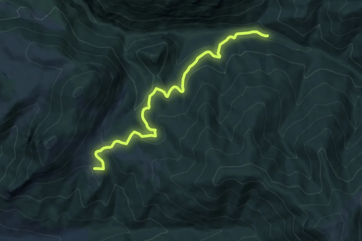
Medium · Summit
Dragoslavele - Valea Ghimbavului
10.9 km · ↑ 371 m · 3 h 22 min
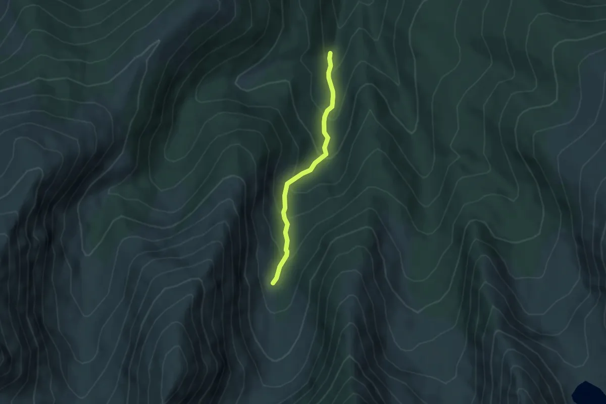
Medium · Cabin
Drumul de la Cârnic spre Pietrele (traseul BA) - Cabana Gențiana
3.7 km · ↑ 294 m · 1 h 31 min
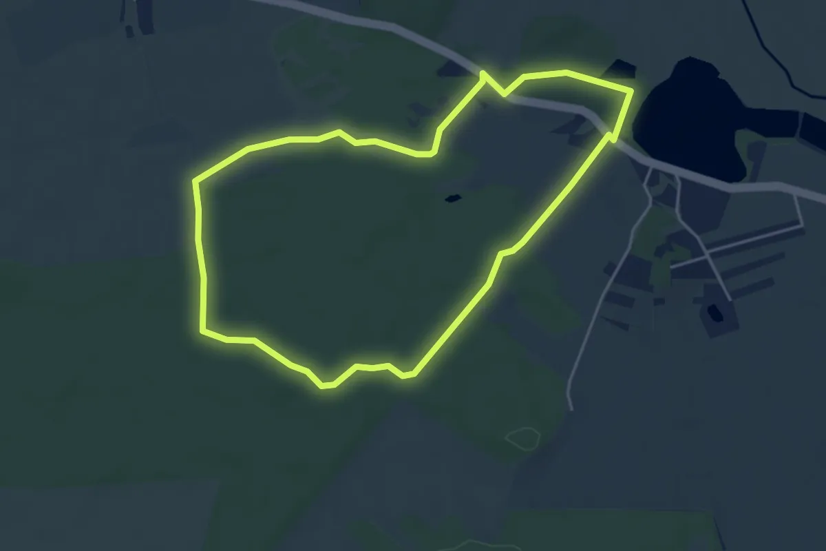
Easy · Trail
Drumul Homarka
4.4 km · ↑ 19 m · 1 h 8 min
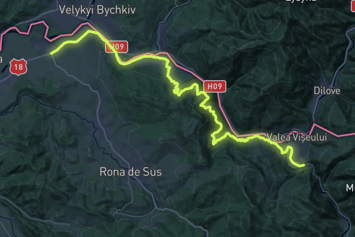
Demanding · Trail
Drumul Maramureșului
23.2 km · ↑ 762 m · 7 h 26 min
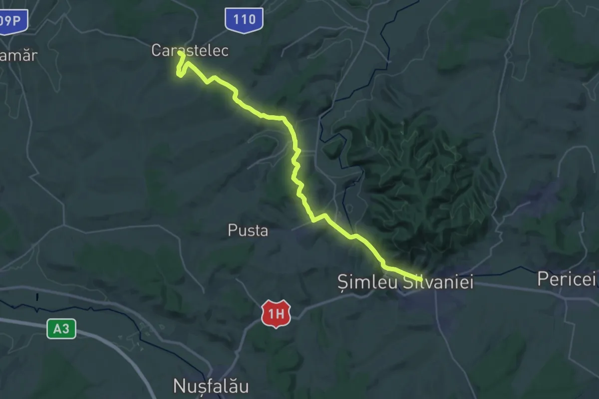
Medium · Pilgrim path
Drumul Maria - 42 Caras - Șimleu Silvaniei
14.1 km · ↑ 281 m · 4 h 8 min
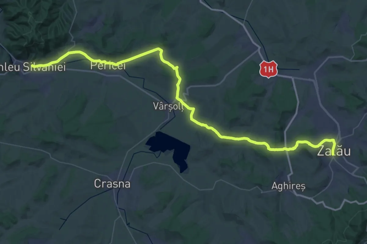
Demanding · Pilgrim path
Drumul Maria M01-43 (Șimleu Silvaniei - Zalău)
26.4 km · ↑ 439 m · 7 h 35 min
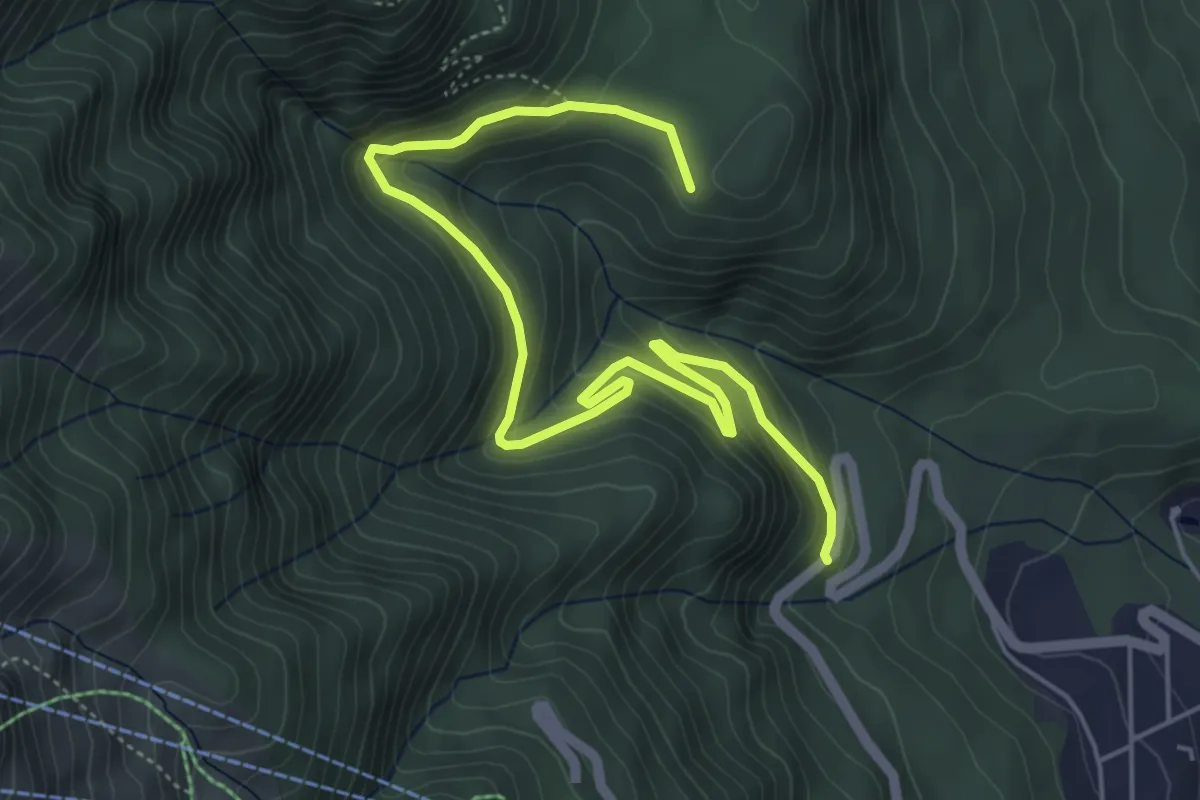
Medium · Cabin
Drumul Sinaia-Cota 1400 - Poiana Stânii
6.5 km · ↑ 432 m · 2 h 29 min
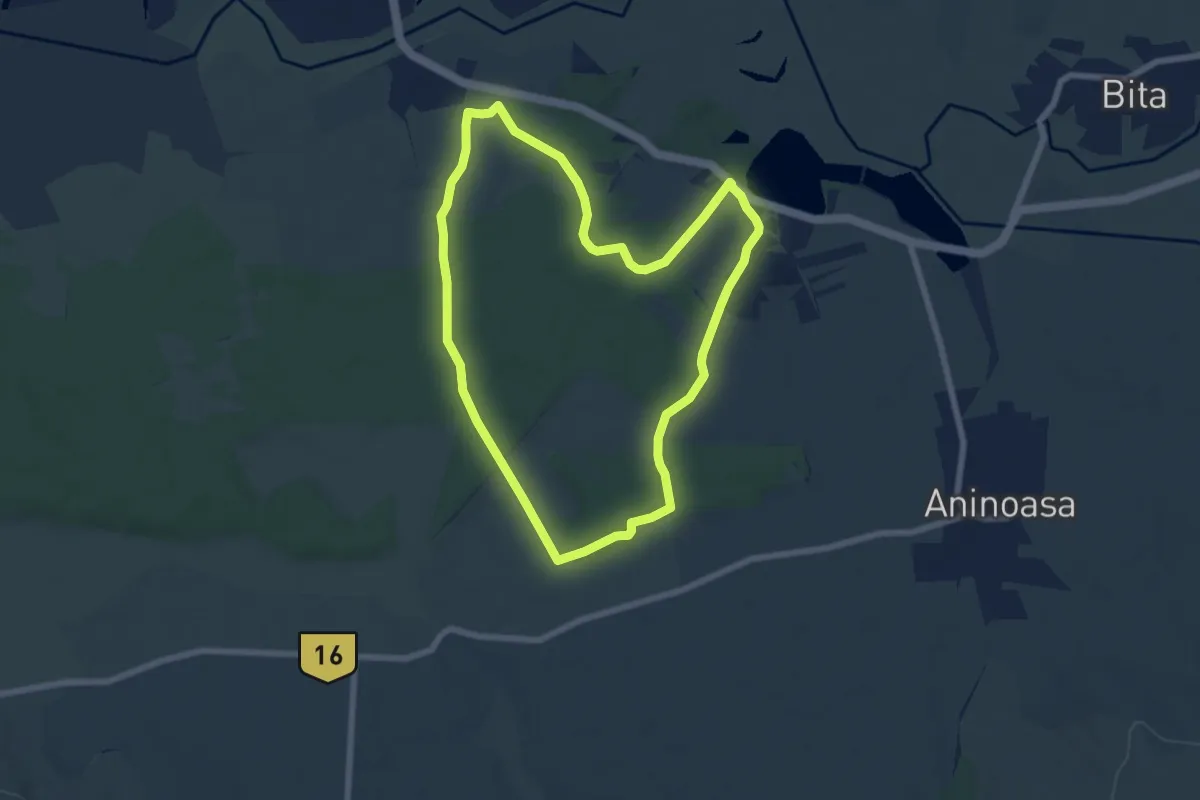
Easy · Trail
Drumul Zinelor
6.9 km · ↑ 44 m · 1 h 48 min
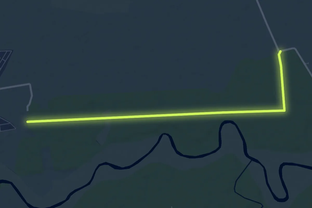
Medium · Trail
Eco Timiș Traseu Drumeție Pădurea Giroc
10.3 km · ↑ 35 m · 2 h 31 min
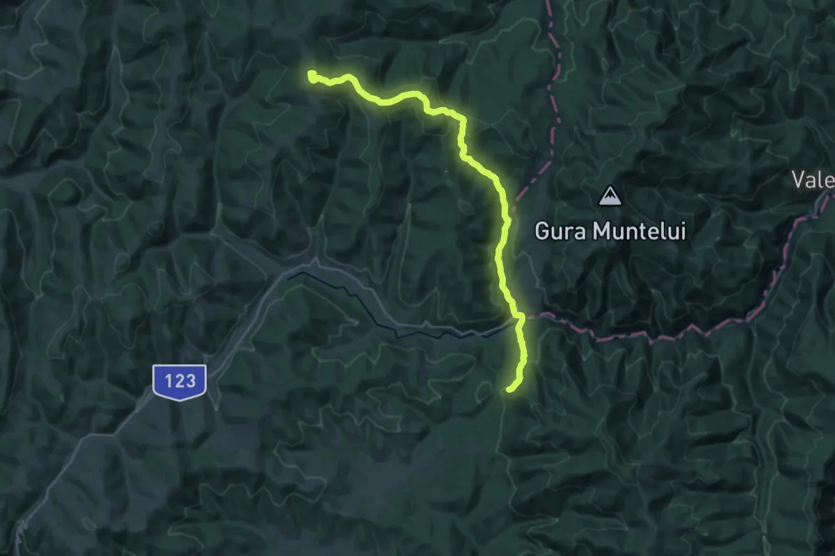
Demanding · Summit
Endre-tető-Fehérbükk Kék kereszt (B+)
22.7 km · ↑ 732 m · 6 h 57 min
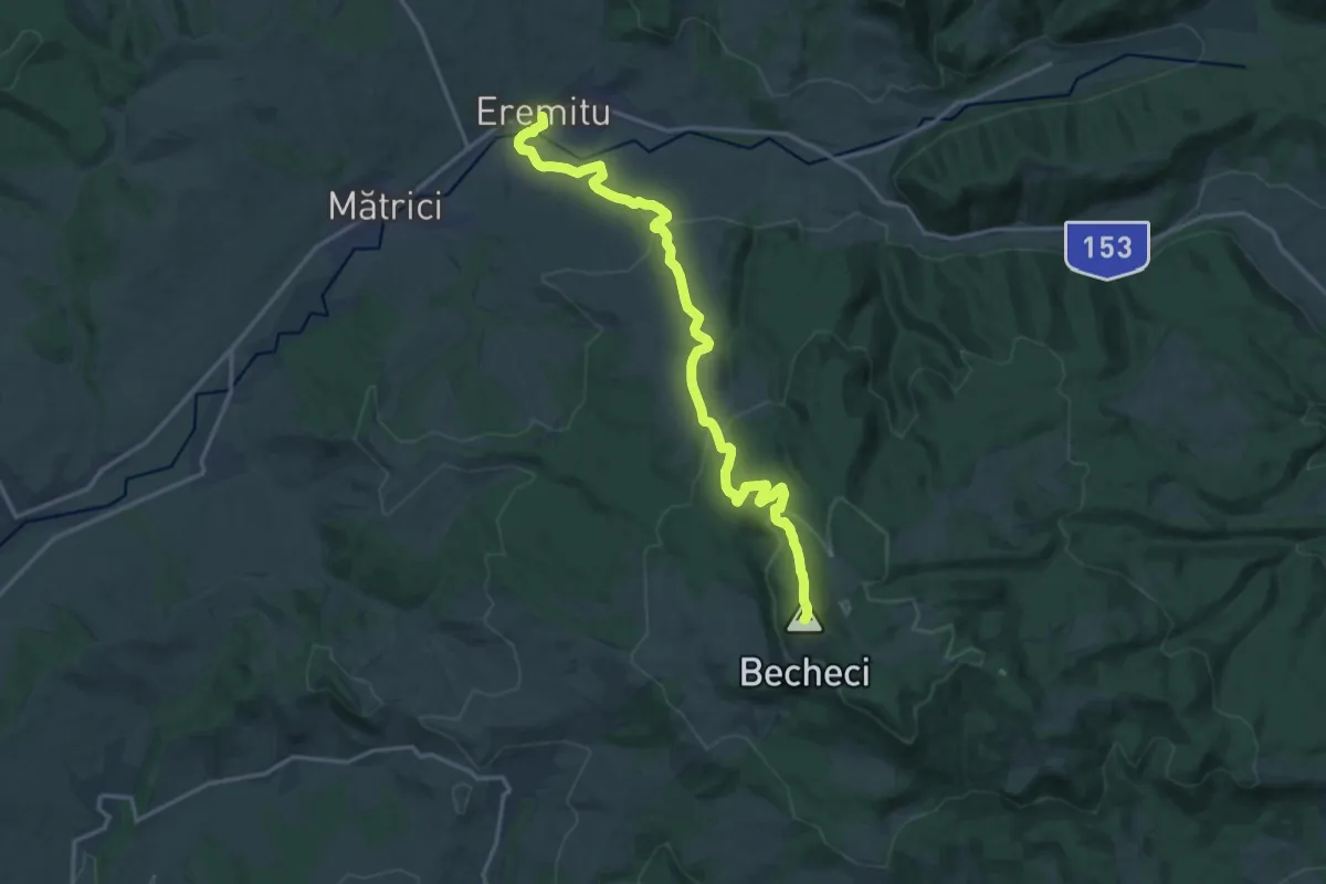
Medium · Summit
Eremitu - Vârful Becheci - Culmea Reştad - Sovata
17.5 km · ↑ 609 m · 5 h 27 min
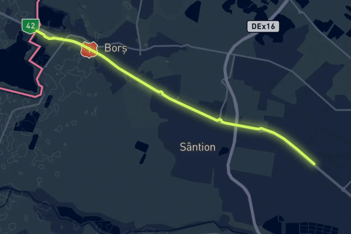
Medium · Trail
European long distance path E3 - part Romania
13.5 km · ↑ 8 m · 3 h 13 min
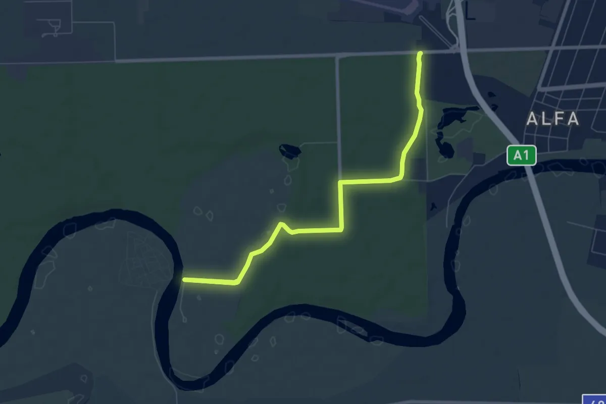
Medium · Trail
European long distance path E7 - part Romania
8.4 km · ↑ 19 m · 2 h 1 min
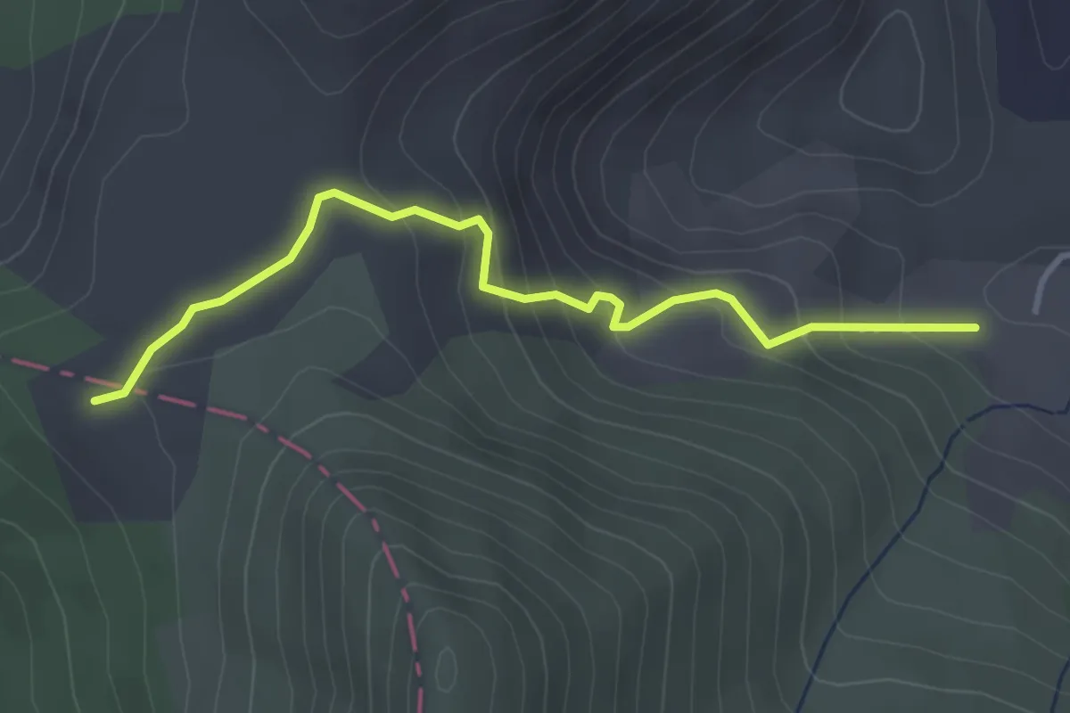
Medium · Trail
Exploatarea Călimani - Șaua Negoiu
3.5 km · ↑ 236 m · 1 h 20 min
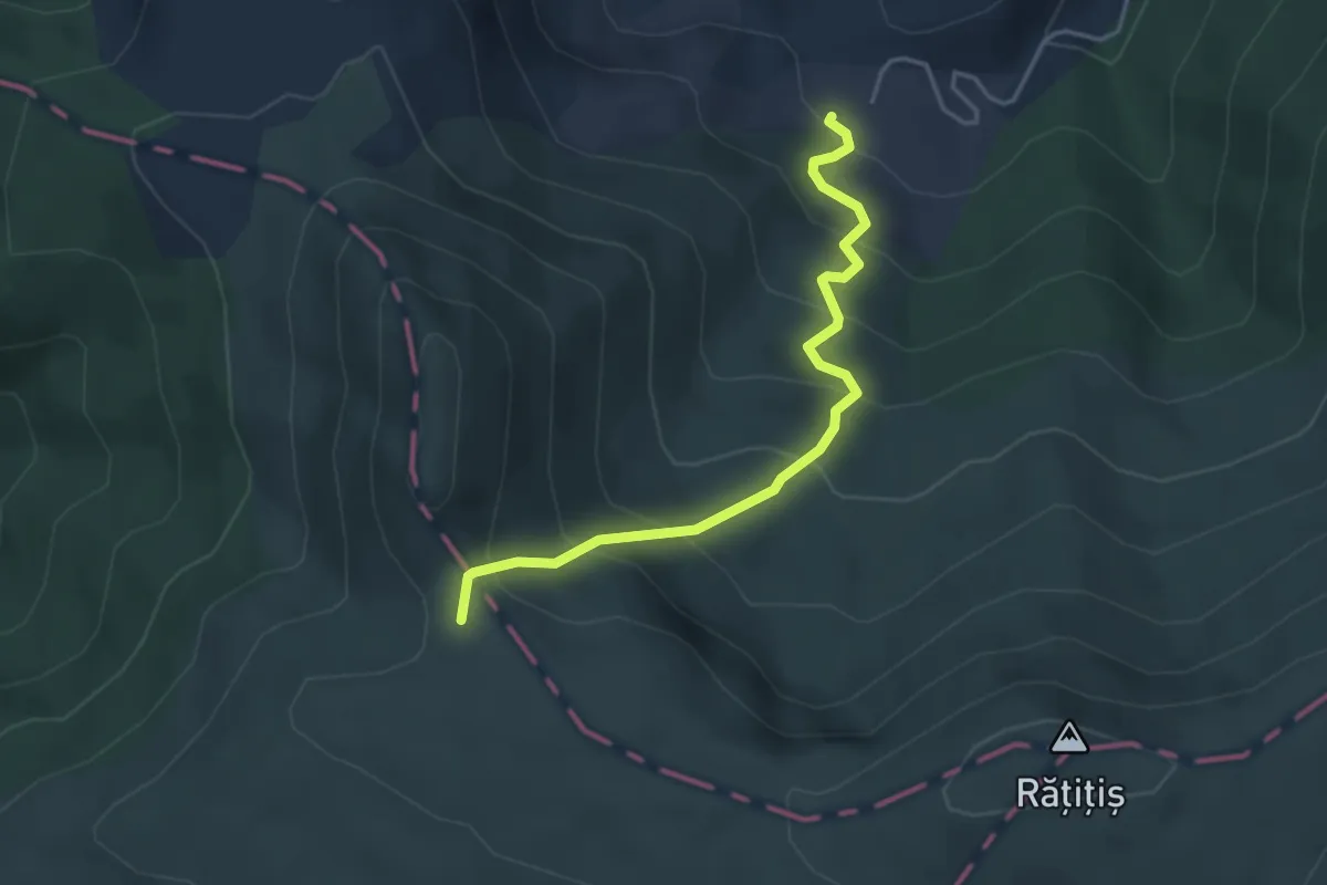
Medium · Trail
Exploatarea Călimani-Șaua Nicovală
3.8 km · ↑ 378 m · 1 h 44 min
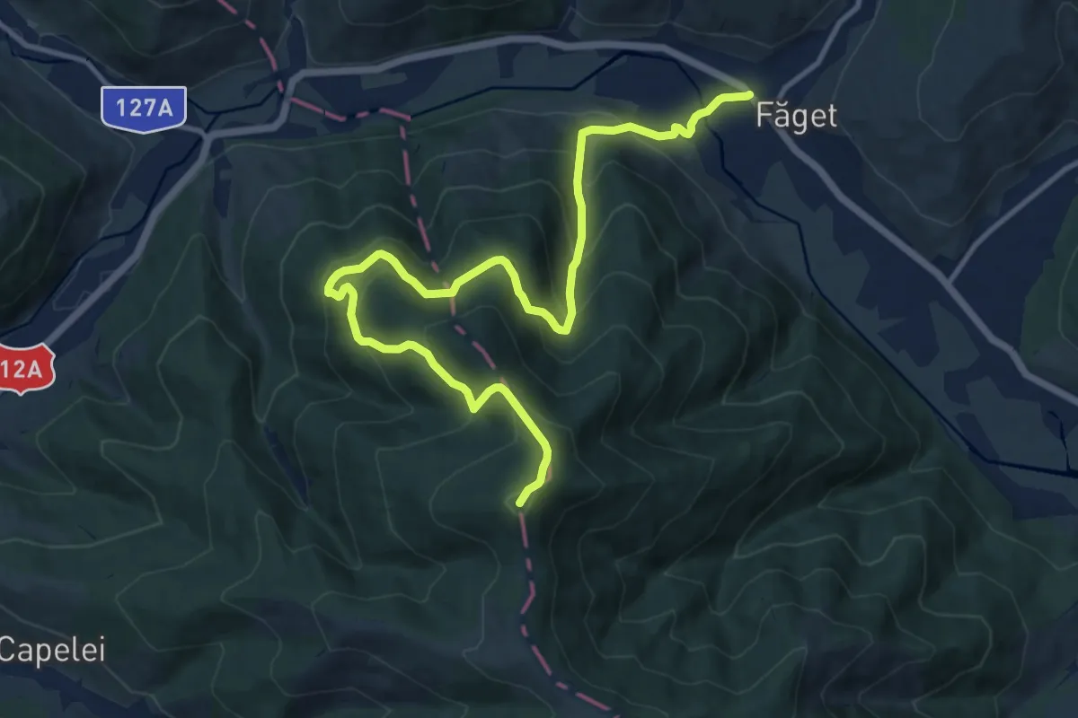
Demanding · Summit
Făget - Vf. Ascuțit
13.9 km · ↑ 1052 m · 5 h 34 min
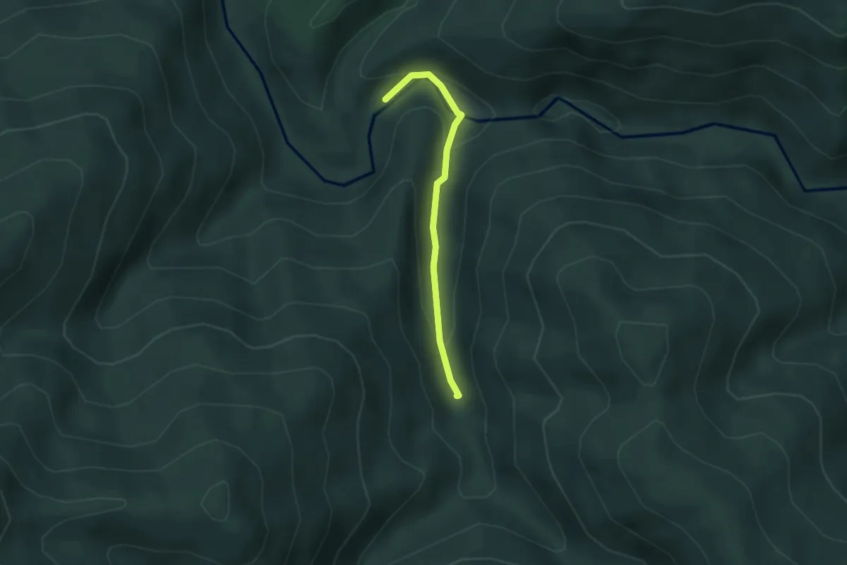
Easy · Trail
Făina - Borcut Mihoaia
2.6 km · ↑ 109 m · 51 min
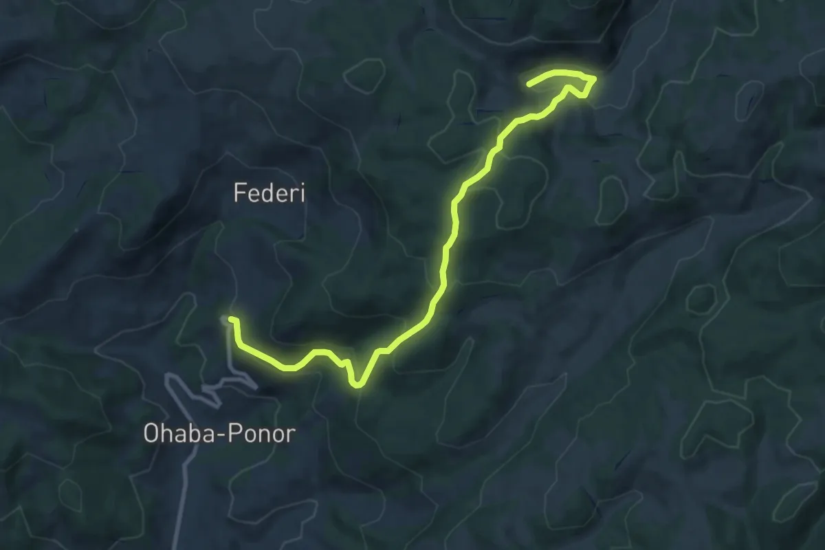
Medium · Trail
Federi - Fundătura Ponorului
10.3 km · ↑ 571 m · 3 h 40 min
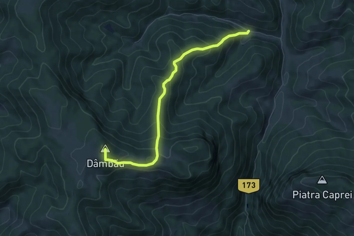
Medium · Summit
Feneșasa - lângă Vf. Dâmbău
7.0 km · ↑ 523 m · 2 h 48 min
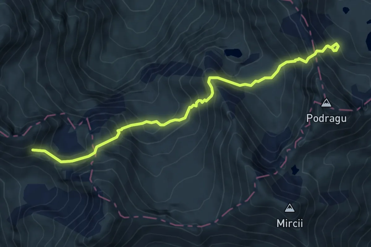
Demanding · Trail
Fereastra Zmeilor - Șaua dintre Lacuri - Cabana Podragu
7.0 km · ↑ 851 m · 3 h 30 min
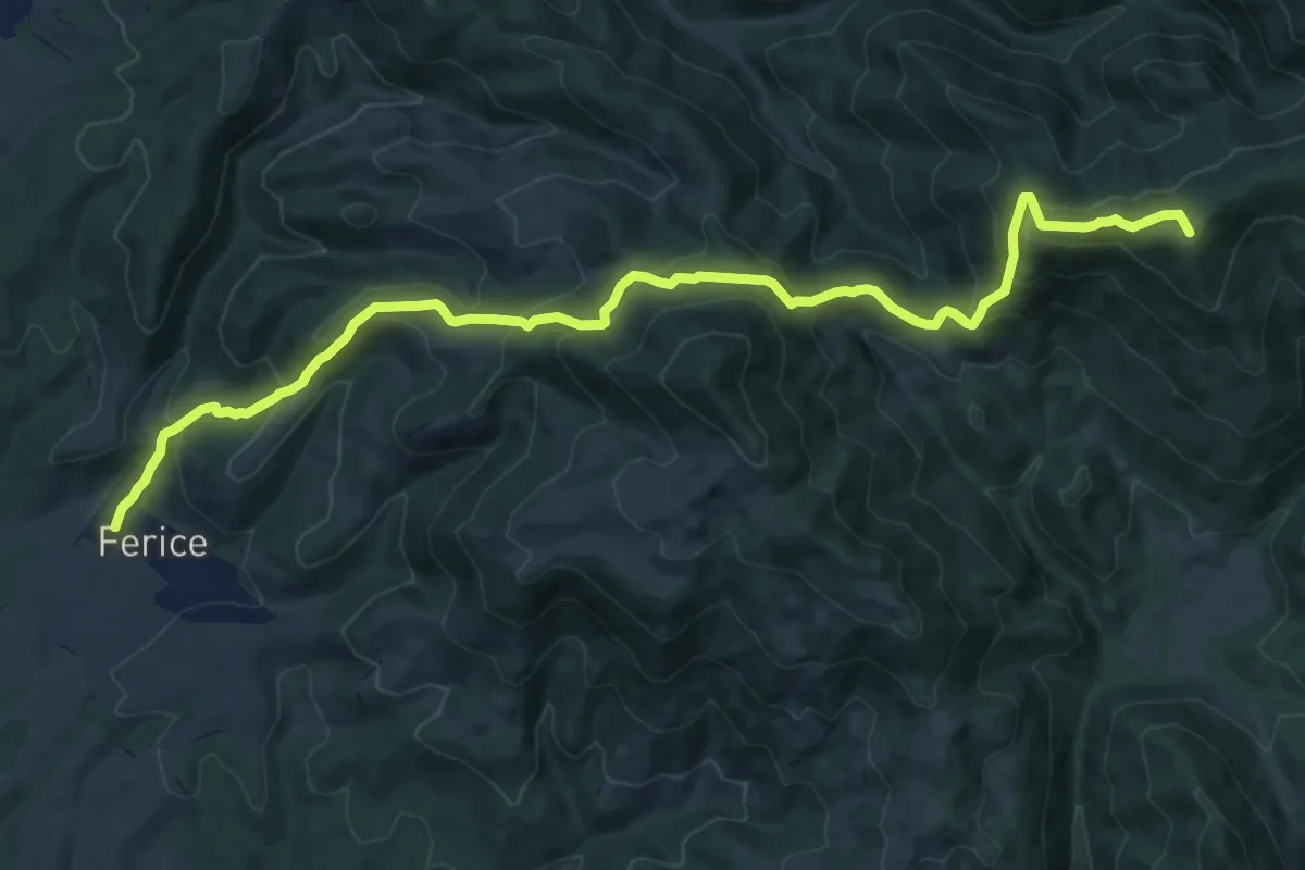
Demanding · Summit
Ferice-Peștera Ferice-Traseul BR
15.6 km · ↑ 1044 m · 5 h 57 min
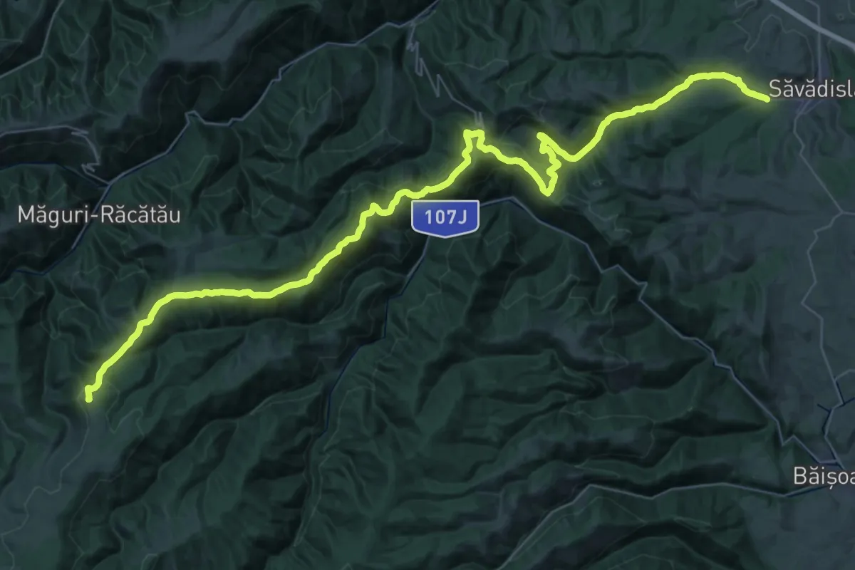
Demanding · Summit
Finișel - Mănăstirea Muntele Rece - Dobrin
57.3 km · ↑ 1652 m · 17 h 7 min
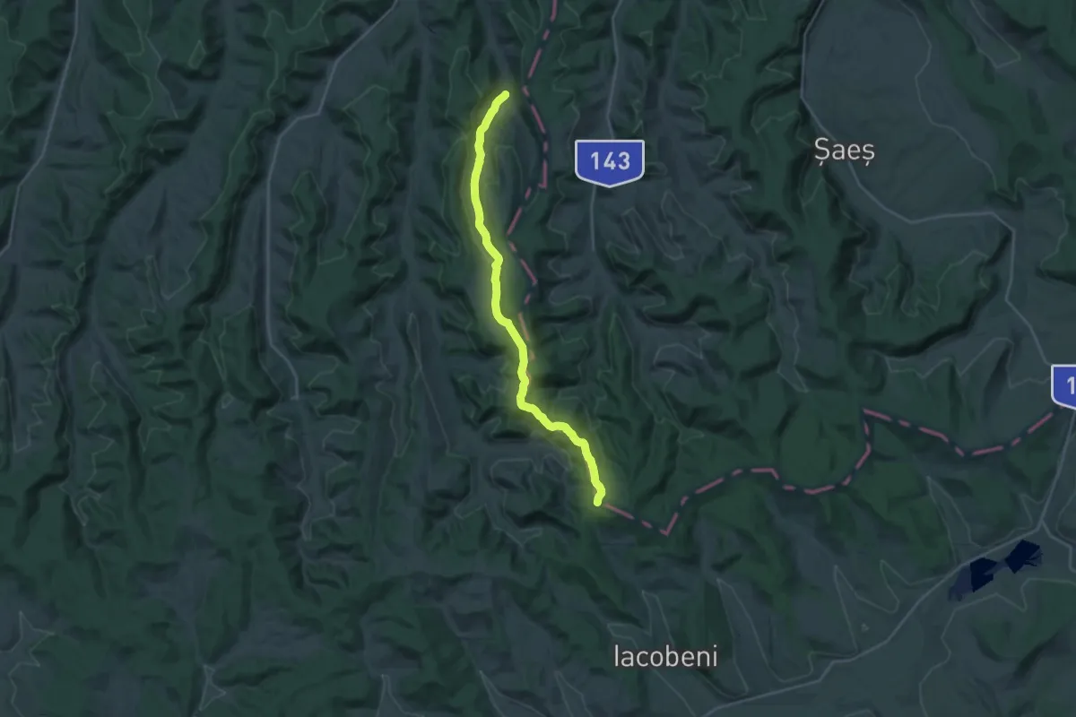
Demanding · Trail
Florești - Zăpodia Mălâncrav - Hula Crișului
22.4 km · ↑ 448 m · 6 h 15 min
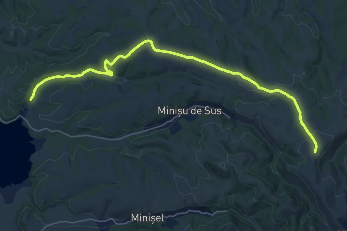
Demanding · Trail
FOREST ROAD
19.6 km · ↑ 279 m · 5 h 14 min
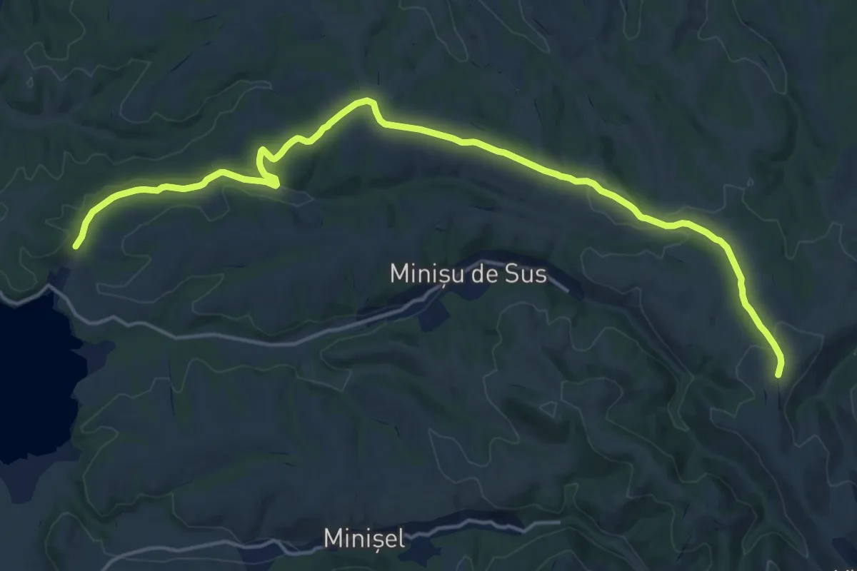
Demanding · Trail
FOREST ROAD 2
19.6 km · ↑ 279 m · 5 h 14 min
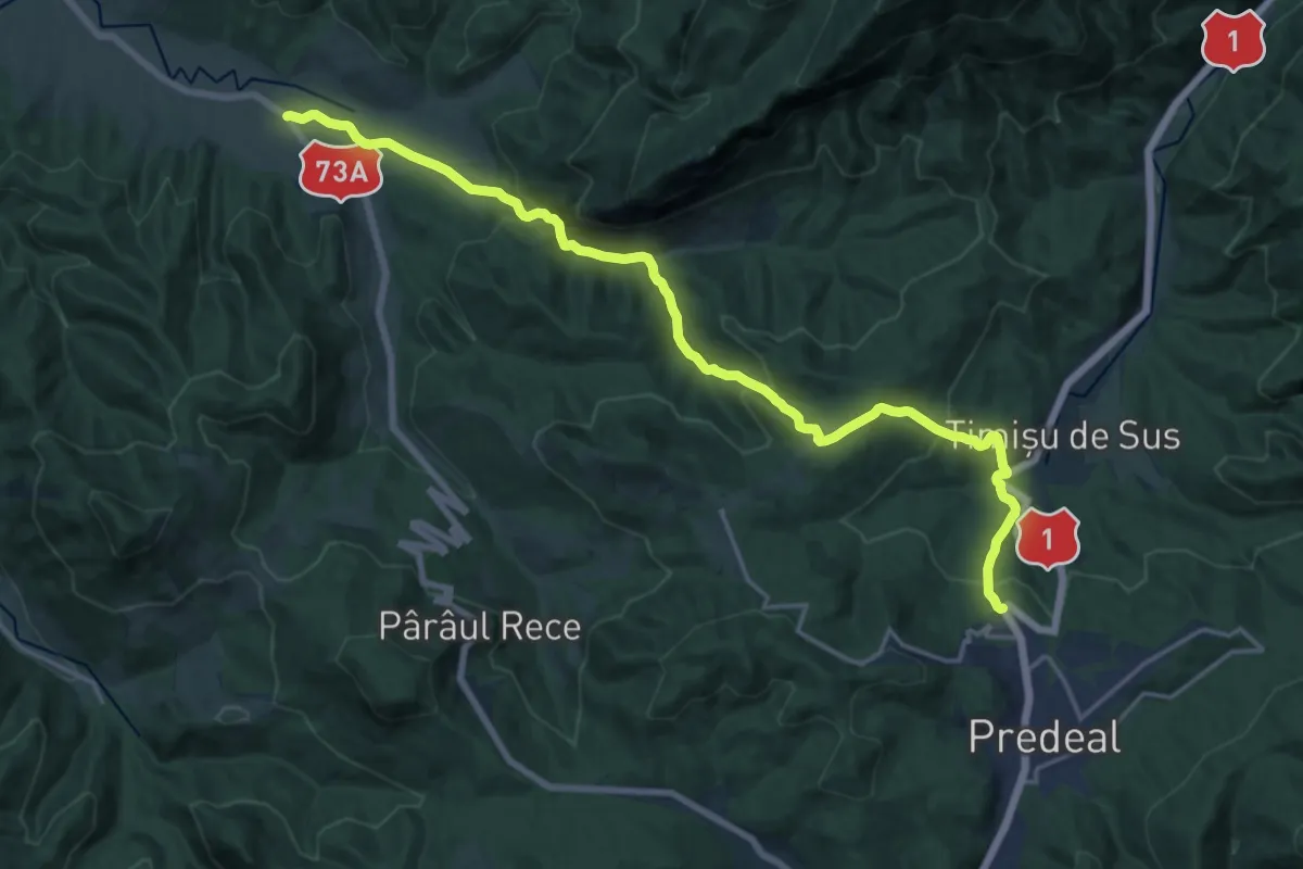
Demanding · Trail
Fosta Cabană Cheia - Cheile Râșnoavei - Predeal
20.3 km · ↑ 923 m · 6 h 47 min
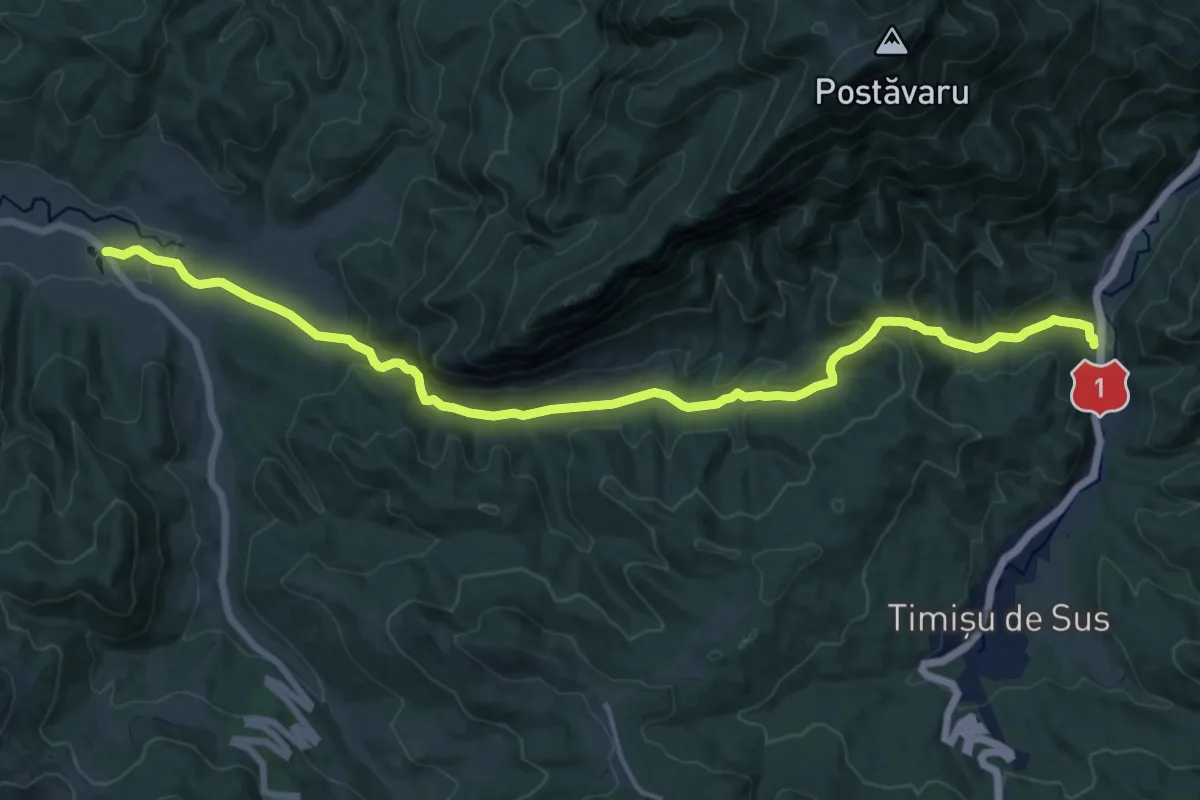
Demanding · Trail
Fosta Cabană Cheia - Cheile Râșnoavei - Timișu de Sus
18.2 km · ↑ 769 m · 5 h 58 min
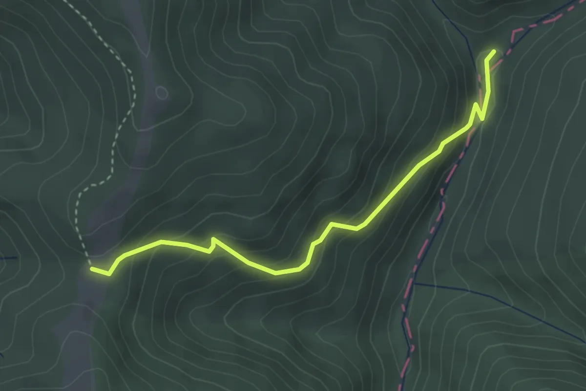
Easy · Cabin
Fosta Cabană Limbășel - Cabana Gârbova
3.4 km · ↑ 268 m · 1 h 23 min
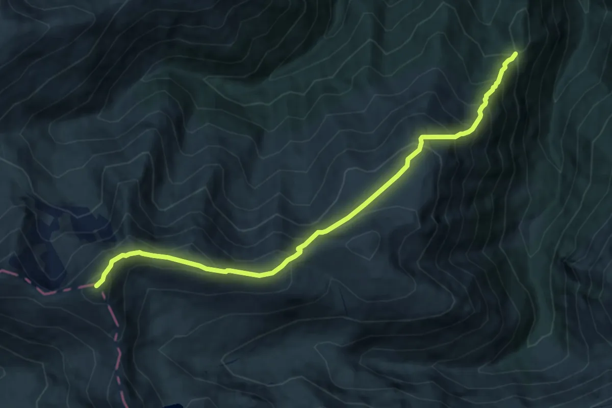
Demanding · Summit
Fosta Cabană Urlea - Vf. Urlea - creasta principală
10.9 km · ↑ 982 m · 4 h 42 min
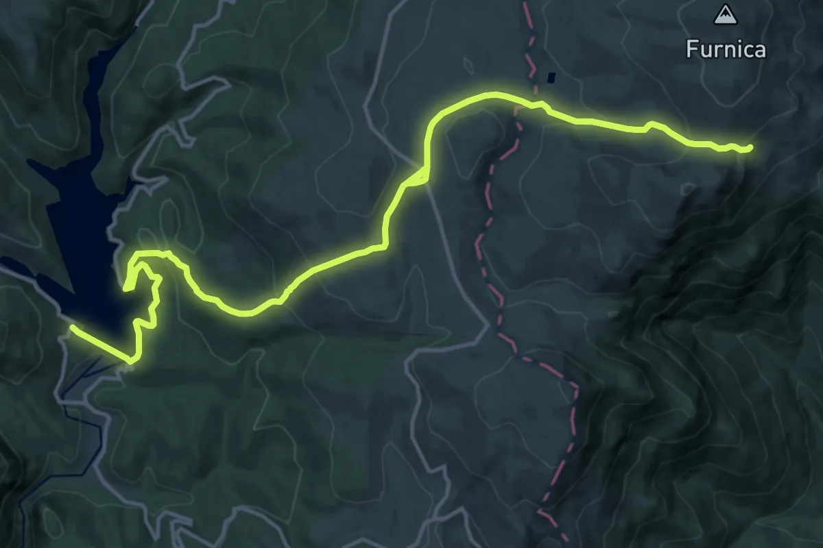
Medium · Trail
Fosta cabană Vârful cu Dor - Cabana Bolboci
17.9 km · ↑ 772 m · 5 h 54 min
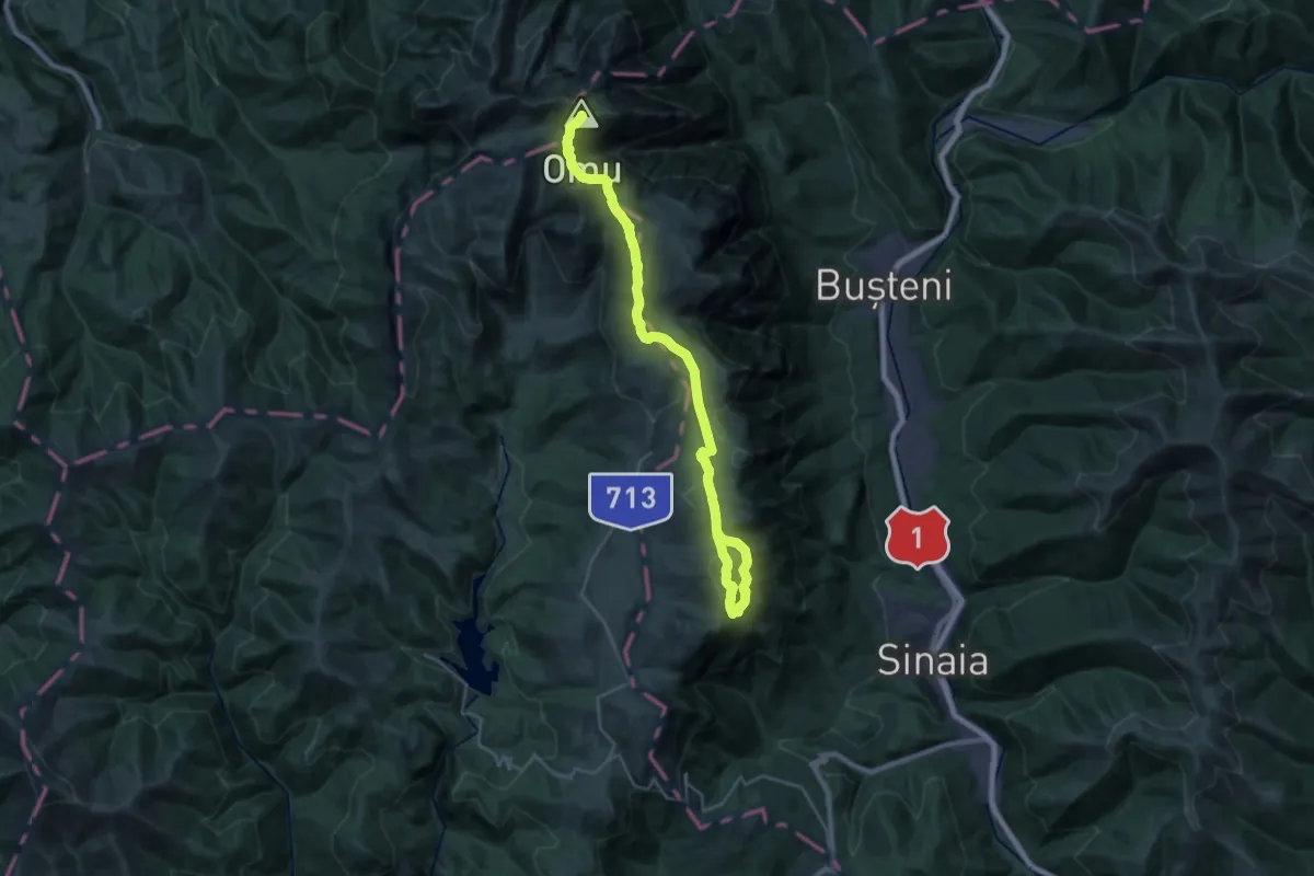
Demanding · Summit
Fosta cabană Vârful cu Dor - Cabana Piatra Arsă - Cabana Omu
29.2 km · ↑ 1317 m · 9 h 45 min
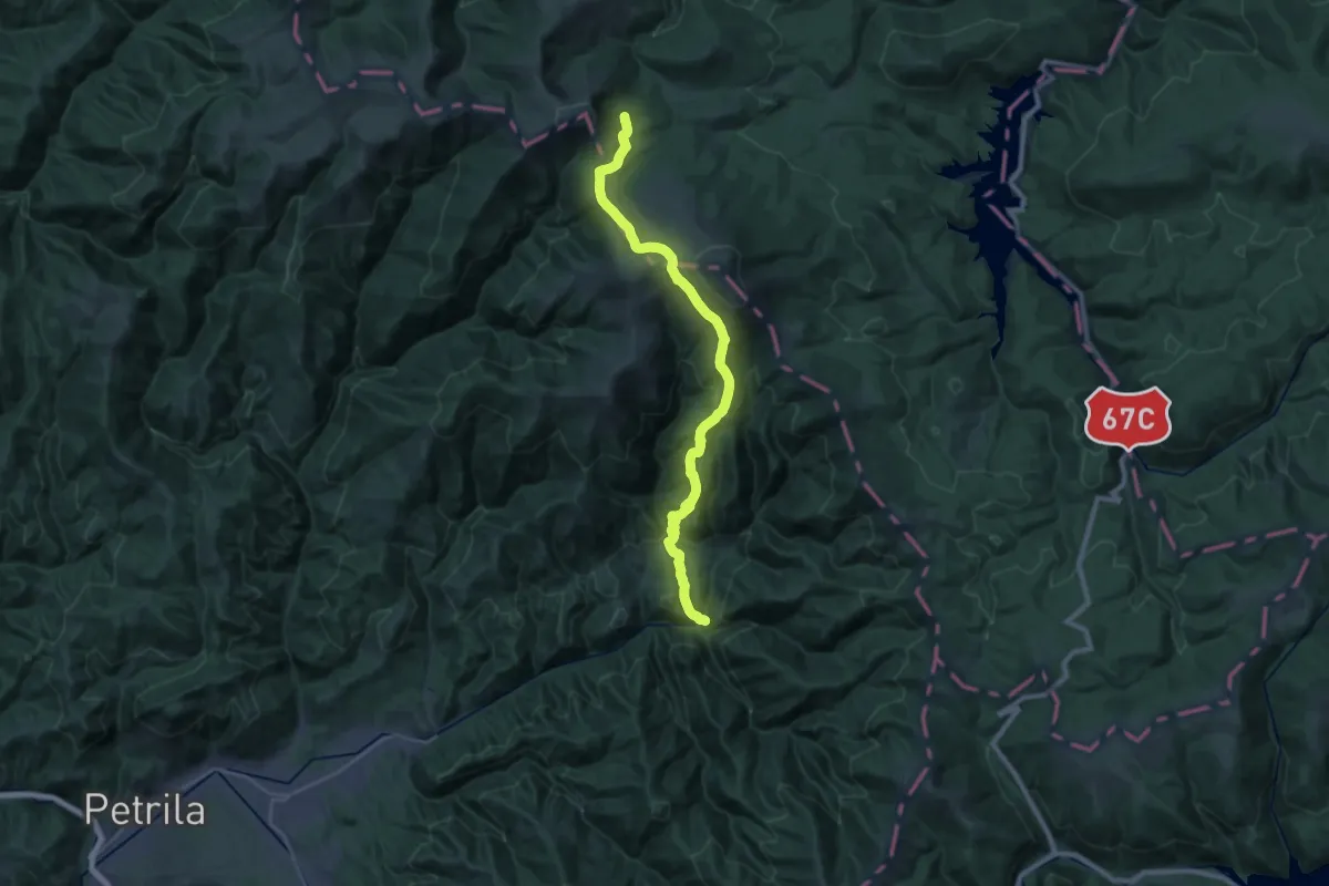
Demanding · Cabin
Fosta cabană Voievodul - Culmea Bilele - Cabana Șureanu
14.3 km · ↑ 1175 m · 5 h 40 min
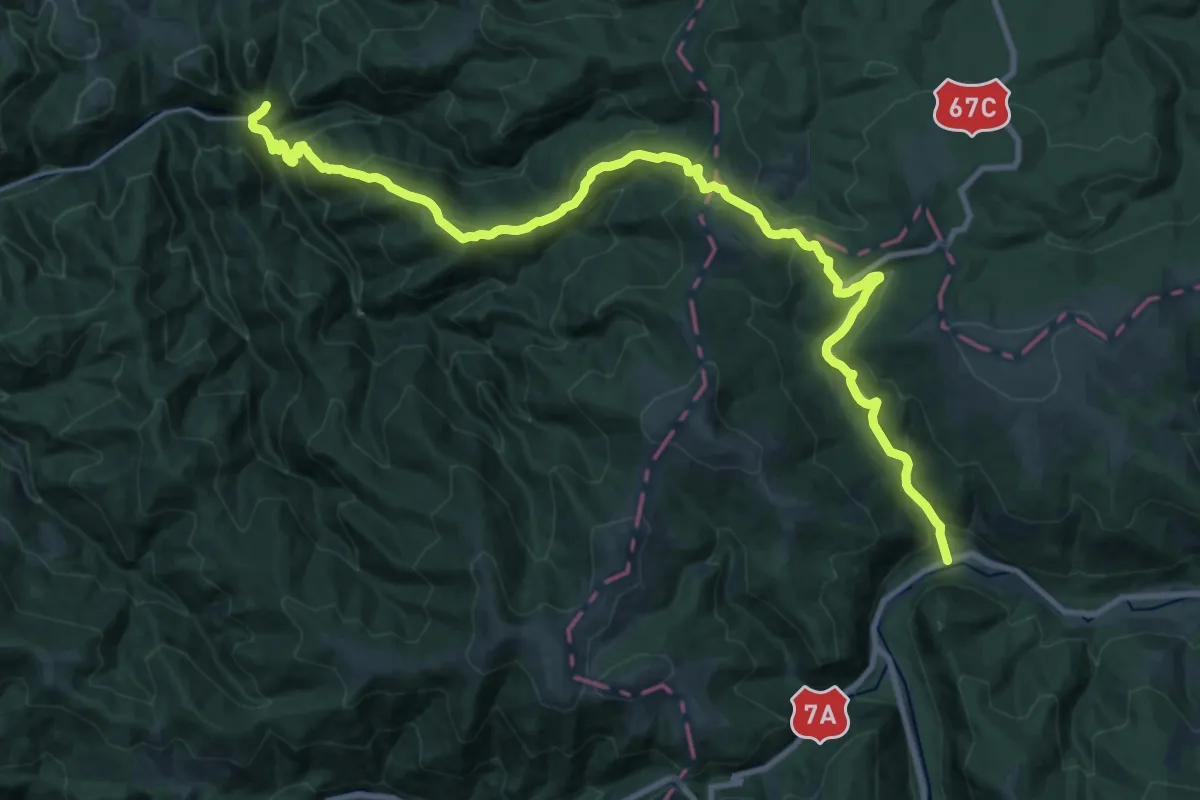
Medium · Trail
Fosta cabană Voievodul - Poiana Muierii - Cabana Obârșia Lotrului
13.9 km · ↑ 415 m · 4 h 37 min