Trails in Romania
1,356 hiking trails, each with its route, climb, walking time and grade.
All trails, page 10 of 29
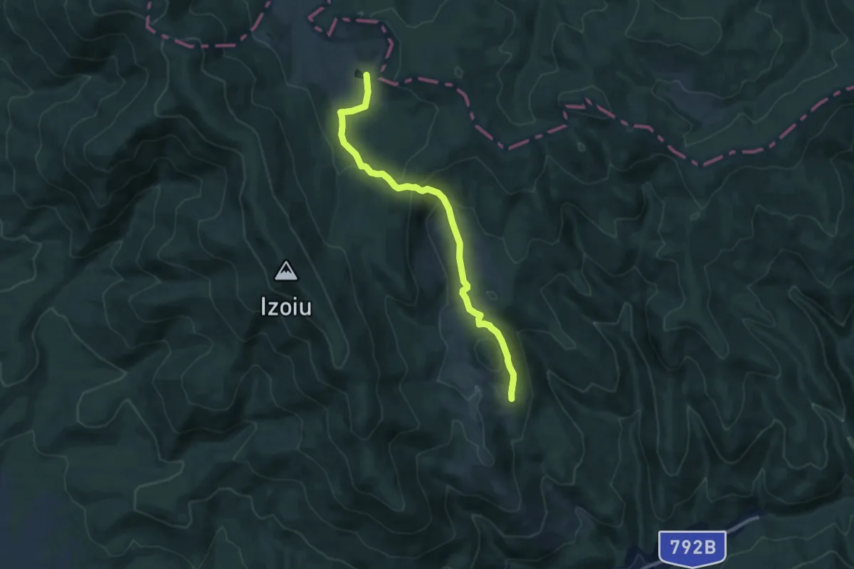
Medium · Trail
Culmea Feredeu - Platoul Tinoasa - Creasta Principala - Poiana Brătcoaia
9.3 km · ↑ 298 m · 2 h 50 min
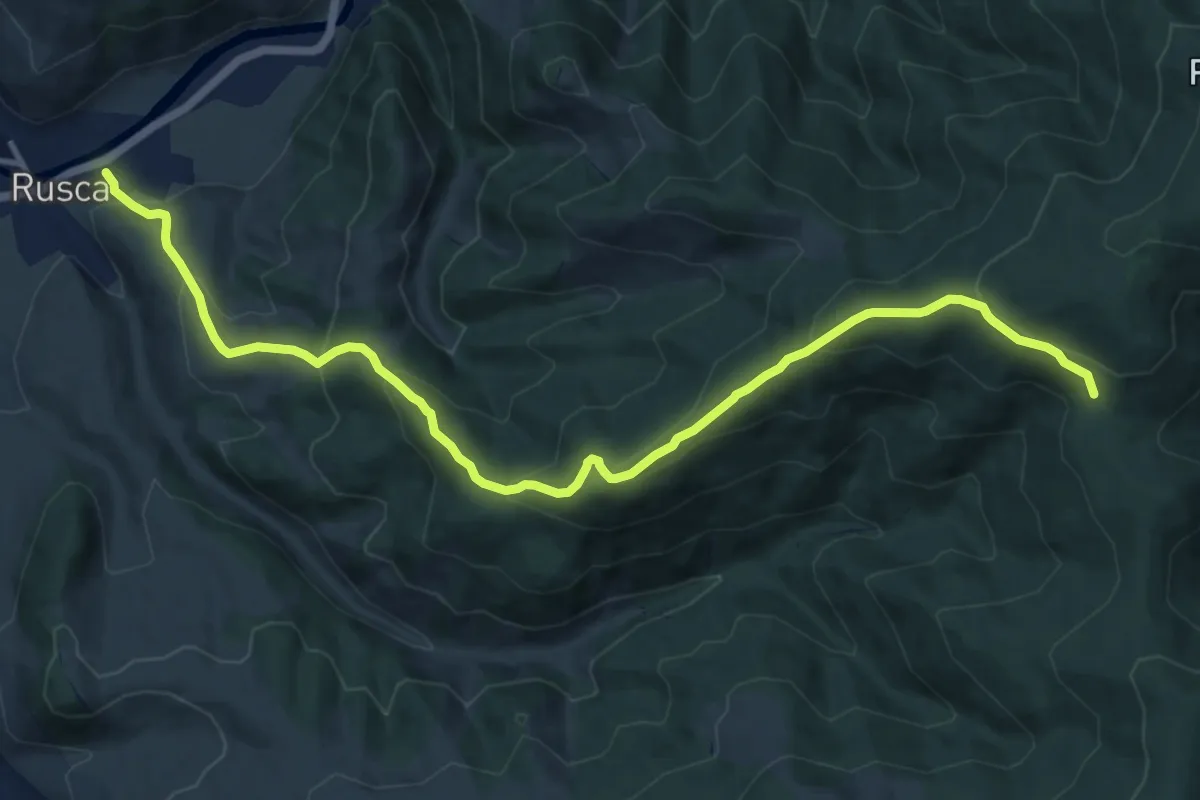
Demanding · Trail
Culmea Hașca
13.4 km · ↑ 806 m · 4 h 54 min
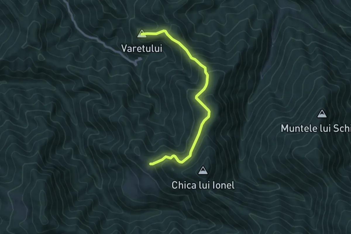
Medium · Summit
Culmea Pietriceaua (traseul CR) - Turnu Roșu
6.8 km · ↑ 416 m · 2 h 30 min
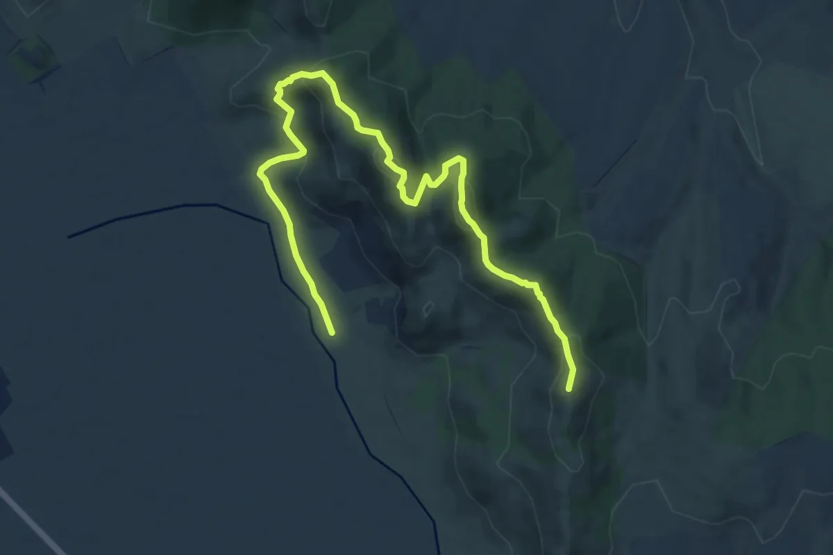
Medium · Summit
Culmea Pricopanului
12.1 km · ↑ 569 m · 4 h 5 min
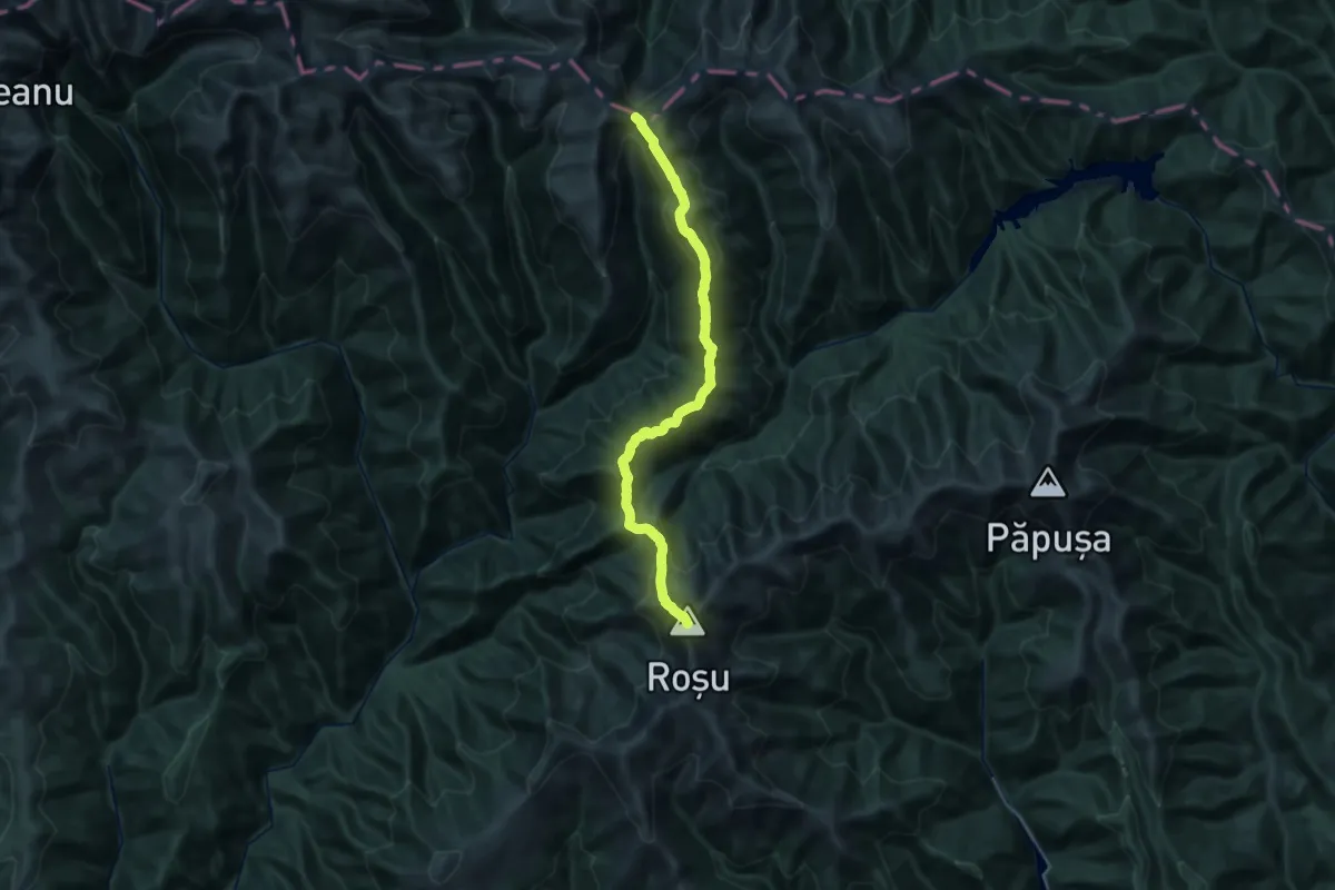
Demanding · Summit
Curmătura Brătilei - Curmătura Mezei - Vf. Roșu
29.8 km · ↑ 1779 m · 10 h 53 min
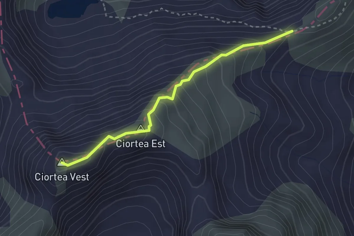
Expert · Summit
Curmătura de Vest a Gârbovei - Vf. Ciortea Est
2.5 km · ↑ 291 m · 1 h 13 min
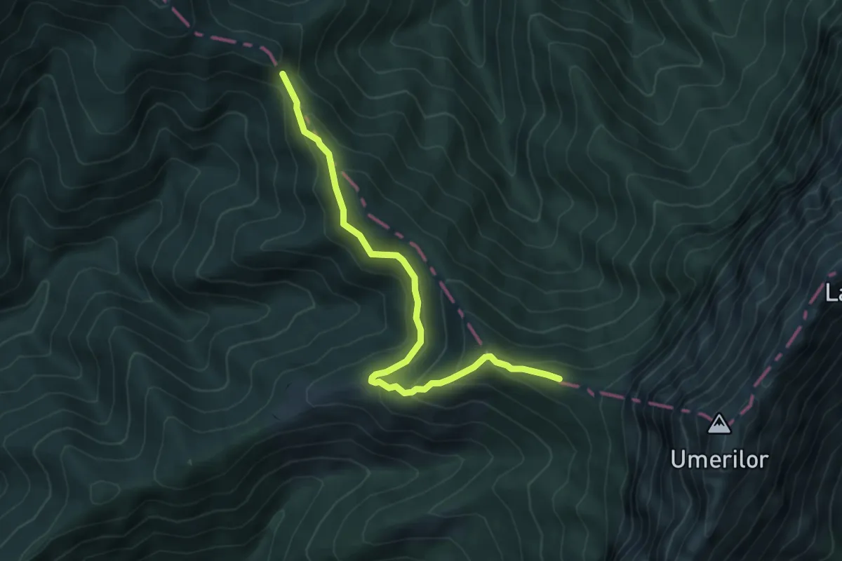
Medium · Summit
Curmătura Foii-sub Zaplaz
5.8 km · ↑ 364 m · 2 h 9 min
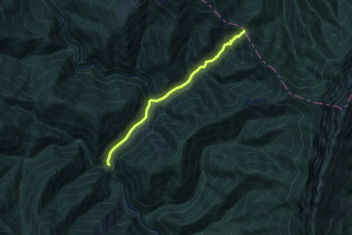
Medium · Trail
Curmătura Foii-Valea Dâmboviței
9.1 km · ↑ 578 m · 3 h 24 min
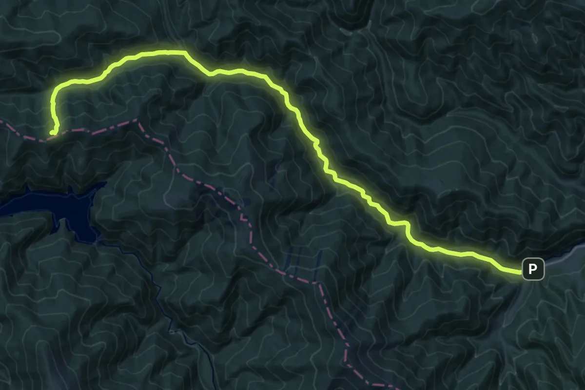
Demanding · Trail
Curmătura Lerescu Mic - Rudărița - Plaiul Foii
23.8 km · ↑ 858 m · 7 h 29 min
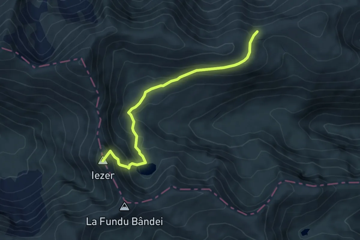
Demanding · Summit
Curmătura Moșului - L. Urlea - Portița Lacului
6.3 km · ↑ 426 m · 2 h 24 min
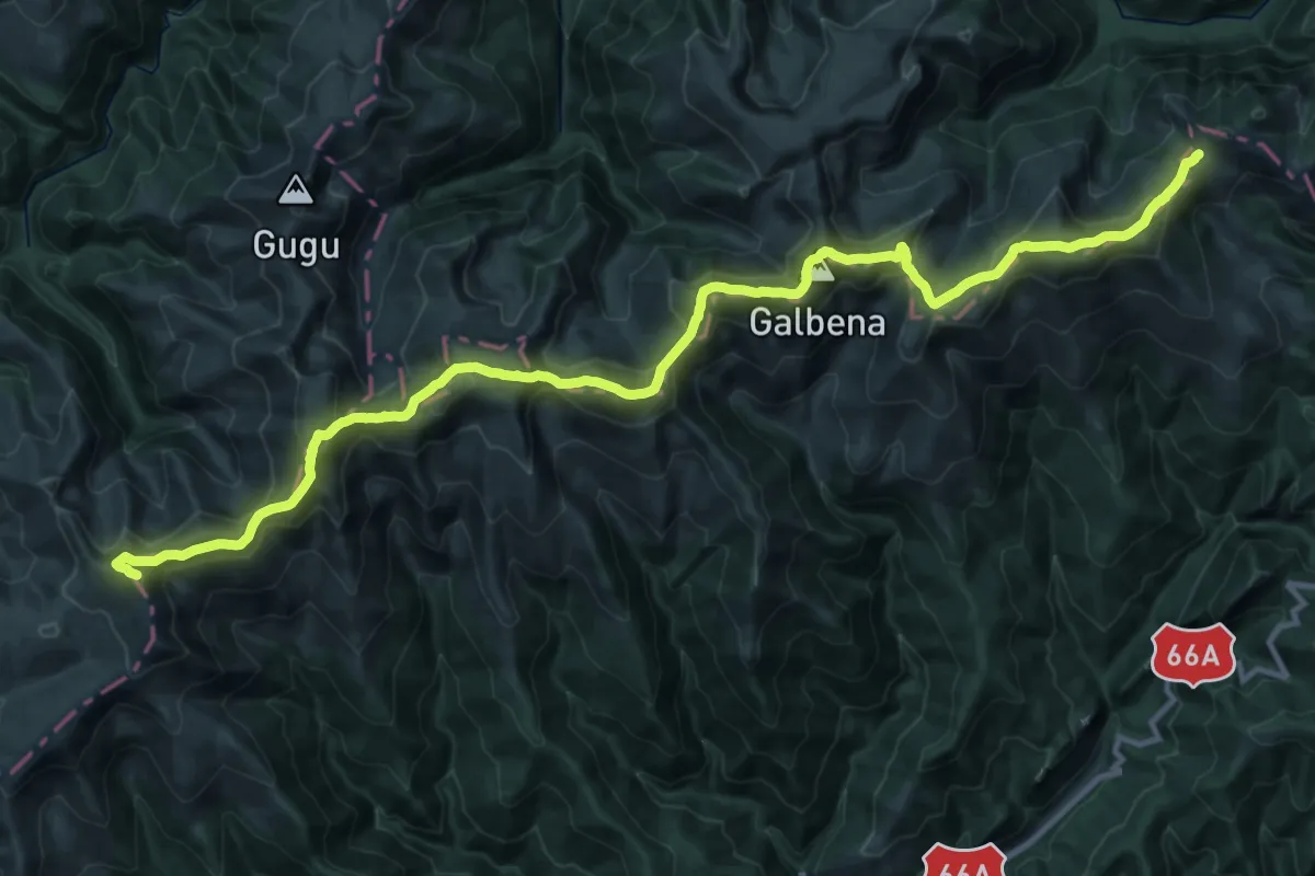
Demanding · Summit
Curmătura Olanelor - Vf. Godeanu - Şaua Paltina
37.5 km · ↑ 1925 m · 13 h 2 min
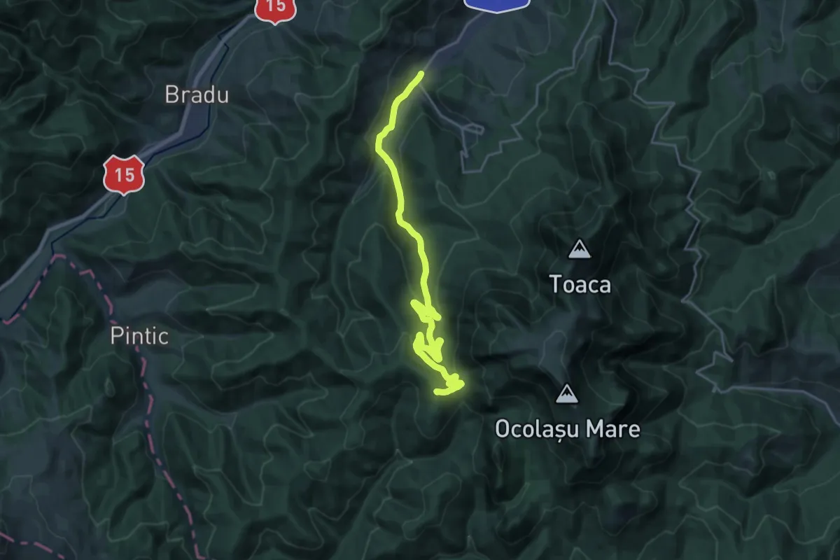
Demanding · Summit
Curmătura Pinticului – Vf. Strungilor – Stațiunea Durău (blue stripe)
21.2 km · ↑ 765 m · 6 h 39 min
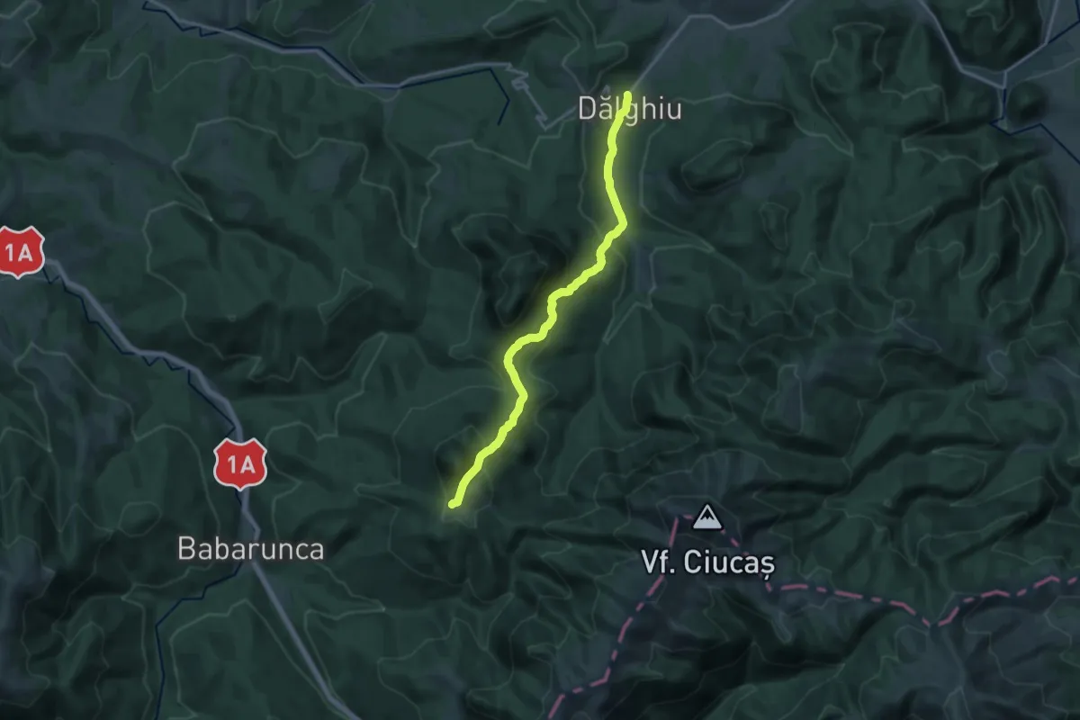
Medium · Trail
Dălghiu - Poiana Teslei
14.7 km · ↑ 742 m · 5 h 5 min
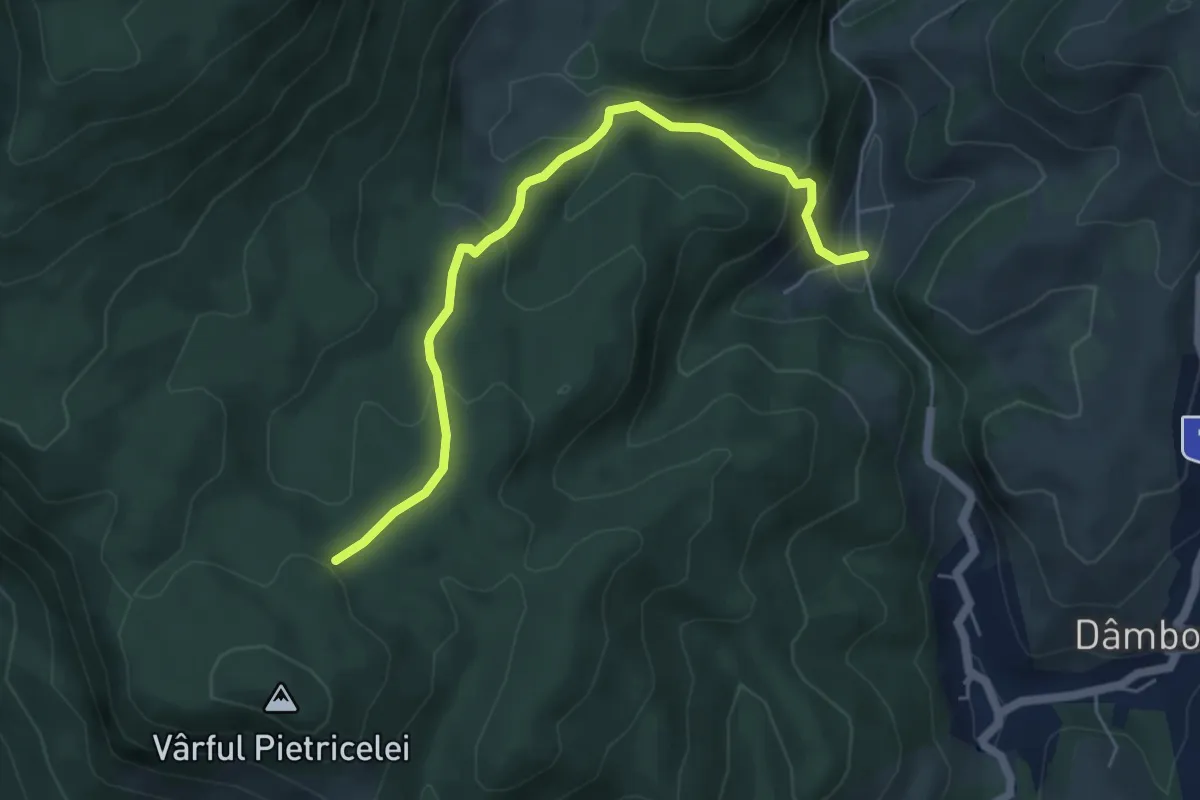
Easy · Trail
Dâmbovicioara-Muchia Frumoasei-traseul PR
5.6 km · ↑ 293 m · 1 h 58 min
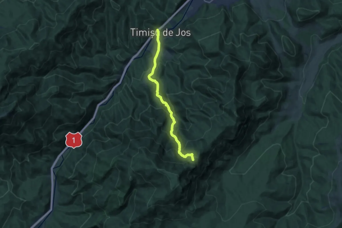
Demanding · Cabin
Dâmbul Morii - Canionul 7 Scări - Cabana Piatra Mare
11.8 km · ↑ 950 m · 4 h 51 min
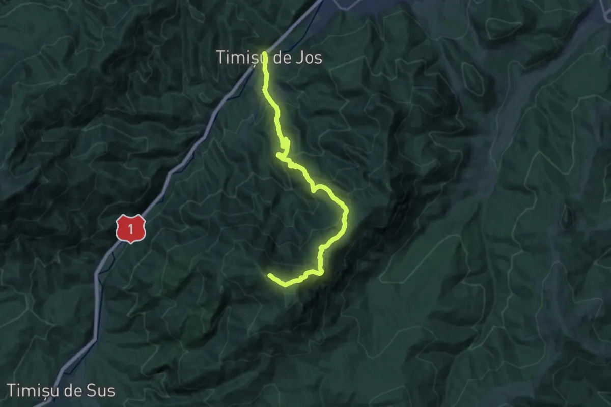
Demanding · Summit
Dâmbul Morii - Drumul Familial - Vârful Piatra Mare
17.6 km · ↑ 1307 m · 6 h 59 min
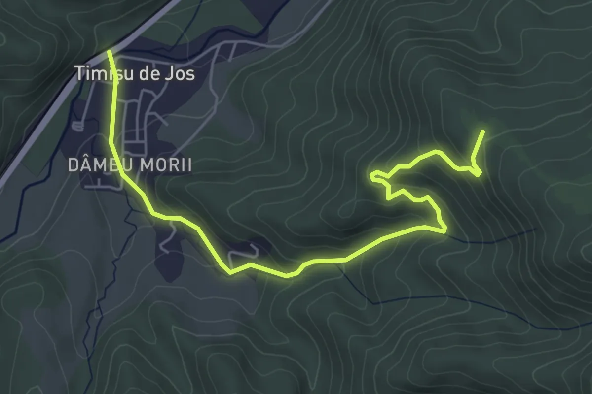
Medium · Trail
Dâmbul Morii - fosta Cabană Bunloc
6.1 km · ↑ 342 m · 2 h 11 min
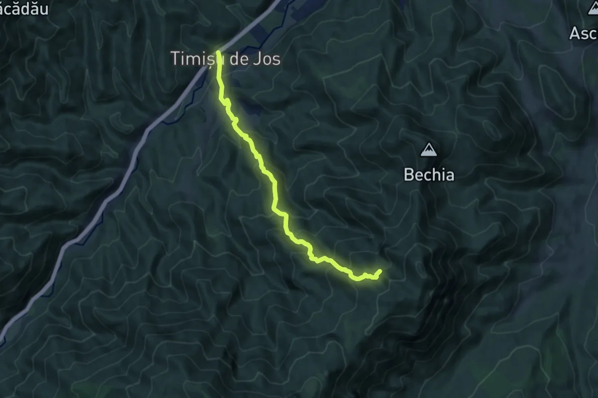
Demanding · Trail
Dâmbul Morii - Poteca Țiganilor - spre Peștera de Gheață
9.7 km · ↑ 802 m · 4 h 1 min
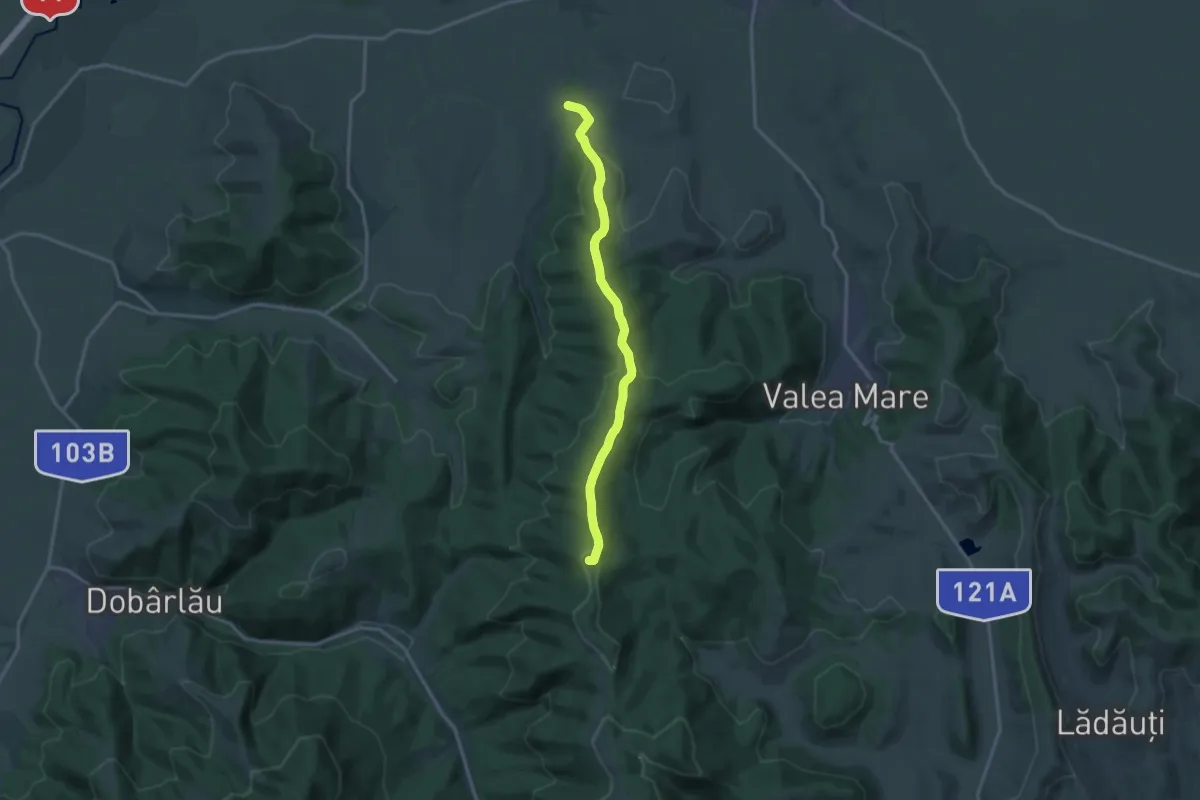
Medium · Summit
DC 25 (Aninoasa–Saciova) – Vârful Şiridiu – intersecţia cu creasta principală (traseul BR)
14.5 km · ↑ 485 m · 4 h 29 min
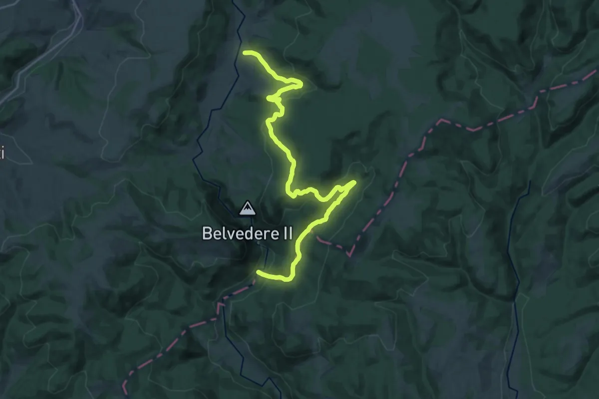
Demanding · Trail
Dealul Căprioarelor - Cheile Vârghișului
22.7 km · ↑ 693 m · 6 h 51 min
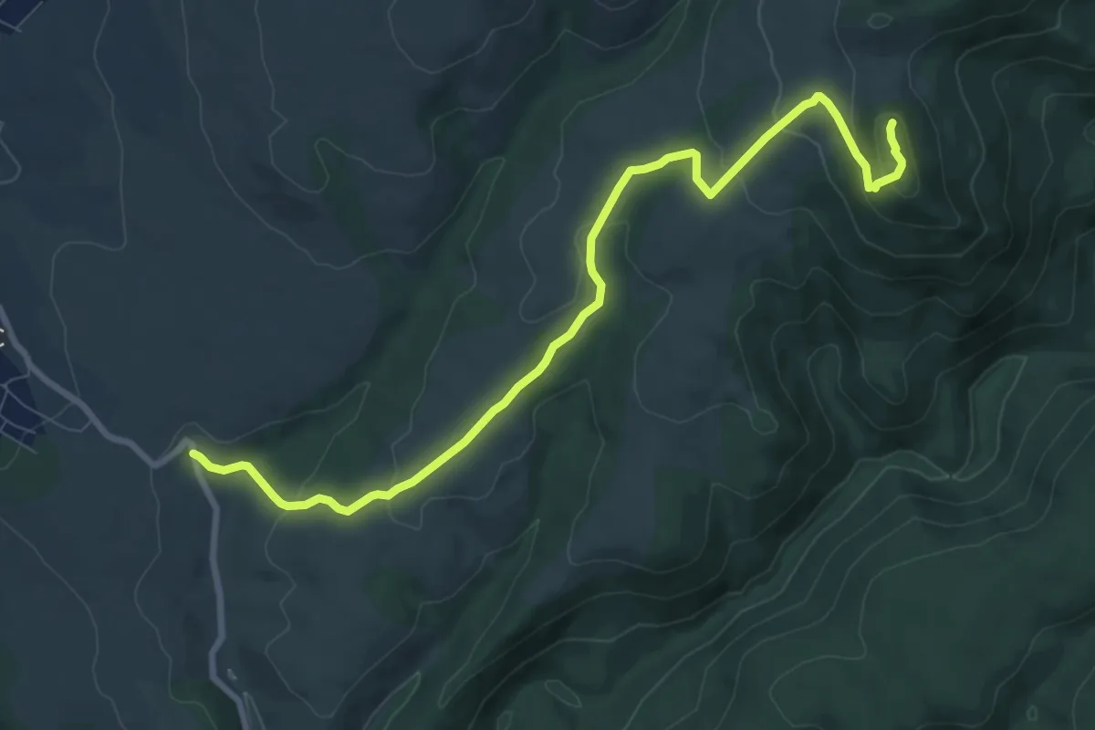
Medium · Trail
Dealul Cărăula - Dealul Chichireg - Custura Cetății - ruinele Cetății Socolari
9.8 km · ↑ 351 m · 3 h 5 min
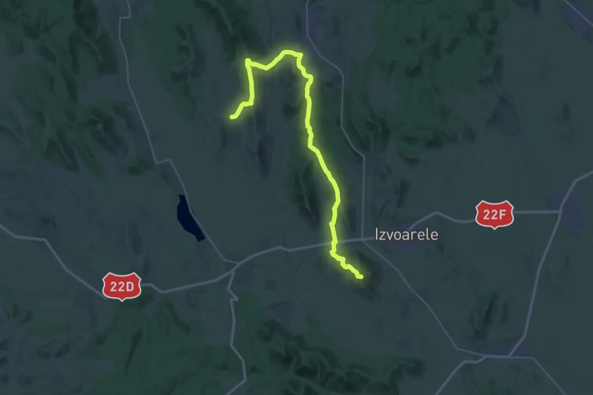
Demanding · Summit
Dealul Consul
31.7 km · ↑ 1239 m · 10 h 10 min
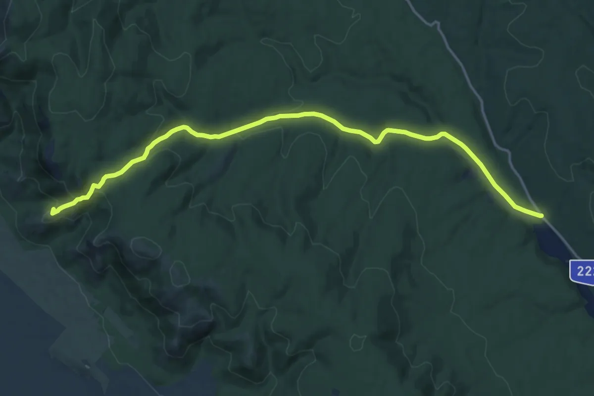
Medium · Summit
Dealul cu drum
15.8 km · ↑ 368 m · 4 h 32 min
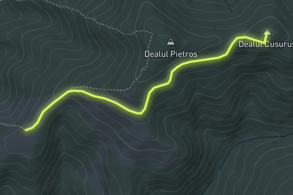
Easy · Summit
Dealul Hebea – Ruinele Cetăţii Barabás
4.6 km · ↑ 151 m · 1 h 25 min
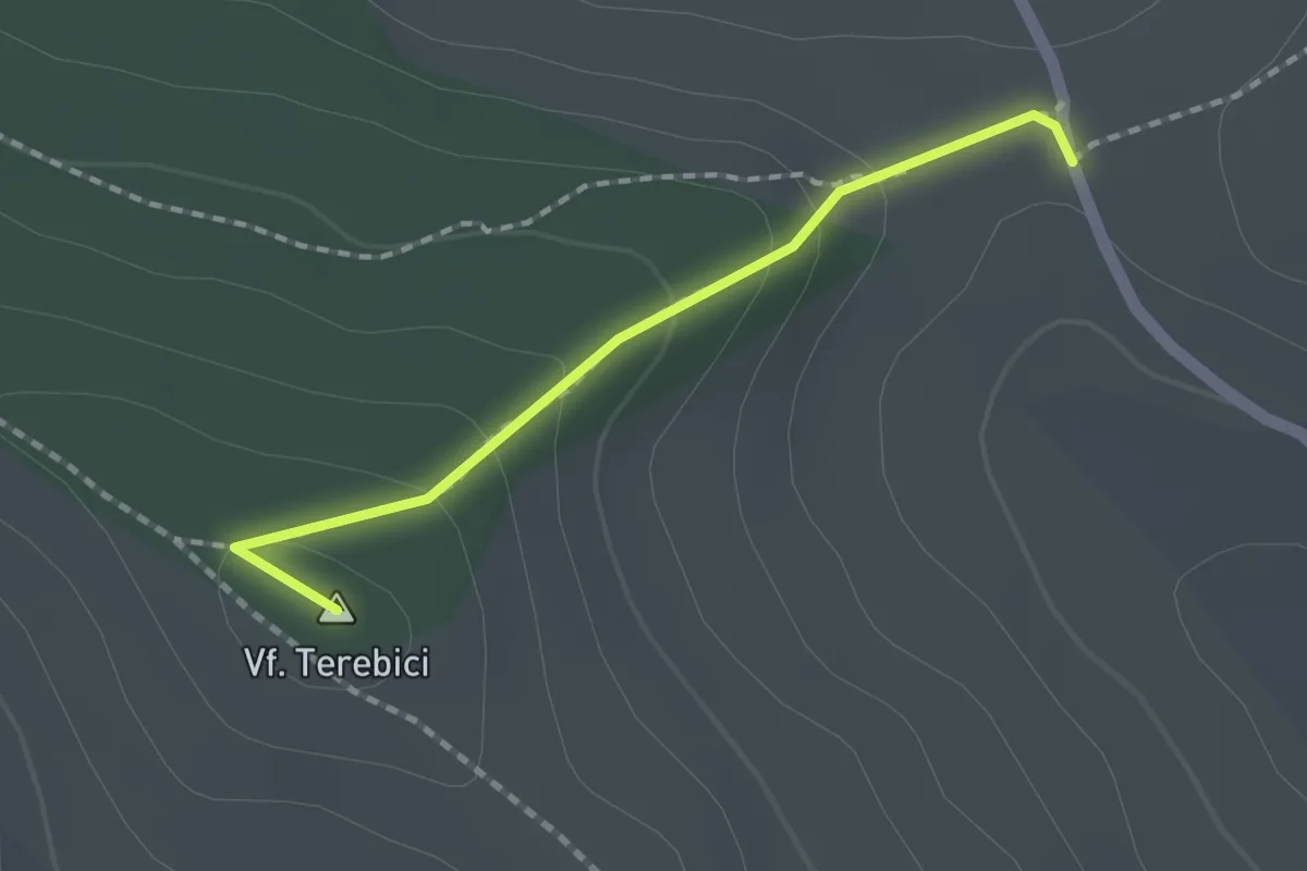
Easy · Summit
Dealul Nou - Vf. Terebici - drumul spre Poienița
1.6 km · ↑ 77 m · 32 min
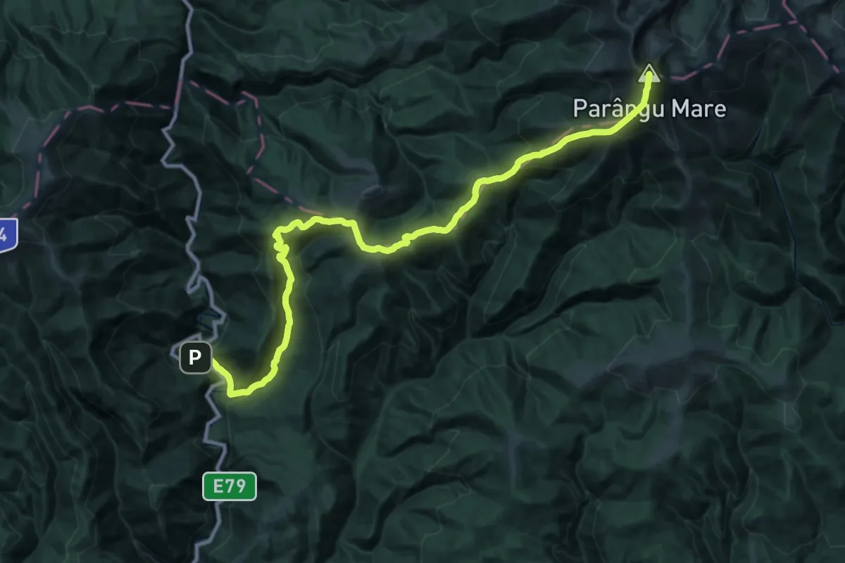
Demanding · Summit
Defileul Jiului - Șaua Prisloapelor - Vf. Parângul Mare
41.9 km · ↑ 2622 m · 15 h 34 min
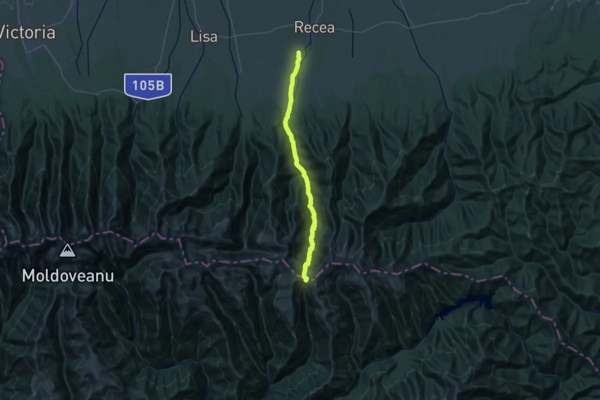
Medium · Trail
Dejani - Curmătura Brătilei
16.9 km · ↑ 73 m · 5 h 8 min
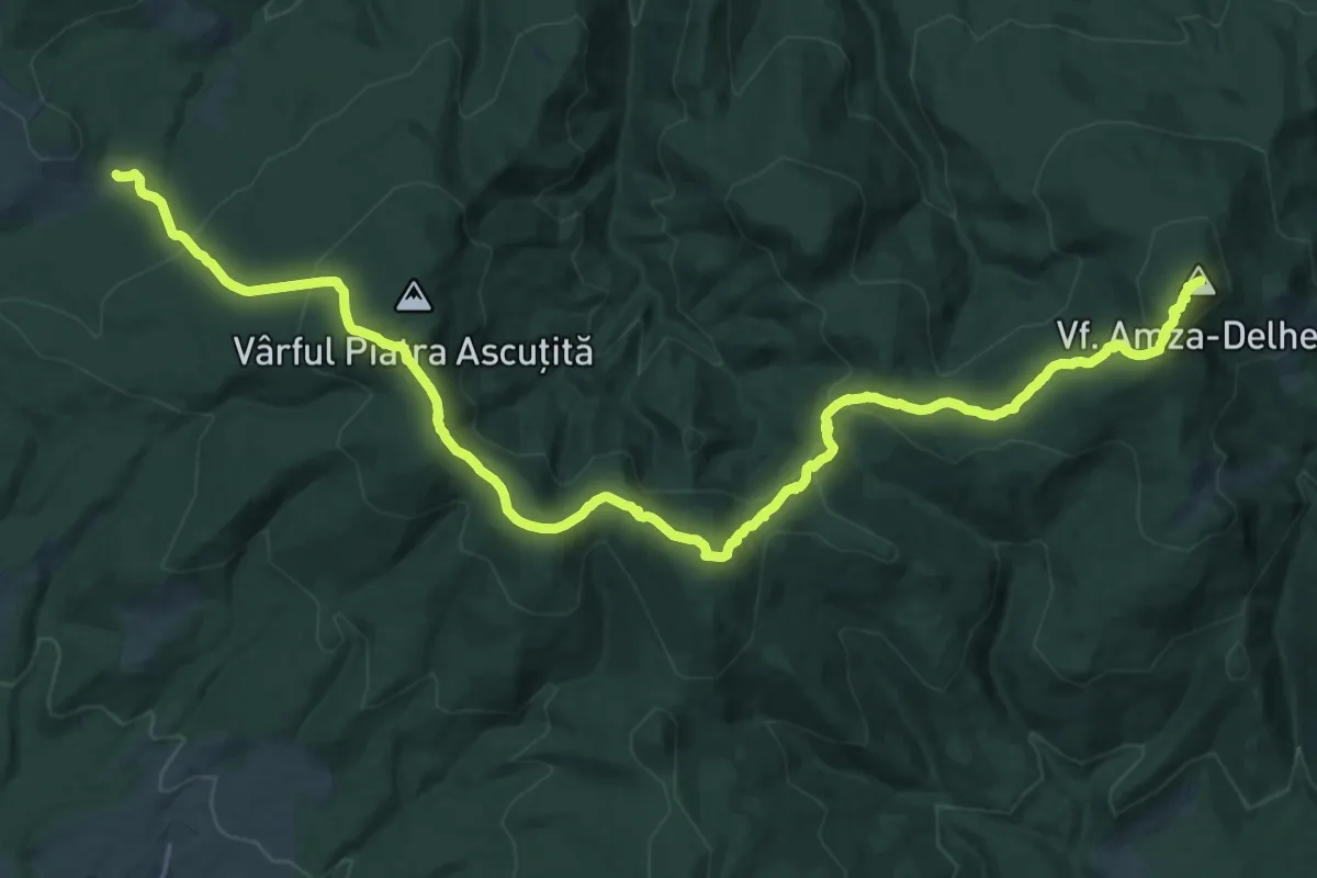
Demanding · Summit
delhegy
29.4 km · ↑ 1313 m · 9 h 47 min
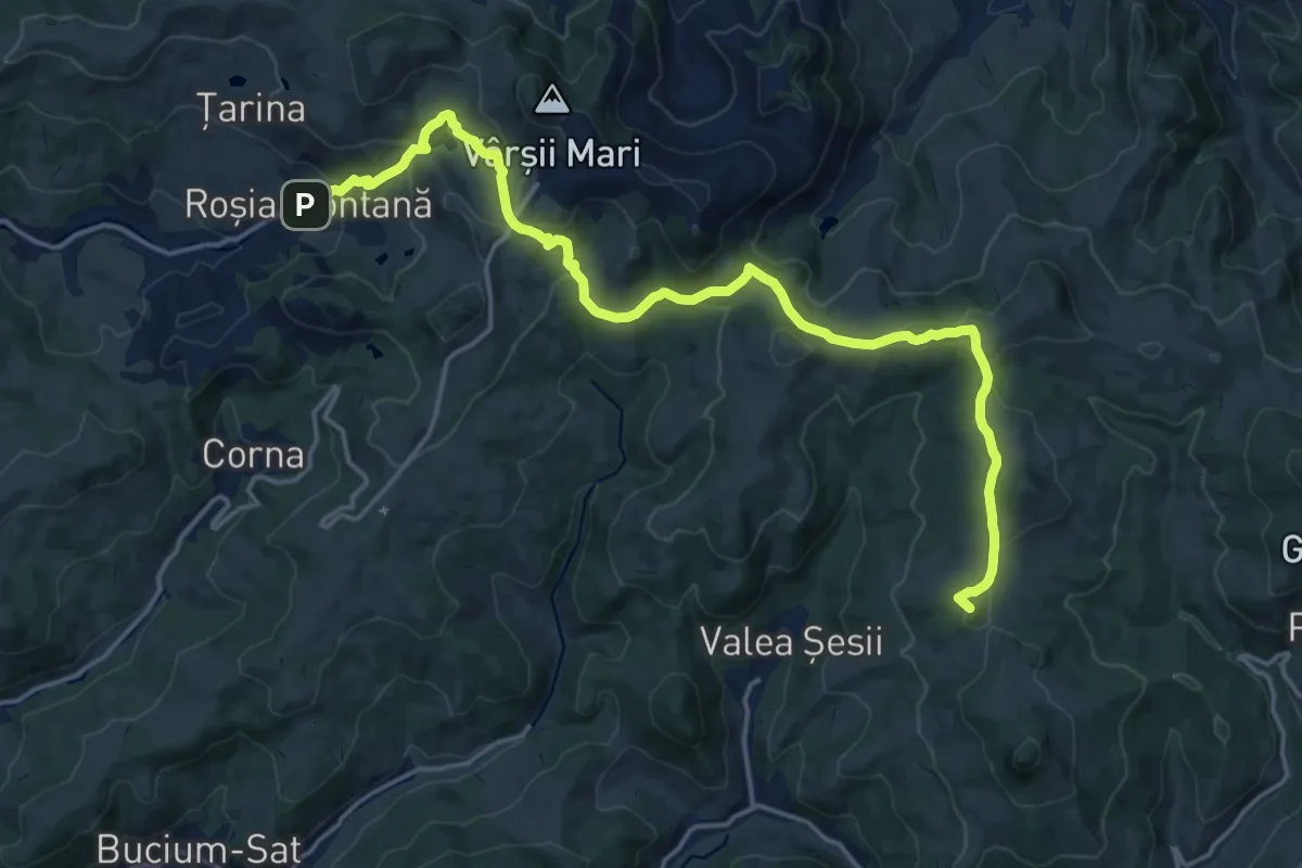
Demanding · Summit
Detunata Goală
19.5 km · ↑ 658 m · 6 h 1 min
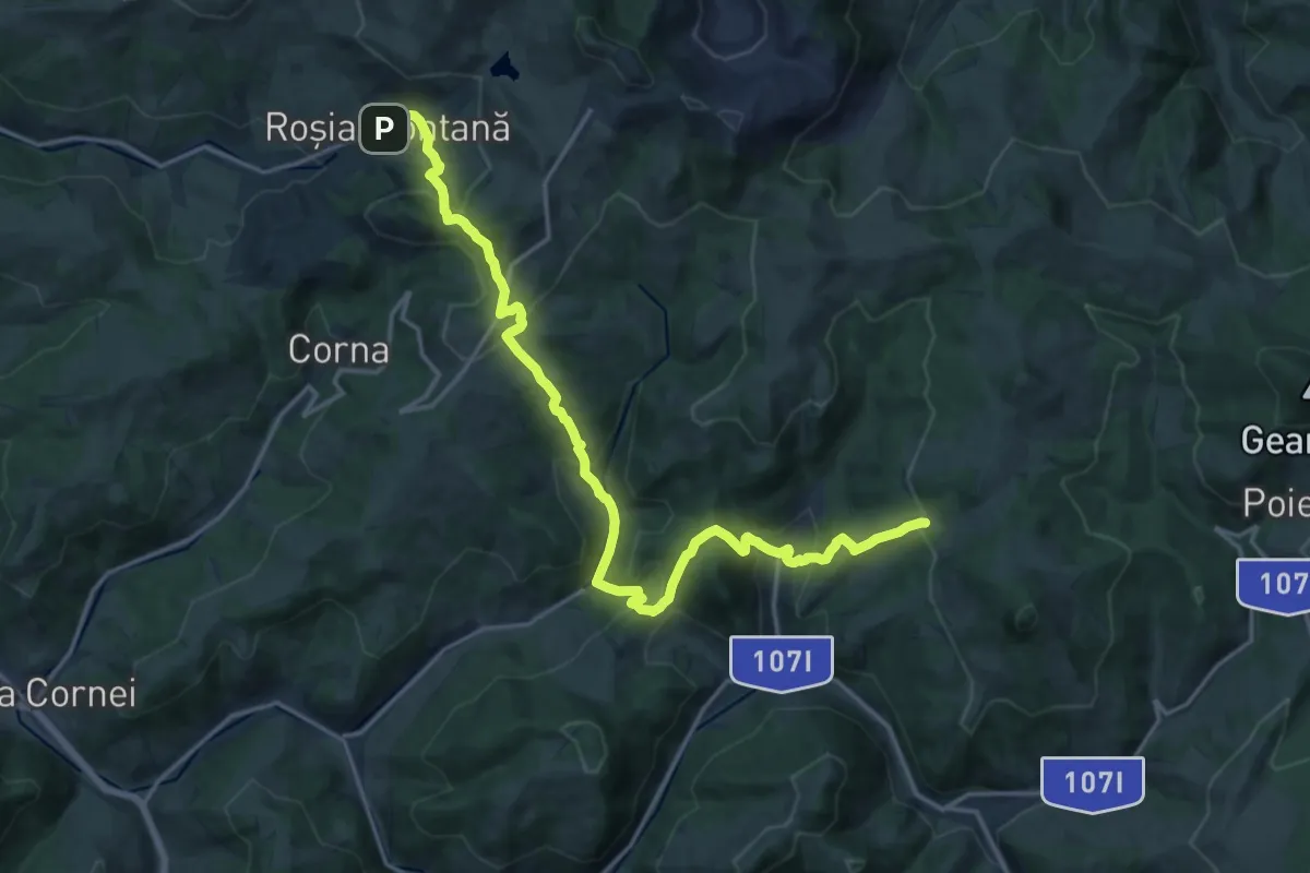
Demanding · Trail
Detunata Goală prin Valea Abruzel
19.6 km · ↑ 1081 m · 6 h 58 min
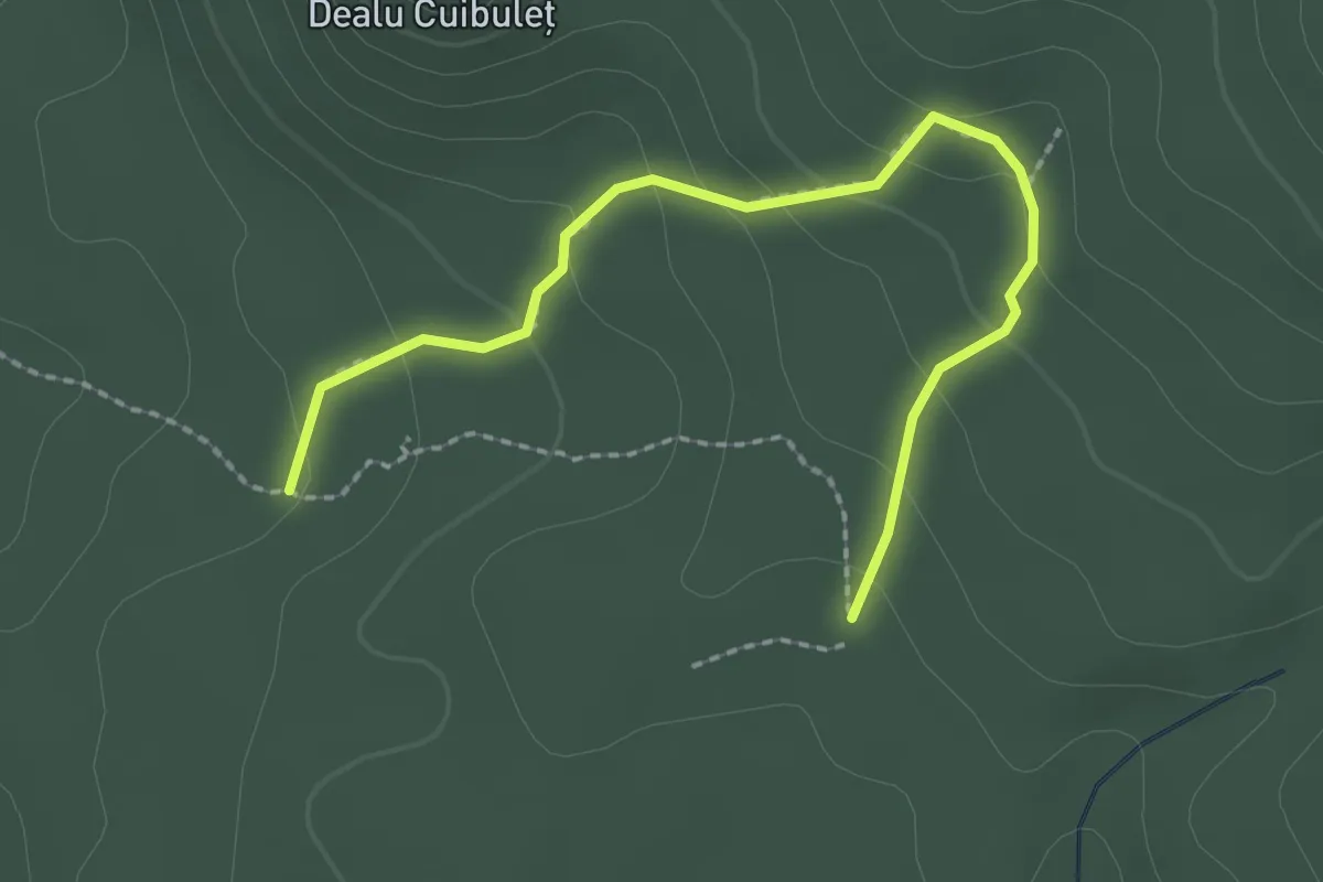
Easy · Trail
Deviație spre Avenul Acoperit și Avenul Pionierilor
2.5 km · ↑ 160 m · 56 min
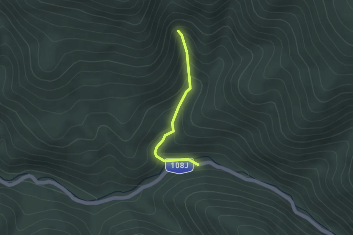
Easy · Trail
Deviație spre cascada Miss
2.1 km · ↑ 144 m · 48 min
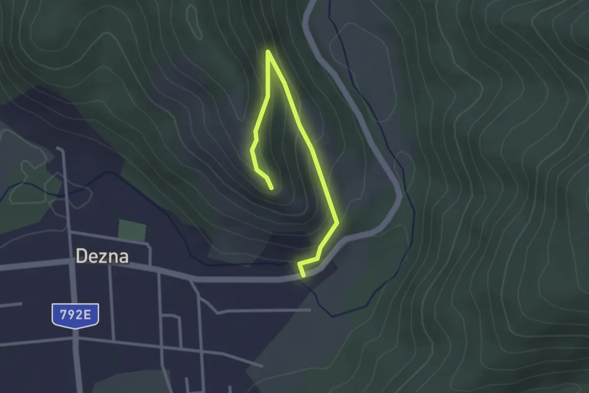
Easy · Trail
Dezna – Ruinele Cetății Dezna
2.8 km · ↑ 174 m · 1 h 2 min
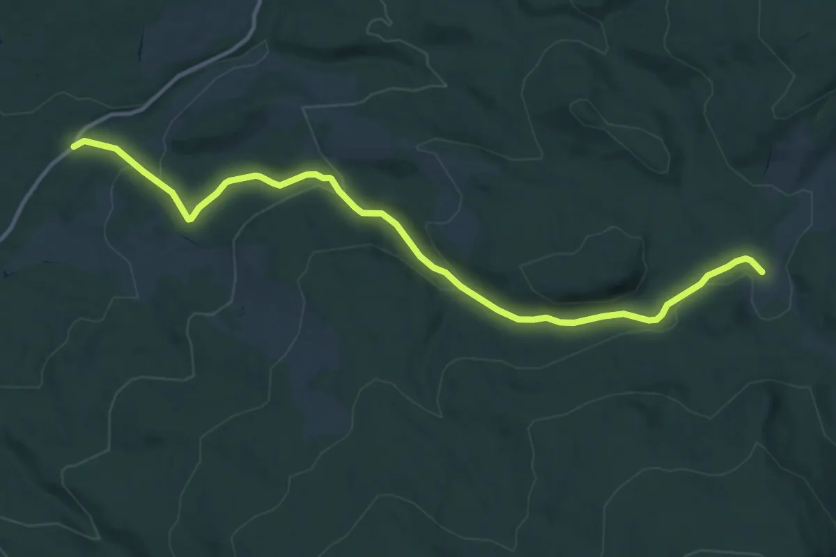
Medium · Trail
DJ 138 (lângă Hanul Liban) - sub Vf. Piatra Dungă - intersecție traseul BA
12.3 km · ↑ 343 m · 3 h 39 min
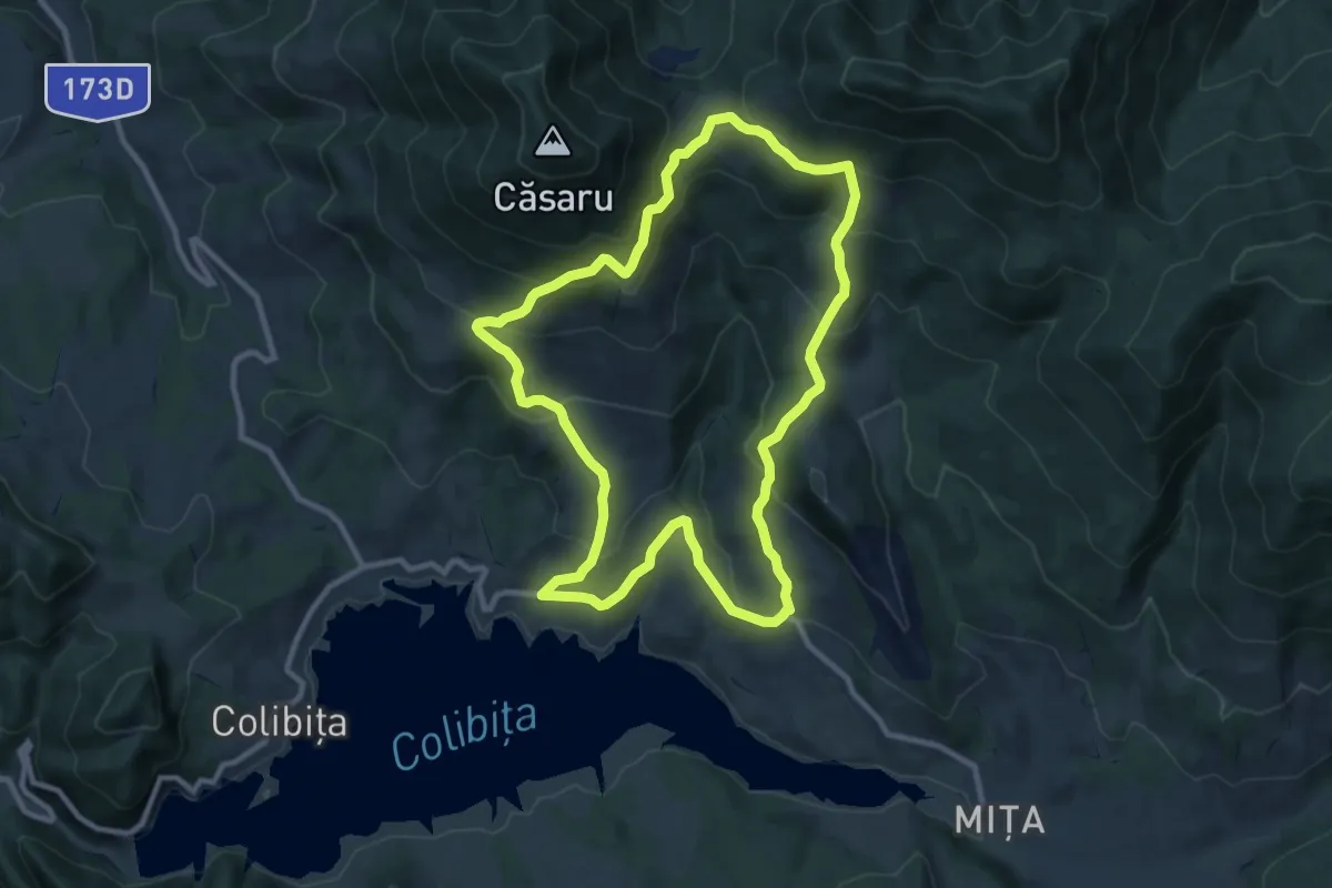
Medium · Trail
DJ172D Colibița - Piciorul Borii - Pripoare - Șaua Tomnatec - Poiana Andreichii - DJ 172D Colibița
10.0 km · ↑ 547 m · 3 h 41 min
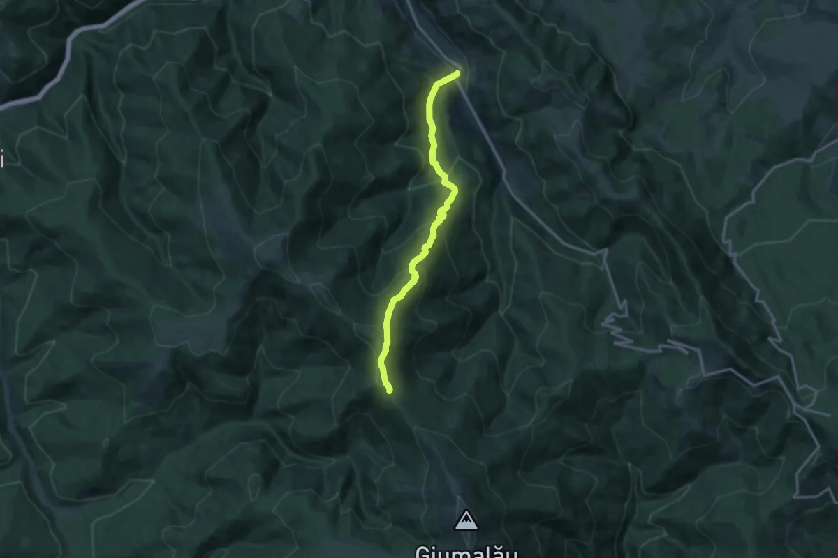
Demanding · Trail
DJ 175B Transrarău - lângă Vf. Zmârzii - traseul 6 PA
11.9 km · ↑ 849 m · 4 h 39 min
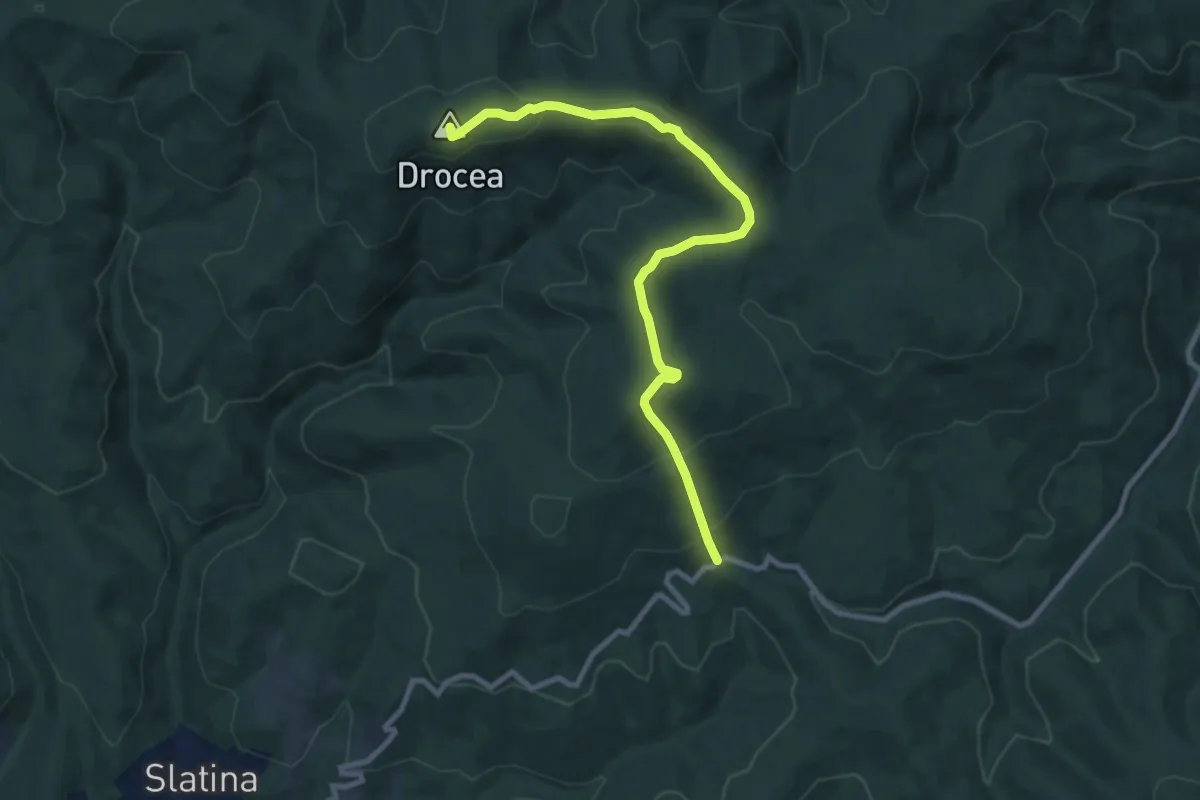
Medium · Summit
DJ 708 (Julita - Gurahonț) - Vf. Drocea
9.6 km · ↑ 420 m · 3 h 11 min
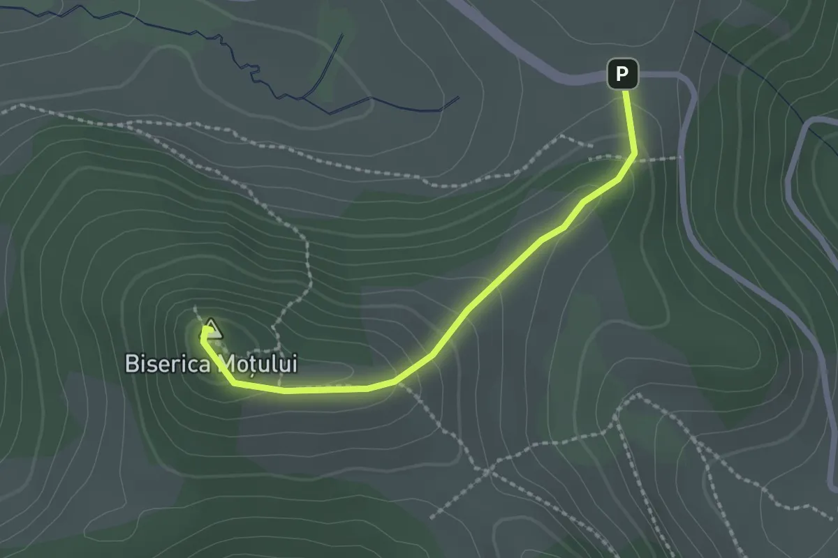
Easy · Summit
DJ763 - Vf. Biserica Moțului
2.0 km · ↑ 102 m · 42 min
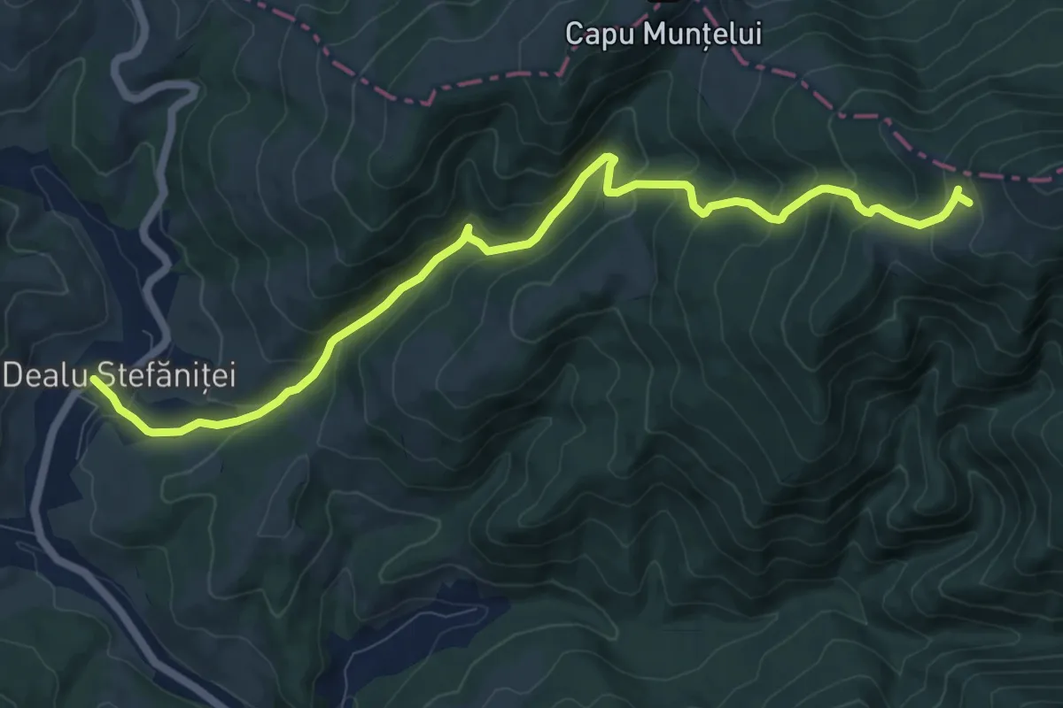
Medium · Trail
Dl. Stefăniței - V. Fundoaia - La Vălaie
11.0 km · ↑ 720 m · 4 h 10 min
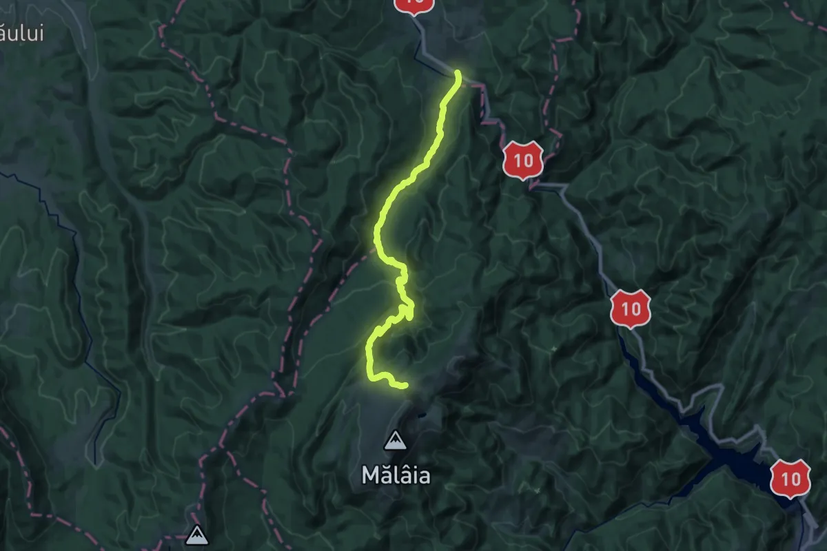
Demanding · Trail
DN10-Crasna - Urlătoarea - Poarta Vânturilor
23.0 km · ↑ 882 m · 7 h 21 min
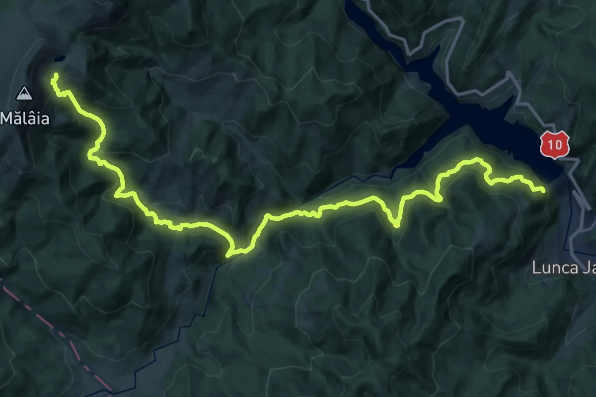
Demanding · Cabin
DN10-Gura Bonțului - Gura Milea - Lacul Vulturilor
14.9 km · ↑ 1092 m · 5 h 42 min
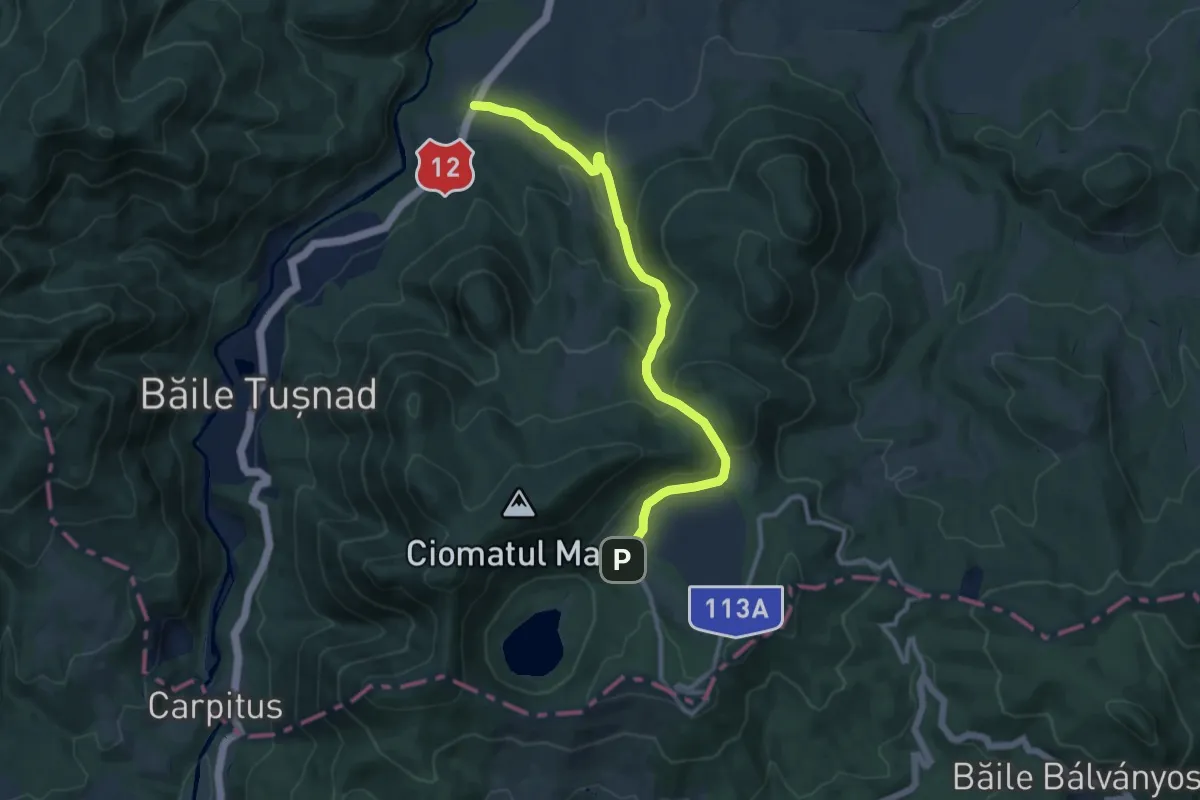
Medium · Trail
DN 12 (nord de orașul Băile Tușnad) - Tinovul Mohos - Cabana Lacul Sfânta Ana
10.9 km · ↑ 543 m · 3 h 44 min
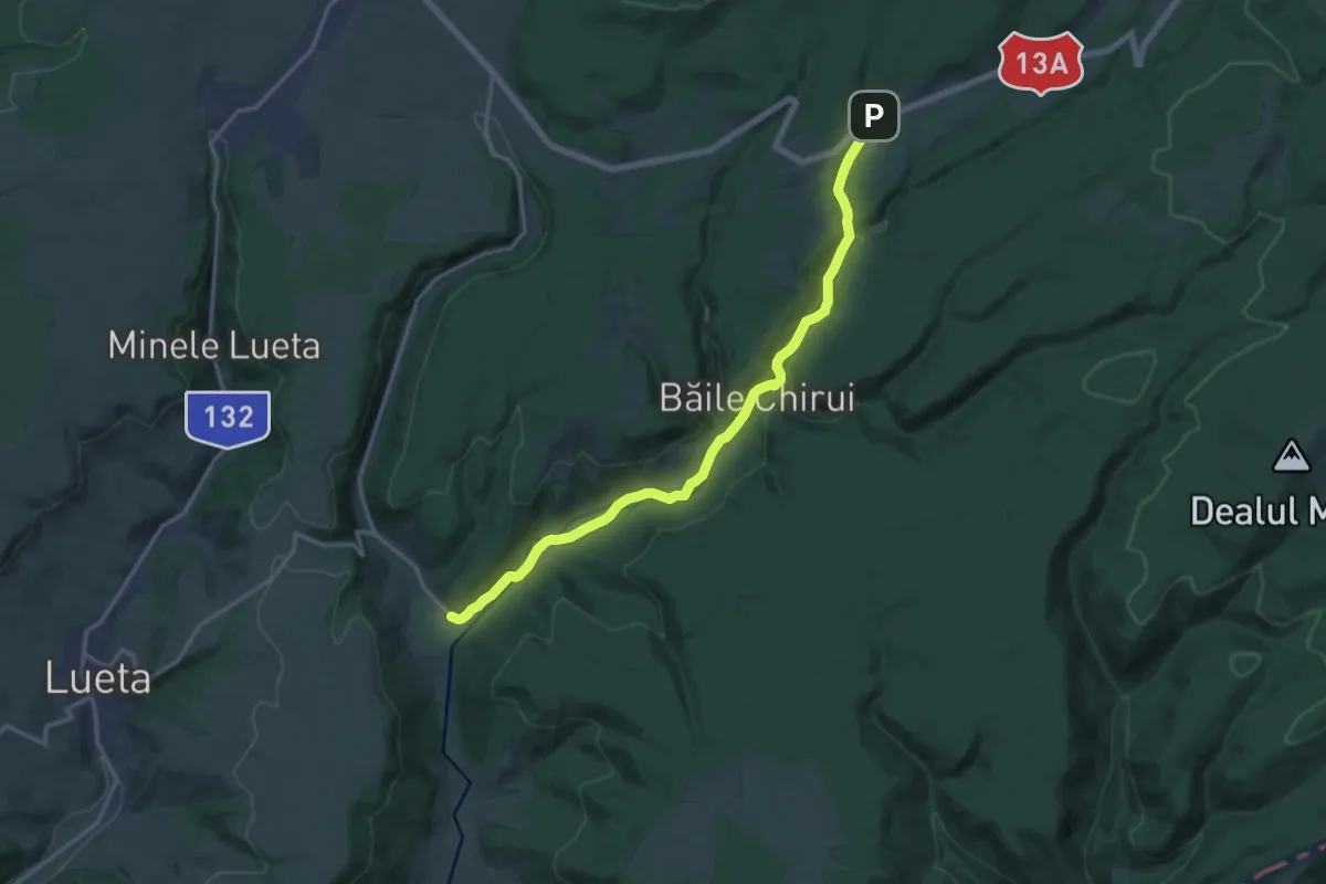
Medium · Trail
DN 13A (Dealul Piatra Colibei) - sat Băile Chirui - Colțul Chirui
16.3 km · ↑ 276 m · 4 h 26 min
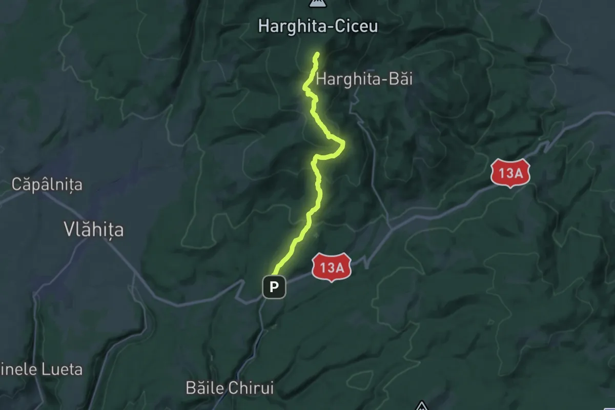
Demanding · Summit
DN 13A (Dealul Piatra Colibei) - Vf. Sileș Viso - Stațiunea Harghita-Băi
18.9 km · ↑ 899 m · 6 h 25 min
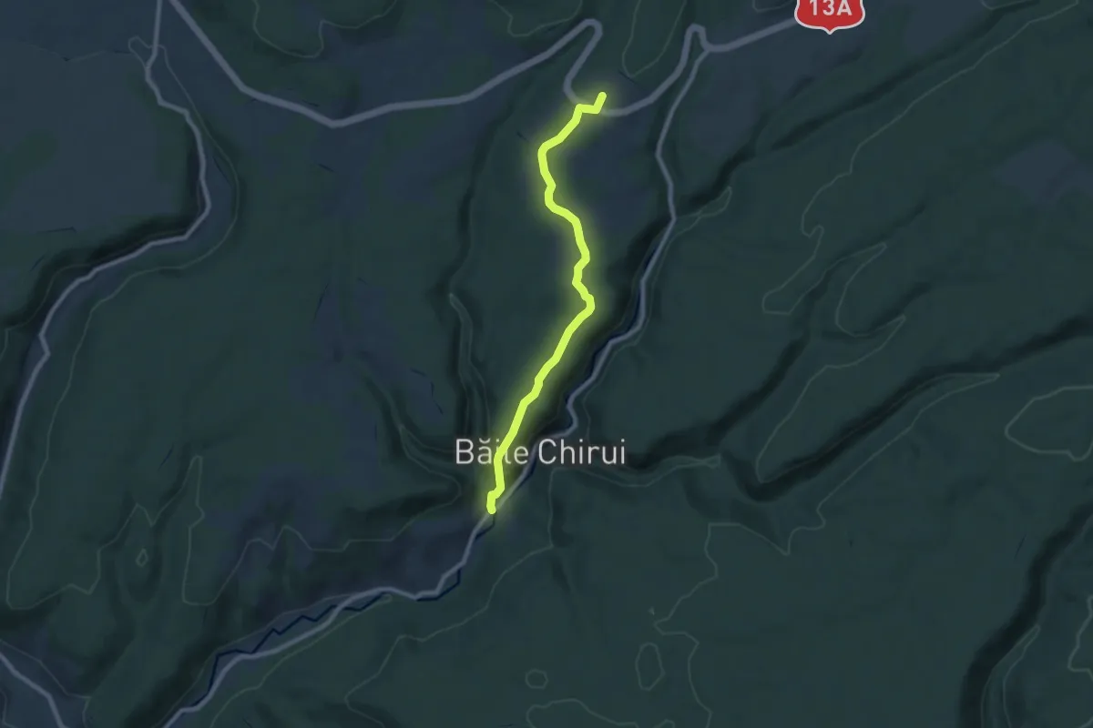
Easy · Summit
DN 13A (sub Piatra Cornului) - sat Băile Chirui
7.8 km · ↑ 201 m · 2 h 16 min
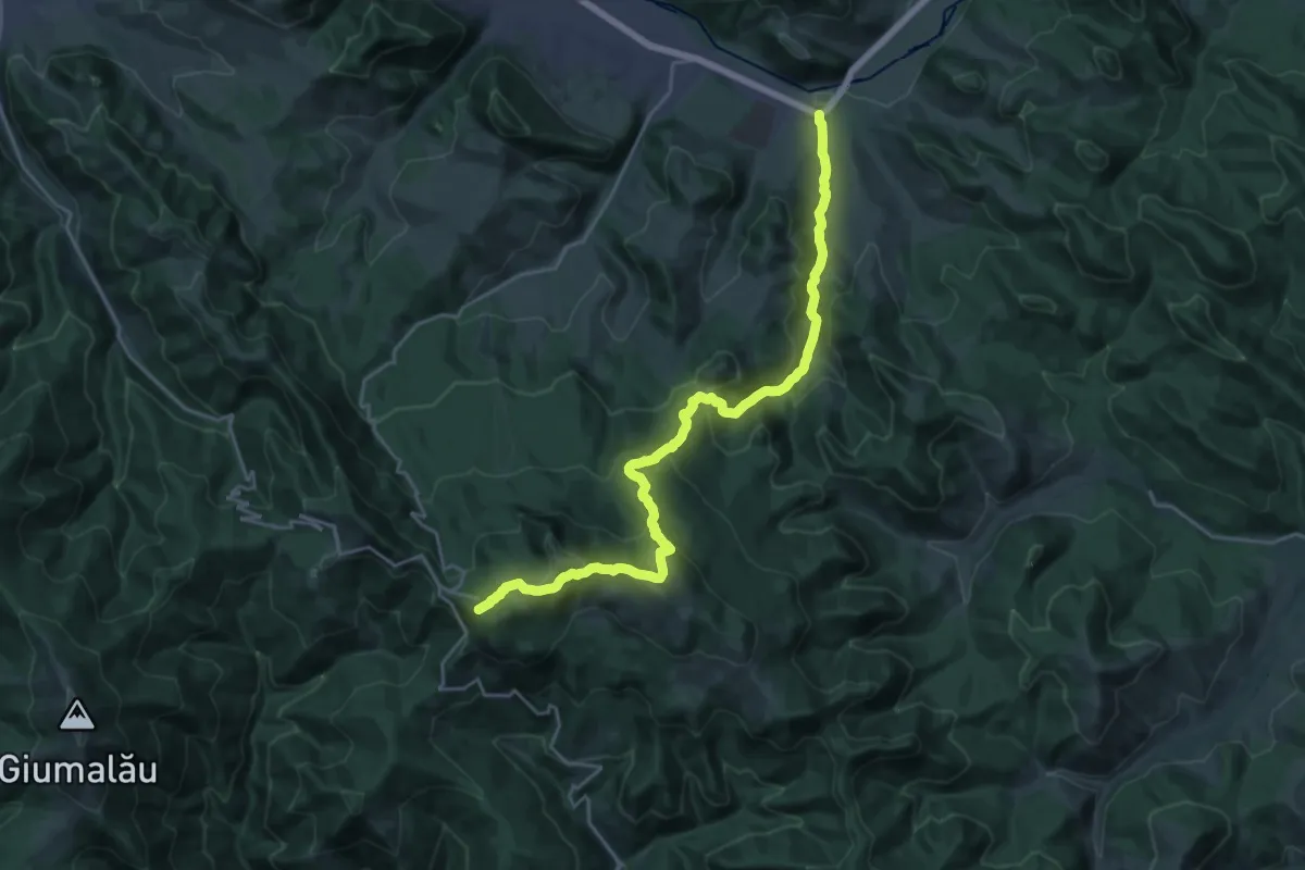
Demanding · Trail
DN17 (la est de Câmpulung Moldovenesc) – Hotel Rarău (red cross)
12.1 km · ↑ 1090 m · 4 h 56 min
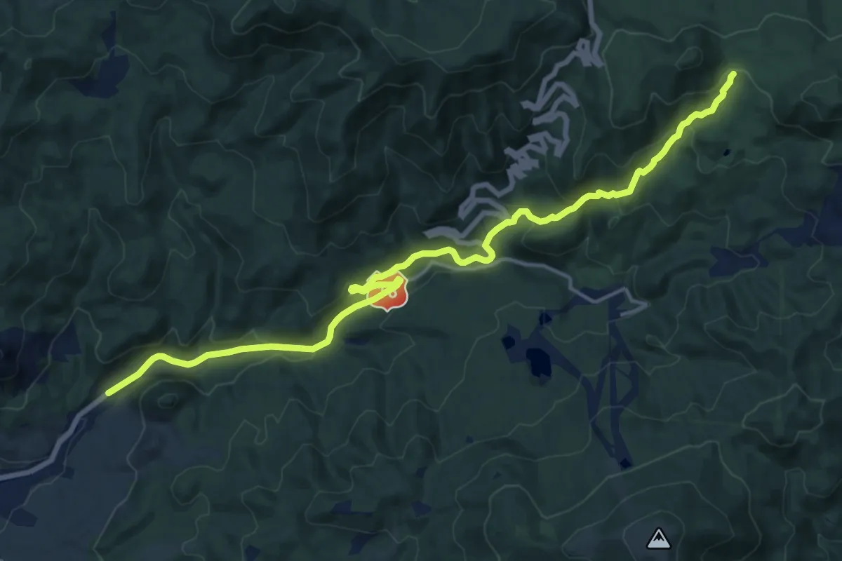
Medium · Trail
DN18 – Poiana Boului
17.1 km · ↑ 642 m · 5 h 26 min
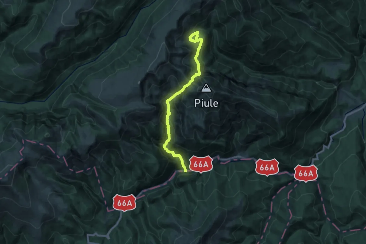
Demanding · Trail
DN66A - Valea Scorota - Cabana Buta
15.4 km · ↑ 1398 m · 6 h 40 min