Trails in Romania
1,356 hiking trails, each with its route, climb, walking time and grade.
All trails, page 9 of 29
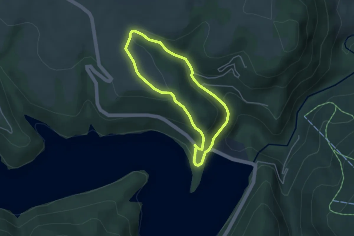
Easy · Trail
Complexul Turistic Fântânele - Poiana Ciunca - Complexul Turistic Fântânele
3.0 km · ↑ 149 m · 1 h 5 min
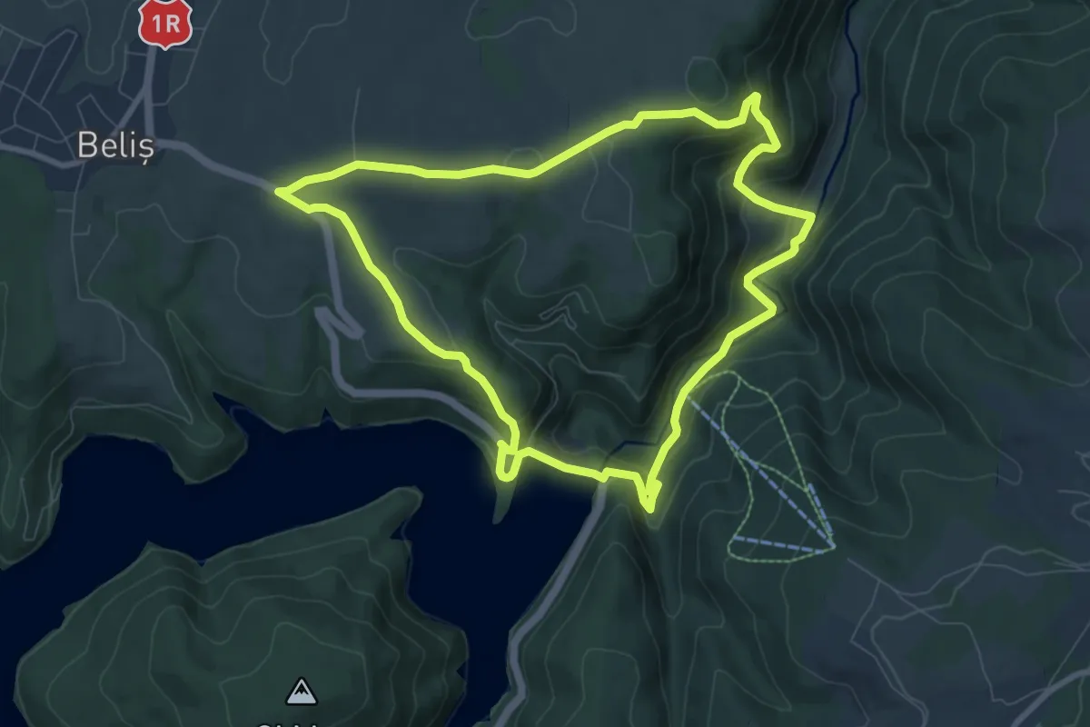
Medium · Trail
Complexul Turistic Fântânele - Poiana Marchiș - Complexul Turistic Fântânele
8.3 km · ↑ 328 m · 2 h 47 min
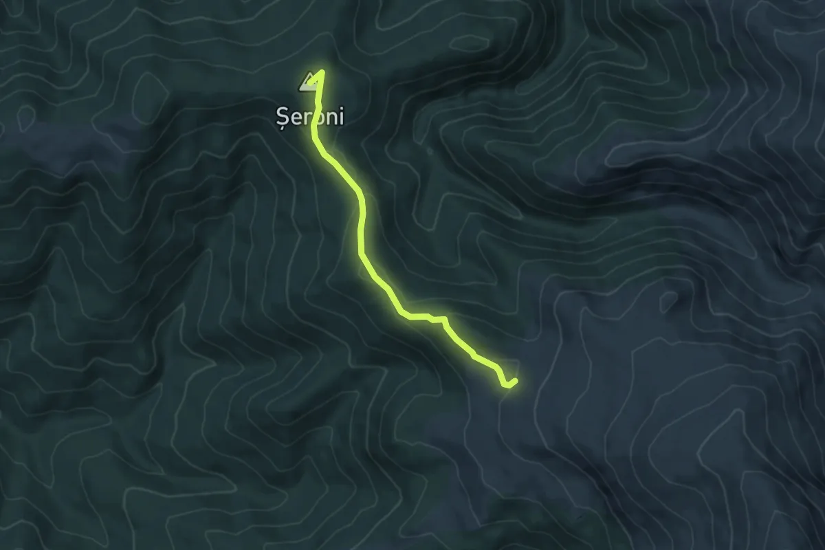
Easy · Summit
Complexul turistic ,,Muntele Mic” – Vârful Șeroni – Stația meteo Cuntu
5.5 km · ↑ 173 m · 1 h 41 min
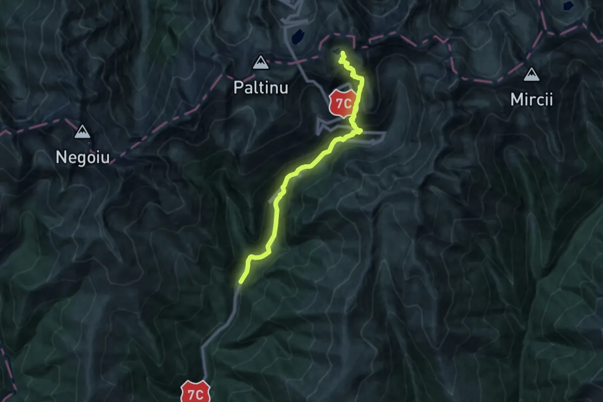
Demanding · Trail
Complexul Turistic Piscul Negru - Cabana Capra - L. Capra
14.3 km · ↑ 1096 m · 5 h 45 min
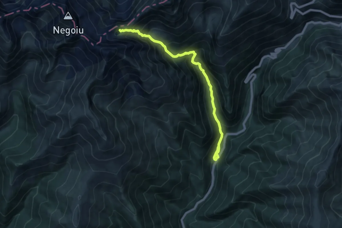
Demanding · Cabin
Complexul Turistic Piscul Negru - L. Călțun
10.2 km · ↑ 1001 m · 4 h 35 min
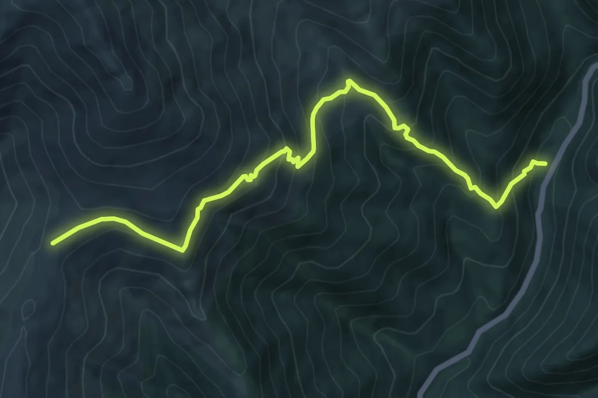
Demanding · Trail
Complexul Turistic Piscul Negru - Stâna Lespezi - Șaua Podeanu
8.7 km · ↑ 750 m · 3 h 41 min
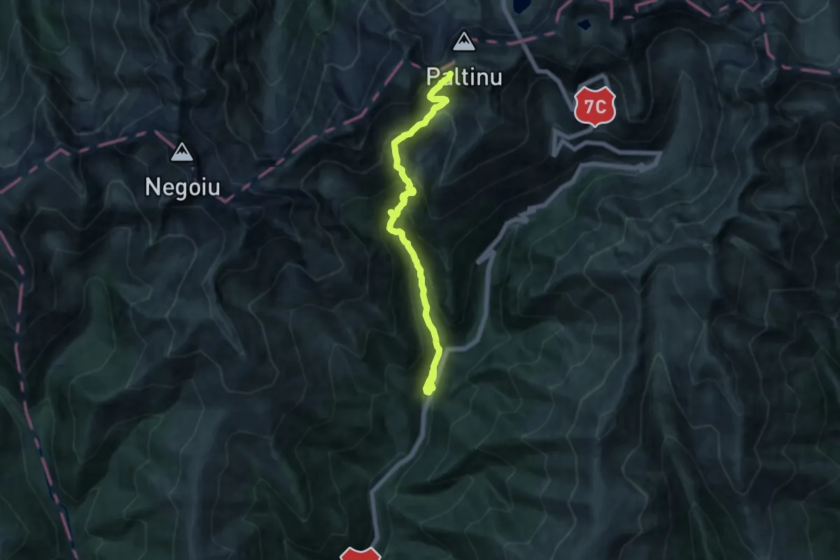
Demanding · Trail
Complexul Turistic Piscul Negru - V. Călțun - creasta principală
12.3 km · ↑ 1184 m · 5 h 28 min
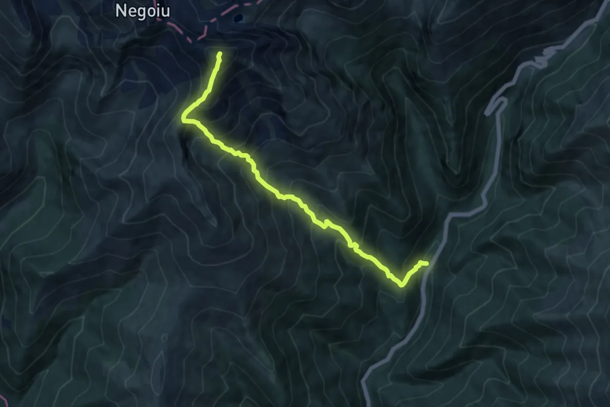
Demanding · Summit
Complexul Turistic Piscul Negru - Vf. Lespezi - Complexul Turistic Piscul Negru
9.9 km · ↑ 1285 m · 5 h 7 min
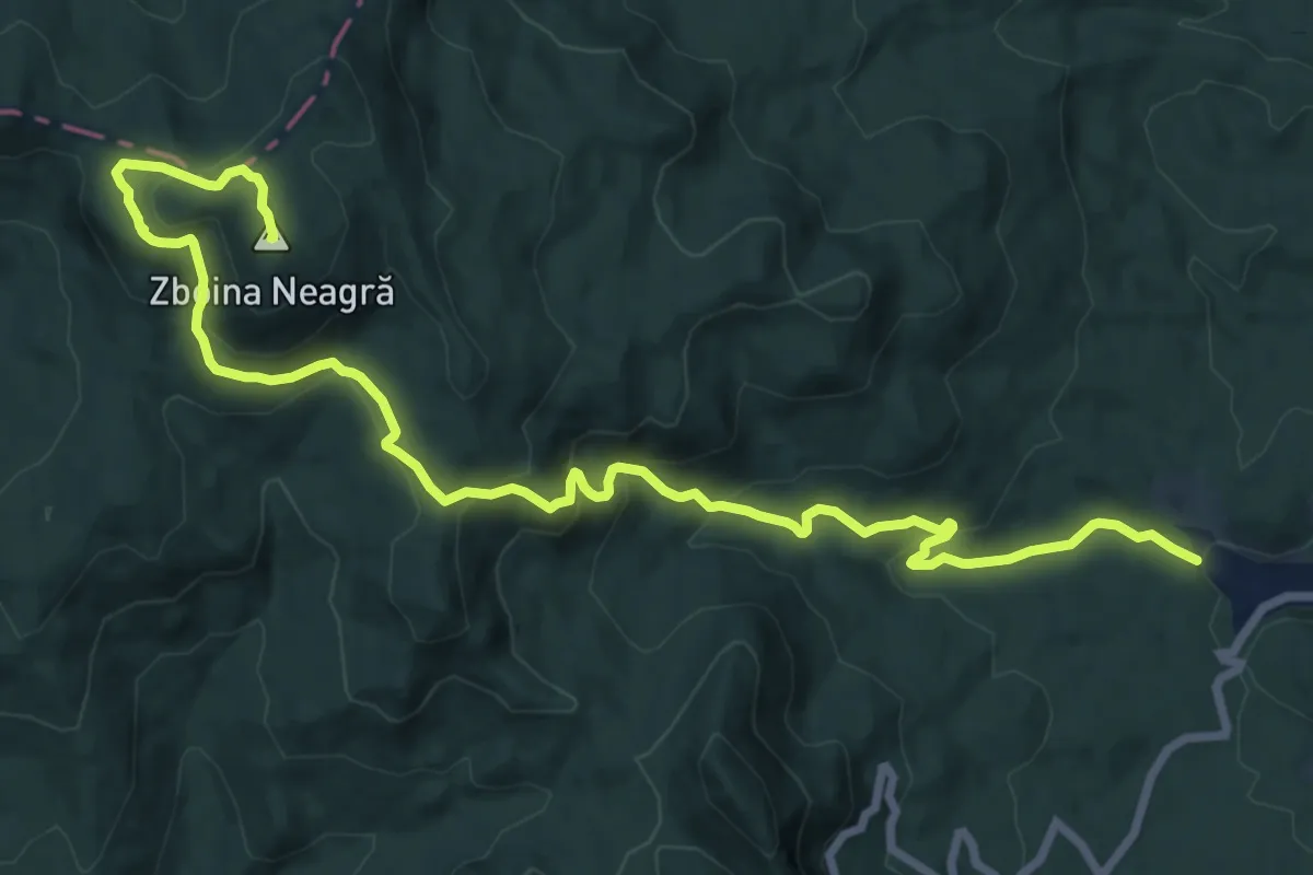
Demanding · Summit
Comuna Soveja – Șezătoarea Lupilor – Muntele Zboina Neagră (red cross)
18.1 km · ↑ 909 m · 6 h 15 min
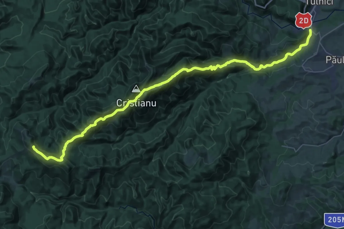
Demanding · Summit
Comuna Tulnici – Stina Haulestenilor – Mt. Coza – Saua Geamana – Dealul Negru – Saua Tisitei – Poiana Sindrilita (red stripe)
38.0 km · ↑ 2059 m · 13 h 26 min
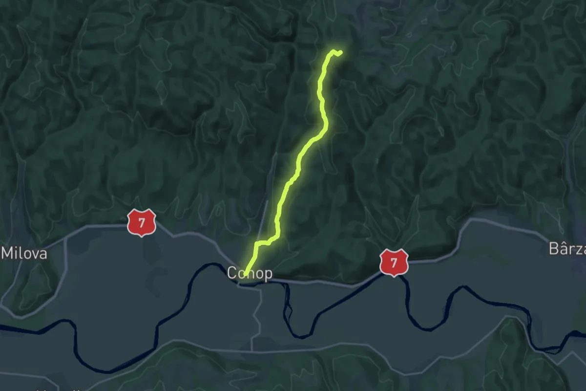
Medium · Summit
Conop - Creasta Conopului - Creasta Principală a Munților Zarand - Debela Gora
14.7 km · ↑ 453 m · 4 h 28 min
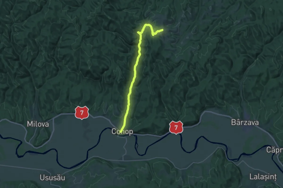
Demanding · Trail
Conop - Valea Conopului - Creasta Principală a Munților Zarand - Sălașele Nadășului
21.0 km · ↑ 382 m · 5 h 47 min
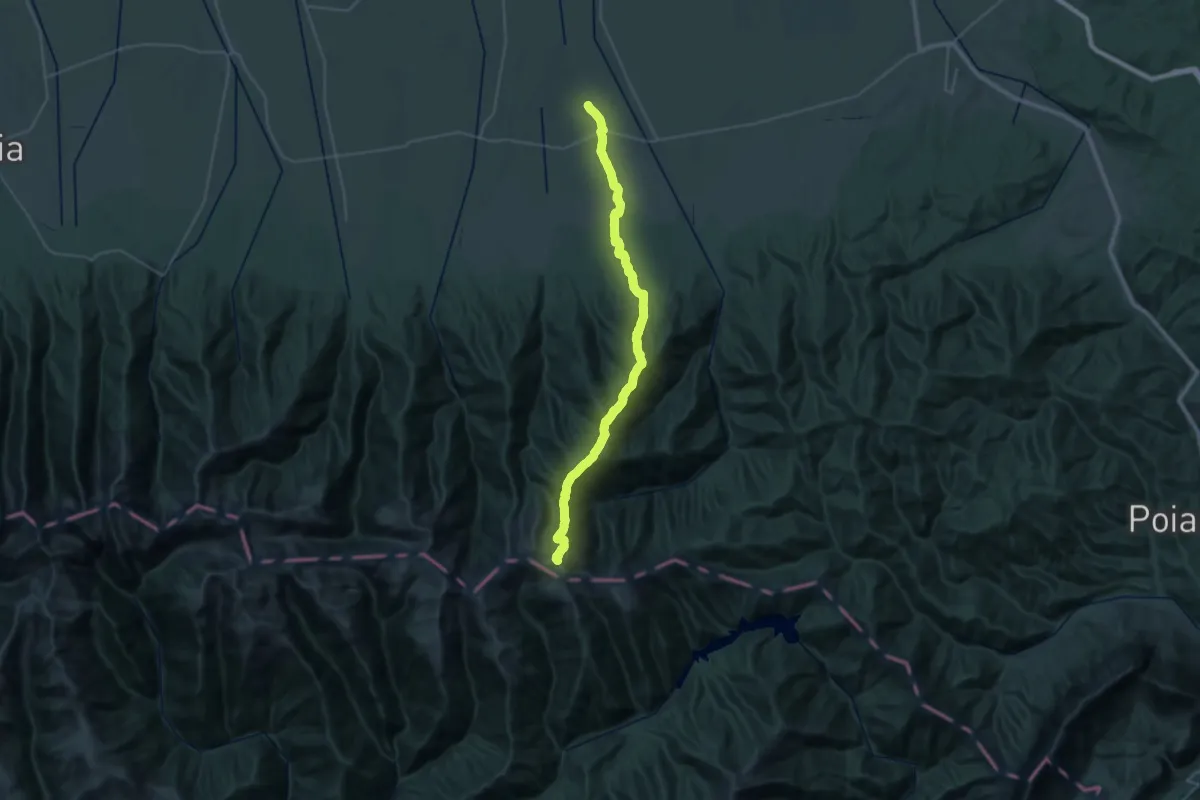
Demanding · Summit
Copăcel - Refugiul Berevoescu - creasta principală
39.8 km · ↑ 2166 m · 14 h 5 min
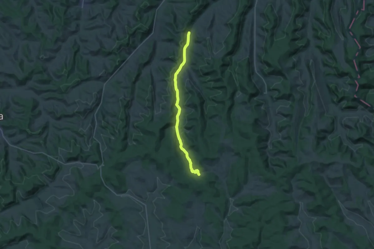
Demanding · Trail
Copșa Mare - Valea Lacului
18.9 km · ↑ 391 m · 5 h 19 min
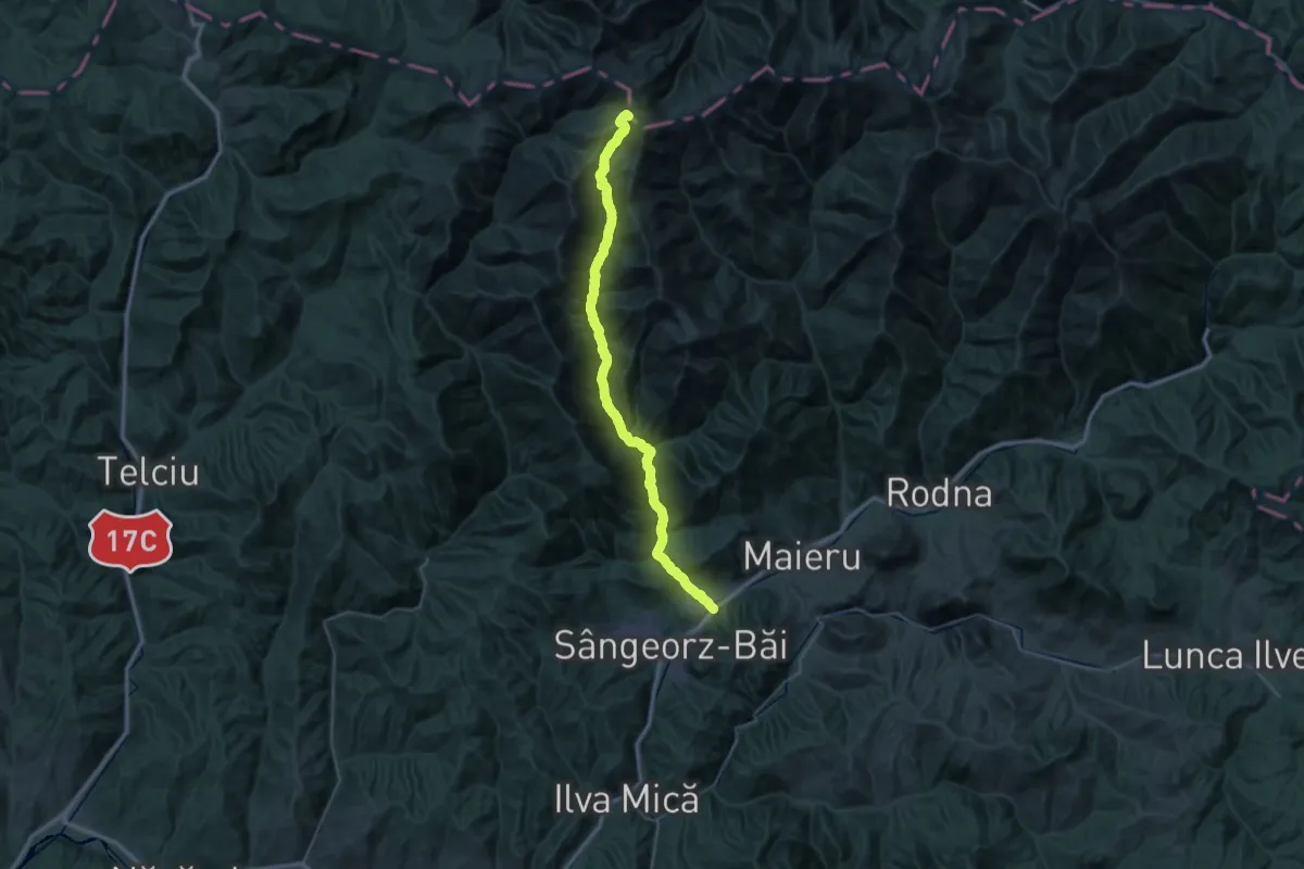
Demanding · Summit
Cormaia - Șaua Obârșia Rebrii
47.8 km · ↑ 2140 m · 15 h 55 min
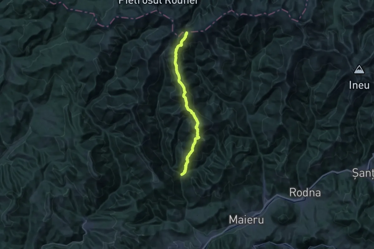
Demanding · Cabin
Cormaia - Vf. Rabla - La Cărți
16.1 km · ↑ 1867 m · 7 h 28 min
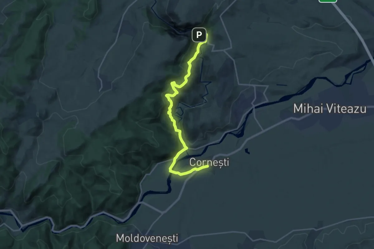
Medium · Trail
Cornești - Cascada Ciucaș - Cabana Cheile Turzii
16.5 km · ↑ 712 m · 5 h 26 min
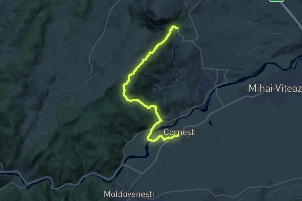
Medium · Cabin
Cornești - Valea Arinei - Cabana Cheile Turzii
17.9 km · ↑ 780 m · 5 h 55 min
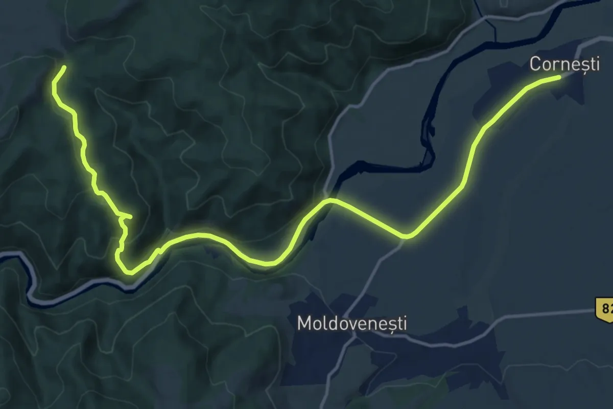
Medium · Trail
Cornești - Vf. Colțu Corbului - Gura Jigăului
16.7 km · ↑ 415 m · 4 h 50 min
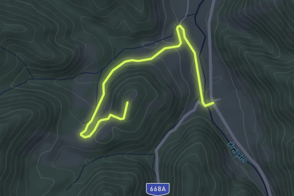
Easy · Trail
Costești - Cetatea Costești - Cetățuie
4.9 km · ↑ 173 m · 1 h 32 min
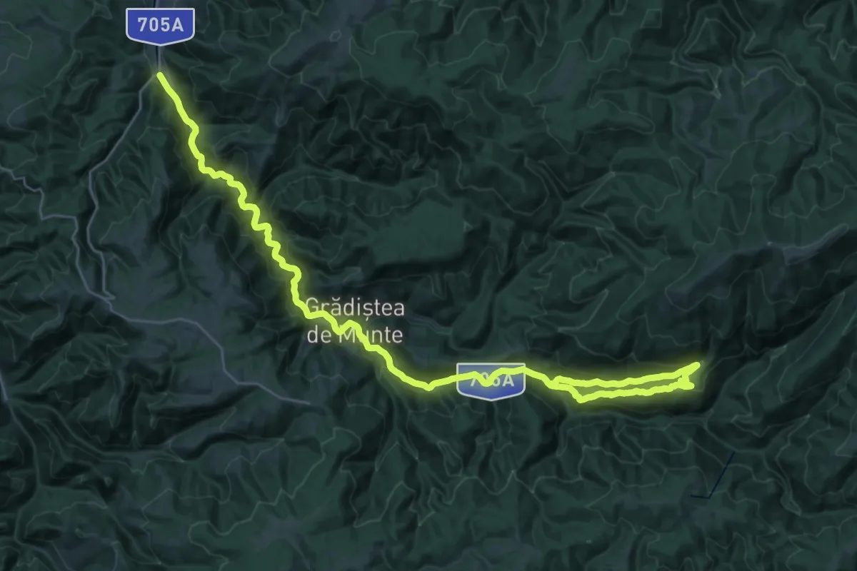
Demanding · Trail
Costești - Sarmizegetusa Regia - Vf. Godeanu
21.2 km · ↑ 894 m · 7 h 6 min
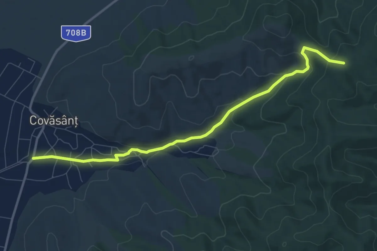
Medium · Trail
Covăsânţ – Creasta Principală
8.8 km · ↑ 255 m · 2 h 38 min
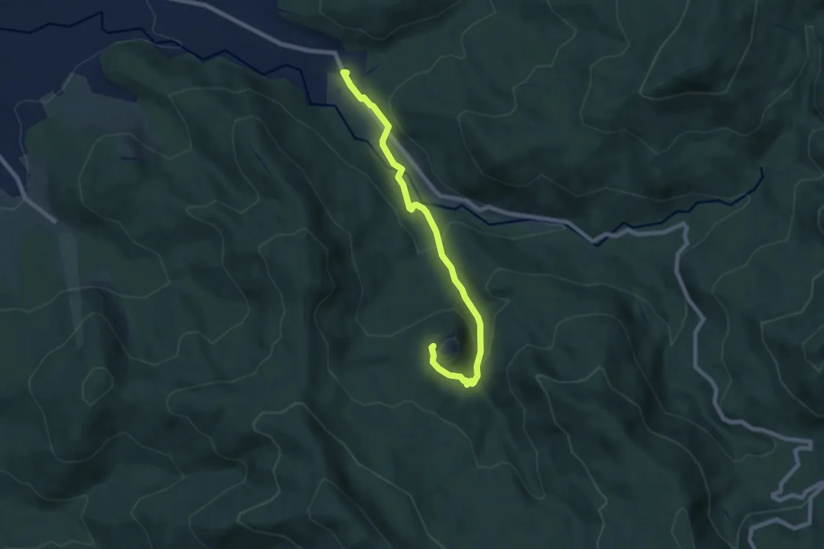
Easy · Trail
Covasna - Cetatea Zînelor
6.7 km · ↑ 260 m · 2 h 8 min
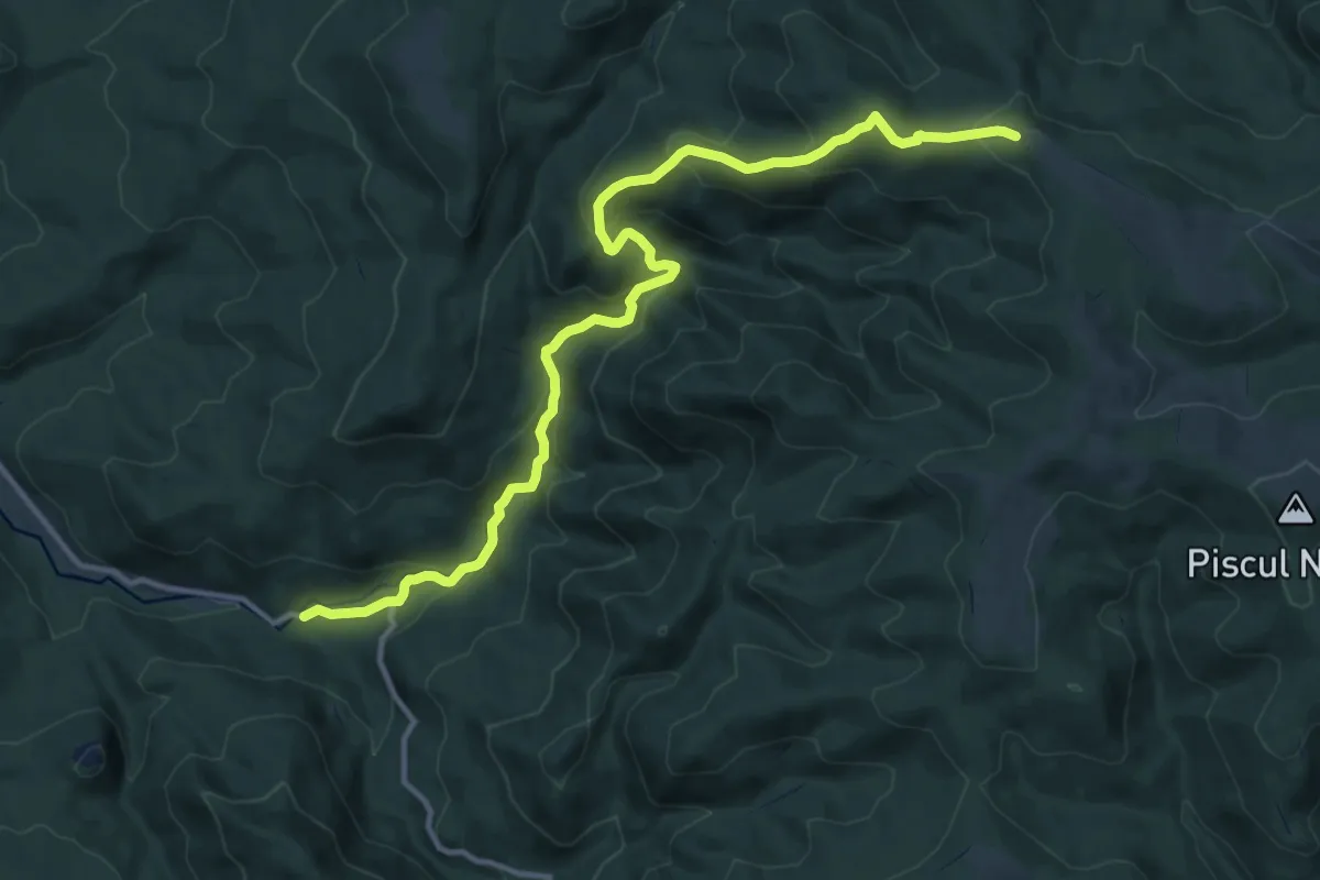
Medium · Trail
Covasna - Valea Chetagului - Poiana Iacob
14.5 km · ↑ 723 m · 5 h
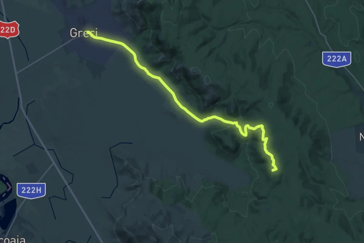
Demanding · Summit
Cozluk
22.0 km · ↑ 417 m · 6 h 6 min
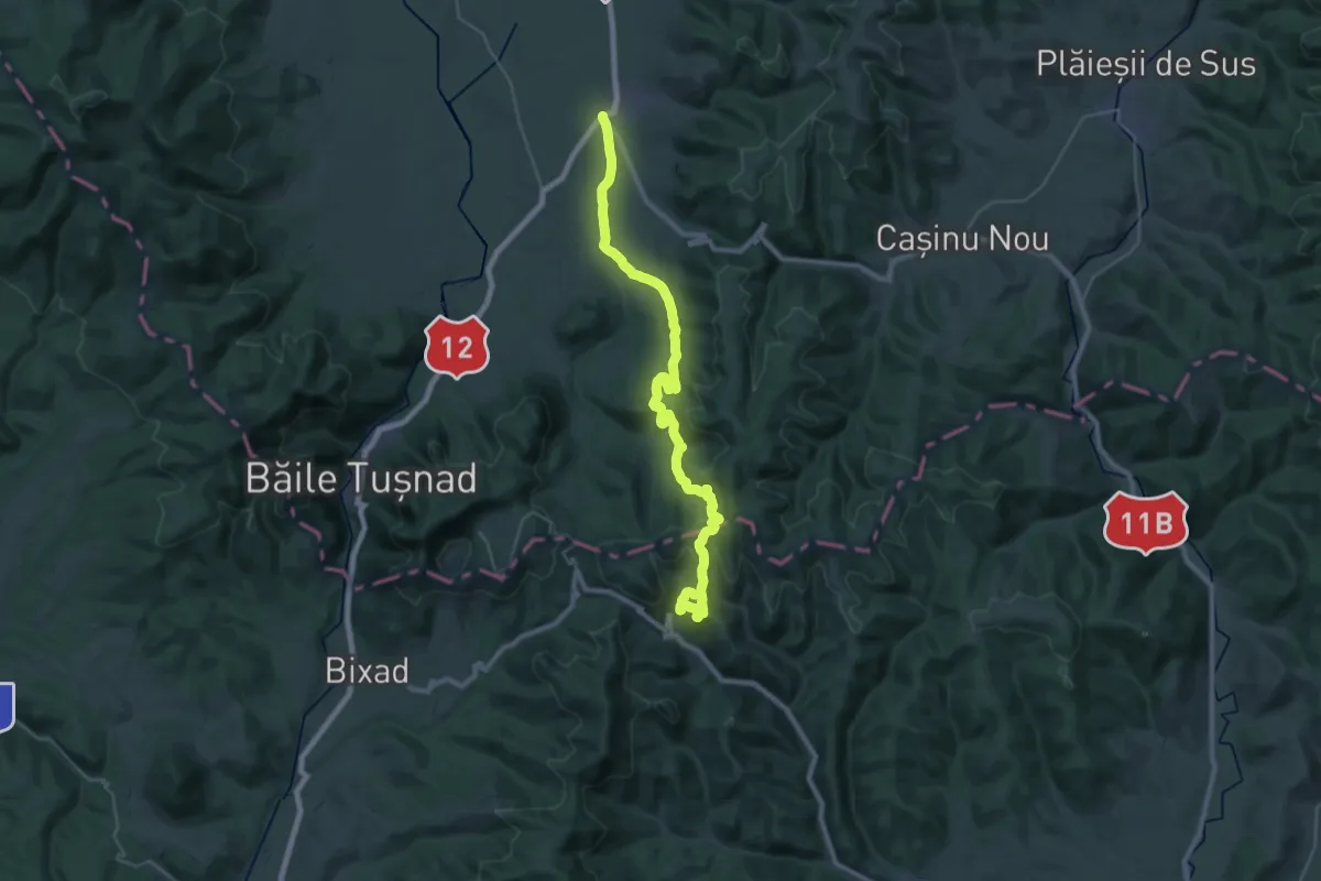
Demanding · Trail
Cozmeni - Băile Balvanyos
18.0 km · ↑ 763 m · 6 h 1 min
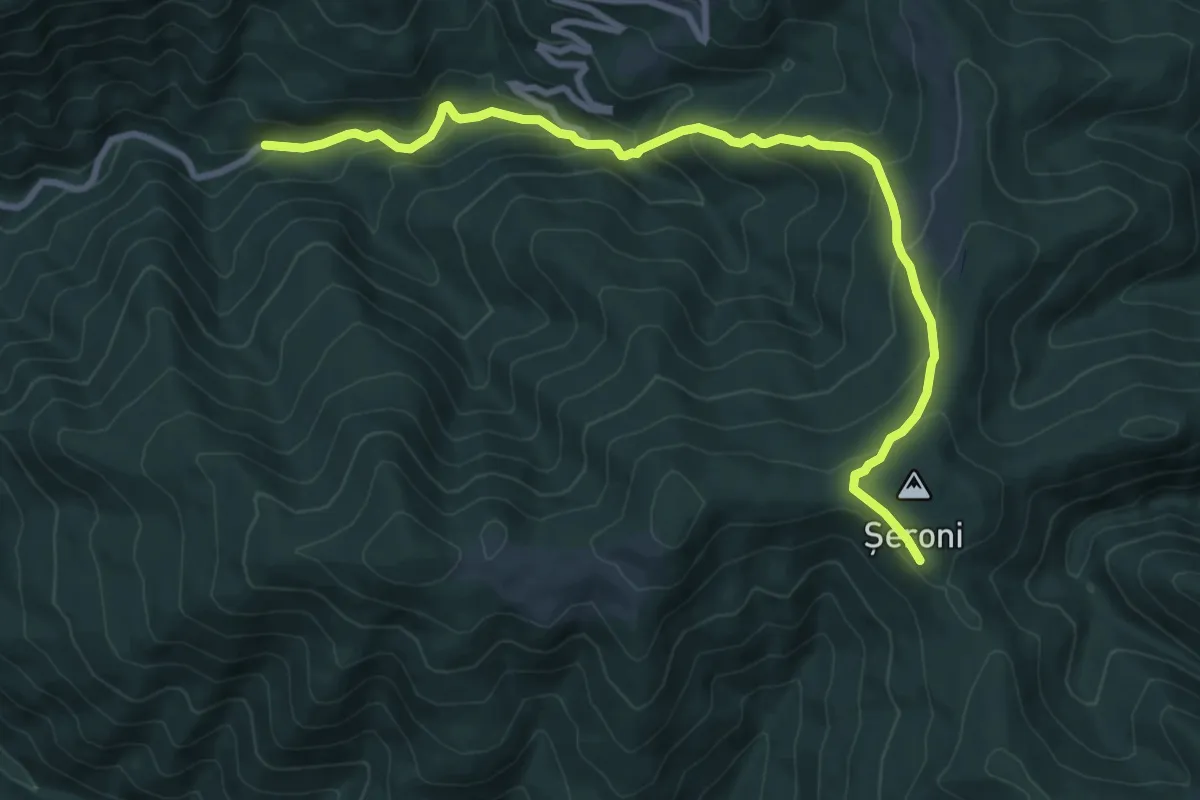
Medium · Trail
Cracu Pip (La Văcarie) – Sub Șeroni – La Lemn (spre Cuntu)
9.9 km · ↑ 590 m · 3 h 36 min
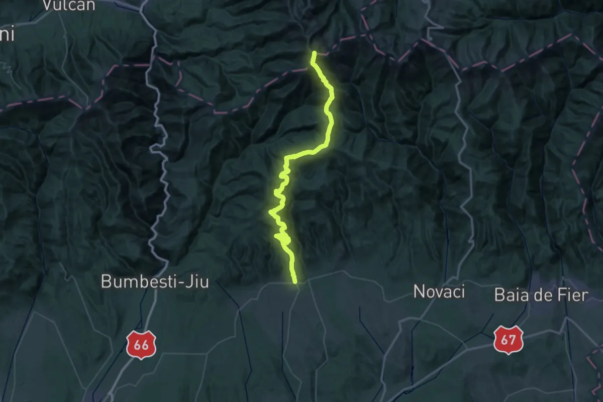
Demanding · Summit
Crasna - Muntele Molidvișu - Vf. Parângul Mare
54.9 km · ↑ 2694 m · 18 h 47 min
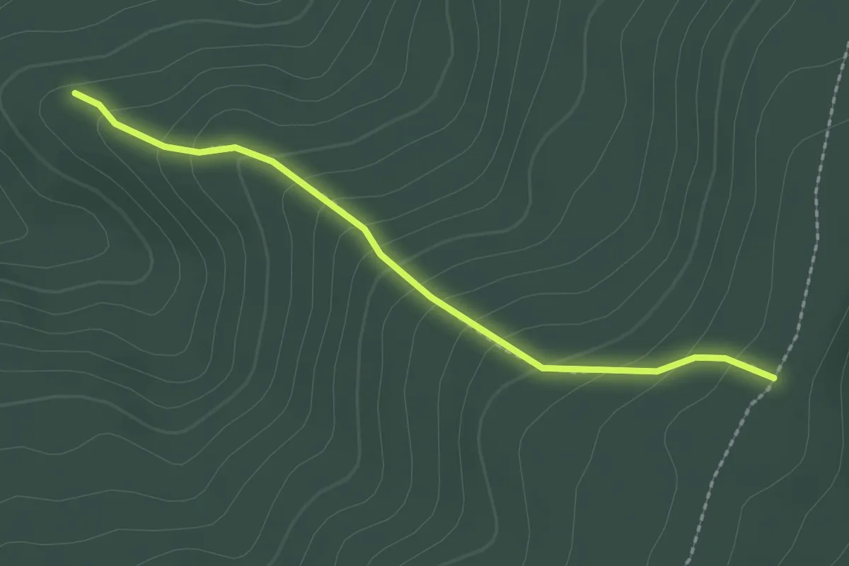
Easy · Trail
Creasta dintre Vârful Şiridiu şi Vârful Saciova (intersecţie cu traseul CR) – Ruinele Cetăţii Saciova
2.2 km · ↑ 175 m · 53 min
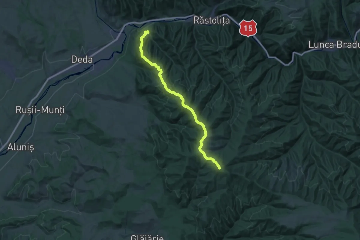
Demanding · Summit
creasta Gurghiu - Görgény gerincz
27.1 km · ↑ 1131 m · 8 h 51 min
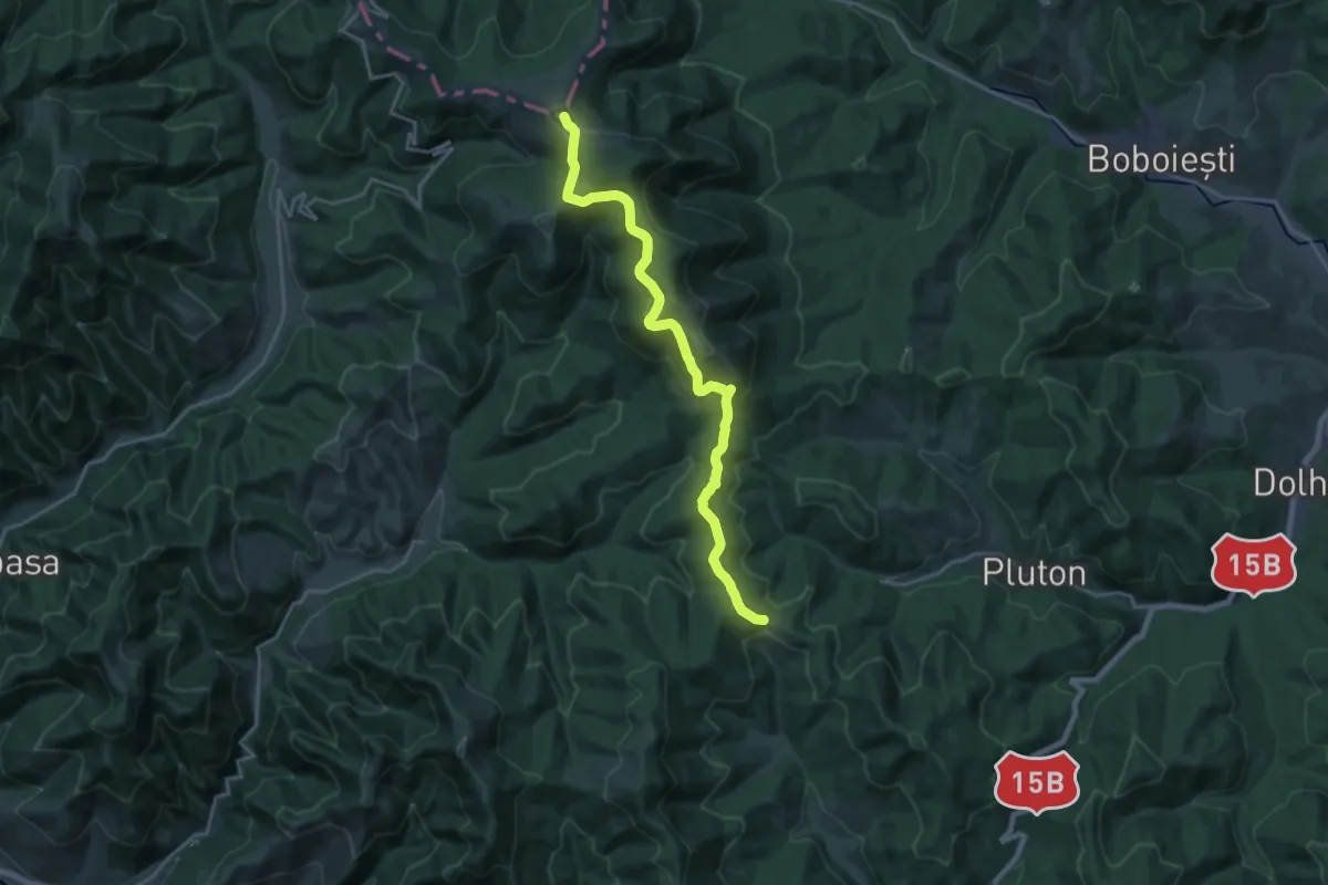
Demanding · Summit
Creasta Iepei - Vf. Muncelul - Trecătoarea Stânișoarei - Pasul Petru Vodă
20.1 km · ↑ 942 m · 6 h 48 min
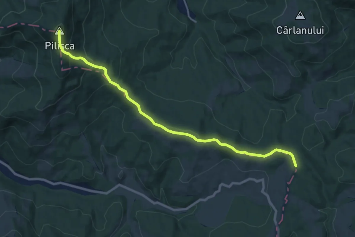
Medium · Summit
Creasta principală (traseul BR) – Muchia Vânătorului – Vârful Pilişca
12.1 km · ↑ 506 m · 3 h 57 min
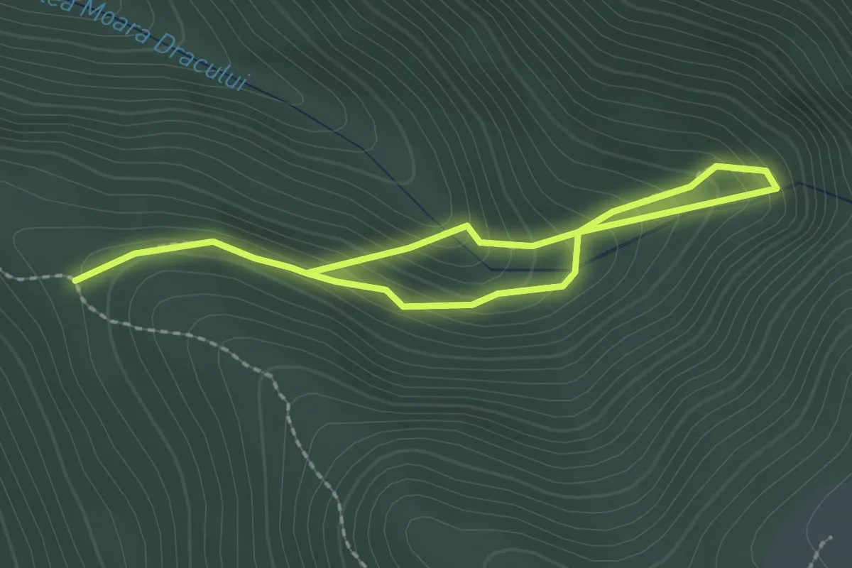
Easy · Trail
Creasta Șuteanu - Moara Dracului
3.1 km · ↑ 292 m · 1 h 22 min
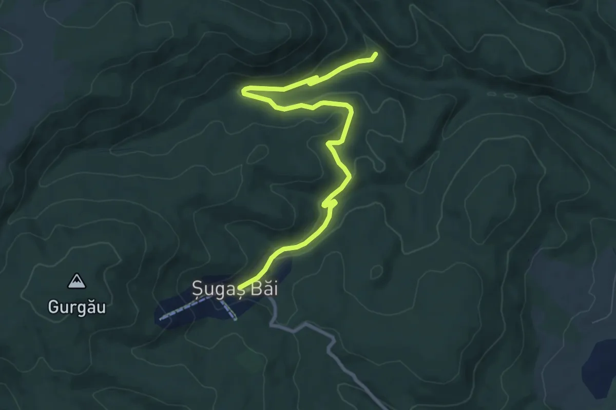
Medium · Trail
Cresta muntii Baraolt
9.0 km · ↑ 213 m · 2 h 36 min
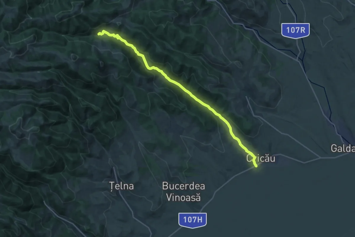
Demanding · Trail
Cricău - Pârâul Cricău - lângă Piatra Craivii
18.7 km · ↑ 429 m · 5 h 20 min
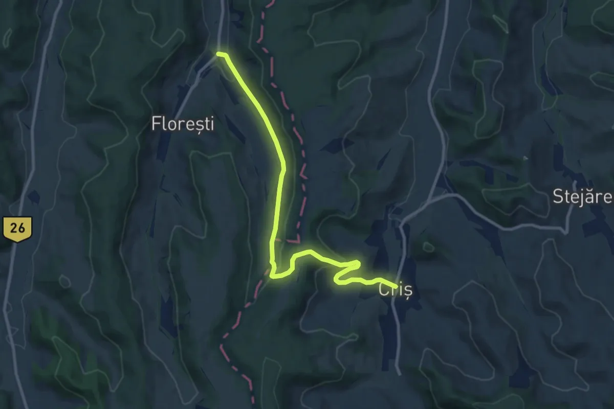
Medium · Trail
Criș - Florești
9.9 km · ↑ 299 m · 2 h 59 min
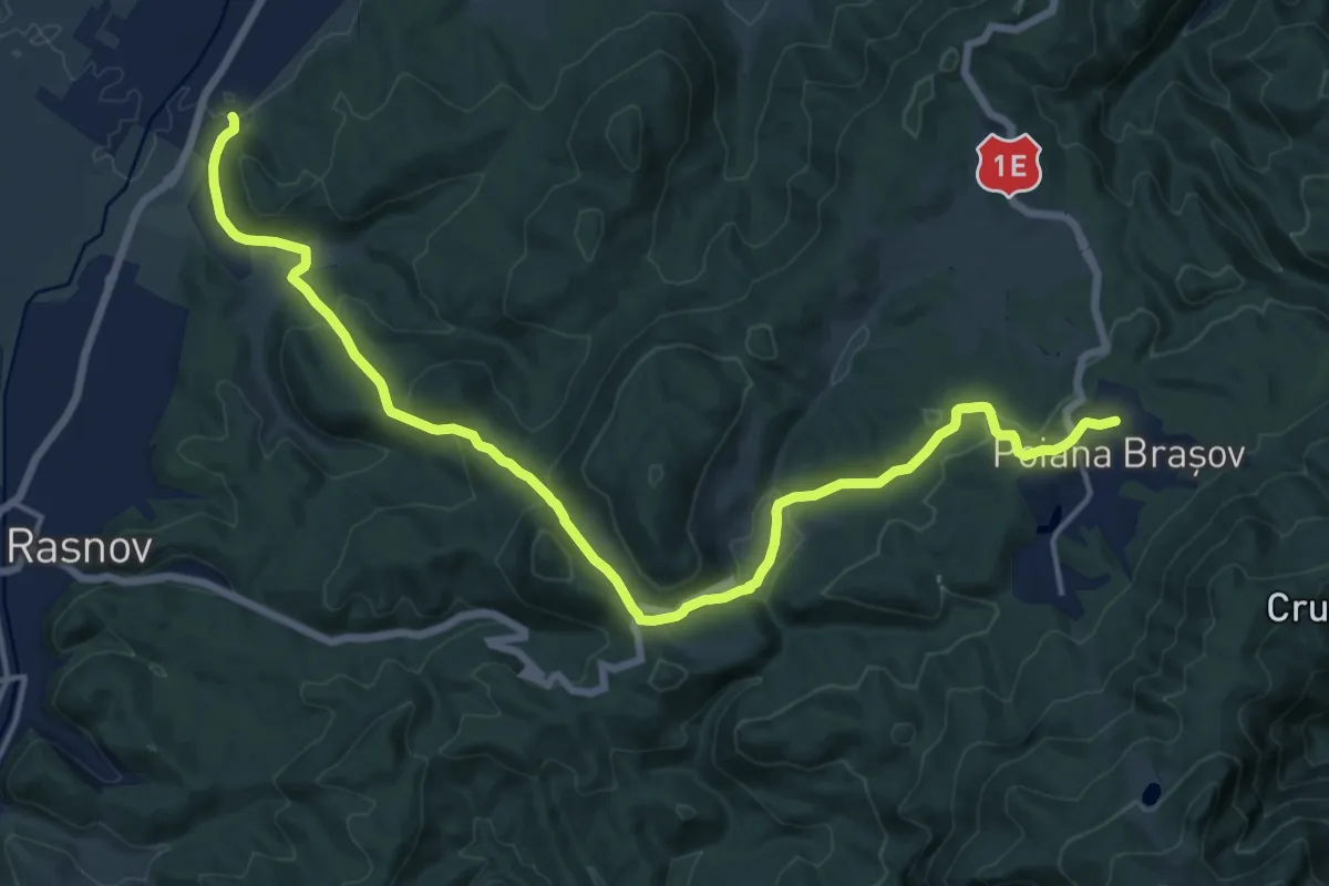
Demanding · Trail
Cristian - Drumul lui Lexen - Poiana Brașov
18.7 km · ↑ 613 m · 5 h 45 min
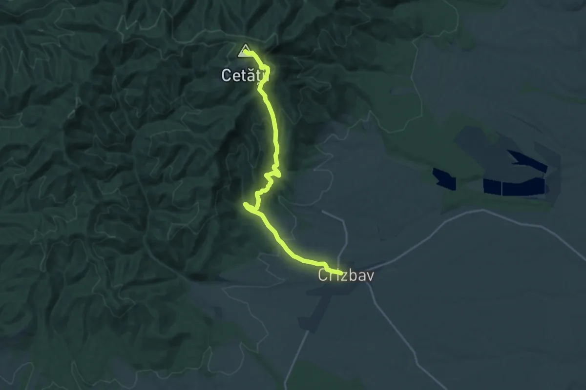
Medium · Summit
Crizbav - Vârful Cetății - CA
15.6 km · ↑ 689 m · 5 h 10 min
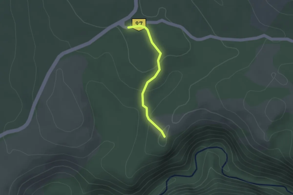
Easy · Trail
Crucea Iabalcei - Cetatea Turcului
2.0 km · ↑ 74 m · 38 min
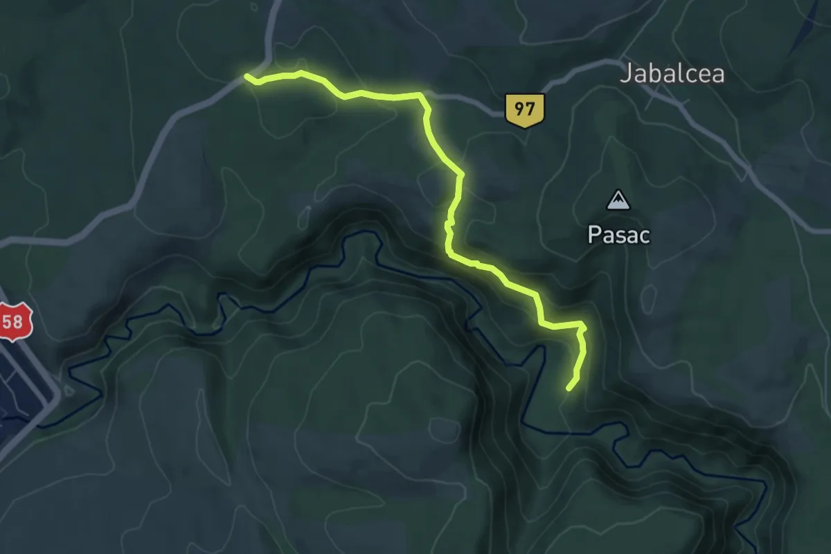
Easy · Trail
Crucea Iabalcei - Poiana Prolaz
6.7 km · ↑ 311 m · 2 h 15 min
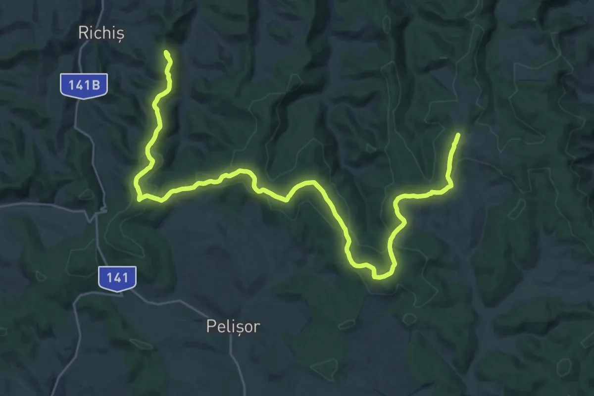
Demanding · Trail
Cruce Albastră - Dealul Ciorii
28.4 km · ↑ 568 m · 8 h 19 min
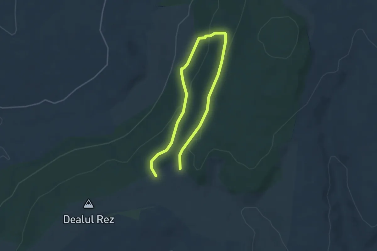
Easy · Trail
Cserevirág Tanösvény
5.1 km · ↑ 197 m · 1 h 38 min
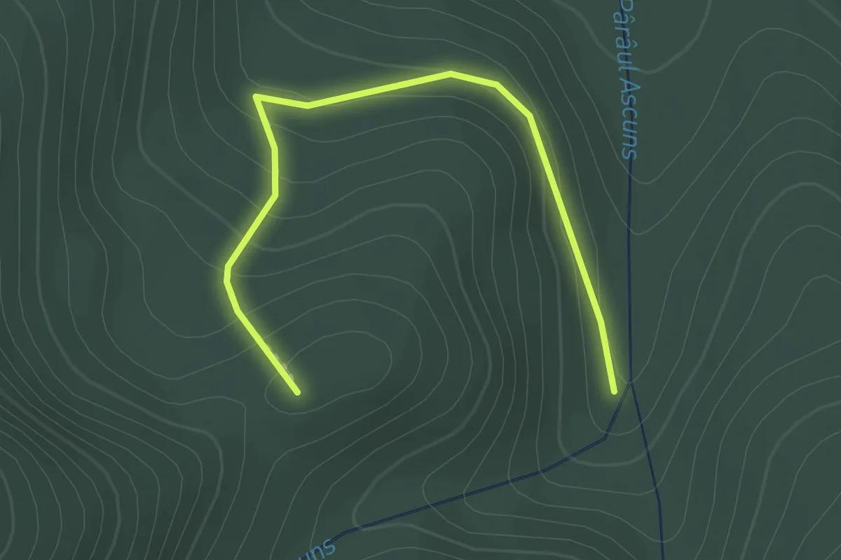
Medium · Trail
Csihányos - Dealul Cetății
2.2 km · ↑ 138 m · 50 min
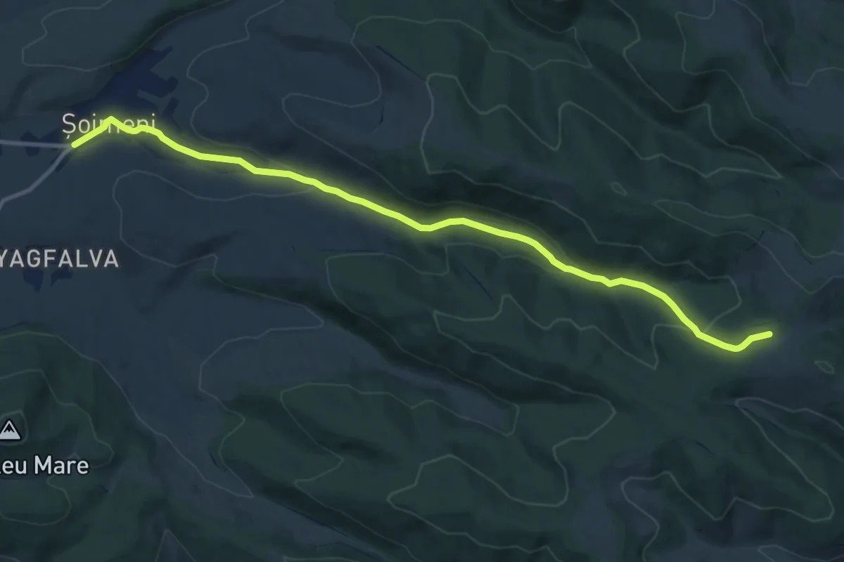
Medium · Trail
Csíkcsomortán-Kísérleti Állomás Kék kereszt (B+)
12.1 km · ↑ 311 m · 3 h 32 min
Medium · Summit
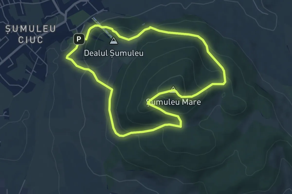
Csíksomlyói kör Piros pont (RO)
5.8 km · ↑ 341 m · 2 h 11 min
Medium · Summit
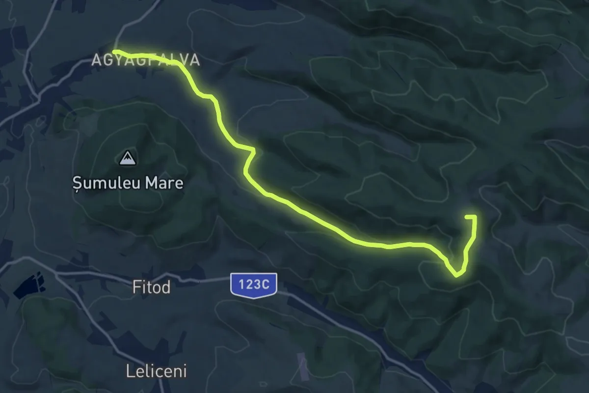
Csobotfalva-Szellő tető Piros kereszt (R+)
14.6 km · ↑ 360 m · 4 h 13 min
Demanding · Trail
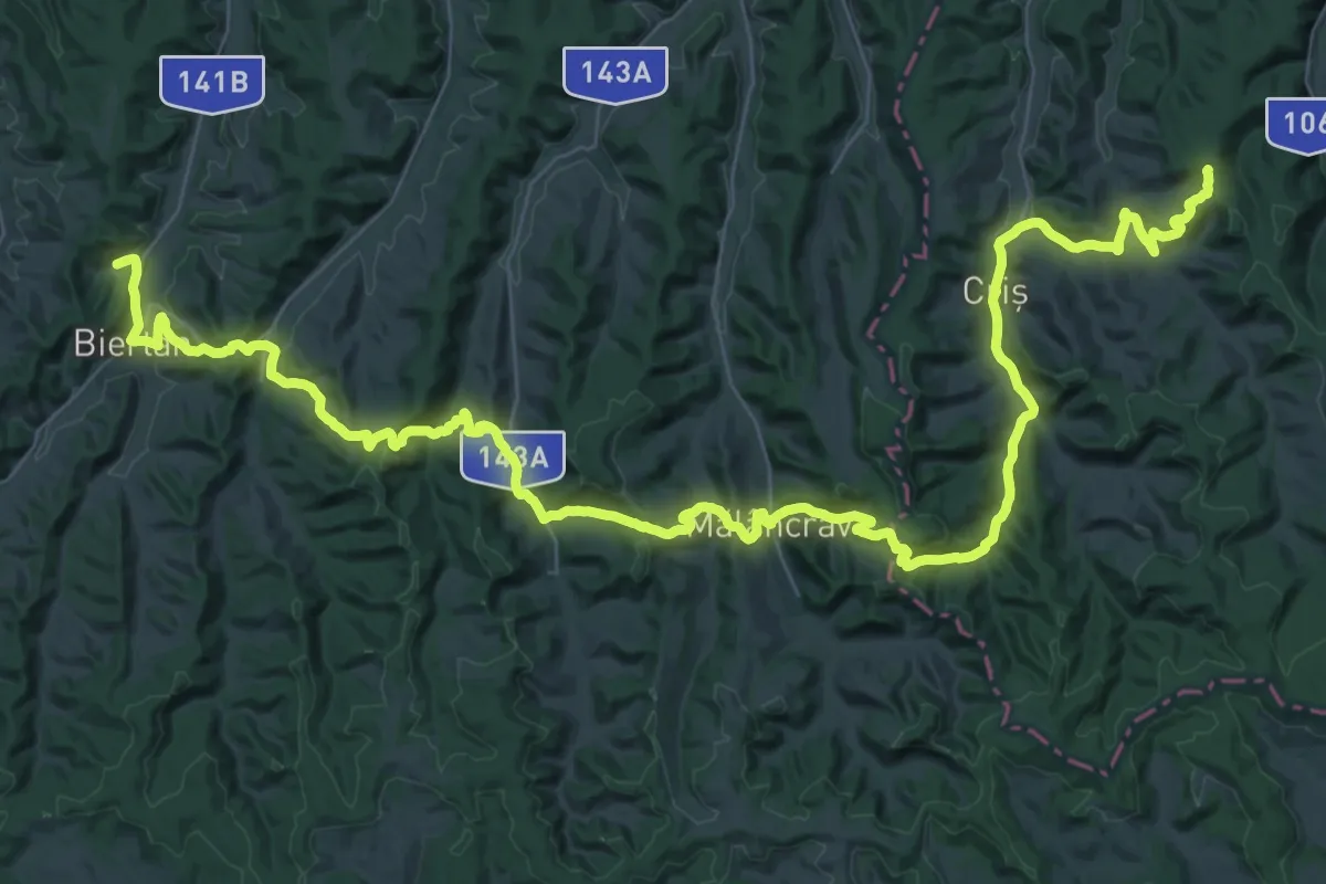
Culmea Breite - Stejăreni - Criș - Mălâncrav - Nou Săsesc - Copșa Mare - Biertan - Dupuș - Ațel - Richiș
32.2 km · ↑ 892 m · 10 h 5 min
Medium · Trail
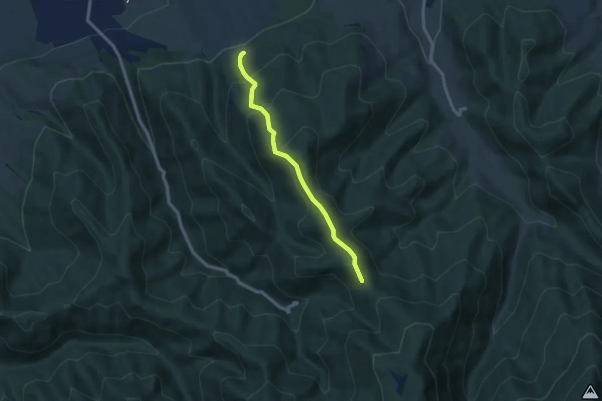
Culmea Fântânii (traseul TA) - traseul PG
5.1 km · ↑ 418 m · 2 h 7 min