Trails in Romania
1,356 hiking trails, each with its route, climb, walking time and grade.
All trails, page 8 of 29
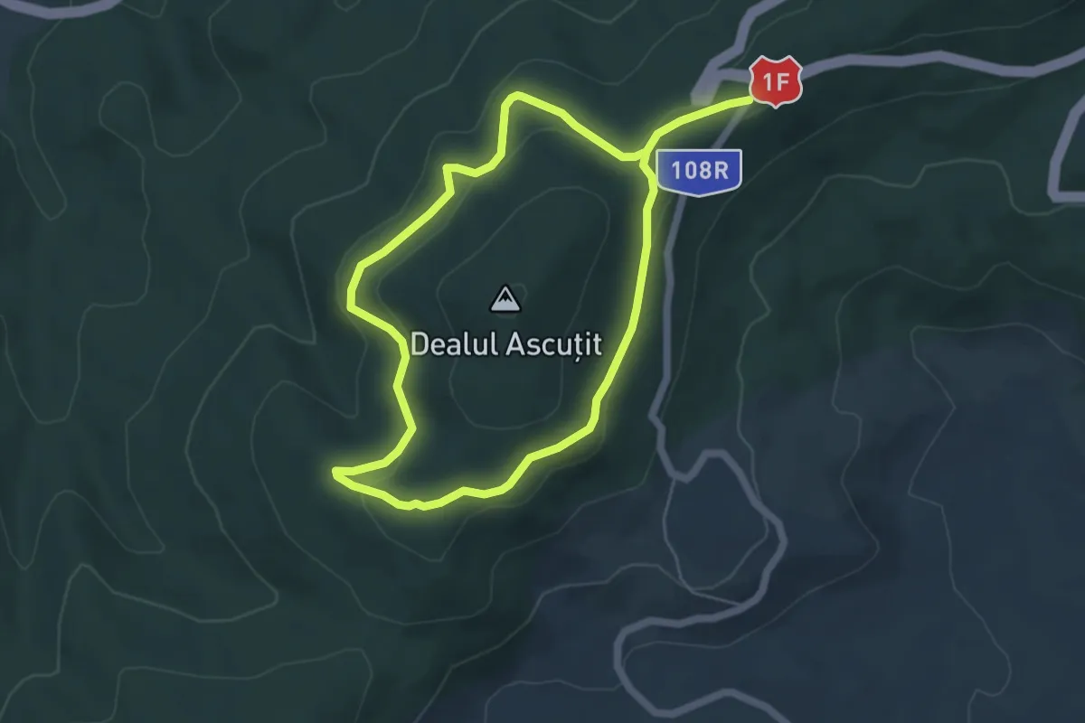
Medium · Trail
Circuitul Meseș Cota 705
9.3 km · ↑ 260 m · 2 h 46 min
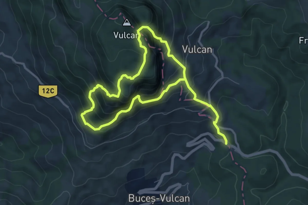
Demanding · Trail
Circuitul Mic al Muntelui Vulcan
12.1 km · ↑ 1206 m · 5 h 28 min
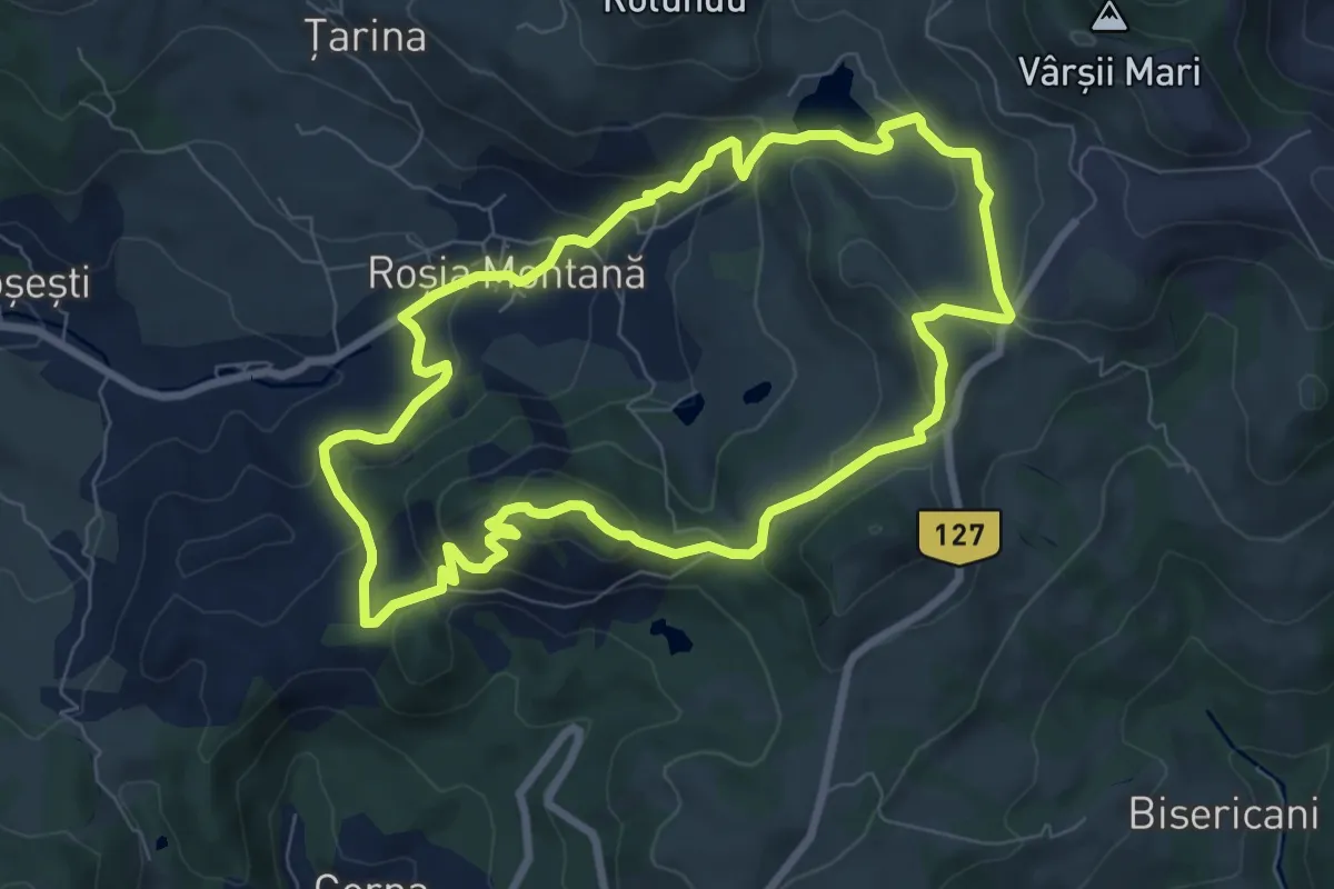
Medium · Summit
Circuitul Monumentelor naturii
7.6 km · ↑ 345 m · 2 h 40 min
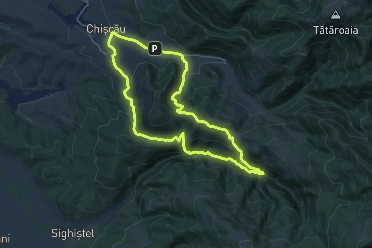
Medium · Trail
Circuitul Peșterii Urșilor
12.4 km · ↑ 528 m · 4 h 14 min
Medium · Summit
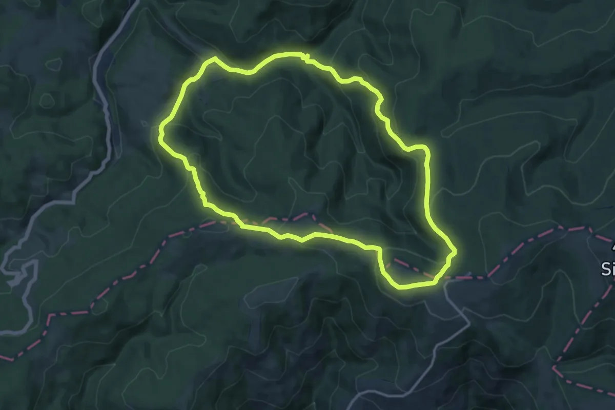
Circuitul Petresei
11.9 km · ↑ 512 m · 4 h 5 min
Medium · Summit
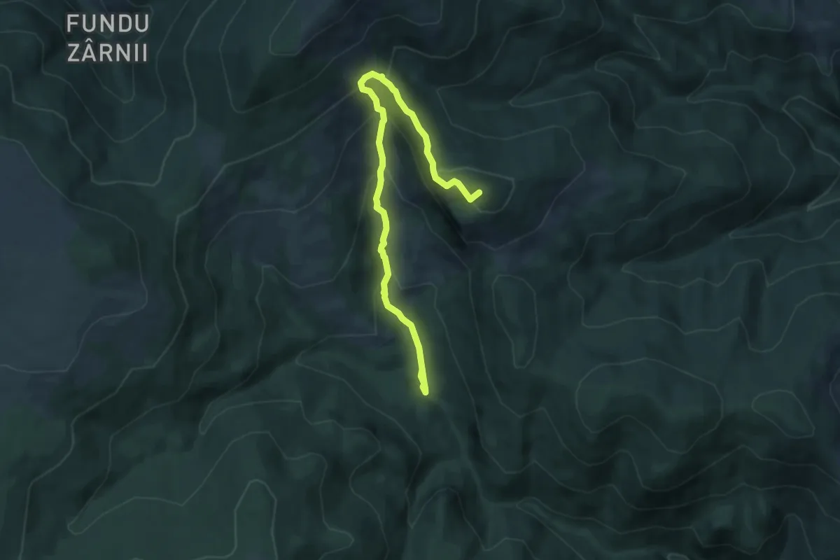
Circuitul Pietrele Albe
8.6 km · ↑ 546 m · 3 h 13 min
Demanding · Trail
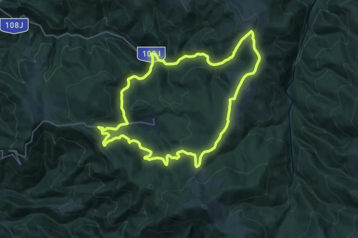
Circuitul Stațiunii Stâna de Vale
18.3 km · ↑ 620 m · 5 h 55 min
Medium · Trail
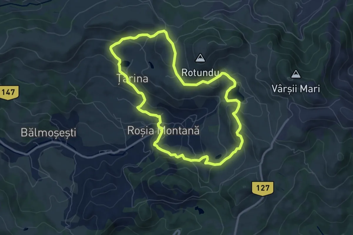
Circuitul Tăurilor
7.4 km · ↑ 324 m · 2 h 33 min
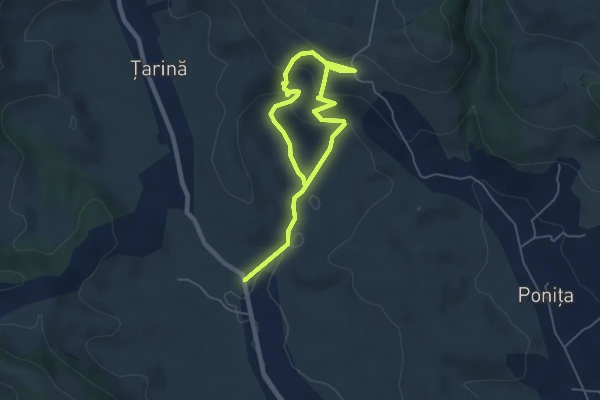
Easy · Trail
Circuitul Topliţa de Roşia
3.0 km · ↑ 151 m · 1 h 4 min
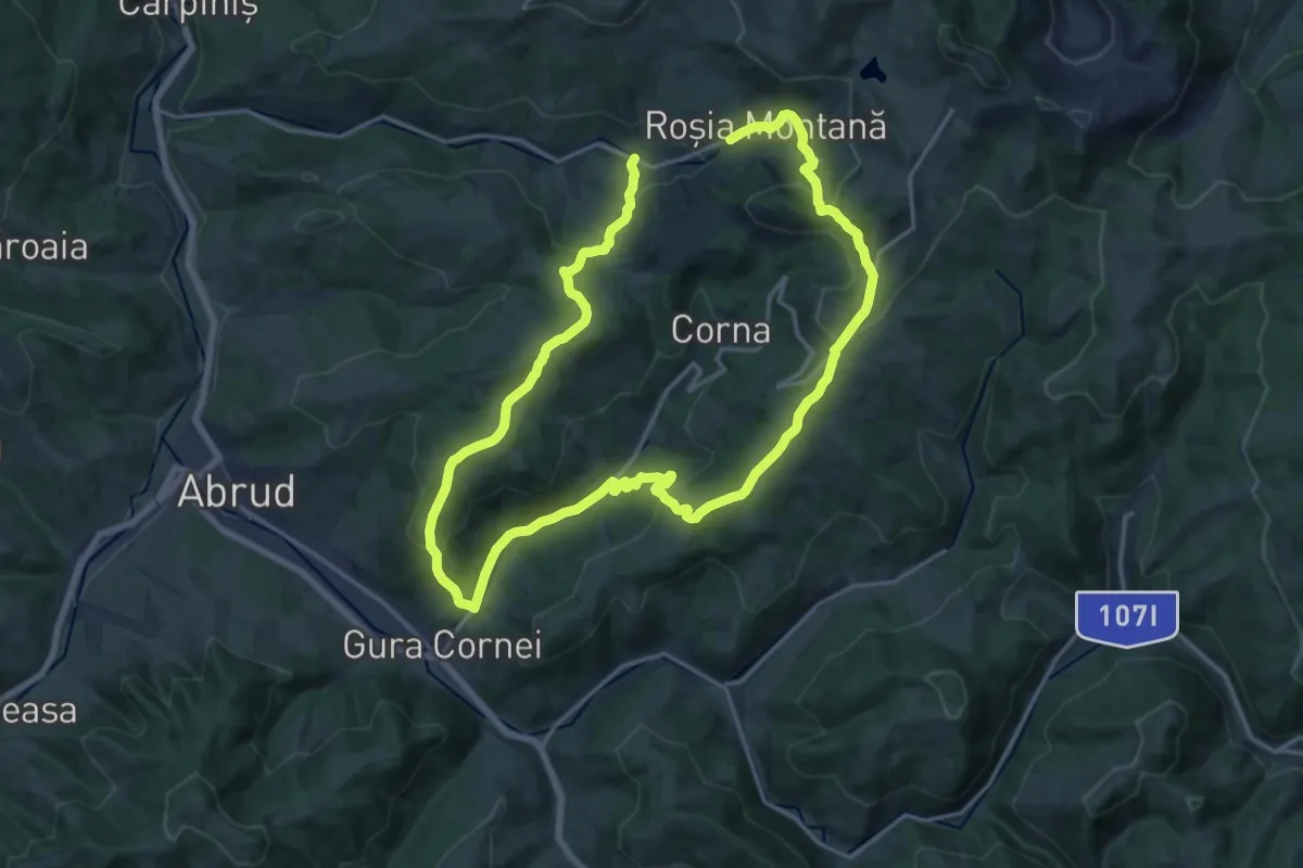
Medium · Trail
Circuitul Văii Corna
14.9 km · ↑ 621 m · 5 h 3 min
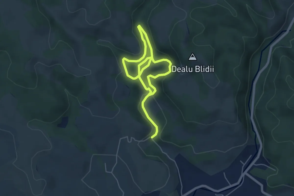
Easy · Trail
Circuitul Valea Dâlbii
3.4 km · ↑ 75 m · 1 h
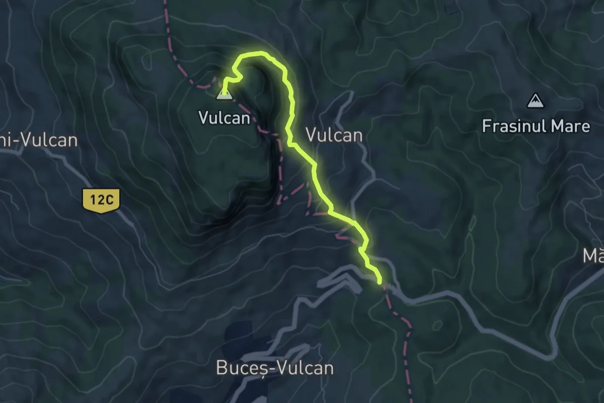
Medium · Summit
Circuitul Vârfului Vulcan
6.1 km · ↑ 508 m · 2 h 33 min
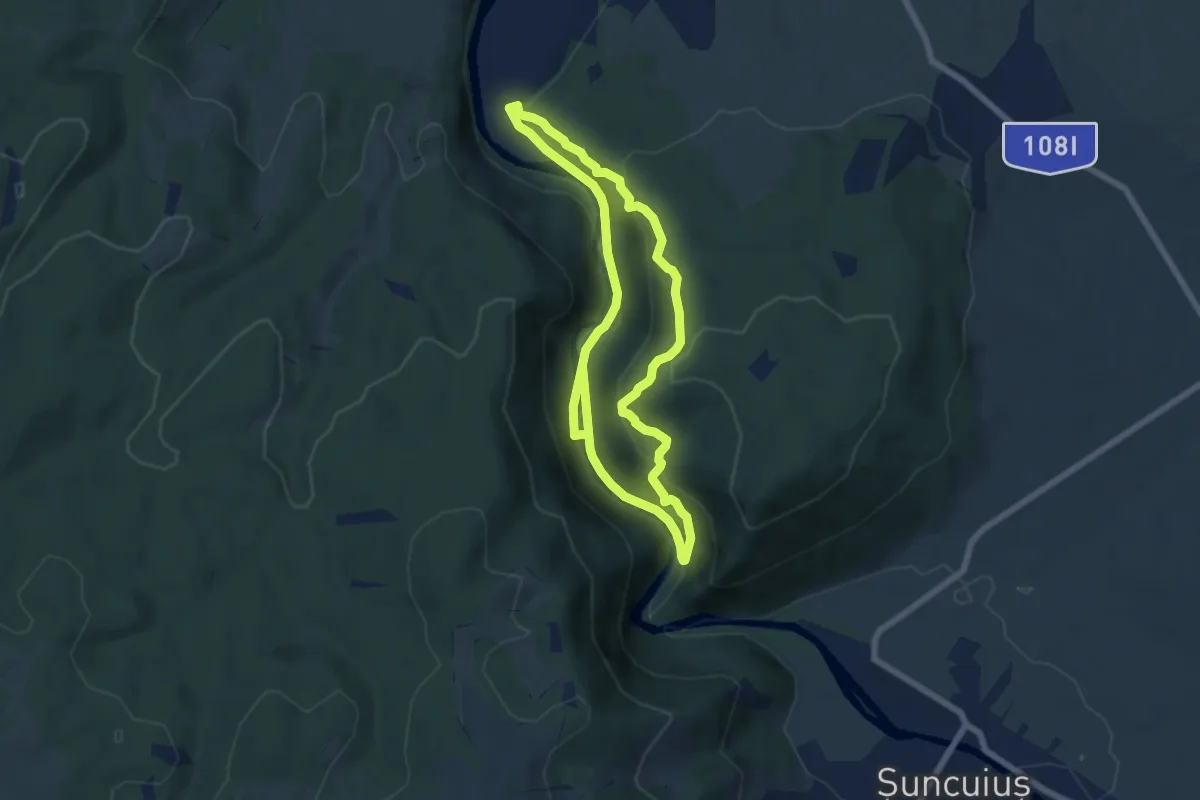
Medium · Trail
Circuitul versantului drept
6.1 km · ↑ 324 m · 2 h 13 min
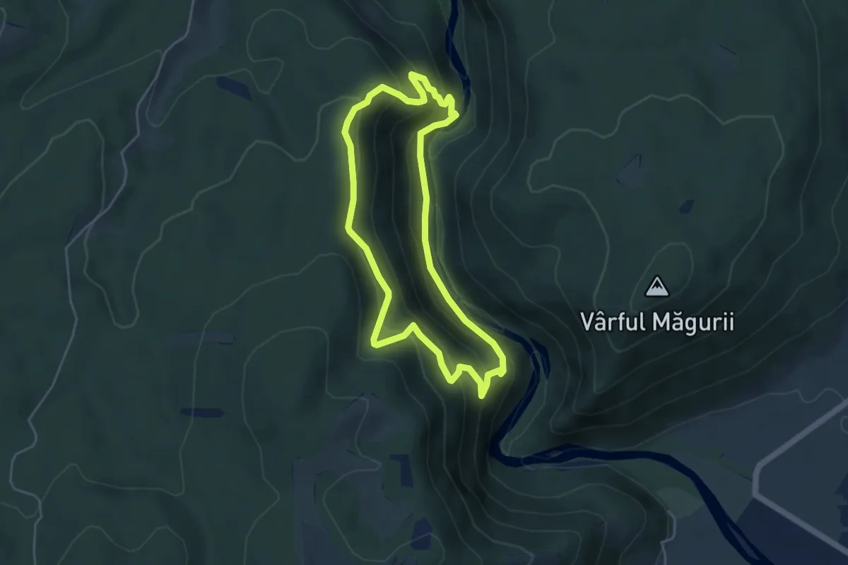
Easy · Trail
Circuitul versantului stâng
4.2 km · ↑ 314 m · 1 h 44 min
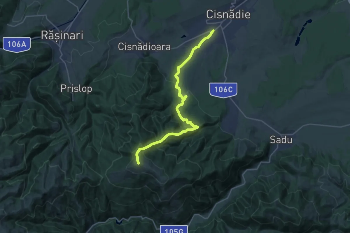
Demanding · Summit
Cisnădie - Vf. Măgura - Valea Sadului
17.9 km · ↑ 961 m · 6 h 18 min
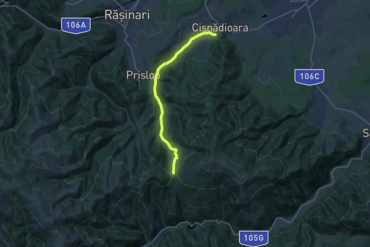
Medium · Trail
Cisnădioara - Curmătura Măgurii
13.2 km · ↑ 536 m · 4 h 17 min
Demanding · Summit
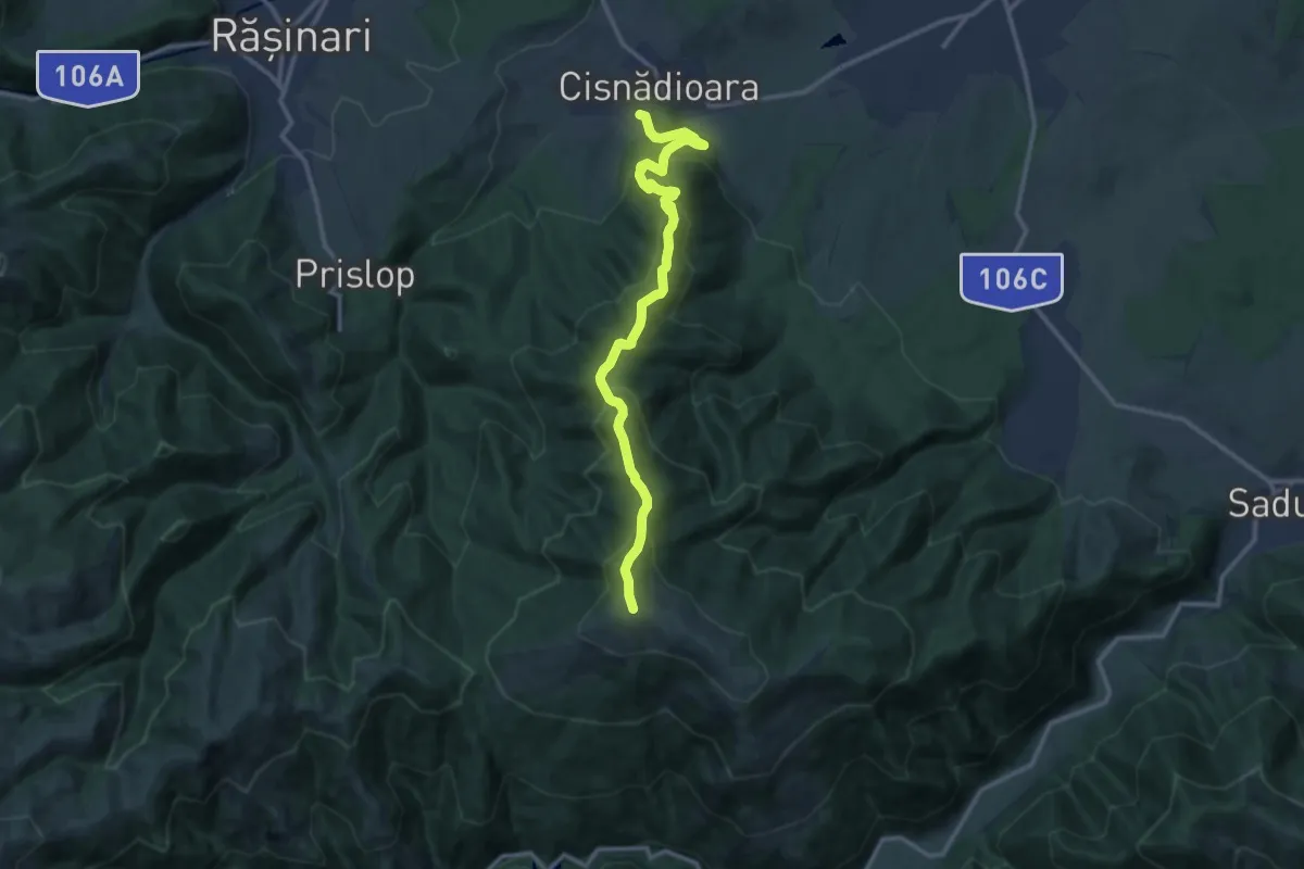
Cisnădioara - vf. Măgura
13.1 km · ↑ 865 m · 4 h 58 min
Demanding · Cabin
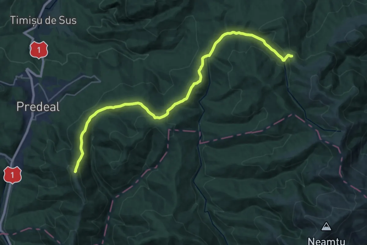
Clăbucet Plecare - Șaua Pietricica - sub Vf. lui Andir
21.5 km · ↑ 1025 m · 7 h 17 min
Demanding · Trail
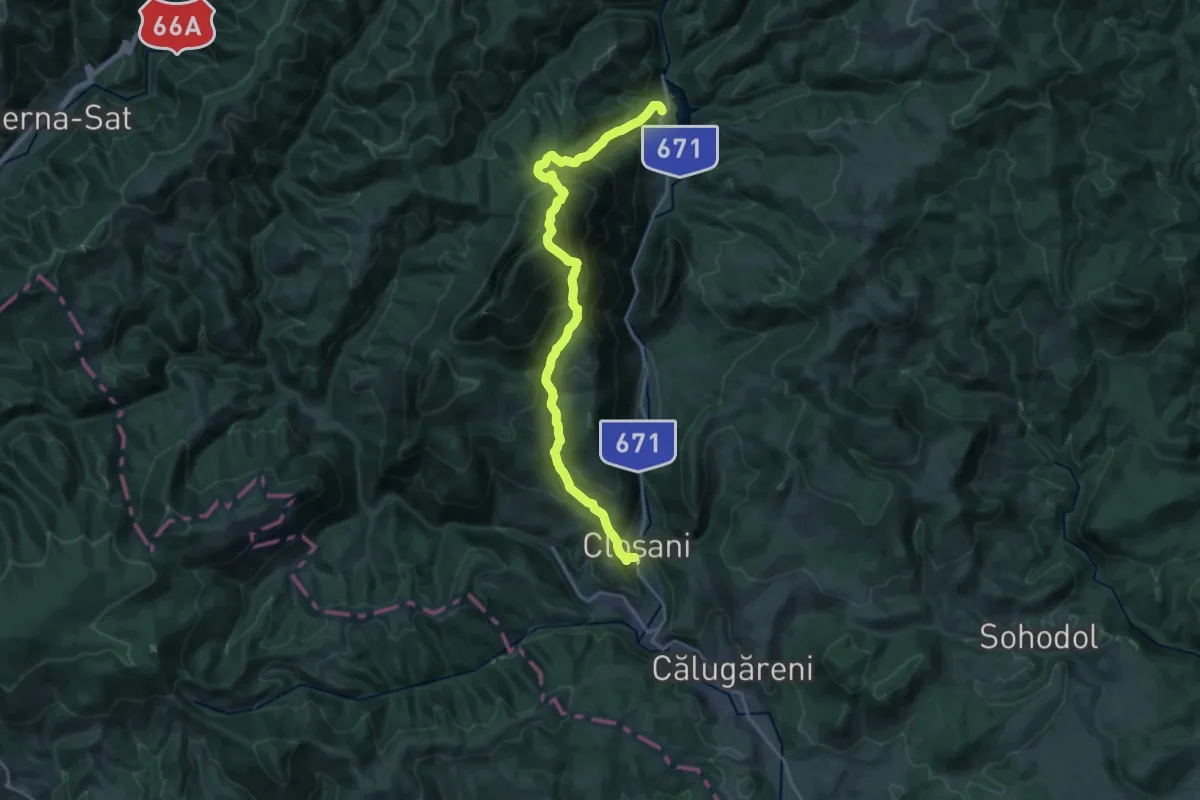
Cloșani - Baraj Valea Mare
10.2 km · ↑ 1027 m · 4 h 42 min
Demanding · Summit
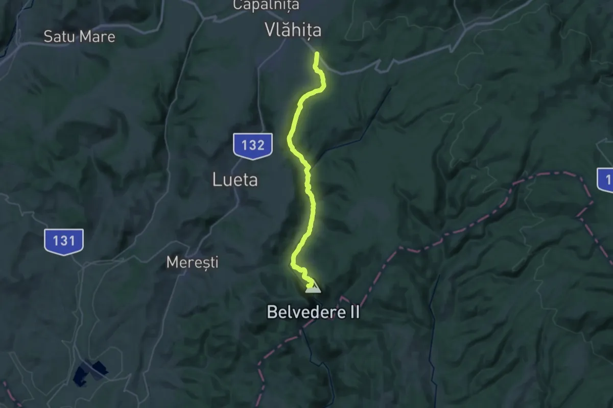
C.N.I.PT. Vlăhița - Colțul Chirui - Peștera Orbán Balázs (Cheile Vârghișului)
30.4 km · ↑ 441 m · 8 h 8 min
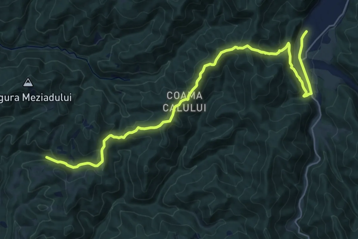
Demanding · Trail
Coada Lacului Leșu-Dl. Stângu-Peștera Meziad
21.5 km · ↑ 1061 m · 7 h 23 min
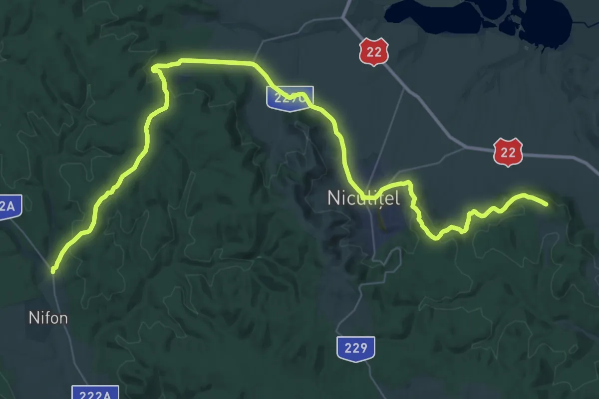
Demanding · Summit
Cocoș - Sarica
43.5 km · ↑ 1130 m · 12 h 44 min
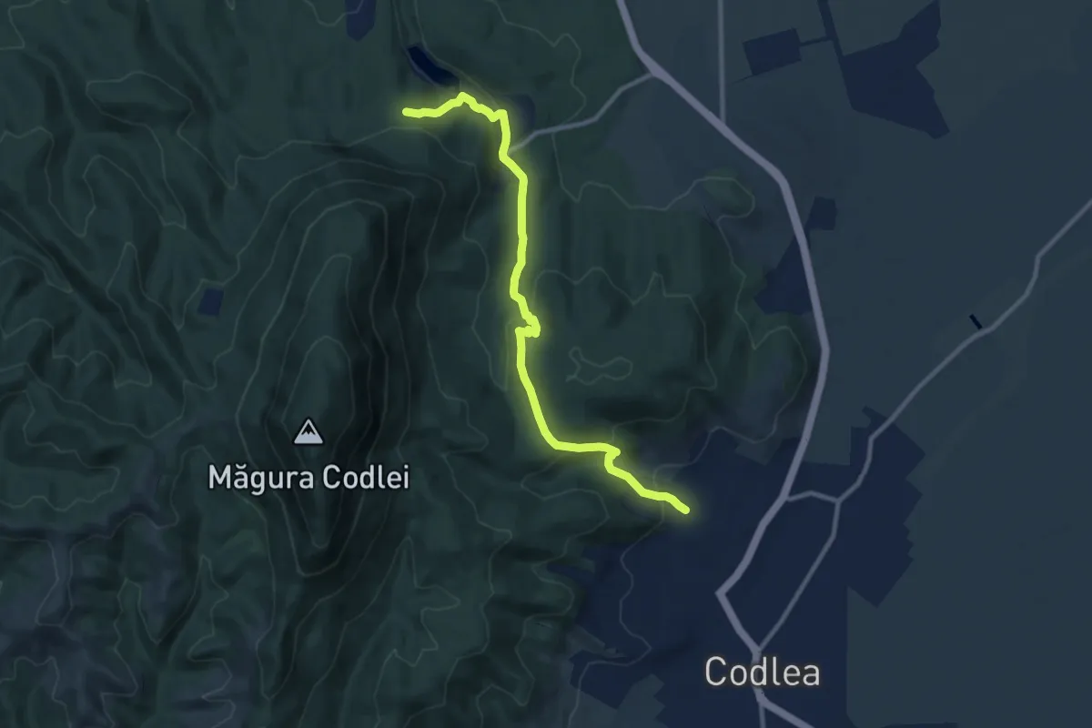
Medium · Trail
Codlea - Complex Turistic Codlea
10.5 km · ↑ 441 m · 3 h 26 min
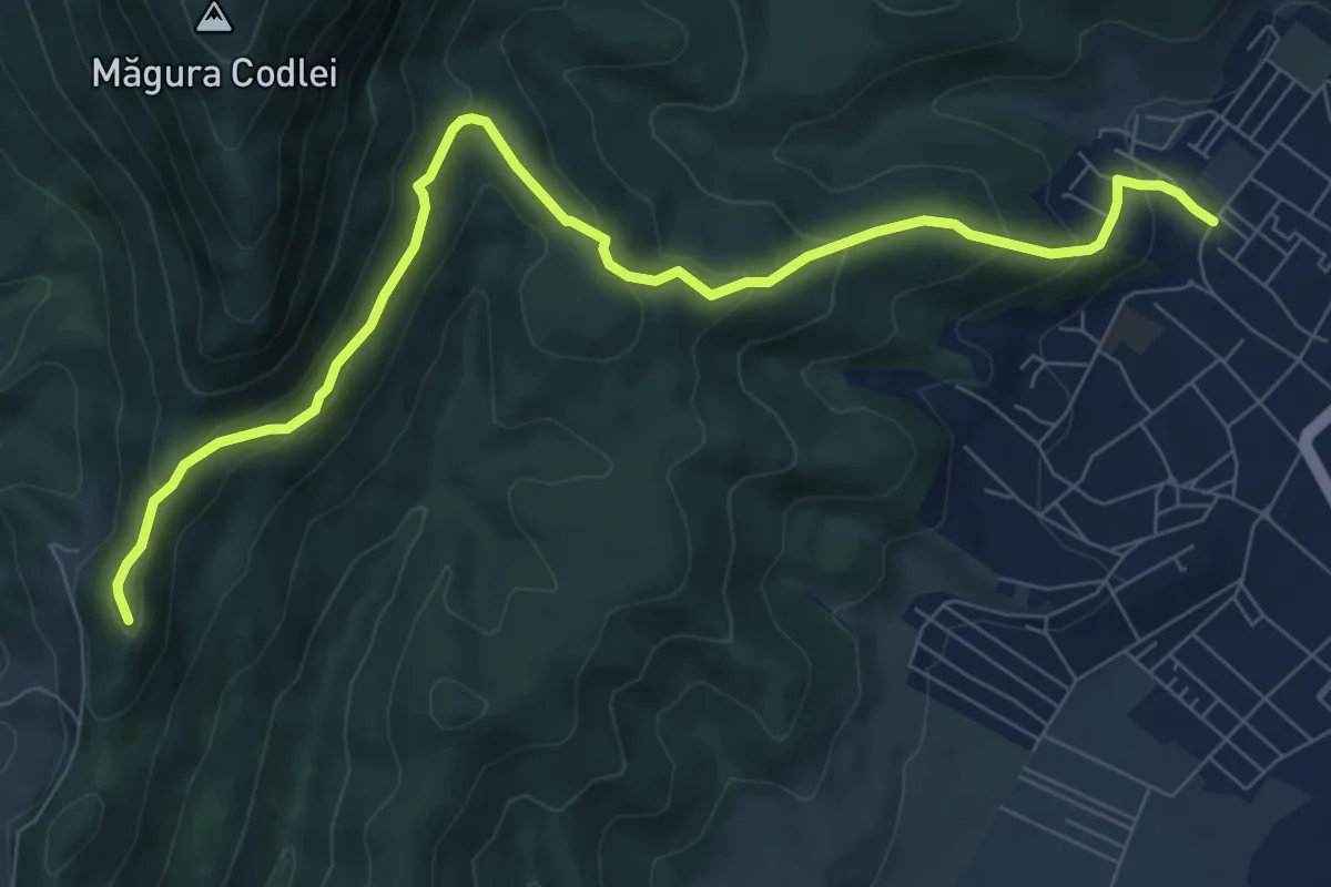
Medium · Trail
Codlea - Mărul Dulce - Cetatea Neagră
9.3 km · ↑ 462 m · 3 h 11 min
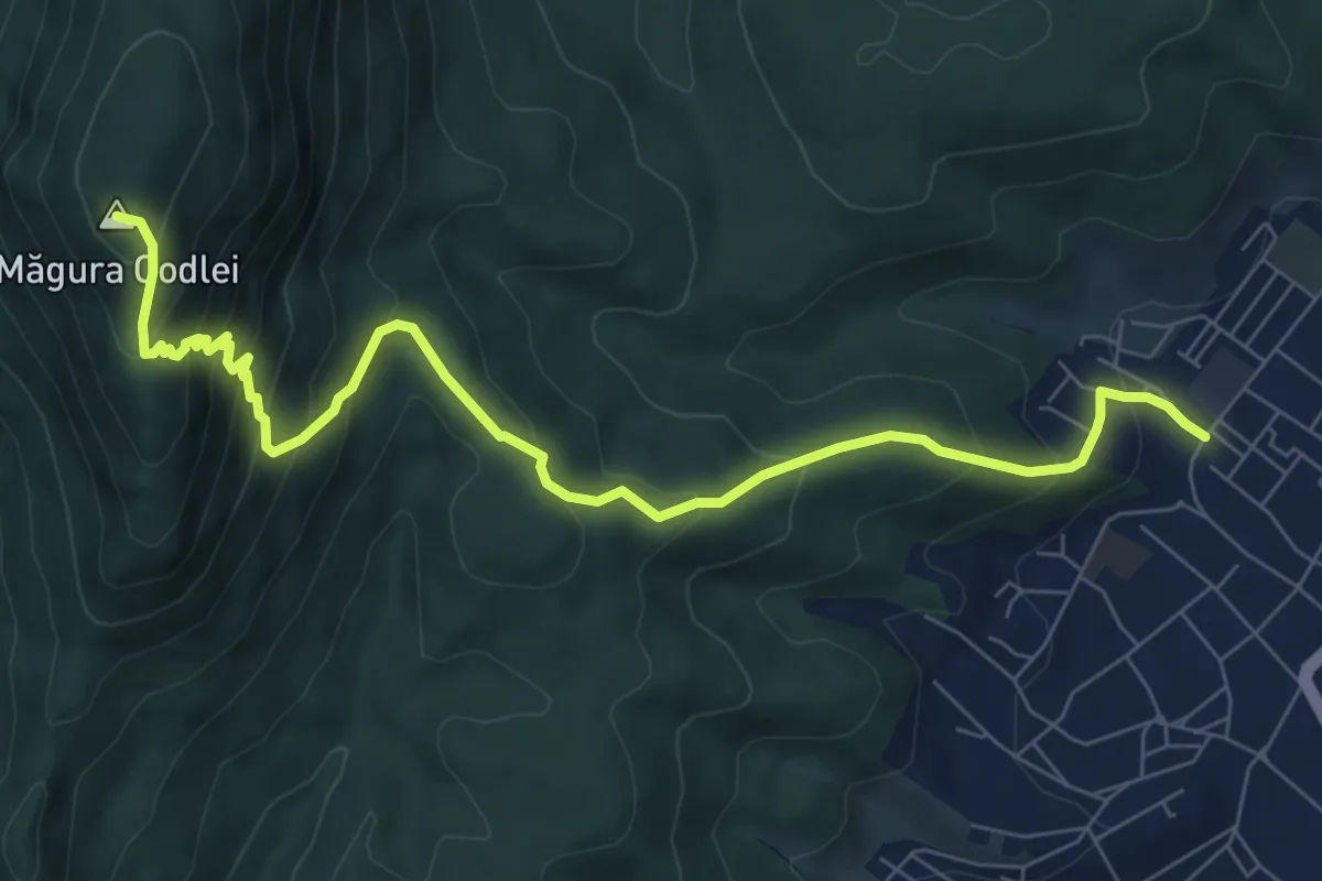
Medium · Summit
Codlea - Mărul Dulce - Măgura Codlei
8.9 km · ↑ 690 m · 3 h 36 min
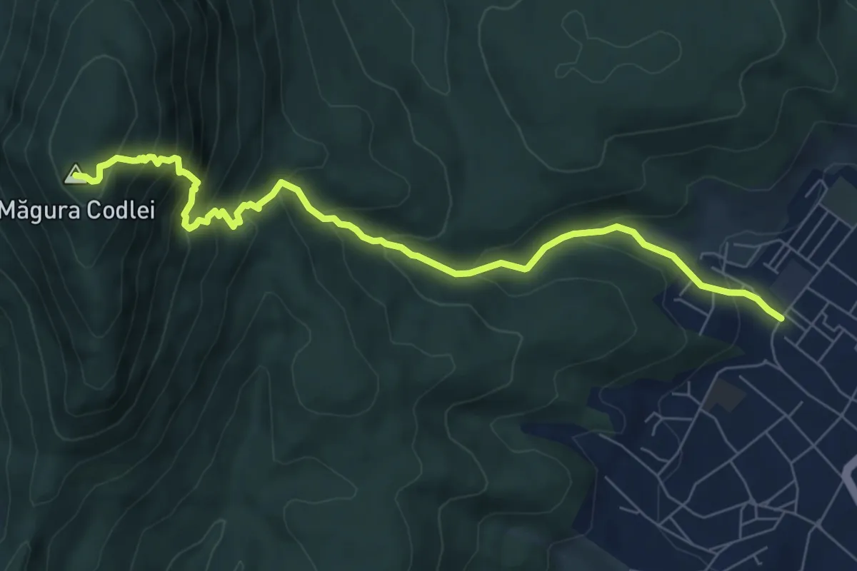
Medium · Summit
Codlea - Piatra Albă - Vf. Măgura Codlei
7.8 km · ↑ 708 m · 3 h 23 min
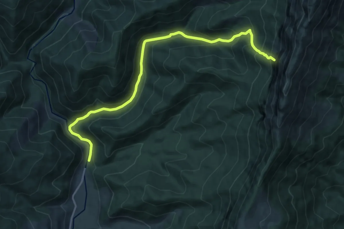
Medium · Trail
Cojocaru-Cabana Garofița Pietrei Craiului-Marele Grohotiș
11.8 km · ↑ 793 m · 4 h 31 min
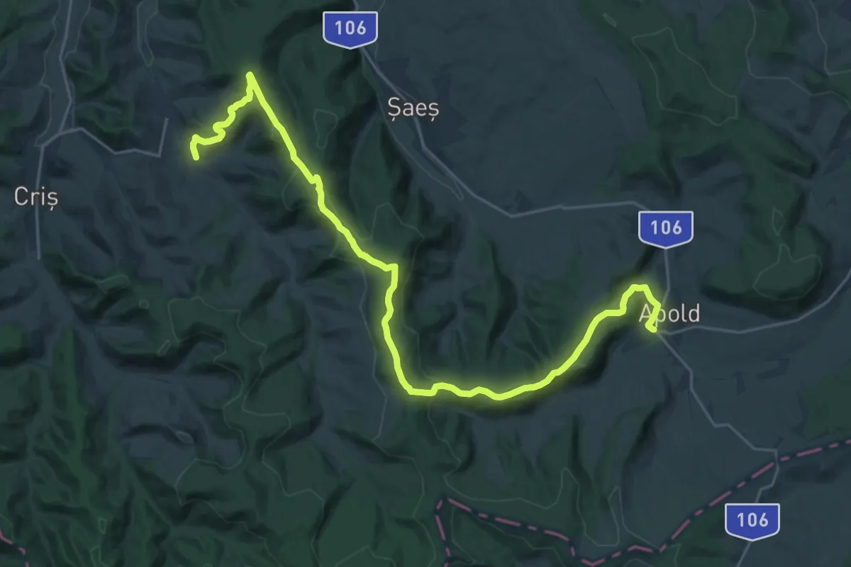
Demanding · Trail
Colinele Transilvaniei Stejărenii Apold Banda Albastră
27.2 km · ↑ 700 m · 7 h 56 min
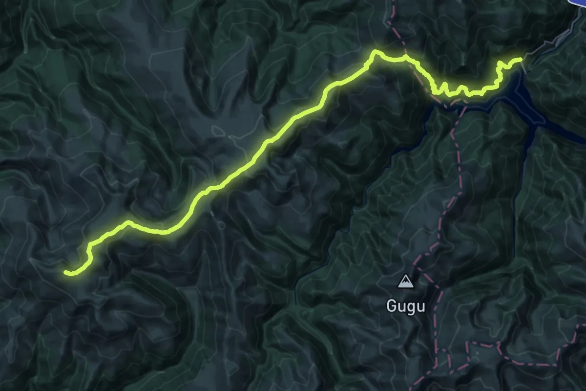
Demanding · Summit
Colonia “Tomeasa” (barajul Gura Apelor) - Valea Corciova - Șaua lepii - Vârful Mătania (Nedeia) – Șaua Șcheiului – Șaua Șuculețului – Vârful Țarcu - Șaua Plaiului - Stația meteo Cuntu
42.4 km · ↑ 2428 m · 15 h 17 min
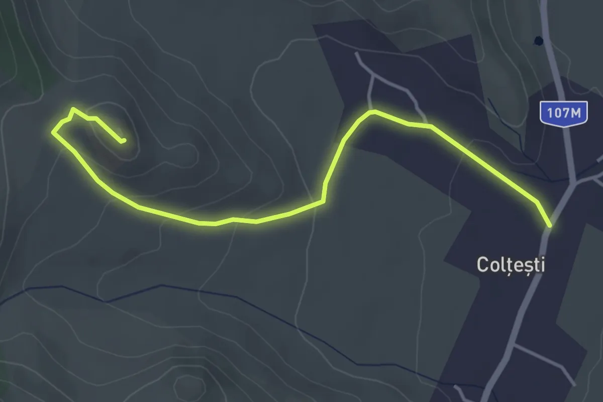
Easy · Trail
Colțești - Cetatea Trascăului
4.3 km · ↑ 127 m · 1 h 18 min
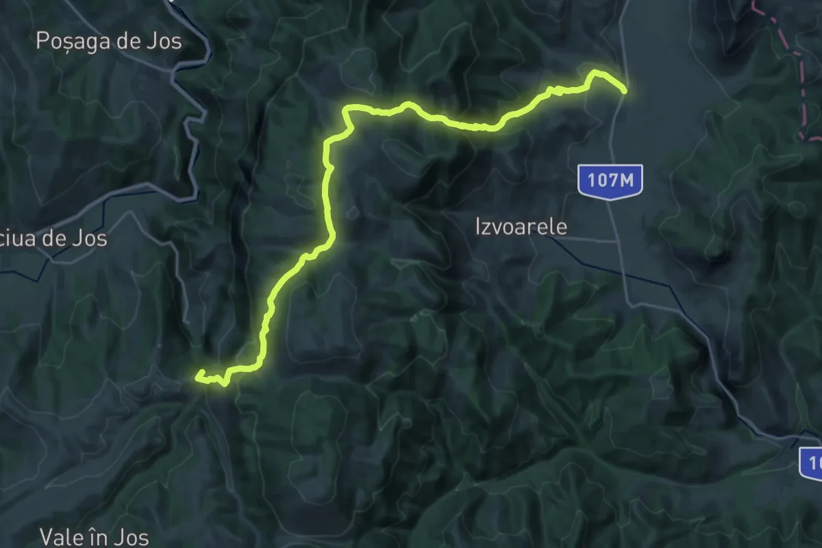
Demanding · Summit
Colțești - Platoul Bedeleu - Vânătările Ponorului
26.8 km · ↑ 1434 m · 9 h 26 min
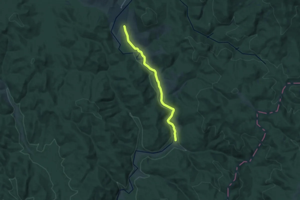
Medium · Trail
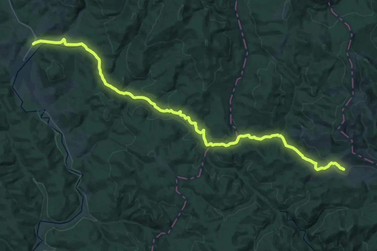
Comandău - Gyula
12.5 km · ↑ 116 m · 3 h 13 min
Medium · Trail
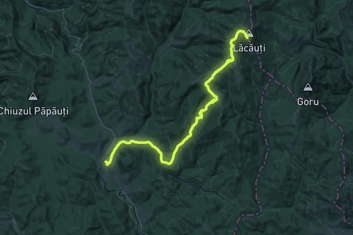
Comandău - Punctul frăției neamului românesc
16.4 km · ↑ 506 m · 5 h
Medium · Trail
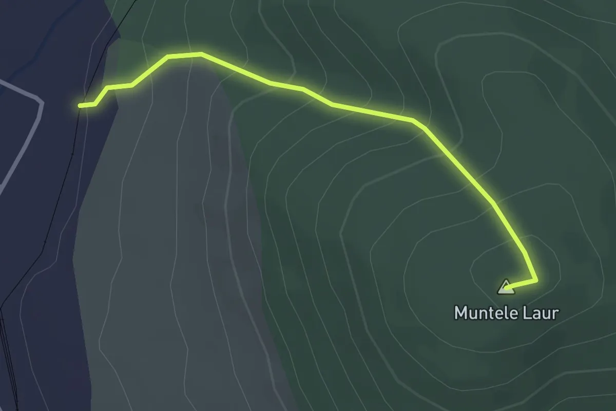
Comandău – Vf. Lăcăuți (yellow triangle)
16.5 km · ↑ 793 m · 5 h 28 min
Easy · Summit
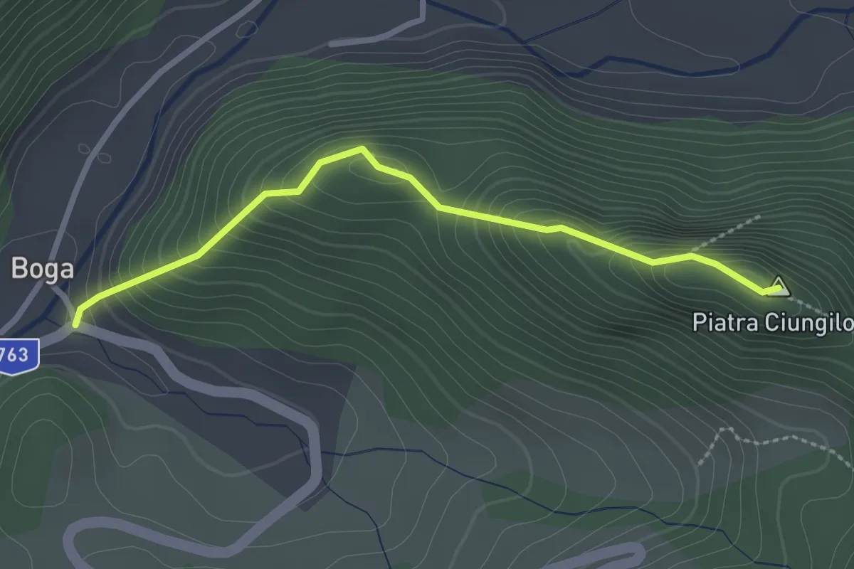
Comandău - Vf. Laur (Pilon Cosmote)
2.6 km · ↑ 251 m · 1 h 10 min
Medium · Summit
Complex turistic Boga - DJ763(22km + 500m)
2.5 km · ↑ 250 m · 1 h 8 min
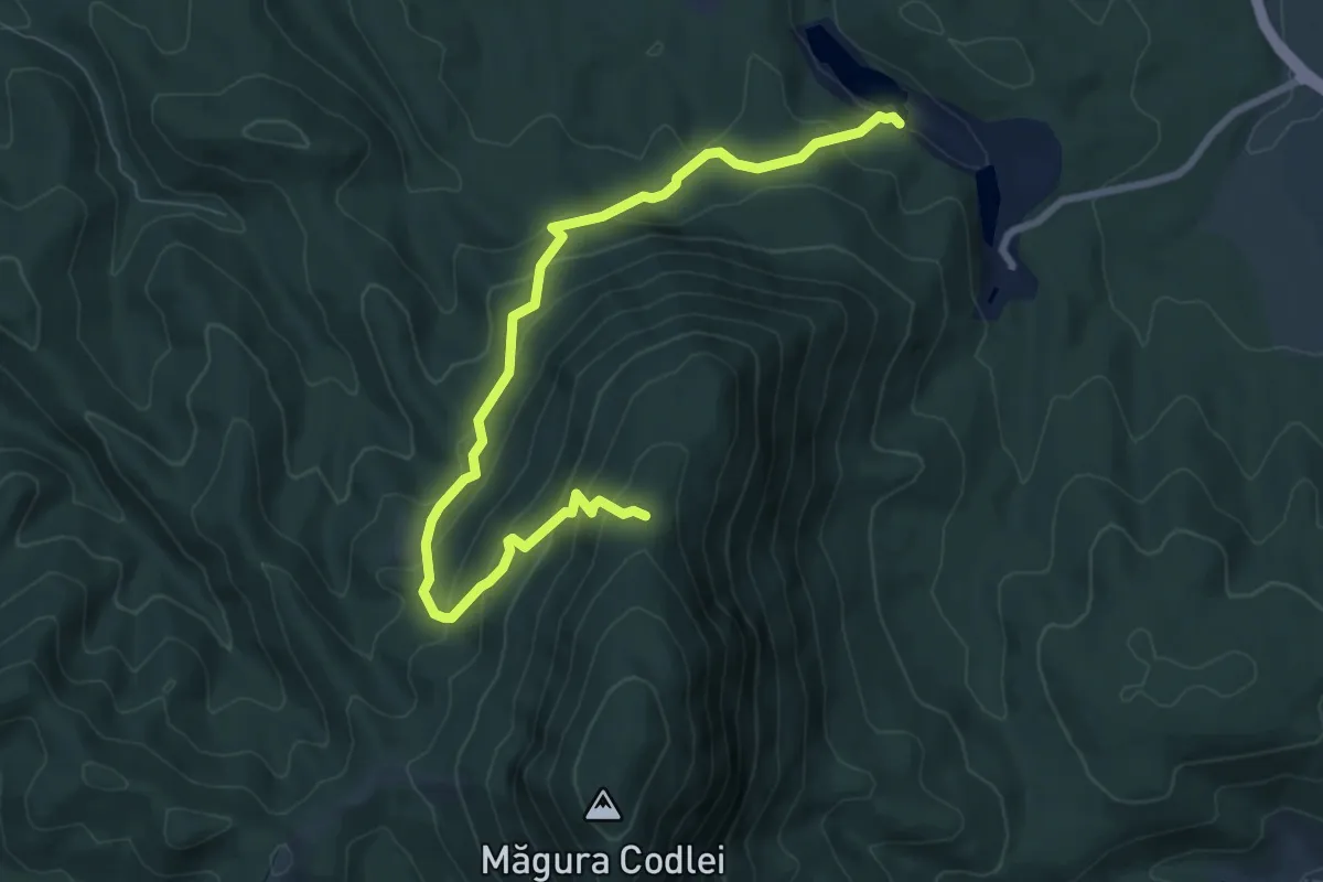
Medium · Trail
Complex Turistic Codlea - Poiana lui Rușeț - Măgura Codlei
8.8 km · ↑ 660 m · 3 h 31 min
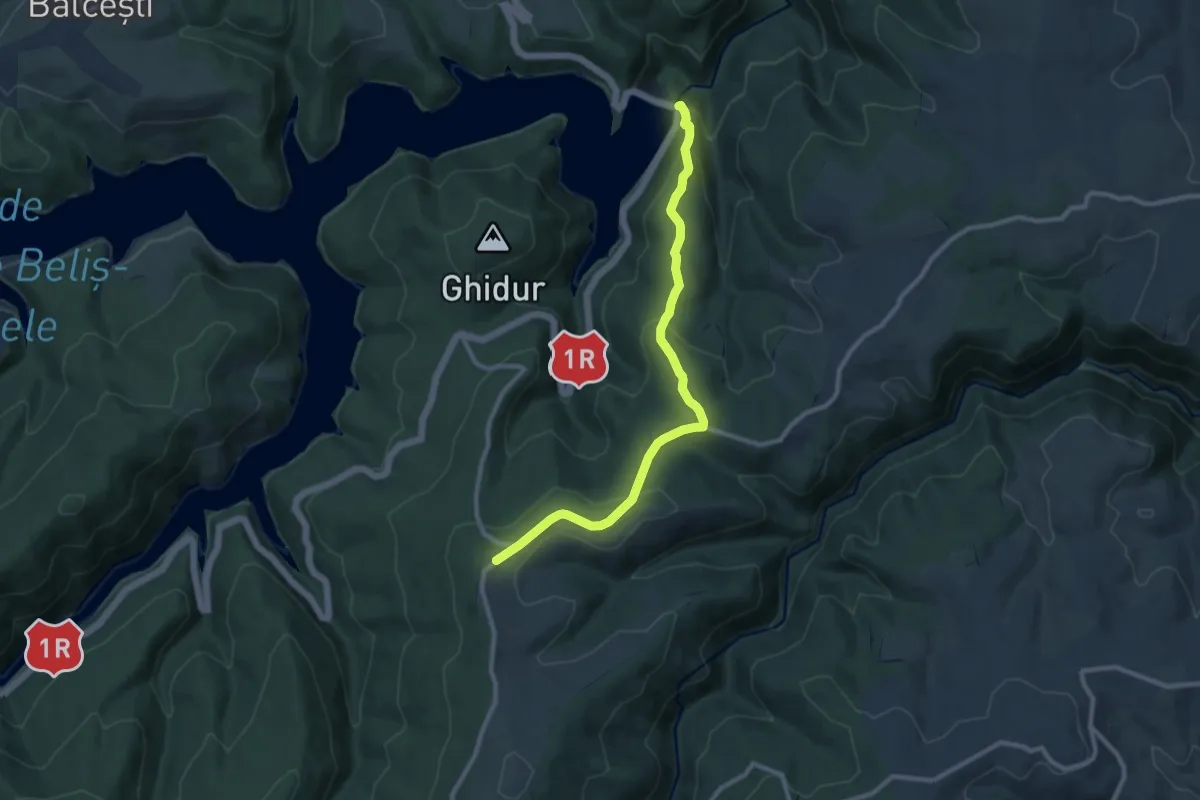
Medium · Trail
Complex turistic Fântânele - Coliba Mâțului - Crucea lui Avram Iancu
9.8 km · ↑ 388 m · 3 h 9 min
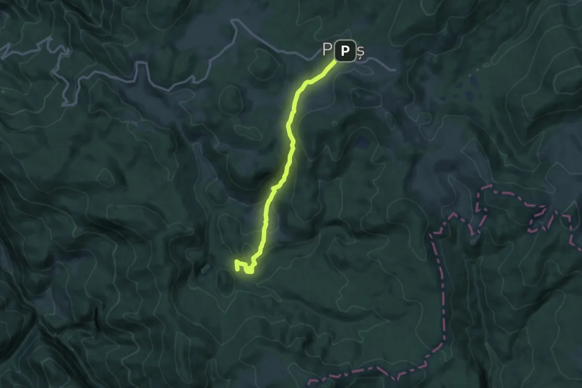
Medium · Cabin
Complex turistic Padiș - Cabana Cetățile Ponorului
10.2 km · ↑ 401 m · 3 h 16 min
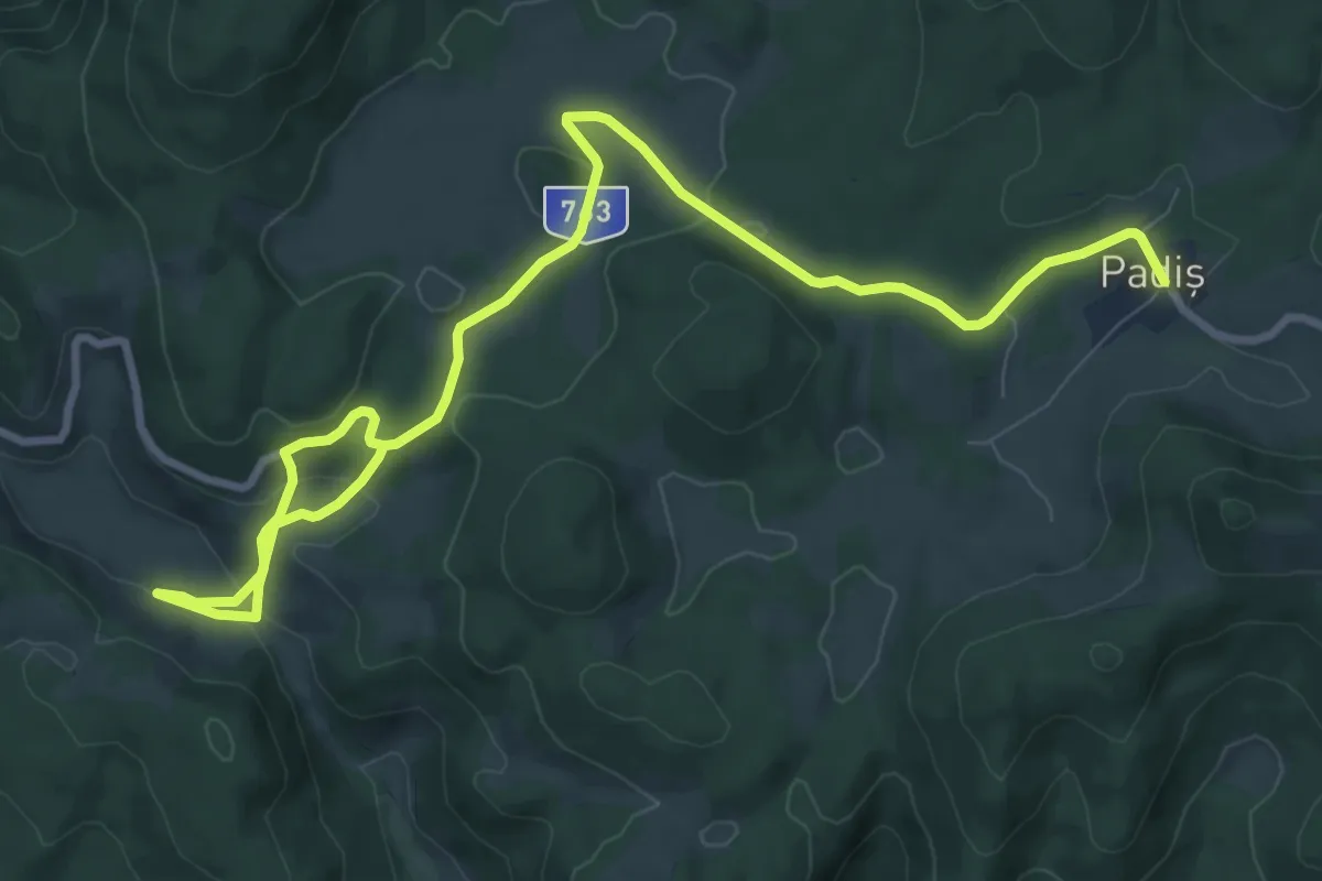
Medium · Cabin
Complex turistic Padiș - Ghețarul de la Barsa - intersecție cu traseul 5 PG
12.2 km · ↑ 293 m · 3 h 31 min
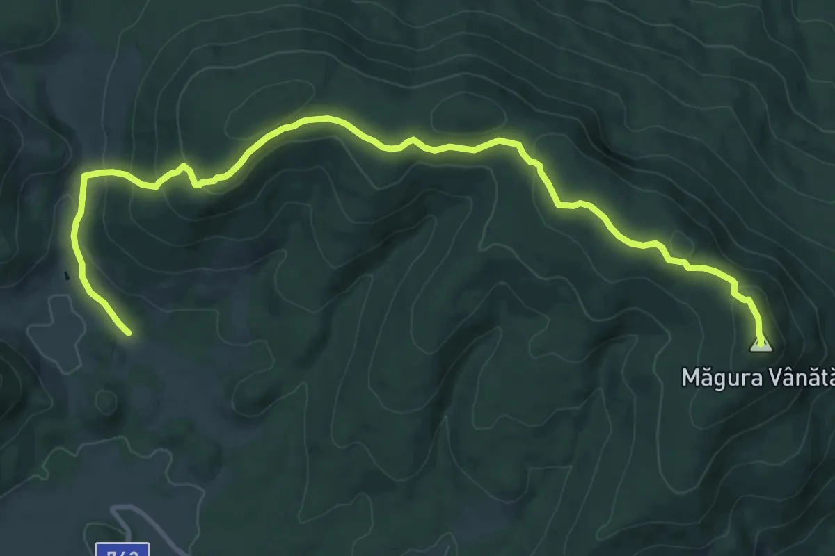
Medium · Summit
Complex turistic Padiș - Măgura Vânătă - Șaua Vărășoaia
12.0 km · ↑ 514 m · 3 h 57 min
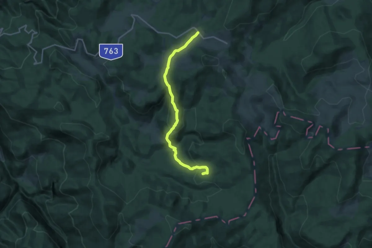
Medium · Cabin
Complex turistic Padiș - Platoul Carstic Lumea Pierdută
11.5 km · ↑ 455 m · 3 h 42 min
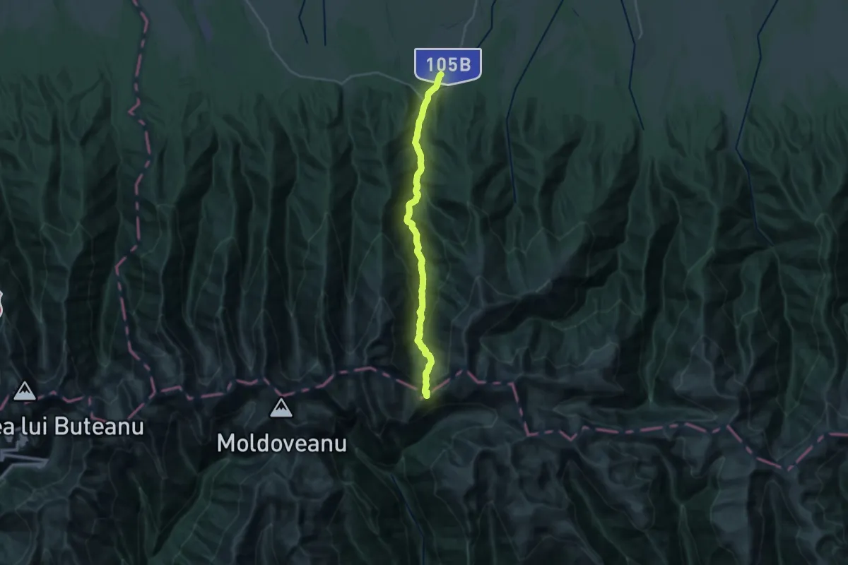
Demanding · Trail
Complex Turistic Sâmbăta - Fereastra Mare a Sâmbetei
11.3 km · ↑ 1521 m · 5 h 23 min
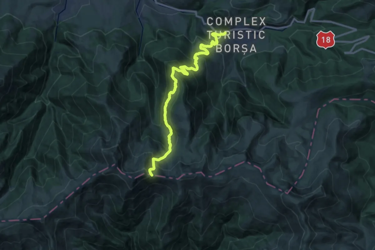
Demanding · Trail
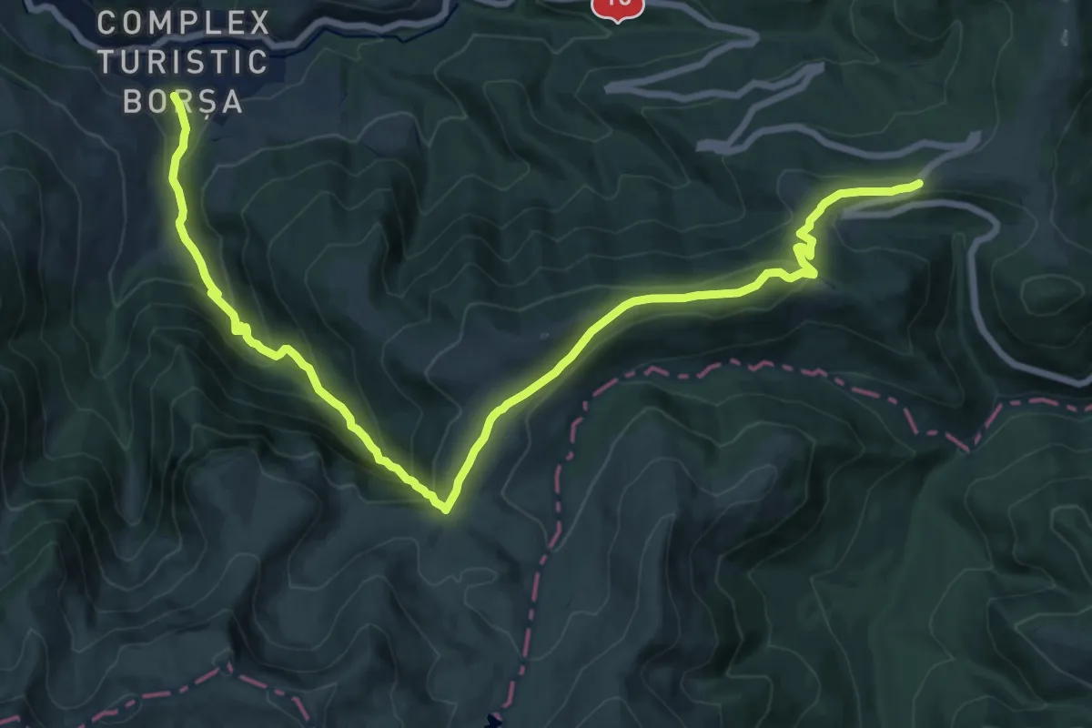
Complexul Turistic Borșa - Buza Muntelui - Șaua Laptelui
19.3 km · ↑ 1496 m · 7 h 48 min
Demanding · Cabin
Complexul Turistic Borșa – Cascada Cailor – Pasul Prislop (red triangle)
19.4 km · ↑ 1000 m · 6 h 44 min
Medium · Summit
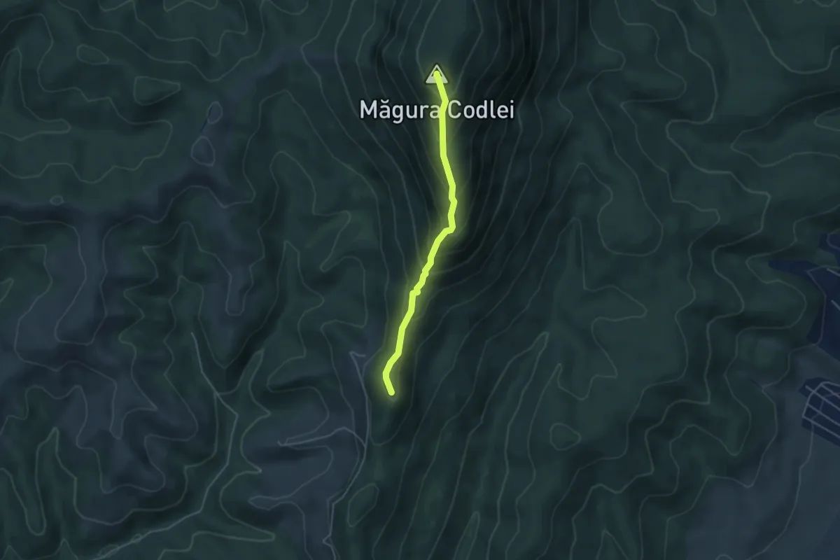
Complexul Turistic Codlea - Măgura Codlei - Cetatea Neagră
3.9 km · ↑ 328 m · 1 h 37 min
Easy · Trail
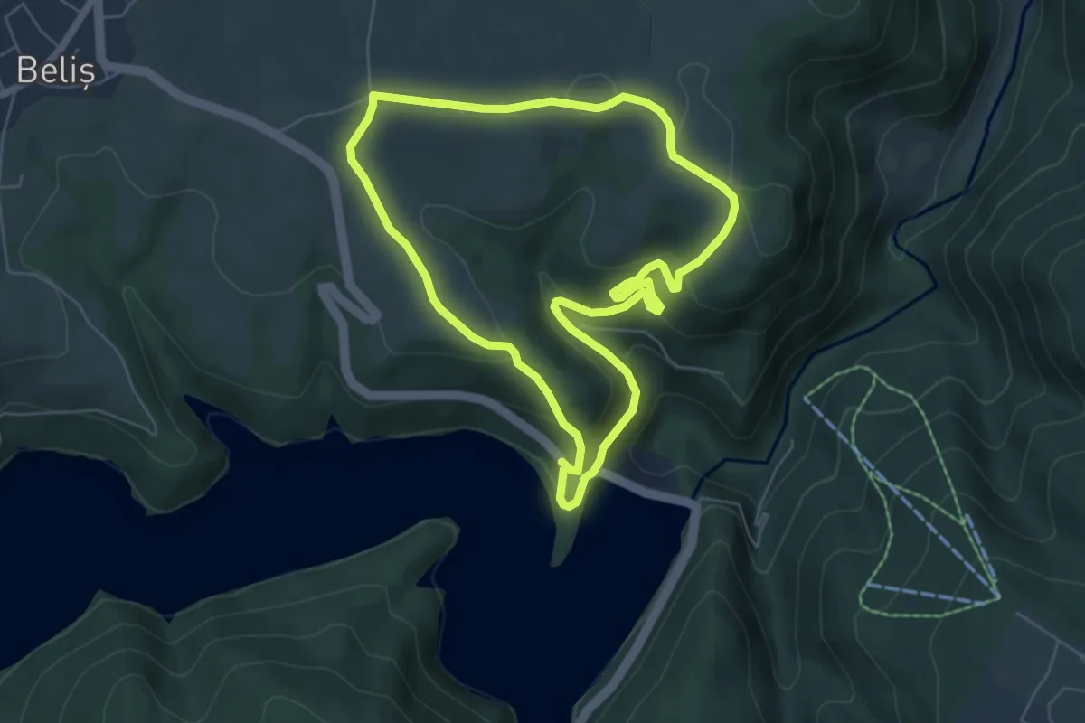
Complexul Turistic Fântânele - Cariera Fântânele - Complexul Turistic Fântânele
5.9 km · ↑ 228 m · 1 h 57 min
Medium · Trail
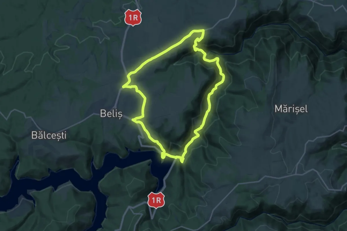
Complexul Turistic Fântânele - Defileul Someșului Cald - Complexul Turistic Fântânele
15.5 km · ↑ 512 m · 4 h 59 min