Trails in Romania
1,356 hiking trails, each with its route, climb, walking time and grade.
All trails, page 13 of 29
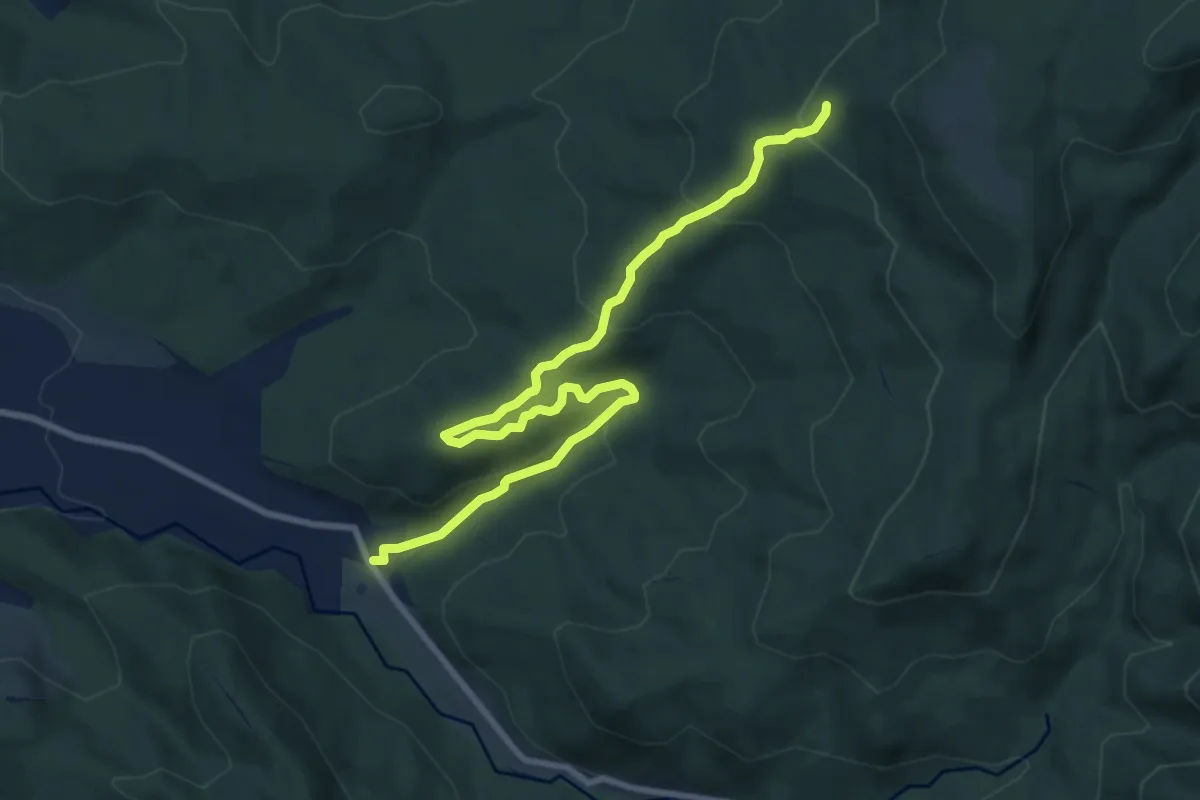
Medium · Trail
Hotel Bradul - Poiana Palfei
10.2 km · ↑ 422 m · 3 h 19 min
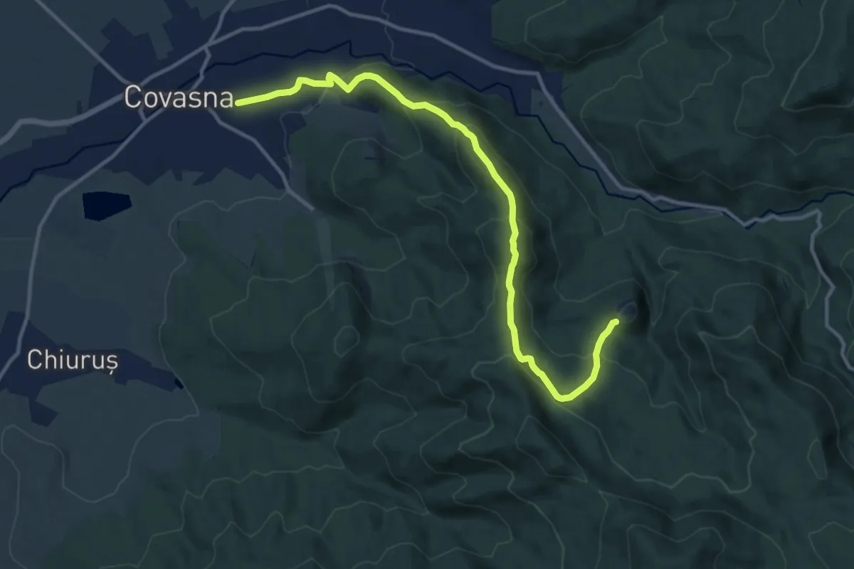
Medium · Trail
Hotel Hefaistos - Poiana lui Cocorea - Cetatea Zînelor
12.6 km · ↑ 630 m · 4 h 21 min
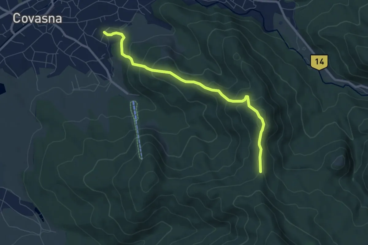
Medium · Trail
Hotel Montana - Poiana lui Cocorea
7.2 km · ↑ 439 m · 2 h 40 min
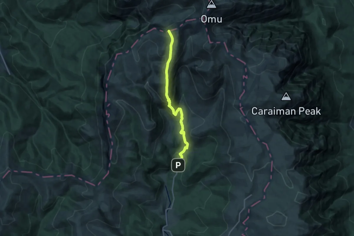
Medium · Trail
Hotel Peștera - Culmea Doamnele - Șaua Doamnele
12.5 km · ↑ 785 m · 4 h 38 min
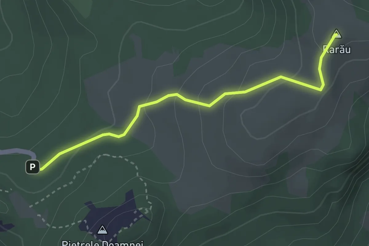
Easy · Summit
Hotel Rarău – Vf. Rarău (blue dot)
2.9 km · ↑ 145 m · 1 h
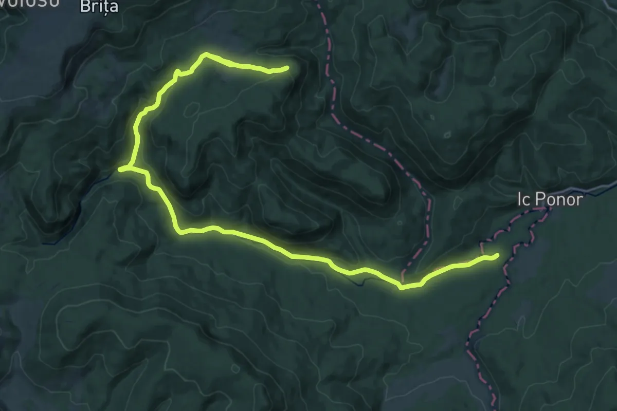
Demanding · Trail
Ic Ponor-V. Someșul Cald-Peștera Onceasa
25.3 km · ↑ 651 m · 7 h 23 min
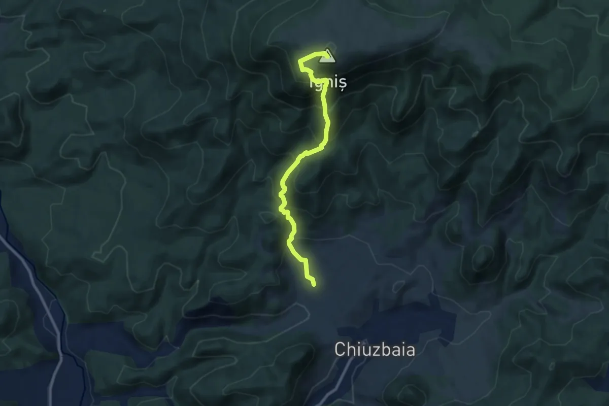
Medium · Summit
Ignis
7.9 km · ↑ 781 m · 3 h 34 min
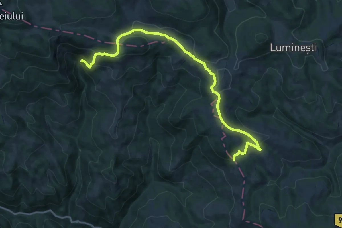
Medium · Trail
intersecție cu traseul BR - Cascada Pișoaia Albii
12.9 km · ↑ 480 m · 4 h 6 min
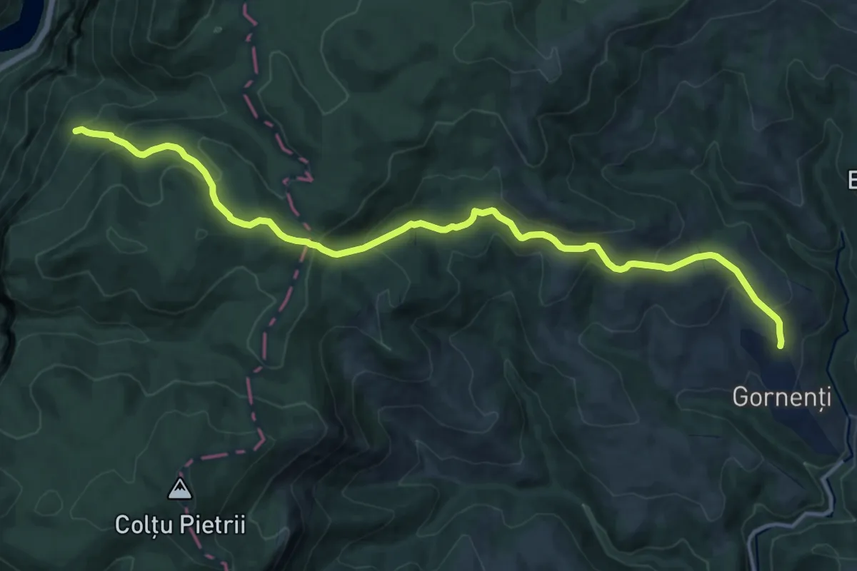
Medium · Trail
Intersecție traseu 14 TA (sub vârful Cociu) - Gornenți
14.6 km · ↑ 791 m · 5 h 10 min
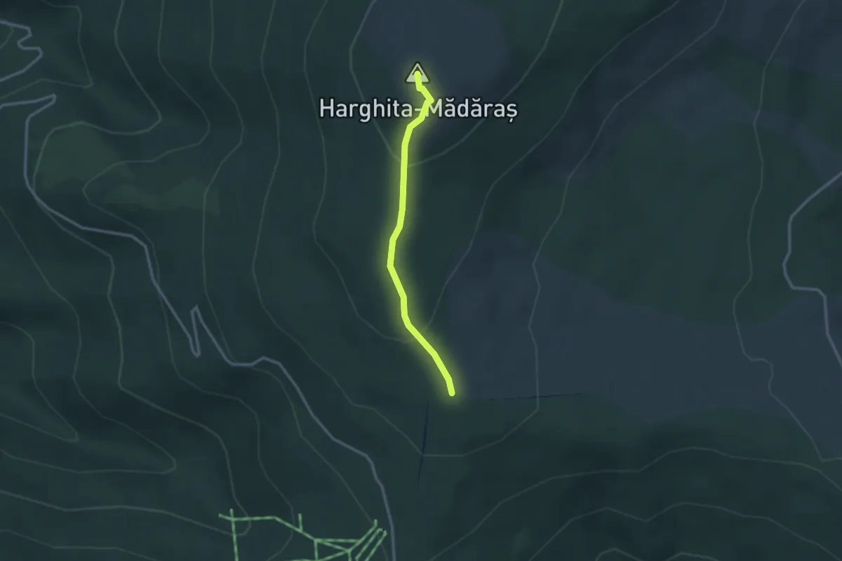
Easy · Summit
intersecție traseul BA (la sud de Vf. Harghita Mădăraș) - Vf. Harghita Mădăraș
2.4 km · ↑ 107 m · 48 min
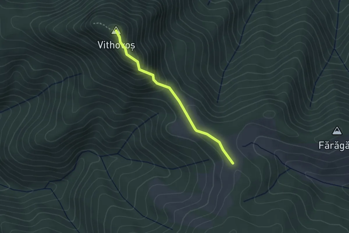
Medium · Summit
intersecție traseul BA - Șaua Vithovoș - Vf. Vithovoș
2.7 km · ↑ 182 m · 1 h 2 min
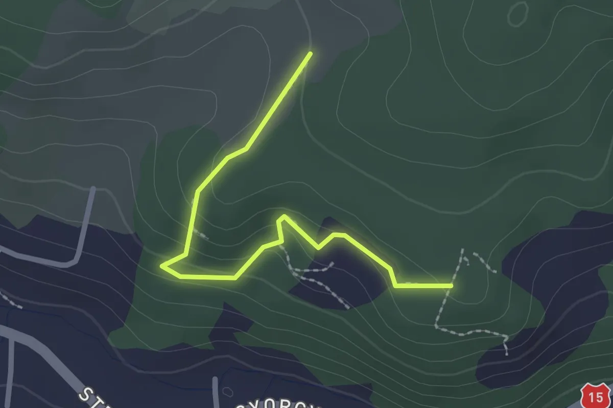
Easy · Trail
intersecție traseul CR - Grota Urșilor - Punct de belvedere
2.2 km · ↑ 93 m · 43 min
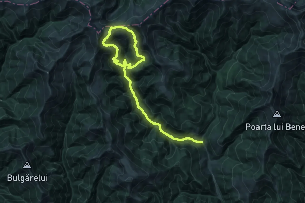
Demanding · Trail
Între Anieșe - Șaua Între Izvoare - V. Anieșul Mic
17.3 km · ↑ 845 m · 6 h 24 min
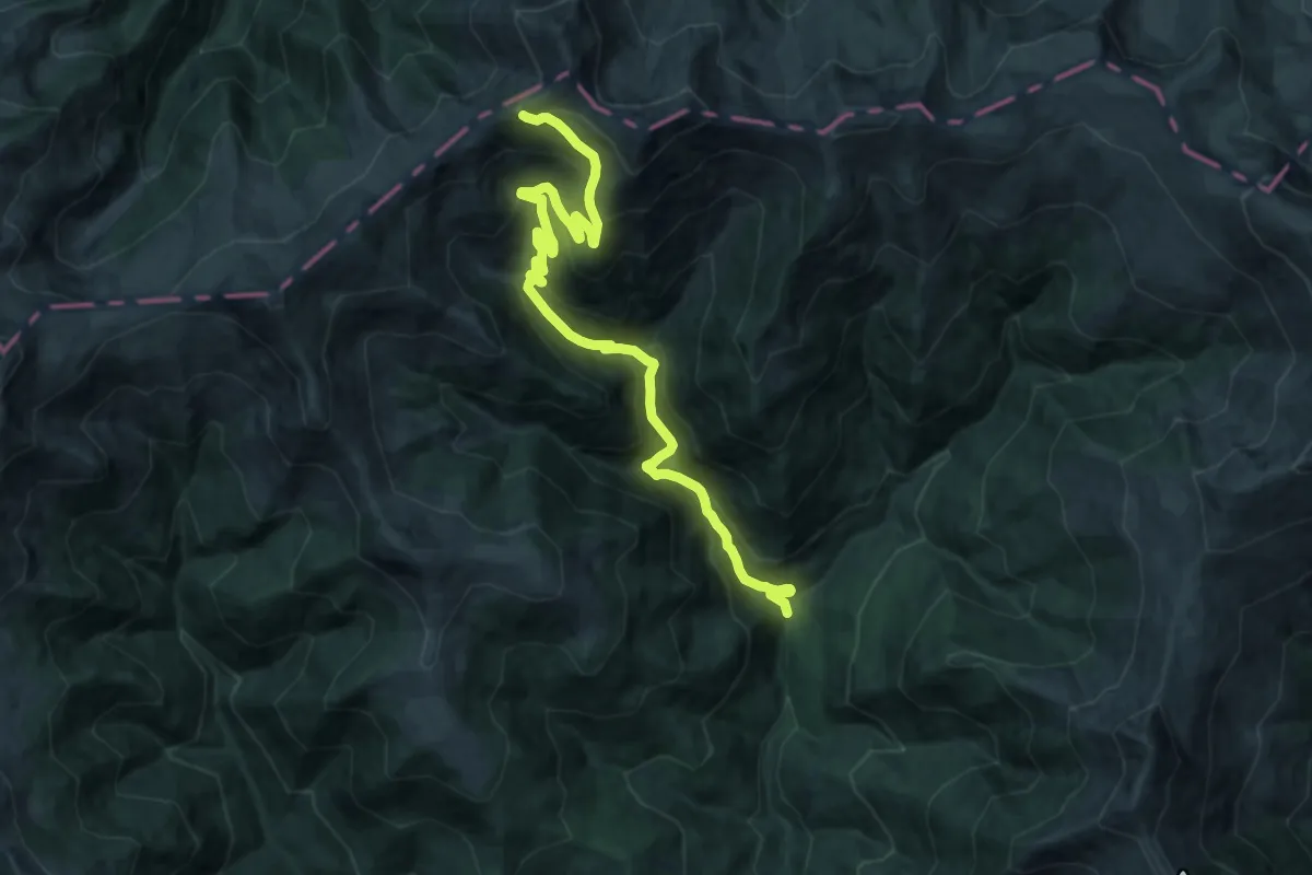
Demanding · Trail
Între Izvoare - Tarnița Bârsanului
19.1 km · ↑ 1206 m · 7 h 7 min
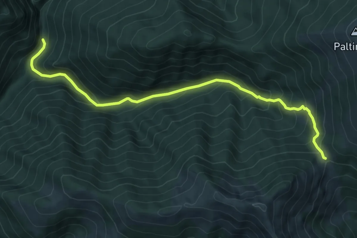
Medium · Trail
Între Rebre - Șaua Zânelor
8.8 km · ↑ 680 m · 3 h 33 min
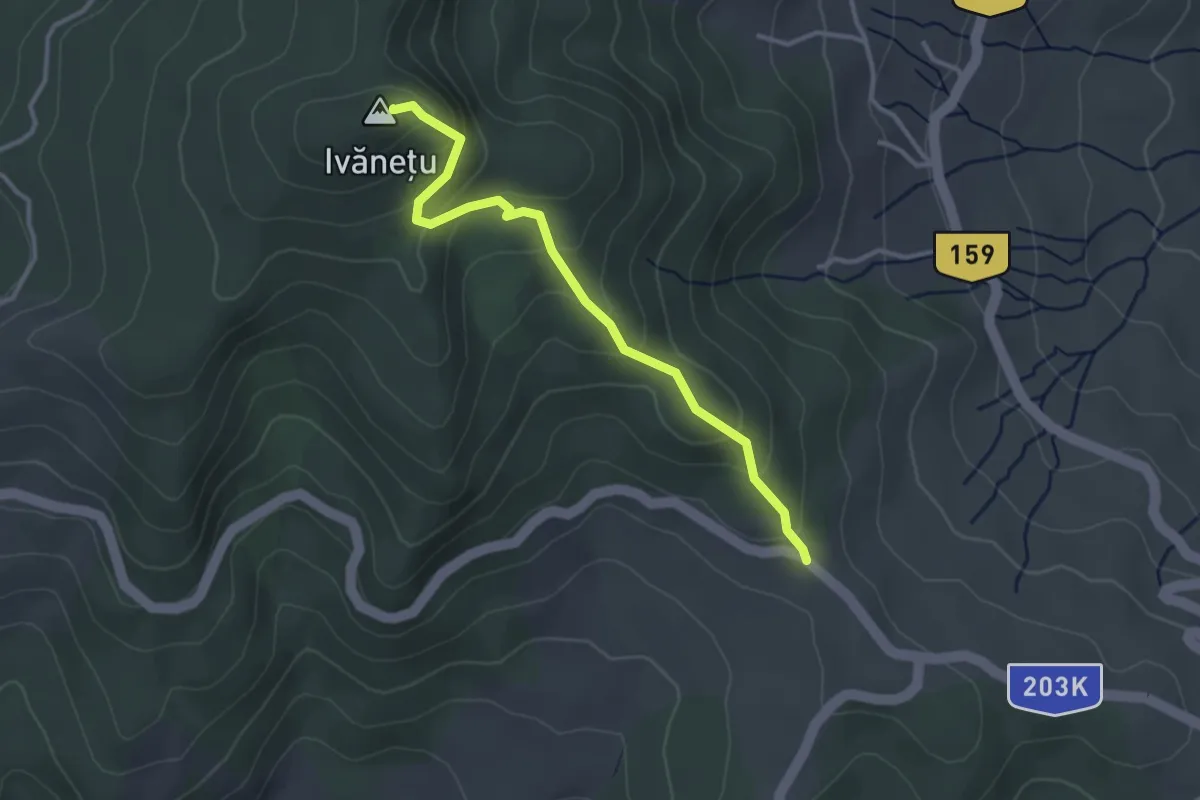
Medium · Summit
Ivanetu access
3.2 km · ↑ 212 m · 1 h 13 min
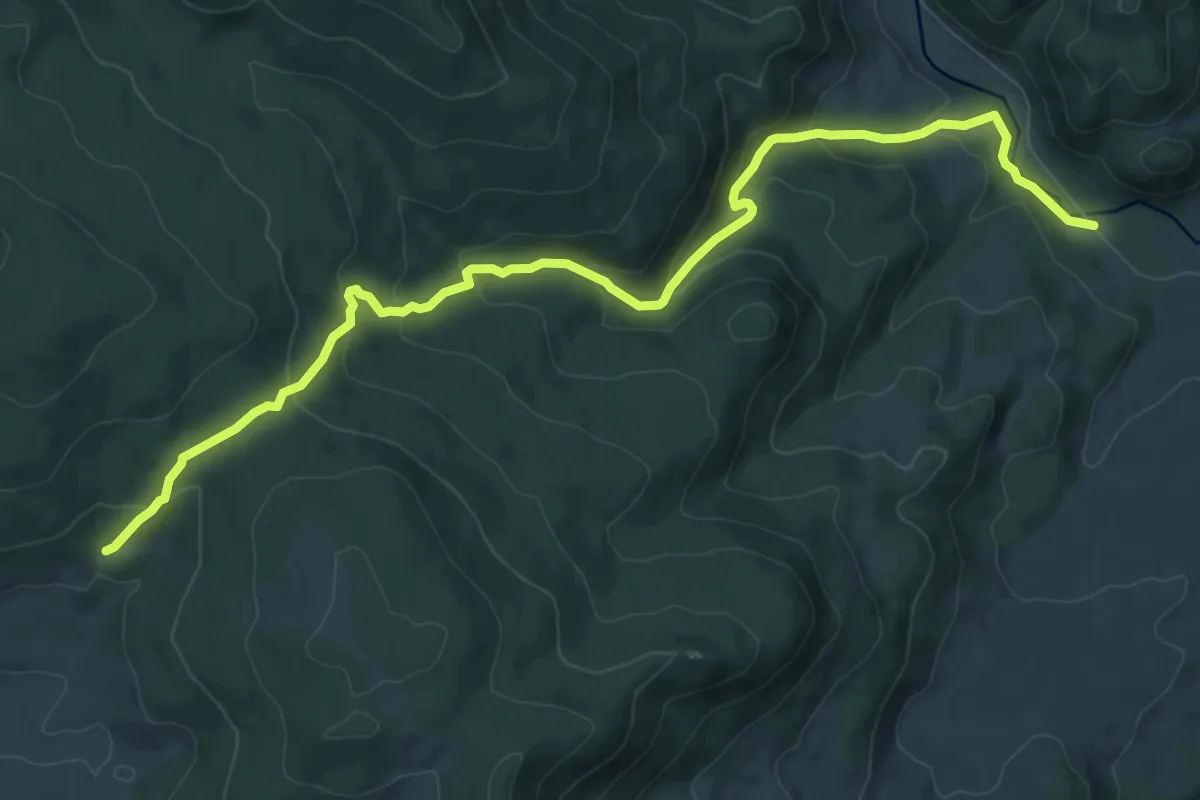
Medium · Trail
Izvoare
11.2 km · ↑ 540 m · 3 h 48 min
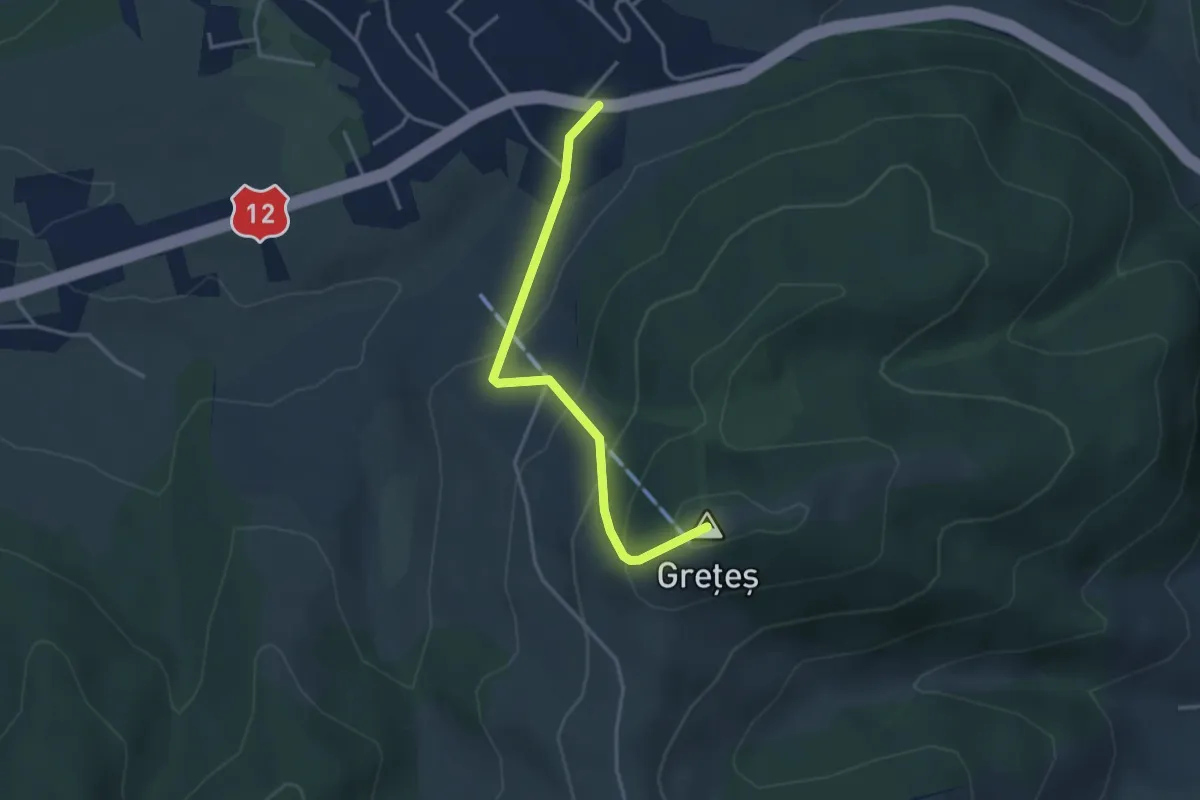
Easy · Summit
Izvorul Mureșului - Grețeș
3.3 km · ↑ 225 m · 1 h 17 min
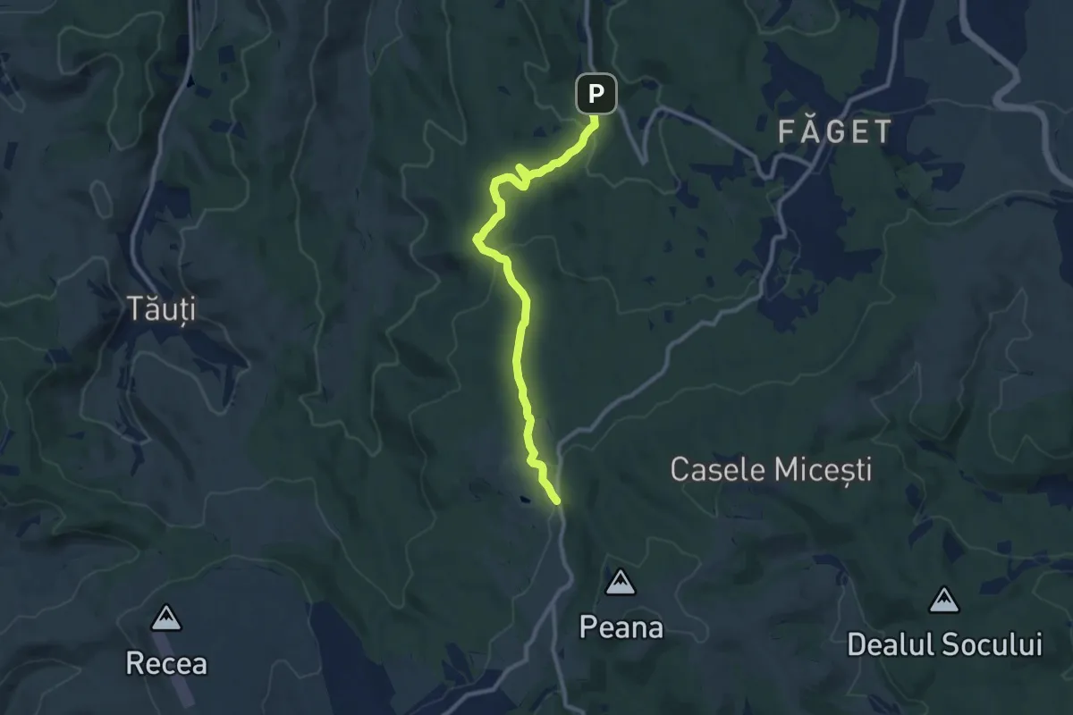
Medium · Trail
Izvorul Sfântul Ioan - Râtul Penii
9.6 km · ↑ 273 m · 2 h 51 min
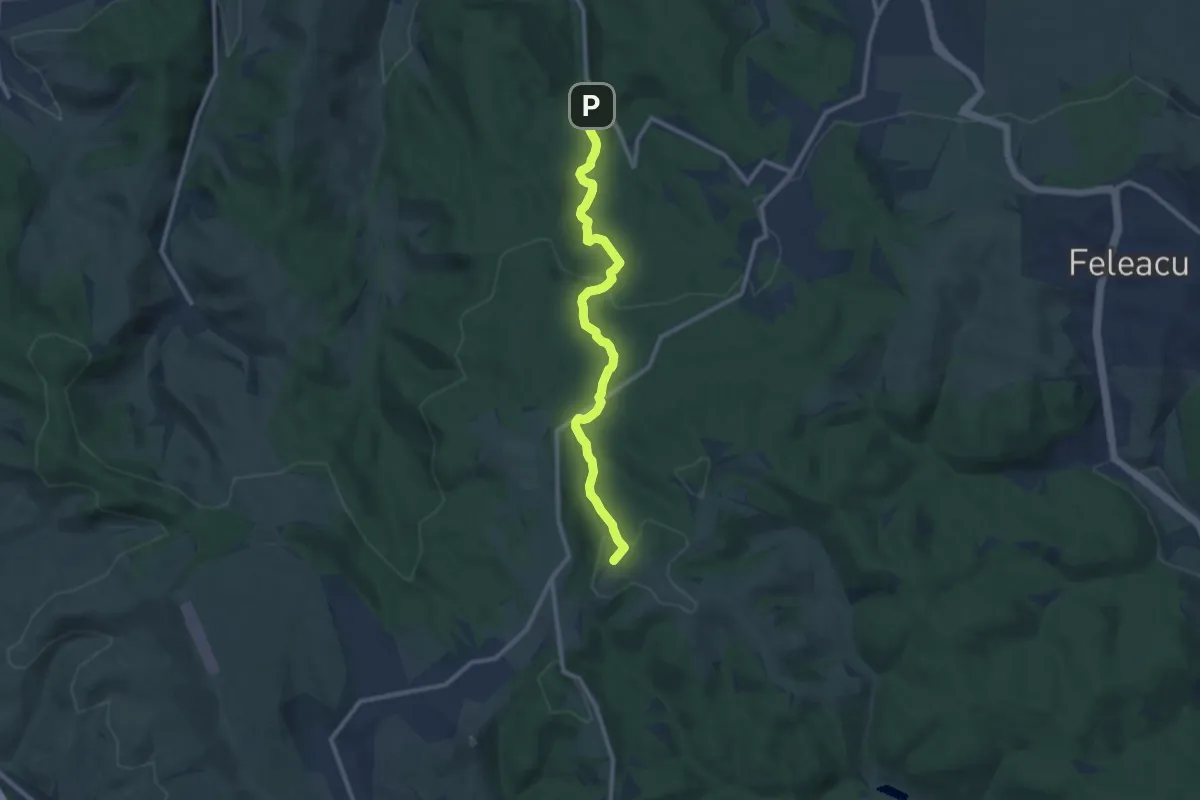
Medium · Summit
Izvorul Sfântul Ioan - Vârful Peana
10.6 km · ↑ 396 m · 3 h 22 min
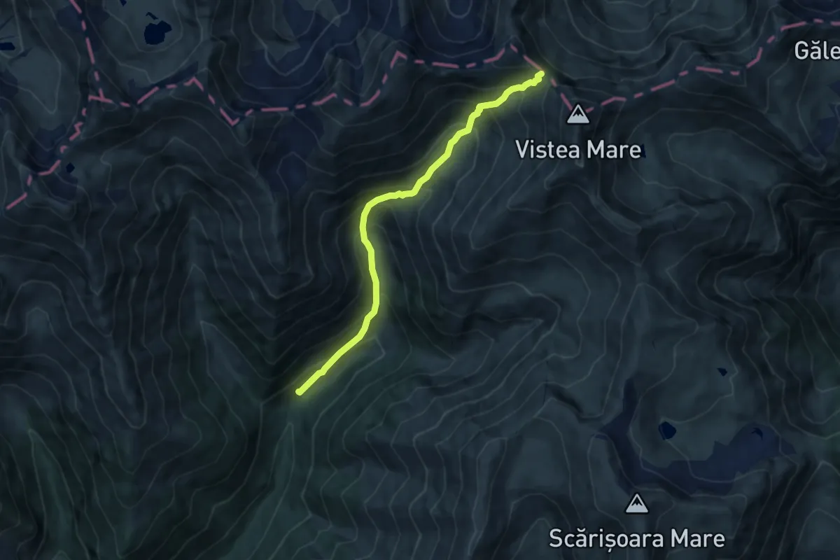
Demanding · Trail
Izv. Podu Giurgiului - Șaua Orzănele
7.8 km · ↑ 823 m · 3 h 37 min
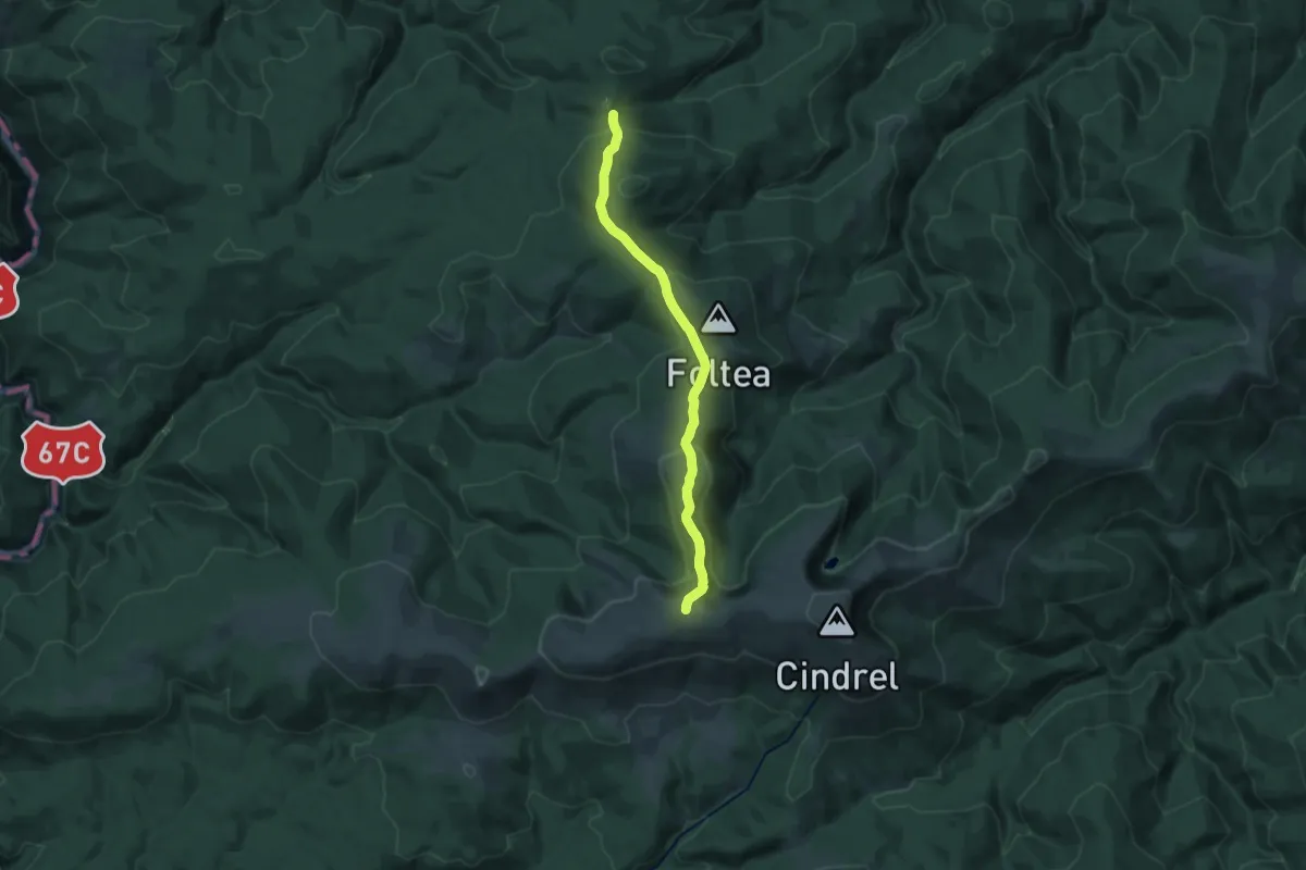
Medium · Trail
Jina - La Pripoane - Vf. Frumoasa - Vf. Cindrel
17.0 km · ↑ 646 m · 5 h 25 min
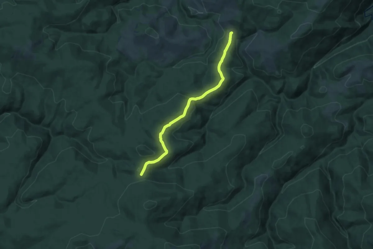
Medium · Trail
Jina – Valea Dobrei – Vârful Fântânele – Magura Jinarilor – Poiana Rudari
13.8 km · ↑ 552 m · 4 h 27 min
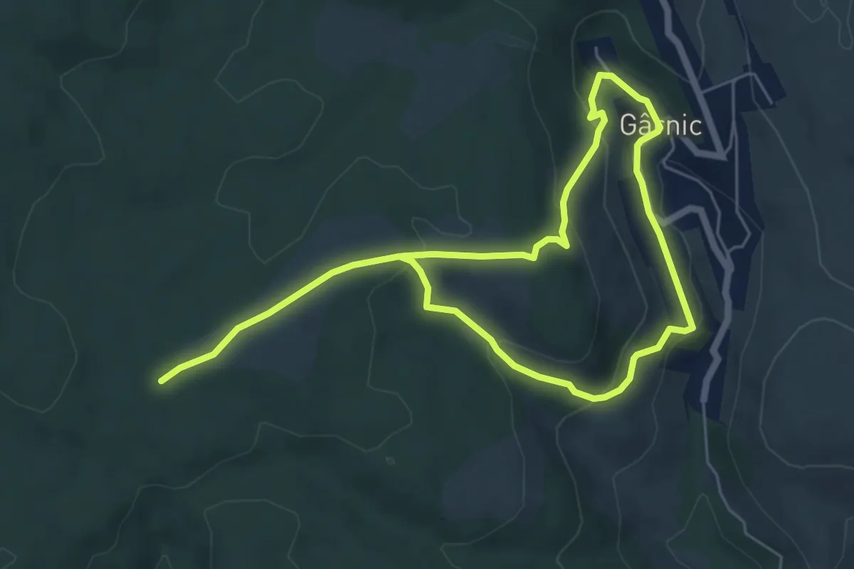
Medium · Trail
kct_yellow_gernik_okruh
9.4 km · ↑ 338 m · 2 h 58 min
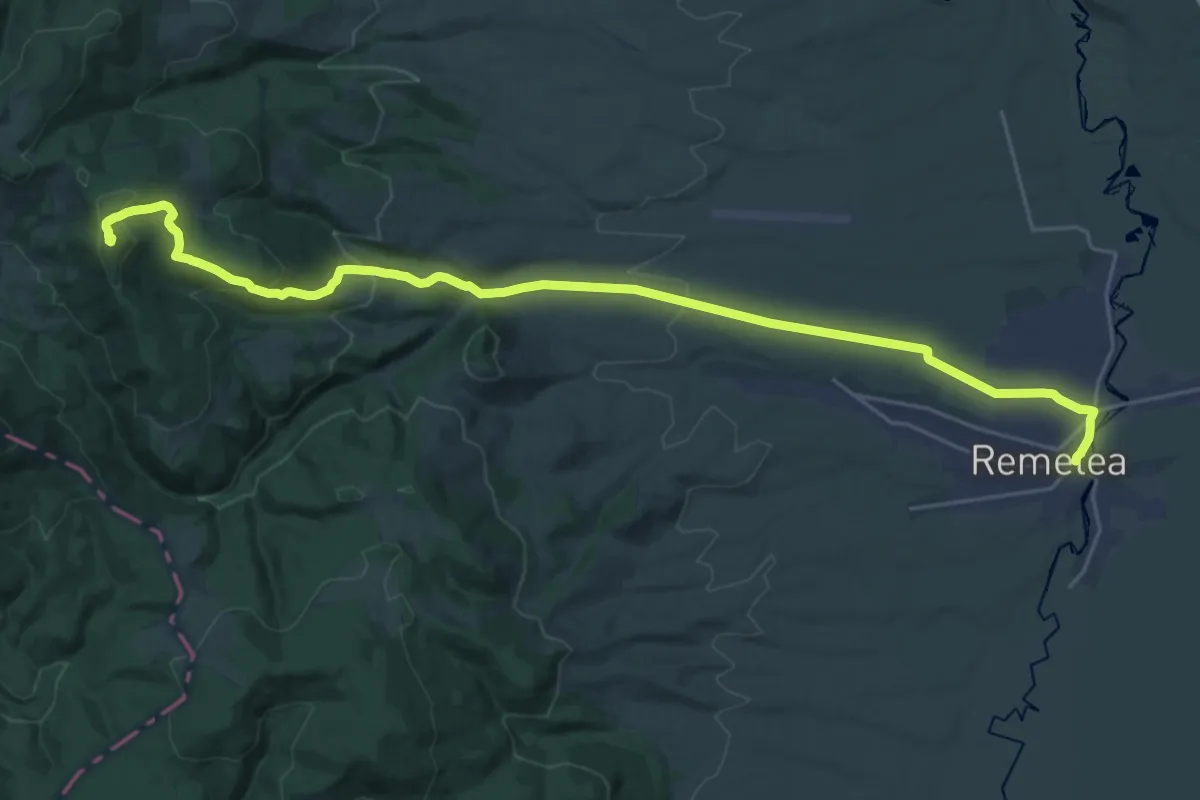
Medium · Trail
Kecske Ko
13.9 km · ↑ 753 m · 4 h 44 min
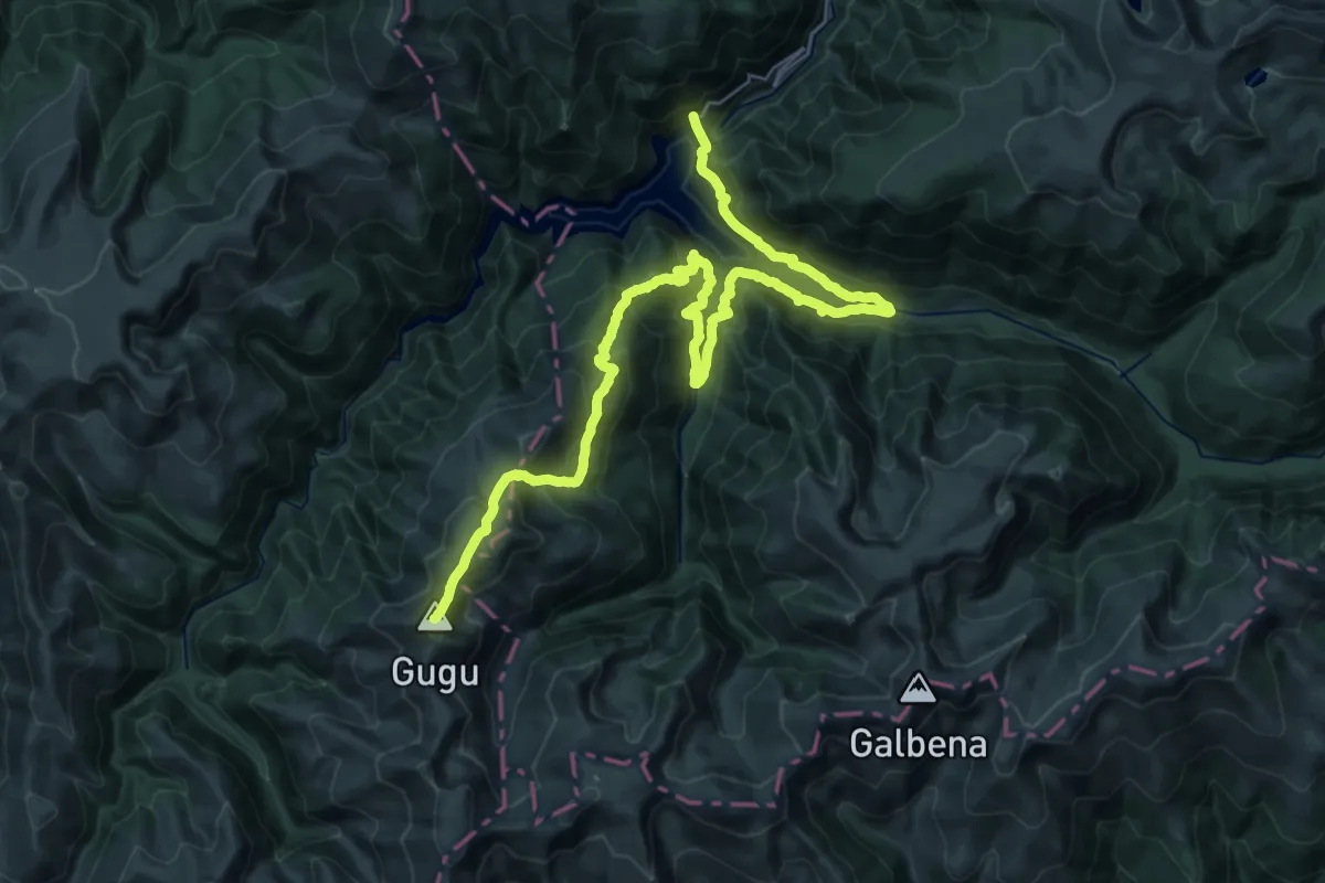
Demanding · Summit
Lac Gura Apei - Refugiul Gugu (Branu) - Vf. Gugu
38.9 km · ↑ 2695 m · 15 h 1 min
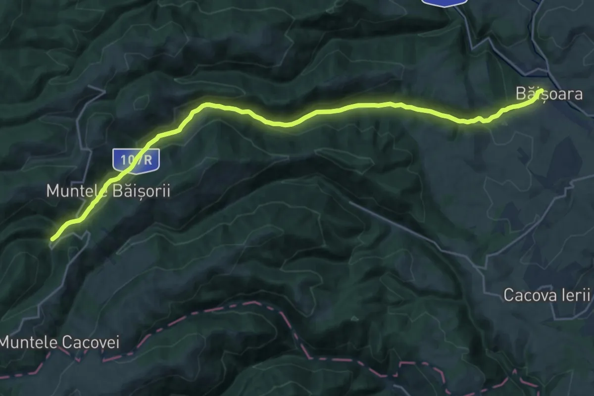
Demanding · Trail
La Cruce - sat Băișoara
22.7 km · ↑ 591 m · 6 h 39 min
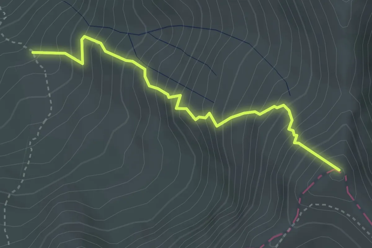
Demanding · Summit
La Cruce - sub Vf. La Cheia Bândei
3.4 km · ↑ 607 m · 2 h 7 min
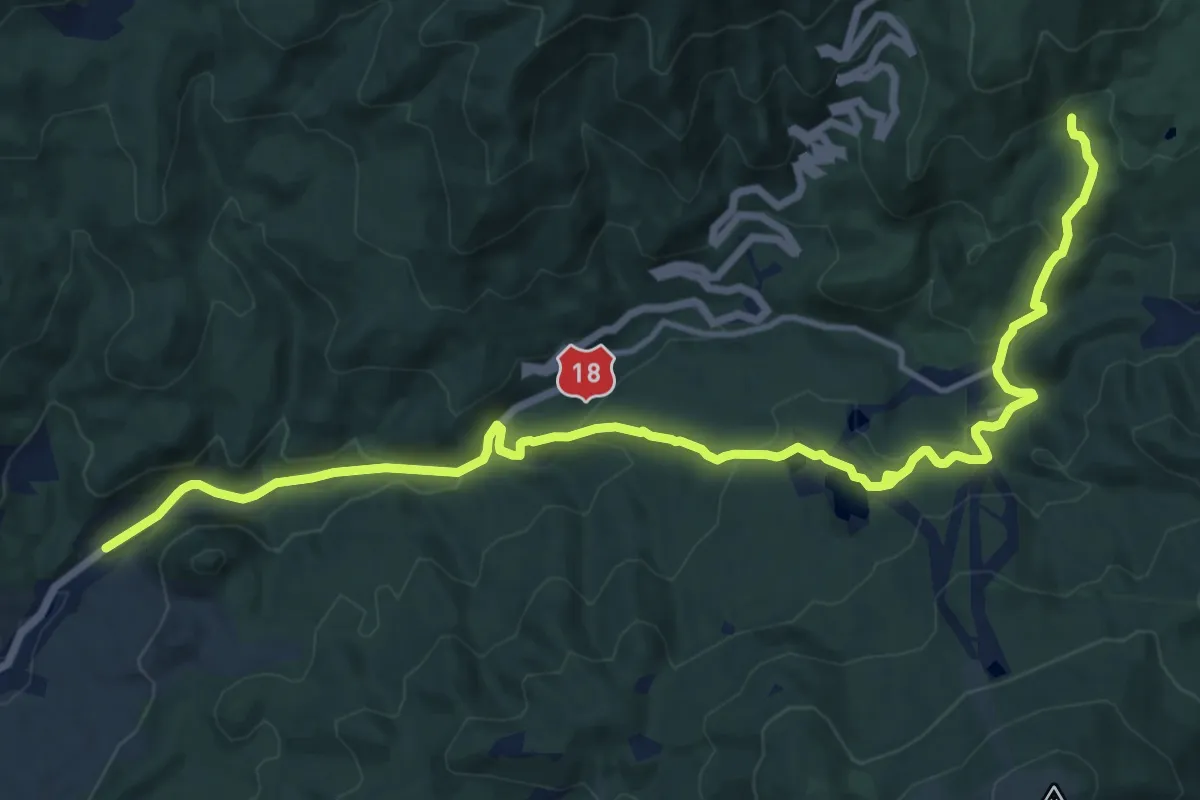
Medium · Trail
Lacul Bodi – intersecție traseul BA
16.5 km · ↑ 681 m · 5 h 22 min
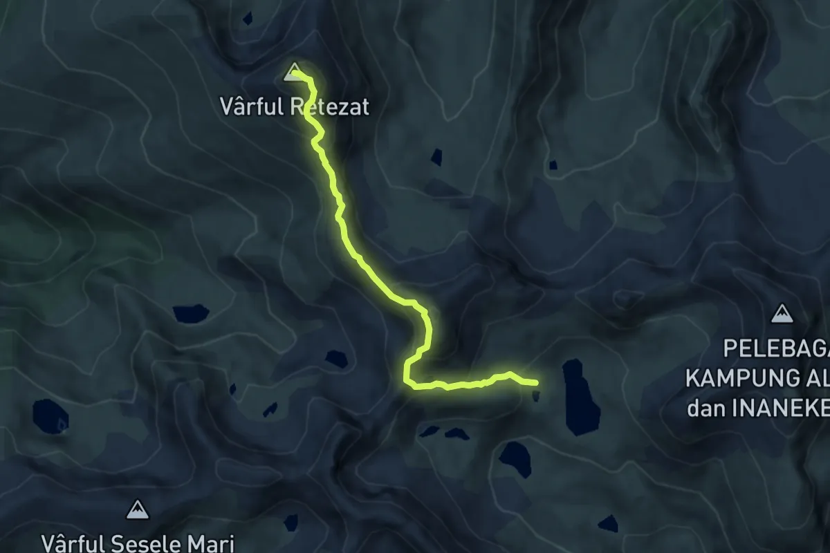
Expert · Summit
Lacul Bucura - Vârful Bucura - Vârful Retezat
7.4 km · ↑ 696 m · 3 h 16 min
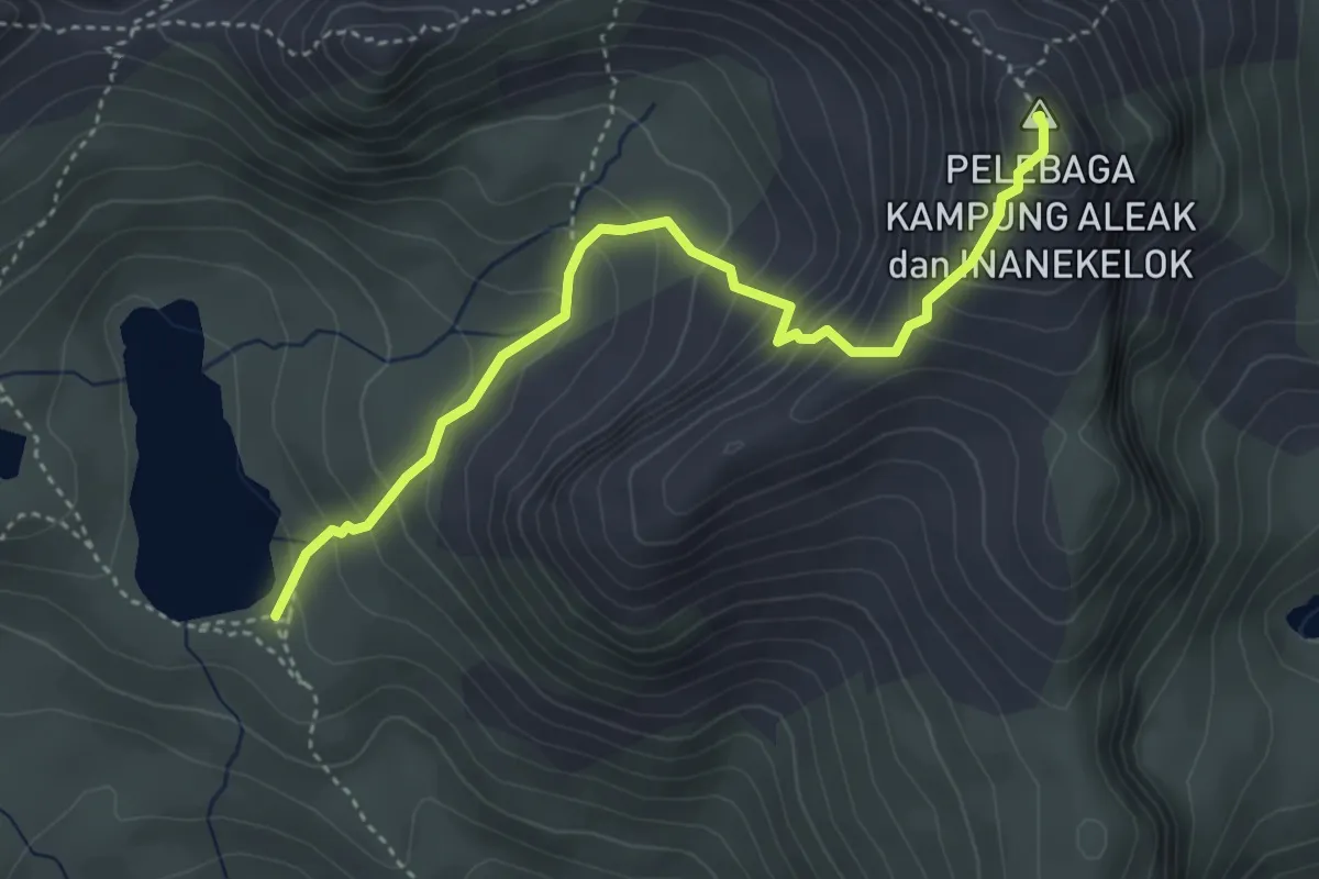
Medium · Summit
Lacul Bucura - Vârful Peleaga
4.1 km · ↑ 441 m · 1 h 56 min
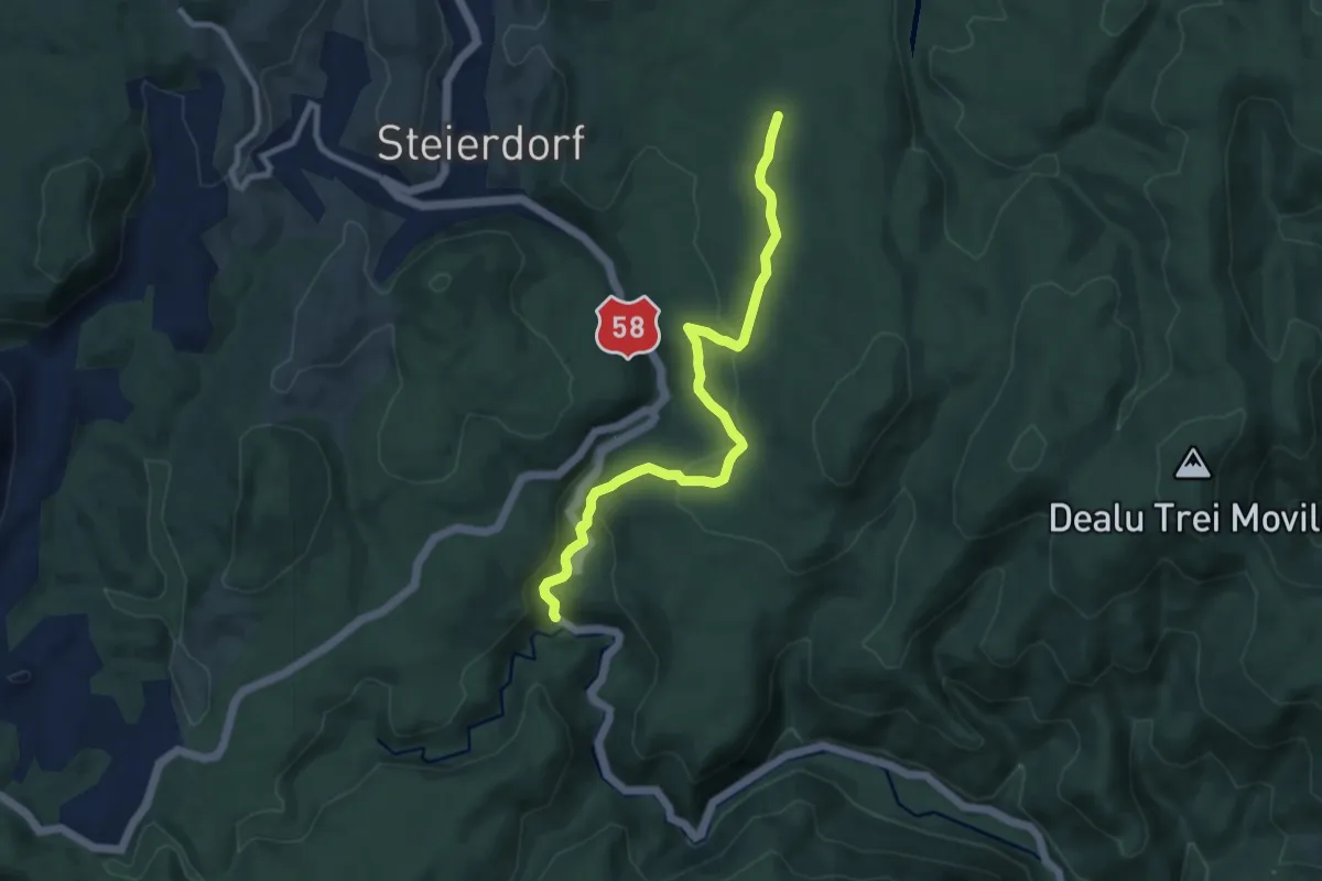
Medium · Trail
Lacul Buhui – Miniș
9.4 km · ↑ 331 m · 2 h 57 min
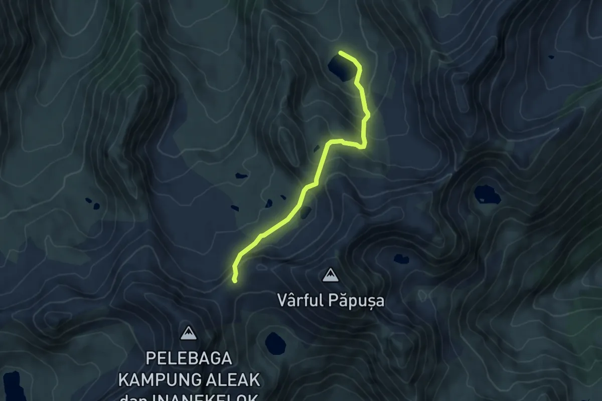
Medium · Trail
Lacul Galeș - Tăurile din Valea Rea - Șaua Pelegii
5.4 km · ↑ 409 m · 2 h 9 min
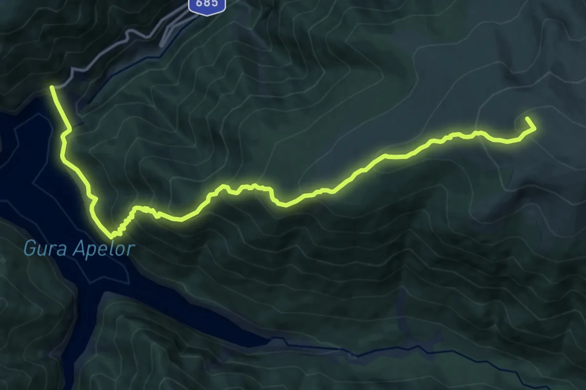
Demanding · Summit
Lacul Gura Apei - La Pir - Lacul Zănoaga - Lacul Bucura
15.1 km · ↑ 1215 m · 6 h 12 min
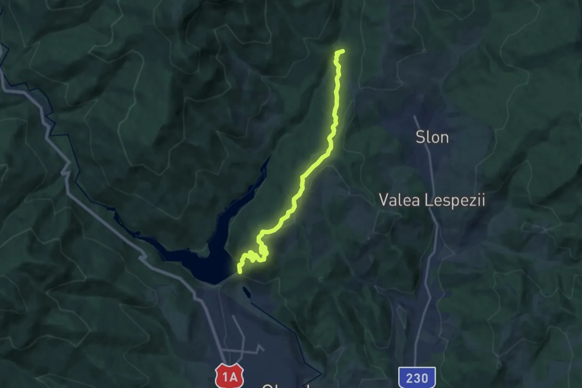
Medium · Trail
Lacul Măneciu - Clăbucet
13.4 km · ↑ 455 m · 4 h 9 min
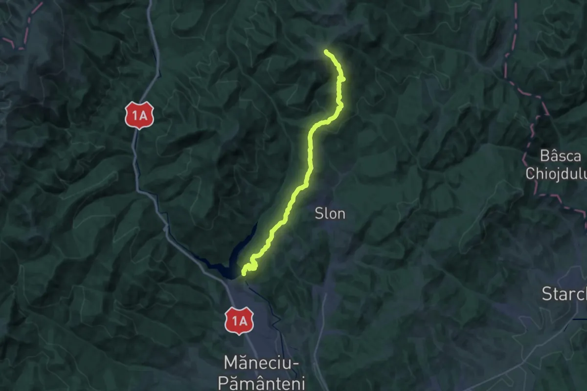
Demanding · Summit
Lacul Măneciu - Tabla Buții
28.6 km · ↑ 1080 m · 9 h 5 min
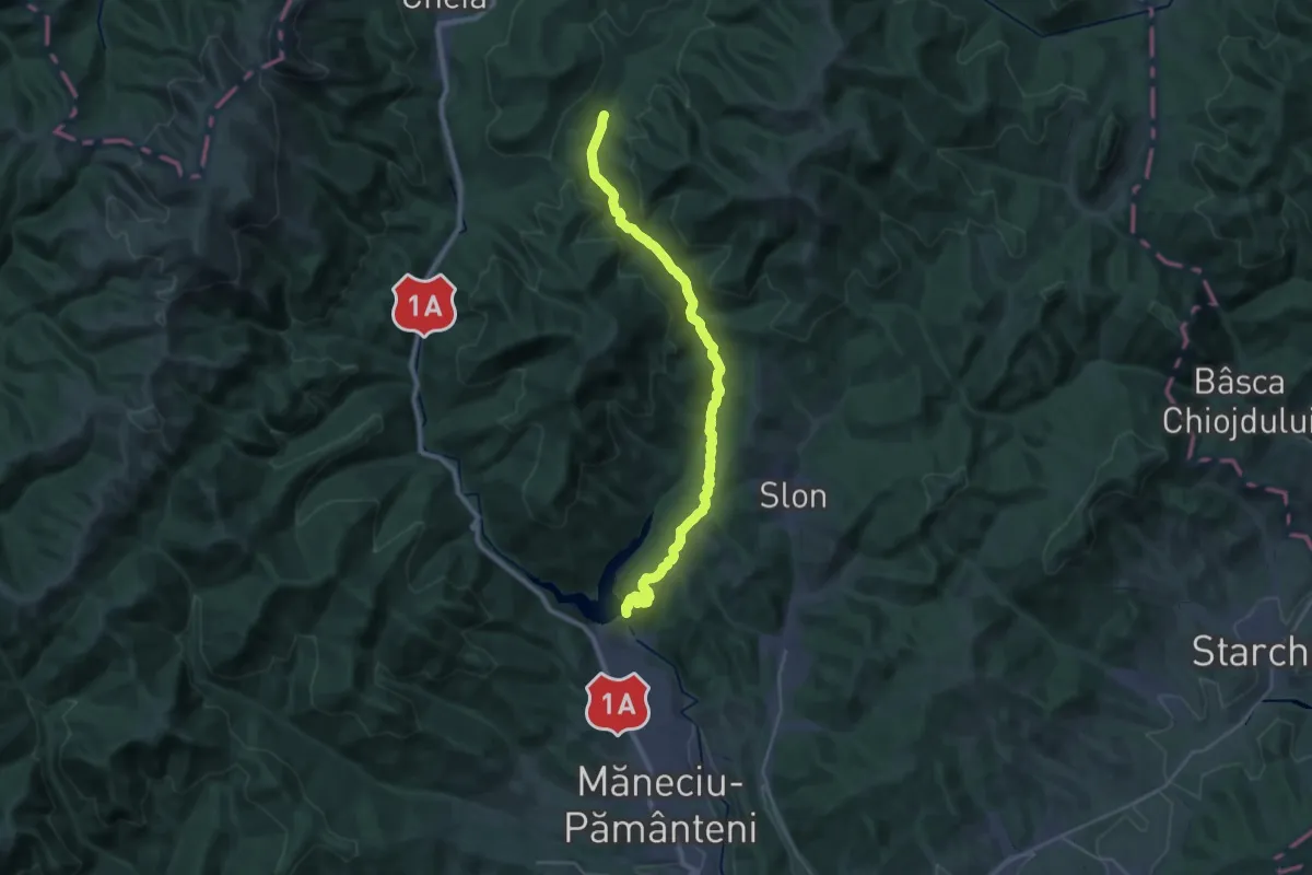
Medium · Trail
Lacul Măneciu - Valea Stânii
15.2 km · ↑ 492 m · 4 h 45 min
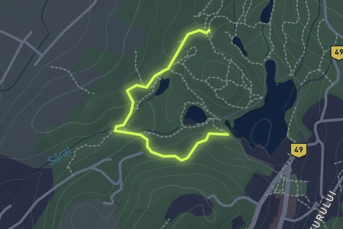
Easy · Trail
Lacul Mierlei - Lacul Ursu
2.1 km · ↑ 73 m · 40 min
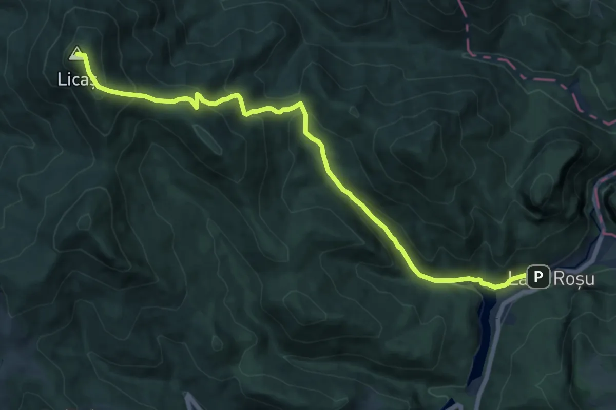
Medium · Summit
Lacul Roșu - Avenul Licaș
12.4 km · ↑ 784 m · 4 h 38 min
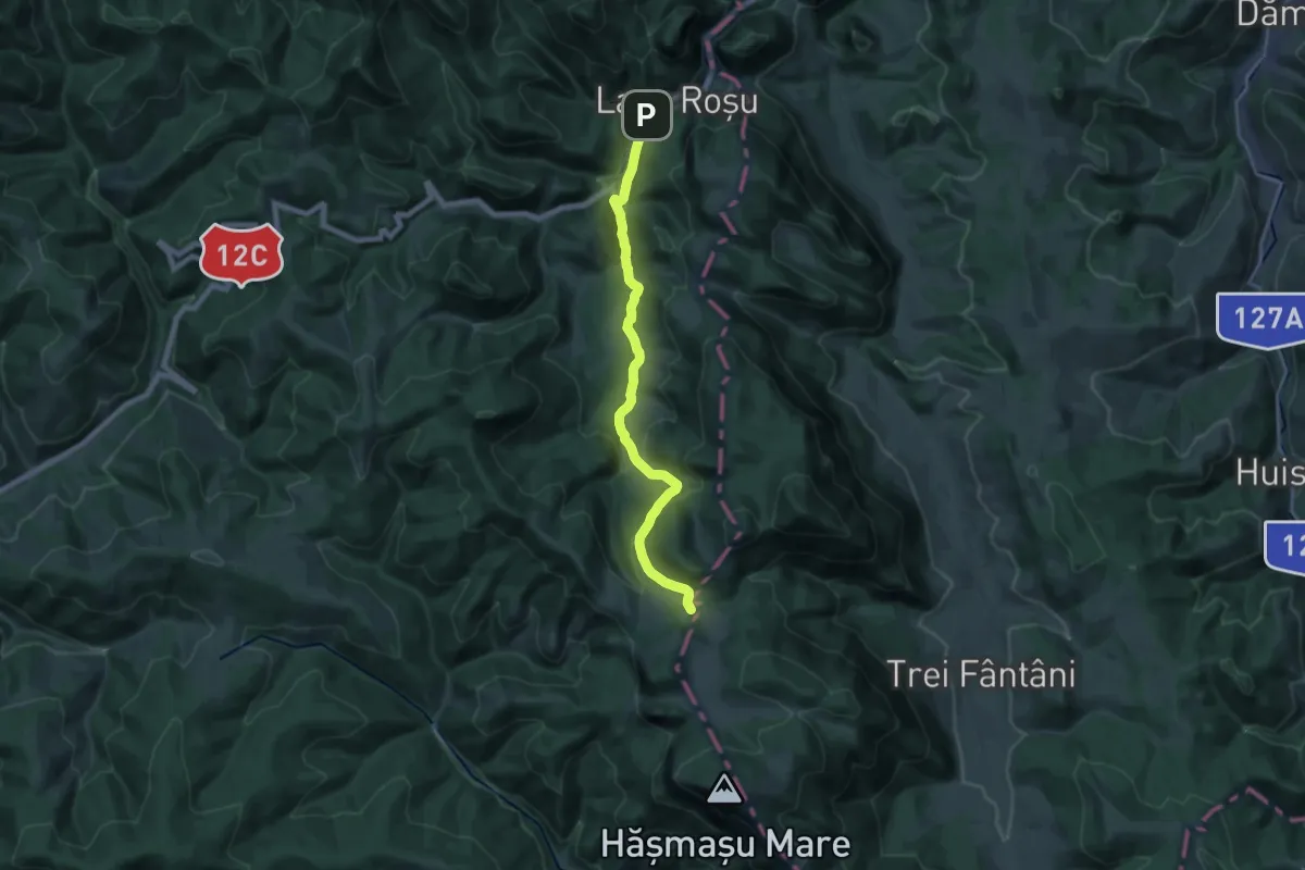
Medium · Cabin
Lacul Roșu – Valea Oii – sub Poiana Albă (blue stripe)
17.2 km · ↑ 596 m · 5 h 21 min
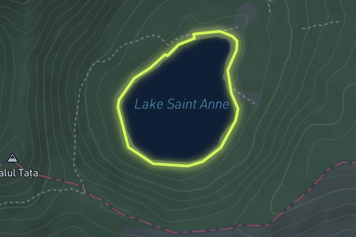
Easy · Trail
Lacul Sfânta Ana
1.8 km · ↑ 29 m · 31 min
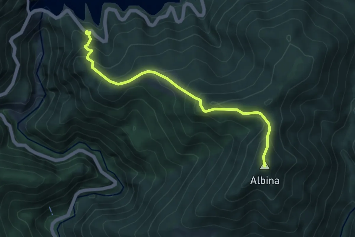
Medium · Summit
Lacul Vidraru - Vf. Albina - Căpățânenii Pământeni
5.5 km · ↑ 495 m · 2 h 22 min
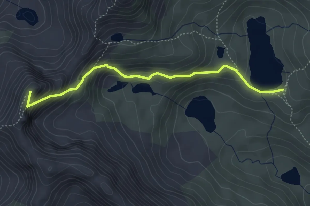
Demanding · Summit
Lacul Zănoaga - Vârful Judele - Șaua Judele - Lacul Porții - Lacul Bucura
4.4 km · ↑ 347 m · 1 h 47 min
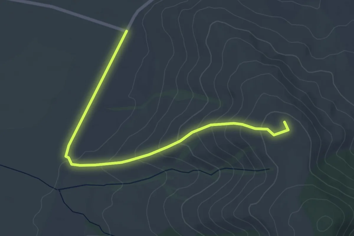
Easy · Summit
Lacurile Kupán – Vârful Lisnău (Csere)
5.7 km · ↑ 195 m · 1 h 46 min
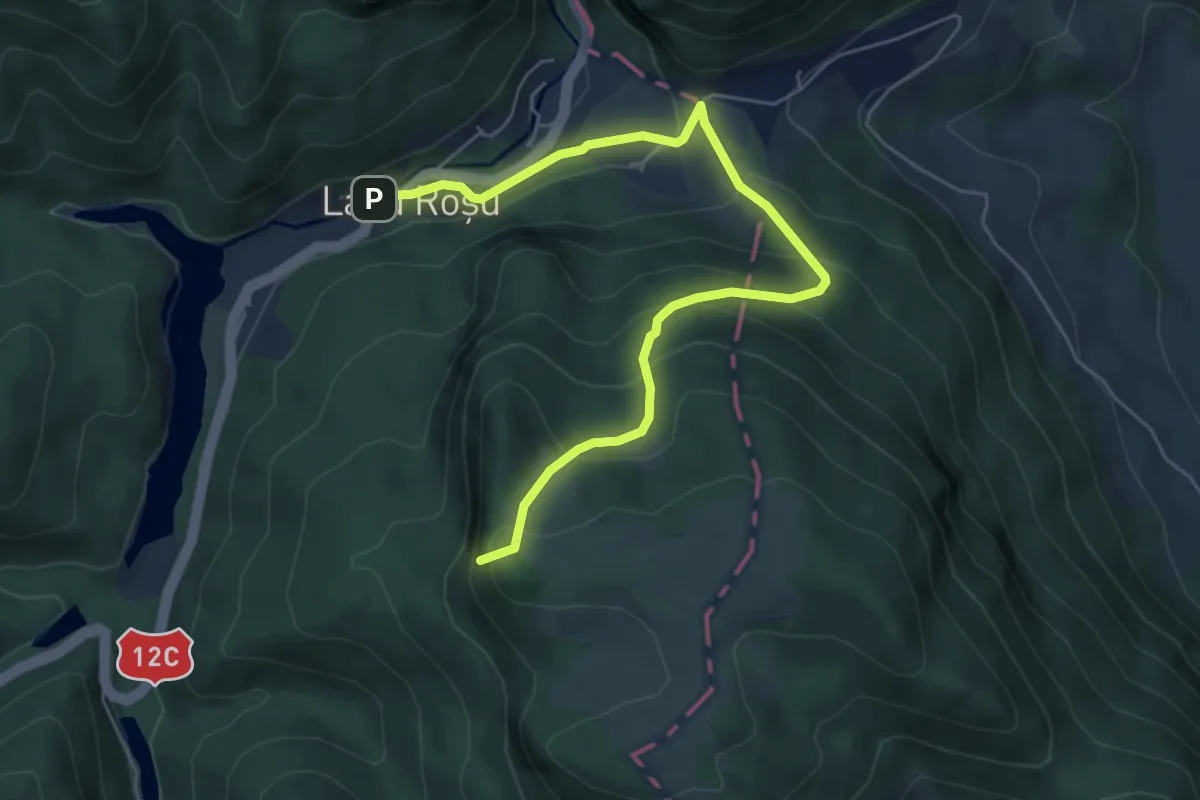
Medium · Summit
Lacu Roșu – Belvedere Piatra Ghilcoș (red triangle)
6.5 km · ↑ 439 m · 2 h 29 min
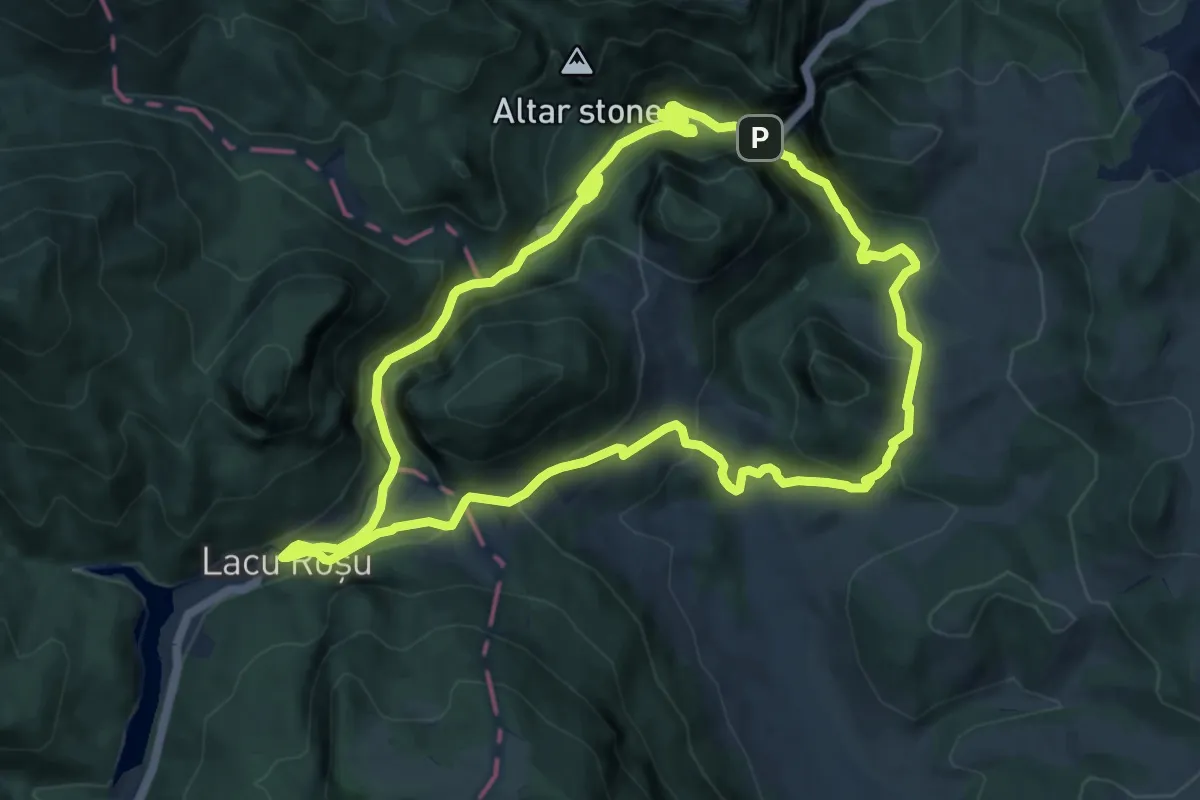
Medium · Summit
Lacu Roșu – Cheile Bicazului (Podul Ungurilor) – Cheile Bicăjelului – Lacu Roșu (yellow stripe)
10.2 km · ↑ 639 m · 3 h 56 min
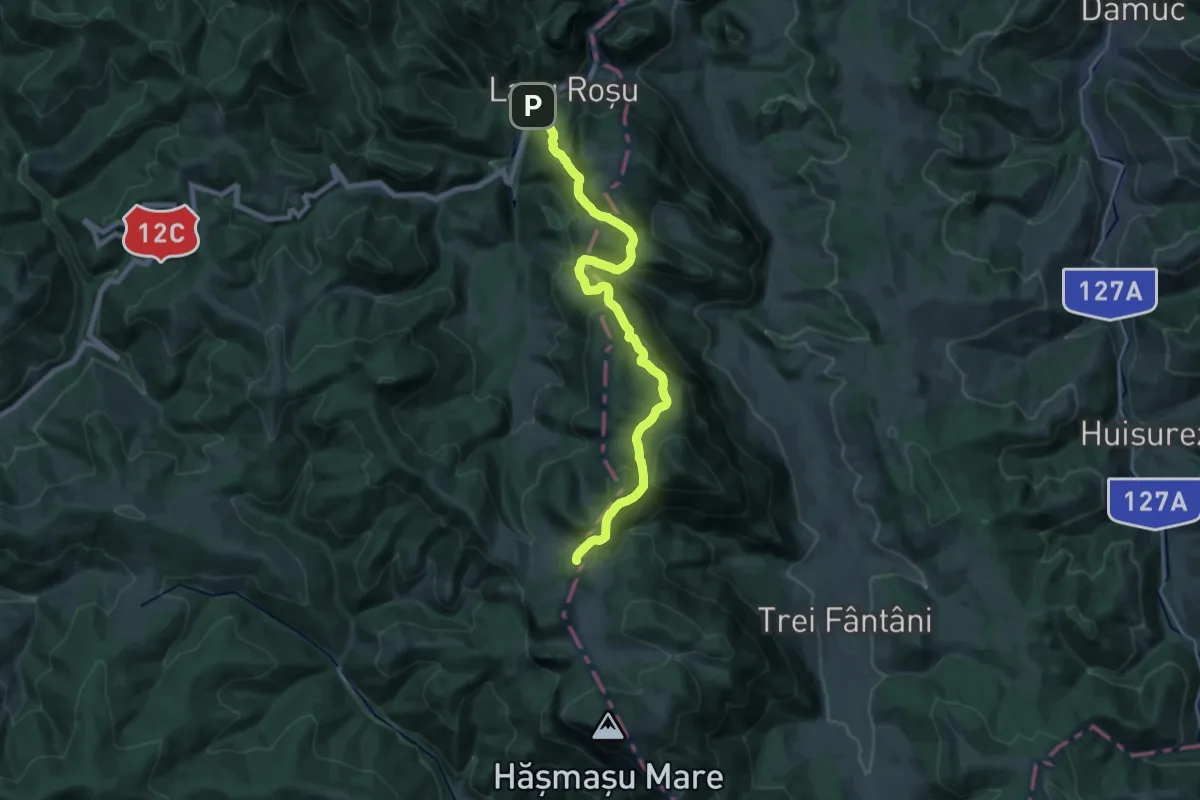
Demanding · Cabin
Lacu Roșu – Culmea lui Paleu – sub Poiana Albă (blue dot)
20.7 km · ↑ 1115 m · 7 h 18 min
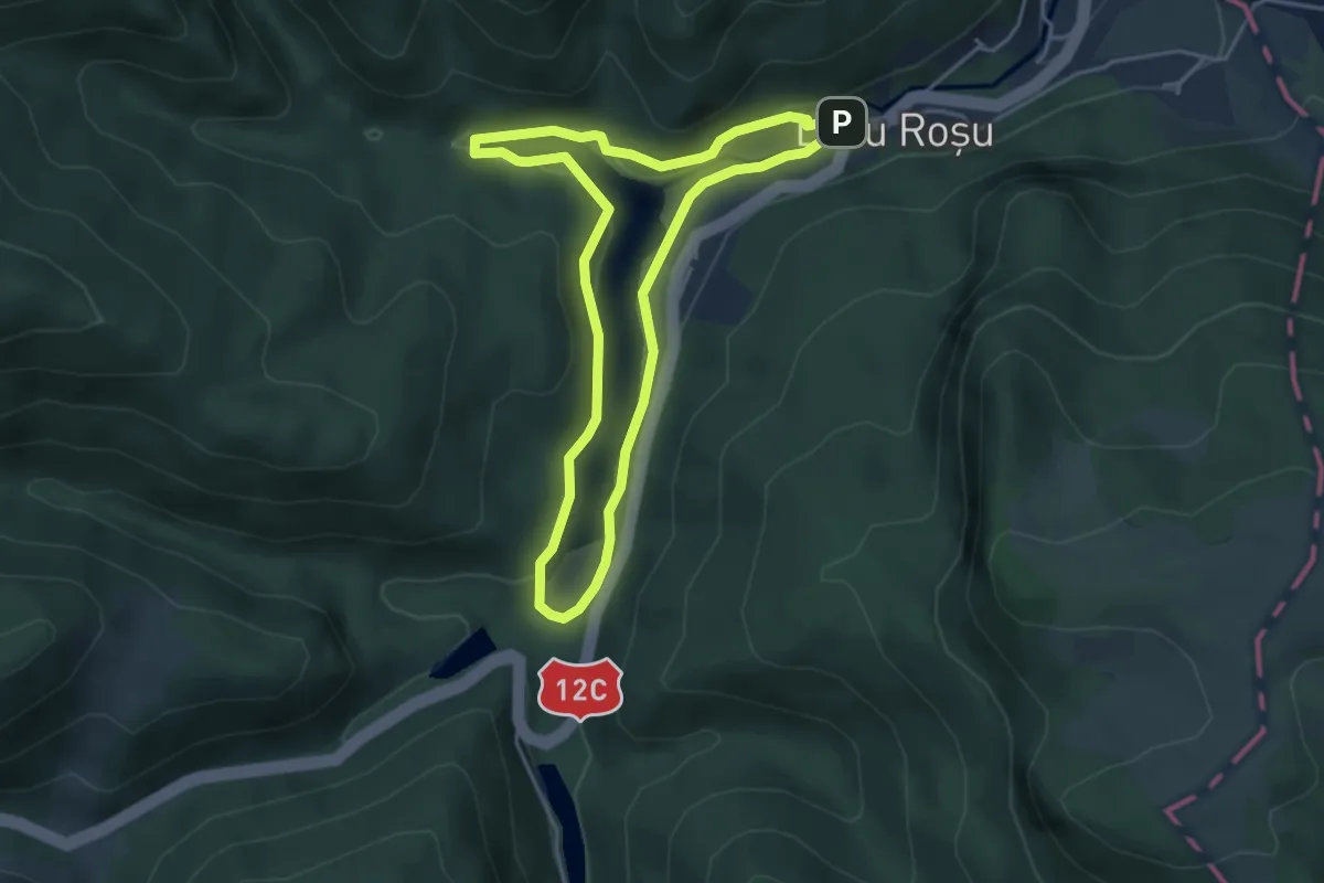
Medium · Trail
Lacu Roșu - Păstrăvărie - Lacu Roșu
3.9 km · ↑ 90 m · 1 h 11 min