Trails in Romania
1,356 hiking trails, each with its route, climb, walking time and grade.
All trails, page 14 of 29
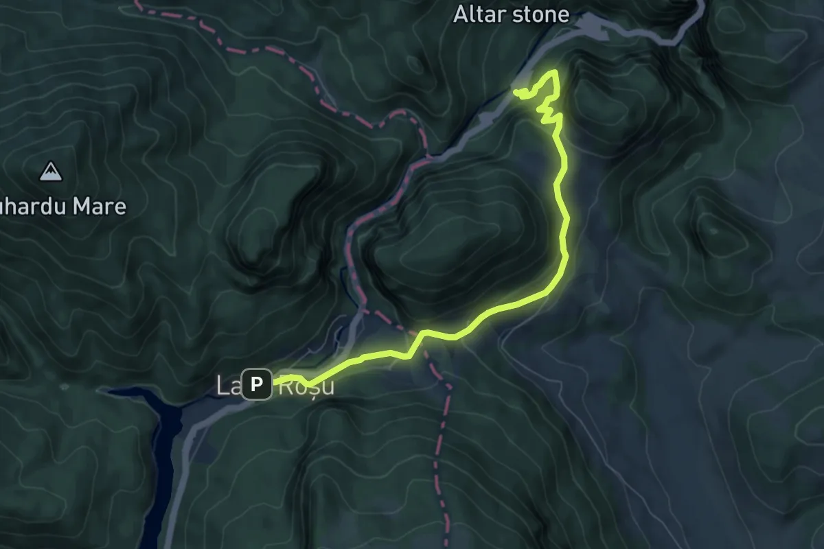
Medium · Trail
Lacu Roșu – Șaua Țifrea – Cheile Bicazului (yellow triangle)
7.8 km · ↑ 362 m · 2 h 37 min
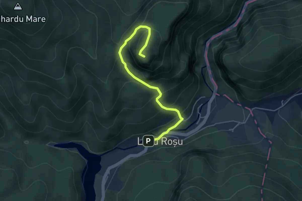
Medium · Summit
Lacu Roșu – Vf. Suhardul Mic (blue triangle)
4.1 km · ↑ 383 m · 1 h 48 min
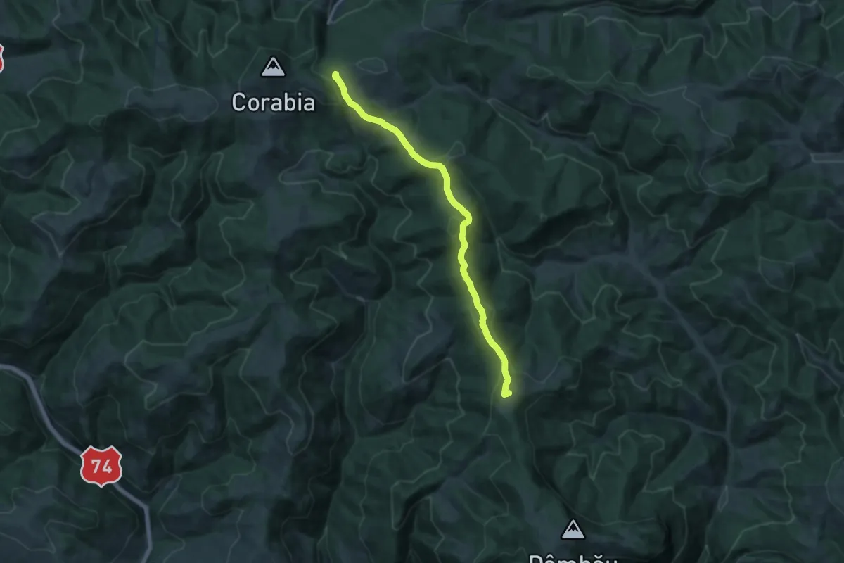
Medium · Summit
Lângă Vf. Dâmbău - Vf. Părăginoasa - La Dârbinaș
13.0 km · ↑ 494 m · 4 h 9 min
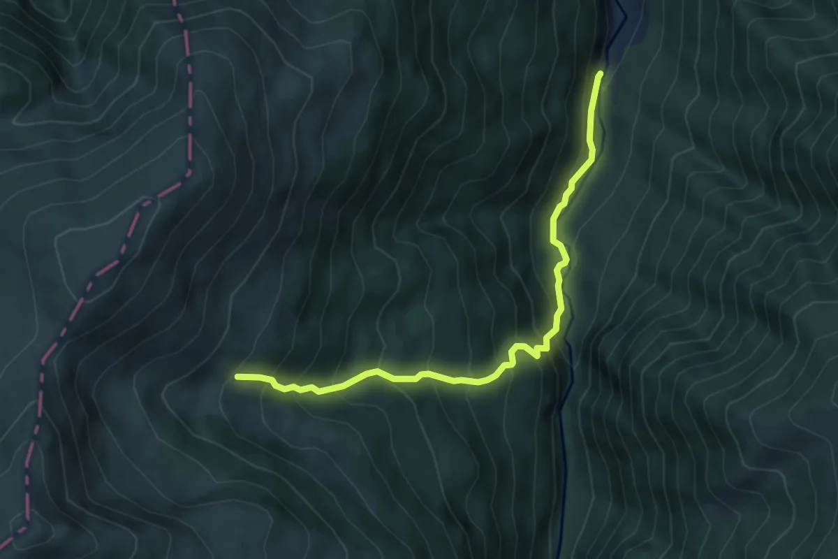
Medium · Cabin
Lăpușnicu Mic - Refugiul Gugu (Branu)
6.1 km · ↑ 590 m · 2 h 43 min
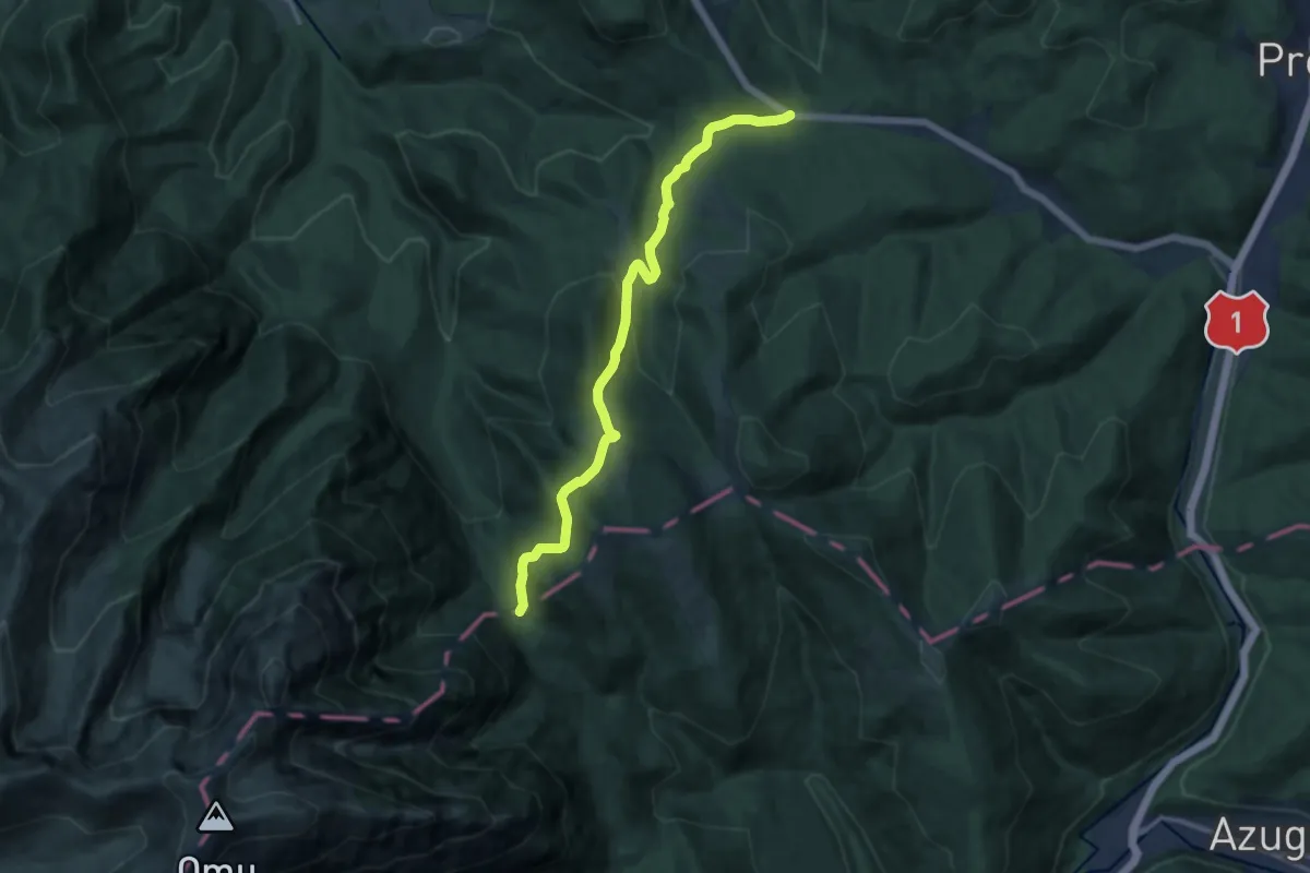
Medium · Trail
La Șipote - Poiana Pichetul Roșu
11.9 km · ↑ 513 m · 3 h 55 min
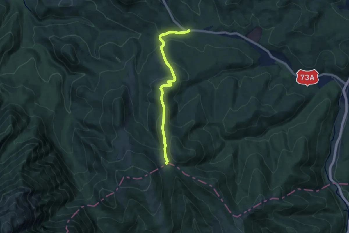
Medium · Cabin
La Șipote - Șaua Baiului
8.5 km · ↑ 315 m · 2 h 42 min
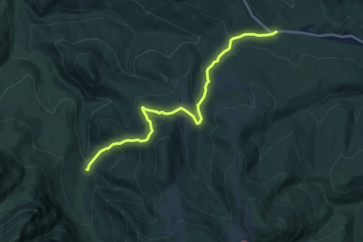
Medium · Trail
La Șipote - Valea Glăjăriei
9.7 km · ↑ 458 m · 3 h 17 min
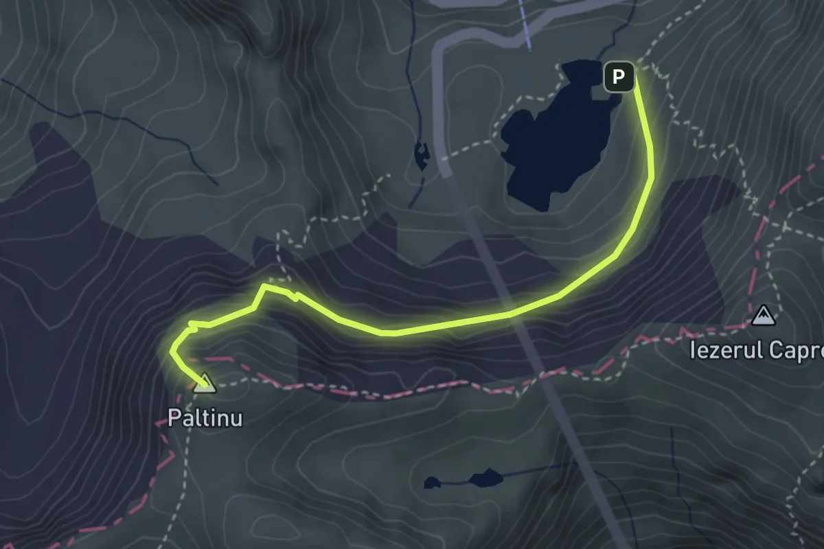
Medium · Summit
L. Bâlea - Curmătura Bâlei - creasta principală
3.4 km · ↑ 388 m · 1 h 39 min
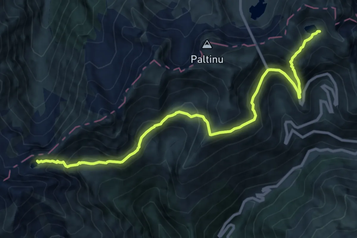
Demanding · Cabin
L. Capra - Refugiul Bâlea - Tunel - Refugiul Călțun
13.9 km · ↑ 1424 m · 6 h 23 min
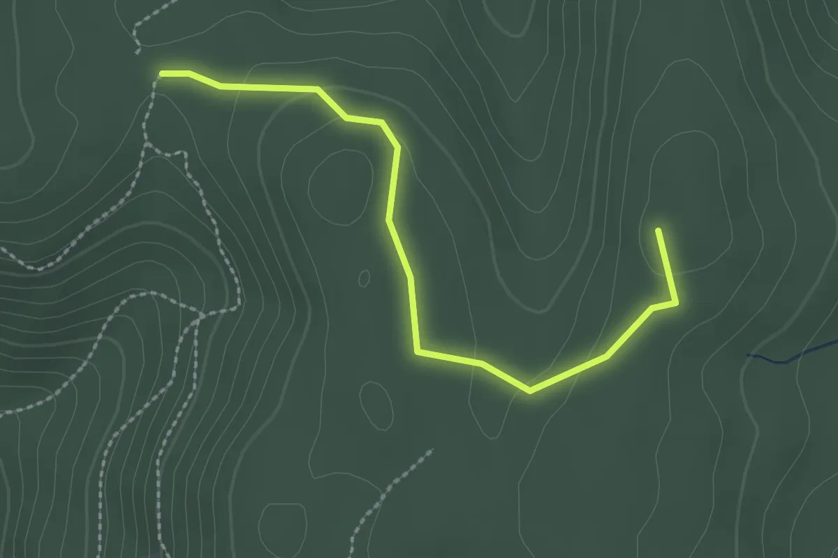
Easy · Summit
Legătură Dealul cu Drum - Țuțuiatu
2.5 km · ↑ 56 m · 43 min
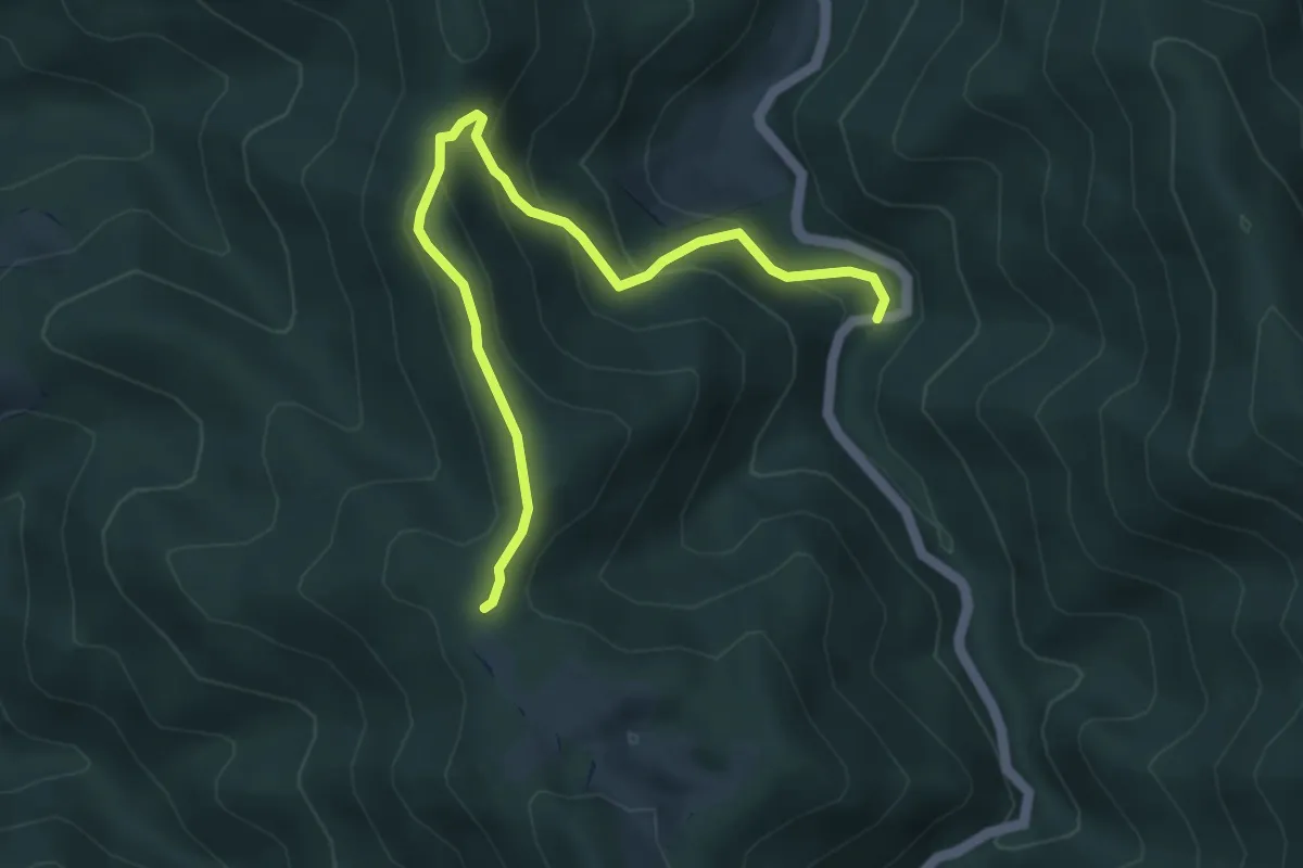
Easy · Trail
Legătura PR cu TA
4.8 km · ↑ 249 m · 1 h 40 min
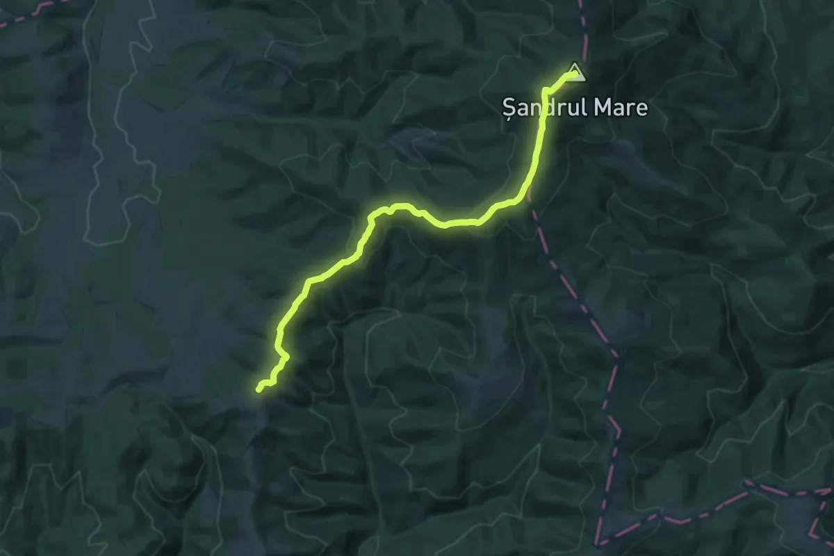
Medium · Summit
Lemnia – Vf. Șandru Mare (red dot)
16.2 km · ↑ 658 m · 5 h 15 min
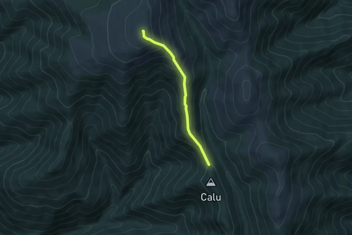
Medium · Summit
Lerești - Găinațu Mare
4.1 km · ↑ 328 m · 1 h 41 min
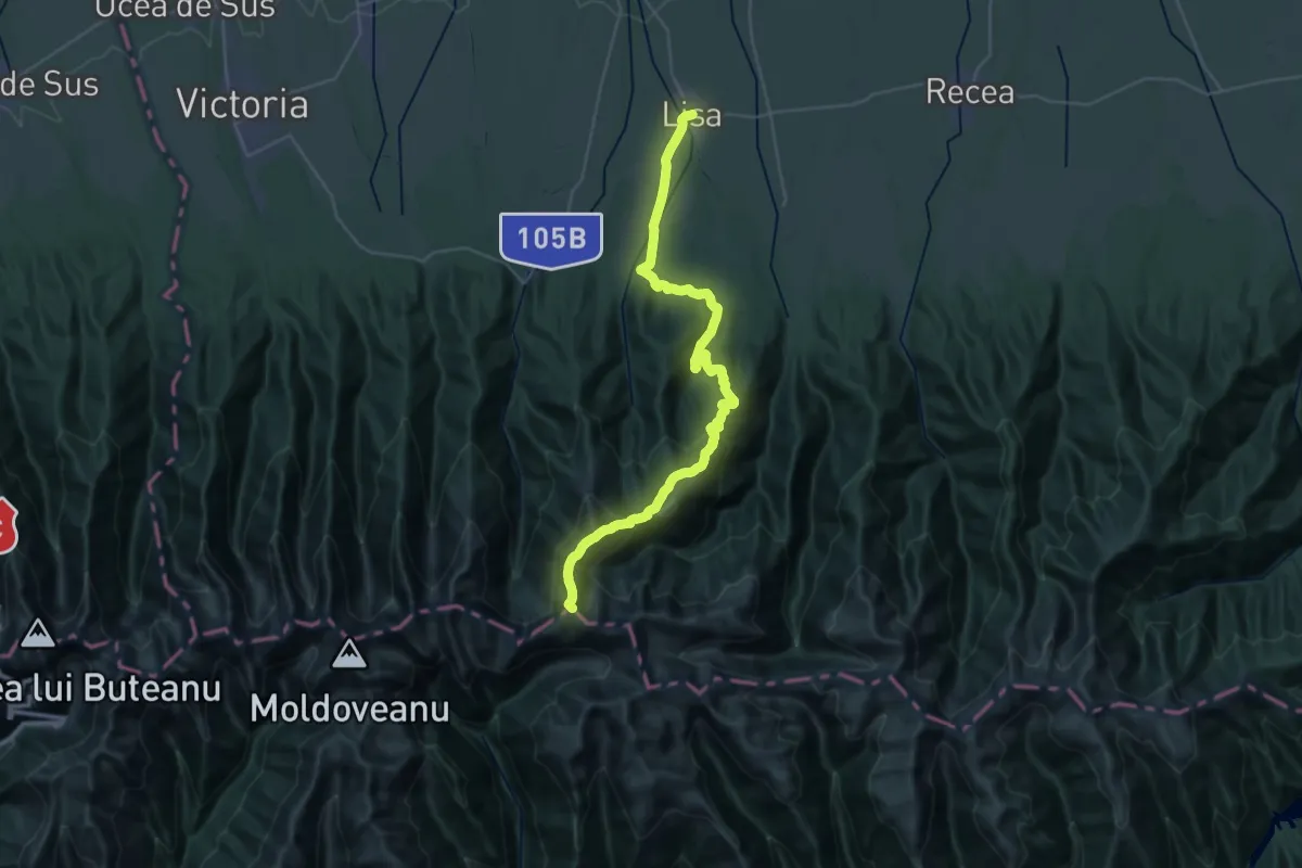
Demanding · Summit
Lisa - Refugiul Cațaveiu - creasta principală
38.8 km · ↑ 2056 m · 13 h 37 min
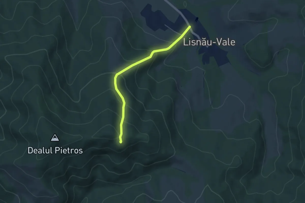
Medium · Trail
Lisnău-Vale – belvedere Lisnău Vale – Ruinele Cetăţii Barabás
4.4 km · ↑ 338 m · 1 h 47 min
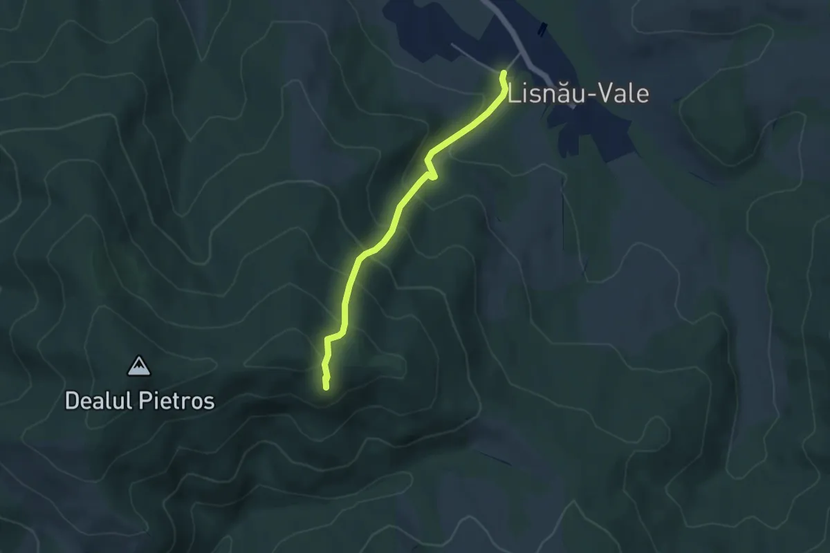
Medium · Trail
Lisnău-Vale – Ruinele Cetăţii Turcului (Törökvár) – Ruinele Cetăţii Barabás
3.9 km · ↑ 336 m · 1 h 39 min
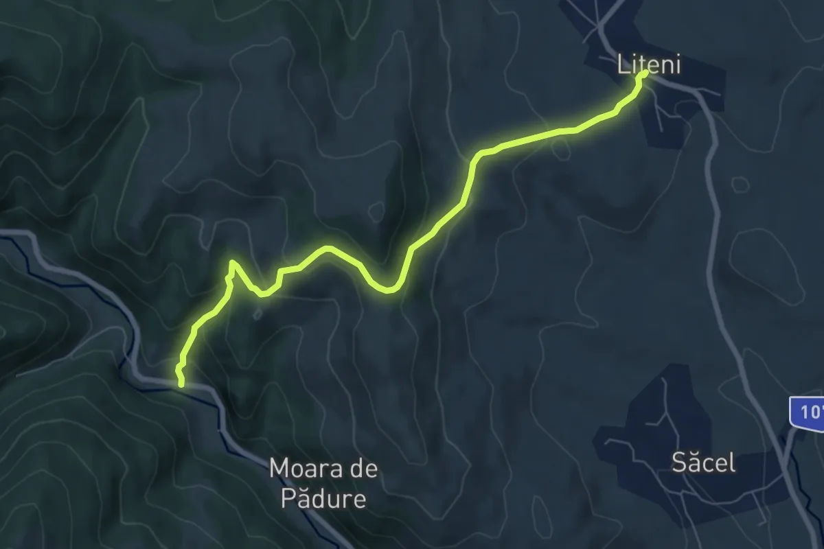
Medium · Trail
Liteni - Cetatea Lita - Moara de Pădure (La Poruț)
7.4 km · ↑ 417 m · 2 h 38 min
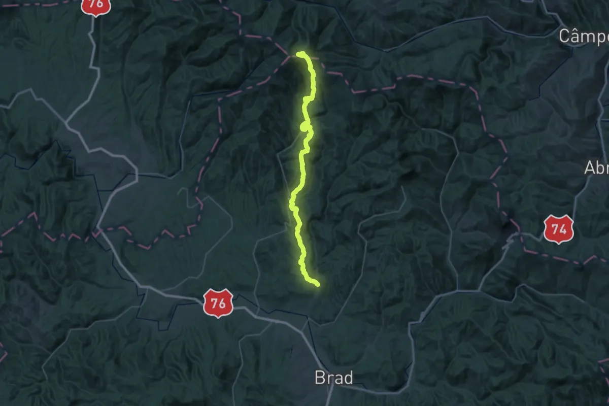
Demanding · Summit
locul Între Ape - Piatra Bulzului (Bulzul Bulzeștilor) - Muntele Găina Cruce
48.7 km · ↑ 2315 m · 16 h 31 min
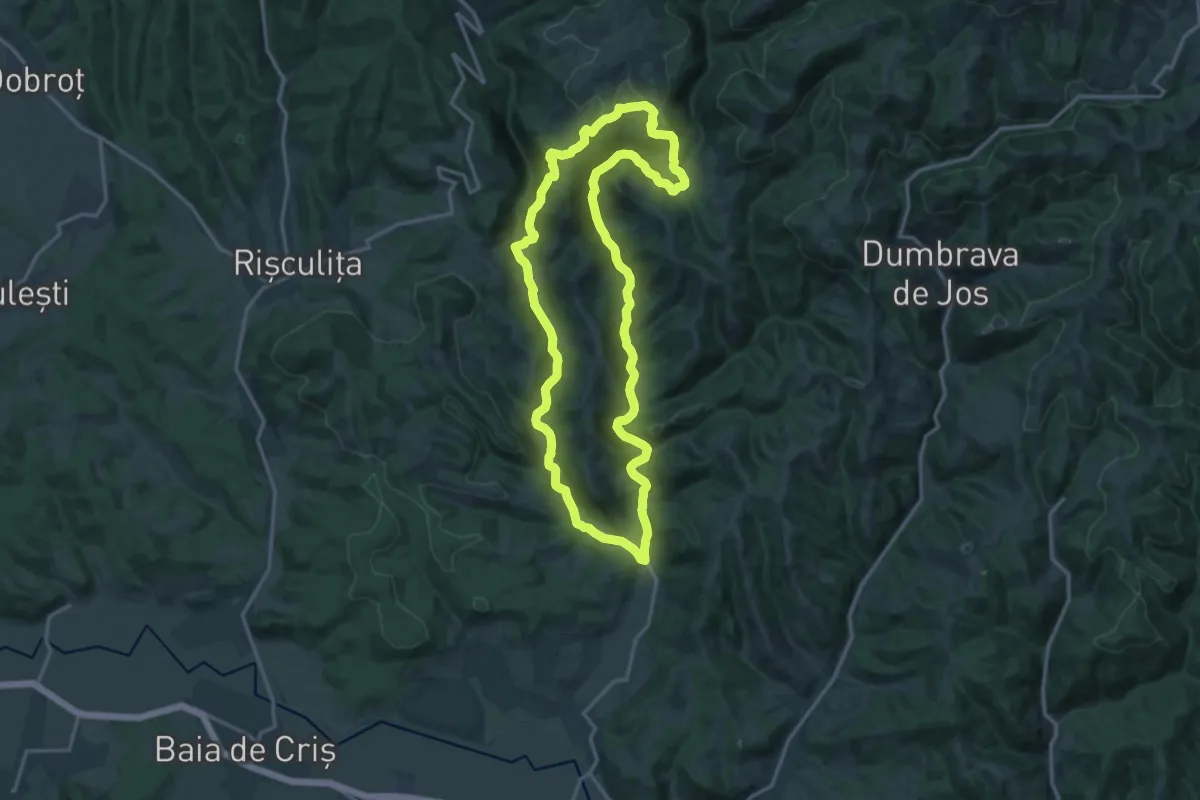
Medium · Trail
locul Între Ape - sat Grohot - locul Între Ape
15.9 km · ↑ 537 m · 5 h 9 min
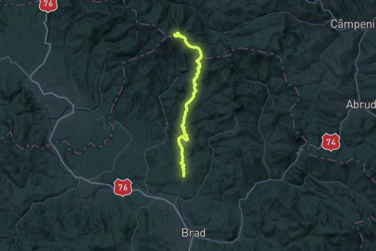
Demanding · Summit
locul Între Ape - sat Tomnatec - Muntele Găina Cruce
52.4 km · ↑ 1889 m · 16 h 28 min
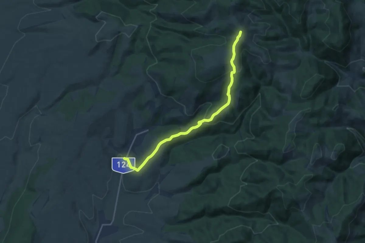
Medium · Trail
Lóvész-Kisbükk Kék kereszt (B+)
12.7 km · ↑ 485 m · 4 h 3 min
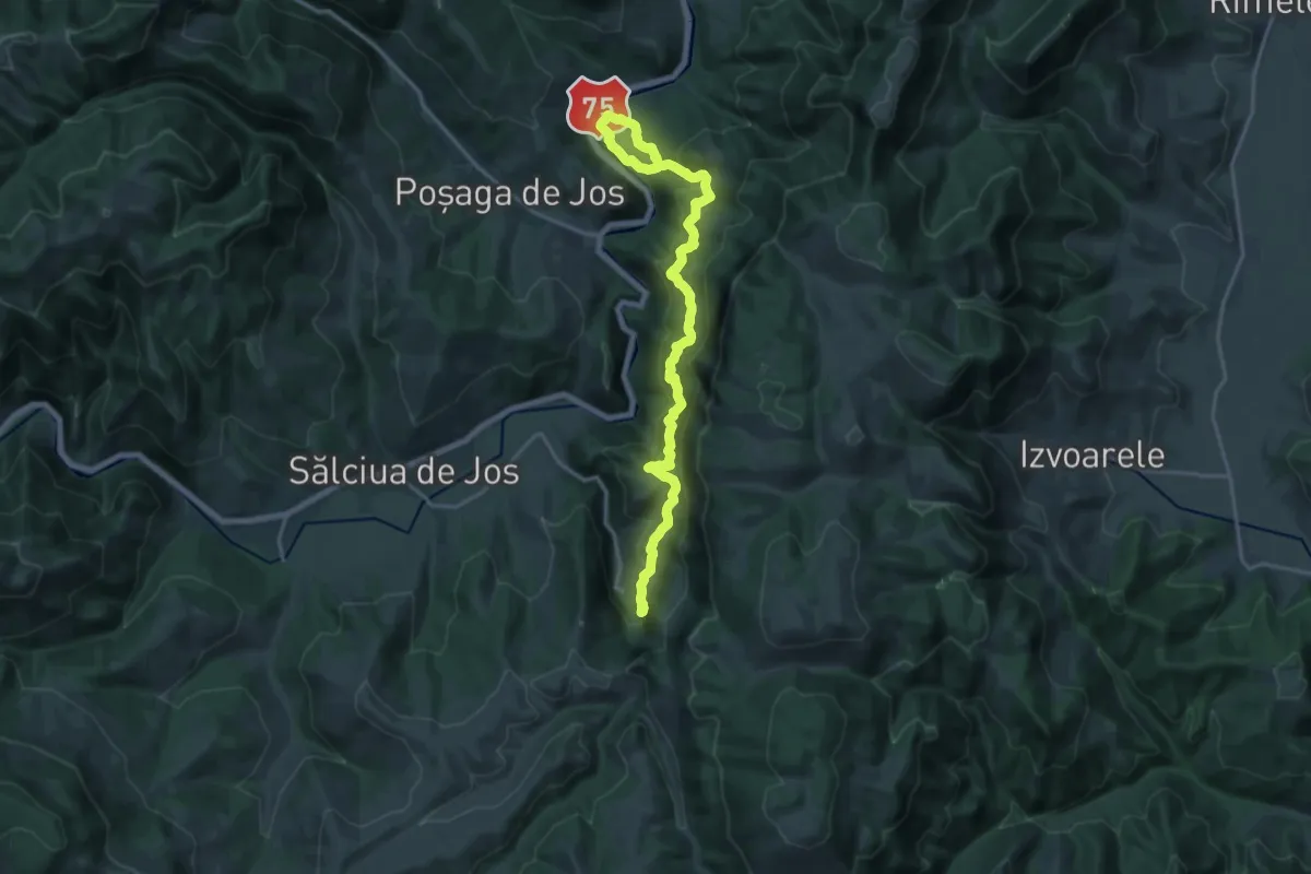
Demanding · Trail
Lunca Arieșului - Poiana Șipote - Peștera Huda lui Papară
20.9 km · ↑ 1272 m · 7 h 41 min
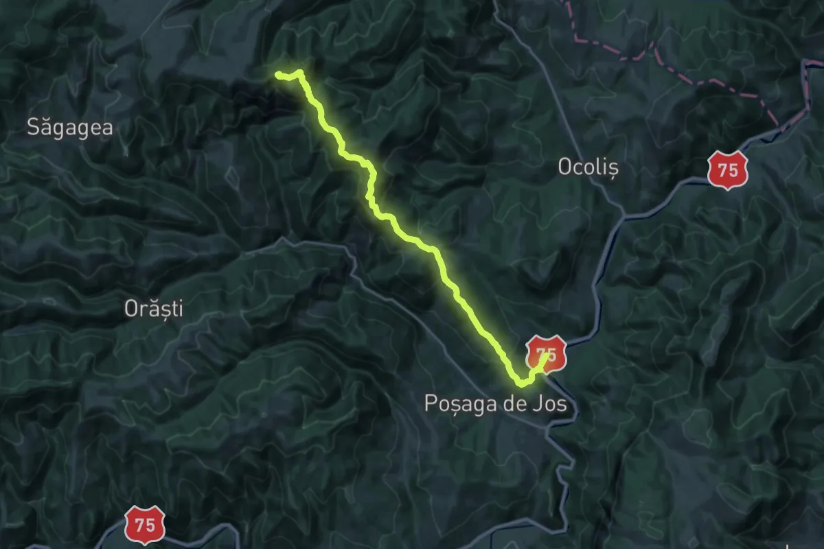
Demanding · Summit
Lunca Arieșului - Vârful Vulturese - Rezervația Scărița Belioara
22.9 km · ↑ 1316 m · 8 h 15 min
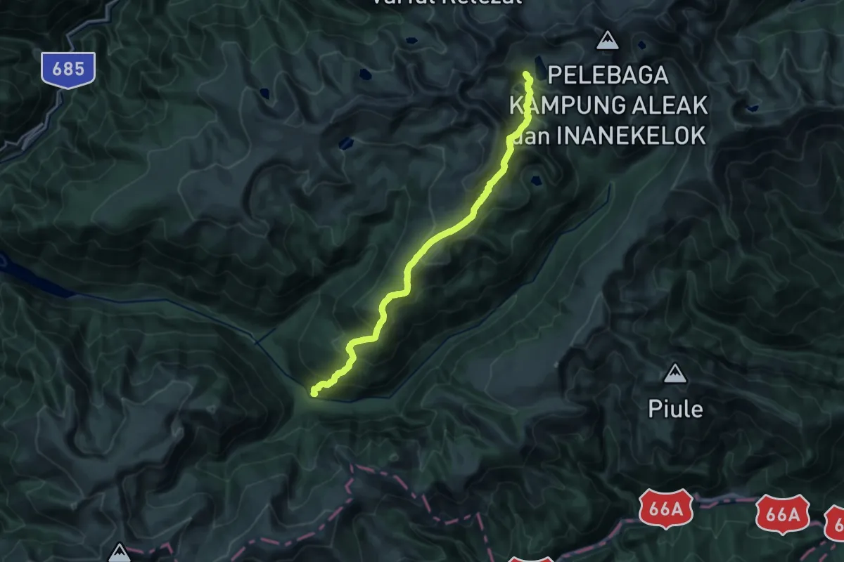
Demanding · Trail
Lunca Berhina - Crucea Trăznitului - Lacul Bucura
19.0 km · ↑ 1464 m · 7 h 39 min
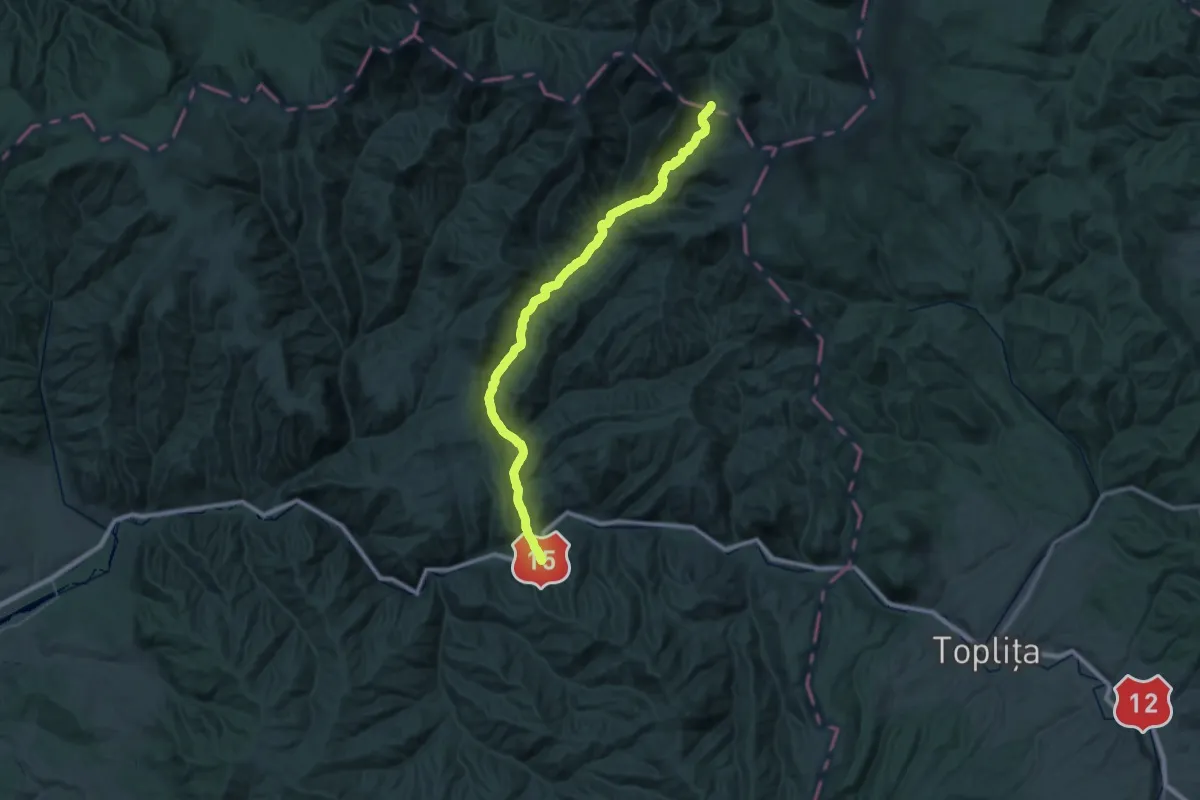
Demanding · Trail
Lunca Bradului (DN15)-Șaua Negoiu
23.0 km · ↑ 1326 m · 8 h 5 min
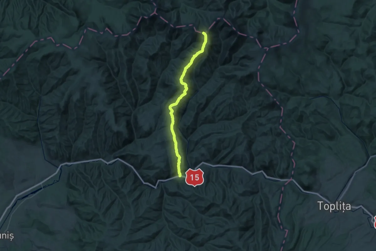
Demanding · Summit
Lunca Bradului-Șaua Gruiu
42.5 km · ↑ 1801 m · 13 h 57 min
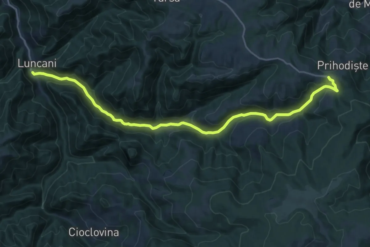
Medium · Trail
Luncani - Valea Alunului - Prihodiște
16.3 km · ↑ 569 m · 5 h 5 min
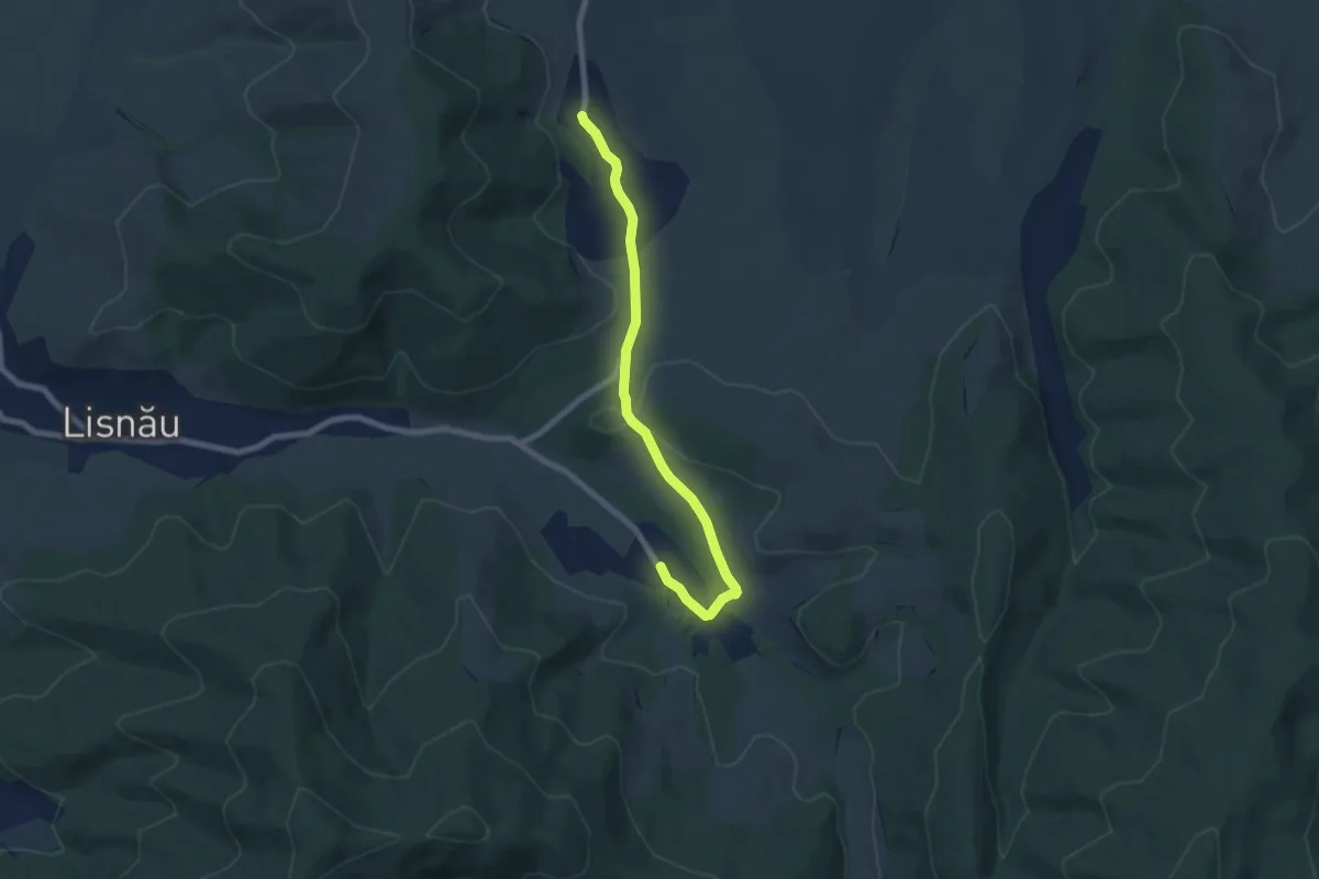
Easy · Trail
Măgheruș - DC26B- Lișnău-Vale
7.2 km · ↑ 84 m · 1 h 53 min
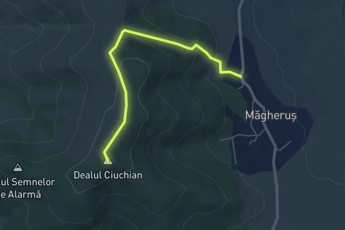
Easy · Summit
Măgheruș - Vârful Lișnău (Csere) - Lișnău
4.7 km · ↑ 204 m · 1 h 33 min
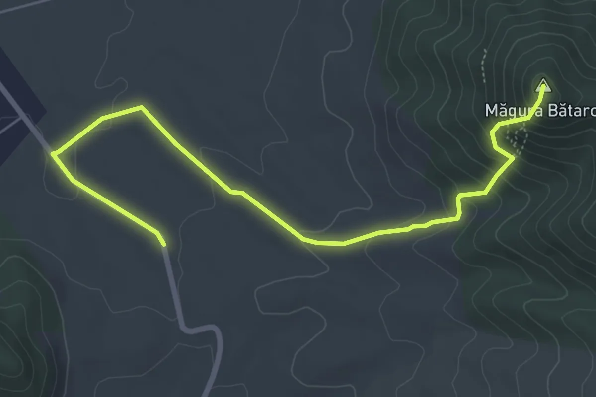
Medium · Summit
Magura Batarci
6.3 km · ↑ 315 m · 2 h 10 min
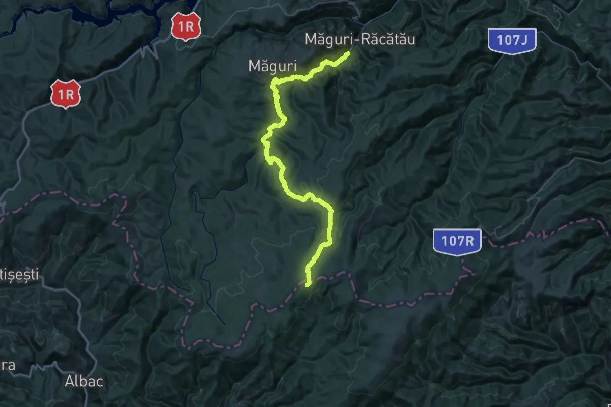
Demanding · Trail
Măguri-Răcătău - Culmea Urășa - Muntele Smidele
25.1 km · ↑ 1271 m · 8 h 36 min
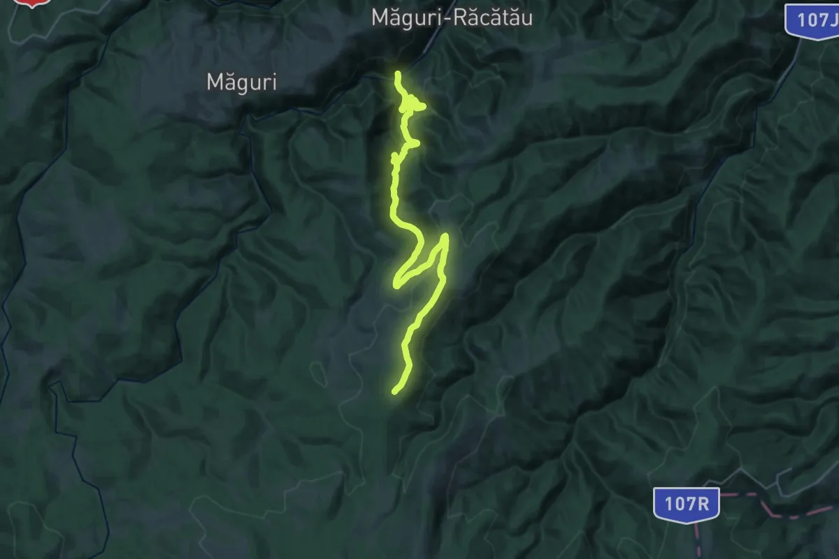
Demanding · Summit
Măguri-Răcătău - Vârful Dumitreasa - La Potcoavă
31.0 km · ↑ 1259 m · 10 h 3 min
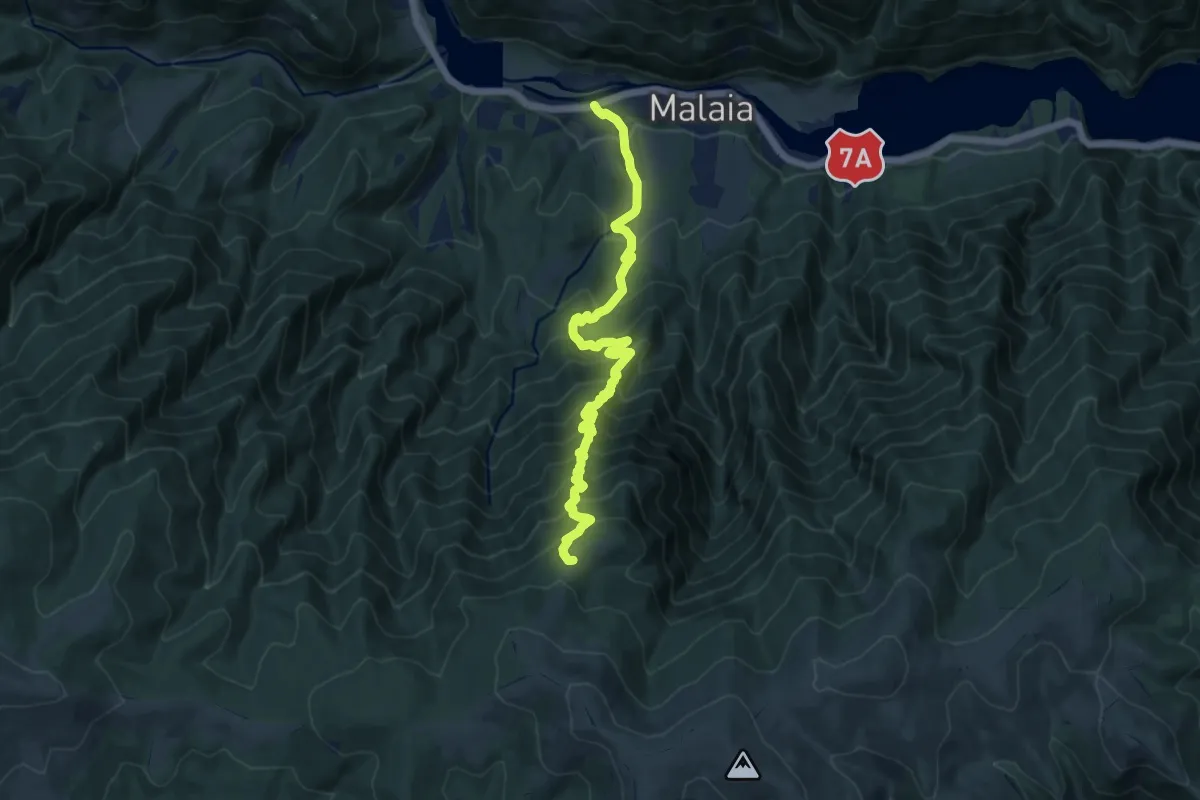
Demanding · Trail
Mălaia - Vârful Zmeureț
12.0 km · ↑ 1254 m · 5 h 34 min
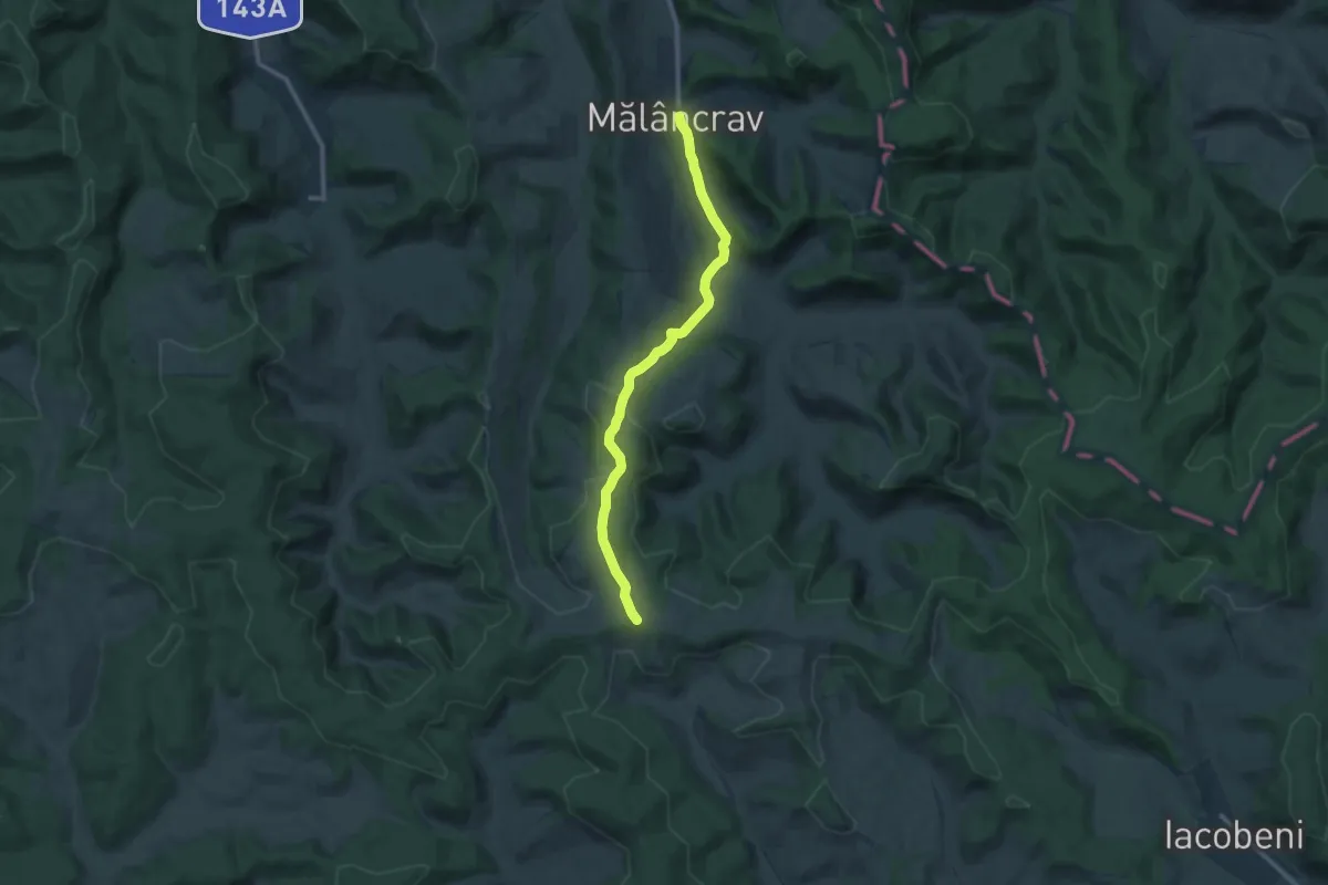
Medium · Trail
Mălâncrav - Dealul Sneal
11.0 km · ↑ 285 m · 3 h 12 min
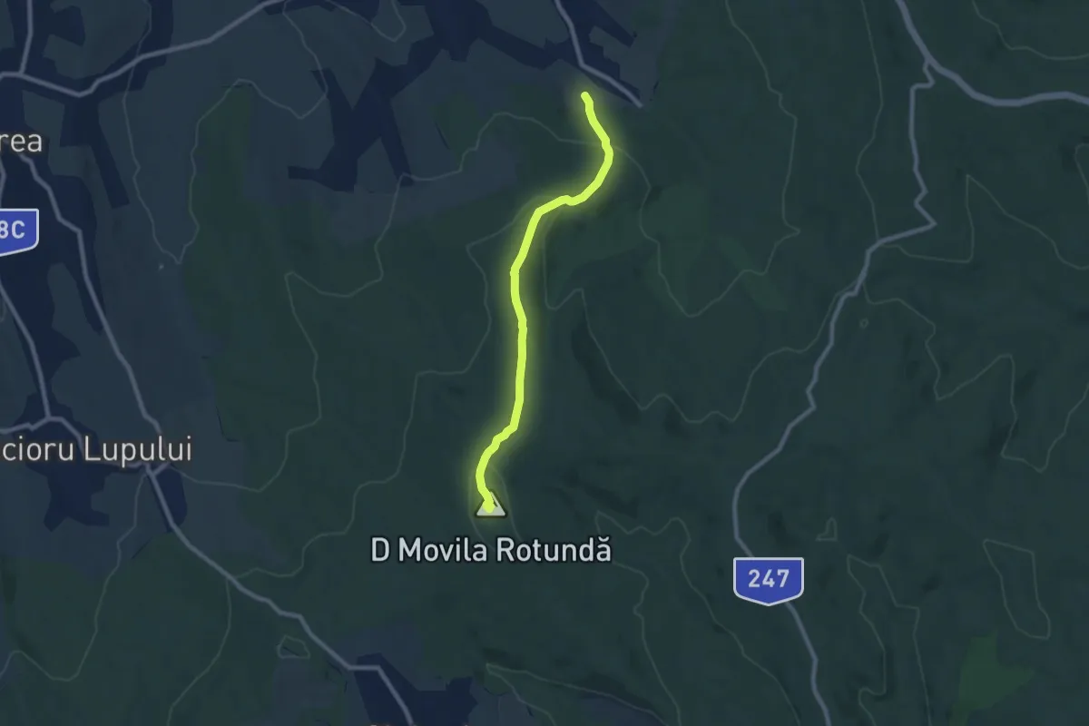
Easy · Summit
Mănăstirea Bârnova - Movila Rotundă
7.7 km · ↑ 285 m · 2 h 27 min
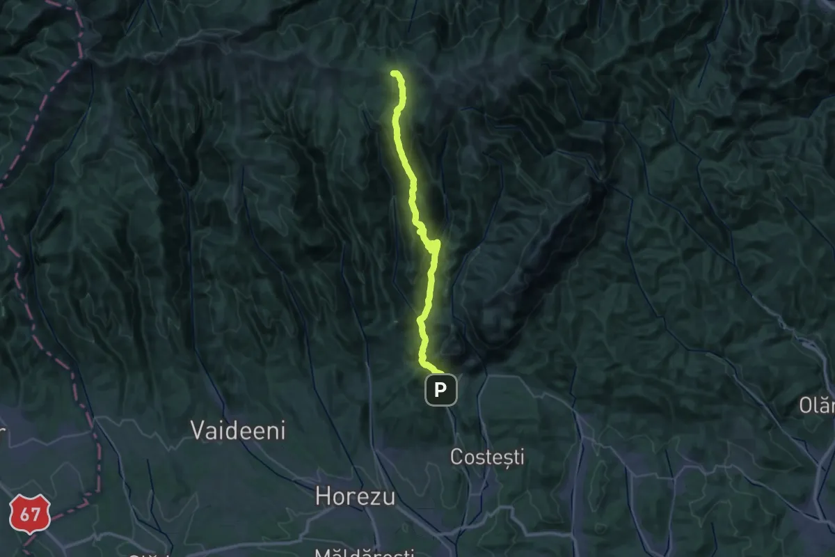
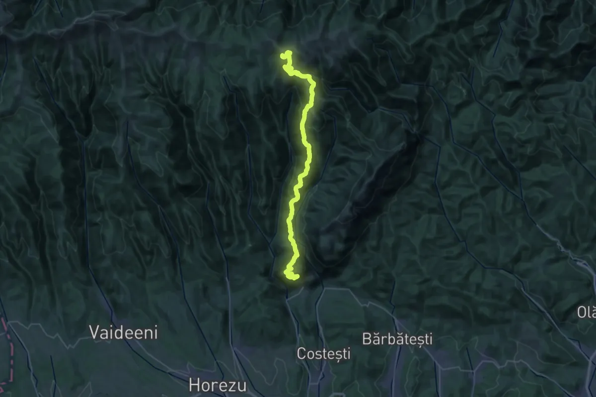
Expert · Trail
Mănăstirea Bistrița - Cheile Bistriței - Între Râuri - Valea Cuca - Plaiul Zănoaga - Curmătura Rodeanu
16.9 km · ↑ 1577 m · 7 h 2 min
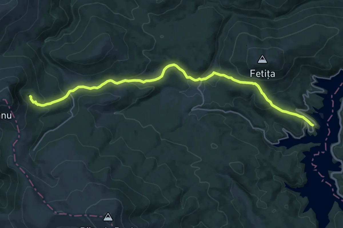
Expert · Summit
Mănăstirea Bistrița - Mănăstirea Arnota - Vârful Arnota - Șaua Târnicior - Vârful Prislop - Vârful Netedu - Vârful Lespezi - Vârful Govora - Șaua Zmeuret
35.3 km · ↑ 2076 m · 12 h 49 min
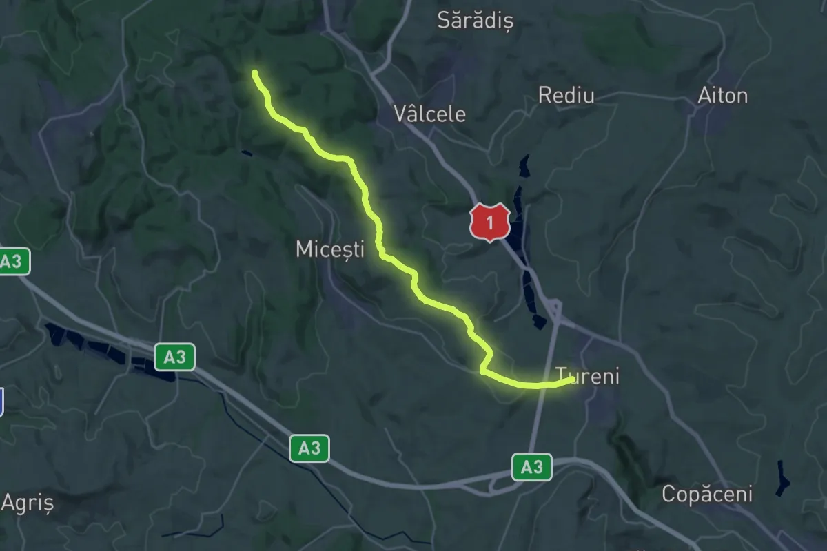
Demanding · Cabin
Mănăstirea Oașa - Luncile Prigoanei - Cabana Șureanu - Lacul Șureanu
18.9 km · ↑ 680 m · 5 h 56 min
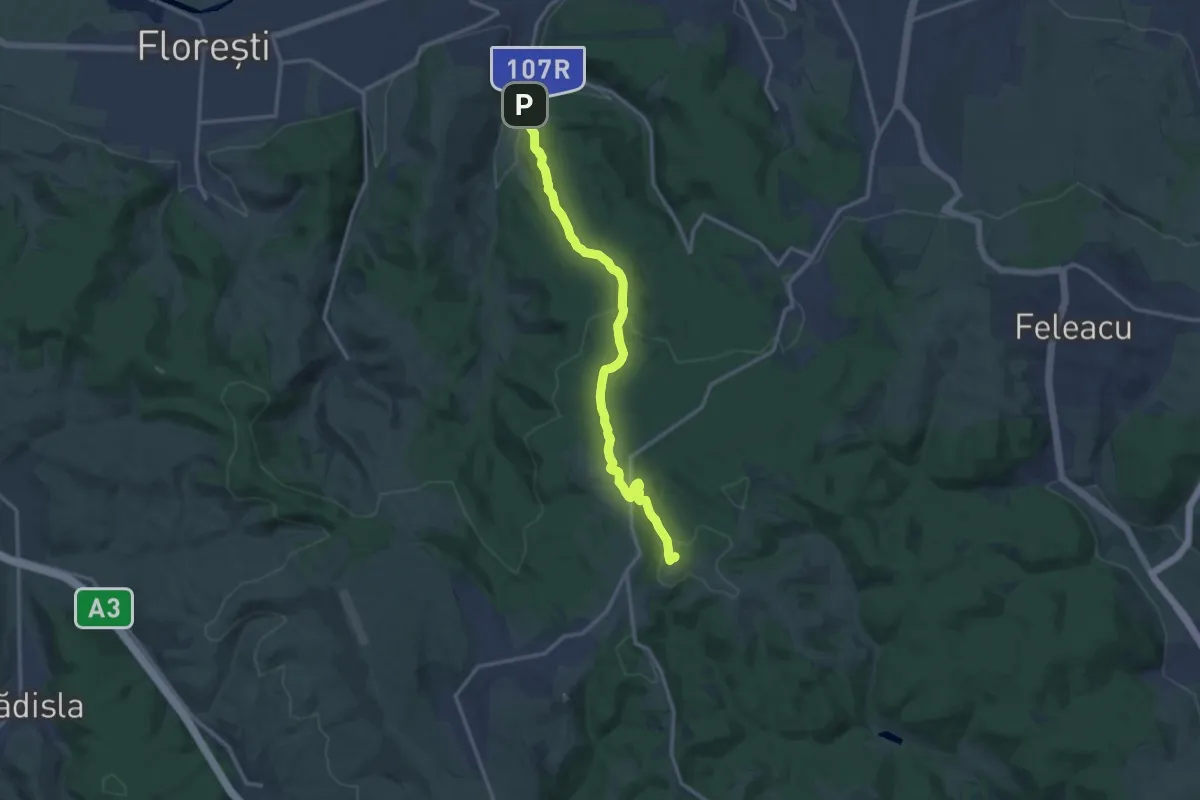
Demanding · Summit
Mănăștur (Baza Unirea) - Casele Micești - Tureni
25.6 km · ↑ 468 m · 7 h 3 min
Medium · Summit
Mănăstur - Râtul Popii - Râtul Penii - Vârful Peana
13.5 km · ↑ 423 m · 4 h 6 min
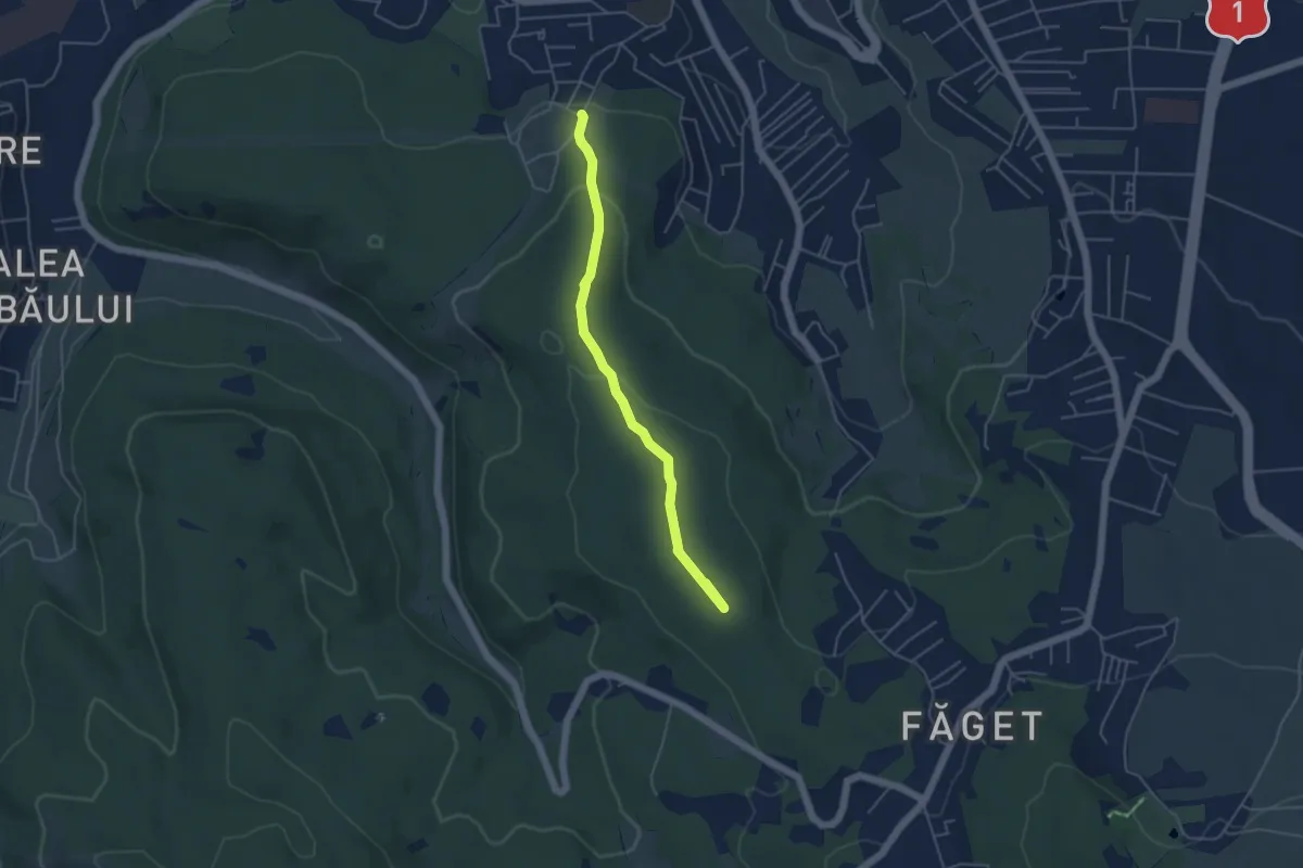
Easy · Summit
Mănăștur (str. Basarabia) - Capul Dealului
4.6 km · ↑ 115 m · 1 h 20 min
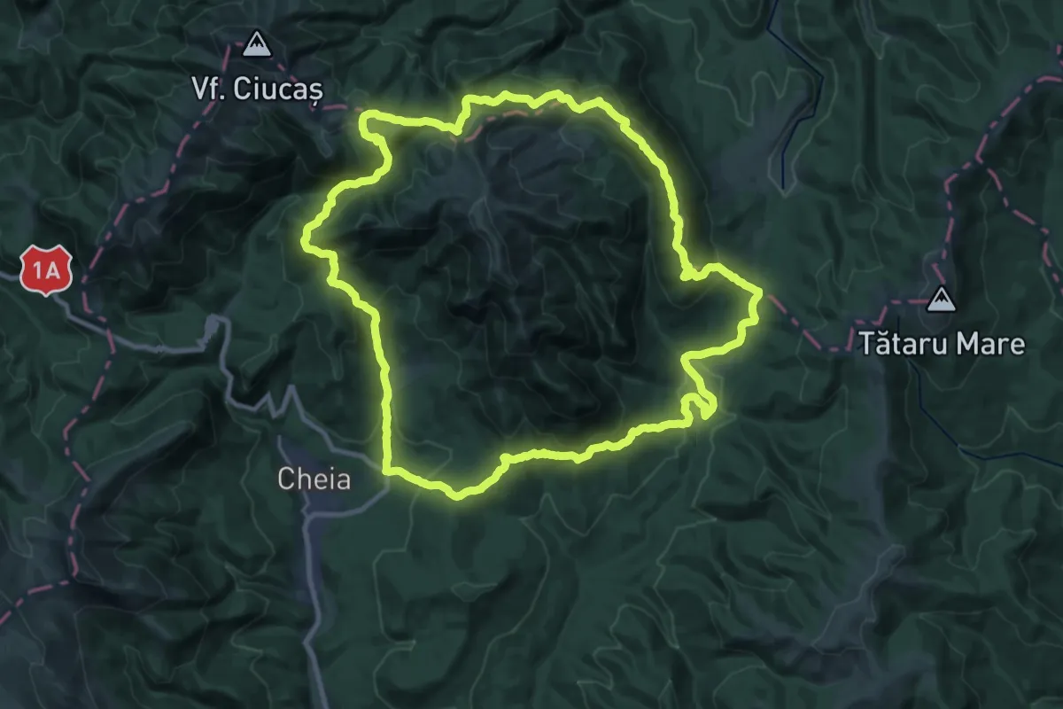
Demanding · Summit
Maraton Ciucaș
26.8 km · ↑ 1203 m · 9 h 18 min
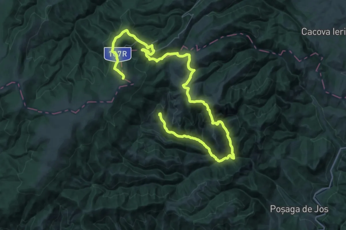
Demanding · Summit
Maratonul Apuseni
60.1 km · ↑ 2569 m · 19 h 45 min
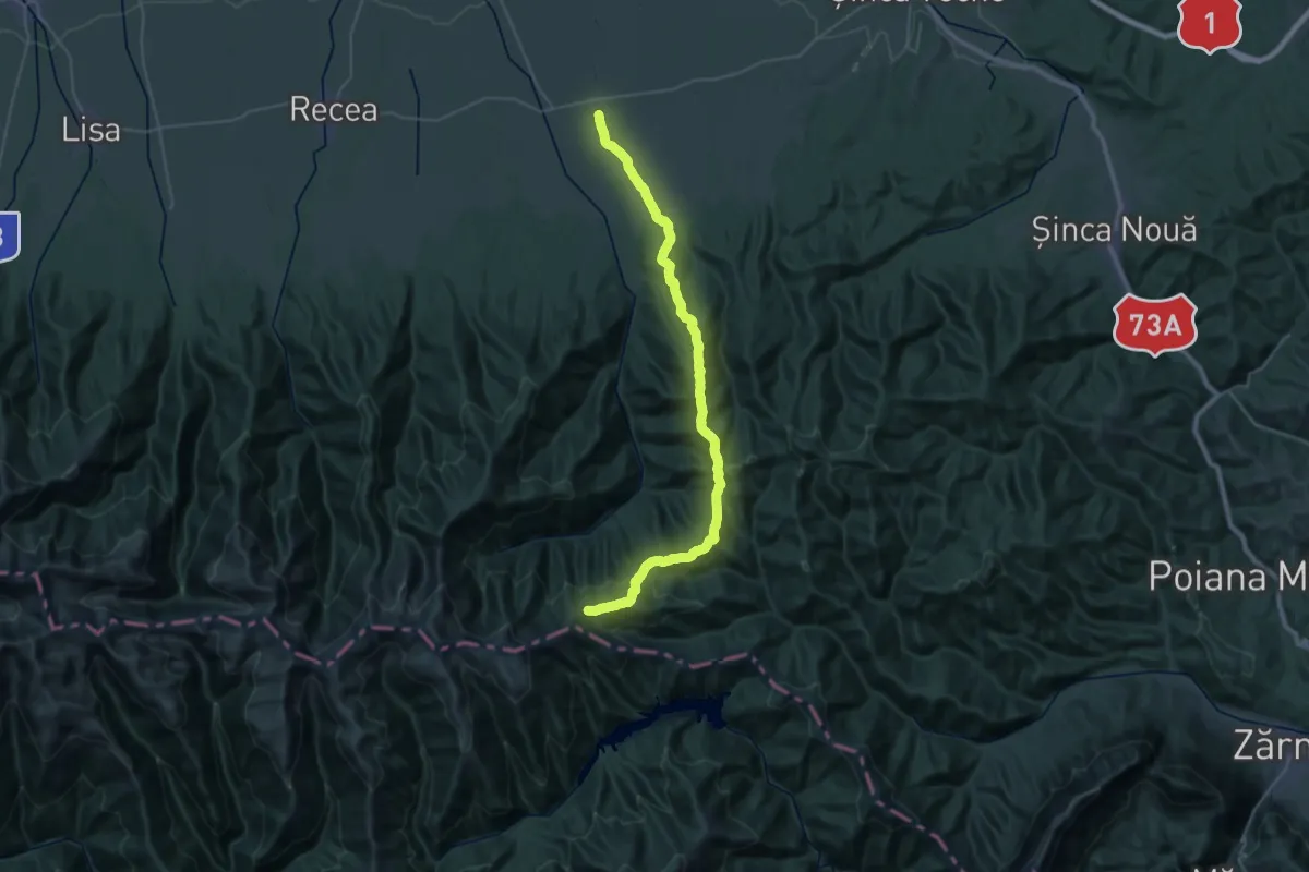
Demanding · Trail
Mărgineni - Vf. Nămaia - Vf. Văcarea Mare - sub Vf. Comisu
19.4 km · ↑ 1400 m · 7 h 19 min
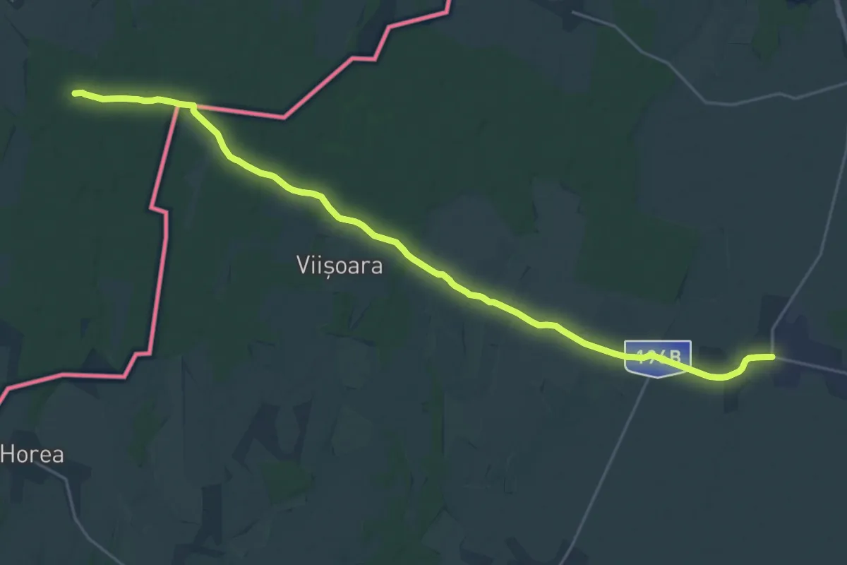
Medium · Pilgrim path
Mária-út, M01-38 (Piricse – Foieni)
11.8 km · ↑ 40 m · 3 h 2 min
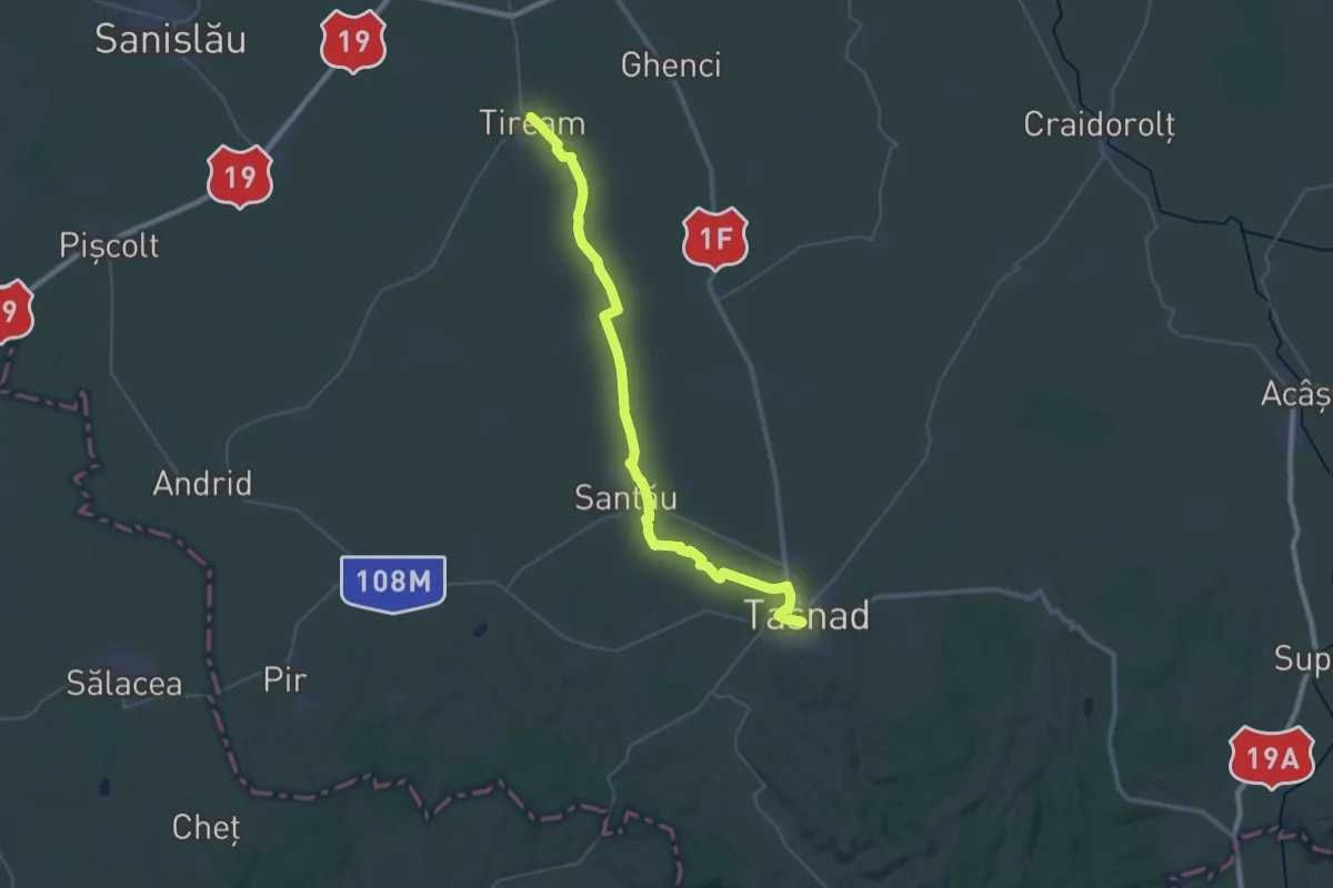
Demanding · Pilgrim path
Mária-út, M01-40 (Tiream - Tășnad)
21.8 km · ↑ 80 m · 5 h 35 min
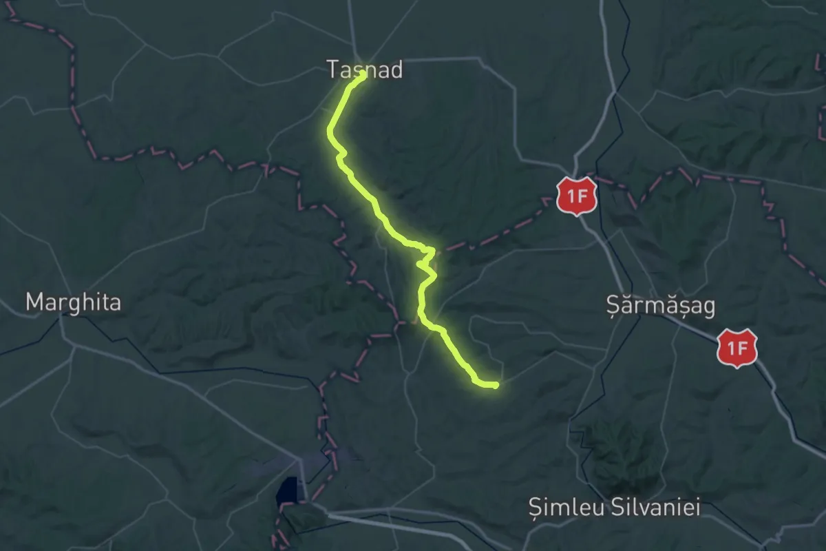
Demanding · Pilgrim path
Mária-út, M01-41 (Tășnad - Carastelec)
28.3 km · ↑ 371 m · 7 h 53 min
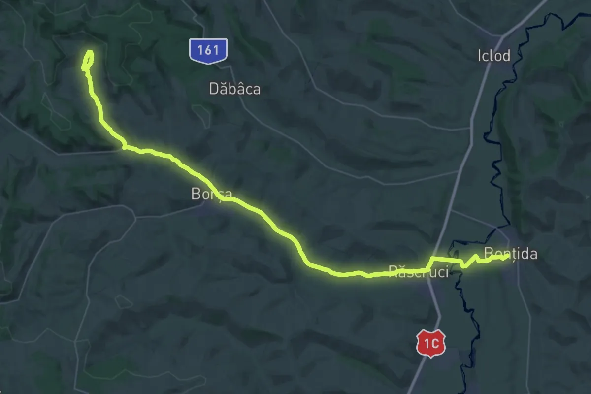
Demanding · Pilgrim path
Mária-út, M05-42 Chidea - Bontida
22.8 km · ↑ 146 m · 6 h 5 min