Trails in Romania
1,356 hiking trails, each with its route, climb, walking time and grade.
All trails, page 15 of 29
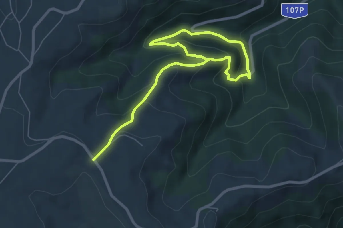
Easy · Trail
Mărișel (Biserică) - Belvedere - Trei Pâraie - Mărișel (Biserică)
3.5 km · ↑ 131 m · 1 h 15 min
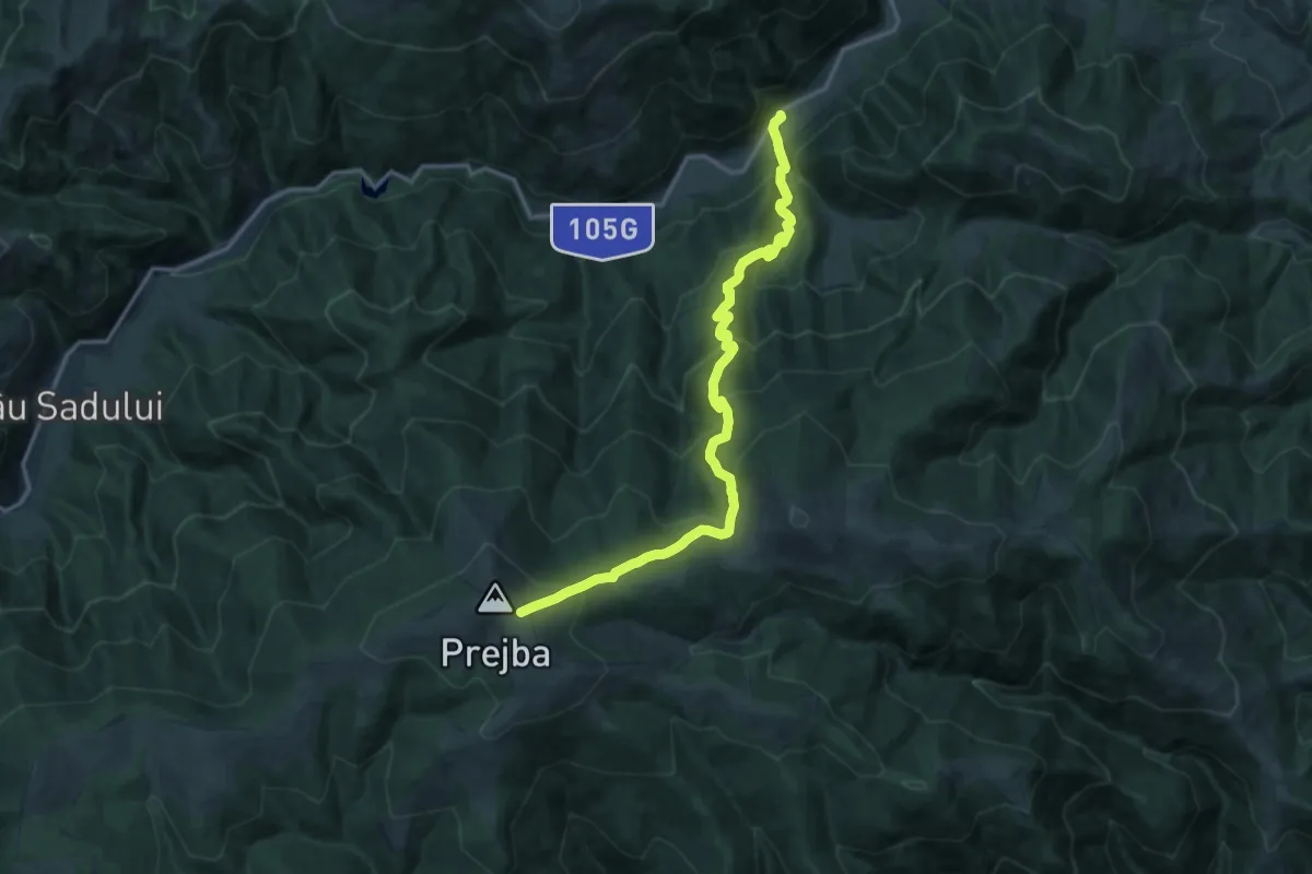
Demanding · Trail
Masa Verde - Vârful Prejba
15.5 km · ↑ 1235 m · 6 h 21 min
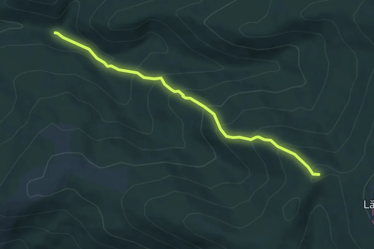
Medium · Trail
Mate Pal - Lăcăuți
5.4 km · ↑ 434 m · 2 h 13 min
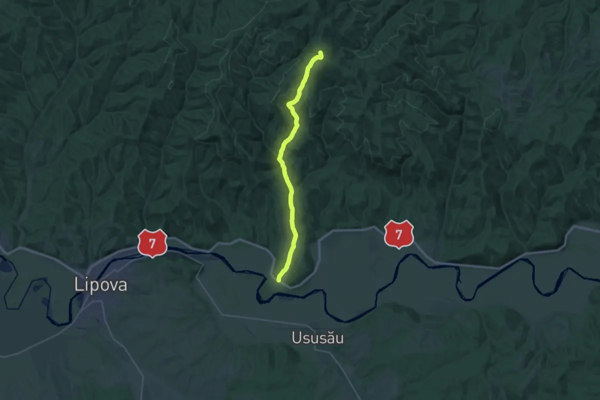
Demanding · Summit
Milova – Vârful Ivănița
22.2 km · ↑ 569 m · 6 h 29 min
Medium · Summit
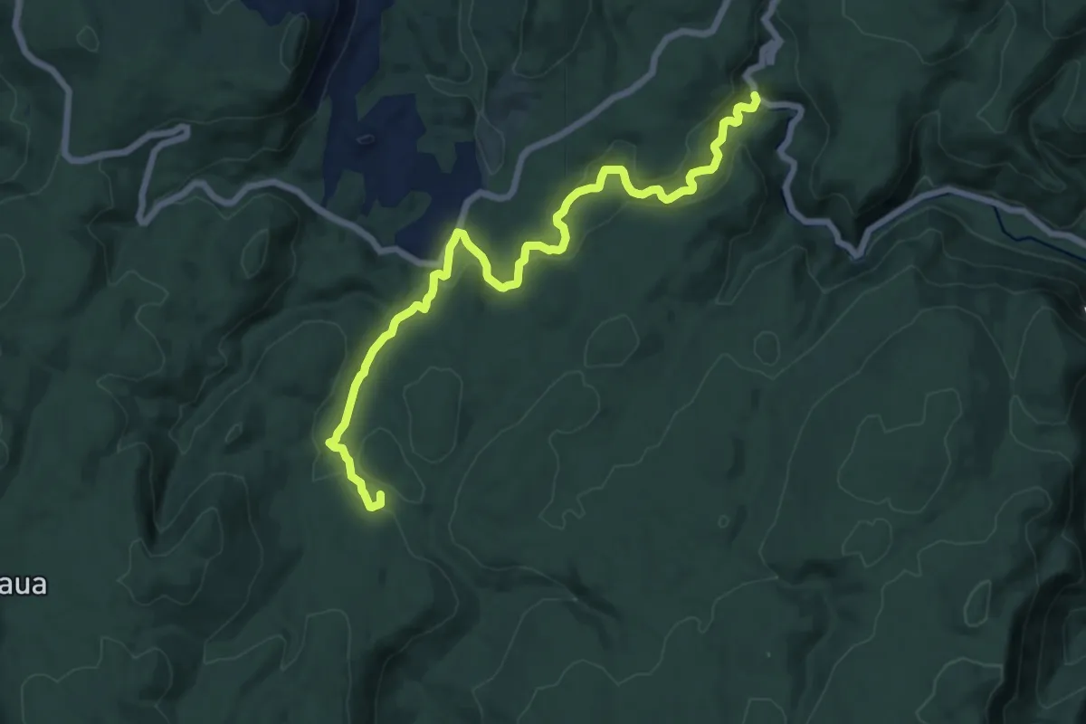
Miniș – Cantonul Crivina – Valea Beiului Sec - Lacul Ochiul Beiului – Podul Beiului
15.4 km · ↑ 348 m · 4 h 23 min
Medium · Trail
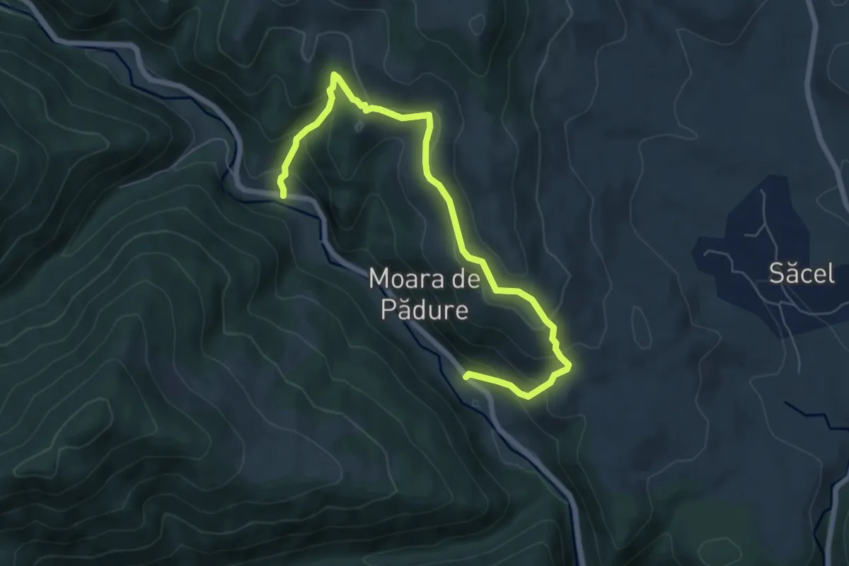
Moara de Pădure (La Poruț) - Cetatea Lita - Moara de Pădure (La DJ 107N)
7.2 km · ↑ 463 m · 2 h 42 min
Demanding · Summit
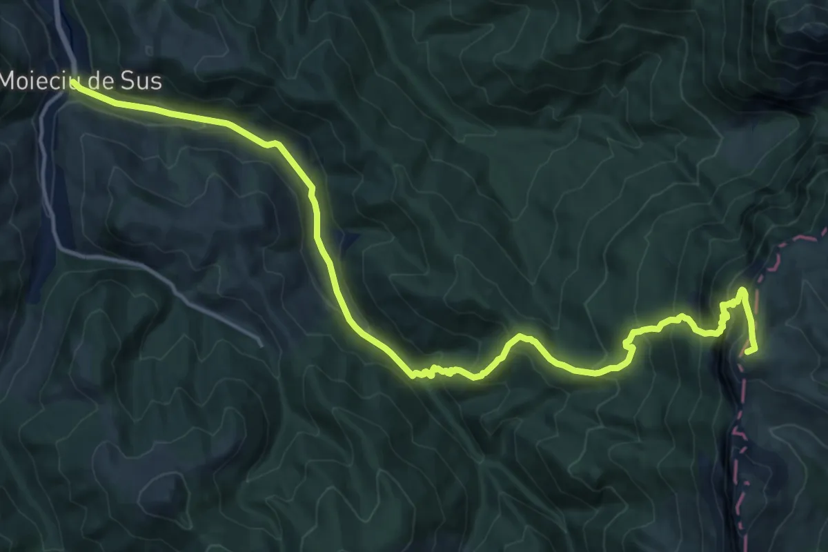
Moieciu de Sus - Șaua Batrâna - Hotel Peștera
19.2 km · ↑ 1253 m · 7 h 15 min
Demanding · Cabin
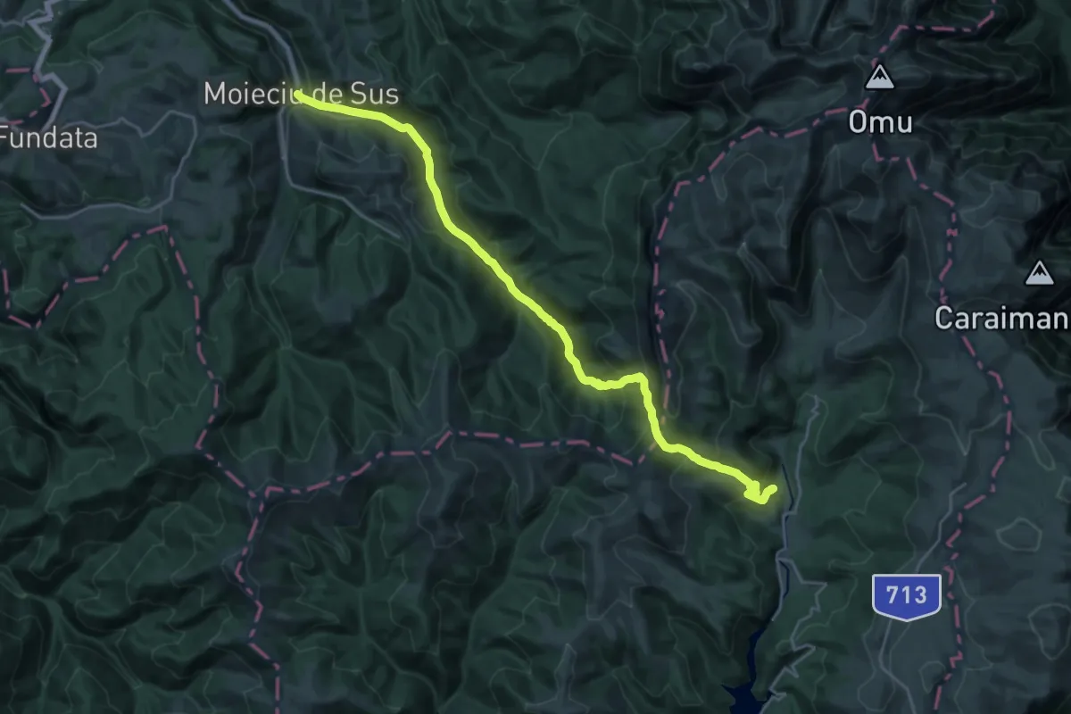
Moieciu de Sus - Șaua Strunga - Cabana Padina
12.7 km · ↑ 951 m · 4 h 57 min
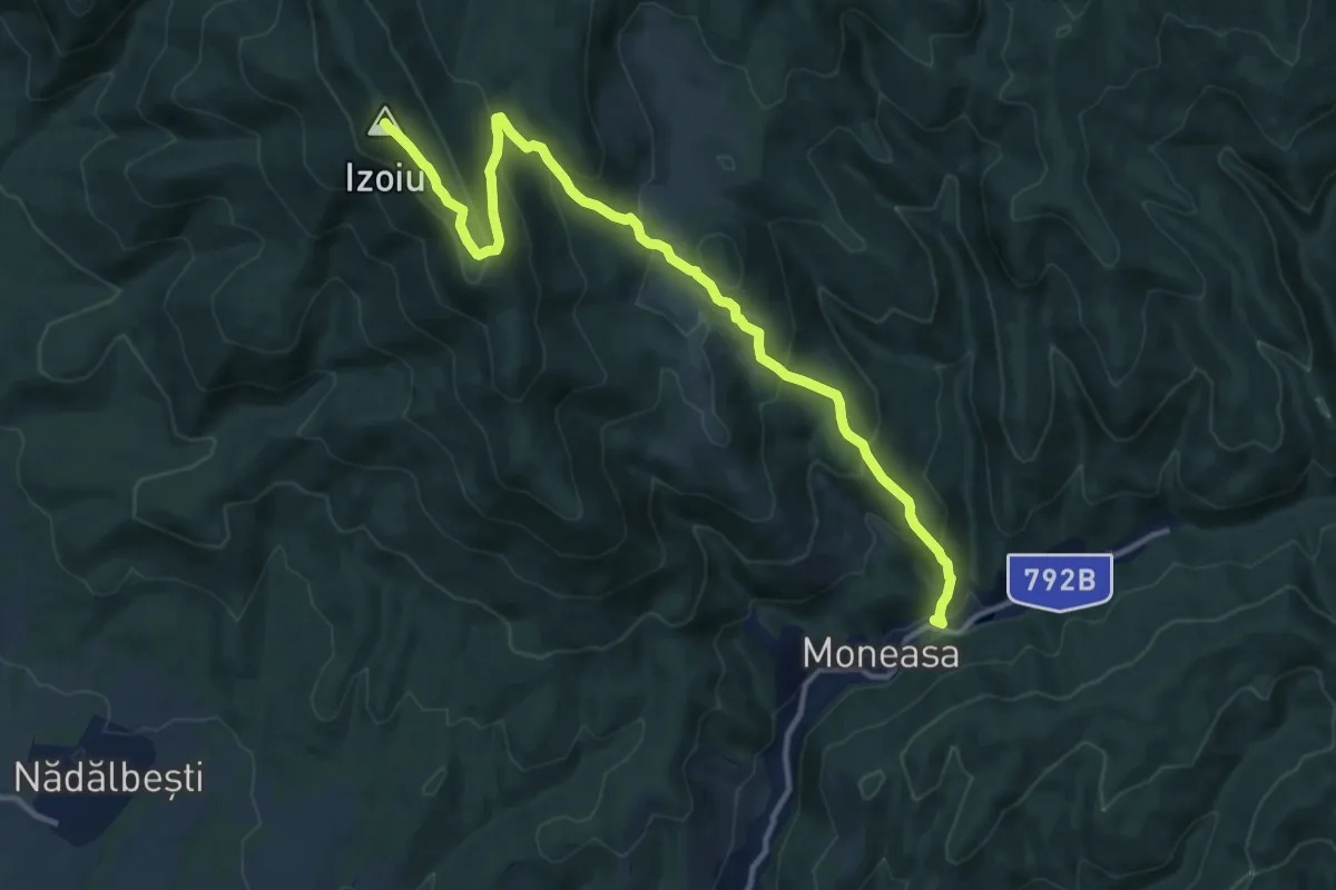
Medium · Summit
Moneasa - Culmea Feredeu - Platoul Izoi - Vf. Izoiu (1098m)
13.5 km · ↑ 789 m · 4 h 55 min
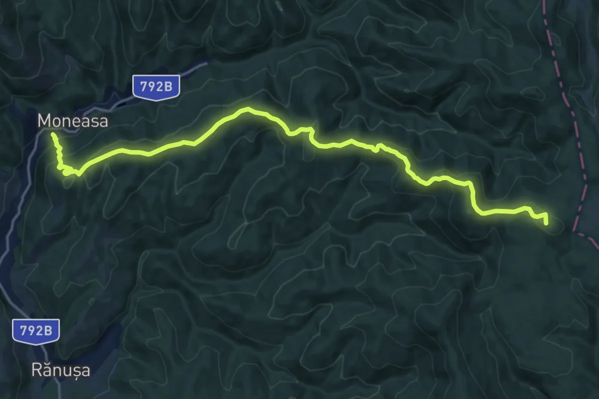
Demanding · Summit
Moneasa – culmea Zelea Neagra – vârful Cretu – vârful Pietroasa – creasta principală
17.5 km · ↑ 879 m · 6 h 2 min
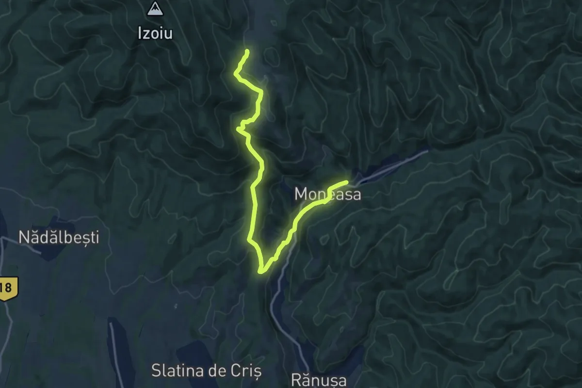
Medium · Trail
Moneasa - Platoul Izoi - Tinoasa
14.7 km · ↑ 560 m · 4 h 41 min
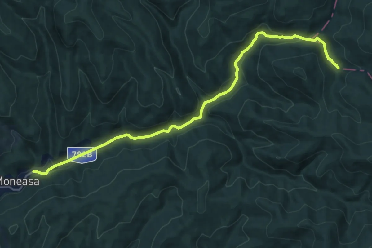
Medium · Trail
Moneasa – valea Boroaia – valea Bârlogel – creasta principală
13.7 km · ↑ 337 m · 3 h 57 min
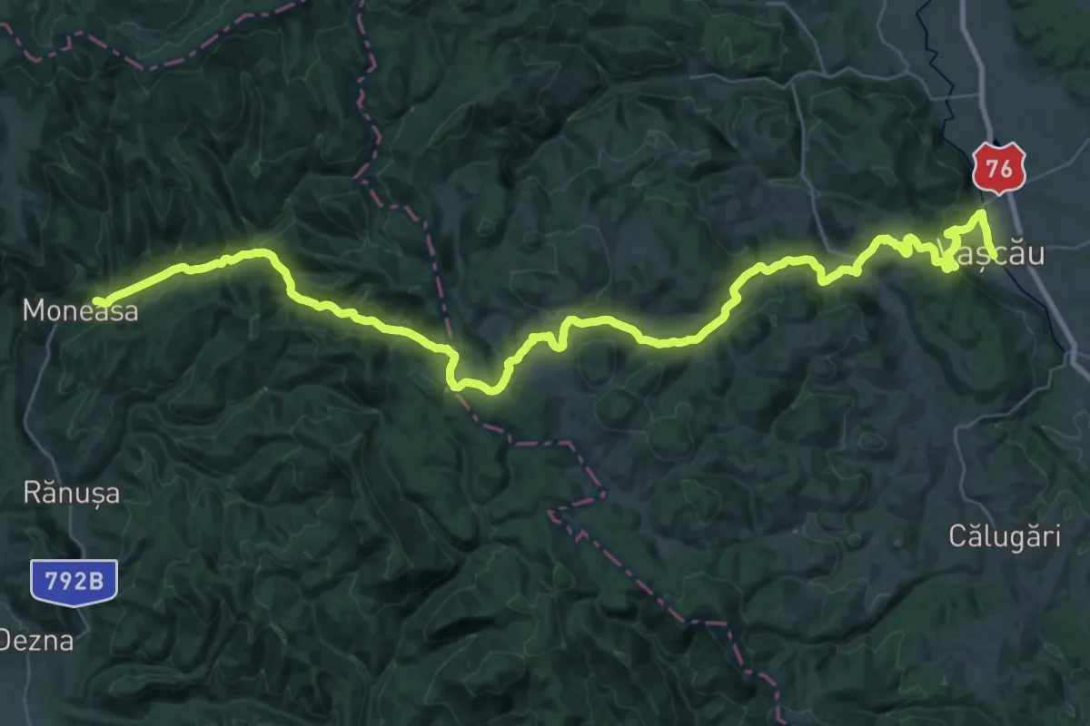
Demanding · Trail
Moneasa – Valea Lunga – Câmp Moti – Vascau
24.0 km · ↑ 726 m · 7 h 34 min
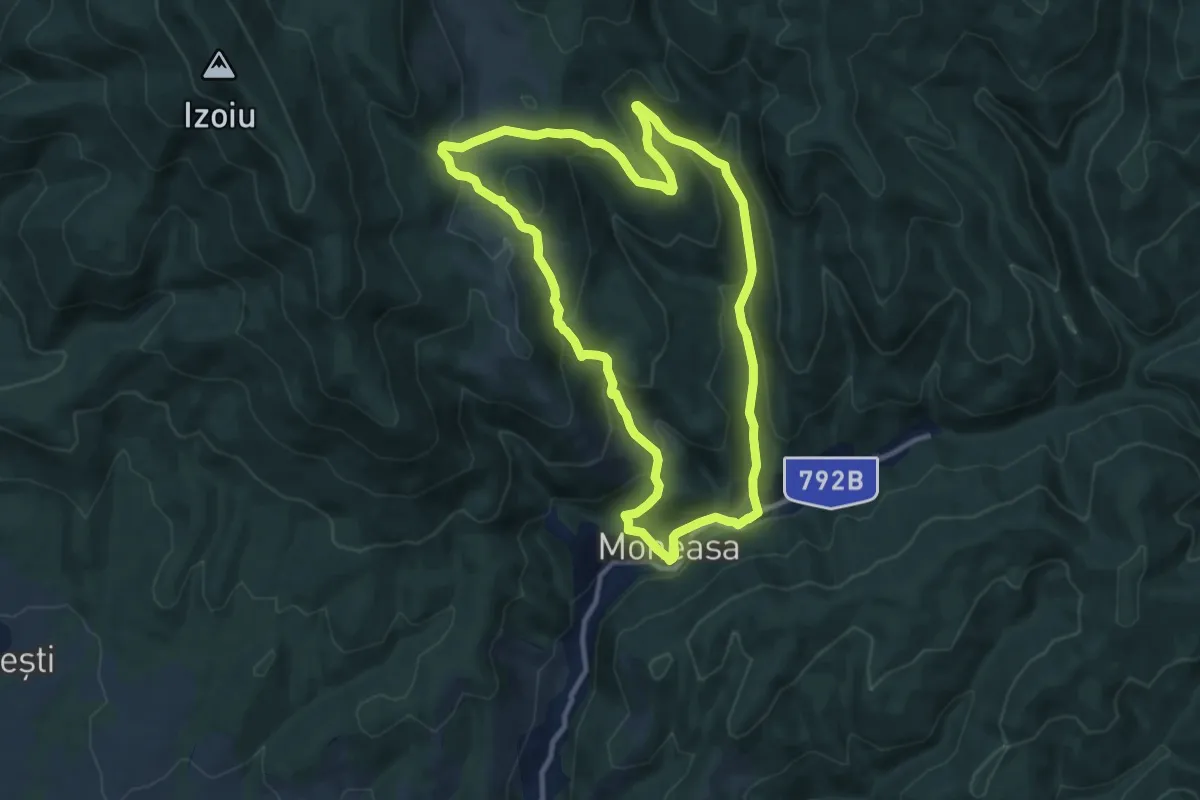
Medium · Trail
Moneasa - Valea Seaca - Platoul Tinoasa - Valea Meghiesului
10.4 km · ↑ 423 m · 3 h 32 min
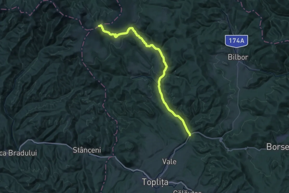
Demanding · Trail
Monumentul Eroilor de la Gura Secului-Șaua Rățițiș
23.5 km · ↑ 1240 m · 7 h 59 min
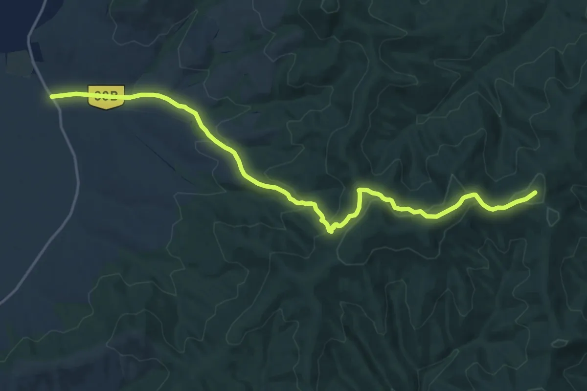
Medium · Summit
Monumentul Turistului - Schitul Feredeu - Șaua Cazan - Cabana Căsoaia
15.5 km · ↑ 541 m · 4 h 50 min
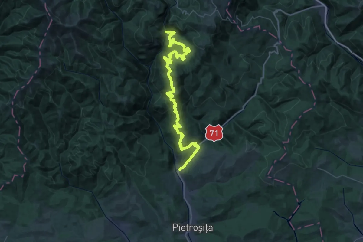
Demanding · Trail
Moroeni - Plaiul Priporului - Cabana Scropoasa
22.6 km · ↑ 1041 m · 7 h 36 min
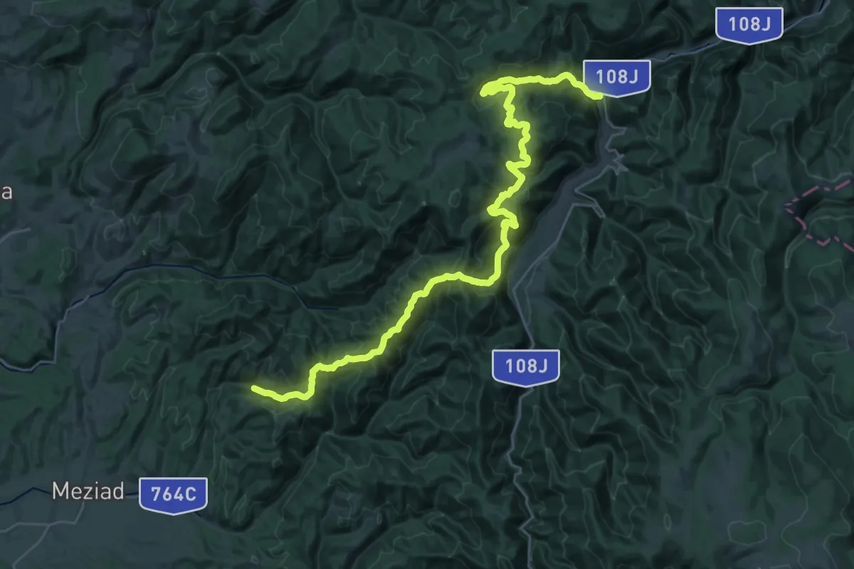
Demanding · Trail
Motel "Baraj Leșu" - Piatra Bulzului - Peștera Meziad
18.4 km · ↑ 897 m · 6 h 35 min
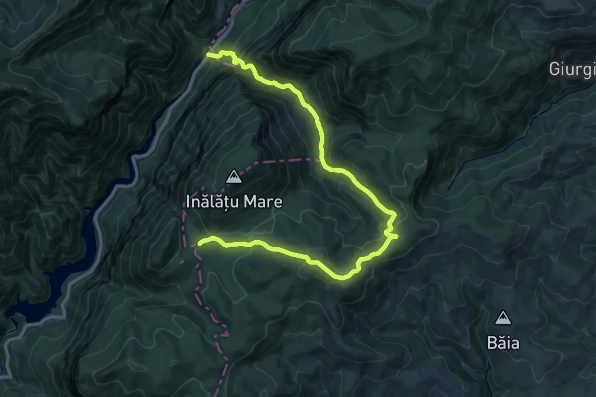
Demanding · Trail
Motel Dumbrava (Km 18 DN67D) - Poiana Balta Cerbului
19.0 km · ↑ 1098 m · 6 h 52 min
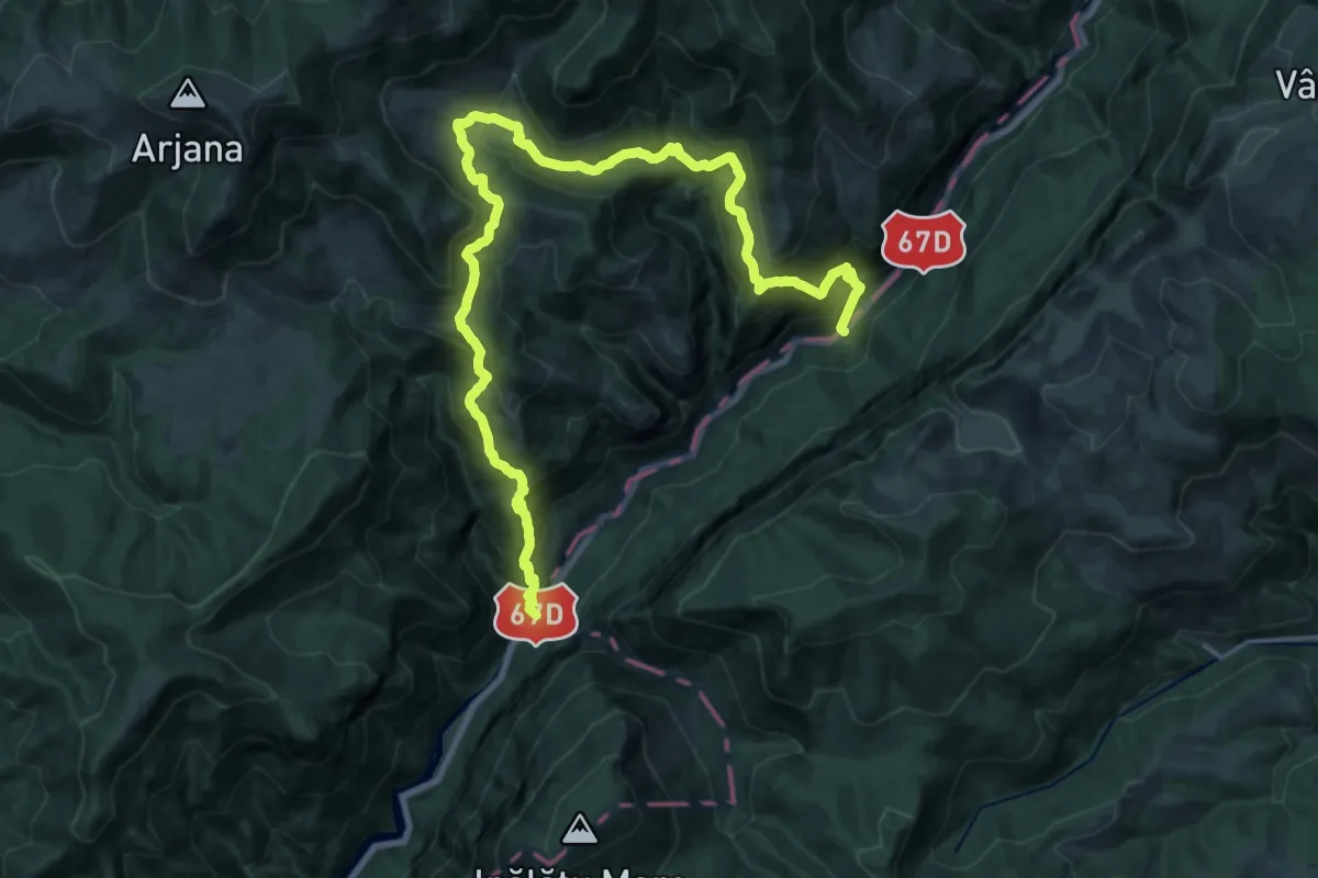
Demanding · Trail
Motel Dumbrava (Km 18 DN67D) - Puntea lui Stoian (km 19 DN67D)
12.7 km · ↑ 863 m · 5 h 4 min
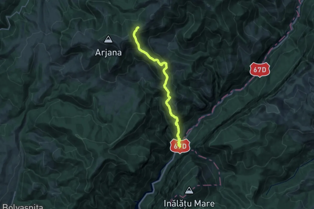
Demanding · Trail
Motel Dumbrava (Km 18 DN67D) - Șaua Prislop
15.4 km · ↑ 1215 m · 6 h 17 min
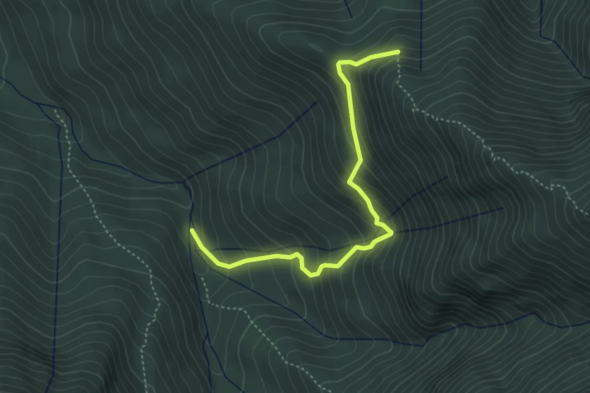
Medium · Trail
Muchia Clincii - Valea Ciubotea
4.3 km · ↑ 407 m · 1 h 54 min
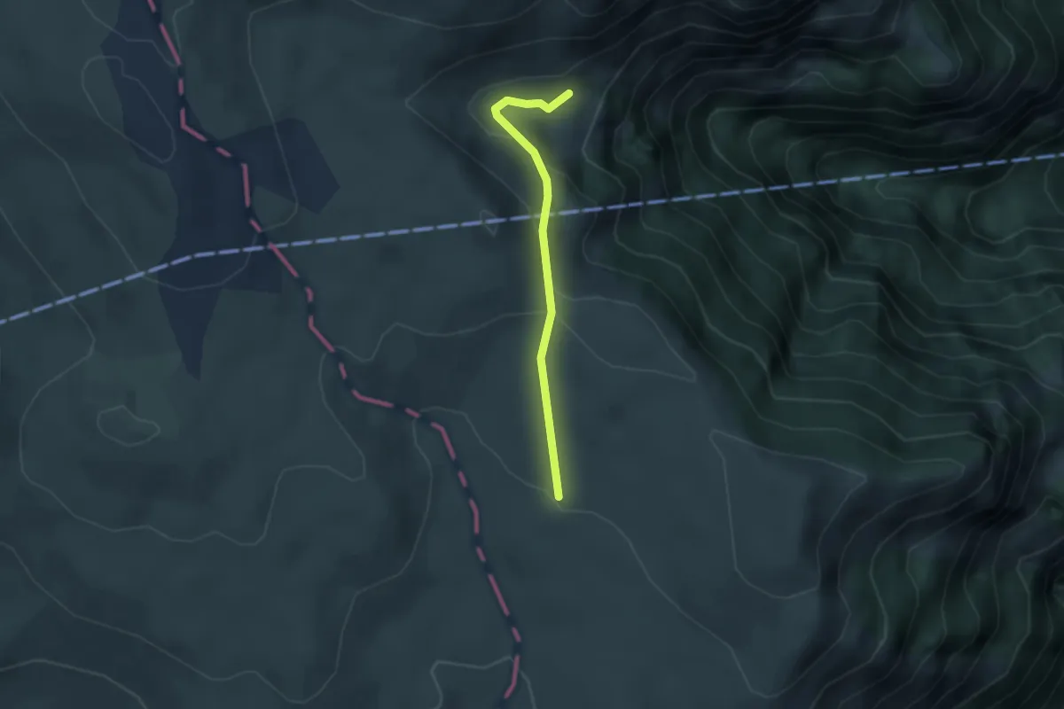
Medium · Cabin
Muntele Jepii Mici - Cabana Caraiman
2.7 km · ↑ 114 m · 53 min
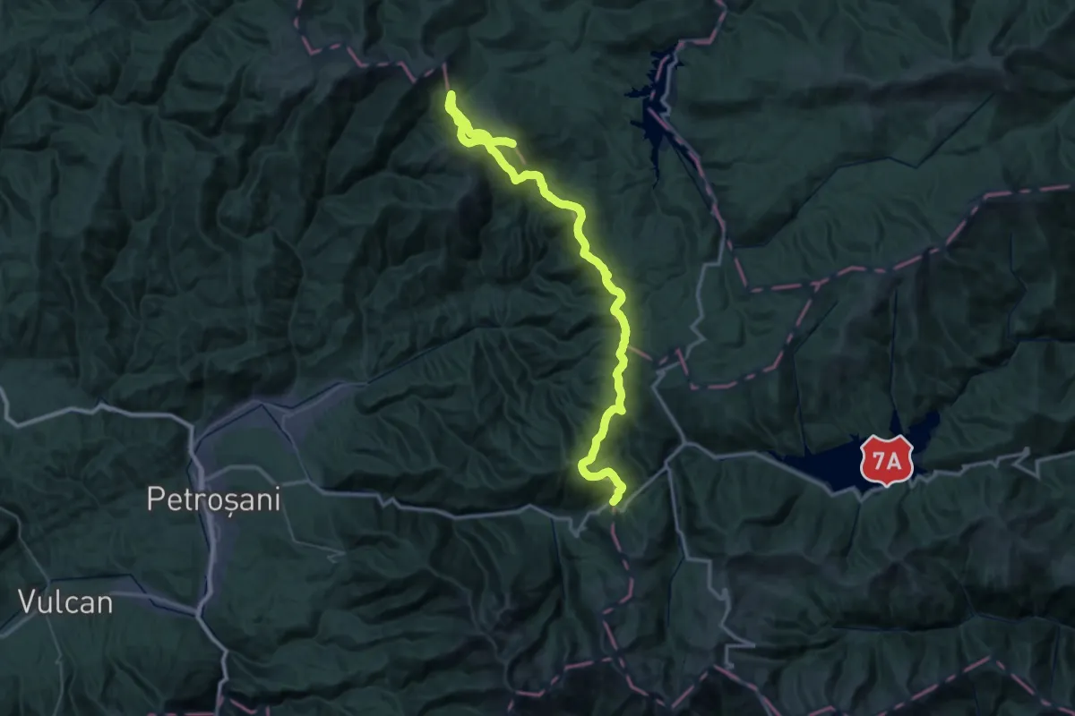
Demanding · Summit
(Munții Parâng) - Pasul Groapa Seacă - Gura Potecului - Cabana Șureanu
59.0 km · ↑ 2755 m · 19 h 55 min
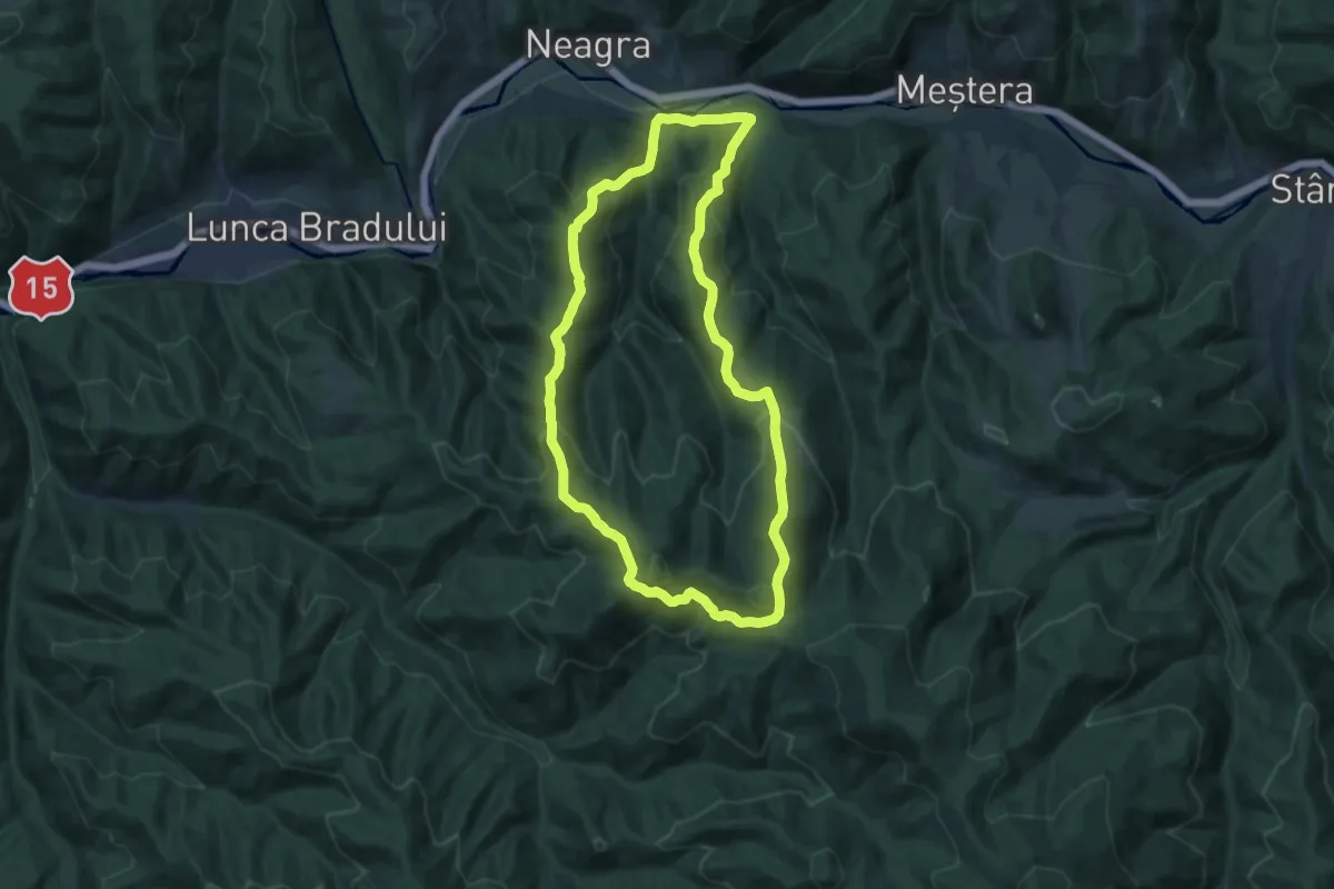
Medium · Trail
Neagra - Creasta Suhacani - Poiana Cădăreni - Creasta Șapte poieni - Neagra
13.1 km · ↑ 734 m · 4 h 52 min
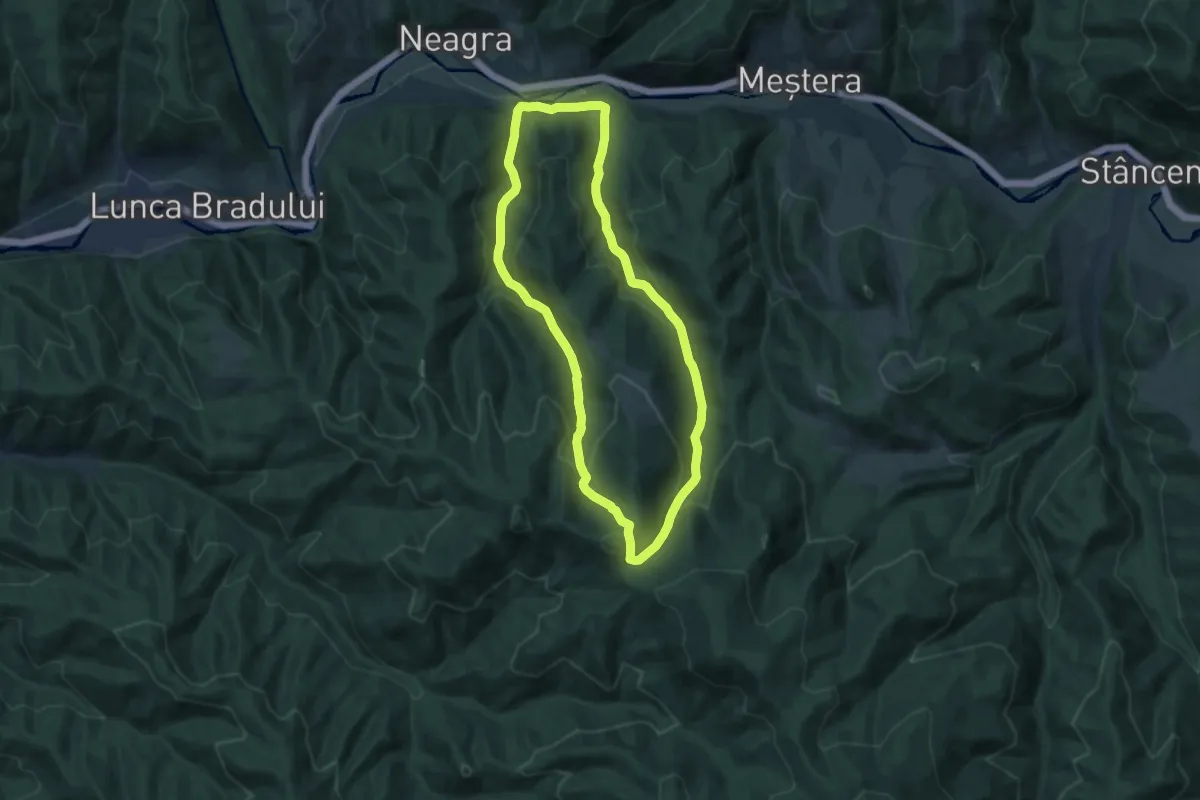
Medium · Trail
Neagra - Pârâul Schwarz - Poiana Cădăreni - Pârâul Cădăreni - Neagra
11.4 km · ↑ 618 m · 4 h 12 min
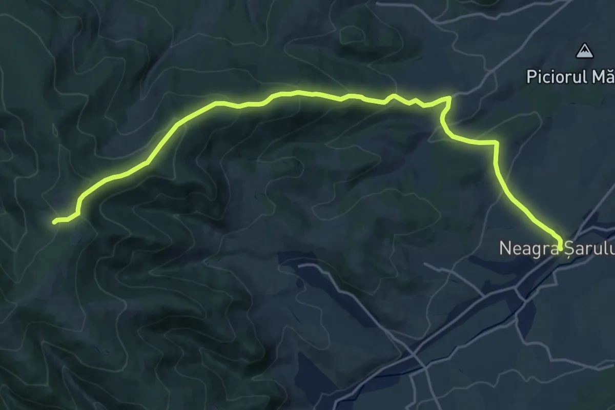
Demanding · Trail
Neagra Șarului (DJ174F)-Sărișor-Schitul 12 Apostoli
18.8 km · ↑ 811 m · 6 h 12 min
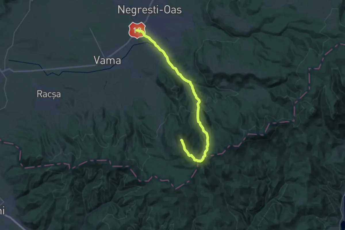
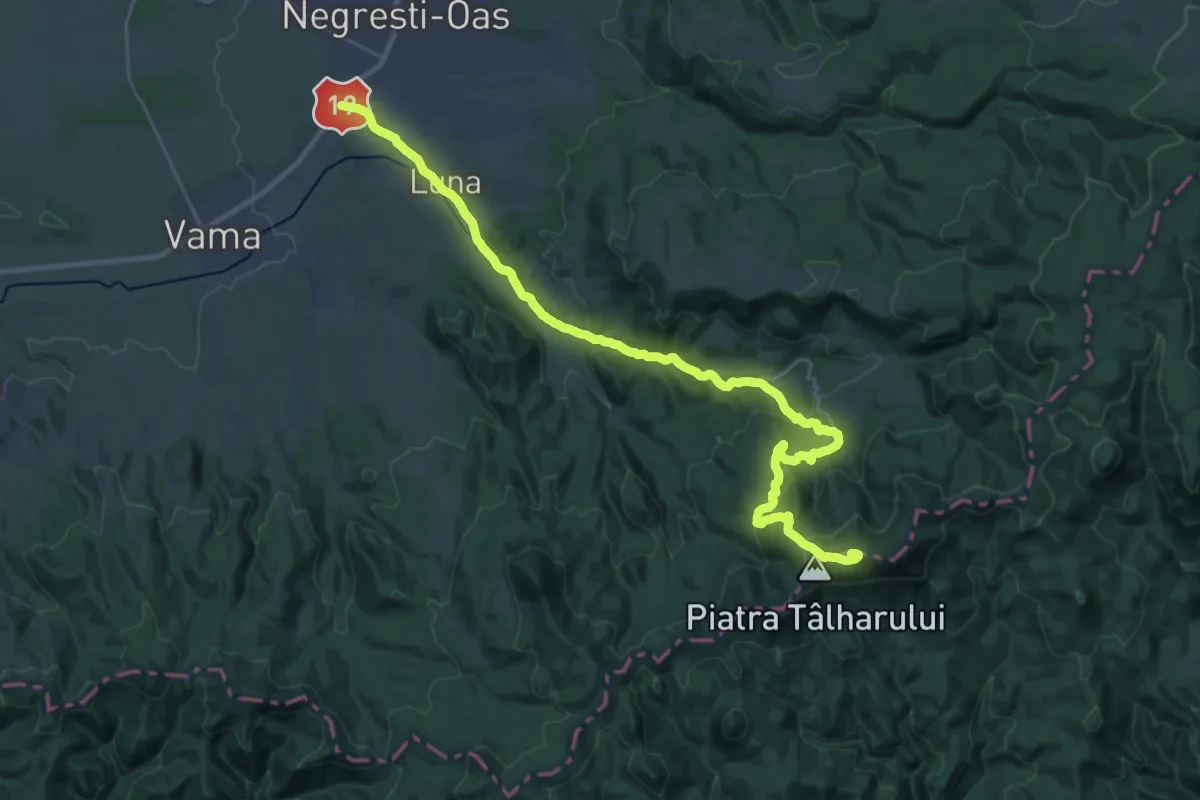
Demanding · Summit
Negrești-Oaș - Muntele Mic
27.5 km · ↑ 835 m · 8 h 19 min
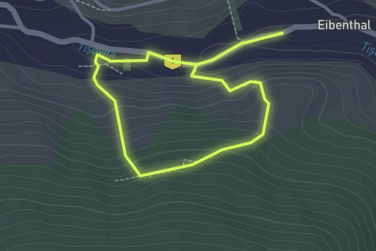
Demanding · Summit
Negrești Oaș - Vârful Pietroasa
31.2 km · ↑ 1028 m · 9 h 36 min
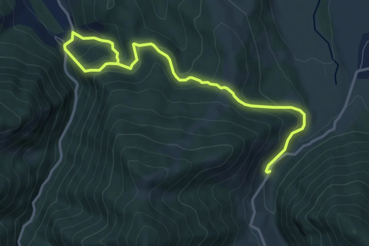
Medium · Trail
NS Chromové štoly
3.5 km · ↑ 215 m · 1 h 18 min
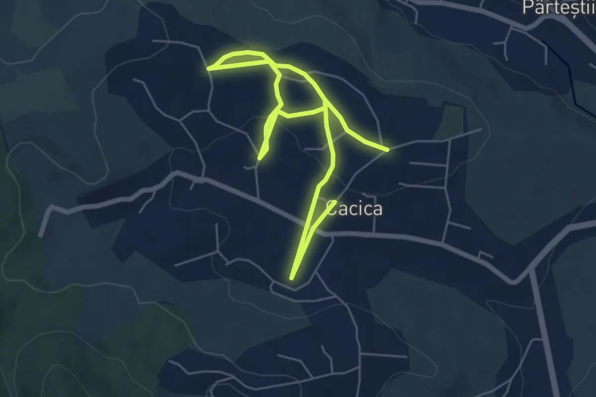
Medium · Trail
Nucșoara - Cetatea Colț - Suseni
9.2 km · ↑ 565 m · 3 h 24 min
Easy · Trail
Oameni și sare
7.3 km · ↑ 137 m · 2 h 1 min
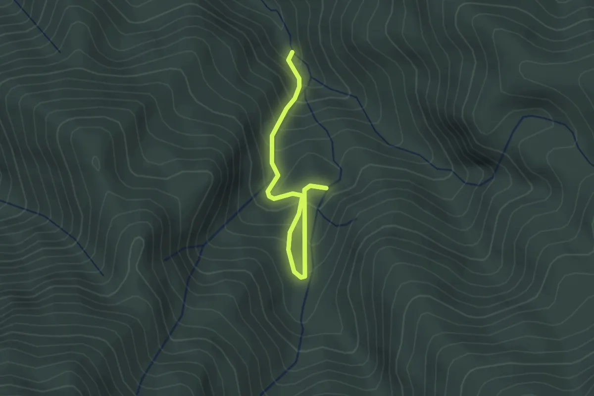
Easy · Trail
Ocolire Canion 7 Scări
2.6 km · ↑ 257 m · 1 h 10 min
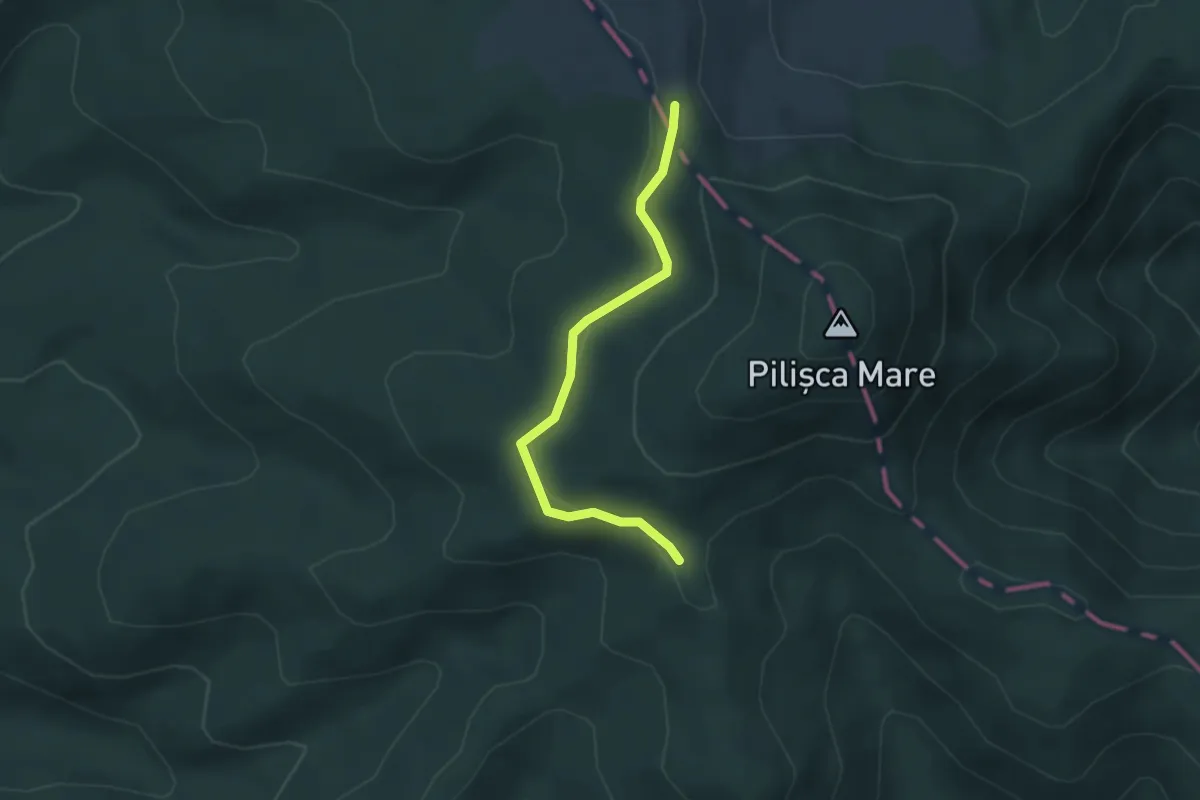
Easy · Trail
Ocolire Vf. Pilișca Mare
3.4 km · ↑ 56 m · 55 min
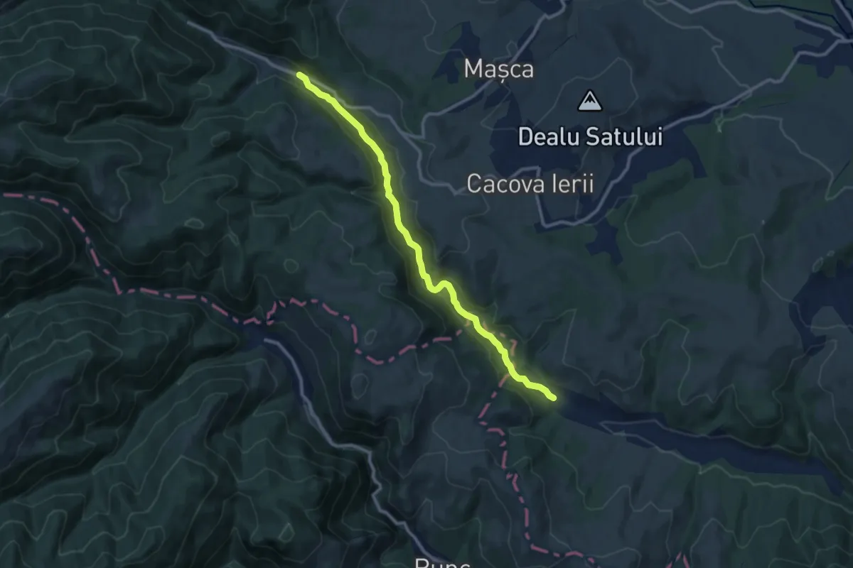
Medium · Trail
Ocolișel - Cheile Ocolișelului - Valea Vadului
10.4 km · ↑ 358 m · 3 h 14 min
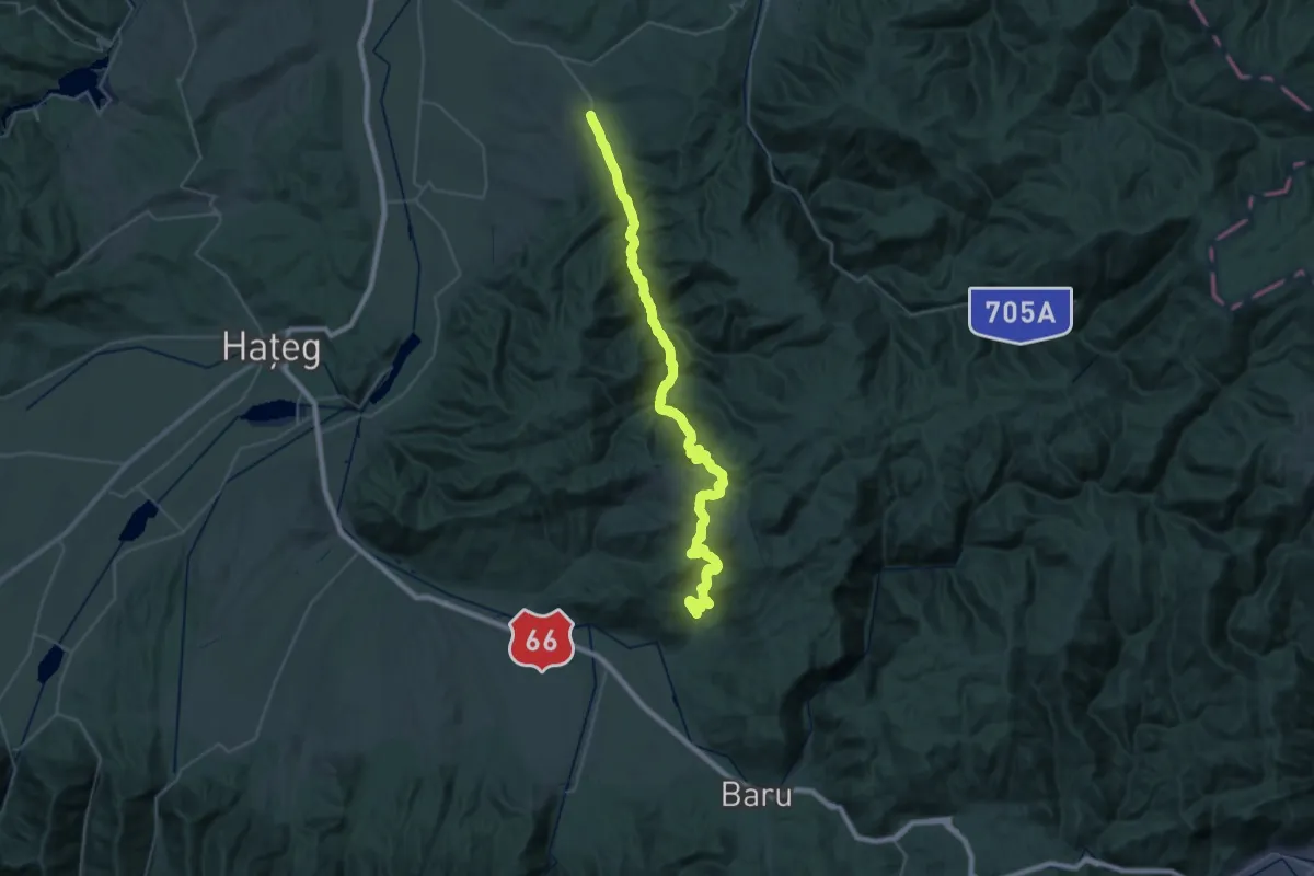
Demanding · Trail
Ohaba-Ponor - Valea Morii - Boșorod
24.8 km · ↑ 662 m · 7 h 42 min
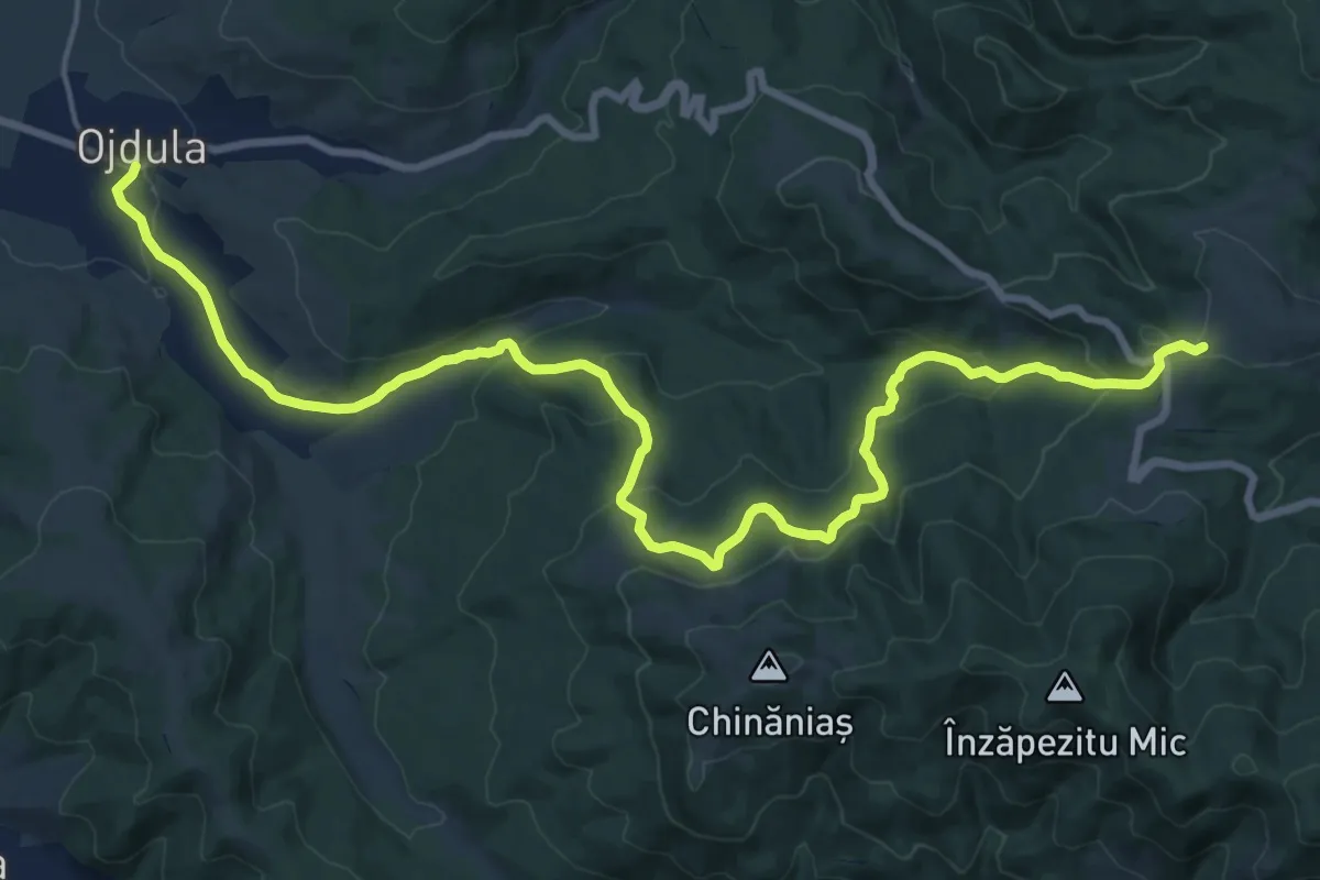
Demanding · Trail
Ojdula (centru) - Peștera Kolik - Vf. Oituz izvor
22.9 km · ↑ 802 m · 7 h 9 min
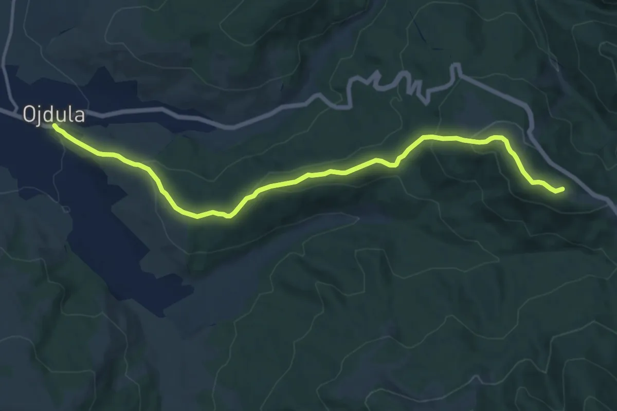
Medium · Summit
Ojdula (centru) - Vf. Pilișca - Vf. Oituz Izvor
12.6 km · ↑ 517 m · 4 h 6 min
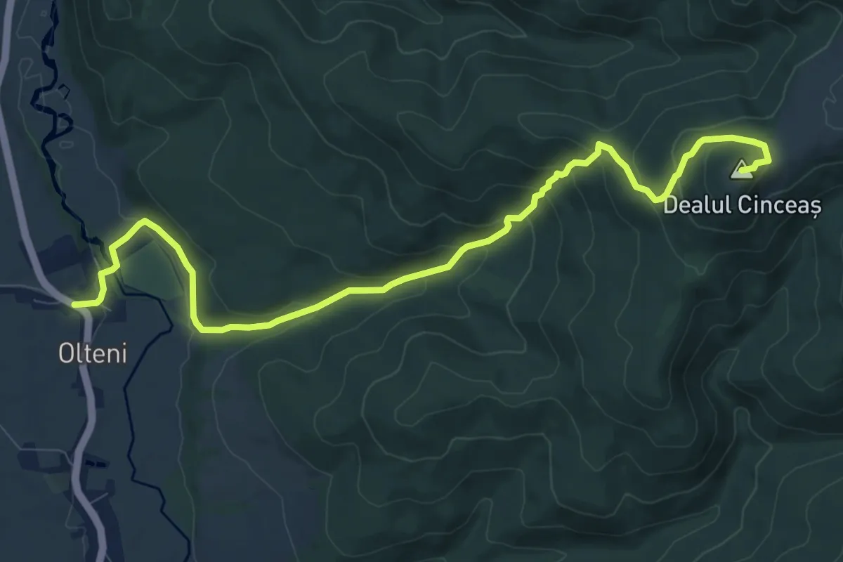
Medium · Summit
Olteni - Cetatea Kincsás
11.4 km · ↑ 549 m · 3 h 52 min
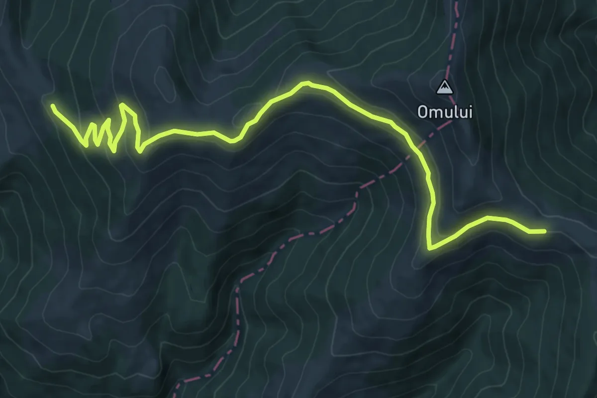
Medium · Trail
Omu – Pasul Rotunda (red stripe)
11.7 km · ↑ 467 m · 3 h 46 min
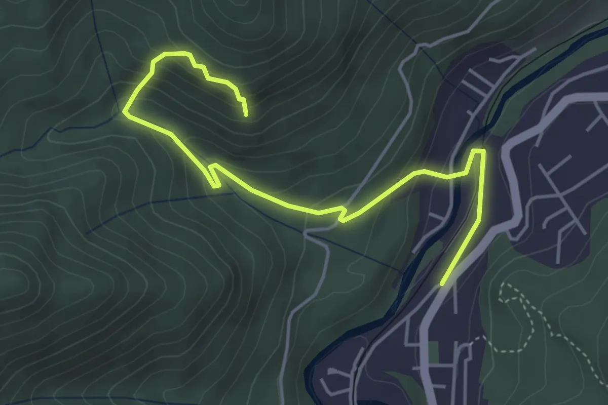
Medium · Trail
oraș Băile Tușnad - Pârâul Minei - Stâncile Turnuri
4.9 km · ↑ 328 m · 1 h 53 min
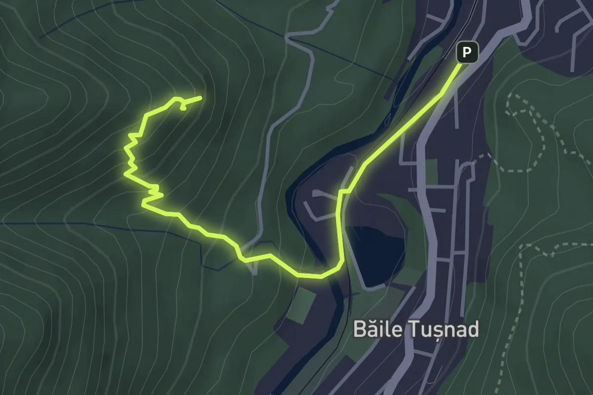
Medium · Summit
oraș Băile Tușnad - Piatra Șoimilor
4.0 km · ↑ 341 m · 1 h 41 min
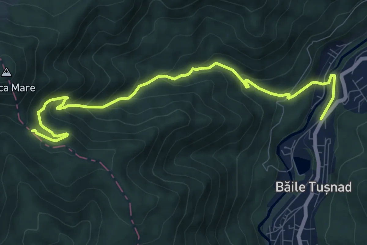
Medium · Trail
oraș Băile Tușnad - Pilișca Mare
9.6 km · ↑ 628 m · 3 h 37 min
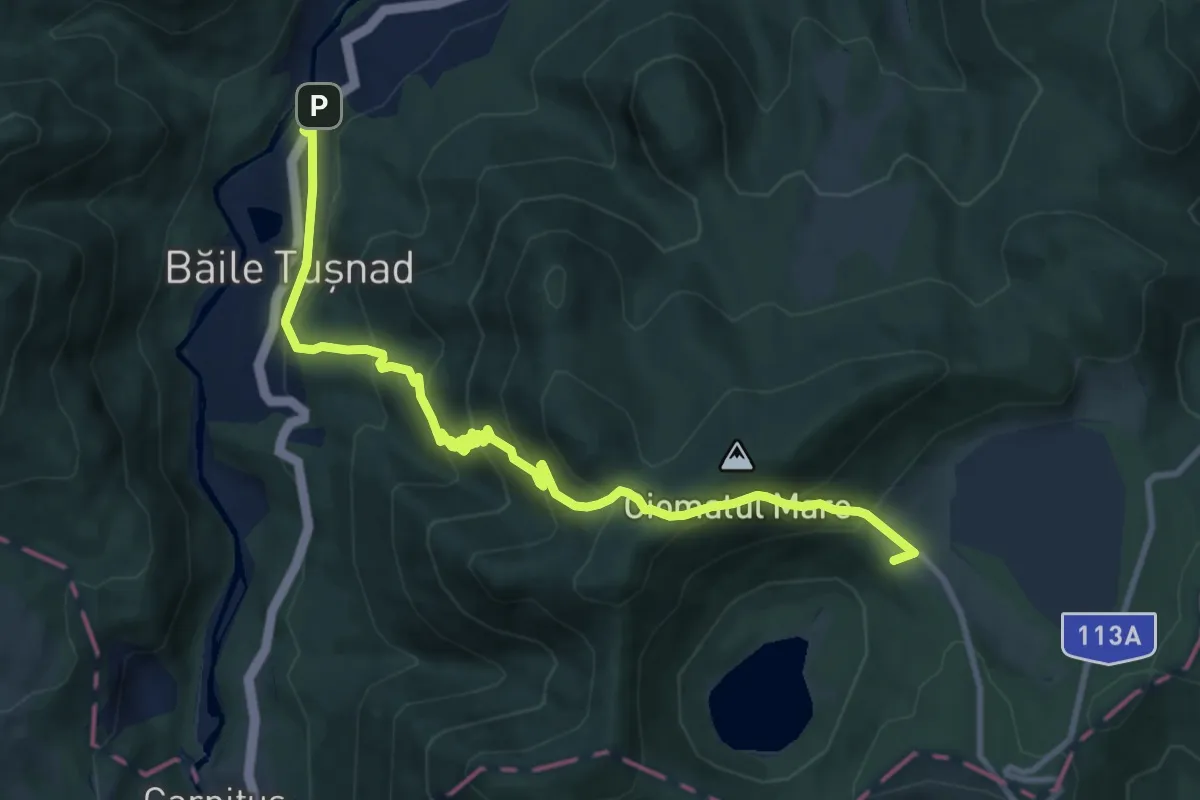
Demanding · Trail
oraș Băile Tușnad - sub Vf. Ciomatul Mic - Cabana Lacul Sfânta Ana
11.3 km · ↑ 815 m · 4 h 26 min
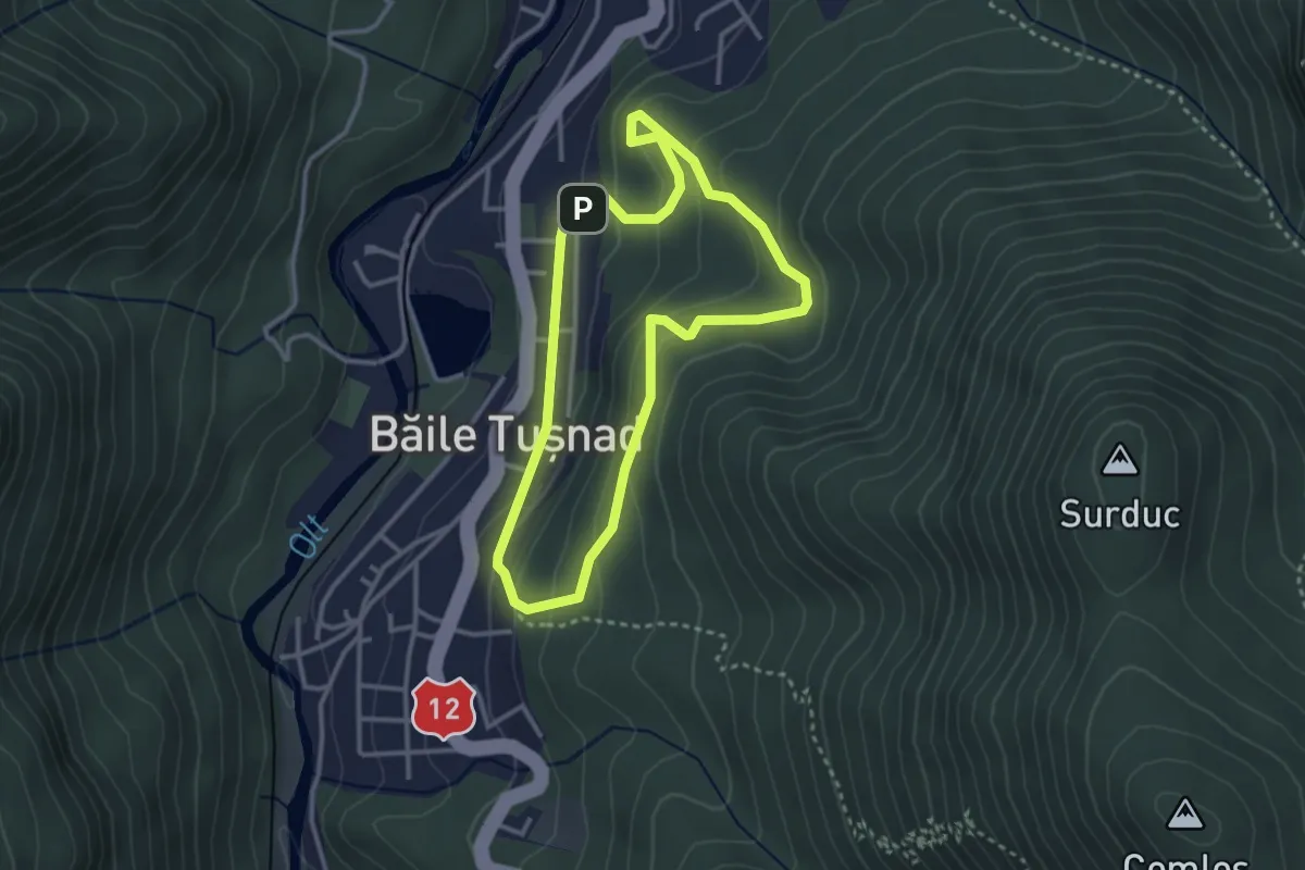
Easy · Trail
oraș Băile Tușnad - Turnul Apor - oraș Băile Tușnad
2.9 km · ↑ 188 m · 1 h 8 min
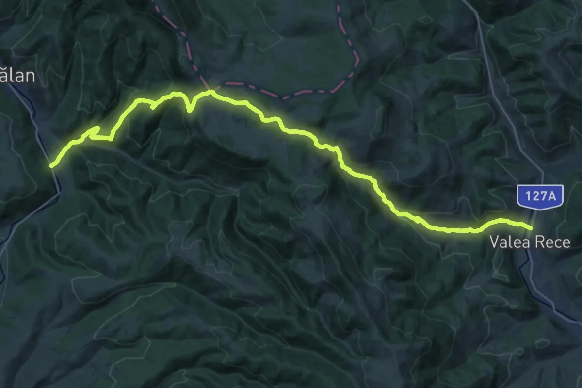
Medium · Trail
oraș Bălan - Șaua Tarcău - Valea Rece
13.9 km · ↑ 514 m · 4 h 37 min
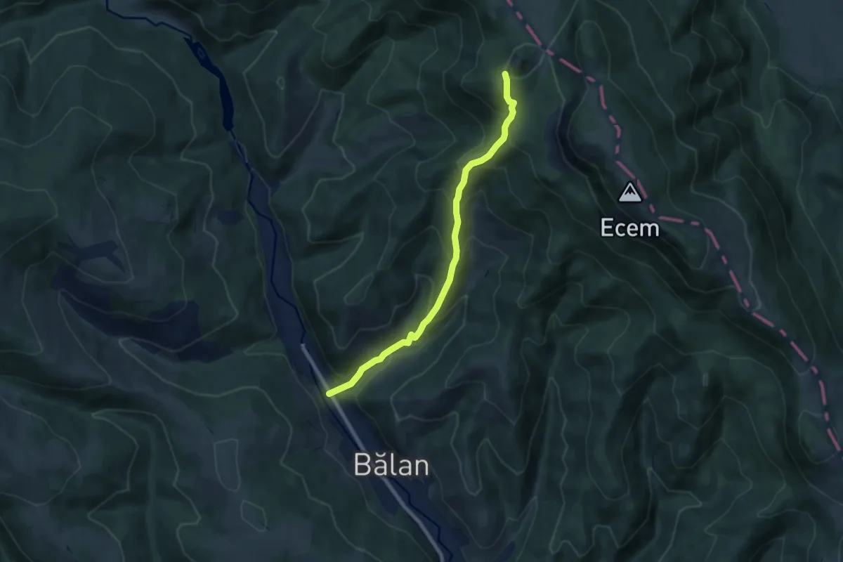
Demanding · Cabin
oraș Bălan - Valea Fierarului - Cabana Piatra Singuratică
7.3 km · ↑ 635 m · 3 h 6 min
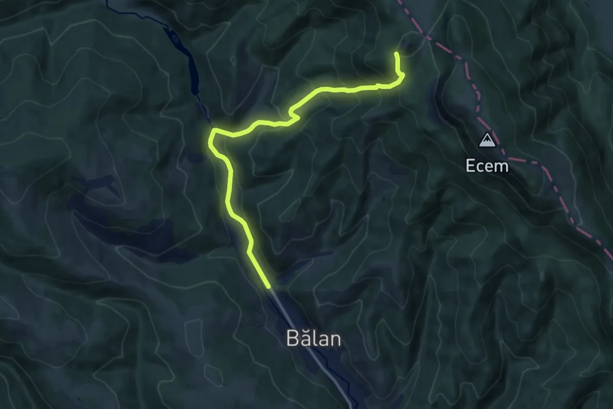
Demanding · Cabin
oraș Bălan - Valea Sep - Cabana Piatra Singuratică
10.5 km · ↑ 657 m · 3 h 54 min