Trails in Romania
1,356 hiking trails, each with its route, climb, walking time and grade.
All trails, page 16 of 29
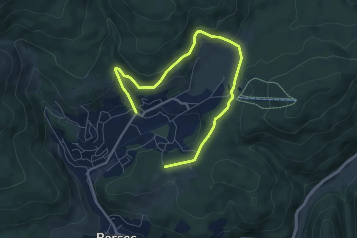
Easy · Trail
oraș Borsec - Baia de Soare - oraș Borsec
8.0 km · ↑ 211 m · 2 h 21 min
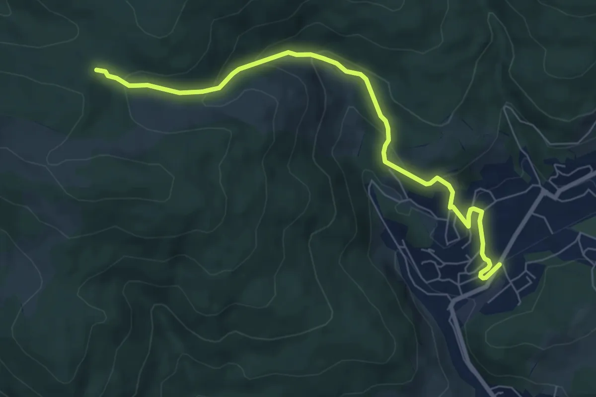
Medium · Trail
oraș Borsec - intersecție traseul BR
7.1 km · ↑ 370 m · 2 h 29 min
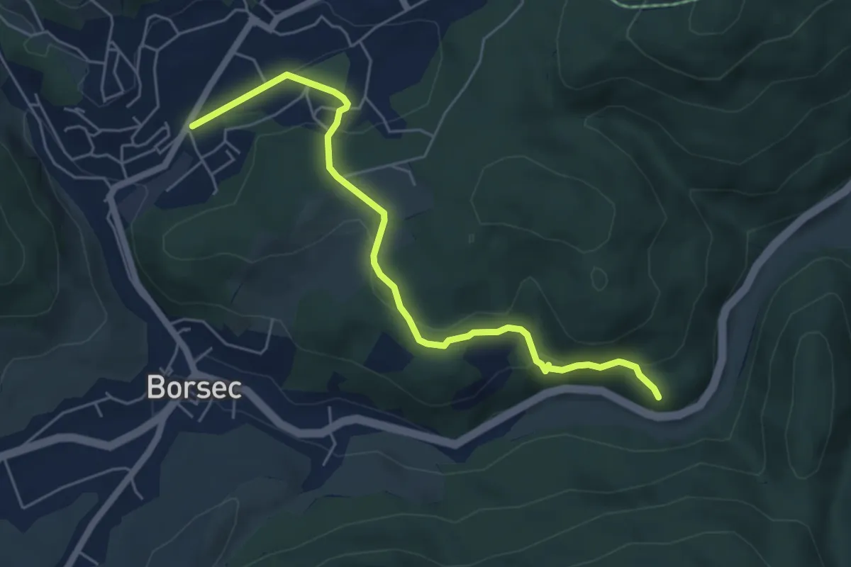
Easy · Trail
oraș Borsec - Izvorul Străvechi - Cetatea Bufniței
5.5 km · ↑ 200 m · 1 h 45 min
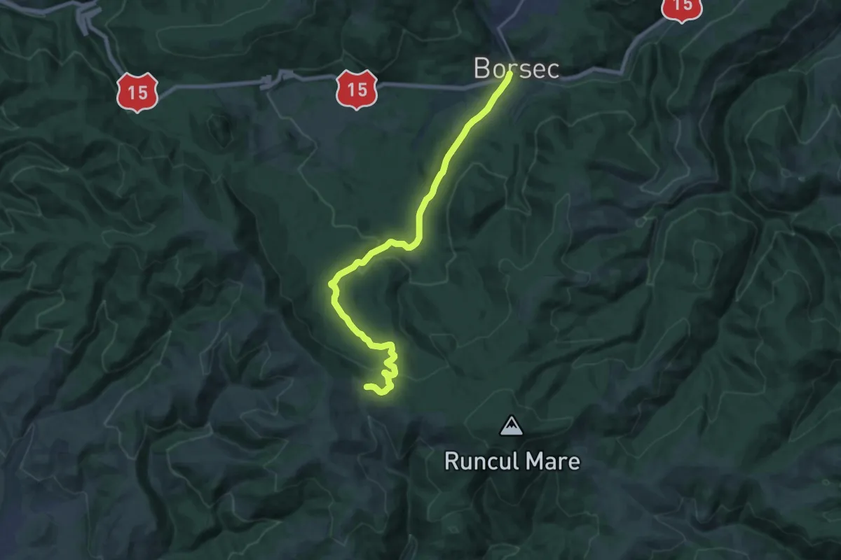
Medium · Trail
oraș Borsec - Pasul Chiozrez
17.3 km · ↑ 568 m · 5 h 19 min
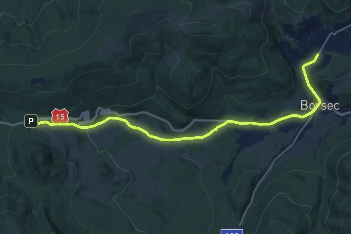
Medium · Trail
oraș Borsec - Pasul Creangă
13.8 km · ↑ 385 m · 4 h 6 min
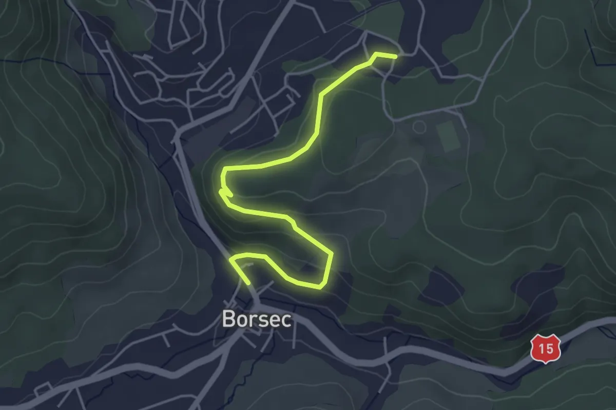
Easy · Trail
oraș Borsec - strada Cimiturului - oraș Borsec
4.4 km · ↑ 142 m · 1 h 21 min
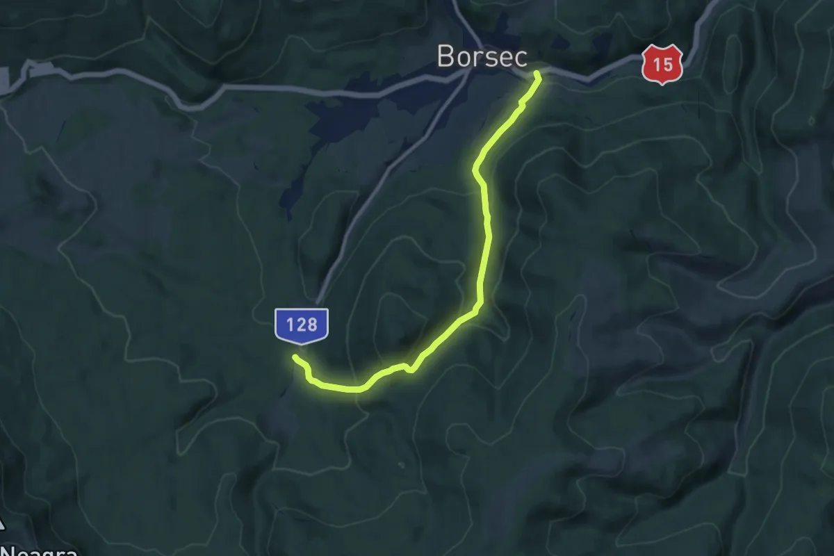
Medium · Trail
oraș Borsec - sub Vf. Mândru - intersecție traseul BA
8.9 km · ↑ 499 m · 3 h 11 min
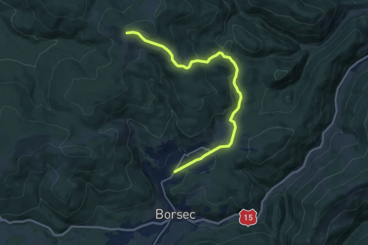
Medium · Cabin
oraș Borsec - Uzina 7 Izvoare - Vf. Făget
12.8 km · ↑ 487 m · 4 h 5 min
Medium · Cabin
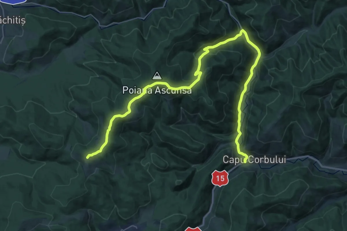
oraș Borsec - Valea Bistricioara - Vf. Făget
15.2 km · ↑ 738 m · 5 h 7 min
Medium · Trail
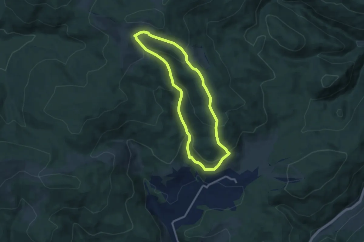
oraș Borsec - Valea Nadășa - Vf. Făgețel - Valea Nadășa - oraș Borsec
6.3 km · ↑ 330 m · 2 h 17 min
Medium · Trail
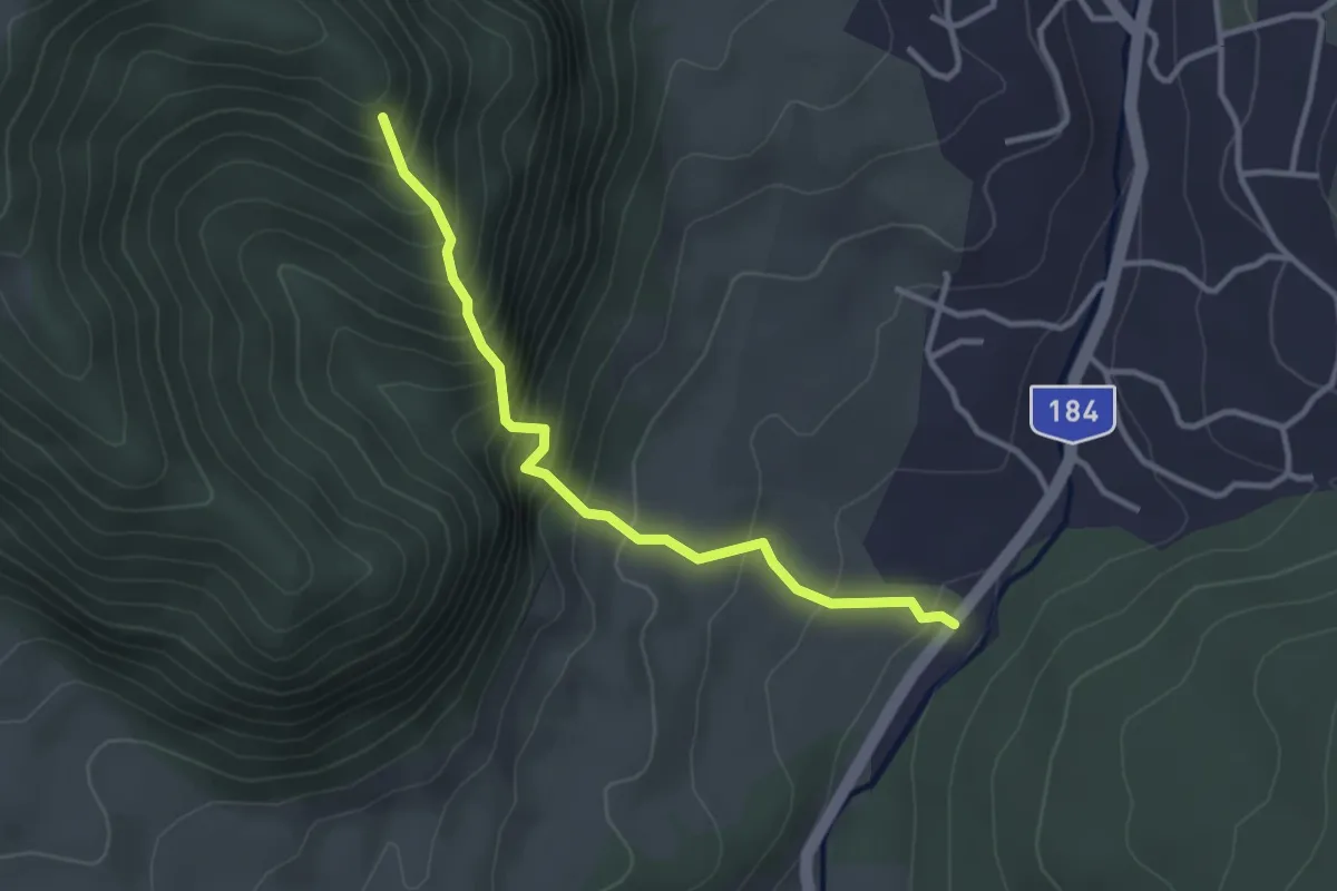
Oraș Cavnic – Belvedere Pietrele Șoimului
3.0 km · ↑ 381 m · 1 h 32 min
Medium · Trail
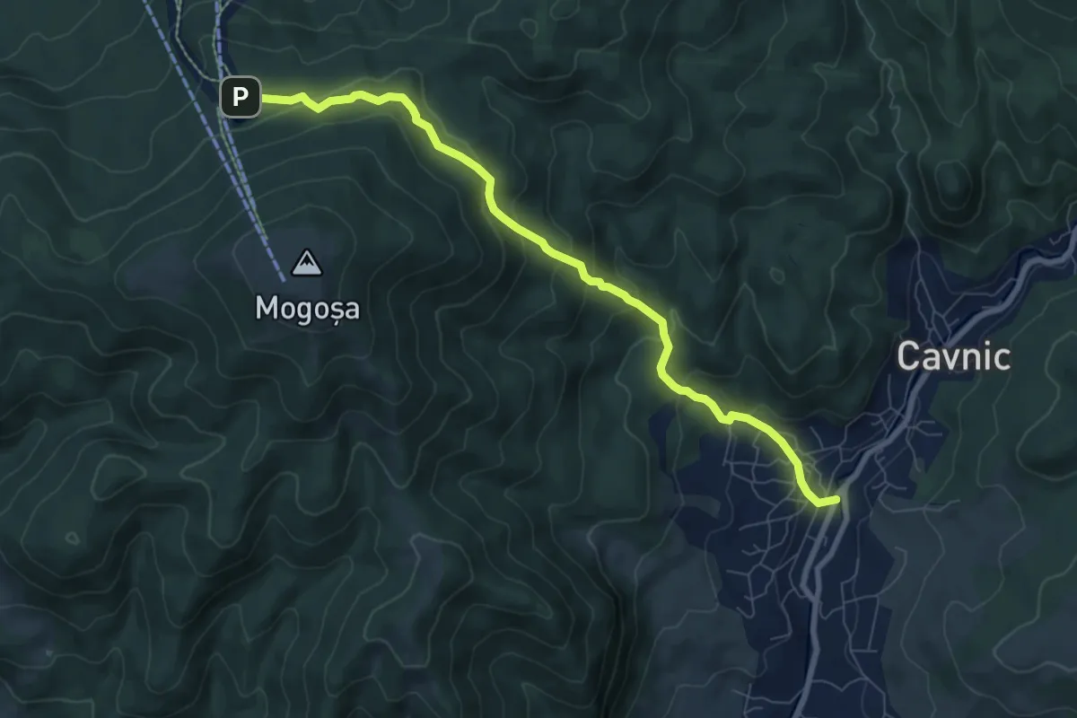
Oraș Cavnic – Complex Hotelier Turist Șuior (Lac Cota 1000)
7.9 km · ↑ 489 m · 2 h 55 min
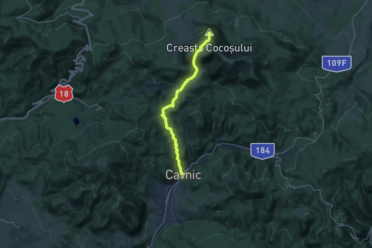
Demanding · Summit
oraș Cavnic – lângă Vârful Secătura – Creasta Cocoșului (red triangle)
14.2 km · ↑ 831 m · 5 h 10 min
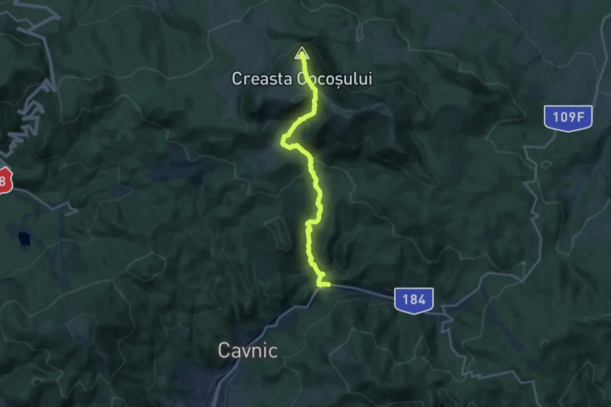
Medium · Summit
oraș Cavnic – Poiana Mlejnița – Creasta Cocoșului (blue_cross)
12.0 km · ↑ 737 m · 4 h 26 min
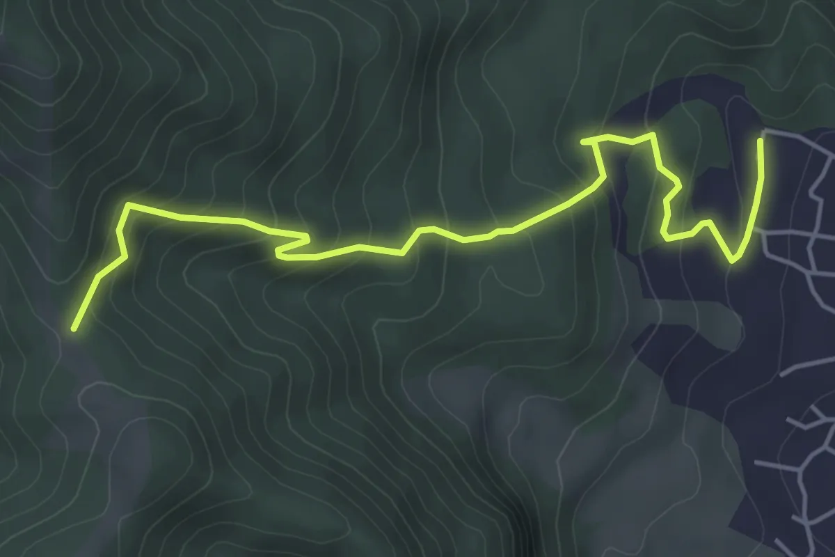
Medium · Trail
Oraș Cavnic – Tarnița Arșiței
5.2 km · ↑ 392 m · 2 h 5 min
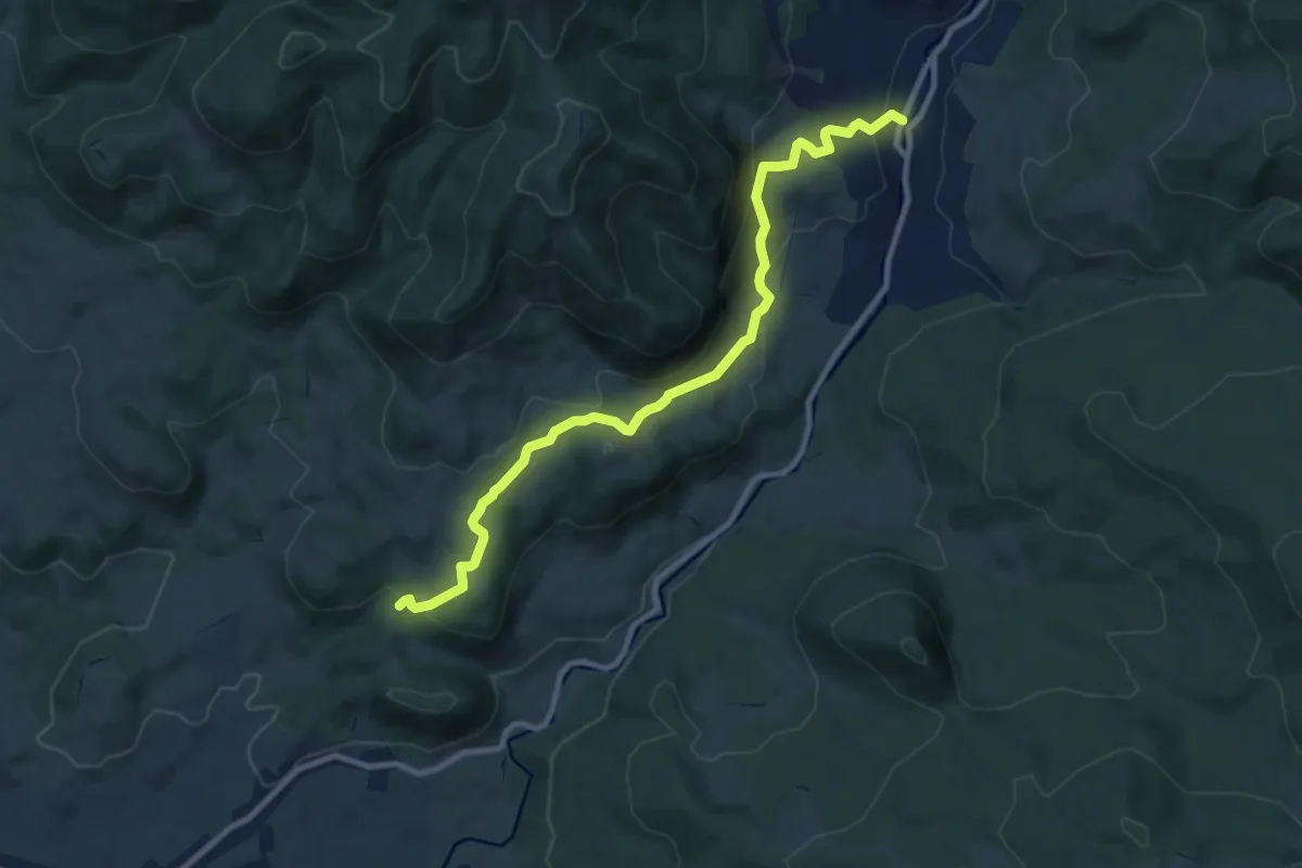
Medium · Trail
oraș Cavnic – zona Dealul Crucii
9.9 km · ↑ 414 m · 3 h 14 min
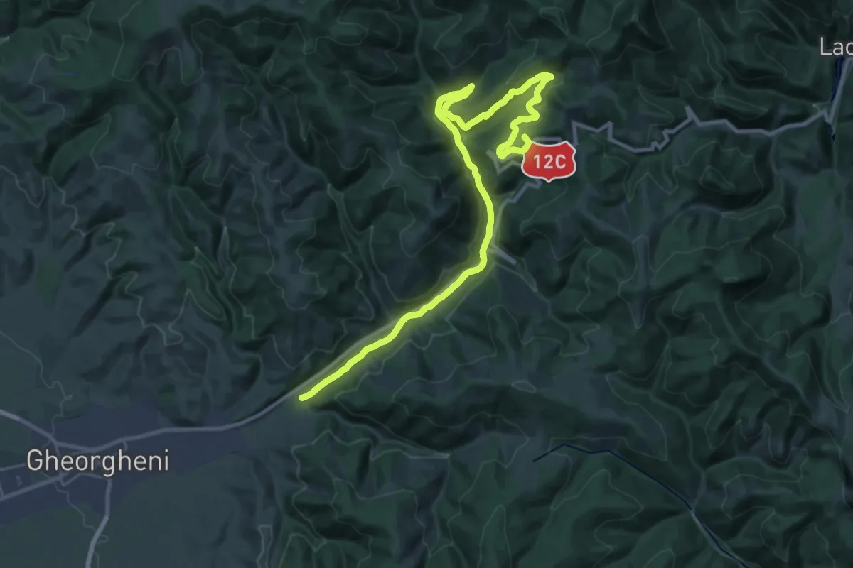
Demanding · Summit
oraș Gheorgheni - Pasul Pângărați - Gura Pârâului Caproș
30.1 km · ↑ 756 m · 8 h 45 min
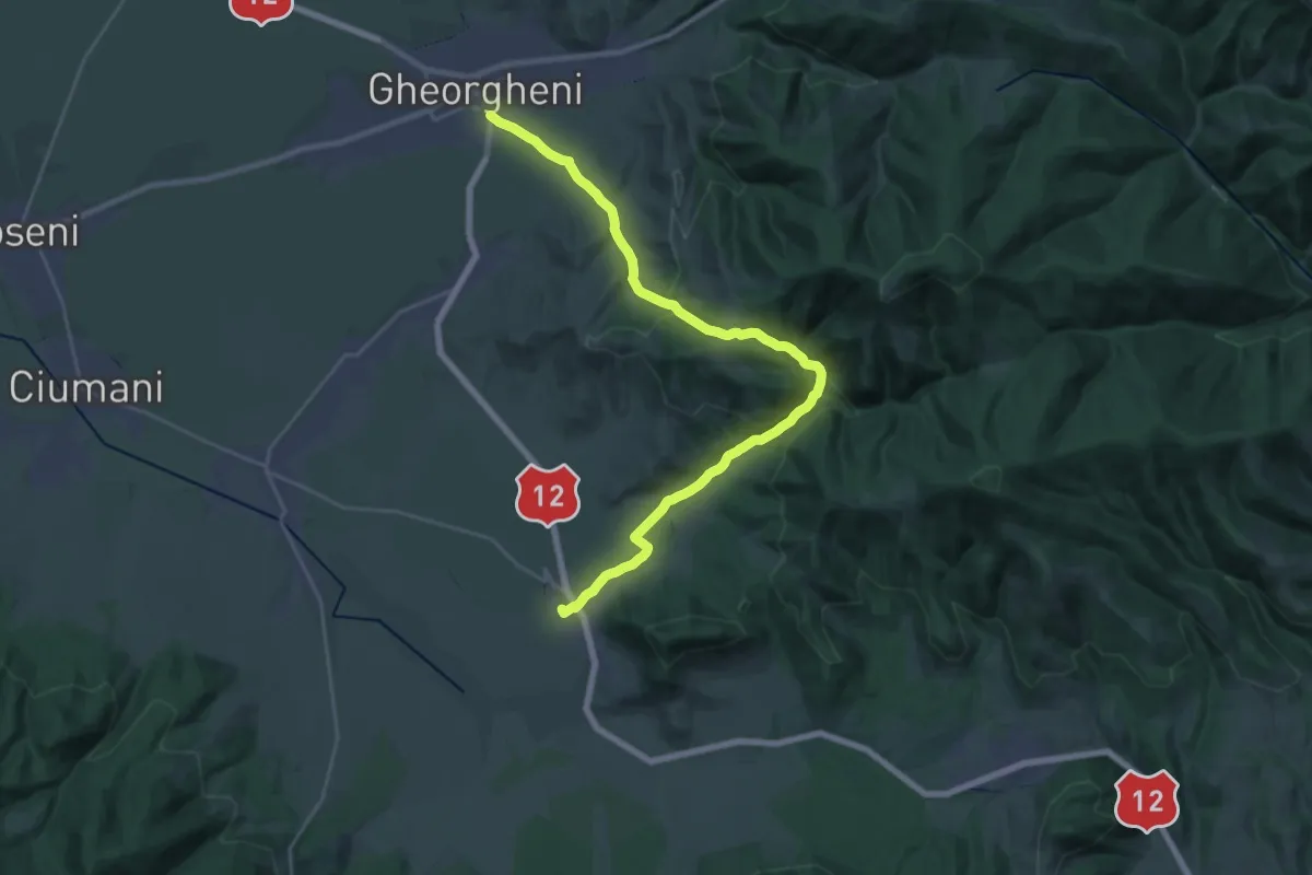
Medium · Trail
oraș Gheorgheni - Peștera Șugău - sat Voșlăbeni
13.7 km · ↑ 423 m · 4 h 21 min
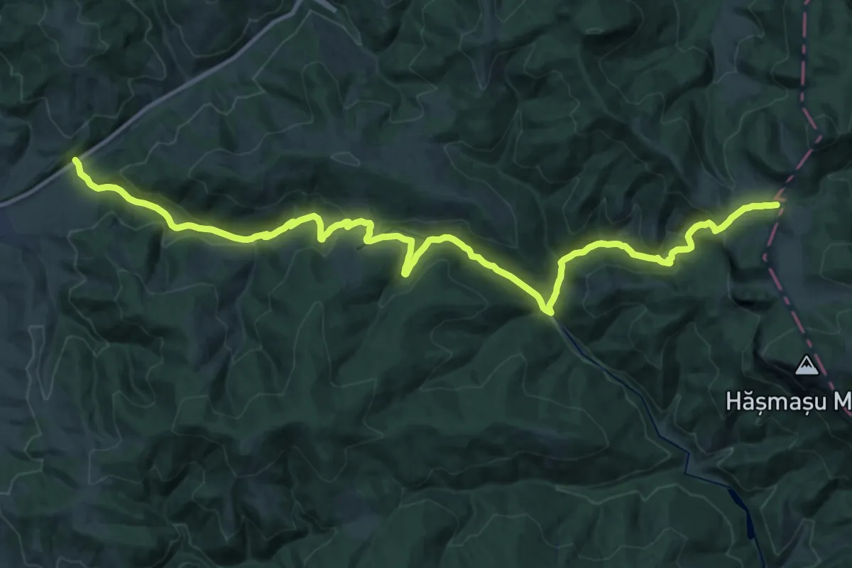
Demanding · Cabin
oraș Gheorgheni - Valea Fierul - La Tunzărie
16.2 km · ↑ 888 m · 5 h 40 min
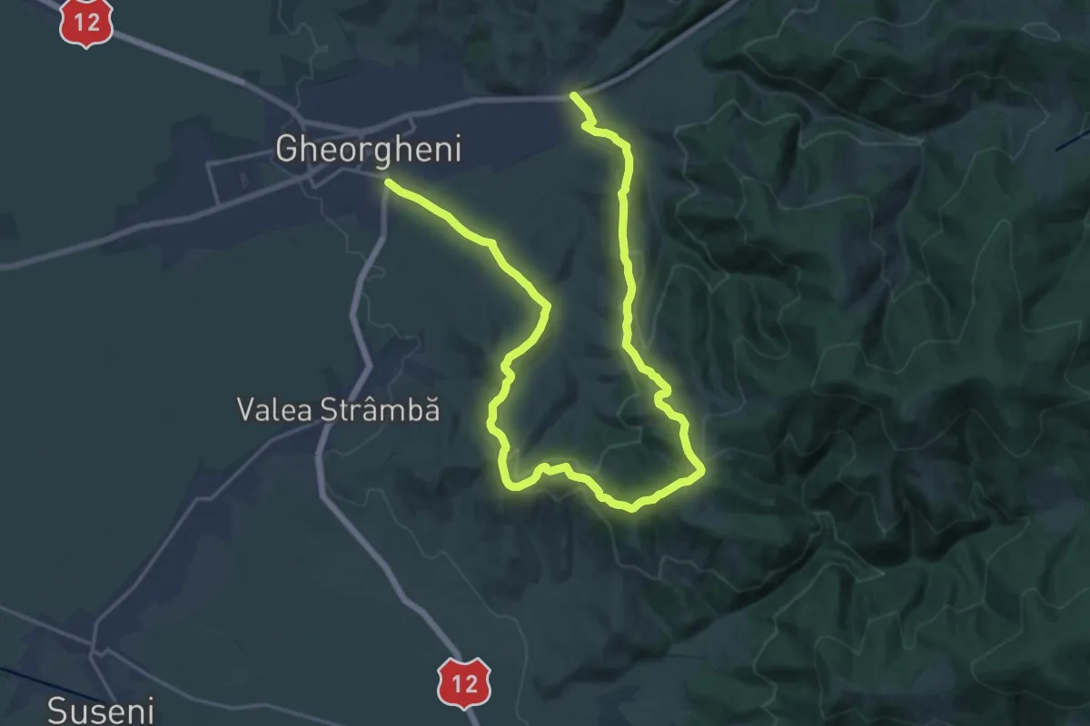
Medium · Trail
oraș Gheorgheni - Vf. Borzoca - oraș Gheorgheni
13.6 km · ↑ 438 m · 4 h 20 min
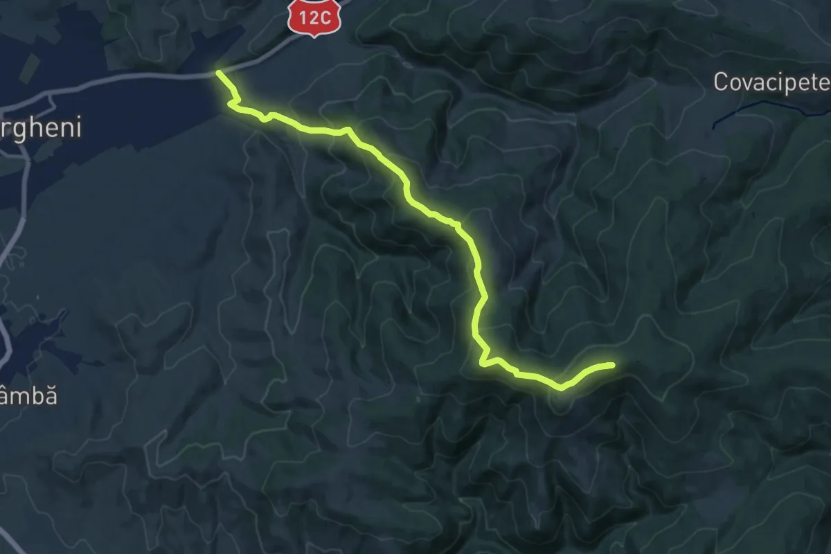
Medium · Summit
oraș Gheorgheni - Vf. Ciser - Vf. Șipoș
15.0 km · ↑ 750 m · 5 h 9 min
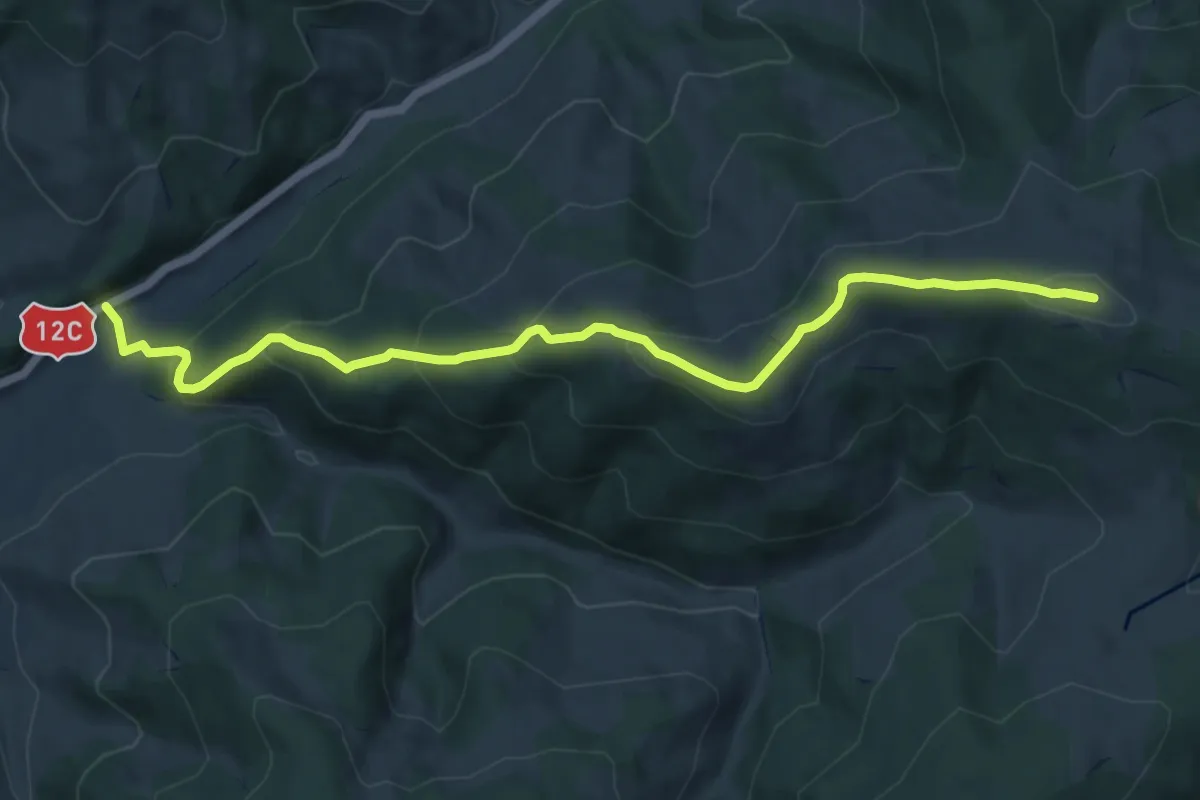
Medium · Summit
oraș Gheorgheni - Vf. Fagul Înalt - Pasul Covacipeter
10.5 km · ↑ 624 m · 3 h 50 min
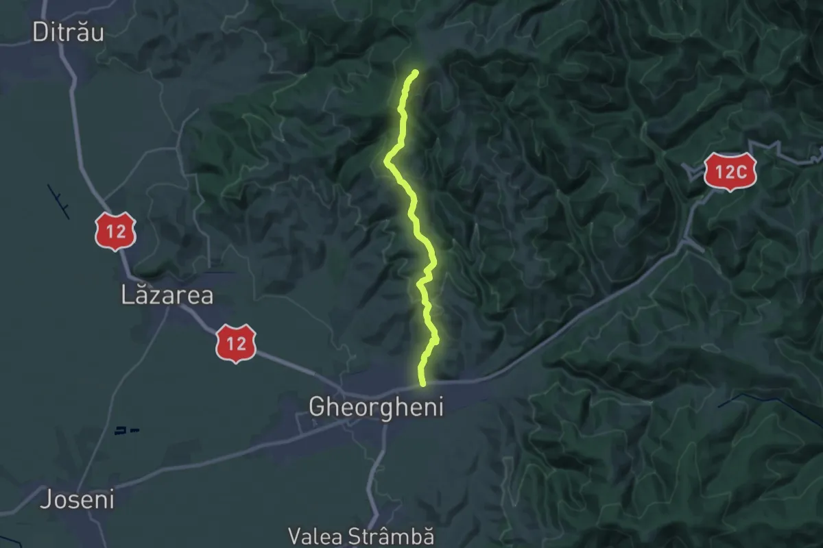
Demanding · Summit
oraș Gheorgheni - Vf. Prișca - sub Vf. Tătarul
18.2 km · ↑ 781 m · 6 h
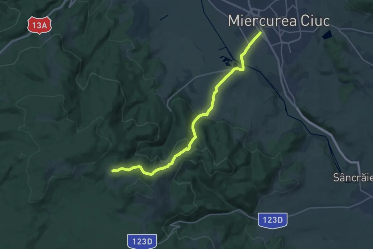
Medium · Cabin
oraș Miercurea Ciuc - Poiana Hirtelen - intersecție traseul BA (creasta principală)
17.1 km · ↑ 517 m · 5 h 10 min
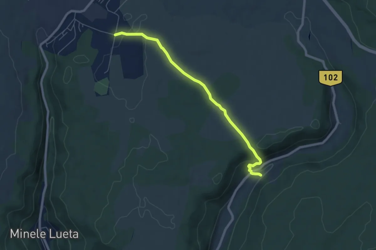
Easy · Trail
oraș Vlăhița - Băile Selters
5.6 km · ↑ 138 m · 1 h 37 min
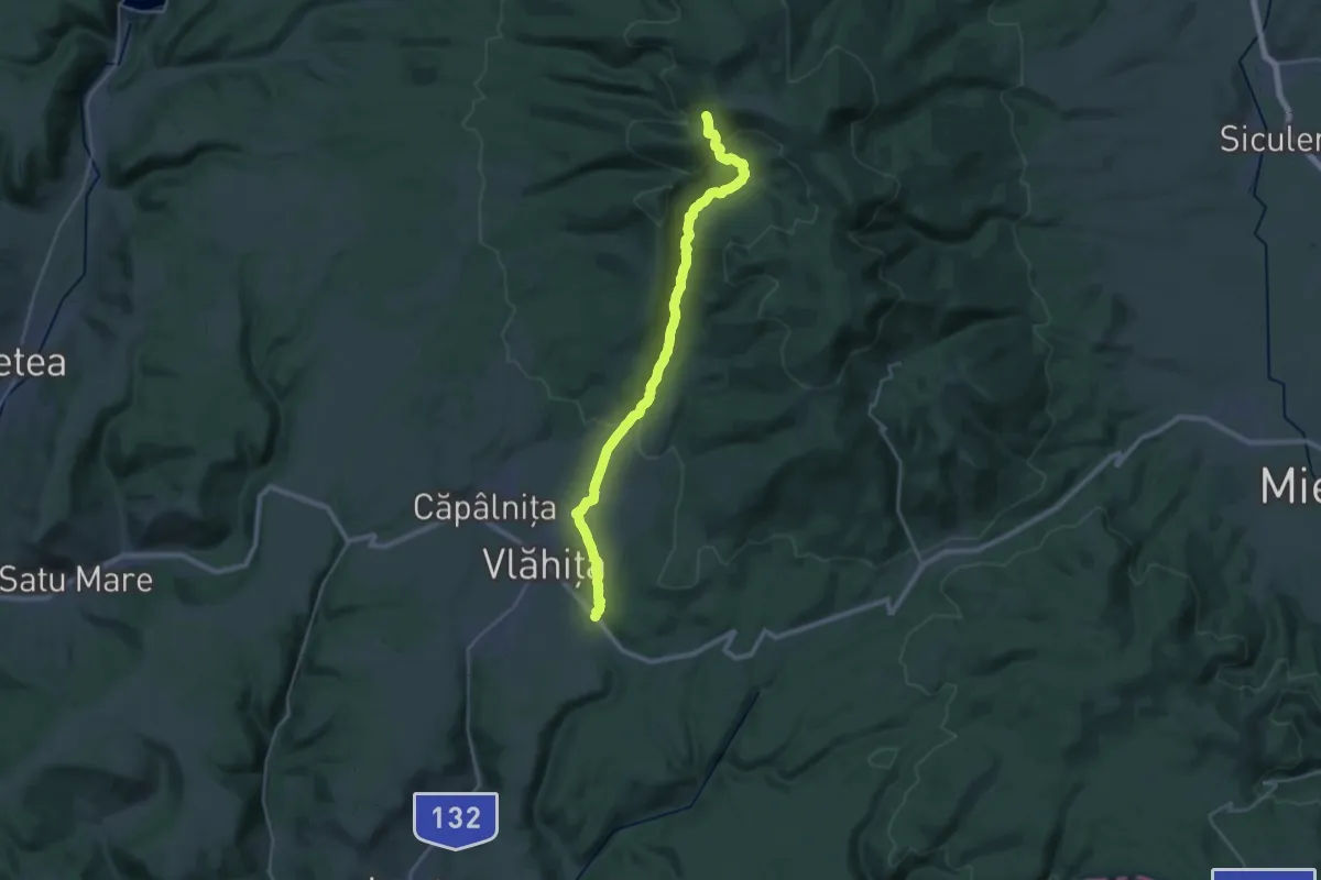
Demanding · Cabin
oraș Vlăhița (TourInfo) - sub Pintenul Negru - Stațiunea Harghita Mădăraș
14.7 km · ↑ 827 m · 5 h 4 min
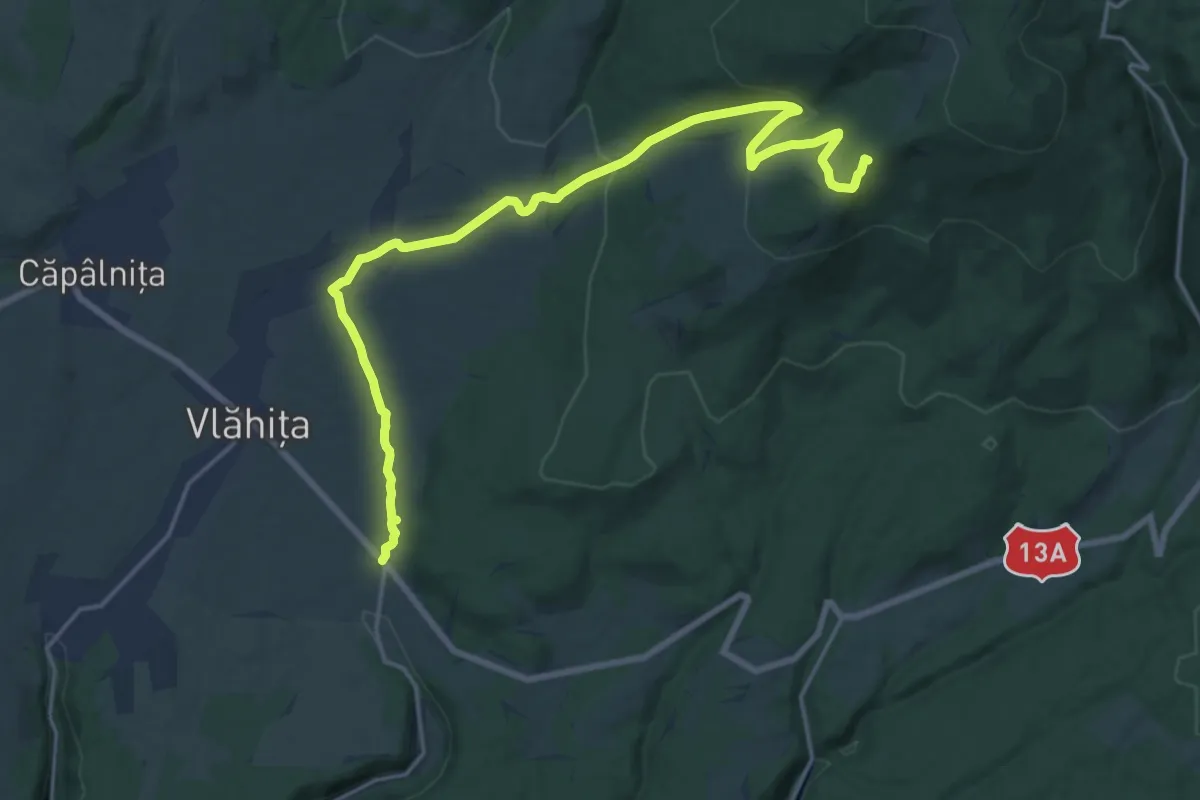
Demanding · Summit
oraș Vlăhița (TourInfo) - Vf. Fagii Roșii - Stațiunea Harghita-Băi
20.7 km · ↑ 553 m · 6 h 4 min
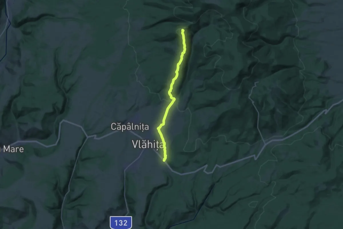
Demanding · Summit
oraș Vlăhița (TourInfo) - Vf. Muntele Ascuțit - Stațiunea Harghita Mădăraș
23.1 km · ↑ 744 m · 7 h 4 min
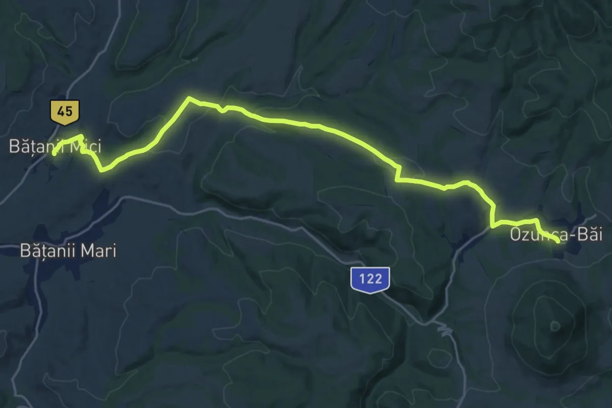
Demanding · Trail
Ozunca-Băi - Bățanii Mici
21.1 km · ↑ 421 m · 5 h 54 min
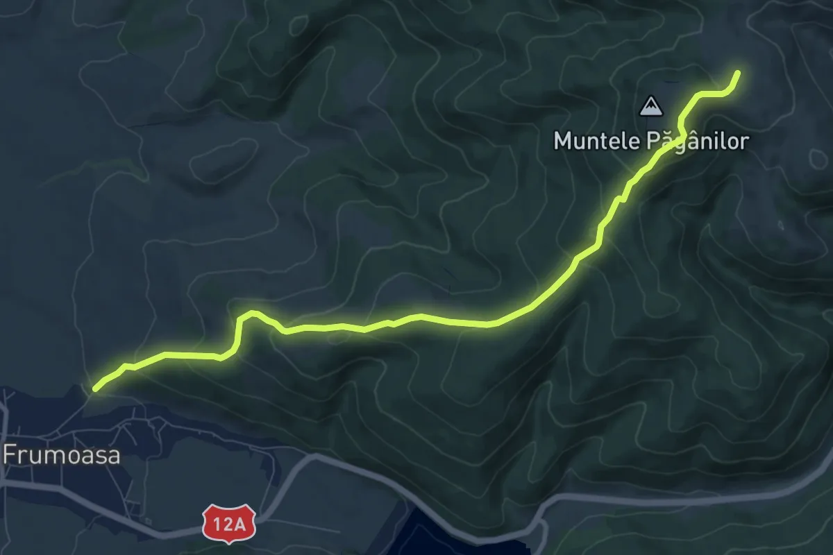
Medium · Trail
P+
10.2 km · ↑ 540 m · 3 h 35 min
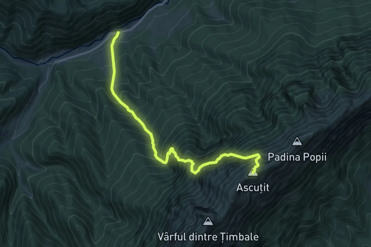
Demanding · Summit
Padina (Podul) lui Călineț - Refugiul Speranțelor - Vf. Ascuțit
8.6 km · ↑ 1382 m · 5 h 2 min
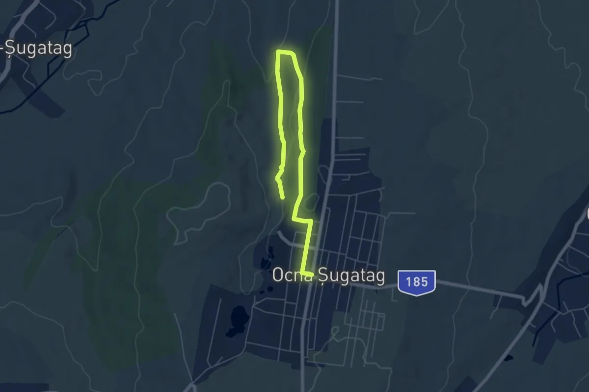
Easy · Trail
Pădurea Crăiasca
6.7 km · ↑ 162 m · 1 h 57 min
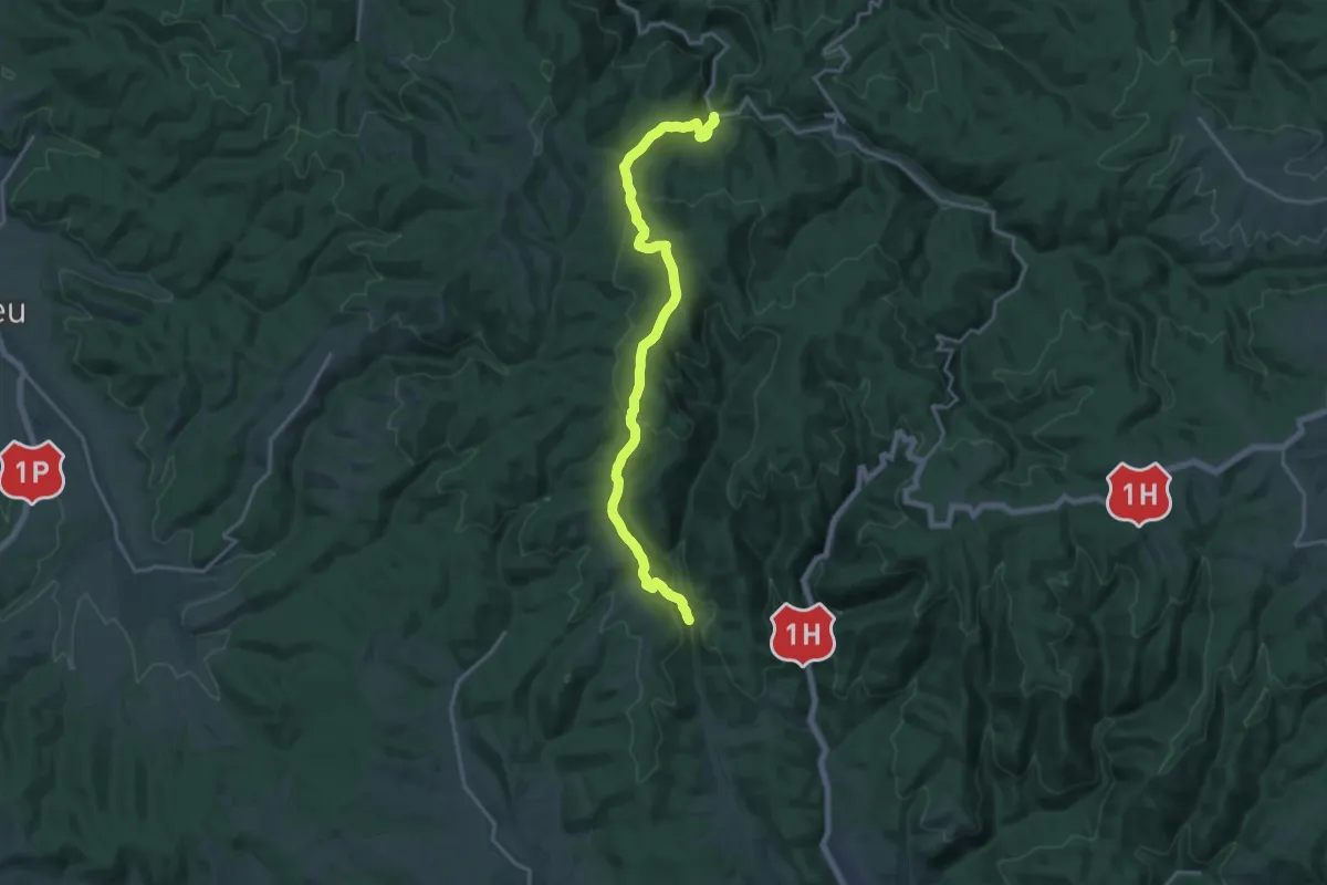
Demanding · Trail
Pădurea Neagră - Castelul Zichy din Poiana Florilor - Cetatea Piatra Șoimului
18.4 km · ↑ 721 m · 5 h 54 min
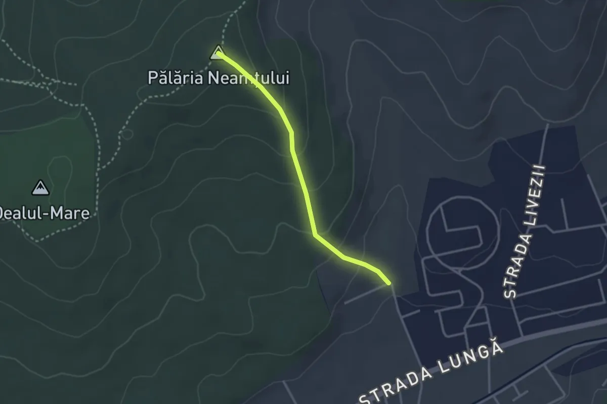
Easy · Trail
Pălăria Neamțului - Pepiniera Livezeni
2.6 km · ↑ 141 m · 55 min
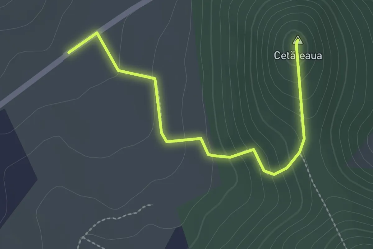
Easy · Summit
Pălinciile din Bătarci – Vf. Cetățeaua
2.5 km · ↑ 144 m · 54 min
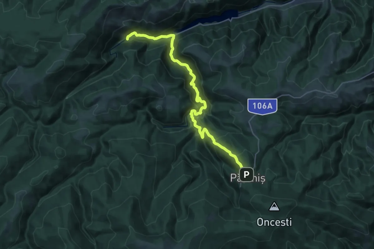
Medium · Trail
Păltiniș - Cheile Cibinului - Fosta cabană Fântânelele
11.6 km · ↑ 306 m · 3 h 52 min
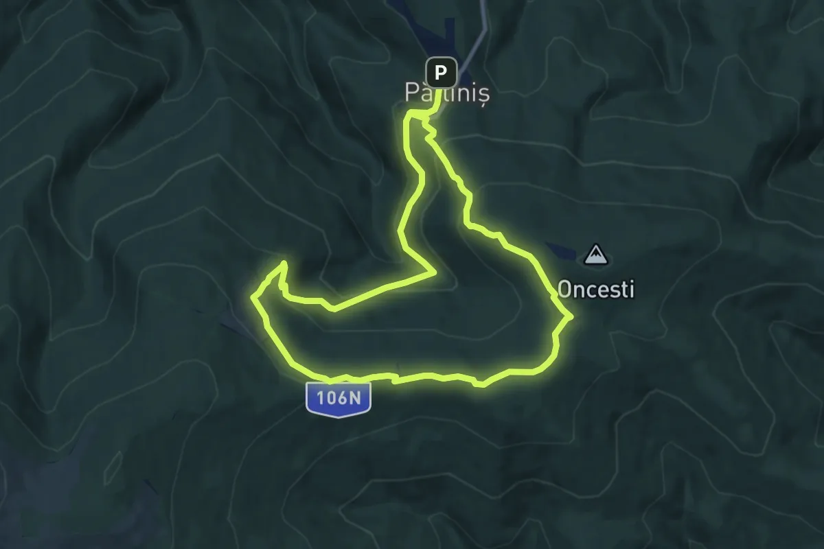
Medium · Cabin
Păltiniș - Poiana Găujoara - Poiana Muncel - Stație Telescaun - Păltiniș
17.5 km · ↑ 747 m · 5 h 45 min
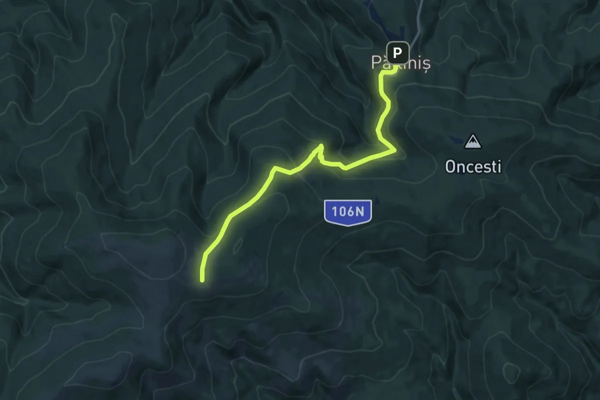
Medium · Trail
Păltiniș - Poiana Găujoara - Șaua Bătrâna
12.4 km · ↑ 589 m · 4 h 12 min
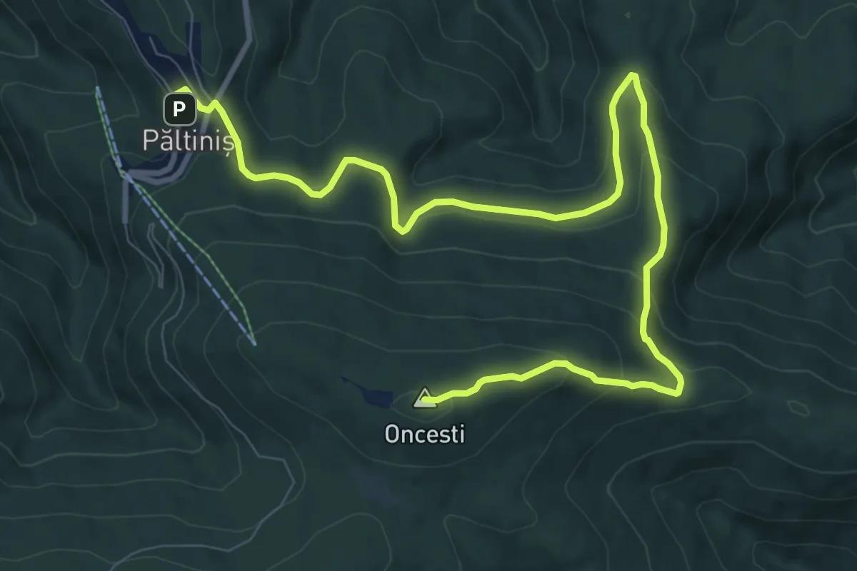
Medium · Summit
Păltiniș - Poiana lupilor - Vârful Oncești
12.5 km · ↑ 516 m · 4 h 5 min
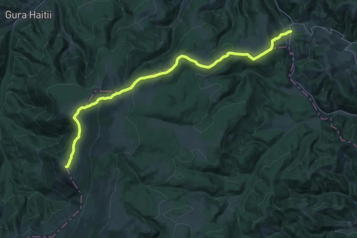
Demanding · Summit
Păltiniș-Șaua Voievodesei
30.1 km · ↑ 1093 m · 9 h 29 min
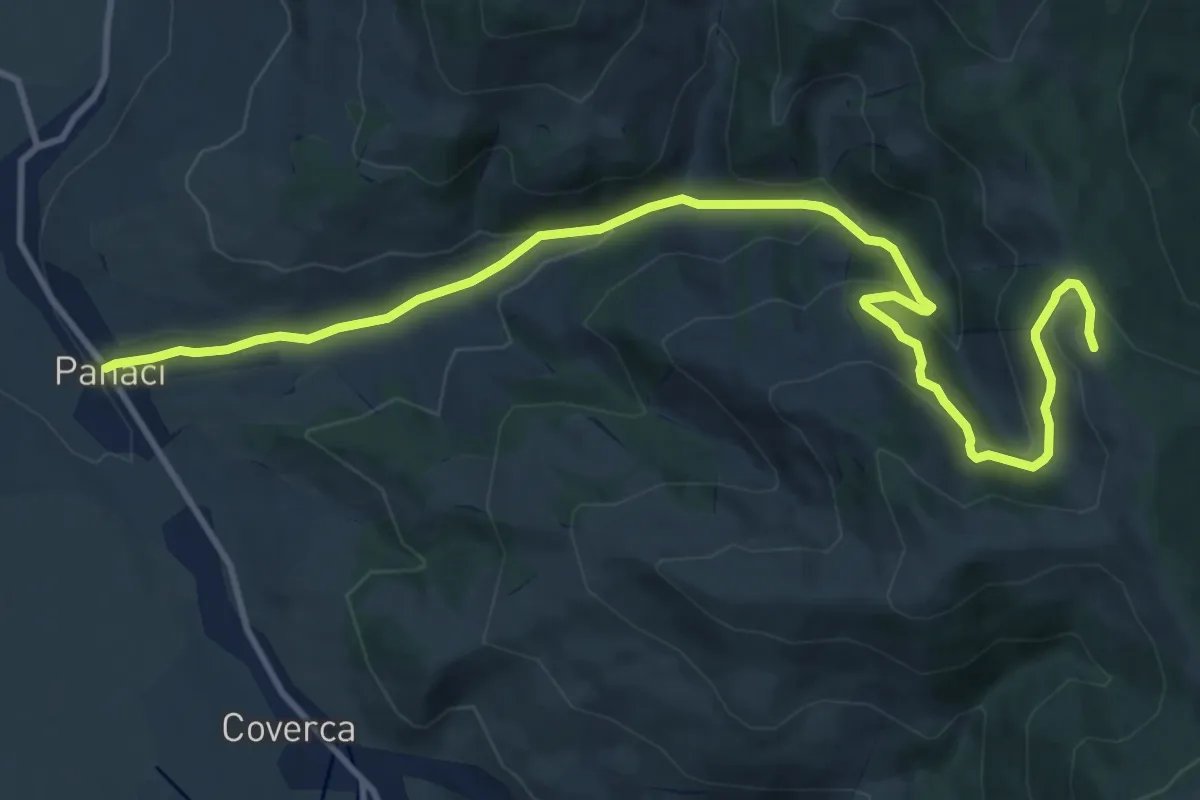
Medium · Trail
Panaci - Manastirea Piatra Taieturii
13.5 km · ↑ 590 m · 4 h 28 min
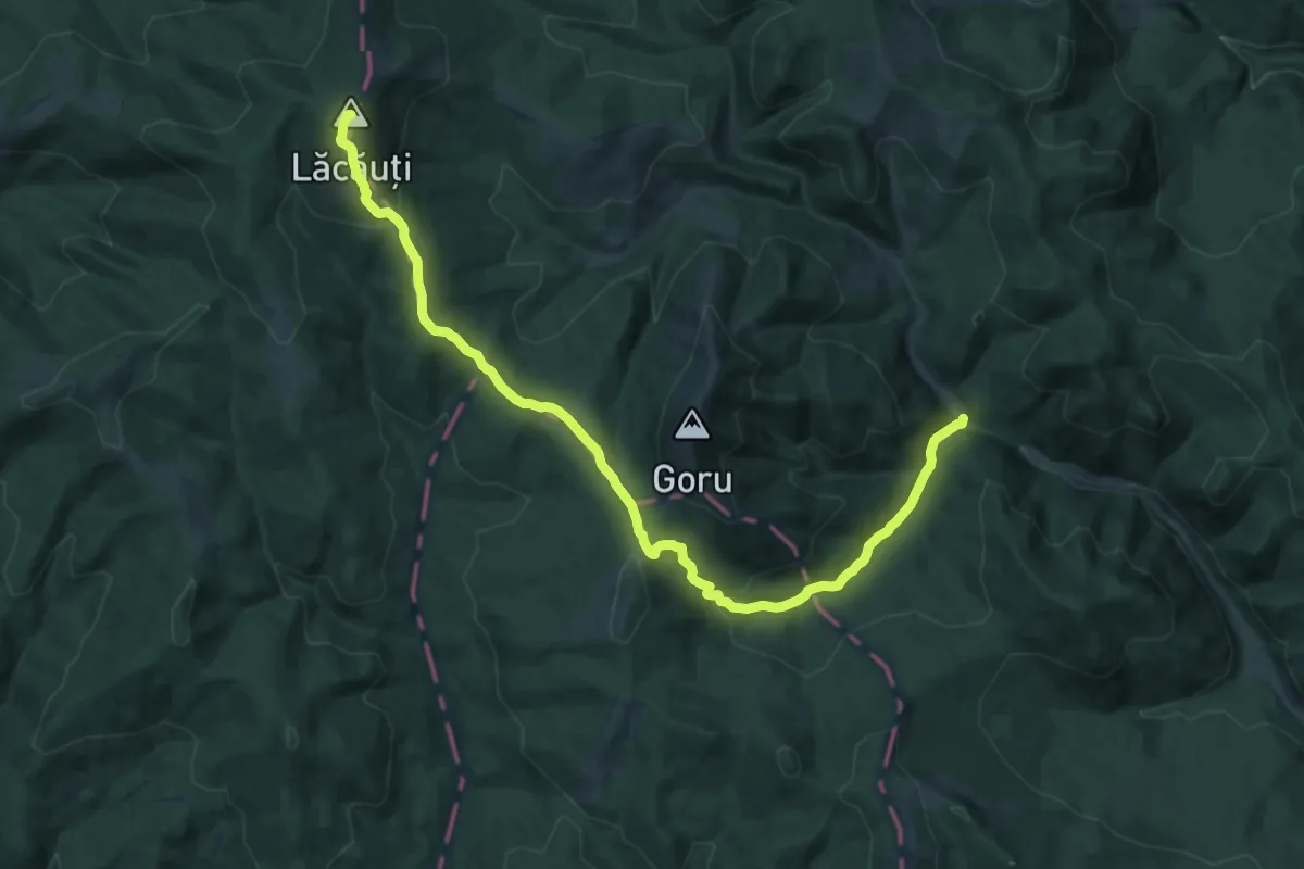
Demanding · Summit
Pârâul Goru – Vârful Goru – Șaua Gorului – Vârful Lăcăuți (blue_cross)
19.9 km · ↑ 768 m · 6 h 22 min
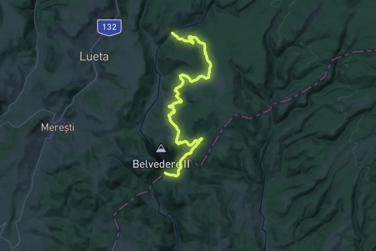
Demanding · Trail
Pârâul Pietros - Dealul Căprioarelor - Cheile Vârghișului
19.3 km · ↑ 617 m · 6 h 7 min
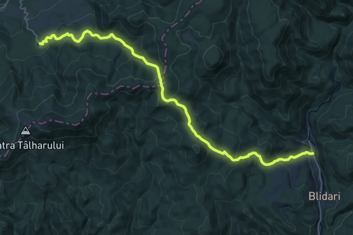
Demanding · Trail
Parcare Telescaun - Poiana Soci - Blidari
18.8 km · ↑ 1056 m · 6 h 43 min
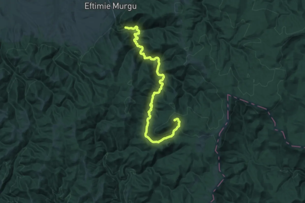
Demanding · Summit
Parc Mulinologic - Svinecea Mare (triunghi roșu)
35.4 km · ↑ 1119 m · 10 h 47 min
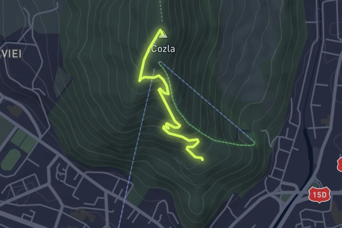
Easy · Summit
Parcul Zoologic - Poiana Trei Coline - Vf. Cozla - Trei Căldări
3.4 km · ↑ 232 m · 1 h 18 min
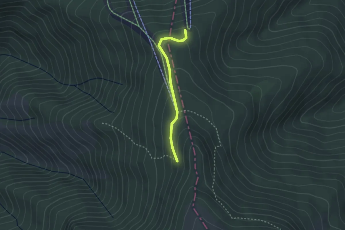
Easy · Trail
Partia Vârtop 1 - Pârtia Piatra Grăitoare - intersecție cu traseul BR
2.4 km · ↑ 122 m · 49 min
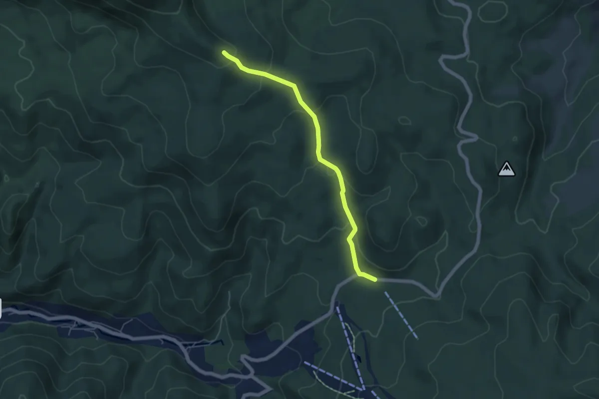
Easy · Trail
Pârtiile Icoana (Cavnic) – intersecție traseul BR
4.8 km · ↑ 244 m · 1 h 40 min