Trails in Romania
1,356 hiking trails, each with its route, climb, walking time and grade.
All trails, page 17 of 29
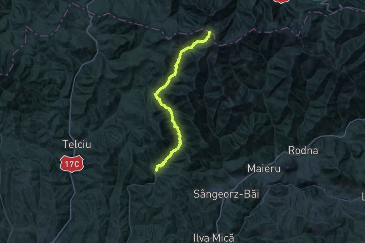
Demanding · Trail
Parva - Între Rebre - Tarnița La Cruce
28.5 km · ↑ 365 m · 8 h 39 min
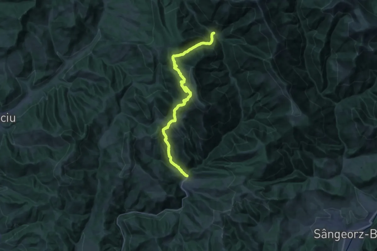
Demanding · Trail
Parva - Izv. Arșiței - Cantonul Izv. Negru
13.6 km · ↑ 1065 m · 5 h 36 min
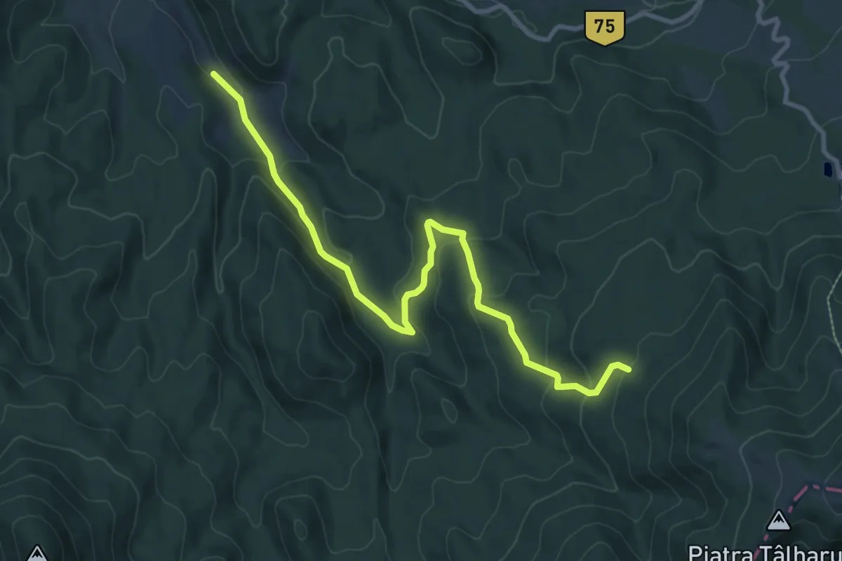
Medium · Trail
Păstrăvăria Boda Oșanu – Poiana Boroș
9.5 km · ↑ 430 m · 3 h 11 min
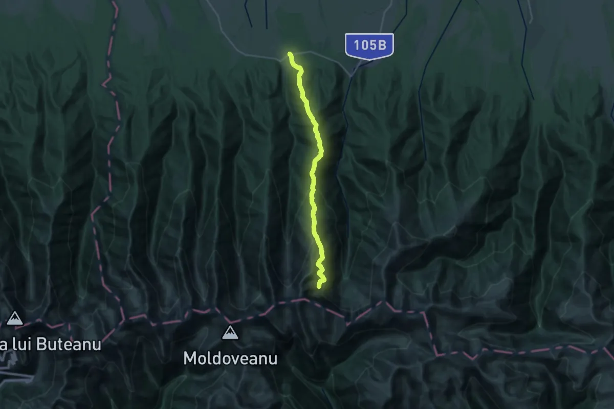
Demanding · Trail
Păstrăvărie / Drum Viștișoara - Muchia Drăgușului
10.0 km · ↑ 1567 m · 5 h 12 min
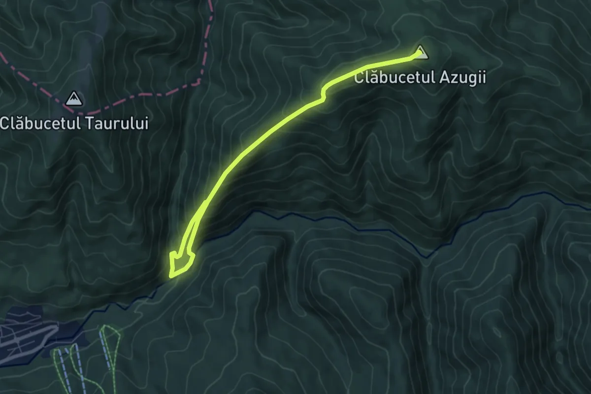
Medium · Summit
Păstrăvărie Valea Azugii - sub Clăbucetul Azugii - Drumul lui Ceaușescu
8.1 km · ↑ 780 m · 3 h 36 min
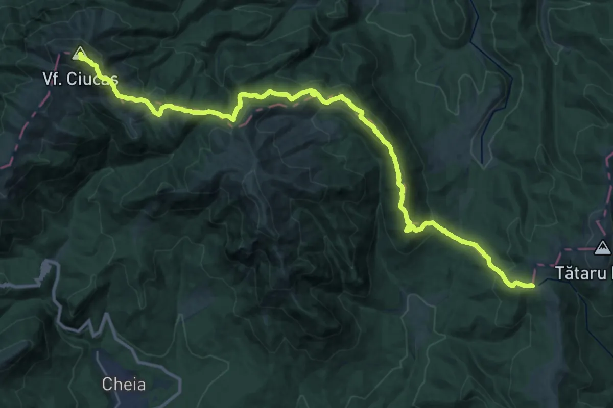
Demanding · Summit
Pasul Bratocea - Vf. Ciucaș - Pasul Tabla Buții
28.4 km · ↑ 1341 m · 9 h 37 min
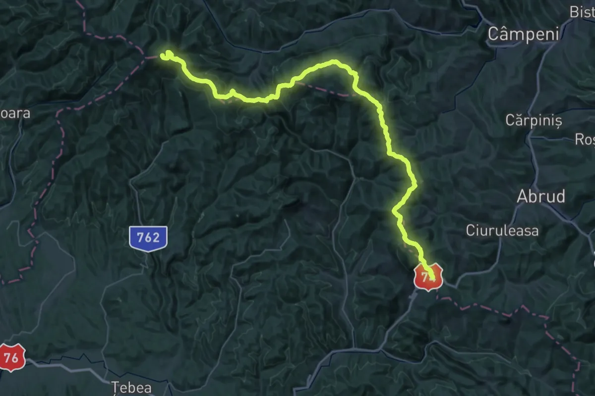
Demanding · Summit
Pasul Buceș-Vulcan - Muntele Găina Cruce
65.9 km · ↑ 2580 m · 21 h 10 min
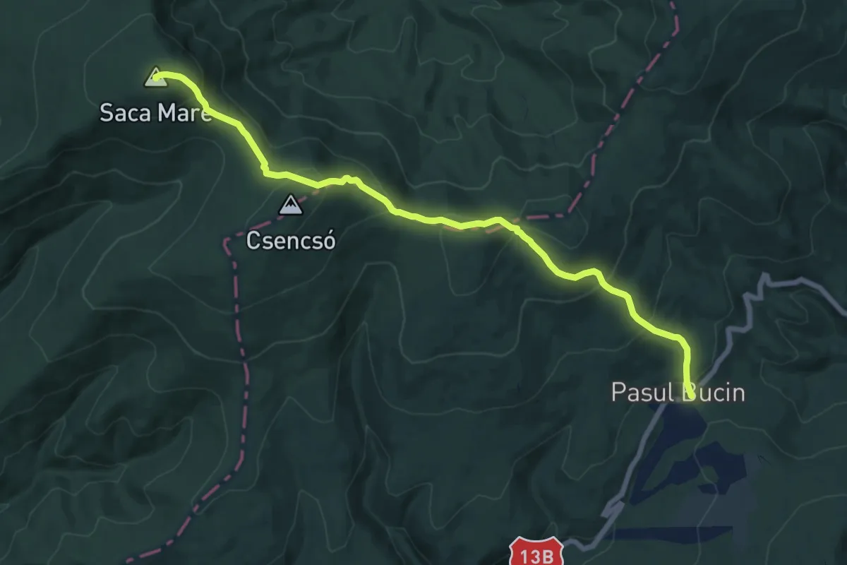
Medium · Summit
Pasul Bucin - Vf. Saca Mare
14.0 km · ↑ 784 m · 5 h
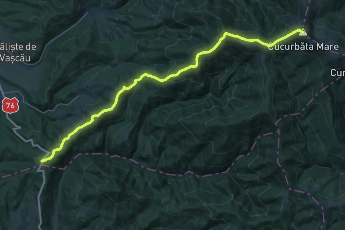
Demanding · Summit
Pasul Criștior (Șaua Criștiorului) - Vf. Cucurbăta Mare (Vf. Bihor)
26.9 km · ↑ 1592 m · 9 h 48 min
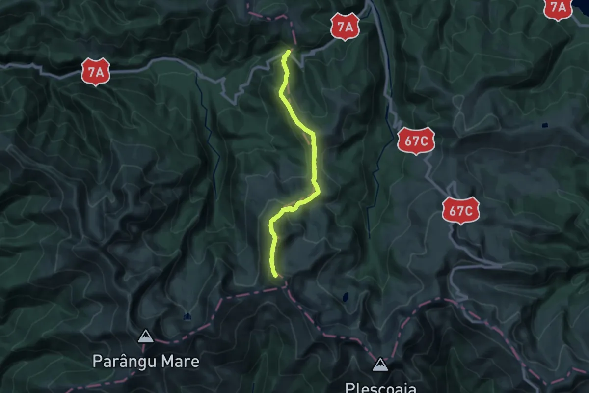
Demanding · Summit
Pasul Groapa Seacă - Vârful Găuri - Șaua Piatra Tăiată
15.9 km · ↑ 963 m · 5 h 50 min
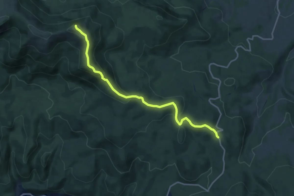
Medium · Summit
Pasul Gutâi – Creasta Cocoșului – Pasul Neteda (red stripe)
9.1 km · ↑ 414 m · 3 h 3 min
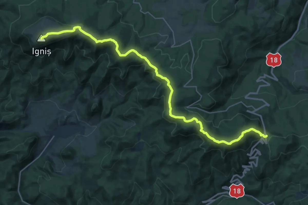
Demanding · Summit
Pasul Gutâi - Vârful Igniș
23.3 km · ↑ 828 m · 7 h 18 min
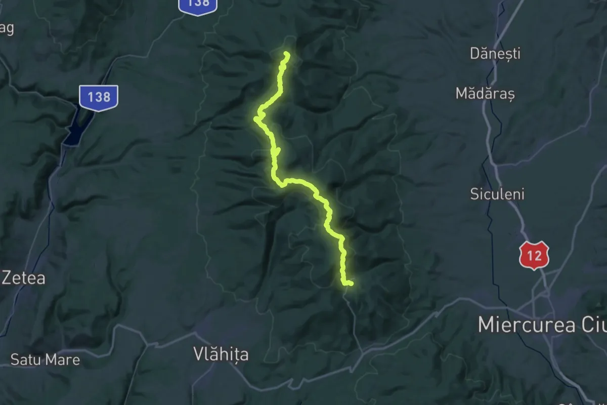
Demanding · Summit
Pasul Liban - Stațiunea Harghita Mădăraș - Stațiunea Harghita-Băi
45.6 km · ↑ 1629 m · 14 h 18 min
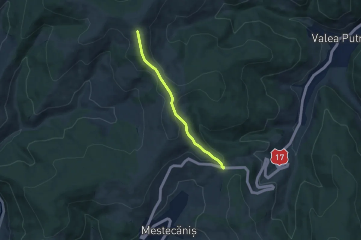
Easy · Trail
Pasul Mestecăniș - Obcina Mestecăniș
6.0 km · ↑ 192 m · 1 h 50 min
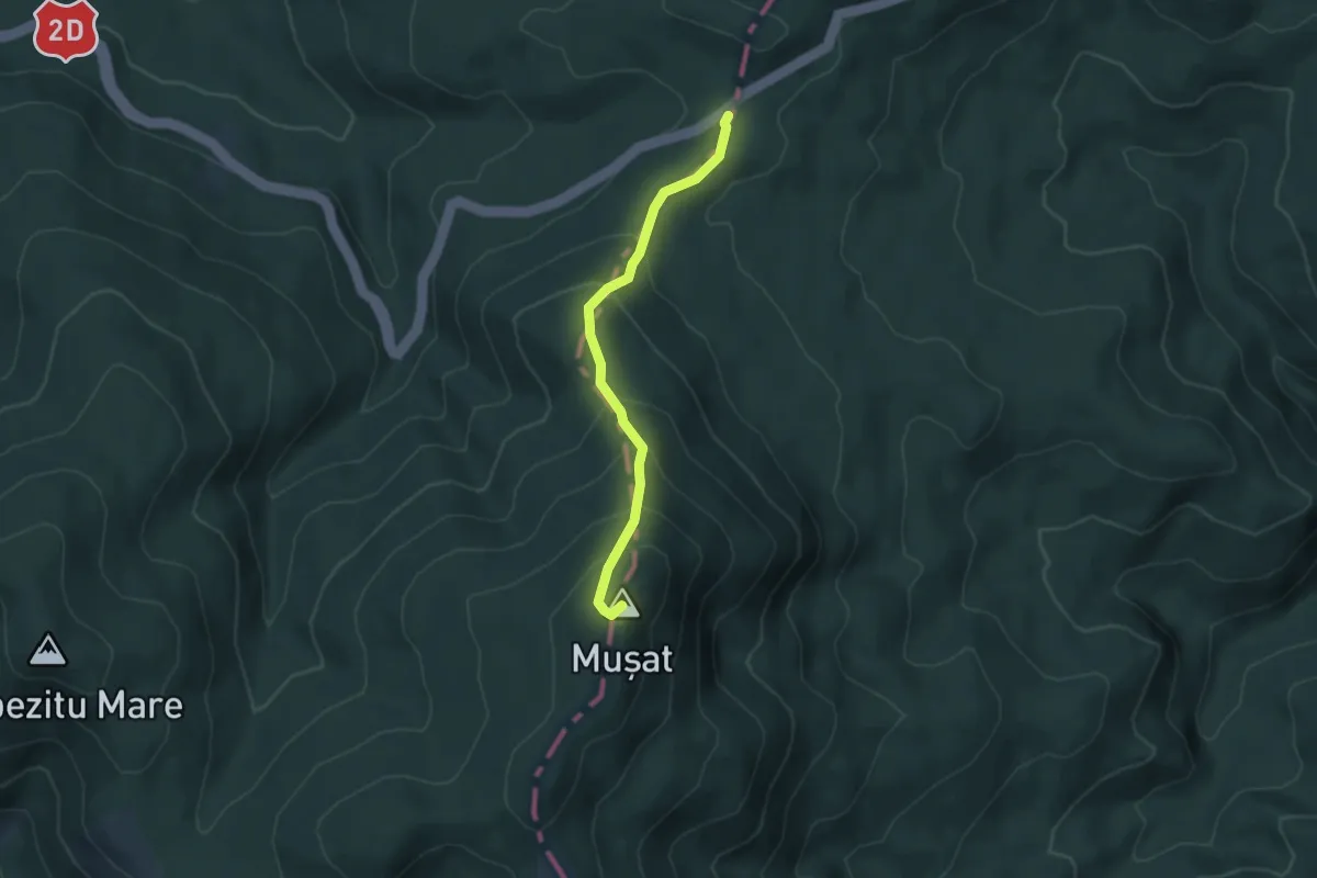
Medium · Summit
Pasul Mușat - Poiana Hărtan
4.3 km · ↑ 333 m · 1 h 45 min
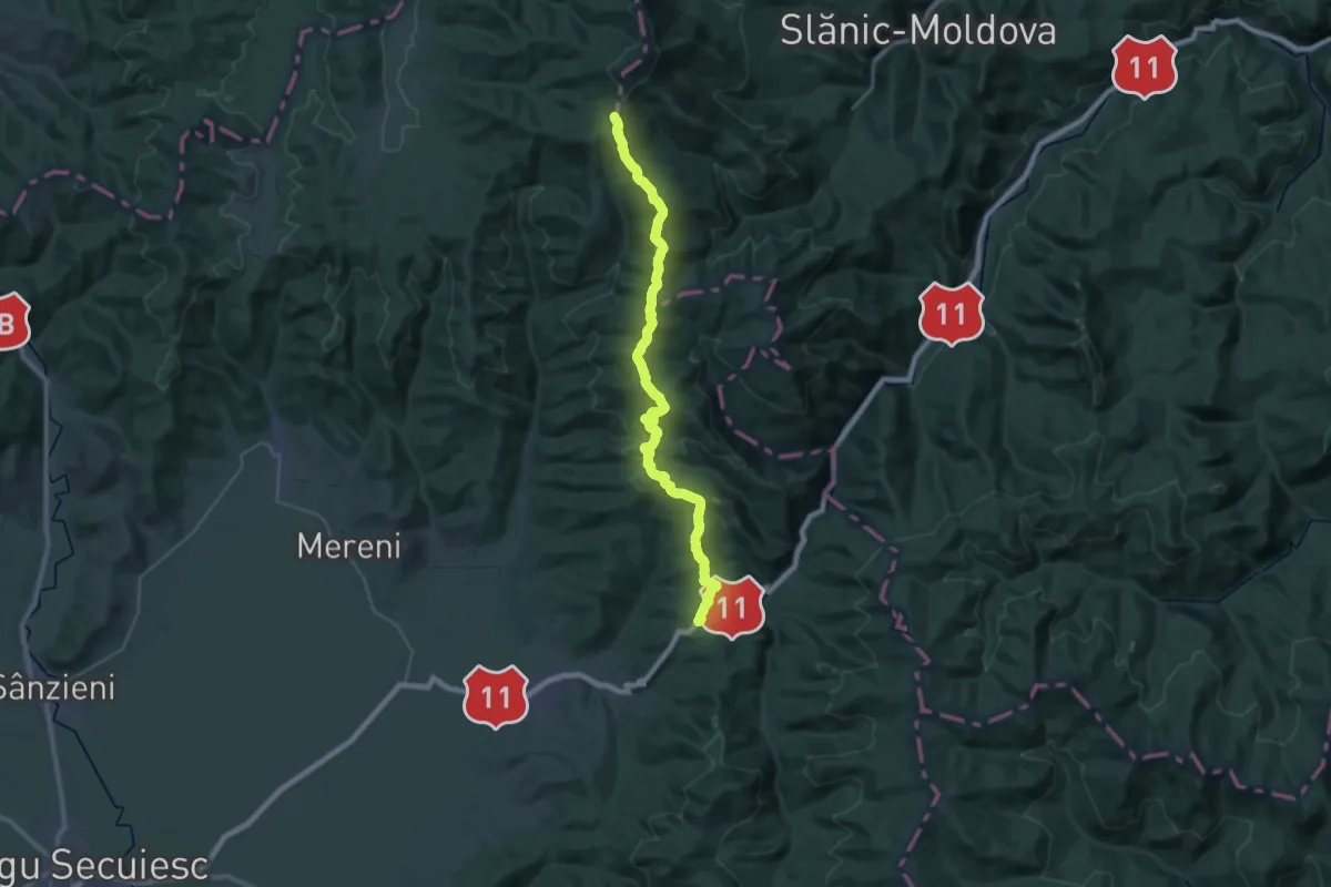
Demanding · Summit
Pasul Oituz – Vârful Șandrul Mare (red stripe)
35.8 km · ↑ 1153 m · 10 h 56 min
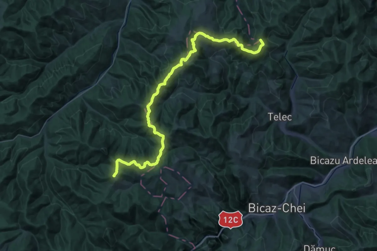
Demanding · Summit
Pasul Pângărați – Poarta Lapoșului – Curmătura Pinticului (blue stripe)
41.5 km · ↑ 2060 m · 14 h 16 min
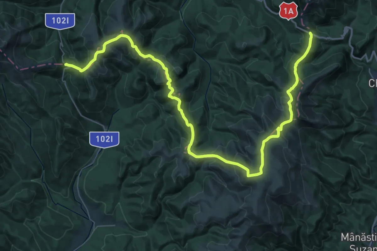
Demanding · Trail
Pasul Predelus - Pasul Bratocea
22.9 km · ↑ 1055 m · 8 h
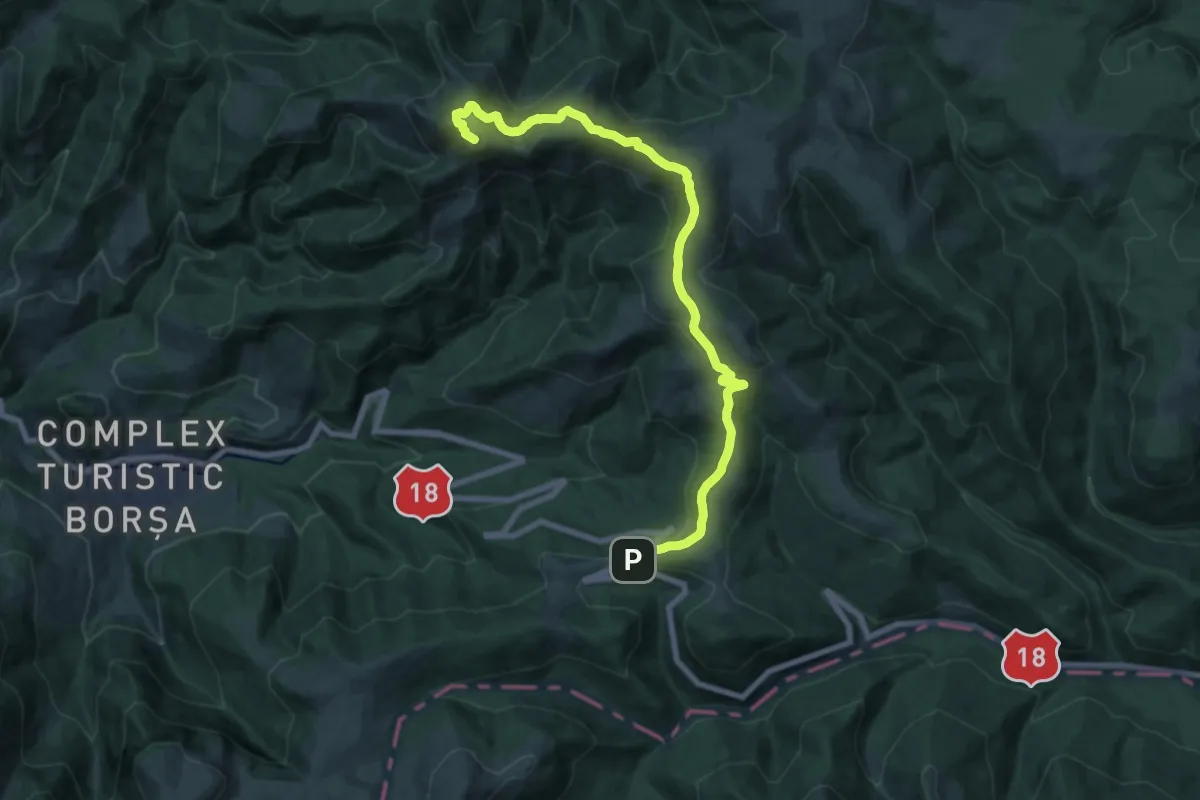
Demanding · Summit
Pasul Prislop - intersecție traseul BR (sub Vf. Hăjmaru) - Vf. Cearcănul - Valea Furului - Borșa
17.9 km · ↑ 660 m · 5 h 39 min
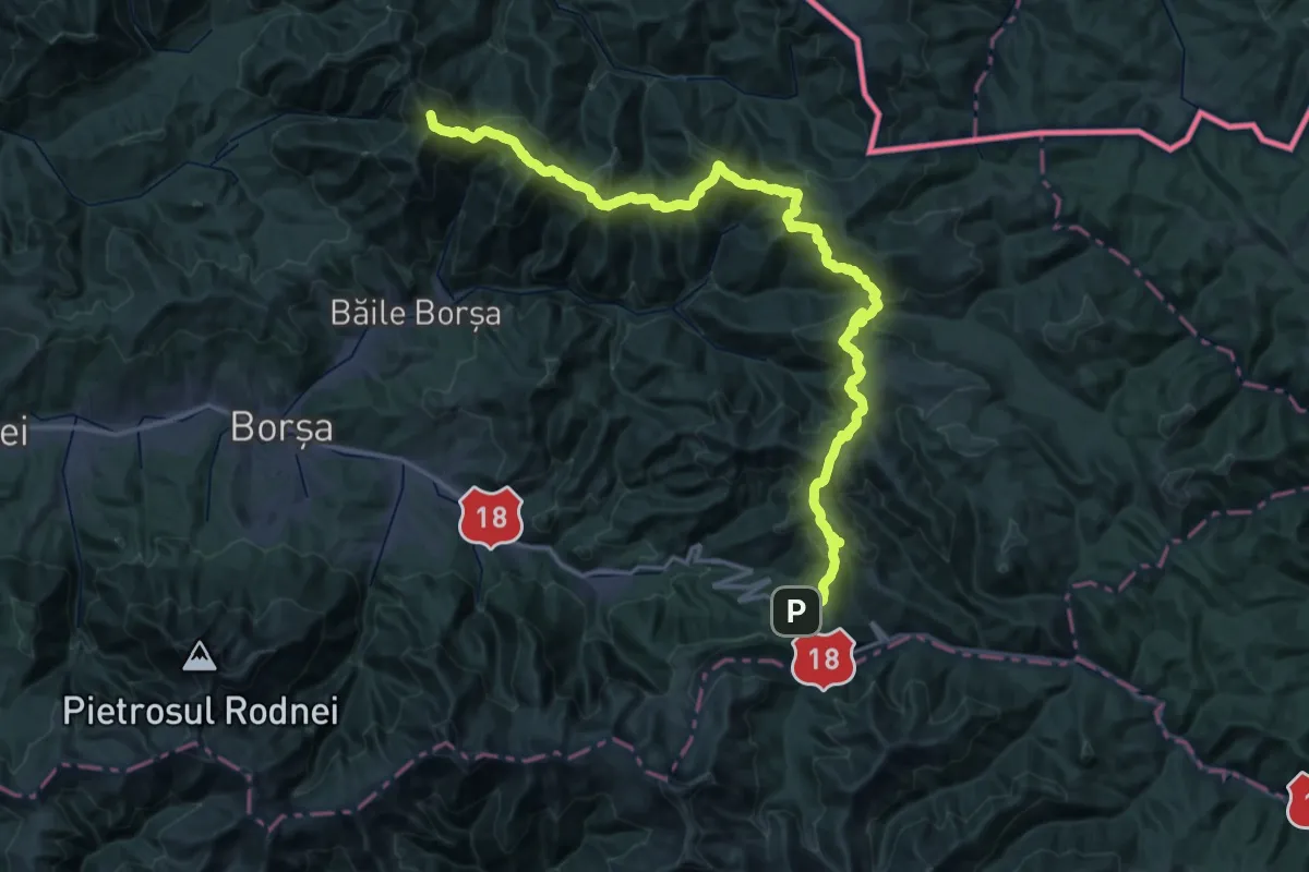
Demanding · Summit
Pasul Prislop - Vf. Prislopul Cataramei - Vf. Toroiaga
60.2 km · ↑ 2622 m · 19 h 54 min
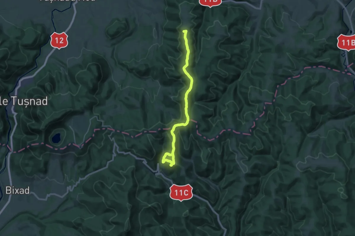
Demanding · Summit
Pasul Uzului (Rugat) - Băile Balvanyos
19.8 km · ↑ 845 m · 6 h 31 min
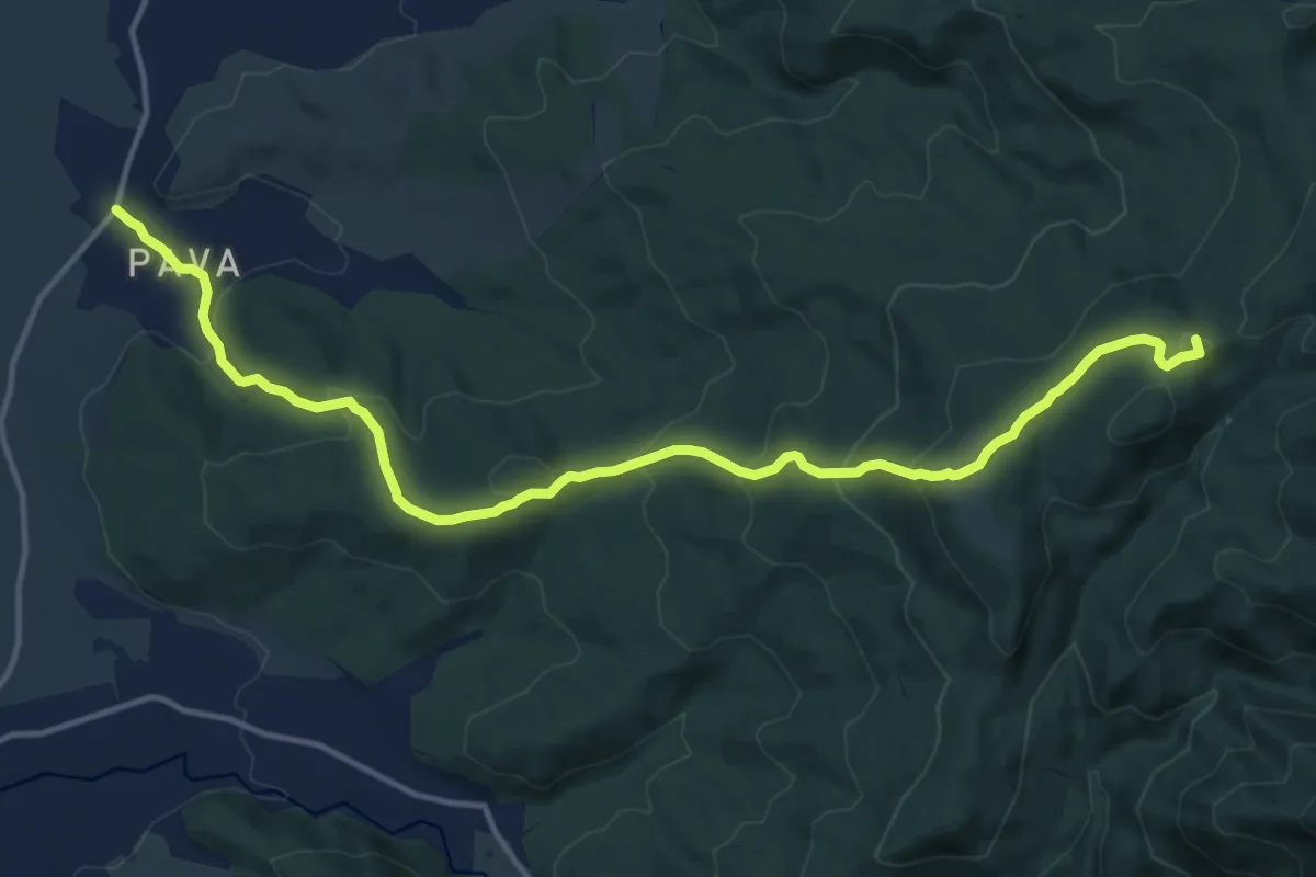
Medium · Summit
Pava - Dl. Cerăt - Poiana Palfei (Dealul Pal) - sub Vf. Tistobic - Vf. Valosul Mic - Zăbala
16.1 km · ↑ 690 m · 5 h 18 min
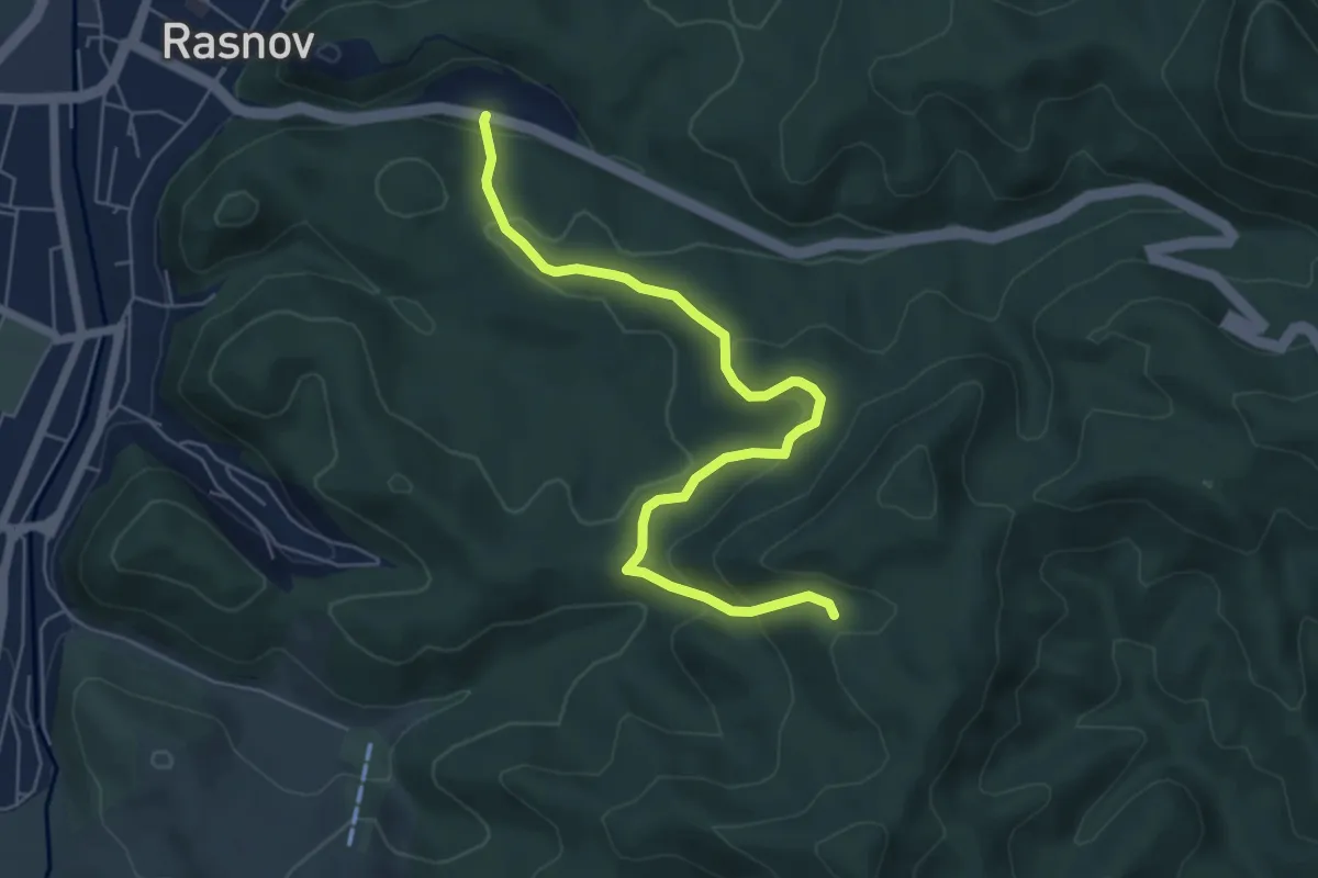
Medium · Trail
Pensiunea Valea Cetății - Poiana sub Padină - Peștera Râșnoavei
6.4 km · ↑ 328 m · 2 h 13 min
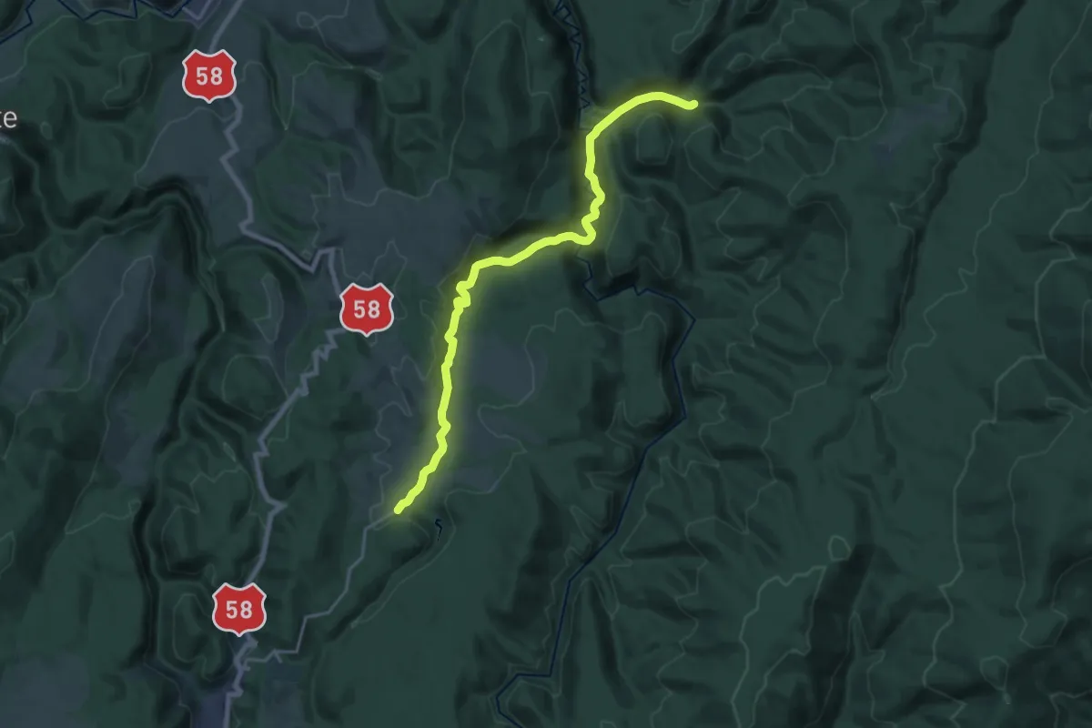
Demanding · Trail
Peștera Comarnic – Cabana Mărghitaș
19.3 km · ↑ 599 m · 5 h 51 min
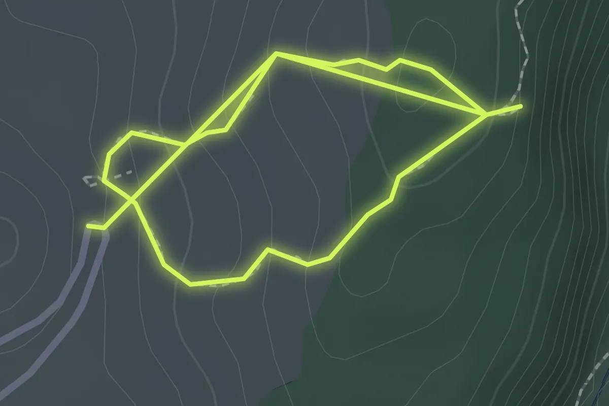
Easy · Trail
Peștera cu Cristale din Mina Farcu - Stanu Cârnului
1.8 km · ↑ 156 m · 45 min
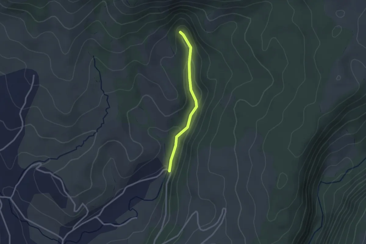
Easy · Trail
Peştera cu Cristale Farcu - Izbucul Roşia
2.0 km · ↑ 51 m · 35 min
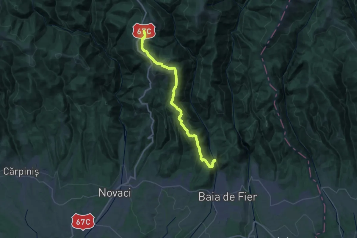
Medium · Trail
Peștera Muierilor - Vf. Florile Albe - Stațiunea Rânca
13.7 km · ↑ 128 m · 4 h 10 min
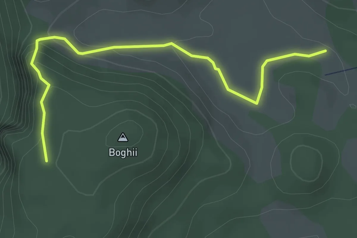
Easy · Trail
Peștera Padiș - Vf. Piatra Boghii
4.0 km · ↑ 172 m · 1 h 18 min
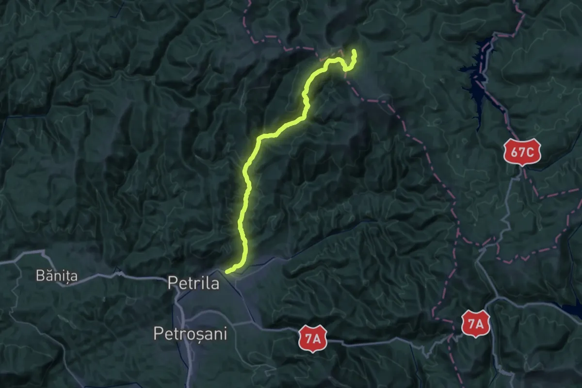
Demanding · Cabin
Petrila - Cabana Aușel - Cabana Șureanu
21.5 km · ↑ 1248 m · 7 h 32 min
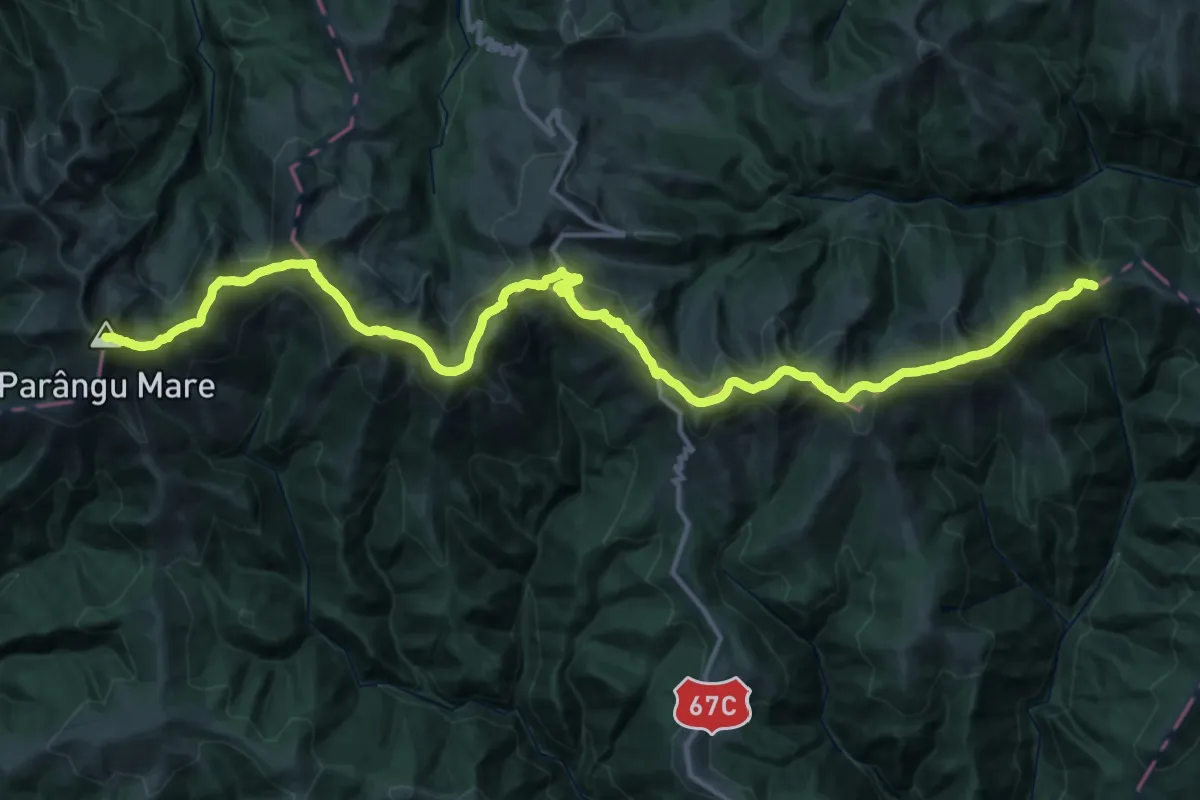
Demanding · Summit
Petroșani - Vf. Parângul Mare - Curmătura Oltețului
52.7 km · ↑ 3283 m · 19 h 33 min
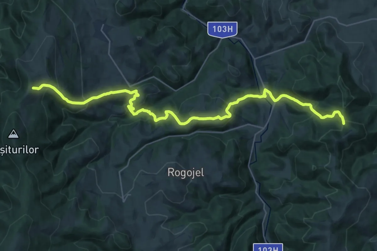
Medium · Trail
Piatra Bănișorului-Arborele Sequoia-lângă Vf. Bogdanului
12.8 km · ↑ 589 m · 4 h 37 min
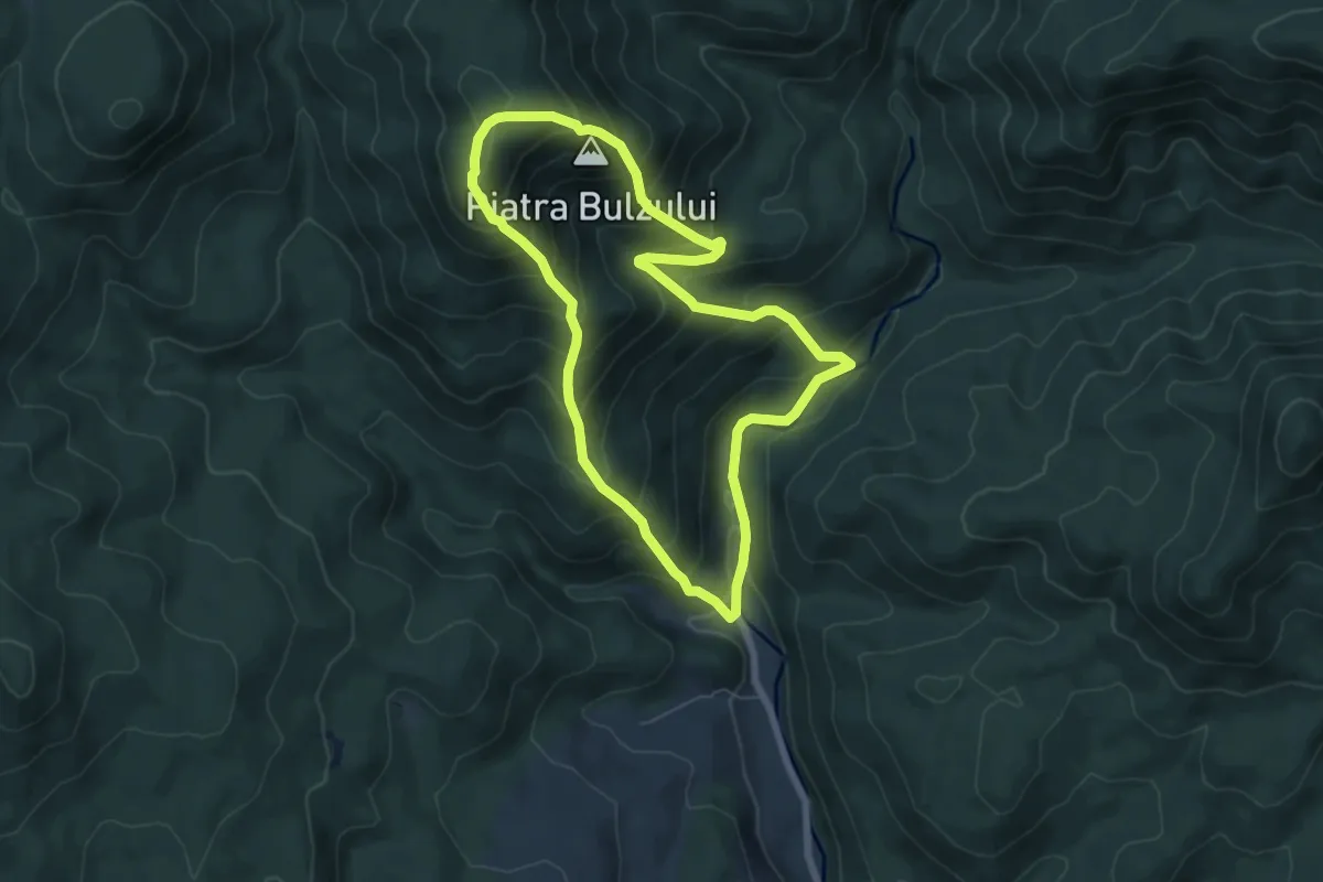
Medium · Summit
Piatra Bulzului
6.0 km · ↑ 581 m · 2 h 46 min
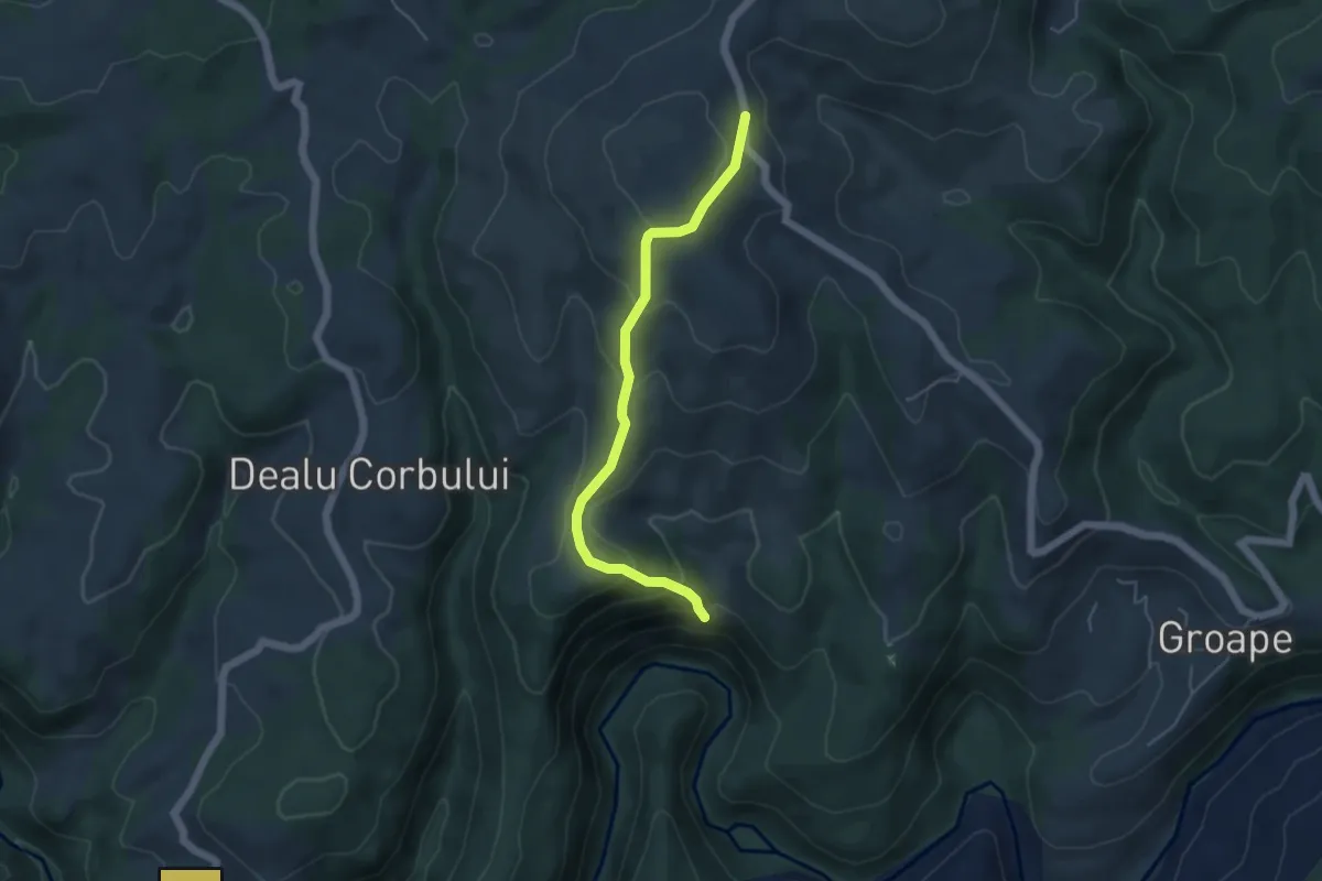
Easy · Trail
Piatra Cerbului
4.6 km · ↑ 300 m · 1 h 45 min
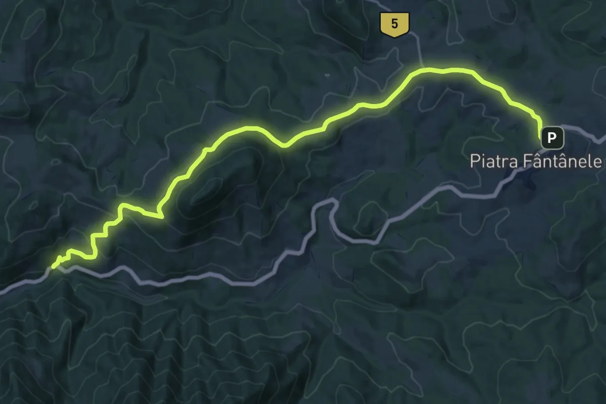
Demanding · Trail
Piatra Fântânele - Drumul Romanilor - Valea Străjii
19.5 km · ↑ 669 m · 6 h 3 min
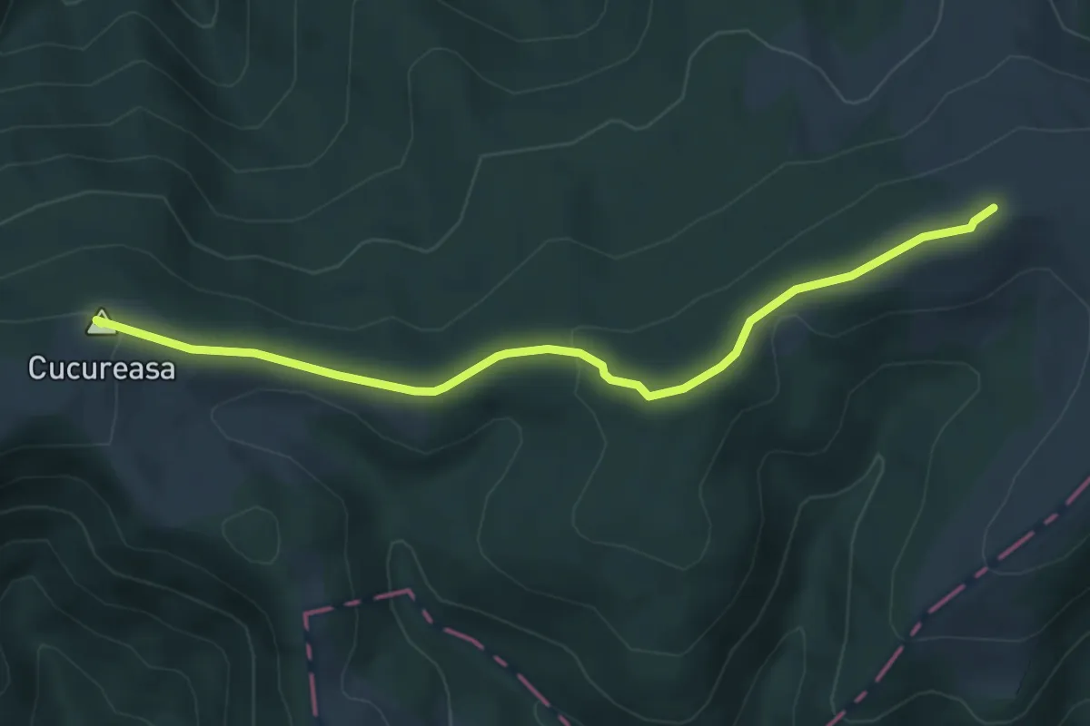
Easy · Summit
Piatra Fântânele - Pasul Tihuța - Vârful Frau - Vârful Siminic - Pasul Grădinița - Fata Cucureasa - Vârful Șuvaroșu - Vârful Zambroaia
5.3 km · ↑ 144 m · 1 h 34 min
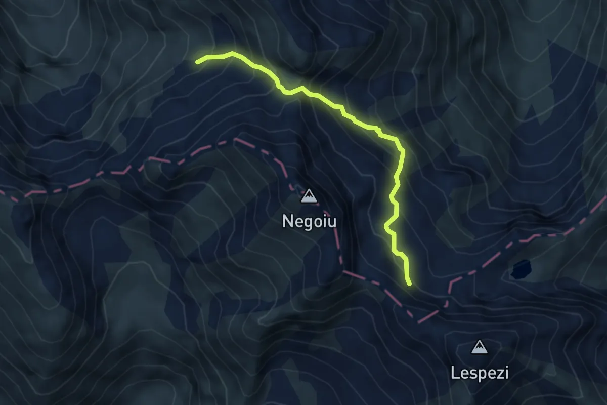
Medium · Trail
Piatra Prânzului - Strunga Ciobanului - creasta principală
4.2 km · ↑ 594 m · 2 h 17 min
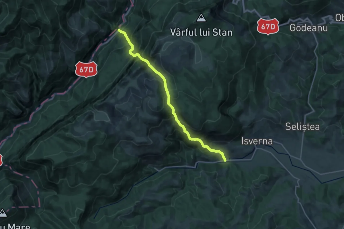
Demanding · Trail
Piatra Pușcată / Confluența Tâmnei cu Cerna (km 26) - Isverna
15.3 km · ↑ 1626 m · 7 h 8 min
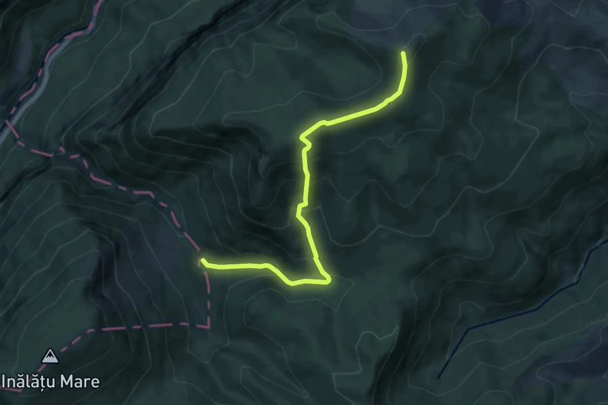
Expert · Summit
Piatra Pușcată / Confluența Tâmnei cu Cerna (km 26) - Km 18 DN67D (Motel Dumbrava)
8.5 km · ↑ 644 m · 3 h 24 min
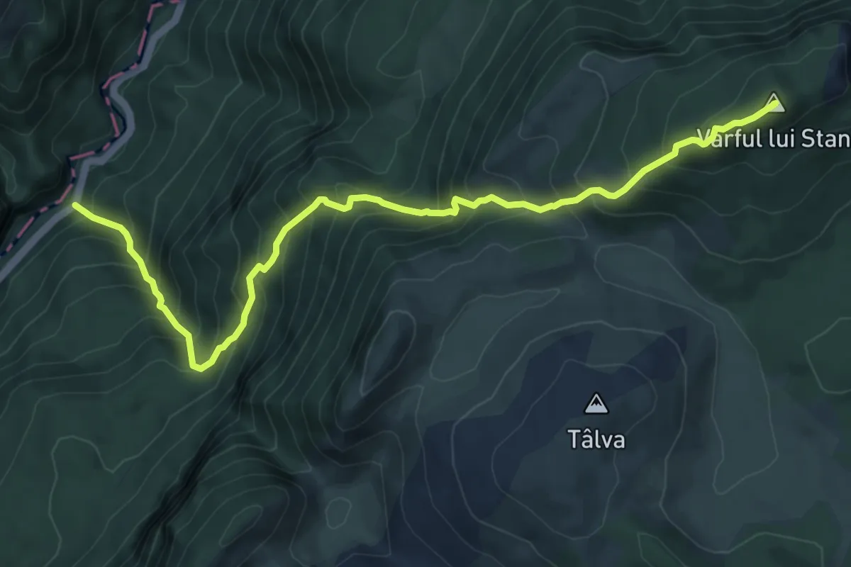
Demanding · Summit
Piatra Pușcată / Confluența Tâmnei cu Cerna (km 26) - Șaua Arșasca
9.3 km · ↑ 1112 m · 4 h 36 min
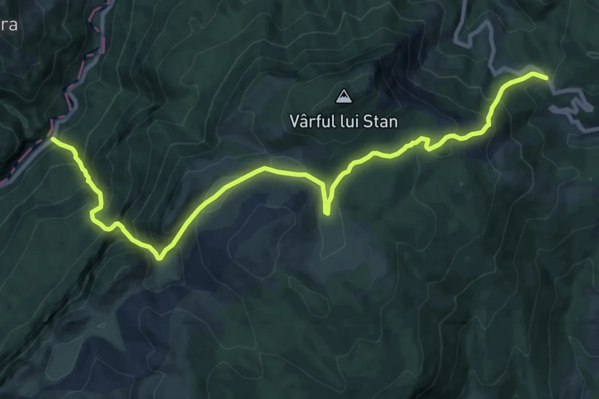
Demanding · Trail
Piatra Pușcată / Confluența Tâmnei cu Cerna (km 26) - Șaua Arșasca
16.7 km · ↑ 1282 m · 6 h 43 min
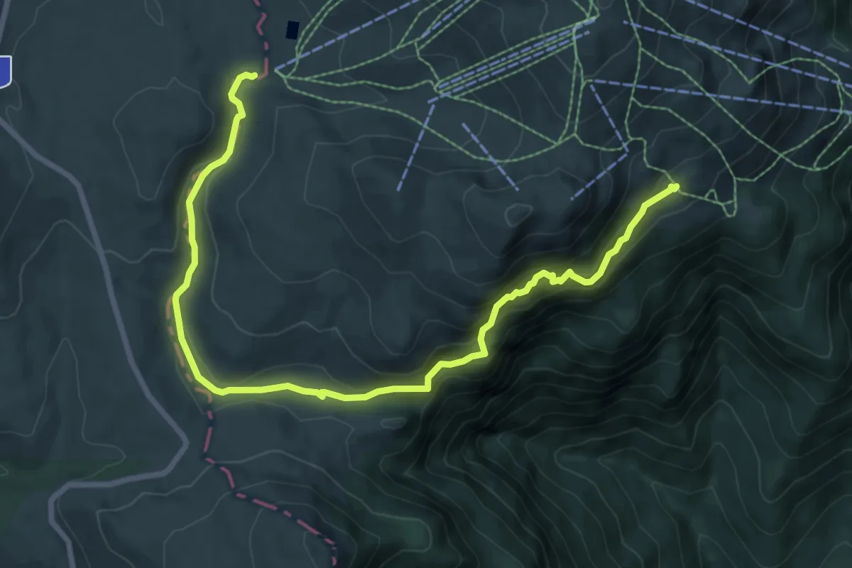
Medium · Trail
Piatra Turcului/Sub cetate - Șaua Vânturiș - telescaun Valea Soarelui
9.5 km · ↑ 468 m · 3 h 16 min
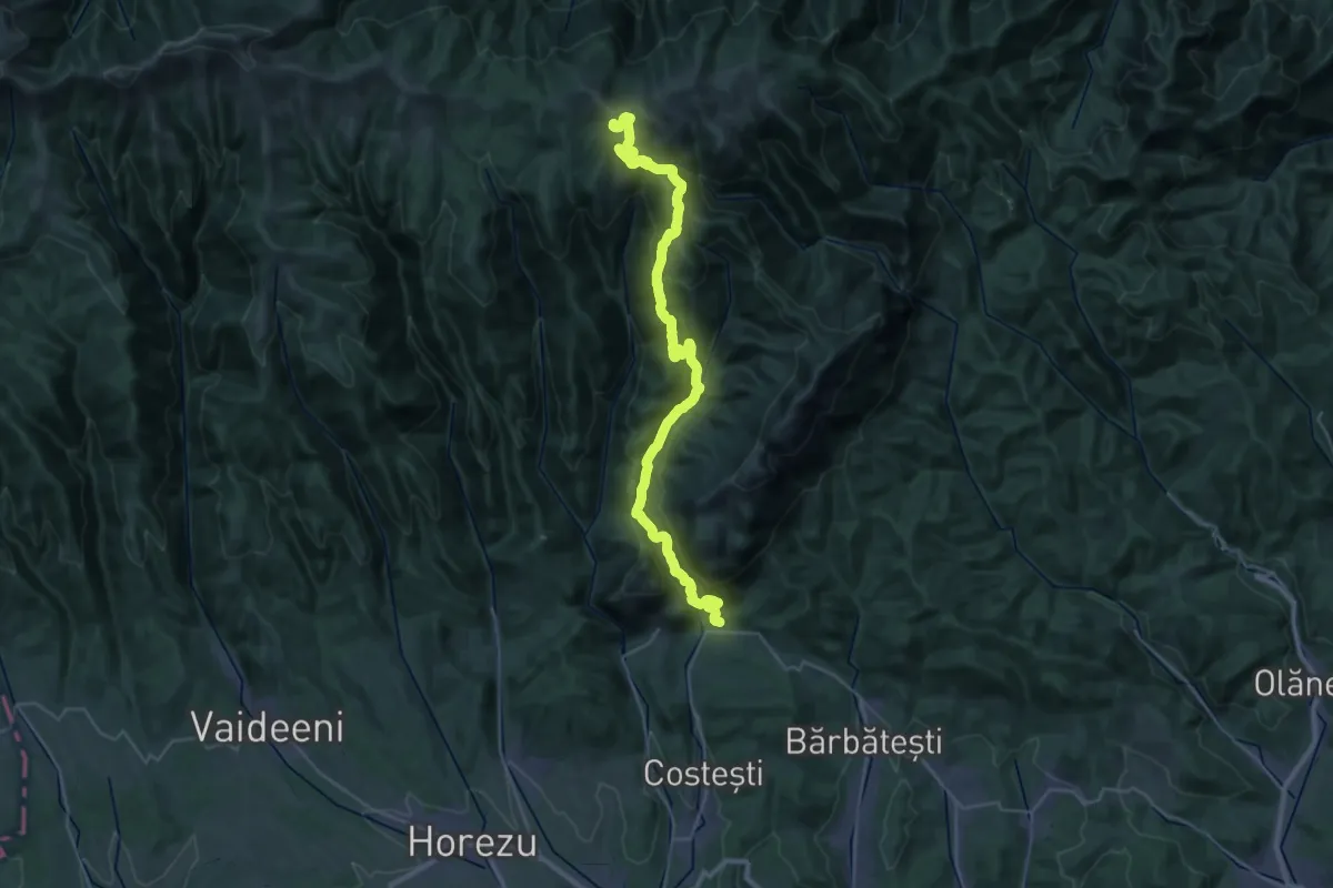
Expert · Summit
Pietreni - Cheile Costești - Izvorul Priboiului - Valea Prislop - Plaiul Netedu - Vârful Netedu – Vârful Lespezi - Vârful Govora - Șaua Zmeuret
38.6 km · ↑ 1856 m · 13 h 8 min
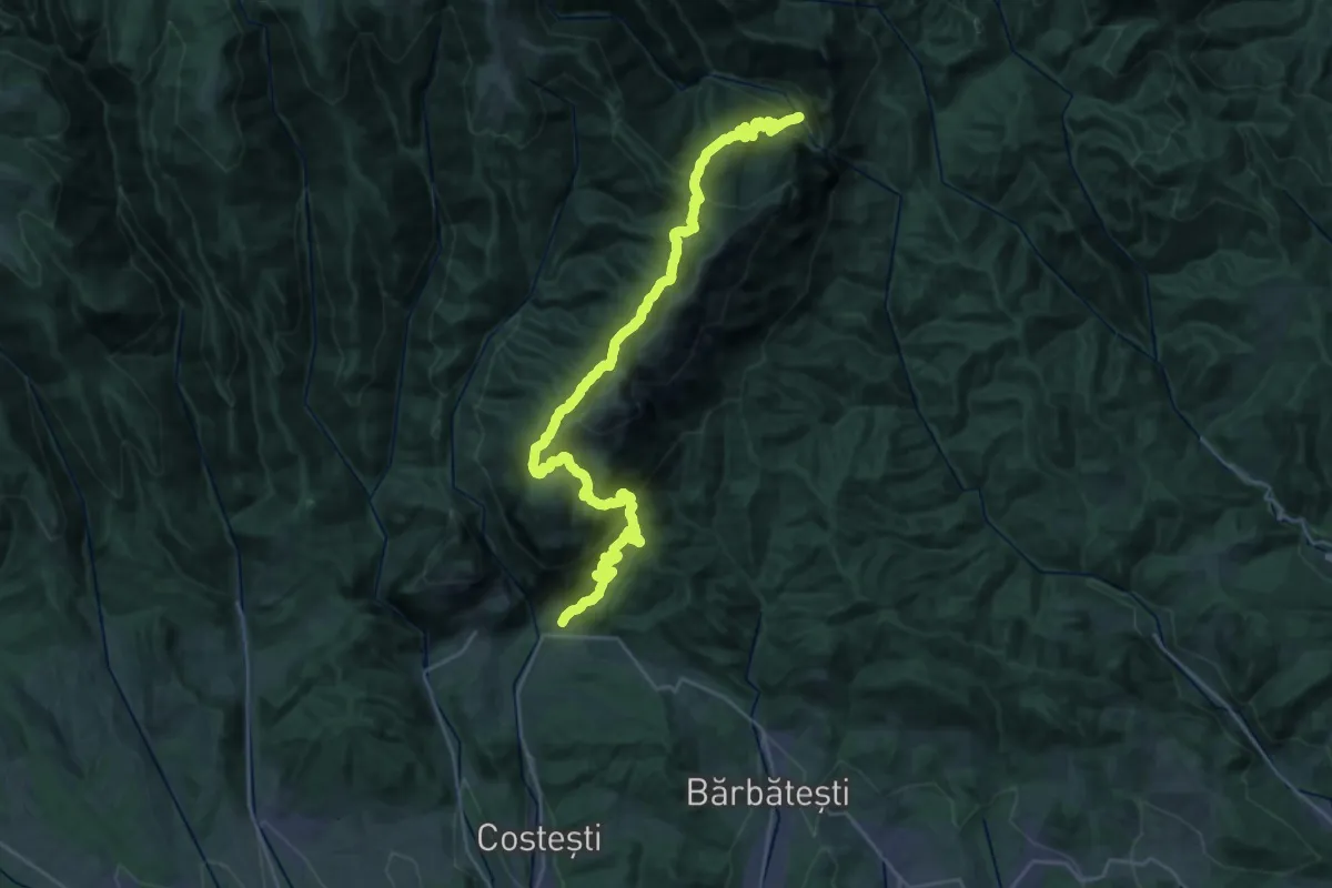
Expert · Cabin
Pietreni - Valea Pârâului Sec - Poiana Scărișoara - Muntele Cacova - La Troiță - Poiana de Piatră - Poiana Fața Piscului - Curmătura Comarnice - Cabana Cheia
16.9 km · ↑ 1275 m · 6 h 50 min
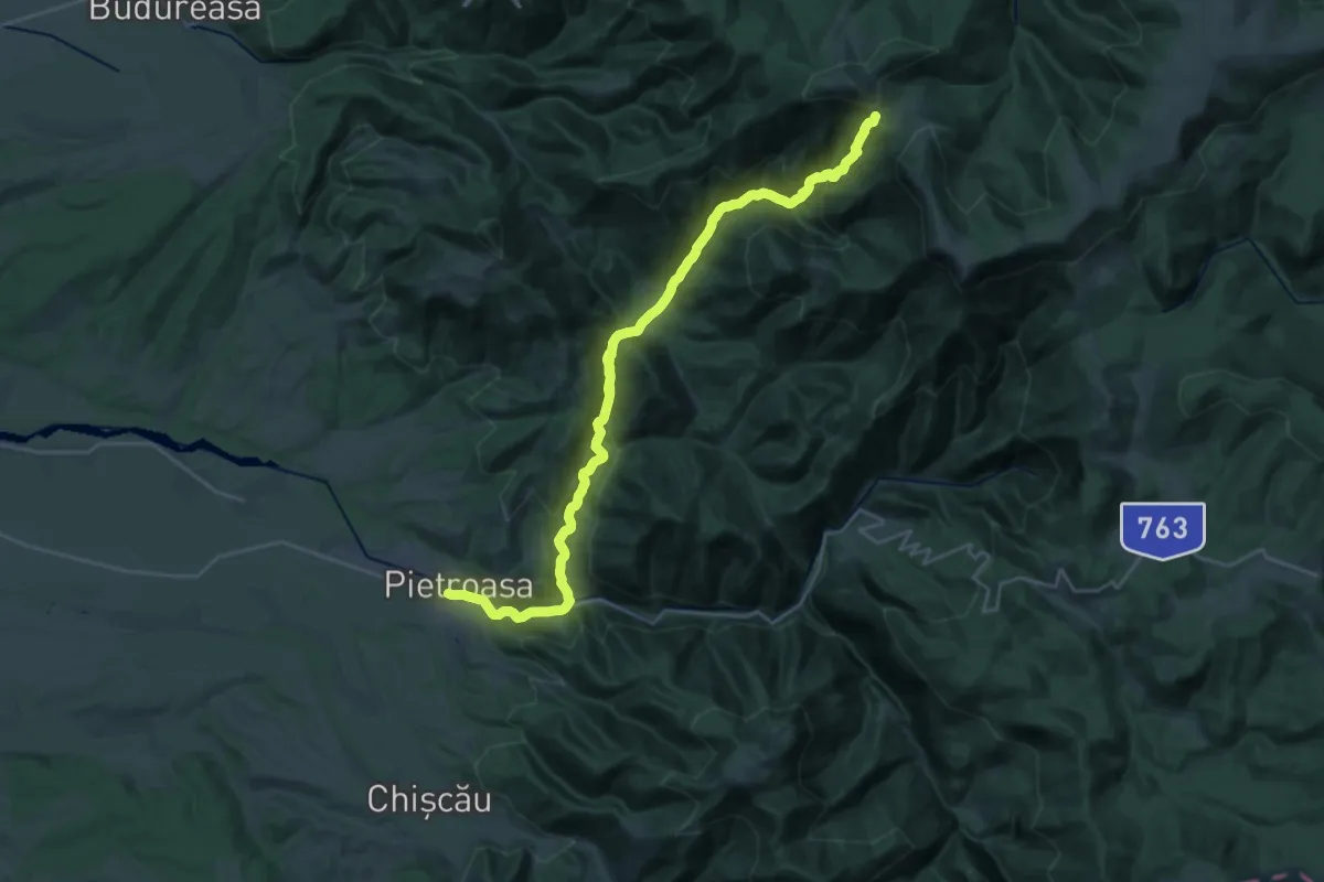
Expert · Trail
Pietroasa-Casc. Săritoarea Bohodei-Șaua Bohodei
15.3 km · ↑ 98 m · 4 h 36 min
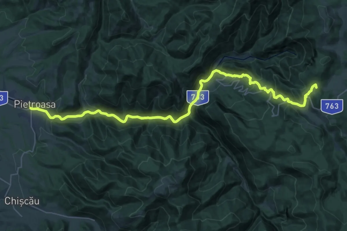
Demanding · Summit
Pietroasa - Complex turistic Padiș
28.5 km · ↑ 1190 m · 9 h 19 min
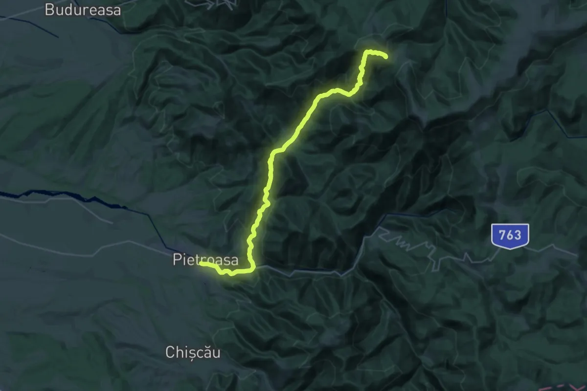
Expert · Trail
Pietroasa-Stâncile lui Hercules-Șaua Bohodei
16.0 km · ↑ 135 m · 4 h 52 min
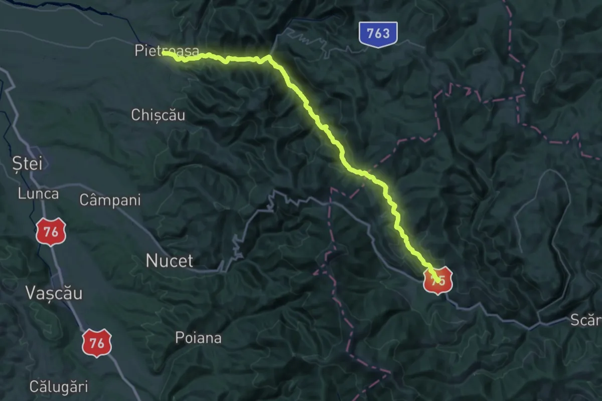
Demanding · Trail
Pietroasa - Valea Galbenei - Șaua Ponița - Arieșeni
24.7 km · ↑ 622 m · 7 h 47 min
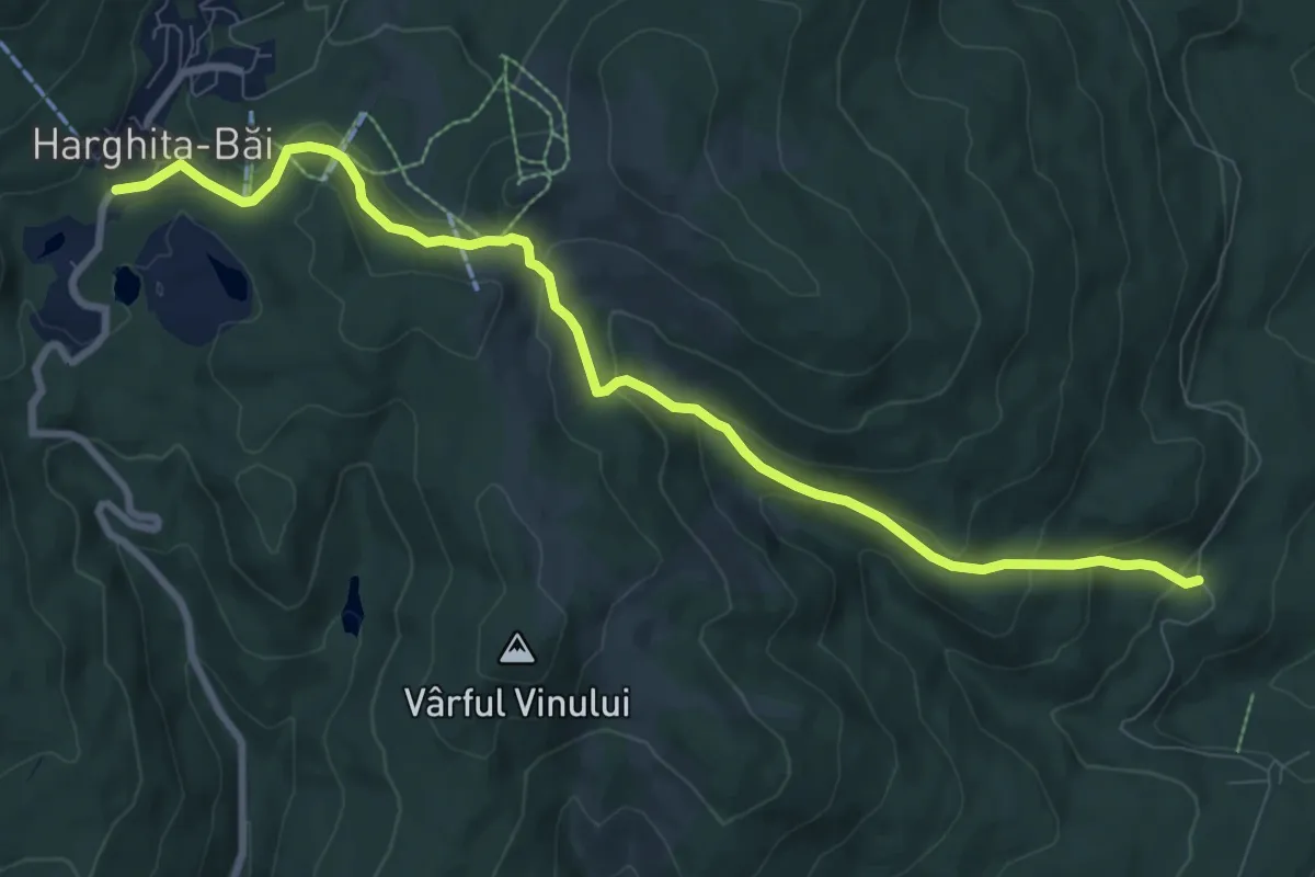
Medium · Trail
Piricske - Stațiunea Harghita-Băi
9.7 km · ↑ 421 m · 3 h 12 min