Trails in Romania
1,356 hiking trails, each with its route, climb, walking time and grade.
All trails, page 21 of 29
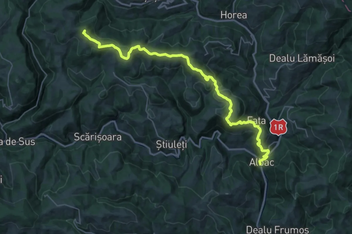
Demanding · Summit
sat Albac - Valea Ordâncușei (la Moara lui Ivan)
26.9 km · ↑ 1165 m · 8 h 52 min
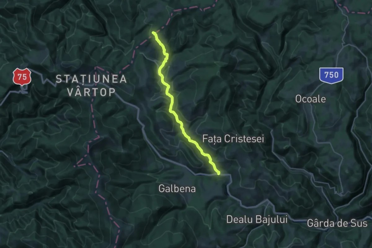
Medium · Trail
sat Arieșeni - intersecție cu traseul BR
17.6 km · ↑ 586 m · 5 h 25 min
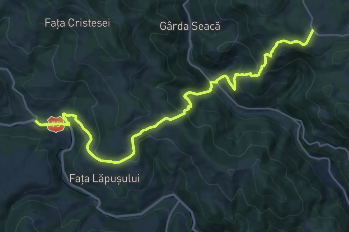
Demanding · Trail
sat Arieșeni - Peștera Ghețarul Scărișoara
15.7 km · ↑ 975 m · 5 h 49 min
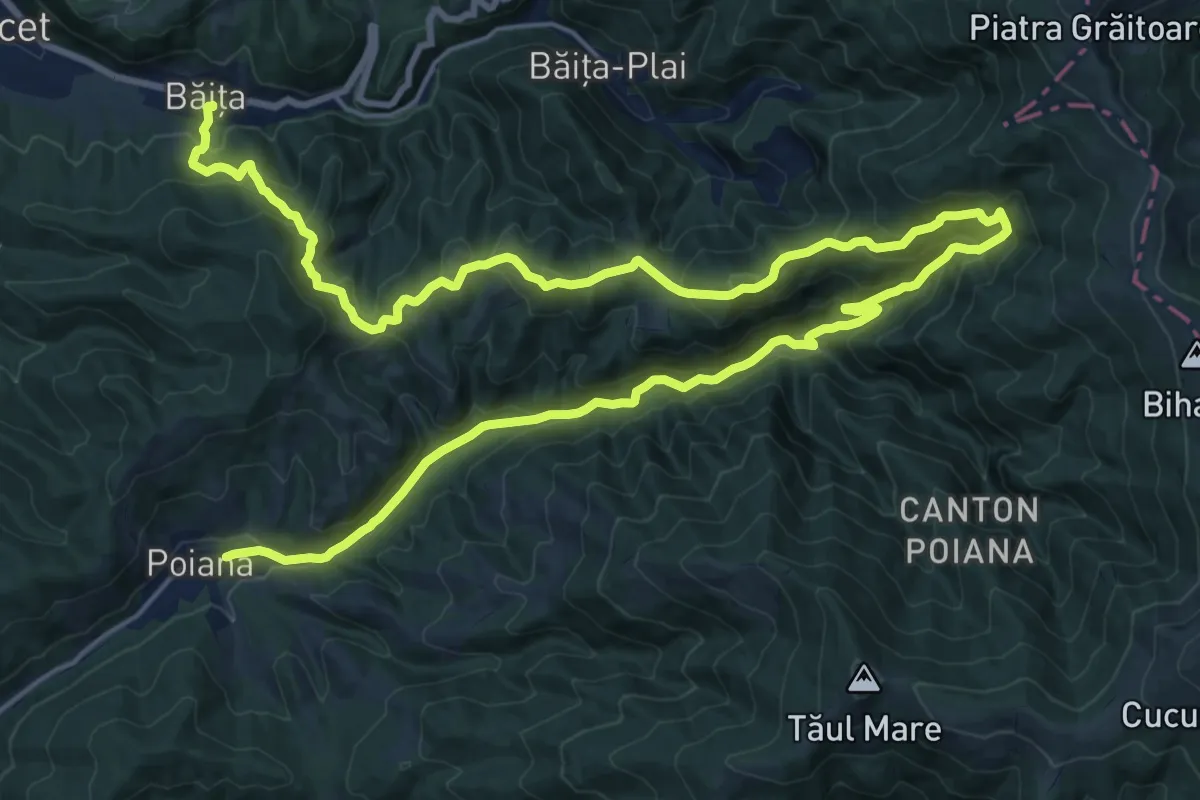
Expert · Trail
sat Băița - Cascada Sf. Treime - sat Poiana
17.0 km · ↑ 895 m · 6 h 13 min
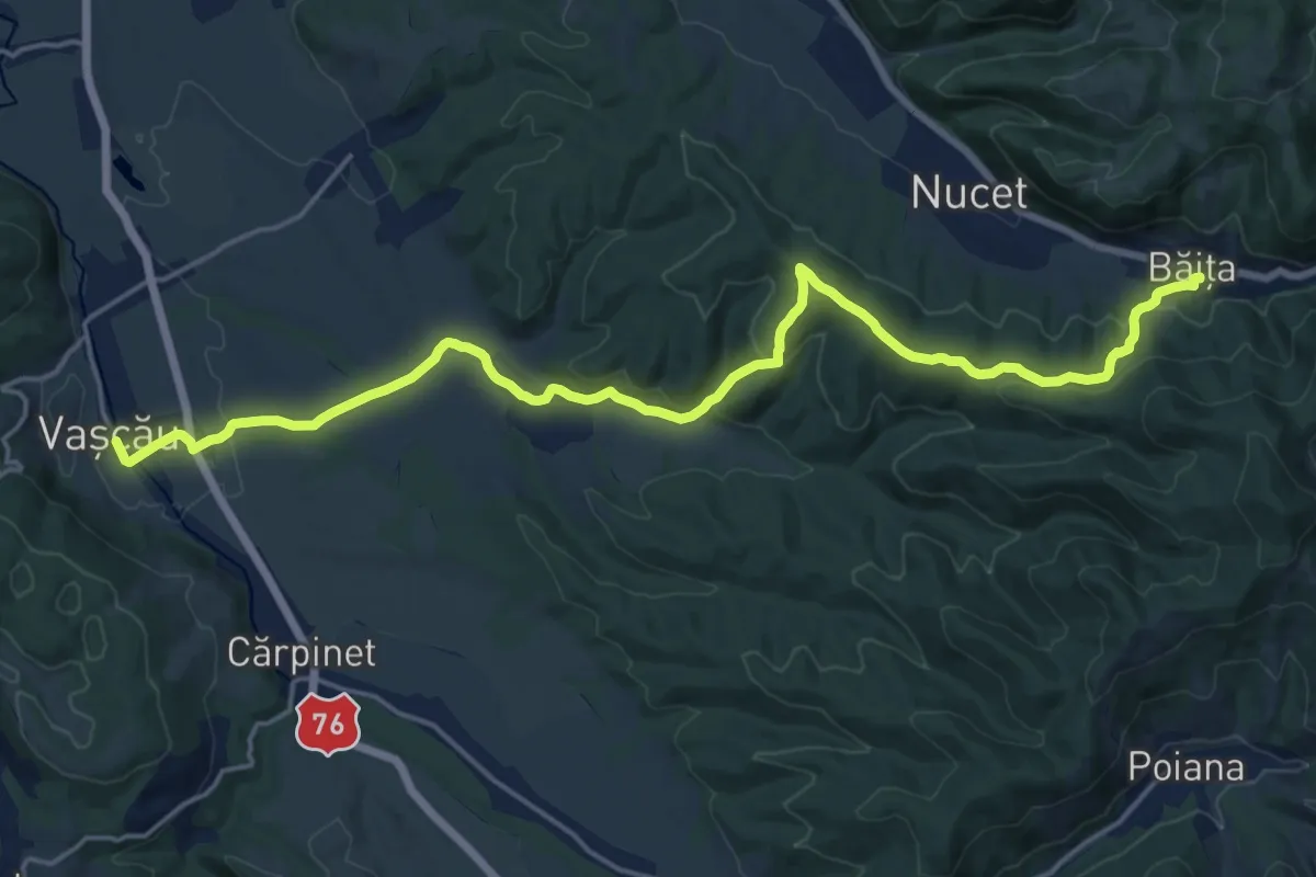
Demanding · Trail
sat Băița - oraș Vașcău
20.9 km · ↑ 552 m · 6 h 8 min
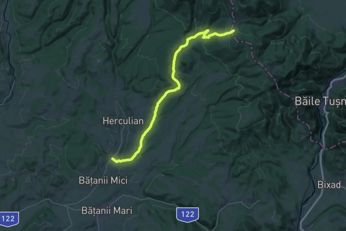
Demanding · Trail
sat Bățanii Mici - Pârâul cu Brazi - Poiana Mitaci
26.4 km · ↑ 731 m · 7 h 49 min
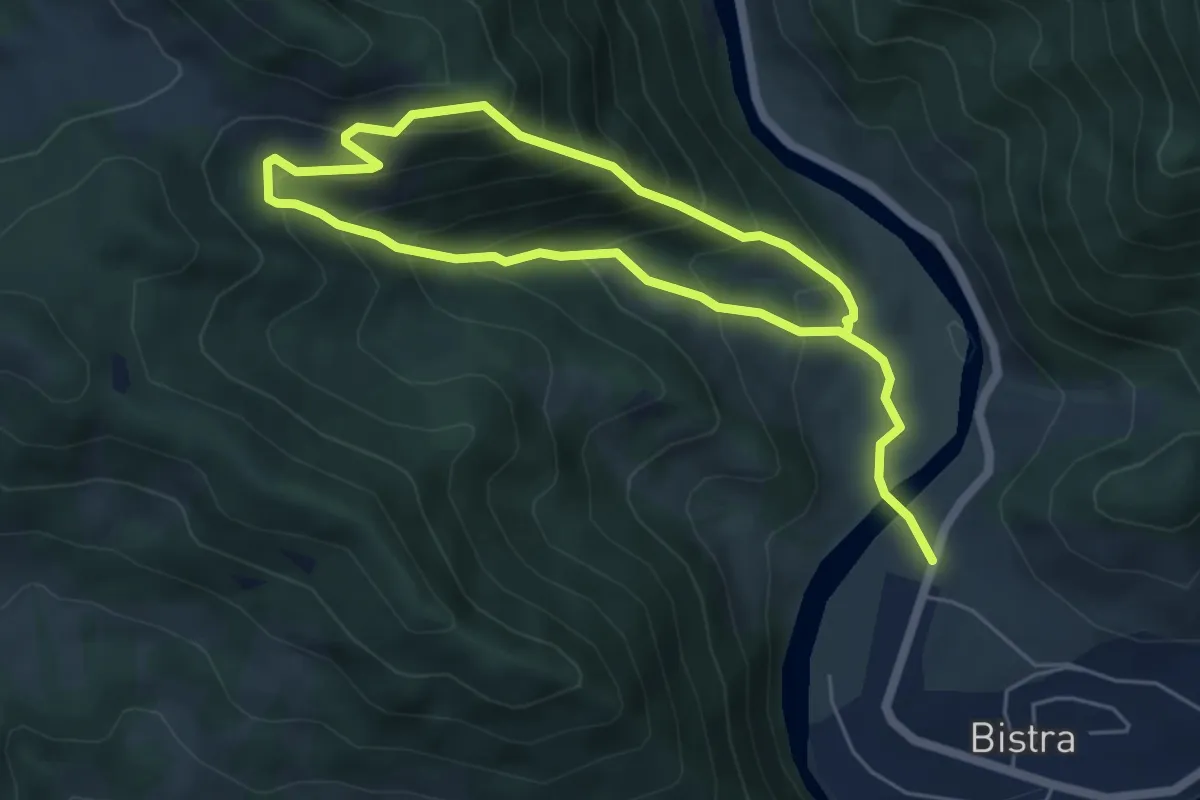
Demanding · Trail
sat Bistra - Belvedere Tocarnea - sat Bistra
8.6 km · ↑ 857 m · 3 h 54 min
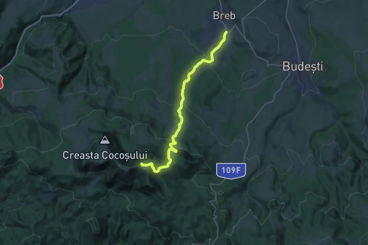
Demanding · Summit
sat Breb – Vârful Gutâi
17.5 km · ↑ 895 m · 6 h 4 min
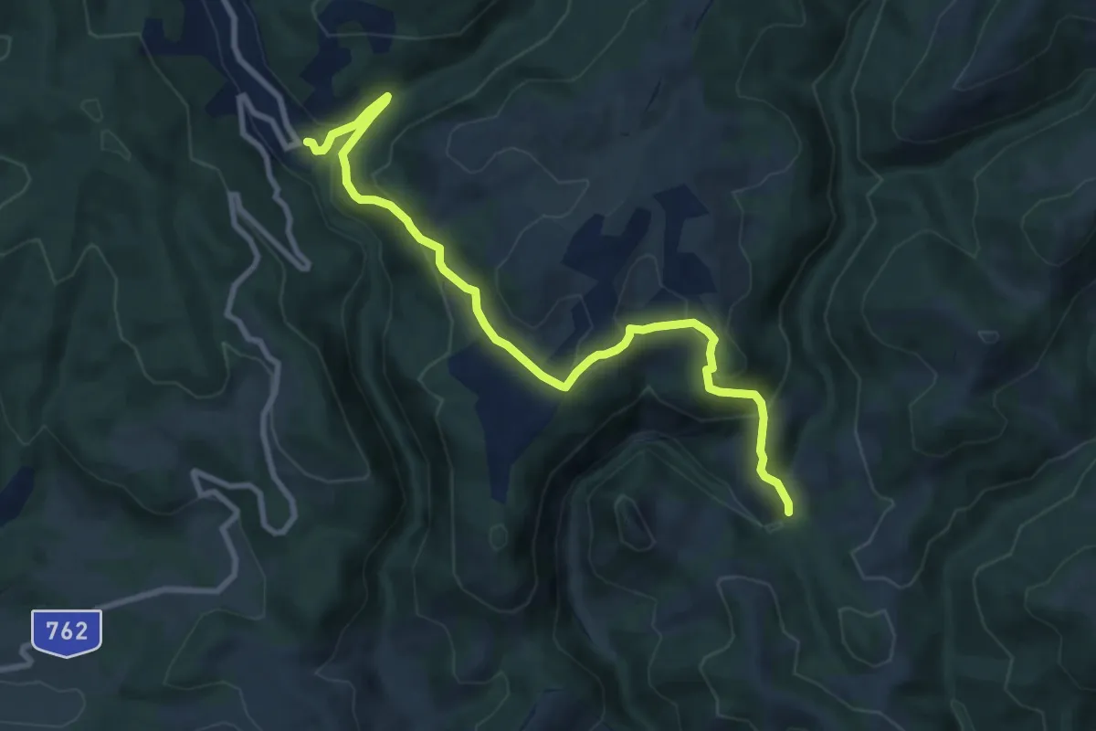
Medium · Trail
sat Bulzeștii de Jos - Cheile Ribiței
9.5 km · ↑ 502 m · 3 h 20 min
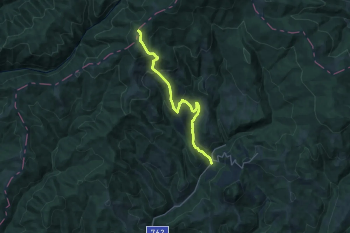
Demanding · Trail
sat Bulzeștii de Sus - intersecție cu traseul BA
14.3 km · ↑ 908 m · 5 h 20 min
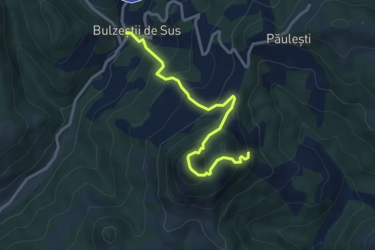
Medium · Trail
sat Bulzeștii de Sus - intersecție cu traseul PA
5.5 km · ↑ 561 m · 2 h 30 min
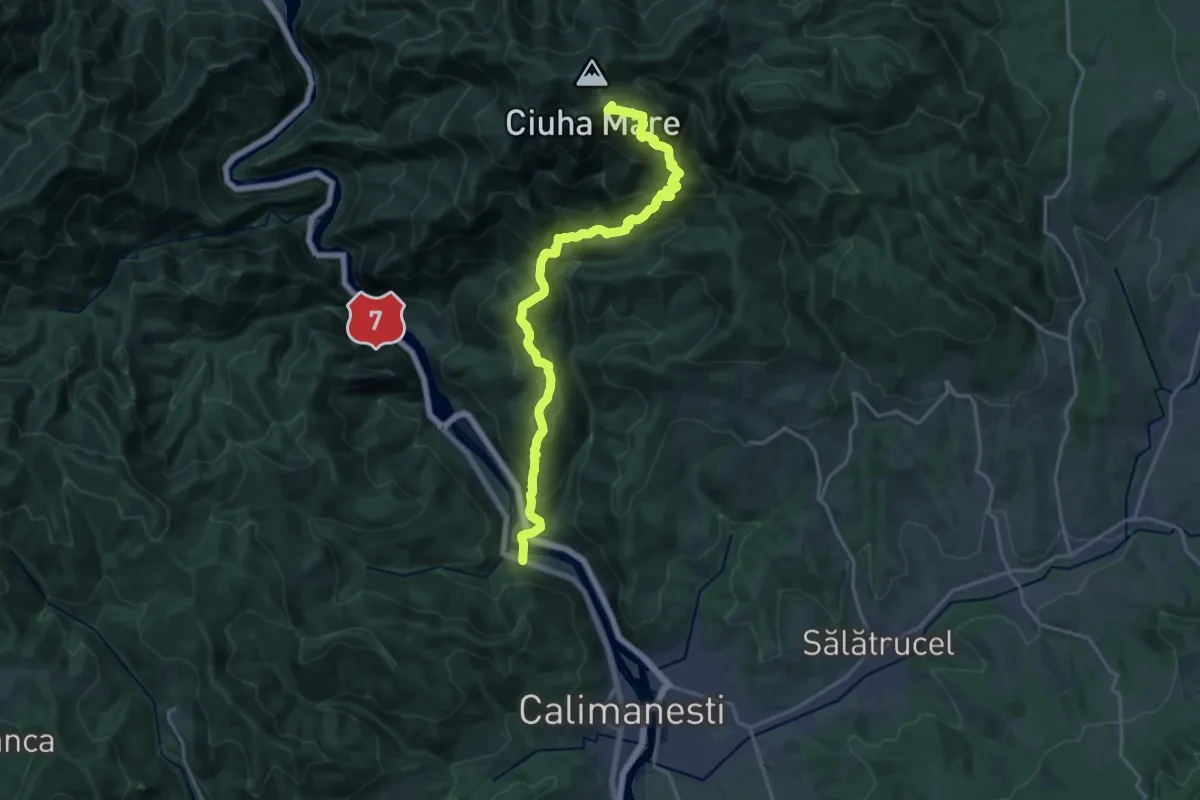
Demanding · Summit
sat Căciulata (C.N.I.P.T.) - Mănăstirea Stânișoara - Cabana Cozia
20.4 km · ↑ 1684 m · 8 h 27 min
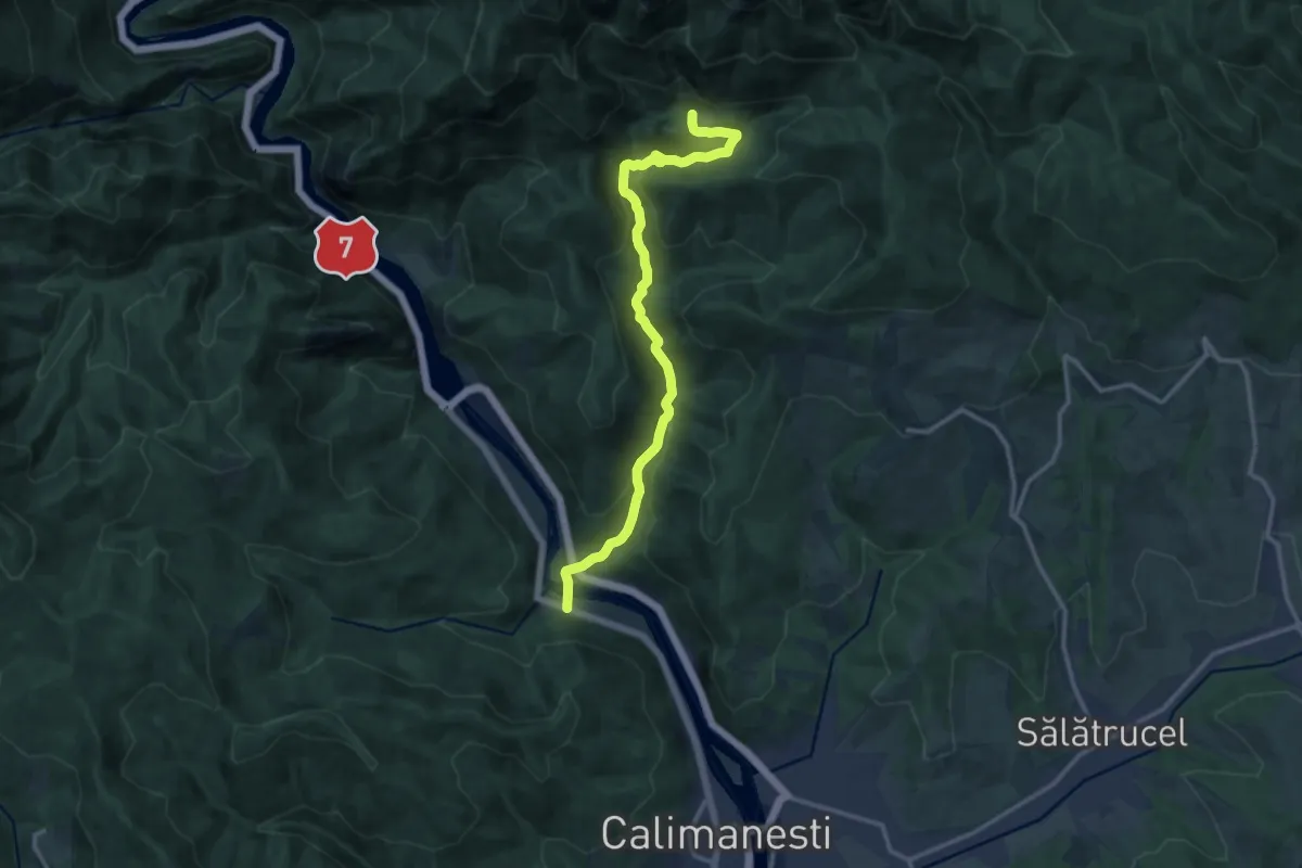
Medium · Trail
sat Căciulata (C.N.I.P.T.) - valea Păușa - Mănăstirea Stânișoara
13.9 km · ↑ 507 m · 4 h 22 min
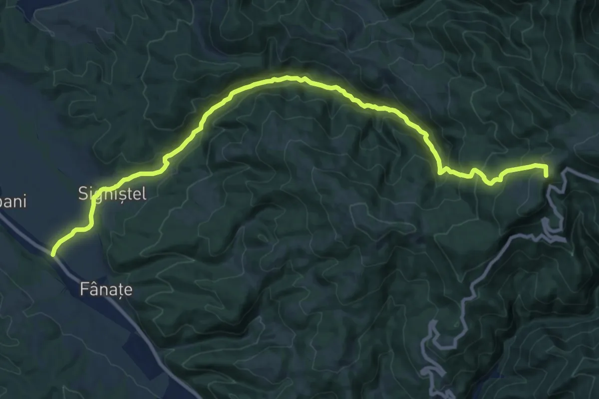
Demanding · Summit
sat Câmpani (DN75) - Valea Sighiștelului - DN75 km 25+100
21.2 km · ↑ 1058 m · 7 h 18 min
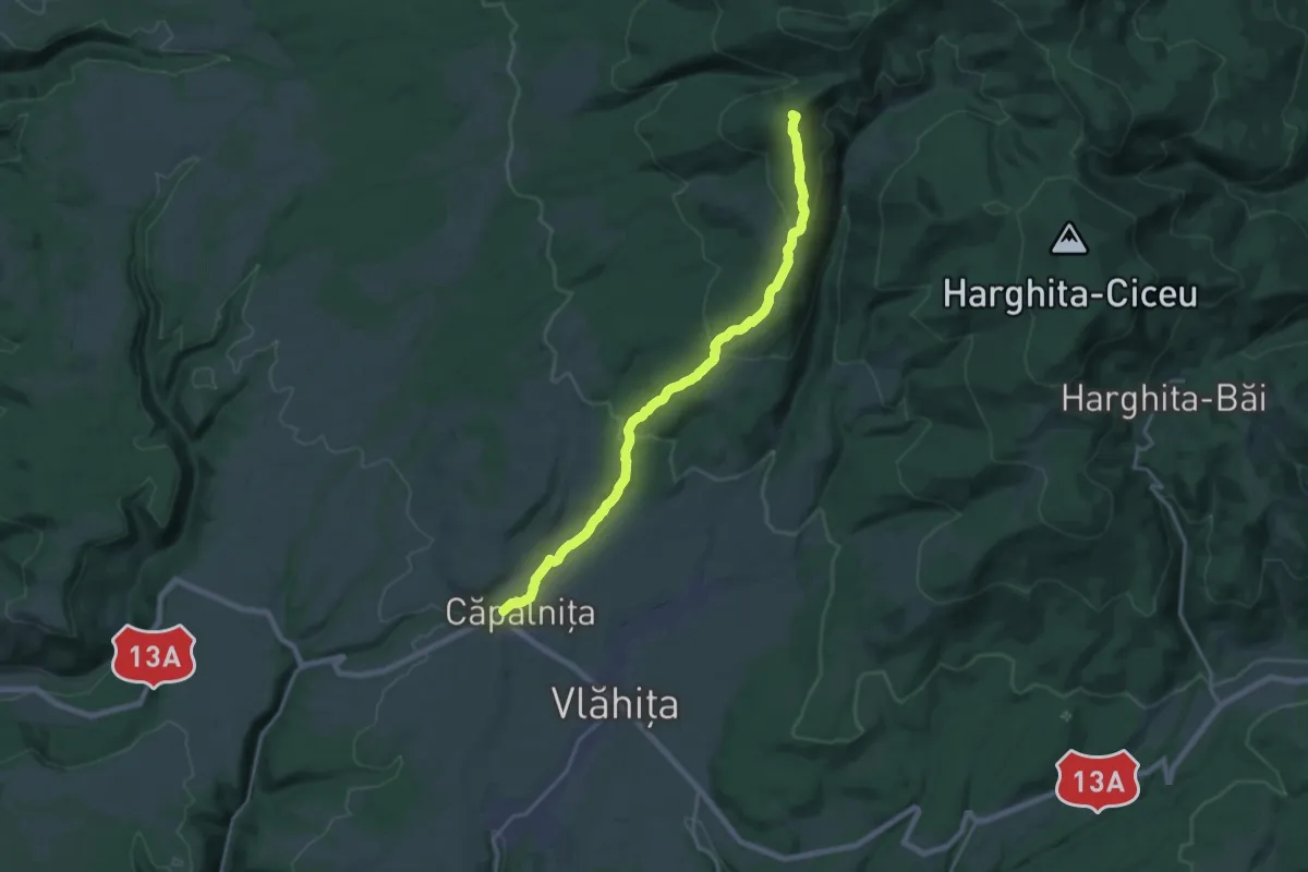
Demanding · Summit
sat Căpâlnița - Vf. Muntele Ascuțit - Stațiunea Harghita Mădăraș
19.5 km · ↑ 706 m · 6 h 7 min
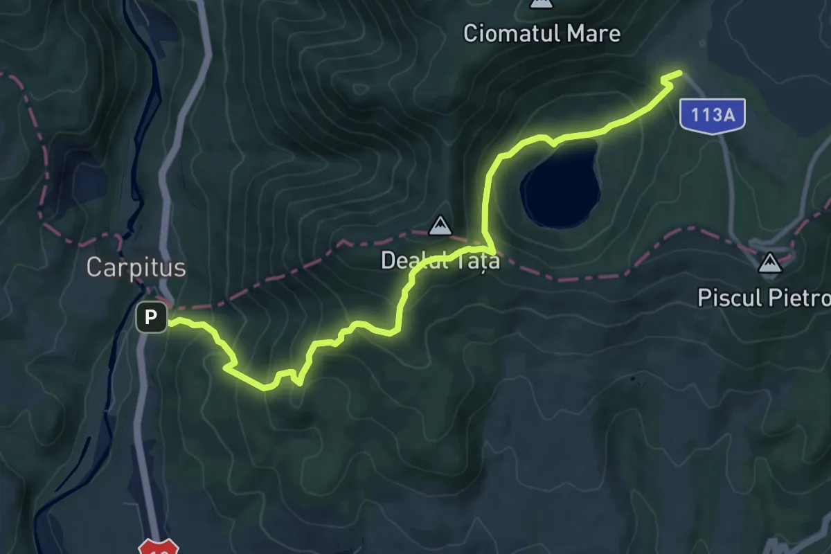
Medium · Trail
sat Carpituș - Lacul Sfânta Ana - Cabana Lacul Sfânta Ana
9.8 km · ↑ 798 m · 4 h 2 min
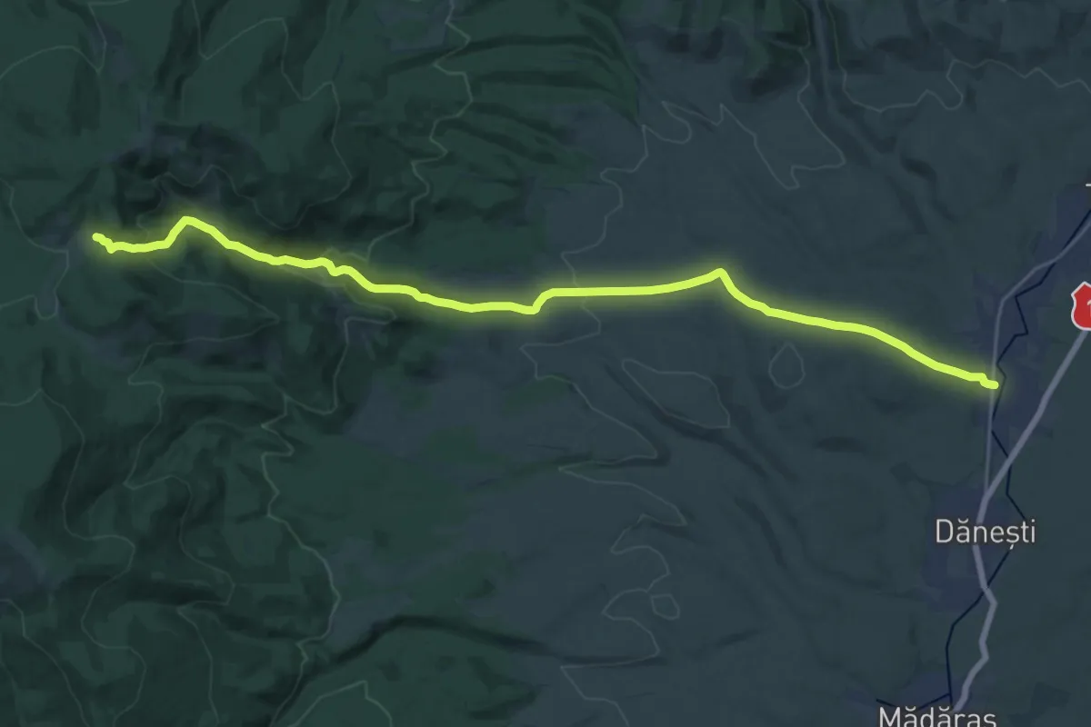
Demanding · Trail
sat Cârța - Poiana Madicea - intersecție traseul BA (creasta principală)
26.8 km · ↑ 612 m · 7 h 39 min
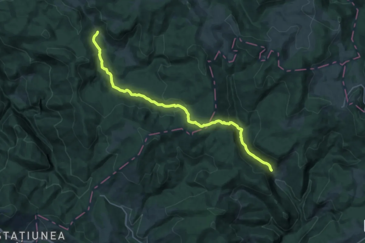
Demanding · Trail
sat Casa de Piatră - Poiana La Grajduri (Glăvoi)
18.3 km · ↑ 717 m · 5 h 52 min
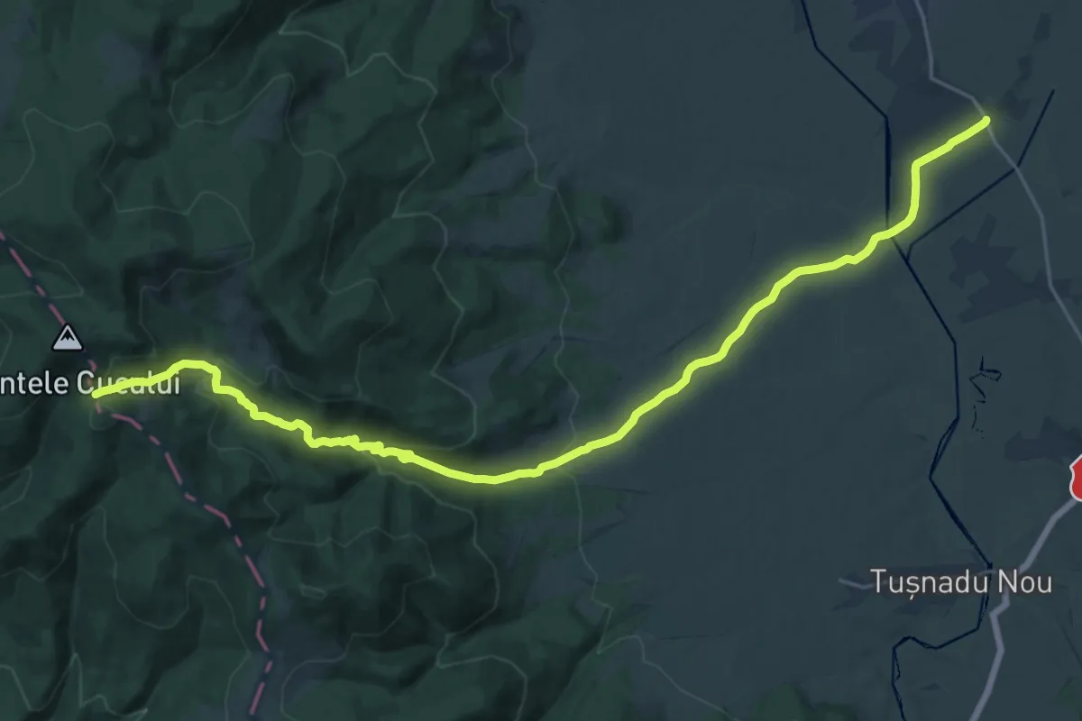
Demanding · Trail
sat Cetățuia - Campul Negru
26.6 km · ↑ 765 m · 7 h 57 min
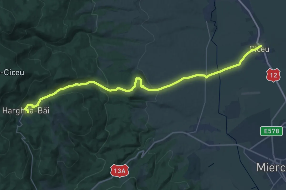
Demanding · Trail
sat Ciceu - sub Vf. Ciceu - Stațiunea Harghita-Băi
27.2 km · ↑ 670 m · 7 h 53 min
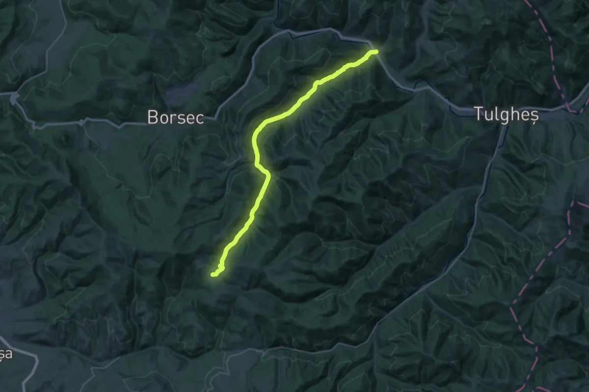
Medium · Trail
sat Corbu - Capul Bâtcii - Groapa Pisicii
15.0 km · ↑ 82 m · 4 h 13 min
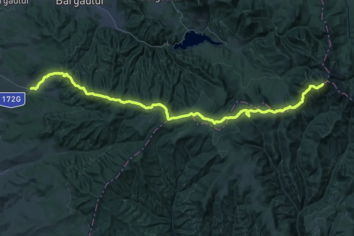
Demanding · Summit
Sat Cușma-Vf.Bistricioru
69.2 km · ↑ 2976 m · 22 h 48 min
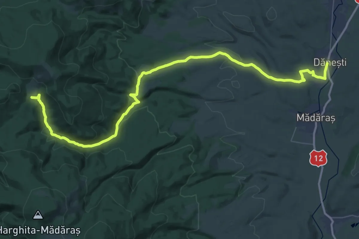
Demanding · Trail
sat Dănești - Dealul Mijlocul Trunchiului - Pasul Fertău
20.1 km · ↑ 735 m · 6 h 19 min
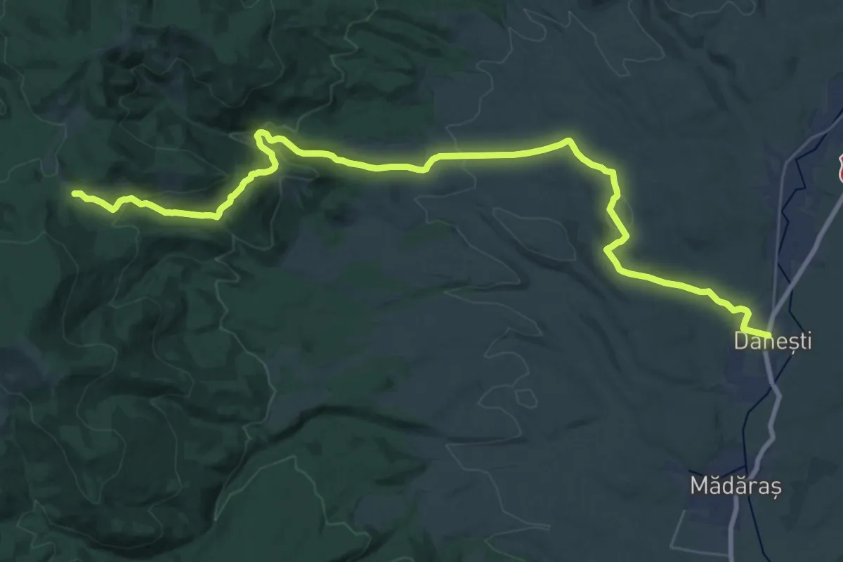
Medium · Cabin
sat Dănești - Poiana Mădicea - Refugiul Montan Lacul Dracului
17.1 km · ↑ 742 m · 5 h 36 min
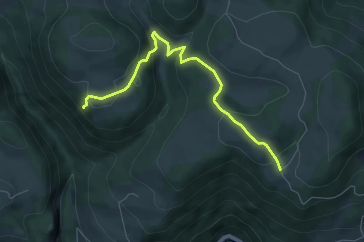
Expert · Trail
sat Fața (DC120) - Peștera Huda de Lapte
5.6 km · ↑ 235 m · 1 h 49 min
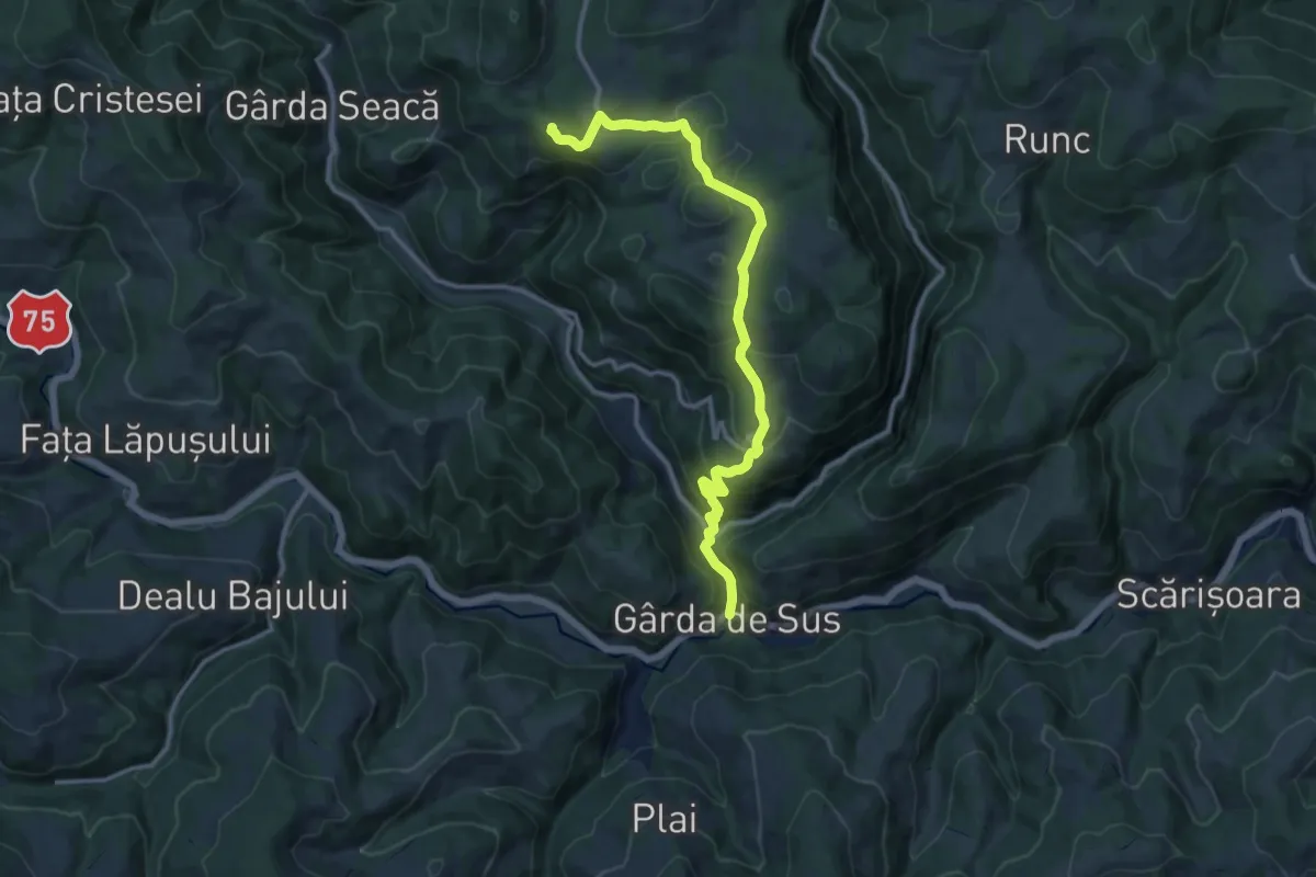
Medium · Trail
sat Gârda de Sus - Peștera Ghețarul Scărișoara
12.7 km · ↑ 679 m · 4 h 28 min
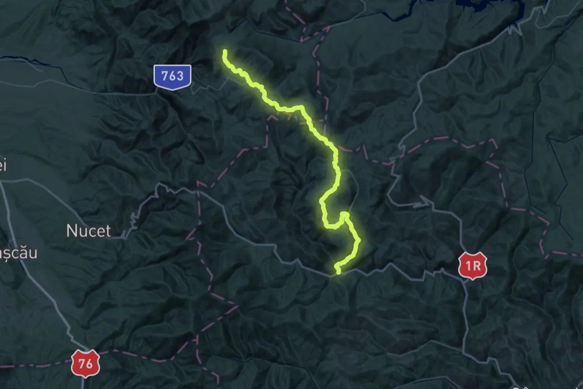
Demanding · Trail
sat Gârda de Sus - Șaua Vărășoaia
31.6 km · ↑ 819 m · 9 h 59 min
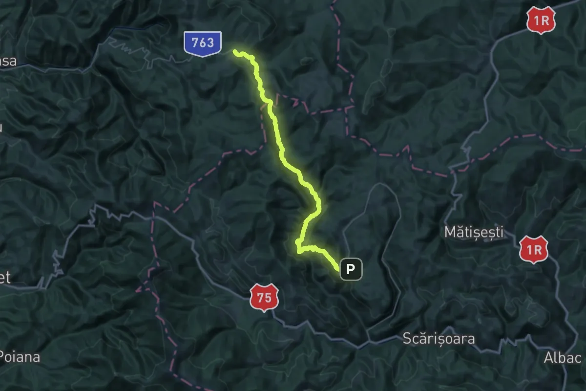
Demanding · Cabin
sat Ghețar - Complex turistic Padiș
18.1 km · ↑ 895 m · 6 h 23 min
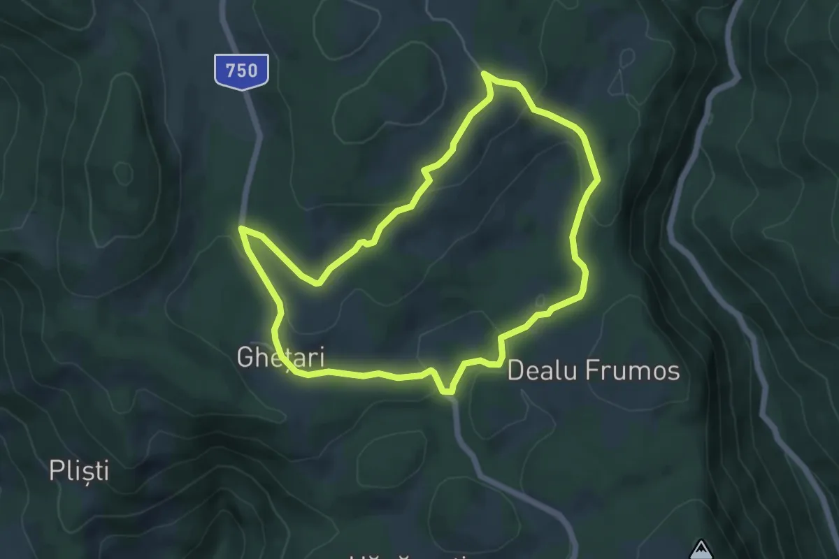
Easy · Trail
sat Ghețar - sat Dealu Frumos - sat Ghețar
5.2 km · ↑ 170 m · 1 h 40 min
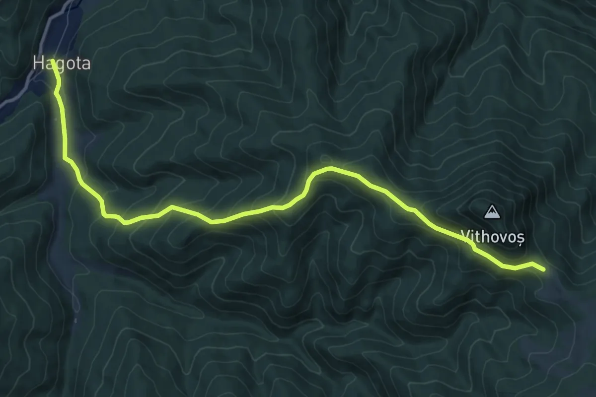
Medium · Trail
sat Hagota - Șaua Vithovoș
11.6 km · ↑ 653 m · 4 h 9 min
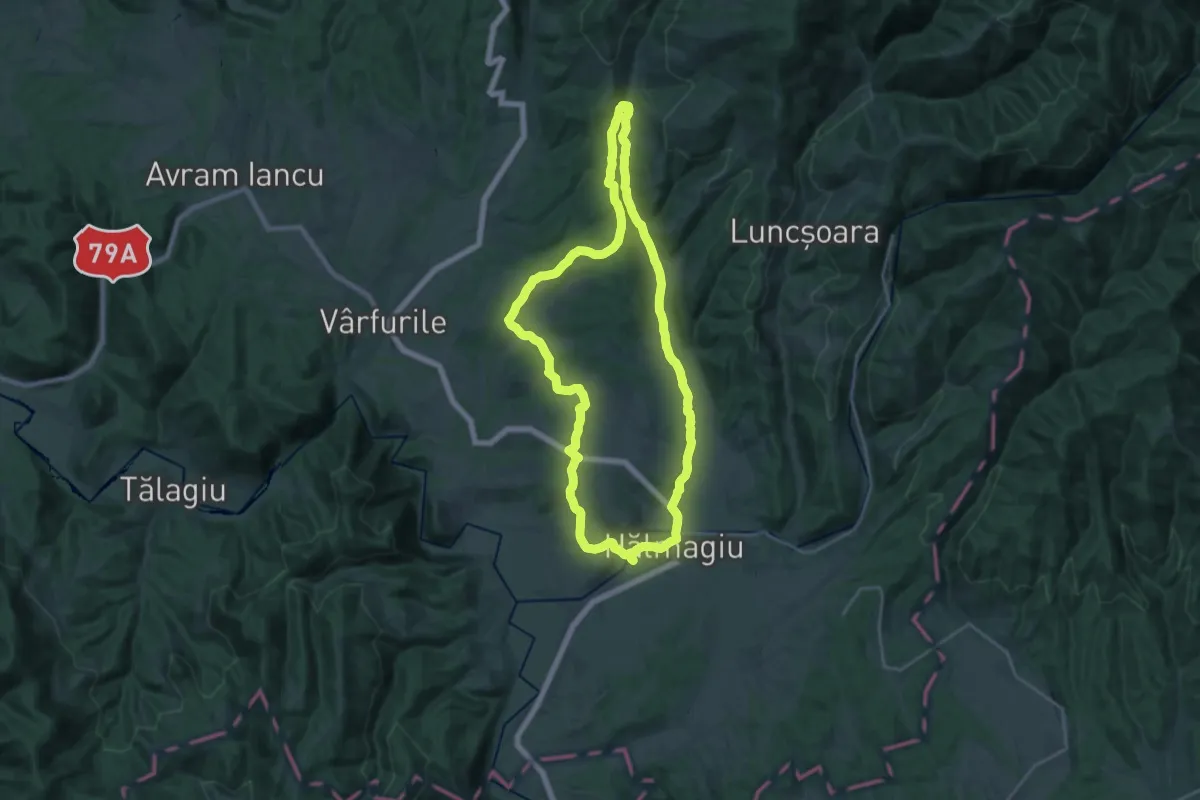
Demanding · Trail
sat Hălmagiu - sat Brusturi - sat Hălmagiu
22.0 km · ↑ 394 m · 6 h 21 min
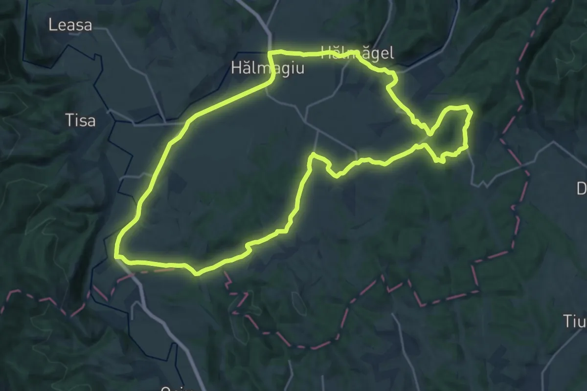
Demanding · Trail
sat Hălmagiu - sat Țohești - sat Hălmagiu
20.9 km · ↑ 283 m · 5 h 51 min
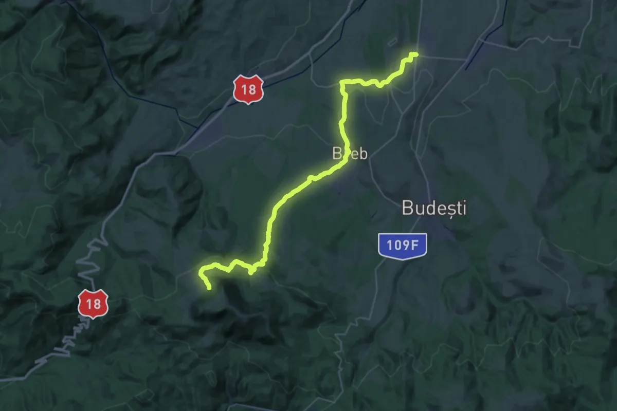
Demanding · Trail
sat Hărnicești – sat Breb – intersecție traseul BR-CR (red cross)
16.1 km · ↑ 876 m · 5 h 35 min
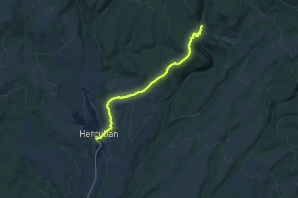
Medium · Trail
sat Herculian - Dealul Mateiul Mare - Furnalul Bodvai
10.4 km · ↑ 414 m · 3 h 21 min
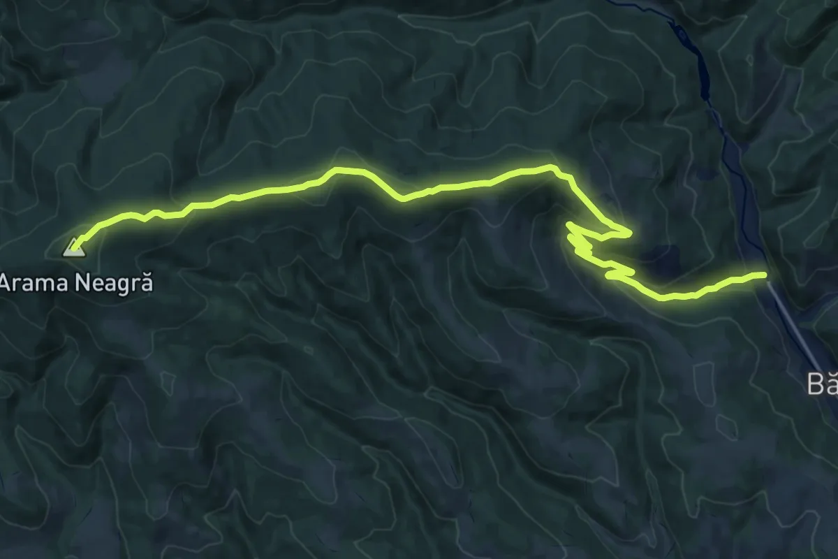
Demanding · Summit
sat Heveder - Vf. Arama Neagră - oraș Bălan
21.5 km · ↑ 752 m · 6 h 42 min
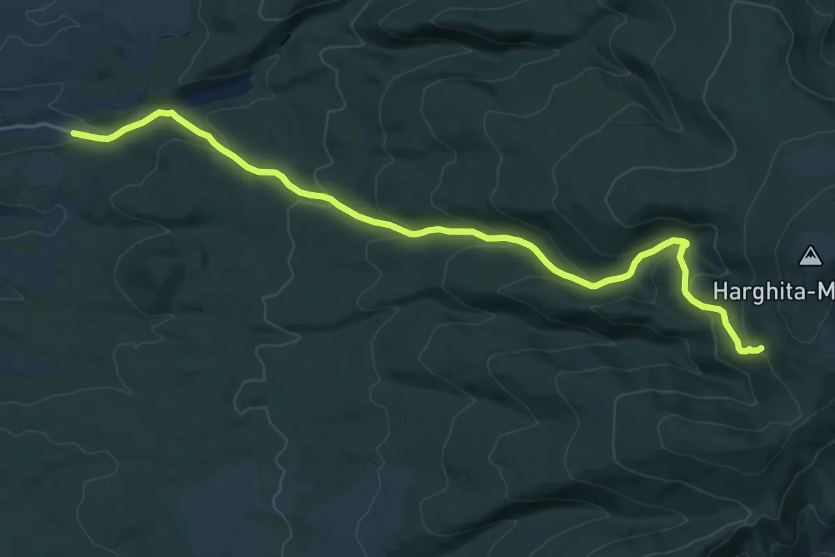
Demanding · Trail
sat Izvoare - Izvorul Fedeleskút - Stațiunea Harghita Mădăraș
17.8 km · ↑ 824 m · 6 h
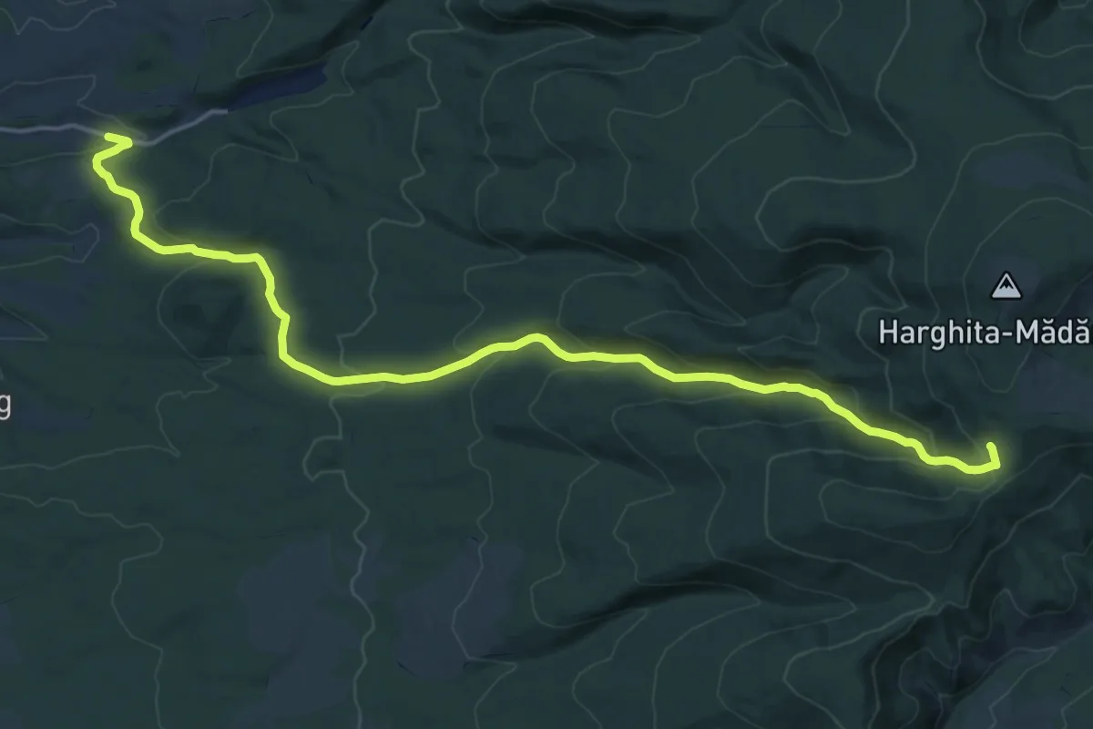
Demanding · Cabin
sat Izvoare - sub Dealul Sinol - Stațiunea Harghita Mădăraș
20.3 km · ↑ 856 m · 6 h 39 min
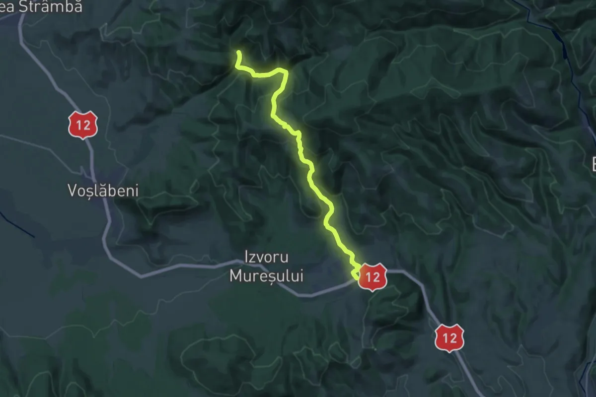
Demanding · Trail
sat Izvoru Mureșului - Peștera Șugău
19.0 km · ↑ 820 m · 6 h 15 min
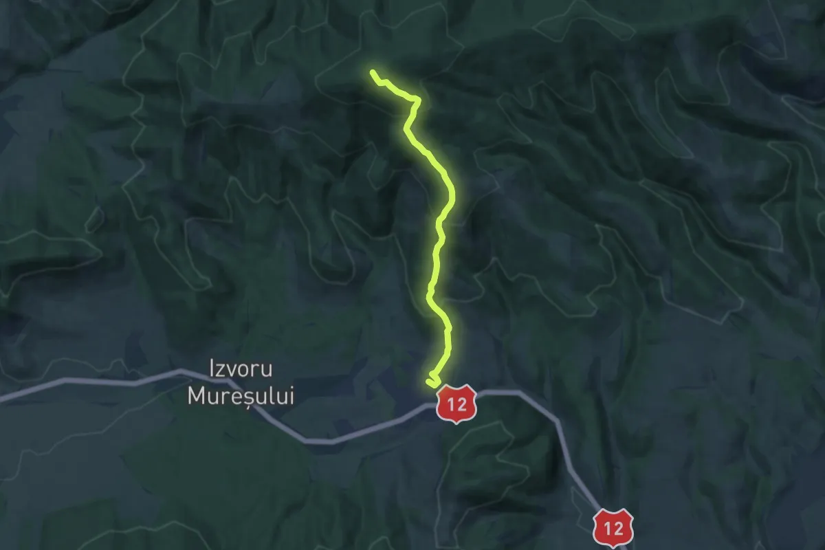
Medium · Summit
sat Izvoru Mureșului - Vf. Arama Neagră - sat Izvoru Mureșului
10.9 km · ↑ 649 m · 3 h 59 min
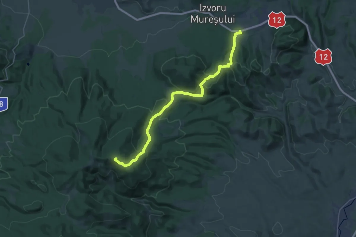
Demanding · Summit
sat Izvoru Mureșului - Vf. Fagul Roșu - Lacul Dracului
21.8 km · ↑ 851 m · 7 h
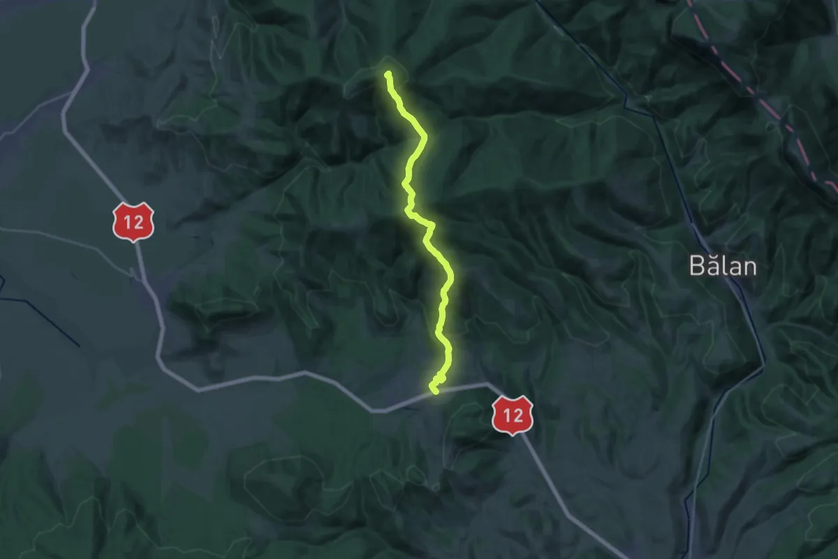
Demanding · Summit
sat Izvoru Mureșului - Vf. Șipoș - Poiana Mediașul de Sus
20.0 km · ↑ 1240 m · 7 h 25 min
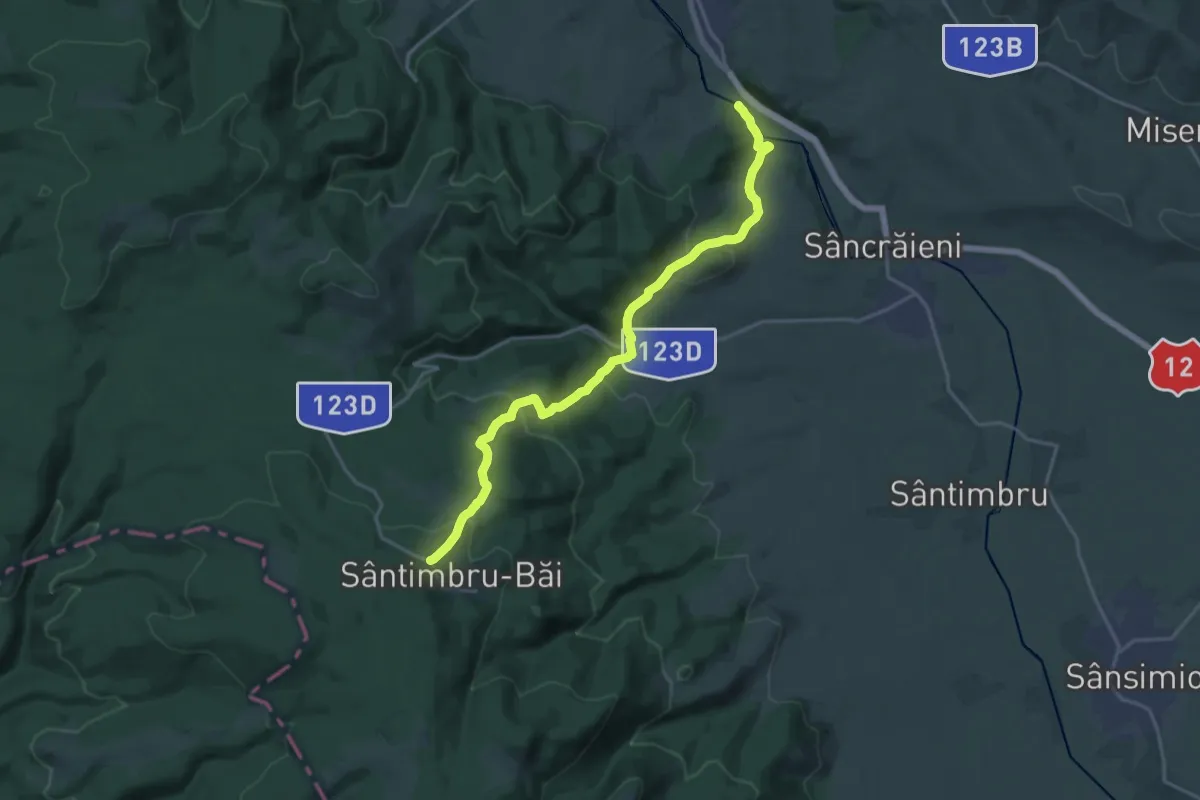
Demanding · Trail
sat Jigodin-Băi - Coasta Mocirla Agrișului - sat Sântimbru-Băi
19.7 km · ↑ 786 m · 6 h 21 min
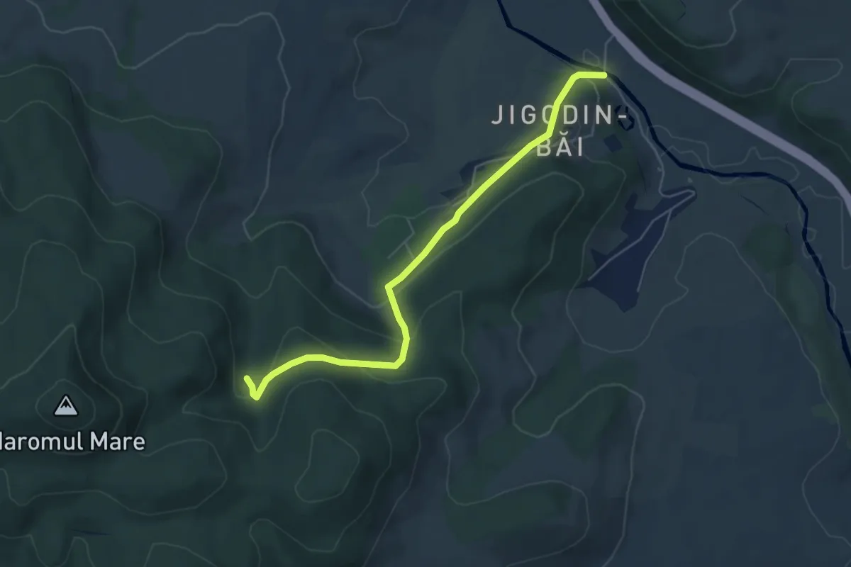
Easy · Trail
sat Jigodin-Băi - Csihányos
5.6 km · ↑ 257 m · 1 h 52 min
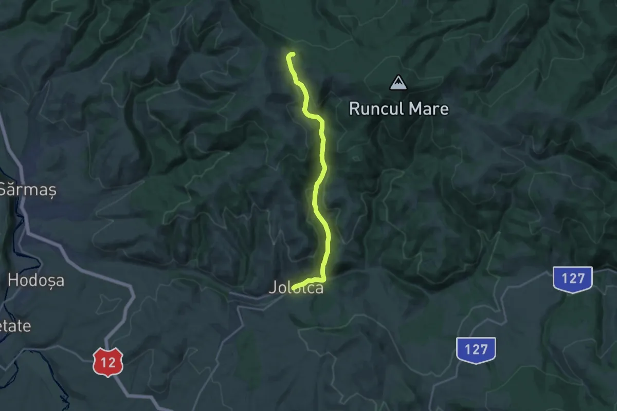
Medium · Trail
sat Jolotca - Pasul Chiozrez
13.6 km · ↑ 510 m · 4 h 20 min
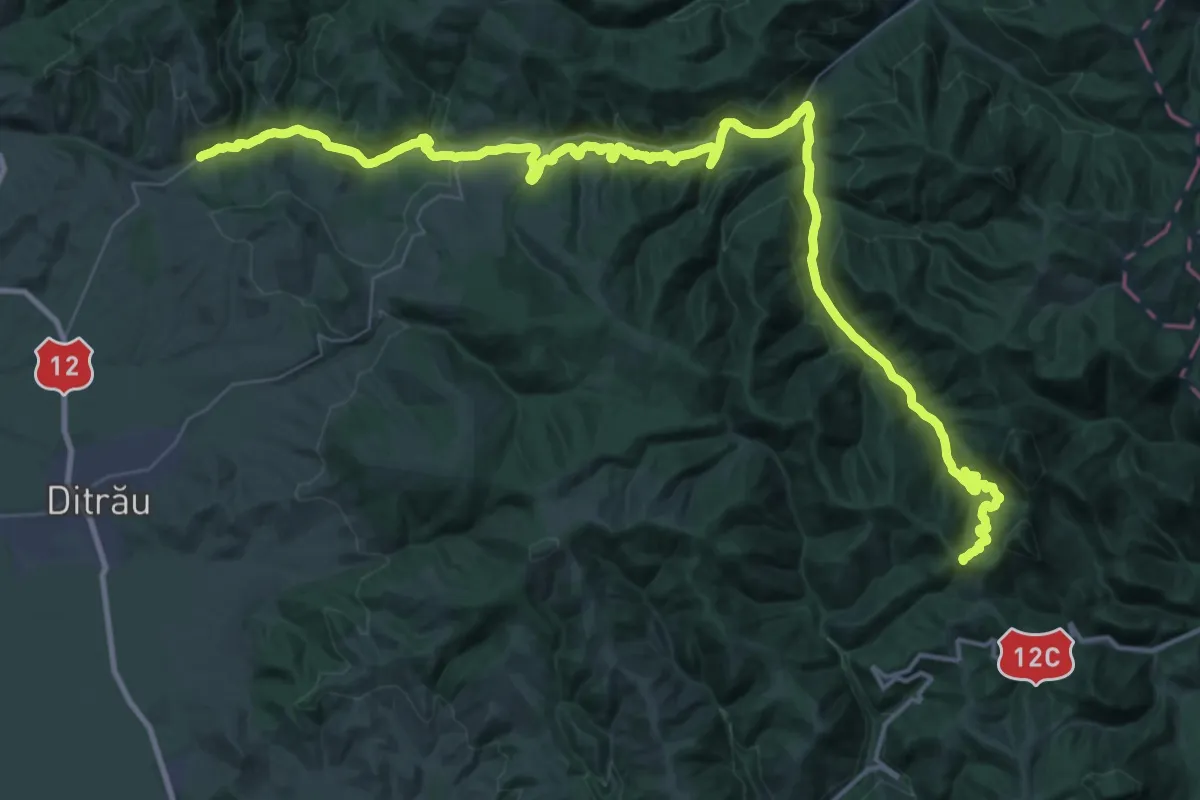
Demanding · Trail
sat Jolotca - Pasul Țengheler - Șaua Niergheș
28.5 km · ↑ 581 m · 8 h 40 min
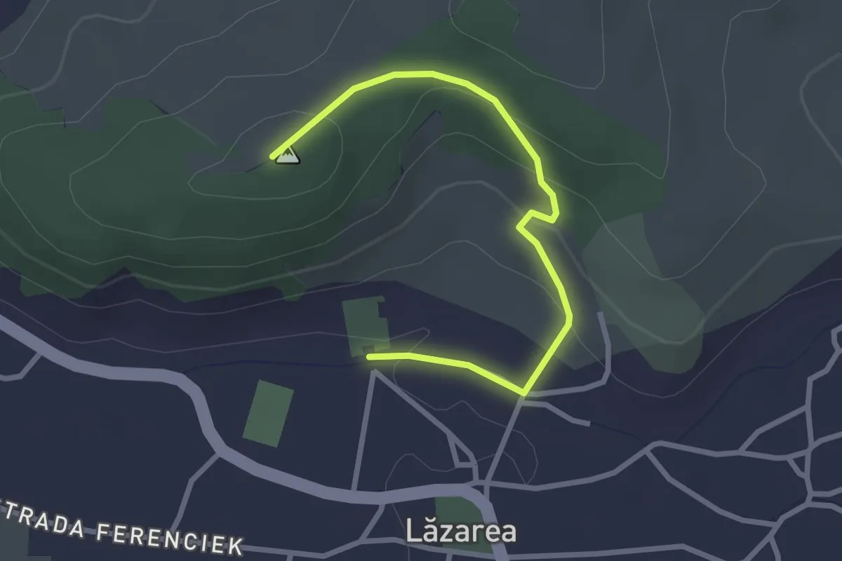
Easy · Trail
sat Lăzarea (Castelul Lázár) - Mănăstirea Franciscană - Capela Sf. Anton
2.7 km · ↑ 103 m · 52 min
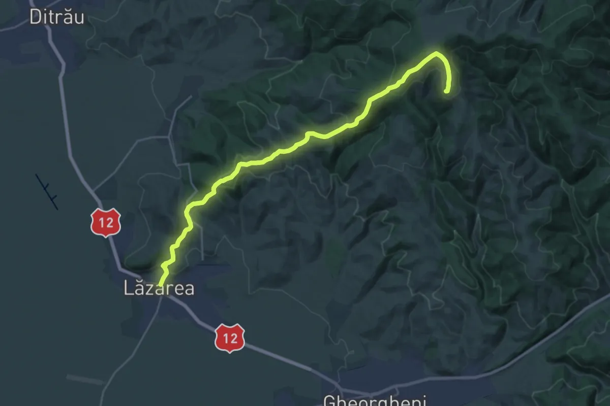
Demanding · Summit
sat Lăzarea - sub Vf. Prișca - oraș Gheorgheni
21.7 km · ↑ 883 m · 7 h 2 min
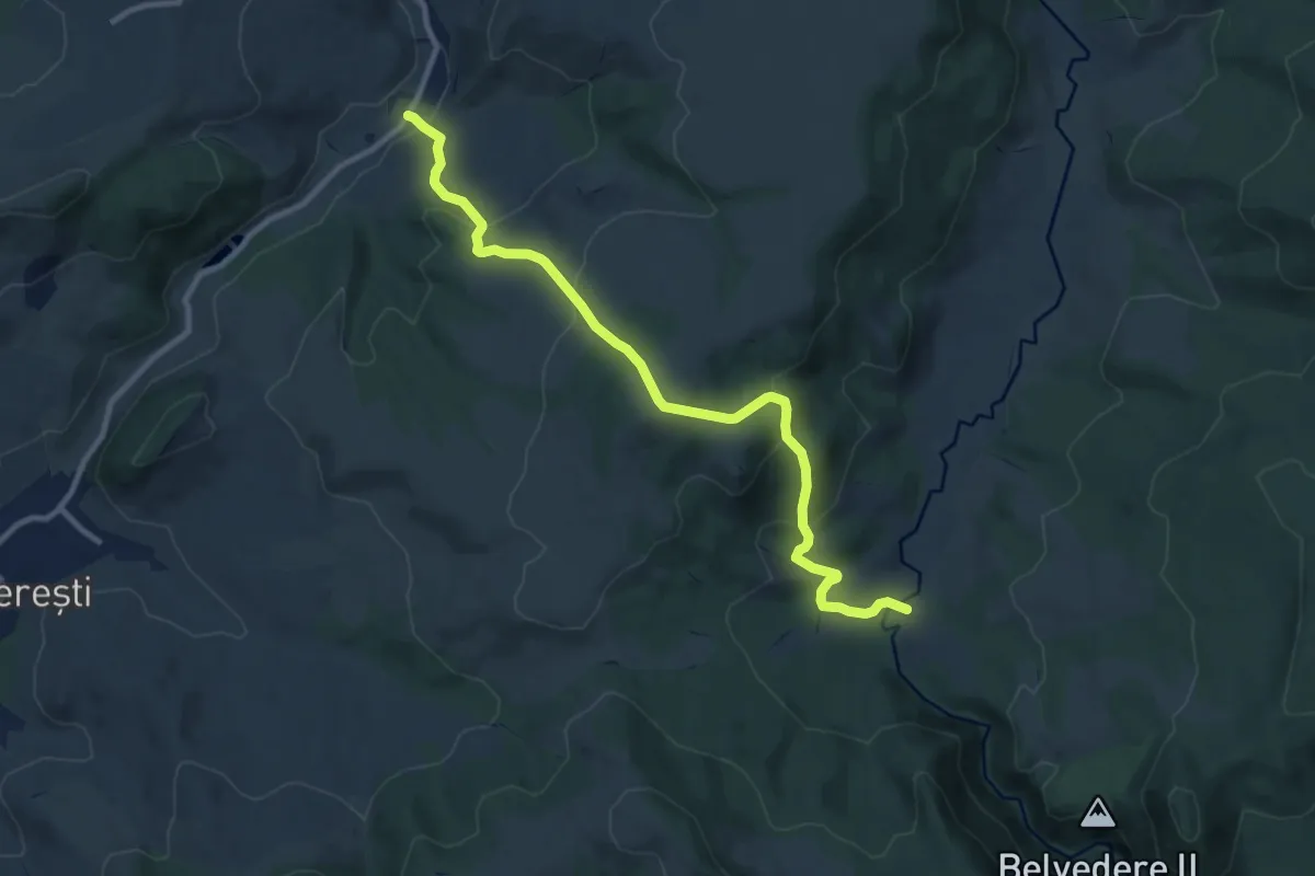
Medium · Trail
sat Lueta - Dealul Merești - Canton Țiglărie
10.9 km · ↑ 589 m · 3 h 50 min