Trails in Romania
1,356 hiking trails, each with its route, climb, walking time and grade.
All trails, page 22 of 29
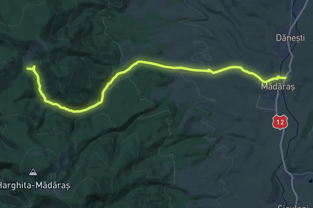
Medium · Trail
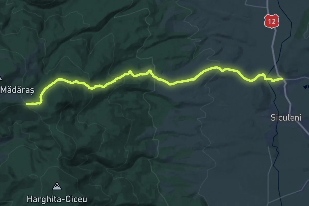
sat Mădăraș - Valea Mădărașul Mare - Pasul Fertău
16.9 km · ↑ 656 m · 5 h 21 min
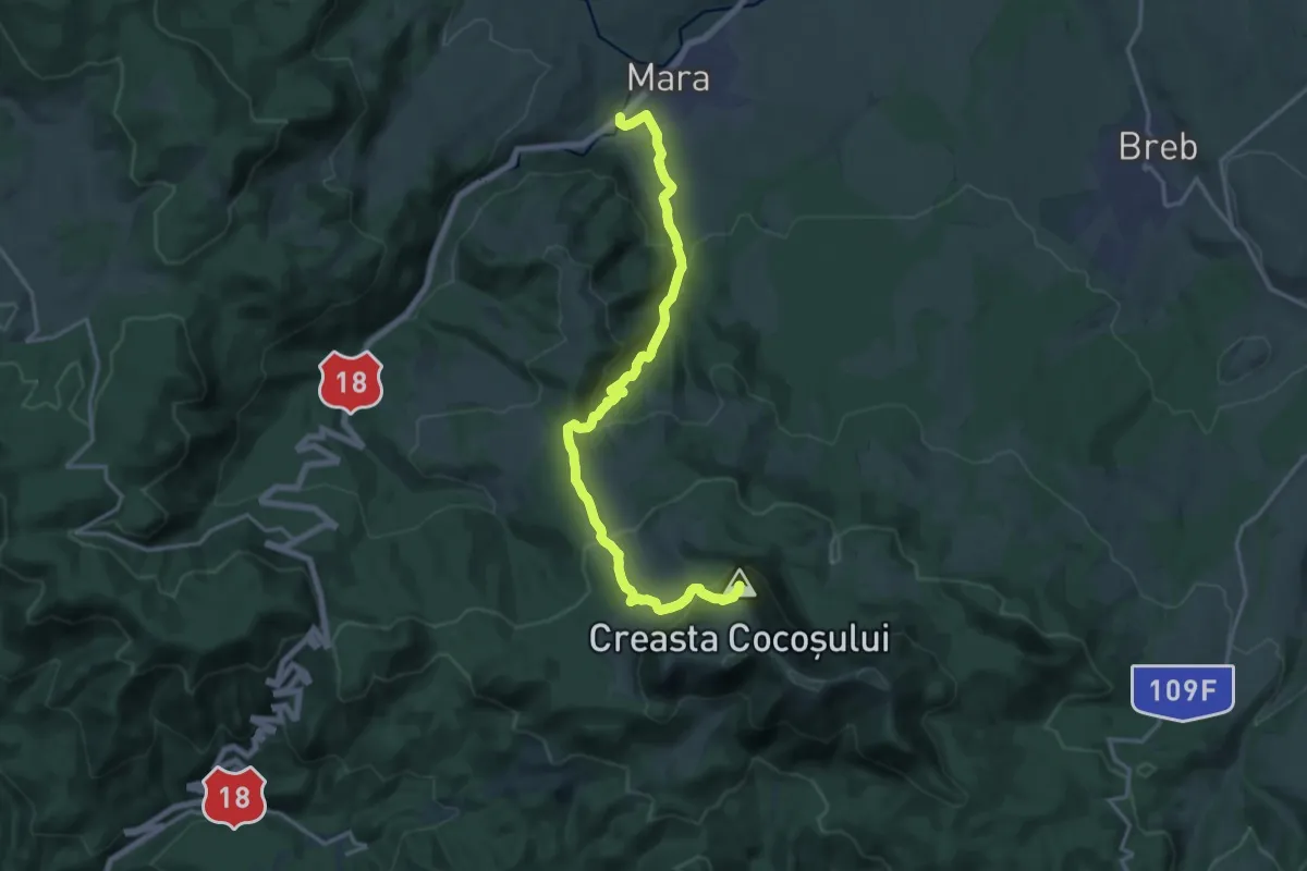
Demanding · Summit
sat Mara – Creasta Cocoșului (blue cross)
17.6 km · ↑ 911 m · 6 h 7 min
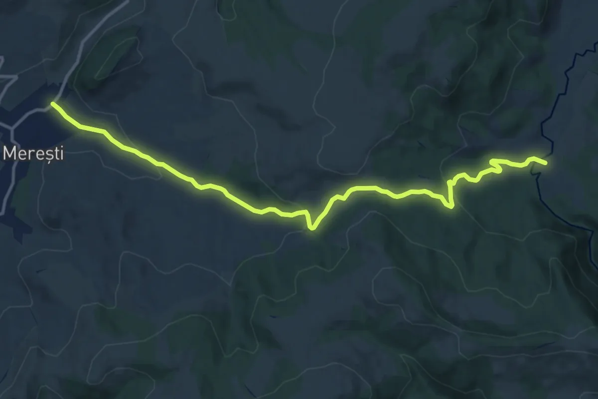
Medium · Trail
sat Merești - Canton Țiglărie - intersecție trasee CA și BG
12.9 km · ↑ 376 m · 3 h 52 min
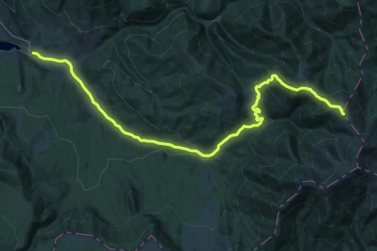
Medium · Trail
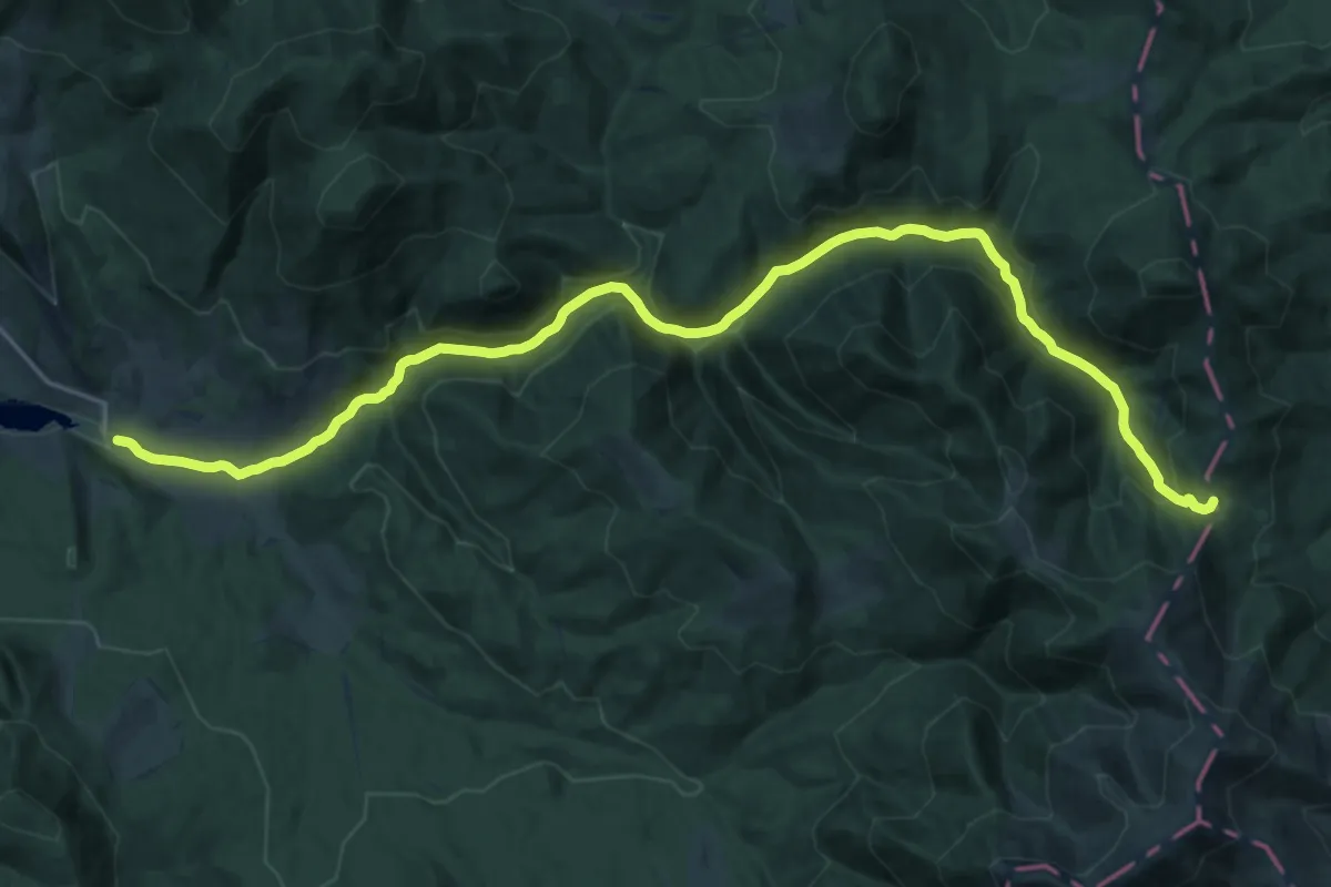
Sat Mița-Muntele Viișorul
13.0 km · ↑ 67 m · 3 h 53 min
Demanding · Trail
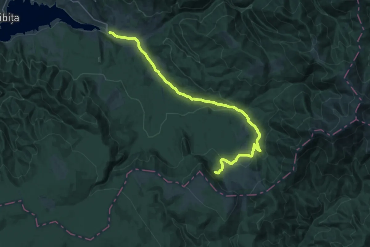
Sat Mița-Șaua Terha
23.9 km · ↑ 764 m · 7 h 18 min
Demanding · Trail
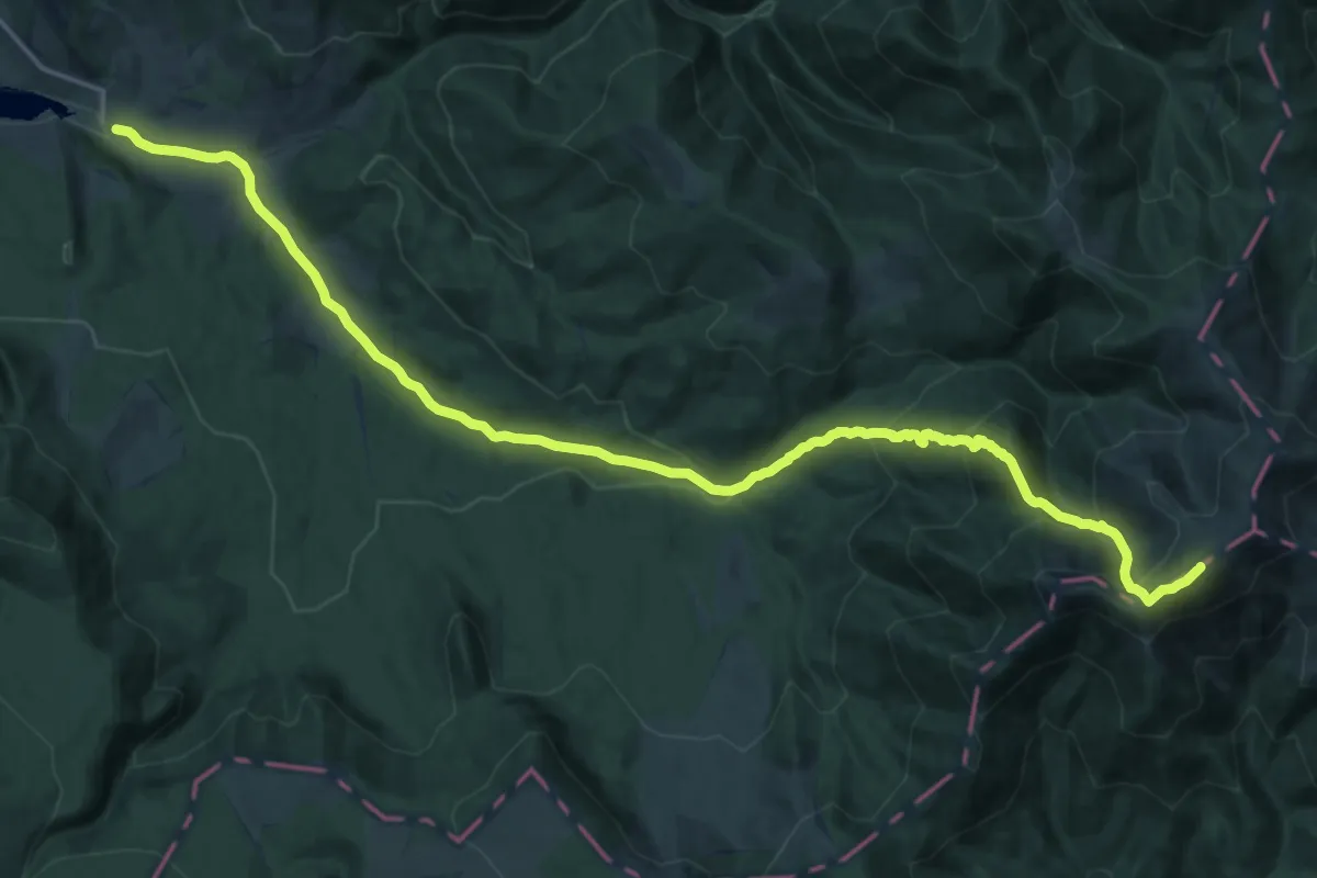
Sat Mița-Tăul Zânelor
21.8 km · ↑ 533 m · 6 h 18 min
Demanding · Summit
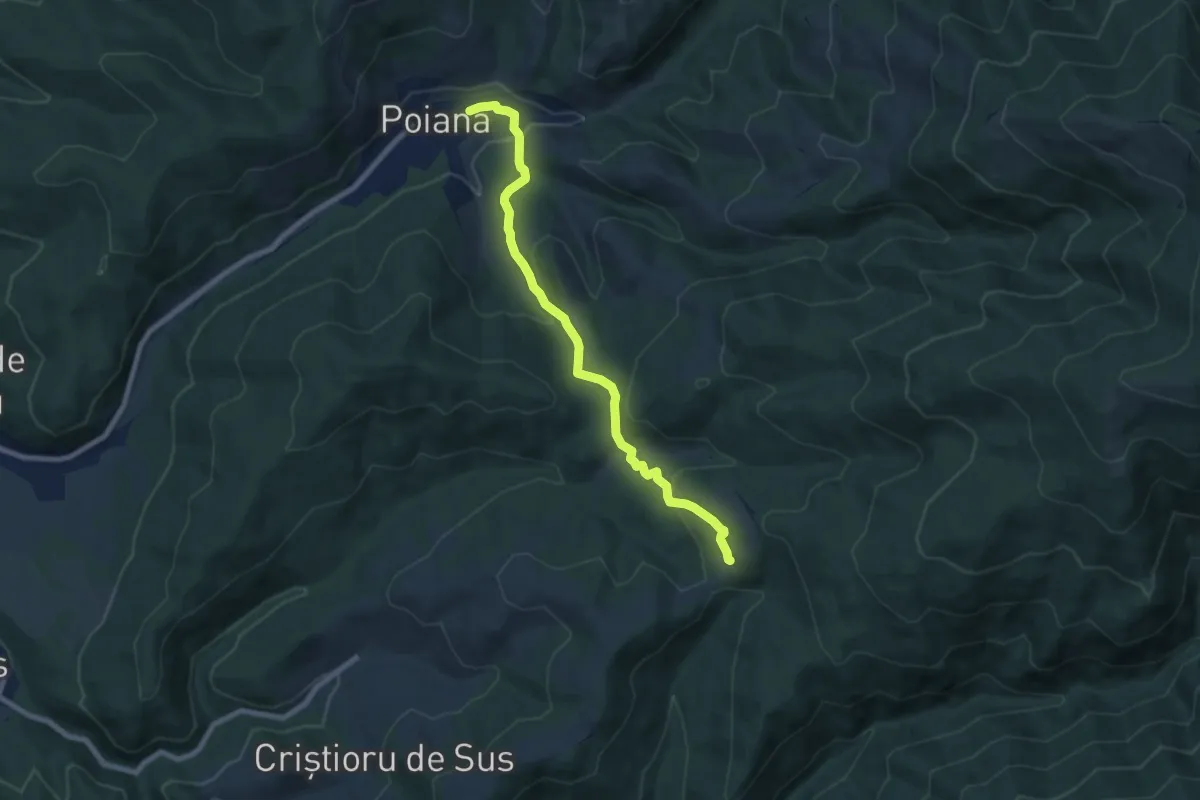
Sat Mița-Vf.Bistricioru
22.7 km · ↑ 1195 m · 7 h 56 min
Medium · Trail
sat Poiana - Poiana La Răscruce
7.8 km · ↑ 343 m · 2 h 35 min
Demanding · Trail
sat Racu - Ruinele Cetății Pogányvár - intersecție traseul BA (creasta principală)
14.3 km · ↑ 940 m · 5 h 10 min
Medium · Trail
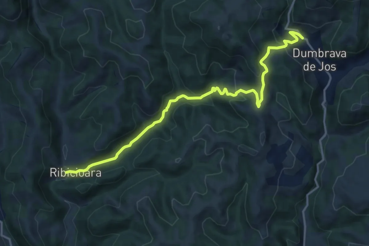
sat Ribicioara - sat Dumbrava de Jos
11.4 km · ↑ 514 m · 3 h 48 min
Medium · Trail
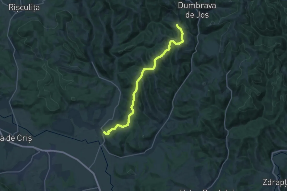
sat Ribița - intersecție cu traseul CR
15.3 km · ↑ 587 m · 4 h 53 min
Medium · Trail
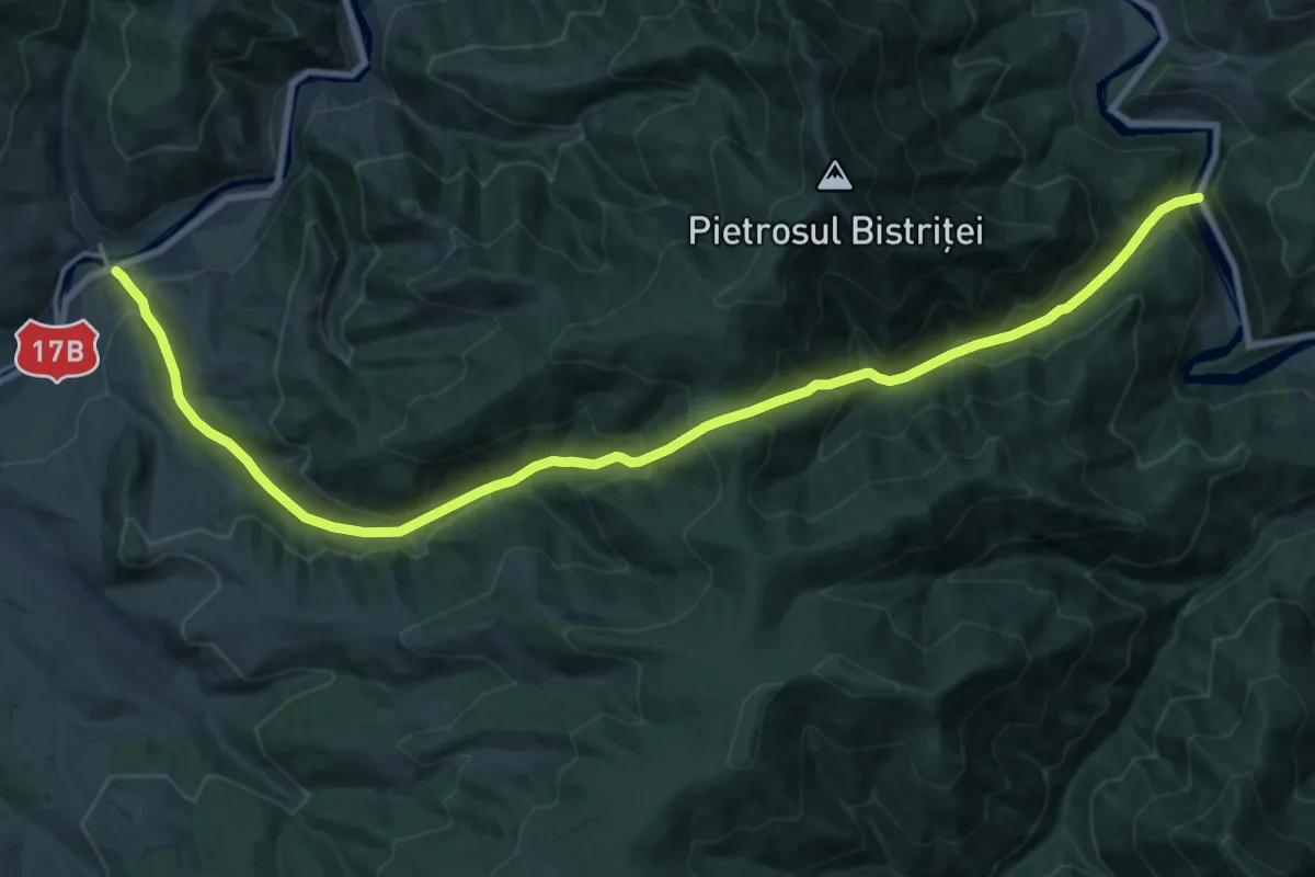
Sat Rusca – Valea Rusca – Șaua Izvorul Rău – Valea Izvorul Rău – Valea Bistriței – Sat Crucea
12.0 km · ↑ 693 m · 4 h 32 min
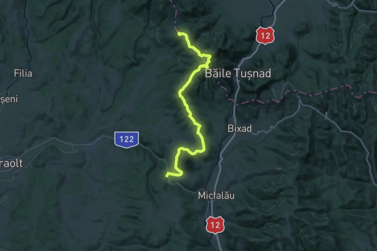
Demanding · Summit
sat Sântimbru-Băi - Muntele Mitaci - Pasul Hatod
41.5 km · ↑ 1378 m · 12 h 48 min
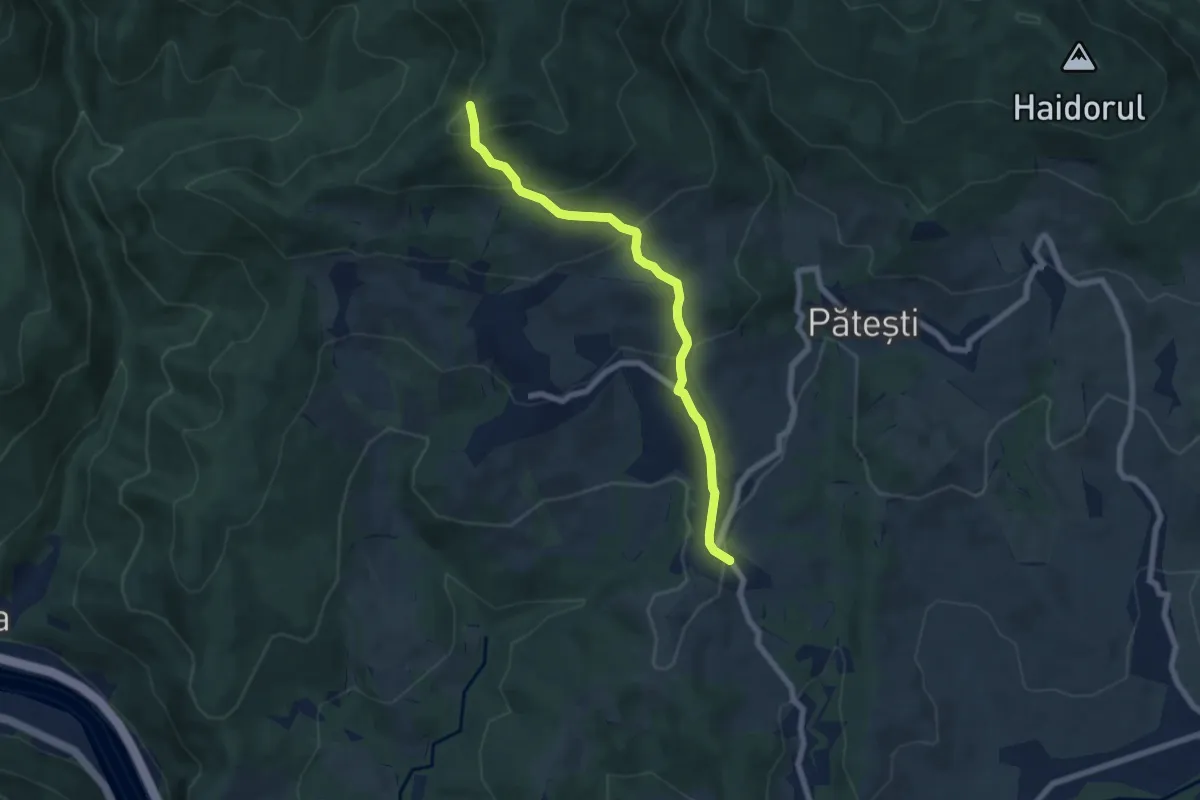
Medium · Trail
sat Șerbănești (C.L.I.T.) - intersecție cu traseul TA
6.8 km · ↑ 414 m · 2 h 30 min
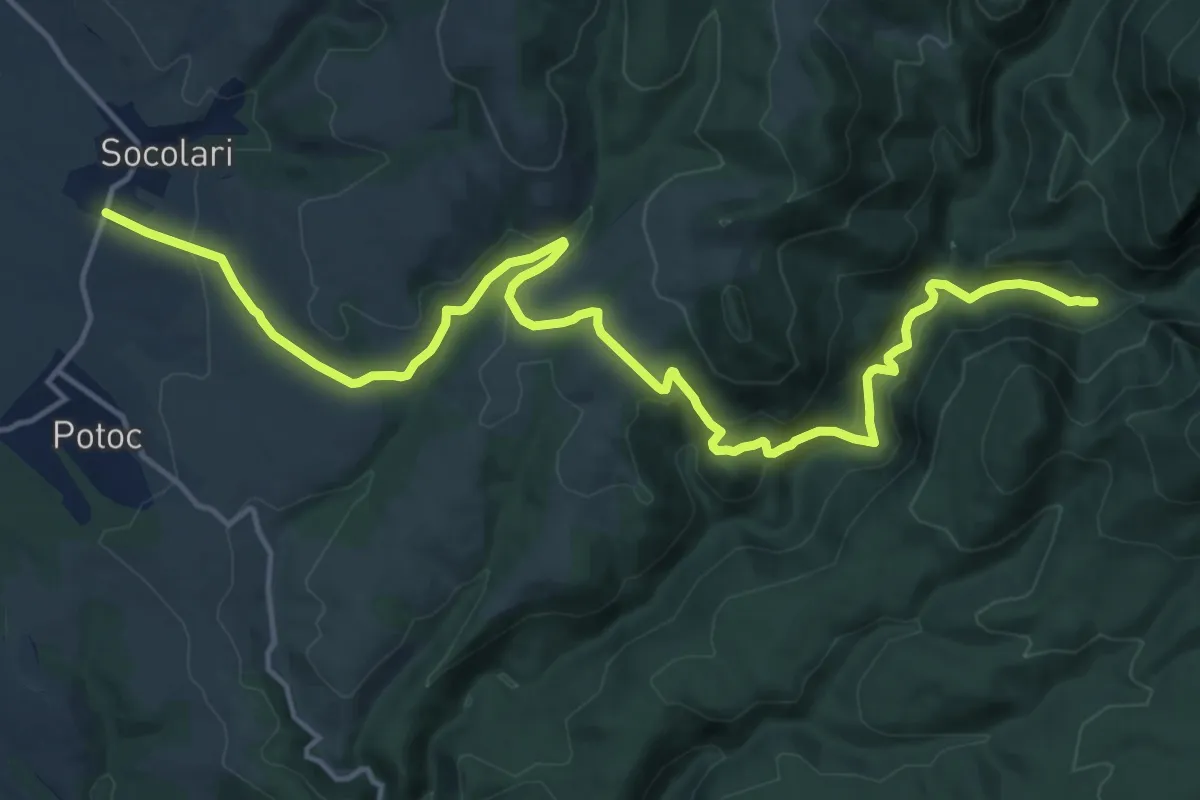
Demanding · Trail
Sat Socolari – Custura Cetății – Valea Beiului – Lacul Ochiul Beiului – Cascada Beușnița
20.1 km · ↑ 528 m · 5 h 53 min
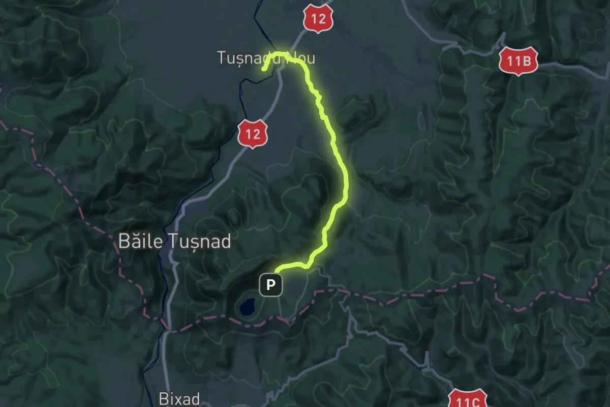
Demanding · Trail
sat Tușnadu Nou - Tinovul Mohos - Cabana Lacul Sfânta Ana
20.1 km · ↑ 474 m · 5 h 47 min
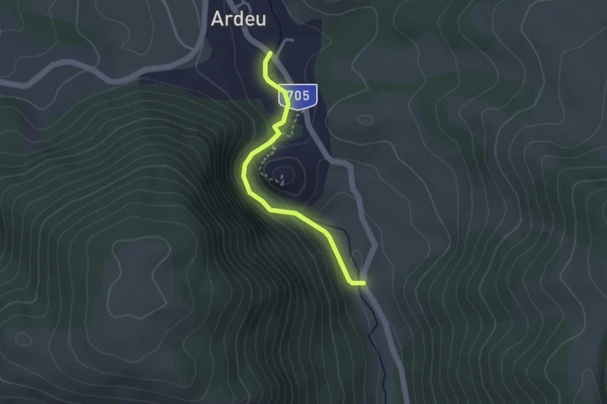
Easy · Trail
Satul Ardeu - Cheile Ardeu - DJ705
2.6 km · ↑ 147 m · 56 min
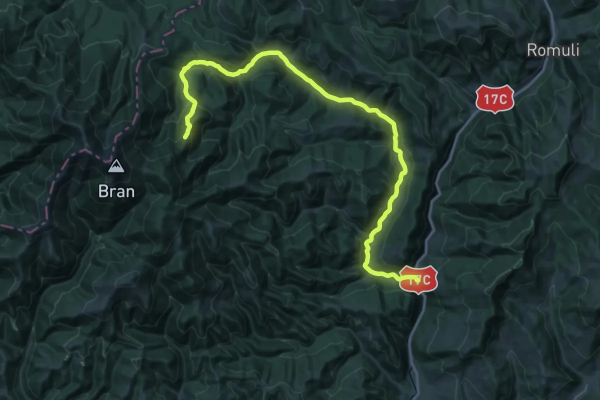
Demanding · Trail
Satul Fiad - Vârful Țibleș
15.9 km · ↑ 888 m · 5 h 30 min
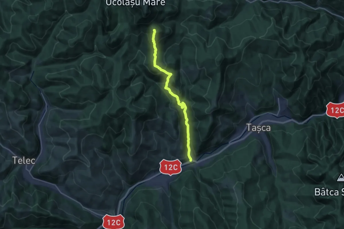
Demanding · Summit
Satul Neagra - Ocolașul Mic - Cabana Dochia
15.7 km · ↑ 945 m · 5 h 45 min
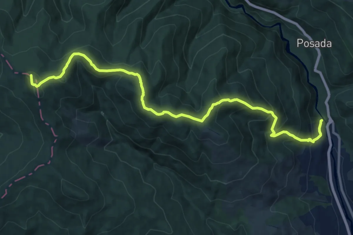
Demanding · Summit
Satul Posada - Schitul Lespezi - Varful Plesuva - Plaiul Urzicarul - Poiana Hotilor - Popasul "Cota 1000"
16.3 km · ↑ 1073 m · 6 h 10 min
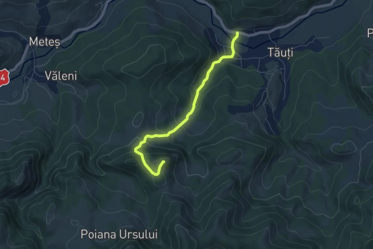
Medium · Trail
satul Tăuți – Cetatea Tăuți
6.4 km · ↑ 351 m · 2 h 16 min
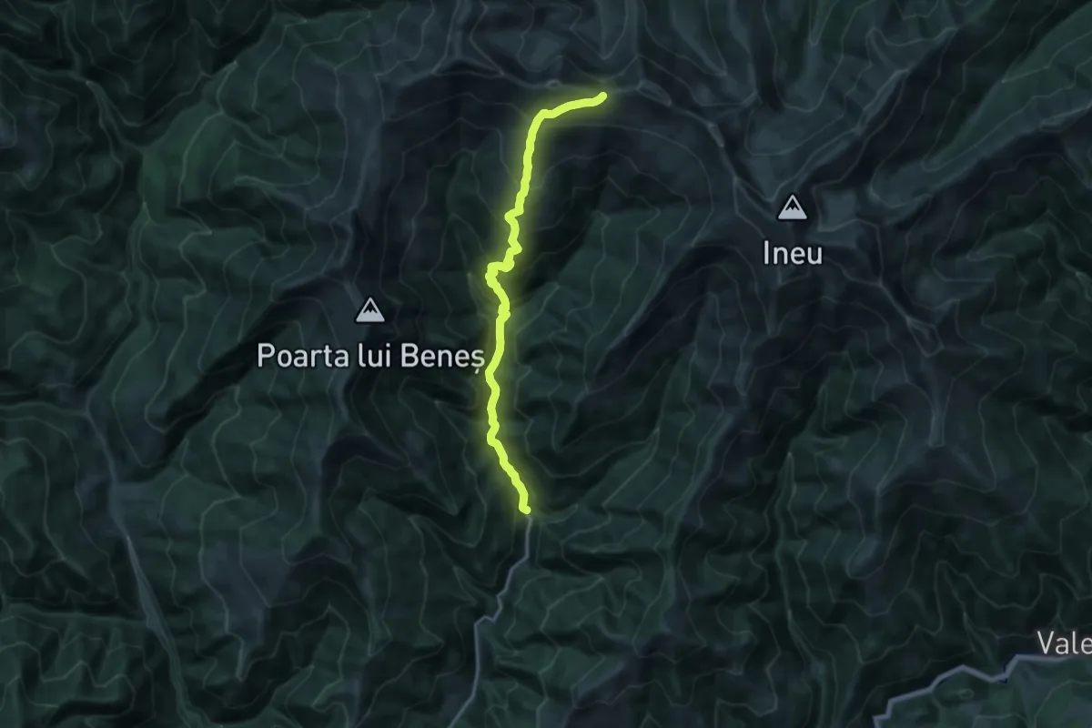
Demanding · Trail
Satul Valea Vinului - M. Cișa - Tarnița lui Putredu
17.1 km · ↑ 1361 m · 6 h 58 min
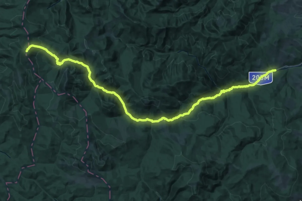
Demanding · Summit
Satul Vetrești Herăstrău – Pârâul Bălosu – Golu Pietrosului – Cabanele „Giurgiu” – Valea Zabalei – Mîrdanu – Vîrful Lăcăuți (blue dot)
56.6 km · ↑ 2003 m · 17 h 42 min
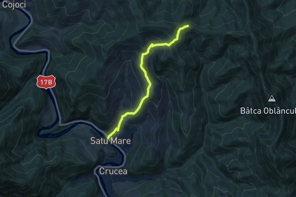
Medium · Trail
Satu Mare - Valea Casei - traseul 3 BR
9.6 km · ↑ 680 m · 3 h 44 min
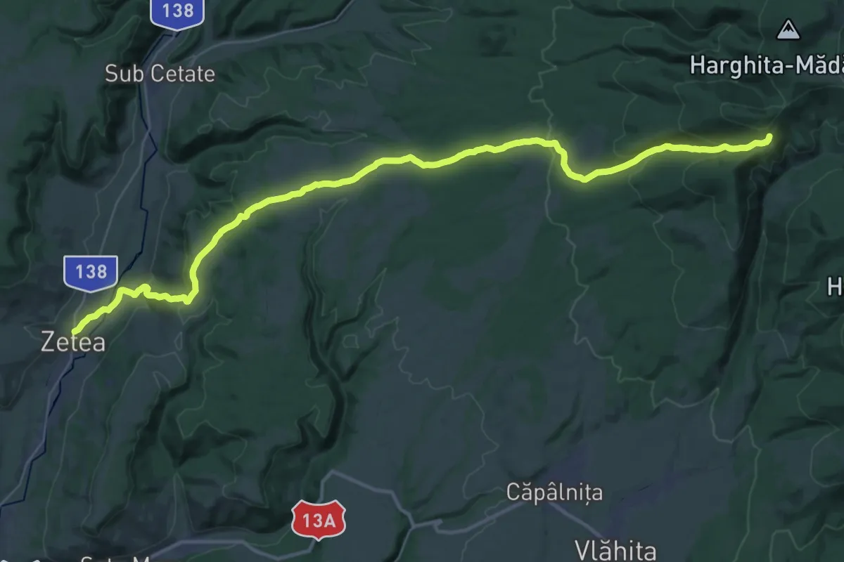
Demanding · Trail
sat Zetea - Dealul Fened - intersecție traseul CA
19.7 km · ↑ 1078 m · 6 h 46 min
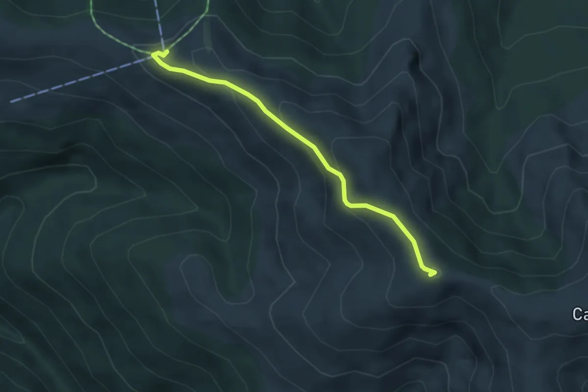
Easy · Summit
Șaua Băiuțului - Telegondola Azuga
3.7 km · ↑ 178 m · 1 h 16 min
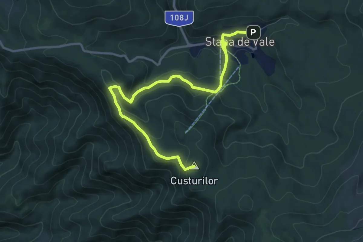
Medium · Summit
Șaua Bohodei-Vf. Custurilor-Stâna de Vale
9.2 km · ↑ 412 m · 3 h 4 min
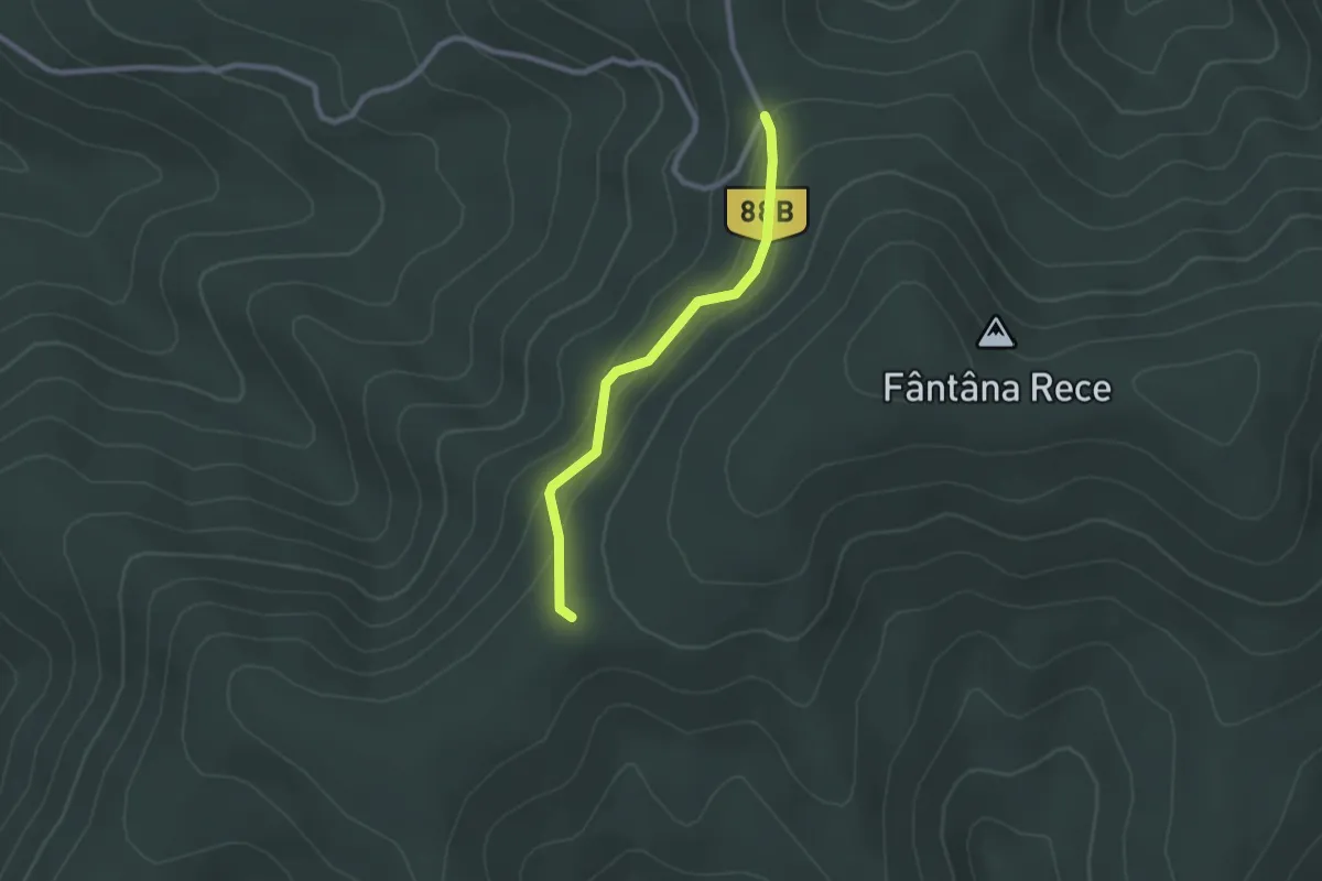
Easy · Trail
Șaua Cazan - Creasta principală
2.2 km · ↑ 91 m · 43 min
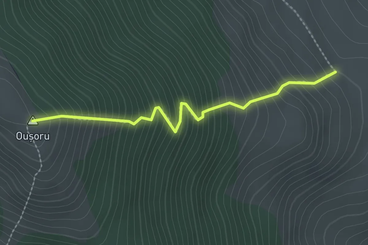
Medium · Summit
Șaua Ciobanilor - Vârful Oușoru
2.2 km · ↑ 415 m · 1 h 26 min
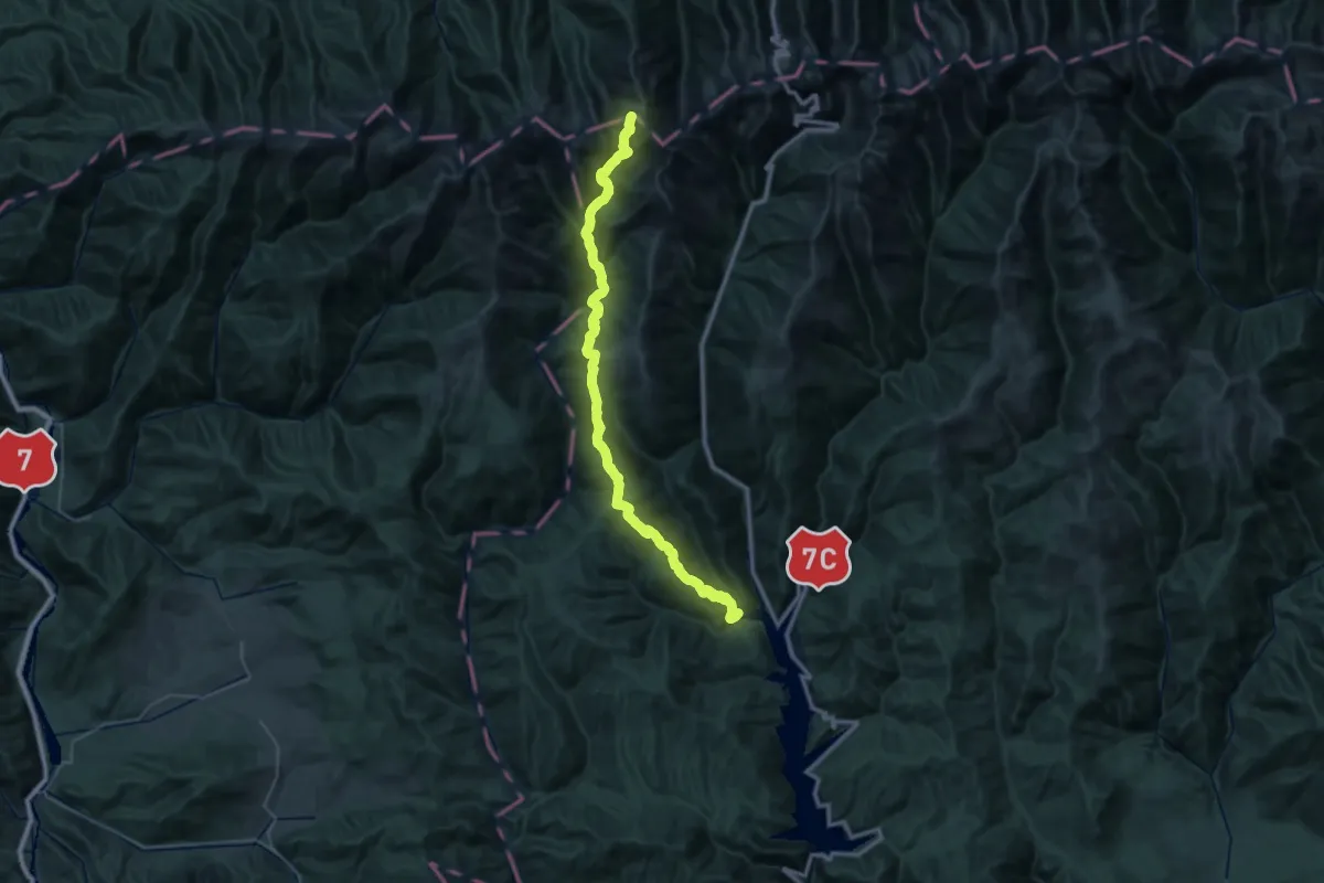
Demanding · Trail
Șaua Cleopatra - Izv. Negoiului - Cabana Cumpăna
23.1 km · ↑ 2207 m · 9 h 49 min
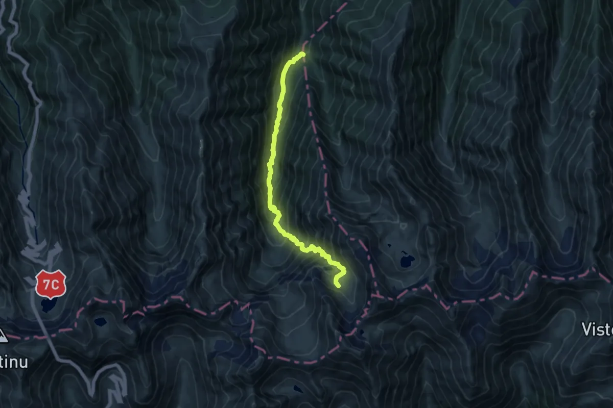
Demanding · Trail
Șaua dintre Lacuri - L. Podrăgel - Gura Podragului
10.4 km · ↑ 1027 m · 4 h 41 min
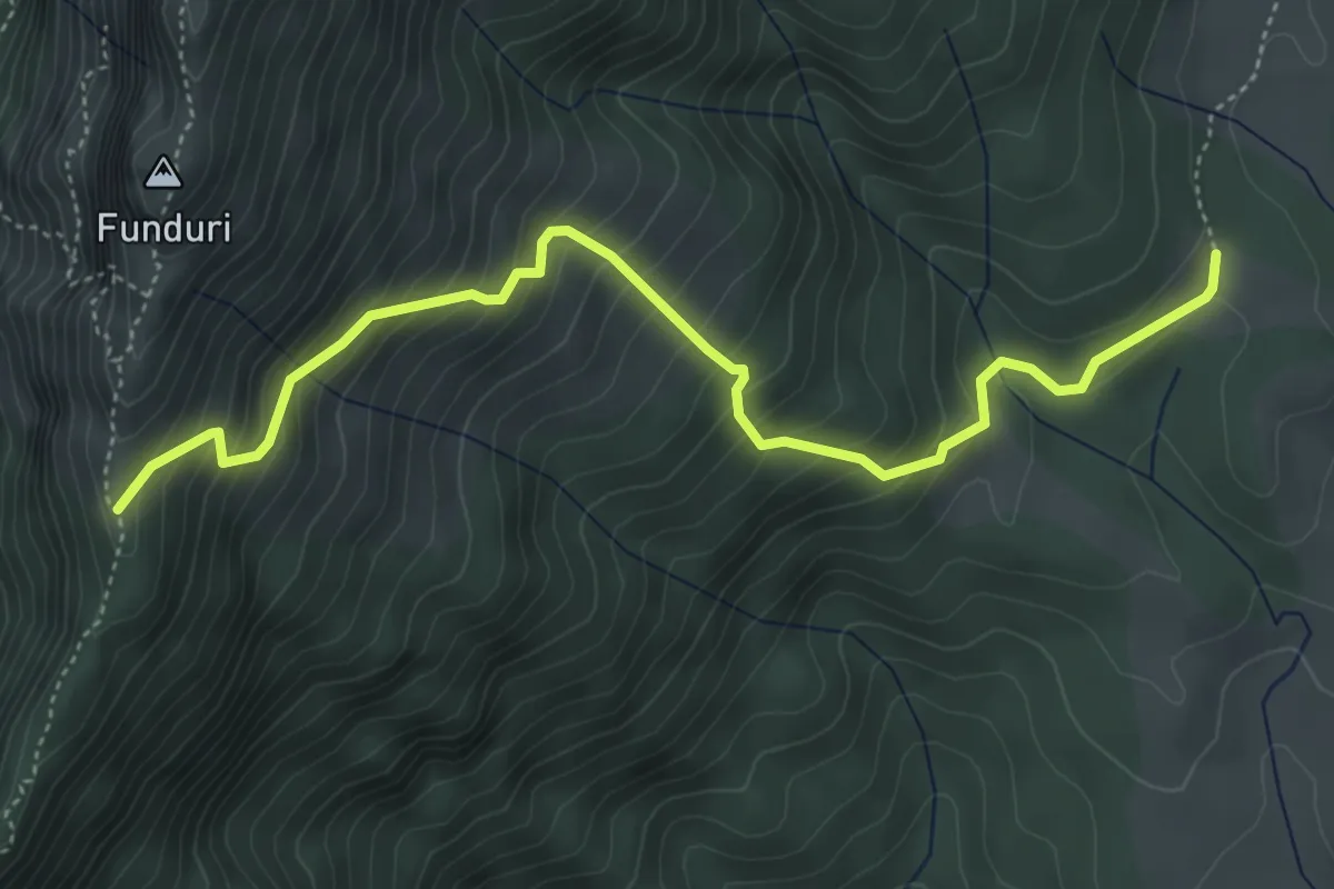
Medium · Trail
Șaua Funduri-Muntele Funduri-traseul BA
5.3 km · ↑ 512 m · 2 h 22 min
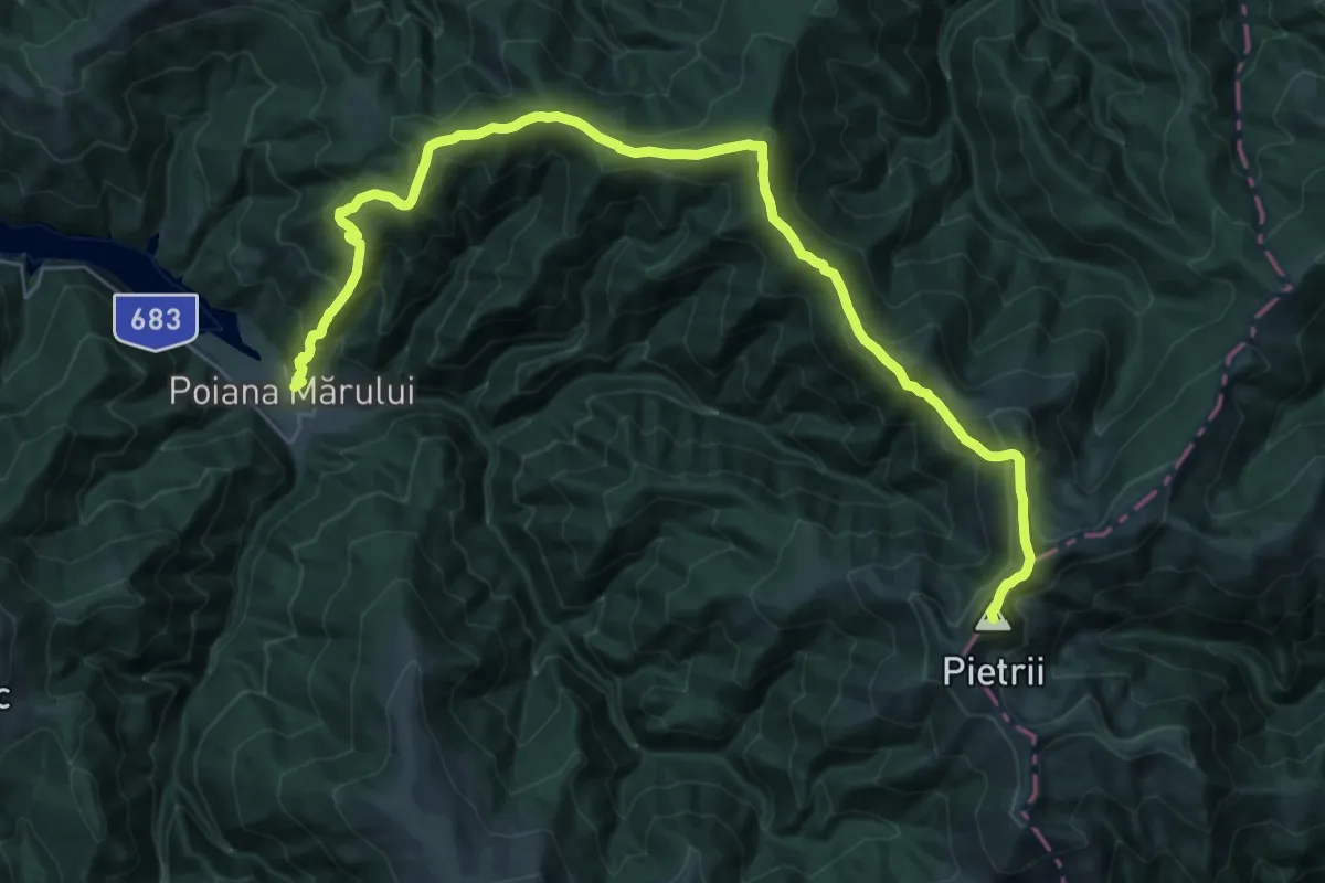
Demanding · Summit
Șaua Iepii – Vârful Custurii – Vârful Bloju – Vârful Pietrii – Vârful Cununii – Vârful Murgani – Vârful Sturu – Vârful Zănoaga – Poiana Mărului
36.2 km · ↑ 2170 m · 13 h 14 min
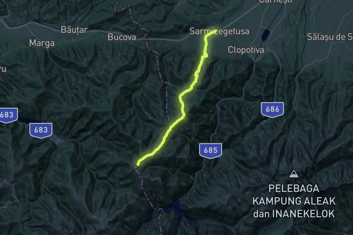
Demanding · Summit
Șaua Iepii - Vârful Custurii – Vârful Bloju – Vârful Pietrii – Vârful Scărișoara – Vârful Petreanu - Sarmizegetusa
44.8 km · ↑ 2288 m · 15 h 33 min
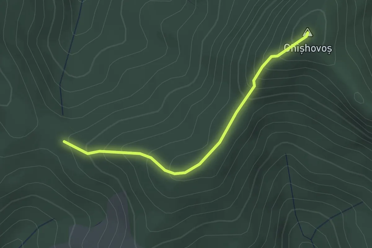
Easy · Summit
Șaua Niergheș - belvedere Vf. Danțurașul Mic
2.7 km · ↑ 233 m · 1 h 9 min
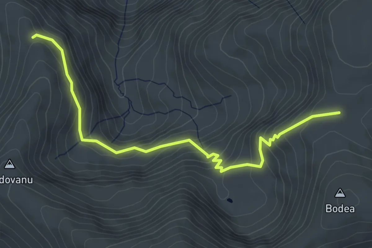
Medium · Trail
Șaua Plaiului - Caldarile sub Țarcu
5.7 km · ↑ 394 m · 2 h 12 min
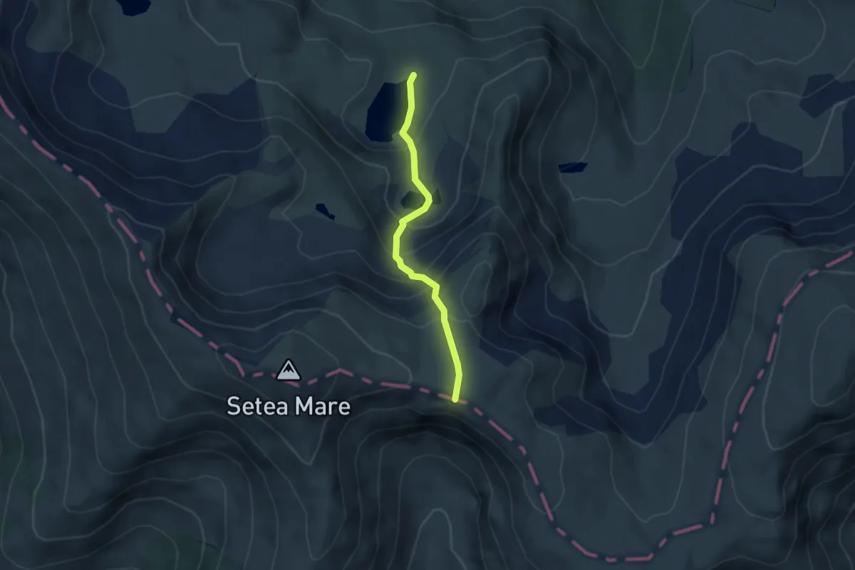
Demanding · Trail
Șaua Pleșcoaia - Hornul Lacurilor - Lacul Gâlcescu
3.1 km · ↑ 308 m · 1 h 24 min
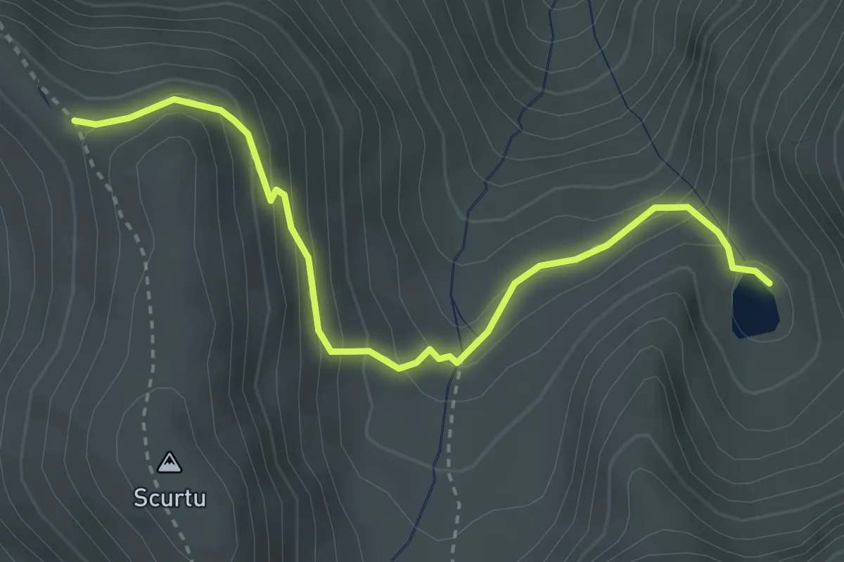
Easy · Trail
Șaua Scurtu - Lacul Mija
3.5 km · ↑ 255 m · 1 h 22 min
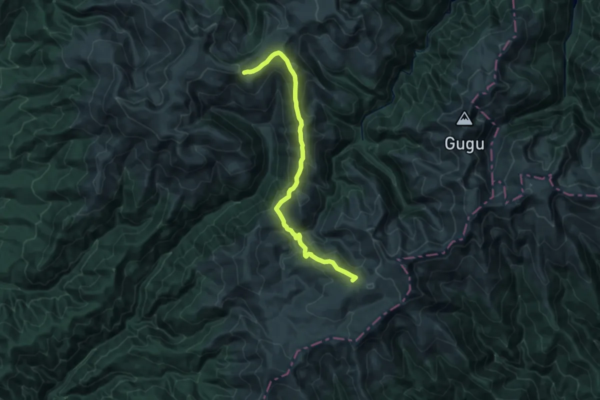
Demanding · Summit
Șaua Șuculețului - Culmea Prislopului - La Mlăci - Râul Șes - Vârful Godeanu
23.7 km · ↑ 1117 m · 8 h 2 min
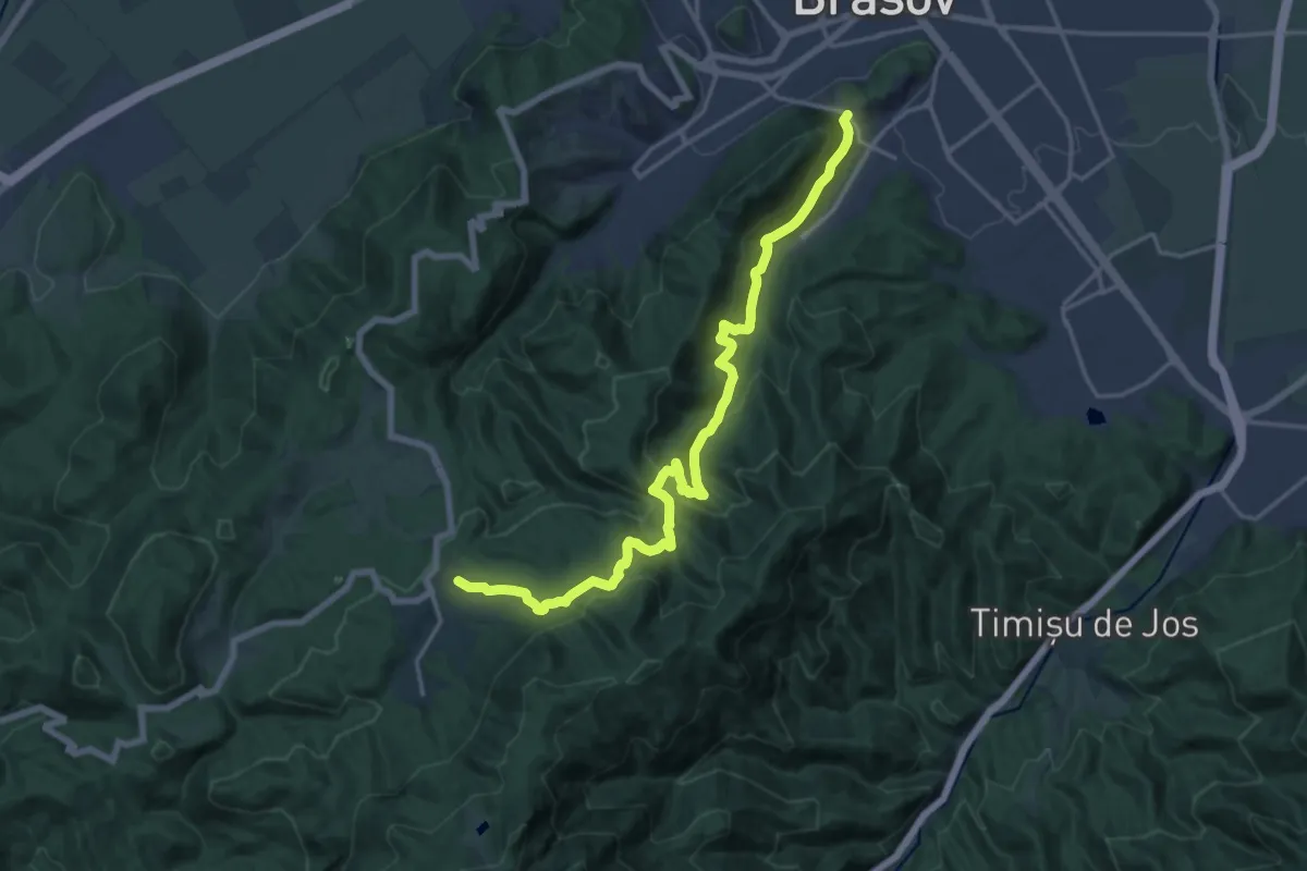
Demanding · Trail
Șaua Tâmpei - Valea Cetății - Poiana Brașov
19.0 km · ↑ 1006 m · 6 h 39 min
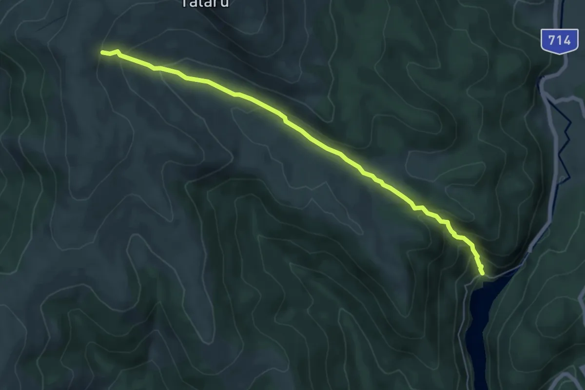
Medium · Trail
Șaua Tătaru - Lacul Bolboci
6.2 km · ↑ 390 m · 2 h 18 min
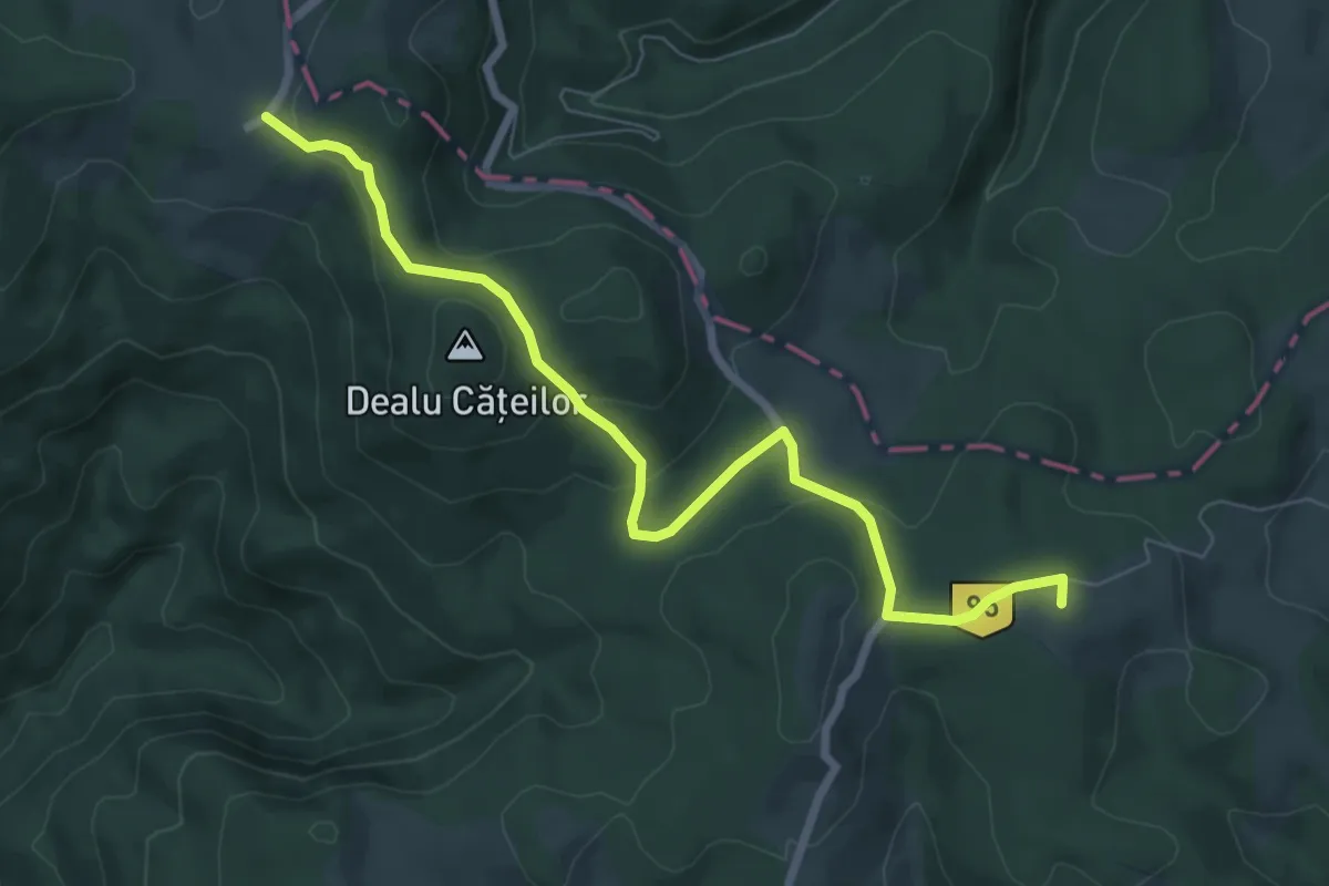
Easy · Summit
Șaua Ursoaia - Poiana Călineasa
7.7 km · ↑ 225 m · 2 h 18 min
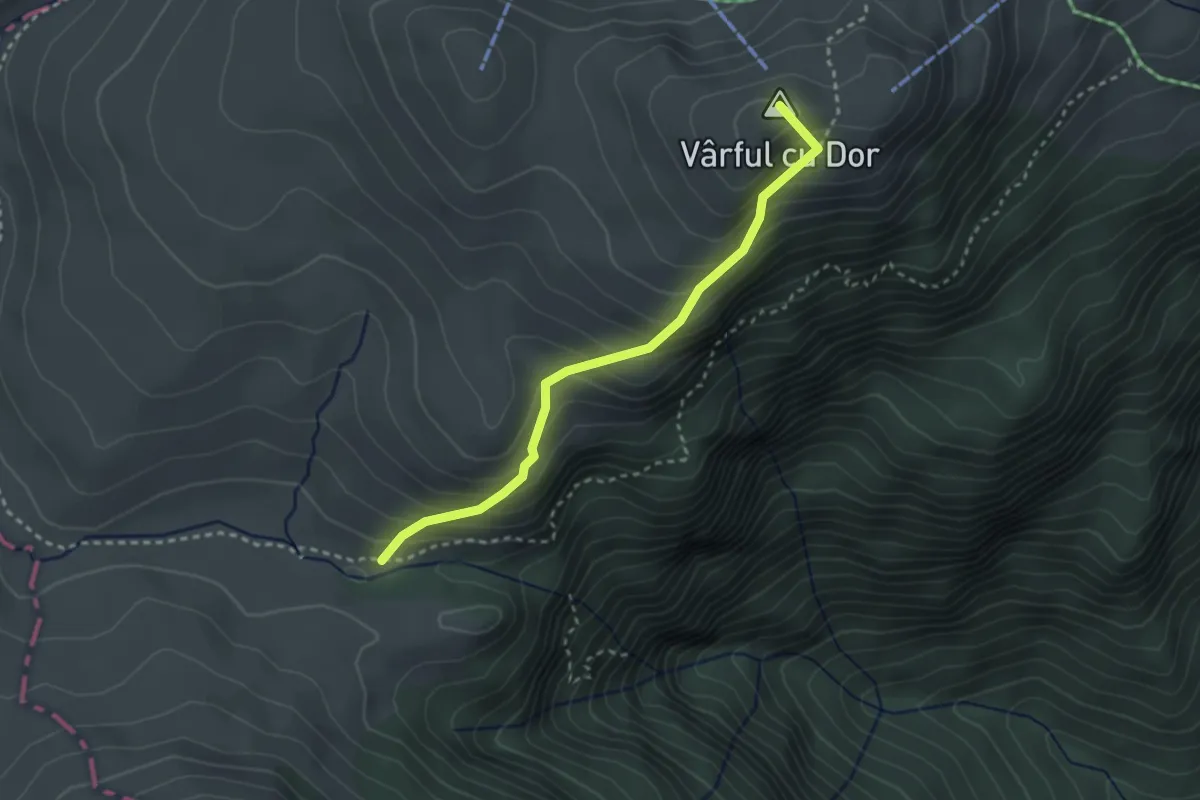
Easy · Summit
Șaua Vârfului cu Dor - Șaua Vânturiș
2.9 km · ↑ 313 m · 1 h 21 min
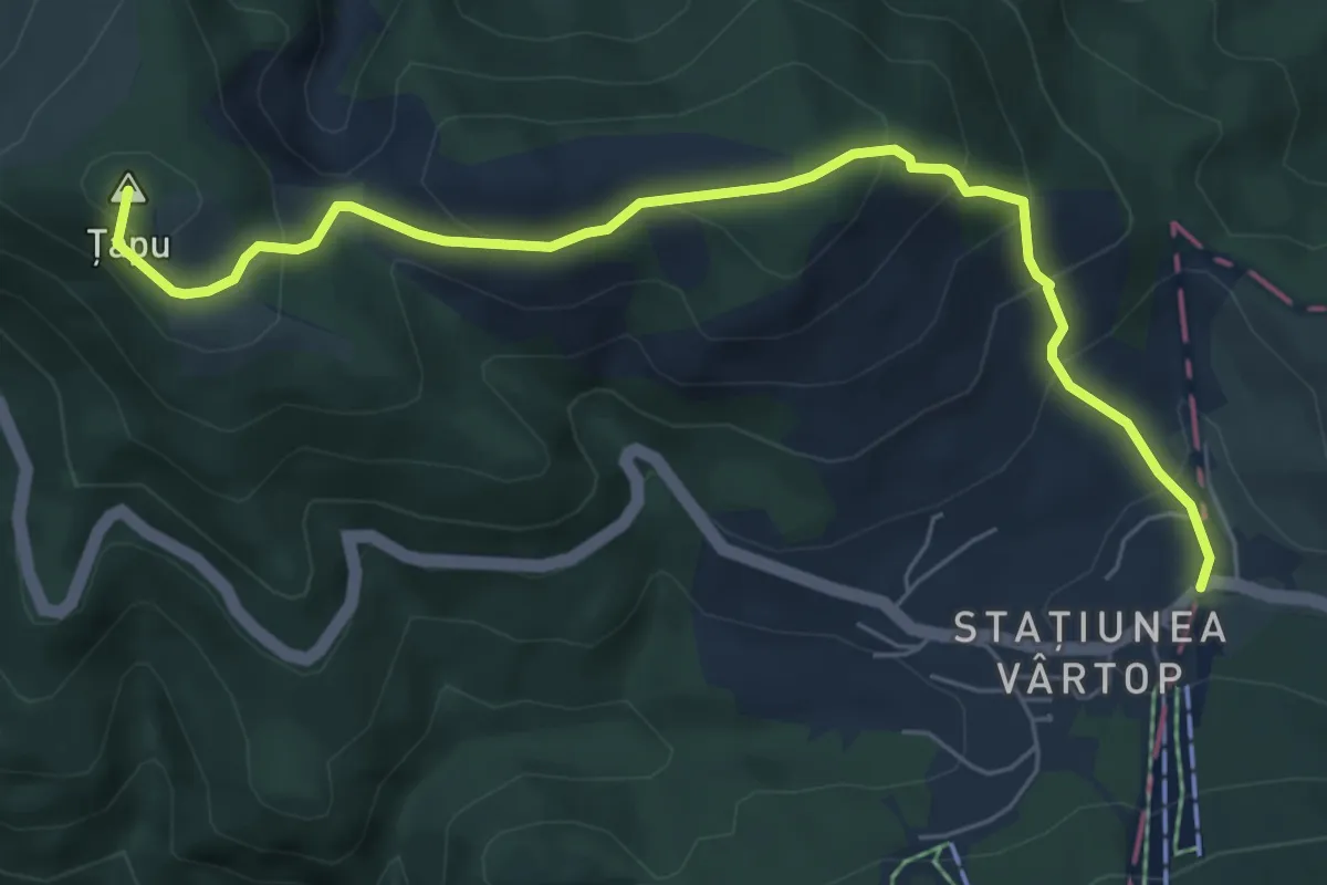
Medium · Summit
Șaua Vârtop - Groapa Ruginoasa - Pietrele Negre
6.7 km · ↑ 461 m · 2 h 36 min
Demanding · Summit
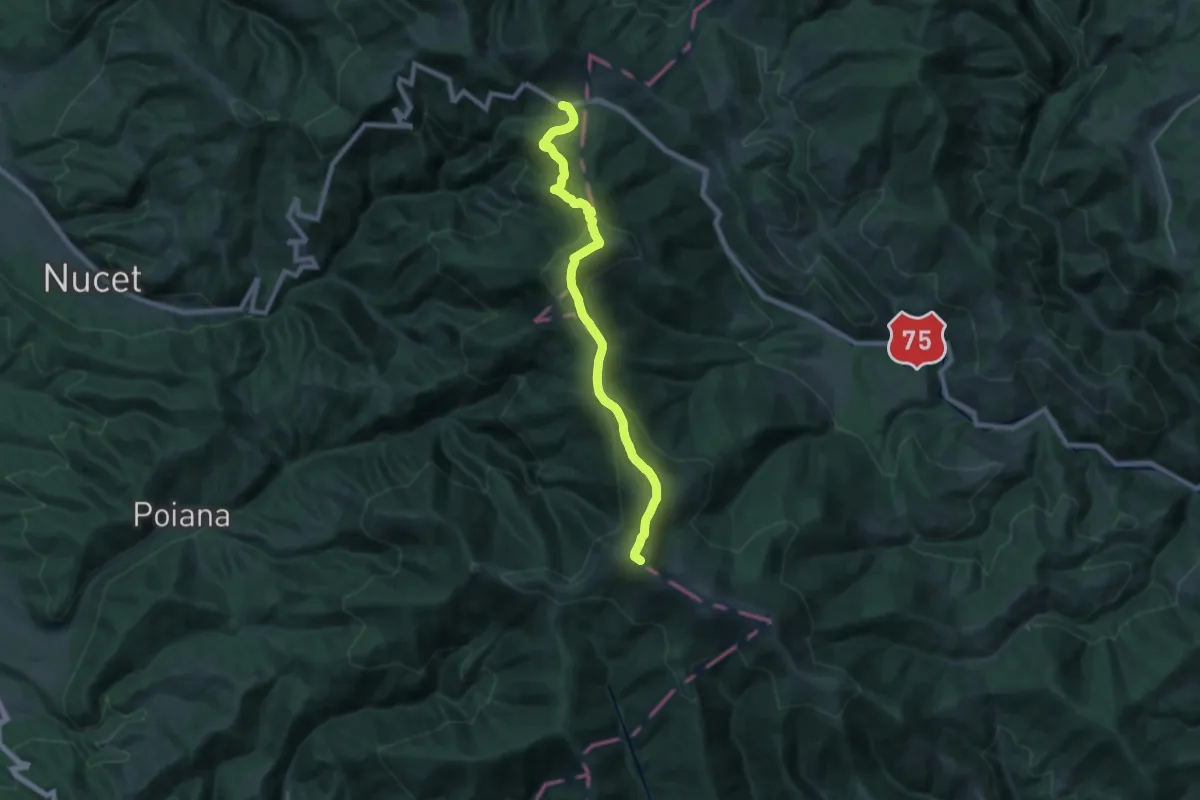
Șaua Vârtop - Muntele Găina Cruce
21.0 km · ↑ 1166 m · 7 h 28 min
Medium · Trail
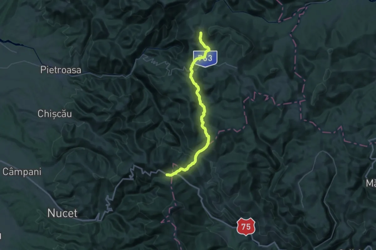
Șaua Vârtop - Șaua Vărășoaia
16.2 km · ↑ 747 m · 5 h 35 min
Expert · Trail
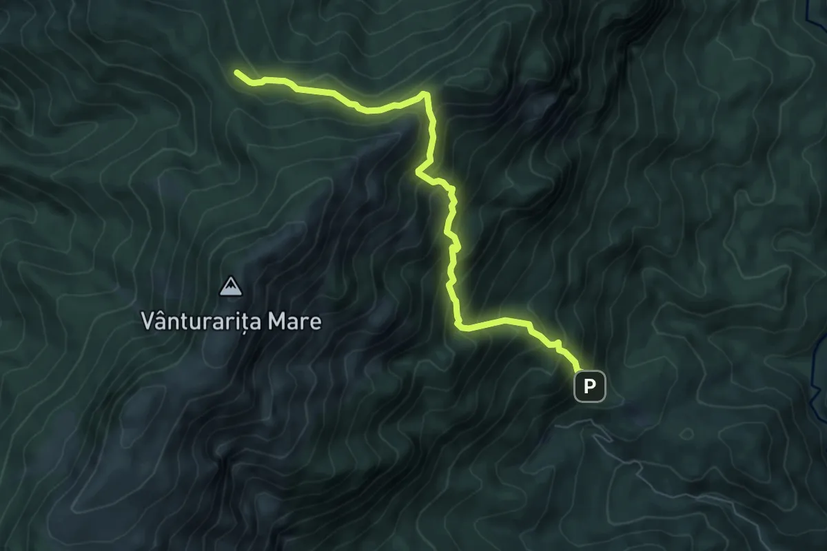
Schitul Pahomie - Stâna Oale - Curmătura Oale - Curmătura Comarnice
7.3 km · ↑ 831 m · 3 h 32 min
Expert · Trail
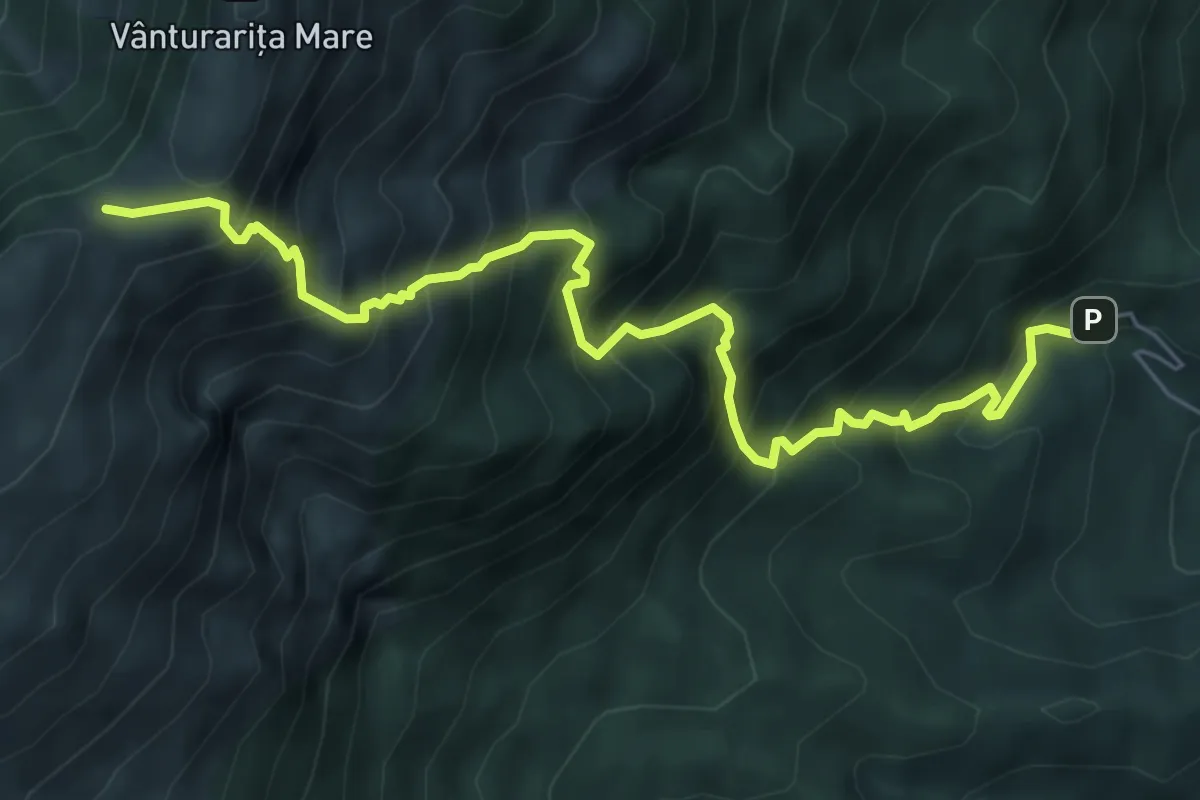
Schitul Pahomie - Stâna Ștevioara - Muchia Frumoasă - Șaua Ștevioara
7.2 km · ↑ 1022 m · 3 h 55 min