Trails in Romania
1,356 hiking trails, each with its route, climb, walking time and grade.
All trails, page 23 of 29
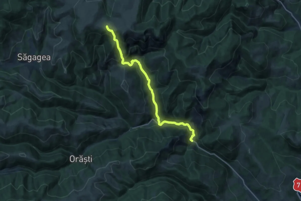
Demanding · Trail
Schitul Poșaga - La Măteoaie - Șaua La Răscruce
14.9 km · ↑ 959 m · 5 h 36 min
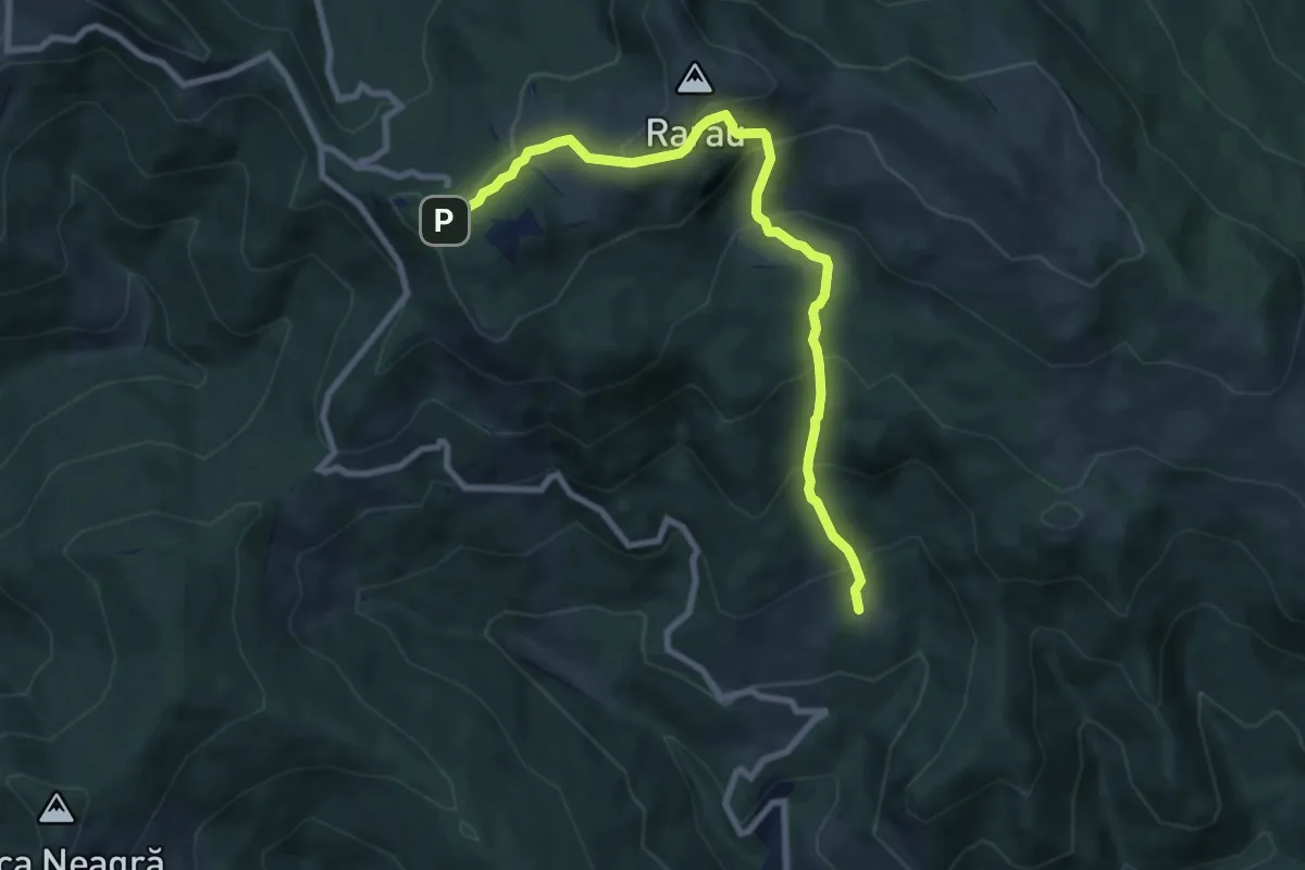
Demanding · Trail
Schitul Rarău – Hotel Rarău (yellow triangle)
8.5 km · ↑ 653 m · 3 h 25 min
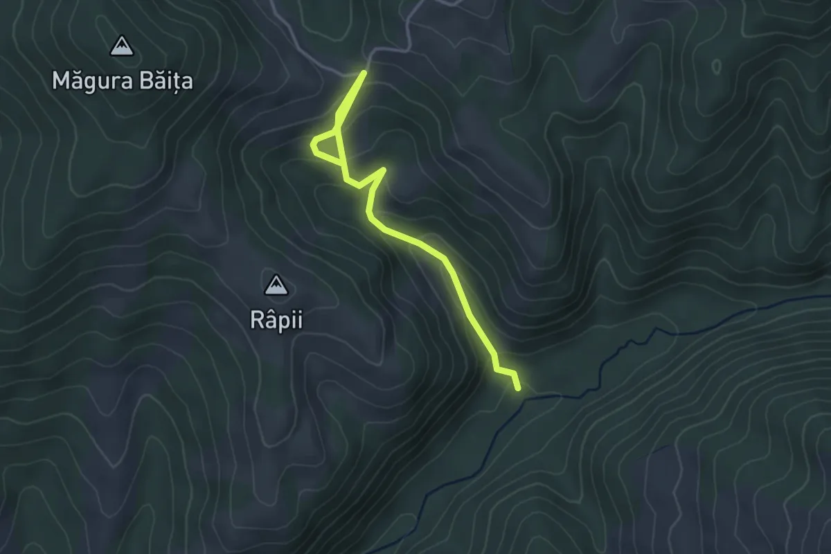
Easy · Trail
Scurtătură traseu Poiana - Cascada Sfânta Treime - Băița
3.6 km · ↑ 243 m · 1 h 23 min
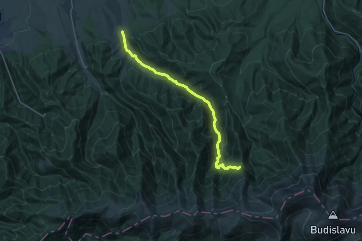
Demanding · Cabin
Sebeșu de Sus - V. Moașei - Cabana Suru
16.3 km · ↑ 973 m · 5 h 57 min
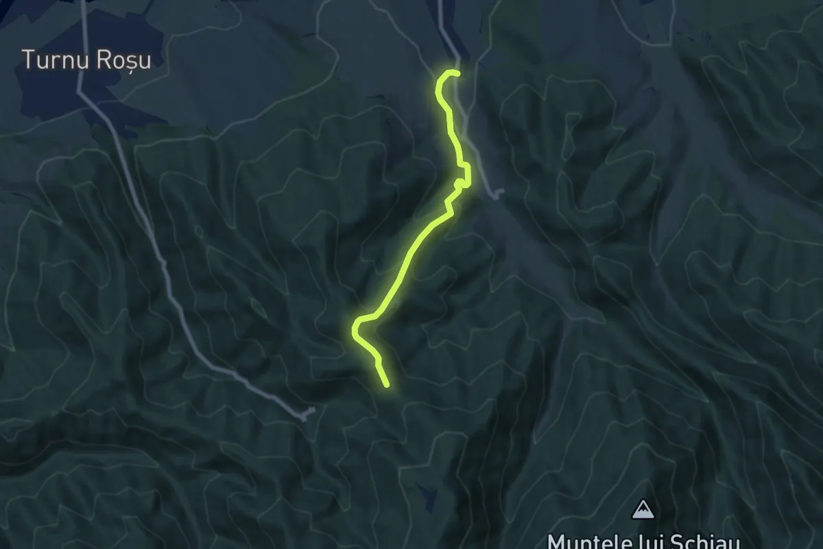
Medium · Trail
Sebeșul de Jos - Culmea Fântânii (traseul TA)
6.6 km · ↑ 422 m · 2 h 29 min
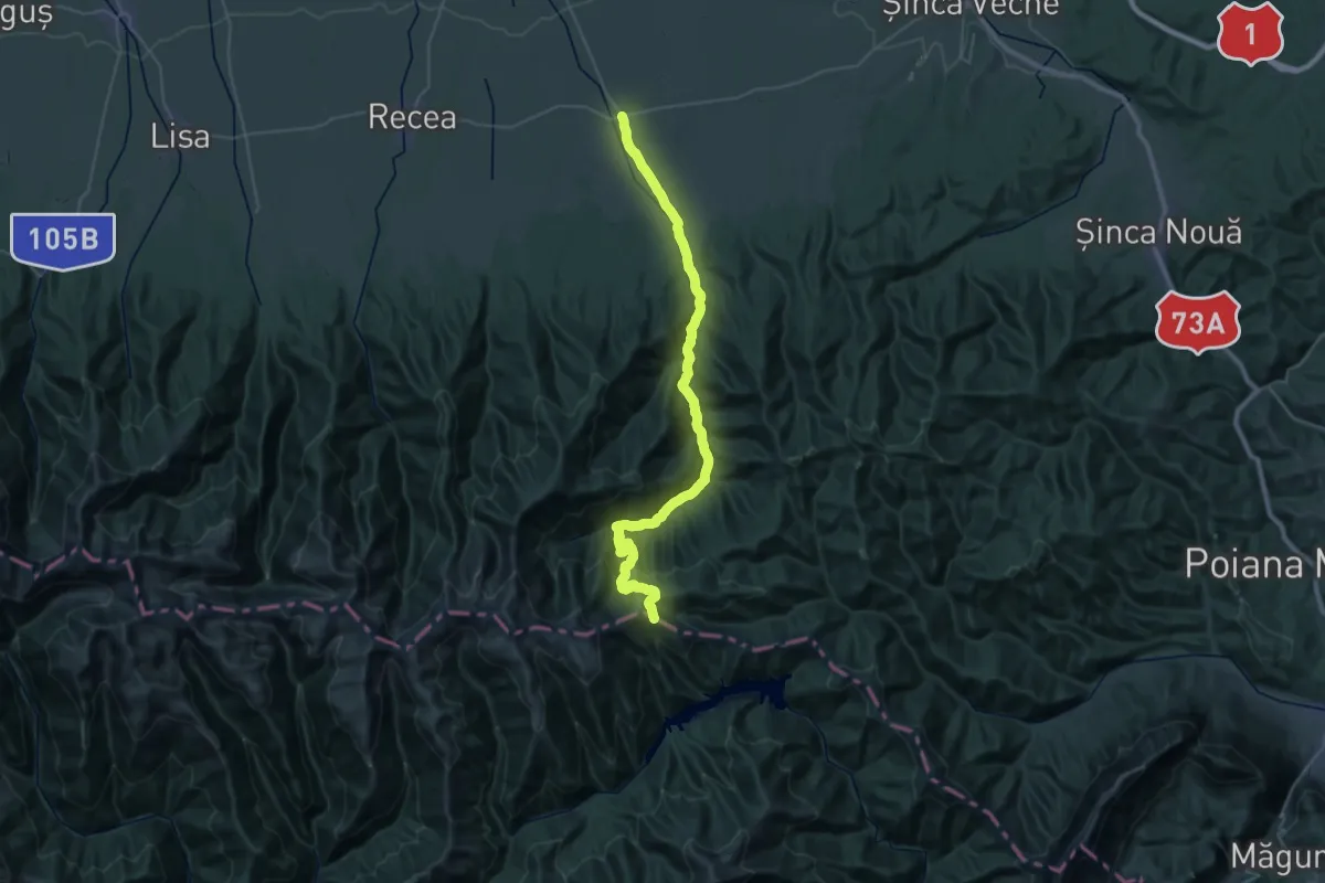
Demanding · Trail
Sebeș - V. Sebeșului - Șaua Comisu
21.1 km · ↑ 156 m · 6 h 12 min
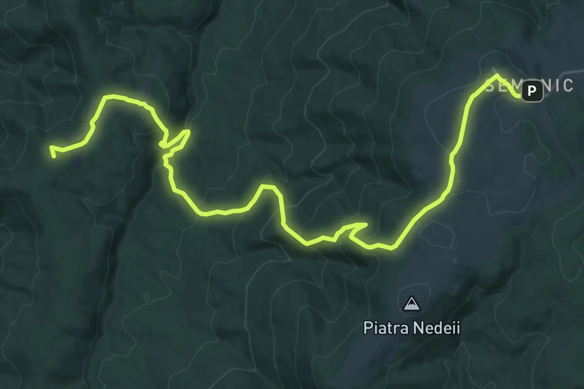
Demanding · Summit
Semenic – Valea Bârzava – Peștera Comarnic
23.5 km · ↑ 997 m · 7 h 42 min
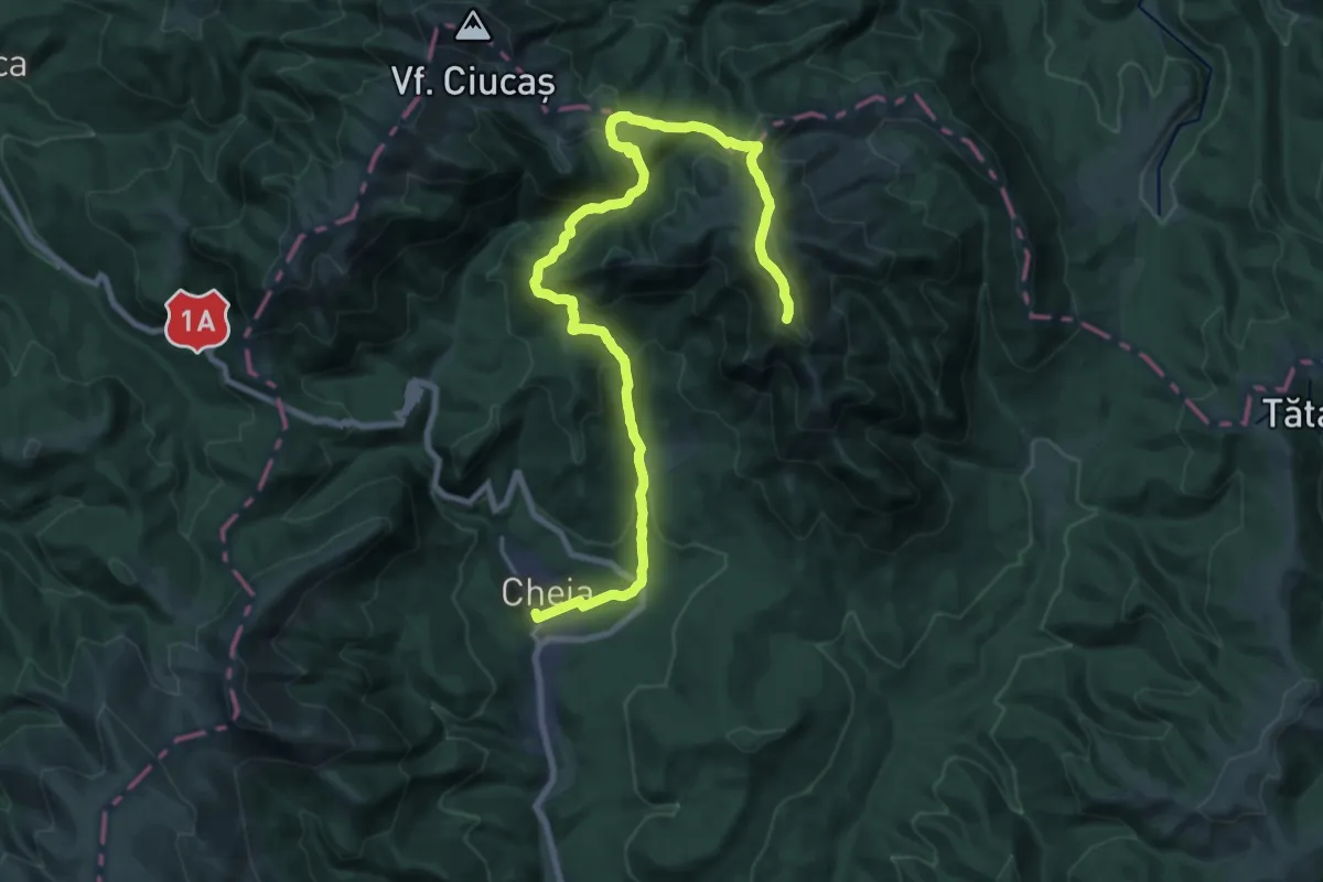
Demanding · Summit
Semimaraton Ciucaș
26.7 km · ↑ 1298 m · 9 h 6 min
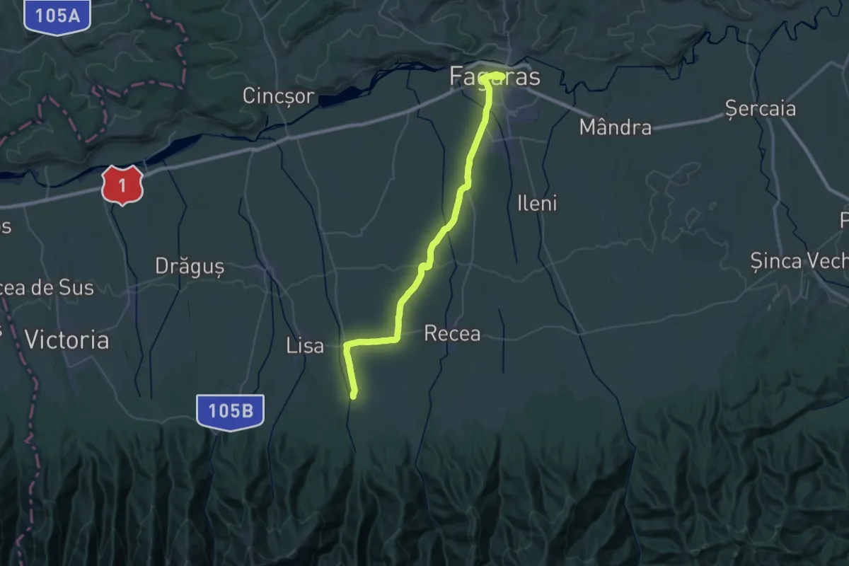
Demanding · Trail
Semimaratonul Țării Făgărașului
20.8 km · ↑ 187 m · 5 h 32 min
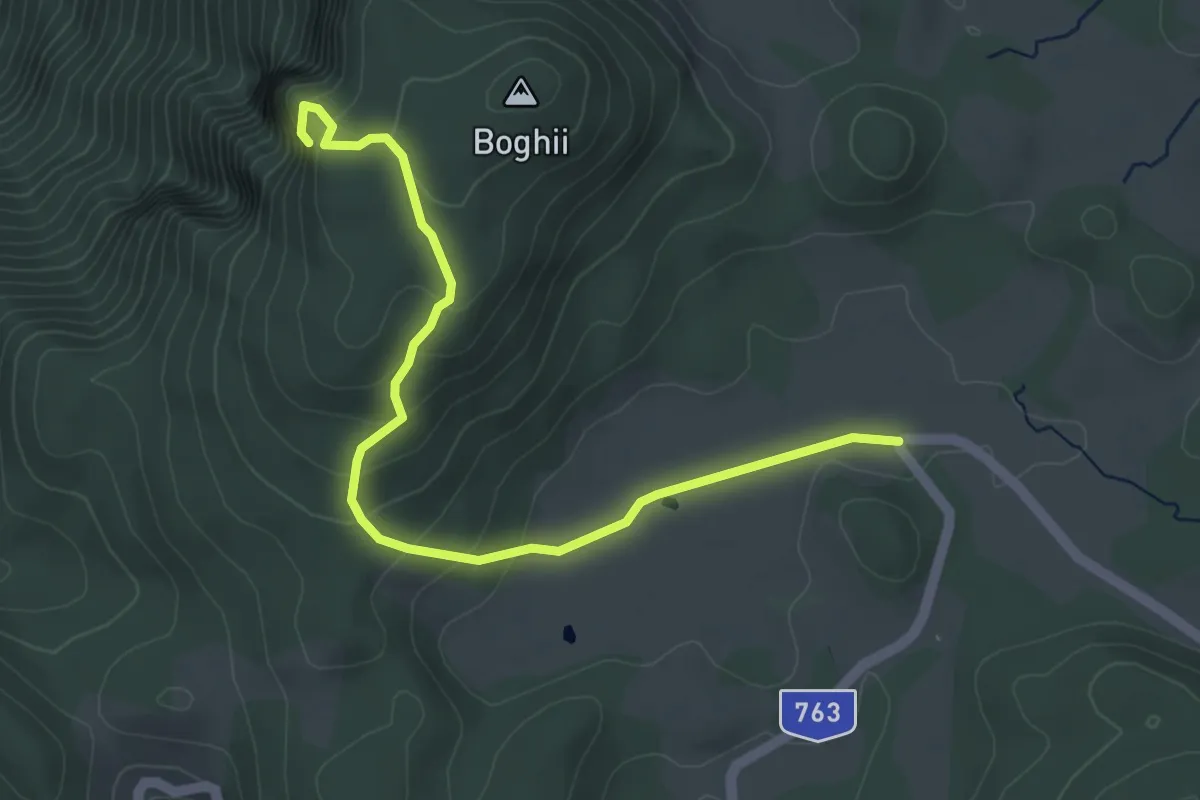
Medium · Trail
Șesul Padiș - Peștera Șura Boghii
4.9 km · ↑ 294 m · 1 h 47 min
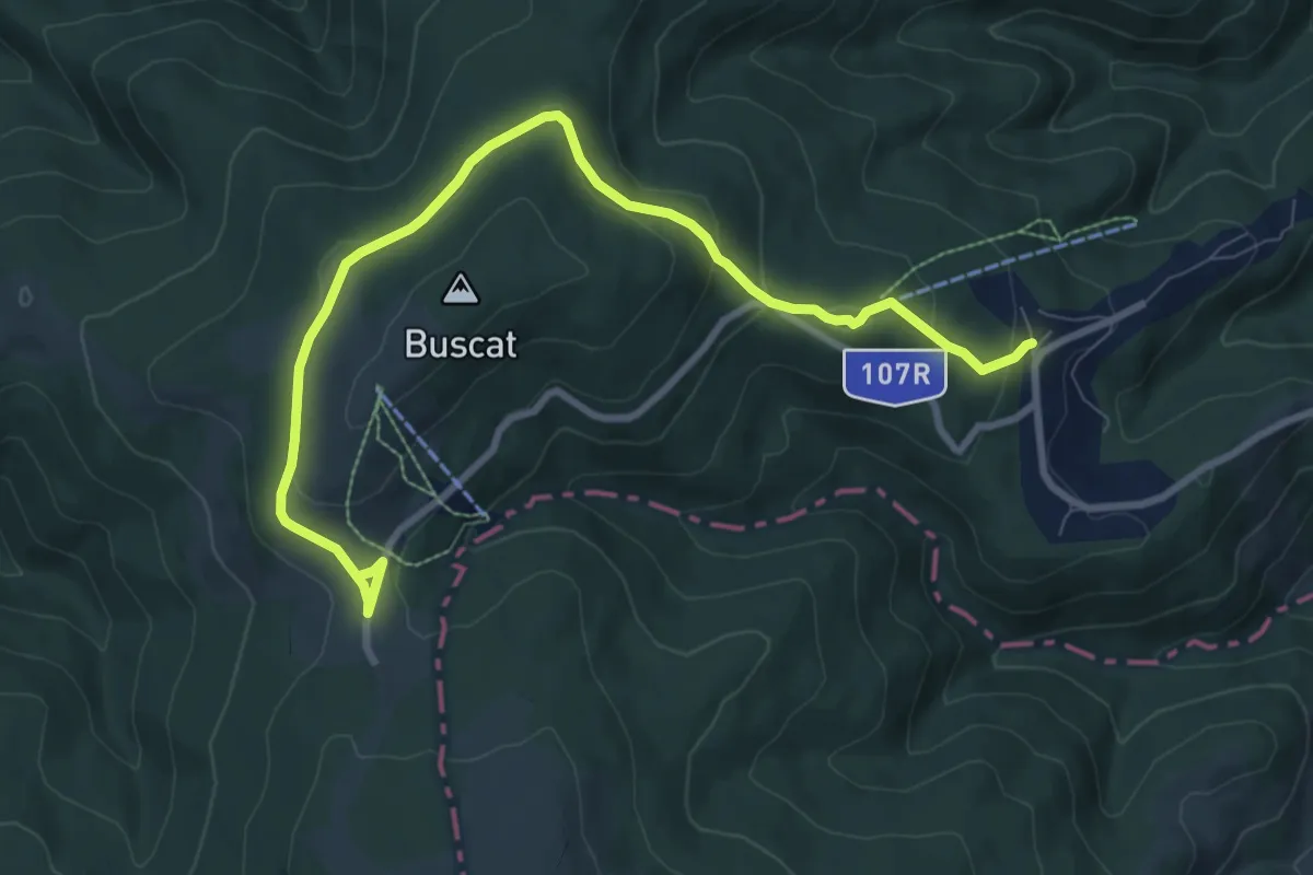
Medium · Trail
Șesul Plopiș - Sub Vârful Buscat - Stațiunea de Schi Buscat
9.9 km · ↑ 294 m · 2 h 58 min
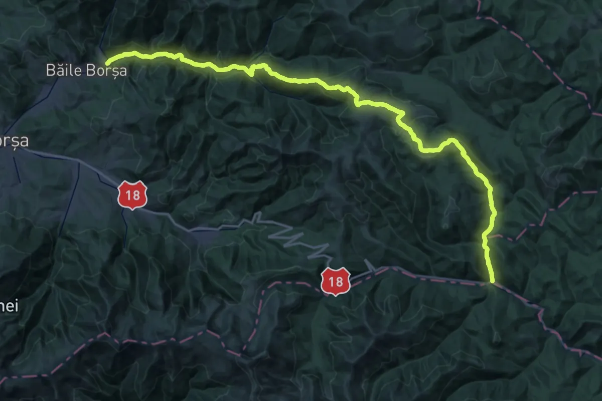
Demanding · Trail
Șesuri - Cabana Fântâna Stanchii - Băile Borșa
27.5 km · ↑ 1142 m · 9 h 12 min
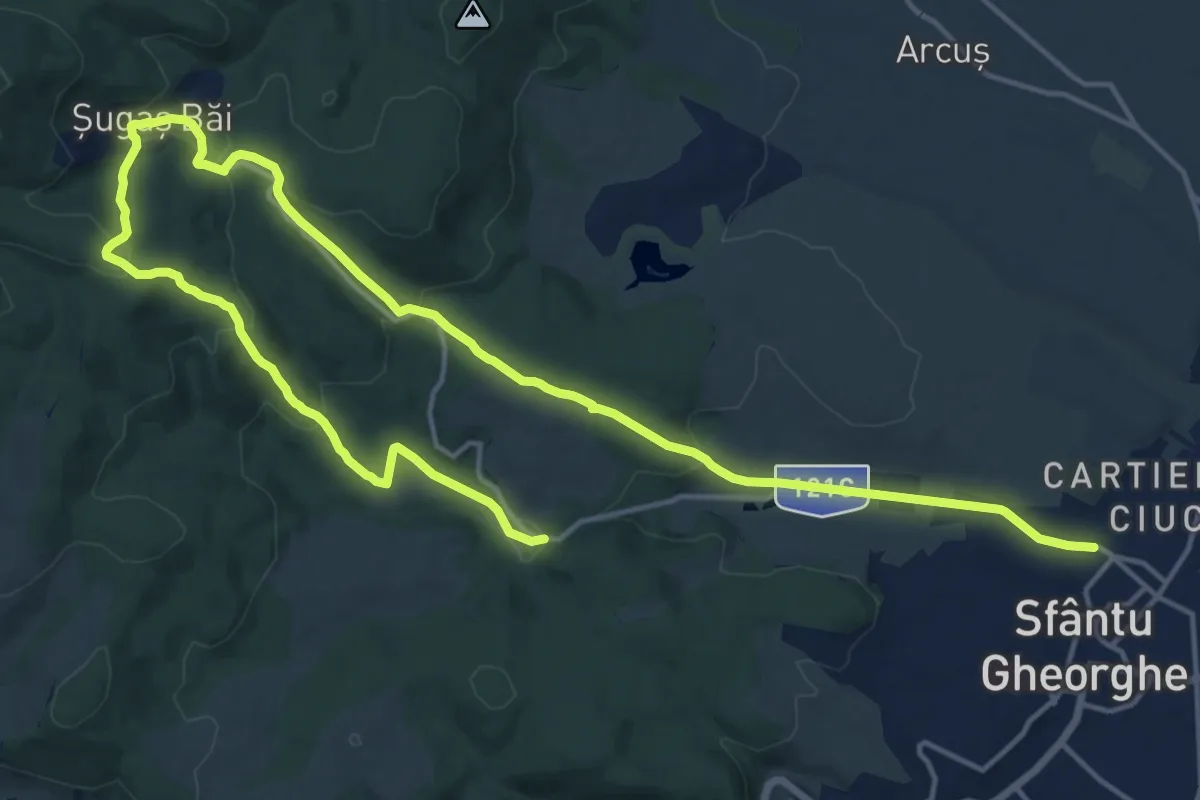
Demanding · Trail
Sfântu Gheorghe - Băile Șugaș - Izv. Honvéd
25.1 km · ↑ 774 m · 7 h 36 min
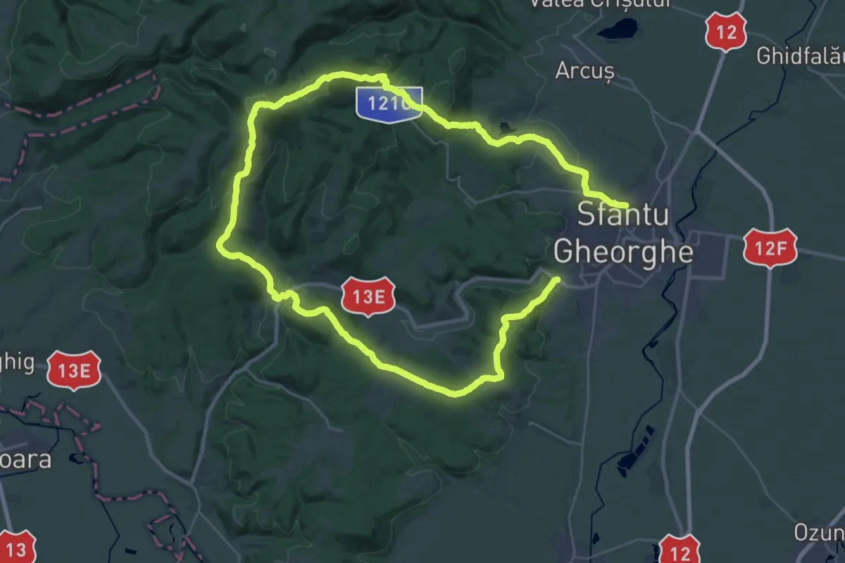
Demanding · Summit
Sfântu Gheorghe - Băile Șugaș - Sfântu Gheorghe
27.0 km · ↑ 842 m · 8 h 35 min
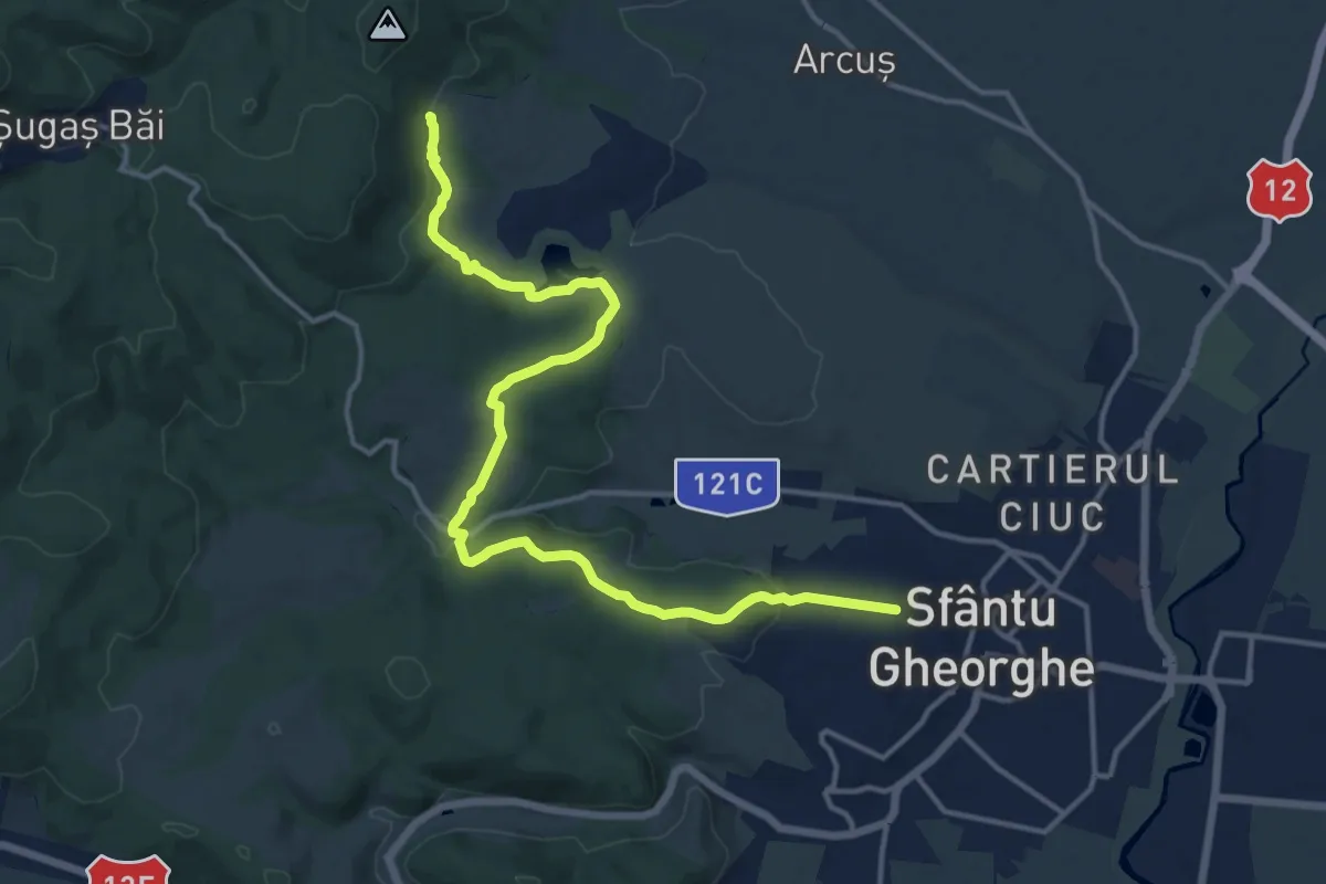
Medium · Trail
Sfântu Gheorghe - Pădurea Rotundă - TA
16.2 km · ↑ 438 m · 4 h 47 min
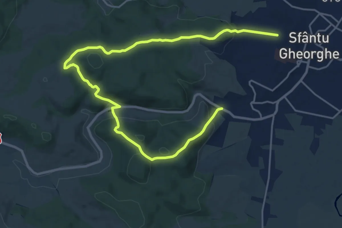
Medium · Trail
Sfântu Gheorghe - Sfântu Gheorghe
8.9 km · ↑ 291 m · 2 h 50 min
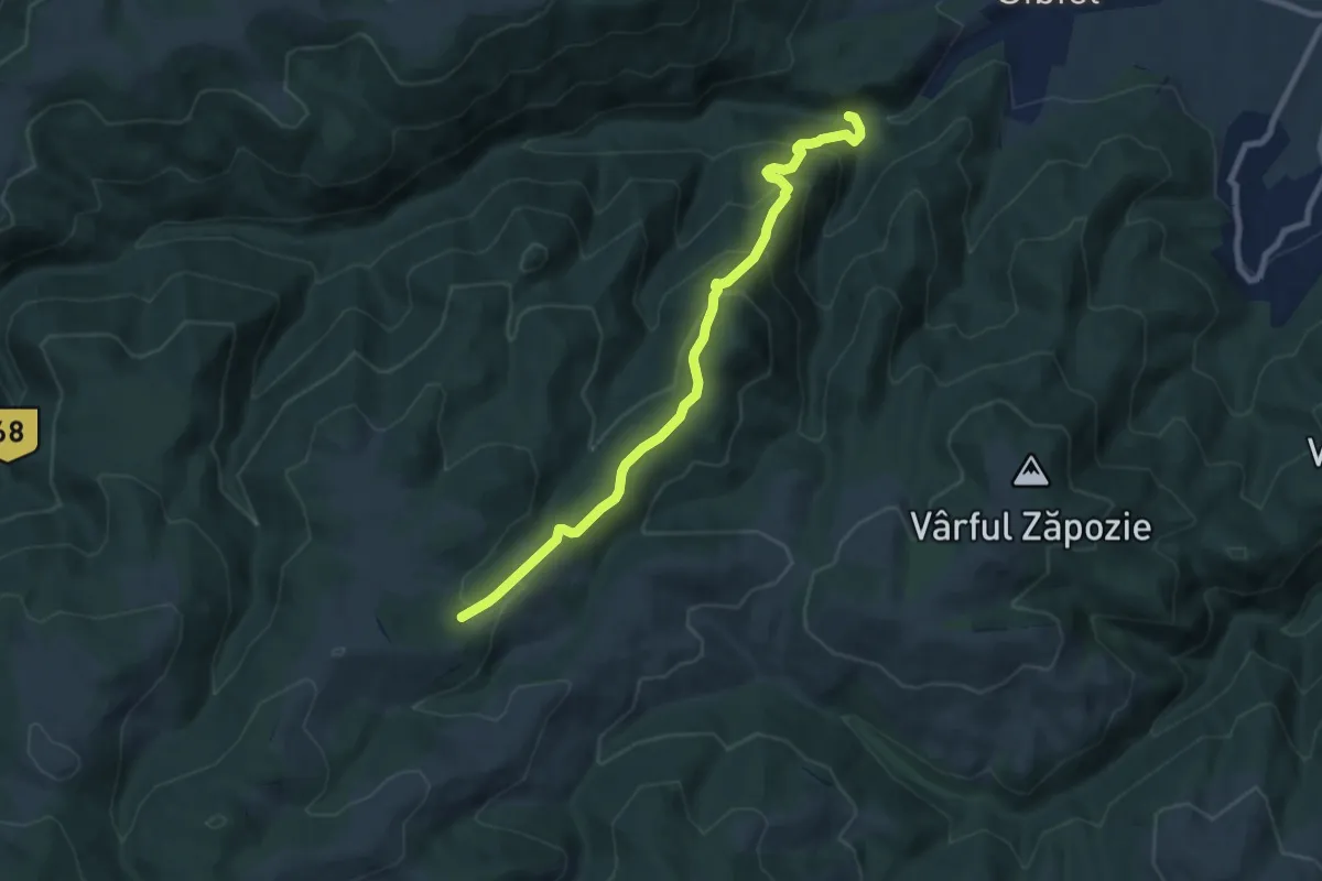
Medium · Trail
Sibiel - Cabana Fântânele
8.4 km · ↑ 562 m · 3 h 12 min
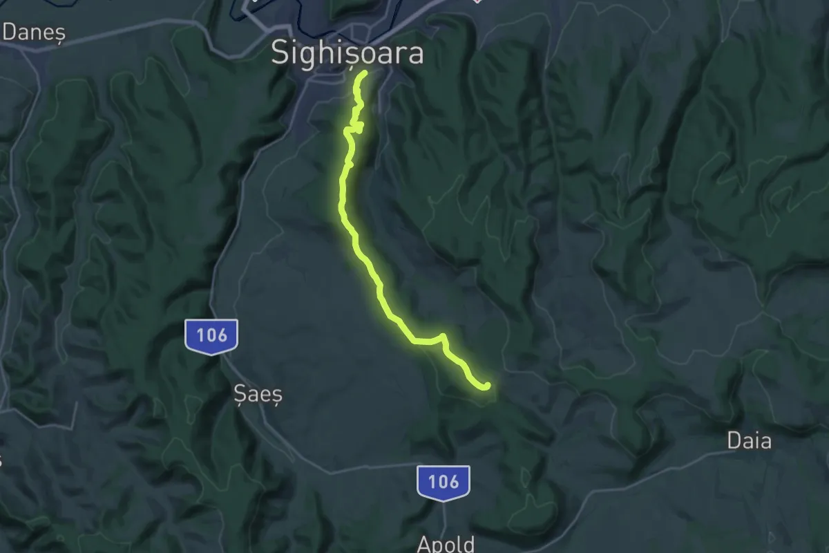
Demanding · Trail
Sighișoara - Crucea Vulcan
18.8 km · ↑ 368 m · 5 h 14 min
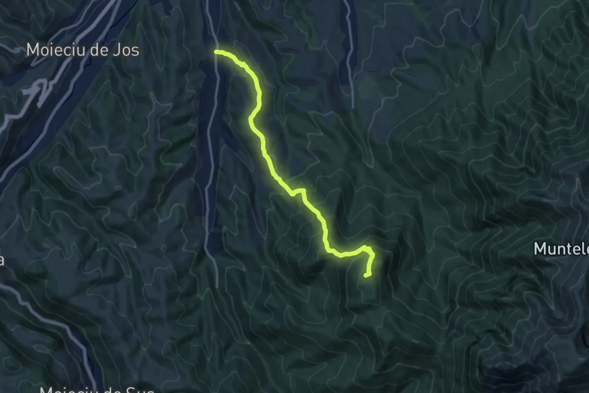
Demanding · Summit
Șimon - Culmea Bălăban - sub Șaua Polițe
11.5 km · ↑ 876 m · 4 h 37 min
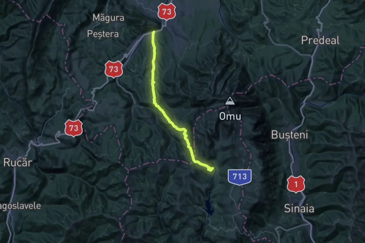
Demanding · Cabin
Șimon - Poiana Guțanu - Cabana Padina
19.1 km · ↑ 1185 m · 6 h 58 min
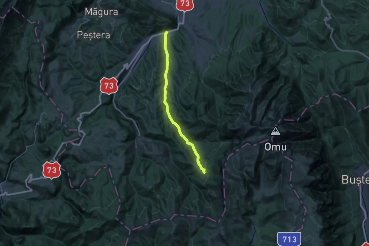
Demanding · Trail
Șimon - Vâlcelul Guțanului - Poiana Guțanu
22.9 km · ↑ 729 m · 7 h
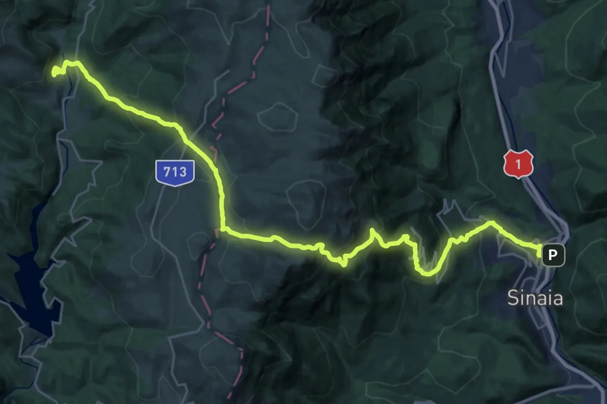
Demanding · Cabin
Sinaia - Șaua Vârfului cu Dor - Cabana Padina
14.5 km · ↑ 1253 m · 6 h
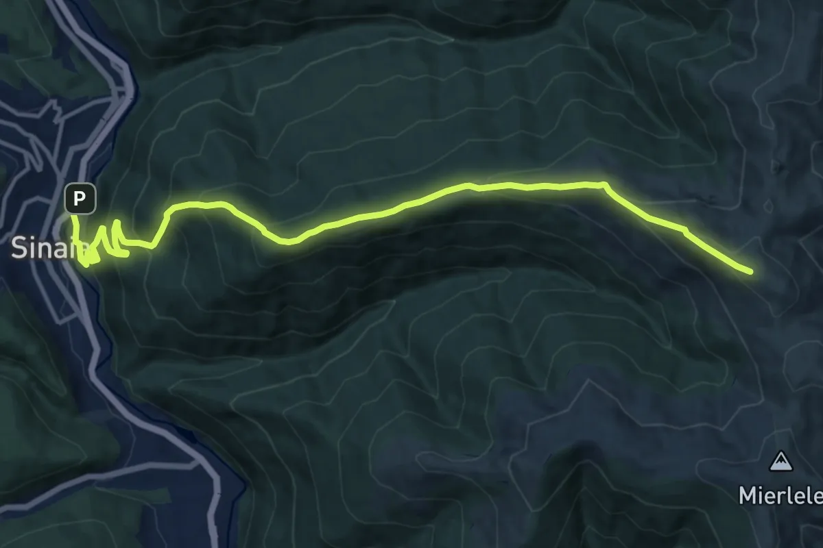
Demanding · Summit
Sinaia - Vf. Piscul Câinelui
14.3 km · ↑ 884 m · 5 h 17 min
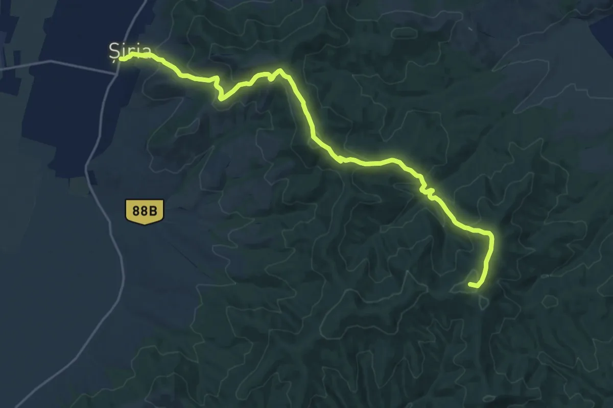
Demanding · Summit
Șiria - Căsoaia
19.6 km · ↑ 938 m · 6 h 39 min
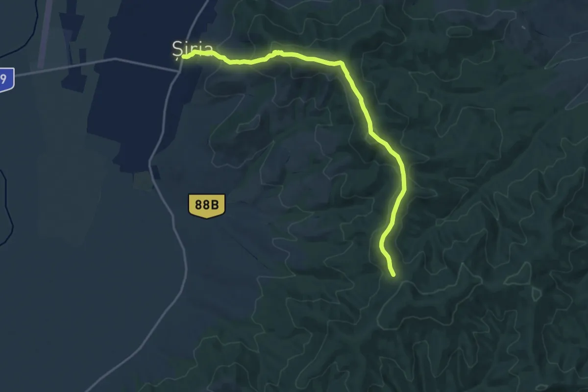
Medium · Trail
Șiria - Cetatea Șiria - Șaua Cazan
14.1 km · ↑ 663 m · 4 h 46 min
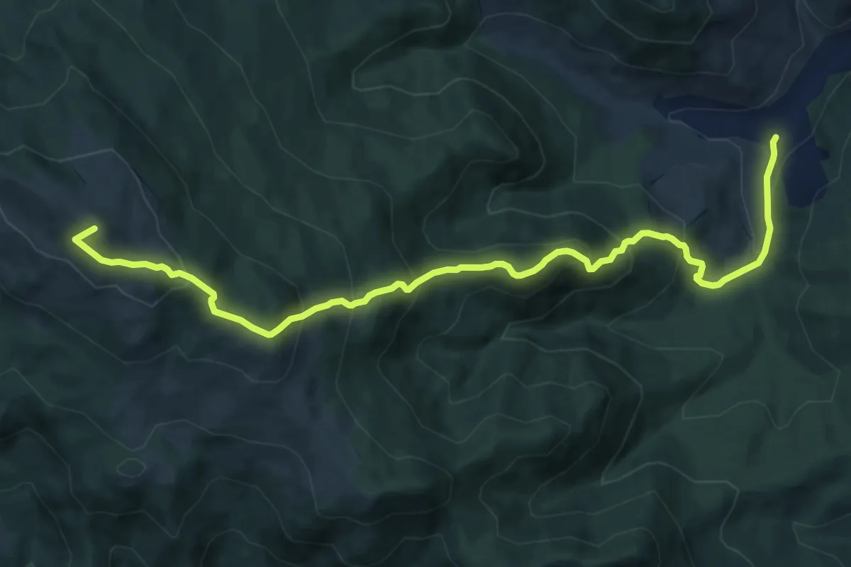
Demanding · Summit
Slătioara – Hotel Rarău (red triangle)
12.7 km · ↑ 864 m · 4 h 52 min
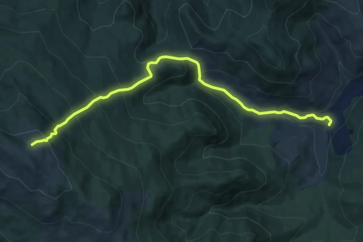
Demanding · Trail
Slătioara - traseul 19 CR
11.2 km · ↑ 805 m · 4 h 23 min
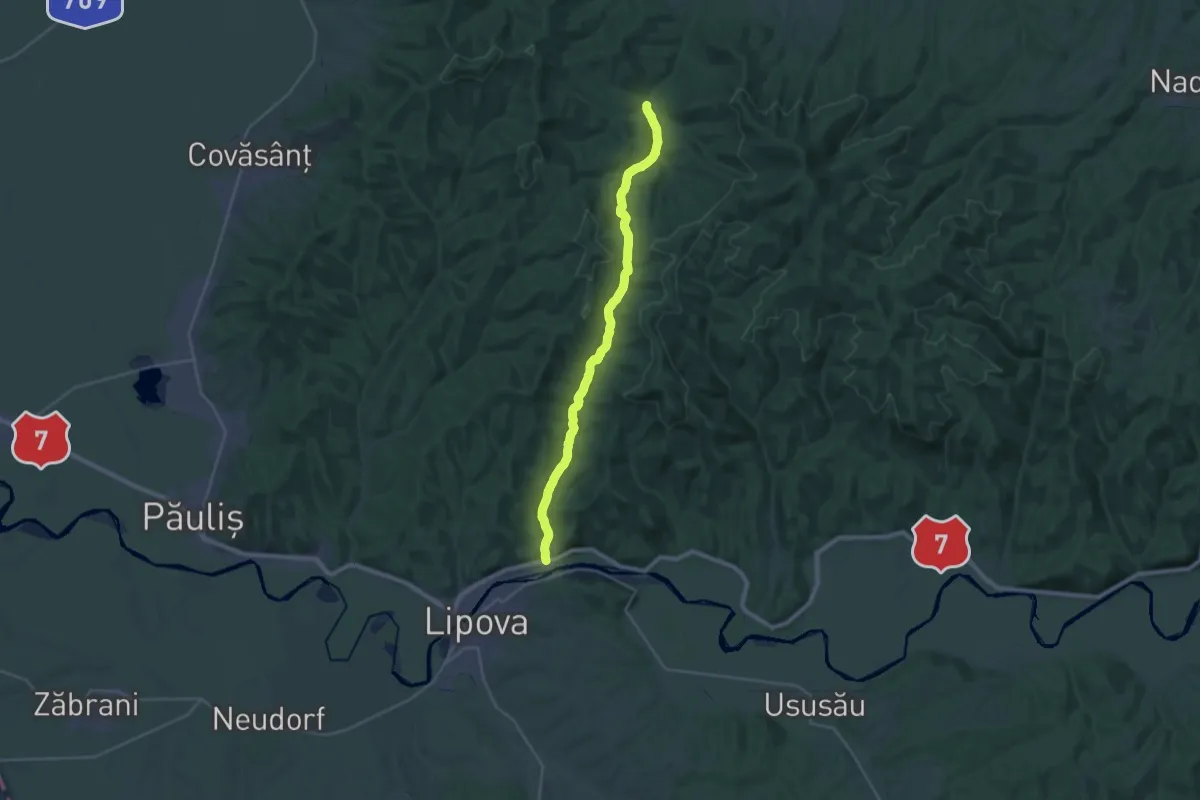
Medium · Trail
Șoimoș – Valea Șoimoșului – Creasta Principală – Căsoaia
14.0 km · ↑ 376 m · 4 h 16 min
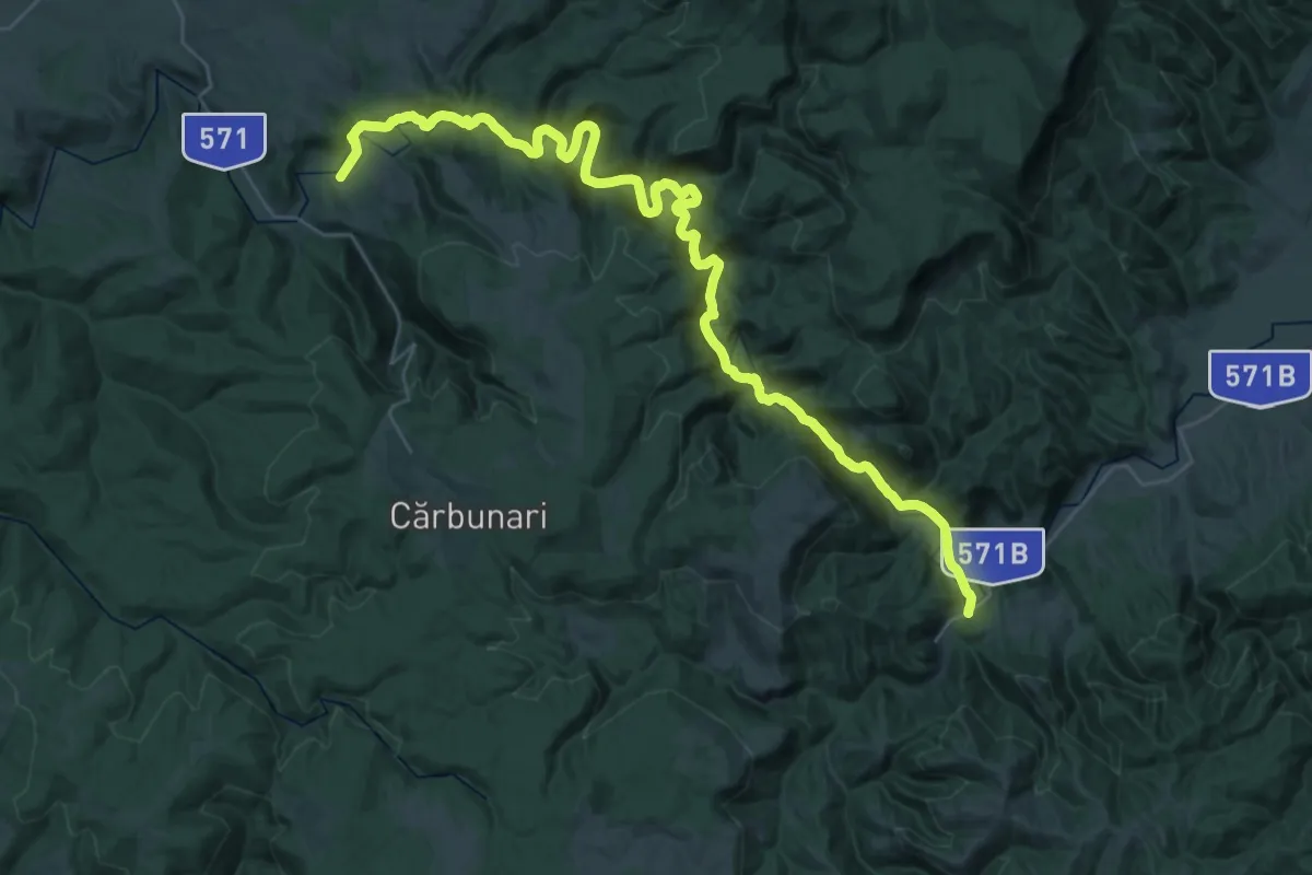
Demanding · Trail
Șopotu Nou – Cheile Nerei – Sasca Română (red stripe)
23.4 km · ↑ 654 m · 7 h 15 min
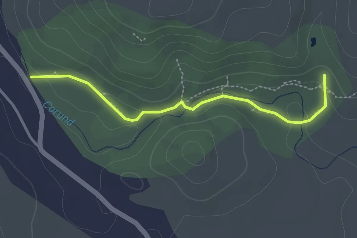
Medium · Trail
Sószoros tanösvény
2.4 km · ↑ 59 m · 41 min
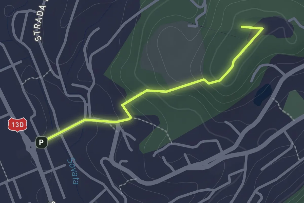
Easy · Summit
Sovata (Centru) - Lacul Ursu
2.2 km · ↑ 106 m · 45 min
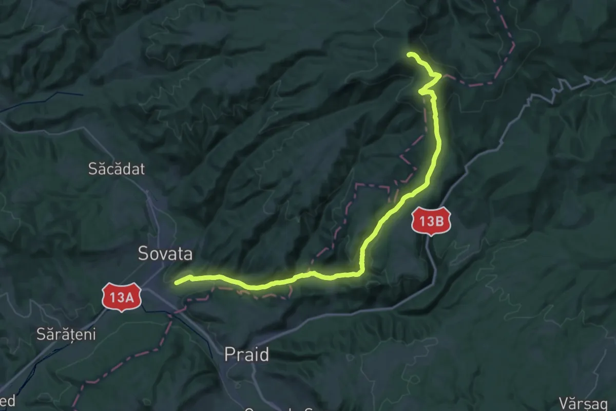
Demanding · Summit
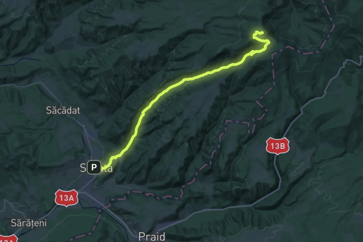
Sovata (Centru) - Valea Iuhodului - Vf. Saca Mare
47.5 km · ↑ 1620 m · 14 h 44 min
Demanding · Summit
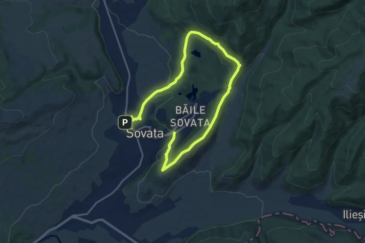
Sovata (Centru) - Valea Sebeșului - Vf. Saca Mare
39.5 km · ↑ 1394 m · 12 h 21 min
Medium · Trail
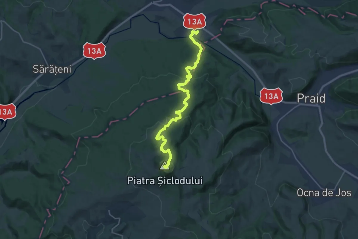
Sovata (Gara Mică) - Creasta Stejarului - Sovata (Centru)
15.2 km · ↑ 543 m · 4 h 46 min
Medium · Summit
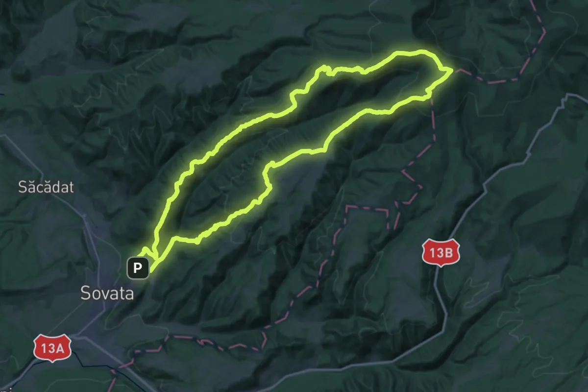
Sovata (Hochland) - Piatra Șiclodului
15.6 km · ↑ 596 m · 4 h 59 min
Demanding · Summit
Sovata (Tivoli) - Creasta Cireșul - Vf. Saca Mare - Valea Isopul
37.4 km · ↑ 1457 m · 12 h 30 min
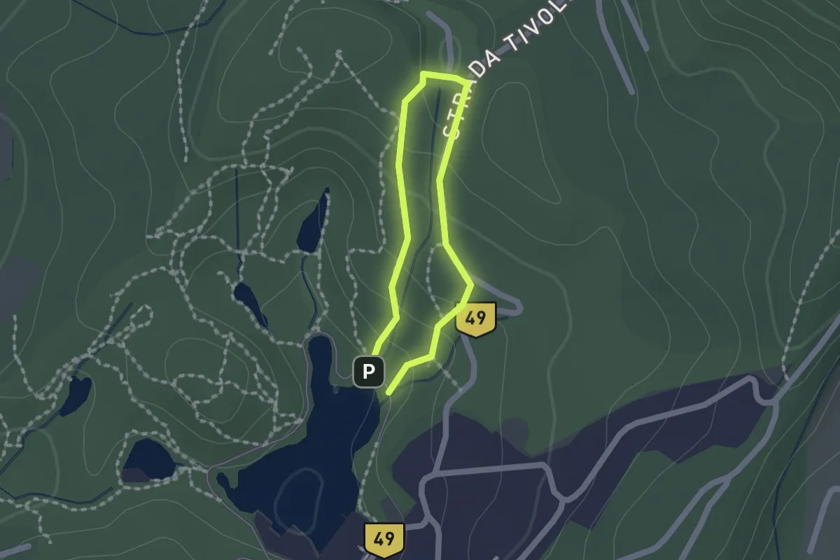
Easy · Trail
Sovata (Tivoli) - Lacul Ursu
1.1 km · ↑ 55 m · 24 min
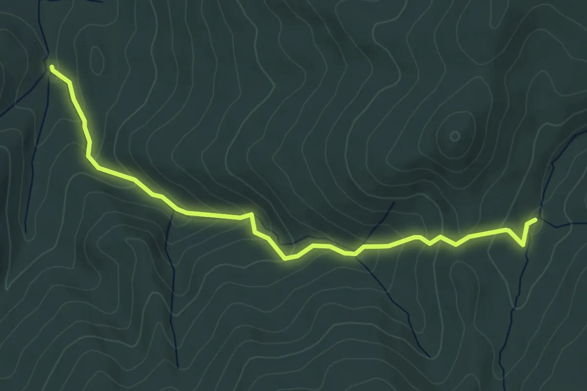
Easy · Trail
spre Peștera Izei
5.5 km · ↑ 317 m · 1 h 59 min
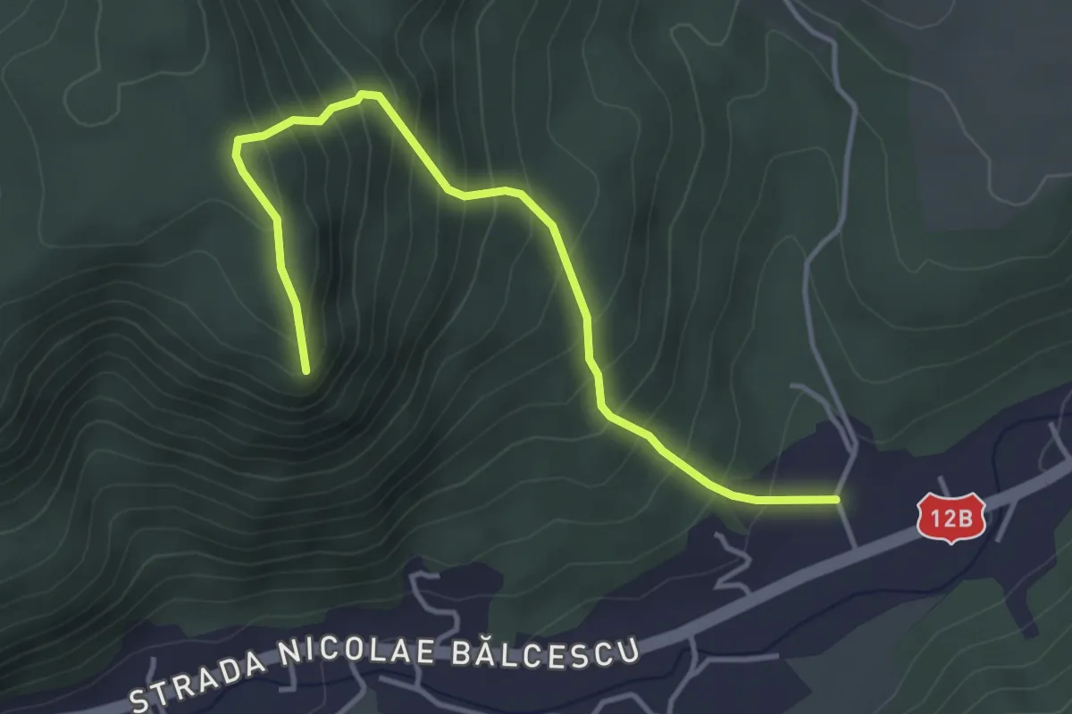
Medium · Trail
Spre Vf.Pipas (zona escalada)
4.2 km · ↑ 430 m · 1 h 56 min
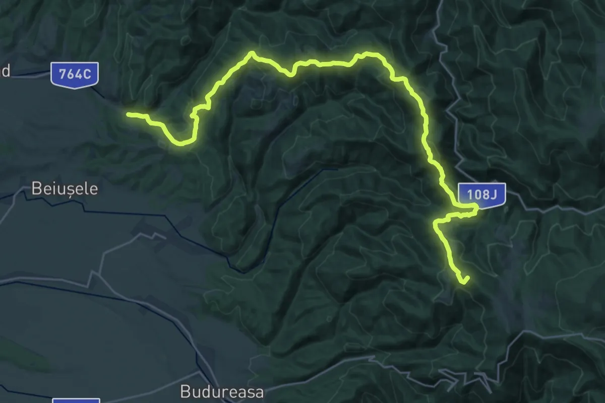
Demanding · Summit
Stâna de Vale - Cabana Meziad
30.5 km · ↑ 1375 m · 10 h 11 min
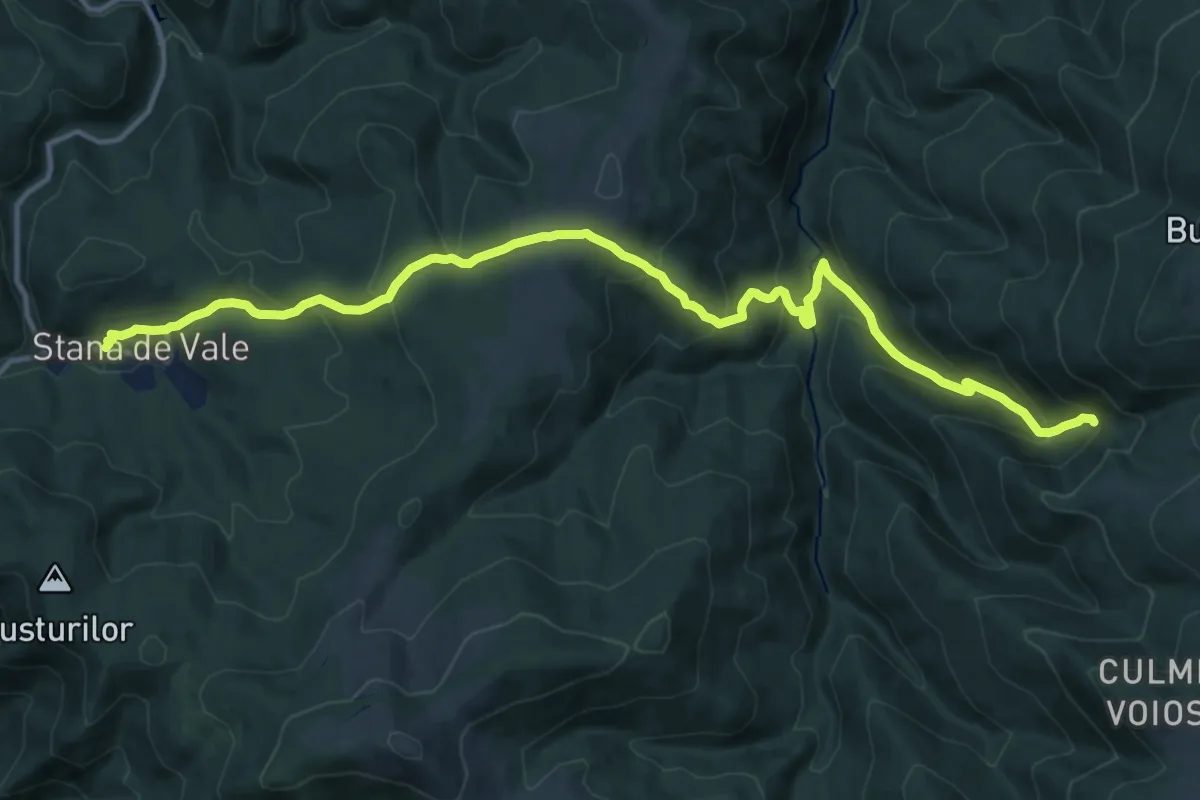
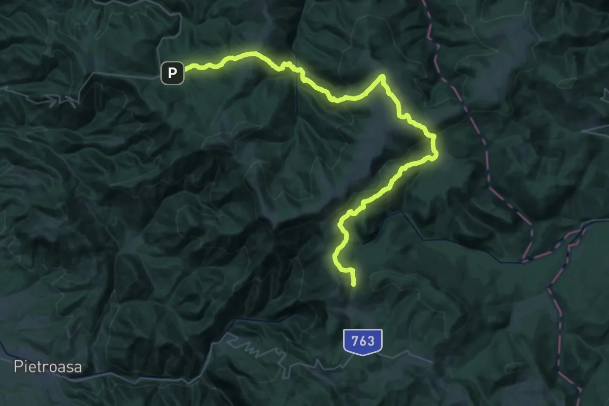
Demanding · Trail
Stâna de Vale-Casc. Moara Dracului
16.8 km · ↑ 984 m · 6 h 6 min
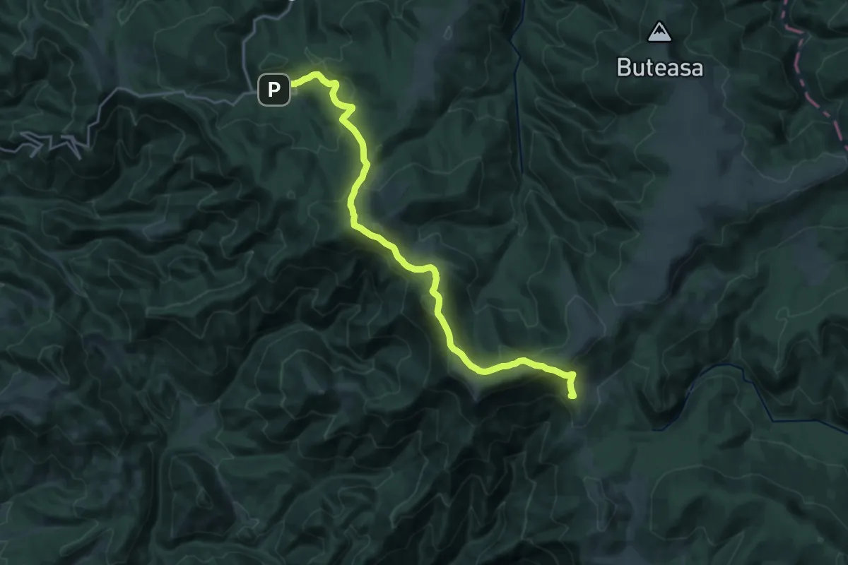
Demanding · Trail
Stâna de Vale-P-na Stânișoara-Piatra Tâlharului-Șaua Vărășoaia
22.4 km · ↑ 1166 m · 8 h 1 min
Demanding · Summit
Stâna de Vale-Șaua Vărășoaia
22.1 km · ↑ 978 m · 7 h 20 min
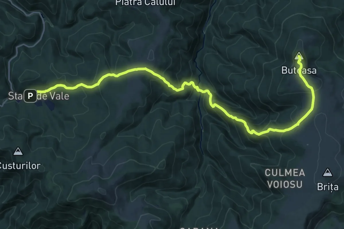
Demanding · Summit
Stâna de Vale-Vf. Buteasa
22.7 km · ↑ 1360 m · 8 h 19 min
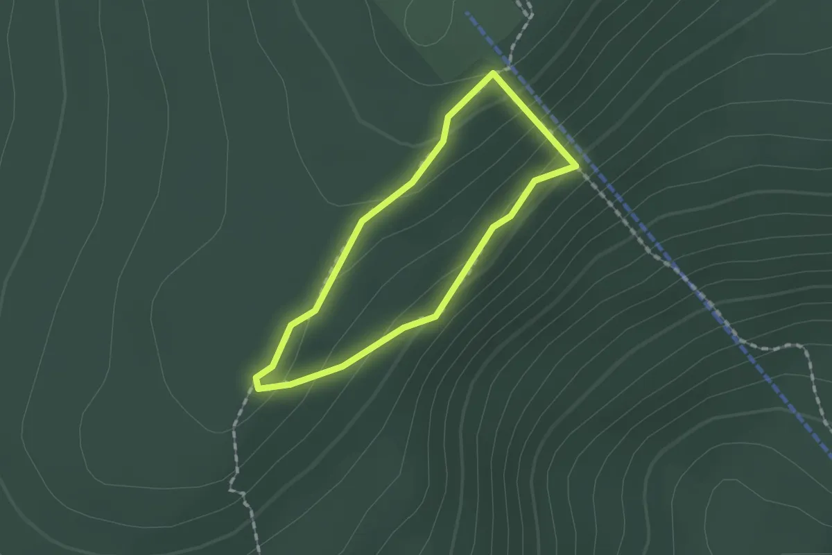
Easy · Summit
Stânca Bufniței
1.2 km · ↑ 77 m · 28 min
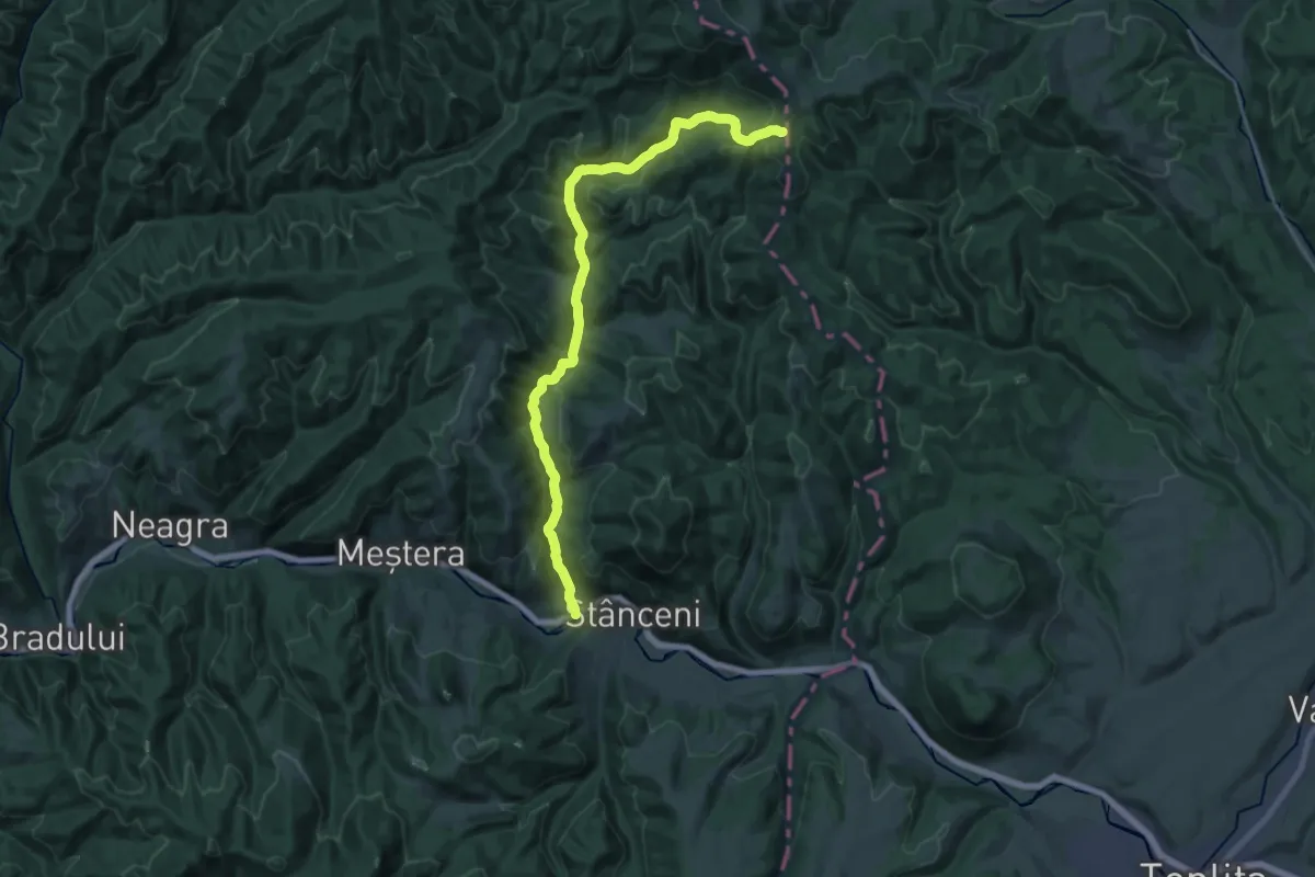
Demanding · Trail
Stânceni-Poiana Zebrac
22.6 km · ↑ 790 m · 7 h 2 min
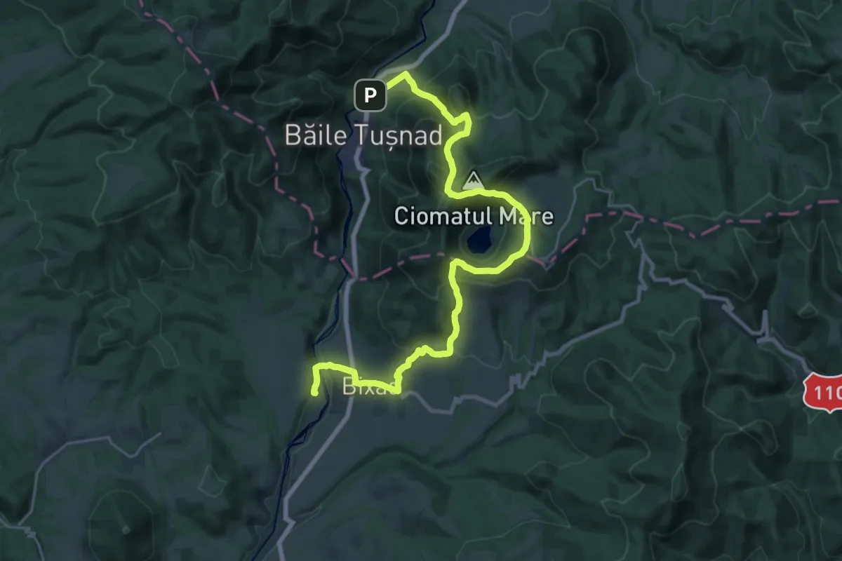
Medium · Trail
Stația CFR Bicsadu Oltului - sub Vf. Ciomatul Mare - Băile Tușnad
14.1 km · ↑ 684 m · 5 h 1 min
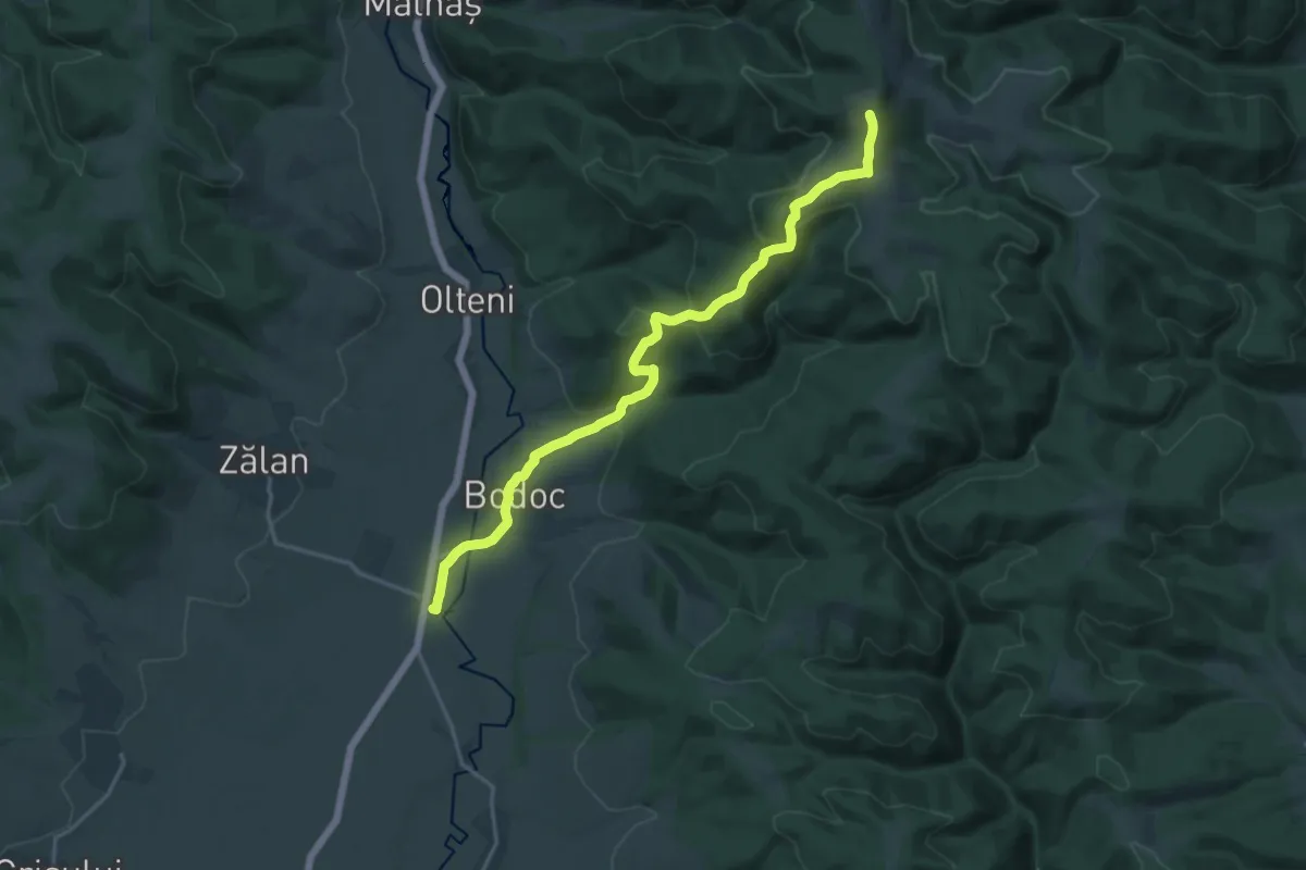
Demanding · Summit
Stația CFR Bodoc - Vf. Bodoc - Stația CFR Malnaș Băi
18.8 km · ↑ 683 m · 5 h 55 min