Trails in Romania
1,356 hiking trails, each with its route, climb, walking time and grade.
All trails, page 24 of 29
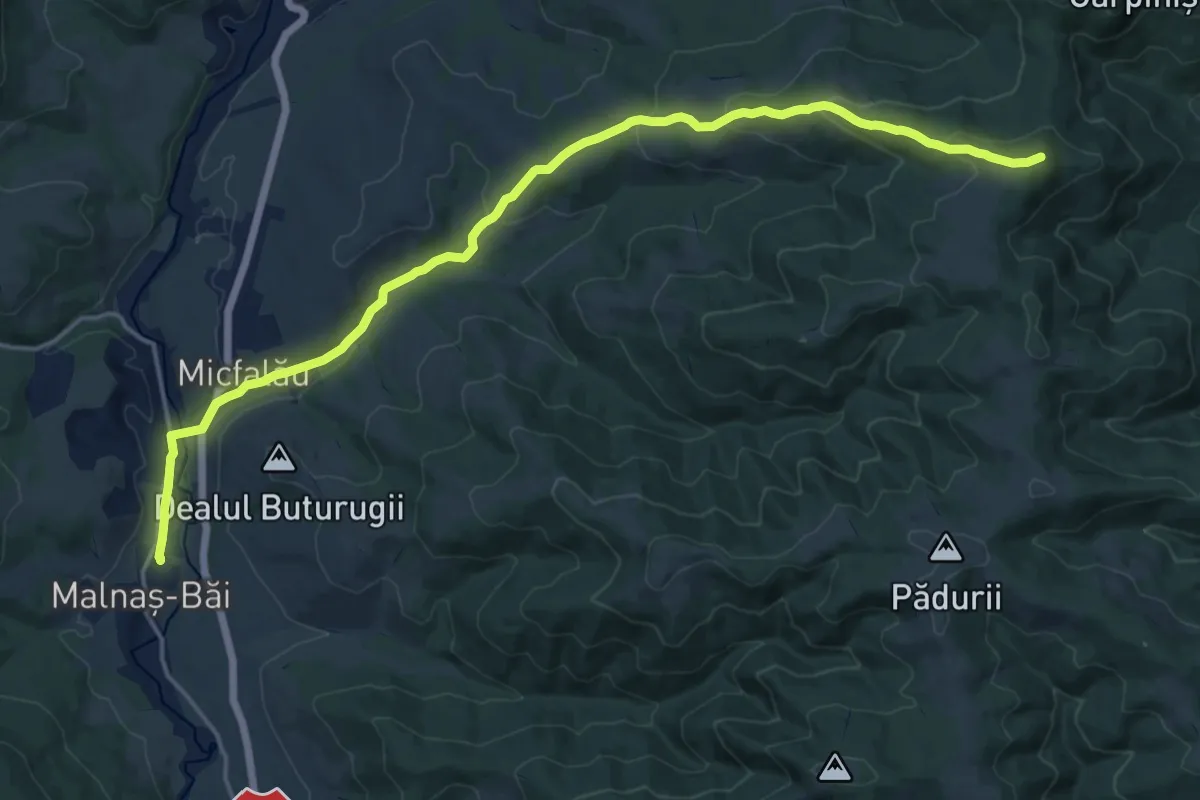
Demanding · Summit
Stația CFR Malnaș Băi - vf. Burda
20.1 km · ↑ 639 m · 6 h 8 min
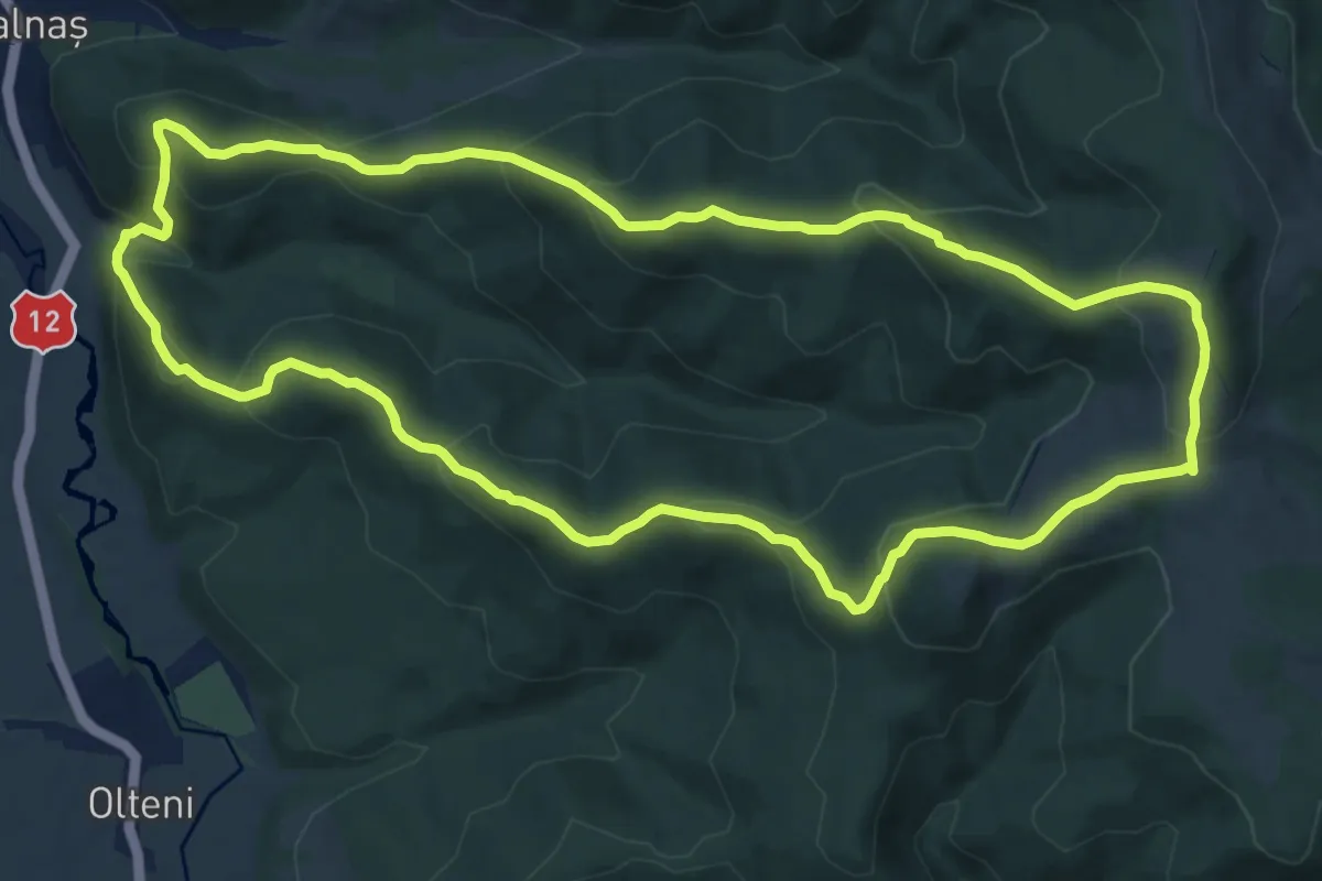
Medium · Summit
Stația CFR satul Malnaș – Cetatea Hereț – vf. Bodoc – Vf. Codmeneș – Stația CFR satul Malnaș
12.5 km · ↑ 664 m · 4 h 34 min
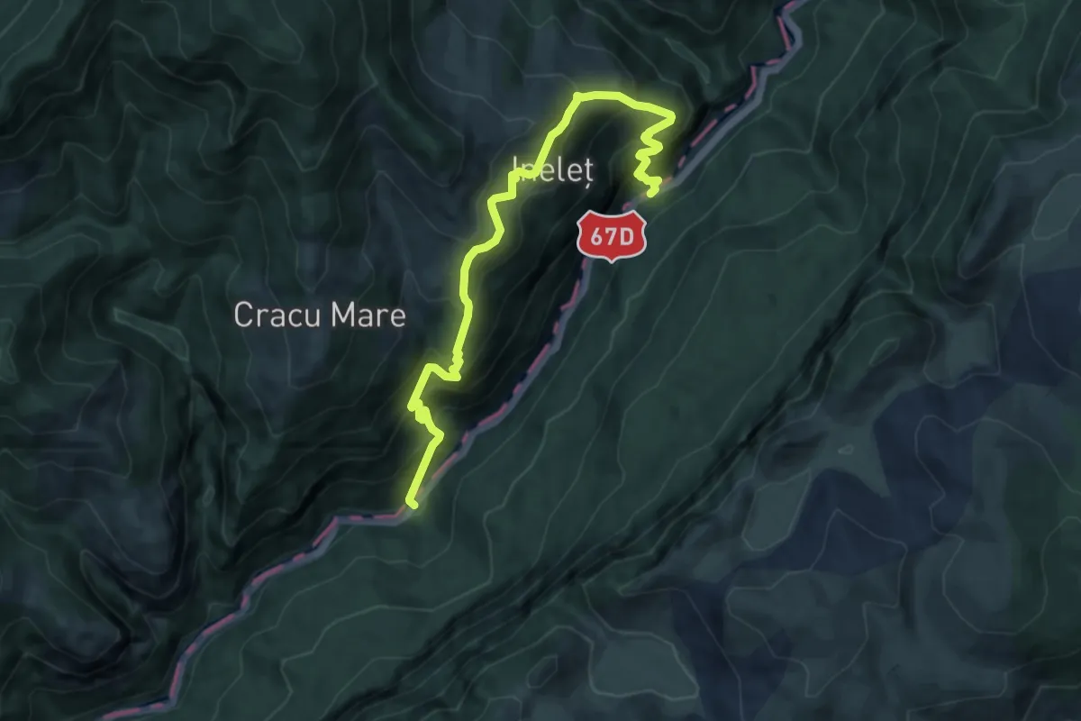
Expert · Trail
Stație Autobuz (Km 25 DN67D) - Puntea lui Stoian
10.2 km · ↑ 1040 m · 4 h 40 min
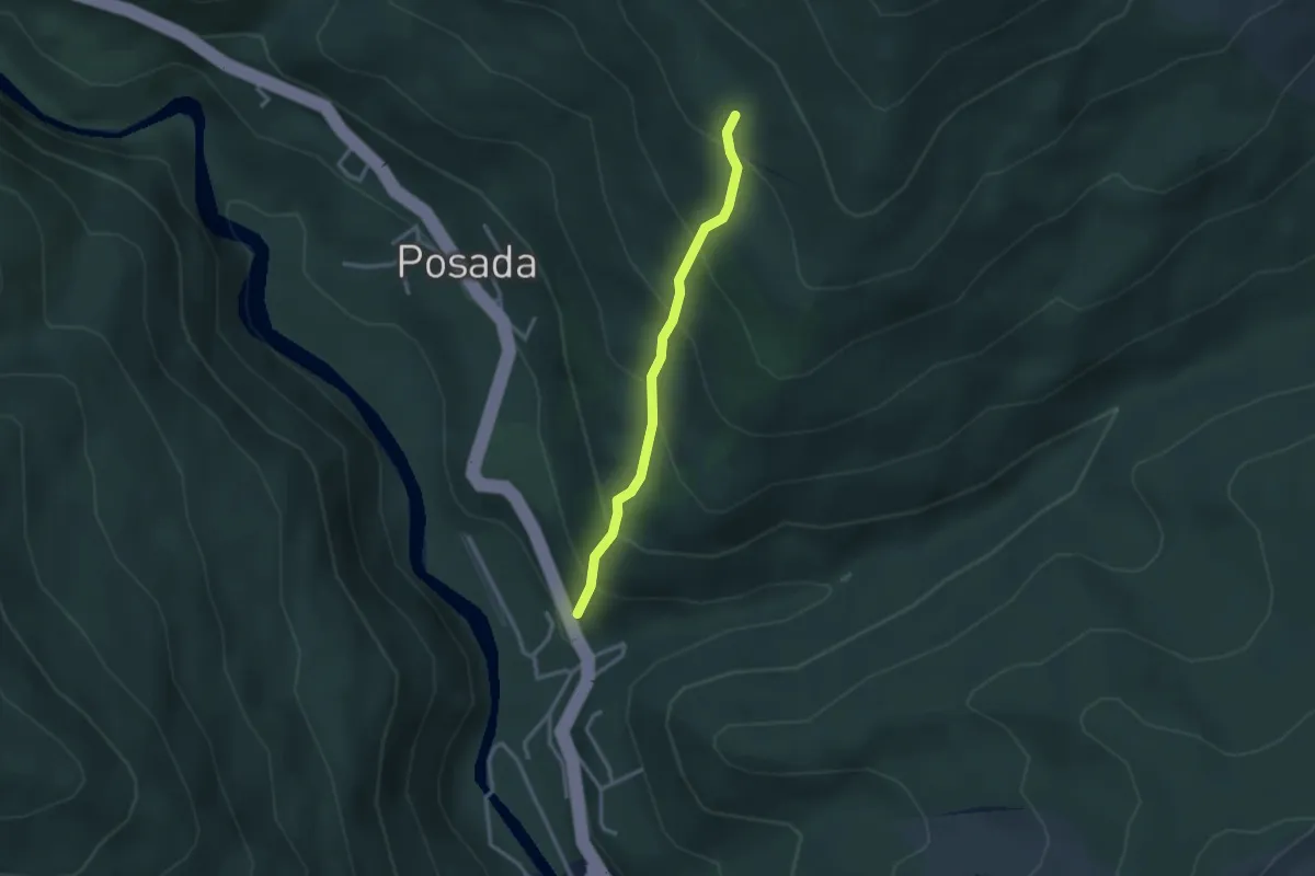
Easy · Trail
Stație curent Posada - spre fosta Cabană Florei
2.7 km · ↑ 294 m · 1 h 16 min
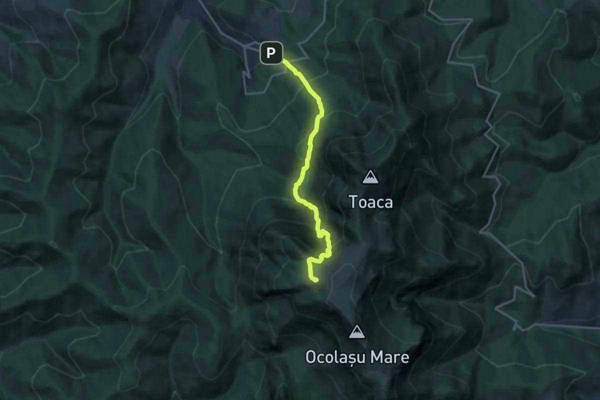
Demanding · Summit
Stațiunea Durău – Cascada Duruitoarea – Cabana Dochia (red cross)
11.3 km · ↑ 1191 m · 5 h 15 min
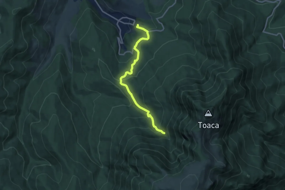
Medium · Trail
Stațiunea Durău - Piciorul lui Bucur - Cascada Duruitoarea
8.1 km · ↑ 504 m · 3 h 1 min
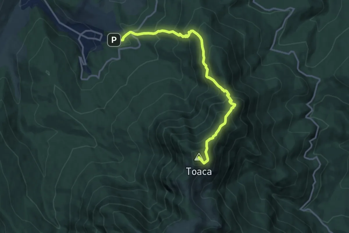
Demanding · Summit
Stațiunea Durău – sub Vf. Toaca – Cabana Dochia (red stripe)
10.5 km · ↑ 1064 m · 4 h 46 min
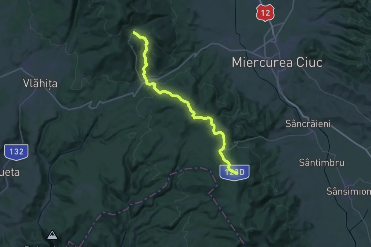
Demanding · Trail
Stațiunea Harghita-Băi - Pasul Vlăhița (Tolvaioș) - sat Sântimbru-Băi
20.5 km · ↑ 714 m · 6 h 38 min
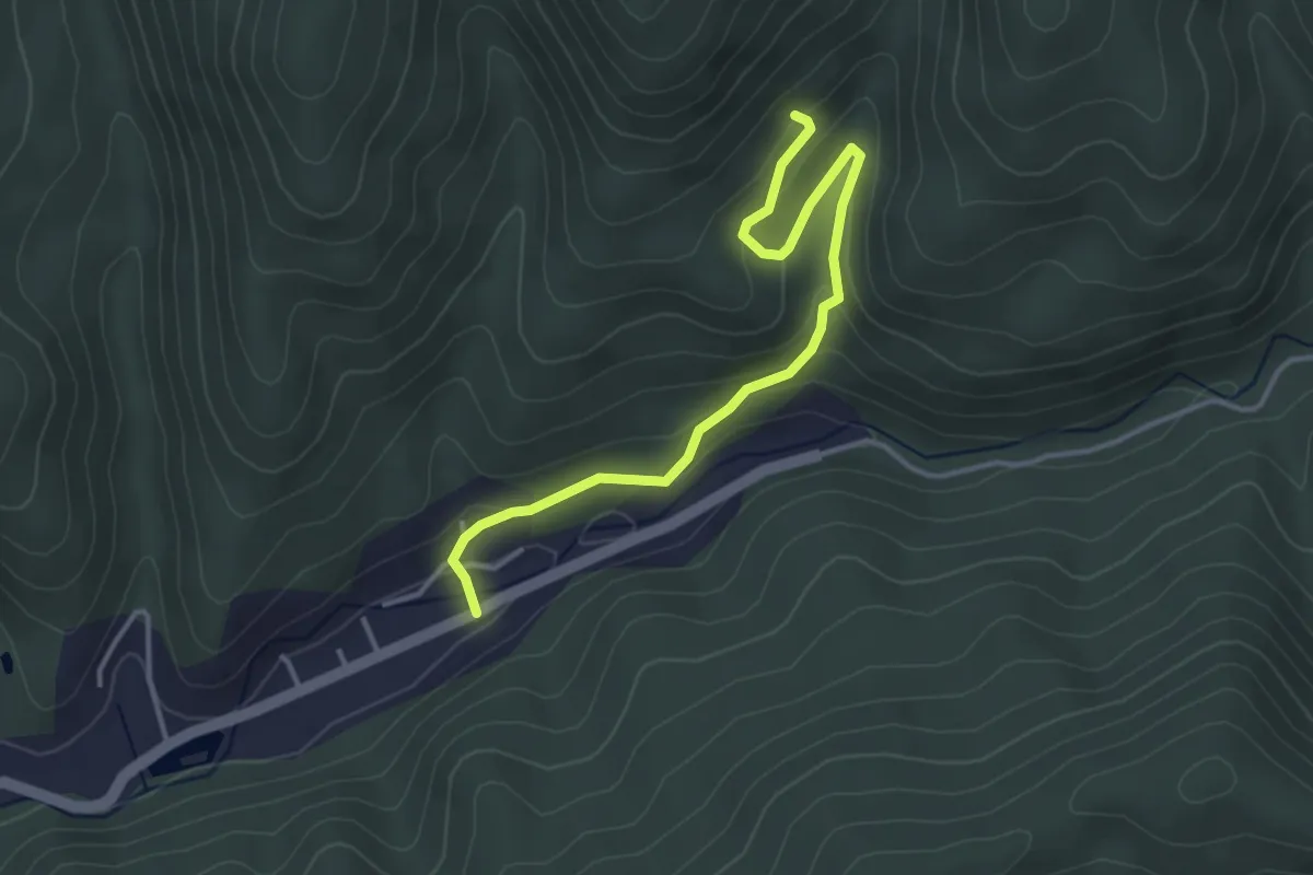
Easy · Trail
Stațiunea Moneasa – Ruinele Cuptorului de Topit Fier – Cariera de Marmoră Roșie
3.8 km · ↑ 154 m · 1 h 14 min
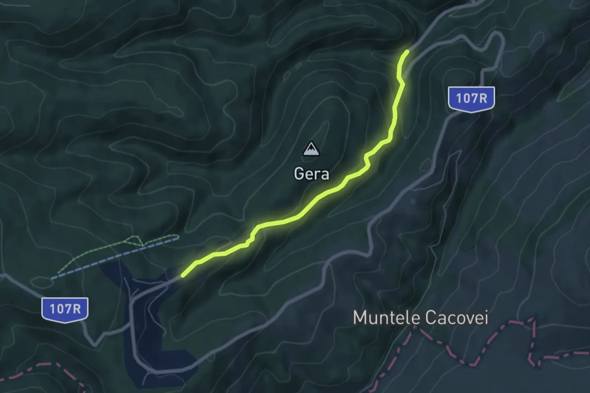
Medium · Trail
Stațiunea Muntele Băișorii - Gera - Muntele Băișorii (La Cruce)
5.5 km · ↑ 333 m · 2 h 1 min
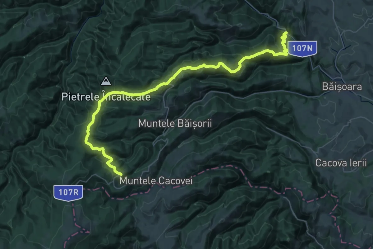
Demanding · Trail
Stațiunea Muntele Băișorii - Muntele Bocului - Moara de Pădure (Valea Ierii)
19.2 km · ↑ 381 m · 6 h
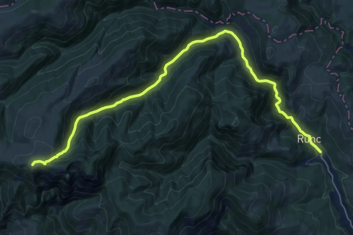
Demanding · Summit
Stațiunea Muntele Băișorii - Rezervația Scărița Belioara - Runc
21.0 km · ↑ 1040 m · 7 h 13 min
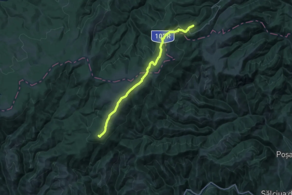
Demanding · Summit
Stațiunea Muntele Băișorii - Vârful Neteda - Lupșa
30.9 km · ↑ 879 m · 9 h 12 min
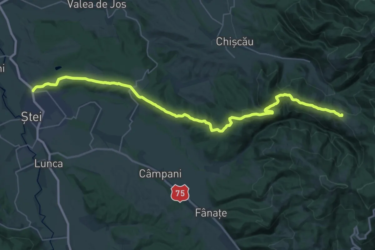
Demanding · Summit
Ștei - Vf. Fața Goală - Groapa Ruginoasă - Șaua Vârtop
27.4 km · ↑ 779 m · 8 h 9 min
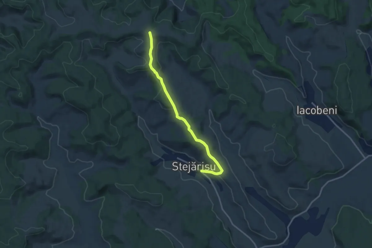
Medium · Trail
Stejărișu - Bandă roșie
9.3 km · ↑ 179 m · 2 h 35 min
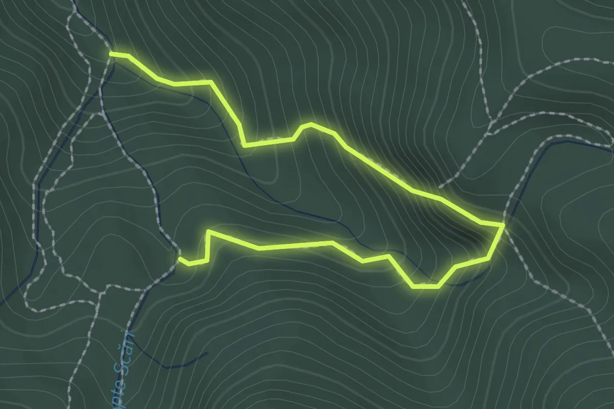
Medium · Trail
Sub intrare Canion 7 Scări - Prăpastia Urșilor - Drumul Familiar
2.8 km · ↑ 358 m · 1 h 26 min
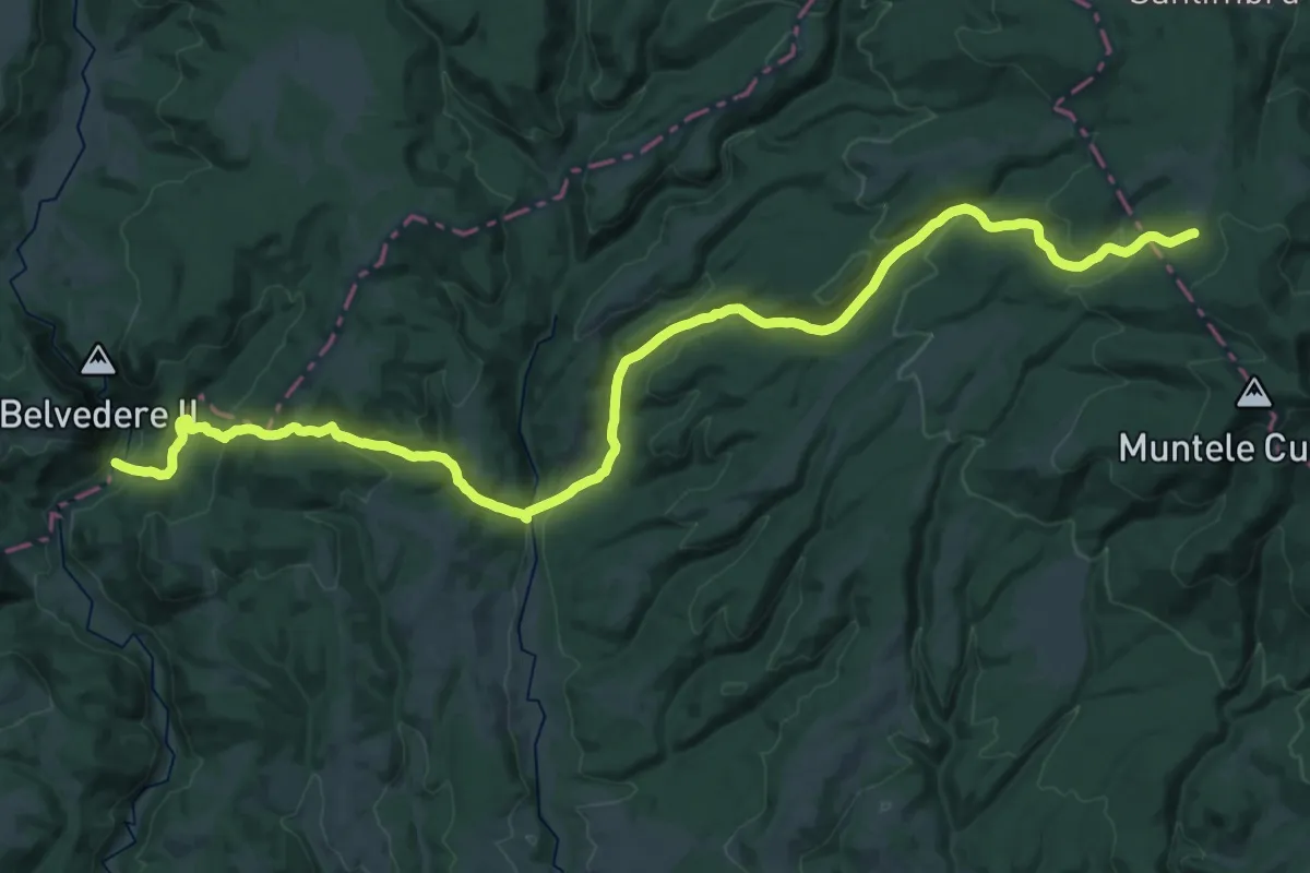
Demanding · Trail
sud de Cheile Vârghișului - Valea Fierarul - intersecție traseul BA
20.6 km · ↑ 343 m · 6 h 16 min
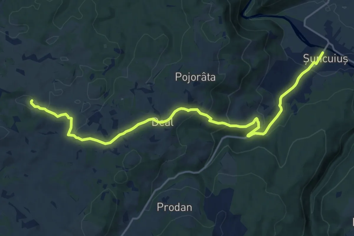
Medium · Trail
Șuncuiuș - Peștera Bătrânului
15.6 km · ↑ 465 m · 4 h 41 min
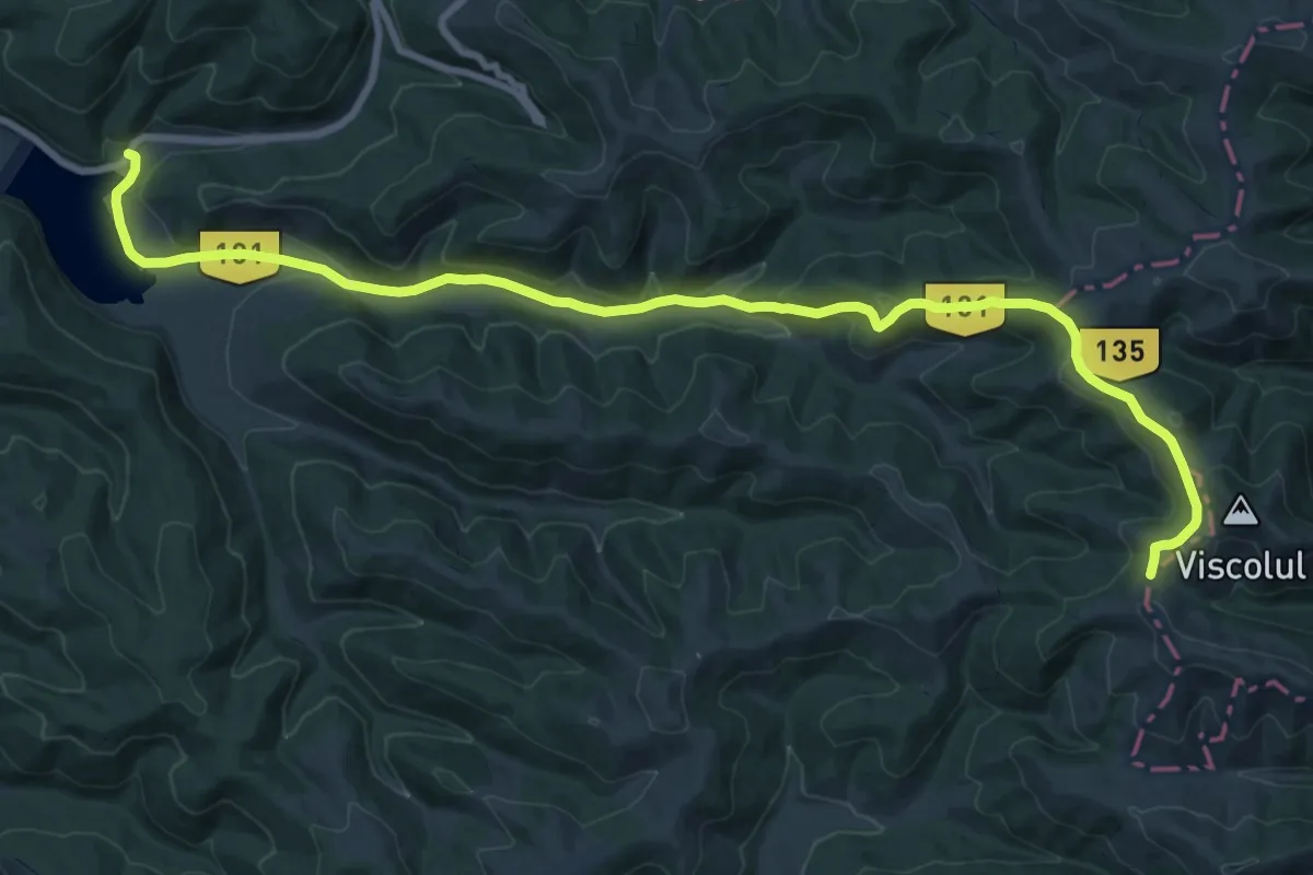
Demanding · Trail
Szénás út Sárga kereszt (Y+)
22.6 km · ↑ 597 m · 6 h 38 min
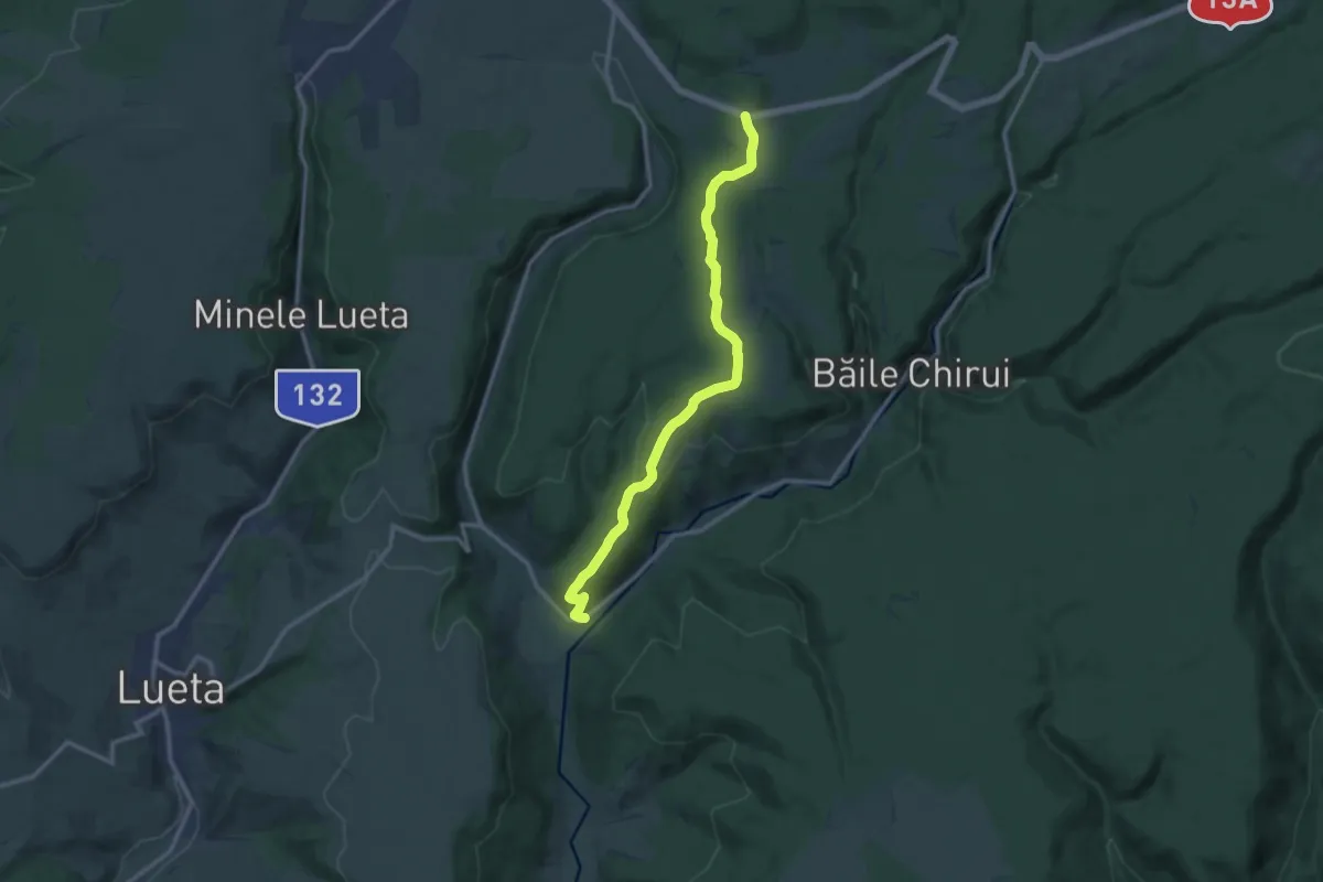
Medium · Trail
Tabăra Creștină Harghita - Colțul Chirui
12.6 km · ↑ 246 m · 3 h 30 min
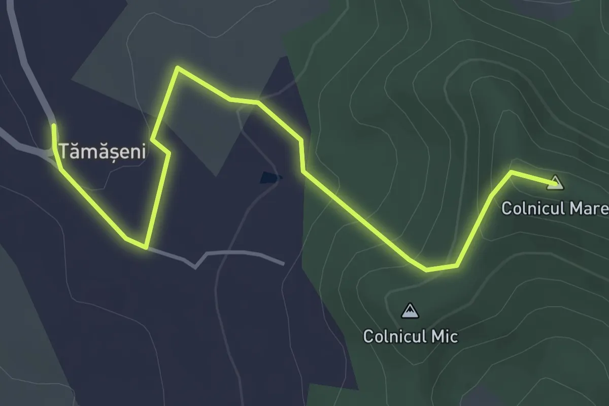
Easy · Summit
Tămășeni – Vf. Cetățeaua
4.3 km · ↑ 193 m · 1 h 26 min
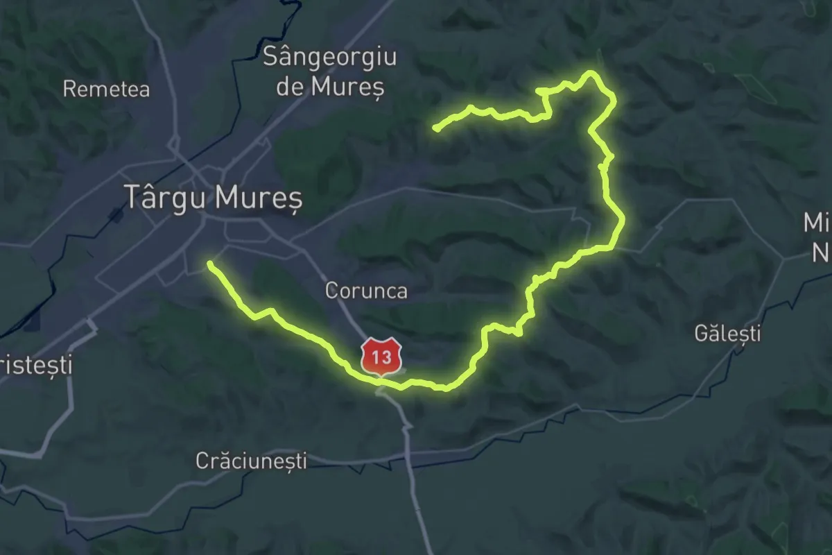
Demanding · Summit
Târgu Mureș (Dâmbul Pietros) - Vațman - Dealul Maiad - Beu - Vf. Terebici
57.7 km · ↑ 1446 m · 16 h 45 min
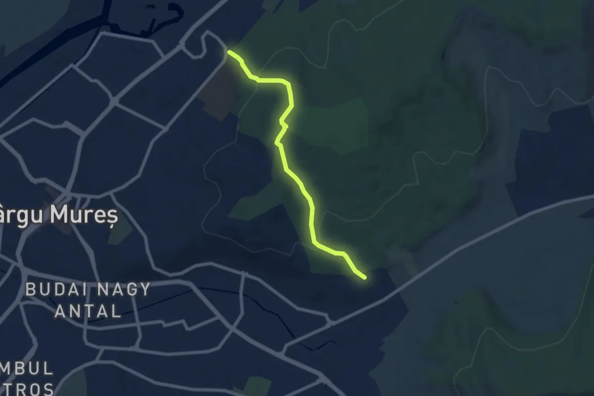
Easy · Trail
Târgu Mureș (Mașini Calcul) - Zoo- Institutul de Medicină
5.8 km · ↑ 226 m · 1 h 52 min
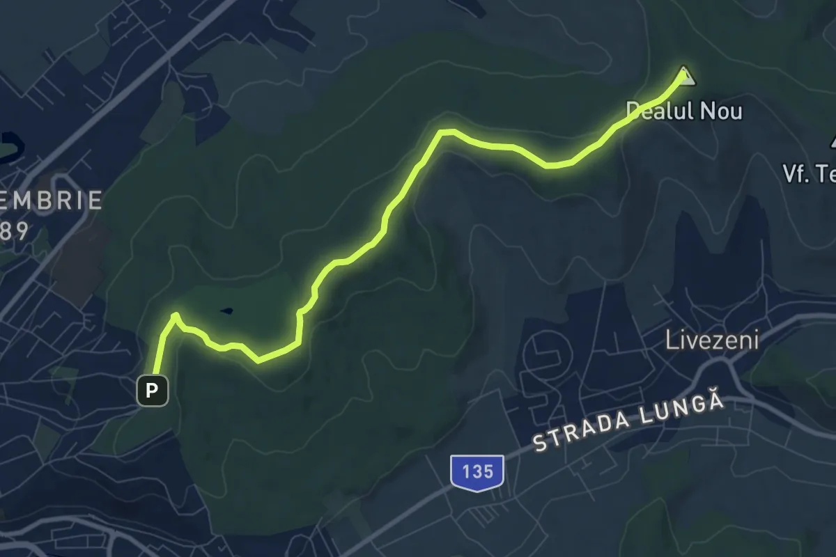
Medium · Summit
Târgu Mureș (Platoul Cornești) - Dealul Nou - Sângeorgiu de Mureș
9.8 km · ↑ 179 m · 2 h 42 min
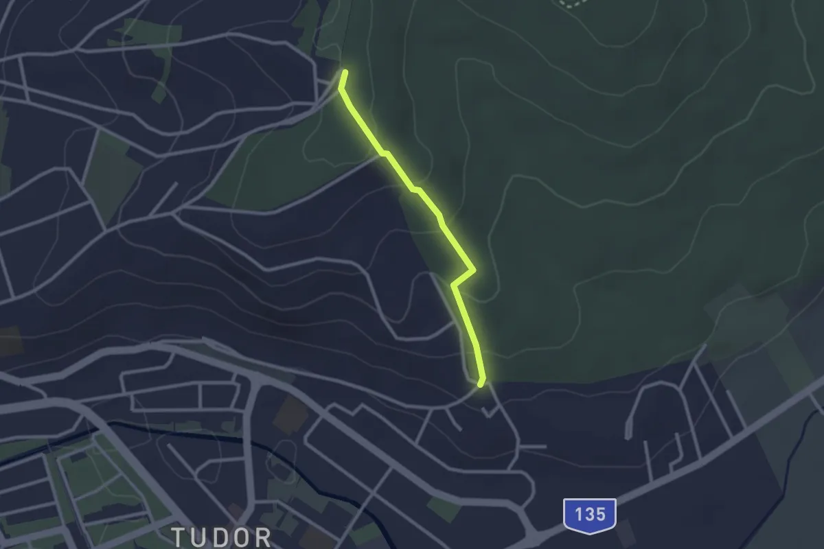
Easy · Trail
Târgu Mureș (Tudor) - Platoul Cornești
2.2 km · ↑ 93 m · 43 min
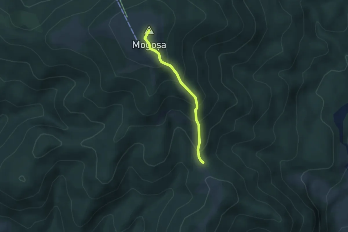
Easy · Summit
Tarnița Arșiței – Vârful Mogoșa
2.8 km · ↑ 249 m · 1 h 12 min
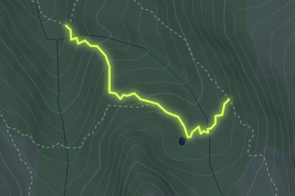
Medium · Trail
Tău dintre Brazi
2.6 km · ↑ 184 m · 1 h
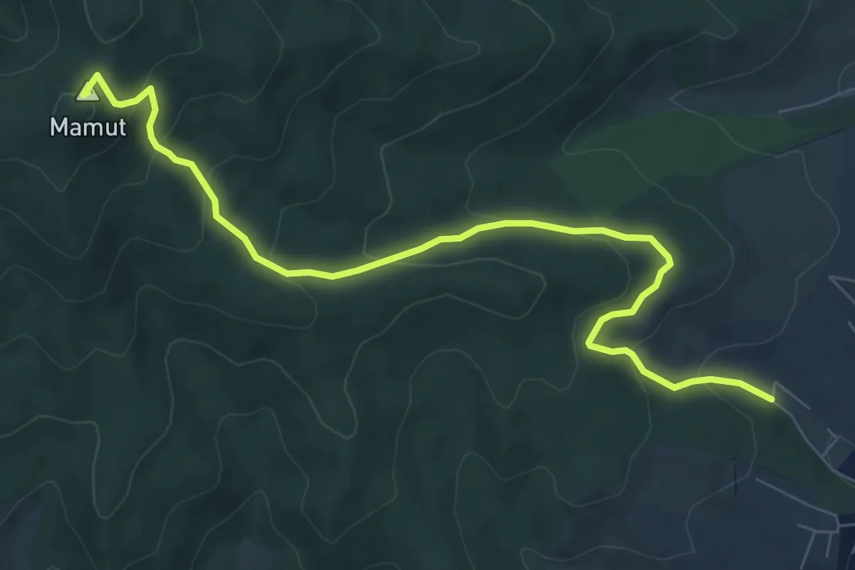
Medium · Summit
Tăuți – vf. Mamut – Alba Iulia
8.6 km · ↑ 448 m · 3 h
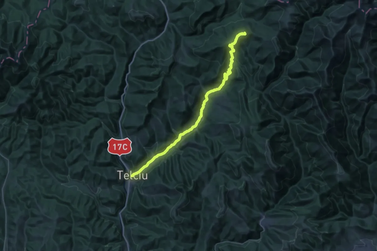
Demanding · Summit
Telciu - Șaua Tomnatic - Șaua Bătrânei
38.6 km · ↑ 1213 m · 11 h 45 min
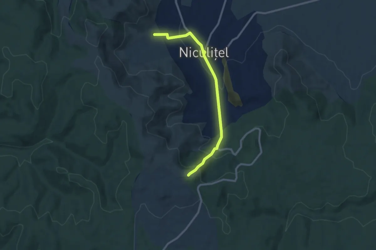
Easy · Summit
Tematic Niculițel
7.3 km · ↑ 274 m · 2 h 19 min
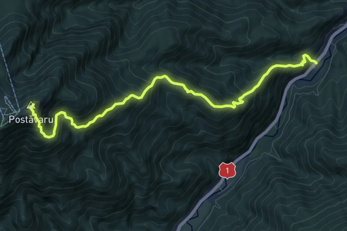
Demanding · Summit
Timișu de Jos - Cabana Postăvaru/Julius Romer - Brașov
10.8 km · ↑ 1104 m · 4 h 56 min
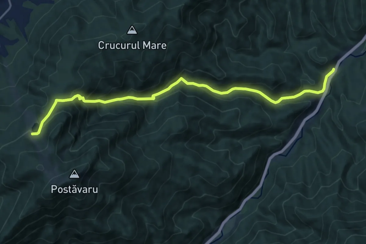
Demanding · Trail
Timișu de Jos - Valea Lamba Mare - Poiana Ruia
12.3 km · ↑ 807 m · 4 h 39 min
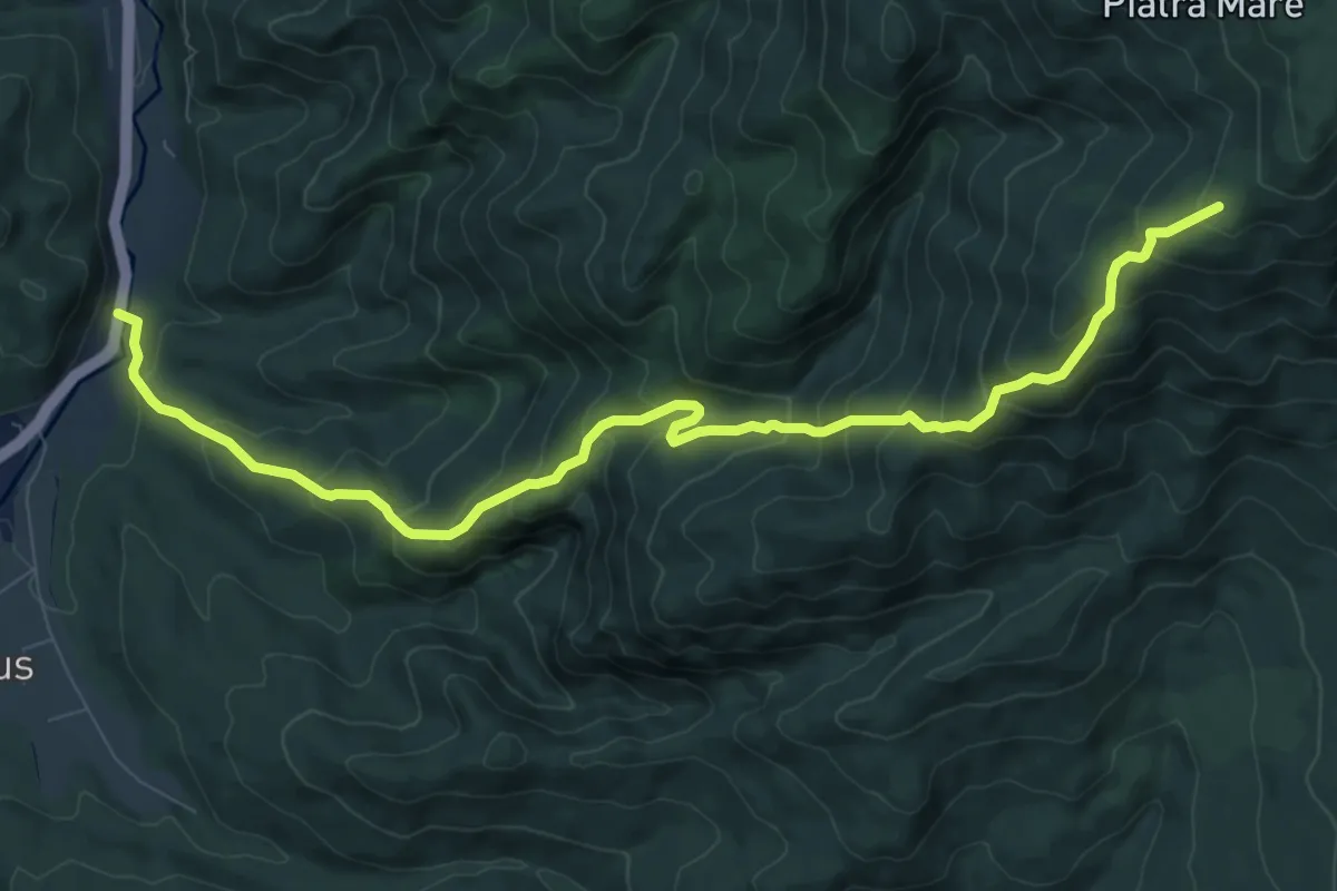
Demanding · Trail
Timișu de Sus - Cascada Tamina - Stâna sub Piatra Scrisă
10.7 km · ↑ 908 m · 4 h 30 min
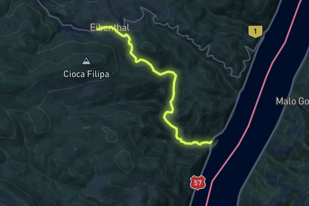
Medium · Trail
Tișovița
11.7 km · ↑ 522 m · 3 h 54 min
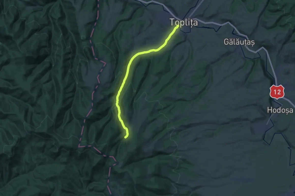
Demanding · Trail
Toplița-Măgheruș
21.6 km · ↑ 703 m · 6 h 37 min
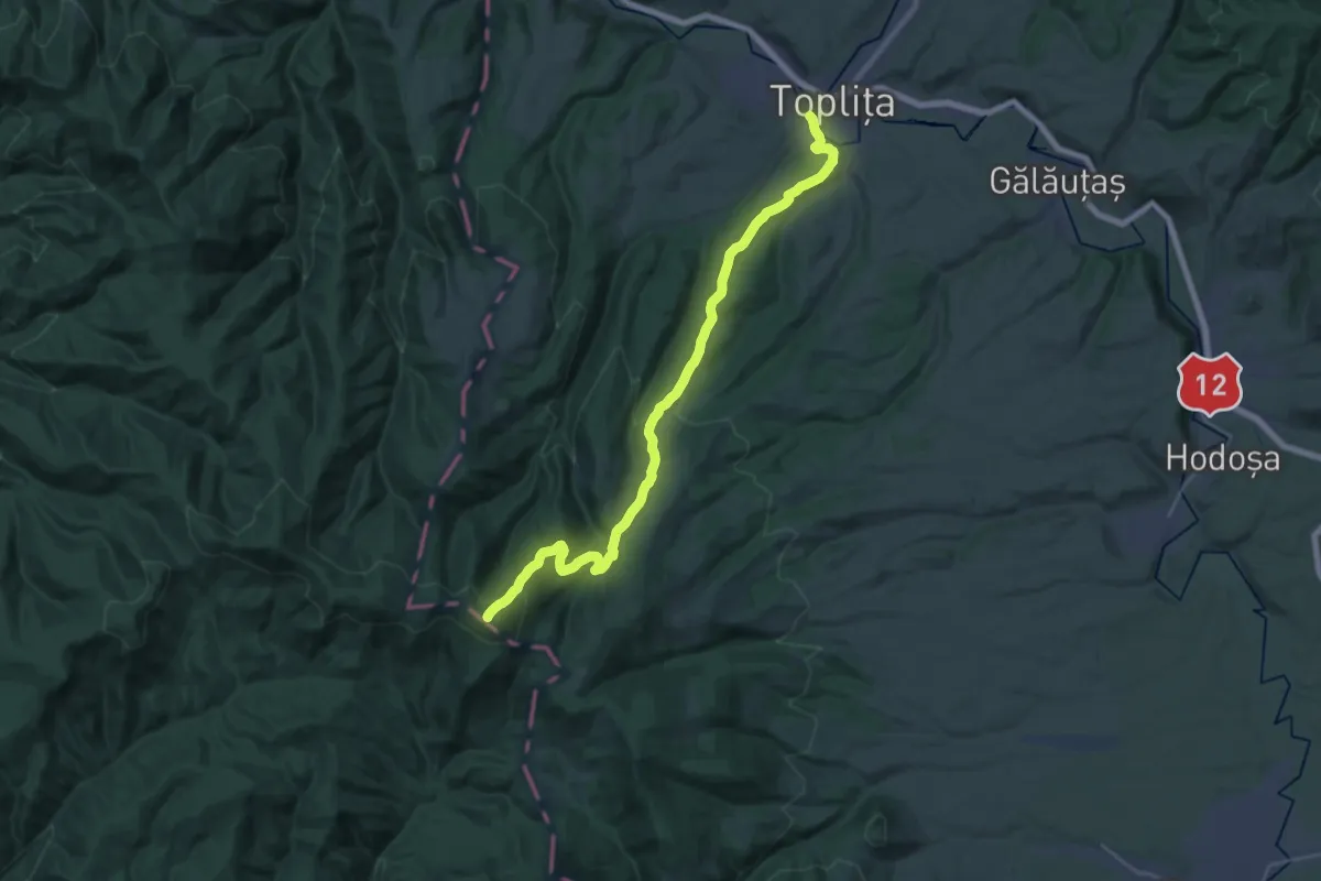
Demanding · Summit
Toplița-Vârful Bătrâna
27.9 km · ↑ 1058 m · 8 h 53 min
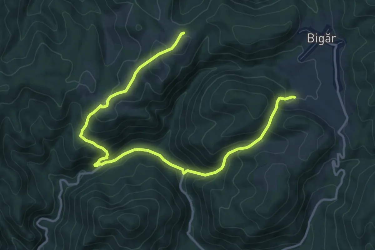
Medium · Trail
Tourist path (green dot)
12.3 km · ↑ 768 m · 4 h 34 min
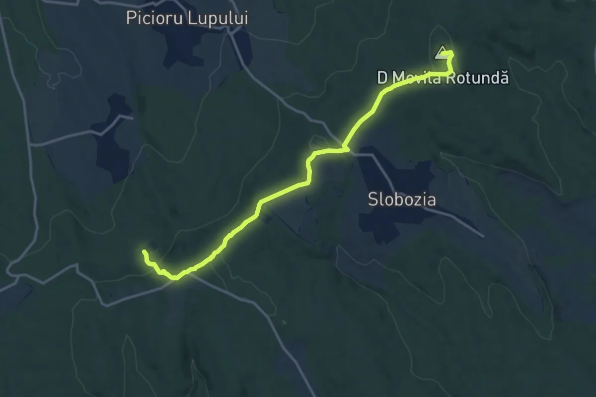
Medium · Summit
Trail 1(Repedea-Poiana Rotunda-Slobozia-Barnova)
11.6 km · ↑ 311 m · 3 h 25 min
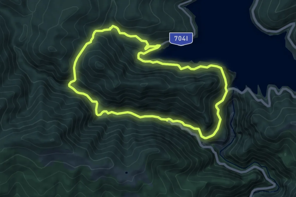
Medium · Trail
Transfăgărășan - Canionul Valea lui Stan - Barajul Vidraru - Transfăgărășan
8.4 km · ↑ 698 m · 3 h 36 min
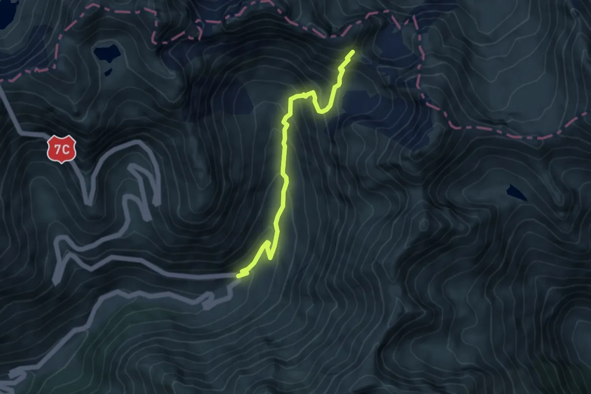
Medium · Trail
Transfăgărășan - Fereastra Zmeilor
5.7 km · ↑ 543 m · 2 h 31 min
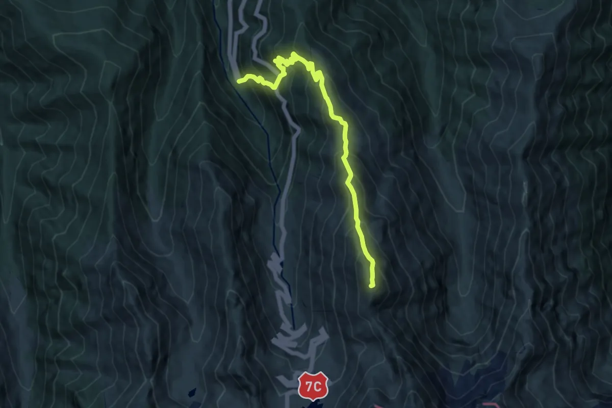
Expert · Summit
Transfăgărășan - Șaua Netedu - L. Bâlea
9.8 km · ↑ 1093 m · 4 h 41 min
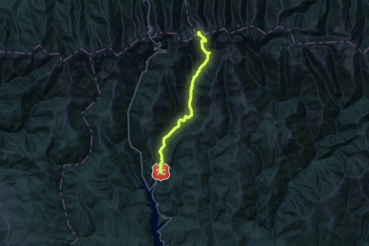
Demanding · Trail
Transfăgărășan - V. Buda - Șaua Podragului
22.8 km · ↑ 387 m · 7 h 15 min
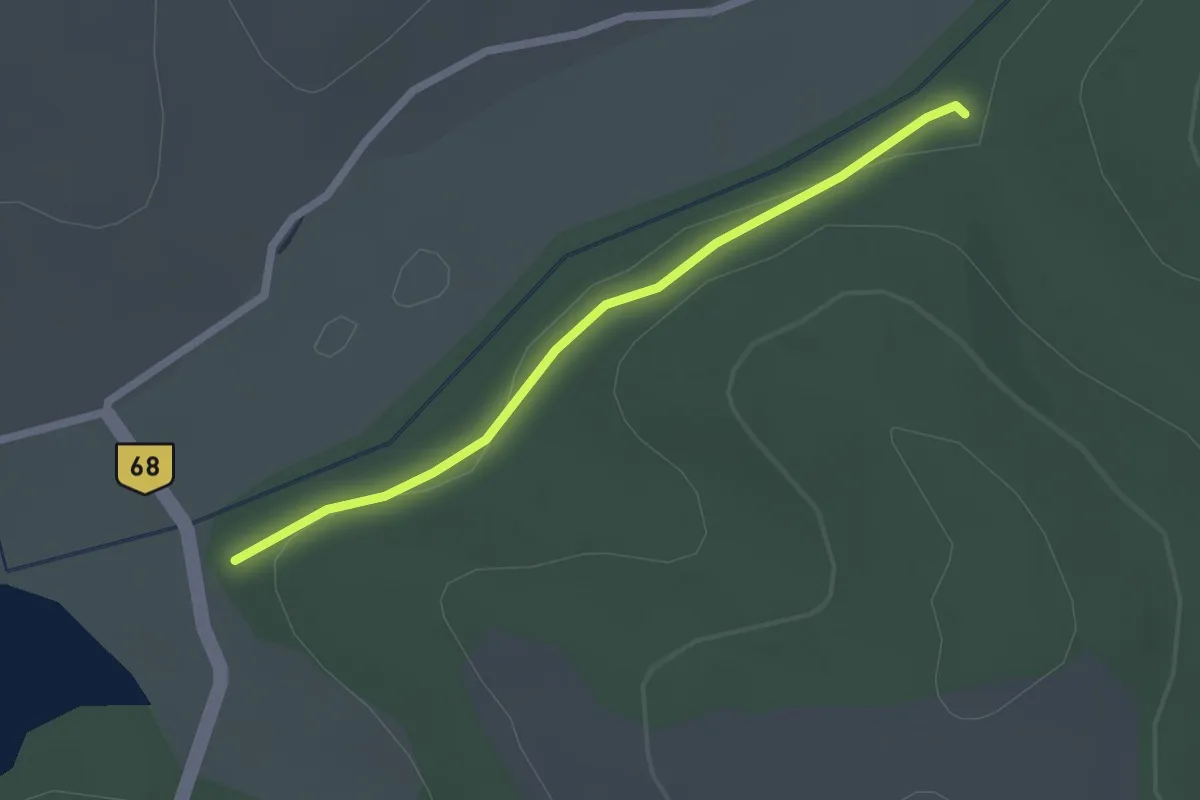
Easy · Trail
Traseu Albastru
2.1 km · ↑ 13 m · 31 min
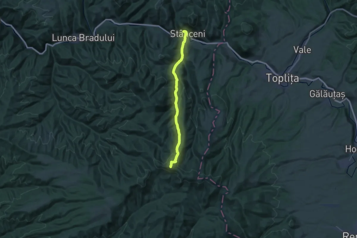
Demanding · Summit
Traseu bandă albastră Stânceni - Valea Gudea Mică - Vârful Fâncel
27.3 km · ↑ 1179 m · 9 h 1 min
Easy · Summit
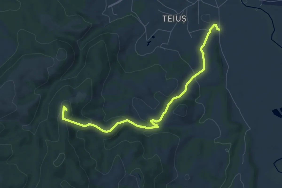
Traseu bandă galbenă
7.9 km · ↑ 265 m · 2 h 27 min
Easy · Trail
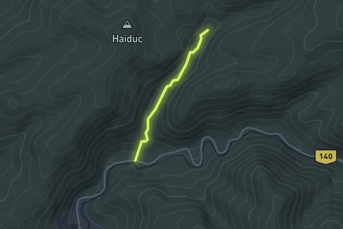
Traseu catre Monumentul Turistului 1914
2.1 km · ↑ 68 m · 39 min
Medium · Trail
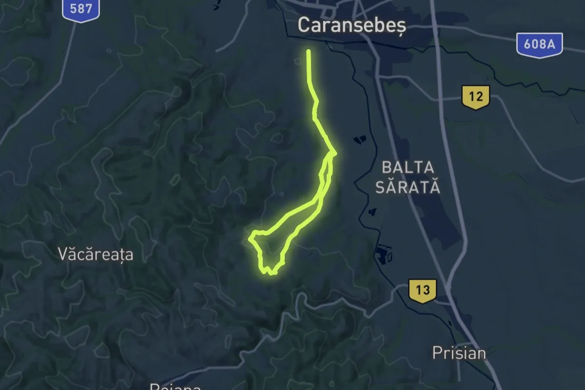
Traseu "Crucea Albastră" (blue cross)
15.5 km · ↑ 323 m · 4 h 22 min
Medium · Summit
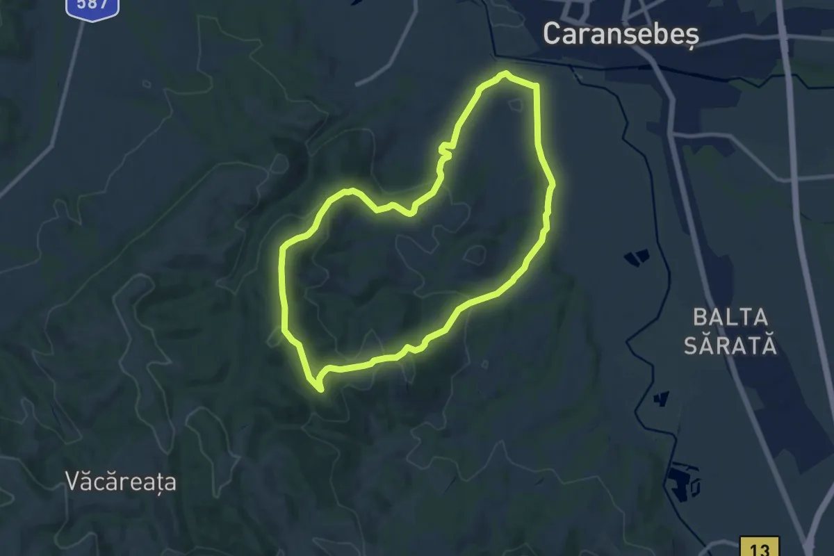
Traseu Crucea Verde-Corcana-Halta Teius (red triangle)
9.1 km · ↑ 310 m · 2 h 56 min