Trails in Romania
1,356 hiking trails, each with its route, climb, walking time and grade.
All trails, page 25 of 29
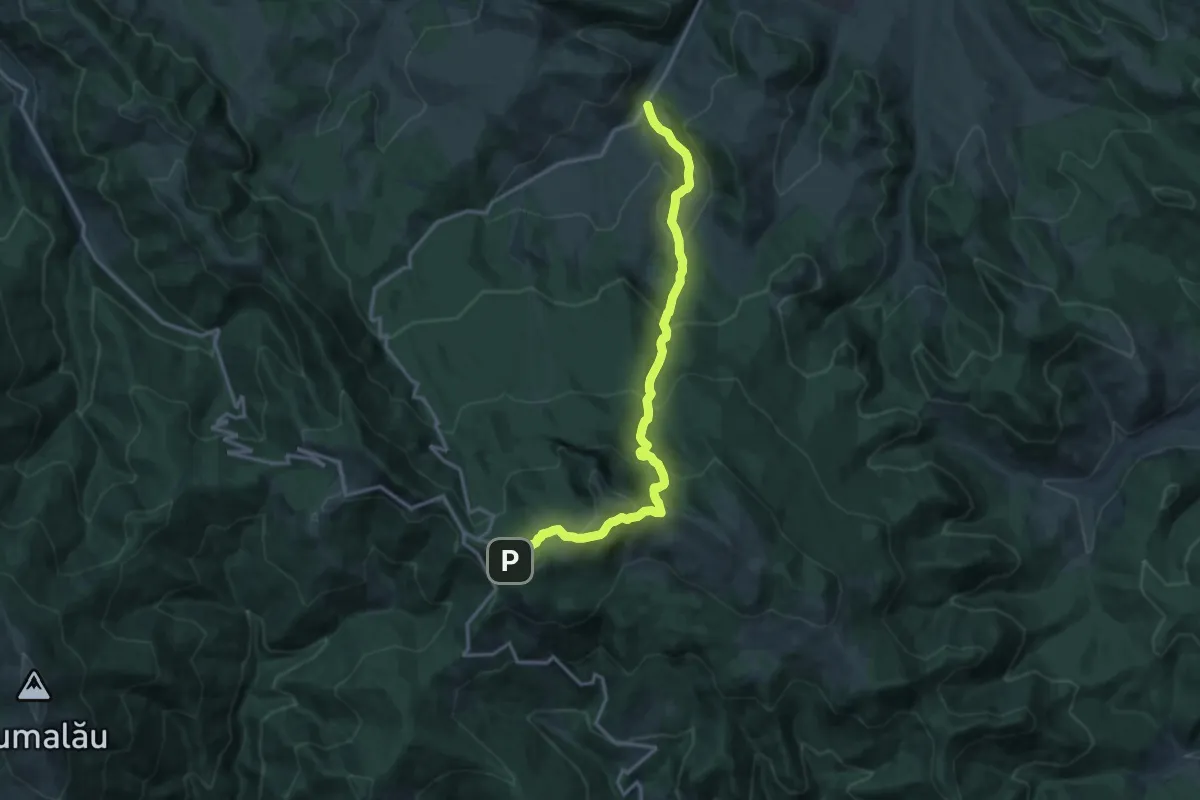
Demanding · Trail
traseul 17 PR – Hotel Rarău (yellow cross)
15.4 km · ↑ 1071 m · 5 h 58 min
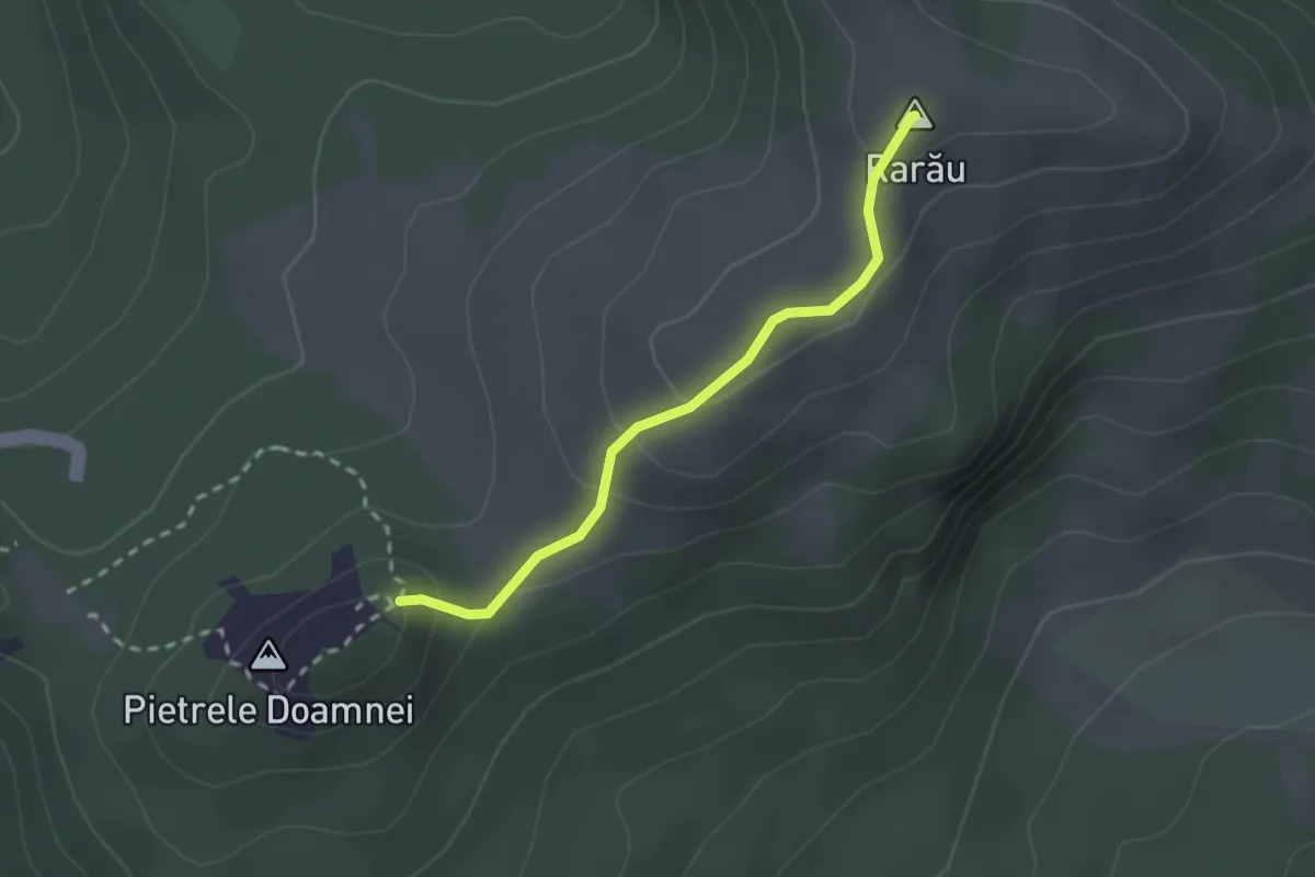
Easy · Summit
Traseul 20 CA – Vf. Rarău (blue dot)
2.1 km · ↑ 117 m · 46 min
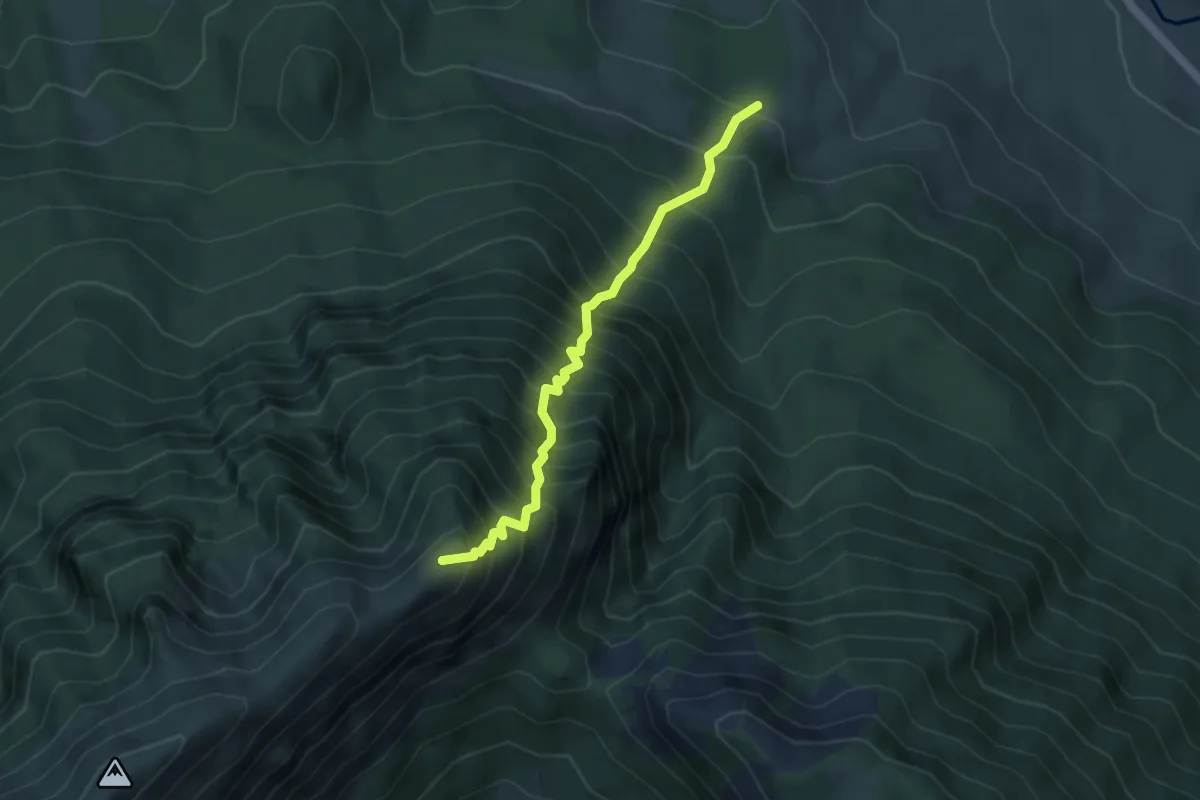
Demanding · Summit
traseul BA-Padina Hotarului - Vf. Turnu
4.2 km · ↑ 926 m · 3 h 1 min
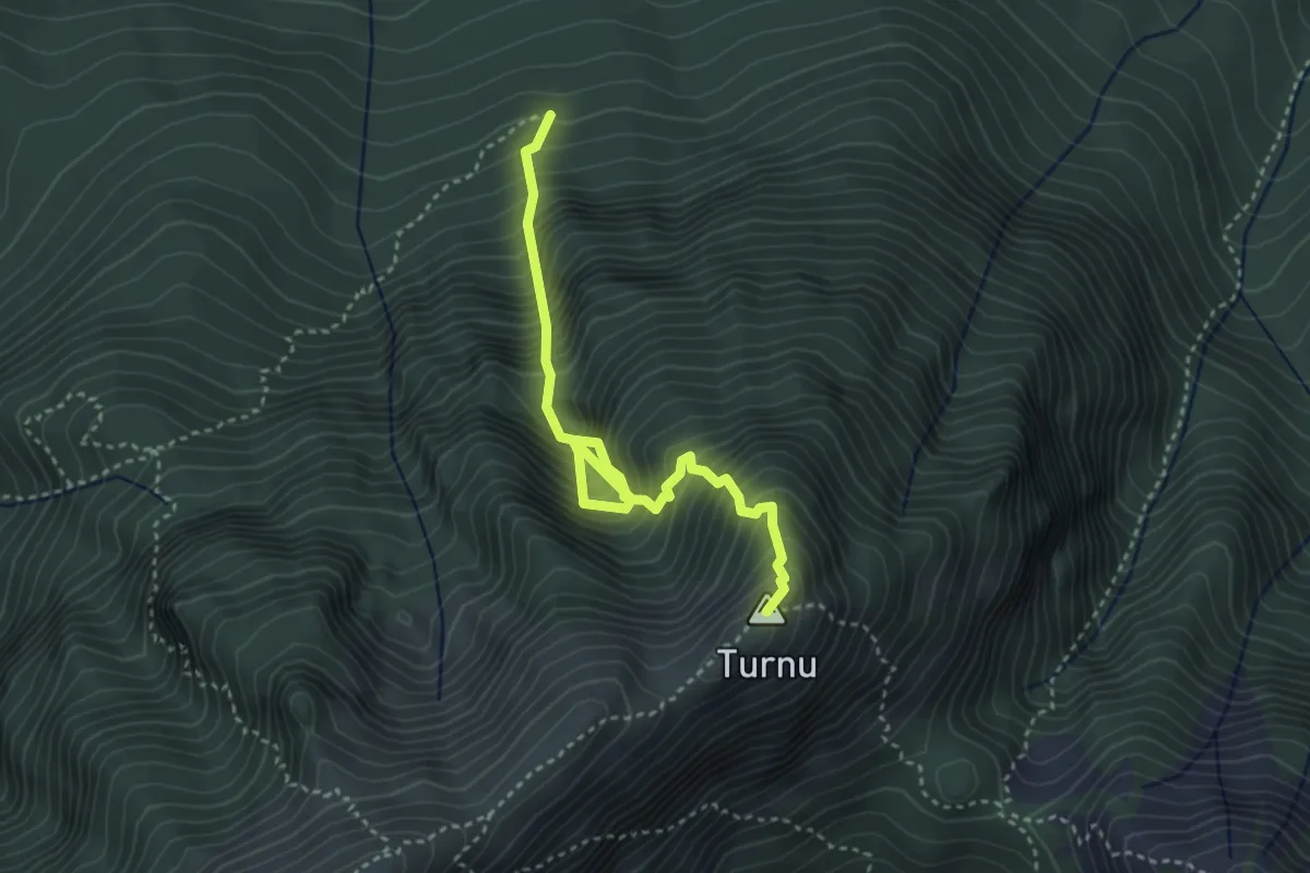
Demanding · Summit
traseul BA-Padina Șindileriei-Vf. Turnu
3.8 km · ↑ 875 m · 2 h 48 min
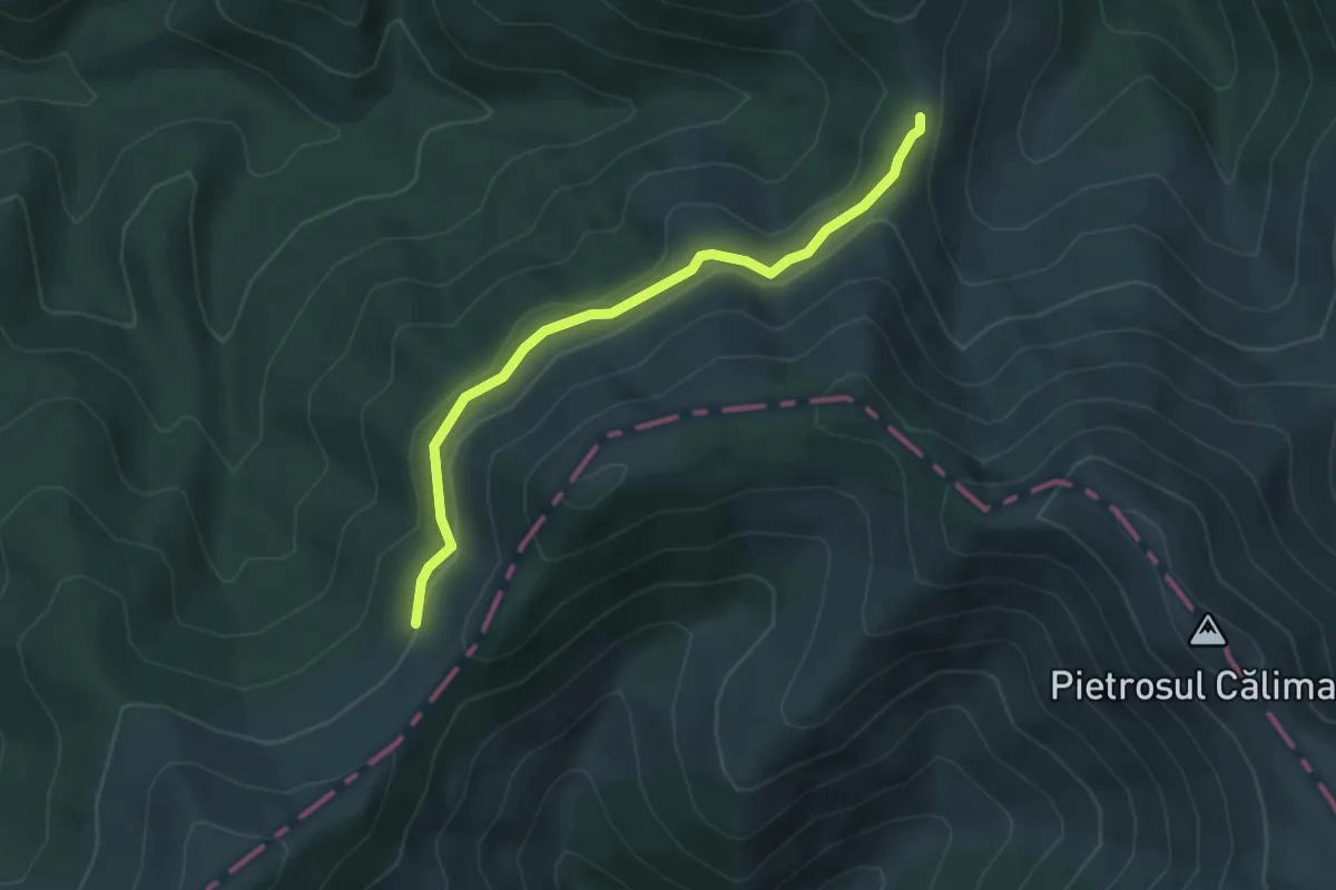
Easy · Trail
Traseul CR-Poiana Izvoarele
4.4 km · ↑ 186 m · 1 h 27 min
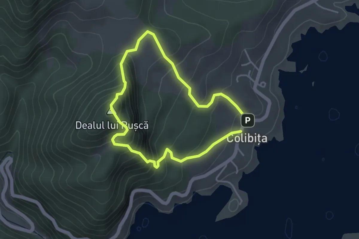
Easy · Summit
Traseul „Dealul lui Pușcă”
2.8 km · ↑ 249 m · 1 h 15 min
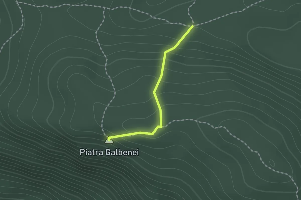
Easy · Summit
Traseul de vizitare Pietrele Galbenei
1.2 km · ↑ 103 m · 30 min
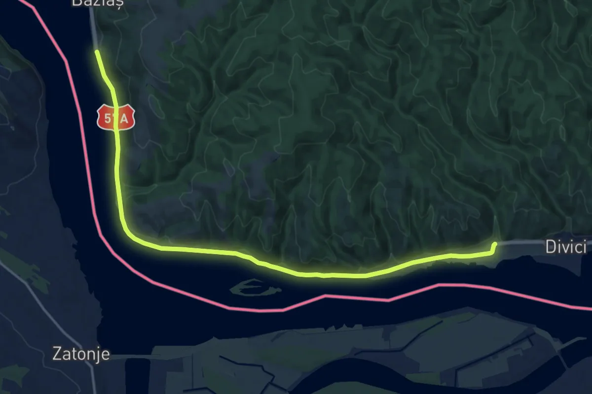
Medium · Trail
Traseul ecoturistic Balta Nera – Ostrov Moldova Veche
17.3 km · ↑ 213 m · 4 h 33 min
Easy · Trail
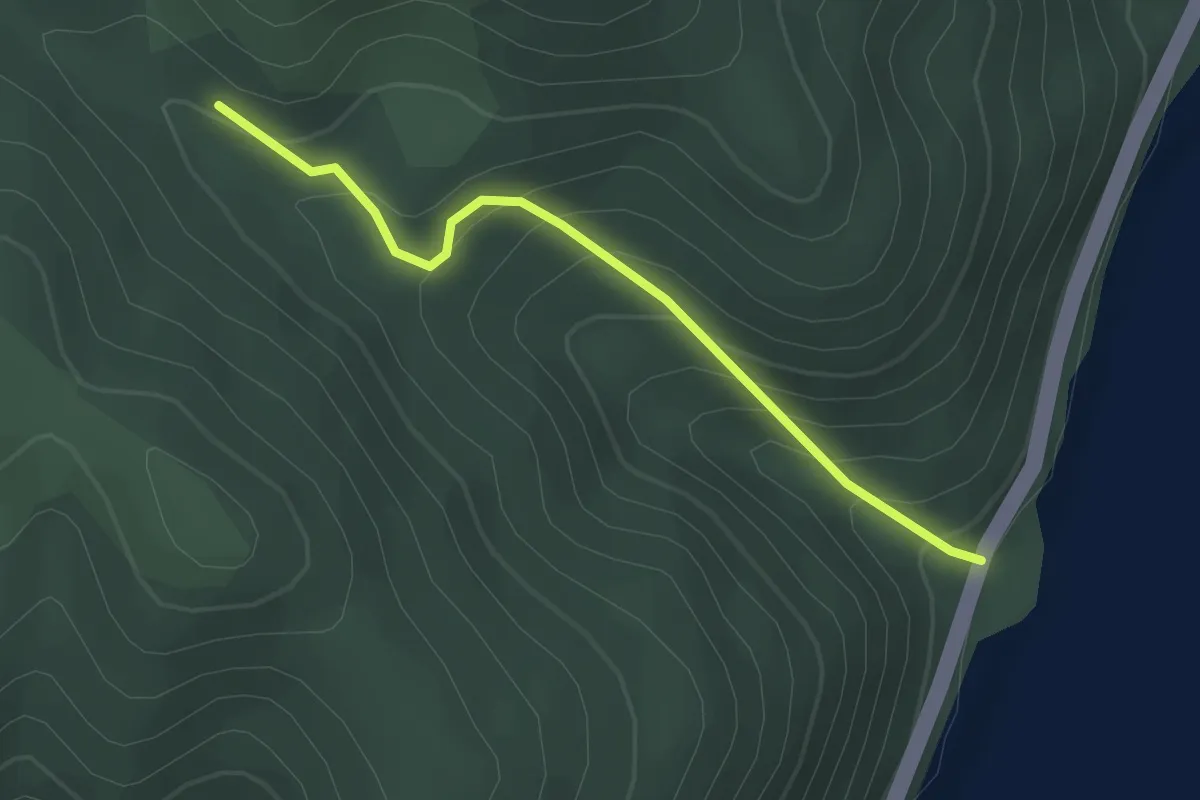
Traseul ecoturistic Cioaca Cremeneasca – Rudina
2.6 km · ↑ 219 m · 1 h 5 min
Medium · Summit
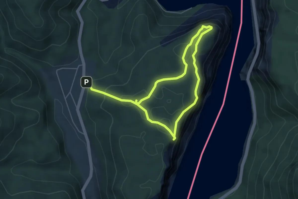
Traseul ecoturistic Ciucaru Mare – Cazanele Mari
7.7 km · ↑ 443 m · 2 h 47 min
Easy · Trail
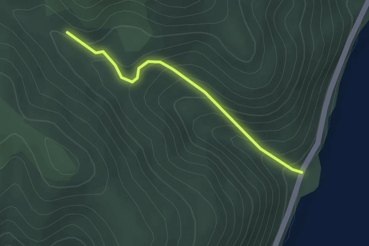
Traseul ecoturistic Liubotina
2.6 km · ↑ 219 m · 1 h 5 min
Medium · Summit
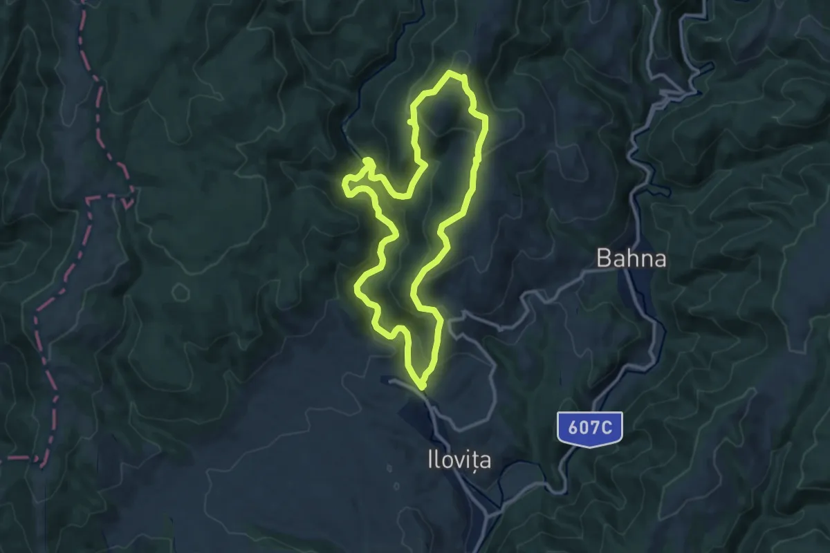
Traseul ecoturistic Racovăț-Boldovin (red dot)
10.3 km · ↑ 502 m · 3 h 40 min
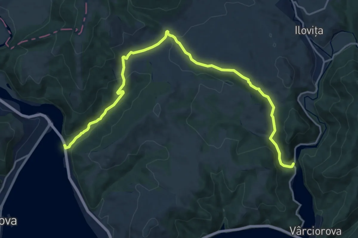
Medium · Trail
Traseul ecoturistic Țarovăț (blue triangle)
15.7 km · ↑ 415 m · 4 h 36 min
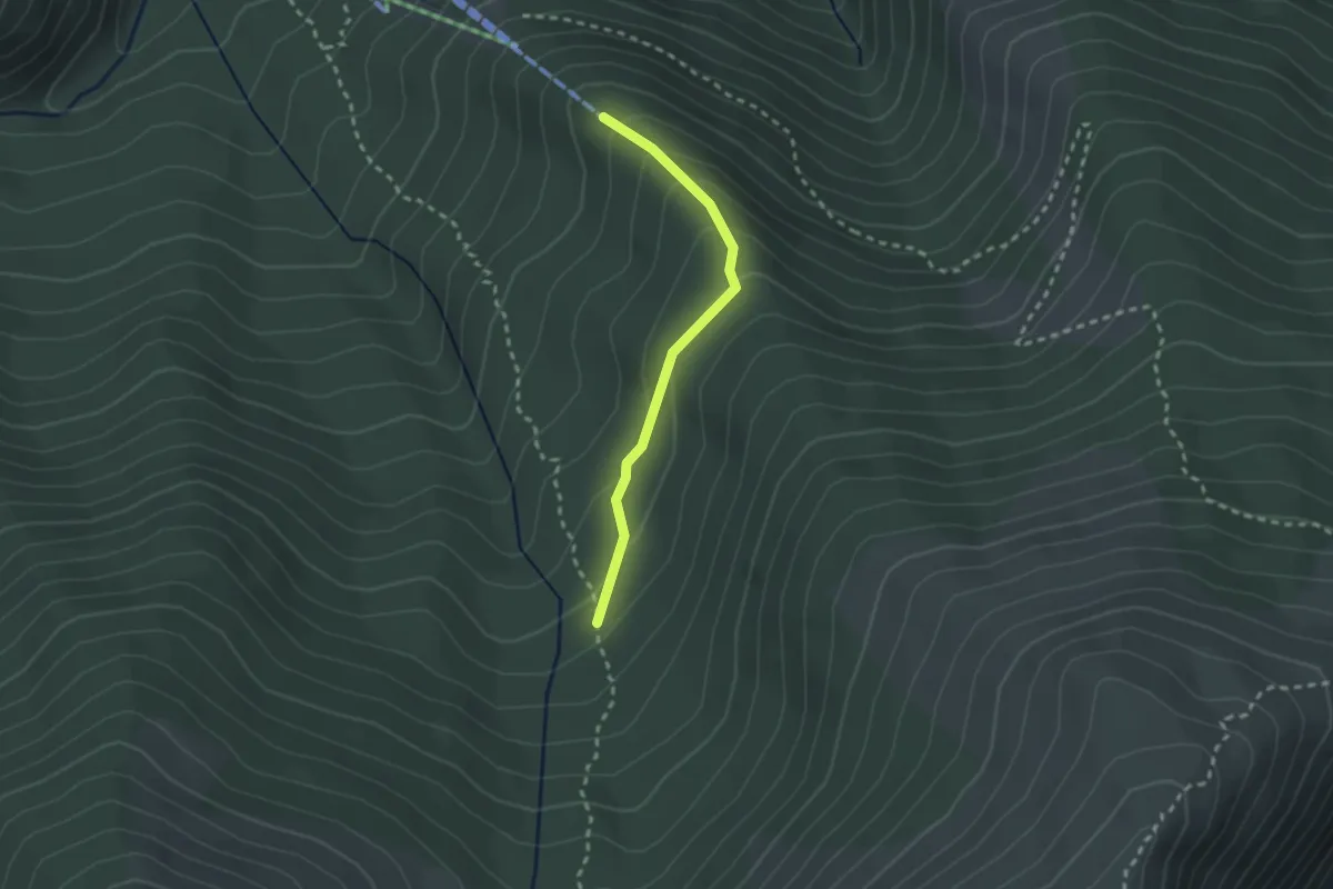
Easy · Trail
Traseu legatură Telescaun -> L. Ștevia - Vf. Retezat
2.2 km · ↑ 128 m · 48 min
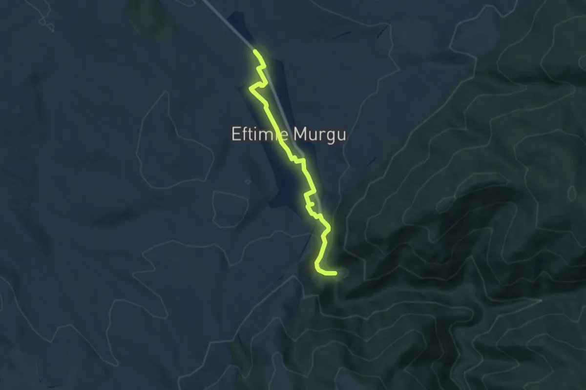
Easy · Trail
Traseul morilor de apă din Rudăria
6.9 km · ↑ 91 m · 1 h 49 min
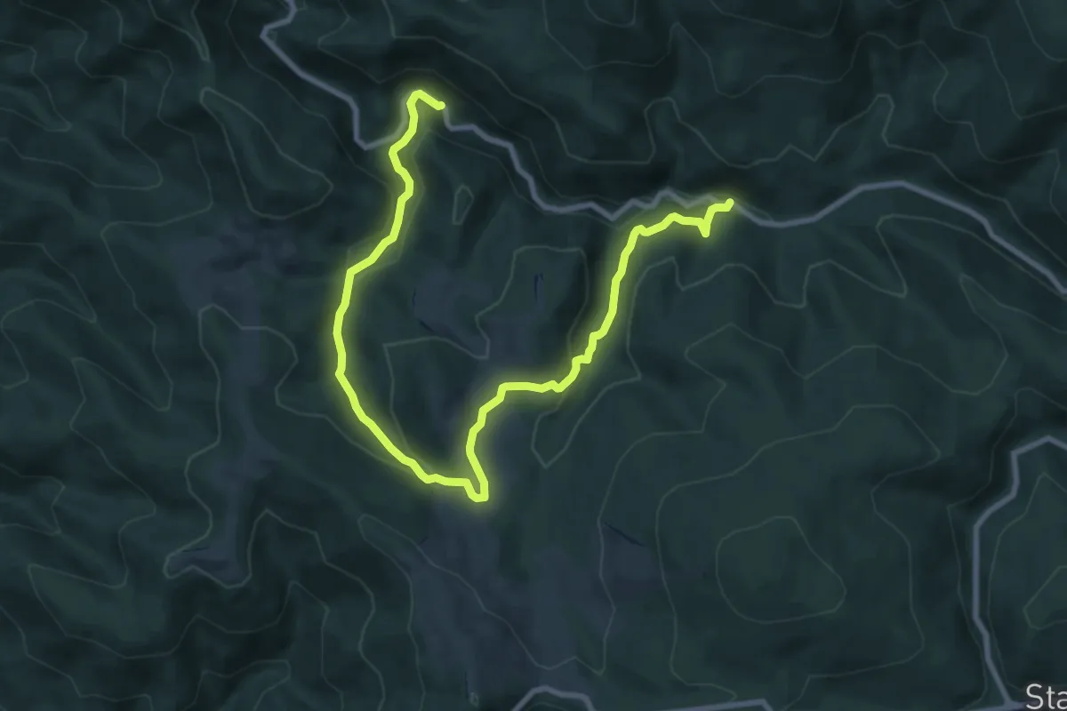
Easy · Trail
Traseul Săritorii Ieduțului
5.7 km · ↑ 232 m · 1 h 54 min
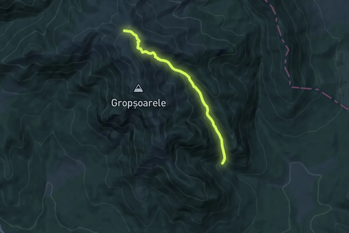
Medium · Trail
traseul TA - V. Pârâului Alb - La Răscruce
7.4 km · ↑ 631 m · 3 h 7 min
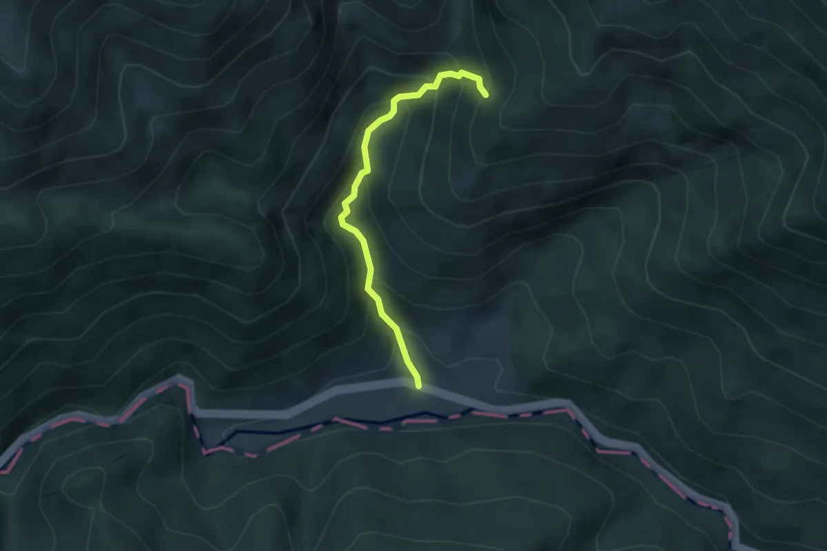
Easy · Trail
Traseul Tematic Câmpul Mielului-Podul din Scocul Urzicarului
3.1 km · ↑ 320 m · 1 h 25 min
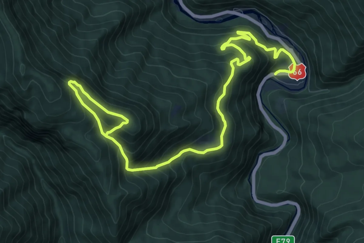
Demanding · Trail
Traseul tematic Defileul Jiului și comorile sale
15.6 km · ↑ 1100 m · 6 h 3 min
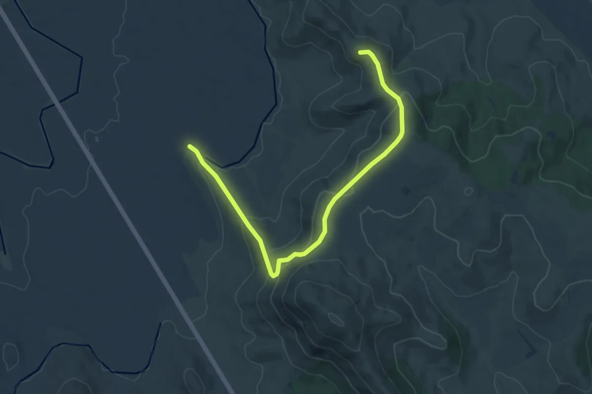
Medium · Summit
Traseul tematic geologic Poteca Priopcei
8.0 km · ↑ 361 m · 2 h 41 min
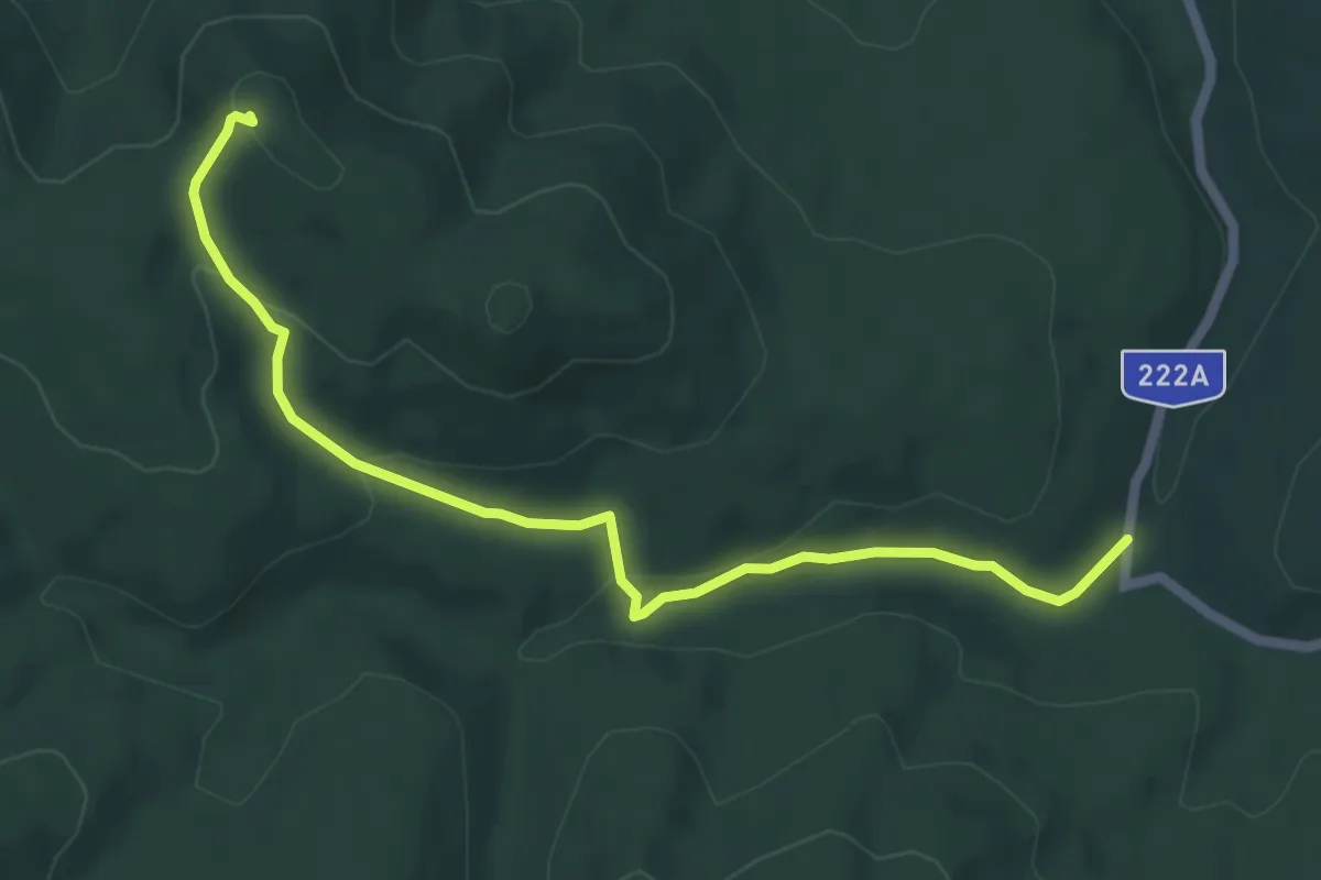
Easy · Summit
Traseul Tematic Pietrosul Dobrogean
6.2 km · ↑ 194 m · 1 h 53 min
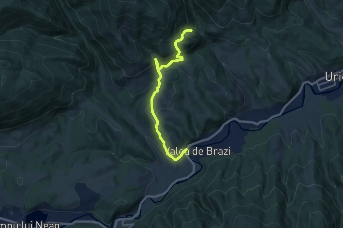
Medium · Trail
Traseul tematic Poteca liliecilor
8.8 km · ↑ 534 m · 3 h 15 min
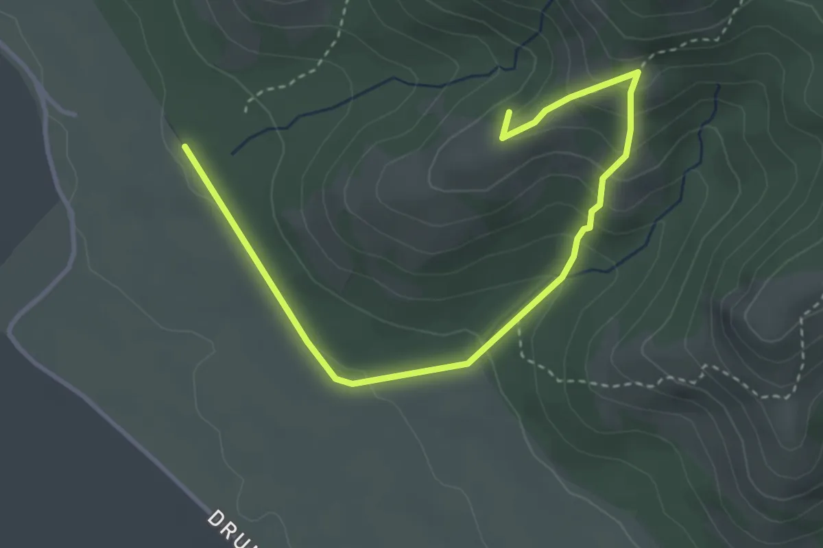
Easy · Summit
Traseul tematic Poveștile Măcinului
4.2 km · ↑ 264 m · 1 h 33 min
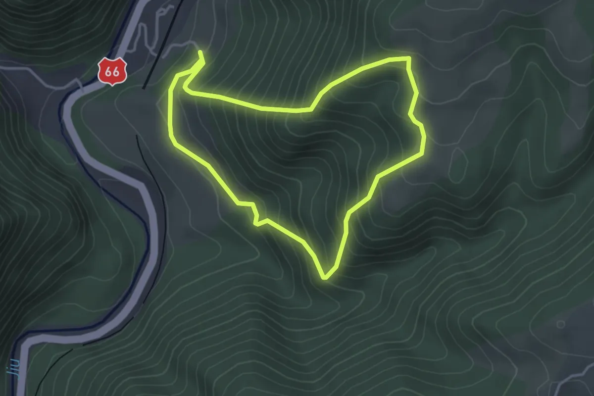
Medium · Trail
Traseul tematic Poveștile pădurii
3.4 km · ↑ 335 m · 1 h 34 min
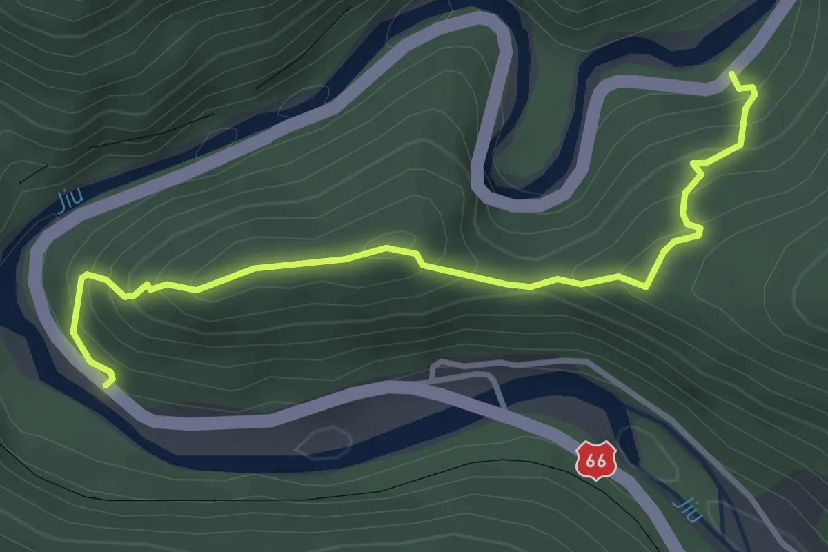
Medium · Trail
Traseul tematic Sfinxul Lainicilor
3.5 km · ↑ 387 m · 1 h 40 min
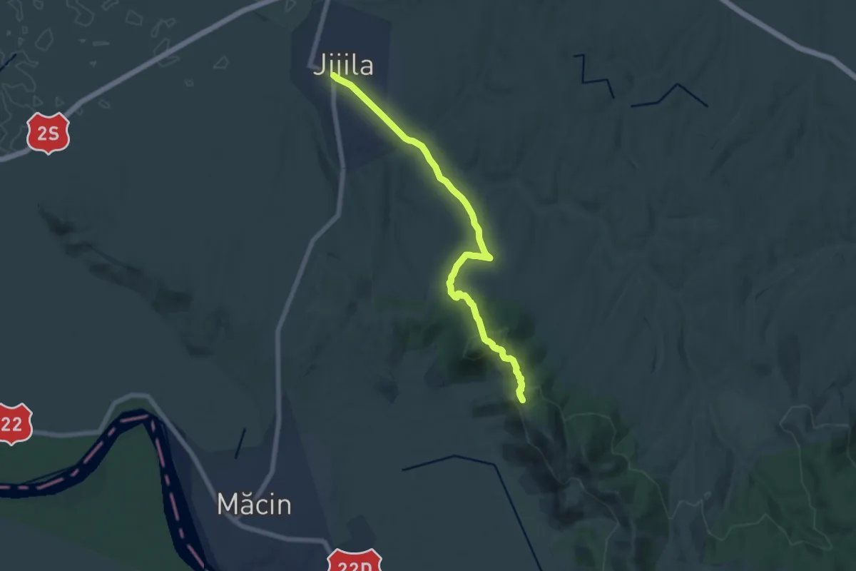
Medium · Summit
Traseul tematic Valea Jijilei
13.6 km · ↑ 416 m · 4 h 6 min
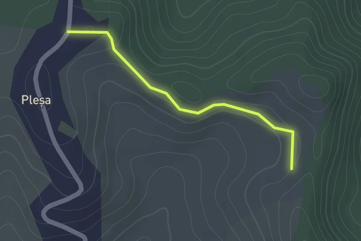
Easy · Trail
Traseu Marș Nordic
2.1 km · ↑ 32 m · 34 min
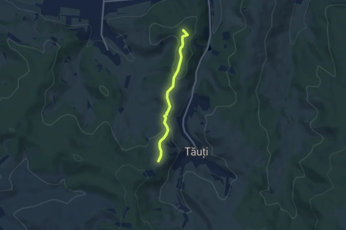
Easy · Summit
Traseu Monument 1940
5.5 km · ↑ 213 m · 1 h 45 min
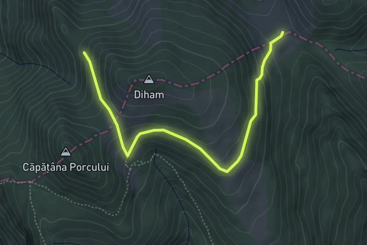
Medium · Cabin
traseu PR - Cabana Poiana Izvoarelor - Șaua Baiului
5.4 km · ↑ 273 m · 1 h 52 min
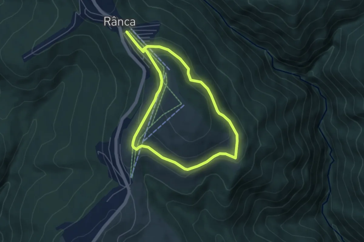
Easy · Trail
Traseu promenada Ranca
4.6 km · ↑ 157 m · 1 h 30 min
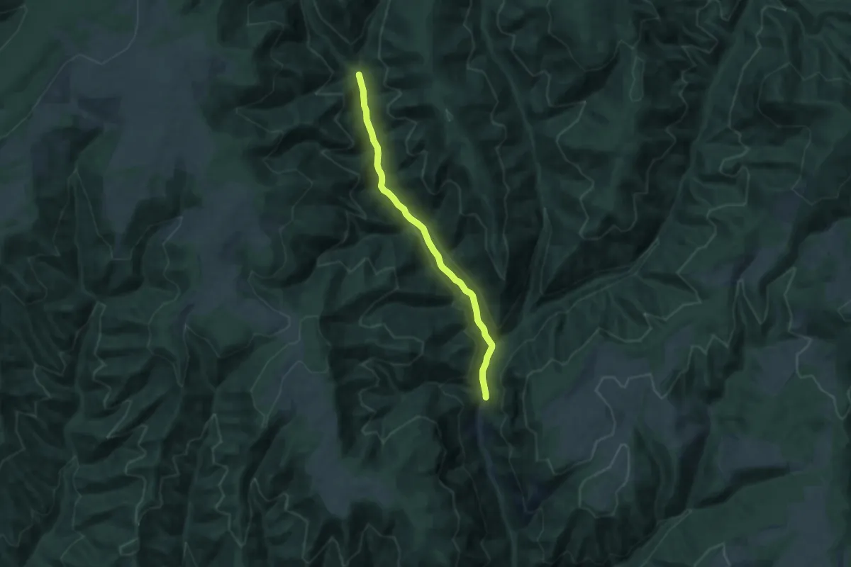
Medium · Trail
Traseu punct albastru
10.6 km · ↑ 254 m · 3 h 3 min
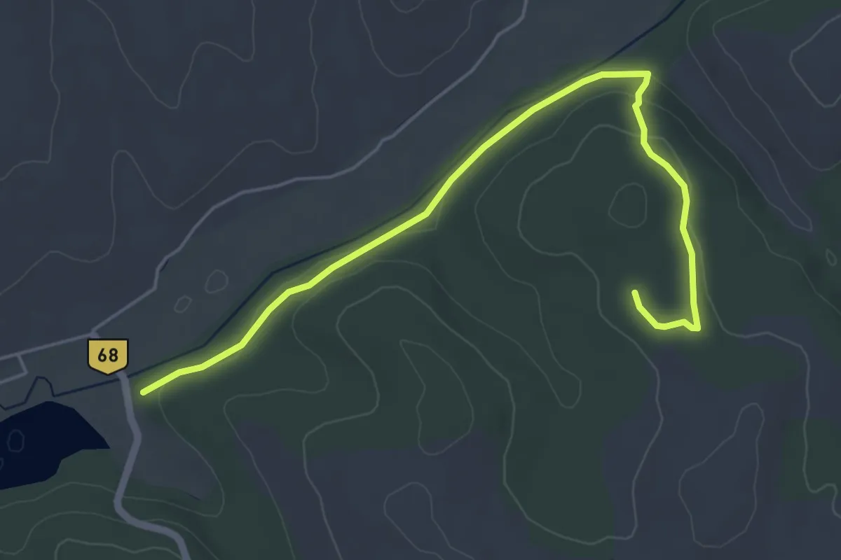
Easy · Trail
Traseu Rosu
5.9 km · ↑ 68 m · 1 h 32 min
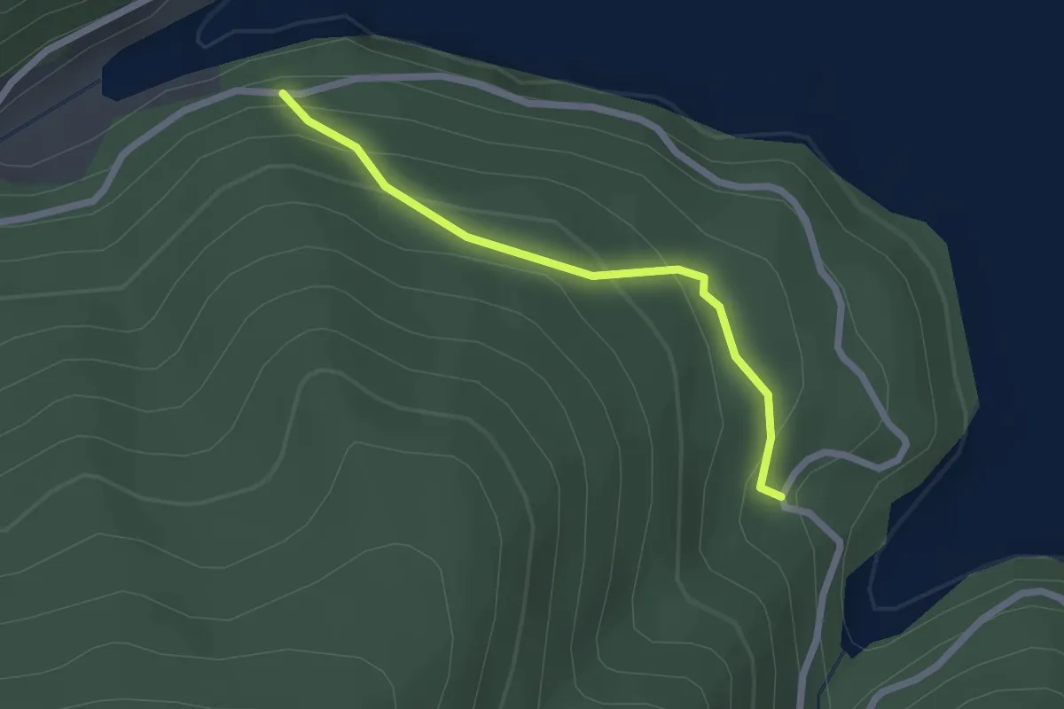
Easy · Trail
Traseu tematic Rezervația Naturală Secu
2.0 km · ↑ 150 m · 47 min
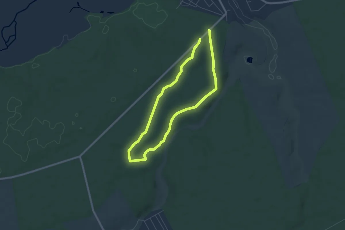
Medium · Trail
Traseu turistic "Coasta lui Tudorache"
10.2 km · ↑ 144 m · 2 h 44 min
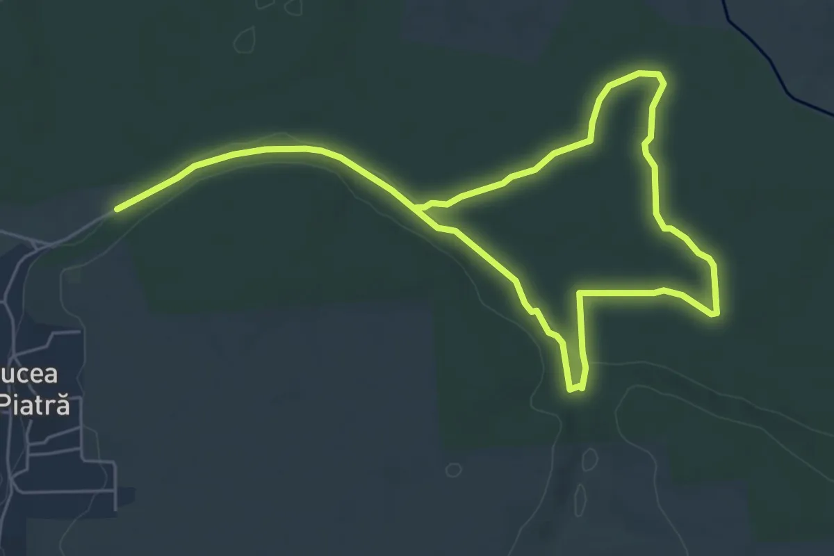
Medium · Trail
Traseu turistic "Crucea de piatra"
9.3 km · ↑ 54 m · 2 h 19 min
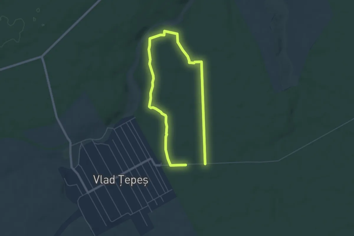
Medium · Trail
Traseu turistic "Izvor"
9.2 km · ↑ 60 m · 2 h 18 min
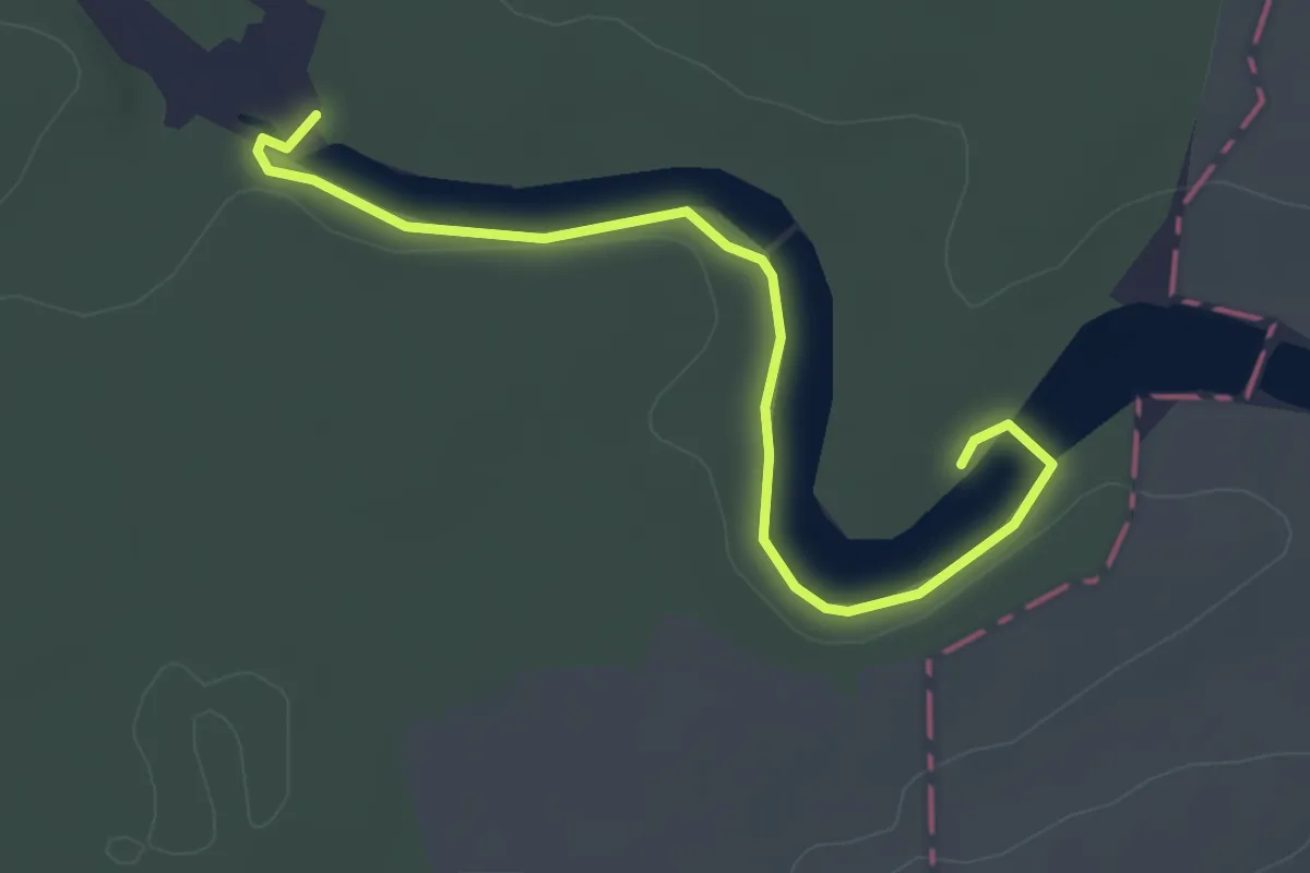
Easy · Trail
Traseu turistic "La crama armatei"
3.7 km · ↑ 19 m · 55 min
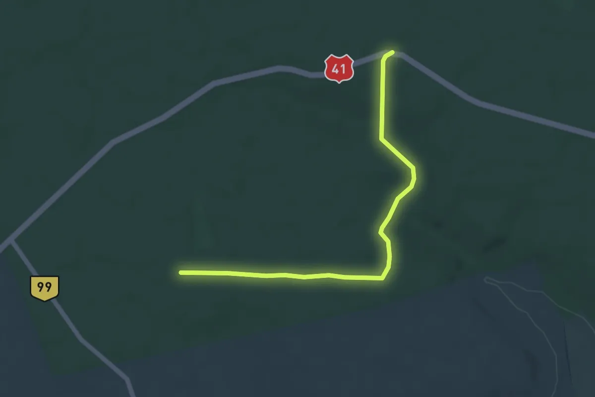
Easy · Trail
Traseu turistic "La țîrîitori"
5.0 km · ↑ 49 m · 1 h 17 min
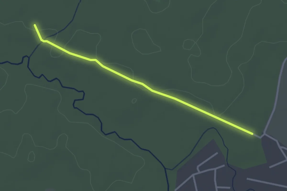
Easy · Trail
Traseu turistic "Poiana Brigadierului"
2.9 km · ↑ 8 m · 42 min
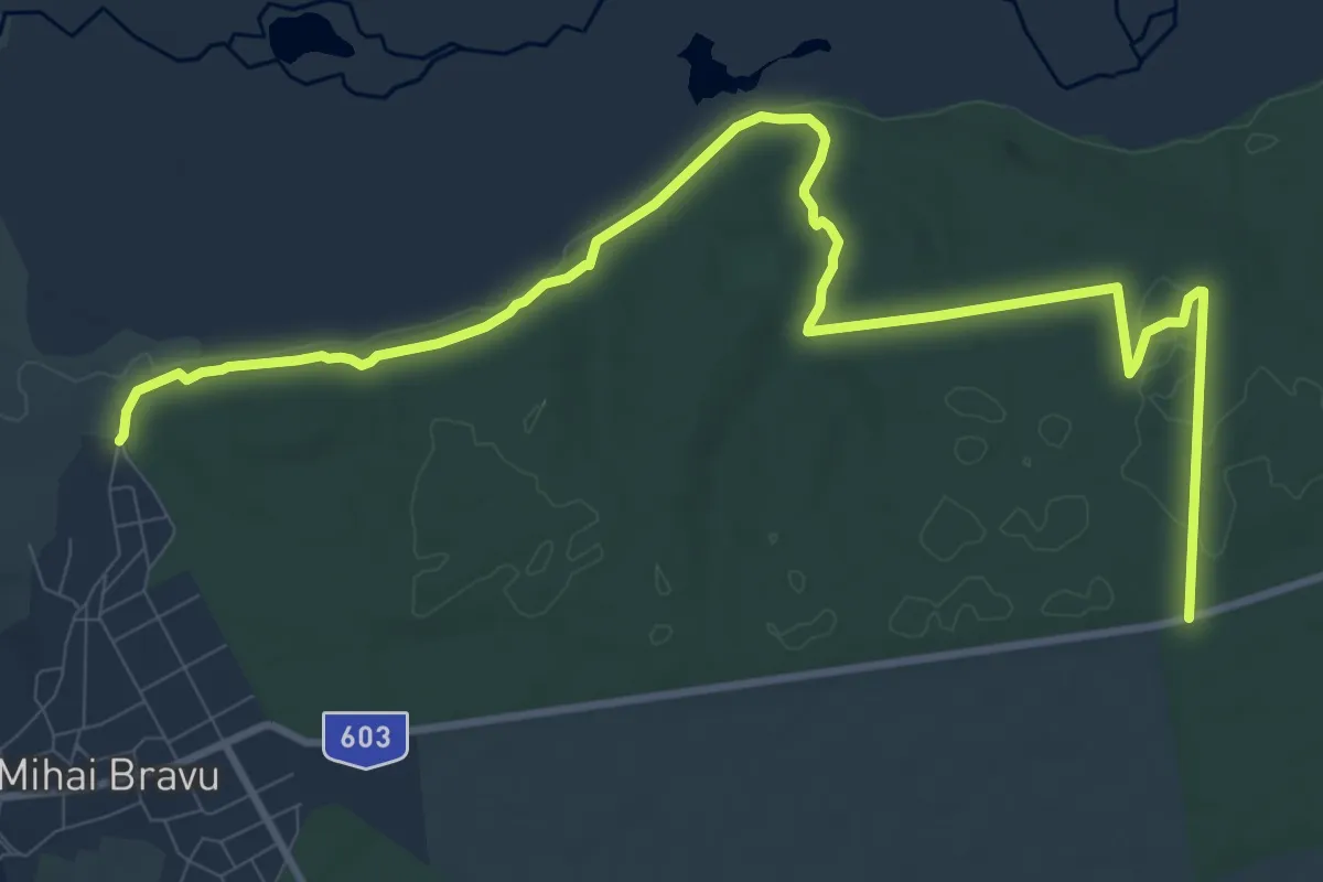
Medium · Trail
Traseu turistic "Prin Lupării"
13.8 km · ↑ 109 m · 3 h 29 min
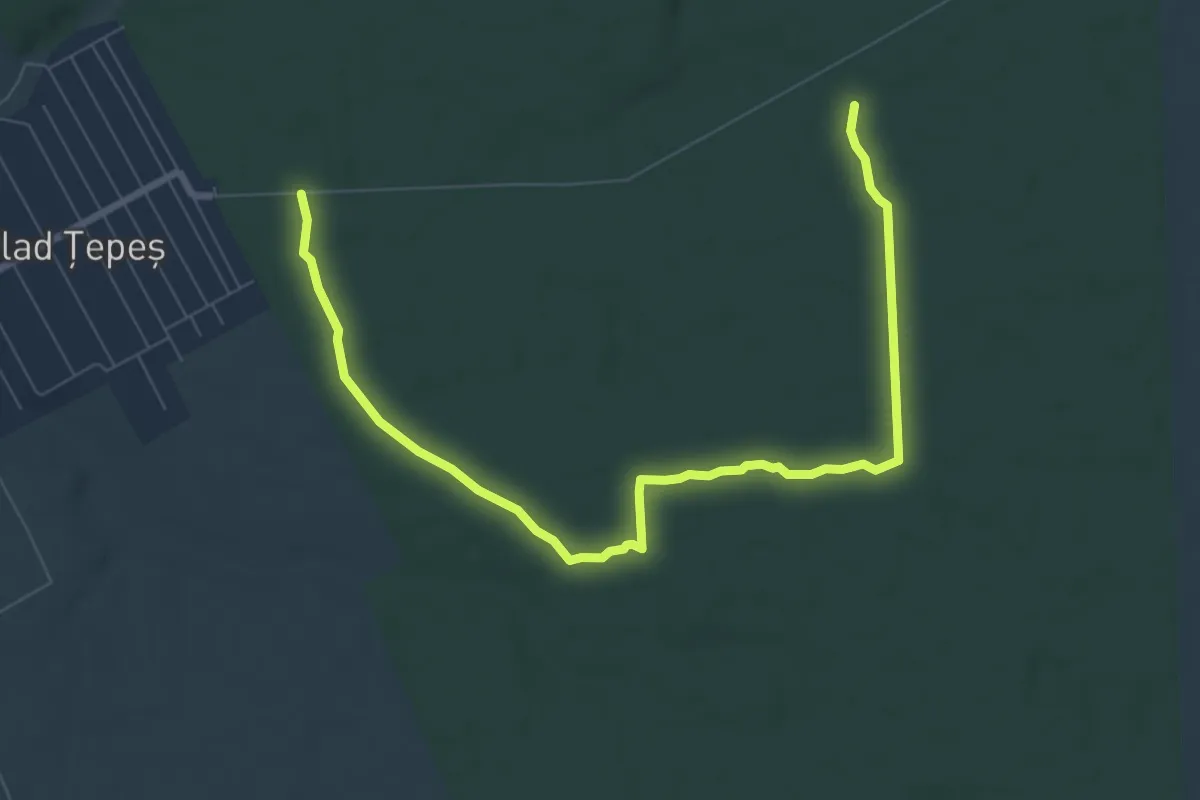
Medium · Trail
Traseu turistic "Rezervatia de bujor"
9.9 km · ↑ 17 m · 2 h 23 min
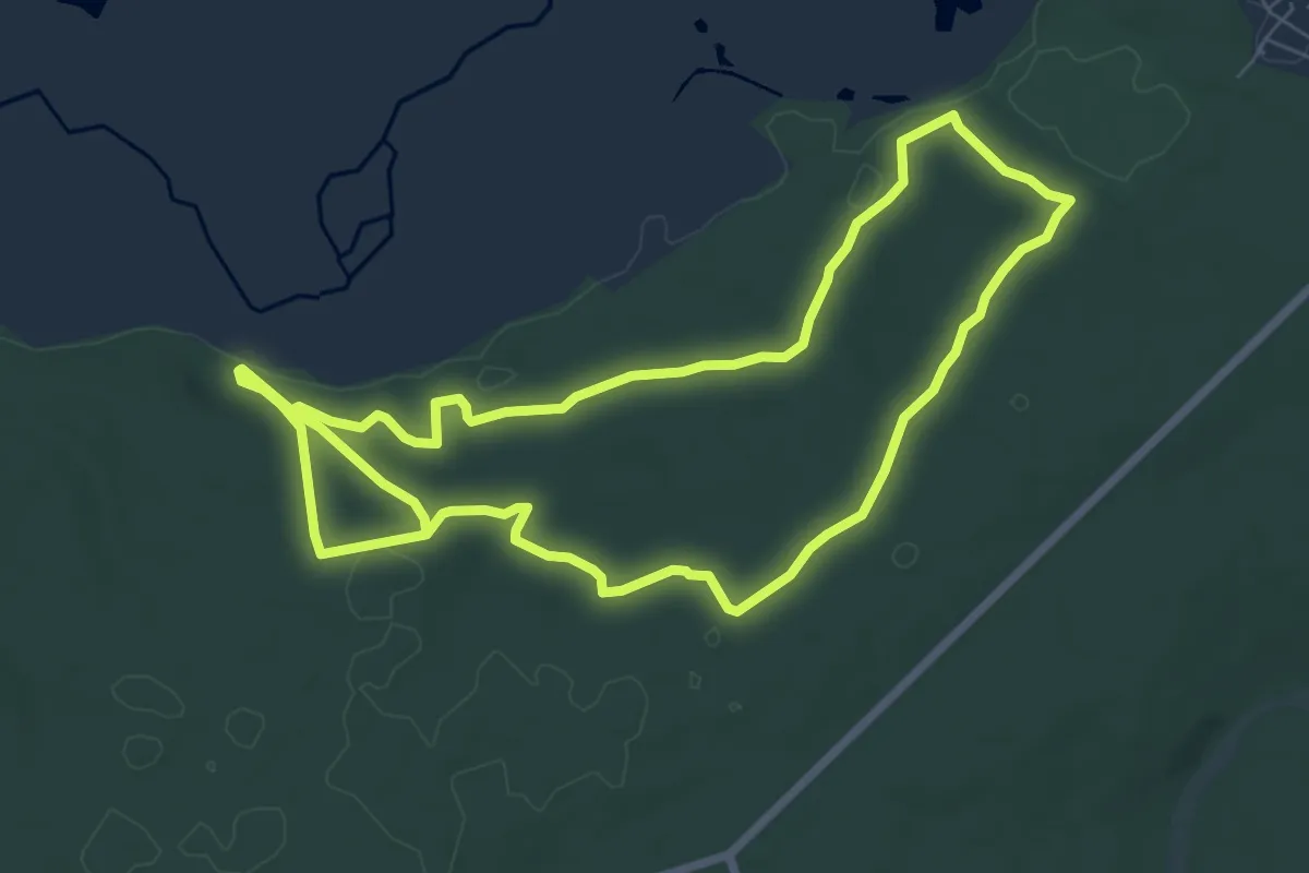
Medium · Trail
Traseu turistic "Rezervatia de ghimpe"
15.2 km · ↑ 204 m · 4 h 2 min
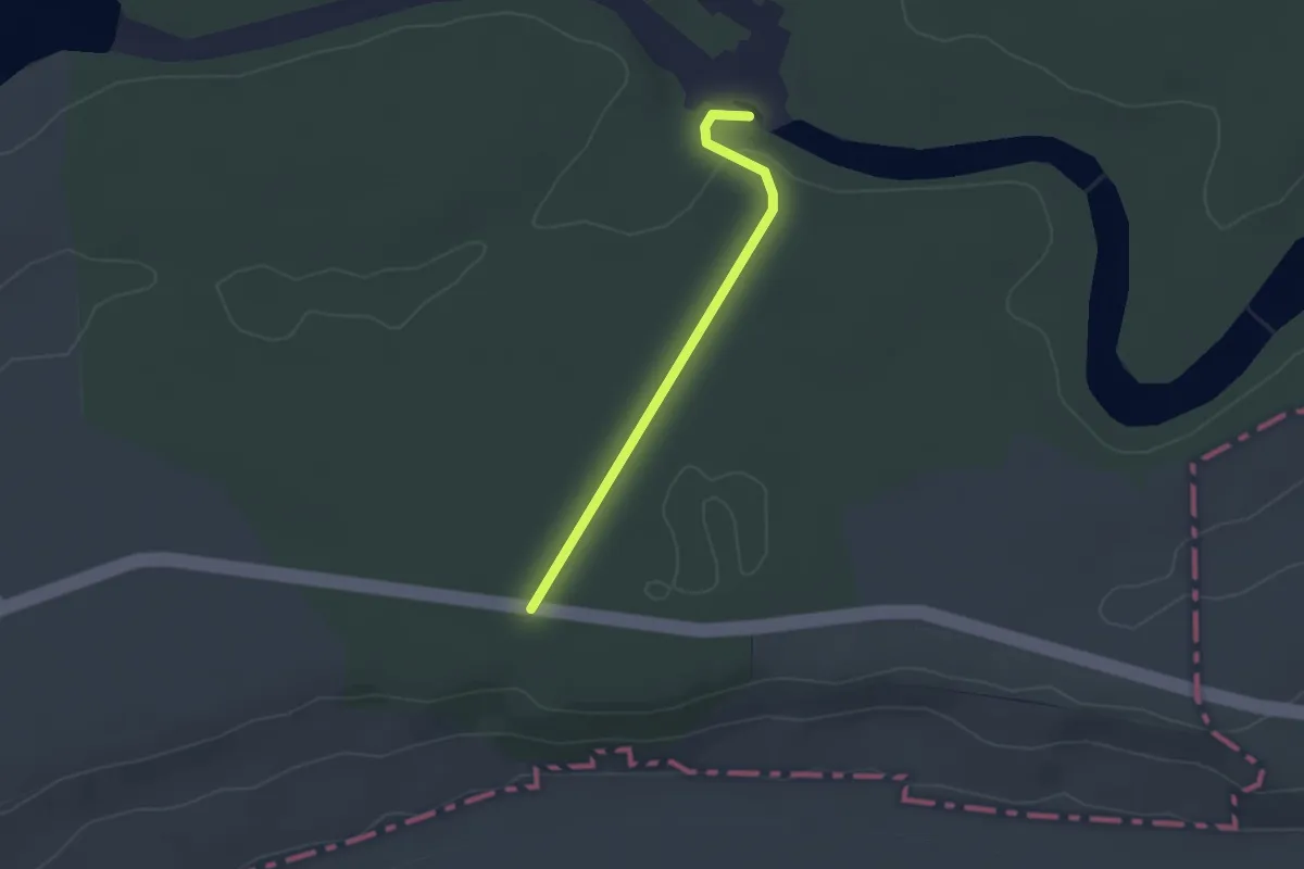
Easy · Trail
Traseu turistic "Valea cu stupi"
2.5 km · ↑ 44 m · 41 min
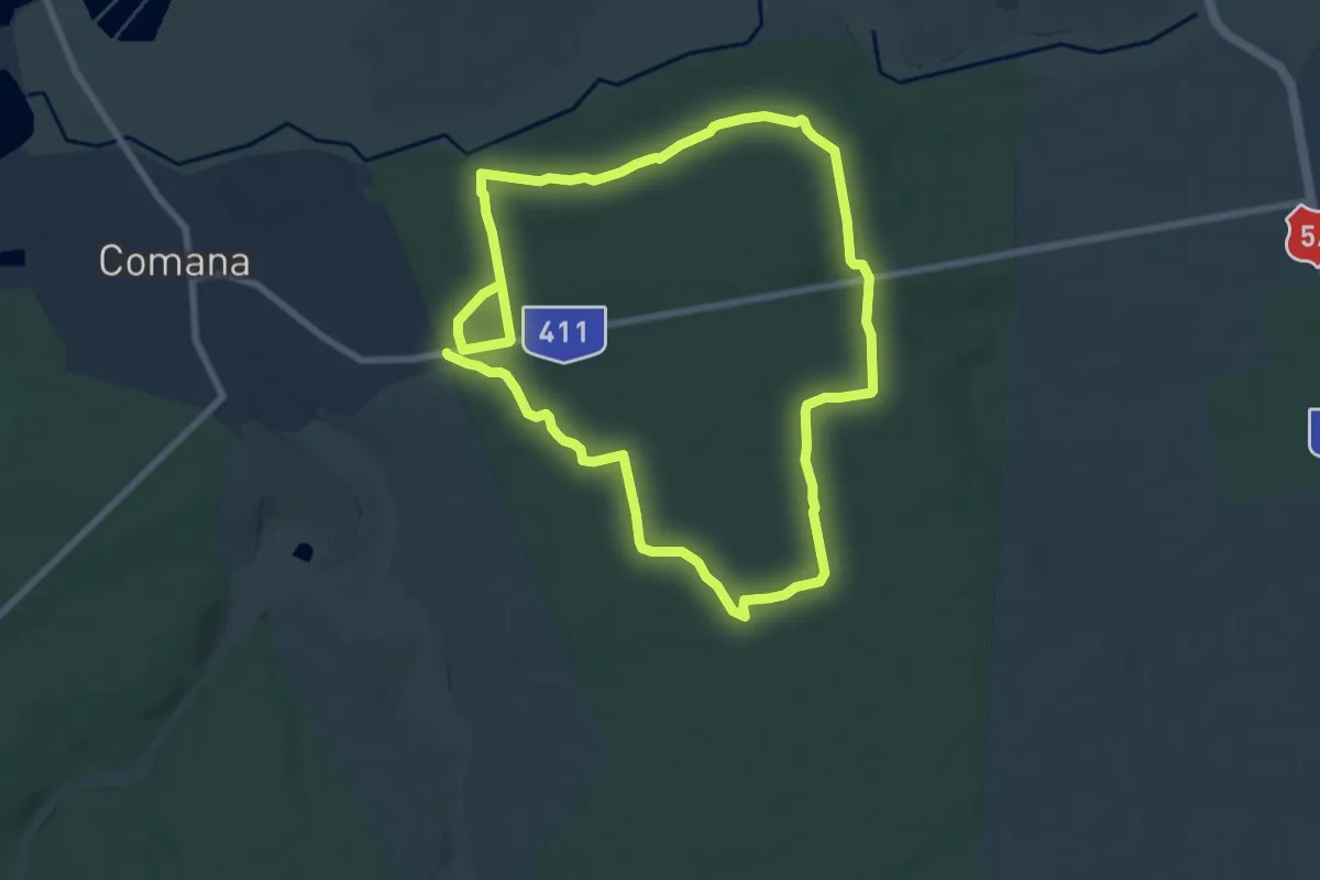
Medium · Trail
Traseu turistic "Valea Hotilor"
16.0 km · ↑ 114 m · 4 h 2 min
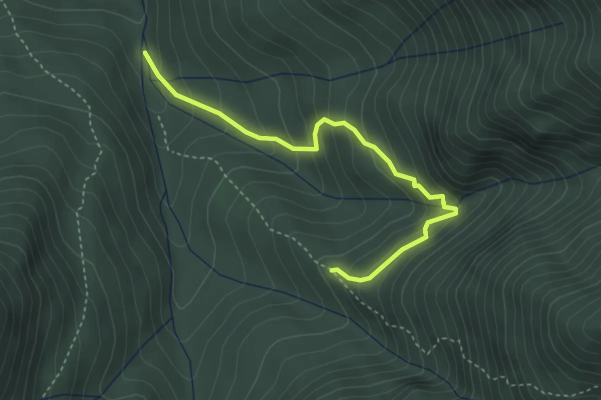
Medium · Trail
Traseu Urlătoarea Clincii
3.7 km · ↑ 368 m · 1 h 40 min
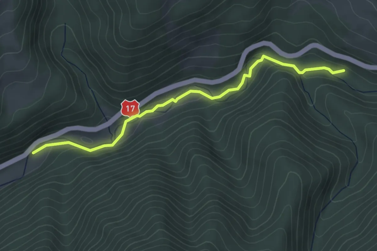
Easy · Trail
Traseu Valea Străjii - Cascada Sărita
4.3 km · ↑ 89 m · 1 h 13 min
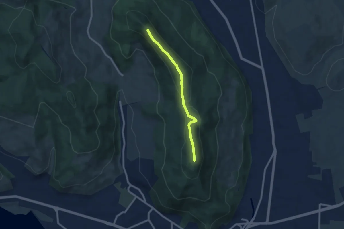
Easy · Summit
Trei Caldari
5.0 km · ↑ 140 m · 1 h 30 min
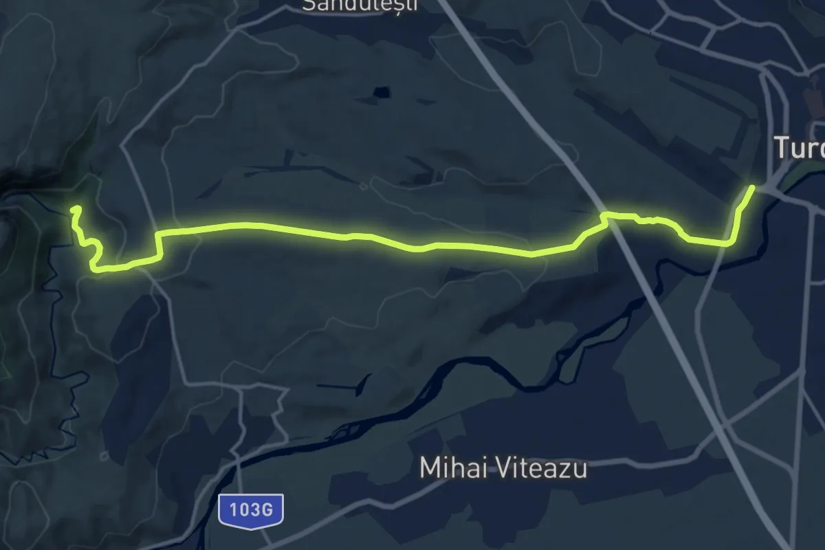
Medium · Cabin
Turda - Drumul Domnilor - Cabana Cheile Turzii
16.6 km · ↑ 324 m · 4 h 37 min