Trails in Romania
1,356 hiking trails, each with its route, climb, walking time and grade.
All trails, page 27 of 29
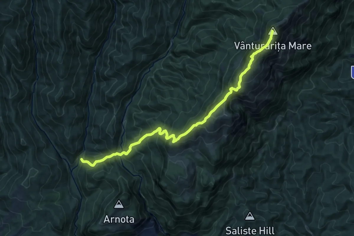
Expert · Summit
Valea Prislop - Muntele Cacova - Vârful Piatra - Curmătura Builei - Vârful Vânturarița Mare
16.8 km · ↑ 1366 m · 6 h 55 min
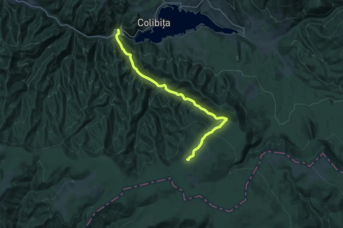
Demanding · Summit
Valea Repedea-Sat Mița
19.3 km · ↑ 907 m · 6 h 32 min
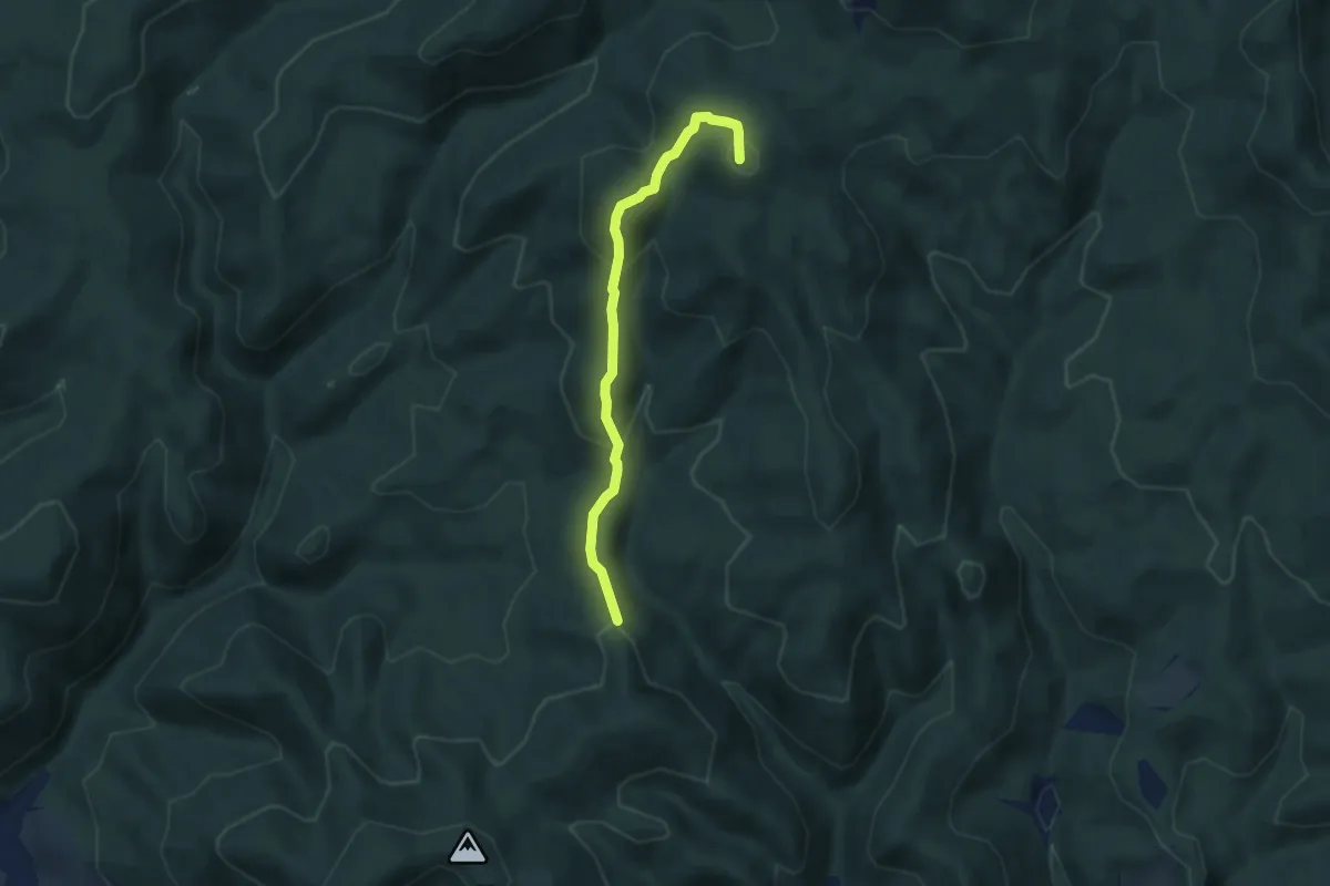
Medium · Summit
Valea Rosie - Valea Usturoi. Cruce Albastra
5.6 km · ↑ 336 m · 2 h 4 min
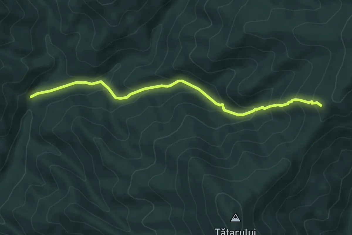
Medium · Trail
Valea Rusca-Culmea Tătarului (acces Vf.Tihu)
5.9 km · ↑ 452 m · 2 h 22 min
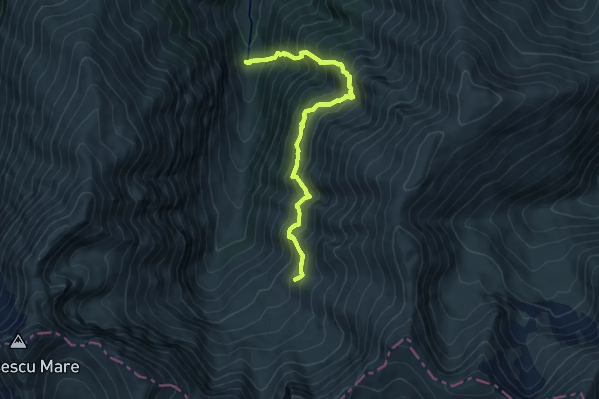
Demanding · Trail
Valea Sâmbetei - Piatra Caprei - Căldarea sub Cheia Bândei
7.0 km · ↑ 968 m · 3 h 45 min
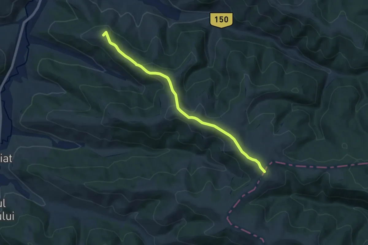
Medium · Summit
Valea Ugra - Mt-le Drept
9.5 km · ↑ 269 m · 2 h 50 min
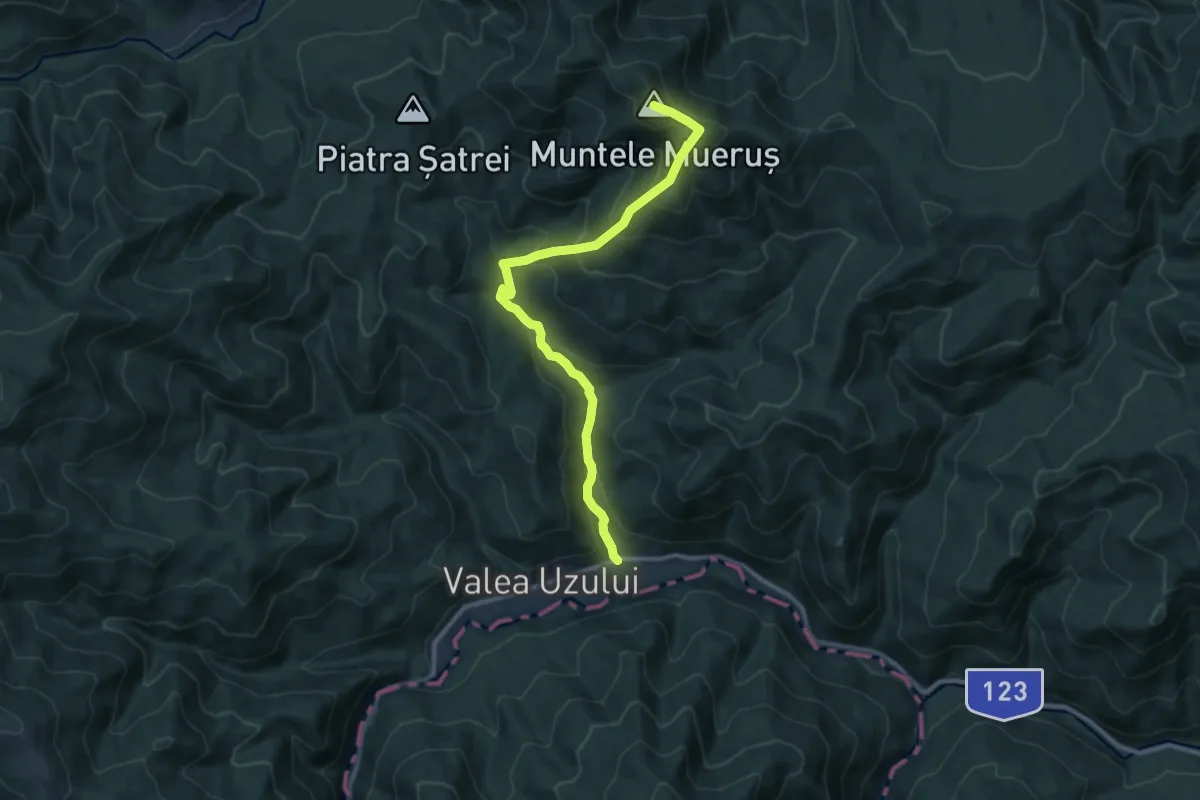
Medium · Summit
Valea Uzului - Muntele Muerus
11.0 km · ↑ 740 m · 4 h 13 min
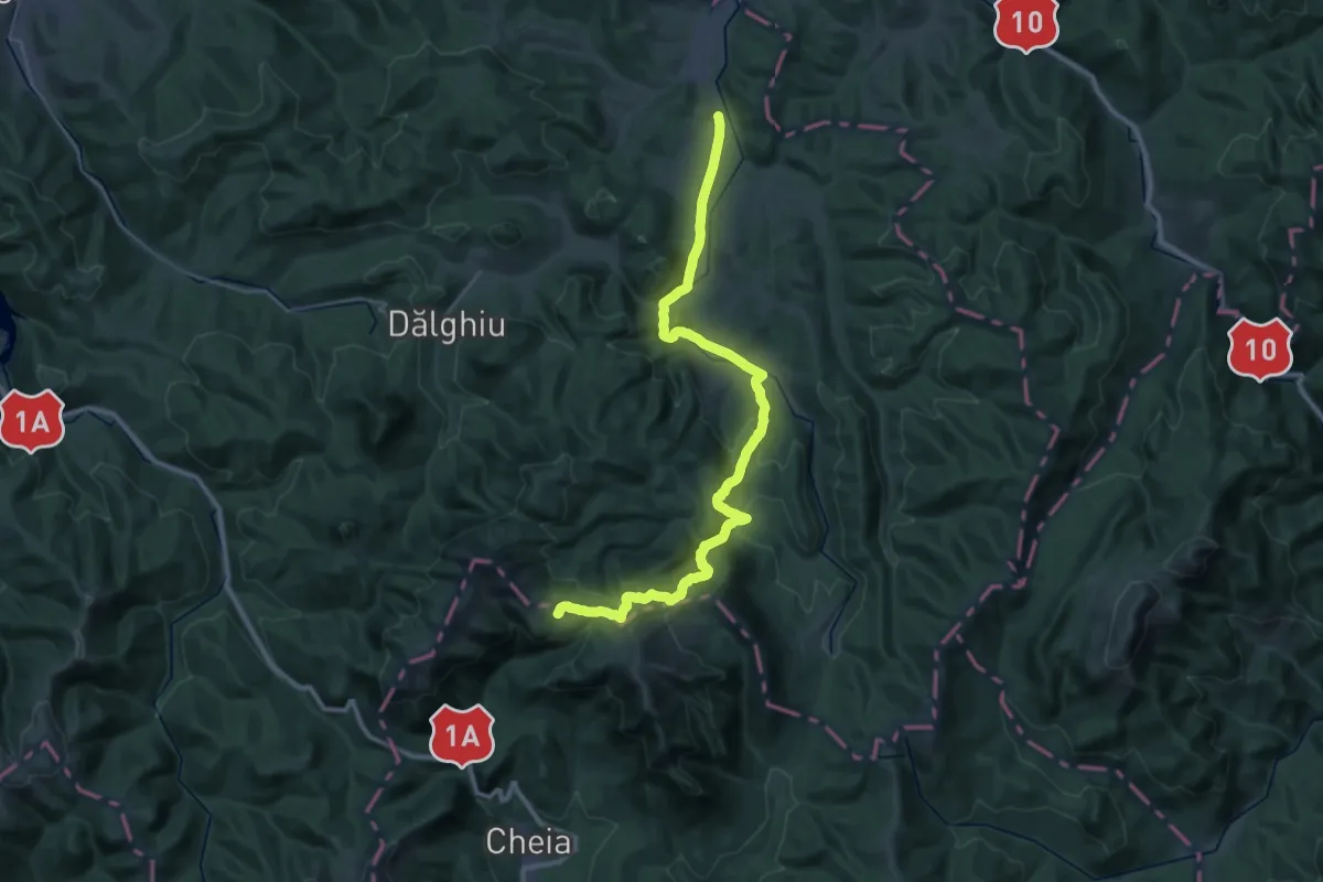
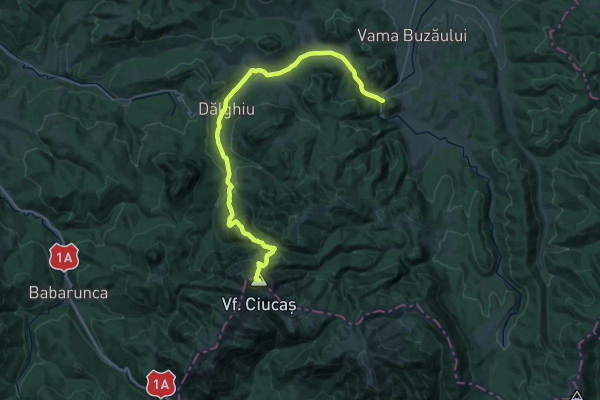
Demanding · Cabin
Vama Buzăului - Curmătura Stânii - Cabana Vf. Ciucaș
20.0 km · ↑ 1069 m · 6 h 54 min
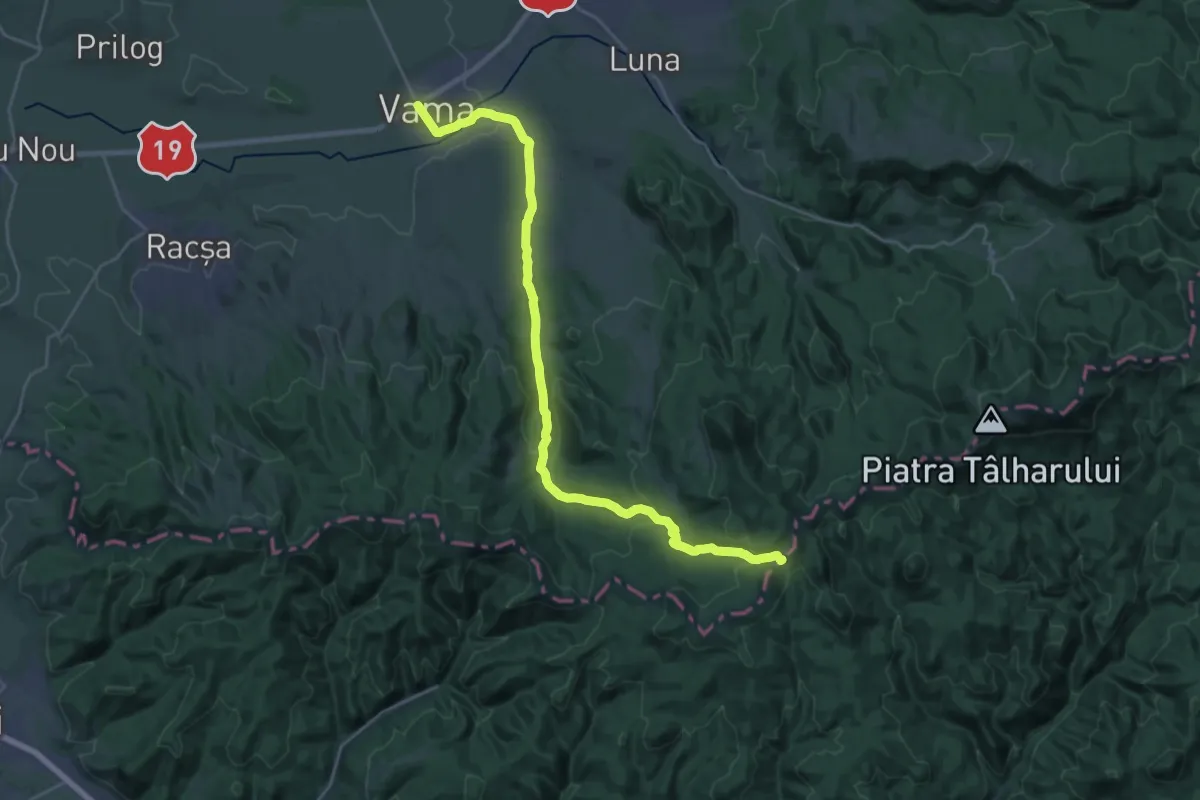
Demanding · Summit
Vama Buzăului - Poiana Dălghiu - Vf. Ciucaș
30.6 km · ↑ 1219 m · 9 h 52 min
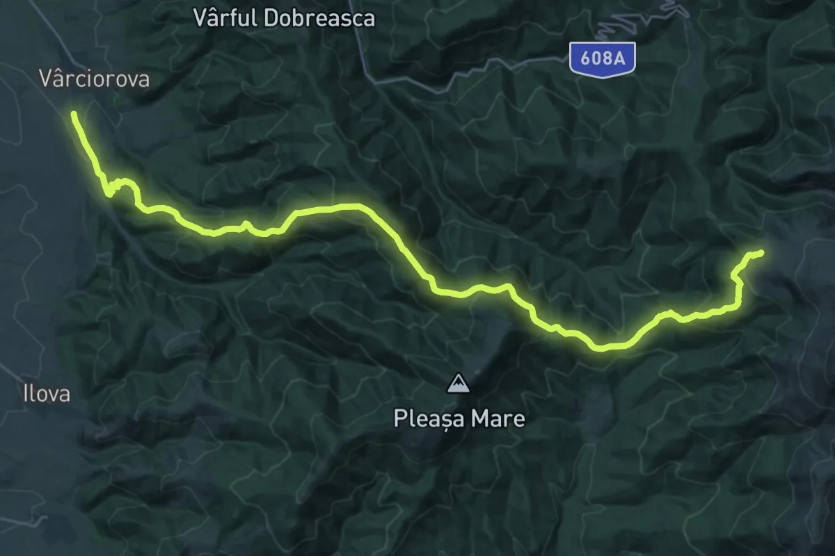
Demanding · Trail
Vama - Muntele Mic
26.3 km · ↑ 687 m · 7 h 43 min
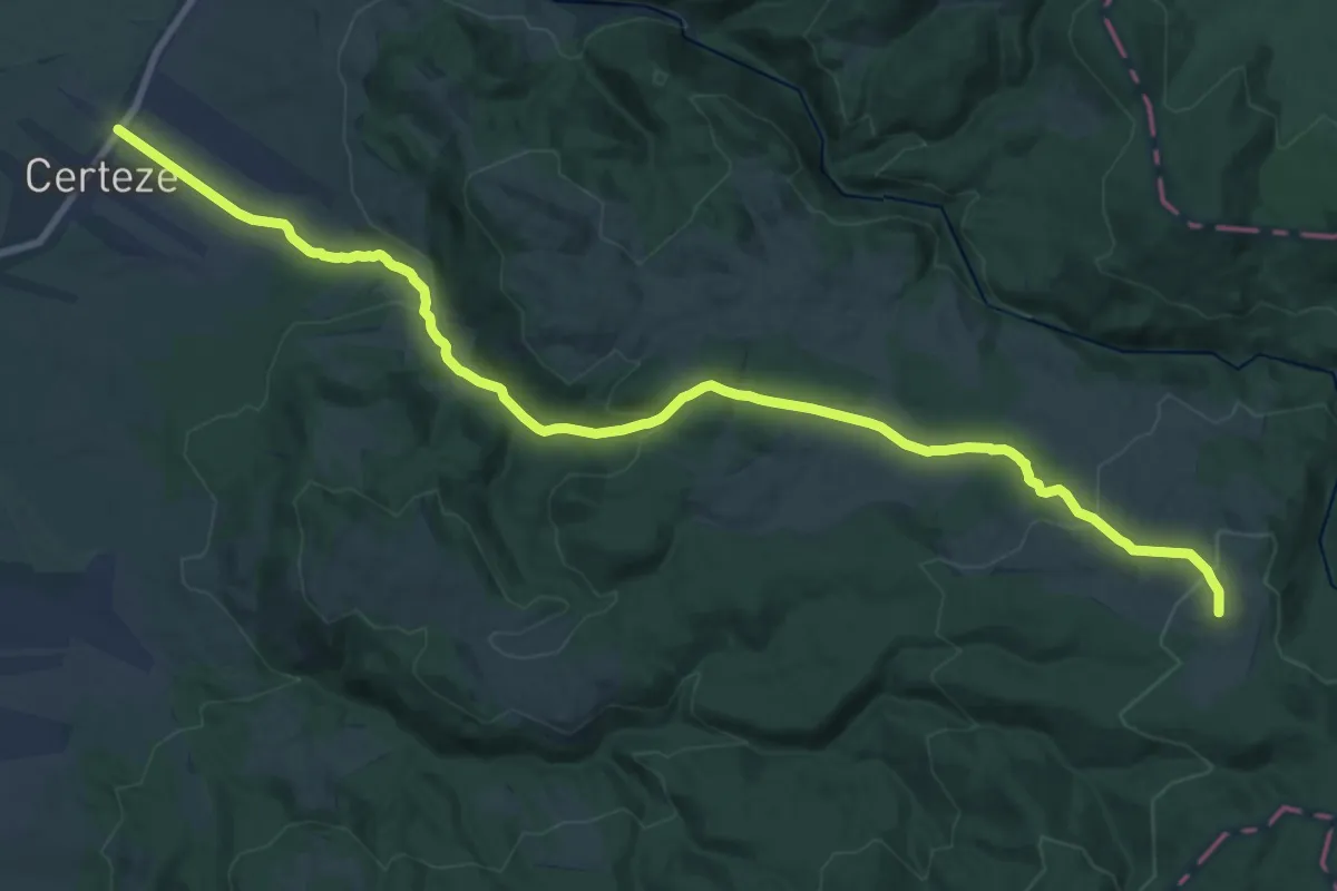
Demanding · Trail
Vârciorova – Șaua Tișului – Culmea Pleașa – Poiana Strigoniu – Stația meteo Cuntu
16.5 km · ↑ 1316 m · 6 h 27 min
Demanding · Summit
Varful Buian
24.1 km · ↑ 845 m · 7 h 32 min
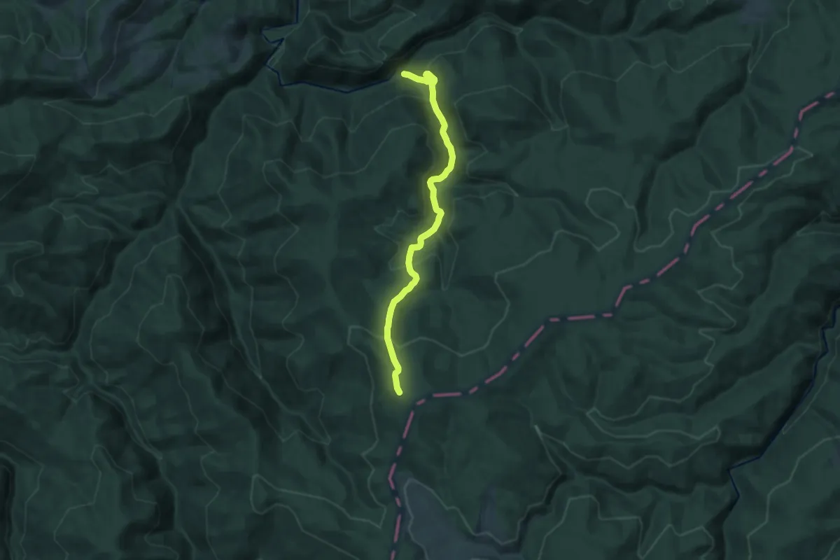
Demanding · Trail
Vârful Chicera
11.9 km · ↑ 769 m · 4 h 28 min
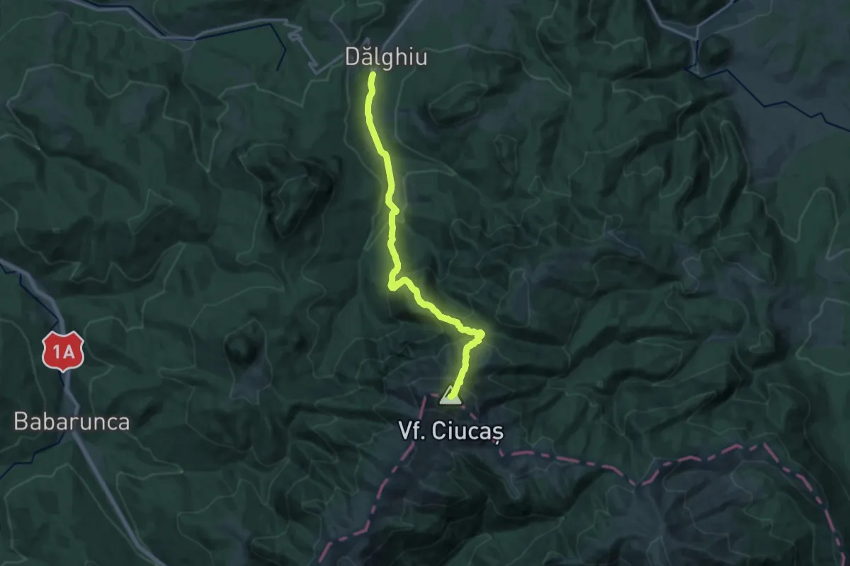
Demanding · Summit
Vârful Ciucaș - Șaua Ciucaș - Plaiul Domnesc - Poiana Dălghiului
14.8 km · ↑ 1034 m · 5 h 44 min
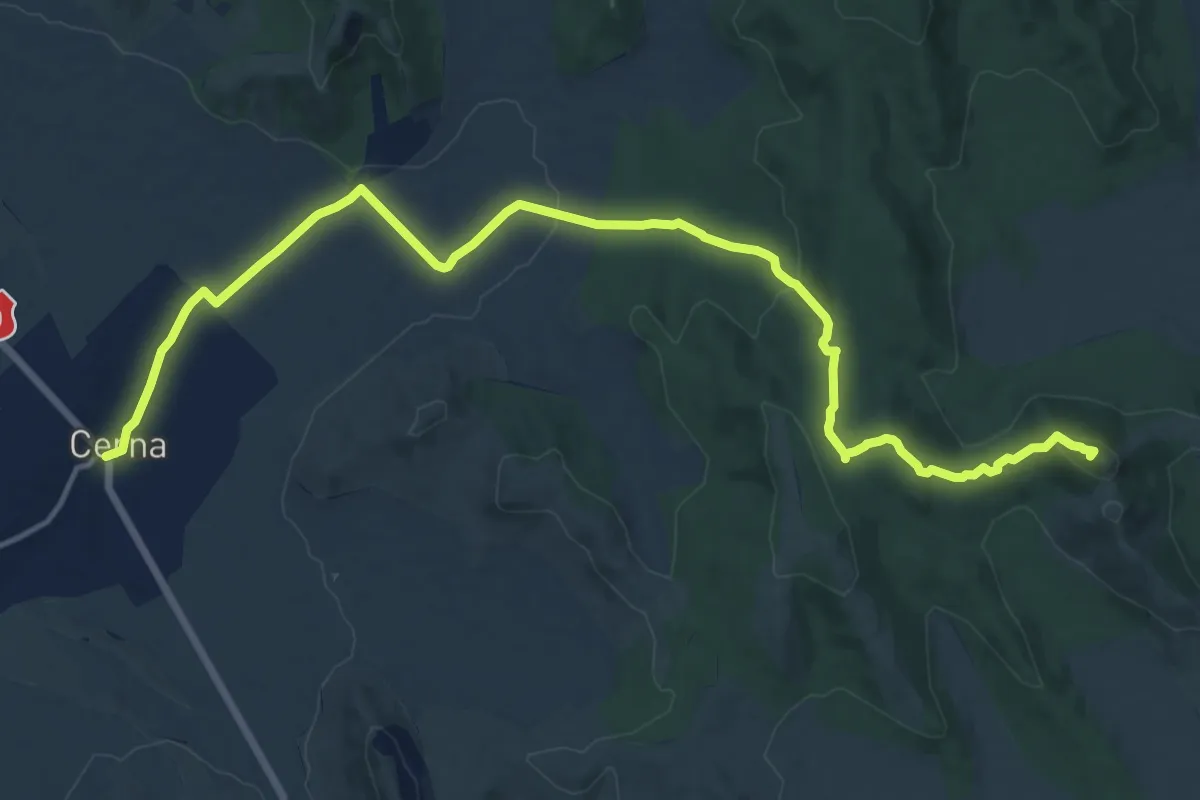
Demanding · Summit
Vârful Crapcea
18.7 km · ↑ 351 m · 5 h 10 min
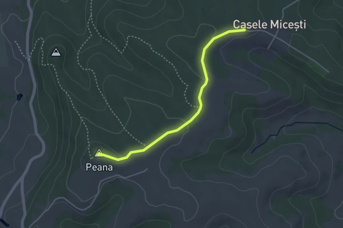
Easy · Summit
Vârful Peana - Casele Micești
3.4 km · ↑ 54 m · 56 min
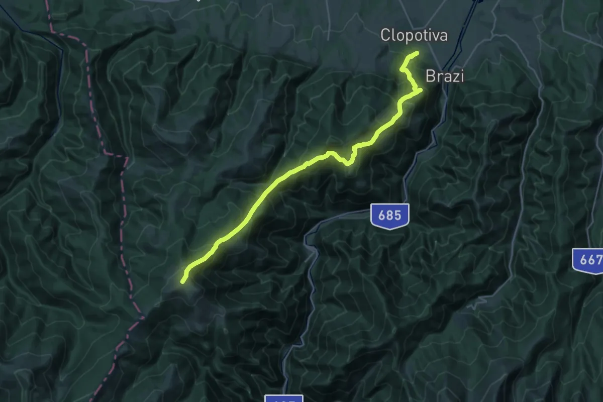
Medium · Trail
Vârful Petreanu - Clopotiva
12.5 km · ↑ 287 m · 4 h 26 min
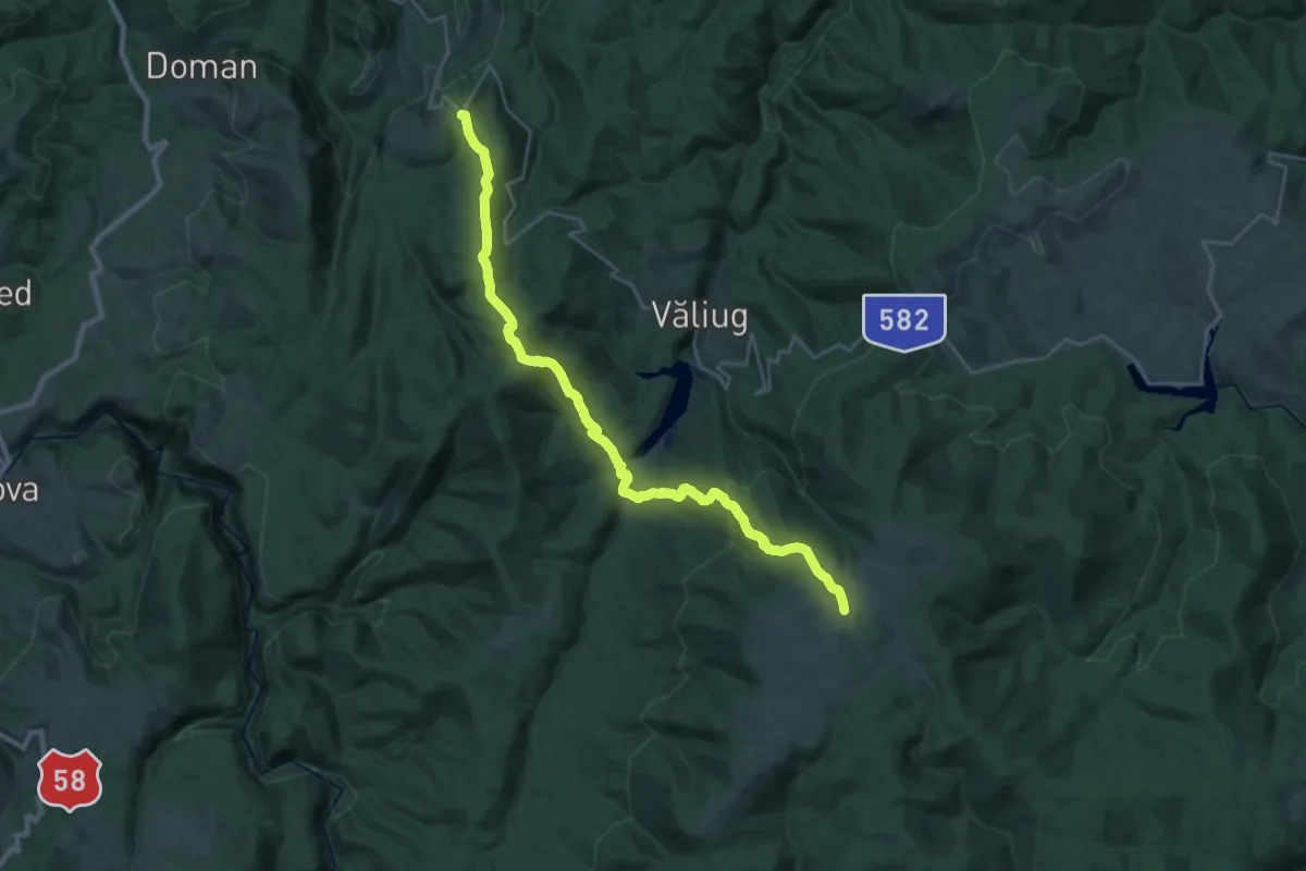
Demanding · Trail
Vârful Semenic - Lacul Gozna - Poiana Bichi (Cuptoare)
13.9 km · ↑ 1234 m · 5 h 44 min
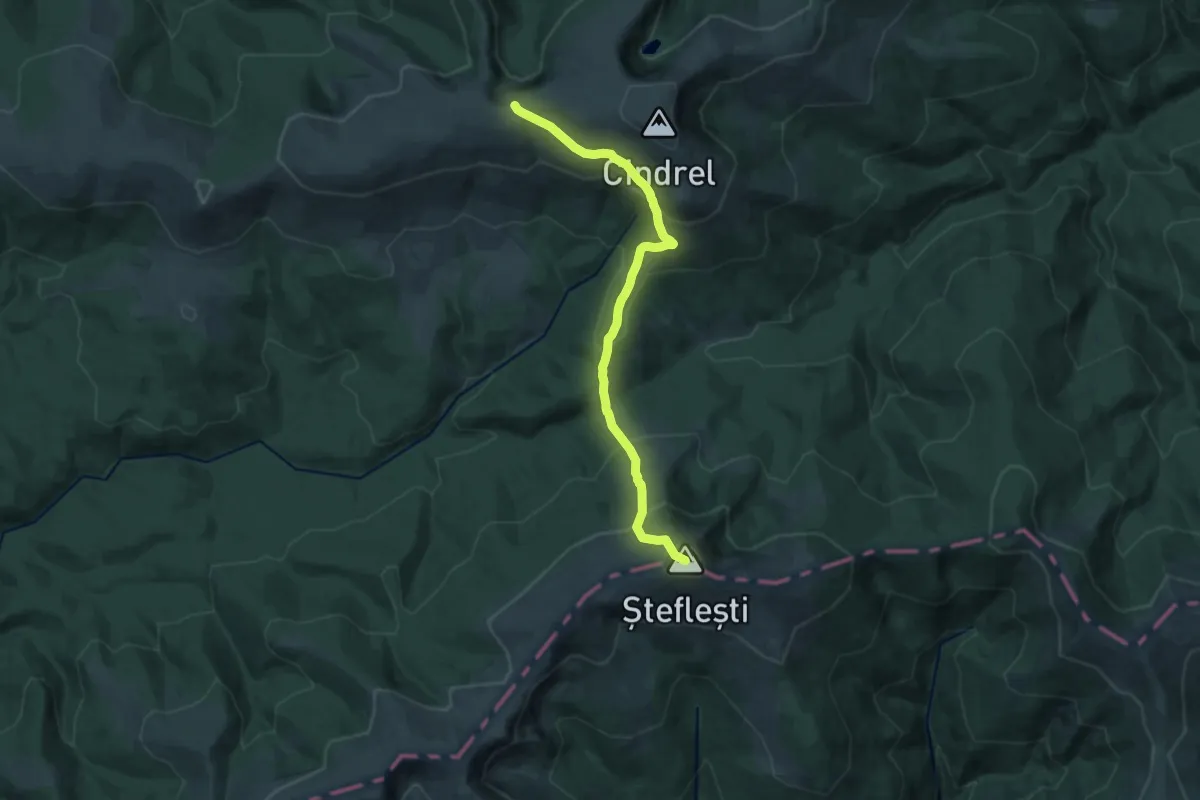
Demanding · Summit
Vârful Șteflești - Pasul Șteflești - Vârful Frumoasa (sau Vârful Cindrel)
14.9 km · ↑ 994 m · 5 h 40 min
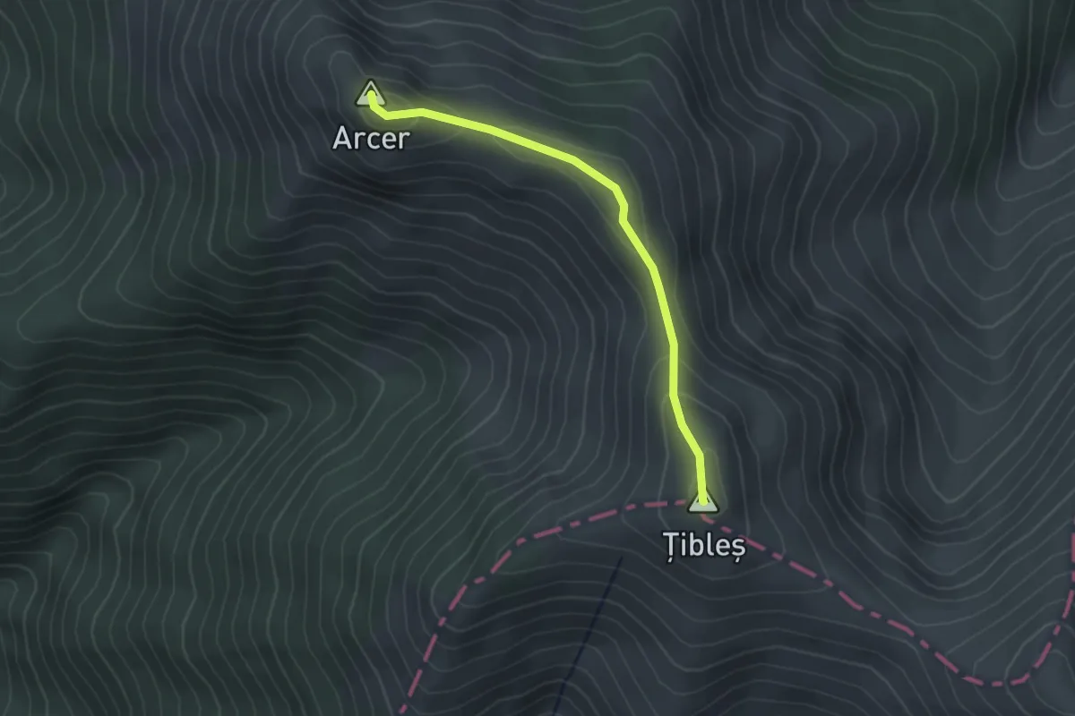
Easy · Summit
Vârful Țibleș - Vârful Arcer
2.4 km · ↑ 124 m · 51 min
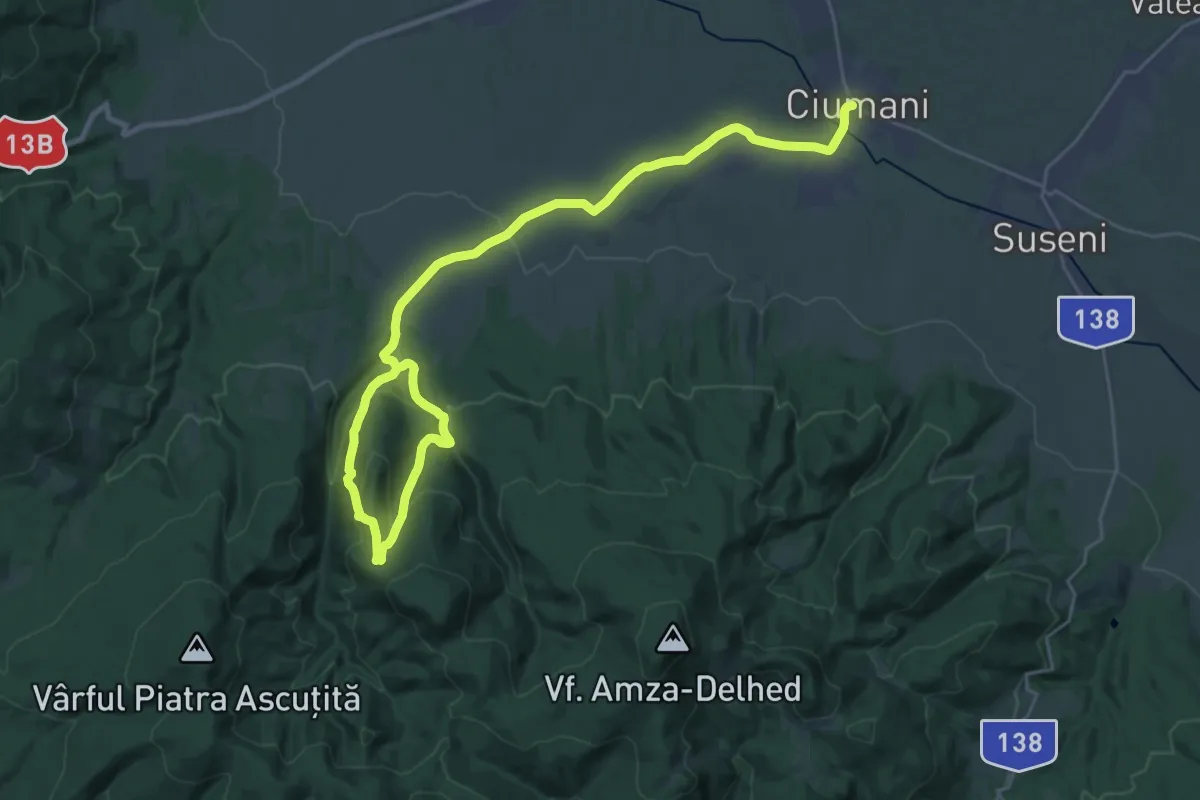
Medium · Trail
varkove
17.6 km · ↑ 451 m · 5 h 28 min
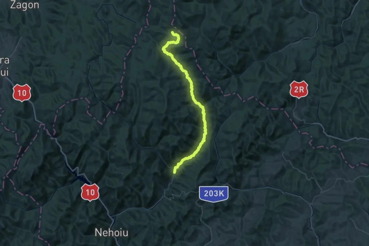
Demanding · Trail
Varlaam - Punctul frăției neamului românesc
34.6 km · ↑ 1347 m · 11 h 8 min
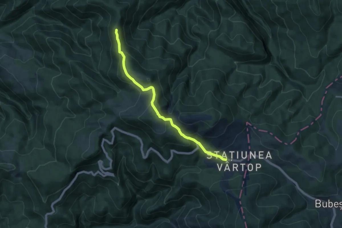
Medium · Summit
Vârtop-Tătăroaia-Chișcău
9.5 km · ↑ 504 m · 3 h 20 min
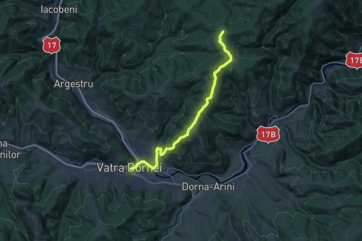
Demanding · Trail
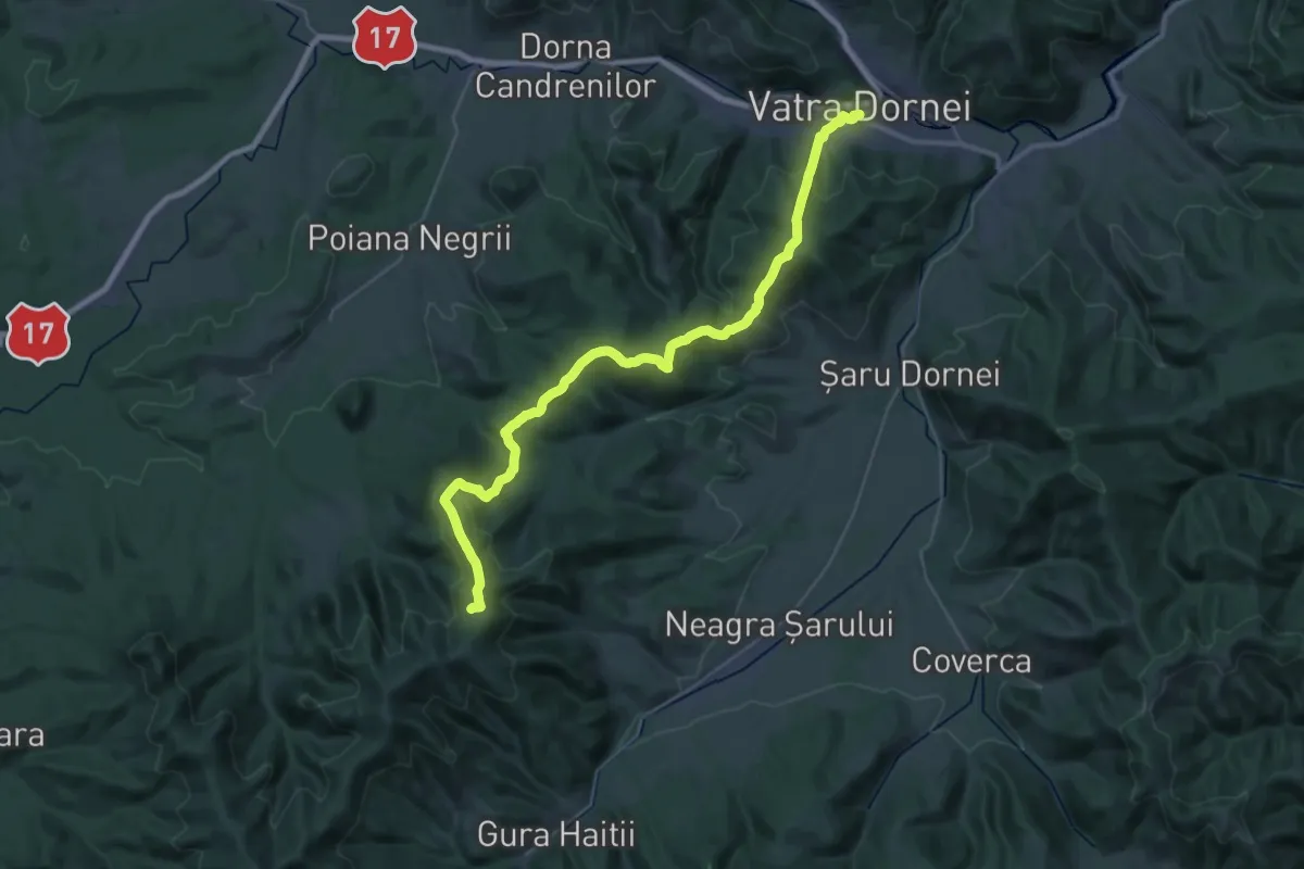
Vatra Dornei – Cabana Gigi Ursu – traseul 3 BR (blue stripe)
22.2 km · ↑ 828 m · 7 h 2 min
Demanding · Trail
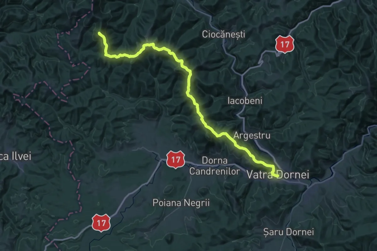
Vatra Dornei-Schitul 12 Apostoli
19.2 km · ↑ 1269 m · 7 h 10 min
Expert · Summit
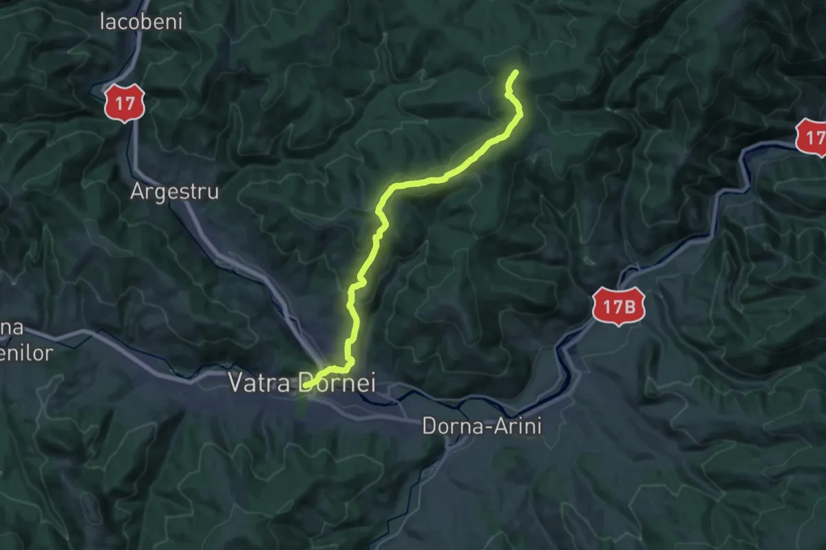
Vatra Dornei – Vârful Runc – Vârful Suhardu Mare – Vârful Omu (blue stripe)
64.1 km · ↑ 2449 m · 20 h 27 min
Demanding · Trail
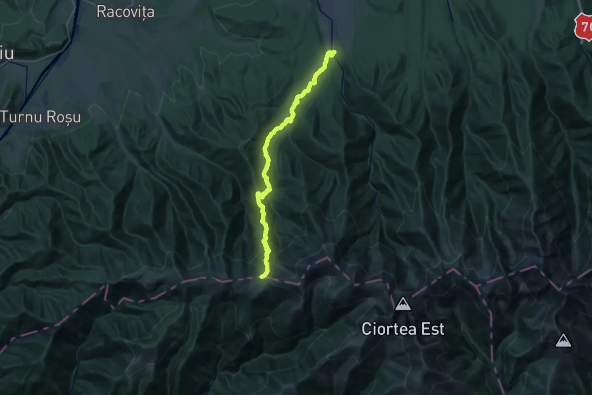
Vatra Dornei – Vf. Obcina Mare – traseul 3 BR (red cross)
20.6 km · ↑ 733 m · 6 h 26 min
Demanding · Trail
V. Avrigului - Cabana Suru - creasta principală
12.5 km · ↑ 1386 m · 5 h 26 min
Medium · Cabin
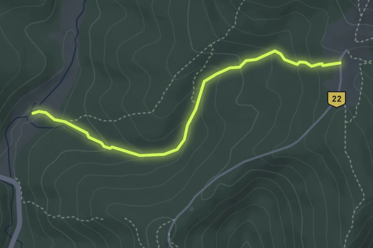
V. Berii - Cabana M. Roșu
3.8 km · ↑ 202 m · 1 h 20 min
Demanding · Trail
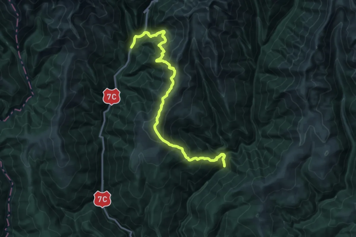
V. Buda - Culmea Jorzea - Transfăgărășan
14.0 km · ↑ 1108 m · 5 h 59 min
Demanding · Trail
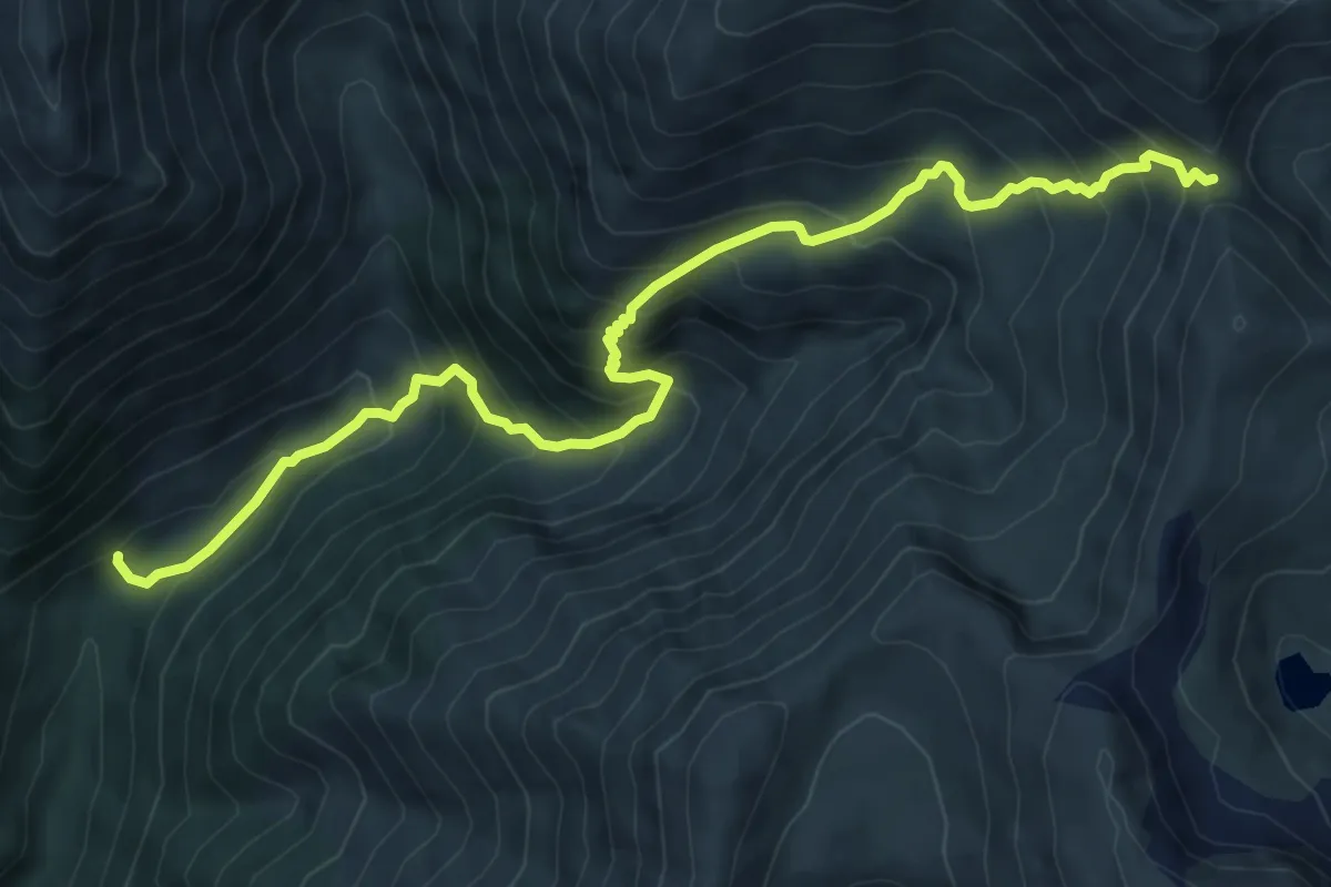
V. Buda - Curmătura Moldoveanului
8.5 km · ↑ 907 m · 3 h 58 min
Demanding · Summit
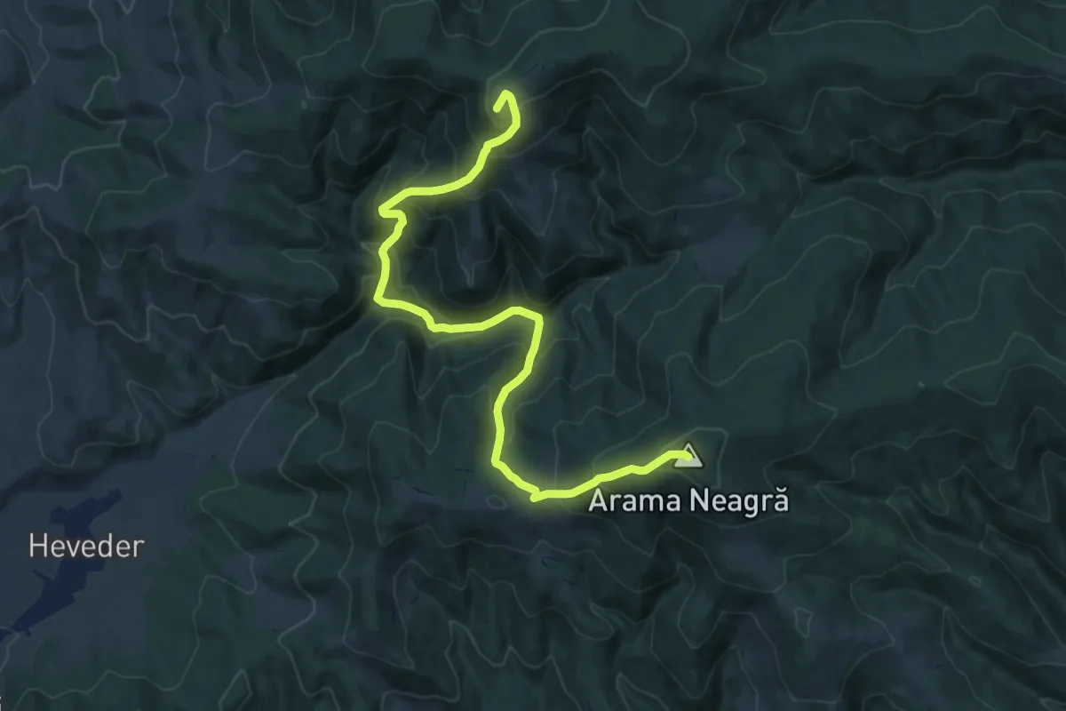
Vf. Arama Neagră - Peștera Șugău - Vf. Șipoș
15.2 km · ↑ 1205 m · 6 h 13 min
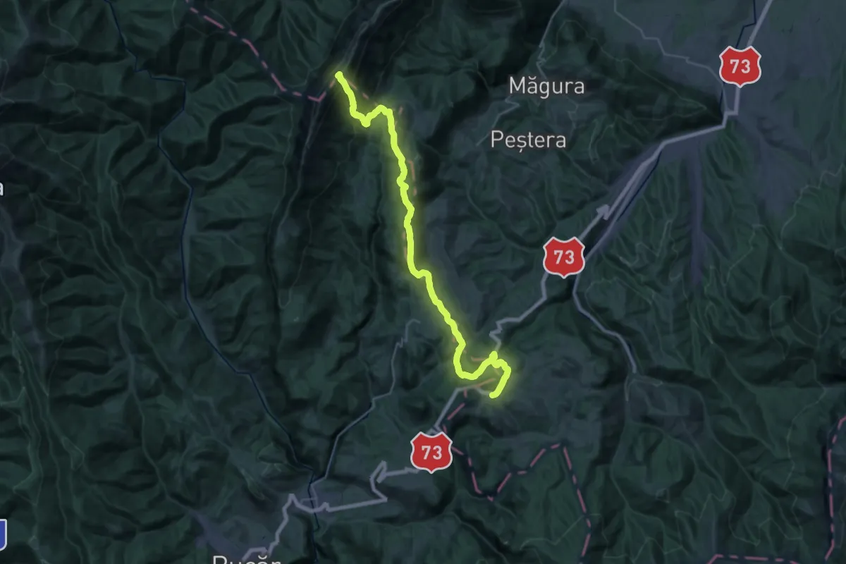
Expert · Summit
Vf. La Om-La Table-Pasul Giuvala
32.3 km · ↑ 1683 m · 11 h 16 min
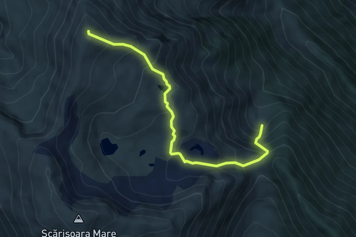
Medium · Summit
Vf Moldoveanu - V. Zbuciumatu
5.5 km · ↑ 552 m · 2 h 30 min
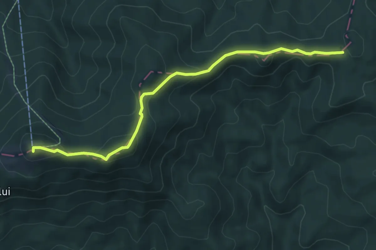
Medium · Summit
Vf. Pietroasa – Poiana Soci
6.8 km · ↑ 331 m · 2 h 19 min
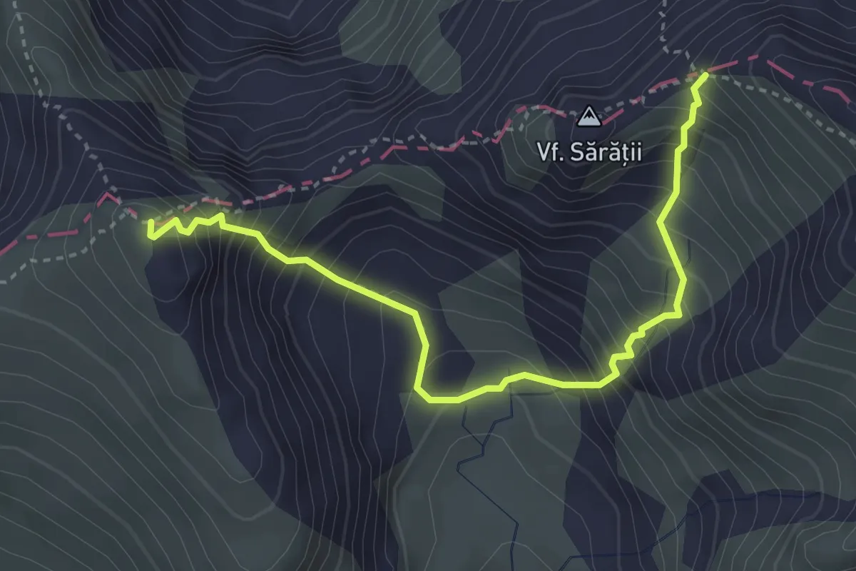
Medium · Summit
Vf. Șerbota - Căldarea Pietroasă - Șaua Cleopatra
3.8 km · ↑ 593 m · 2 h 11 min
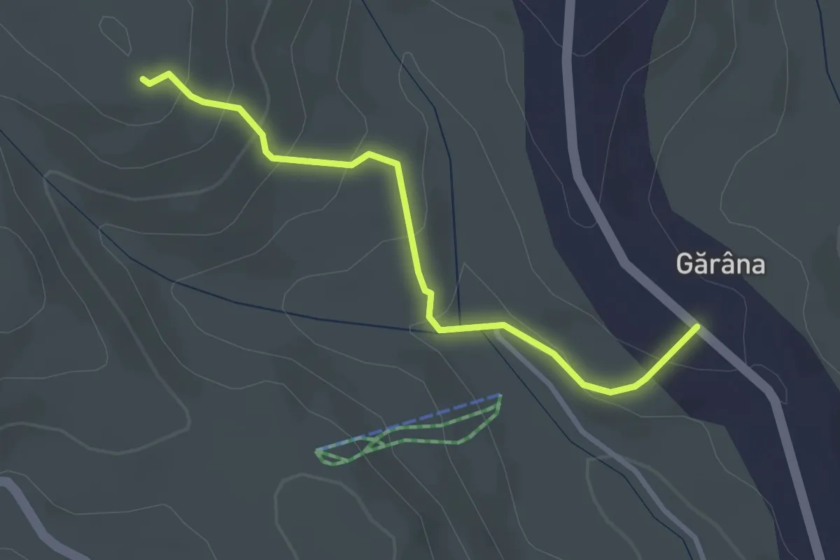
Easy · Trail
Via Crucis
3.0 km · ↑ 163 m · 1 h 3 min
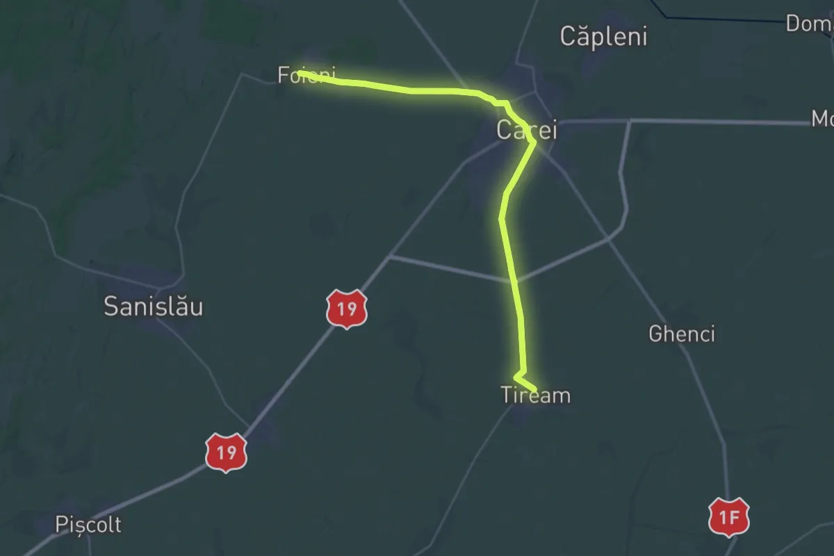
Medium · Pilgrim path
Via Mariae, M01-39 (Foieni - Tiream)
15.4 km · ↑ 38 m · 3 h 57 min
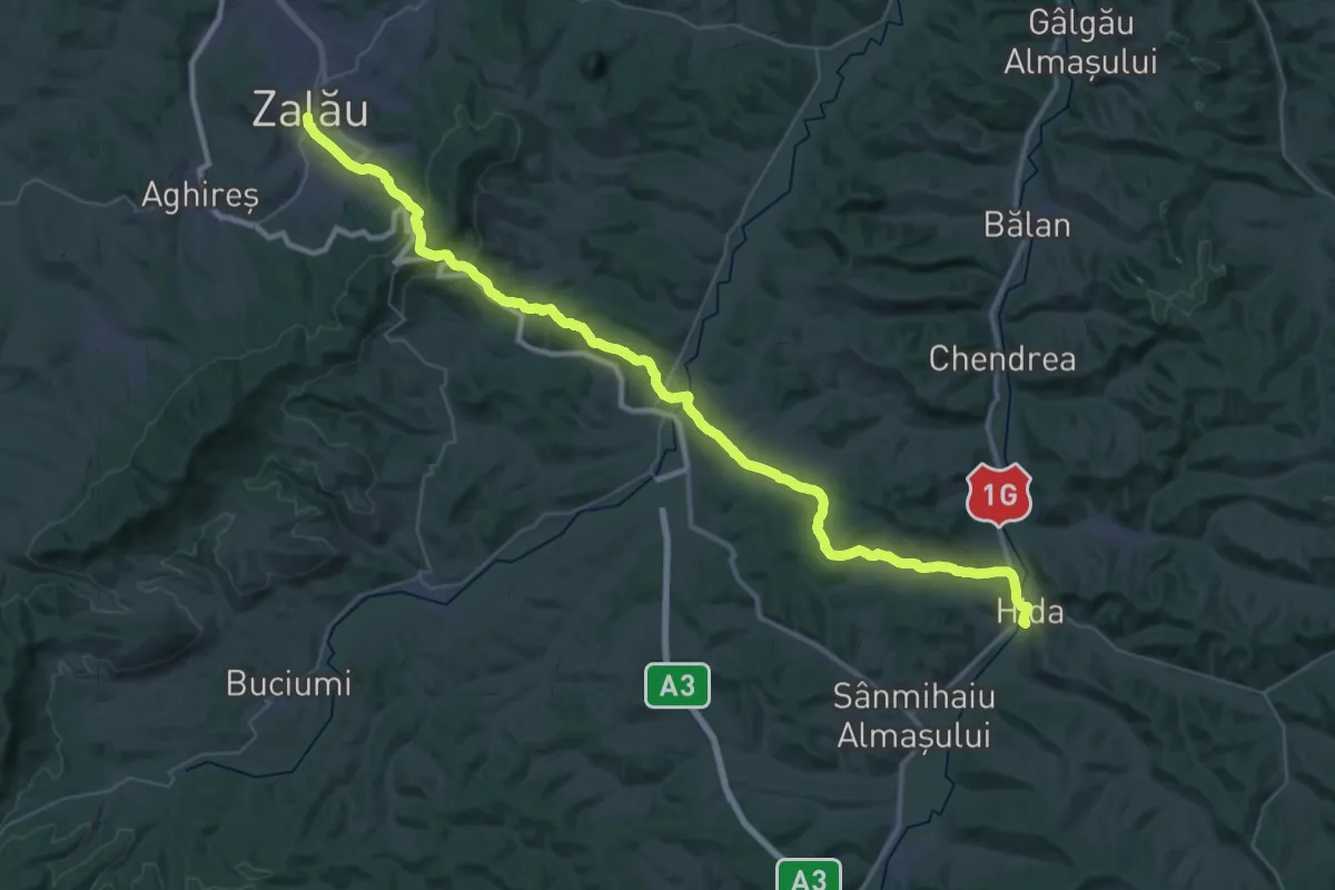
Demanding · Pilgrim path
Via Mariae M01-44 (Zalău - Hida)
27.3 km · ↑ 567 m · 8 h 3 min
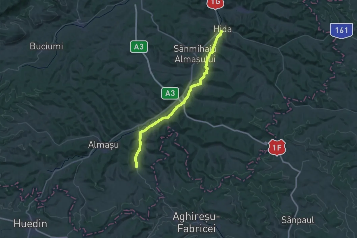
Demanding · Pilgrim path
Via Mariae, M01-45 (Hida - Petrindu)
20.7 km · ↑ 237 m · 5 h 39 min
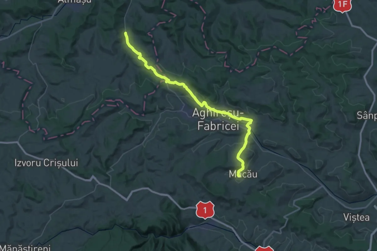
Demanding · Pilgrim path
Via Mariae M01-46 Petrindu-Macău
18.1 km · ↑ 424 m · 5 h 22 min
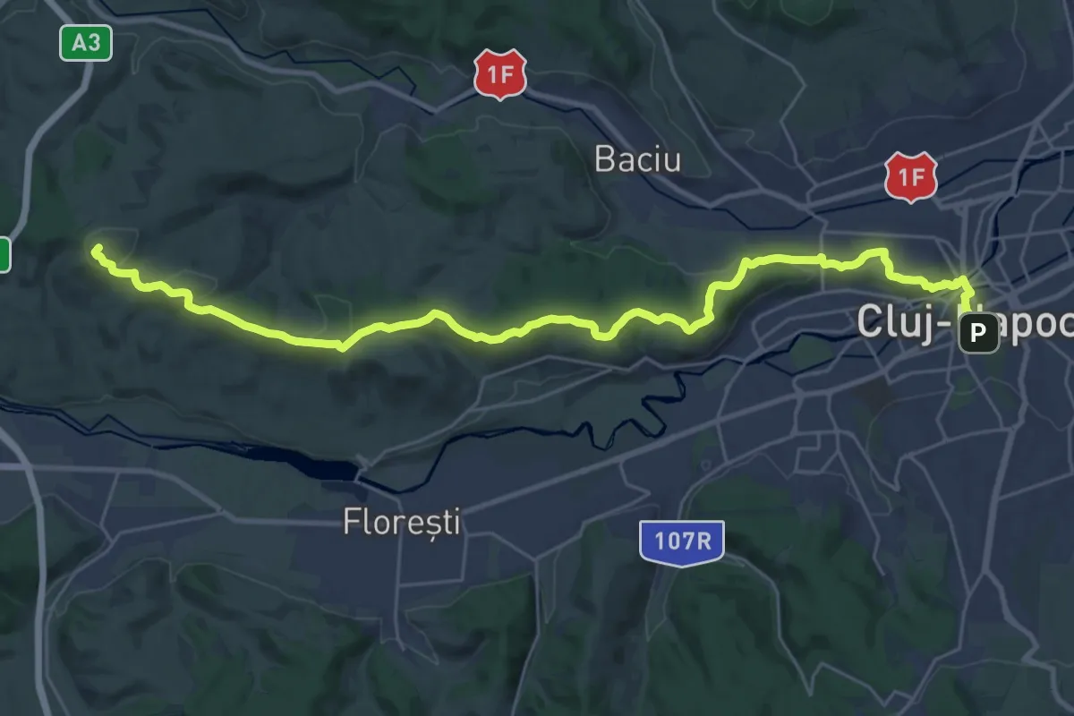
Medium · Summit
Via Mariae M01-47 Macău-Cluj-Napoca
15.8 km · ↑ 451 m · 4 h 47 min
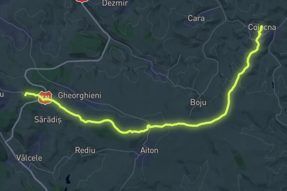
Demanding · Summit
Via Mariae M01-48 Cluj-Napoca-Cojocna
19.9 km · ↑ 581 m · 6 h 2 min
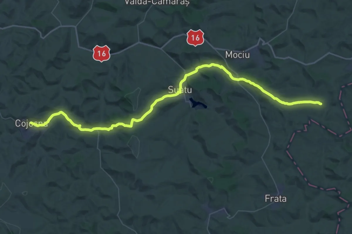
Demanding · Pilgrim path
Via Mariae M01-49 (Cojocna - Năoiu)
25.3 km · ↑ 457 m · 7 h 19 min
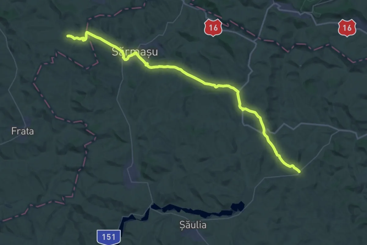
Demanding · Pilgrim path
Via Mariae M01-50 (Năoiu - Pogăceaua)
22.9 km · ↑ 403 m · 6 h 35 min
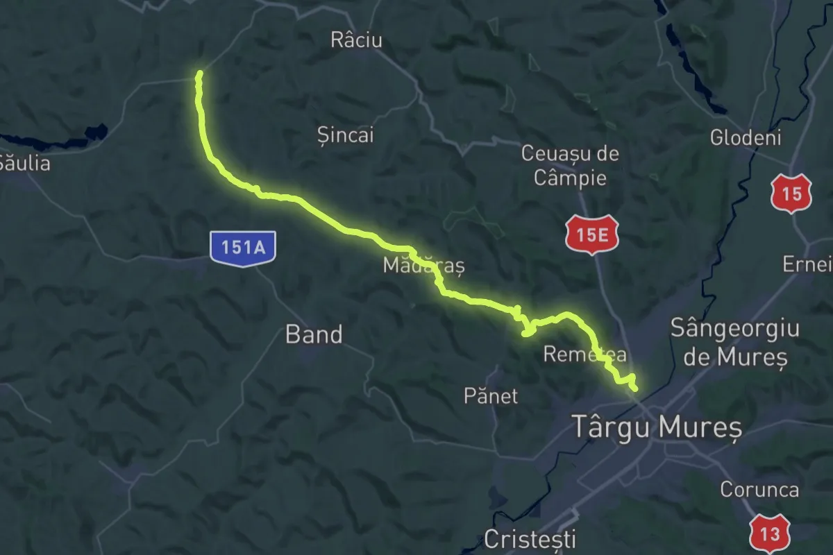
Demanding · Pilgrim path
Via Mariae M01-51 (Pogăceaua - Sântana de Mureș ( Tîrgu Mureș))
28.7 km · ↑ 589 m · 8 h 26 min
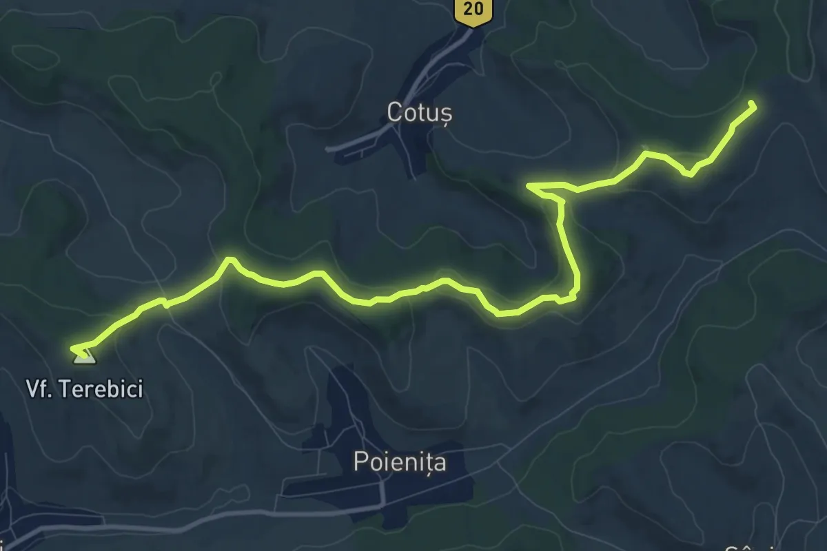
Easy · Summit
Via Mariae M01-52A (Târgu Mureș)
6.4 km · ↑ 205 m · 2 h 3 min
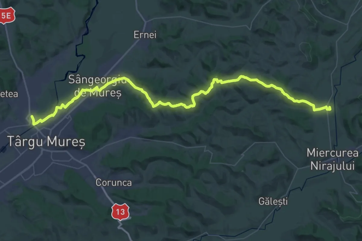
Demanding · Pilgrim path
Via Mariae M01-52 (Sântana de Mureș (Tîrgu Mures) - Valea)
25.5 km · ↑ 387 m · 7 h 15 min