Trails in Romania
1,356 hiking trails, each with its route, climb, walking time and grade.
All trails, page 28 of 29
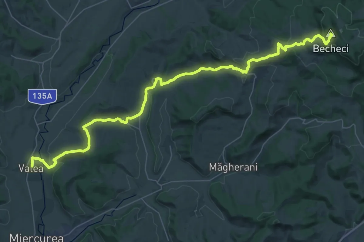
Demanding · Summit
Via Mariae M01-53 (Valea - Sărățeni)
18.8 km · ↑ 900 m · 6 h 18 min
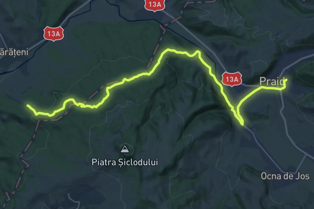
Medium · Pilgrim path
Via Mariae M01-54 (Sărățeni - Praid)
13.5 km · ↑ 343 m · 4 h 5 min
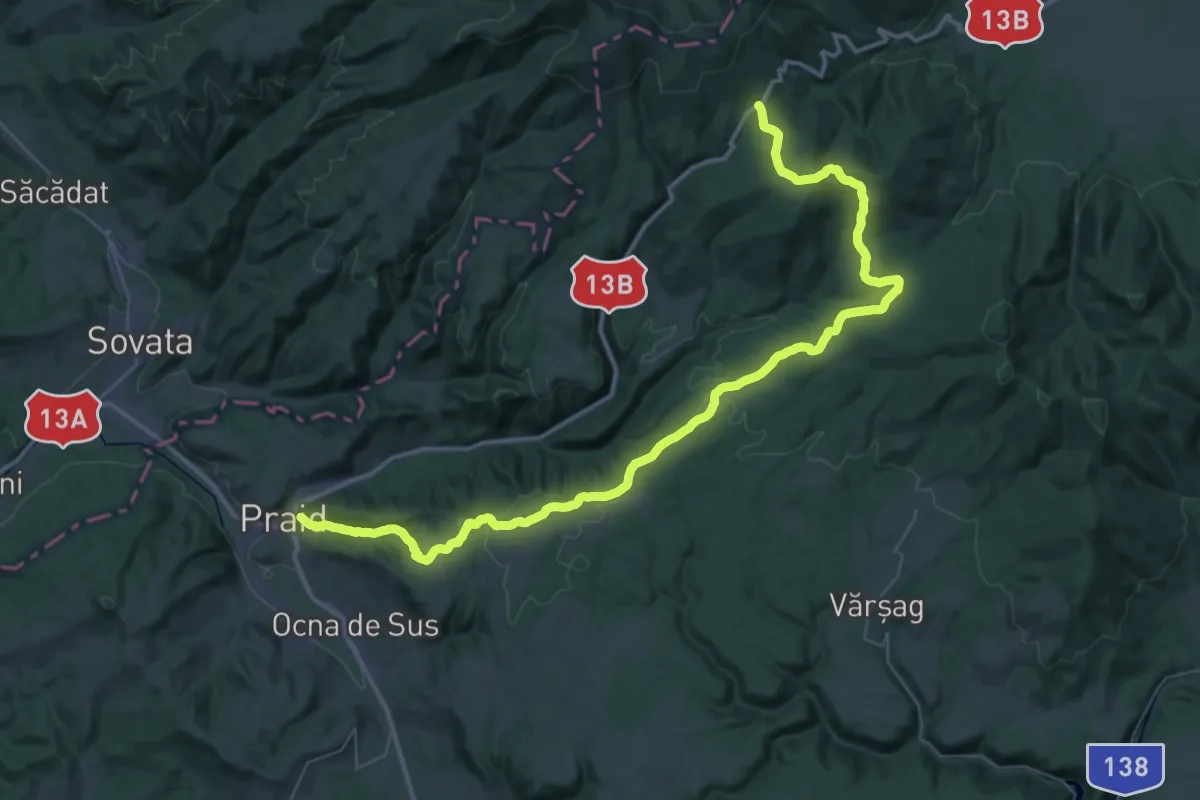
Demanding · Pilgrim path
Via Mariae M01-55 (Praid - Pasul Bucin)
29.5 km · ↑ 311 m · 8 h 26 min
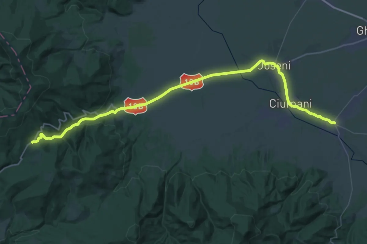
Demanding · Pilgrim path
Via Mariae M01-56 (Pasul Bucin - Suseni)
24.2 km · ↑ 48 m · 6 h 25 min
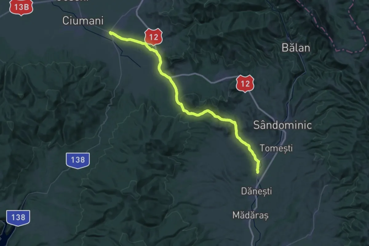
Demanding · Pilgrim path
Via Mariae M01-57 (Suseni - Cârța)
25.4 km · ↑ 284 m · 6 h 57 min
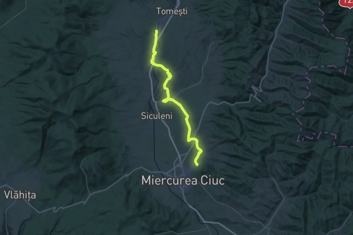
Demanding · Pilgrim path
Via Mariae M01-58 (Cârta - Șumuleu Ciuc)
25.4 km · ↑ 240 m · 6 h 52 min
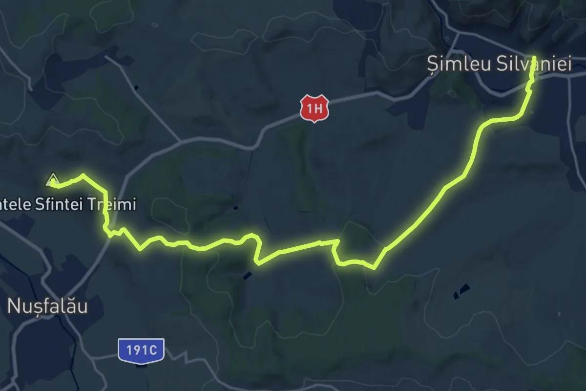
Medium · Summit
Via Mariae M05-38 Suplacu de Barcău - Șimleu Silvaniei
10.7 km · ↑ 279 m · 3 h 15 min
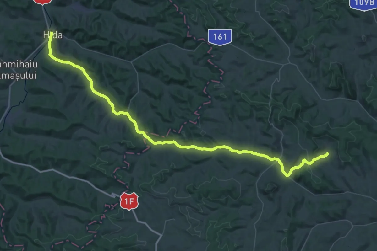
Demanding · Pilgrim path
Via Mariae M05-41 Hida - Chidea
30.2 km · ↑ 279 m · 8 h 13 min
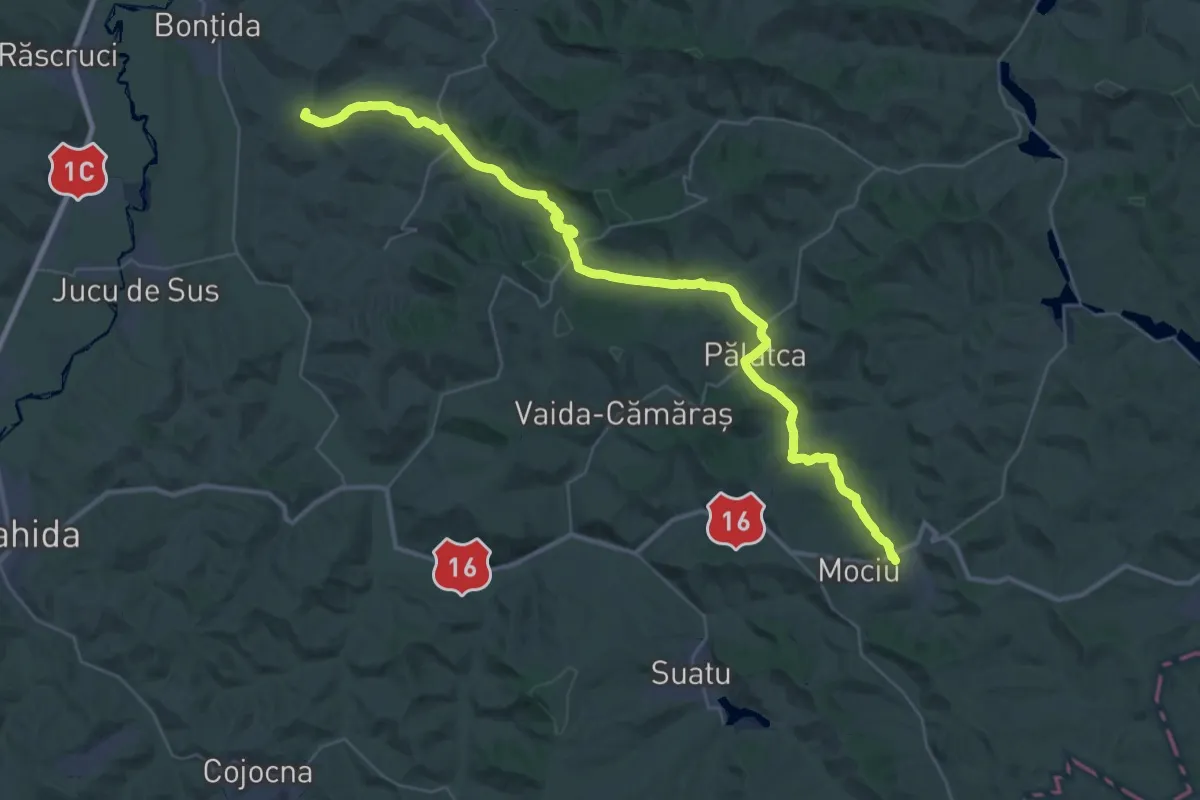
Demanding · Summit
Via Mariae M05-43 Bontida - Mociu
22.7 km · ↑ 656 m · 7 h 2 min
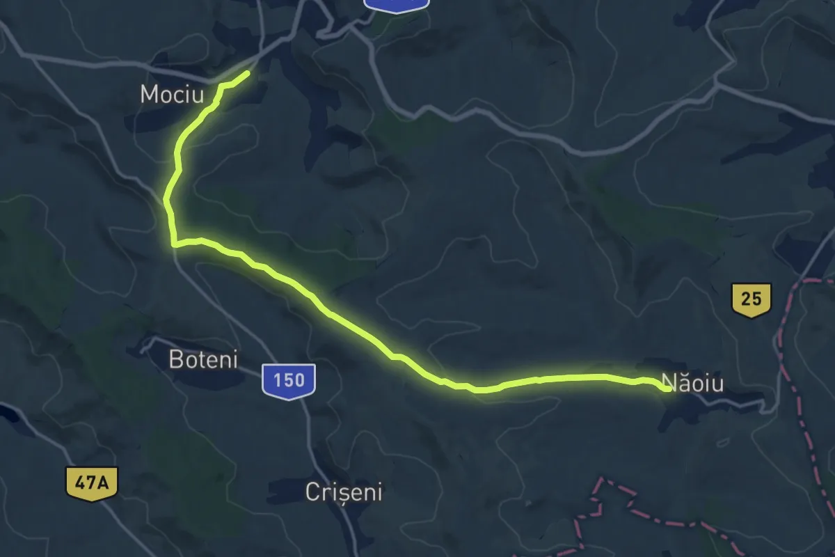
Medium · Pilgrim path
Via Mariae M05-44 Mociu - Pogăceaua
8.9 km · ↑ 162 m · 2 h 34 min
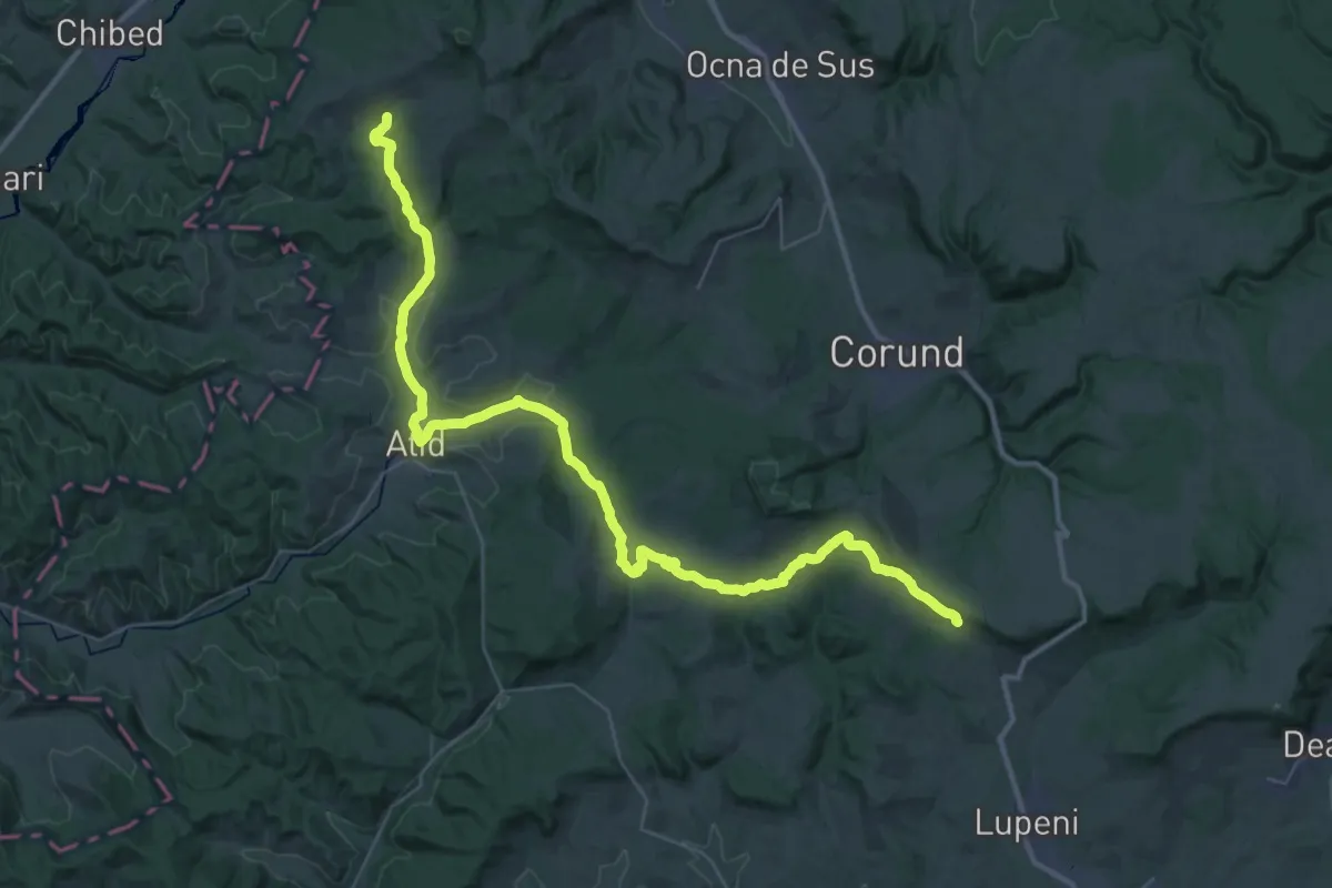
Demanding · Pilgrim path
Via Mariae M05-48A
25.2 km · ↑ 332 m · 7 h 6 min
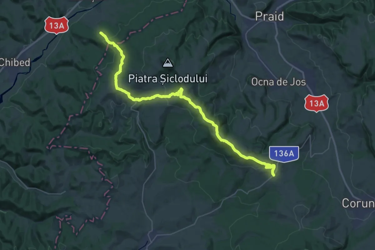
Medium · Pilgrim path
Via Mariae M05-48 Sărățeni - Atia
15.0 km · ↑ 579 m · 4 h 54 min
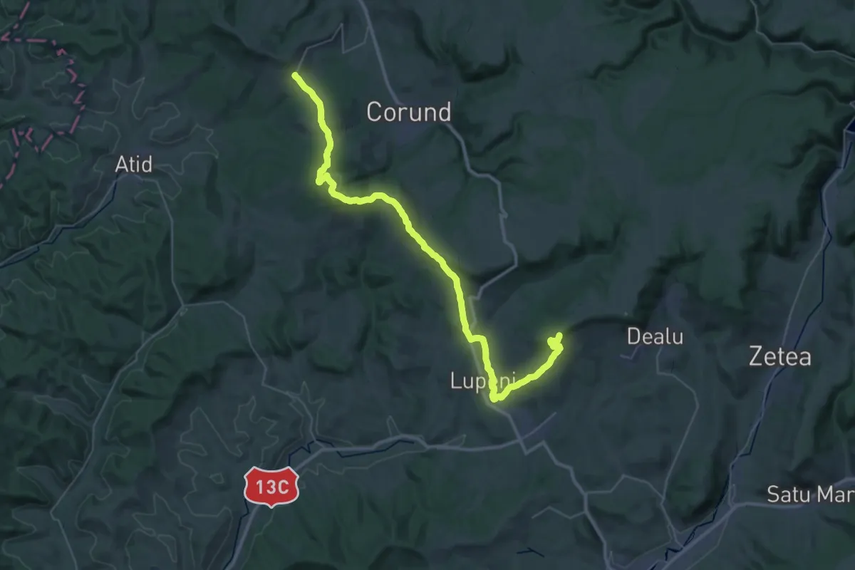
Demanding · Summit
Via Mariae M05-49 Atia - Dealu
22.1 km · ↑ 840 m · 7 h 15 min
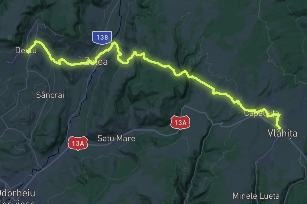
Demanding · Pilgrim path
Via Mariae M05-50 Dealu - Vlăhita
25.9 km · ↑ 541 m · 7 h 43 min
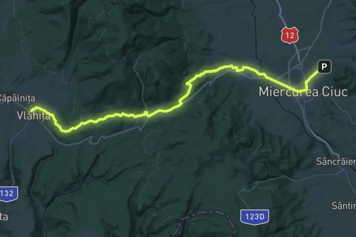
Demanding · Pilgrim path
Via Mariae M05-51 Vlăhita - Miercurea Ciuc
29.9 km · ↑ 530 m · 8 h 33 min
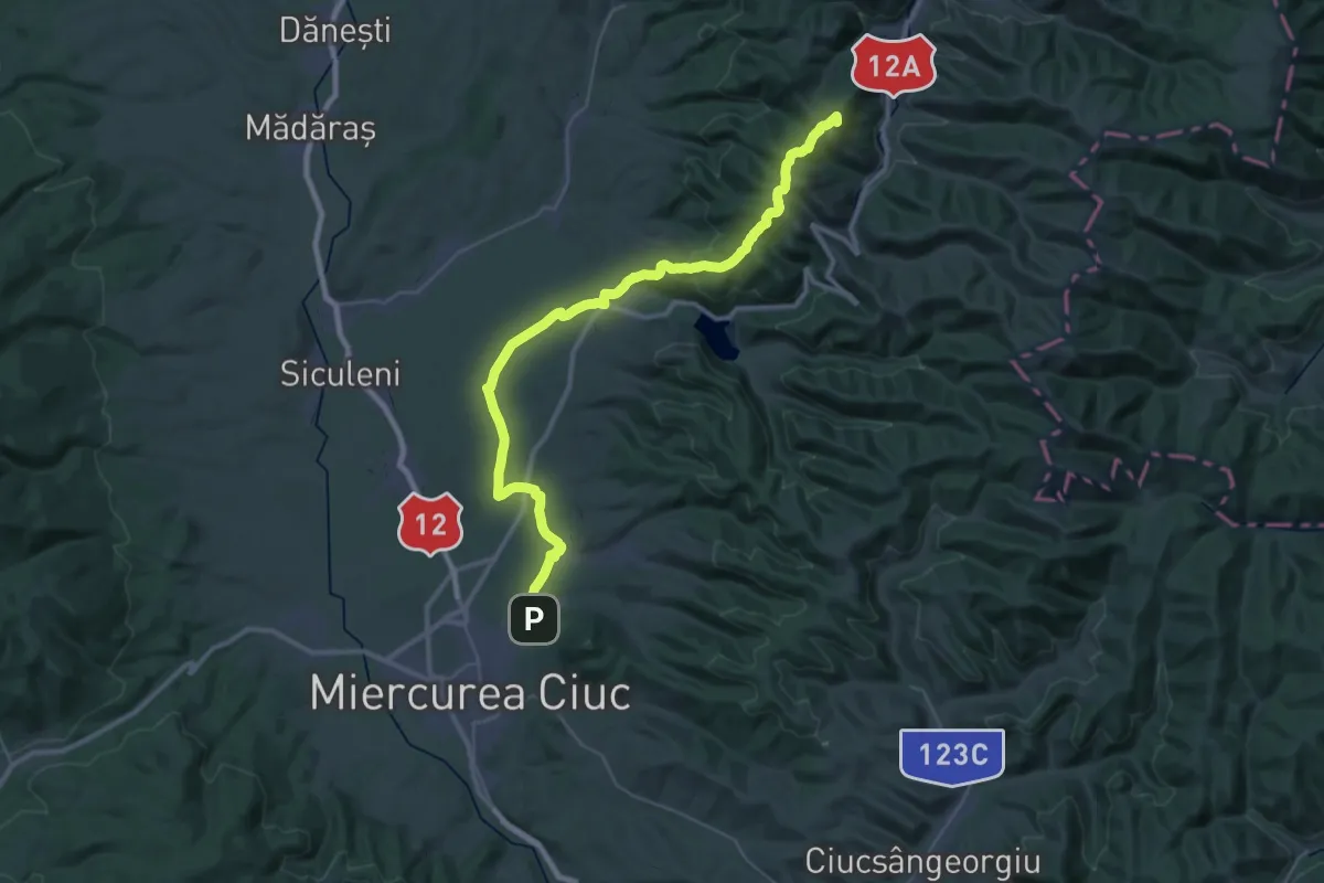
Demanding · Summit
Via Mariae M05-52: Șumuleu Ciuc – Lunca de Sus (Valea Ugra)
21.7 km · ↑ 782 m · 6 h 49 min
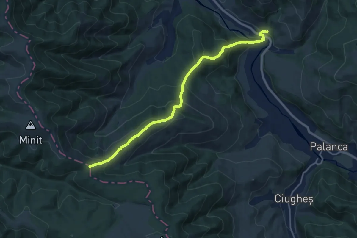
Medium · Summit
Via Mariae M05-53 Lunca de Sus - Valea Ugra - Ghimes
6.1 km · ↑ 612 m · 2 h 34 min
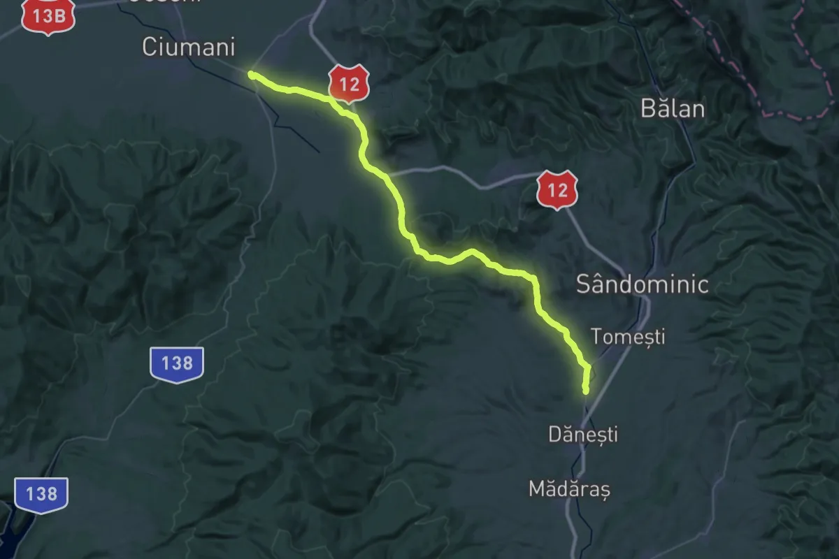
Demanding · Pilgrim path
Via Mariae M12
25.4 km · ↑ 284 m · 6 h 57 min
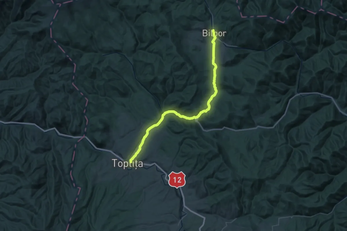
Demanding · Pilgrim path
Via Mariae M12-06
24.3 km · ↑ 415 m · 6 h 51 min
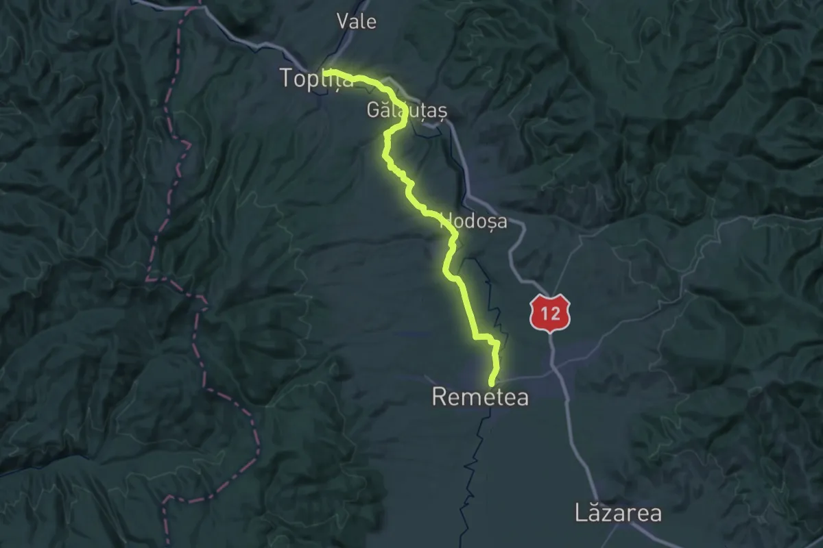
Demanding · Pilgrim path
Via Mariae M12-07
21.0 km · ↑ 263 m · 5 h 50 min
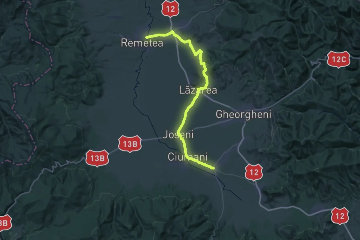
Demanding · Pilgrim path
Via Mariae M12-08
25.8 km · ↑ 233 m · 6 h 57 min
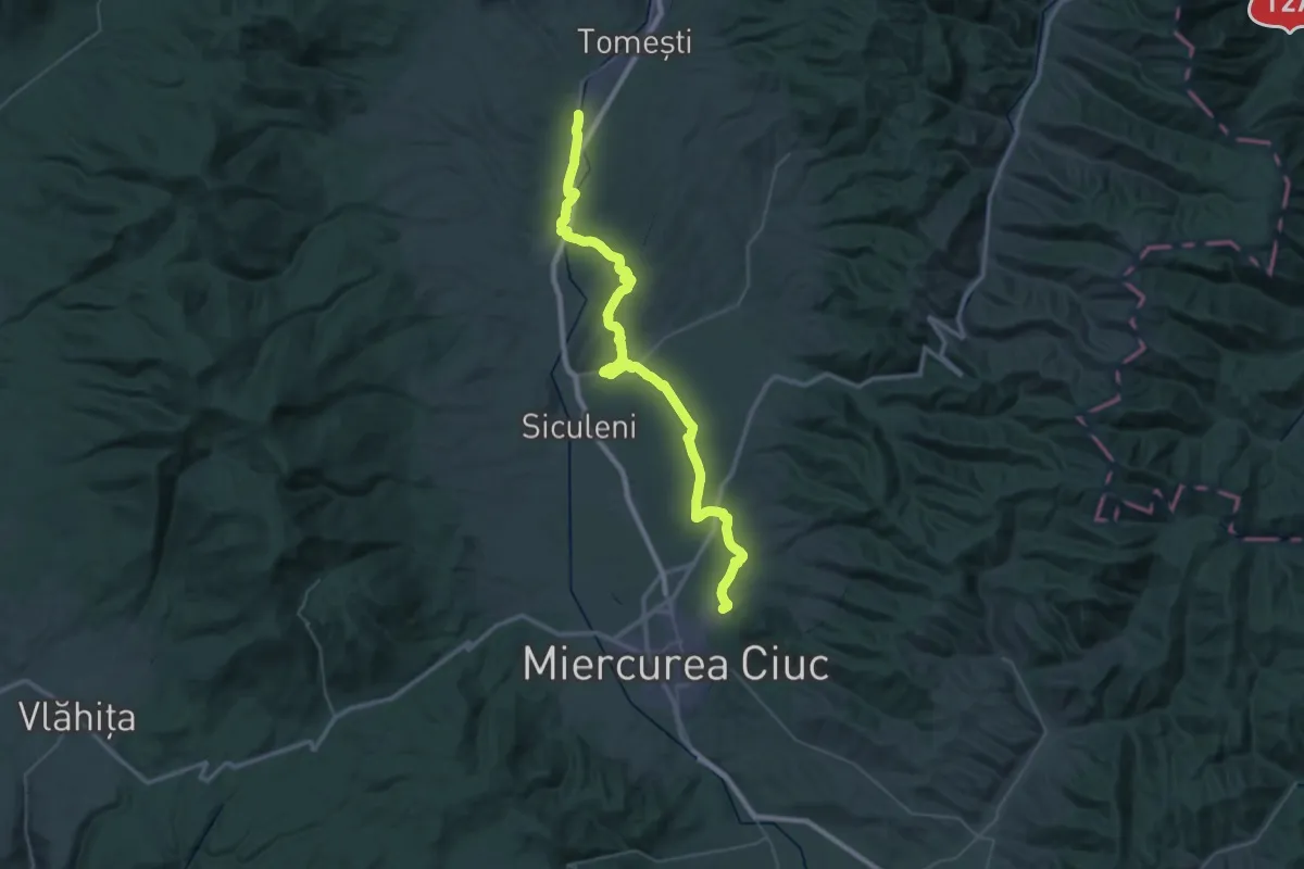
Demanding · Pilgrim path
Via Mariae M12-10
25.6 km · ↑ 245 m · 6 h 56 min
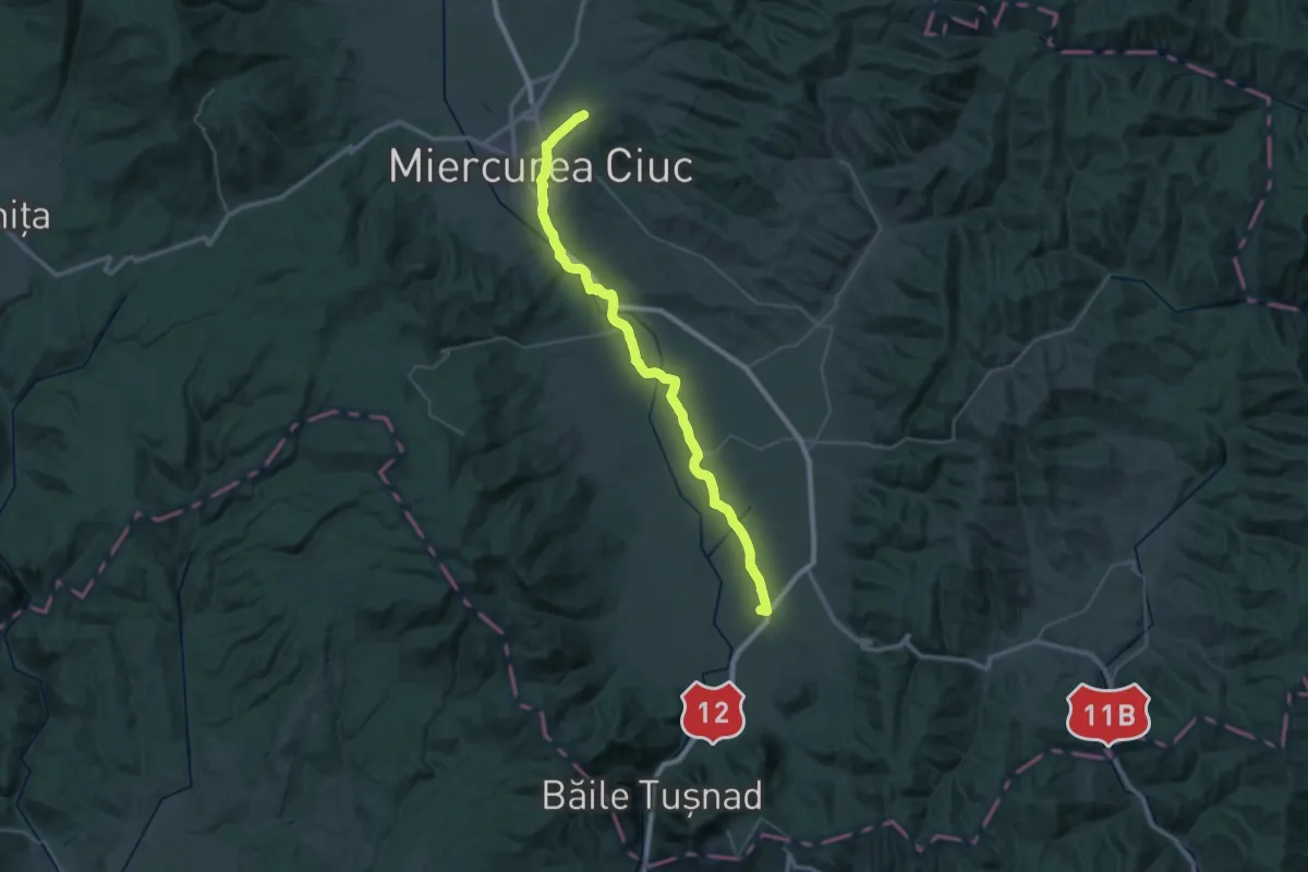
Demanding · Pilgrim path
Via Mariae M12-11
24.7 km · ↑ 111 m · 6 h 25 min
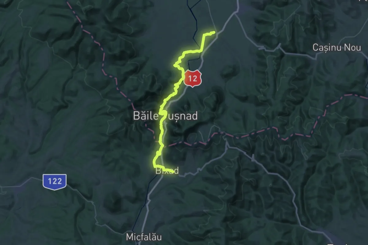
Demanding · Pilgrim path
Via Mariae M12-12
19.9 km · ↑ 511 m · 6 h 4 min
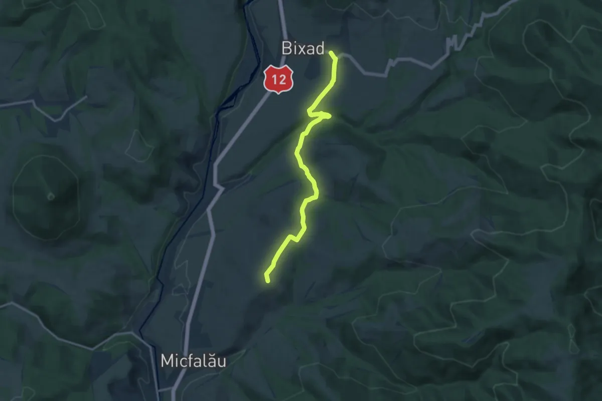
Easy · Summit
Via Mariae M12-13
5.6 km · ↑ 143 m · 1 h 42 min
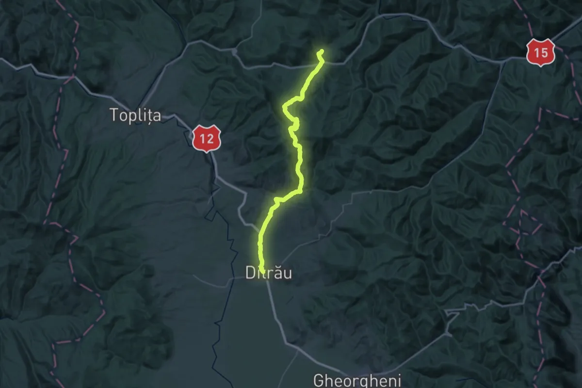
Demanding · Pilgrim path
Via Mariae M32
25.1 km · ↑ 637 m · 7 h 44 min
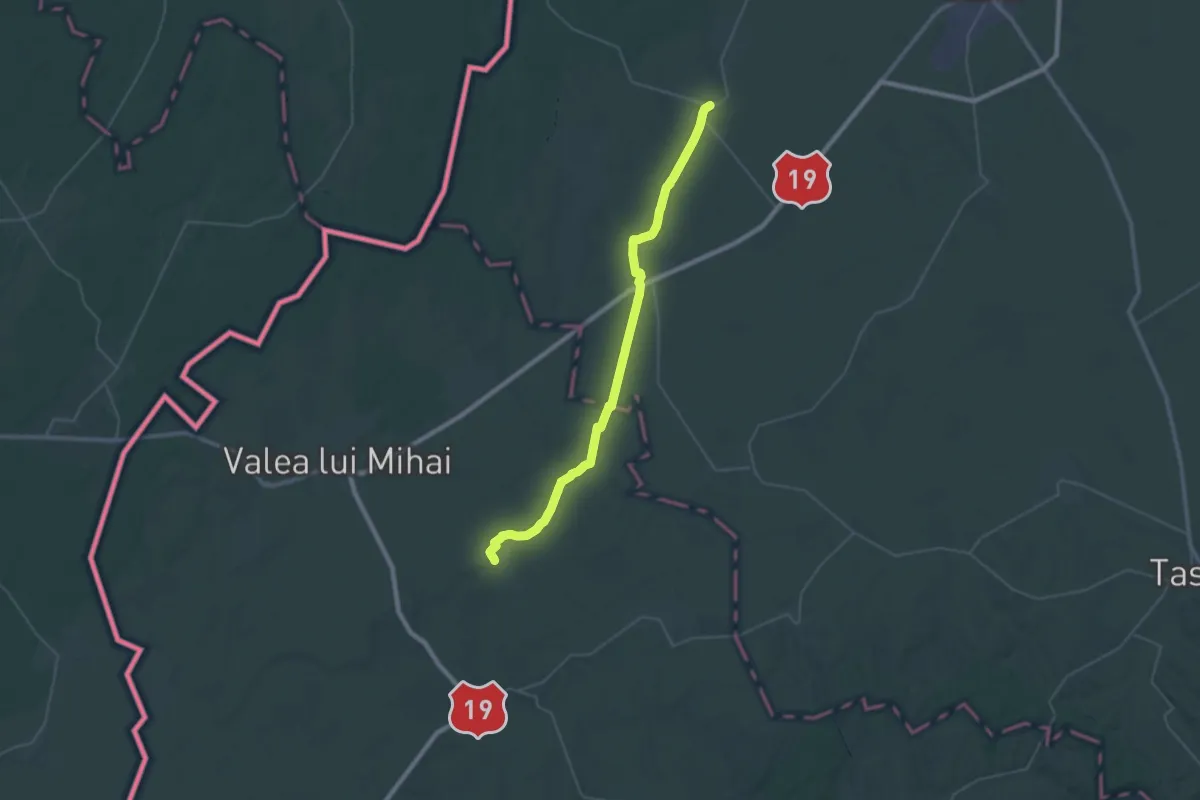
Demanding · Pilgrim path
Via Mariae M53-2
22.0 km · ↑ 8 m · 5 h 31 min
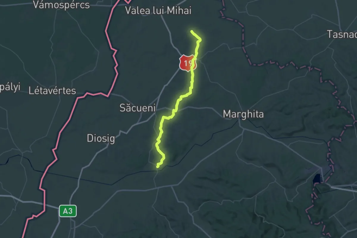
Demanding · Pilgrim path
Via Mariae M53-3
32.8 km · ↑ 217 m · 8 h 41 min
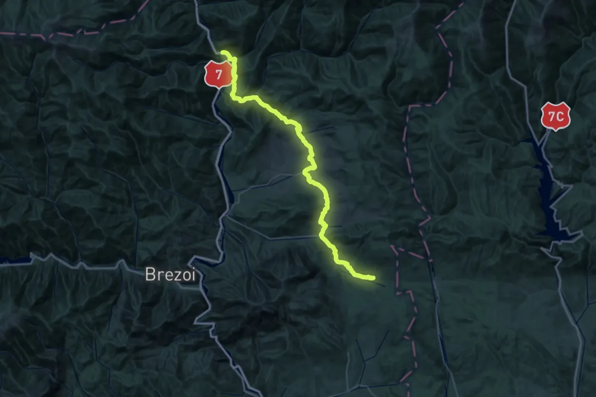
Demanding · Trail
Via Valahia Țara Loviștei
29.3 km · ↑ 905 m · 9 h 6 min
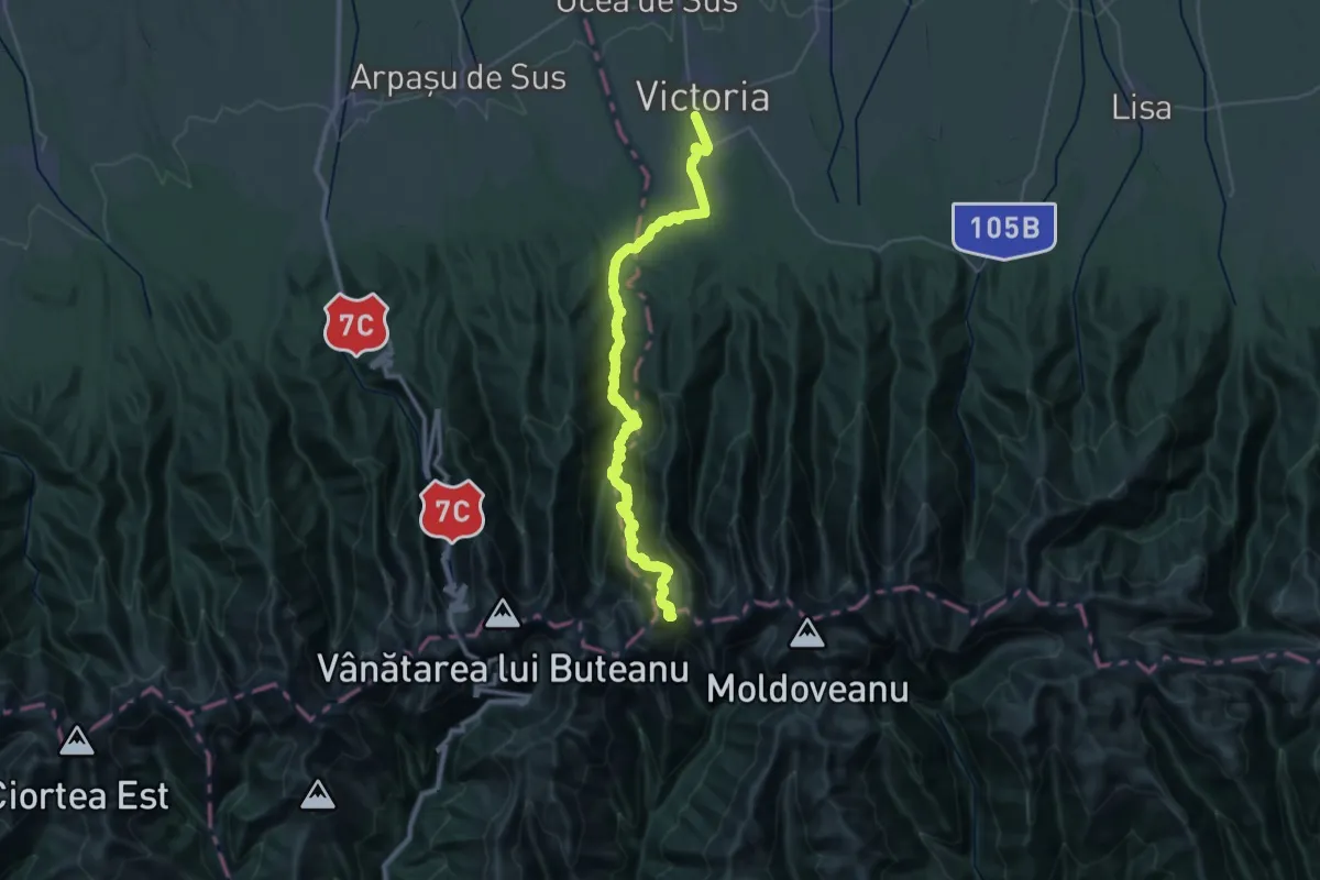
Demanding · Trail
Victoria - Cabana Podragu - Șaua Podragului
20.4 km · ↑ 399 m · 6 h 49 min
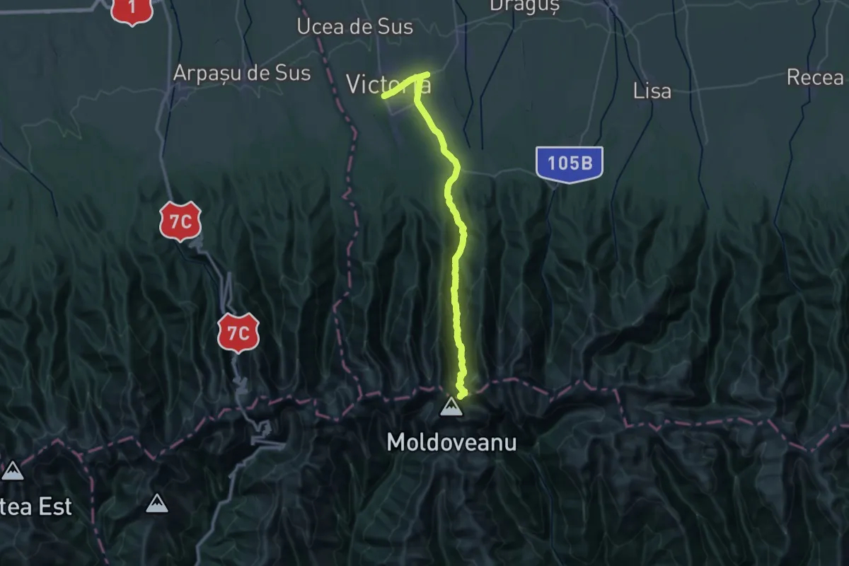
Demanding · Trail
Victoria - Hârtopu Urșilor - Portița Viștei
18.5 km · ↑ 27 m · 5 h 33 min
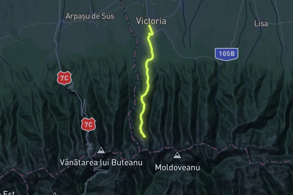
Demanding · Summit
Victoria - Muchia Tărâța - Cabana Podragu
28.1 km · ↑ 1817 m · 10 h 34 min
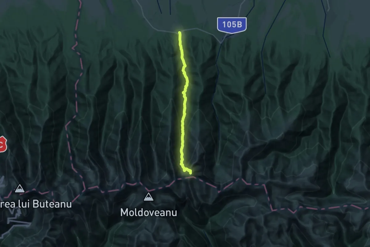
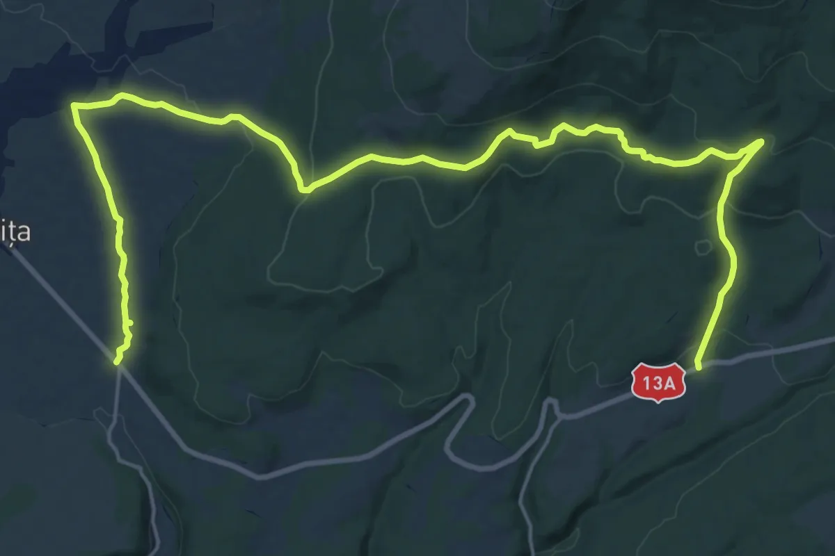
Demanding · Summit
Viștișoara - L. Viștișoara - V. Sâmbăta
20.2 km · ↑ 1676 m · 8 h 24 min
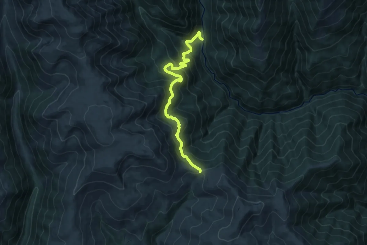
Demanding · Trail
Vlahita - Angyos
25.3 km · ↑ 652 m · 7 h 23 min
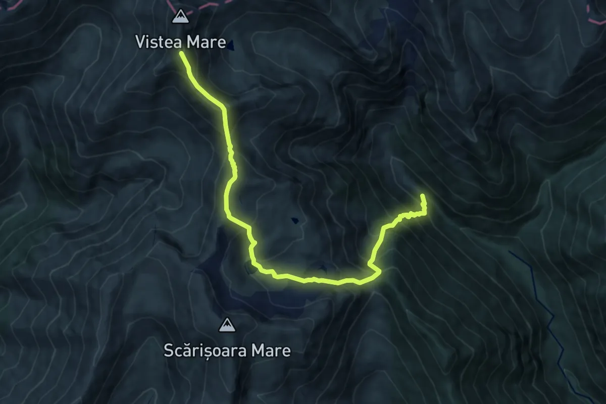
Demanding · Trail
V. Rea - Curmătura Maliței
12.4 km · ↑ 847 m · 4 h 45 min
Demanding · Summit
V. Rea - L. Galbena - sub Vf. Galbena
10.8 km · ↑ 1263 m · 5 h 18 min
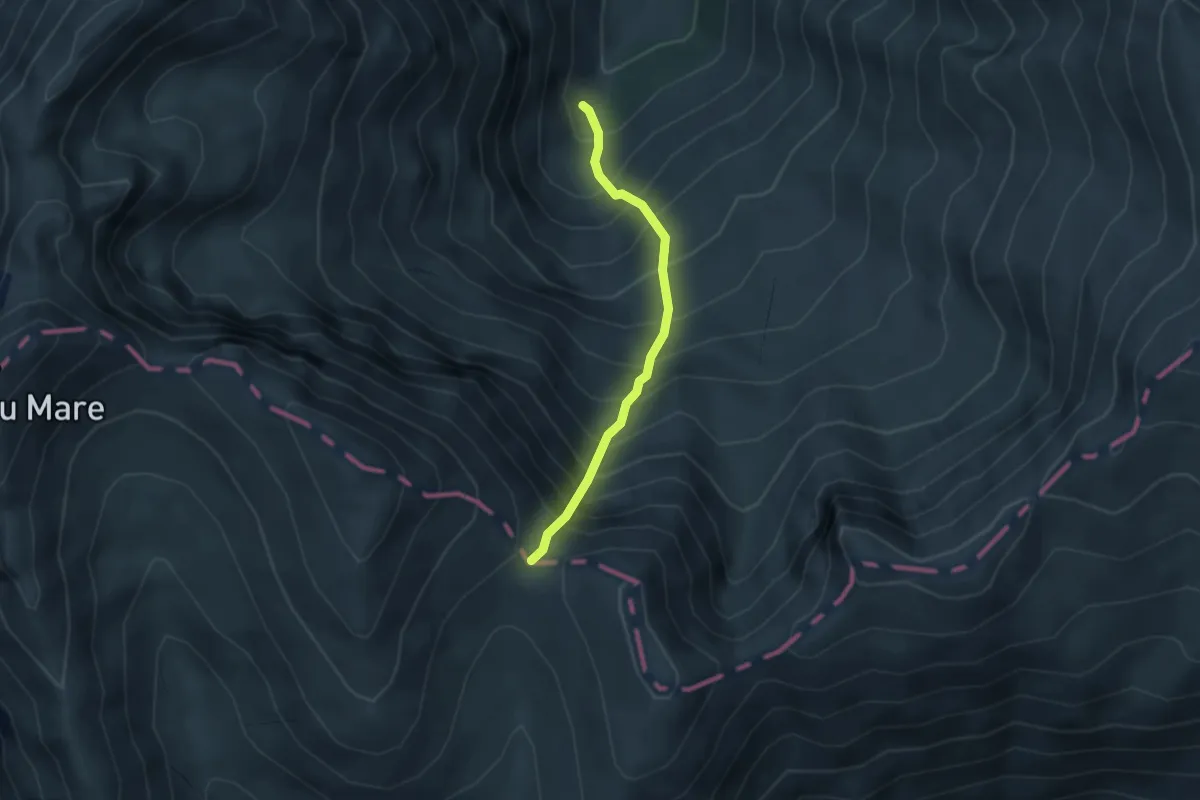
Expert · Trail
V. Sâmbetei - Fereastra Mică a Sâmbetei
2.9 km · ↑ 654 m · 2 h 6 min
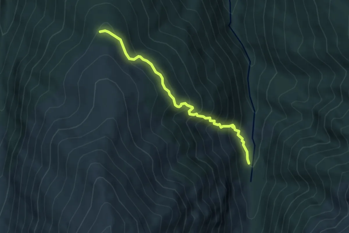
Medium · Cabin
V. Sâmbetei - Muchia Drăgușului (casa de vânătoare)
4.5 km · ↑ 472 m · 2 h 5 min
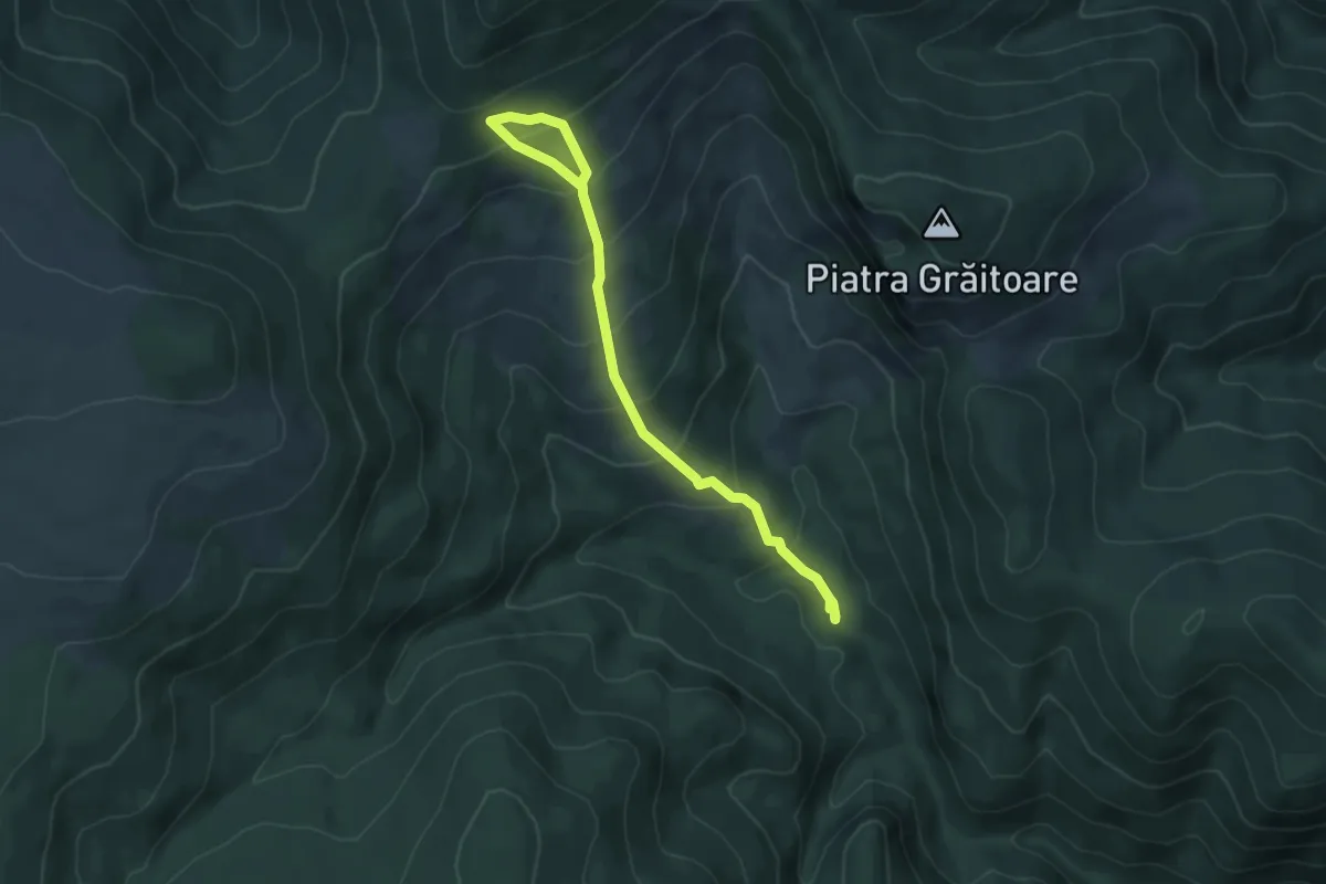
Medium · Trail
V. Seacă-Traseul BA
6.2 km · ↑ 498 m · 2 h 32 min
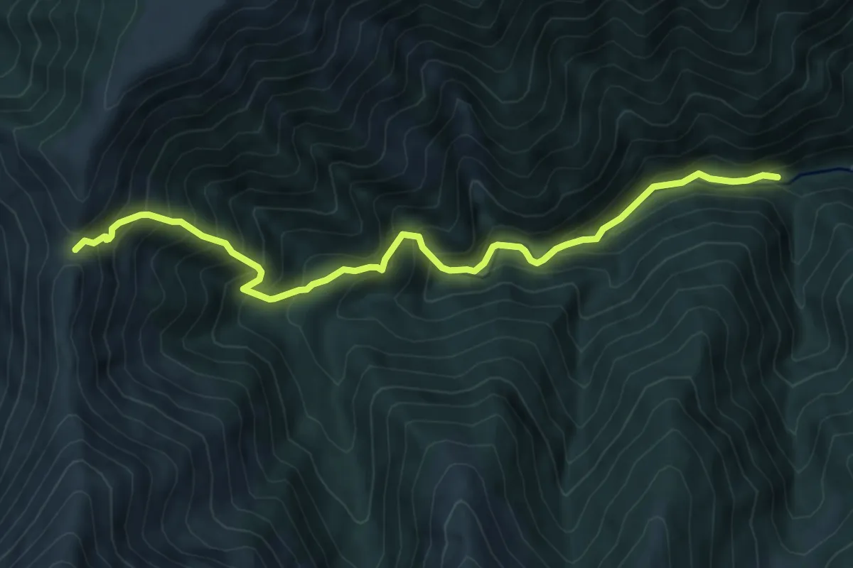
Demanding · Trail
V. Sebeșului - Curmătura Țiganului
8.1 km · ↑ 831 m · 3 h 42 min
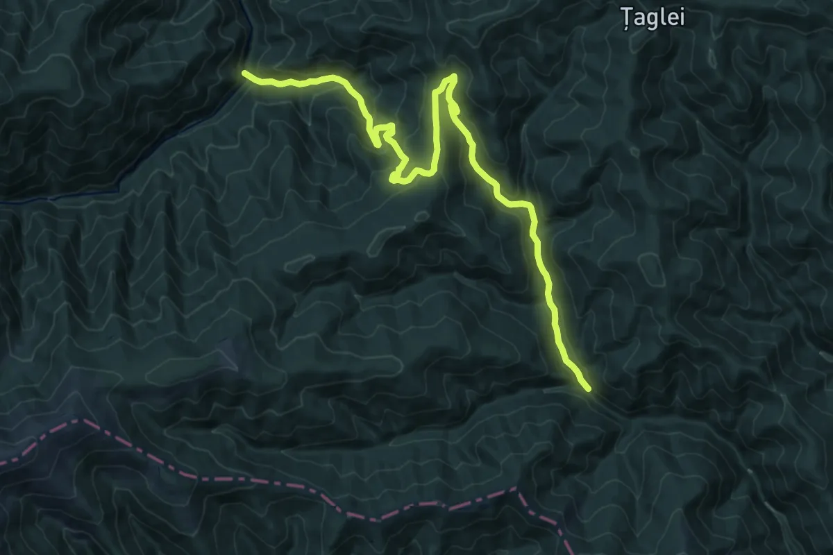
Demanding · Trail
V. Sebeșului - Șaua Nămăii - Cantonul Rudărița
20.1 km · ↑ 997 m · 6 h 54 min
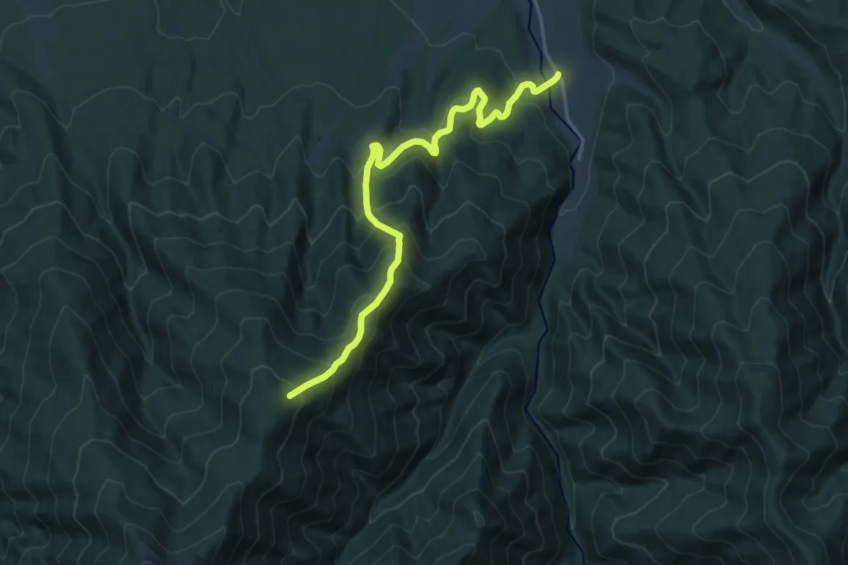
Demanding · Trail
V. Sebeșului - sub Vf. Pietriceaua
13.6 km · ↑ 908 m · 5 h 10 min
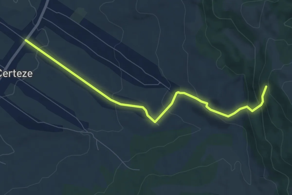
Medium · Trail
yellow dot
7.9 km · ↑ 364 m · 2 h 39 min
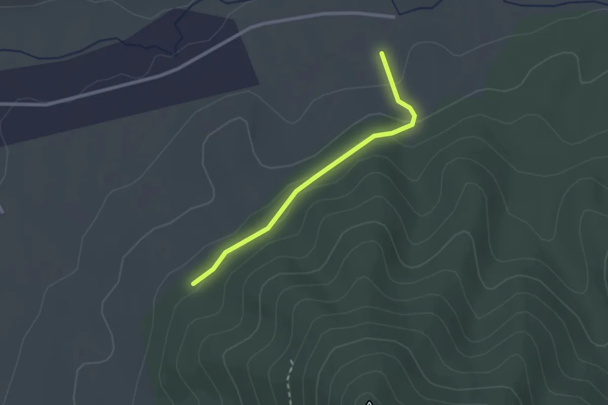
Easy · Trail
yellow dot
2.1 km · ↑ 70 m · 38 min
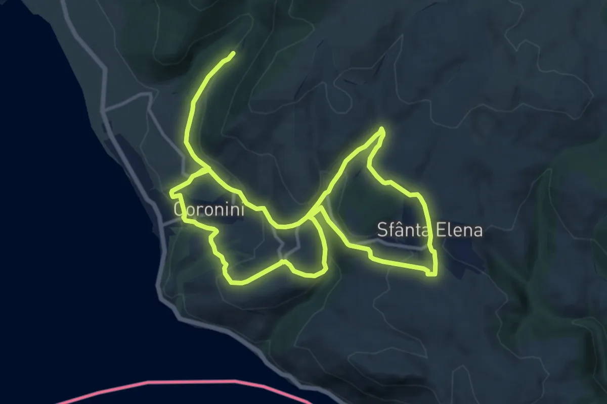
Demanding · Trail
Yellow path KČT - Sfânta Elena and its surroindings
20.9 km · ↑ 743 m · 6 h 33 min
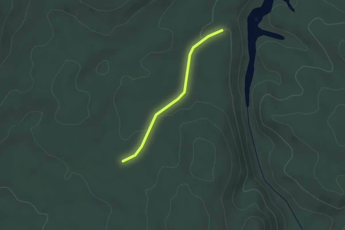
Easy · Trail
yellow stripe (Anina)
2.3 km · ↑ 23 m · 36 min
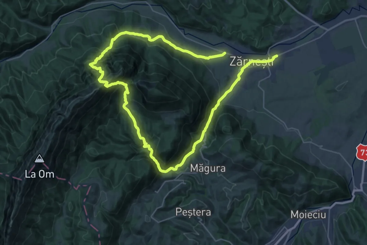
Demanding · Trail
Zărnești -Brâna Caprelor-Zărnești
20.2 km · ↑ 1355 m · 7 h 58 min
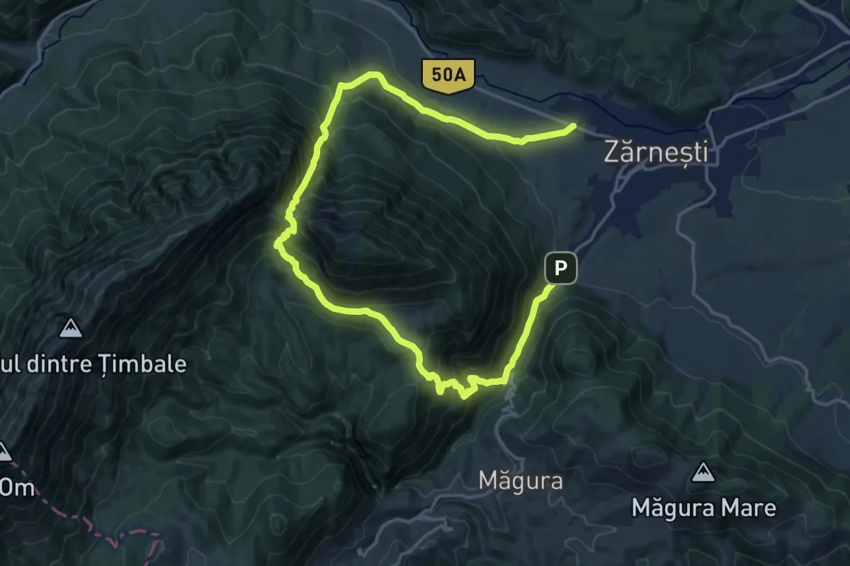
Demanding · Trail
Zărnești-Valea Crăpăturii-Cabana Gura Râului
11.6 km · ↑ 874 m · 4 h 49 min