Trails in Serbia
428 hiking trails, each with its route, climb, walking time and grade.
All trails, page 2 of 9
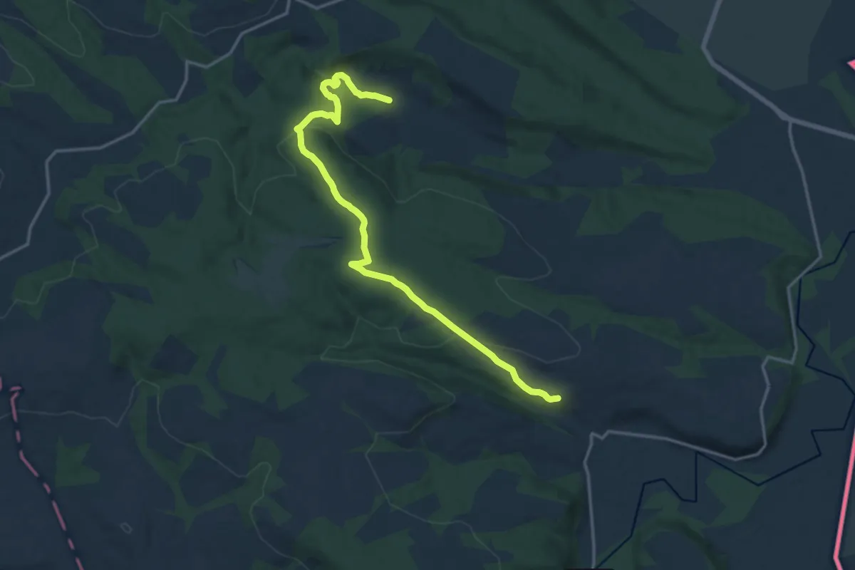
Medium · Trail
Selo Mokranje – Alija – Rogljevske pivnice
16.2 km · ↑ 336 m · 4 h 32 min
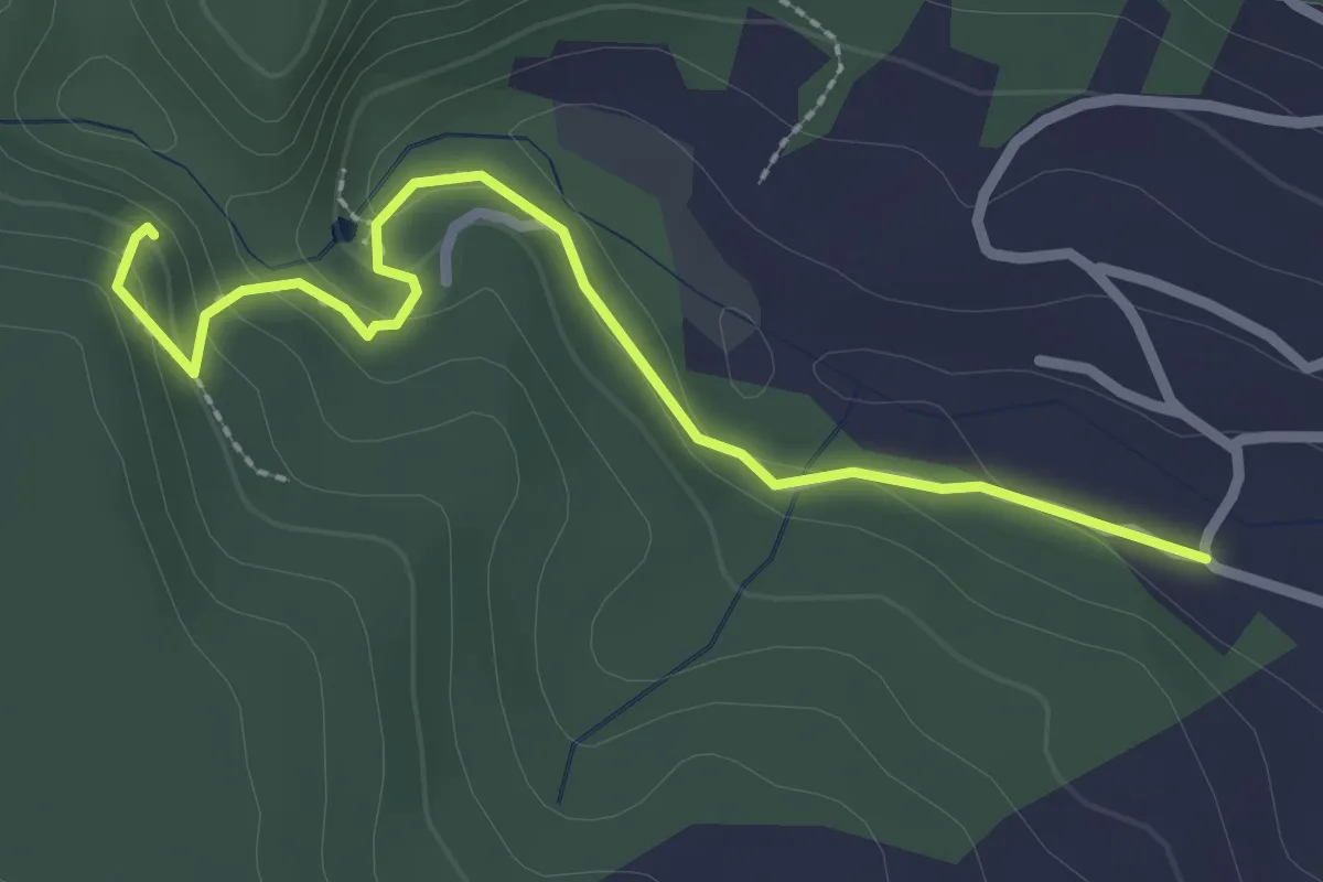
Easy · Trail
Selo Mokranje – Mokranjske stene (ograda i kamenjar)
2.8 km · ↑ 95 m · 52 min
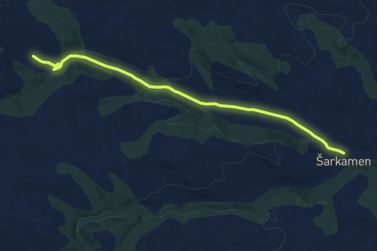
Medium · Trail
Selo Šarkamen – Lokalitet Vrelo
10.9 km · ↑ 130 m · 2 h 51 min
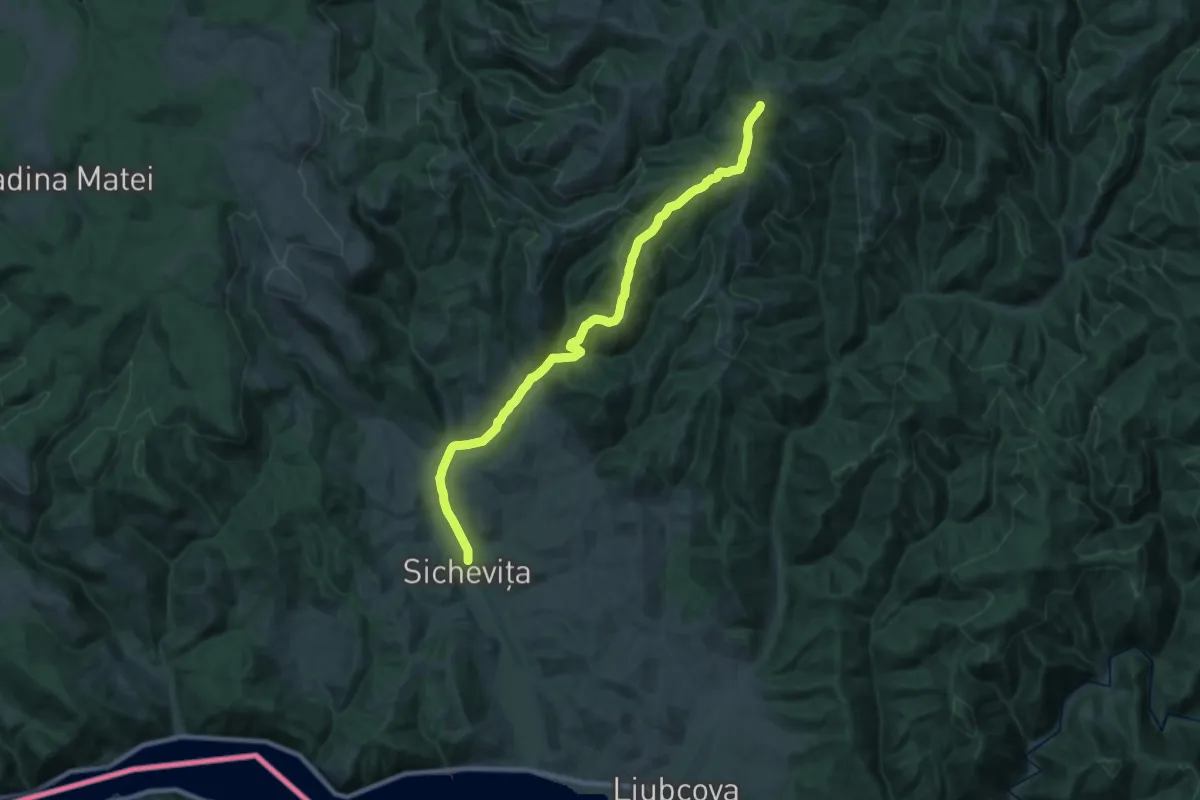
Demanding · Trail
Sichevița – Ravensca (blue path)
24.2 km · ↑ 775 m · 7 h 24 min
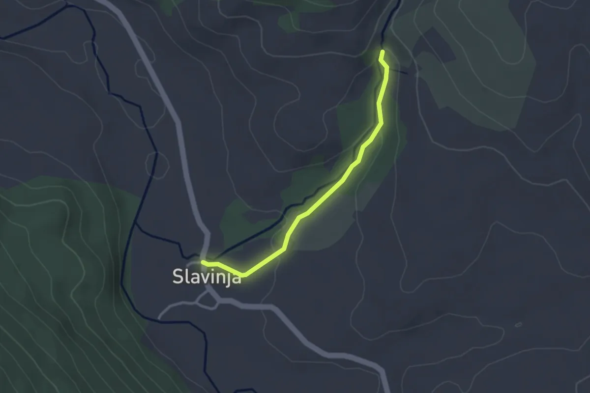
Easy · Trail
Slavinja – Rosomacki Lonci
2.7 km · ↑ 55 m · 45 min
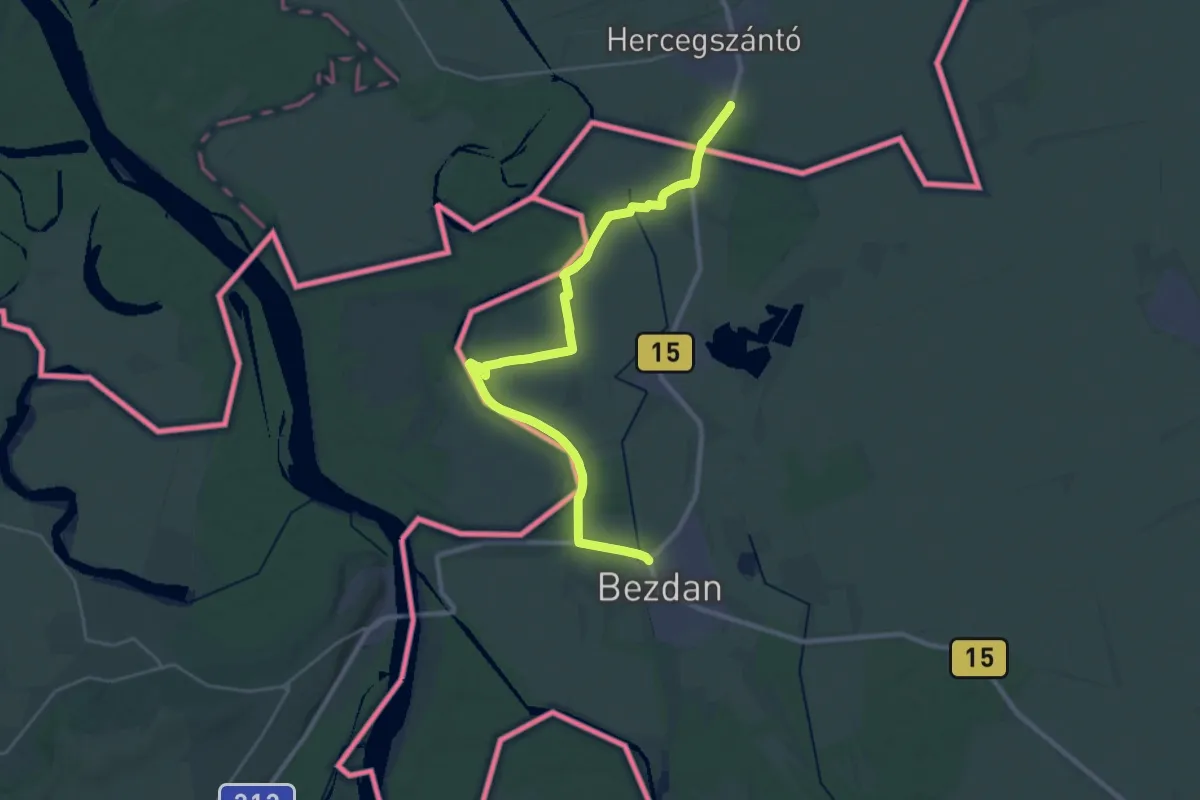
Demanding · Trail
ST316 Hercegszántó - Bezdan
31.9 km · ↑ 65 m · 7 h 40 min
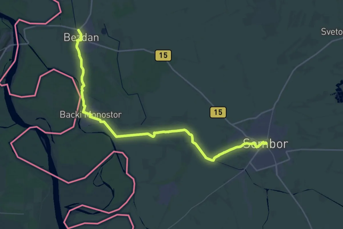
Demanding · Trail
ST317 Bezdan - Sombor
25.5 km · ↑ 24 m · 6 h 26 min
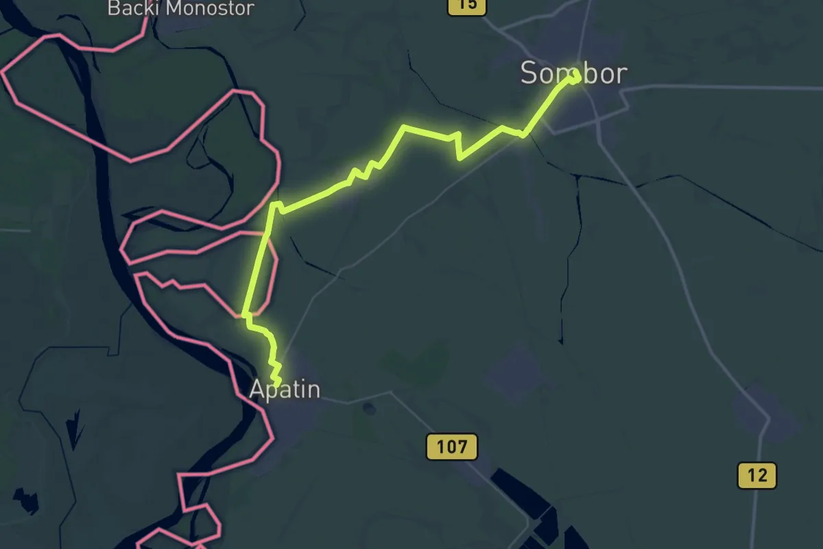
Demanding · Trail
ST318 Sombor - Apatin
23.1 km · ↑ 4 m · 5 h 47 min
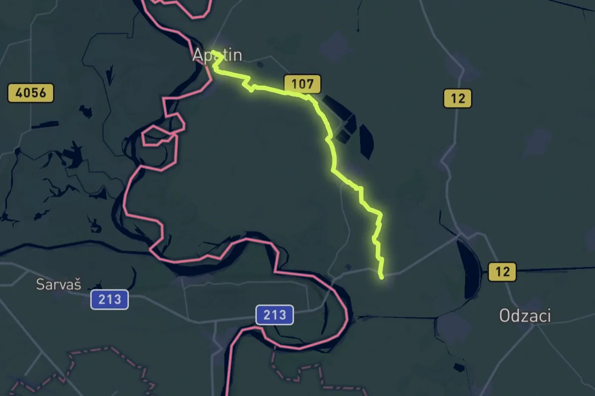
Demanding · Trail
ST319 Apatin - Bogojevo
26.1 km · ↑ 9 m · 6 h 32 min
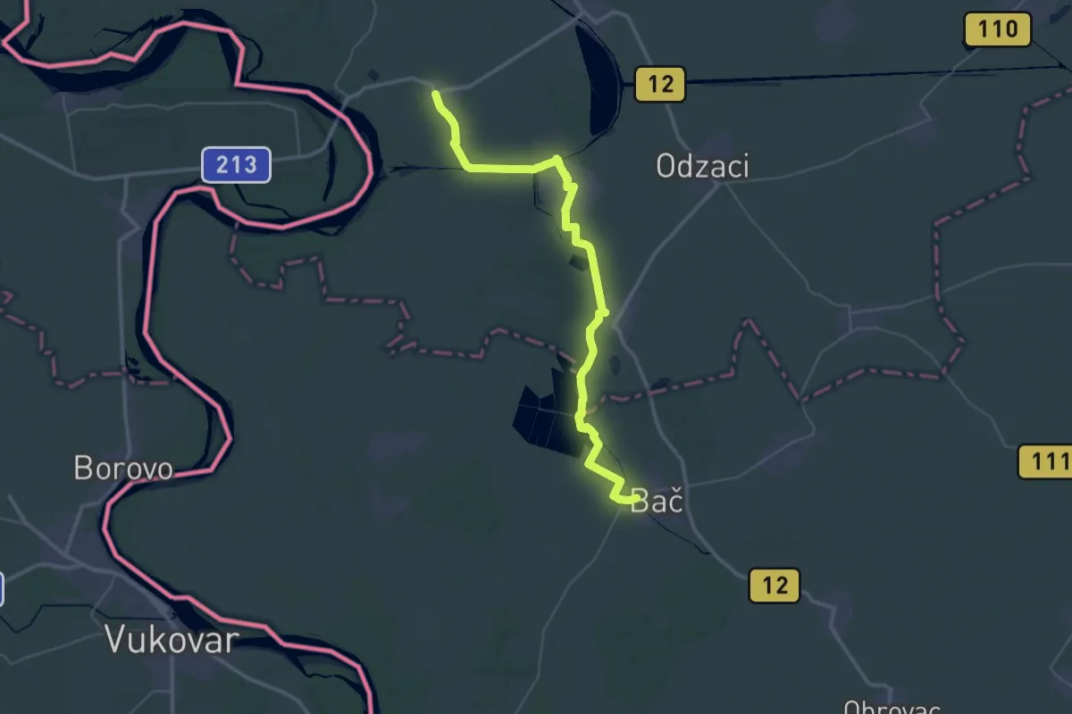
Demanding · Trail
ST320 Bogojevo - Bač
23.8 km · ↑ 12 m · 5 h 59 min
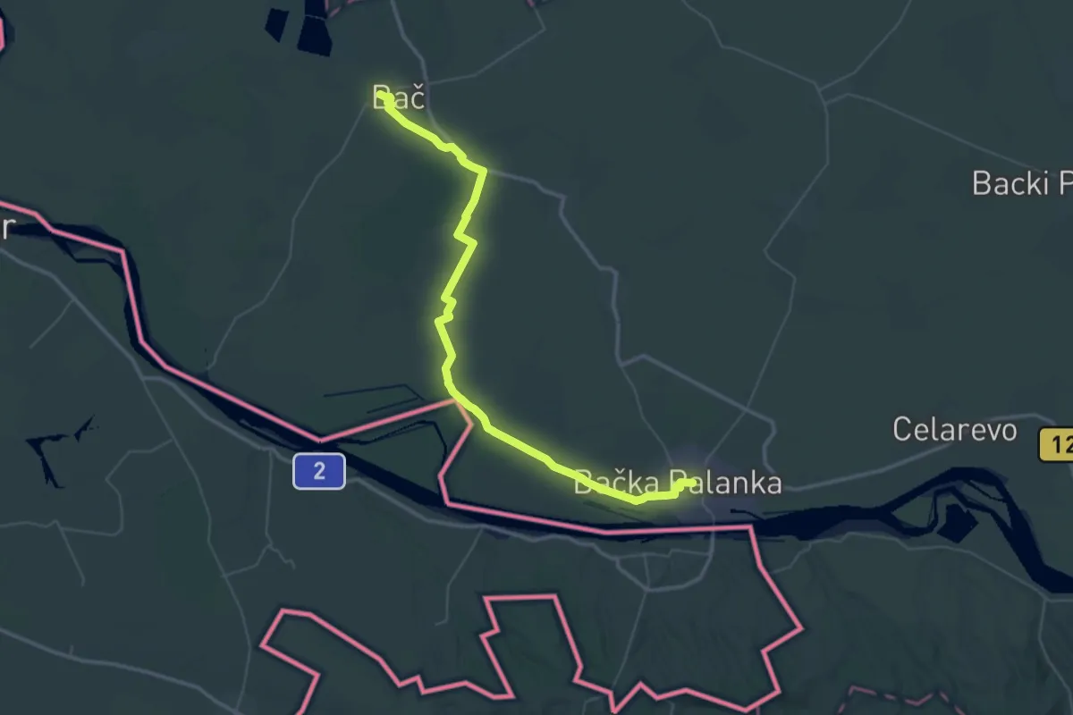
Demanding · Trail
ST321 Bač - Bačka Palanka
28.6 km · ↑ 13 m · 7 h 10 min
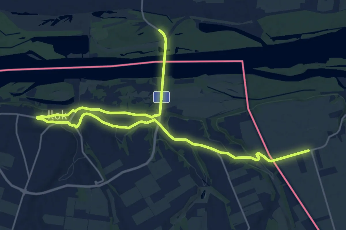
Demanding · Trail
ST322 Bačka Palanka - Neštin
20.6 km · ↑ 269 m · 5 h 27 min
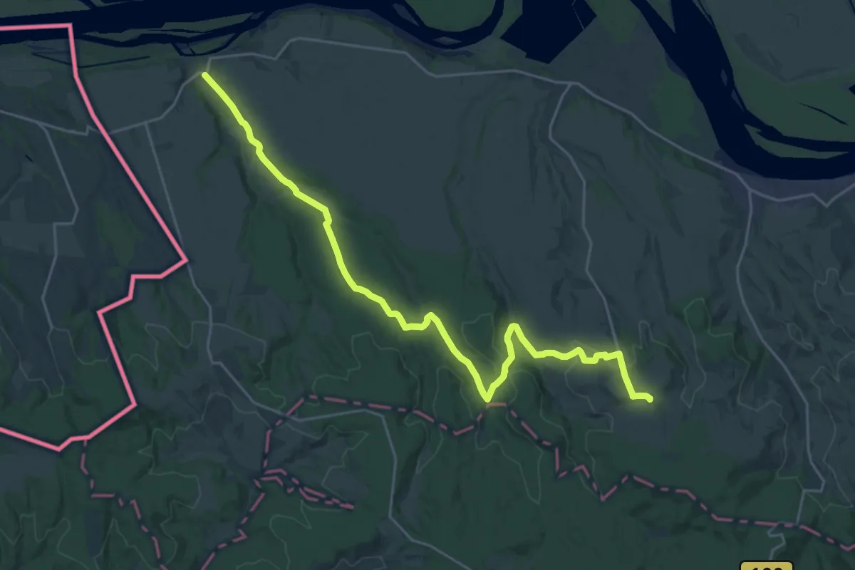
Demanding · Summit
ST323 Neštin - Fruška Gora
27.0 km · ↑ 425 m · 7 h 18 min
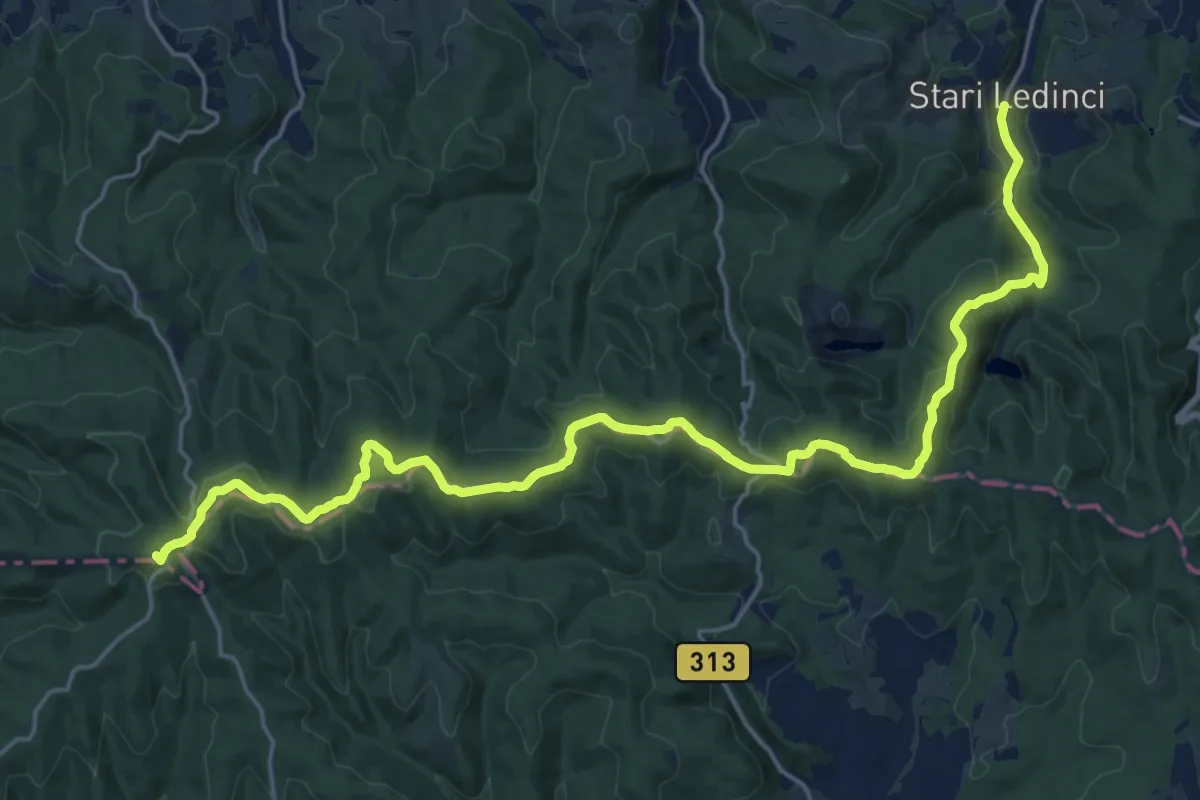
Demanding · Summit
ST324 Fruška Gora - Stari Ledinci
24.9 km · ↑ 678 m · 7 h 21 min
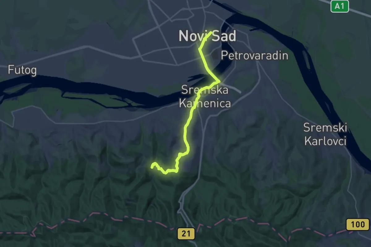
Demanding · Trail
ST325 Stari Ledinci - Novi Sad
25.4 km · ↑ 592 m · 7 h 17 min
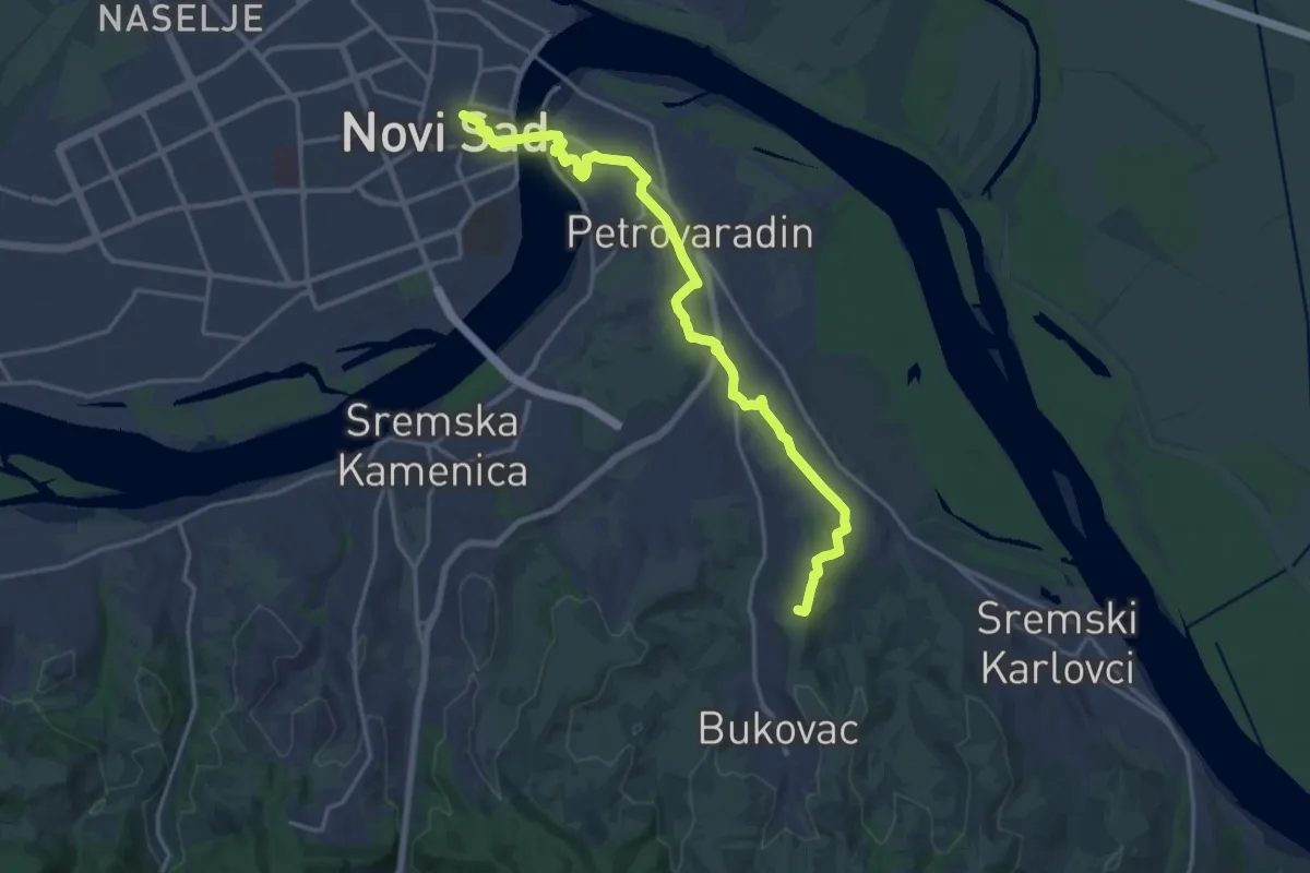
Demanding · Summit
ST326 Novi Sad - Sremski Karlovci
19.8 km · ↑ 262 m · 5 h 15 min
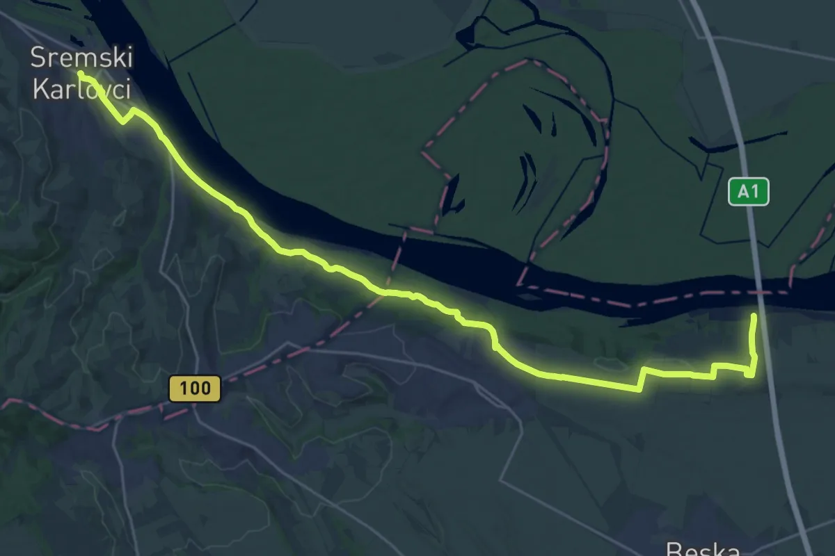
Medium · Trail
ST327 Sremski Karlovci to Beška (bridge)
15.4 km · ↑ 177 m · 4 h 14 min
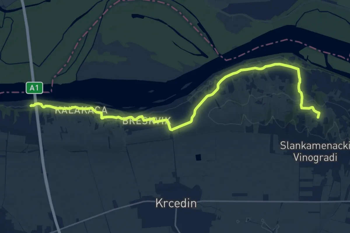
Demanding · Summit
ST328 Beška (bridge) - Stari Slankamen
22.9 km · ↑ 487 m · 6 h 28 min
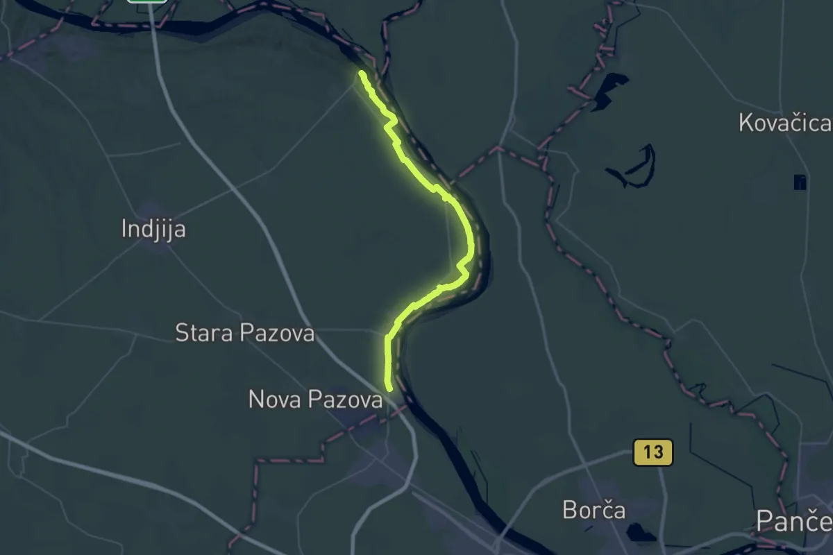
Demanding · Trail
ST329 Stari Slankamen - Novi Banovci
29.3 km · ↑ 155 m · 7 h 40 min
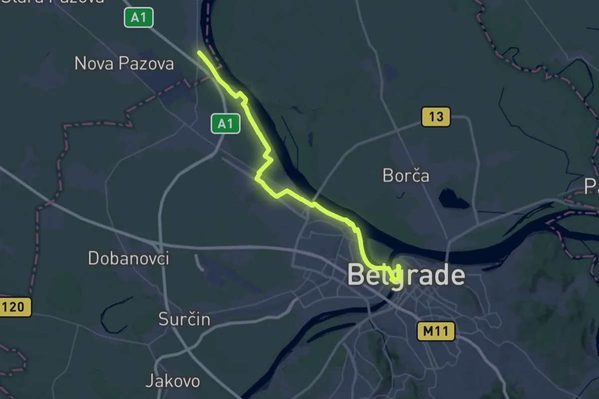
Demanding · Trail
ST330 Novi Banovci - Belgrade
26.3 km · ↑ 165 m · 6 h 55 min
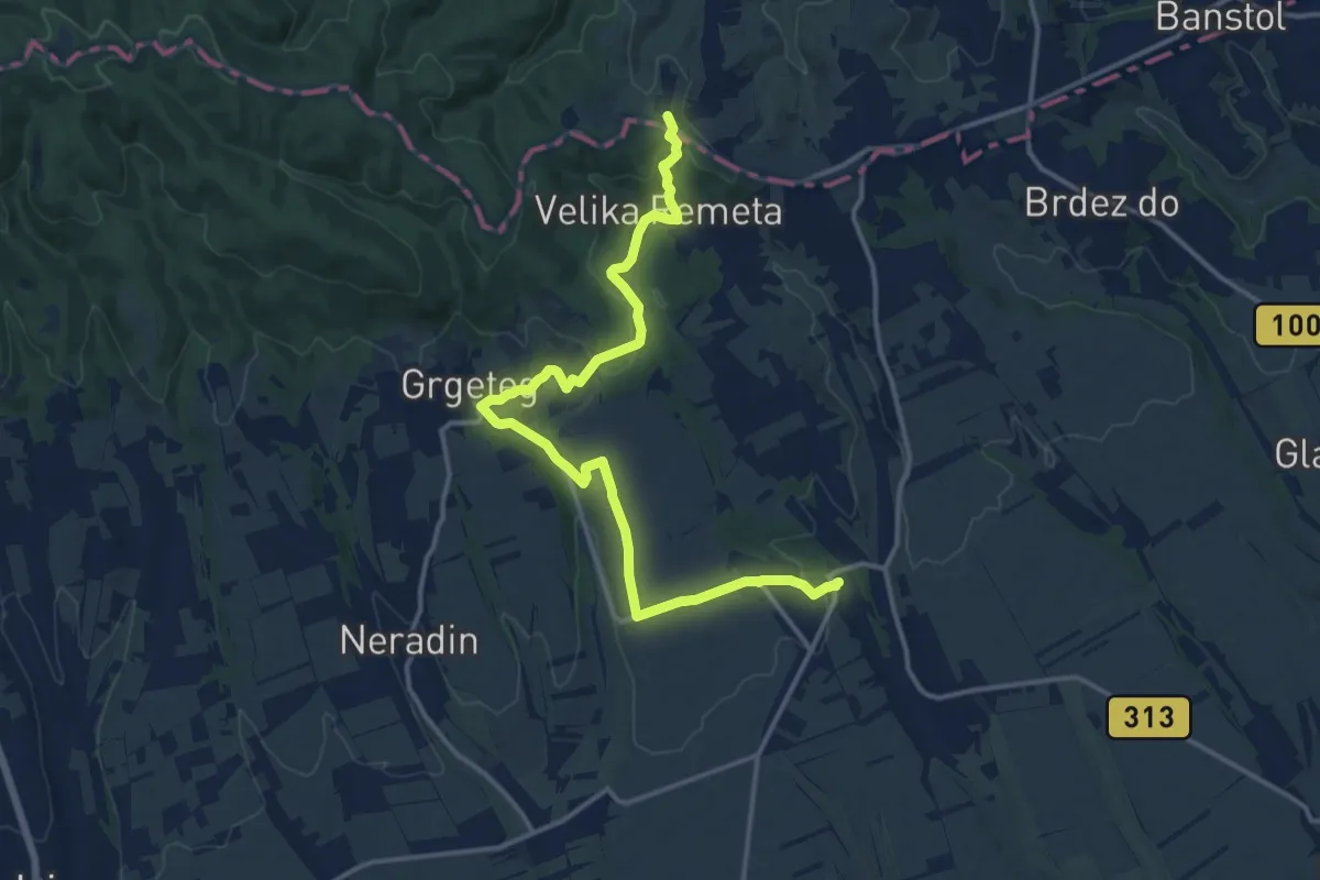
Medium · Summit
ST341 Sremski Karlovci - Krušedol
16.3 km · ↑ 384 m · 4 h 41 min
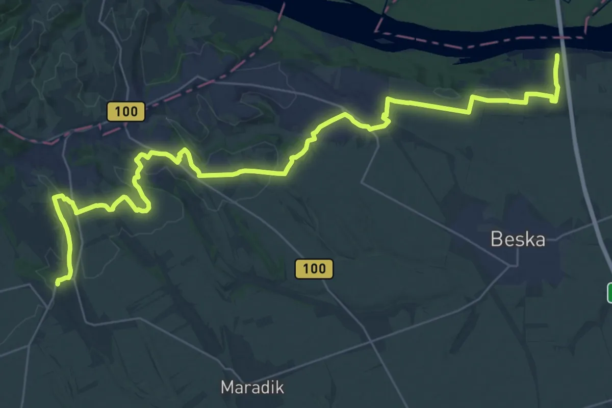
Demanding · Trail
ST342 Krušedol - Beška (bridge)
19.3 km · ↑ 244 m · 5 h 23 min
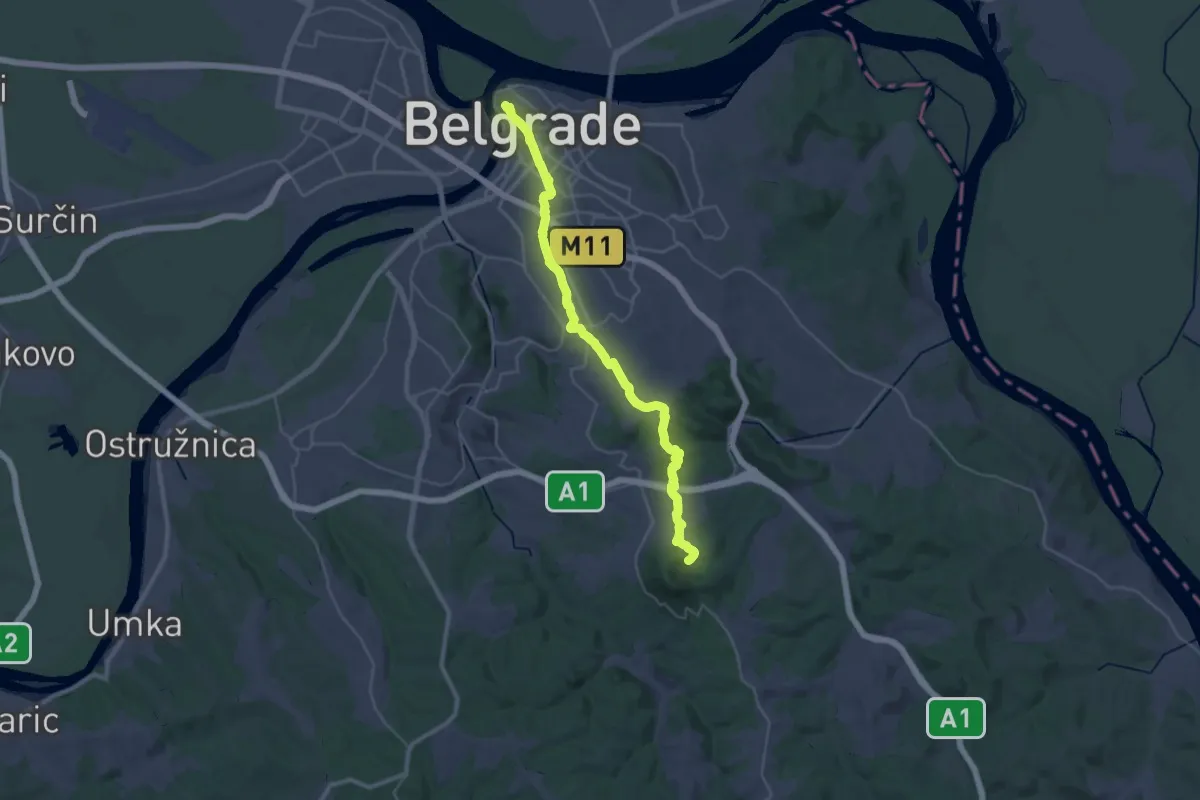
Demanding · Cabin
ST401 Belgrade - Avala
19.0 km · ↑ 460 m · 5 h 39 min
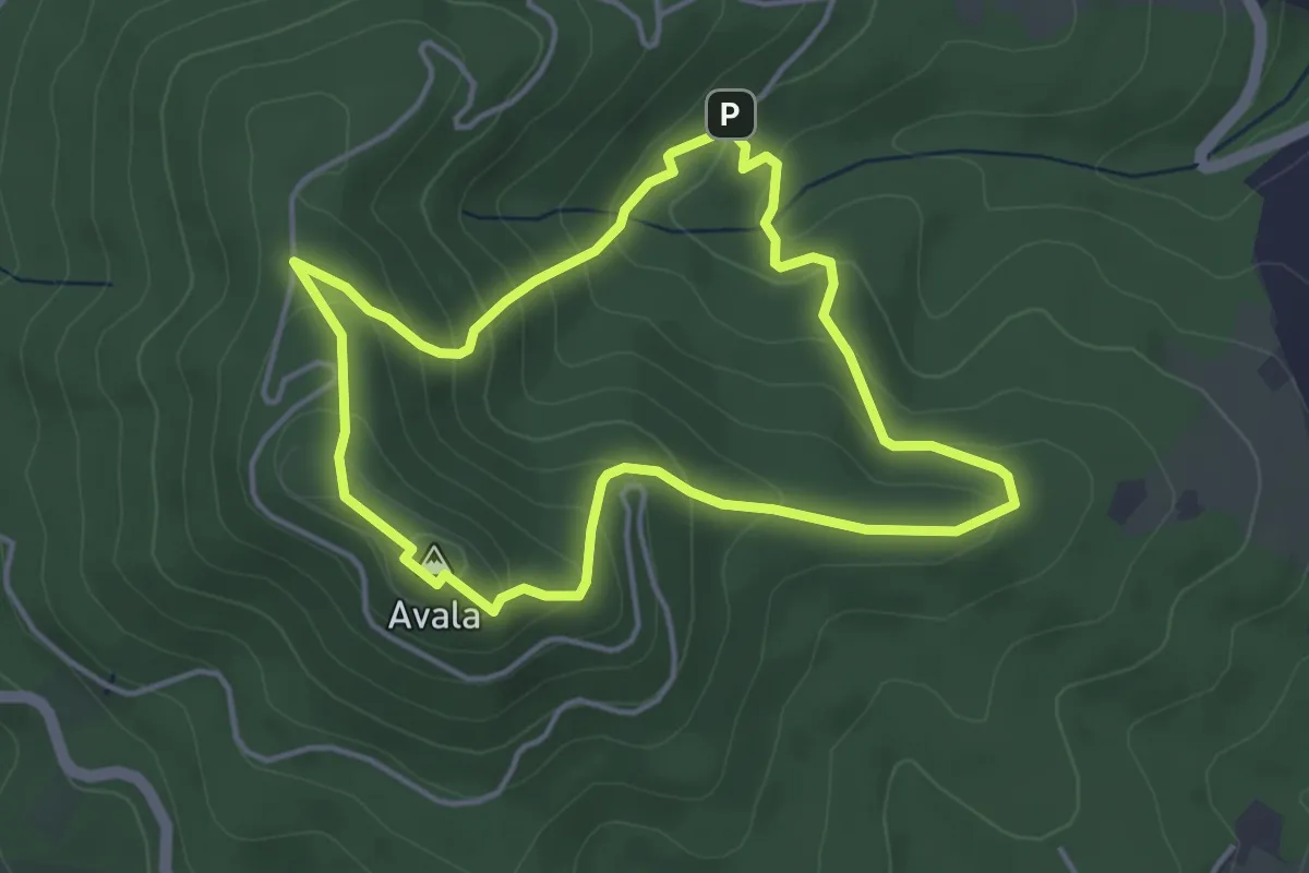
Easy · Summit
ST402 Avala summit tour
4.0 km · ↑ 222 m · 1 h 29 min
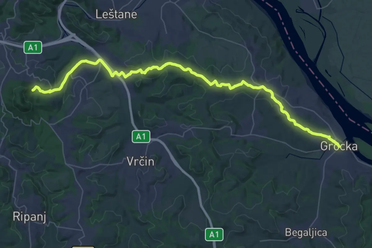
Demanding · Cabin
ST403 Avala - Grocka
20.5 km · ↑ 521 m · 6 h 8 min
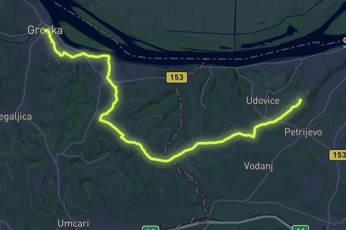
Demanding · Summit
ST404 Grocka - Smederevo
41.4 km · ↑ 537 m · 10 h 56 min
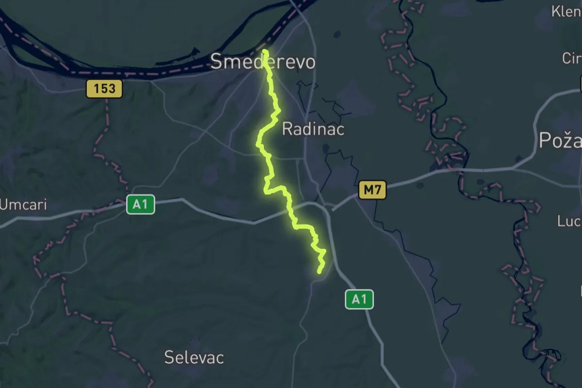
Demanding · Trail
ST405 Smederevo - Mihajlovac
20.4 km · ↑ 215 m · 5 h 36 min
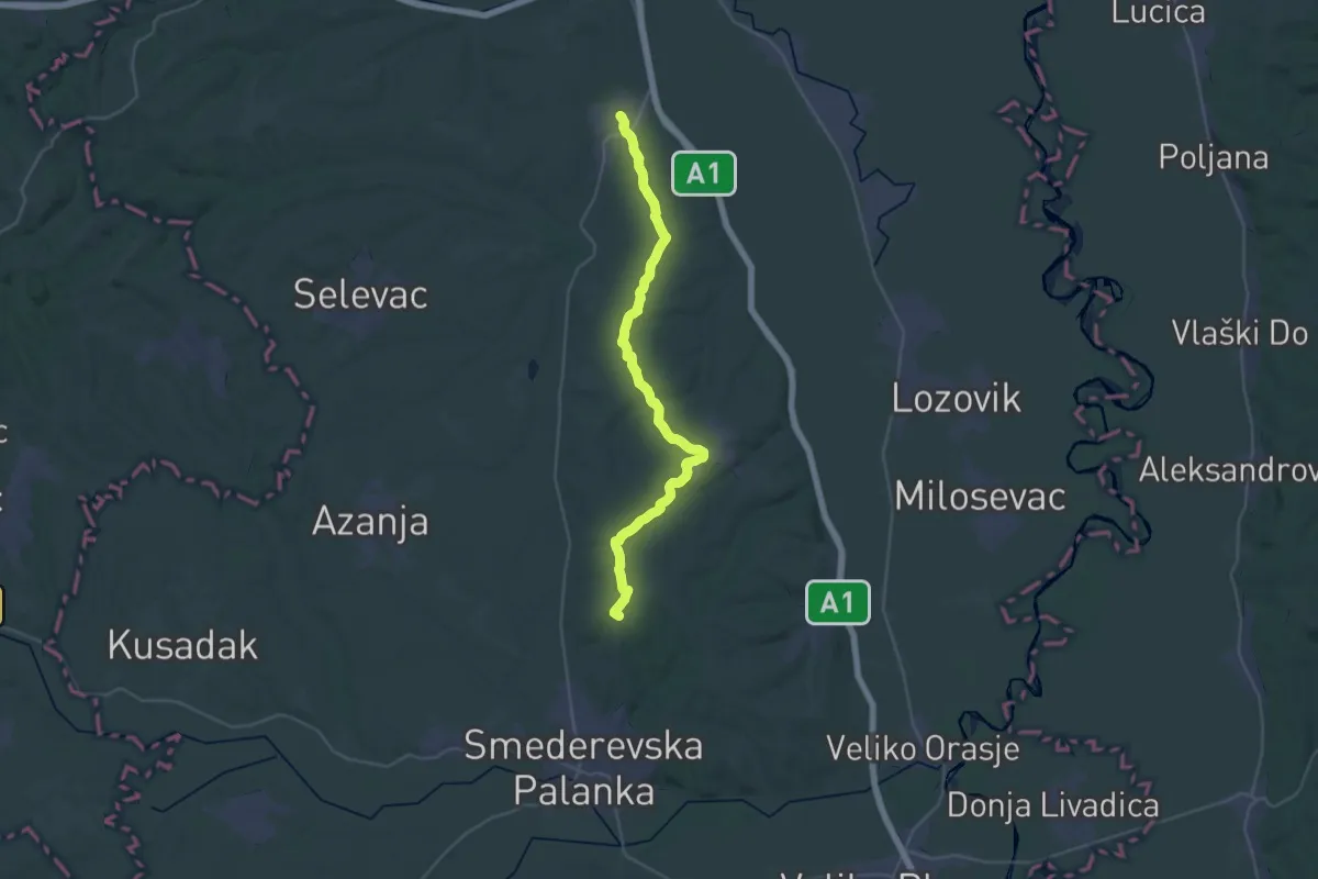
Demanding · Summit
ST406 Mihajlovac - Smederevska Palanka
39.2 km · ↑ 445 m · 10 h 14 min
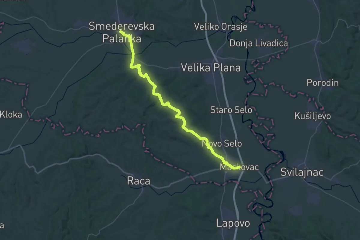
Demanding · Trail
ST407 Smederevska Palanka - Markovac
25.2 km · ↑ 429 m · 7 h 13 min
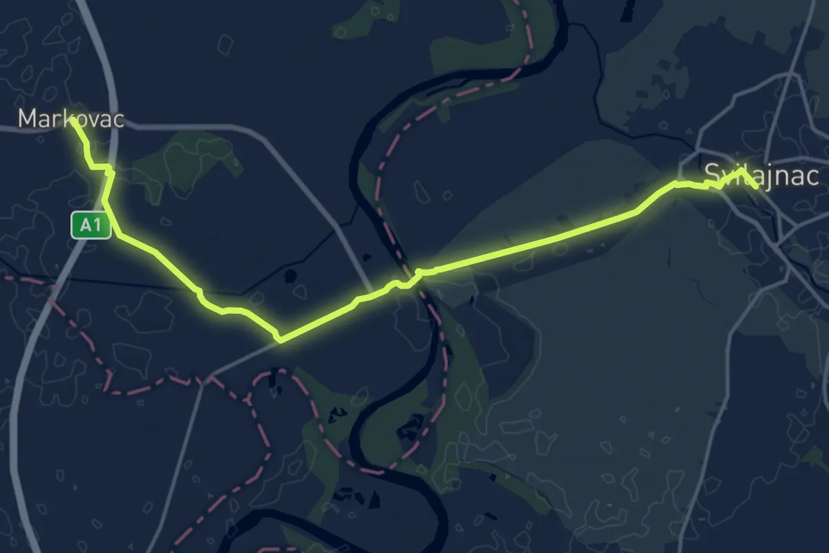
Medium · Trail
ST408 Markovac - Svilajnac
17.0 km · ↑ 22 m · 4 h 3 min
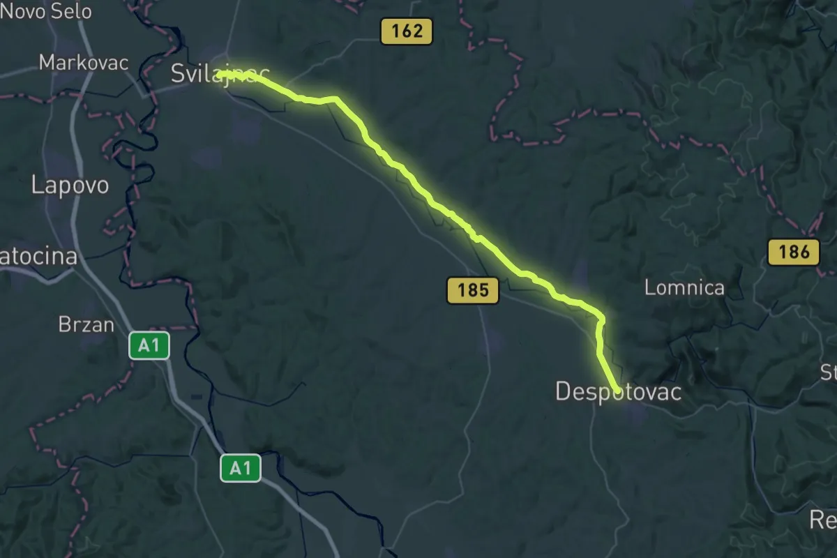
Demanding · Trail
ST409 Svilajnac - Despotovac
27.7 km · ↑ 13 m · 7 h
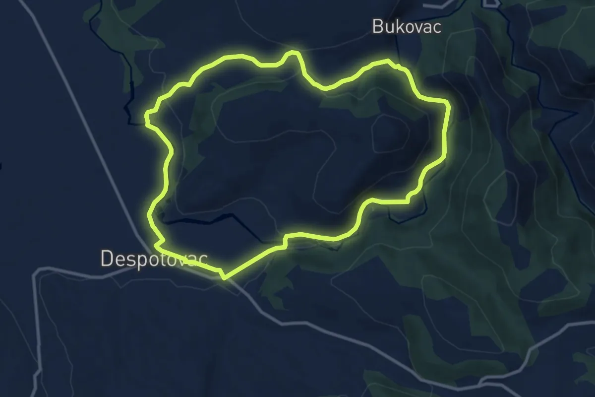
Medium · Trail
ST410 Despotovac - Manasija tour
9.7 km · ↑ 177 m · 2 h 49 min
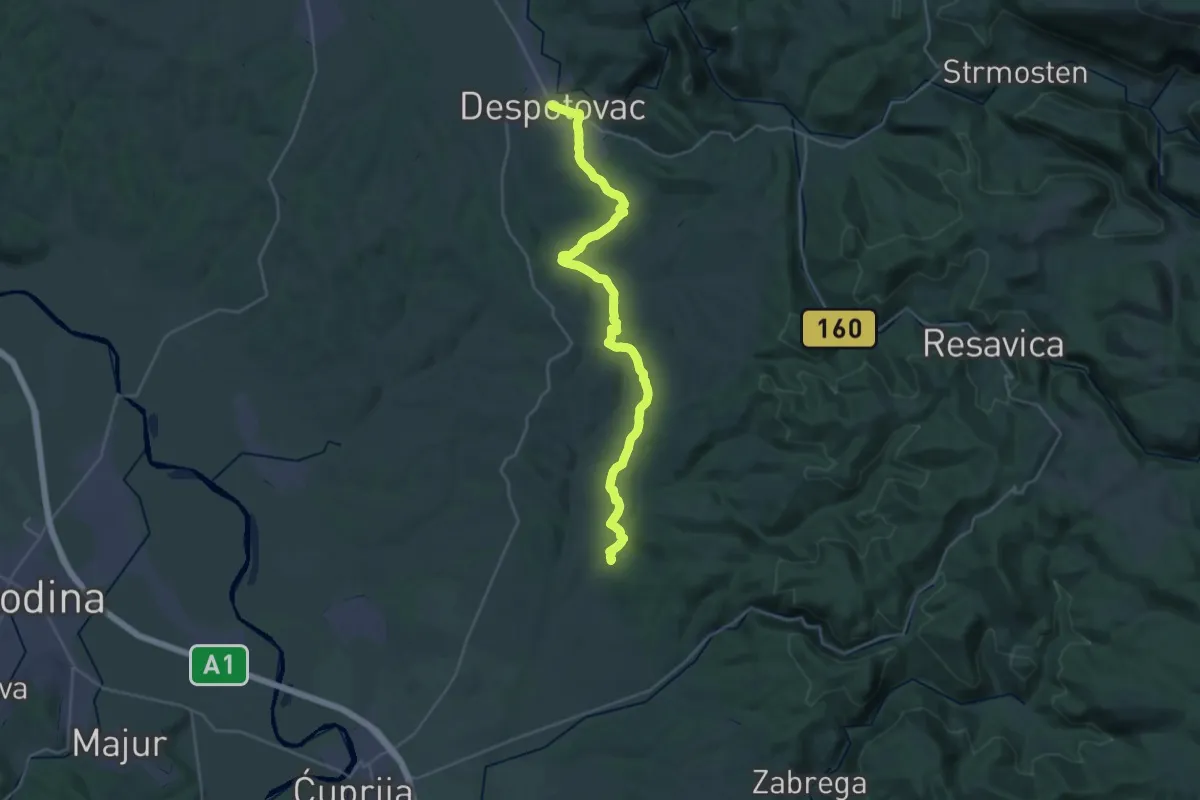
Medium · Trail
ST411 Despotovac - Paljane
16.7 km · ↑ 287 m · 4 h 48 min
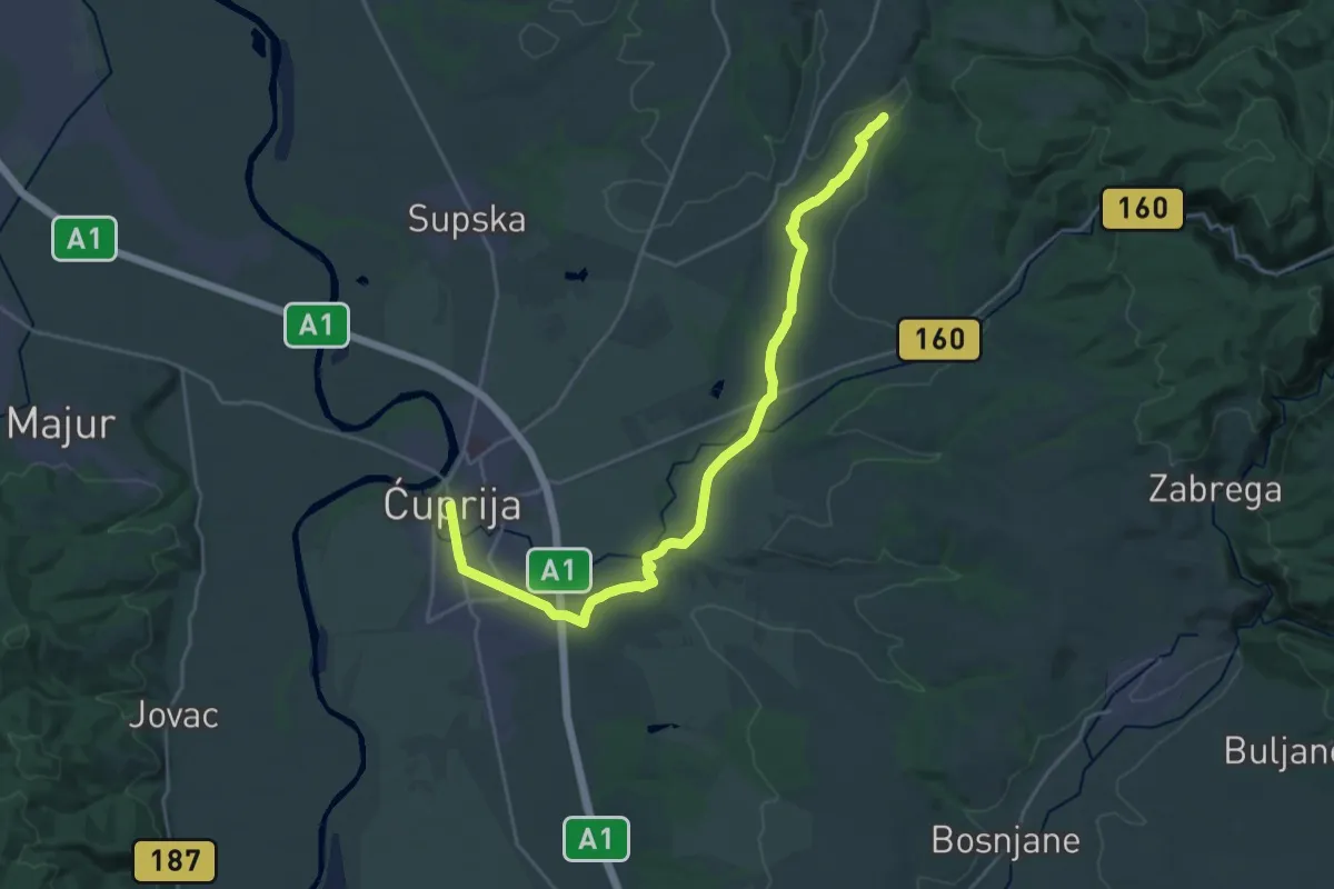
Demanding · Trail
ST412 Paljane - Ćuprija
27.6 km · ↑ 88 m · 6 h 42 min
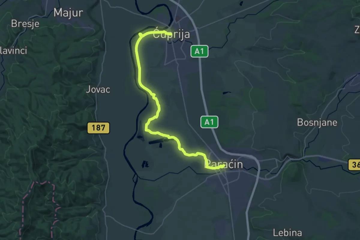
Demanding · Trail
ST413 Ćuprija - Paraćin
30.2 km · ↑ 16 m · 7 h 11 min
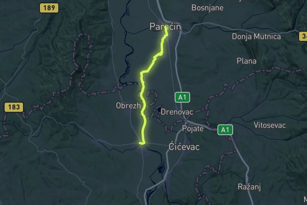
Demanding · Trail
ST414 Paraćin - Varvarin
19.2 km · ↑ 20 m · 4 h 50 min
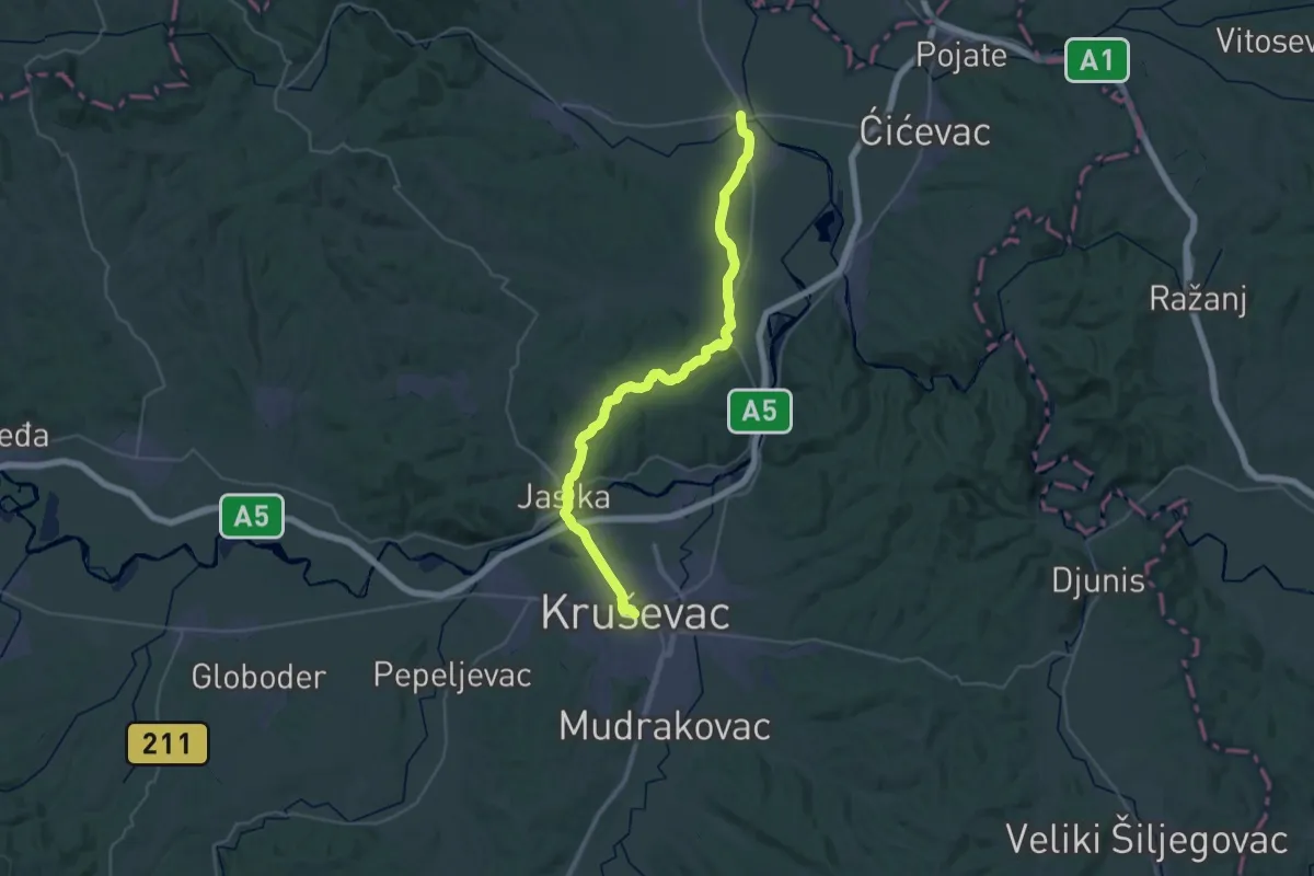
Demanding · Trail
ST415 Varvarin - Kruševac
21.4 km · ↑ 207 m · 5 h 47 min
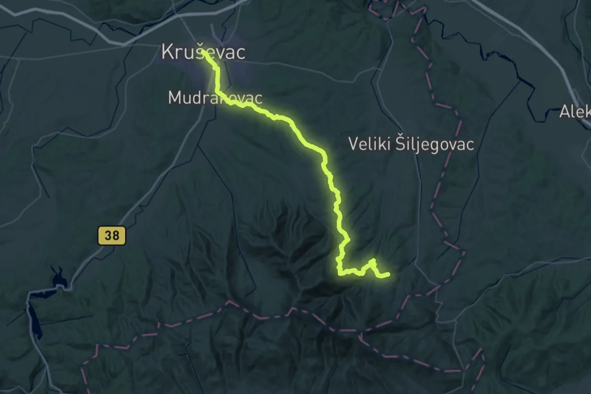
Demanding · Trail
ST416 Kruševac - Ribarska banja
31.8 km · ↑ 912 m · 9 h 44 min
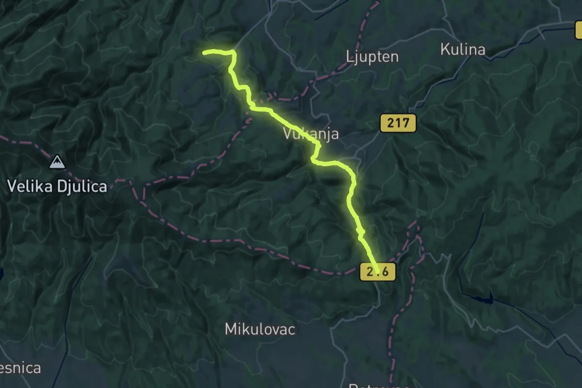
Medium · Trail
ST417 Ribarska banja - Grebac
12.6 km · ↑ 544 m · 4 h 17 min
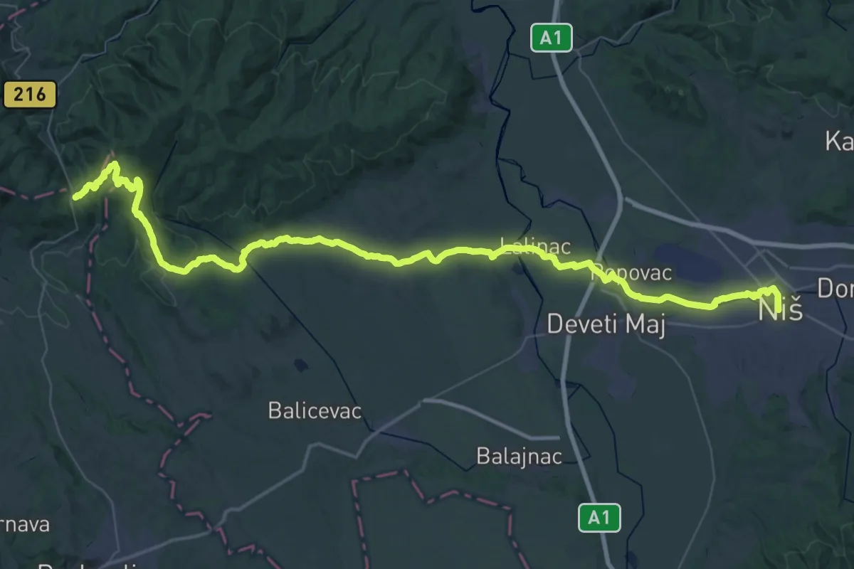
Demanding · Trail
ST418 Grebac - Niš
35.0 km · ↑ 724 m · 10 h 6 min
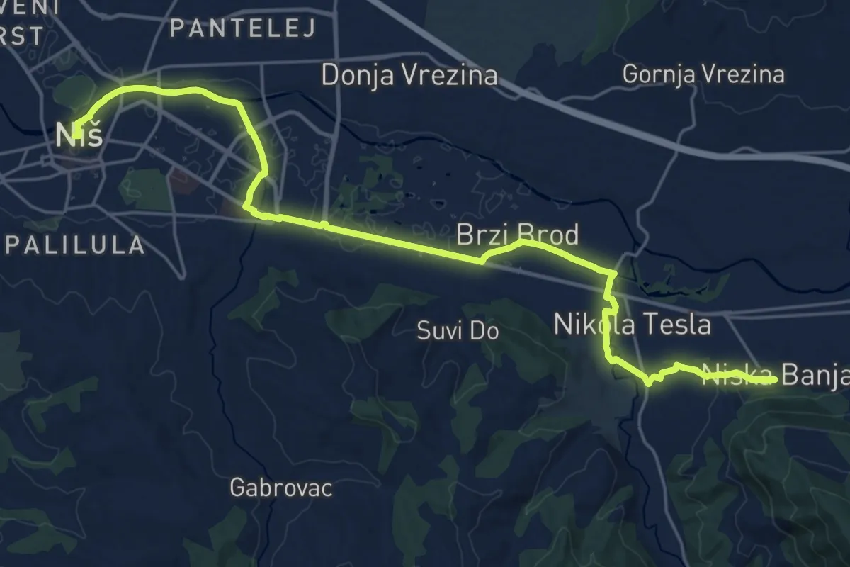
Demanding · Trail
ST419 Niš - Niska banja
25.9 km · ↑ 141 m · 6 h 25 min
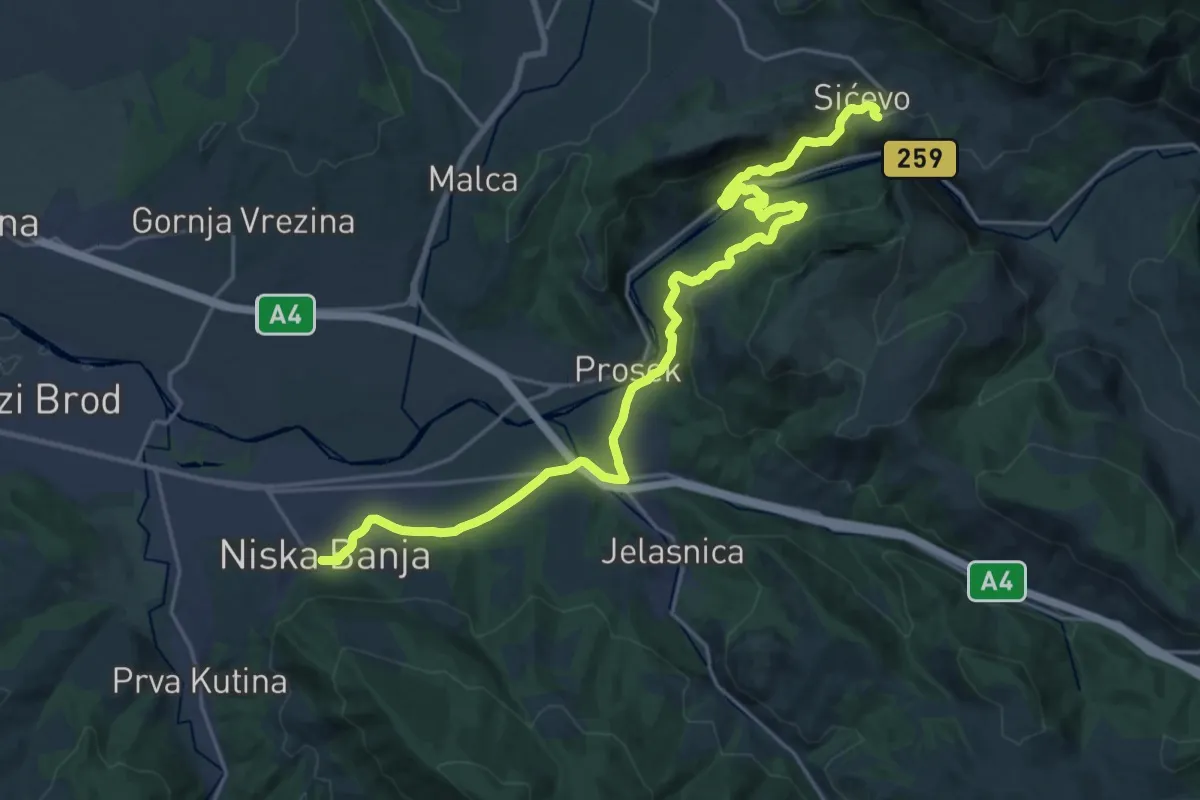
Demanding · Trail
ST420 Niska Banja - Sićevo
26.3 km · ↑ 746 m · 7 h 49 min
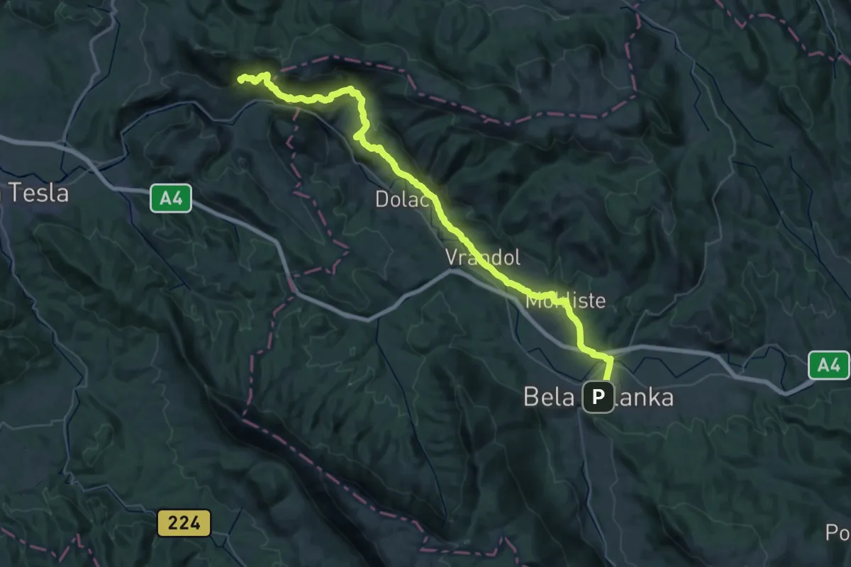
Demanding · Summit
ST421 Sićevo - Bela Palanka
55.8 km · ↑ 1255 m · 15 h 53 min
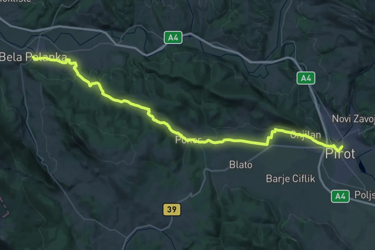
Demanding · Trail
ST422 Bela Palanka - Pirot
28.3 km · ↑ 444 m · 8 h 4 min
Demanding · Trail
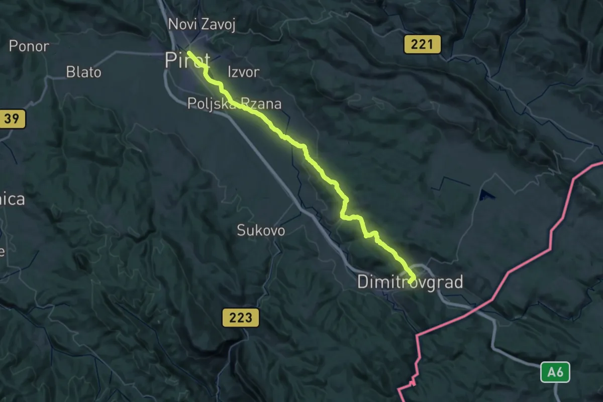
ST423 Pirot - Dimitrovgrad
26.1 km · ↑ 443 m · 7 h 27 min
Medium · Trail
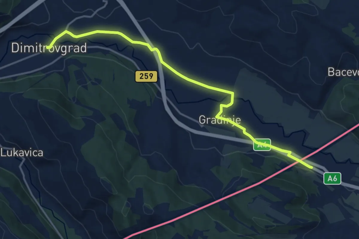
ST424 Dimitrovgrad - Dragoman
13.1 km · ↑ 75 m · 3 h 15 min
Easy · Trail
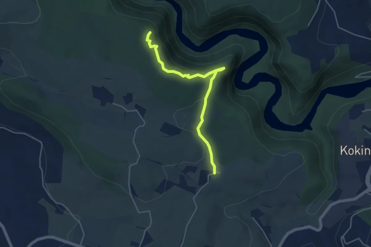
Staza radoinjskih meandara
4.0 km · ↑ 146 m · 1 h 15 min
Easy · Summit
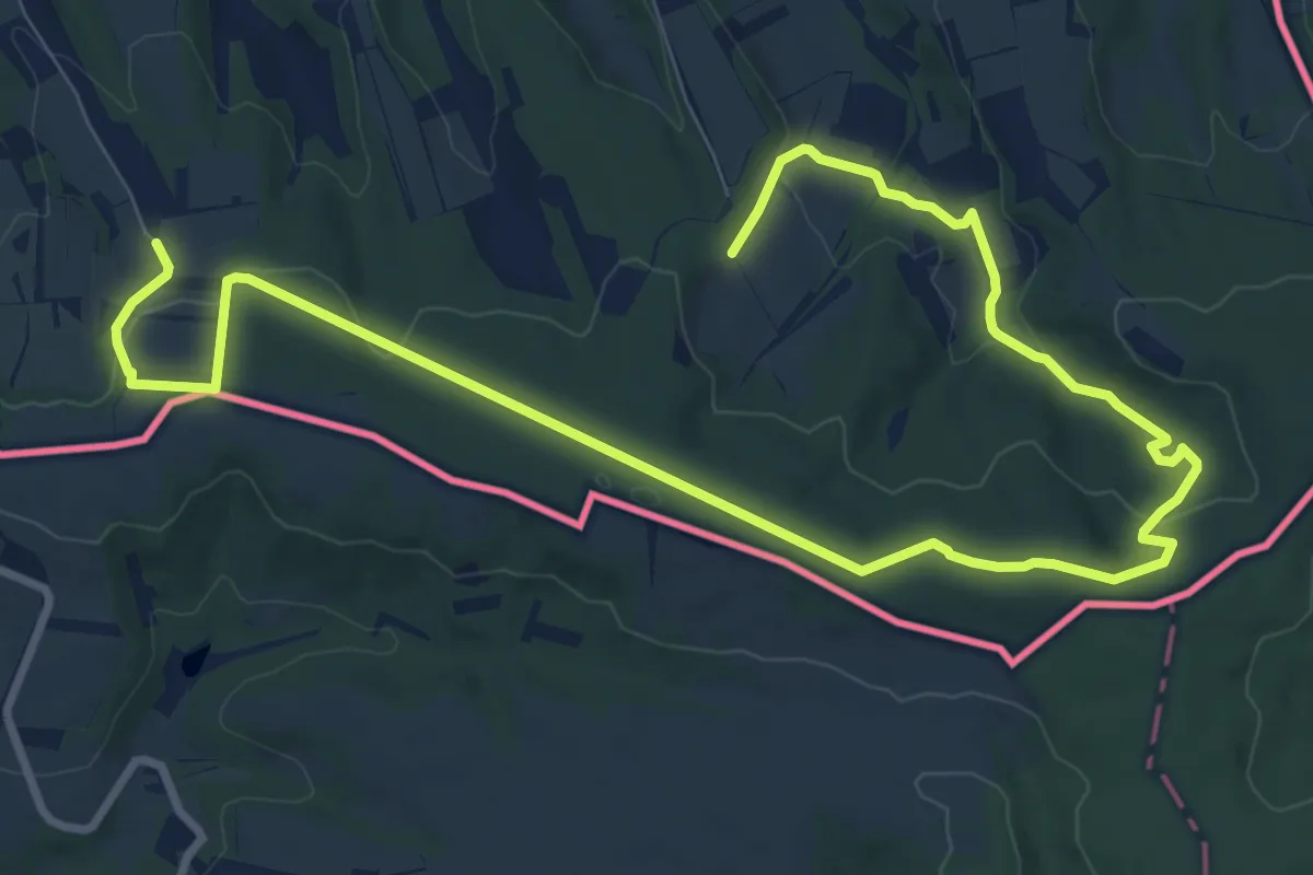
Staza Skandala
7.0 km · ↑ 154 m · 2 h 4 min