Trails in Serbia
428 hiking trails, each with its route, climb, walking time and grade.
All trails, page 3 of 9
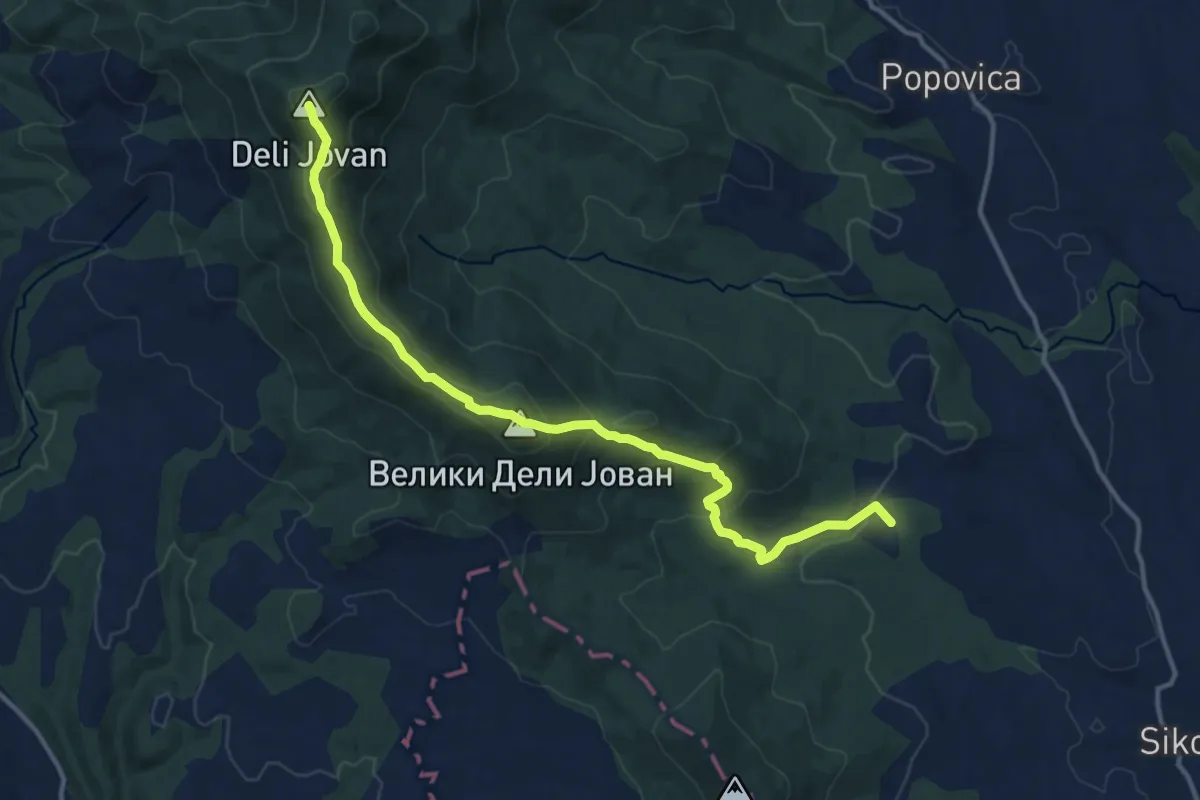
Medium · Summit
Stevanske livade – Mali Deli Jovan – Veliki Deli Jovan – TV repetitor
14.7 km · ↑ 767 m · 5 h 8 min
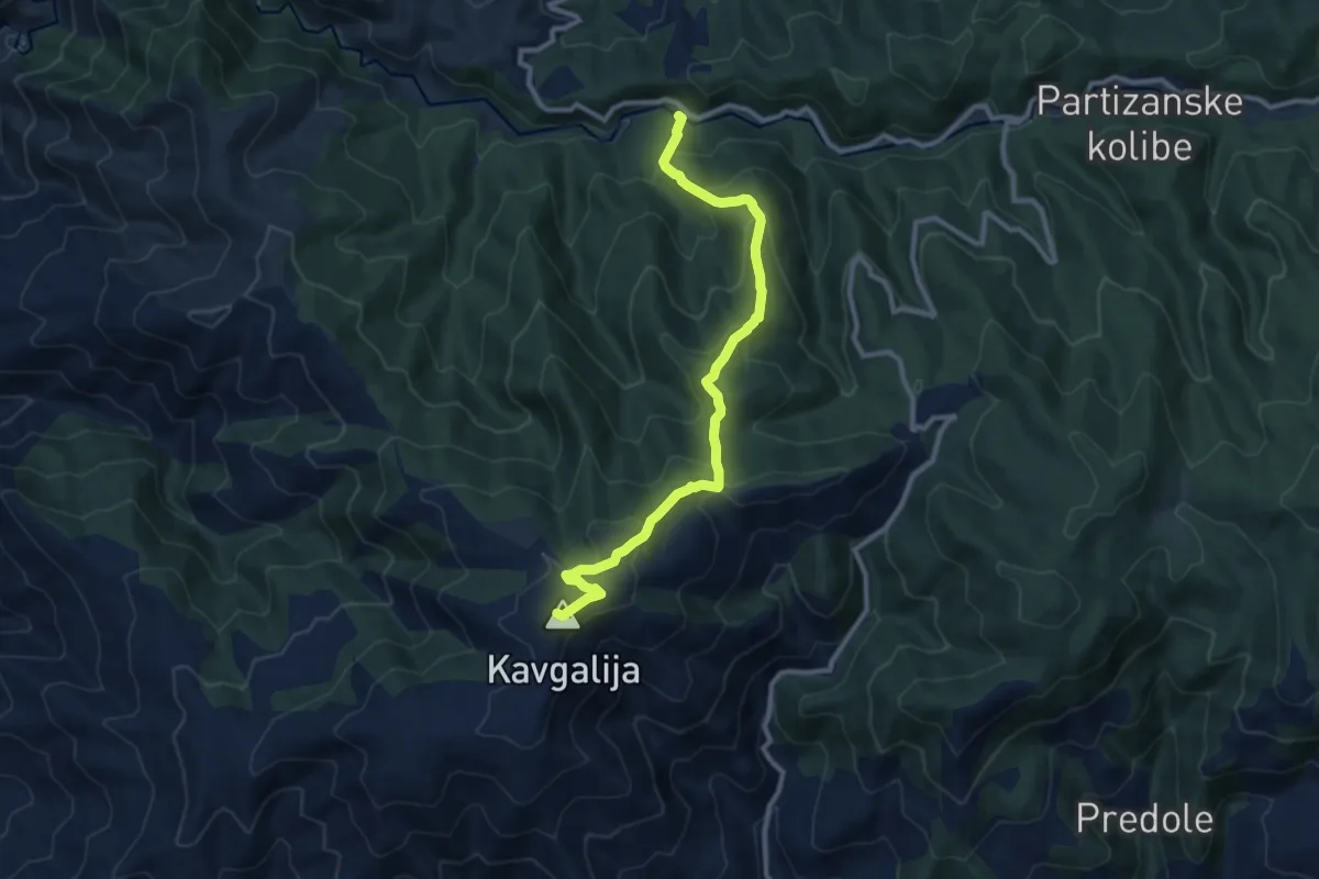
Medium · Summit
Studena mountain - Kavgalija
5.4 km · ↑ 679 m · 2 h 30 min
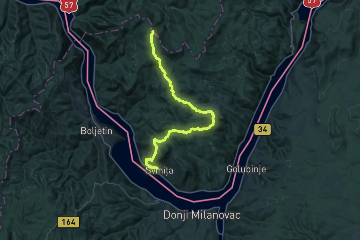
Demanding · Summit
Sviniţa - Eibental – Sfanta Elena (red turist path)
45.3 km · ↑ 1507 m · 13 h 57 min
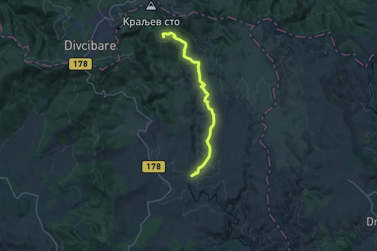
Medium · Summit
Tometino Polje - Kraljev Sto
16.4 km · ↑ 542 m · 5 h 2 min
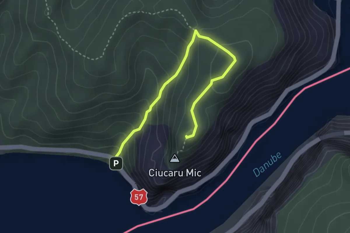
Easy · Summit
Traseul ecoturistic Ciucarul mic (red triangle)
3.6 km · ↑ 263 m · 1 h 25 min
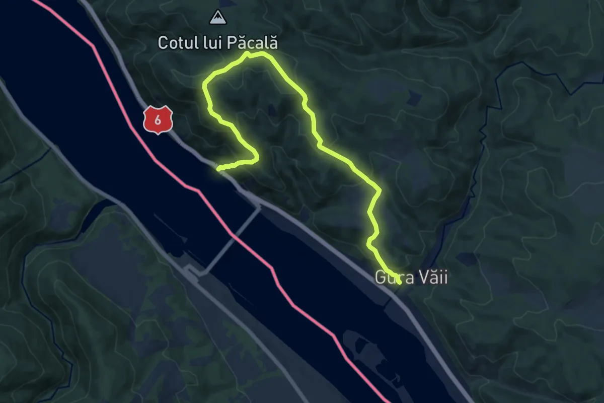
Expert · Trail
Traseul ecoturistic Crucea lui Sfântul Petru
12.5 km · ↑ 727 m · 4 h 31 min
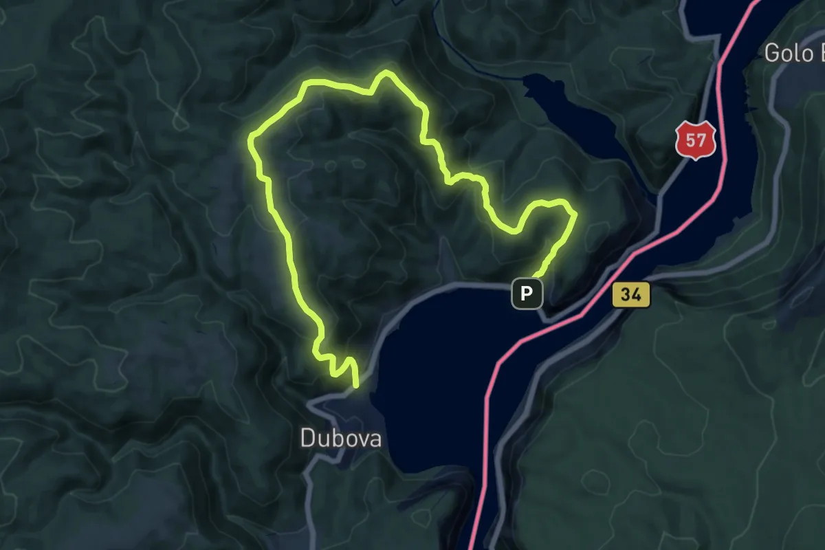
Demanding · Trail
Traseul ecoturistic Dubova – Cazanele mici (yellow triangle)
17.5 km · ↑ 906 m · 6 h 6 min
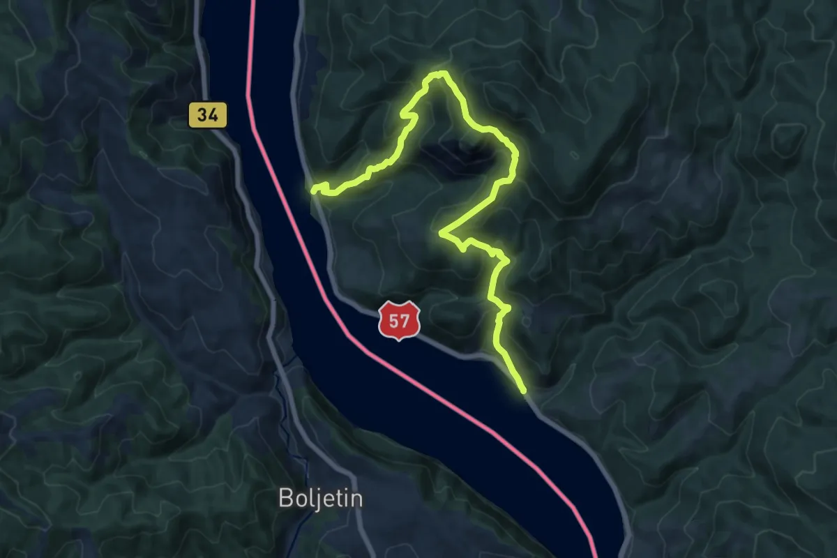
Demanding · Trail
Traseul ecoturistic Trescovăț
15.7 km · ↑ 1136 m · 6 h 11 min
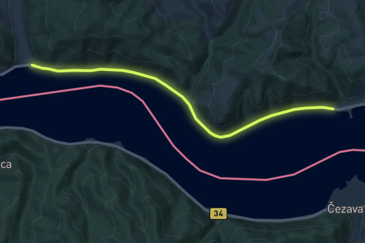
Medium · Trail
Traseul ecoturistic Valea morilor de apa
10.4 km · ↑ 240 m · 2 h 59 min
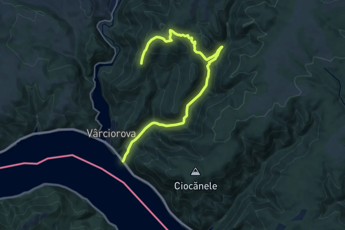
Medium · Summit
Traseul ecoturistic Vodița – Dealul Duhovnei
14.8 km · ↑ 683 m · 4 h 59 min
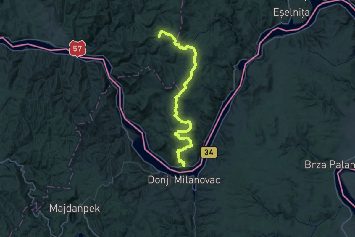
Demanding · Trail
Tricule - Eibental – Bigăr (yellow tourist path)
39.4 km · ↑ 1772 m · 13 h 27 min
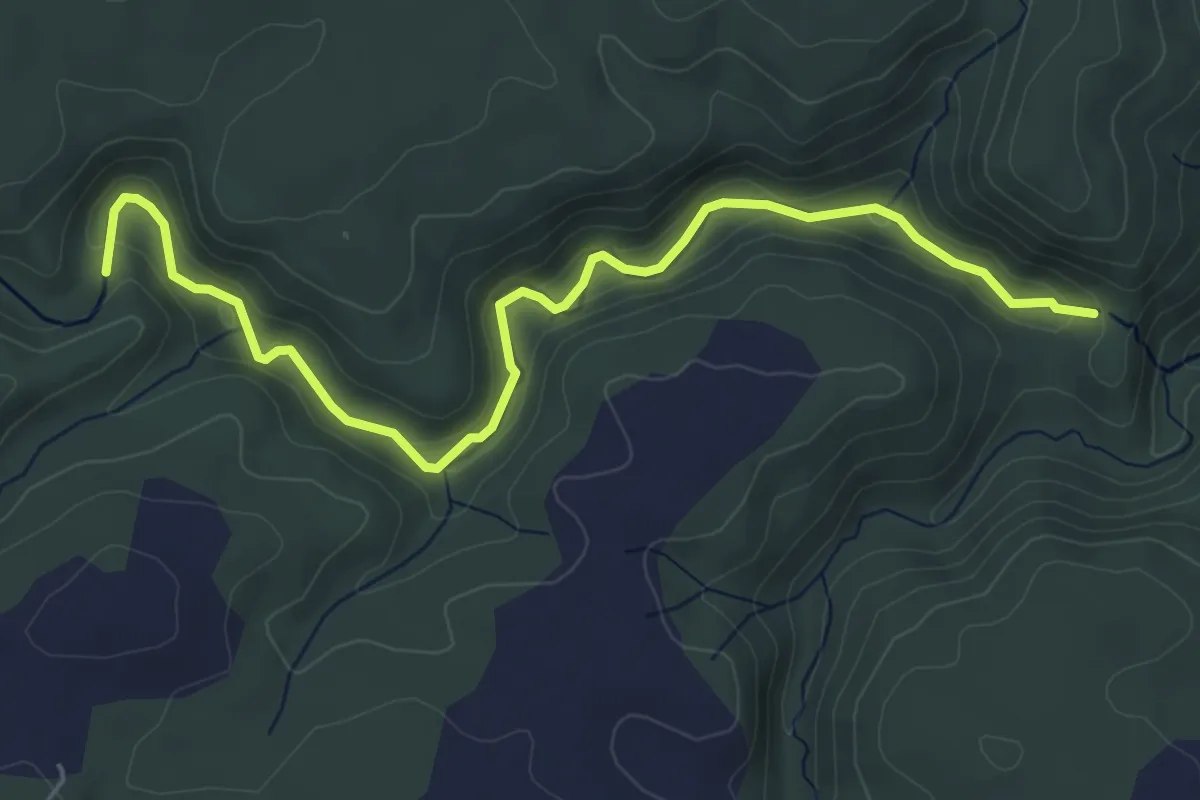
Demanding · Trail
Velika kapija – Suva kapija (sa kanjonom)
6.2 km · ↑ 193 m · 1 h 54 min
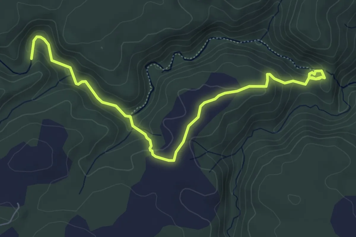
Easy · Trail
Velika kapija – Vidikovac – (desnom obalom do) Suve kapije
7.1 km · ↑ 269 m · 2 h 16 min
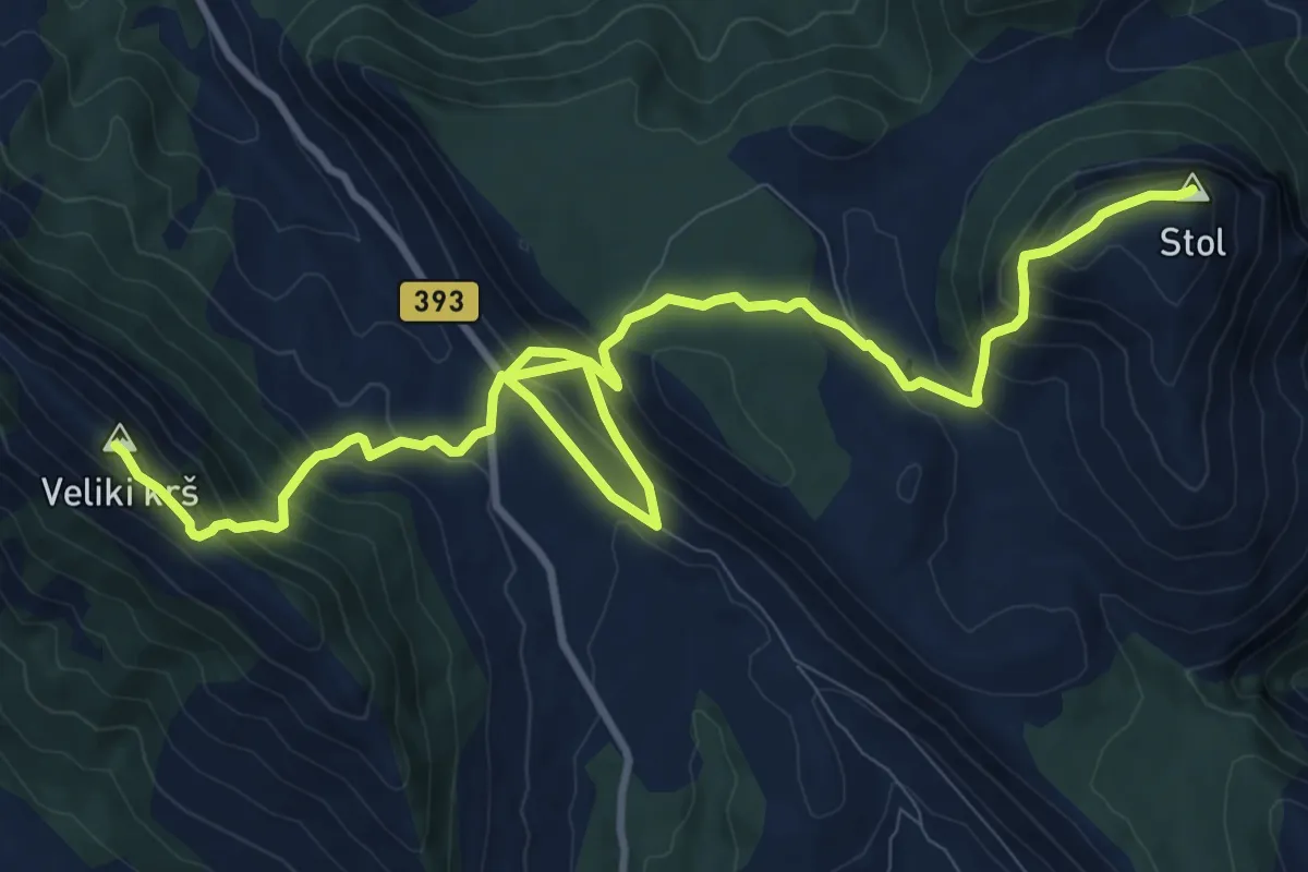
Demanding · Summit
Veliki krš – Stol
14.6 km · ↑ 1053 m · 5 h 44 min
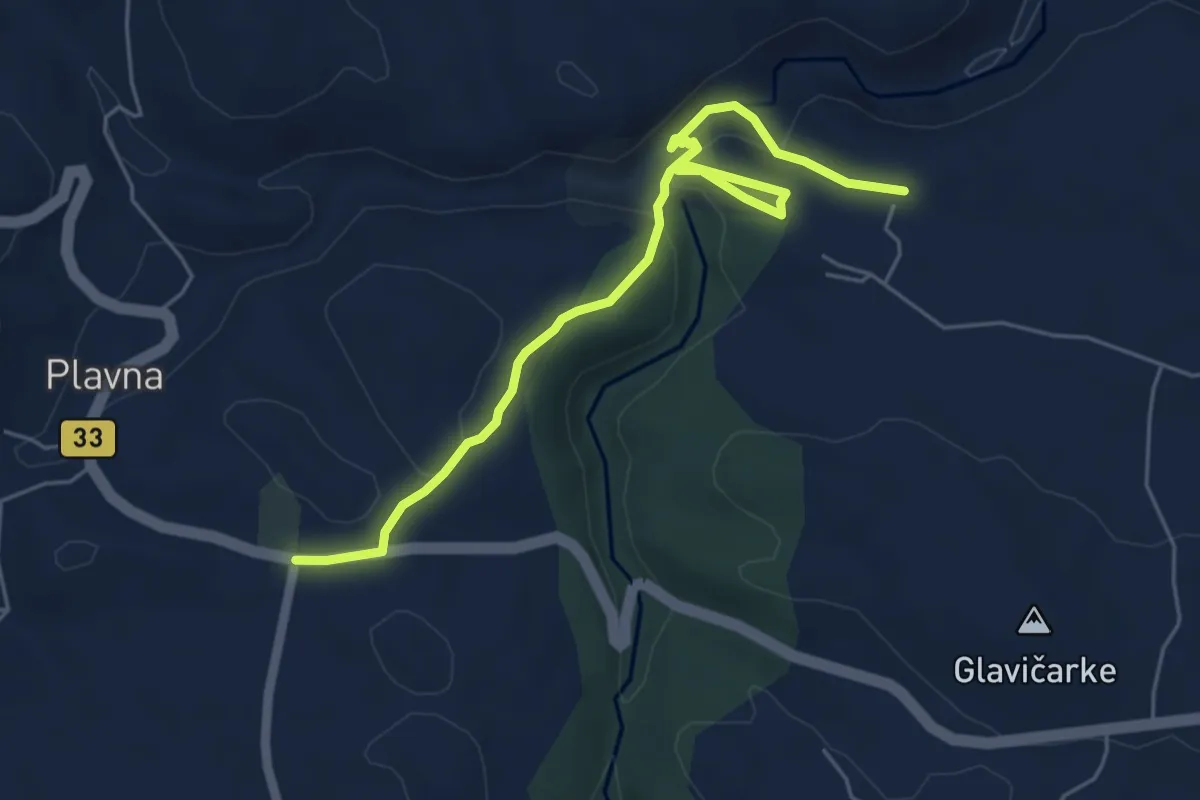
Medium · Trail
Veliko livađe – Reka Zamna – Dudićeva i Canetova pećina – Prerast (Rajska)
6.4 km · ↑ 187 m · 1 h 55 min
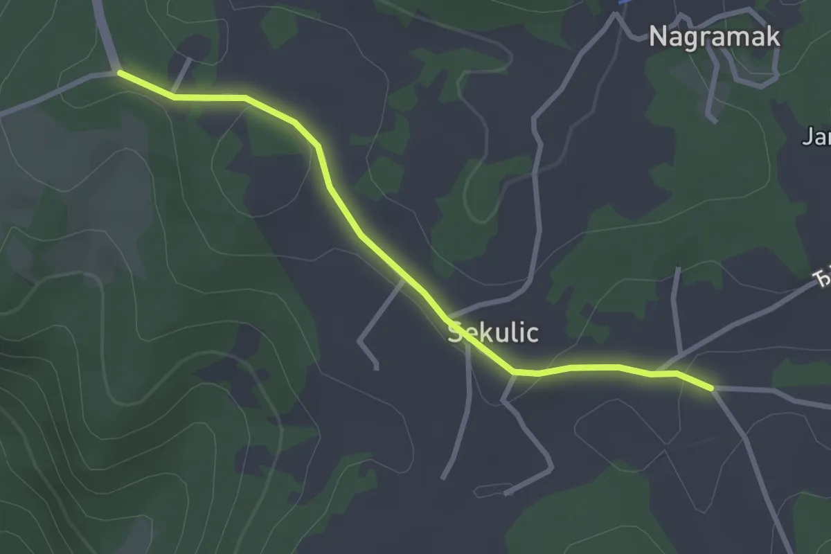
Easy · Trail
Via Dinarica - Зелена рута Тара
2.8 km · ↑ 47 m · 46 min
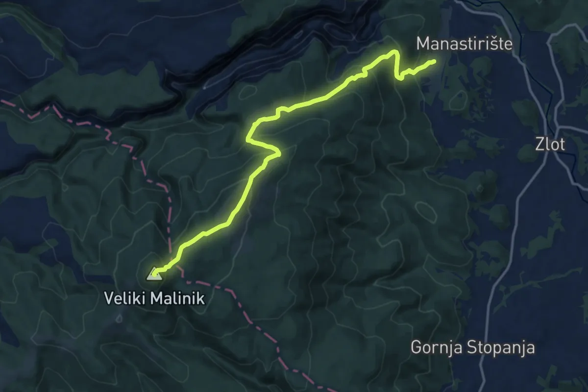
Demanding · Summit
Zlot – Malinik
14.4 km · ↑ 844 m · 5 h 13 min
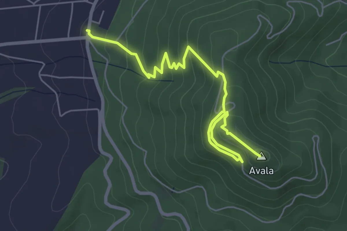
Easy · Summit
Авала, стаза 2
6.5 km · ↑ 294 m · 2 h 10 min
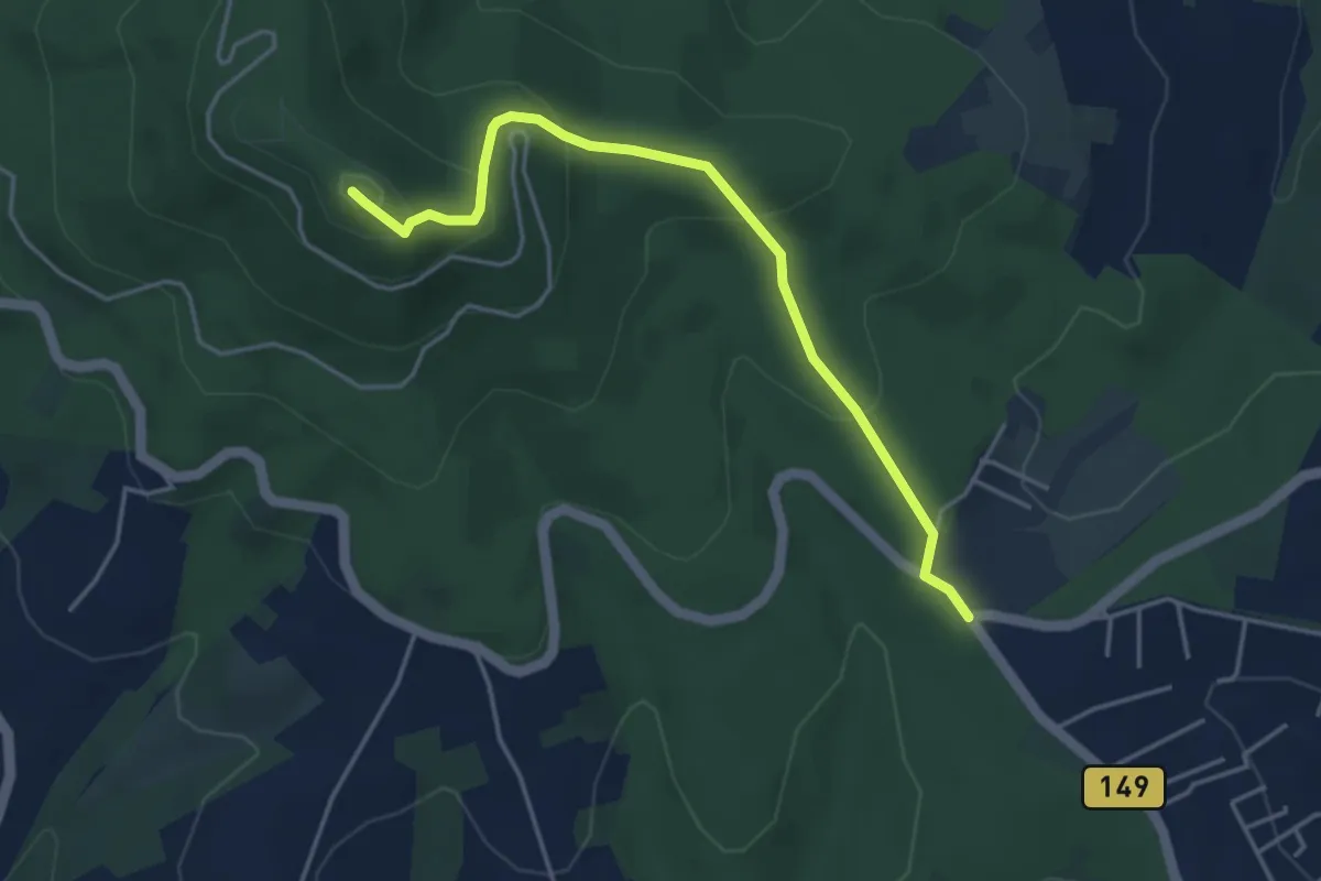
Easy · Summit
Авала, стаза 3
4.4 km · ↑ 213 m · 1 h 30 min
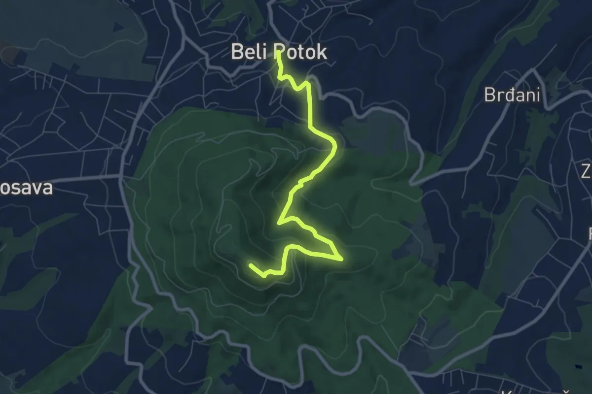
Medium · Summit
Авала, стаза 4
7.5 km · ↑ 393 m · 2 h 38 min
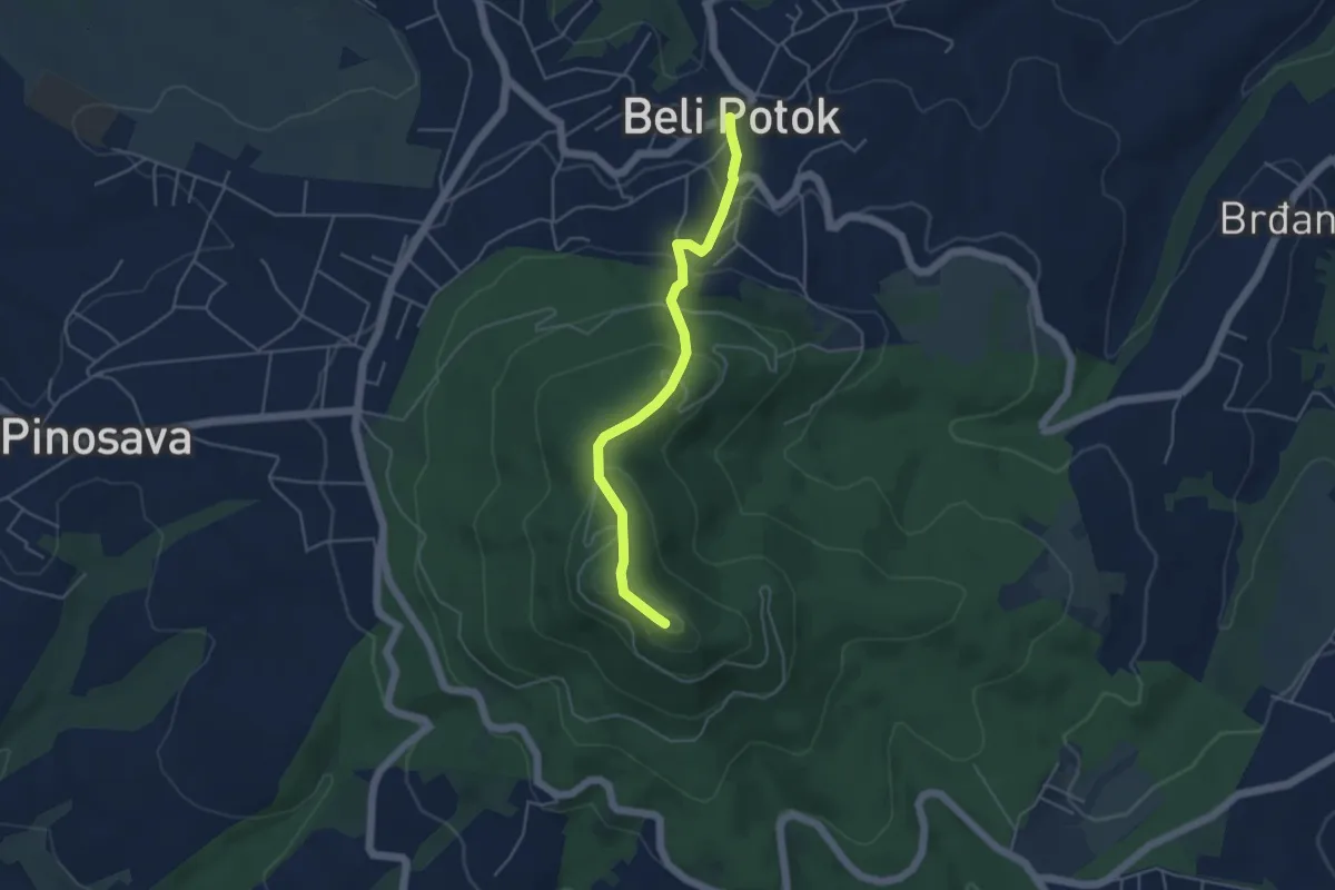
Easy · Summit
Авала, стаза 5
4.5 km · ↑ 249 m · 1 h 36 min
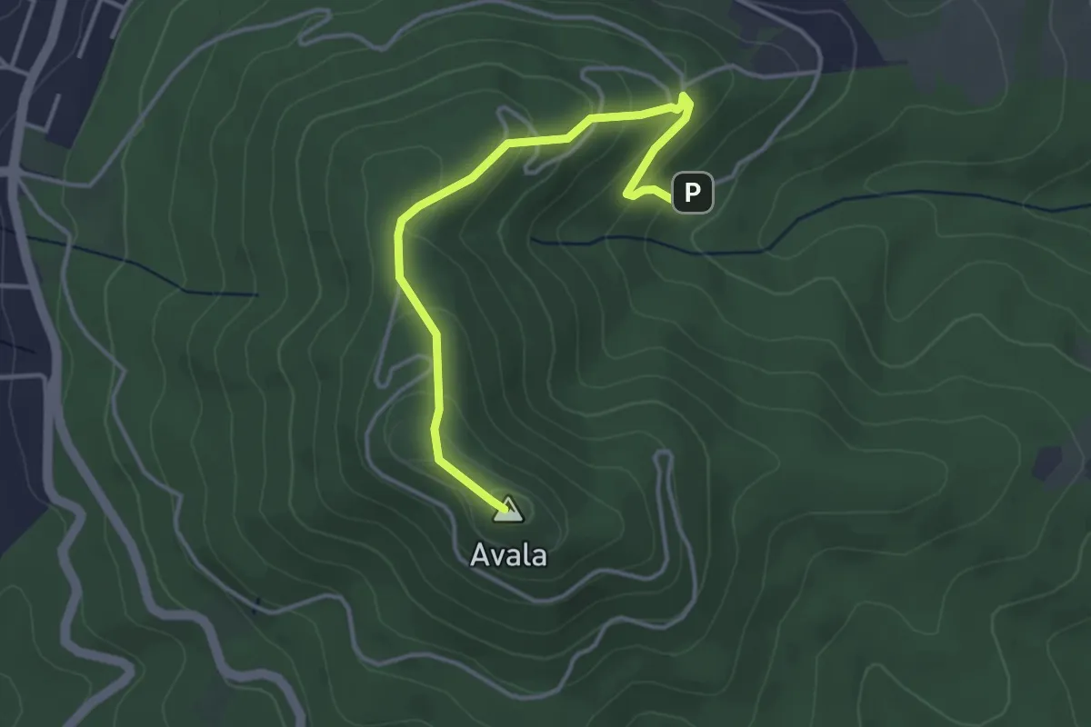
Easy · Summit
Авала, стаза 6
3.9 km · ↑ 186 m · 1 h 19 min
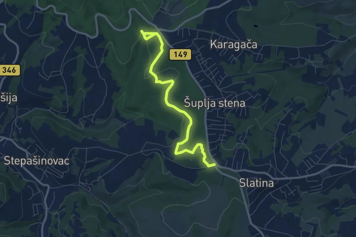
Medium · Trail
Авала, стаза 7
8.5 km · ↑ 196 m · 2 h 26 min
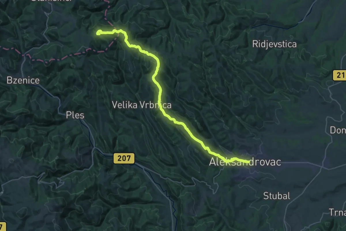
Demanding · Summit
Александровац - Станишинци
31.1 km · ↑ 837 m · 9 h 9 min
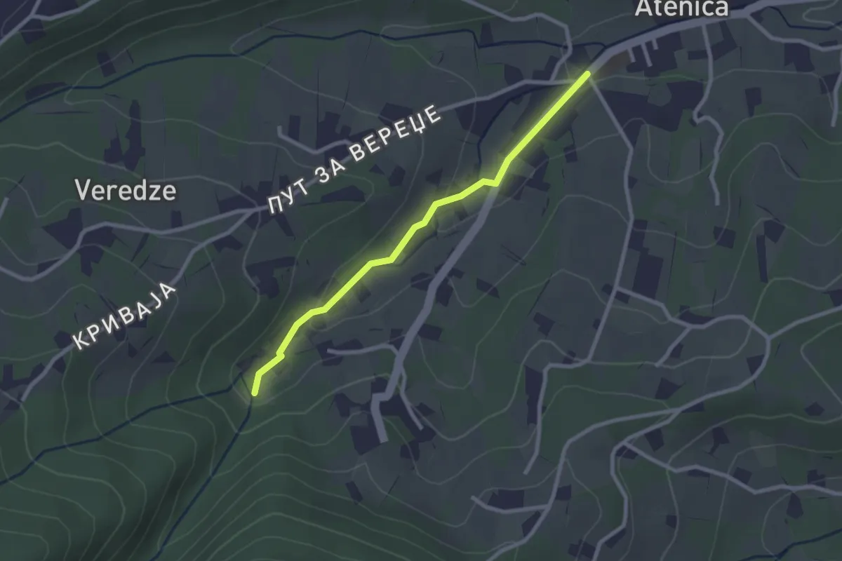
Easy · Trail
Атеница - Атеничко врело
2.5 km · ↑ 61 m · 44 min
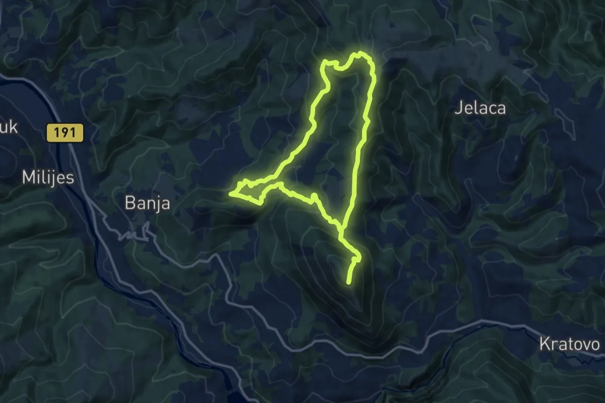
Medium · Summit
Бања - Бањско брдо
11.7 km · ↑ 704 m · 4 h 27 min
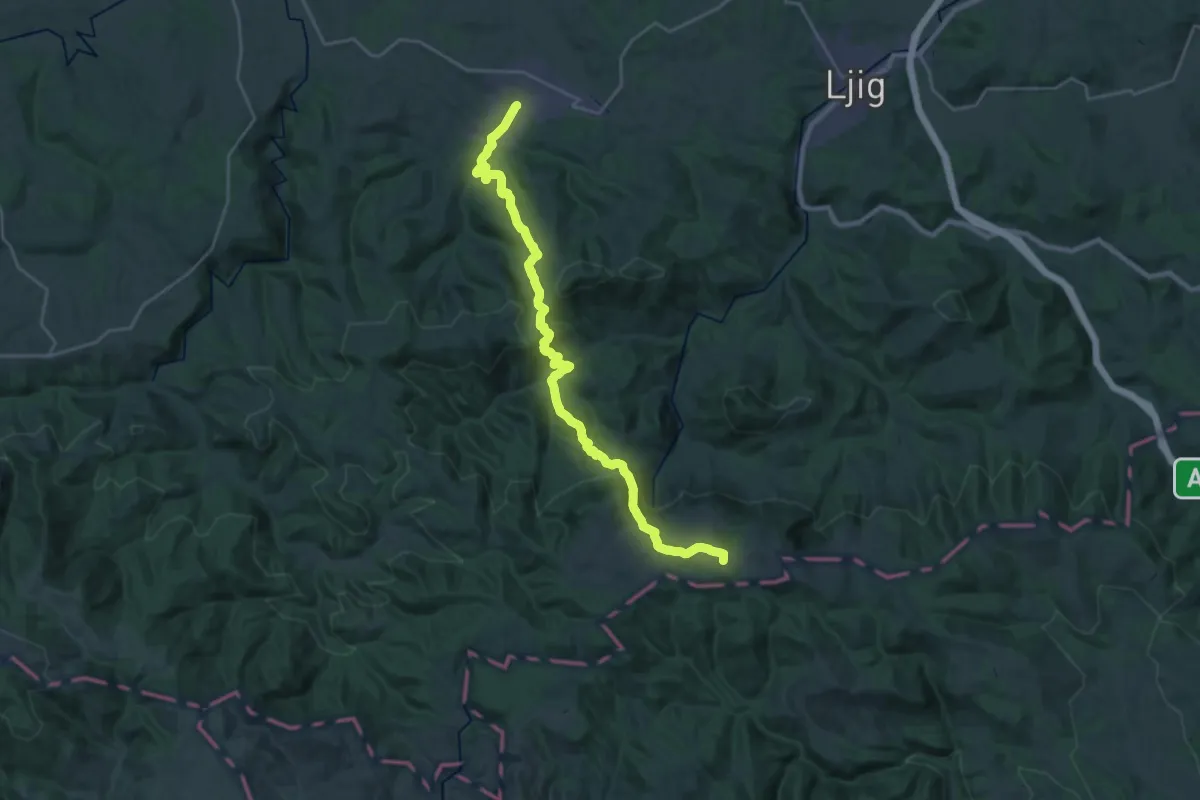
Demanding · Summit
Бања Врујци - Пл. дом на Рајцу
28.6 km · ↑ 1333 m · 9 h 38 min
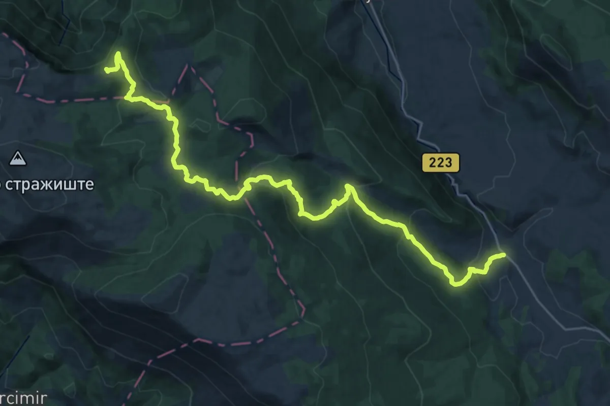
Demanding · Summit
Бежиште - Пасарело
29.5 km · ↑ 1068 m · 9 h 17 min
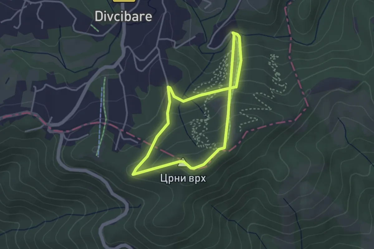
Easy · Summit
Бела стаза
2.9 km · ↑ 157 m · 1 h 4 min
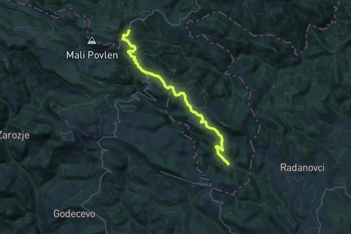
Demanding · Trail
Беле воде - Таорска врела
20.7 km · ↑ 804 m · 6 h 38 min
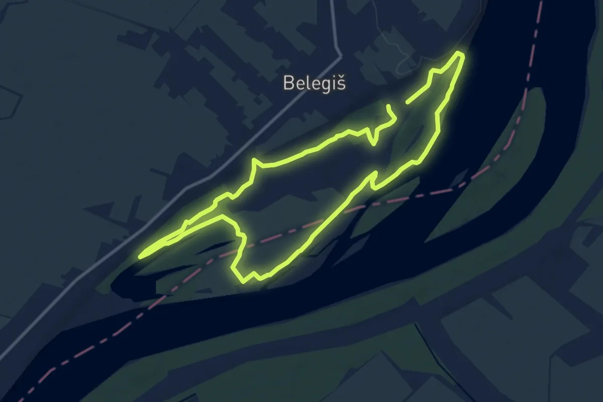
Medium · Trail
Белегиш велика стаза
9.8 km · ↑ 47 m · 2 h 34 min
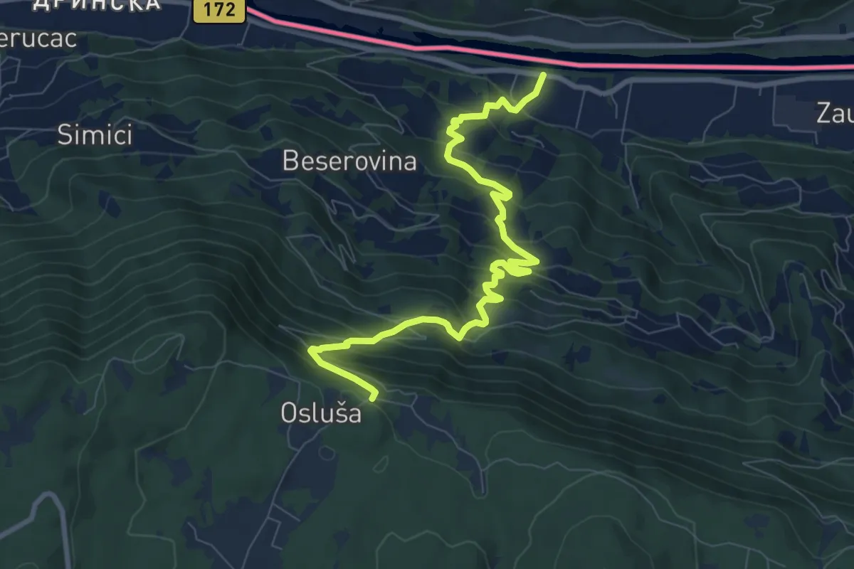
Medium · Trail
Бесеровина - Ослуша видиковац
9.3 km · ↑ 720 m · 3 h 46 min
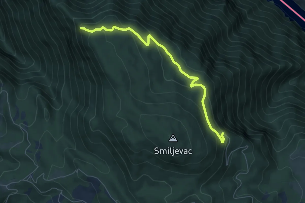
Medium · Trail
Биљешке стене - Дрлије
6.5 km · ↑ 345 m · 2 h 16 min
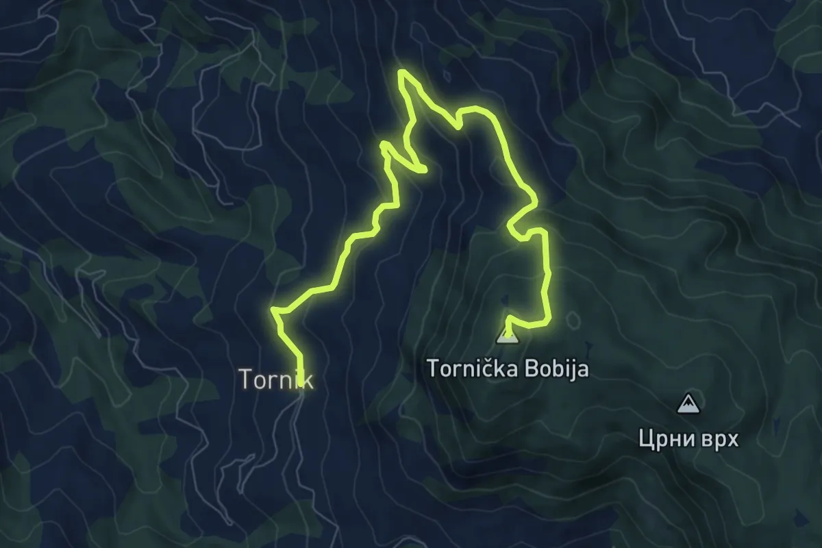
Medium · Summit
Бобија (рудник - врх - Добра вода - Разбојиште)
10.6 km · ↑ 528 m · 3 h 38 min
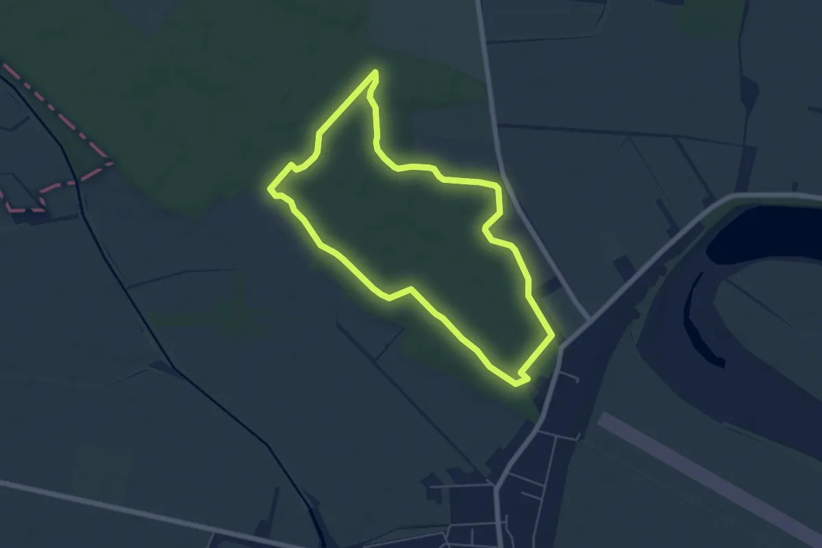
Easy · Trail
Бојчинска шума
5.6 km · ↑ 26 m · 1 h 27 min
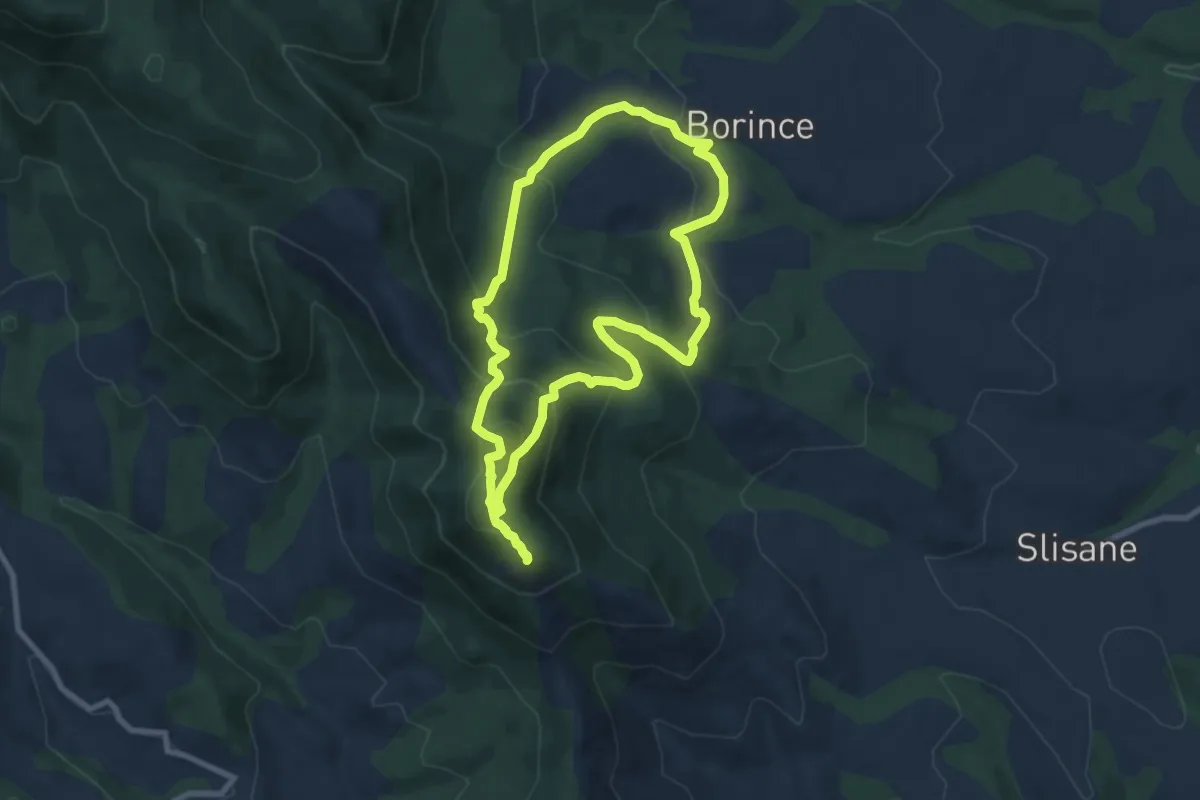
Medium · Summit
Боринце - Петров врх
8.5 km · ↑ 518 m · 3 h 15 min
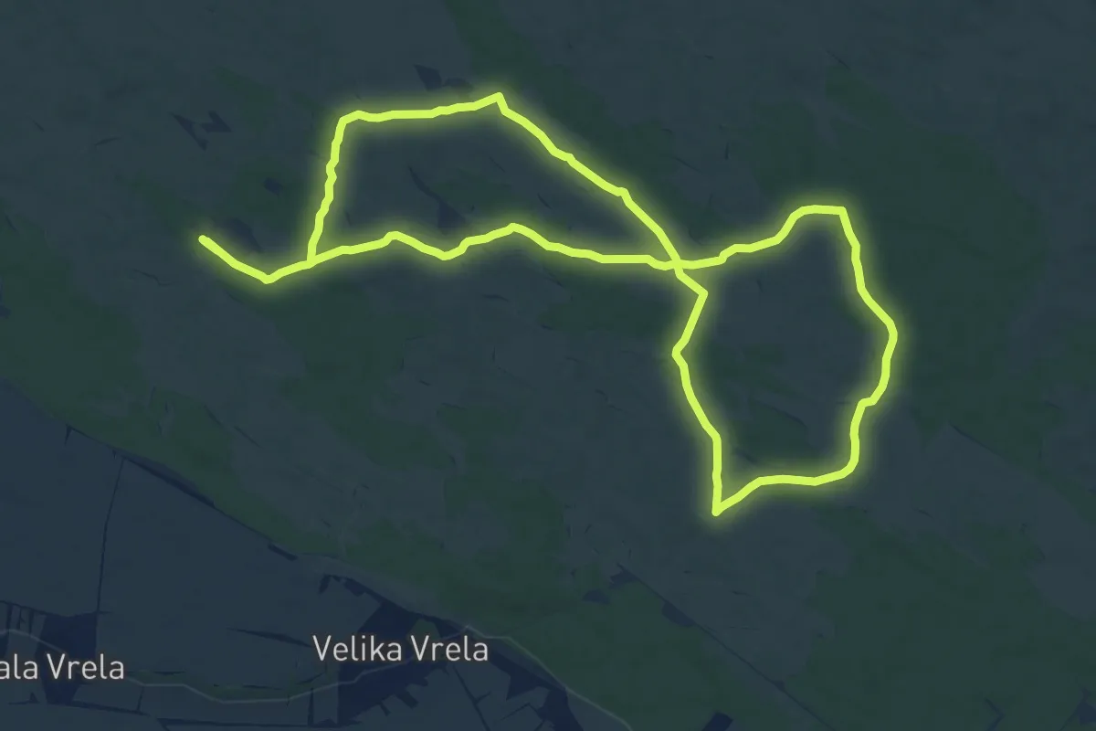
Medium · Trail
Борови брег
13.8 km · ↑ 49 m · 3 h 33 min
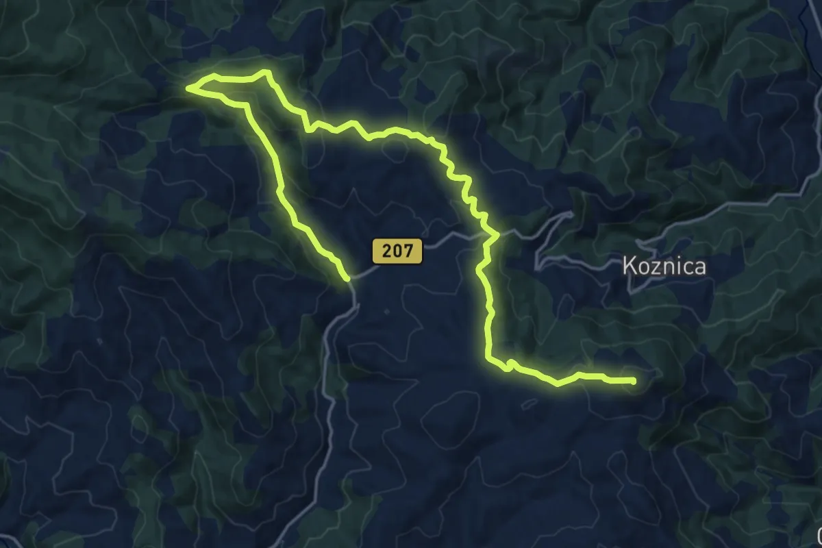
Demanding · Summit
Ботурићи - Козник - Нерађа - Жељин - Плоча
24.2 km · ↑ 801 m · 7 h 27 min
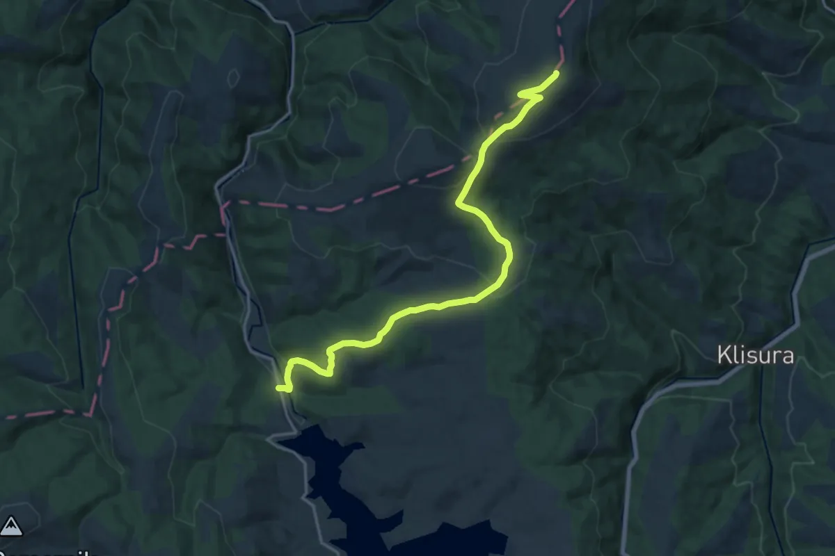
Medium · Summit
Брана - В. Вртоп (стаза 9)
17.5 km · ↑ 553 m · 5 h 20 min
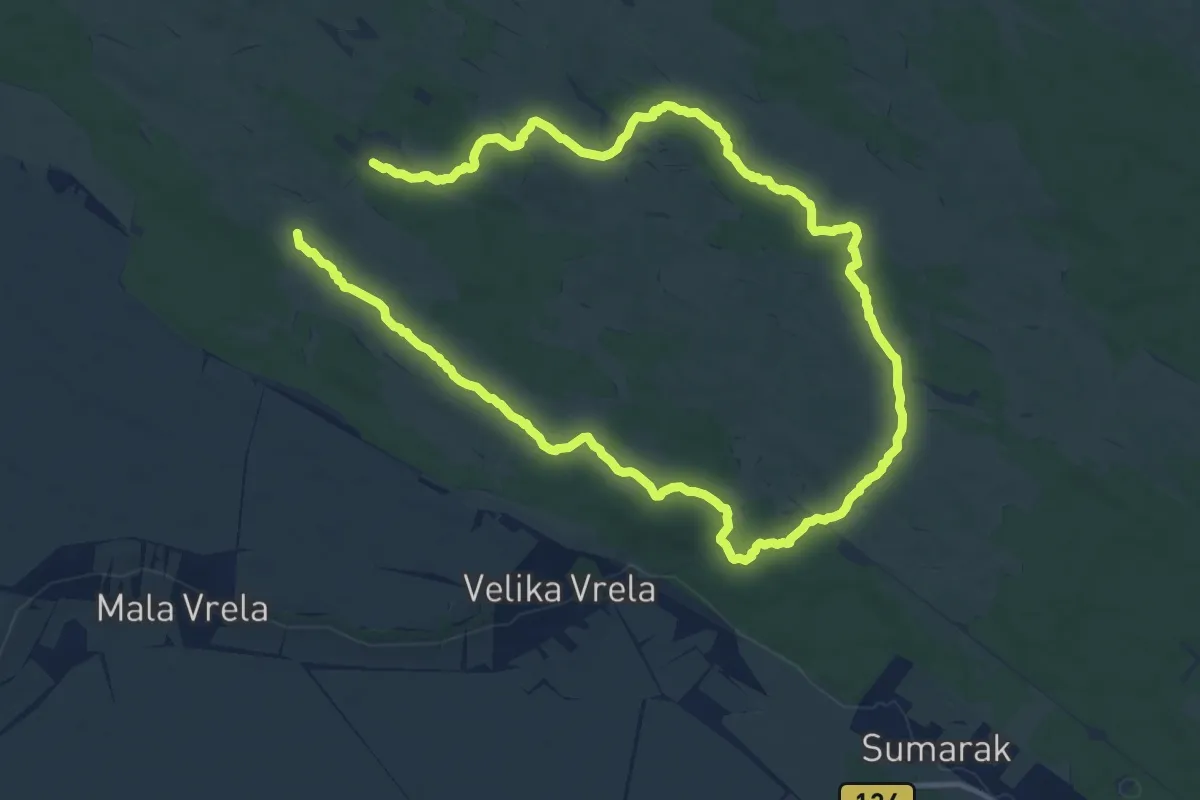
Medium · Trail
Брацина стаза
11.2 km · ↑ 39 m · 2 h 54 min
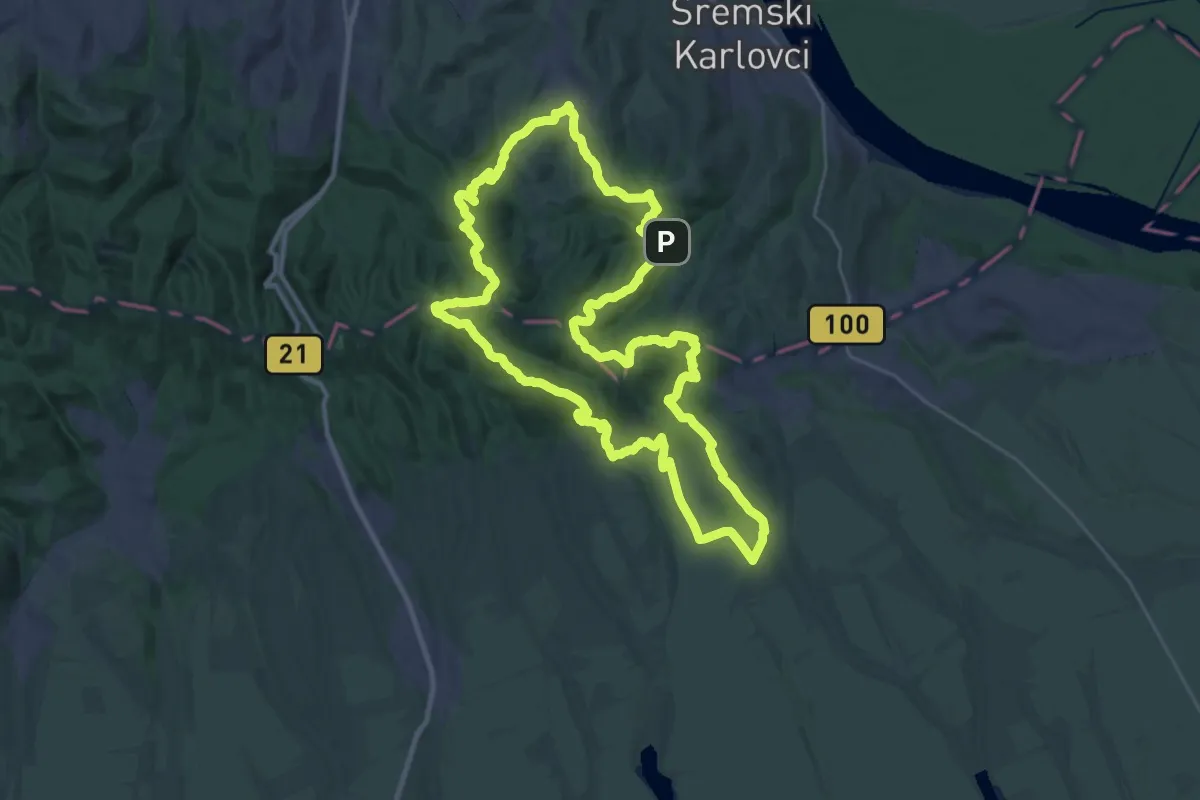
Demanding · Summit
Буковачки маратон – Средња стаза
33.2 km · ↑ 986 m · 10 h 27 min
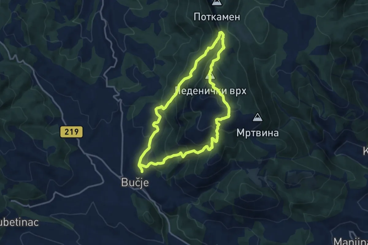
Medium · Summit
Бучје - Леденички врх
10.3 km · ↑ 674 m · 4 h 2 min
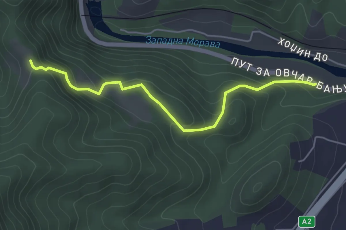
Easy · Trail
Варијанта стазе 8
4.4 km · ↑ 283 m · 1 h 39 min
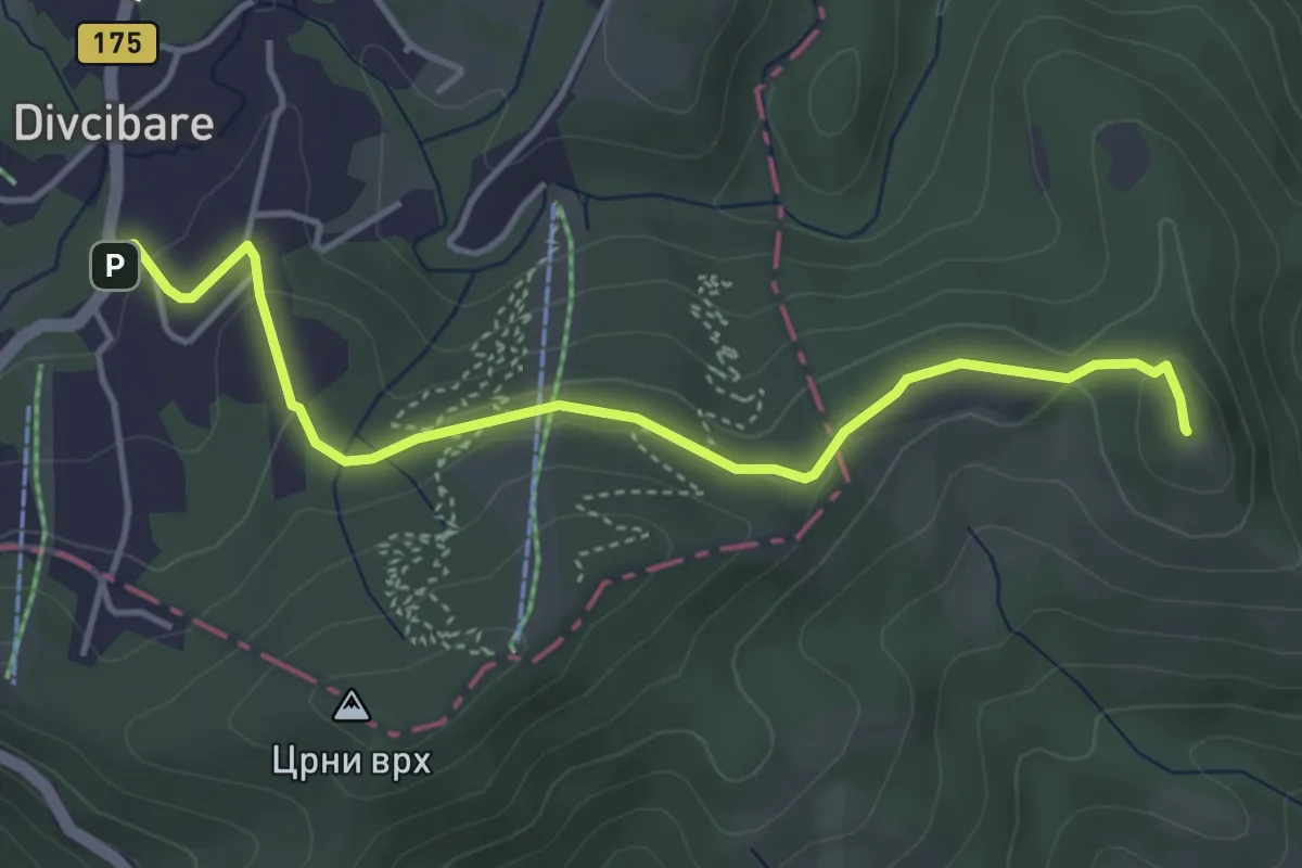
Easy · Summit
Велика Плећа
4.6 km · ↑ 112 m · 1 h 19 min
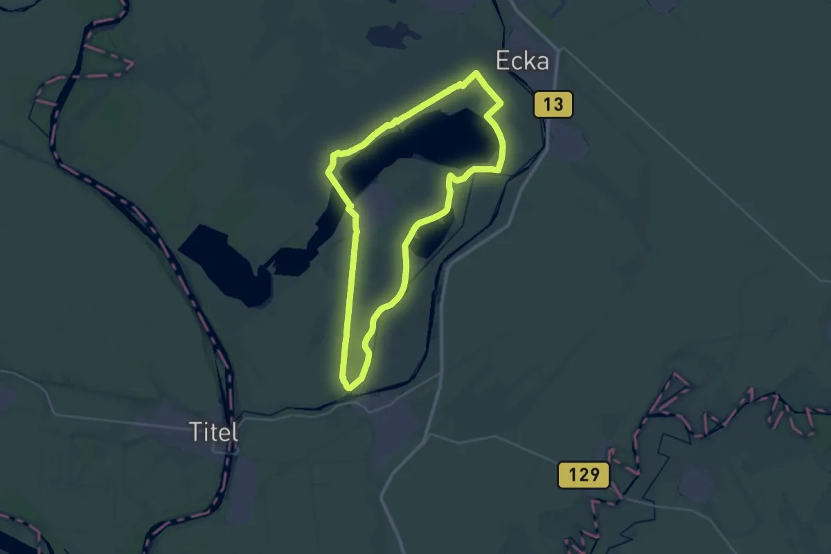
Demanding · Trail
Велика стаза 30 км
28.8 km · ↑ 4 m · 7 h 13 min
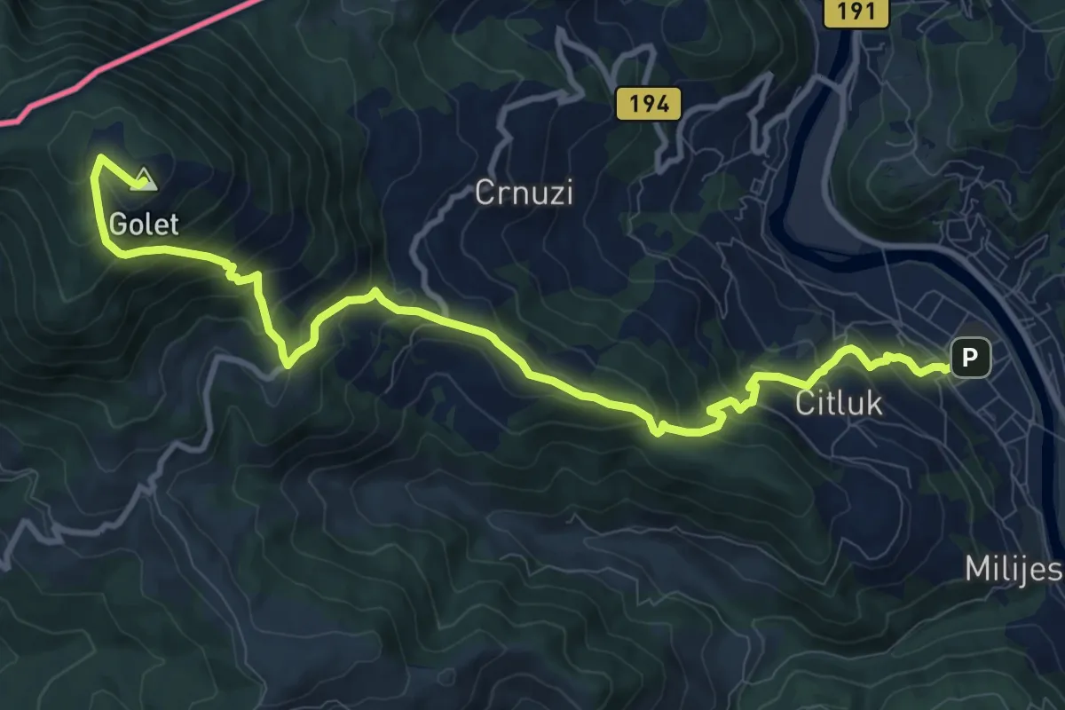
Demanding · Summit
Велики Бич
12.5 km · ↑ 1041 m · 5 h 13 min
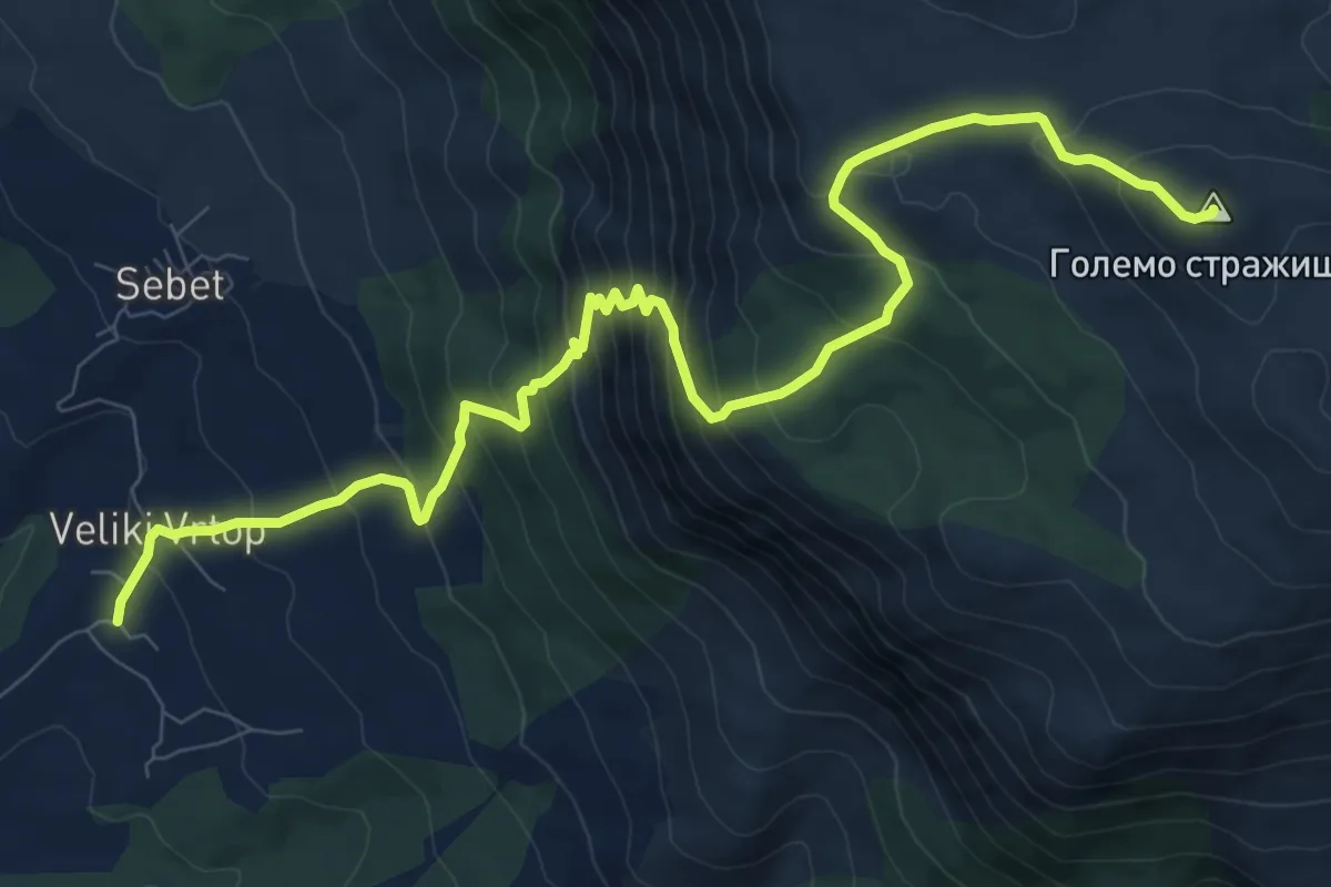
Demanding · Summit
Велики Вртоп - Големо Стражиште
12.3 km · ↑ 1122 m · 5 h 20 min
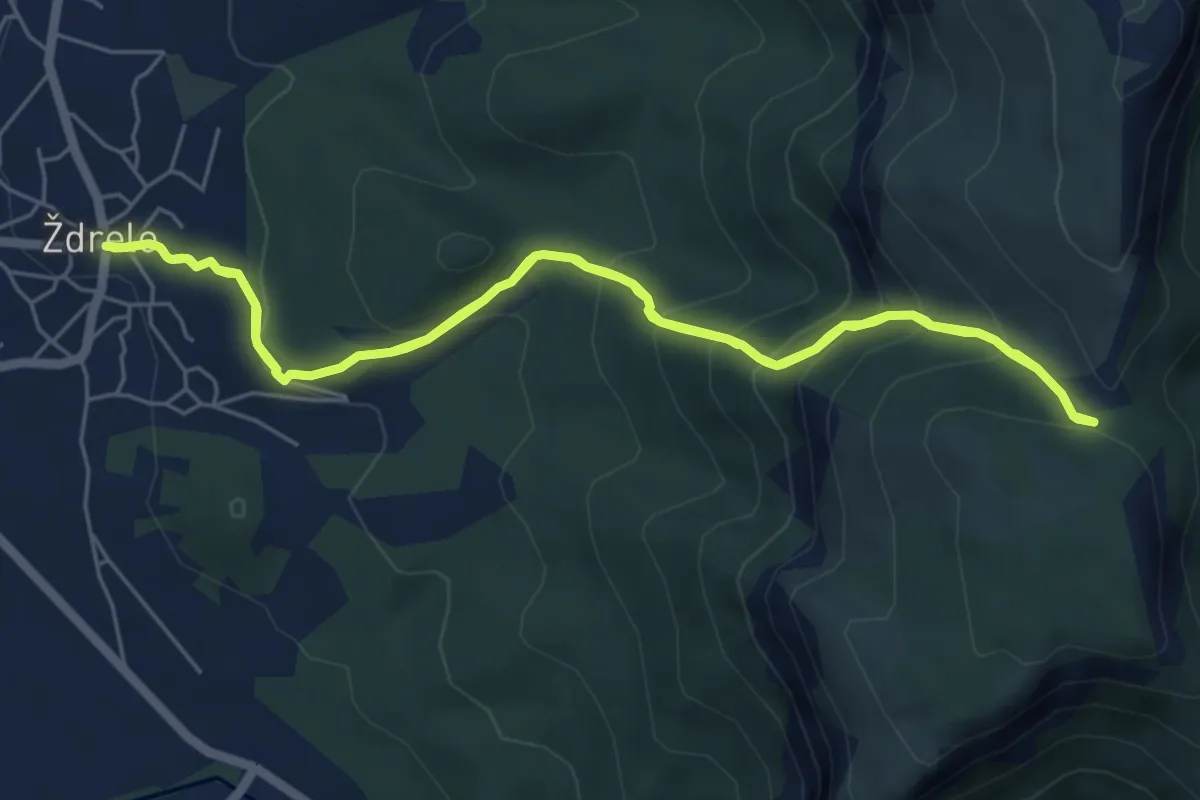
Medium · Trail
Велики Вукан од Ждрела
6.1 km · ↑ 492 m · 2 h 35 min