Trails near Bovec
136 hikes starting within 15 km, nearest first.
Nearest first, page 1 of 3
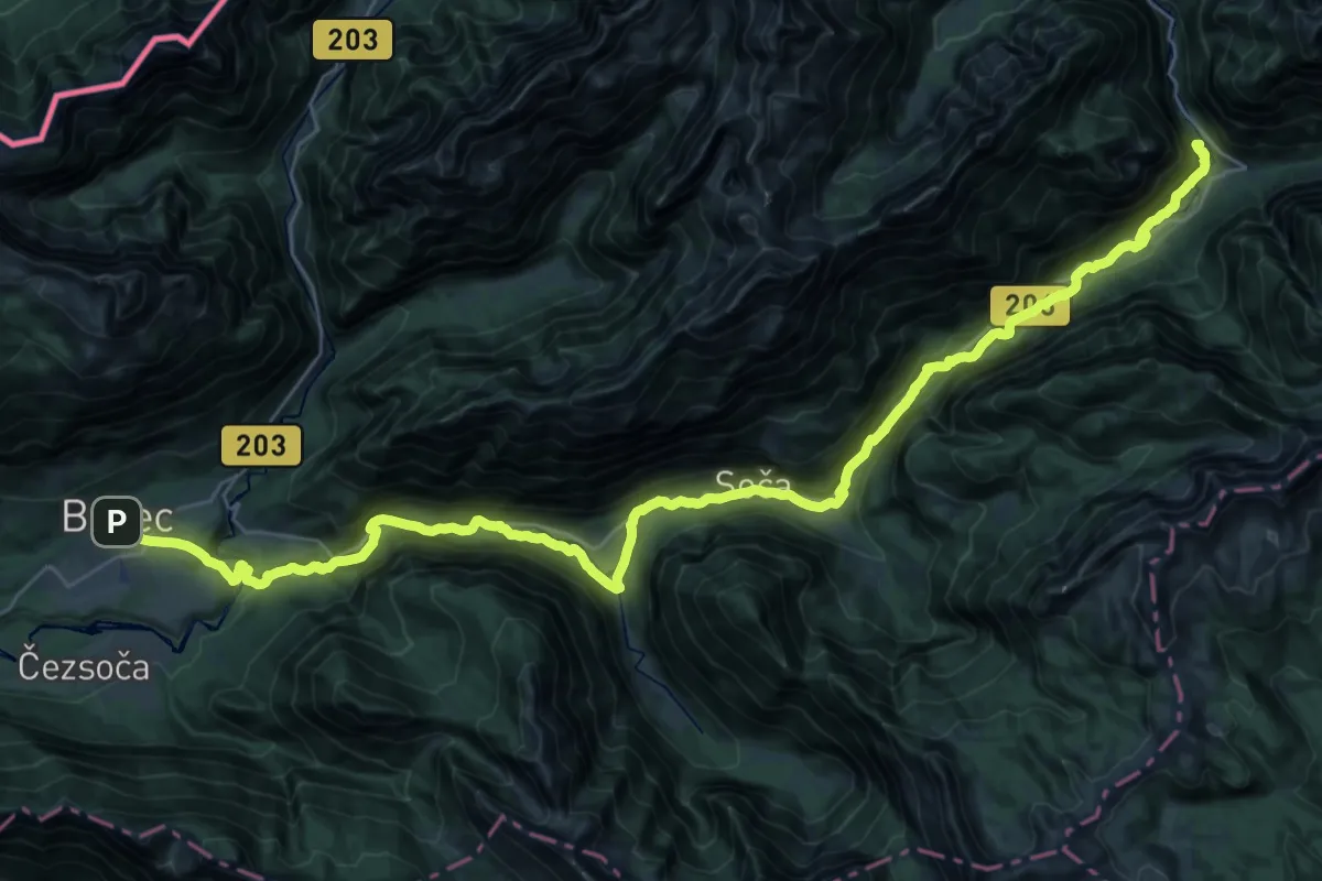
Expert · Summit
Soška pot
43.1 km · ↑ 1107 m · 12 h 34 min · under 1 km away
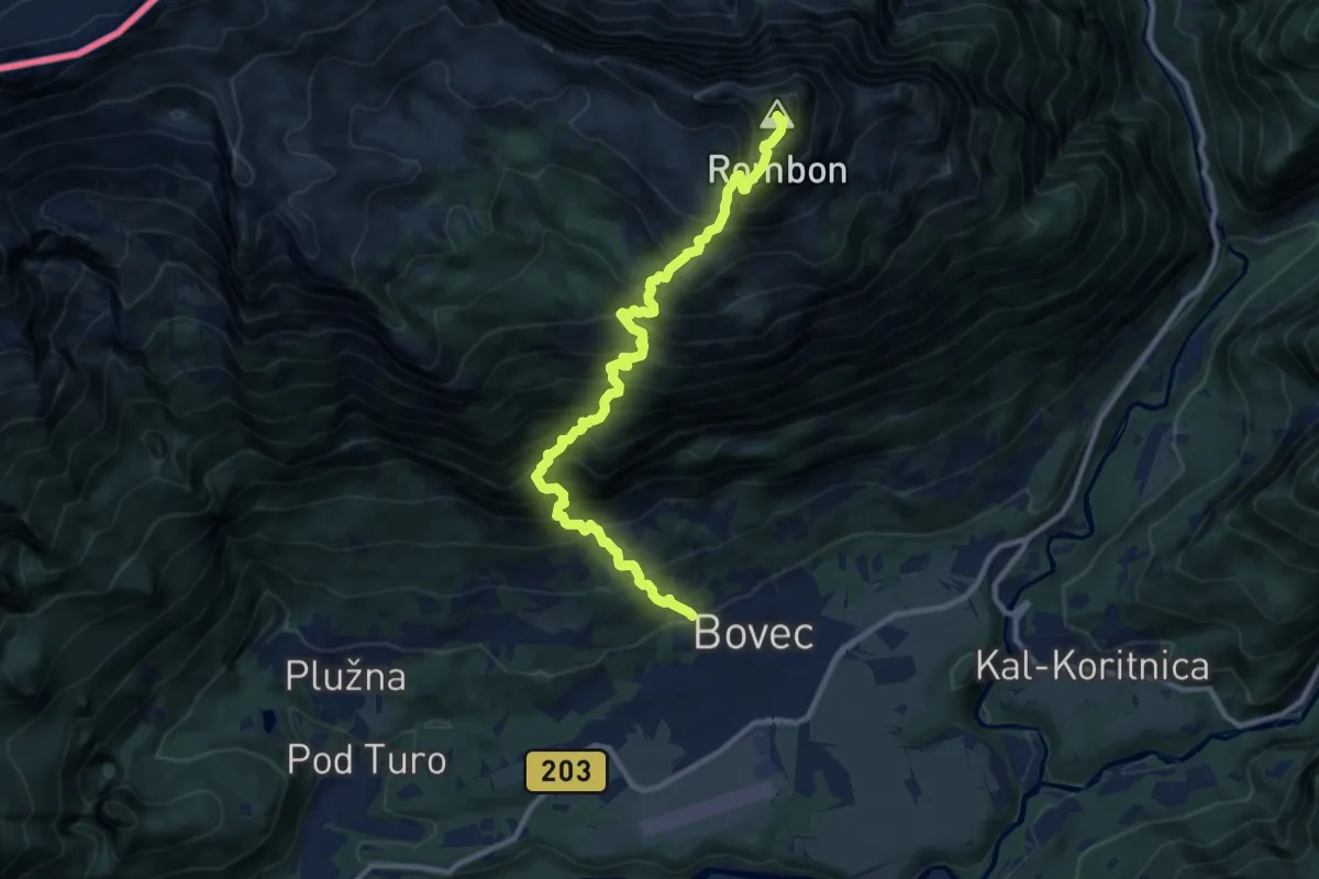
Expert · Summit
Bovec - Čukla - Rombon
10.8 km · ↑ 1653 m · 6 h 8 min · under 1 km away
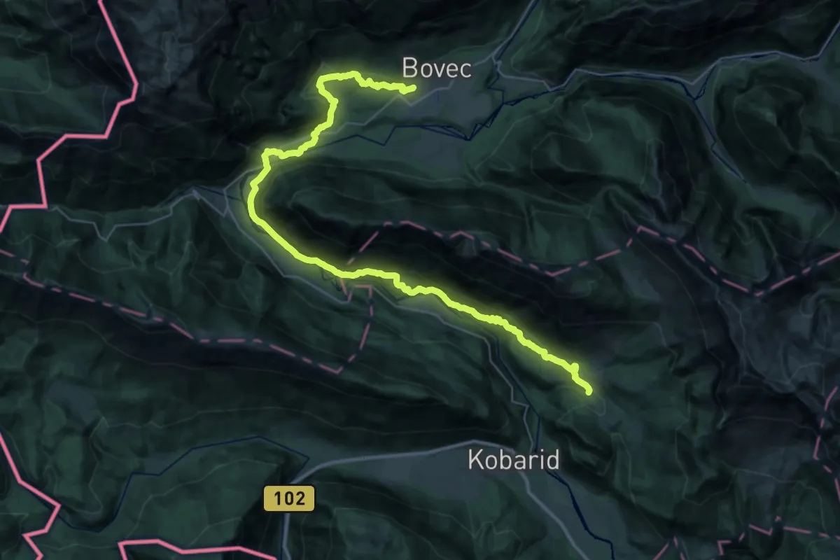
Demanding · Summit
Alpe Adria Trail E25
40.3 km · ↑ 1151 m · 12 h 1 min · 1 km away
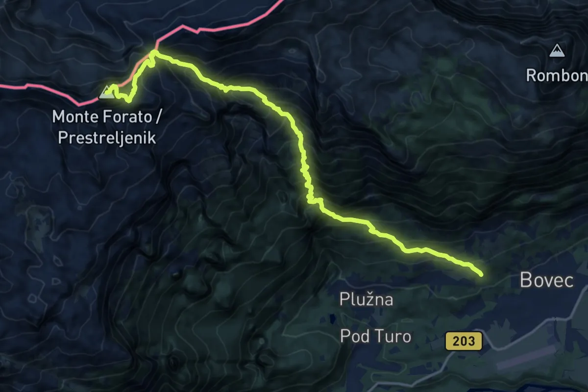
Demanding · Summit
Bovec - Krnica - Prestreljenik
17.0 km · ↑ 1925 m · 8 h 11 min · 1 km away
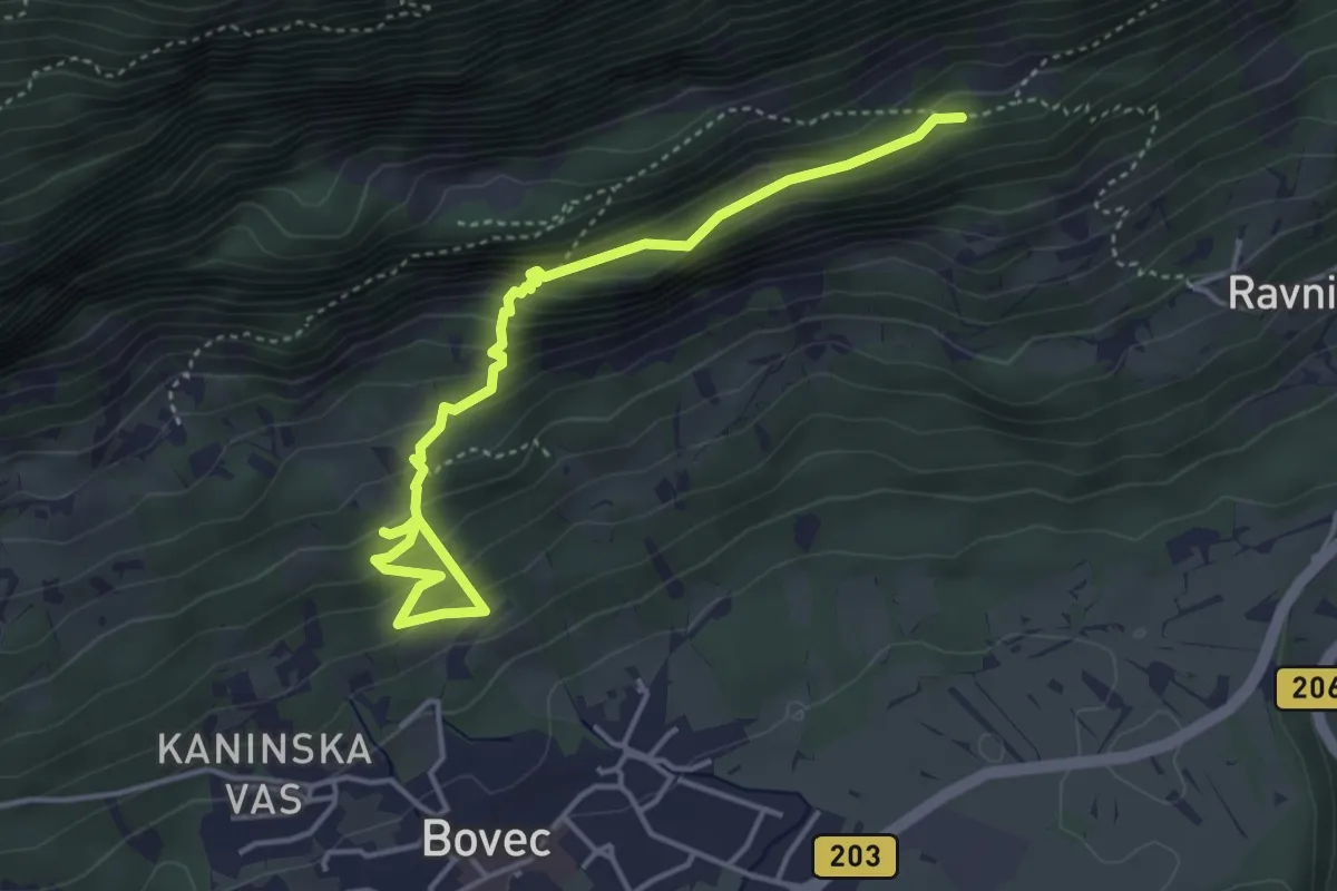
Medium · Trail
Hiking route B3c
4.6 km · ↑ 384 m · 1 h 55 min · 2 km away
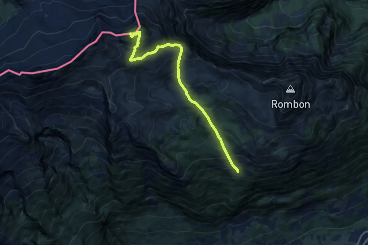
Demanding · Summit
Pl. Goričica - V. Črnelska špica
9.3 km · ↑ 887 m · 4 h 8 min · 2 km away
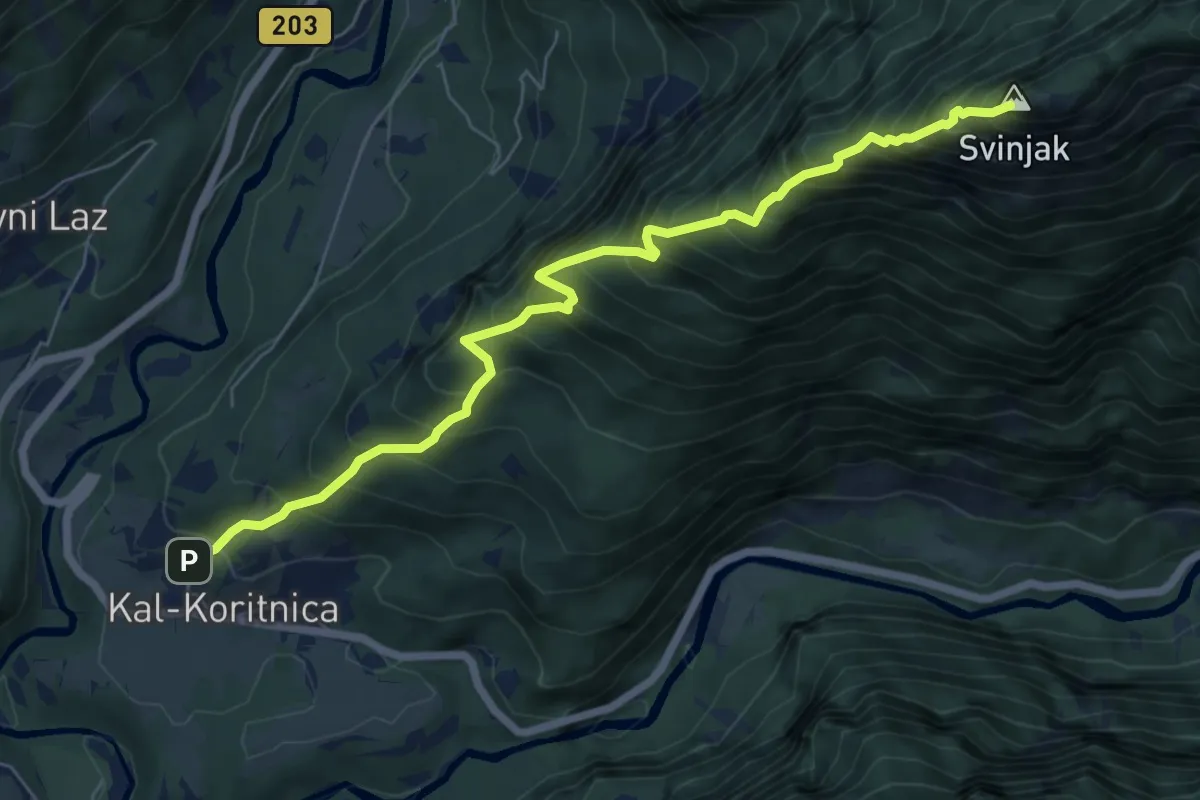
Demanding · Summit
Kal-Koritnica - Svinjak
7.1 km · ↑ 1421 m · 4 h 45 min · 2 km away
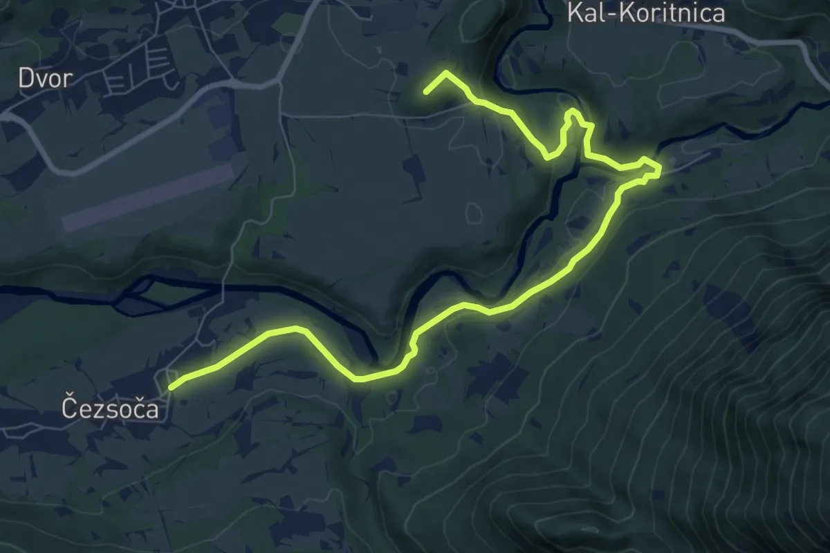
Medium · Summit
Hiking route B1
9.5 km · ↑ 183 m · 2 h 38 min · 2 km away
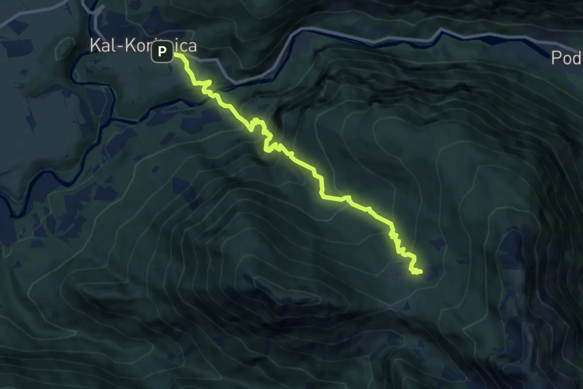
Demanding · Trail
Kal-Koritnica - Planina Golobar
9.7 km · ↑ 916 m · 4 h 16 min · 2 km away
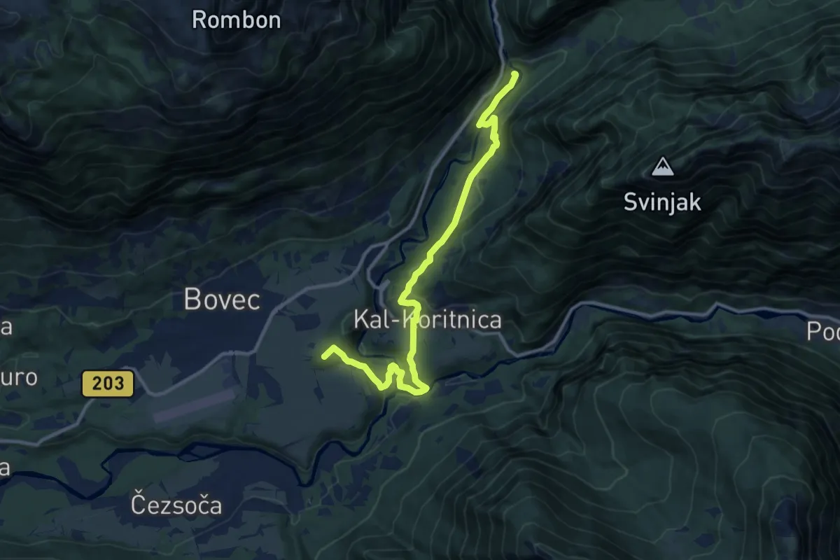
Medium · Summit
Hiking route B5
11.7 km · ↑ 369 m · 3 h 34 min · 4 km away
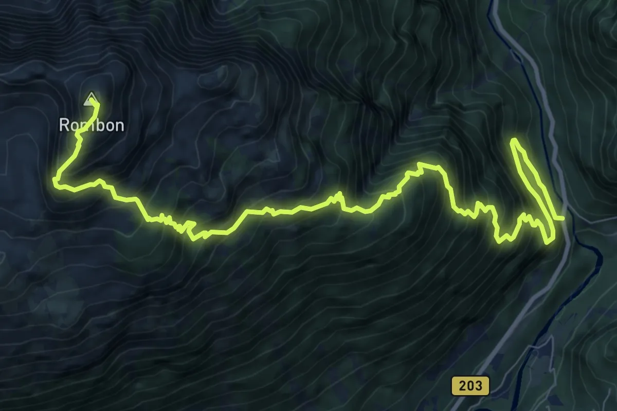
Expert · Summit
Kluže - Rombon
12.8 km · ↑ 1854 m · 7 h 3 min · 4 km away
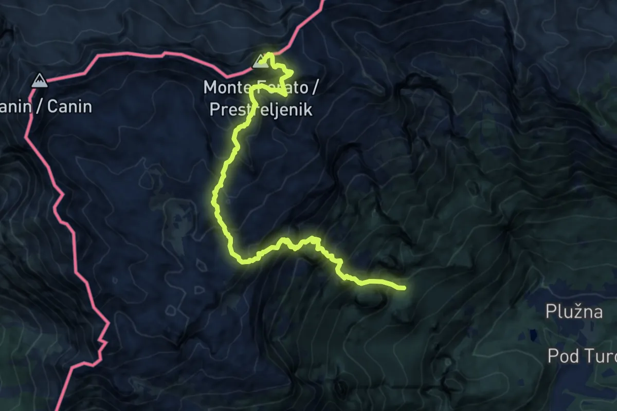
Expert · Summit
Gozdec - Dom Petra Skalarja - Prestreljenik
13.2 km · ↑ 2104 m · 7 h 41 min · 4 km away
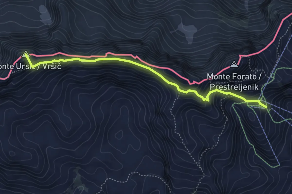
Expert · Summit
Postaja D - Kanin
5.0 km · ↑ 551 m · 2 h 22 min · 6 km away
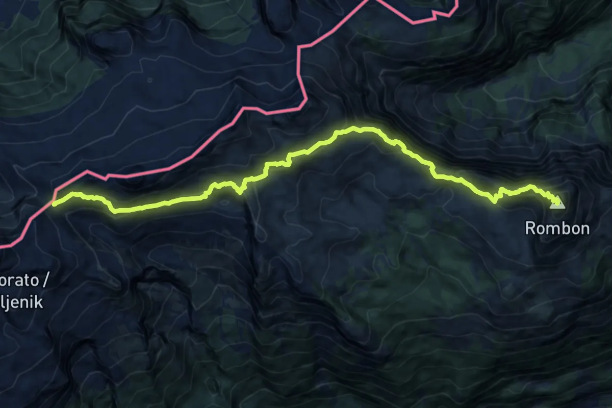
Demanding · Summit
Prevala - Rombon
14.3 km · ↑ 1170 m · 5 h 55 min · 6 km away
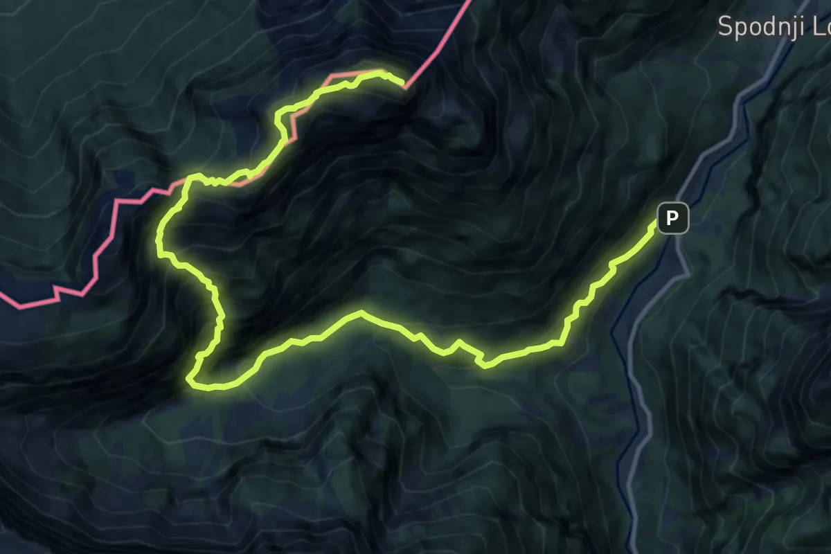
Expert · Summit
Možnica - Jerebica
15.2 km · ↑ 1725 m · 7 h 20 min · 6 km away
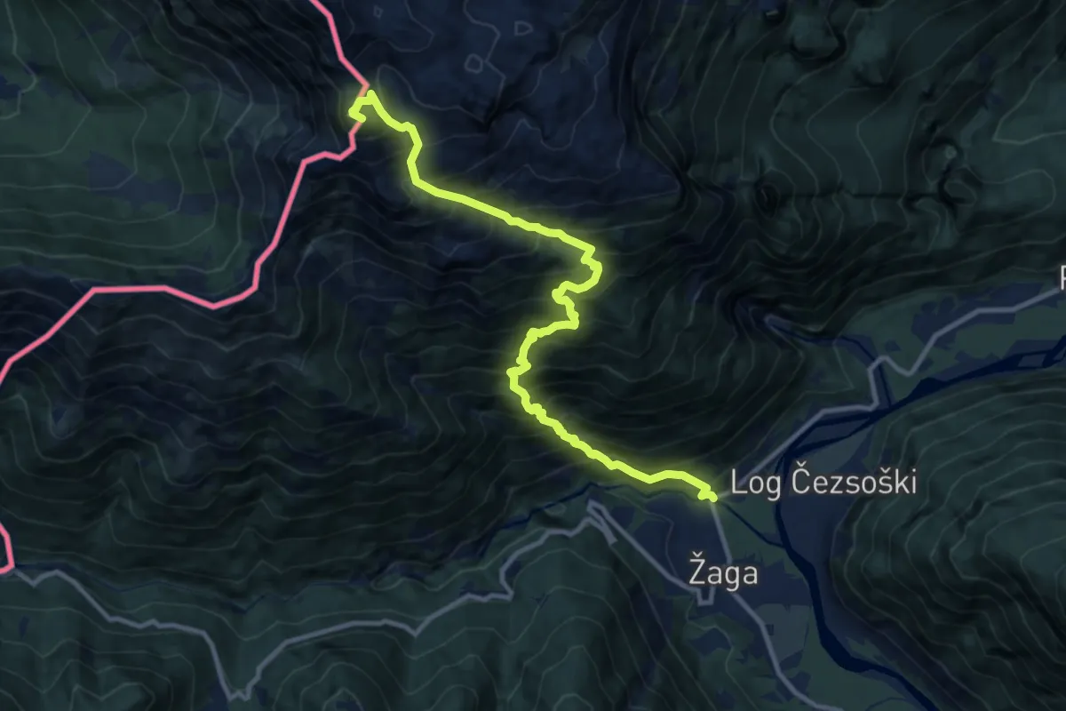
Expert · Summit
Žaga - Velika Baba
12.1 km · ↑ 1811 m · 6 h 46 min · 6 km away
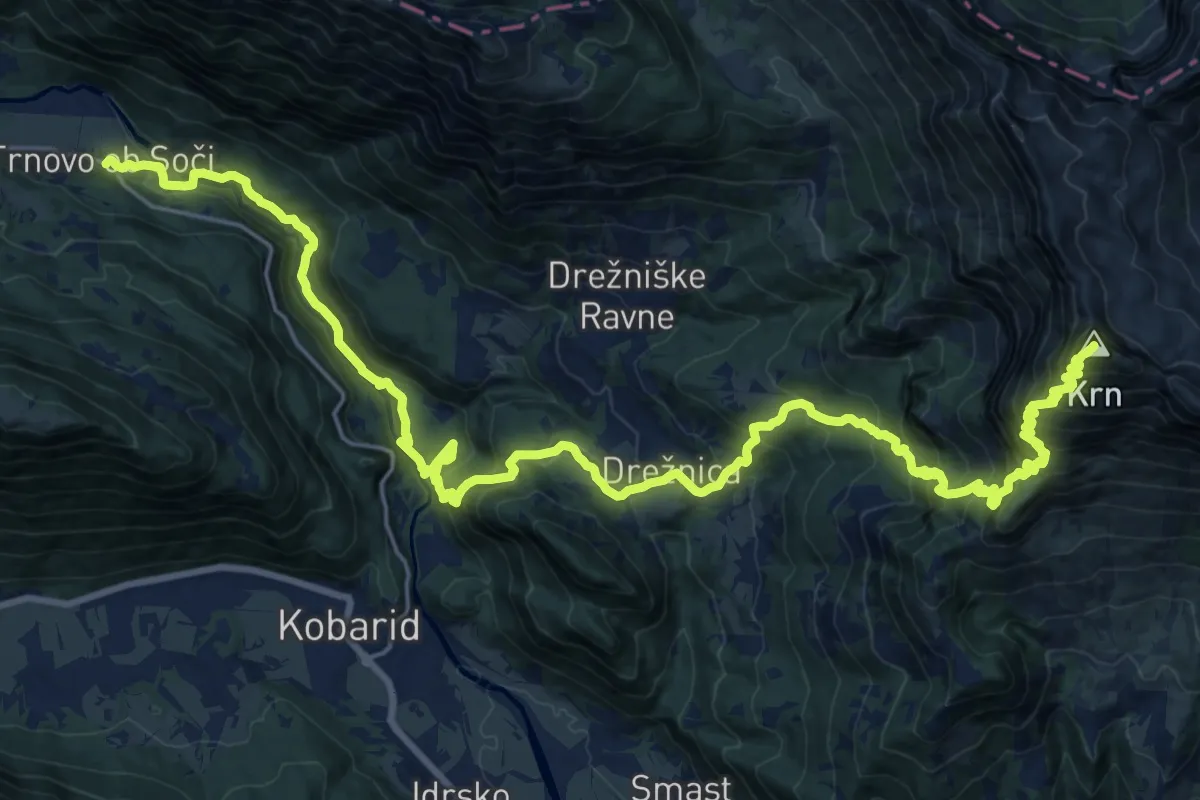
Expert · Summit
Trnovo-Krn
31.9 km · ↑ 2568 m · 13 h 6 min · 7 km away
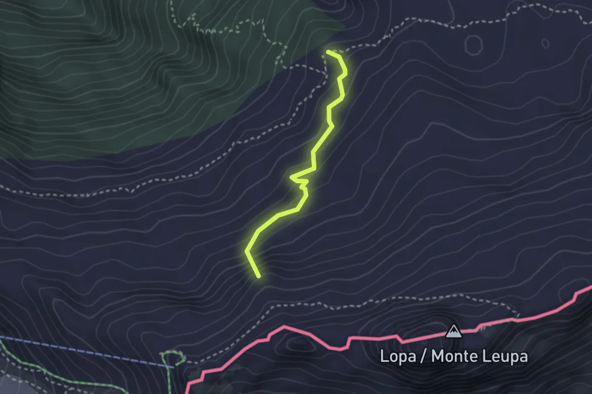
Medium · Summit
Rifugio Divisione Julia - Sella Nevea (quota 1162 m) – Rifugio Gilberti-Soravito (quota 1850 m)
2.3 km · ↑ 211 m · 1 h · 7 km away
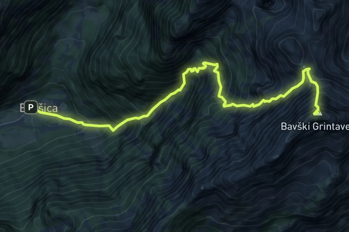
Expert · Summit
Bavšica - Kanja - Bavški Grintavec
10.0 km · ↑ 1670 m · 5 h 59 min · 7 km away
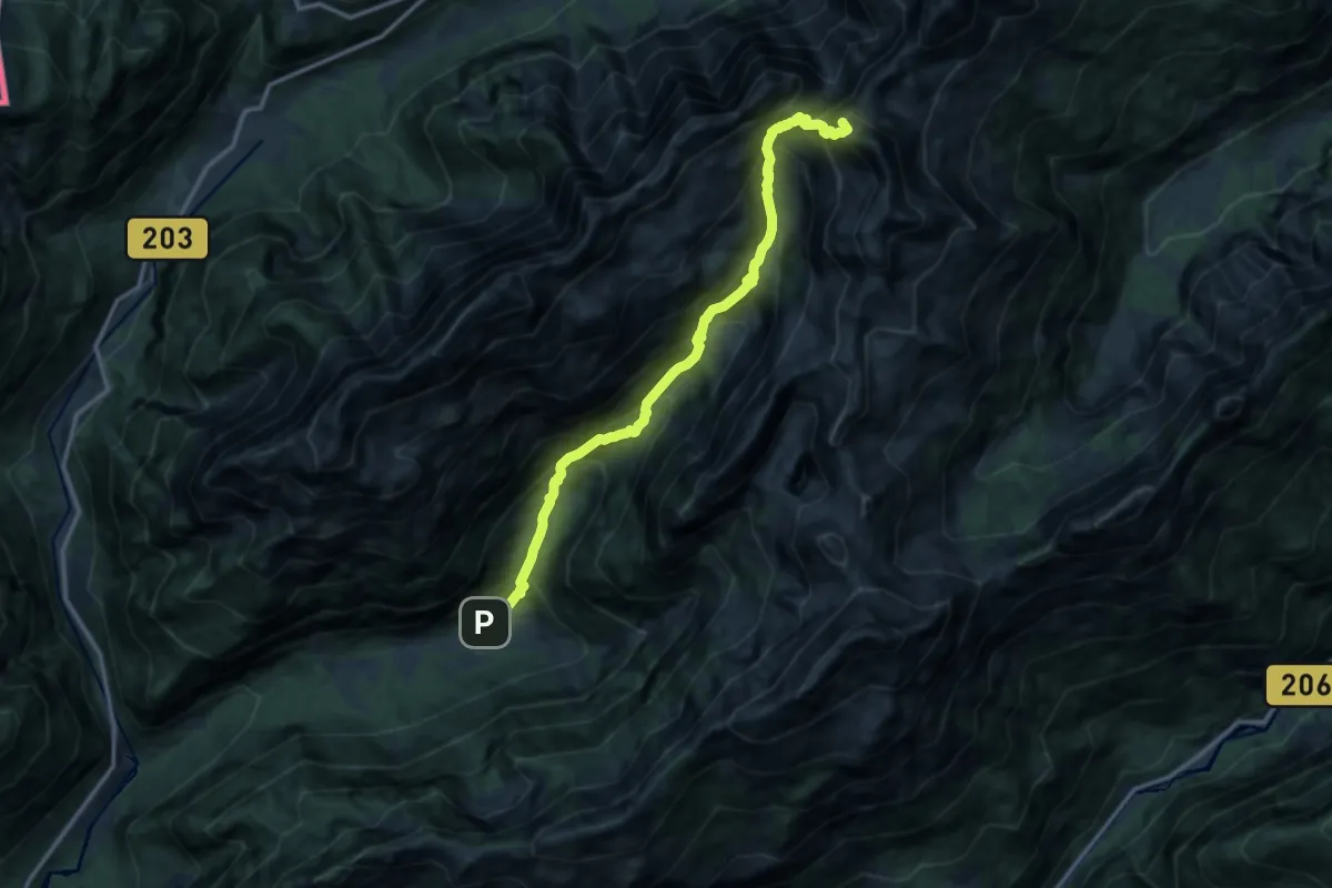
Expert · Summit
Bavšica - Pl. Bala - Zav. pod Špičkom
12.8 km · ↑ 1633 m · 6 h 33 min · 7 km away
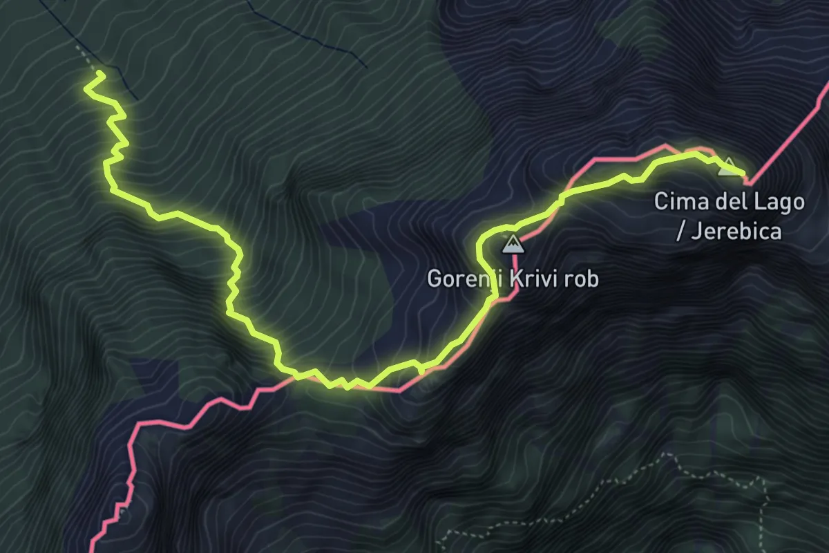
Expert · Summit
Val Rio del Lago (quota 980 m) – Cima del Lago (quota 2125 m)
6.9 km · ↑ 966 m · 3 h 43 min · 7 km away
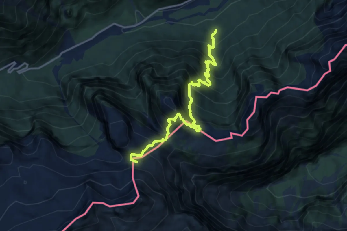
Expert · Summit
Val Rio del Lago (quota 980 m) – Sella Robon (quota 1896 m)
9.7 km · ↑ 1199 m · 4 h 54 min · 7 km away
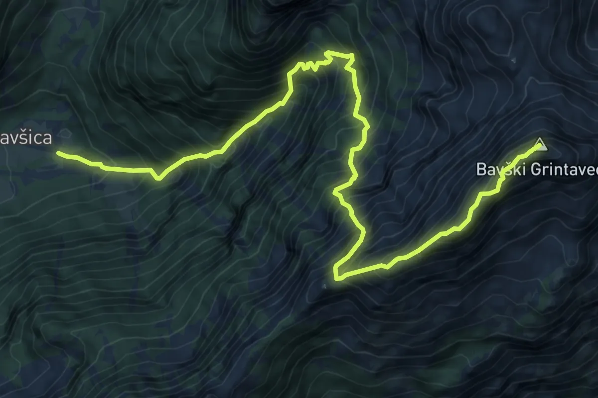
Expert · Summit
Bavšica - Bavški Grintavec
11.0 km · ↑ 1801 m · 6 h 31 min · 7 km away
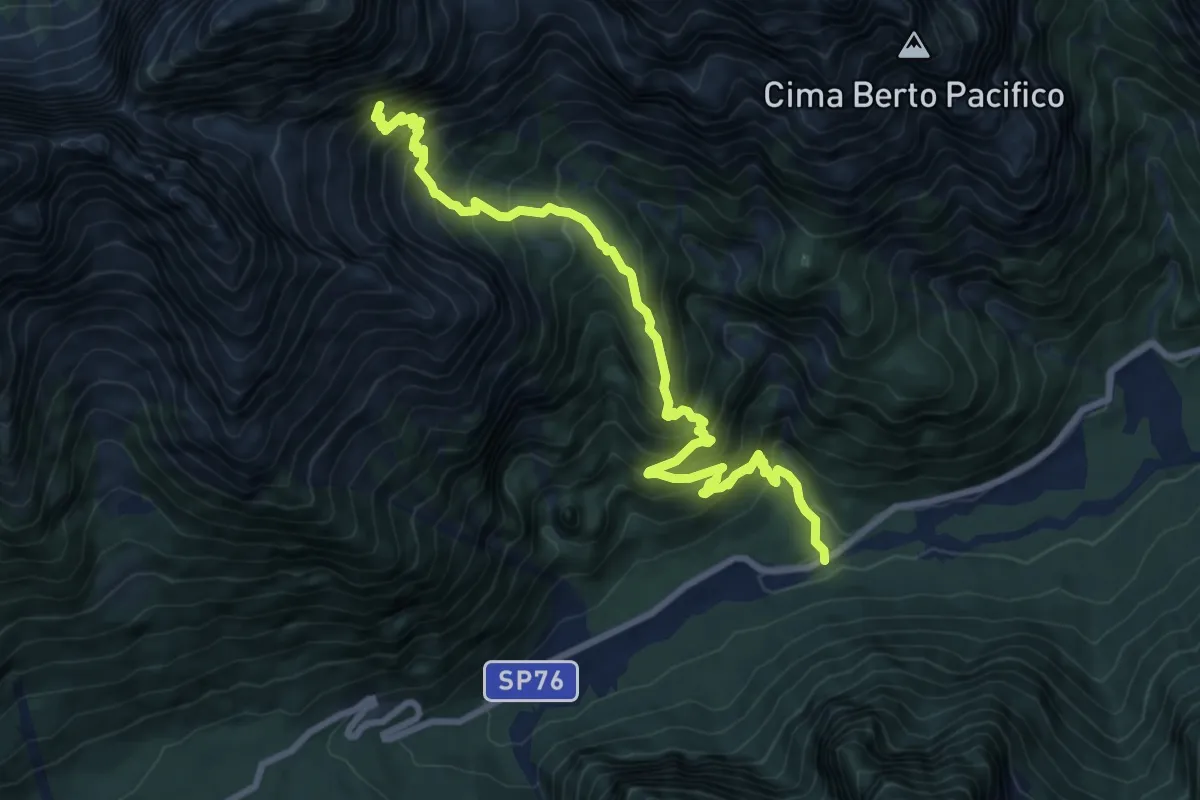
Demanding · Trail
Val Rio del Lago – ruderi Polveriera – Rio Torto (quota 990 m) – Bivio sentiero CAI n. 625 (quota 1800 m)
9.4 km · ↑ 1025 m · 4 h 27 min · 7 km away
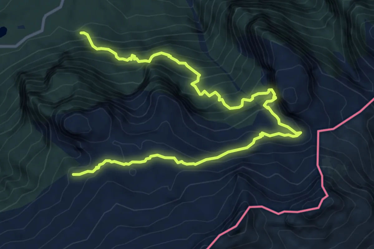
Demanding · Trail
Sella Nevea (quota 1162 m) – Bivio sentiero n. 636 (quota 1866 m)
11.0 km · ↑ 1171 m · 5 h 8 min · 8 km away
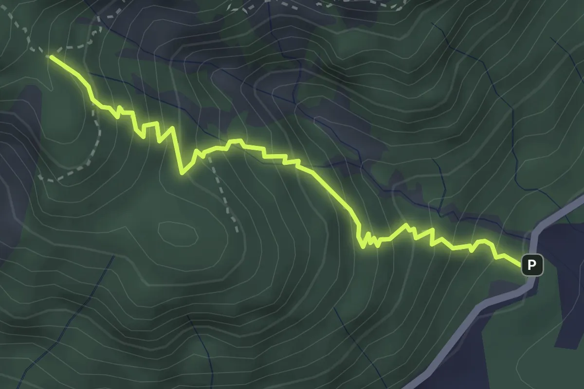
Medium · Trail
Val Rio del Lago (quota 989 m) – Bivio sentiero n. 629 (quota 1430 m)
3.6 km · ↑ 474 m · 1 h 53 min · 8 km away
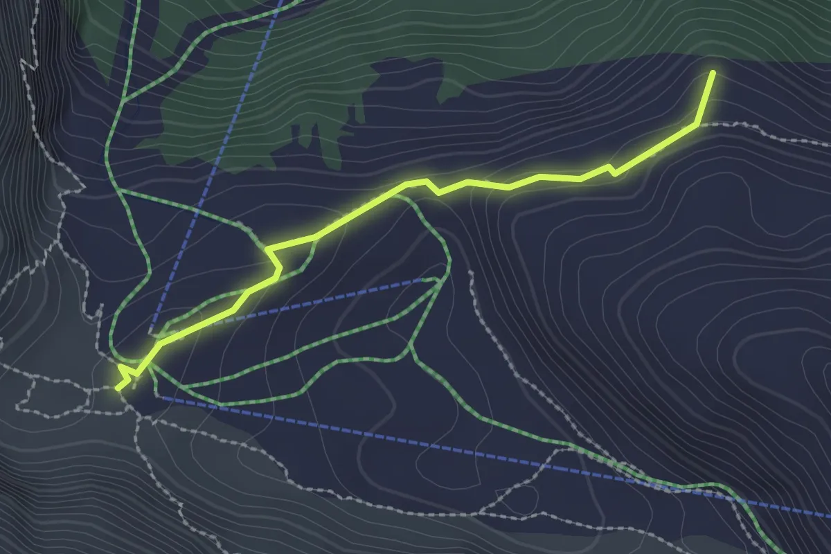
Medium · Summit
Rifugio Gilberti-Soravito (quota 1850 m) – Bivio sentiero n. 636 (quota 1866 m)
2.3 km · ↑ 90 m · 44 min · 8 km away
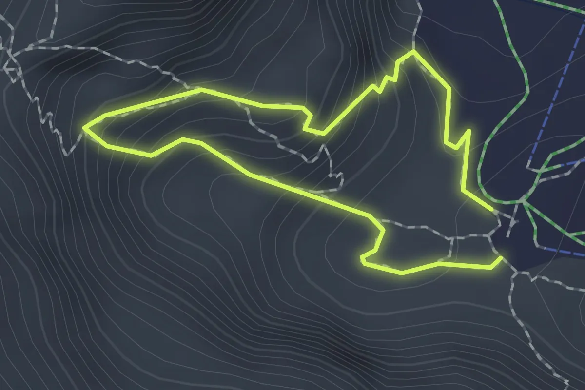
Medium · Cabin
Sentiero Botanico del Bila Peč
1.4 km · ↑ 158 m · 41 min · 8 km away
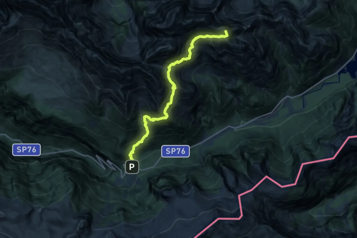
Expert · Summit
Sella Nevea (quota 1162 m) – Val Rio del Lago (quota 980 m)
14.7 km · ↑ 1718 m · 7 h 12 min · 8 km away
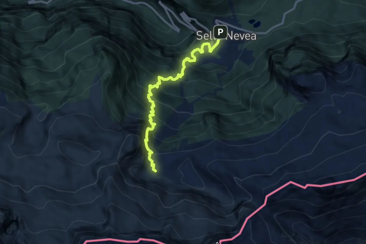
Demanding · Cabin
Rifugio Divisione Julia (quota 1162 m) – Rifugio Gilberti-Soravito (quota 1850 m)
7.9 km · ↑ 845 m · 3 h 42 min · 8 km away
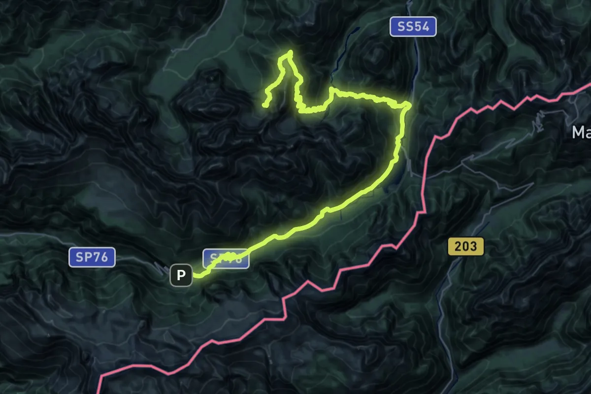
Demanding · Cabin
Bivio Rifugio Pellarin – Sella Nevea Rifugio Julia
22.6 km · ↑ 1453 m · 8 h 39 min · 8 km away
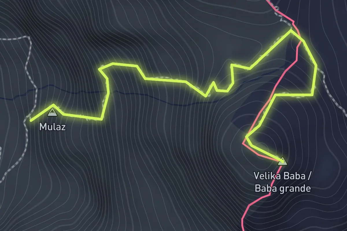
Demanding · Summit
Bivacco Costantini (quota 1690 m) – Baba Grande (quota 2160 m)
2.1 km · ↑ 470 m · 1 h 31 min · 8 km away
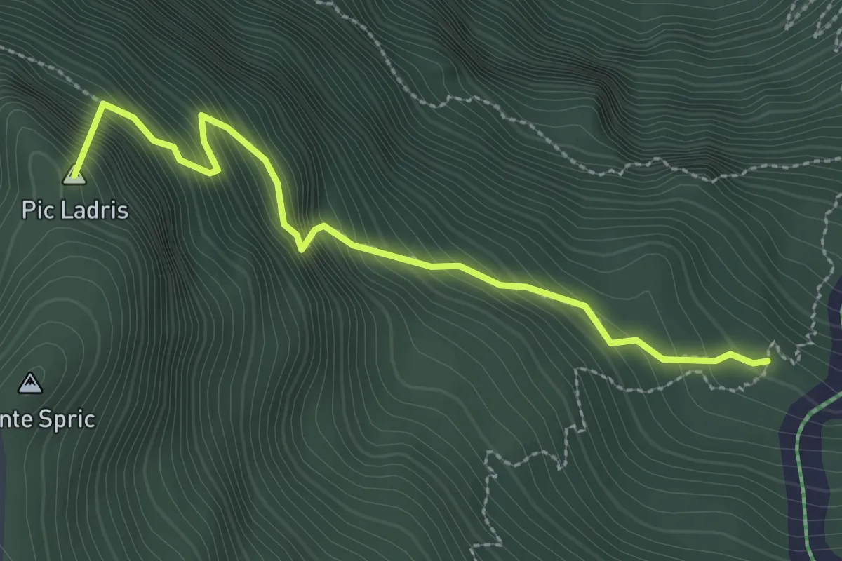
Demanding · Summit
Troi dai Sacs
2.8 km · ↑ 503 m · 1 h 45 min · 8 km away
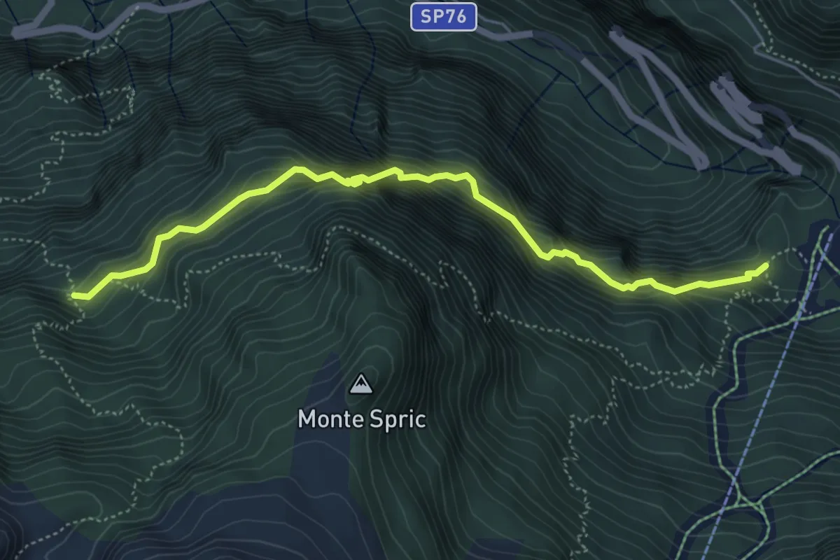
Expert · Cabin
Sentiero Sereno
5.3 km · ↑ 747 m · 2 h 52 min · 8 km away
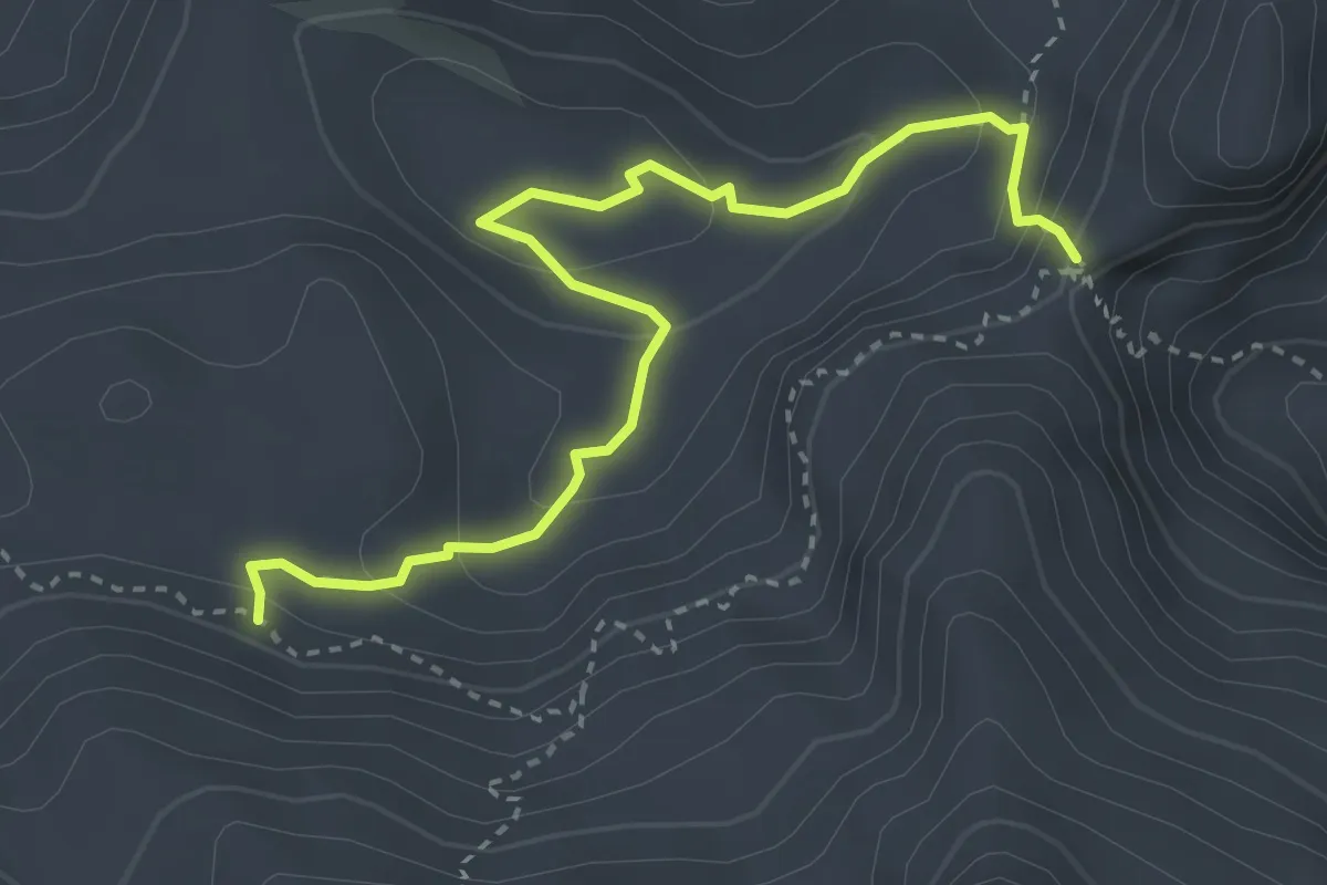
Demanding · Trail
Sella Bila Pec (quota 2005 m) – Bivio Sentiero n. 632 (quota 1975 m)
3.7 km · ↑ 247 m · 1 h 25 min · 9 km away
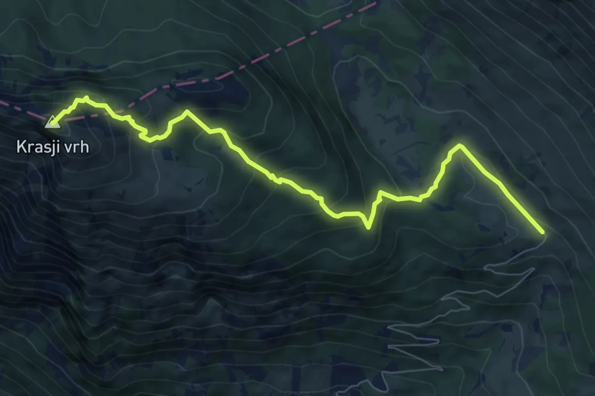
Medium · Summit
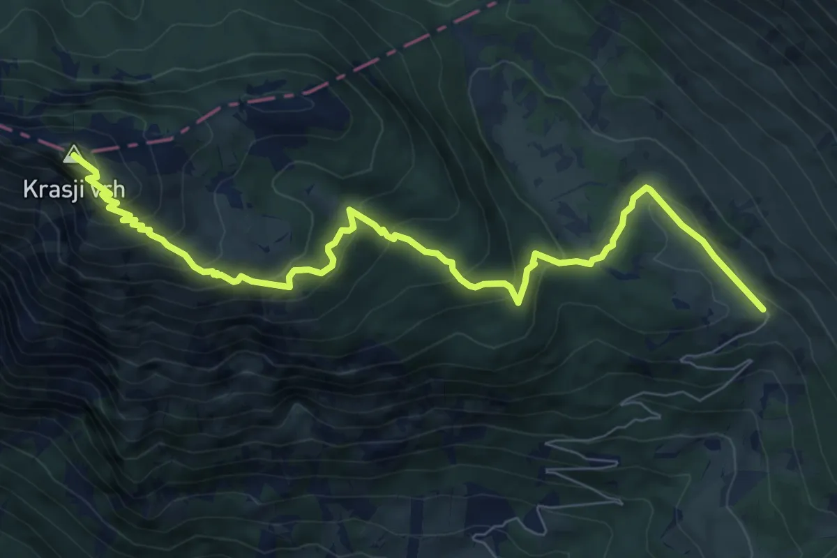
Pl. Zapleč - Snežna jama - Krasji vrh
8.5 km · ↑ 572 m · 3 h 14 min · 9 km away
Medium · Summit
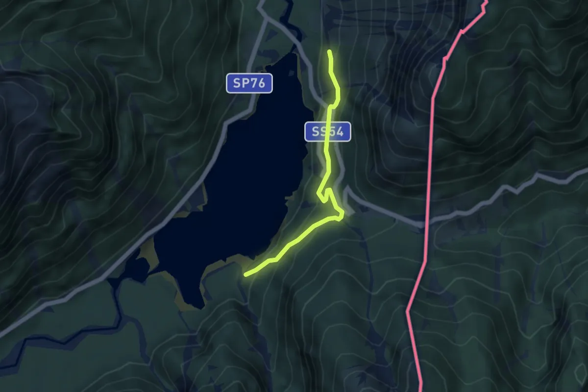
Pl. Zapleč - Koluti - Krasji vrh
9.2 km · ↑ 589 m · 3 h 27 min · 9 km away
Easy · Trail
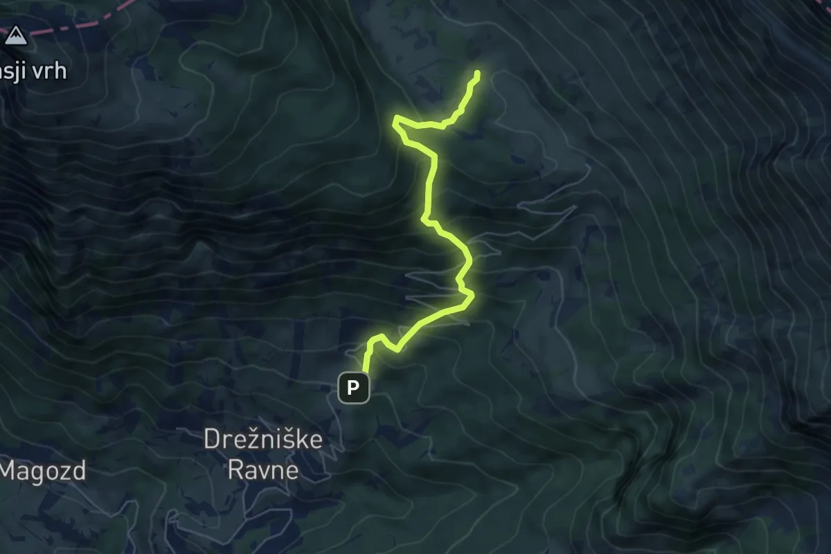
Giro del Lago
3.5 km · ↑ 288 m · 1 h 28 min · 9 km away
Medium · Trail
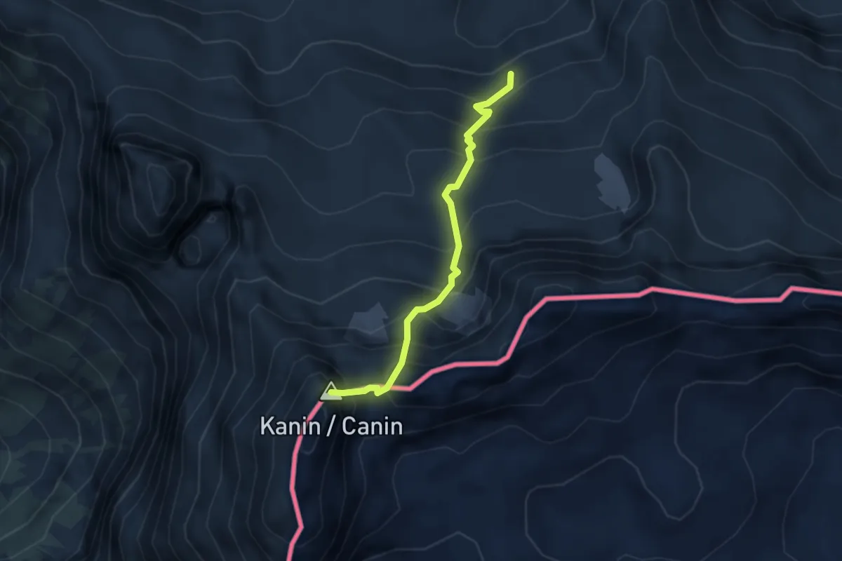
Drežniške Ravne - Pl. Zaprikaj
5.5 km · ↑ 585 m · 2 h 34 min · 9 km away
Expert · Summit
Sentiero CAI n. 632 (quota 2031 m) – Monte Canin (quota 2587 m)
3.0 km · ↑ 465 m · 1 h 42 min · 9 km away
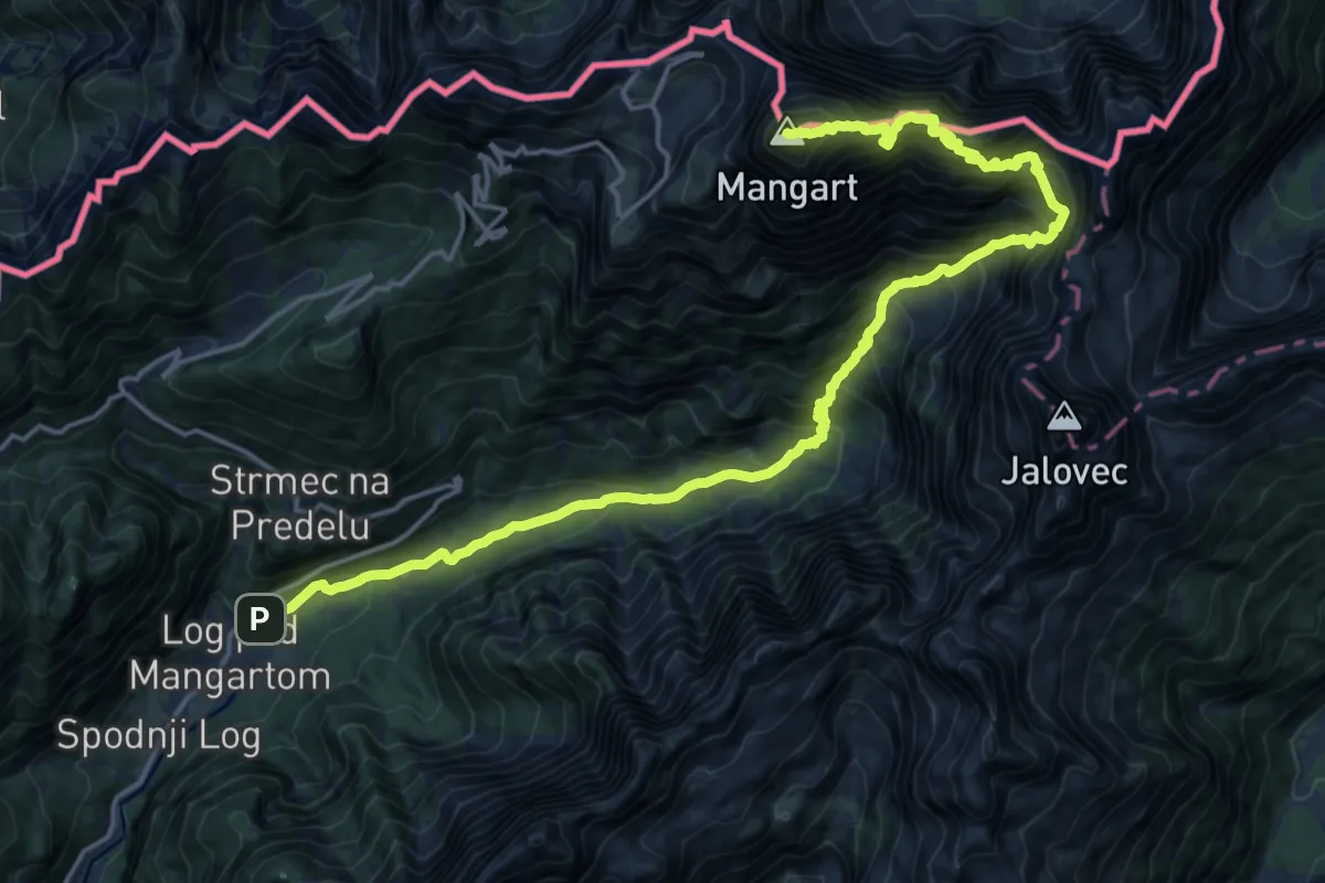
Expert · Summit
Log - Mangart
21.1 km · ↑ 2460 m · 10 h 19 min · 9 km away
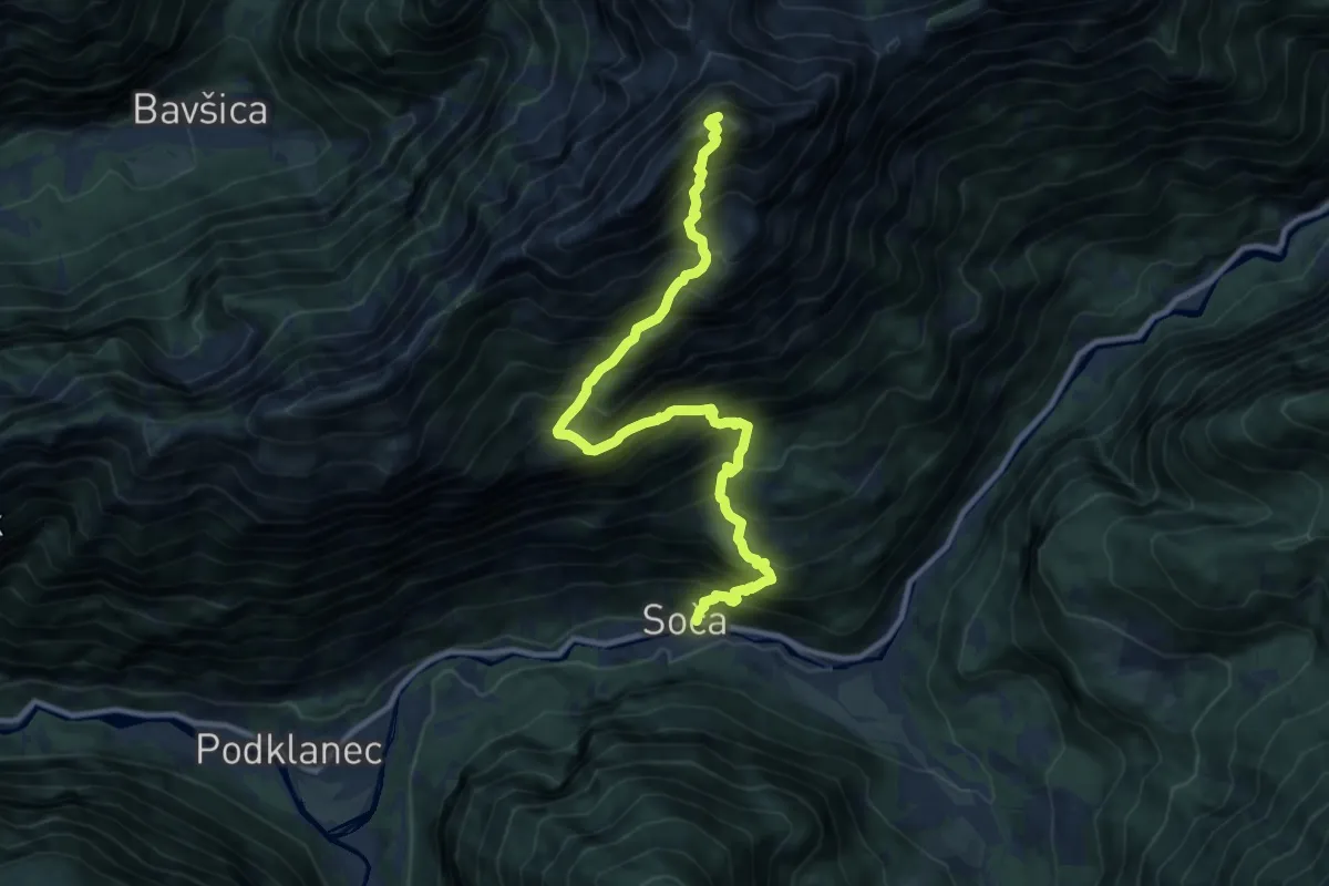
Expert · Summit
Soča - Bavški Grintavec
11.4 km · ↑ 1886 m · 6 h 47 min · 9 km away
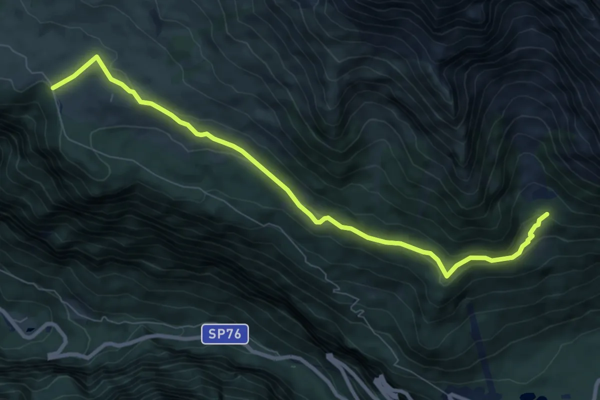
Medium · Trail
Altopiano del Montasio (quota 1502 m) – Bivio sentiero n. 625 (quota 1525 m)
8.4 km · ↑ 245 m · 2 h 30 min · 9 km away
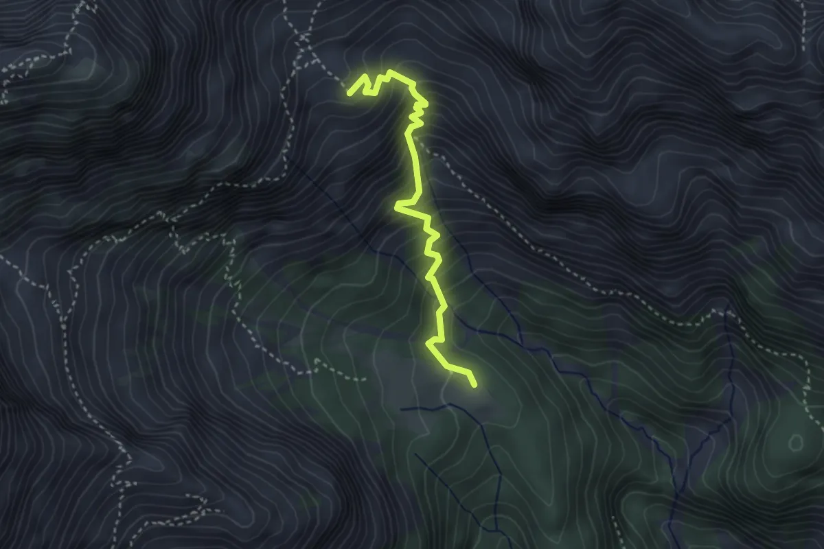
Demanding · Cabin
Sentiero dei Tedeschi
3.1 km · ↑ 406 m · 1 h 37 min · 9 km away
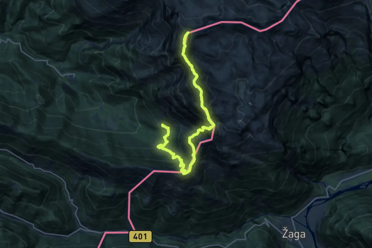
Expert · Summit
Alta Via Resiana
17.7 km · ↑ 2105 m · 8 h 44 min · 9 km away
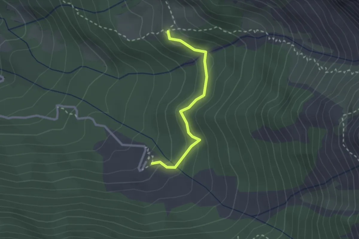
Medium · Trail
Ardito Desio
2.0 km · ↑ 139 m · 47 min · 9 km away
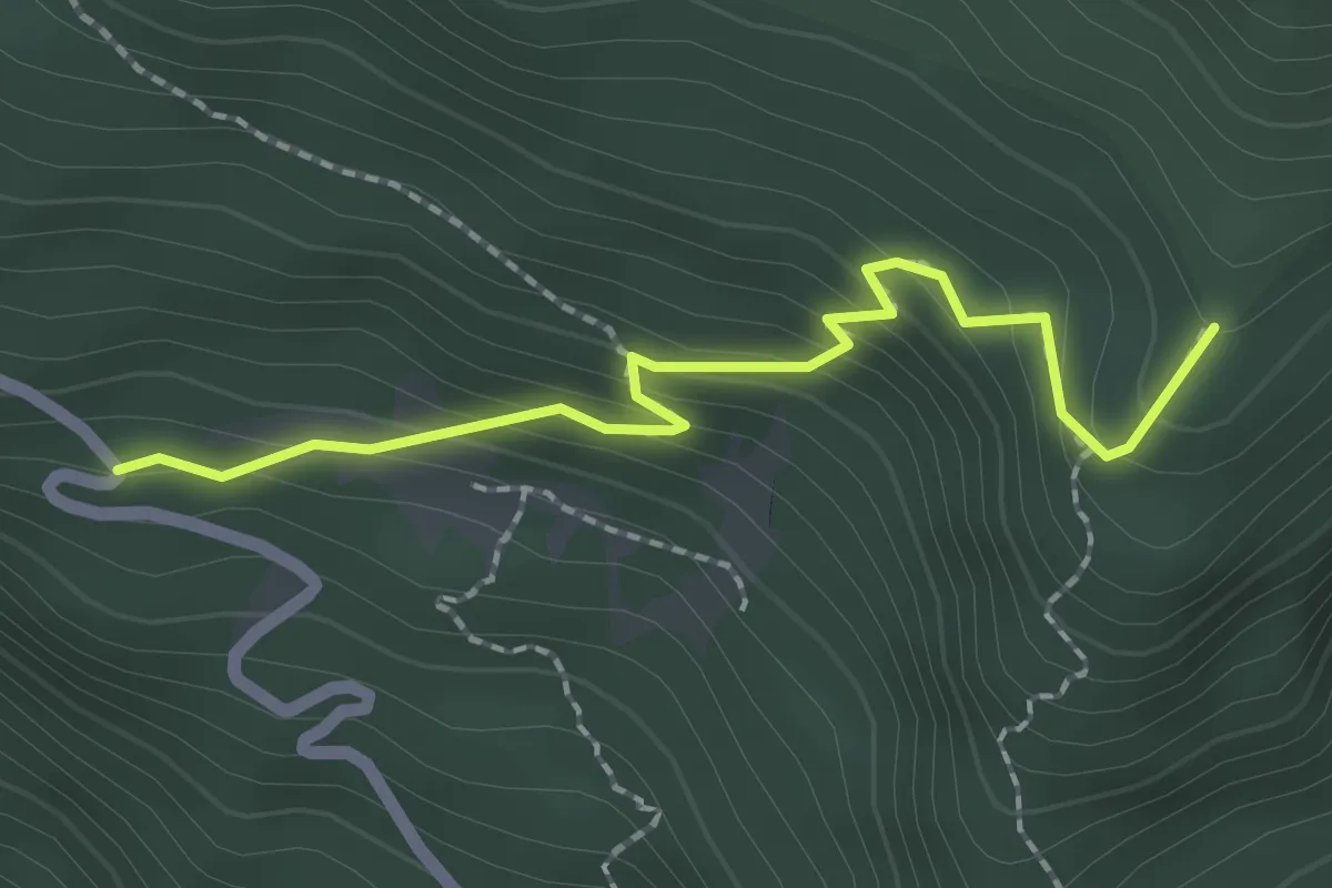
Easy · Trail
Fonte Barboz (quota 1350 m) – Bivio sentiero n. 624 (quota 1488 m)
2.1 km · ↑ 178 m · 52 min · 10 km away
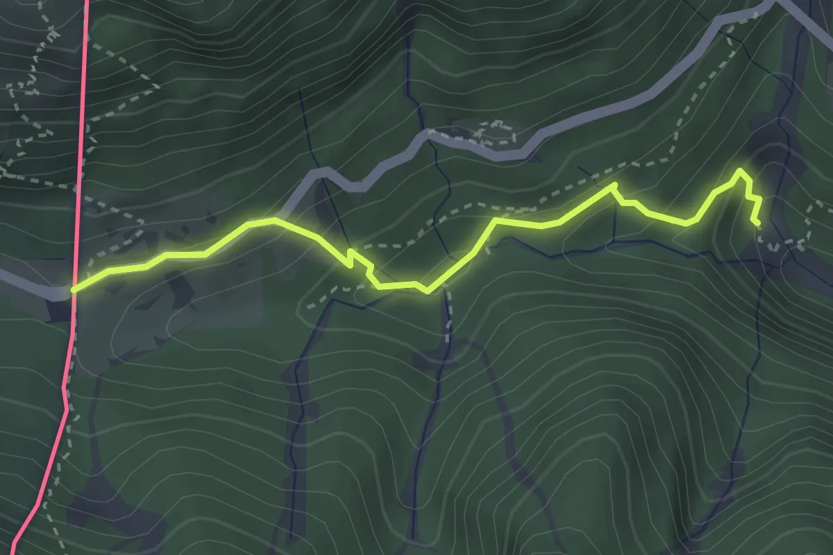
Medium · Trail
Juliana Trail
3.1 km · ↑ 234 m · 1 h 14 min · 10 km away