Trails near Bovec
136 hikes starting within 15 km, nearest first.
Nearest first, page 2 of 3
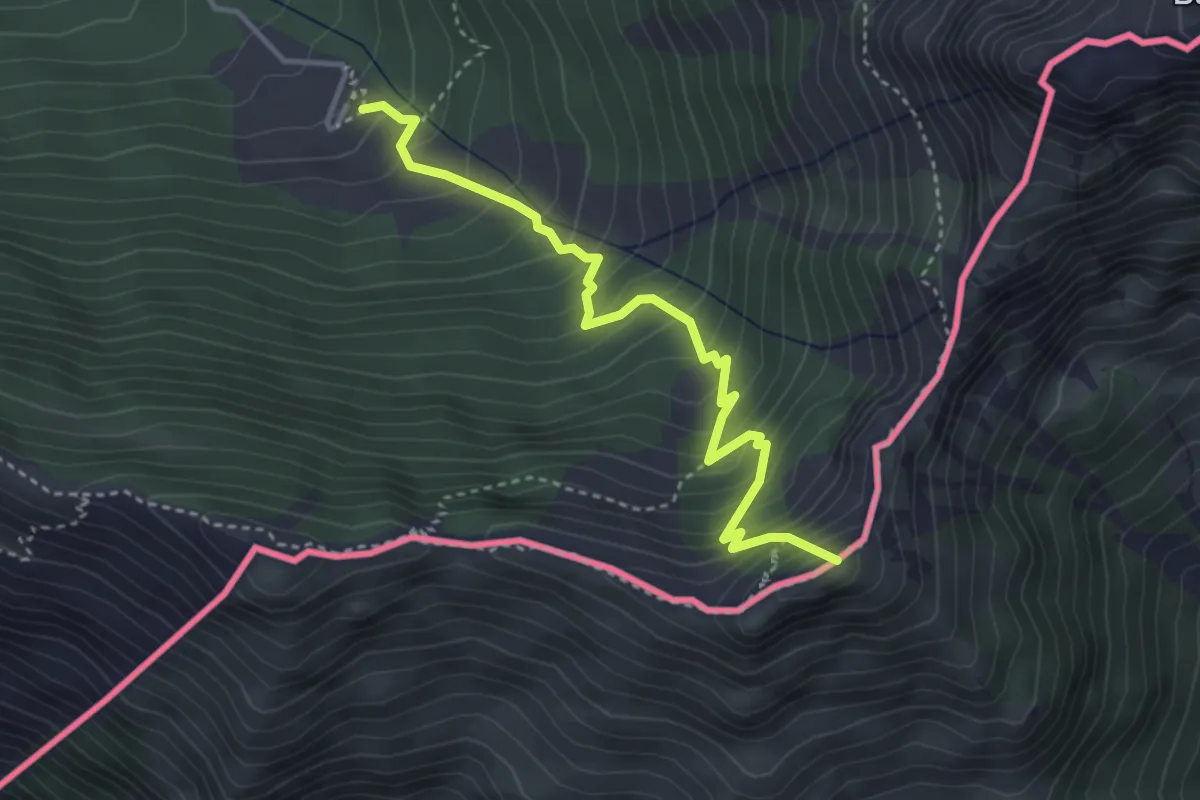
Medium · Summit
Casera Coot (quota 1190 m) – Monte Guarda (quota 1720 m)
3.8 km · ↑ 485 m · 1 h 57 min · 10 km away
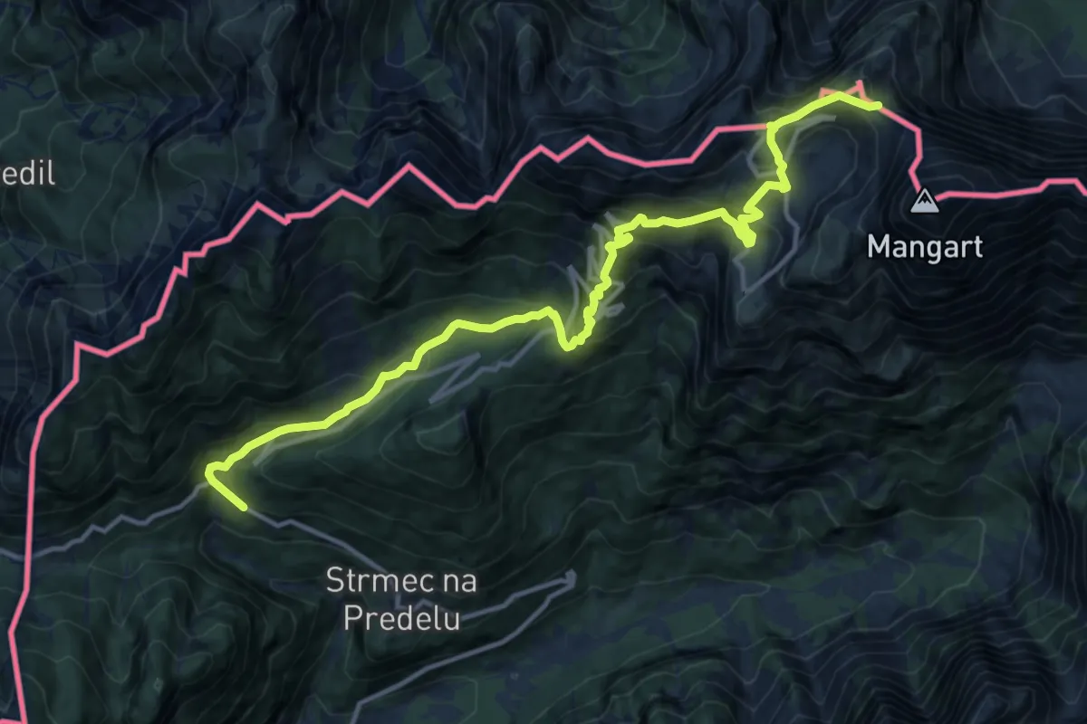
Demanding · Summit
Log - Mangartska pl. - Mangartsko sedlo
15.0 km · ↑ 1188 m · 6 h 8 min · 10 km away
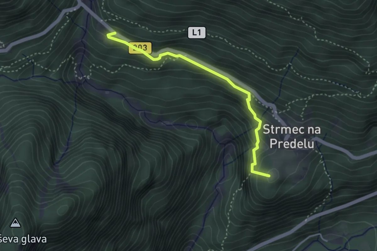
Demanding · Summit
Log - Mangartska pl. - Mangartsko sedlo
3.2 km · ↑ 244 m · 1 h 18 min · 10 km away
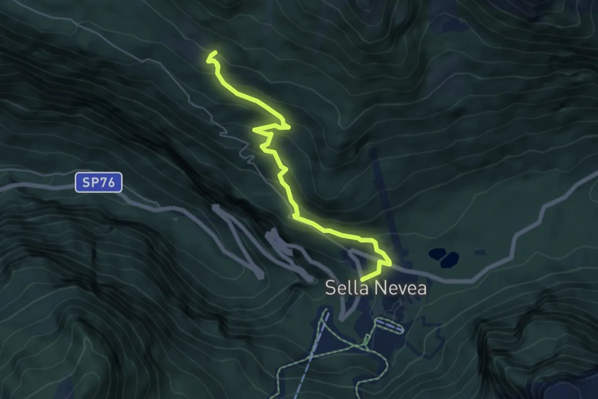
Medium · Cabin
Rifugio Divisione Julia (quota 1162 m) – Casera Larice (quota 1479 m)
5.3 km · ↑ 393 m · 2 h 6 min · 10 km away
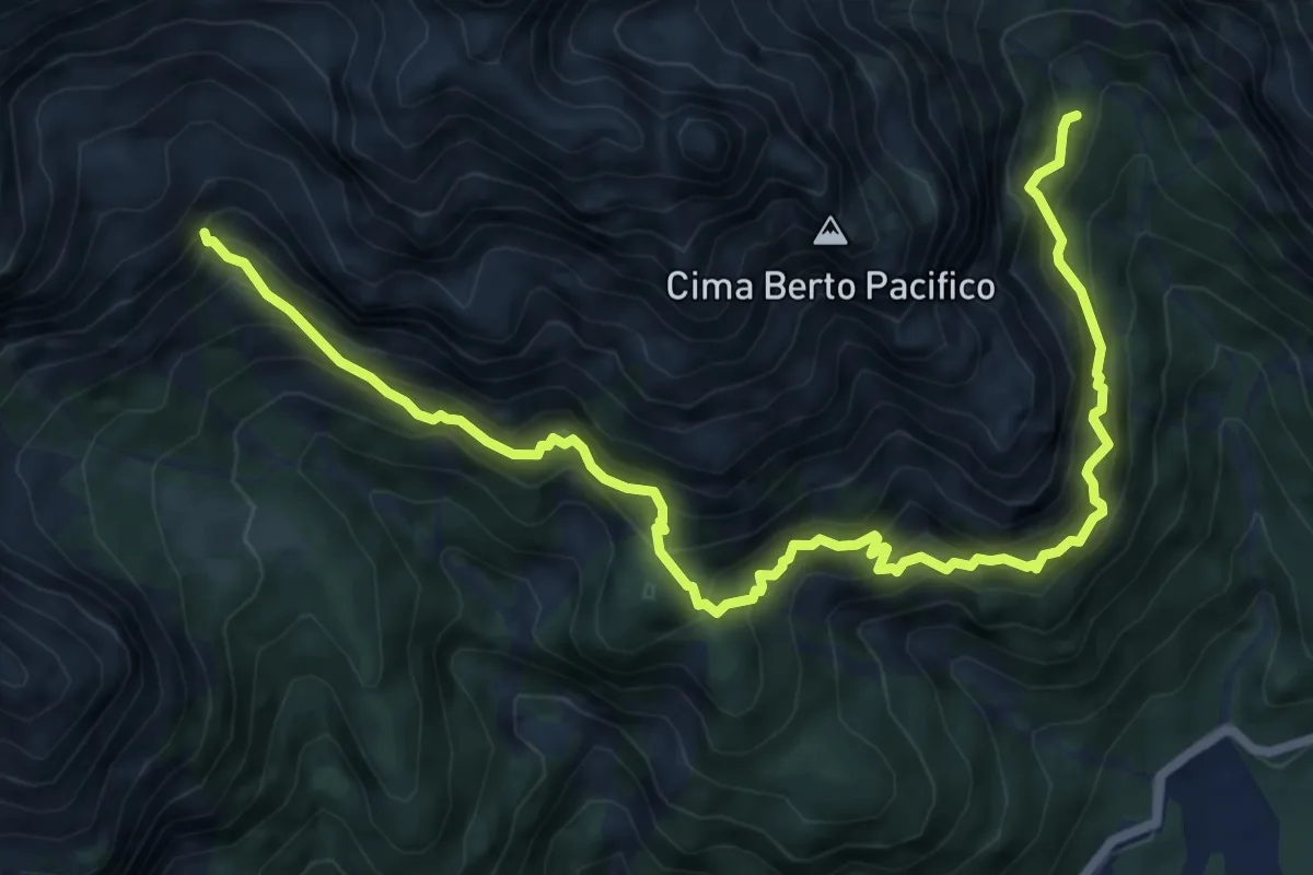
Expert · Cabin
Sentiero Re di Sassonia
8.8 km · ↑ 1224 m · 4 h 44 min · 10 km away
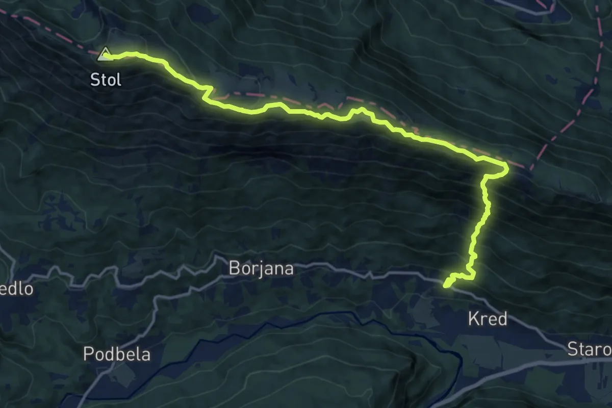
Demanding · Summit
Potoki - Bivak Hlek - Stol
15.8 km · ↑ 1443 m · 6 h 52 min · 10 km away
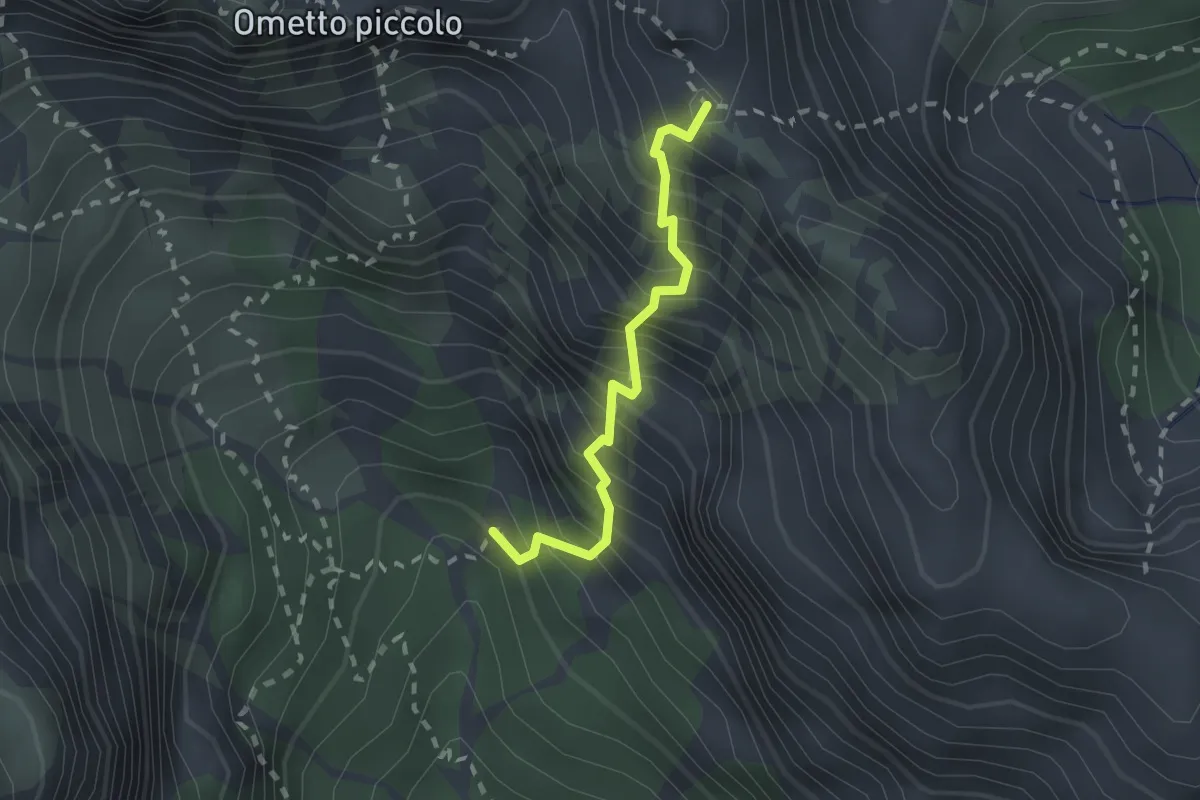
Expert · Trail
Via Ferrata “Mario Lonzar”
1.8 km · ↑ 473 m · 1 h 27 min · 10 km away
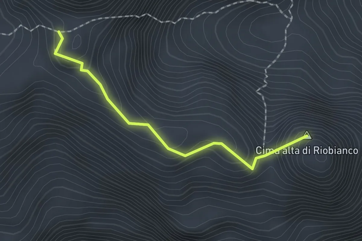
Expert · Summit
Sentiero del Centenario
1.6 km · ↑ 131 m · 40 min · 10 km away
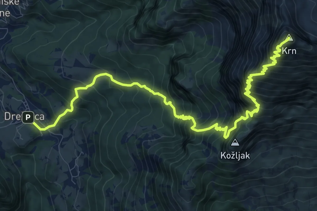
Demanding · Summit
Drežnica - Krn (južna)
14.9 km · ↑ 1858 m · 7 h 33 min · 10 km away
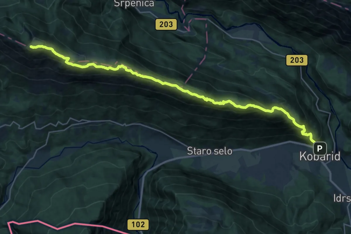
Expert · Summit
Kobarid - Stol
24.4 km · ↑ 1598 m · 9 h 13 min · 10 km away
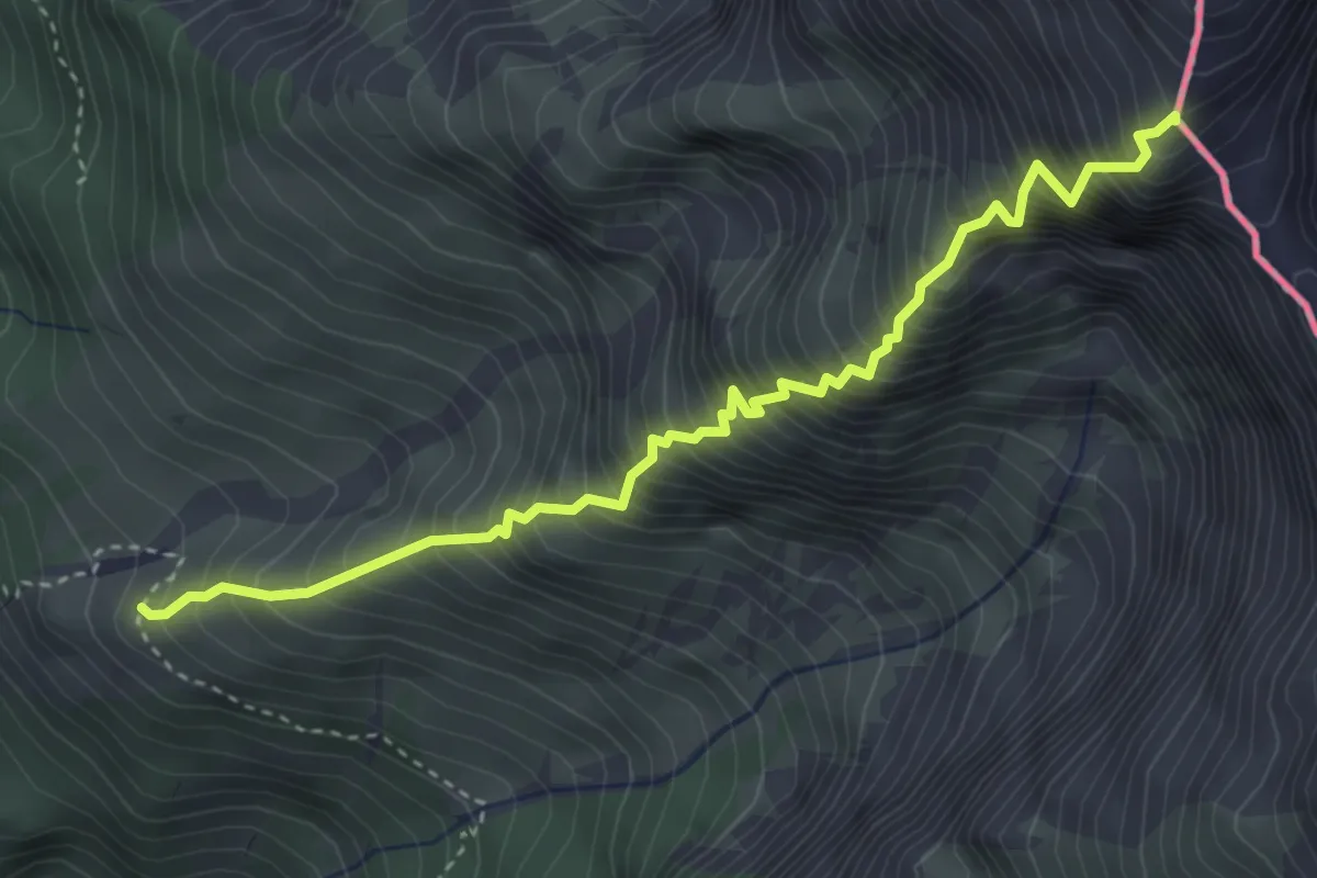
Expert · Summit
Via Normale Resiana
4.0 km · ↑ 971 m · 3 h 3 min · 10 km away
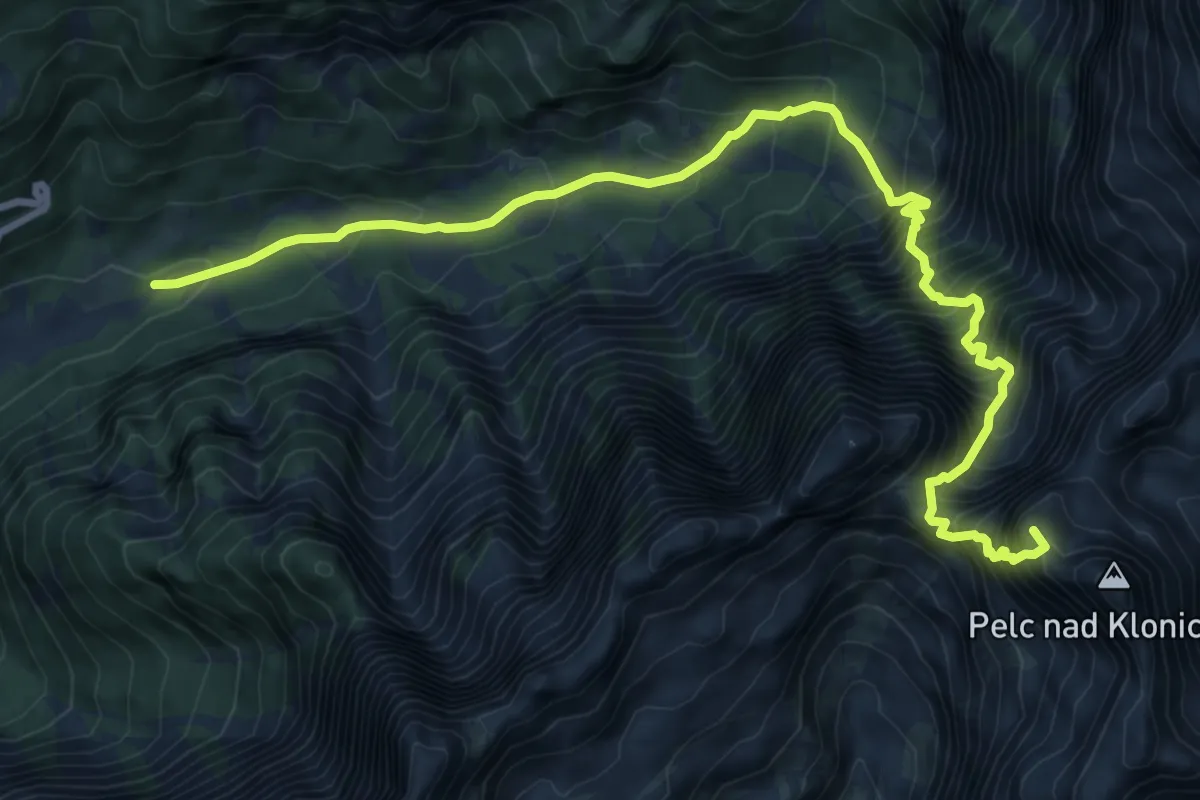
Expert · Summit
Loška Koritnica - Zavetišče pod Špičkom
10.7 km · ↑ 1593 m · 5 h 58 min · 10 km away
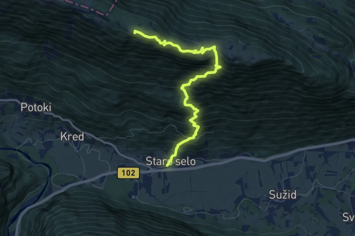
Demanding · Summit
Staro selo - Bivak Hlek
8.8 km · ↑ 971 m · 4 h 12 min · 10 km away
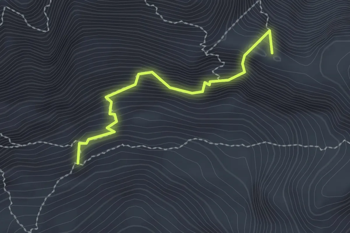
Expert · Summit
Via Ferrata F. Cavalieri
2.0 km · ↑ 394 m · 1 h 19 min · 10 km away
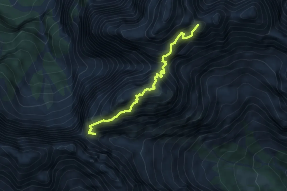
Expert · Summit
Sentiero Anita Goitan
4.7 km · ↑ 900 m · 3 h 4 min · 10 km away
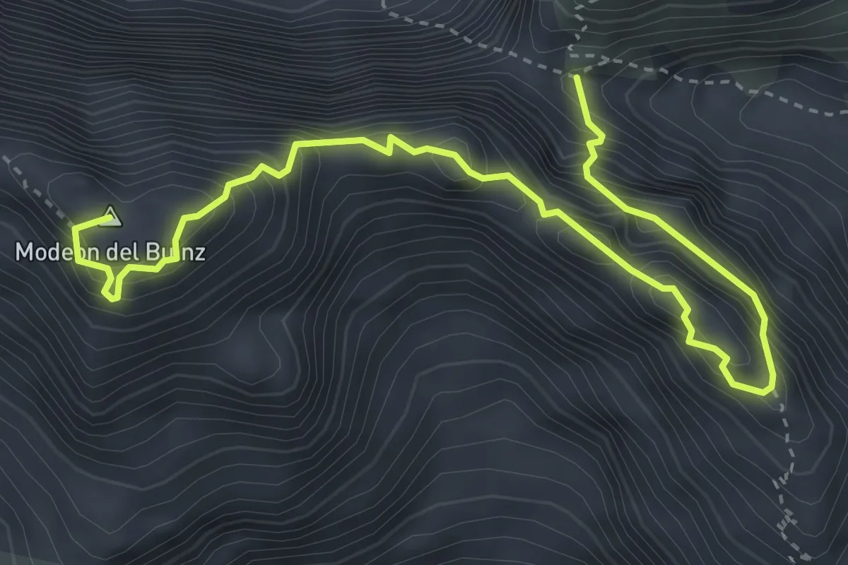
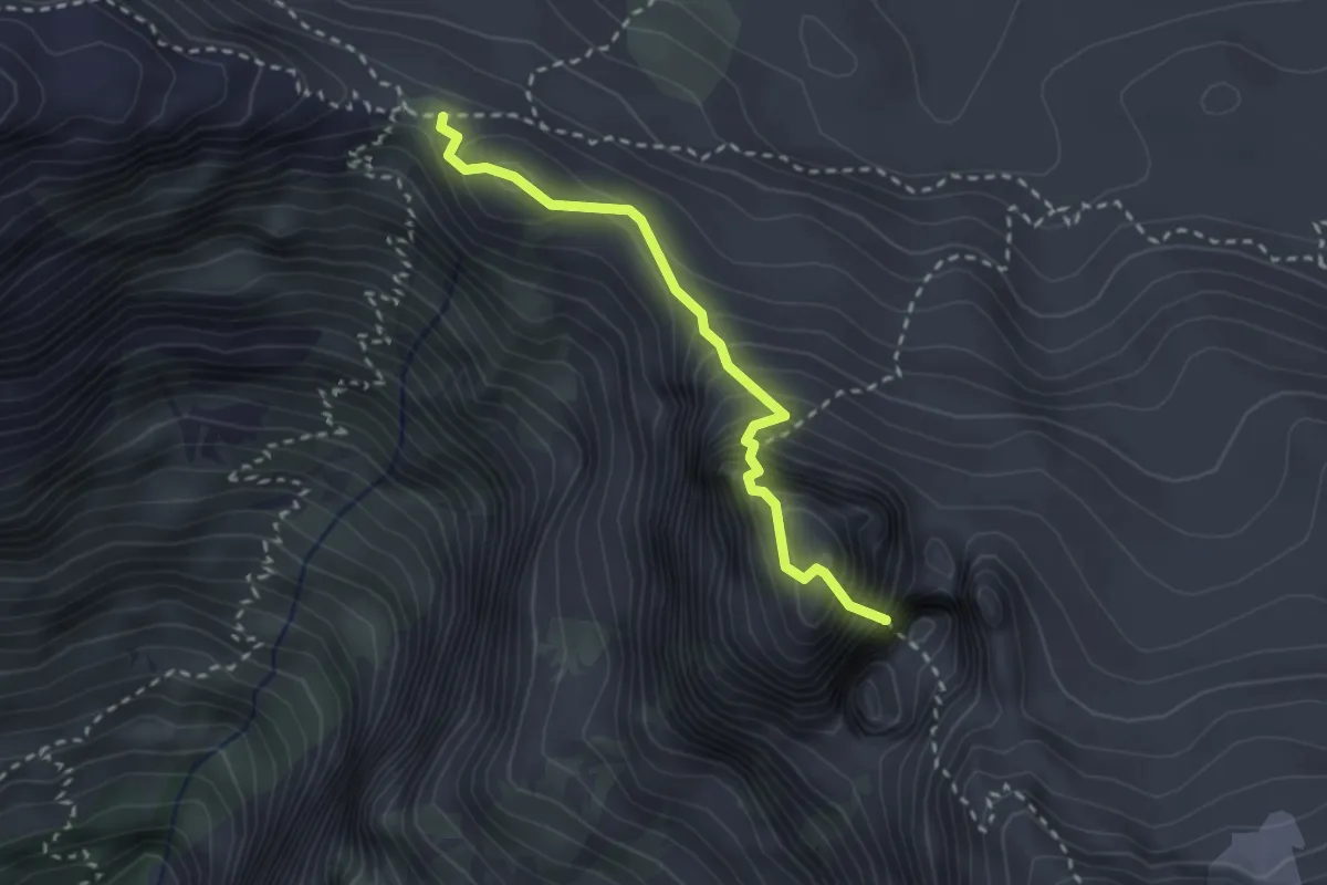
Expert · Summit
Sentiero Ceria Merlone
4.6 km · ↑ 629 m · 2 h 27 min · 10 km away
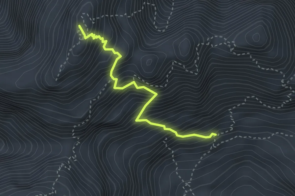
Expert · Summit
Via Ferrata “Rosalba Grasselli”
2.5 km · ↑ 414 m · 1 h 29 min · 10 km away
Expert · Summit
Via Normale Jôf Fuart
2.9 km · ↑ 606 m · 2 h · 10 km away
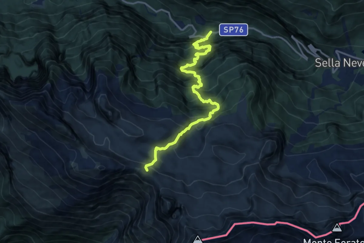
Demanding · Trail
SP76 Val Raccolana, dopo fontanone Goriuda (q. 780 m) – Bivio sent. n. 632 (q. 2020 m)
11.1 km · ↑ 1399 m · 5 h 40 min · 11 km away
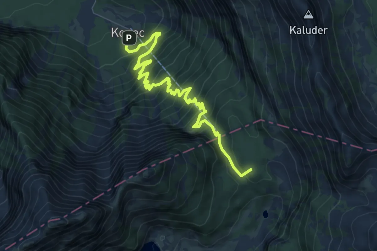
Demanding · Summit
Lepena - Dom pri Krnskih jezerih
8.4 km · ↑ 905 m · 3 h 56 min · 11 km away
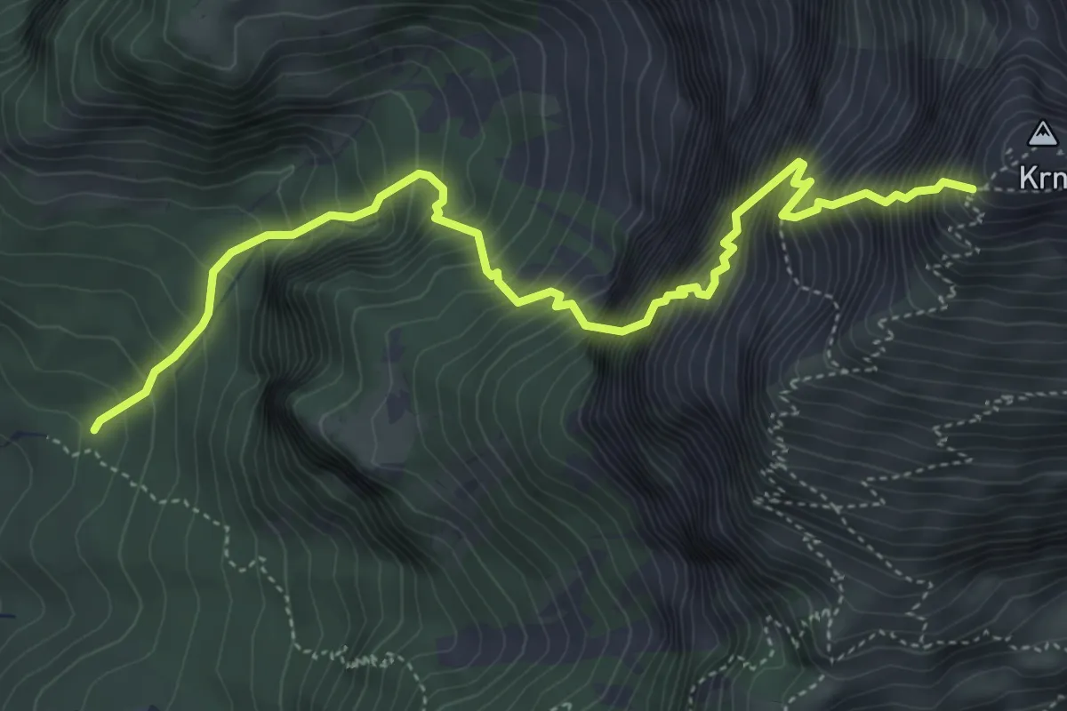
Expert · Cabin
Pot Silva Korena
5.6 km · ↑ 1532 m · 4 h 38 min · 11 km away
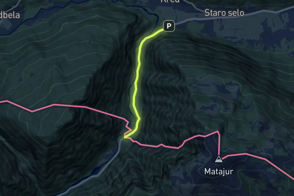
Easy · Trail
European long distance path E7 - part Slovenia
7.2 km · ↑ 180 m · 2 h 5 min · 11 km away
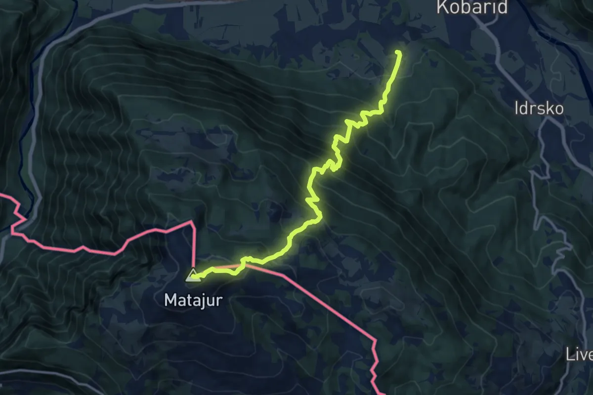
Demanding · Summit
Svino - Matajur
12.9 km · ↑ 1353 m · 5 h 58 min · 11 km away
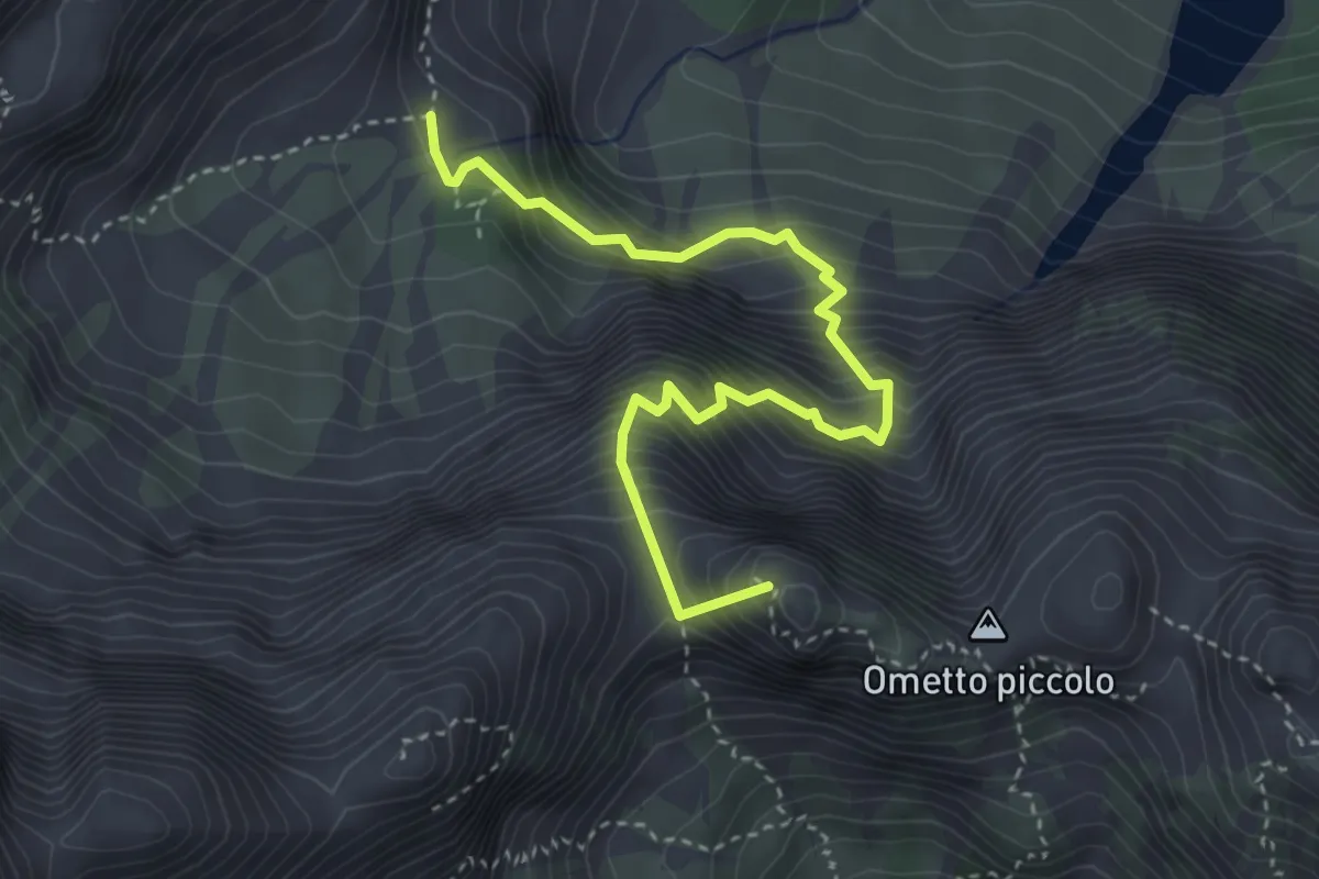
Expert · Summit
via ferrata Carlo Puppis
4.0 km · ↑ 1112 m · 3 h 21 min · 11 km away
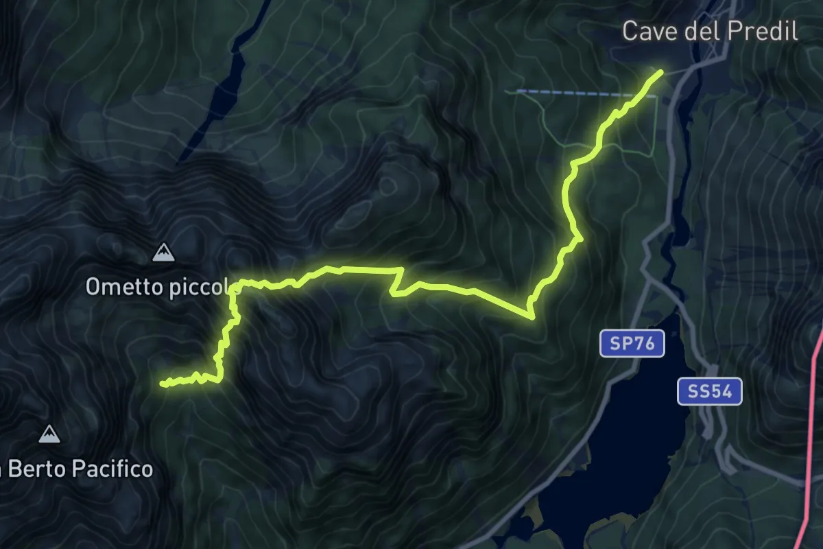
Expert · Cabin
Cave del Predil (quota 900 m) – Rifugio Brunner (quota 1432 m)
9.8 km · ↑ 1552 m · 5 h 41 min · 11 km away
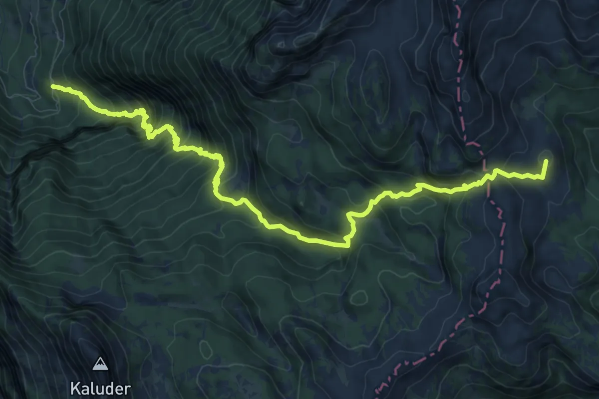
Expert · Summit
Pod Zjabci - Pl. Za skalo - Pl. Lopučnica
13.0 km · ↑ 1330 m · 5 h 57 min · 11 km away
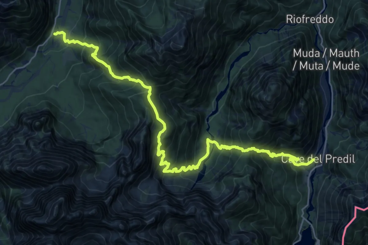
Demanding · Trail
Valbruna (quota 860 m) – Cave del Predil (quota 900 m)
11.7 km · ↑ 1027 m · 5 h 10 min · 11 km away
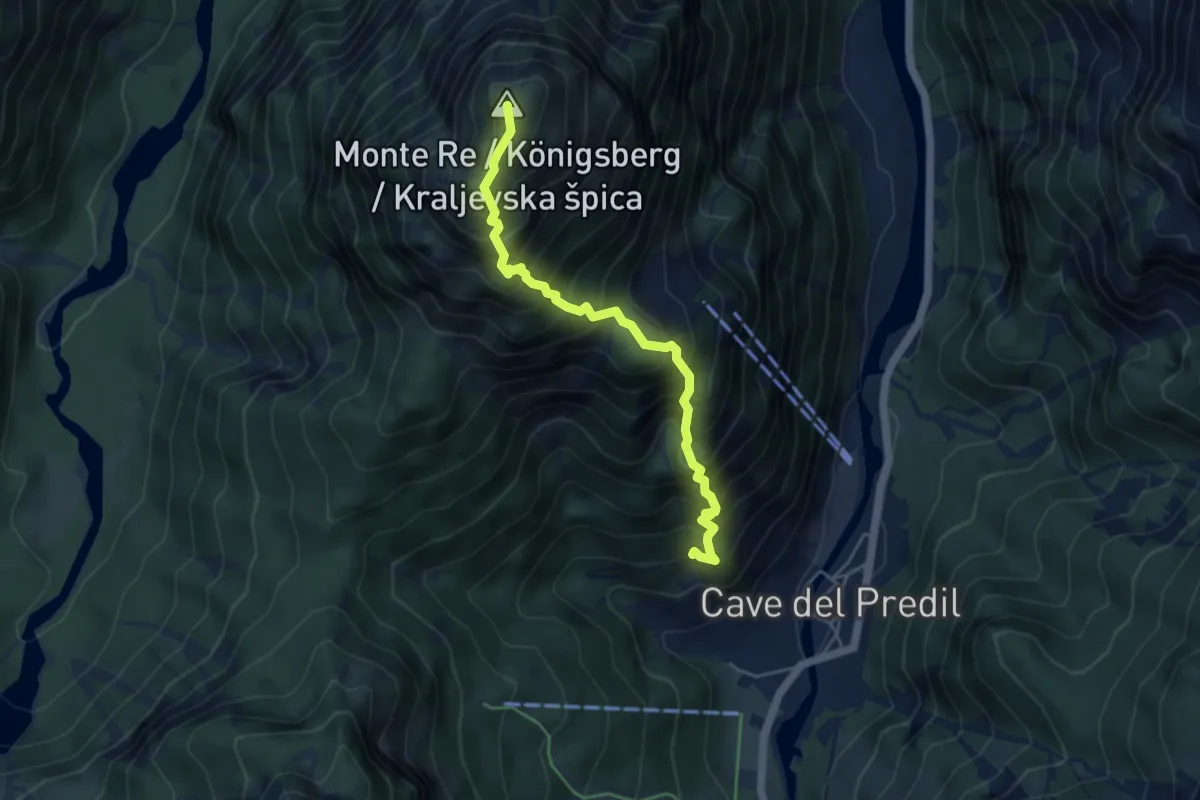
Demanding · Summit
Sentiero "I Lupi di Cave del Predil"
4.7 km · ↑ 873 m · 2 h 59 min · 12 km away
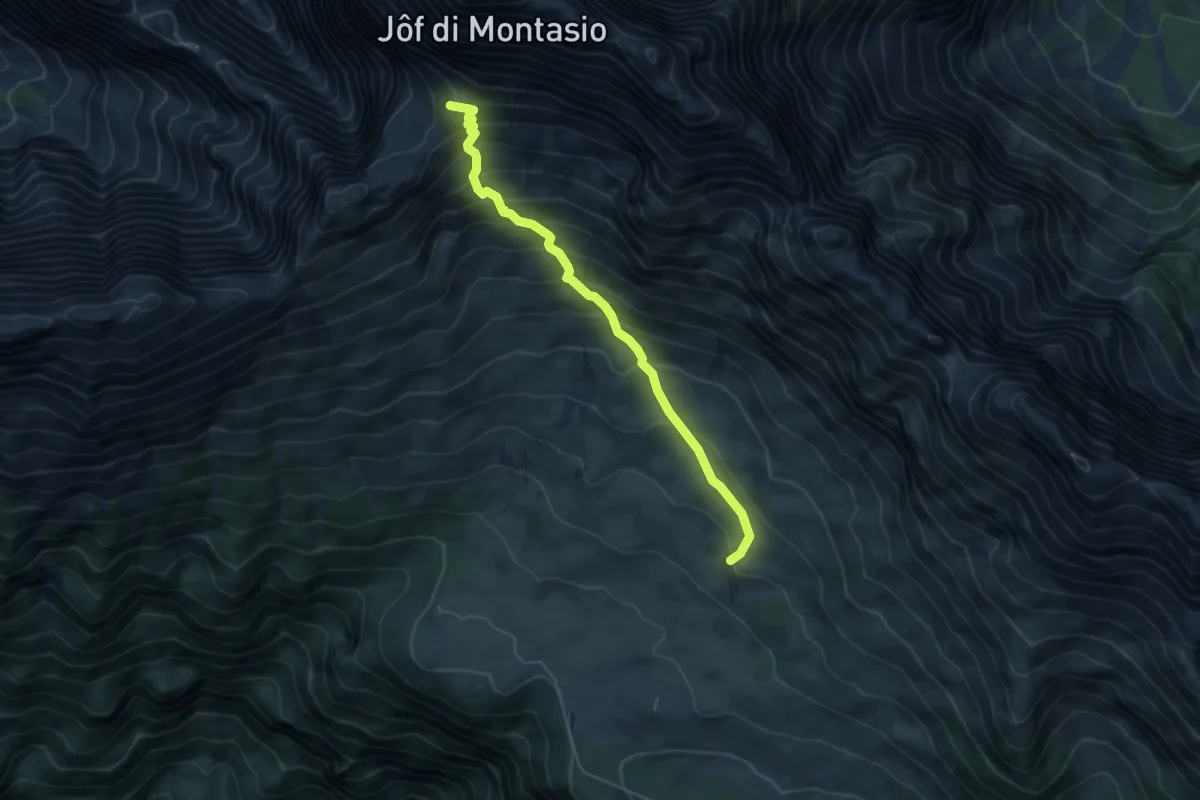
Medium · Summit
Rifugio Di Brazzà (quota 1660 m) – Forca Disteis (quota 2201 m)
5.1 km · ↑ 571 m · 2 h 27 min · 12 km away
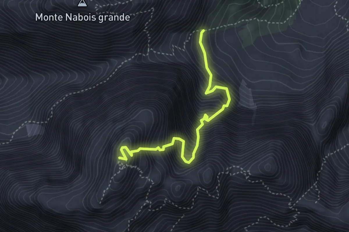
Expert · Summit
Gola Nord Est
3.9 km · ↑ 1268 m · 3 h 40 min · 12 km away
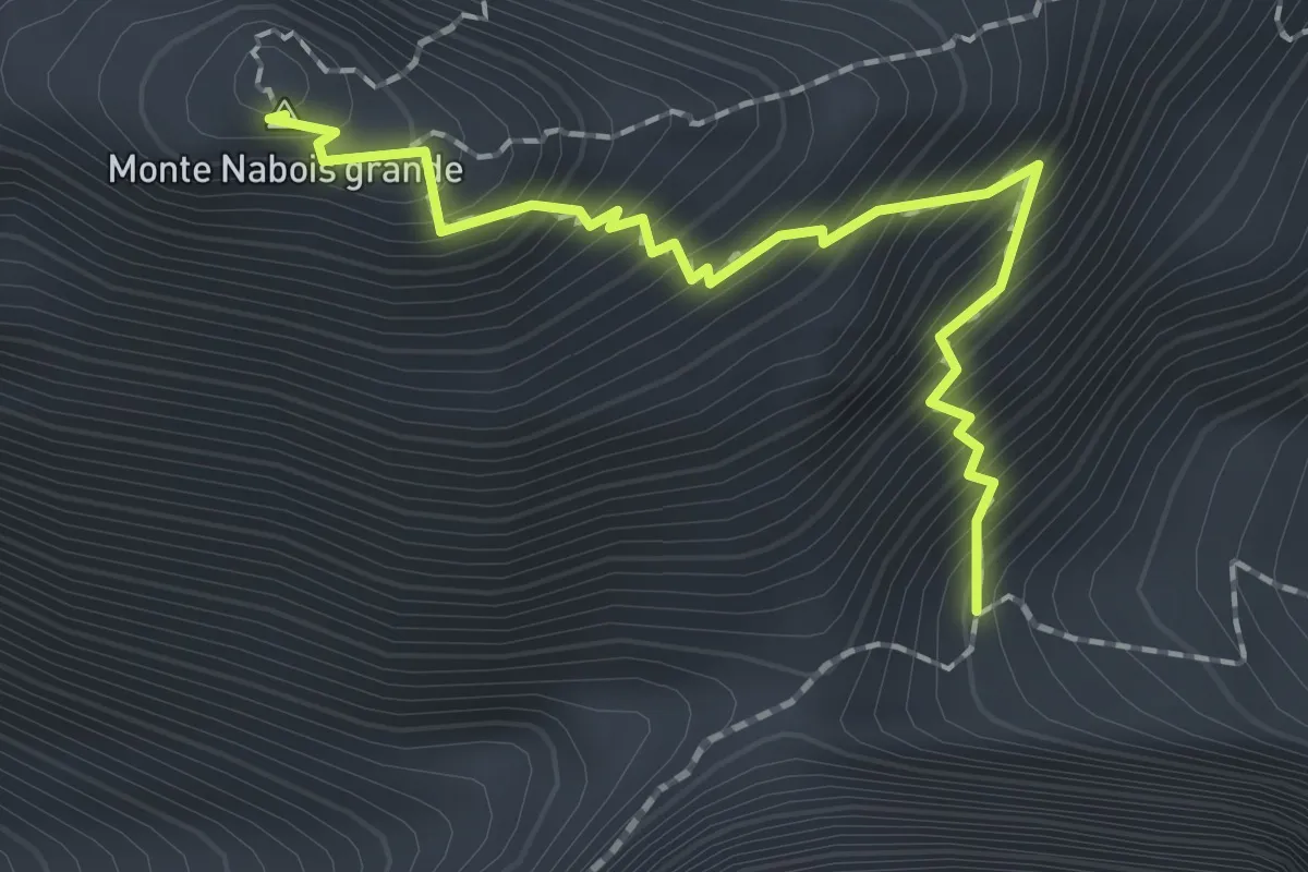
Expert · Summit
Via Normale al Nabois Grande
1.9 km · ↑ 324 m · 1 h 9 min · 12 km away
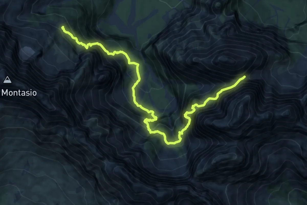
Expert · Cabin
Sentiero Carlo Chersi
7.2 km · ↑ 853 m · 3 h 51 min · 12 km away
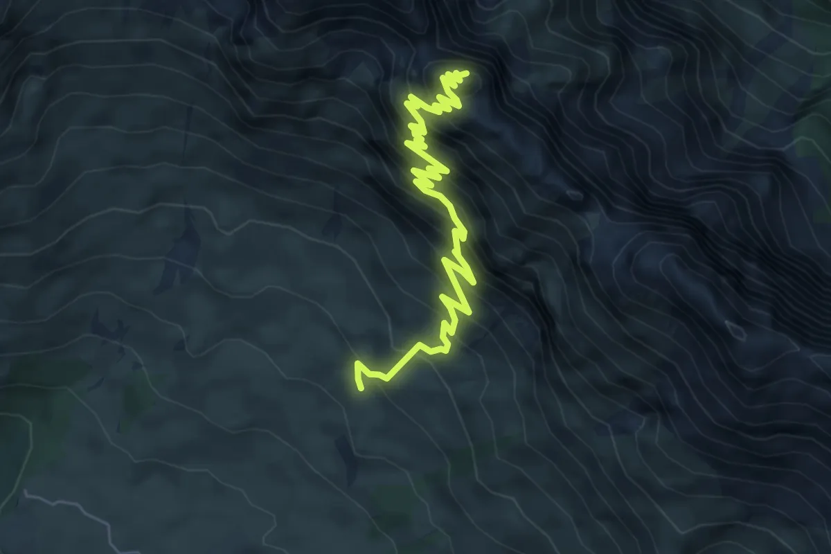
Demanding · Summit
Rifugio Di Brazzà bivio sentiero CAI n. 663 (quota 1660 m) – Cima di Terrarossa (quota 2420 m)
7.0 km · ↑ 842 m · 3 h 29 min · 12 km away
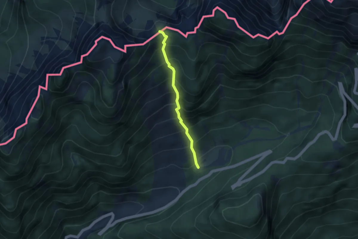
Medium · Trail
Mangartska pl. - Čez Stože
2.7 km · ↑ 439 m · 1 h 35 min · 12 km away
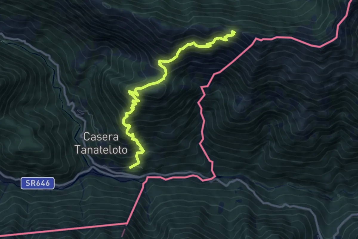
Demanding · Trail
Uccea (quota 630 m) – Monte Plagne (quota 1663 m)
8.5 km · ↑ 996 m · 4 h 10 min · 12 km away
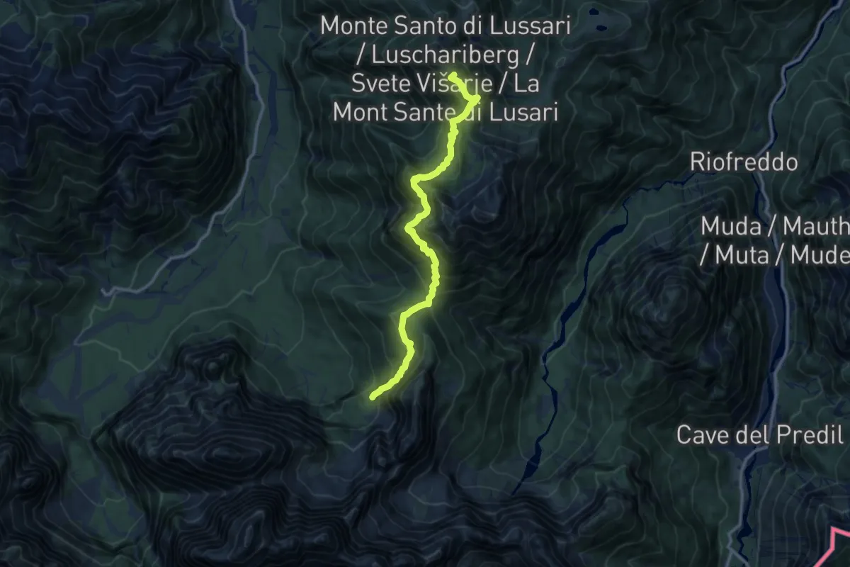
Demanding · Summit
Monte Santo di Lussari (quota 1780 m) – Bivio sentiero n. 616 (quota 1300 m)
11.3 km · ↑ 932 m · 4 h 41 min · 12 km away
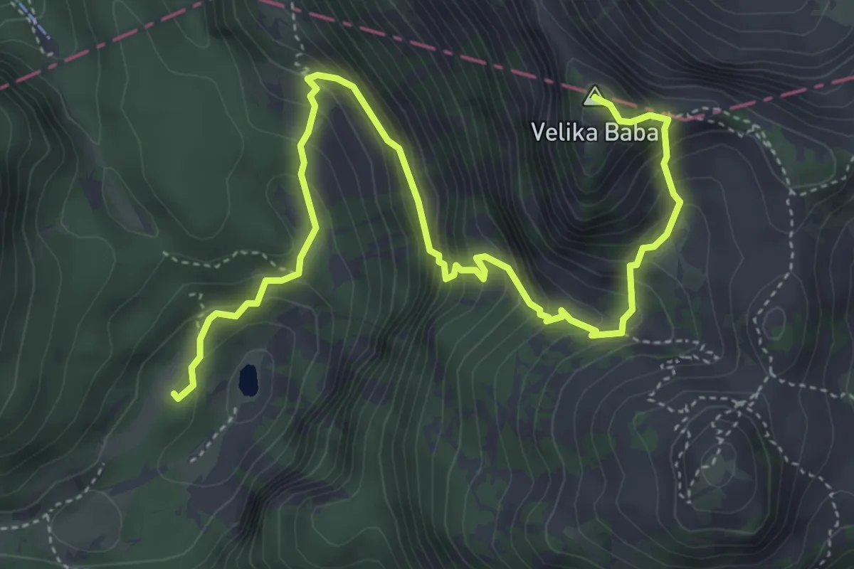
Medium · Summit
Dom pri Krnskih jezerih - Velika Baba
5.9 km · ↑ 584 m · 2 h 40 min · 12 km away
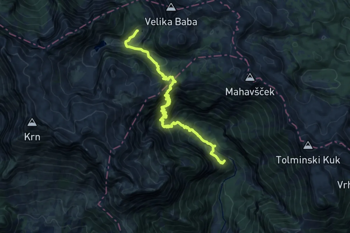
Demanding · Summit
Pl. Polog - Prehodci - Dom pri Krnskih jezerih
17.9 km · ↑ 1777 m · 8 h 5 min · 12 km away
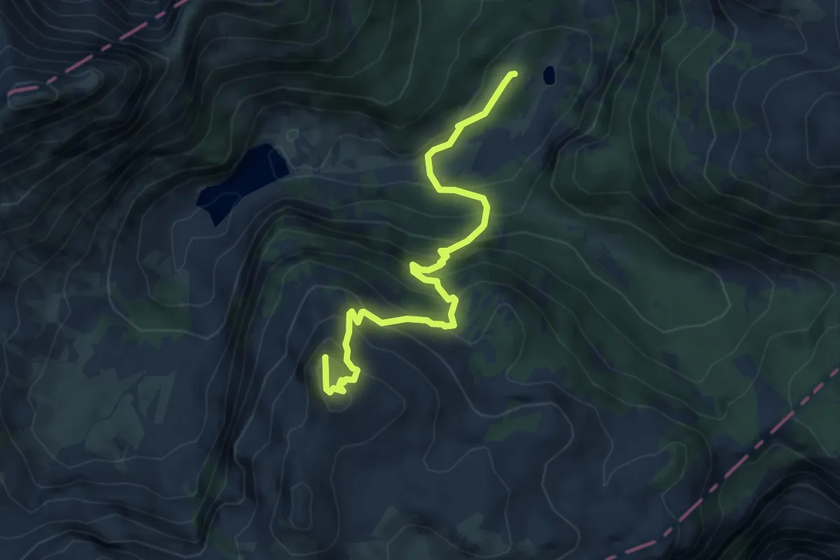
Medium · Summit
Dom pri Krnskih jezerih - Šmohor
5.4 km · ↑ 596 m · 2 h 33 min · 12 km away
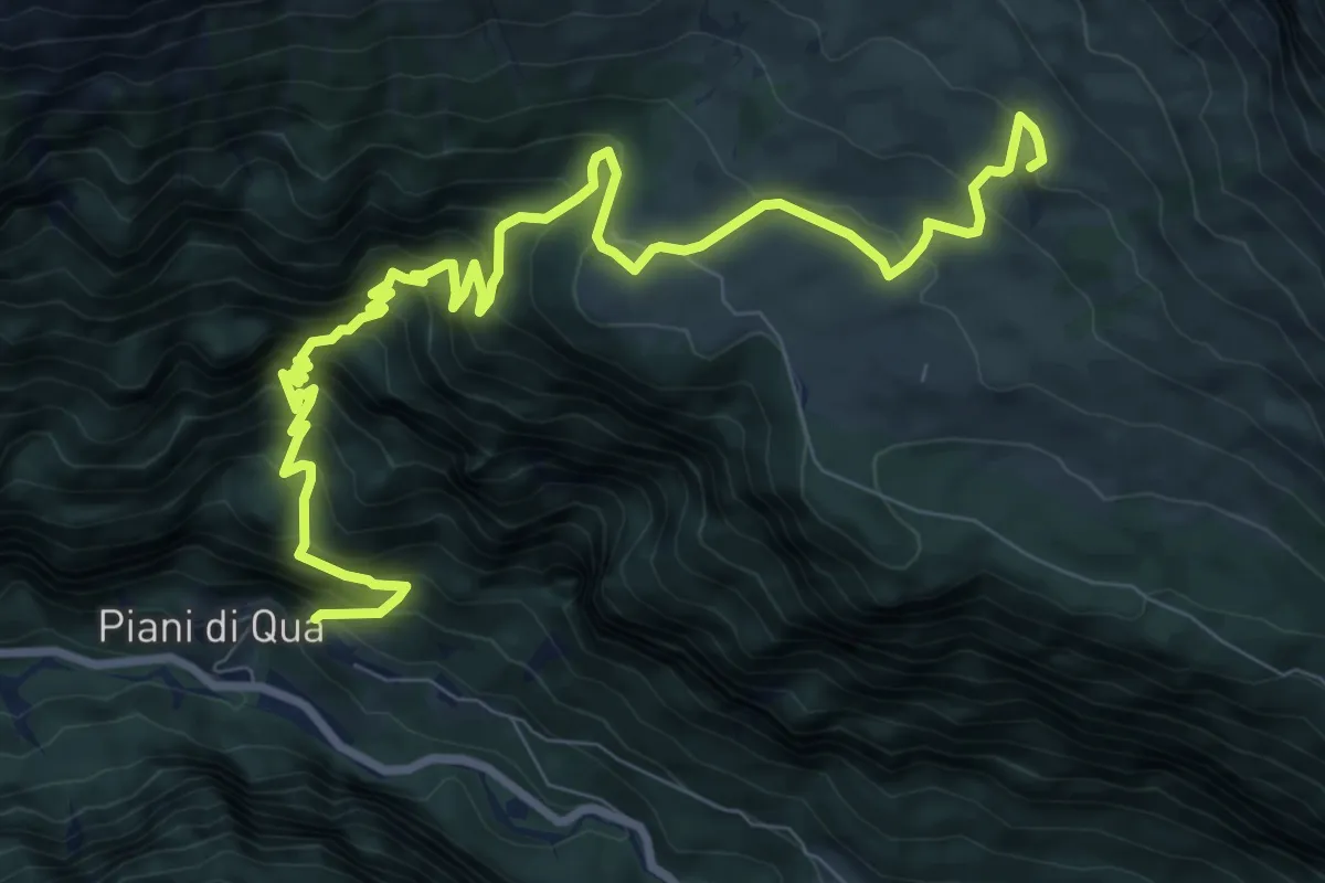
Demanding · Cabin
Piani (quota 604 m) – Rifugio G. di Brazzà (quota 1660 m)
11.6 km · ↑ 1126 m · 5 h 10 min · 12 km away
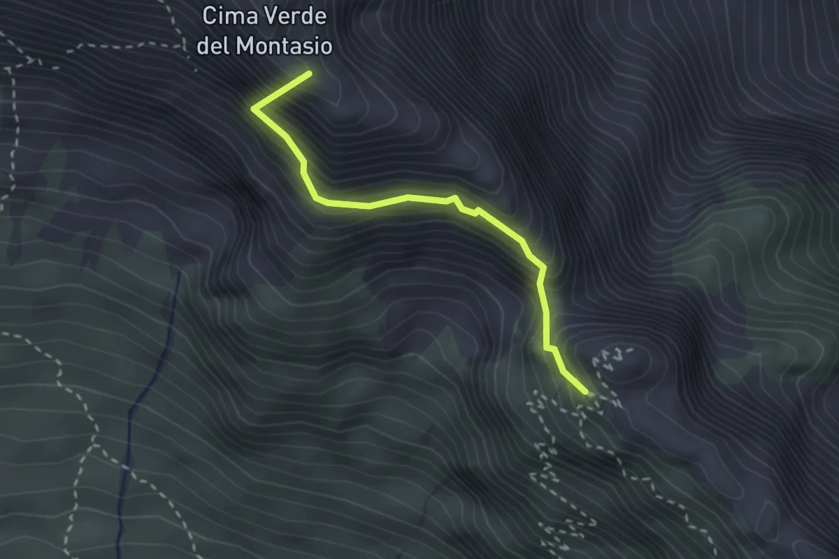
Expert · Summit
Sentiero Leva
2.4 km · ↑ 438 m · 1 h 30 min · 12 km away
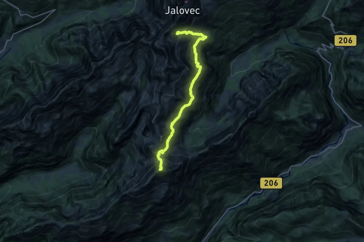
Expert · Summit
Pot prijateljstva
14.1 km · ↑ 1800 m · 7 h 14 min · 12 km away
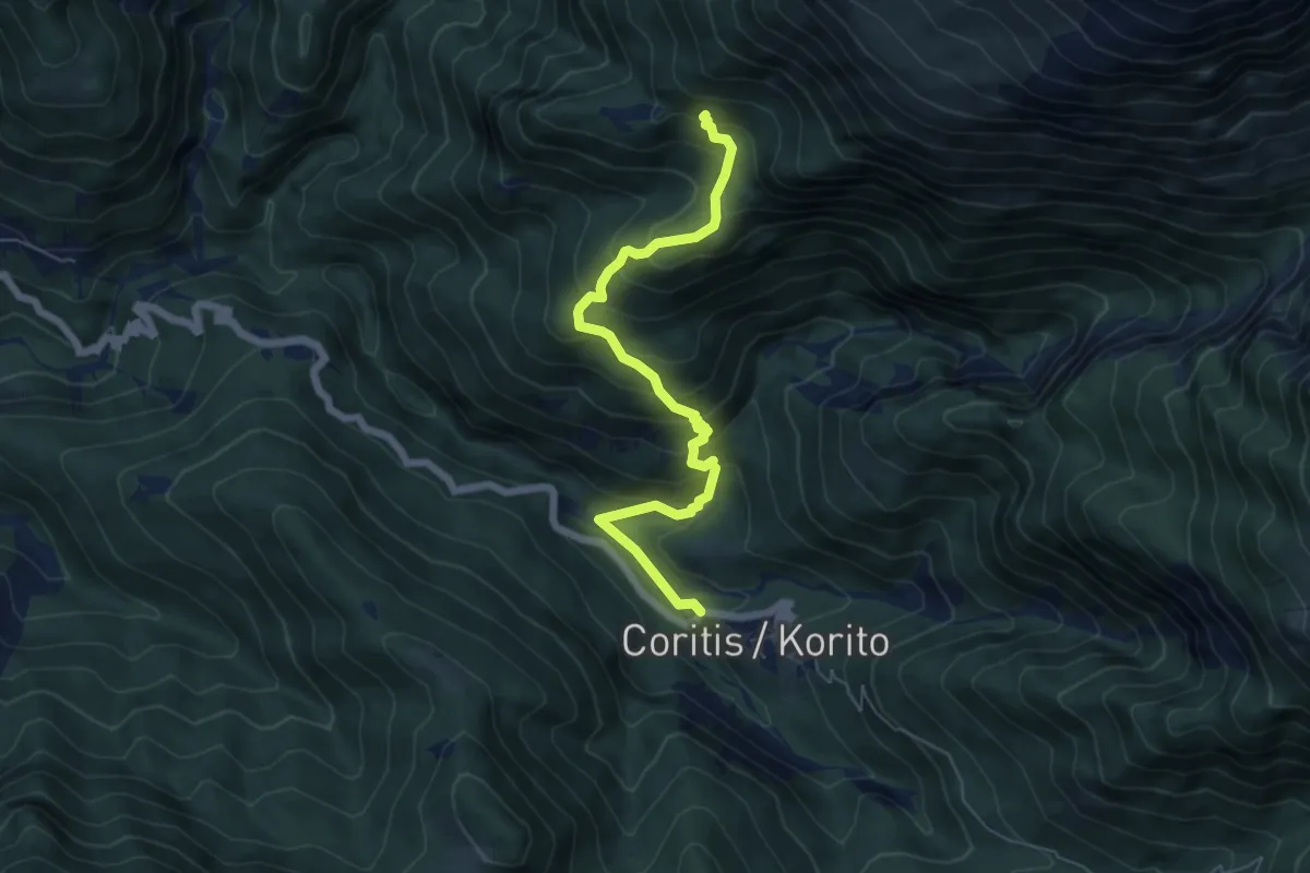
Medium · Trail
Carrabile di Coritis (quota 580 m) – Bivio sentiero n. 634 (quota 1100 m)
6.3 km · ↑ 568 m · 2 h 43 min · 12 km away
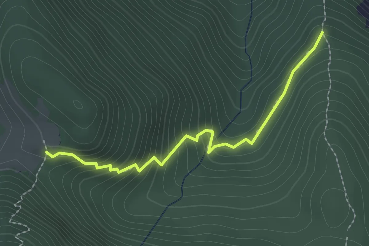
Easy · Trail
Bivio sentiero n. 738 (quota 799 m) – Bivio sentiero n. 732 (quota 1000 m)
2.2 km · ↑ 226 m · 1 h · 12 km away
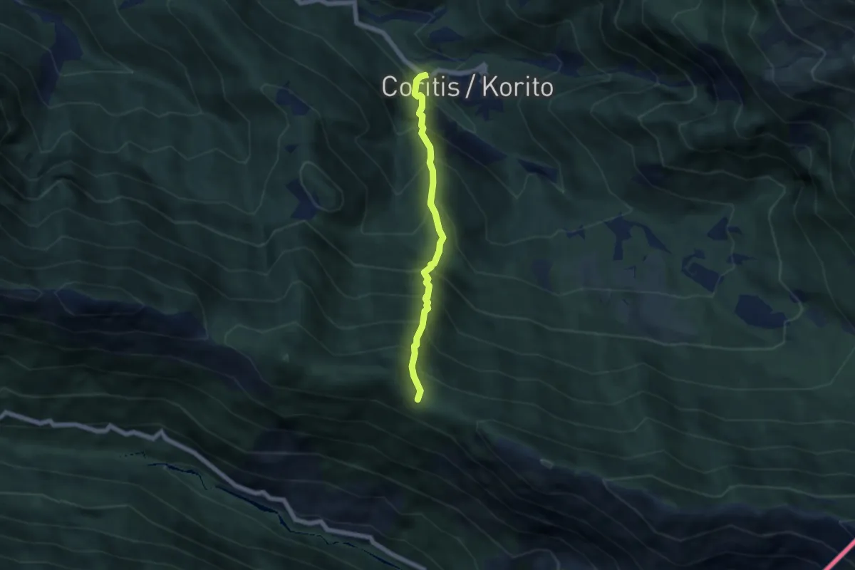
Medium · Trail
Località ponte sul Torrente Resia (quota 564 m) – Forcella Praduline (quota 1335 m)
4.6 km · ↑ 774 m · 2 h 46 min · 13 km away
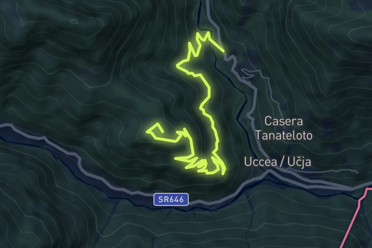
Medium · Summit
S.P. sopra Uccea (quota 700 m) – Ric. Casera Nischiuarch (quota 1207 m)
8.0 km · ↑ 513 m · 3 h · 13 km away
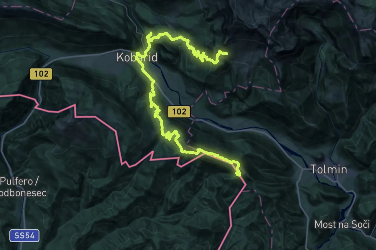
Demanding · Summit
JK13
28.8 km · ↑ 1266 m · 10 h 3 min · 13 km away
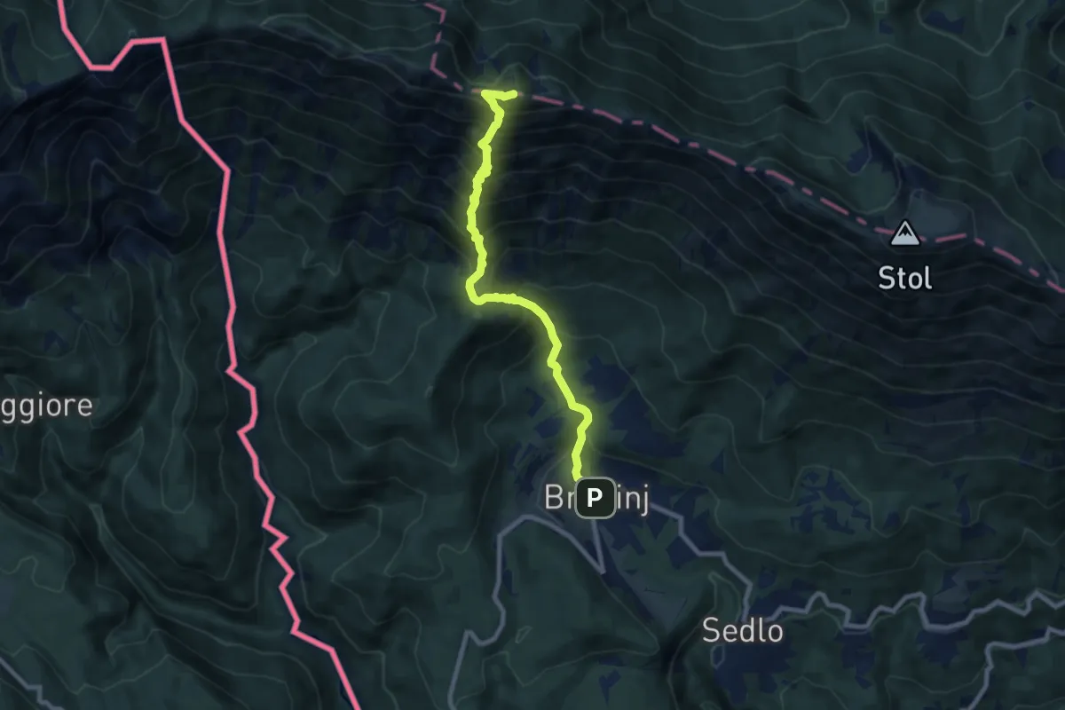
Demanding · Summit
Breginj - Muzec
8.3 km · ↑ 1033 m · 4 h 11 min · 13 km away