Trails near Bovec
136 hikes starting within 15 km, nearest first.
Nearest first, page 3 of 3
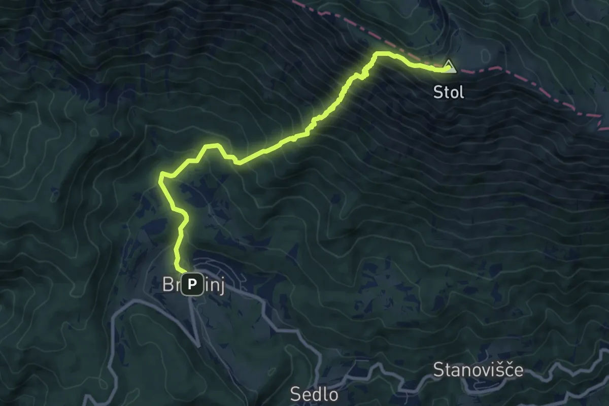
Demanding · Summit
Breginj - Stol
9.2 km · ↑ 1107 m · 4 h 34 min · 13 km away
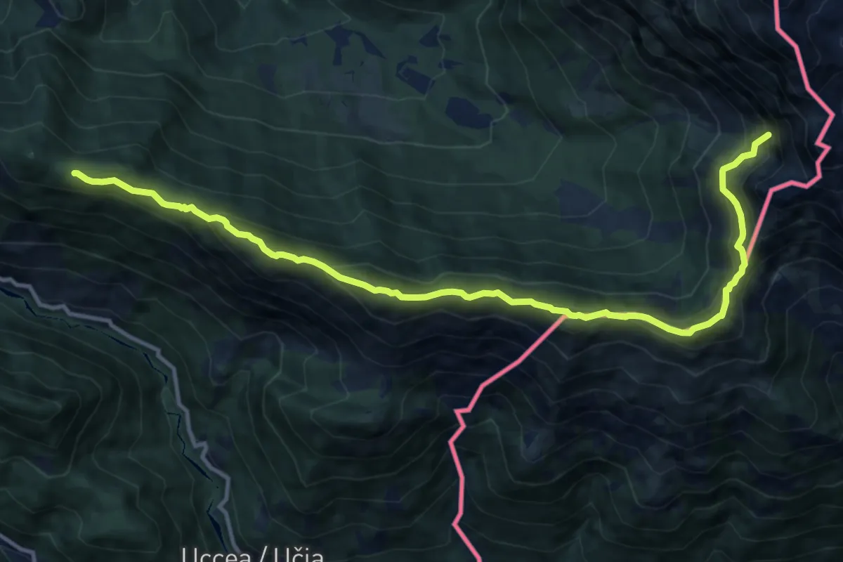
Demanding · Summit
Sella Canizza (quota 1072 m) – Rotabile per Coritis (quota 810 m)
12.9 km · ↑ 914 m · 5 h 1 min · 13 km away
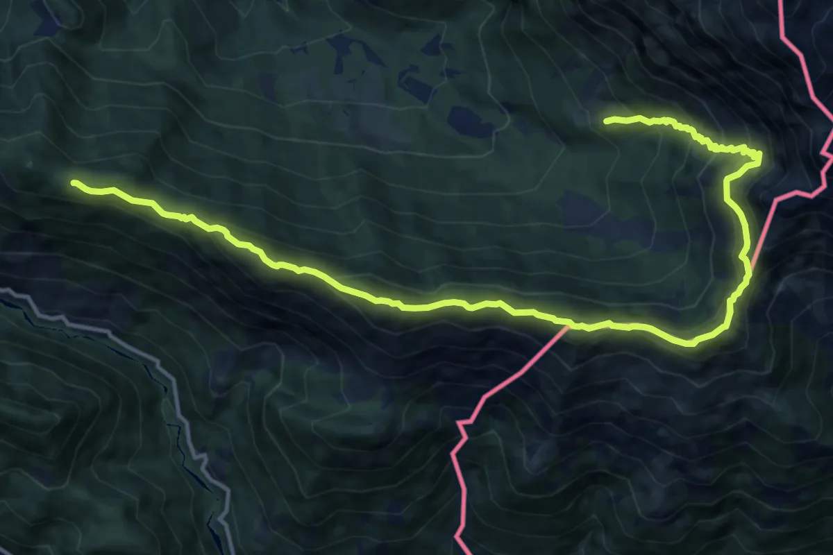
Medium · Summit
JK17
7.7 km · ↑ 555 m · 3 h 10 min · 13 km away
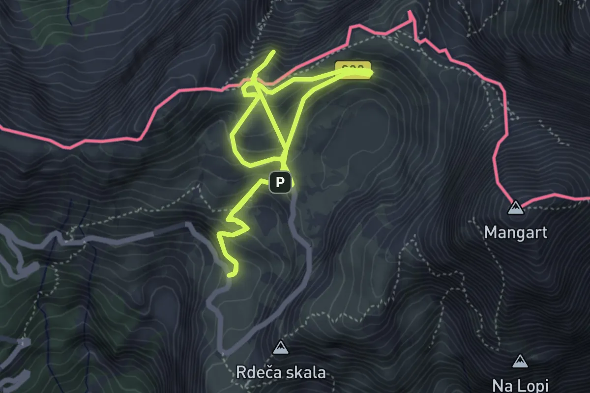
Medium · Summit
Učna pot Mangrt
4.3 km · ↑ 275 m · 1 h 38 min · 13 km away
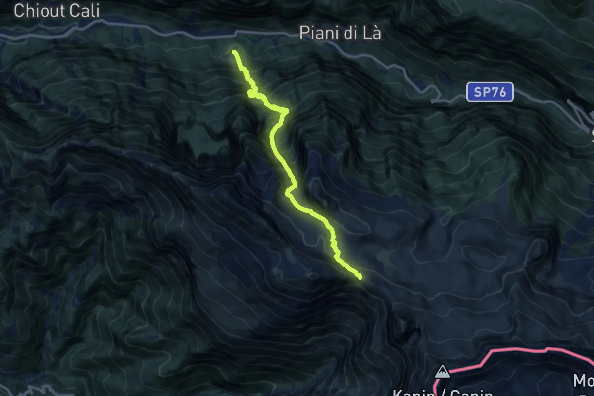
Demanding · Trail
Tamaroz (quota 616 m) – Sella di Grubia – Bivacco Marussich (quota 2040 m)
9.9 km · ↑ 1486 m · 5 h 34 min · 13 km away
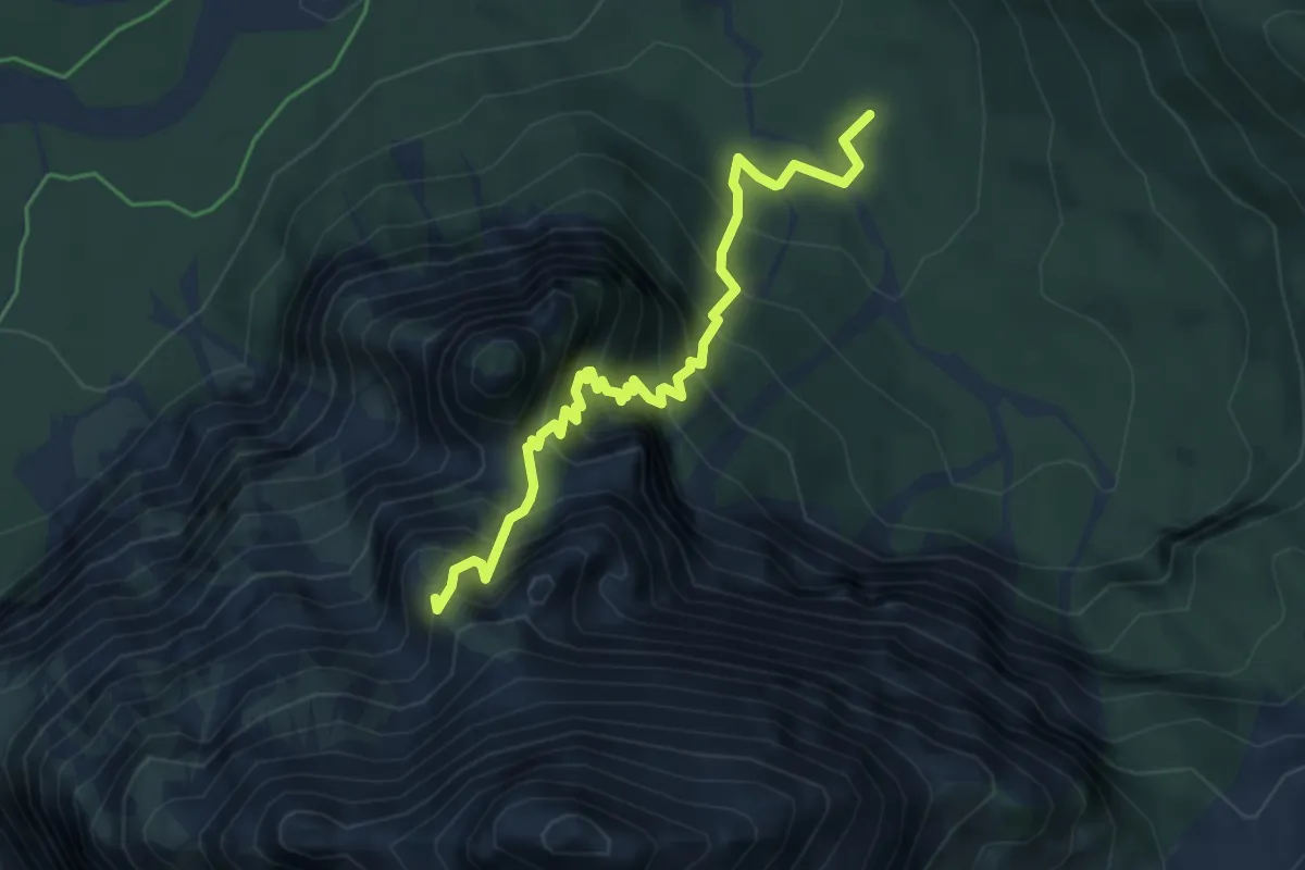
Expert · Summit
Sentiero Marco Martinolli
4.8 km · ↑ 671 m · 2 h 35 min · 13 km away
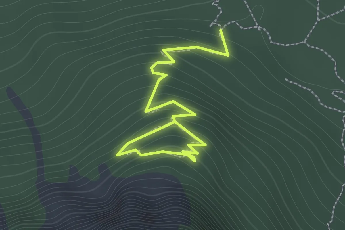
Demanding · Trail
Abschnitt Seisera - Percorso rosso
2.0 km · ↑ 193 m · 53 min · 14 km away
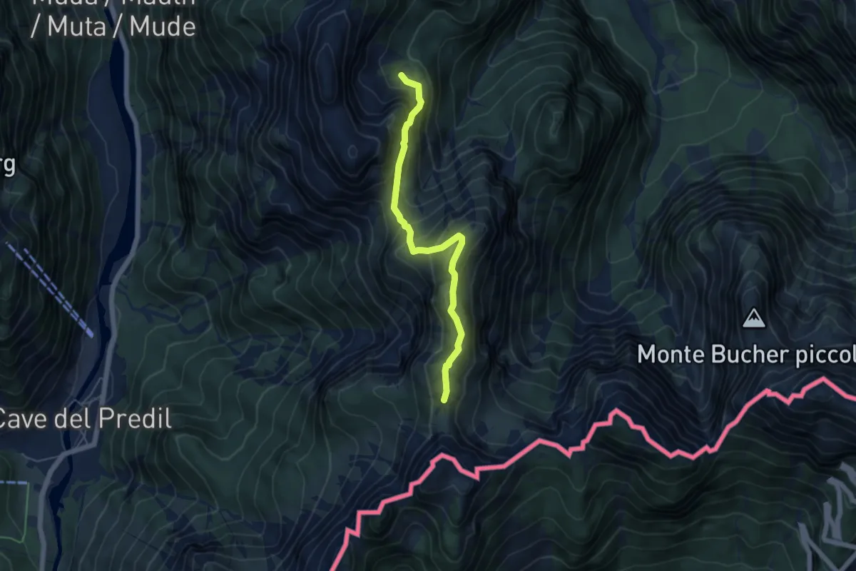
Medium · Trail
Val Romana (quota 918 m) – La Portella Bivio sentiero n. 511 (quota 1798 m)
4.9 km · ↑ 441 m · 2 h 6 min · 14 km away
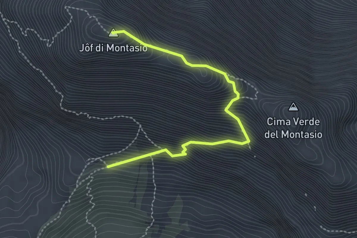
Expert · Summit
Via normale al Montasio
2.7 km · ↑ 470 m · 1 h 40 min · 14 km away
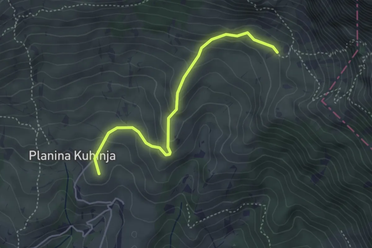
Easy · Summit
Pl. Kuhinja - Pl. Leskovca
3.9 km · ↑ 237 m · 1 h 26 min · 14 km away
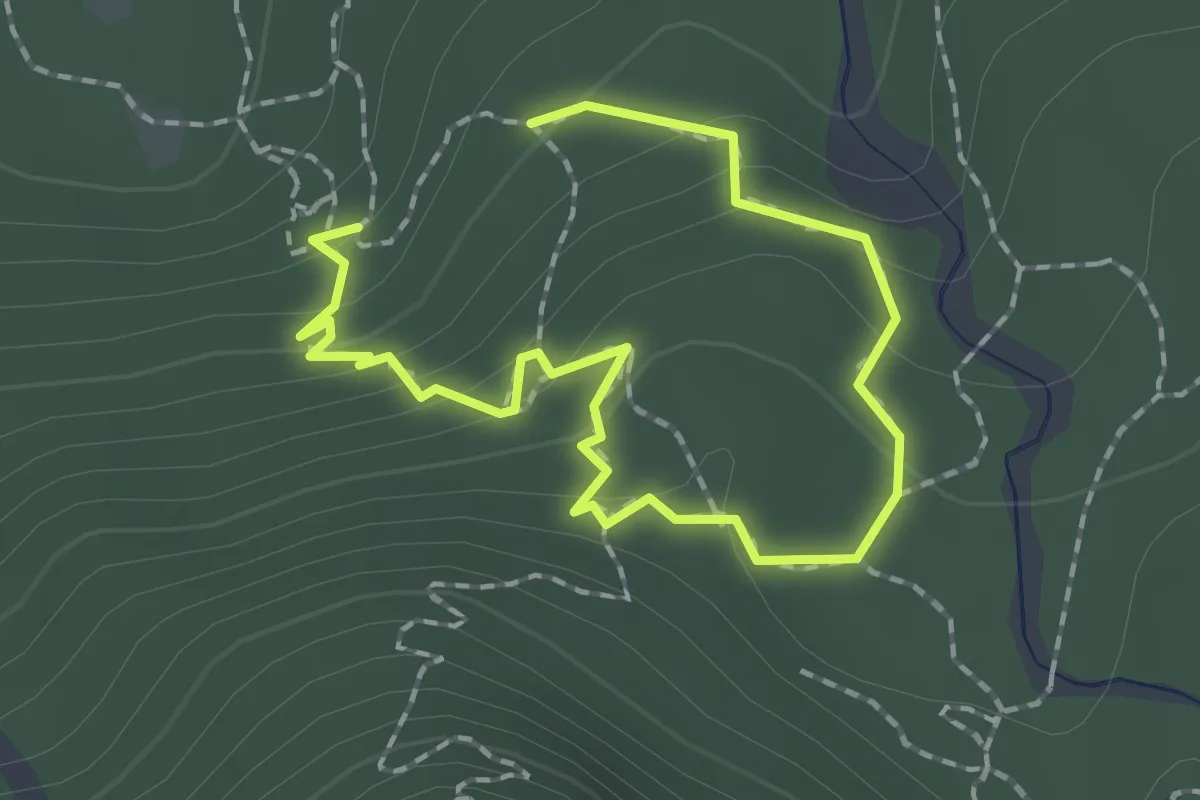
Easy · Trail
Abschnitt Seisera - Percorso blu
1.2 km · ↑ 87 m · 29 min · 14 km away
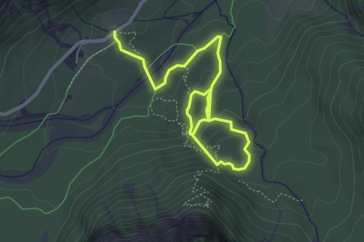
Easy · Trail
The Forest Sound Track
6.1 km · ↑ 288 m · 2 h 4 min · 14 km away
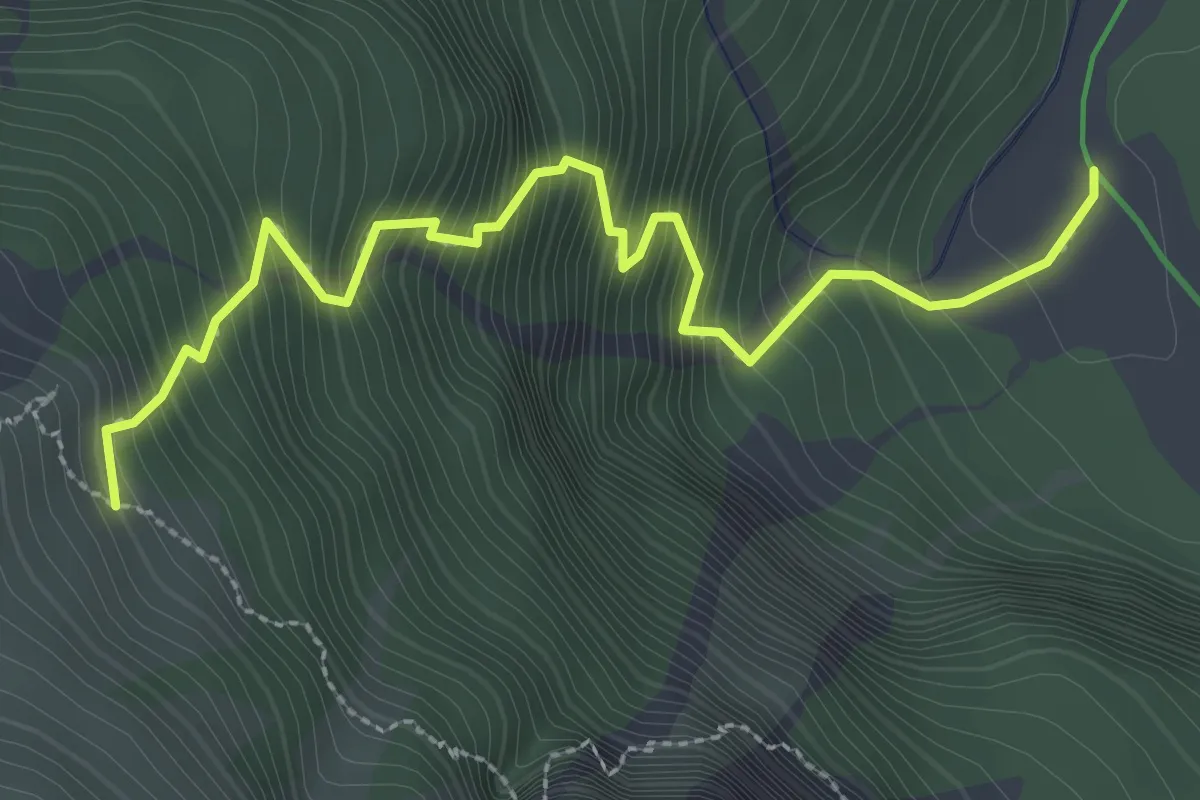
Demanding · Cabin
Sentiero Alfonso Della Mea
3.2 km · ↑ 563 m · 1 h 59 min · 14 km away
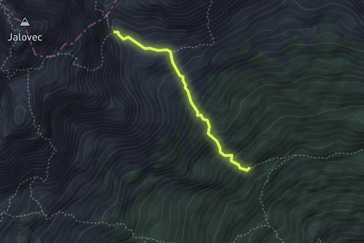
Demanding · Trail
Pot čez Jalovško škrbino
2.9 km · ↑ 526 m · 1 h 49 min · 14 km away
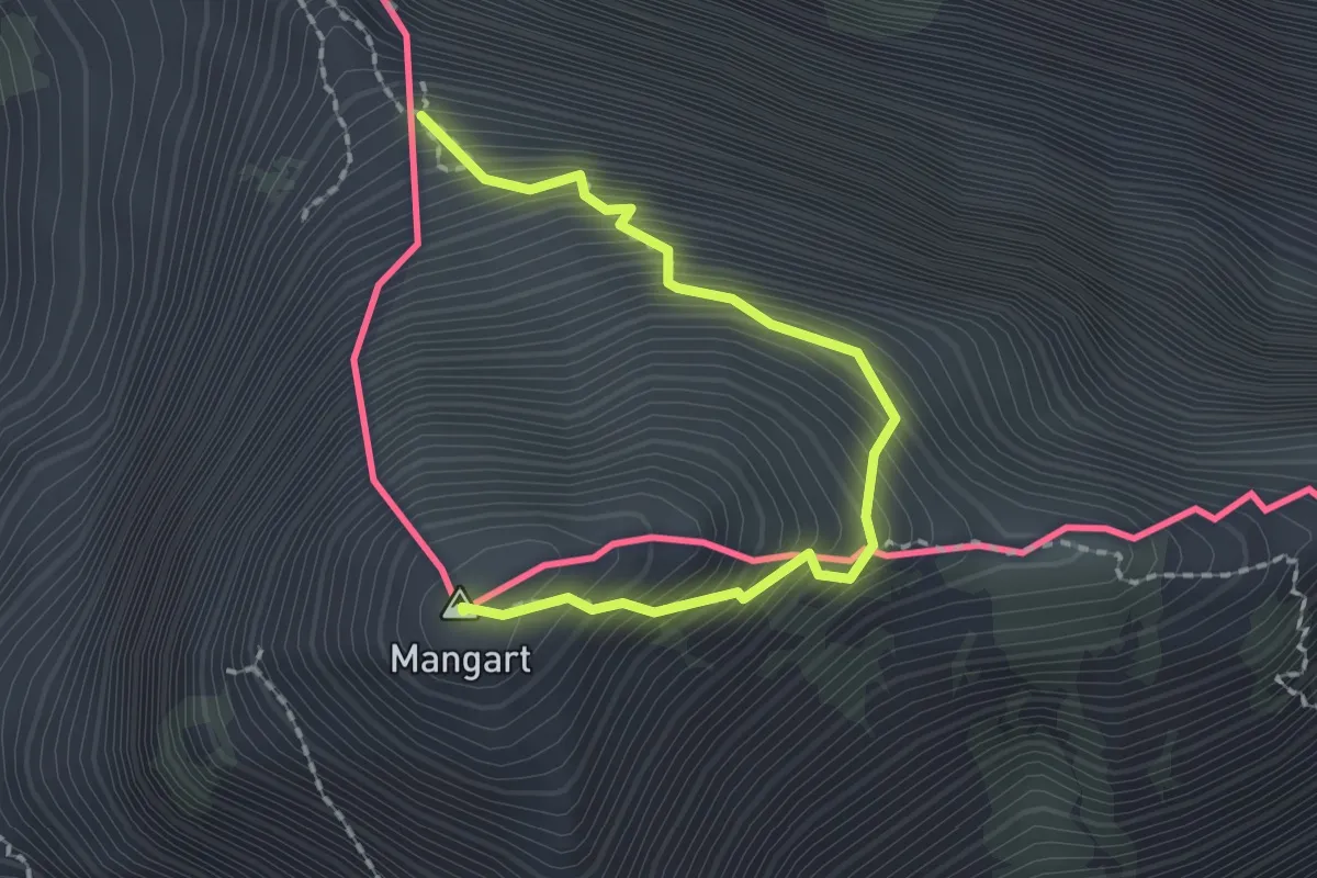
Demanding · Summit
fine ferrata italiana (quota 2283 m) – Monte Mangart (quota 2679 m)
2.1 km · ↑ 384 m · 1 h 19 min · 14 km away
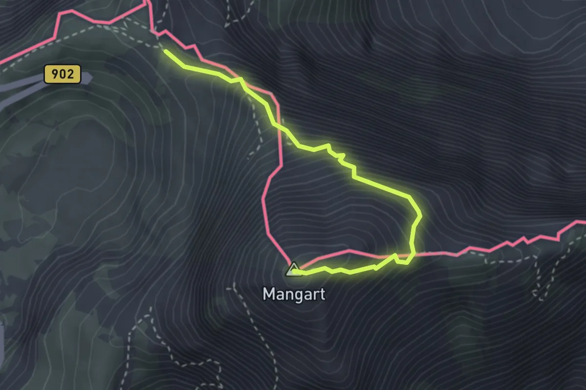
Expert · Summit
Mangart (Italijanska pot)
2.9 km · ↑ 504 m · 1 h 47 min · 14 km away
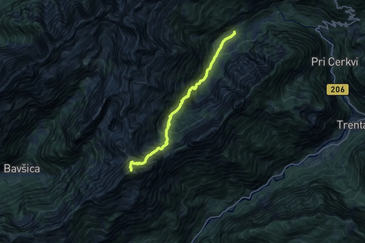
Expert · Summit
Koča pri izviru Soče - Bavški Grintavec
11.7 km · ↑ 1350 m · 5 h 41 min · 14 km away
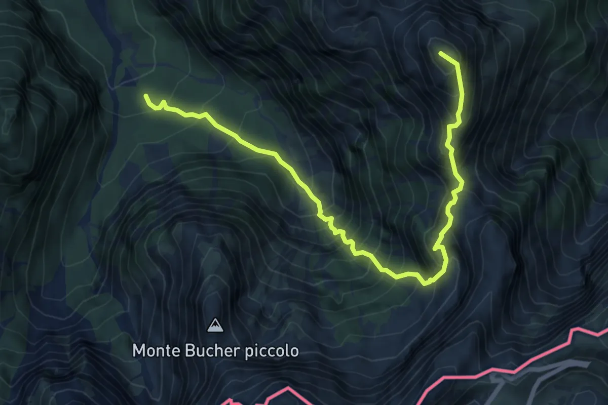
Expert · Summit
Val Romana (quota 980 m) – Bivio sentiero n. 515 (quota 1950 m)
7.4 km · ↑ 1230 m · 4 h 24 min · 14 km away
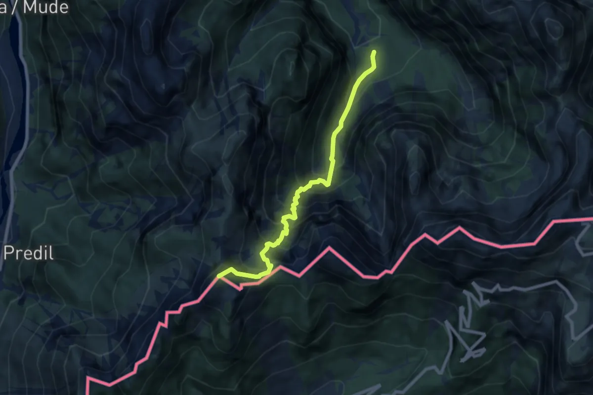
Demanding · Summit
Val Romana (quota 854 m) – Cave del Predil (quota 900 m)
6.6 km · ↑ 903 m · 3 h 31 min · 14 km away
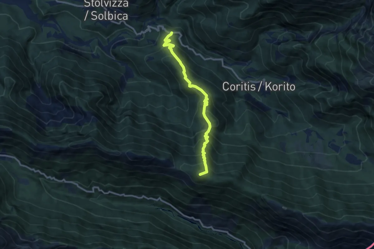
Demanding · Summit
Carnapenc (Cyrna Penć) (quota 650 m) – Uccea (quota 695 m)
8.2 km · ↑ 772 m · 3 h 37 min · 14 km away
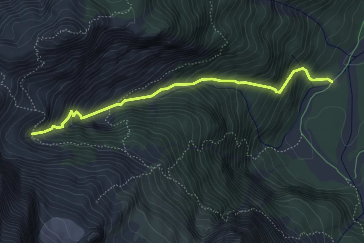
Demanding · Trail
Malga Saisera (quota 1004 m) – Bivio sentiero n. 652 (quota 1609 m)
4.9 km · ↑ 596 m · 2 h 26 min · 14 km away
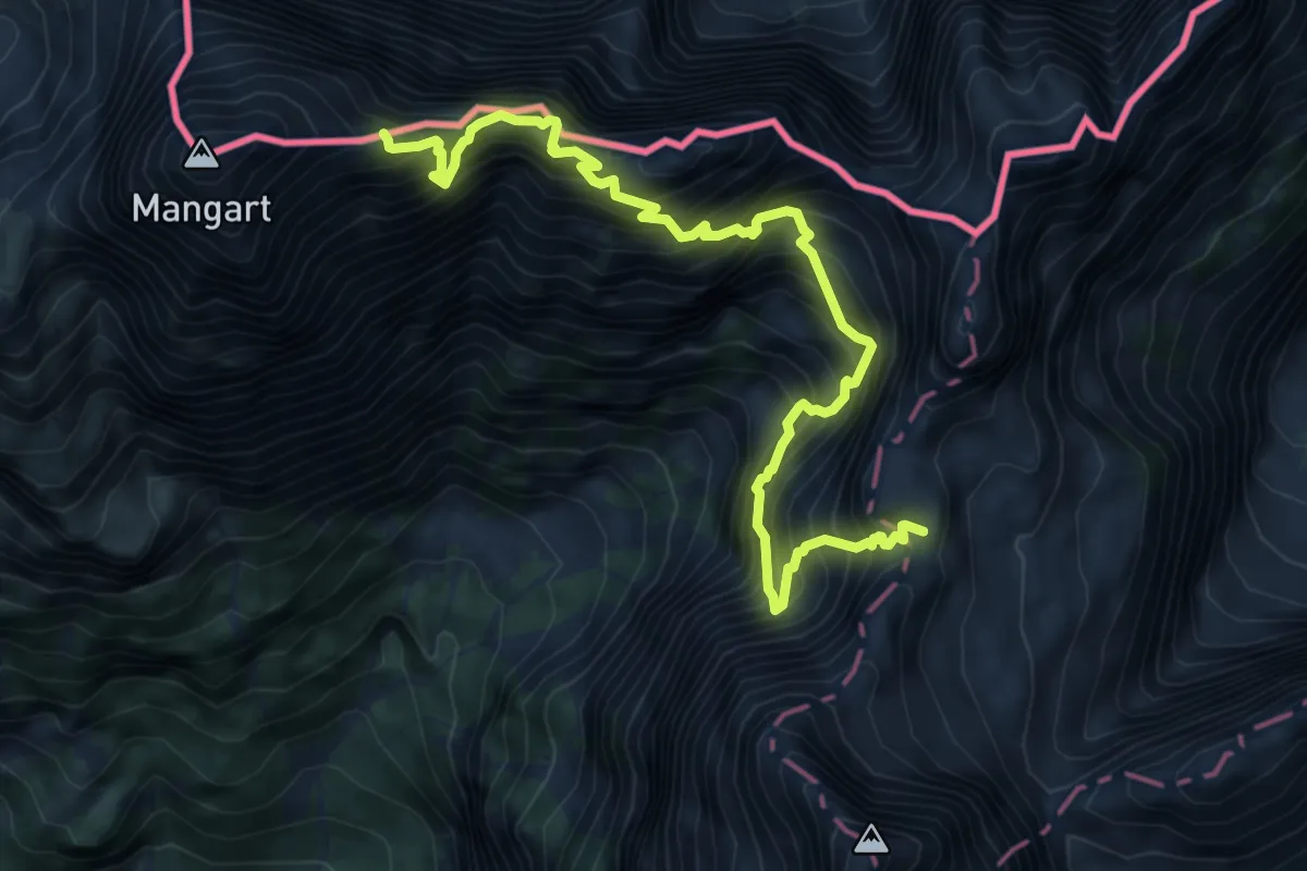
Expert · Summit
Kotovo sedlo - Mangart
8.4 km · ↑ 1636 m · 5 h 32 min · 14 km away
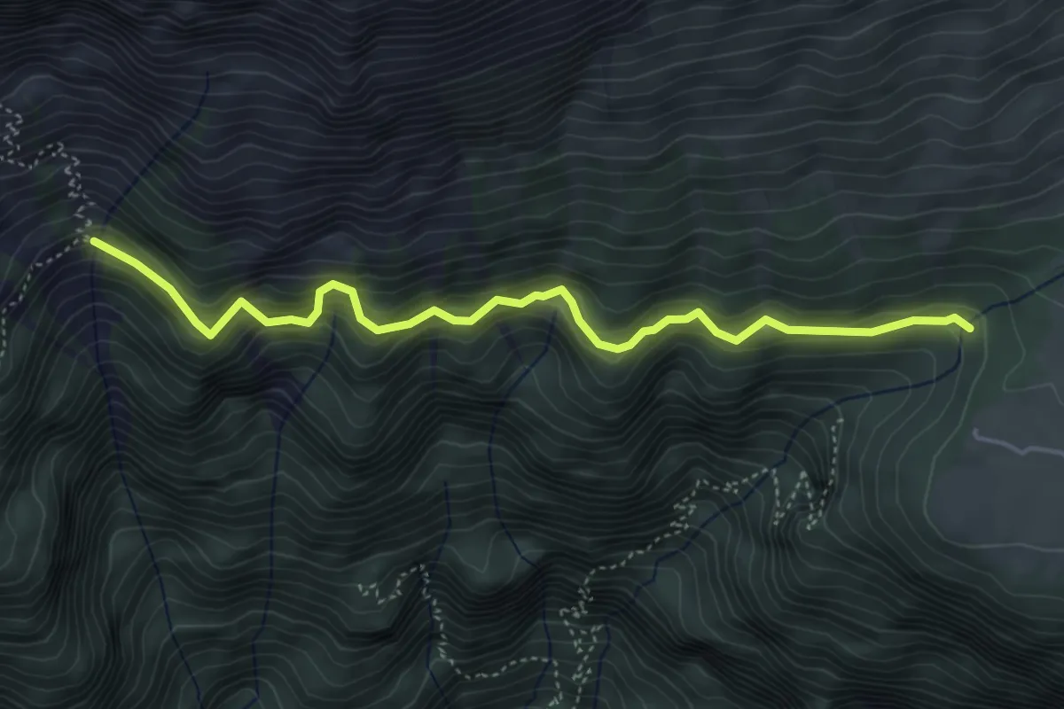
Medium · Trail
Via Alta Raccolana
4.8 km · ↑ 404 m · 2 h 1 min · 14 km away
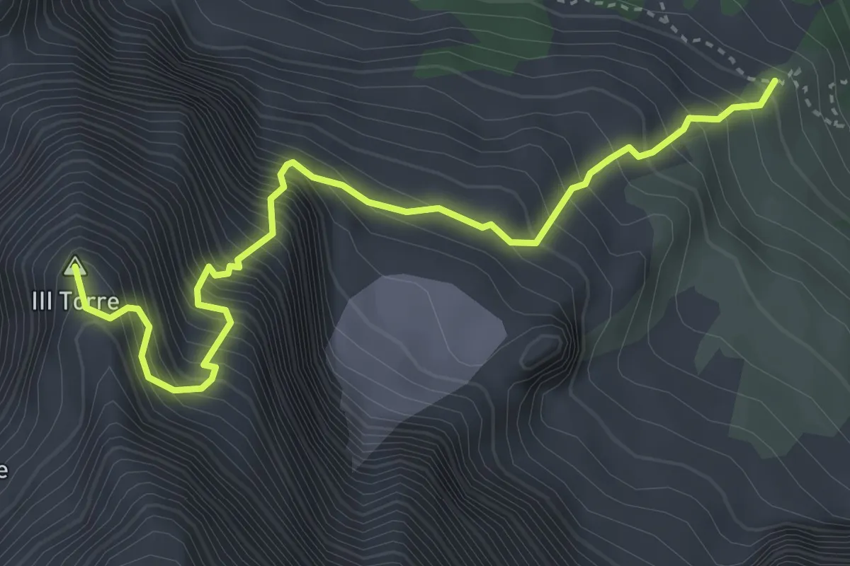
Expert · Summit
Via Amalia
4.2 km · ↑ 1052 m · 3 h 16 min · 14 km away
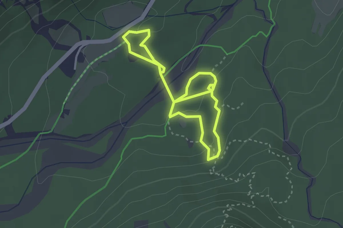
Demanding · Trail
Abschnitt Seisera - Percorso verde
4.3 km · ↑ 107 m · 1 h 15 min · 14 km away
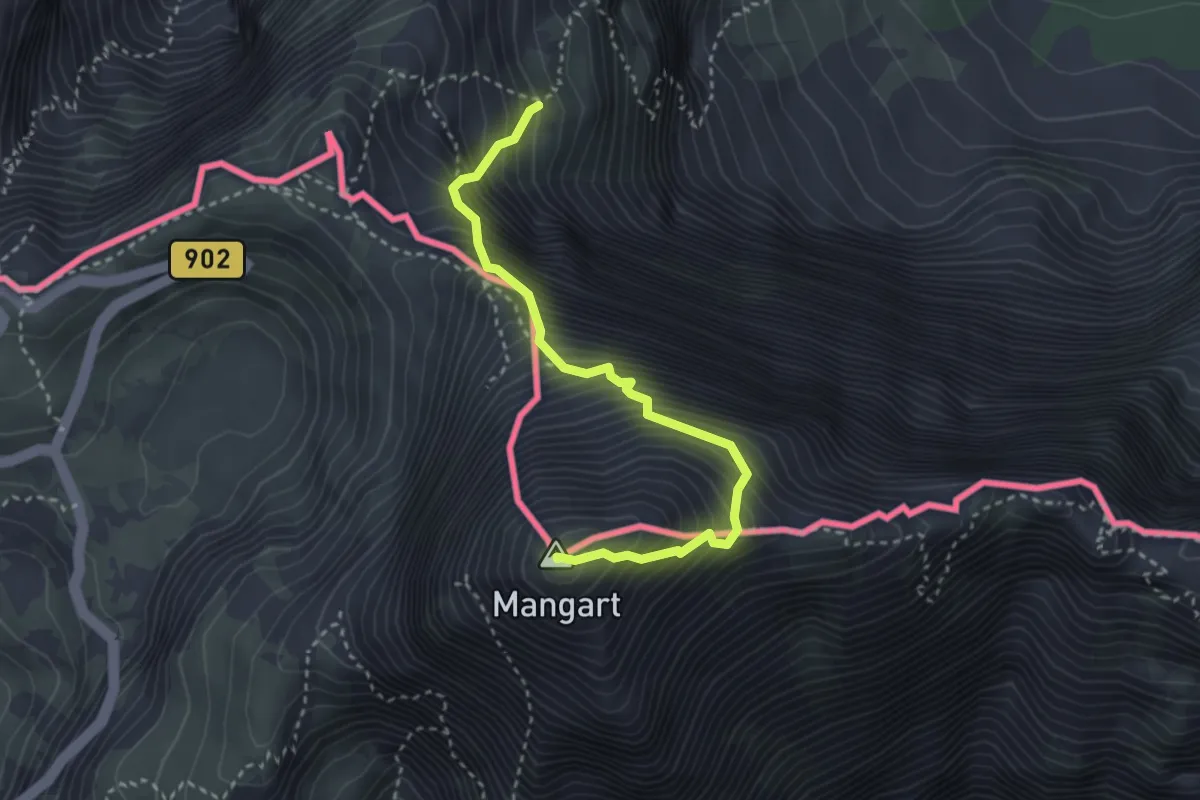
Expert · Summit
Via Italiana al Monte Mangart
3.3 km · ↑ 755 m · 2 h 24 min · 14 km away
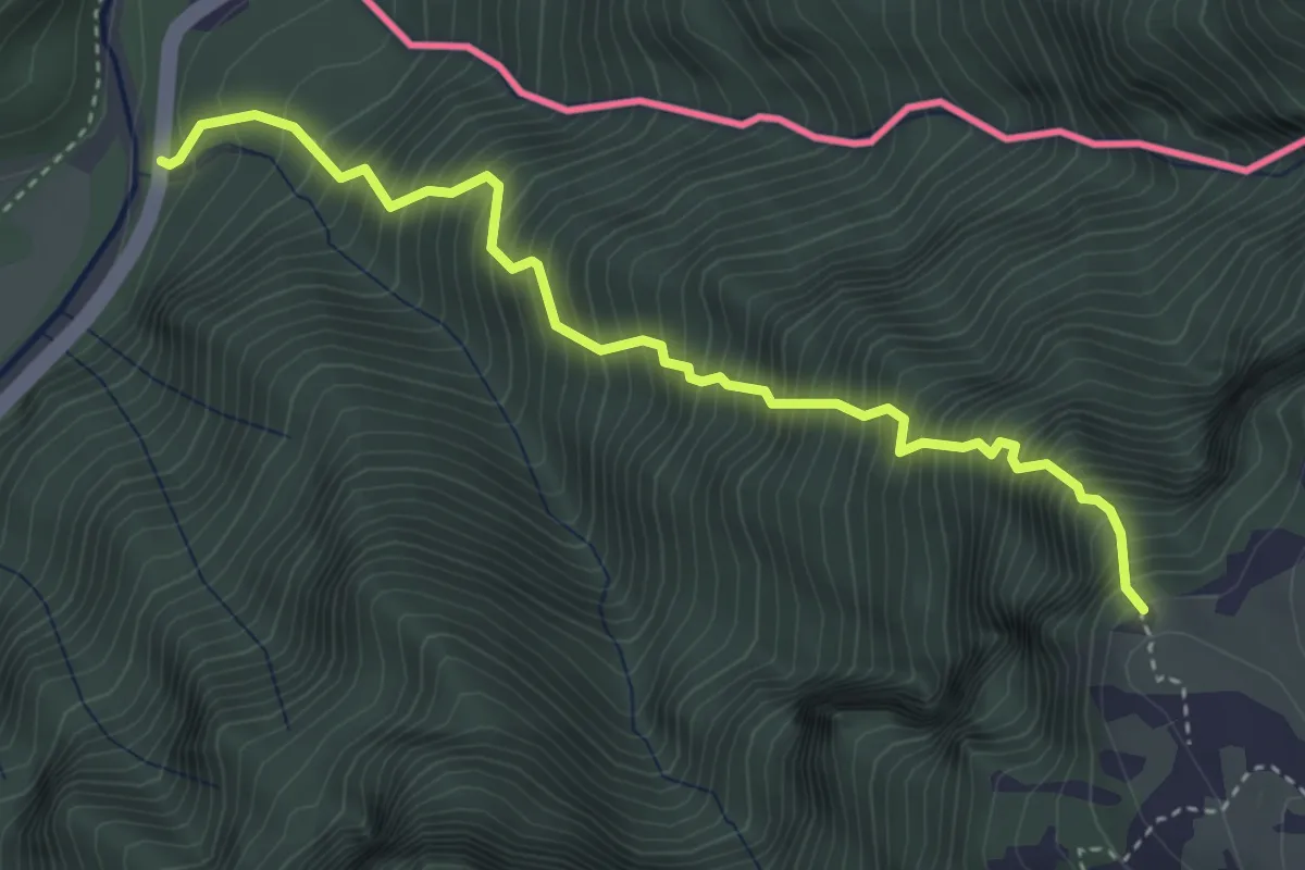
Expert · Trail
Sentiero Palma
4.0 km · ↑ 1068 m · 3 h 16 min · 14 km away
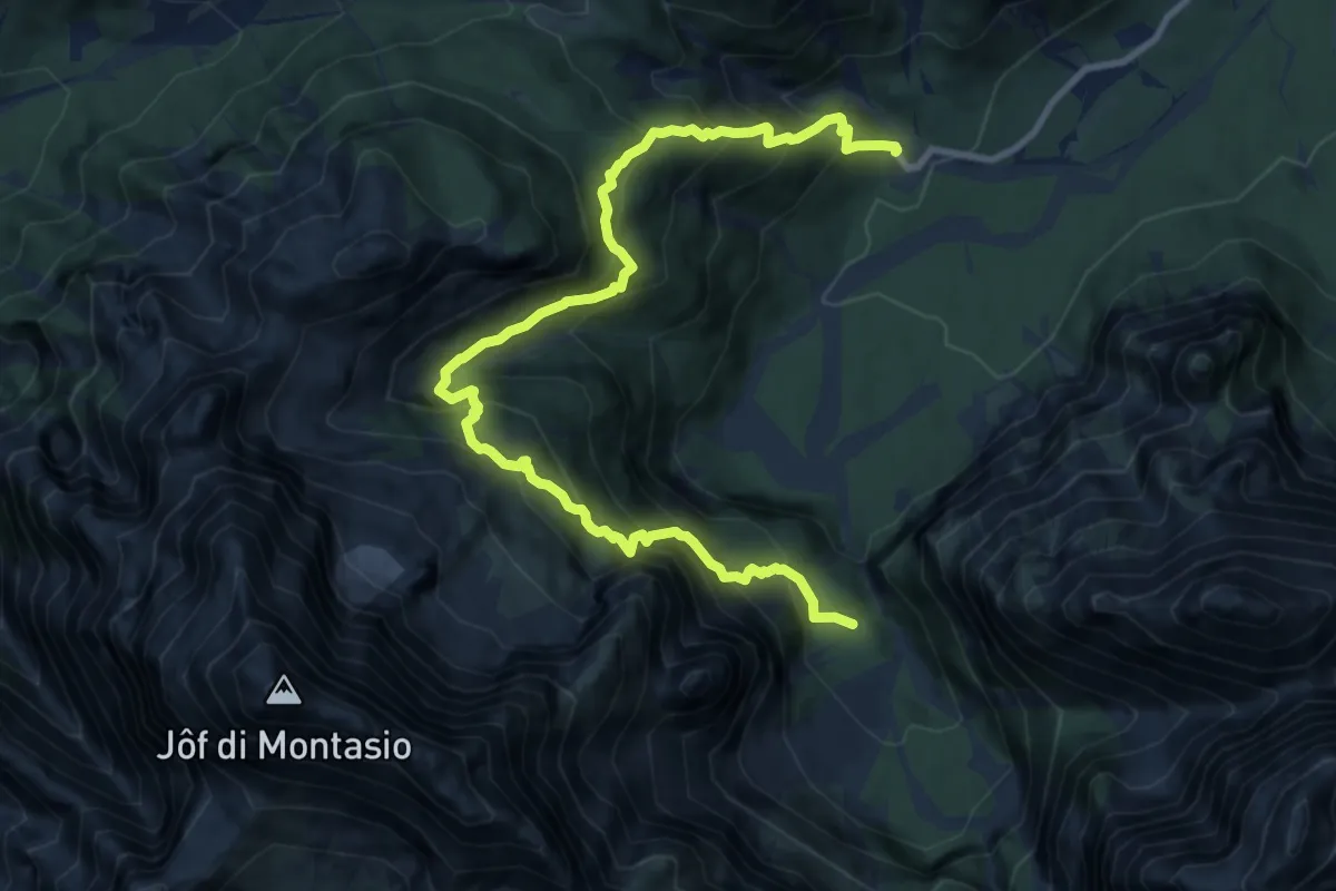
Expert · Trail
Malga Saisera (quota 1004 m) – Spragna Bivio sentiero n° 616 (quota 1080 m)
12.0 km · ↑ 1455 m · 5 h 59 min · 15 km away
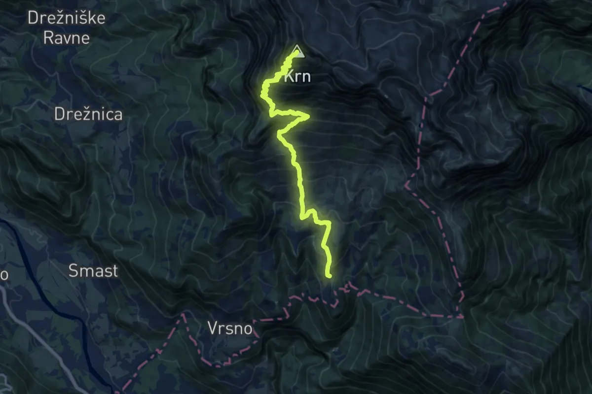
Demanding · Summit
Vas Krn - Krn
13.9 km · ↑ 1549 m · 6 h 38 min · 15 km away
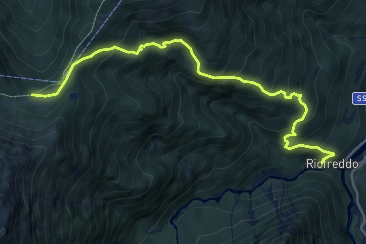
Medium · Trail
Sentiero delle Croci
8.6 km · ↑ 744 m · 3 h 38 min · 15 km away
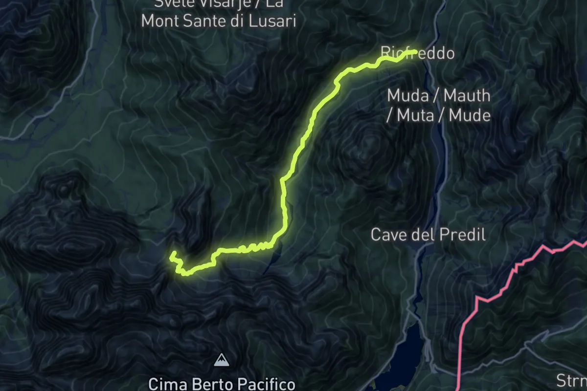
Demanding · Summit
Riofreddo (quota 817 m) – Rifugio Pellarini (quota 1499 m)
16.2 km · ↑ 983 m · 5 h 57 min · 15 km away
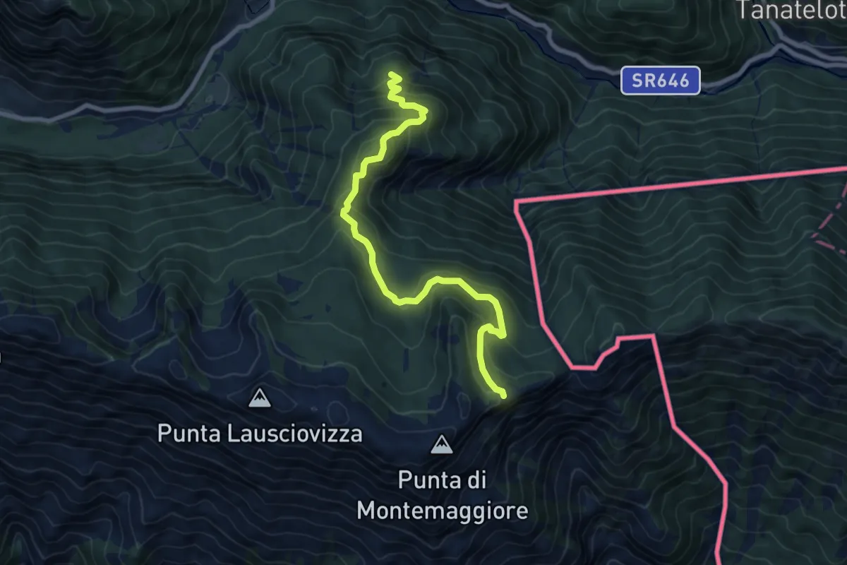
Medium · Trail
Sentiero Naturalistico dello Starmaz
7.5 km · ↑ 530 m · 2 h 54 min · 15 km away
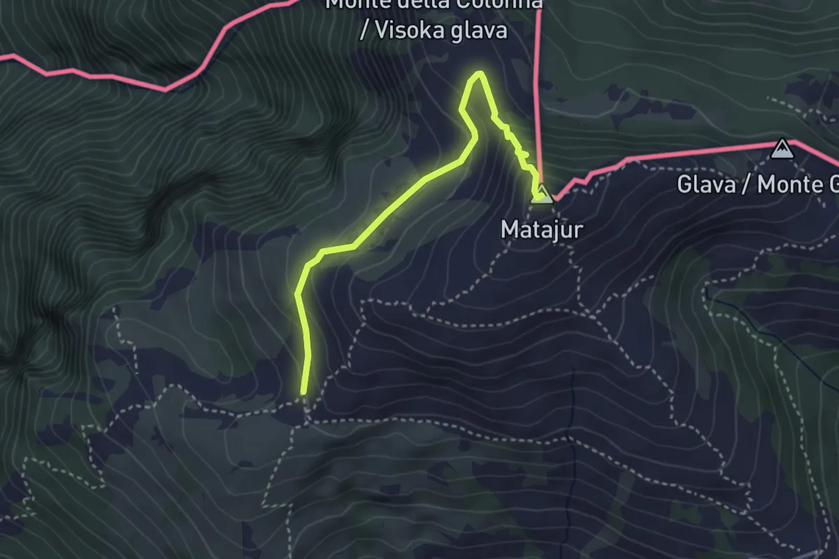
Medium · Summit
Sentiero Natura Mersino Alto Matajur
3.4 km · ↑ 241 m · 1 h 19 min · 15 km away
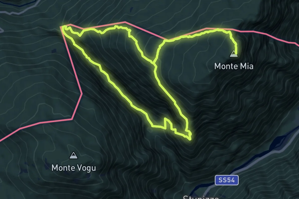
Demanding · Summit
Stupizza / Štupca – Monte Mia
10.2 km · ↑ 902 m · 4 h 30 min · 15 km away
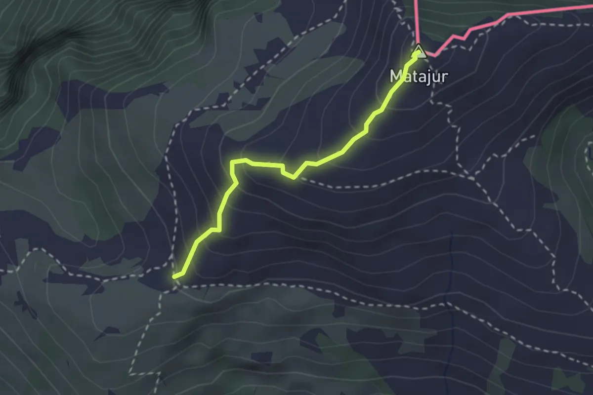
Medium · Summit
Renato Qualizza
2.2 km · ↑ 224 m · 1 h 1 min · 15 km away
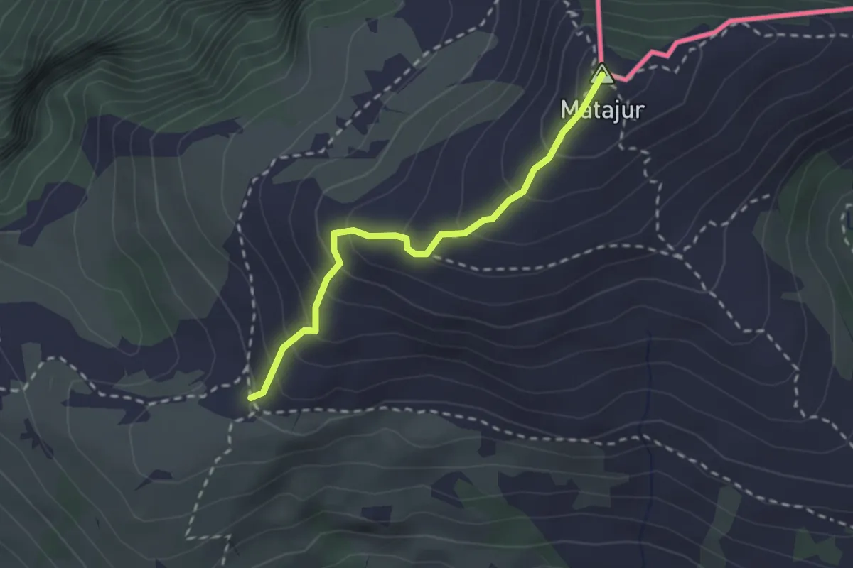
Medium · Summit
Matadown
2.2 km · ↑ 225 m · 1 h 1 min · 15 km away
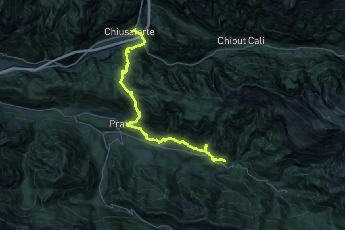
Medium · Trail
Hst. Chiusaforte – Stolvizza/Ladina/Casa Vacanza
12.4 km · ↑ 768 m · 4 h 52 min · 15 km away
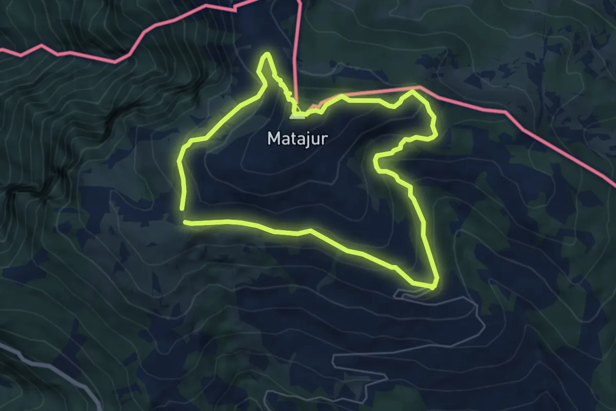
Medium · Summit
Sentiero Naturalistico del Matajur
5.7 km · ↑ 347 m · 2 h 10 min · 15 km away
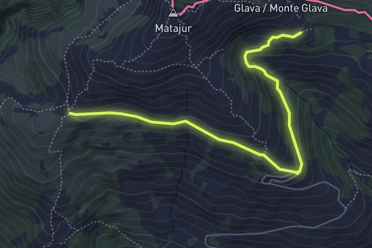
Medium · Trail
Bivio sentiero n. 736 (quota 1455 m) – Malghe di Mersino (quota 1401 m) bivio 749-725
5.8 km · ↑ 294 m · 2 h 1 min · 15 km away
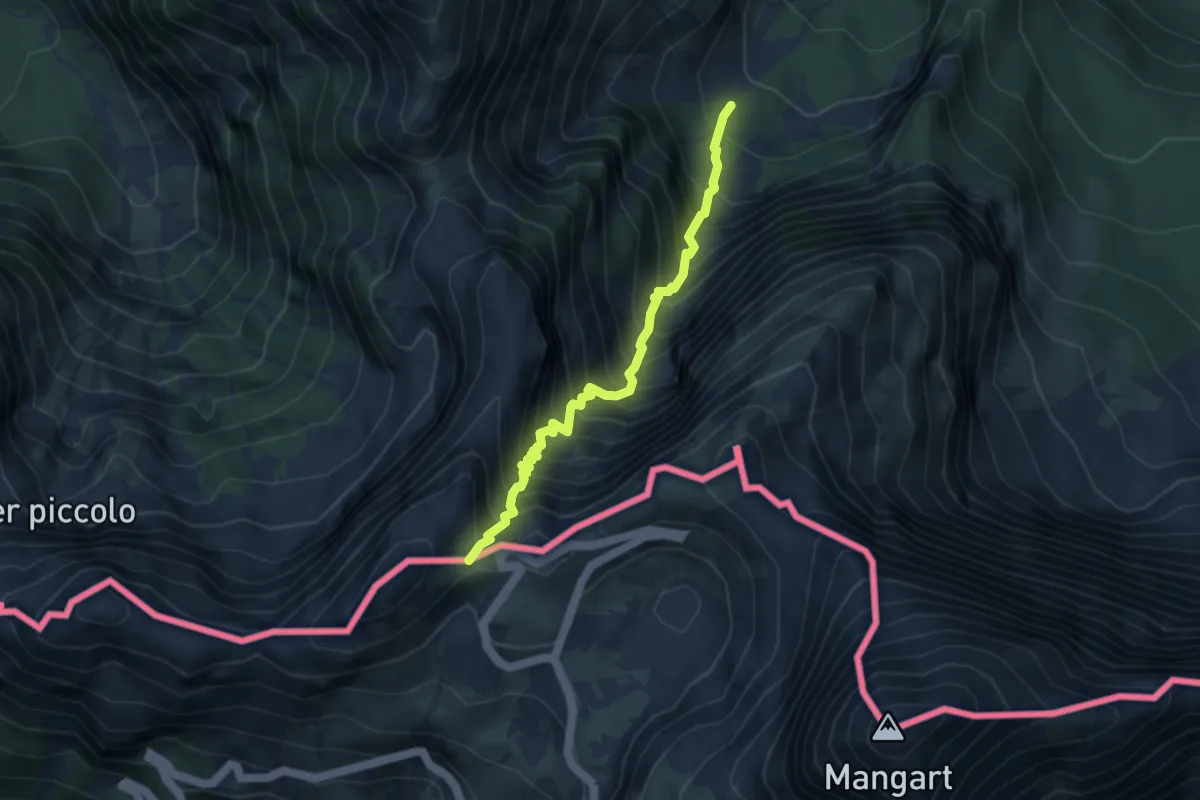
Demanding · Trail
Alpe del Lago (quota 1025 m) – Forcella della Lavina (quota 2055 m)
3.9 km · ↑ 777 m · 2 h 36 min · 15 km away