Trails near Kobarid
110 hikes starting within 15 km, nearest first.
Nearest first, page 1 of 3
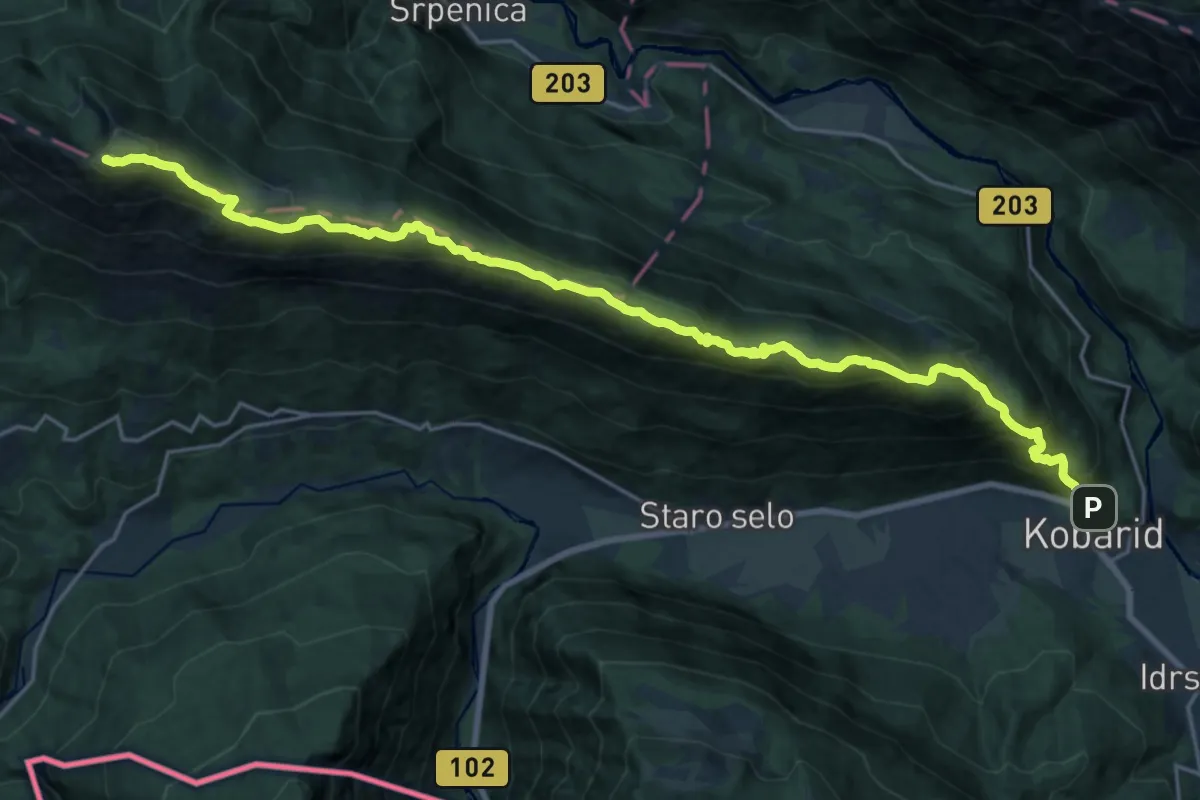
Expert · Summit
Kobarid - Stol
24.4 km · ↑ 1598 m · 9 h 13 min · under 1 km away
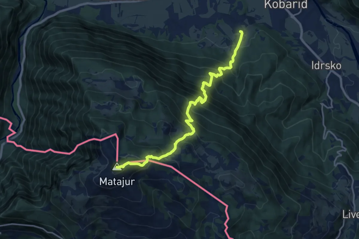
Demanding · Summit
Svino - Matajur
12.9 km · ↑ 1353 m · 5 h 58 min · 1 km away
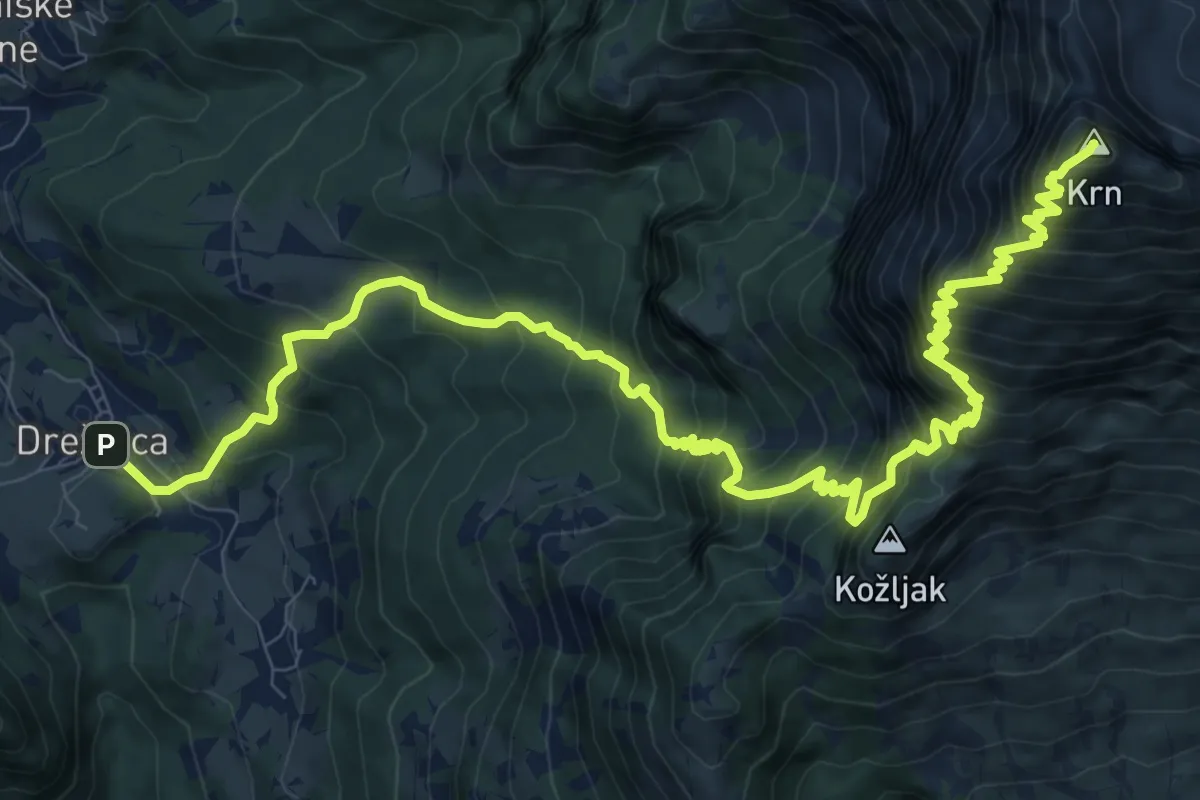
Demanding · Summit
Drežnica - Krn (južna)
14.9 km · ↑ 1858 m · 7 h 33 min · 3 km away
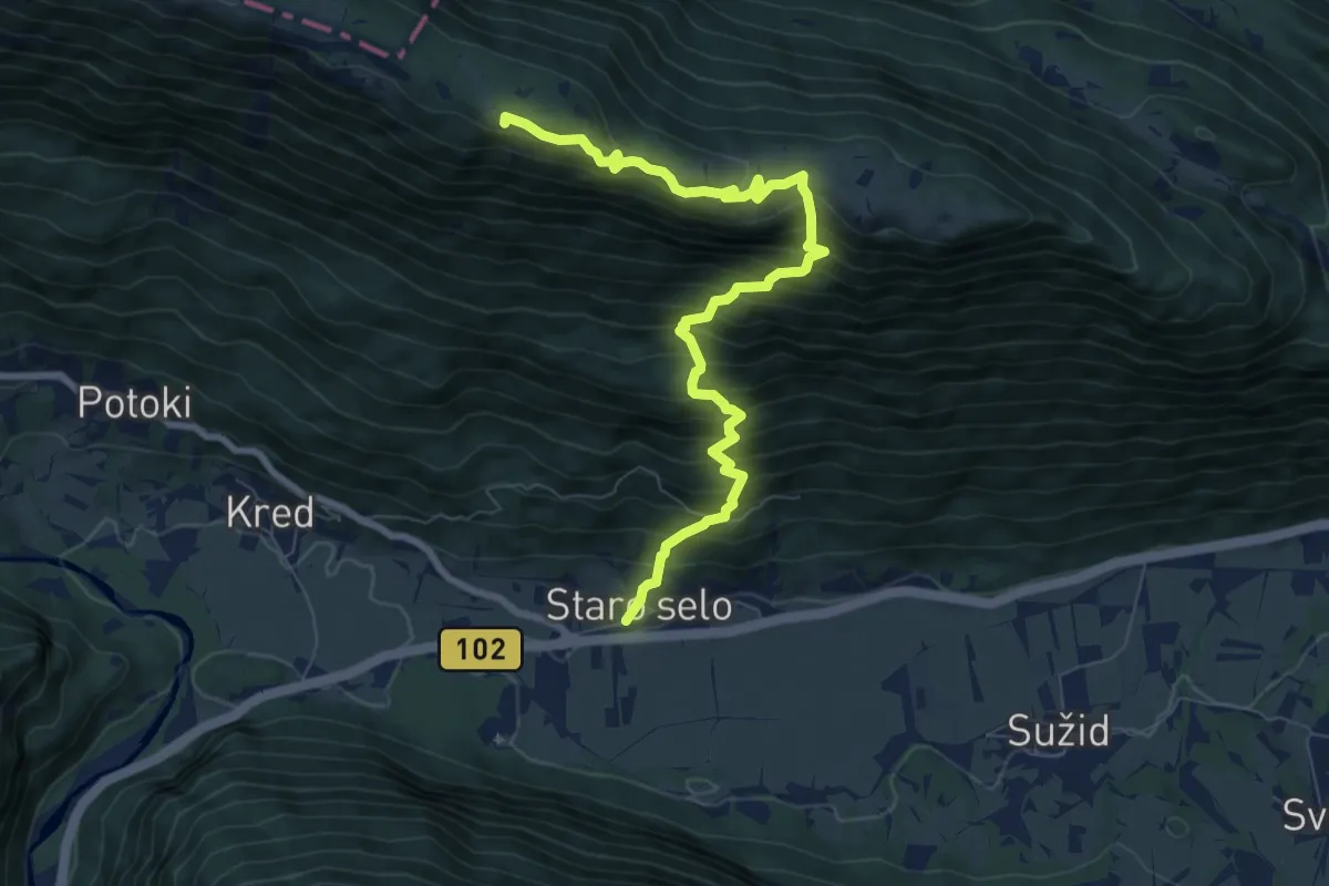
Demanding · Summit
Staro selo - Bivak Hlek
8.8 km · ↑ 971 m · 4 h 12 min · 4 km away
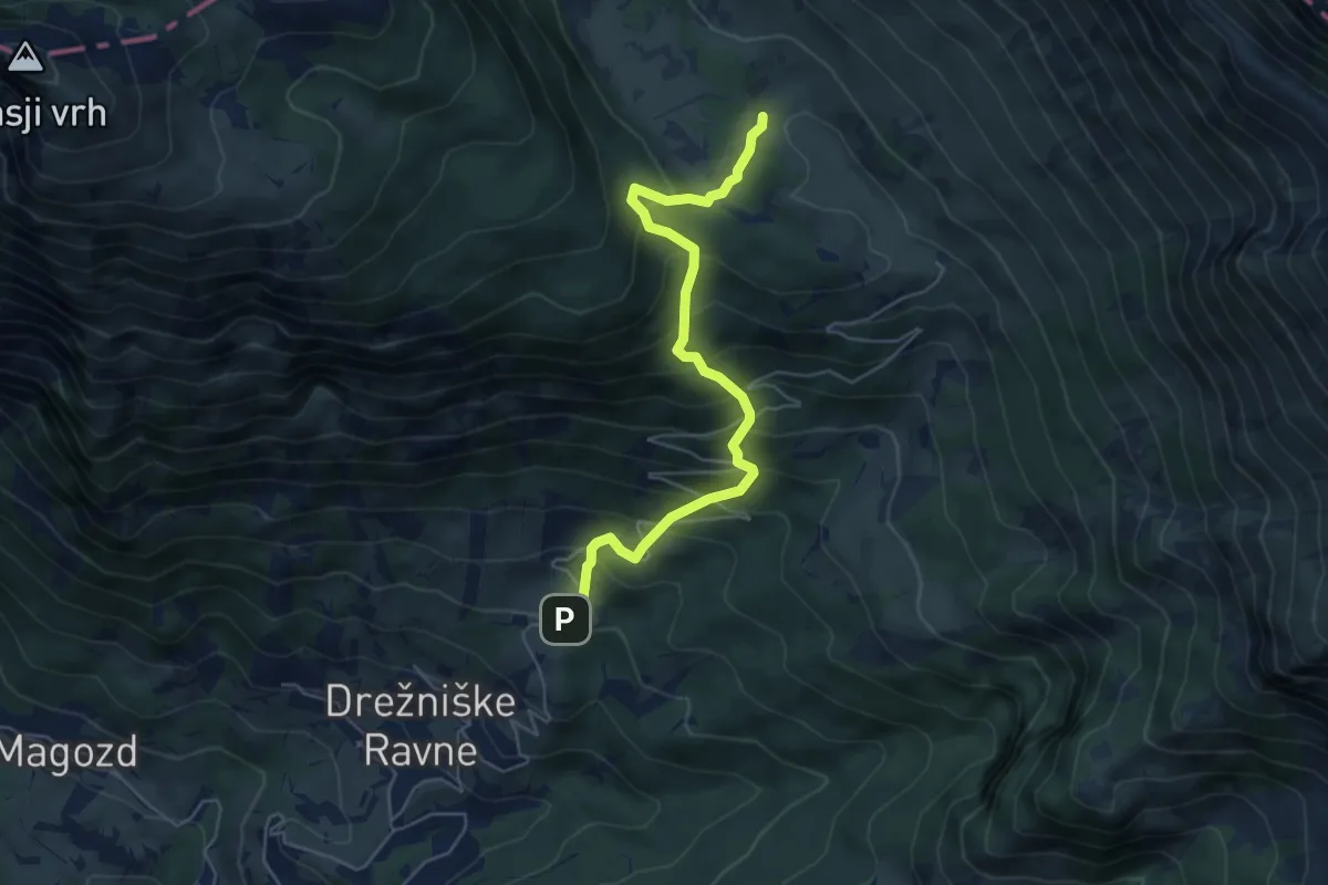
Medium · Trail
Drežniške Ravne - Pl. Zaprikaj
5.5 km · ↑ 585 m · 2 h 34 min · 4 km away
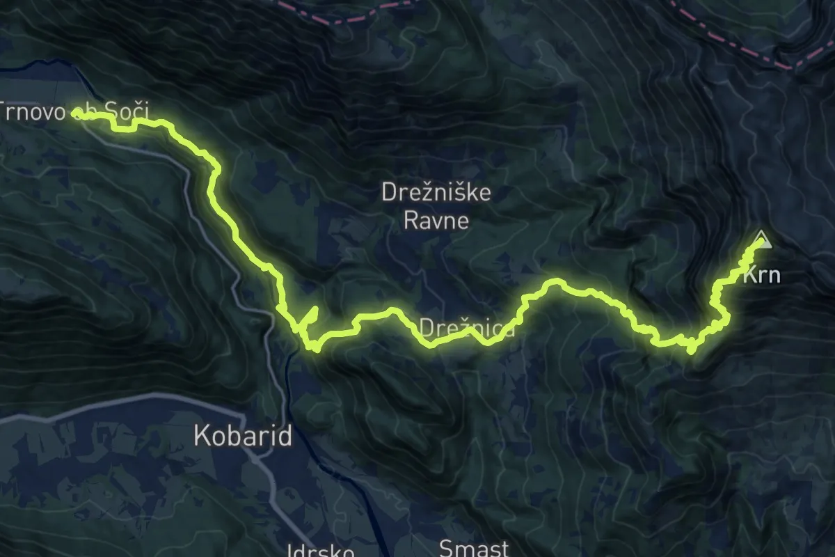
Expert · Summit
Trnovo-Krn
31.9 km · ↑ 2568 m · 13 h 6 min · 4 km away
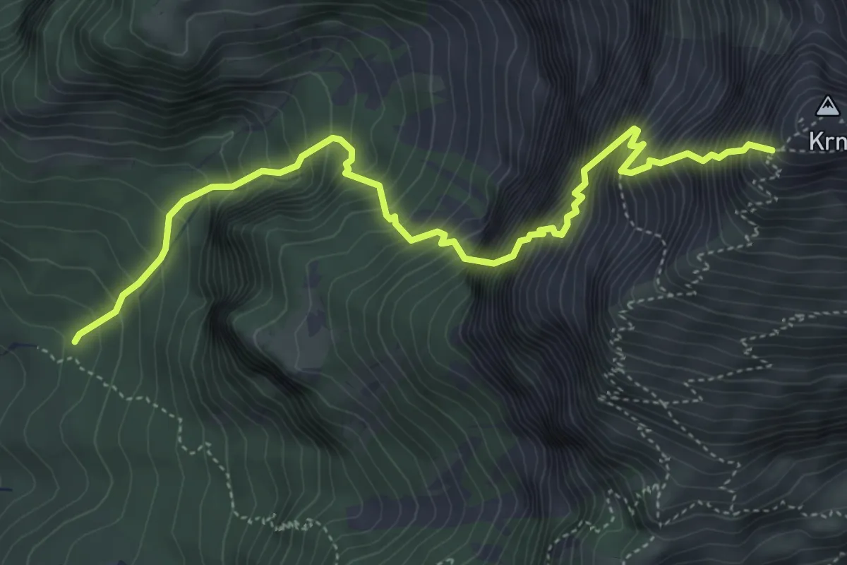
Expert · Cabin
Pot Silva Korena
5.6 km · ↑ 1532 m · 4 h 38 min · 5 km away
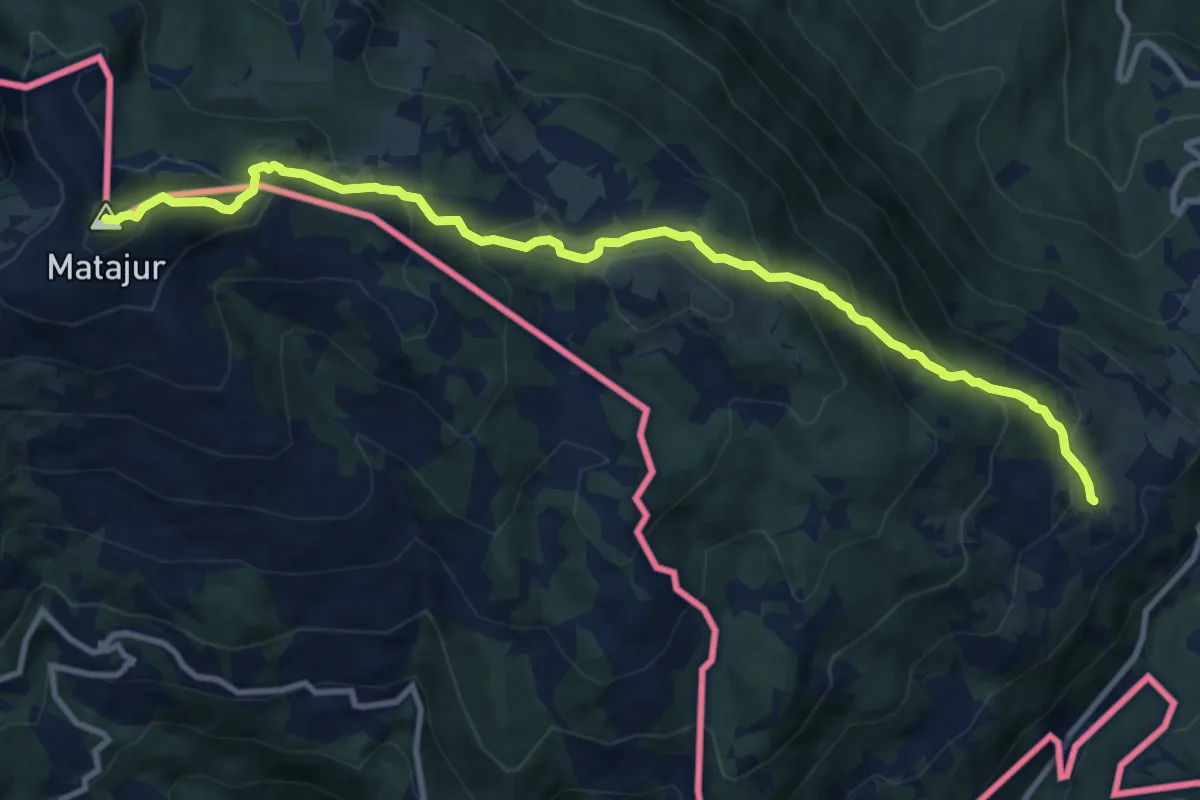
Medium · Summit
Avsa - Matajur (stara pot)
11.1 km · ↑ 793 m · 4 h 21 min · 5 km away
Easy · Trail
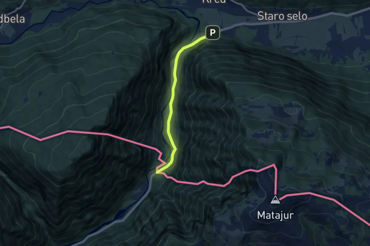
European long distance path E7 - part Slovenia
7.2 km · ↑ 180 m · 2 h 5 min · 5 km away
Medium · Summit
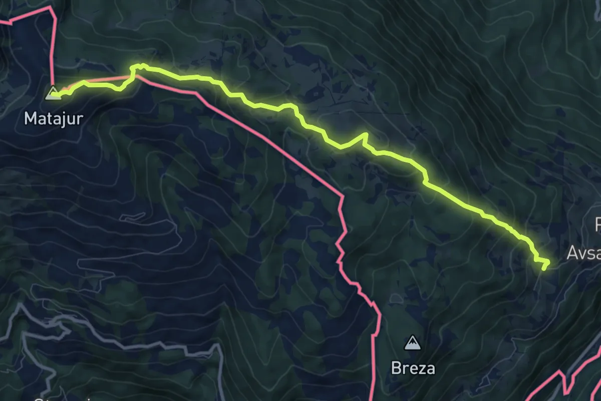
Avsa - Matajur
10.9 km · ↑ 785 m · 4 h 17 min · 5 km away
Demanding · Summit
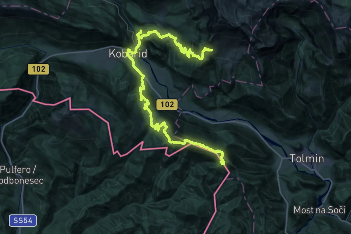
JK13
28.8 km · ↑ 1266 m · 10 h 3 min · 6 km away
Demanding · Summit
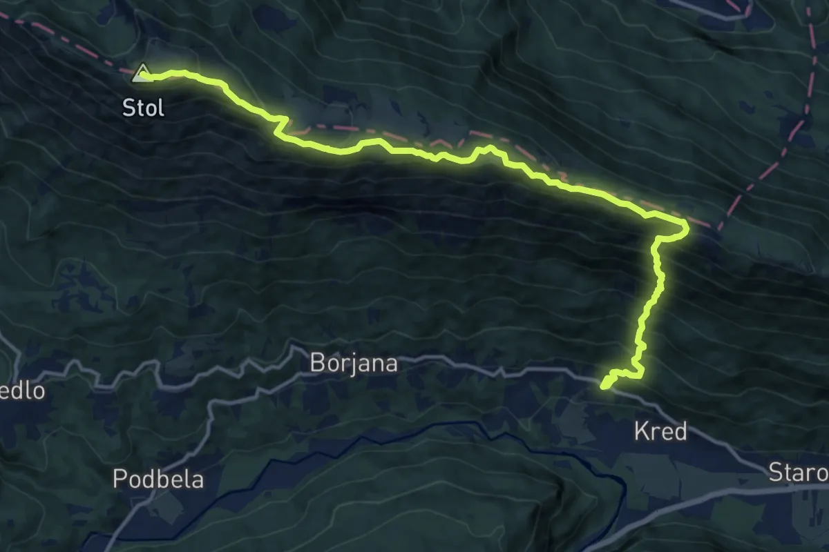
Potoki - Bivak Hlek - Stol
15.8 km · ↑ 1443 m · 6 h 52 min · 6 km away
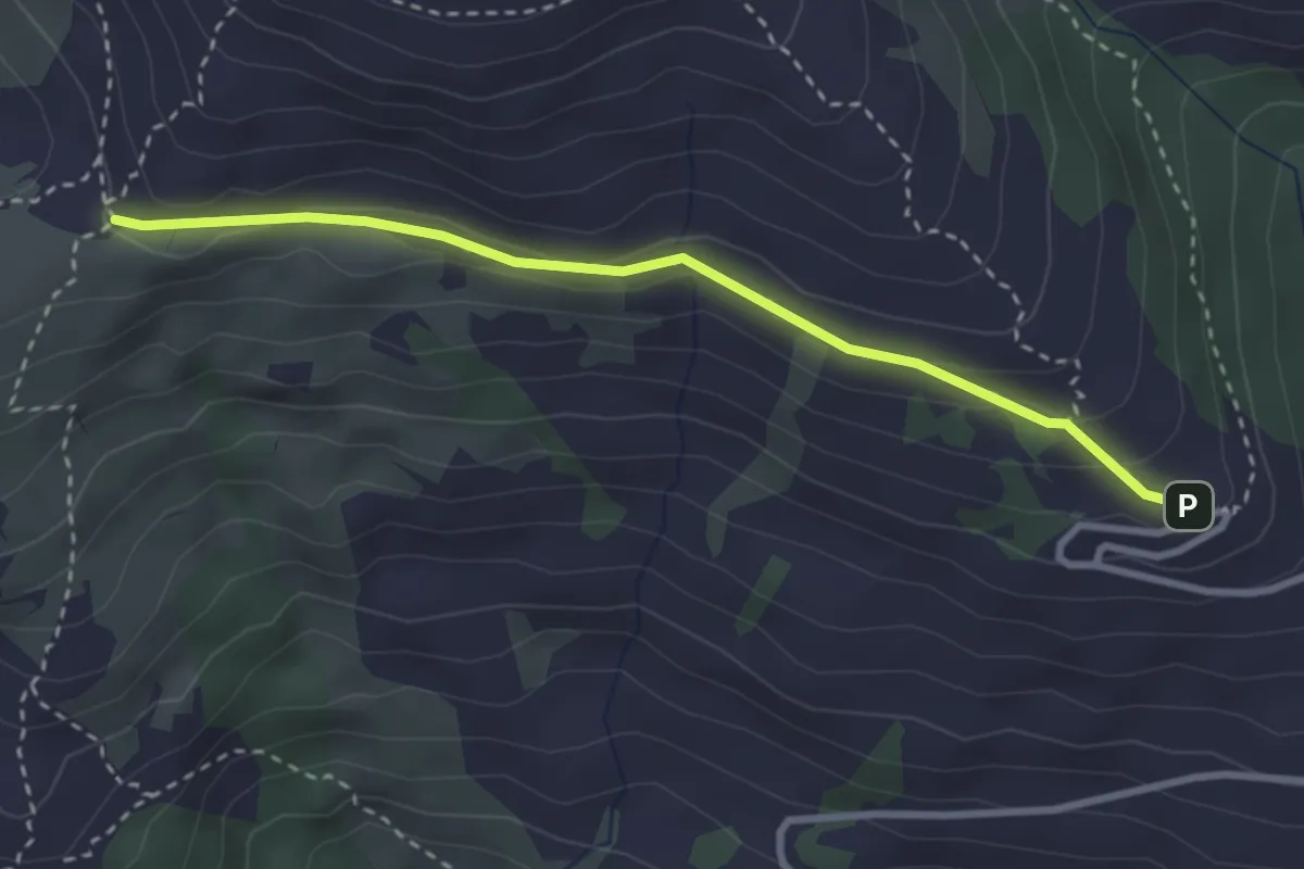
Medium · Trail
Hst. S. Pietro al Natisone – Rif. Alpino G. Pelizzo
3.0 km · ↑ 113 m · 57 min · 6 km away
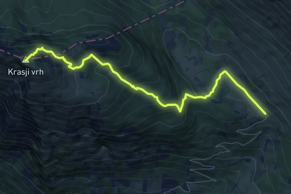
Medium · Summit
Pl. Zapleč - Snežna jama - Krasji vrh
8.5 km · ↑ 572 m · 3 h 14 min · 6 km away
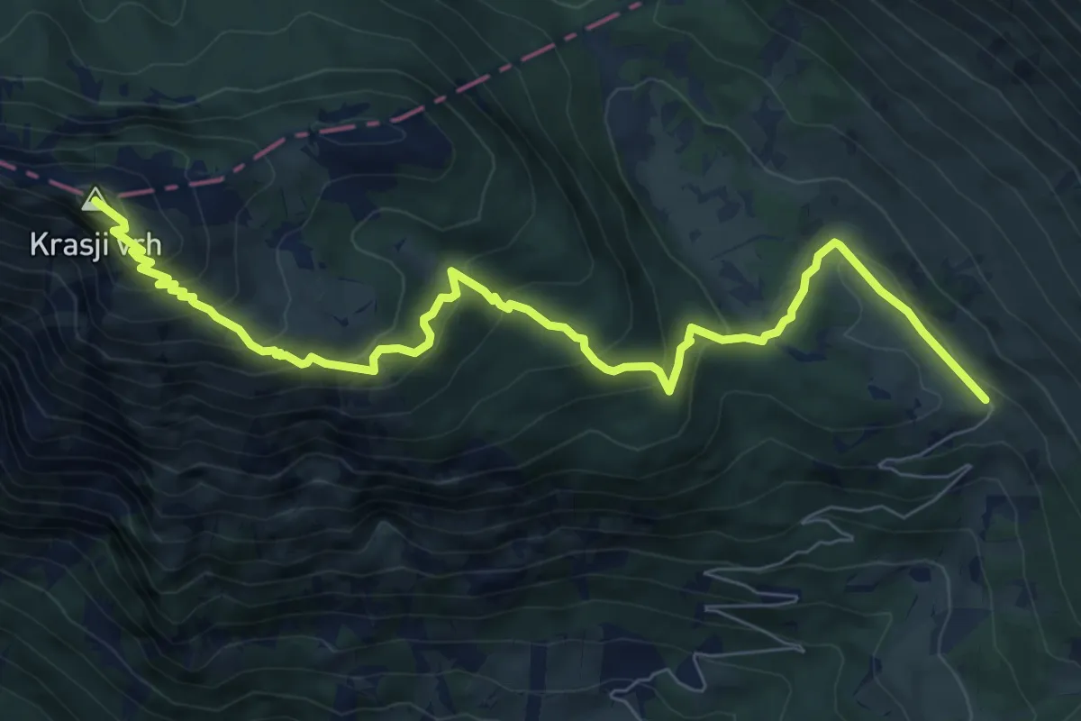
Medium · Summit
Pl. Zapleč - Koluti - Krasji vrh
9.2 km · ↑ 589 m · 3 h 27 min · 6 km away
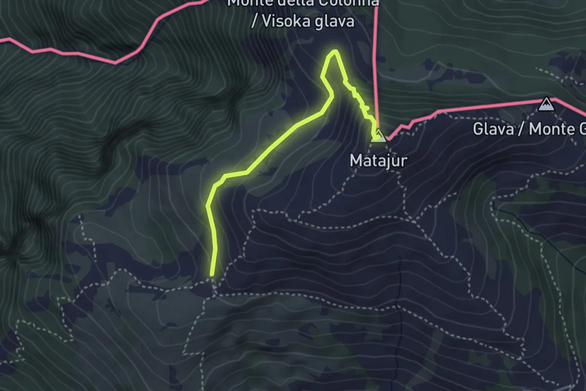
Medium · Summit
Sentiero Natura Mersino Alto Matajur
3.4 km · ↑ 241 m · 1 h 19 min · 6 km away
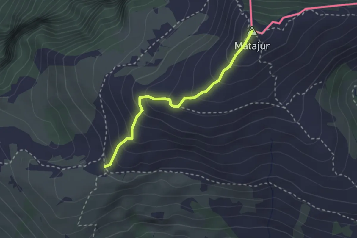
Medium · Summit
Matadown
2.2 km · ↑ 225 m · 1 h 1 min · 6 km away
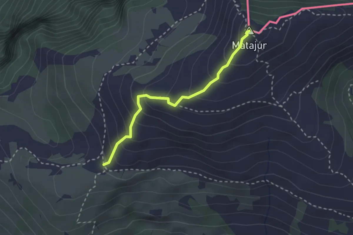
Medium · Summit
Renato Qualizza
2.2 km · ↑ 224 m · 1 h 1 min · 6 km away
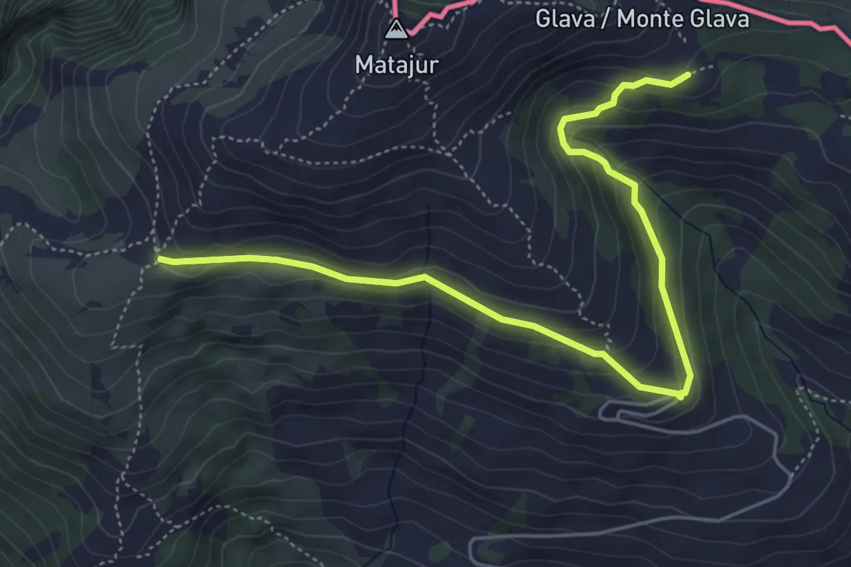
Medium · Trail
Bivio sentiero n. 736 (quota 1455 m) – Malghe di Mersino (quota 1401 m) bivio 749-725
5.8 km · ↑ 294 m · 2 h 1 min · 6 km away
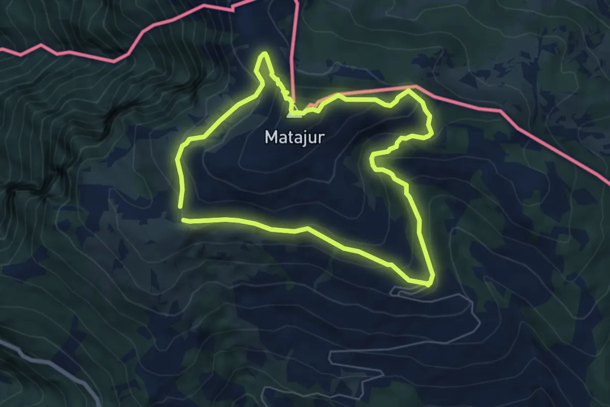
Medium · Summit
Sentiero Naturalistico del Matajur
5.7 km · ↑ 347 m · 2 h 10 min · 6 km away
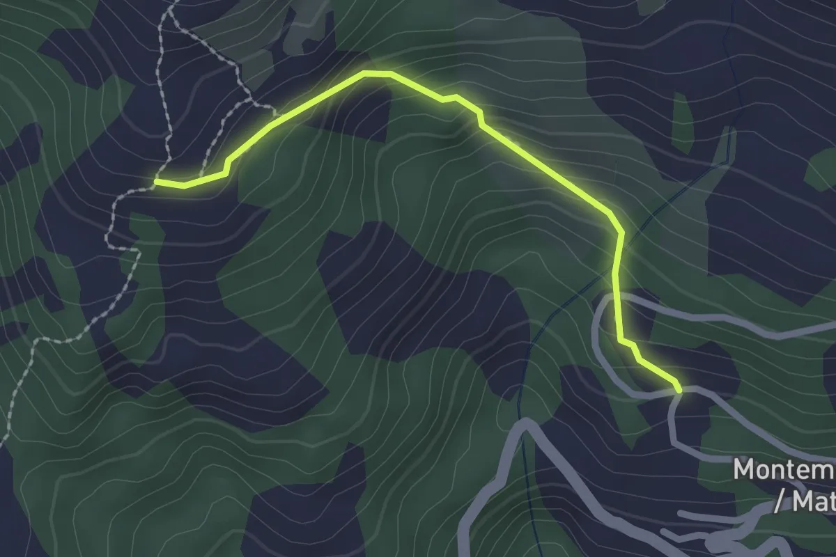
Easy · Trail
Montemaggiore (quota 955 m) – Malga Gosgnach (quota 1200 m)
2.0 km · ↑ 173 m · 51 min · 7 km away
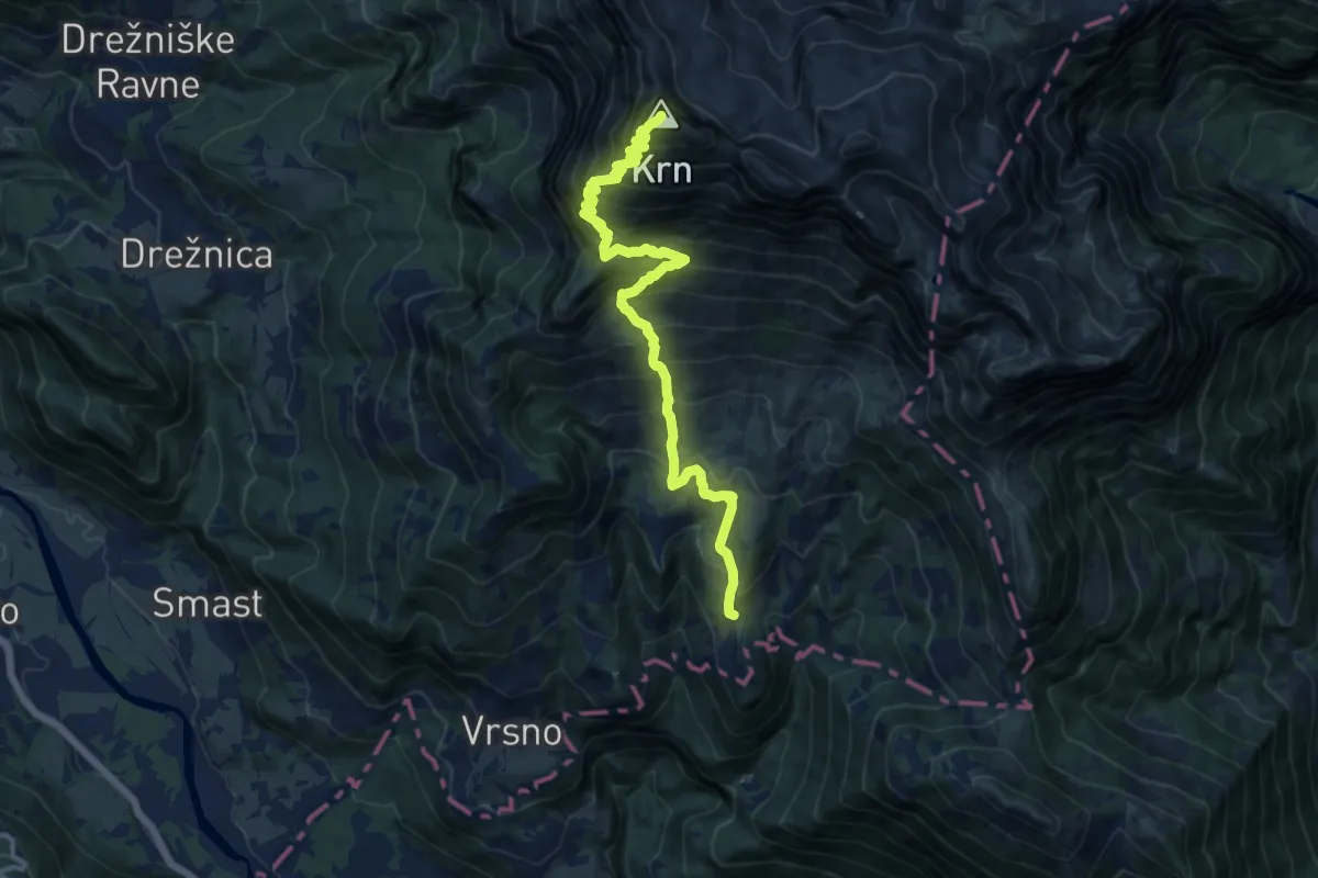
Demanding · Summit
Vas Krn - Krn
13.9 km · ↑ 1549 m · 6 h 38 min · 7 km away
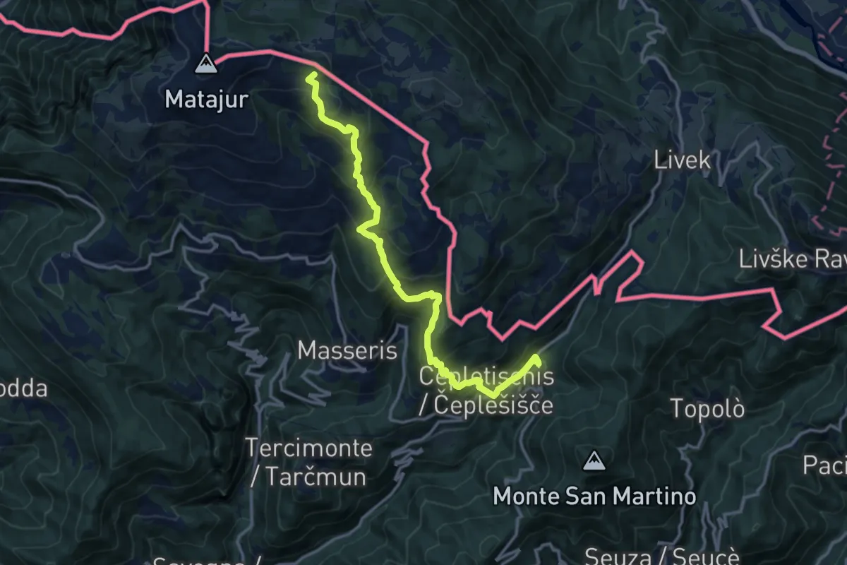
Demanding · Summit
Rifugio Pelizzo – Topolò
13.2 km · ↑ 965 m · 5 h 12 min · 7 km away
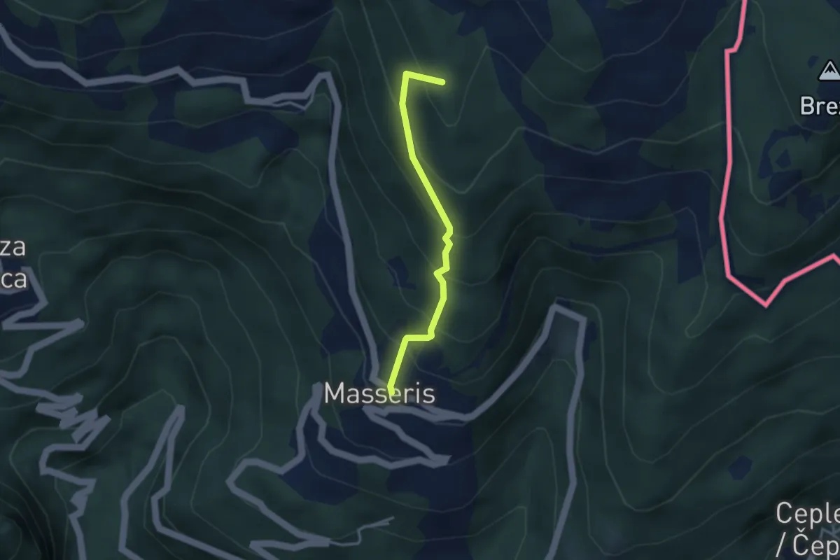
Medium · Summit
Masseris (quota 760 m) / Mašera – Bivio sentiero 736 (quota 1100 m)
2.7 km · ↑ 288 m · 1 h 16 min · 7 km away
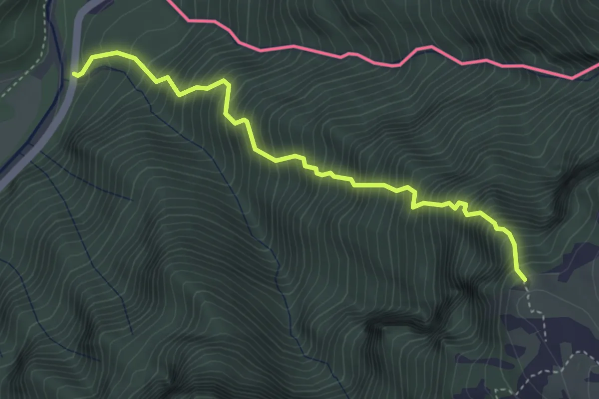
Expert · Trail
Sentiero Palma
4.0 km · ↑ 1068 m · 3 h 16 min · 7 km away
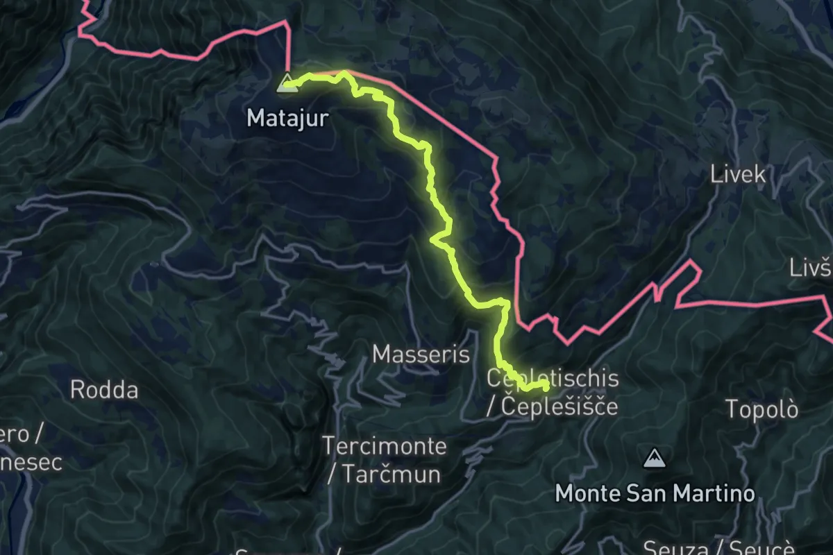
Demanding · Summit
Sentiero "Sergio Muzzolini"
14.3 km · ↑ 1060 m · 5 h 41 min · 7 km away
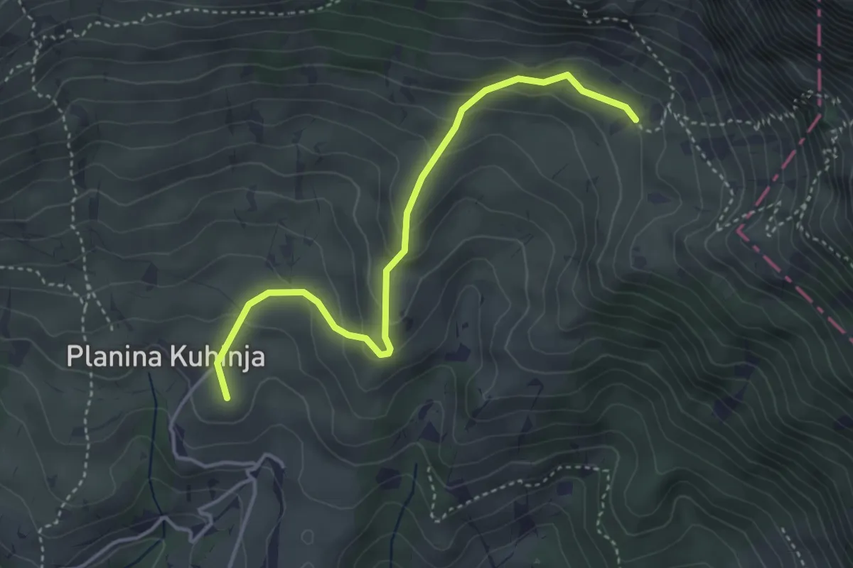
Easy · Summit
Pl. Kuhinja - Pl. Leskovca
3.9 km · ↑ 237 m · 1 h 26 min · 8 km away
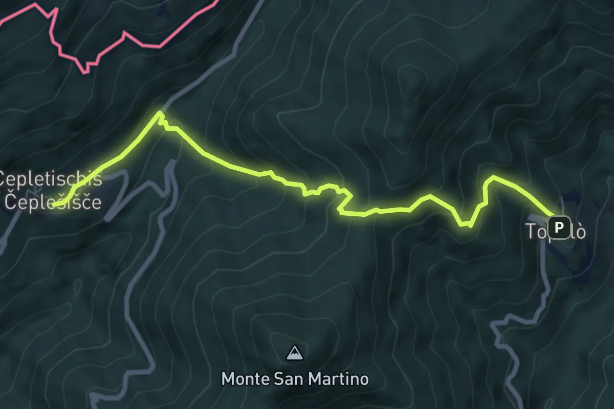
Medium · Trail
Polava (quota 590 m) – Topolò (quota 531 m)
6.9 km · ↑ 604 m · 2 h 56 min · 8 km away
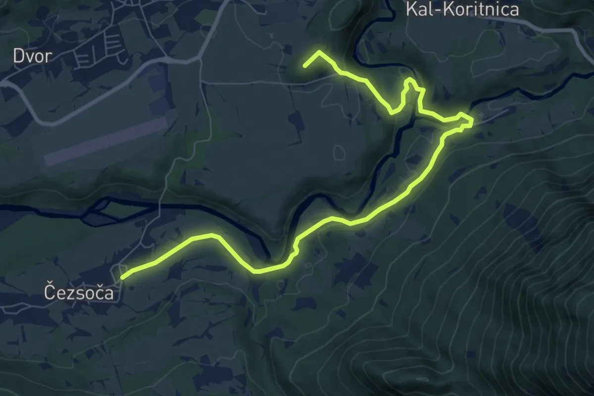
Medium · Summit
Hiking route B1
9.5 km · ↑ 183 m · 2 h 38 min · 9 km away
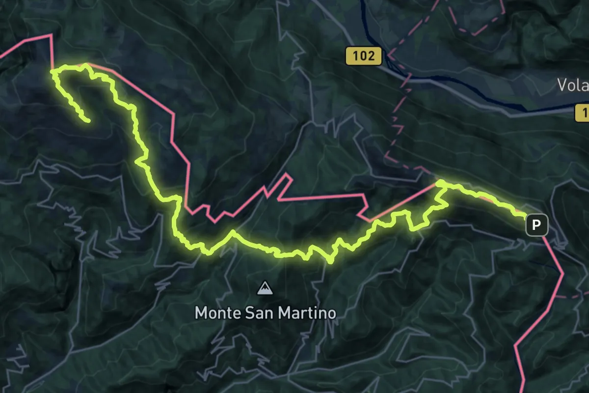
Demanding · Summit
JK14
19.8 km · ↑ 1670 m · 8 h 27 min · 9 km away
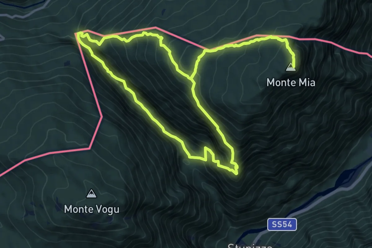
Demanding · Summit
Stupizza / Štupca – Monte Mia
10.2 km · ↑ 902 m · 4 h 30 min · 9 km away
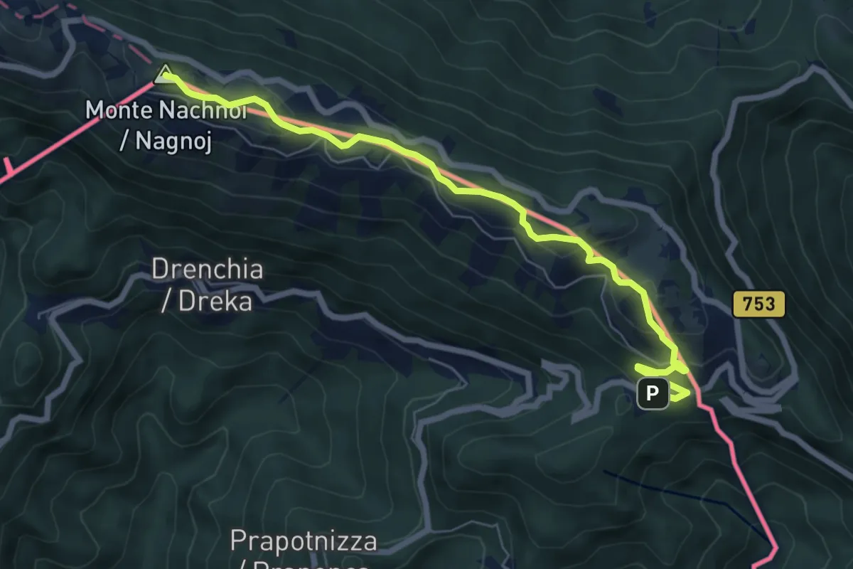
Medium · Summit
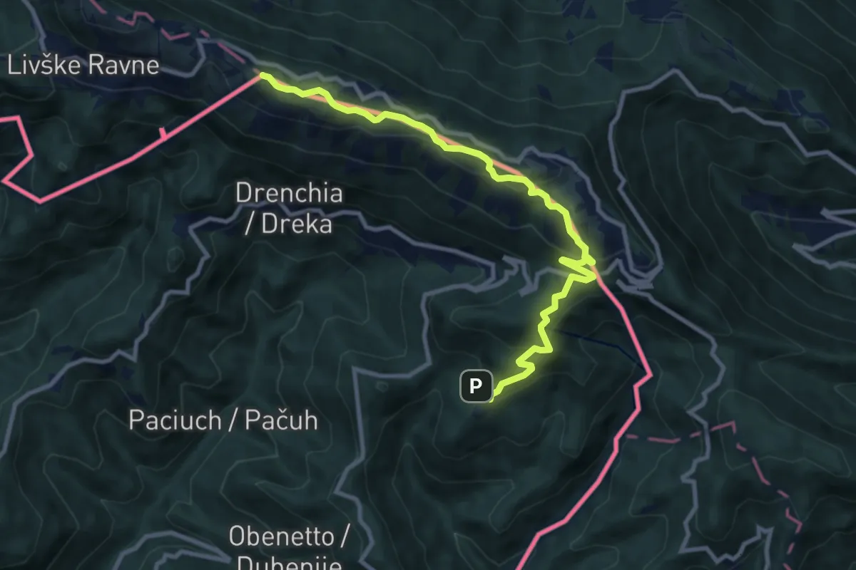
Topolò – Rifugio Solarie
6.9 km · ↑ 309 m · 2 h 18 min · 10 km away
Medium · Summit
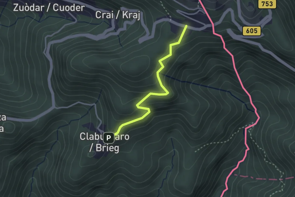
Topolò (quota 531 m) – Clabuzzaro (quota 802 m)
9.8 km · ↑ 551 m · 3 h 31 min · 10 km away
Easy · Cabin
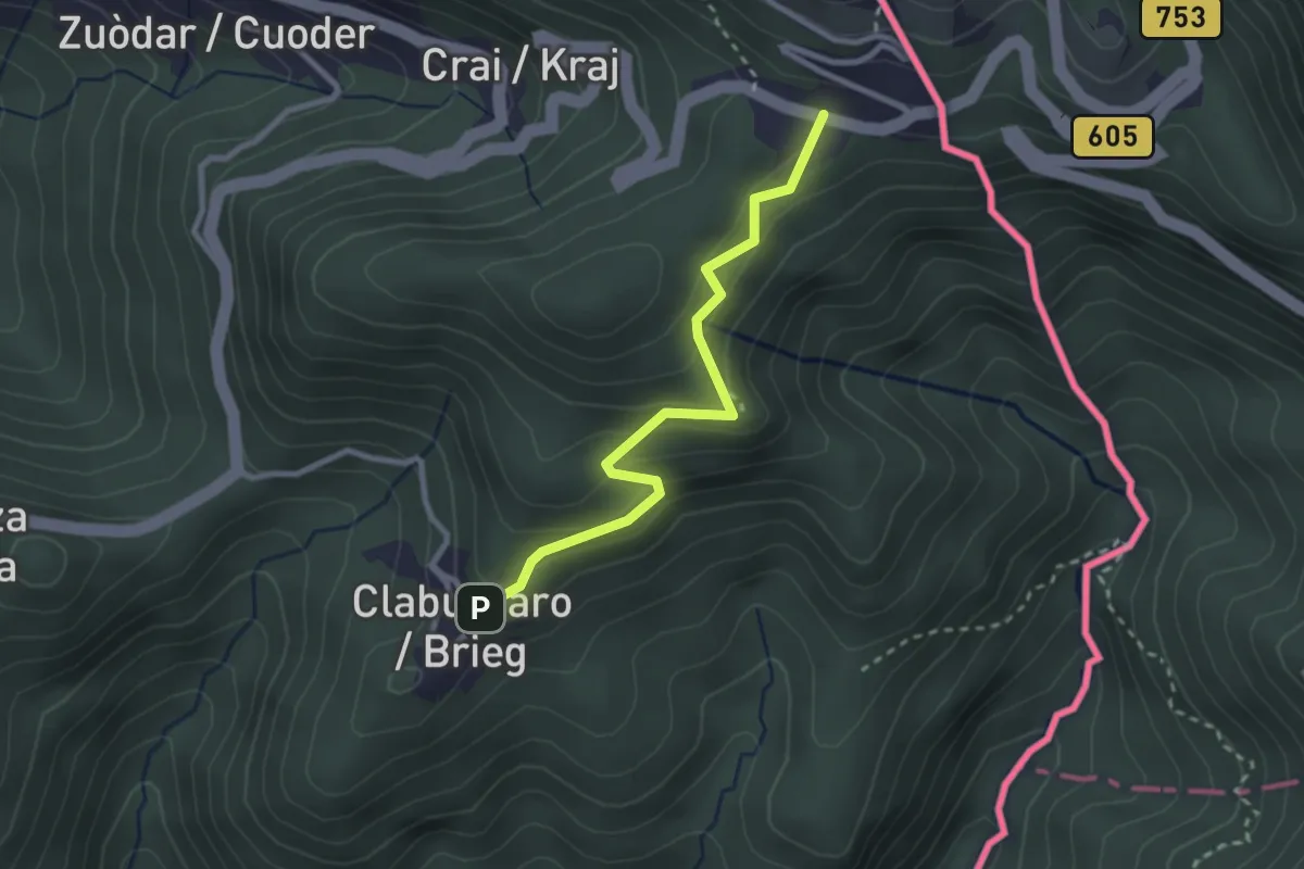
Rifugio Solarie – Tribil Superiore
2.7 km · ↑ 230 m · 1 h 8 min · 10 km away
Easy · Cabin
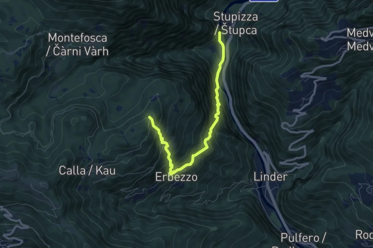
Via Alpina Yellow B6
2.6 km · ↑ 204 m · 1 h 4 min · 10 km away
Medium · Trail
Stupizza (quota 203 m) – Chiesa di S. Andrea (quota 797 m)
7.1 km · ↑ 688 m · 3 h 10 min · 10 km away
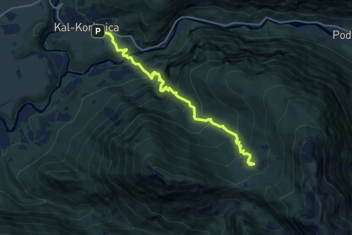
Demanding · Trail
Kal-Koritnica - Planina Golobar
9.7 km · ↑ 916 m · 4 h 16 min · 10 km away
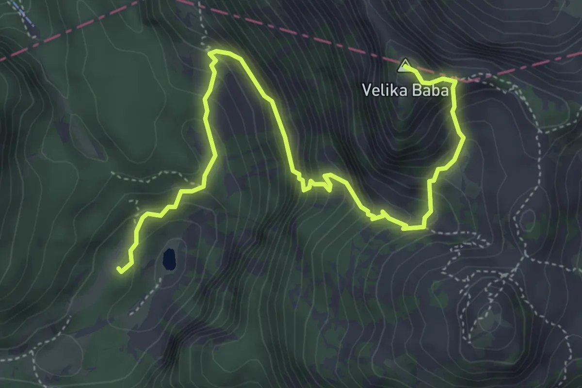
Medium · Summit
Dom pri Krnskih jezerih - Velika Baba
5.9 km · ↑ 584 m · 2 h 40 min · 10 km away
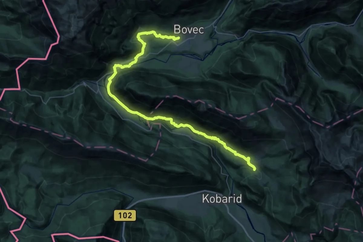
Demanding · Summit
Alpe Adria Trail E25
40.3 km · ↑ 1151 m · 12 h 1 min · 10 km away
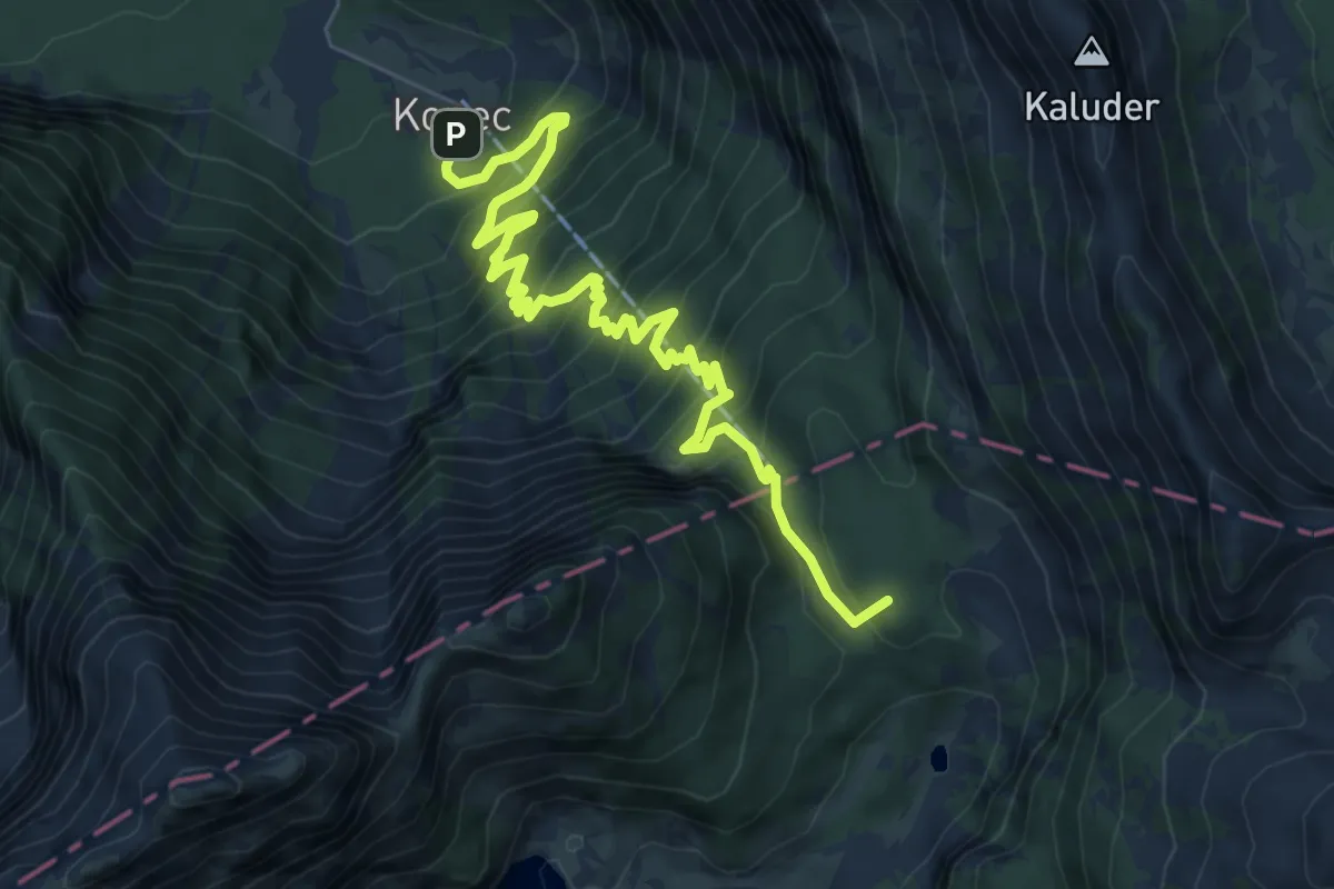
Demanding · Summit
Lepena - Dom pri Krnskih jezerih
8.4 km · ↑ 905 m · 3 h 56 min · 10 km away
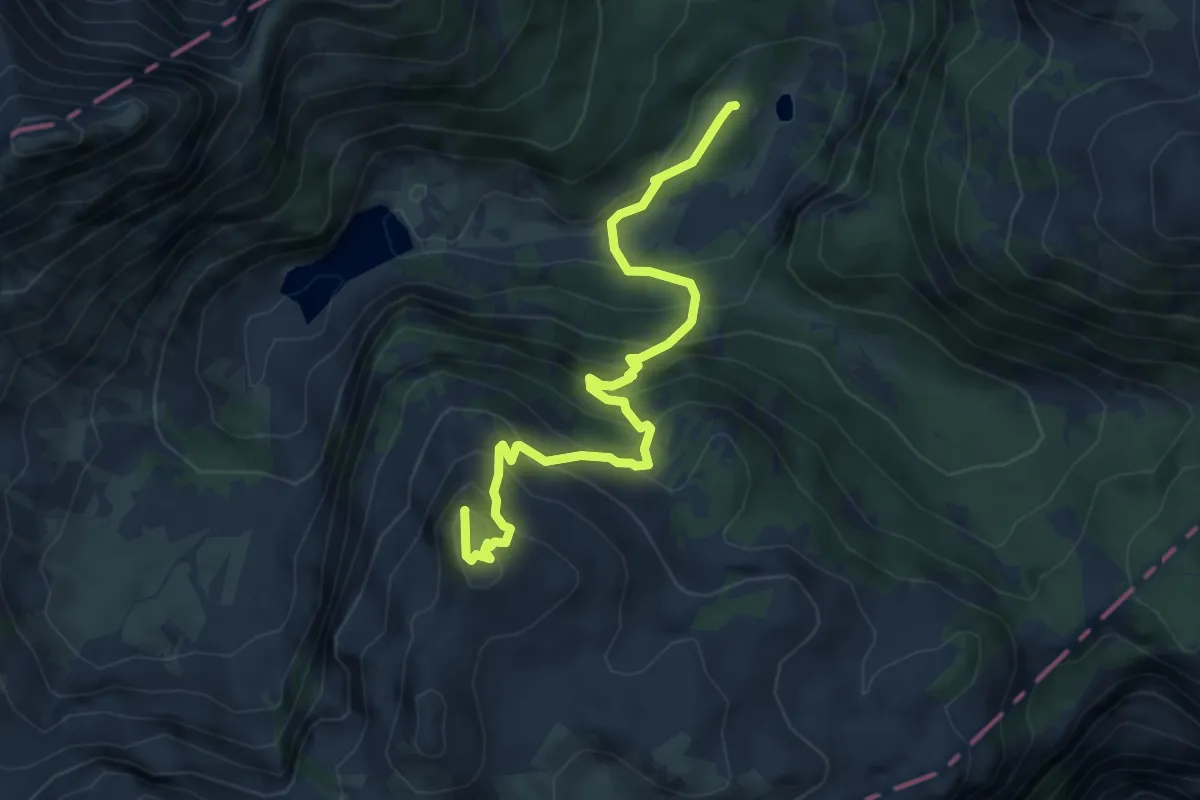
Medium · Summit
Dom pri Krnskih jezerih - Šmohor
5.4 km · ↑ 596 m · 2 h 33 min · 10 km away
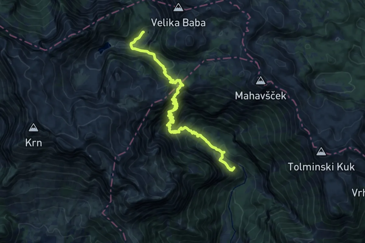
Demanding · Summit
Pl. Polog - Prehodci - Dom pri Krnskih jezerih
17.9 km · ↑ 1777 m · 8 h 5 min · 10 km away
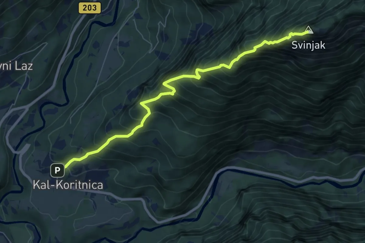
Demanding · Summit
Kal-Koritnica - Svinjak
7.1 km · ↑ 1421 m · 4 h 45 min · 10 km away
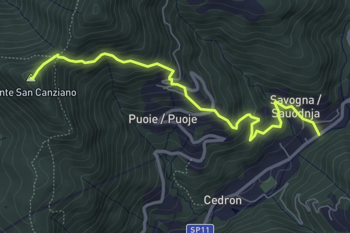
Medium · Summit
Savogna (quota 210 m) – Monte S. Canziano (quota 723 m)
6.0 km · ↑ 520 m · 2 h 32 min · 10 km away
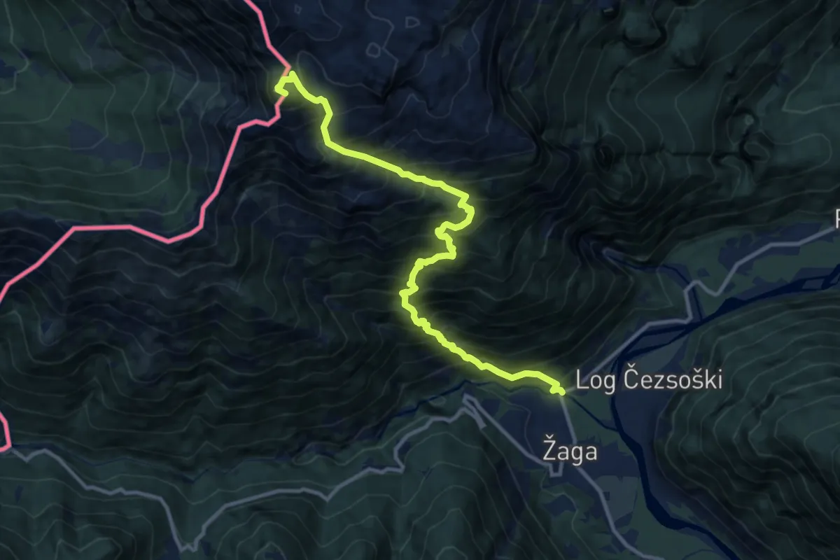
Expert · Summit
Žaga - Velika Baba
12.1 km · ↑ 1811 m · 6 h 46 min · 10 km away
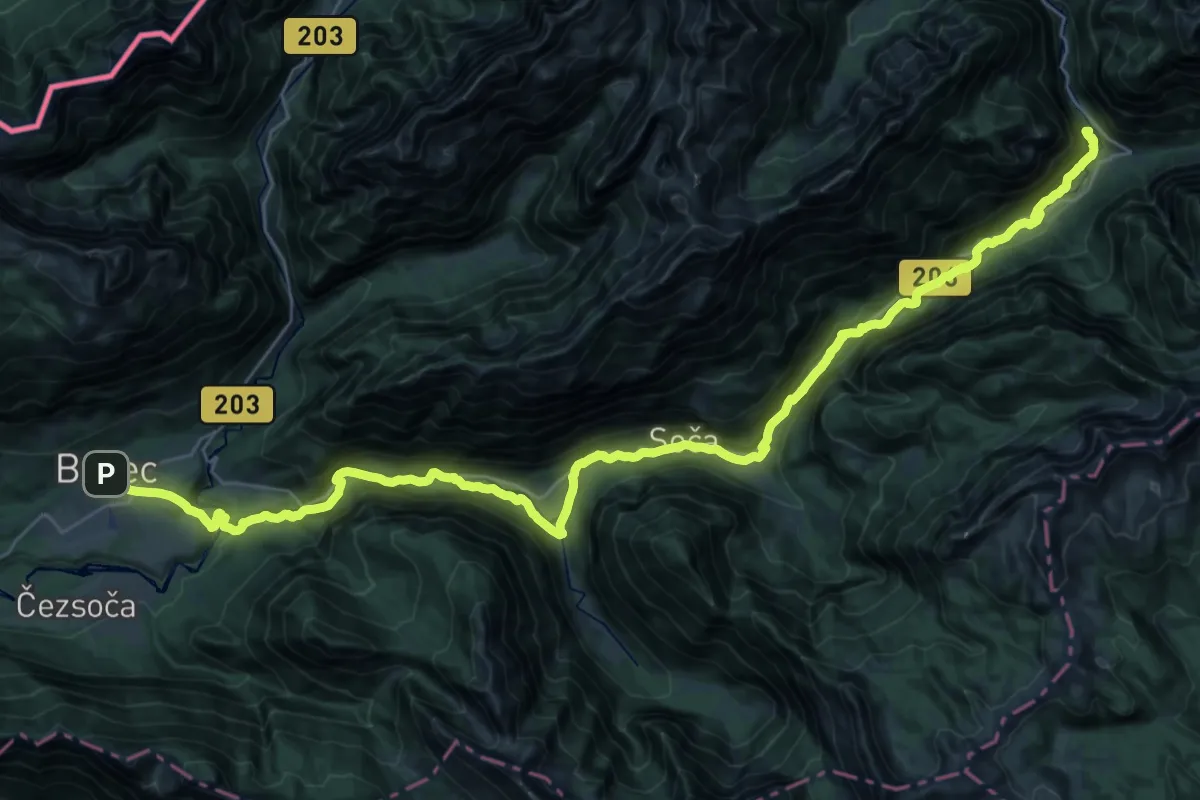
Expert · Summit
Soška pot
43.1 km · ↑ 1107 m · 12 h 34 min · 10 km away
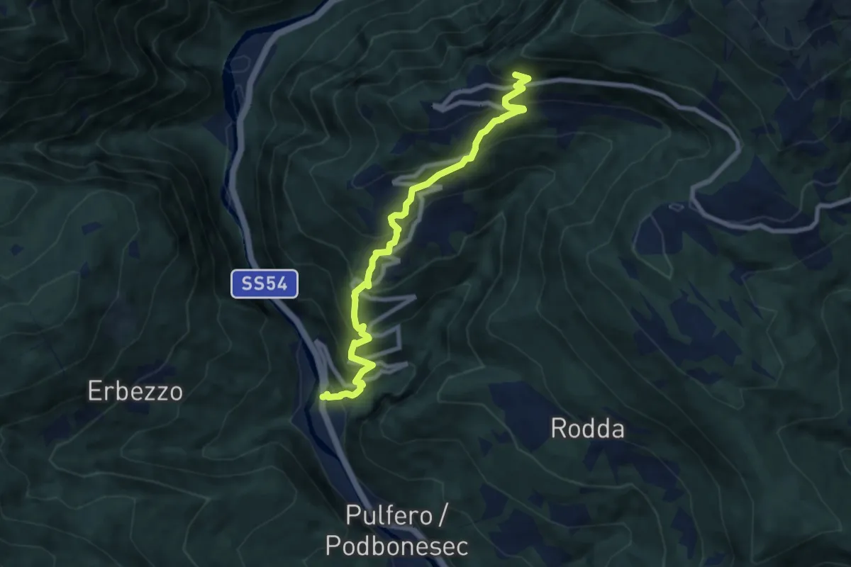
Medium · Trail
Linder (quota 190 m) – Bivio sentiero n. 725 (quota 900 m)
7.8 km · ↑ 716 m · 3 h 23 min · 11 km away
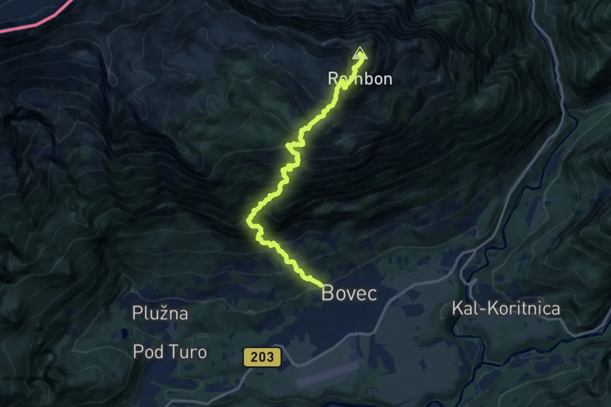
Expert · Summit
Bovec - Čukla - Rombon
10.8 km · ↑ 1653 m · 6 h 8 min · 11 km away