Trails near Kobarid
110 hikes starting within 15 km, nearest first.
Nearest first, page 2 of 3
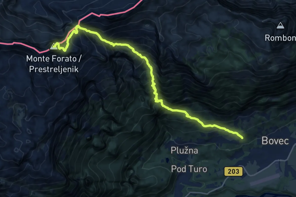
Demanding · Summit
Bovec - Krnica - Prestreljenik
17.0 km · ↑ 1925 m · 8 h 11 min · 11 km away
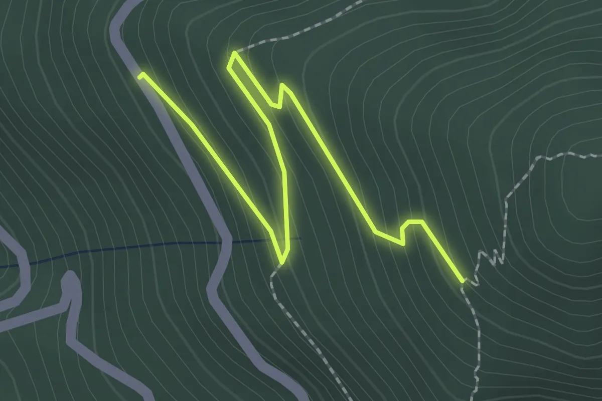
Easy · Trail
Sentiero Hum - variante
2.3 km · ↑ 162 m · 54 min · 11 km away
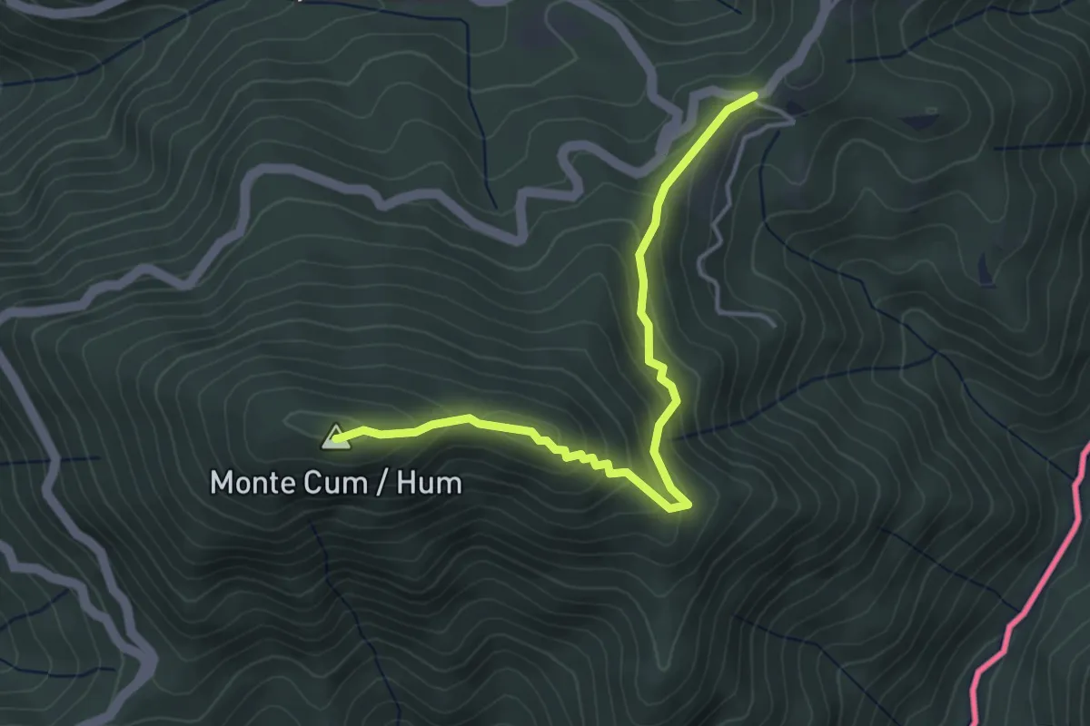
Easy · Summit
Sentiero Hum
4.0 km · ↑ 241 m · 1 h 27 min · 11 km away
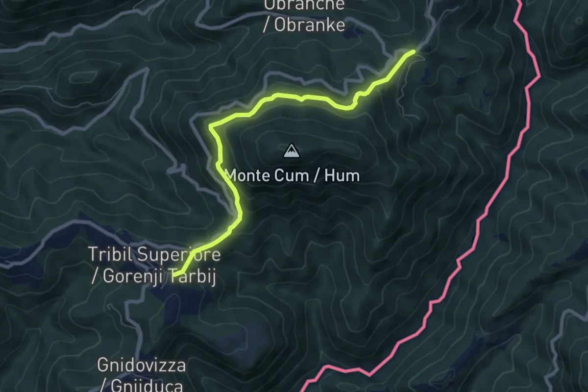
Medium · Trail
Sentiero Hum
6.7 km · ↑ 338 m · 2 h 19 min · 11 km away
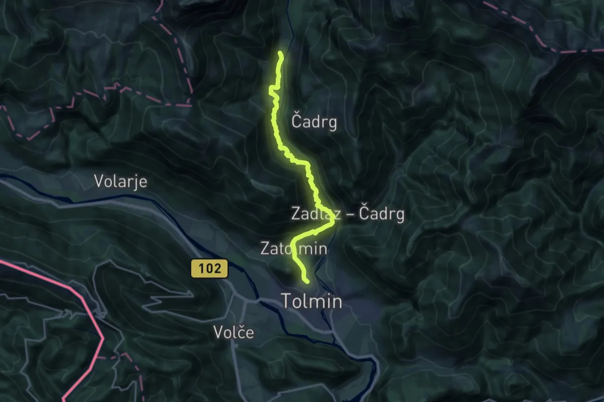
Demanding · Summit
Tolmin - Pl. Polog
15.8 km · ↑ 1299 m · 6 h 32 min · 11 km away
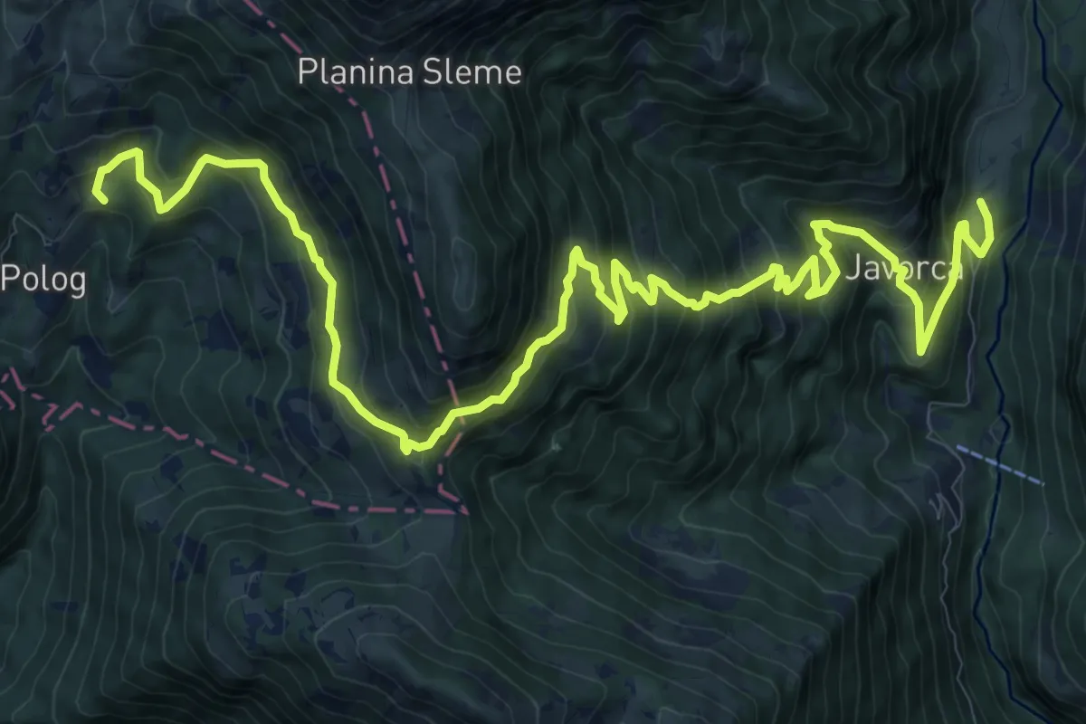
Demanding · Summit
Pl. Polog - Vas Krn
16.6 km · ↑ 1453 m · 7 h 4 min · 11 km away
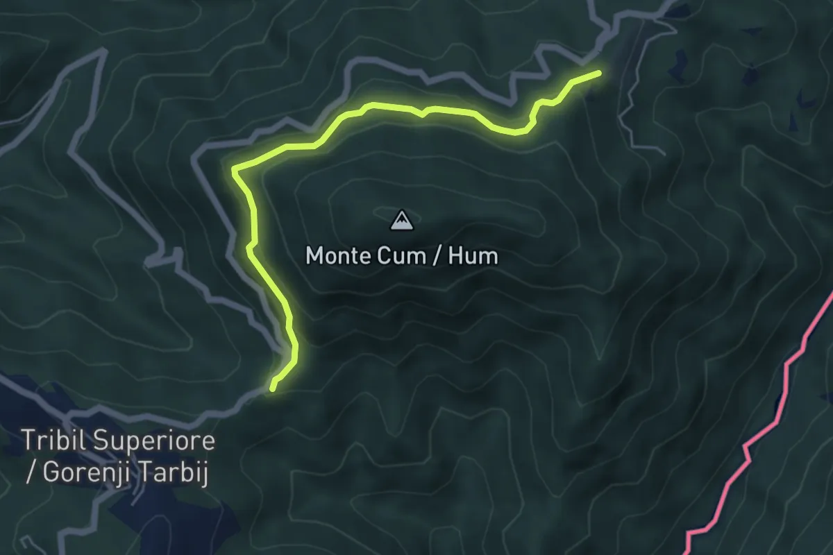
Easy · Trail
Bivio Rucchin (quota 676 m) – Bivio Tribil di Sopra (quota 610 m)
5.0 km · ↑ 267 m · 1 h 45 min · 11 km away
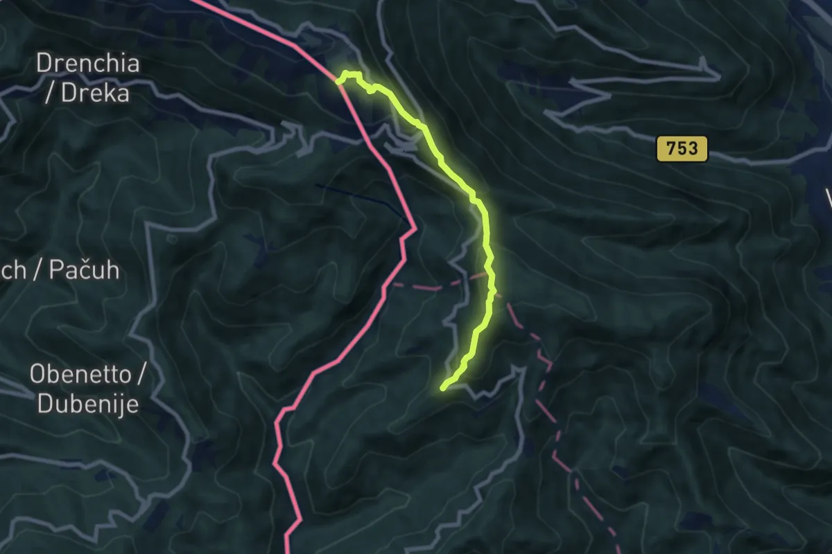
Medium · Summit
Dom pod Ježo - Ježa - Na gradu
6.3 km · ↑ 511 m · 2 h 36 min · 11 km away
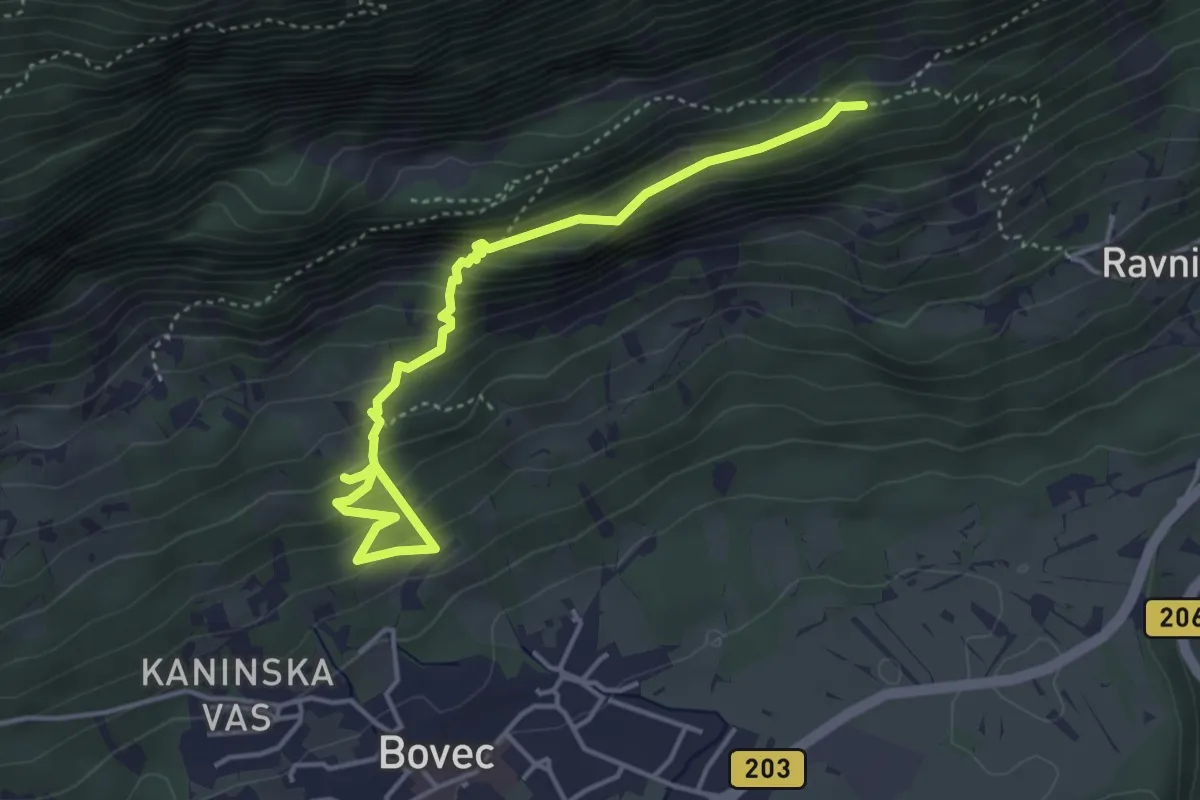
Medium · Trail
Hiking route B3c
4.6 km · ↑ 384 m · 1 h 55 min · 12 km away
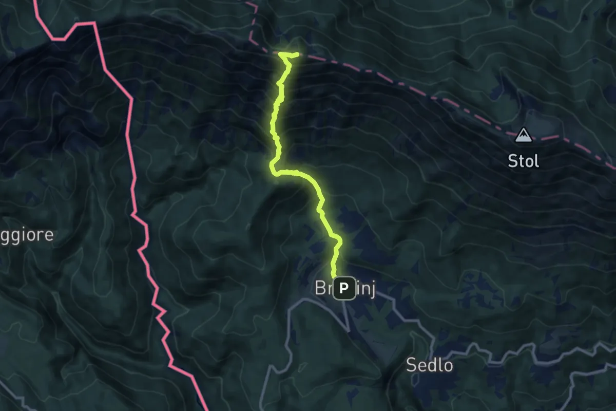
Demanding · Summit
Breginj - Muzec
8.3 km · ↑ 1033 m · 4 h 11 min · 12 km away
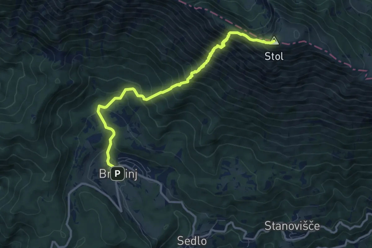
Demanding · Summit
Breginj - Stol
9.2 km · ↑ 1107 m · 4 h 34 min · 12 km away
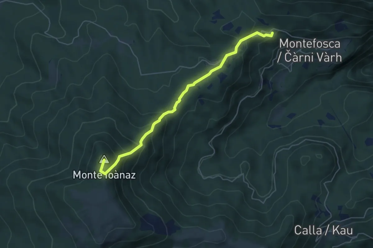
Medium · Summit
Montefosca – Bivio 744 (quota 795 m) / Čàrni Vàrh – Bocchette di Calla (quota 868 m)
5.0 km · ↑ 362 m · 1 h 58 min · 12 km away
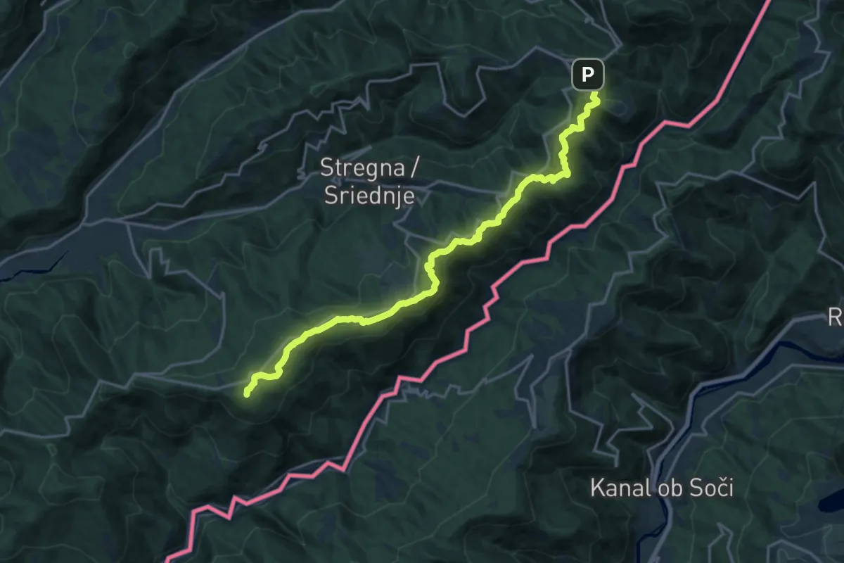
Demanding · Summit
Alpe Adria Trail E28
18.3 km · ↑ 635 m · 5 h 42 min · 12 km away
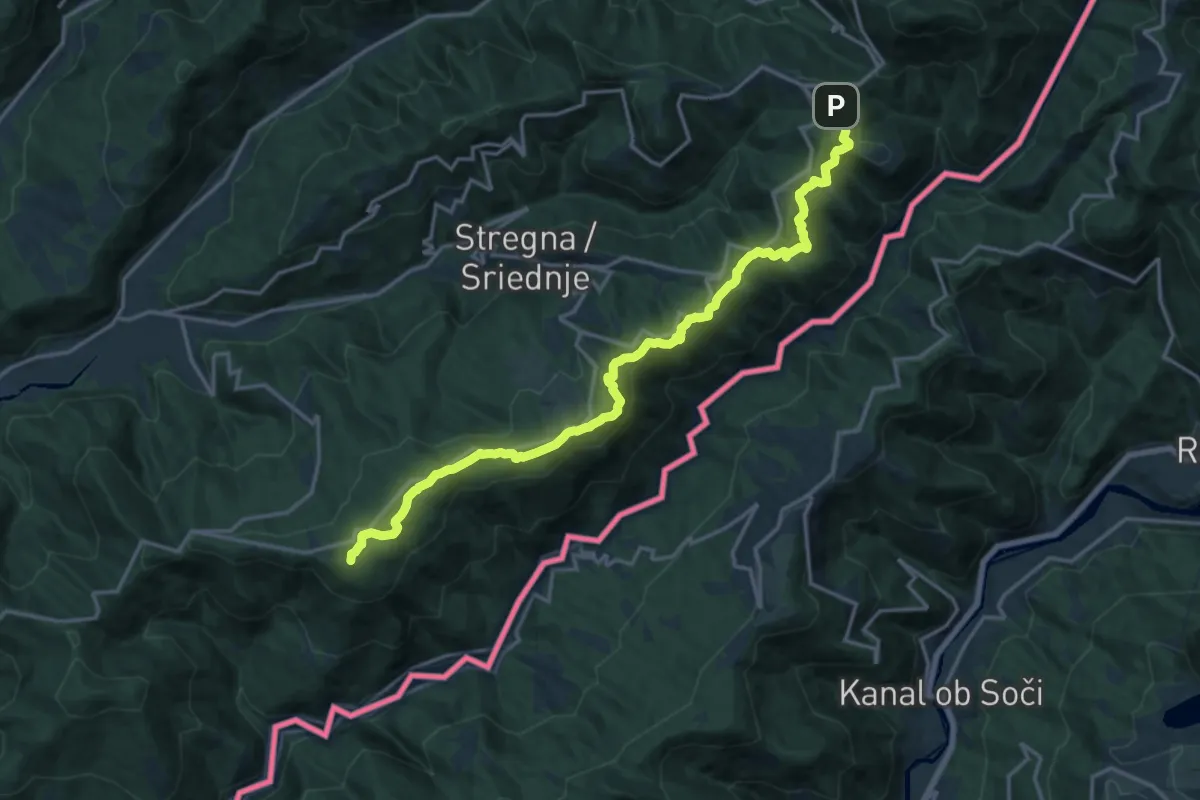
Demanding · Summit
Tribil Superiore – Castelmonte
18.3 km · ↑ 634 m · 5 h 42 min · 12 km away
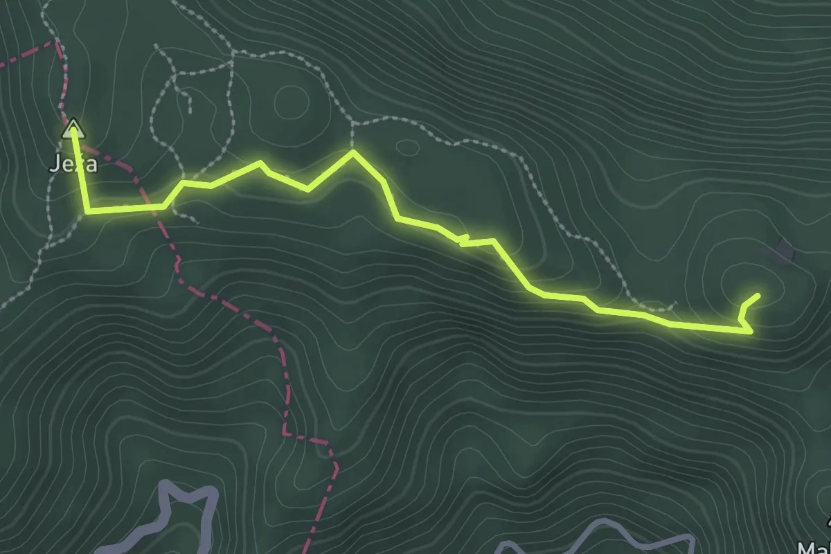
Easy · Summit
Očna
2.9 km · ↑ 112 m · 55 min · 12 km away
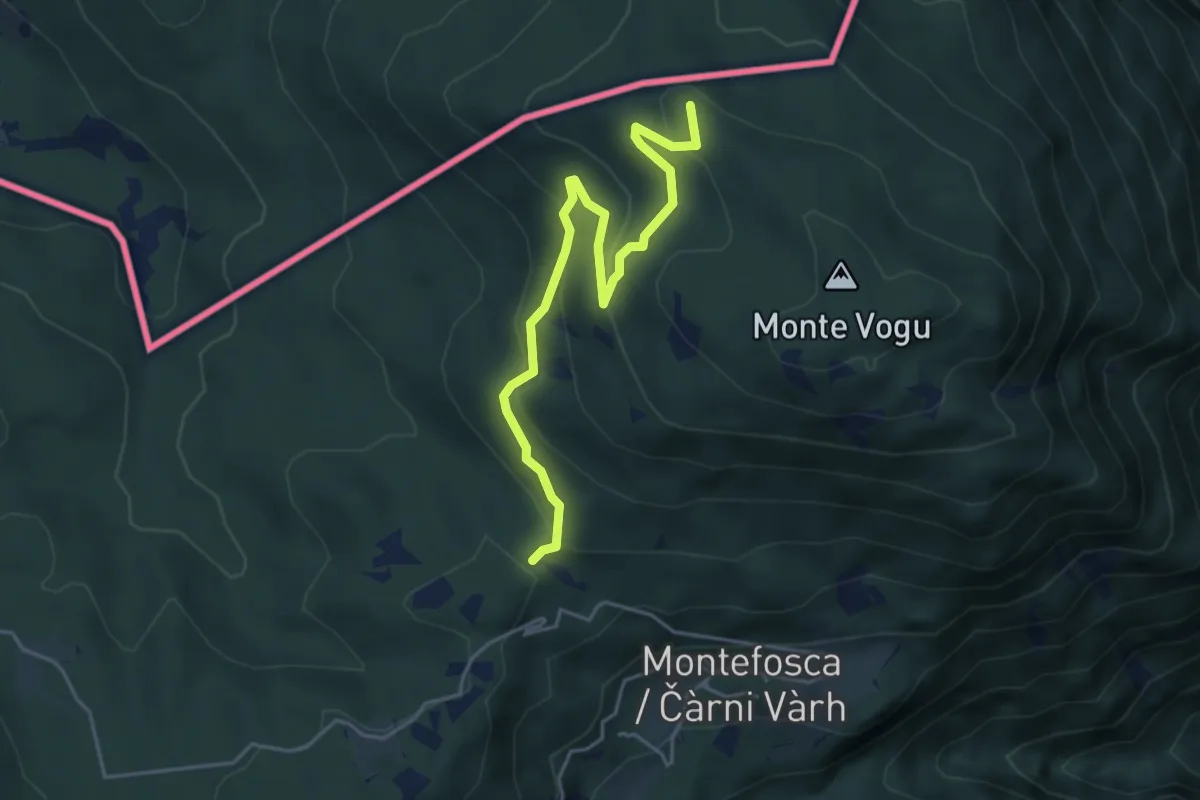
Easy · Summit
Stupizza (quota 203 m) – Monte Vogu (quota 1124 m)
4.7 km · ↑ 237 m · 1 h 38 min · 12 km away
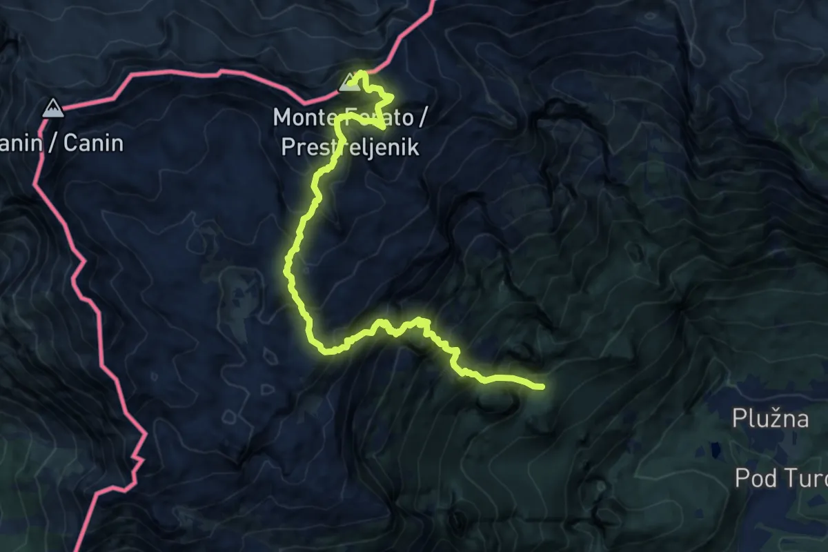
Expert · Summit
Gozdec - Dom Petra Skalarja - Prestreljenik
13.2 km · ↑ 2104 m · 7 h 41 min · 12 km away
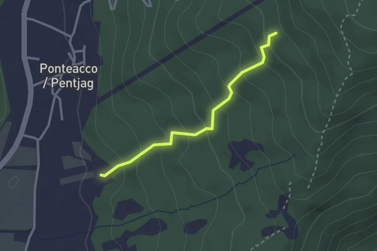
Easy · Trail
Rupa Trail
2.1 km · ↑ 198 m · 55 min · 12 km away
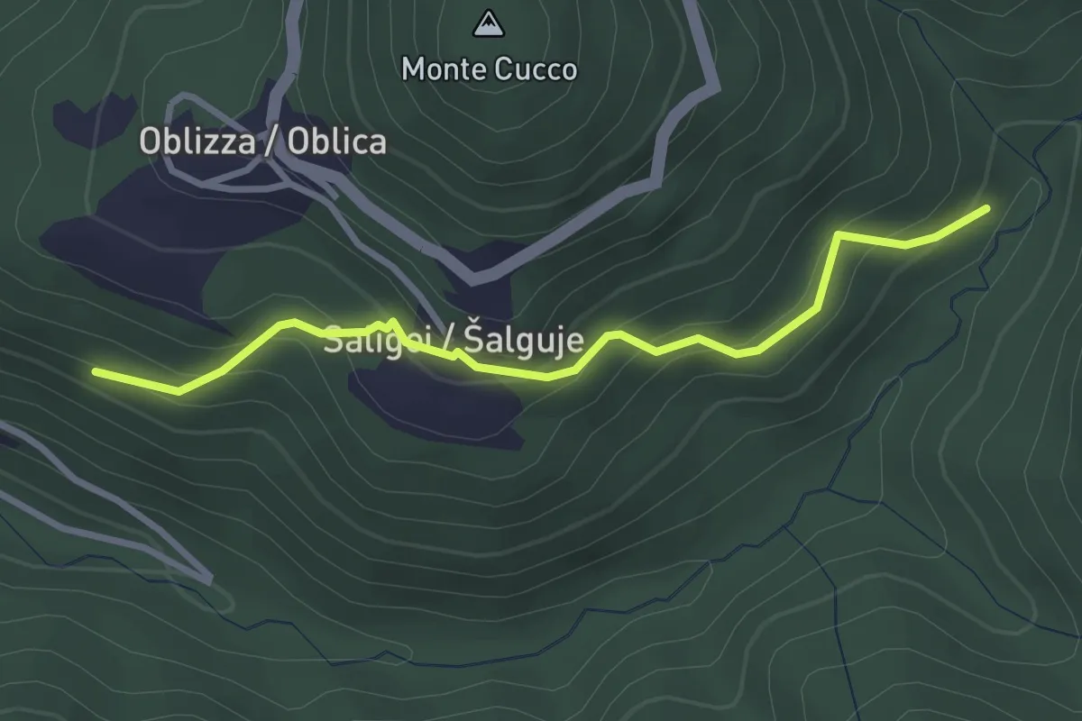
Easy · Trail
Cobilza - Oblizza - Dughe - bretella
2.9 km · ↑ 236 m · 1 h 12 min · 12 km away
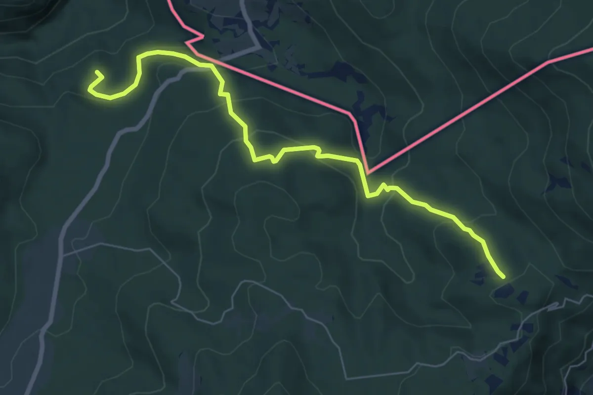
Medium · Summit
Prossenicco – Rifugio Pelizzo
6.8 km · ↑ 410 m · 2 h 30 min · 12 km away
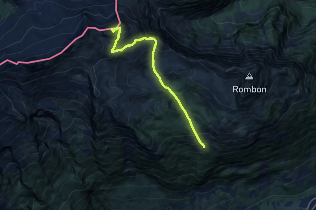
Demanding · Summit
Pl. Goričica - V. Črnelska špica
9.3 km · ↑ 887 m · 4 h 8 min · 12 km away
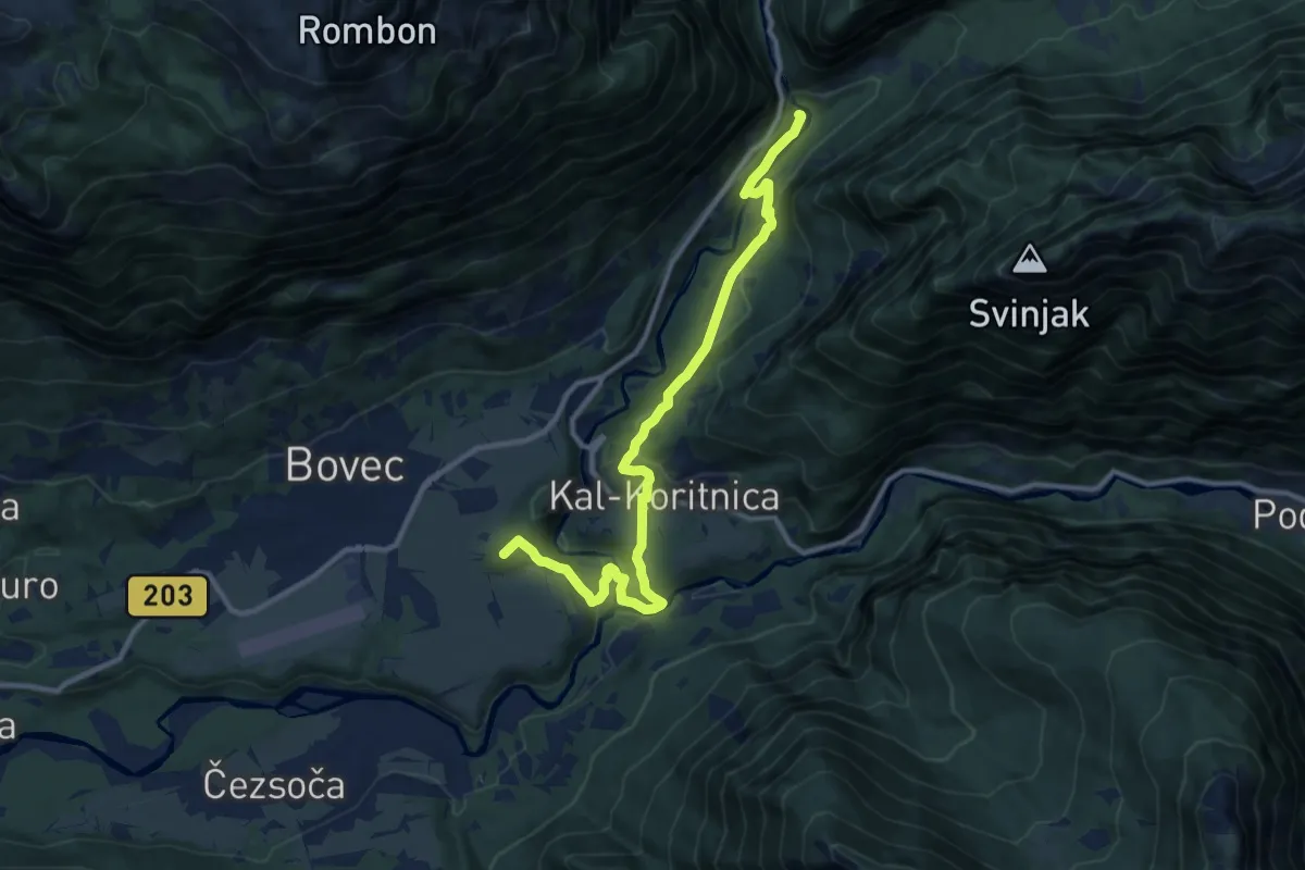
Medium · Summit
Hiking route B5
11.7 km · ↑ 369 m · 3 h 34 min · 13 km away
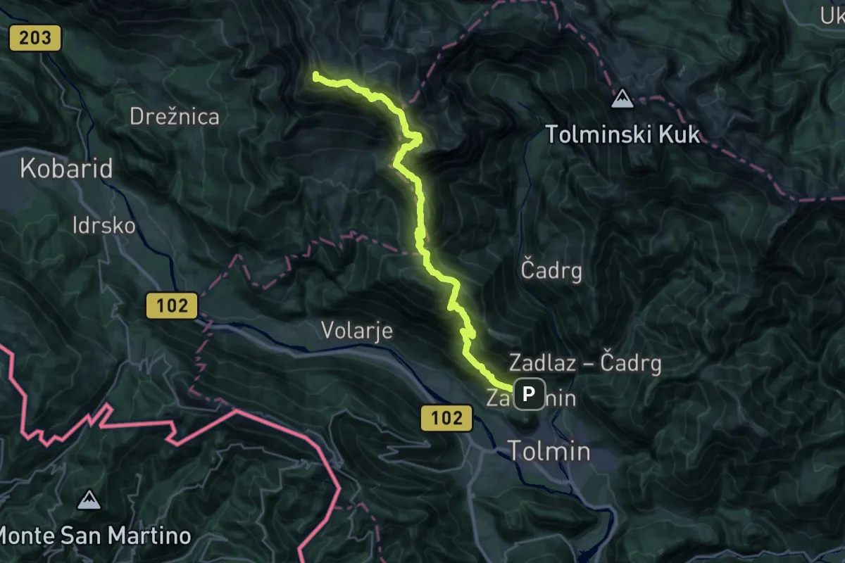
Demanding · Summit
Zatolmin - Pl. Sleme - Krn
28.2 km · ↑ 2448 m · 11 h 58 min · 13 km away
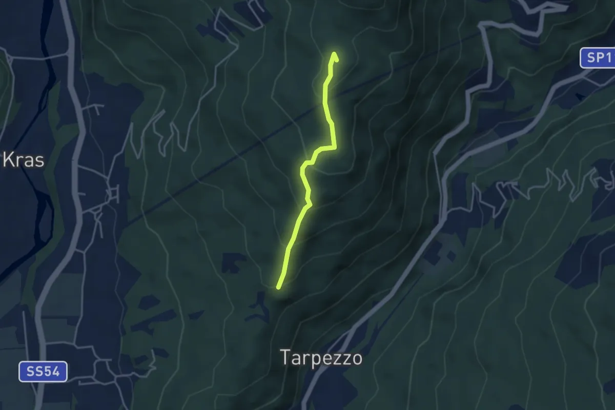
Medium · Summit
Località Makota (quota 360 m) – Passo S. Canziano (quota 658 m)
3.0 km · ↑ 208 m · 1 h 9 min · 13 km away
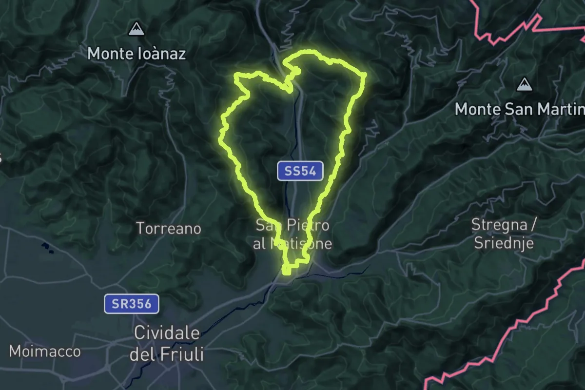
Demanding · Summit
Trail nelle valli del Natisone
26.1 km · ↑ 1468 m · 9 h 42 min · 13 km away
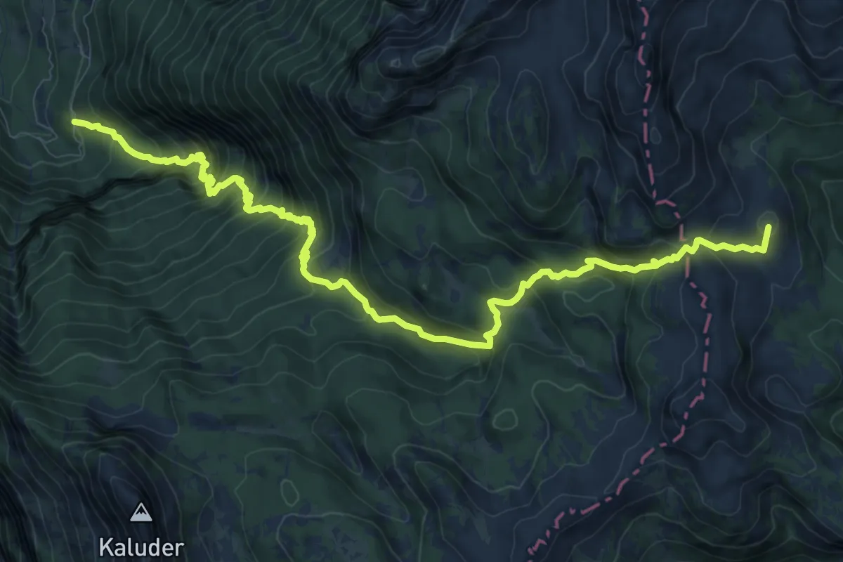
Expert · Summit
Pod Zjabci - Pl. Za skalo - Pl. Lopučnica
13.0 km · ↑ 1330 m · 5 h 57 min · 13 km away
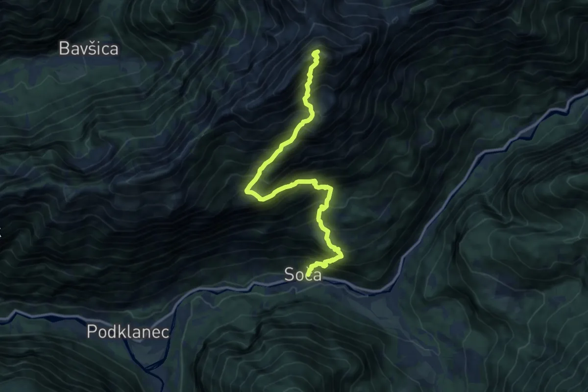
Expert · Summit
Soča - Bavški Grintavec
11.4 km · ↑ 1886 m · 6 h 47 min · 13 km away
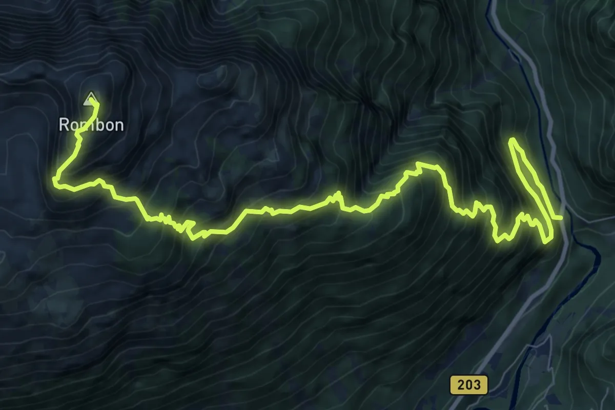
Expert · Summit
Kluže - Rombon
12.8 km · ↑ 1854 m · 7 h 3 min · 13 km away
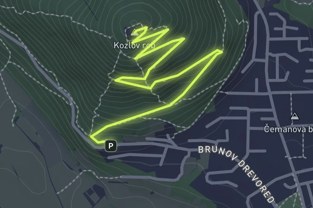
Easy · Summit
Gozdna učna pot Kozlov rob
3.4 km · ↑ 304 m · 1 h 28 min · 13 km away
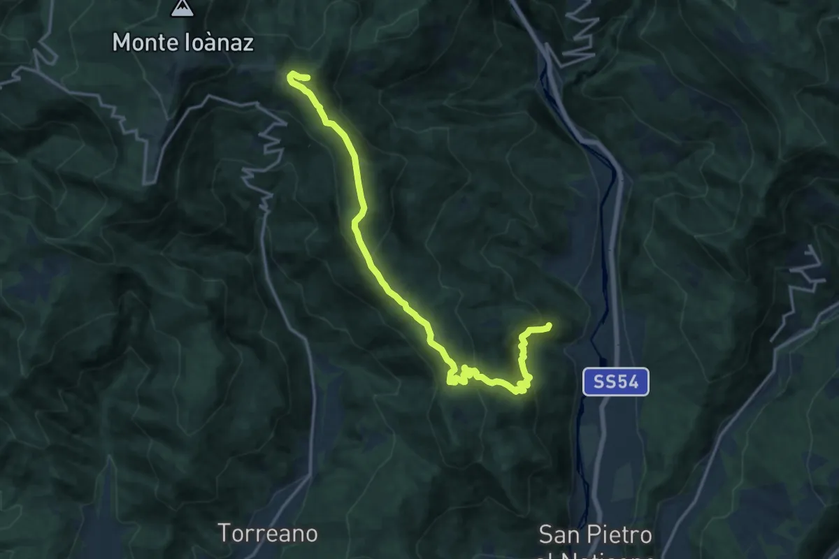
Demanding · Summit
Antro (quota 320 m) – Montefosca (quota 707 m)
15.8 km · ↑ 894 m · 5 h 40 min · 13 km away
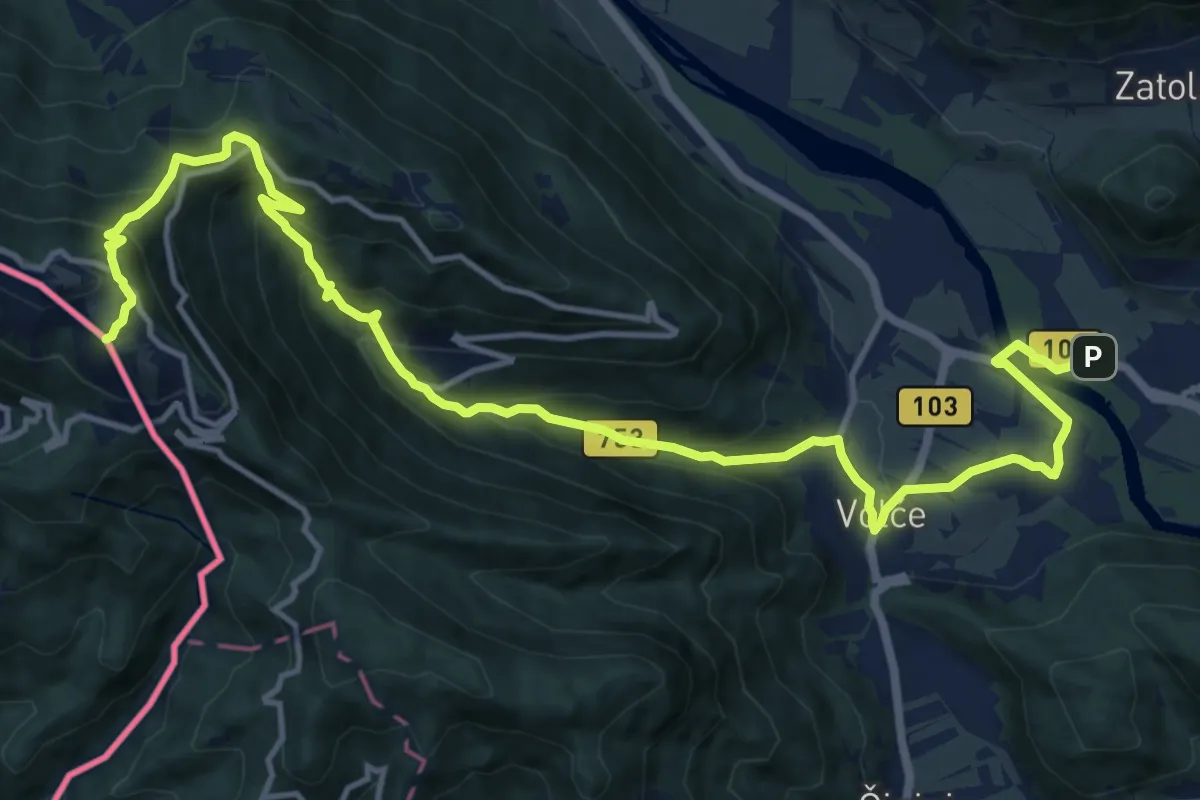
Demanding · Summit
Alpe Adria Trail E27
17.3 km · ↑ 1044 m · 6 h 21 min · 13 km away
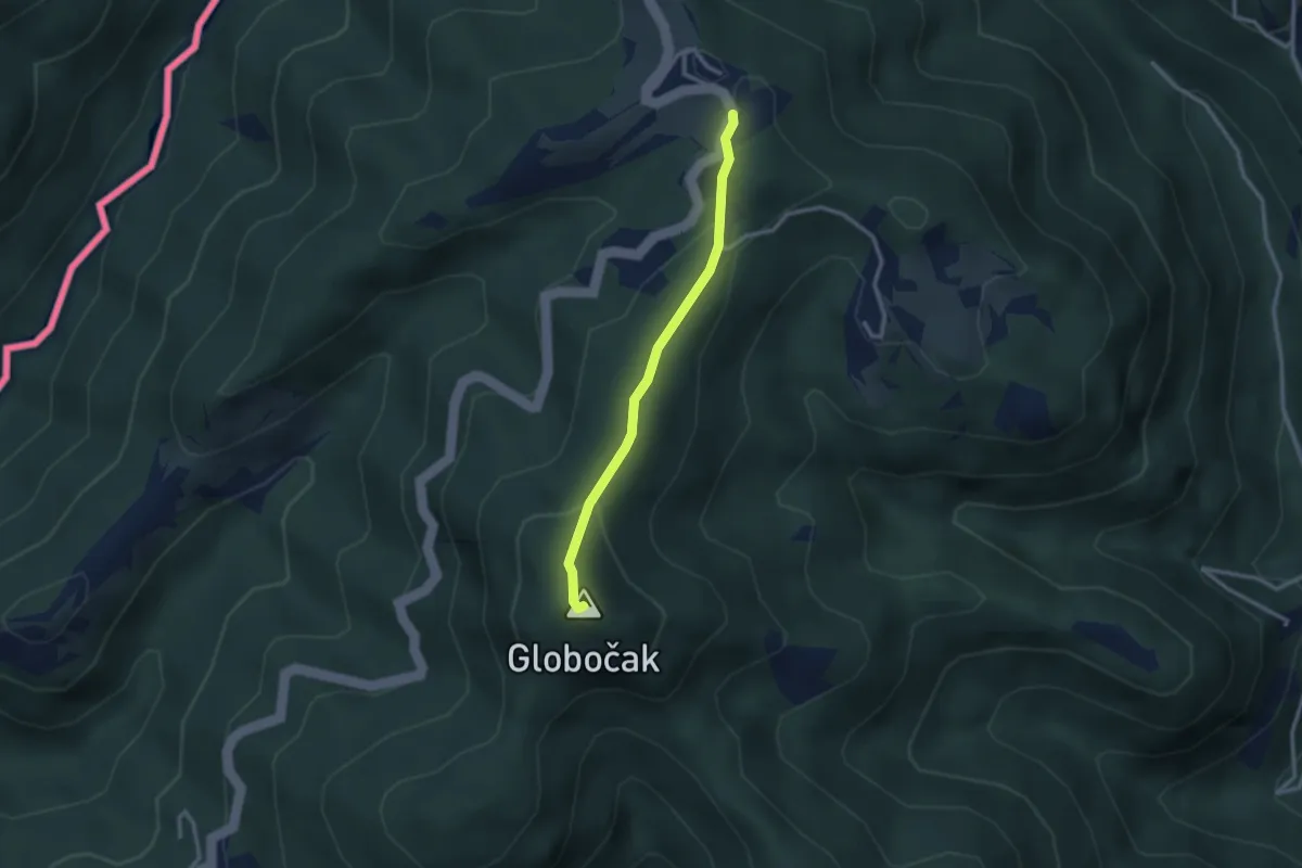
Easy · Summit
Srednje - Globočak
2.4 km · ↑ 87 m · 46 min · 13 km away
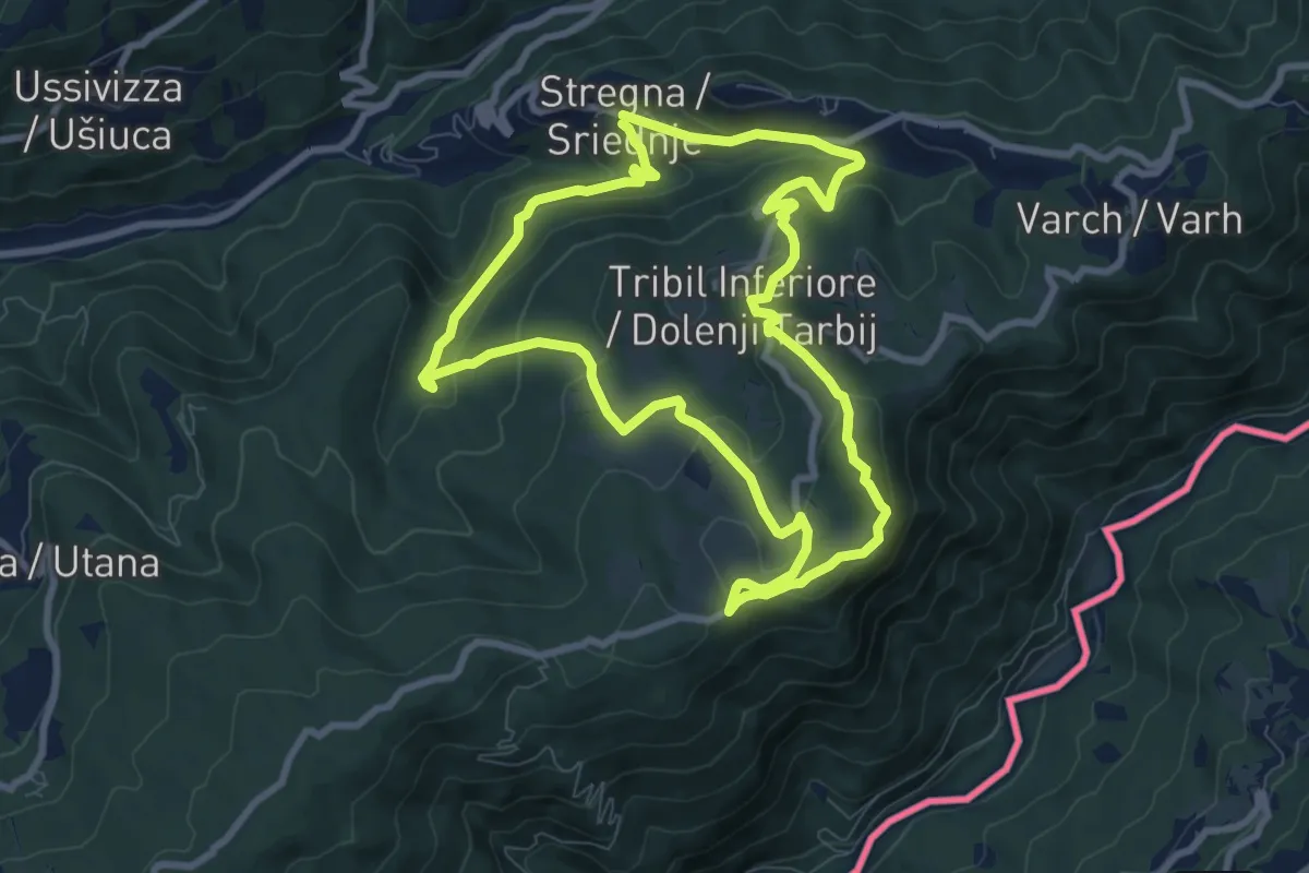
Medium · Summit
I Prati di Tribil
8.3 km · ↑ 366 m · 2 h 52 min · 13 km away
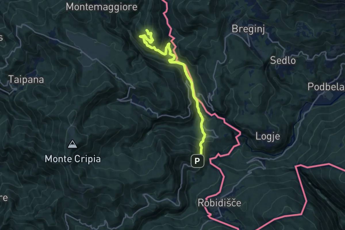
Medium · Trail
Montemaggiore di Taipana – Prossenicco
13.2 km · ↑ 608 m · 4 h 26 min · 13 km away
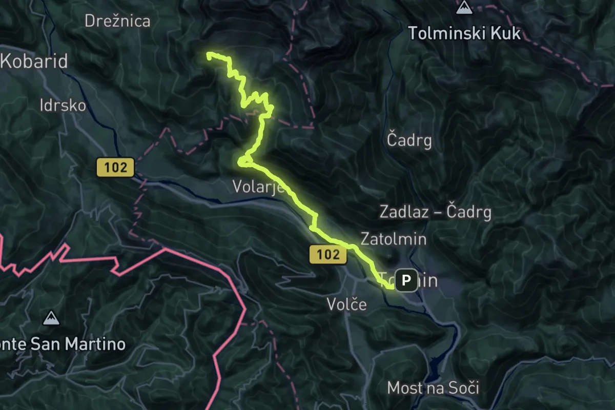
Demanding · Summit
Alpe Adria Trail E26
30.5 km · ↑ 1367 m · 10 h 10 min · 14 km away
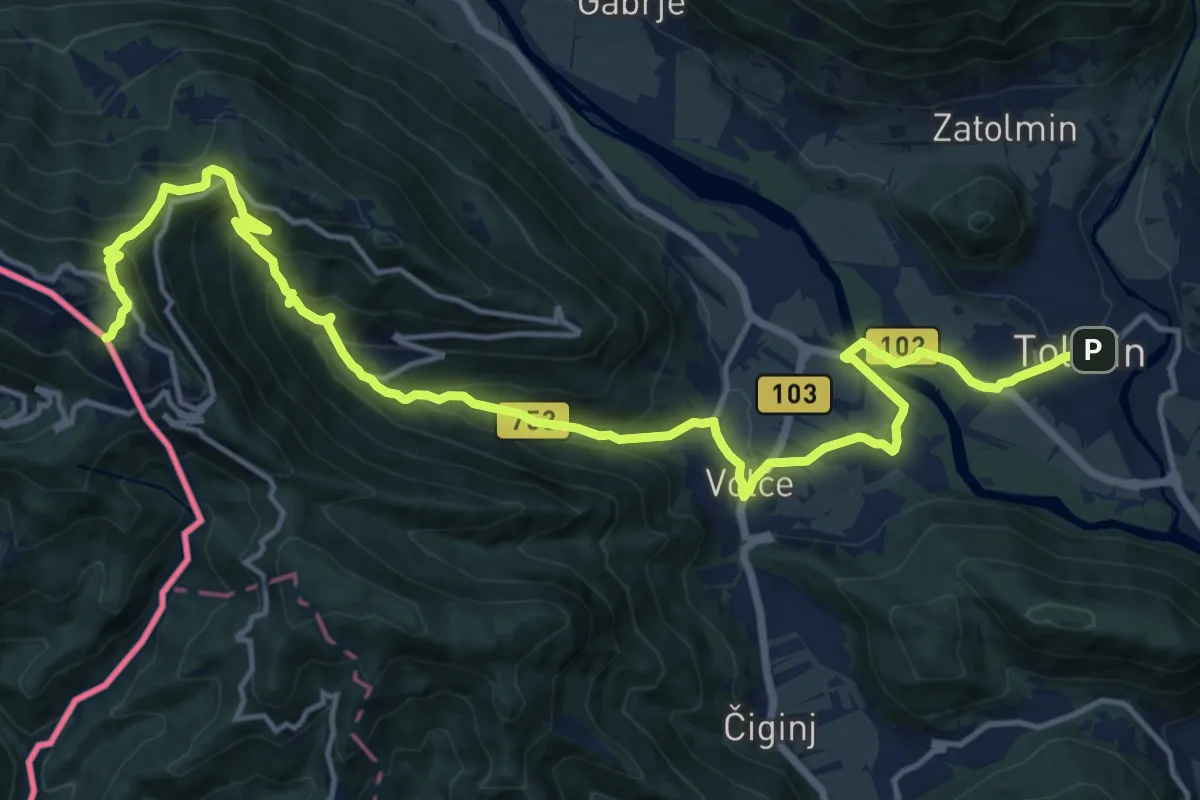
Demanding · Summit
Hst. Tolmin – Rif. Solarie
19.5 km · ↑ 1083 m · 6 h 58 min · 14 km away
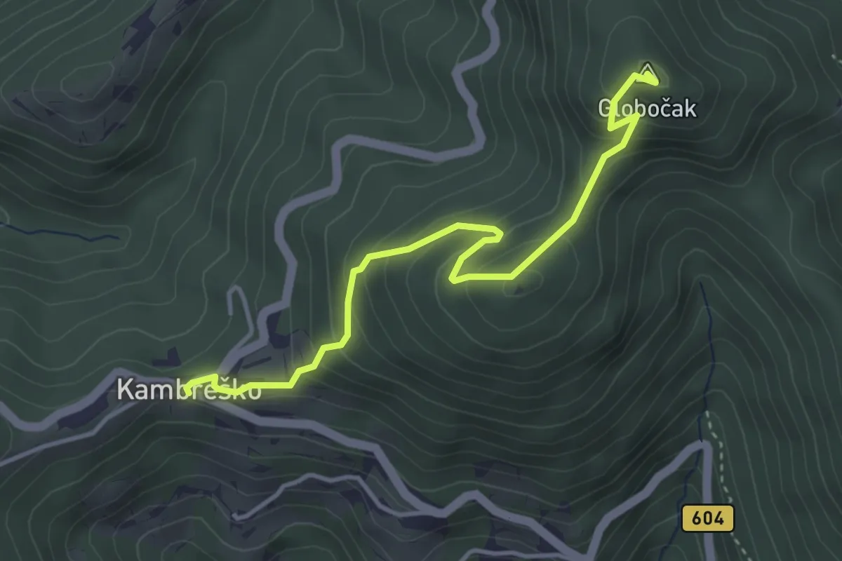
Medium · Summit
Kambreško - Globočak
3.9 km · ↑ 344 m · 1 h 40 min · 14 km away
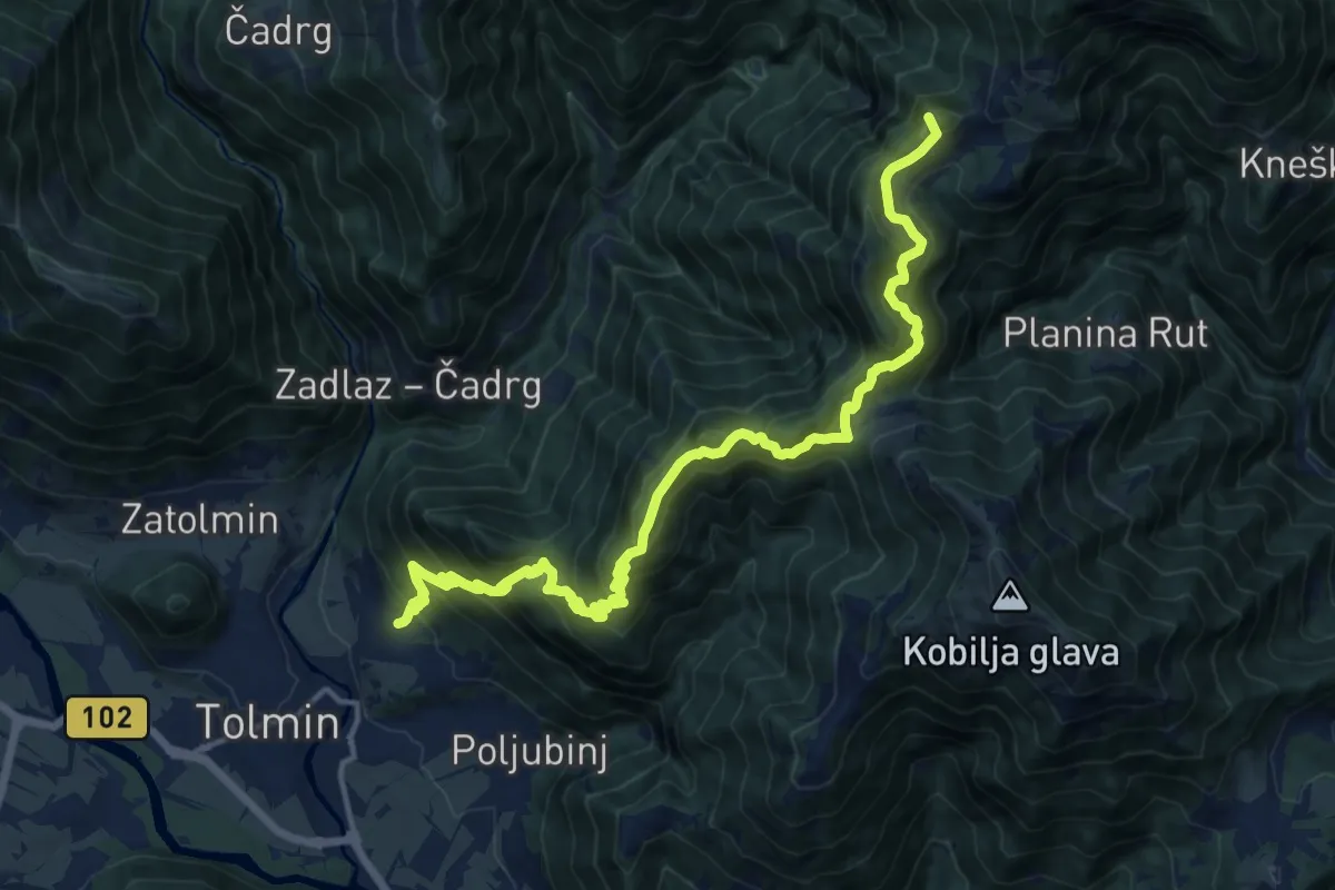
Demanding · Summit
Žabče - Pl. Lom - Koča na pl. Razor
17.7 km · ↑ 1538 m · 7 h 30 min · 14 km away
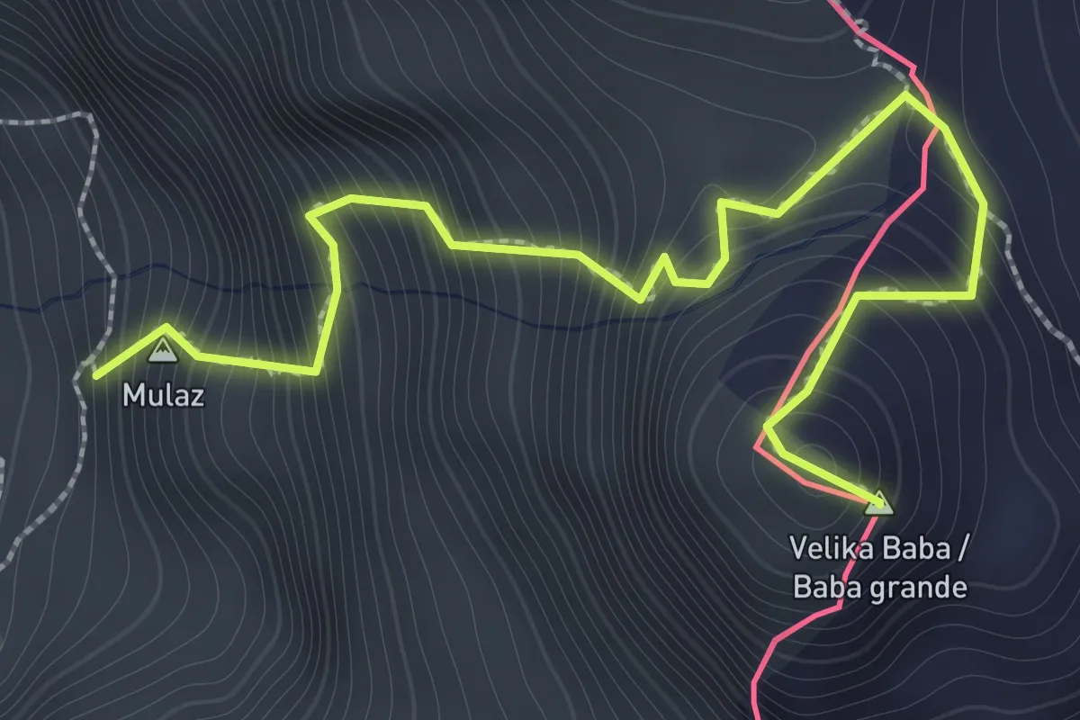
Demanding · Summit
Bivacco Costantini (quota 1690 m) – Baba Grande (quota 2160 m)
2.1 km · ↑ 470 m · 1 h 31 min · 14 km away
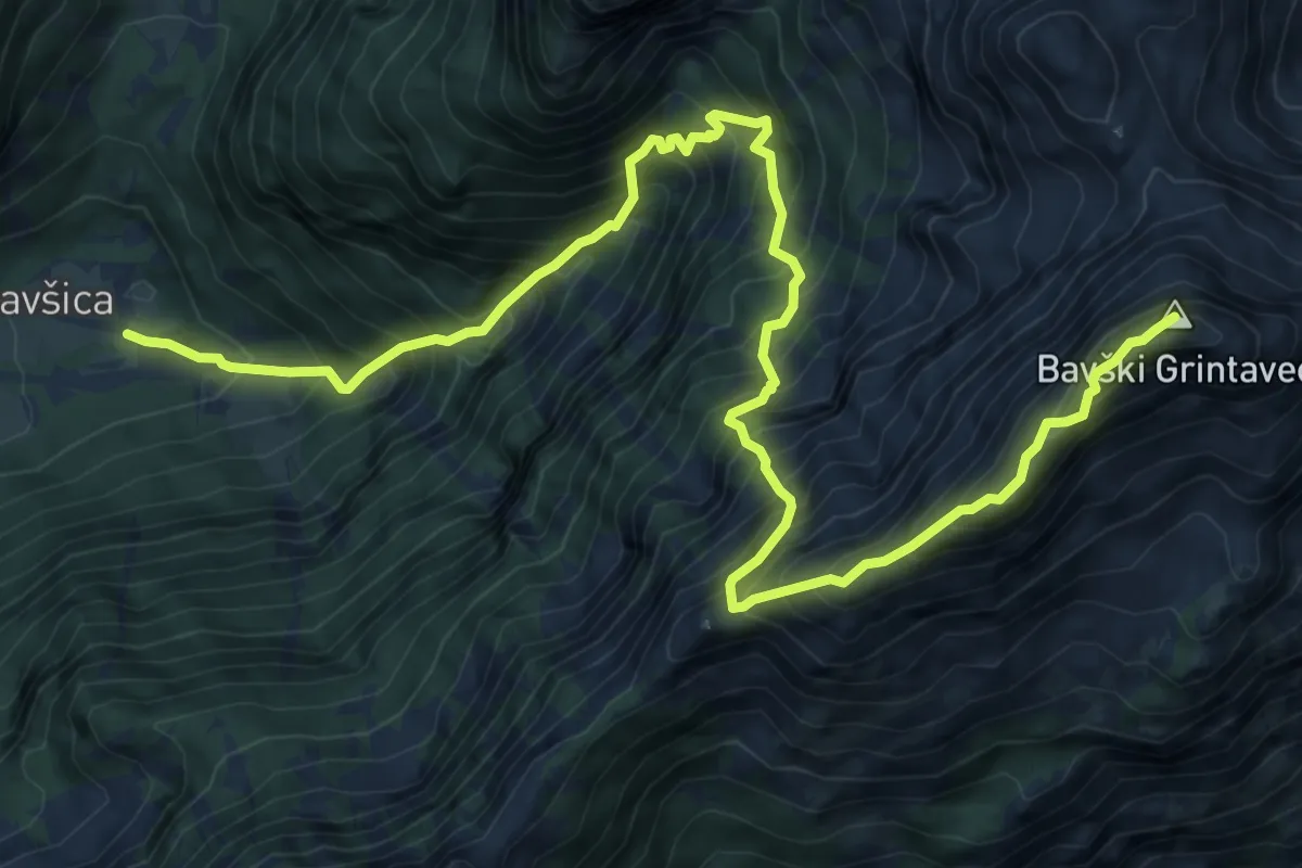
Expert · Summit
Bavšica - Bavški Grintavec
11.0 km · ↑ 1801 m · 6 h 31 min · 14 km away
Expert · Summit
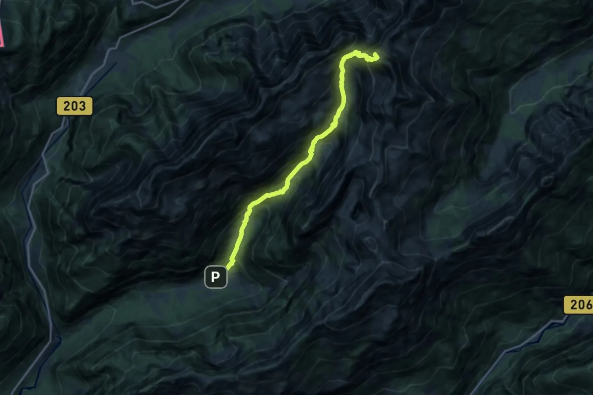
Bavšica - Pl. Bala - Zav. pod Špičkom
12.8 km · ↑ 1633 m · 6 h 33 min · 14 km away
Expert · Summit
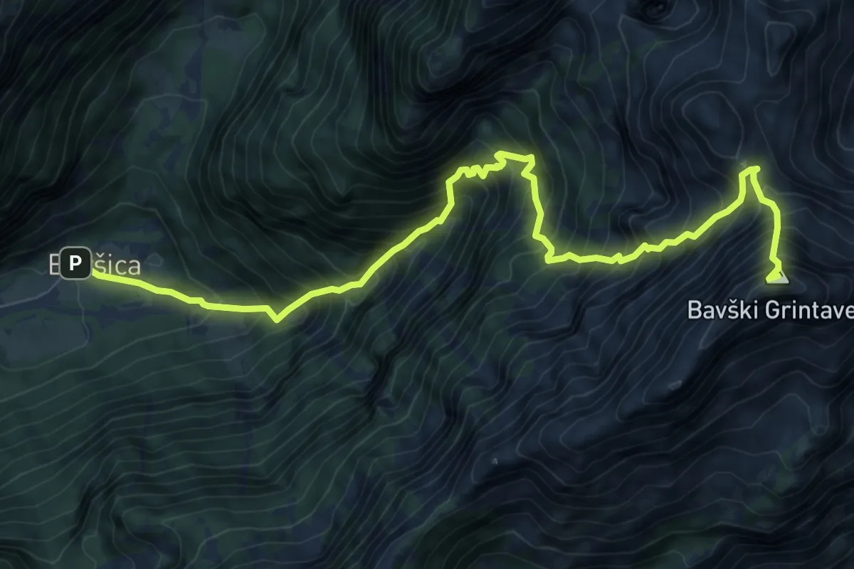
Bavšica - Kanja - Bavški Grintavec
10.0 km · ↑ 1670 m · 5 h 59 min · 14 km away
Medium · Summit
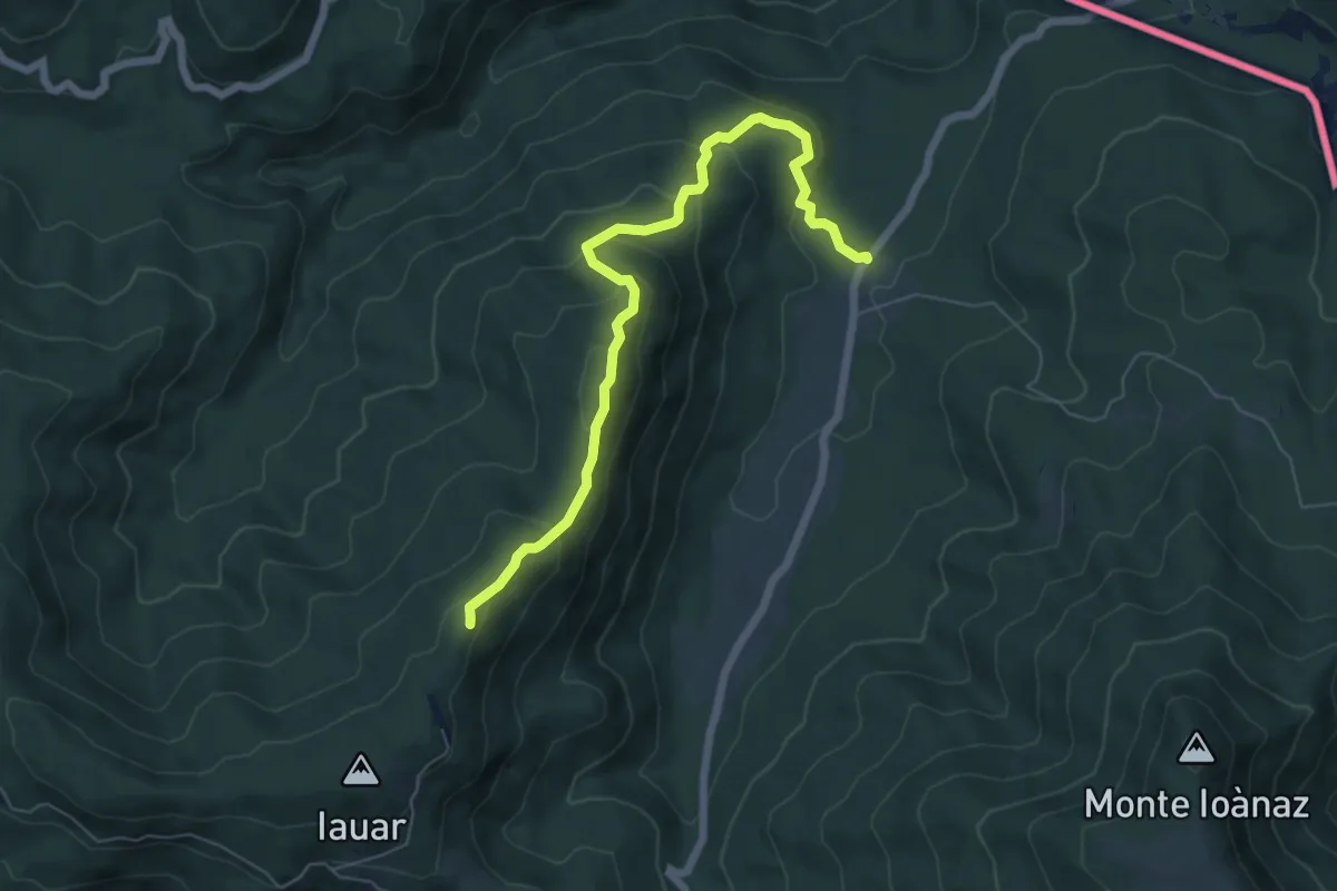
malghe di Porzûs – Forcadizze
6.6 km · ↑ 397 m · 2 h 25 min · 14 km away
Demanding · Summit
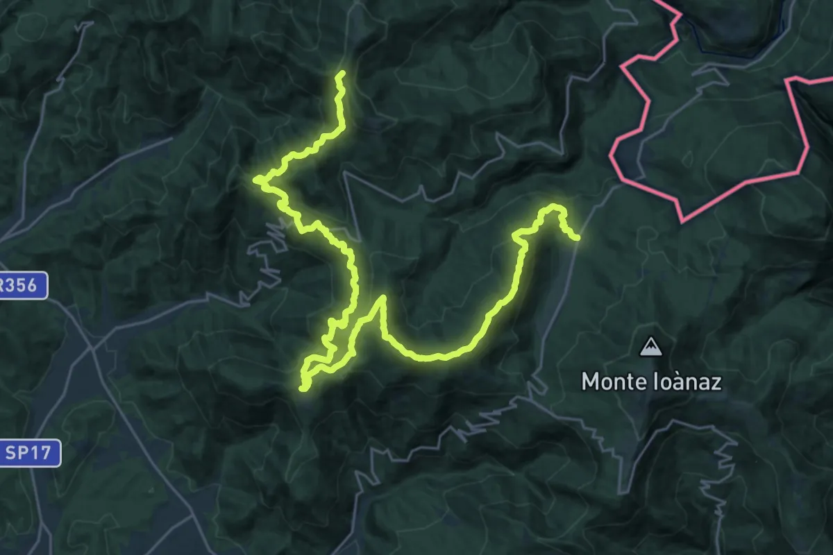
Cammino Mariano
33.4 km · ↑ 1878 m · 11 h 57 min · 14 km away
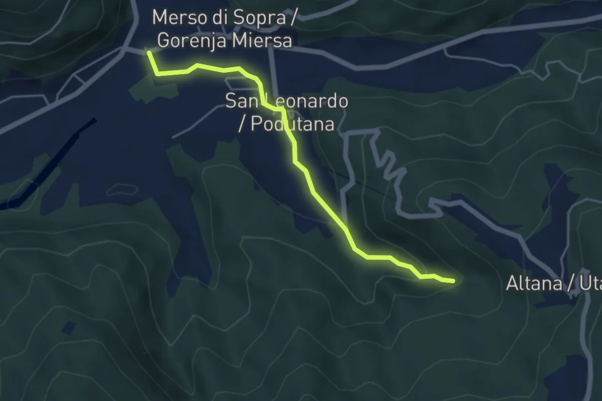
Medium · Trail
Municipio San Leonardo (quota 159 m) – cascata Kot (quota 254 m)
4.0 km · ↑ 135 m · 1 h 15 min · 14 km away
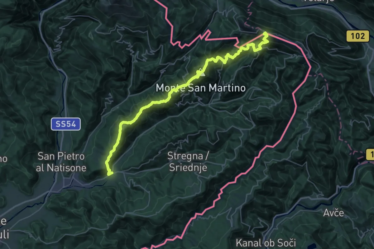
Demanding · Summit
Hst. Scrutto – Rif. Casoni Solarie
34.5 km · ↑ 2376 m · 13 h 17 min · 15 km away
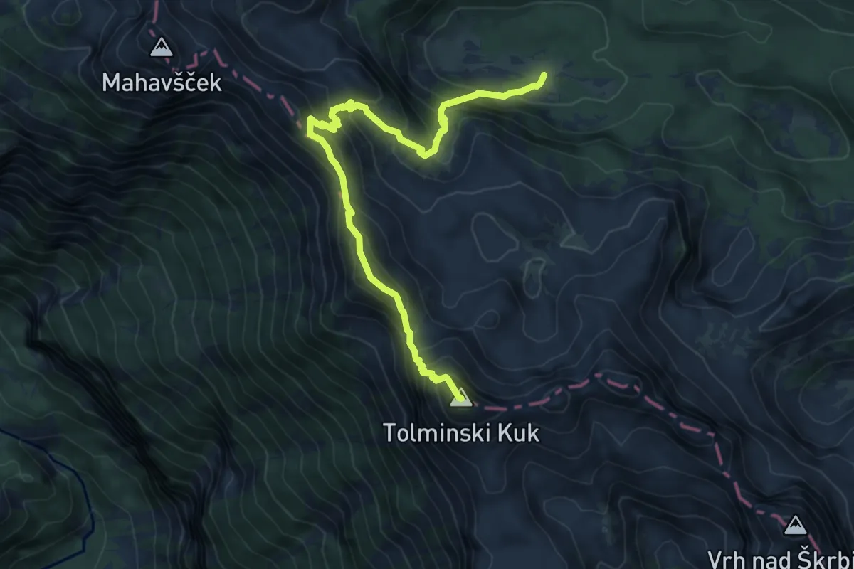
Expert · Summit
Pl. Govnjač - Tolminski Kuk
7.8 km · ↑ 752 m · 3 h 28 min · 15 km away
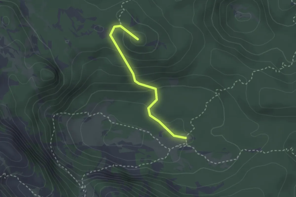
Medium · Summit
Pl. Govnjač - Koča pod Bogatinom
2.3 km · ↑ 139 m · 51 min · 15 km away