Trails near Radovljica
110 hikes starting within 15 km, nearest first.
Nearest first, page 1 of 3
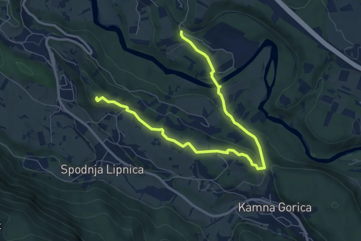
Medium · Summit
Naravoslovna učna pot Pusti grad
8.1 km · ↑ 222 m · 2 h 23 min · 1 km away
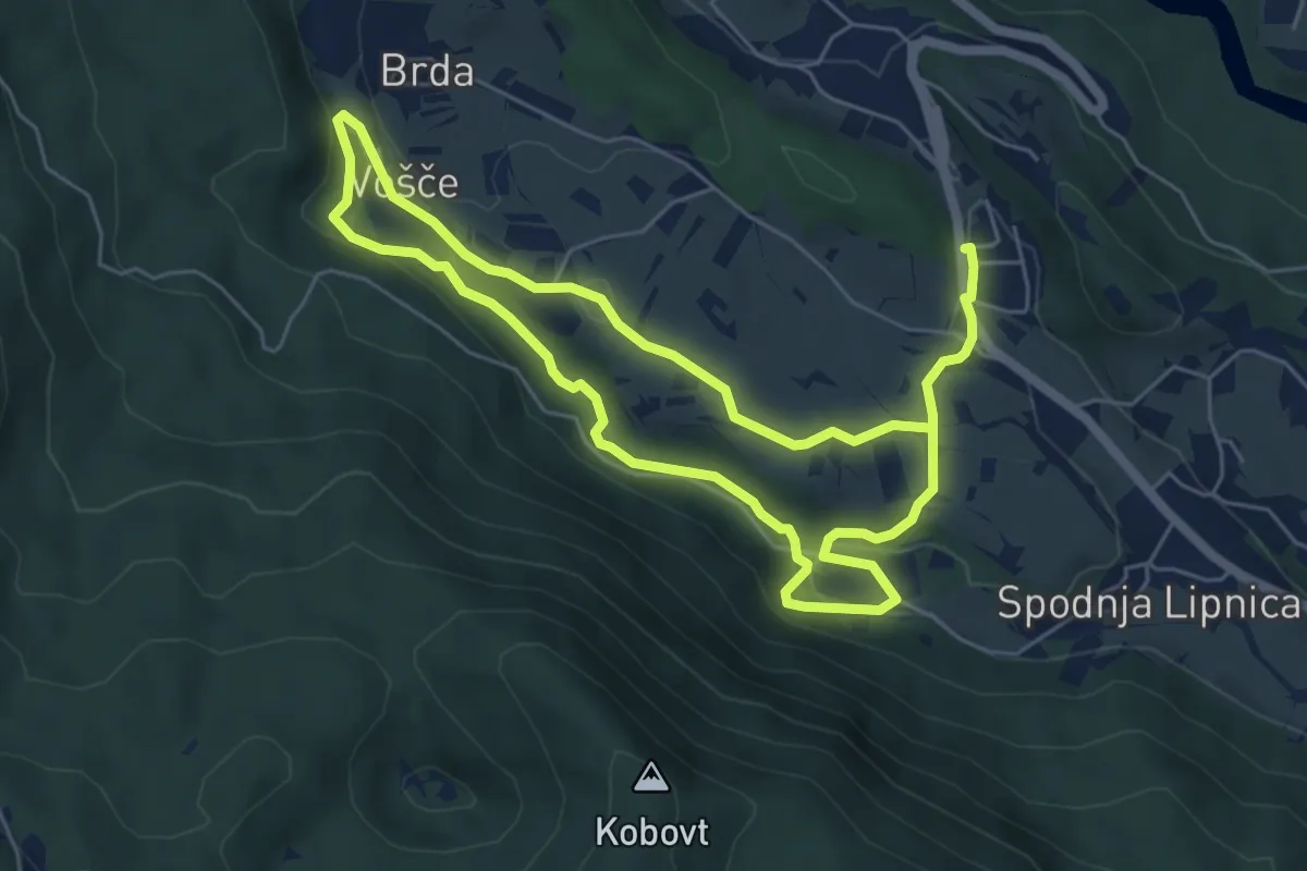
Medium · Trail
Vodna učna pot Grabnarca
10.7 km · ↑ 263 m · 3 h 6 min · 2 km away
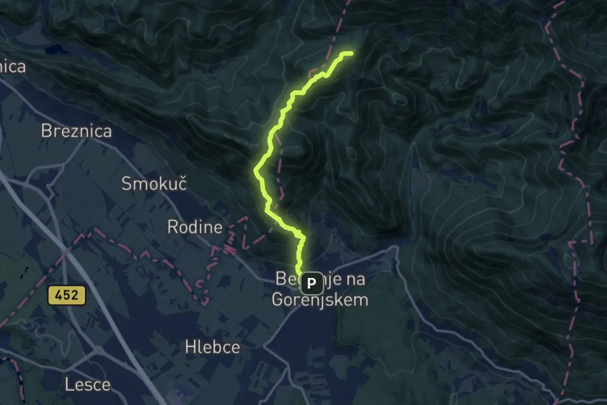
Medium · Summit
Begunje - Sv. Peter - Poljška pl.
9.9 km · ↑ 780 m · 4 h 2 min · 4 km away
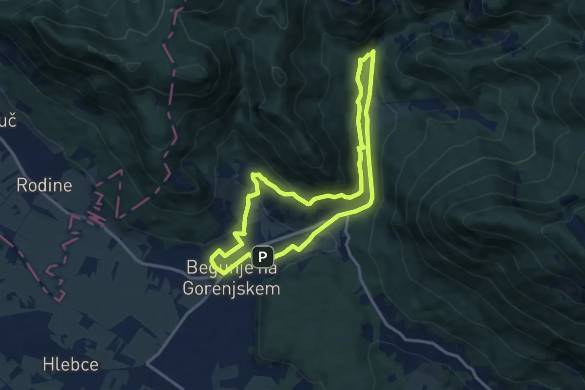
Medium · Trail
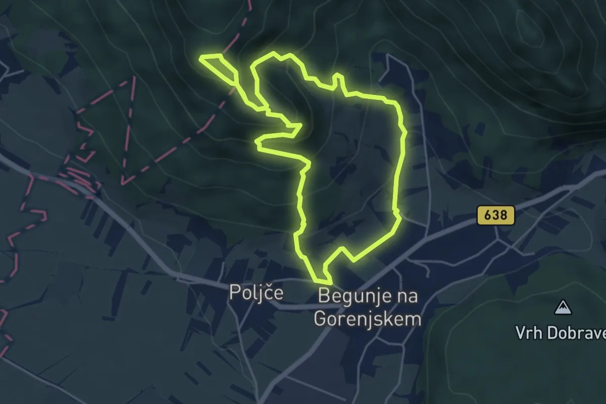
Lambergova pot
7.6 km · ↑ 246 m · 2 h 26 min · 4 km away
Easy · Trail
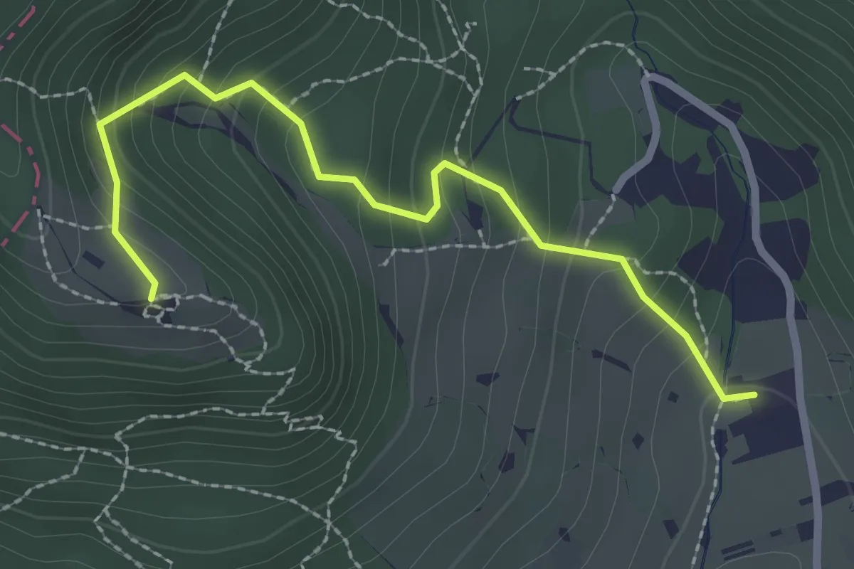
Petrova pot
4.6 km · ↑ 319 m · 1 h 50 min · 5 km away
Easy · Trail
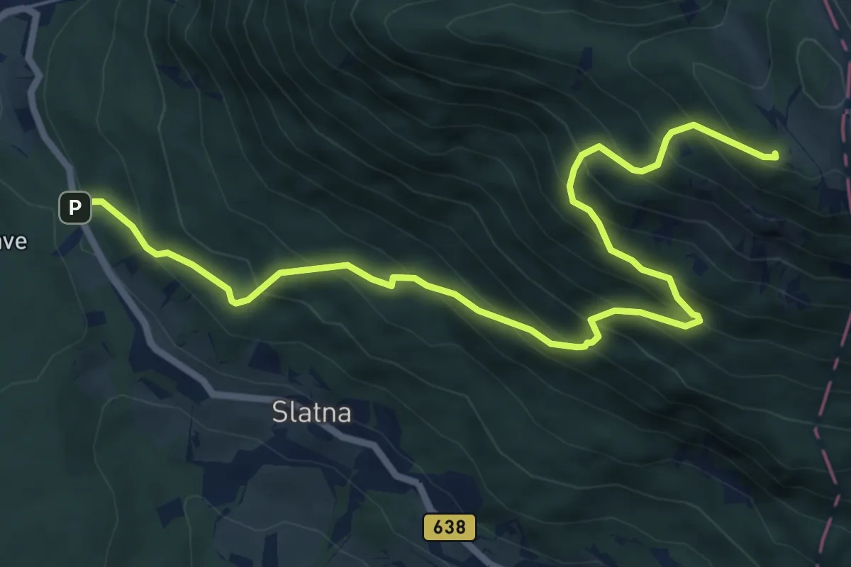
Krpin - Sv. Peter
2.5 km · ↑ 218 m · 1 h 4 min · 5 km away
Demanding · Cabin
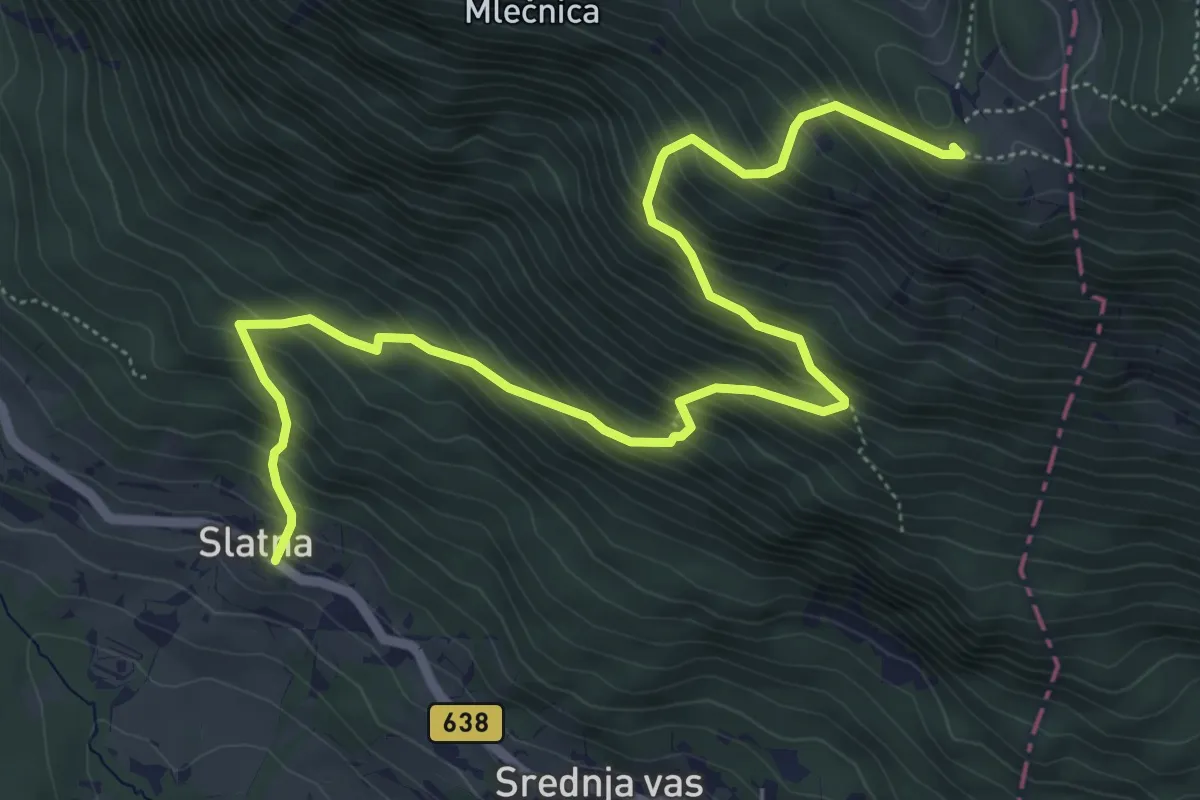
Preska - Dobrča
7.9 km · ↑ 849 m · 3 h 42 min · 5 km away
Demanding · Cabin
Slatna - Koča na Dobrči
7.2 km · ↑ 864 m · 3 h 35 min · 5 km away
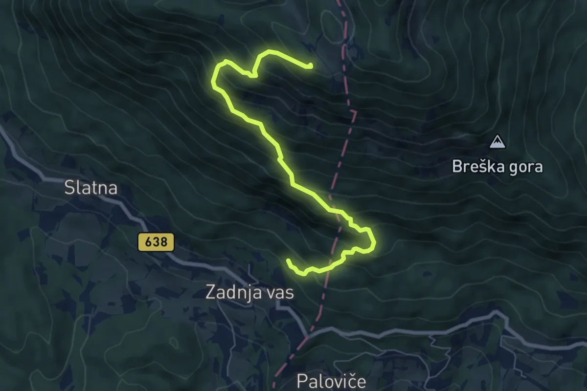
Medium · Cabin
Zadnja vas - Koča na Dobrči
6.8 km · ↑ 780 m · 3 h 18 min · 6 km away
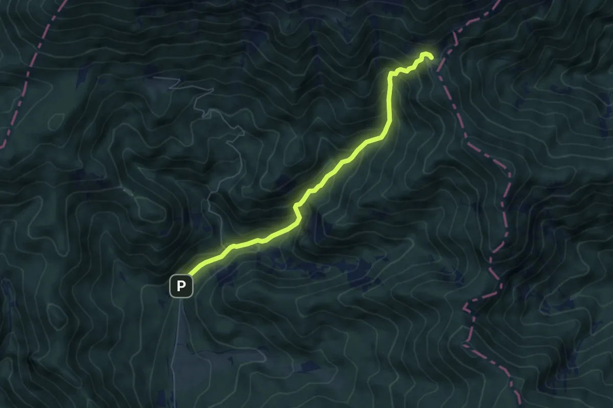
Medium · Cabin
Draga - Luknja - Preval
6.0 km · ↑ 601 m · 2 h 43 min · 7 km away
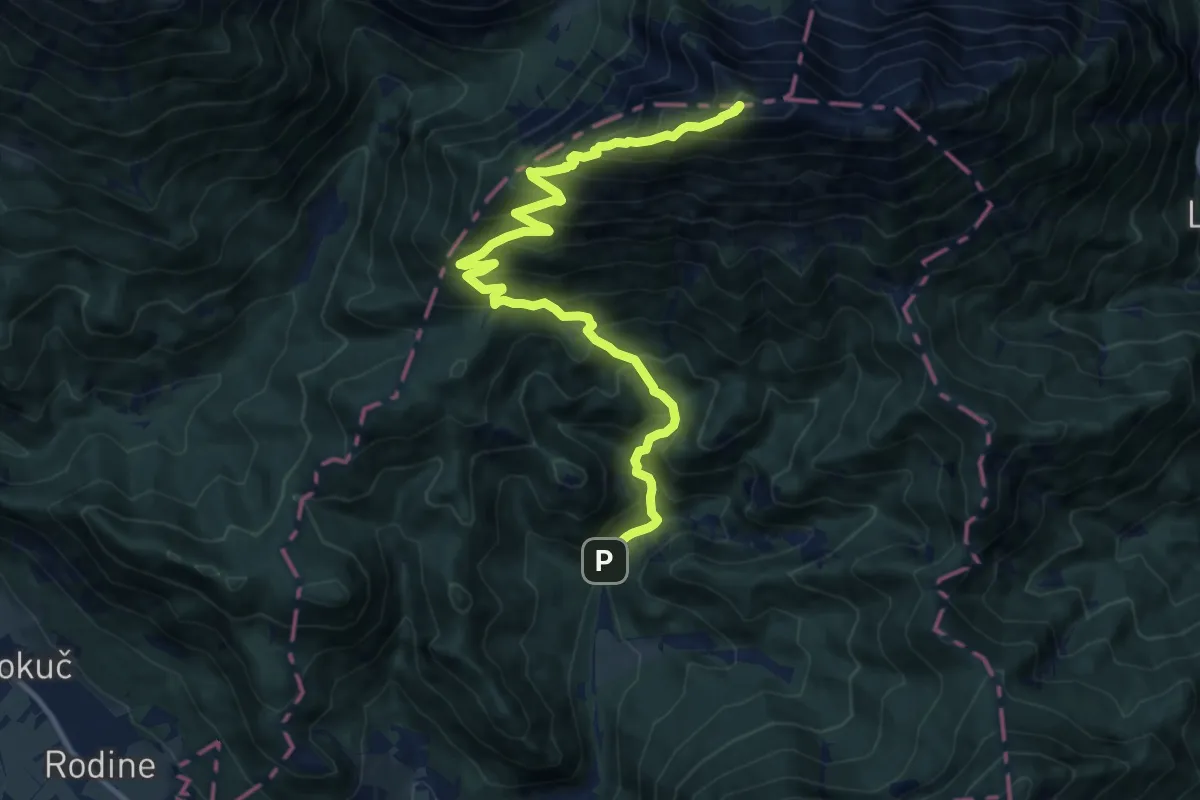
Demanding · Summit
Draga - Roblekov dom - Begunjščica
13.9 km · ↑ 1305 m · 6 h 6 min · 7 km away
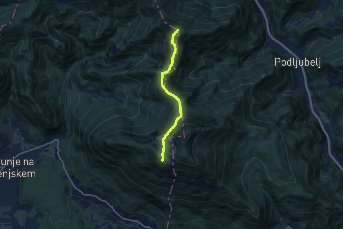
Demanding · Summit
Via Alpina Purple A6
7.2 km · ↑ 585 m · 2 h 58 min · 7 km away
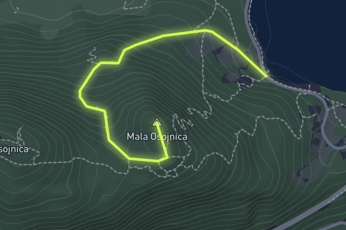
Medium · Summit
Zaka - Ojstrica - Mala Osojnica
2.4 km · ↑ 188 m · 59 min · 7 km away
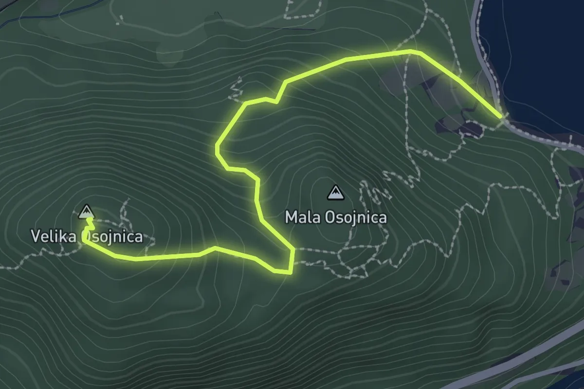
Medium · Summit
Zaka - Velika Osojnica
3.0 km · ↑ 246 m · 1 h 15 min · 7 km away
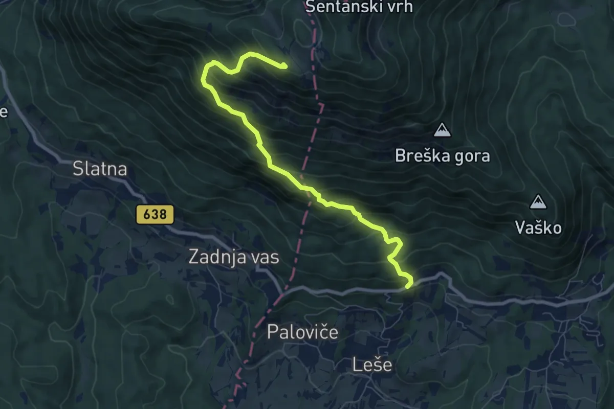
Demanding · Cabin
Hudi Graben - Koča na Dobrči
7.4 km · ↑ 840 m · 3 h 34 min · 7 km away
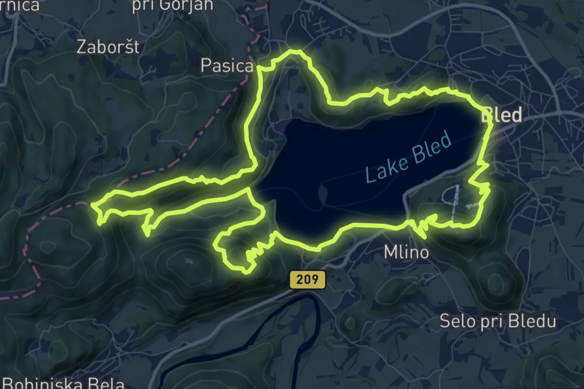
Medium · Summit
Blejski razgledni trail
13.2 km · ↑ 665 m · 4 h 45 min · 7 km away
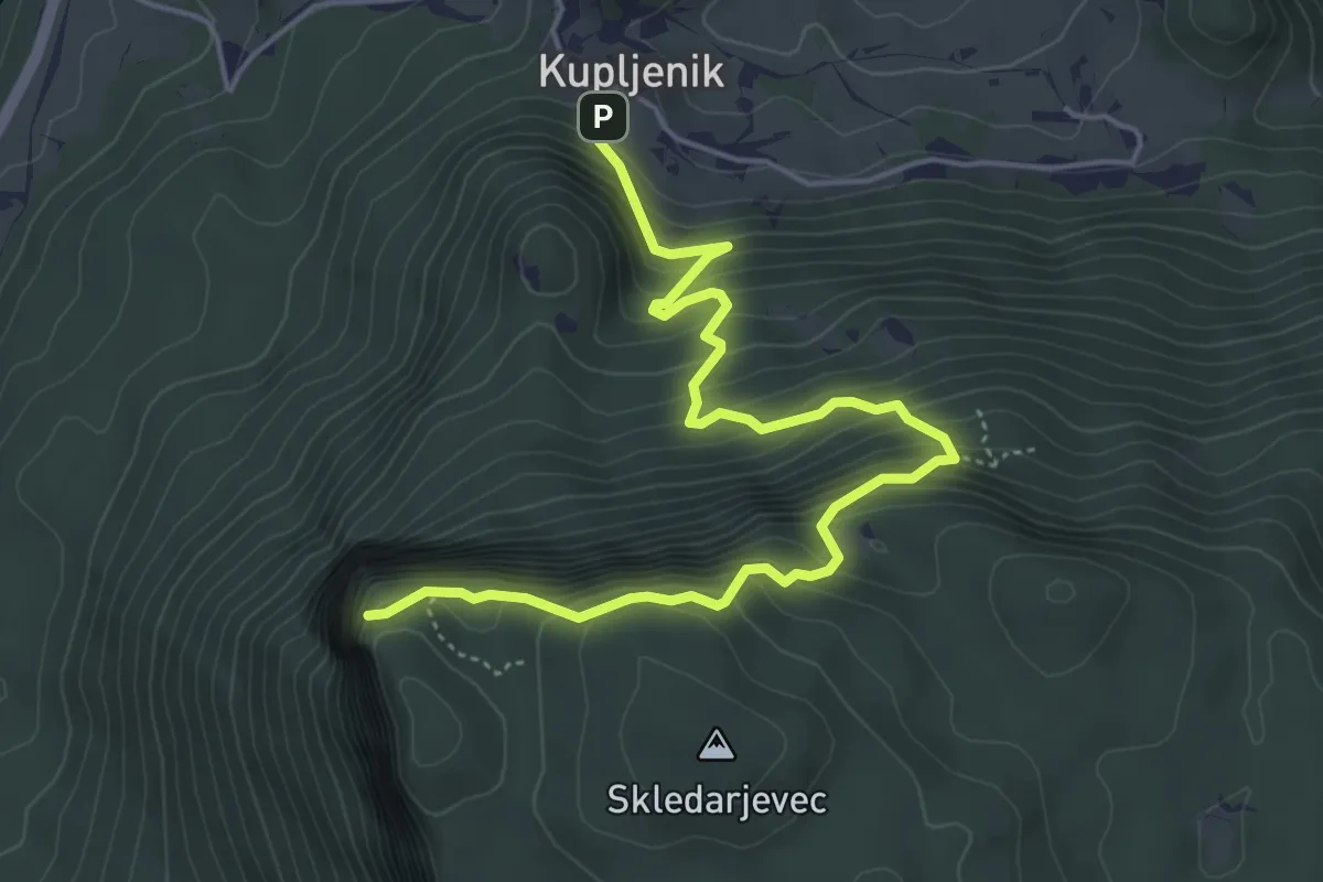
Medium · Trail
Kupljenik - Babji zob
5.7 km · ↑ 601 m · 2 h 39 min · 7 km away
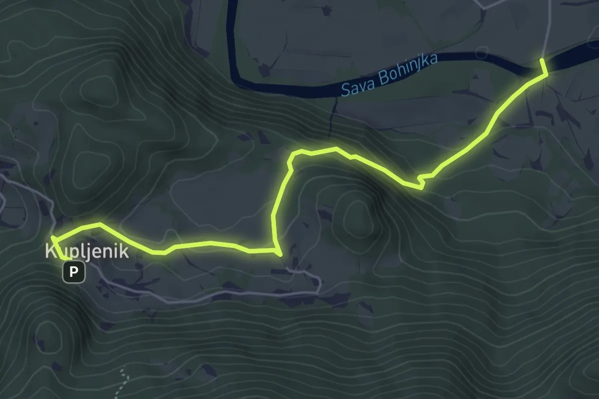
Easy · Trail
Selo - Kupljenik
5.7 km · ↑ 276 m · 1 h 57 min · 7 km away
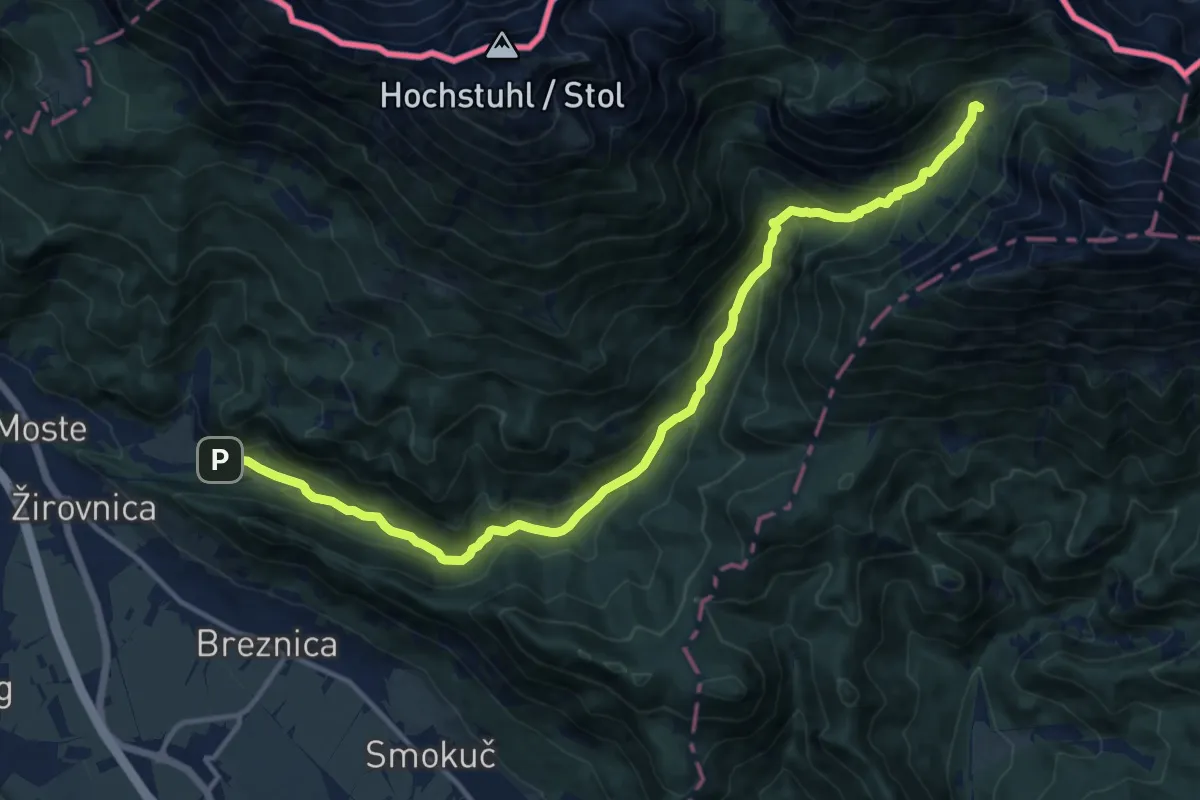
Demanding · Cabin
Završnica - Dom pri izviru Završnice
15.1 km · ↑ 812 m · 5 h 19 min · 7 km away
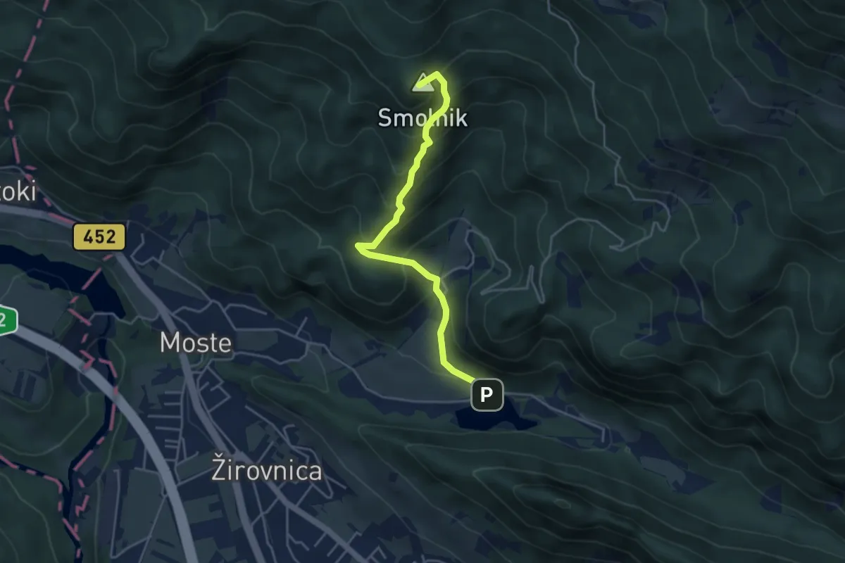
Medium · Summit
Završnica - Valvasorjev dom
4.2 km · ↑ 388 m · 1 h 49 min · 7 km away
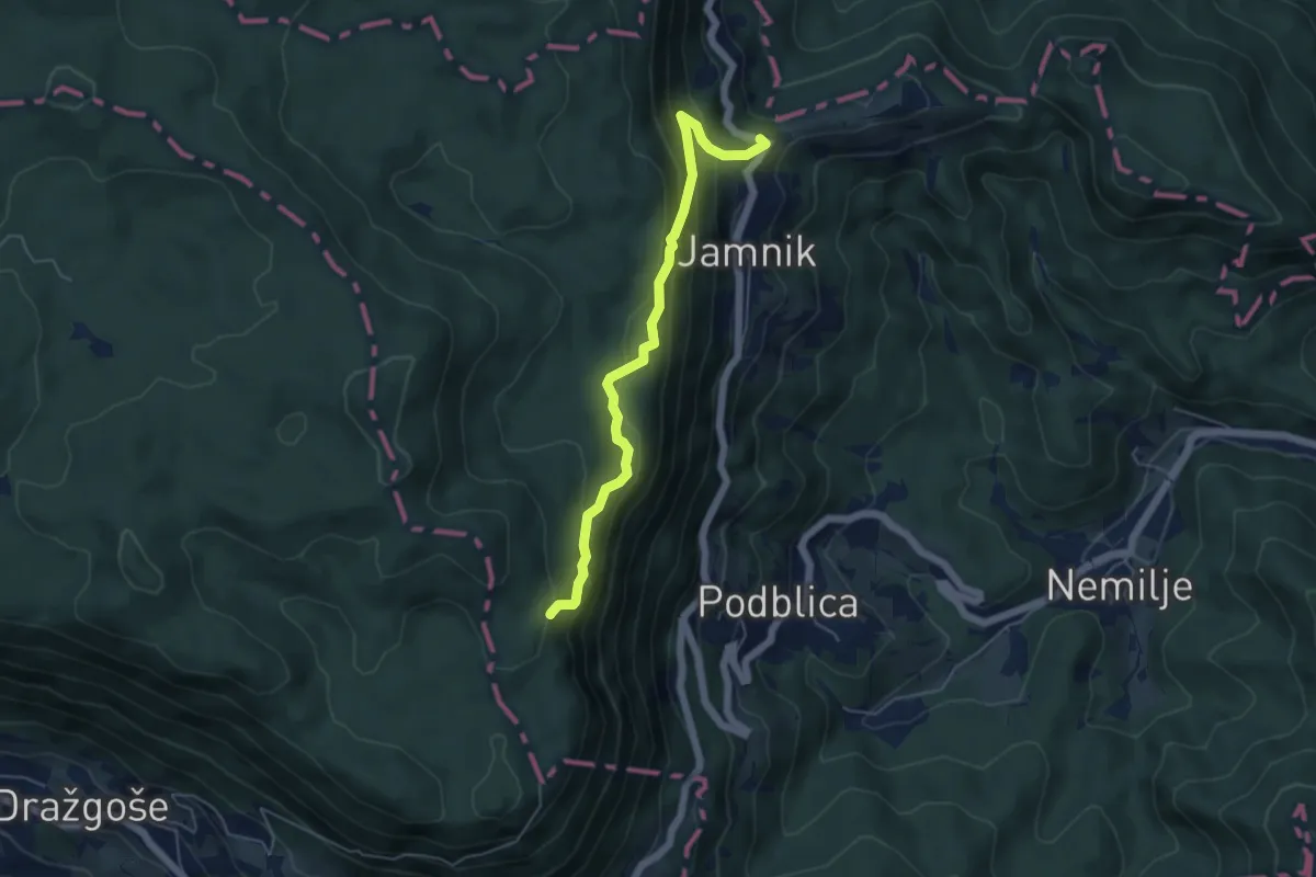
Medium · Summit
Jamnik - Bela peč
5.1 km · ↑ 339 m · 1 h 56 min · 8 km away
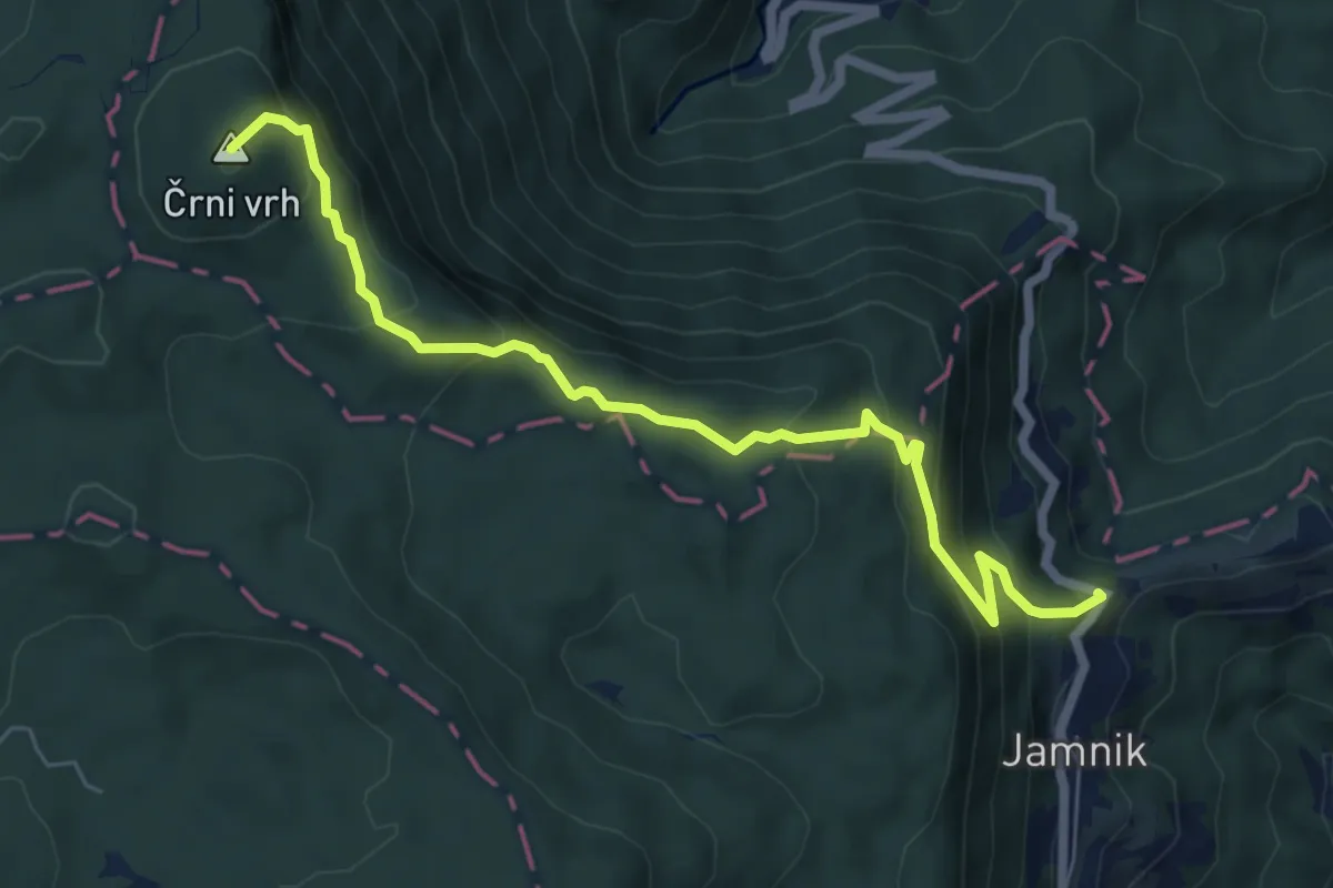
Medium · Summit
Jamnik - Vodiška pl.
7.0 km · ↑ 513 m · 2 h 45 min · 8 km away
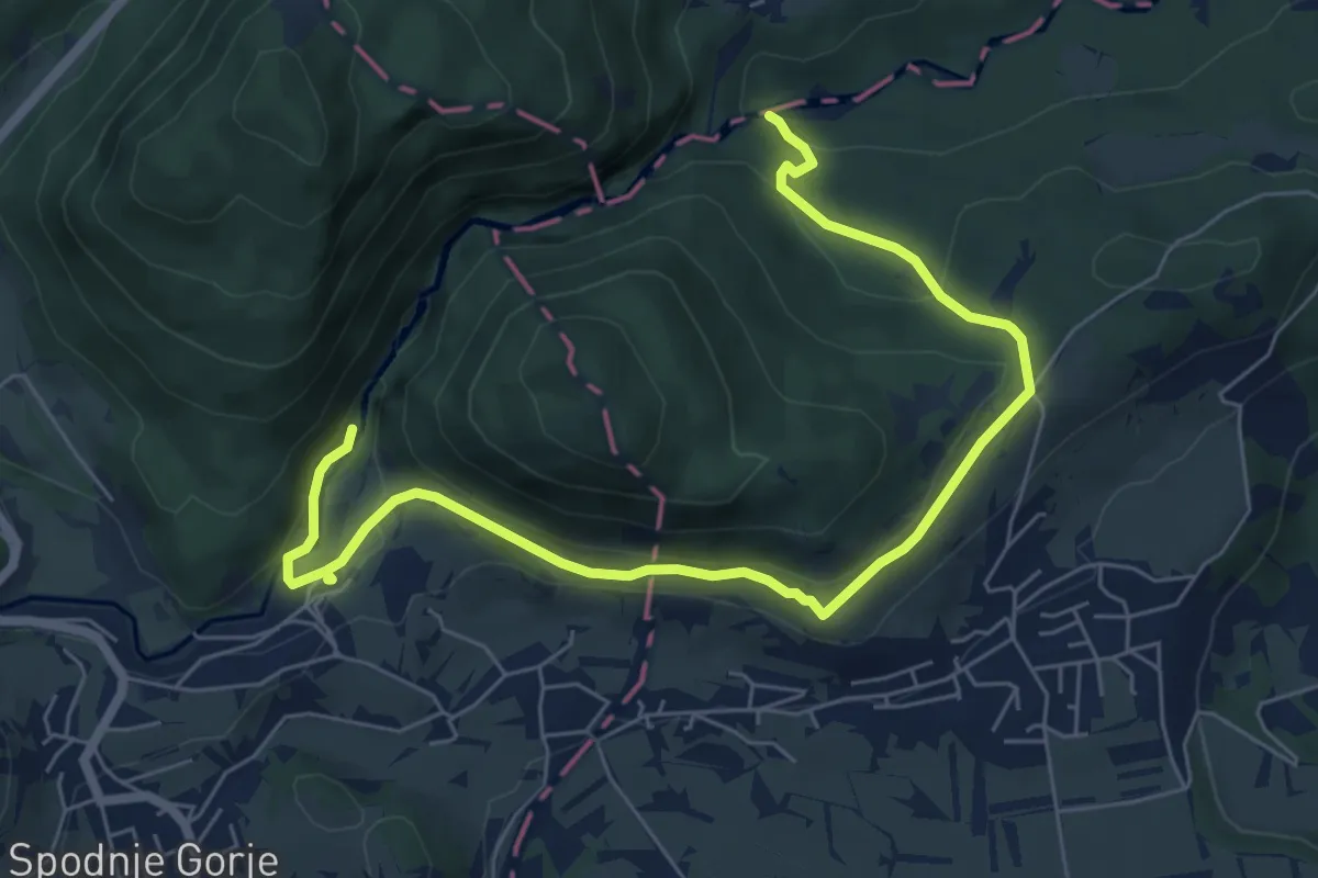
Easy · Trail
Pot kralja Triglava
7.9 km · ↑ 262 m · 2 h 27 min · 8 km away
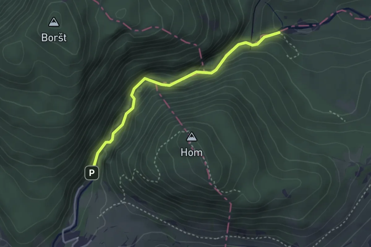
Easy · Trail
Pot skozi Sotesko Vintgar
3.0 km · ↑ 149 m · 1 h 2 min · 9 km away
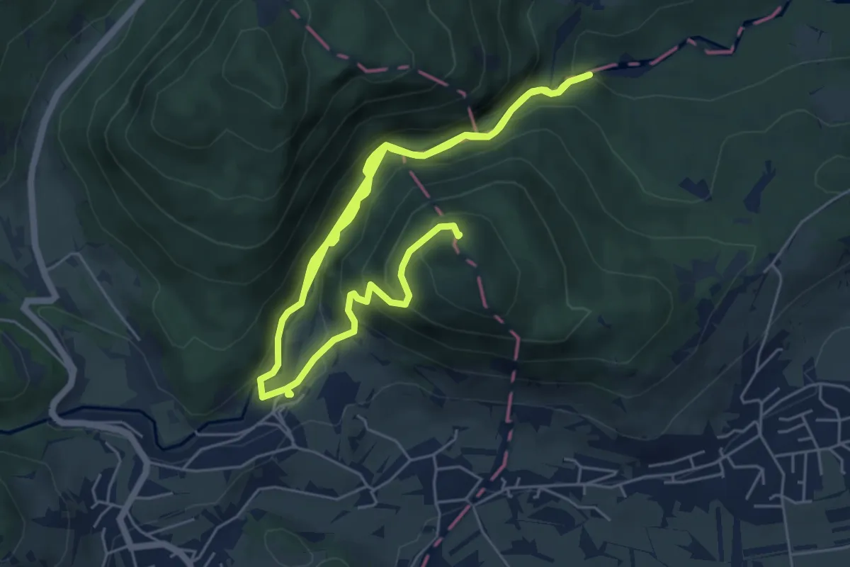
Medium · Summit
Vintgar - Bled
10.9 km · ↑ 585 m · 3 h 51 min · 9 km away
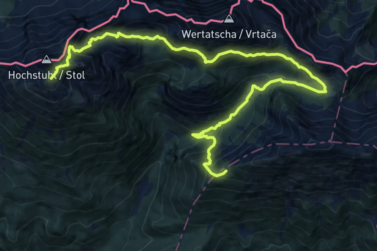
Demanding · Summit
Via Alpina Purple A5
20.1 km · ↑ 1929 m · 8 h 55 min · 9 km away
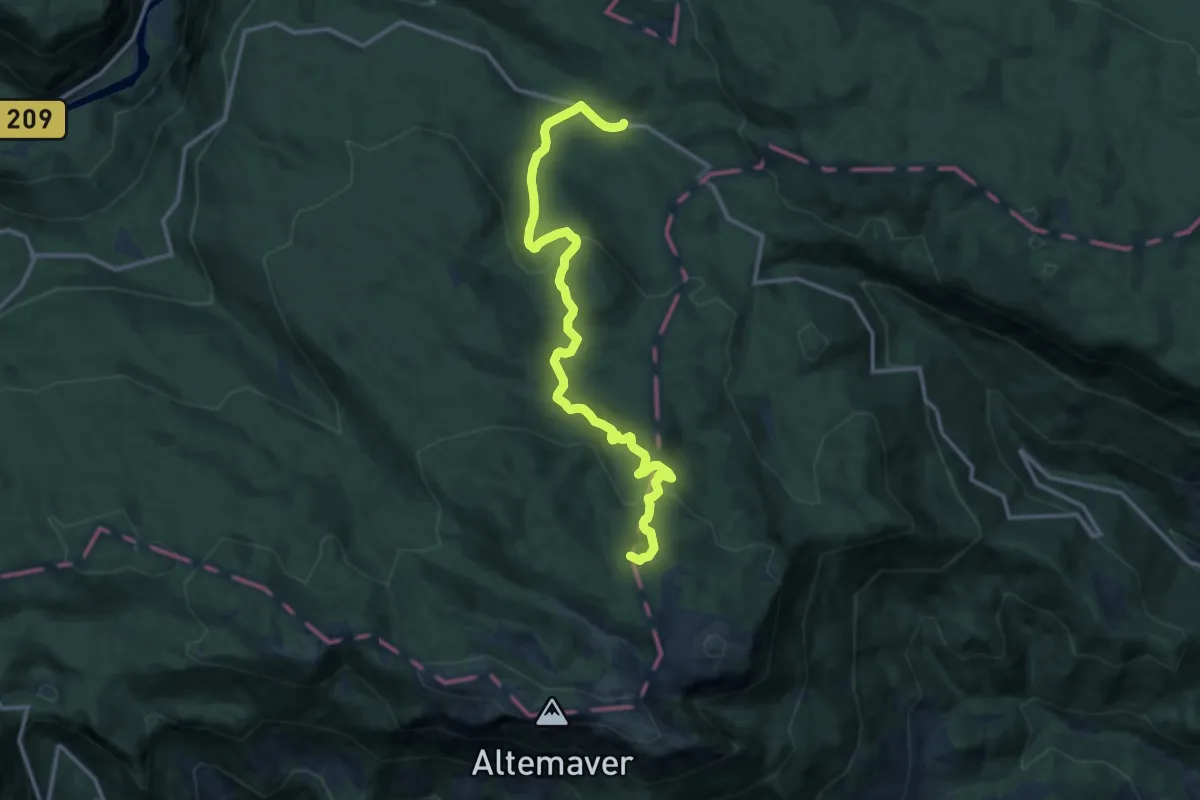
Medium · Summit
Rovtarica - Pl. Klom
14.1 km · ↑ 500 m · 4 h 25 min · 9 km away
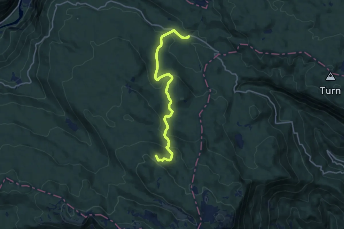
Medium · Summit
Rovtarica - Pl. Pečana
11.1 km · ↑ 436 m · 3 h 34 min · 9 km away
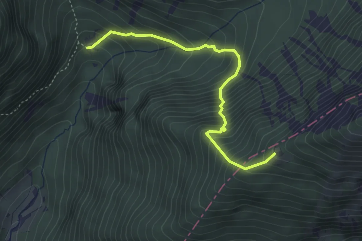
Medium · Cabin
Tinčkova koča - Roblekov dom
3.8 km · ↑ 574 m · 2 h 9 min · 9 km away
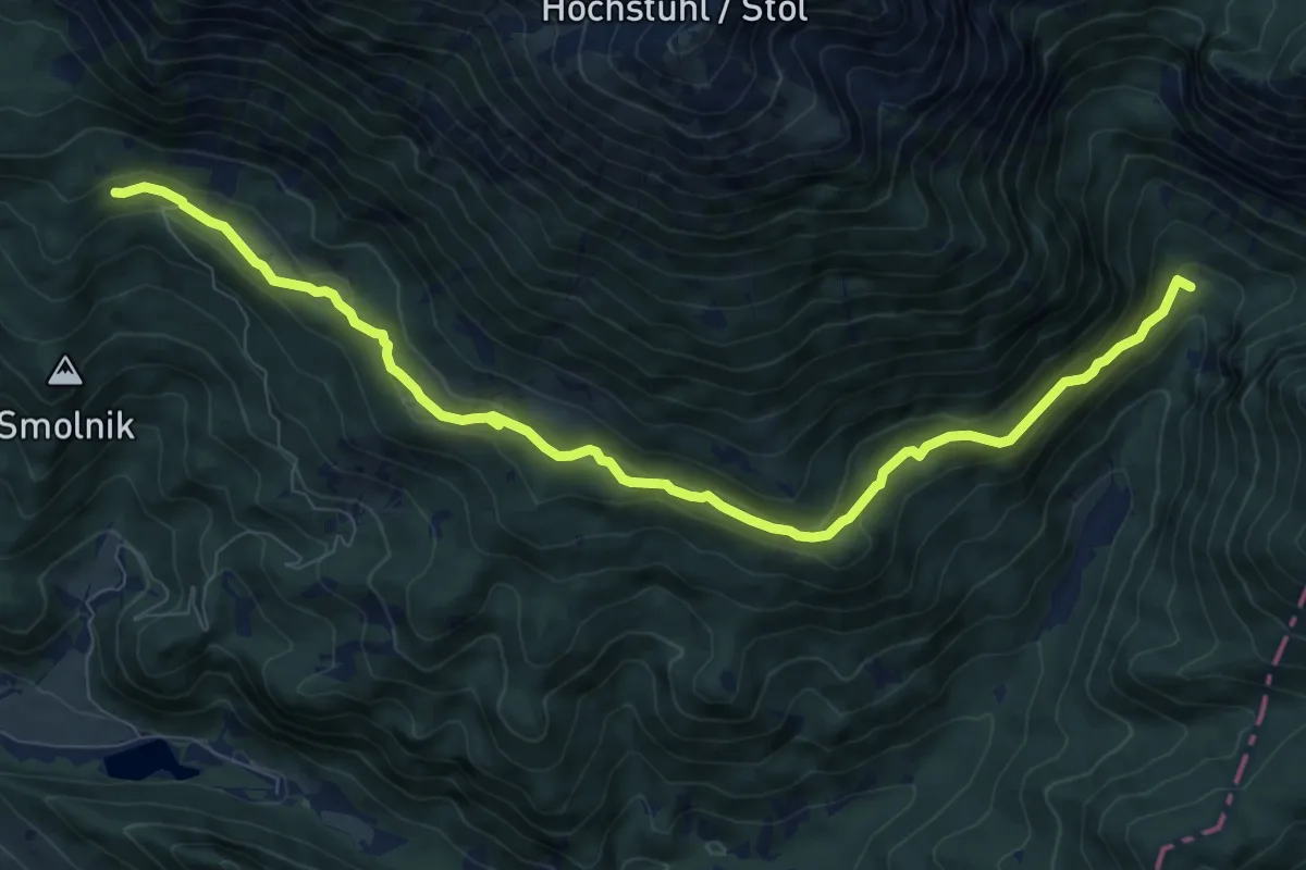
Medium · Cabin
Tinčkova koča - Valvasorjev dom
10.3 km · ↑ 463 m · 3 h 26 min · 9 km away
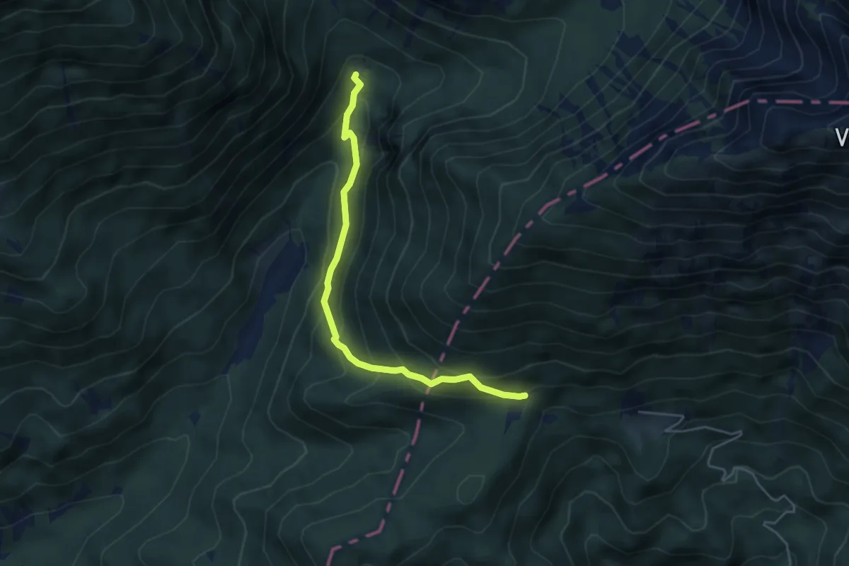
Medium · Cabin
Tinčkova koča - Poljška pl.
4.5 km · ↑ 377 m · 1 h 53 min · 9 km away
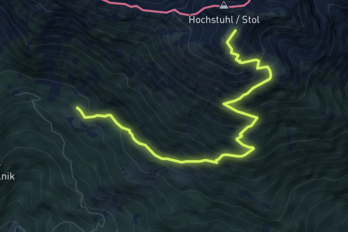
Demanding · Summit
Zabreška pot
9.0 km · ↑ 988 m · 4 h 15 min · 9 km away
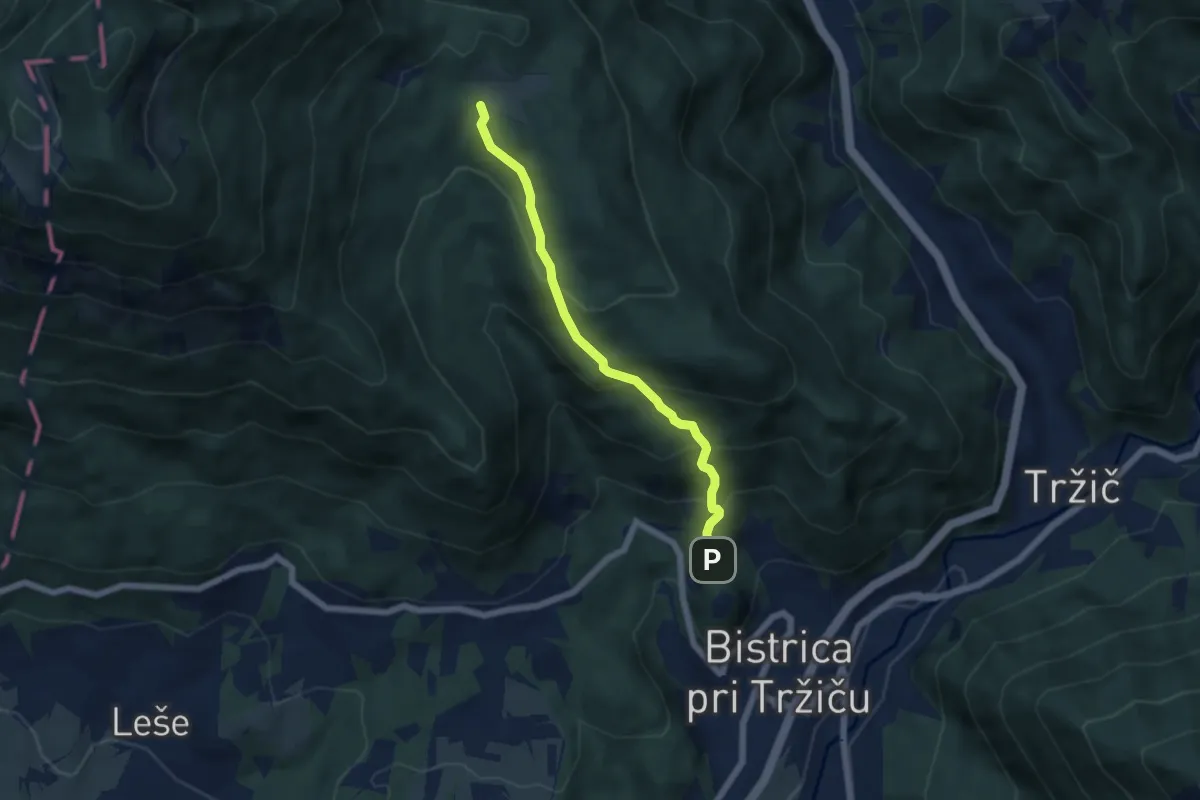
Medium · Trail
Sv. Jurij - Bistriška planina
5.2 km · ↑ 408 m · 2 h 6 min · 9 km away
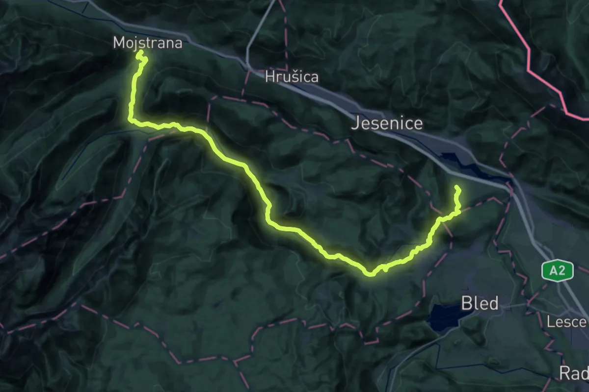
Demanding · Trail
Blejska Dobrava-Zg. Radovna-Mojstrana
22.5 km · ↑ 594 m · 6 h 52 min · 9 km away
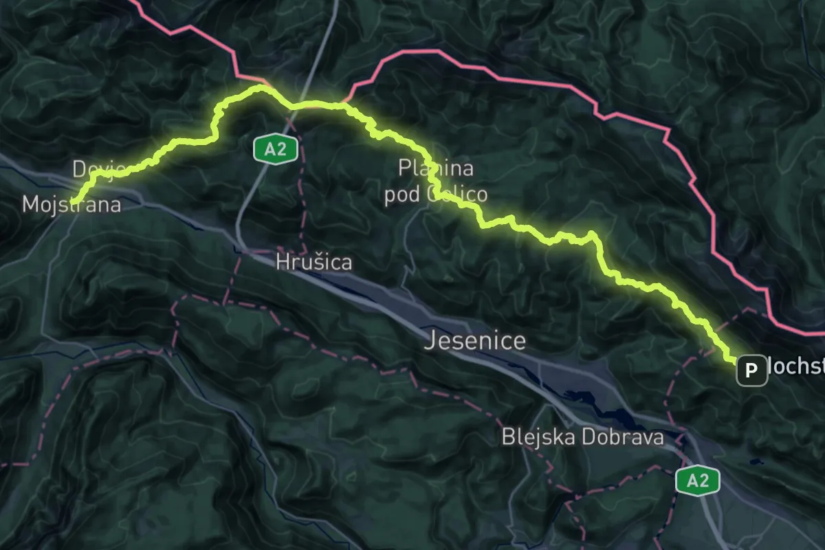
Demanding · Summit
JK09
24.4 km · ↑ 1520 m · 9 h 39 min · 9 km away
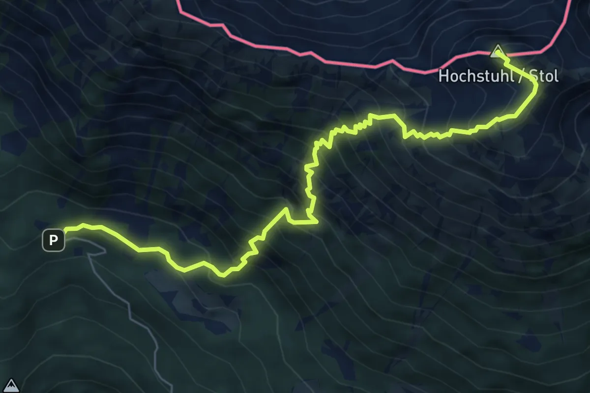
Demanding · Summit
Valvasorjev dom - Stol (Žirovniška pot)
7.8 km · ↑ 1060 m · 4 h 8 min · 9 km away
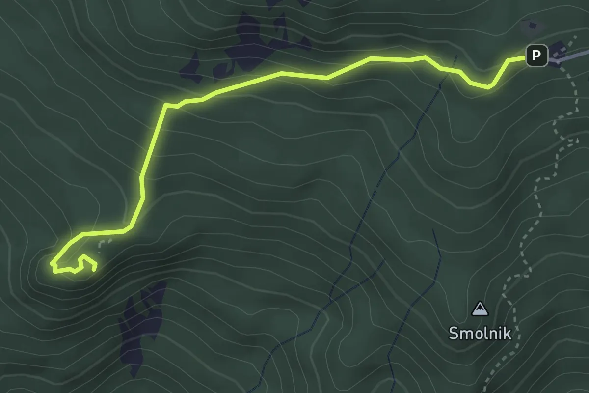
Easy · Summit
Valvasorjev dom - Ajdna
3.8 km · ↑ 253 m · 1 h 26 min · 9 km away
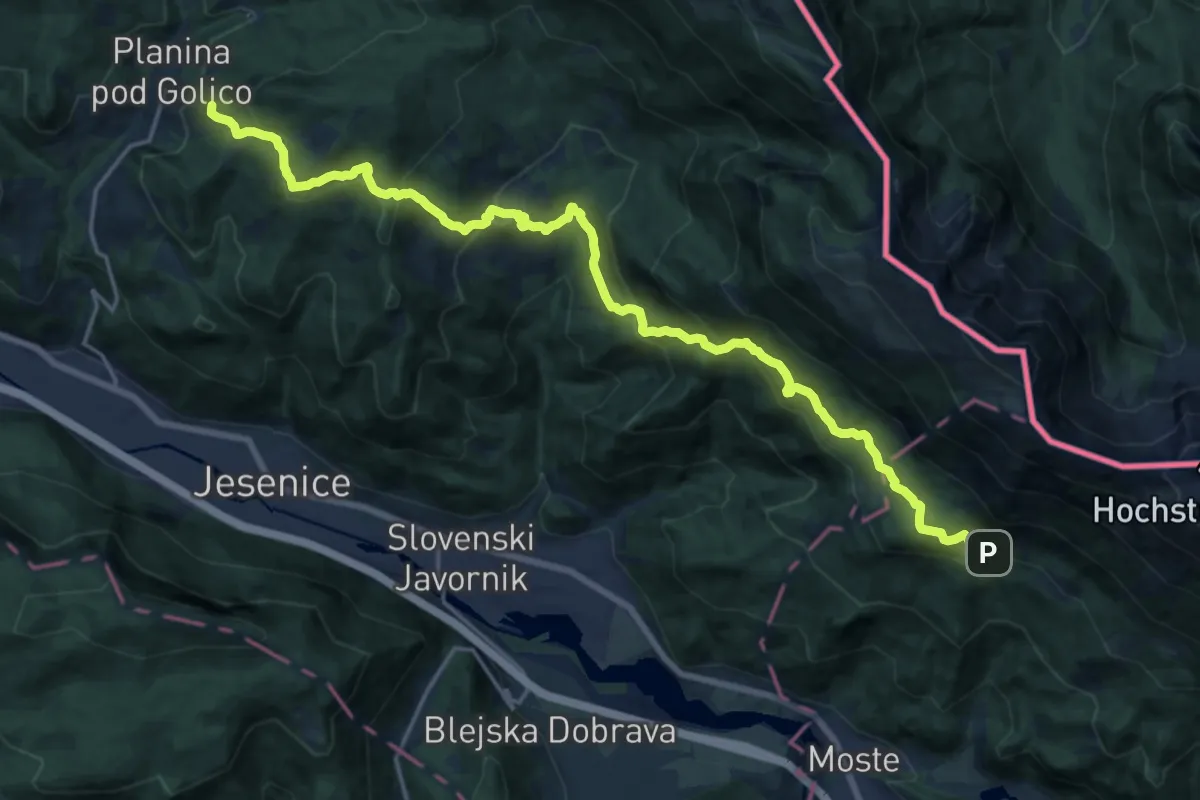
Demanding · Summit
Hrušica-Dom Pristava-Valvasorjev dom
21.6 km · ↑ 1249 m · 7 h 48 min · 9 km away
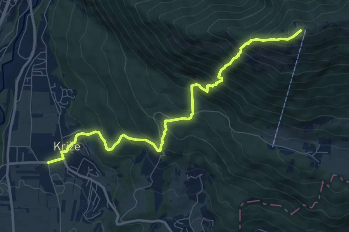
Demanding · Summit
Križe - Zg. Vetrno - Koča na Kriški gori
8.3 km · ↑ 956 m · 4 h 2 min · 10 km away
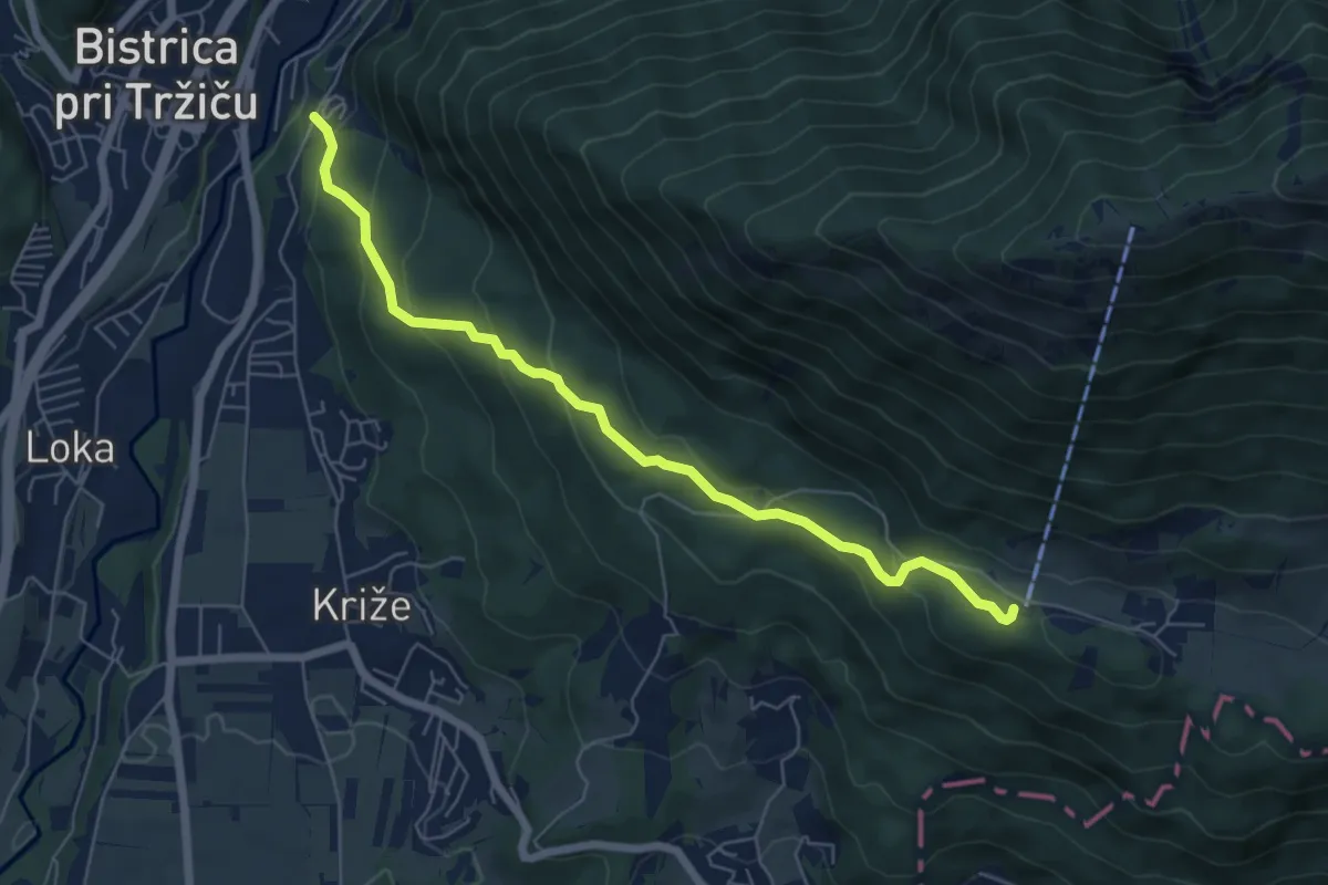
Medium · Cabin
Tržič - Zavetišče v Gozdu
6.3 km · ↑ 371 m · 2 h 18 min · 10 km away
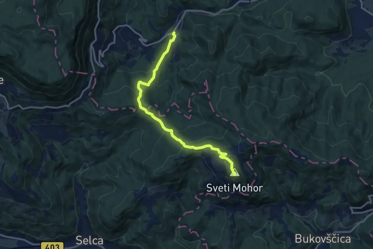
Medium · Summit
Nemilje - Sv. Mohor
9.4 km · ↑ 531 m · 3 h 22 min · 10 km away
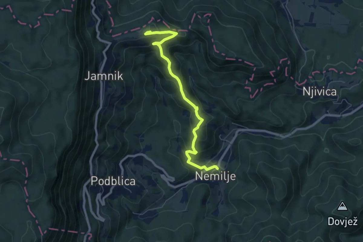
Medium · Summit
Nemilje - Jamnik
6.2 km · ↑ 351 m · 2 h 13 min · 10 km away
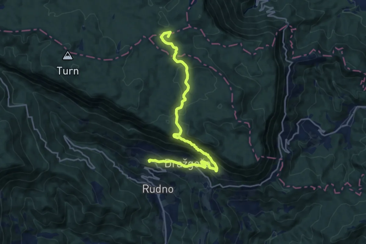
Medium · Summit
124 ~ Pot kurirjev in vezistov NOV Slovenije
14.1 km · ↑ 663 m · 4 h 46 min · 10 km away
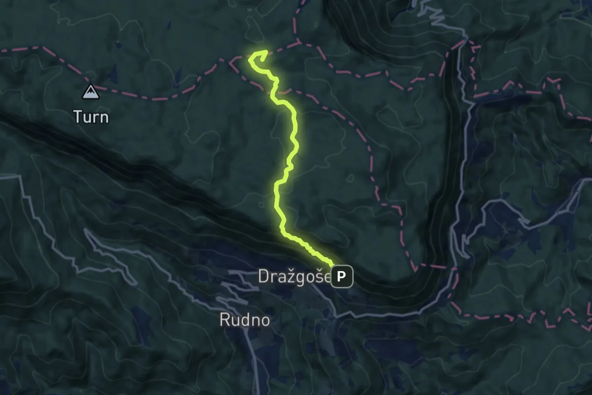
Medium · Summit
Dražgoše - Vodiška pl.
9.1 km · ↑ 397 m · 3 h 1 min · 10 km away
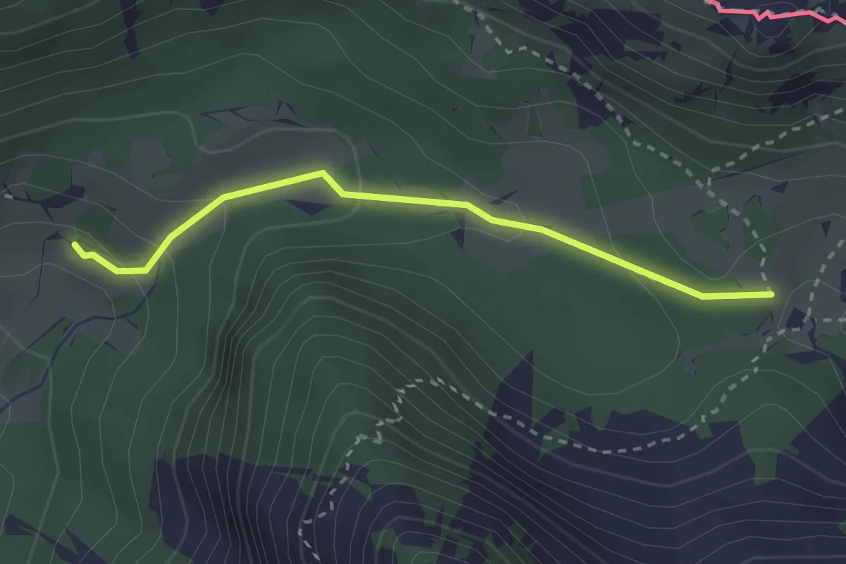
Medium · Trail
Slovenska geološka pot
2.5 km · ↑ 112 m · 50 min · 10 km away
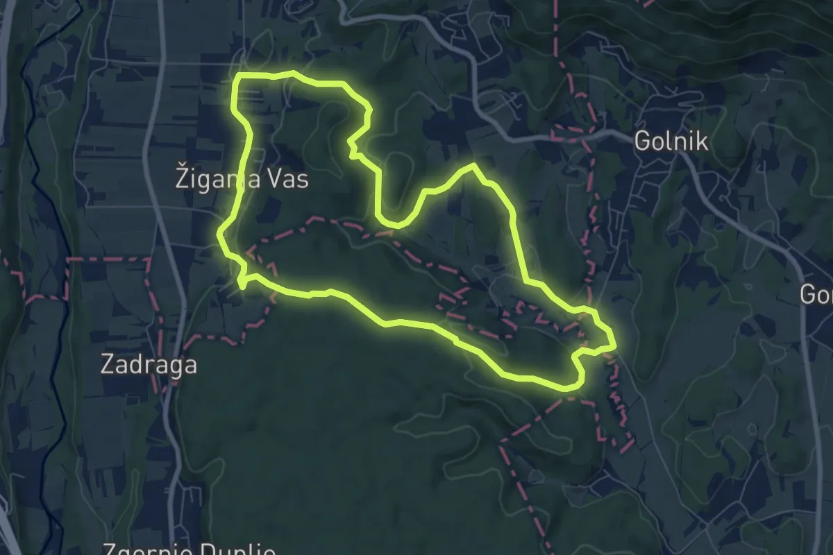
Medium · Trail
Pot treh zvonov
8.0 km · ↑ 177 m · 2 h 23 min · 11 km away
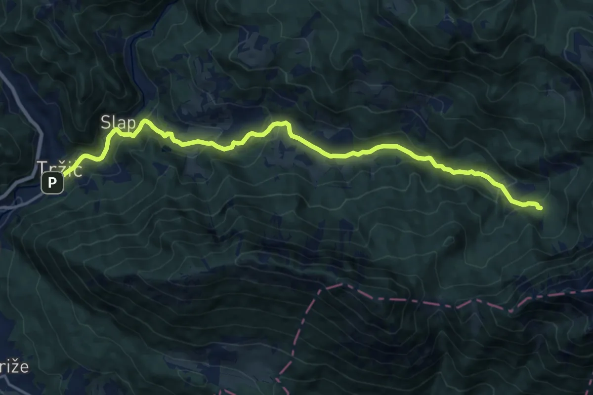
Medium · Cabin
Tržič - Lom - Dom pod Storžičem
15.4 km · ↑ 623 m · 4 h 59 min · 11 km away
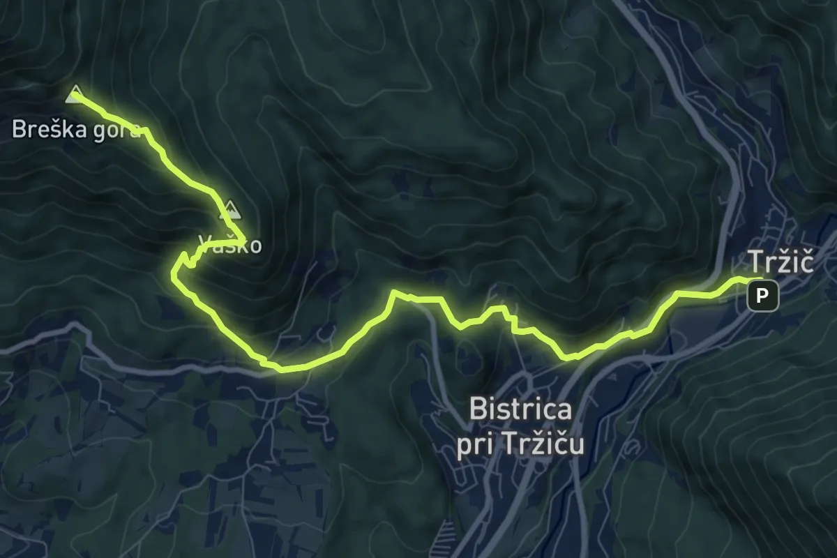
Demanding · Summit
Via Alpina Purple A7 alternative
11.3 km · ↑ 813 m · 4 h 26 min · 11 km away