Trails near Radovljica
110 hikes starting within 15 km, nearest first.
Nearest first, page 2 of 3
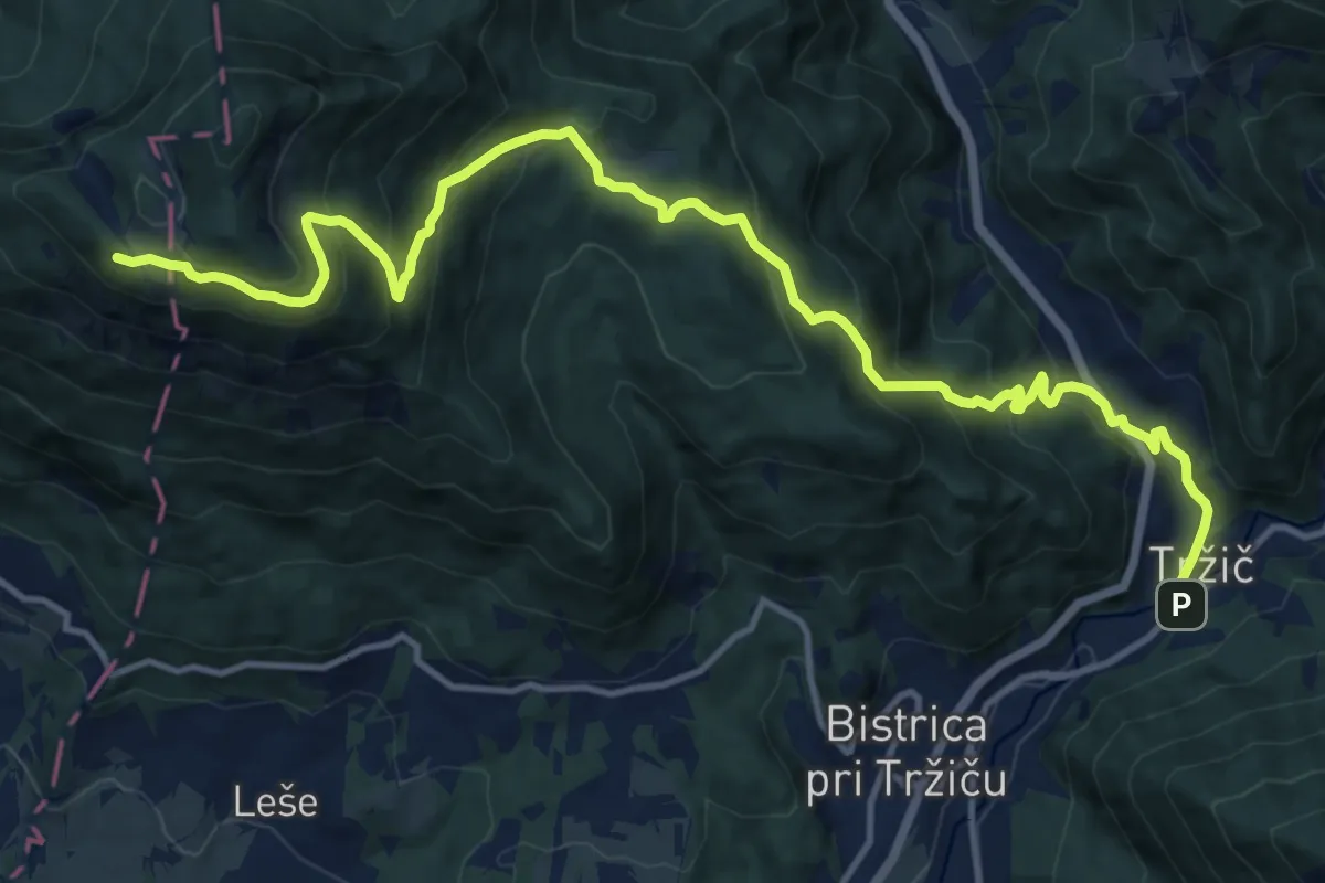
Demanding · Cabin
Via Alpina Purple A7
16.0 km · ↑ 1147 m · 6 h 16 min · 11 km away
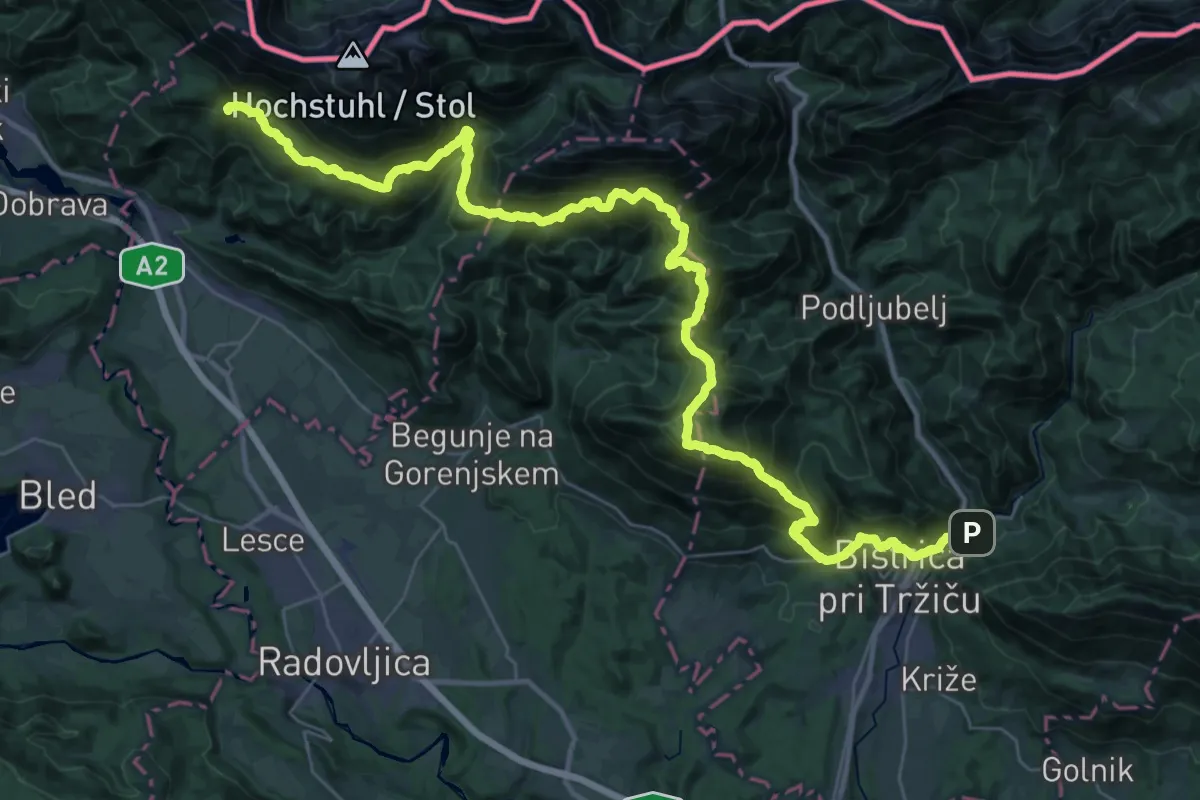
Demanding · Summit
JK08
23.1 km · ↑ 2008 m · 9 h 48 min · 11 km away
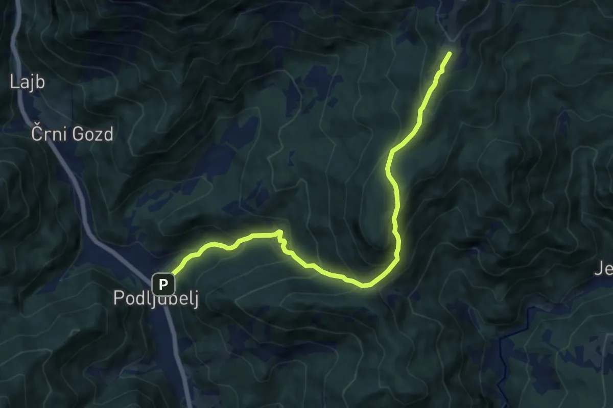
Demanding · Cabin
Podljubelj - Kal - Kofce
10.2 km · ↑ 865 m · 4 h 17 min · 11 km away
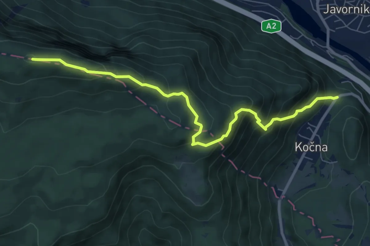
Medium · Summit
Kočna - Planski vrh - Špica
7.3 km · ↑ 657 m · 3 h 9 min · 11 km away
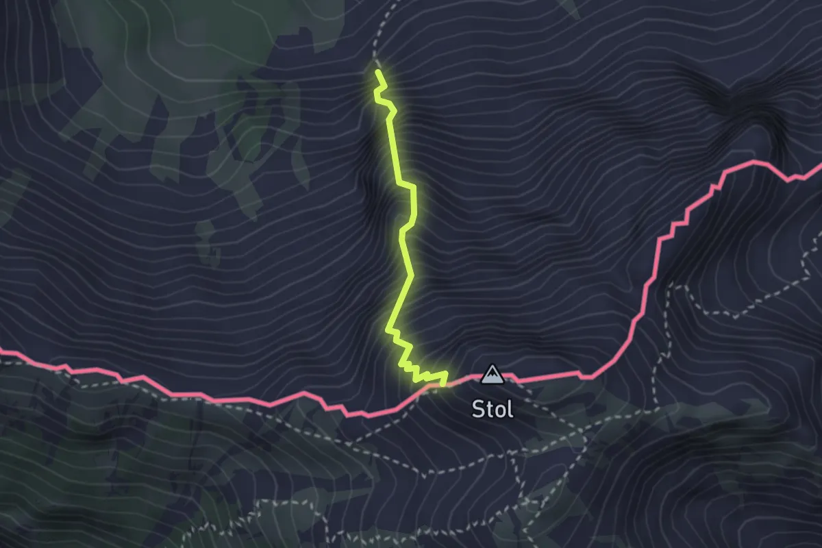
Expert · Trail
Hochstuhl-Klettersteig
2.1 km · ↑ 638 m · 1 h 52 min · 11 km away
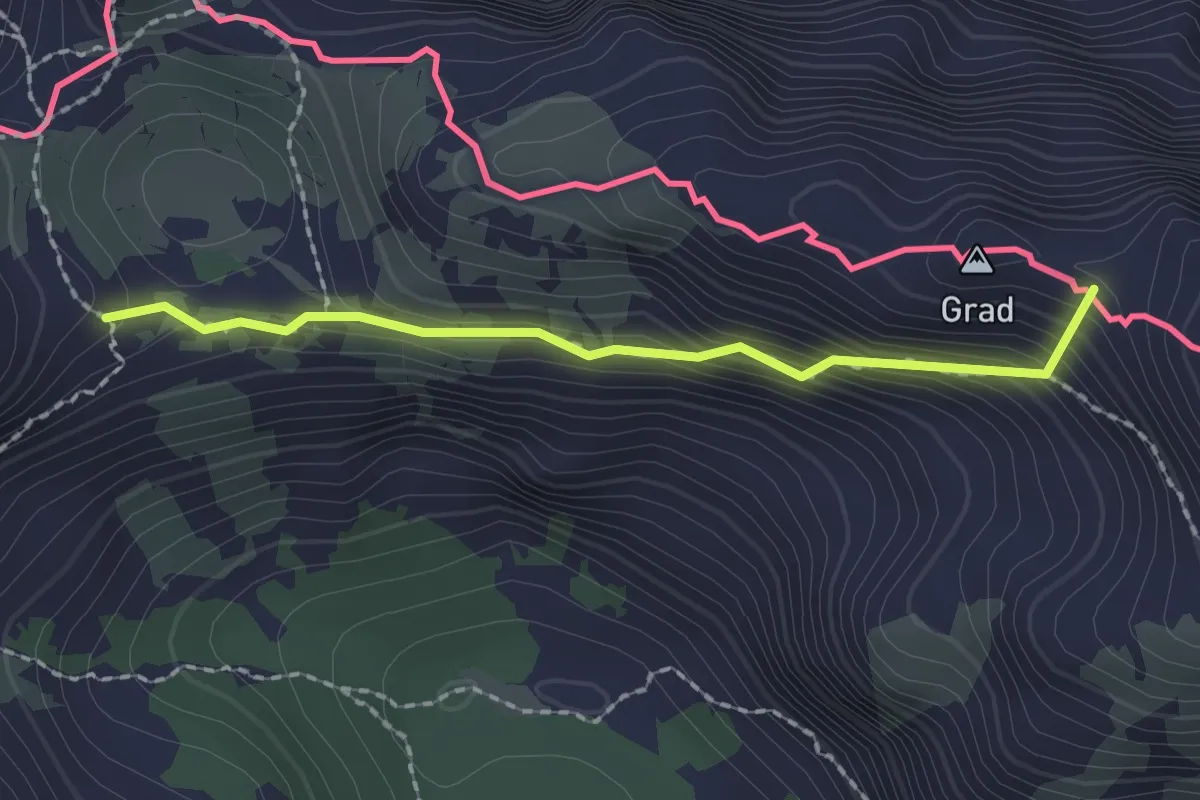
Medium · Summit
Stol (čez Vatelco)
1.8 km · ↑ 216 m · 54 min · 11 km away
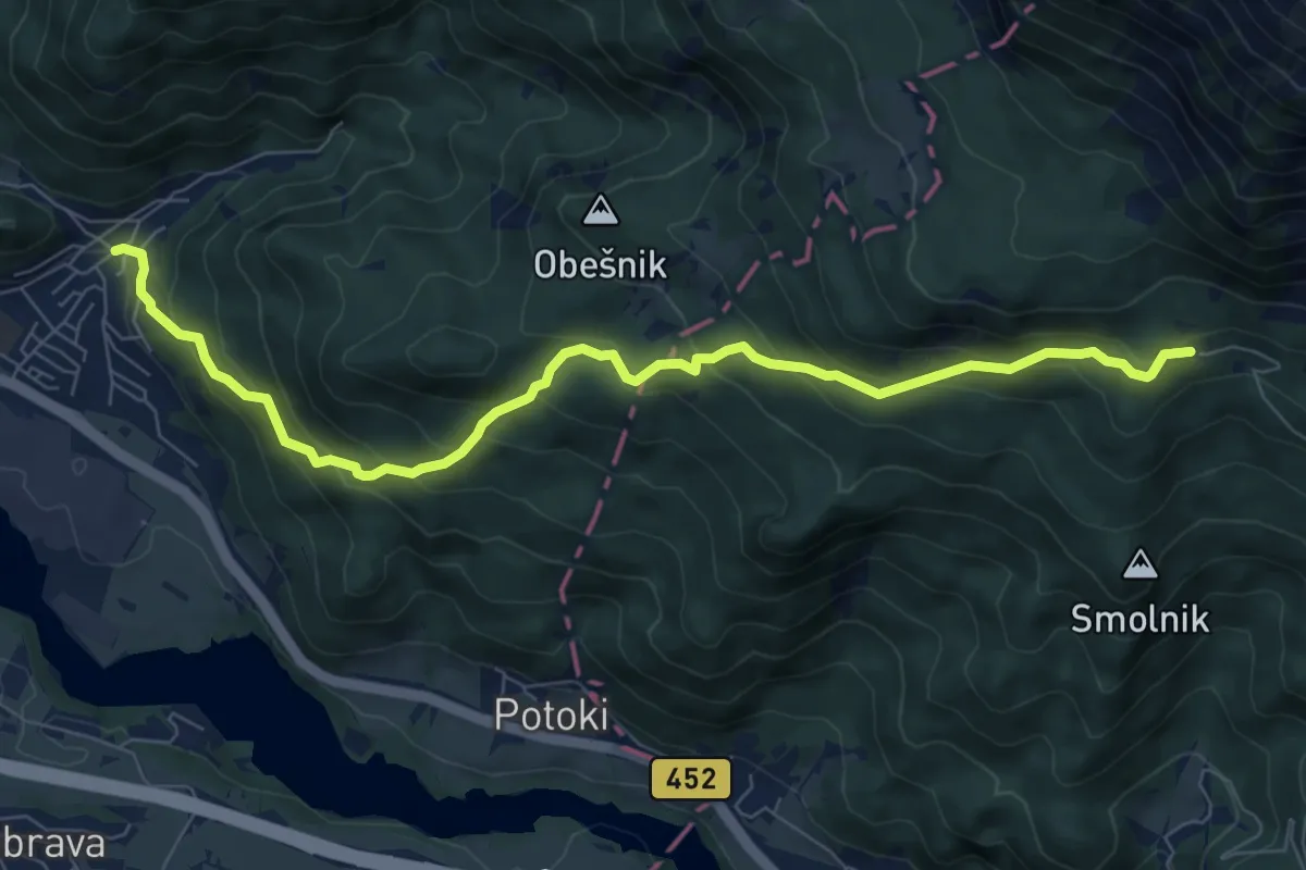
Medium · Cabin
Koroška Bela - Valvasorjev dom
8.5 km · ↑ 609 m · 3 h 20 min · 11 km away
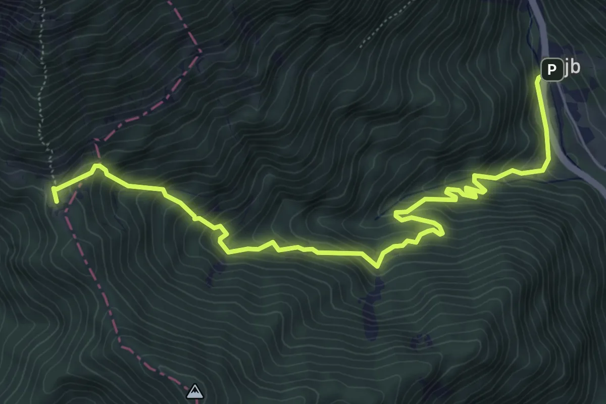
Medium · Cabin
Podljubelj - Koča na Prevalu
7.5 km · ↑ 692 m · 3 h 16 min · 11 km away
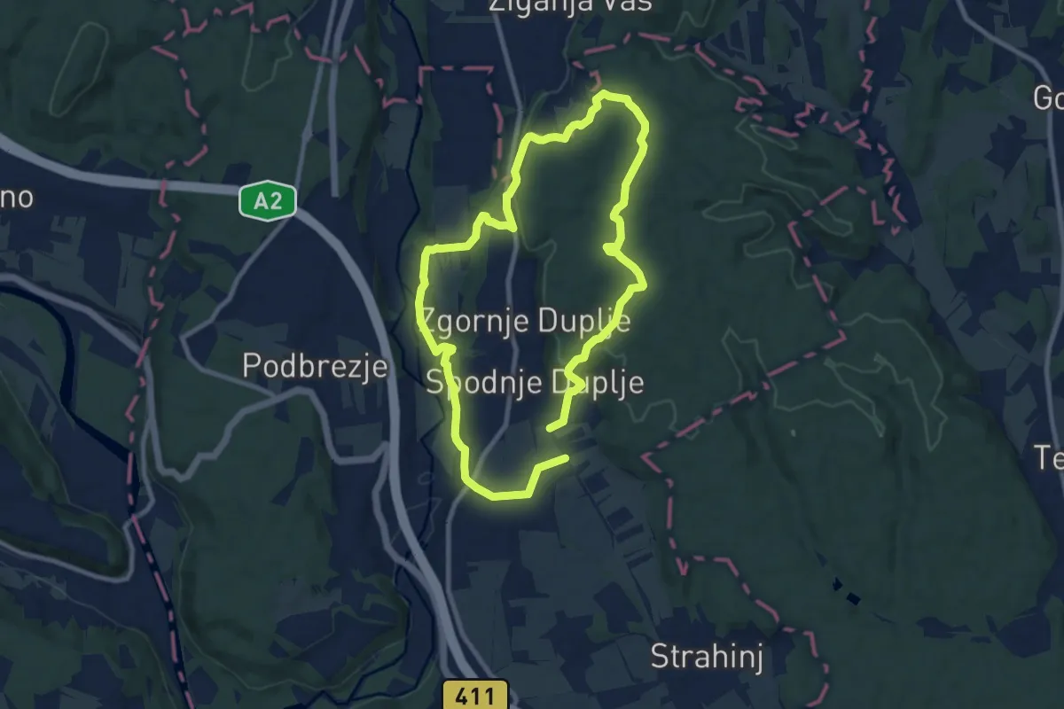
Medium · Trail
Krožna pot Kriva Jelka
16.3 km · ↑ 299 m · 4 h 30 min · 11 km away
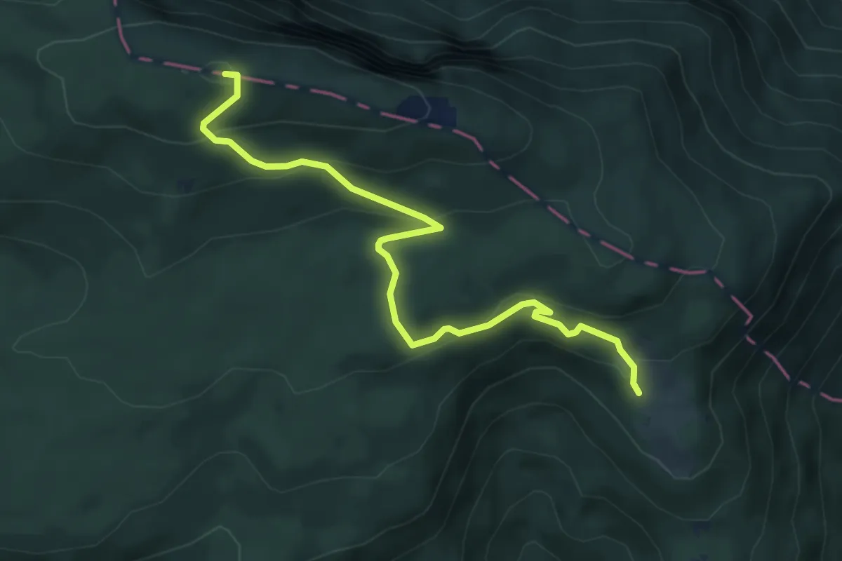
Easy · Summit
Pl. Obranca - Snežna jama - Planski vrh
5.5 km · ↑ 308 m · 1 h 57 min · 11 km away
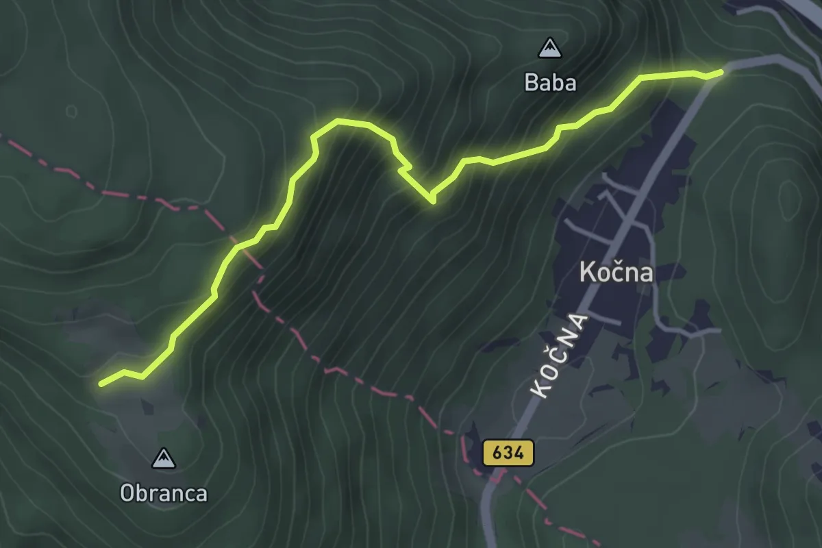
Medium · Trail
Kočna - Pl. Obranca
3.8 km · ↑ 459 m · 1 h 54 min · 11 km away
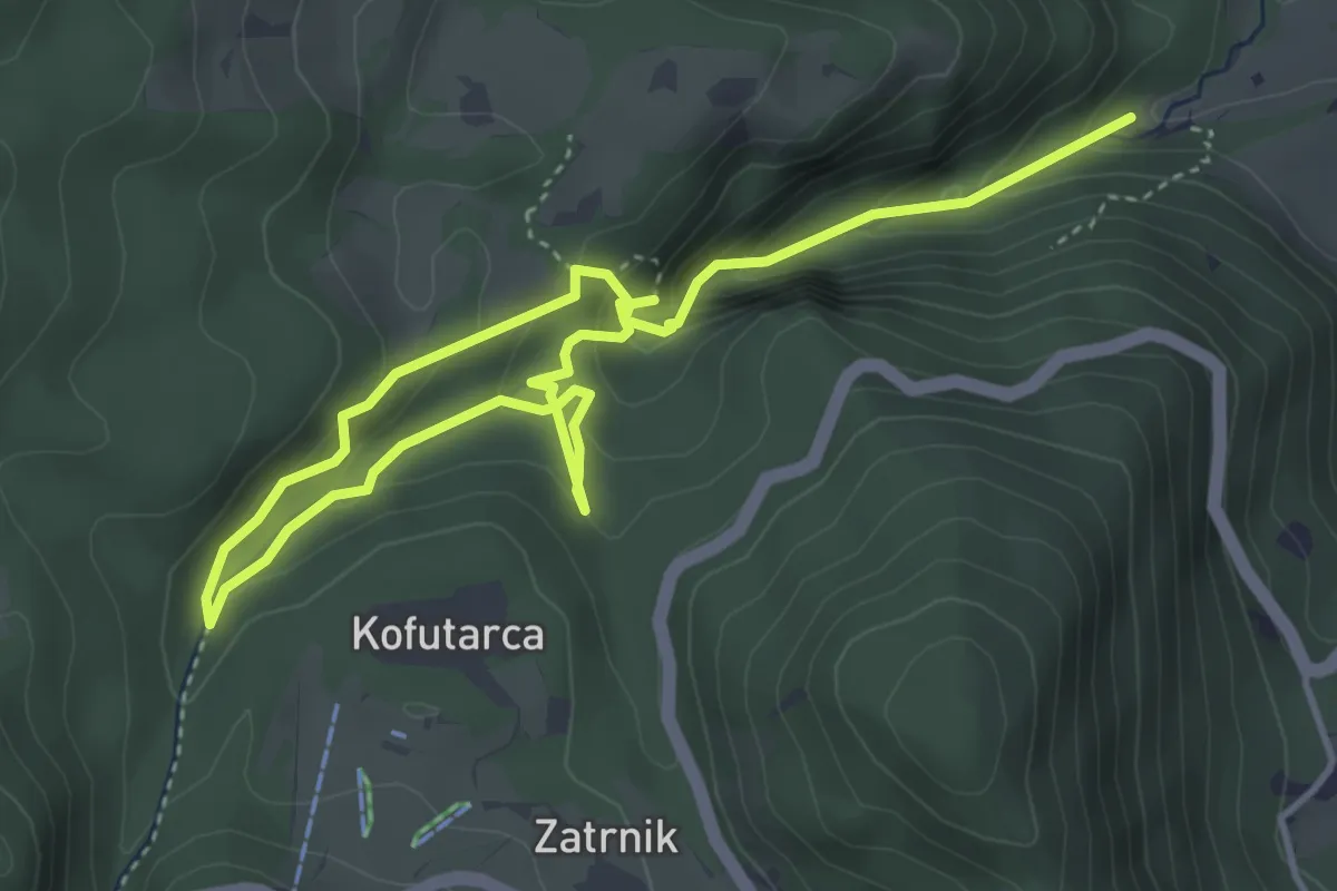
Demanding · Trail
Pokljuška soteska
6.1 km · ↑ 421 m · 2 h 21 min · 11 km away
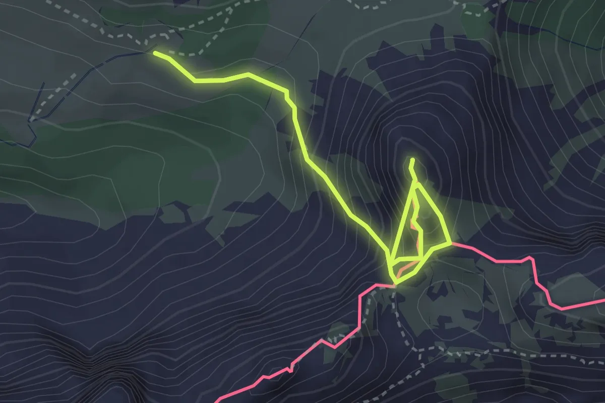
Demanding · Summit
Wanderweg 665
3.6 km · ↑ 555 m · 2 h 4 min · 12 km away
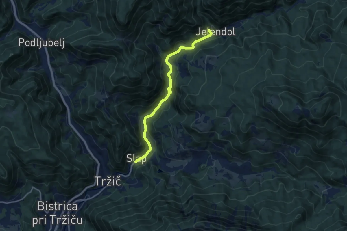
Medium · Summit
Lom - Jelendol - Dolga njiva
10.4 km · ↑ 363 m · 3 h 14 min · 12 km away
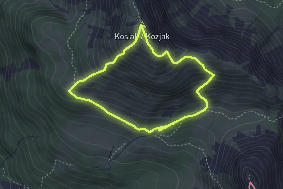
Medium · Summit
Friedrich-Zopp-Weg
2.9 km · ↑ 357 m · 1 h 31 min · 12 km away
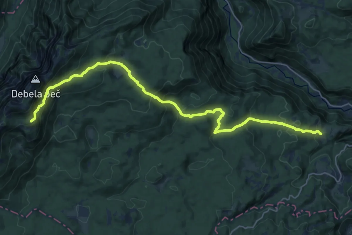
Demanding · Summit
Pl. Pokljuka - Pl. Klek - Blejska koča
20.2 km · ↑ 1085 m · 7 h 7 min · 12 km away
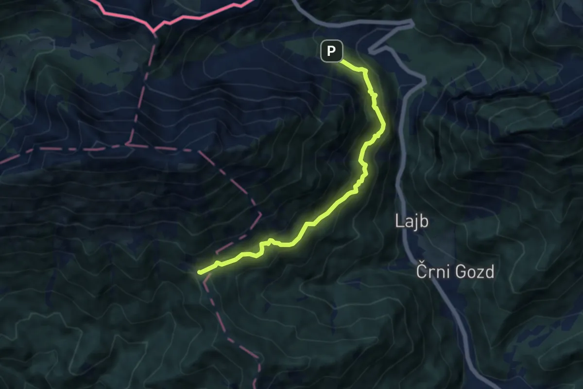
Medium · Cabin
Bornova pot
7.8 km · ↑ 724 m · 3 h 24 min · 12 km away
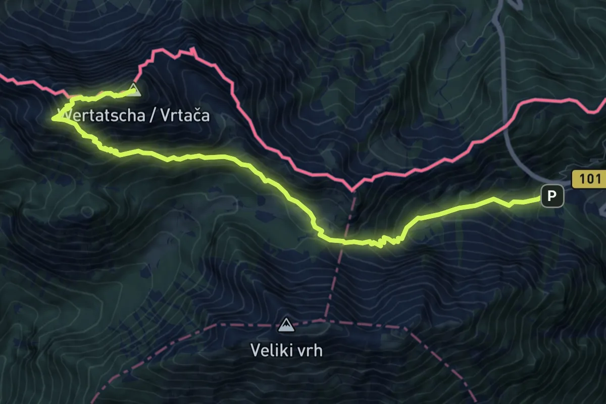
Demanding · Summit
Ljubelj - Vrtača
12.3 km · ↑ 1193 m · 5 h 30 min · 12 km away
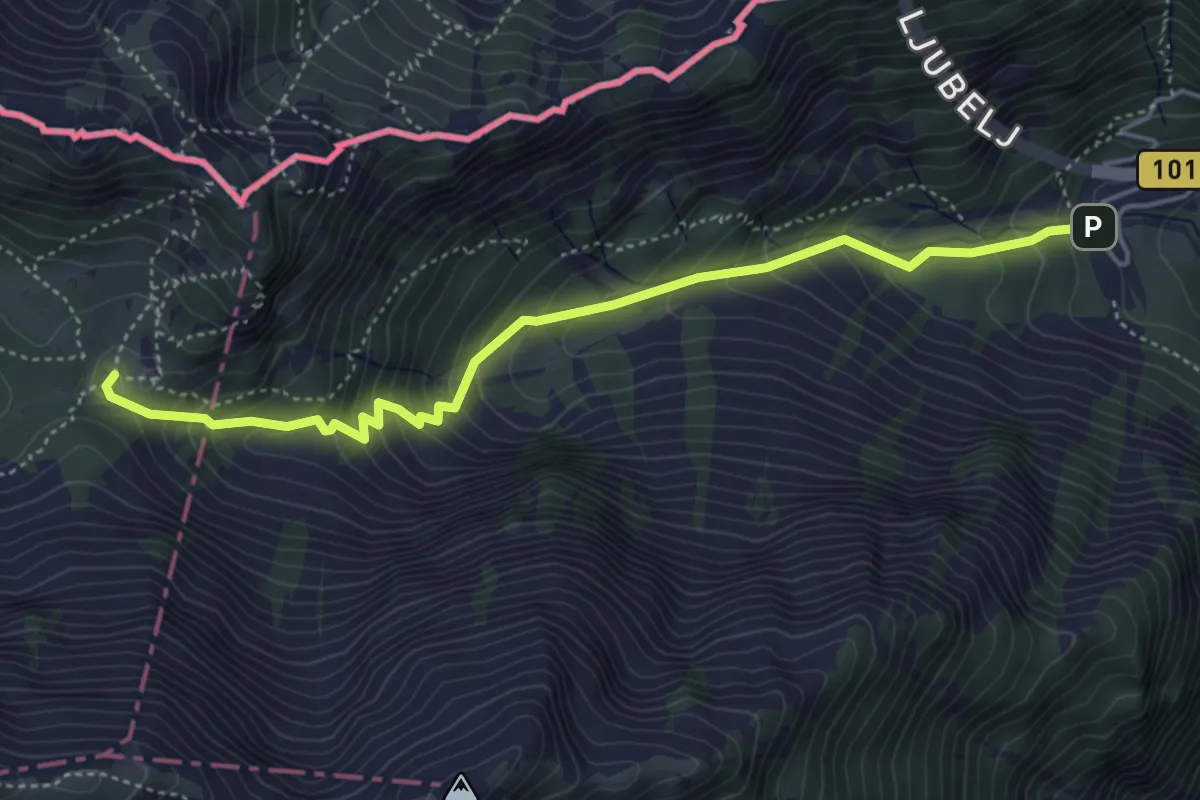
Medium · Cabin
Ljubelj - Dom na Zelenici
4.8 km · ↑ 483 m · 2 h 11 min · 12 km away
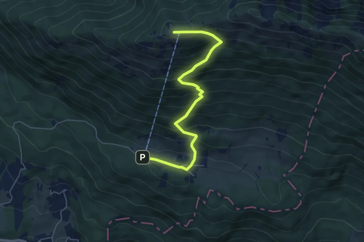
Demanding · Summit
Gozd - Koča na Kriški gori
5.5 km · ↑ 581 m · 2 h 34 min · 12 km away
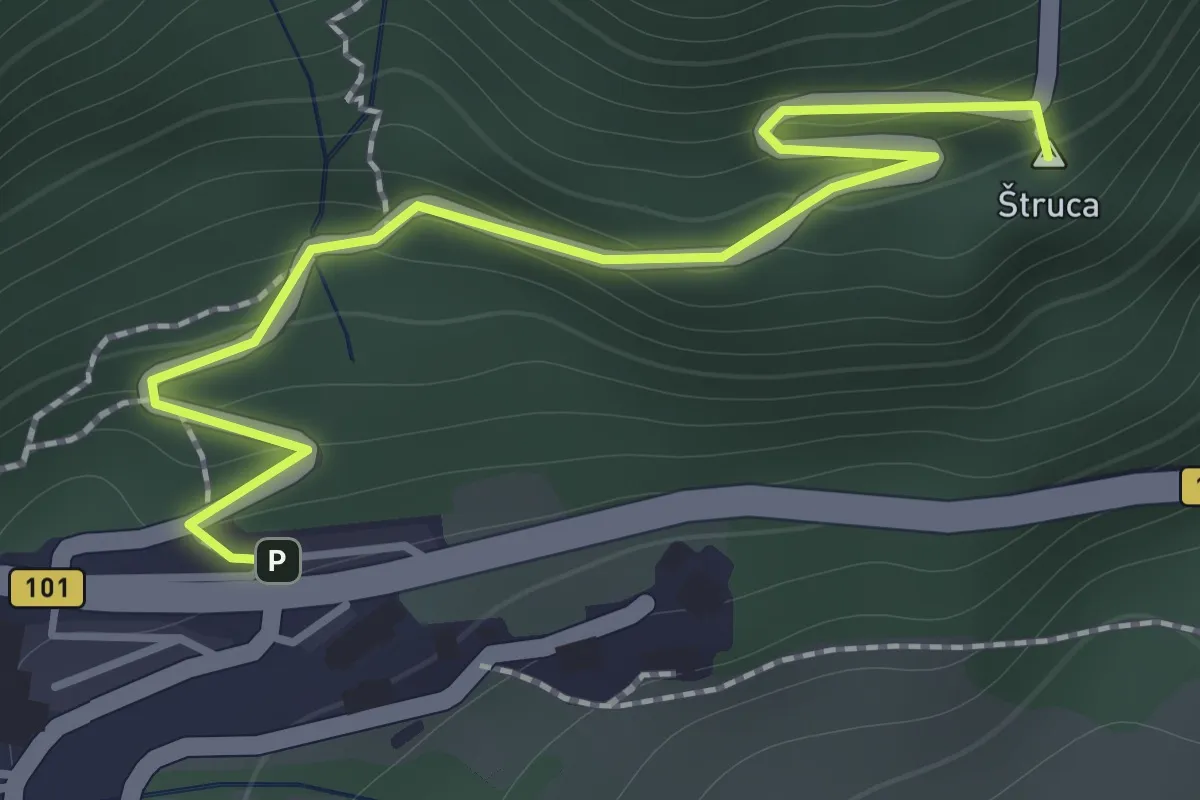
Easy · Summit
Ljubelj - Koča na Ljubelju
1.6 km · ↑ 147 m · 41 min · 12 km away
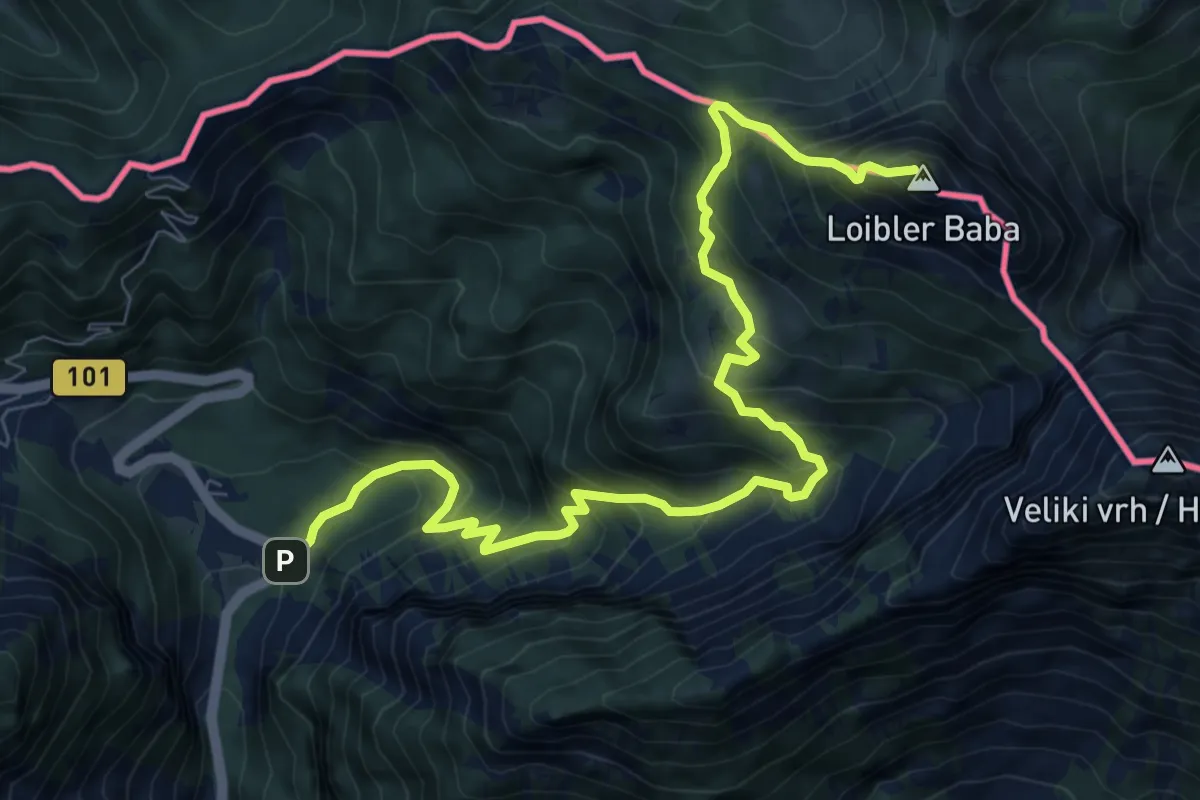
Demanding · Summit
Vranček - Pl. Korošica - Košutica
10.1 km · ↑ 1119 m · 4 h 49 min · 12 km away
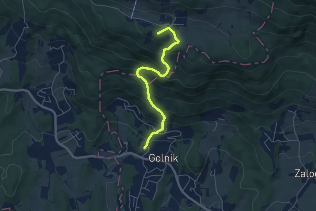
Medium · Summit
Golnik - Gozd
4.5 km · ↑ 427 m · 1 h 59 min · 12 km away
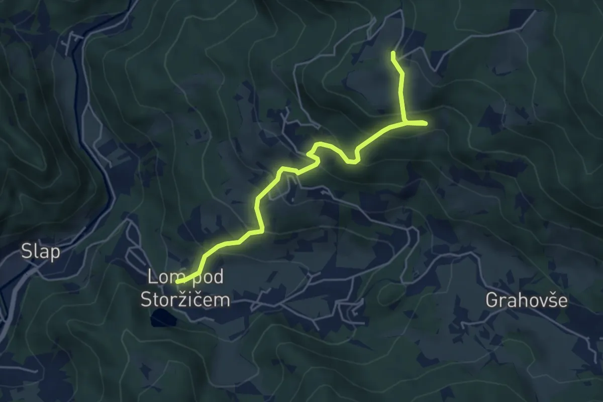
Medium · Trail
Lom - Tič
4.7 km · ↑ 395 m · 1 h 58 min · 12 km away
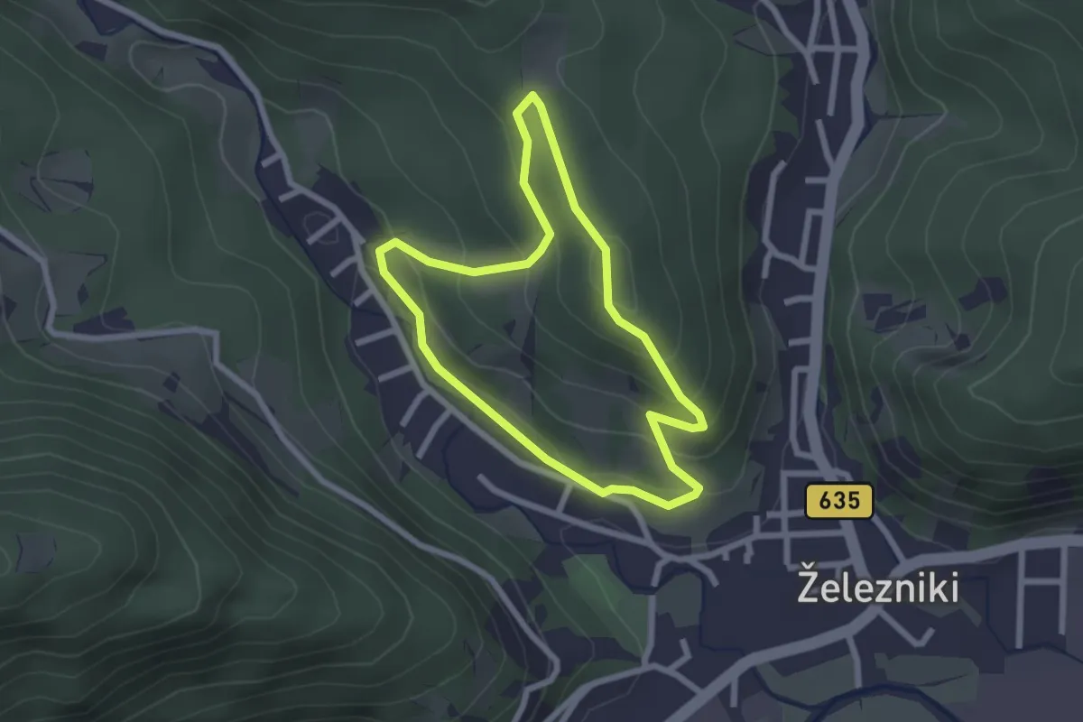
Easy · Summit
Gozdna učna pot Kres
2.1 km · ↑ 104 m · 45 min · 12 km away
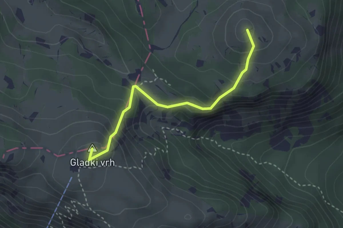
Medium · Summit
Krekova koča - Kosmati vrh
2.8 km · ↑ 264 m · 1 h 13 min · 12 km away
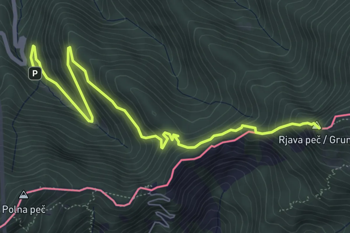
Demanding · Summit
Wanderweg 650
7.3 km · ↑ 582 m · 2 h 59 min · 13 km away
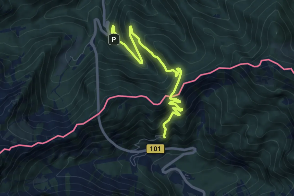
Medium · Summit
Hemmaweg SvAna-Gurk
4.1 km · ↑ 388 m · 1 h 48 min · 13 km away
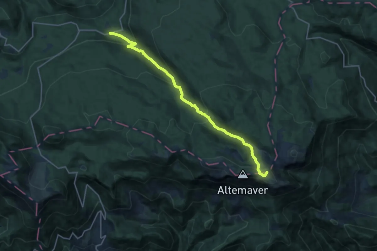
Medium · Summit
Bitenjska pl. - Ratitovec
14.1 km · ↑ 732 m · 4 h 55 min · 13 km away
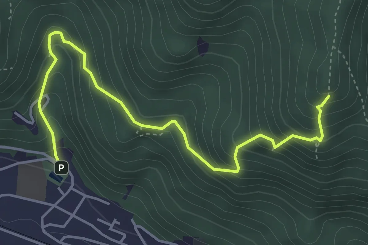
Medium · Summit
Jesenice - Jelenkamen - Dom Pristava
4.3 km · ↑ 467 m · 2 h 1 min · 13 km away
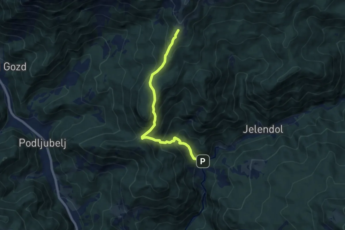
Medium · Cabin
Dolina - Kofce
8.5 km · ↑ 746 m · 3 h 38 min · 13 km away
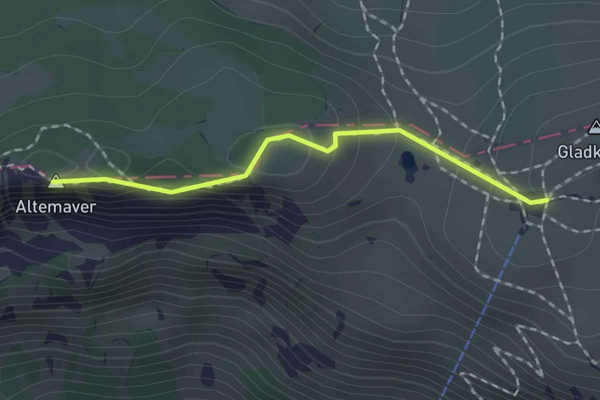
Easy · Summit
Krekova koča - Altemaver - Kremant
1.4 km · ↑ 63 m · 28 min · 13 km away
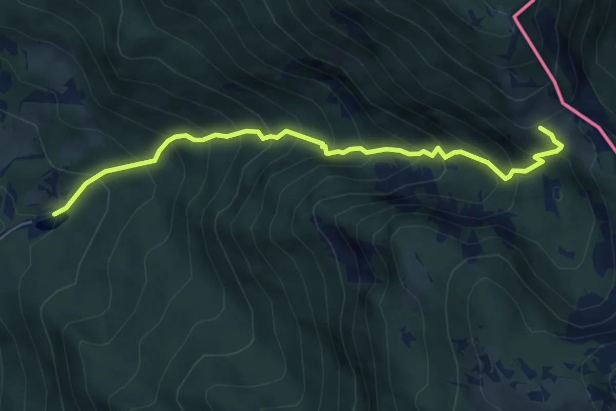
Medium · Trail
Dom Trilobit - Medji dol - Pl. Seča
5.5 km · ↑ 741 m · 2 h 54 min · 13 km away
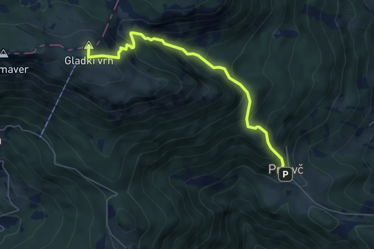
Medium · Summit
Prtovč - Razor - Ratitovec
5.4 km · ↑ 620 m · 2 h 37 min · 14 km away
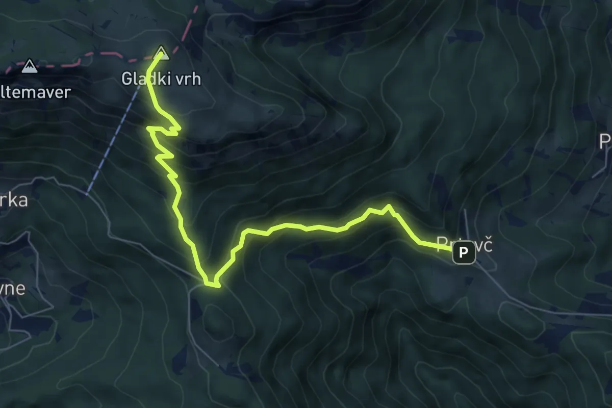
Medium · Summit
Prtovč - Povden - Ratitovec
7.0 km · ↑ 692 m · 3 h 9 min · 14 km away
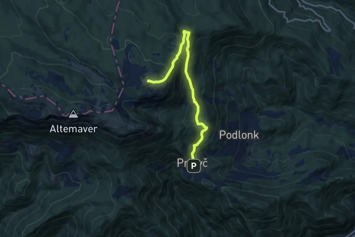
Medium · Summit
Prtovč L. k. Na Toli - Kosmati vrh
8.8 km · ↑ 708 m · 3 h 36 min · 14 km away
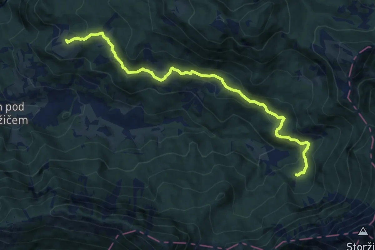
Medium · Cabin
Dom pod Storžičem - Pavšel - Tič
12.1 km · ↑ 430 m · 3 h 47 min · 14 km away
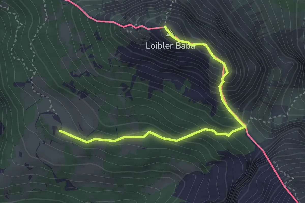
Demanding · Summit
Pl. Korošica - Hajnževo sedlo - Košutica
3.6 km · ↑ 462 m · 1 h 51 min · 14 km away
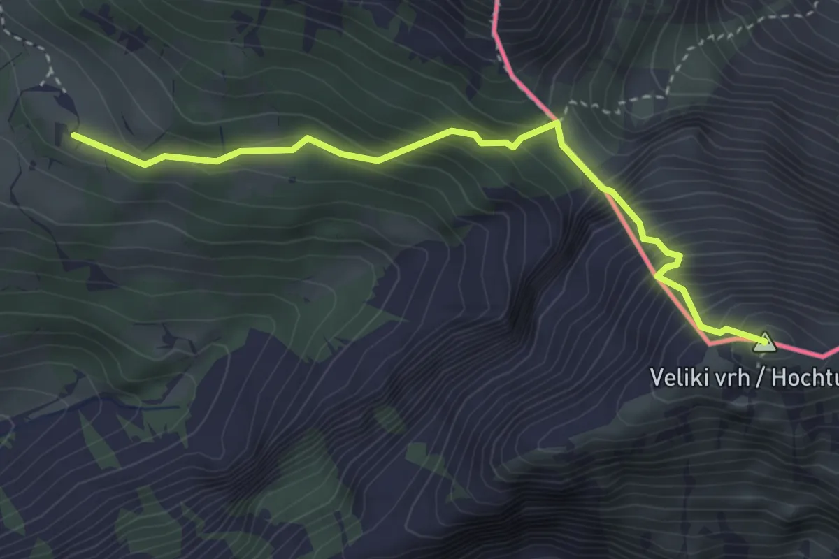
Expert · Summit
Pl. Korošica - Veliki vrh
3.5 km · ↑ 544 m · 2 h · 14 km away
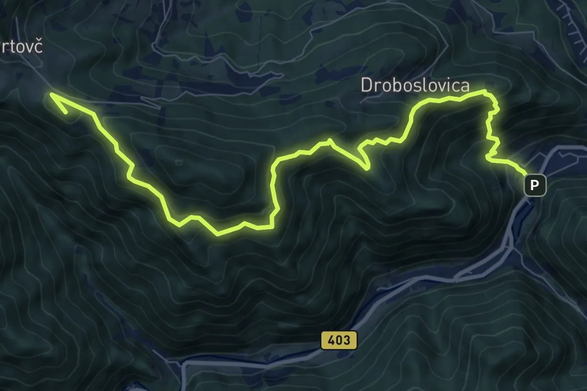
Demanding · Summit
Železniki - Na Lomu - Prtovč
10.9 km · ↑ 866 m · 4 h 26 min · 14 km away
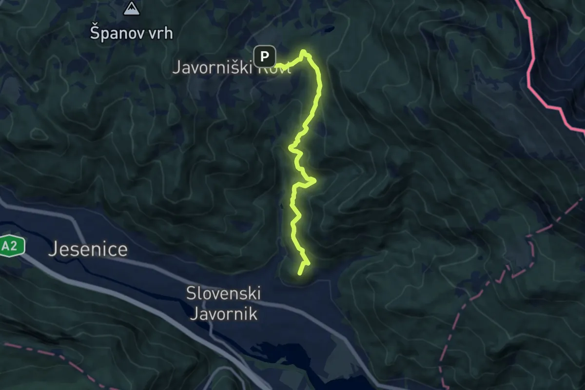
Medium · Summit
Gajškova pot (Kor. Bela - Dom Pristava)
9.1 km · ↑ 622 m · 3 h 30 min · 14 km away
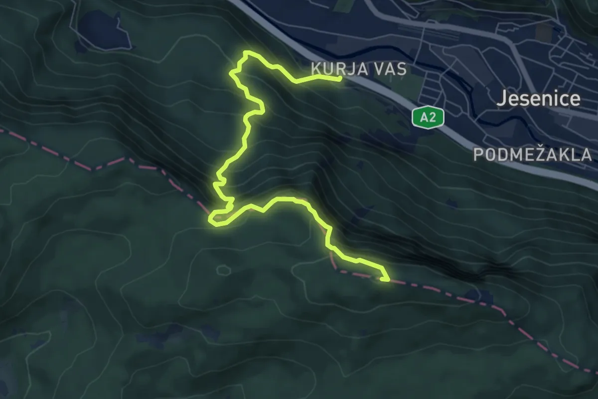
Medium · Summit
Kurja vas - Špica - Planski vrh
8.1 km · ↑ 755 m · 3 h 33 min · 14 km away
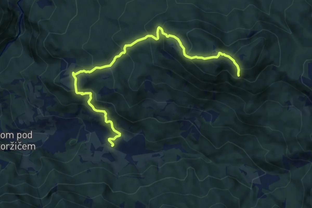
Demanding · Summit
Grahovše - Tič - Bela peč
12.2 km · ↑ 926 m · 4 h 54 min · 14 km away
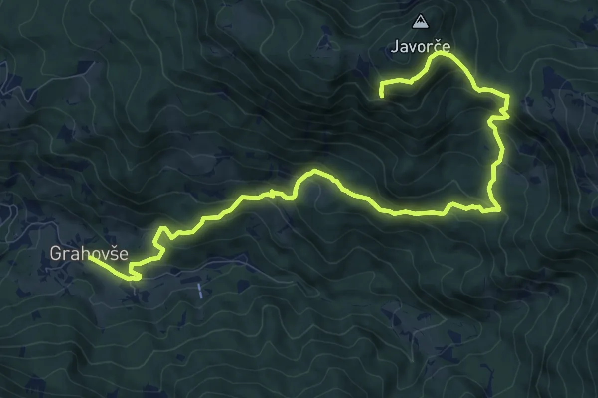
Demanding · Summit
Grahovše - Rekar - Bela peč
13.1 km · ↑ 899 m · 5 h 2 min · 14 km away
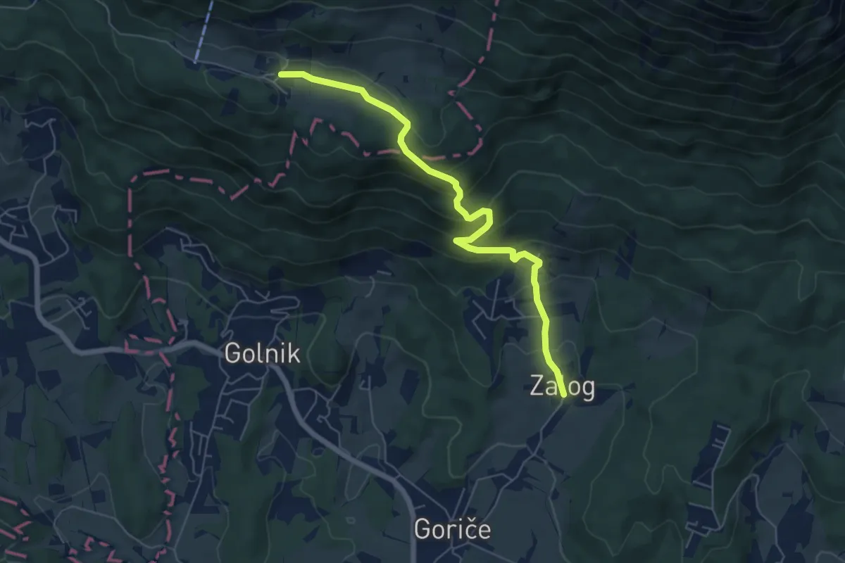
Medium · Trail
Zalog - Svarje - Gozd
6.1 km · ↑ 374 m · 2 h 15 min · 14 km away
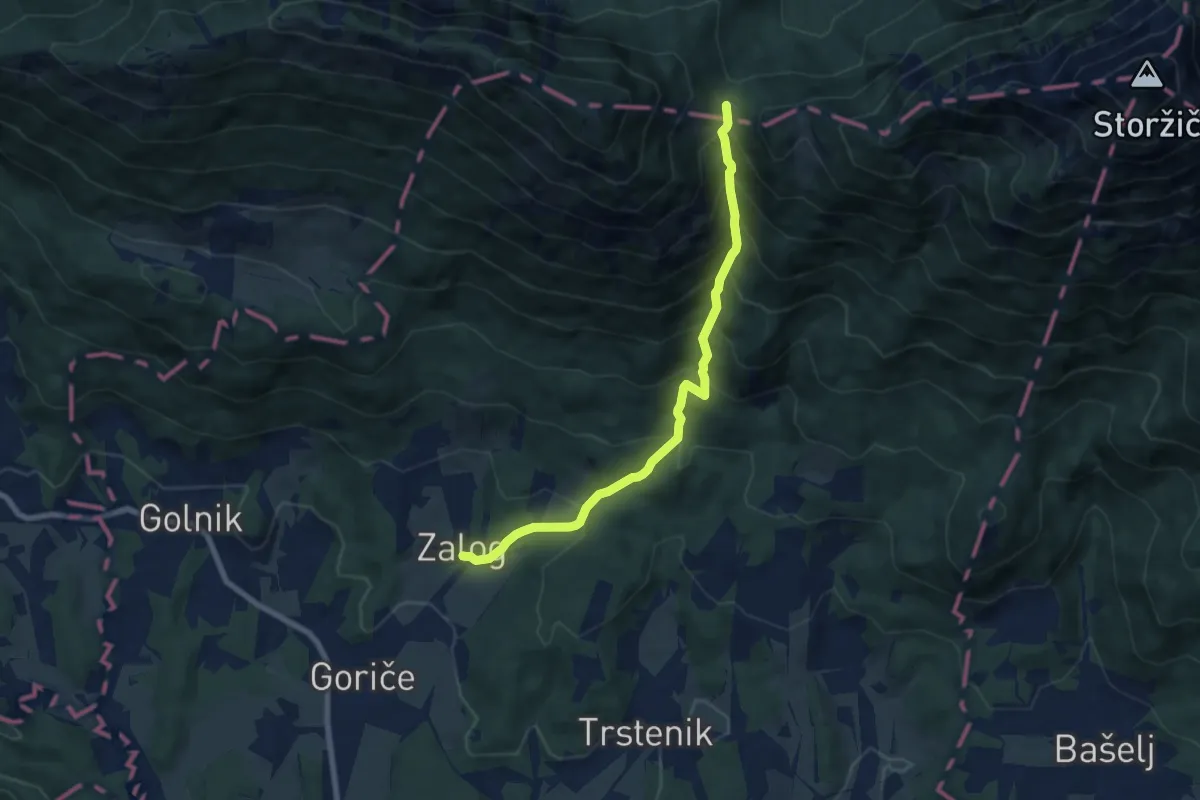
Medium · Cabin
Zalog - Mala Poljana
7.5 km · ↑ 800 m · 3 h 30 min · 14 km away
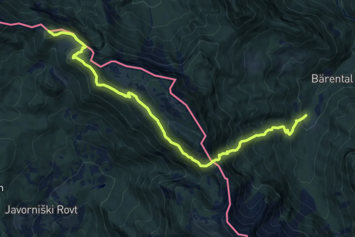
Demanding · Summit
Wanderweg 603A
16.0 km · ↑ 1342 m · 6 h 41 min · 14 km away
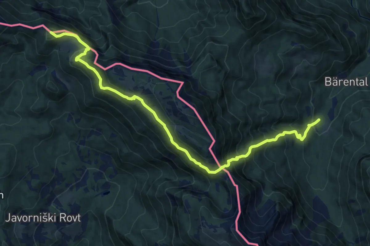
Demanding · Summit
Südalpenweg 03A
15.8 km · ↑ 1348 m · 6 h 39 min · 14 km away