Trails near Šempeter pri Gorici
62 hikes starting within 15 km, nearest first.
Nearest first, page 1 of 2
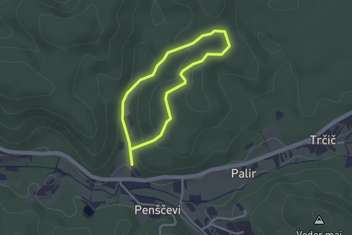
Easy · Trail
Gozdna učna pot Panovec
2.0 km · ↑ 53 m · 36 min · 2 km away
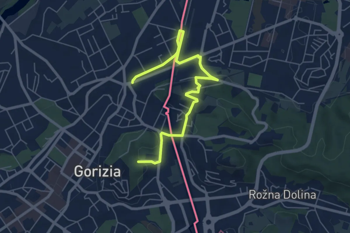
Easy · Trail
P.za Transalpina (quota 92 m) – Evropski Trg (SLO) P.za Transalpina (quota 92 m)
6.2 km · ↑ 105 m · 1 h 41 min · 2 km away
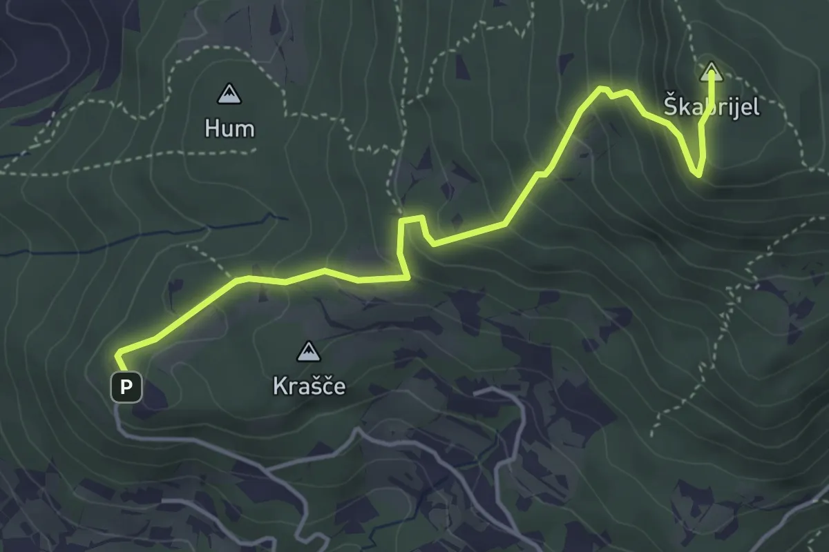
Medium · Summit
Kekec - Škabrijel
4.5 km · ↑ 335 m · 1 h 47 min · 5 km away
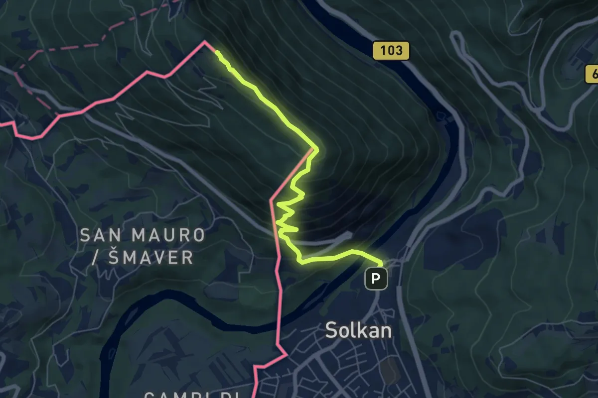
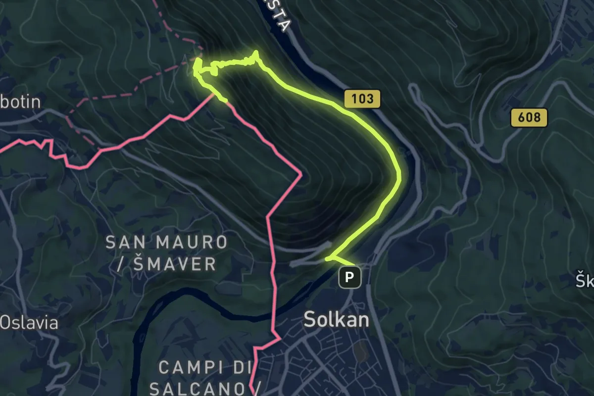
Demanding · Summit
Solkan - Sabotin (juž. pot)
6.1 km · ↑ 561 m · 2 h 39 min · 5 km away
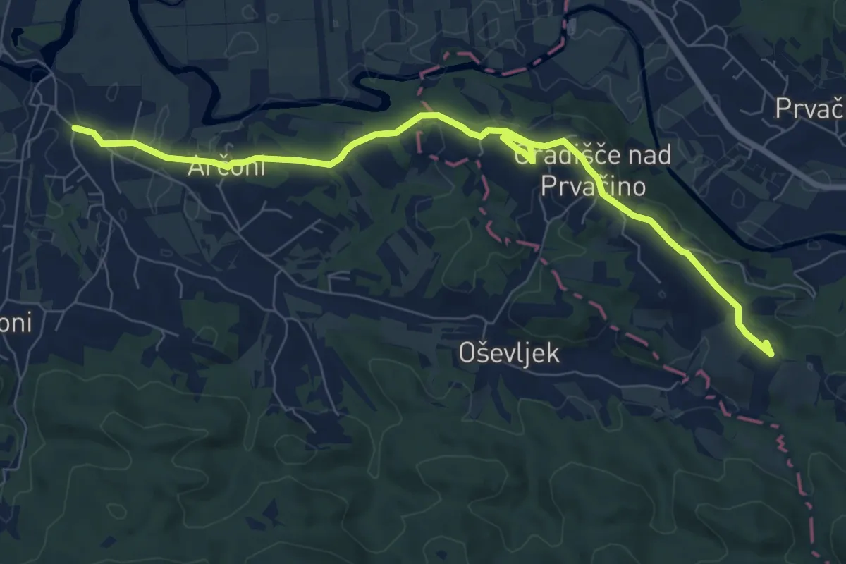
Medium · Summit
Solkan - Sabotin (sev. pot)
9.2 km · ↑ 670 m · 3 h 38 min · 5 km away
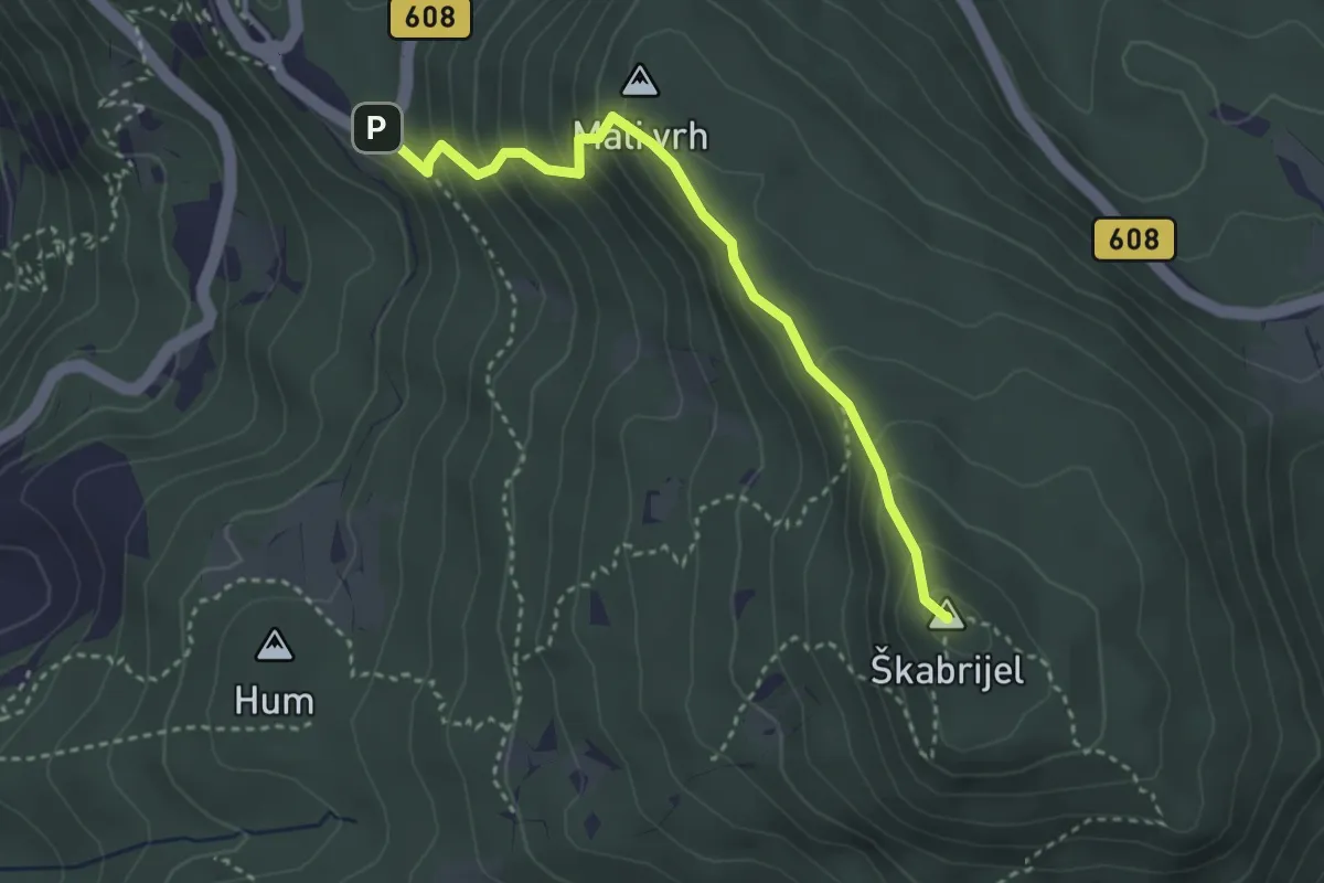
Medium · Summit
Gregorčičeva pot
8.8 km · ↑ 103 m · 2 h 18 min · 5 km away
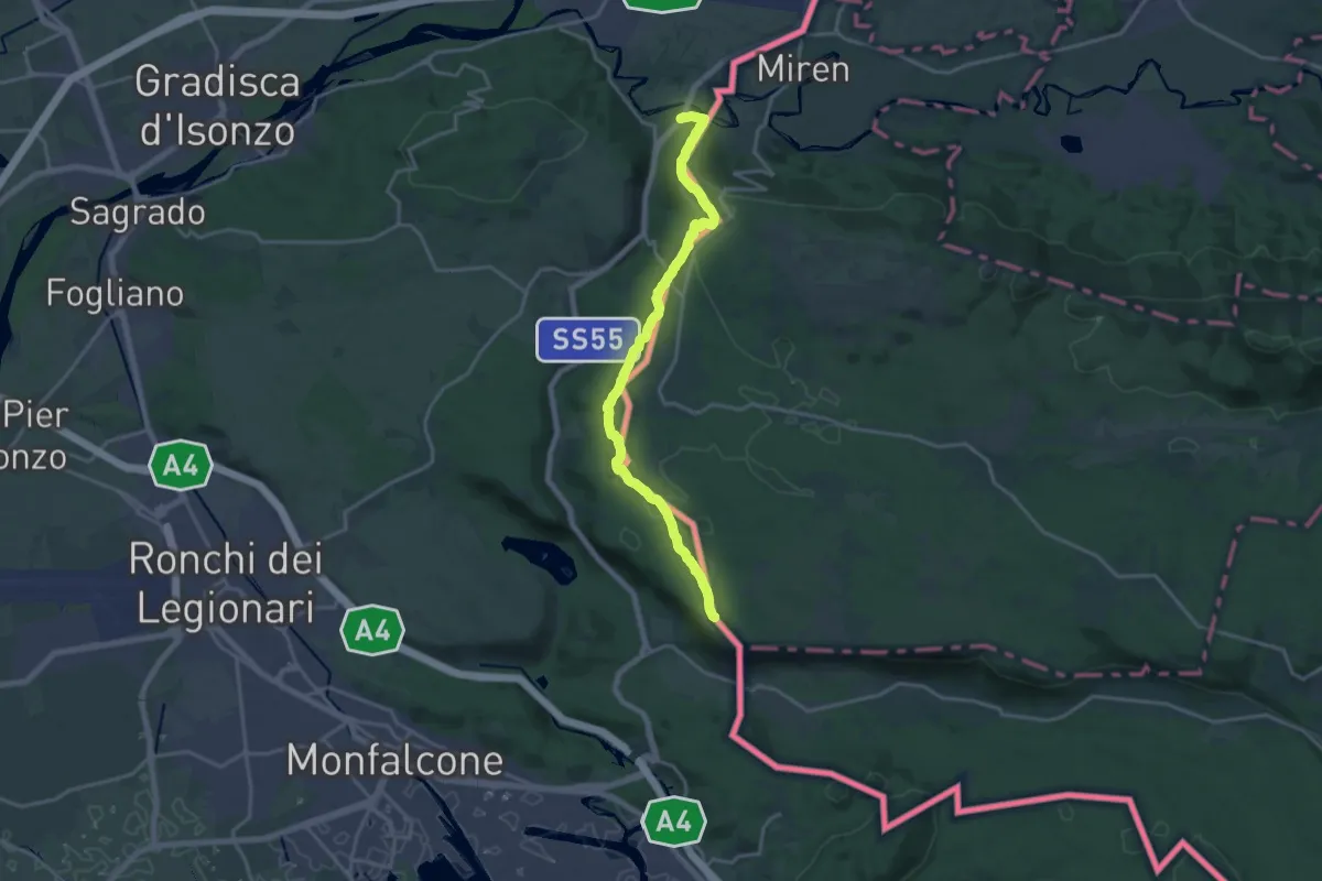
Easy · Summit
Prevala - Škabrijel
3.3 km · ↑ 296 m · 1 h 25 min · 6 km away
Demanding · Summit
Sentiero Abramo Schmid
18.6 km · ↑ 355 m · 5 h 9 min · 6 km away
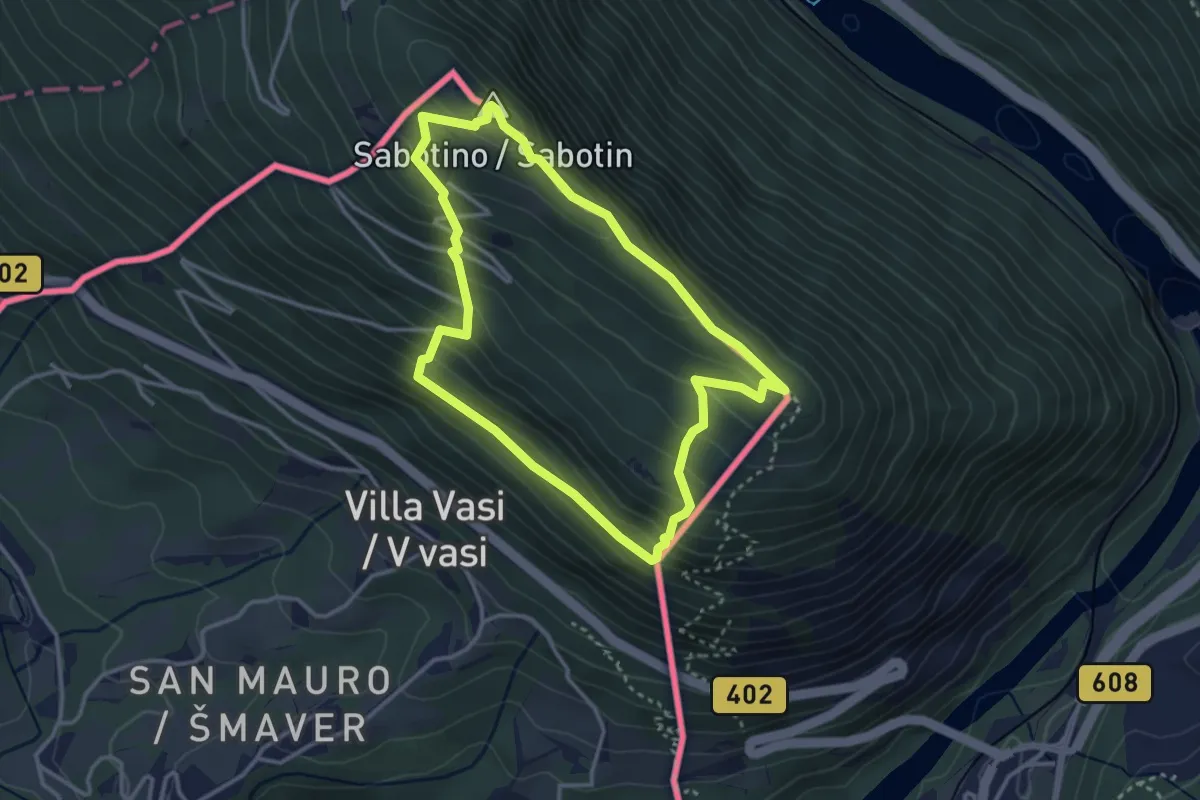
Easy · Summit
San Mauro (quota 50 m) – San Mauro (quota 50 m)
3.2 km · ↑ 244 m · 1 h 20 min · 6 km away
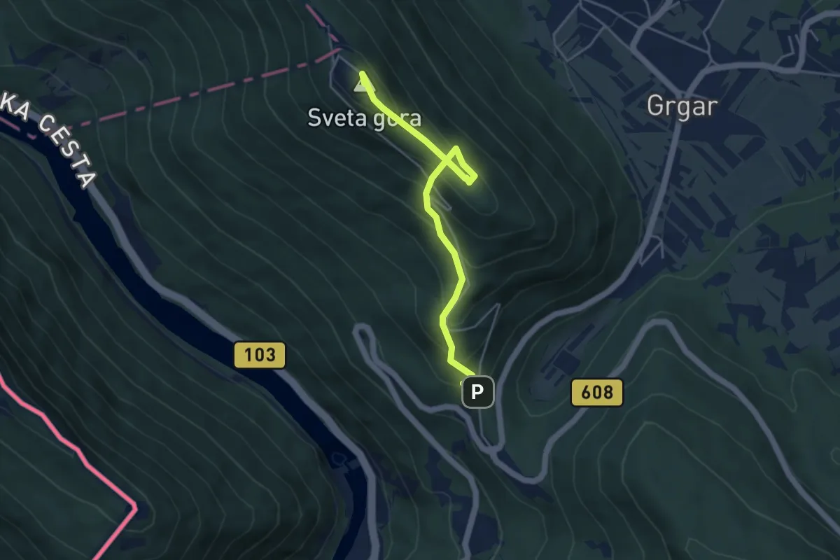
Medium · Summit
Prevala - Sv. Gora (po jarkih)
4.3 km · ↑ 322 m · 1 h 42 min · 7 km away
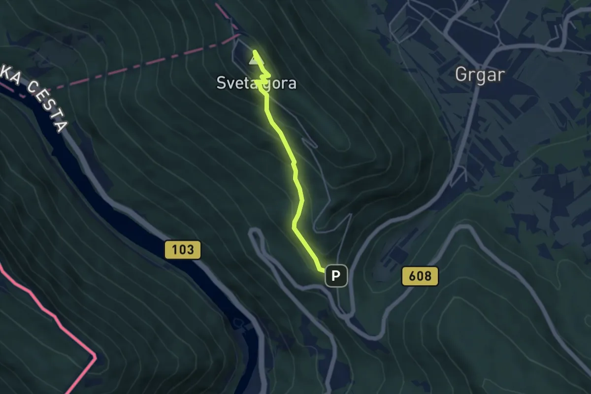
Medium · Summit
Prevala - Sv. Gora
3.5 km · ↑ 324 m · 1 h 31 min · 7 km away
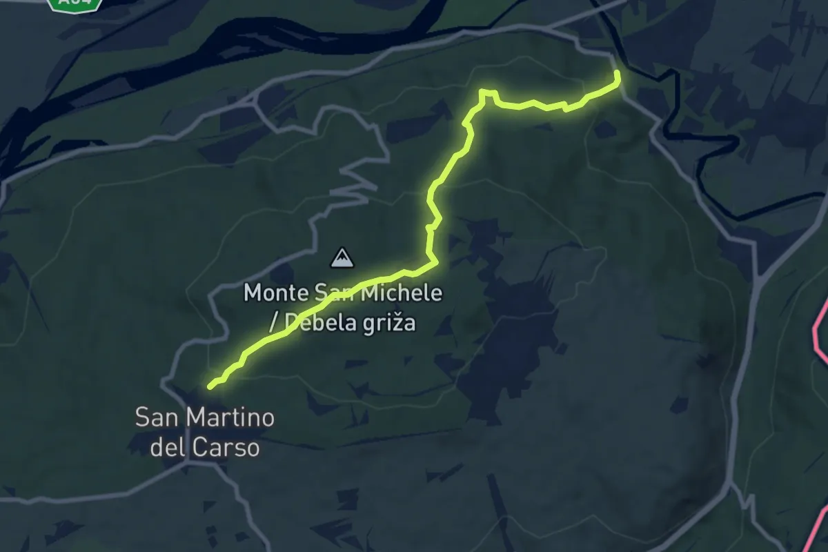
Medium · Trail
Castel Rubbia (quota 45 m) – Jamiano (quota 45 m)
8.3 km · ↑ 266 m · 2 h 33 min · 7 km away
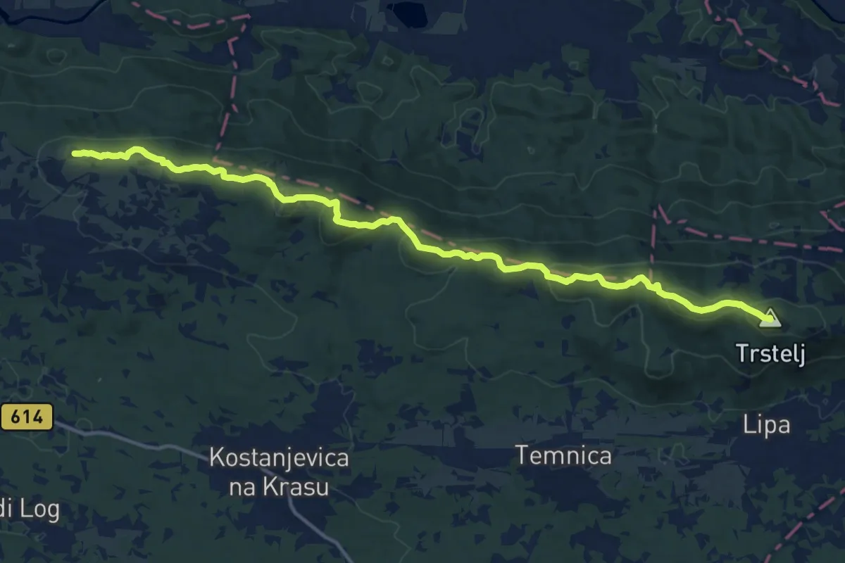
Demanding · Summit
Cerje - Fajti hrib - Trstelj
15.9 km · ↑ 785 m · 5 h 28 min · 7 km away
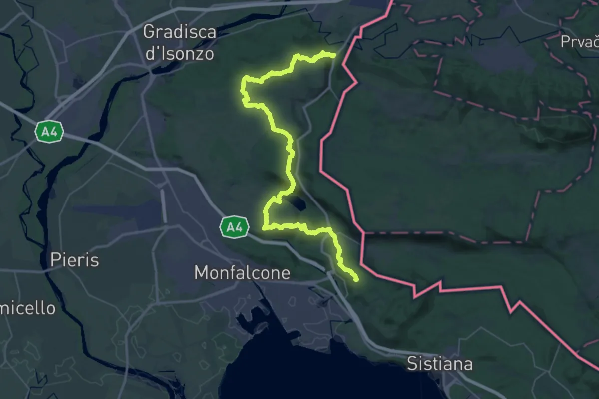
Demanding · Summit
Via Alpina Yellow B4
40.7 km · ↑ 1037 m · 11 h 51 min · 7 km away
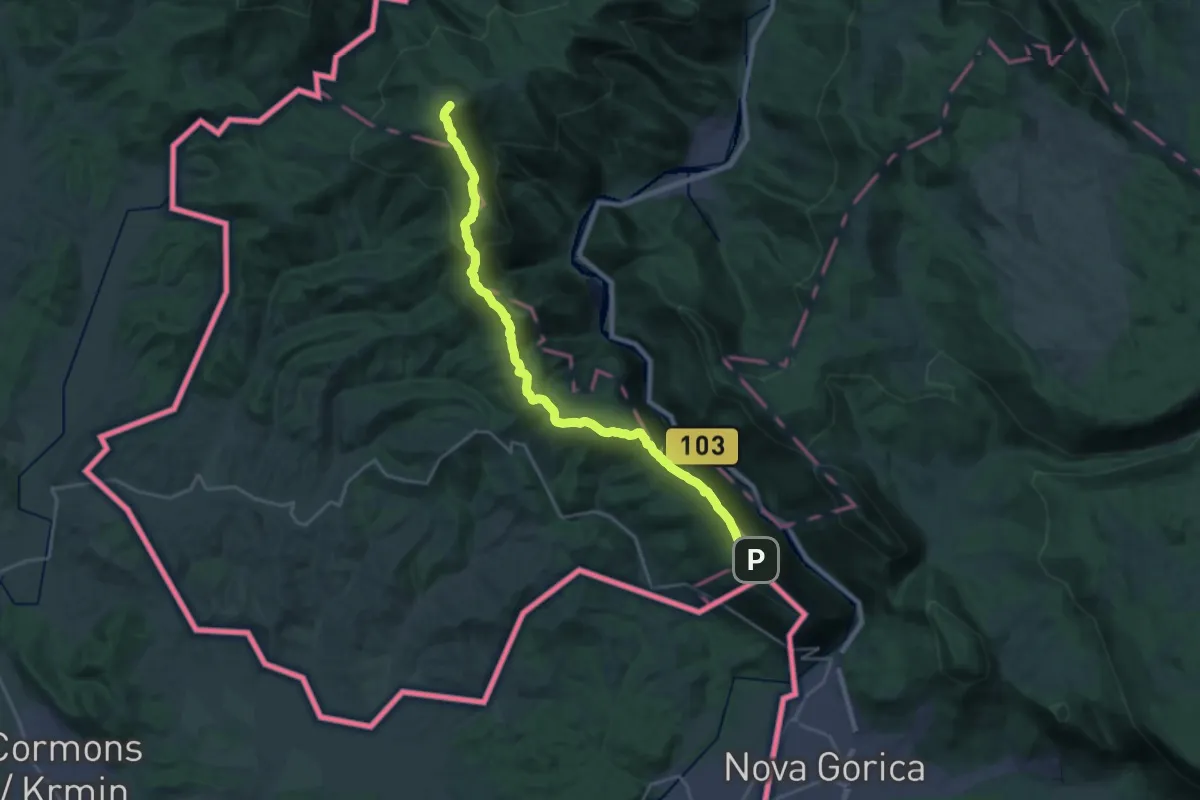
Demanding · Summit
Sabotin - Korada
23.4 km · ↑ 938 m · 7 h 33 min · 7 km away
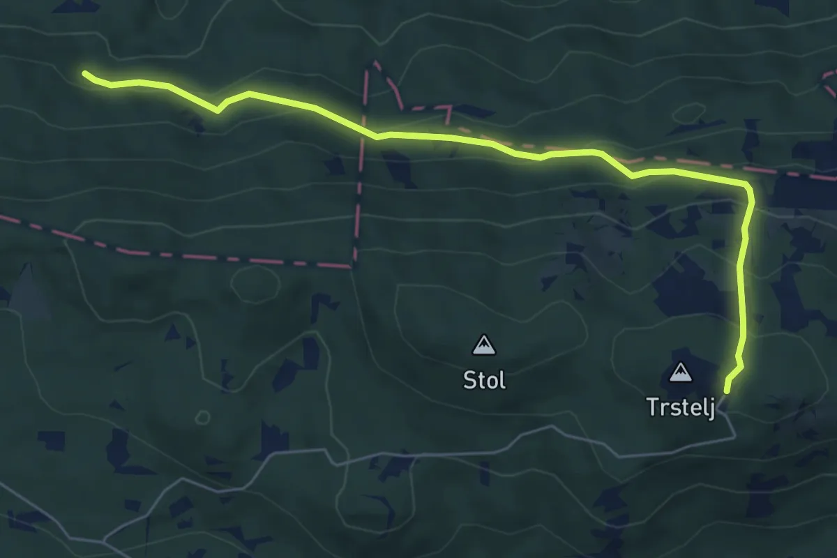
Demanding · Cabin
Črni hribi - Trstelj
6.5 km · ↑ 353 m · 2 h 18 min · 8 km away
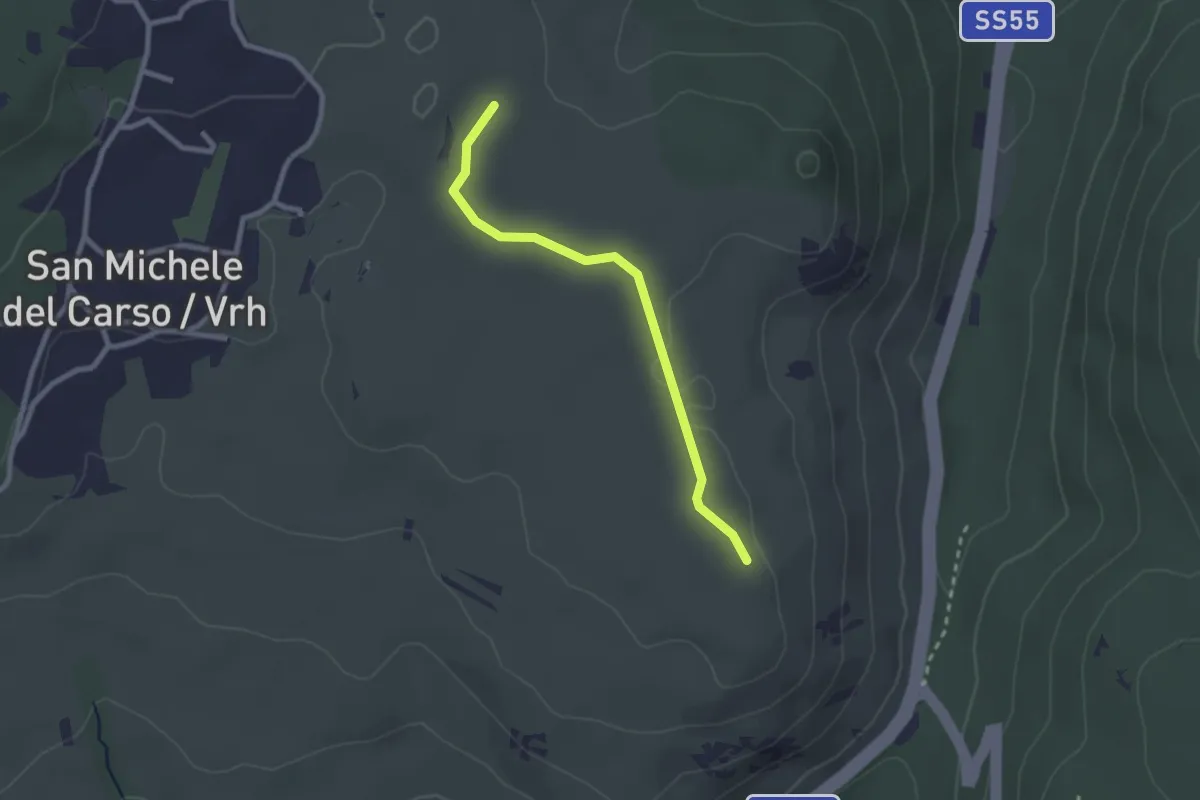
Easy · Trail
Rifugio Speleo (Percorso 071) (quota 185 m) – Percorso 074 (quota 185 m)
2.3 km · ↑ 18 m · 36 min · 8 km away
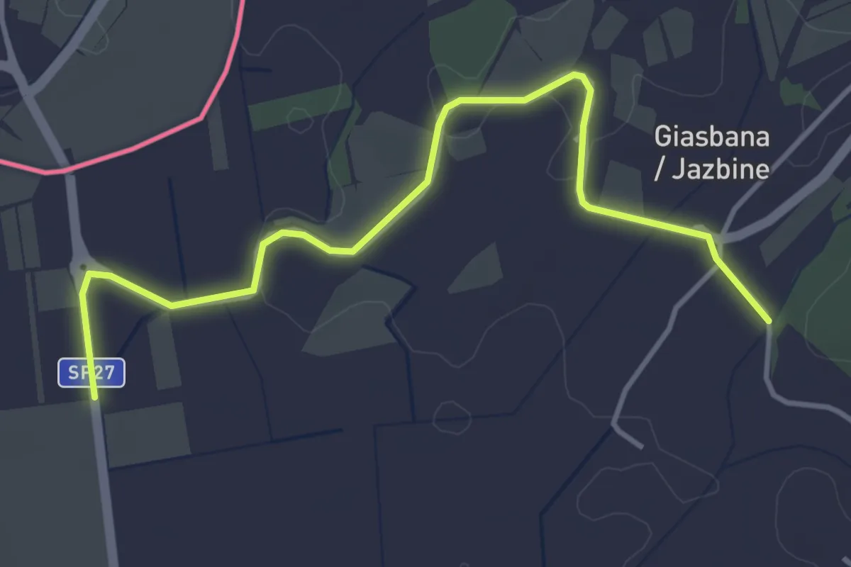
Easy · Trail
Capriva bivio sent. 099 (quota 53 m) – Gabria Superiore bivi sent. 071-079 (quota 40 m)
4.4 km · ↑ 41 m · 1 h 7 min · 8 km away
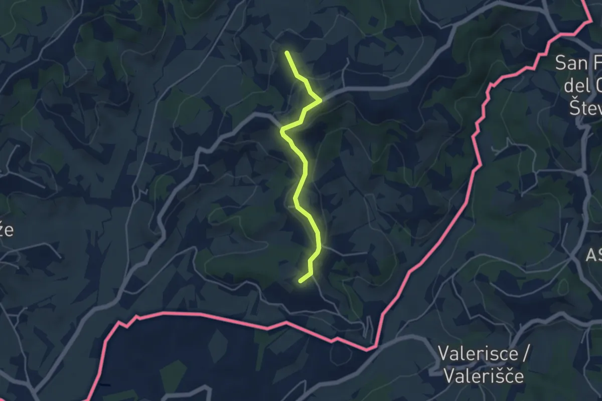
Easy · Summit
Vilinka
3.5 km · ↑ 146 m · 1 h 9 min · 9 km away
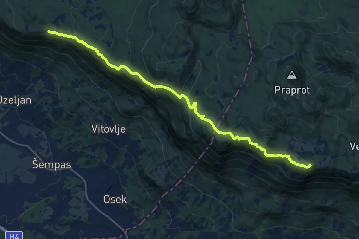
Demanding · Summit
Trpinovšče - Čaven
16.7 km · ↑ 759 m · 5 h 36 min · 9 km away
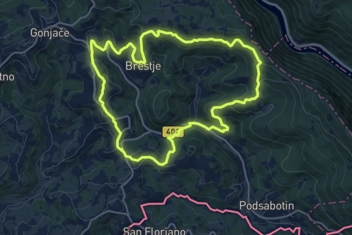
Medium · Summit
Karnjuka
10.0 km · ↑ 390 m · 3 h 20 min · 9 km away
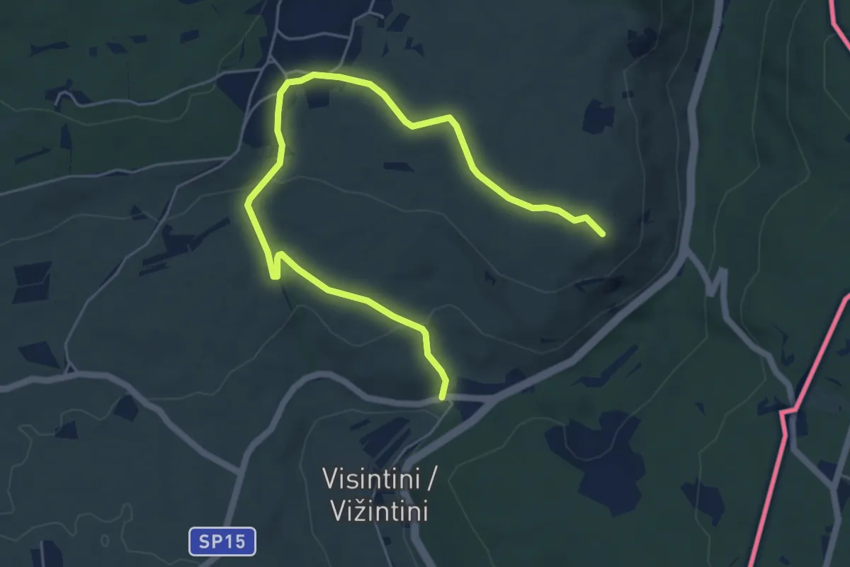
Easy · Summit
S.S. n. 55 del Vallone (quota 74 m) – Devetachi (quota 59 m)
6.6 km · ↑ 160 m · 1 h 55 min · 9 km away
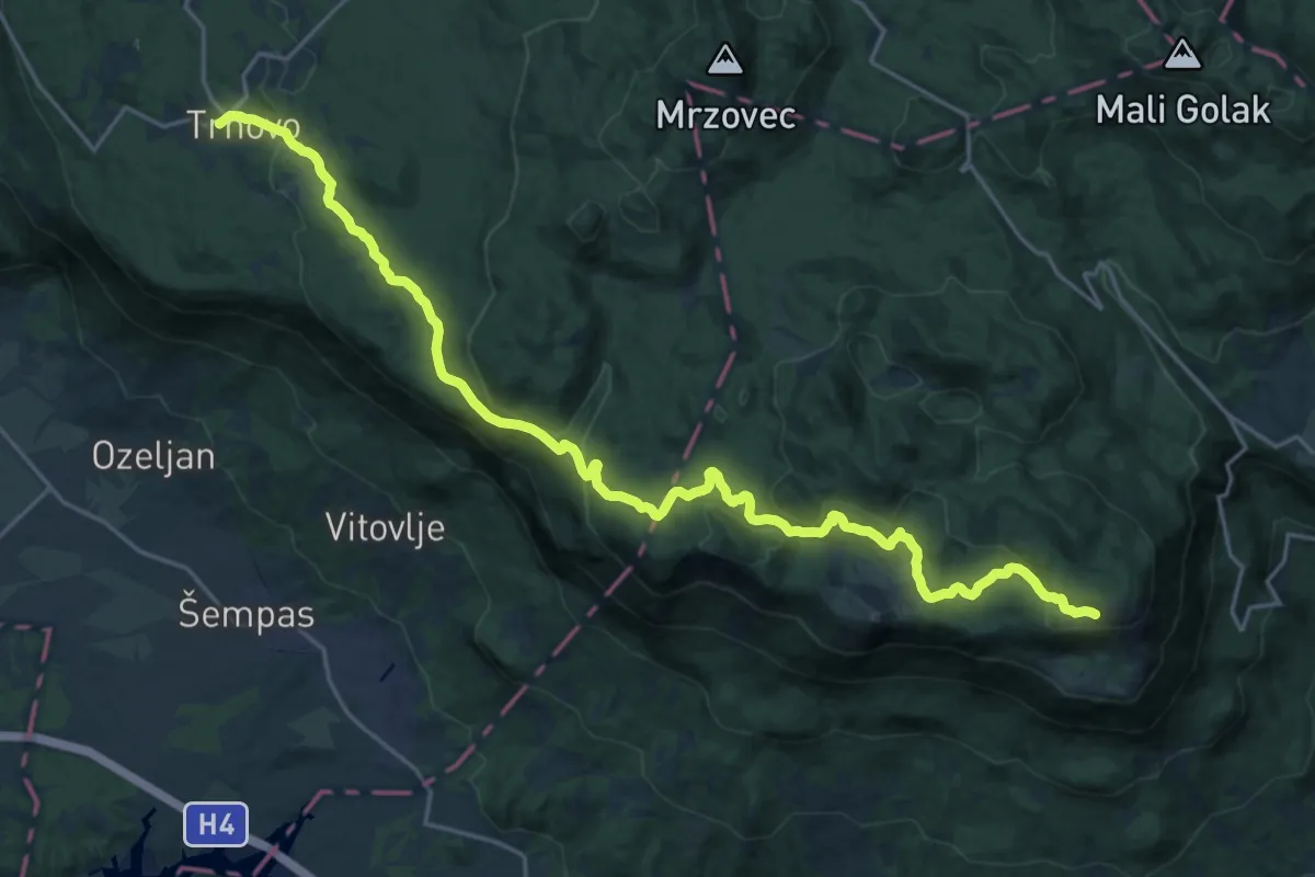
Demanding · Cabin
140 ~ Pot kurirjev in vezistov NOV Slovenije
26.2 km · ↑ 749 m · 7 h 49 min · 9 km away
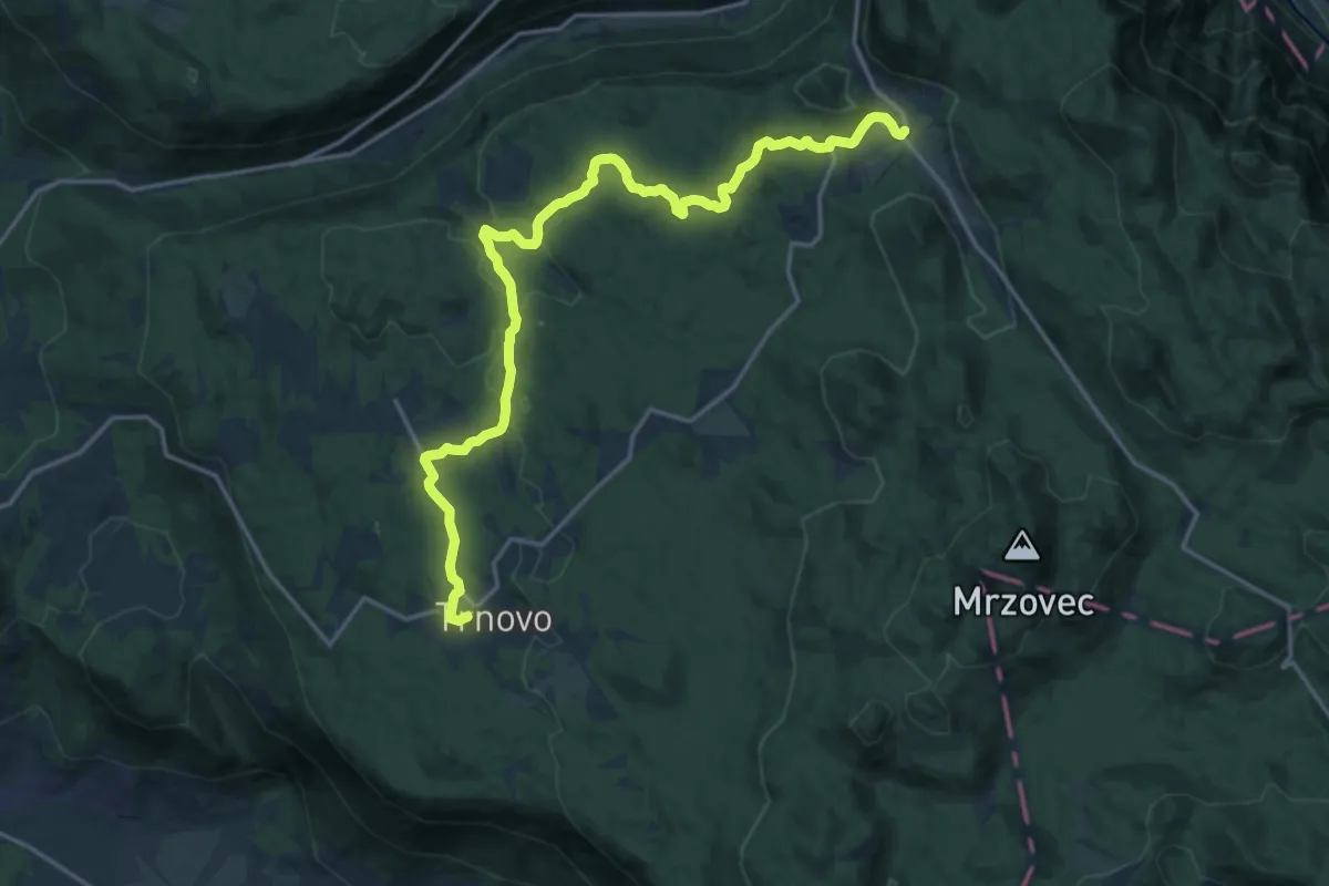
Demanding · Trail
139 ~ Pot kurirjev in vezistov NOV Slovenije
20.0 km · ↑ 345 m · 5 h 28 min · 9 km away
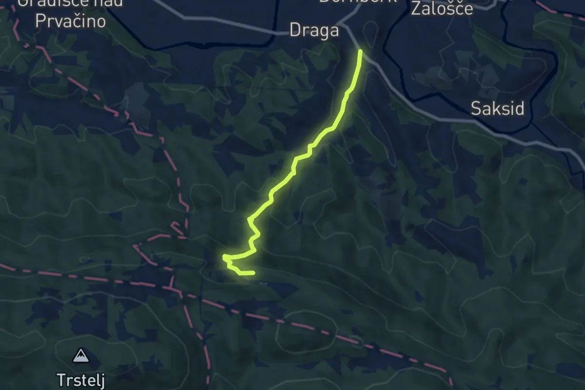
Medium · Summit
Dornberk - Železna vrata
6.2 km · ↑ 334 m · 2 h 11 min · 9 km away
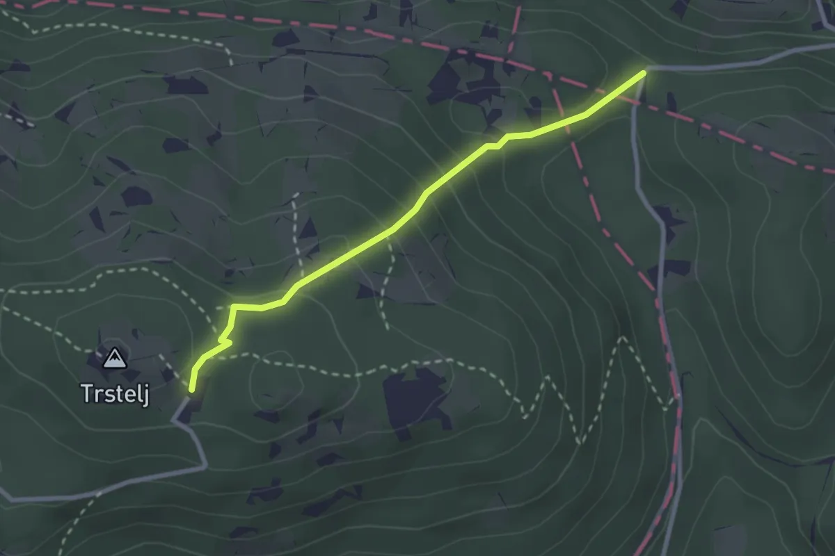
Medium · Cabin
Železna vrata - Trstelj
2.6 km · ↑ 189 m · 1 h 1 min · 10 km away
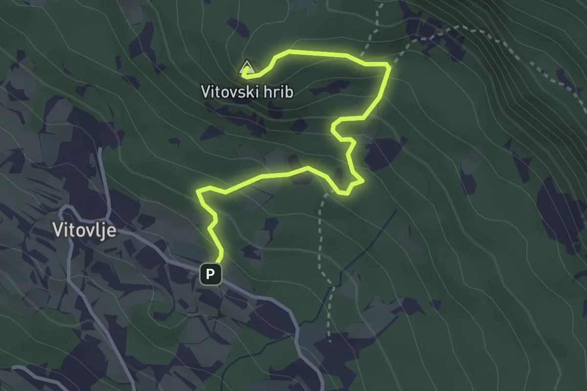
Medium · Summit
Vitovlje - Vitovsko jezero - Vitovska cerkev
3.4 km · ↑ 232 m · 1 h 18 min · 10 km away
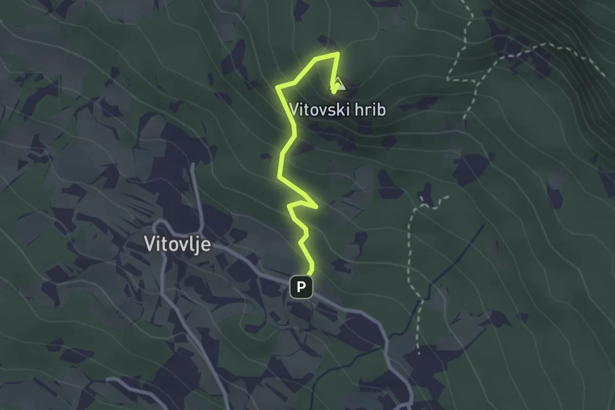
Medium · Summit
Vitovlje - Vitovska cerkev (zahodna pot)
2.2 km · ↑ 216 m · 59 min · 10 km away
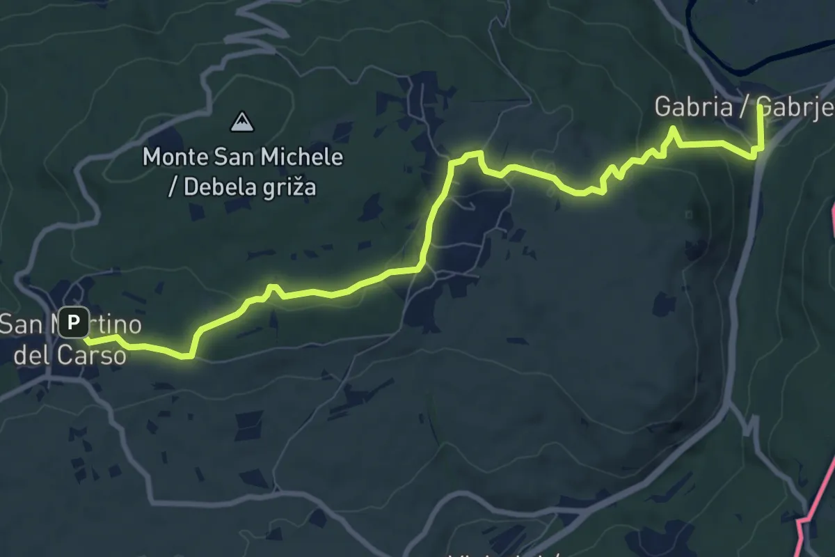
Medium · Trail
Gabria Superiore (quota 47 m) – San Martino del Carso (quota 168 m)
10.2 km · ↑ 250 m · 2 h 56 min · 10 km away
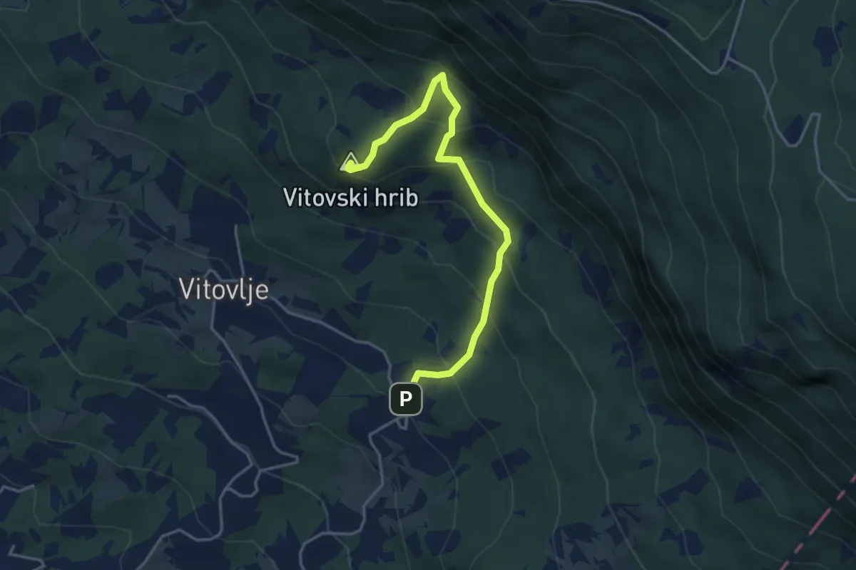
Medium · Summit
Užiče - Vitovska cerkev
4.0 km · ↑ 352 m · 1 h 43 min · 10 km away
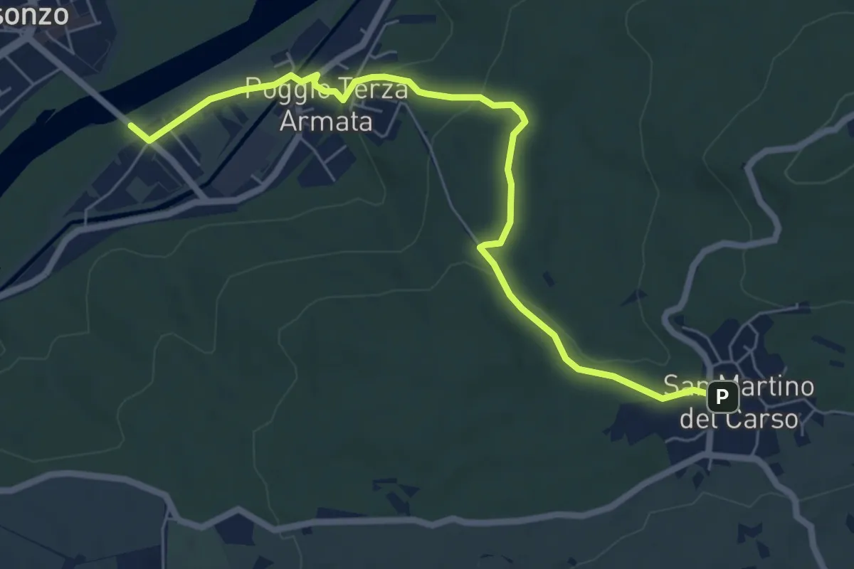
Easy · Trail
Poggio III Armata Sdraussina (quota 32 m) – San Martino del Carso (quota 168 m)
6.9 km · ↑ 147 m · 1 h 57 min · 10 km away
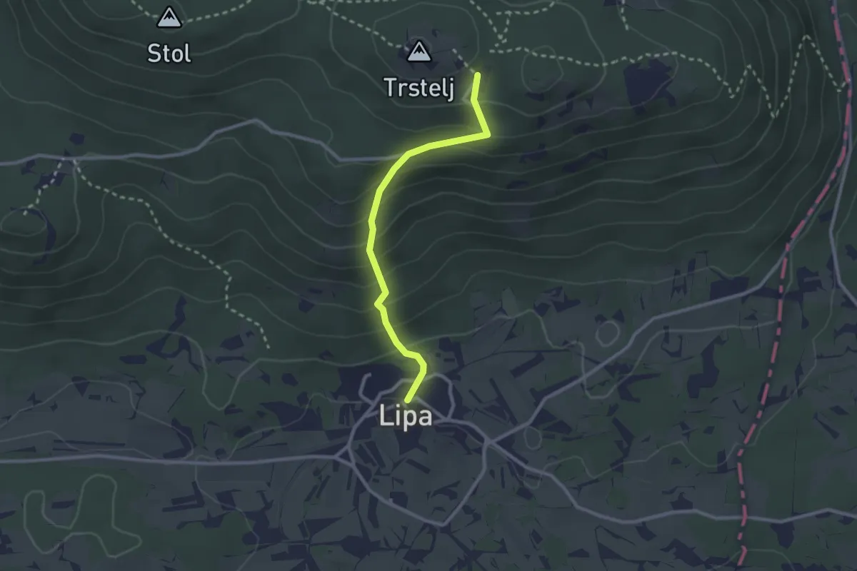
Easy · Cabin
Lipa - Trstelj
2.4 km · ↑ 232 m · 1 h 5 min · 10 km away
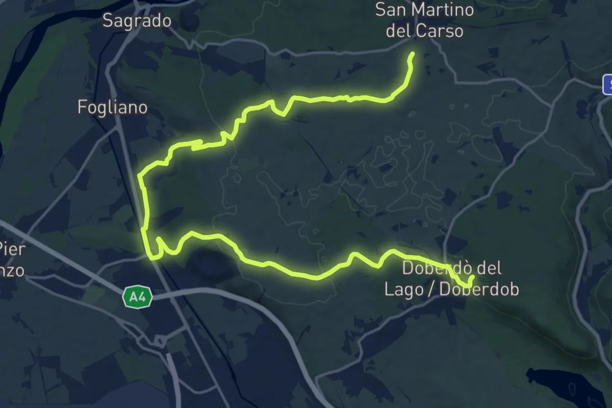
Demanding · Trail
bivio sent 072 (quota 150 m) – Doberdò del Lago bivio sent 077 (quota 110 m)
24.1 km · ↑ 323 m · 6 h 23 min · 11 km away
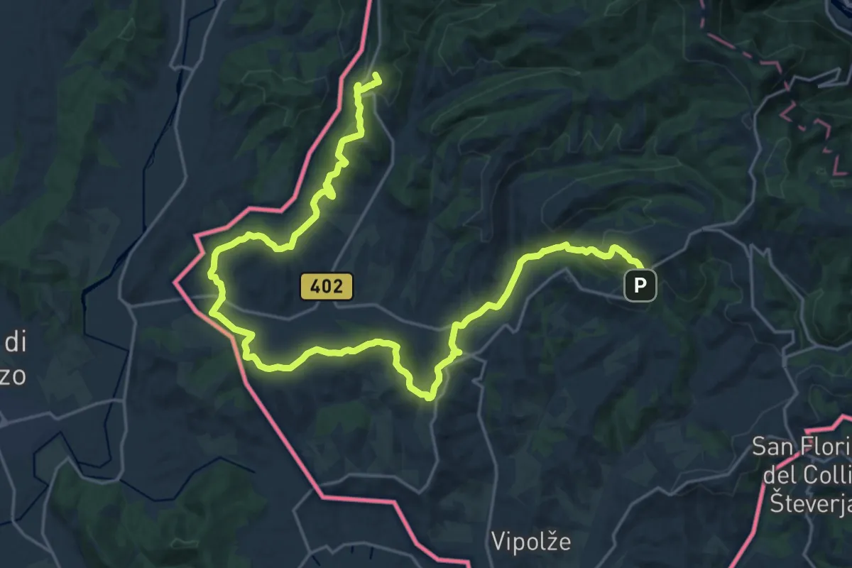
Demanding · Summit
Alpe Adria Trail E30
29.0 km · ↑ 750 m · 8 h 28 min · 11 km away
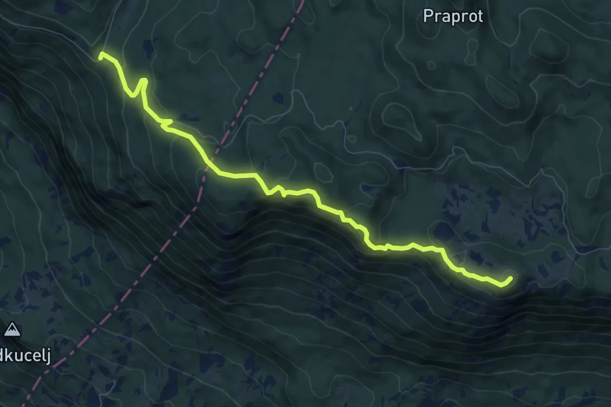
Medium · Summit
Krnica - Veliki Rob - Kucelj
8.9 km · ↑ 412 m · 3 h · 11 km away
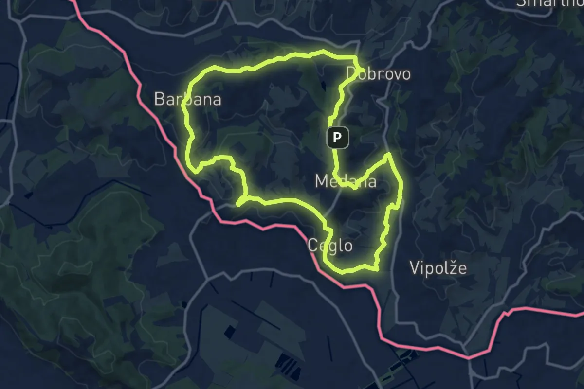
Medium · Summit
Bjla cepika
11.9 km · ↑ 330 m · 3 h 41 min · 11 km away
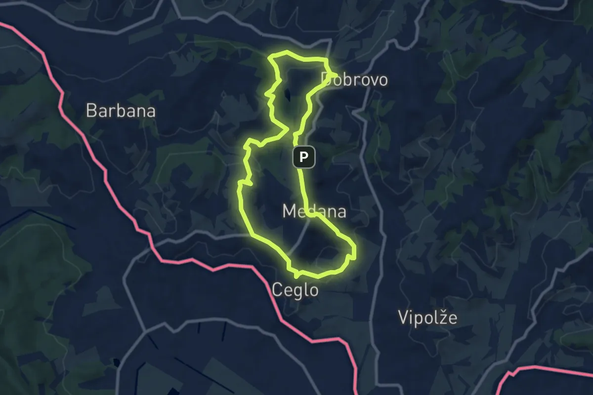
Easy · Summit
Prvač'nca
7.4 km · ↑ 253 m · 2 h 23 min · 11 km away
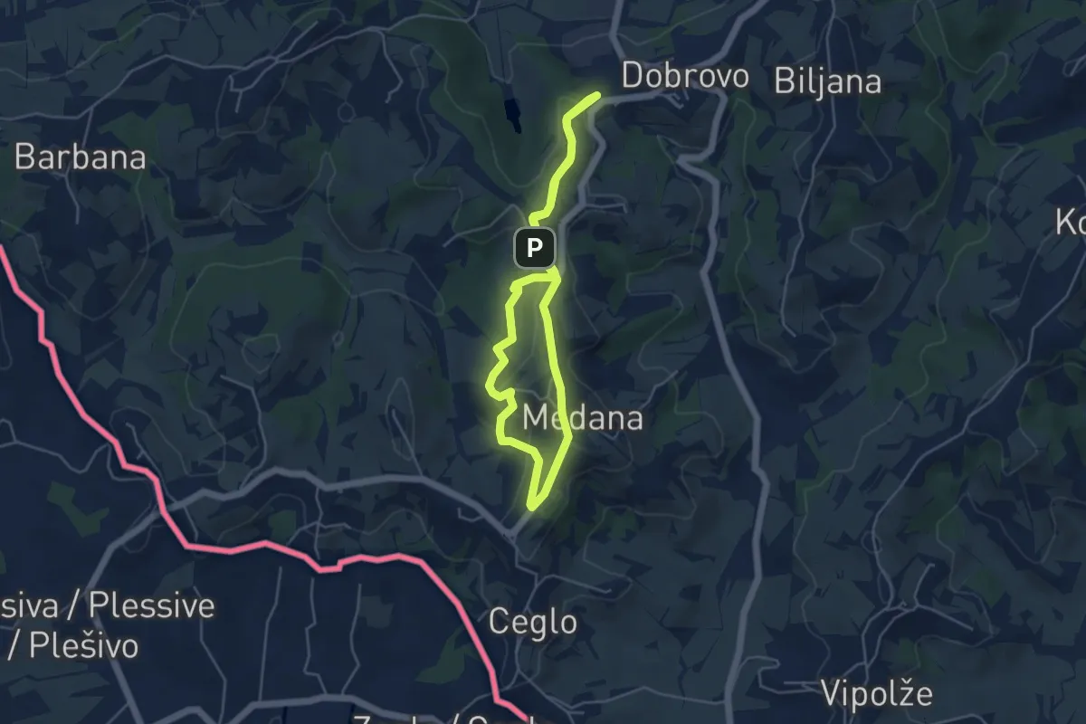
Easy · Summit
Gradnikova učna pot
4.3 km · ↑ 114 m · 1 h 19 min · 11 km away
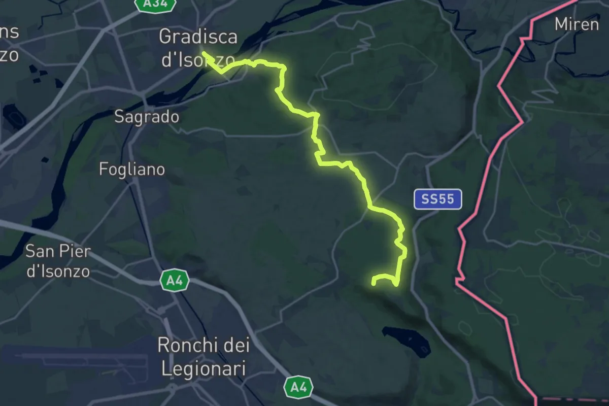
Demanding · Summit
Gradisca d'Isonzo – Centro visite Gradina
20.7 km · ↑ 292 m · 5 h 31 min · 12 km away
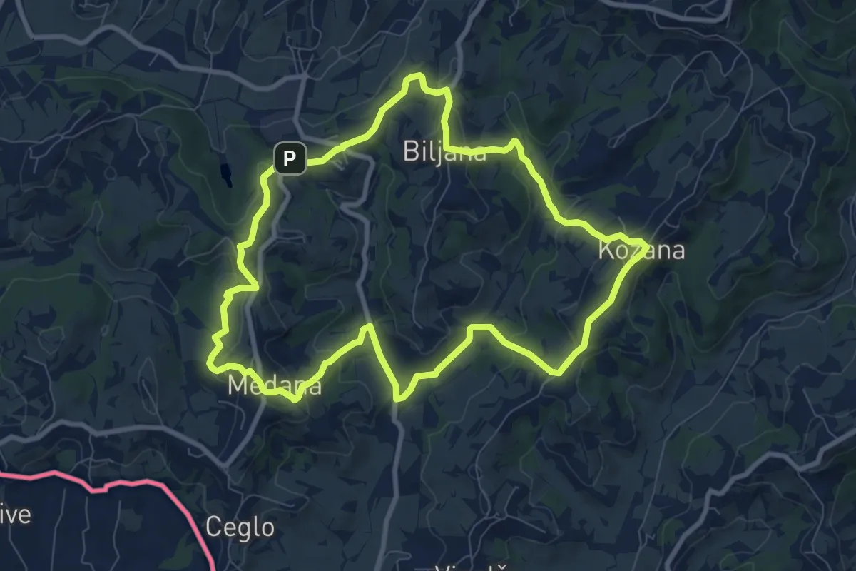
Medium · Summit
Kozanka
8.5 km · ↑ 296 m · 2 h 46 min · 12 km away
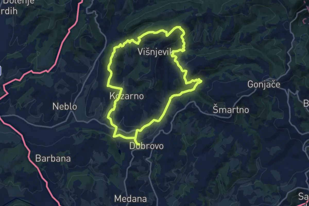
Medium · Summit
Čmpevka
11.4 km · ↑ 372 m · 3 h 39 min · 12 km away
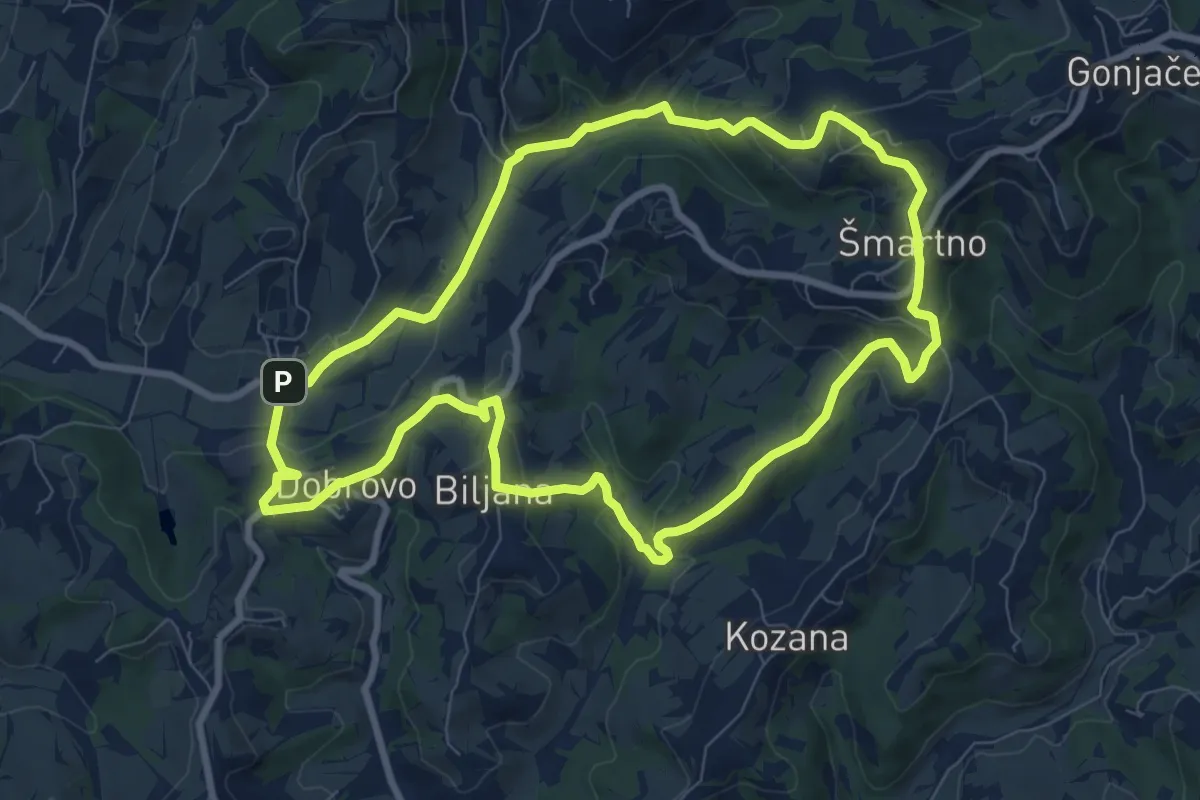
Medium · Trail
Drugmbernca
8.6 km · ↑ 290 m · 2 h 47 min · 12 km away
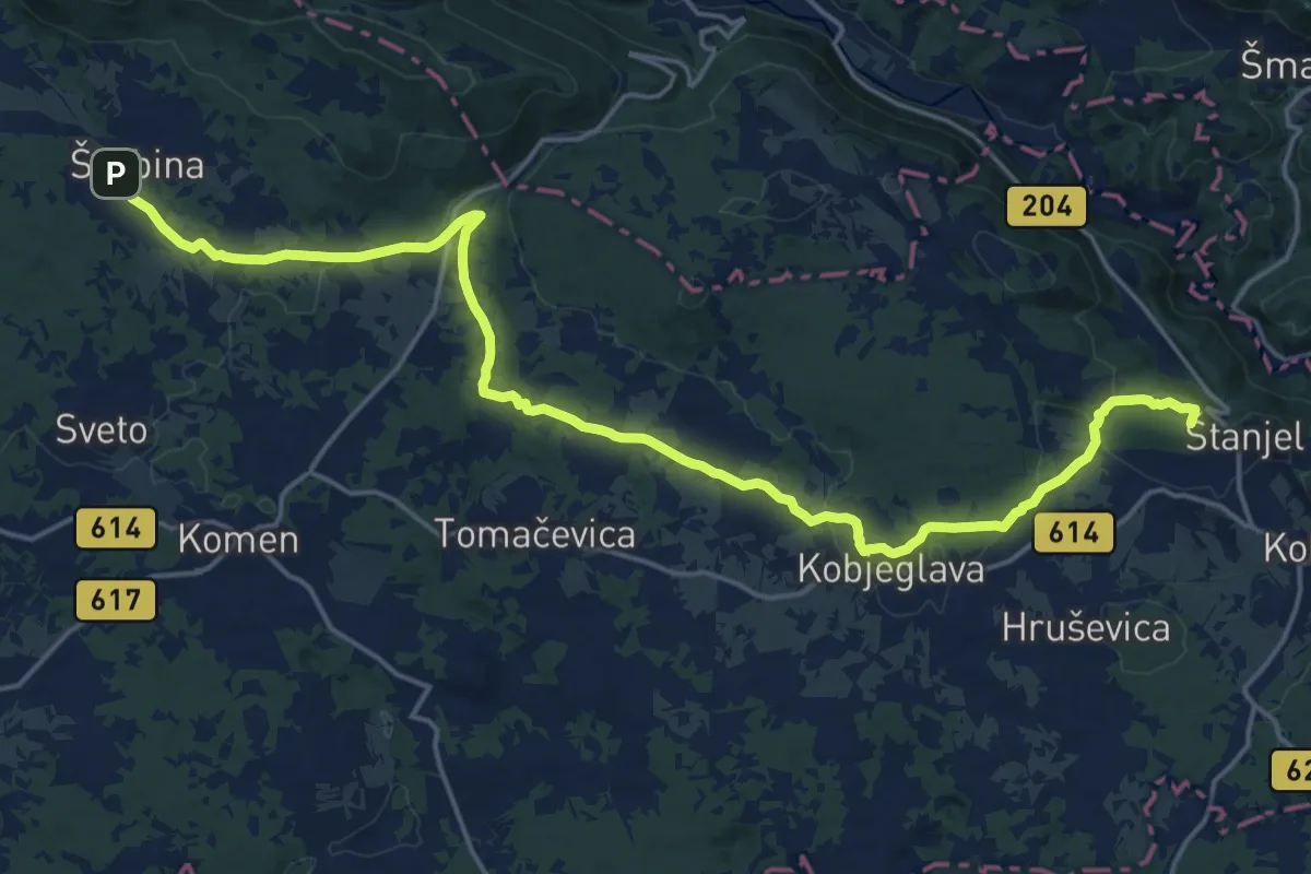
Demanding · Summit
Spacalova pot
22.8 km · ↑ 365 m · 6 h 10 min · 12 km away
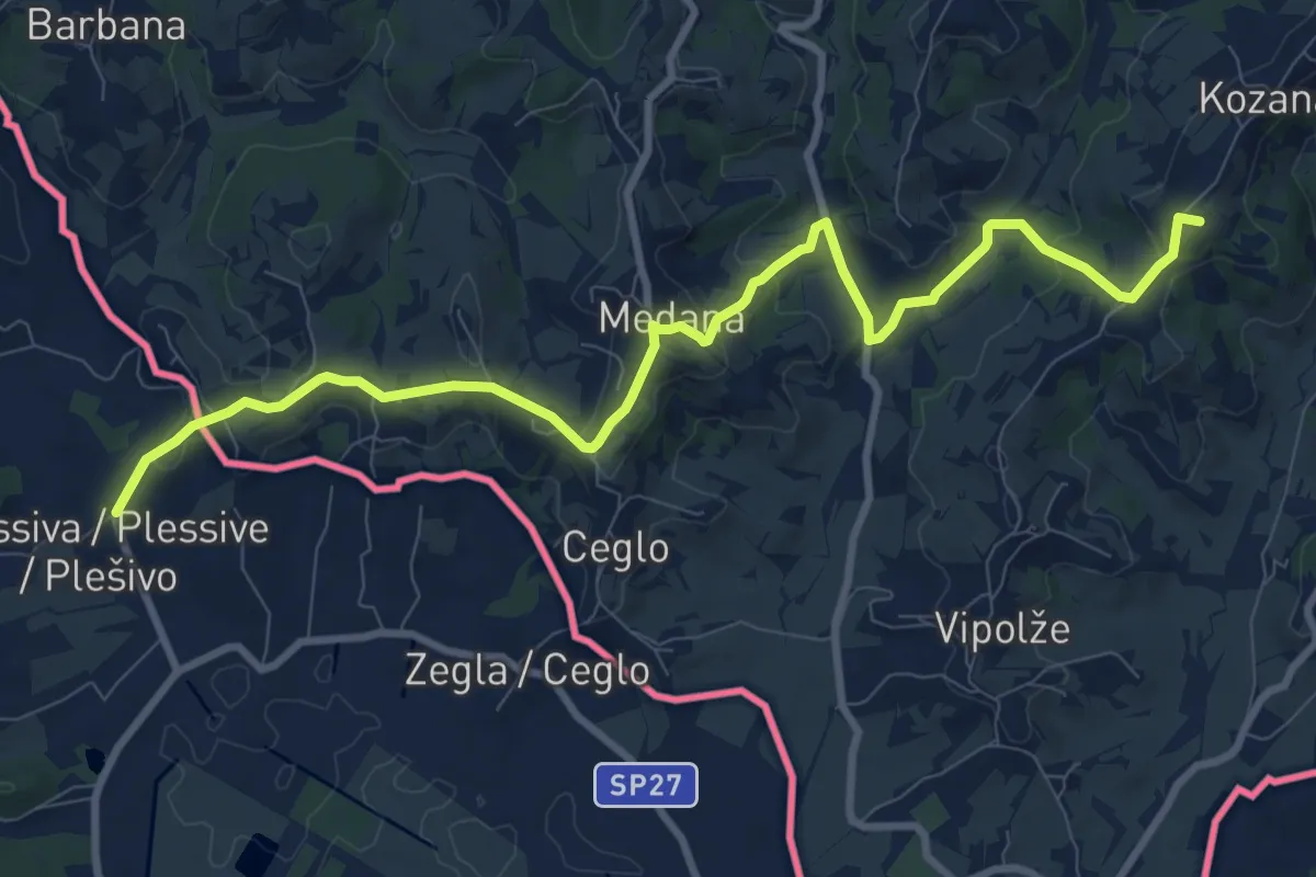
Medium · Summit
Alpe Adria Trail E31
10.9 km · ↑ 331 m · 3 h 18 min · 12 km away
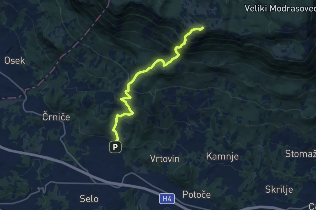
Demanding · Summit
Gojače - Kucelj
10.7 km · ↑ 1014 m · 4 h 43 min · 13 km away
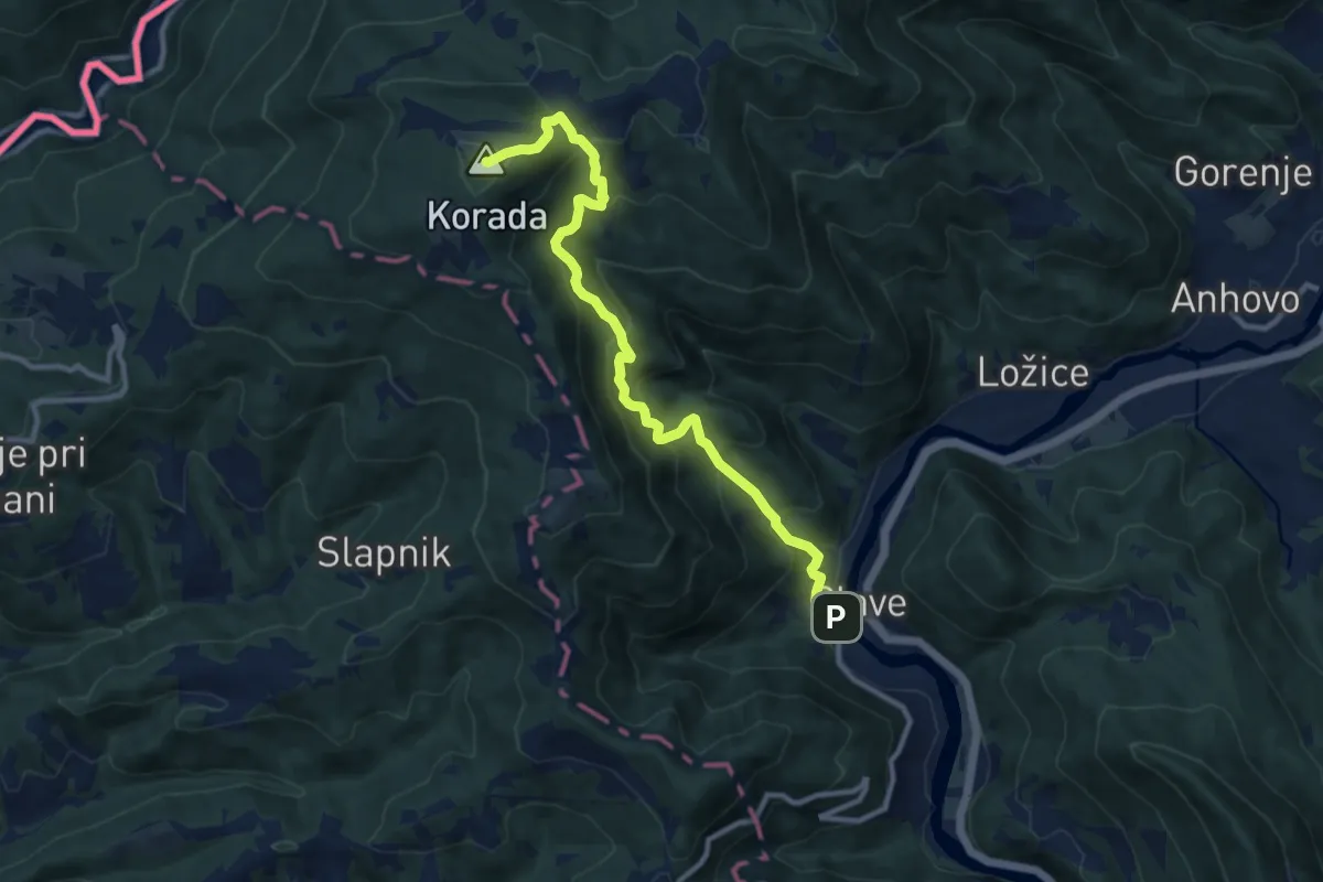
Demanding · Summit
Plave - Korada
10.5 km · ↑ 868 m · 4 h 22 min · 13 km away
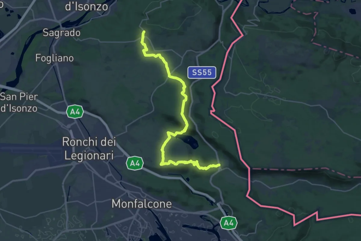
Demanding · Trail
San Martino del Carso (quota 168 m) – Jamiano (quota 45 m)
25.3 km · ↑ 631 m · 7 h 20 min · 13 km away
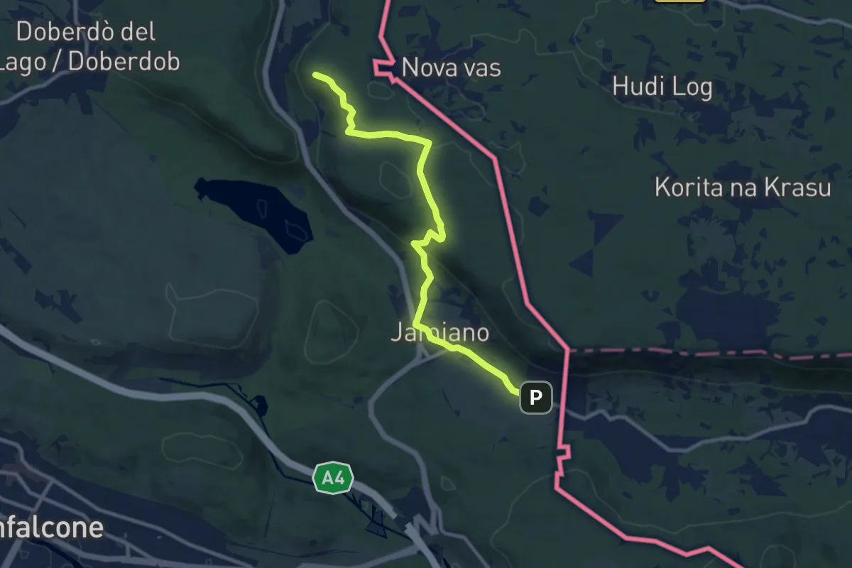
Medium · Trail
S.R. n. 55 del Vallone (quota 50 m) – Comarie bivio sent 079(quota 37 m)
9.8 km · ↑ 226 m · 2 h 49 min · 13 km away